By Alan K. Lee
Introduction
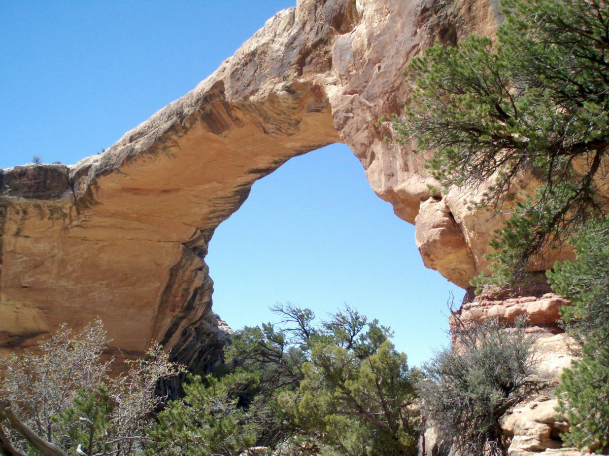
Among the many national parks and monuments of southern Utah, Natural Bridges National Monument often gets overlooked. The Big Five national parks – Zion, Bryce Canyon, Capitol Reef, Canyonlands, and Arches (and Grand Staircase- Escalante National Monument) are all deserving of the accolades they receive. They all are full of spectacularly beautiful and awe inspiring places. But if a trip to southern Utah is on your bucket list, don’t leave out a visit to Natural Bridges.
 First Impressions
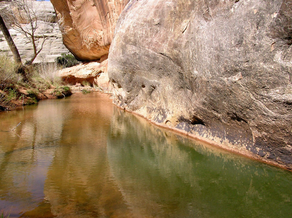
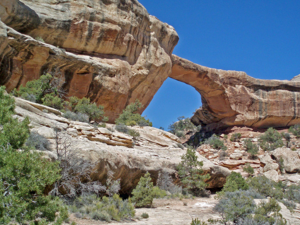
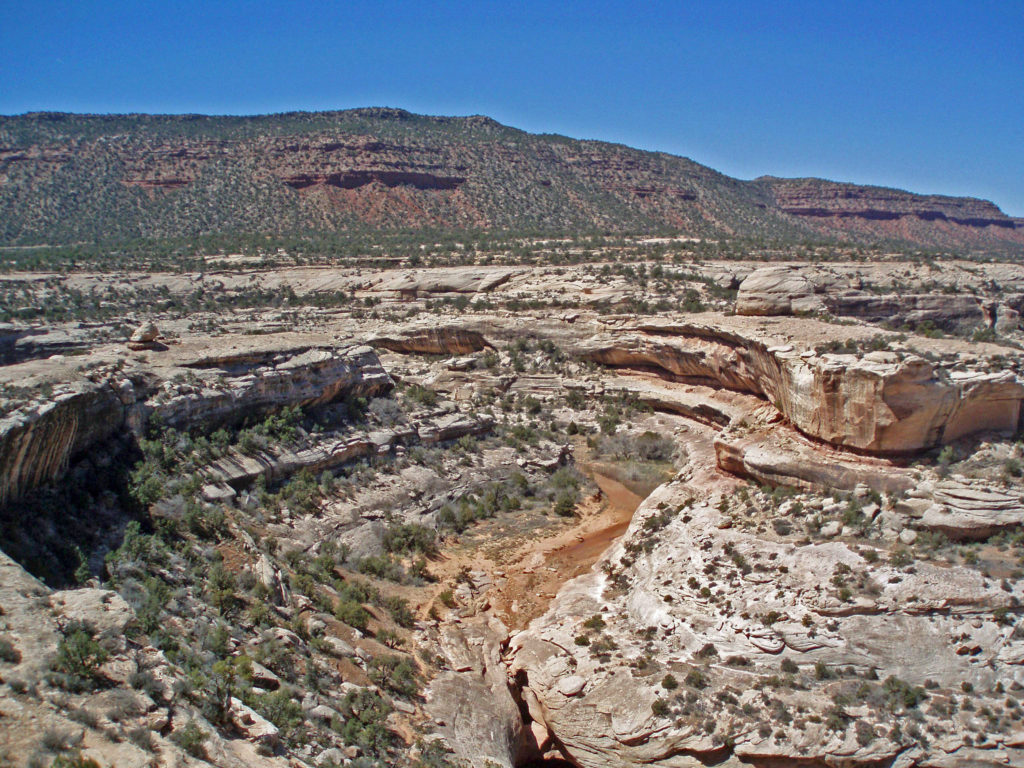
My first visit to Natural Bridges made a lasting impression on me almost immediately. We were there on a very hot day, but once we descended into the canyon, we entered a cool, shaded riparian environment very different from the hot desert landscape above. Natural bridges, unlike arches, are formed by the erosive action of flowing water. And it is that water that makes this place such a welcoming oasis.
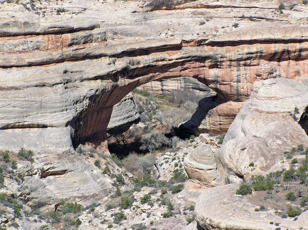 My wife and I have been back once since that first visit. The photos here were taken on that second trip in 2008. I think we’re long overdue for a third visit.
Geology
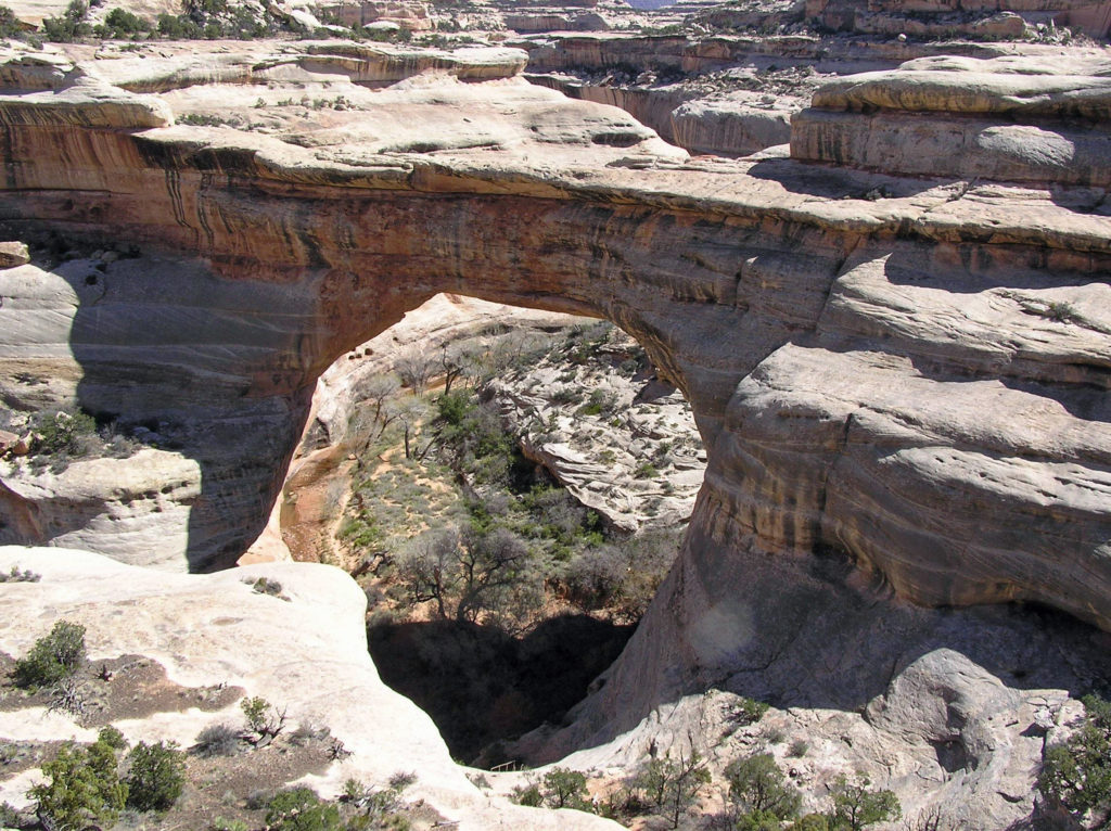
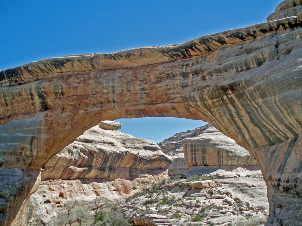
Some 260 million years ago eastern Utah was on the shores of an ancient sea. Over many millions of years the sand deposited on the sea floor was compressed into sandstone, then uplifted by tectonic forces that created the Colorado Plateau. Rivers and streams have since cut their way into the relatively soft sandstone, leaving arches where harder rock overlaid softer, more easily eroded rock.
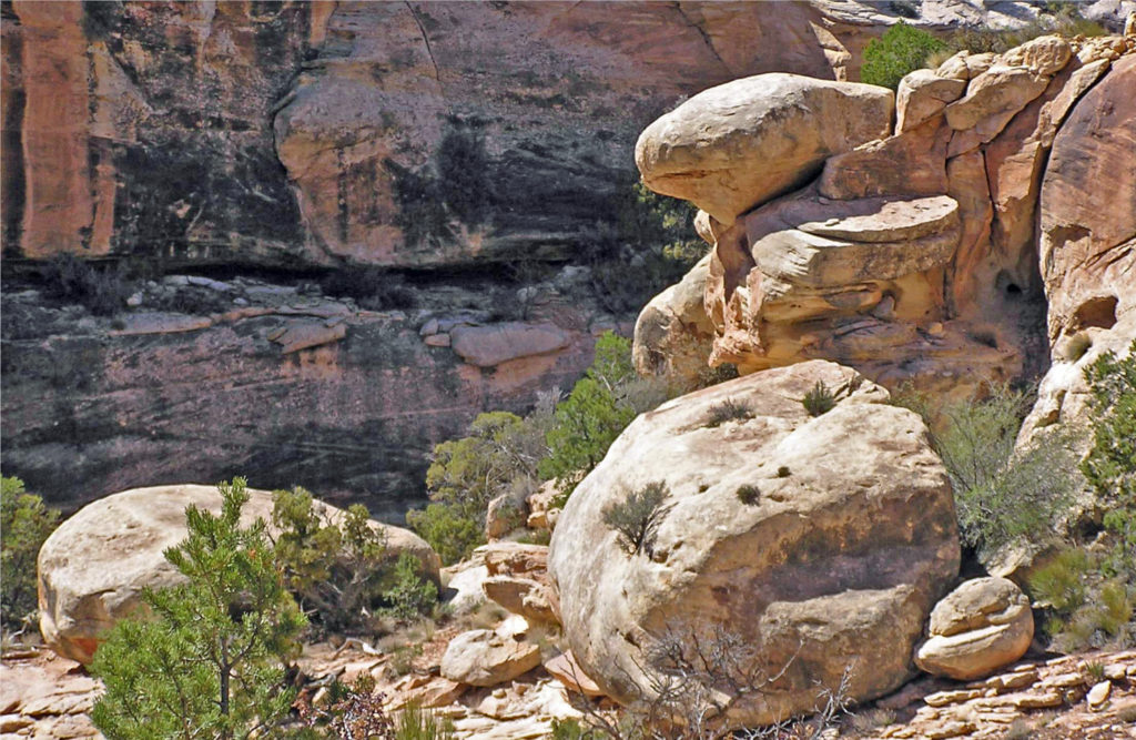
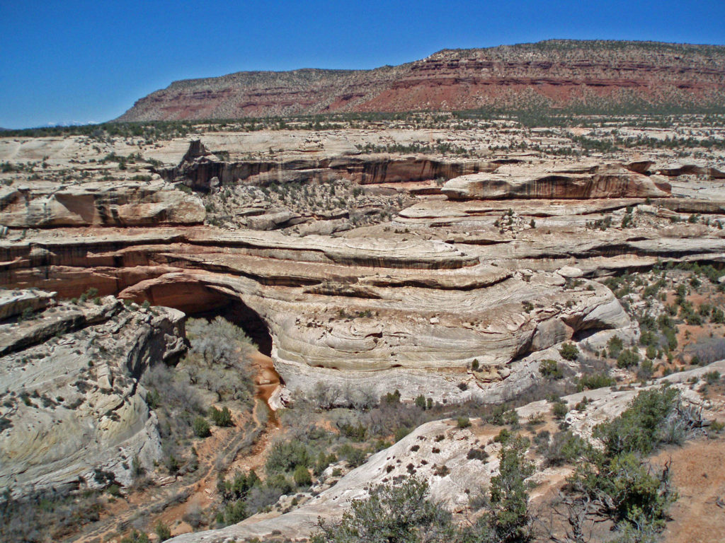 The white Cedar Mesa Sandstone of the canyons in Natural Bridges was formed from white quartz sand with relatively little iron. The red and orange sandstone of the mesa tops gets its color from more iron rich rocks. Oxygen and hydrogen react with the iron, forming compounds that vary in color depending on the relative proportions of oxygen and hydrogen in the rock.
 Human Presence
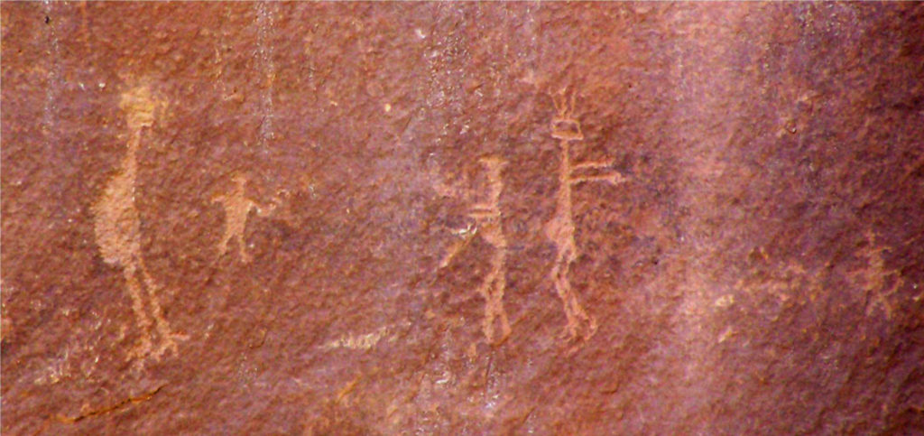
The Natural Bridges area has been inhabited periodically for about 9000 years. For most of that period, nomadic hunter-gatherers passed through the area. Many of the petroglyphs you’ll find on the canyon walls were done by these Archaic peoples.
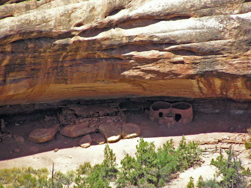 The Ancestral Puebloan people began farming the mesa tops around 1500 years ago, but later abandoned the area, presumably because of a prolonged drought. After 300 years, the ancestors of modern day Hopi and Navajo returned to the Natural Bridges area, only to abandon the area again around the year 1280 CE. Modern Hopi, Navaho, and Paiute peoples reoccupied the area once again at later dates.
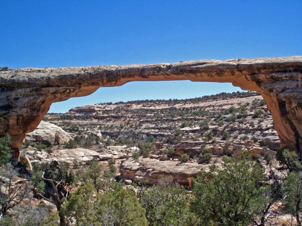 Europeans didn’t discover the area until 1883 when prospector Cass Hite ventured into the canyons looking for gold. He didn’t find any gold, but he did find the three magnificent natural bridges. Twenty years later, National Geographic Magazine published an article about the bridges, gaining the attention of President Theodore Roosevelt, who established Natural Bridges National Monument in 1908, Utah’s first national monument.
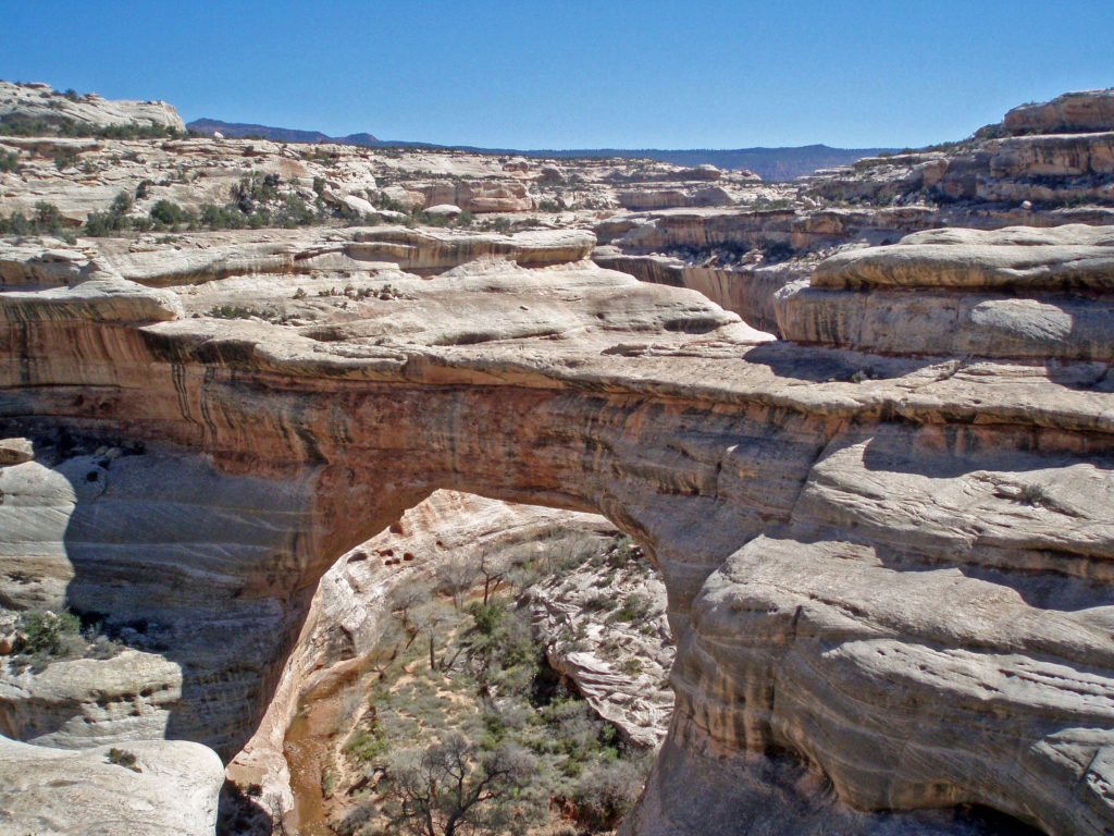
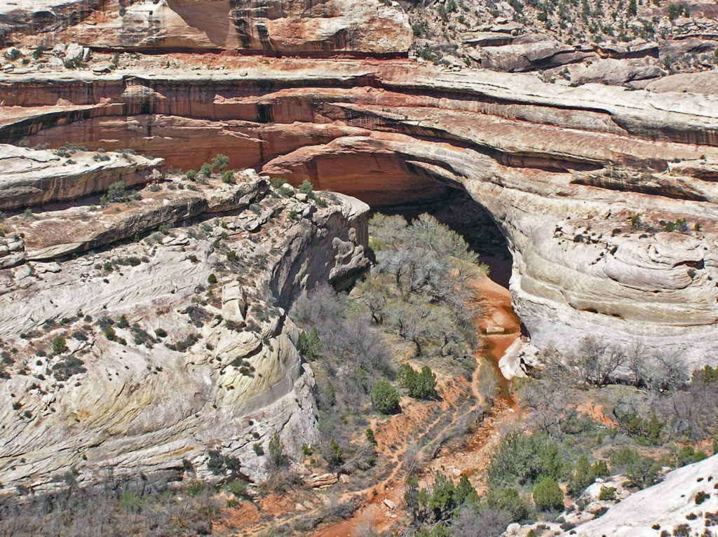 The bridges were named President, Senator and Congressman by Cass Hite. Later explorers gave them the names Augusta, Caroline and Edwin. But neither set of names stuck. In 1909 the bridges were given the Hopi names they carry today: Sipapu, Kachina, and Owachomo.
Getting There
Natural Bridges is located in southeastern Utah, south of Canyonlands National Park. From the town of Blanding drive south on US 191 then turn west on Utah Highway 95. In about 30 miles turn right on Utah 275. The Natural Bridges Visitor Center is 4.5 miles from the junction with Hwy 95.
 Visitor Center
The Natural Bridges Visitor Center is a logical first stop when visiting the monument. Pick up a map of the park, fill your water bottles, and ask the staff for information on current conditions, hiking trails, park history, geology, plants and wildlife, etc. There is also a small store and public restrooms. The restrooms and water are available even when the visitor center is closed.
Bridge View Drive
Bridge View Drive is a nine mile one way loop road through the monument, with about a dozen viewpoints, all worth stopping at. There are maintained trails descending into the canyon to all three bridges from Bridge View Drive. All are short, easy hikes down into the canyons, without a huge amount of elevation gain on the return to the canyon rim. There is also an unmaintained trail in the canyon bottoms linking the three bridges, and there is a trail on top of the mesa between the Sipapu Bridge and Kachina Bridge viewpoints.
Night Skies
As beautiful and spectacular as Natural Bridges is during the day, it may be even more so at night. I say it may be only because I’ve not been there after dark. But by all accounts, star gazing is one of the park’s top attractions. Of the 104 International Dark Sky Parks in the world, Natural Bridges was the first so designated.

Where To Stay
There is a small first come first served campground adjacent to the visitor center in the monument, but there are no water, electric, or sewer hookups. The nearest town of any size is Blanding. There are several RV parks and a variety of motels and other accommodations in Blanding, as well as a number of cafes and restaurants.

Roadtripping
Natural Bridges can be included in a gigantic loop that includes Zion, Cedar Breaks, Bryce Canyon, Grand Staircase-Escalante, Capitol Reef, Arches, Canyonlands, Mesa Verde, Monument Valley, Lake Powell, and the North Rim of the Grand Canyon – a truly epic road trip that might take a month or longer to fully experience. And, of course, there are a variety of shorter loops that can be done if you can’t fit all of those destinations into your plans.
 Conclusion
Any road trip to southeastern Utah should include a visit to Natural Bridges. It’s a beautiful, interesting, and unique place very worthy of its place among the other parks and monuments of the region. And the surrounding region, part of the 1.3 million acre Bears Ears National Monument, is also well worth exploring.
 Originally posted July 10, 2021. Updated July 21, 2024.
All photos © Alan K. Lee

