
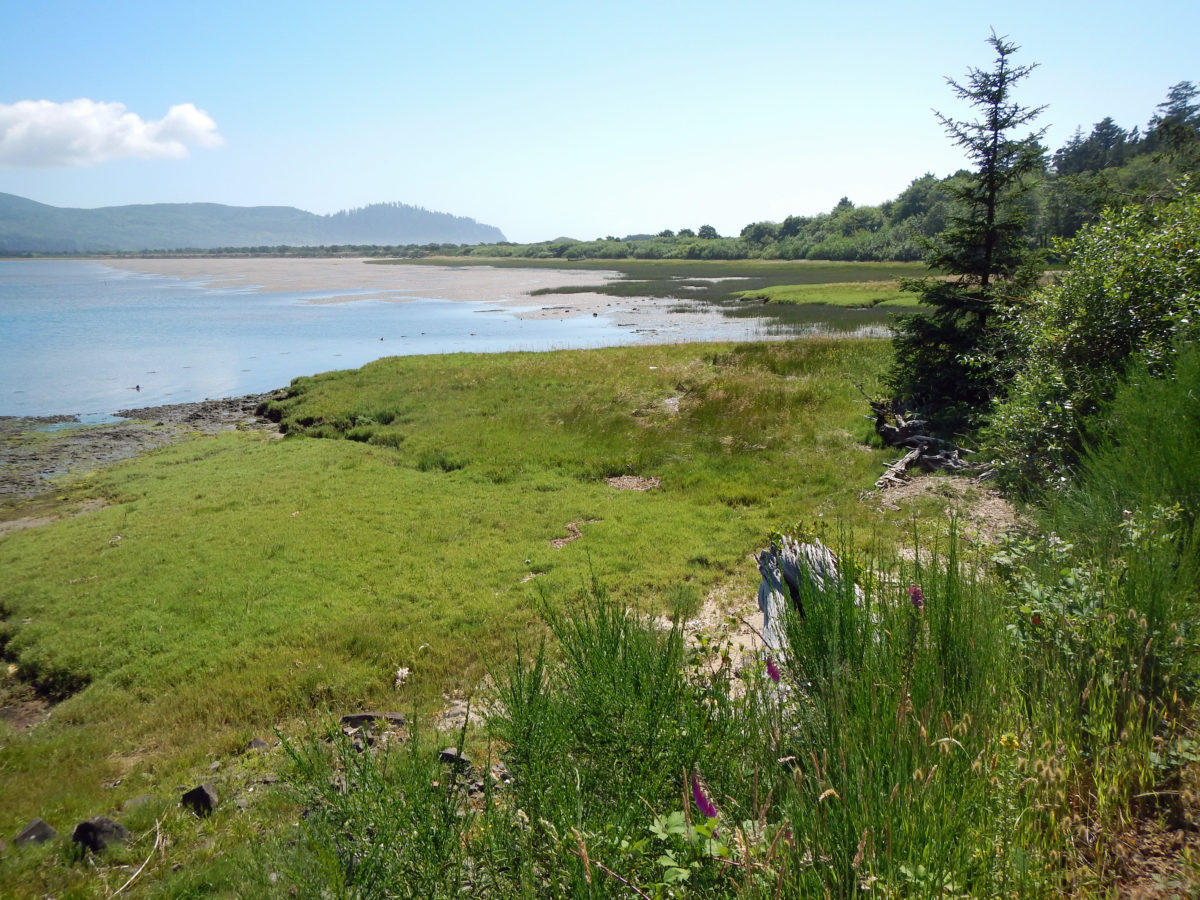
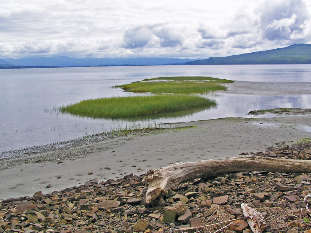
 Bayocean Peninsula, on the northern Oregon coast, is a sandspit that separates Tillamook Bay and the Pacific Ocean. It is, by any measure, a nature lover’s paradise, whether you’re a beachcomber, hiker, mountain biker, boater, birder, wildlife lover, or photographer.
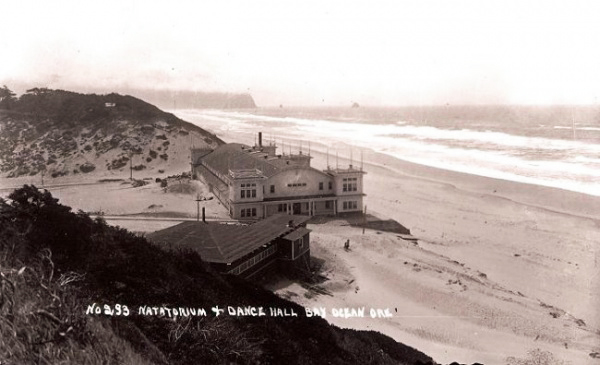
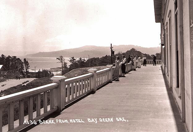
Now an undeveloped county park, a century ago it was home to a thriving resort community of 2000 people. The town of Bay Ocean Park boasted a large hotel, dance hall, 1000 seat movie theater, bowling alley, shooting range, tennis courts, and a heated natatorium housing what was billed as the largest salt water swimming pool on the west coast, complete with a wave generator. The town featured paved and lighted streets, a public water system, telephone system, and a diesel powered generating station that provided the town with electricity, all at a time when most small towns in Oregon had few, if any, of those things.
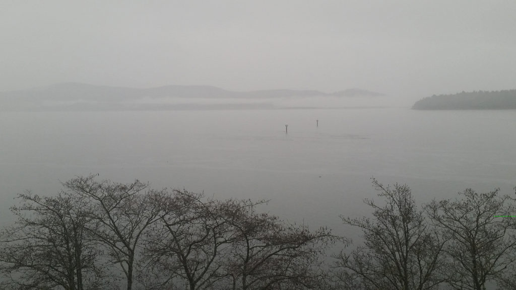
Despite having paved streets and its own gas station, there was no road connection between Bayocean and the other coastal communities, much less to Portland and the Willamette Valley. Many residents and visitors traveled to and from Bayocean by steamship, a three day journey from Portland that involved crossing the notorious Columbia River bar and navigating the unprotected mouth of Tillamook Bay, a sometimes rough, frightening, and potentially dangerous experience.
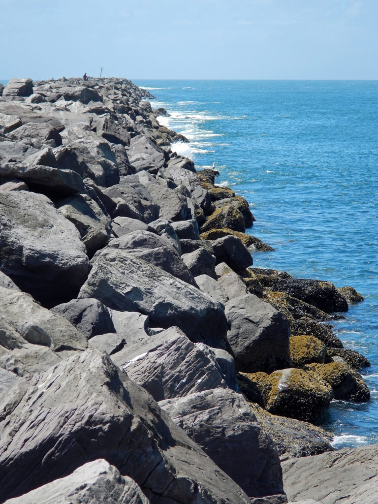 To make crossing the Tillamook bar safer, the Army Corps of Engineers recommended jetties be built on both the north and south sides of the bay’s mouth. But half of the cost (a then considerable $2.2 million) would have to be paid by local residents. To cut the cost to a more affordable amount, the local port district proposed building only one jetty. The resulting north jetty, completed in 1917, did make crossing the bar much smoother and safer, but it also contributed to the town’s demise by changing the near shore currents, which began eroding away the beach in the 1920s.
 In 1932 the north jetty was extended, further accelerating the erosion. The natatorium was destroyed by waves during a massive storm that winter. By 1938 almost 60 homes had fallen into the sea. Other storms over the years took many of the remaining buildings, and in 1952 another major storm breached the southern end of the peninsula, turning Bayocean Peninsula into an island. The Bay Ocean Park post office closed in 1953 and most of what was left of the town was bulldozed by the Corps of Engineers in 1956 during a project to build a dike across the breach created in 1952. The last house on the peninsula washed away in 1960, and the last structure, a long abandoned garage, fell into the sea in 1971.
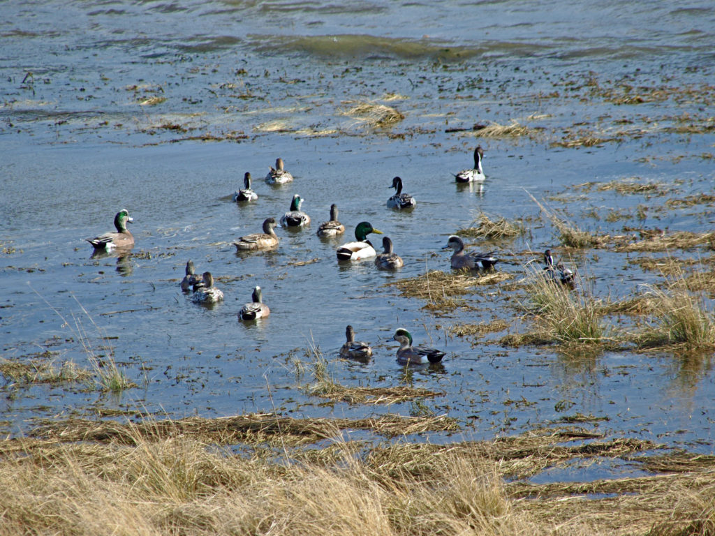
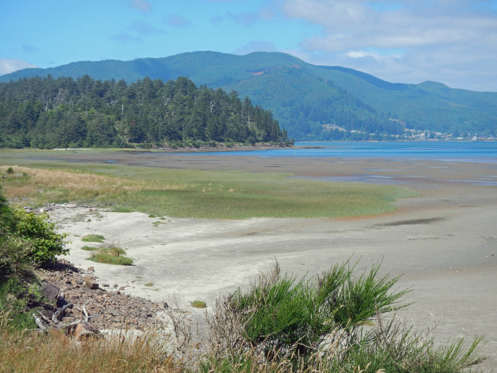
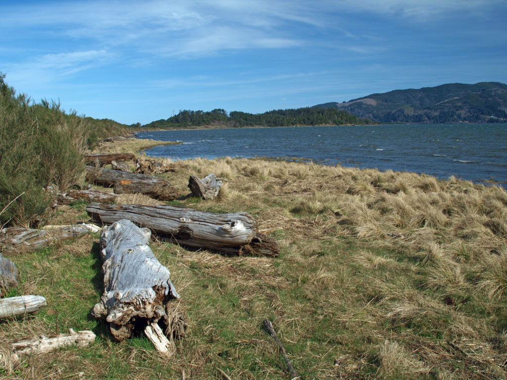 The south jetty was eventually built in the 1970s and that stopped the erosion of the peninsula, but by then the town of Bay Ocean Park was long gone. Today, nothing remains of the town. What’s left, though, is a treasure trove of delights for the outdoor enthusiast: miles of untrammeled beach, unspoiled dunes, a bay shore sheltered from the prevailing winds, an upland spruce and pine forest, and an abundance of waterfowl and other wildlife. The haul road used in building the south jetty is now an ideal mountain bike and hiking trail on the bay side of the peninsula.
 To reach Bayocean from the town of Tillamook, follow the signs for the Three Capes Scenic Route (Oregon Highway 131). After crossing the Tillamook River bridge, turn right onto Bayocean Road toward Cape Meares. At milepost five, turn right onto the old south jetty haul road (aka the dike road) and proceed to the trailhead parking area. There are pit toilets at the trailhead, but no water.
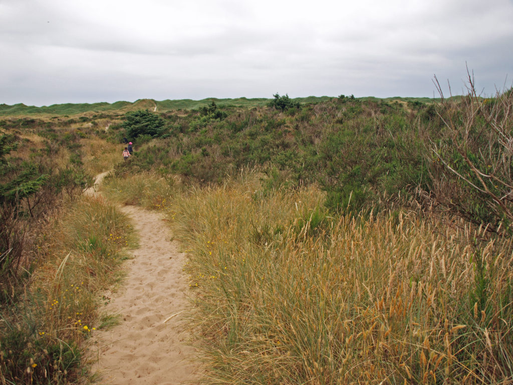 From the trailhead, the road continues north beyond a locked gate. You can also hike through the dunes to the beach from the trailhead parking area. The road along the bay shore is mostly gravel, with a few sandy stretches, and mostly flat. It’s an easy four mile bike ride to the south jetty.
 Hikers can do a 7½ mile loop by hiking through the dunes to the beach, walking the beach to the south jetty, and returning along the bay side on the gravel road. There are several trails connecting the dike road to the beach, making shorter loops possible. And a longer hike or bike ride (10 mile loop or 9 mile out and back along the beach) can be done by starting at the beach access in the town of Cape Meares, instead of the Bayocean trailhead. See my Bayocean Peninsula Hike post for more details.
Back country camping is no longer permitted on the peninsula and there are no campgrounds. In the past, boaters frequently camped along the bay shore at a cove called Crab Harbor near the north end of the peninsula and backpackers sometimes camped in the woods or dunes near the middle of the peninsula.
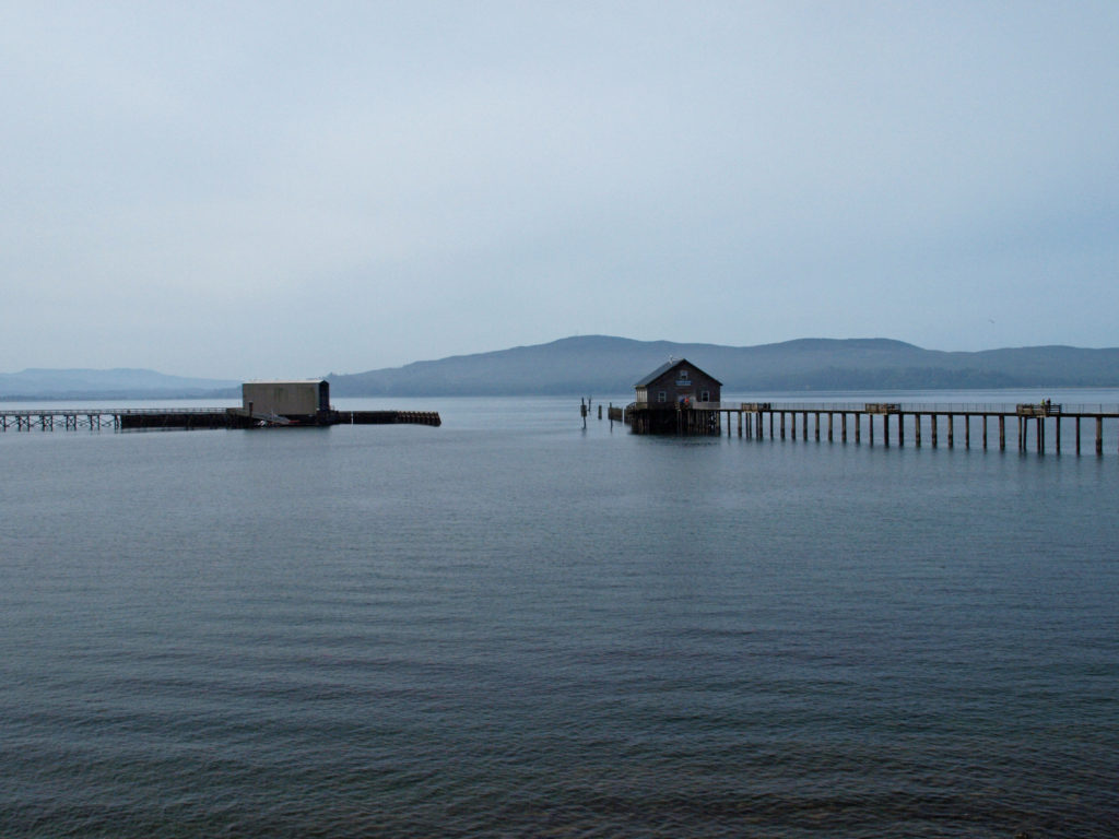
 The north Oregon coast has much to offer beyond Bayocean Peninsula, of course. Oswald West State Park and Hug Point to the north, and Cape Meares and Cape Lookout to the south are some of my favorite places on the north coast. But Bayocean Peninsula is unique. Nowhere else on the northern Oregon coast can you find such an extended stretch of roadless, yet accessible, beach. And it’s close enough to Portland and the rest of the population centers of the Willamette Valley to be an easy day trip. I’ve hiked and biked the peninsula a number of times and I’m sure I will return many more times. I never get tired of its sights and sounds.
 Originally posted April 23, 2019 by Alan K. Lee, updated July 8, 2021 and March 4, 2024
All photos © Alan K. Lee, except as noted