
By Alan K. Lee
Introduction
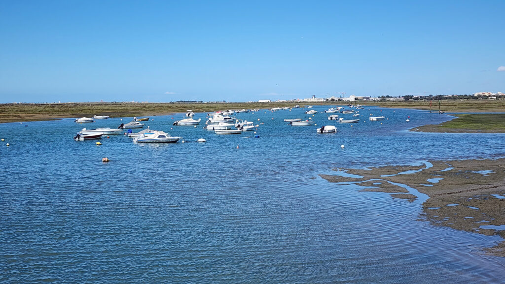
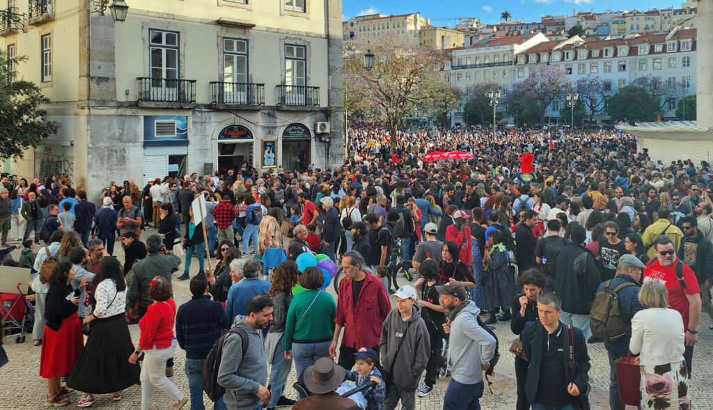
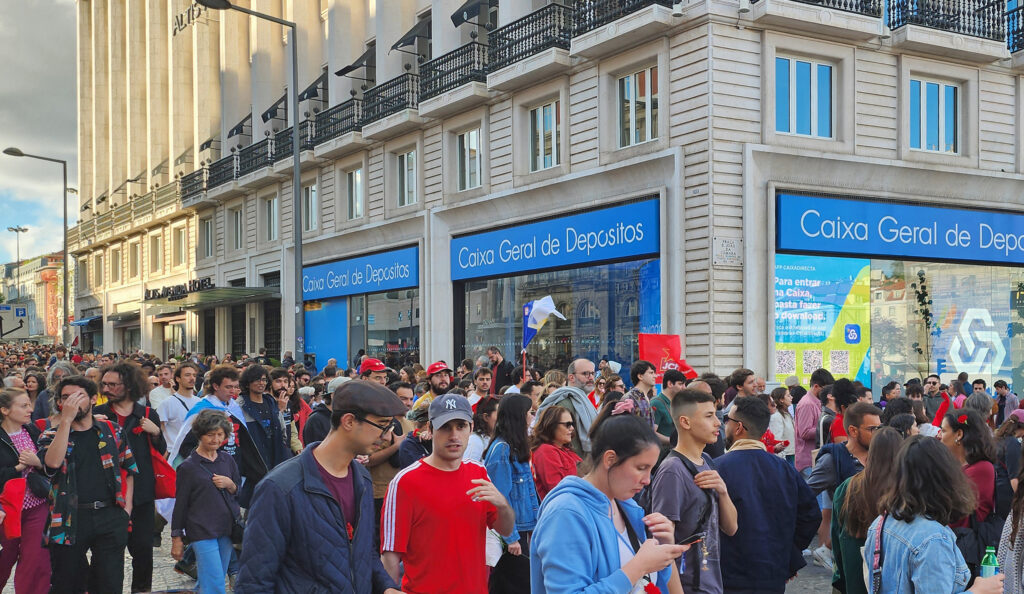
Bisbee is one of the most unique and interesting towns in Arizona (or anywhere for that matter). My brother worked as an electrical engineer for a company based in Bisbee for many years, and my wife and I visited Bisbee many times during those years. He is now retired, but has remained in the area, living in nearby Sierra Vista. We always include a day in Bisbee on our visits, most recently in the spring of 2026.
History
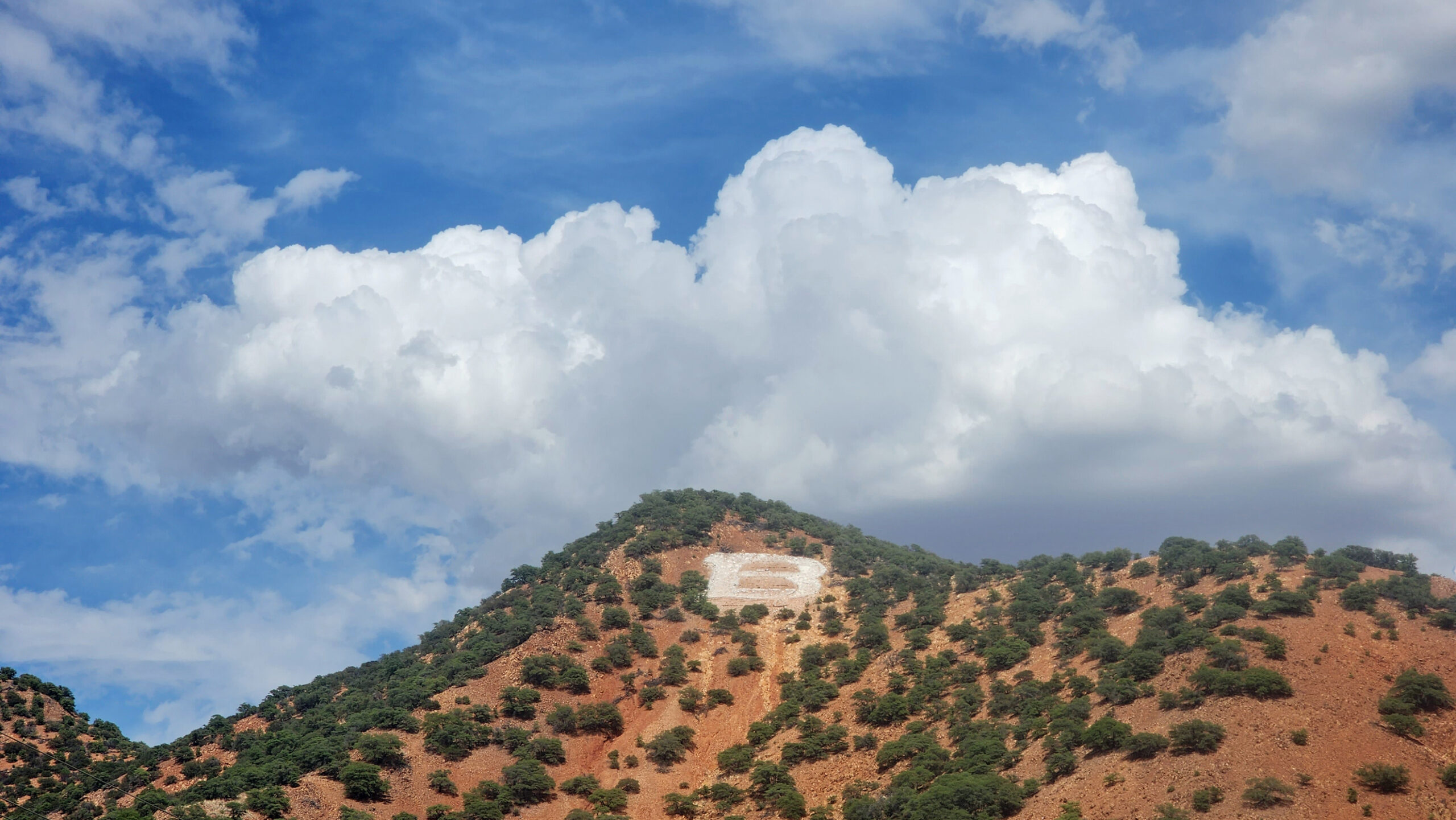
Bisbee was founded in 1880 and incorporated in 1902. Its early economy was based on copper, gold, and silver mining. Demand for copper surged during World War I and Bisbee’s population peaked at 9205 in the 1920 Census. Mining activity declined significantly in the 1930s and 40s, and Bisbee’s population had dropped to 3801 by 1950.

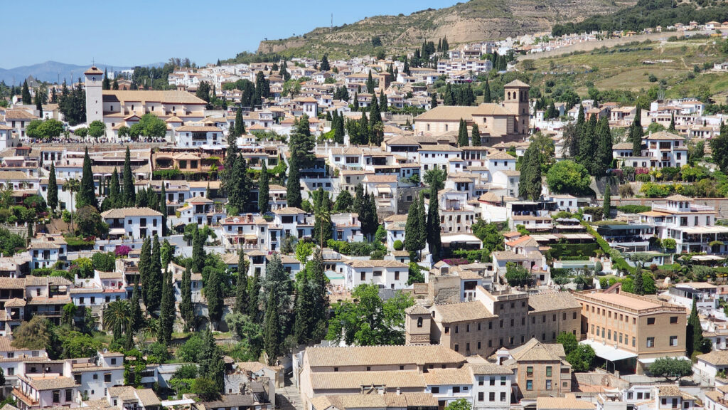
Housing prices crashed in the 1960s, leading to an influx of artists and counter culture types taking advantage of the cheap housing. That combination of artists and eccentrics of all types gave Bisbee a unique and colorful local culture that persists to this day.
Phelps Dodge Corporation ceased all mining activities in Bisbee in 1975, and local leadership pivoted to tourism to boost the economy. Today, tourism is the largest component of Bisbee’s economy.
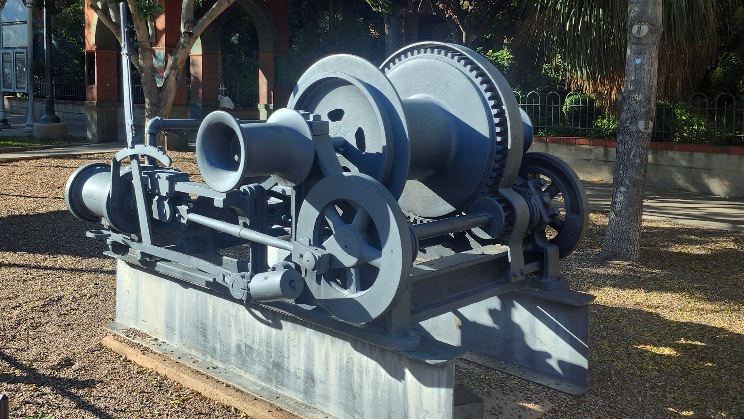
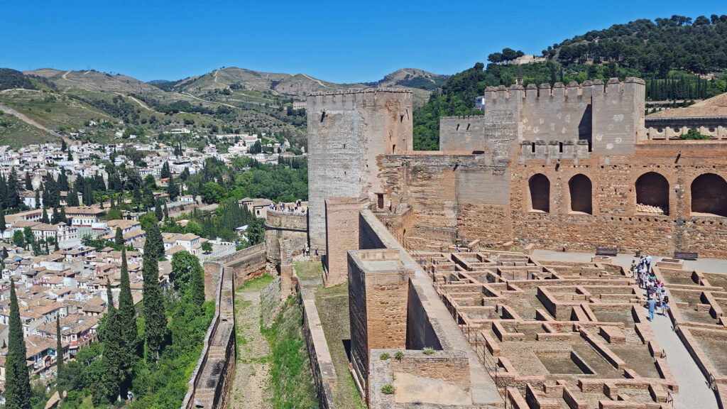
Copper Queen Mine
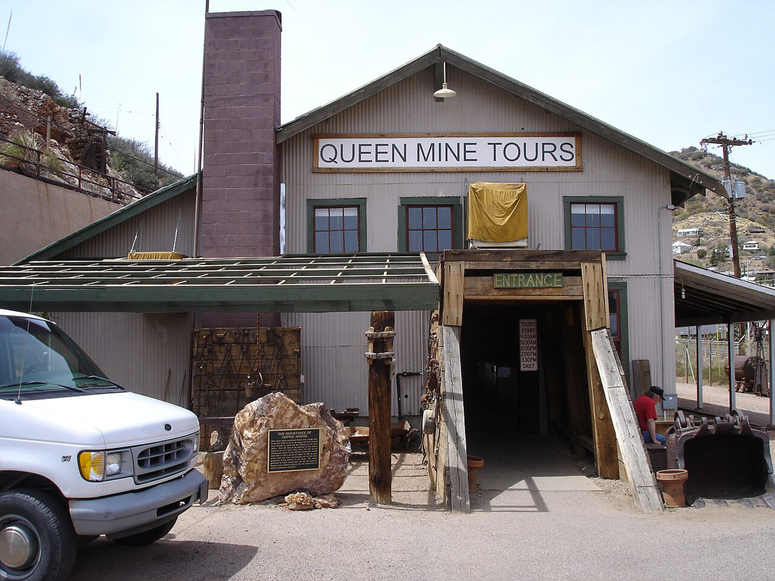
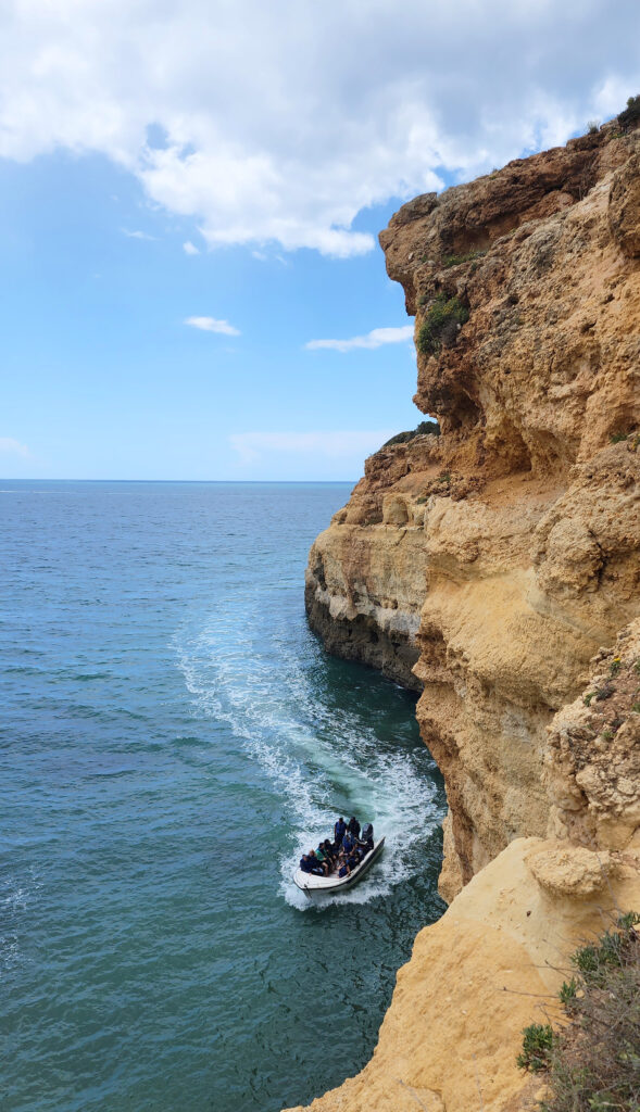
The Copper Queen was the largest mine in the Bisbee area and produced ore that was 23% copper, an extremely high grade, with lesser amounts of gold and silver. The mine closed in 1975, and local leaders persuaded Phelps Dodge to allow a portion of the mine to be opened to the public. Tours of the mine began in 1976 and more than a million people have taken the tour to date. That total does not include my wife and I, but the Copper Queen tour is the top tourist attraction in Bisbee. Tour prices as of 2026 are $16 for adults and $8 for children 6-12. (Children under six are not allowed on the tour). Reservations are required and can be made online.
Lavender Pit
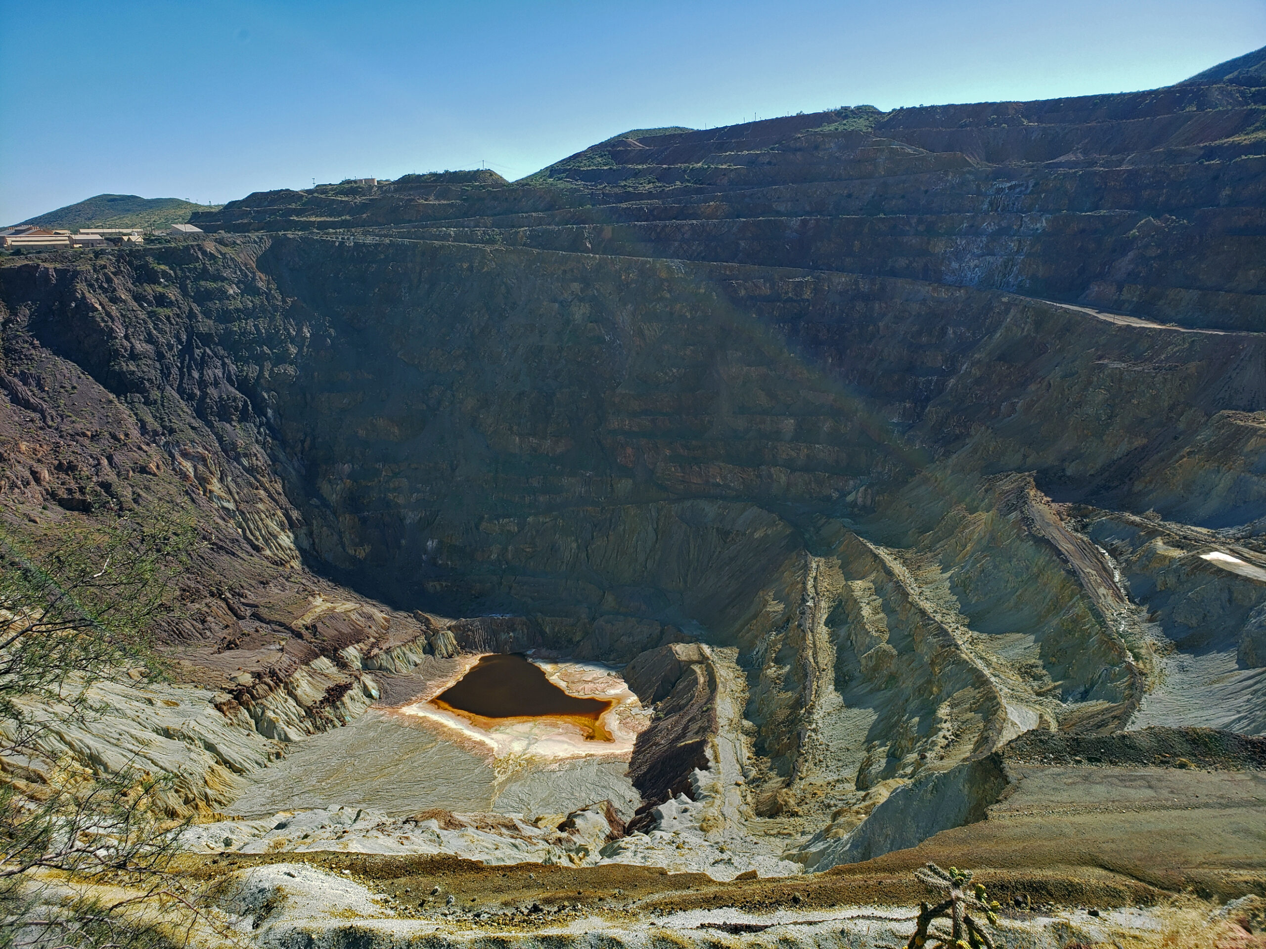
Phelps Dodge began open pit mining in 1950 and continued until 1974, taking advantage of a process promoted by Harrison Lavender, then Vice President of Phelps Dodge, that allowed profitable extraction of copper from ore as low as 0.7% copper. Today, the Lavender Pit is an impressively large (300 acres and 900 feet deep) hole in the ground, but to my eye is more an eyesore than an attraction.
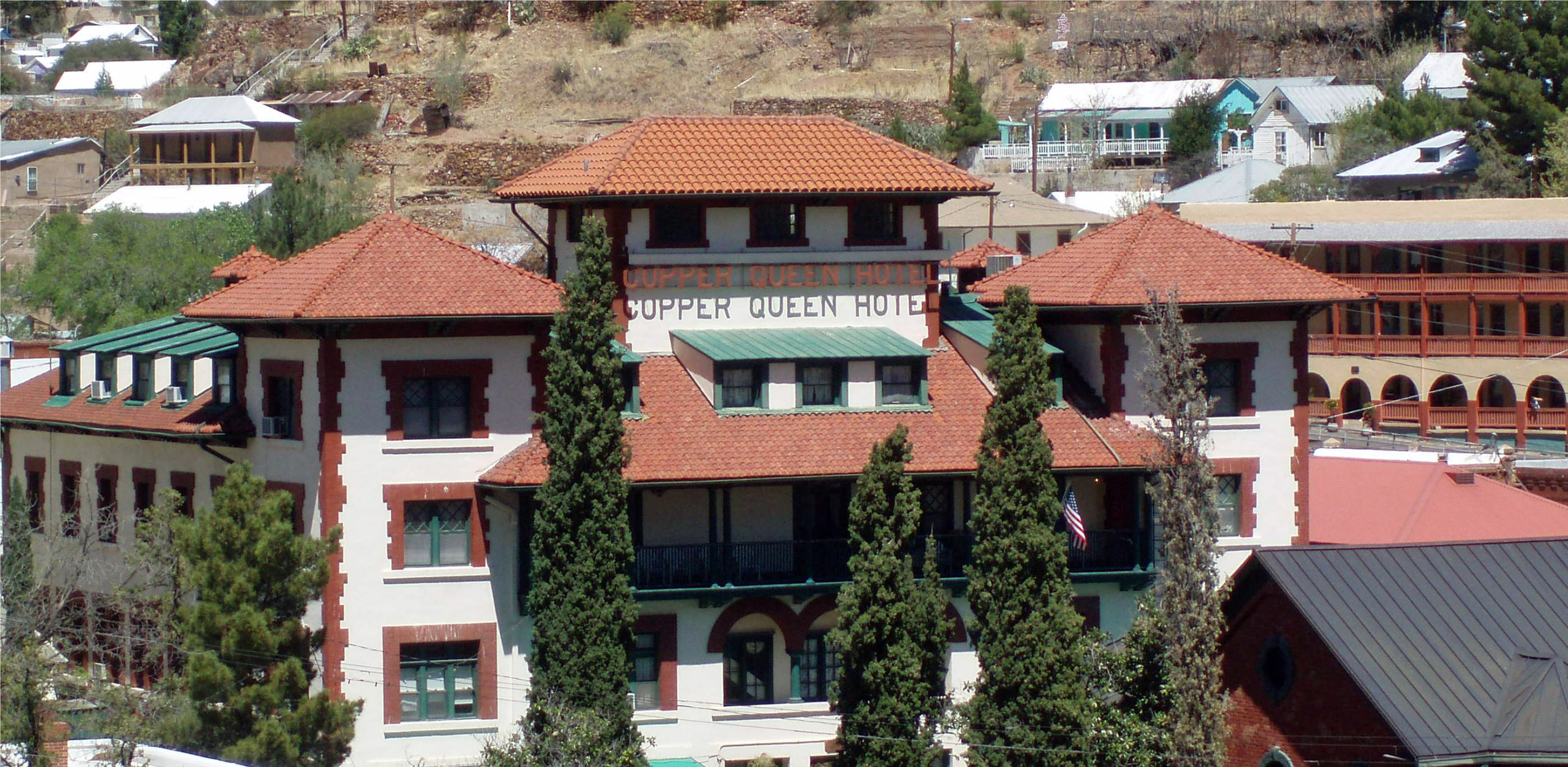
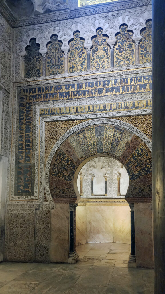
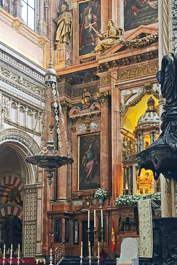
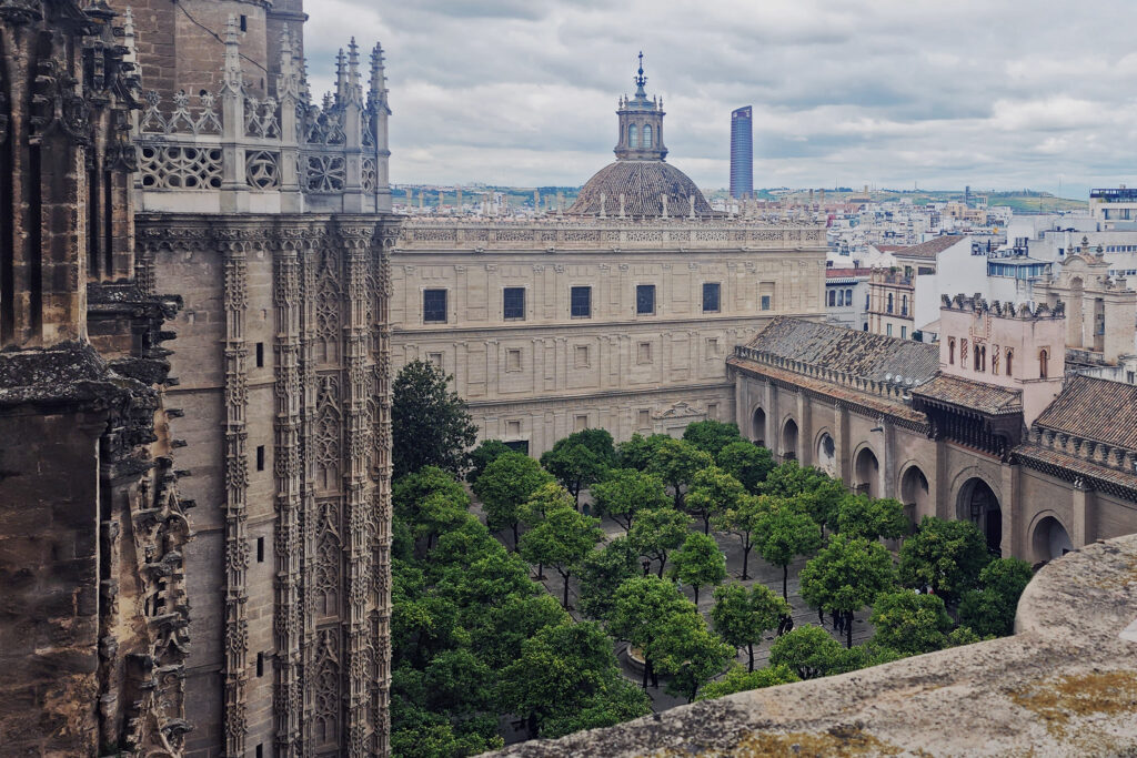
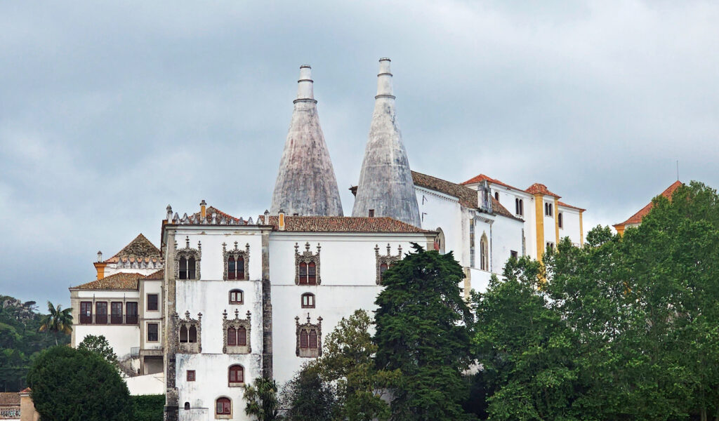
Copper Queen Hotel
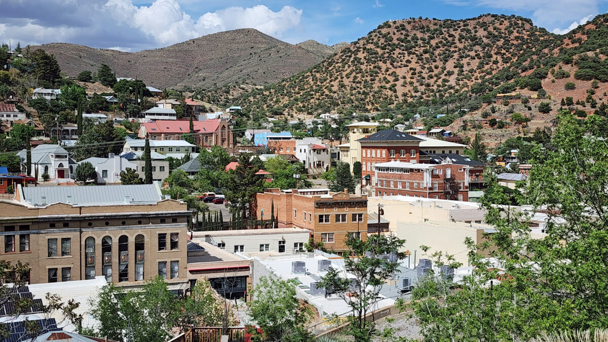
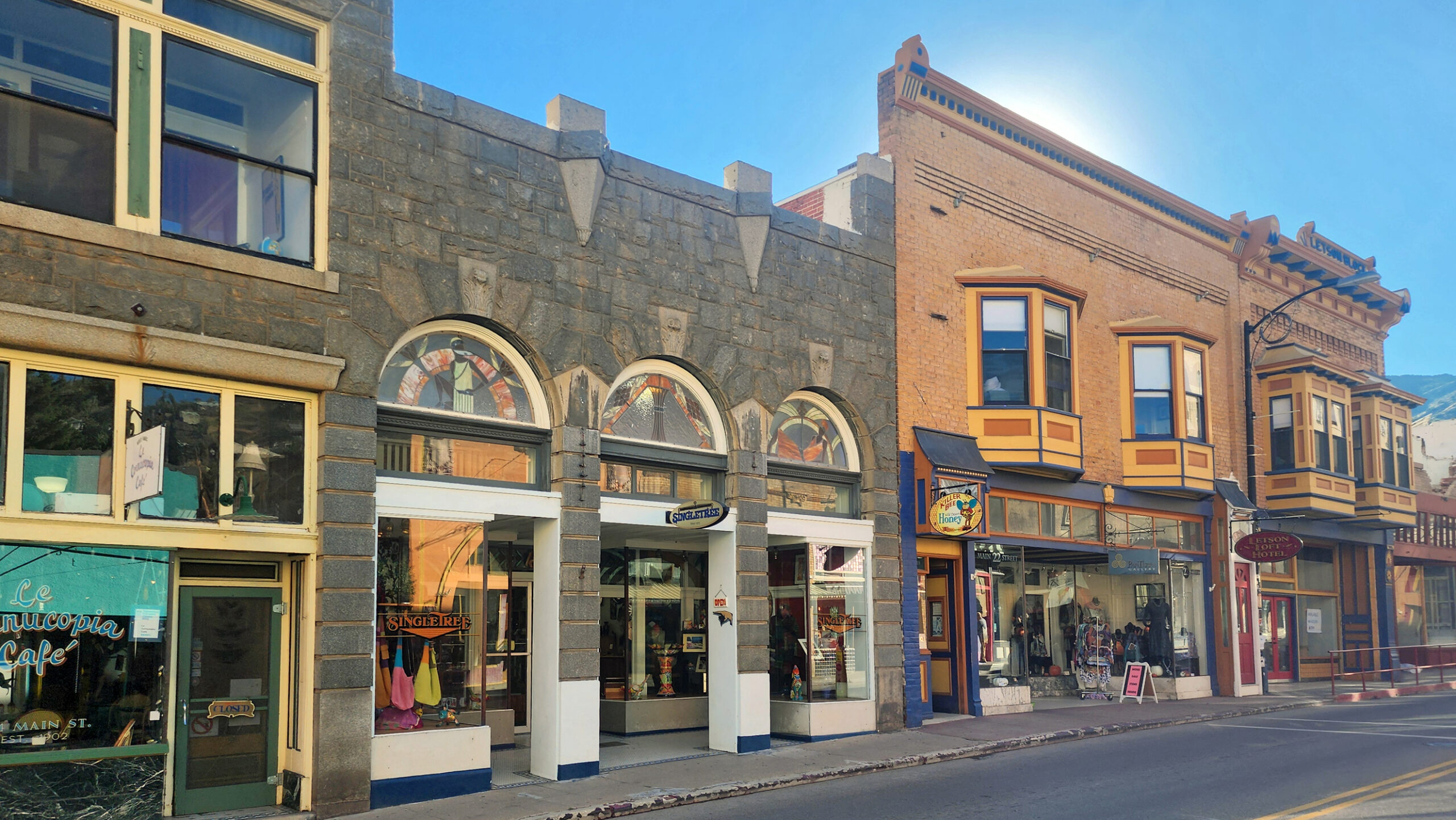
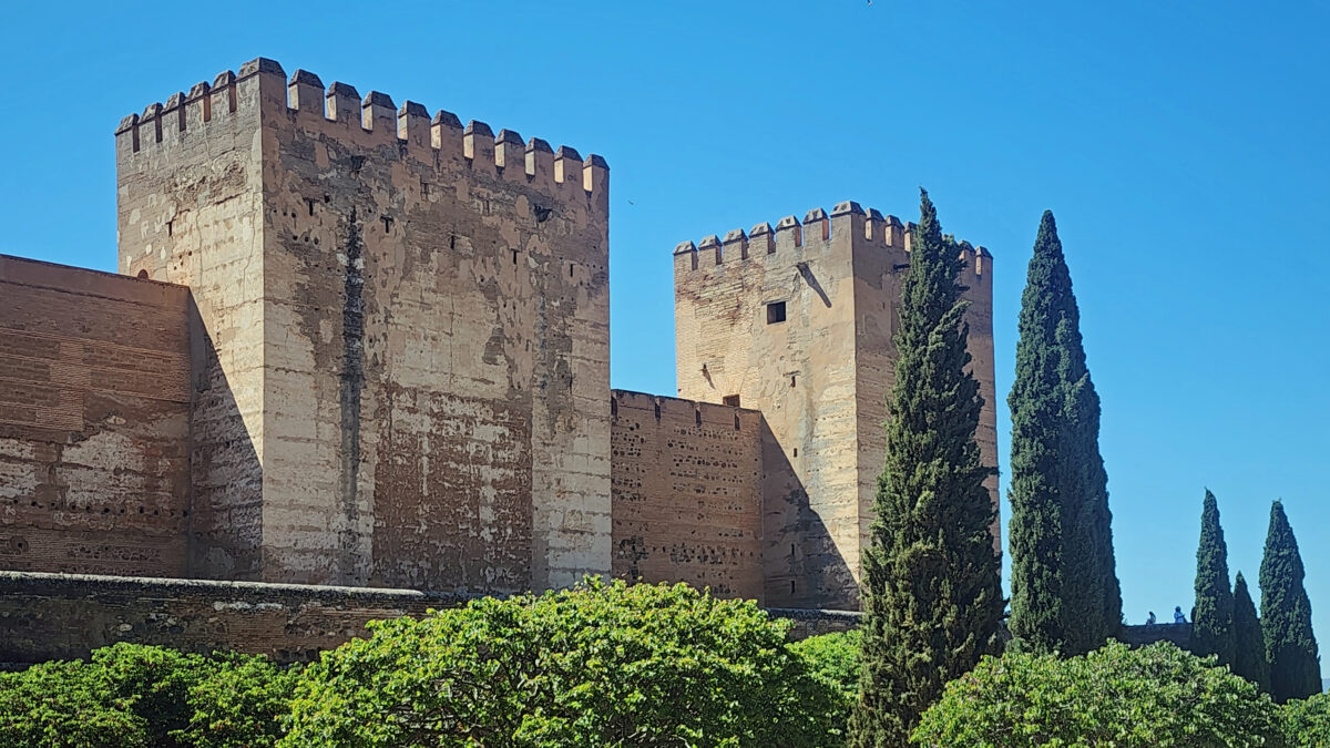
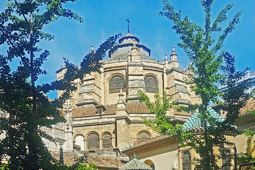
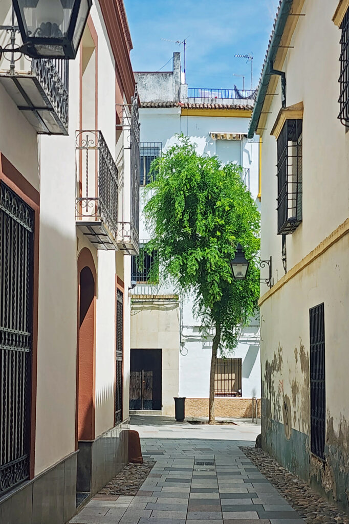
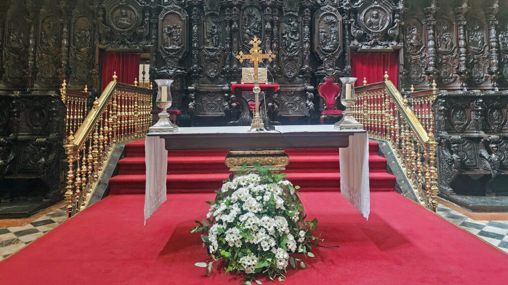
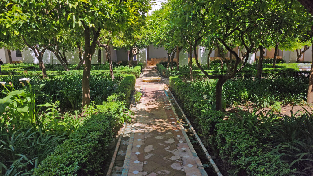
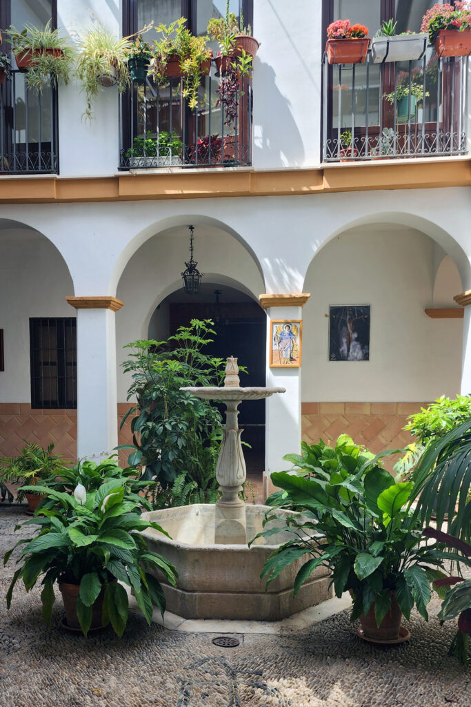
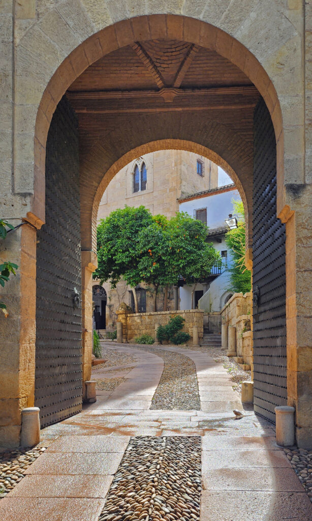
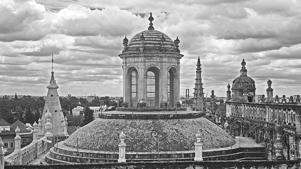
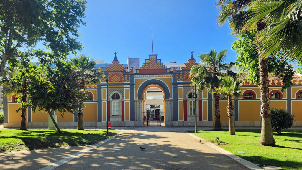
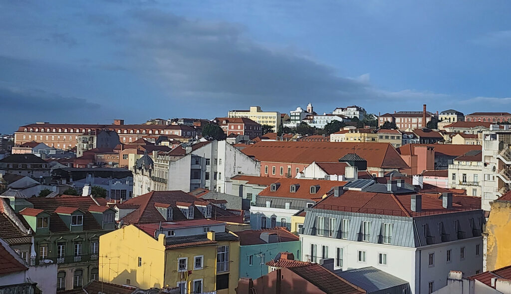
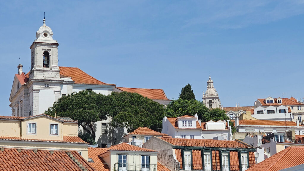
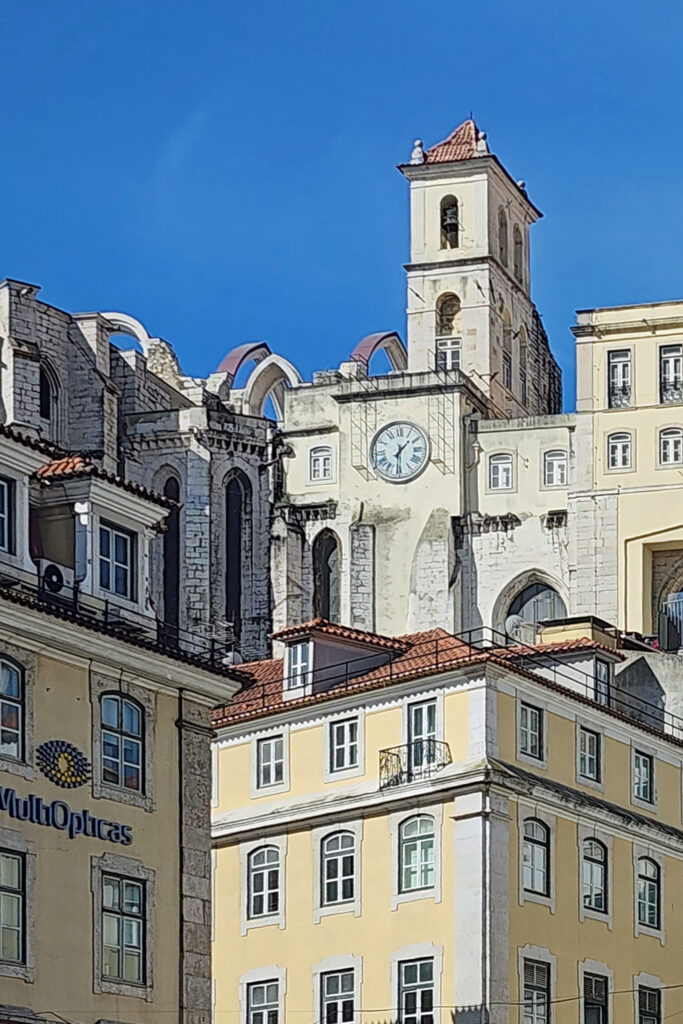
Downtown Bisbee streets are lined with many old brick buildings dating to the early 20th century. There are also many fine Victorian era and Craftsman style houses in the town’s residential areas. Probably the most noteworthy building in Bisbee is the Copper Queen Hotel. The hotel was constructed around the turn of the 20th century by Phelps Dodge and is the longest continually operated hotel in Arizona. It is listed on the National Register of Historic Places.
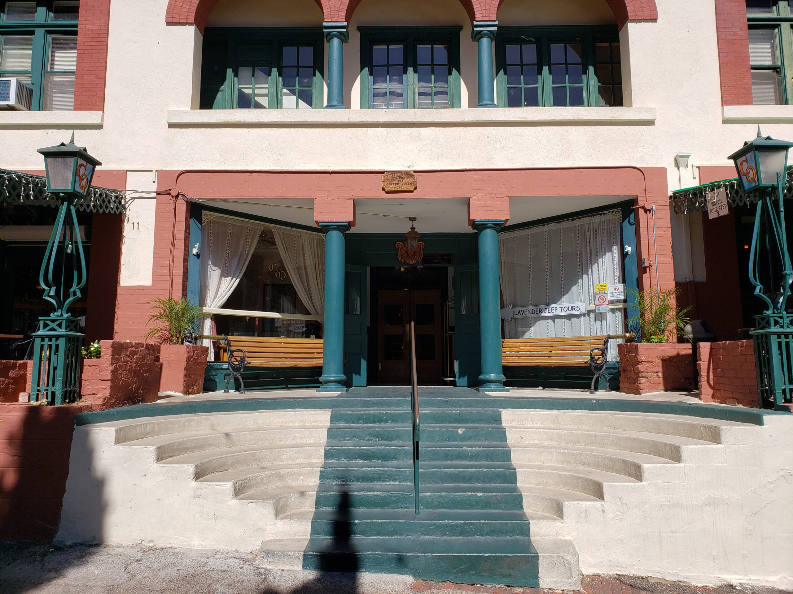
The hotel had deteriorated over the years and was sold by Phelps Dodge to artist Stephen Hutchinson and his wife Marcia in 1970. They did a complete renovation of the structure, along with other buildings in the downtown area that is now called Old Bisbee.
The Hutchinsons lured many celebrities to Bisbee, most notably John Wayne, who visited often and later became a business partner of the Hutchinsons, and helped establish Bisbee as a tourist destination. Many of the rooms are named after celebrities that have stayed at the hotel. In addition to John Wayne, those include Teddy Roosevelt, Harry Houdini, and Lilly Langtree.
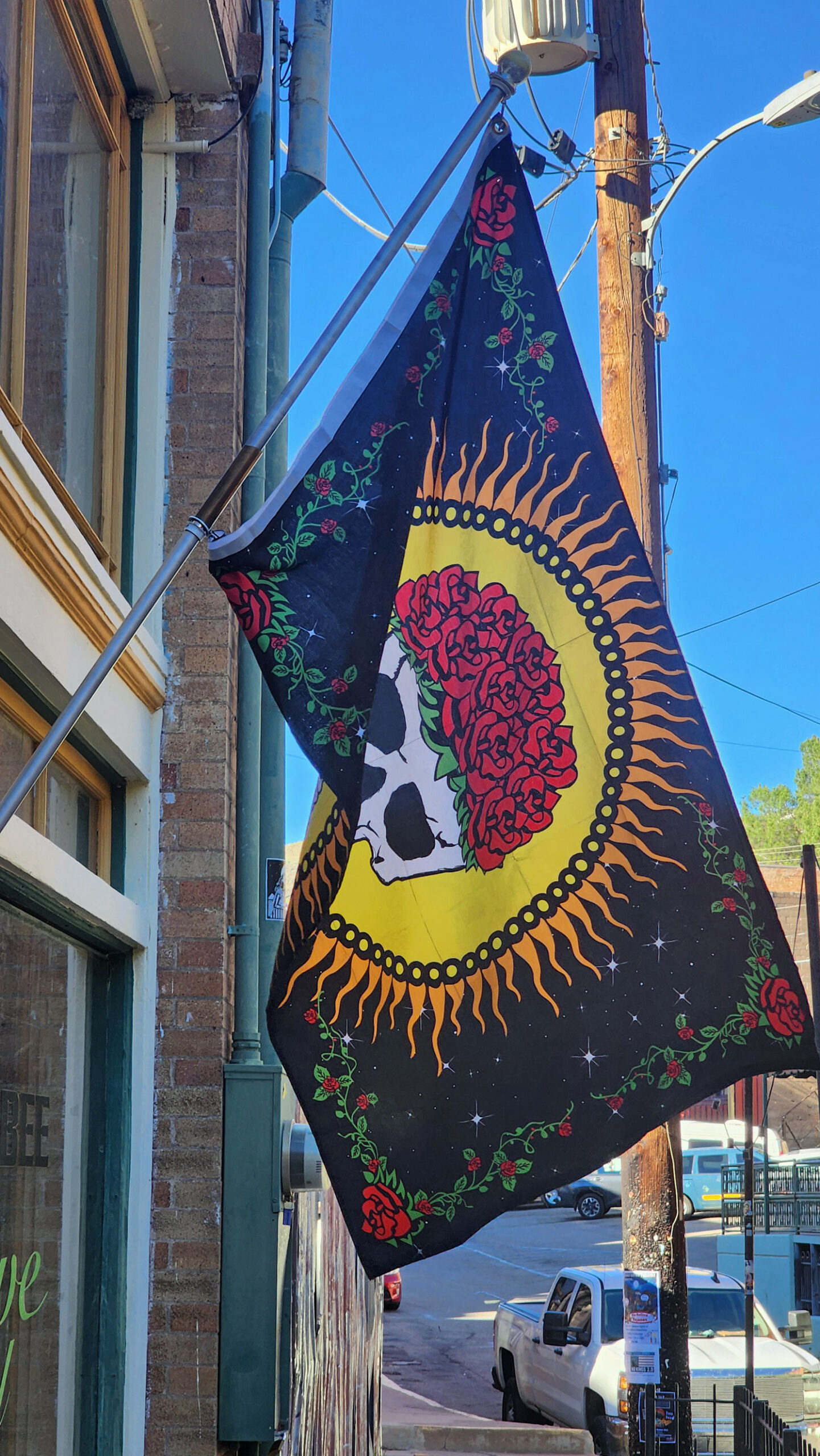
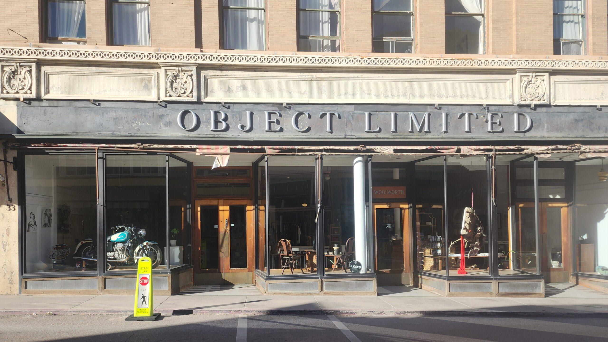
Bisbee Arts Scene
Bisbee is home to almost twenty art galleries. Some of the more popular include Sam Poe Gallery, Belleza Fine Art Gallery, Artemezia Foundation – Gallery 818, Subway Gallery, and 55 Main Gallery. About half of Bisbee’s galleries can be found on Main Street.
The Bisbee After Five Art Walk, a self-guided tour of galleries, stores, and restaurants in Old Bisbee takes place on the second Saturday of every month from 5 to 8 pm.
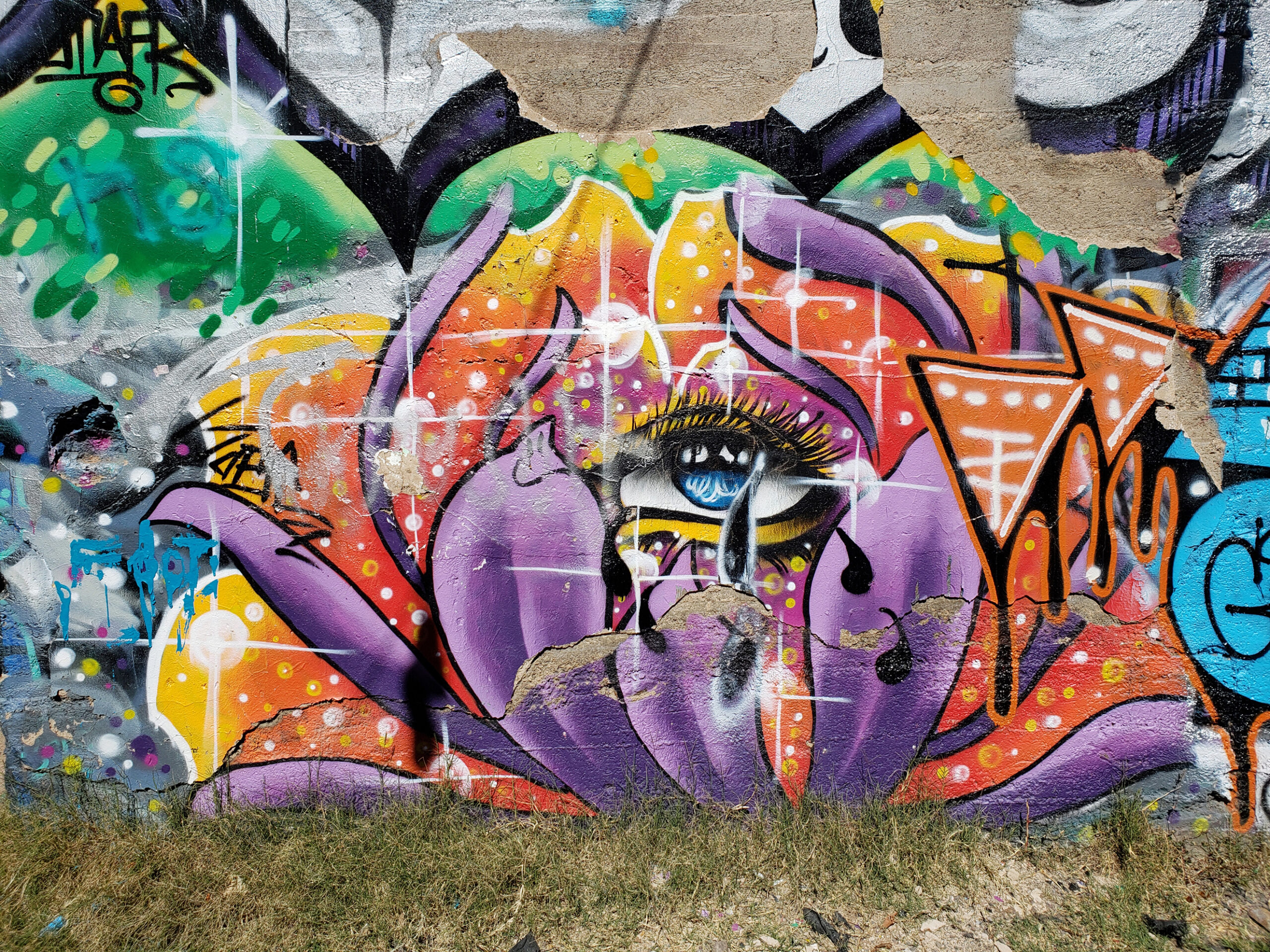
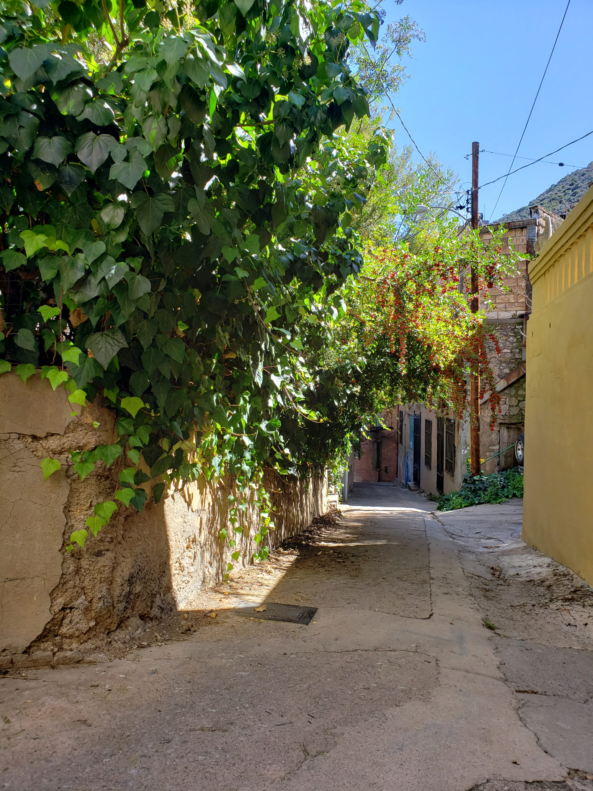
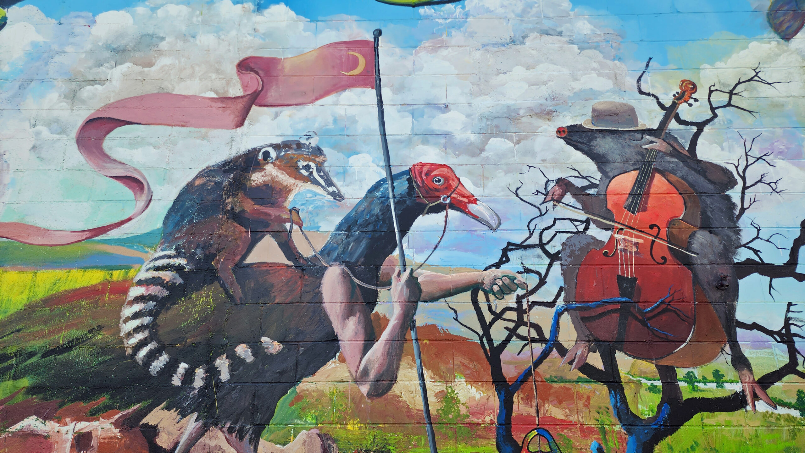
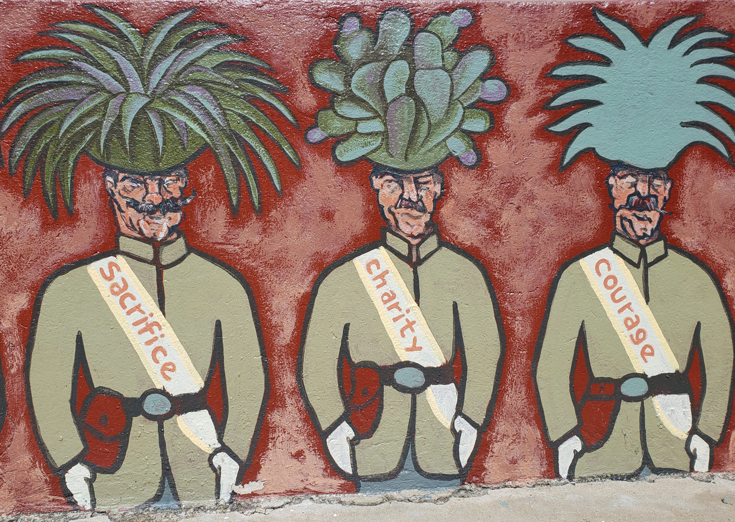
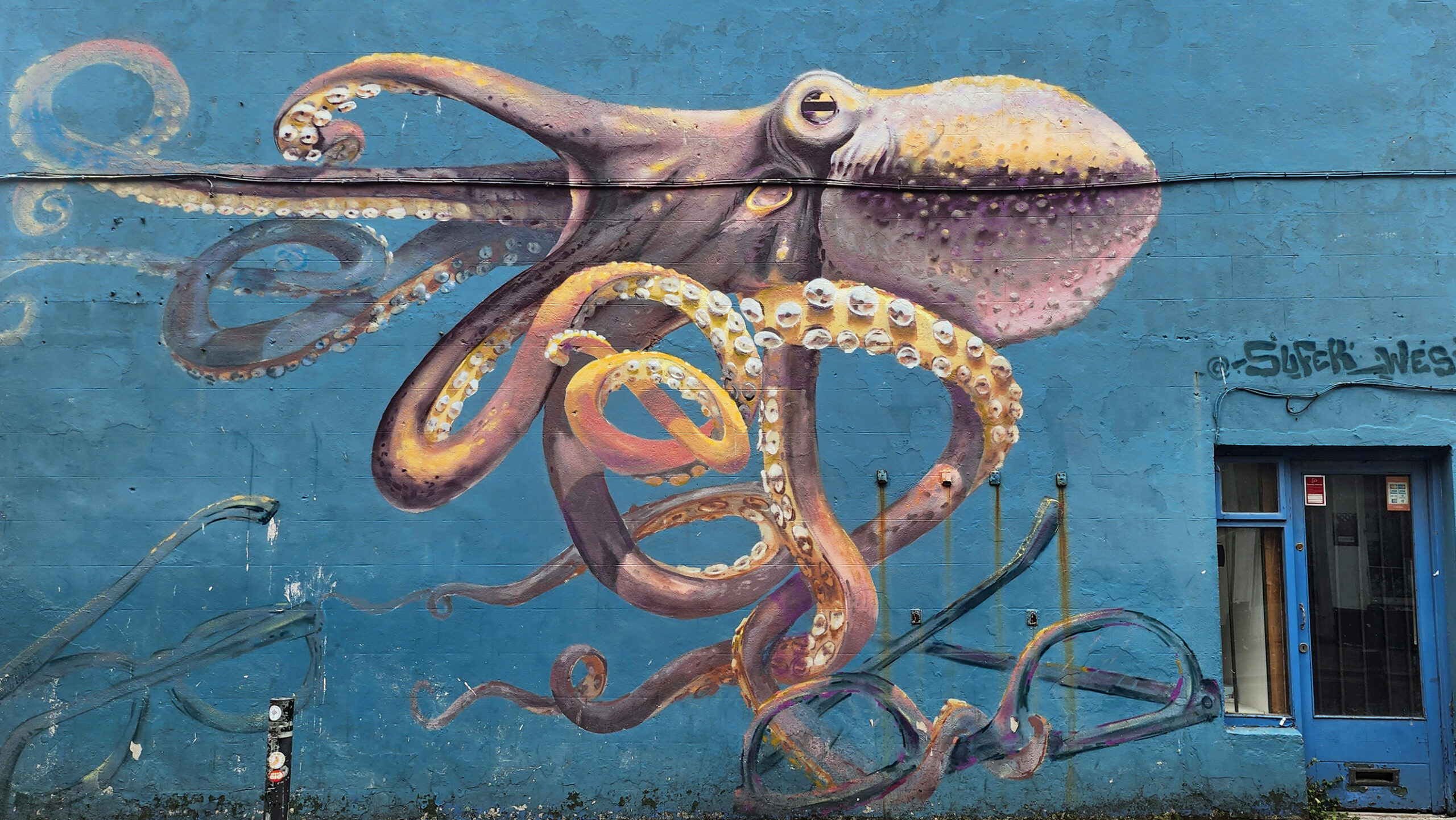
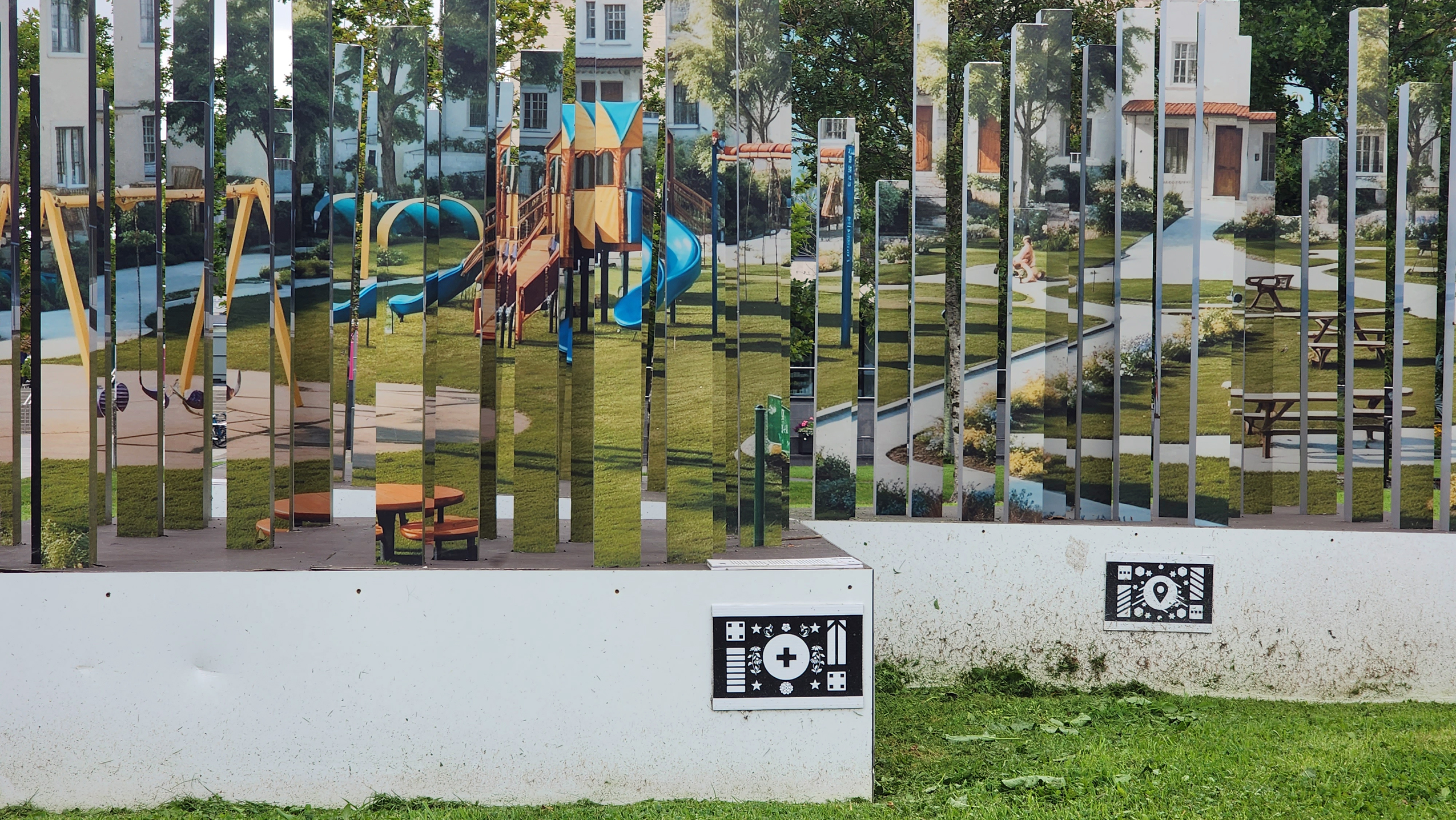
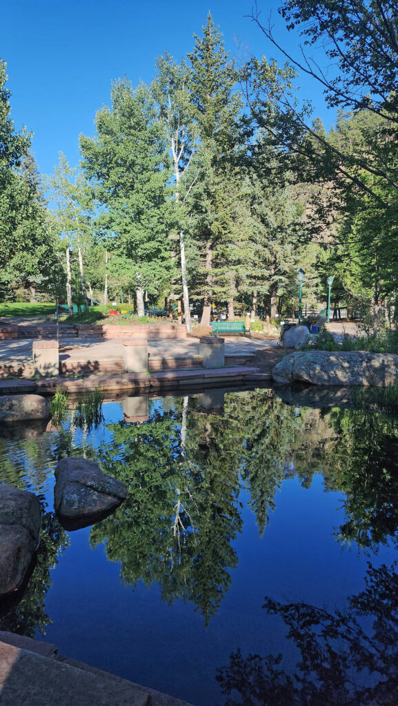
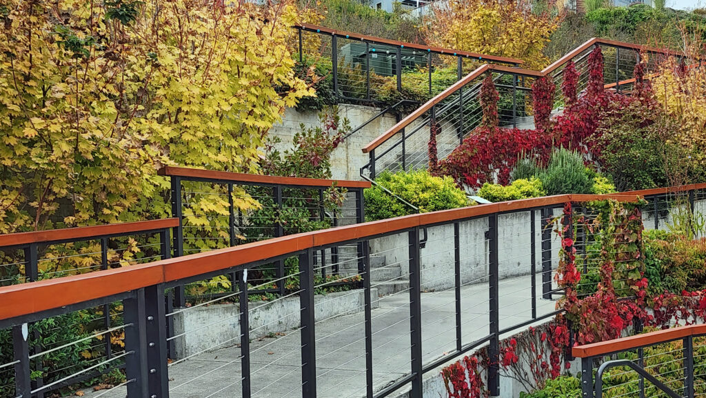
For me, one of the joys of visiting Bisbee is simply wandering around the town and taking in all of the often off-beat public art and artist’s studios that permeate the town. It seems like we find a new murals and other pieces of public art on every visit.
Food and Drink
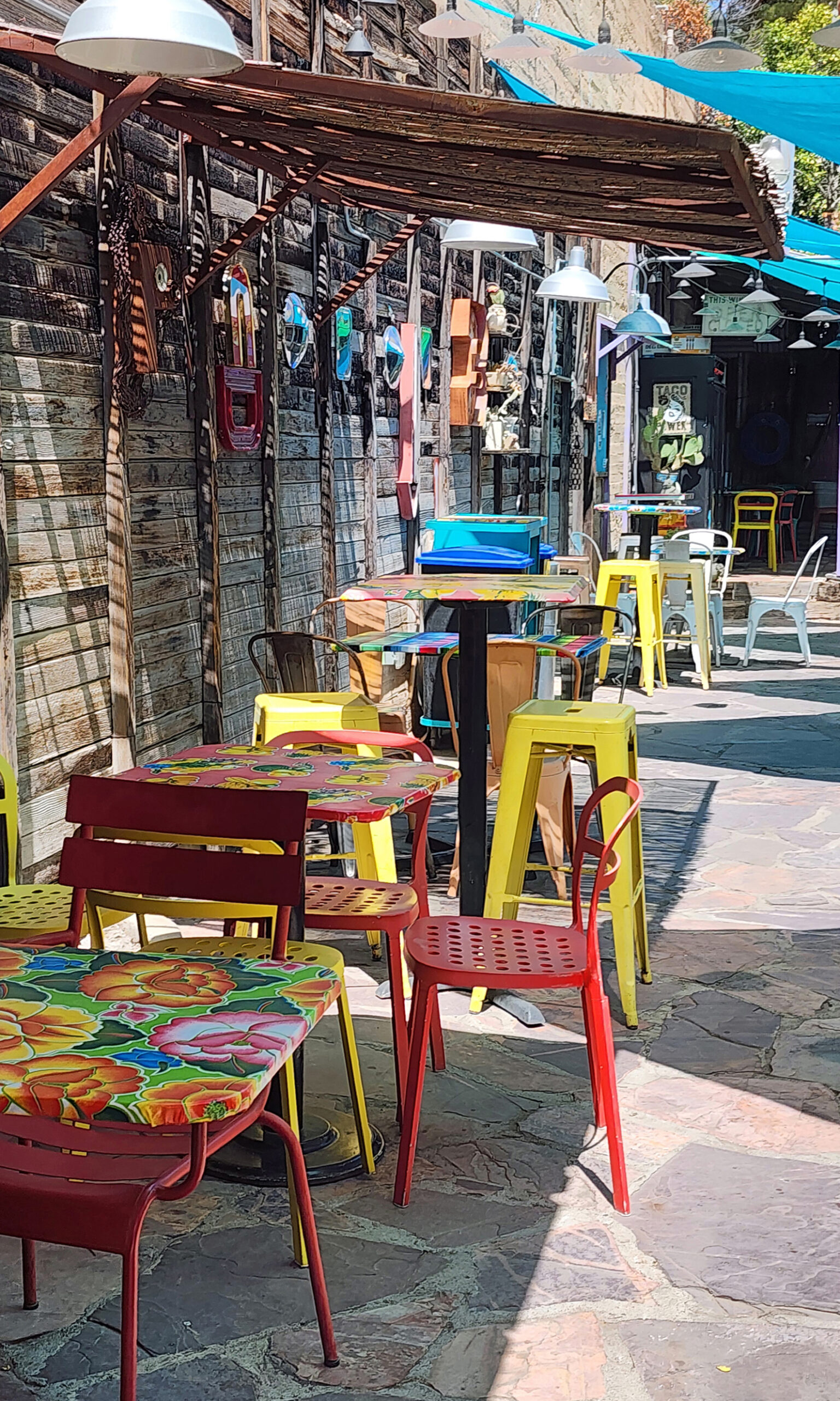
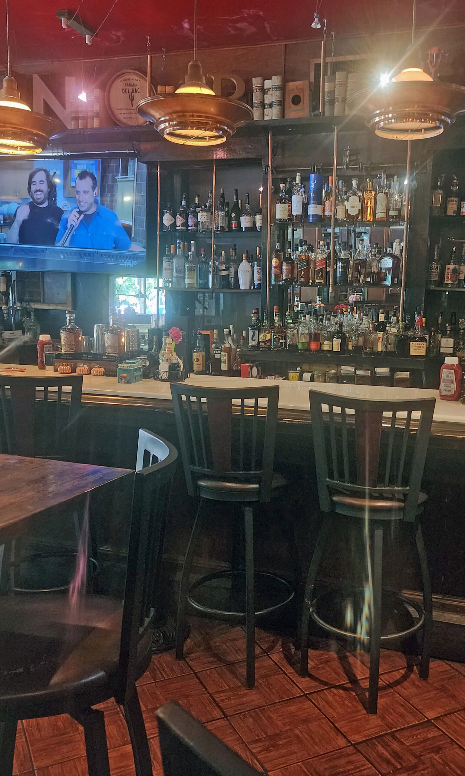
While the food and drink scene in Bisbee isn’t what draws people to the town, there’s no shortage of decent places to eat and quench your thirst. In Old Bisbee, Bisbee’s Table is a place we’ve dined at a number of times and can recommend. Another place is Le Cornucopia. If you’re a vegetarian or vegan or need gluten free food, you might want to try Bisbee Badassery. It’s also dog friendly. Poco Restaurant + Market’s Mexican inspired 100% vegan menu is another option. Another place to get great Mexican food is Taqueria Outlaw. Café Roka gets good reviews and offers a more upscale dining experience than most of the other restaurants in Old Bisbee. Legion Bar & Grill and Old Bisbee Brewing are two places that I can recommend for good beer and pub food.
Accommodations
My wife and I have only done day trips to Bisbee from Sierra Vista, so I can’t speak from personal experience, but there are a number of highly rated hotels in Bisbee. Among those are Letson Loft Hotel, Warner Hotel, El Dorado Suites Hotel, Copper City Inn, Canyon Rose Hotel, and The Oliver House. The Copper Queen Hotel doesn’t get great reviews, but it’s such an iconic attraction that it might be worth a stay. Sierra Vista offers many other hotels and motels (try the Comfort Inn & Suites on Fry Boulevard). And, of course, there are numerous B&Bs in both Bisbee and Sierra Vista to choose from.
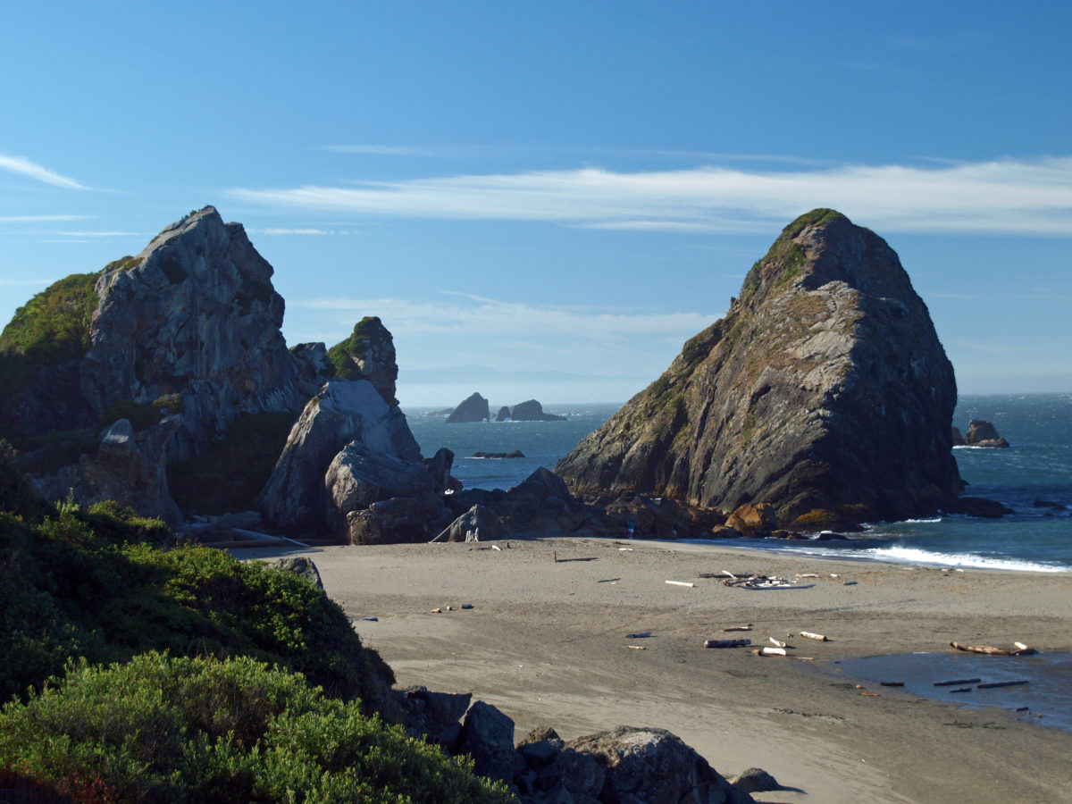
Other Area Attractions
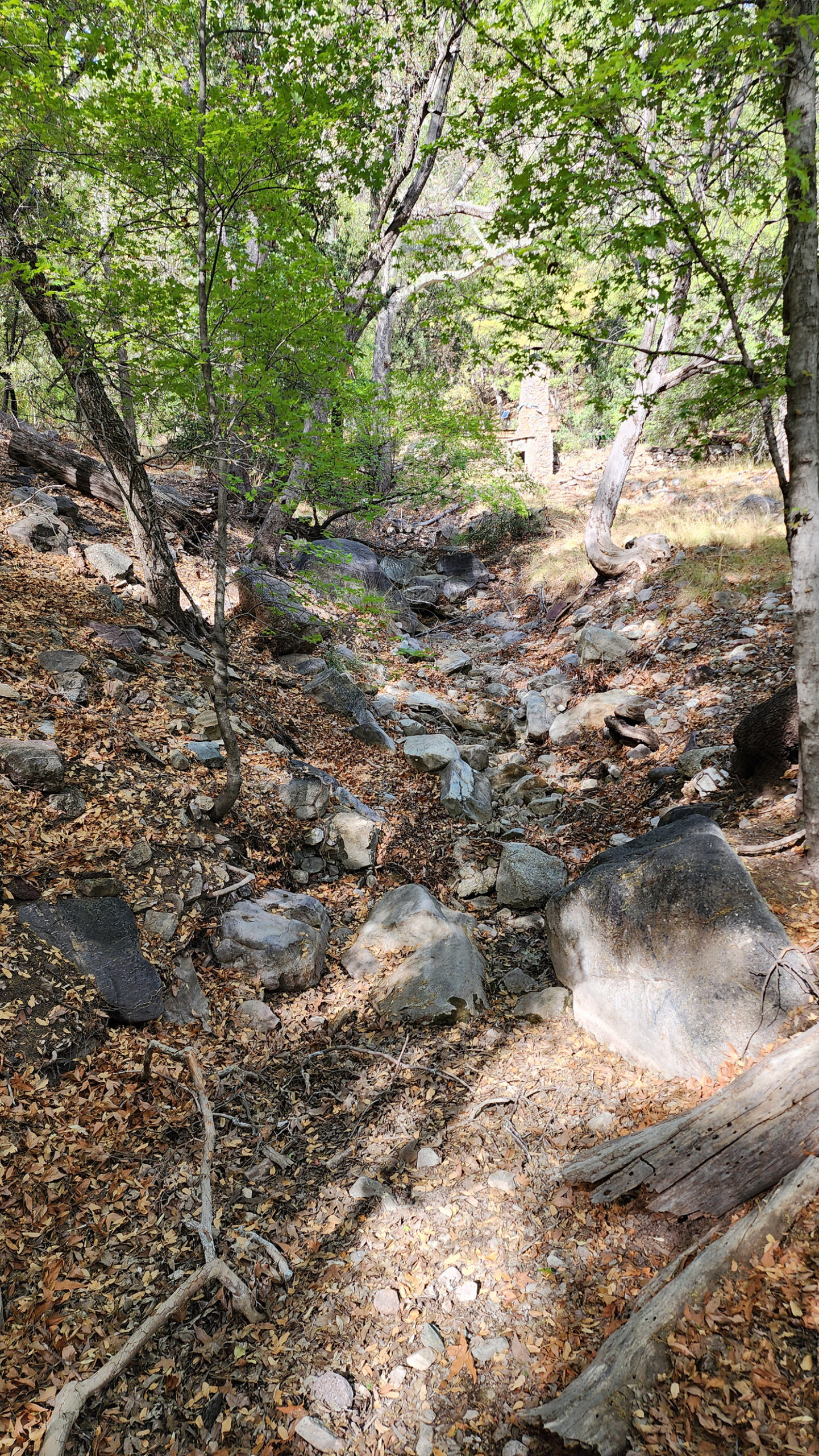
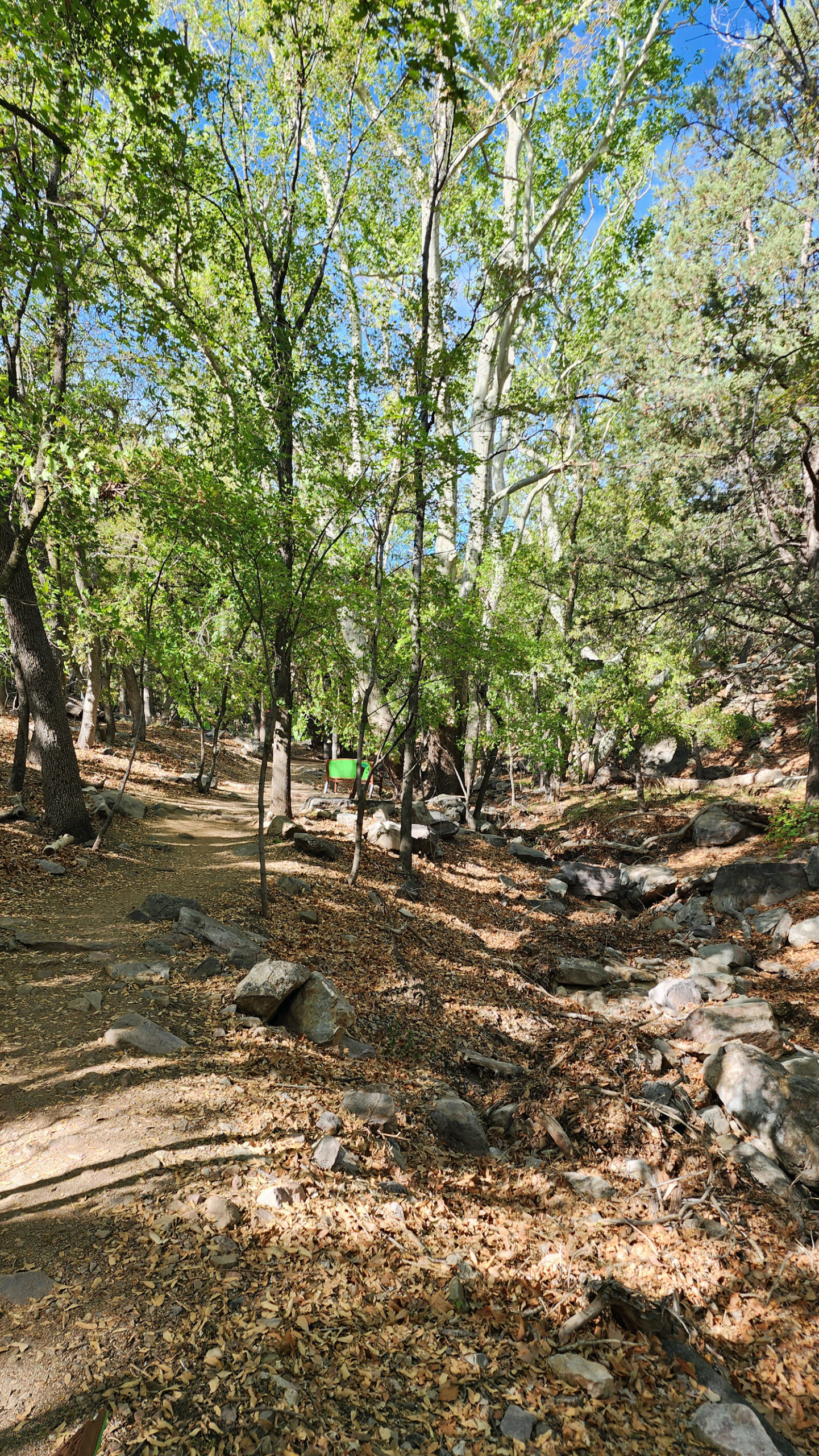
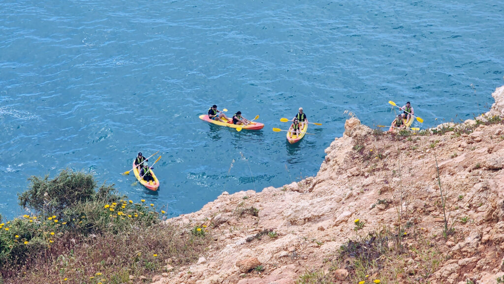
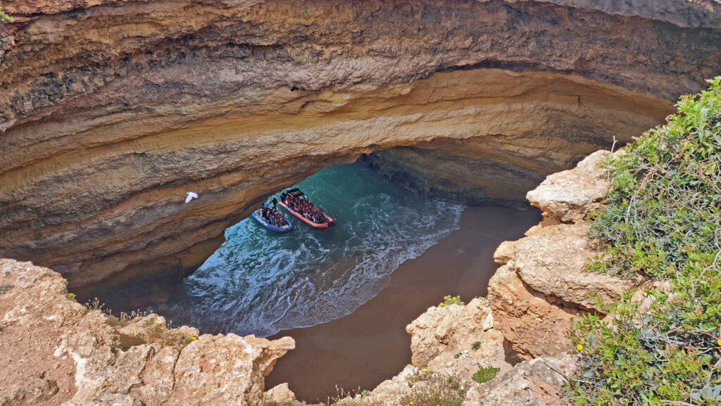
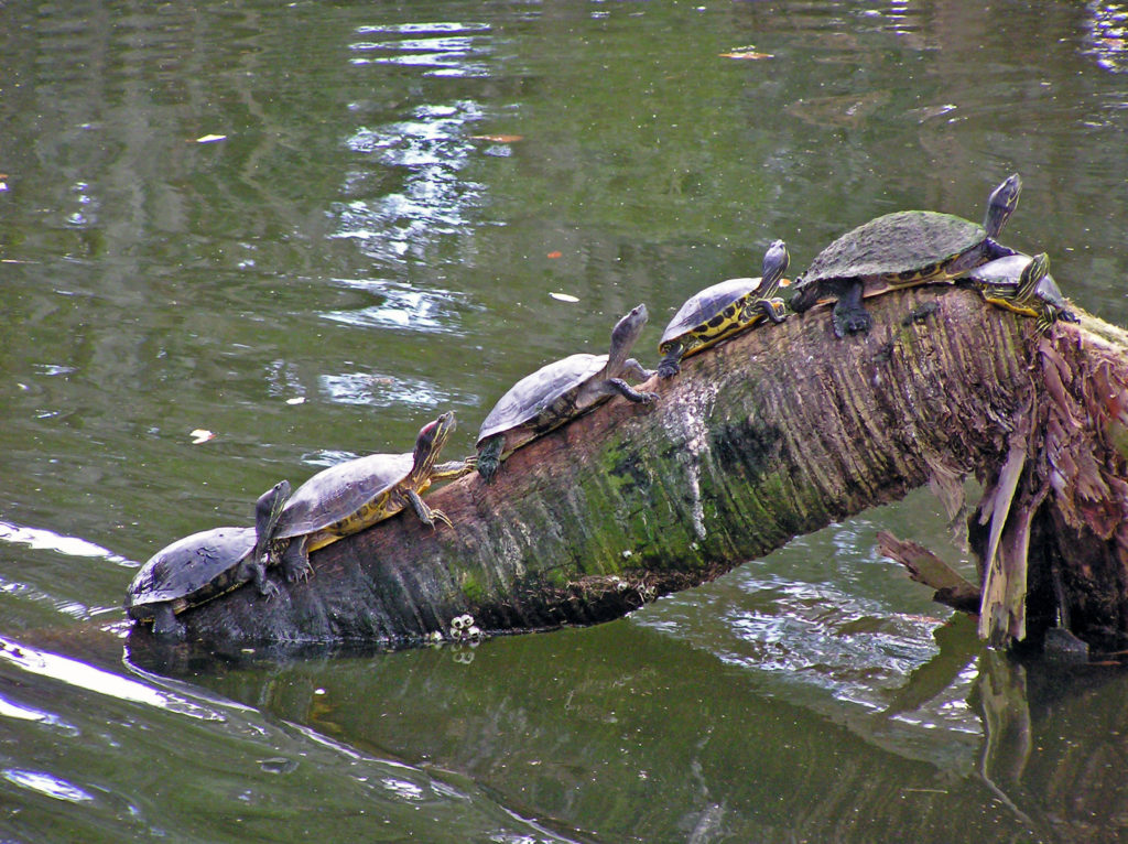
Bisbee is surrounded by abundant natural and cultural attractions. Jeep tours of the surrounding Mule Mountains are popular. Another mountain range, the Huachuca Mountains, west and southwest of Sierra Vista, offer outdoor enthusiasts a variety of hiking and sightseeing options. My wife and I took a short hike at the Nature Conservancy’s Ramsey Canyon Preserve on our most recent visit.
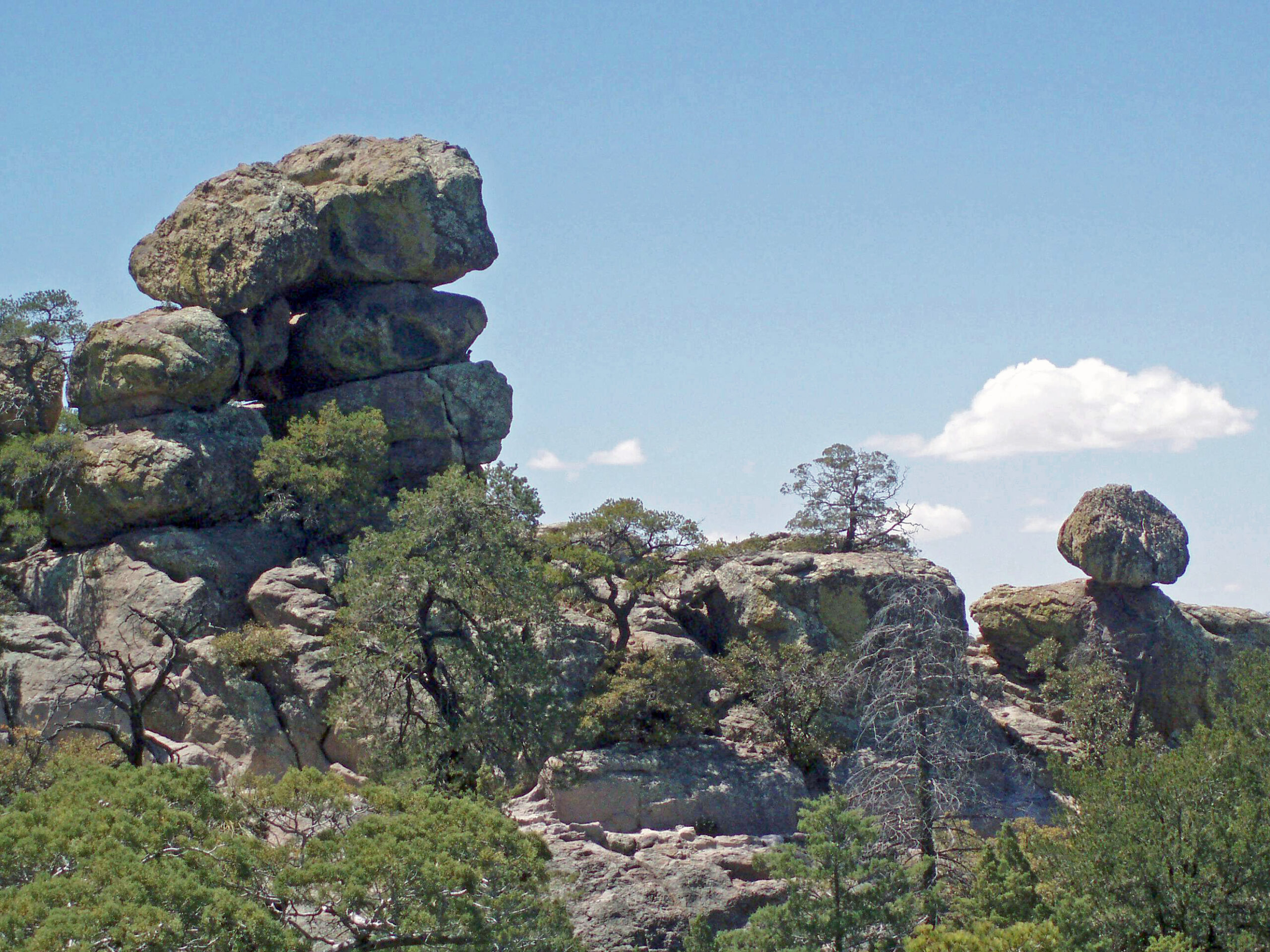
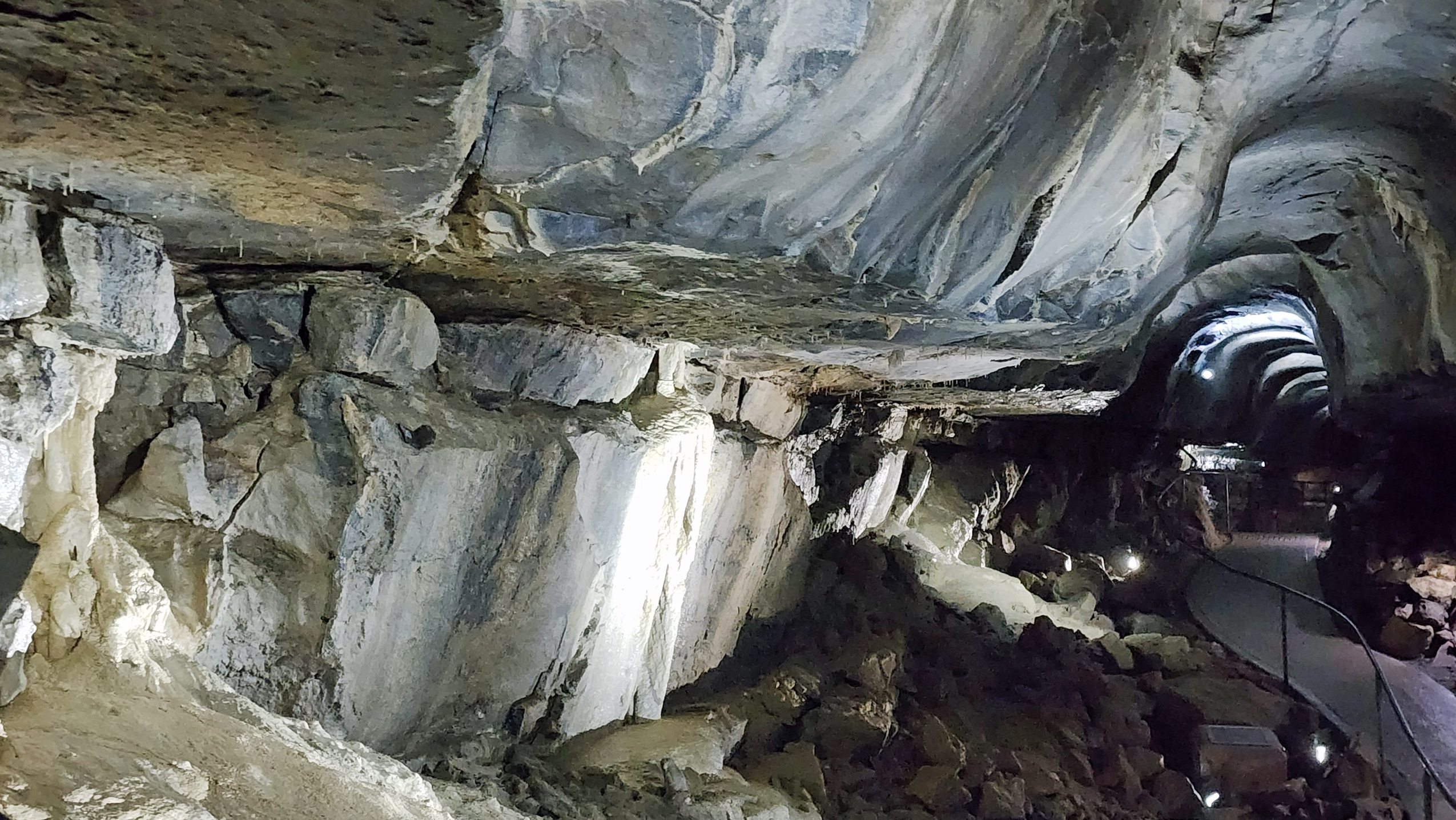
A little farther afield, Chiricahua National Monument, about an hour’s drive from Bisbee, is a spectacular collection of rock formations well worth a visit if you have the time. Karchner Caverns, about twenty miles north of Sierra Vista is also well worth a visit. Park rangers give guided tours of the caverns several times a day.
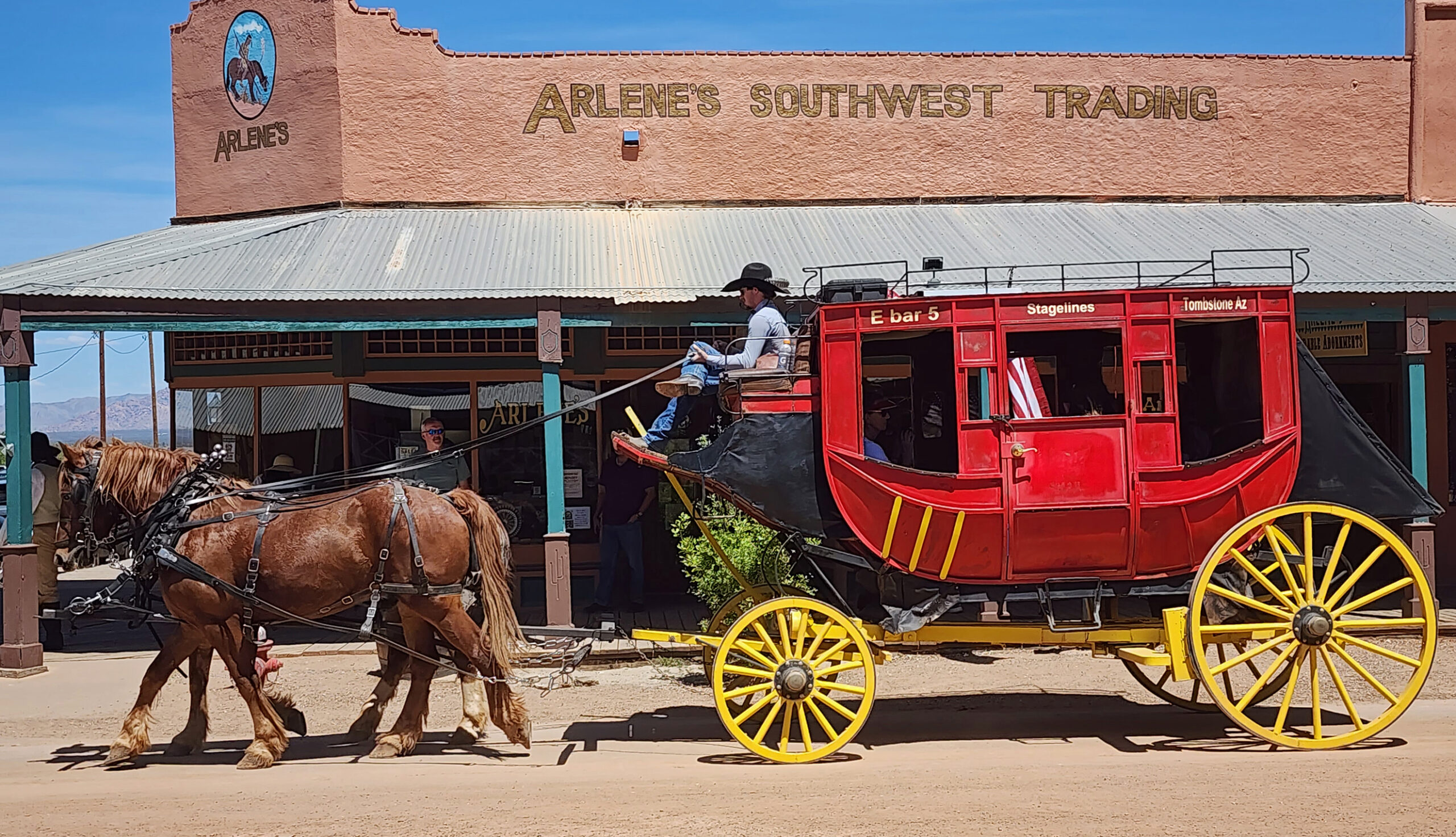
And, about 25 miles north of Bisbee, the wild west town of Tombstone draws thousands of tourists every week. You can visit the O.K. Corral and watch reenactments of the famous gunfight between the Earps (with Doc Holliday) and the Clantons, and visit the Boot Hill Cemetery. The whole town is a bit of a tourist trap, but interesting enough and close enough to Bisbee to make a visit worthwhile.
Sierra Vista, home to the large Fort Huachuca army base, is a good place to base explorations of the area, but doesn’t offer much in the way of attractions of its own.
While my wife and I have not spent much time in the city of Tucson, about 90 miles northwest of Bisbee, we can recommend several nearby attractions that we have visited, some multiple times.

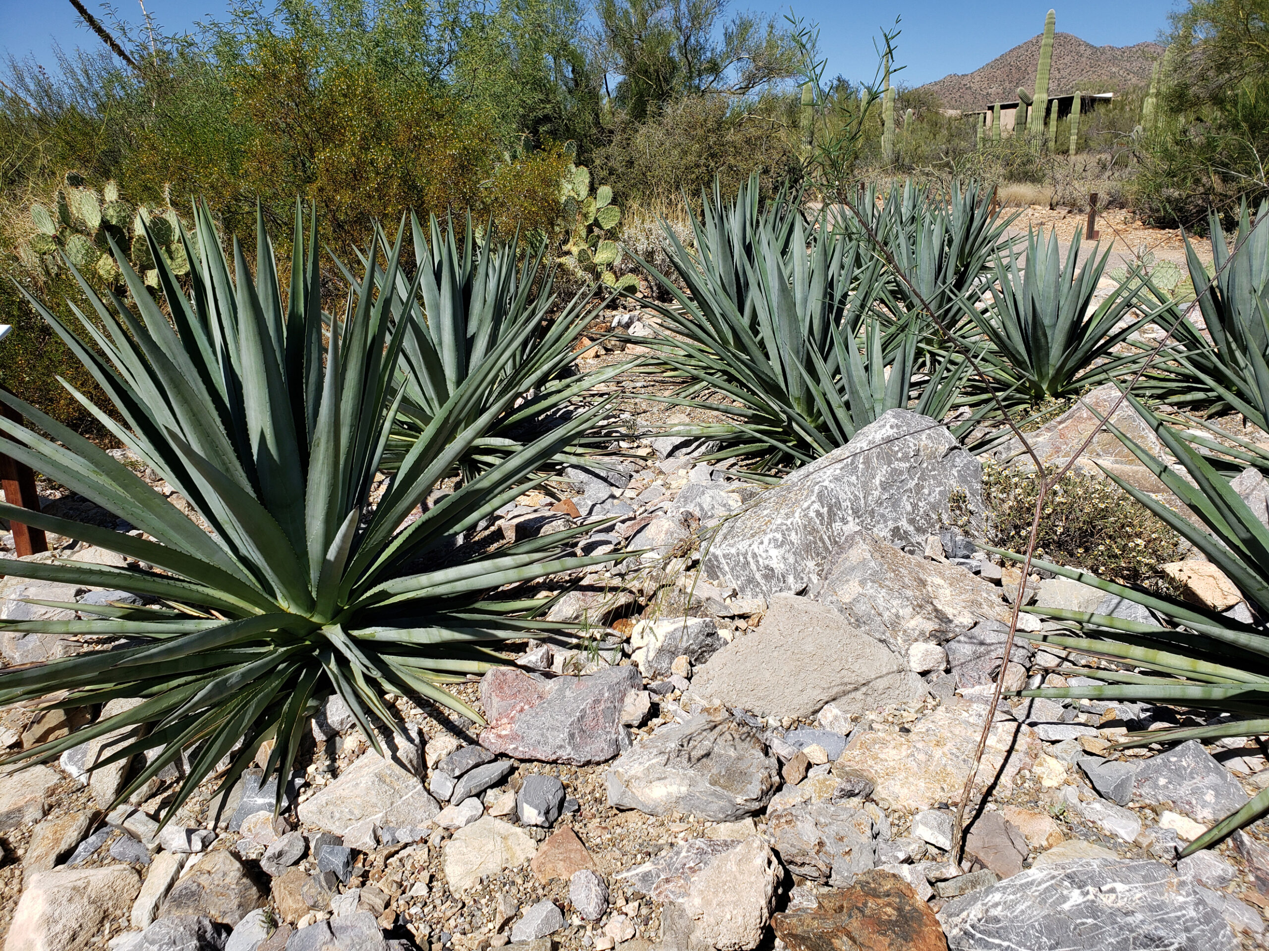
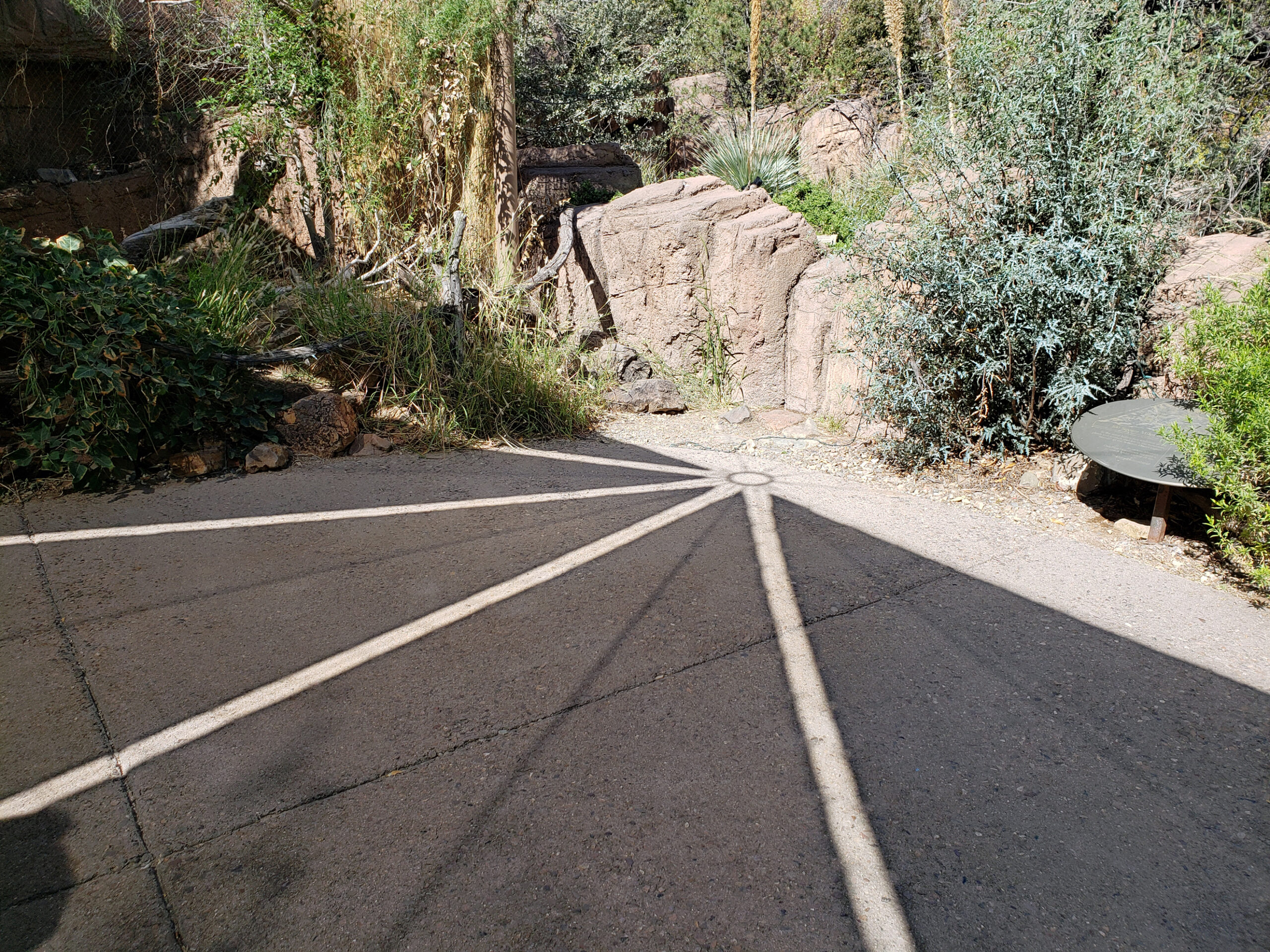
There are two units of Saguaro National Park near Tucson, one just east of the city and one just west. Near the west unit of Saguaro National Park, the Arizona-Sonora Desert Museum is one of my favorite places in Arizona.

And you may be surprised to learn, as I was, that the Tucson area boasts a local ski area. At an elevation of more than 9000 feet, Mount Lemmon rises 6500 vertical feet above the city and is home to the Mount Lemmon Sky Center Observatory and the small community of Summerhaven, as well as Mount Lemmon Ski Valley. A paved road leads to the summit area with a number of spectacular viewpoints looking down on the city and to the Sonora Desert beyond. There are also many trailheads along the roadway that offer a variety of hiking trails.

Conclusion
Bisbee is often described as quirky and charming, which it certainly is. That, combined with its unique history, contemporary arts scene, distinctive architecture, beautiful mountain environment, and great weather, makes Bisbee a unique and memorable destination worth every bit of the effort it takes to get there. Spring and fall are probably the best times to visit, but I don’t think there is a bad time. At an elevation of more than 5000 feet, it’s still hot in the summer, but considerably cooler than Phoenix. It can get cold in the winter because of the elevation, but cold is a relative term here. This is Arizona, after all.
Posted July 12, 2026
All photos © Alan K. Lee, except as noted
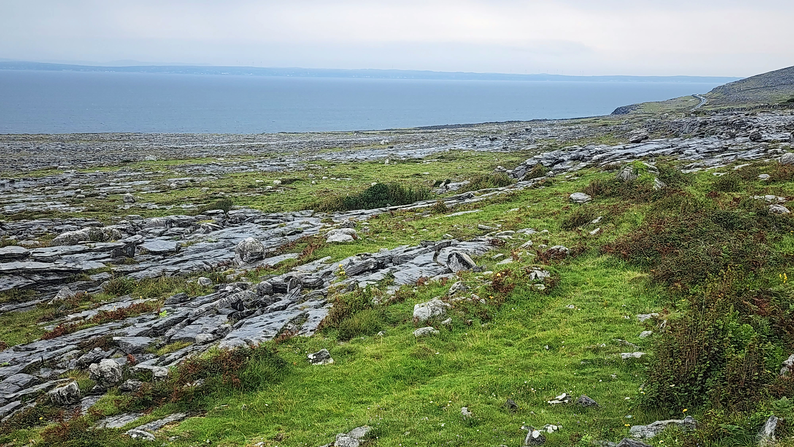
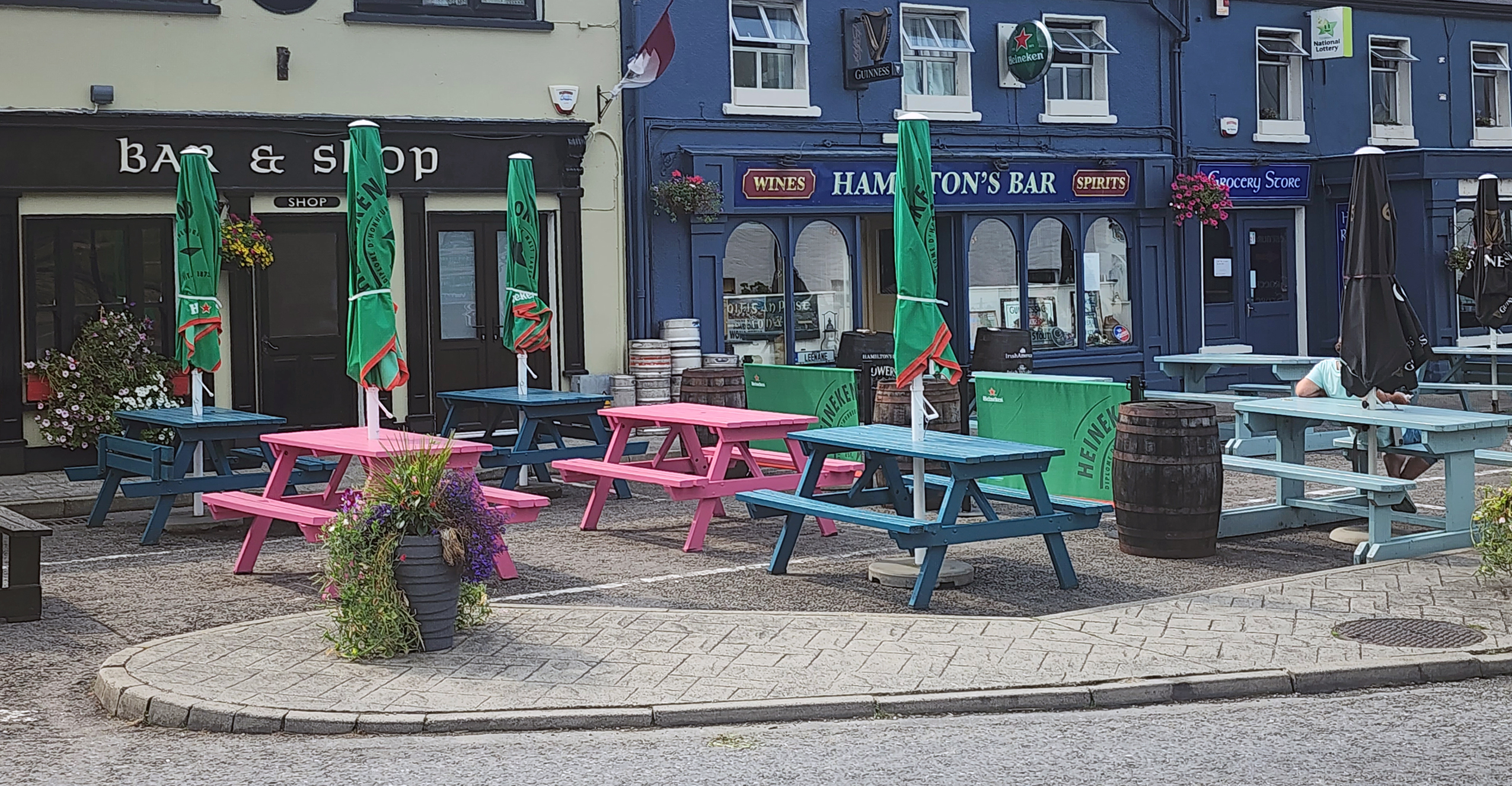
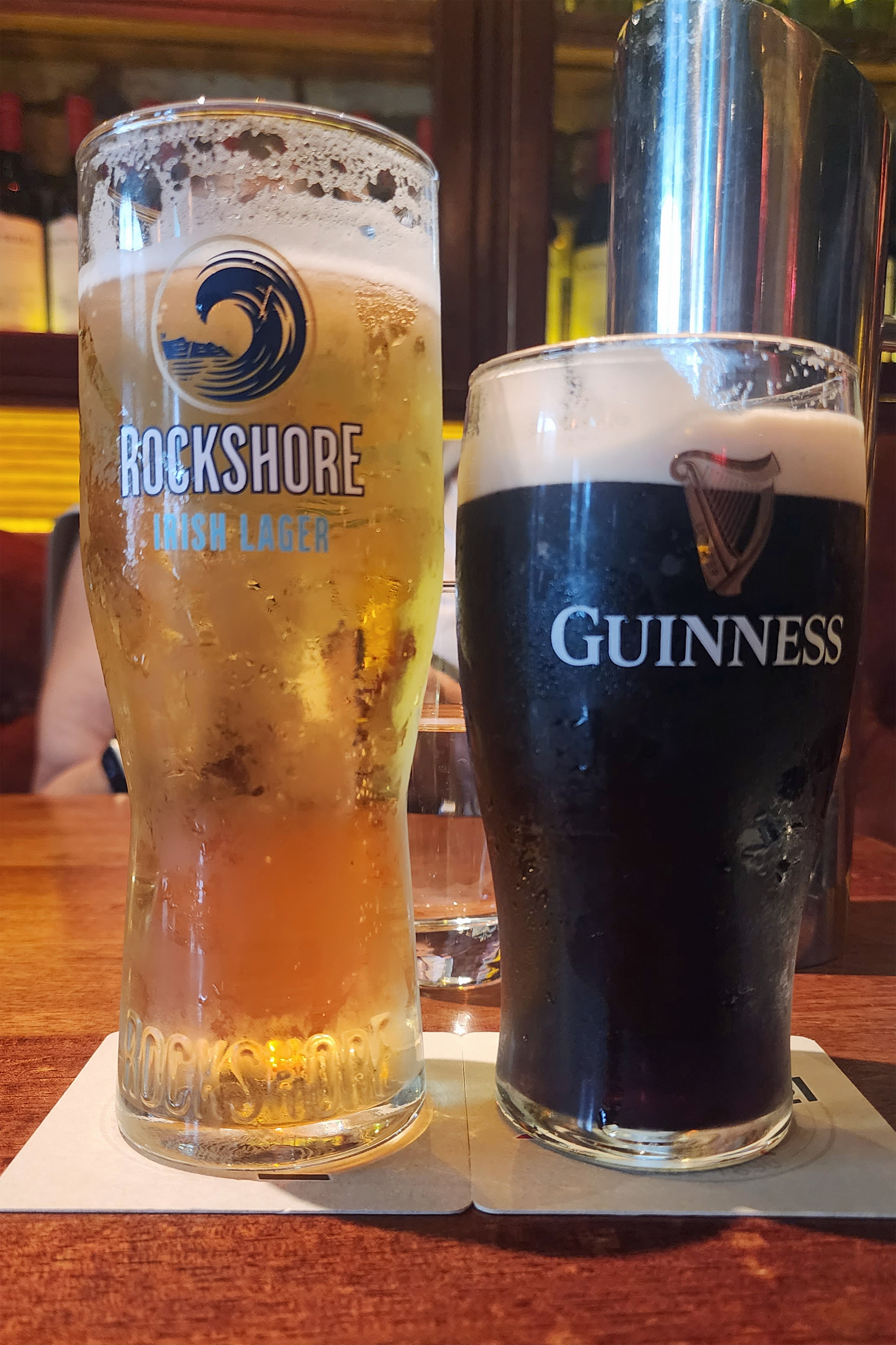 No visit to Galway is complete without a visit to an Irish pub, and there is a long list to choose from in downtown Galway, particularly in the Latin Quarter. We sampled a few pints at Jack J. Foley’s across the street from Eyre Square, Blake’s Bar on Eglington Street, a couple of blocks from the square, and Seven Bridgestreet, which is both its name and its address.
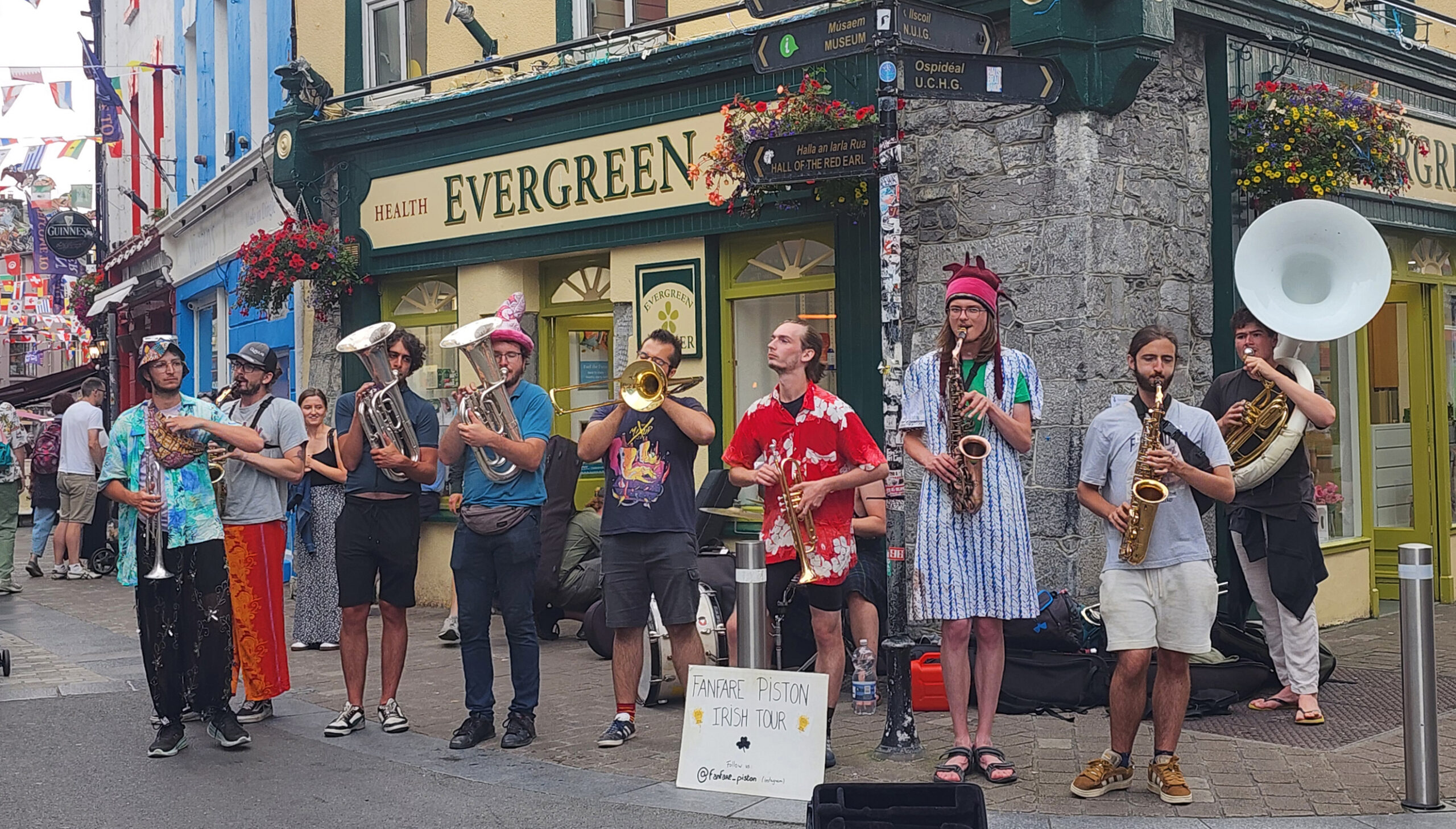


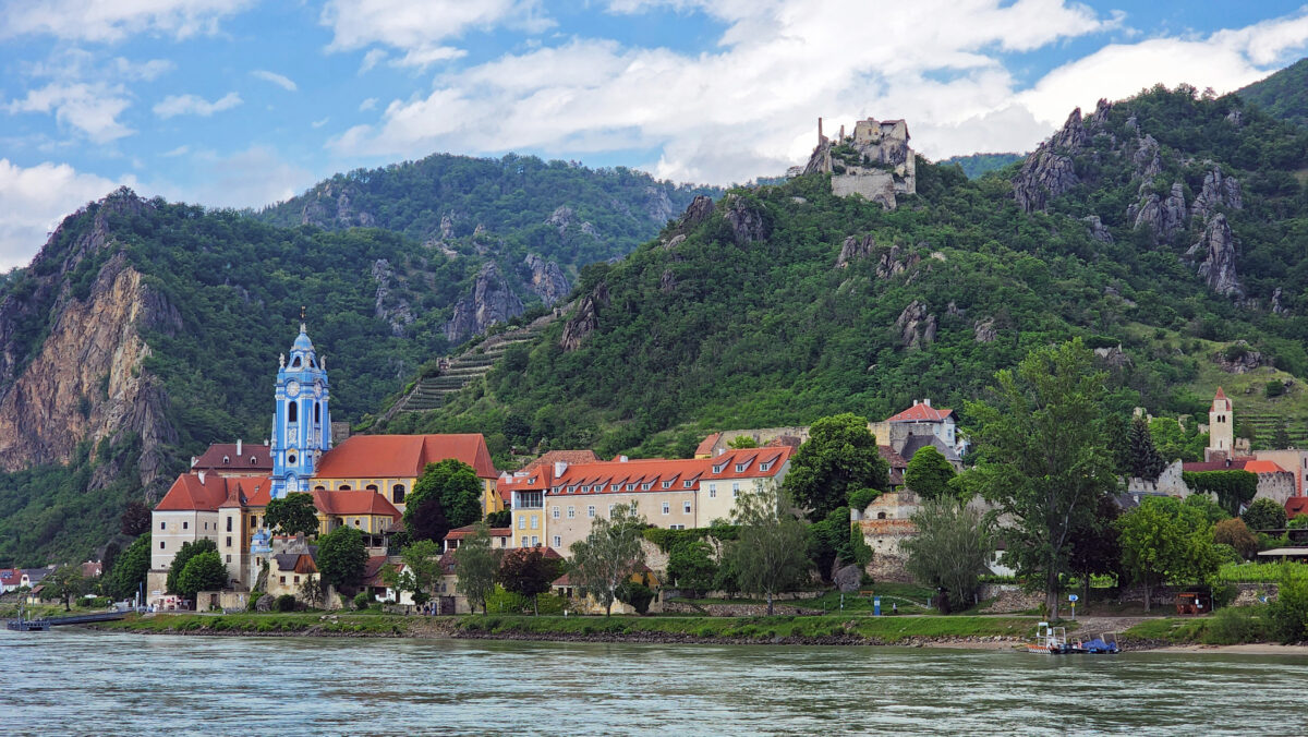
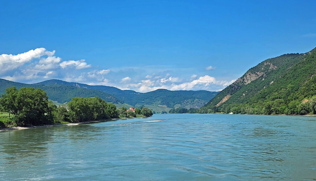
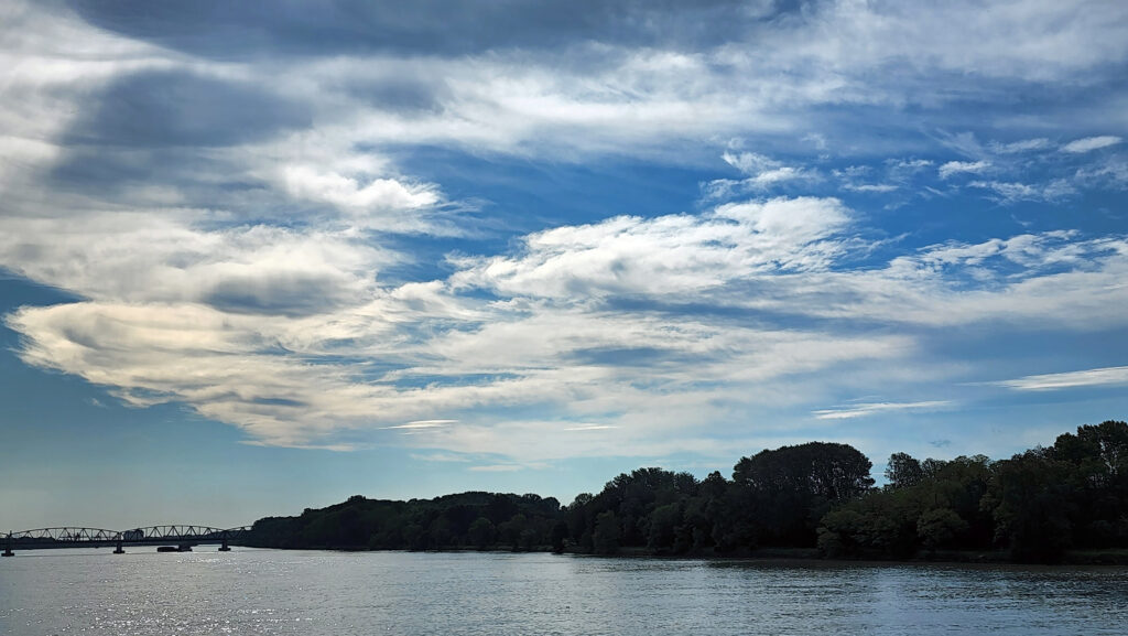

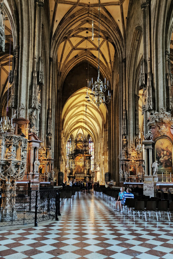


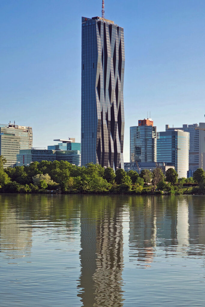
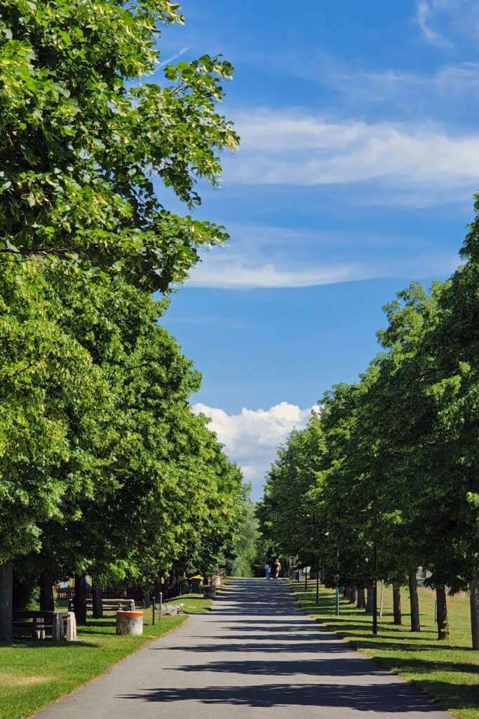
 Vienna is also a city of many beautiful parks and natural areas. After our walking tour of the medieval center, we crossed the Danube and spend some time in a beautiful park on a long, narrow, tree lined island between the main channel of the Danube and the Neue Donau side channel.
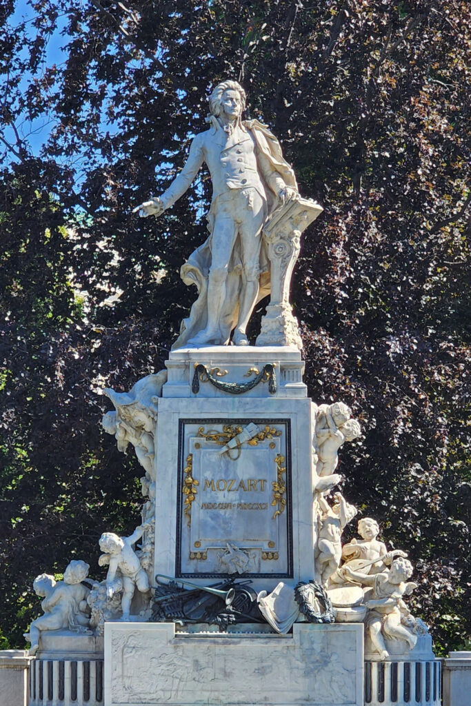
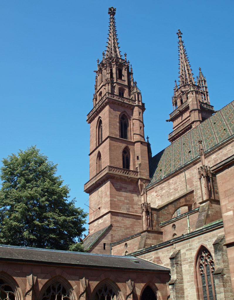 BASEL
BASEL Since our guide book didn’t cover Basel at all, we didn’t know quite what to expect. But, after disembarking the ship in the morning and taking a taxi to our hotel, we took advantage of having the rest of the day to explore the city.
 We first headed to the Museum of Contemporary Art, part of the
  After touring the museum, we spent the rest of the day sampling Swiss cuisine and exploring more of the city center, including
 I later learned that Basel is considered by many to be the cultural heart of Switzerland. The Kunstmuseum (linked above), which opened in 1661, is the oldest public art museum in the world. The Museum of Contemprary Art is also the oldest contemporary art museum in Europe. And the and the University of Basel, founded in 1460, is the oldest university in Switzerland. Clearly, there is a lot of history here.
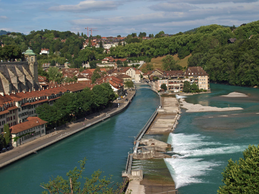 BERN
BERN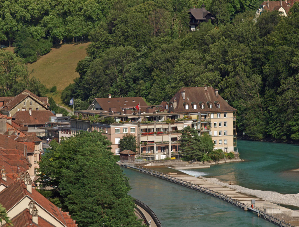
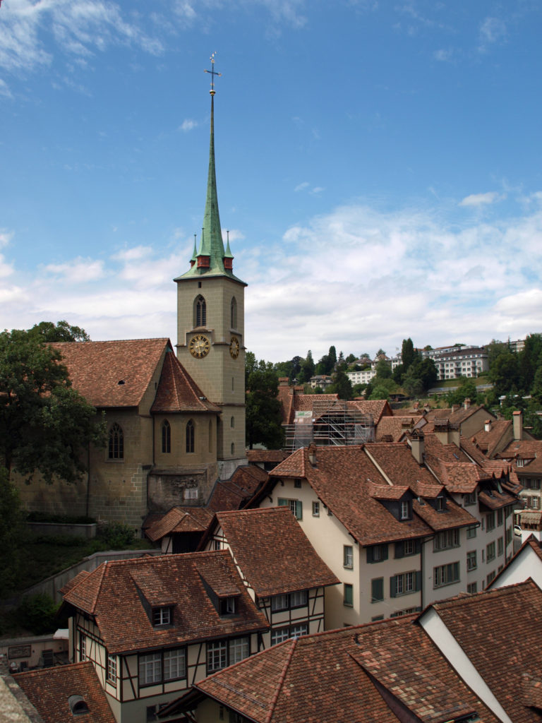
 We wandered our way through the medieval center and down to the Aare River at the point of the peninsula that the old city is located on. The Aare is strikingly beautiful, colored turquoise blue by the glacial silt it carries. We lingered along river for a while before crossing the relatively new (built in 1840) high bridge (Nydeggbrucke) on our way to a couple of cold beers at the Altes Tramsdepot, a restaurant and pub housed in what was once a transit center.
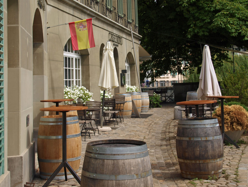
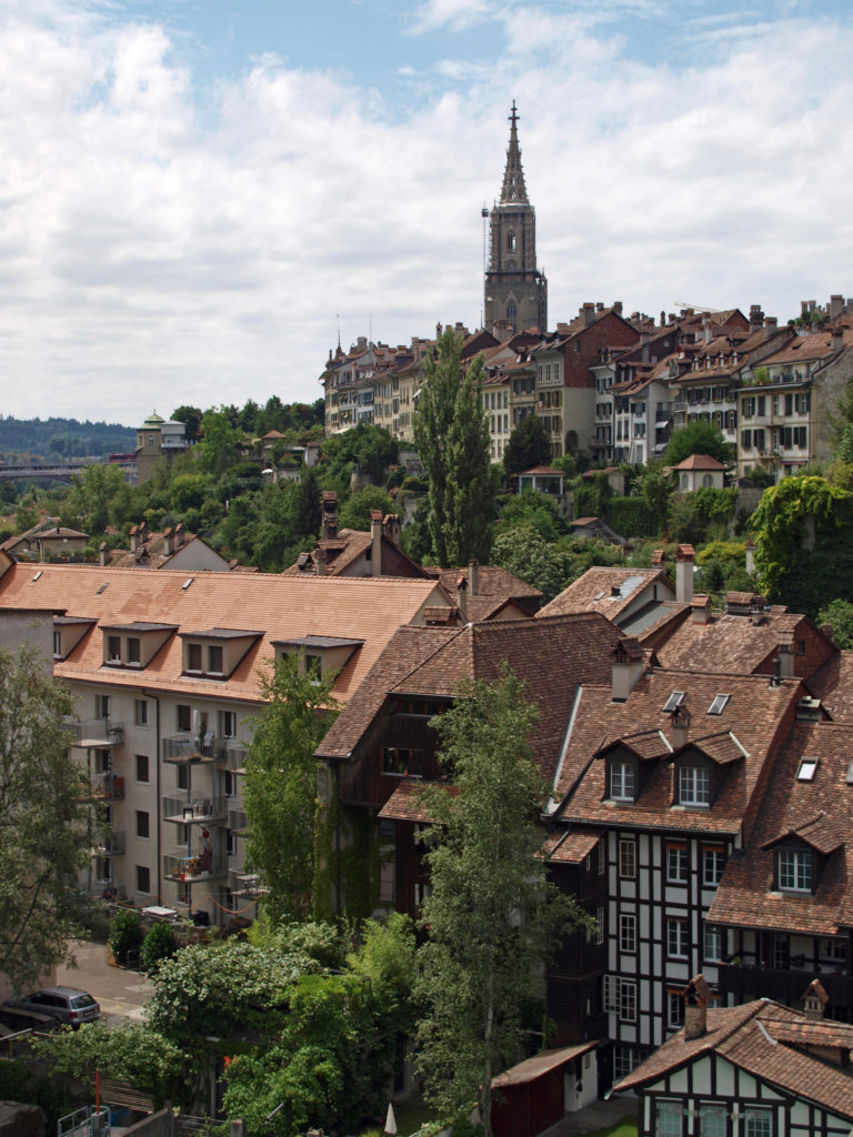 The restaurant and the viewpoint next to it provide a good view of the river and the old city. And below, along the river, you can sometimes see brown bears, which are the symbol of Bern, in the Bear Park (Barenpark). The bears were not out and about when we were there, though.
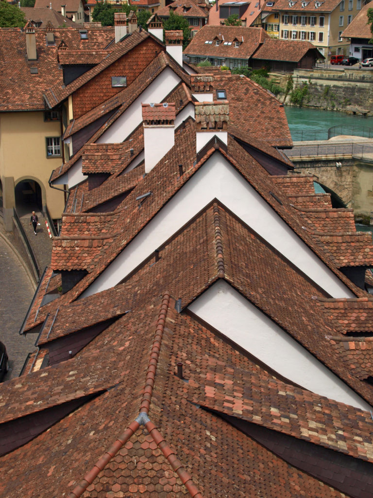
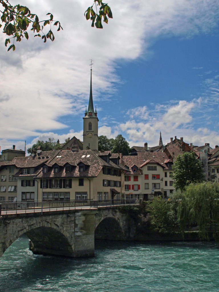
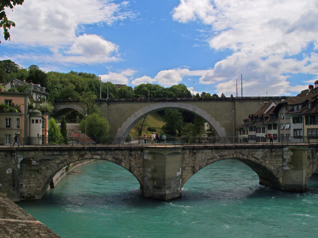 Just downstream of the Nydeggbrucke, the older Untertorbrucke is a good vantage point to photograph the river and the high bridge. The current Untertorbrucke was constructed in 1489 to replace a wooden bridge built in 1256.
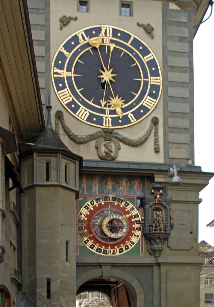 Back in the medieval city center (all of which is a UNESCO World Heritage Site), we visited the
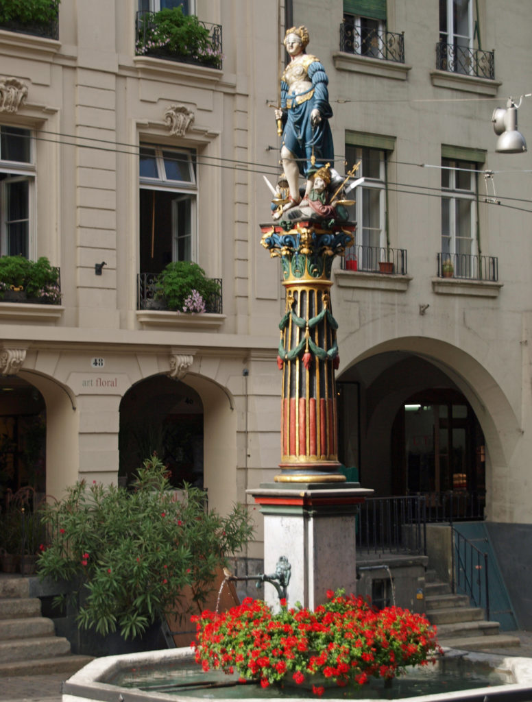
 Originally posted February 27, 2021 by Alan K. Lee. Updated and reposted February 9, 2024.
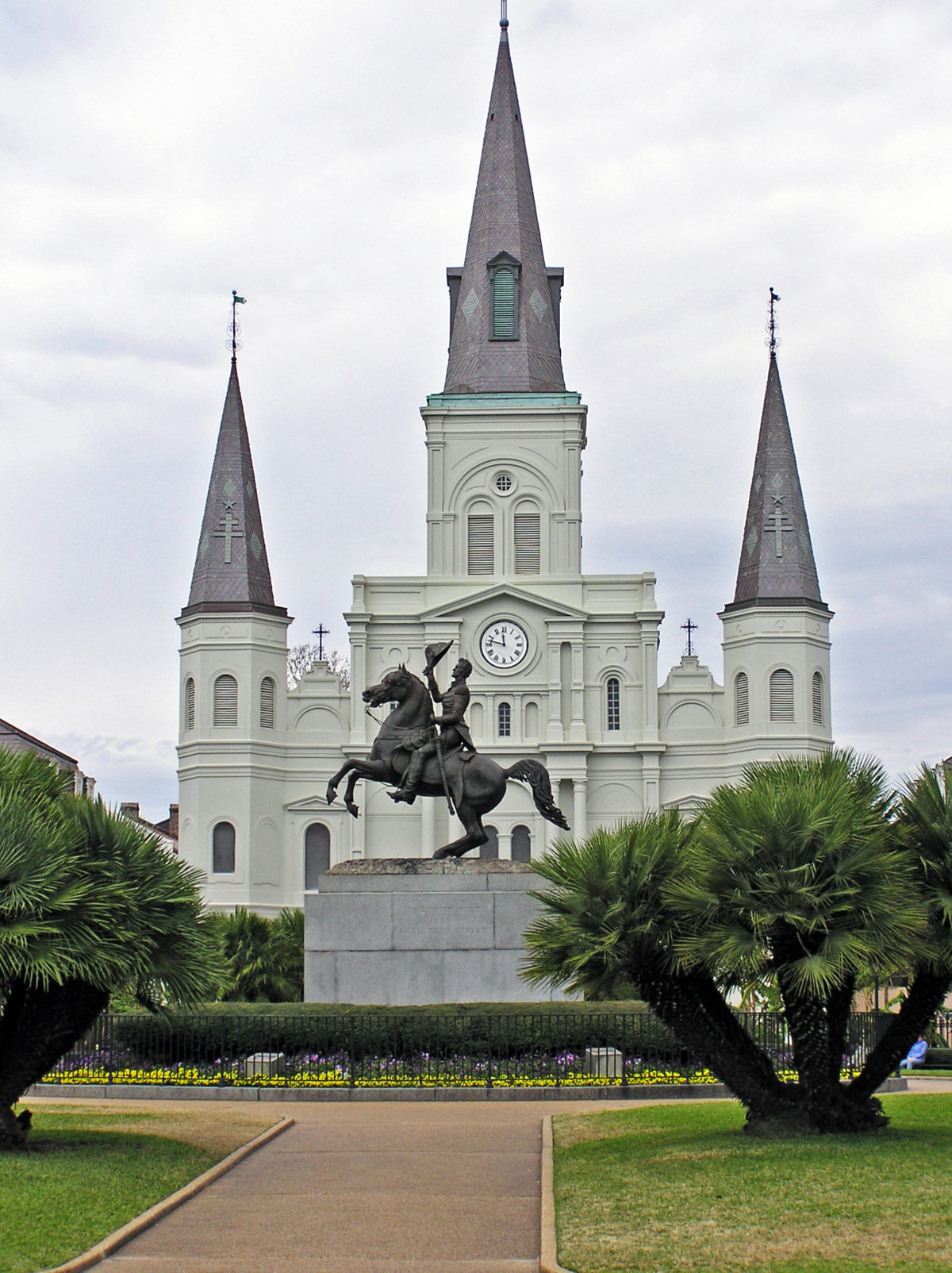

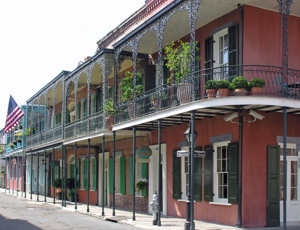
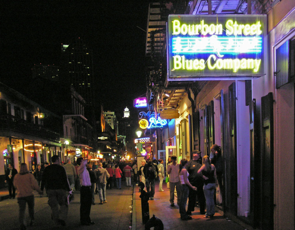
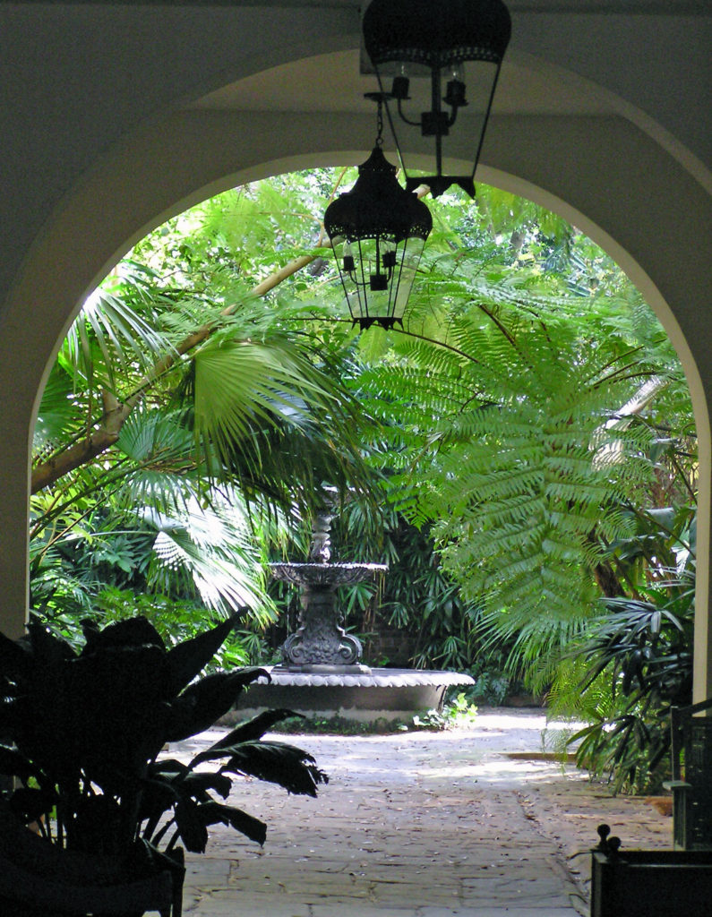
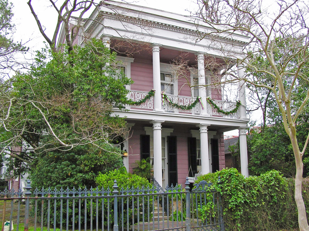
 So, how to experience the real New Orleans? Well, you probably have to spend a year or two there to really get to know the city. It’s a complex place. But if you don’t have that kind of time, my first recommendation would be to find a place to stay in the French Quarter. It’s the historic center of the city and the city’s cultural heart. Most of what you’ll probably want to see and do you’ll find either in French Quarter itself or close by.
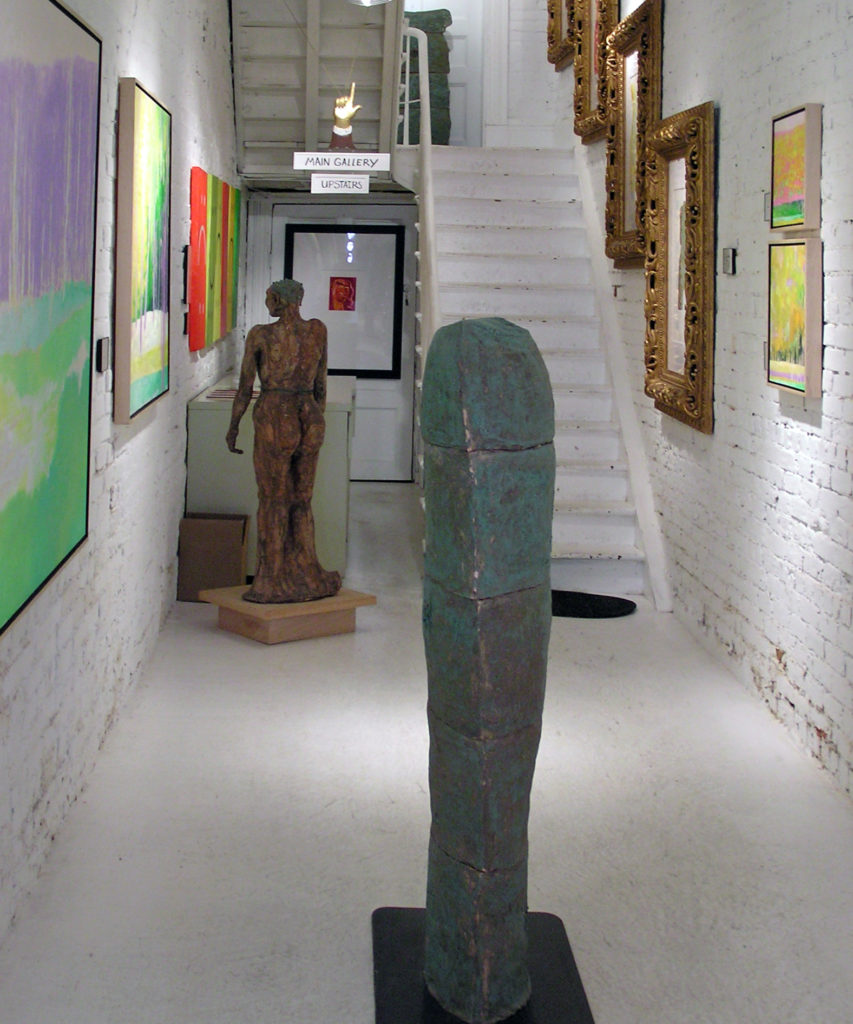
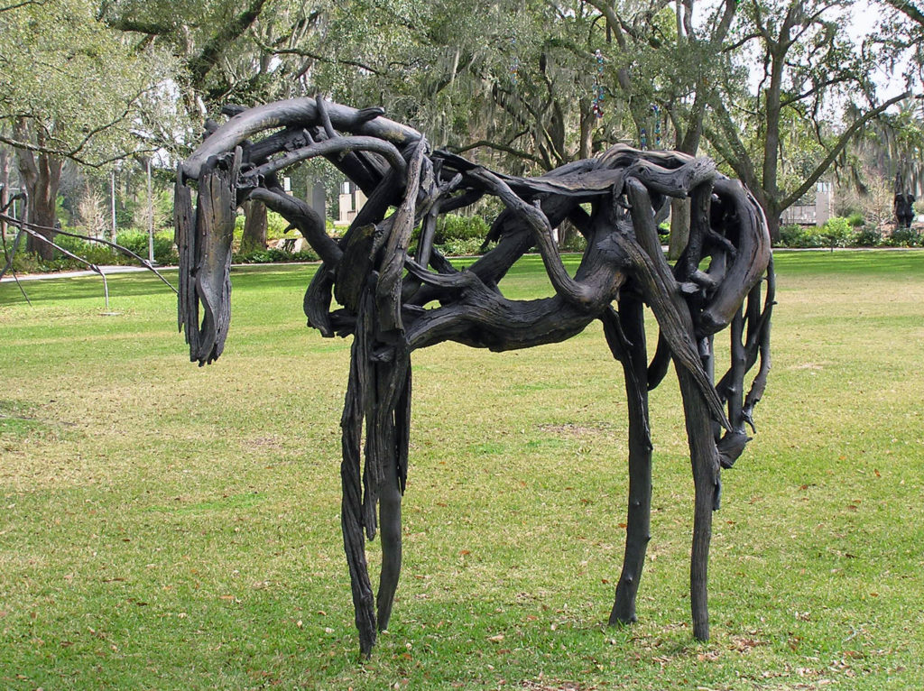 Since my wife and I are both art lovers, another thing that we always do in a new city is spend at least some time exploring the local arts scene. Sometimes that just entails visiting local museums and art galleries. But we also seek out local artists and art related events when we can. The
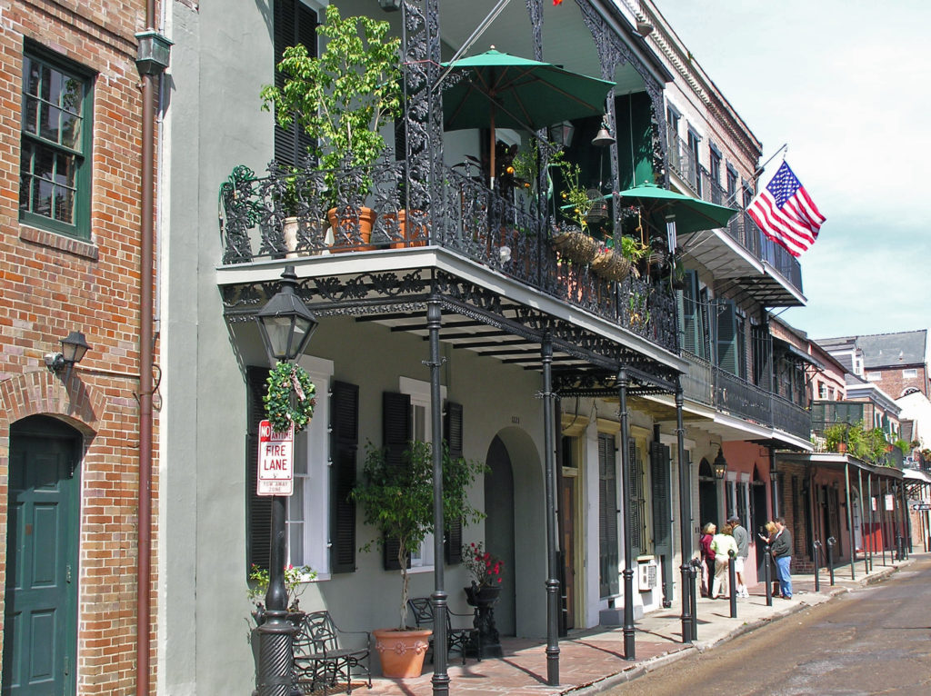
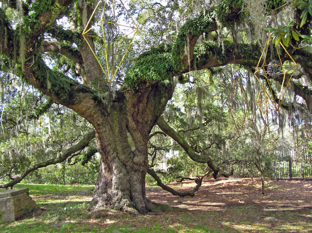
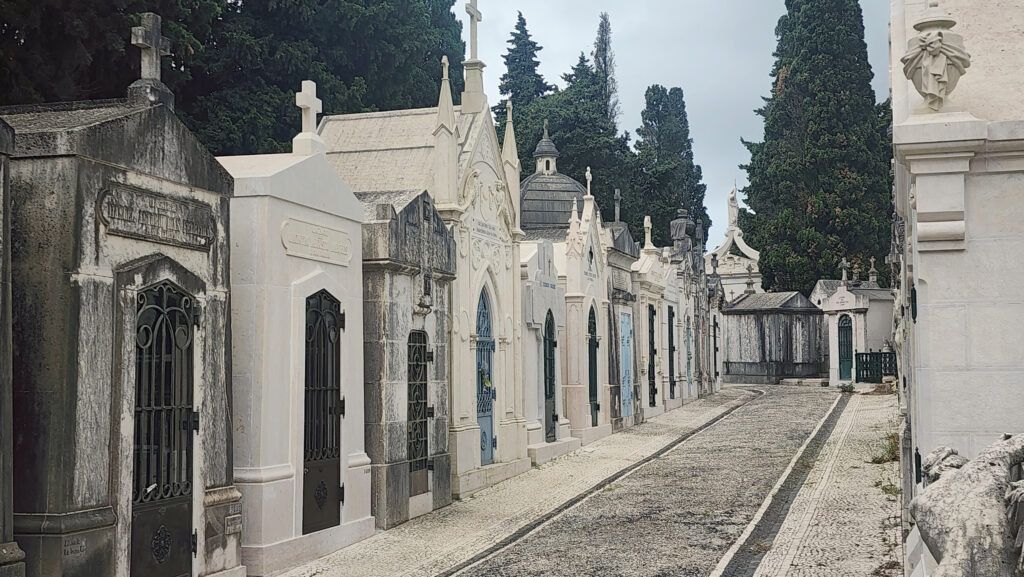
 Touring one of the city’s many cemeteries turned out to be one of the more interesting things we did on our visit. Because the land New Orleans is built on was originally a swamp, and much of it is below sea level, the dead are not buried in the ground, but are interred in above ground crypts or tombs.
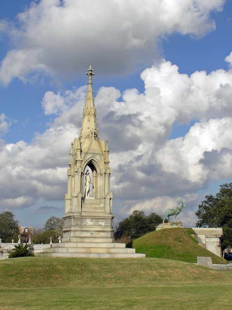
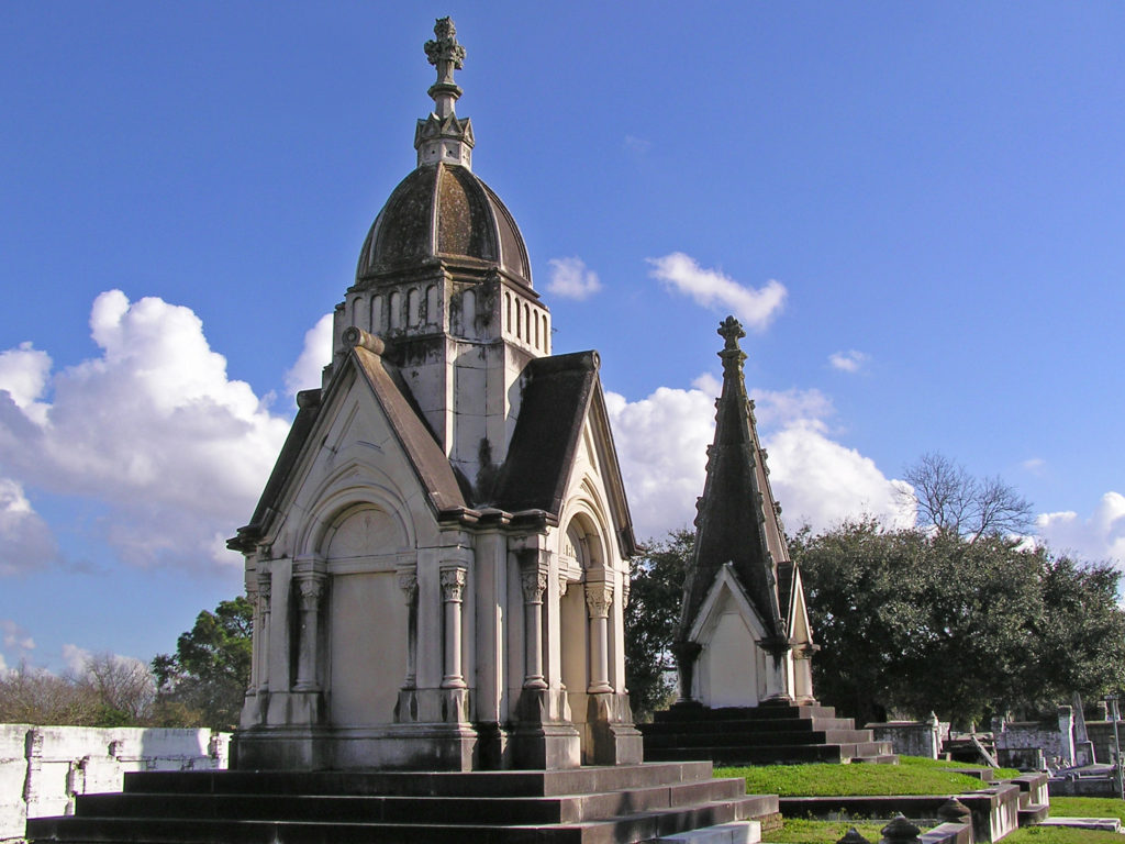 When we were there, we were warned that some of the cemeteries were dangerous places to visit and should be avoided. That may have changed, but check before you venture into any of the city’s cemeteries. There are organized cemetery tours that you can take, but we preferred to go on our own. One of the cemeteries that was said to be safe, and the one we visited, was St. Patrick Cemetery No. 1, on Canal Street near the end of the streetcar line.
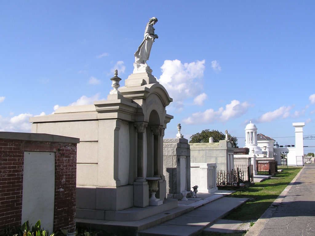 Many of the tombs there are large, elaborate, and impressive, holding the remains of many generations of the same family. The larger and more ornate ones are generally well kept up, but many of the others have not been maintained and are crumbling. Many are just ruins, empty and abandoned. One has to wonder what became of the bodies.
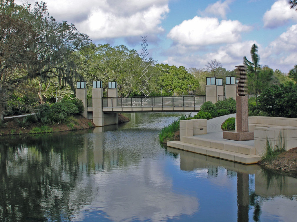
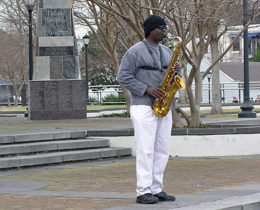
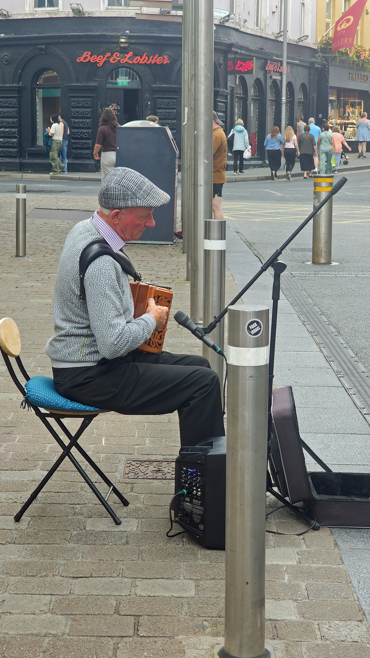
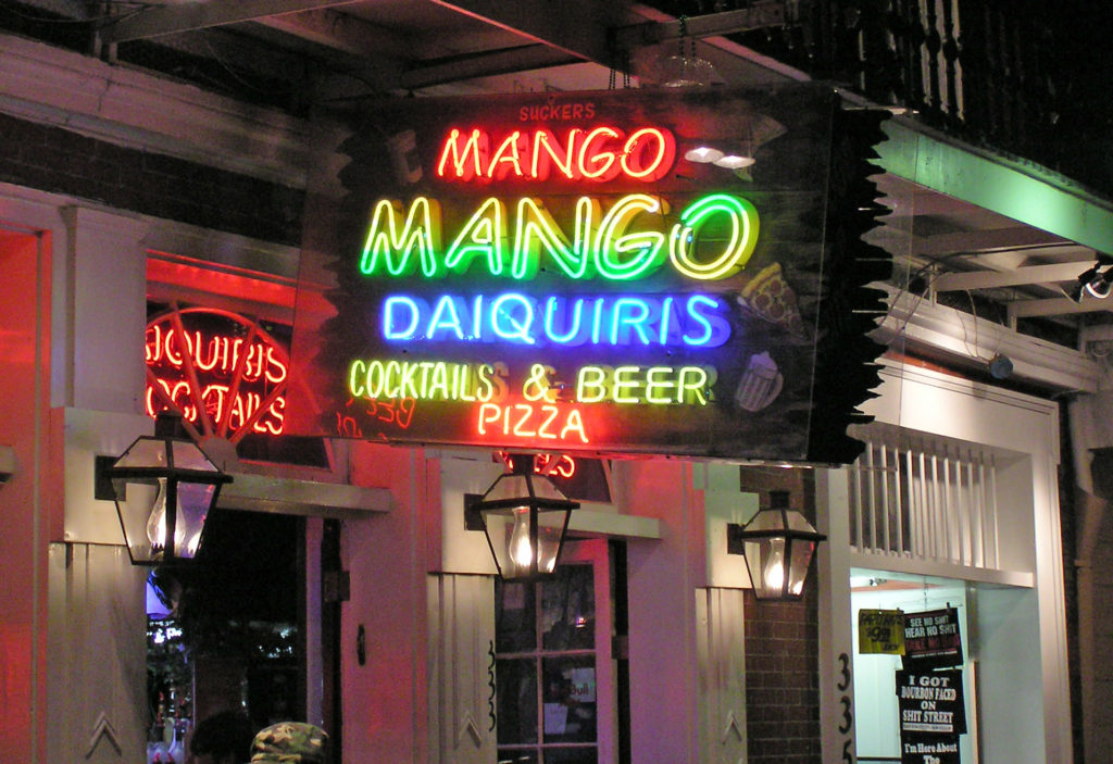
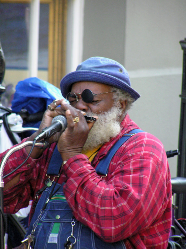 Music is an essential component of the spirit of the Big Easy. Whether it’s traditional Cajun fiddle tunes, blues, jazz, swamp rock, zydeco, country, or a fusion of some or all of those genres, music permeates the city. Street performers are a common sight in the French Quarter any time of the day or night. And there are probably hundreds of clubs throughout the city offering live performances late into the night, every night. Take in as much of the music as you can while you’re there because it’s such a vital component of the city’s spirit.
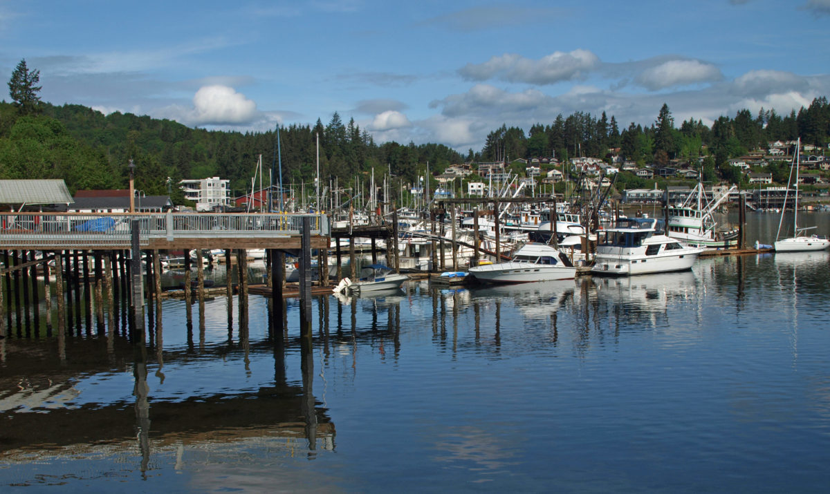
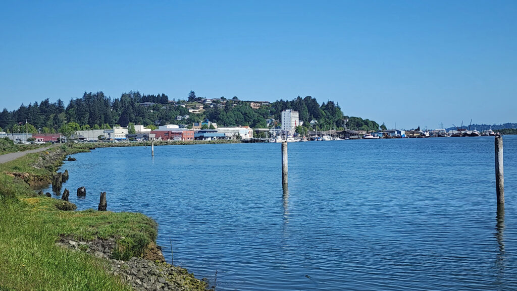
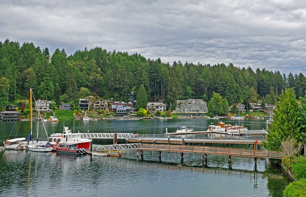
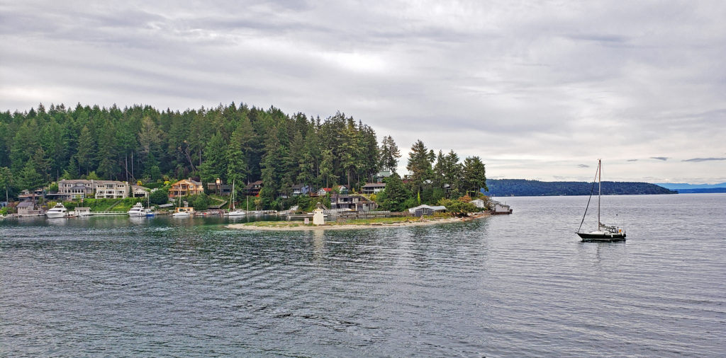
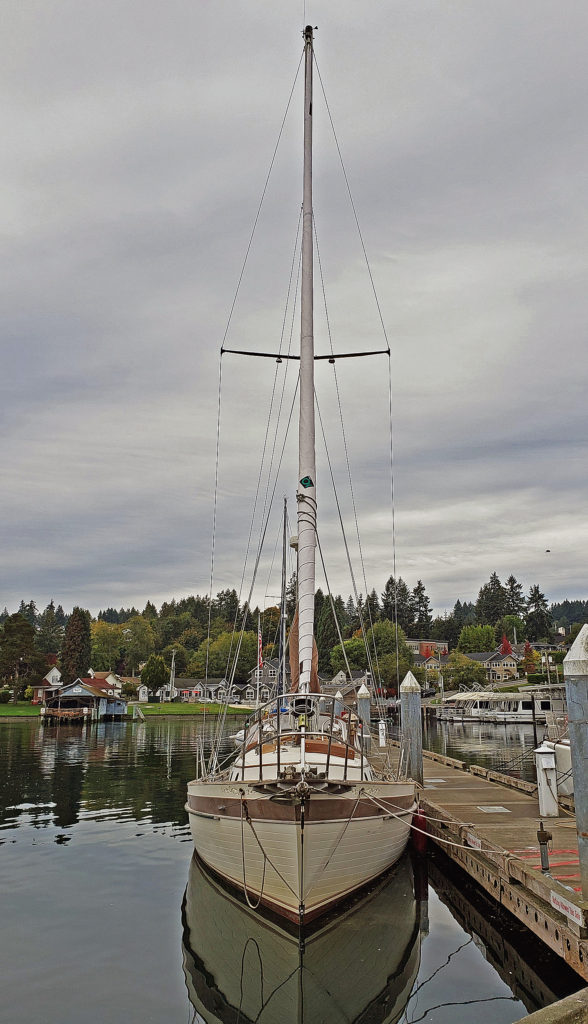
 Gig Harbor, Washington is located on Puget Sound near Tacoma. My first visit came about eight years ago. At the time it was one of the few towns on Puget Sound that I had not explored. I had heard testimonials to the town’s charm. And charming it is, at least the historic downtown along the waterfront. Like
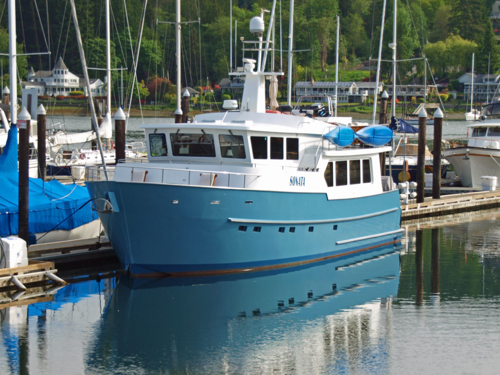
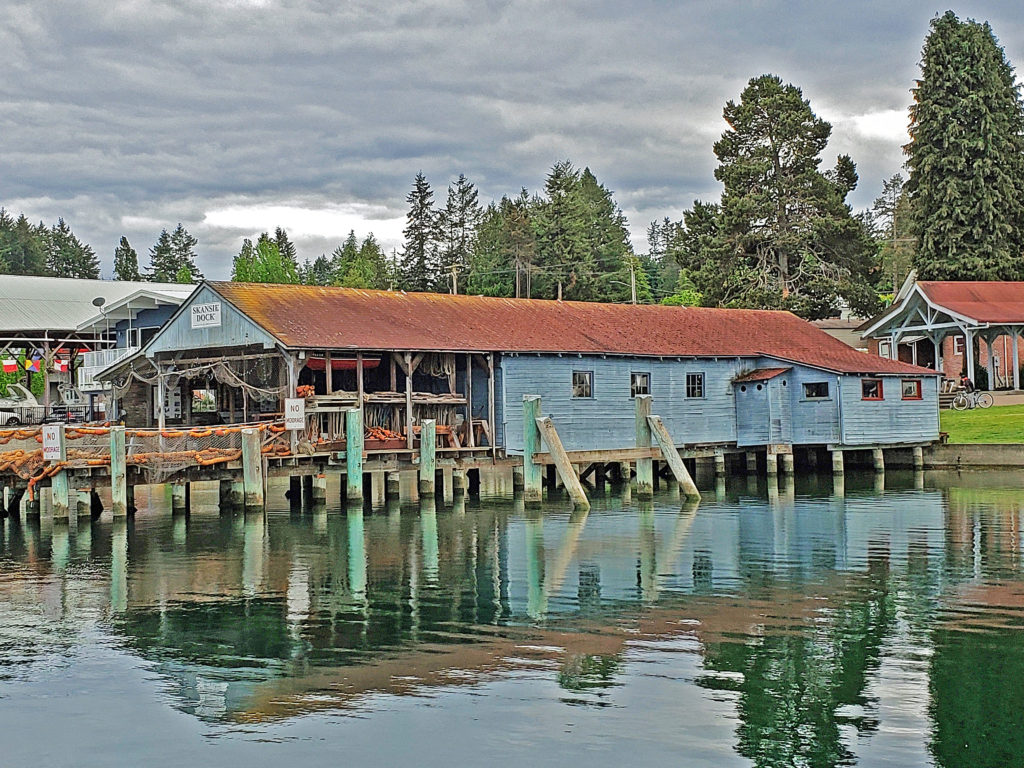
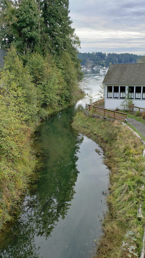
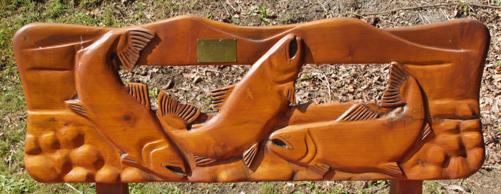
 The museum is located where Donkey Creek flows into the harbor, and when the salmon are spawning you can watch them swimming upstream from viewing platforms in Donkey Creek Park, across Harborview Drive from the museum.
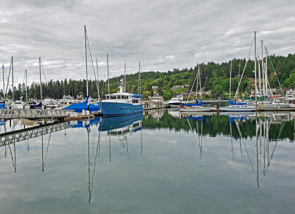
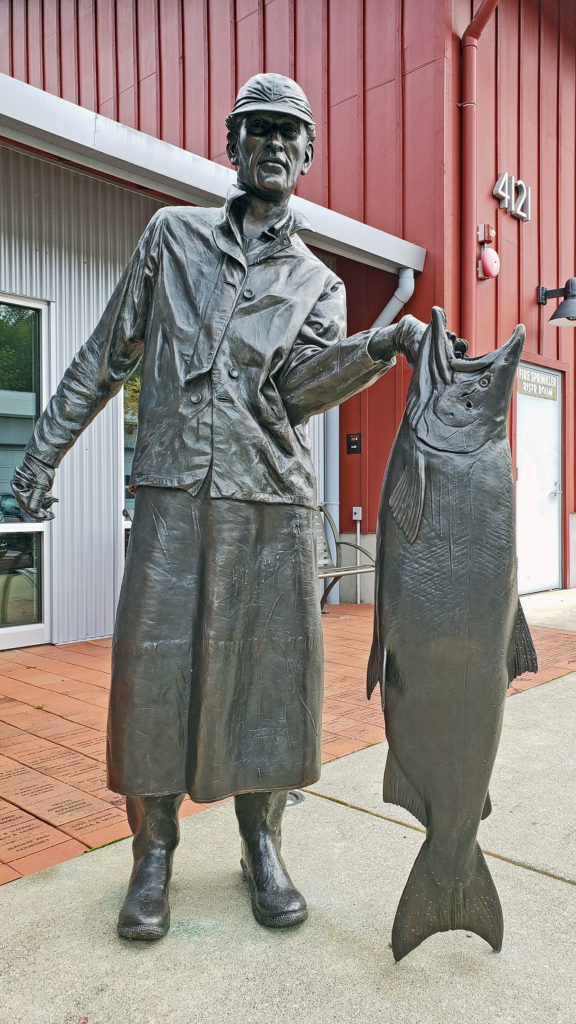
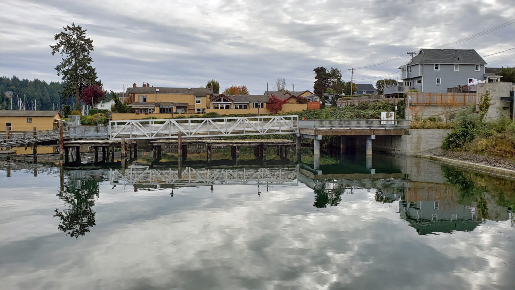 Tourism is more important than fishing to Gig Harbor’s economy today, but a small fishing fleet still exists and is still important to the cultural identity of the town. On the first weekend of June each year, during the Maritime Gig Festival, the fleet gathers in the bay for a Blessing of the Fleet ceremony.
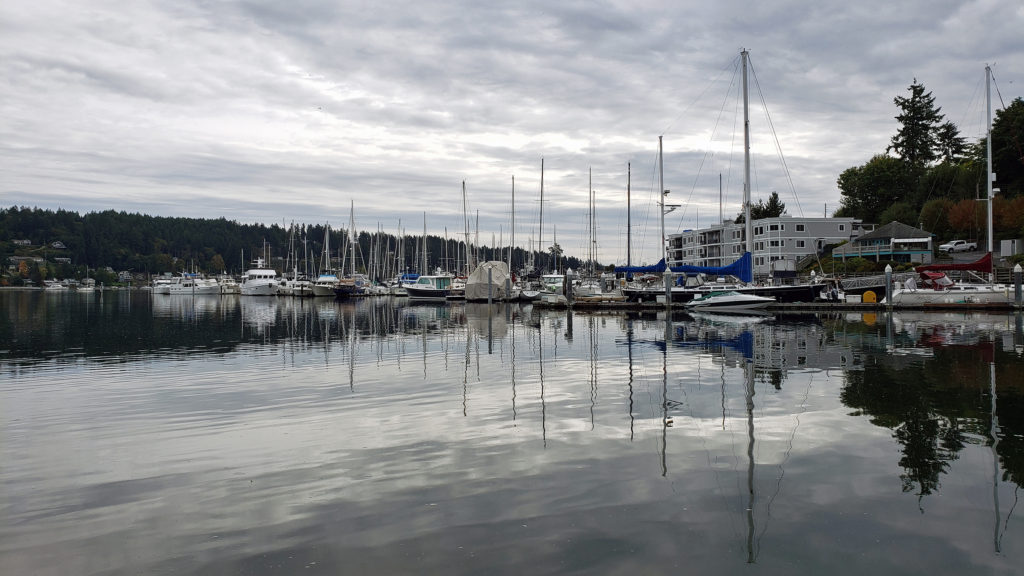 Getting out on the water is both great fun and a way to view the waterfront from a different perspective. You can rent kayaks, stand-up paddle boards, and electric boats at
  If you’re thinking about paying Gig Harbor a visit, a good place to start is the
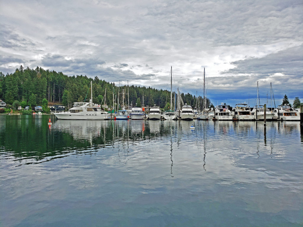
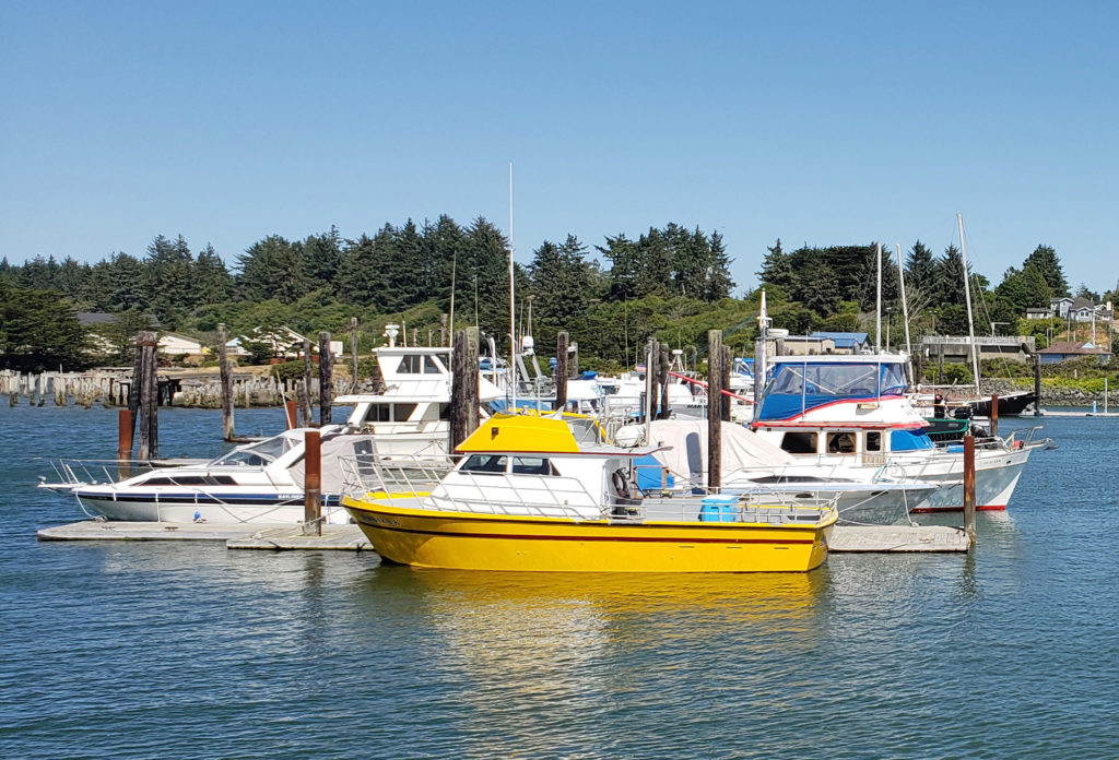
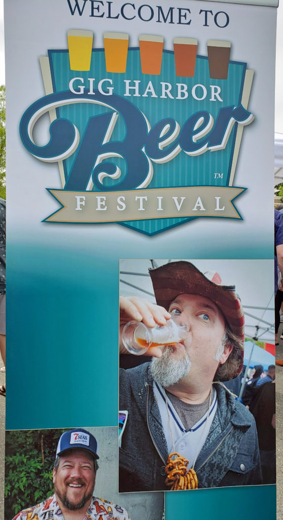 My wife and I timed our first visit to coincide with the Gig Harbor Beer Festival. We’re from Beervana (also known as Portland), after all, and we frequently seek out new opportunities to sample craft beers that we’ve not tried before. Gig Harbor has four craft breweries: Gig Harbor Brewing, 7 Seas Brewing, Wet Coast Brewing, and Dunagan Brewing. We sampled beers from all but Dunagan at the beer festival, and we both found a number of beers to our liking, even though we have very different tastes in beer. We’ve attended the festival (now called the Gig Harbor Beer and Cider Festival) several more times since that first visit. Gig Harbor Brewing and 7 Seas Brewing have taprooms located on the waterfront in Gig Harbor. Wet Coast has a taproom just off Hwy 16 in the newer part of Gig Harbor. And Dunagan’s Irish Pub and Brewery is located about a mile south of Wet Coast, also just off Hwy 16. Of the four, only Dunagan’s serves food. If you want to eat as well as drink, try the Tides Tavern or one of the other establishments listed in the Gig Harbor Guide.
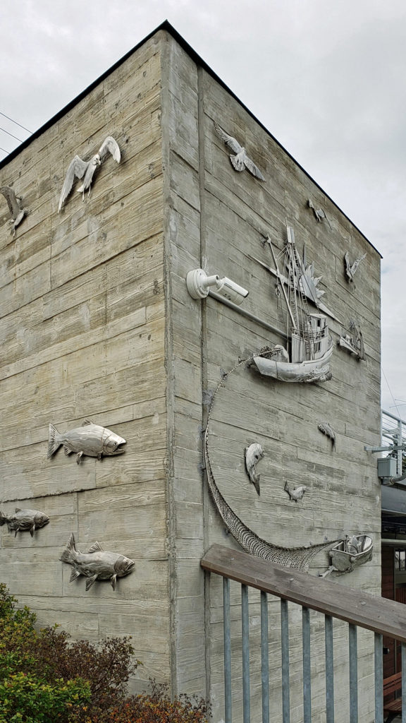 One restaurant that you should not miss is
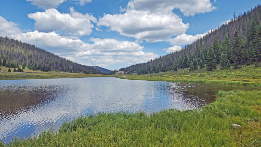
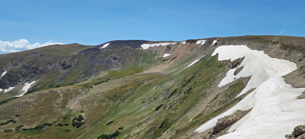
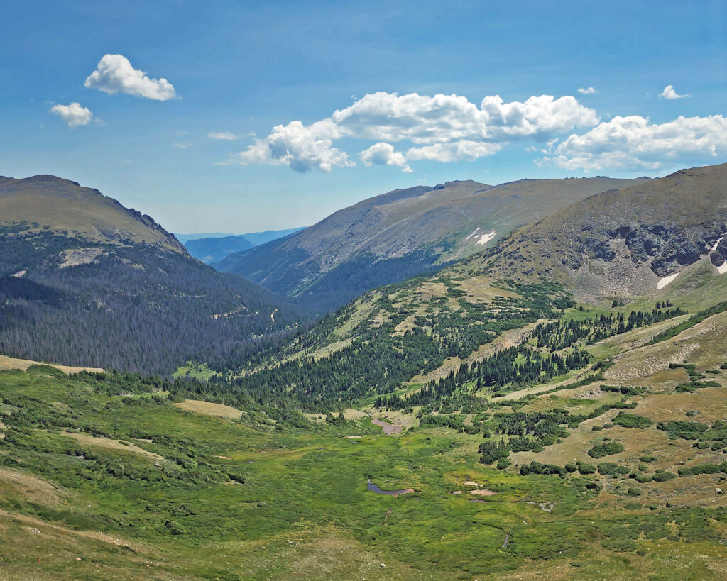
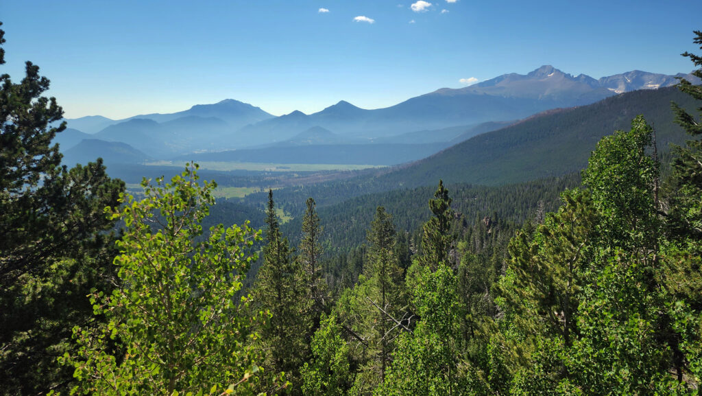
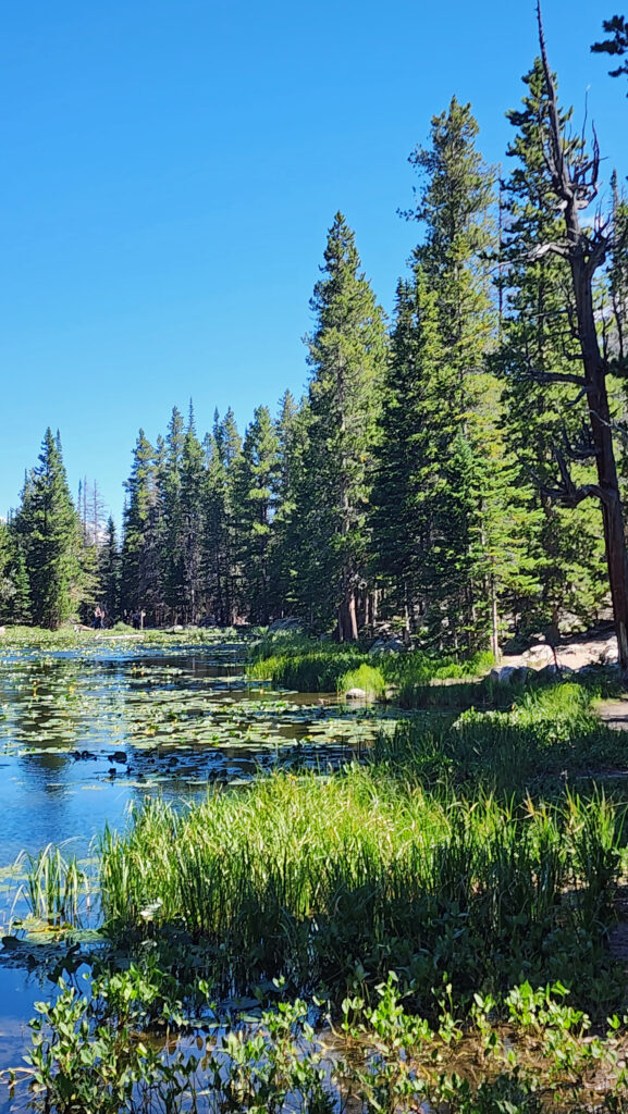
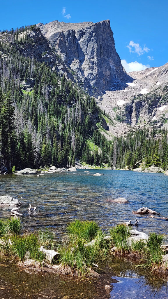
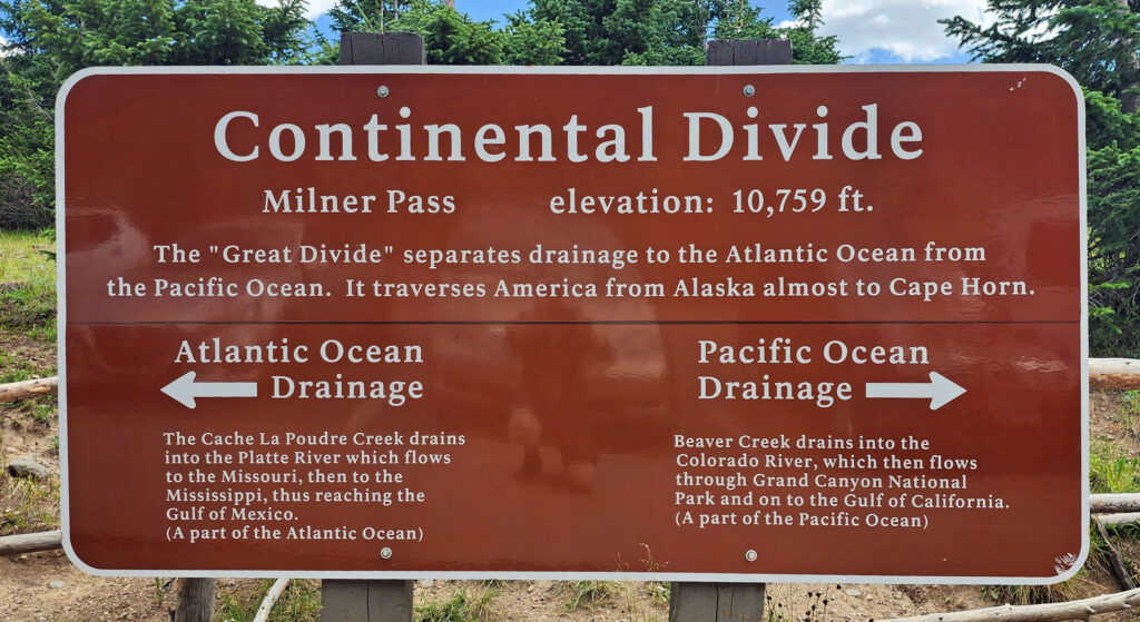 Coming down off Trail Ridge we stopped on the continental divide at Milner Pass (at 10,759 feet you actually come down in elevation from Trail Ridge to the divide). We did a short walk there along the shore of Poudre Lake and, of course, took a photo of the continental divide sign before heading south.
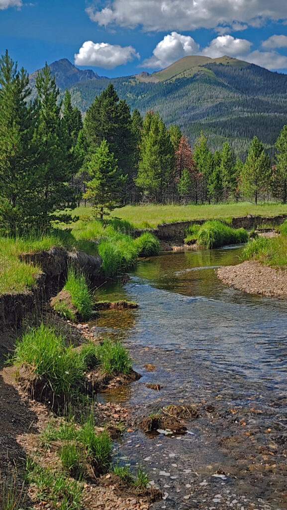
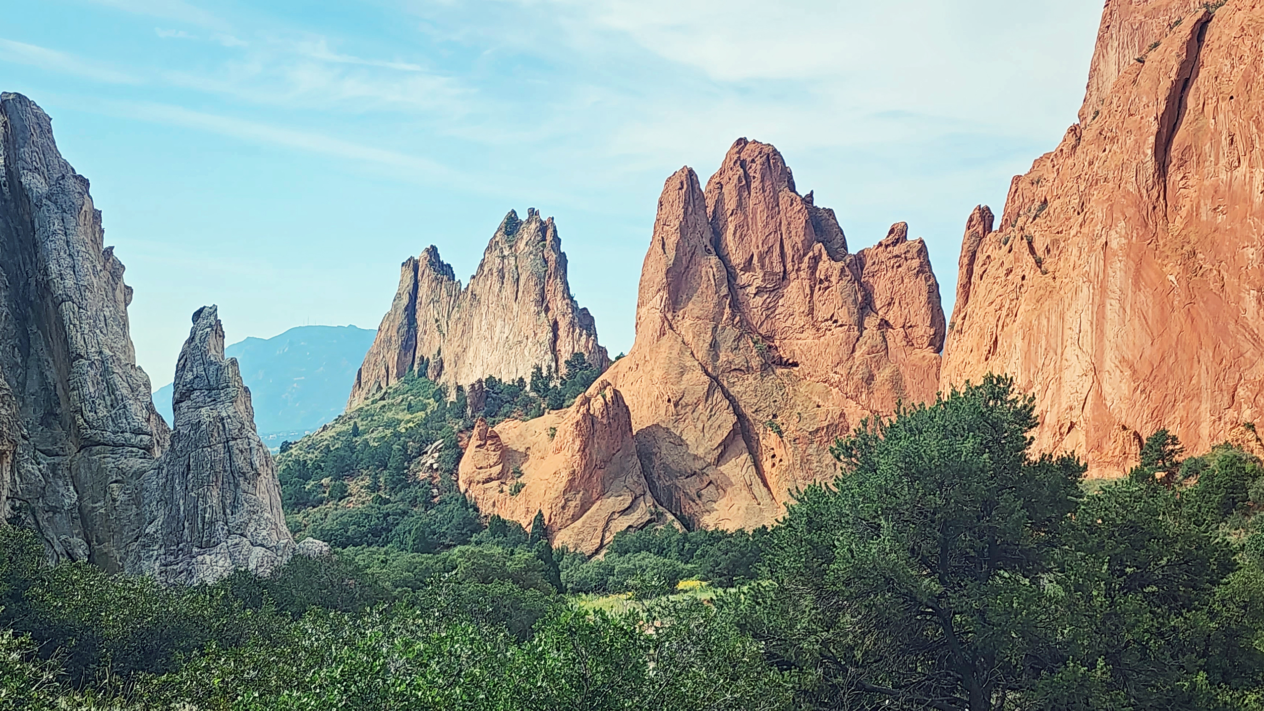

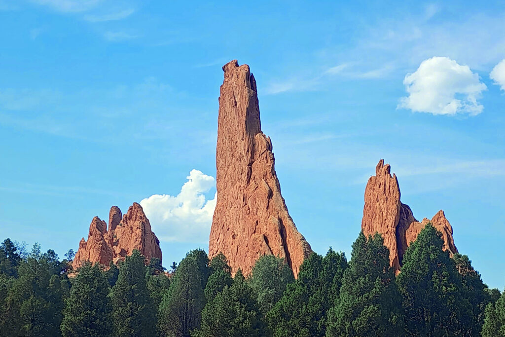
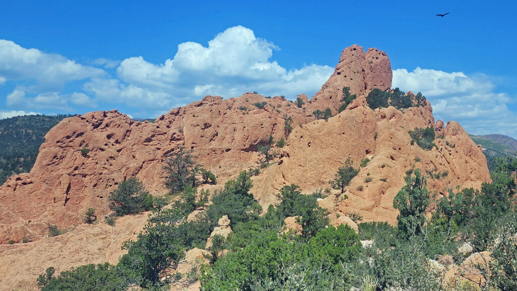
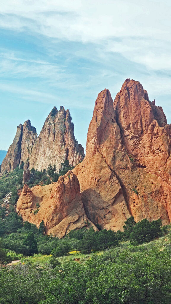
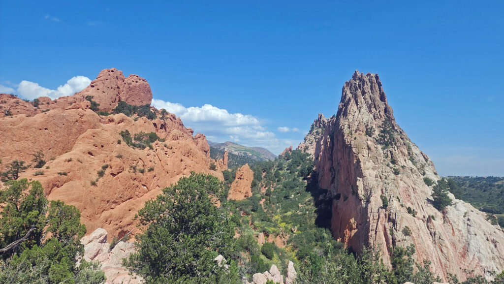
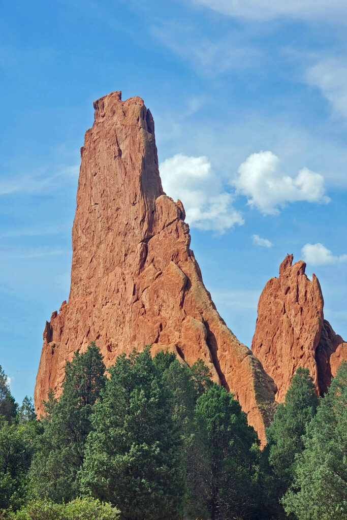
 In 1859, Colorado City was founded and later became the capital of the Colorado Territory before the capital was moved first to Golden, then Denver. Colorado Springs was founded in 1871 just east of what became known as Old Colorado City. Colorado Springs grew rapidly and eventually Old Colorado City became incorporated into the growing city, and is now a neighborhood west of downtown Colorado Springs.
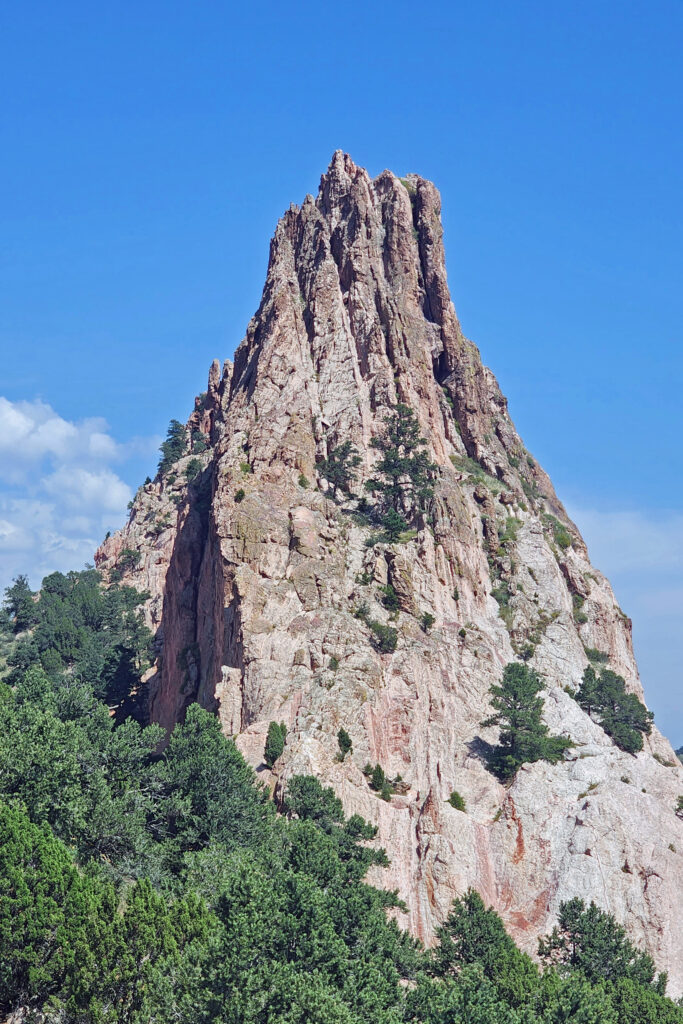
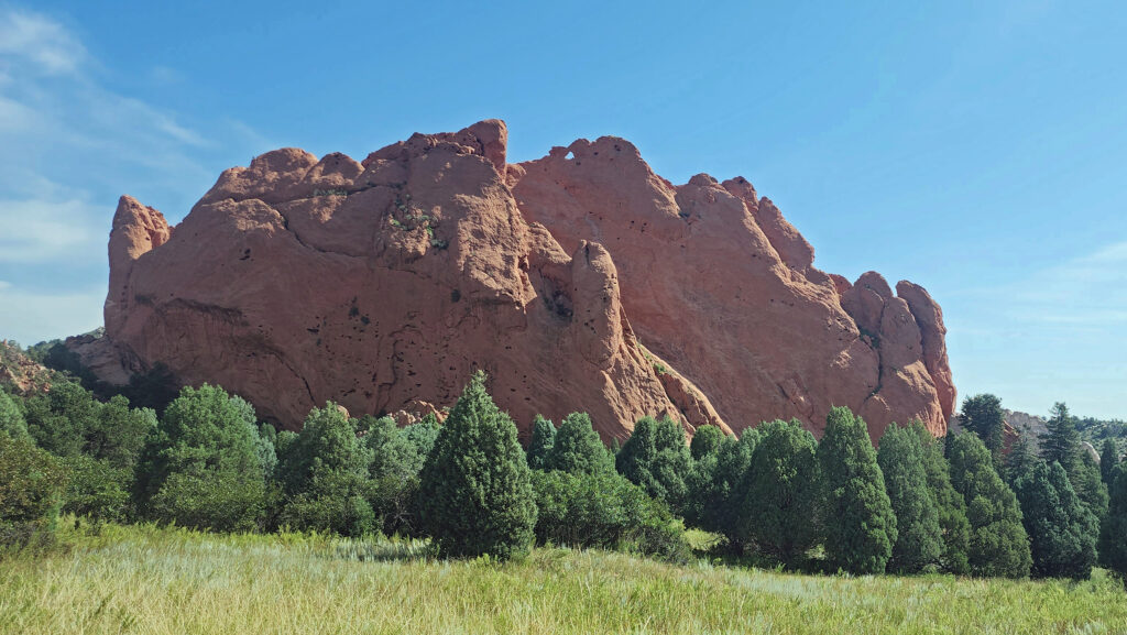
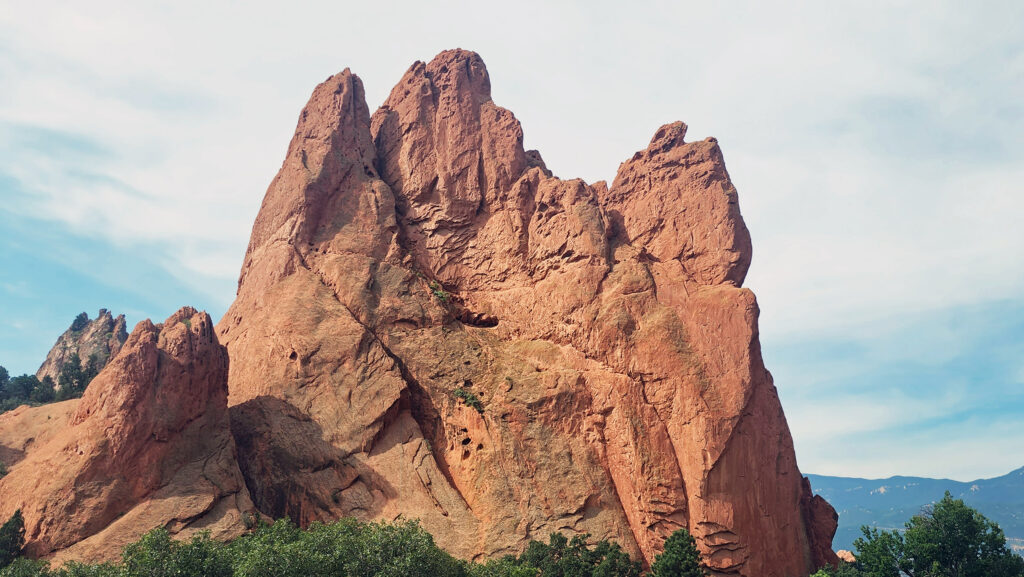
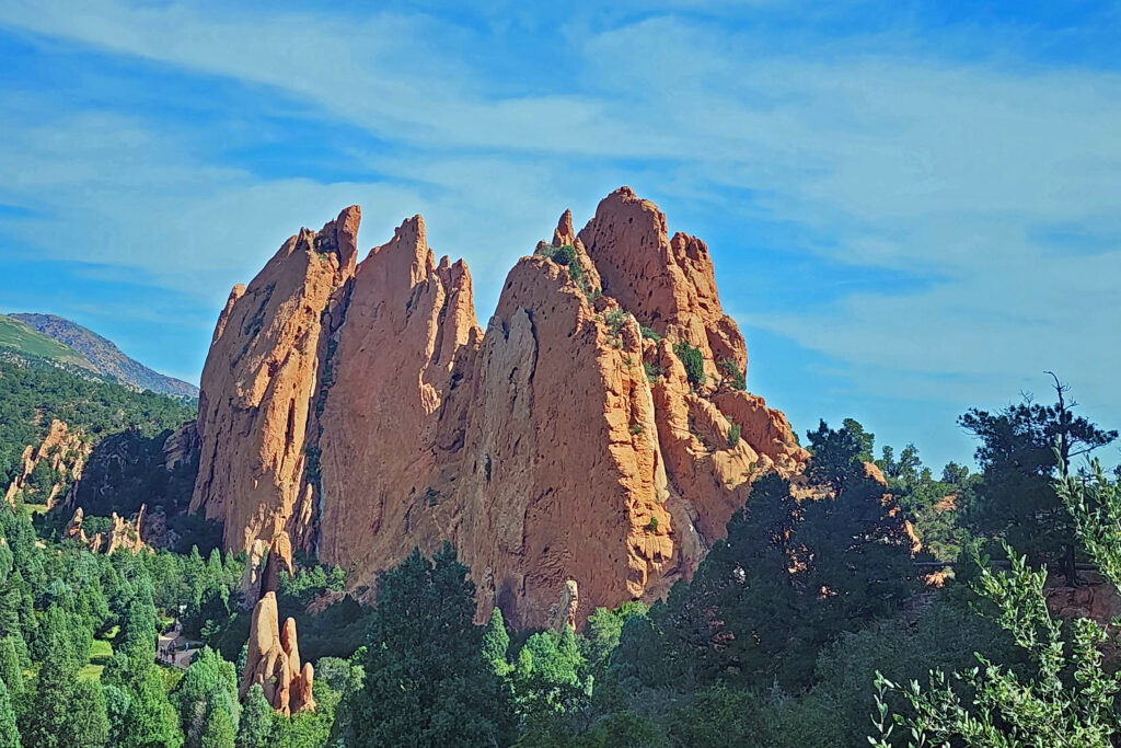
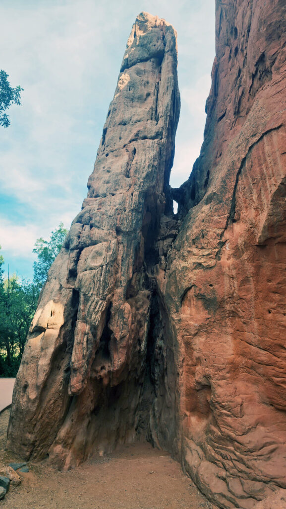
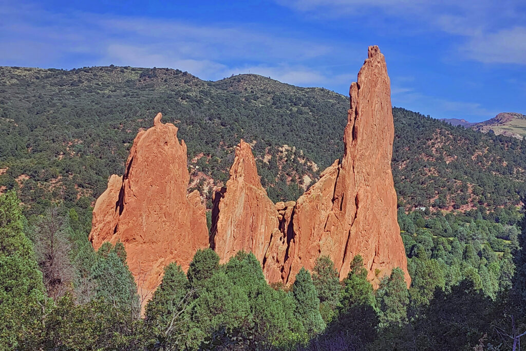 The park is very popular and parking can be a problem, but there is also a large overflow parking area just west of 30th Street if the visitor center parking lot is full. There is a pedestrian tunnel under 30th Street to get from the overflow lot to the visitor center. The park also operates a free shuttle bus in the summer that runs from the visitor center to the center of the park with stops at the overflow parking area and the Rock Ledge Ranch Historic Site.
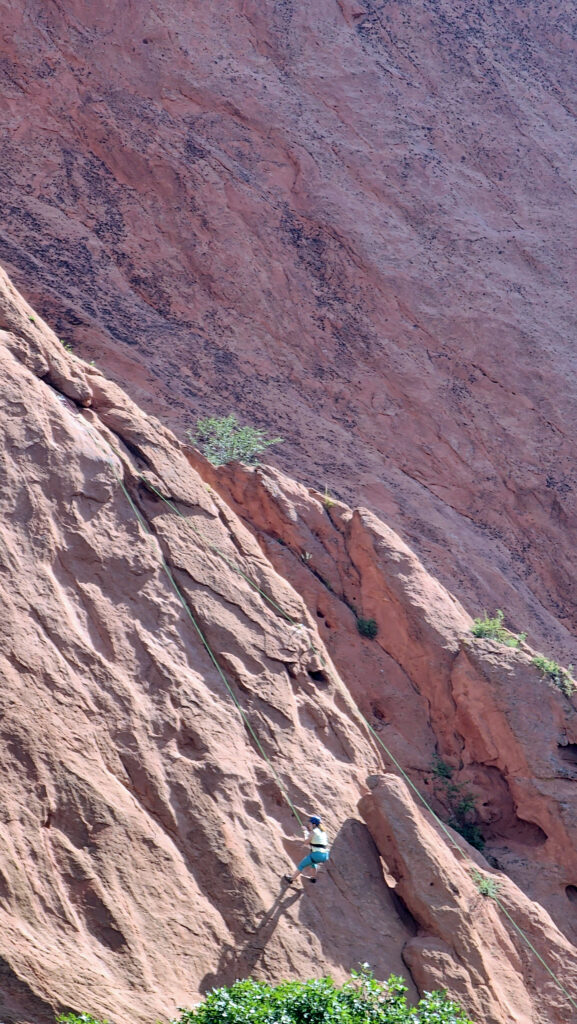
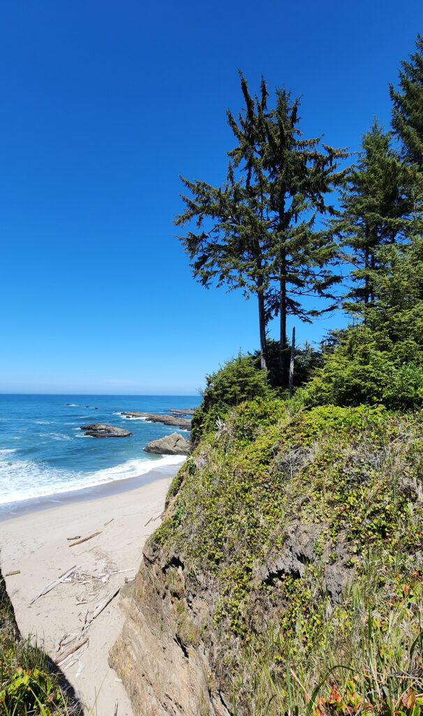
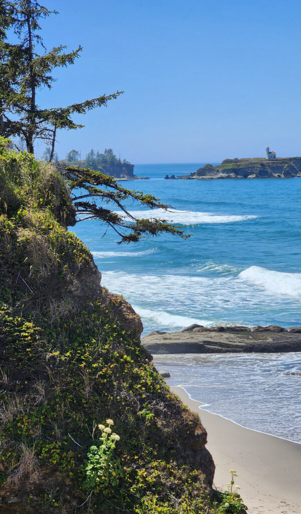
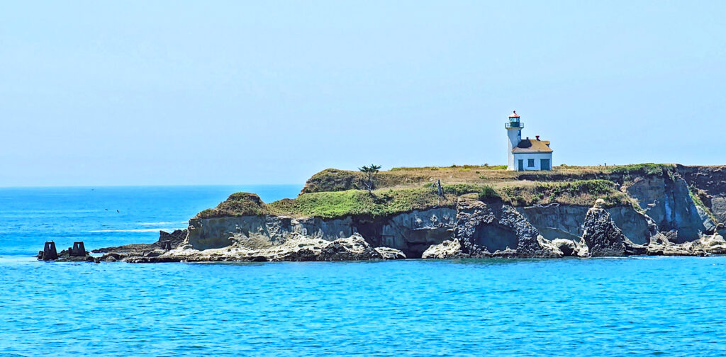
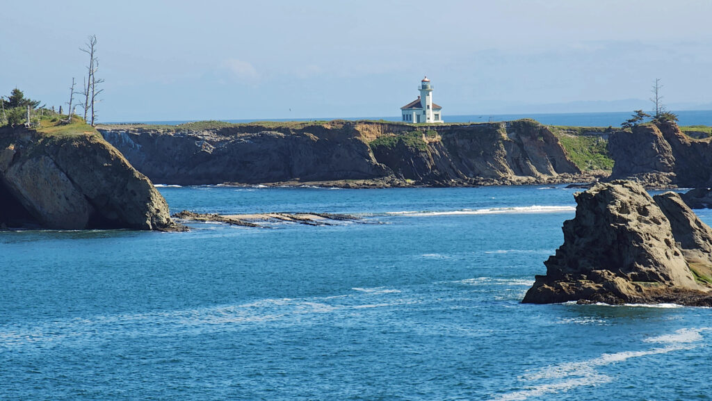
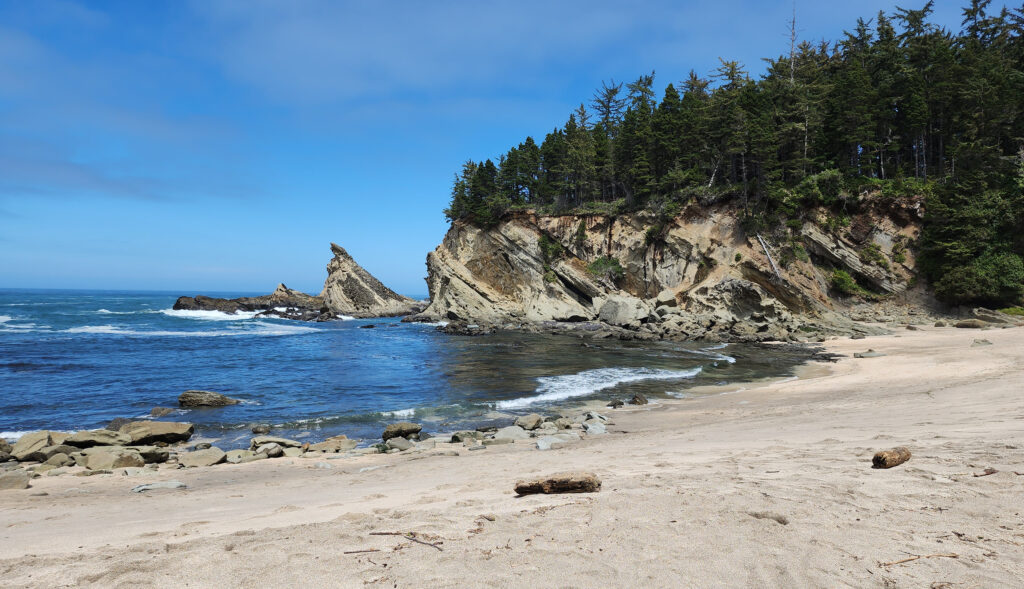
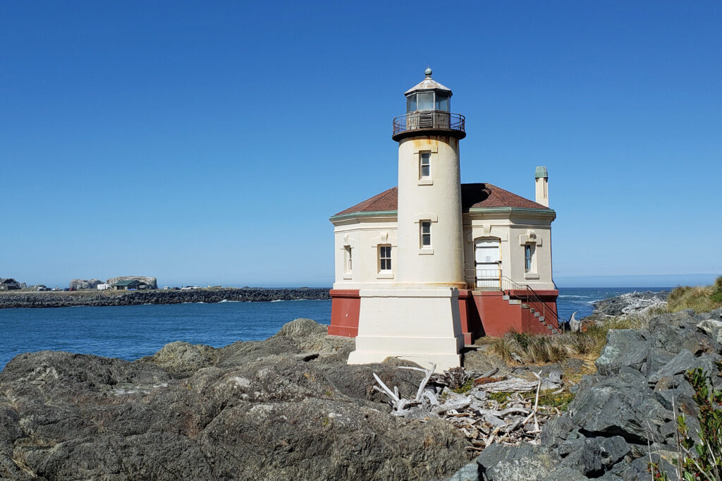
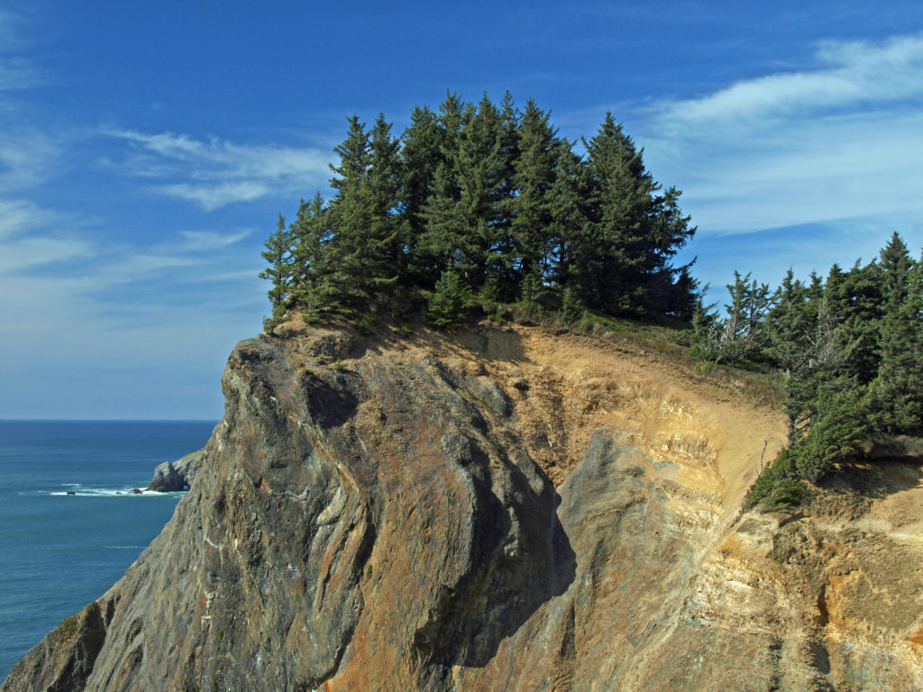
 The park, originally called Short Sand Beach State Park, was created in 1931 through the efforts of Oregon’s first State Parks Superintendent, Samuel H. Boardman. Boardman was a fervent believer that of as much of the coast should be preserved in public ownership as possible. Many of the state parks along the coast were created under his stewardship. Short Sand Beach State Park was renamed in 1958 to honor former Oregon Governor
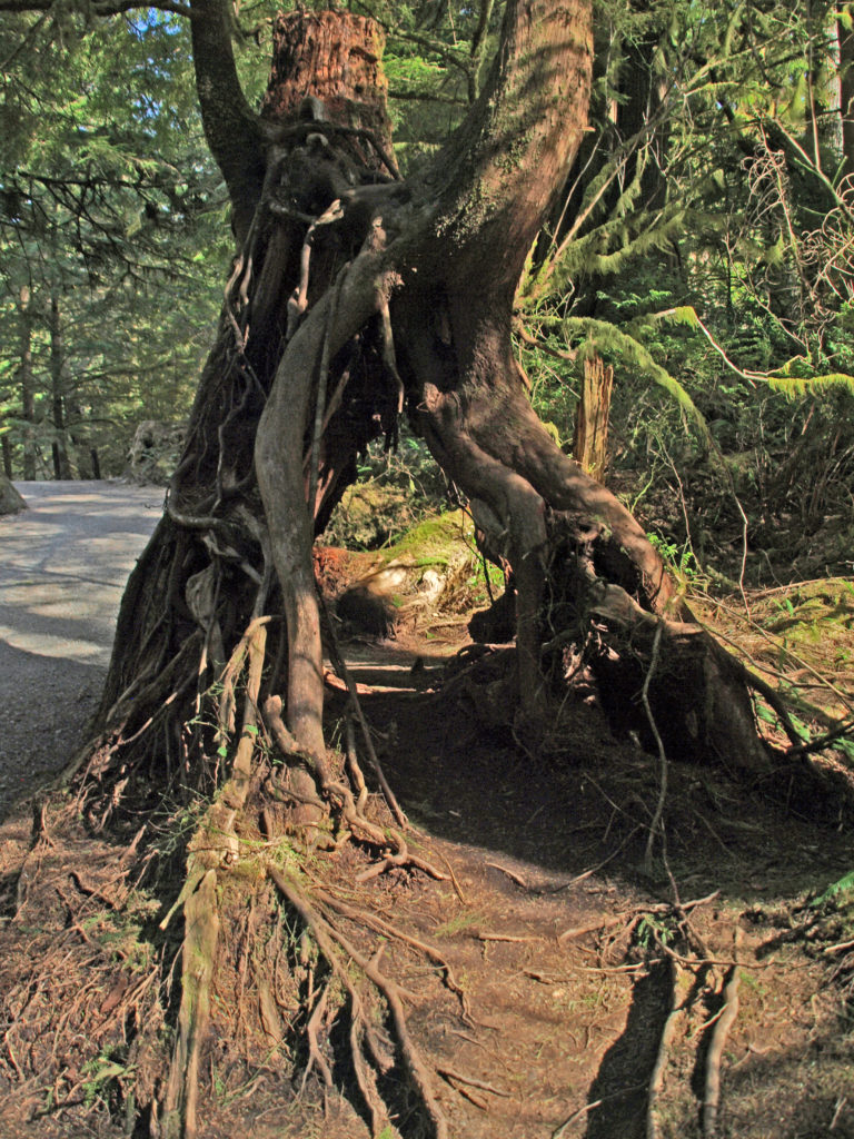
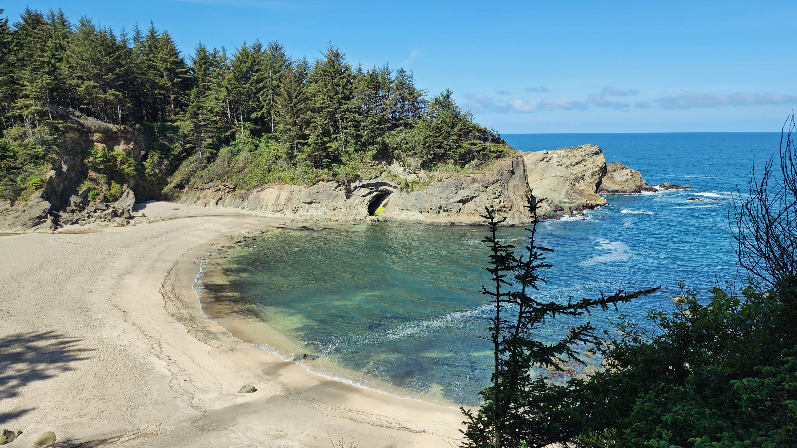
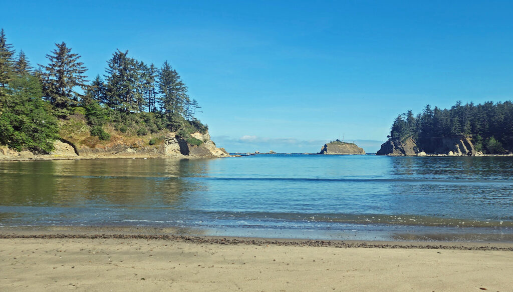
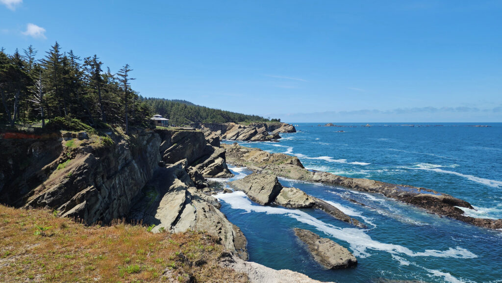
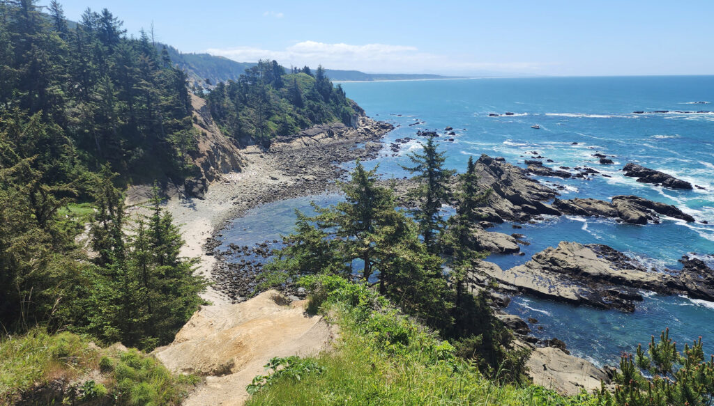
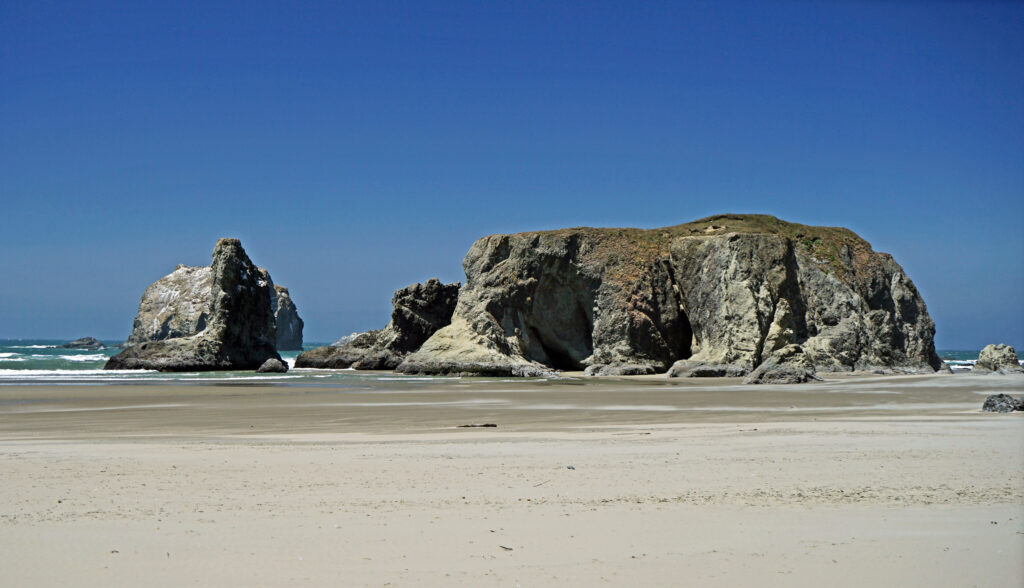
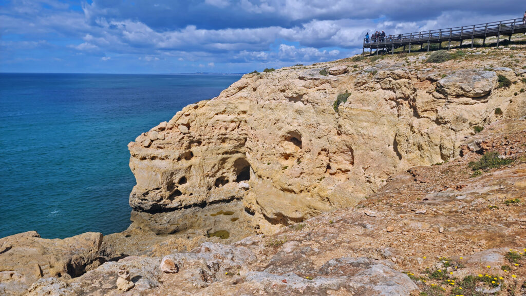
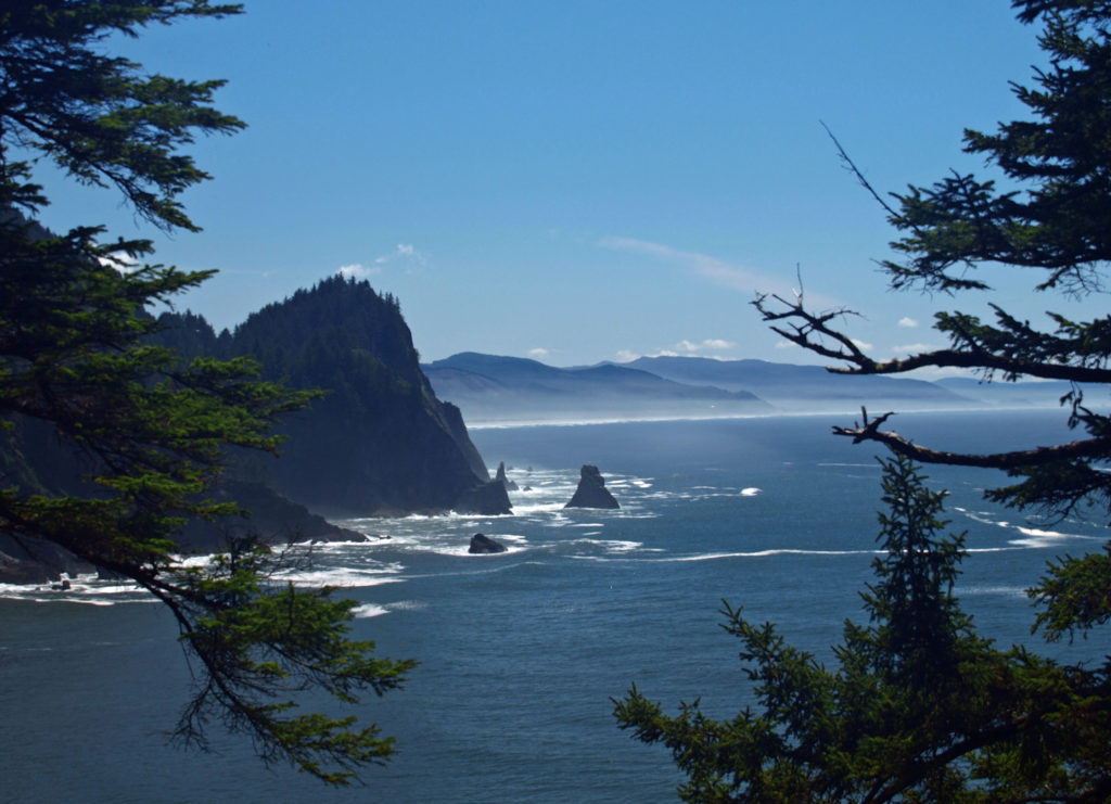
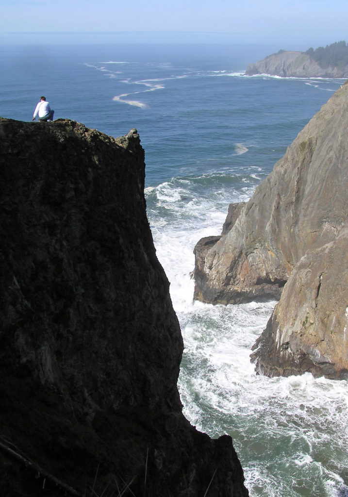
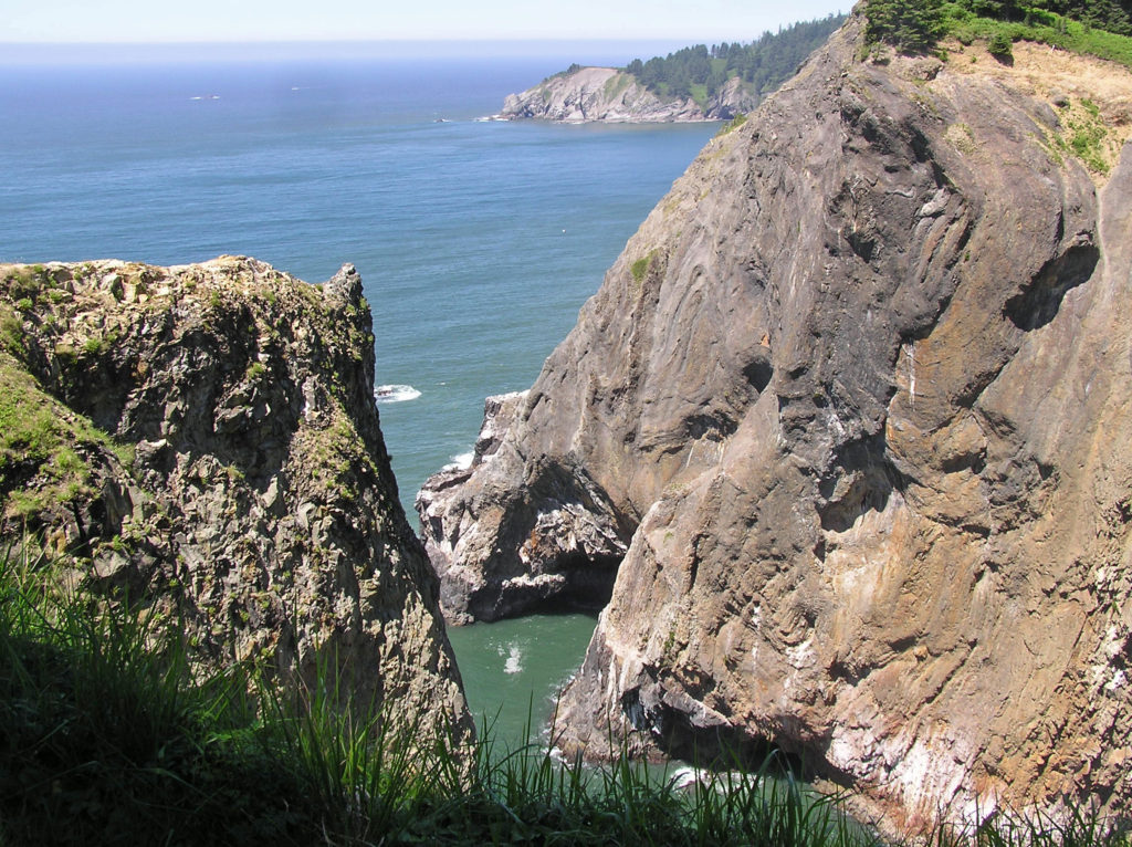 Devils Cauldron is a spectacularly beautiful little cove on the north side of Neahkahnie Mountain. It can be reached by either a one mile hike from Short Sand Beach or a much shorter hike from where the Coast Trail crosses Hwy 101. To access the shorter route, drive south on Hwy 101 from the Short Sand Beach parking lots and look for a gravel parking area on the ocean side of the highway. Follow the Coast Trail north a short ways to a signed junction. The Devils Cauldron viewpoint is just a quarter mile walk from the parking area.
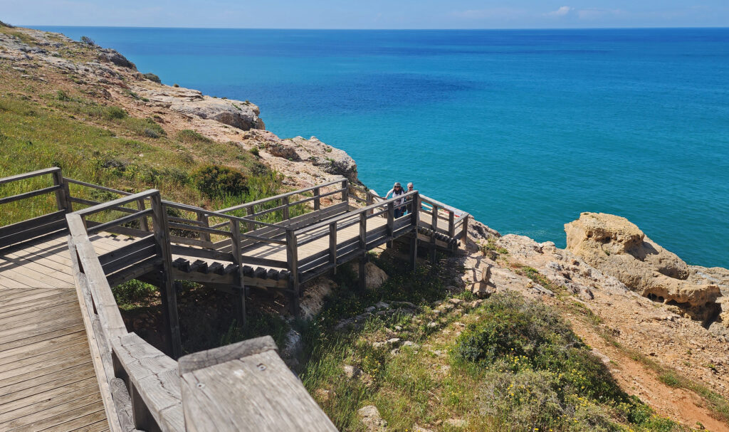
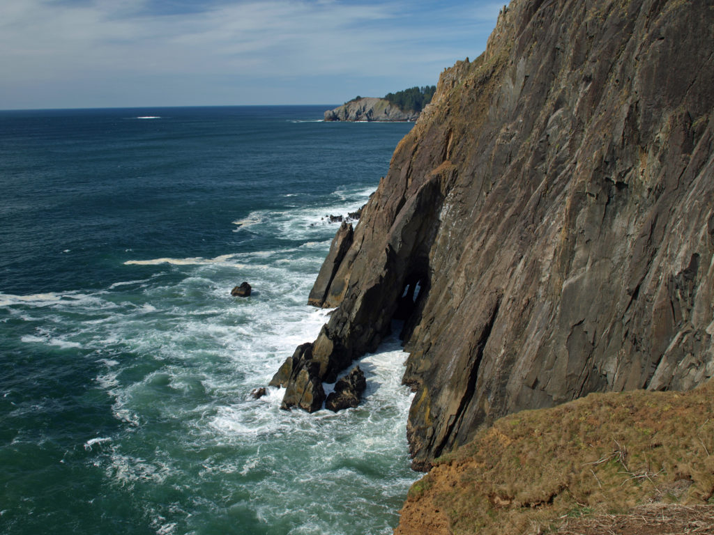 On your way back to the trailhead look for another trail branching off to the south. The junction here is unsigned and the trail is sometimes overgrown and impassable. But if it’s open, the trail leads to a narrow shelf of rock that falls away on three sides to the ocean below, and the cliffs of Neahkahnie Mountain tower over the viewpoint to both the north and south. It may not be a place for people with a fear of heights, but it’s one of the most awesome places on the entire coast.
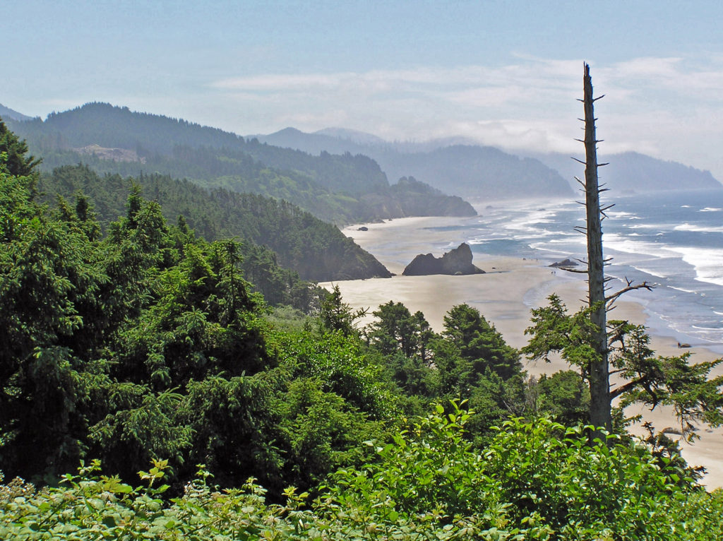
 Oswald West State Park is about a two hour drive from Portland, so it’s easily doable as a day trip if you’re from the Portland area or are visiting Portland. But if you want to make a weekend of it, there are plenty of other attractions on the north Oregon coast beyond Oswald West.
 Overview:
 Getting there:
 Trailhead:
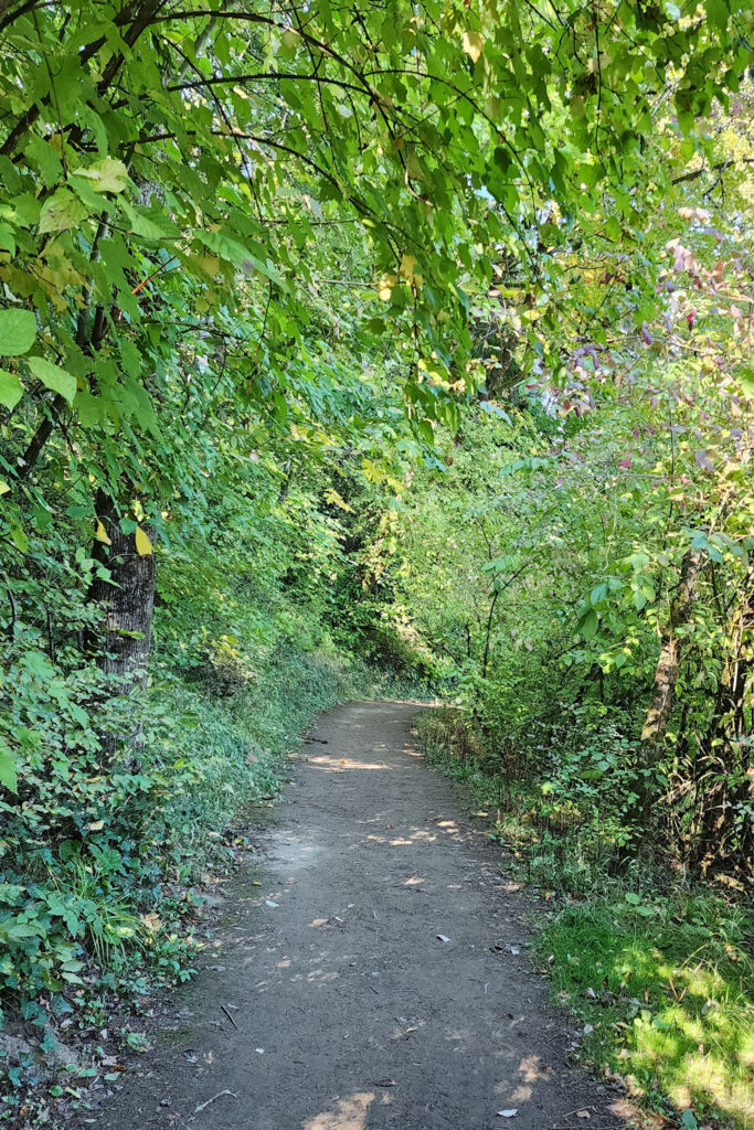 The hike:
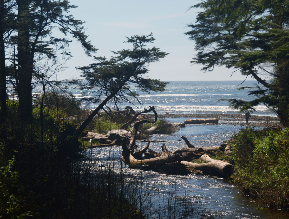
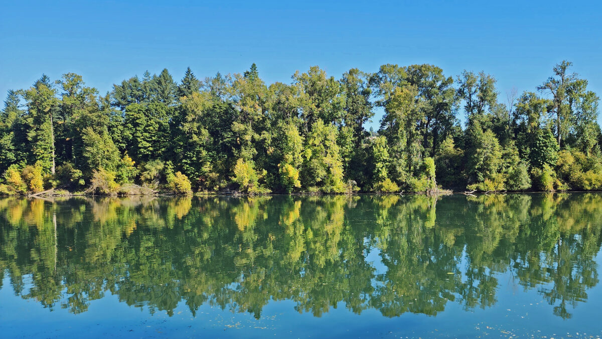
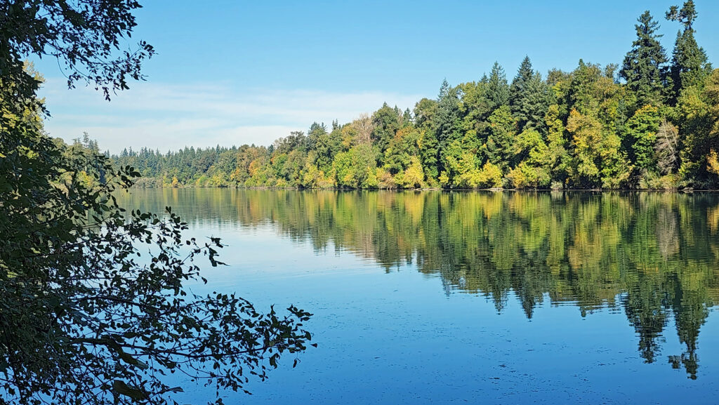
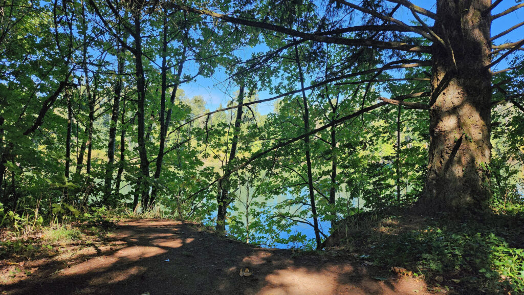 The Townsite Trail takes you along the river through a mixed woodland of Douglas fir, bigleaf maple, and red alder with partially screened views of the river. There are several user-made trails leading down to the water, but they are steep (and dangerous if the ground is wet), so be careful if you want to get to the water for a better view of the river.
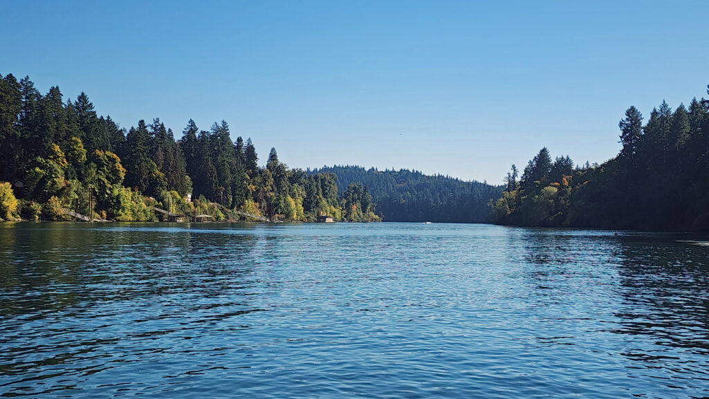 At about the one-mile mark you’ll come to an open field on your right and you’ll see a boat dock ahead on your left. There is a small parking area here with a restroom. Head down to the dock for the best views of the river on this hike.
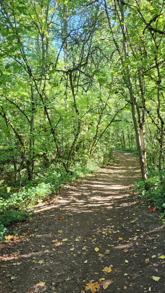
 Coming back up from the dock, look for a trail to your left. This will take you to Champoeg Creek where it flows into the Willamette. The trail then loops back through the forest and comes out into a clearing. Follow the edge of the clearing back to the restroom above the dock. From there, retrace your route back to the trailhead at the Riverside picnic area.
 Best time to go:
 Champoeg State Park:
 Posted October 26, 2023 by Alan K. Lee
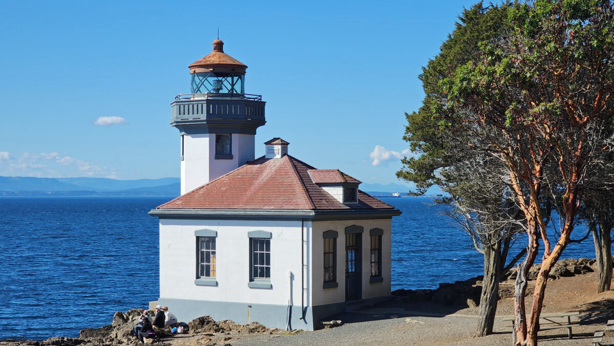

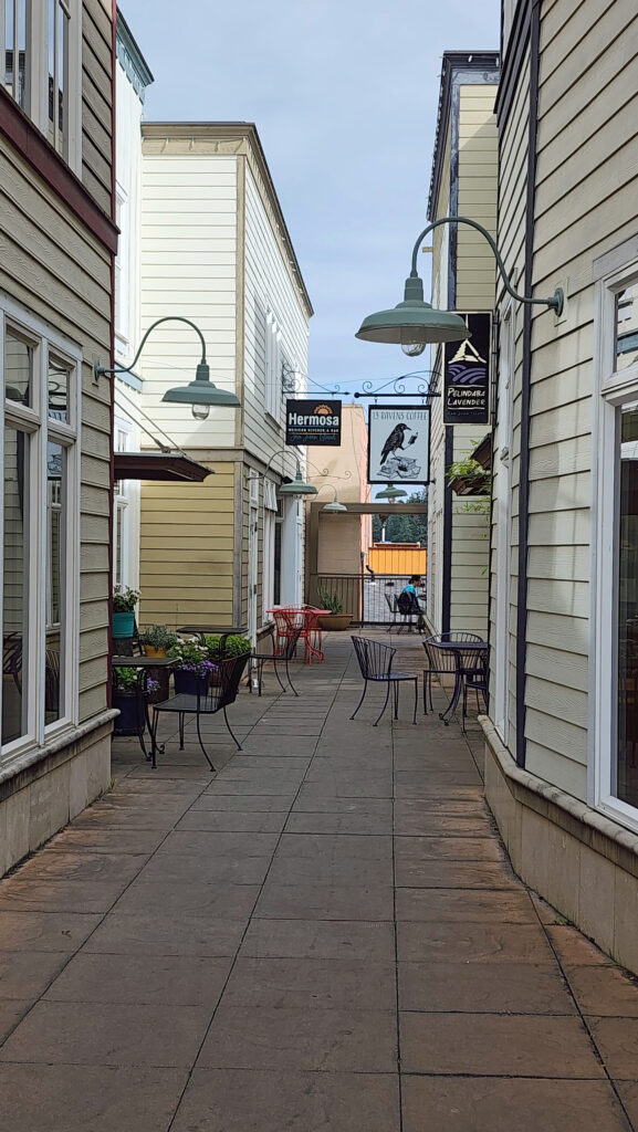
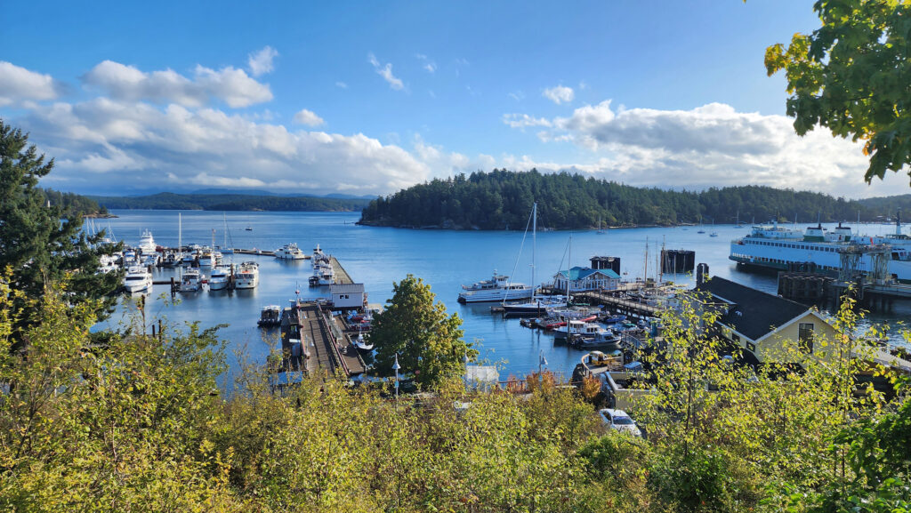
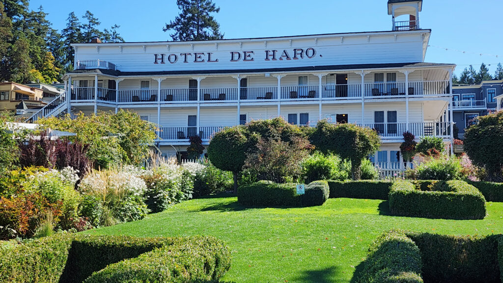
 There is no shortage of places to eat in Friday Harbor. For breakfast and lunch, I can personally recommend both Rocky Bay Café and Tina’s Place. For dining with a view, go to Downriggers on the bayfront. Classic Italian food can be found at Vinny’s Ristorante. Vegetarian and vegan food can be had at Mike’s Café and Wine Bar. For quality craft beers and upscale pub food, try San Juan Brewing. For seafood in a casual dining space, check out Friday’s Crab House. We ate at all of those, and all were good. But that’s just a sampling of what Friday Harbor offers. I wish we had had a few more days to sample more of the town’s eateries. What’s a vacation for, after all.
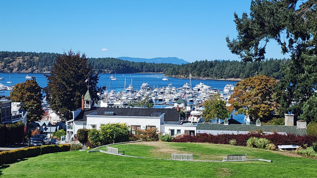
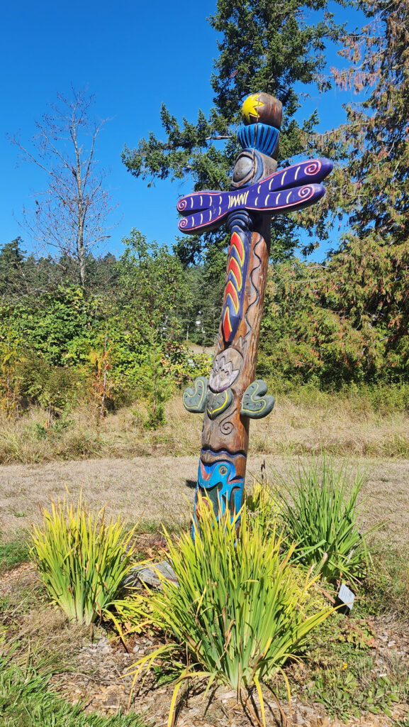
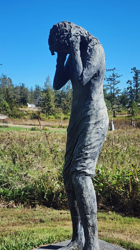
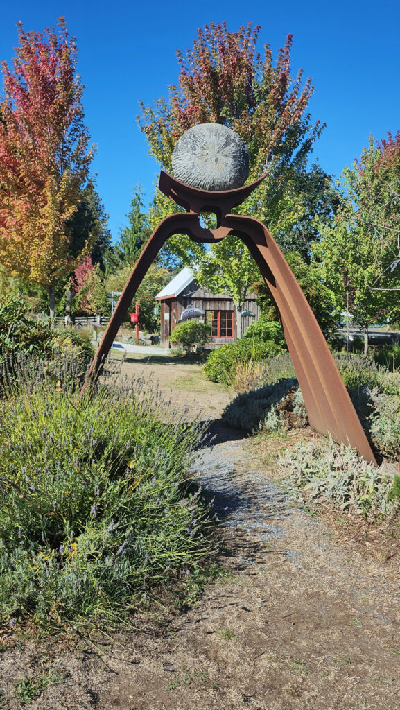
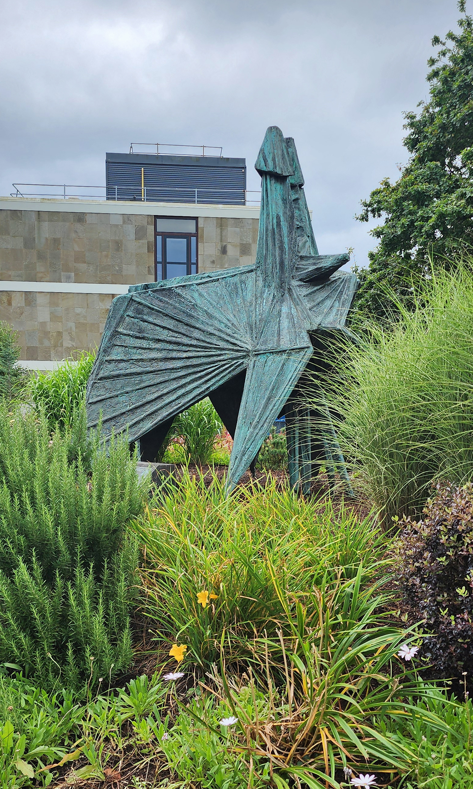
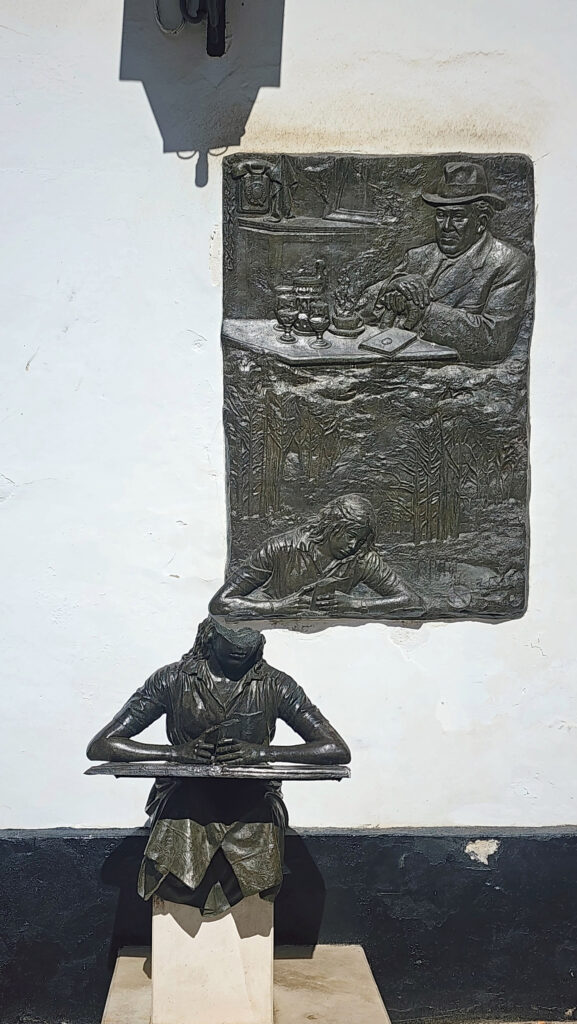
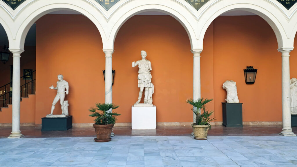
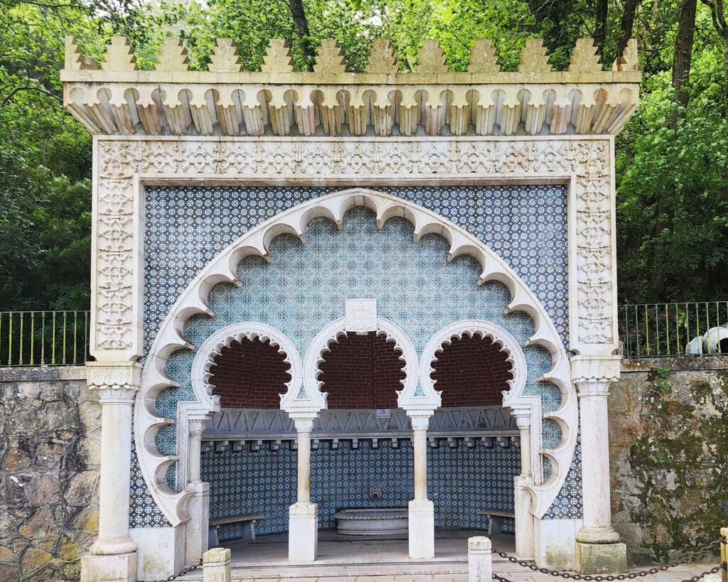
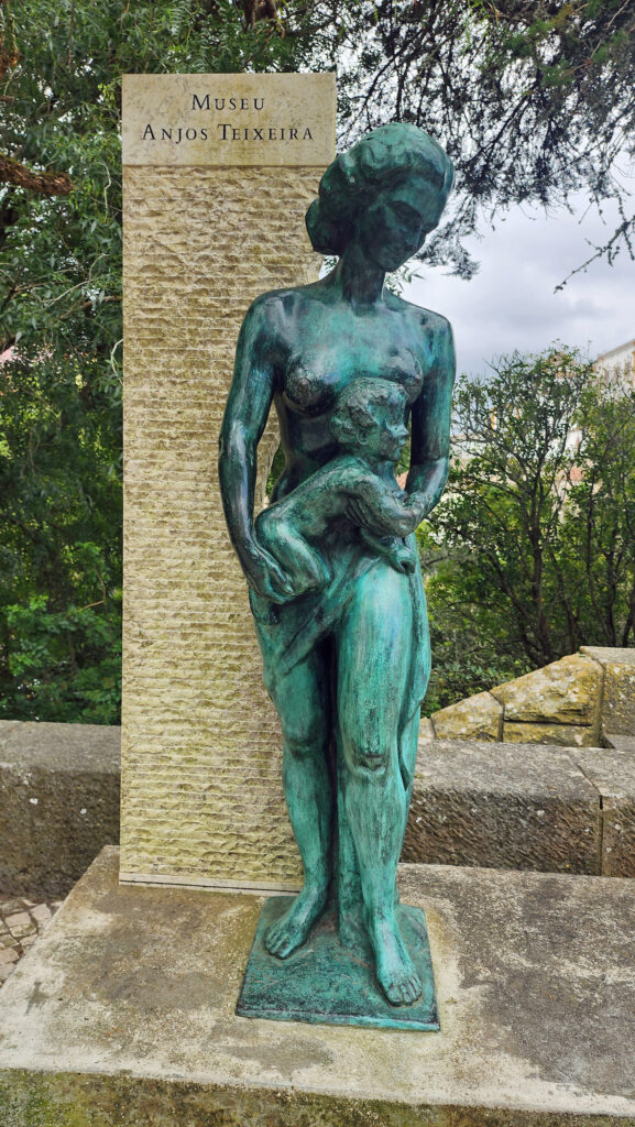
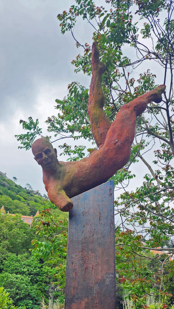
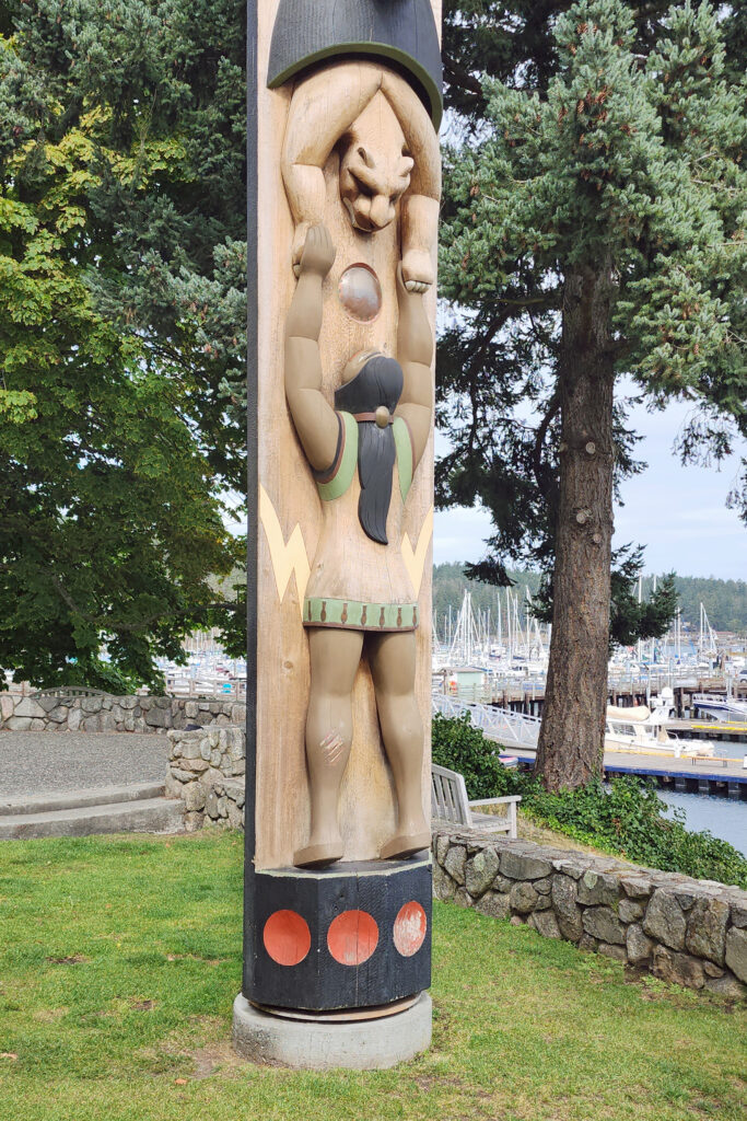
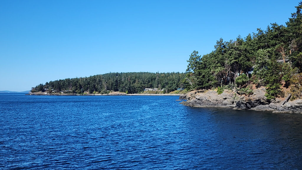
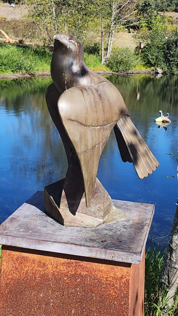 Near Roche Harbor (I think it’s actually part of the resort), the San Juan Islands Sculpture Park is a must see if you’re at all interested in sculpture. There are over 100 works of art (it seemed like many more) spread out over the twenty acres of the garden. Plan to spend at least an hour here. We spent more than that and still didn’t see it all. Admission is free, but donations are requested.
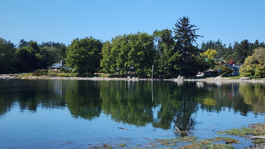
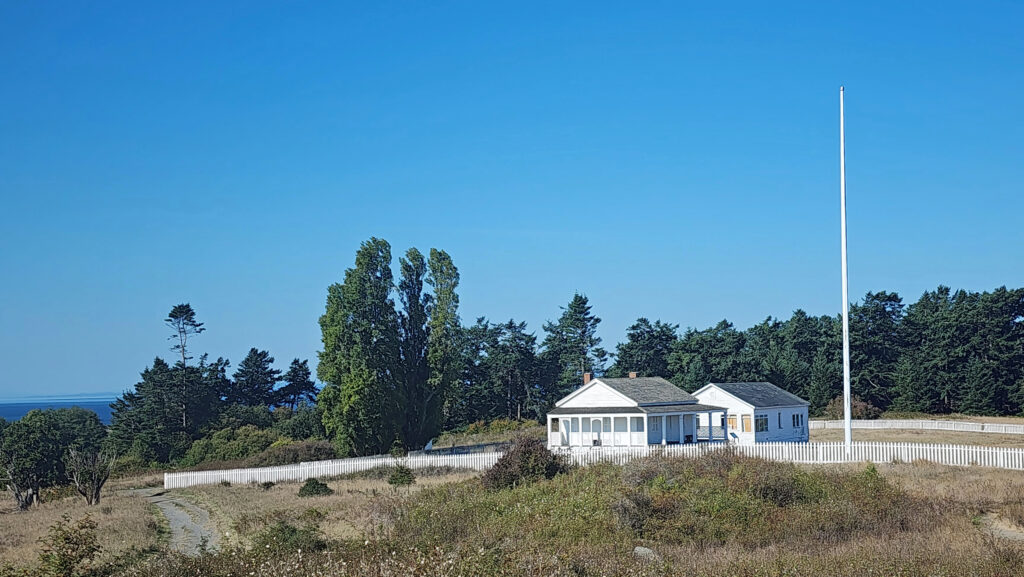
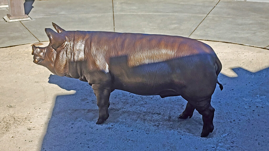 Tensions between the American and British contingents led both England and the U.S. to send military forces to the island. From 1859 to 1872, when the boundary dispute was finally settled in favor of the United States, the island was jointly occupied by both forces. No actual combat occurred, and no one was injured in the Pig War. The sites of the two country’s military installations are now part of
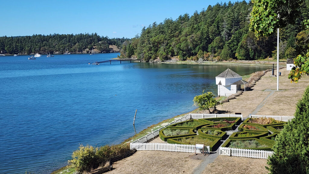
 Conclusion
 Posted October 12, 2023 by Alan K. Lee