
by Alan K. Lee
Overview
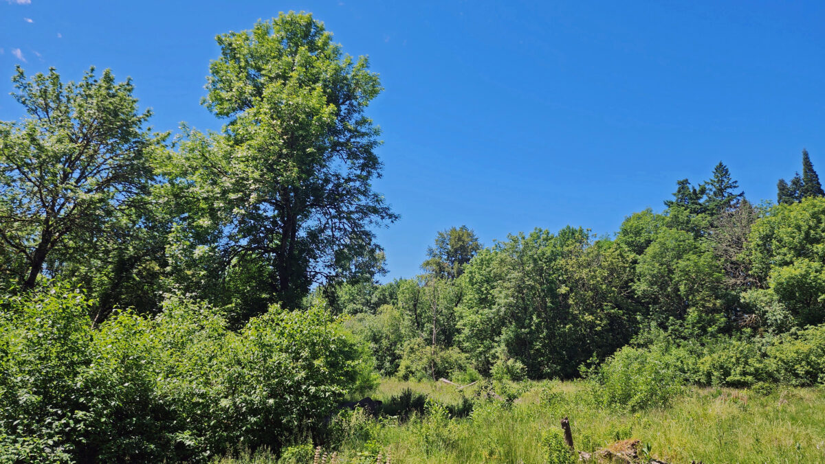
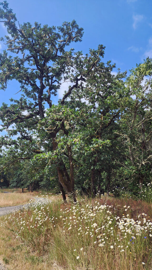
The Tualatin Hills Nature Park, located on the west side of Beaverton, Oregon, is one of many natural areas and nature parks in the Portland metro area that provide a natural environment that is often a quiet, calming, and refreshing escape from the hustle and bustle of urban life. Beaverton is one of Portland’s largest suburbs, and Tualatin Hills Nature Park is highly valued by local residents. It gets a lot of use (200,000+ visitors a year), but it’s large enough (222 acres) that it has never really felt crowded on any of my visits.
The Park
Most of the land that now makes up the Tualatin Hills Nature Park was purchased by the Tualatin Hills Park and Recreation District in 1981, when the city of Beaverton was rapidly growing and open spaces were quickly being converted to residential and commercial developments, but the park was not officially opened to the public until 1998. Smaller additions to the park were made in the early 2000s.
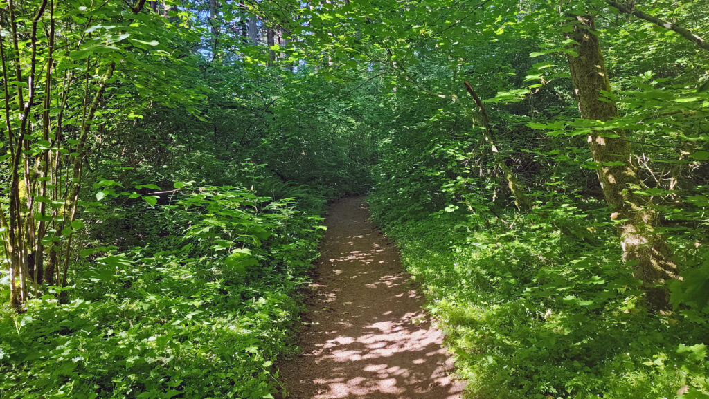
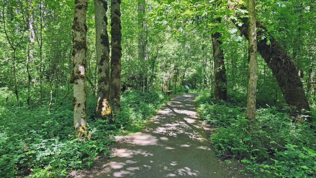
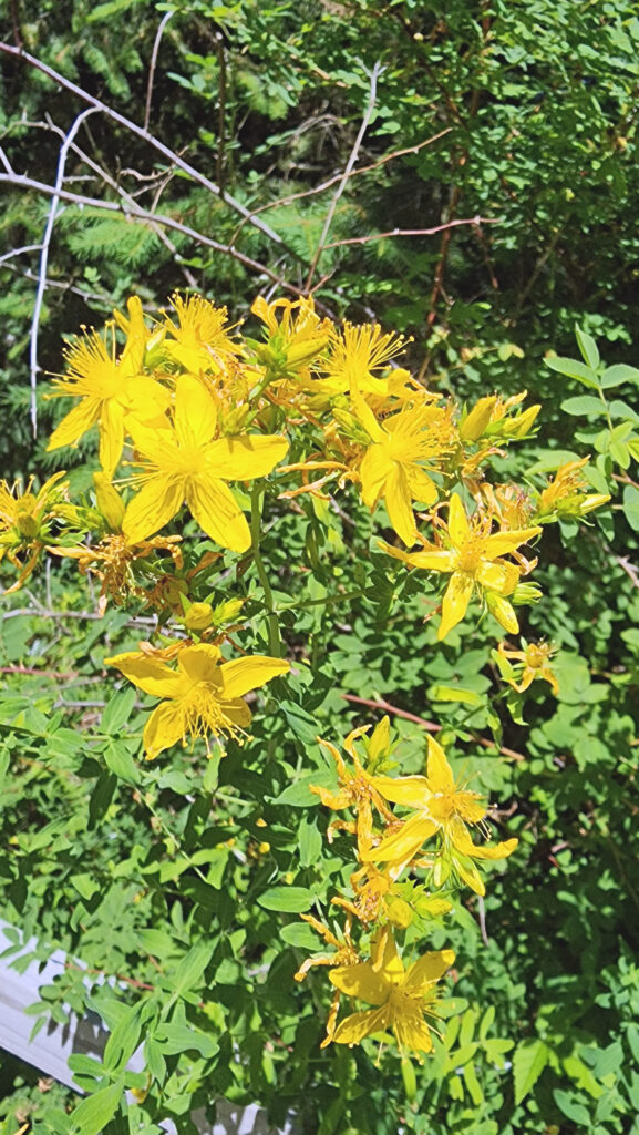
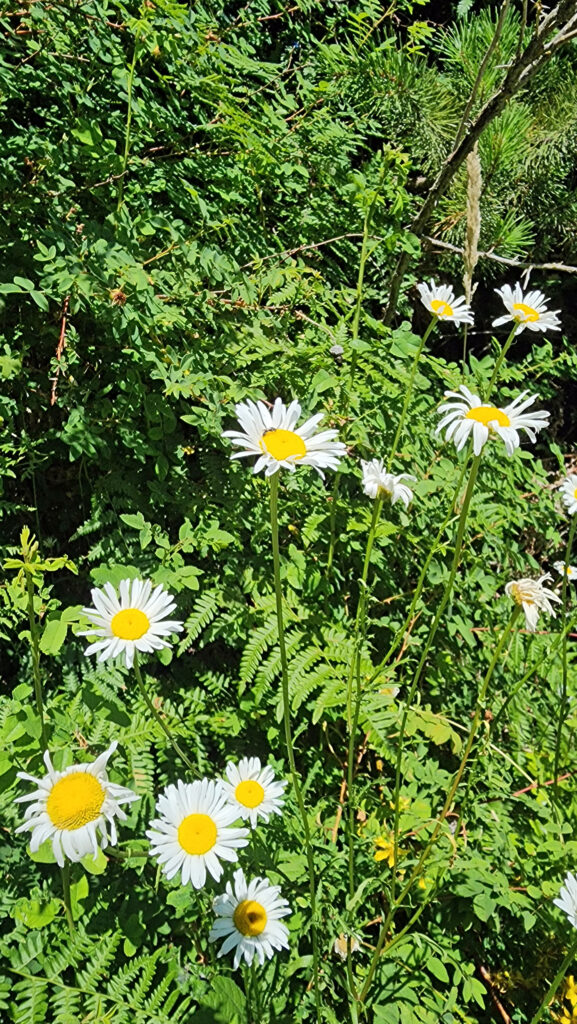
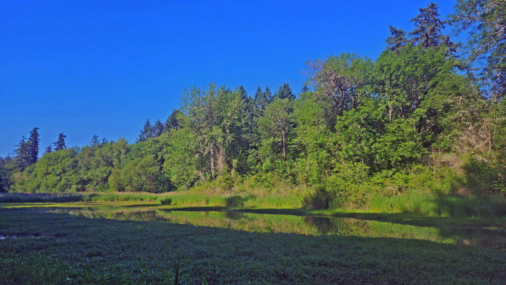
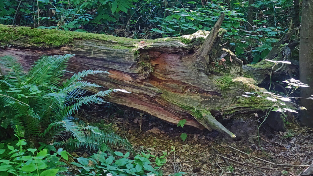
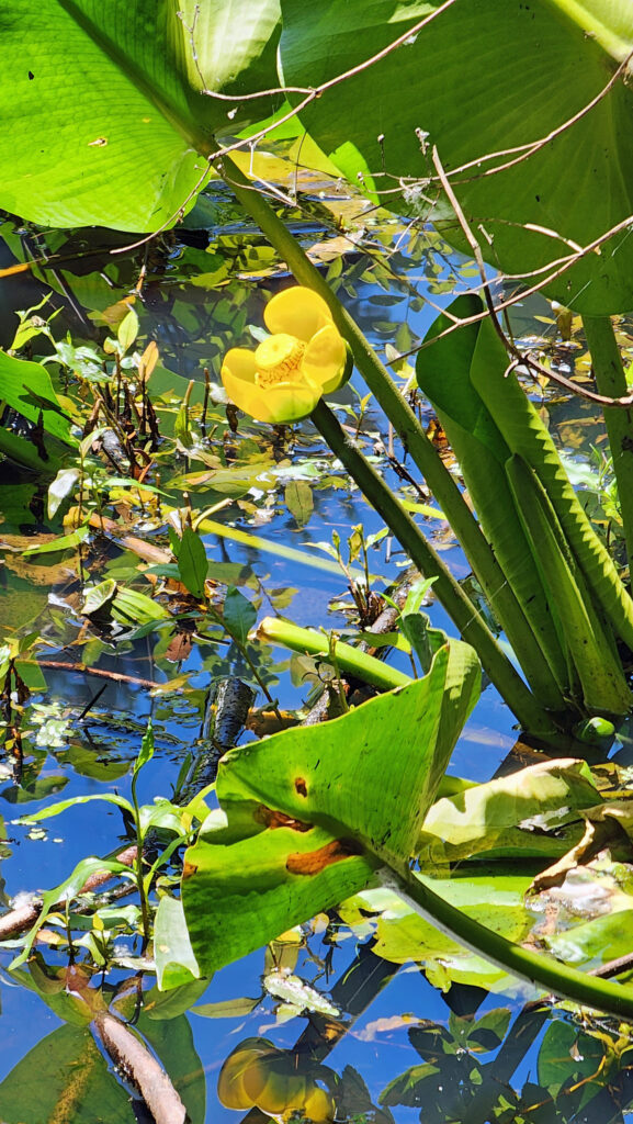
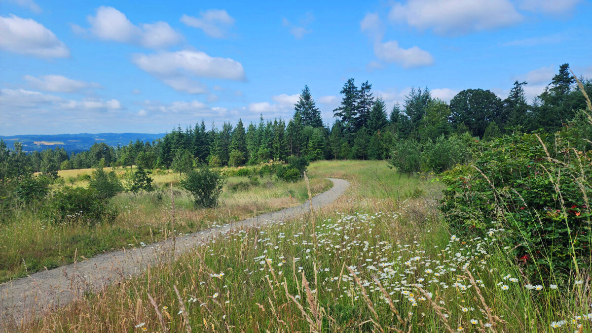
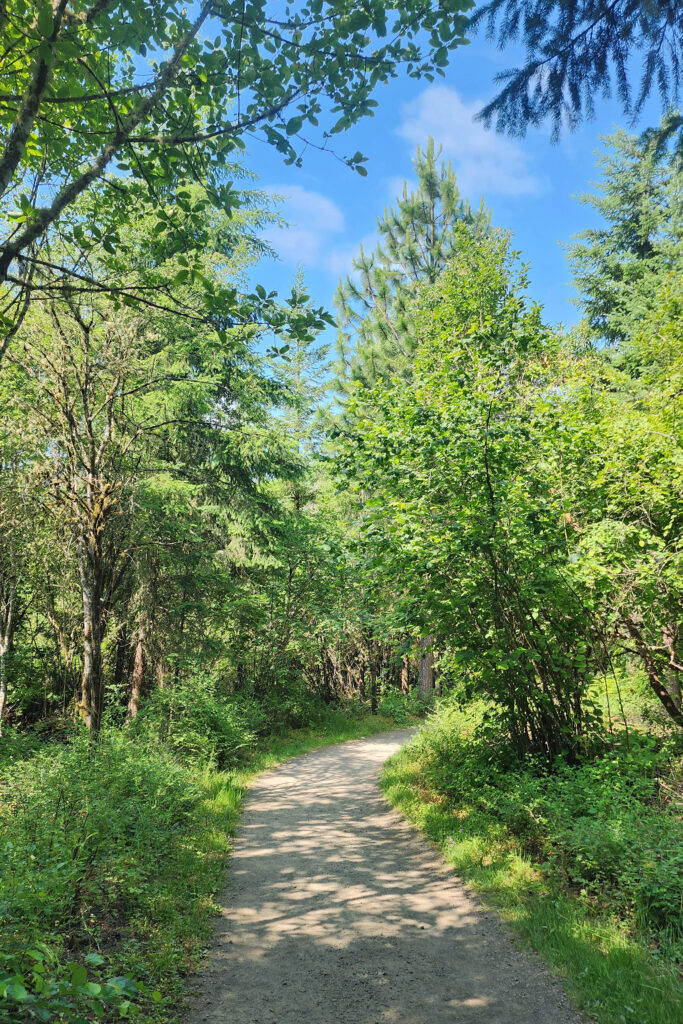
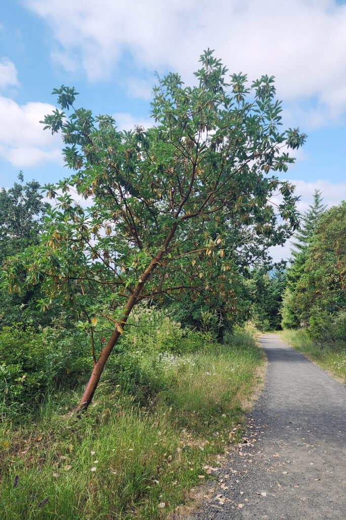
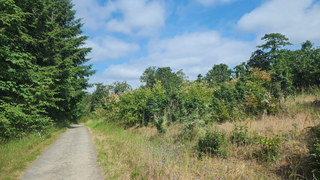
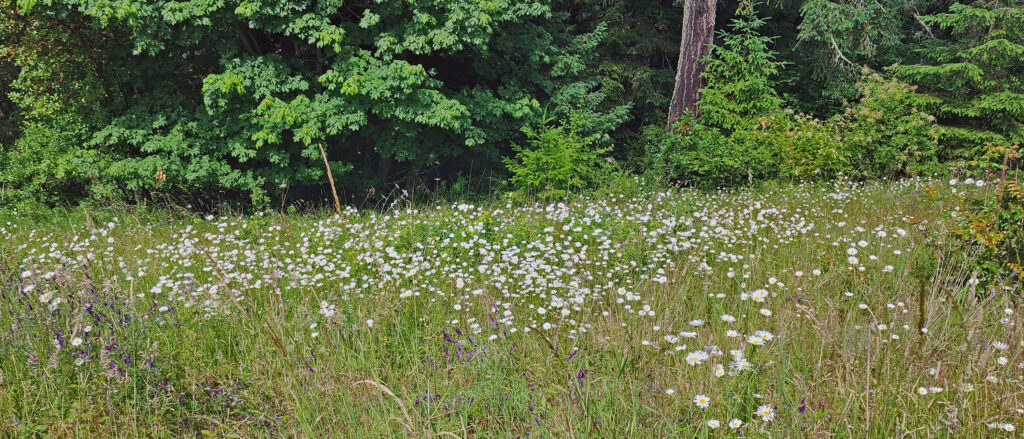
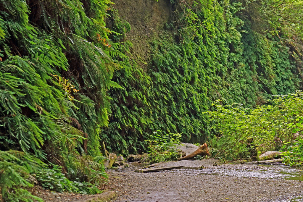
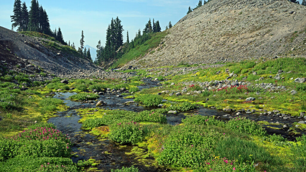
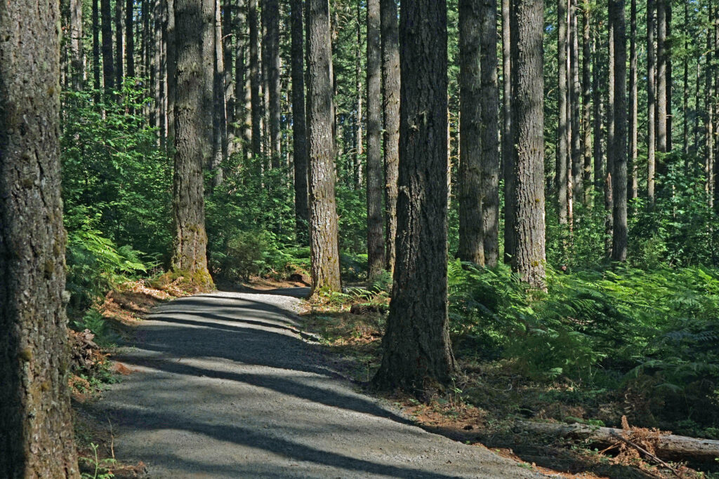
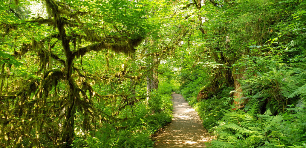
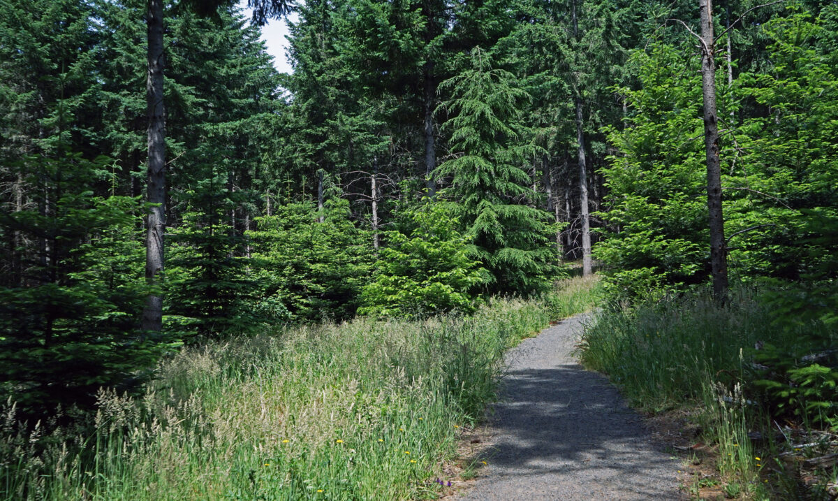
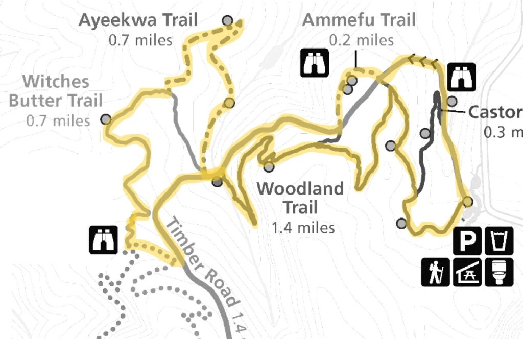
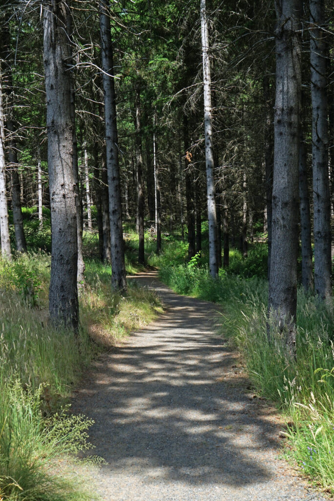
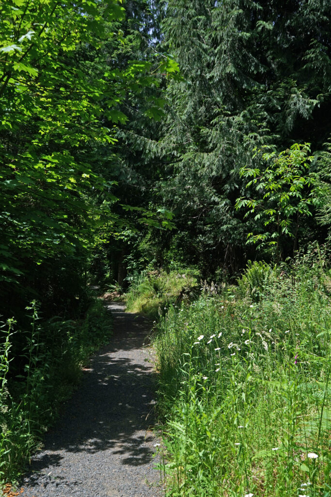
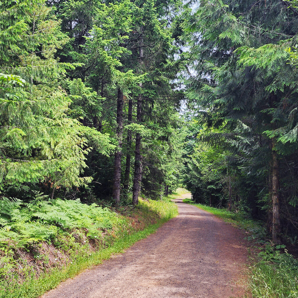
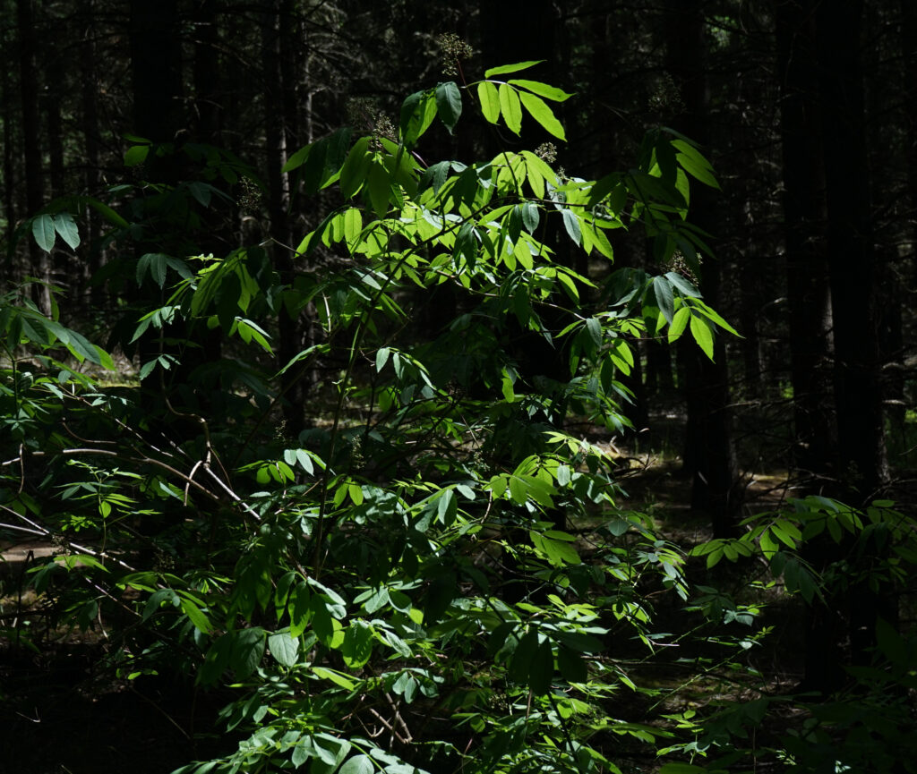
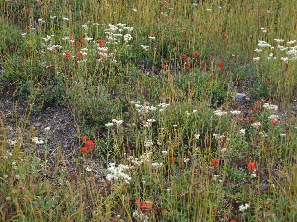
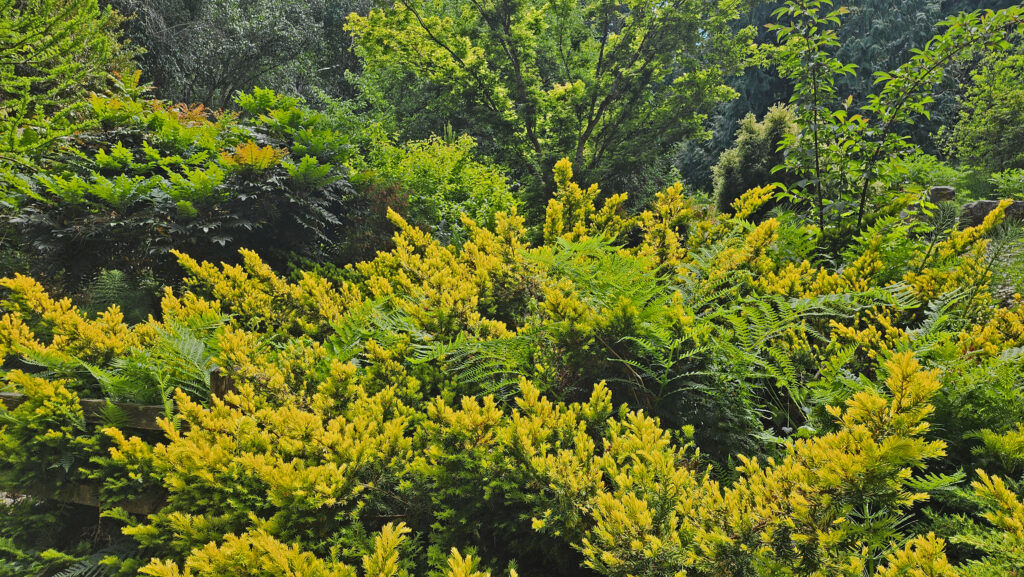
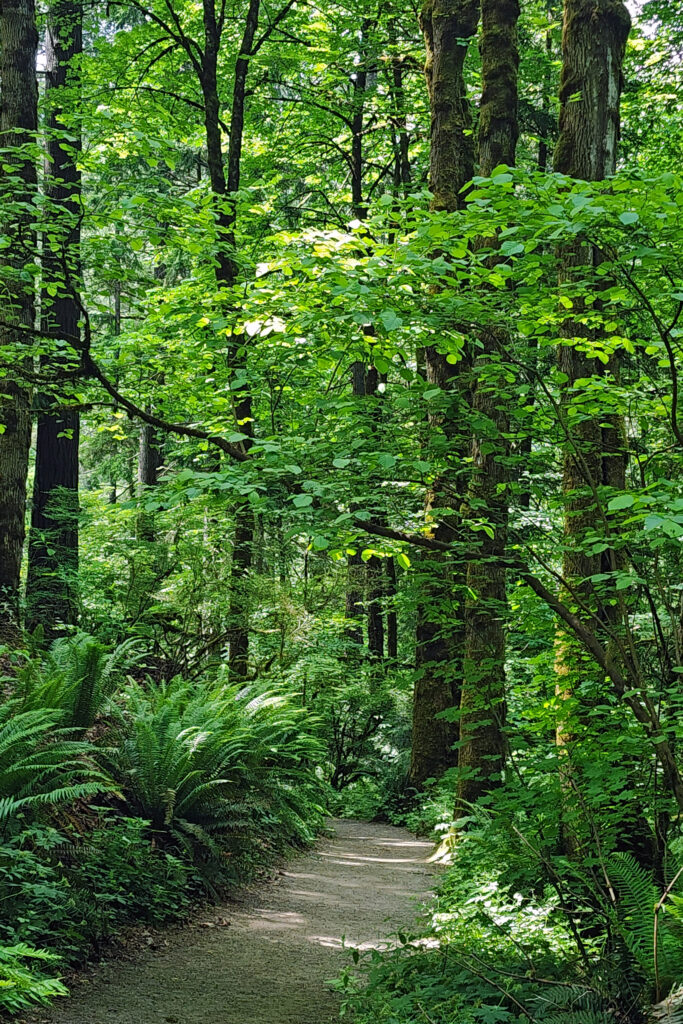
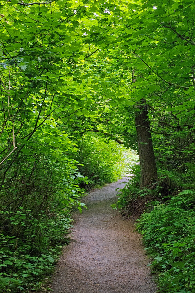
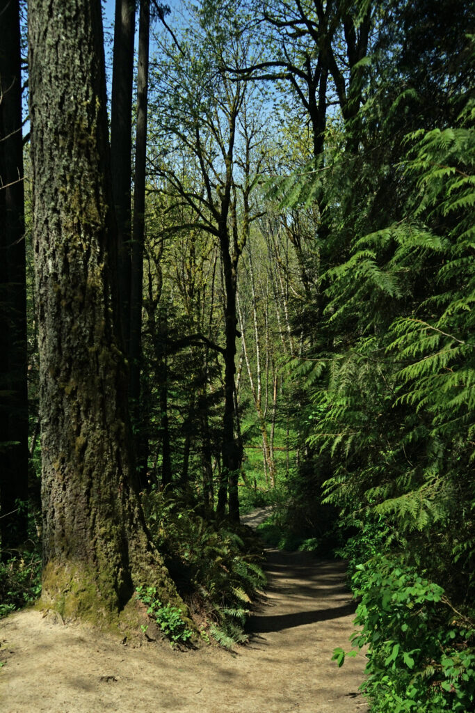
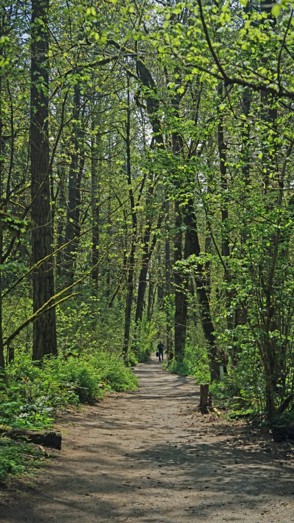
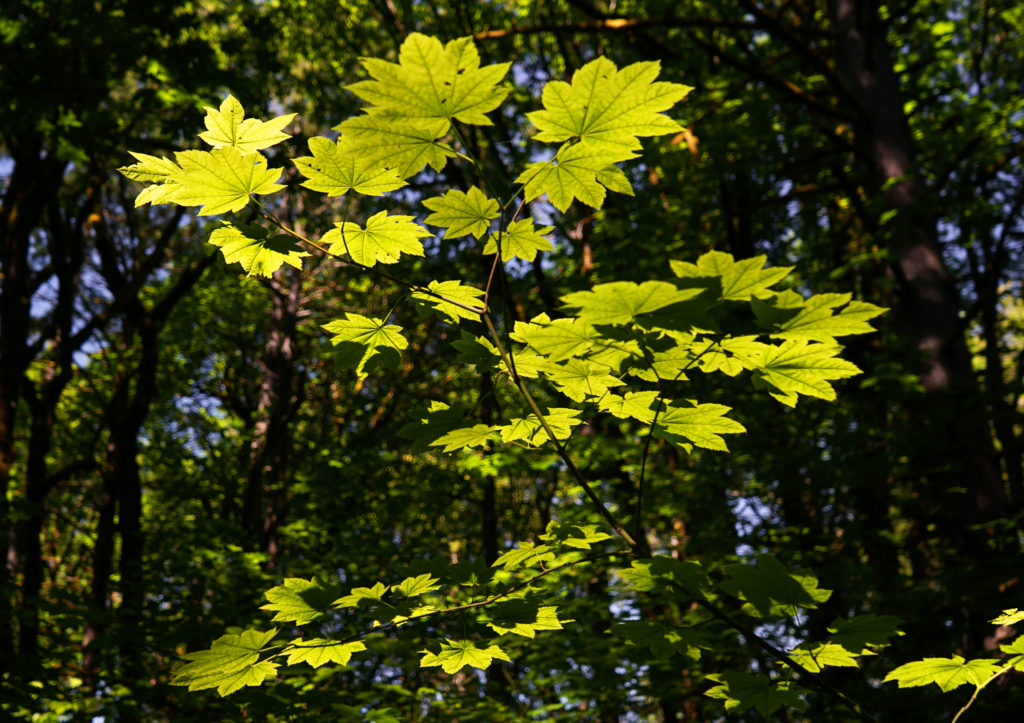
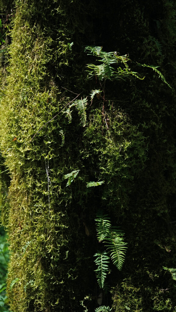
The park is mostly forested, but also has several ponds and marshes, and some open grassland along the creeks. There are five miles of hiking trails in the park (one and a half of which are paved and wheelchair accessible). Most trail junctions are signed, but a few are not, so carry a map. Maps are available in the Nature Center and at the Millican Way trailhead information board. A digital map is linked below.
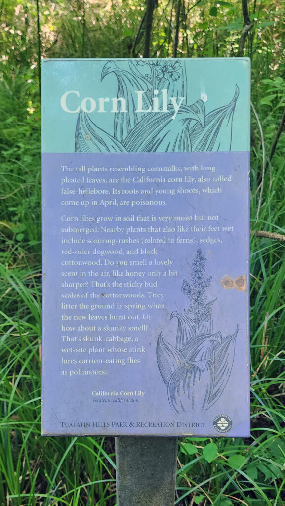
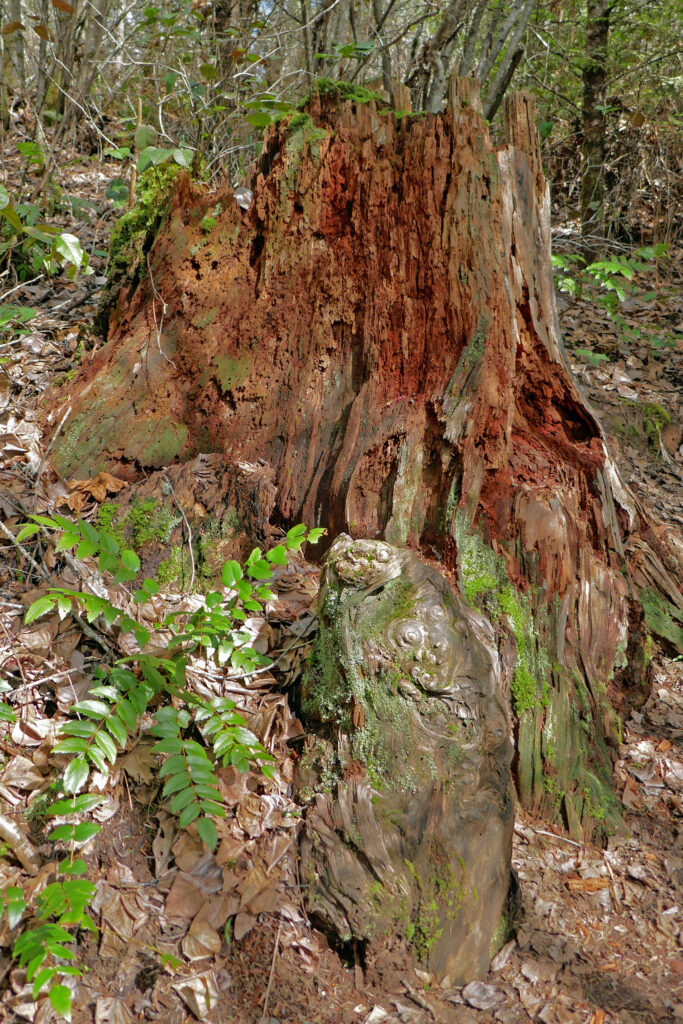
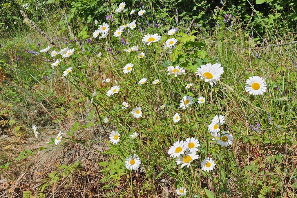
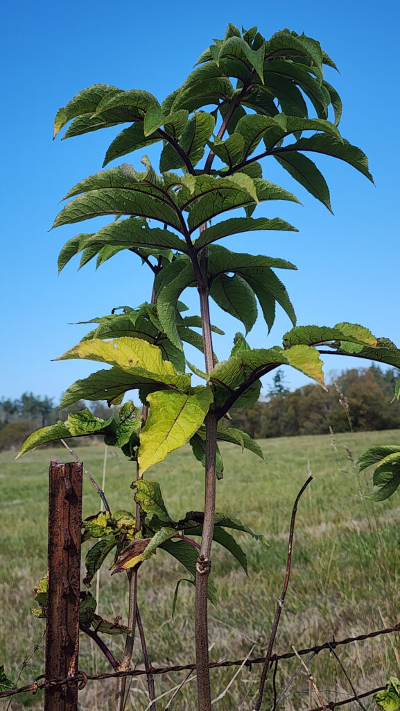
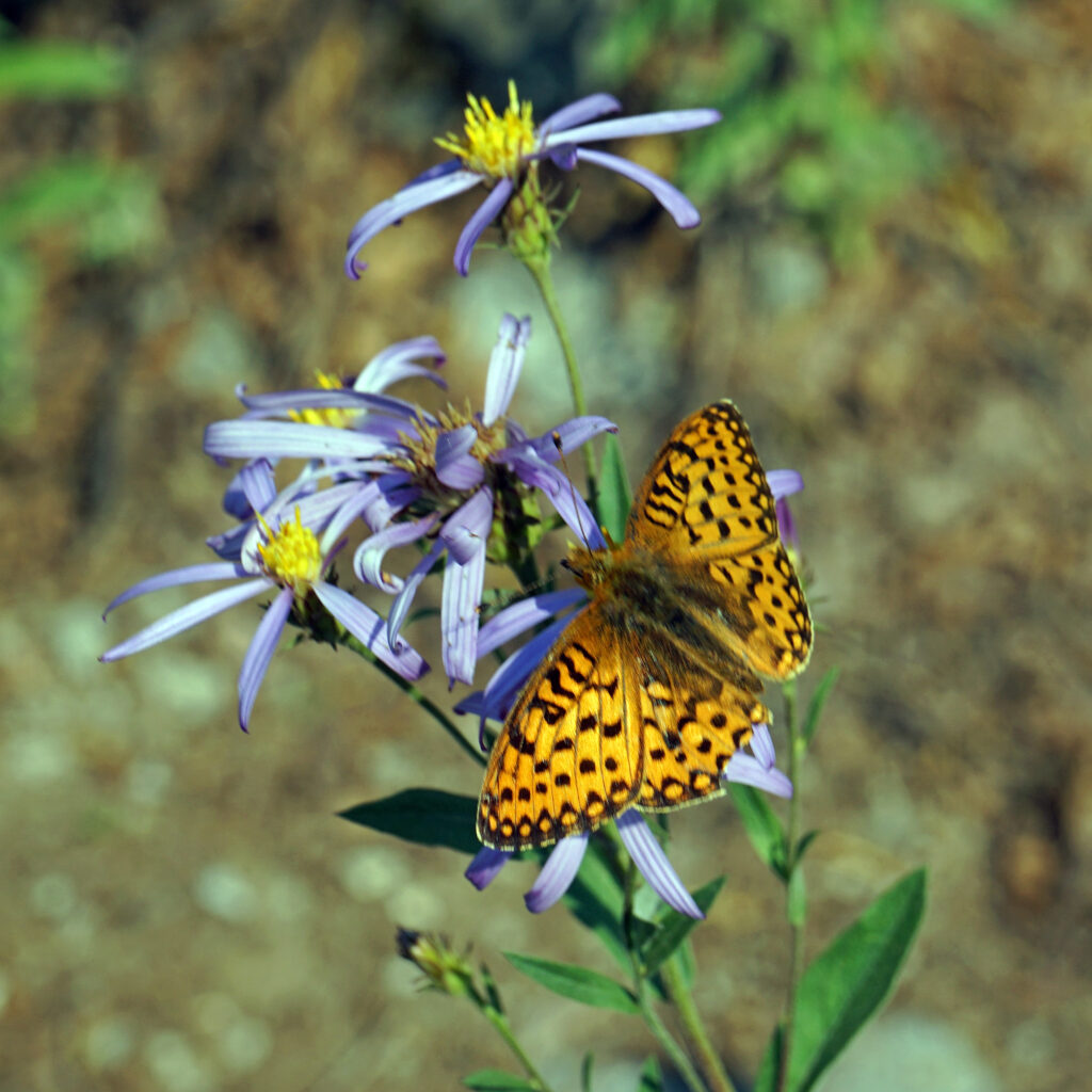
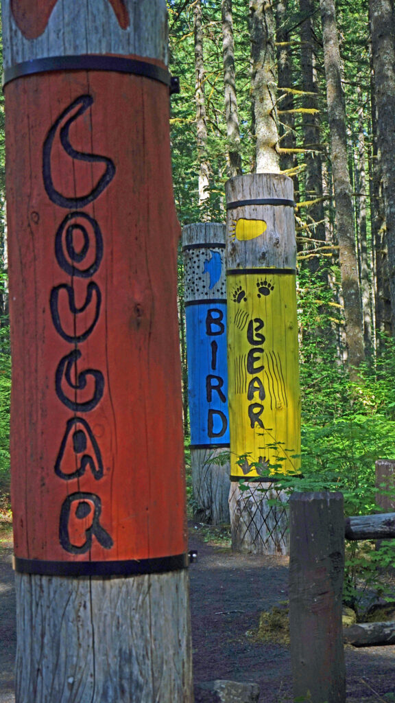
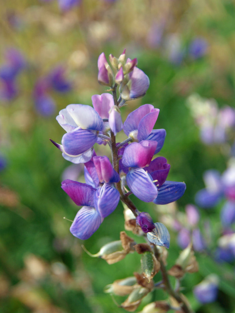
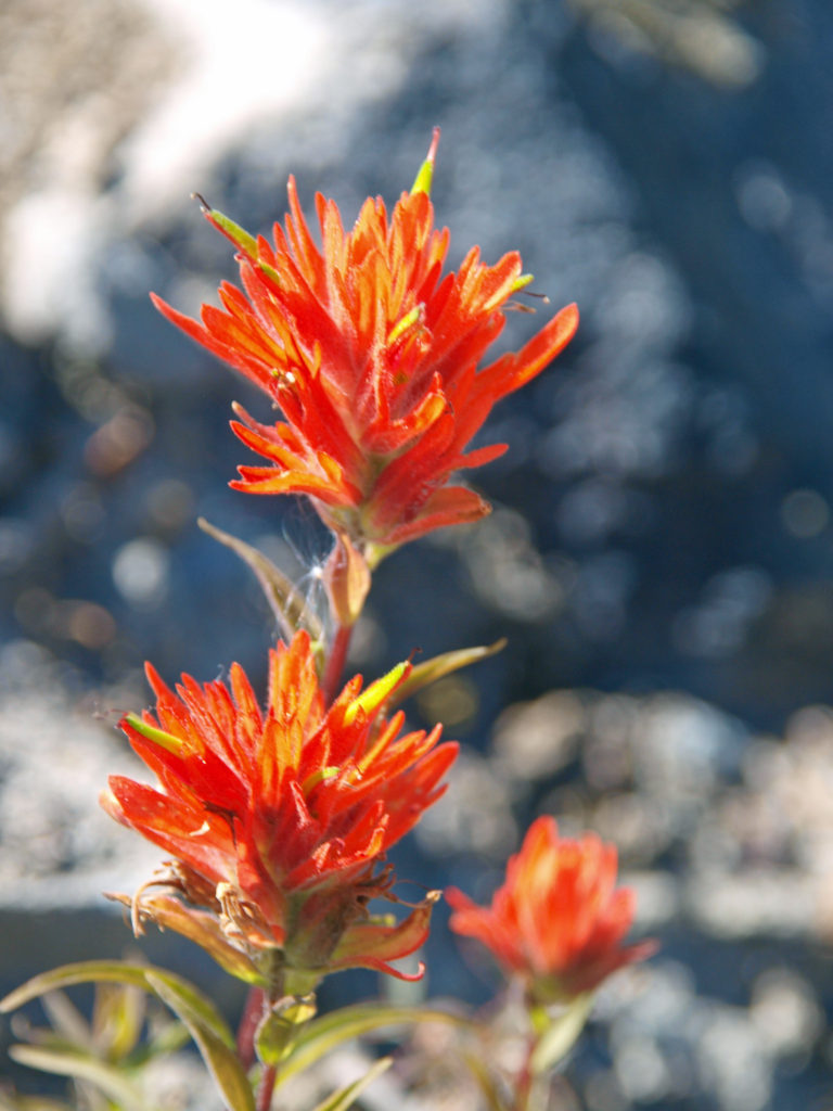
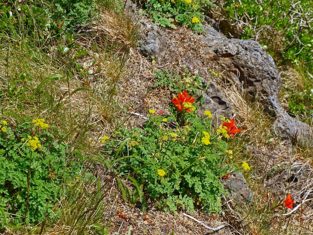
The hike described below covers four miles of those trails. There are also a number of connector trails that make for a variety of shorter hikes or other routes of similar length to the one described here. Throughout the park, interpretive signs along the trails give the visitor information about the flora and fauna of the park.
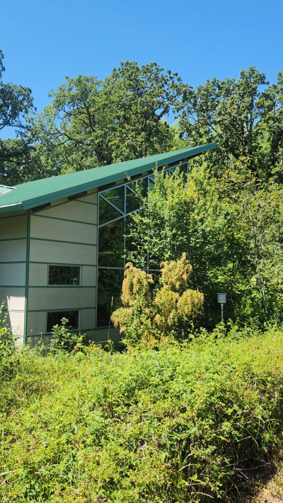
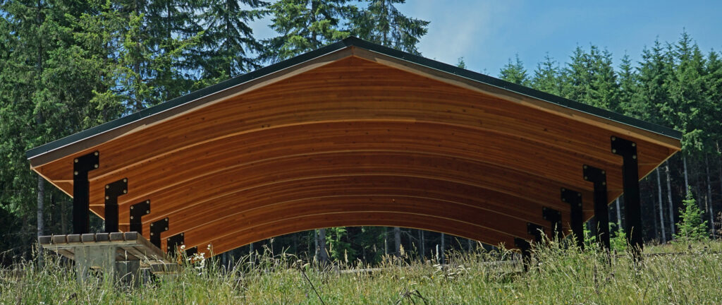
If you’re arriving by car, the Nature Center at the Millikan Way trailhead is a good place to start. Staff there can answer any questions that you may have, you can pick up a map, and there are some interesting exhibits. If you’re accessing the trails from the light rail station or the 170th Avenue trailheads, the Nature Center is just a few hundred feet from the junction of the Oak and Vine Maple trails.
Getting There
By car, the main access is from Millikan Way (15655 SW Millikan Way). There are also two trailheads on 170th Avenue on the west side of the park (but no parking lots). And you may be able to park in a lot just east of the Max light rail station at Merlo Road and 158th Ave (not sure it’s public parking, though). The Oak Trail begins just south of the train tracks near the station. The Max station is also served by Tri-Met bus line #67, and line #57 runs along Tualatin Valley Highway, just south of the park.
The Hike
Trailheads:
The only trailhead with any amenities is the Millikan Way trailhead. The large parking area has space for about 100 vehicles. There are restrooms there and drinking water is available. The Nature Center is just a few feet from the trailhead.
Distance: 4.0 miles
Elevation gain: Minimal
Difficulty: Easy
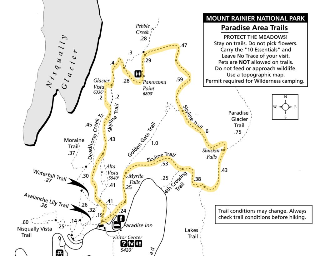
Map:
![]()
Description:
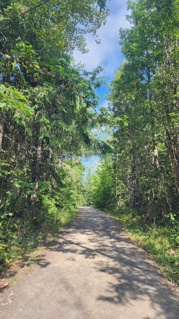
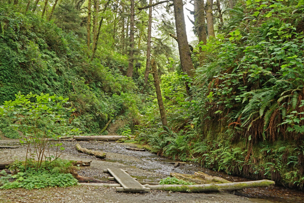
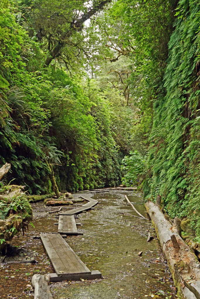
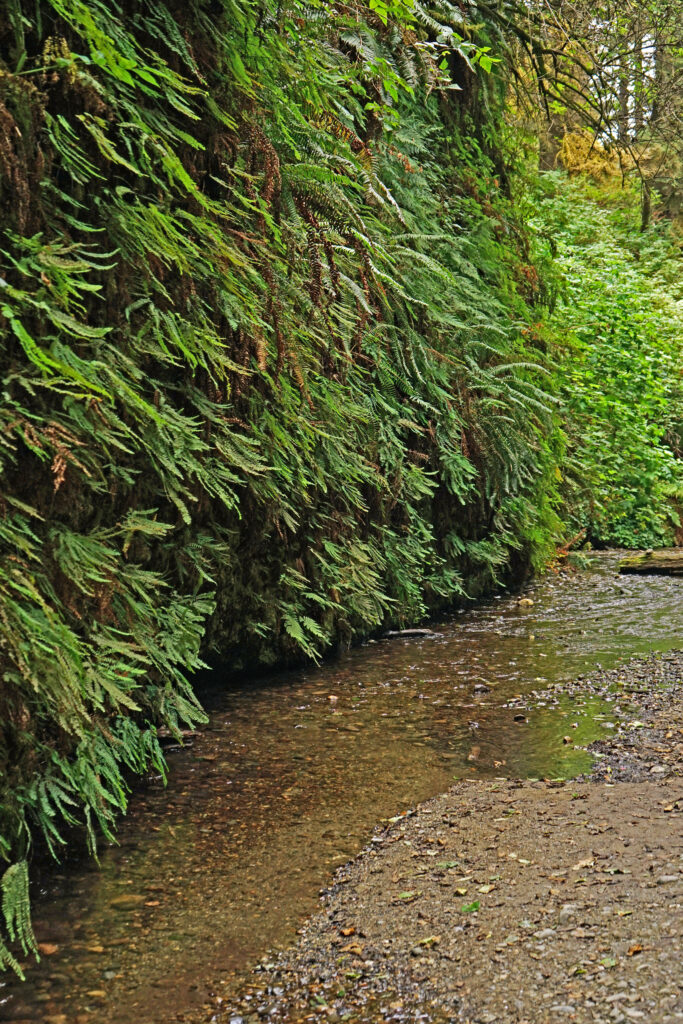
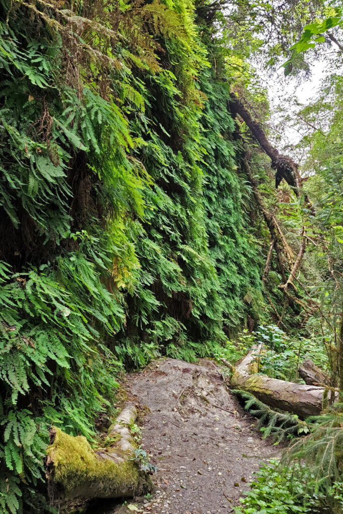
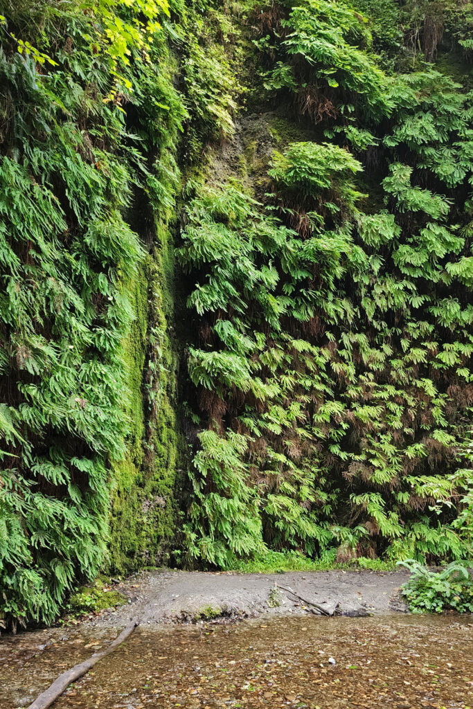
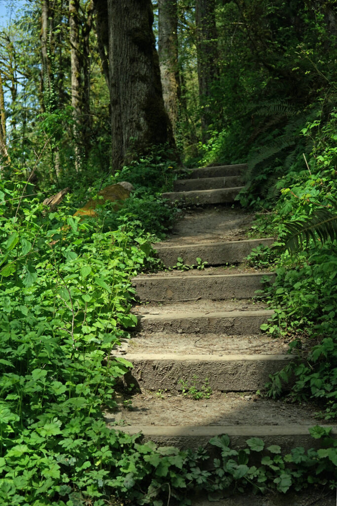
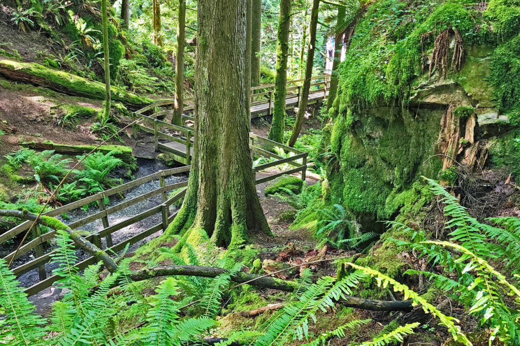
Starting at the Millikan Way trailhead, follow the paved Vine Maple Trail past the Nature Center on your left and the restroom building on your right for a few hundred feet to the junction with the Oak Trail. Turn right and follow the Oak Trail for about a third of a mile through the forest, then take a short side trip to the Tadpole Pools. Continue on the gravel trail until it rejoins the Oak Trail.
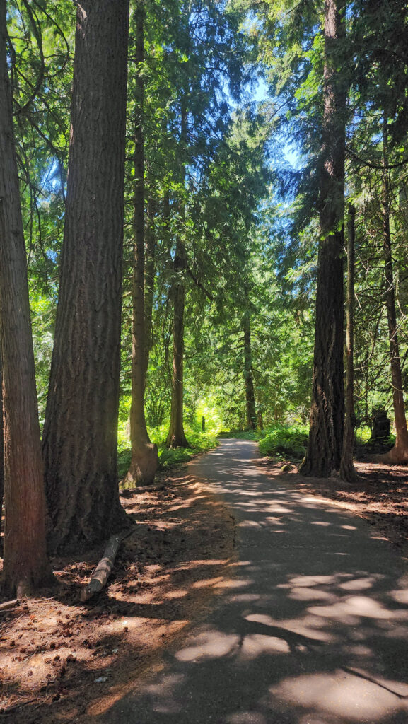
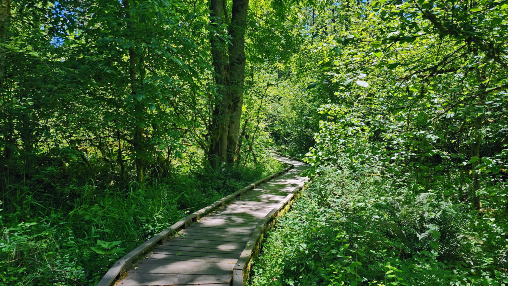
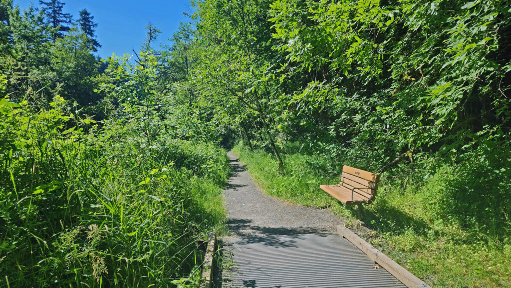
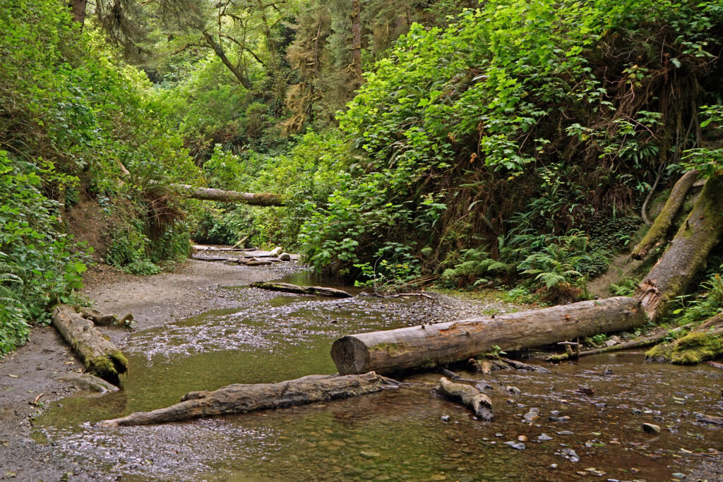
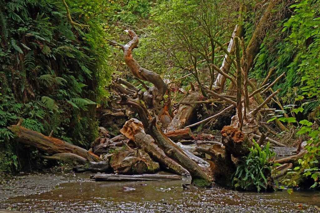
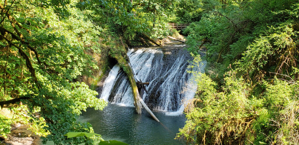
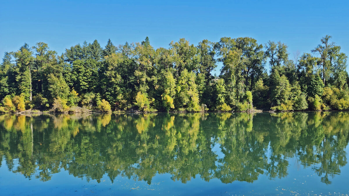
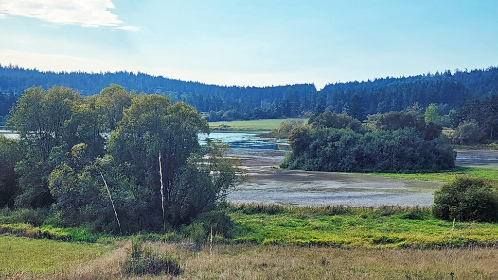
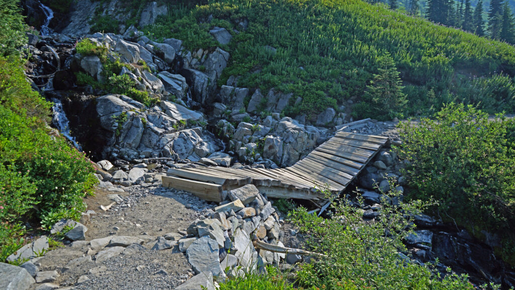
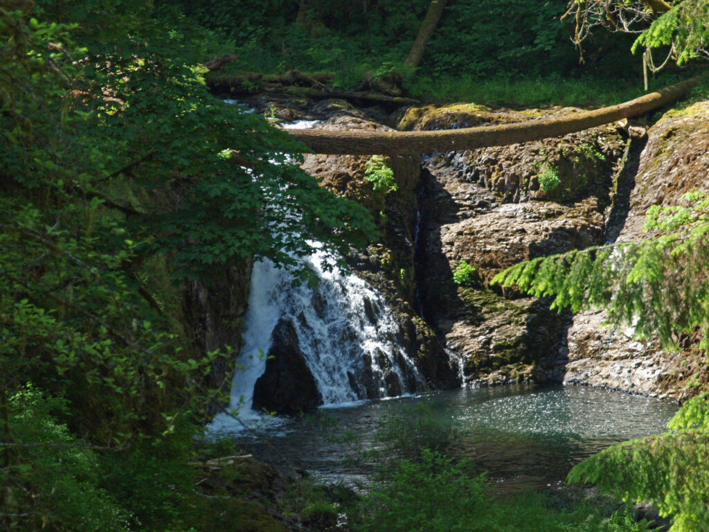
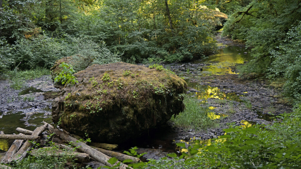
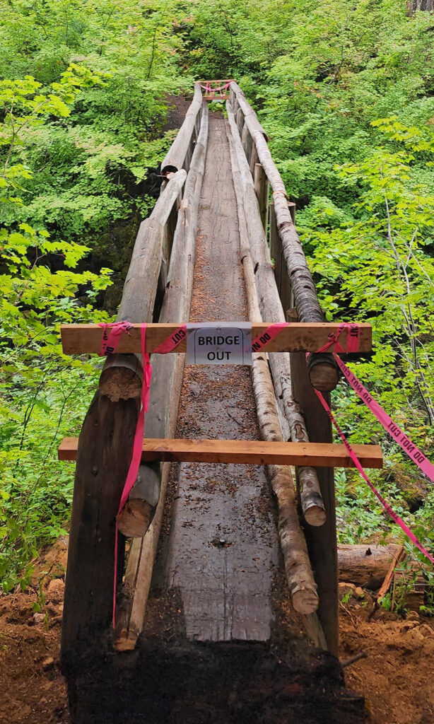
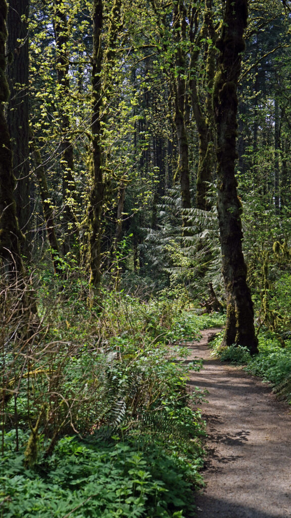
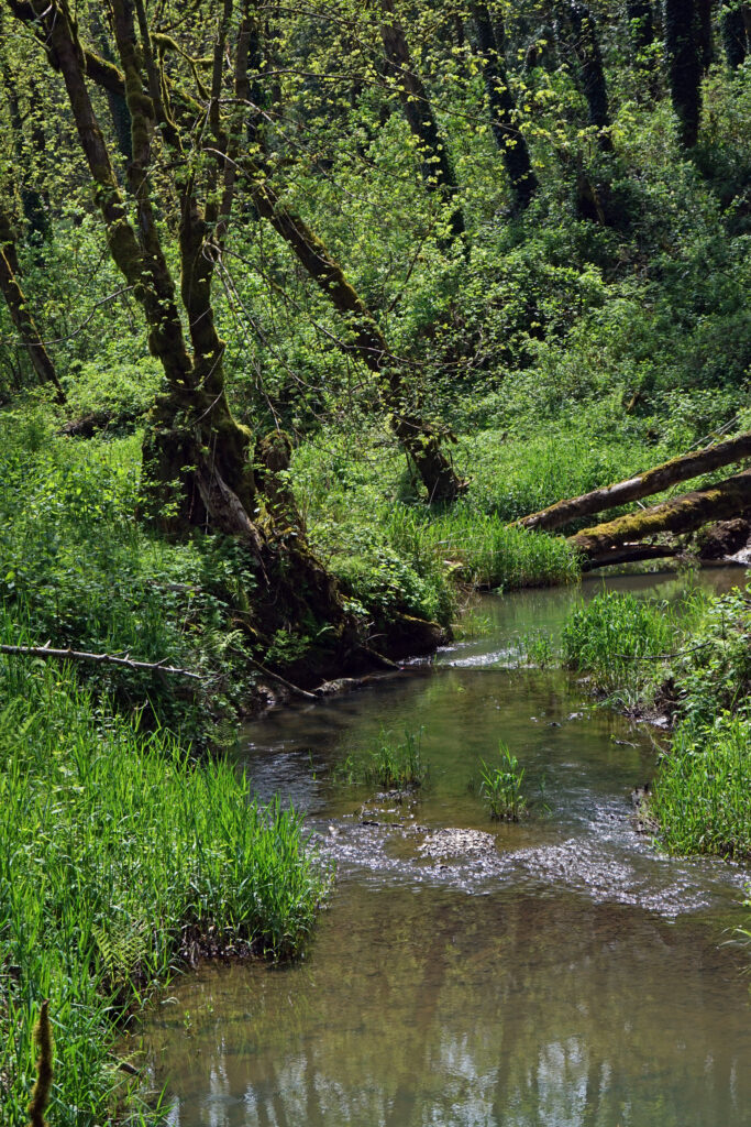
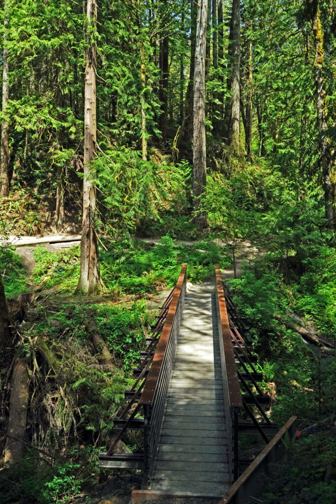
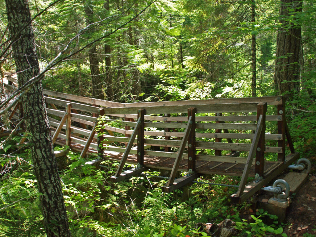
The Oak Trail crosses the edge of Cattail Marsh on a boardwalk, then crosses over Cedar Mill Creek on a wooden bridge where you’ll get a good view of the open marshland along the creek. Just beyond the bridge, you’ll come to the junction with the Old Wagon Trail at the 0.65-mile mark of the hike. Turn left onto the gravel Old Wagon Trail, which leads you through the forest with occasional views of Cedar Mill Creek.
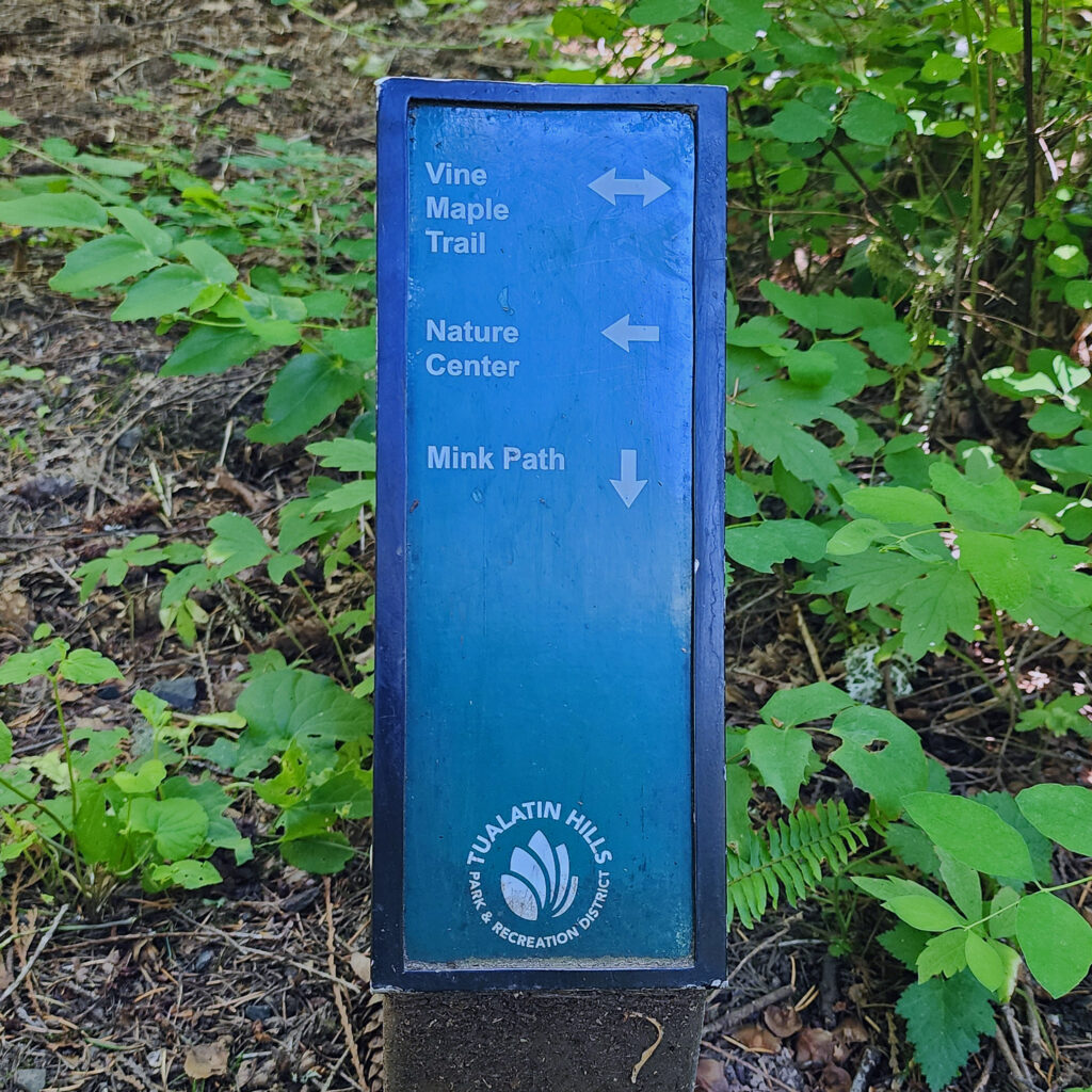
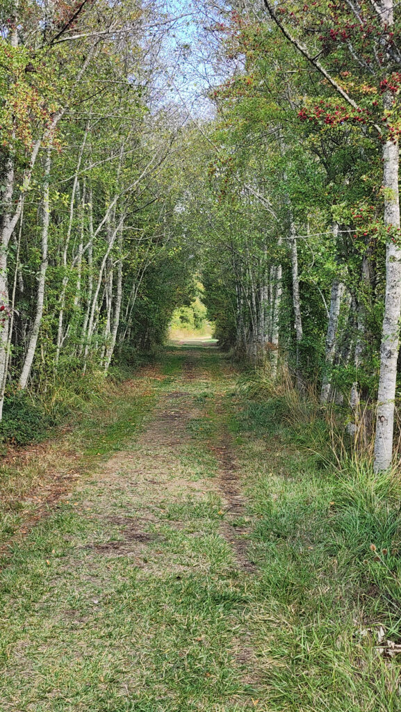
At the 1.0-mile mark of the hike, you’ll come to the junction with the Mink Path. Stay on the Old Wagon Trail. (The Mink Path will take you back to the Vine Maple Trail if you want to shorten your hike). About 500 feet from the Mink Path junction, you’ll come to a long section of the Old Wagon Trail that is a slightly elevated boardwalk. Stay left at the next junction and continue on the boardwalk. Just past the end of the boardwalk, at the 1.4-mile mark, the Old Wagon Trail rejoins the Vine Maple Trail. Turn left and follow the Vine Maple Trail to a side trail to Lily Pond.
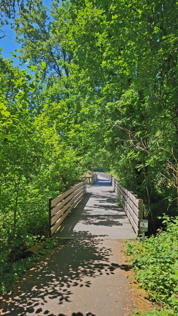
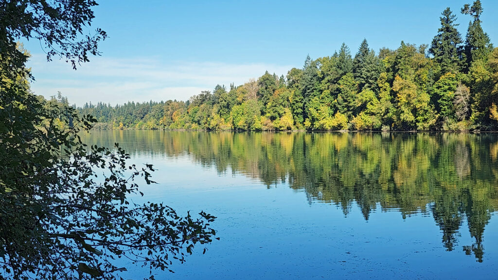
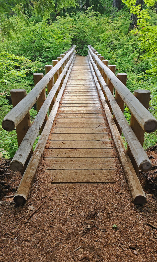
Back on the Vine Maple Trail, the now paved trail takes you through the forest, passing the junction with the Mink Path and across another bridge over Cedar Mill Creek with open views, to a junction with the Elliot Path at the 1.85-mile mark of the hike.
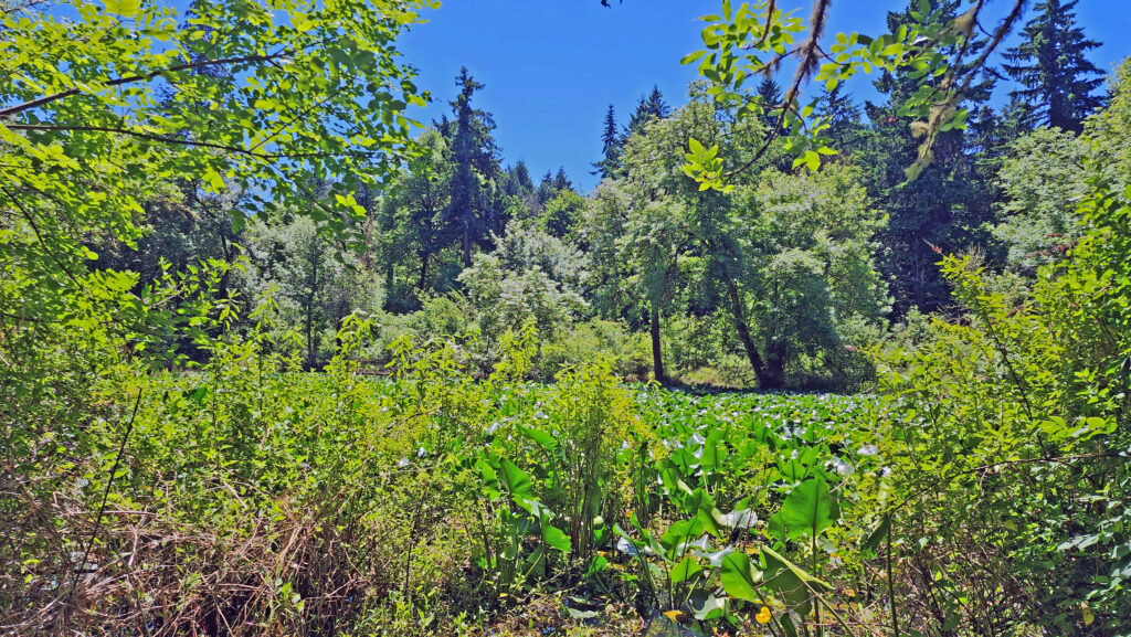
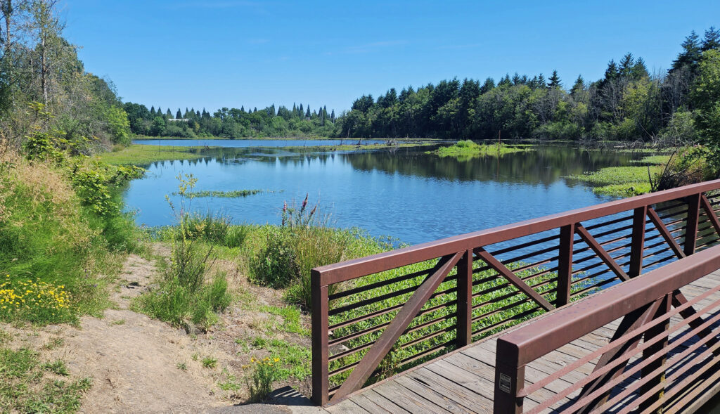
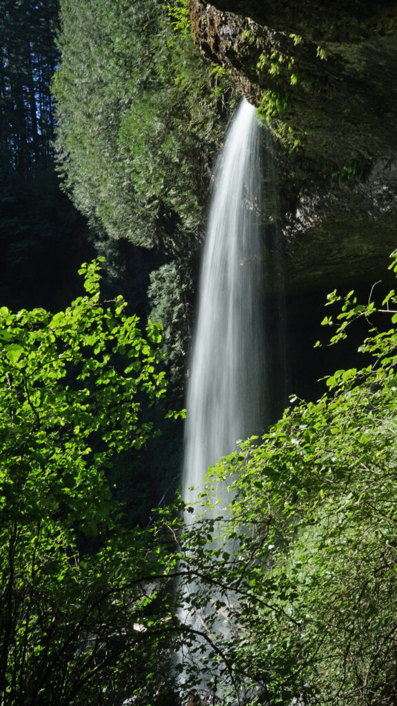
Take the Elliot Path for about 500 feet, then turn right onto the Big Fir Trail and follow it to Big Pond. There is a side trail to the pond, but the best views are from a bridge a little ways down the trail. Beyond Big Pond, the trail turns to the southwest and crosses Beaverton Creek on another wooden bridge. On the other side of the bridge is a four way junction. Turn left onto Ash Loop.
Follow Ash Loop for a third of a mile through the forest, where it returns to the Big Fir Trail. Go right on the Big Fir Trail, then left on Chickadee Loop, which will take you back to Cedar Mill Creek, then back to the Big Fir Trail on a boardwalk.
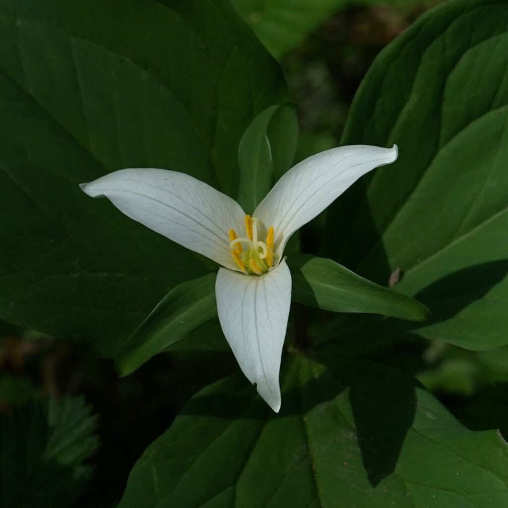
Cross back over Beaverton Creek and retrace your route on Big Fir Trail for a quarter mile, passing Big Pond and the Elliot Path junction, to the junction with the Trillium Loop at the three-mile mark of the hike. Take the short Trillium Loop, then rejoin the Big Fir Trail for a tenth of a mile to the Ponderosa Loop junction. Turn right and follow the Ponderosa Loop through the forest for half a mile before rejoining Big Fir Trail, which then rejoins the Vine Maple Trail, which takes you back to the trailhead.
Conclusion
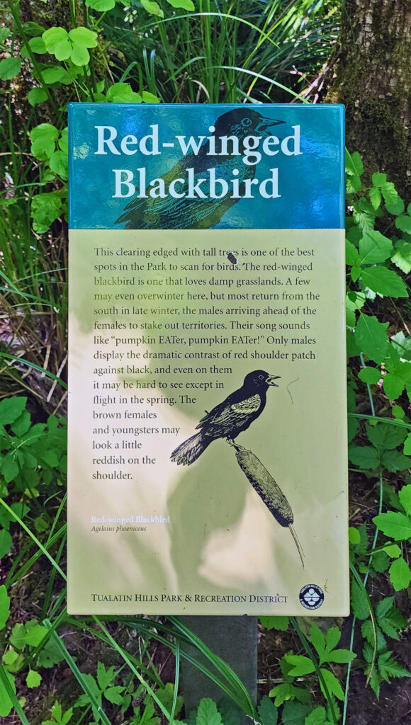
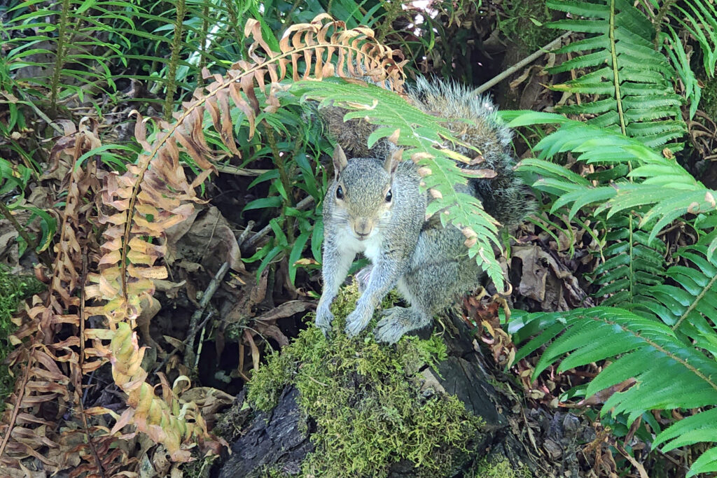
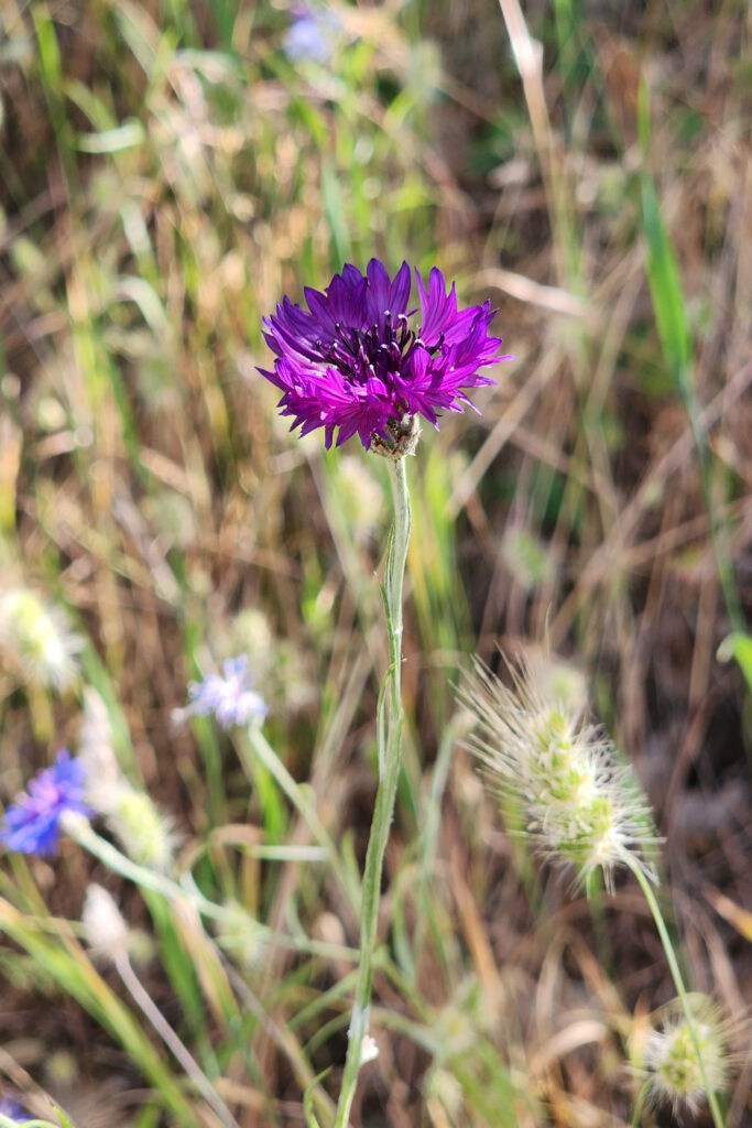
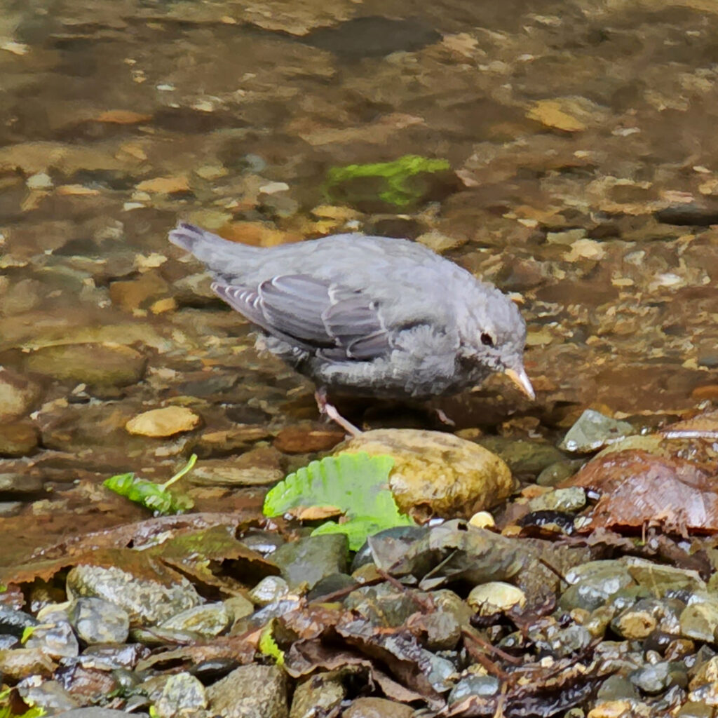
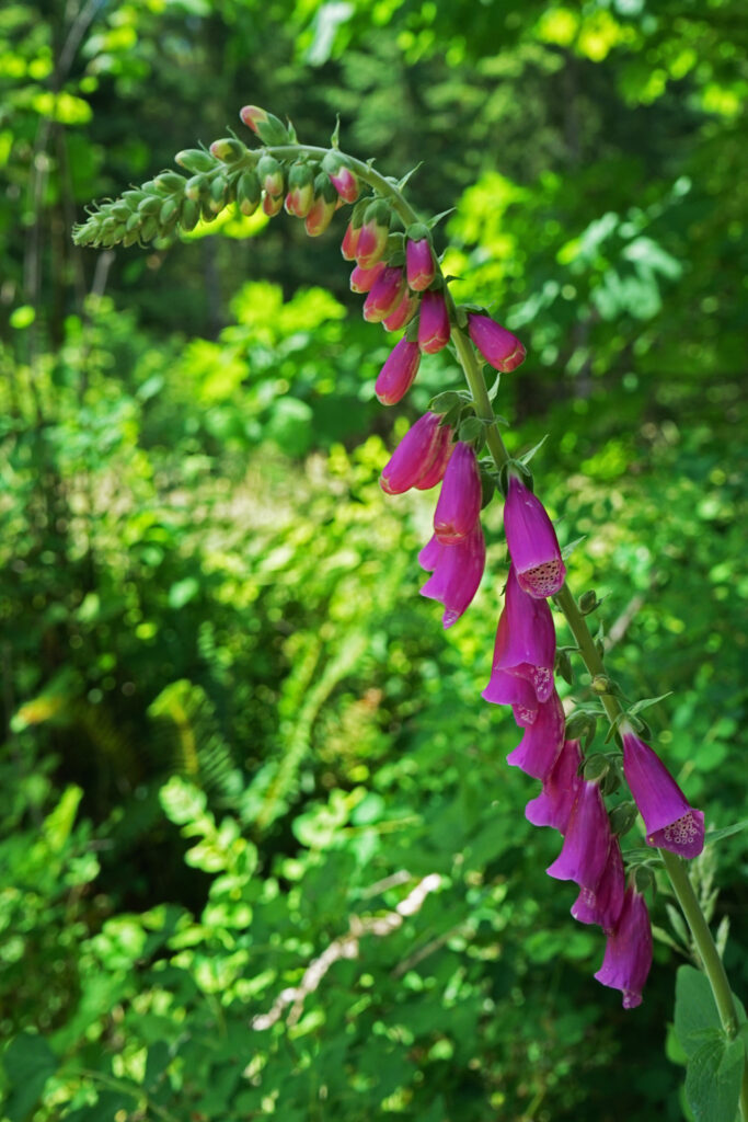
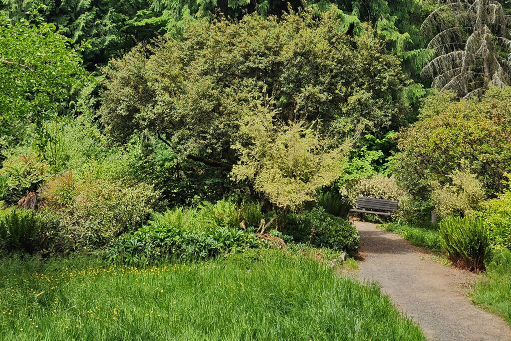
The Tualatin Hills Nature Park has become one of my favorite hiking spots in the west metro area. It’s well used, but if you go early in the day on a weekday you might find the park relatively empty. You’re almost guaranteed to see birds (Dark-eyed Juncos, Song Sparrows, and American Robins are common) and wildlife (squirrels, if nothing else) along the trails. Stop and sit for a while on one of the many benches you’ll find along the trails. Look and listen and soak up the peace and quiet. It’s well worth your time.
Other area attractions and activities
Just southeast of Tualatin Hills Nature Park, the 15-acre Beaverton Creek Wetlands is located where Johnston Creek flows into Beaverton Creek. The wetlands are home to Great Blue Herons, Belted Kingfishers, a variety of other waterfowl, and beavers and other small mammals. A paved trail along the southern shore of the wetlands can be accessed from 153rd Avenue just north of TV Hwy, or by a short trail from the Millikan Way parking lot.

Cooper Mountain Nature Park, about four miles southwest of Tualatin Hills Nature Park, is another of the many natural areas and parks in the west metro area that offer miles of prime hiking trails.

And the Beaverton area is awash in places to get a bite to eat or a cold drink after your hike. Three Mugs Public House, just north of the park on Jenkins Avenue, has 14 beer taps, and also has kombucha, several ciders, and two wines on tap. They also have a full food menu. Prime Tap House, just southeast of the park, has typical pub food (heavy on wings) and a good selection of beers. And a couple of miles east of the park, in downtown Beaverton, you’ll find a number of good pubs, including Breakside Brewery, Lazy Days Brewing, Raindrop Taphouse, and Loyal Legion.
Posted July 7, 2025
All photos © Alan K. Lee except as noted
 Introduction:
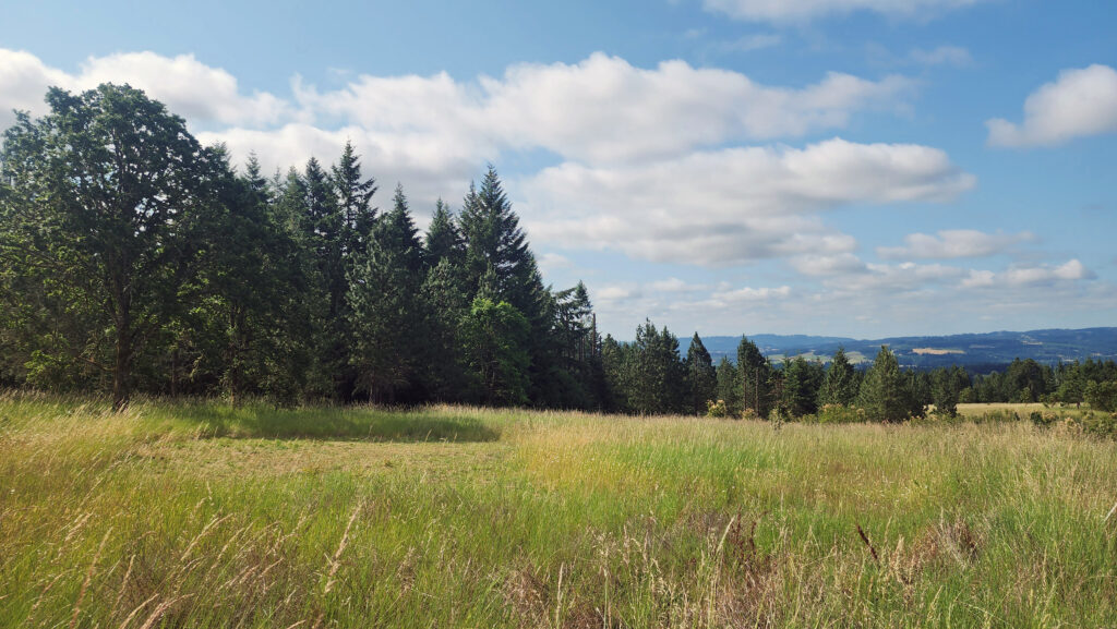 The Park:
 The Hike:
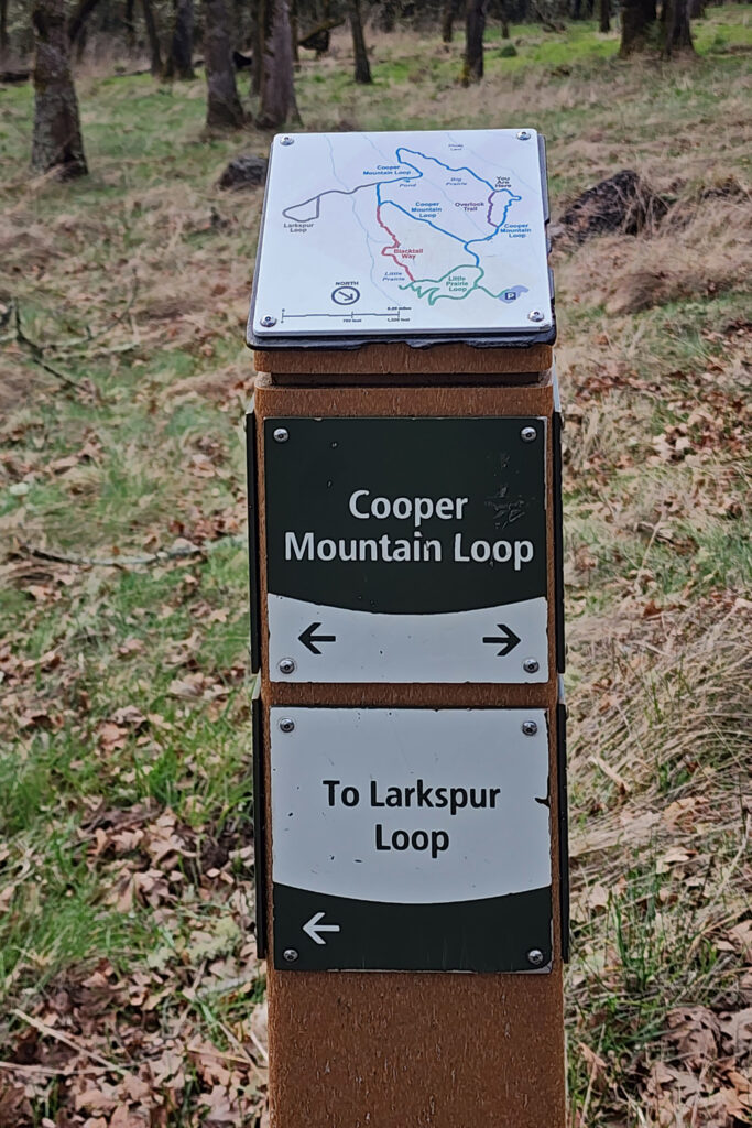
 Trailhead:
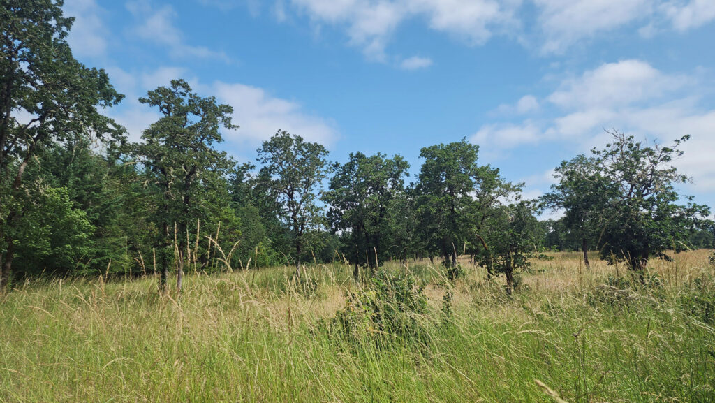 The hike:
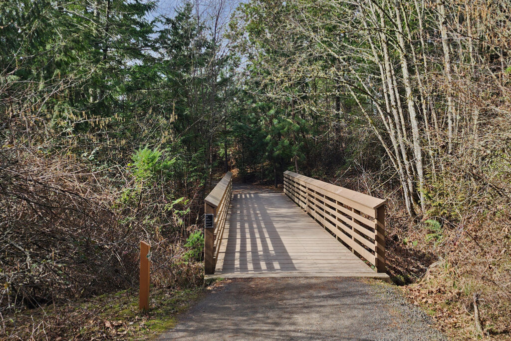
 At the next junction, turn right onto Blacktail Way, which climbs, steeply in places, for half a mile to the next junction. Here there is a short trail to the right to a viewpoint. Back at the junction, turn right onto Little Prairie Loop and follow it through the forest and back to the trailhead.
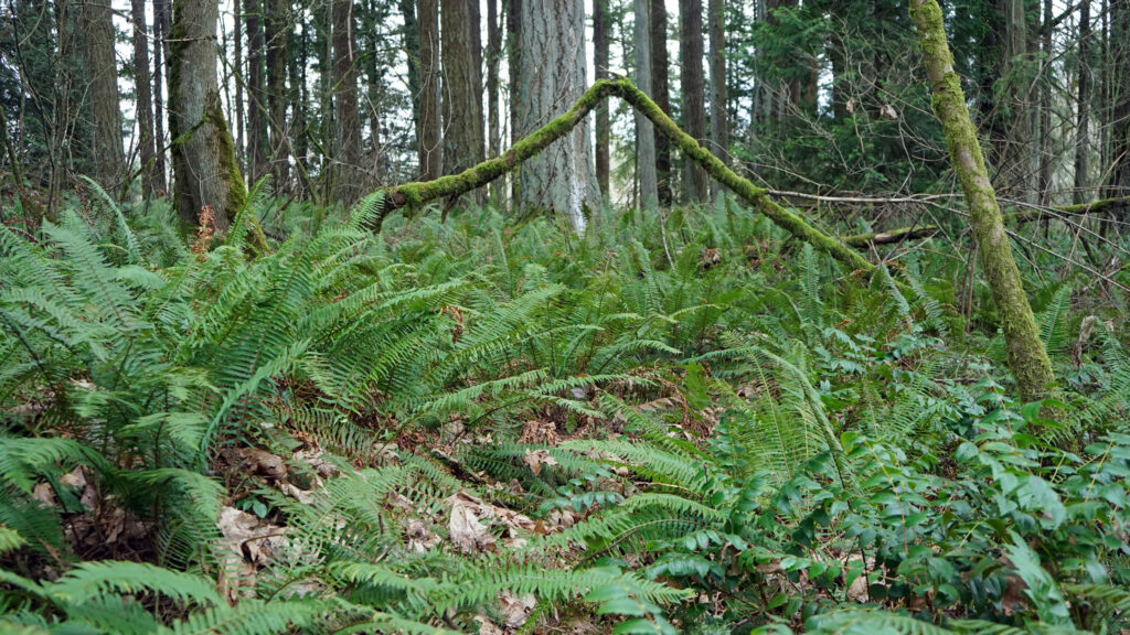
 Posted May 2, 2025. Updated with new photos June 16, 2025.
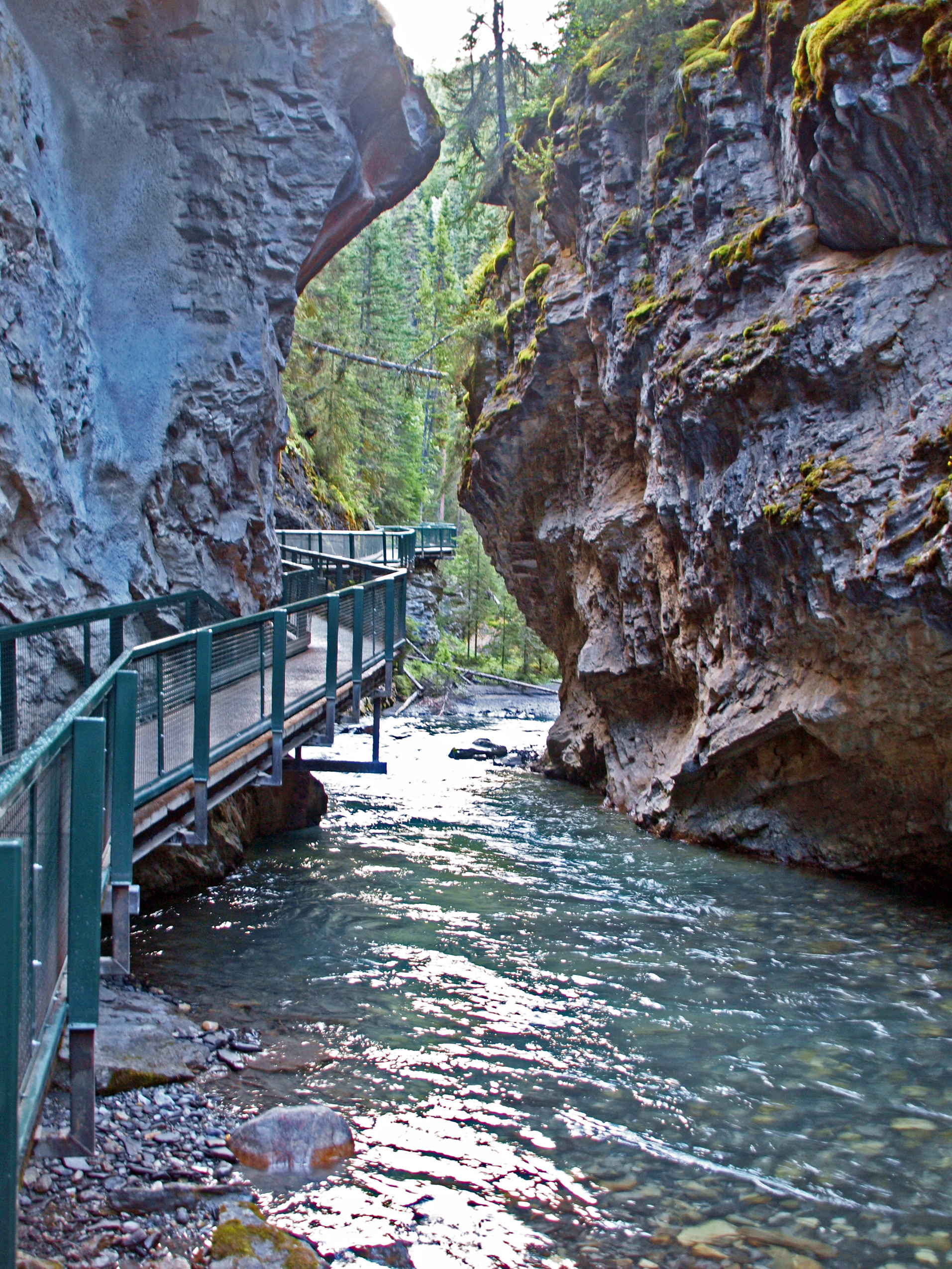


 Overview:
 Getting there:
 Trailhead:
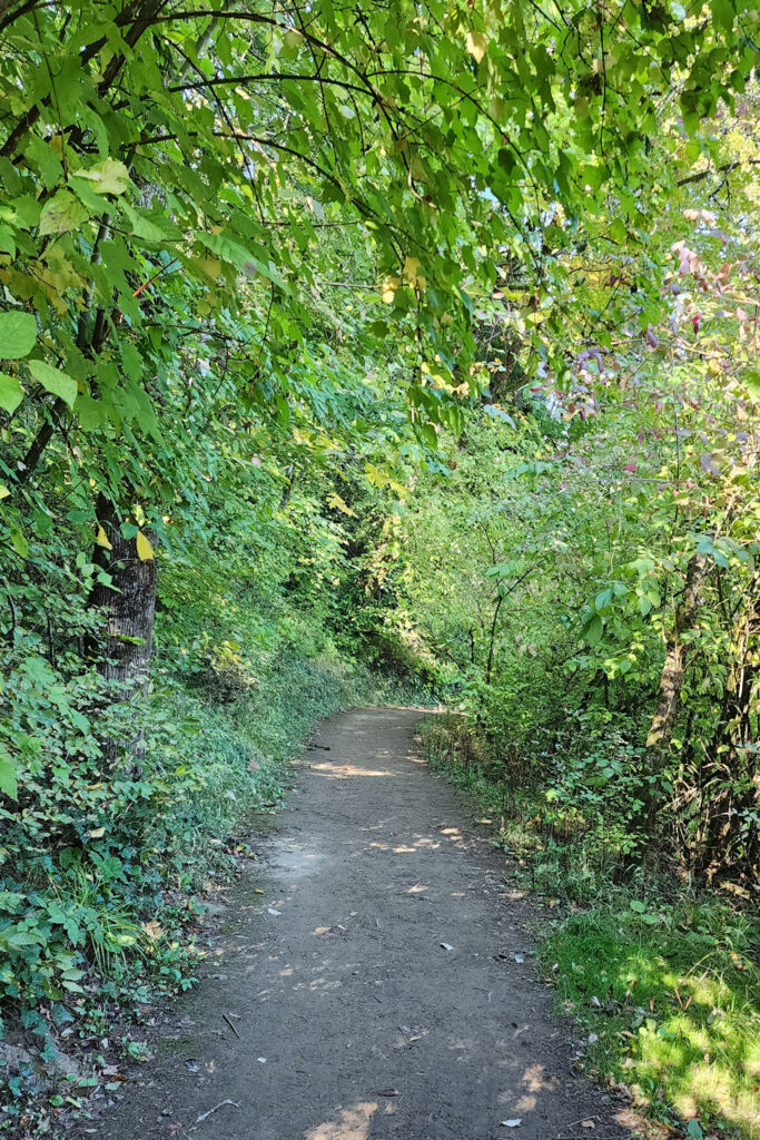 The hike:
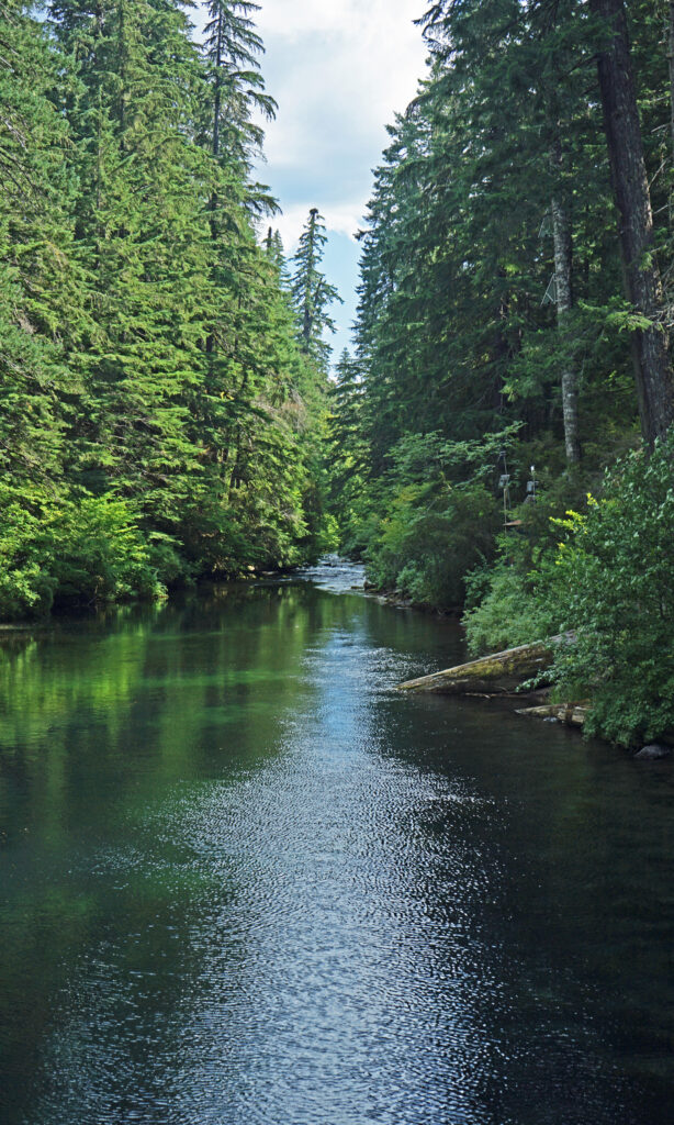
 The Townsite Trail takes you along the river through a mixed woodland of Douglas fir, bigleaf maple, and red alder with partially screened views of the river. There are several user-made trails leading down to the water, but they are steep (and dangerous if the ground is wet), so be careful if you want to get to the water for a better view of the river.
 At about the one-mile mark you’ll come to an open field on your right and you’ll see a boat dock ahead on your left. There is a small parking area here with a restroom. Head down to the dock for the best views of the river on this hike.
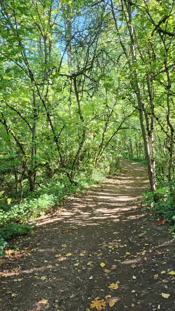
 Coming back up from the dock, look for a trail to your left. This will take you to Champoeg Creek where it flows into the Willamette. The trail then loops back through the forest and comes out into a clearing. Follow the edge of the clearing back to the restroom above the dock. From there, retrace your route back to the trailhead at the Riverside picnic area.
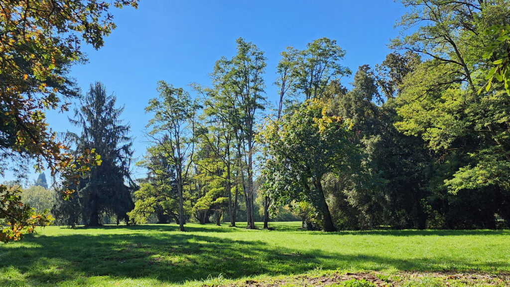 Best time to go:
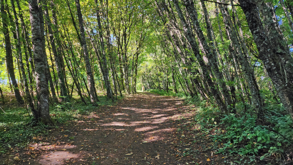 Champoeg State Park:
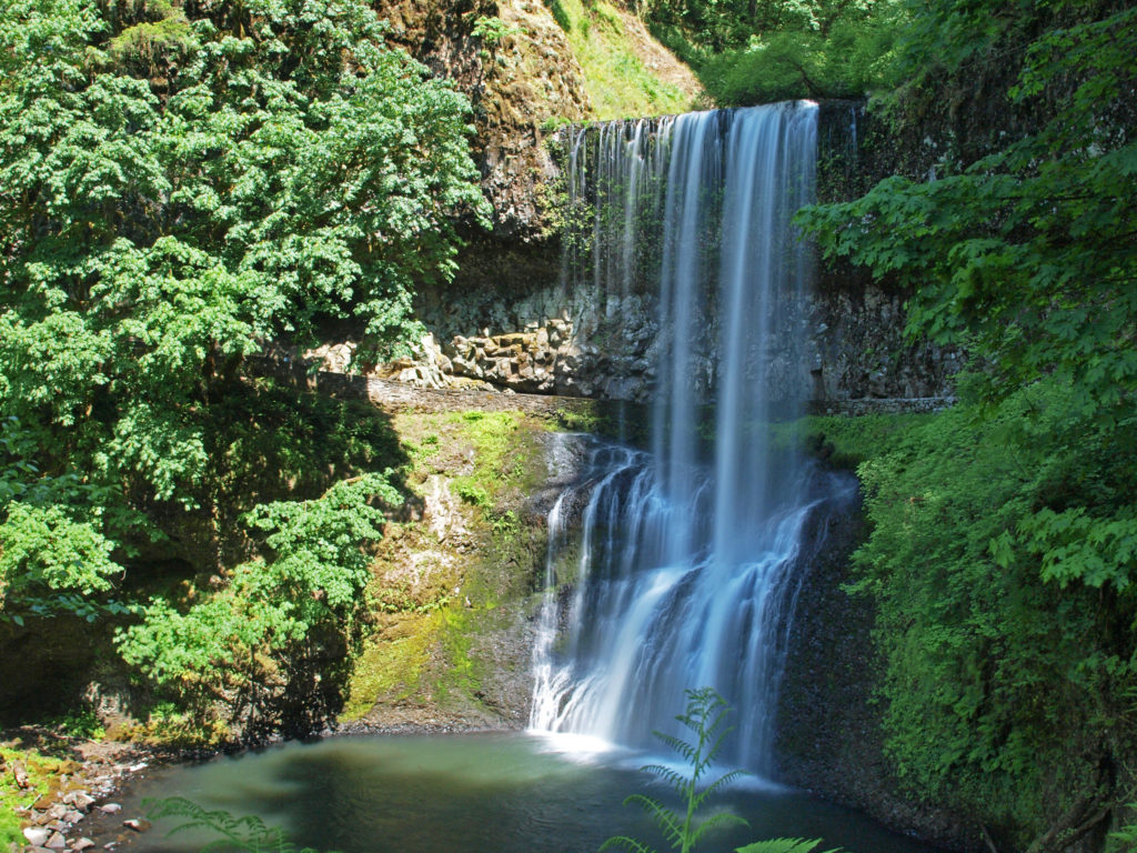
 Posted October 26, 2023 by Alan K. Lee
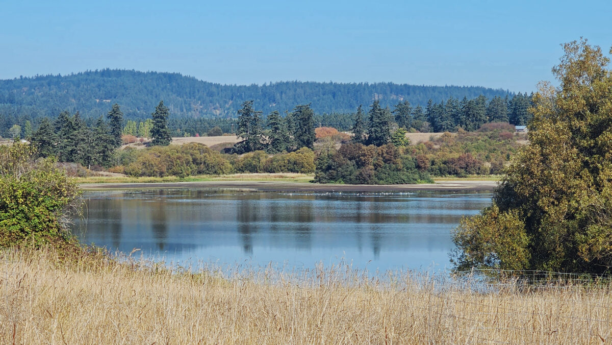
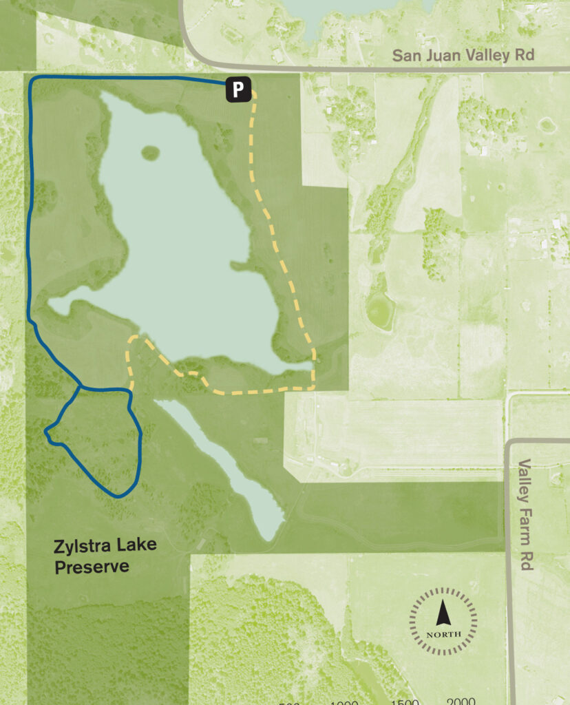
 The property was formerly a privately owned farm that was the site of a proposed housing development. Instead, the property was sold to the land bank in 2015 and the trust obtained the conservation easement. Thirty acres of the property, including the farmhouse and agricultural buildings, were sold by the land bank to Island Haven, a non-profit animal sanctuary, with a conservation easement to protect the land.
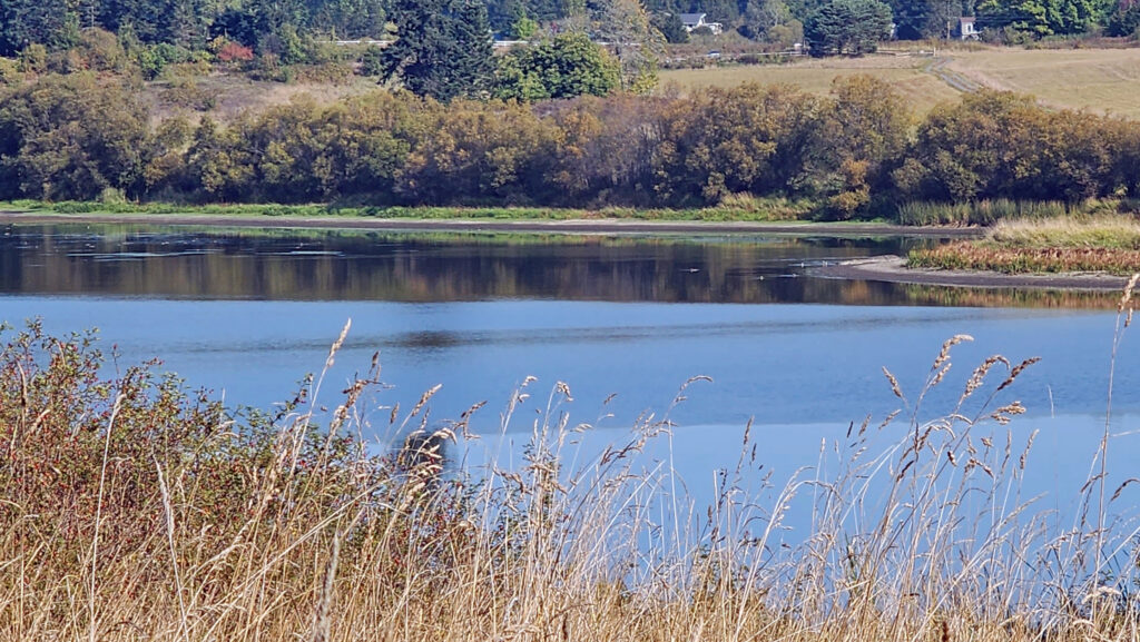 Currently, there is no public access to the lakeshore, and the eastern and southern portions of the trail around the lake are closed from October through March. The northern and western portions of the loop are open year-round and can be hiked as a lollipop loop during the winter.
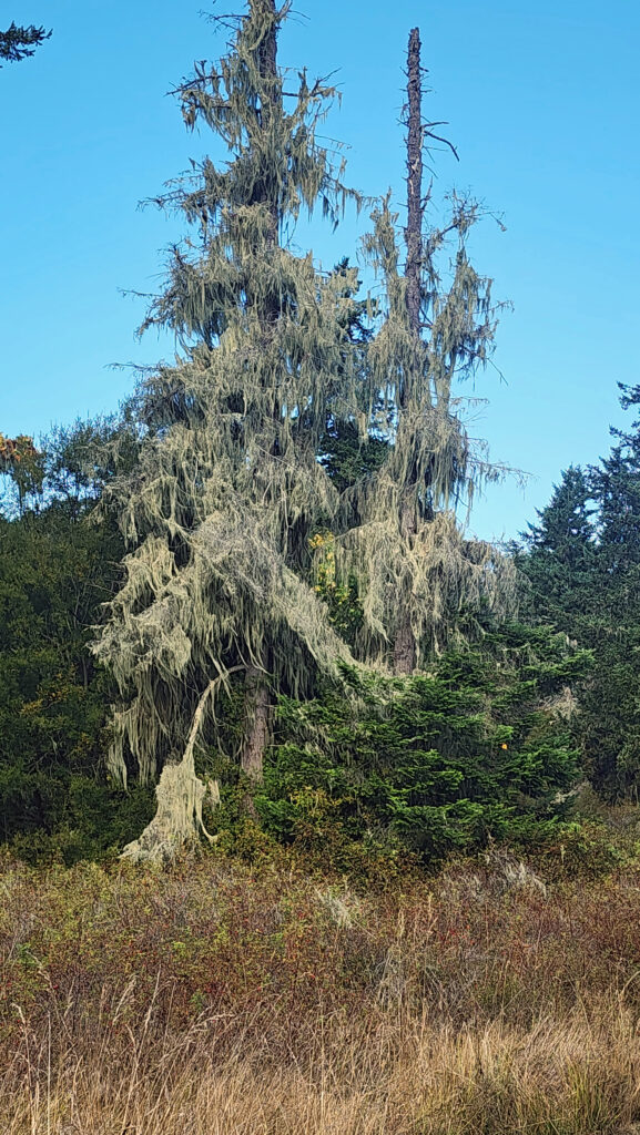
 Getting there:
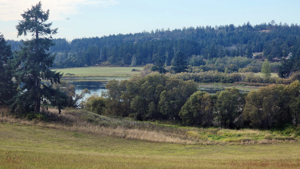 Trailhead:
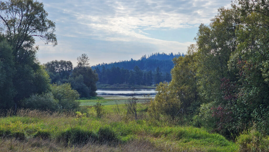 The hike:
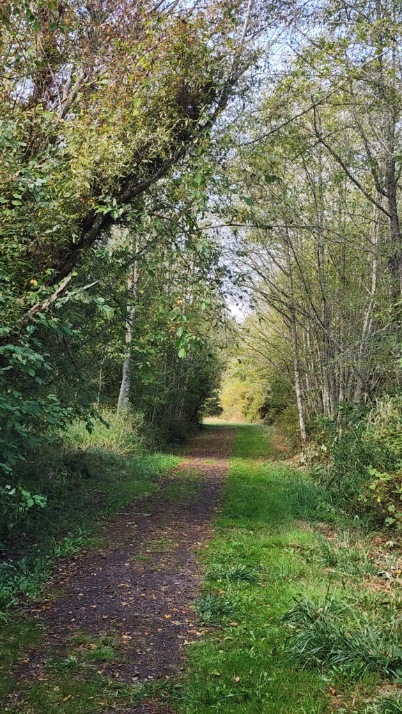
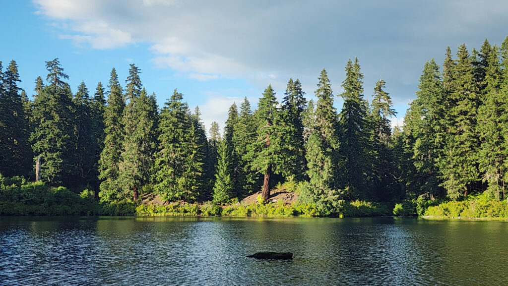
 At 0.3 miles the trail turns south and runs along the western boundary of the preserve for another 0.4 miles. The trail then turns southeast and follows the edge of an open field with good views of the lake.
 At the 0.85-mile mark, turn right onto a trail that leads through a mix of open fields and partially logged woodland.
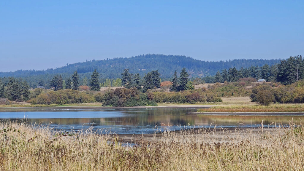 At the 1.25-mile mark, the trail returns to the open field. In winter, the trail ahead is closed, so you need to turn left and retrace your route back to the trailhead parking area.
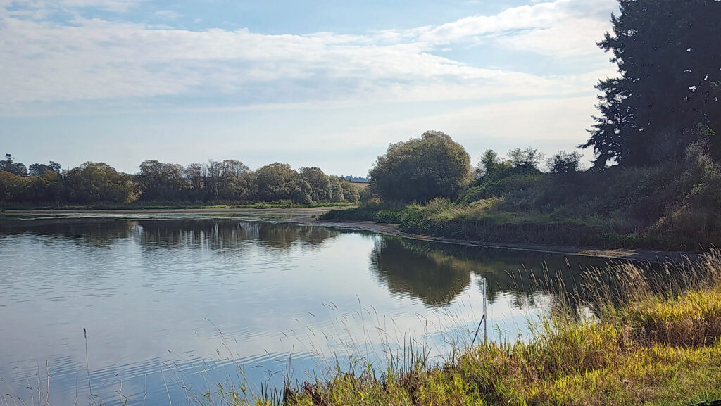 In summer, you can continue straight. The trail then turns right and crosses a bridge over the creek that flows from the lake. Beyond the bridge, the trail runs along the top of the dam that forms the lake, then passes through a small grove of trees.
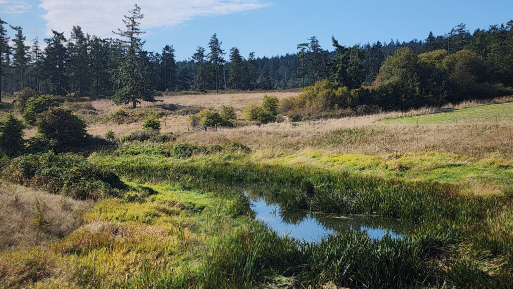 From there, the trail runs between fields to the old farmhouse site that is now home to the Island Haven animal sanctuary. The trail turns left there and follows a gravel farm road back to the trailhead.
 Posted October 12, 2023 by Alan K. Lee
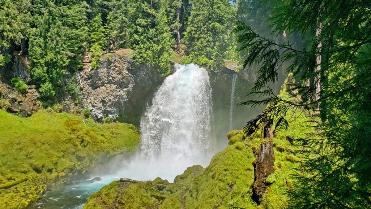
 Best Times to Go:
 The hike:
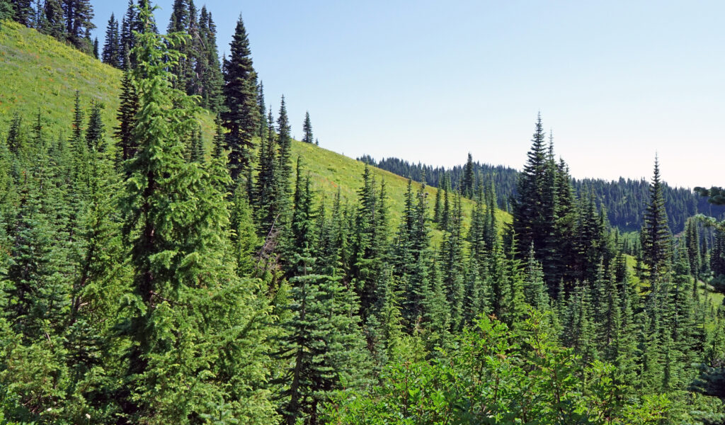
 Other area attractions and activities:
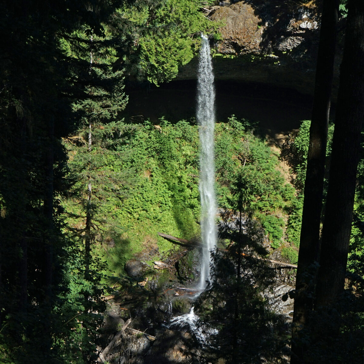

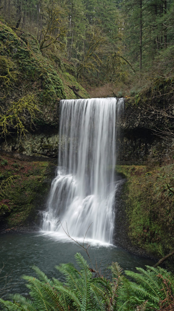
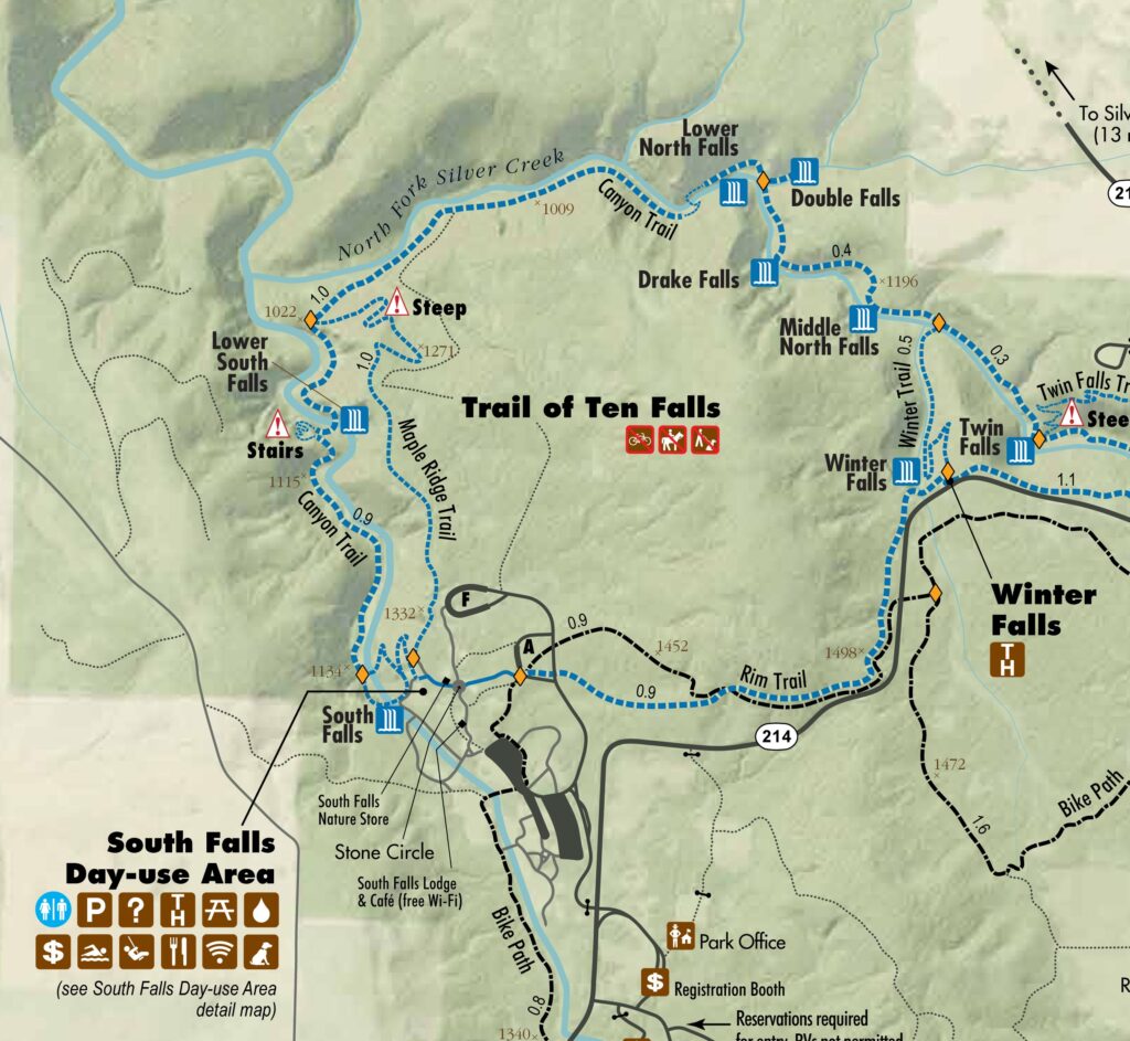
 Beyond the Twin Falls Trail junction, the North Rim Trail meanders through the forest, passing a children’s play area and a small two-table picnic area.
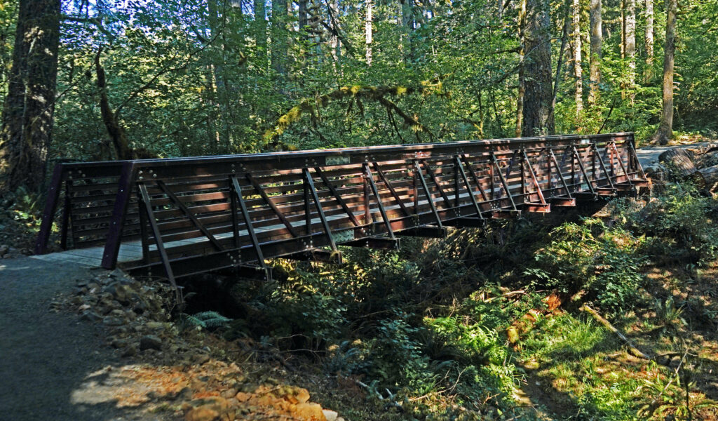
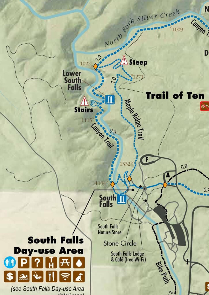
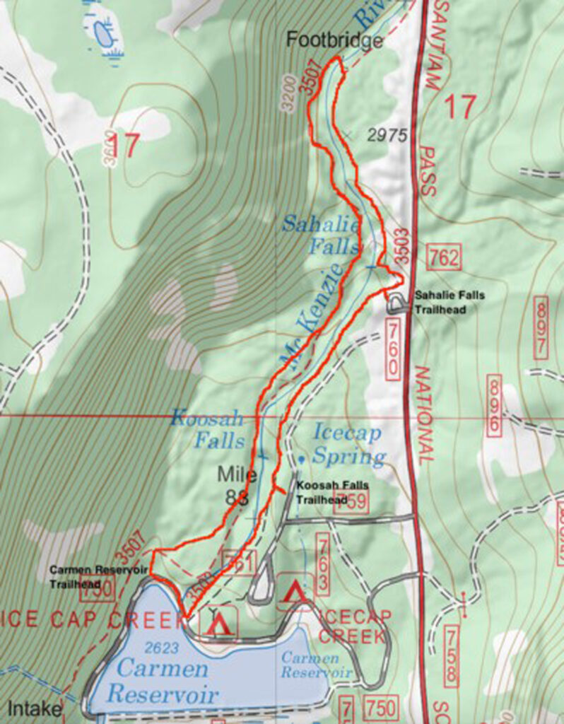
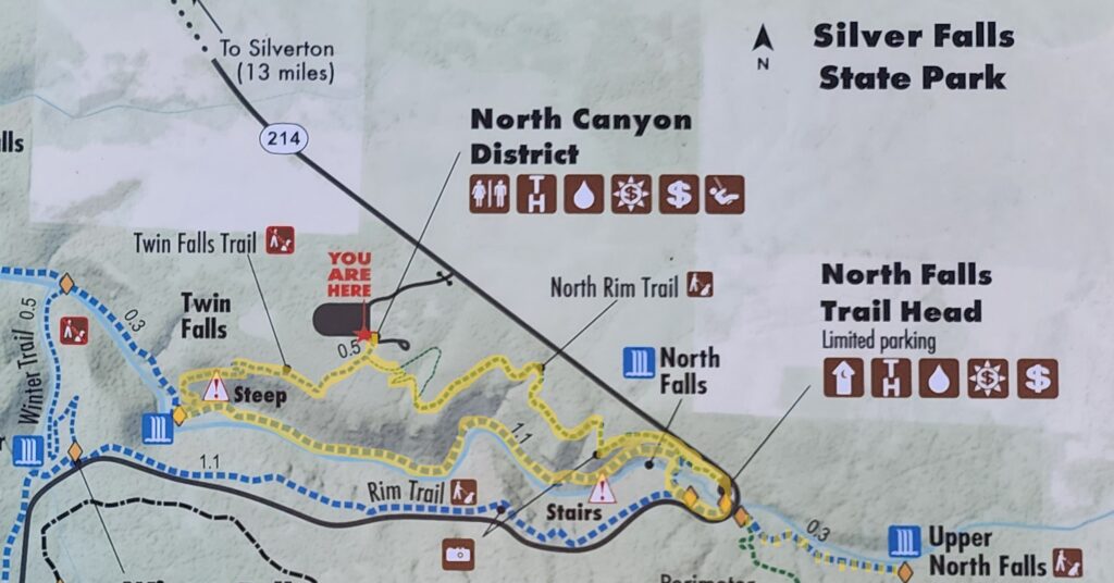
 For a map of the entire park, click
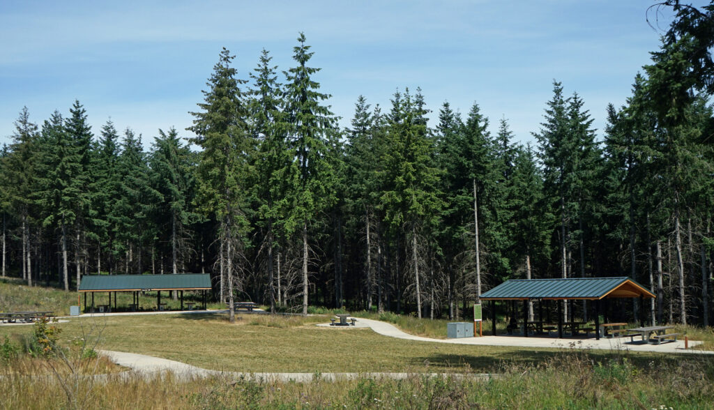
 Chehalem Ridge Nature Park is in a rural area with no other close by hiking or biking opportunities, but the west metro area, not far from Chehalem Ridge, has an abundance. Some of my favorite hikes in the area include
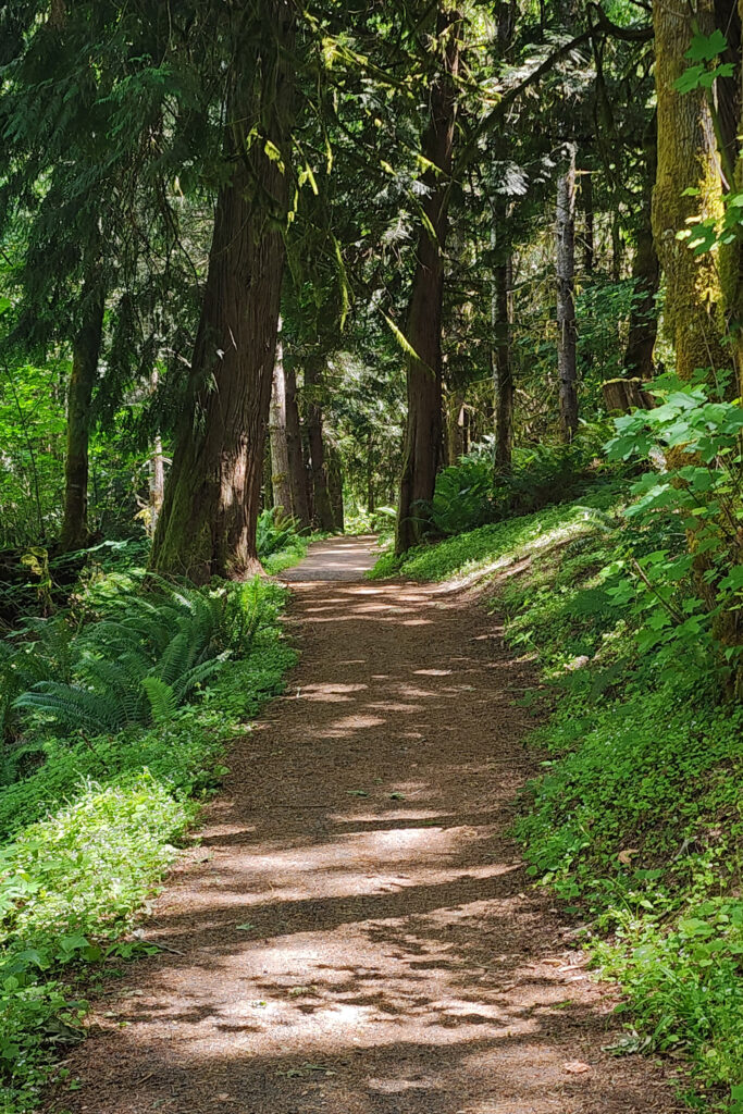
 Overview:
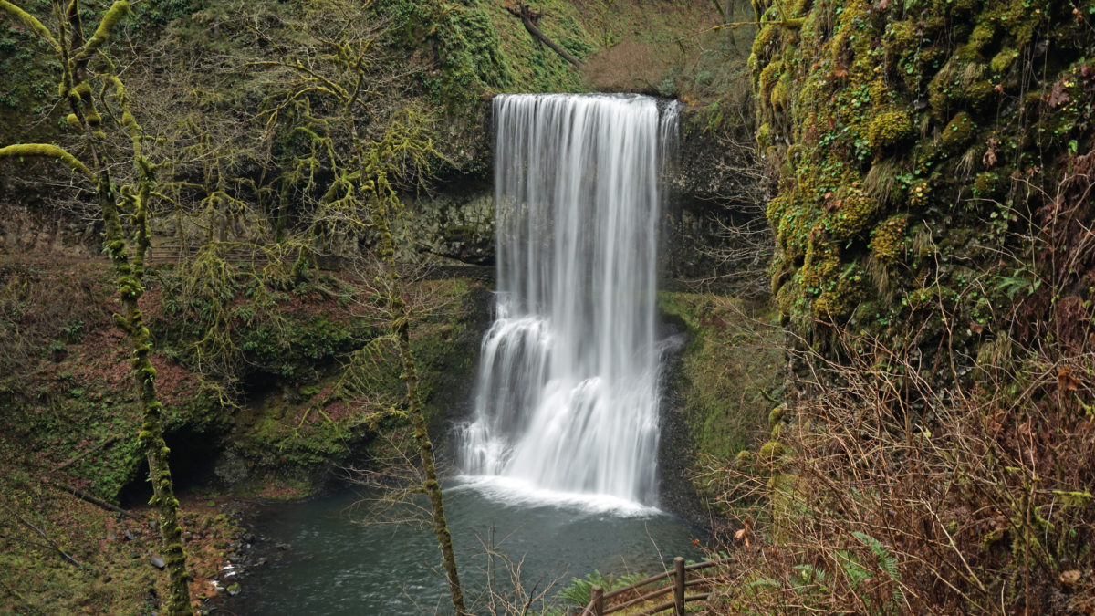
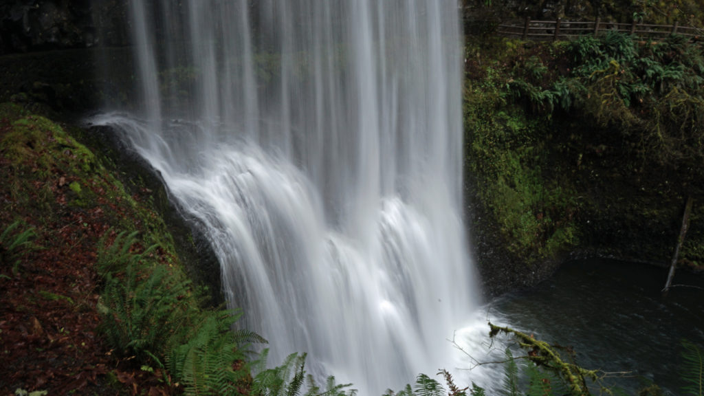
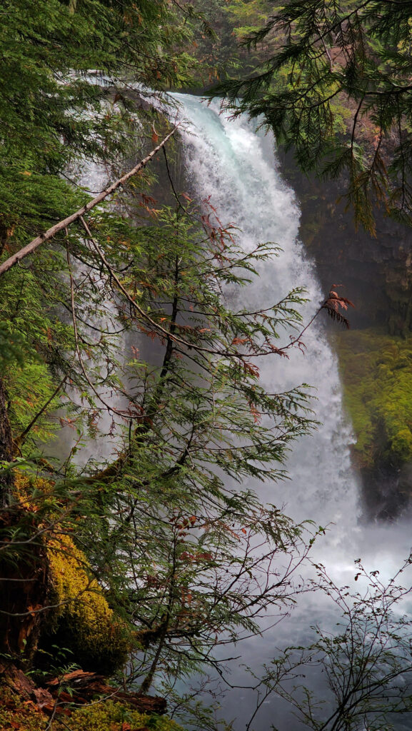
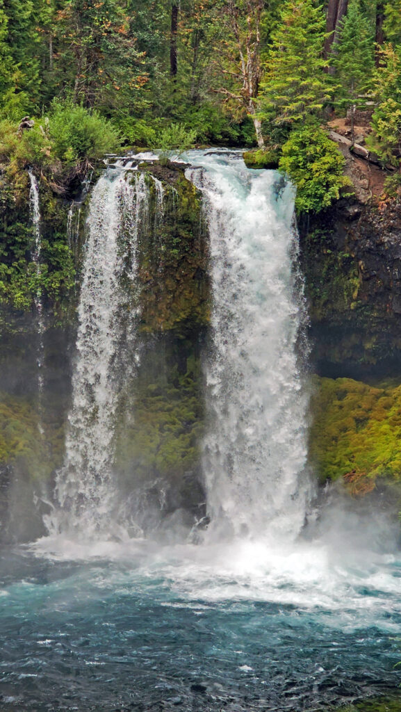
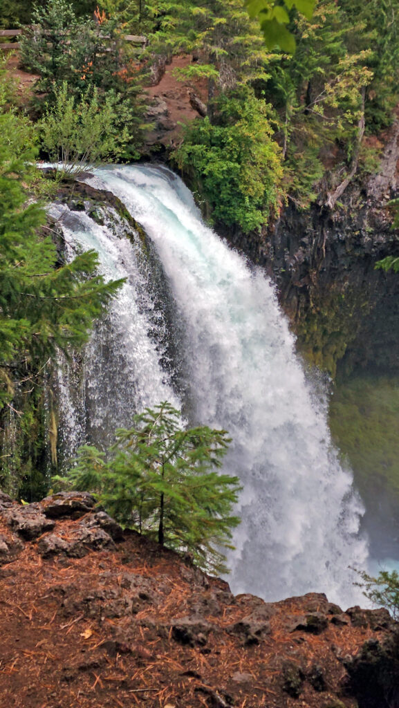
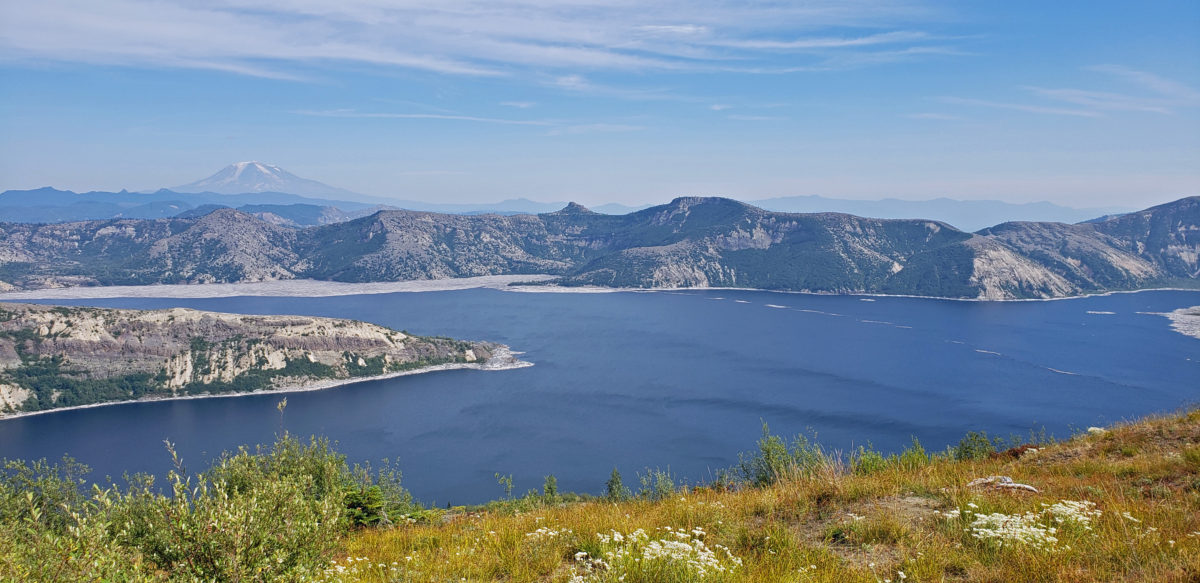
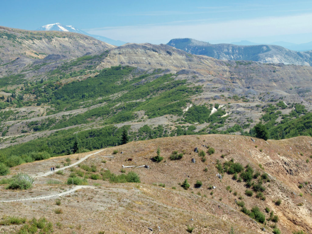
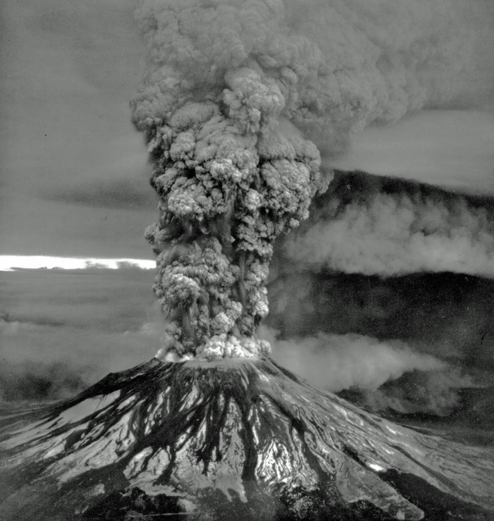
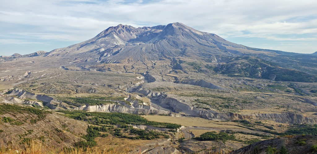
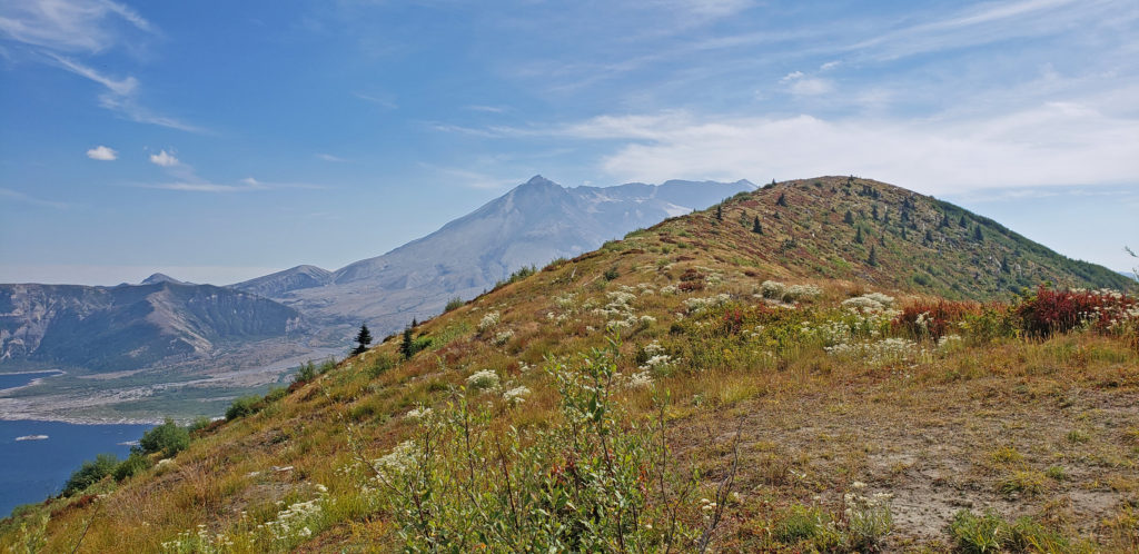
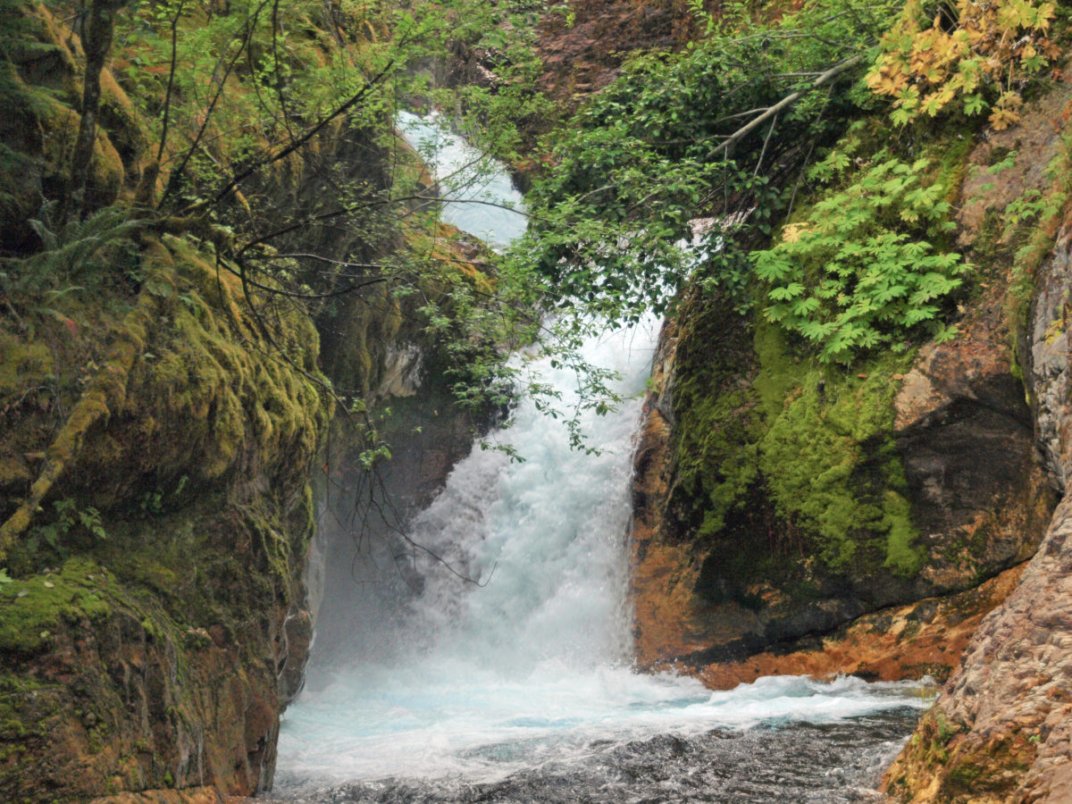
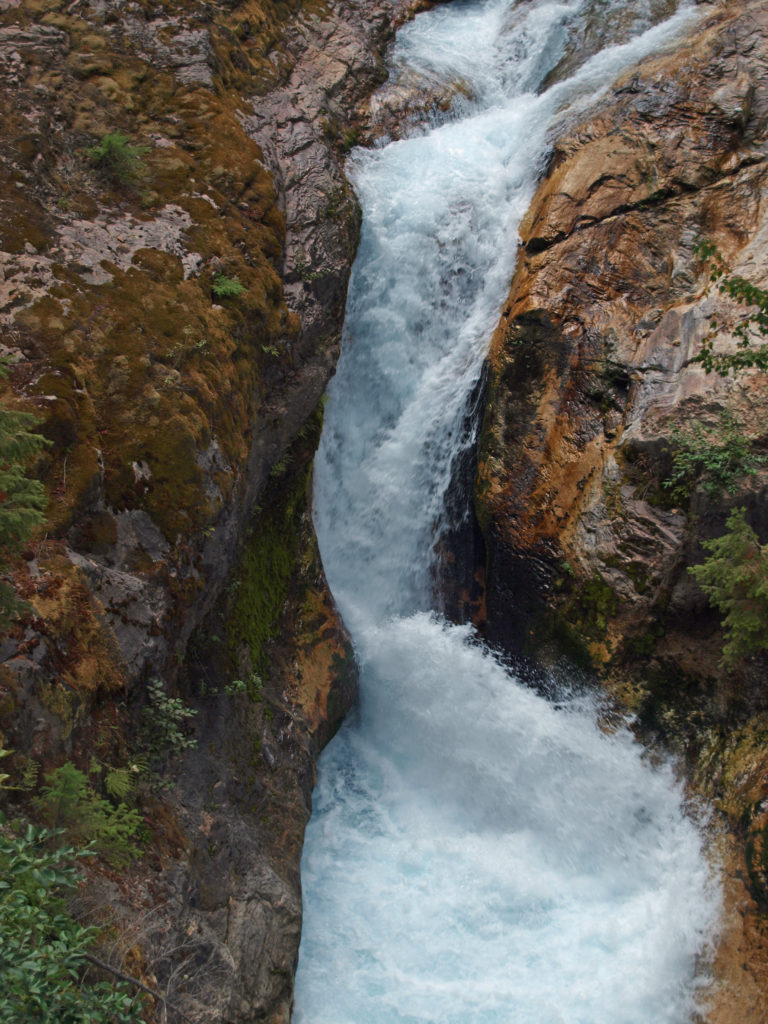
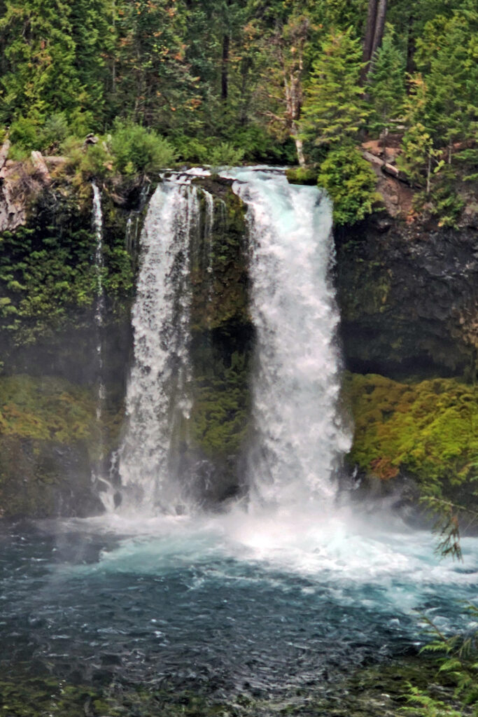
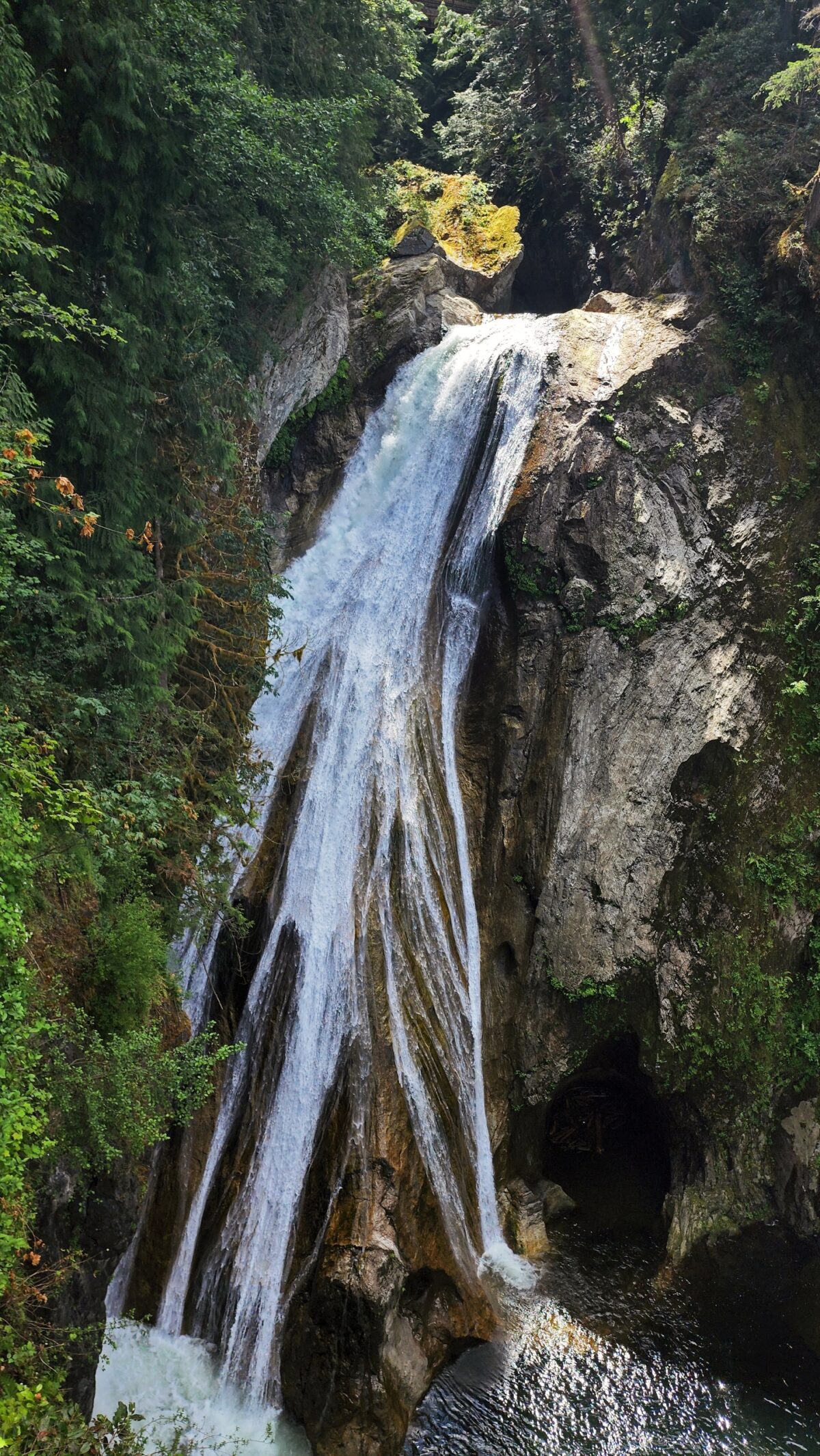
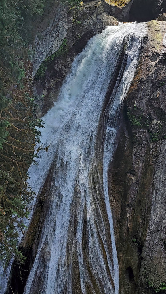
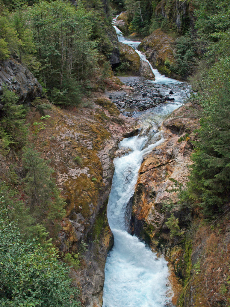 The history of Lava Canyon begins about 3500 years ago when an eruption of Mount St. Helens sent a flow of lava down the old valley of the Muddy River, destroying the forest and filling the valley with molten rock. Over the intervening years, the Muddy River cut a new course through the lava flow, and the canyon gradually filled with sediment. Then came the 1980 eruption, which melted the summit glaciers and sent a huge lahar (volcanic mudflow) down the valley, destroying the rebuilt forest and scouring out the built-up sediment, exposing the remnants of the earlier lava flow. What was left is a steeply descending canyon with an almost continuous series of spectacular waterfalls and cascades. (For more information on the 1980 eruption, see my
  Getting there:
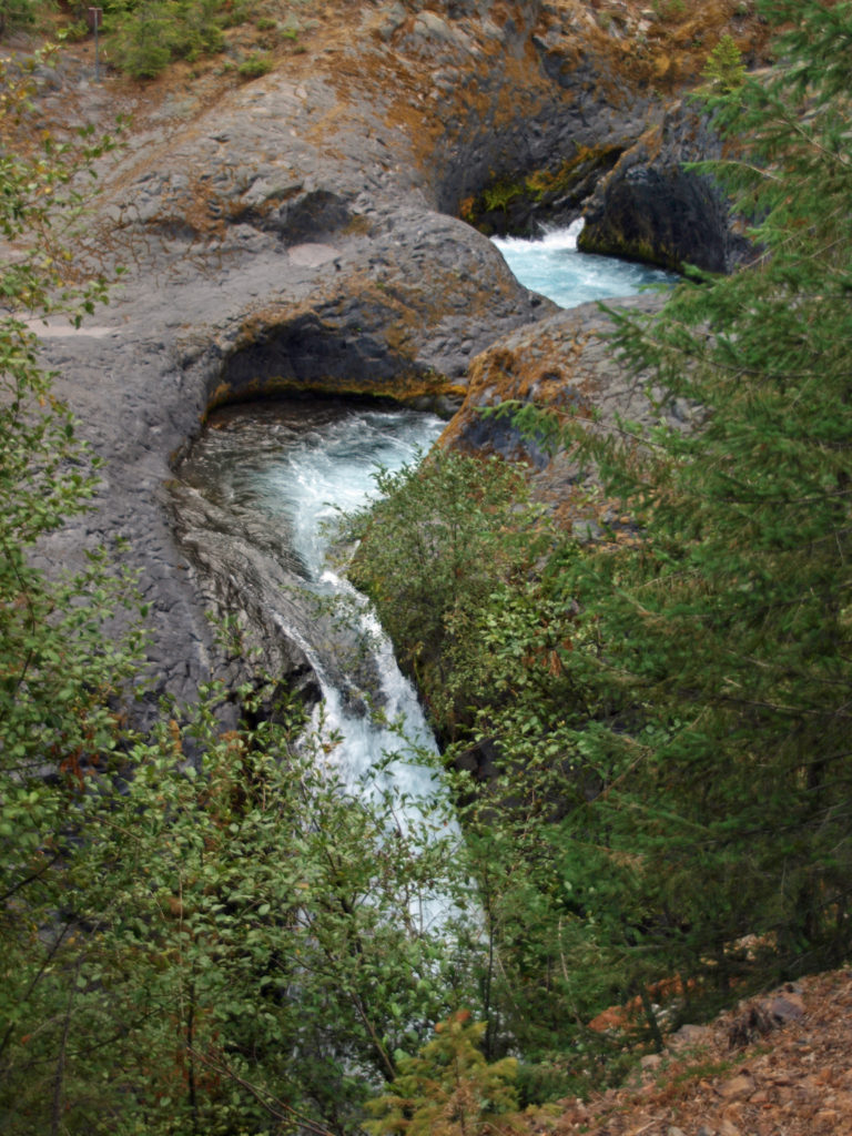 Trailheads:
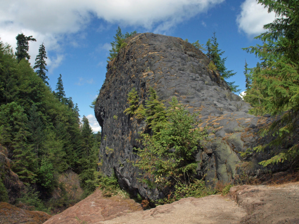 The hike:
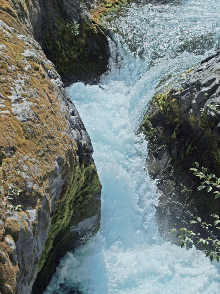
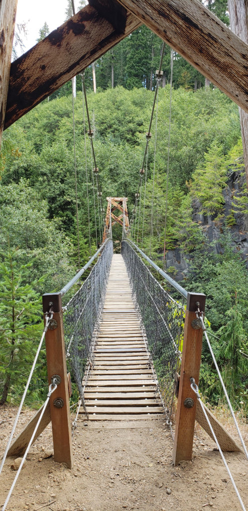 Below the overlook, the path is rock and dirt, steep in places. After another three tenths of a mile, you come to another side trail and a suspension bridge over the river that gives a bird’s eye view of the canyon and waterfalls. On the other side of the bridge is a connecting trail that takes you back to the upper bridge, making for a 1.4-mile loop. (Update: As of June 2023 the suspension bridge is closed. Check the National Forest Service’s
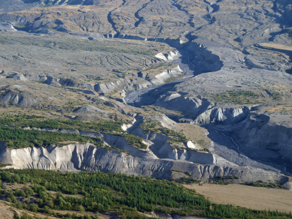
 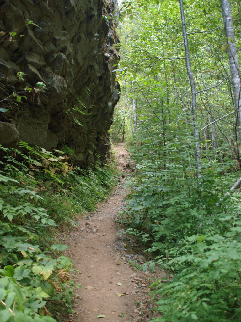 At about the 1.3-mile mark, the trail descends a 40-foot ladder to the base of the rock formation known as The Ship. Before 1980, sediment filled the canyon to the top of The Ship, to give you an idea of how much sediment was scoured out of the canyon. A short but steep side trail (and another ladder) leads to the top of The Ship.
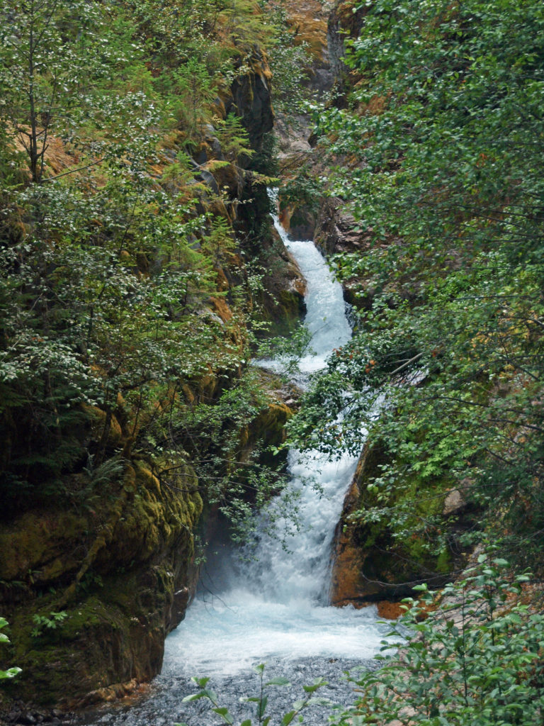 (Below The Ship, the trail continues another 1.5 miles to the lower trailhead. The entire hike from upper to lower trailhead and back is about six miles and the elevation gain coming back is 1350 feet.)
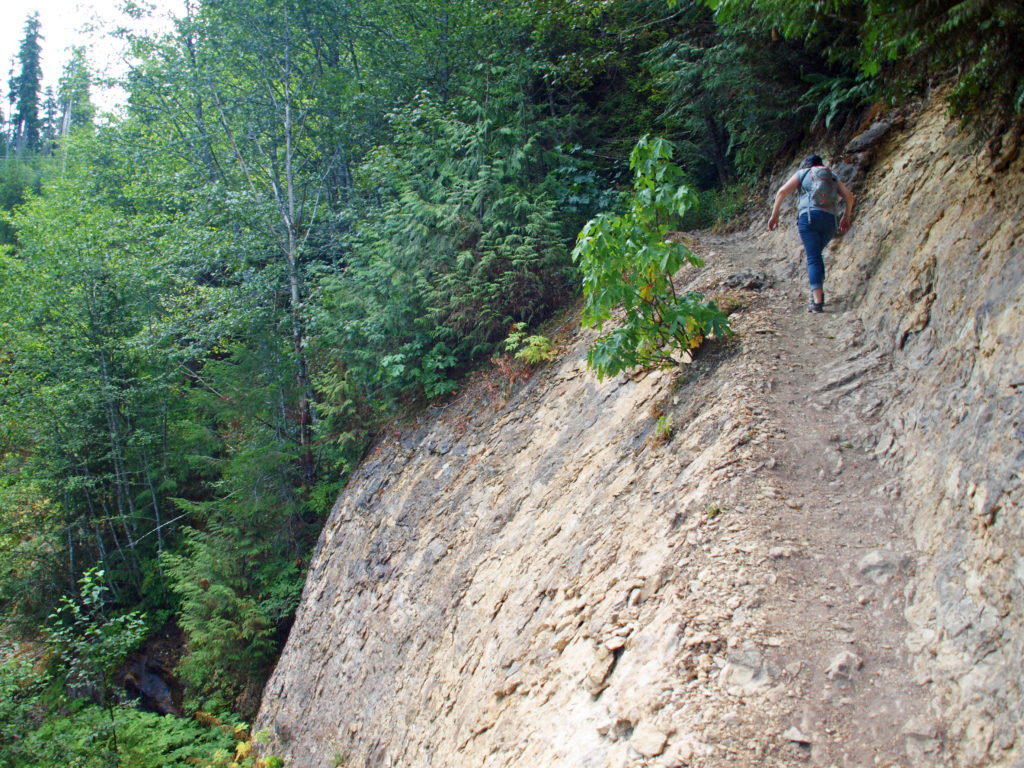 Return from The Ship the way you came. Cross the suspension bridge if it is open and take the trail on the opposite bank to the upper bridge and re-cross the river. The two bridges both give you great views of the river and canyon below.
 Originally posted in a different format September 29, 2018 by Alan K. Lee. Updated and re-posted March 23, 2021. Edited, updated and posted in this format June 29, 2023.
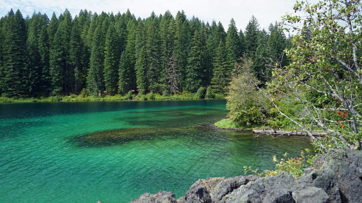

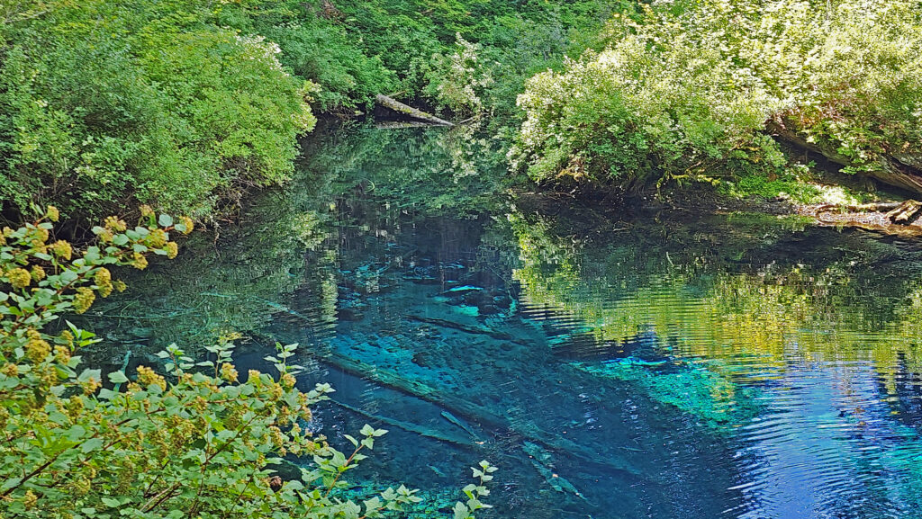
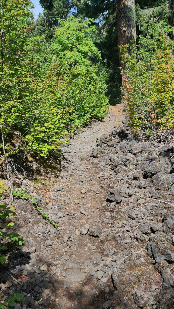
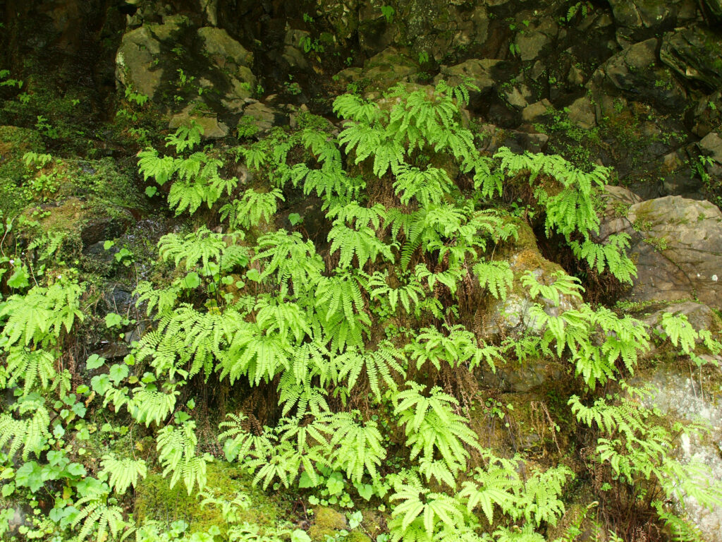
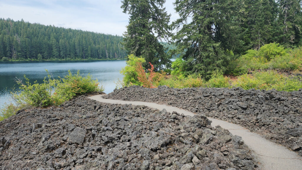
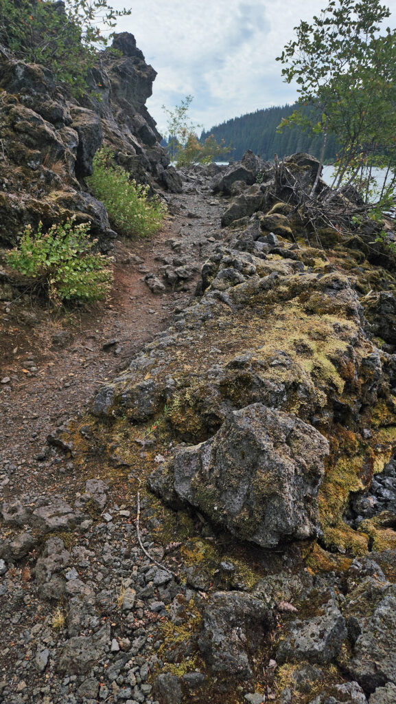 From the Great Spring the trail follows the east shore through the lava fields and forest. Parts of the trail are pretty rough. Good quality hiking boots are advised, although I did this hike in sneakers on my latest visit. But open toed sandals or flip flops are definitely not acceptable footwear on this section of the trail.


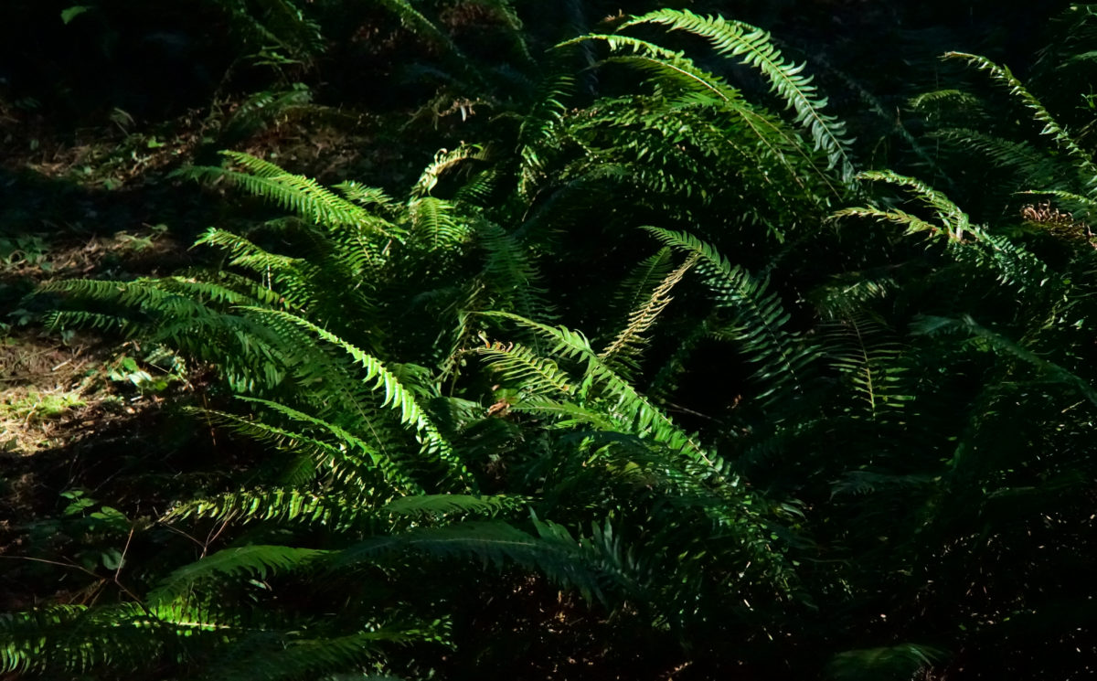
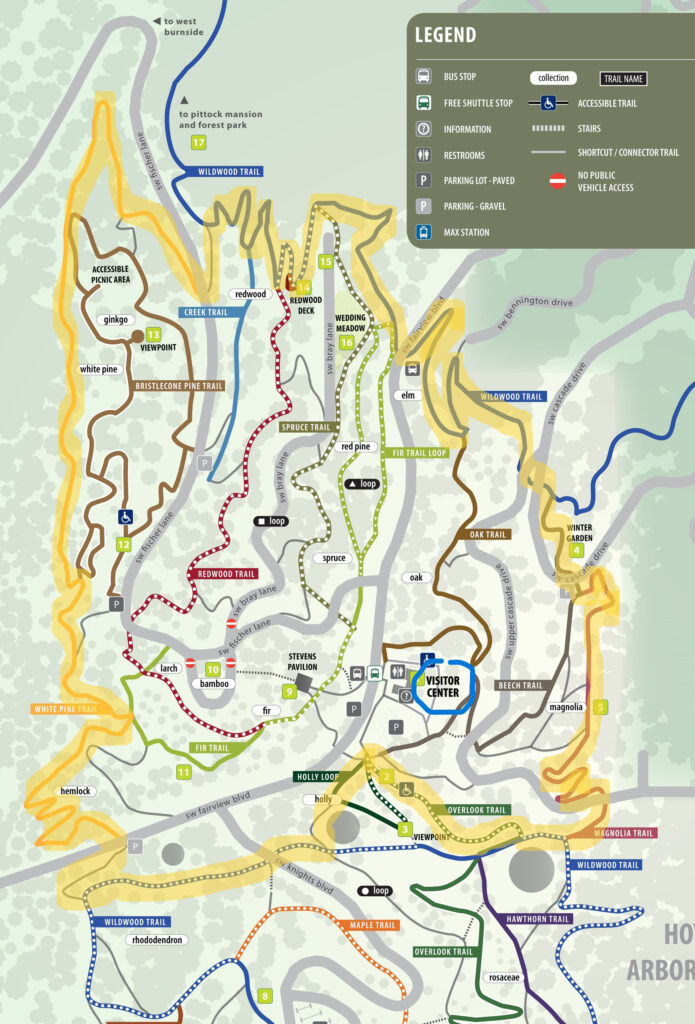
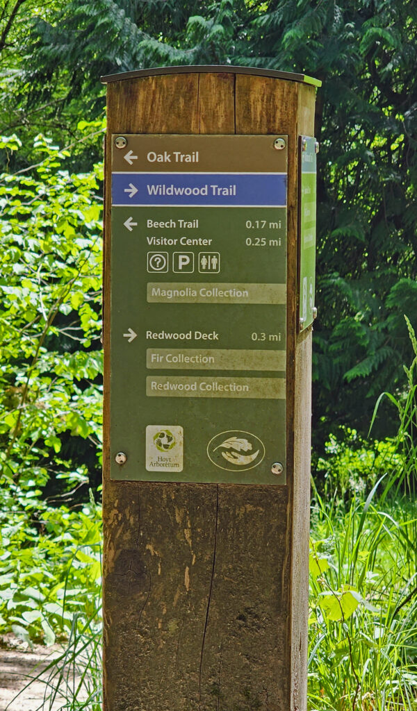 Hoyt Arboretum offers a multitude of possible hikes over its 189 acres and 12 miles of trails. The hike described here passes through many of the arboretum’s tree collections and is a good introduction to the arboretum for anyone that has not visited previously. It also incorporates several short sections of the iconic Wildwood Trail that meanders for 30 miles through Washington and Forest Parks. The trail junctions in the arboretum are well signed, so it would be hard to get lost, but the sheer number of intersecting trails can be confusing. I recommend carrying a map of the trail system whenever you’re hiking in the arboretum. Download and print the arboretum map linked above or pick up a free map and brochure at the visitor center. The brochure provides some interesting information and has a larger and more easily read map than the download.
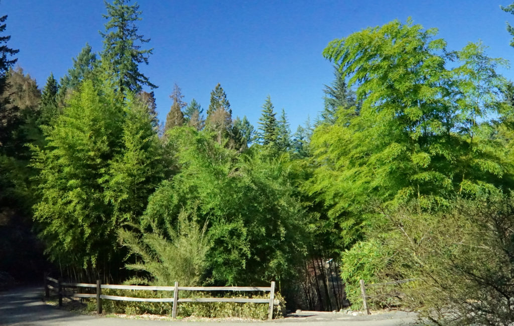
 Trailheads:
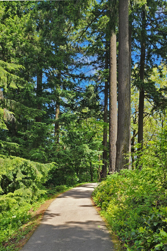
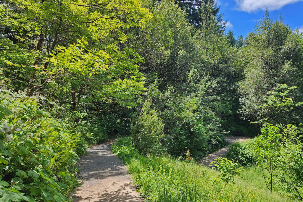
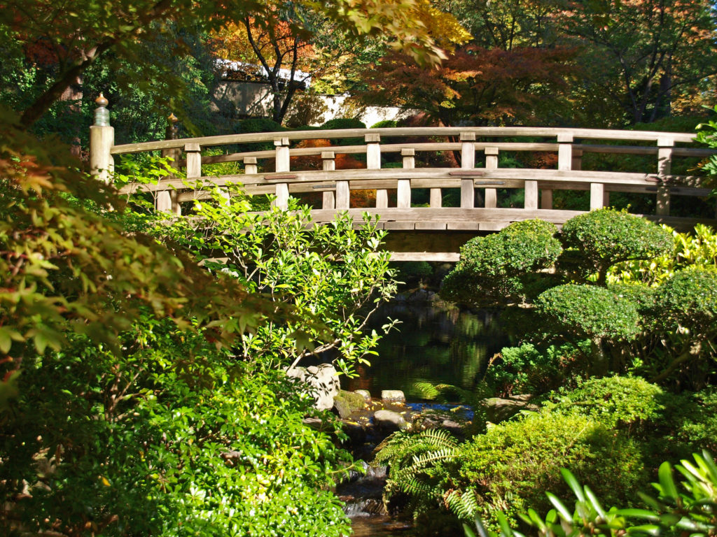
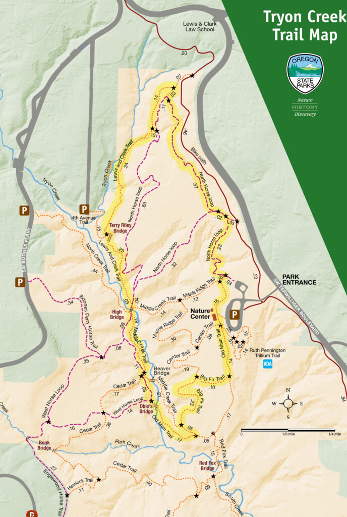
 There are a myriad of loops and out-and- back hikes possible at Tryon Creek. The park has a total of 15 miles of trails, including a short all access paved trail, a paved bike path that runs the length of the park, all-use trails open to horses, and hiker-only trails. Dogs are permitted on leash. Bikes are not permitted, except on the designated bike path. The park is a day-use area only. Camping is prohibited.
 All of the trails are well used, so you’re unlikely to find real solitude here, unless you come during really bad weather. But that doesn’t detract much from the park’s appeal. In general, the farther from the Nature Center that you get the fewer people that you’ll encounter. The southern and western parts of the park are the least used. The hike described here includes two of my favorite trails, the Big Fir and Lewis and Clark trails, but they’re also two of the most traveled trails in the park.
 Getting there:
 Posted May 18, 2023 by Alan K. Lee.
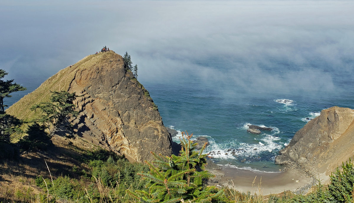
 Overview:
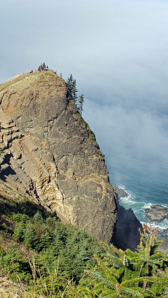
 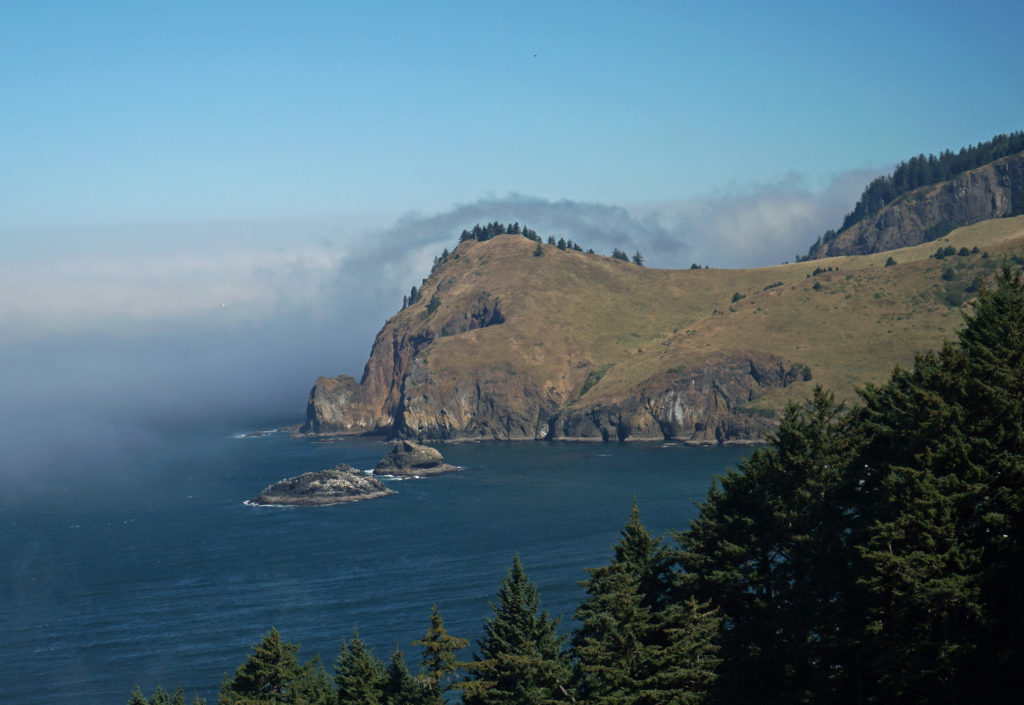 The God’s Thumb hike remained closed to the public until about a decade ago. Although people occasionally trespassed across private property to get to it, God’s Thumb remained largely unknown. But in 2013 Lincoln City purchased about 500 acres of property that was the site of a failed subdivision and negotiated an easement with the owner of the neighboring property, making God’s Thumb legally accessible to the public for the first time.
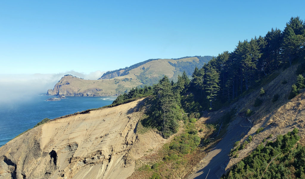 Trailhead:
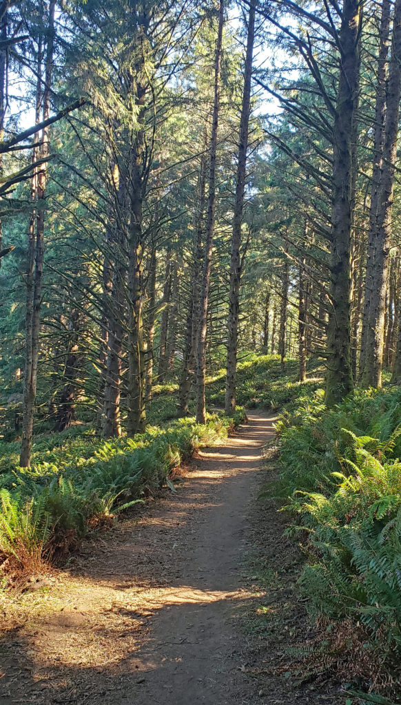 The hike:
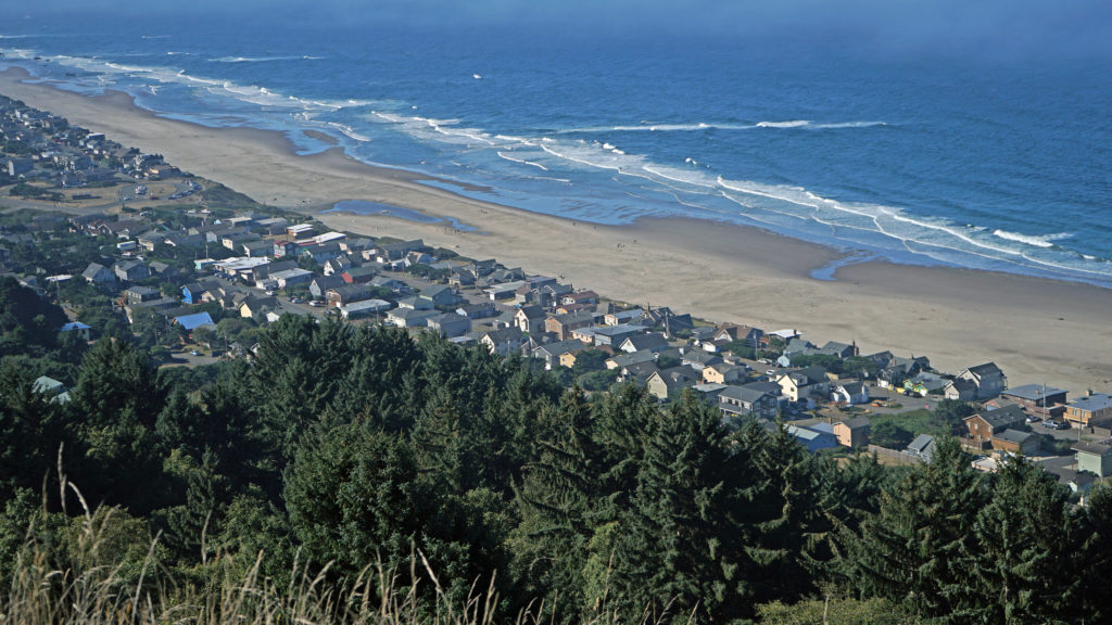 You don’t want to skip this because the view here is spectacular. The Pacific Ocean is spread out before you in all its glory. The Road’s End section of Lincoln City is directly below you. Lincoln City stretches out before you, with Devil’s Lake to the east and Siletz Bay to the south. The view extends south to Cape Foulweather. You might want to park yourself on the grassy summit and just sit for a while. Apparently, the local herd of elk also like the view because they often bed down here at night.
 When you’re done taking in the view from The Knoll, return to the main trail and continue north. This portion of the trail is on the easement granted to the city by the property owner. The trail takes you through a spruce and hemlock forest and across a small meadow. Parts of the trail are steep, but the elevation gain is modest, and most people won’t have any difficulty. You’ll soon come to a trail junction. Stay left to continue on to God’s Thumb. You’ll pass through more spruce, hemlock and alder forest, and across several grassy meadows before the trail swings to the west and comes to another trail junction. The trail to the right comes up from the private Camp Westwind on the Salmon River Estuary. Stay left at the junction and you’ll soon see God’s Thumb in front of you. Stop here and admire the view of The Thumb and the surrounding cliffs, the two coves and beaches on either side of The Thumb, and Cascade Head to the north.
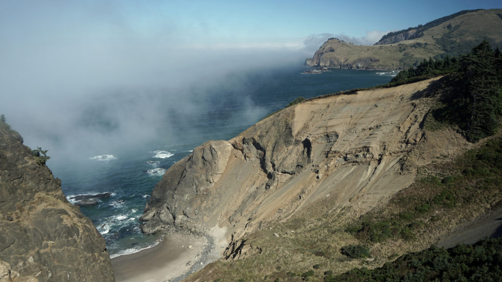 The trail then drops steeply down the slope and across along a narrow ridge before climbing very steeply up the slope to the summit of God’s Thumb. This section can be tricky to navigate and can also be slippery if the trail is wet. Some people choose not to venture down and then up to the summit. But if you do, you’ll be rewarded with magnificent views in all directions. Even if you don’t, the views you do get make the hike well worthwhile.
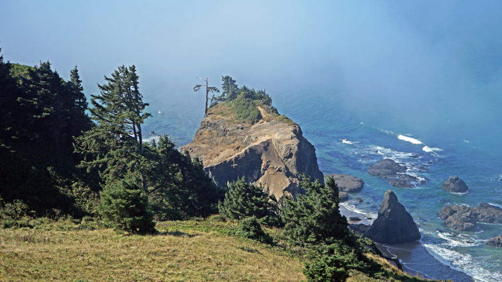 When you’re done taking in the views, return the way you came. When you reach the second trail junction, before you get to The Knoll, you have the option of taking the trail to the left for an alternate, slightly longer route back to the end of Devil’s Lake Boulevard where you left your car. Check the Oregon Hikers
 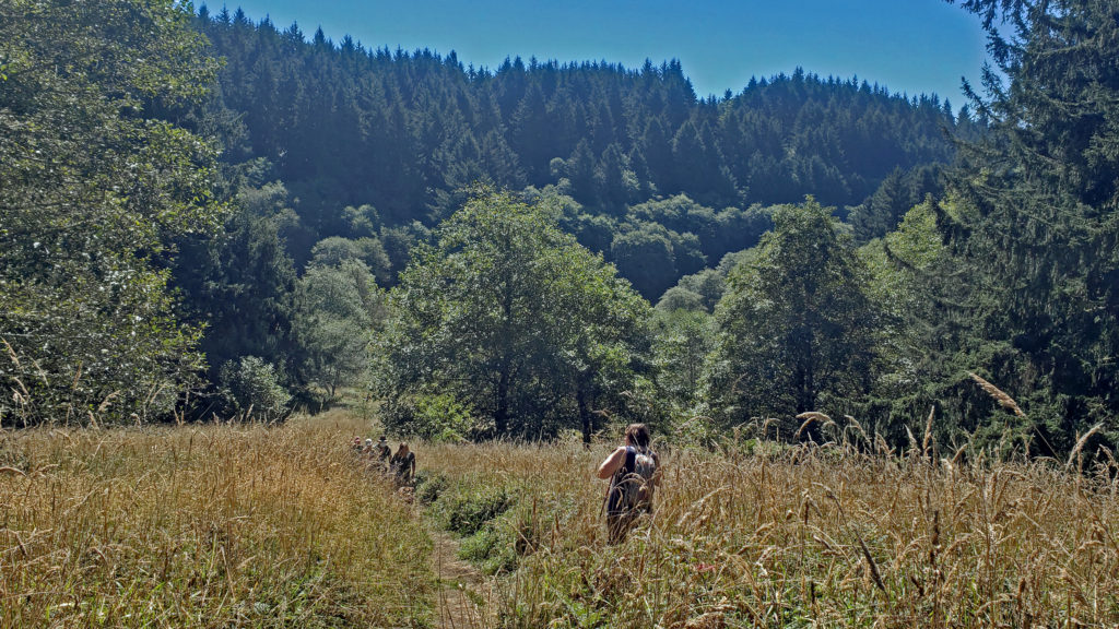 A few notes on parking:
 Other area hikes and other attractions:
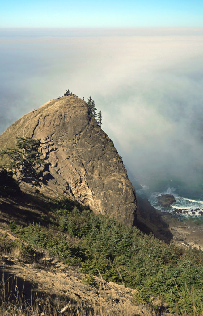
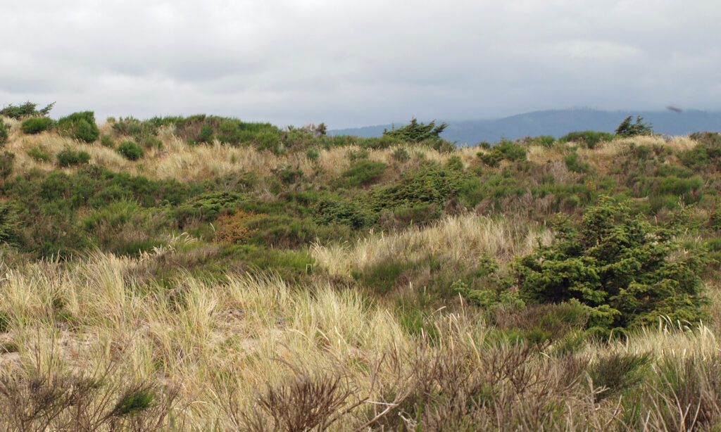
 The peninsula is now an undeveloped county park. There has never been a campground, but in the past backcountry camping was permitted. That has changed, however, and overnight camping is no longer allowed.
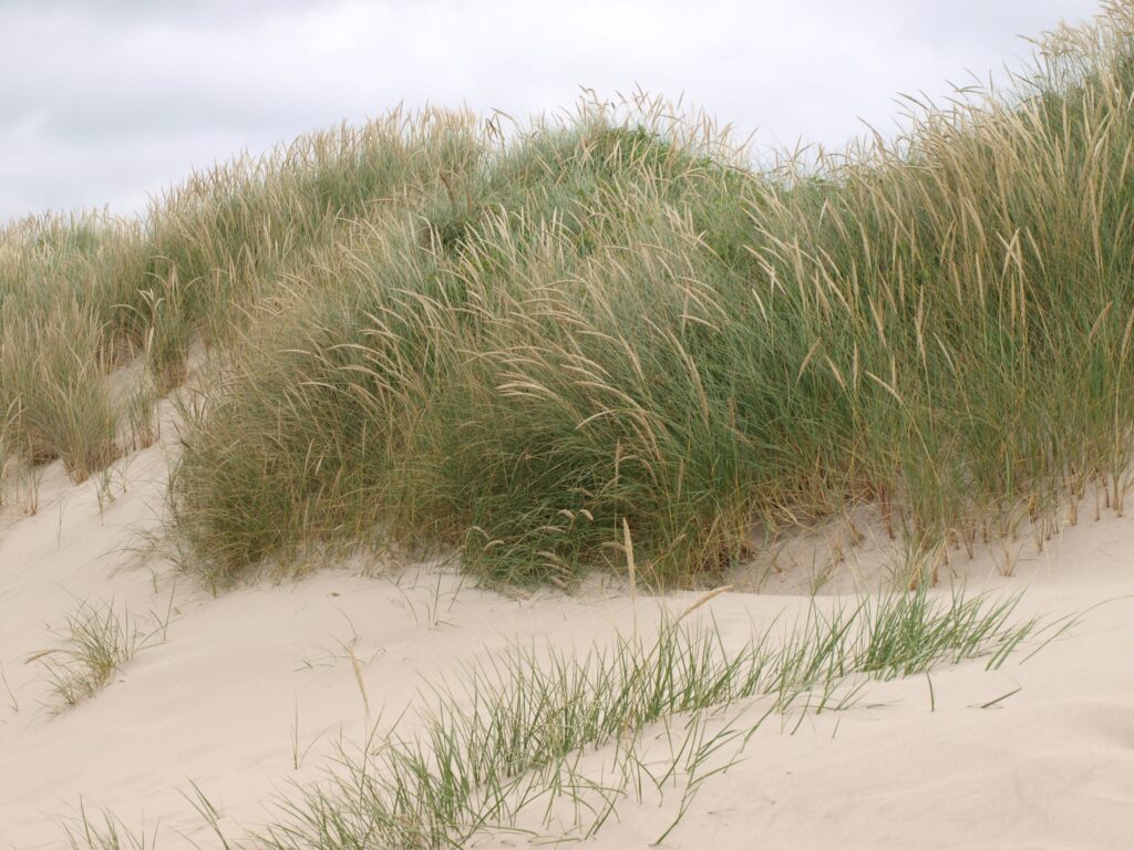 Getting there:
 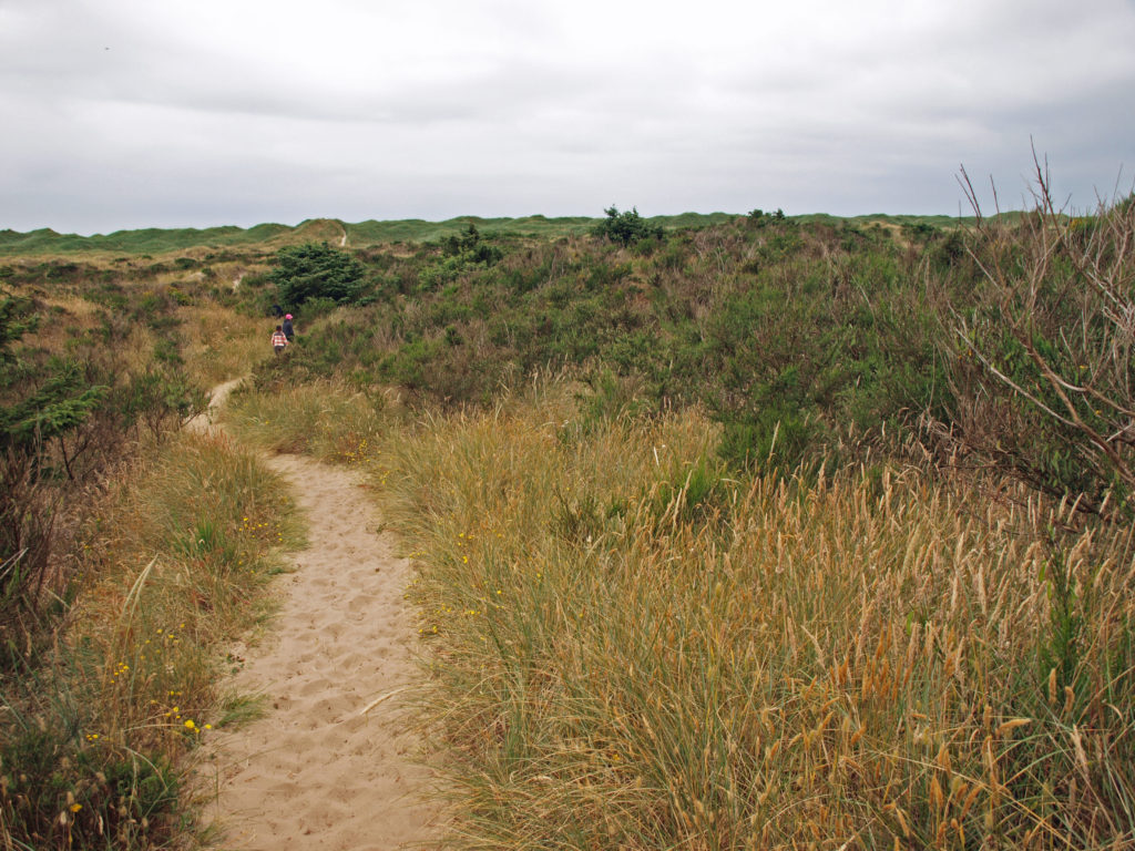 The hike:
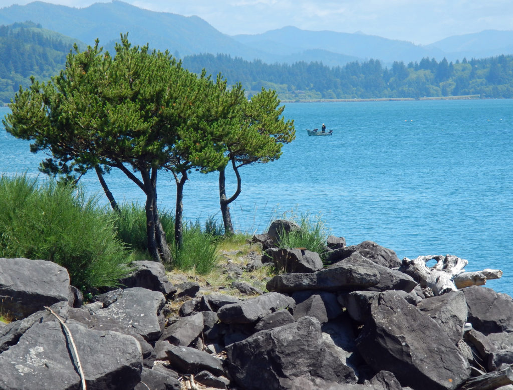
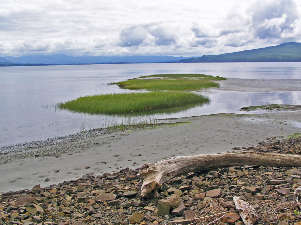
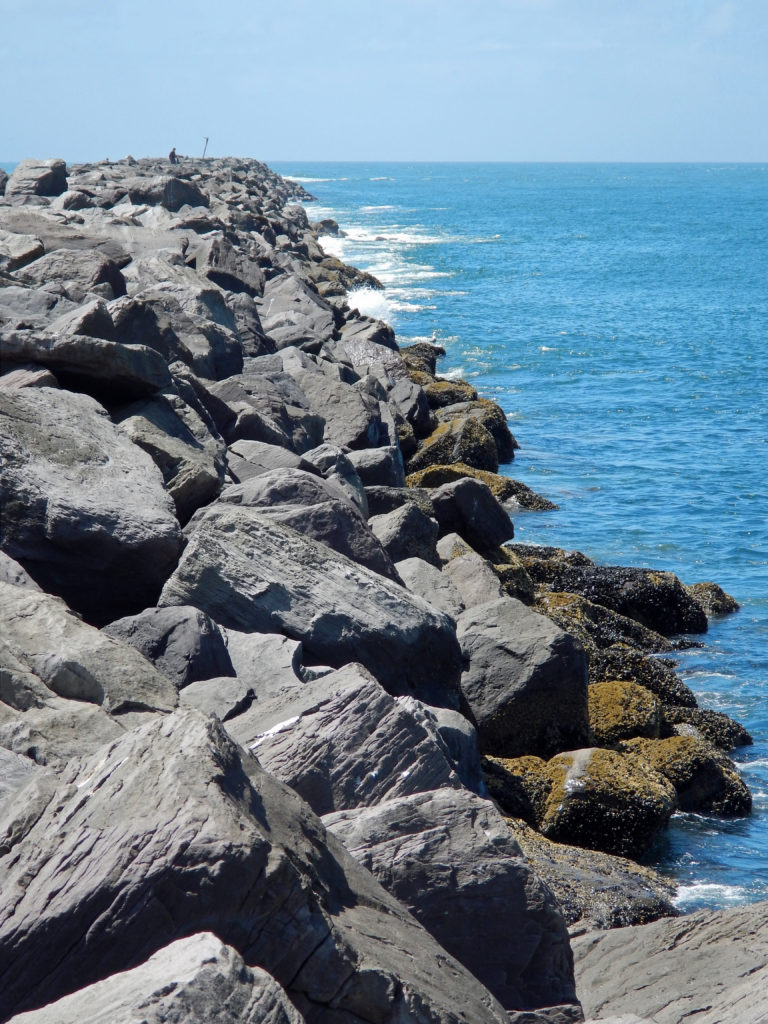 Or, continue along the beach until you reach the south jetty at the mouth of Tillamook Bay. You’ll be rewarded with one of the least crowded beaches on the entire coast. You might have the beach to yourself even on summer weekends.
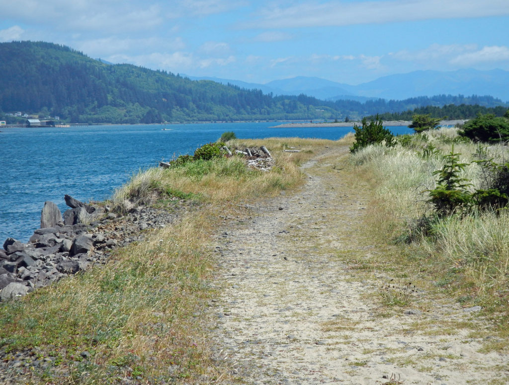 From the jetty you can return the way you came for 7.2 mile out and back beach walk or complete the 7.7-mile loop hike by following the jetty inland to the old jetty haul road and following it back to the trailhead. The road is rock and gravel with some sandy stretches. It runs along the bayshore, with good views of the shore and bay, with a couple of stretches in the pine and spruce forest of the peninsula interior.
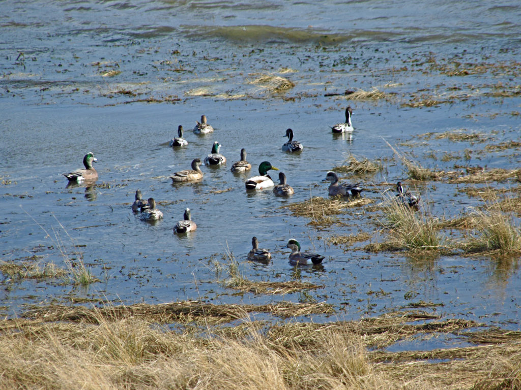 Look for ducks and geese on the water and shorebirds along the water’s edge. This is one of the best birding areas for waterfowl on the coast.
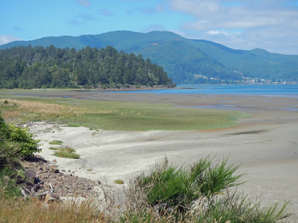
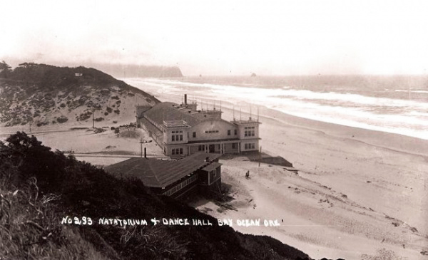
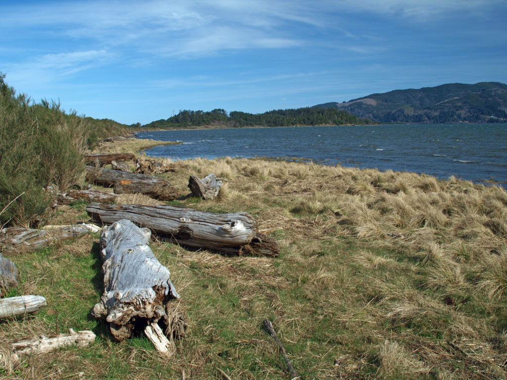 Near the end of the hike look for a sign labeled Bayocean Townsite. Here a trail leads toward the beach to the old townsite. The trail loops south through what was then the bayfront (the whole peninsula has shifted a couple of hundred yards to the east and much of the old townsite is now under the waves), then returns to the haul road, where there is an interpretive display that tells the tale of the town and its demise. From there, return to the parking area. (If you started at the town of Cape Meares, hike from the Dike Road parking area through the dunes and return to Cape Meares on the beach.)
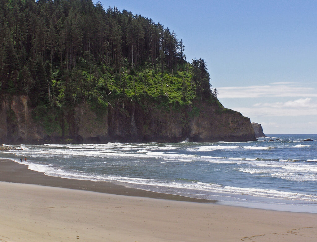
 Farther south,
 Overview:
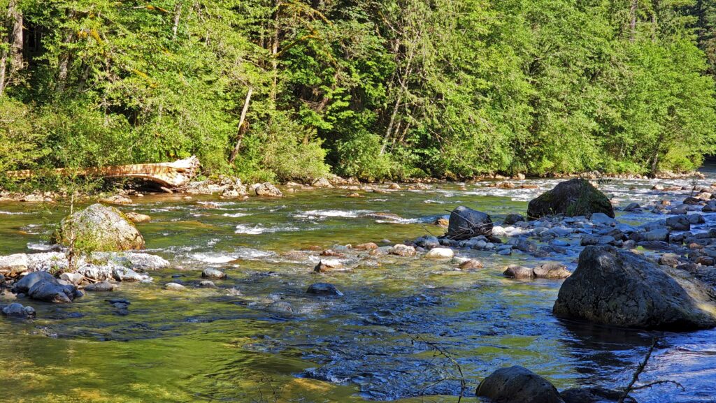
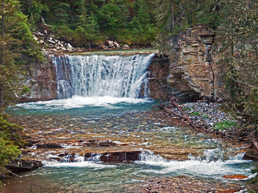
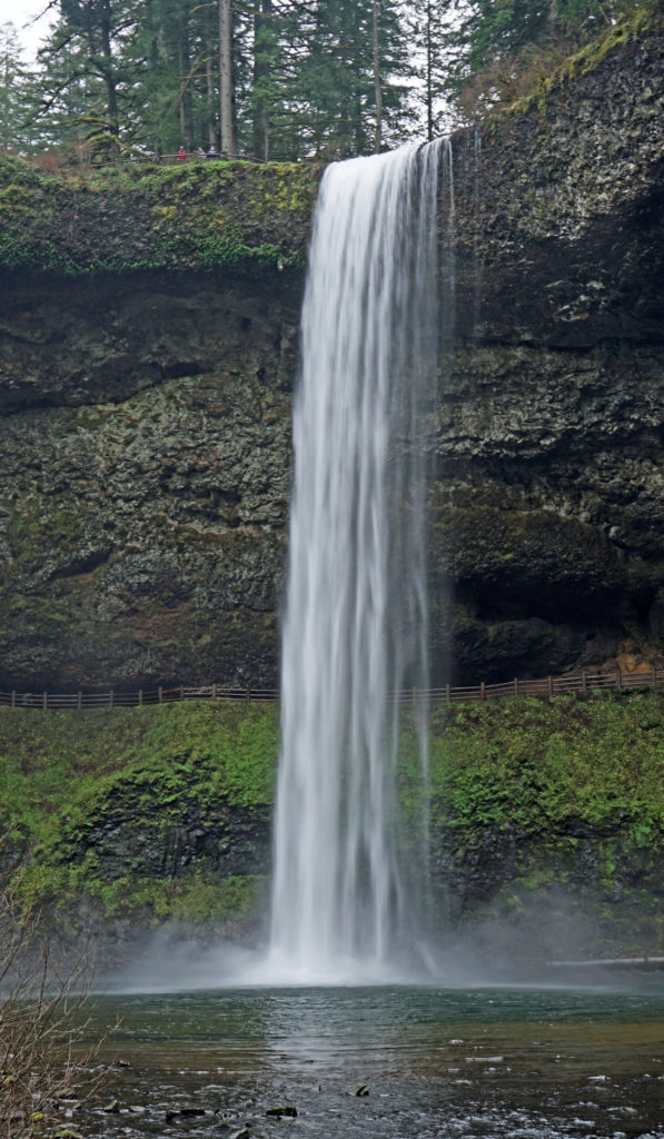
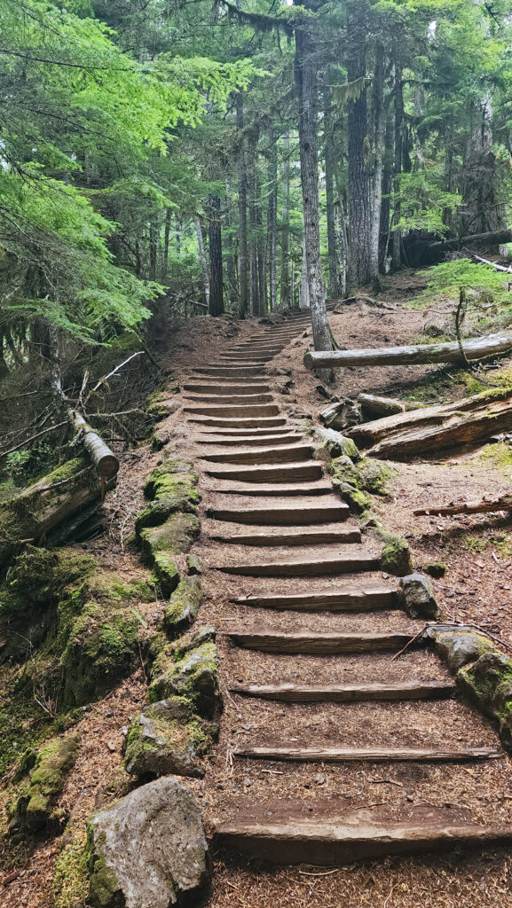
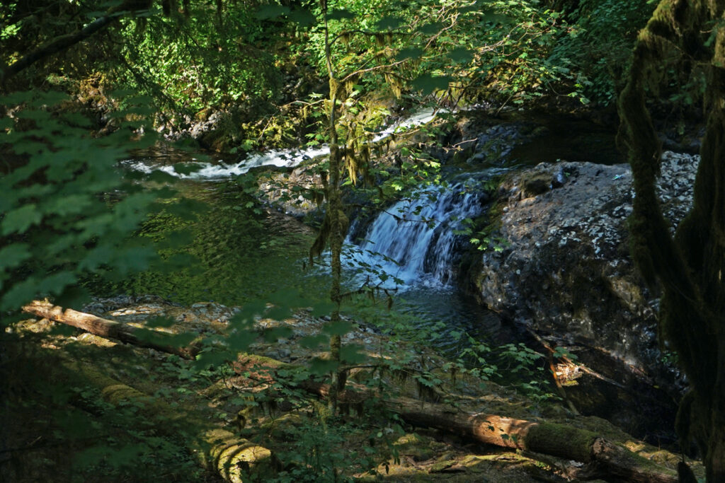
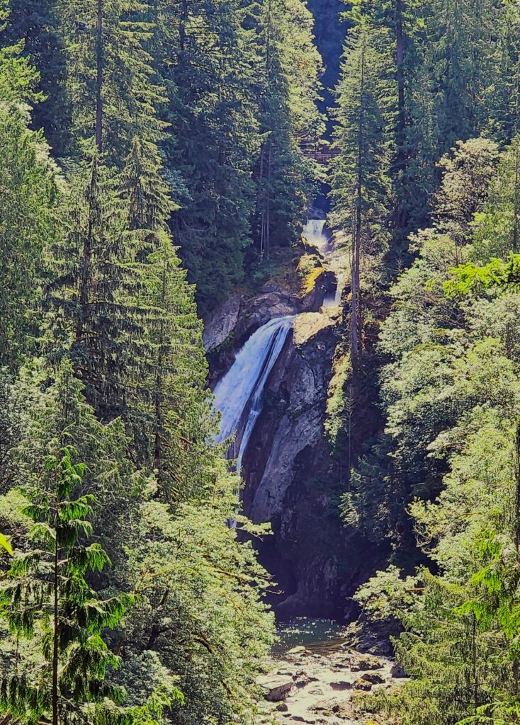
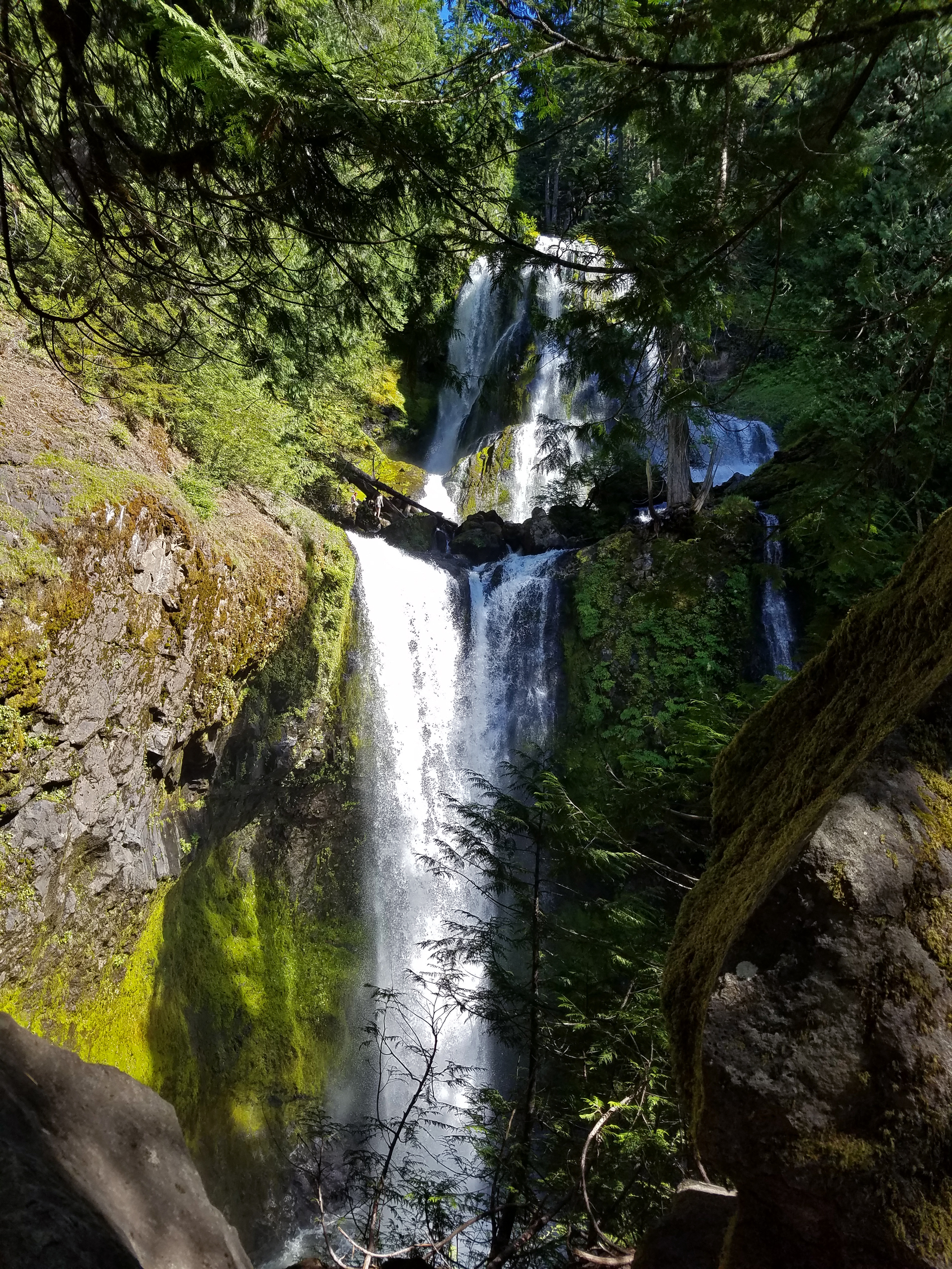
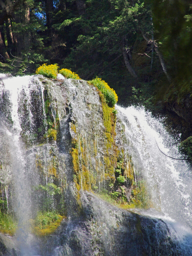
 The trail then drops back down before making a second climb to another summit. Beyond that the trail descends a series of stairs and a side trail leads down another set of steps to a viewpoint of the lower falls that is well worth the 104 steps back up to the main trail.
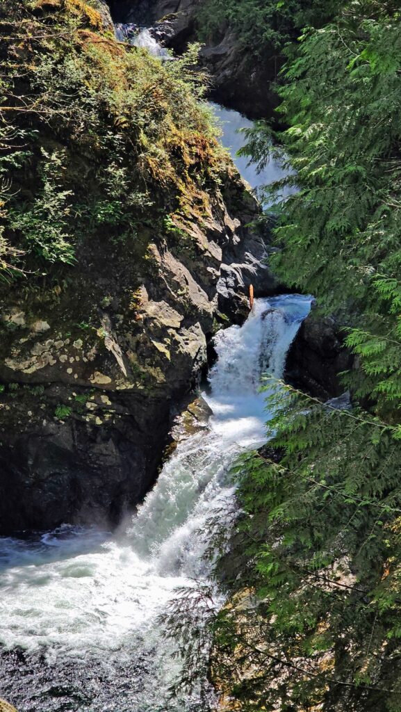
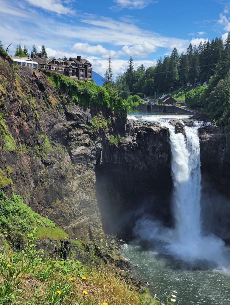
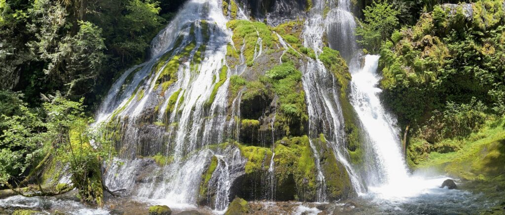
 Where: Washington side of the Columbia River Gorge
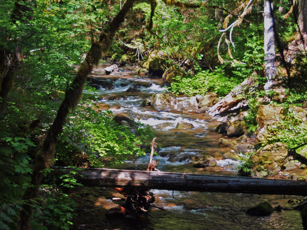 Overview:
 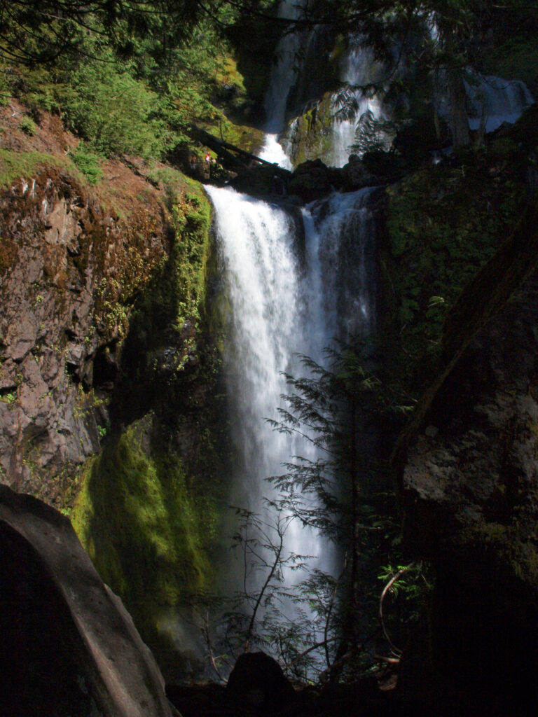 Best time to go:
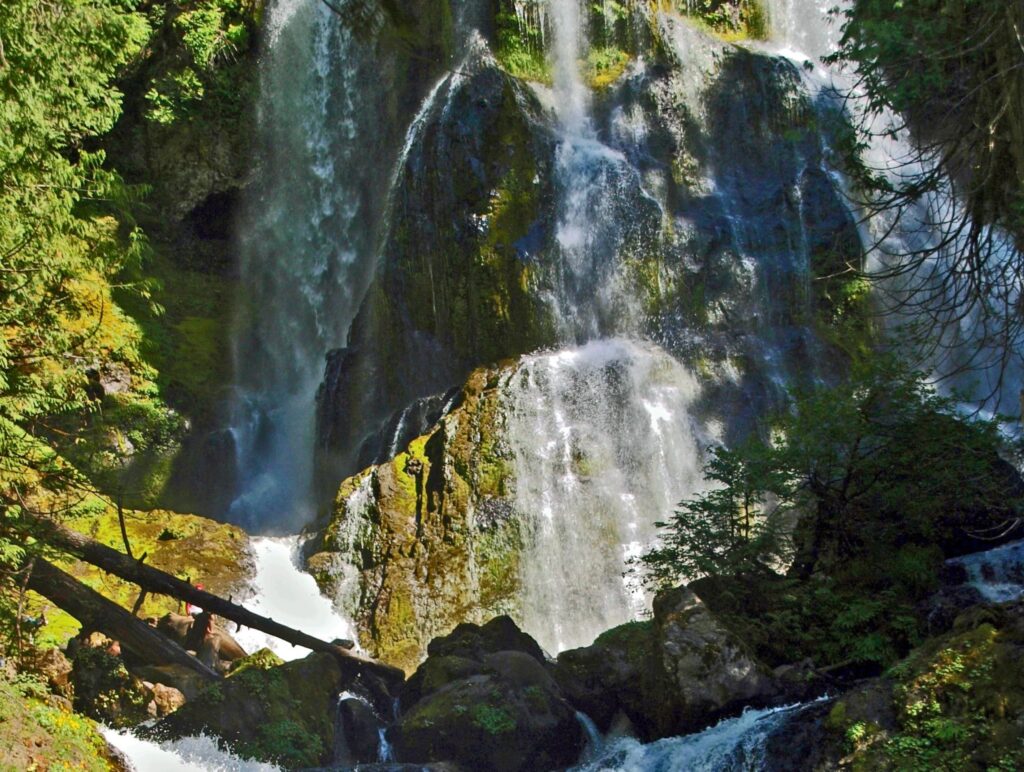
 Posted April 12, 2023 by Alan K. Lee