
Beaver Creek Loop Trail
Where: Beaver Creek State Natural Area (now part of Brian Booth State Park) on the central Oregon coast
Distance: 2.7 to 3.3 miles, depending on starting point
Elevation gain: Minimal
Difficulty: Easy
Map: Beaver Creek State Natural Area website
Overview:
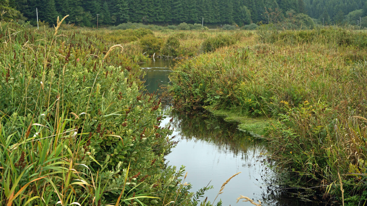
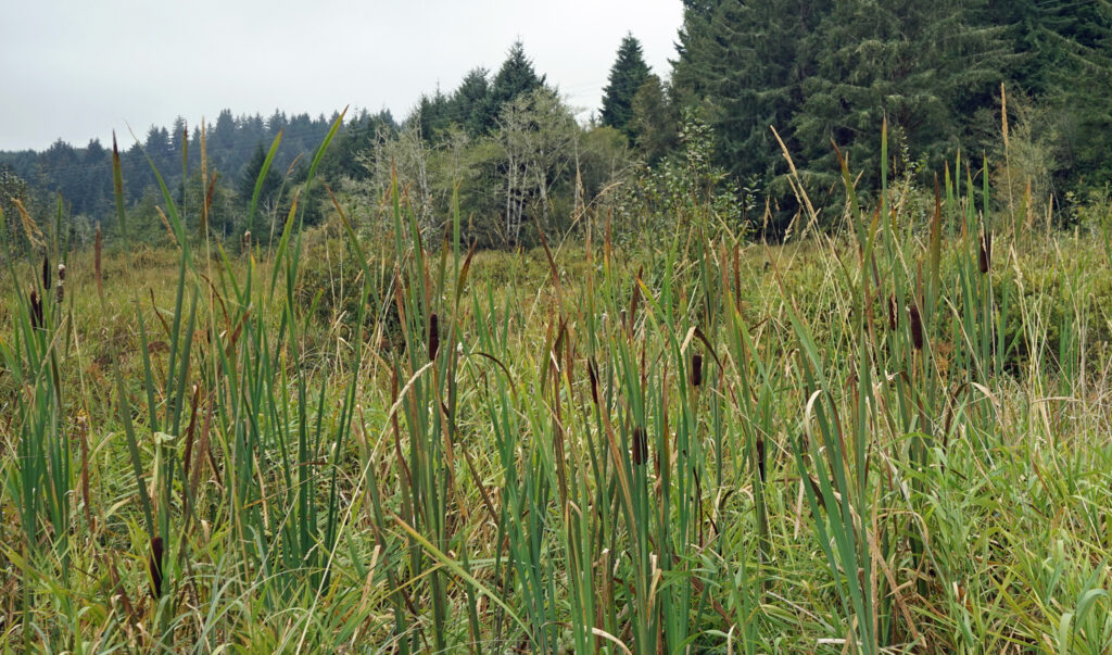
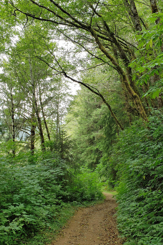
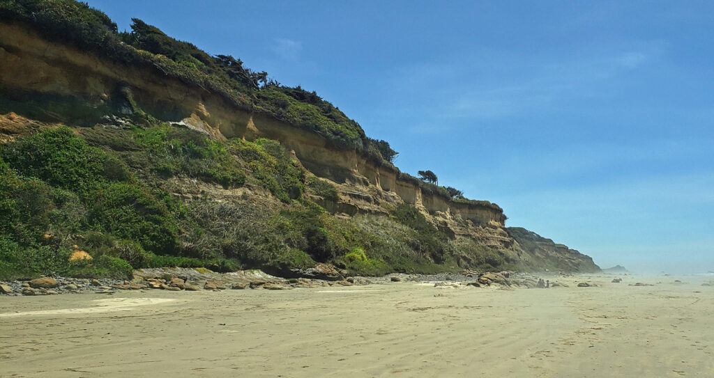
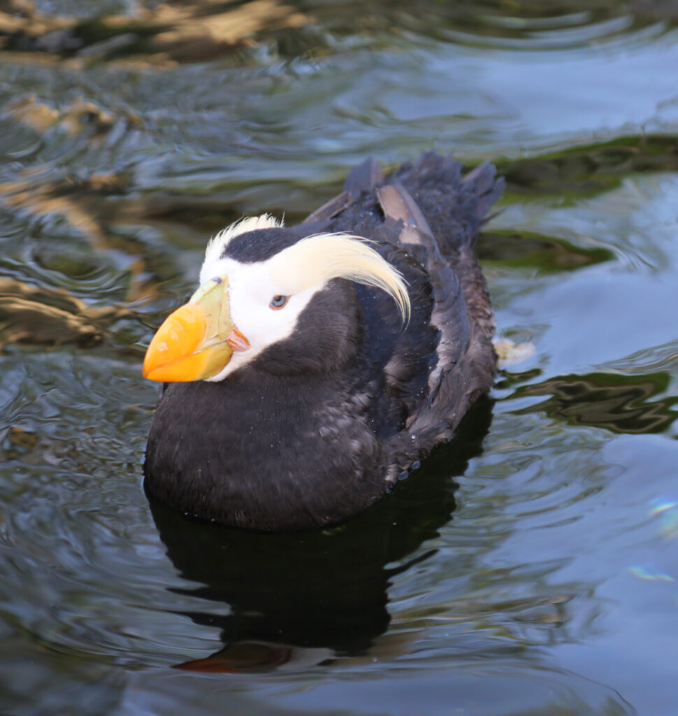
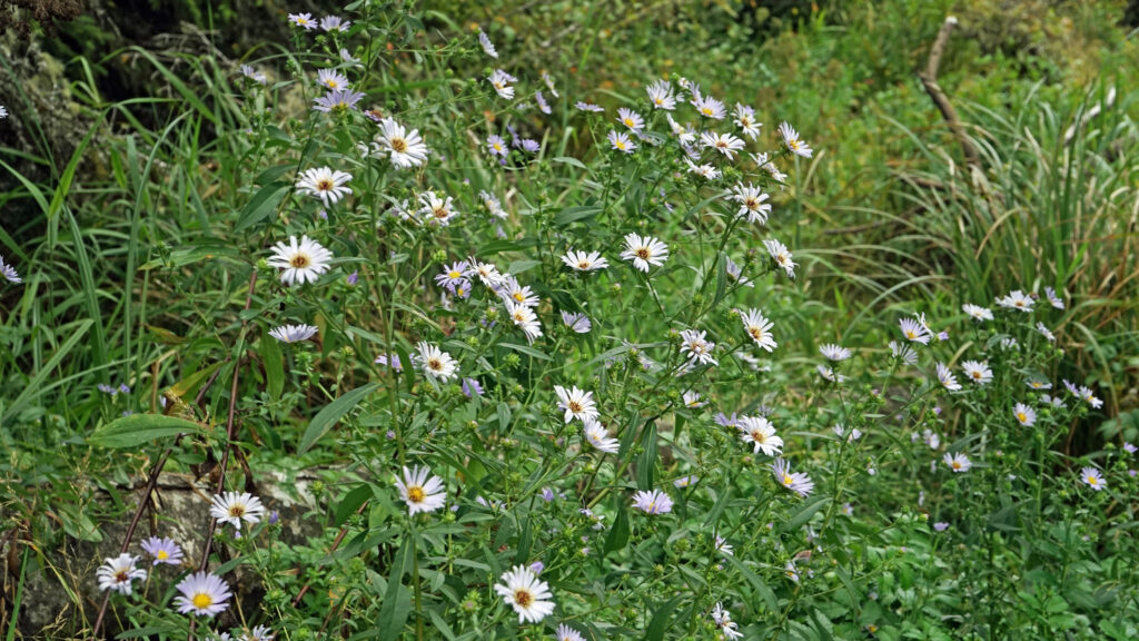
You might not find this hike in any guide book, and that is a big part of its appeal. Thousands of people flock to the Oregon coast every weekend, even in the winter, but very few will make their way to Beaver Creek. You won’t find the trails crowded, even on a sunny day when Ona Beach, where Beaver Creek flows into the ocean, is elbow to elbow with people. You won’t find an old growth forest on this hike, nor any grand views or waterfalls. The woods and marsh are pretty enough, but can’t compete with the scenic attractions of the beaches and headlands only a few miles away. But what you will find at Beaver Creek is peace and quiet. You may see blacktail deer, maybe a beaver or river otter in the creek, possibly a bald eagle or an osprey flying overhead. More than 75 species of birds can be found at Beaver Creek, so bring your binoculars. You’ll probably encounter a few other hikers on the trail or see people paddling the creek. But you’ll also be able to find some solitude here.
Getting there:
Beaver Creek State Natural Area is located about eight miles south of Newport, just off Hwy 101 on the central Oregon coast. At Ona Beach, turn east off of Hwy 101 onto North Beaver Creek Road instead of west into the beach parking lot. In 1.2 miles, you’ll come to the park’s visitor center (called the Welcome Center) on your right. The visitor center is open daily from 12:00 to 5:00. The staff will be happy to answer any questions you may have. You can get a map and brochure there, but I’d print out the map from the park website (linked above) before you leave home just in case. The first time I hiked this loop I didn’t have a map. The trail junctions we’re signed for the most part, but there were a few places where a map would have been a big help.
Trailheads:
You can start the hike at the visitor center in the summer and fall when the water level in the marsh is low. Ask at the visitor center if the trail across the marsh is passable.
There’s also a parking area along the road a few hundred yards east of the Welcome Center, so you can also start the hike there if you choose. You may also be able to get a map at the kiosk there.
From late fall through late spring the trail across the marsh will likely be submerged. If so, head back toward the beach on North Beaver Creek Road. In about a quarter mile, turn left onto South Beaver Creek Road. In just over one mile, look for a gate on the left side of the road with an Oregon State Park sign. Park at a pullout on the right side of the road just beyond the gate. Walk around the gate and up a service road. In a little less than half a mile you’ll come to a junction with the Beaver Creek Loop Trail on your right. You can either turn right onto the trail there (to do the loop in a counterclockwise direction), or walk up the road a couple hundred yards and pick up the trail just beyond a group of agricultural buildings (to do the loop in a clockwise direction).
The hike:
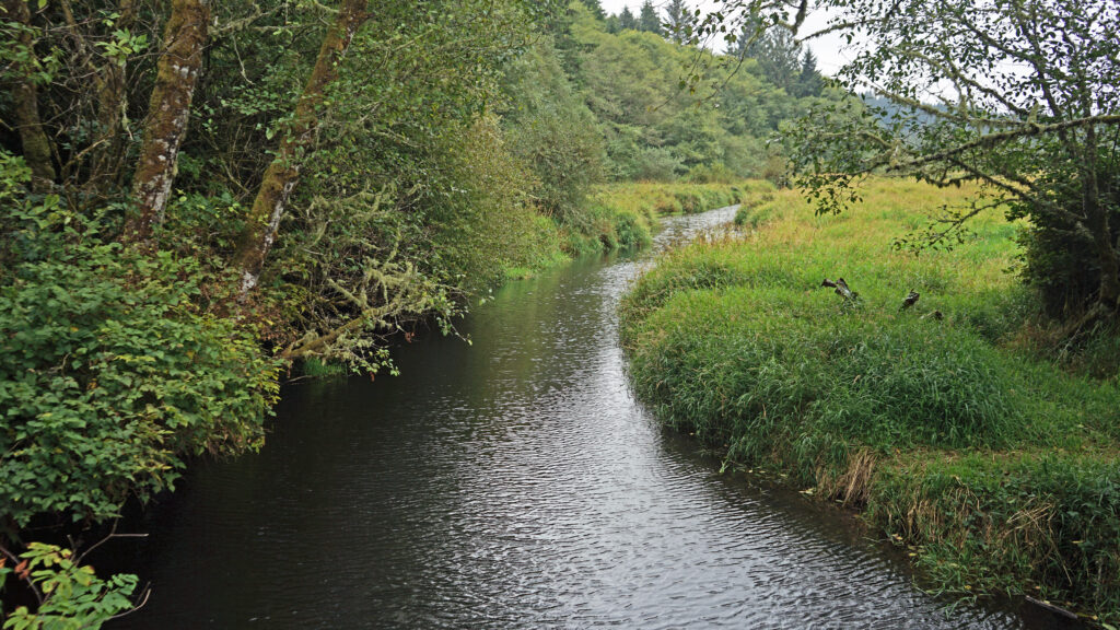
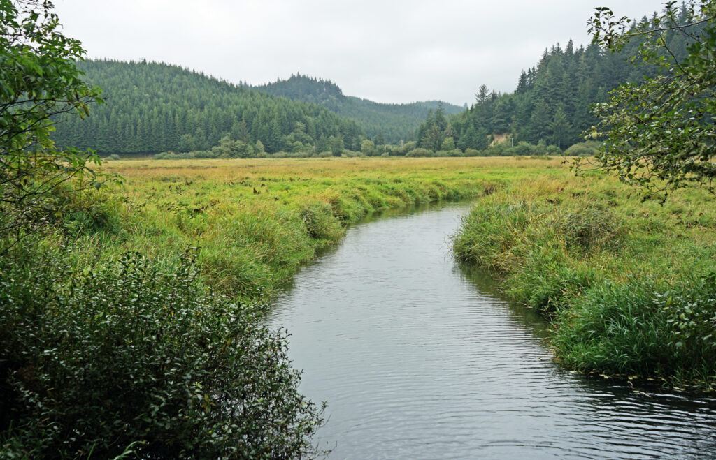
Starting at the visitor center, take the Beaver Marsh Trail east. In little over a quarter mile you’ll come to a boardwalk that takes you to a viewing platform out in the marsh. Beyond the boardwalk, the trail leads through the marsh to a bridge over Beaver Creek. On the other side of the bridge, you’ll come to a junction with the Beaver Creek Loop Trail. The loop can be hiked in either direction, but for our purposes we’ll turn right and do the hike counterclockwise.

From the bridge the trail follows an old access road (this area was privately owned until the early 2000s). In a quarter of a mile you’ll come to the junction with the North Fork Trail. If you’re pressed for time or just want a short hike, the North Fork Trail offers the shortest loop here (1.6 miles, starting and ending at the boardwalk parking area). Continuing on the main loop trail, you’ll come to the junction with the Snaggy Point Trail in another quarter of a mile. This is a popular trail that climbs 360 feet to a viewpoint overlooking the marsh and the Pacific Ocean beyond, then continues east to rejoin the main loop trail.
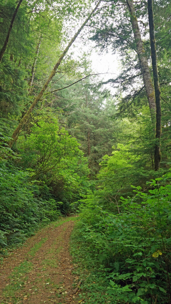
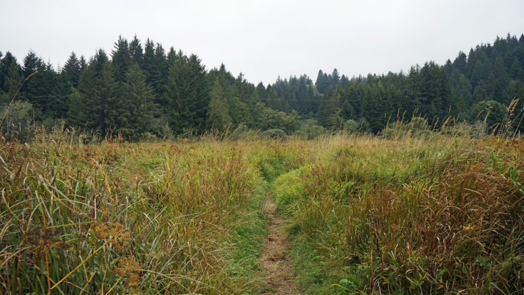
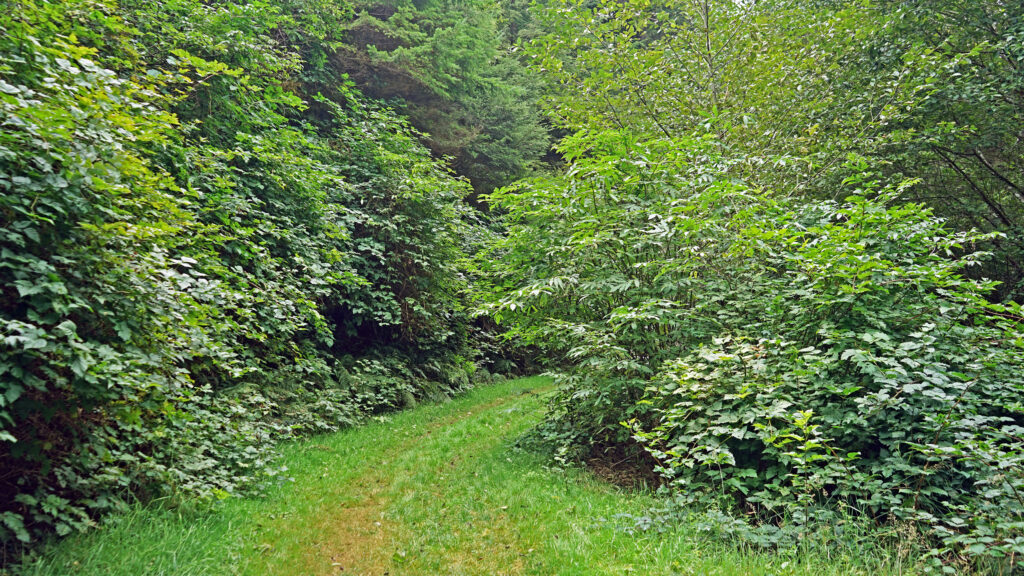
 Beyond the Snaggy Point Trail junction, the loop trail continues through the forest along the edge of the marsh to a junction with the Antler Overlook Trail, which connects to the Cooper Ridge Trail and provides another overcrossing of the upland area. The main loop trail then continues through the forest to the agricultural buildings mentioned in the winter trailhead description. Beyond the buildings walk up the service road for a couple hundred yards and look for the loop trail branching off to the left. The trail follows the edge of an open field.
In another quarter of a mile you’ll come to a junction with the Elk Meadows Trail, an 0.8 mile loop through the woods and a couple of meadows. The main loop trail continues along the eastern edge of the Beaver Creek State Natural Area for another three quarters of a mile, passing the Cooper Ridge and Snaggy Point trail junctions, to the bridge across Beaver Creek and the trail back across the marsh.
With the out and back Beaver Marsh Trail, the full hike is 3.3 miles from the visitor center, 2.7 miles if you start and end the hike at the boardwalk parking area instead of the visitor center, and 2.9 miles from the winter trailhead. Add 0.8 mile to those numbers for Elk Meadow Trail extension. You can also make it a longer hike by taking a side trip through the upland area. All together there are a little over six miles of trails to explore in the park.
Other area attractions and activities:
Besides hiking the Beaver Creek Loop and the upland trails, another way to explore the area is by canoe or kayak. Just east of Hwy 101, there is a parking area and boat ramp on Beaver Creek that is an ideal launching point. The creek is a flat water paddle with little current, so it’s a good place for kids and beginners to try their hand at getting out on the water. It’s also possible to launch a canoe or kayak at the boardwalk parking area east of the visitor center and paddle across the marsh to the creek.
And, of course, the beach is right there. Rest your legs after your hike and lounge on the sand at Ona Beach for a while and watch the waves. Or, if you’re up for more hiking, it’s only a 1.5 mile walk on the beach to Seal Rock, one of the more scenic spots on the central coast.
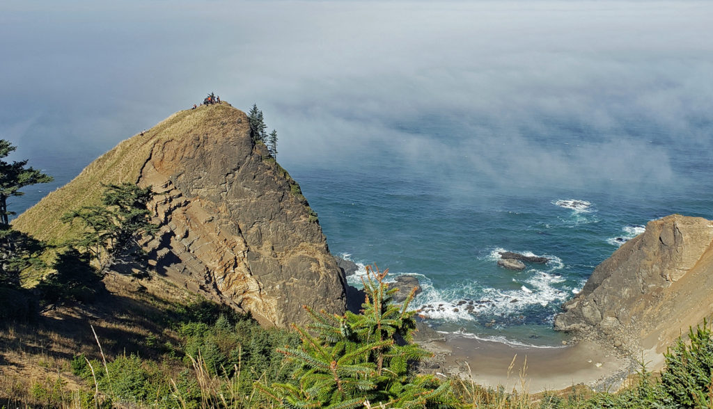
Other interesting hikes in the central coast area that could easily be paired with Beaver Creek include God’s Thumb and Drift Creek Falls in the Lincoln City area. (Look for a post on the Drift Creek Falls hike later this spring.)
And in the South Beach section of Newport, just south of the bay bridge, there are two attractions well worth a stop on your way to or from Beaver Creek. The Oregon Coast Aquarium is one of the Pacific Coast’s premier aquariums, and Oregon State University’s Hatfield Marine Science Center is home to one of the country’s top marine science education and research programs. The Oregon Coast Aquarium is open 10:00-5:00 daily. Ticket prices range from $15 for children 3-12 to $25 for adults. Admission for seniors (65+) and teens (3-17) is $20. Infants and toddlers get in free. Tickets can be purchased online or at the gate. The visitor center at the Hatfield Center is open 10:00-4:00 Thu-Mon. Admission is $5 (ages five and up) and tickets need to be purchased online on the center’s website.
 Posted March 14, 2023 by Alan K. Lee
All photos ©Alan K. Lee, except as noted