
Champoeg Riverside Trail
Where: Champoeg State Heritage Area, Oregon
Distance: 3.2 miles (approximate)
Type: Out and back
Elevation gain: Minimal
Difficulty: Easy
Map: The park map and brochure is available online at the park website and at the park visitor center.
 Overview:
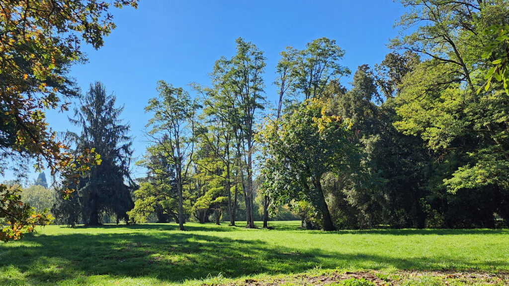
The Champoeg Riverside Trail along the Willamette River in Champoeg (pronounced sham-poo-ee) State Heritage Area is an easy family and pet friendly hike with little to no elevation gain. The trail features some good views of the river and is a good year-round option for hikers, close to both the Salem and Portland metropolitan areas. Champoeg State Heritage Area is also one of the most significant historical sites in Oregon (see below).
 Getting there:
From Portland or Salem, proceed to Exit 278 (Aurora-Donald) on Interstate-5, go west on Ehlen Road for 3.5 miles, then turn right onto Case Road and follow it to Campoeg State Heritage Area. The park can also be reached from Newberg by taking Oregon Hwy 219 south for four miles to Champoeg Road, then east on Champoeg Road for two miles to the park entrance.
 Trailhead:
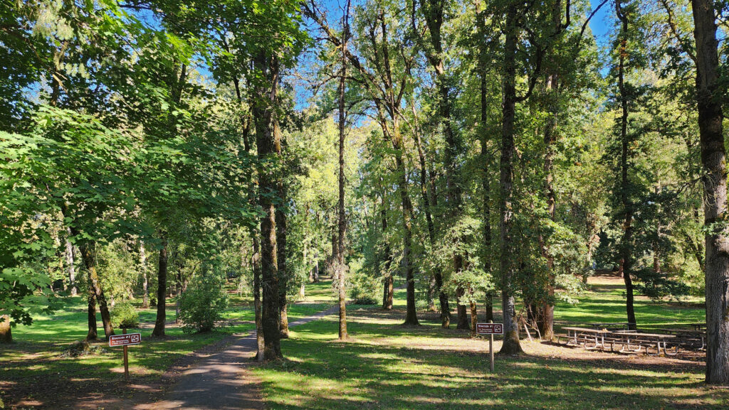
Inside the park, follow signs to the Riverside picnic area. Restrooms and water are available at the parking area. An Oregon State Park day-use pass ($5/day or $30/year) is required.
 The hike:
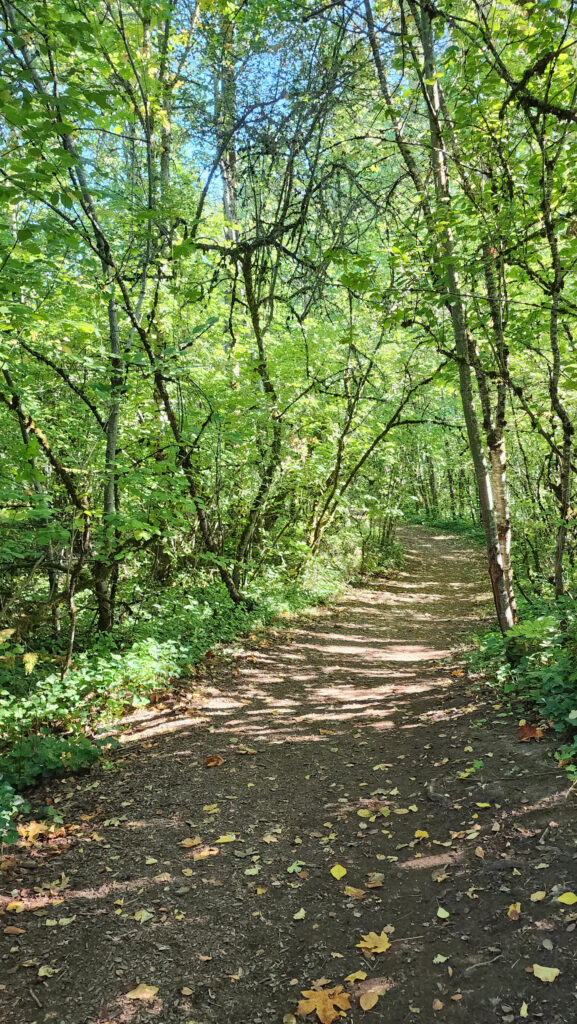
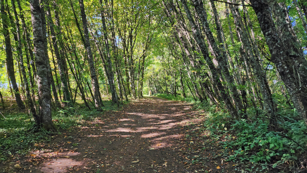
From the Riverside parking area there are several trails leading to the riverbank. Once there, turn right and follow the packed dirt and gravel trail along the riverbank east to the Townsite picnic area at about the quarter-mile mark. Continue east through the parking area and pick up the Townsite Trail at the east end.
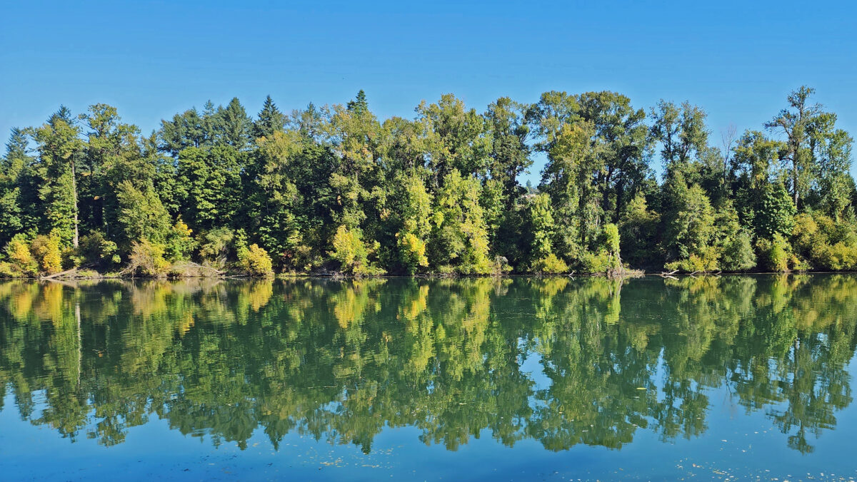
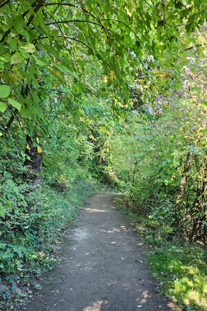
 The Townsite Trail takes you along the river through a mixed woodland of Douglas fir, bigleaf maple, and red alder with partially screened views of the river. There are several user-made trails leading down to the water, but they are steep (and dangerous if the ground is wet), so be careful if you want to get to the water for a better view of the river.
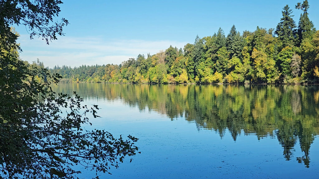
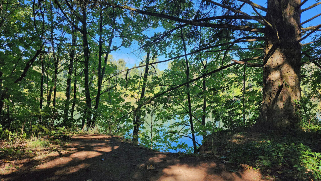
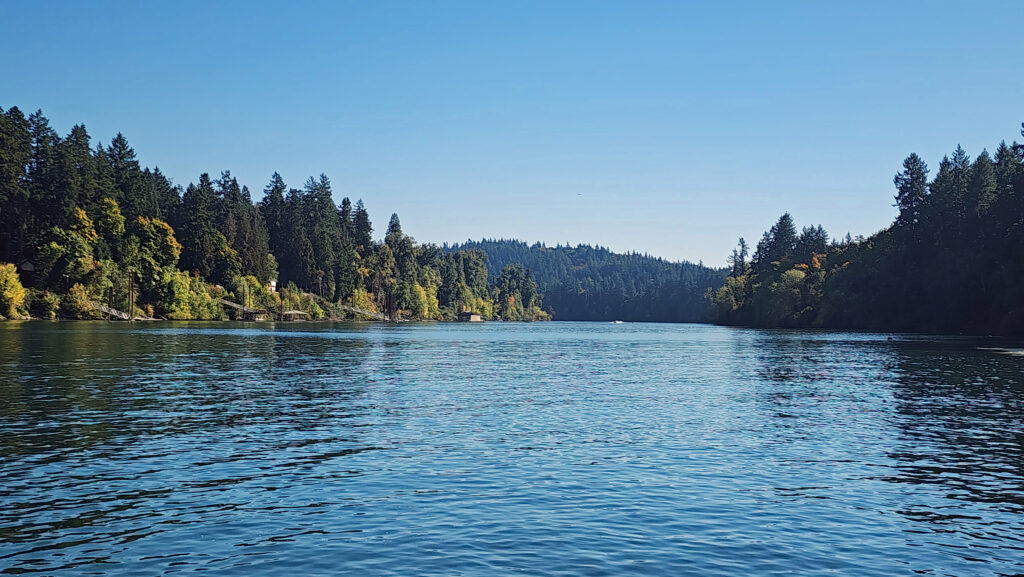 At about the one-mile mark you’ll come to an open field on your right and you’ll see a boat dock ahead on your left. There is a small parking area here with a restroom. Head down to the dock for the best views of the river on this hike.
 Coming back up from the dock, look for a trail to your left. This will take you to Champoeg Creek where it flows into the Willamette. The trail then loops back through the forest and comes out into a clearing. Follow the edge of the clearing back to the restroom above the dock. From there, retrace your route back to the trailhead at the Riverside picnic area.
 Best time to go:
Weekdays from mid-June to mid-October are best, but this is a year-round trail and a good option for winter hikes in the Willamette Valley. Summer weekends can be crowded (and hot), so go early in the day if possible. The trail can be muddy in places in the winter and spring, so hiking boots are advised, and the many side trails leading down to the water are slippery and dangerous when the ground is wet.
 Champoeg State Park:
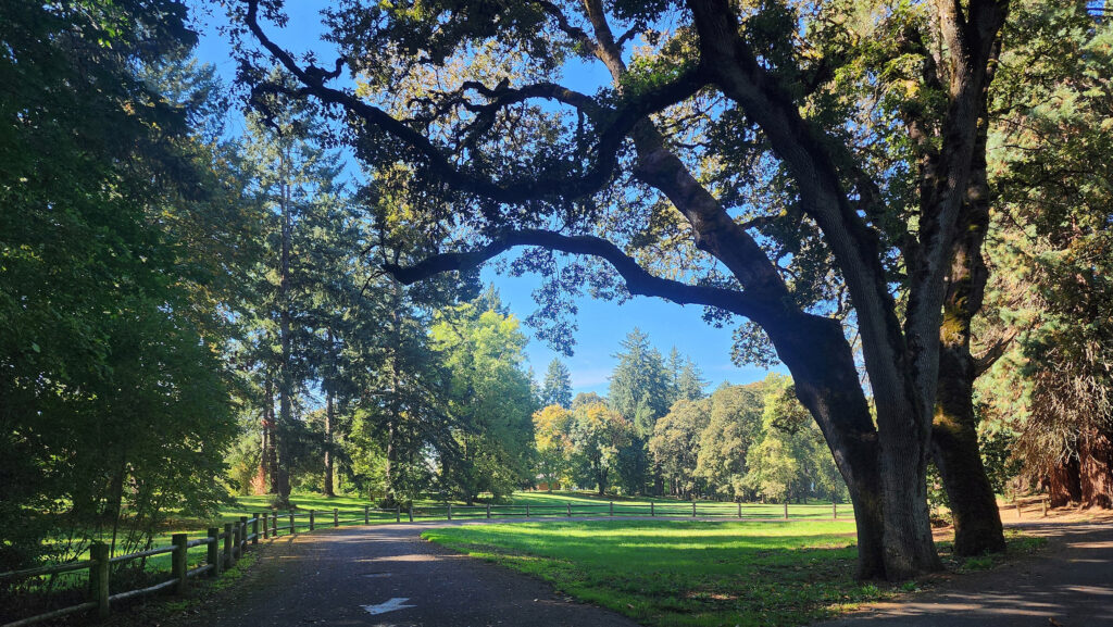
In addition to its hiking trails, the park also offers several large picnic areas that can be reserved for group outings and a 94-site campground. The park is also the site of the historic 1843 vote that led to the area becoming part of the United States rather the United Kingdom. Until that vote, the de facto government of the area was the English owned Hudson Bay Company. For more information on the area history, go to the Oregon State Parks website, or visit the Visitor Center at the park.
Other area attractions:
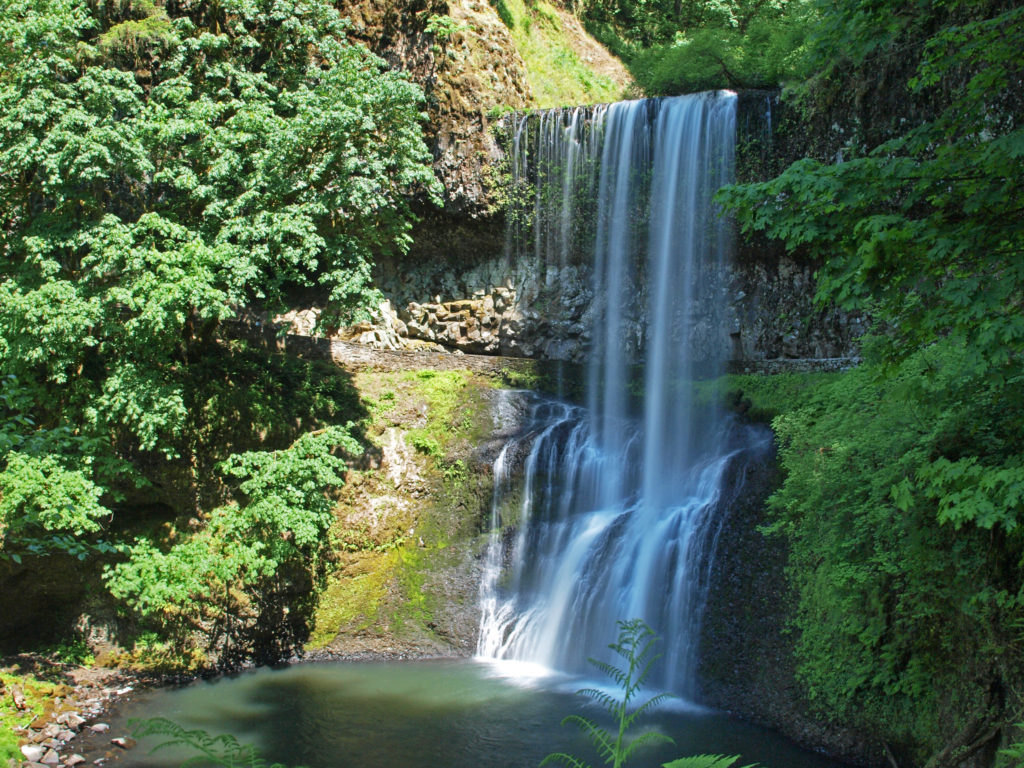
Silver Falls State Park, one of the best year-round hiking destinations you’ll find anywhere, is located about 30 miles south of Champoeg and 15 miles east of Salem. If you go, you might also want to check out the nearby Oregon Garden, located in the small town of Silverton.
 Posted October 26, 2023 by Alan K. Lee
All photos ©Alan K. Lee