by Alan K. Lee
The following is an edited and expanded version of a post first published (in a different format) on this site on December 31, 2019.
Winter Hikes at Silver Falls
Where: Silver Falls State Park, Oregon, USA
Distance: One to eight miles
Elevation gain: 300 to 800 feet
Difficulty: Easy to moderate
Map: Oregon State Parks map and brochure
Overview:
Winter is closing in, but that doesn’t mean there aren’t still good hiking options in the Willamette Valley. Silver Falls State Park near Silverton, Oregon offers a number of loops and out and back hikes from barely one mile to nearly eight miles in length that take you to one or more of the eleven named waterfalls in the park. There are also back country trails in the park offering even longer hikes (though no waterfalls). And the park is once again holding its Winter Festival in December that will offer ranger-guided hikes in the park and informational displays about the plants and animals found in the park.
Silver Falls has been called the crown jewel of the Oregon state parks system. You’ll get no argument from me. It’s a spectacularly beautiful and unique place. Where else can you see 10 (or more) waterfalls on a single hike? I grew up in Salem, about a 30 minute drive from the falls. I’ve been there countless times, and it has never failed to delight and sometimes amaze me. When I started this blog in 2018, Silver Falls was my first post.
Winter can bring snow and ice and dangerous conditions to the trails in the park. But at an elevation of about 1500 feet, the park isn’t high enough for snow to remain on the ground all winter. And on my last winter visit to the park the temperature was in the mid 40s and there was no sign of snow.
Getting there:
Silver Falls State Park is located about fifteen miles east of Salem, Oregon. Coming from Salem or south, take Ore Hwy 22 east and look for signs to Silver Falls. The turn off onto Ore Hwy 214 is about five miles east of Interstate-5. The South Falls day use area is about 15 miles from Hwy 22. Coming from the north, take exit 271 off I-5 at Woodburn. Proceed through Woodburn on Ore Hwy 214, which then takes you through the towns of Mount Angel and Silverton. The park is about 12 miles beyond Silverton.

Trailheads:
There are four trailheads in the main canyon area. By far the largest parking area is at South Falls. There is a small parking area (eight spaces) at the Winter Falls trailhead. The North Falls and new North Canyon trailheads have parking for 30-50 vehicles. There are no facilities at the Winter Falls trailhead, but the other three have restrooms and drinking water available. The South Falls area also has a cafe and a nature store. All parking areas require an Oregon State Parks day use pass. Daily passes are $5 and can be purchased at the South Falls, North Falls, and North Canyon trailheads. Annual passes are $30 for one year and $50 for two years, and can be purchased online through the at the Oregon State Parks website. (The 12-month pass increases to $60 and the 24-month pass will no longer be sold beginning January 1, 2026).
The South Falls-Maple Ridge hike:
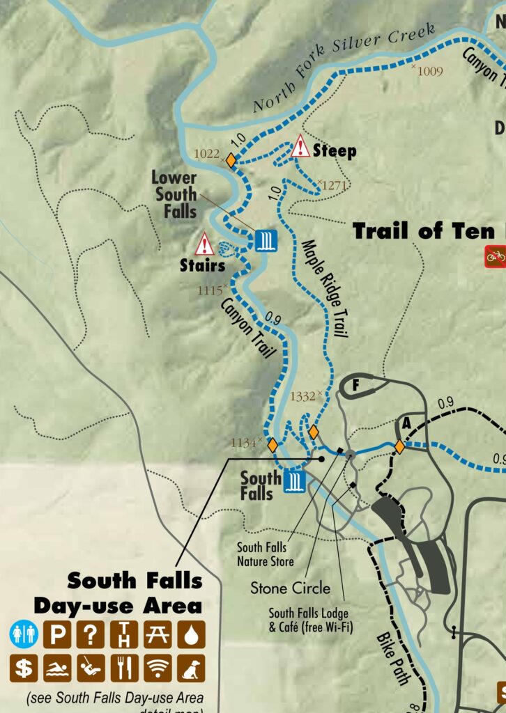
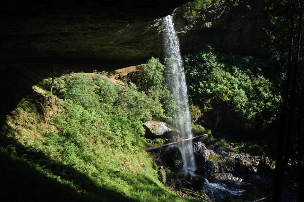
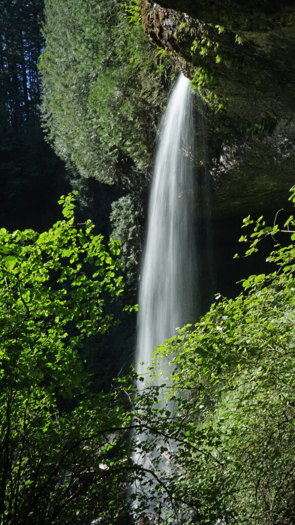
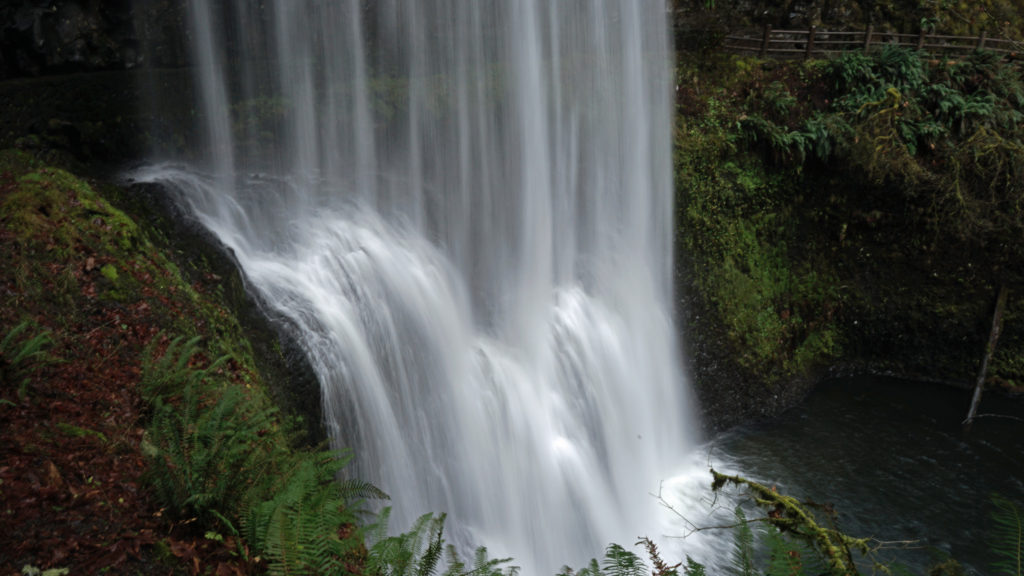
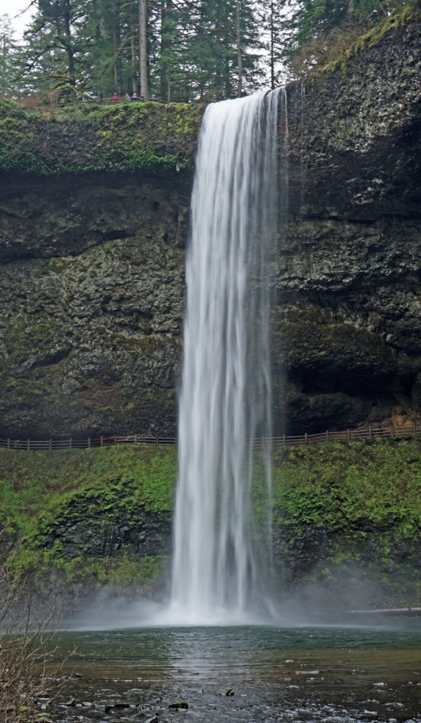
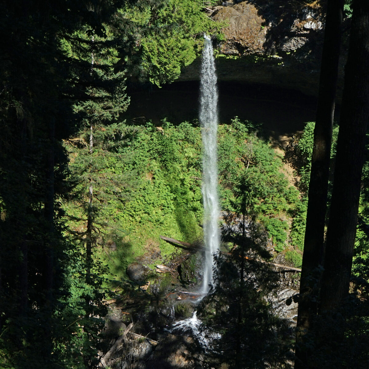
This 2.2-mile loop is a good option if you don’t have time to do any of the longer hikes possible in the park. Starting at the South Falls parking area, make your way to the creek above the falls and follow it downstream to the viewing area at the top of the falls. At 177 feet, South Falls is the highest falls on the north or south forks of Silver Creek and the second highest in the park. From the top of the falls the trail descends to a good vantage point a short way down the trail. Just below the first viewpoint look for a signed side trail to Frenchie Falls. This is the eleventh named falls and the smallest by volume, but it’s worth a look. Back on the main Canyon Trail there are several more places where you can get a good view of South Falls.

Continue down the main trail, which will take you behind South Falls. Here you will be between two layers of the Columbia River Basalt lava flows that are about 15-16 million years old. You’ll be tempted to linger behind the falls because it’s a pretty cool spot, but be prepared to get wet. Spray from the falls often soaks the whole “cave” behind the falls.
Below the falls there are several good viewpoints. Just downstream of the falls you’ll come to the first trail junction. The trail across the bridge will take you back to the parking area for a one-mile loop hike.
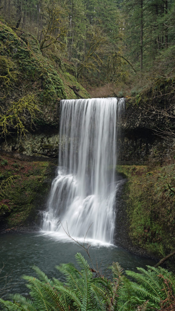
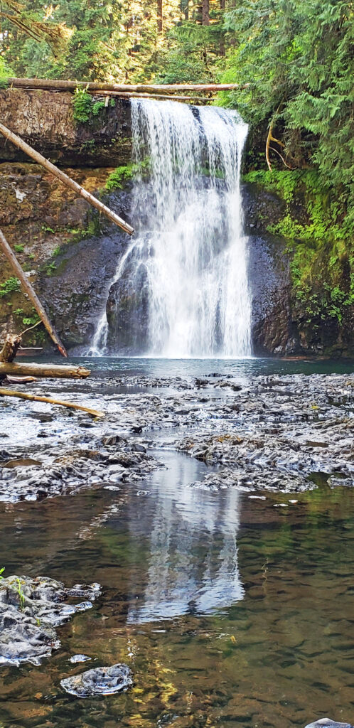
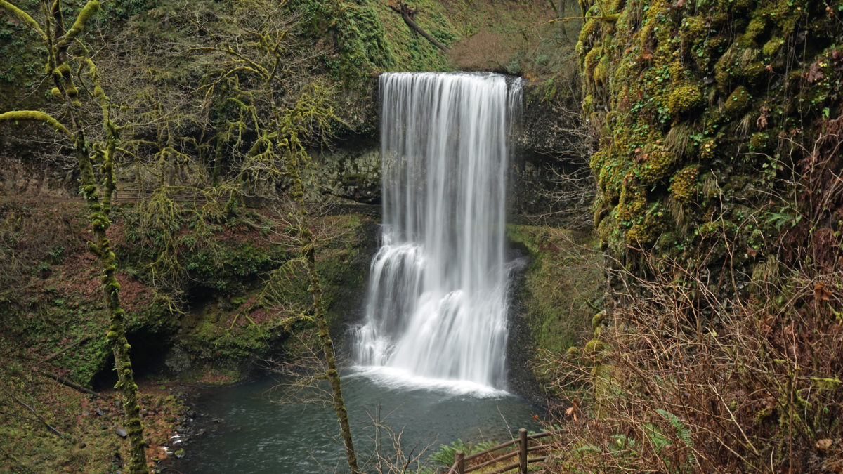
Continuing on the Canyon Trail, you’ll next come to Lower South Falls at approximately the one-mile mark. Here the trail also goes behind the falls. Below the falls, you’ll come to the junction with the Maple Ridge Trail at the 1.4-mile mark of the hike. Take the Maple Ridge Trail and climb out of the canyon.
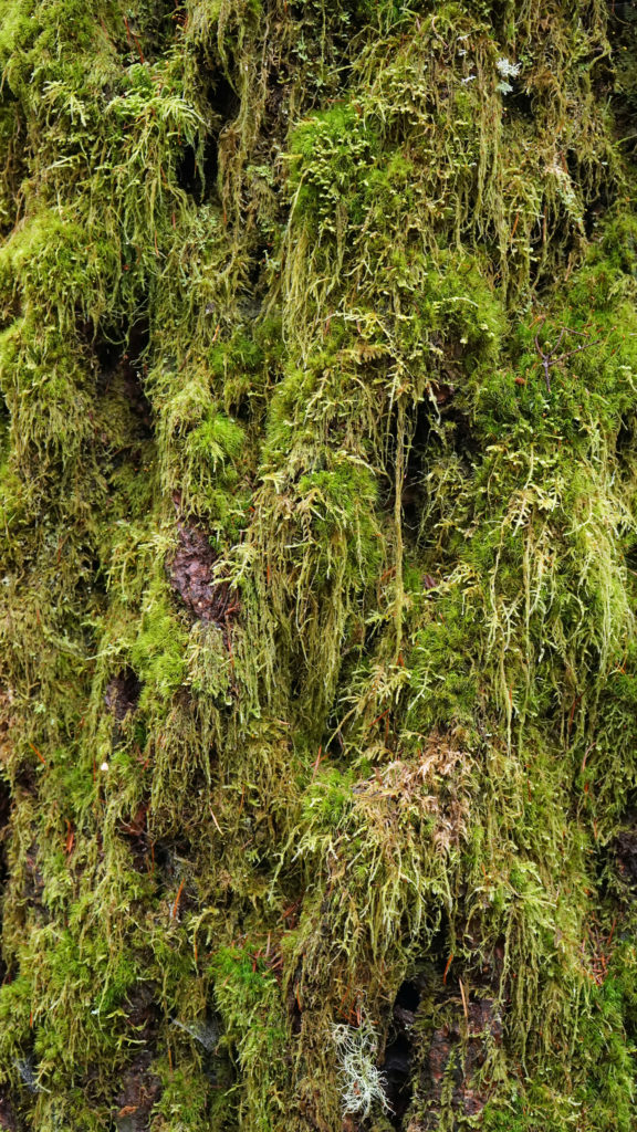
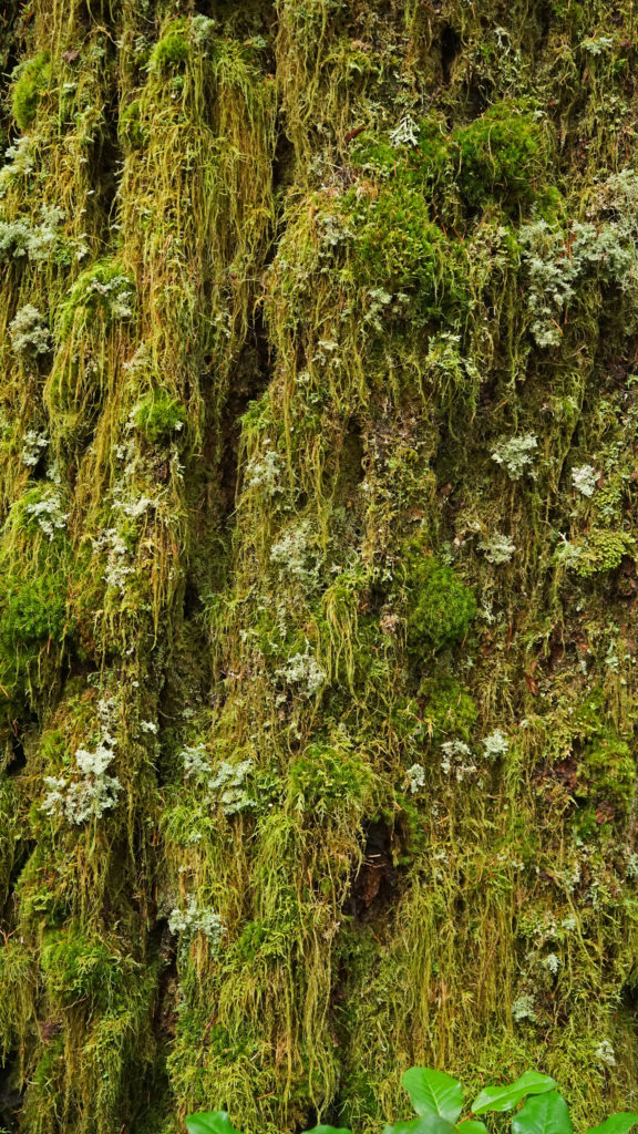
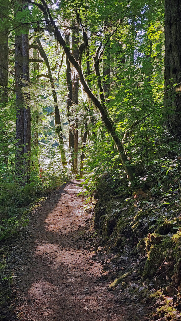
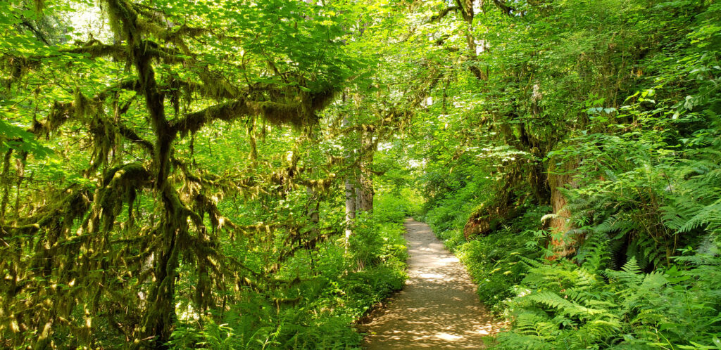
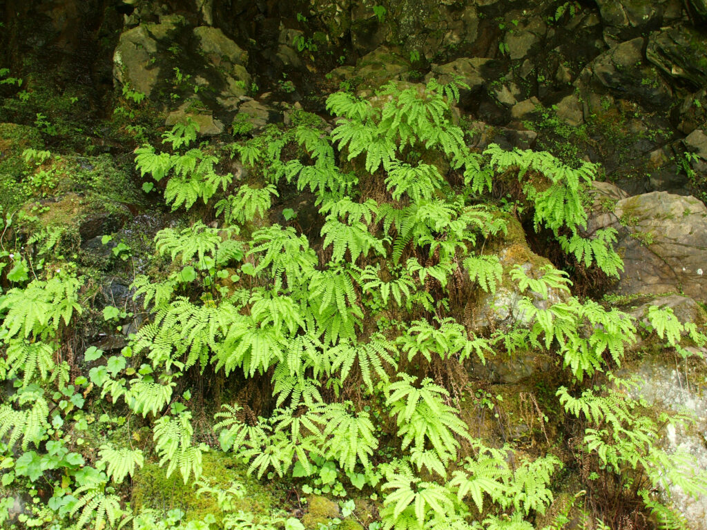
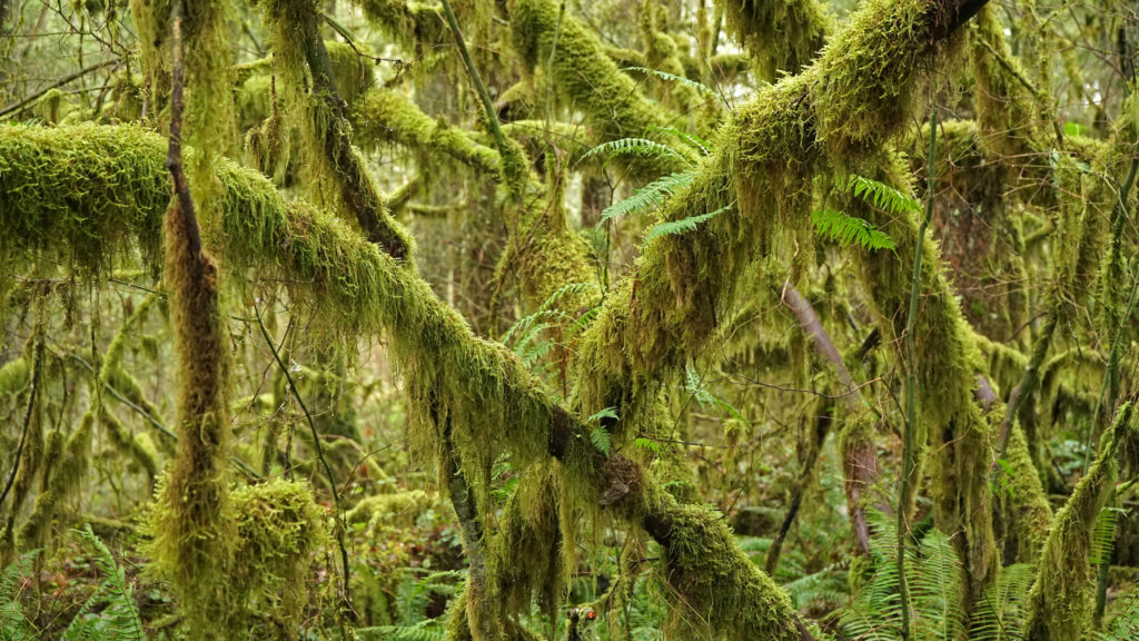
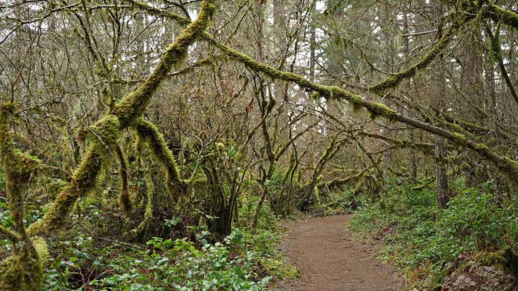
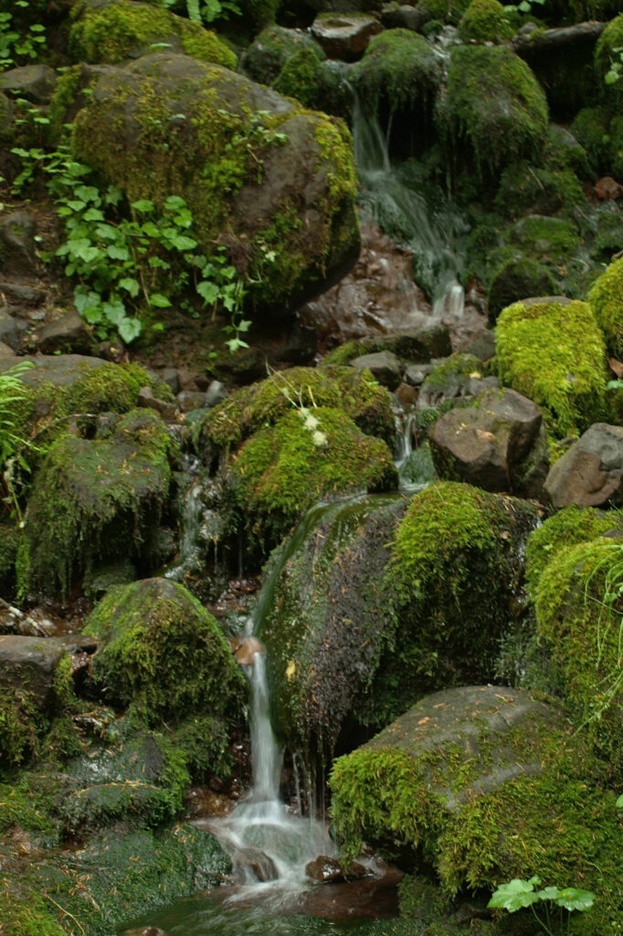
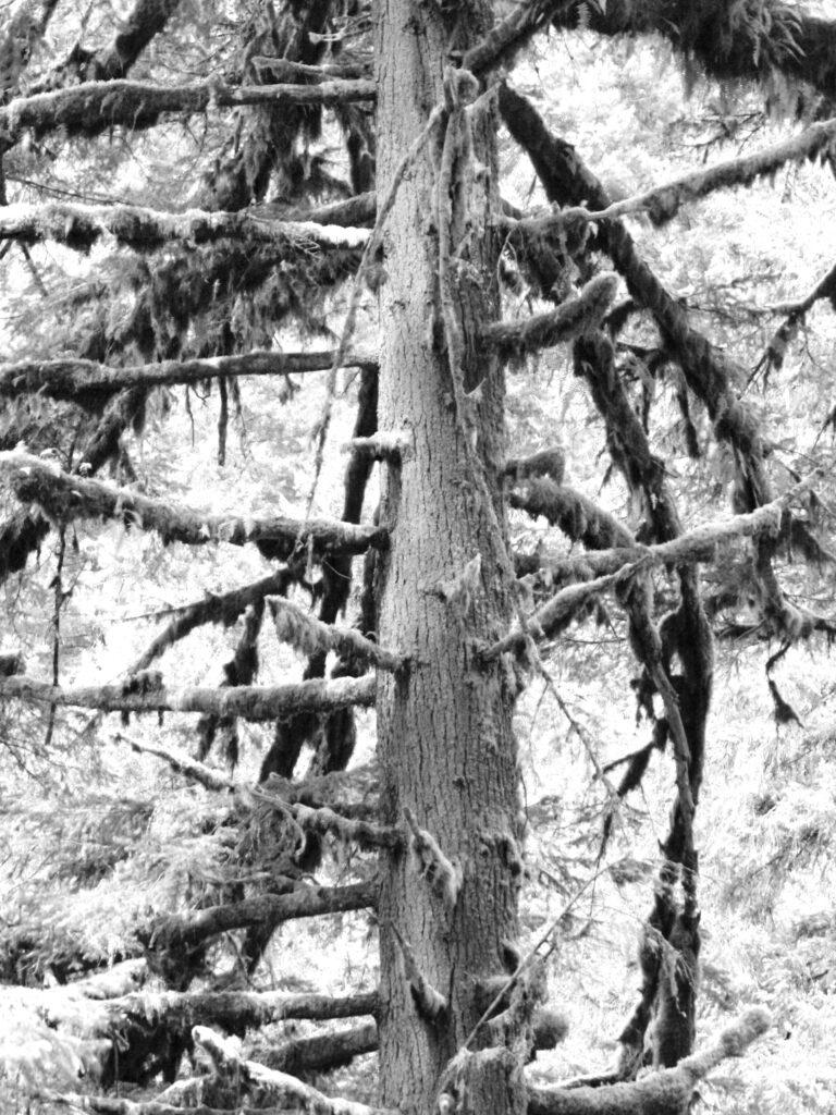
Along the rim of the canyon the Myrtle Ridge Trail takes you through a world of moss and ferns. In the summer it’s shaded by the many Bigleaf Maples and Douglas Firs that line the trail, but in the winter it’s more open and, if you’re lucky enough to get some sunshine, the moss-covered trees and rocks and the ferns can be a vibrant green that is captivating. There wasn’t any sunshine on my last winter hike there, but the moss and ferns still provided a shot of greenery that contrasts with the darker green of the conifers above. Follow the Myrtle Ridge Trail back to the South Falls day use area where you started.

South Falls-Winter Falls loop:
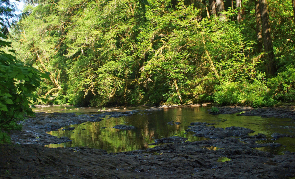
The South Falls-Winter Falls loop is a longer hike (approximately 4.5 miles) than the South Falls-Myrtle Ridge loop. Follow the trail as described above, but at the Myrtle Ridge Trail junction, continue on the Canyon Trail. Here the Canyon Trail leaves the south fork of Silver Creek and joins the north fork. Following the north fork upstream, look for an intermittent waterfall across the creek at the 1.9-mile mark.
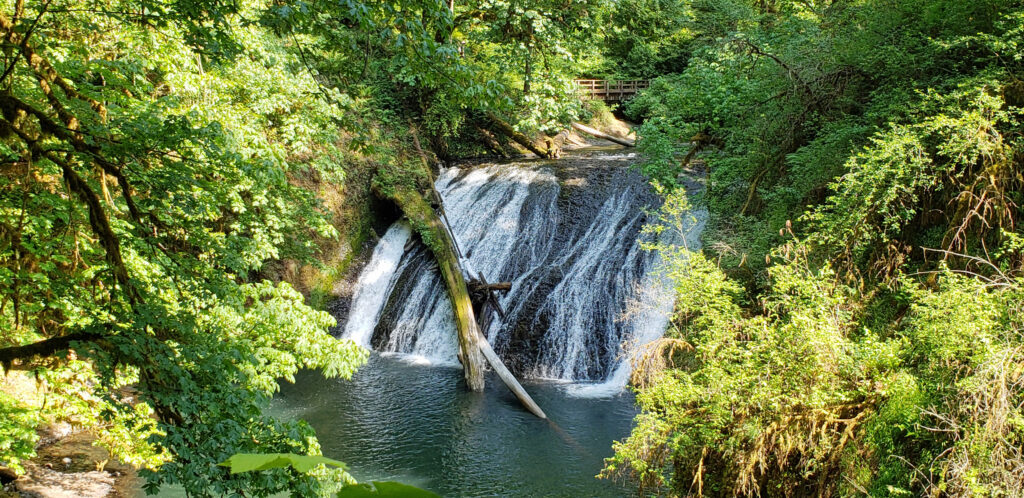
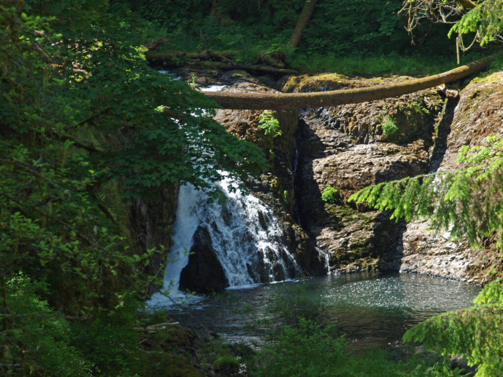
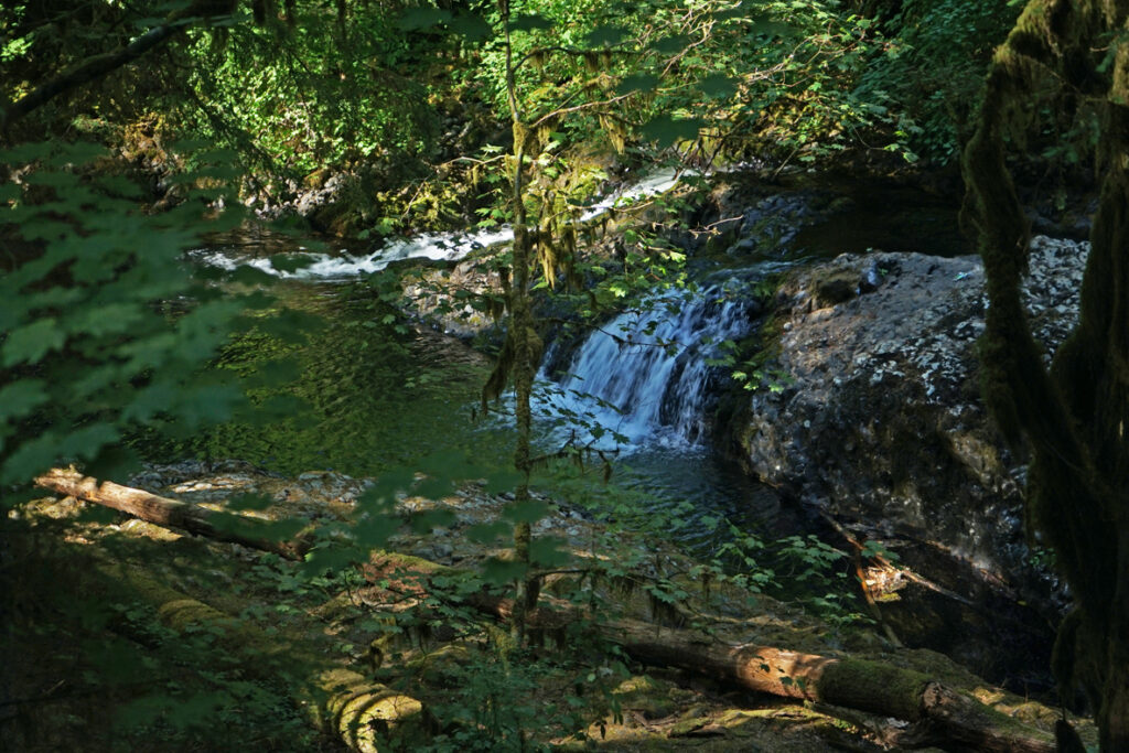
The trail then takes you to Lower North Falls (30 feet) at the 2.4-mile mark. Just above the falls a side trail leads to Double Falls, the highest in the park at 184 feet (combined drops). The volume of water flowing over Double Falls is much less than the falls on the two forks of Silver Creek, but still worth a look.

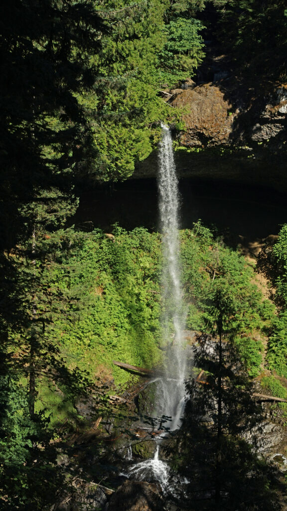
Next up is Drake Falls (27 feet), then the 106-foot drop of Middle North Falls. A side trail here leads behind the falls, but dead ends on the other side. Back on the main trail, you will come to the junction of the Winter Falls Trail at the 2.9-mile mark. Take the Winter Falls Trail to the base of the falls. Like Double Falls, Winter Falls is on a tributary creek with less volume than either fork of Silver Creek.

From the base of the falls, continue up the trail to the rim of the canyon and return to the South Falls day use area on the Rim Trail.
Other winter hikes:
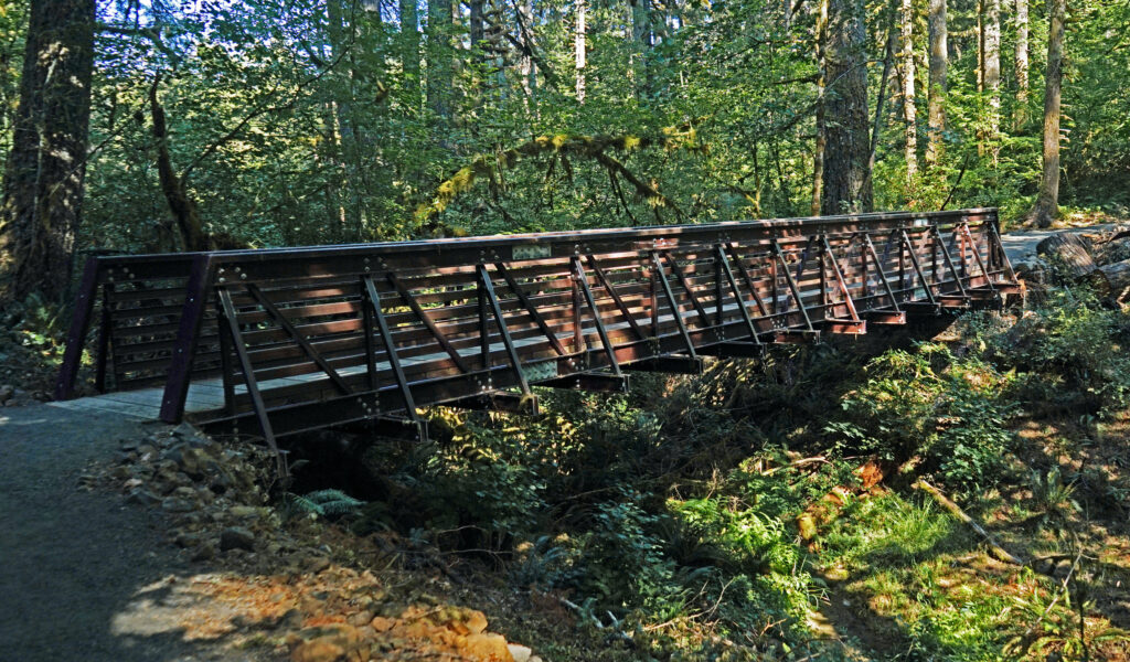
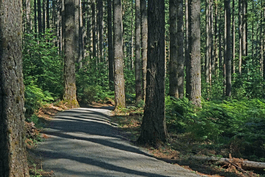
The new North Canyon trailhead and North Canyon Trail makes possible a new loop hike that I’m calling the North Canyon Loop that takes you to North and Twin Falls. And the 0.6-mile out and back hike to Upper North Falls is an easy addition to extend the hike to 3.0 miles. And of course the full 7.2-mile Trail of Ten Falls is doable year-round.
Other area attractions:
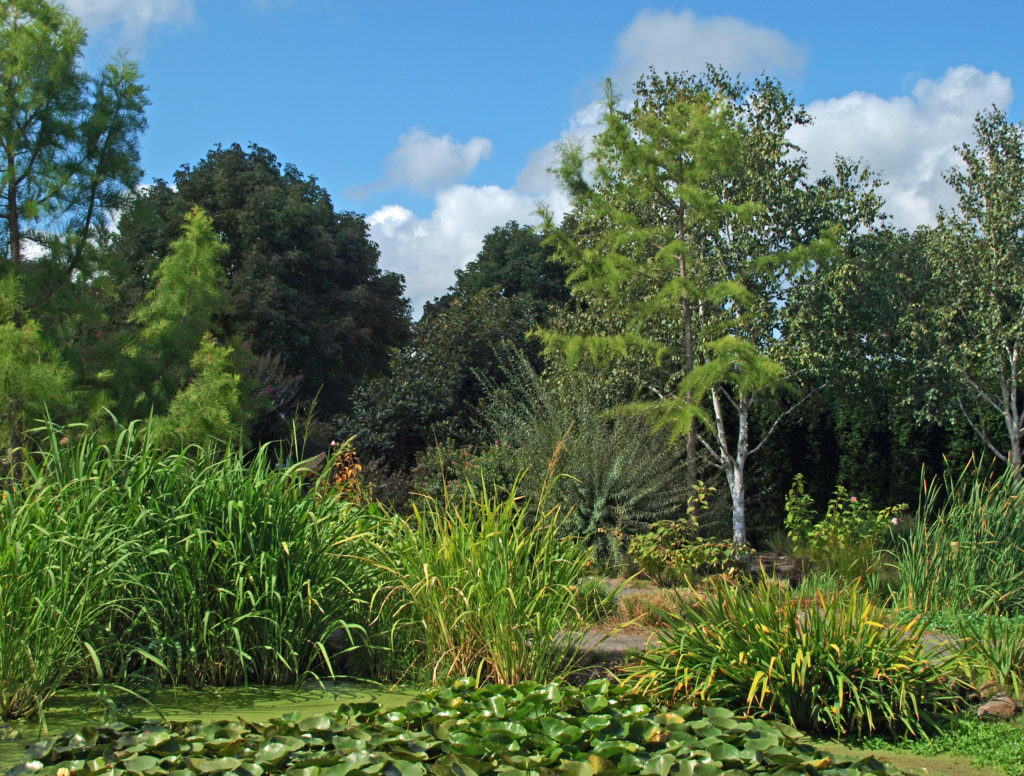
The Silverton area has a number of decent places to grab a bite to eat or a pint of beer after your hike. Try the Silver Falls Brewery and Alehouse in Silverton or the Benedictine Brewery near Mount Angel that is operated by monks from the Mount Angel Abbey. Silverton is also home to the Oregon Garden, one of the state’s leading botanical gardens. Next door to the Oregon Garden is the Gordon House, the only surviving Frank Lloyd Wright designed house in Oregon.
Posted November 27, 2023. Most recently updated November 14, 2025.
All photos © Alan K. Lee
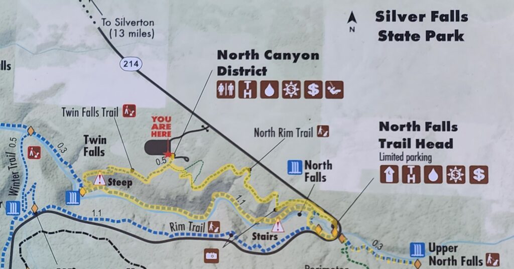
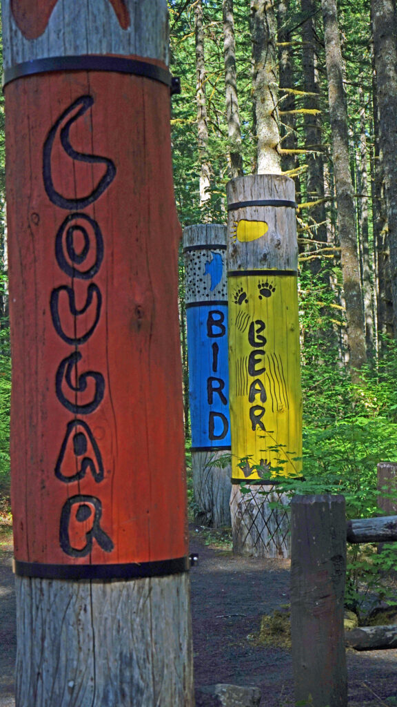
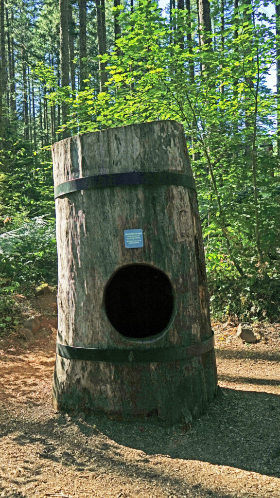 Beyond the Twin Falls Trail junction, the North Rim Trail meanders through the forest, passing a children’s play area and a small two-table picnic area.