
by Alan K. Lee
Introduction
My wife and I had driven through Spokane once or twice on our way to Glacier National Park, but it had been decades since I had actually set foot in Spokane. My wife, though, had spent a few days there a couple of years ago and had enjoyed her time there. That got me to thinking about paying the town another visit, so we packed up our bags and spent a few days exploring the city this past summer.
History
The city gets its name from the Spokane (or Spokan) Tribe of Native Americans that lived in what is now eastern Washington for millennia prior to the arrival of European settlers. The first European presence in the Spokane area was a trading post of the North West Company that opened in 1810. The city of Spokane was incorporated (originally as Spokane Falls) in 1881, the same year that the Northern Pacific Railway line was completed, linking Spokane to both Seattle and the Midwest and East Coast of the United States.
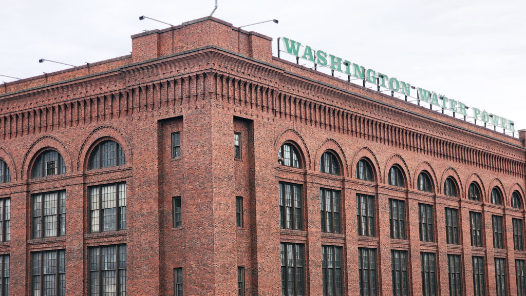
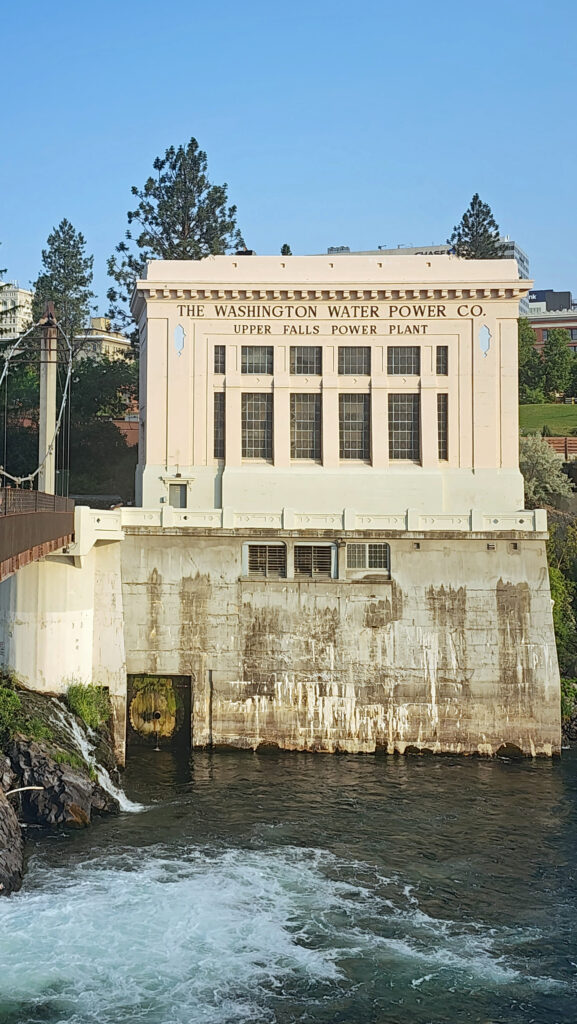
Two years after the city was incorporated, gold was discovered near Coeur d’Alene, Idaho, about 30 miles east of Spokane. That set off a boom in both Spokane’s economy and population. By 1890 Spokane’s population was almost 20,000. By 1910 it exceeded 100,000. The city was powered by electricity generated at Spokane Falls by the Washington Water Power Company. Many of the buildings constructed in that period are still standing, giving the visitor a visual link to the city’s early history.
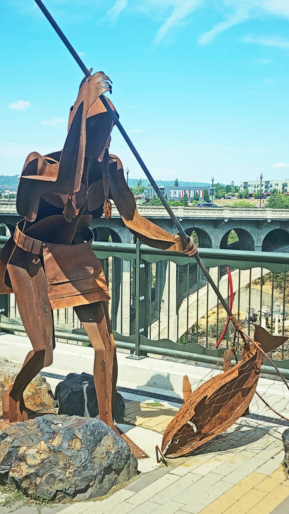
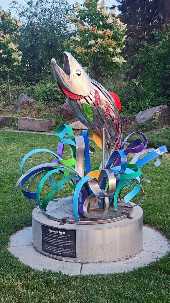
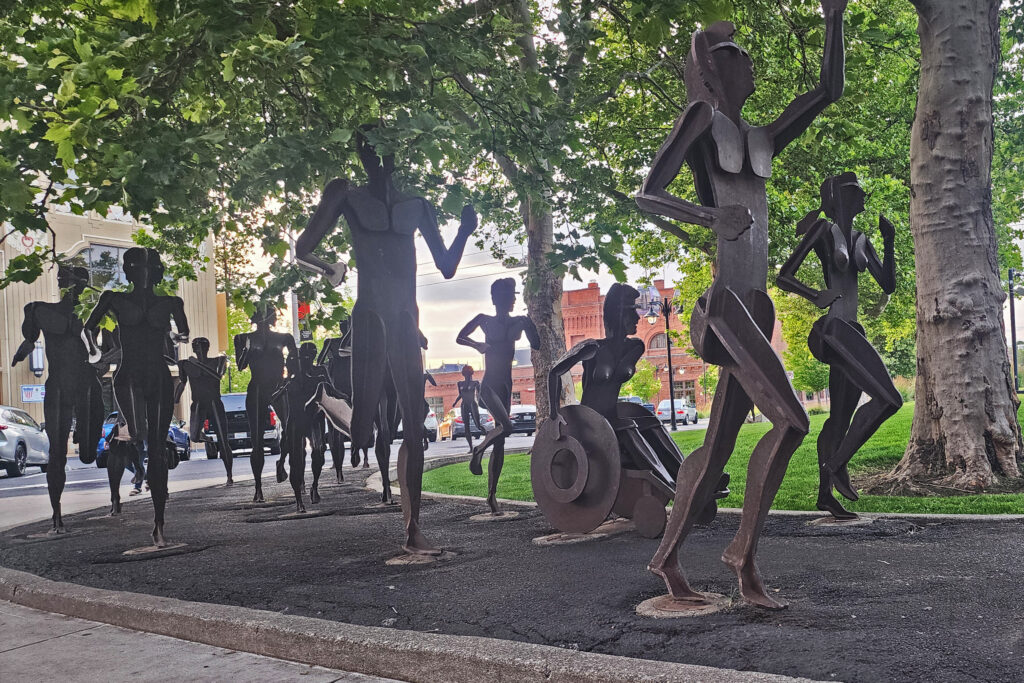
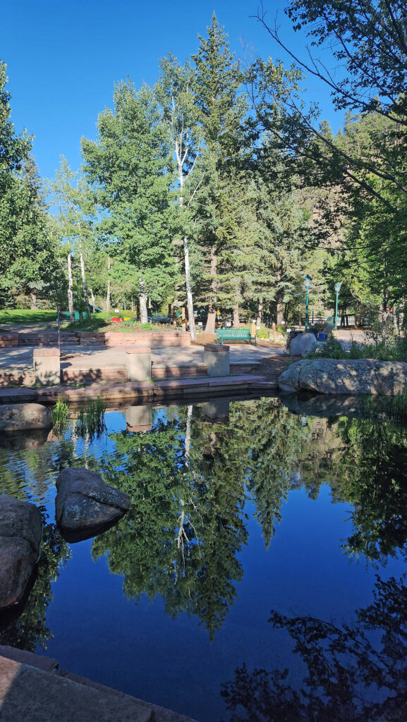
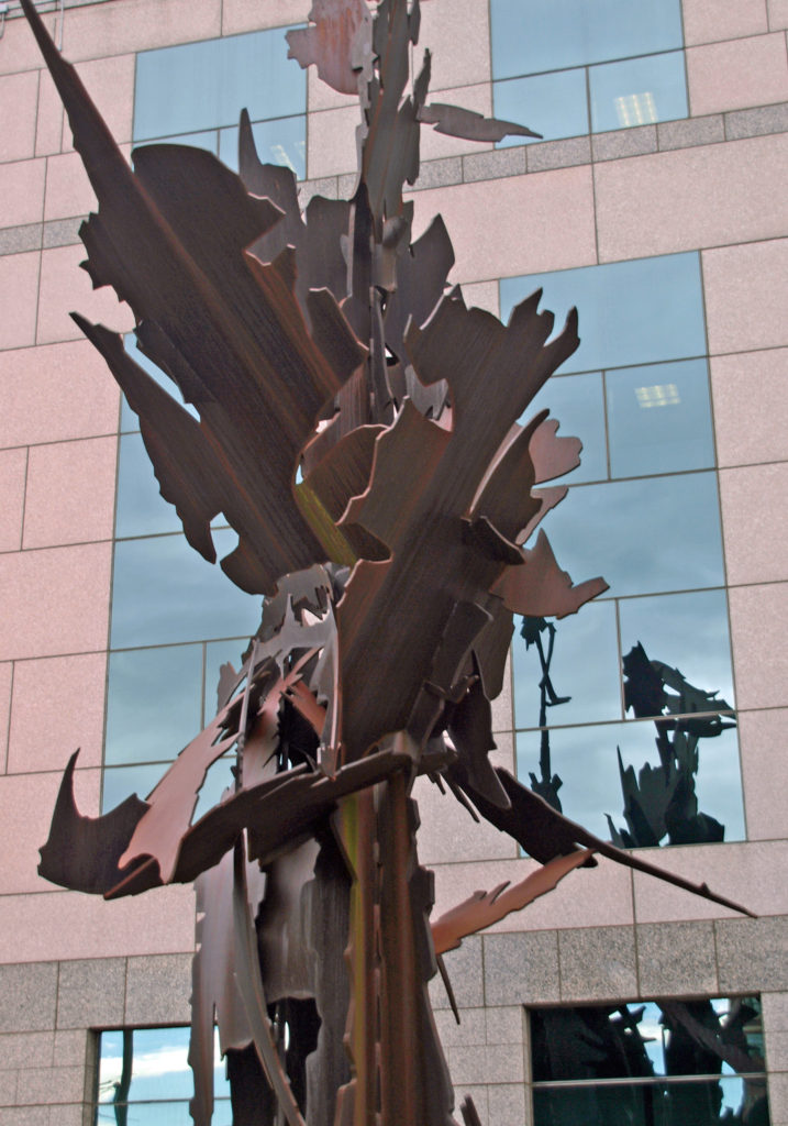
With the decline of the mining industry in the early 20th century and then the advent of the Great Depression, Spokane’s economy stagnated and its population plateaued. By the 1960s Spokane was in serious decline. To turn things around, the local business community began a planning process that eventually led to Spokane hosting the environmentally themed World’s Fair, Expo ’74, and the revitalization of the downtown area. Today, Spokane has a lively downtown, the site of Expo ’74 has become Riverfront Park, and you’ll find public artworks scattered throughout the city.
Getting There
We chose to drive from our home in the Portland area. It’s a long drive – 350 miles and 5½ hours (plus any stops along the way). It’s a little shorter trip from Seattle – 280 miles and 4¼ hours. Flying from Portland to Spokane takes just over an hour and tickets can be had for as little as $150 dollars. Cost and flight time from Seattle are similar. A brief search of Amtrak routes and ticket costs yielded a quickest trip from either Seattle or Portland of 7½ hours and basic coach fares of $50-70 (one way), but you might need to be flexible on your departure and return dates, and the cheapest tickets were for overnight trips.
Our Visit
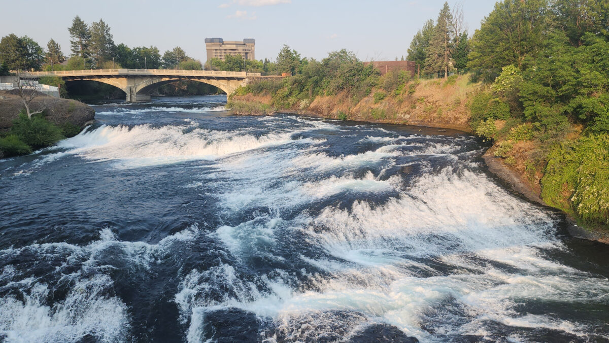
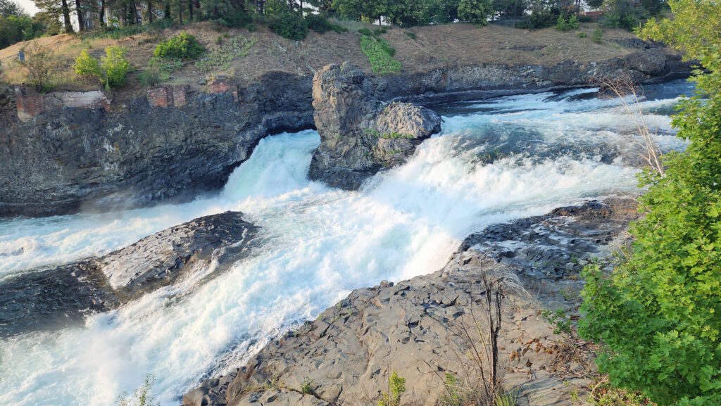
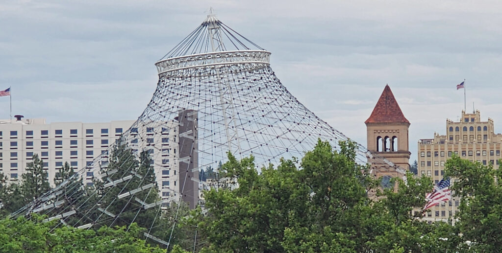
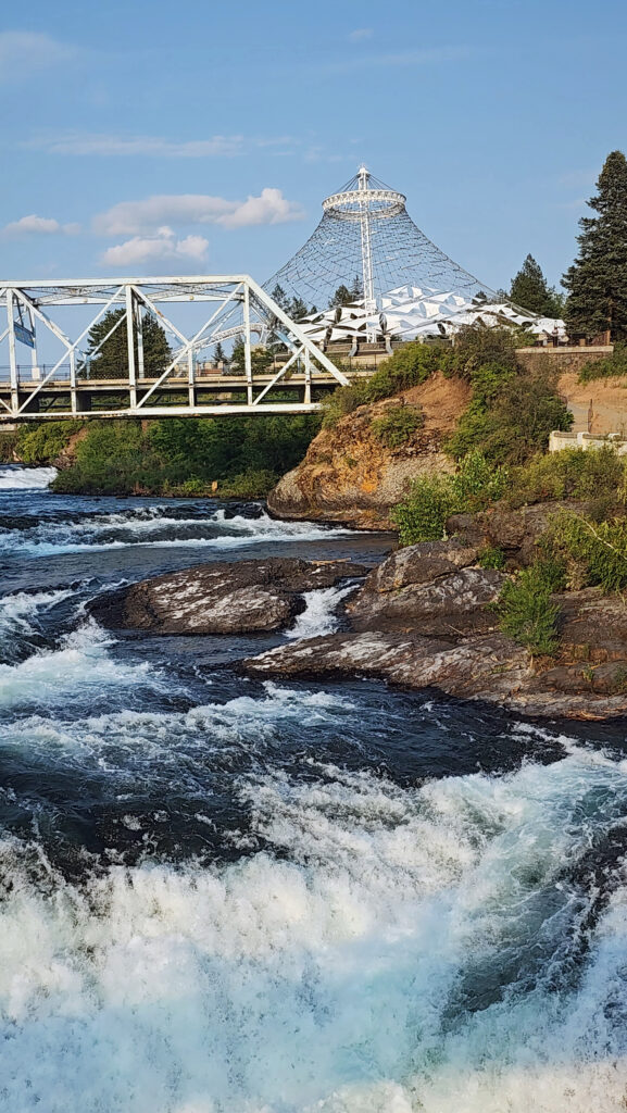
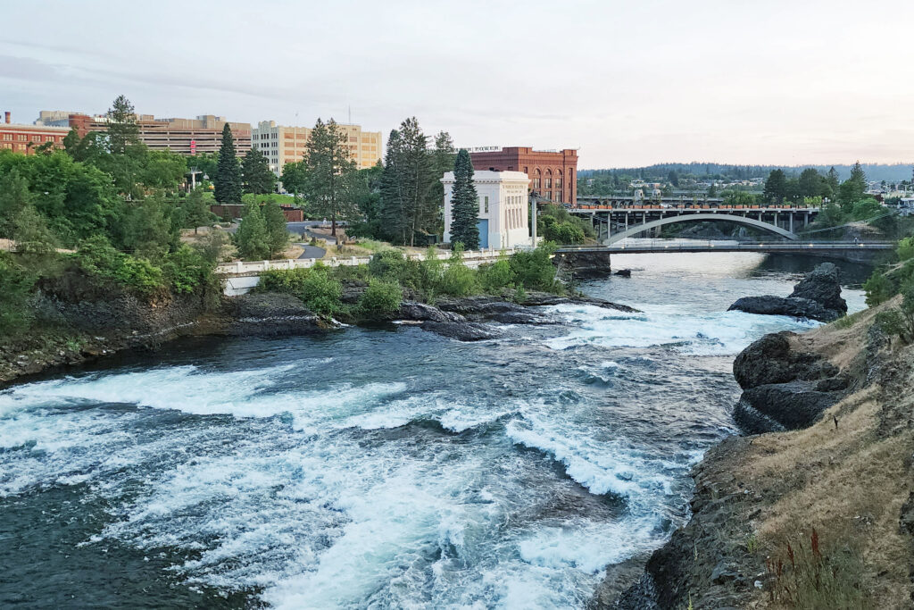
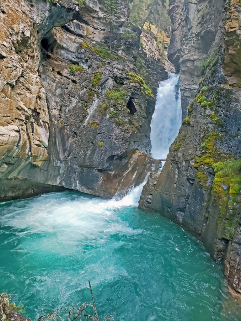
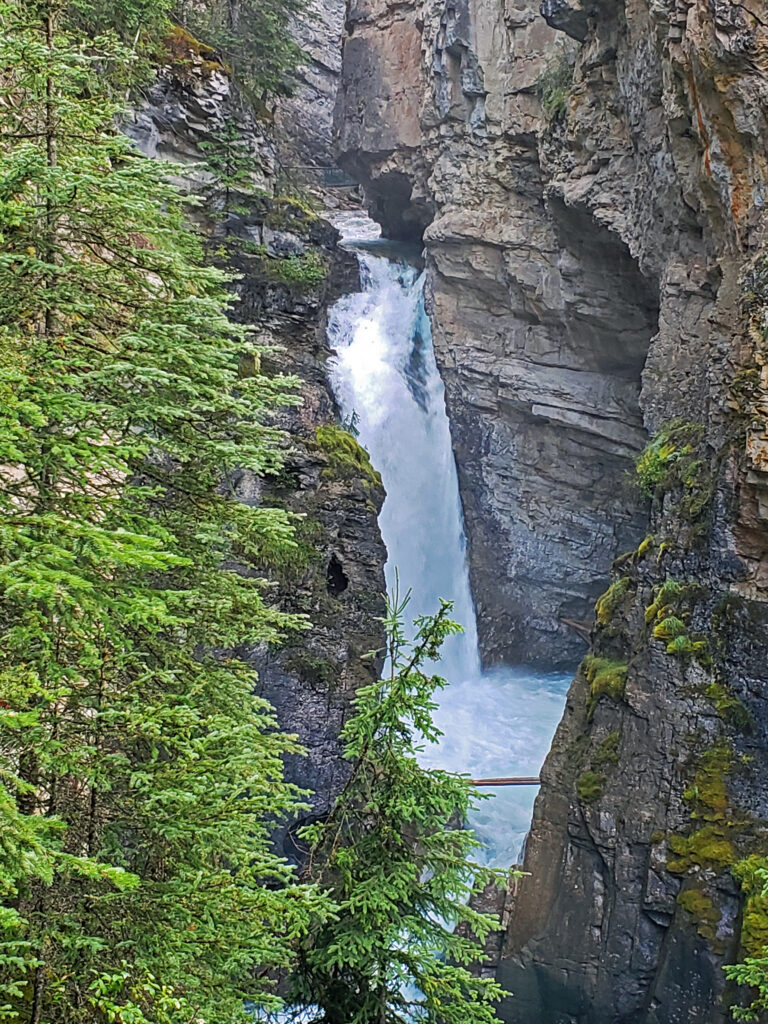
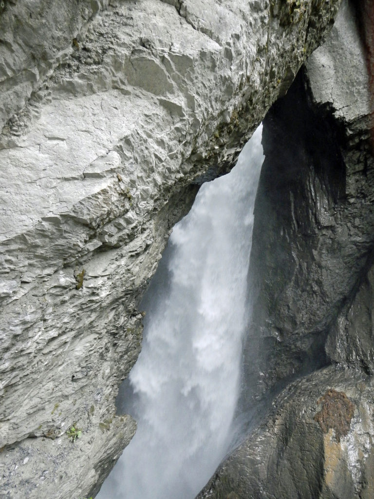
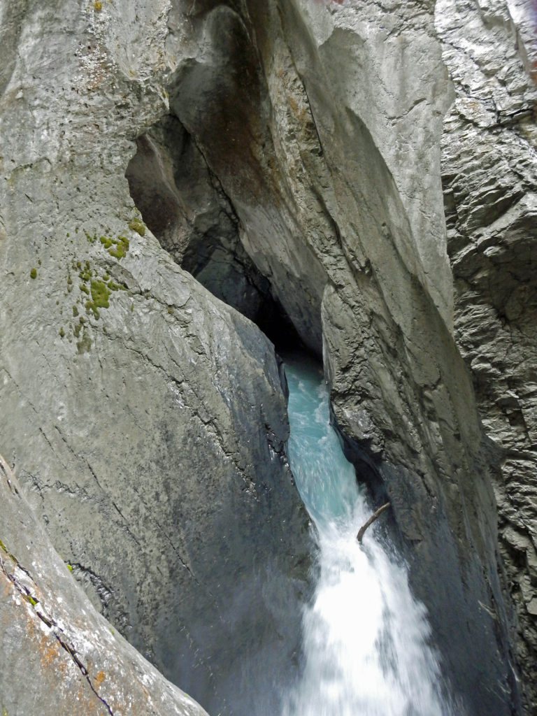
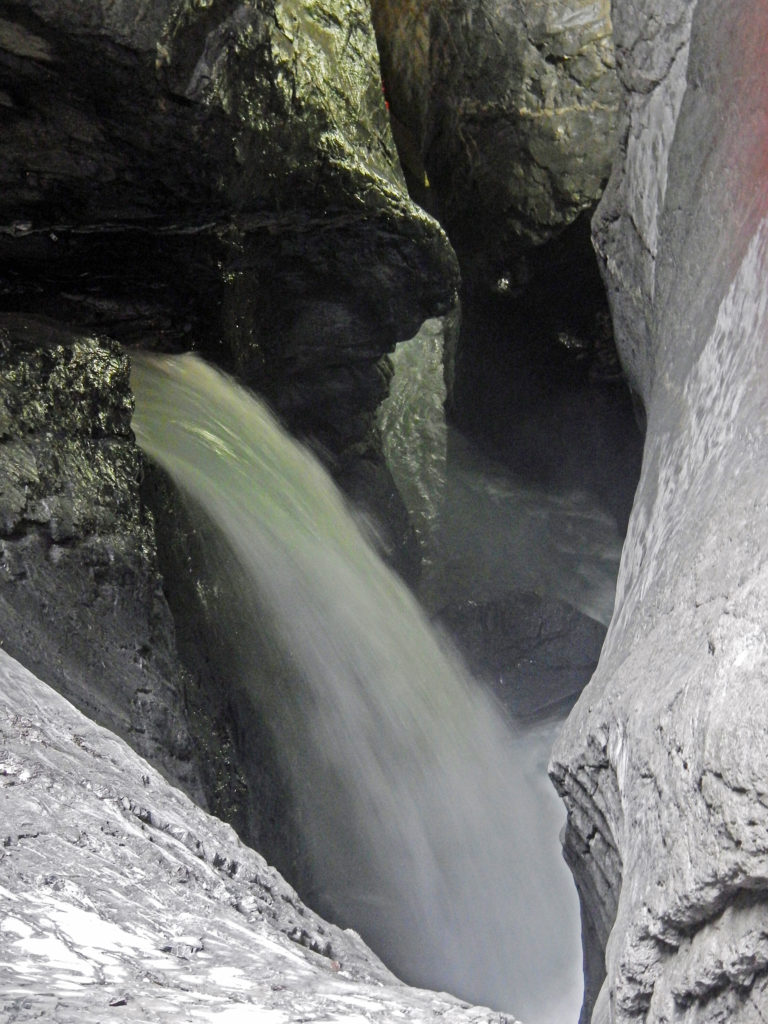
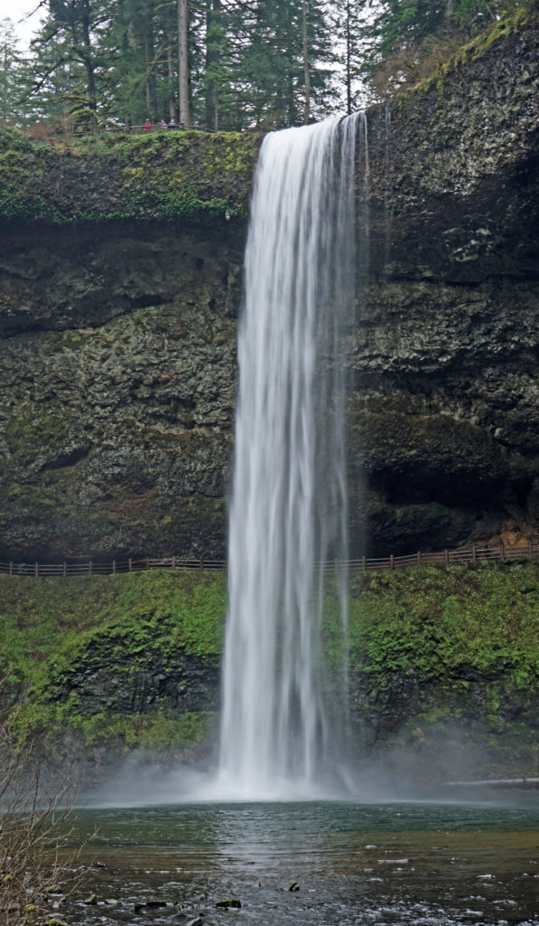
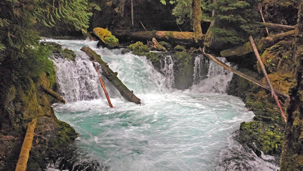
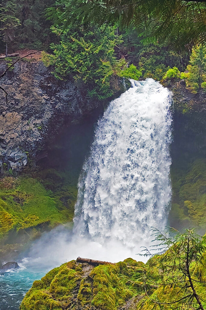
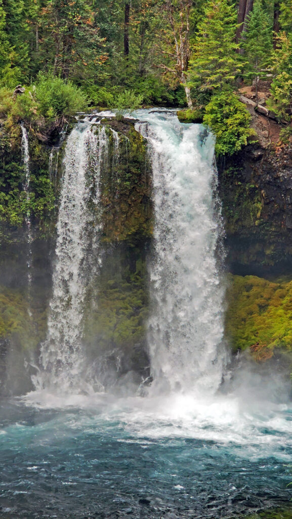
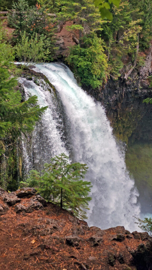
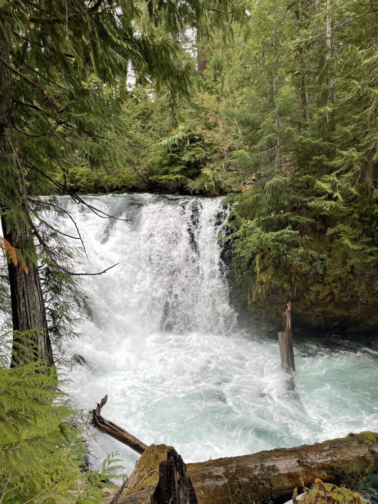
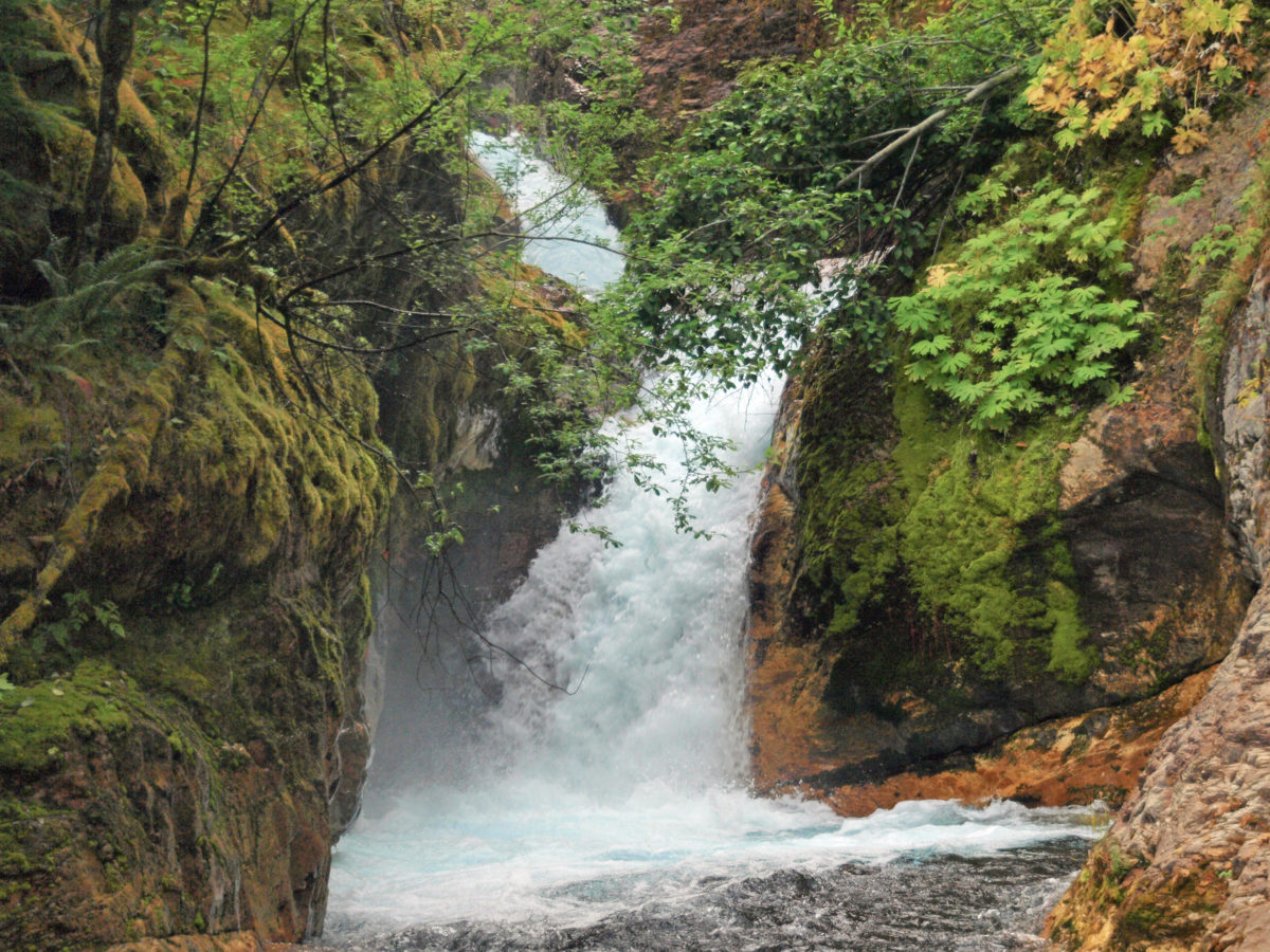
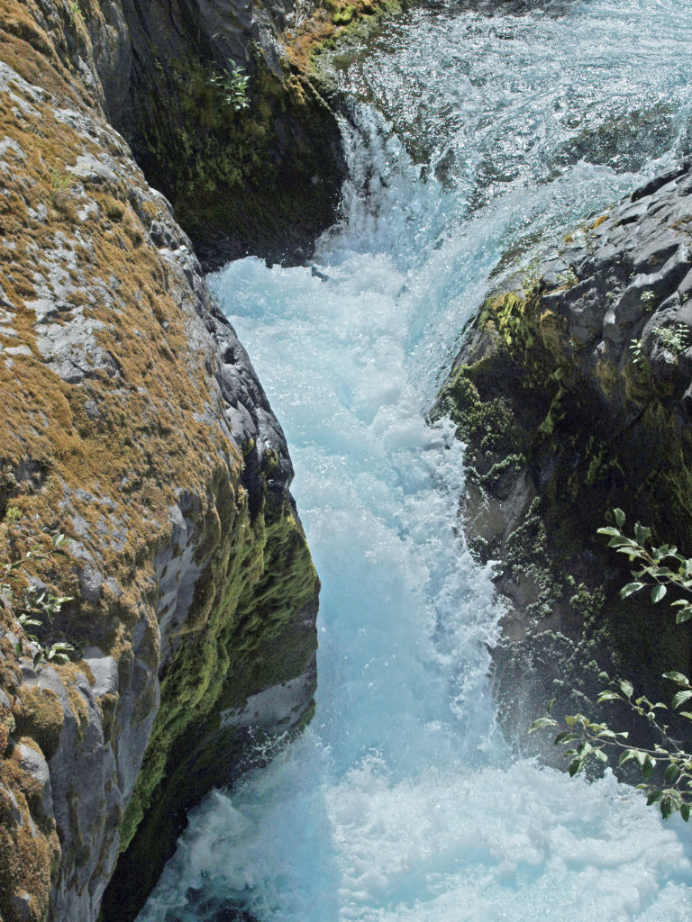
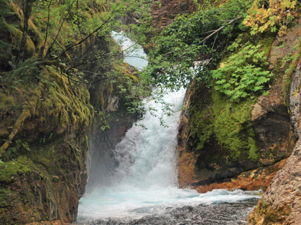
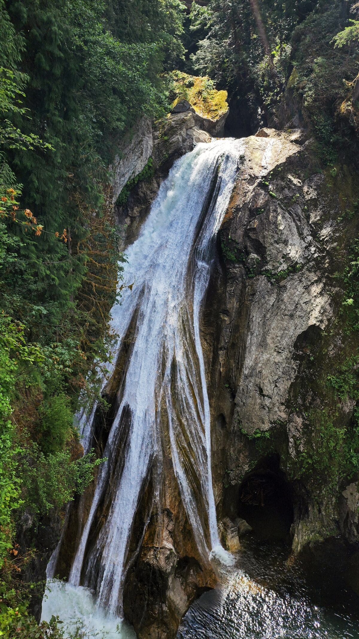
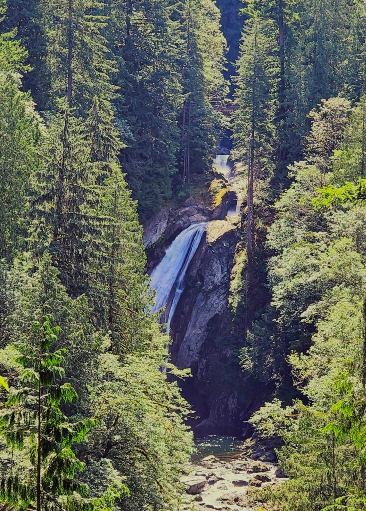
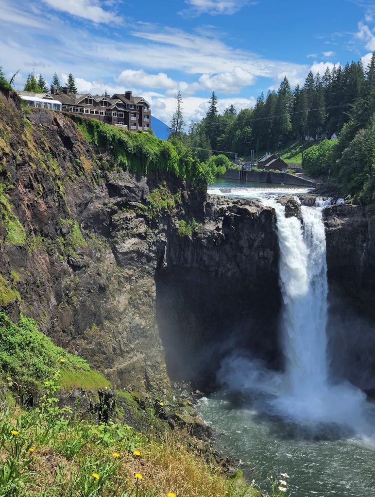
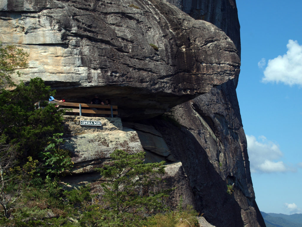
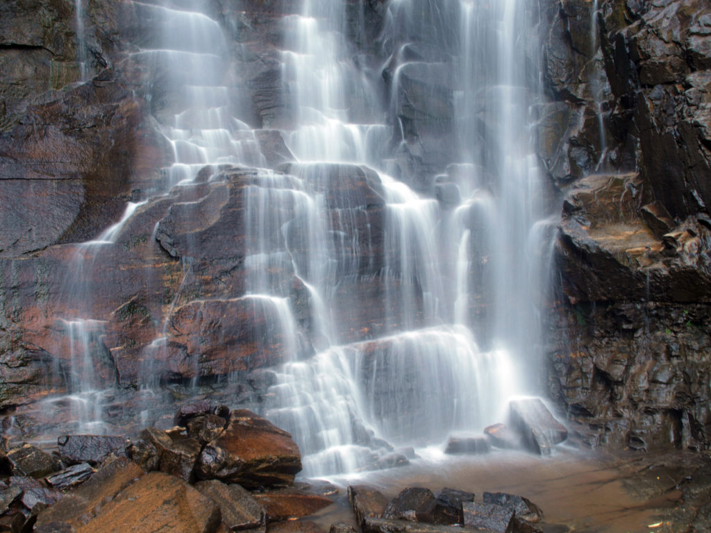
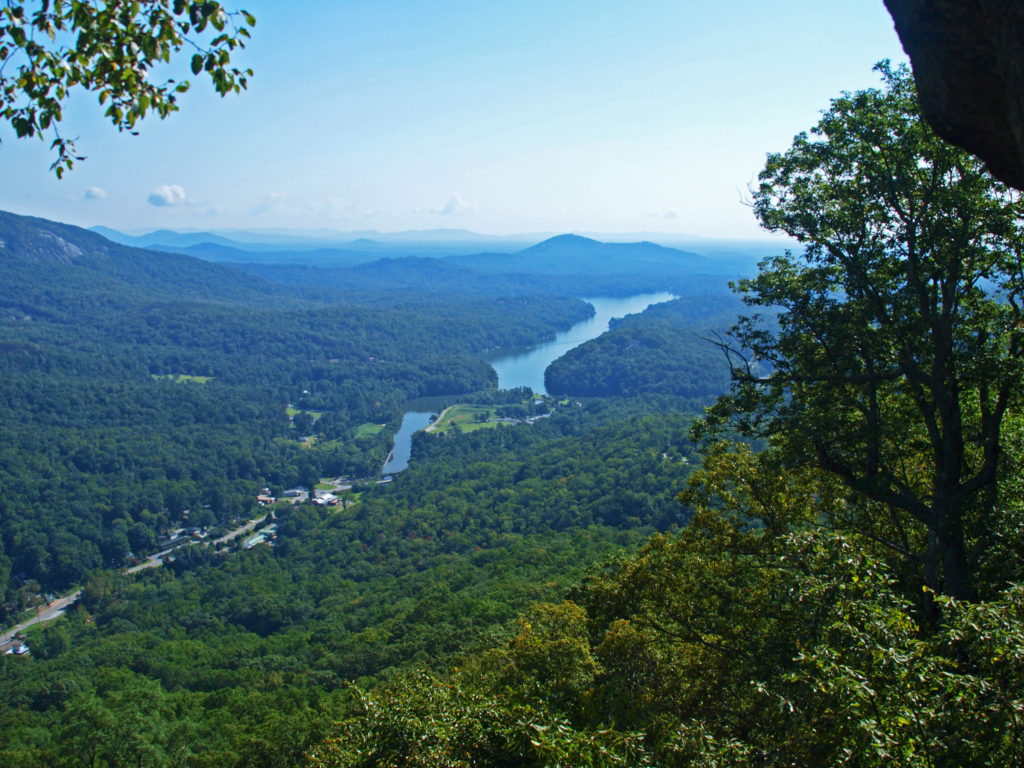
I’m old enough to remember a trip my older brother and I took to see the World’s Fair in 1974. Although I didn’t remember much about the actual fair, one of the things that left a lasting impression on me was Spokane Falls. Not many cities have a major waterfall in the middle of the downtown area. The fair spread across both banks of the Spokane River and Havermale and Canada Islands in the river. Canada Island is literally in the middle of the two cascades of the upper falls.
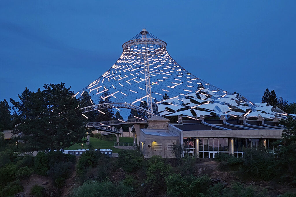
Most of the Expo ’74 structures were dismantled after the fair closed, but the Spokane Pavilion and the bones of the United States Pavilion still stand. The U.S. Pavilion was an open air structure with a fabric roof. The roof is gone, but the supporting structure remains, the cables that supported the roof now strung with hundreds of lights that are lit every night. The ground below is now a grassy park, part of Riverfront Park, the jewel of Spokane’s downtown.
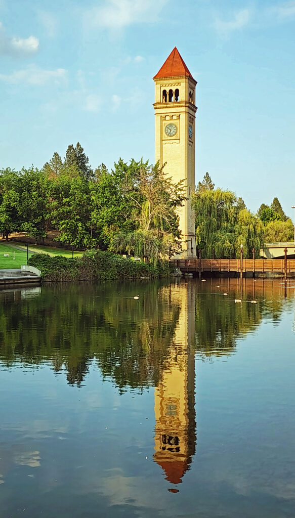
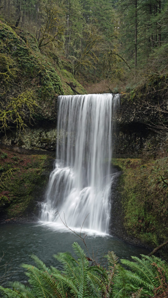
We spent three days exploring downtown Spokane. Riverfront Park and Spokane Falls kept drawing us back. It’s really quite a marvelous area. Spokane is still the second largest city in Washington (the metropolitan area has a population of over 600,000), but it’s also small enough to have retained something of a small town vibe, something Seattle, Portland, and Vancouver, BC, definitely lack.
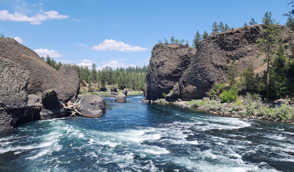
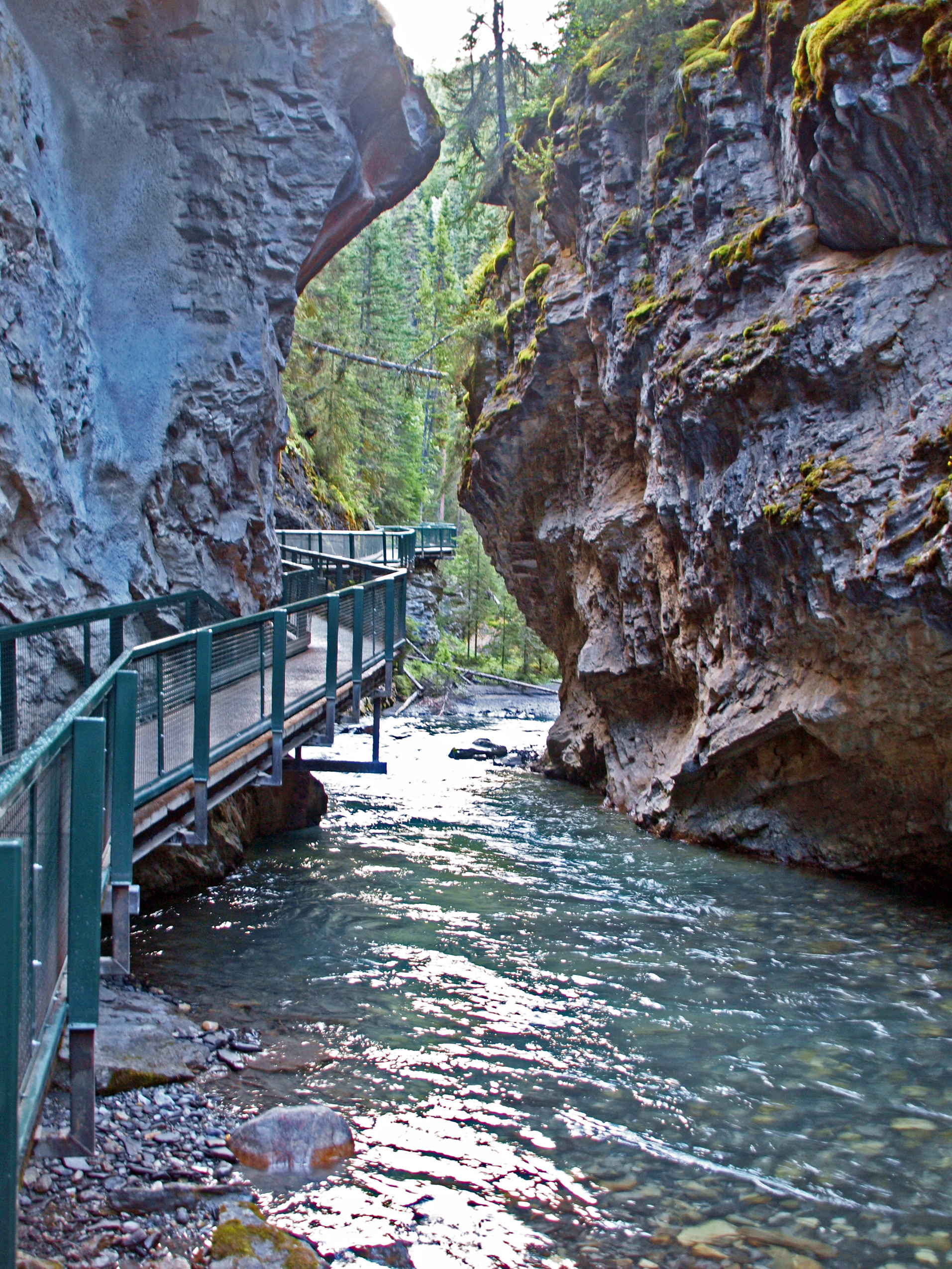
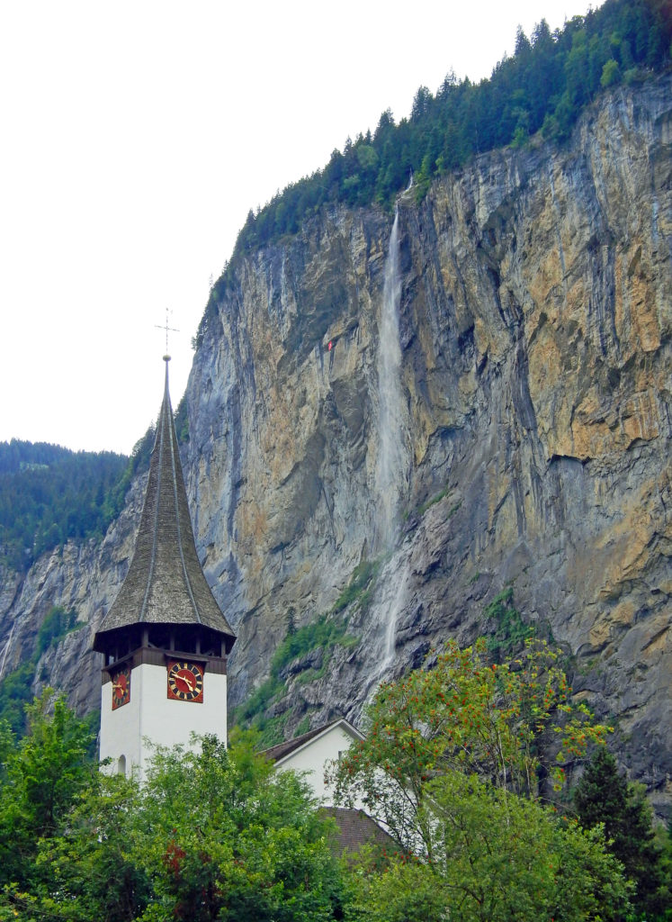
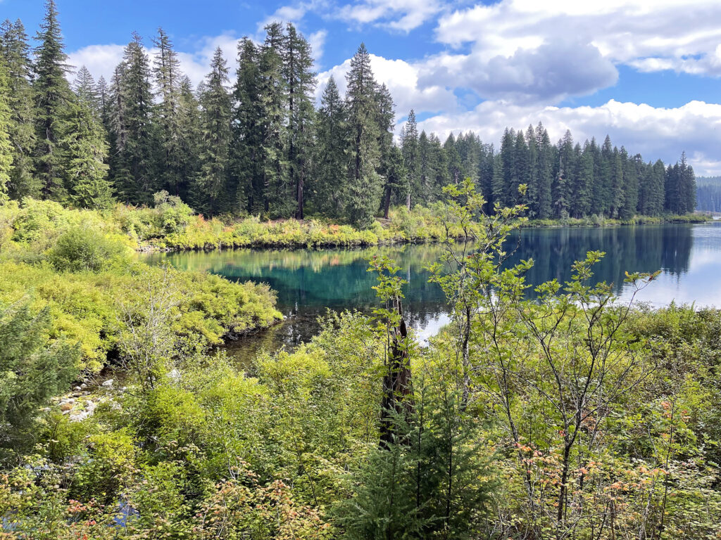
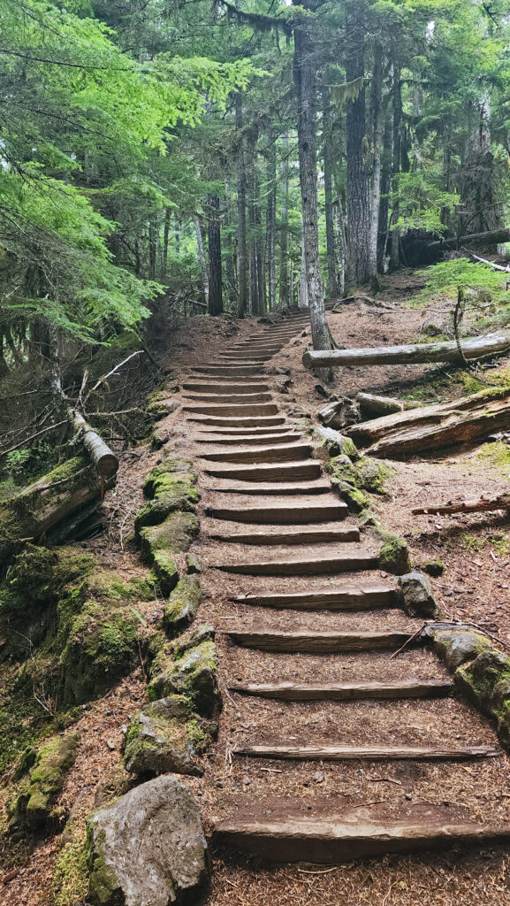
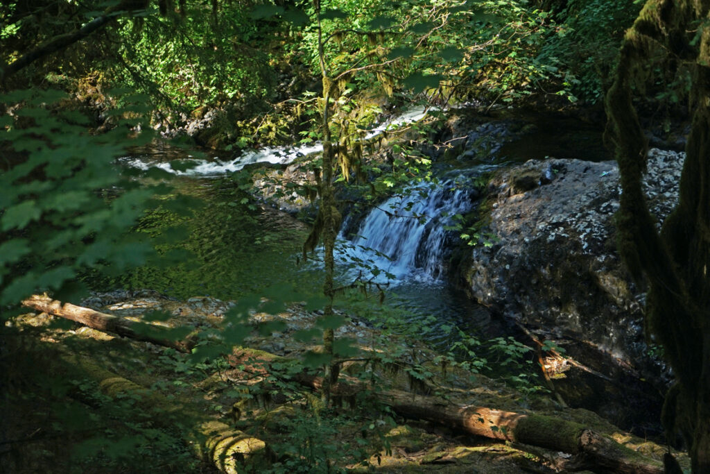
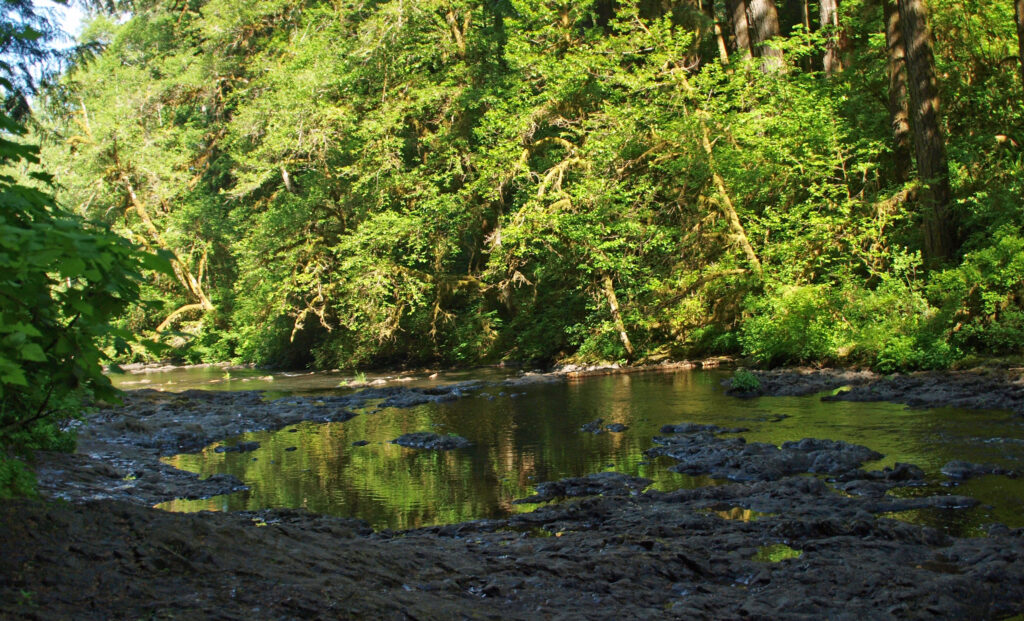
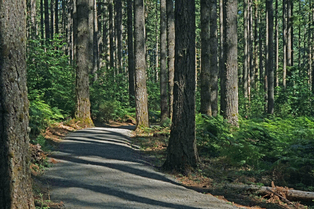
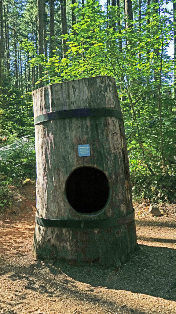
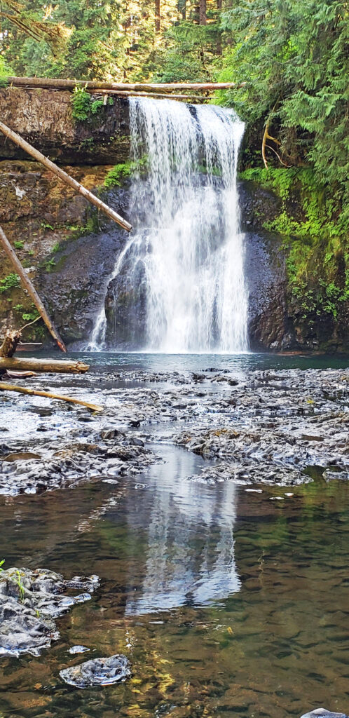
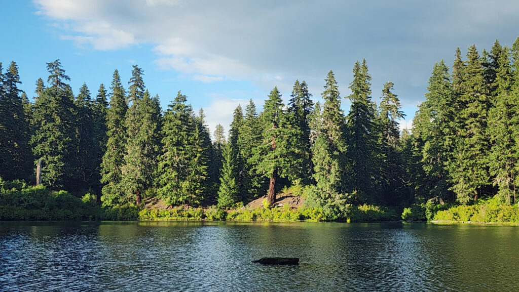
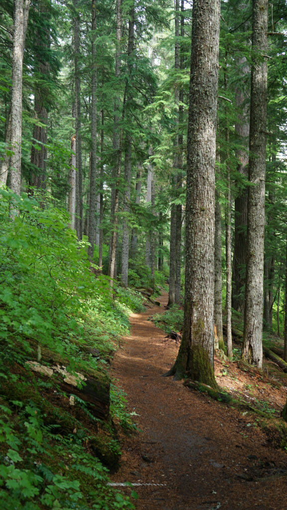
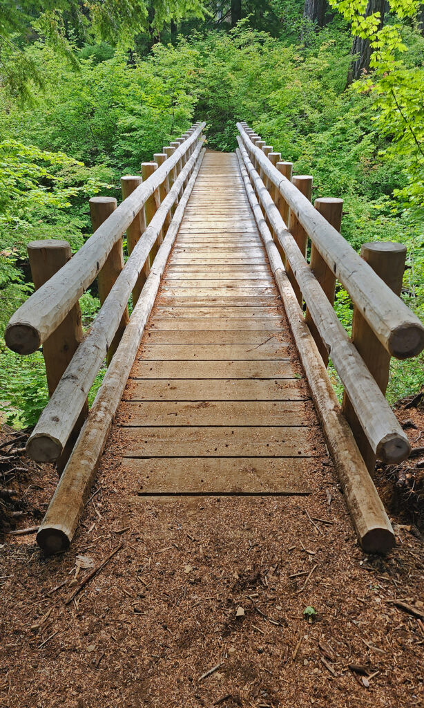
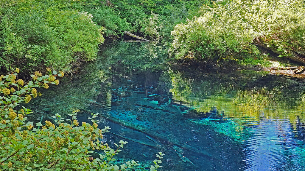
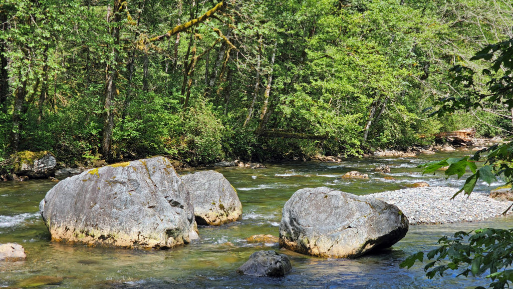
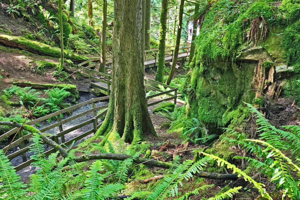
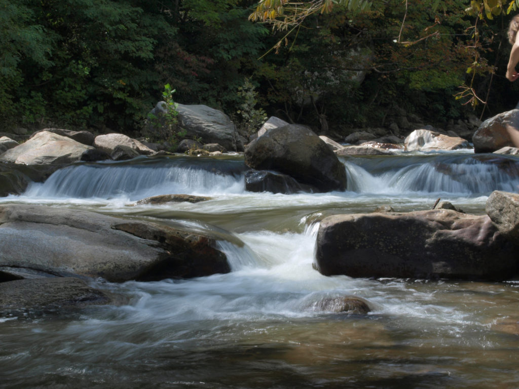
On our last day in town, we drove to Riverside State Park, a 9000 acre park along the banks of the Spokane and Little Spokane Rivers, about five miles downstream of downtown Spokane. The Bowl and Pitcher area of the park features a picnic area, ranger station, and campground on the east bank of the Spokane River, and miles of hiking trails on the west bank.
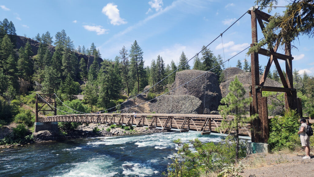
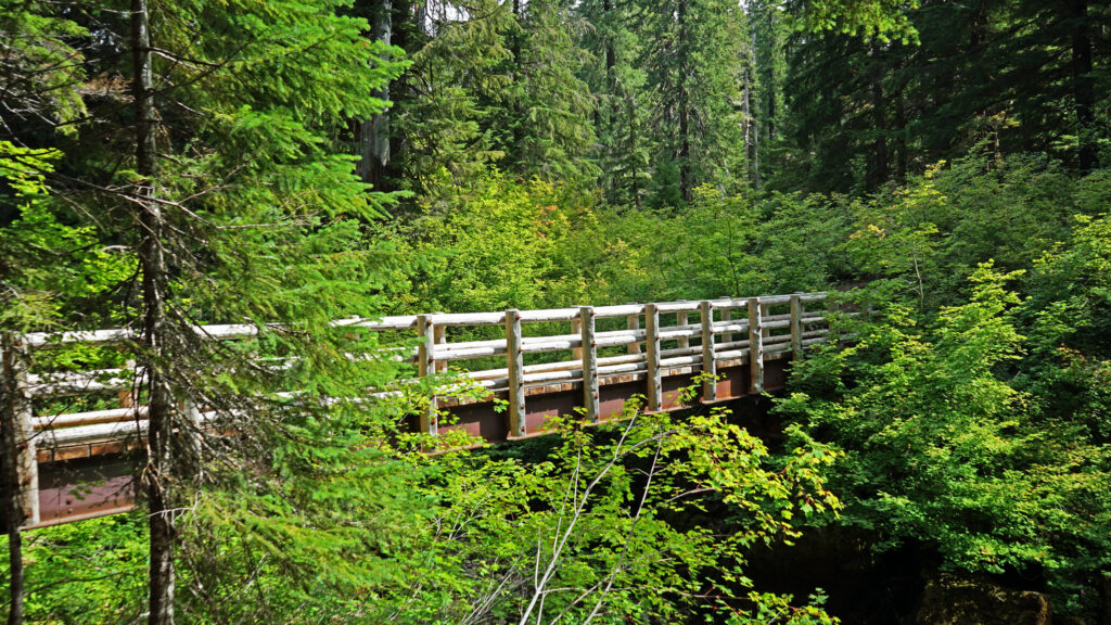
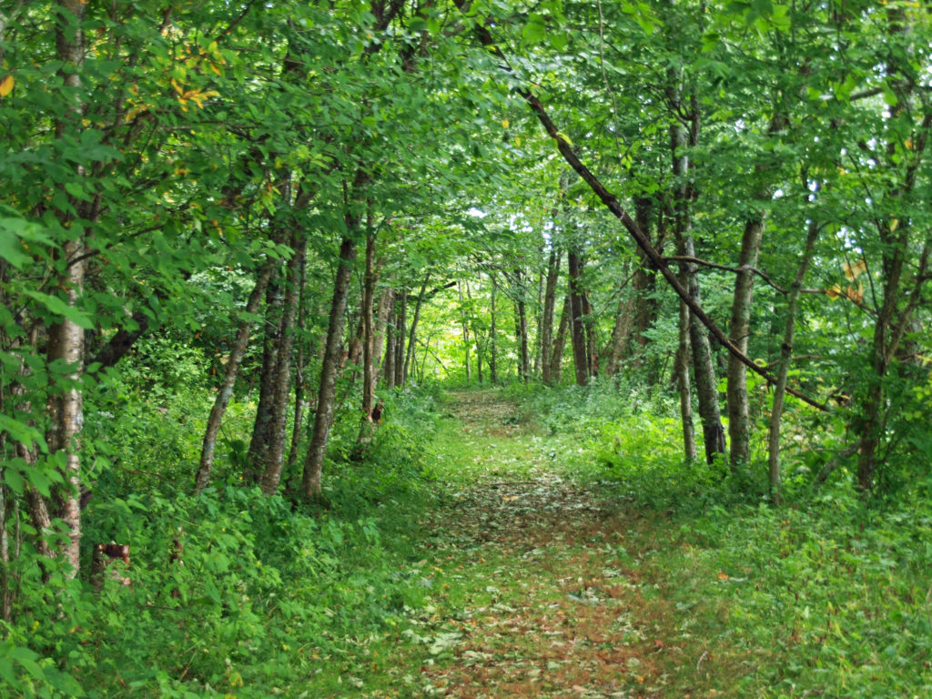
The trail network is accessed by a pedestrian-only suspension bridge spanning the Spokane River. We crossed the bridge and did a short hike along the river, but we could easily have spent all day there.
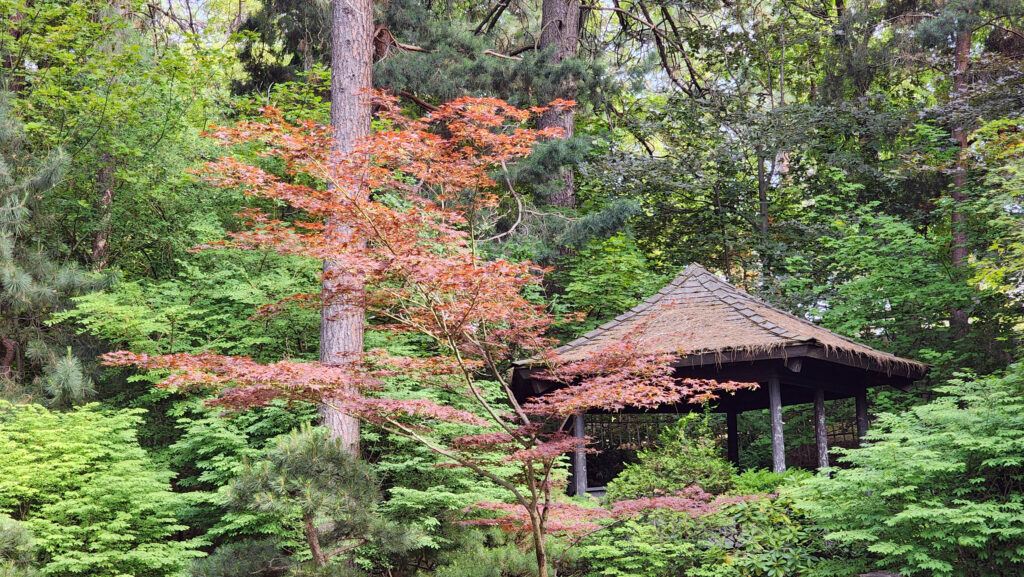
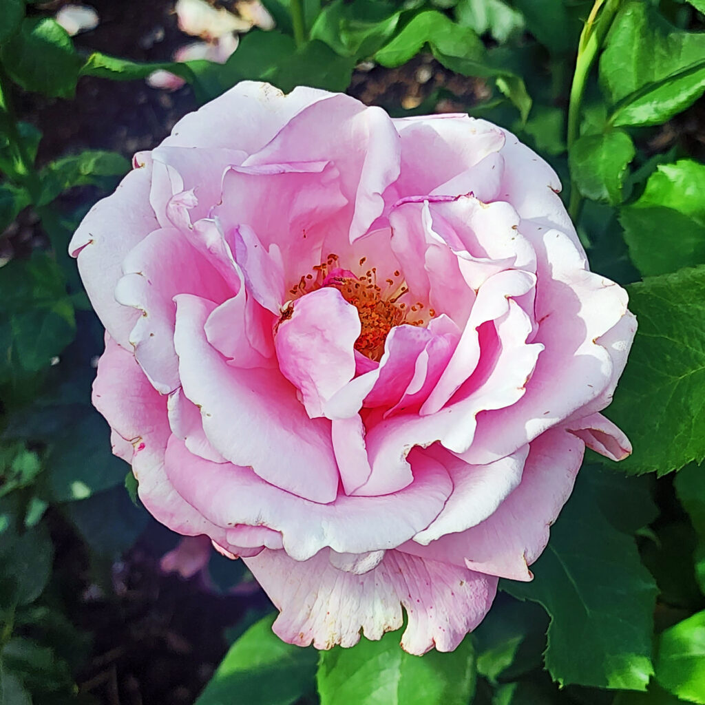
Later that day we visited the Japanese garden and rose garden in Manito Park before returning to our hotel to get ready for the long drive back to Portland.


We left Spokane the next morning, the day before the start of Hoopfest 2025. The Spokane Hoopfest is the largest 3-on-3 basketball tournament in the world. Every year more than 6000 teams and 25,000 players take part in the tournament that features 450 courts covering 45 city blocks and draws more than 250,000 spectators. It is a very, very big deal. One I had never heard of. And I’m sorry we missed it.
Other Area Attractions
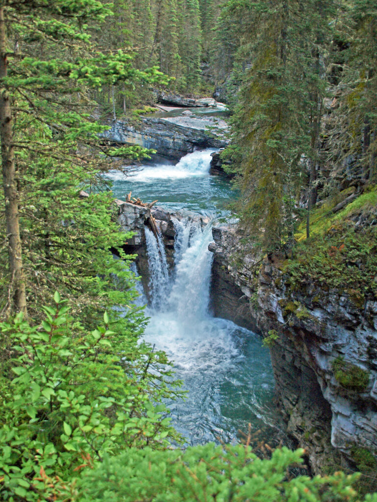
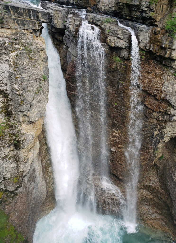
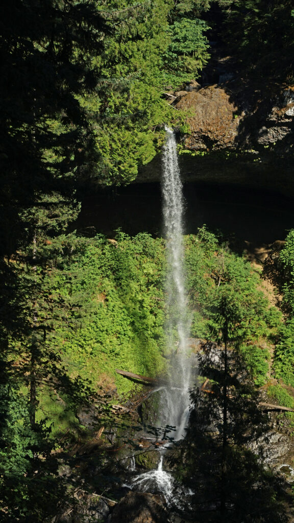
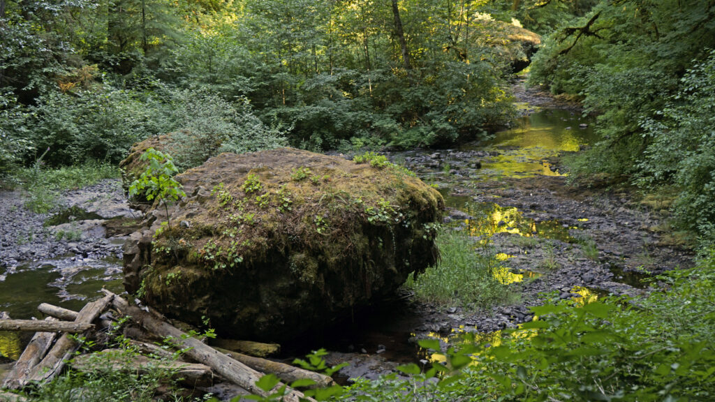
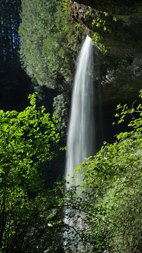
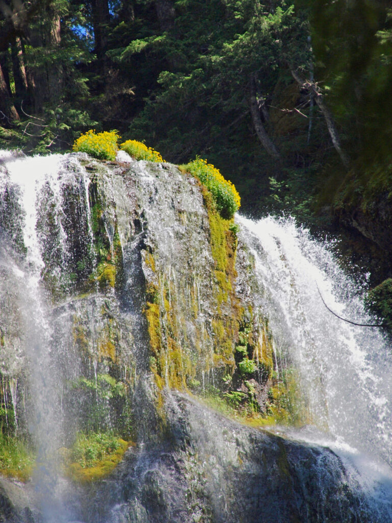
There are a number of other areas near Spokane that are worth visiting. We took day trips to both Sandpoint, Idaho, and Coeur d’Alene, Idaho during our weeklong visit. Look for future posts on both on this site in the coming months. Outdoor enthusiasts might want to take the 30 mile journey to Mount Spokane, northeast of the city. And if you drive to Spokane, or fly and rent a car, Grand Coulee Dam and Lake Roosevelt National Recreation Area are about a 90 minute drive west of Spokane, making for an easy day trip or a worthwhile detour on a trip back to Seattle. We didn’t make that side trip, but we did make a detour to Palouse Falls, a spectacular 200 foot high falls on the Palouse River south of Ritzville, Washington, on our way back to Portland.
Conclusion
I was surprised by how much I enjoyed my time in Spokane. It’s a beautiful city with an interesting history and lively downtown. Visiting the site of Expo ’74 brought back memories that I had long forgotten, and our side trips to Sandpoint, Coeur d’Alene, and Palouse Falls added to the enjoyment of our trip. I think we’ll be back. (And if you go, make sure to stop by Rosie’s Restaurant and try their breakfast burrito. It’s one of the best I’ve ever had).
Posted September 10, 2025
All photos © Alan K. Lee, except as noted


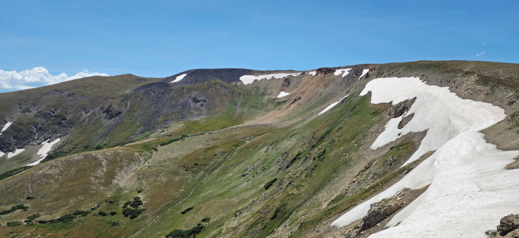
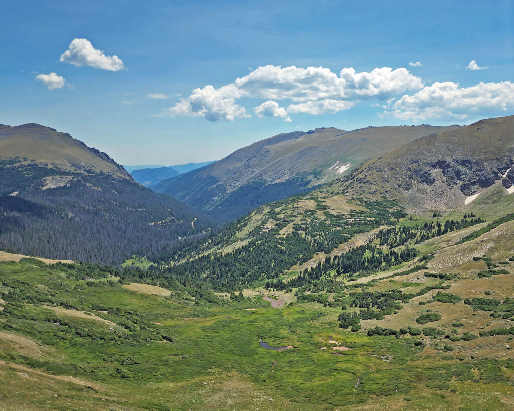
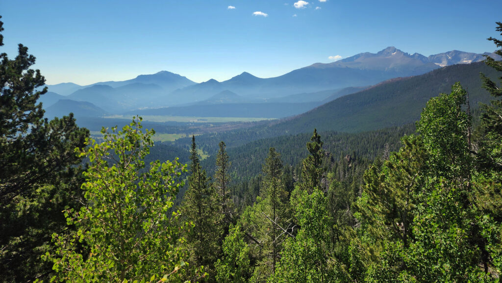
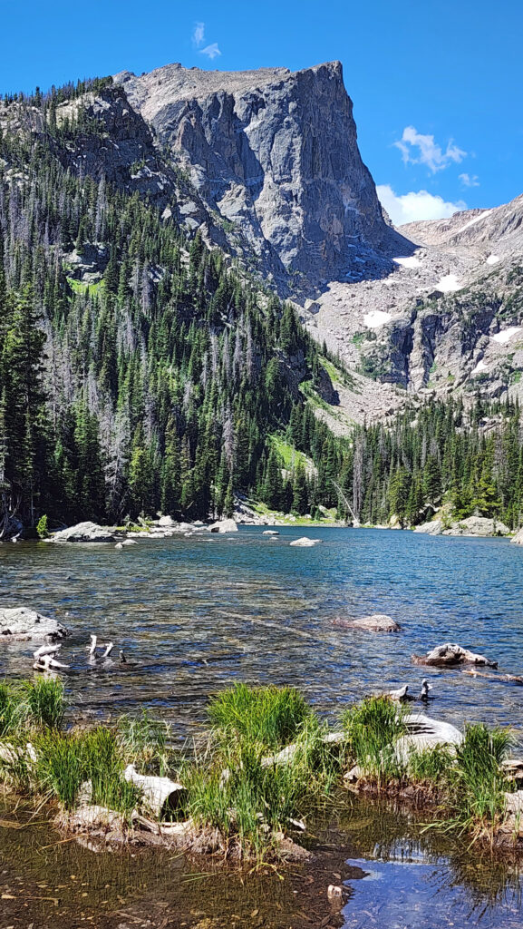
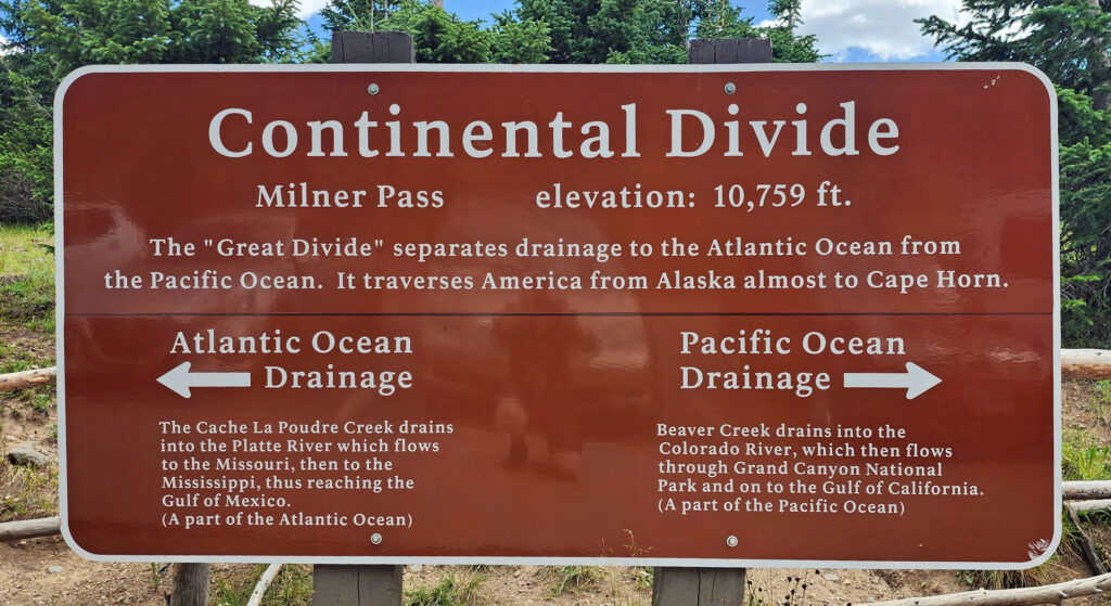 Coming down off Trail Ridge we stopped on the continental divide at Milner Pass (at 10,759 feet you actually come down in elevation from Trail Ridge to the divide). We did a short walk there along the shore of Poudre Lake and, of course, took a photo of the continental divide sign before heading south.
 Best Times to Go:
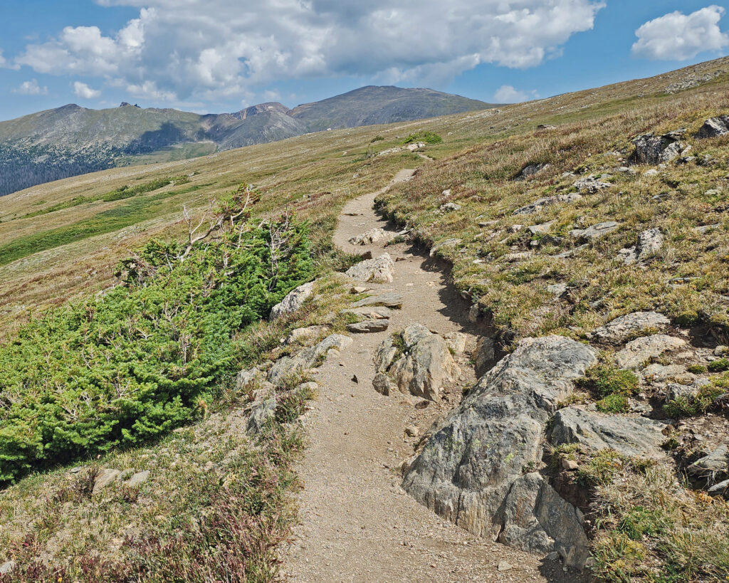
 The hike:
 Other area attractions and activities:
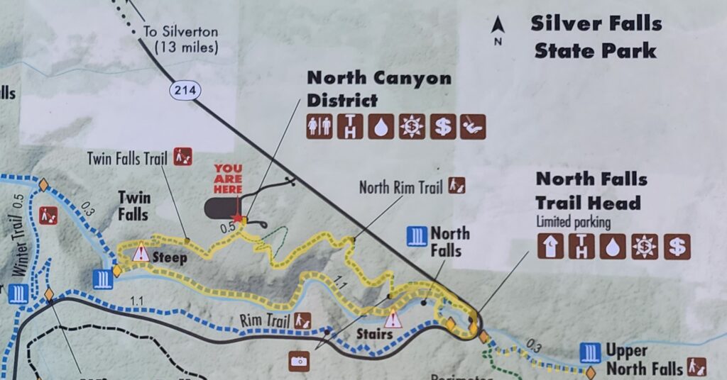
 Beyond the Twin Falls Trail junction, the North Rim Trail meanders through the forest, passing a children’s play area and a small two-table picnic area.
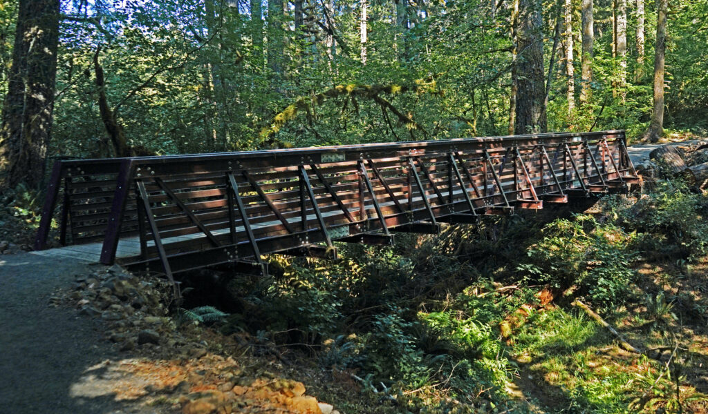
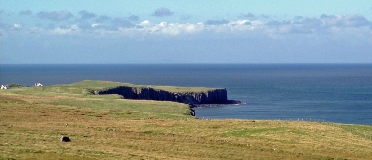
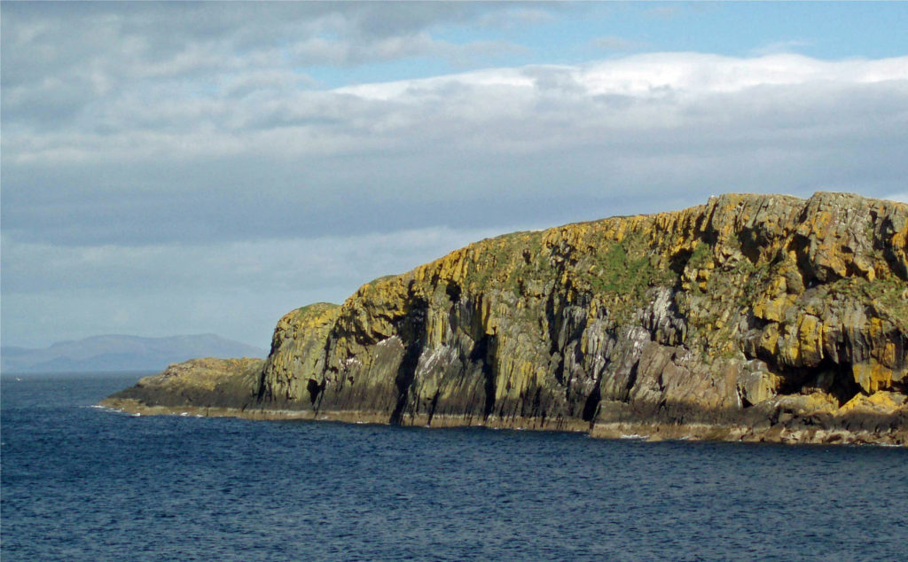
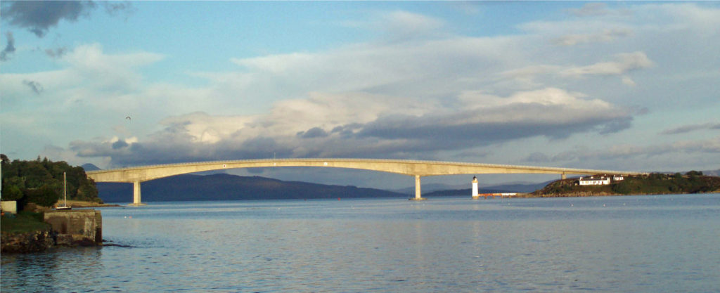
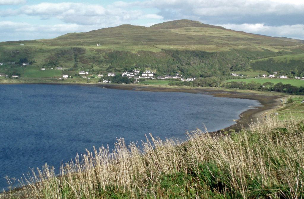
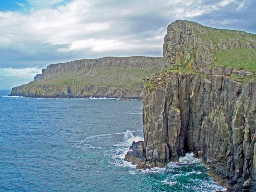
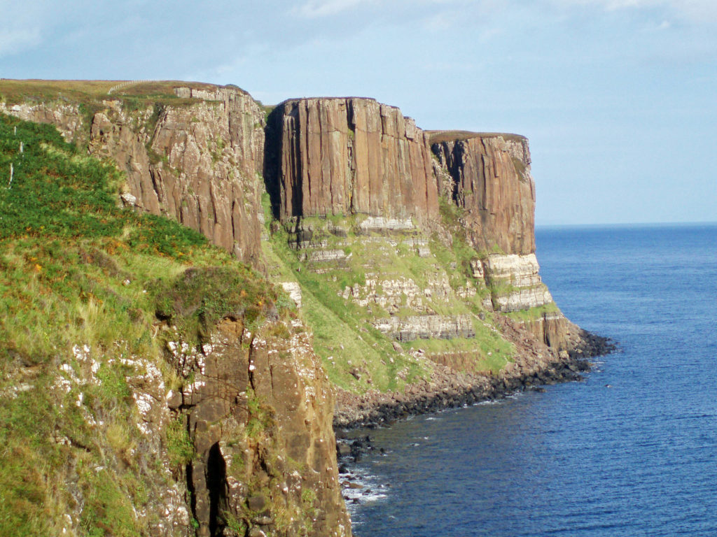
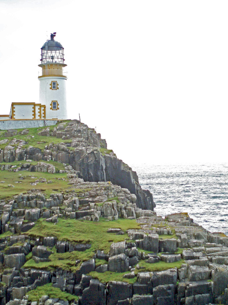
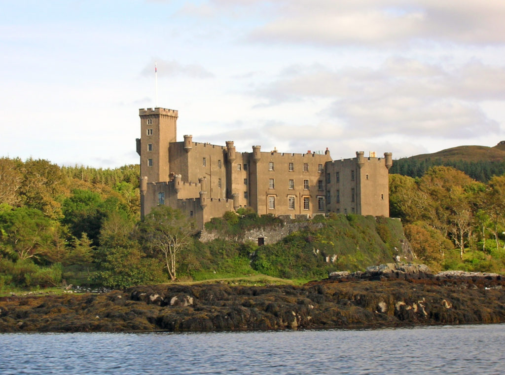
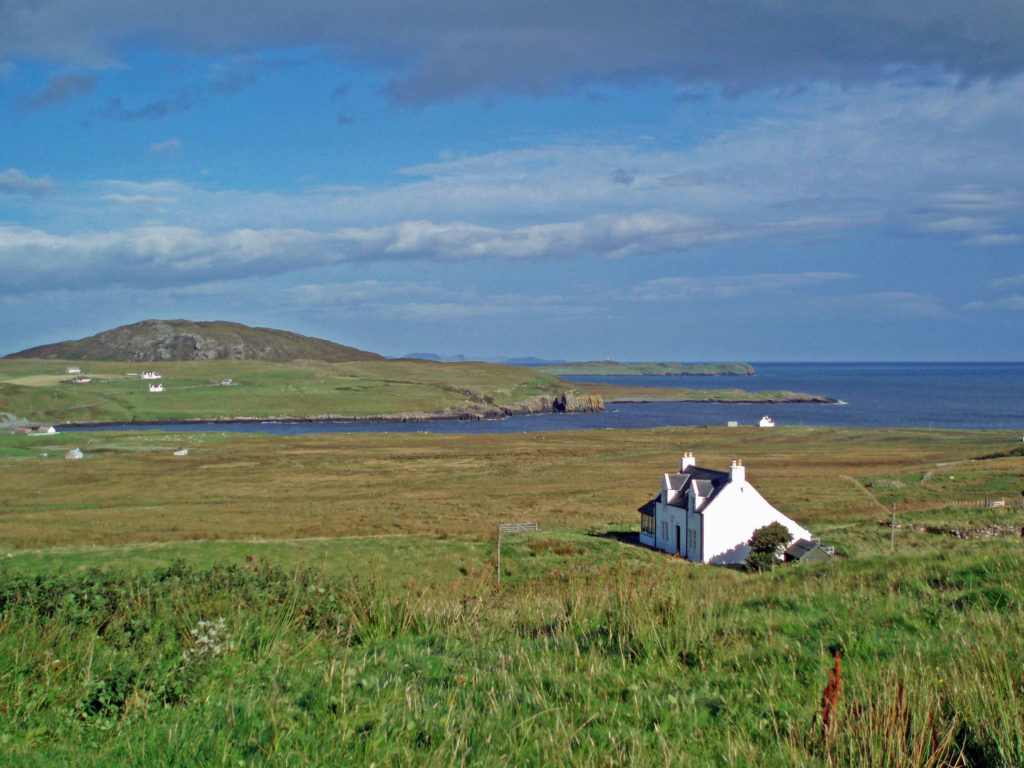
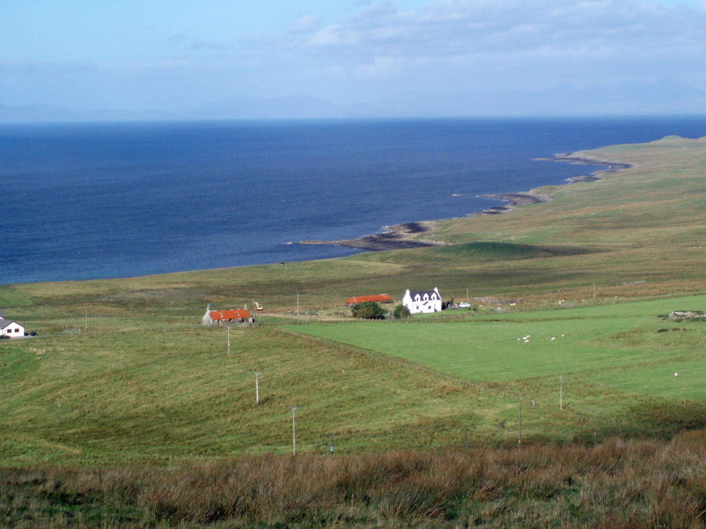
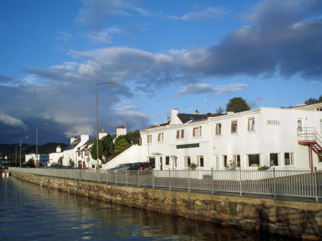
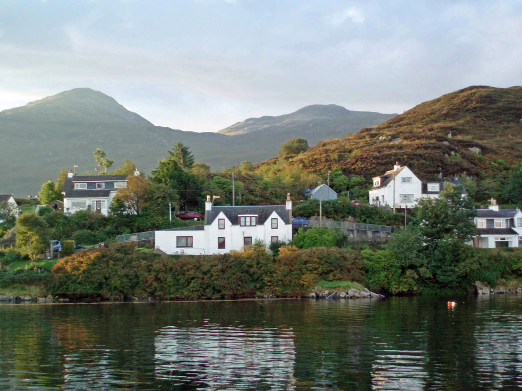
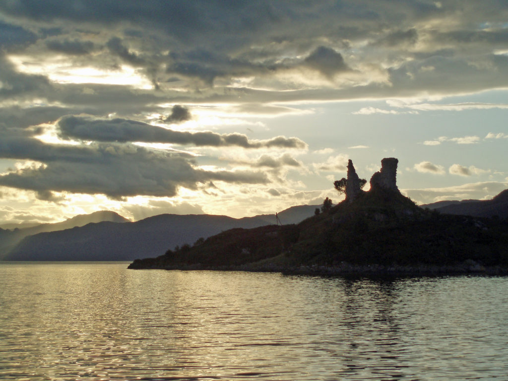
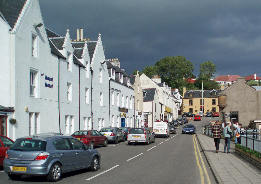
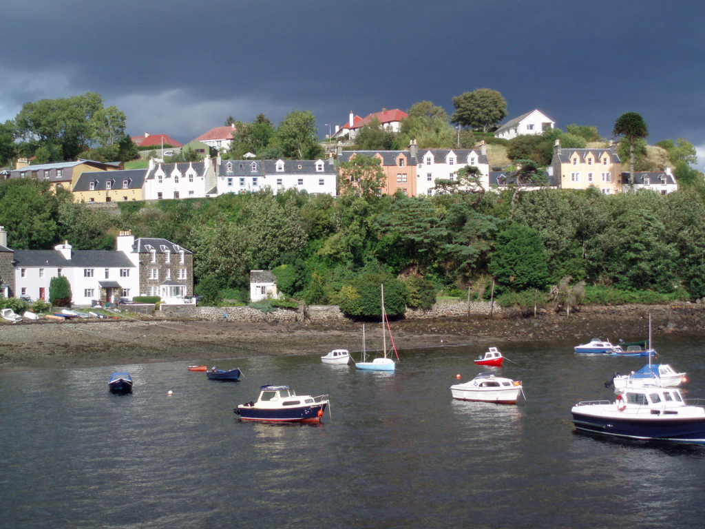
 I have no hesitation in recommending the Isle of Skye as a destination that should be on your bucket list. It’s a wonderful place and Scotland as a whole was a great place to start our explorations in Europe. Scotland is both different enough from the U.S. to be interesting and a bit exotic and alike enough to be comfortable and inviting.
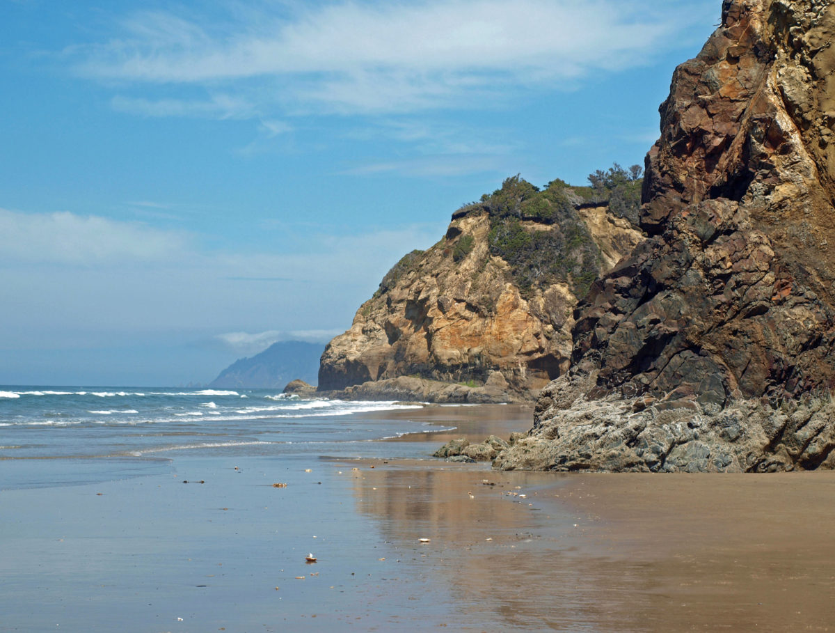
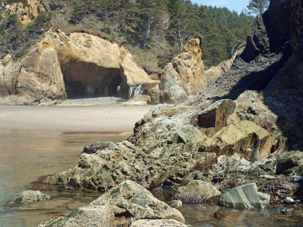
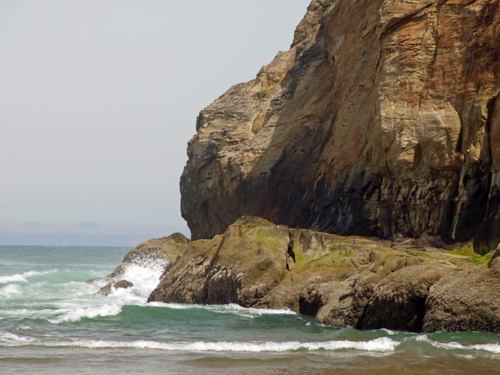
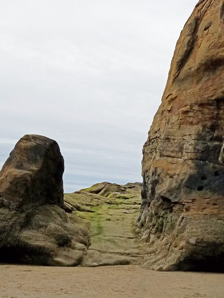
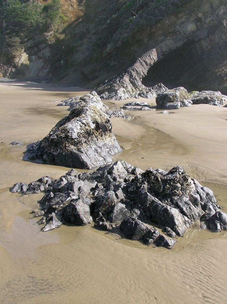
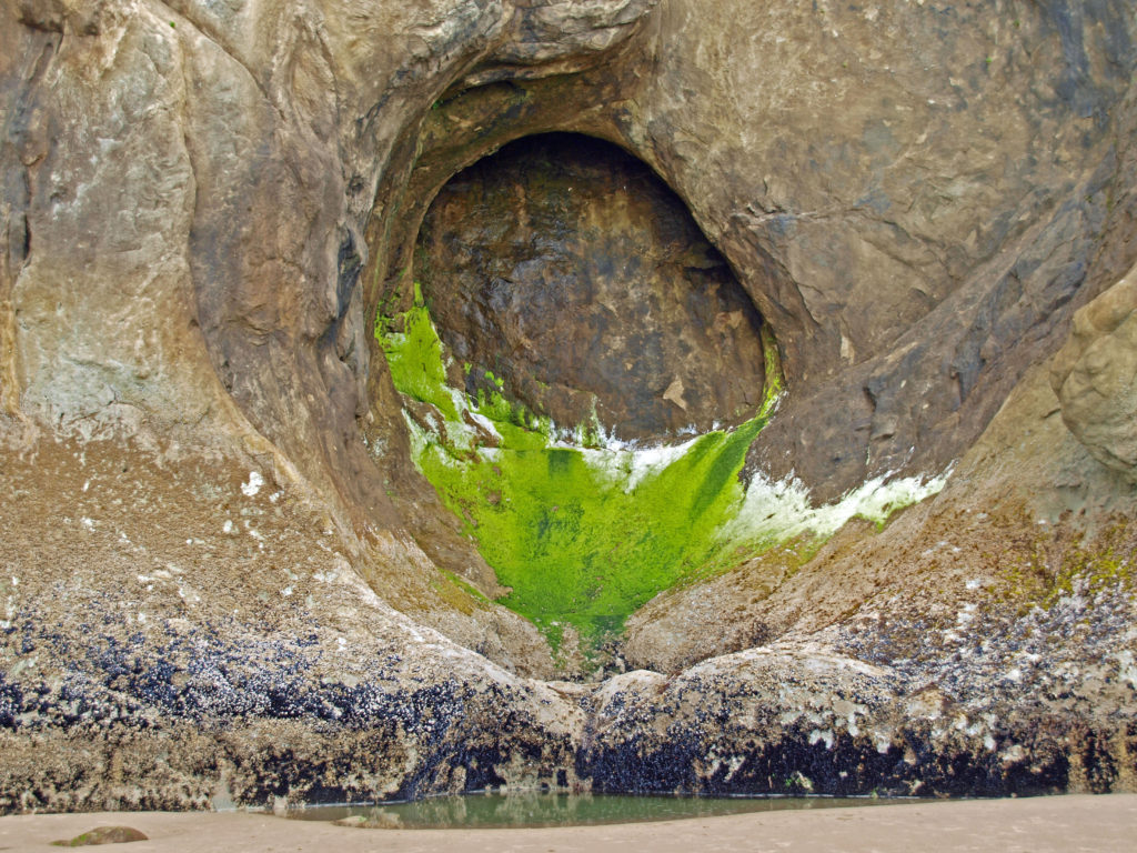
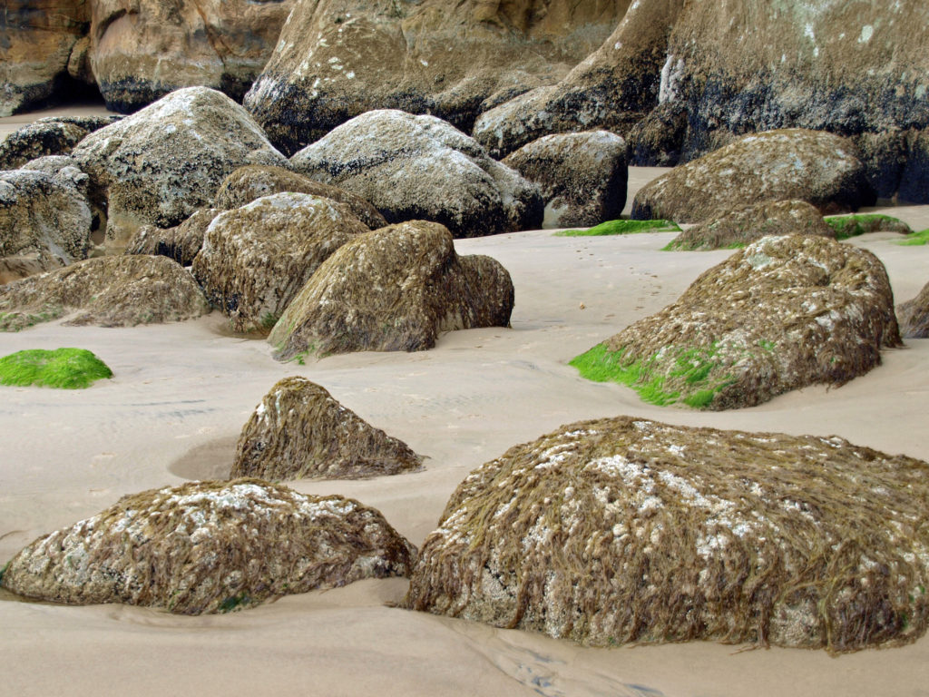
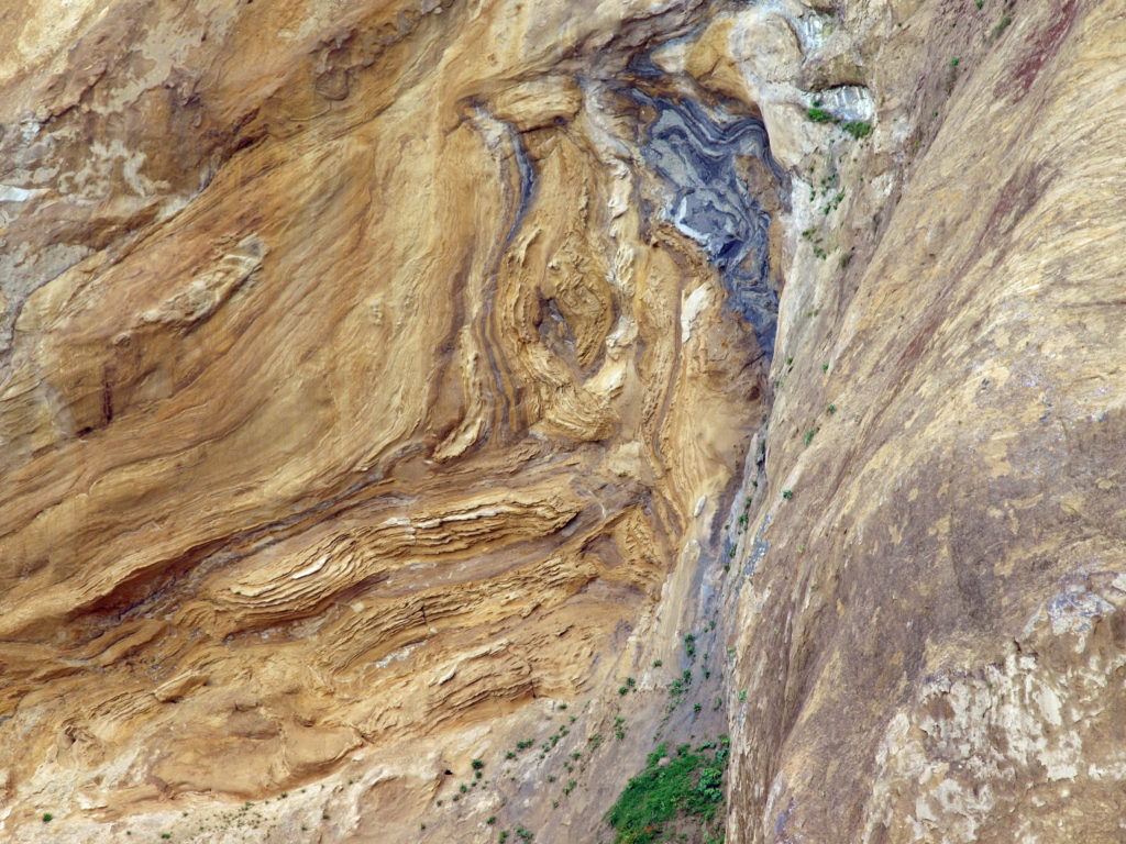 I love the eroded sandstone rock formations found at Hug Point. The layered sandstone of the point has been warped and folded by tectonic processes and eroded by wind and water into fantastic formations. The tidewater rocks are covered in green algae and seaweed, barnacles, and mussels. The rocks, sand, colorful vegetation, waves, and ever changing light make for great photo opportunities.
 Hug Point State Park is located about five miles south of Cannon Beach. The point can also be reached from Arcadia Beach State Park, about a mile to the north. It’s an easy day trip from the Portland area, but there many other attractions in the area, so many visitors spend a weekend or longer in the area.
 The nearby towns of Cannon Beach, Seaside, and Manzanita all have numerous motels, BNBs, and other accommodations, as well as many restaurants and cafes serving fresh seafood and other locally sourced foods.
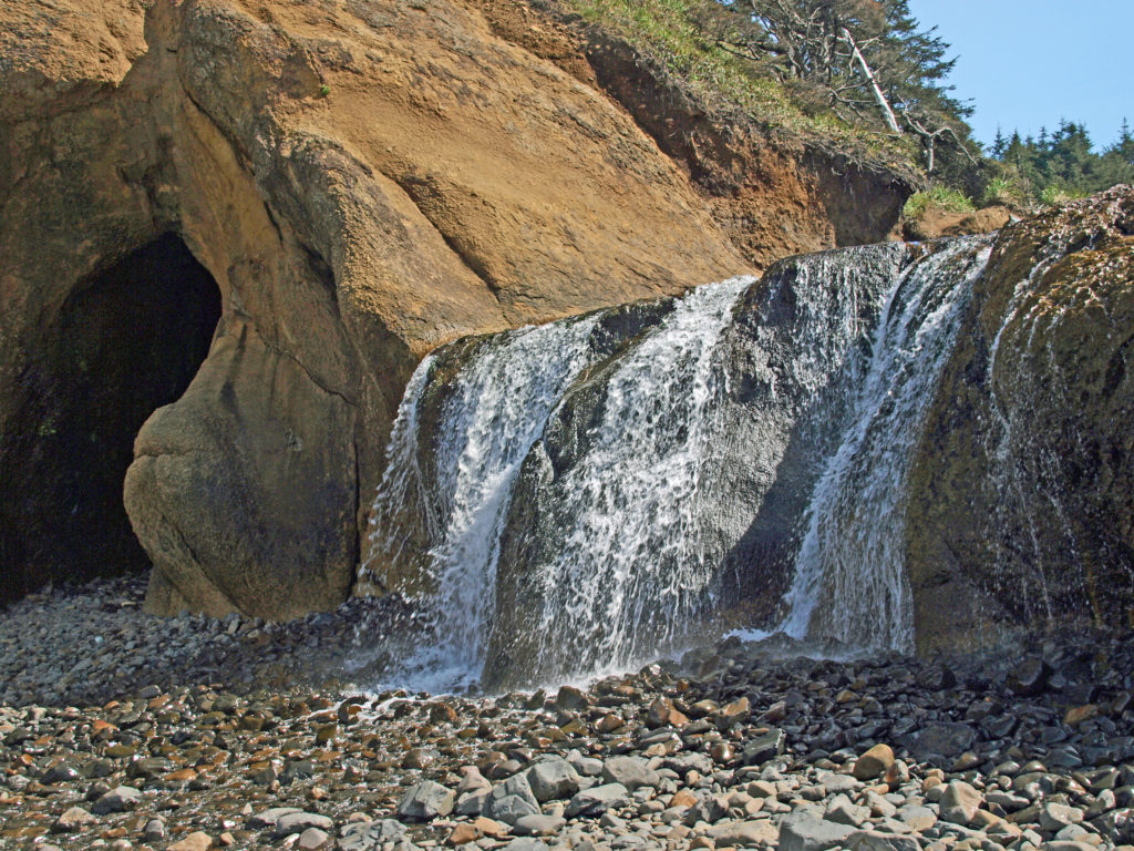
 One note of caution, though. If you go, pay attention to the tides. The waterfall and caves that draw most of the visitors to Hug Point State Park are nestled between Adair Point, immediately north of the beach access, and Hug Point itself. At high tide it can be difficult or impossible to get around these two points, so it is possible to get trapped between them.
 Overview:
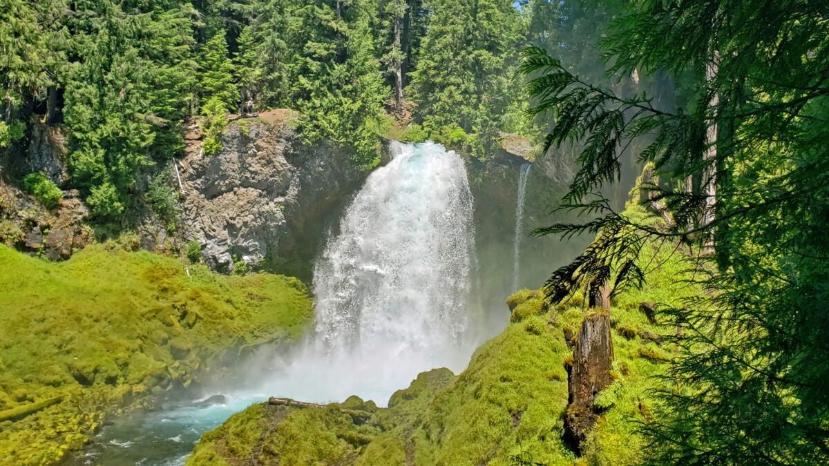
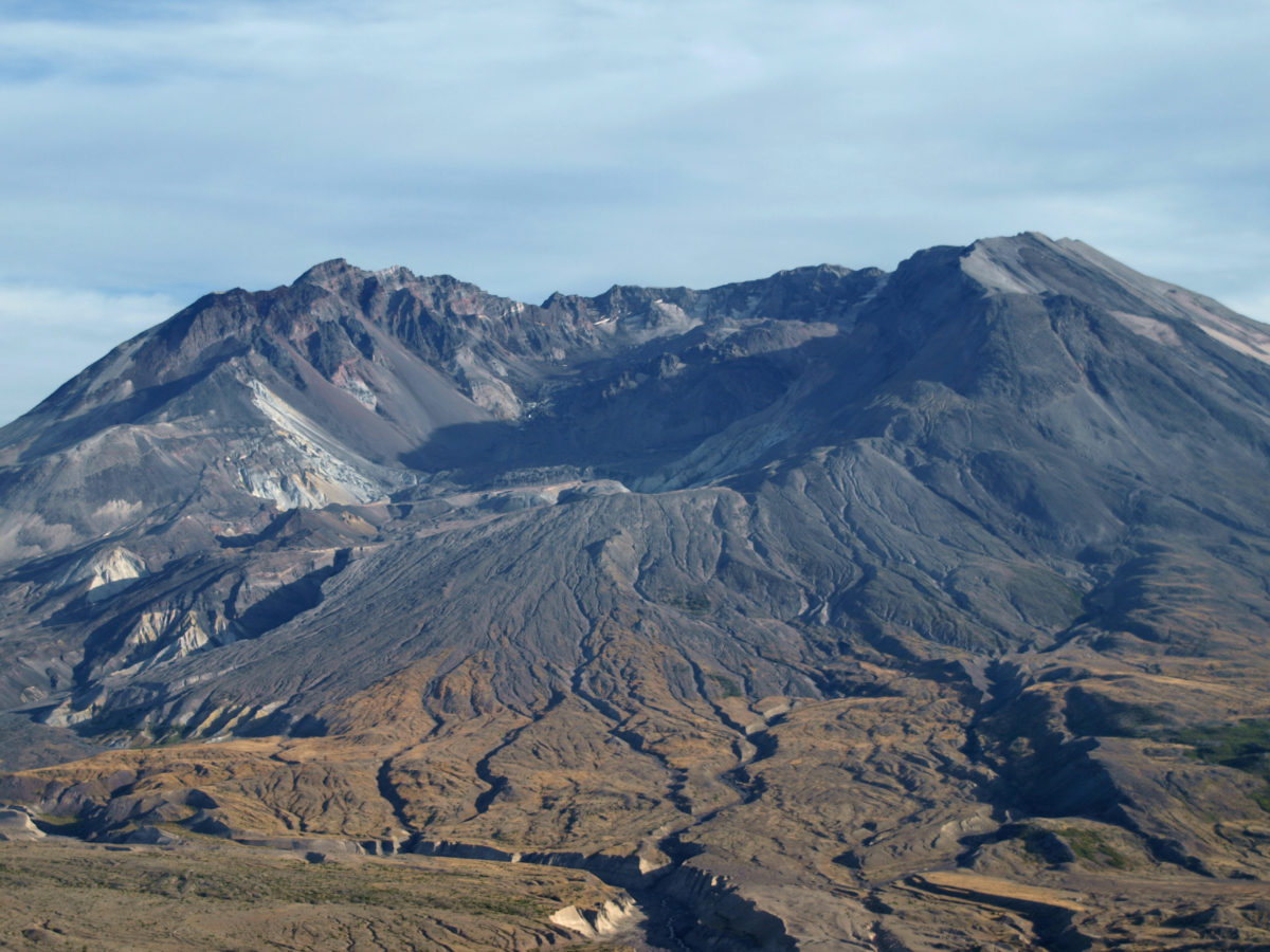
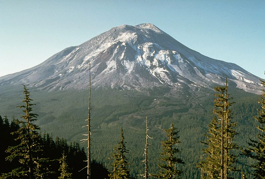
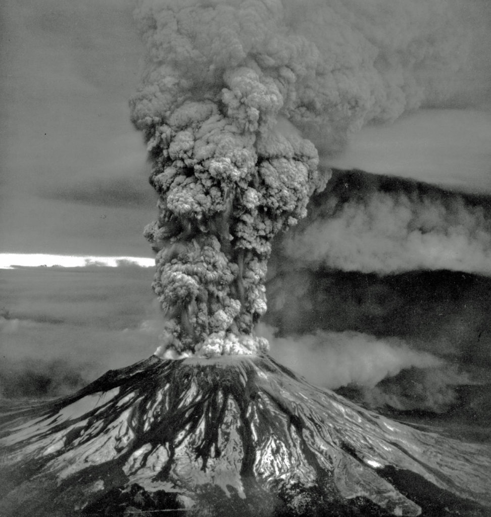
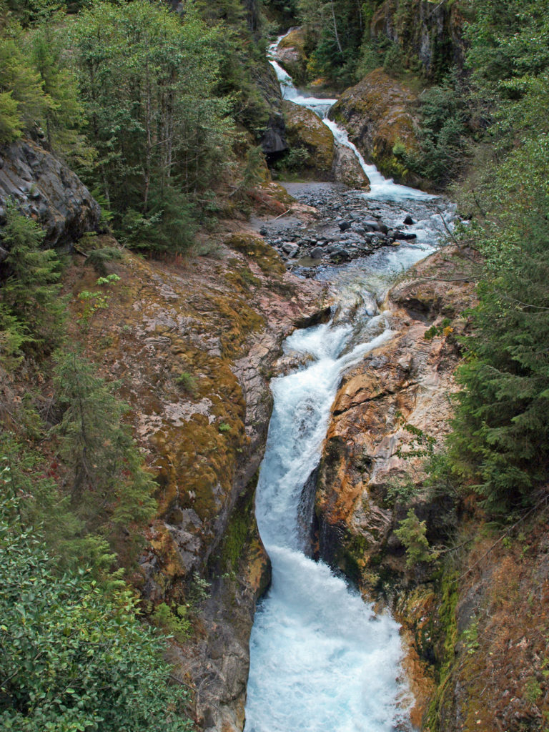 The history of Lava Canyon begins about 3500 years ago when an eruption of Mount St. Helens sent a flow of lava down the old valley of the Muddy River, destroying the forest and filling the valley with molten rock. Over the intervening years, the Muddy River cut a new course through the lava flow, and the canyon gradually filled with sediment. Then came the 1980 eruption, which melted the summit glaciers and sent a huge lahar (volcanic mudflow) down the valley, destroying the rebuilt forest and scouring out the built-up sediment, exposing the remnants of the earlier lava flow. What was left is a steeply descending canyon with an almost continuous series of spectacular waterfalls and cascades. (For more information on the 1980 eruption, see my
  Getting there:
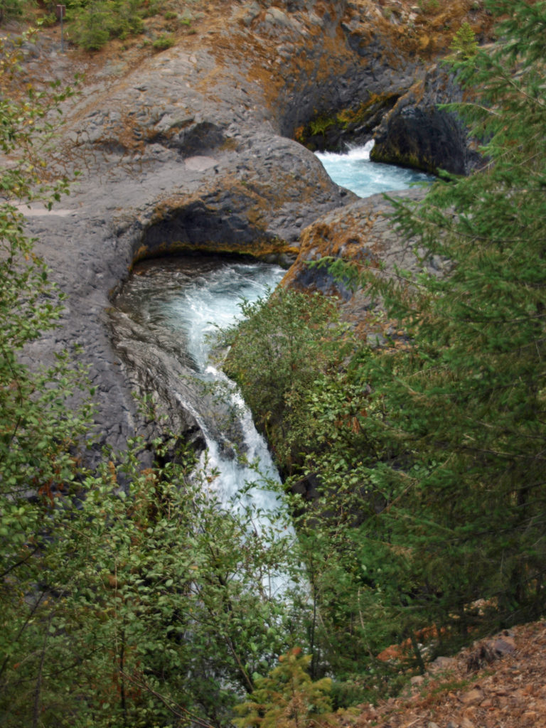 Trailheads:
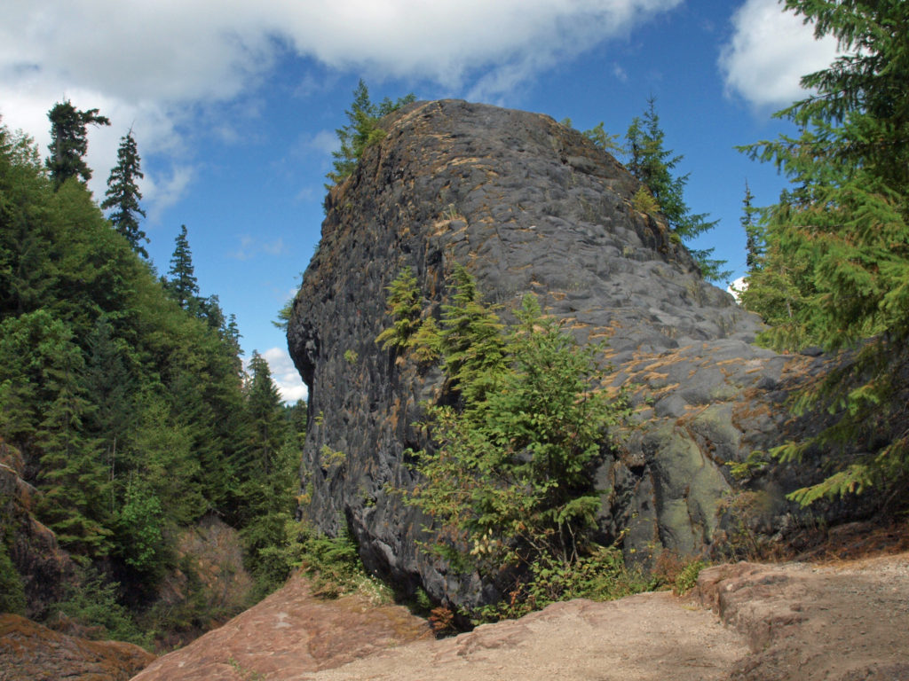 The hike:
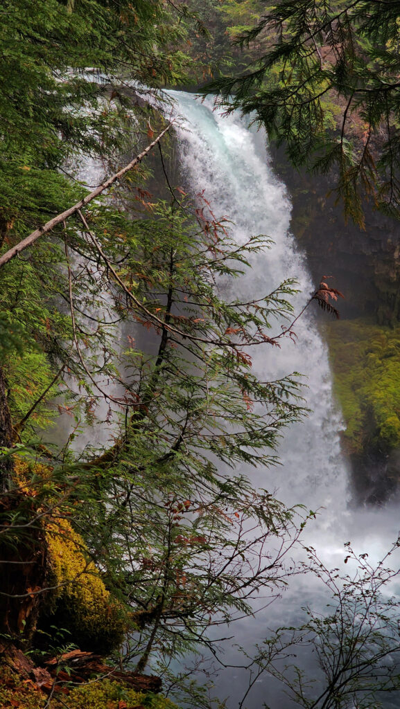
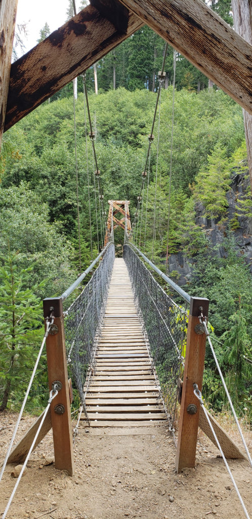 Below the overlook, the path is rock and dirt, steep in places. After another three tenths of a mile, you come to another side trail and a suspension bridge over the river that gives a bird’s eye view of the canyon and waterfalls. On the other side of the bridge is a connecting trail that takes you back to the upper bridge, making for a 1.4-mile loop. (Update: As of June 2023 the suspension bridge is closed. Check the National Forest Service’s
 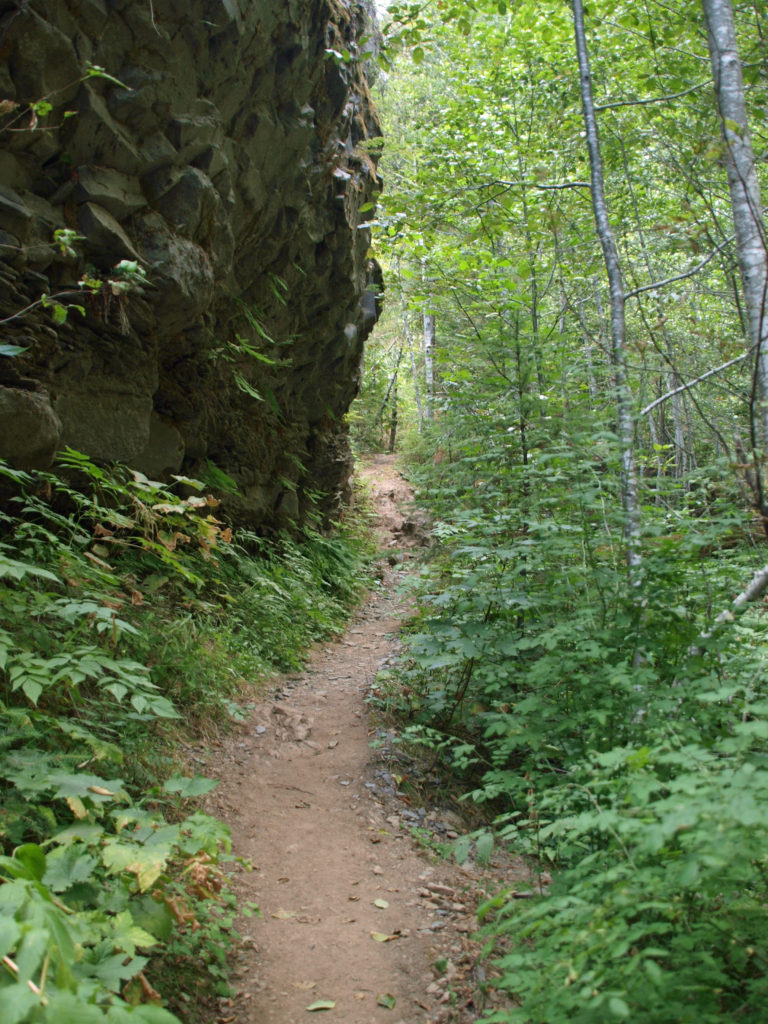 At about the 1.3-mile mark, the trail descends a 40-foot ladder to the base of the rock formation known as The Ship. Before 1980, sediment filled the canyon to the top of The Ship, to give you an idea of how much sediment was scoured out of the canyon. A short but steep side trail (and another ladder) leads to the top of The Ship.
 (Below The Ship, the trail continues another 1.5 miles to the lower trailhead. The entire hike from upper to lower trailhead and back is about six miles and the elevation gain coming back is 1350 feet.)
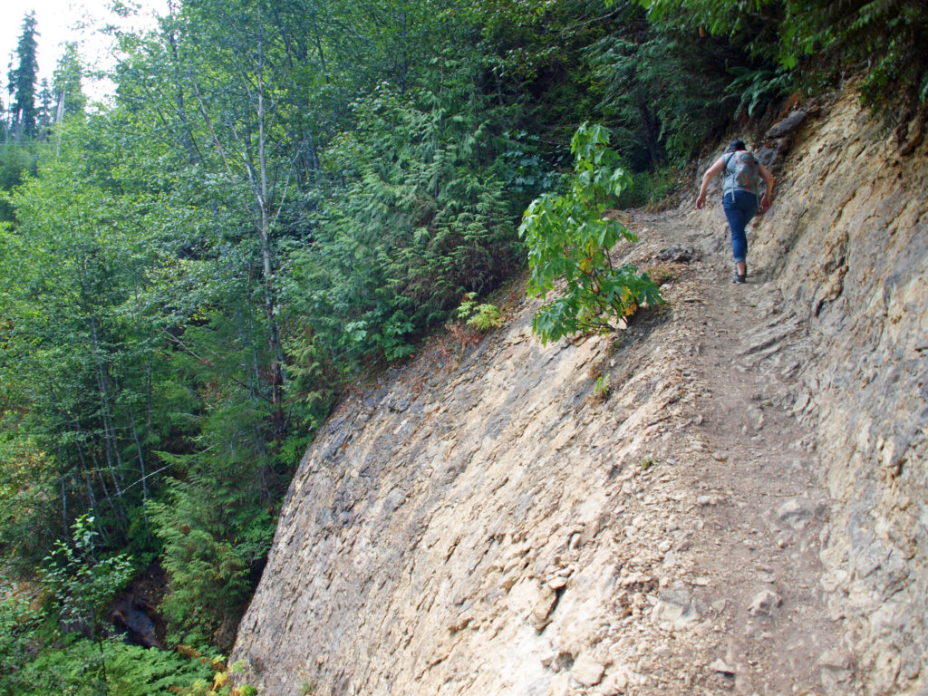 Return from The Ship the way you came. Cross the suspension bridge if it is open and take the trail on the opposite bank to the upper bridge and re-cross the river. The two bridges both give you great views of the river and canyon below.
 Originally posted in a different format September 29, 2018 by Alan K. Lee. Updated and re-posted March 23, 2021. Edited, updated and posted in this format June 29, 2023.

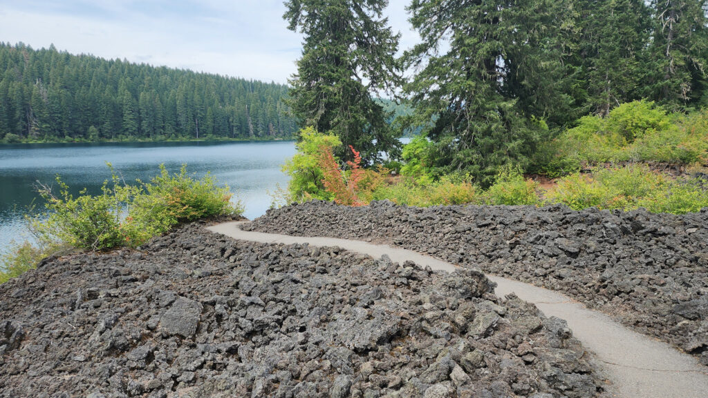
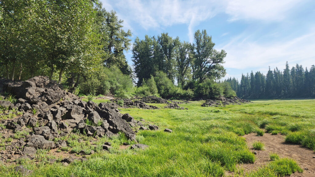
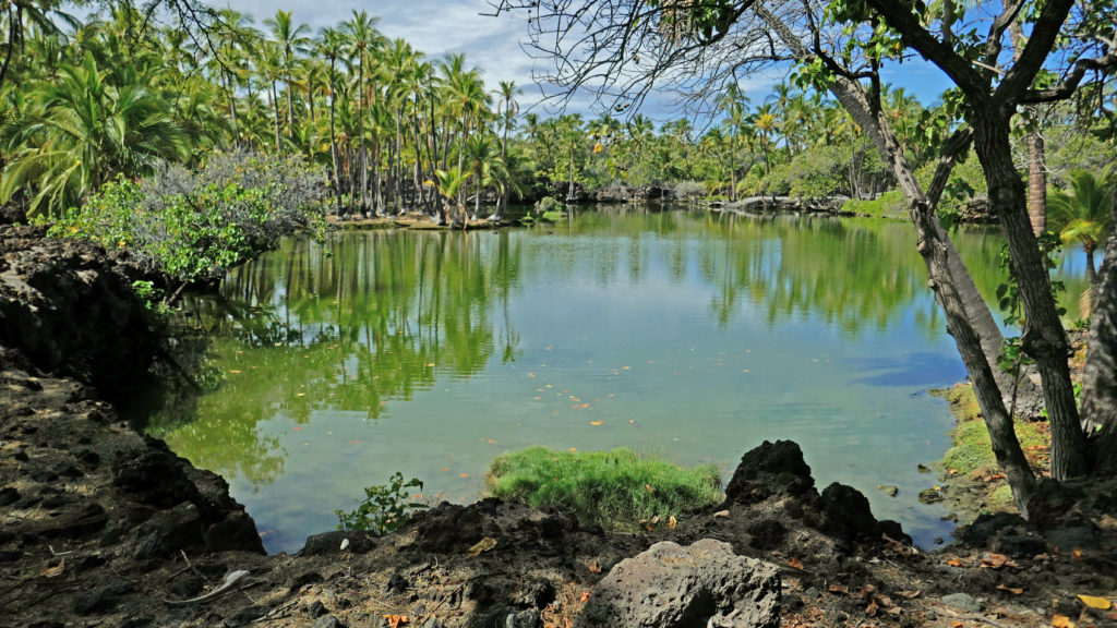
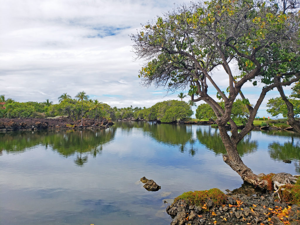
 From the Great Spring the trail follows the east shore through the lava fields and forest. Parts of the trail are pretty rough. Good quality hiking boots are advised, although I did this hike in sneakers on my latest visit. But open toed sandals or flip flops are definitely not acceptable footwear on this section of the trail.
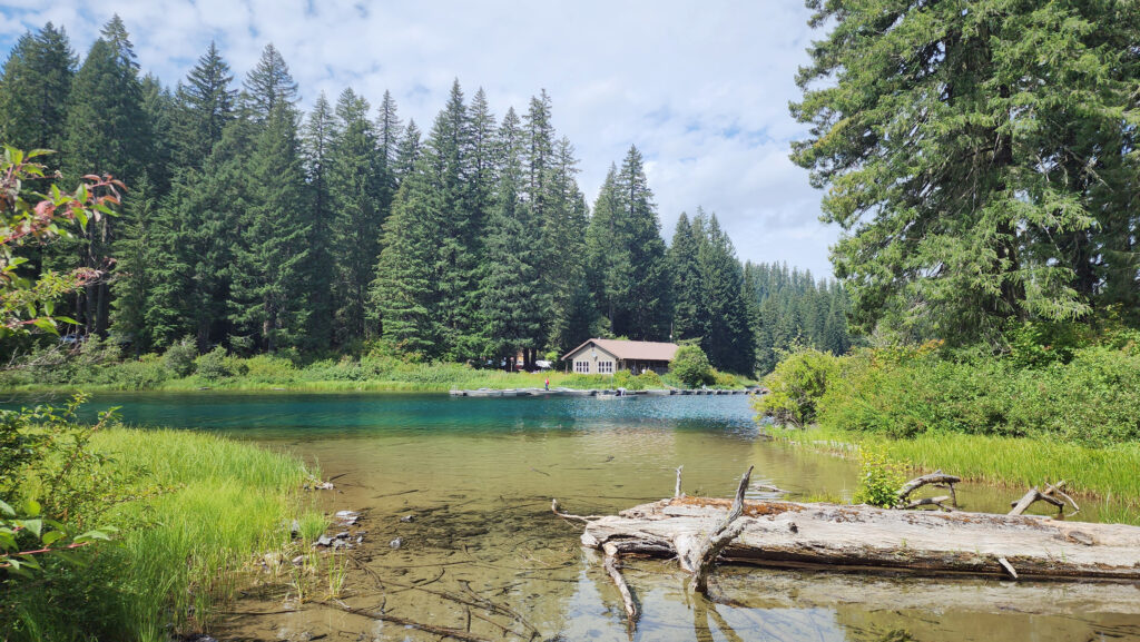


 Overview:
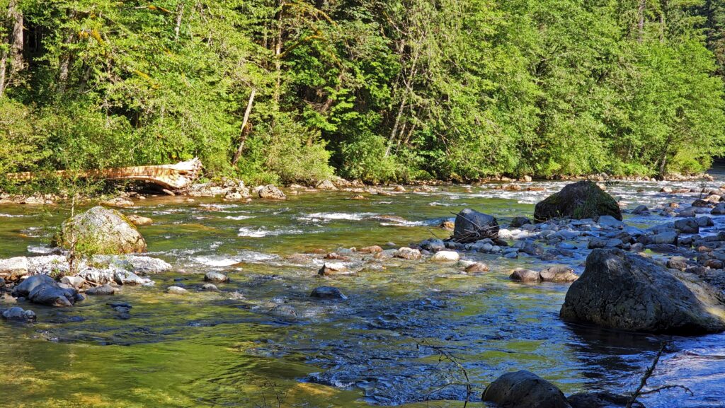
 The trail then drops back down before making a second climb to another summit. Beyond that the trail descends a series of stairs and a side trail leads down another set of steps to a viewpoint of the lower falls that is well worth the 104 steps back up to the main trail.
 Where: Washington side of the Columbia River Gorge
 Overview:
  Best time to go:
 Posted April 12, 2023 by Alan K. Lee
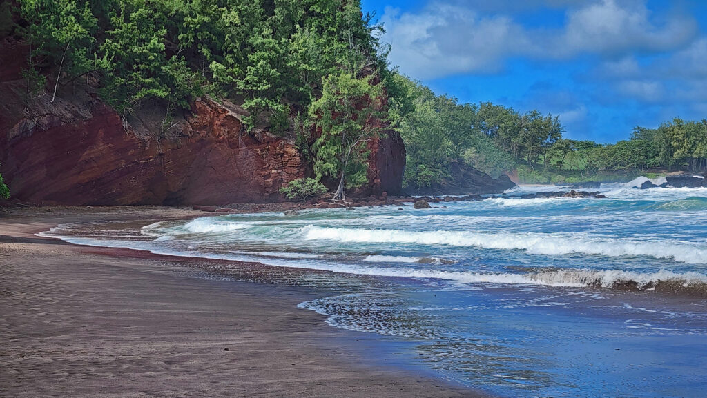
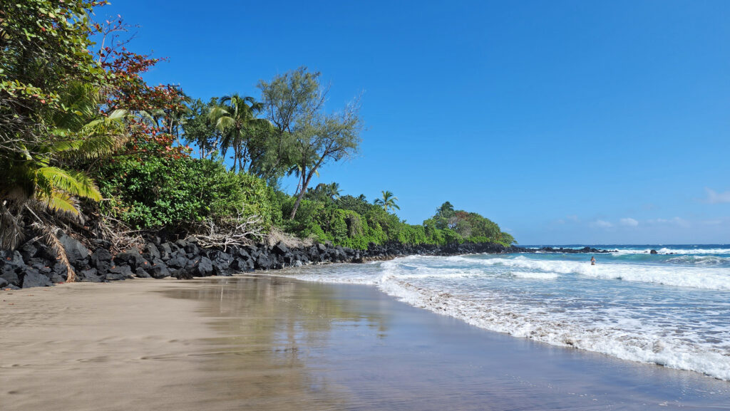
 There are a lot of things that you’ll miss if you’re visiting Hana as a day trip. Better to do as we did and spend a night or two. That will give you enough time to really see and enjoy the East Maui area. But be forewarned, Hana is expensive.

 Posted March 3, 2023.


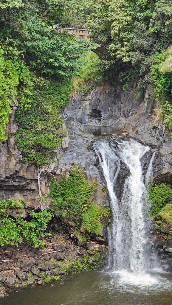
 We spent most of the rest of the day hiking to a number of the park’s many waterfalls. The Smokies have a different, softer feel to them than the mountains of the Western U.S., but they have their own appeal. We were there a little too early in the season to catch much in the way of fall colors, but there were hints of how beautiful it would be in a few weeks.

 After visiting Asheville, we visited two charming Old South cities: Charleston, SC, and Savannah, Georgia. Check out our posts on Charleston
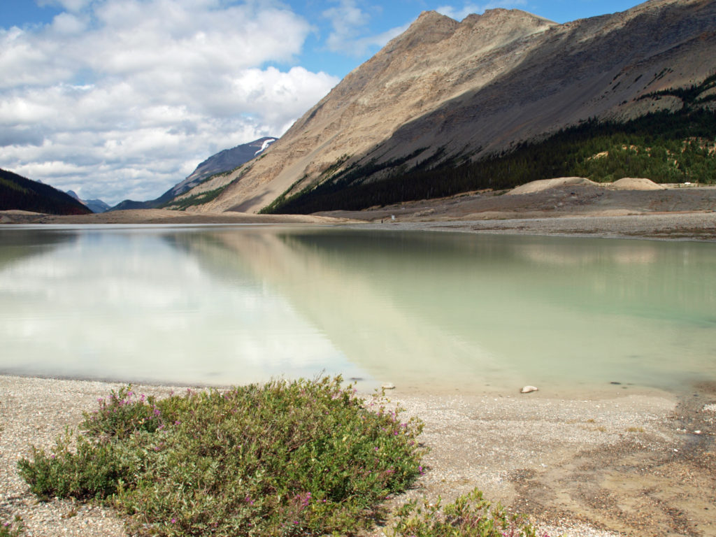
 The Icefields Parkway ends at the town of Jasper, a smaller, less crowded, and lower key version of Banff. There are abundant restaurants, pubs, galleries, and shops there, but accommodations are limited, and hotels and motels are expensive. Book your stay well in advance. We opted for staying in a travel trailer at an RV park 30 miles (48 km) from Jasper, just outside the park boundary, because that was the only thing available through Airbnb when we were planning our trip. It was a little inconvenient, but in the end it worked fine.

 Originally posted August 6, 2019. Updated and re-posted November 19, 2022.
 The nearby
 After our hike to Sol Duc Falls we drove to the Hurricane Ridge Visitor Center to do some more hiking and sightseeing. The visitor center is located 17 miles south of Port Angeles at an elevation of 5242 feet above sea level. Hurricane Ridge is the only alpine area in Olympic National Park accessible by car, which makes it very popular and means it can be very crowded, especially on summer weekends. We were there in the middle of the week in late September, though, so crowds weren’t much of an issue.
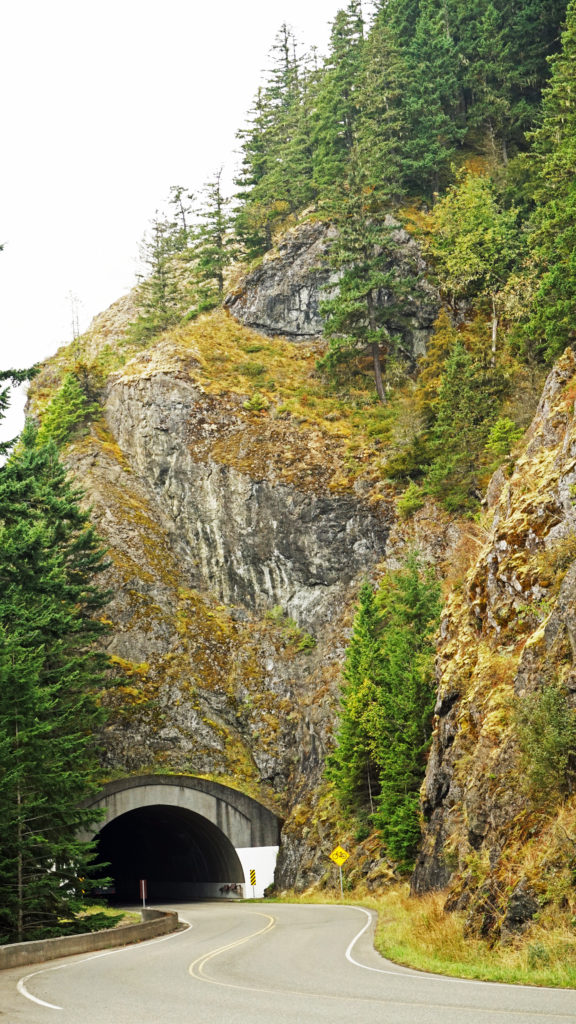 The Hurricane Ridge Road is paved, but winding with poor sight lines and several tunnels. It is also a popular challenge for cyclists because of the elevation gain, so go slow and watch for bicycles on the road.
 Originally posted November 7, 2020. Updated and re-posted November 9, 2022.