
by Alan K. Lee
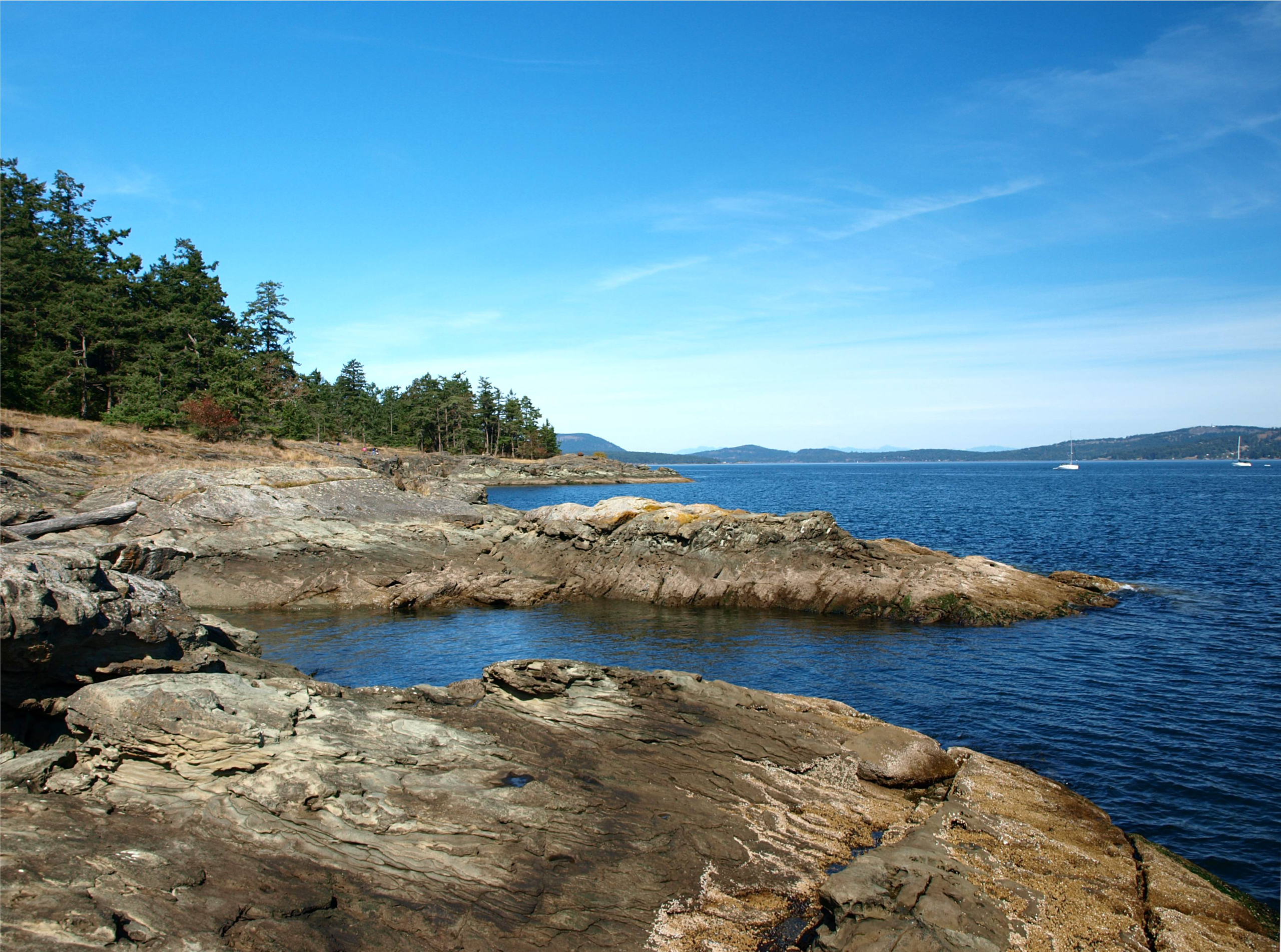
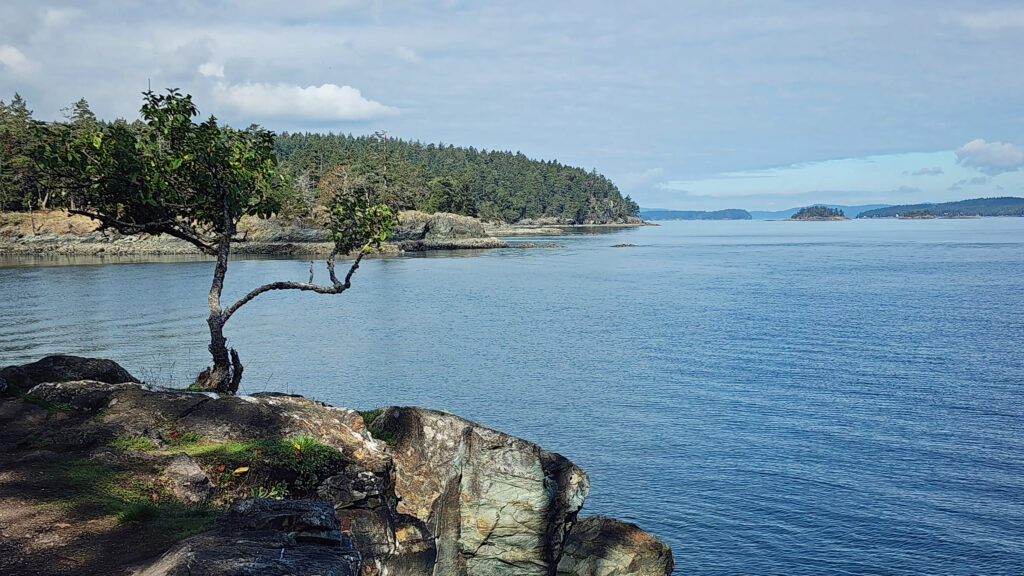
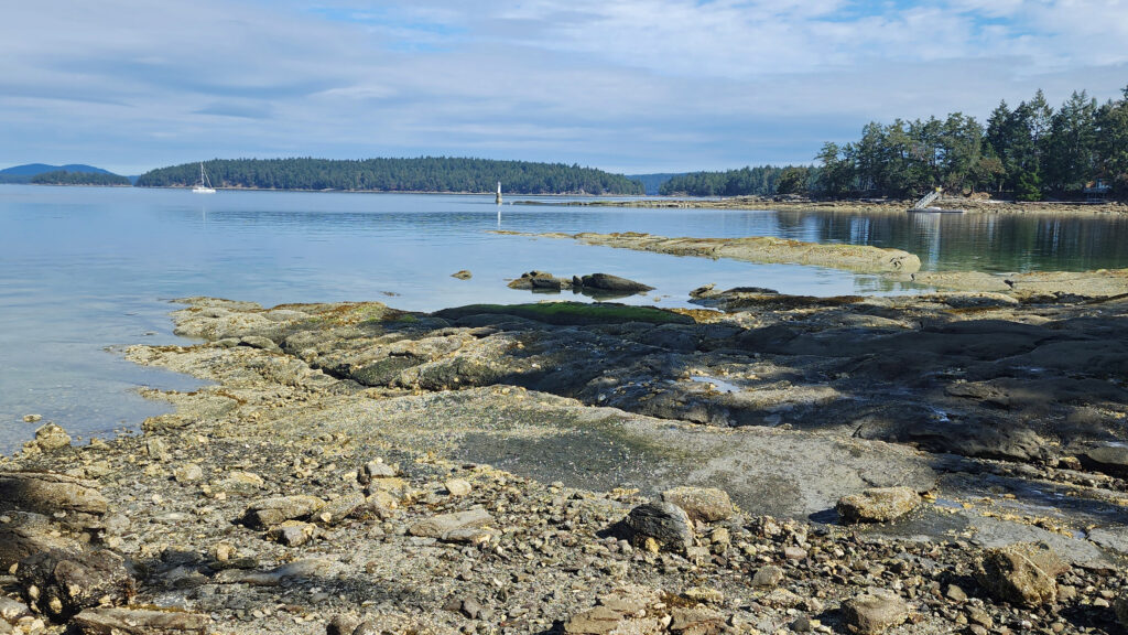
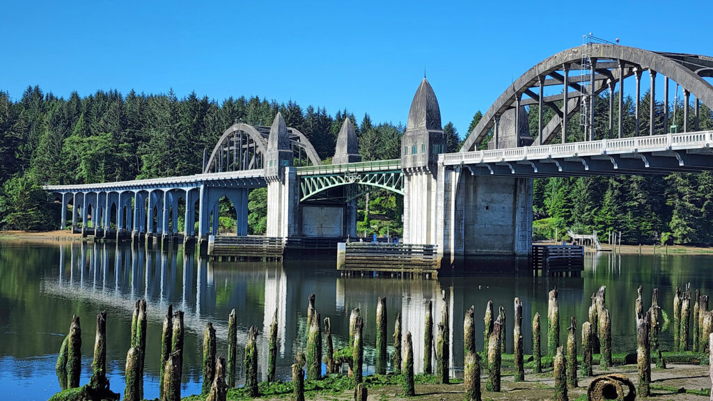
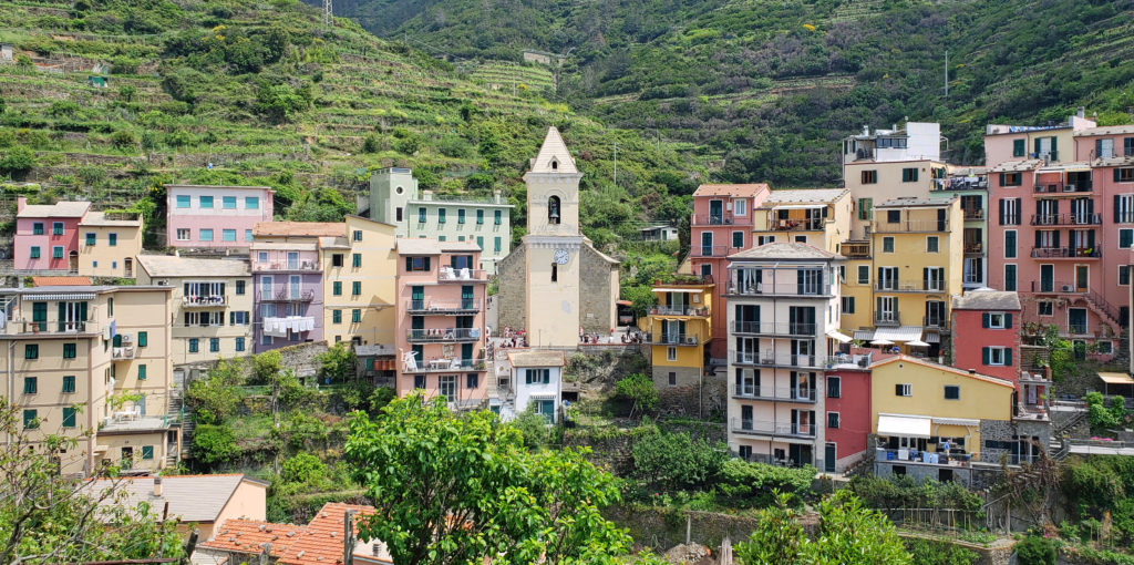
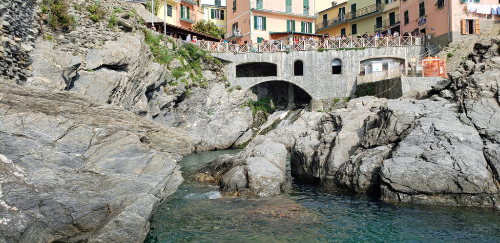
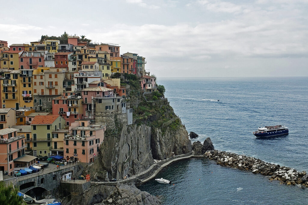
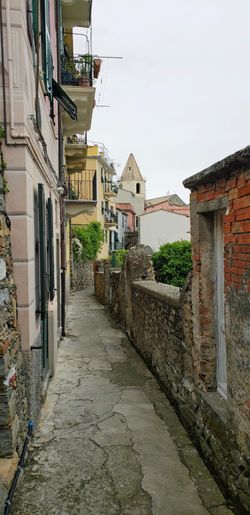
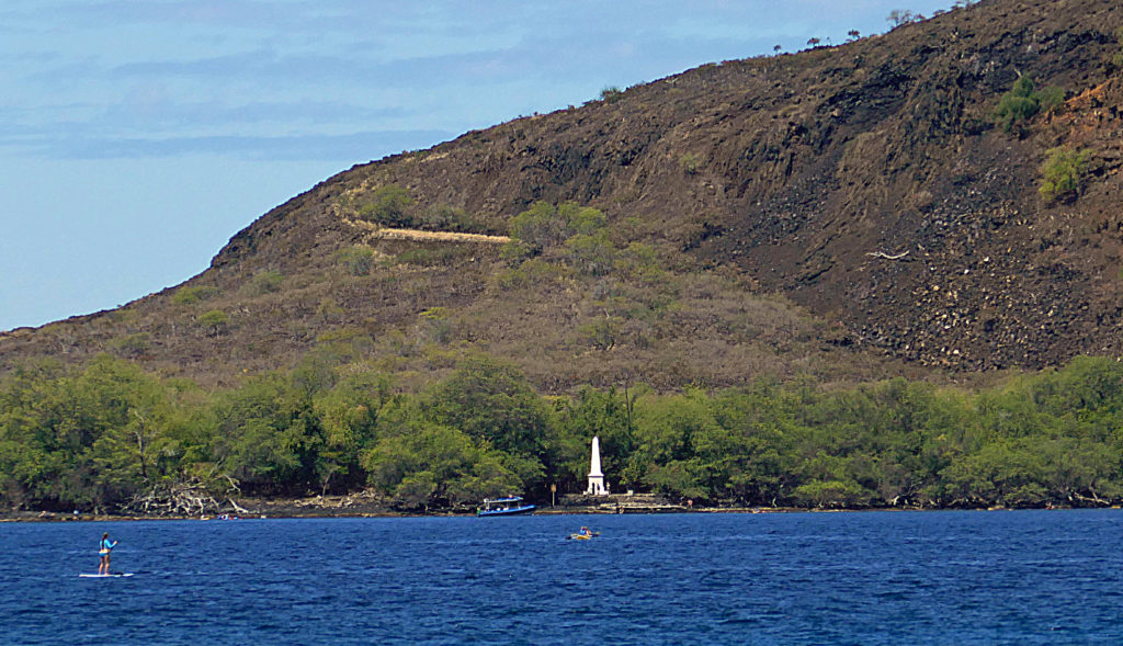
British Columbia’s Gulf Islands are located between the southeastern coast of Vancouver Island and the the Canadian mainland. The largest, most populated, and most accessible of the Gulf Islands is Salt Spring Island. Ganges, on Salt Spring, is the commercial and cultural heart of the Southern Gulf Islands. It is the largest (and really the only) town in the Gulf Islands.
The Gulf Islands Guide has a description of each island and good information on events and accommodations in the Islands. Other useful websites include Gulf Islands Tourism, and Salt Spring Island.org.
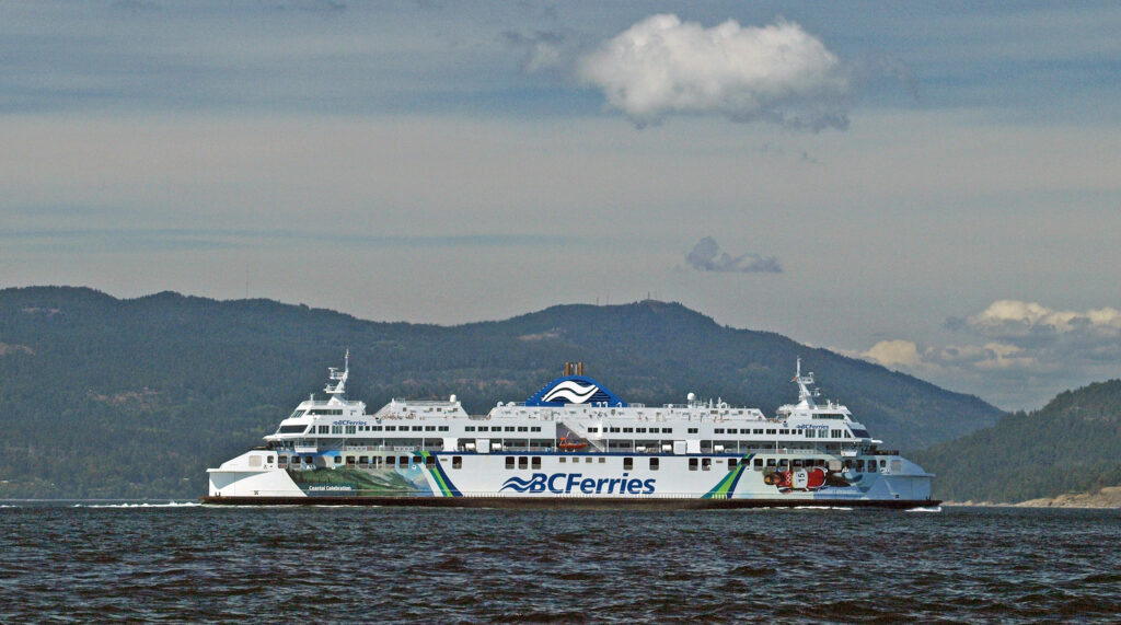
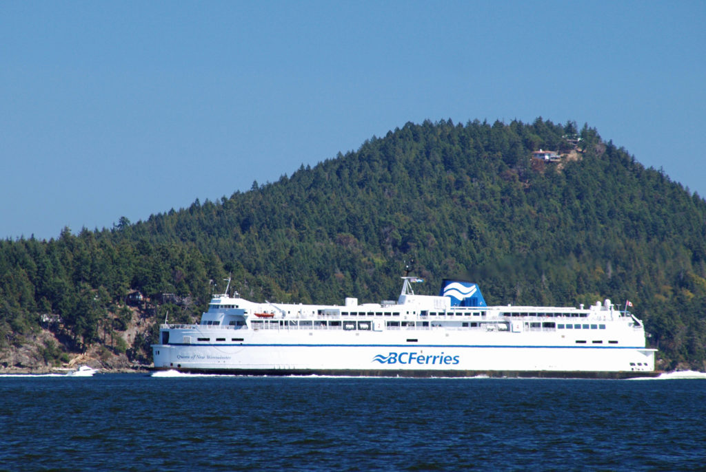
Almost all visitors to Salt Spring Island arrive via one of the B.C. ferries that serve the island. Ferries travel from the Tsawwassen terminal south of Vancouver to Long Harbor, near Ganges, and from Schwartz Bay north of Victoria to Fulford Harbor on the southern end of Salt Spring. There is also a ferry from Crofton, on Vancouver Island, to Vesuvius on the northwest shore of Salt Spring. Check the B.C. Ferries website for schedules and rates. If you’re traveling from Tsawwassen, book a reservation well in advance during the summer. Ferries from Schwartz Bay and Crofton are first come, first served, but run frequently.
There are no commercial flights to Salt Spring Island. There are float plane companies that will take you to the islands, though. And the Victoria airport is only a few miles from the Schwartz Bay ferry terminal, so flying to Victoria and renting a car is a good option if driving is not feasible.
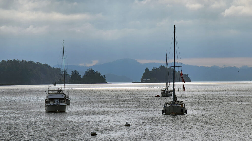
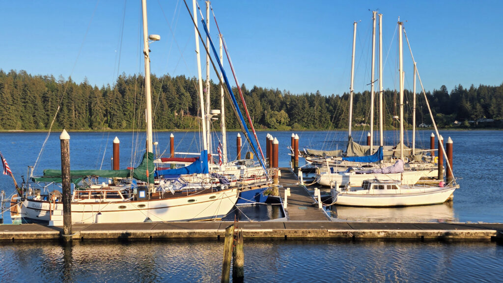
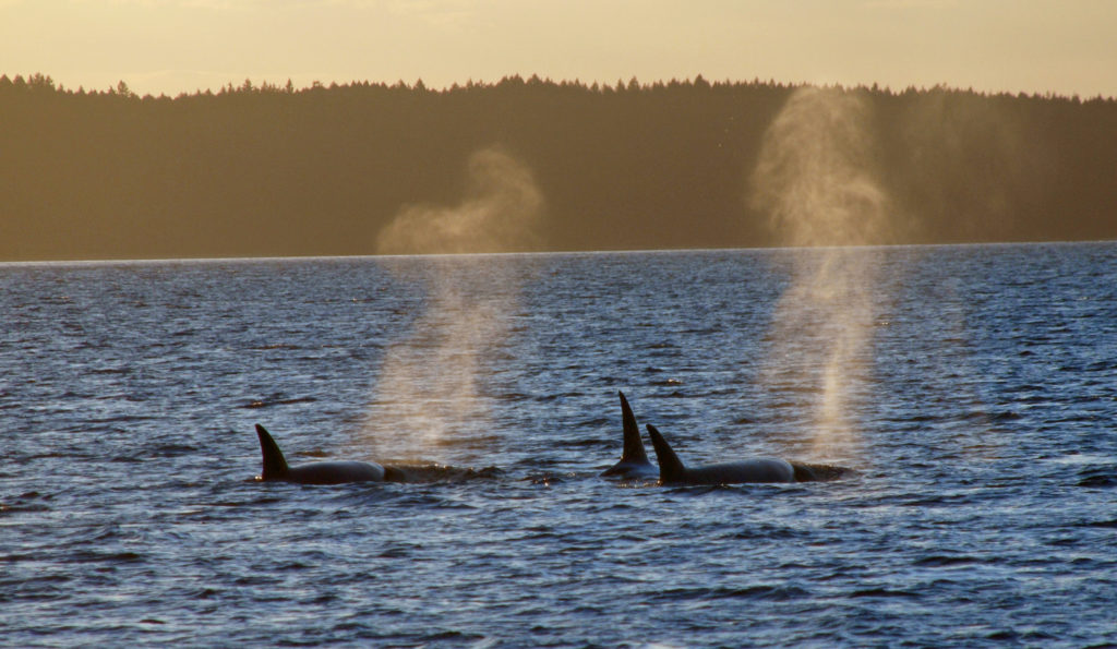
If you or one of your fellow travelers is an experienced boater or sailor, you can charter a sailboat or power boat and explore the islands by sea. Full-service marinas are located at Sidney on Vancouver Island, and in Ganges. Experience is essential and charter companies require proof of competence, and it is fairly expensive. But if you have the necessary qualifications and can afford it, this is an excellent way to explore the Islands. We have done this, and I can personally recommend it.

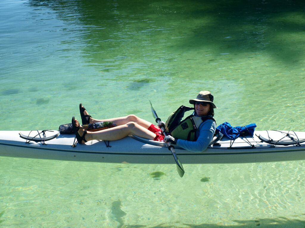
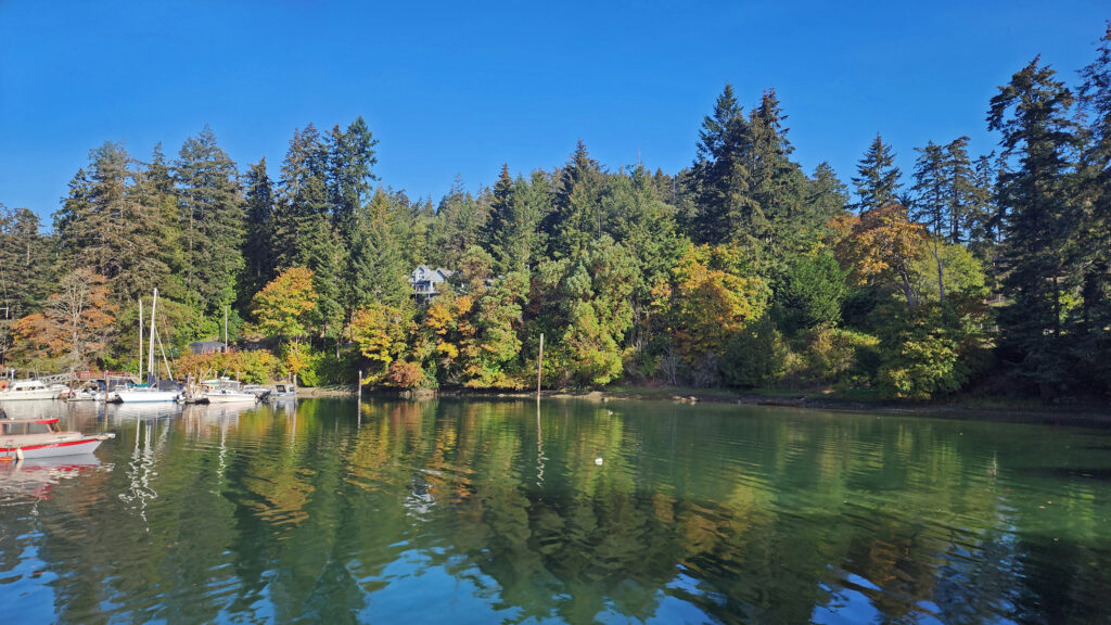
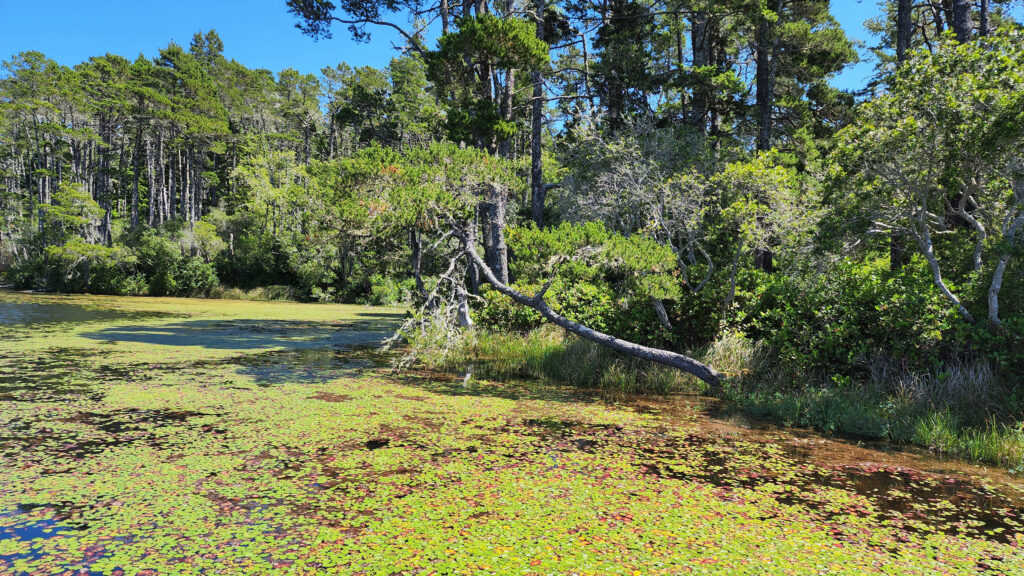
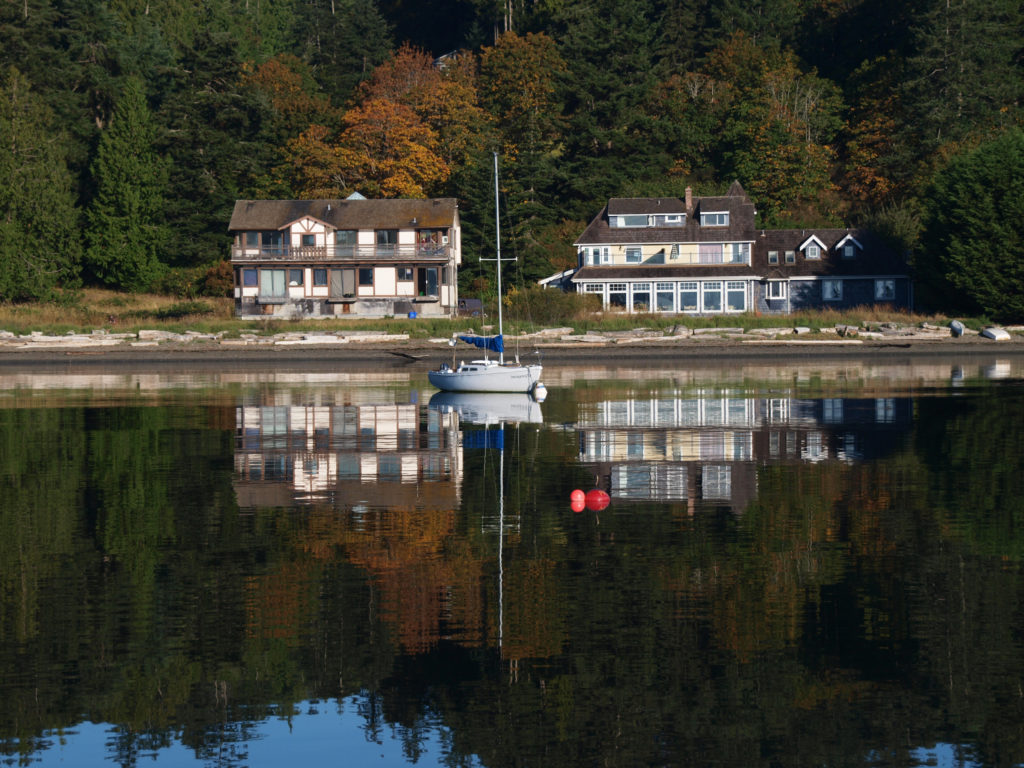
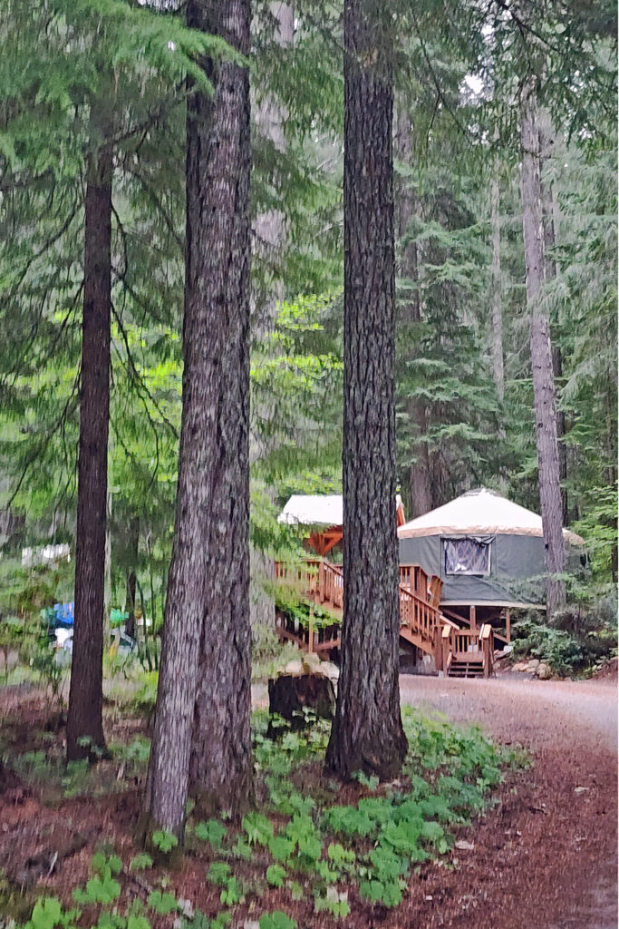
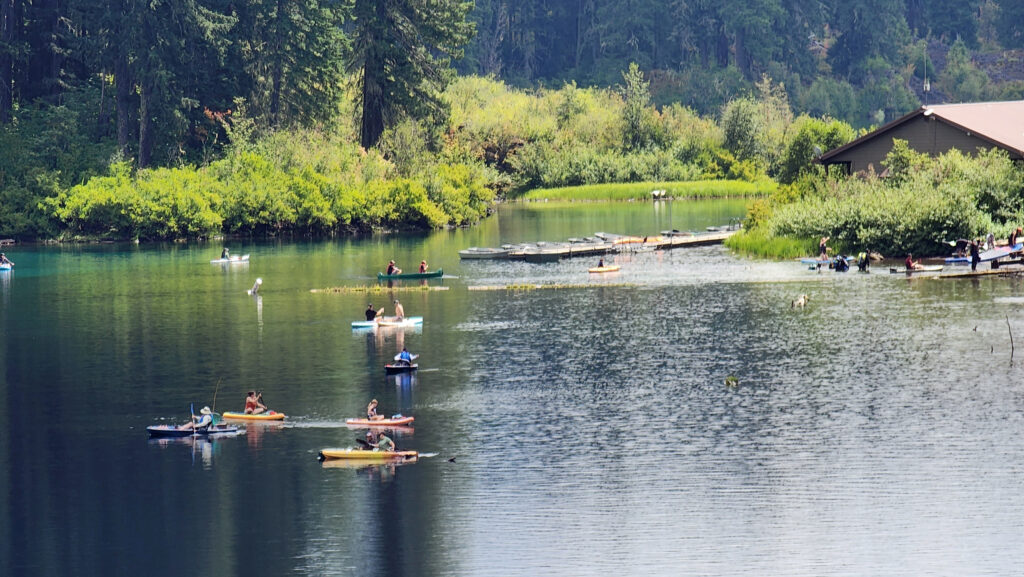
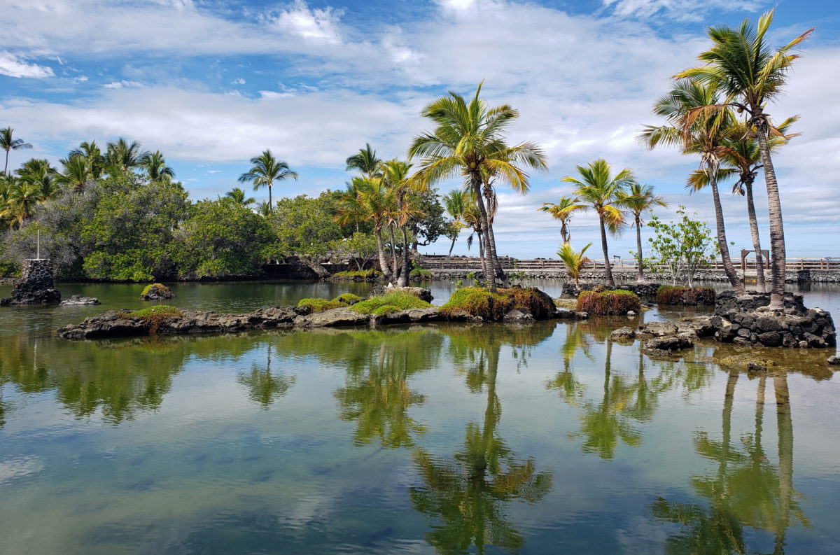
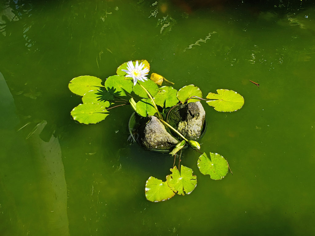
There are a wide variety of accommodations available on Salt Spring, from full-service resorts and hotels to traditional B&Bs to single rooms available through Airbnb. One place that I can personally recommend is Spindrift Oceanfront Cottages near the Long Harbor ferry terminal. Spindrift is located at the end of a peninsula in Ganges Harbor in a park-like setting. It has a variety of cottages and two sand beaches perfect for launching kayaks. If you’re a kayaker, this is a perfect jumping off point. Ganges Harbor and its numerous islands are well worth exploring. Prevost Island, a short paddle to the southeast of Ganges Harbor is also worth a visit. A portion of Prevost is set aside as part of the Gulf Islands National Park.
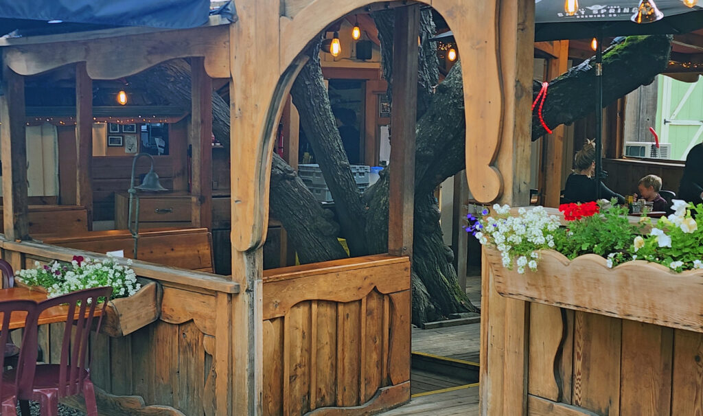
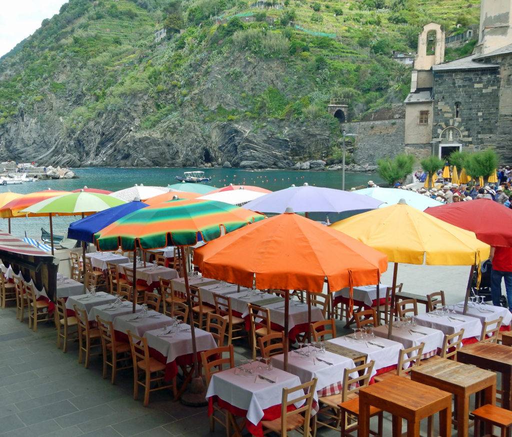
The Ganges area has several restaurants and cafes that I can recommend. For a good breakfast in a unique setting, try the Tree House Cafe in downtown Ganges. Another good place to start your day is Salt Spring Coffee-Ganges Cafe. Salt Spring Inn offers a fine dining experience, also in downtown Ganges. Salt Spring Wild Cider House, just west of Ganges, offers gourmet farm-to-table dinners at a reasonable price. Moby’s Pub, a local hangout, has an upscale pub food menu and a good selection of craft beers. And, if you want a true local experience, you will probably not see another tourist in the well-named The Local Pub, near the marina in Ganges.
Getting around the island is easiest if you have a car, but there is a bus system that will get you around if you don’t. And there is a unique Car Stop system, sort of an organized hitchhiking system. Look for the Car Stop signs and stick out your thumb. Someone will stop to give you a ride. Drivers can be selective about who they pick up, and of course hitchhikers can be equally selective about whose car they get into. But it’s generally safe, and it’s free. It also a unique way to get to know some of the locals.
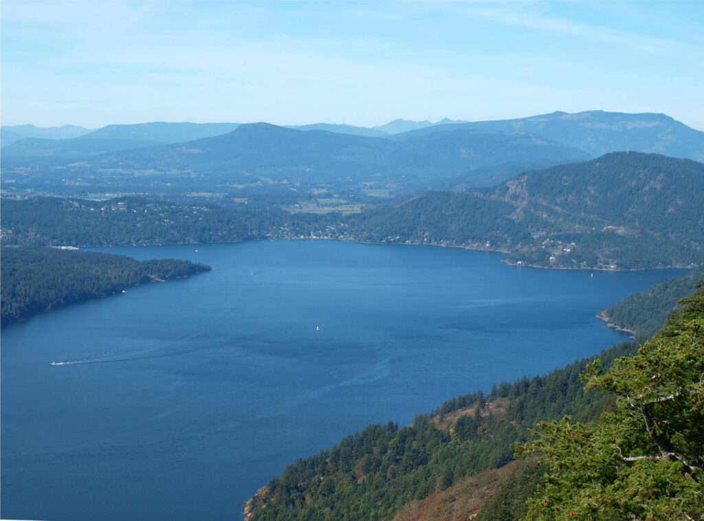
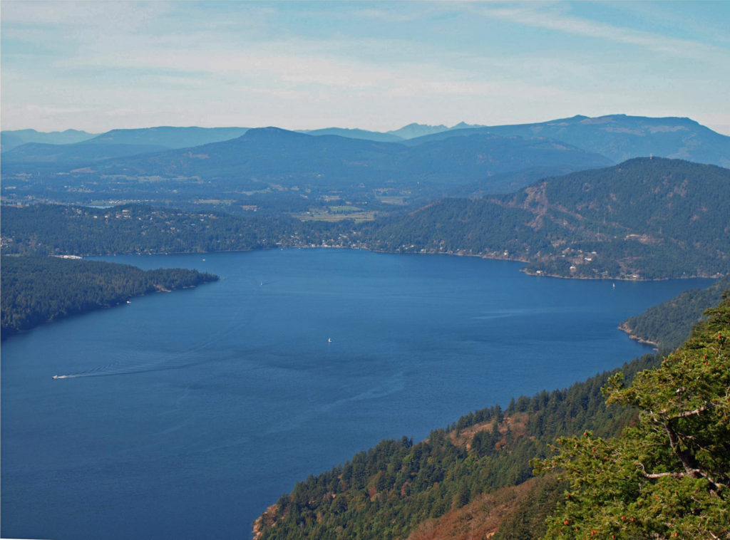
There are many places worth exploring on Salt Spring, including four Provincial Parks. Mount Maxwell Provincial Park on the west side of the island provides spectacular views of Mount Bruce to the south and west across Saanich Inlet to Vancouver Island. You can drive to the summit, but when we were last there (summer 2024) the last mile or so of the road required a high-clearance vehicle with four wheel drive. There are also hiking and mountain bike trails for the more adventurous.
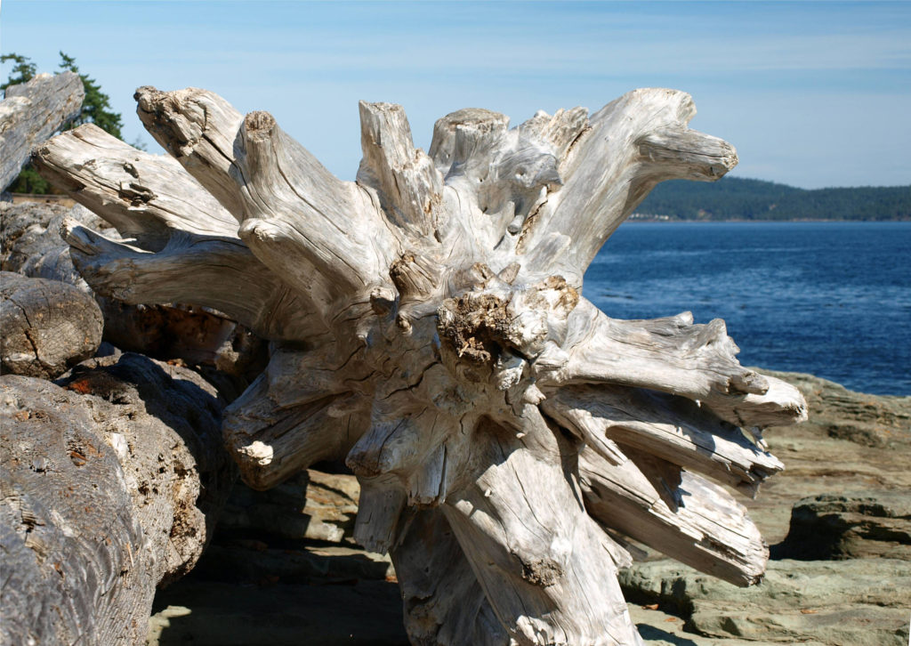
Ruckle Provincial Park on the southeast coast of the island has hiking trails that take you along the shore of Swanson Channel, as well as a campground with eight RV sites (no hookups) and 78 walk in tent sites. There are also good hiking trails at Mt. Erskine Provincial Park, just west of Ganges. And Burgoyne Bay Provincial Park is located at the base of Mount Maxwell on Saanich Inlet.
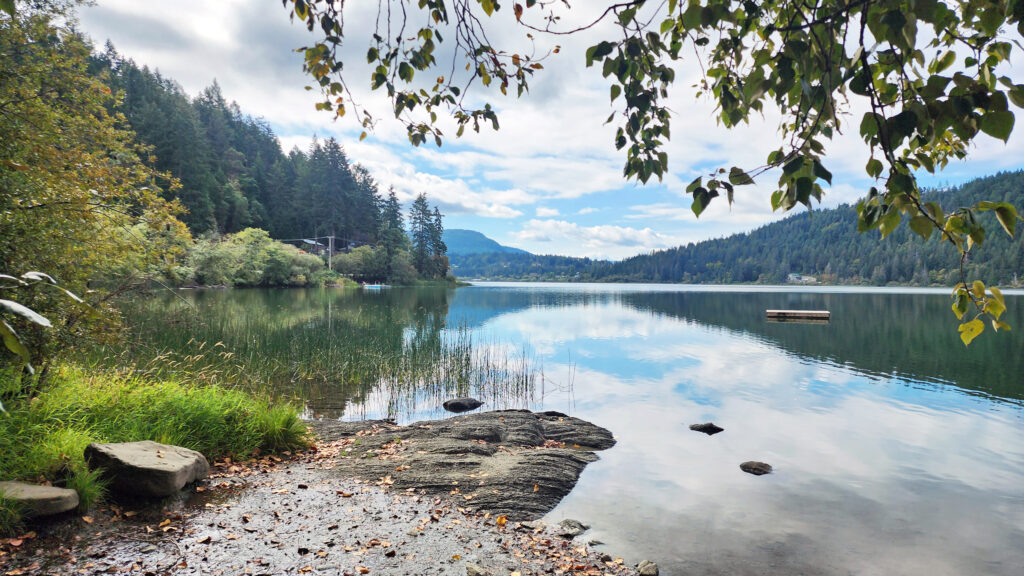
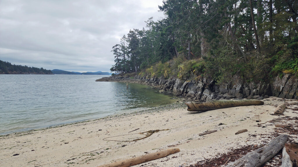
Other places on the island worth visiting include St. Mary’s Lake and the small community of Vesuvius. There are also a number of beaches that have public access on the north end of the island.

Salt Spring has an active arts community, with numerous galleries and studios in Ganges and scattered across the island. Many of the studios are open to visitors in the summer. A Farmer’s Market is held in Ganges every Saturday during the summer, where you can sample artisanal cheeses and locally grown produce. Arts, crafts, and home and garden products are also available.
If you are a cheese lover, you’ll want to visit Salt Spring Island Cheese. Their farm is located on Reynolds Road, just off of the road leading to Ruckle Park. There you can not only sample and purchase their artisanal cheeses, but also see the whole cheese making operation. You can also find their cheeses at the Farmer’s Market in Ganges and in many grocery stores in B.C. and as far away as Toronto. If you are a wine lover, stop at Salt Spring Vineyards and Tasting Room, and Garry Oaks Estate Winery, both located south of Ganges on Fulford-Ganges Road.
Salt Spring Island is just a short jaunt from Victoria and can be visited as a day-trip if you’re exploring Victoria, but you can also spend a week on the island without running out of things to see and do. And you can use Salt Spring as a base to explore the other Gulf Islands. My wife and I have visited Salt Spring Island many times over the years, and on each visit we have discovered new places to see and new things to do. I’m sure our most recent visit will not be our last.
Posted January 31, 2025
All photos © Alan K. Lee
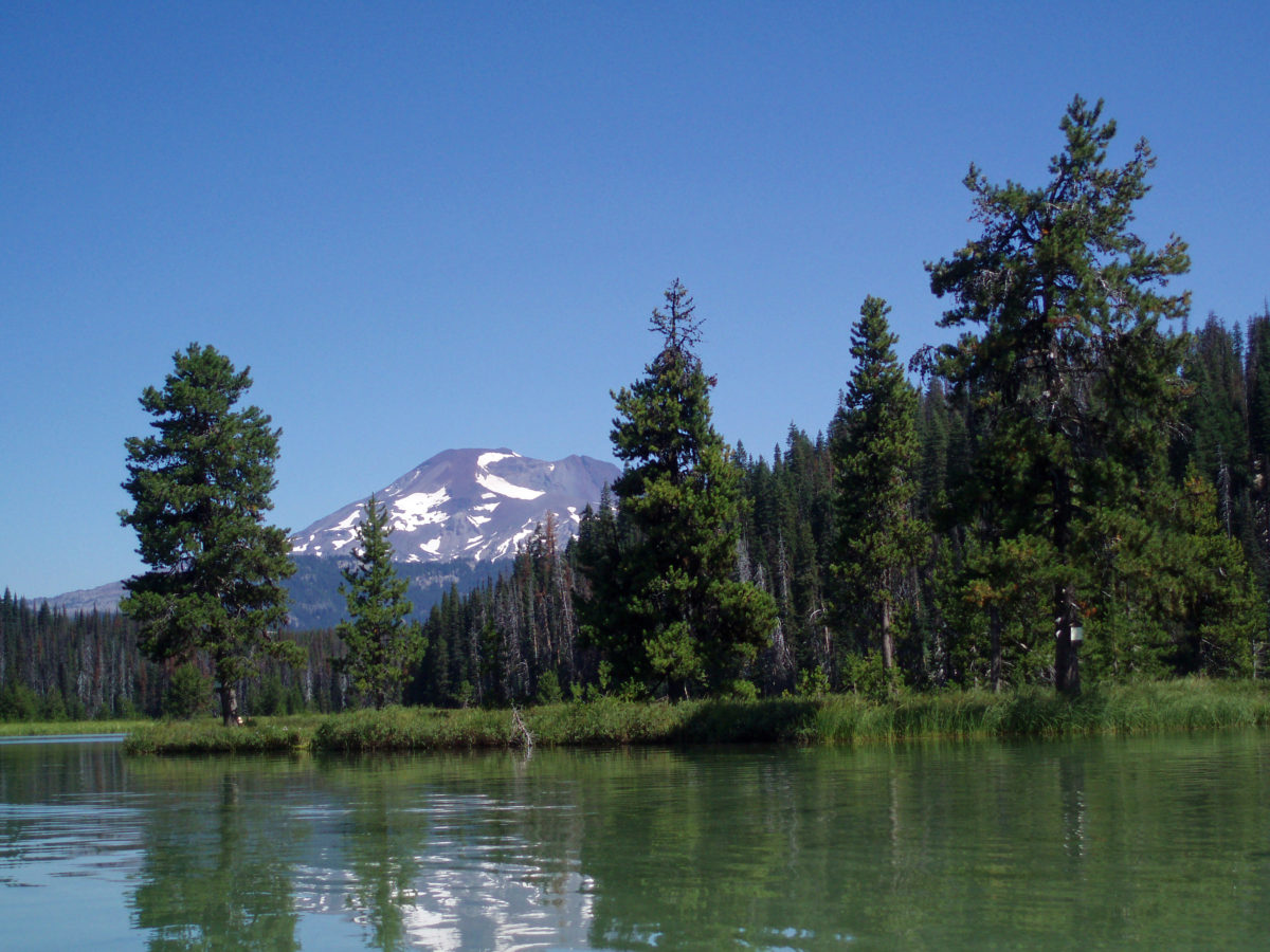
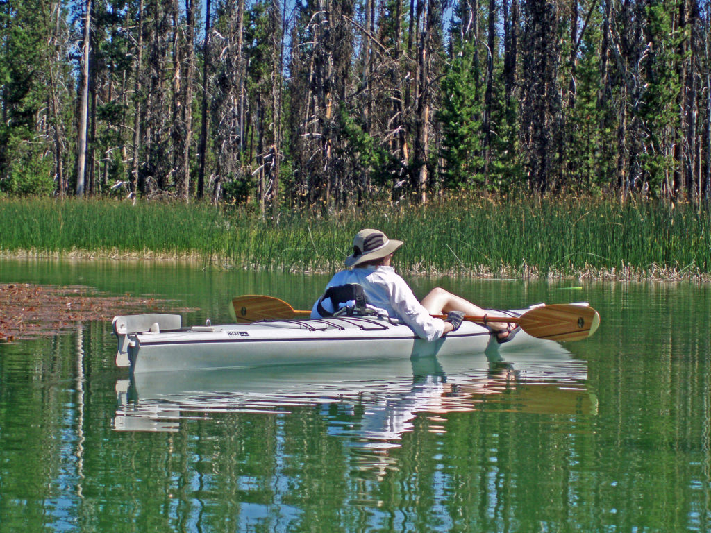
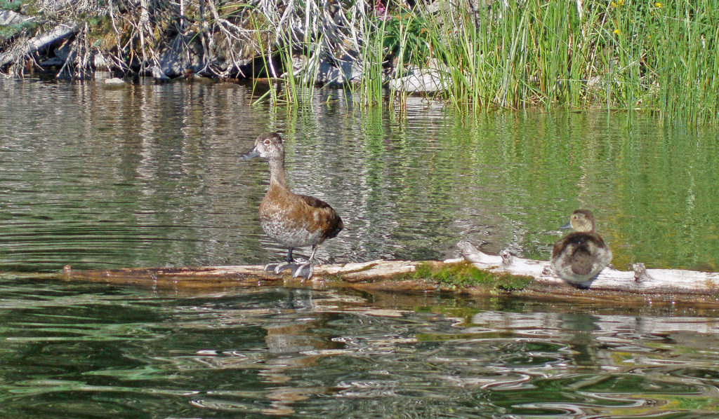
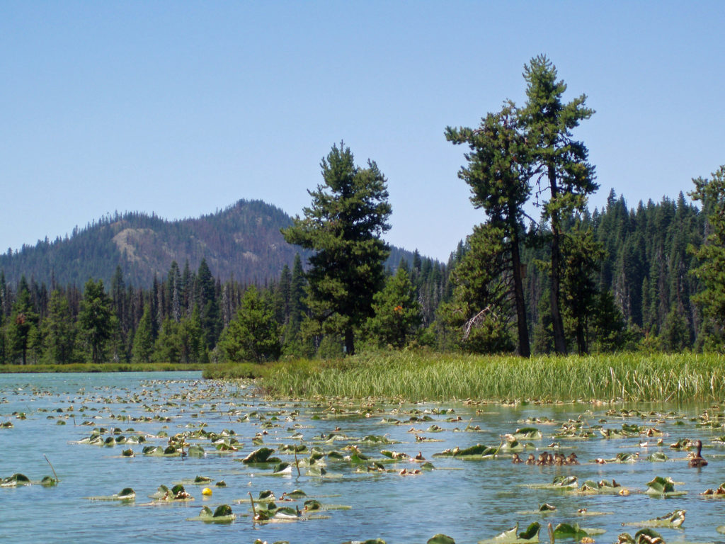
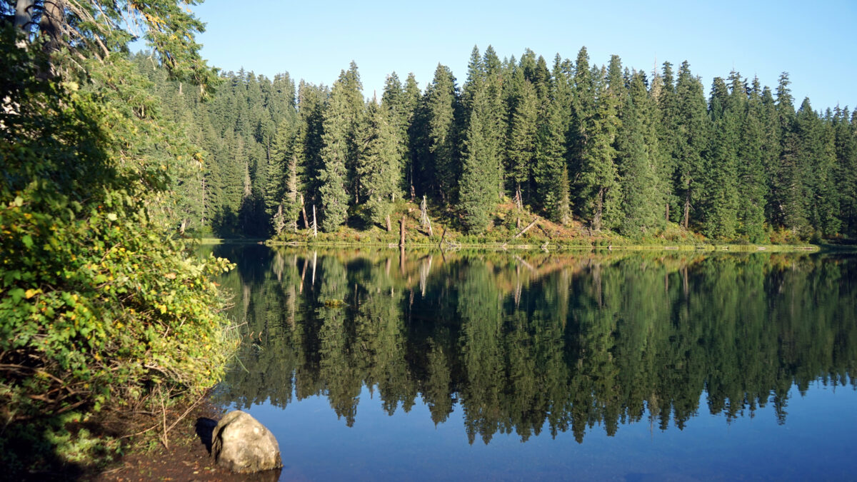
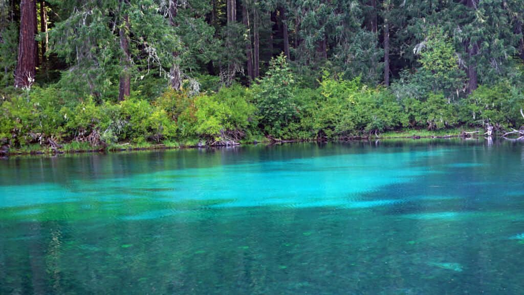
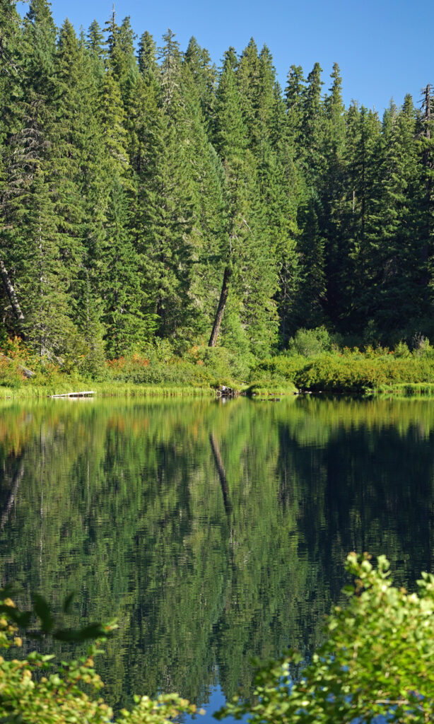
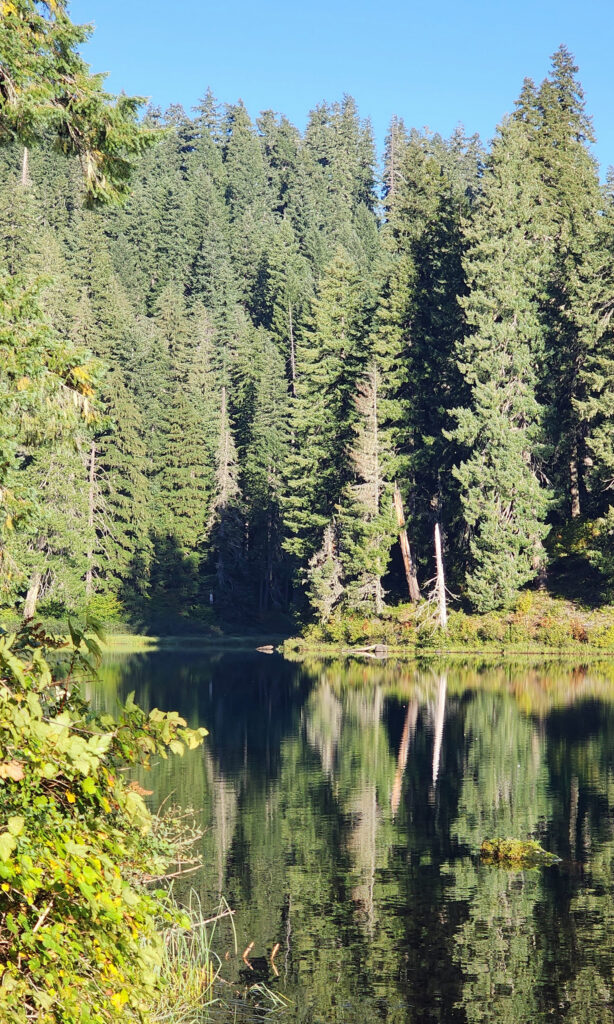
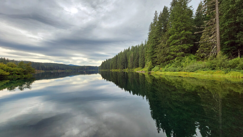
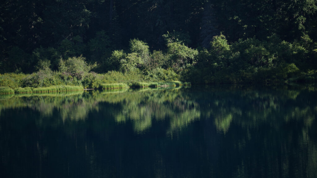
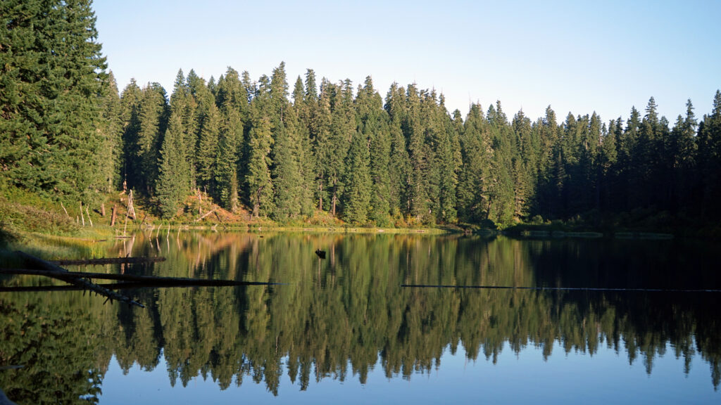
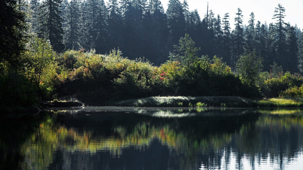
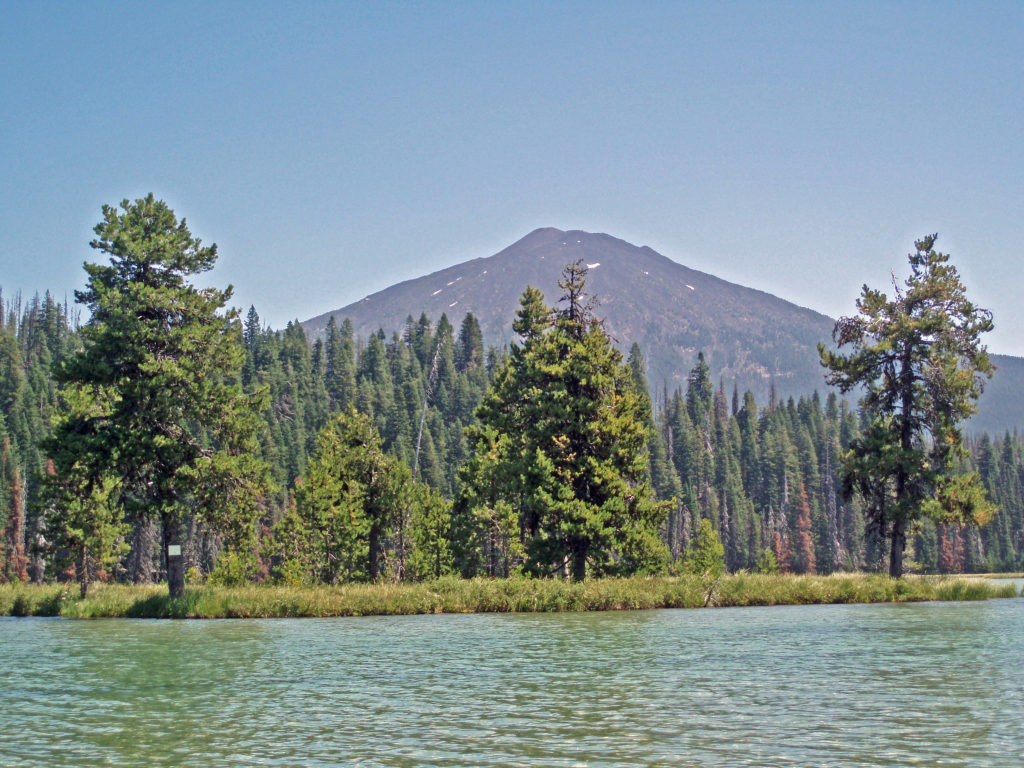 Hosmer Lake is a mix of open water and reeds, rushes, water lilies, and other marsh plants. Motorized craft (except for electric motor powered) are not allowed on the lake, which makes it ideal for kayaking or canoeing. It’s also not a big lake at 160 acres, so you can easily explore it all in an afternoon.
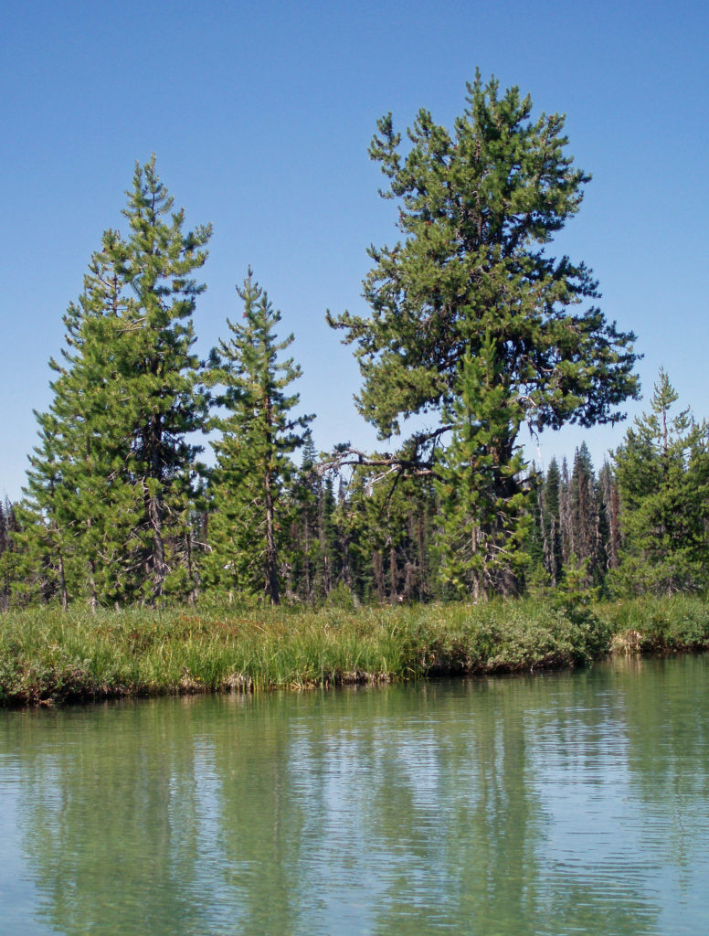
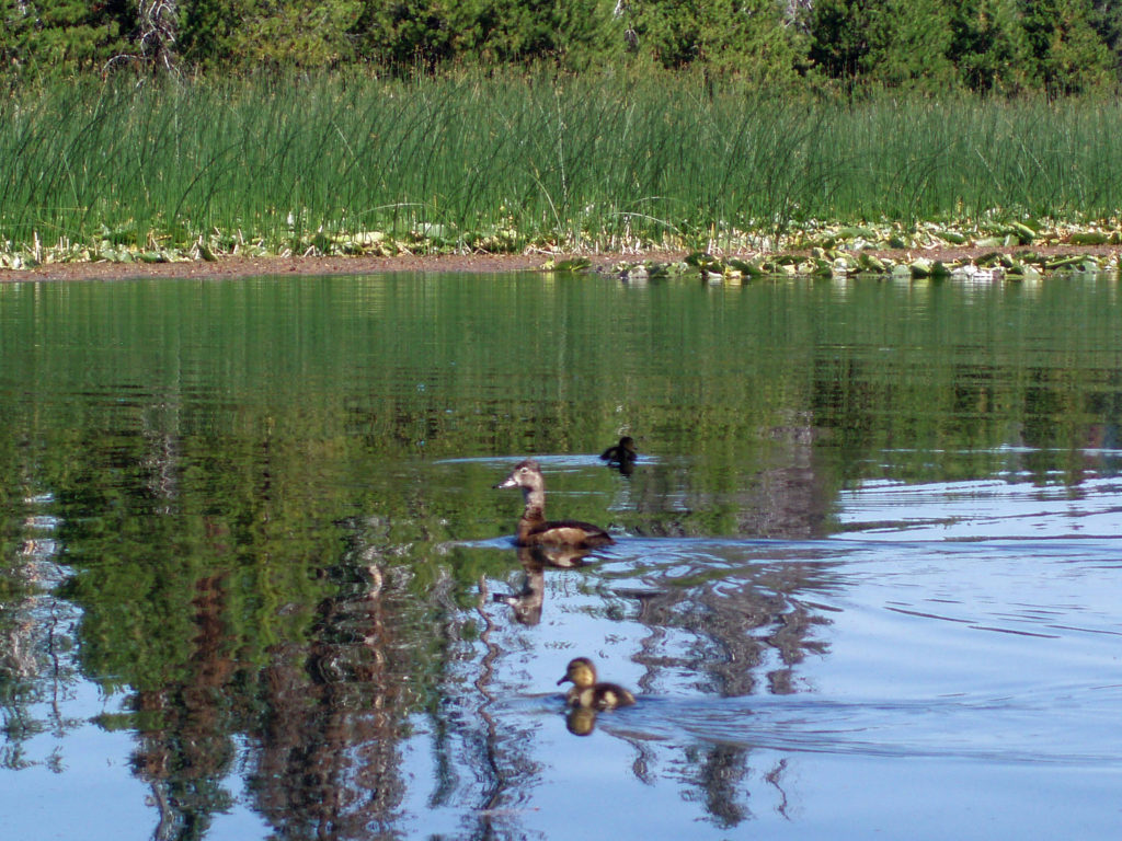
 Hosmer Lake is fed by Quinn Creek, which flows into the north end of the lake. Quinn Creek is narrow and shallow, but it is possible to paddle up it for a ways. When we were there last, downed trees blocked our passage a few hundred yards from the mouth of the creek. We hauled our kayaks out of the water at that point and hiked along the creek to a small waterfall where we ate lunch and lingered awhile before heading back out on the water.
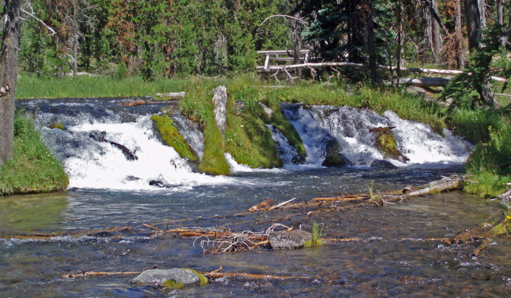 Recalling our visits to Hosmer Lake, I’m eager now to get back to the area and get back on the water again. It’s a beautiful place, and one of my favorite destinations.
 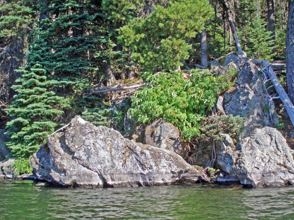 Hosmer Lake is located in the Deschutes National Forest. Check the Forest Service
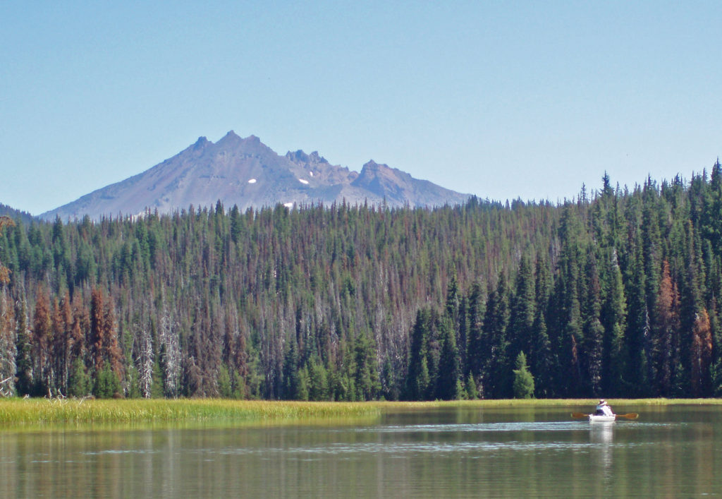
 The following is an expanded and updated version of an August 2018 post on this site.

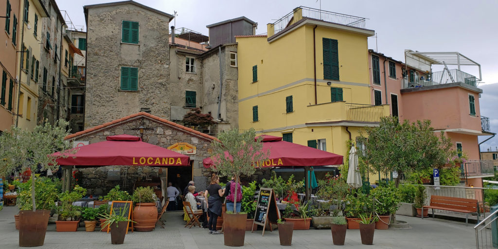
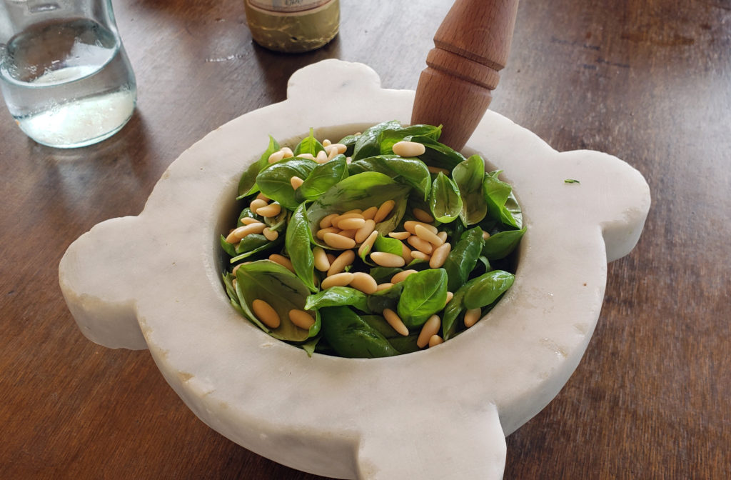 Because we would not be home on Mother’s Day, my two stepdaughters bought my wife (and me) tickets to a pesto making class and lunch at the Nessum Dorma Restaurant in Manarola, something I would not have done on my own, but which turned out to be both a good introduction to Italian cuisine and loads of fun. And the food was very good, including the pesto that we made ourselves.

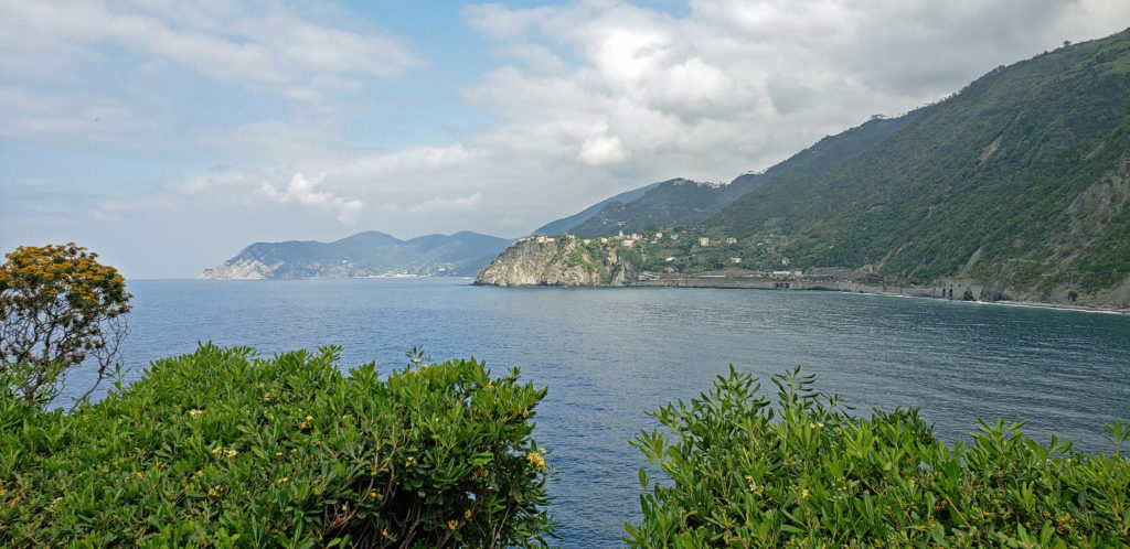
 The Gulf Islands are located off the southeast coast of Vancouver Island. There are six main islands in the Southern Gulf Islands: Salt Spring, Mayne, North Pender, South Pender, Saturna, and Galiano. The Northern Gulf Islands consist of Thetis, Penelakut, Valdes, and Gabriola Islands. Each island has its own particular charms, and all are well worth exploring.
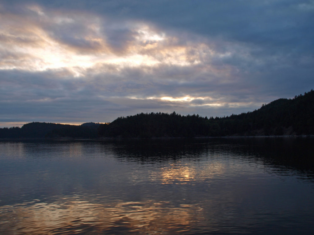 The
The 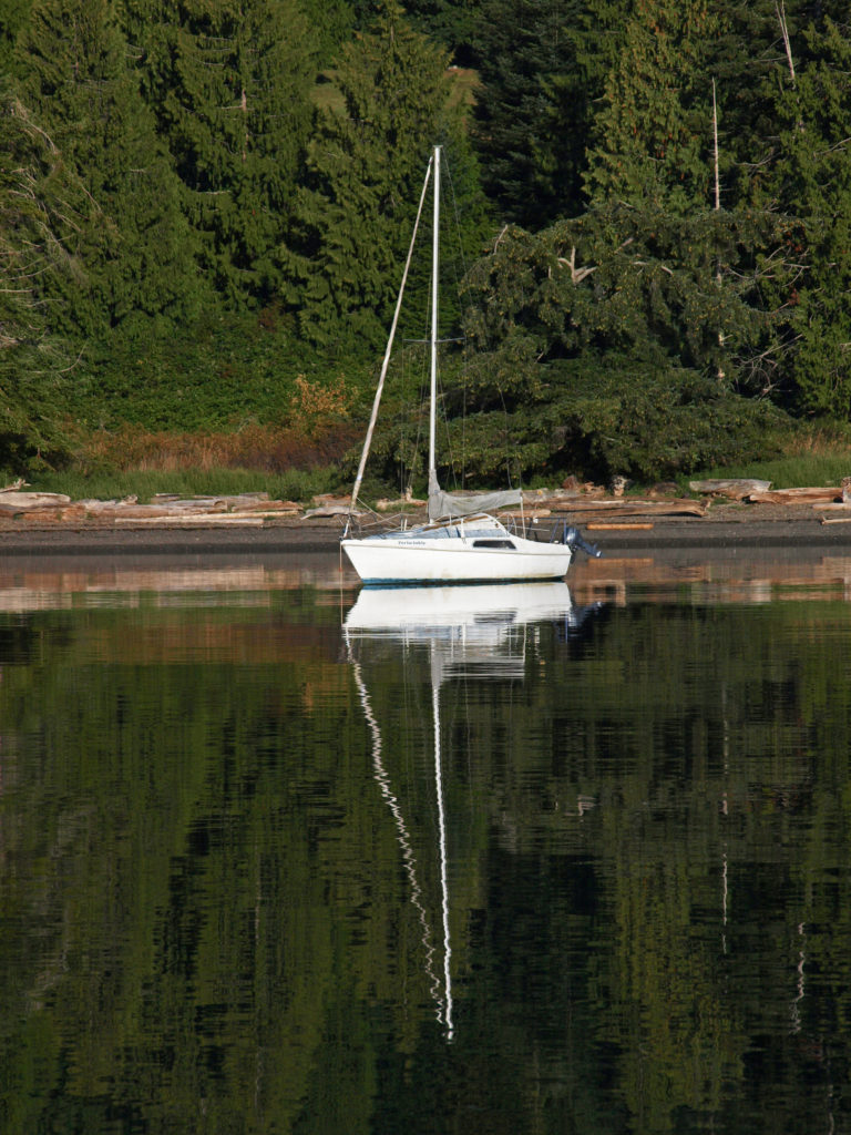
 Thetis and Penelakut Islands are reached by ferries from Chemainus on Vancouver Island. Gabriola Island is a short ferry ride from Nanaimo. Be sure to check the ferry schedules on the BC Ferries website. Reservations may be required, especially on summer weekends, and the ferry system is designed to serve island residents, not tourists, so island hopping can be difficult. Getting from one island to another in the Southern Islands by ferry sometimes requires going back to Salt Spring Island and then taking a second ferry from there. And there are no ferries from Thetis or Penelakut to Gabriola.
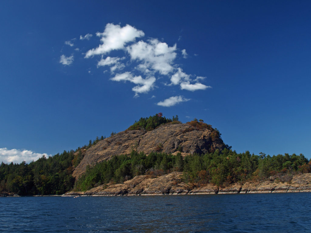 I’ve found that a good way to explore the Southern Gulf Islands by car is to base yourself on Salt Spring and pick an island to explore each day. North and South Pender Islands are connected by a bridge, so they can be explored in a day. Take another three days to explore Mayne, Saturna, and Galiano. That still leaves you several days to see all Salt Spring has to offer, or to explore the Northern Gulf Islands, even if you have only a week.
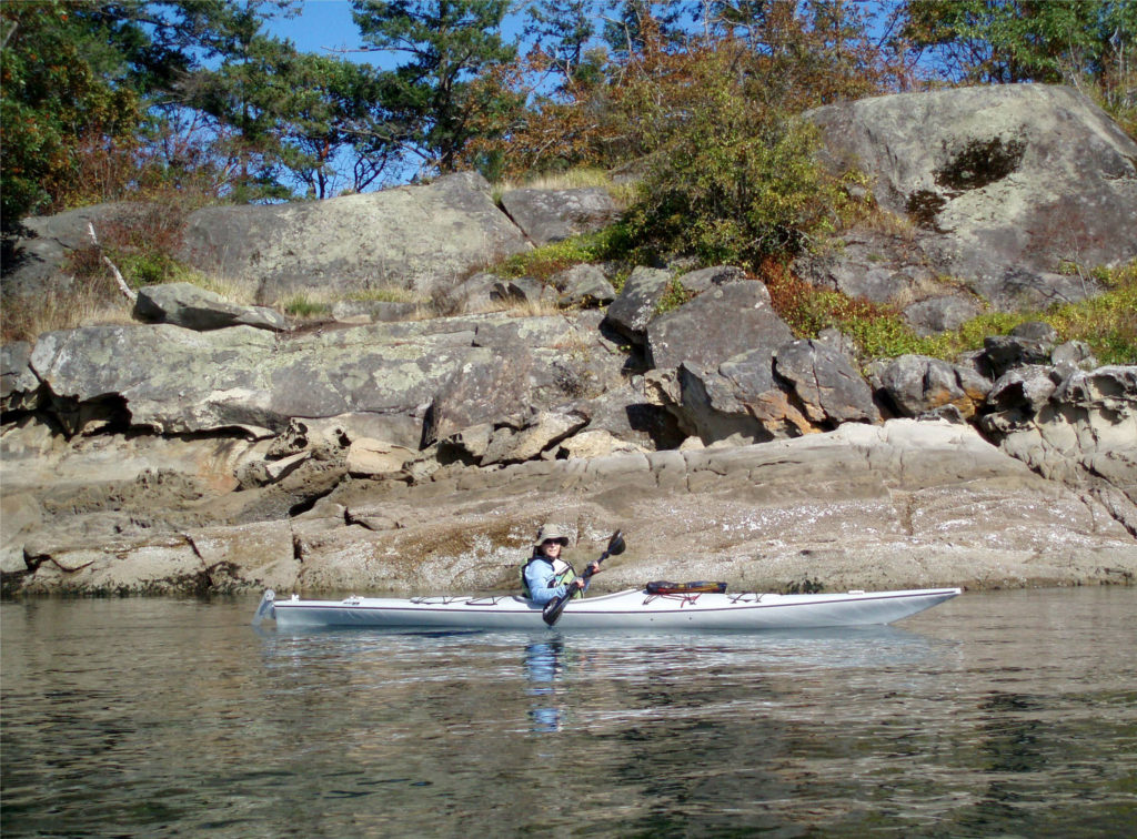 There is a bus system on Salt Spring Island, but public transportation is limited or nonexistent on the other islands. You can get around without a car, though. There is a unique
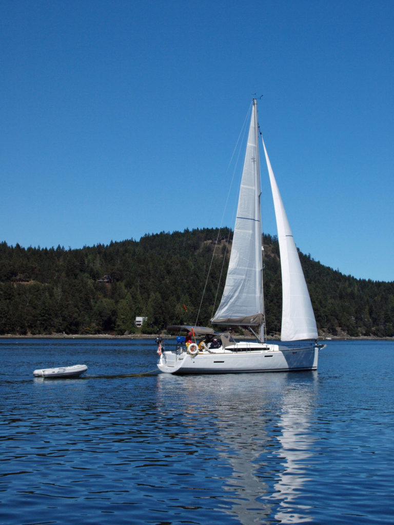
 There are a wide variety of accommodations available on the islands, from full-service resorts and hotels to traditional B&Bs to single rooms available through Airbnb. Most of the accommodations are on Salt Spring Island, but you can find small resorts and many individual houses for rent on the other islands. If you’re a kayaker, this is a perfect jumping off point. Ganges Harbor and its numerous islands are well worth exploring. Prevost Island, a short paddle to the southeast of Ganges Harbor is also worth a visit. A portion of Prevost is set aside as part of the
 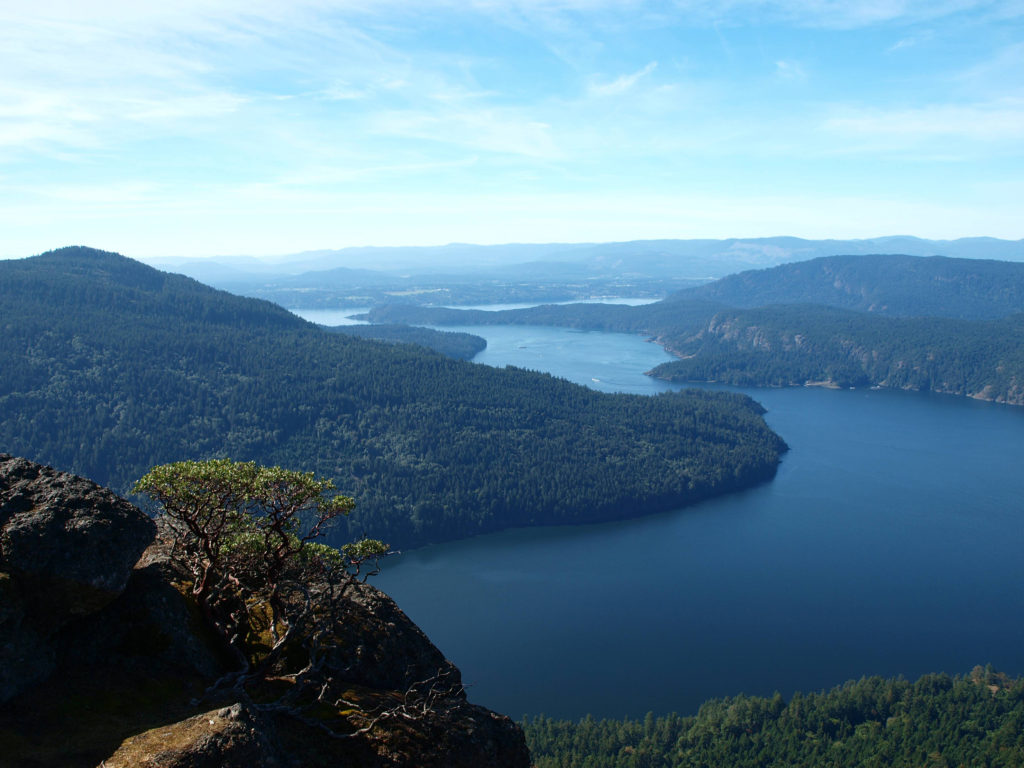 There are a number of
 Clear Lake offers the outdoor enthusiast a number recreational options, including hiking, fishing, paddling, or just taking in the views and soaking up the beauty and peacefulness of nature.
 My wife and I have taken short vacations at Clear Lake a couple of times in the past couple of years, most recently in August 2024. Both times, we stayed in one of the cabins at
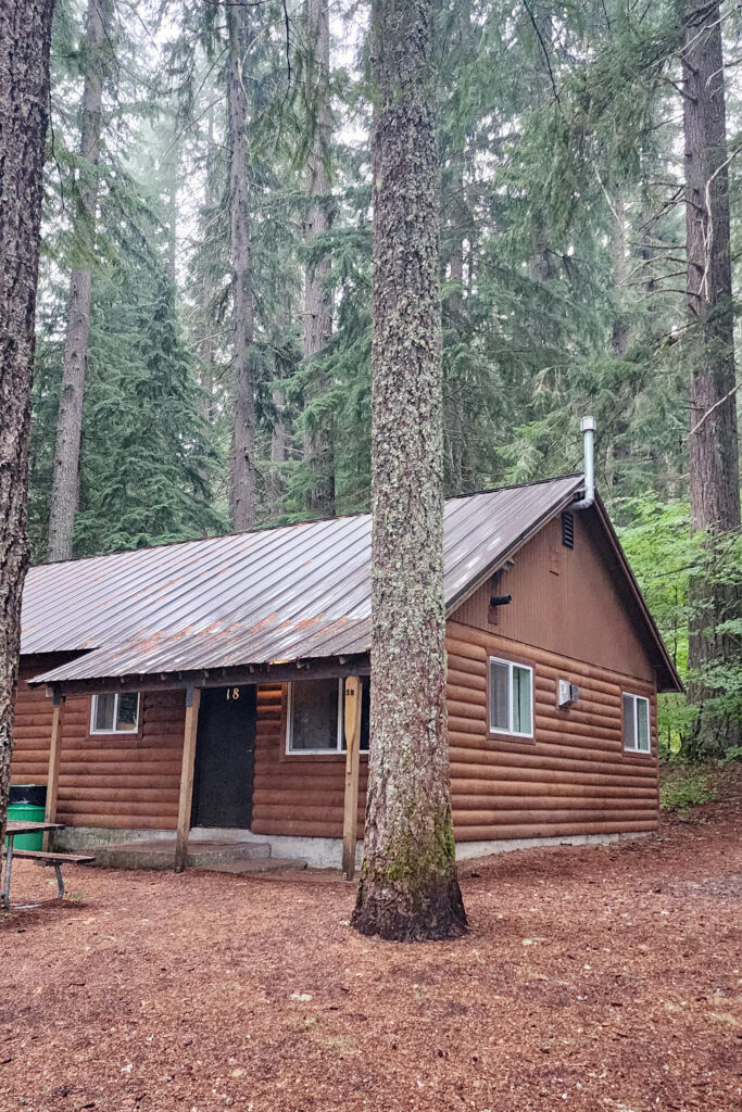
 The Clear Lake and upper McKenzie area is one of the most scenic and most interesting parts of the Cascades, and offers a number of other hiking options besides the Clear Lake Loop. The 2.6-mile
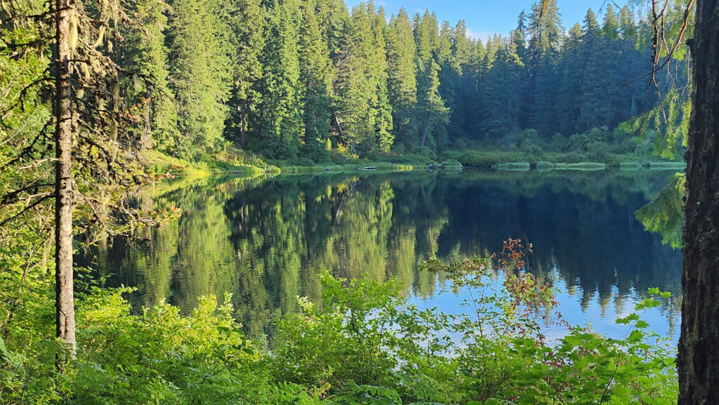

 You can take in Clear Lake and do the Waterfall Loop in a weekend. Make it a long weekend and add the Blue Pool hike or spend a day out on the lake. Better yet, make a week of it and check out Fish Lake, the Santiam Pass and McKenzie Pass areas, and the lower McKenzie River. You won’t run out of things to do.
 Originally posted August 6, 2019. Updated and re-posted November 19, 2022.
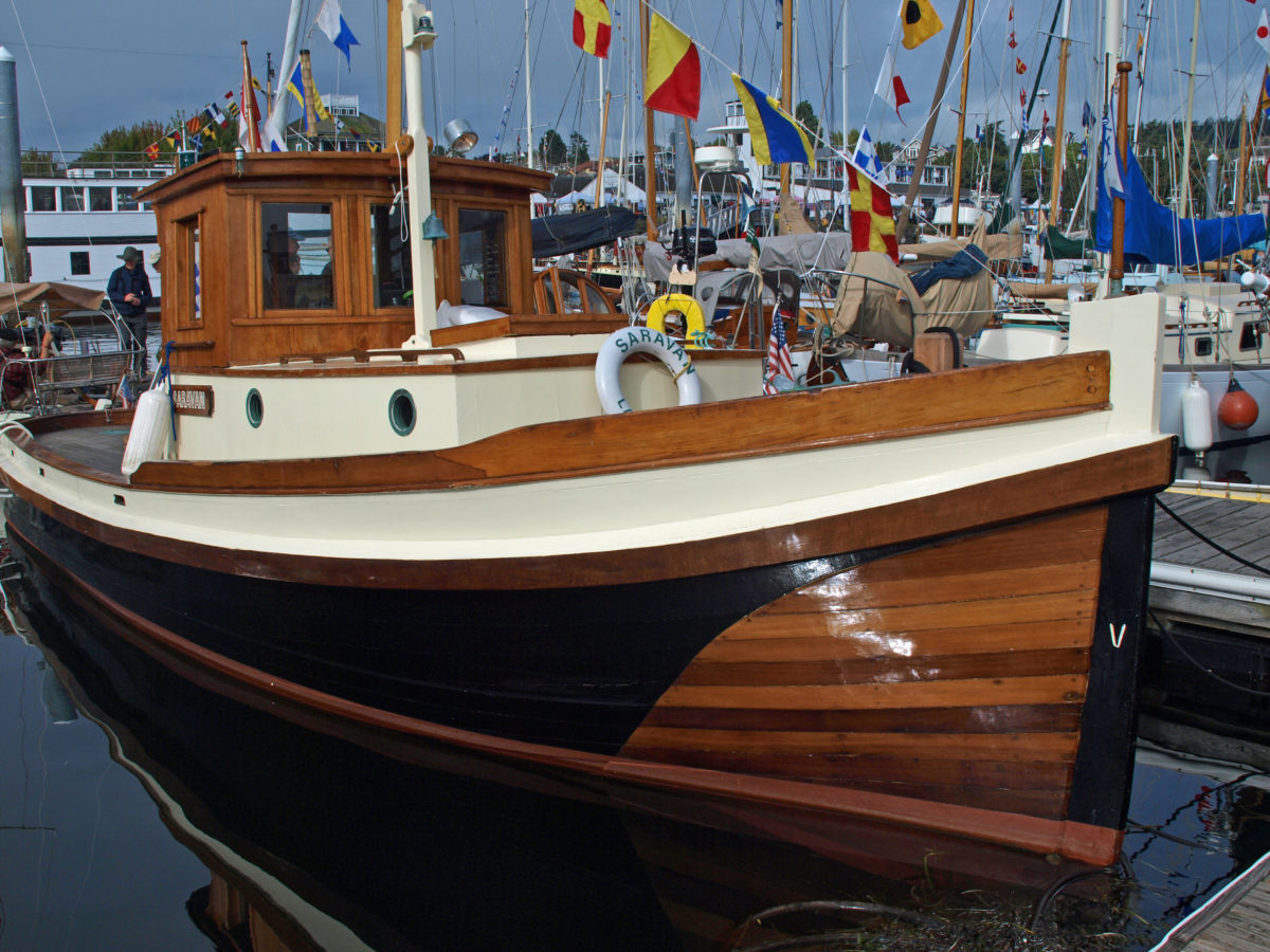
 That year, I decided to attend the festival only a month or so before it started, so most of the accommodations in
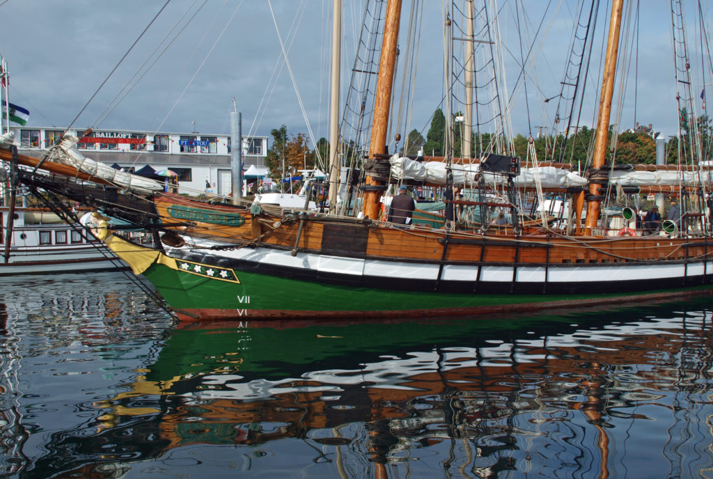
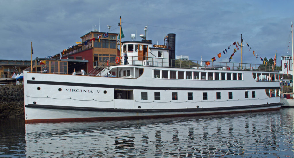
 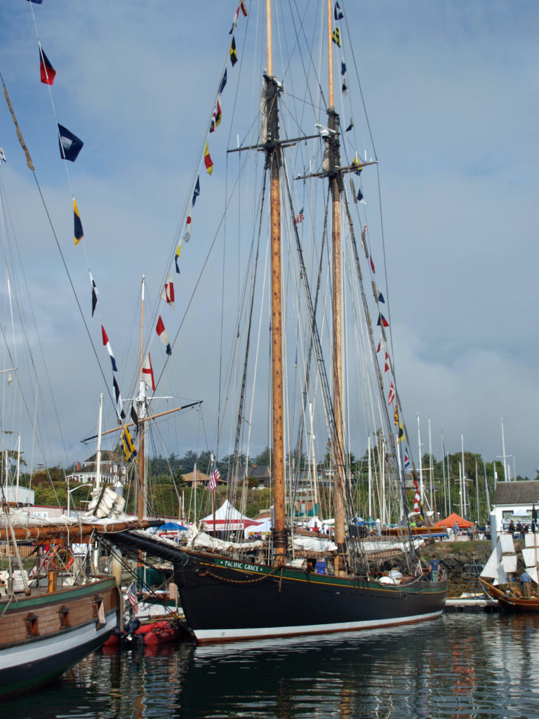 I found the Wooden Boat Festival to be as amazing an event as I had imagined, and maybe then some. It was quite a treat to see so many beautiful boats in one place. There were more than 300 boats featured at the 2018 show. Many of the owners welcomed guests aboard their boats and all were happy to talk about their boats and answer any questions.
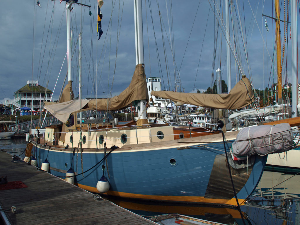 There were sailing, paddling, and rowing races, panel discussions, music, food and drink, films, and dozens of classes on boat designing and building, boat maintenance, sailing, navigation, living aboard, and much more. You could sail on one of several tall ships, try your hand at paddle boarding, or crew on a replica of one of Captain George Vancouver’s longboats from 1792. There was also a boat building competition in which teams endeavored to build boats from scratch in three days. And there were lots of activities for kids.
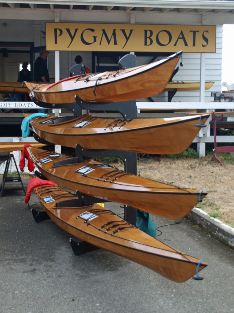 One of the highlights for me was being able to talk to some of the many boat builders at the festival, and seeing some of the boats that they’ve built. Casey Wilkerson of
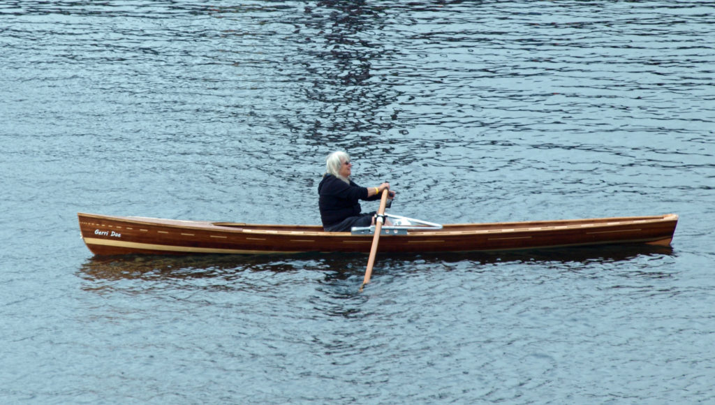
 All in all, there was far too much to see and do in a single day. I haven’t been back since the 2018 festival, but I’m hoping to attend the 2023 festival, to be held September 8-10. This time I’ll plan a little farther ahead, stay in Port Townsend, and take in the entire three days of the festival. And by the way, even if you’re not a wooden boat fan, Port Townsend is a pretty cool town, well worth a visit any time of the year.
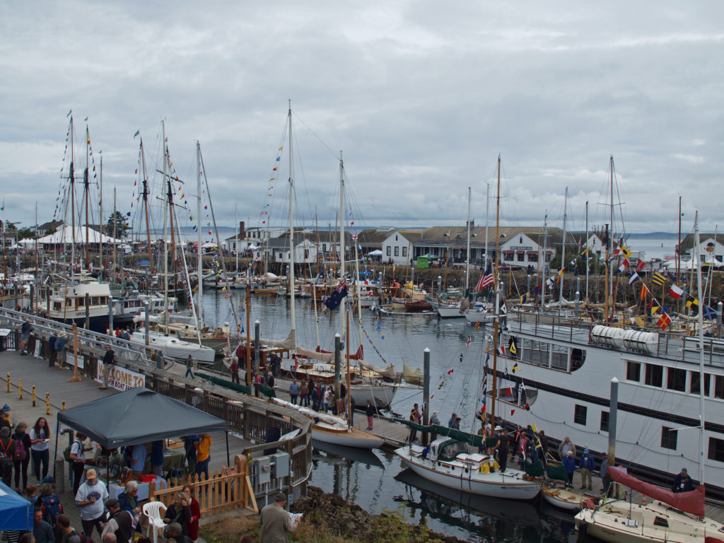 For more information about the festival, check out the festival’s
 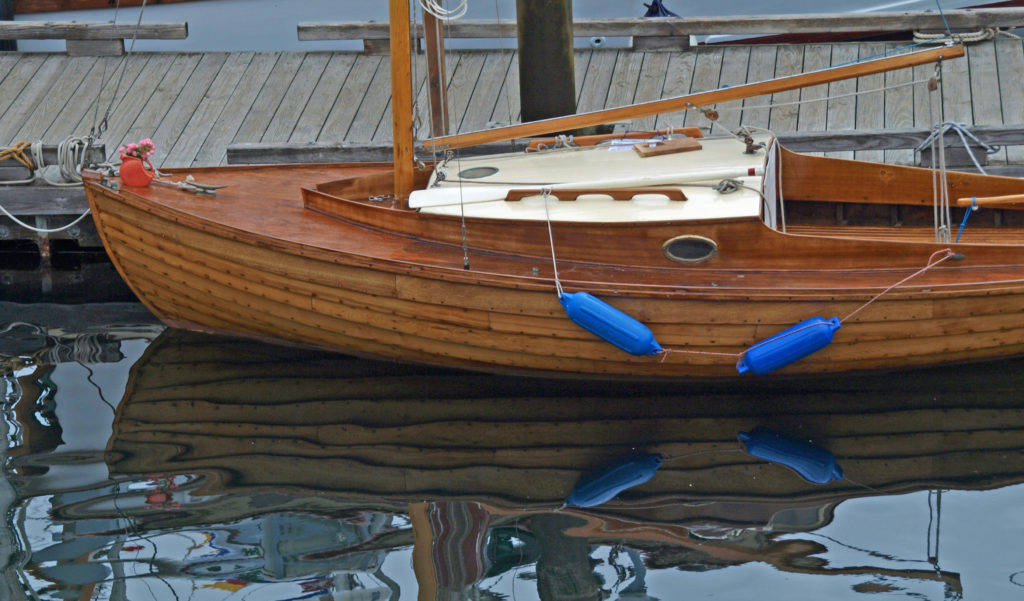 Originally posted September 13, 2018. Edited and re-posted September 20, 2022.