by Alan K. Lee
Introduction
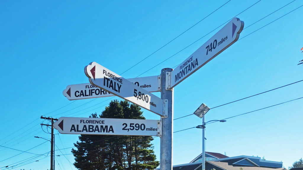
Florence, Oregon (not to be confused with Florence, Italy) is a small town on Oregon’s central coast. The town lies on the estuary of the Siuslaw River, a few miles inland from the Pacific Ocean. Historically, Florence’s economy centered around commercial fishing and the timber industry, but today sport fishing and general tourism are more important. Florence has a vibrant old town area, many festivals and parks, and access to miles of ocean beach. The surrounding area also has many tourist draws, most prominently the 31,500-acre Oregon Dunes National Recreation Area that runs for forty miles along the coast from the Siuslaw River to Coos Bay.
The Town
I have to confess that for years Florence was, to me, just a not terribly attractive town that you passed through to get to the lakes, streams, beaches, headlands, and dunes that were the real attractions of the area. It wasn’t until a few years ago that I discovered the charms of the old town waterfront area, the many quality eating establishments to be found in the town, and the parks and other attractions of the town. While the surrounding areas are still the main draw, Florence makes an attractive base to explore the area and has plenty of attractions of its own.
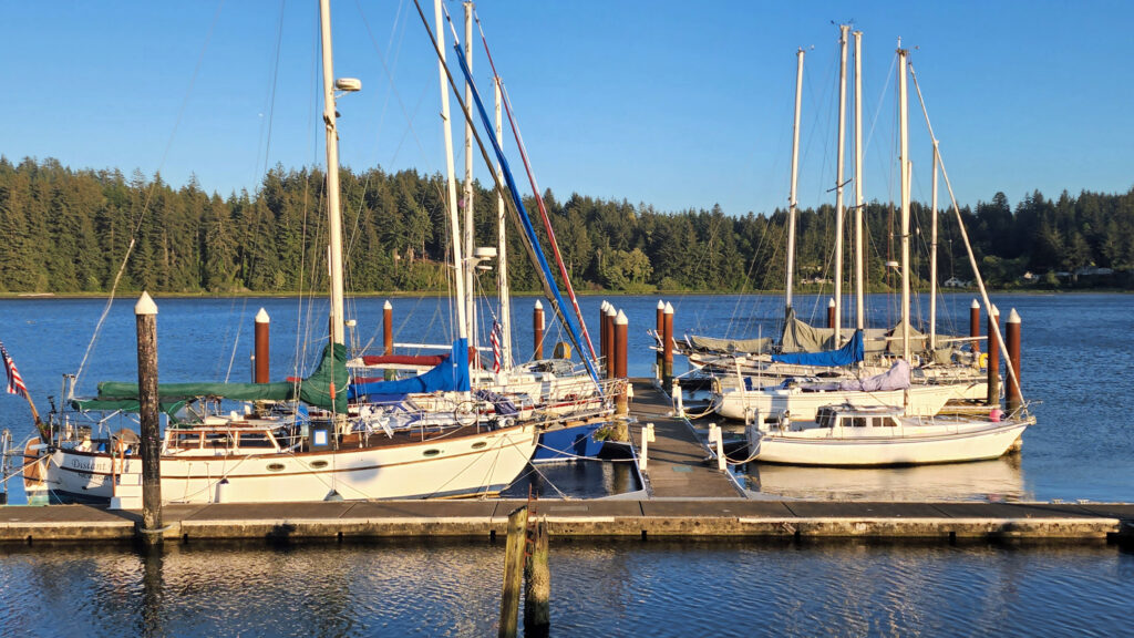
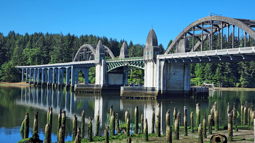
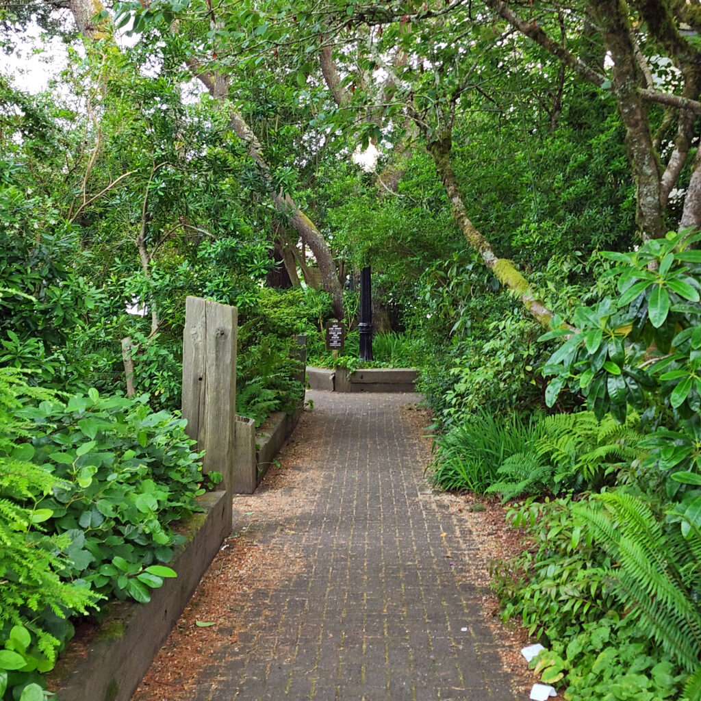
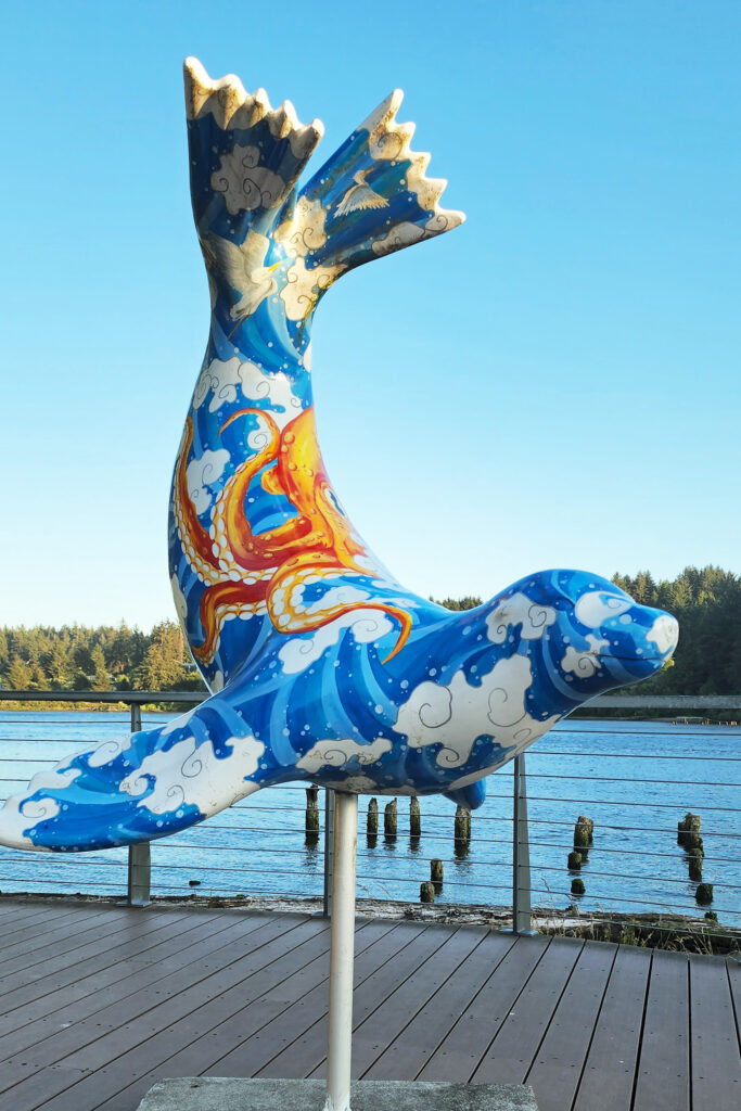
The old town area of Florence lies along the shore of the Siuslaw River. Although not large, the area has many restaurants and cafes and numerous small hotels and guest houses. There is a marina and an RV park, trails along the river, and a number of public art works. On my last visit, the main old town street was closed to vehicle traffic one evening to facilitate a giant block party that drew a huge crowd, with live music and many food vendors that made for a very festive evening.
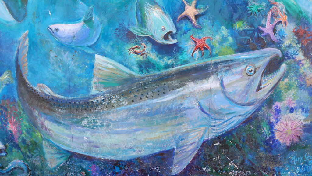
Art lovers will want to check out the Blue Heron Gallery and Backstreet Gallery, both in the old town area. For history buffs, the Siuslaw Pioneer Museum offers “a taste of life as it was 150 years ago.”
Quality dining in the old town can be found at Waterfront Depot, Nosh Eatery, Maple Street Bistro, 1285 Restobar, and the Firehouse. Outside of old town, Venny’s Café on Hwy 101 gets good reviews and Fresh Harvest Café, farther north on 101, is a good place to get breakfast or lunch. Brew pubs worth checking out include Beachcomber Pub and Homegrown Public House, both in the old town.
You might want to try the sport of sandboarding, especially if you are a family with active kids. Think snowboarding but on the dunes not the mountain slopes. Sand Master Park, just north of Fred Meyer in the north end of town, bills itself as the world’s first sandboarding park. You can get lessons, rent sandboards, and try out the sport onsite on 200 acres of dunes.
If you enjoy gambling, Three Rivers Casino Resort, just off Hwy 126 about a mile east of Hwy 101, offers plenty of opportunities to strike it rich (or not), plus several dining options and frequent live entertainments events. The casino is owned and operated by the Confederated Tribes of the Coos, Lower Umpqua, and Siuslaw Indians. The Tribes also own and operate Ocean Dunes Golf Links, one of two 18-hole courses in Florence, the other being Florence Golf Links (formerly known as Sand Pines).
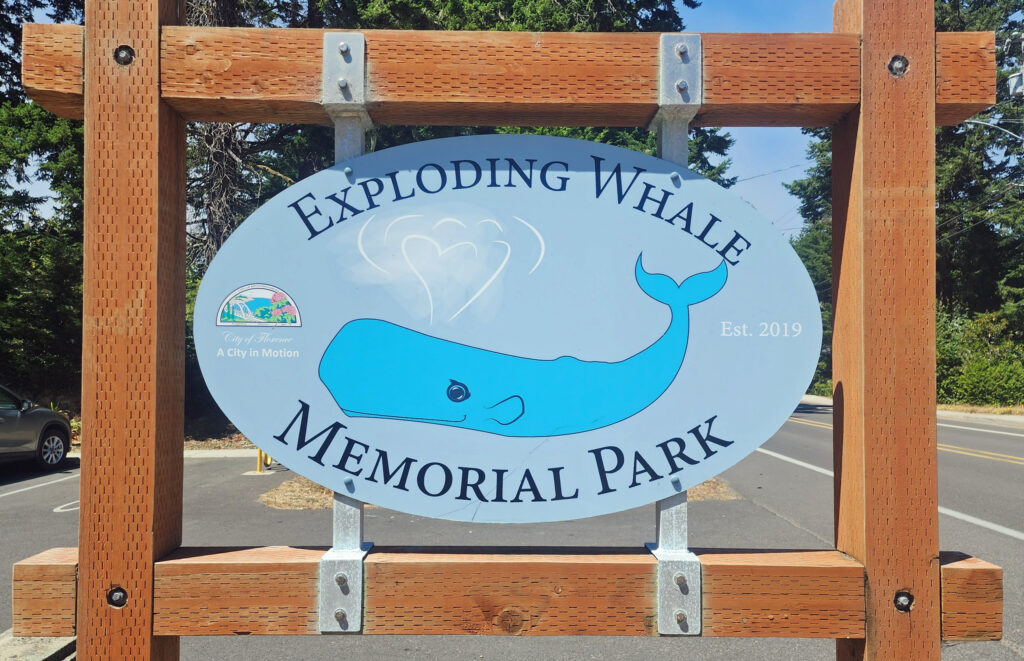
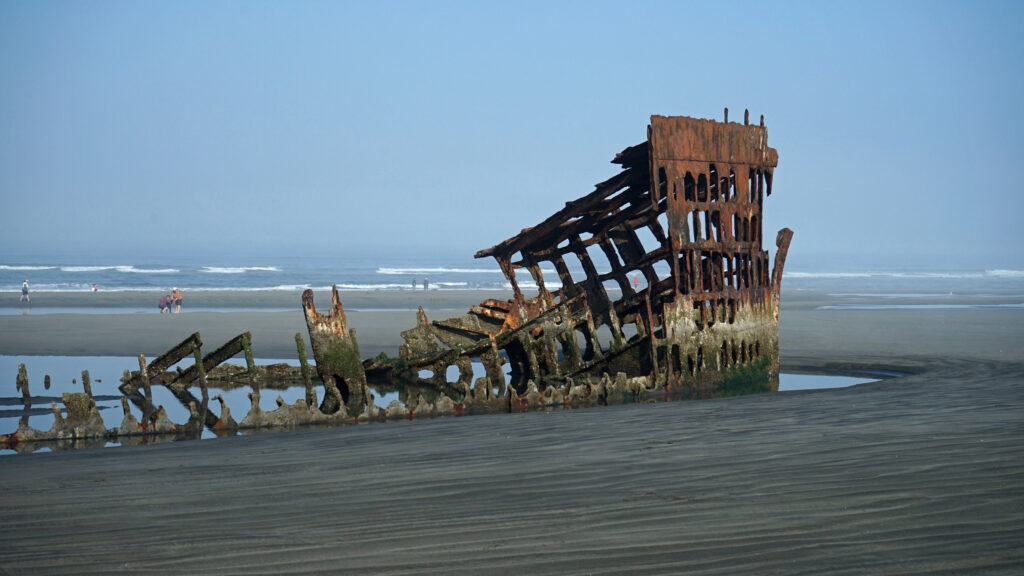
One of the oddities of Florence, Oregon involves an exploding whale. In 1970 a 45-foot sperm whale carcass washed ashore at Florence. The Oregon Highway Division used twenty cases (literally a ton) of dynamite in an attempt to break the carcass into small pieces. The resulting explosion sent pieces of the whale flying as much as 800 feet from the beach. No one was injured but several vehicles were damaged by falling blubber. The KATU-TV news story and video of the event has become something of a cult-classic and continues to be frequently viewed more than half a century later. An exhibit at the Siuslaw Pioneer Museum has bone fragments from the whale and a city park along the riverfront west of Hwy 101 was recently renamed Exploding Whale Park.
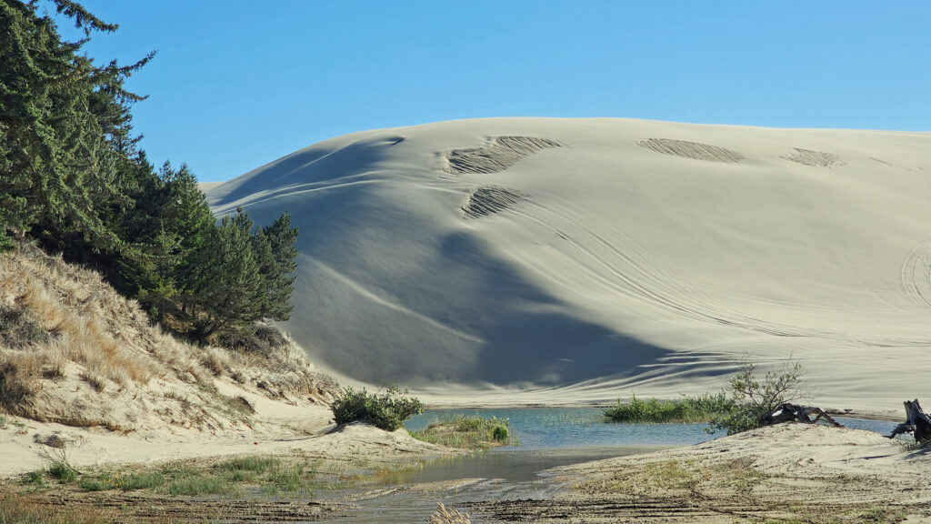
The Oregon Dunes
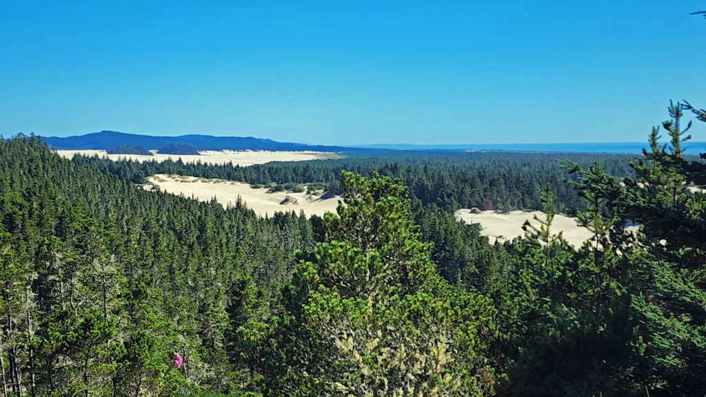
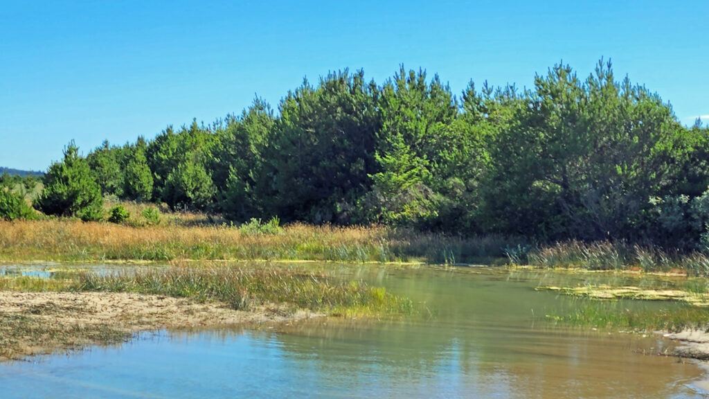
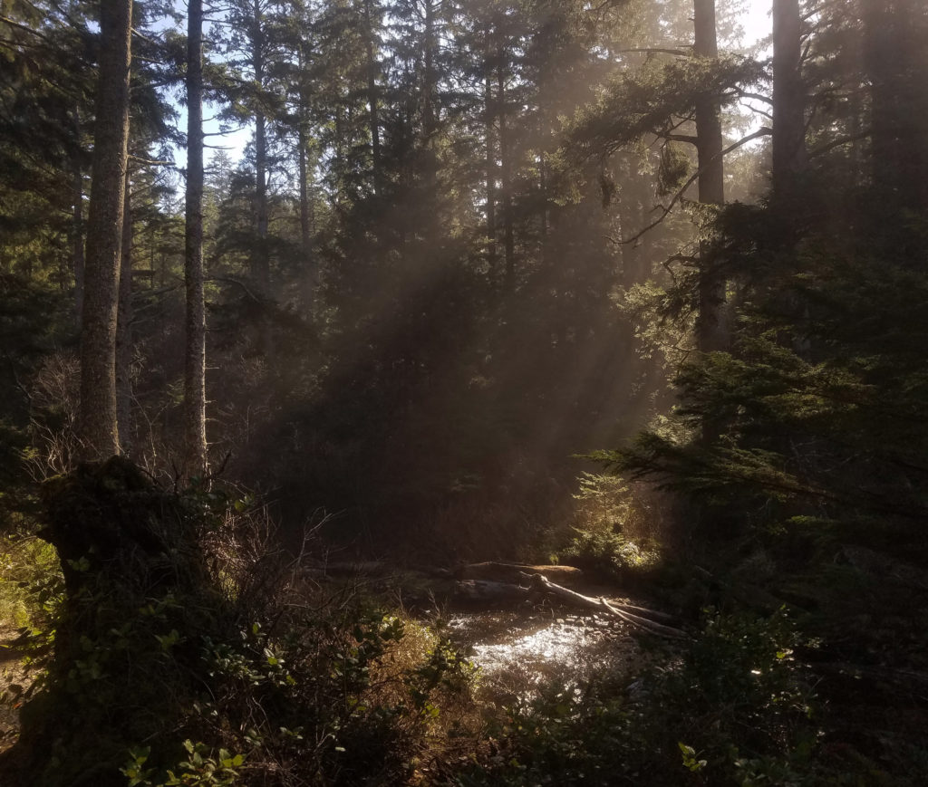
The Oregon Dunes consist of the largest coastal dune field in North America, coastal spruce and pine forest that includes many “tree islands” surrounded by dunes, miles of ocean beaches, and numerous freshwater lakes and wetlands. Outside the boundary of the national recreation area (NRA) there are several state parks and a number of Siuslaw National Forest campgrounds.
Honeyman State Park, about three miles south of Florence, has a large (364 site) campground, dunes access for both hikers and OHVs (Oct-Apr), picnic areas, a children’s playground, restrooms and showers, and two freshwater lakes.
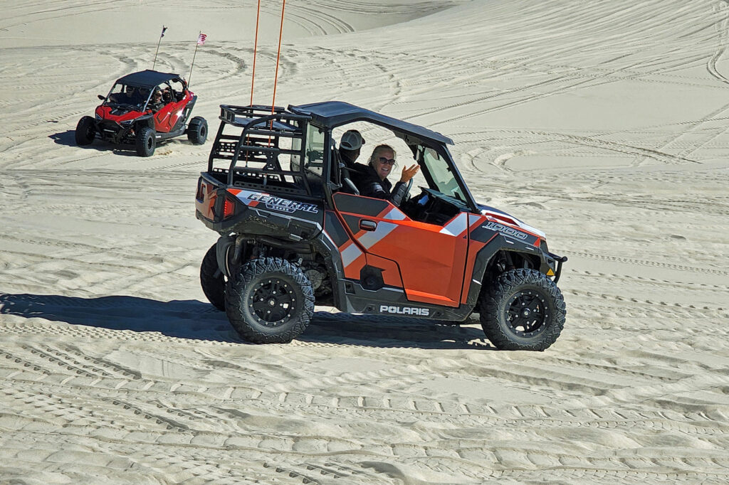
The miles of dunes are a very popular off-highway vehicle (OHV) recreational area. You can rent dune buggies if you don’t have your own, and tours on larger OHVs are also available. About one third of the NRA is open to off-highway vehicles. There are also ample areas within and adjacent to the NRA that are off limits to OHVs that provide a quieter experience for hikers, paddlers, birders, photographers, beachcombers, and other nature lovers.
Fishing and Boating
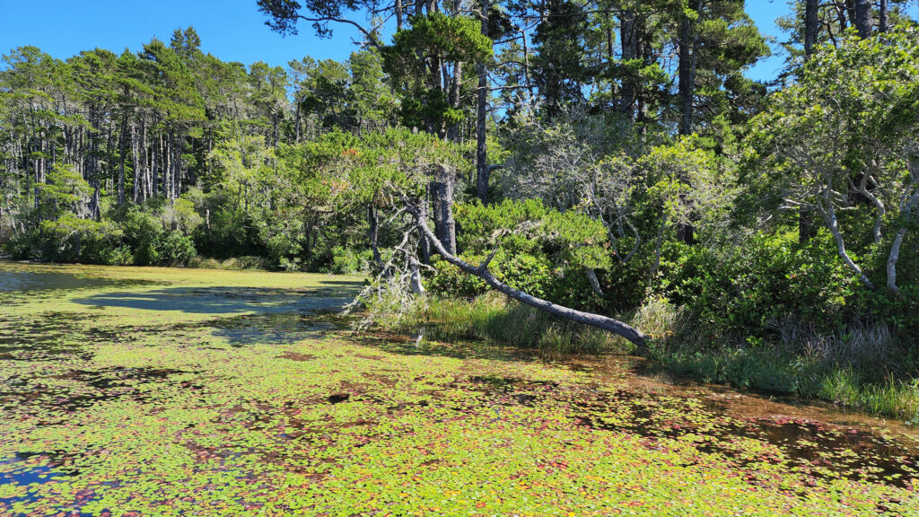
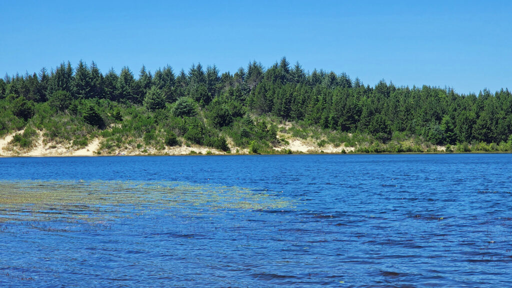
Fishing for rainbow and cutthroat trout and warm water species like bass and perch are popular activities on the freshwater lakes near Florence. Woahink, Siltcoos, and Tahkenitch Lakes south of Florence are all prime fishing grounds. All have public boat ramps that also give canoers, kayakers and paddleboarders access to the lakes. Cleawox Lake in Honeyman State Park also is a popular paddling spot. The Siuslaw River has both salmon and steelhead runs, and ocean fishing trips can be booked through charter services in Winchester Bay (aka Salmon Harbor) about twenty-five miles south of Florence. A list of local fishing guides can be found on the Port of Siuslaw website.
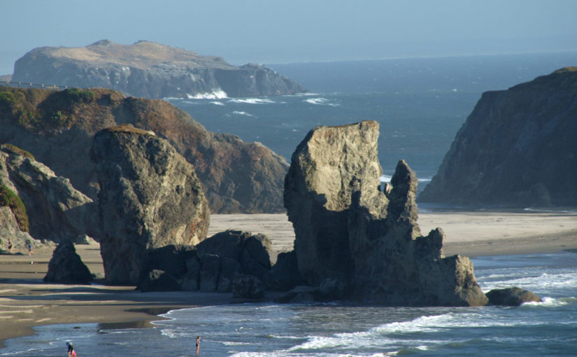
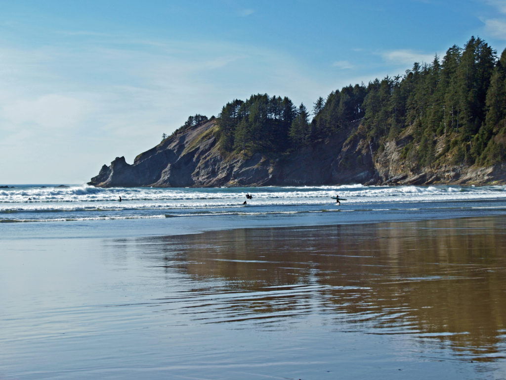
Area Beaches
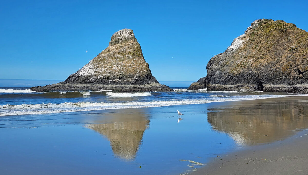
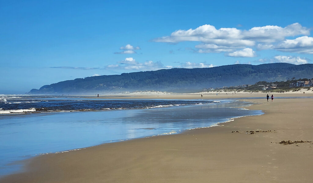
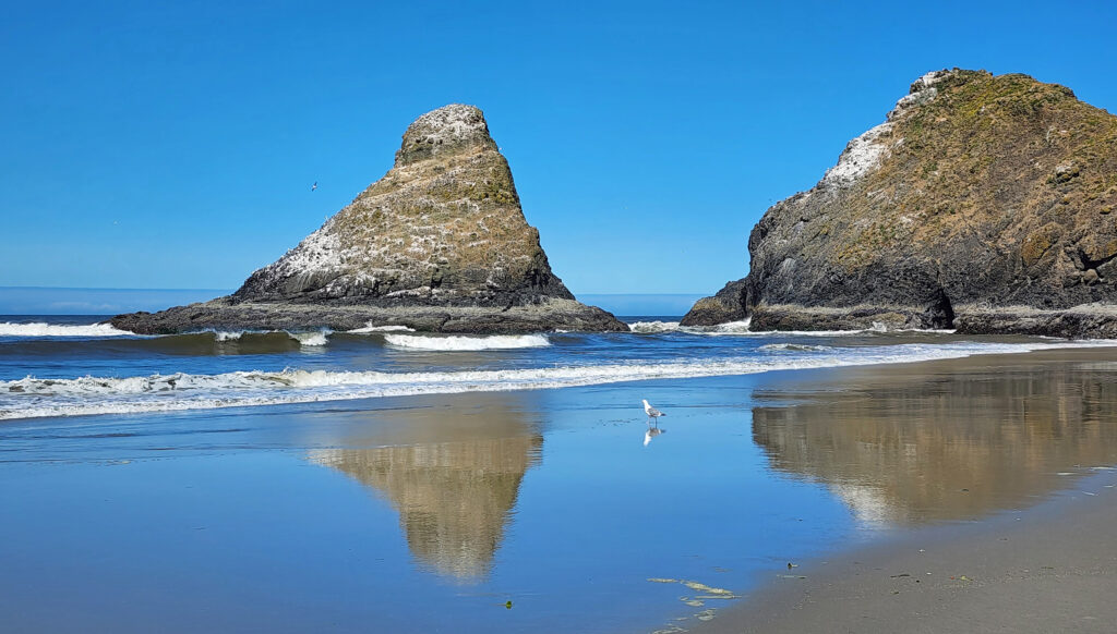
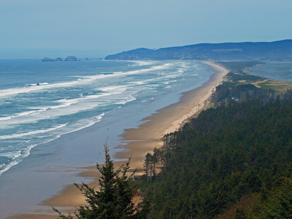
The south jetty area has five beach access points and four miles of beach where OHVs are not permitted. Go south on Hwy 101 and turn right onto Sand Dunes Road about a half mile south of the Siuslaw River Bridge. At the north end of town, the north jetty area and Heceta Beach County Park give access to another five miles of ocean beach. There are also many beach access points both north and south of Florence.
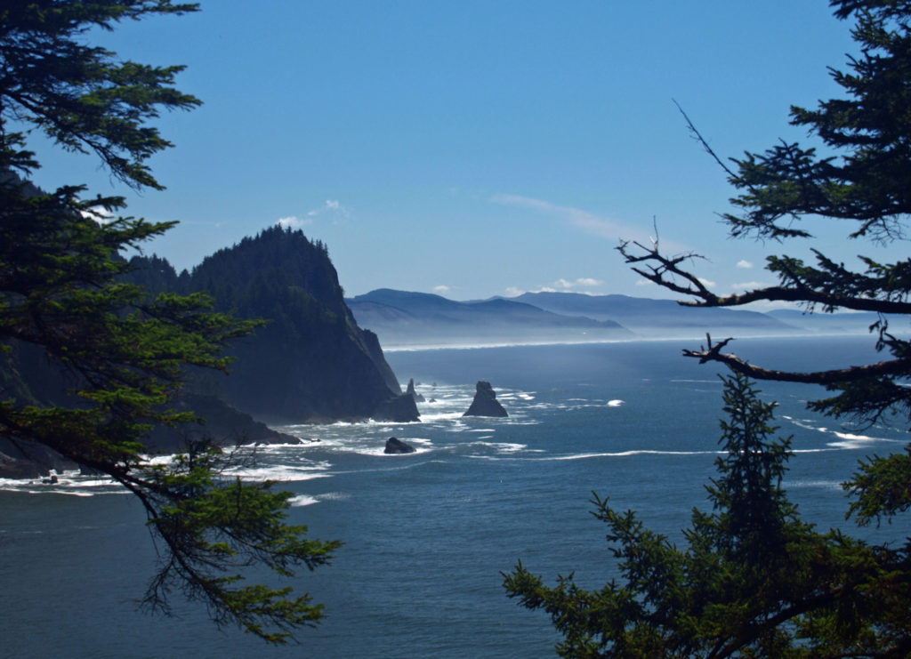
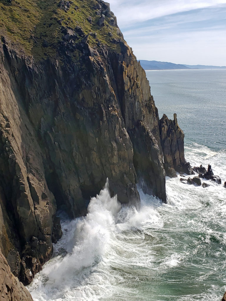
Heceta Head
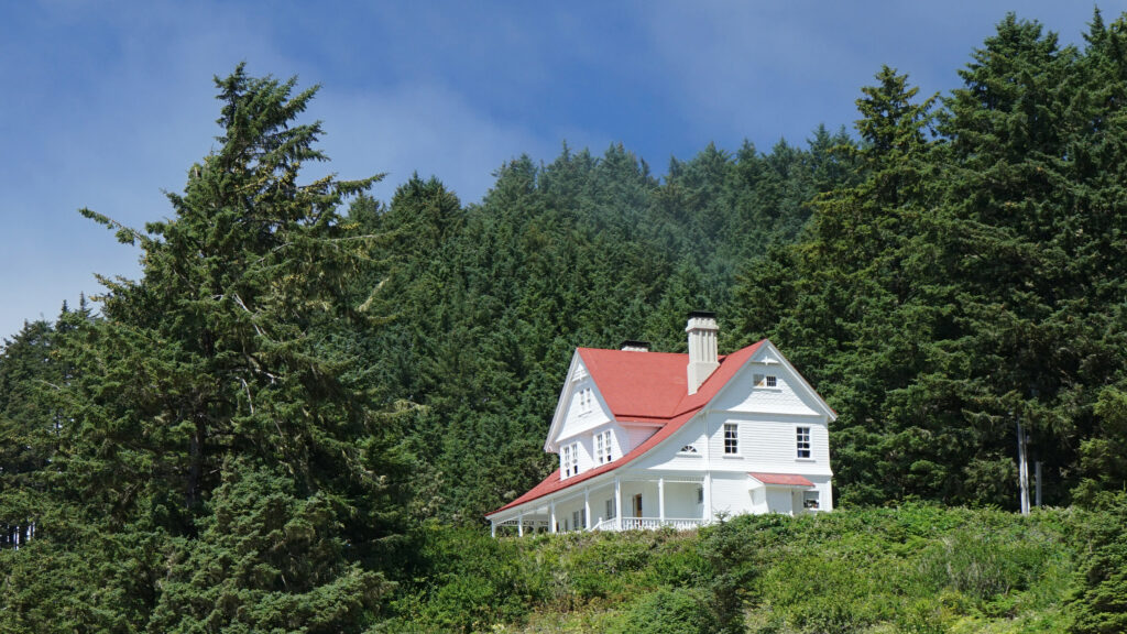
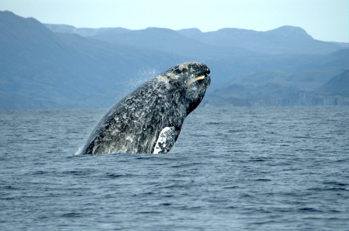
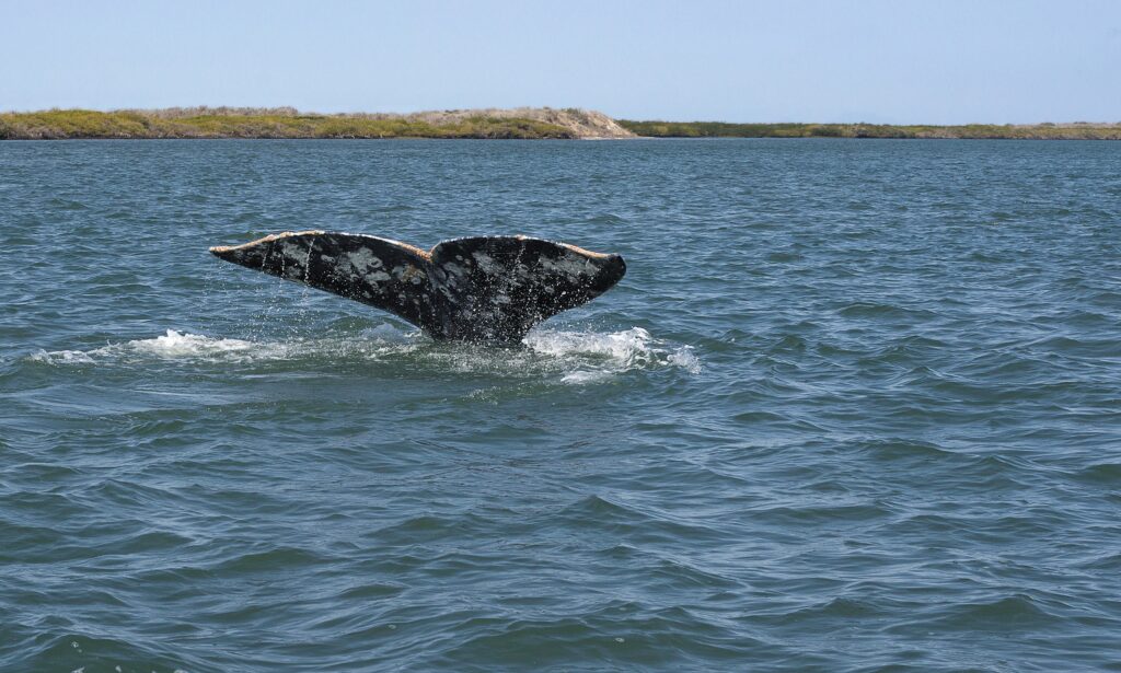
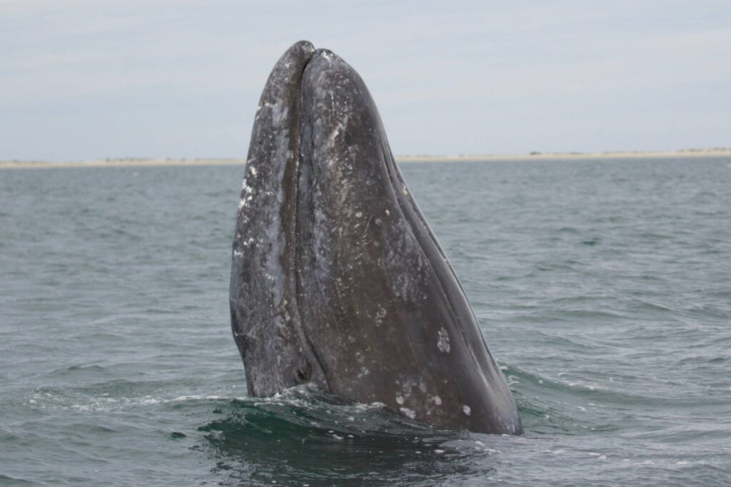
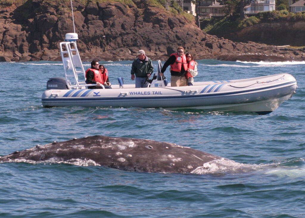
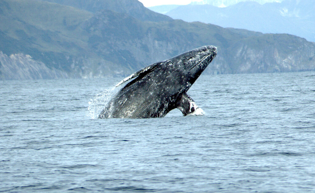
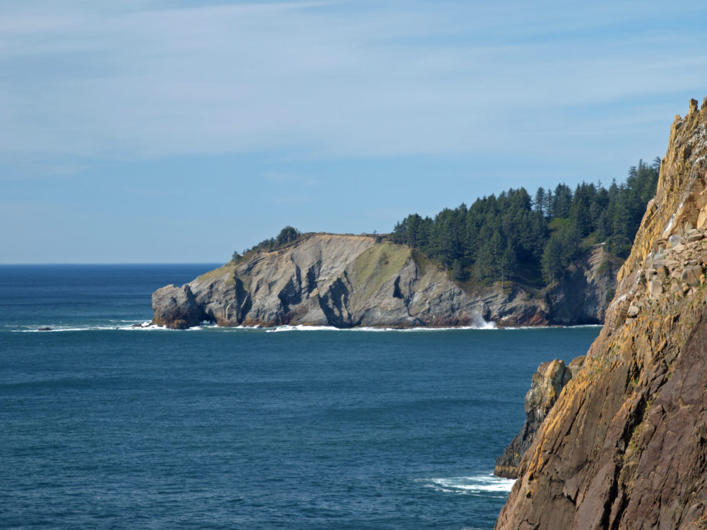
Heceta Head Lighthouse, about ten miles north of Florence, is one of the Oregon coast’s most iconic and most photographed locations. The lighthouse, built in 1893, is 56 feet tall and sits 200 feet above the ocean, making it one of the best whale-watching points on the coast. And the original assistant lightkeeper’s house is now a bed and breakfast inn with six rooms and features a seven-course breakfast menu.
Sea Lion Caves
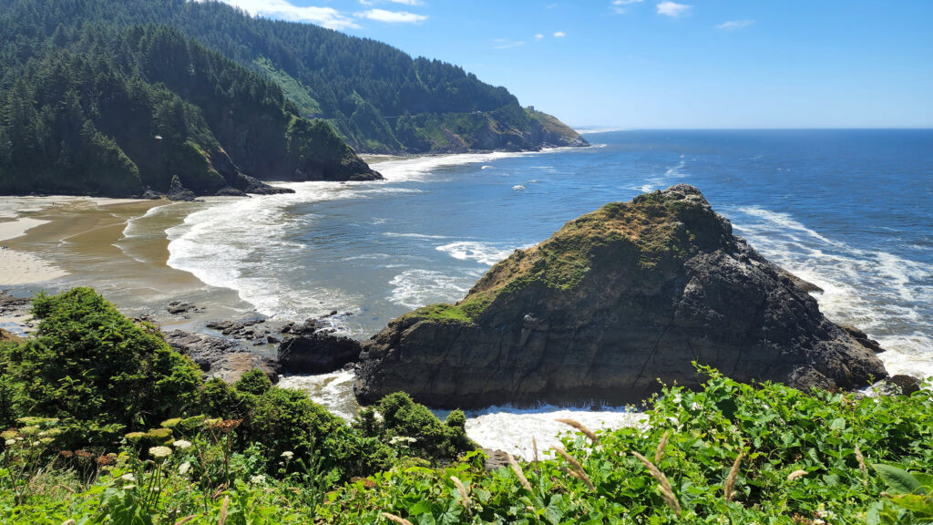
Located on Sea Lion Point about a mile south of Heceta Head , Sea Lion Caves is a privately owned attraction featuring the largest sea cave in the Americas. The cave (and the surrounding rocky shoreline) is the only mainland rookery of Steller Sea Lions. From the observation deck at the gift shop there is a great view of Heceta Head Lighthouse. From there, a short trail brings you to an elevator that descends over 200 feet to the cave. In winter and spring, you’ll likely see hundreds of sea lions in the huge cave, but in the summer and fall there may not be any sea lions in the cave. They’ll mostly be found on the rocks outside the cave in those months. But the cave itself (about 300 feet across and 125 feet high) is worth the cost of admission.
Darlingtonia Wayside
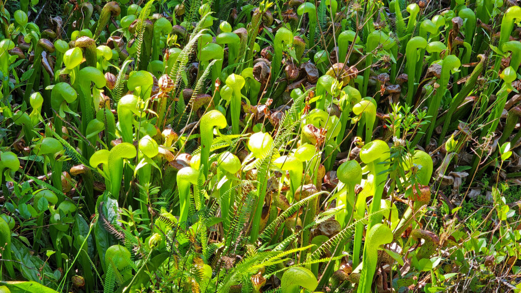
A few miles north of Florence at Darlingtonia Wayside (now officially Darlingtonia State Natural Site) you’ll find one of the few places in the Pacific Northwest where cobra lilies (Darlingtonia californica) can be found. These carnivorous plants trap and consume insects that provide the plant with nitrogen and nutrients that they can’t get from the boggy soil. There are restrooms at the parking area and a short boardwalk trail that takes you into the cobra lily’s domain.
Conclusion
Florence, Oregon is a great stopping point on a tour of the 363 miles of Oregon coastline. There’s so much to see and do in the surrounding area and in the town itself that you could easily spend a week in Florence and not run out of things to do and sights to see. I’m looking forward to my next visit, maybe an off-season trip this winter.
And if you’re heading farther down the coast, make sure to stop in Bandon-by-the-sea. Farther south, the southern Oregon coast has spectacular scenery and is as uncrowded and unspoiled as it gets on the Pacific coast.
Posted Dec 2, 2024
All photos © Alan K. Lee
 The park, originally called Short Sand Beach State Park, was created in 1931 through the efforts of Oregon’s first State Parks Superintendent, Samuel H. Boardman. Boardman was a fervent believer that of as much of the coast should be preserved in public ownership as possible. Many of the state parks along the coast were created under his stewardship. Short Sand Beach State Park was renamed in 1958 to honor former Oregon Governor
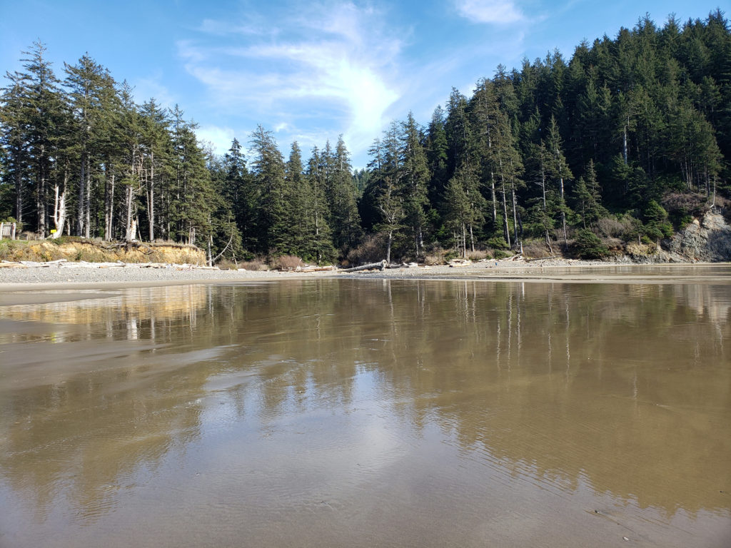
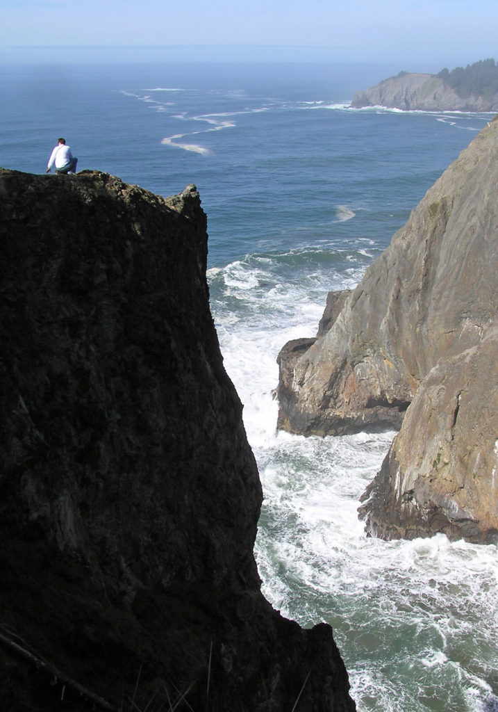
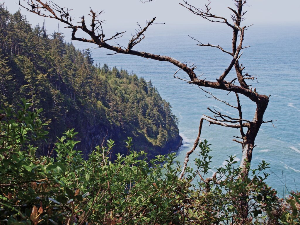
 Devils Cauldron is a spectacularly beautiful little cove on the north side of Neahkahnie Mountain. It can be reached by either a one mile hike from Short Sand Beach or a much shorter hike from where the Coast Trail crosses Hwy 101. To access the shorter route, drive south on Hwy 101 from the Short Sand Beach parking lots and look for a gravel parking area on the ocean side of the highway. Follow the Coast Trail north a short ways to a signed junction. The Devils Cauldron viewpoint is just a quarter mile walk from the parking area.
 On your way back to the trailhead look for another trail branching off to the south. The junction here is unsigned and the trail is sometimes overgrown and impassable. But if it’s open, the trail leads to a narrow shelf of rock that falls away on three sides to the ocean below, and the cliffs of Neahkahnie Mountain tower over the viewpoint to both the north and south. It may not be a place for people with a fear of heights, but it’s one of the most awesome places on the entire coast.
 Oswald West State Park is about a two hour drive from Portland, so it’s easily doable as a day trip if you’re from the Portland area or are visiting Portland. But if you want to make a weekend of it, there are plenty of other attractions on the north Oregon coast beyond Oswald West.
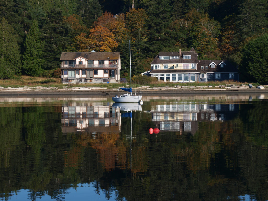
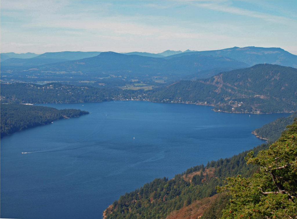
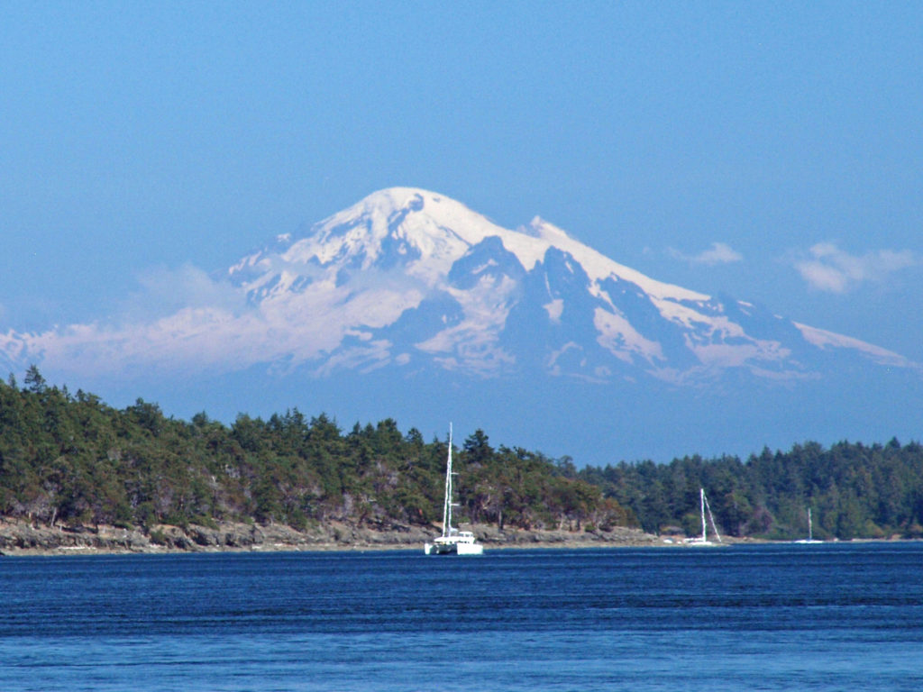
 The Gulf Islands are located off the southeast coast of Vancouver Island. There are six main islands in the Southern Gulf Islands: Salt Spring, Mayne, North Pender, South Pender, Saturna, and Galiano. The Northern Gulf Islands consist of Thetis, Penelakut, Valdes, and Gabriola Islands. Each island has its own particular charms, and all are well worth exploring.
 The
The 
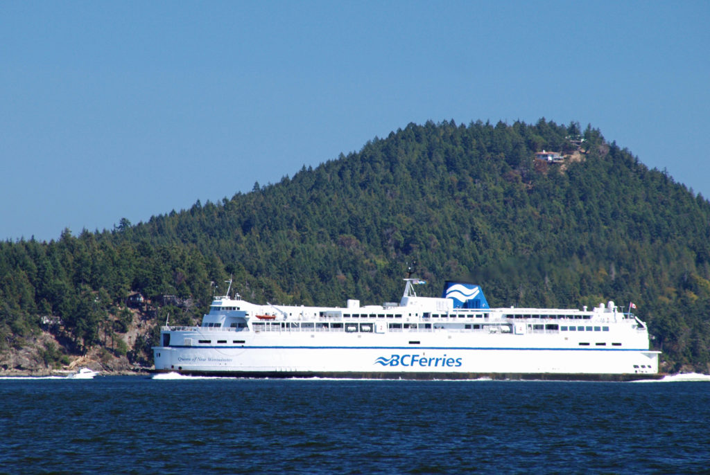
 Thetis and Penelakut Islands are reached by ferries from Chemainus on Vancouver Island. Gabriola Island is a short ferry ride from Nanaimo. Be sure to check the ferry schedules on the BC Ferries website. Reservations may be required, especially on summer weekends, and the ferry system is designed to serve island residents, not tourists, so island hopping can be difficult. Getting from one island to another in the Southern Islands by ferry sometimes requires going back to Salt Spring Island and then taking a second ferry from there. And there are no ferries from Thetis or Penelakut to Gabriola.
 I’ve found that a good way to explore the Southern Gulf Islands by car is to base yourself on Salt Spring and pick an island to explore each day. North and South Pender Islands are connected by a bridge, so they can be explored in a day. Take another three days to explore Mayne, Saturna, and Galiano. That still leaves you several days to see all Salt Spring has to offer, or to explore the Northern Gulf Islands, even if you have only a week.
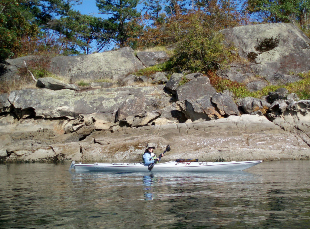 There is a bus system on Salt Spring Island, but public transportation is limited or nonexistent on the other islands. You can get around without a car, though. There is a unique
 There are a wide variety of accommodations available on the islands, from full-service resorts and hotels to traditional B&Bs to single rooms available through Airbnb. Most of the accommodations are on Salt Spring Island, but you can find small resorts and many individual houses for rent on the other islands. If you’re a kayaker, this is a perfect jumping off point. Ganges Harbor and its numerous islands are well worth exploring. Prevost Island, a short paddle to the southeast of Ganges Harbor is also worth a visit. A portion of Prevost is set aside as part of the
 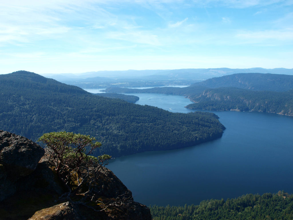 There are a number of
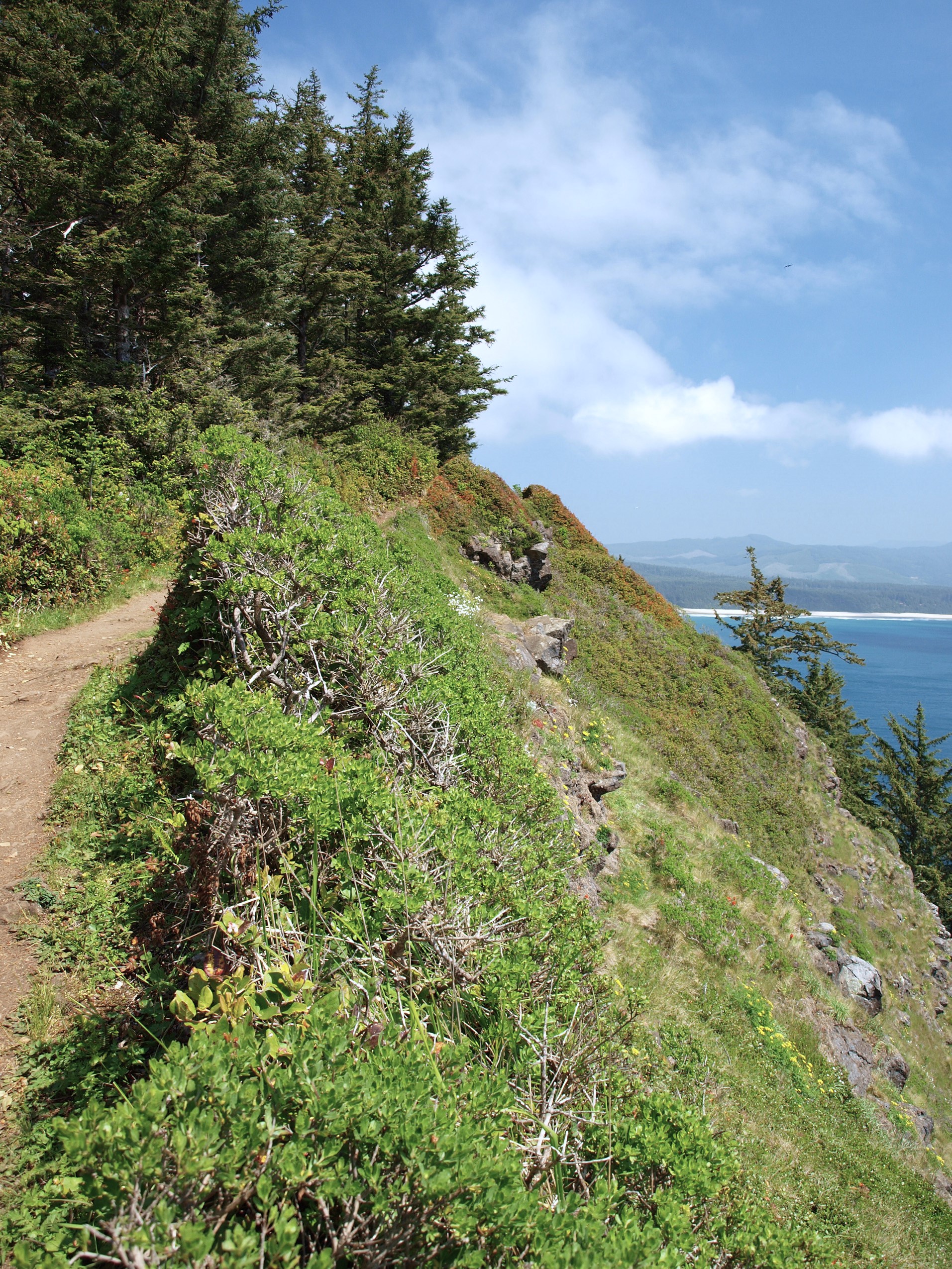
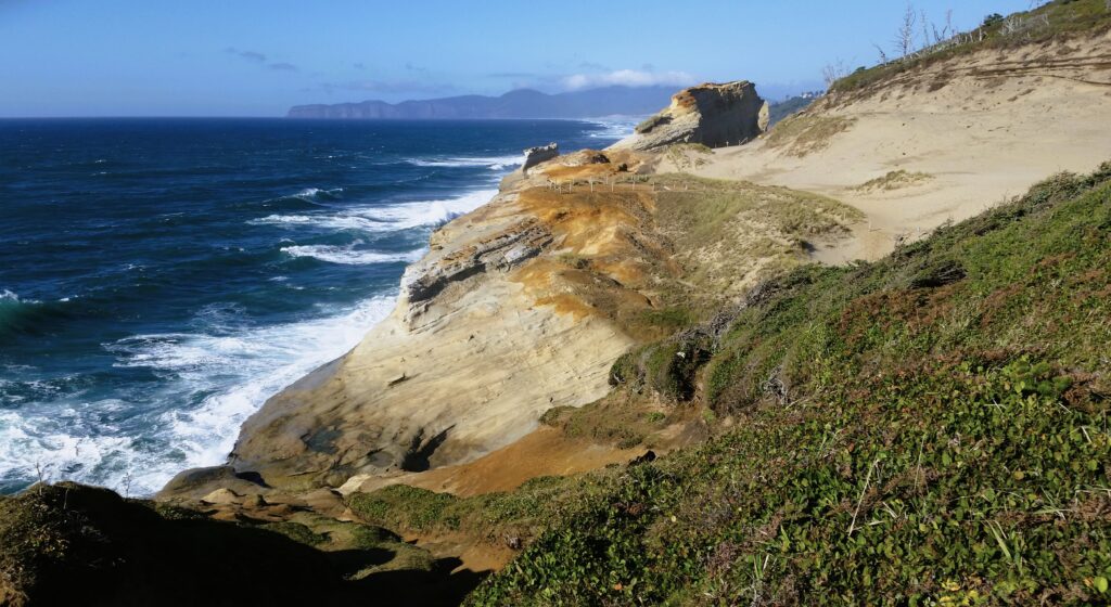
 Trailhead: Cape Lookout State Park
 From there, the trail crosses to the north side of the cape and comes to a viewpoint at the 1.2-mile mark. Here you can see north to Cape Meares and Three Arch Rocks. Just west of the viewpoint, the original trail slid into the ocean about 30 years ago. The present trail detours away from the cliff through a boggy area on a boardwalk.
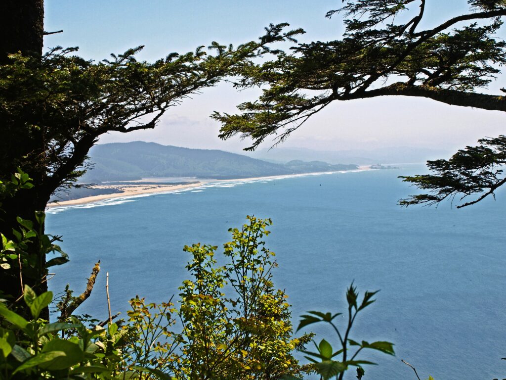
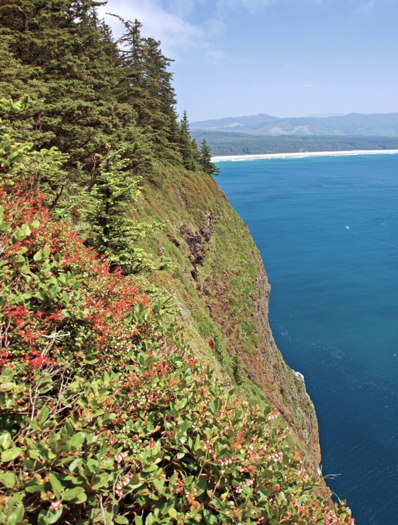
 The trail returns to the south side of the cape and continues for another 1.2 miles, climbing and descending several times, to a viewpoint at the end of the cape, 400 feet above the ocean. Views there stretch from Cape Foulweather, 40 miles to the south, to Neahkannie Mountain, 40 miles to the north.
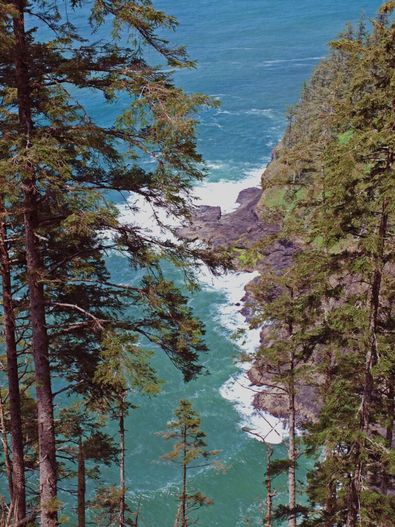 You’ll probably linger for a while at the end of the trail, but when you’ve had your fill of sightseeing and whale watching, return to the parking area the way you came.
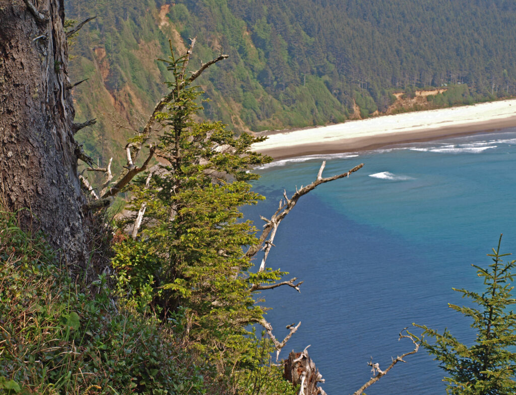
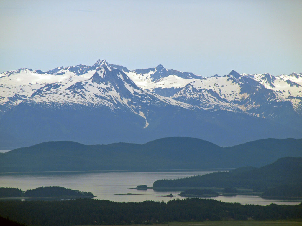
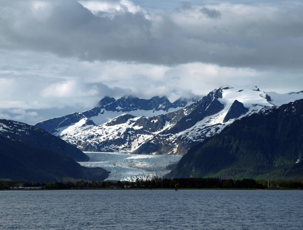
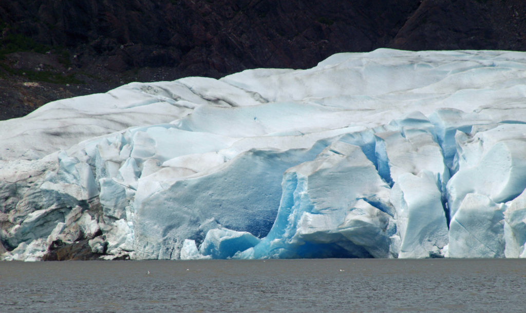
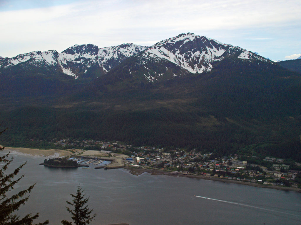
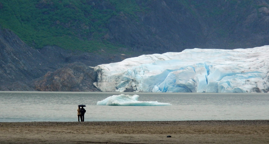
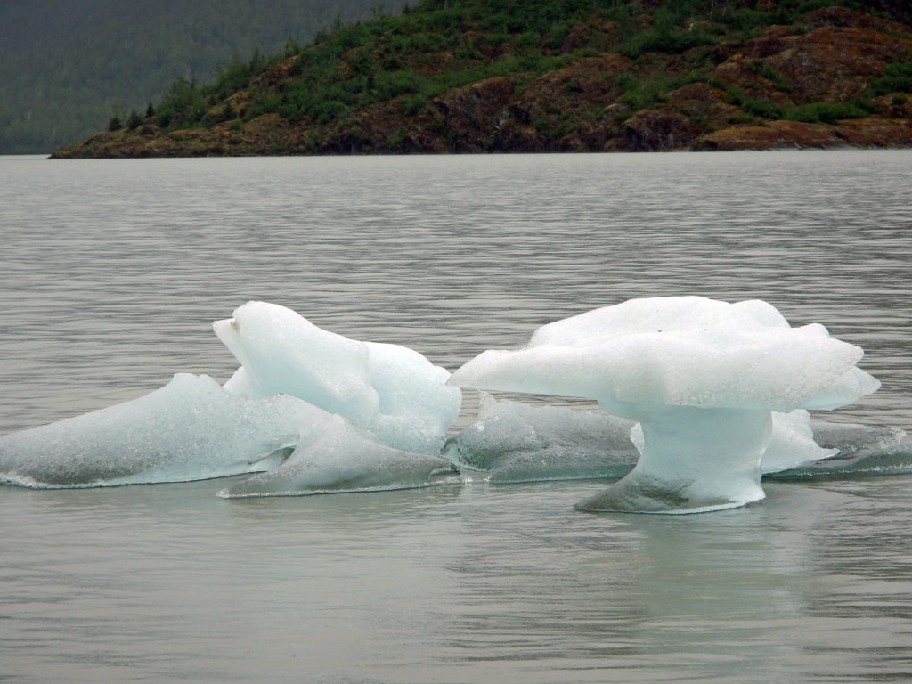
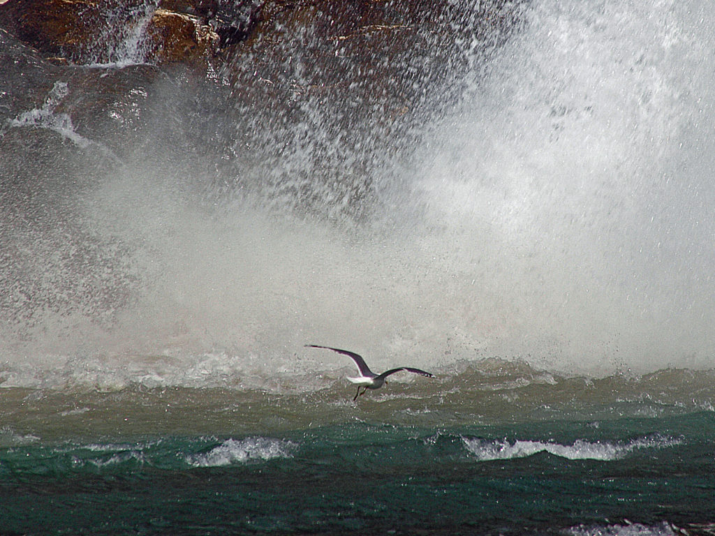
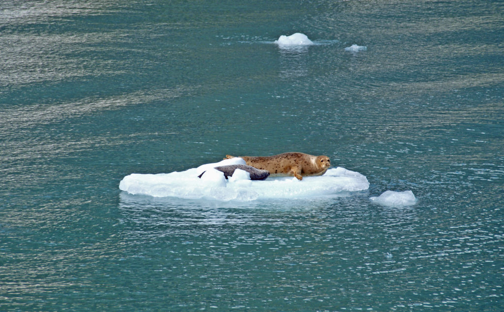 Seals often haul out on the bergs to rest and sleep. At the head of the inlet you’ll get a close up view of South Sawyer Glacier. How close you get will depend on the boat that you’re on and the amount of ice in the water, but you will get a spectacular look at the face of the glacier and there’s a chance that you’ll witness large blocks of ice calving off the face and crashing into the water below. The cruise was one of the highlights of our trip. We didn’t have time to repeat the cruise on latest visit, but if you can fit it into your itinerary, I highly recommend that you do so. Day trips start at about $275 per person.