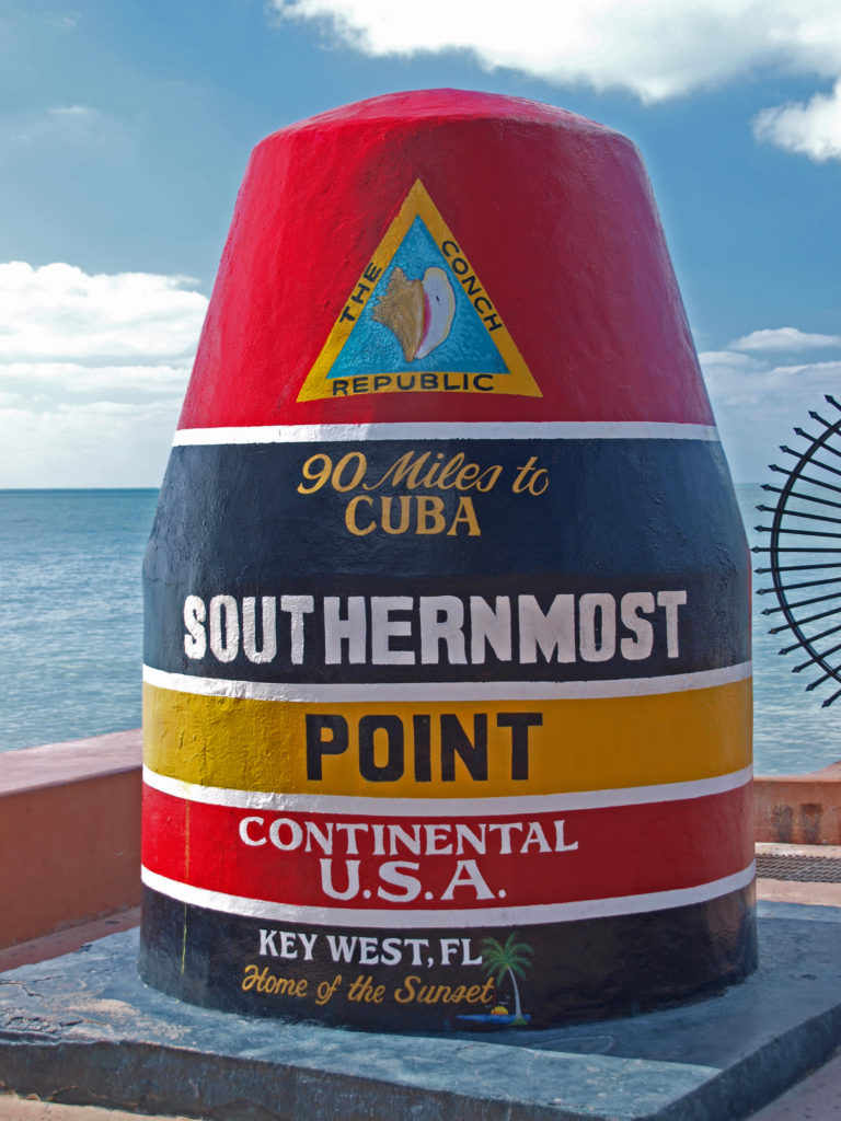
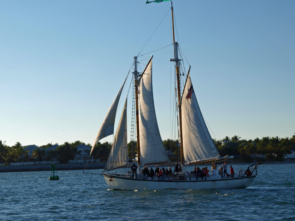
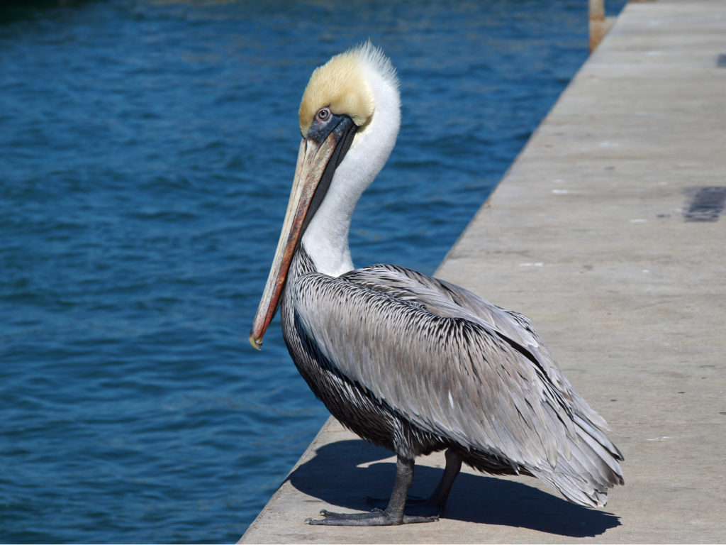
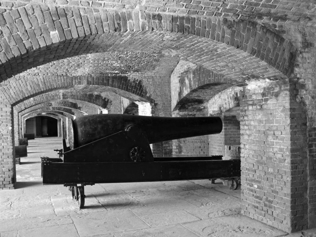
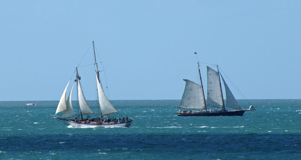
A few years ago my wife and I had the privilege of exploring Key West, the rest of the Keys, and Everglades National Park on a winter getaway.
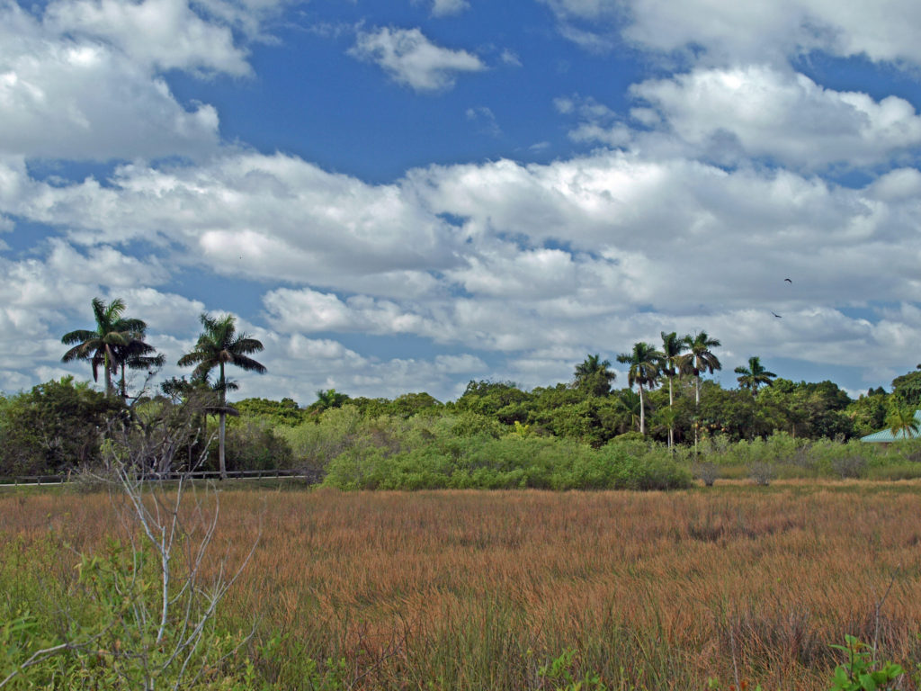
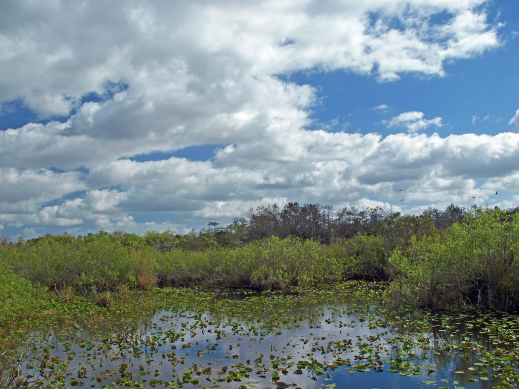
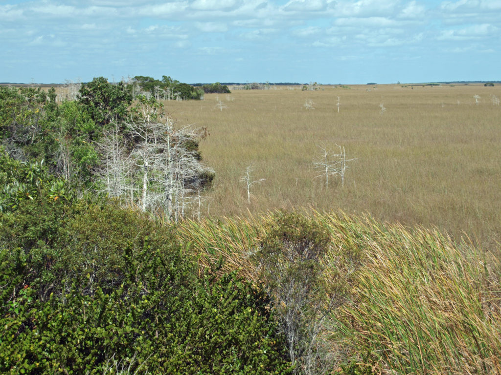
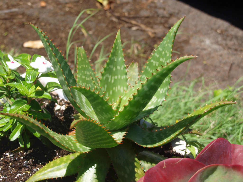
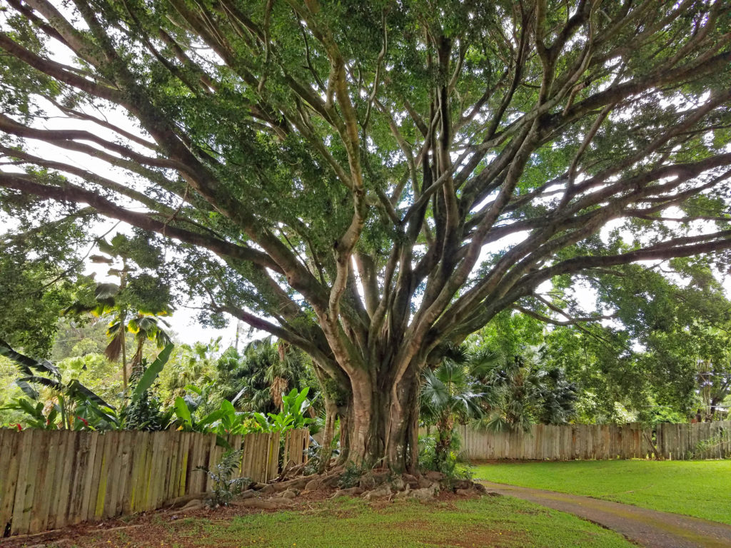
The Florida Everglades are about as far from our home in the Pacific Northwest as you can get without leaving the continent. I always envisioned the Everglades as swamp and marshland and nothing else, but it’s actually a quite diverse ecosystem. Wetlands make up much of the park, to be sure, but grassland covers a lot of it, too, with islands (called “hammocks”) of hardwoods scattered throughout. Pines dominate the higher ridges. Cypress swamps are found mainly in the northern part of the park and the adjacent Big Cypress National Preserve. And the coastal areas have both mangrove swamps and coastal prairie ecosystems.
The park was created in 1947 to preserve what remained of the Everglades after nearly half of century of damming, diverting, and draining the waters of the “river of grass” that had once flowed unimpeded from Lake Okeechobee to Biscayne Bay, Florida Bay, and the Ten thousand Islands area on the Gulf Coast.
 Today, the Everglades are still one of the most endangered ecosystems in the country. Diversion of water upstream of the park for use by the agricultural industry and the ever growing population of southern Florida has greatly reduced the volume of water flowing through the park, which in turn has had a significant impact on the flora and fauna of the park. Nutrient pollution and residual pesticides from agricultural runoff have also had a significant impact on the park’s ecosystem. Introduced species, such as the Burmese python, have also put stress on the system. And, since much of the Everglades is less than three feet above sea level, global warming and sea level rise threaten the very existence of the Everglades.
There are two main accesses to Everglades National Park. The Tamiami Trail (US Hwy 41) cuts across the northern part of park and southern part of the Big Cypress National Preserve, and gives access to the Shark Valley Visitor Center in the northern part of the park and the Gulf Coast Visitor Center in Everglades City. The southern part of the park is accessed from the Homestead and Florida City area via Florida Hwy 9336, which crosses the park and ends at the town of Flamingo on Florida Bay.
The Shark Valley and Gulf Coast parts of the park are well worth visiting, but if you only have a day to spend at the park, the southern section is more diverse and has more things to see and do than the other areas. Stop at the Ernest F. Coe Visitor Center, just inside the park boundary, to get maps and information on the park and park activities, but don’t spend a lot of time there. Instead, head to the Royal Palm Visitor Center.
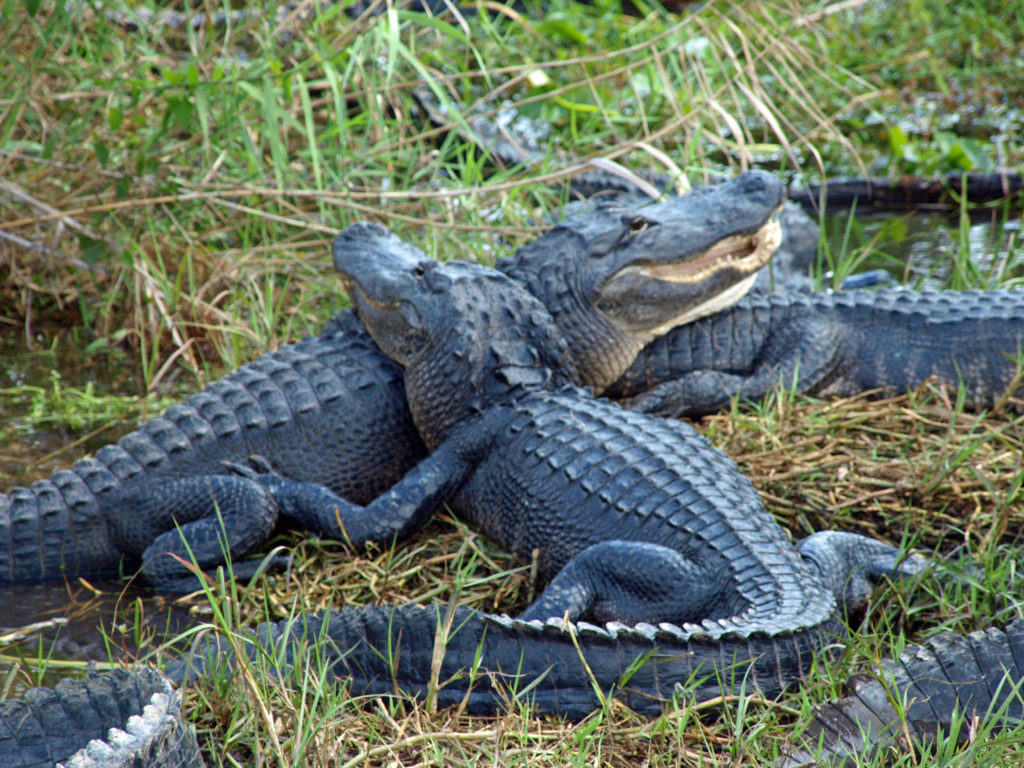
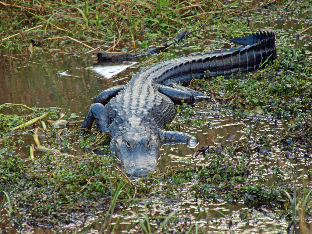
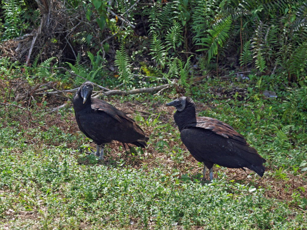
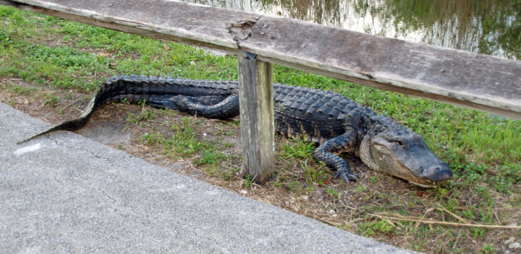
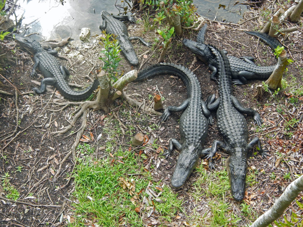
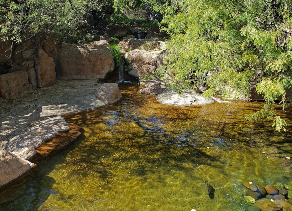
The guide books didn’t even come close to preparing us for what we found at Royal Palm. The first thing we noticed was that blue tarps covered many of the cars in the parking lot. It seems that the local Black Vultures, for some unexplained reason, are known to eat the weather stripping around car windshields. We dutifully covered our rental car with one of the park-provided tarps, though there were none of the car-eating vultures present. The visitor center is pretty much a standard issue national park center, but what’s outside will amaze you. Just outside the back door of the center is a large pond. The first thing we saw there was a large alligator, apparently asleep, only a few feet from the walkway. Yikes!
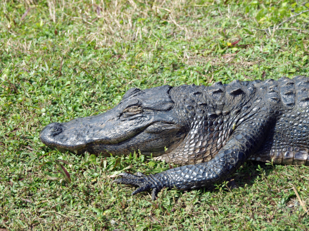
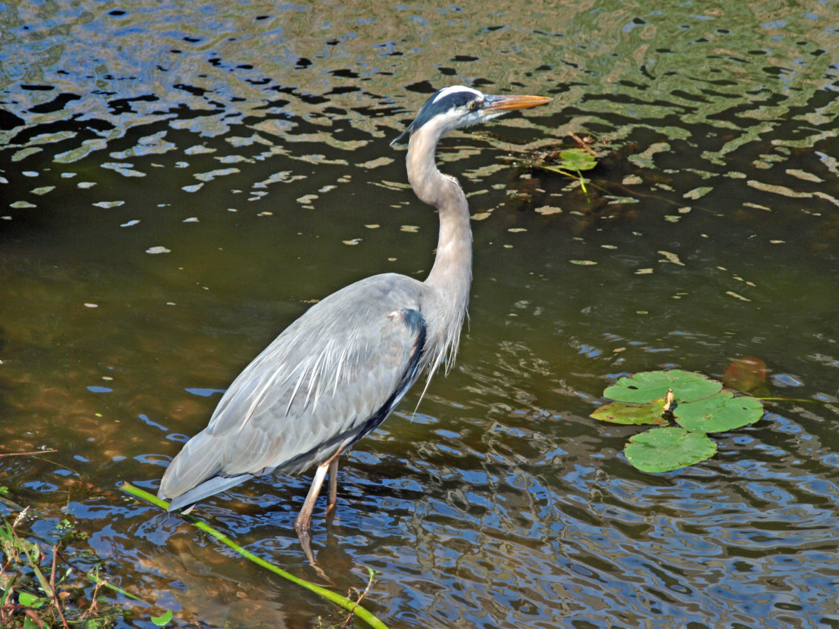
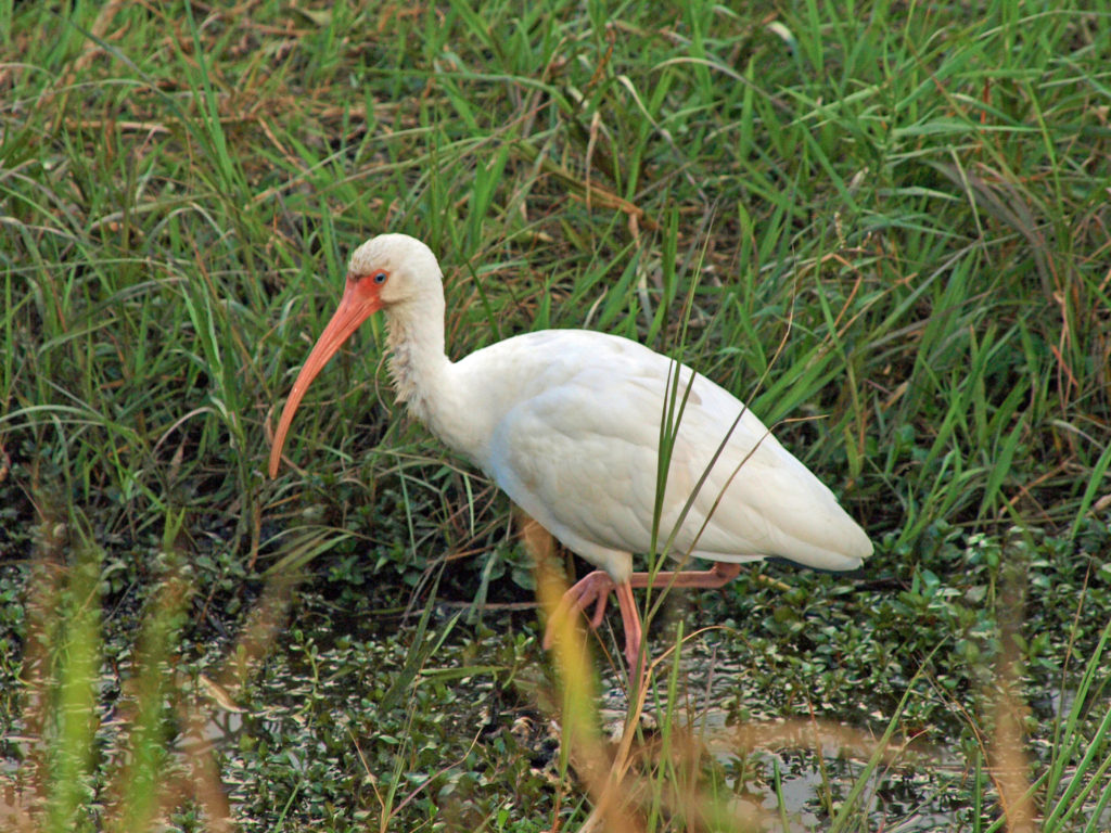
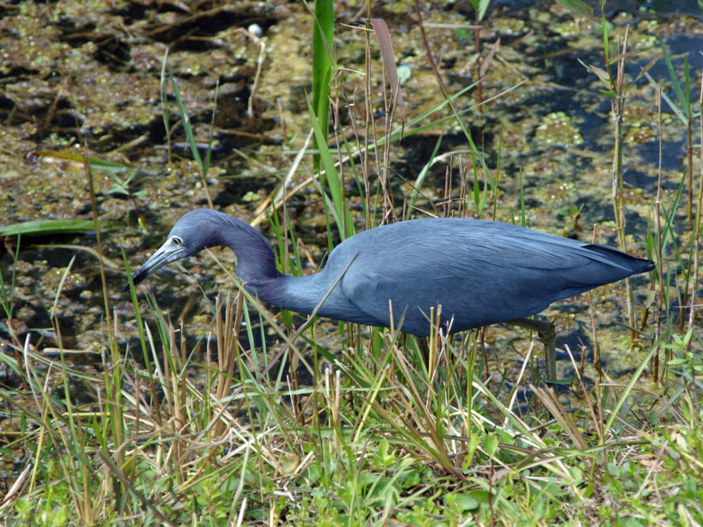
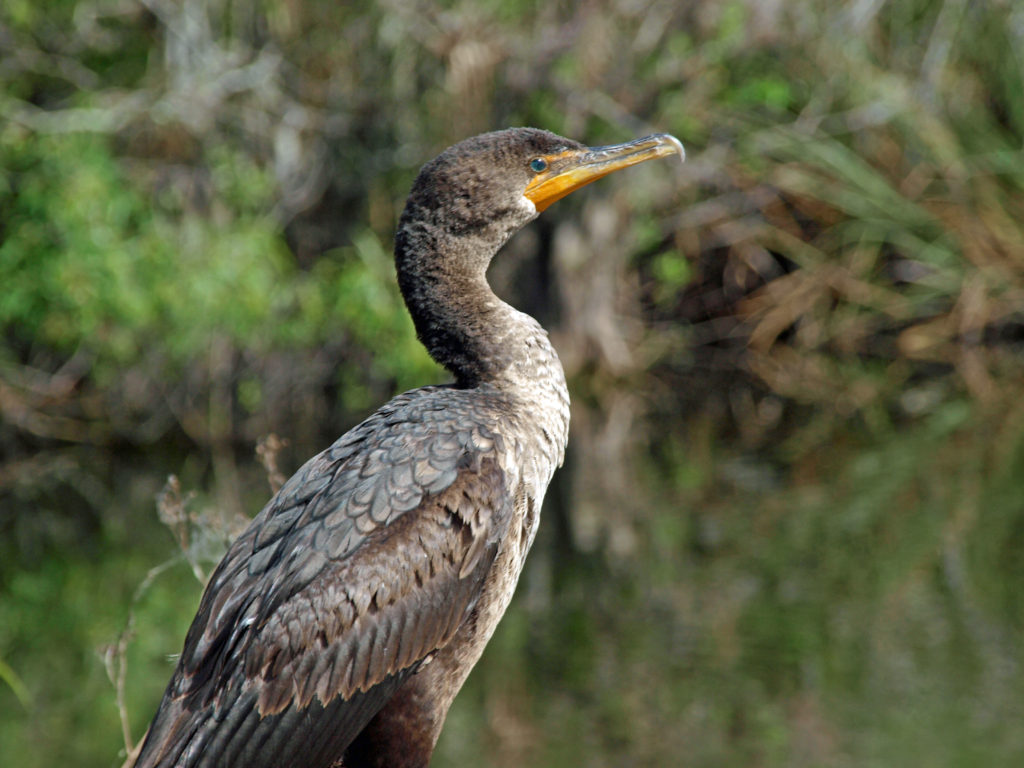
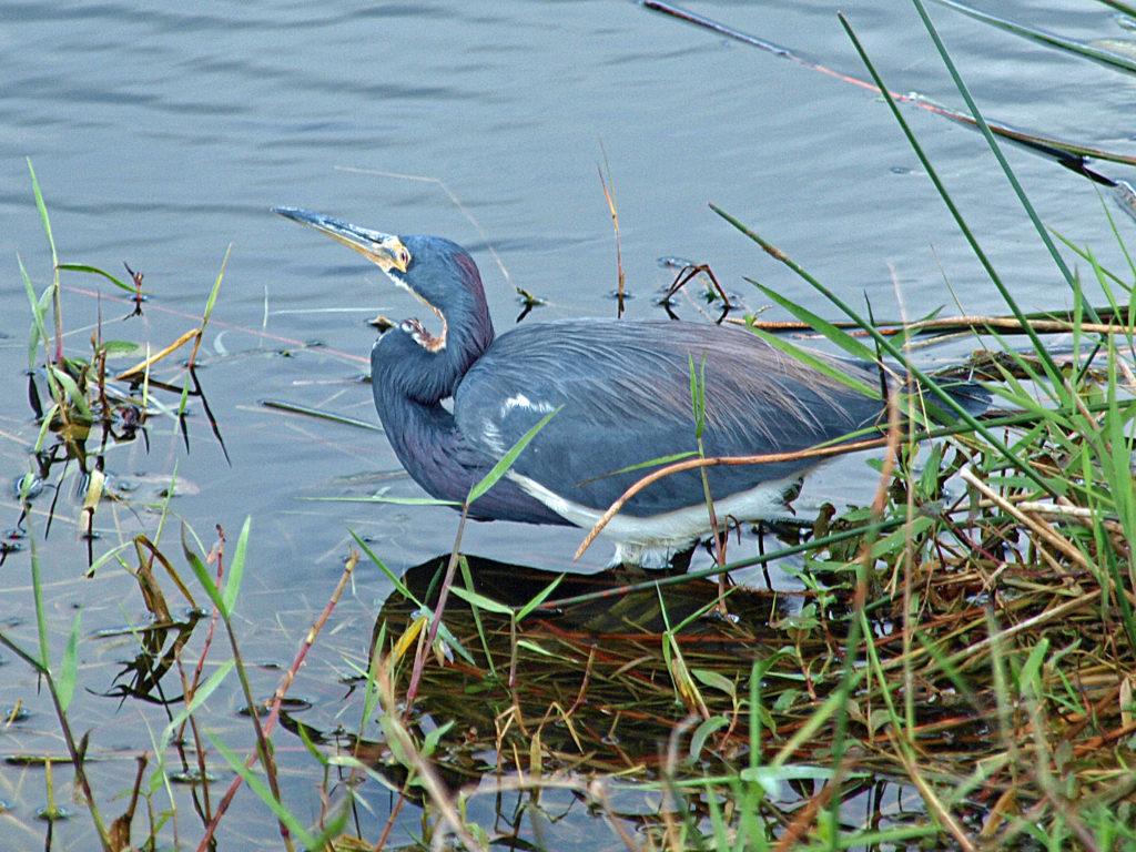
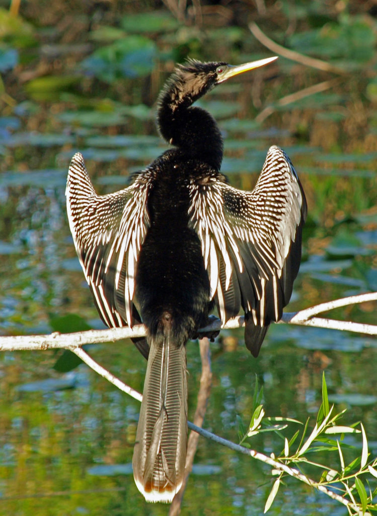
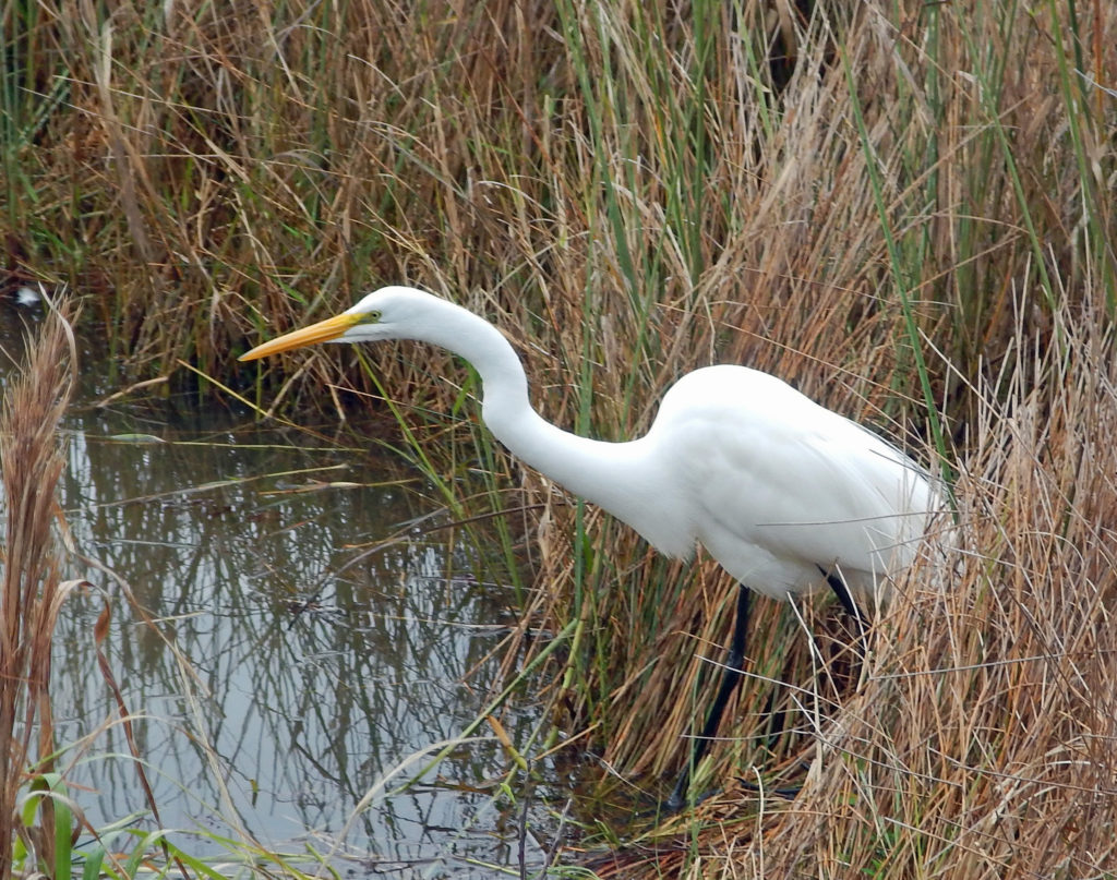
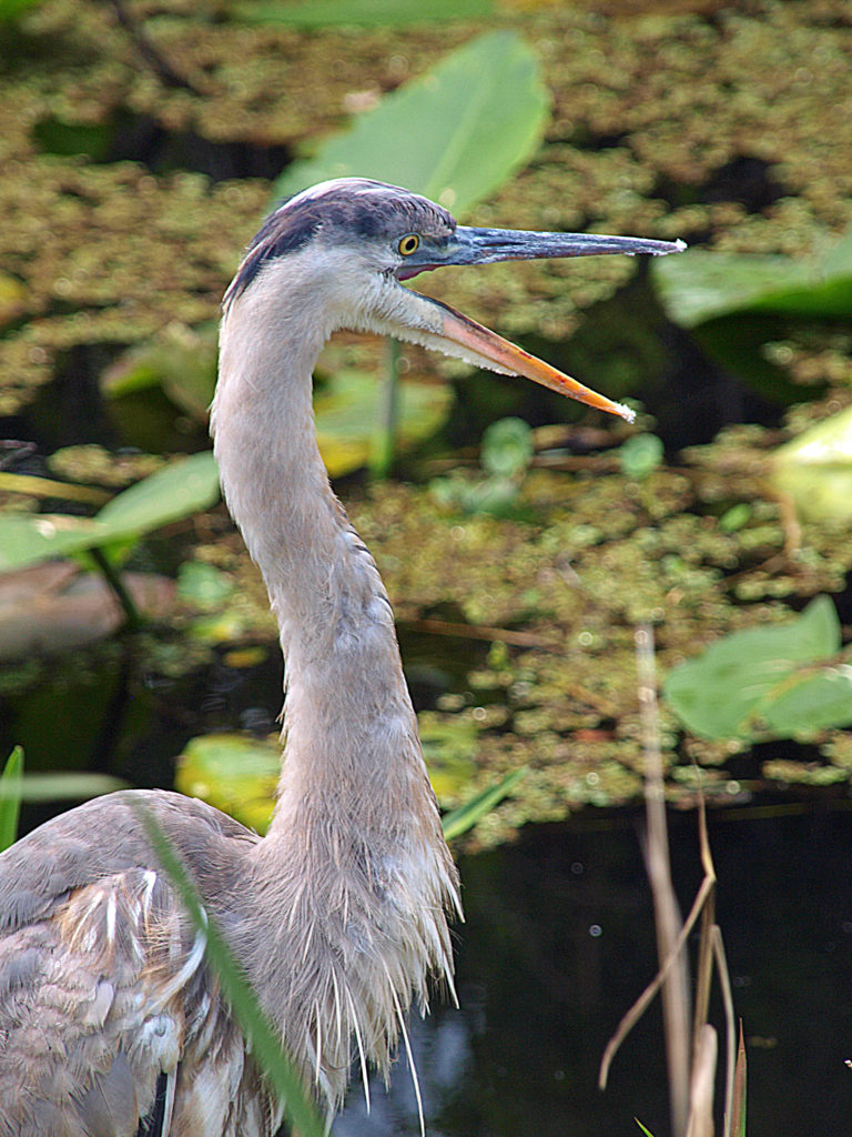
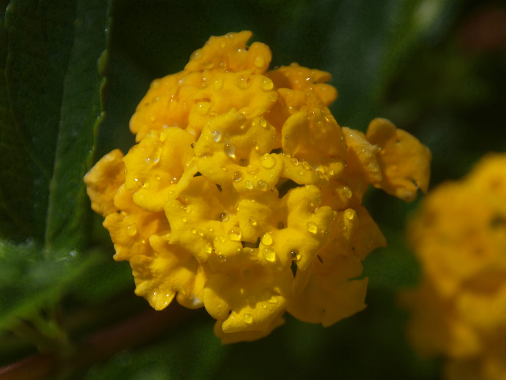
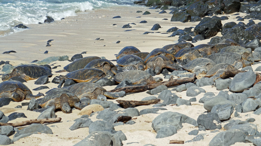
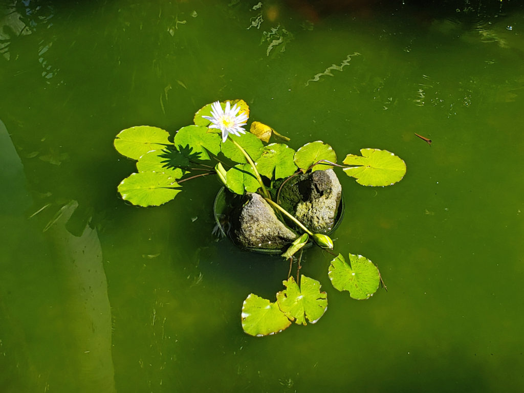
Sitting on a railing post next to the pond, a Double-crested Cormorant ignored the people walking within feet of it. Four or five Black Vultures stood a few feet off the trail looking more bored than threatening. Along the Anhinga Trail more alligators lounged within feet of the trail. One was actually laying part way onto the paved trail. We got close up views and photos of Great Blue Herons, Great Egrets, Little Blue Herons, Anhingas, White Ibis, Purple Gallinules, and many other birds along the trail. And in one water hole next to the trail, twenty or more alligators lazed together, maybe waiting for warmer weather (this was in February and it was unusually cold for south Florida). For a wildlife photographer, this place is paradise.
The other trail from the visitor center, the Gumbo Limbo Trail, takes you into a hardwood hammock. It’s less peopled and has fewer birds and other wildlife, but it is a nice, quiet walk and only takes a few minutes to do.
The sheer volume of birds and other wildlife at Royal Palm was astonishing, as was their total disregard for the people in their midst. No need for a long telephoto lens here.
 Farther along the road to Flamingo, the Long Pine Key, Pahayokey Overlook, and Mahogany Hammock stops offer short hiking trails. Canoeing and kayaking opportunities are found at Nine Mile Pond and West Lake. You’ll also find a nice picnic area at Nine Mile Pond, and another at Paroutis Pond.
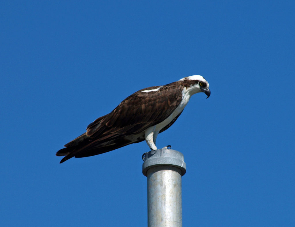
At Flamingo, get information on local area bird watching opportunities and check for ranger-led activities at the Flamingo Visitor Center. The center also has a small cafe where you can get sandwiches or a pizza. You can stock up on supplies at the Flamingo Marina Store next door. Manatees can often be found hanging out in the marina. A pair of Ospreys had built a nest on top of a pole at the marina when we were there, also. And you might catch a glimpse of the rare American Crocodile there. Ask at the visitor center if there have been an recent sightings and how to tell a crocodile from an alligator. The marina offers boat, canoe, and kayak rentals, and a 50 minute tour of the coastal area aboard a 30 passenger boat.
We had planned to take an air boat tour the next day in the Shark Valley area along the Tamiami Trail, but there was rain in the forecast for that day, and the air boats apparently don’t run in the rain. So, it was on to Plan B. That took us to the Shark Valley Visitor Center and a naturalist led tram ride to an observation tower about seven miles to the south. You can also rent bicycles at the visitor center, and we probably would have done that if the weather had been less threatening. But the two hour tram tour was informative and entertaining, and the ranger stopped at every available photo op.
We saw many more alligators at Shark Valley, specially around the observation tower, and many, many birds, including Wood Storks, Roseate Spoonbills, and Red-shouldered Hawks. No sharks, though. The name Shark Valley comes from the Shark River Slough that flows through the valley. Some sharks do come upstream to give birth in the slough, but not in the area of the visitor center.
We continued west from Shark Valley to Everglades City and the Gulf Coast Visitor Center. This is the jumping off point for exploring the Ten Thousand Islands section of the gulf coast, and for paddling the 99 mile long Wilderness Waterway Trail. Naturalist-led boat tours can be arranged at the visitor center, and rangers lead bike and canoe tours between Christmas and Easter.
Anyone who has read Peter Matthiessen’s historical novel Killing Mister Watson will probably want to continue on past Everglades City to Chokoloskee. The book tells the story of Edgar J. Watson, a notorious, and probably murderous, real life character. Watson had never been convicted, but was suspected in many disappearances, and greatly feared. In 1910, on the beach next to the Smallwood Store in Chokoloskee, more than twenty men from the local area gunned him down, claiming self defense. None of the men involved were ever charged with his killing. The Smallwood Store still stands, though it is a museum now.
If you’re a birder, wildlife photographer, nature lover, or just someone that likes to see places that are different from where you live, the Everglades will thrill you.
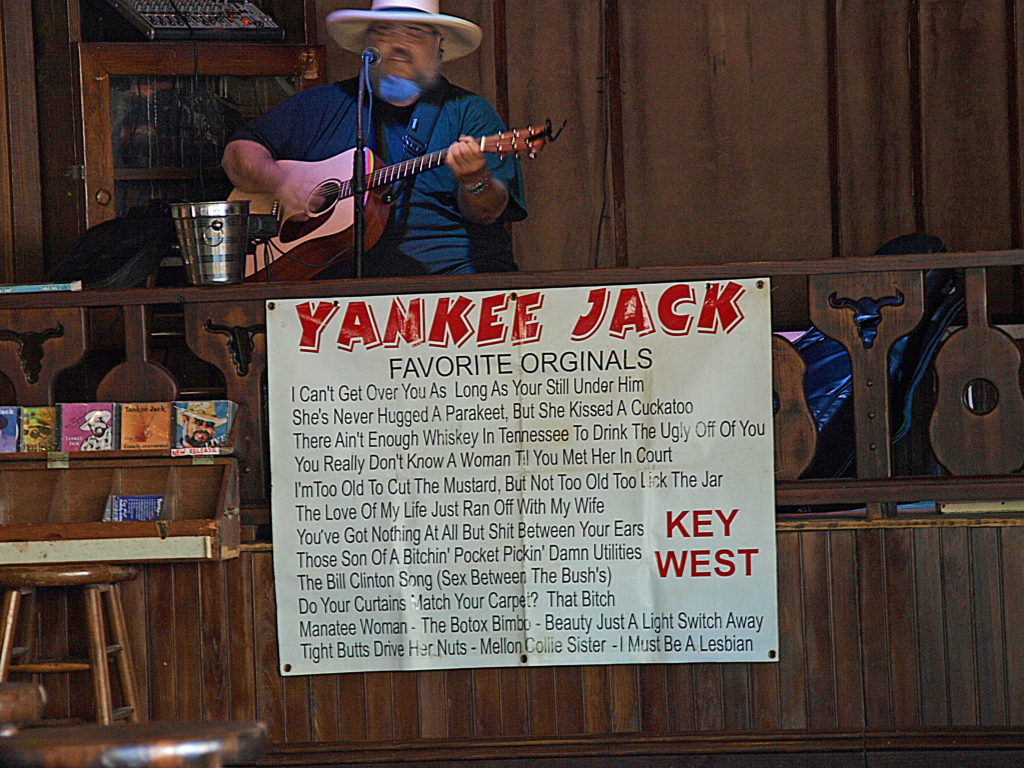
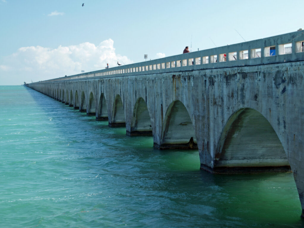
For more information about the park and the Everglades, go to the park website. And if you plan to visit Everglades National Park, no visit to south Florida is complete without paying the Florida Keys and Key West a visit.
Originally posted December 4, 2018 by Alan K. Lee. Most recently updated February 27, 2024.
All photos © Alan K. Lee
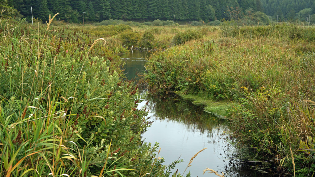
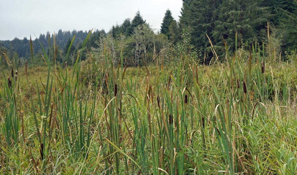
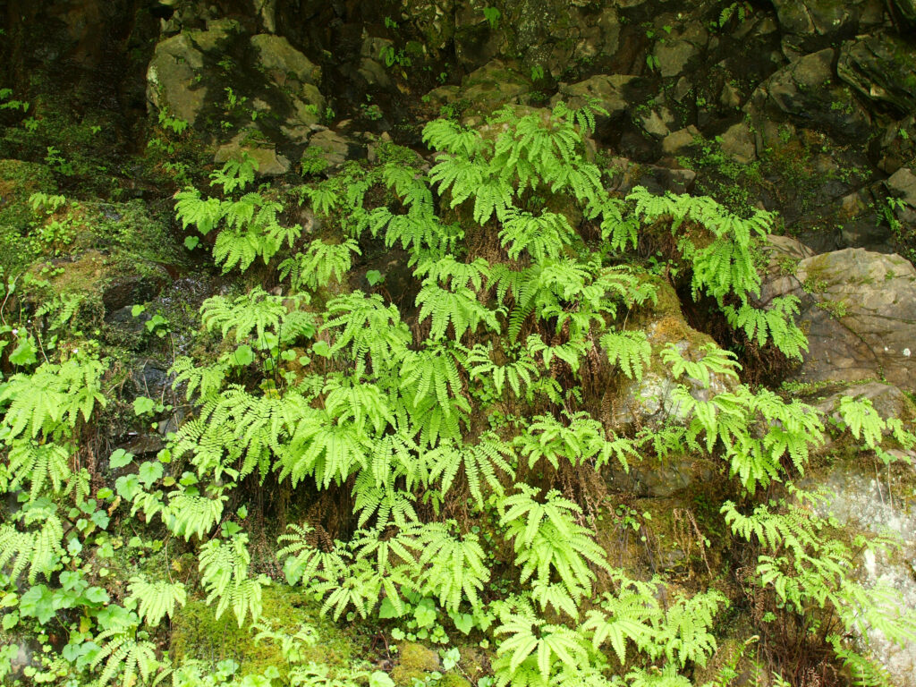
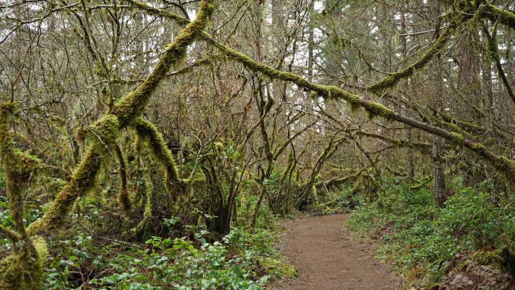
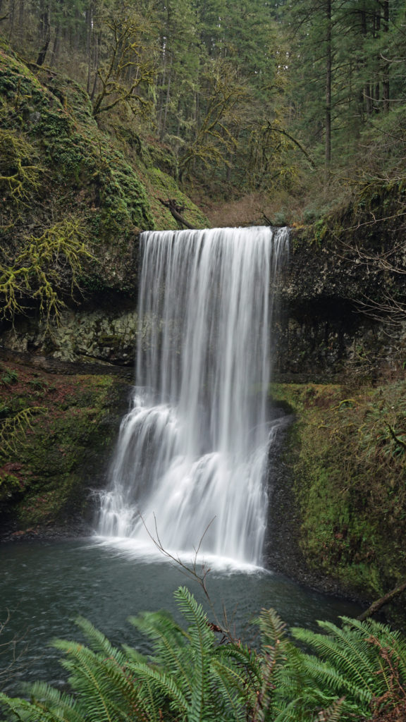
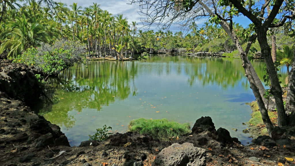
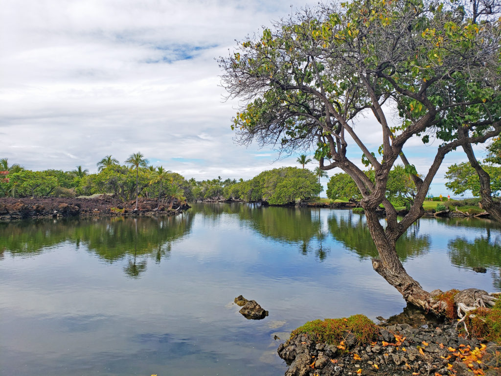
 The Beaver Creek visitor center, 1.2 miles east of Hwy 101 on North Beaver Creek Road, would normally be a good first stop to acquaint yourself with the area. If it’s open, you can pick up an informational brochure and map of the trail system there. The map and brochure can also be downloaded from the Beaver Creek State Natural Area website (linked above). There is also a small parking area a few hundred yards east of the visitor center that may have the map and brochure if the visitor center is closed. You can also find a checklist of the birds found at Beaver Creek on the website.
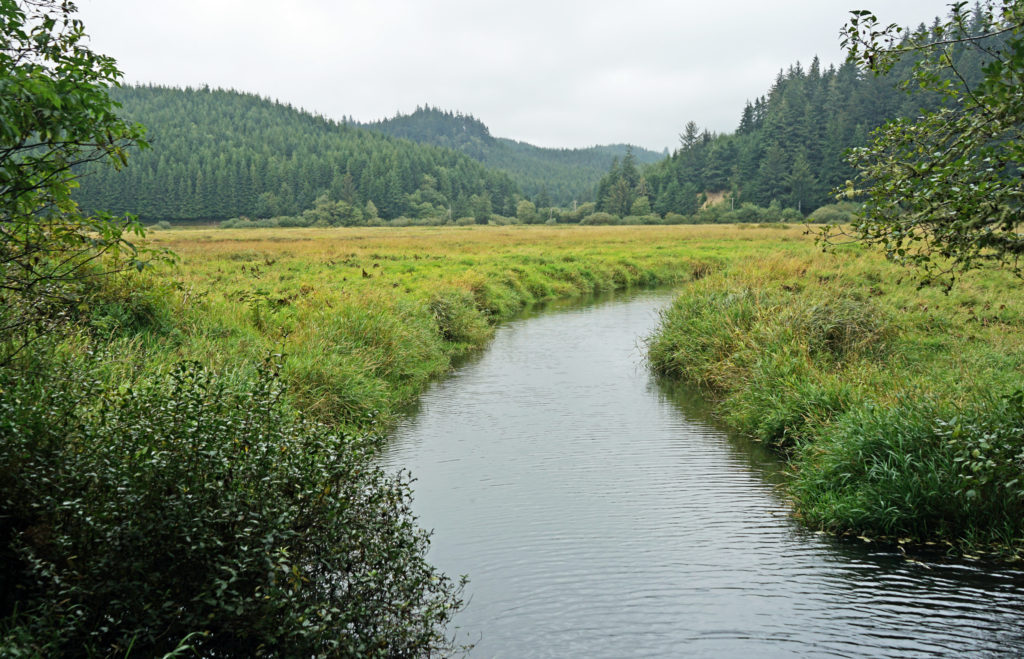
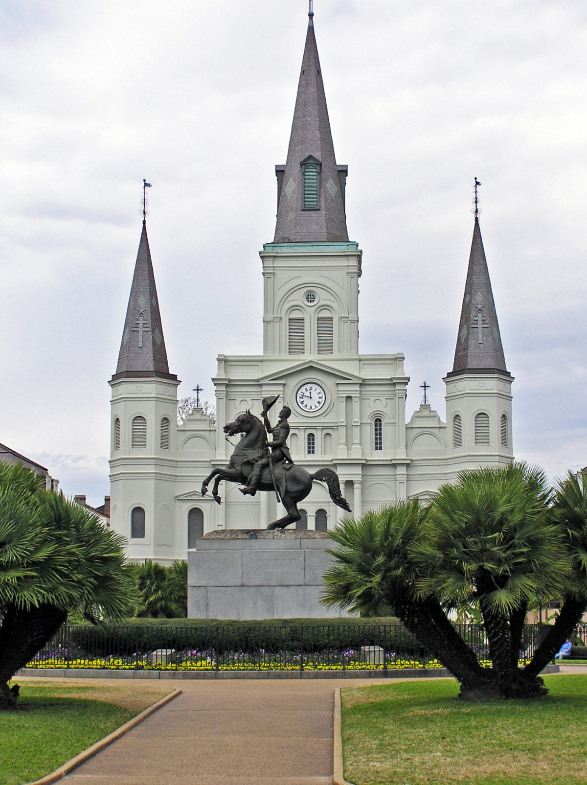
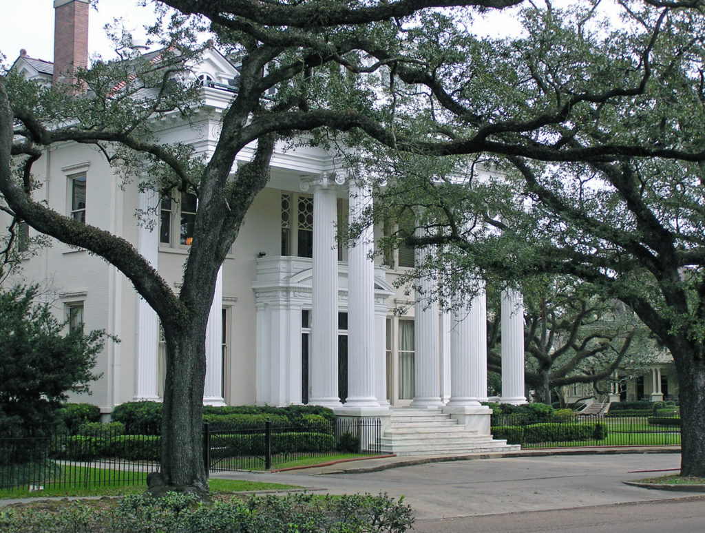
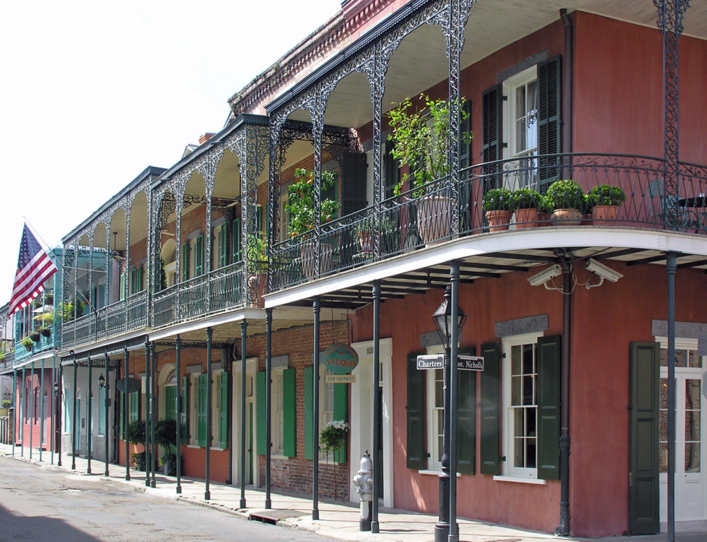
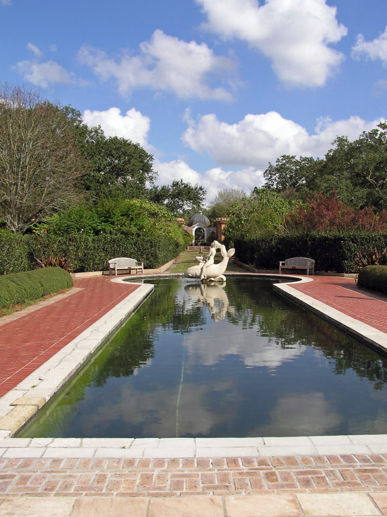
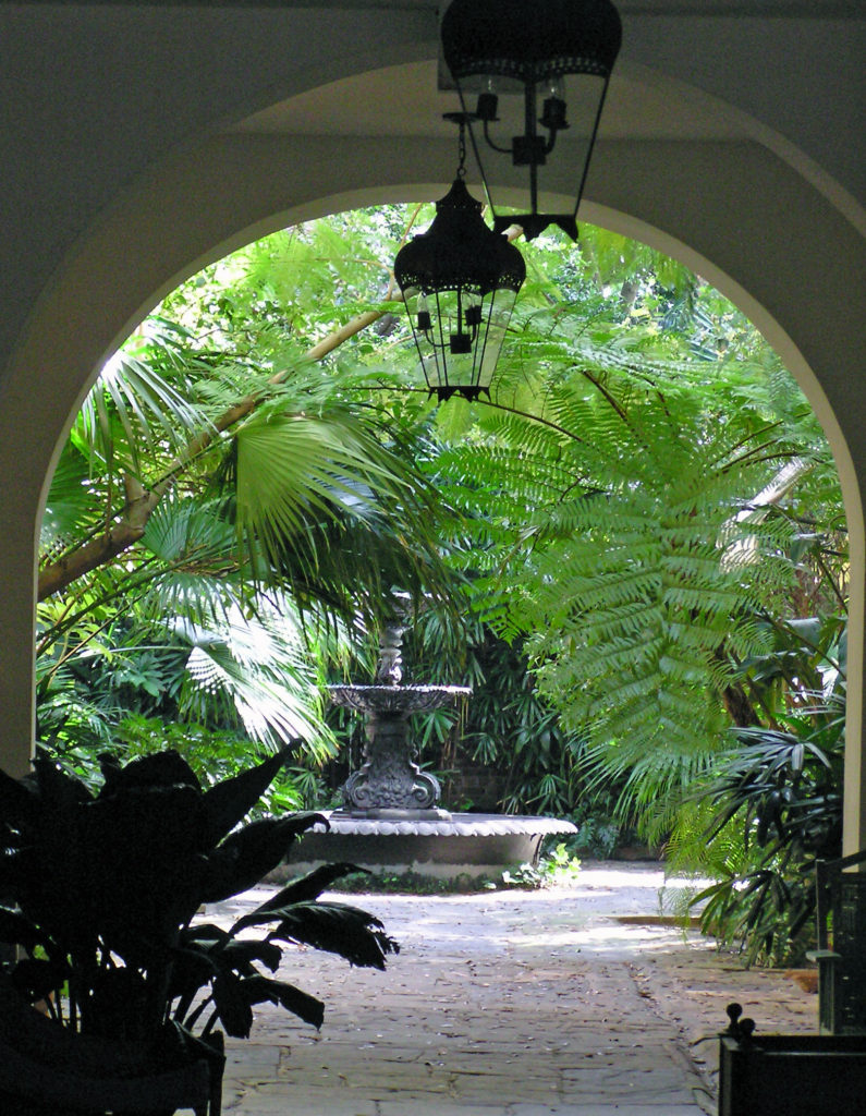
 So, how to experience the real New Orleans? Well, you probably have to spend a year or two there to really get to know the city. It’s a complex place. But if you don’t have that kind of time, my first recommendation would be to find a place to stay in the French Quarter. It’s the historic center of the city and the city’s cultural heart. Most of what you’ll probably want to see and do you’ll find either in French Quarter itself or close by.
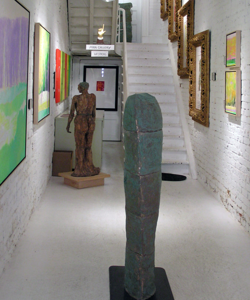
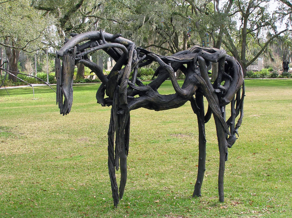 Since my wife and I are both art lovers, another thing that we always do in a new city is spend at least some time exploring the local arts scene. Sometimes that just entails visiting local museums and art galleries. But we also seek out local artists and art related events when we can. The
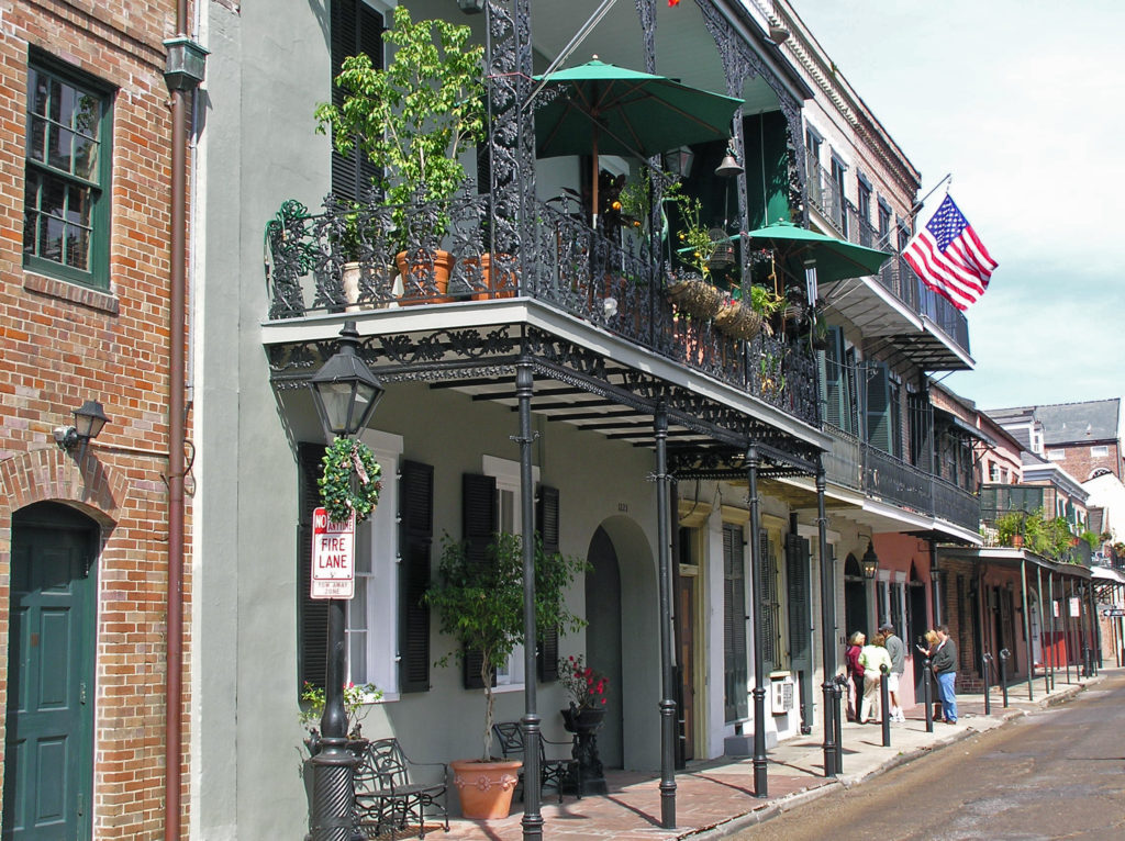
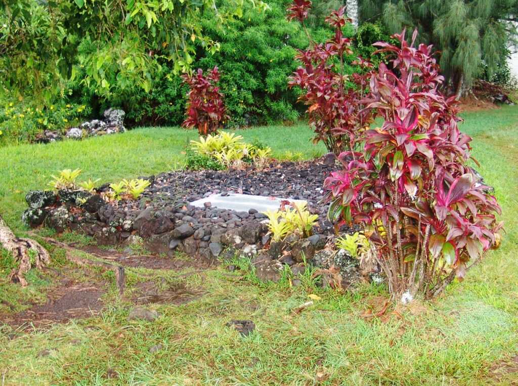
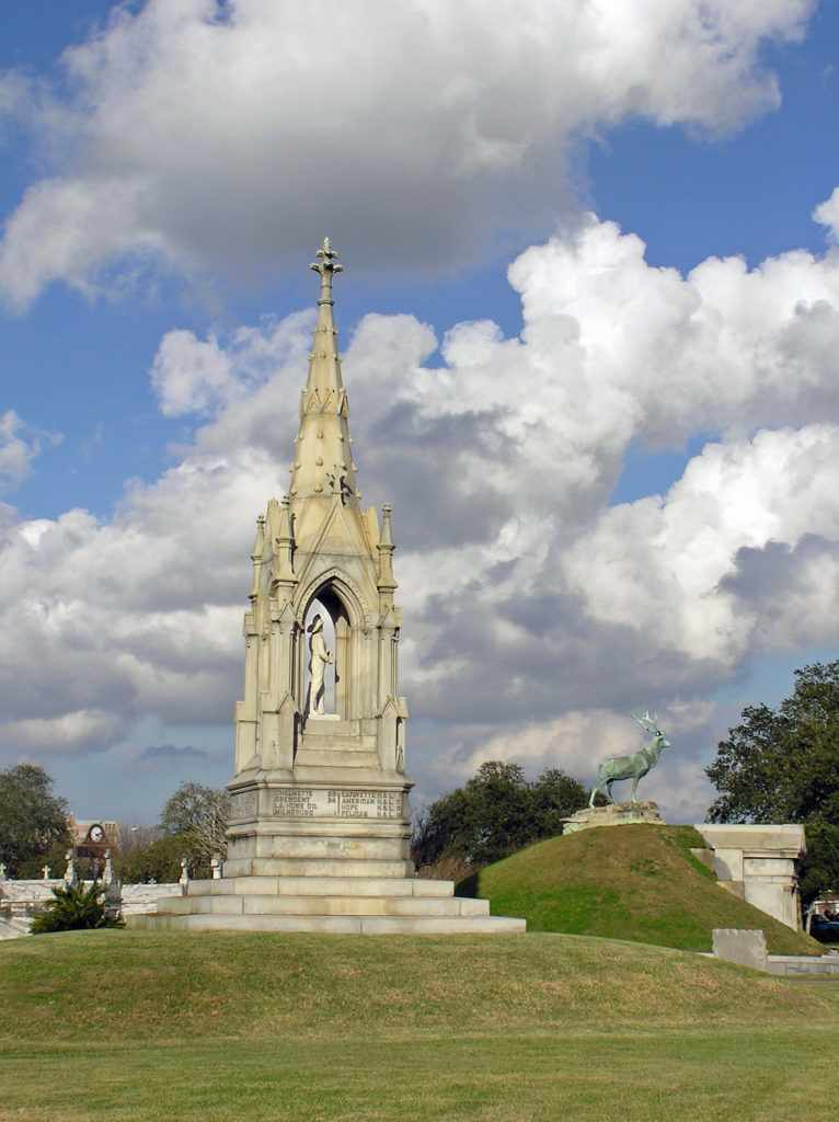 Touring one of the city’s many cemeteries turned out to be one of the more interesting things we did on our visit. Because the land New Orleans is built on was originally a swamp, and much of it is below sea level, the dead are not buried in the ground, but are interred in above ground crypts or tombs.
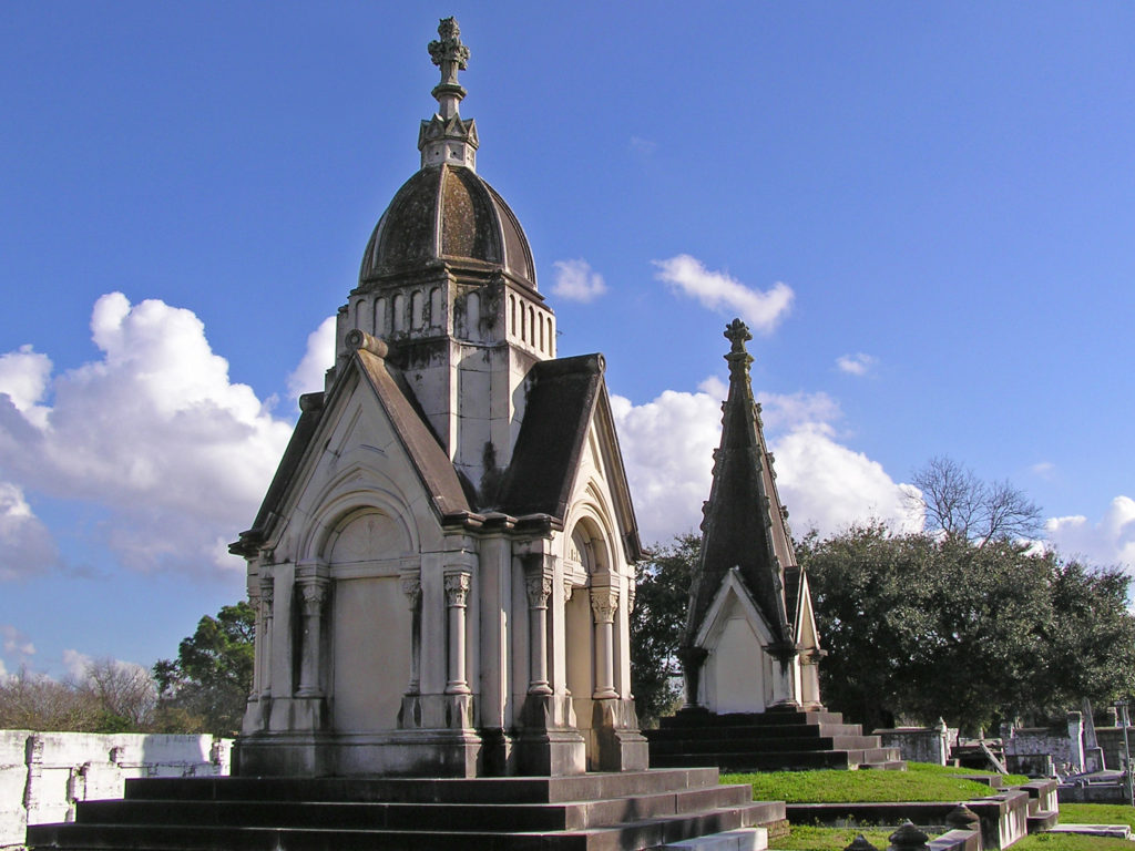 When we were there, we were warned that some of the cemeteries were dangerous places to visit and should be avoided. That may have changed, but check before you venture into any of the city’s cemeteries. There are organized cemetery tours that you can take, but we preferred to go on our own. One of the cemeteries that was said to be safe, and the one we visited, was St. Patrick Cemetery No. 1, on Canal Street near the end of the streetcar line.
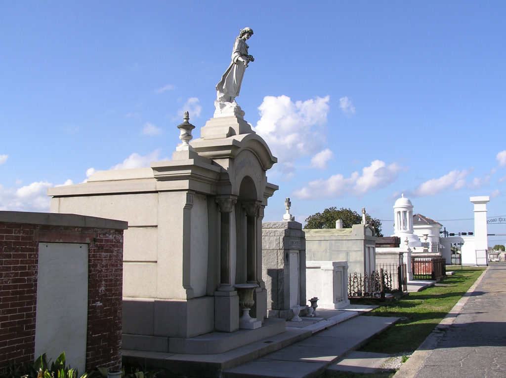 Many of the tombs there are large, elaborate, and impressive, holding the remains of many generations of the same family. The larger and more ornate ones are generally well kept up, but many of the others have not been maintained and are crumbling. Many are just ruins, empty and abandoned. One has to wonder what became of the bodies.
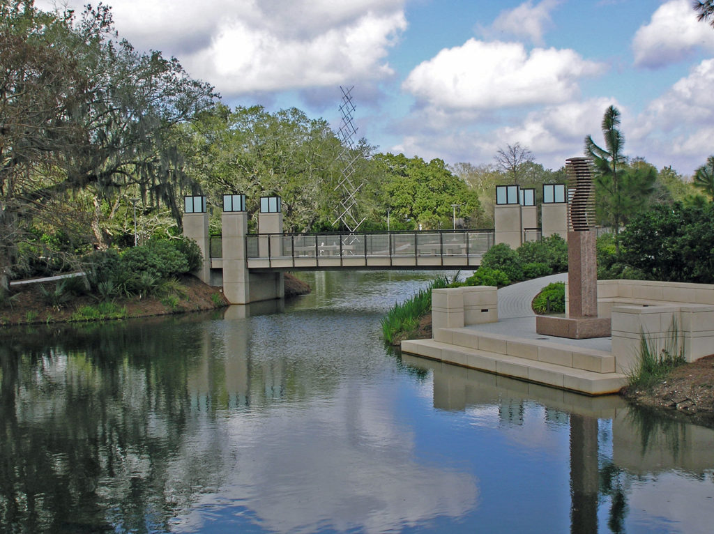
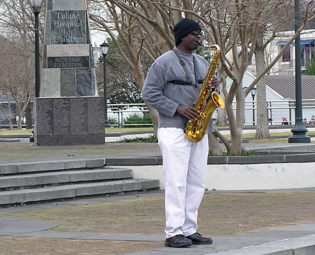
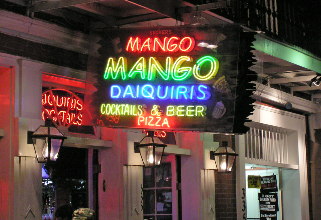
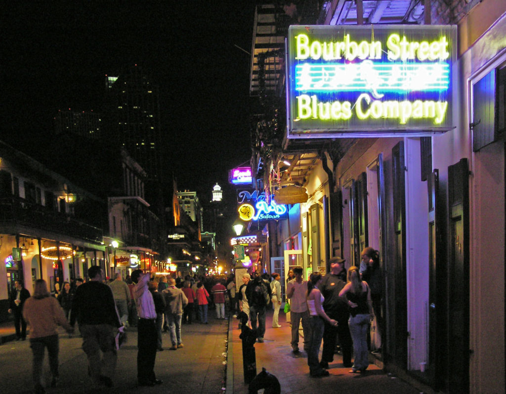
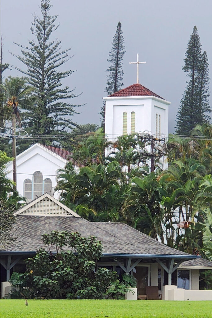
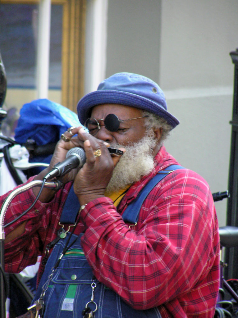 Music is an essential component of the spirit of the Big Easy. Whether it’s traditional Cajun fiddle tunes, blues, jazz, swamp rock, zydeco, country, or a fusion of some or all of those genres, music permeates the city. Street performers are a common sight in the French Quarter any time of the day or night. And there are probably hundreds of clubs throughout the city offering live performances late into the night, every night. Take in as much of the music as you can while you’re there because it’s such a vital component of the city’s spirit.
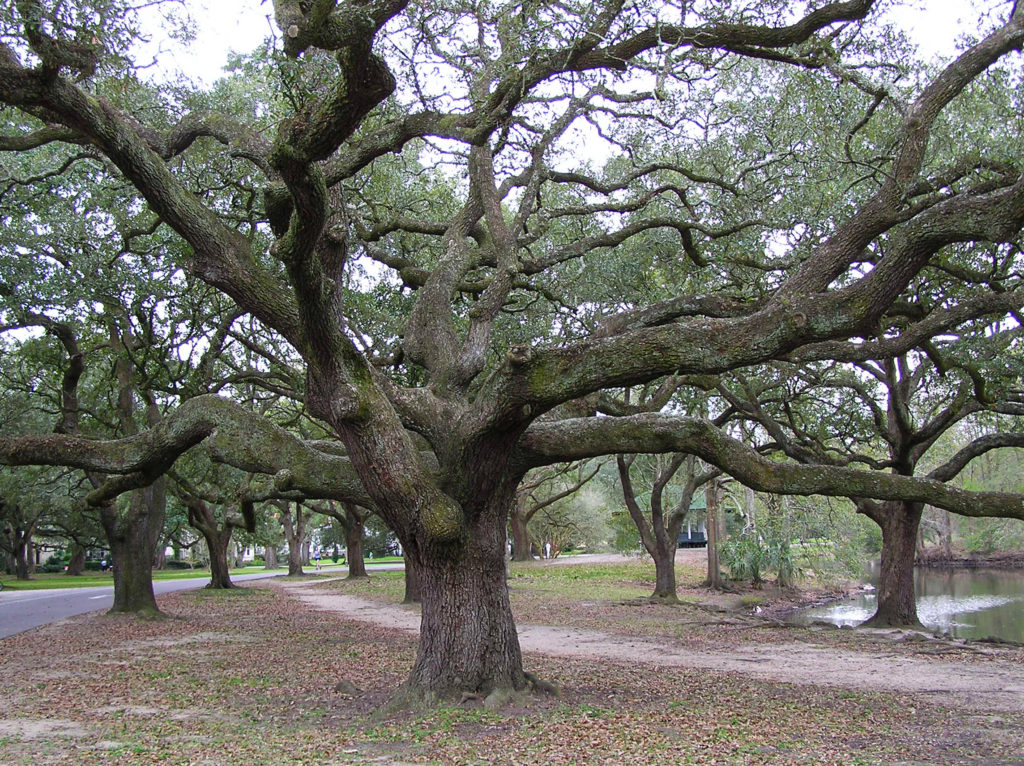

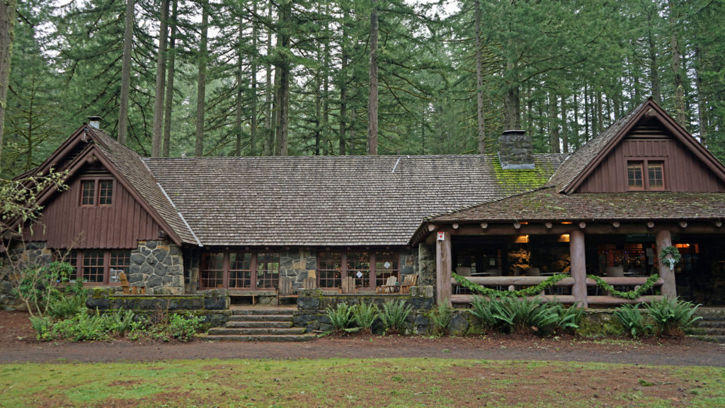


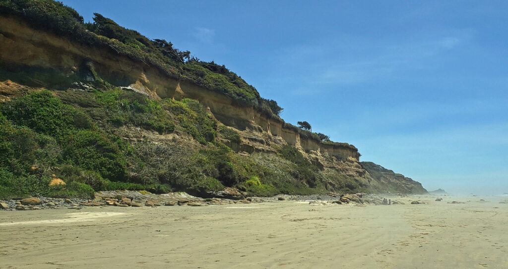
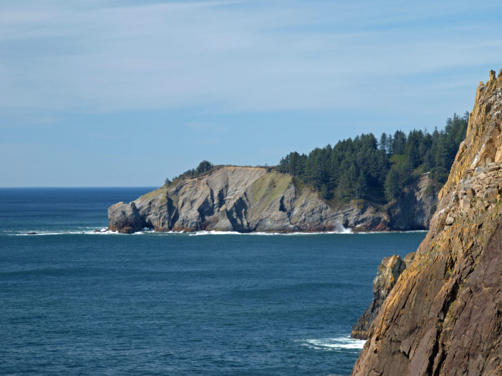 The park, originally called Short Sand Beach State Park, was created in 1931 through the efforts of Oregon’s first State Parks Superintendent, Samuel H. Boardman. Boardman was a fervent believer that of as much of the coast should be preserved in public ownership as possible. Many of the state parks along the coast were created under his stewardship. Short Sand Beach State Park was renamed in 1958 to honor former Oregon Governor
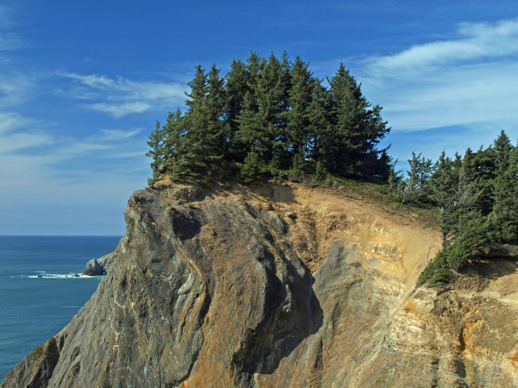
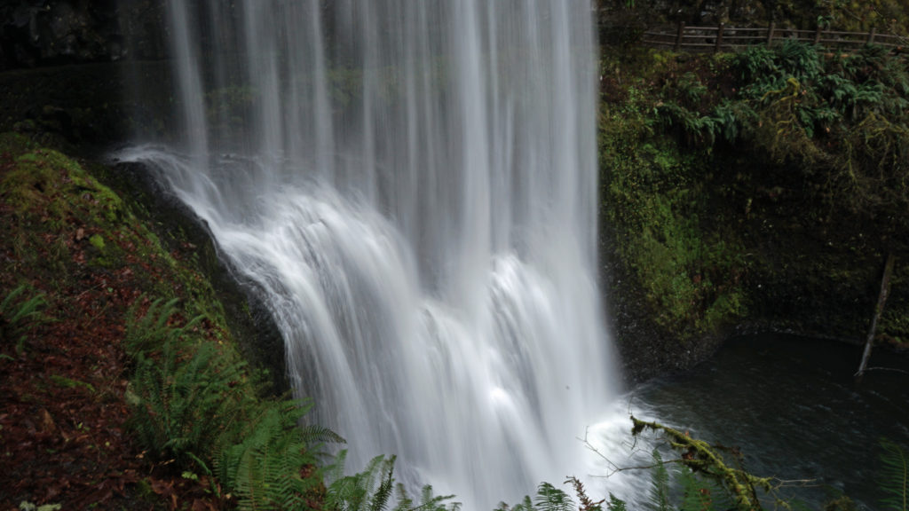
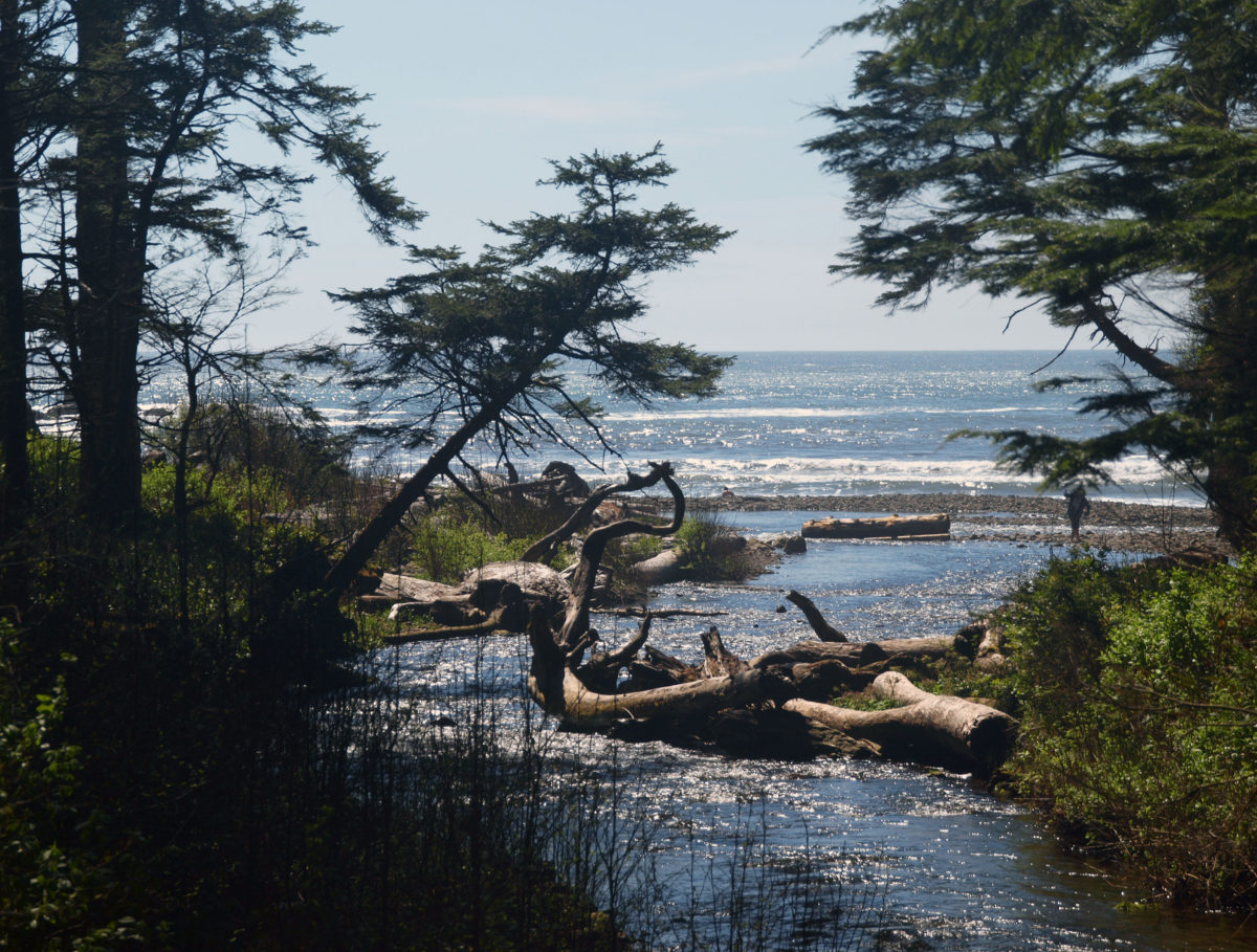
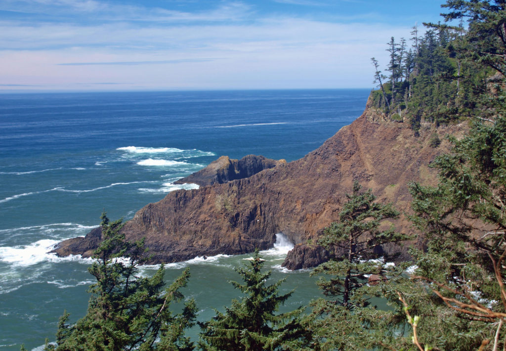
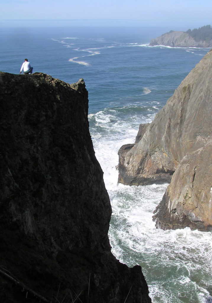
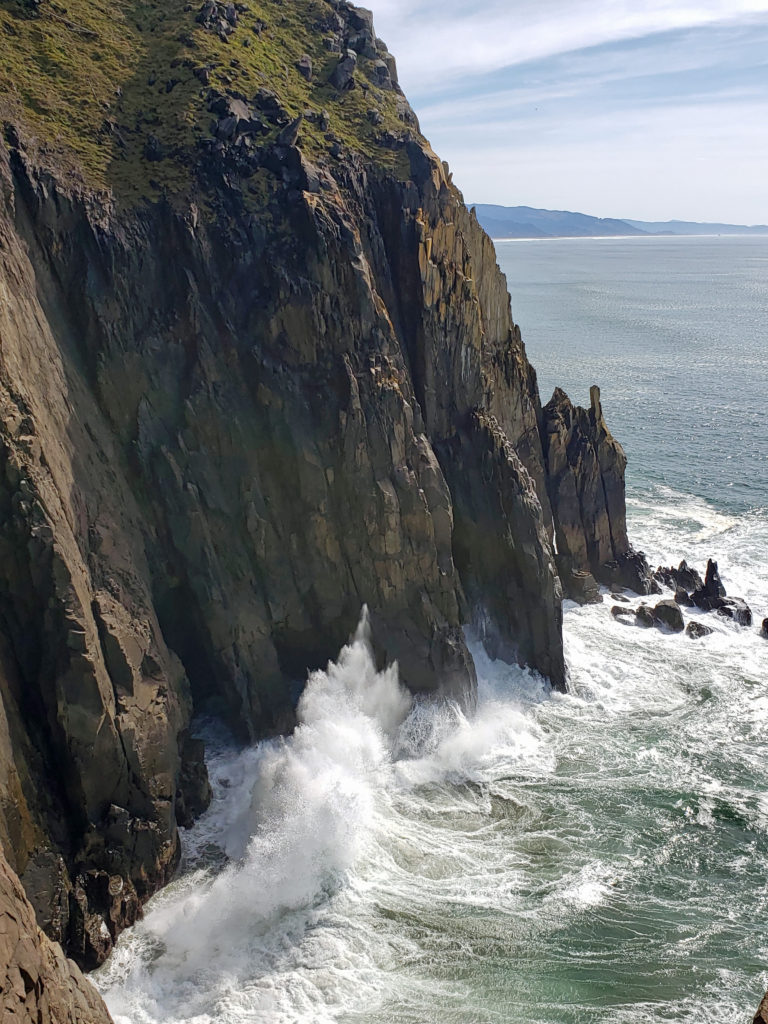
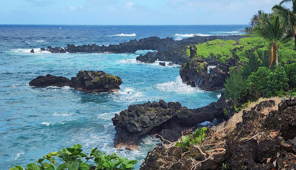
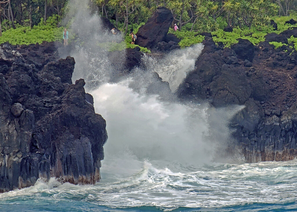
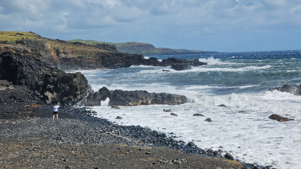
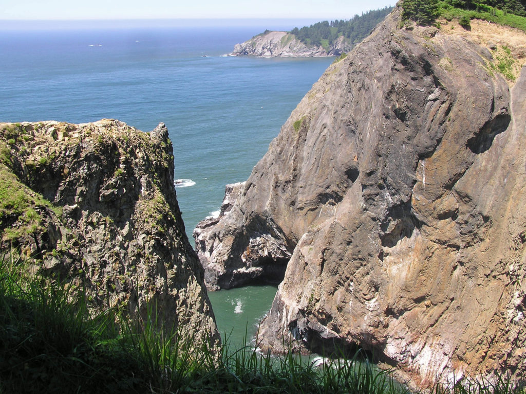 Devils Cauldron is a spectacularly beautiful little cove on the north side of Neahkahnie Mountain. It can be reached by either a one mile hike from Short Sand Beach or a much shorter hike from where the Coast Trail crosses Hwy 101. To access the shorter route, drive south on Hwy 101 from the Short Sand Beach parking lots and look for a gravel parking area on the ocean side of the highway. Follow the Coast Trail north a short ways to a signed junction. The Devils Cauldron viewpoint is just a quarter mile walk from the parking area.
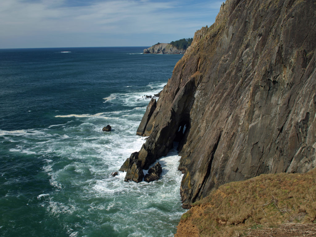 On your way back to the trailhead look for another trail branching off to the south. The junction here is unsigned and the trail is sometimes overgrown and impassable. But if it’s open, the trail leads to a narrow shelf of rock that falls away on three sides to the ocean below, and the cliffs of Neahkahnie Mountain tower over the viewpoint to both the north and south. It may not be a place for people with a fear of heights, but it’s one of the most awesome places on the entire coast.
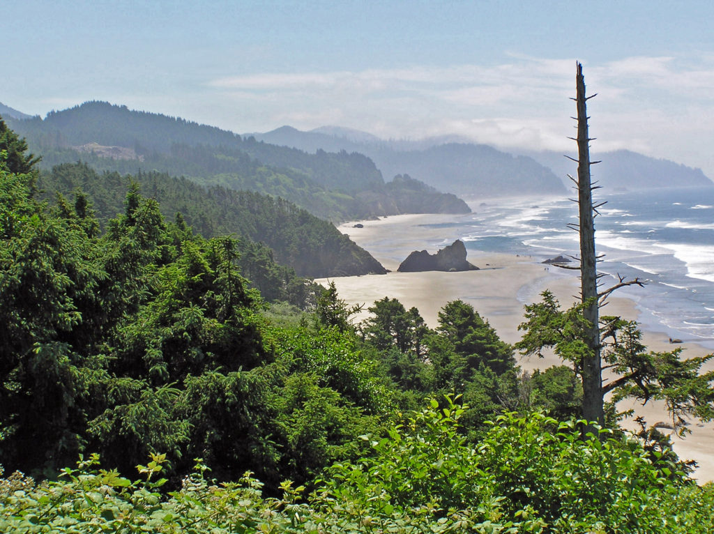
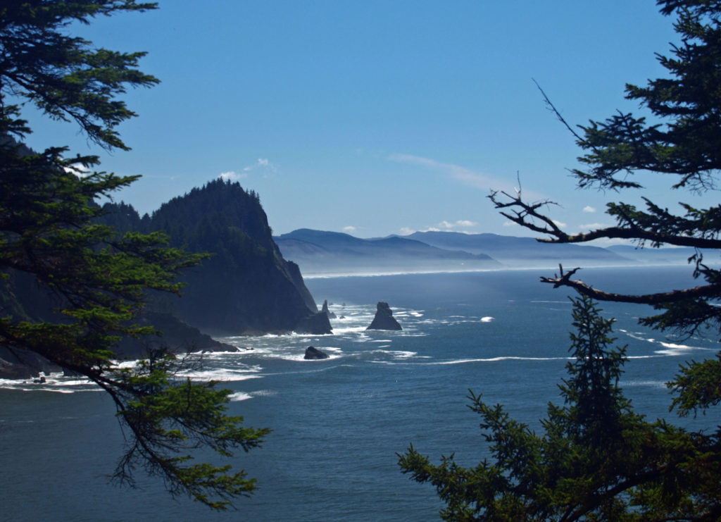
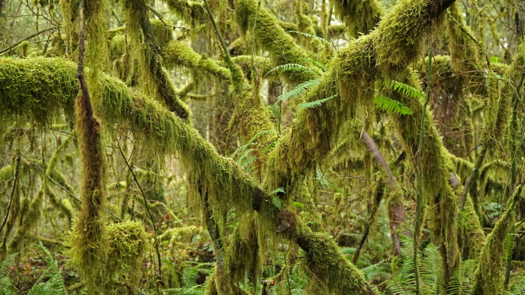
 Oswald West State Park is about a two hour drive from Portland, so it’s easily doable as a day trip if you’re from the Portland area or are visiting Portland. But if you want to make a weekend of it, there are plenty of other attractions on the north Oregon coast beyond Oswald West.
 The following was originally posted on this site a couple of years ago. I checked all of the links, but things can change, so check the


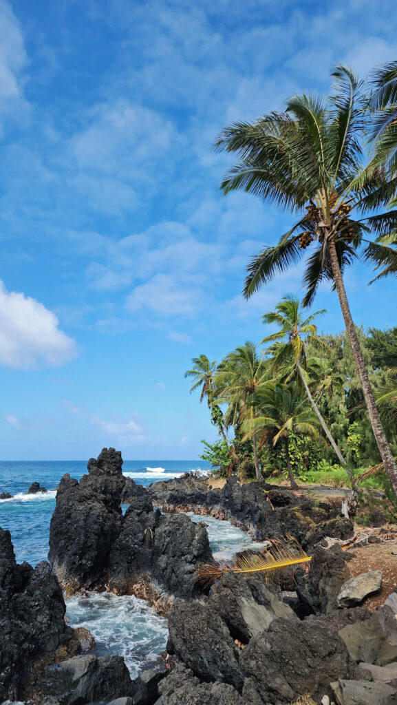
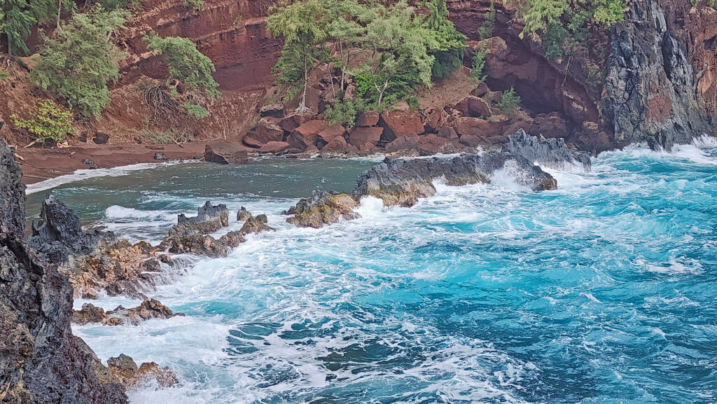
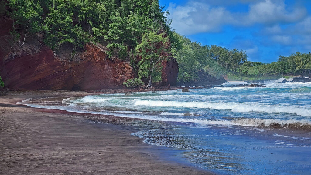
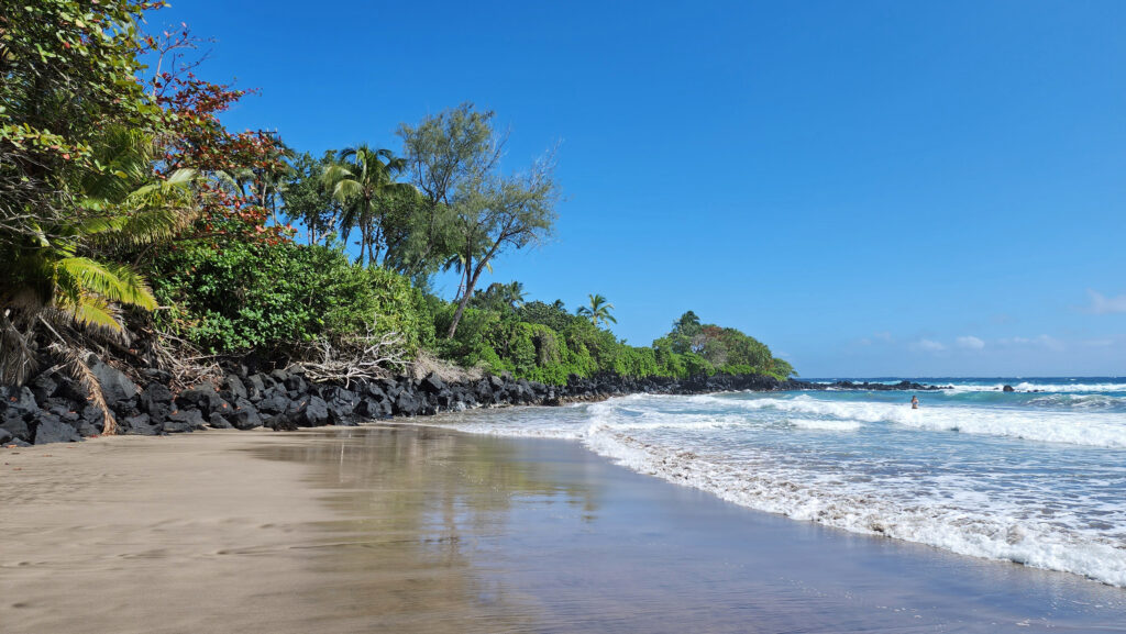
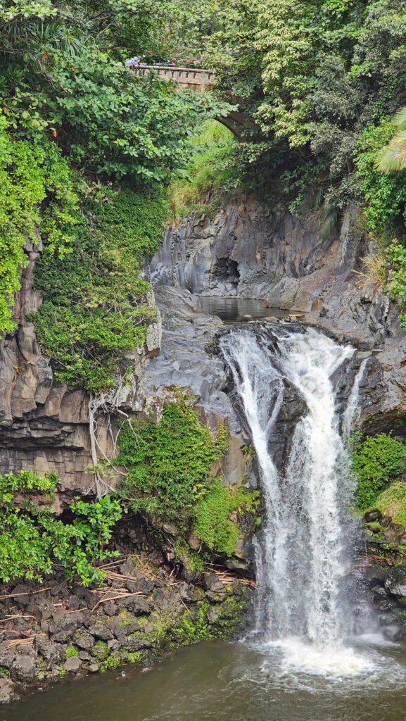
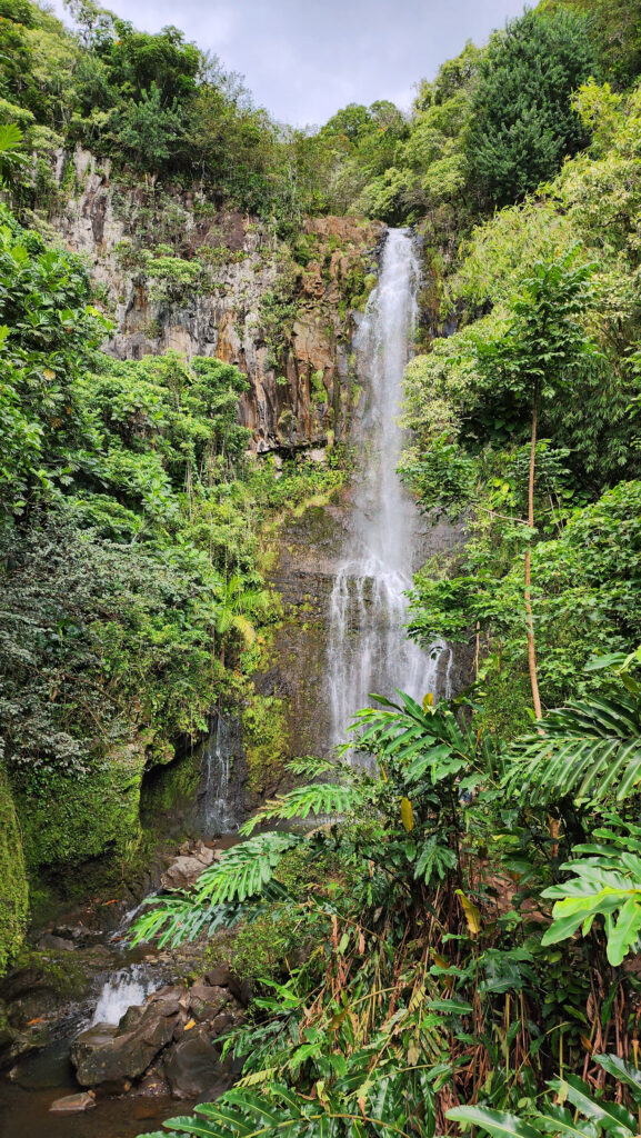
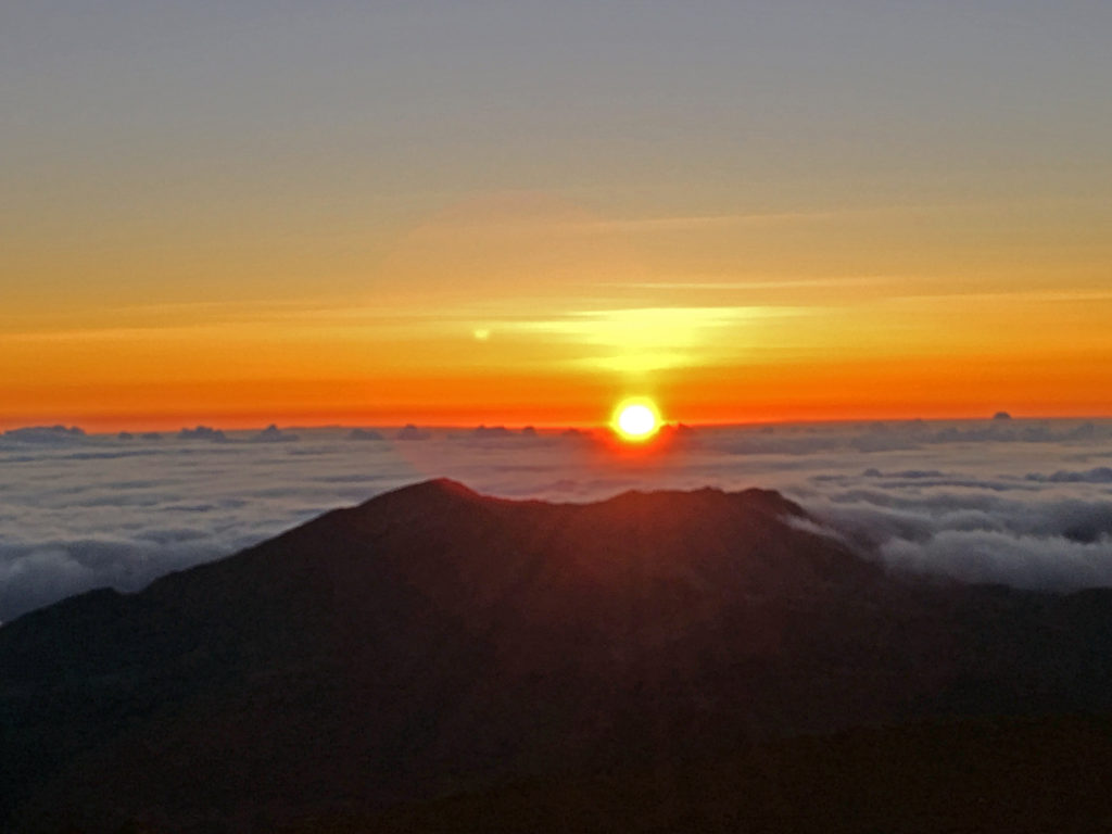
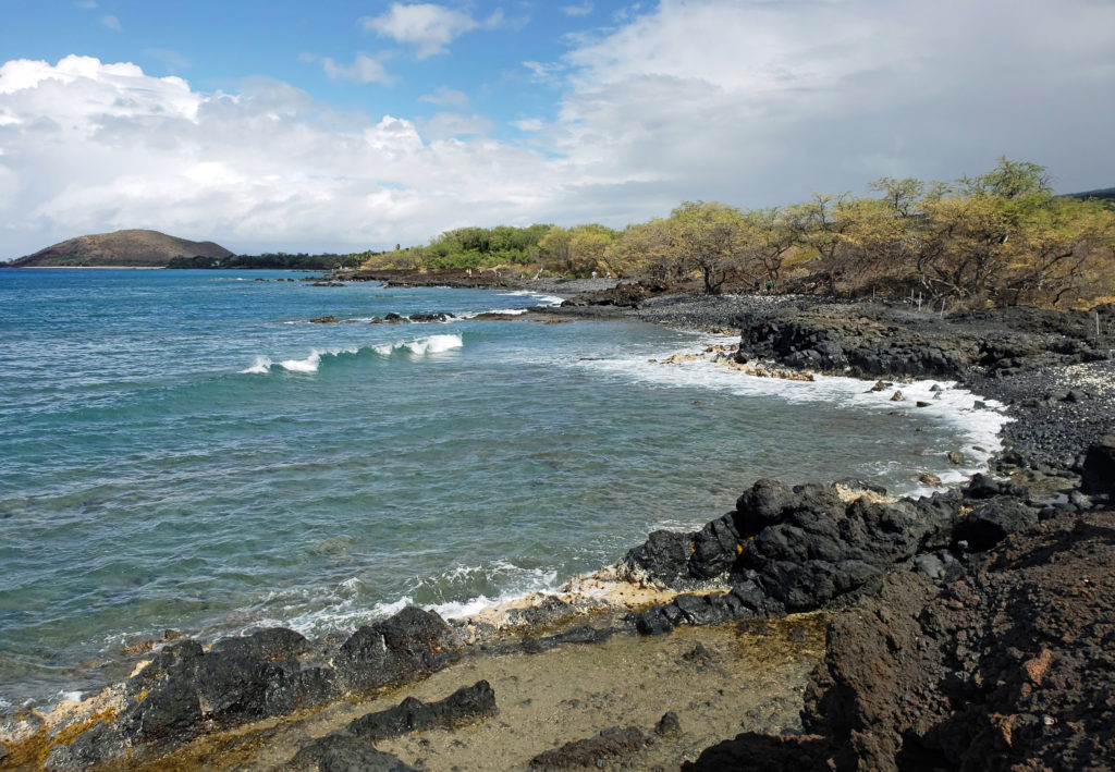
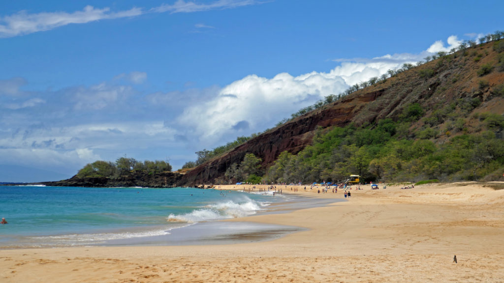
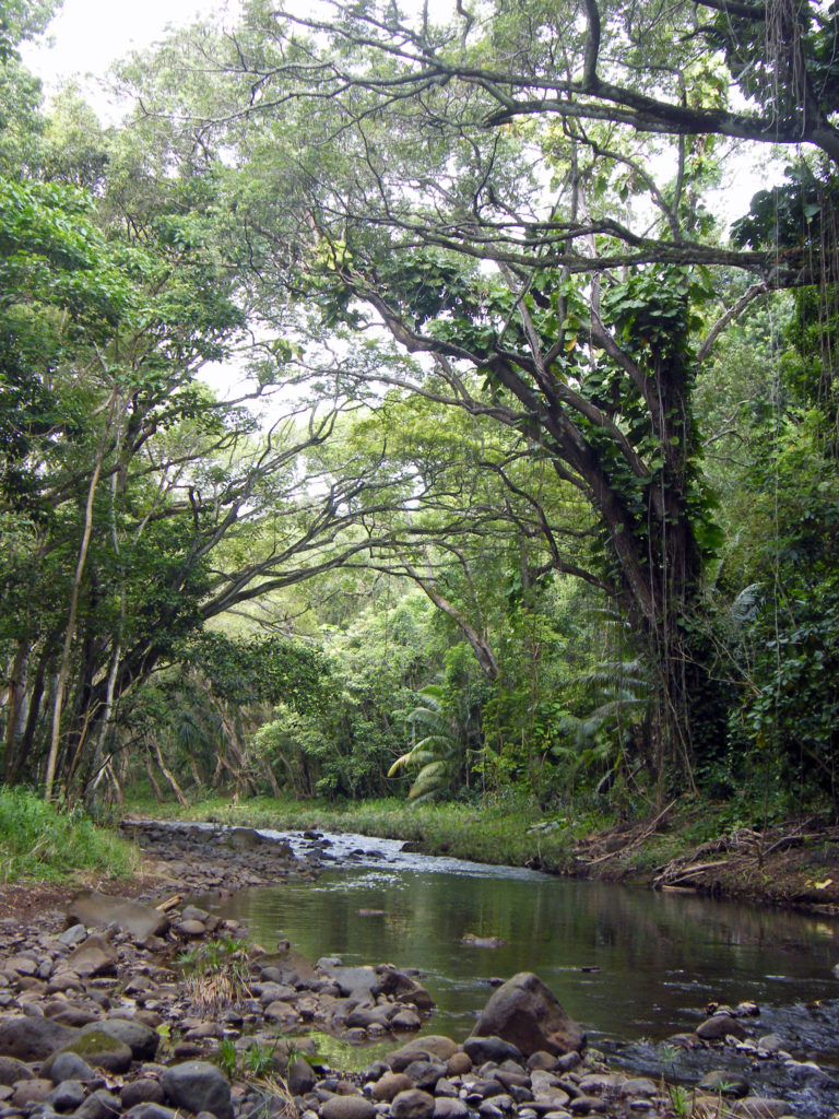
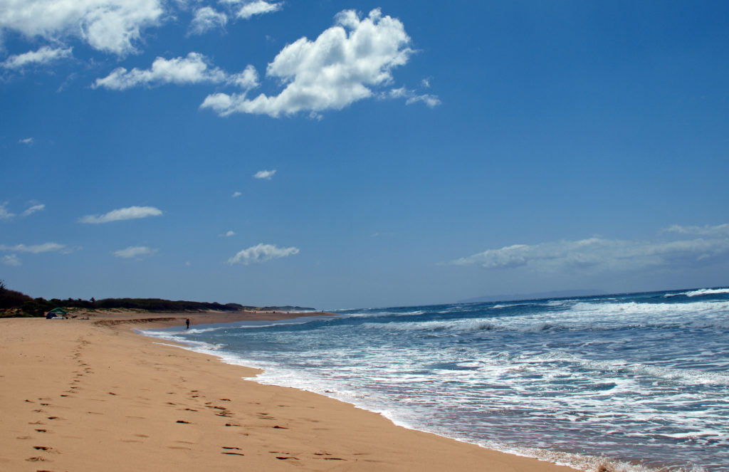
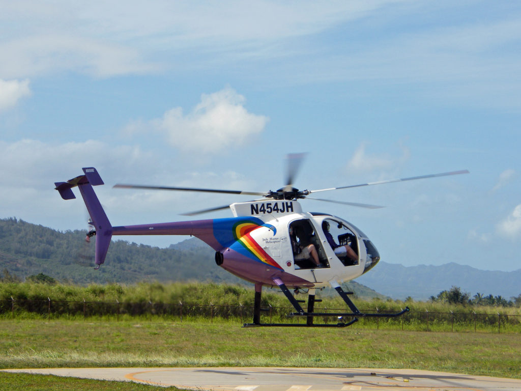
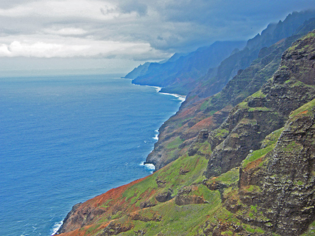
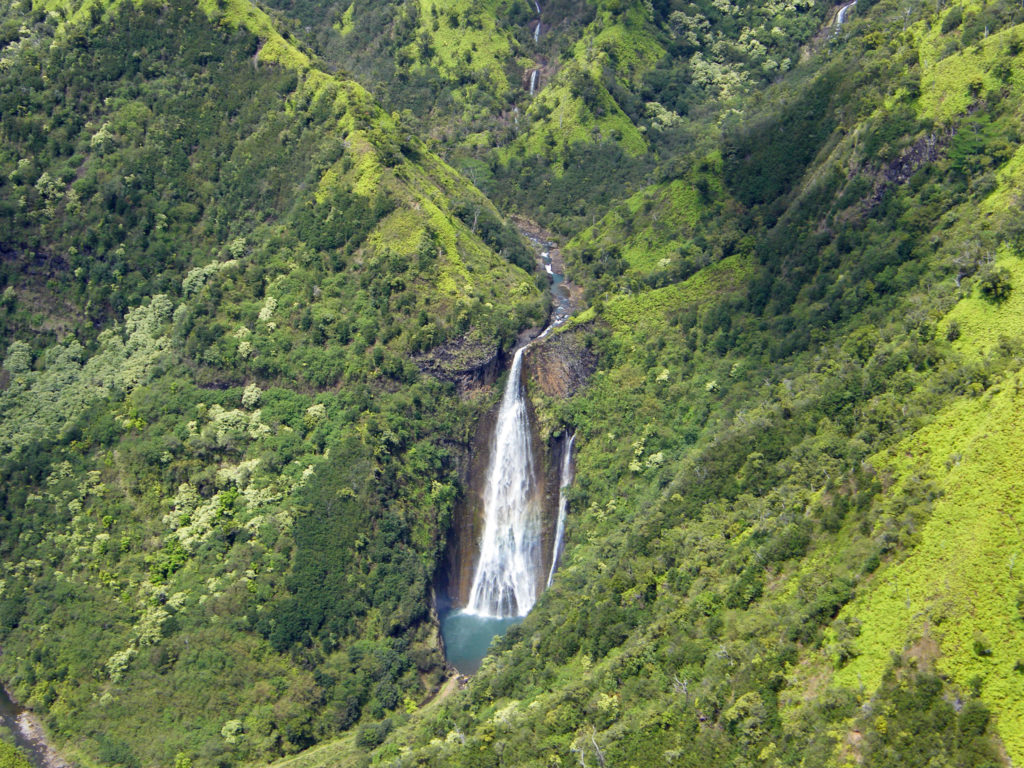
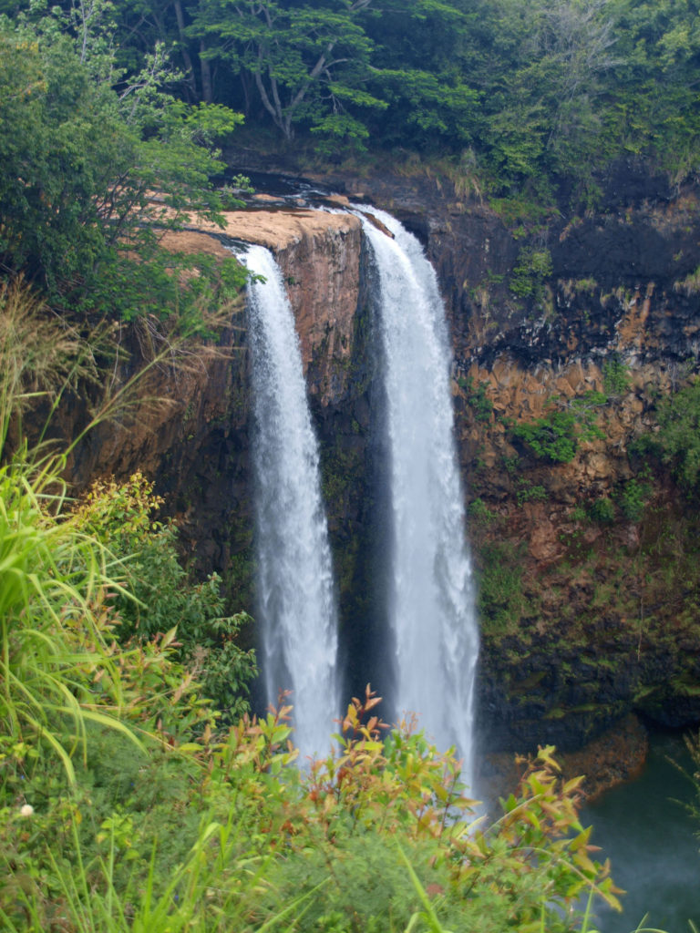
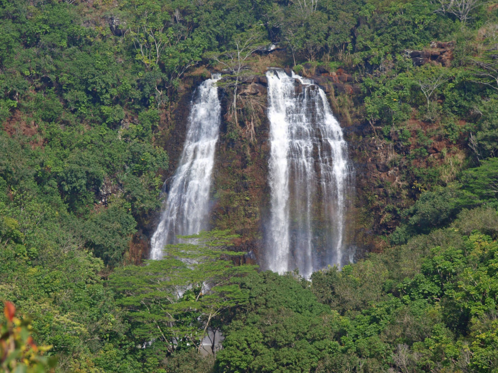
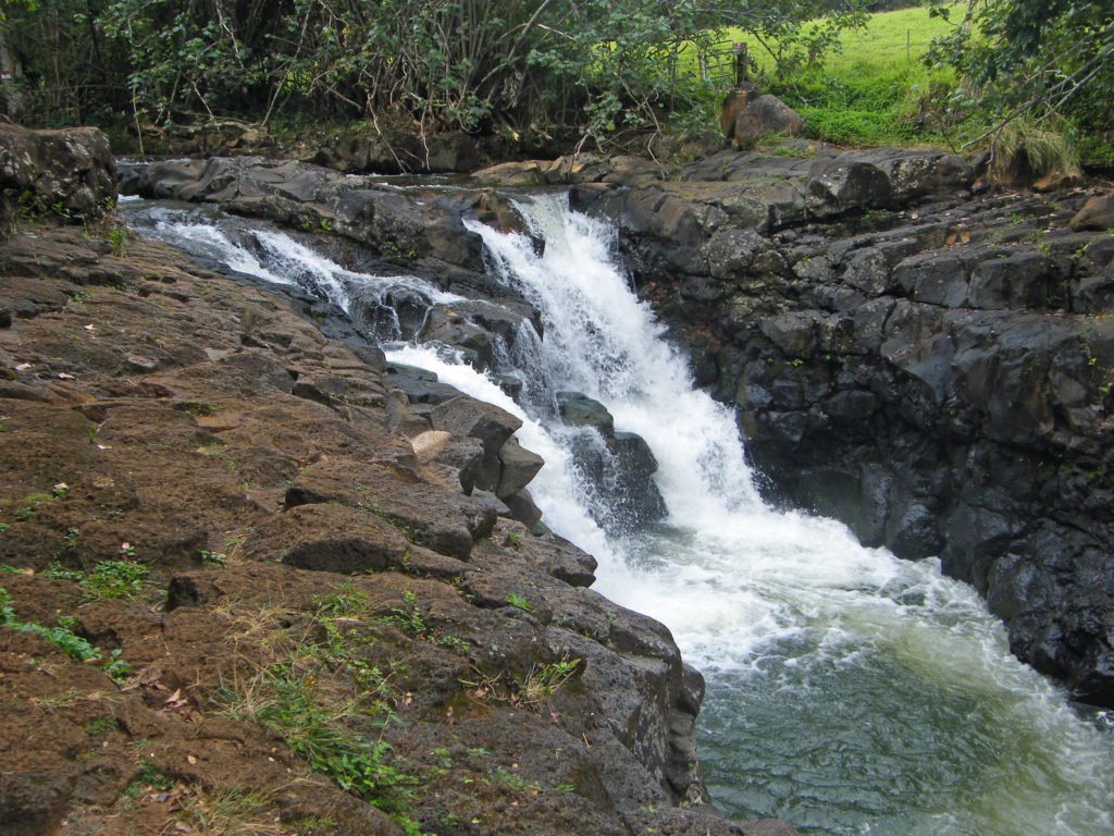
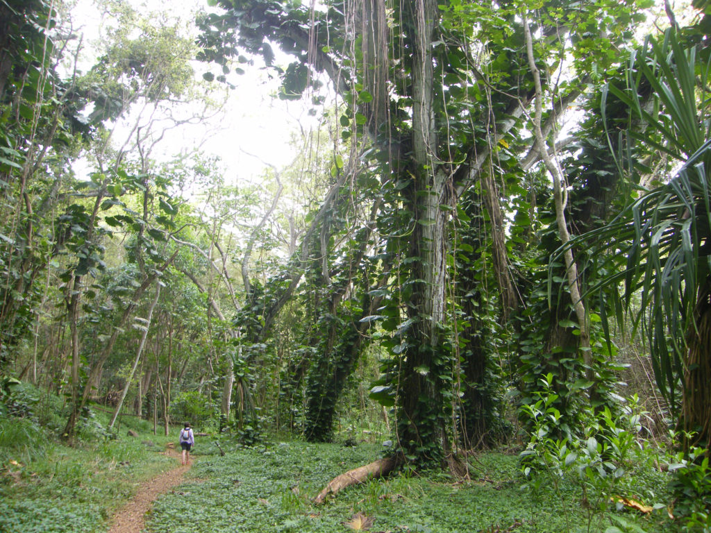
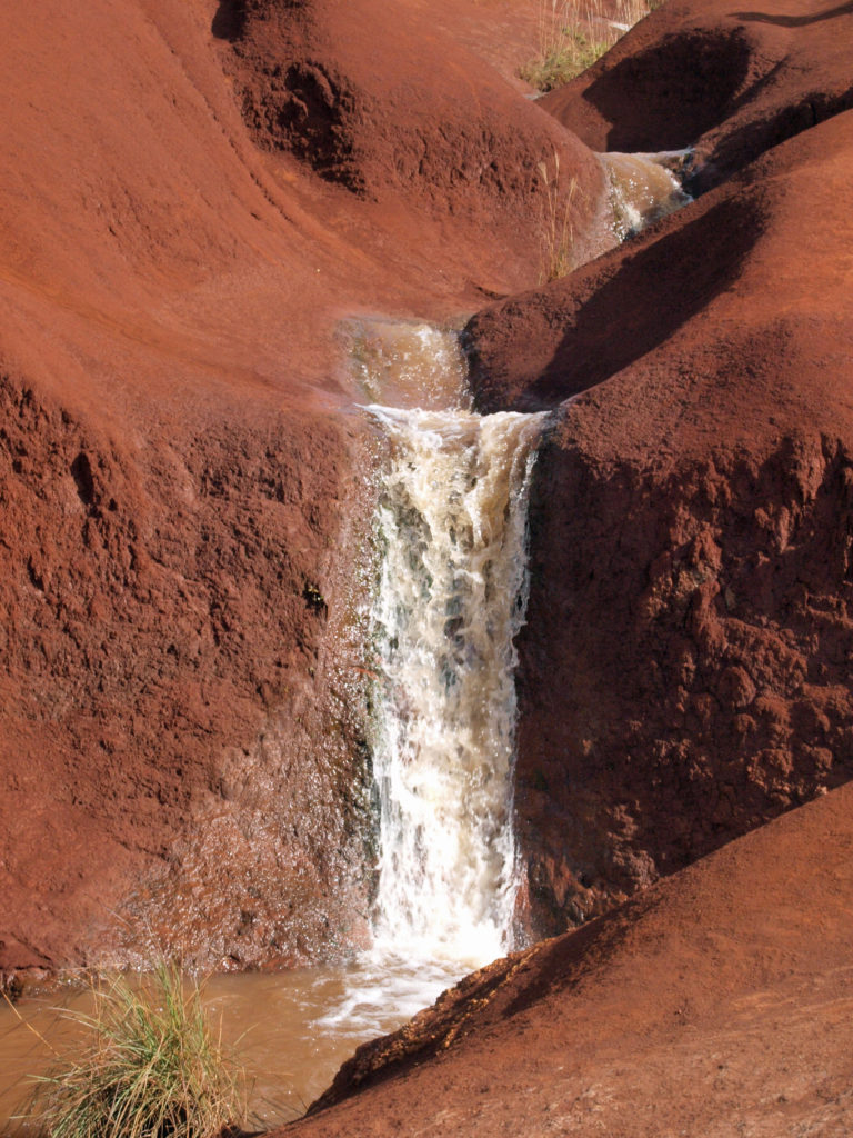
 There are a lot of things that you’ll miss if you’re visiting Hana as a day trip. Better to do as we did and spend a night or two. That will give you enough time to really see and enjoy the East Maui area. But be forewarned, Hana is expensive.
 Posted March 3, 2023.

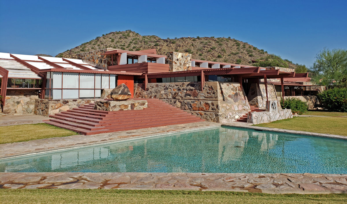
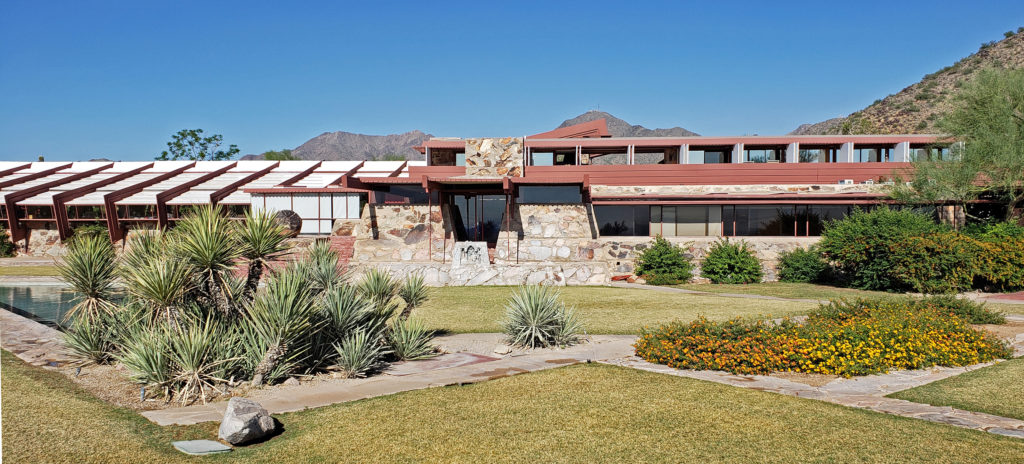
 Taliesin West was founded as the winter home for the Frank Lloyd Wright Fellowship, Wright’s school of architecture. It was always a school of architecture as well as Wright’s winter home. The Fellowship evolved into the Frank Lloyd Wright School of Architecture, which conducted classes at Taliesin West until 2020, when it separted from the Frank Lloyd Wright Foundation, changed its name to The School of Architecture, and moved its campus to Cosanti and Arcosanti, Arizona.
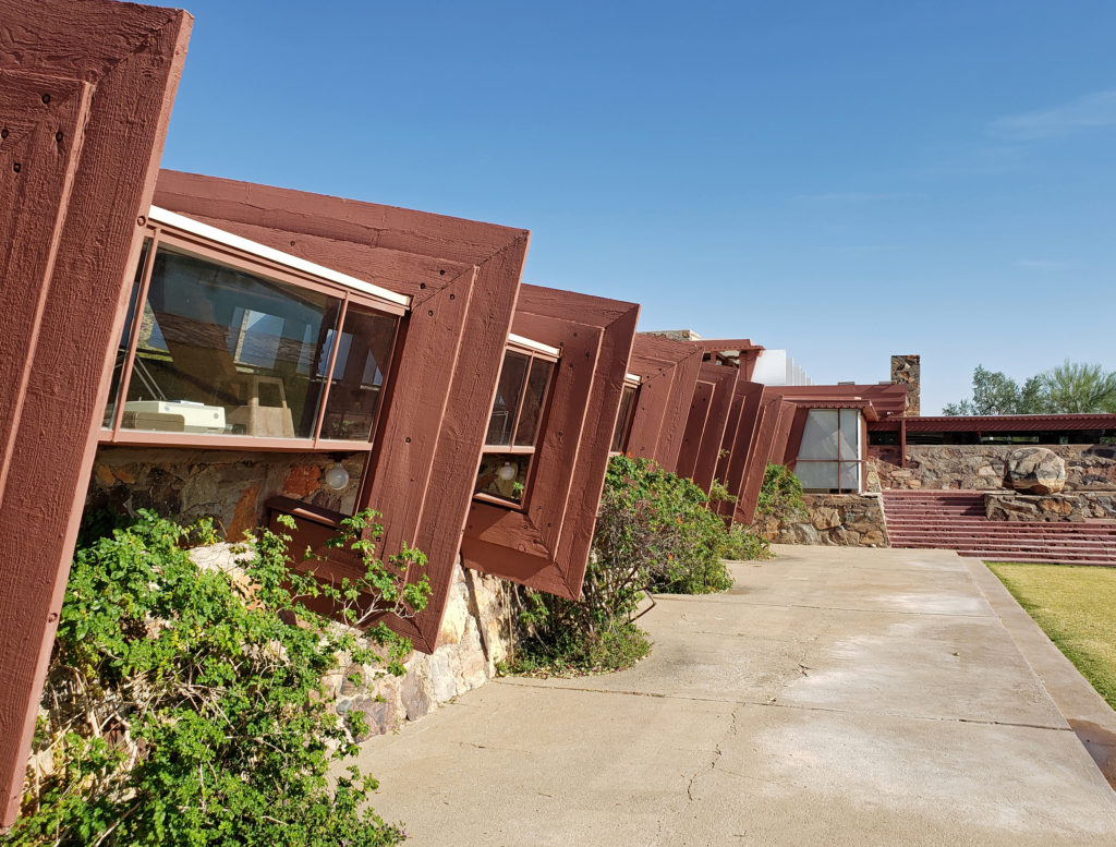
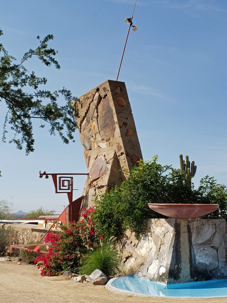
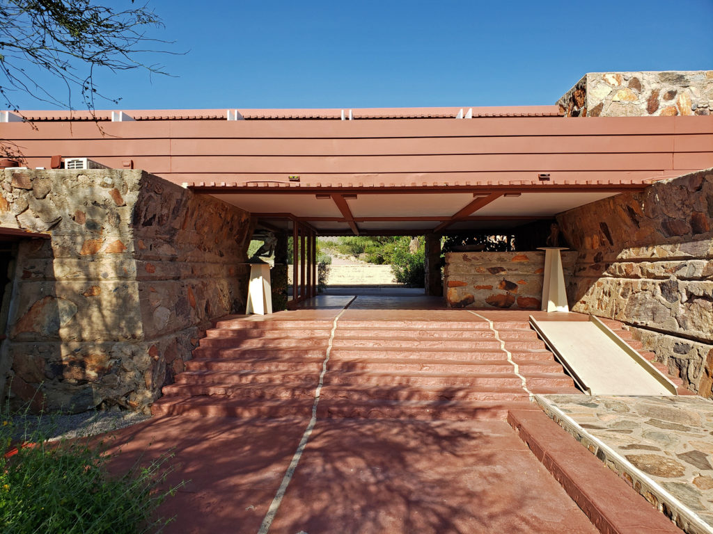
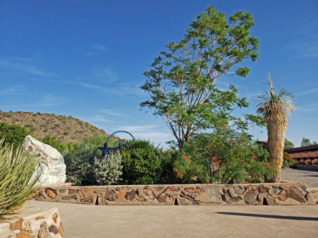
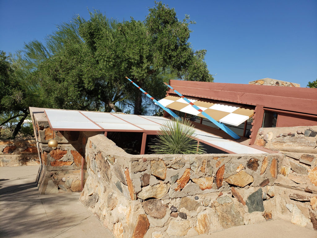
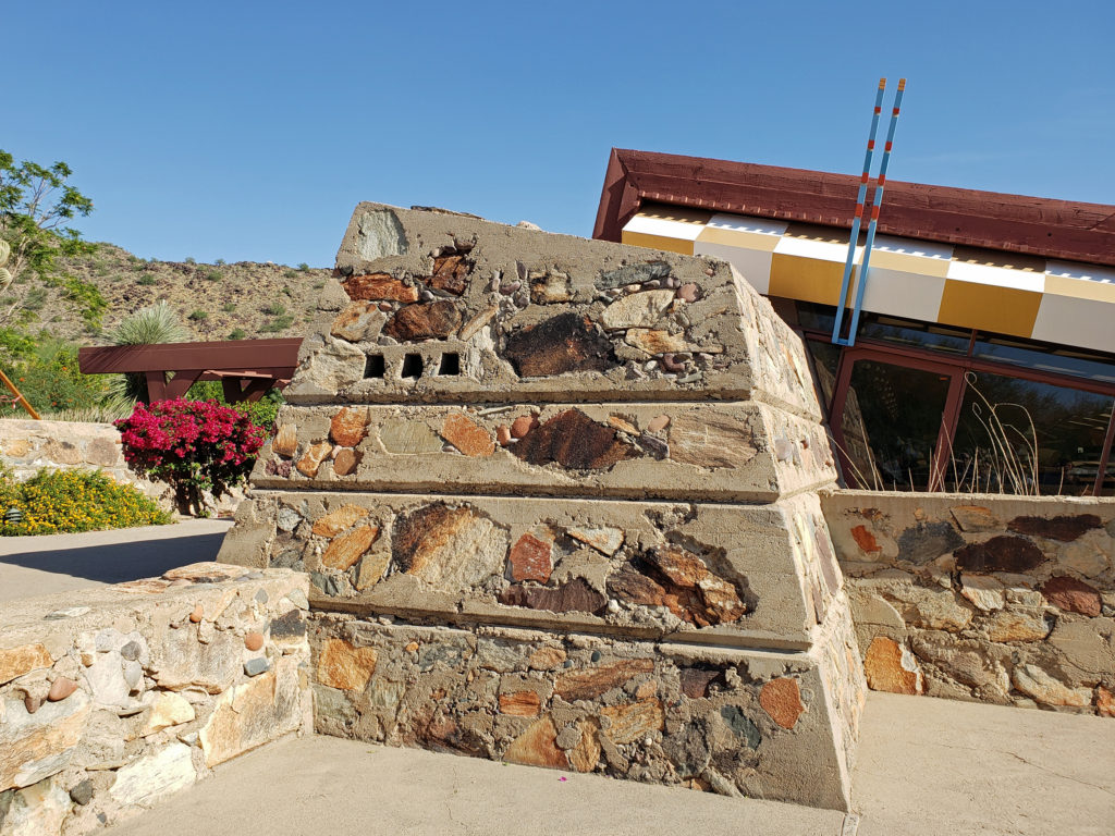
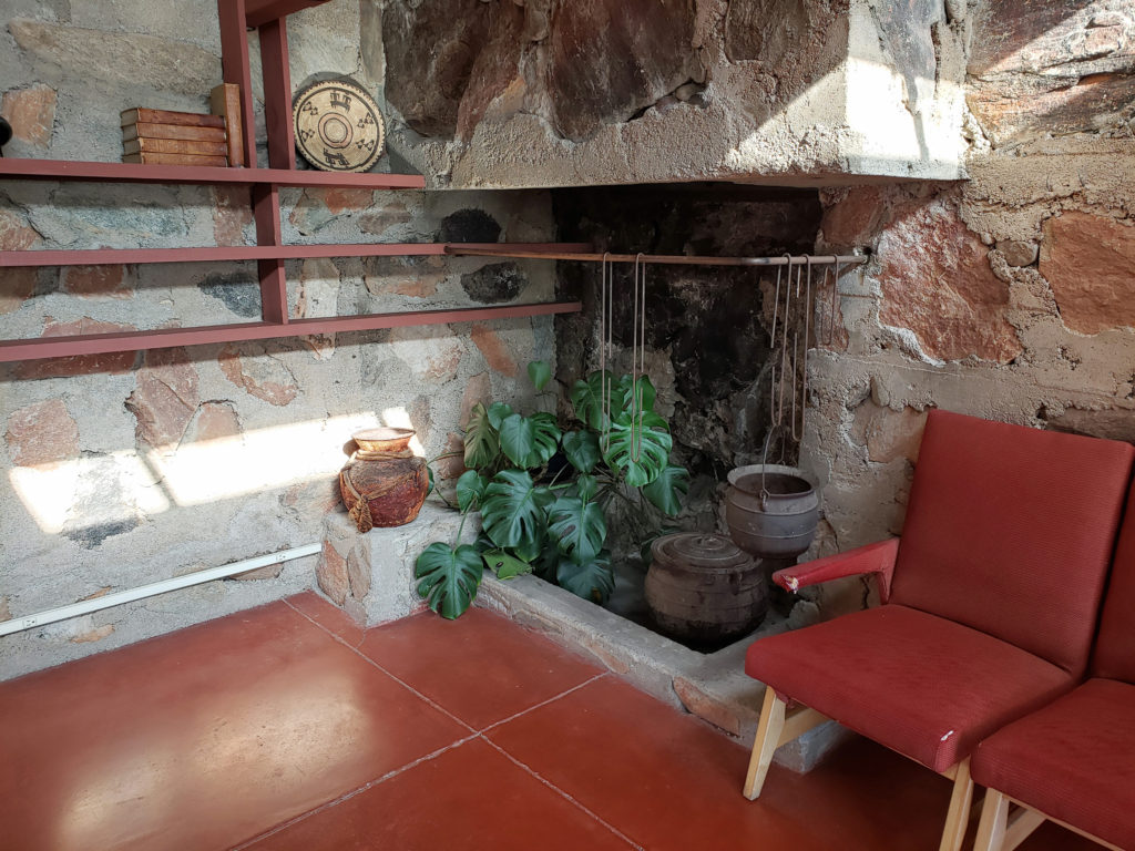
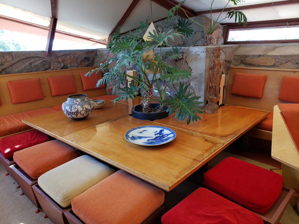
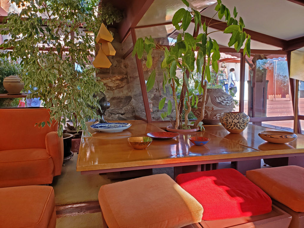
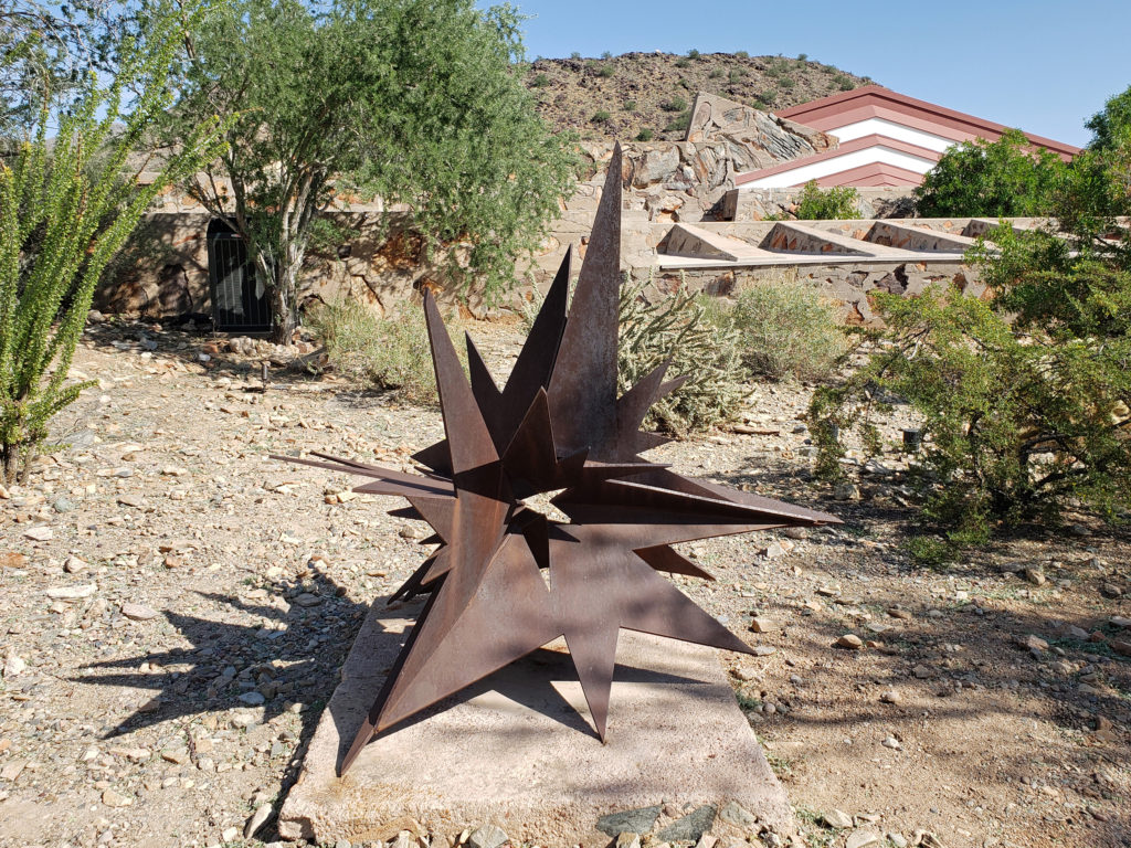
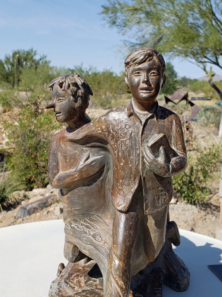
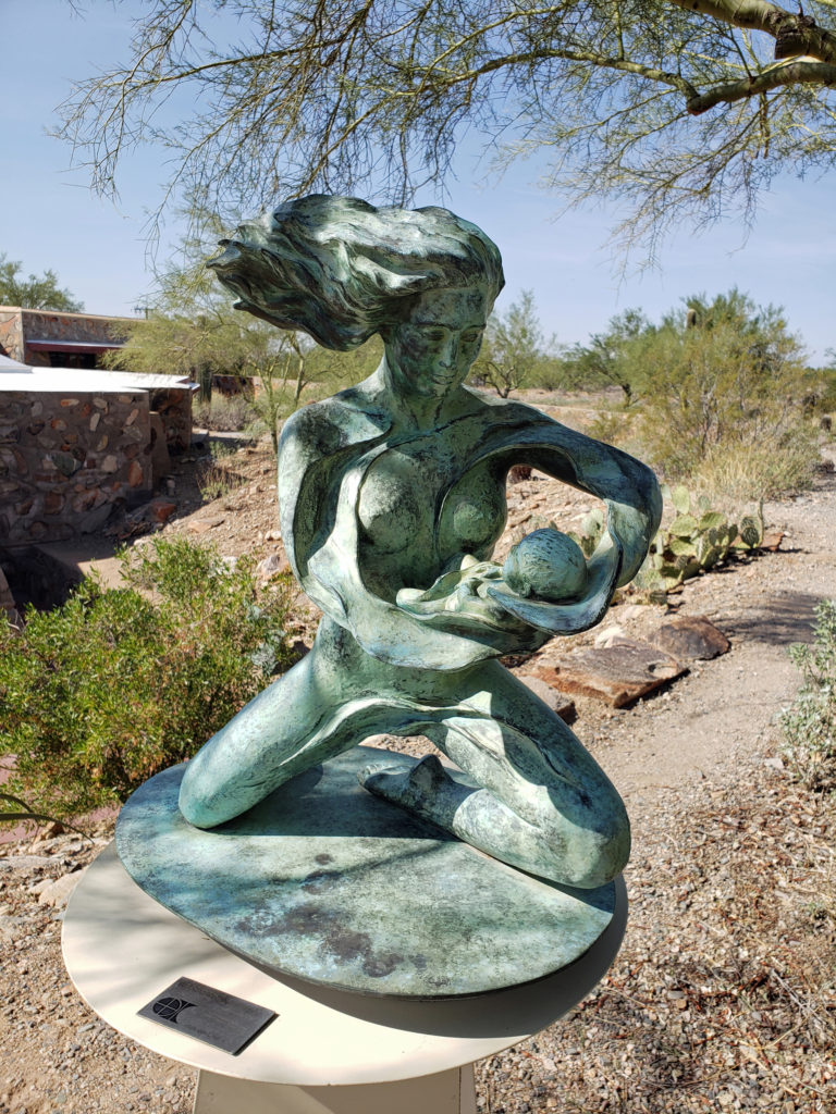
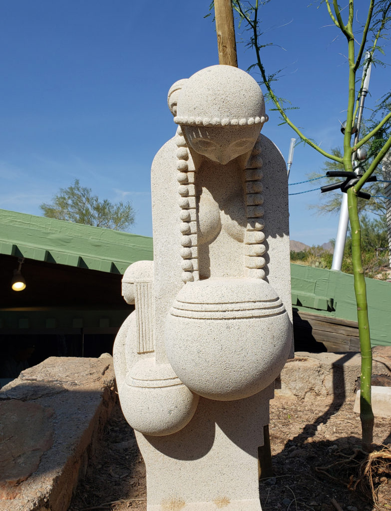
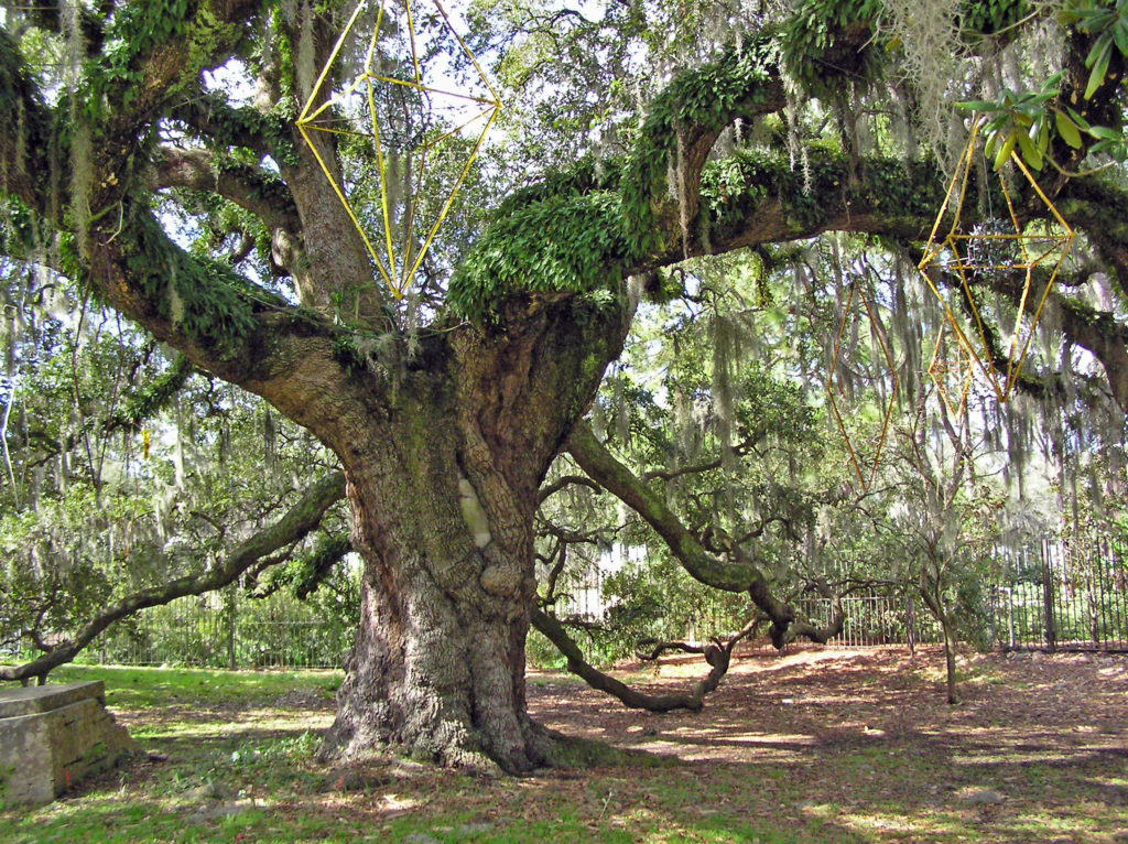
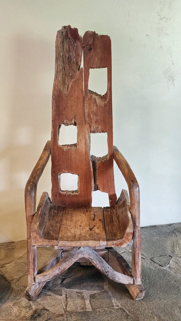
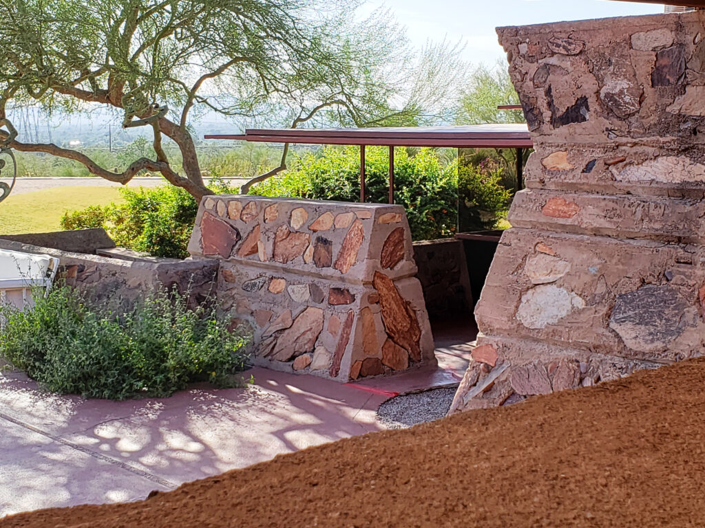
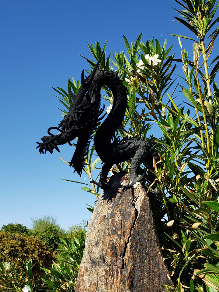
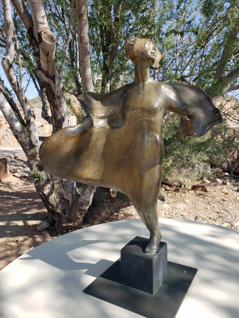 The grounds of Taliesin West are beautifully landscaped and feature many outdoor works of art by various artists. Wright saw architecture as the “mother” of all the arts, and art was an important component of his designs, as was the landscaping.
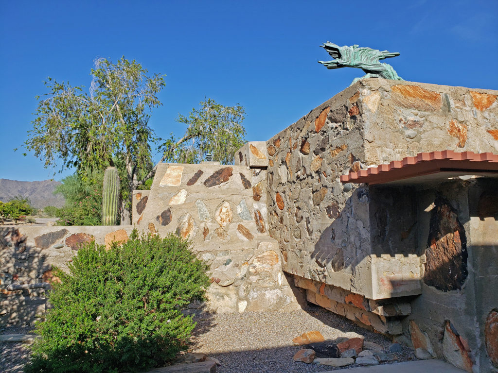
 Taliesin West is located in Scottsdale, Arizona, about 20 miles northeast of downtown Phoenix.
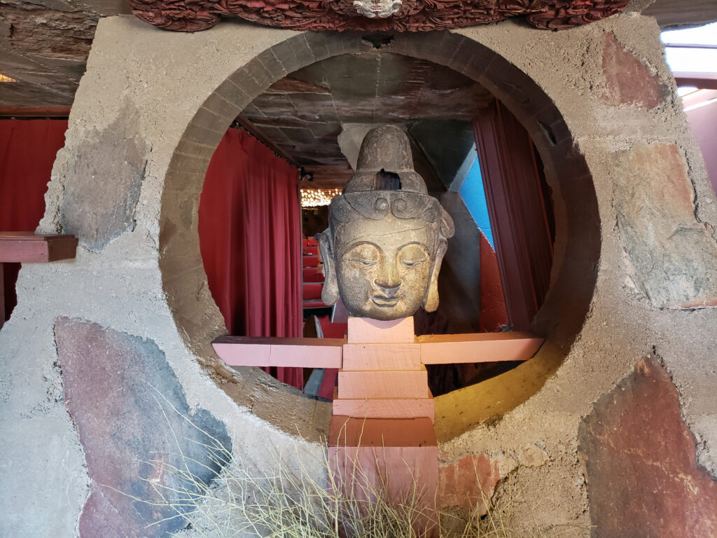 Originally posted November 26, 2019. Updated and re-posted January 7, 2022.
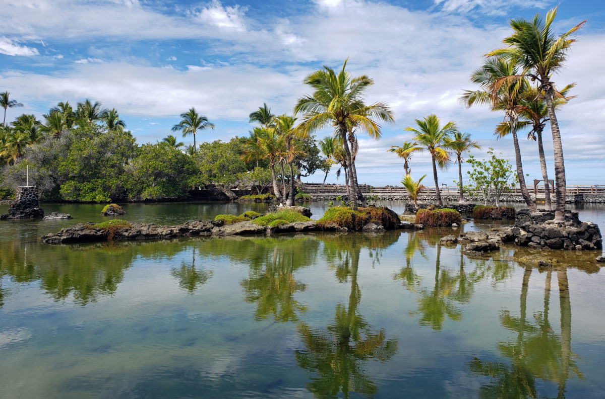
 Originally posted August 6, 2019. Updated and re-posted November 19, 2022.
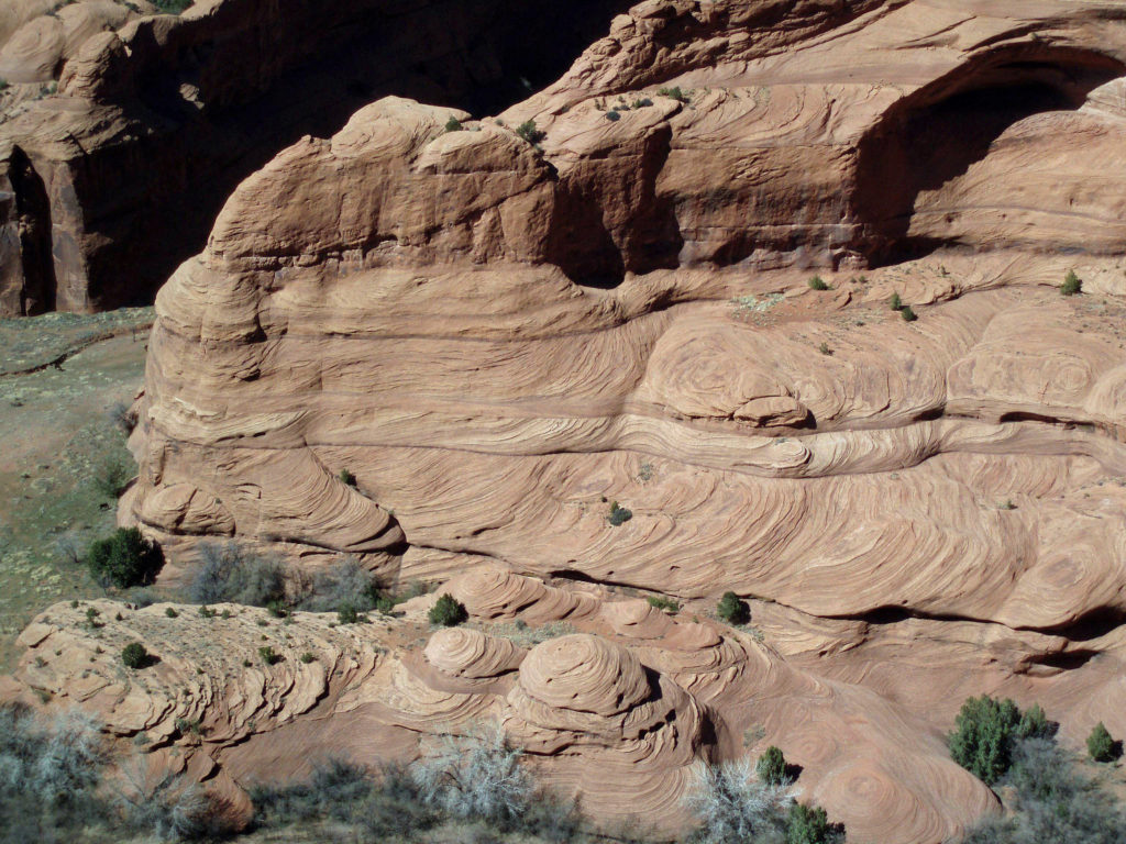
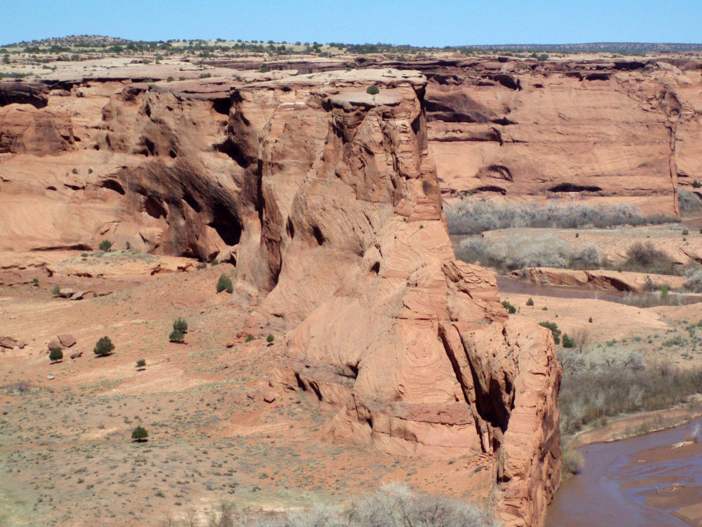
 The name Chelly comes from the Spanish spelling of the Navajo name for canyon, tseyi, which translates literally as “within the rock.” Over time the Spanish pronunciation, “chay-ee”, has evolved into the current pronunciation, “shay”.
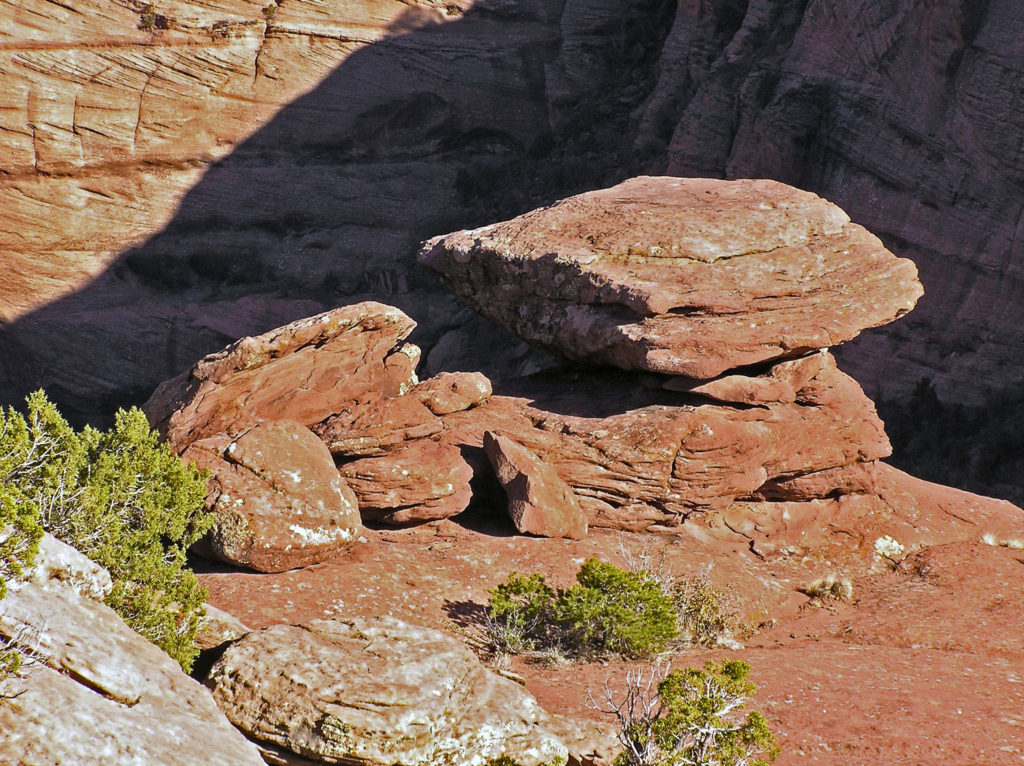
 Located a couple of miles east of Chinle, Arizona, the monument’s Welcome Center is a good place to start your visit. Pick up a free map of the monument and watch a short film about the monument to orient yourself. The park rangers can answer any questions you have about tours of the canyon, accommodations, the canyon’s history or geology, what plants and animals you’ll find in the park, or any other questions you might have. There is also a gift shop where souvenirs of your visit can be purchased.
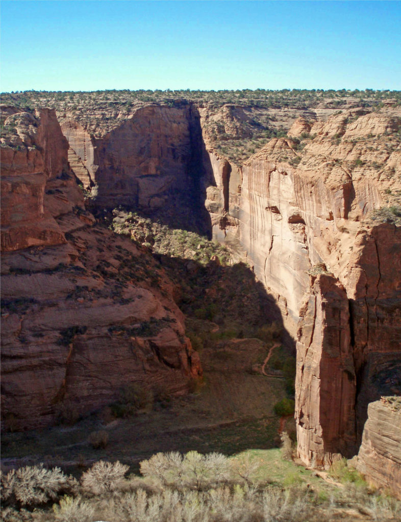
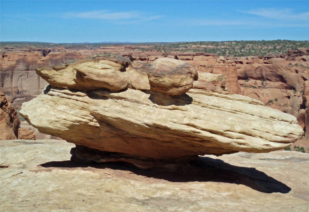
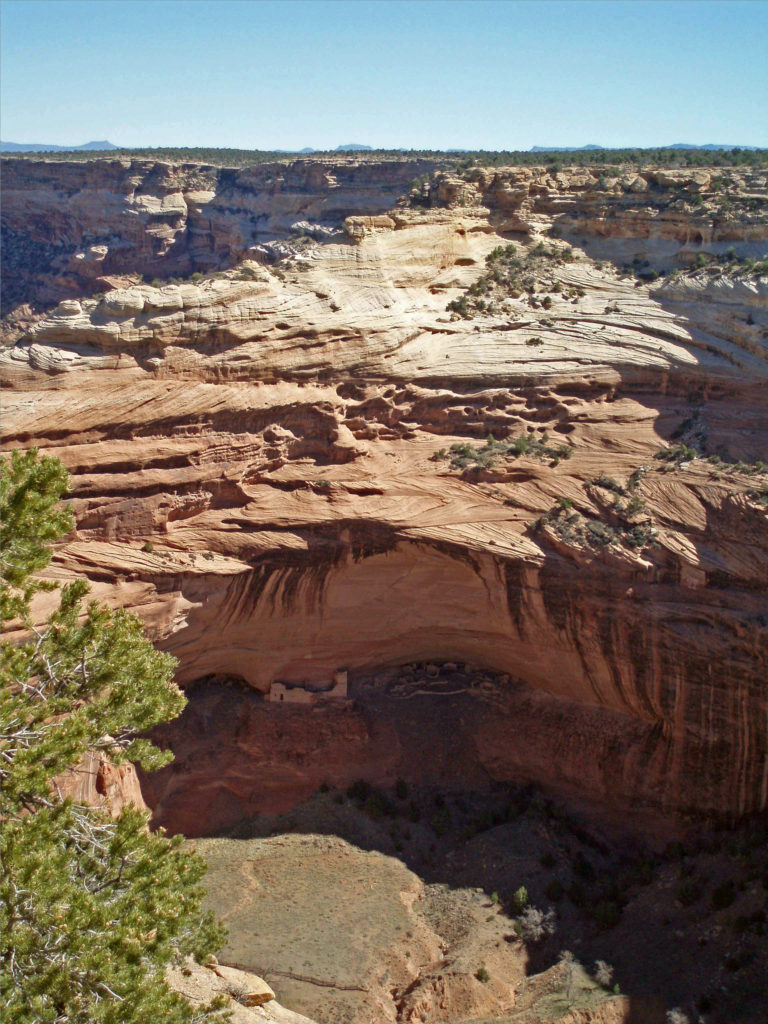
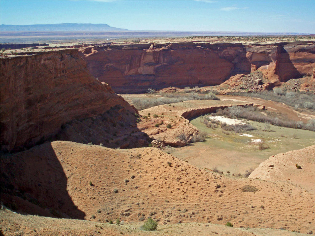
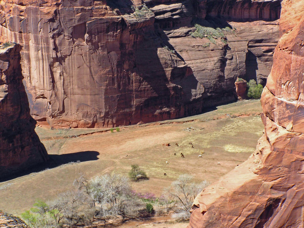
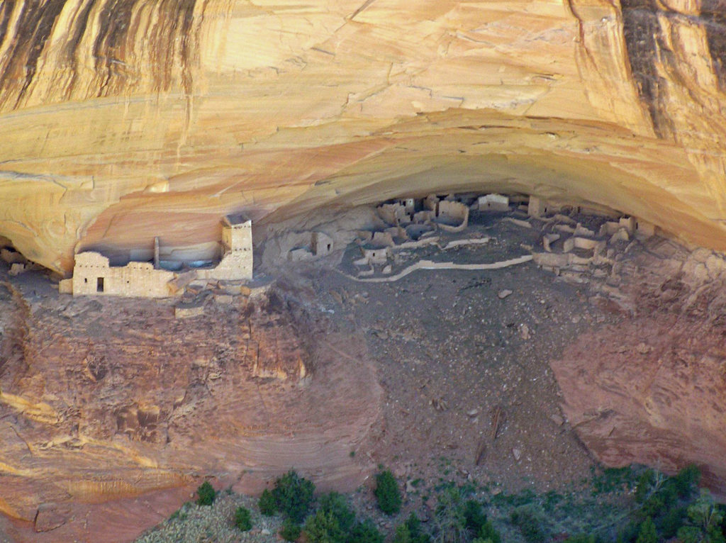
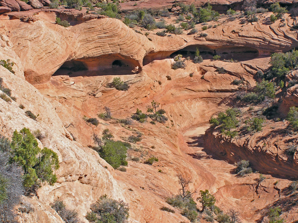
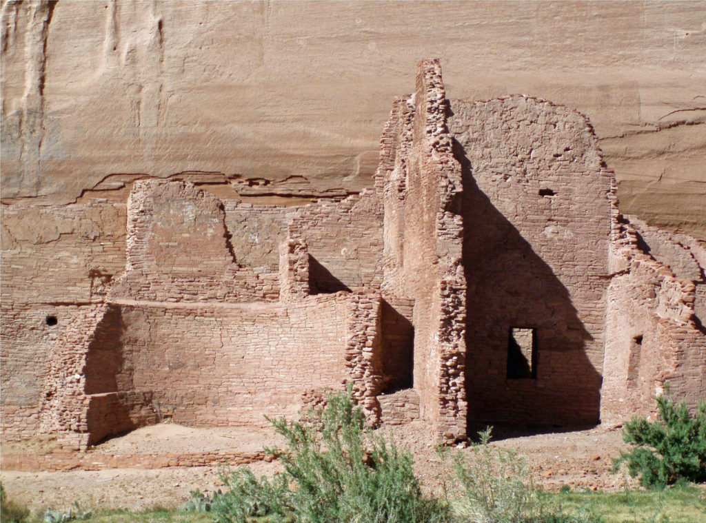
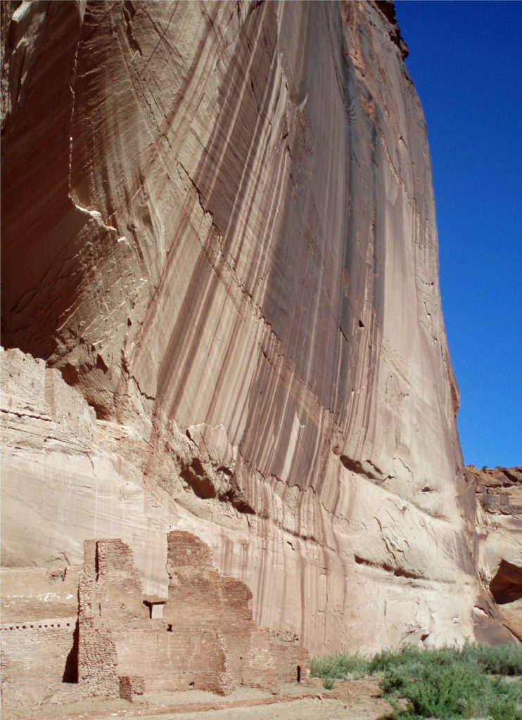
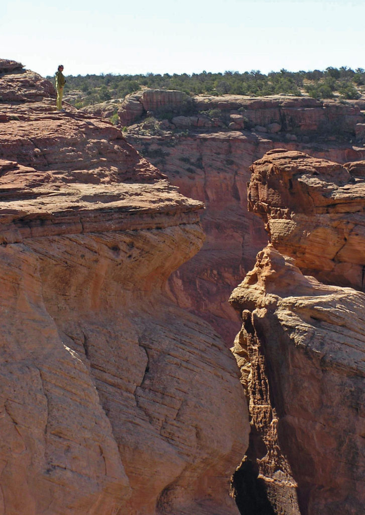
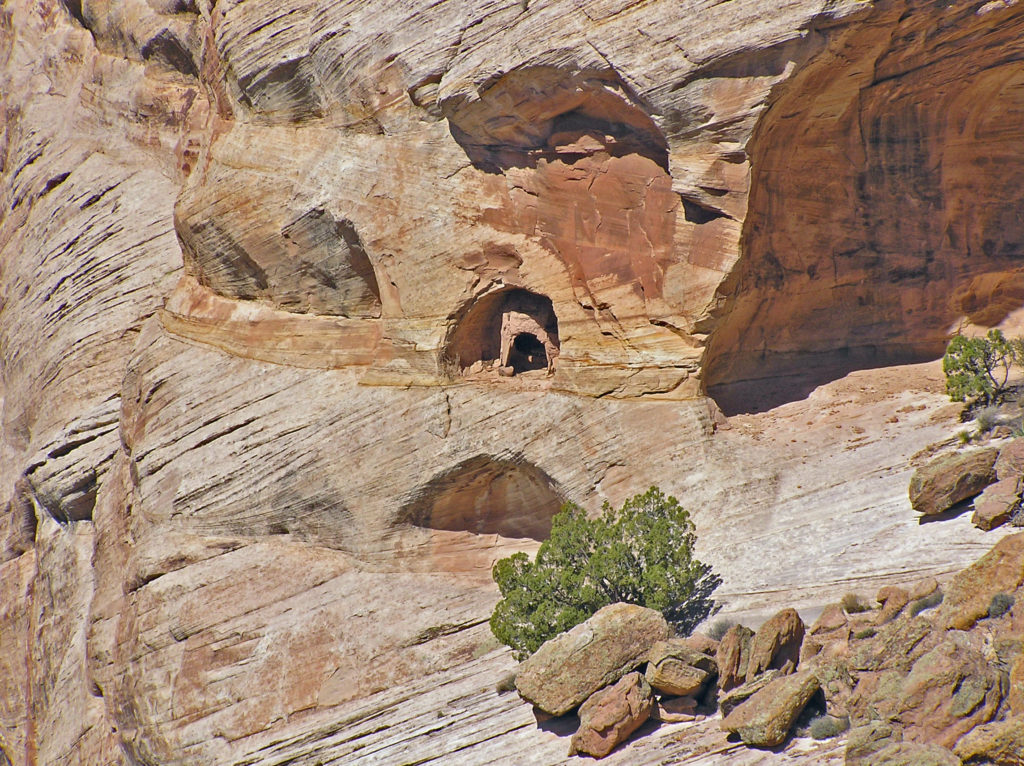
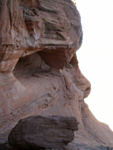 Canyon de Chelly is worth a visit just for the spectacular scenery it affords, but it is also an important cultural and historic site. The canyon is one of the longest continuously inhabited places in North America. The Ancestral Puebloans (also known as the Anasazi) first settled in the area some 4,000 years ago. The canyon was later occupied by the Hopi, descendents of the Ancestral Puebloans, and more recently by the Navaho.
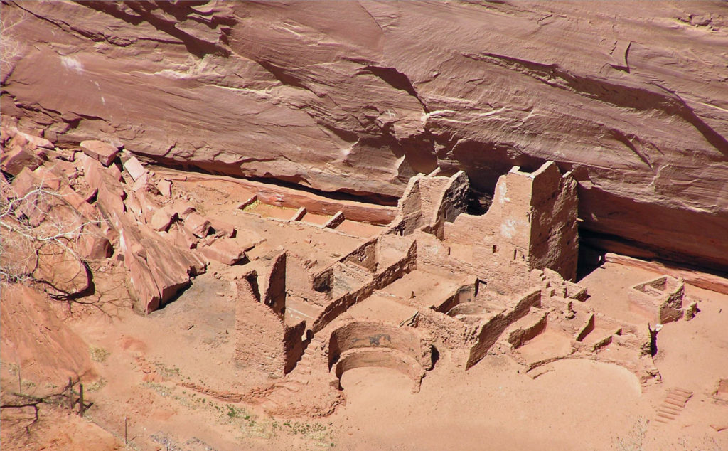
 Originally posted May 14, 2020. Updated and re-posted February 14, 2022.
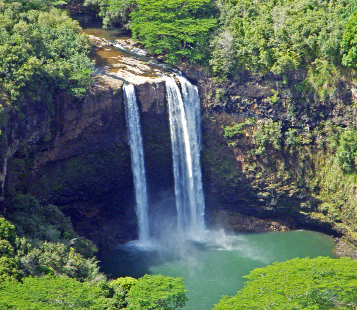
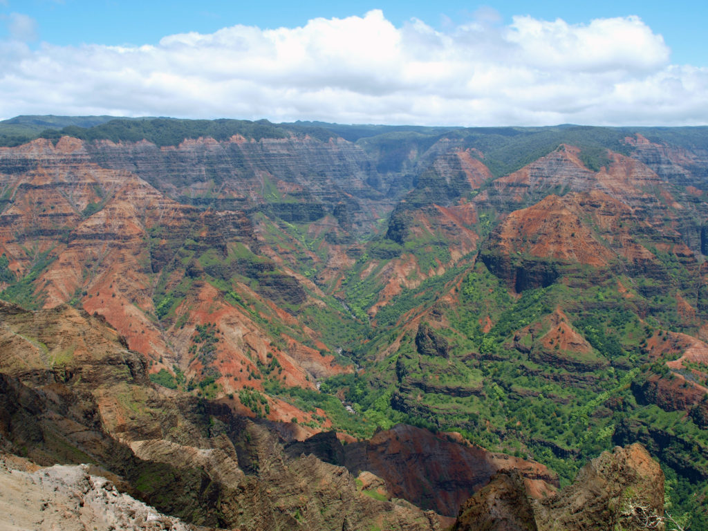
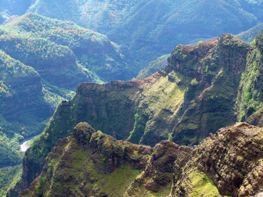
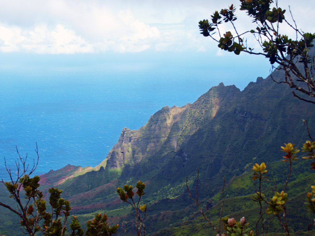
 For hikers, there are more than 45 miles of trails in the canyon. You could easily spend days in the canyon and not hike all of the trails. For those that do want to spend multiple days hiking or sightseeing,
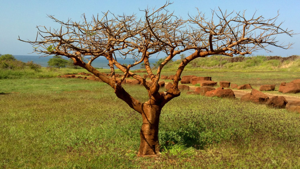

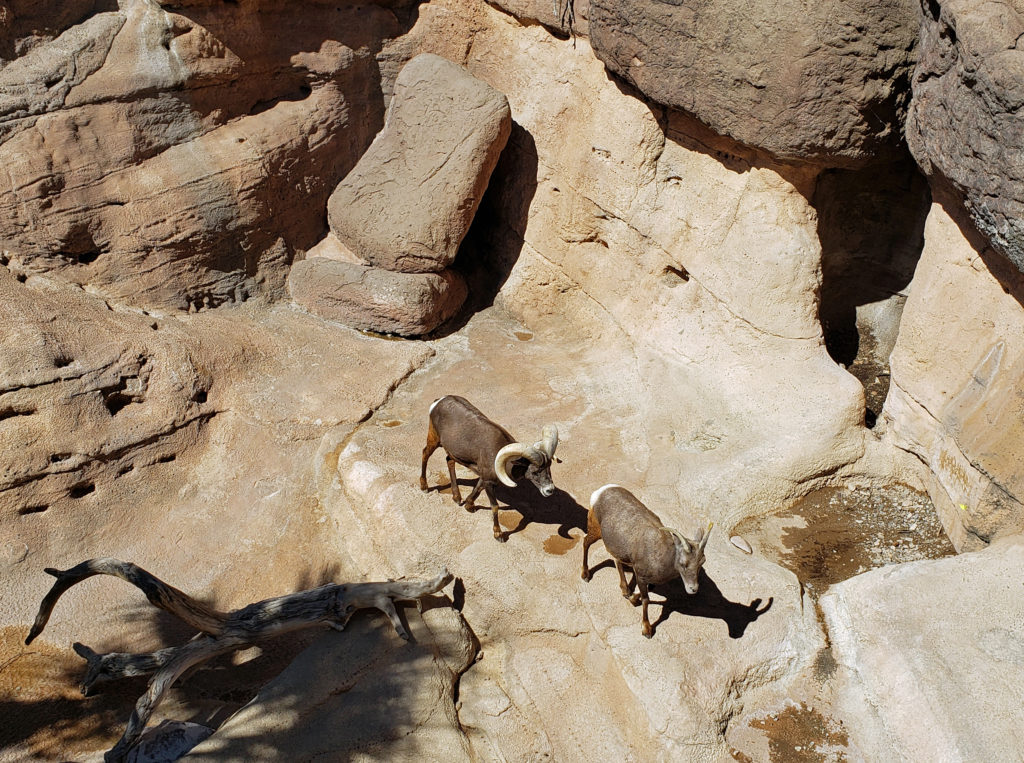
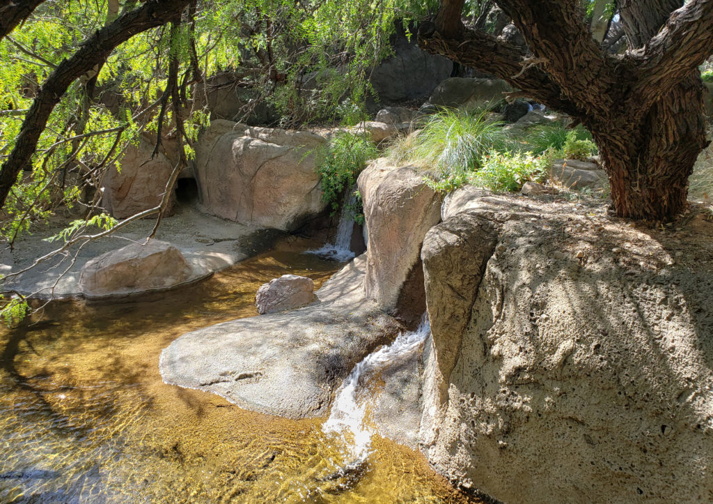
 There is so much here that you probably can’t see it all in one visit. My wife and I have visited the museum on a couple of our Arizona excursions, and on our last visit I was surprised at how much I had missed on our earlier visit. Plan to spend at least two hours at the museum. Allow half a day to more fully explore what the museum has to offer, if you can.