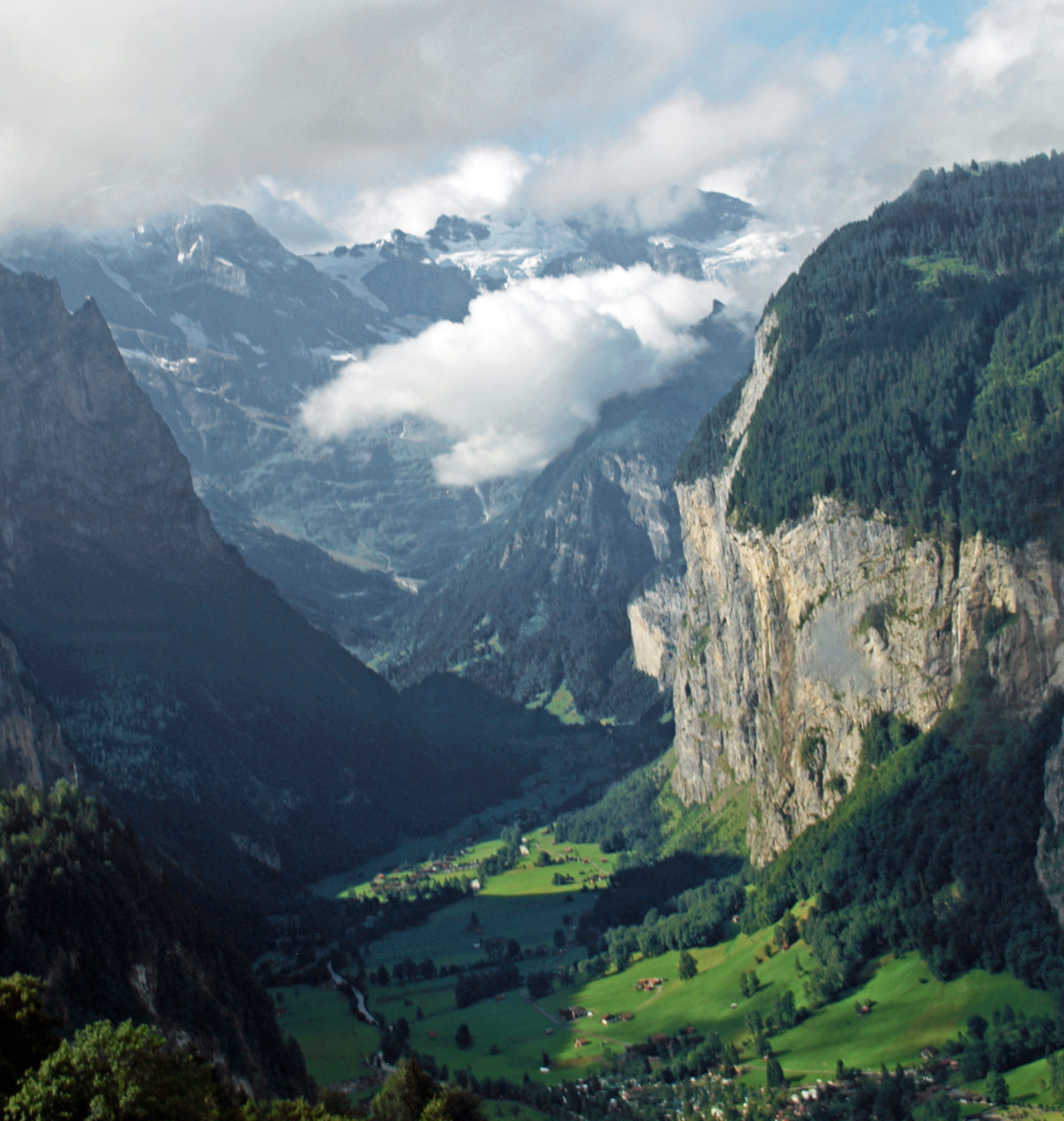
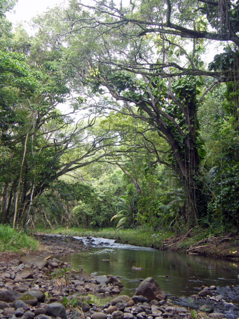
It’s been almost a decade since my wife and I visited Switzerland, but the memories haven’t faded. One of the highlights of our visit was the Lauterbrunnen Valley in the Berner Oberland section of central Switzerland. It is by any measure one of the most spectacularly beautiful places in the world.
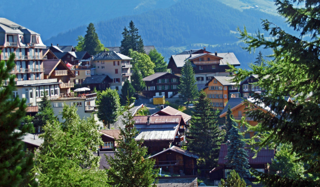
We came to Switzerland after a Rhine River cruise that ended in Basel, Switzerland. From there we continued on to the small village of Murren, perched on the edge of the glacier carved Lauterbrunnen Valley, some 2300 feet above the valley floor.
To get there, we took a Swiss Rail train from Basel to Interlaken, then transferred to a local train that took us to the village of Lauterbrunnen where we boarded a cable-car lift that took us up the side of the valley. From the upper cable-car station it was a short 15 minute ride on a narrow gauge railway to Murren. If that all sounds a little complicated, it wasn’t. The train to Interlachen was direct with no stops. There was almost no layover in Interlachen. The cable car station in Lauterbrunnen is a short walk through a tunnel under the main street. The gondola was waiting for us in the station. The narrow gauge train at the top was there waiting for us to arrive. It all ran like the proverbial Swiss watch. It couldn’t have been easier.
You can also reach Murren by taking a local bus up the valley from Lauterbrunnen to Stechelberg. From there you can ride the lift that takes you first to the little village of Gimmelwald, then to Murren. From Murren it continues to the top of Schilthorn at an elevation 9744 feet. Gimmelwald is Rick Steves’ favorite village in the area, and it is certainly a picturesque and charming little village, but it’s tiny and accommodations are limited. Murren has many more lodging options and tourist services, but it is more crowded and very much a tourist town.
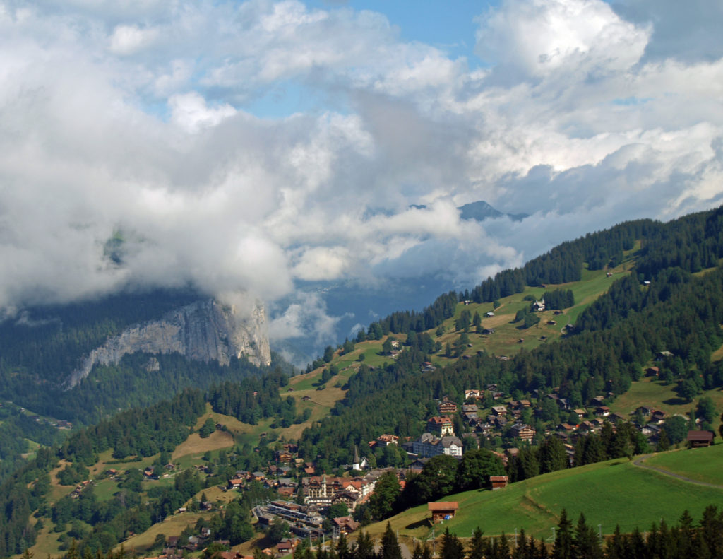
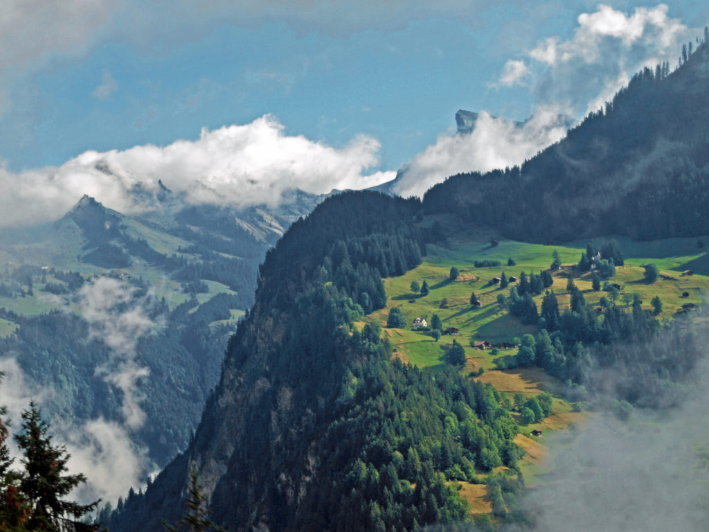
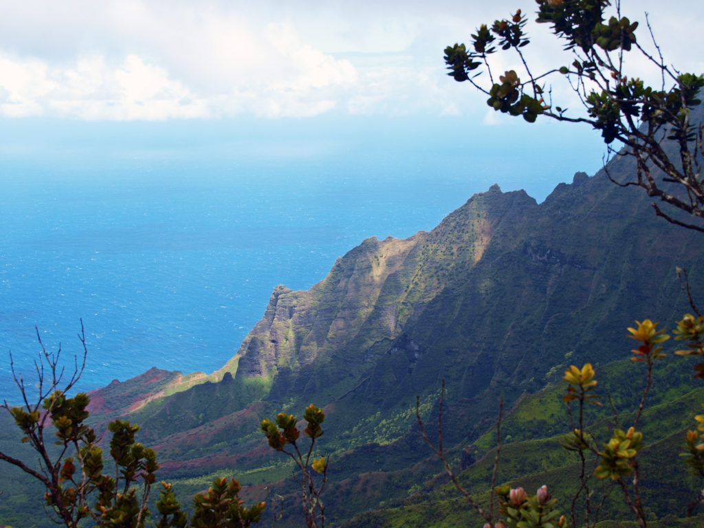
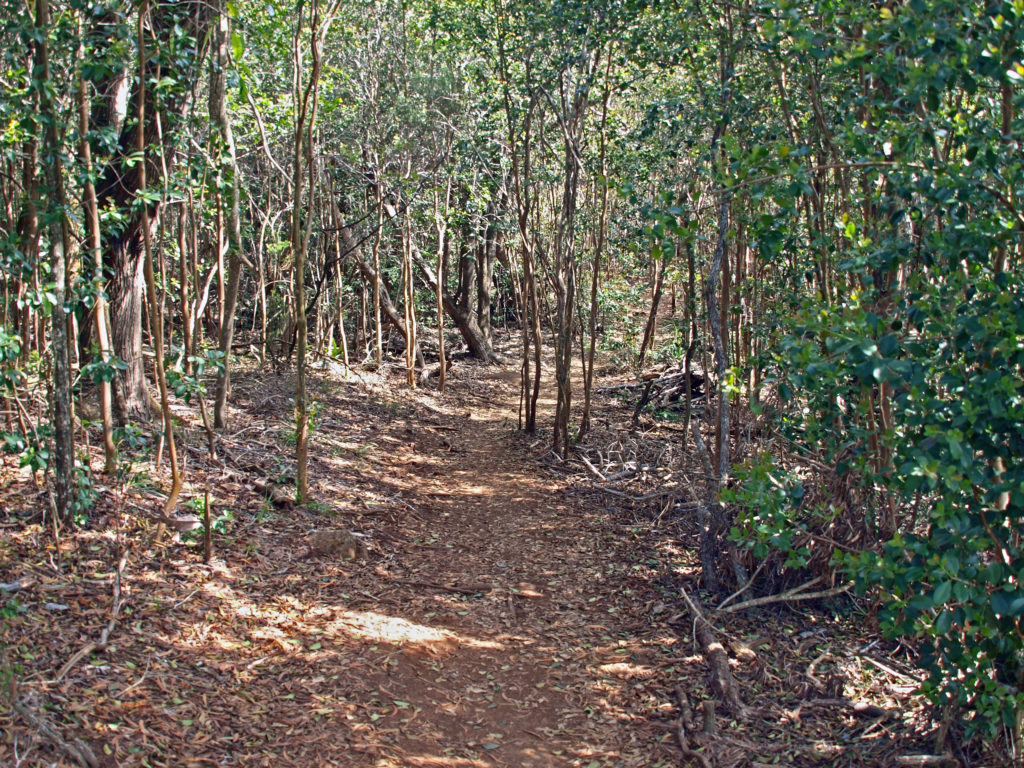
After getting settled in our hotel in Murren, we went for a hike above the village. Even though it was cloudy and none of the surrounding mountains were in view, the slopes of the valley are dotted with meadows and patches of forest, and are spectacularly beautiful. We hiked to Allmendhubel, where there is a children’s playground and a small cafe. Murren and Allmendhubel are connected by a funicular, but it was not running at the time. The trail to Allmendhubel passes a restaurant and inn called Sonnenberg. And not far from there is the Pension Suppenlap, another inn and restaurant. Both are high above Murren. There is a service road to them, but it is not open to the public. The only way to get to them is to walk. (Murren also has no public vehicular access.)
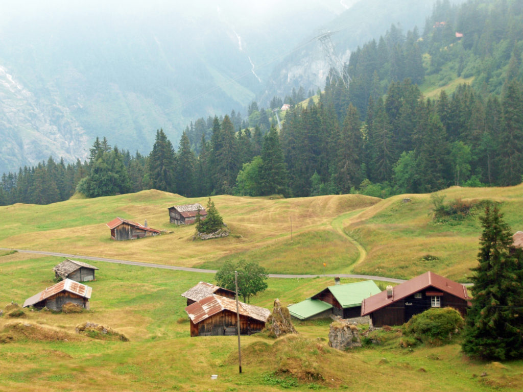
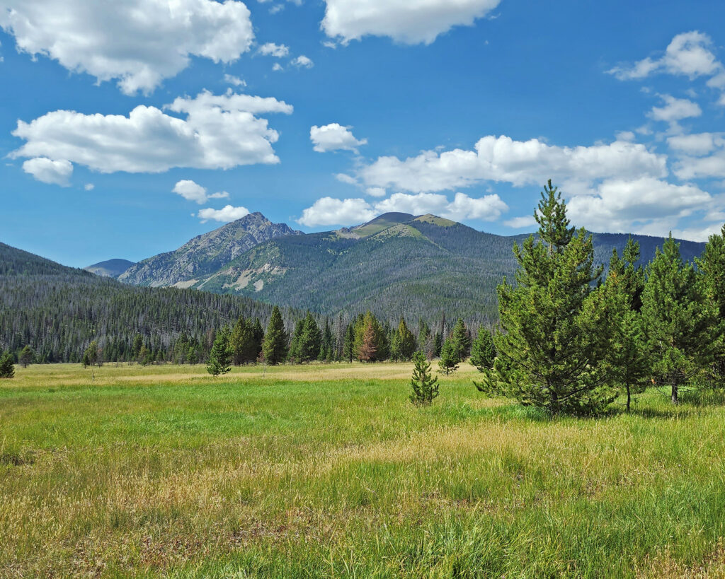
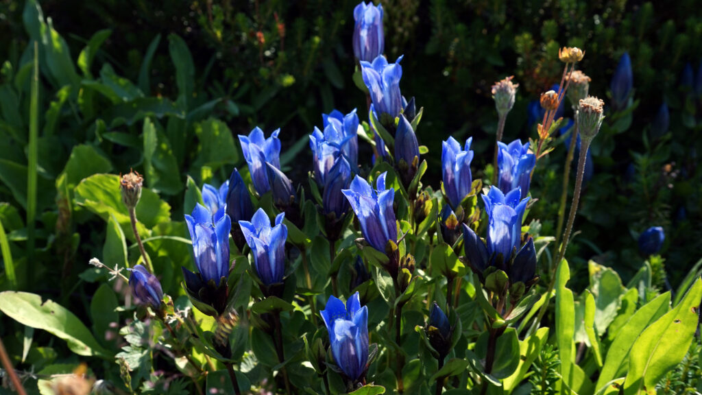
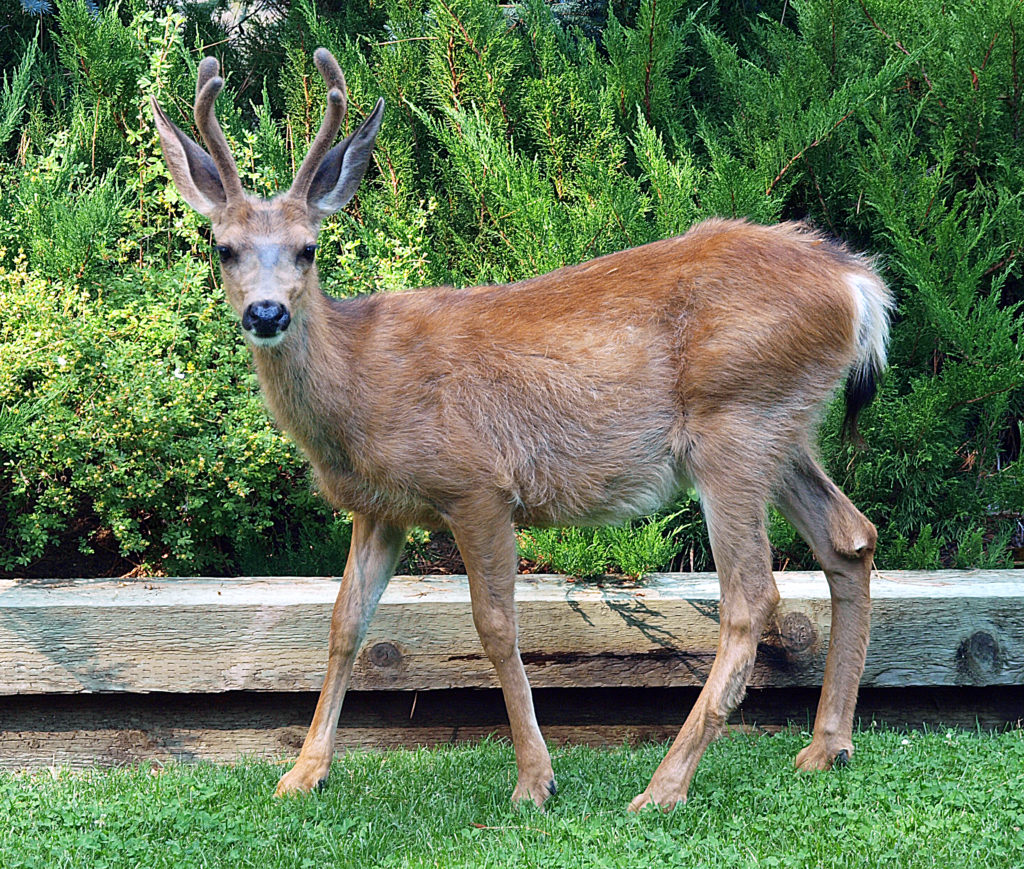
The meadows above Murren are grazed by cattle in the summer. Local farmers have huts (called alps) at various heights above the valley floor. The alps are manned by a team that tends the cattle and turns the milk produced into the local cheese. Each alp also has a herd of pigs that are fed the leftovers from the cheese making process. In the fall the farmers move their livestock down to the valley floor, sometimes in bad weather by the same gondola that transports the summer tourists.
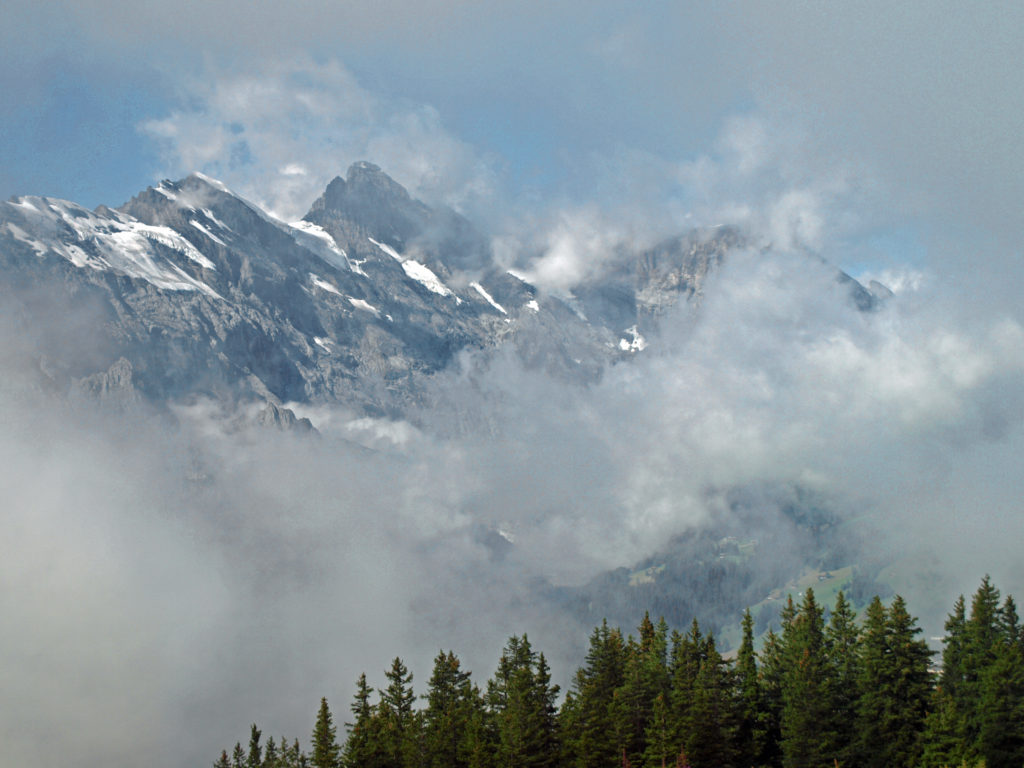
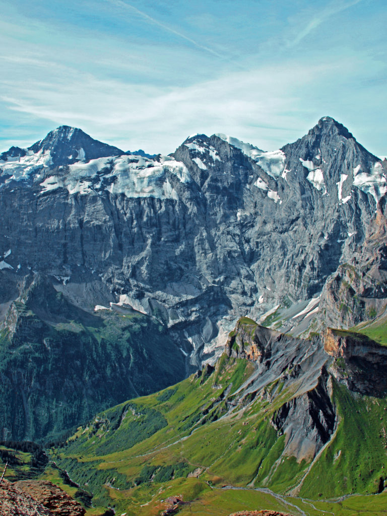
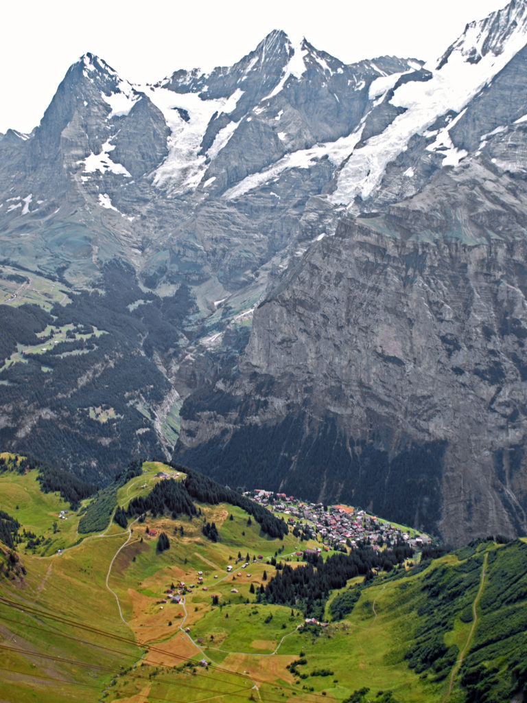
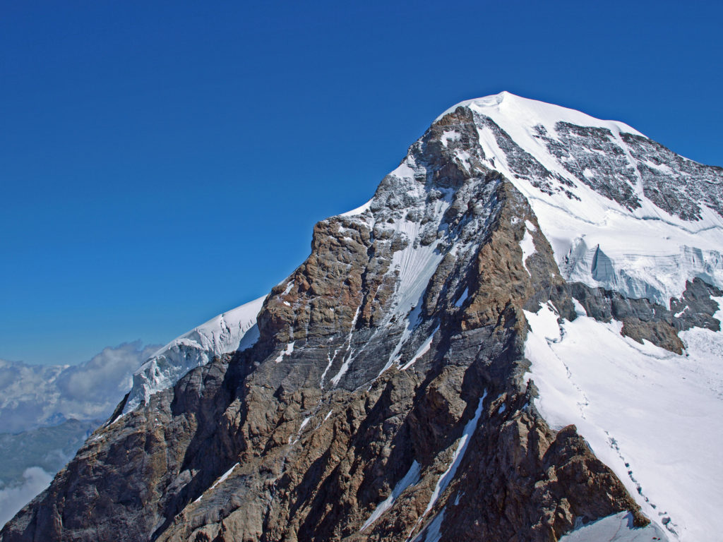
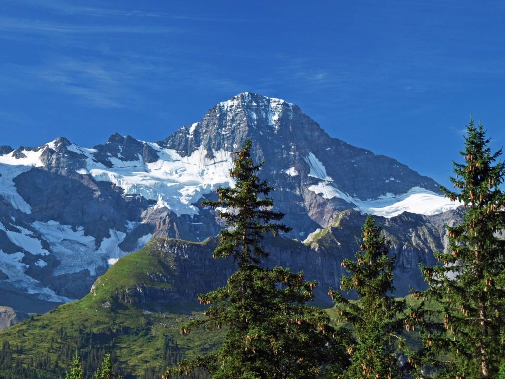
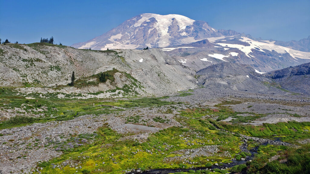
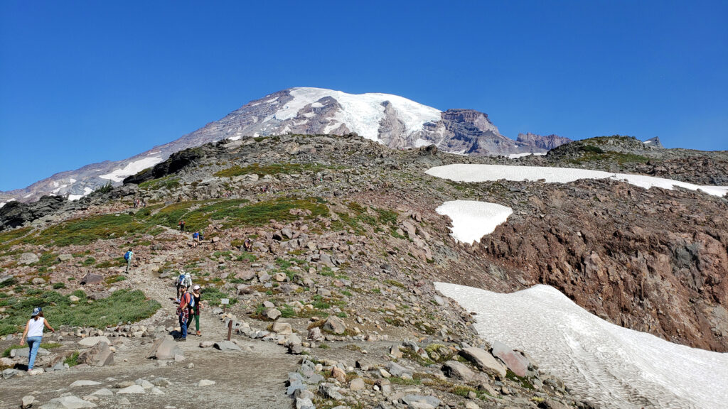
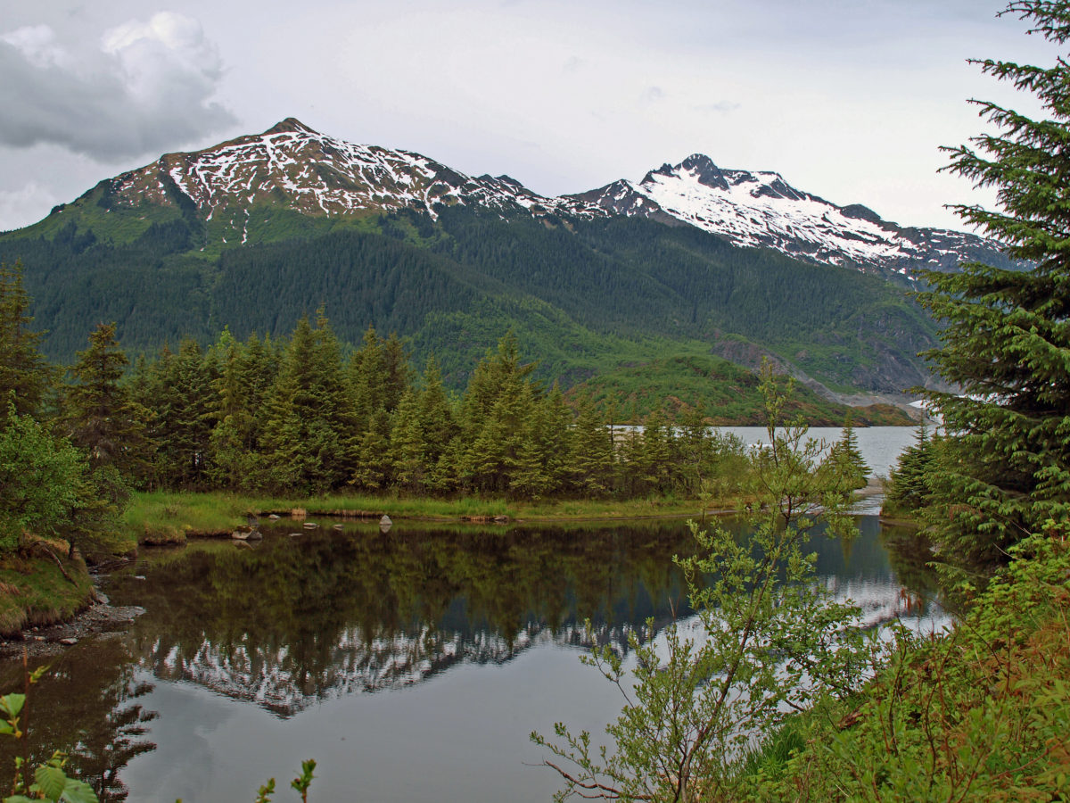
Across the valley from Murren are the peaks of the Jungfrau Massive – the famous Eiger, Monch in the center, and the highest, Jungfrau. They were in the clouds the day we arrived, but the following morning the sun was shining and the three mountains were there in all their glory. Quite a sight, to say the least.
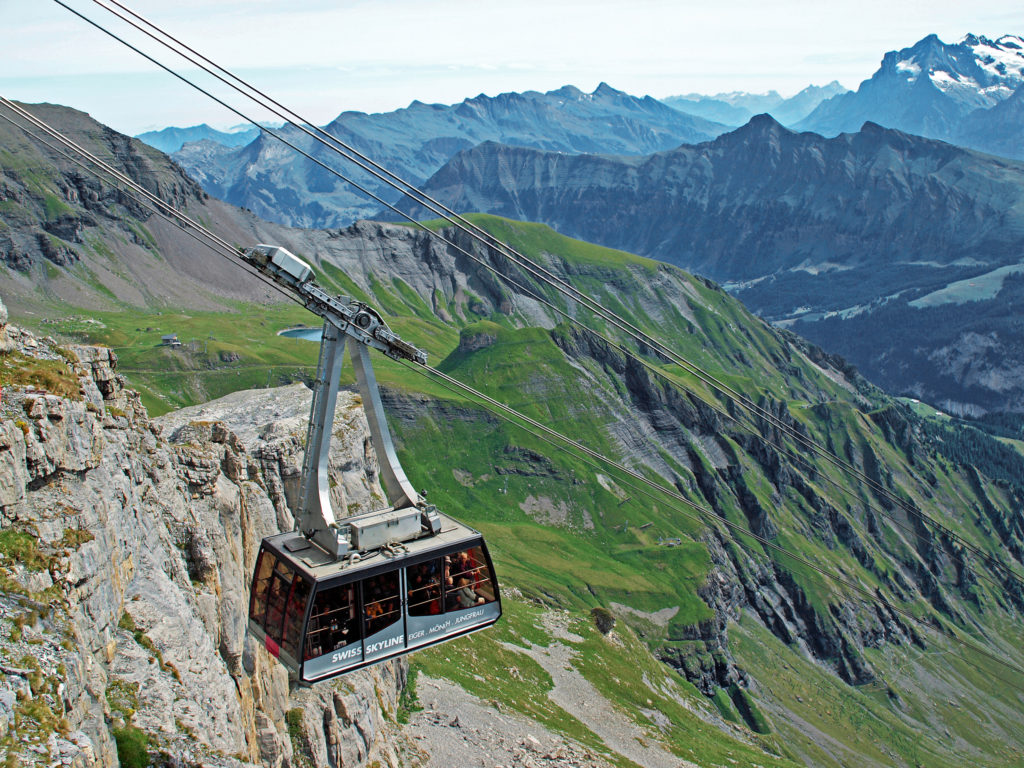
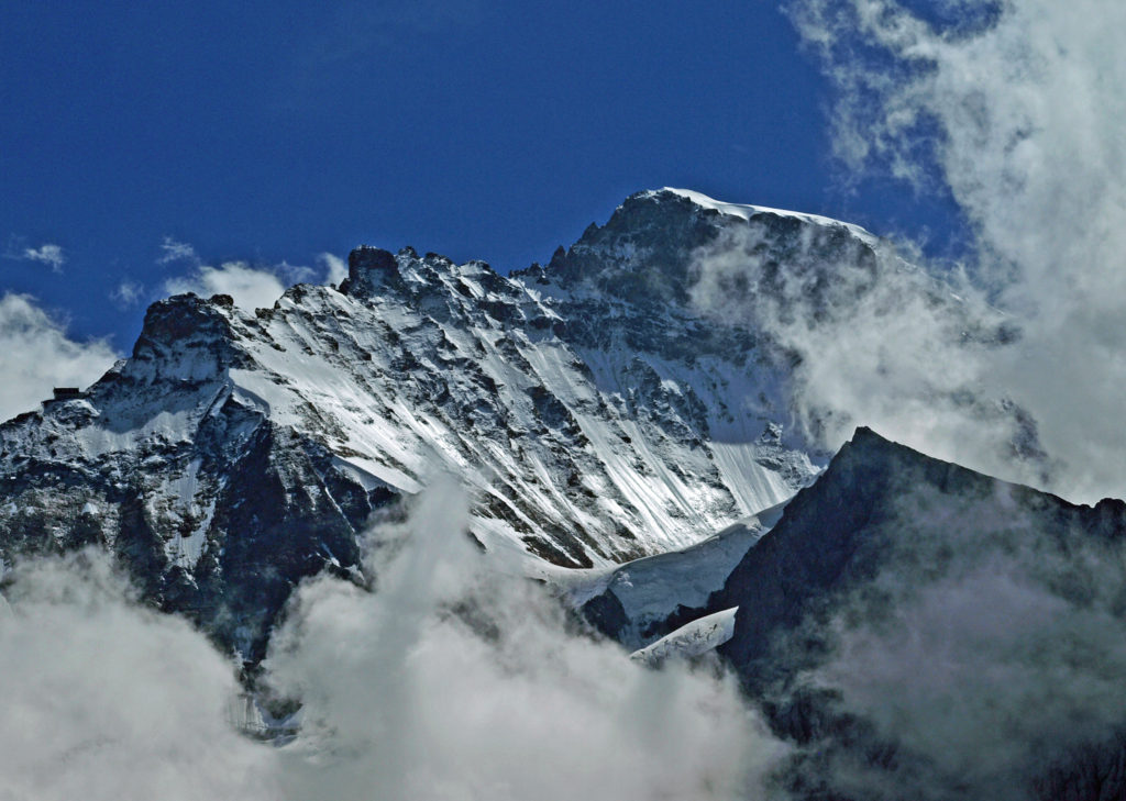
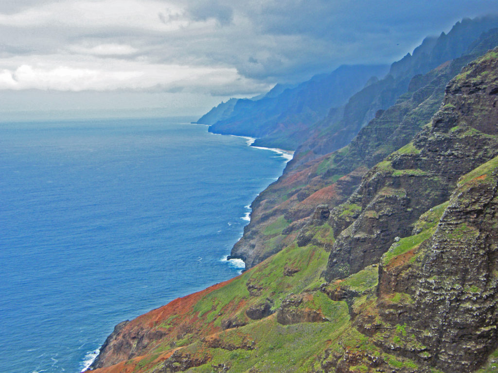
We rode the cable-car from Murren up to the top of Schilthorn that morning. The first leg of the ride takes you to the Birg station where you transfer to another gondola that takes you to the top of Schilthorn. At Birg there is a walkway out over the edge of the cliff where you can look straight down through the grated floor hundreds of feet to the rocks below.
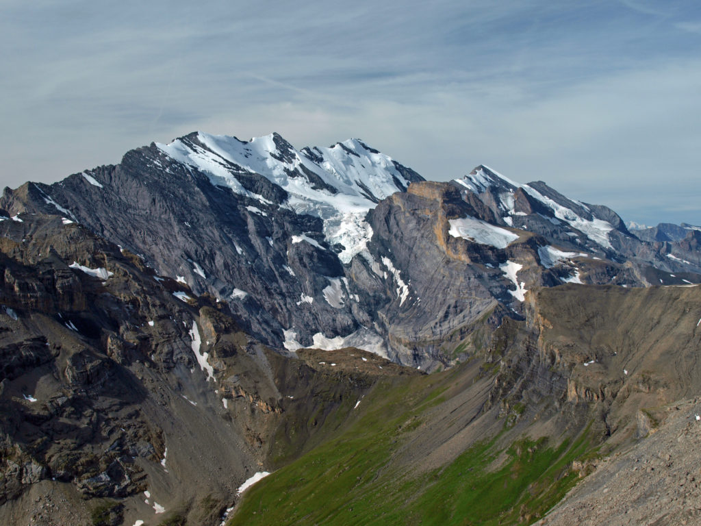
At the Schilthorn summit there is a revolving restaurant and viewing platform with panoramic views east across the valley to Jungrau, Monch, and Eiger, south and west to a seemingly endless expanse of mountain peaks, and to Lake Thun and the town of Thun to the north. Part of the James Bond film On Her Majesty’s Secret Service was filmed at the top of Schilthorn and the there is a Bond World 007 exhibit and theater there that’s at least worth a quick visit.
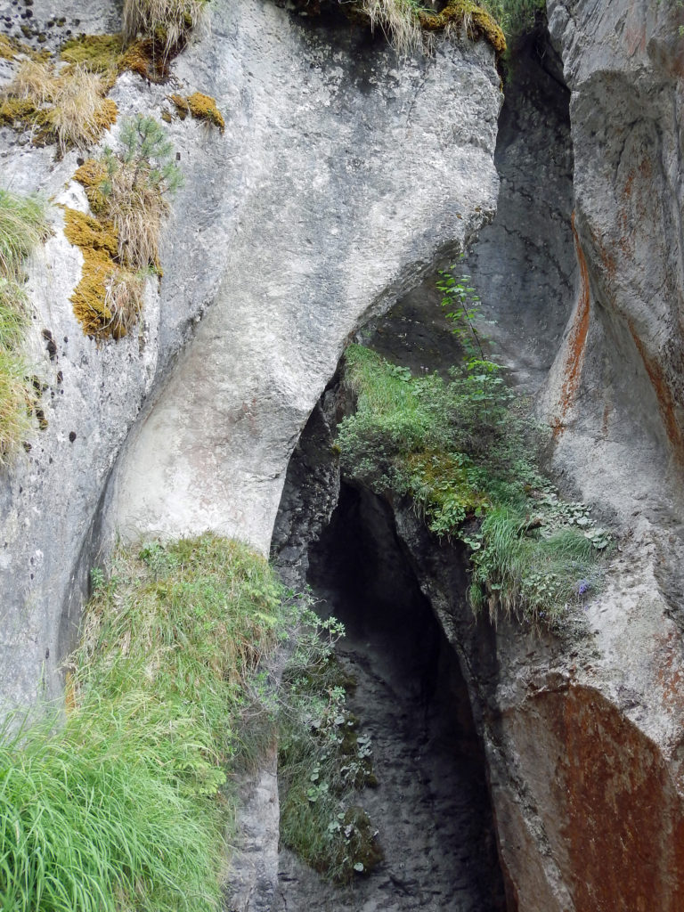
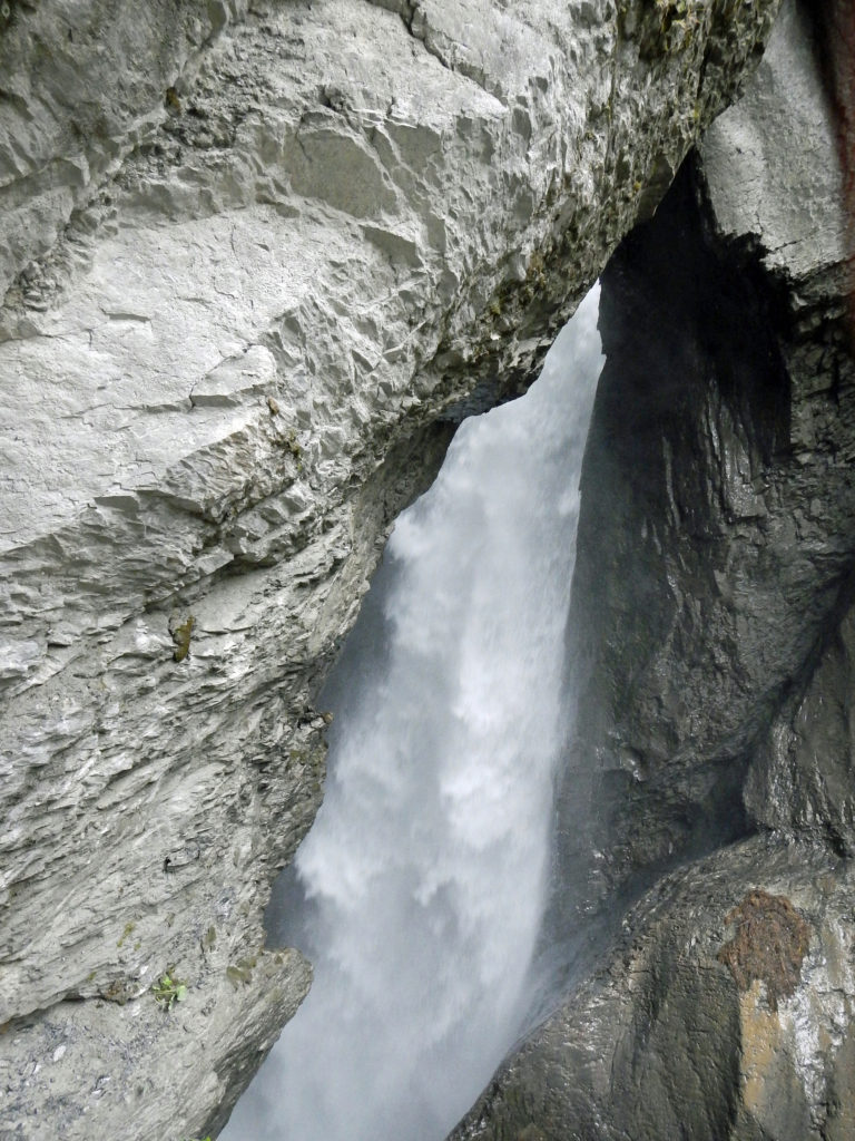
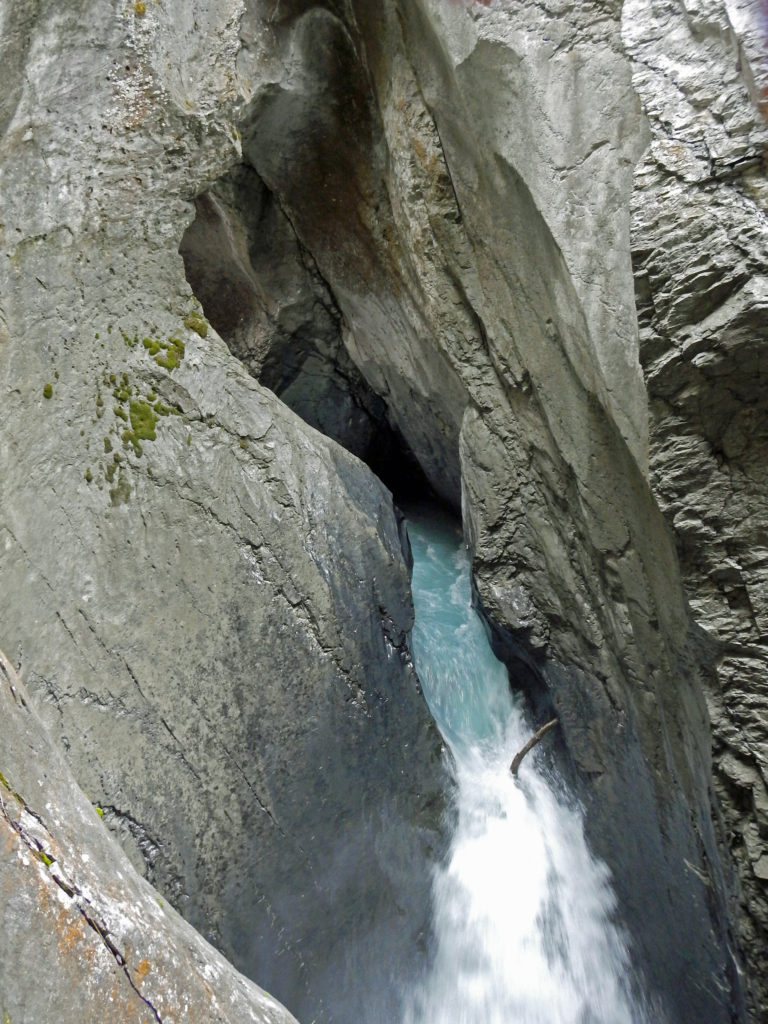
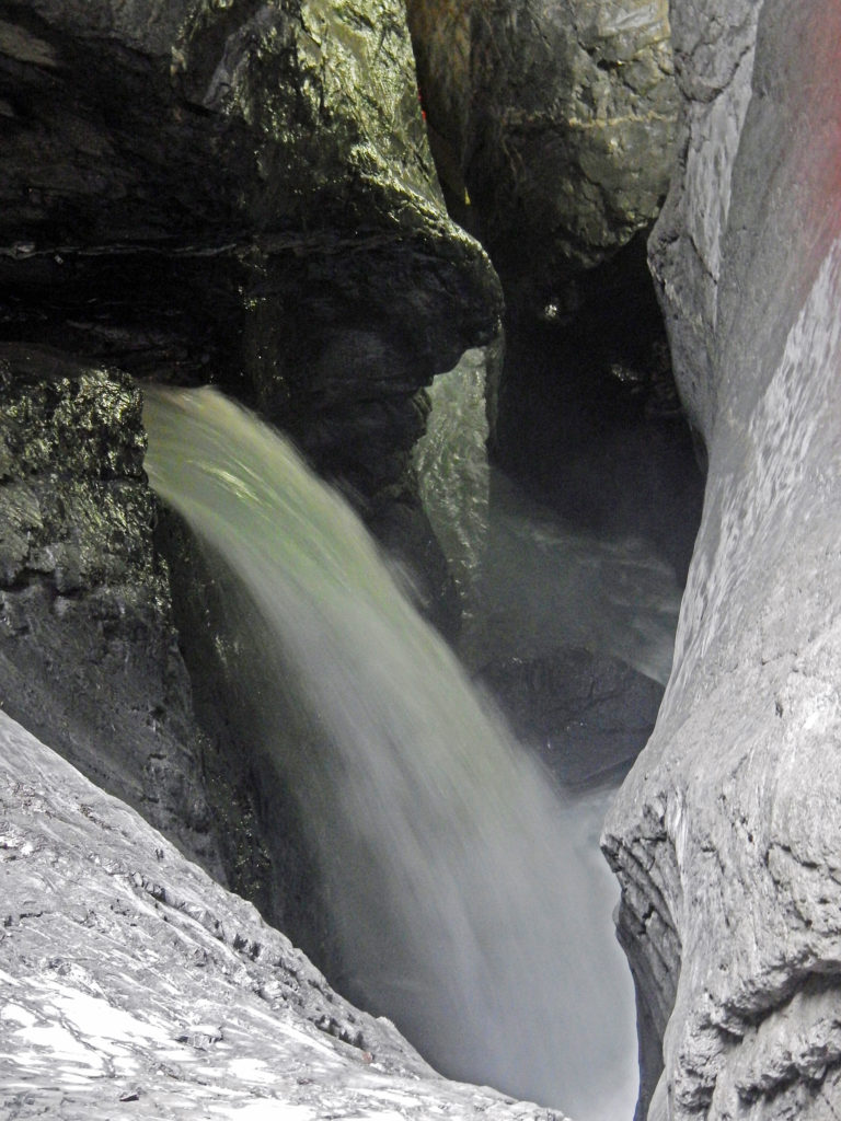
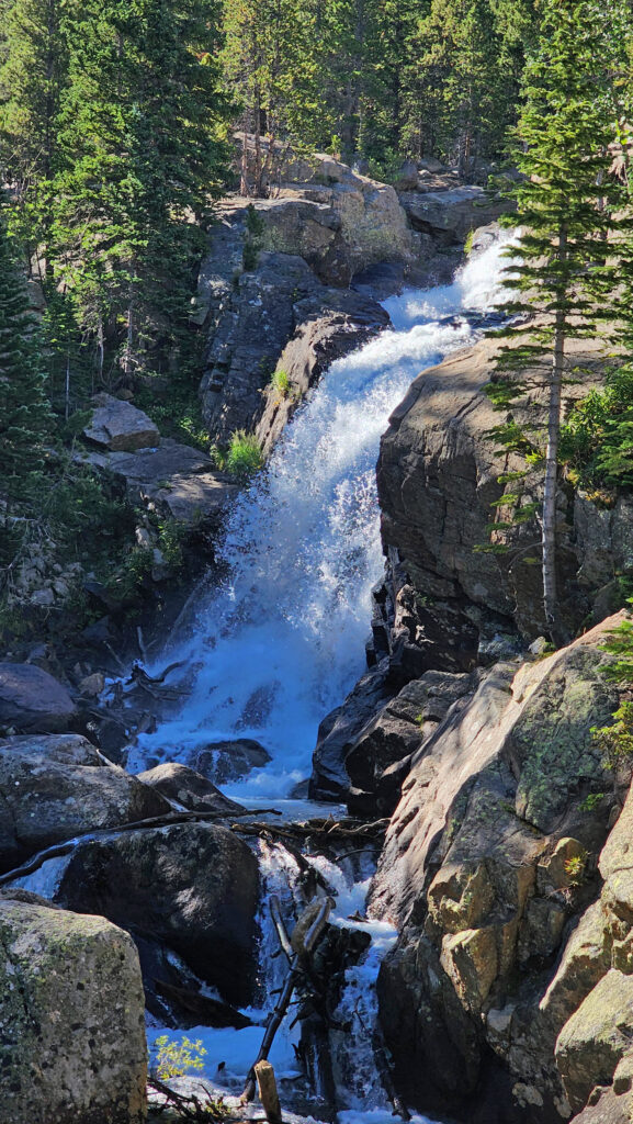
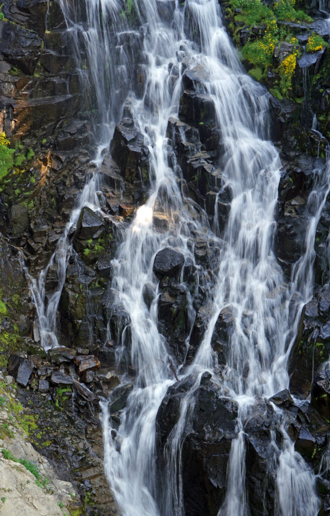
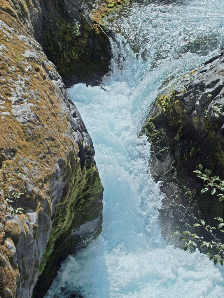
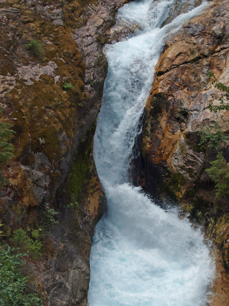
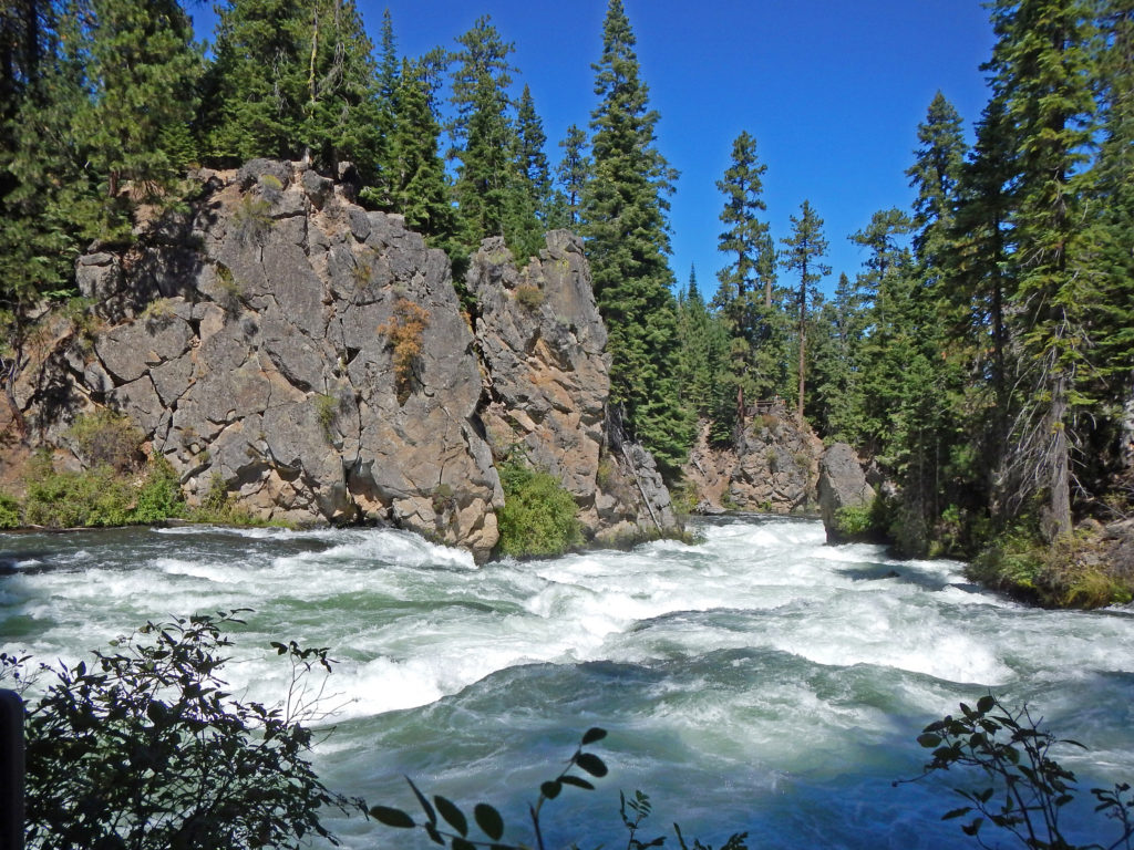
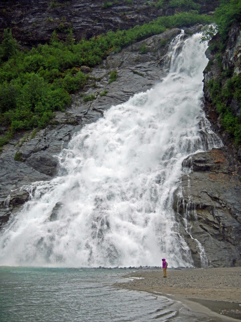
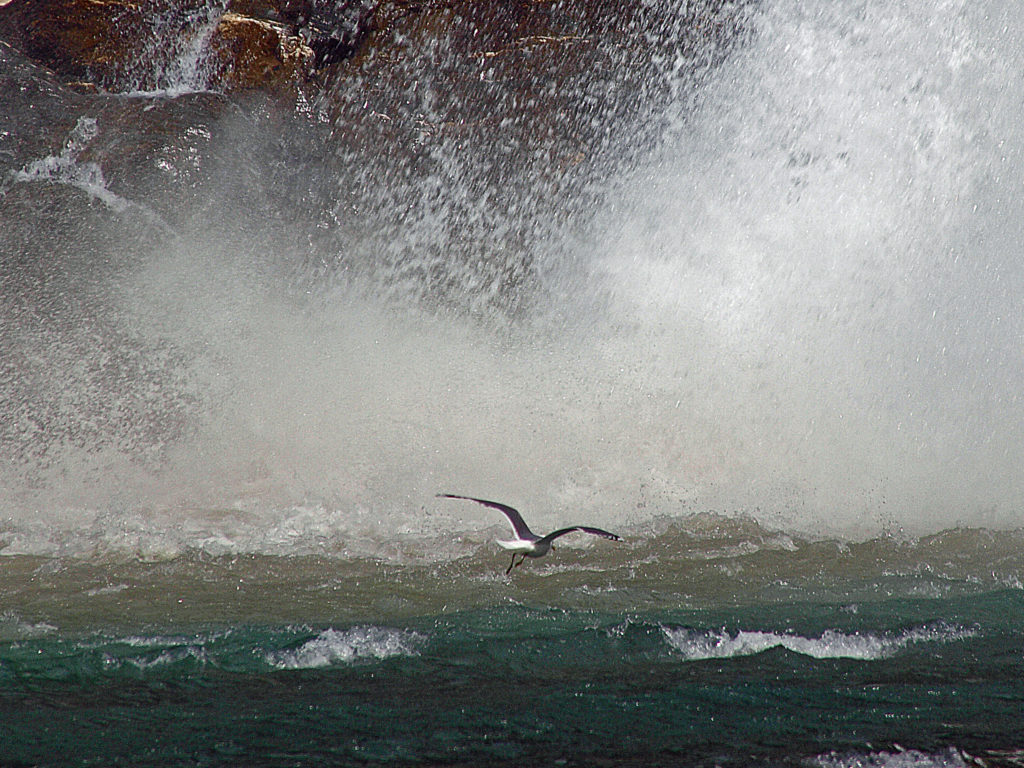
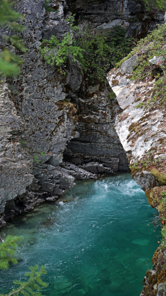
That afternoon we took the cable-car down to the valley floor. A short bus ride took us to Trummelbach Falls. It’s hard to describe just how amazing this waterfall is. It’s actually a series of ten cascades, or chutes, inside the cliff face. The top and bottom of the falls are narrow slot canyons only a few feet wide, and the central part is completely within the mountain. From the bottom an elevator takes you up inside the mountain to a series of walkways, tunnels, and stairs that follow the cascades through the caves and slot canyons. Even in mid-summer when we were there the volume of water blasting through the mountain was awe inspiring. There just isn’t anything like this anywhere else in the world, as far as I know. It’s certainly the most incredible waterfall I’ve ever seen. You simply can’t capture the magic of this place with a camera. You have to see it to understand how truly mind boggling it really is.
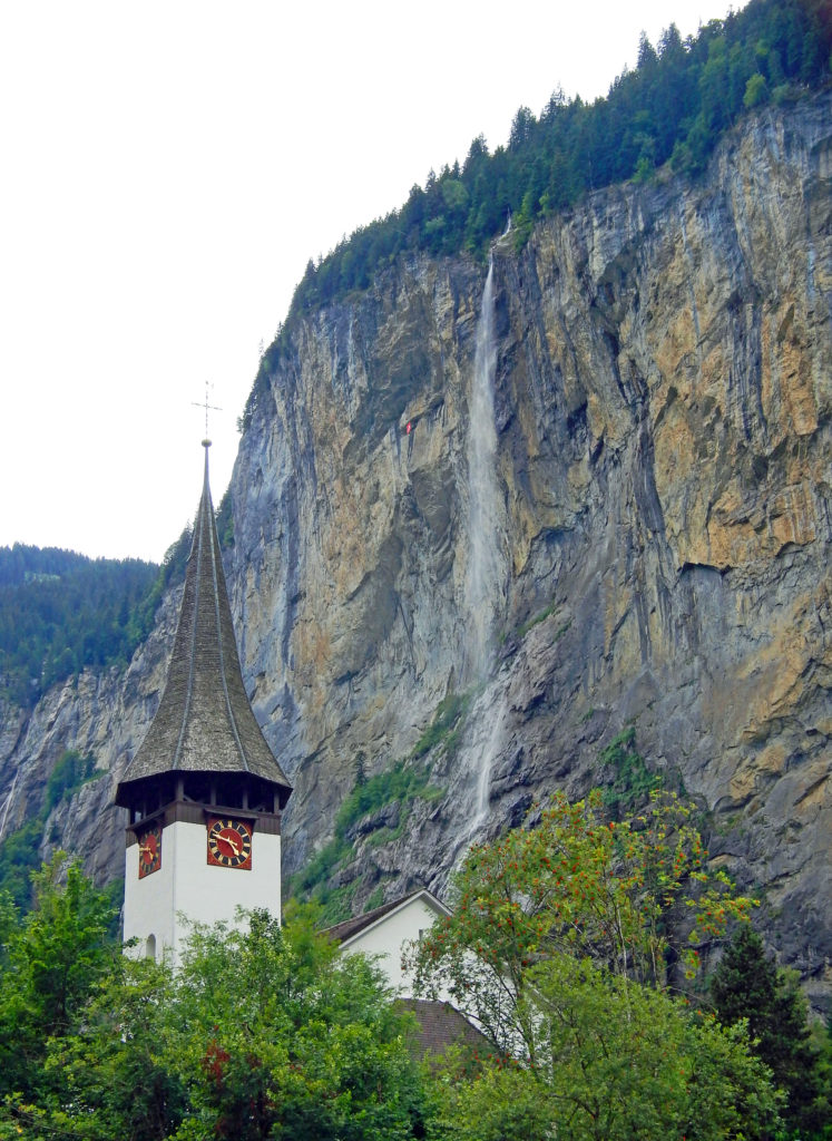
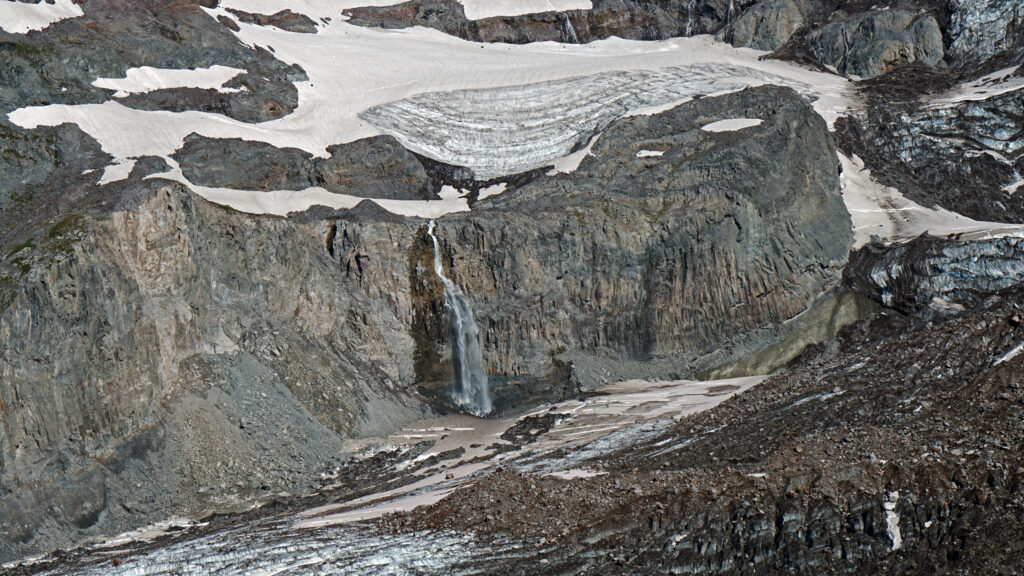
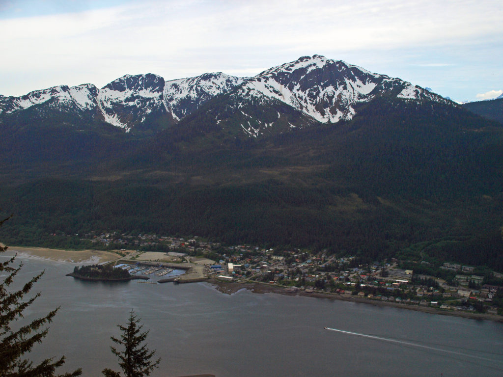
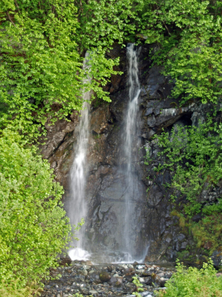
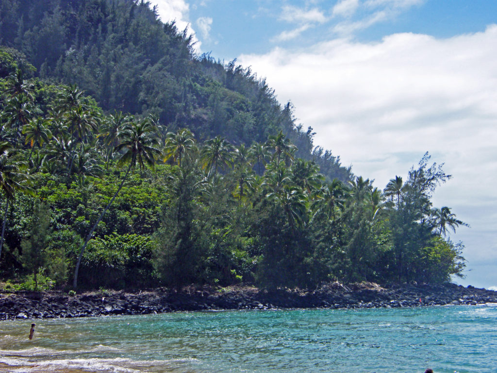
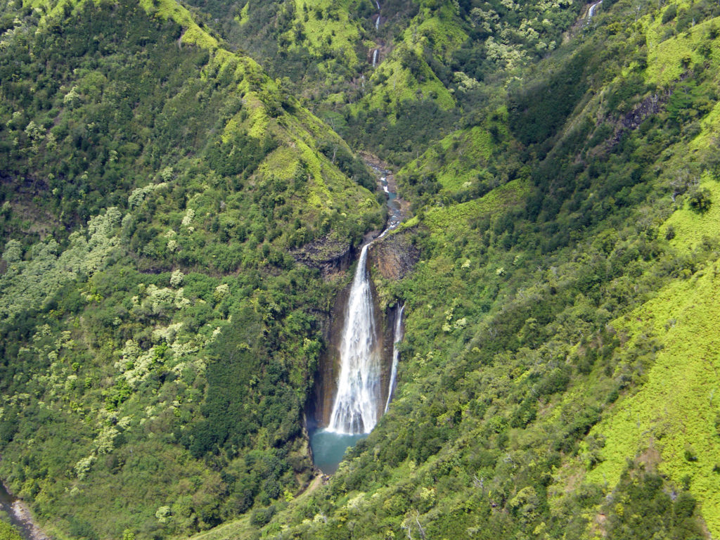
Lauterbrunnen is a short bus ride from Trummelbach. It’s bisected by a busy road and crowded with tourists, but has a few good pubs and restaurants. It would be just another tourist town if it weren’t located where it is. The town is crowded up against the thousand foot high vertical wall of the valley. On the other side of the Weisse Lutschine River the eastern wall of the valley rises to the Eiger, Monch, and Jungfrau peaks. A half mile from the town, and visible from almost everywhere in the valley, Staubbach Falls cascades 974 feet down the canyon wall. And there are many other waterfalls lining both sides of the valley. Did I say this place is spectacularly beautiful?
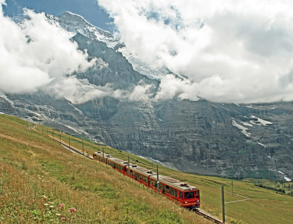
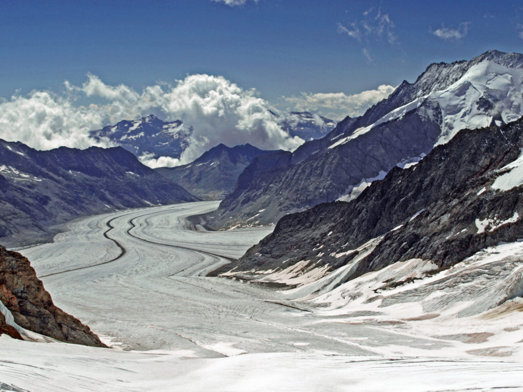
The next morning we rode the train and lift down to Lauterbrunnen, then took the electric powered cog railway through Wengen and on up (way up) to Jungfraujoch, between the Jungfrau and Monch peaks, via a tunnel through the interior of the Eiger and Monch. Jungfraujoch, at an elevation of about 11,300 feet, is the highest train station in Europe. Mountain climbing by train! It’s hard to believe that the rail line was built more than a hundred years ago. It was cold, windy, and blindingly bright at the top, but magnificent. I probably took 150 photos that morning. Very, very cool place.
On the way down from Jungfraujoch we stopped at the Kleine Scheidegg station for lunch, then got on the wrong train. We wound up going to Grindelwald instead of Lauterbrunnen, but it was a very scenic wrong turn. From Grindelwald the train took us back to Interlaken. We then took another train back to Lauterbrunnen.
We left the next morning, but reluctantly. We could easily have spent a week or more there and not run out of things to do and see. For one thing, it is an absolute hikers paradise, and we did only that one relatively short hike to Allmenhubel. I hope to return someday when I can more fully explore this incredible area. It’s truly one of the most beautiful places in the world.
From Lautenbrunnen we travelled to Bern and then to Basel before returning home. Both are well worth visiting. Click here to view my post on Bern and Basel.
Originally posted by Alan K. Lee, June 8, 2019
Updated and re-posted March 6, 2021 and January 31, 2024
All photos © Alan K. Lee
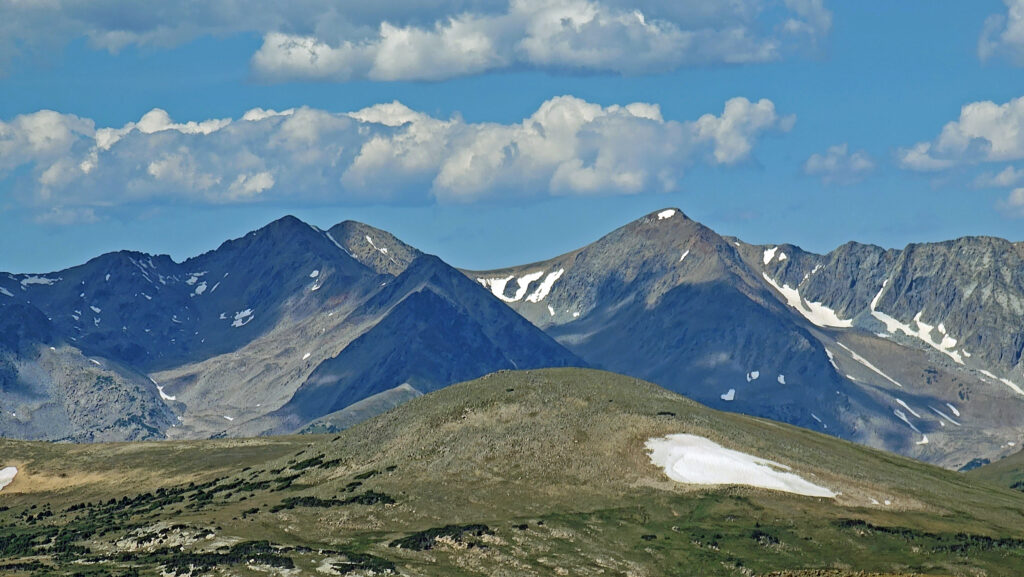
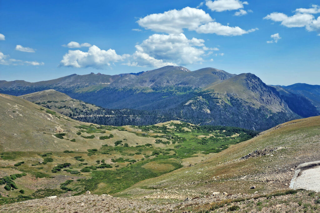
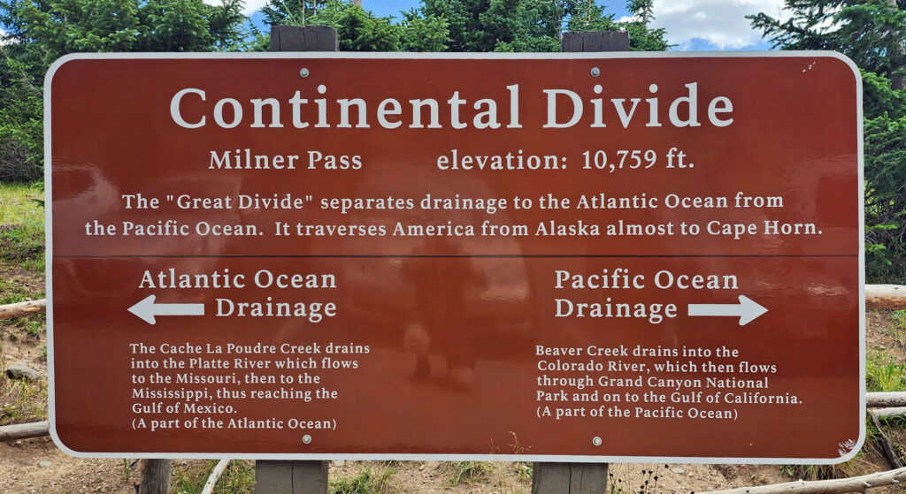 Coming down off Trail Ridge we stopped on the continental divide at Milner Pass (at 10,759 feet you actually come down in elevation from Trail Ridge to the divide). We did a short walk there along the shore of Poudre Lake and, of course, took a photo of the continental divide sign before heading south.
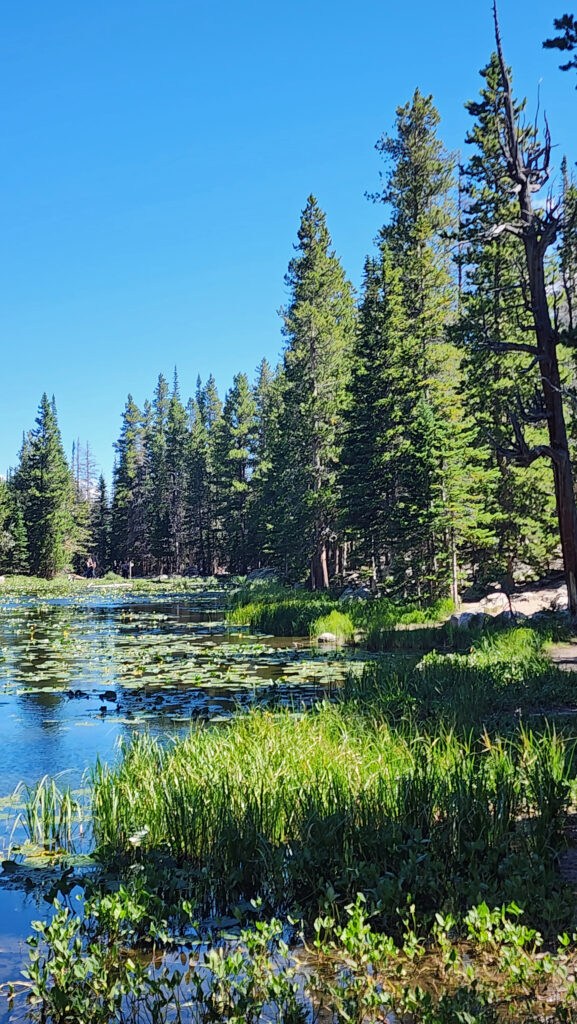

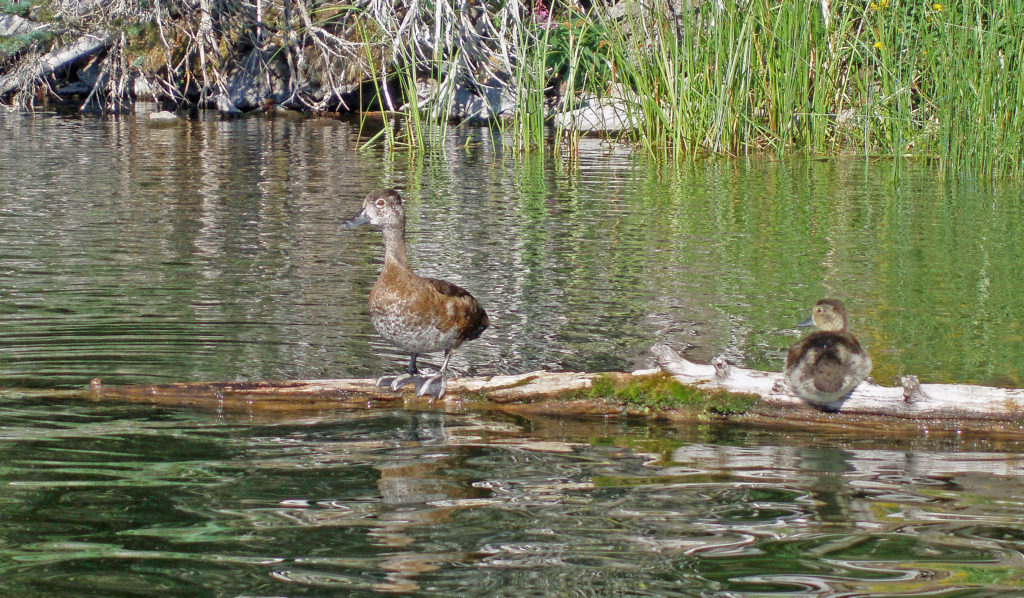
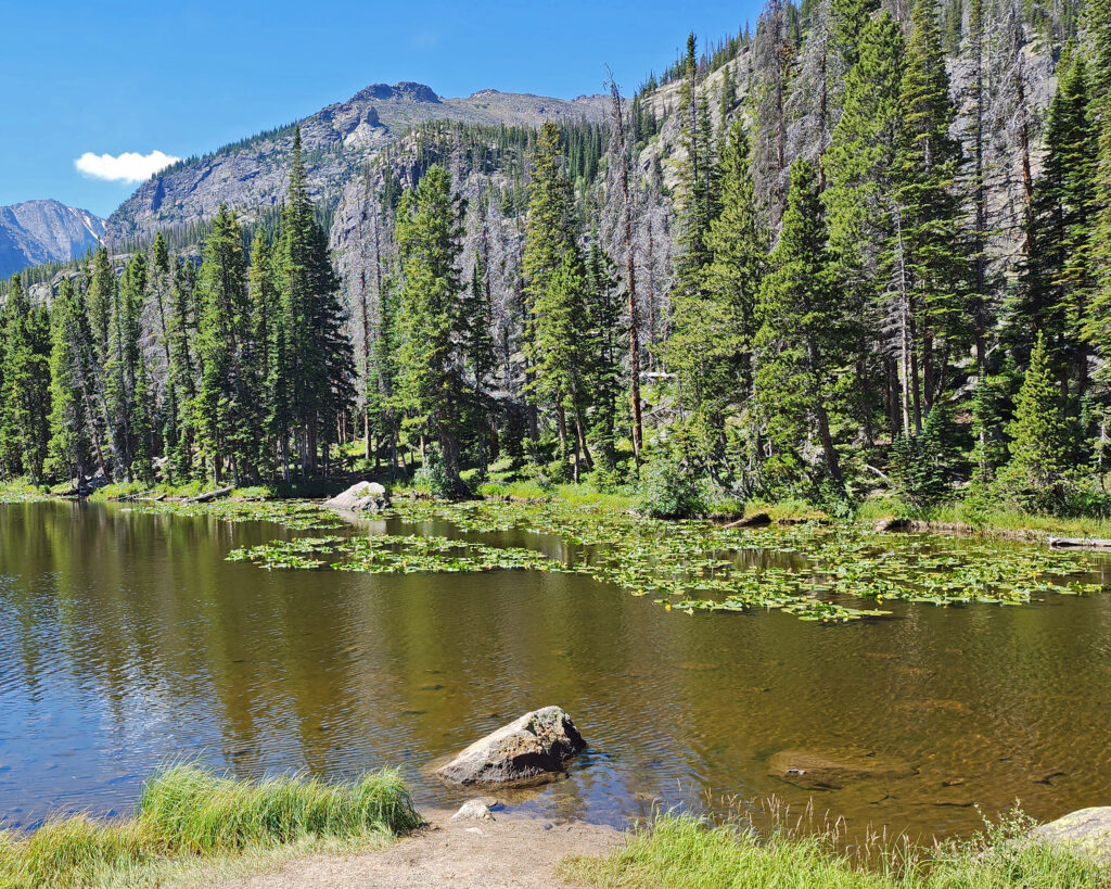
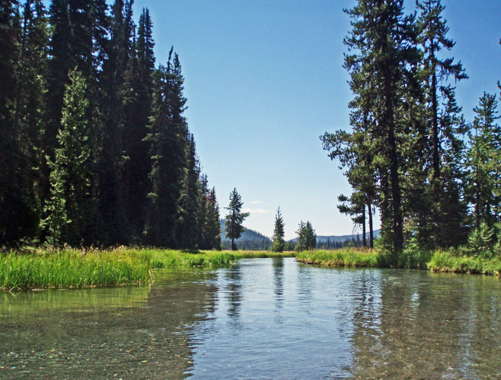
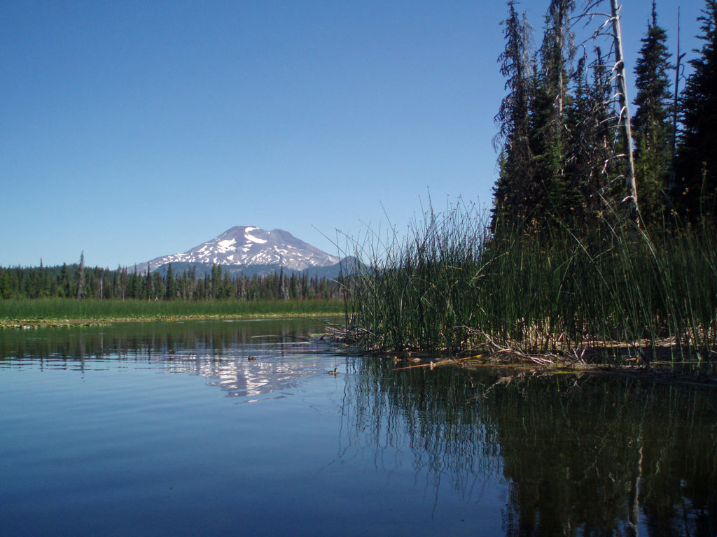
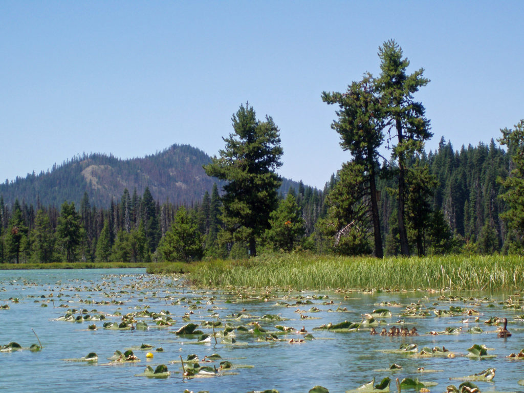
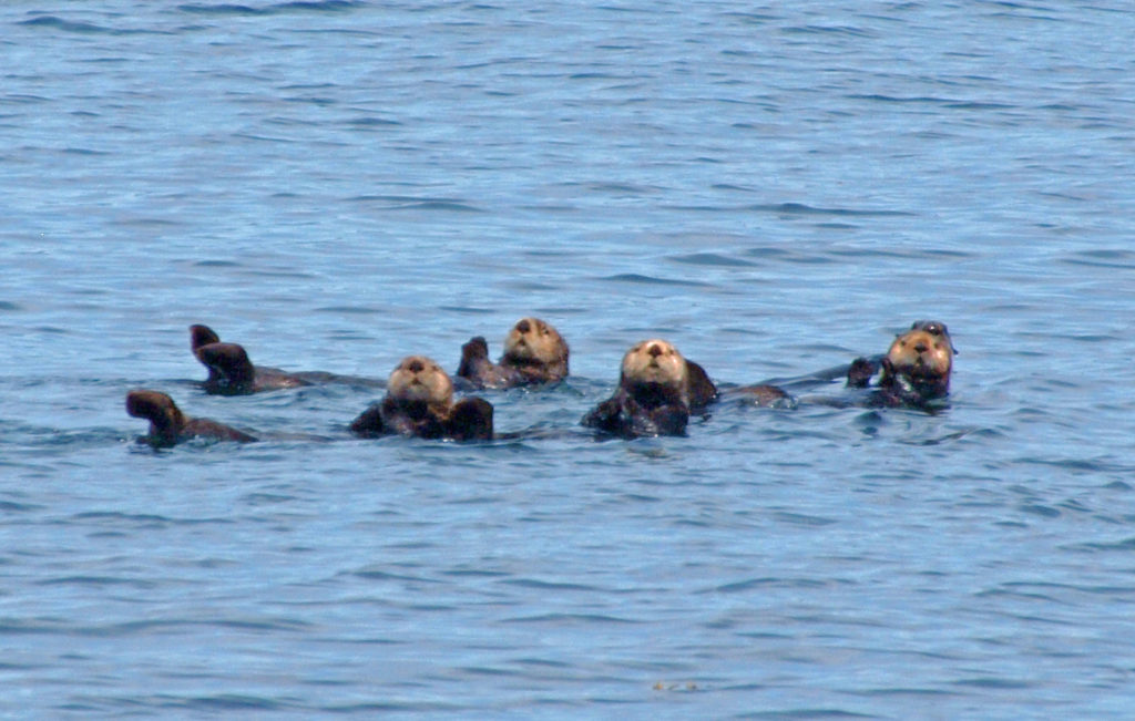
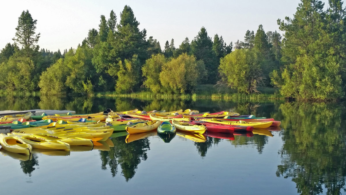
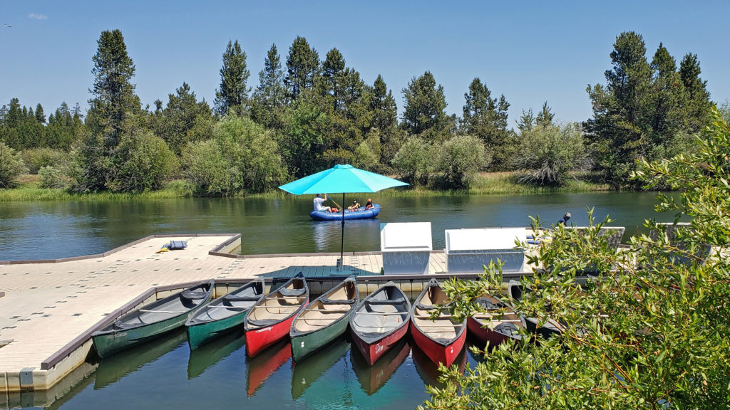
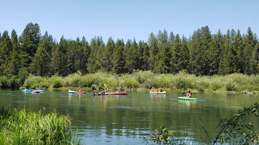
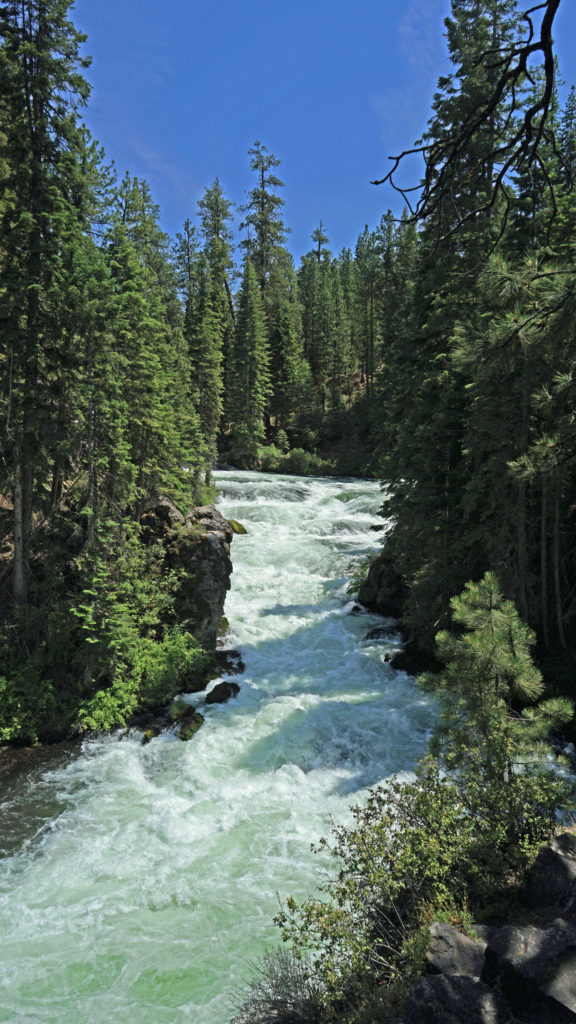
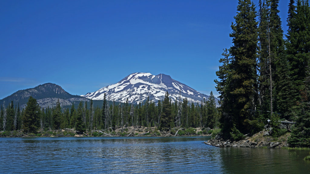
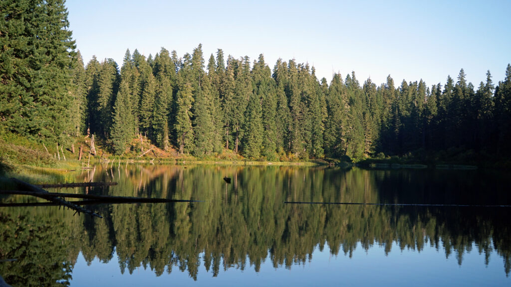
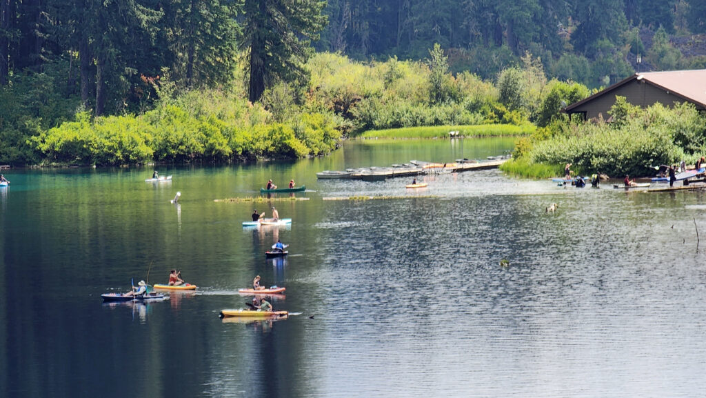
 Hosmer Lake is a mix of open water and reeds, rushes, water lilies, and other marsh plants. Motorized craft (except for electric motor powered) are not allowed on the lake, which makes it ideal for kayaking or canoeing. It’s also not a big lake at 160 acres, so you can easily explore it all in an afternoon.
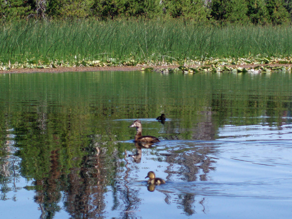
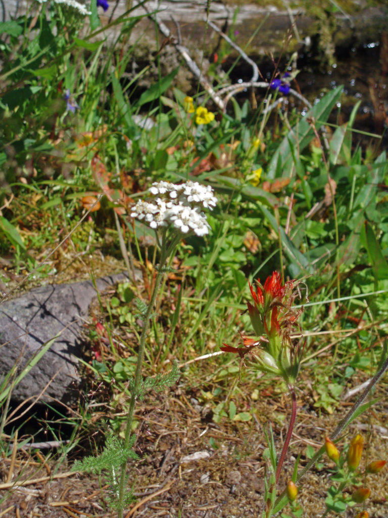
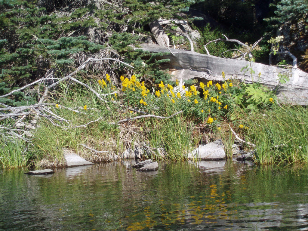
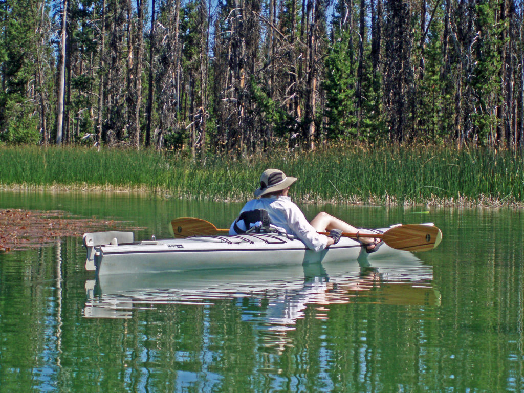
 Hosmer Lake is fed by Quinn Creek, which flows into the north end of the lake. Quinn Creek is narrow and shallow, but it is possible to paddle up it for a ways. When we were there last, downed trees blocked our passage a few hundred yards from the mouth of the creek. We hauled our kayaks out of the water at that point and hiked along the creek to a small waterfall where we ate lunch and lingered awhile before heading back out on the water.
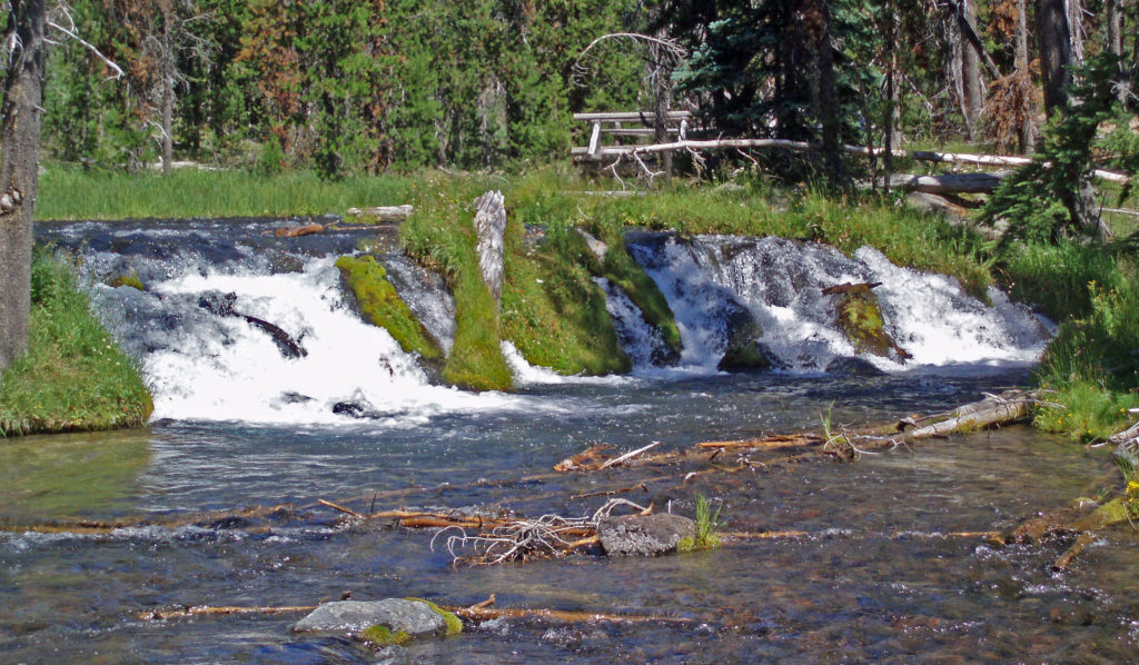 Recalling our visits to Hosmer Lake, I’m eager now to get back to the area and get back on the water again. It’s a beautiful place, and one of my favorite destinations.
 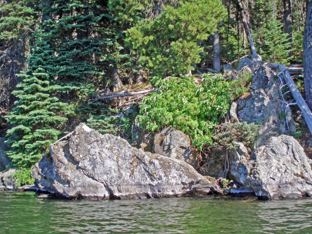 Hosmer Lake is located in the Deschutes National Forest. Check the Forest Service
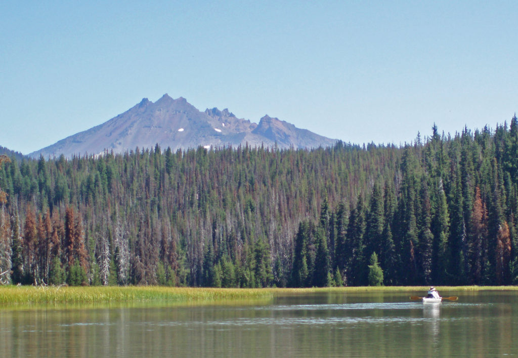
 Best Times to Go:
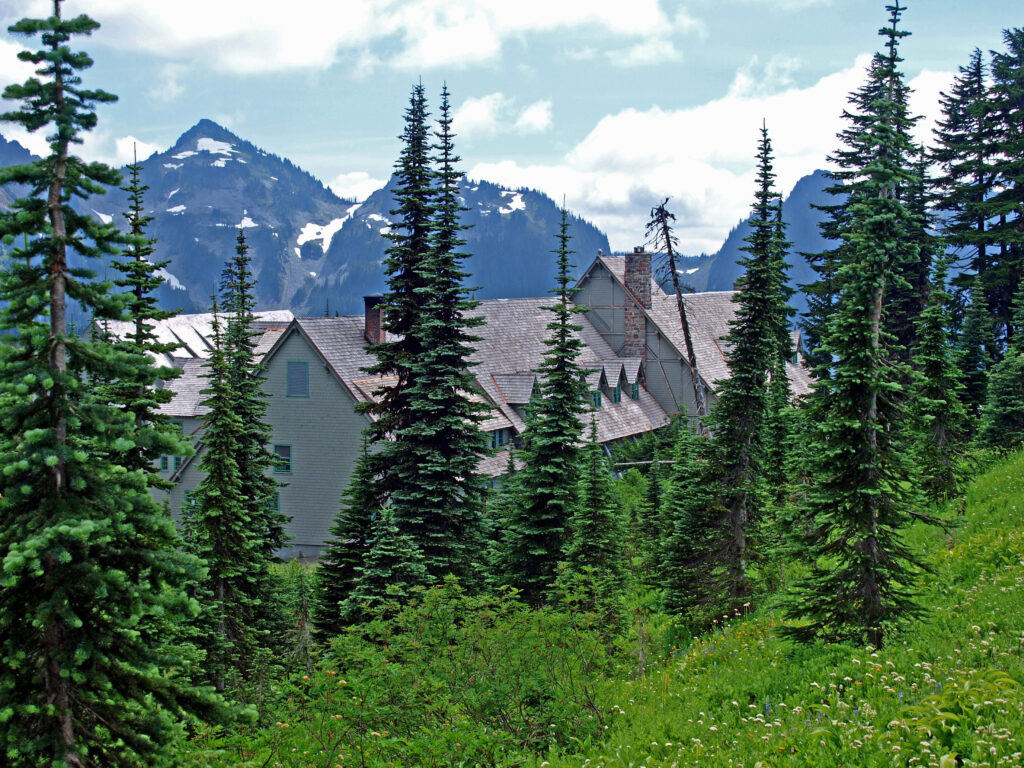
 The hike:
 Other area attractions and activities:
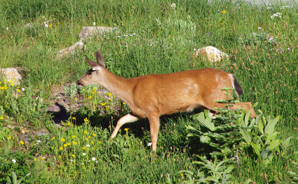

 Overview:
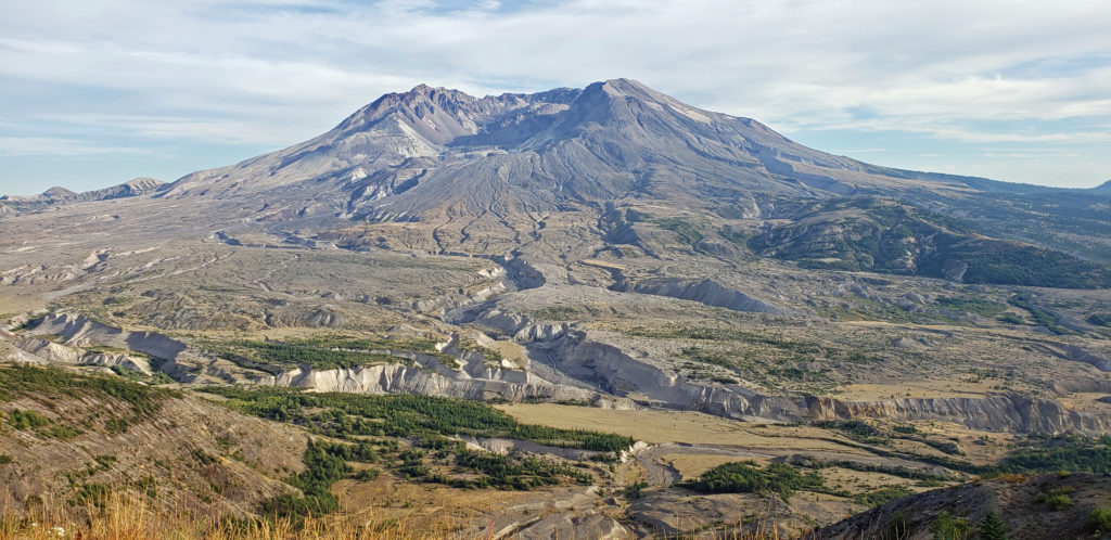
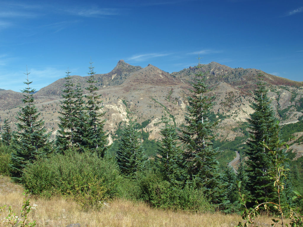
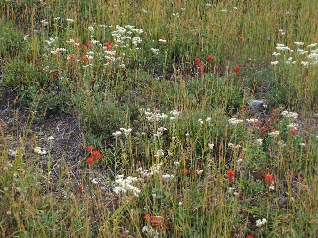
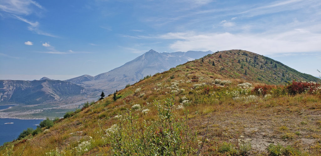
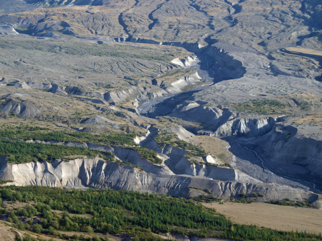
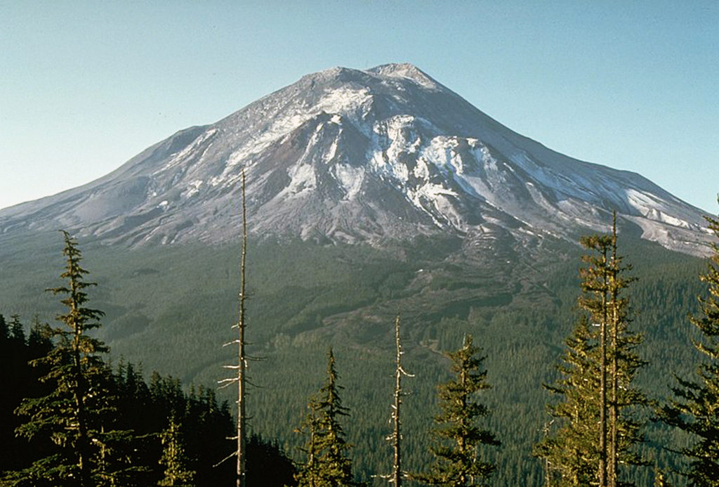
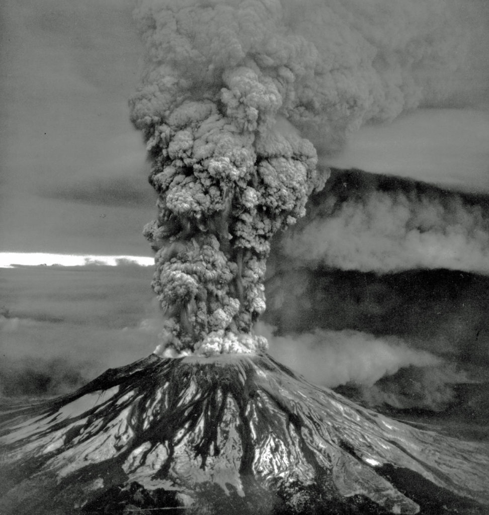
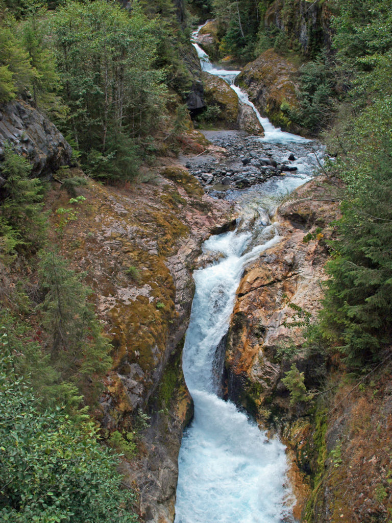 The history of Lava Canyon begins about 3500 years ago when an eruption of Mount St. Helens sent a flow of lava down the old valley of the Muddy River, destroying the forest and filling the valley with molten rock. Over the intervening years, the Muddy River cut a new course through the lava flow, and the canyon gradually filled with sediment. Then came the 1980 eruption, which melted the summit glaciers and sent a huge lahar (volcanic mudflow) down the valley, destroying the rebuilt forest and scouring out the built-up sediment, exposing the remnants of the earlier lava flow. What was left is a steeply descending canyon with an almost continuous series of spectacular waterfalls and cascades. (For more information on the 1980 eruption, see my
  Getting there:
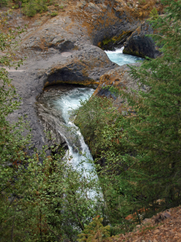 Trailheads:
 The hike:
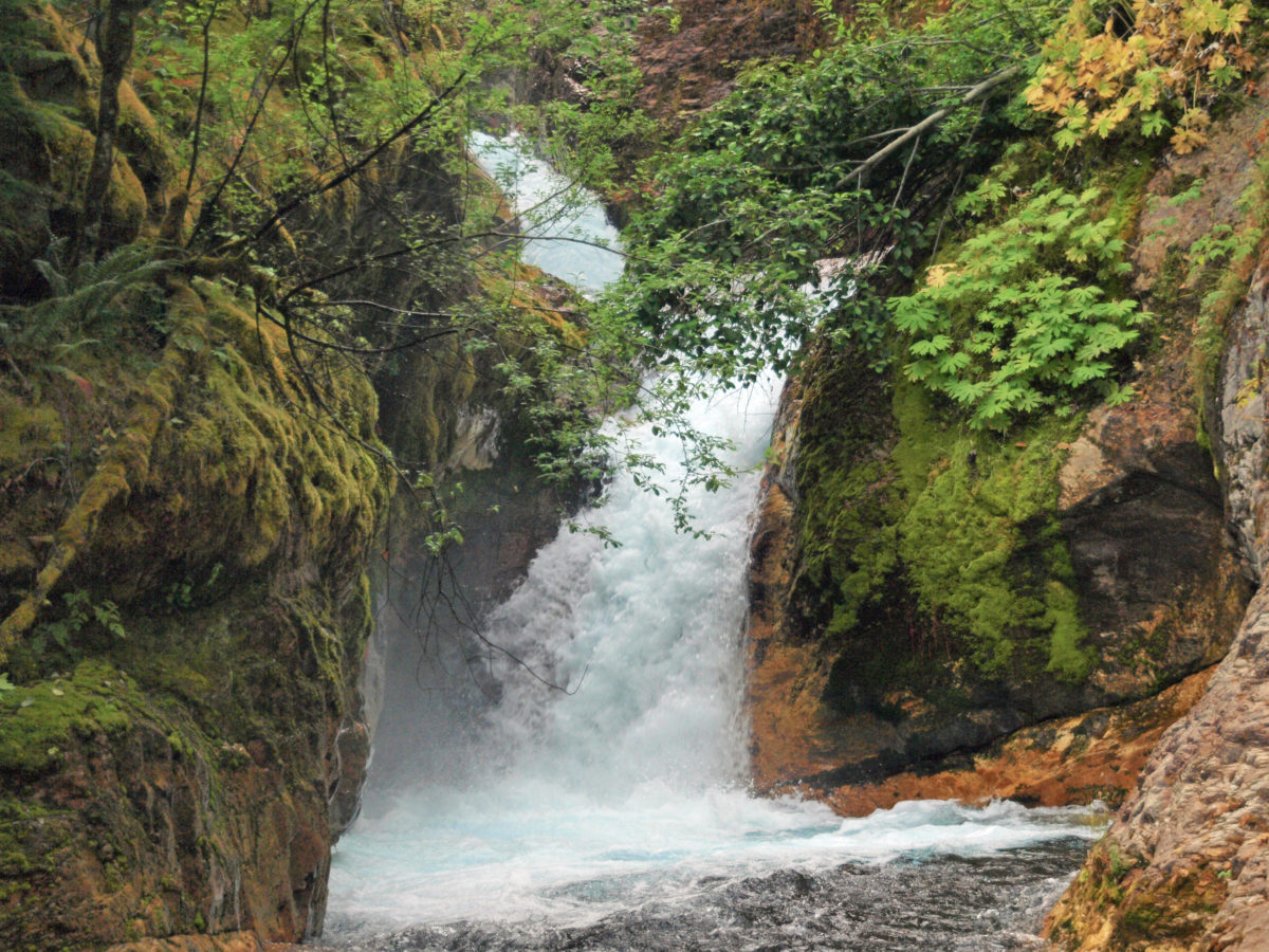
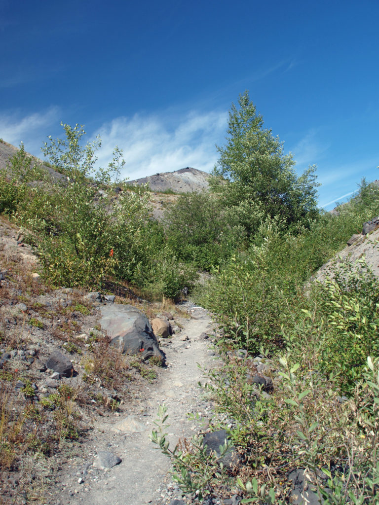
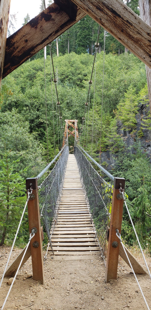 Below the overlook, the path is rock and dirt, steep in places. After another three tenths of a mile, you come to another side trail and a suspension bridge over the river that gives a bird’s eye view of the canyon and waterfalls. On the other side of the bridge is a connecting trail that takes you back to the upper bridge, making for a 1.4-mile loop. (Update: As of June 2023 the suspension bridge is closed. Check the National Forest Service’s
 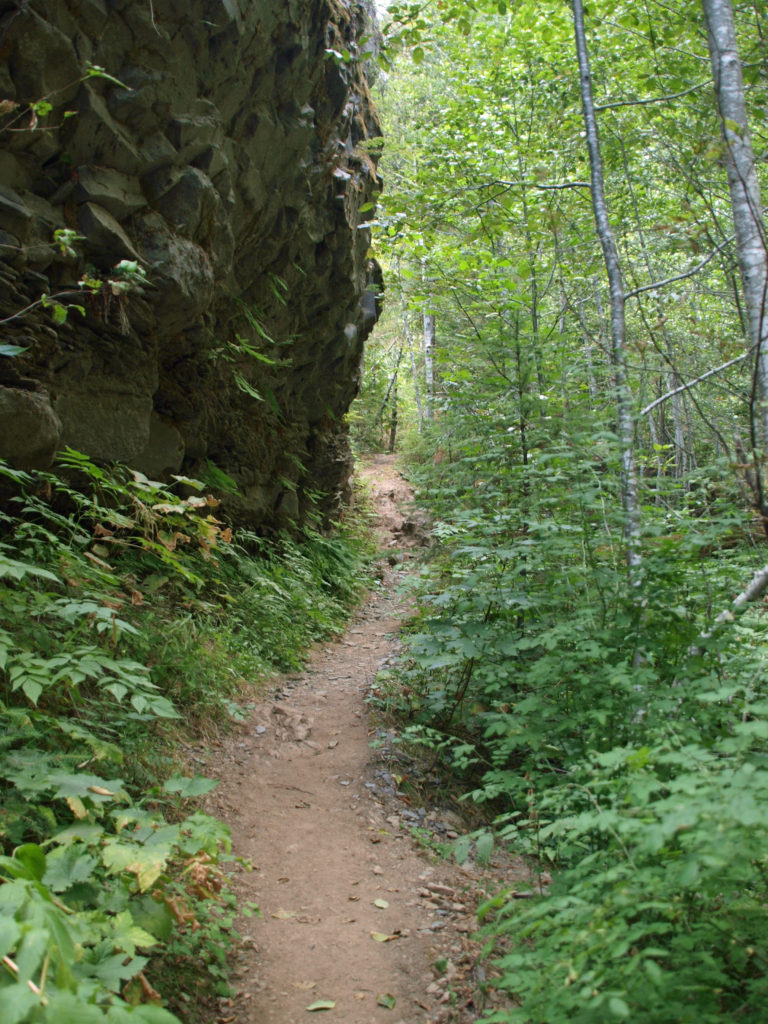 At about the 1.3-mile mark, the trail descends a 40-foot ladder to the base of the rock formation known as The Ship. Before 1980, sediment filled the canyon to the top of The Ship, to give you an idea of how much sediment was scoured out of the canyon. A short but steep side trail (and another ladder) leads to the top of The Ship.
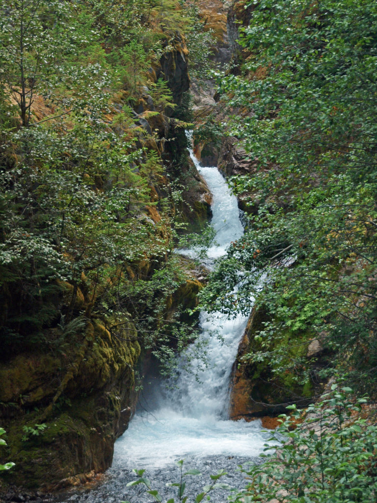 (Below The Ship, the trail continues another 1.5 miles to the lower trailhead. The entire hike from upper to lower trailhead and back is about six miles and the elevation gain coming back is 1350 feet.)
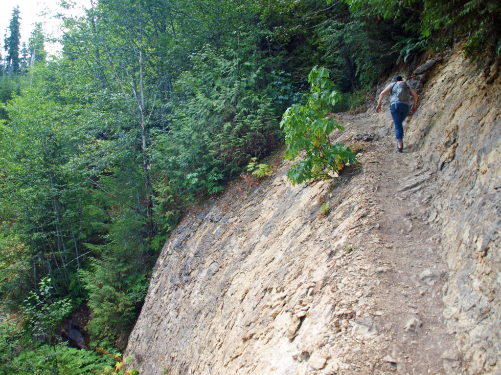 Return from The Ship the way you came. Cross the suspension bridge if it is open and take the trail on the opposite bank to the upper bridge and re-cross the river. The two bridges both give you great views of the river and canyon below.
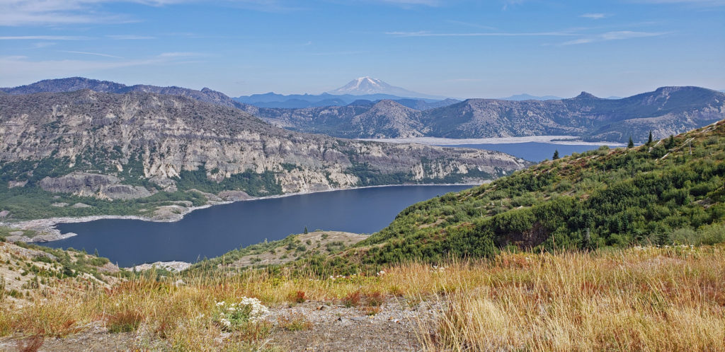
 Originally posted in a different format September 29, 2018 by Alan K. Lee. Updated and re-posted March 23, 2021. Edited, updated and posted in this format June 29, 2023.
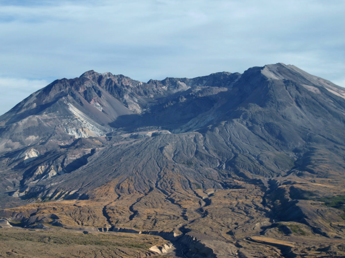


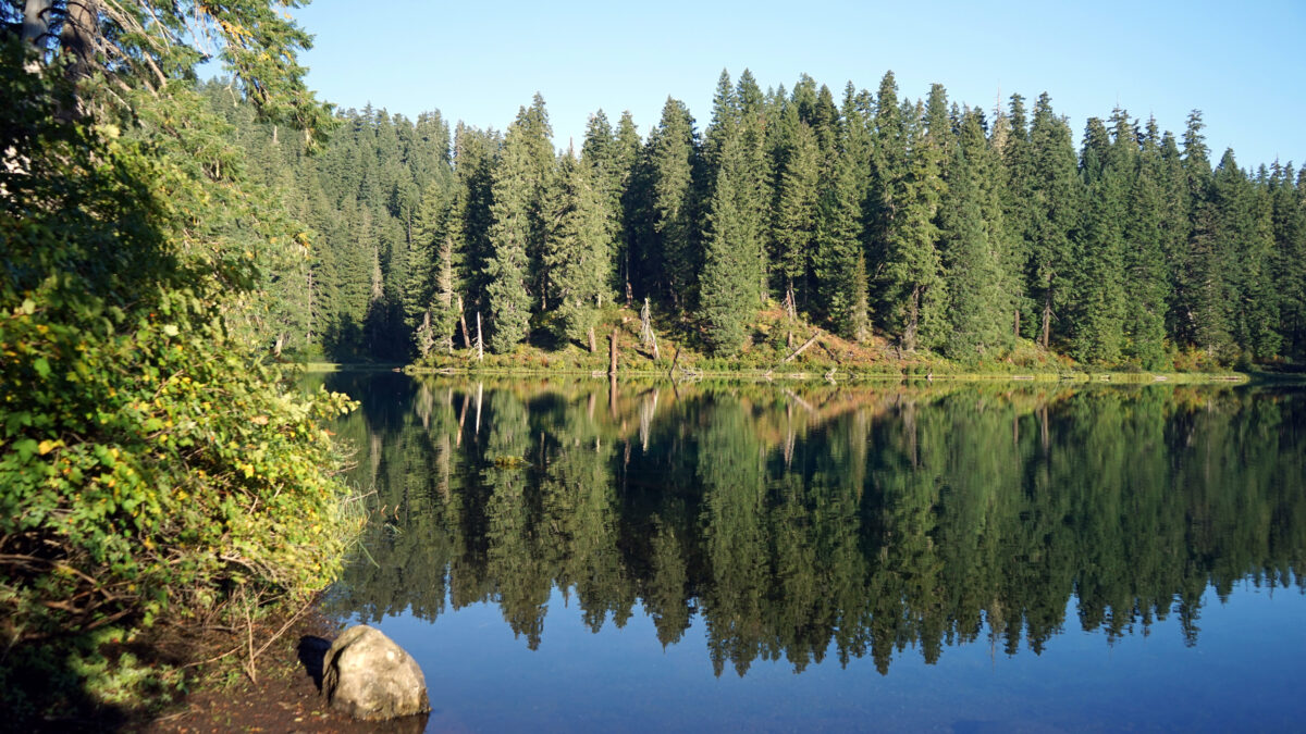
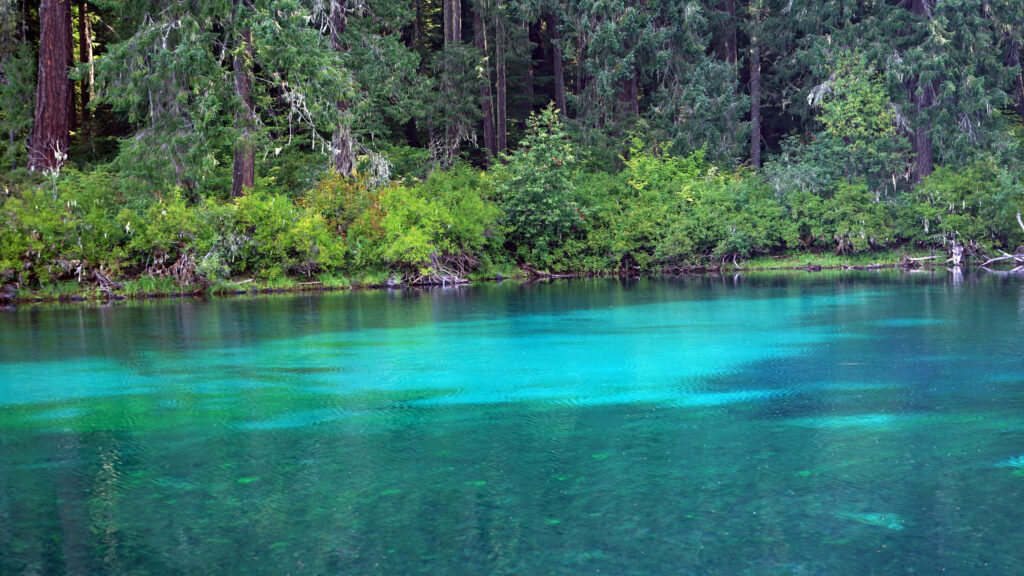
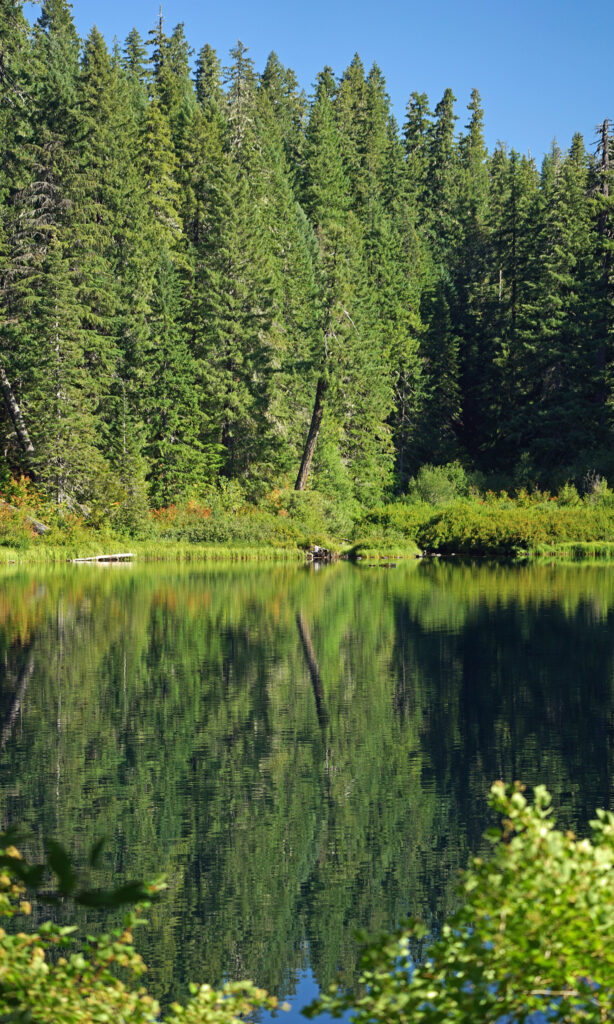
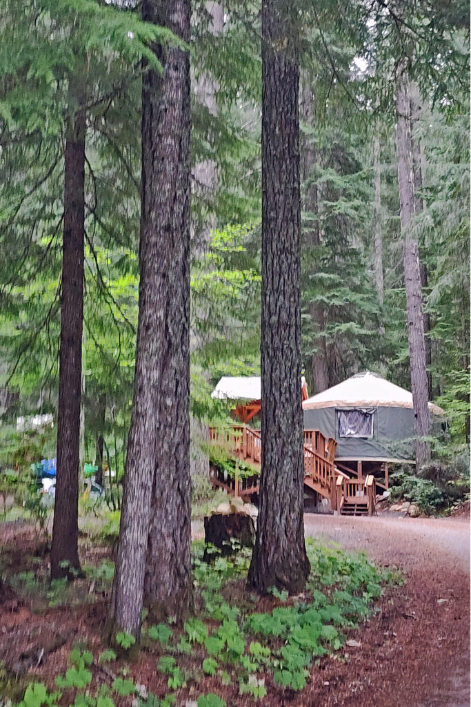
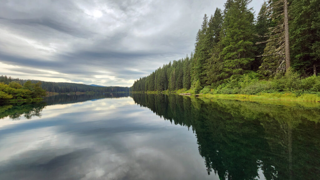
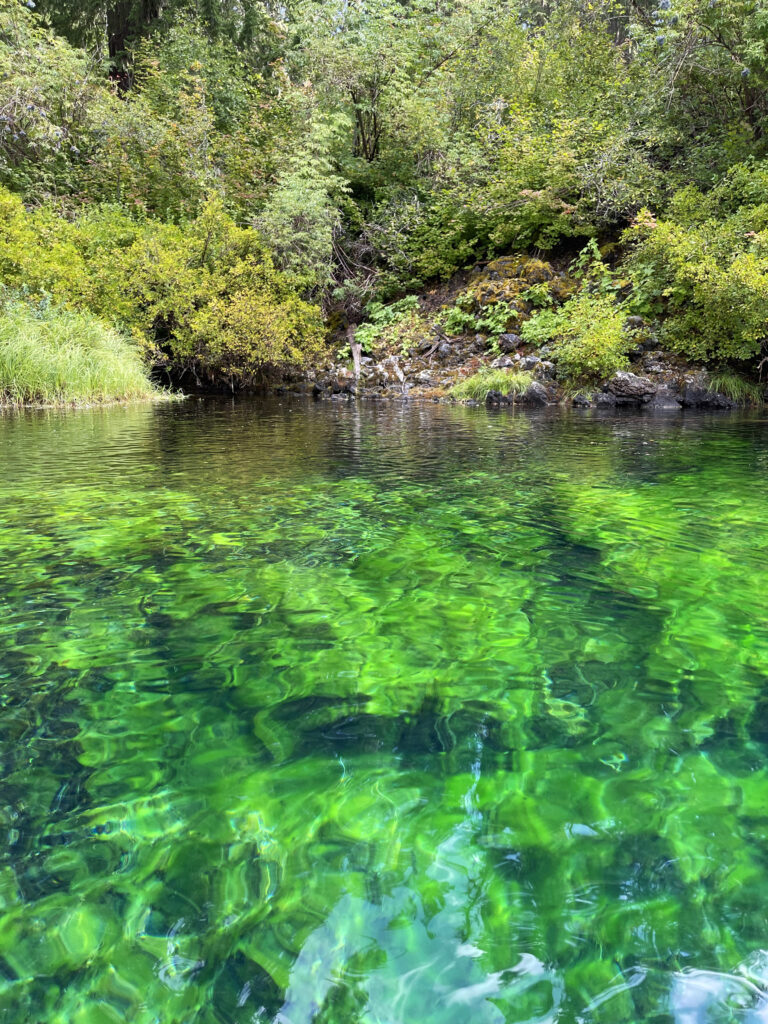
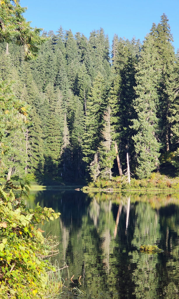 Clear Lake offers the outdoor enthusiast a number recreational options, including hiking, fishing, paddling, or just taking in the views and soaking up the beauty and peacefulness of nature.
 My wife and I have taken short vacations at Clear Lake a couple of times in the past couple of years, most recently in August 2024. Both times, we stayed in one of the cabins at
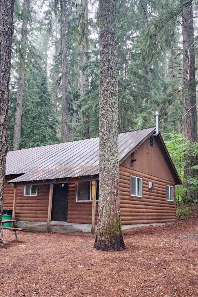
 The Clear Lake and upper McKenzie area is one of the most scenic and most interesting parts of the Cascades, and offers a number of other hiking options besides the Clear Lake Loop. The 2.6-mile
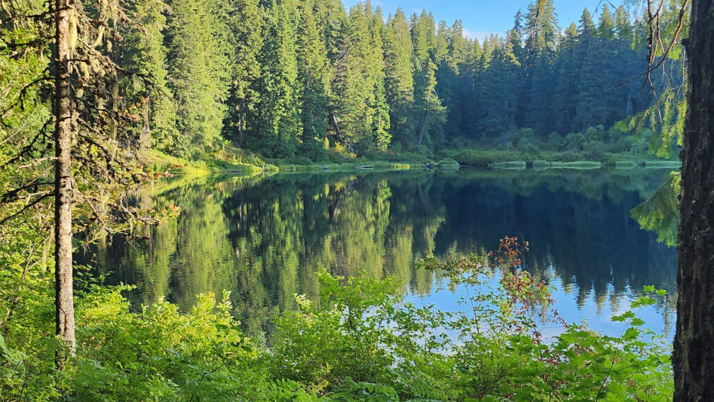

 You can take in Clear Lake and do the Waterfall Loop in a weekend. Make it a long weekend and add the Blue Pool hike or spend a day out on the lake. Better yet, make a week of it and check out Fish Lake, the Santiam Pass and McKenzie Pass areas, and the lower McKenzie River. You won’t run out of things to do.
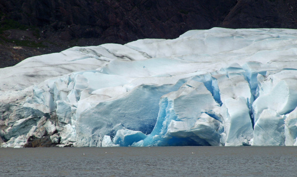
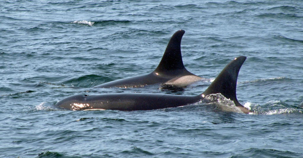
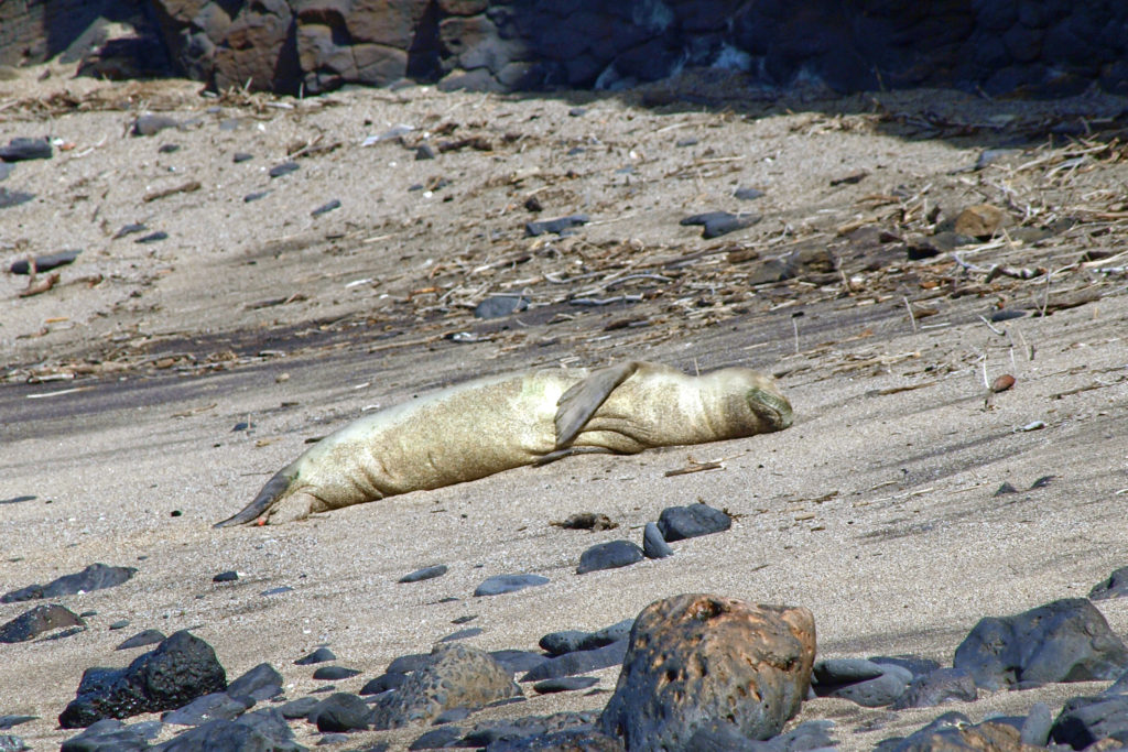
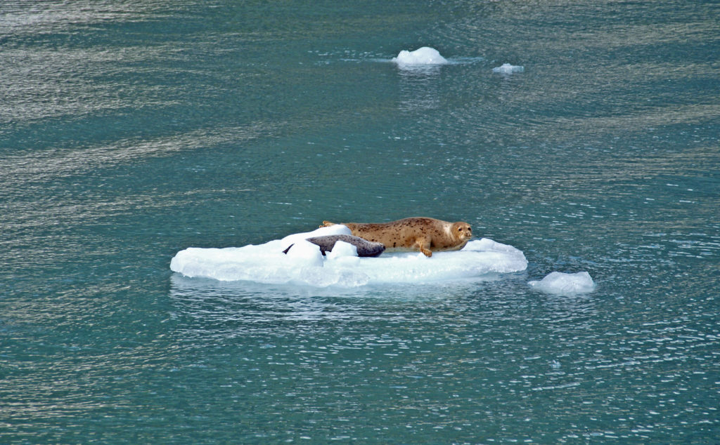 Seals often haul out on the bergs to rest and sleep. At the head of the inlet you’ll get a close up view of South Sawyer Glacier. How close you get will depend on the boat that you’re on and the amount of ice in the water, but you will get a spectacular look at the face of the glacier and there’s a chance that you’ll witness large blocks of ice calving off the face and crashing into the water below. The cruise was one of the highlights of our trip. We didn’t have time to repeat the cruise on latest visit, but if you can fit it into your itinerary, I highly recommend that you do so. Day trips start at about $275 per person.

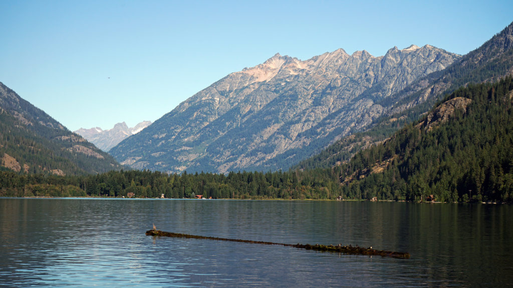
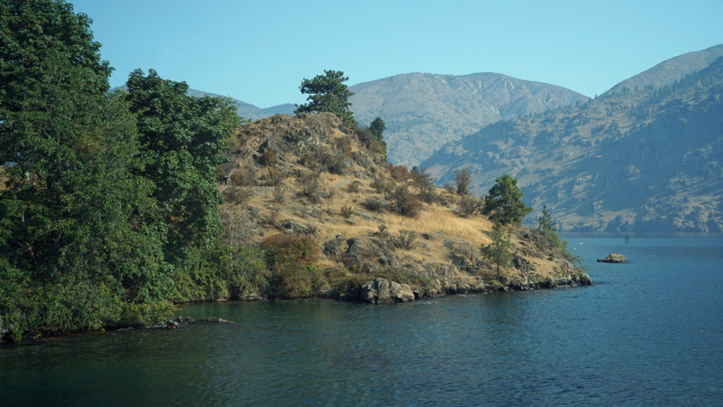
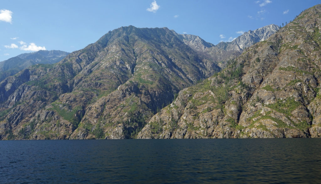
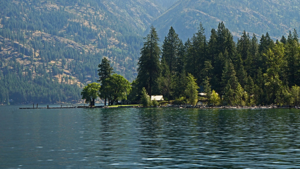
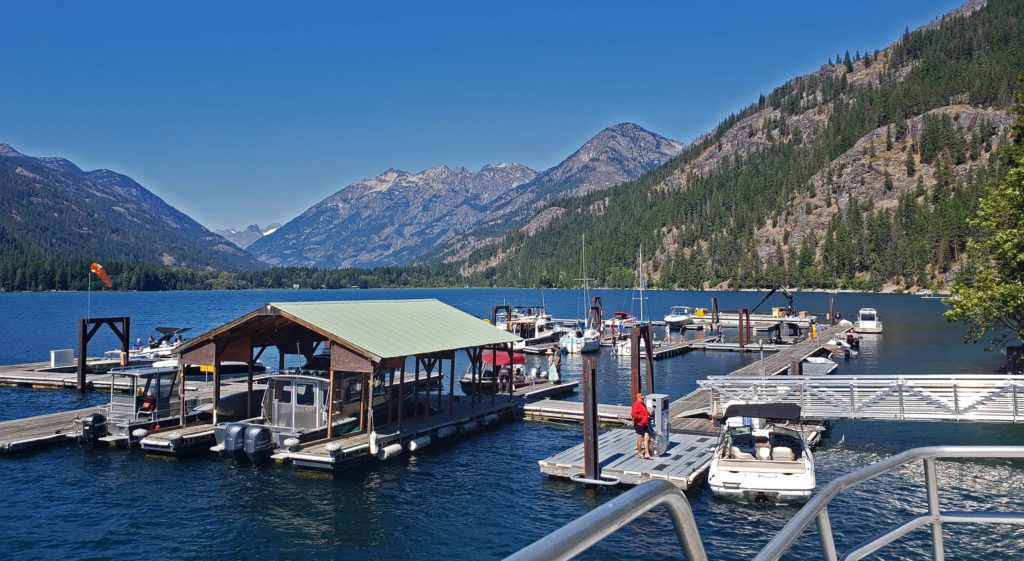
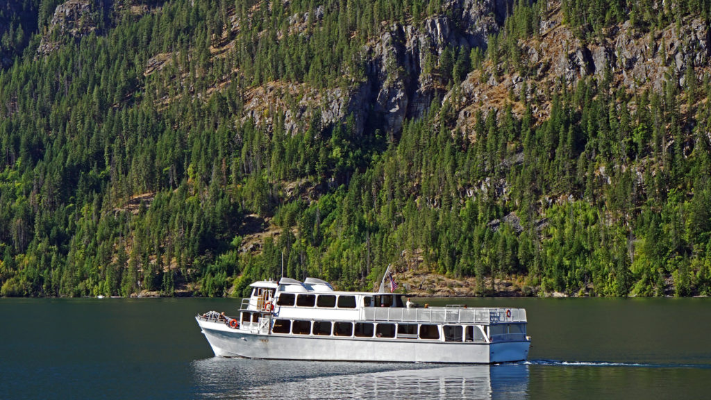
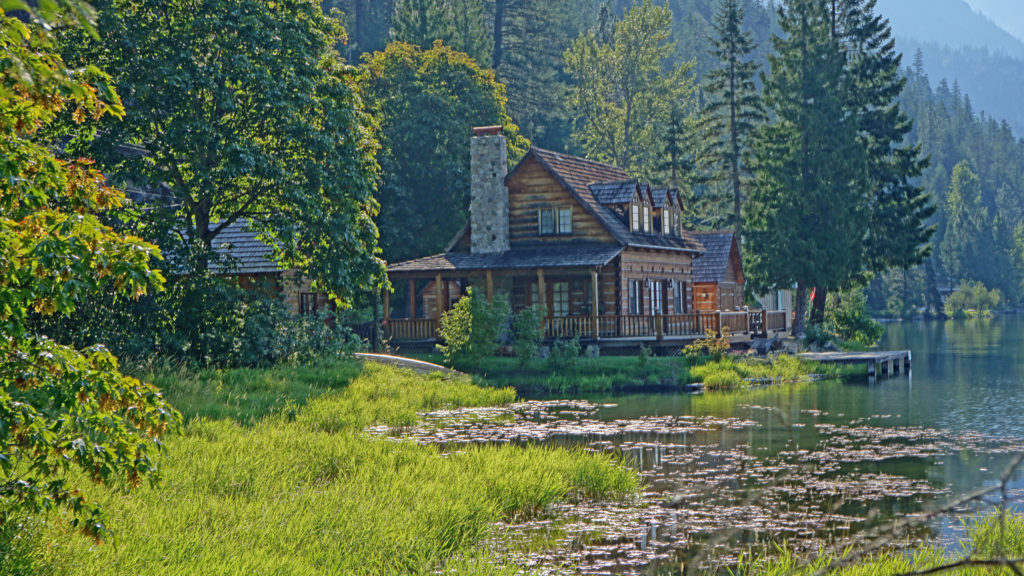
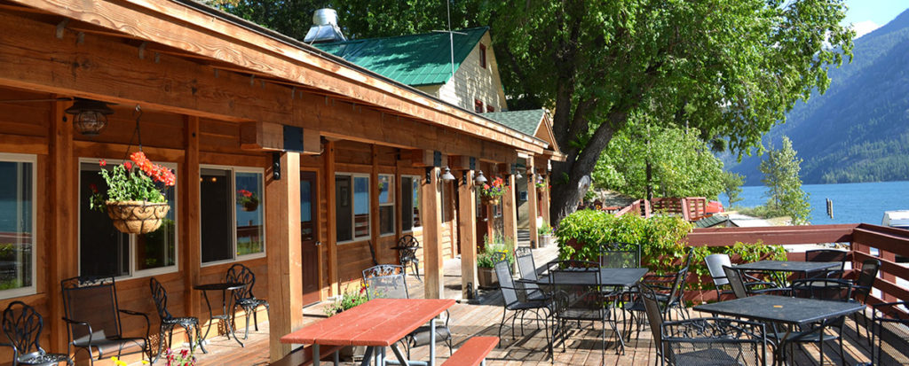
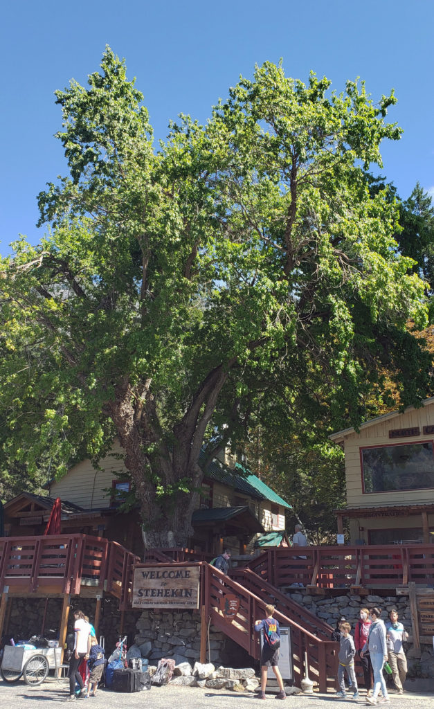
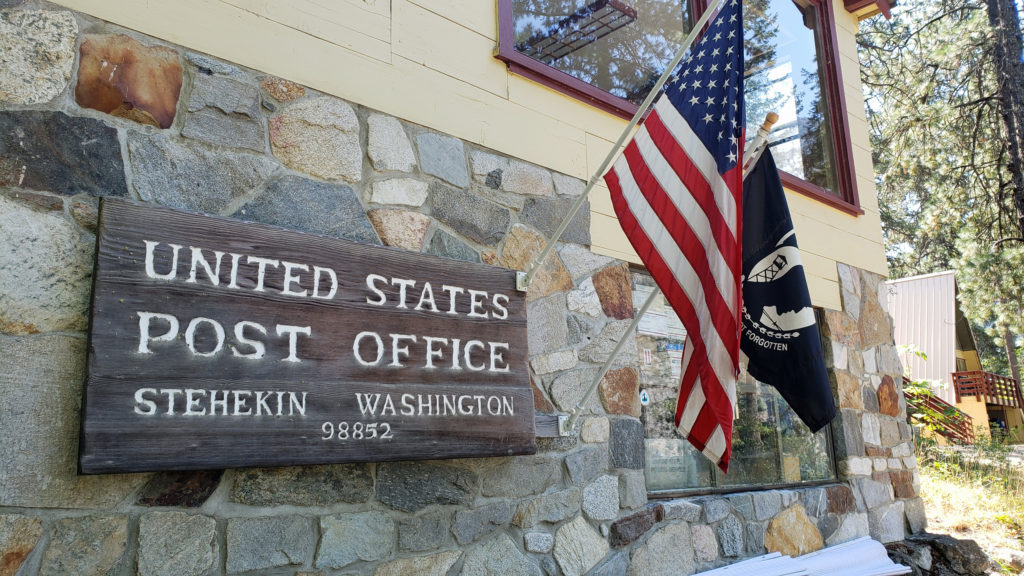
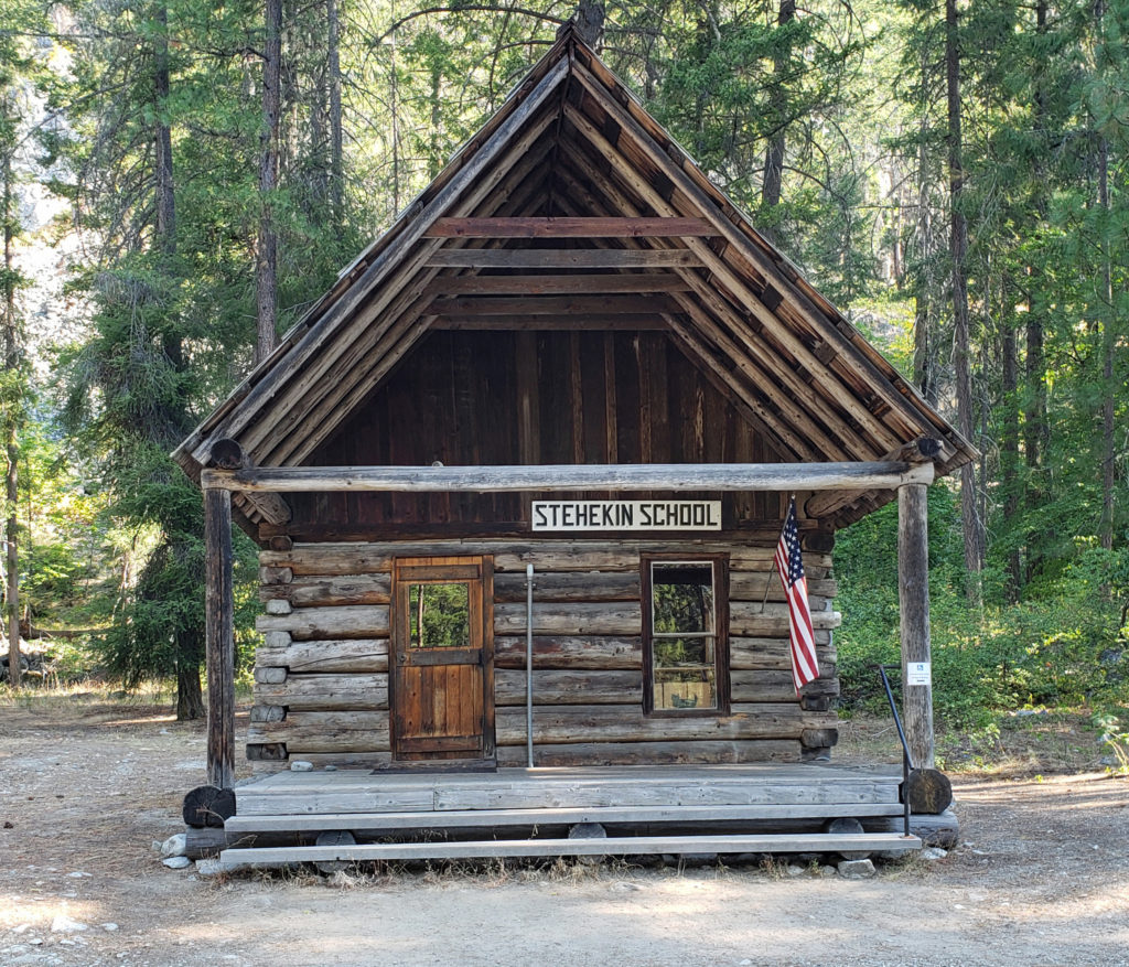
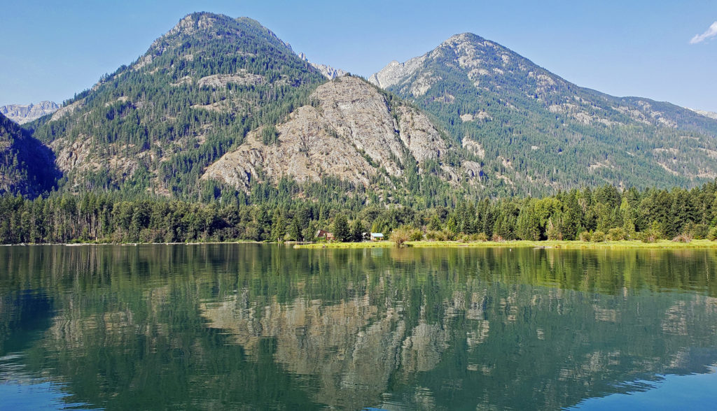
 My wife and I have visited the small community of Stehekin at the head of Lake Chelan in central Washington several times. Our most recent visit came on a week-long escape during the pandemic in 2021.
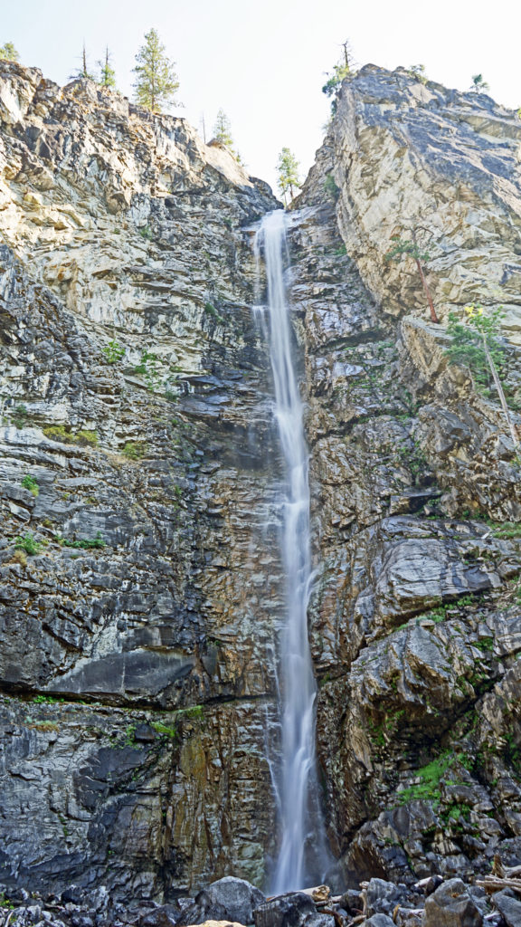
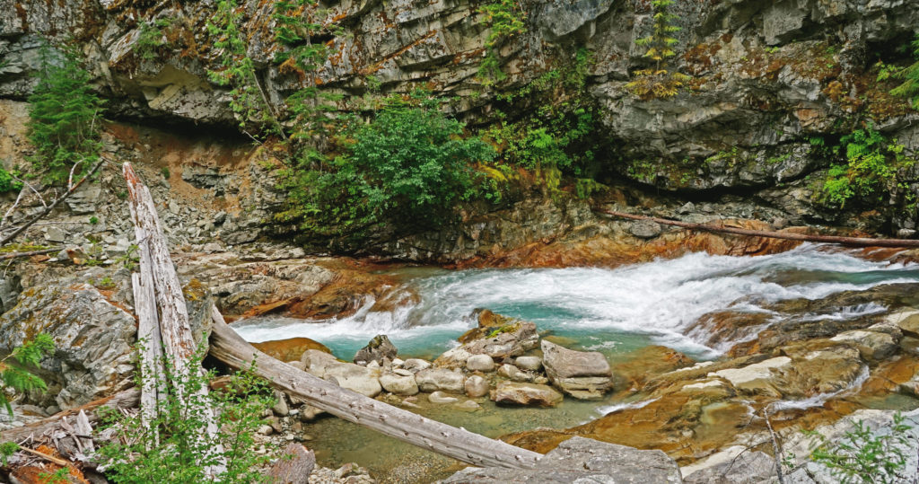
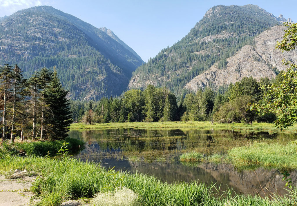

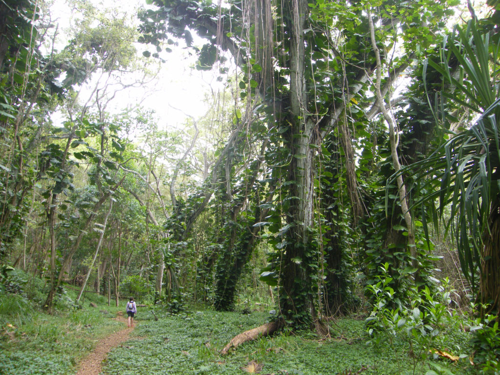
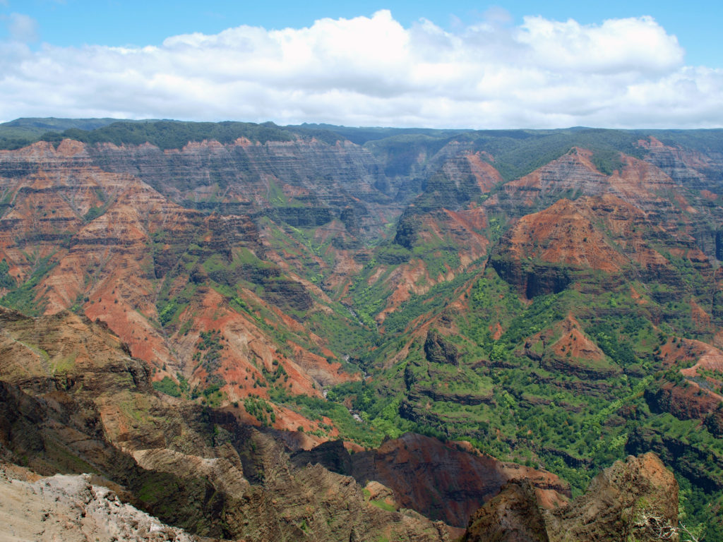
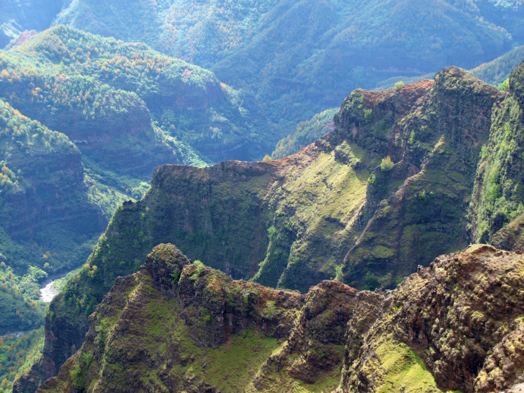
 For hikers, there are more than 45 miles of trails in the canyon. You could easily spend days in the canyon and not hike all of the trails. For those that do want to spend multiple days hiking or sightseeing,
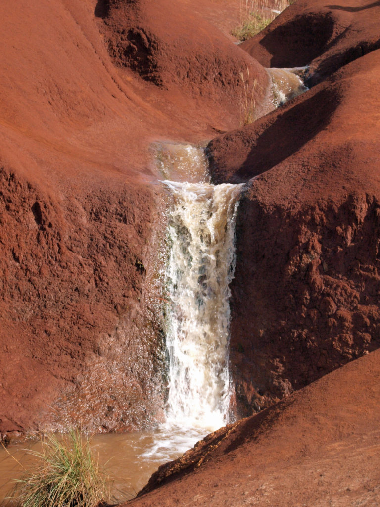