
by Alan K. Lee
Overview
The Tualatin Hills Nature Park, located on the west side of Beaverton, Oregon, is one of many natural areas and nature parks in the Portland metro area that provide a natural environment that is often a quiet, calming, and refreshing escape from the hustle and bustle of urban life. Beaverton is one of Portland’s largest suburbs, and Tualatin Hills Nature Park is highly valued by local residents. It gets a lot of use (200,000+ visitors a year), but it’s large enough (222 acres) that it has never really felt crowded on any of my visits.
The Park
Most of the land that now makes up the Tualatin Hills Nature Park was purchased by the Tualatin Hills Park and Recreation District in 1981, when the city of Beaverton was rapidly growing and open spaces were quickly being converted to residential and commercial developments, but the park was not officially opened to the public until 1998. Smaller additions to the park were made in the early 2000s.
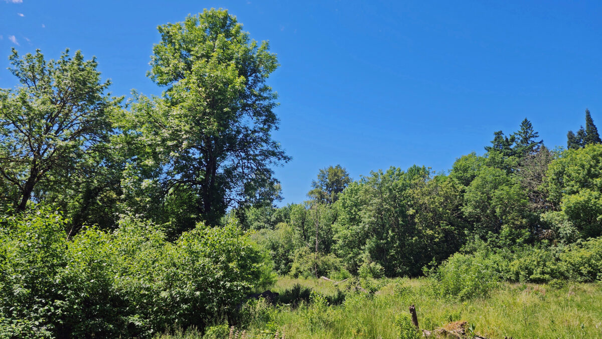
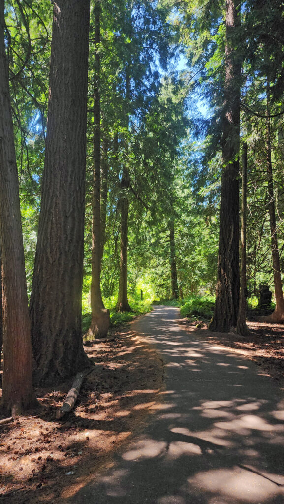
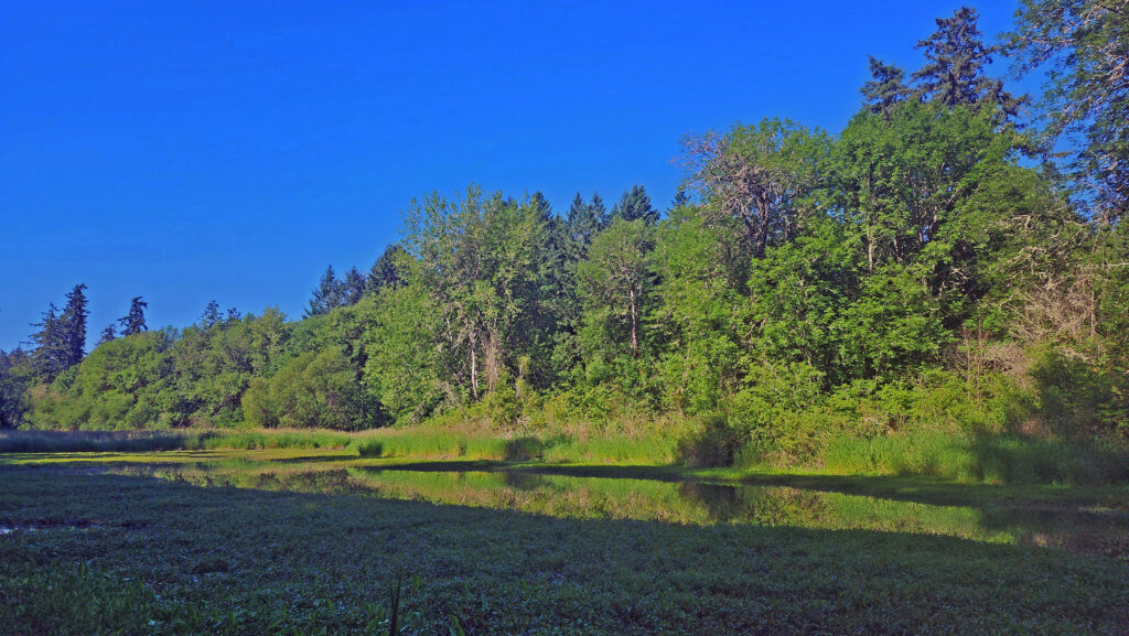
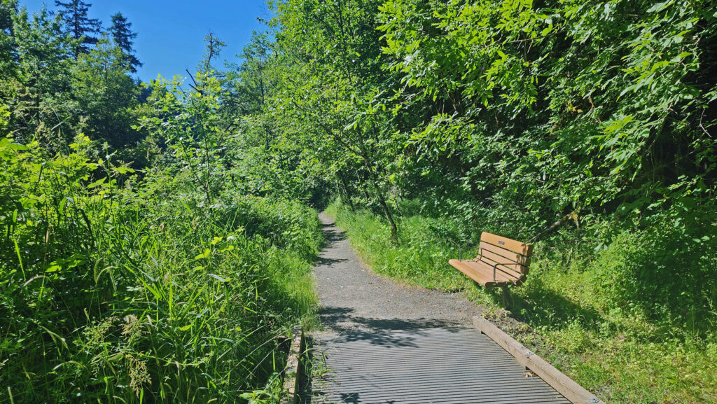
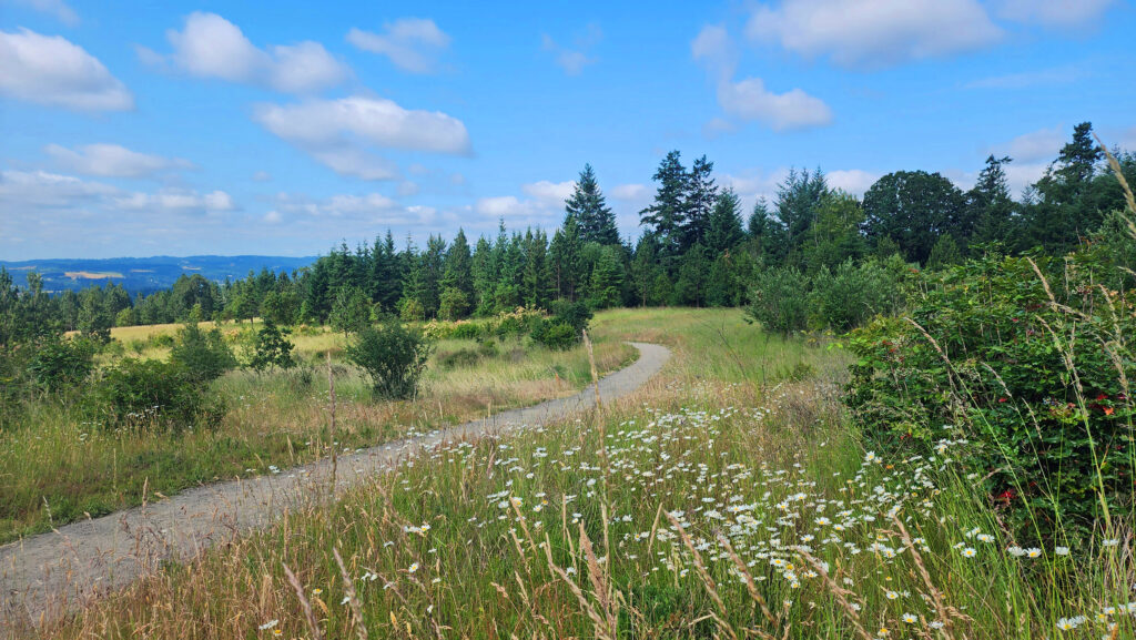
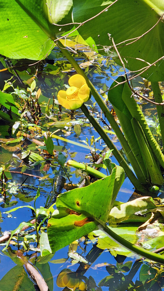
The park is mostly forested, but also has several ponds and marshes, and some open grassland along the creeks. There are five miles of hiking trails in the park (one and a half of which are paved and wheelchair accessible). Most trail junctions are signed, but a few are not, so carry a map. Maps are available in the Nature Center and at the Millican Way trailhead information board. A digital map is linked below.
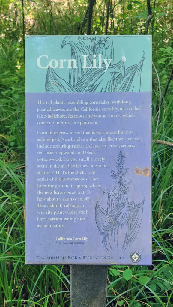
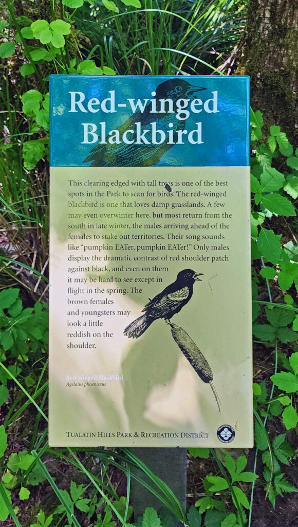
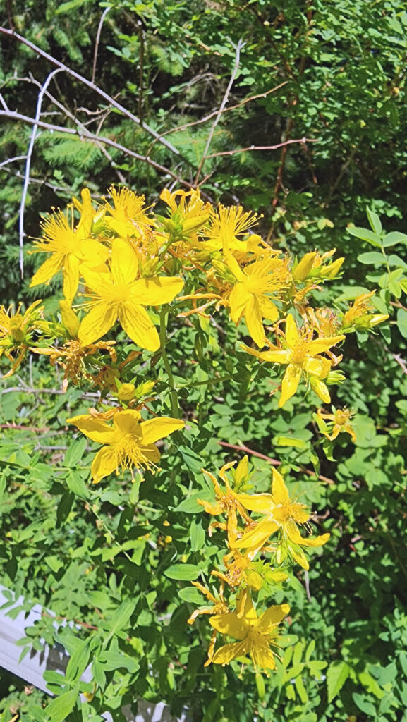
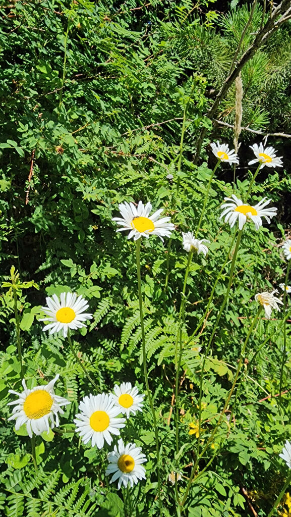
The hike described below covers four miles of those trails. There are also a number of connector trails that make for a variety of shorter hikes or other routes of similar length to the one described here. Throughout the park, interpretive signs along the trails give the visitor information about the flora and fauna of the park.
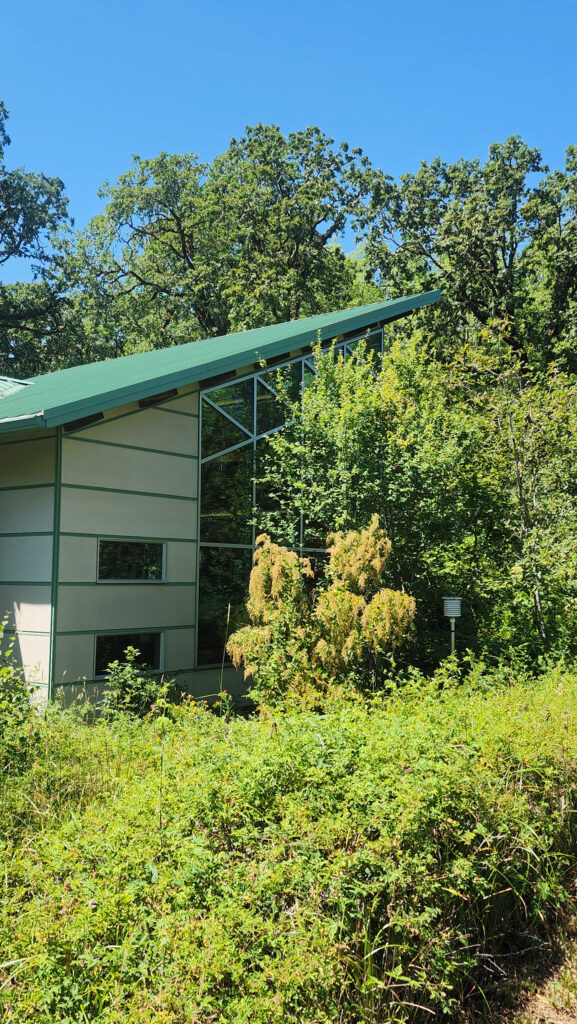
If you’re arriving by car, the Nature Center at the Millikan Way trailhead is a good place to start. Staff there can answer any questions that you may have, you can pick up a map, and there are some interesting exhibits. If you’re accessing the trails from the light rail station or the 170th Avenue trailheads, the Nature Center is just a few hundred feet from the junction of the Oak and Vine Maple trails.
Getting There
By car, the main access is from Millikan Way (15655 SW Millikan Way). There are also two trailheads on 170th Avenue on the west side of the park (but no parking lots). And you may be able to park in a lot just east of the Max light rail station at Merlo Road and 158th Ave (not sure it’s public parking, though). The Oak Trail begins just south of the train tracks near the station. The Max station is also served by Tri-Met bus line #67, and line #57 runs along Tualatin Valley Highway, just south of the park.
The Hike
Trailheads:
The only trailhead with any amenities is the Millikan Way trailhead. The large parking area has space for about 100 vehicles. There are restrooms there and drinking water is available. The Nature Center is just a few feet from the trailhead.
Distance: 4.0 miles
Elevation gain: Minimal
Difficulty: Easy
Map:
![]()
Description:
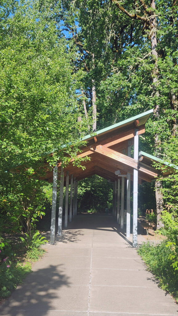
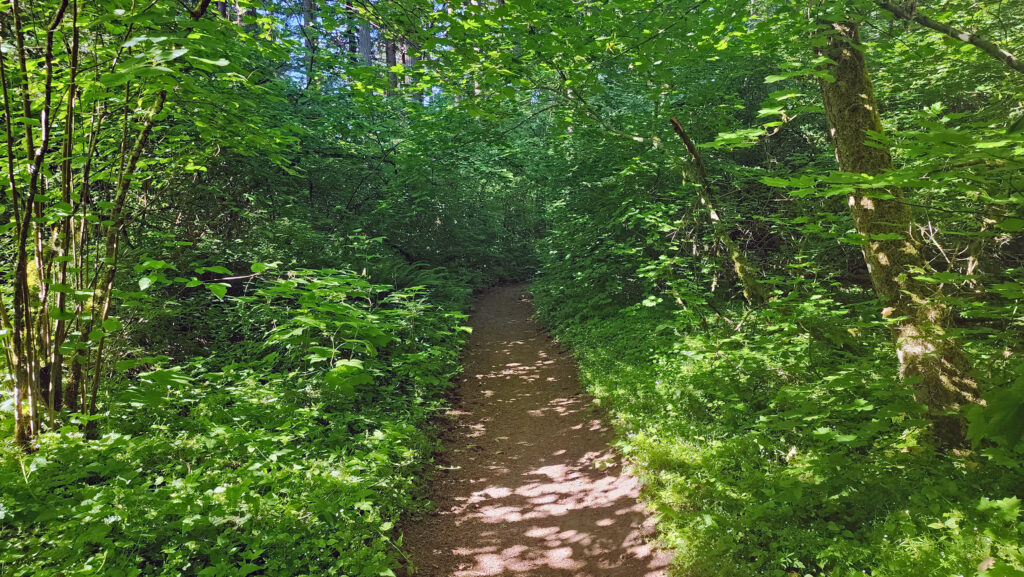
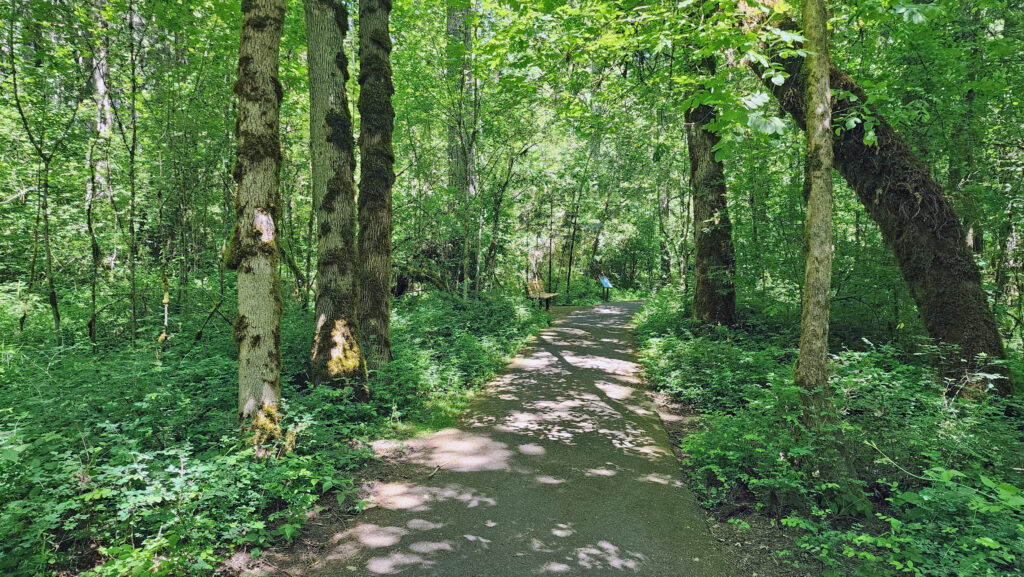
Starting at the Millikan Way trailhead, follow the paved Vine Maple Trail past the Nature Center on your left and the restroom building on your right for a few hundred feet to the junction with the Oak Trail. Turn right and follow the Oak Trail for about a third of a mile through the forest, then take a short side trip to the Tadpole Pools. Continue on the gravel trail until it rejoins the Oak Trail.
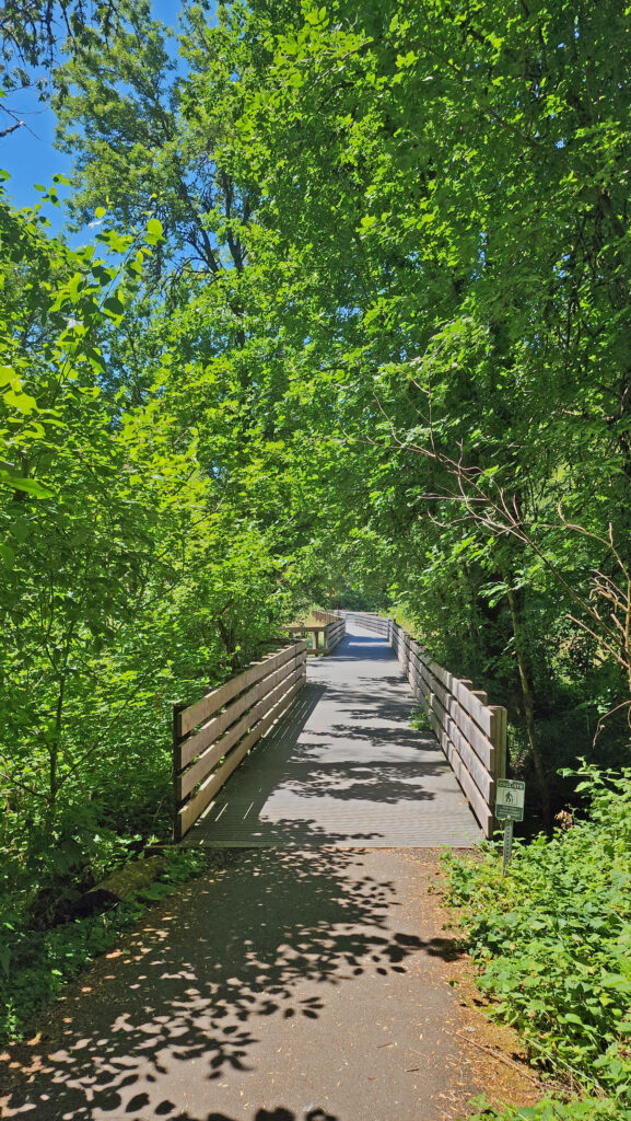
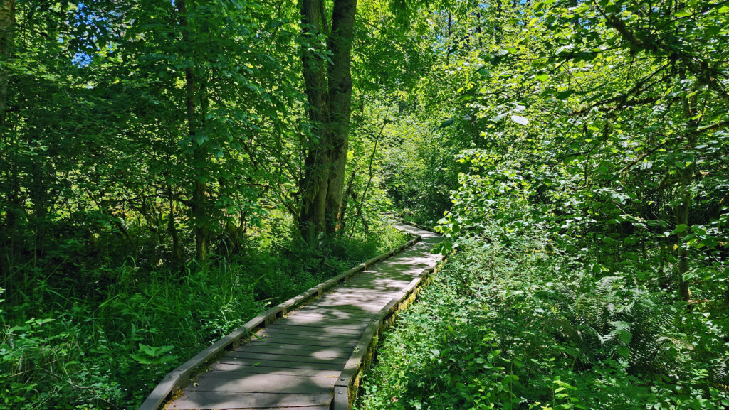
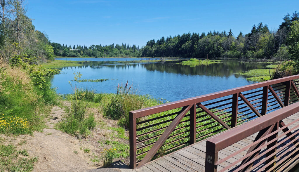
The Oak Trail crosses the edge of Cattail Marsh on a boardwalk, then crosses over Cedar Mill Creek on a wooden bridge where you’ll get a good view of the open marshland along the creek. Just beyond the bridge, you’ll come to the junction with the Old Wagon Trail at the 0.65-mile mark of the hike. Turn left onto the gravel Old Wagon Trail, which leads you through the forest with occasional views of Cedar Mill Creek.
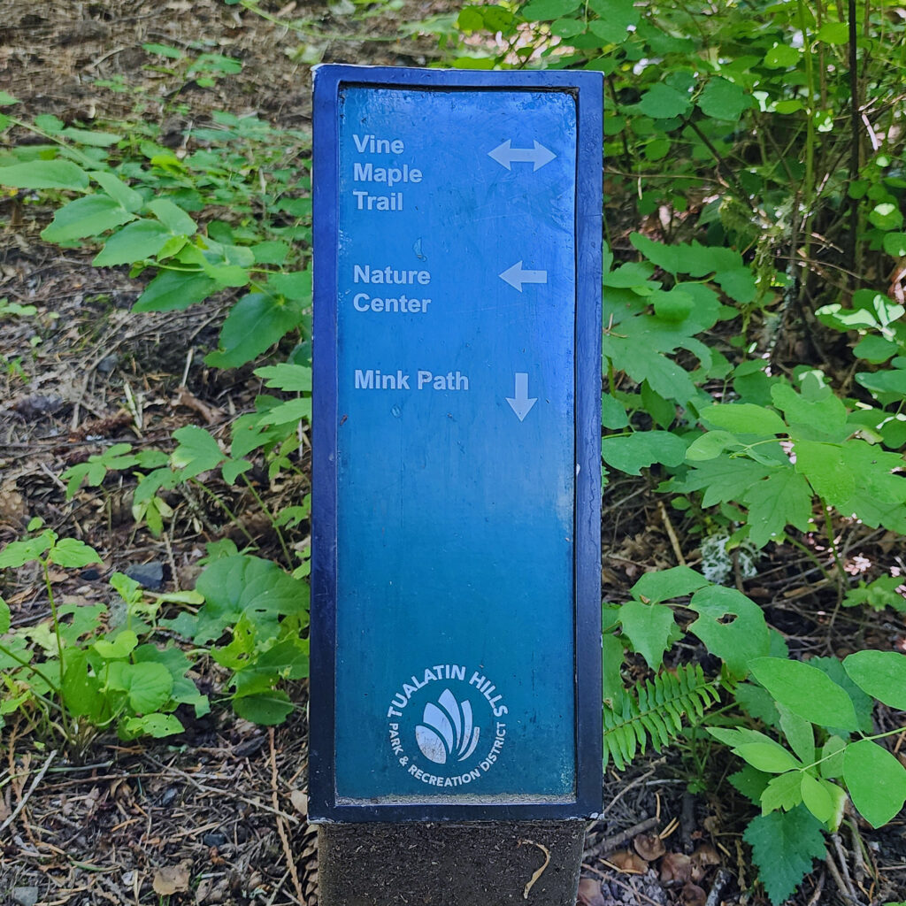
At the 1.0-mile mark of the hike, you’ll come to the junction with the Mink Path. Stay on the Old Wagon Trail. (The Mink Path will take you back to the Vine Maple Trail if you want to shorten your hike). About 500 feet from the Mink Path junction, you’ll come to a long section of the Old Wagon Trail that is a slightly elevated boardwalk. Stay left at the next junction and continue on the boardwalk. Just past the end of the boardwalk, at the 1.4-mile mark, the Old Wagon Trail rejoins the Vine Maple Trail. Turn left and follow the Vine Maple Trail to a side trail to Lily Pond.
Back on the Vine Maple Trail, the now paved trail takes you through the forest, passing the junction with the Mink Path and across another bridge over Cedar Mill Creek with open views, to a junction with the Elliot Path at the 1.85-mile mark of the hike.
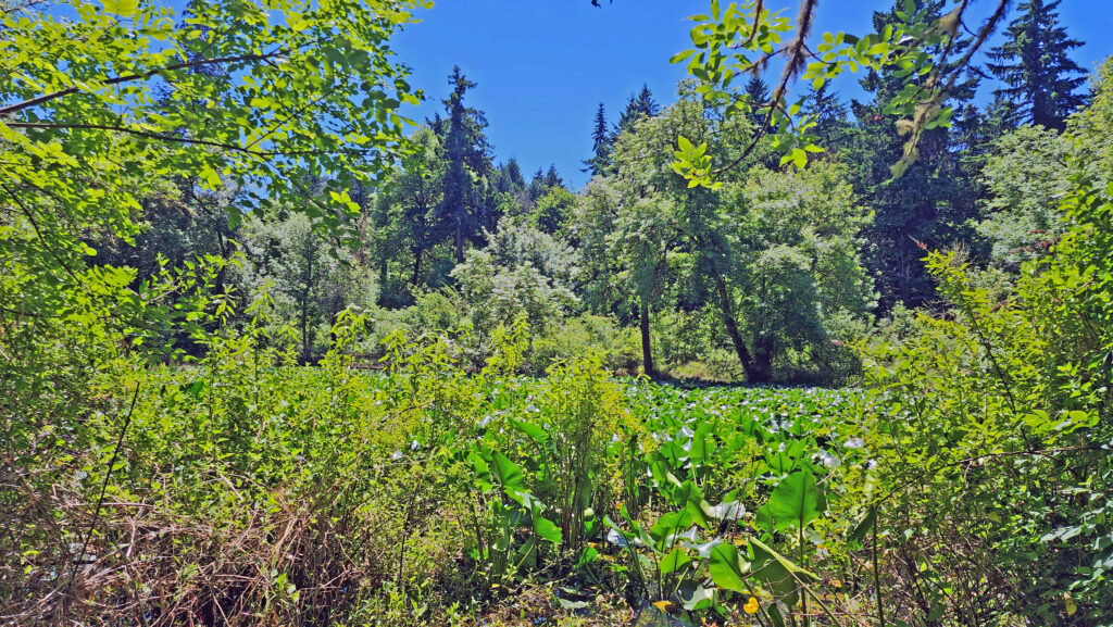
Take the Elliot Path for about 500 feet, then turn right onto the Big Fir Trail and follow it to Big Pond. There is a side trail to the pond, but the best views are from a bridge a little ways down the trail. Beyond Big Pond, the trail turns to the southwest and crosses Beaverton Creek on another wooden bridge. On the other side of the bridge is a four way junction. Turn left onto Ash Loop.
Follow Ash Loop for a third of a mile through the forest, where it returns to the Big Fir Trail. Go right on the Big Fir Trail, then left on Chickadee Loop, which will take you back to Cedar Mill Creek, then back to the Big Fir Trail on a boardwalk.
Cross back over Beaverton Creek and retrace your route on Big Fir Trail for a quarter mile, passing Big Pond and the Elliot Path junction, to the junction with the Trillium Loop at the three-mile mark of the hike. Take the short Trillium Loop, then rejoin the Big Fir Trail for a tenth of a mile to the Ponderosa Loop junction. Turn right and follow the Ponderosa Loop through the forest for half a mile before rejoining Big Fir Trail, which then rejoins the Vine Maple Trail, which takes you back to the trailhead.
Conclusion
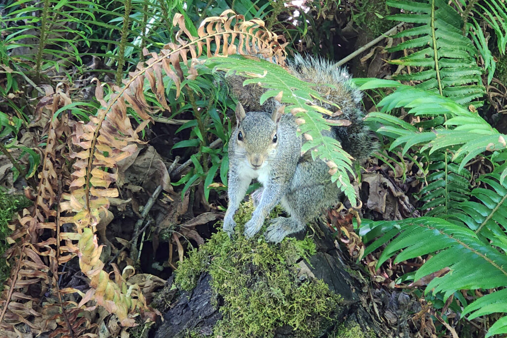
The Tualatin Hills Nature Park has become one of my favorite hiking spots in the west metro area. It’s well used, but if you go early in the day on a weekday you might find the park relatively empty. You’re almost guaranteed to see birds (Dark-eyed Juncos, Song Sparrows, and American Robins are common) and wildlife (squirrels, if nothing else) along the trails. Stop and sit for a while on one of the many benches you’ll find along the trails. Look and listen and soak up the peace and quiet. It’s well worth your time.
Other area attractions and activities
Just southeast of Tualatin Hills Nature Park, the 15-acre Beaverton Creek Wetlands is located where Johnston Creek flows into Beaverton Creek. The wetlands are home to Great Blue Herons, Belted Kingfishers, a variety of other waterfowl, and beavers and other small mammals. A paved trail along the southern shore of the wetlands can be accessed from 153rd Avenue just north of TV Hwy, or by a short trail from the Millikan Way parking lot.
Cooper Mountain Nature Park, about four miles southwest of Tualatin Hills Nature Park, is another of the many natural areas and parks in the west metro area that offer miles of prime hiking trails.

And the Beaverton area is awash in places to get a bite to eat or a cold drink after your hike. Three Mugs Public House, just north of the park on Jenkins Avenue, has 14 beer taps, and also has kombucha, several ciders, and two wines on tap. They also have a full food menu. Prime Tap House, just southeast of the park, has typical pub food (heavy on wings) and a good selection of beers. And a couple of miles east of the park, in downtown Beaverton, you’ll find a number of good pubs, including Breakside Brewery, Lazy Days Brewing, Raindrop Taphouse, and Loyal Legion.
Posted July 7, 2025
All photos © Alan K. Lee except as noted