by Alan K. Lee
Overview
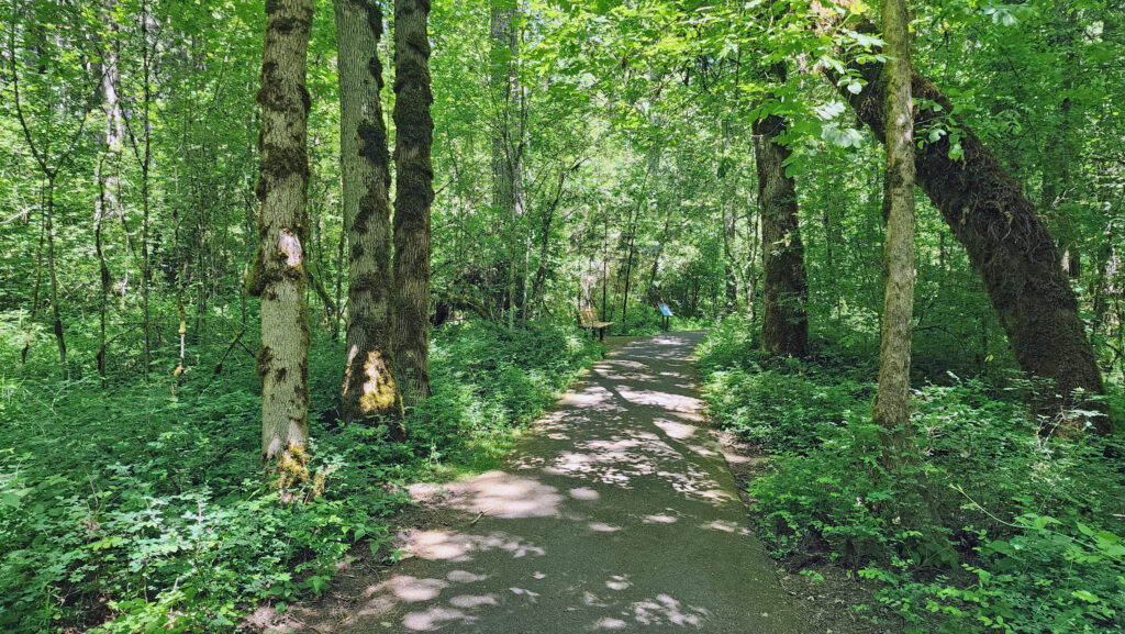
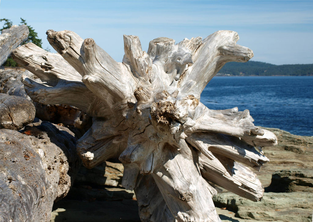
The Tualatin Hills Nature Park, located on the west side of Beaverton, Oregon, is one of many natural areas and nature parks in the Portland metro area that provide a natural environment that is often a quiet, calming, and refreshing escape from the hustle and bustle of urban life. Beaverton is one of Portland’s largest suburbs, and Tualatin Hills Nature Park is highly valued by local residents. It gets a lot of use (200,000+ visitors a year), but it’s large enough (222 acres) that it has never really felt crowded on any of my visits.
The Park
Most of the land that now makes up the Tualatin Hills Nature Park was purchased by the Tualatin Hills Park and Recreation District in 1981, when the city of Beaverton was rapidly growing and open spaces were quickly being converted to residential and commercial developments, but the park was not officially opened to the public until 1998. Smaller additions to the park were made in the early 2000s.
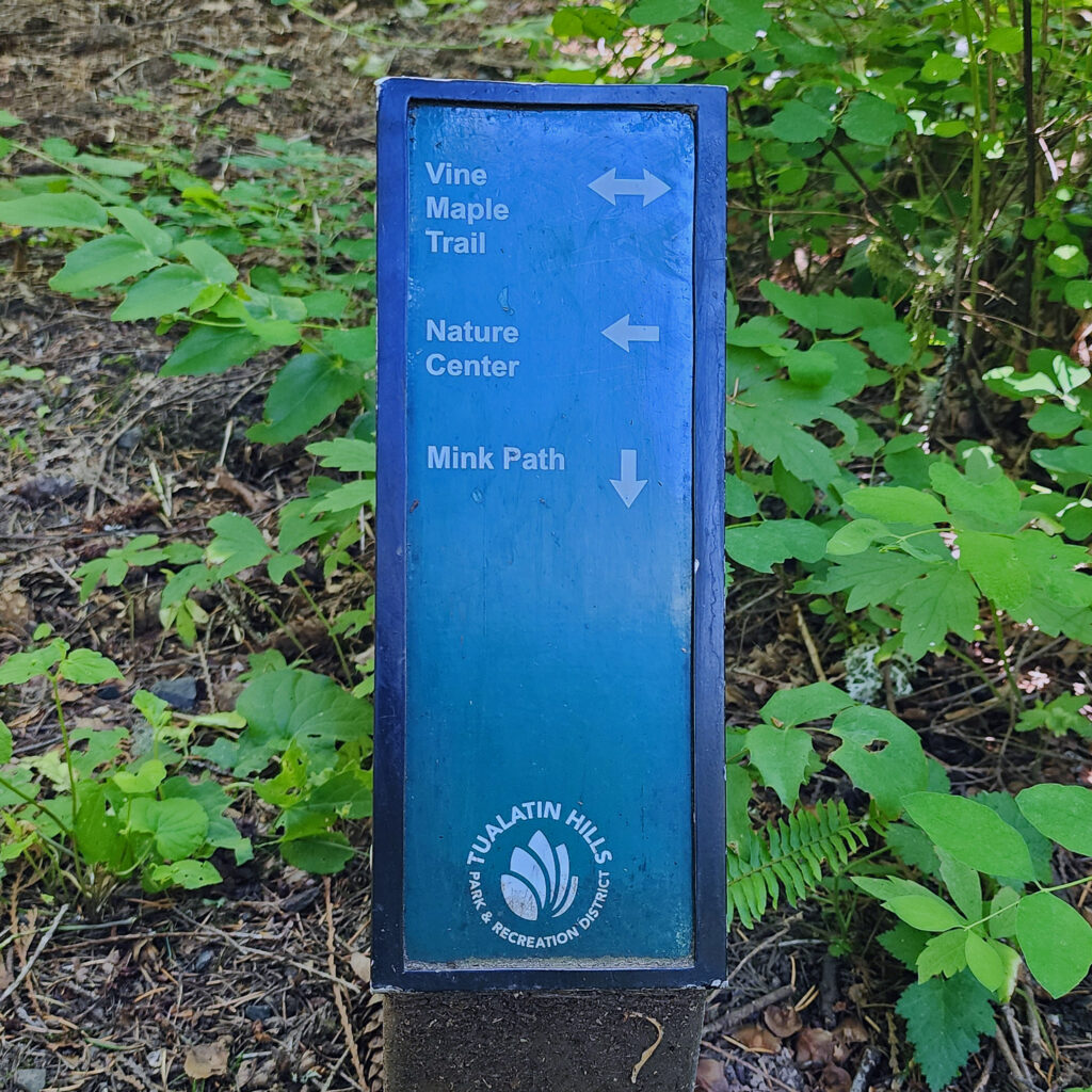
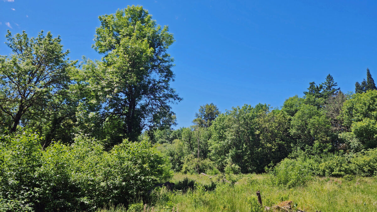
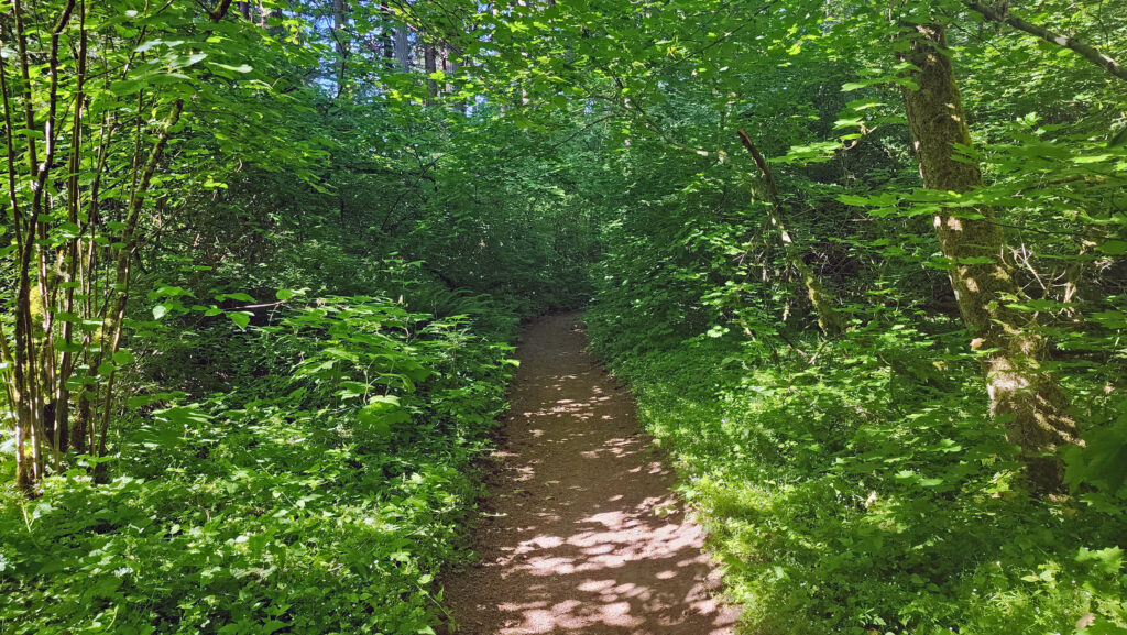
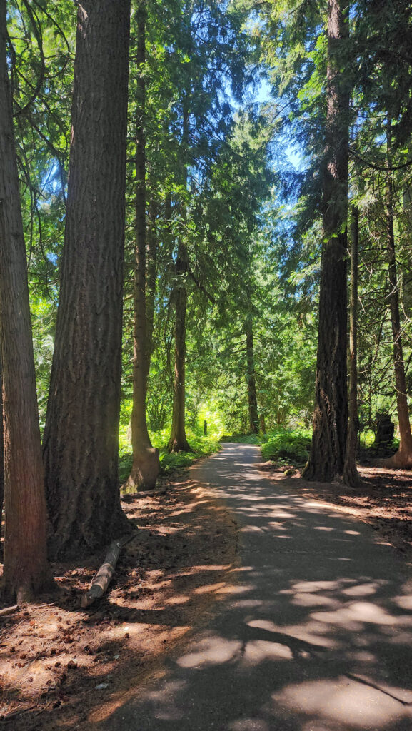
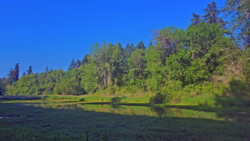
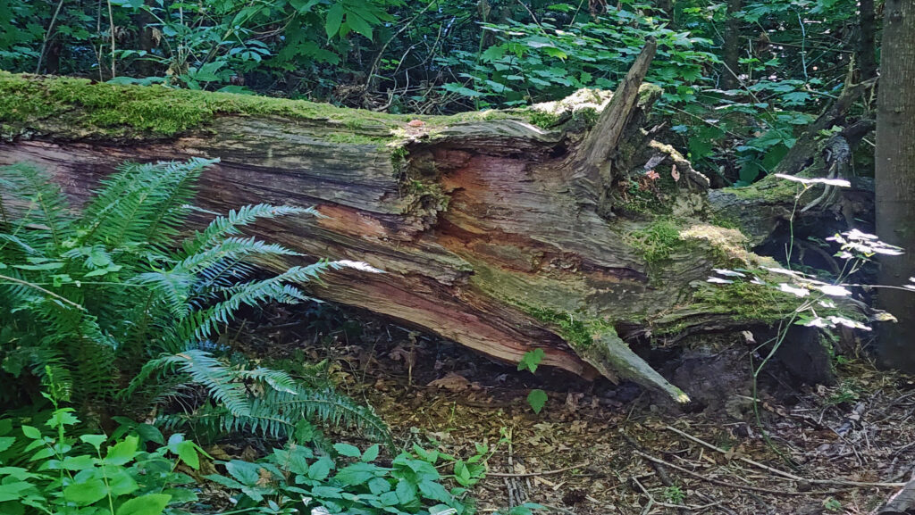
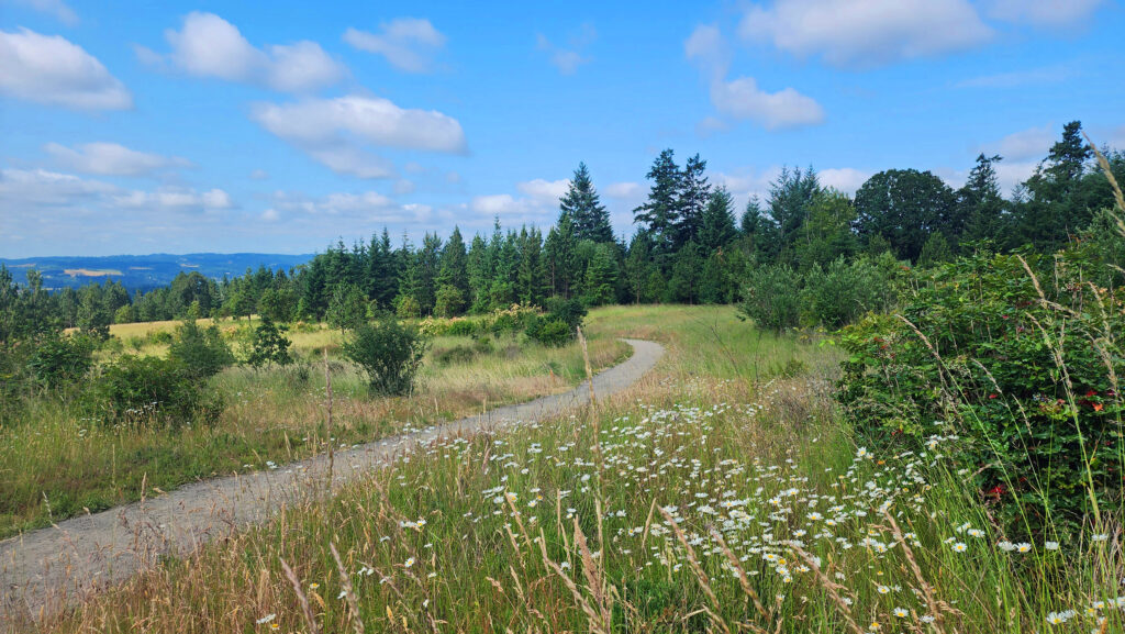
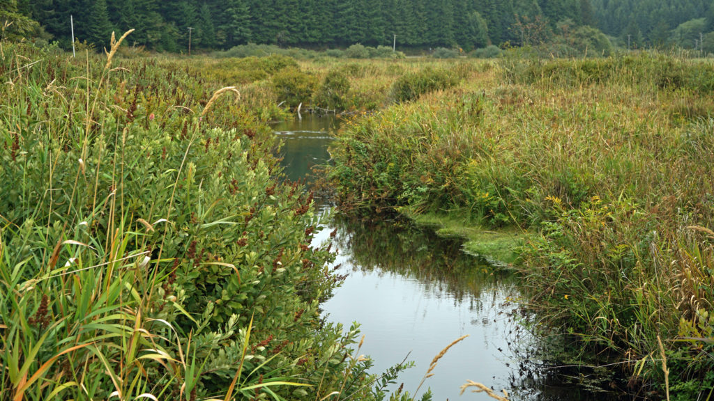
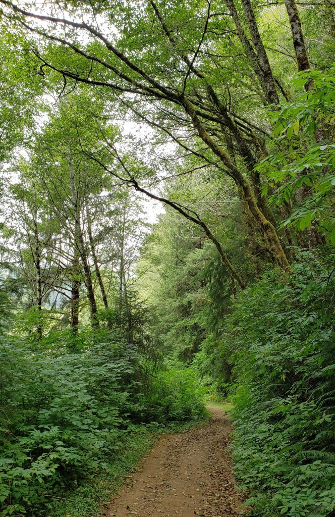
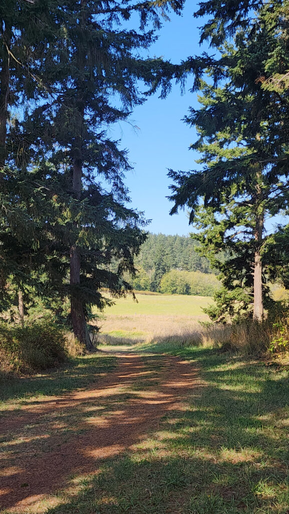
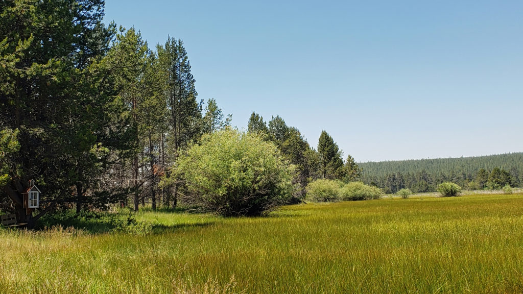
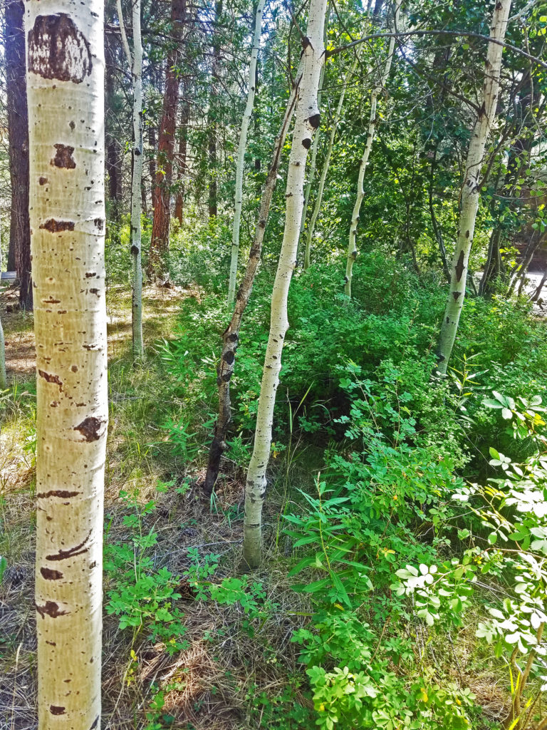
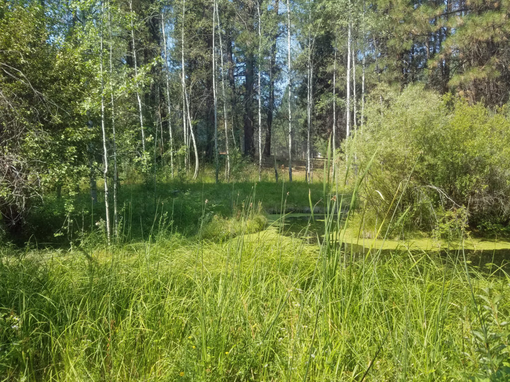
The park is mostly forested, but also has several ponds and marshes, and some open grassland along the creeks. There are five miles of hiking trails in the park (one and a half of which are paved and wheelchair accessible). Most trail junctions are signed, but a few are not, so carry a map. Maps are available in the Nature Center and at the Millican Way trailhead information board. A digital map is linked below.
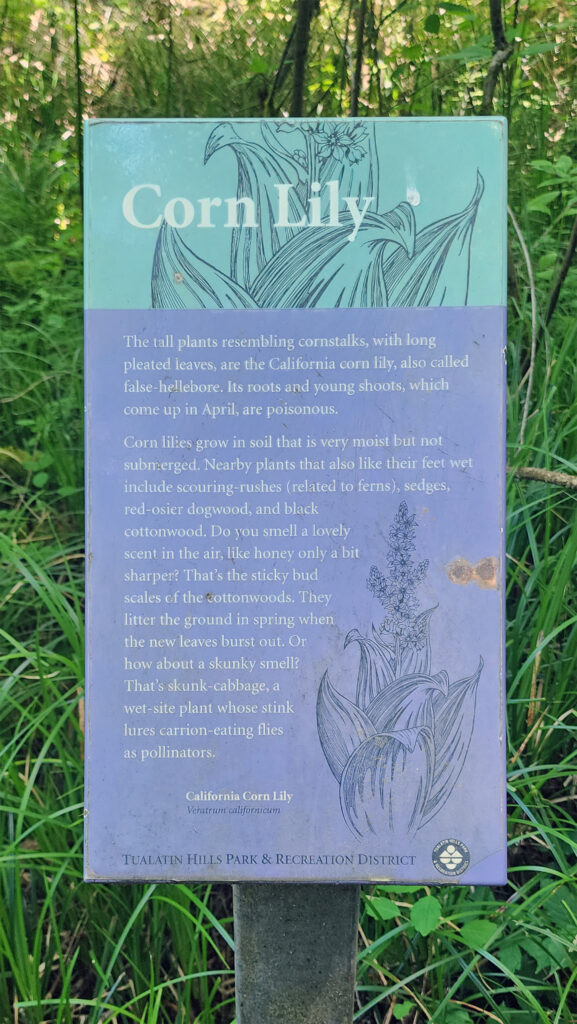
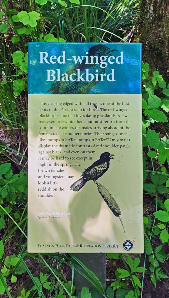
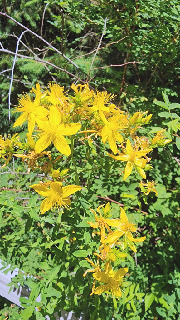
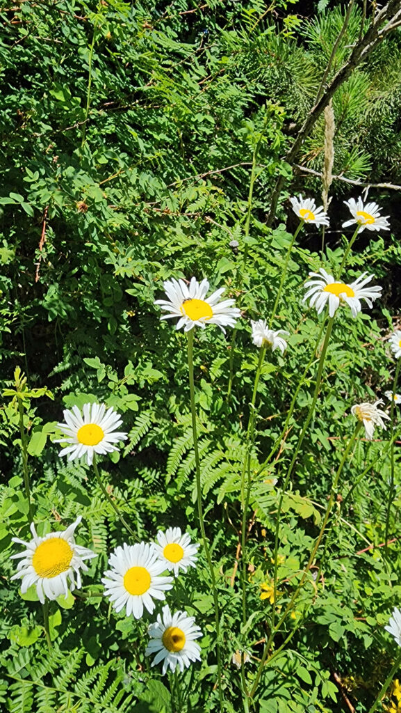
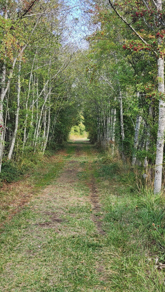
The hike described below covers four miles of those trails. There are also a number of connector trails that make for a variety of shorter hikes or other routes of similar length to the one described here. Throughout the park, interpretive signs along the trails give the visitor information about the flora and fauna of the park.
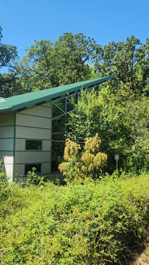
If you’re arriving by car, the Nature Center at the Millikan Way trailhead is a good place to start. Staff there can answer any questions that you may have, you can pick up a map, and there are some interesting exhibits. If you’re accessing the trails from the light rail station or the 170th Avenue trailheads, the Nature Center is just a few hundred feet from the junction of the Oak and Vine Maple trails.
Getting There
By car, the main access is from Millikan Way (15655 SW Millikan Way). There are also two trailheads on 170th Avenue on the west side of the park (but no parking lots). And you may be able to park in a lot just east of the Max light rail station at Merlo Road and 158th Ave (not sure it’s public parking, though). The Oak Trail begins just south of the train tracks near the station. The Max station is also served by Tri-Met bus line #67, and line #57 runs along Tualatin Valley Highway, just south of the park.
The Hike
Trailheads:
The only trailhead with any amenities is the Millikan Way trailhead. The large parking area has space for about 100 vehicles. There are restrooms there and drinking water is available. The Nature Center is just a few feet from the trailhead.
Distance: 4.0 miles
Elevation gain: Minimal
Difficulty: Easy
Map:
![]()
Description:
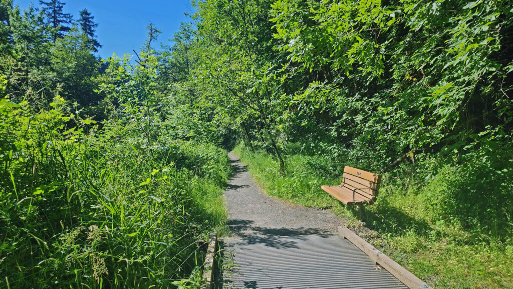
Starting at the Millikan Way trailhead, follow the paved Vine Maple Trail past the Nature Center on your left and the restroom building on your right for a few hundred feet to the junction with the Oak Trail. Turn right and follow the Oak Trail for about a third of a mile through the forest, then take a short side trip to the Tadpole Pools. Continue on the gravel trail until it rejoins the Oak Trail.
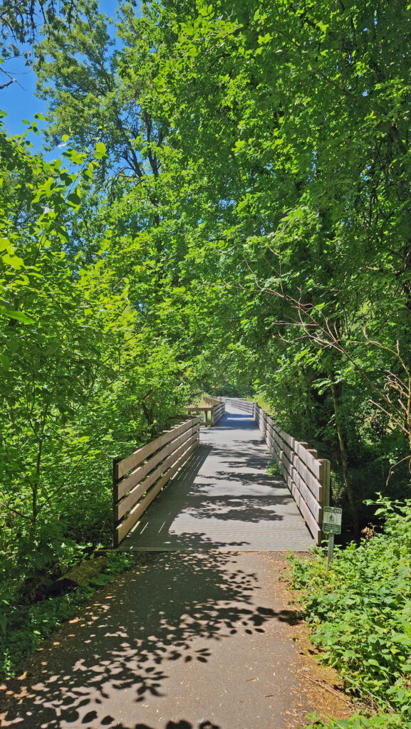
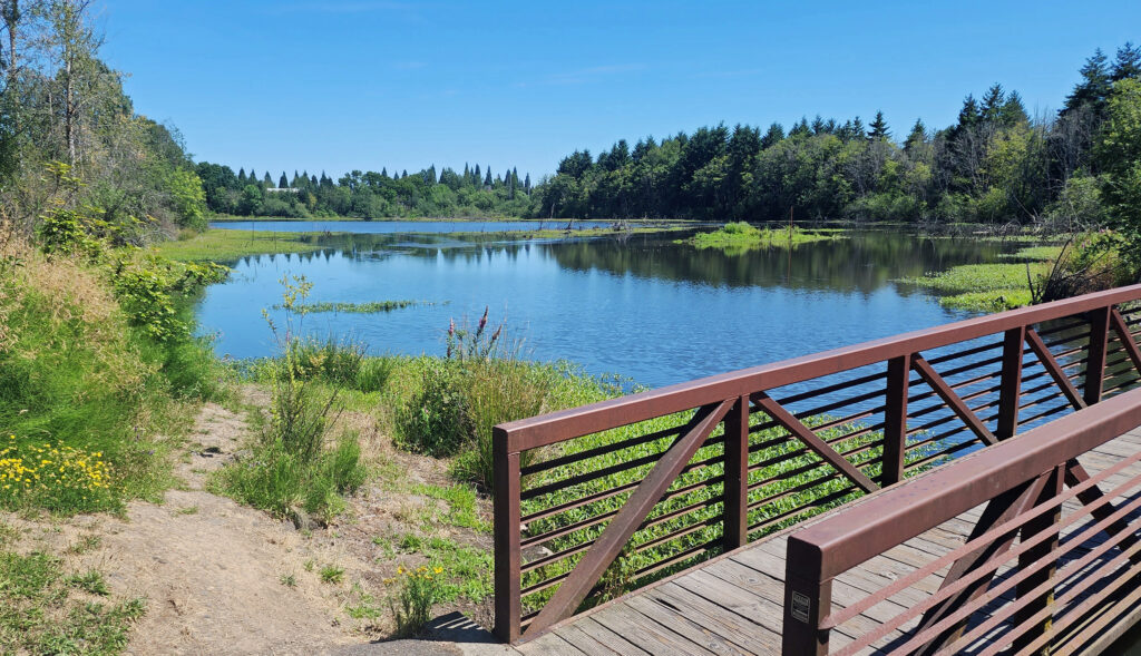
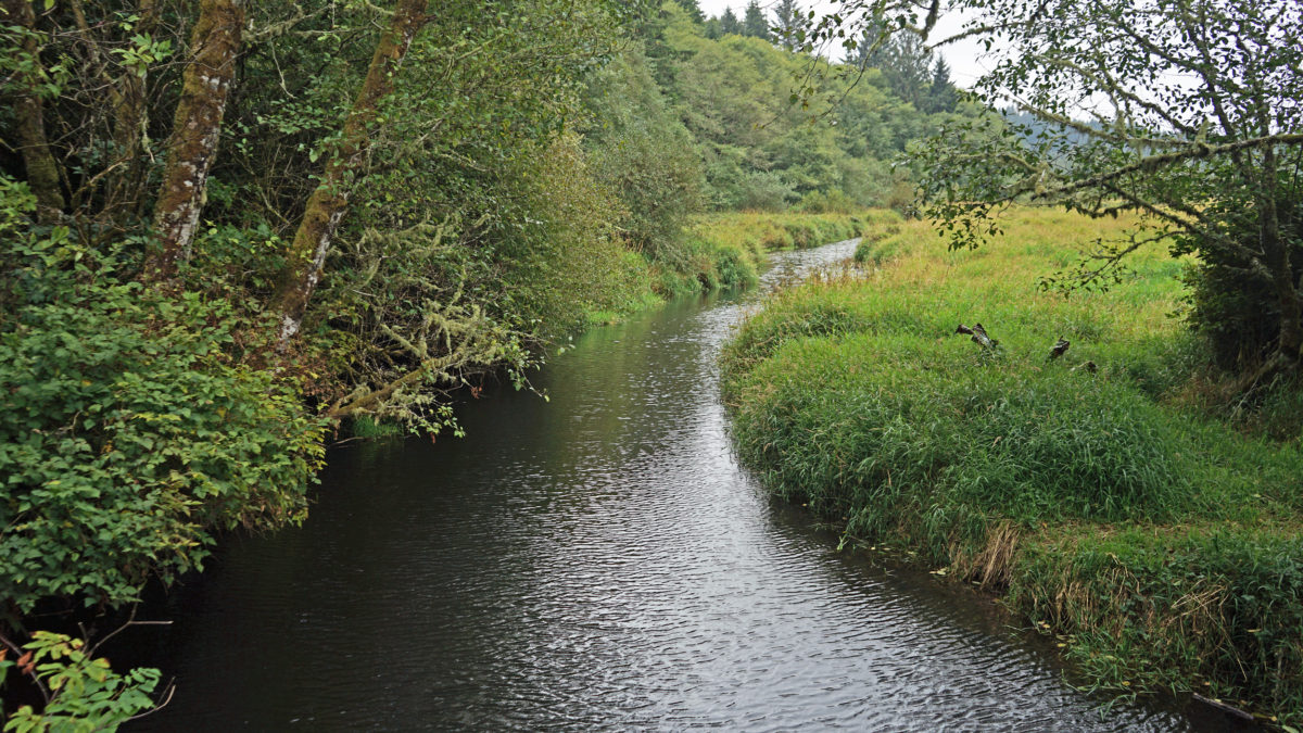
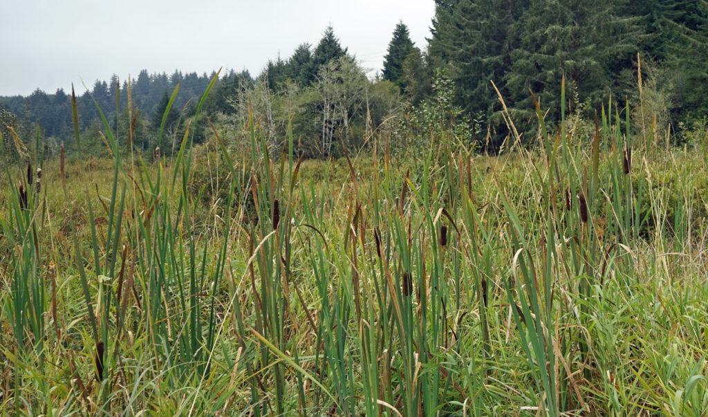
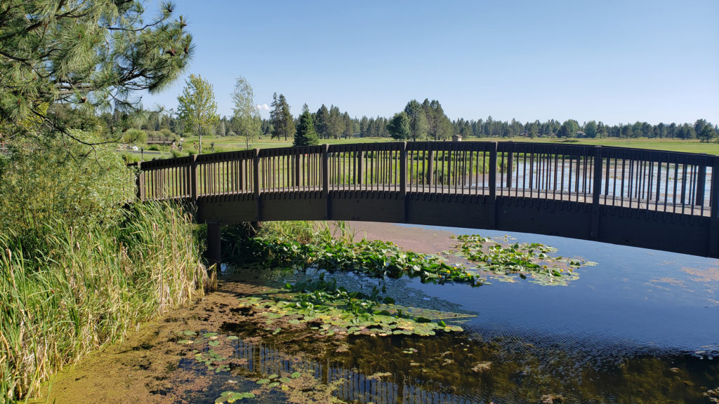
The Oak Trail crosses the edge of Cattail Marsh on a boardwalk, then crosses over Cedar Mill Creek on a wooden bridge where you’ll get a good view of the open marshland along the creek. Just beyond the bridge, you’ll come to the junction with the Old Wagon Trail at the 0.65-mile mark of the hike. Turn left onto the gravel Old Wagon Trail, which leads you through the forest with occasional views of Cedar Mill Creek.
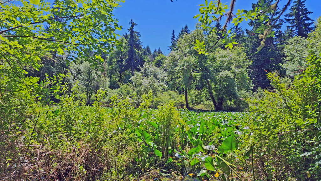
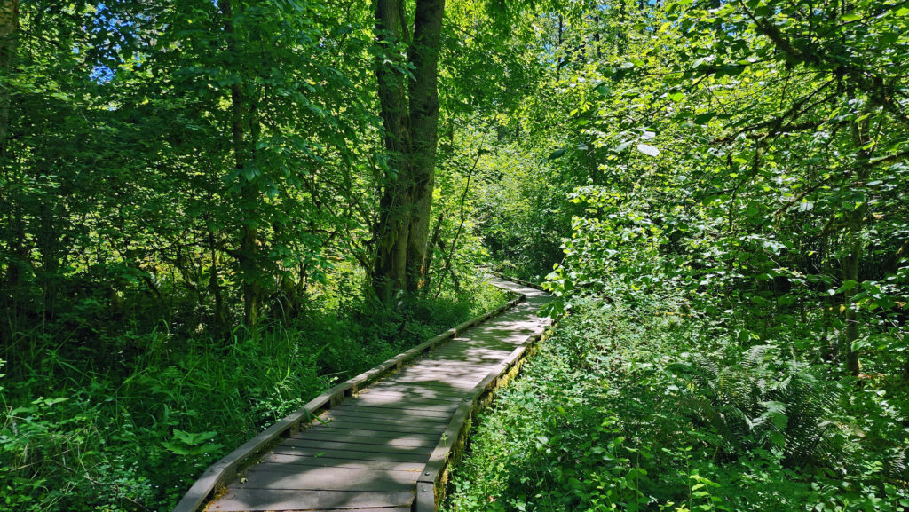
At the 1.0-mile mark of the hike, you’ll come to the junction with the Mink Path. Stay on the Old Wagon Trail. (The Mink Path will take you back to the Vine Maple Trail if you want to shorten your hike). About 500 feet from the Mink Path junction, you’ll come to a long section of the Old Wagon Trail that is a slightly elevated boardwalk. Stay left at the next junction and continue on the boardwalk. Just past the end of the boardwalk, at the 1.4-mile mark, the Old Wagon Trail rejoins the Vine Maple Trail. Turn left and follow the Vine Maple Trail to a side trail to Lily Pond.
Back on the Vine Maple Trail, the now paved trail takes you through the forest, passing the junction with the Mink Path and across another bridge over Cedar Mill Creek with open views, to a junction with the Elliot Path at the 1.85-mile mark of the hike.
Take the Elliot Path for about 500 feet, then turn right onto the Big Fir Trail and follow it to Big Pond. There is a side trail to the pond, but the best views are from a bridge a little ways down the trail. Beyond Big Pond, the trail turns to the southwest and crosses Beaverton Creek on another wooden bridge. On the other side of the bridge is a four way junction. Turn left onto Ash Loop.
Follow Ash Loop for a third of a mile through the forest, where it returns to the Big Fir Trail. Go right on the Big Fir Trail, then left on Chickadee Loop, which will take you back to Cedar Mill Creek, then back to the Big Fir Trail on a boardwalk.
Cross back over Beaverton Creek and retrace your route on Big Fir Trail for a quarter mile, passing Big Pond and the Elliot Path junction, to the junction with the Trillium Loop at the three-mile mark of the hike. Take the short Trillium Loop, then rejoin the Big Fir Trail for a tenth of a mile to the Ponderosa Loop junction. Turn right and follow the Ponderosa Loop through the forest for half a mile before rejoining Big Fir Trail, which then rejoins the Vine Maple Trail, which takes you back to the trailhead.
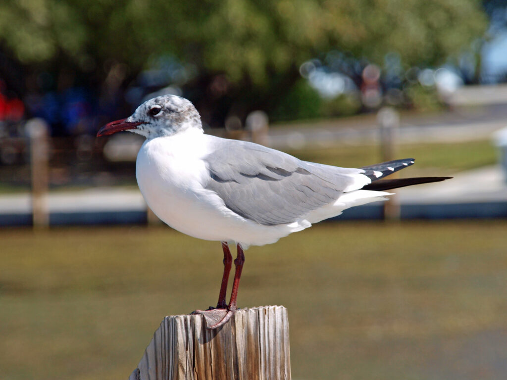
Conclusion
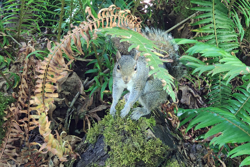
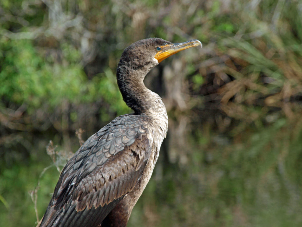
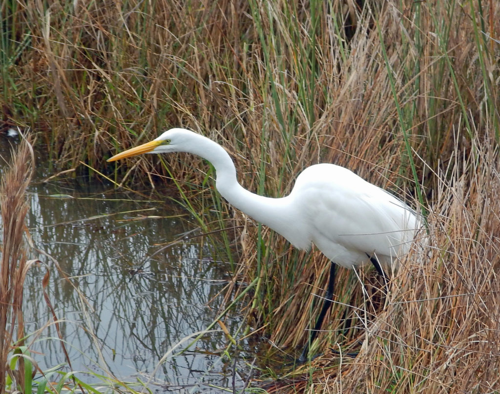
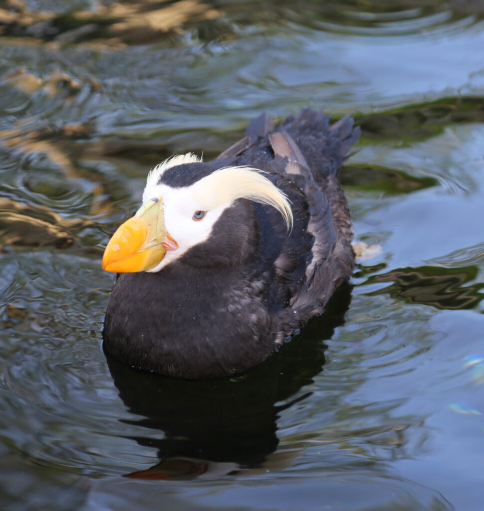
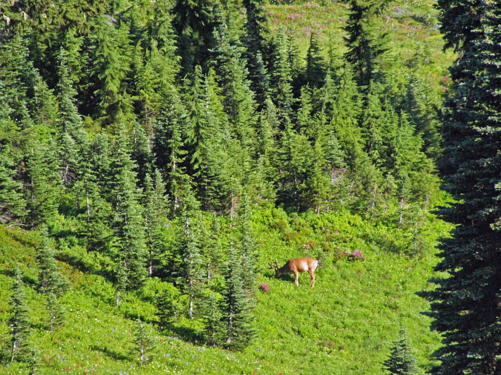
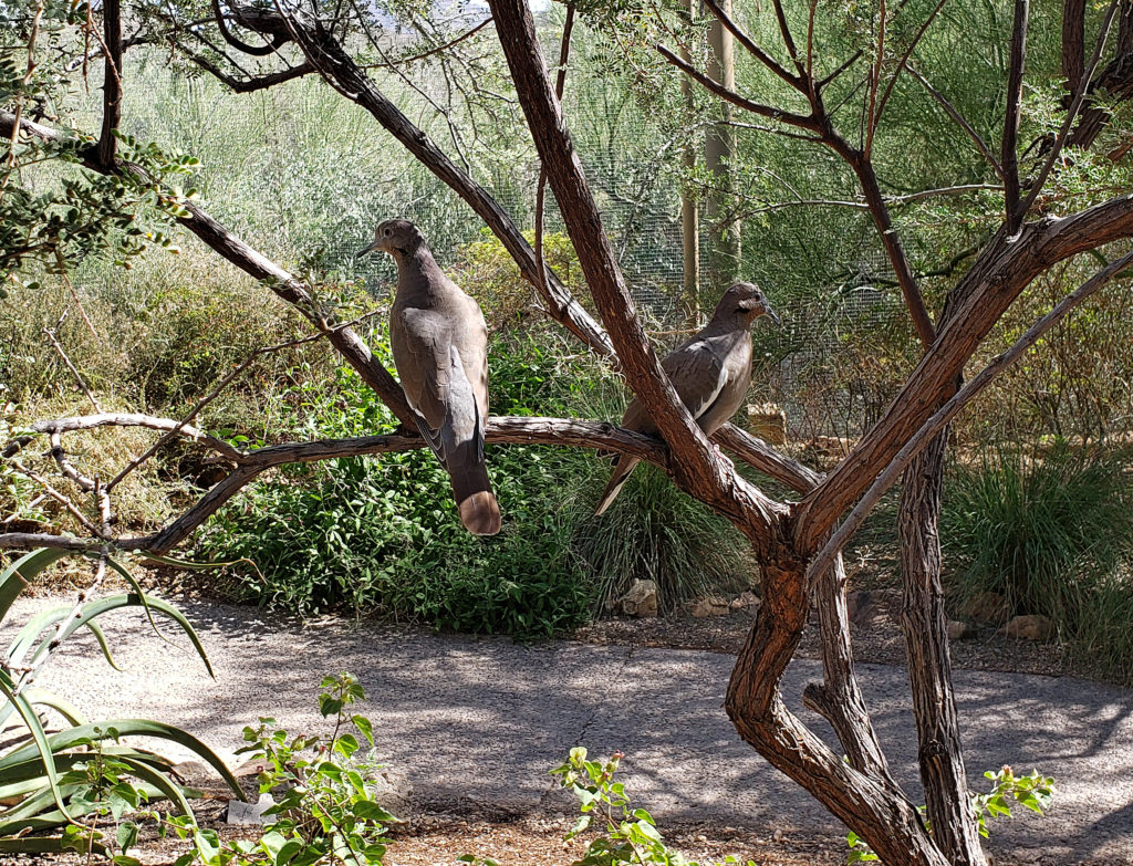
The Tualatin Hills Nature Park has become one of my favorite hiking spots in the west metro area. It’s well used, but if you go early in the day on a weekday you might find the park relatively empty. You’re almost guaranteed to see birds (Dark-eyed Juncos, Song Sparrows, and American Robins are common) and wildlife (squirrels, if nothing else) along the trails. Stop and sit for a while on one of the many benches you’ll find along the trails. Look and listen and soak up the peace and quiet. It’s well worth your time.
Other area attractions and activities
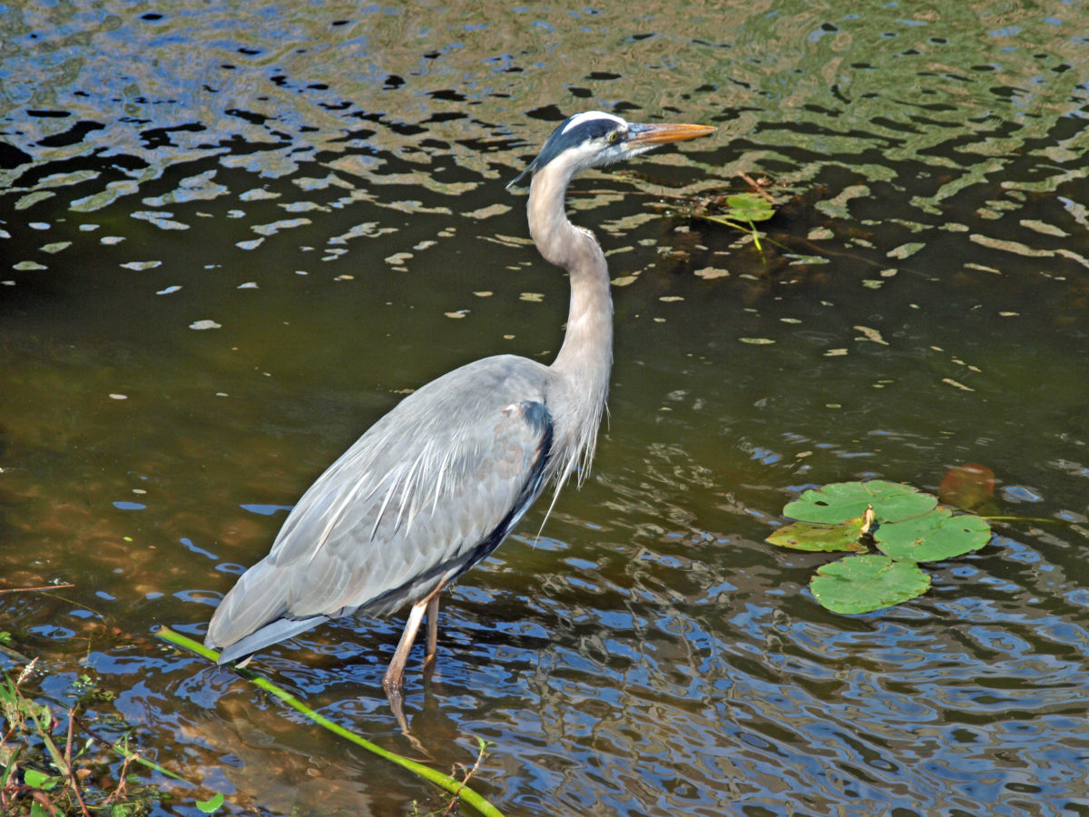
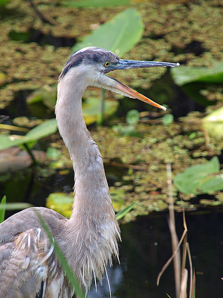
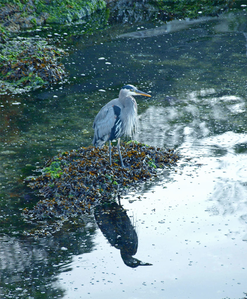
Just southeast of Tualatin Hills Nature Park, the 15-acre Beaverton Creek Wetlands is located where Johnston Creek flows into Beaverton Creek. The wetlands are home to Great Blue Herons, Belted Kingfishers, a variety of other waterfowl, and beavers and other small mammals. A paved trail along the southern shore of the wetlands can be accessed from 153rd Avenue just north of TV Hwy, or by a short trail from the Millikan Way parking lot.
Cooper Mountain Nature Park, about four miles southwest of Tualatin Hills Nature Park, is another of the many natural areas and parks in the west metro area that offer miles of prime hiking trails.

And the Beaverton area is awash in places to get a bite to eat or a cold drink after your hike. Three Mugs Public House, just north of the park on Jenkins Avenue, has 14 beer taps, and also has kombucha, several ciders, and two wines on tap. They also have a full food menu. Prime Tap House, just southeast of the park, has typical pub food (heavy on wings) and a good selection of beers. And a couple of miles east of the park, in downtown Beaverton, you’ll find a number of good pubs, including Breakside Brewery, Lazy Days Brewing, Raindrop Taphouse, and Loyal Legion.
Posted July 7, 2025
All photos © Alan K. Lee except as noted


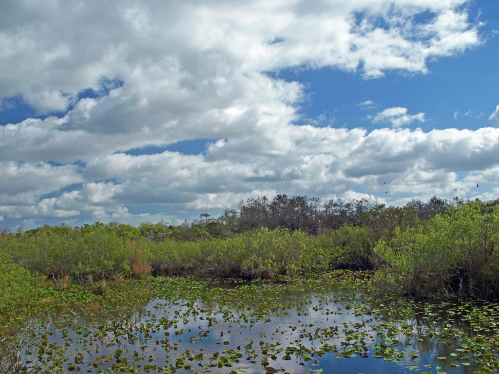
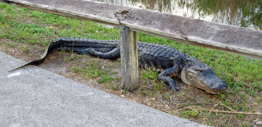
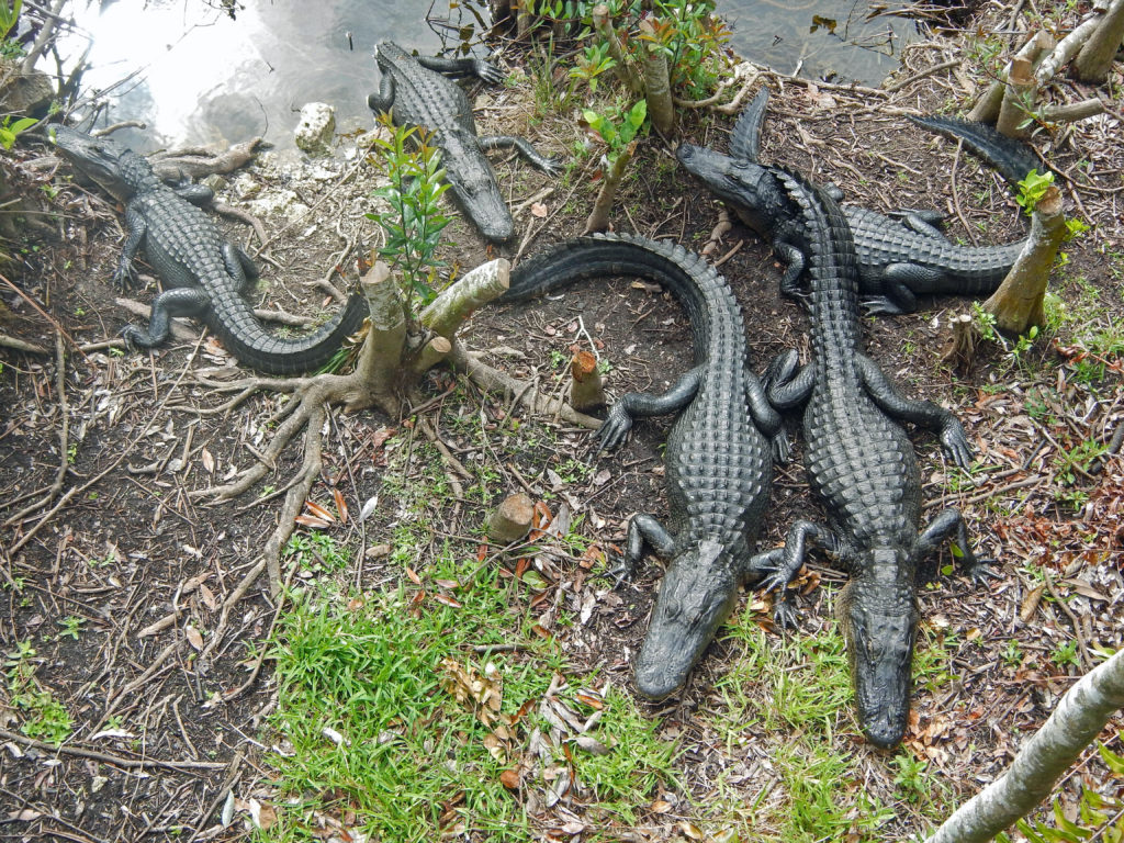
 Today, the Everglades are still one of the most endangered ecosystems in the country. Diversion of water upstream of the park for use by the agricultural industry and the ever growing population of southern Florida has greatly reduced the volume of water flowing through the park, which in turn has had a significant impact on the flora and fauna of the park. Nutrient pollution and residual pesticides from agricultural runoff have also had a significant impact on the park’s ecosystem. Introduced species, such as the Burmese python, have also put stress on the system. And, since much of the Everglades is less than three feet above sea level, global warming and sea level rise threaten the very existence of the Everglades.
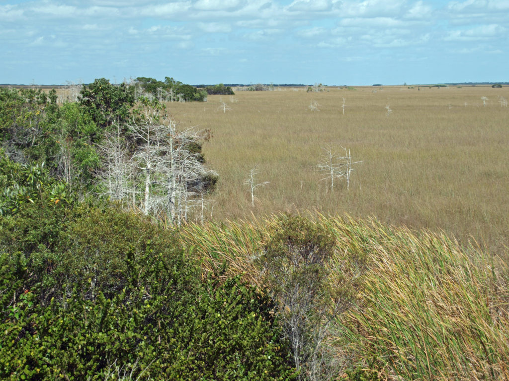 Farther along the road to Flamingo, the Long Pine Key, Pahayokey Overlook, and Mahogany Hammock stops offer short hiking trails. Canoeing and kayaking opportunities are found at Nine Mile Pond and West Lake. You’ll also find a nice picnic area at Nine Mile Pond, and another at Paroutis Pond.
 The Beaver Creek visitor center, 1.2 miles east of Hwy 101 on North Beaver Creek Road, would normally be a good first stop to acquaint yourself with the area. If it’s open, you can pick up an informational brochure and map of the trail system there. The map and brochure can also be downloaded from the Beaver Creek State Natural Area website (linked above). There is also a small parking area a few hundred yards east of the visitor center that may have the map and brochure if the visitor center is closed. You can also find a checklist of the birds found at Beaver Creek on the website.
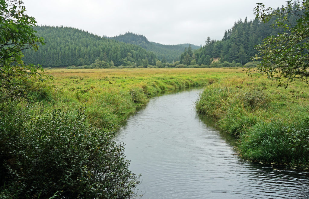
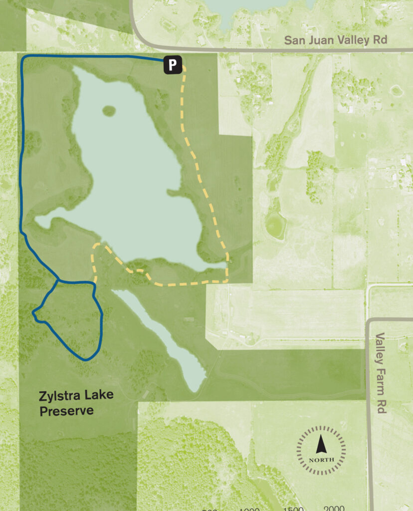
 The property was formerly a privately owned farm that was the site of a proposed housing development. Instead, the property was sold to the land bank in 2015 and the trust obtained the conservation easement. Thirty acres of the property, including the farmhouse and agricultural buildings, were sold by the land bank to Island Haven, a non-profit animal sanctuary, with a conservation easement to protect the land.
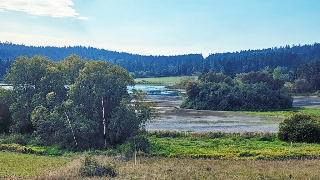
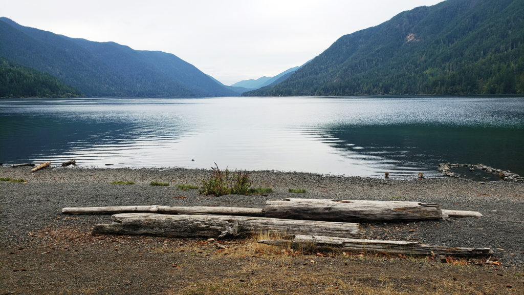
 Currently, there is no public access to the lakeshore, and the eastern and southern portions of the trail around the lake are closed from October through March. The northern and western portions of the loop are open year-round and can be hiked as a lollipop loop during the winter.
 Getting there:
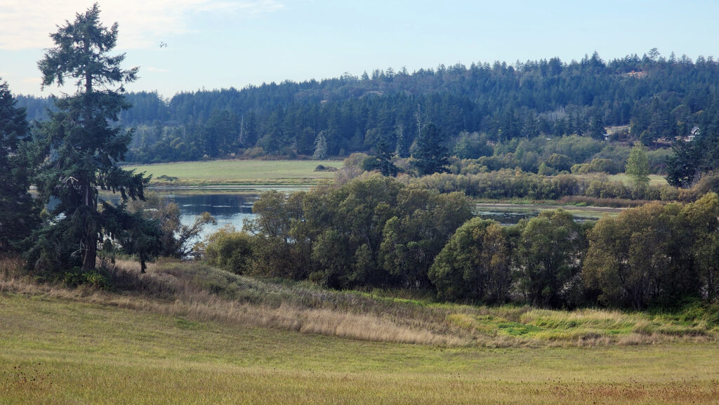 Trailhead:
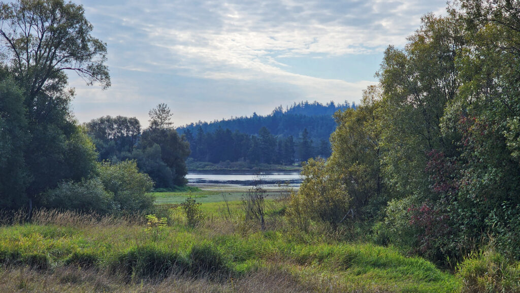 The hike:
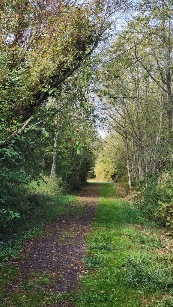
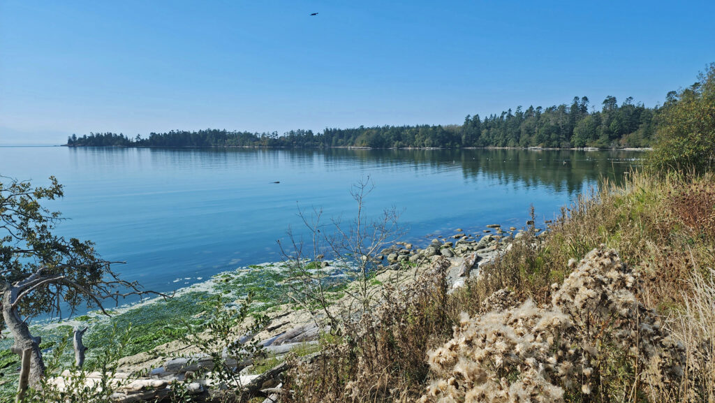
 At 0.3 miles the trail turns south and runs along the western boundary of the preserve for another 0.4 miles. The trail then turns southeast and follows the edge of an open field with good views of the lake.
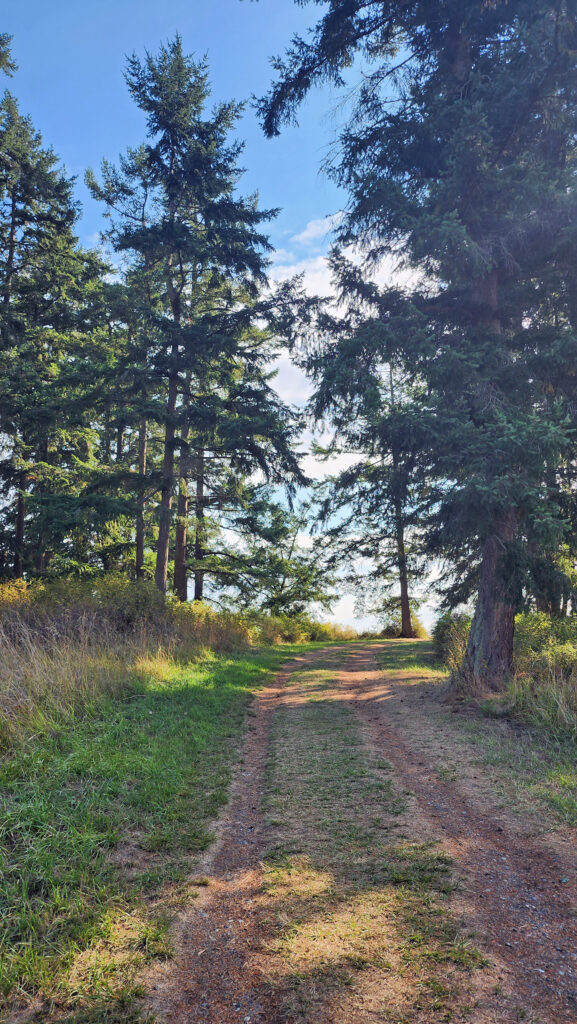
 At the 0.85-mile mark, turn right onto a trail that leads through a mix of open fields and partially logged woodland.
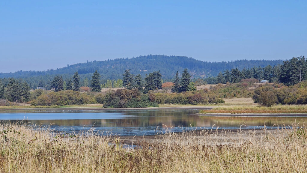 At the 1.25-mile mark, the trail returns to the open field. In winter, the trail ahead is closed, so you need to turn left and retrace your route back to the trailhead parking area.
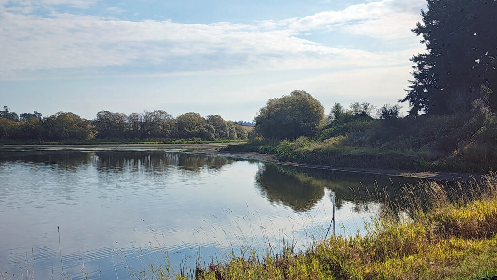 In summer, you can continue straight. The trail then turns right and crosses a bridge over the creek that flows from the lake. Beyond the bridge, the trail runs along the top of the dam that forms the lake, then passes through a small grove of trees.
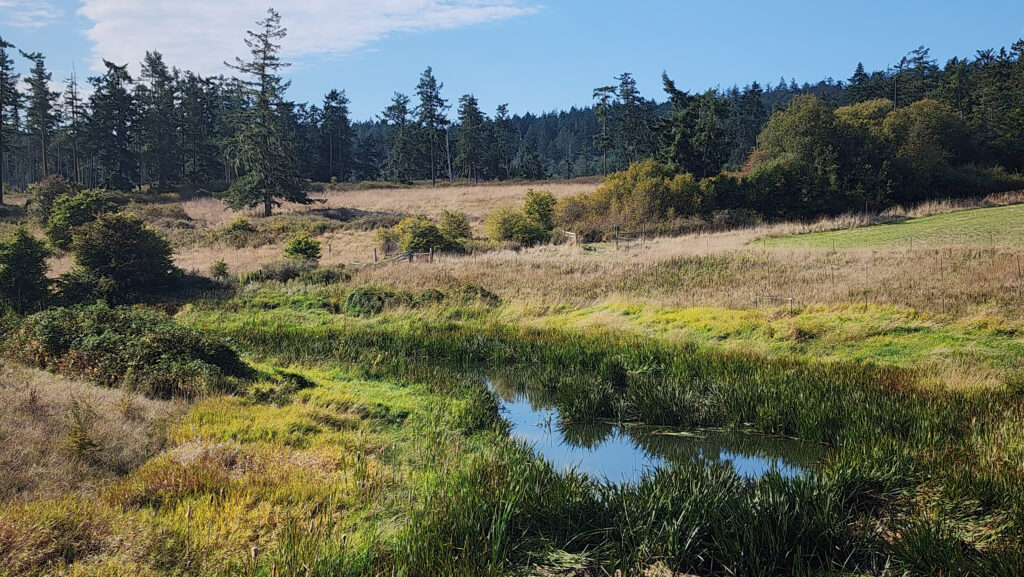 From there, the trail runs between fields to the old farmhouse site that is now home to the Island Haven animal sanctuary. The trail turns left there and follows a gravel farm road back to the trailhead.
 Posted October 12, 2023 by Alan K. Lee
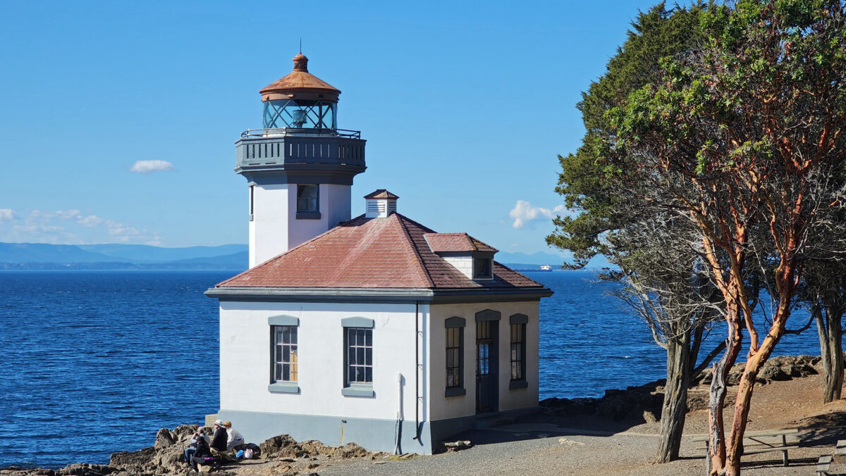
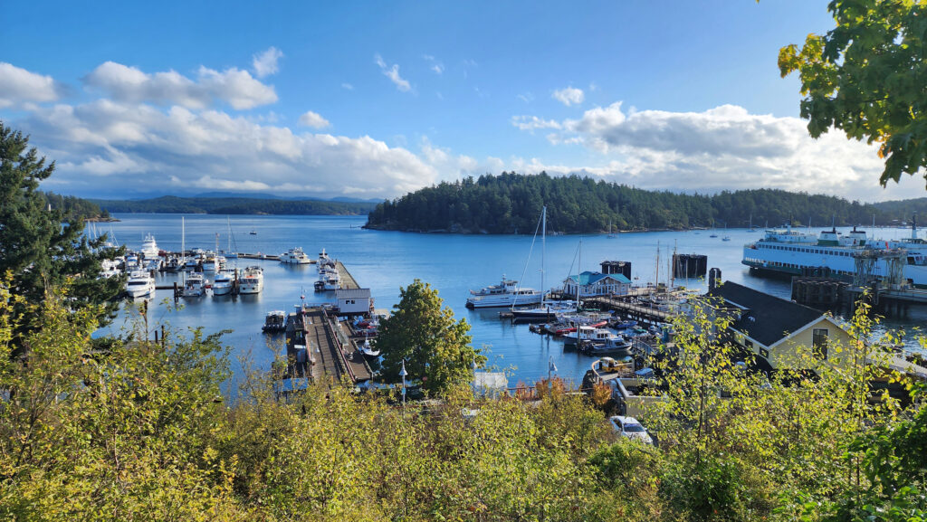
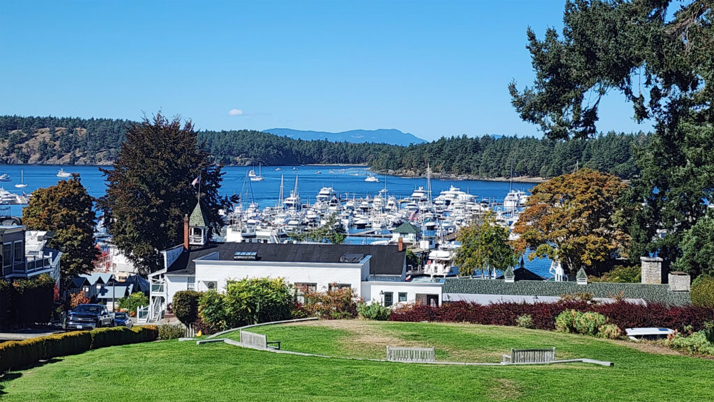
 There is no shortage of places to eat in Friday Harbor. For breakfast and lunch, I can personally recommend both Rocky Bay Café and Tina’s Place. For dining with a view, go to Downriggers on the bayfront. Classic Italian food can be found at Vinny’s Ristorante. Vegetarian and vegan food can be had at Mike’s Café and Wine Bar. For quality craft beers and upscale pub food, try San Juan Brewing. For seafood in a casual dining space, check out Friday’s Crab House. We ate at all of those, and all were good. But that’s just a sampling of what Friday Harbor offers. I wish we had had a few more days to sample more of the town’s eateries. What’s a vacation for, after all.
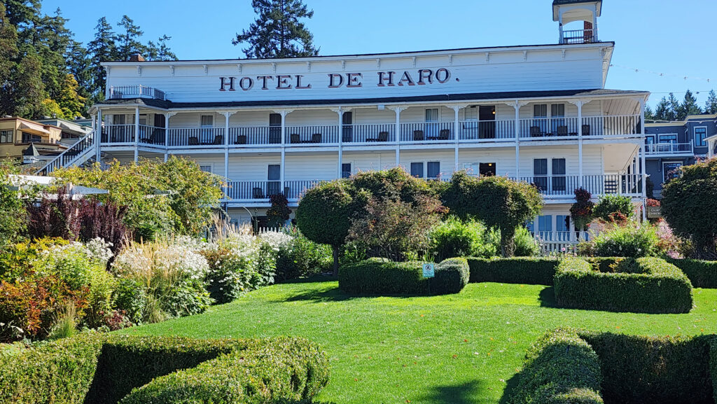
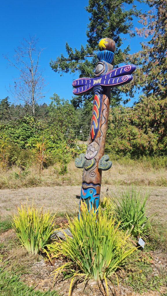
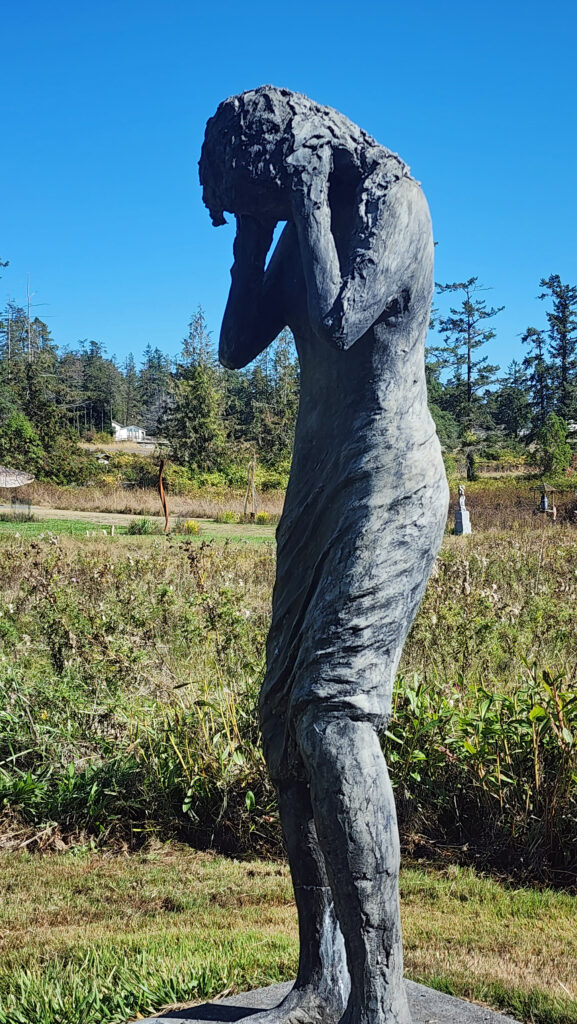
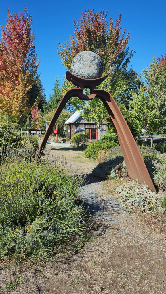
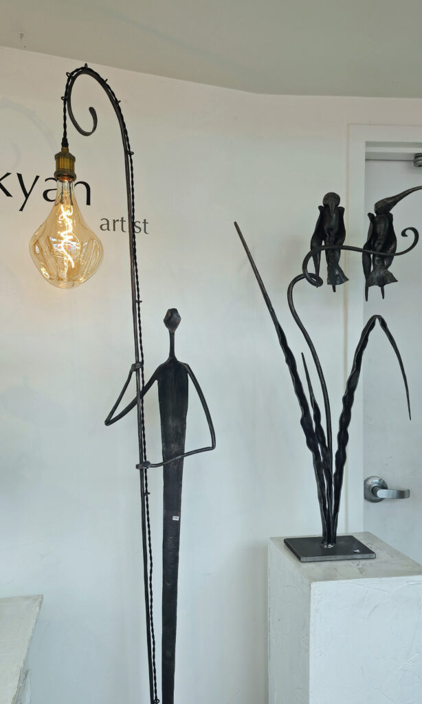
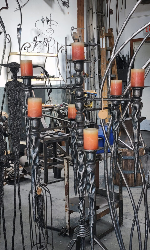
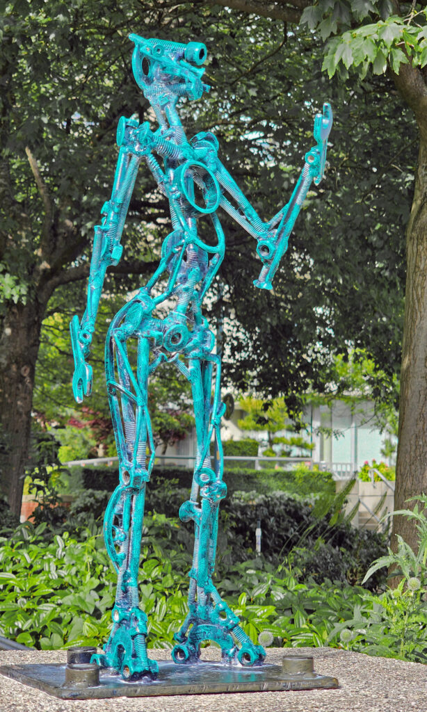
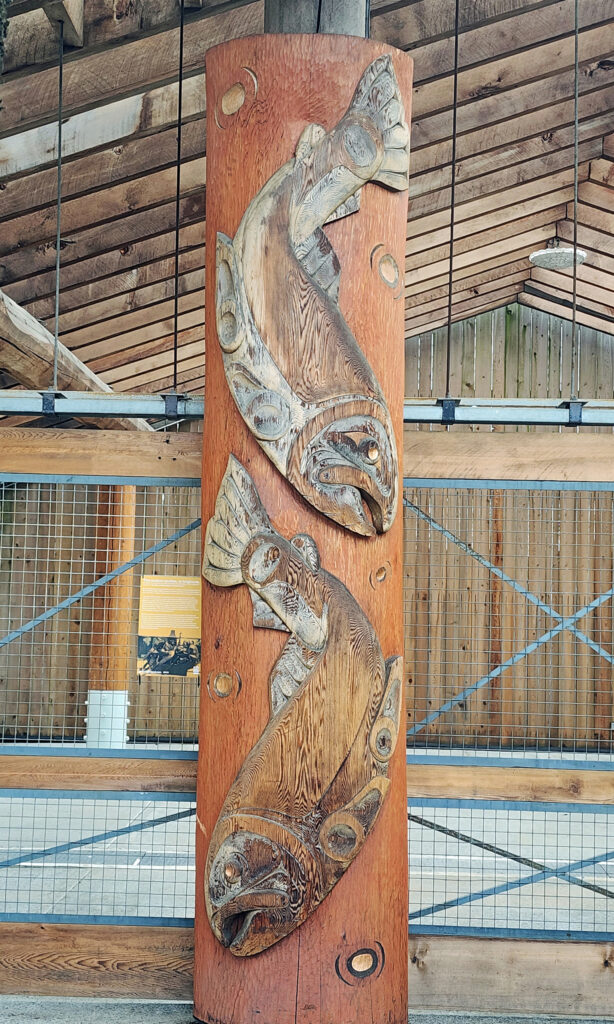
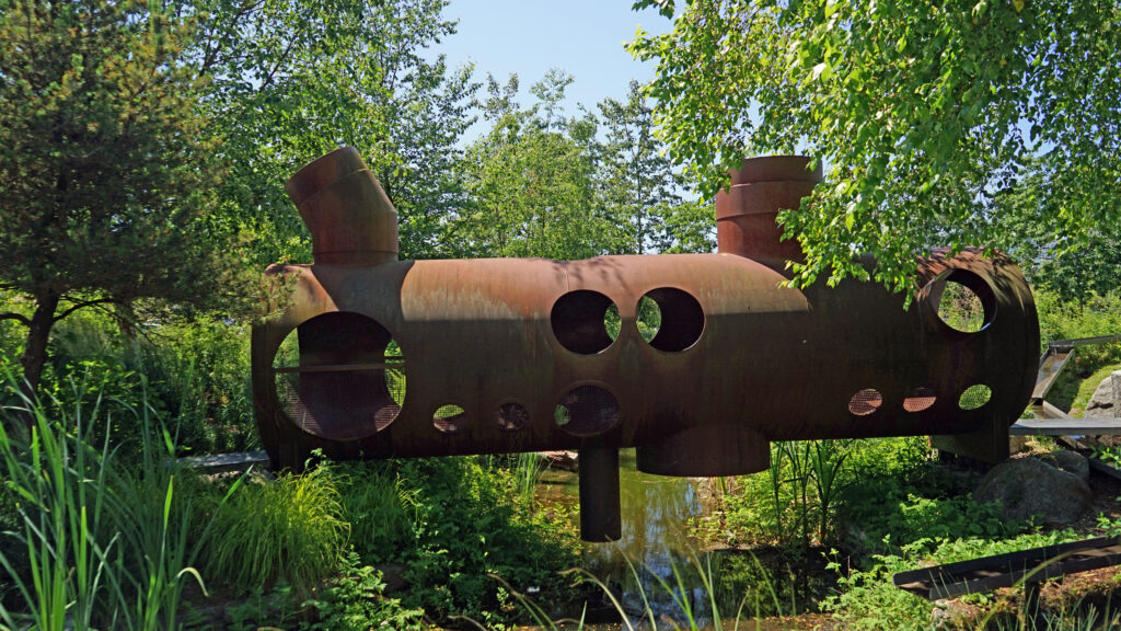
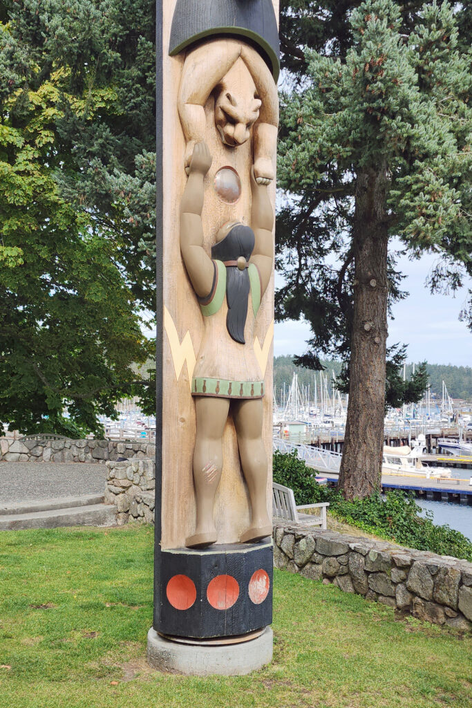
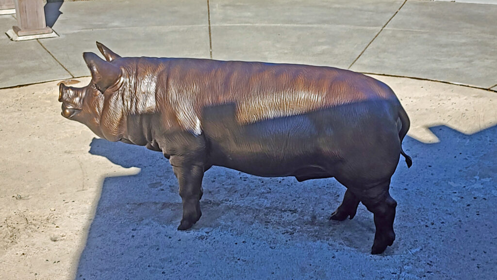
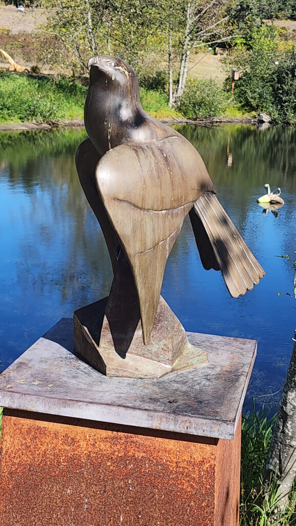 Near Roche Harbor (I think it’s actually part of the resort), the San Juan Islands Sculpture Park is a must see if you’re at all interested in sculpture. There are over 100 works of art (it seemed like many more) spread out over the twenty acres of the garden. Plan to spend at least an hour here. We spent more than that and still didn’t see it all. Admission is free, but donations are requested.
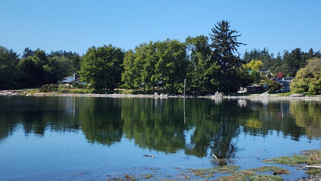
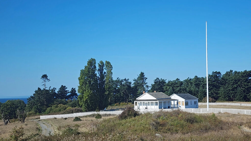
 Tensions between the American and British contingents led both England and the U.S. to send military forces to the island. From 1859 to 1872, when the boundary dispute was finally settled in favor of the United States, the island was jointly occupied by both forces. No actual combat occurred, and no one was injured in the Pig War. The sites of the two country’s military installations are now part of
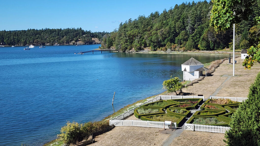

 Conclusion
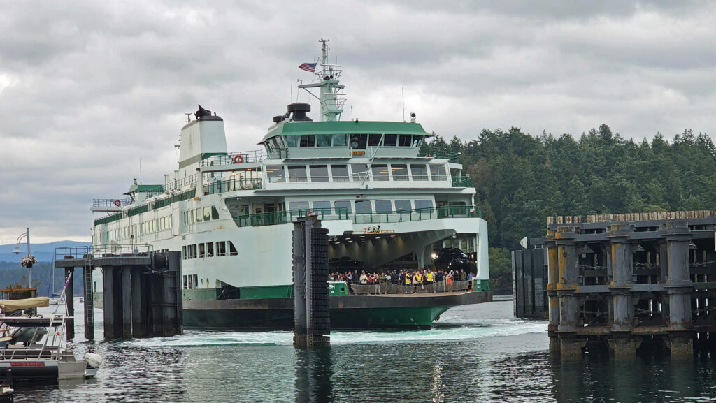
 Posted October 12, 2023 by Alan K. Lee
 The following was originally posted on this site a couple of years ago. I checked all of the links, but things can change, so check the


 Best Times to Go:
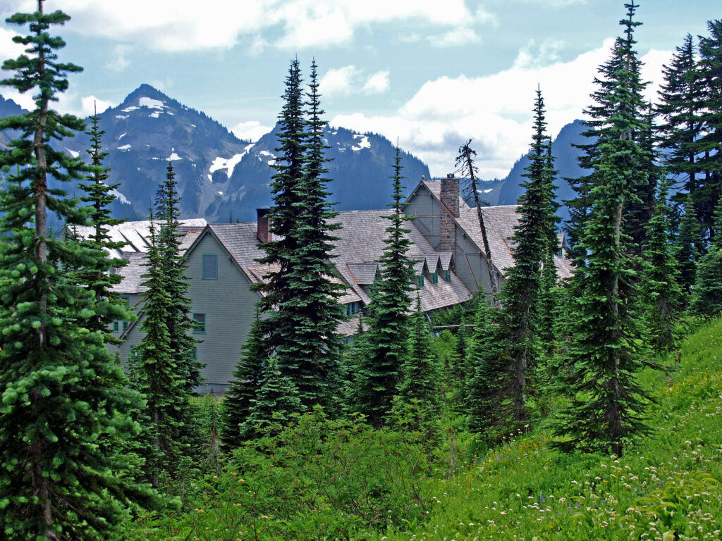
 The hike:
 Other area attractions and activities:


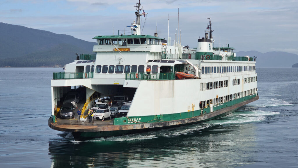
 The Gulf Islands are located off the southeast coast of Vancouver Island. There are six main islands in the Southern Gulf Islands: Salt Spring, Mayne, North Pender, South Pender, Saturna, and Galiano. The Northern Gulf Islands consist of Thetis, Penelakut, Valdes, and Gabriola Islands. Each island has its own particular charms, and all are well worth exploring.
 The
The 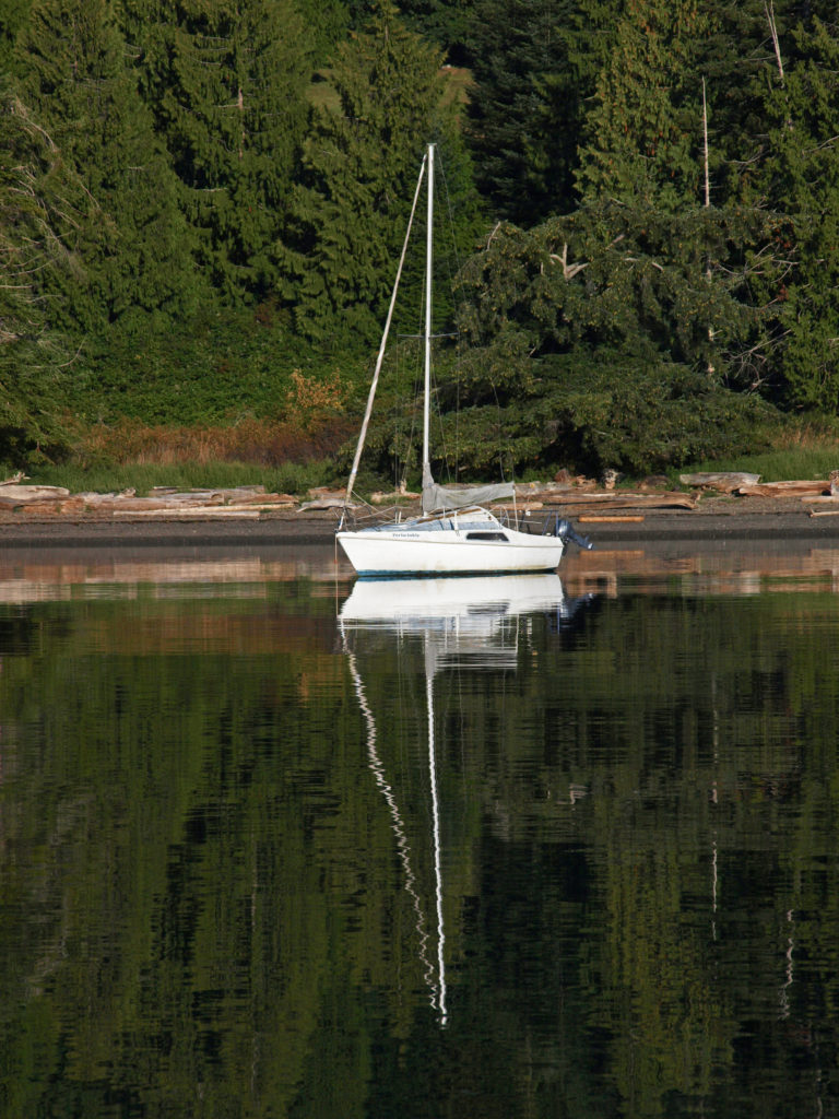
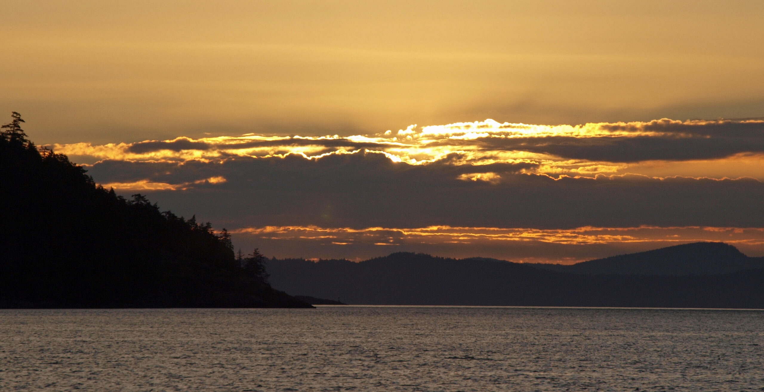
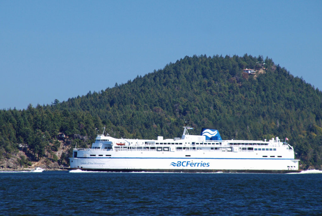
 Thetis and Penelakut Islands are reached by ferries from Chemainus on Vancouver Island. Gabriola Island is a short ferry ride from Nanaimo. Be sure to check the ferry schedules on the BC Ferries website. Reservations may be required, especially on summer weekends, and the ferry system is designed to serve island residents, not tourists, so island hopping can be difficult. Getting from one island to another in the Southern Islands by ferry sometimes requires going back to Salt Spring Island and then taking a second ferry from there. And there are no ferries from Thetis or Penelakut to Gabriola.
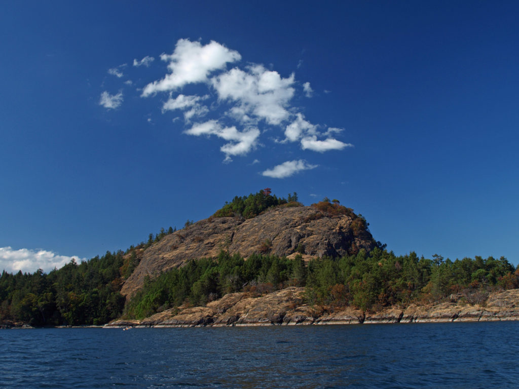 I’ve found that a good way to explore the Southern Gulf Islands by car is to base yourself on Salt Spring and pick an island to explore each day. North and South Pender Islands are connected by a bridge, so they can be explored in a day. Take another three days to explore Mayne, Saturna, and Galiano. That still leaves you several days to see all Salt Spring has to offer, or to explore the Northern Gulf Islands, even if you have only a week.
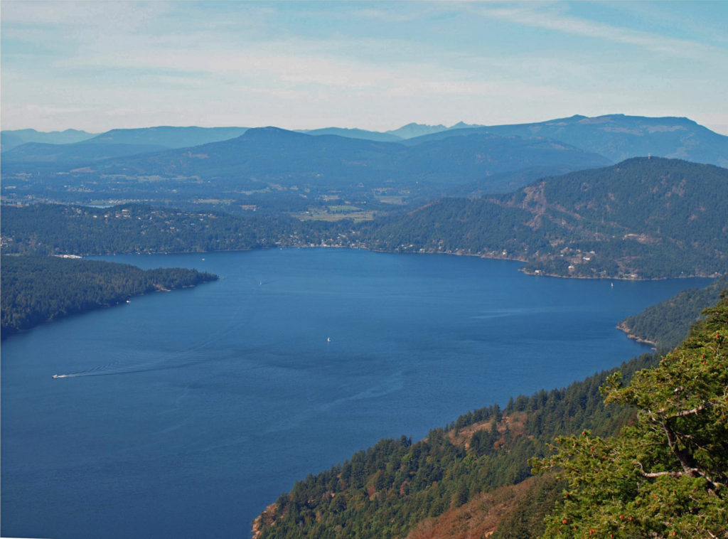
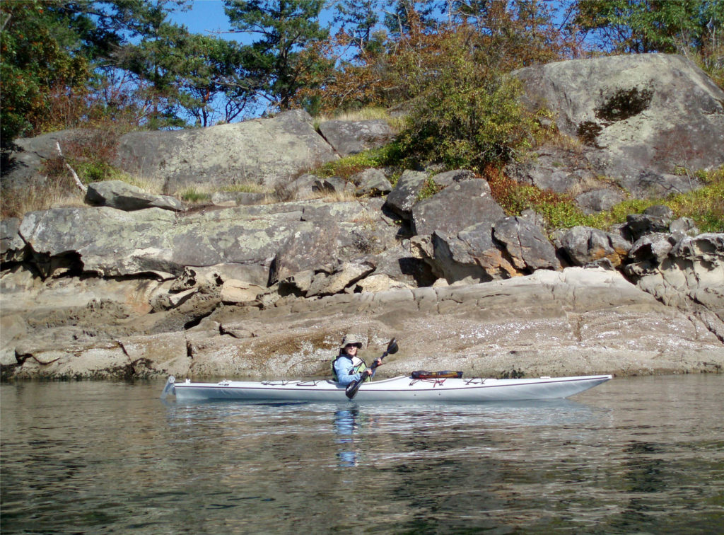 There is a bus system on Salt Spring Island, but public transportation is limited or nonexistent on the other islands. You can get around without a car, though. There is a unique
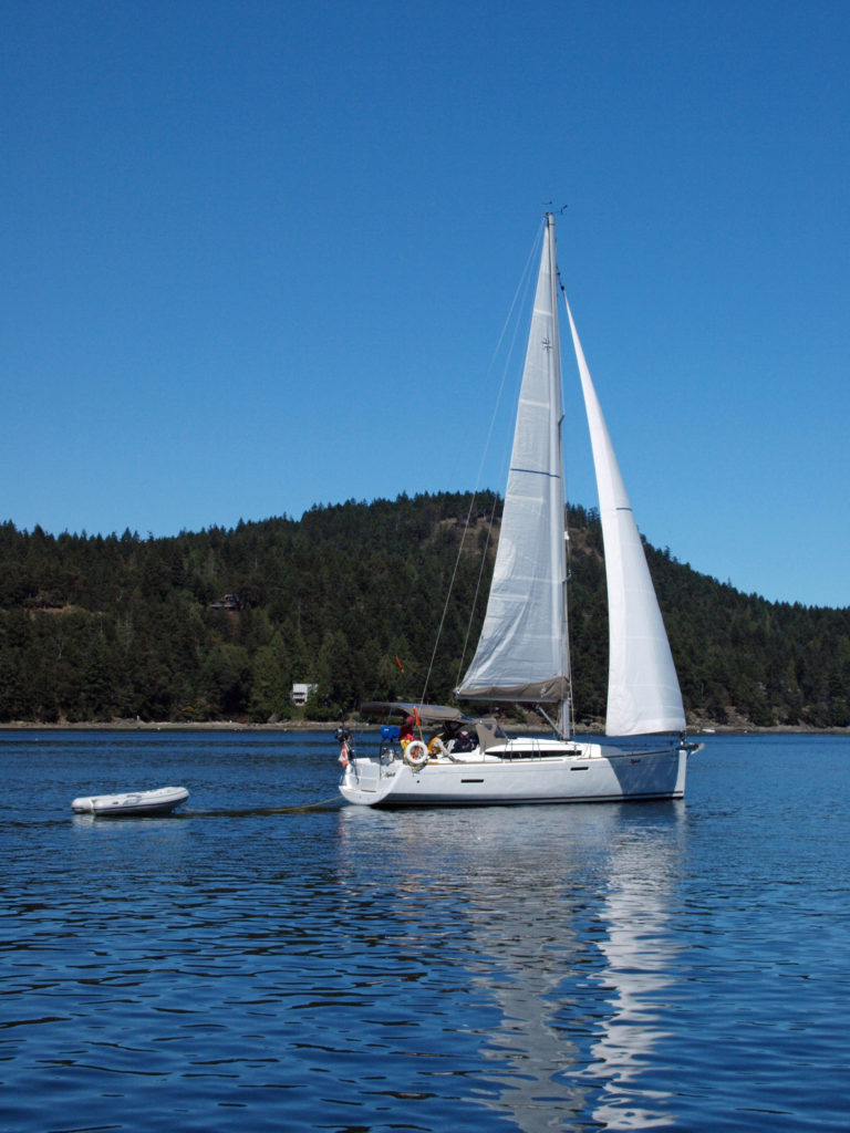
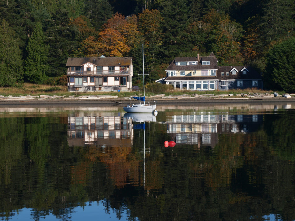
 There are a wide variety of accommodations available on the islands, from full-service resorts and hotels to traditional B&Bs to single rooms available through Airbnb. Most of the accommodations are on Salt Spring Island, but you can find small resorts and many individual houses for rent on the other islands. If you’re a kayaker, this is a perfect jumping off point. Ganges Harbor and its numerous islands are well worth exploring. Prevost Island, a short paddle to the southeast of Ganges Harbor is also worth a visit. A portion of Prevost is set aside as part of the
 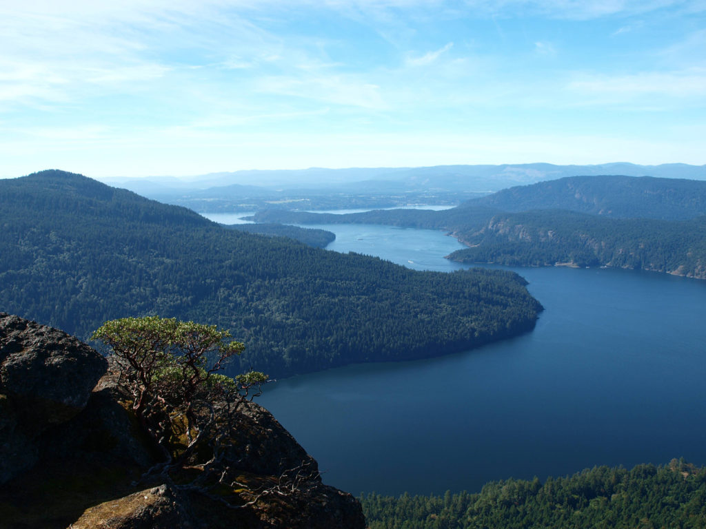 There are a number of
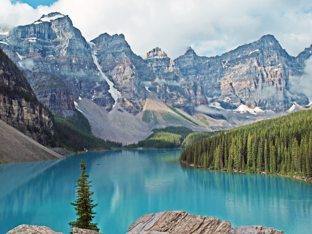
 The Icefields Parkway ends at the town of Jasper, a smaller, less crowded, and lower key version of Banff. There are abundant restaurants, pubs, galleries, and shops there, but accommodations are limited, and hotels and motels are expensive. Book your stay well in advance. We opted for staying in a travel trailer at an RV park 30 miles (48 km) from Jasper, just outside the park boundary, because that was the only thing available through Airbnb when we were planning our trip. It was a little inconvenient, but in the end it worked fine.
 The nearby
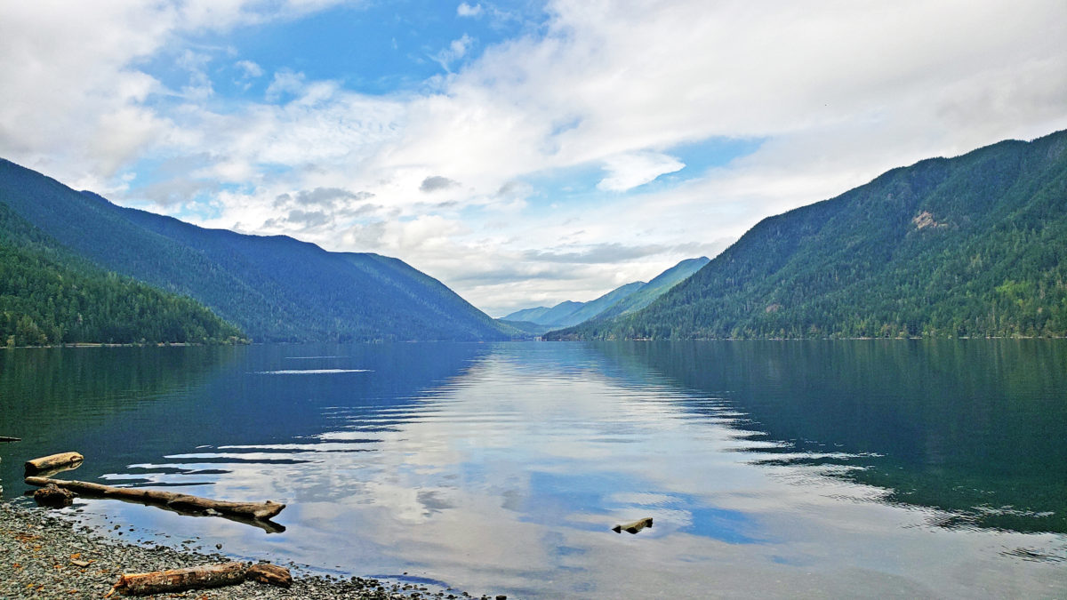
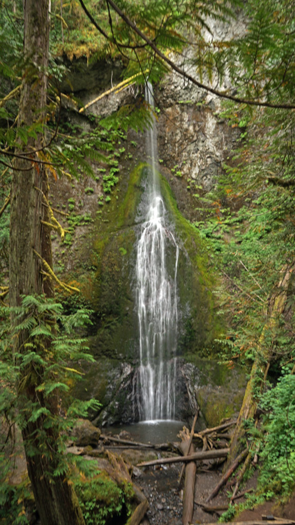
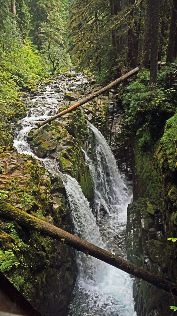
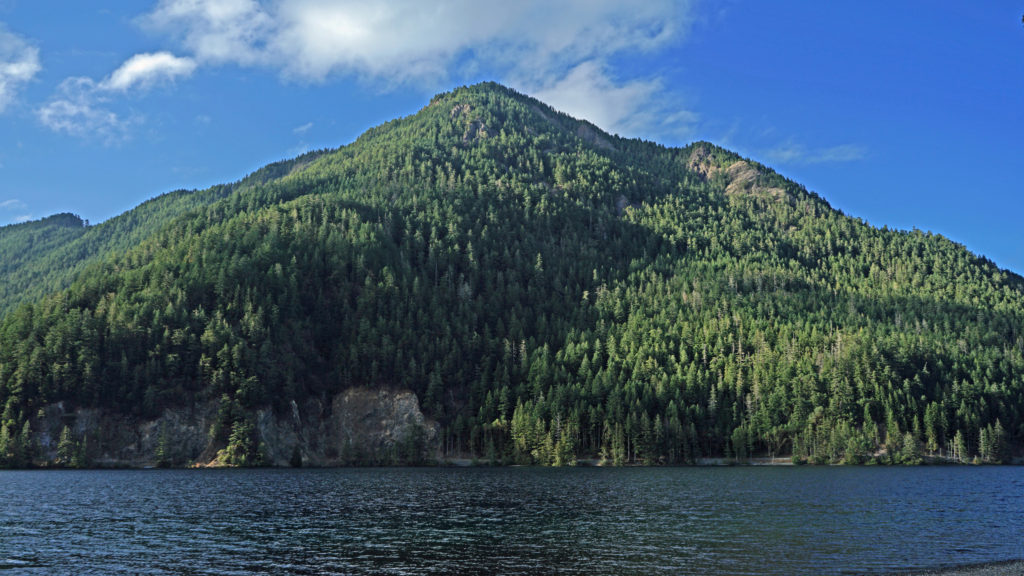
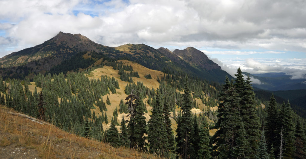 After our hike to Sol Duc Falls we drove to the Hurricane Ridge Visitor Center to do some more hiking and sightseeing. The visitor center is located 17 miles south of Port Angeles at an elevation of 5242 feet above sea level. Hurricane Ridge is the only alpine area in Olympic National Park accessible by car, which makes it very popular and means it can be very crowded, especially on summer weekends. We were there in the middle of the week in late September, though, so crowds weren’t much of an issue.
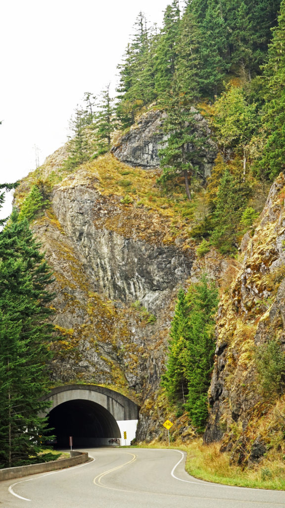 The Hurricane Ridge Road is paved, but winding with poor sight lines and several tunnels. It is also a popular challenge for cyclists because of the elevation gain, so go slow and watch for bicycles on the road.
 Originally posted November 7, 2020. Updated and re-posted November 9, 2022.
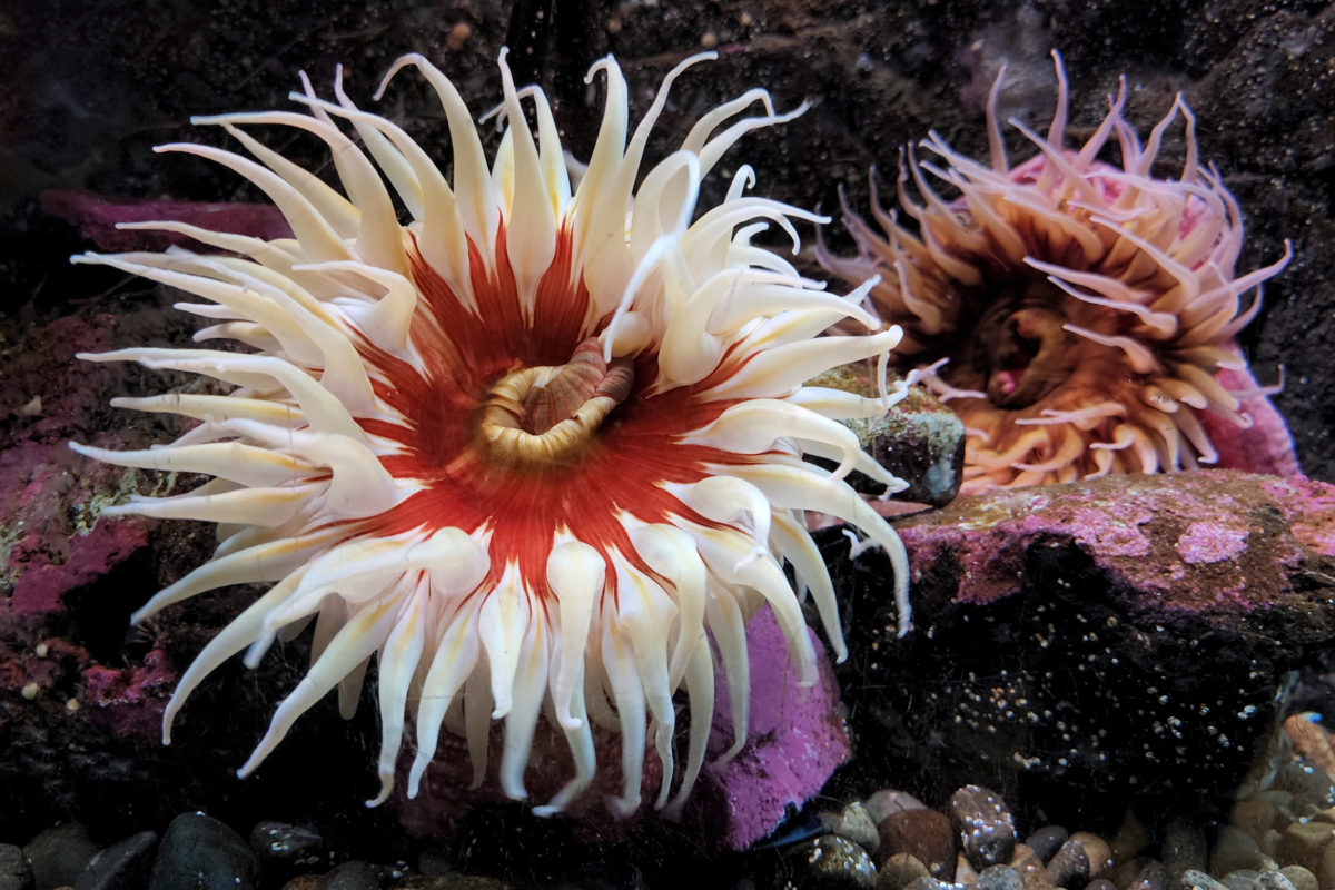

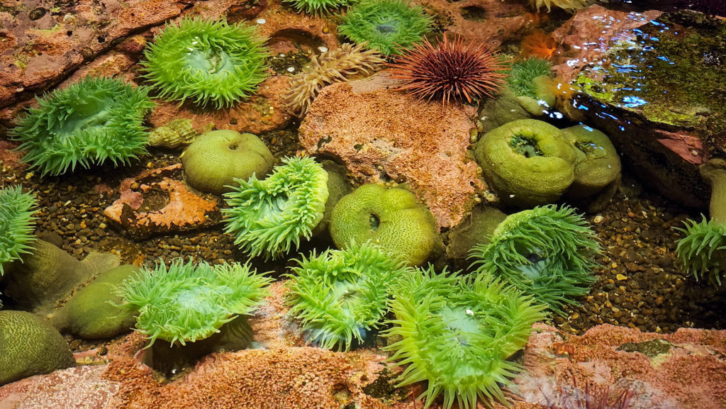

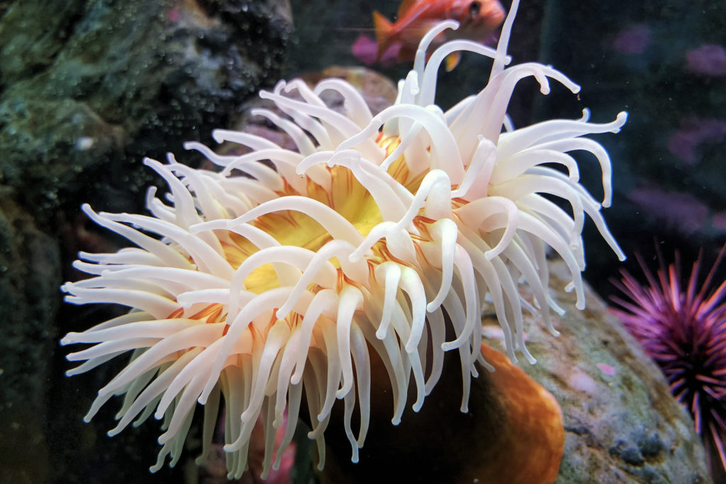
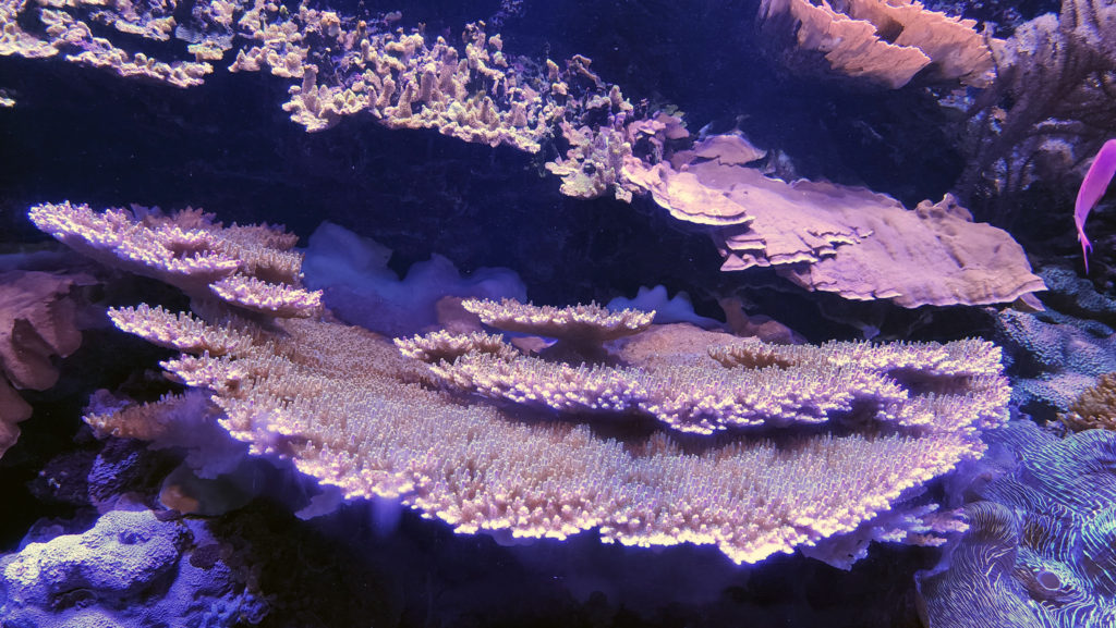

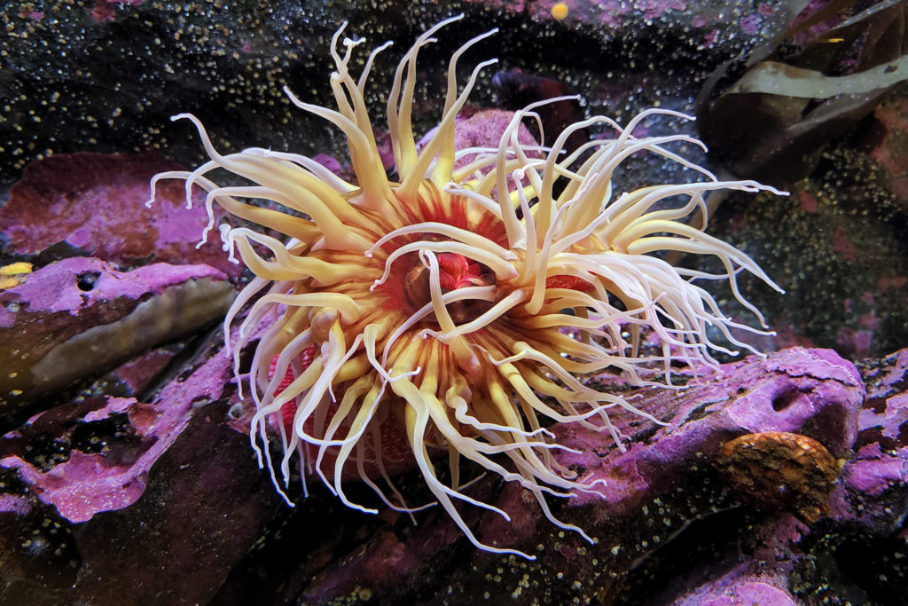

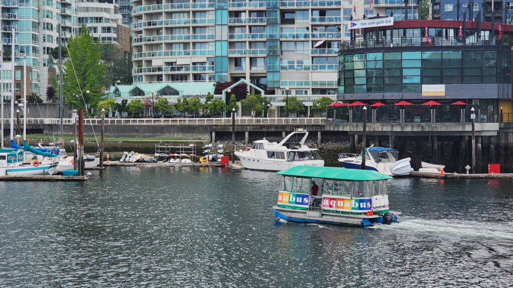
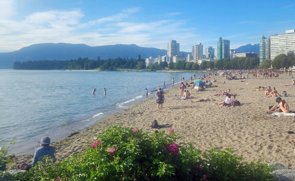
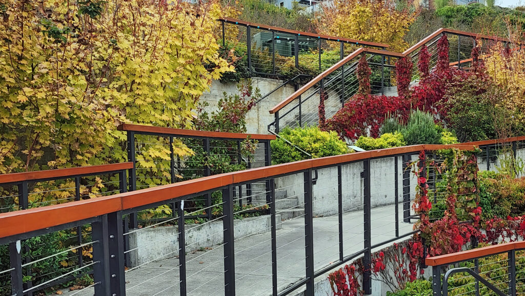
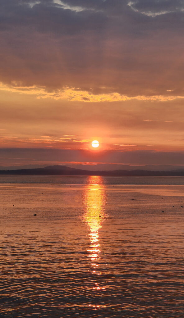
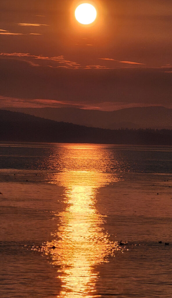
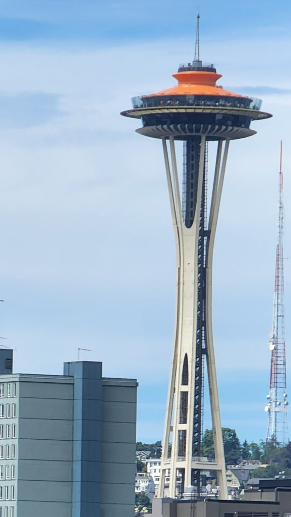 My wife and I spent the recent Fourth of July weekend exploring Seattle and vicinity with my step-daughter and her family. The grandkids had a great time at the aquarium, riding the Great Wheel and the Monorail, and seeing the sights from the top of the Space Needle. Seattle is truly a great place for the whole family. And the environment surrounding Seattle, both terrestrial and marine, is beautiful and often awe inspiring. Look for an upcoming post on this site on the Snoqualmie Valley, just a short drive east of Seattle. The abundance of close at hand natural areas perfectly balances the urban environment, making a visit to Seattle an even more attractive trip for everyone.
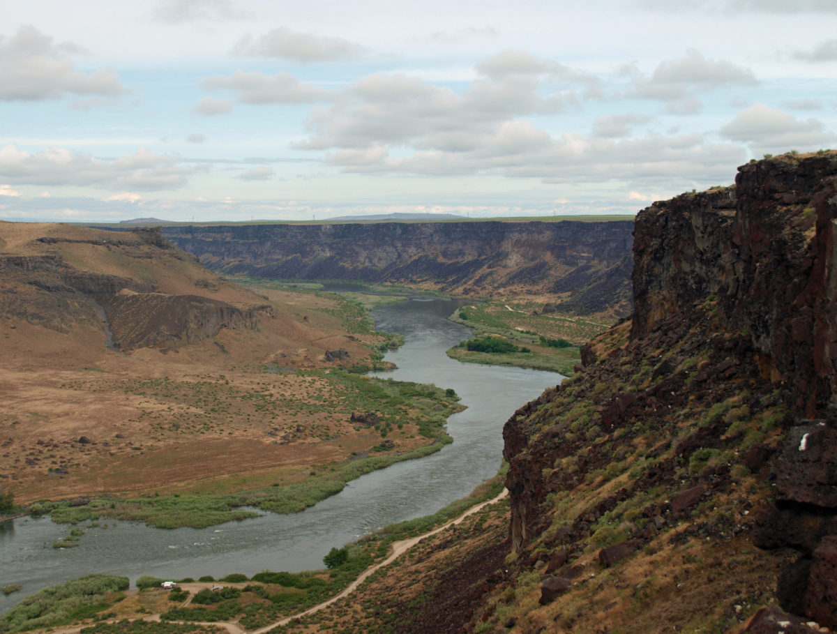
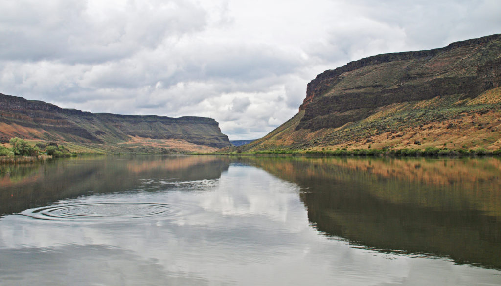
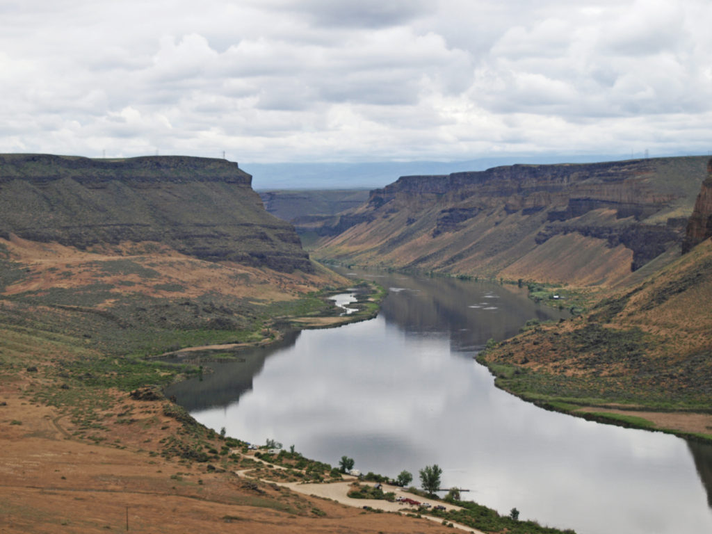
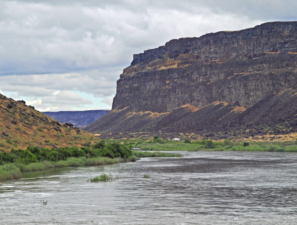
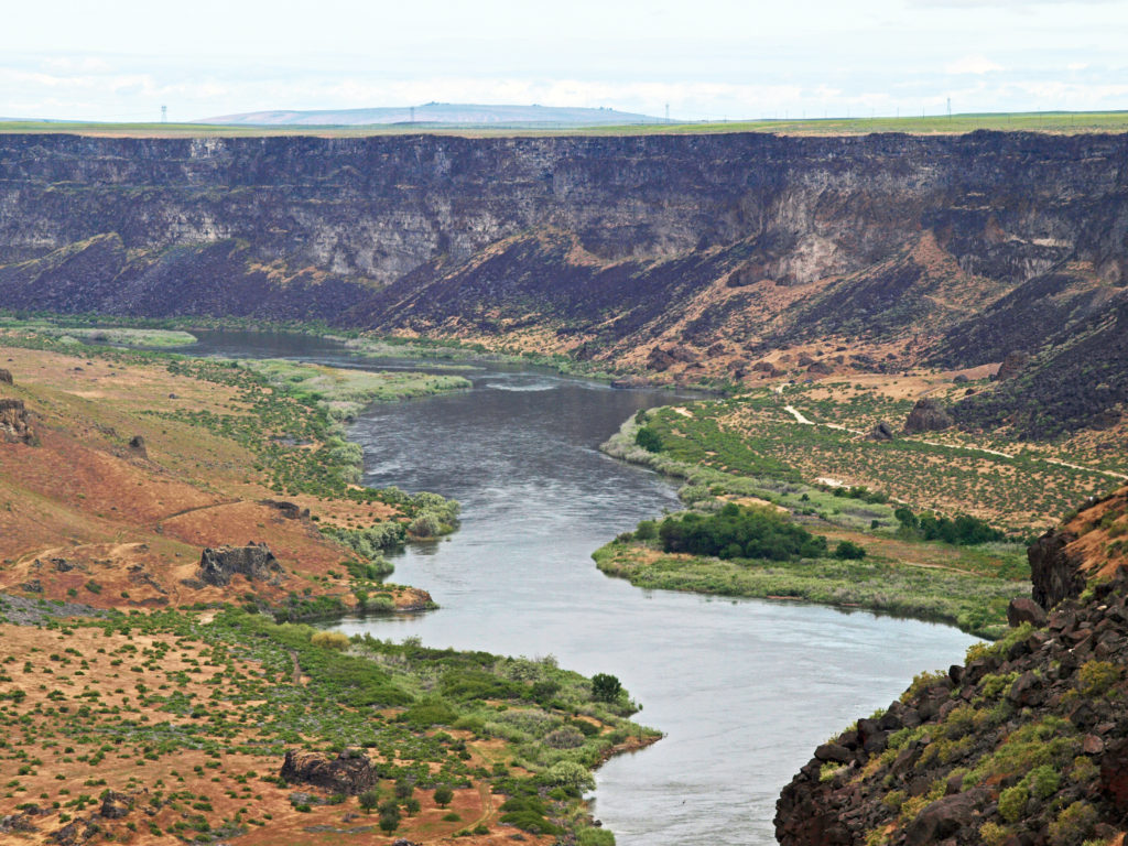
 The falls are long gone, flooded by construction of Swan Falls Dam in the early 1900s. Swan Falls was the first hydroelectric project on the Snake River. A fish ladder was constructed, but was largely ineffective, and the dam effectively blocked salmon and steelhead passage. That was a different era, and the fish ladder was never made functional. Newer dams were built both upstream and downstream with no fish ladders at all. Electricity was the point. The fish didn’t matter. But it’s a historically interesting and beautiful area, so it’s worth a visit even if, like me, you’d rather see the dam gone.
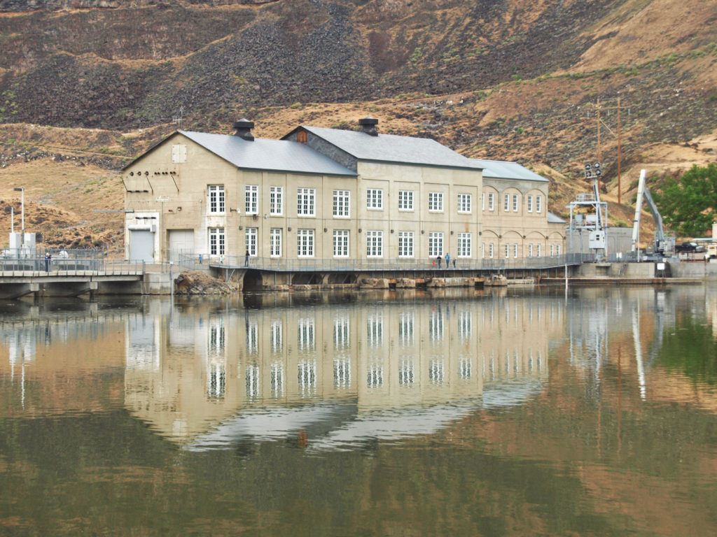
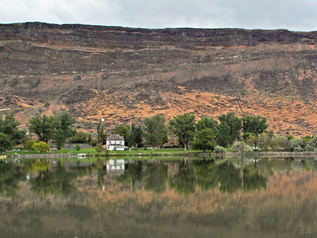
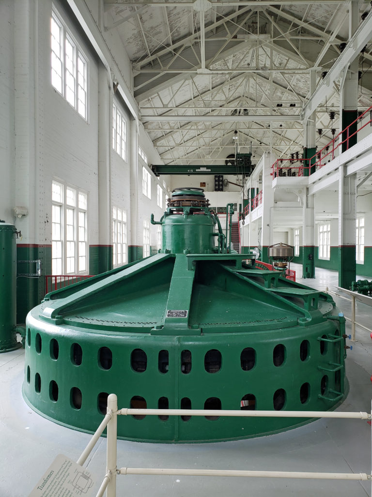 A new power generation facility was constructed at Swan Falls Dam in the 1990s. The dam’s original power plant is now open to the public, with some of the century-old generators and other equipment still in place. There are also displays depicting the history of the area, and the construction and operation of the dam. We walked across the dam after visiting the power house museum, then drove down the canyon a ways. The road was too rough for the car, though, and we turned around and drove back up to Dedication Point, and then on to Celebration Park.
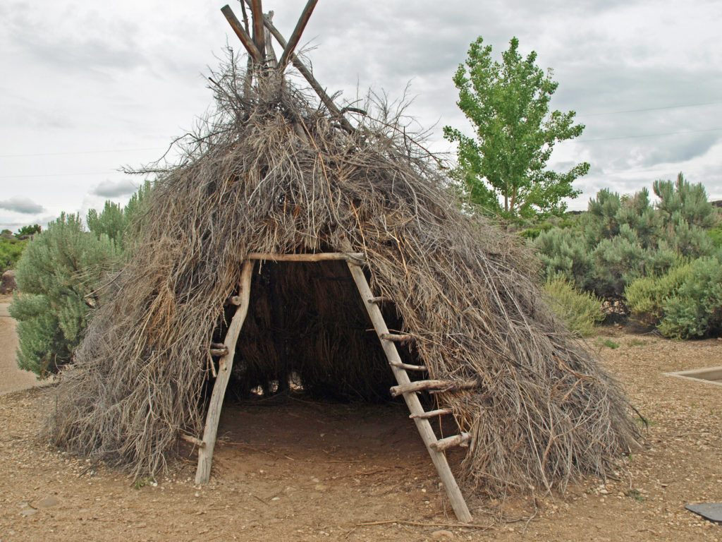 Celebration Park is Idaho’s only archaeological park. Petroglyphs dating back as far as 10,000 years can be found there. Visitors can learn about the Native American “lifeways” at the visitor center, try their hand at throwing a spear with an atlatl, and explore the petroglyph area on a self-guided walk. There is a picnic ground, and a small tent campground. The visitor center is open from 10:00 to 2:00 daily, except holidays. Check the park
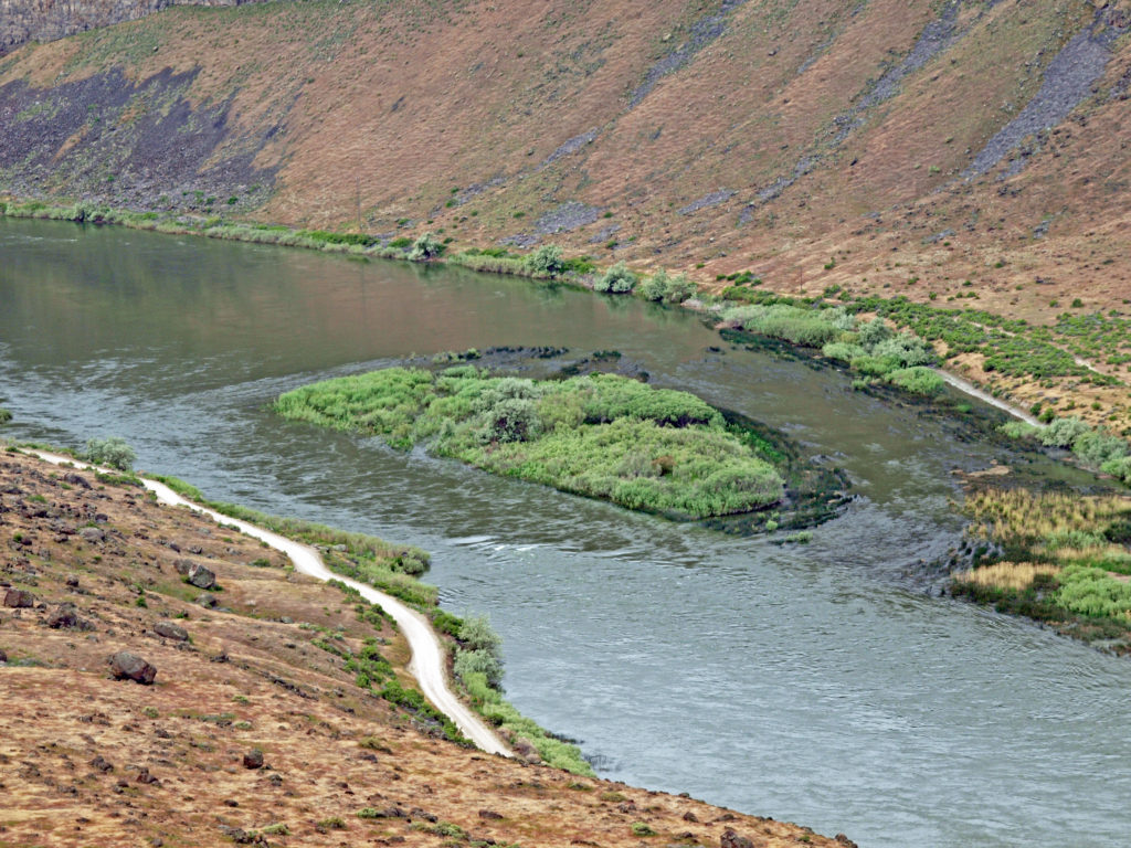
 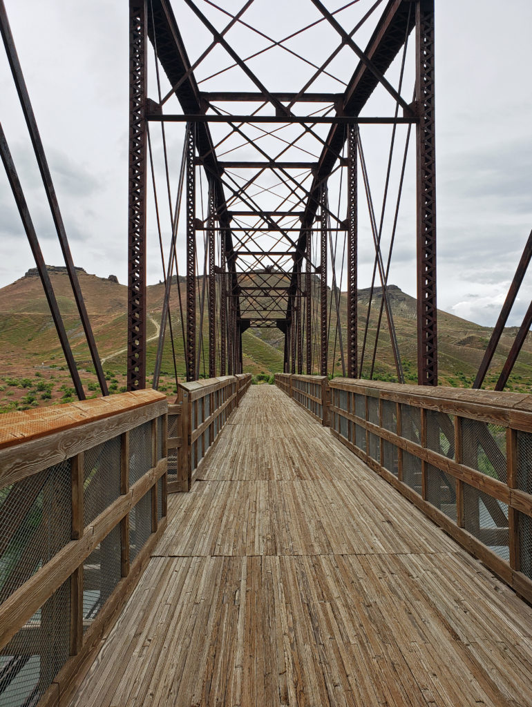 A short ways downstream, the Guffey Railroad Bridge provides pedestrian and equestrian access to the south bank of the Snake River and the Guffey Butte area. The bridge was built in the late 19th century and carried rail traffic until the 1940s. It is listed in the National Register of Historic Places. Guided tours of the area highlighting the area’s early mining and railroad history are conducted periodically.
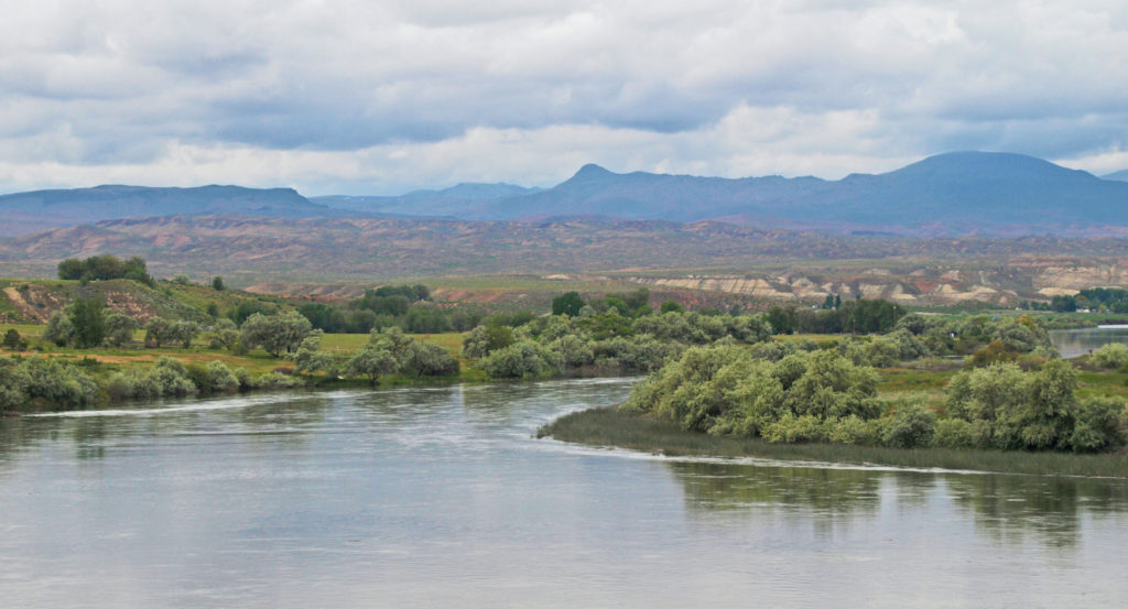
 Back in Boise, we toured the
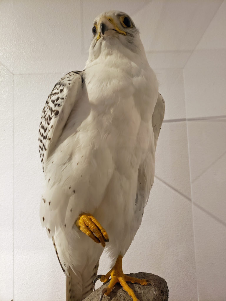
 If you’ve never been to Point Defiance, check out the park’s
 There is a wide, paved, ADA accessible path (the Promenade) connecting the beach with the marina area of the park and the Point Ruston Waterwalk, giving unhindered pedestrian and bicycle access to the park from the Tacoma waterfront. And a construction project completed in 2022 expanded the parking lot, created new entry and exit paths for pedestrians and cyclists separated from the vehicle roadway, a new beach pavilion, new restrooms, a new ADA accessible children’s playground, new ADA accessible plazas and pathways, and a renovated WPA-era picnic shelter.
 The outer loop of the Five Mile Drive provides numerous waterfront access points with views across Dalco Passage to Vashon Island and across The Narrows to the
 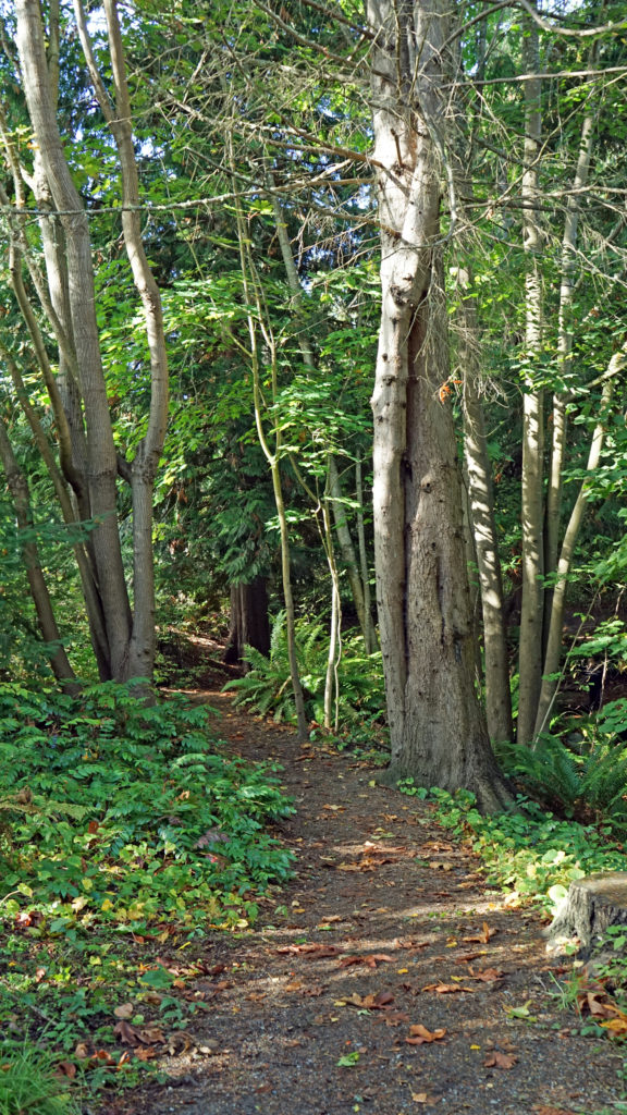 The outer loop is closed to vehicular traffic part of the day to give cyclists, runners, and pedestrians access to the northern half of the park free from conflicts with motor vehicles. On our most recent visit it was closed after 2:00 pm, but on our previous visit it was, I believe, closed in the morning. Check the Point Defiance Park website (linked above) for the current schedule if you plan to visit the park.
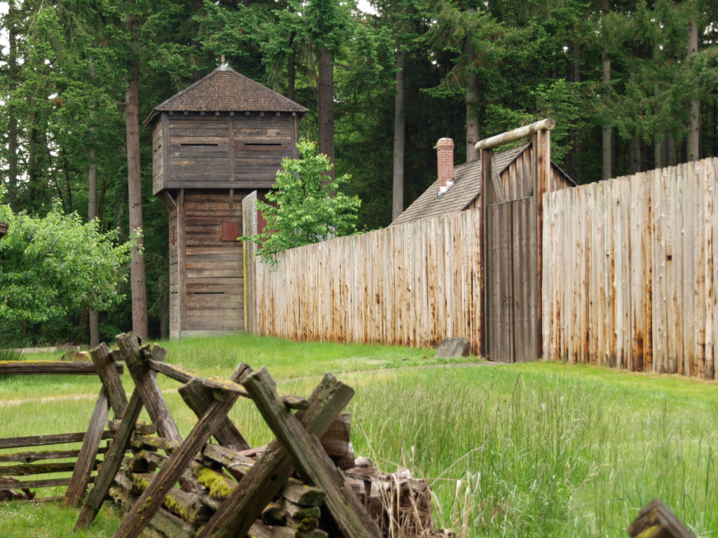
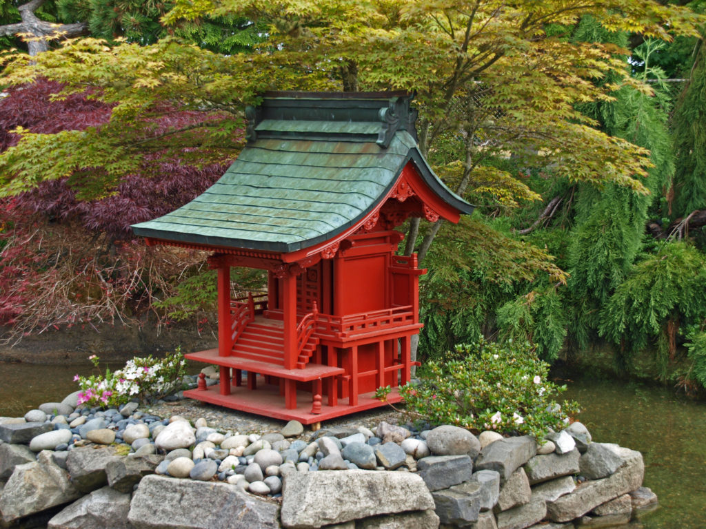
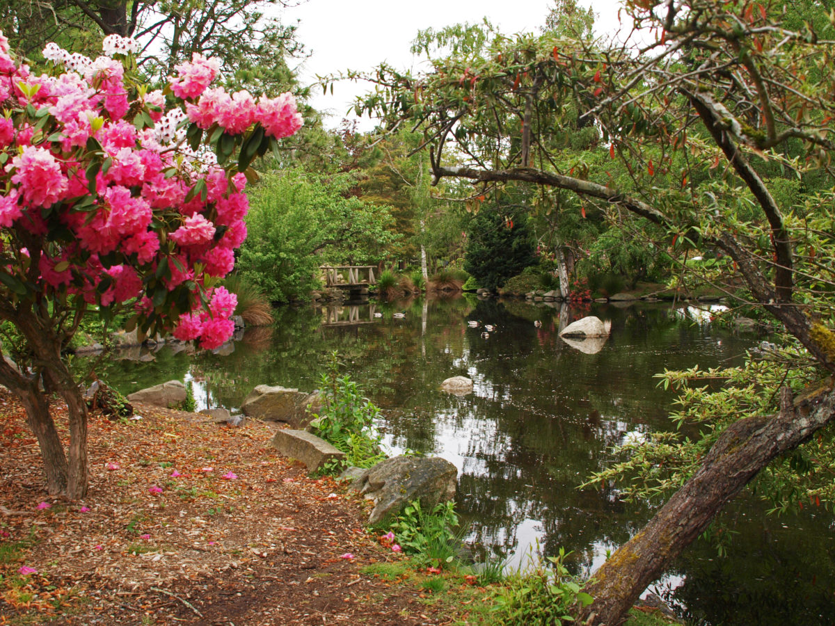
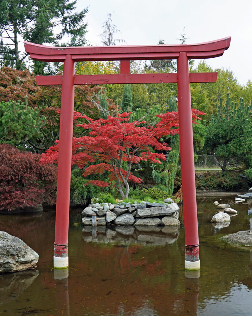
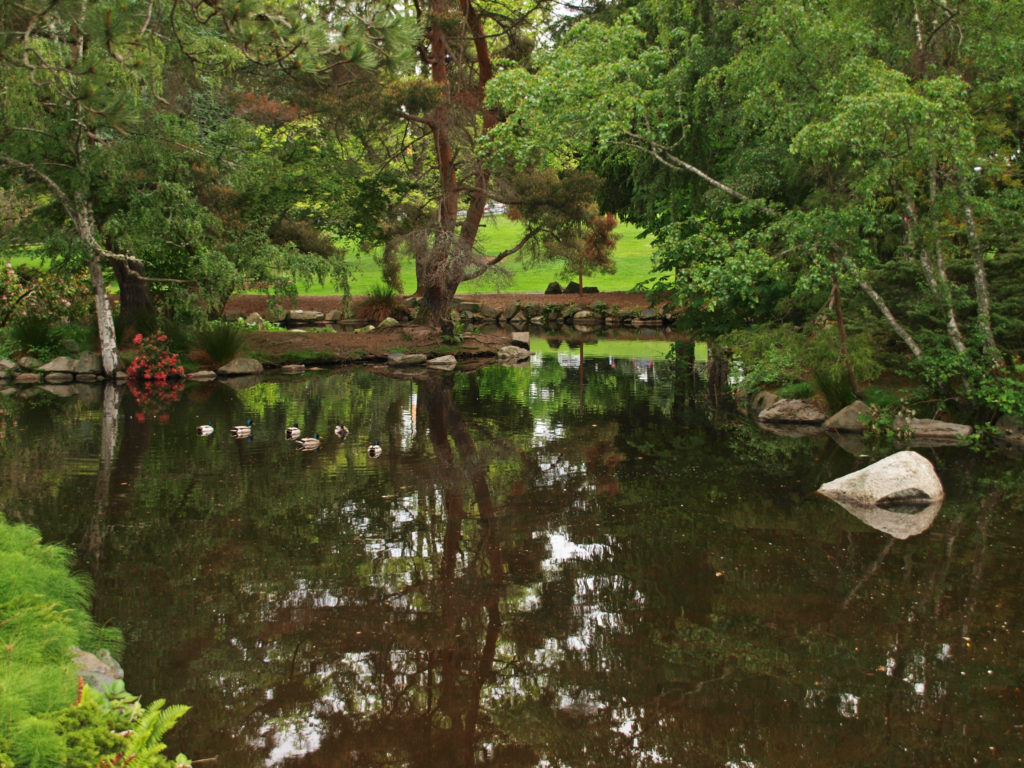 On both of our recent visits our final, and longest, stop was at the botanical gardens area near the entrance to the park. Here there is a large pond with a waterfall, an herb garden, a large rose garden, a dahlia garden, an iris garden, and a Japanese garden. We could easily have spent even more time here than we did on either visit. And if you visit the
  Point Defiance Park is one of the largest, and best, city parks in the Pacific Northwest. The park is similar in many ways to Vancouver, BC’s Stanley Park. Point Defiance is, without question, one of Tacoma’s top attractions.
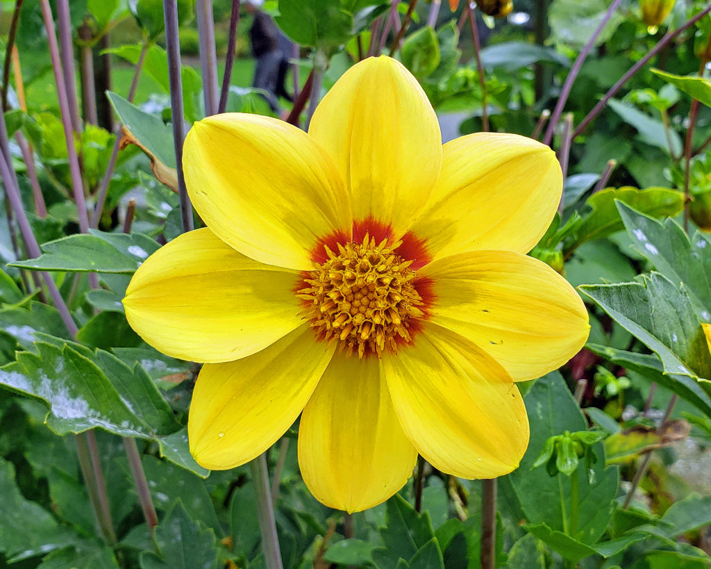 Originally posted May 19, 2019. Most recently updated February 18, 2025.
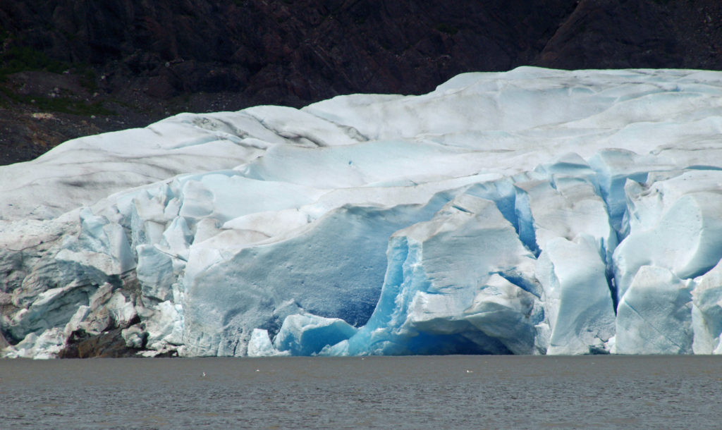
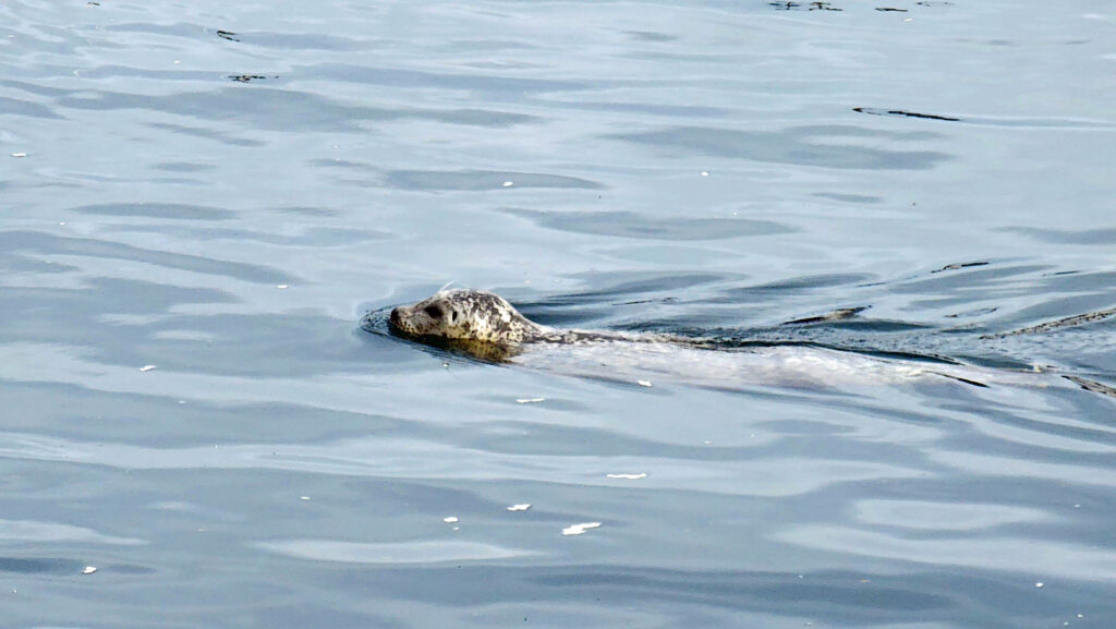
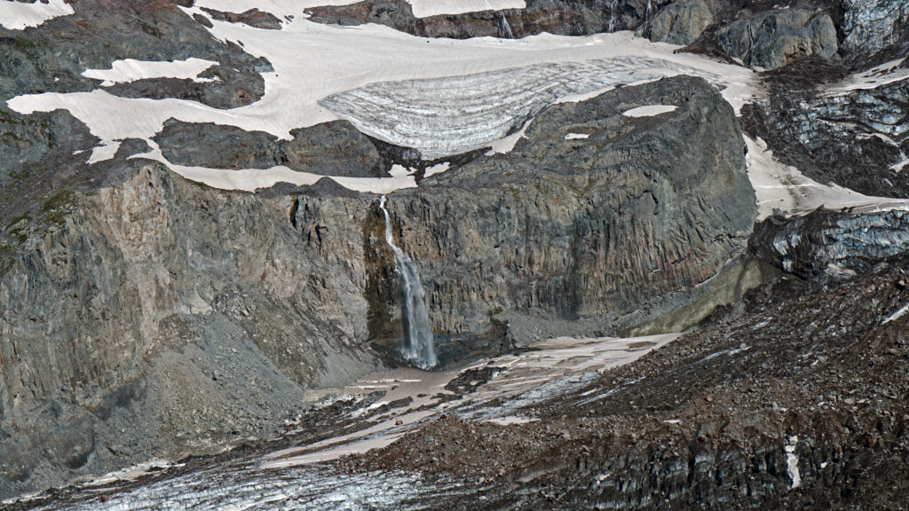
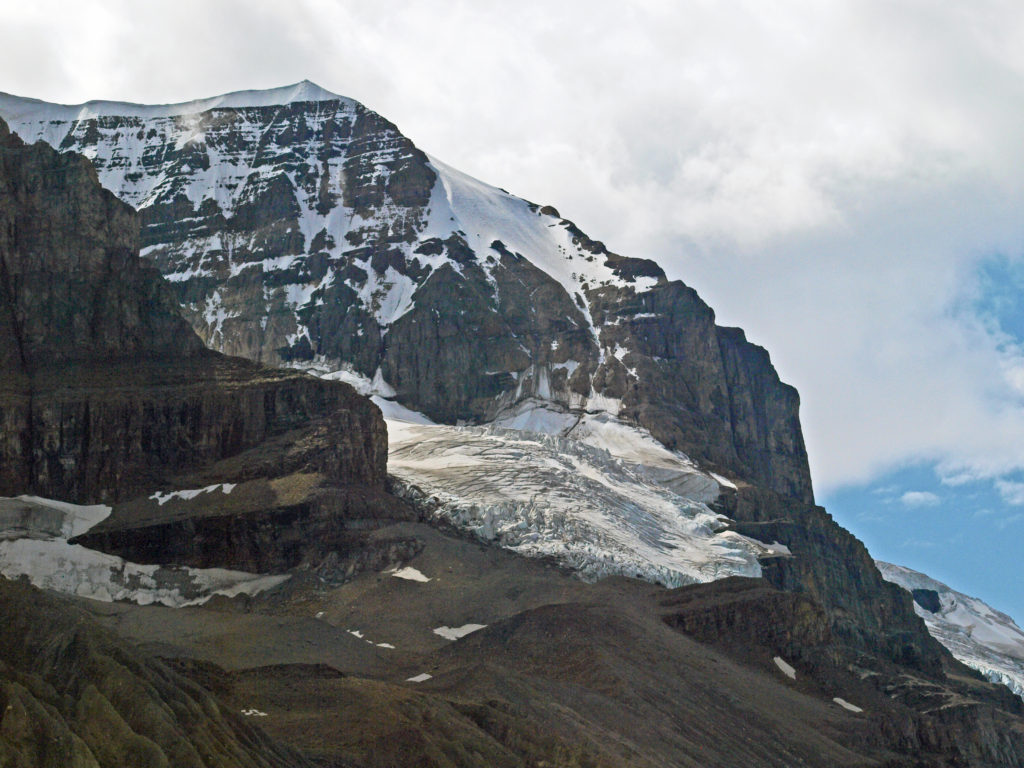
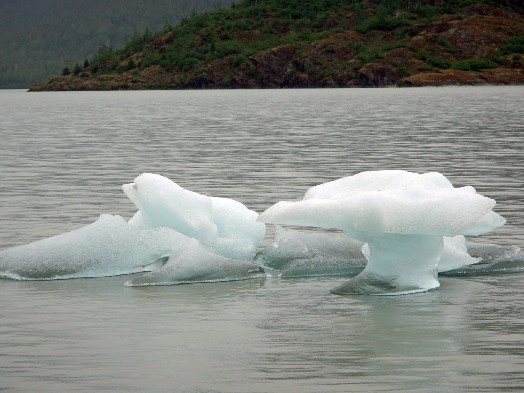
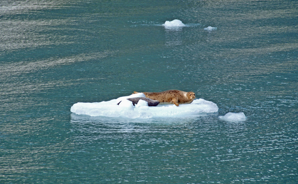 Seals often haul out on the bergs to rest and sleep. At the head of the inlet you’ll get a close up view of South Sawyer Glacier. How close you get will depend on the boat that you’re on and the amount of ice in the water, but you will get a spectacular look at the face of the glacier and there’s a chance that you’ll witness large blocks of ice calving off the face and crashing into the water below. The cruise was one of the highlights of our trip. We didn’t have time to repeat the cruise on latest visit, but if you can fit it into your itinerary, I highly recommend that you do so. Day trips start at about $275 per person.
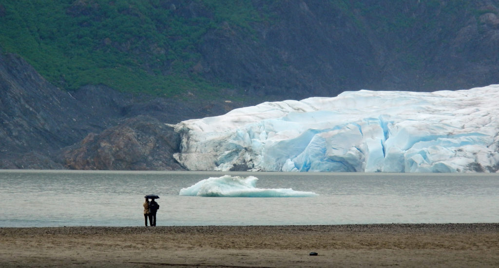

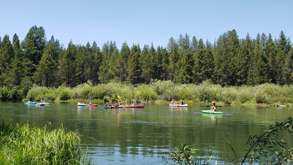
 The High Desert Museum consistently rates as one of the top attractions of the Bend area, and it won the 2021 National Medal from the Institute of Museum and Library Services. My most recent trip to the museum came as part of a family vacation to the nearby
 There is a small stream that runs through the museum grounds and several small ponds, giving the museum riparian as well as forest habitats. You can explore the pine forest and riparian areas on the trails that wander through the 135 acres of the museum grounds.
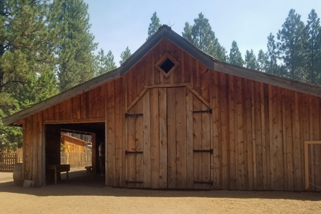
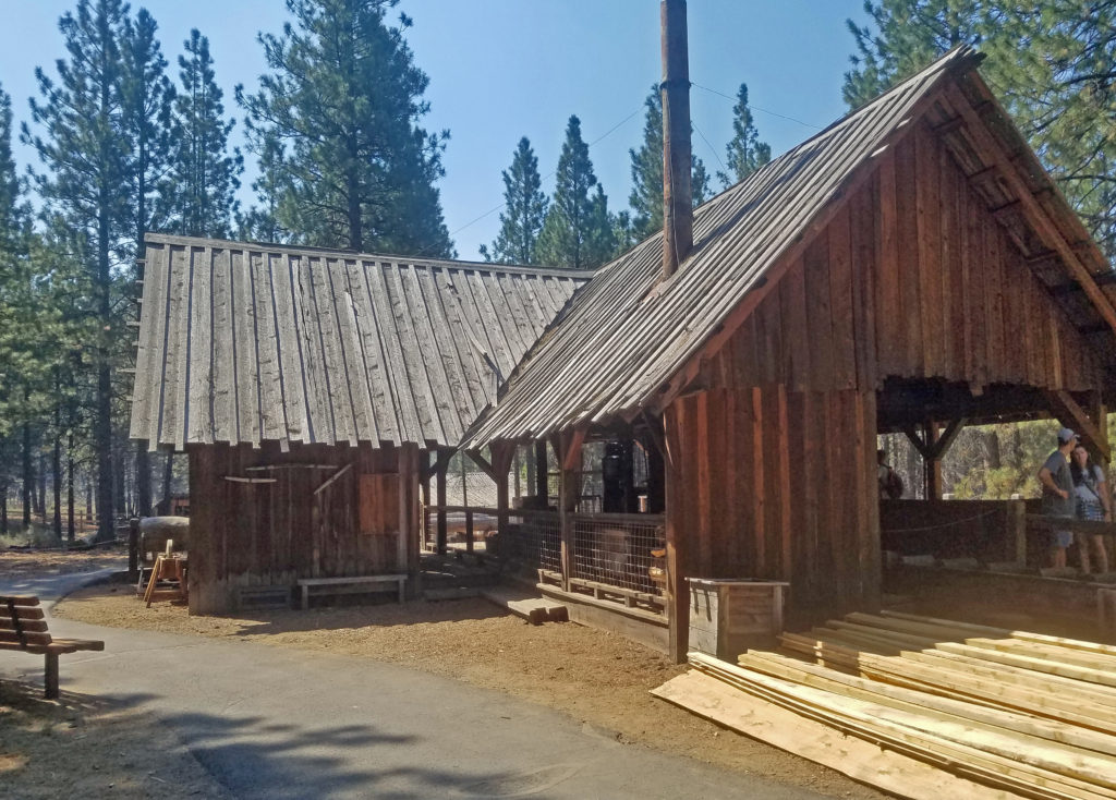 The Lazinka Sawmill is a working mill, originally located in Pilot Rock, Oregon. Originally driven by steam power, the mill is now powered by electricity. The lumber used to build the barn at the Miller homestead exhibit was cut at the Lazinka Mill. Museum staff fire up the mill once a month during the summer months, so check the museum’s schedule (linked below) if you are interested in seeing it in operation.
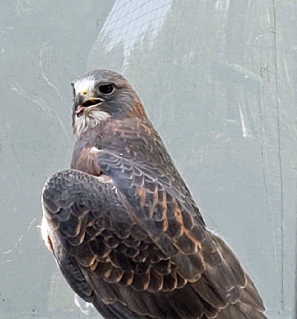
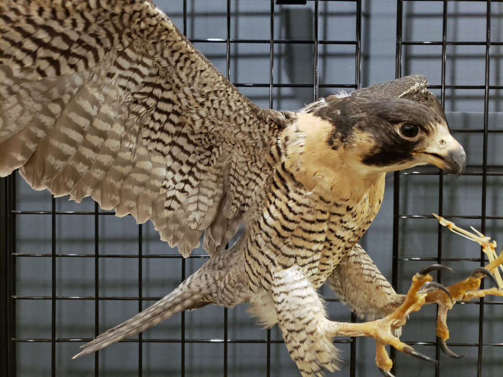
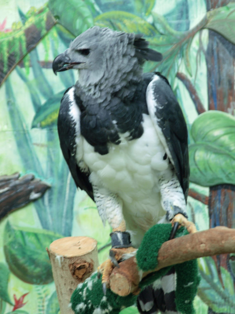
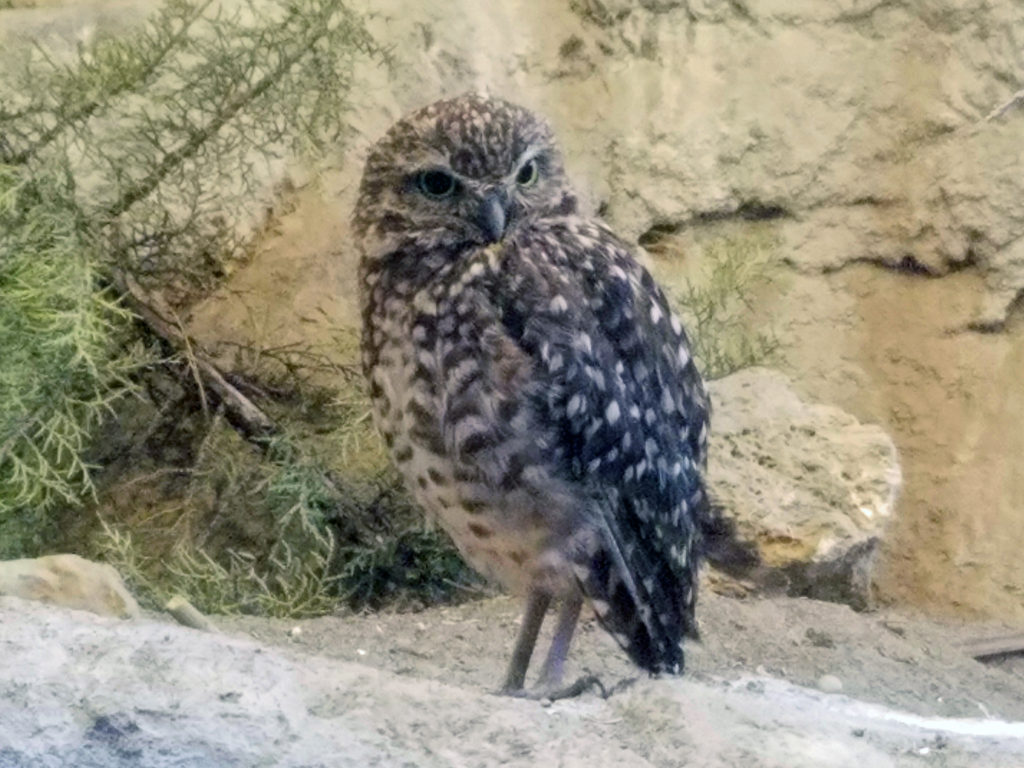 Get an up close look at some of the raptors of the high desert and learn about desert carnivores, otters, and other desert dwellers at the Donald M. Kerr Birds of Prey Center. Check the museum
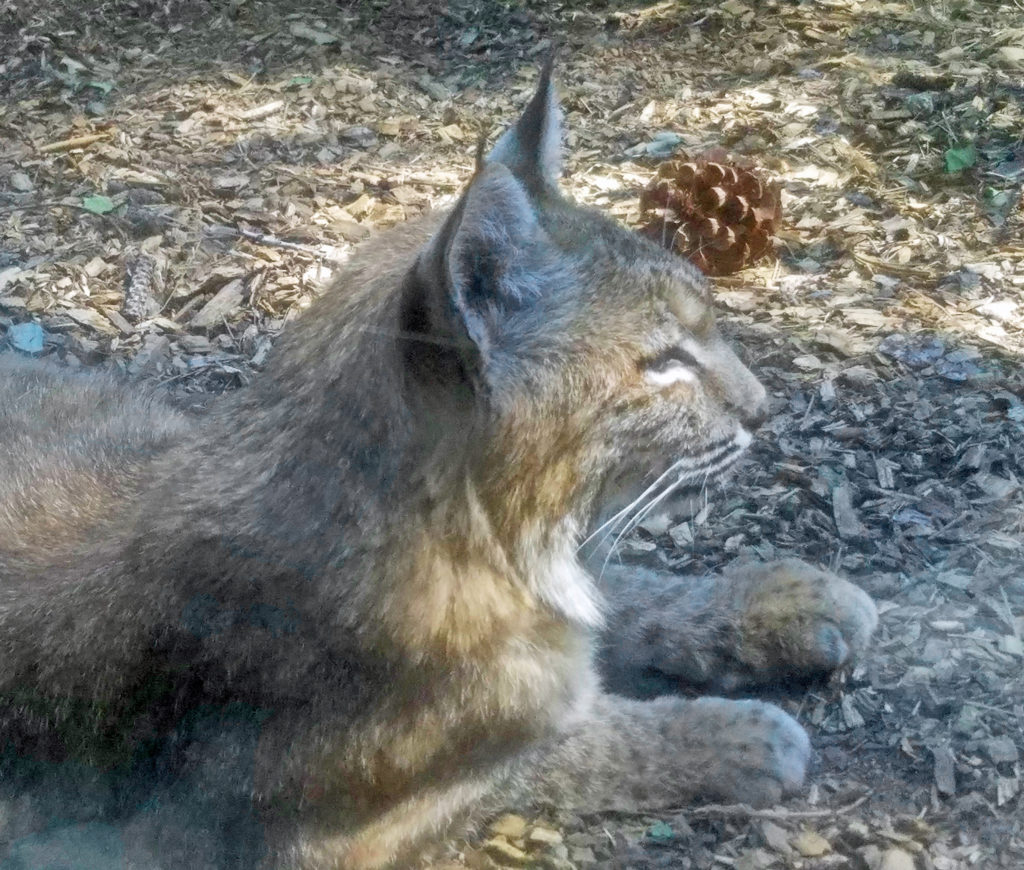
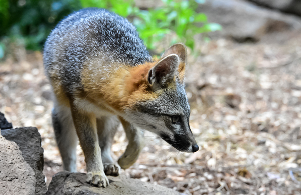
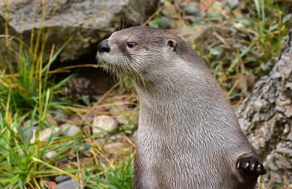
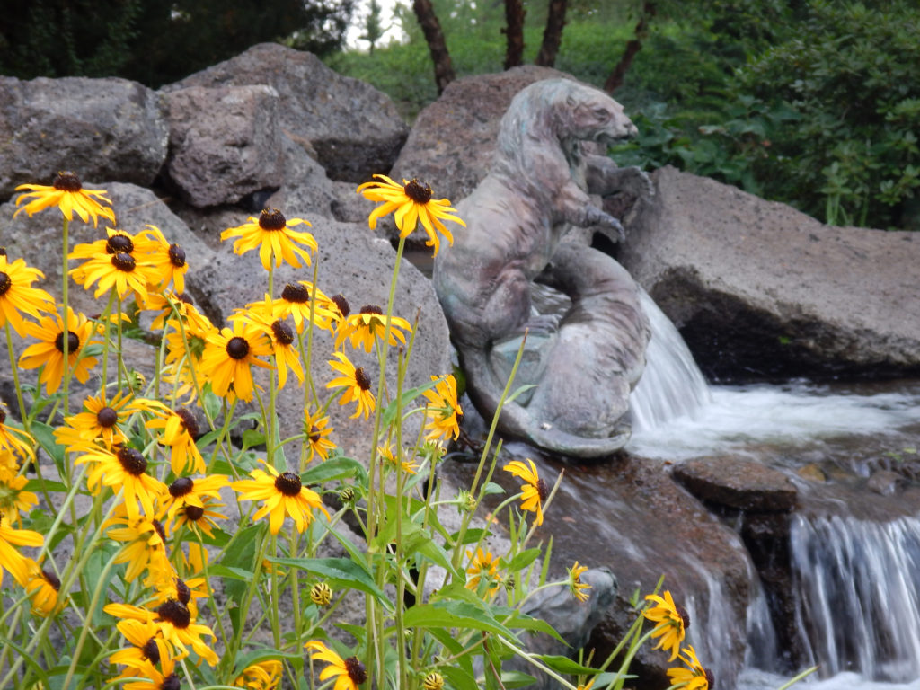
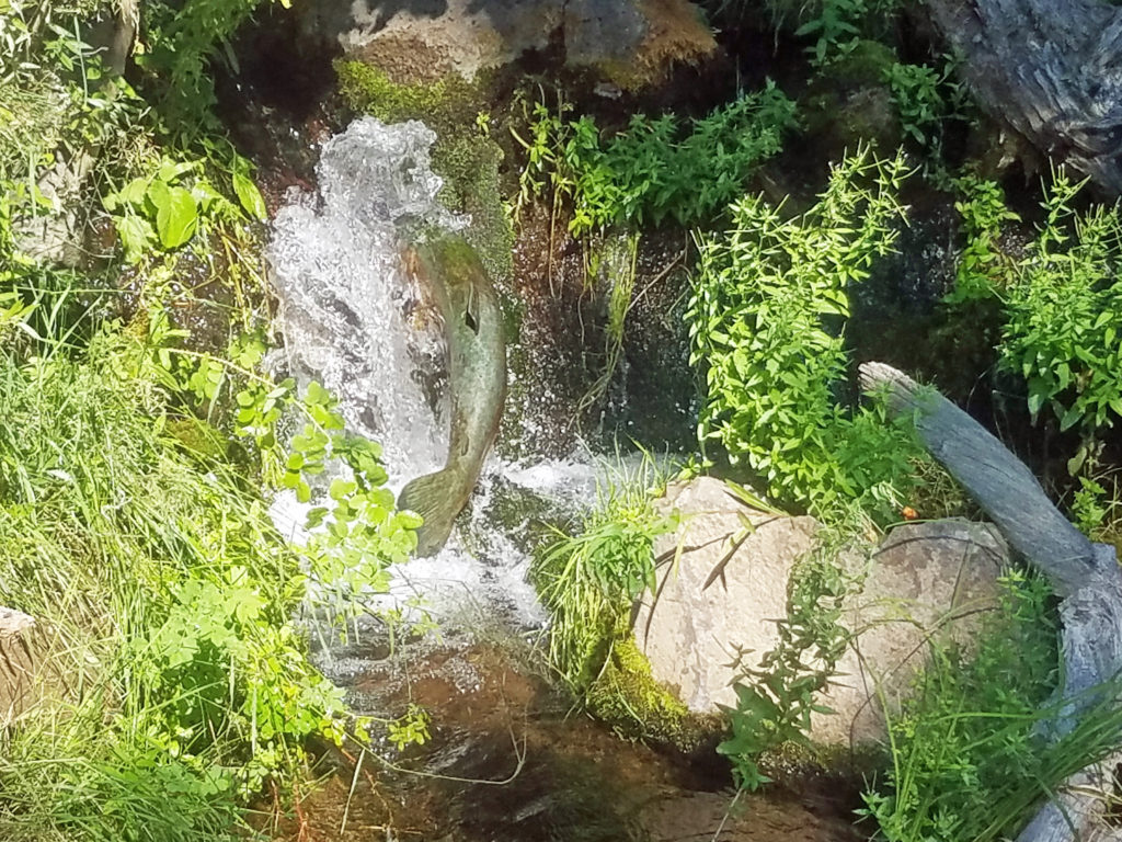
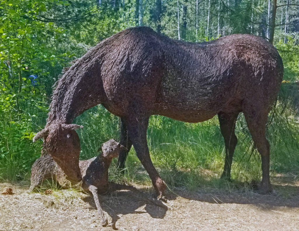 Throughout the grounds, you will find sculptures and other works of art. I particularly like the wire sculptured mare and foal, the bronze beavers, and the frozen-in-time bronze of a salmon in mid-leap.
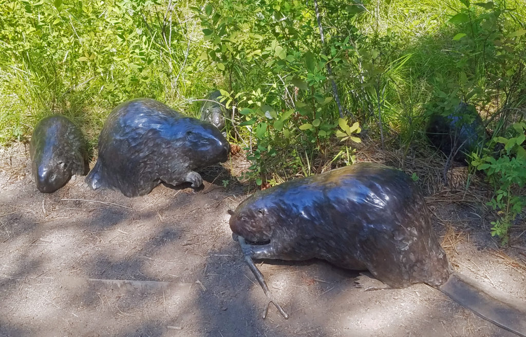
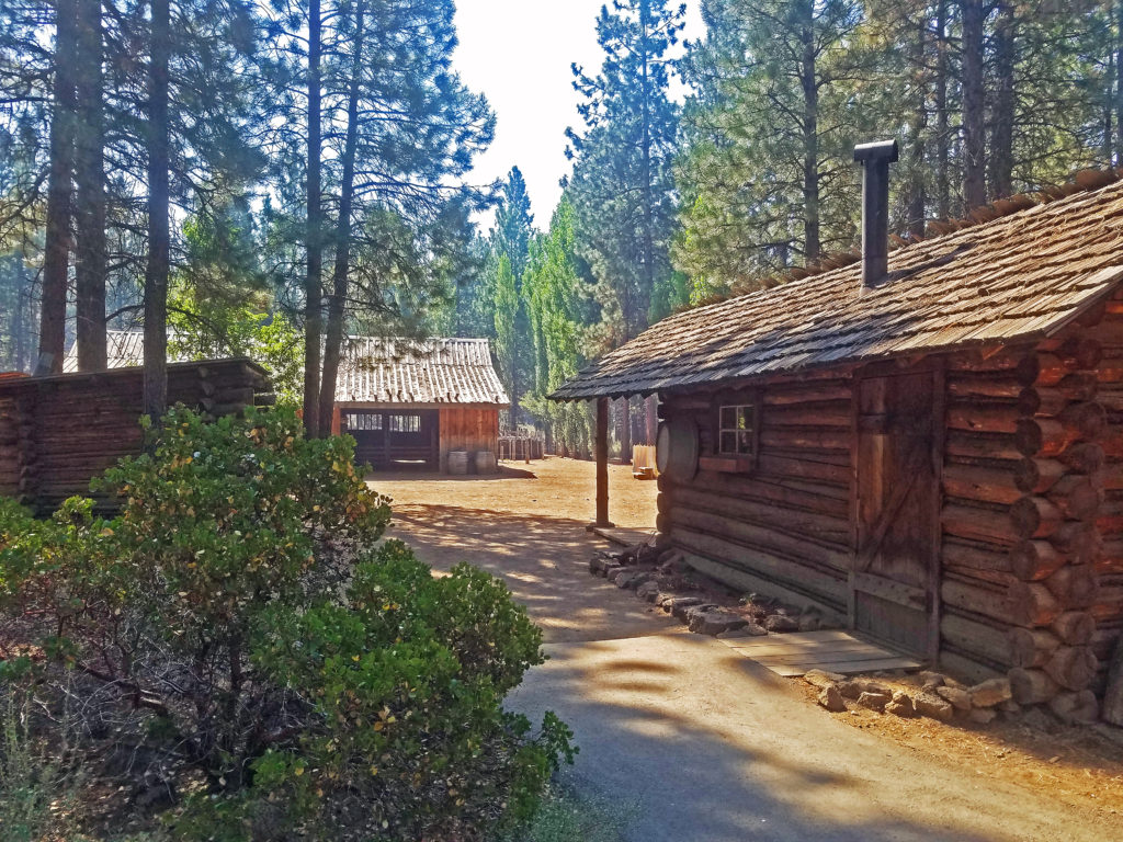
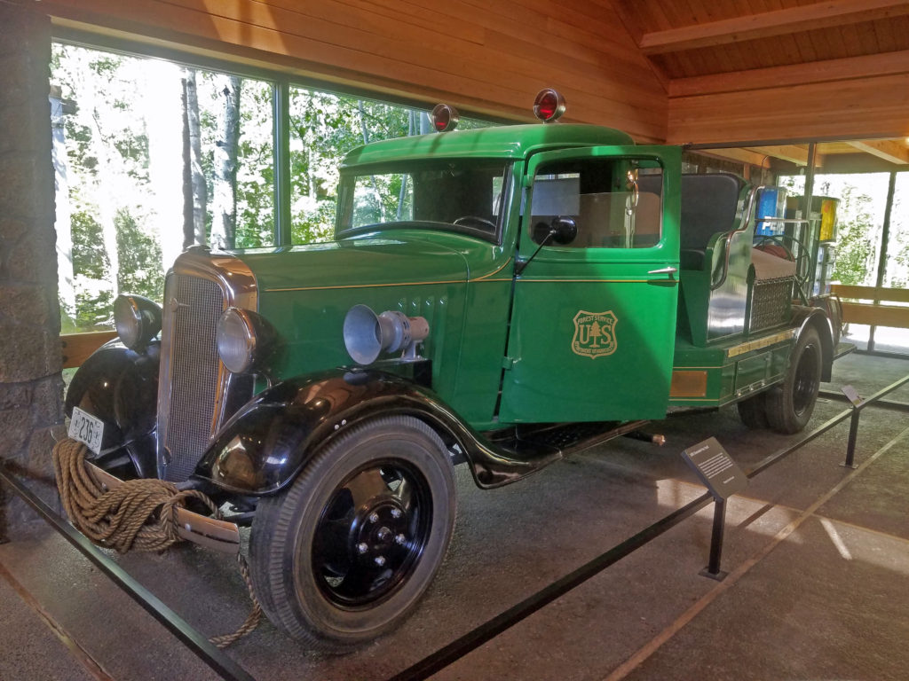
 Other features of the museum include a Forest Service ranger office built in 1933, vintage logging equipment, a forest service fire truck from the 1930s, and a WWII army motorcycle made by Harley-Davidson. The museum’s most recent addition is the E. L. Wiegand Ponderosa Playscape, a children’s play area near the otter exhibit.
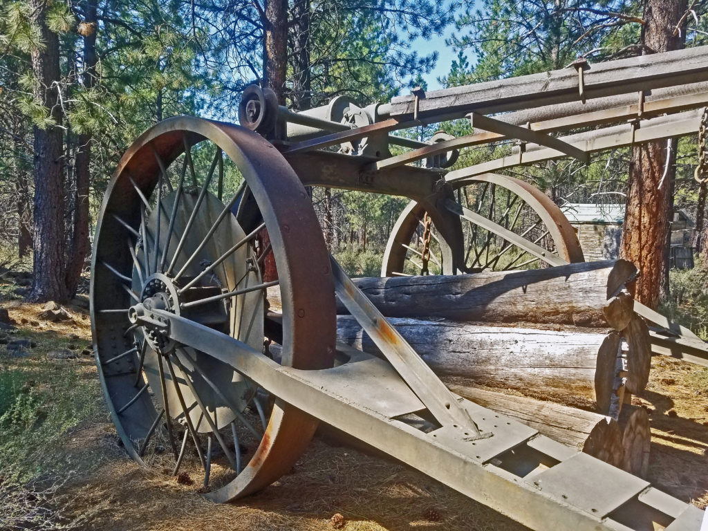
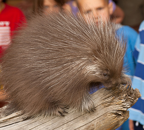
 Inside the main building, the Desertarium Exhibit showcases some of the animals that make the High Desert home, including snakes, lizards, and desert tortoises. Other permanent indoor exhibits include Spirit of the West, which documents the history of the people of the region, and By Hand Through Memory, a look at the history and culture of the Plateau Indian Nations.
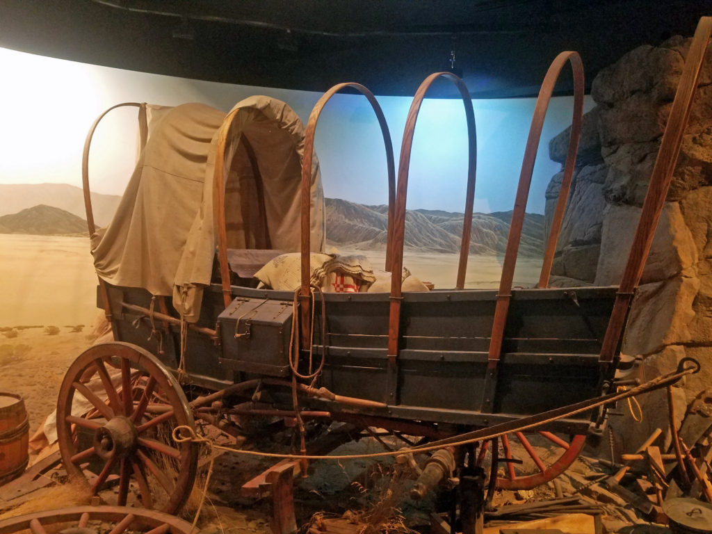 The museum also hosts changing exhibits. Check the museum’s website for what exhibits are currently on display.
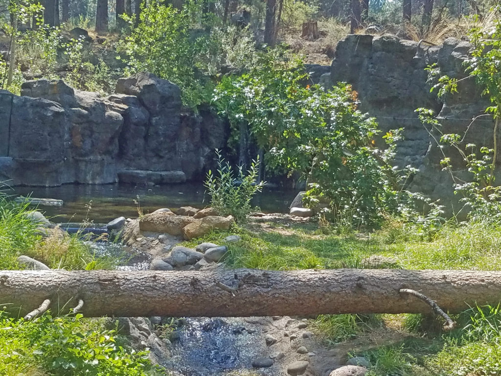 In addition to enjoying all the museum’s exhibits, you can get made-to-order sandwiches and wraps, and a variety of beverages at the newly remodeled Rimrock Cafe inside the main building. The cafe features locally made food and drink from Big Ed’s Artisan Bread, Humm Kombucha, and Strictly Organic Coffee. And souvenirs of your visit and books and other educational materials are available at Silver Sage Trading, the museum store.
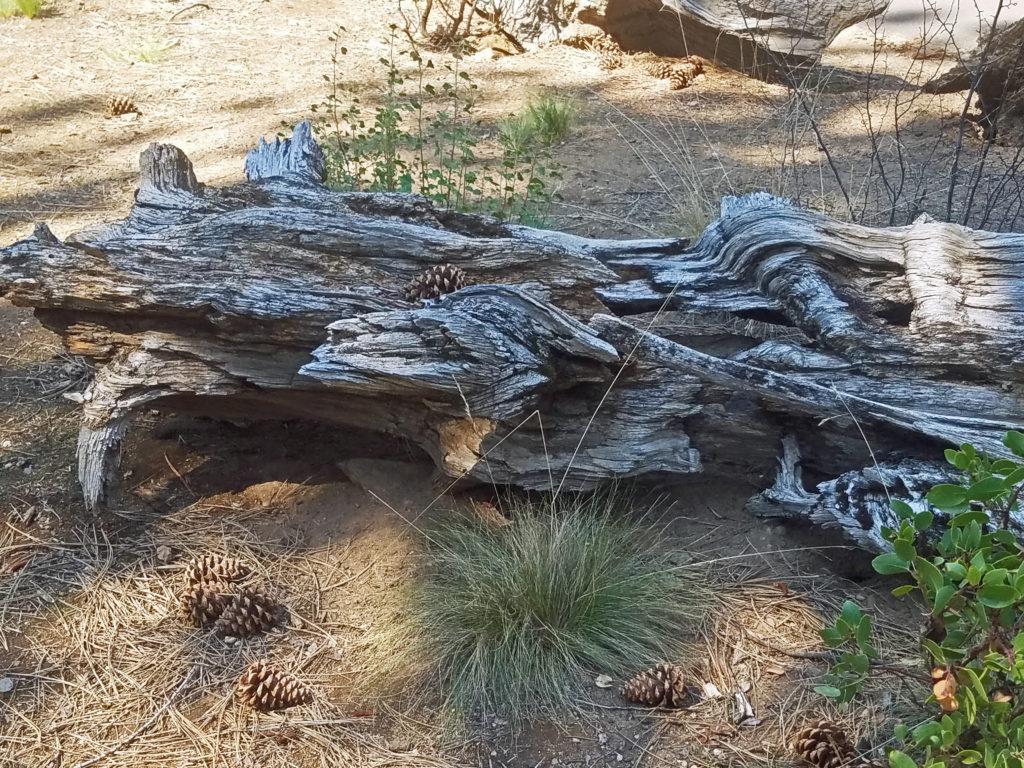 Plan on spending at least several hours at the museum, especially if you have kids in tow. There’s too much worth seeing to experience it all in less time. Check the museum website for hours and admission fees. Tickets are available for purchase on the website, but advance purchase is not required.
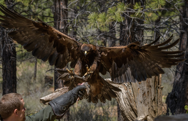
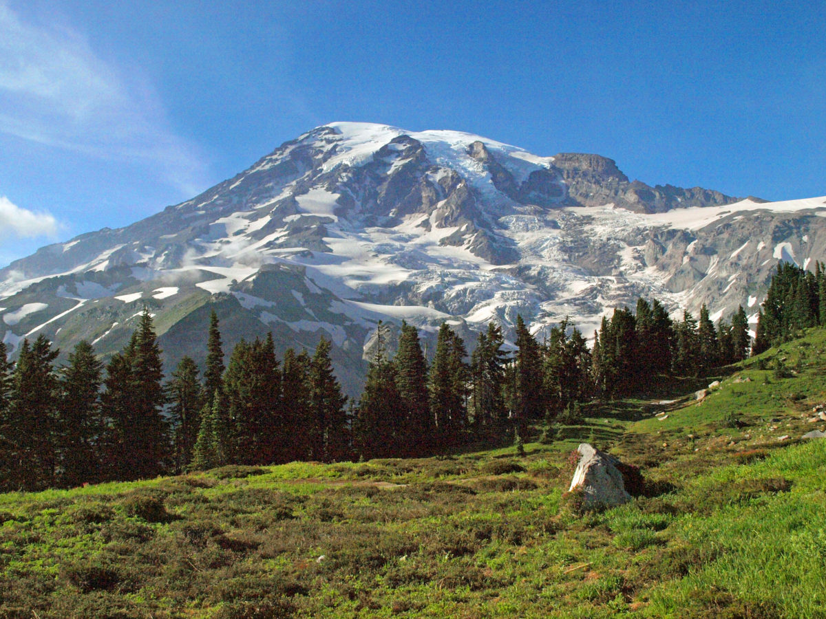
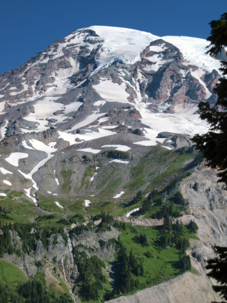

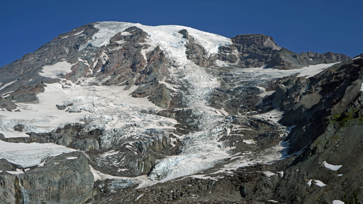
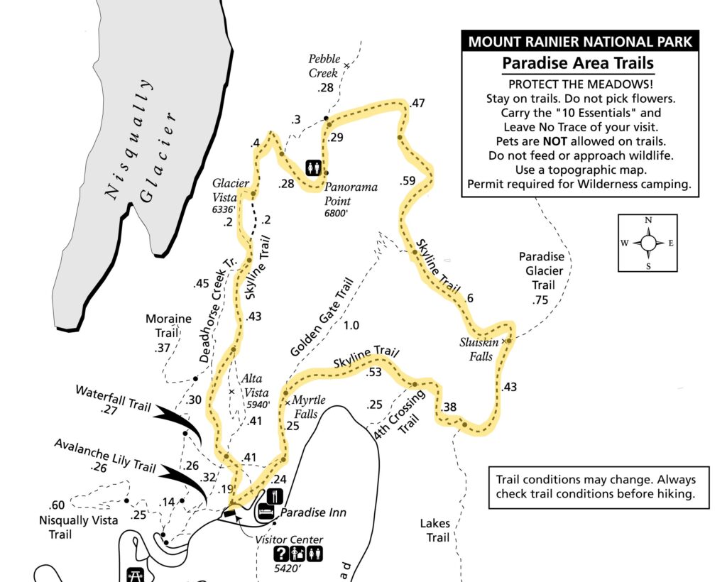
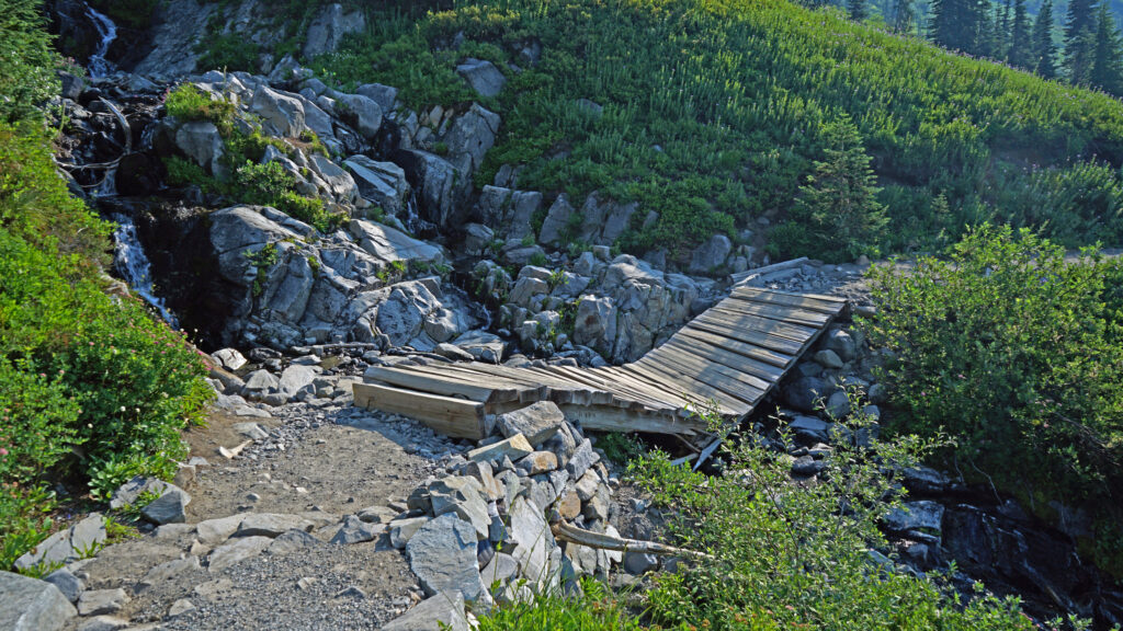
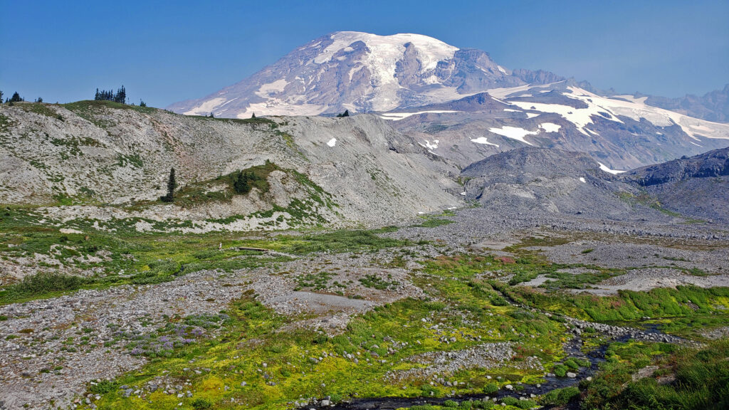
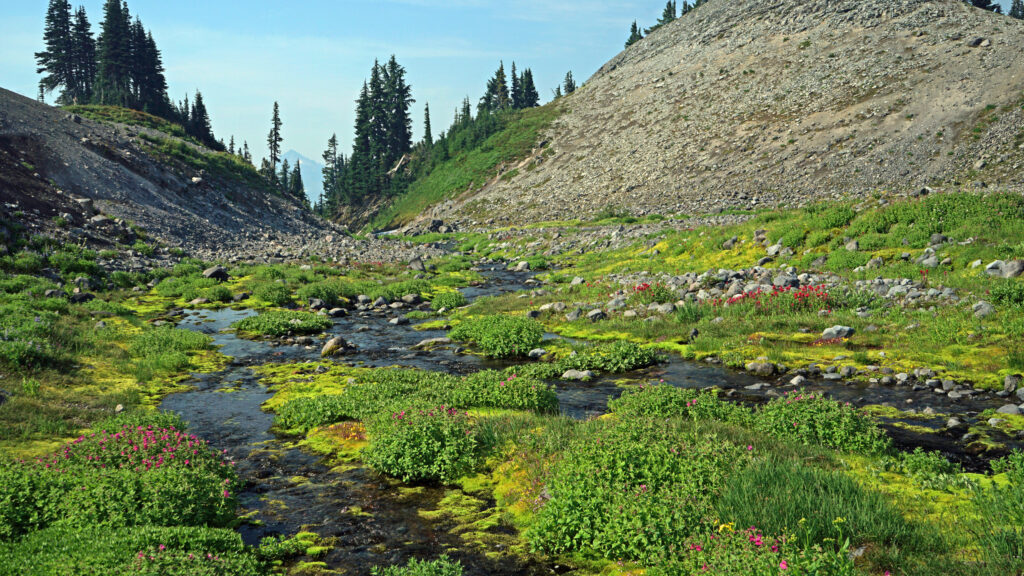
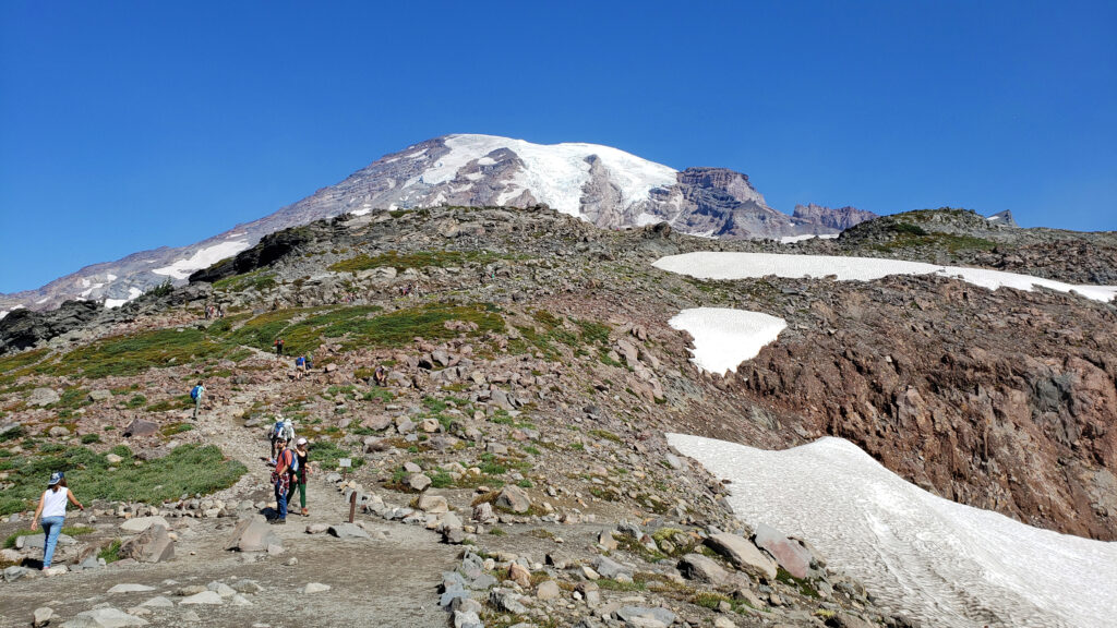
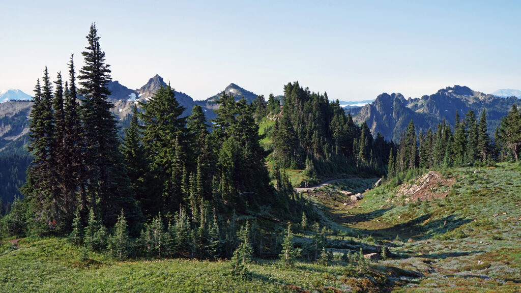
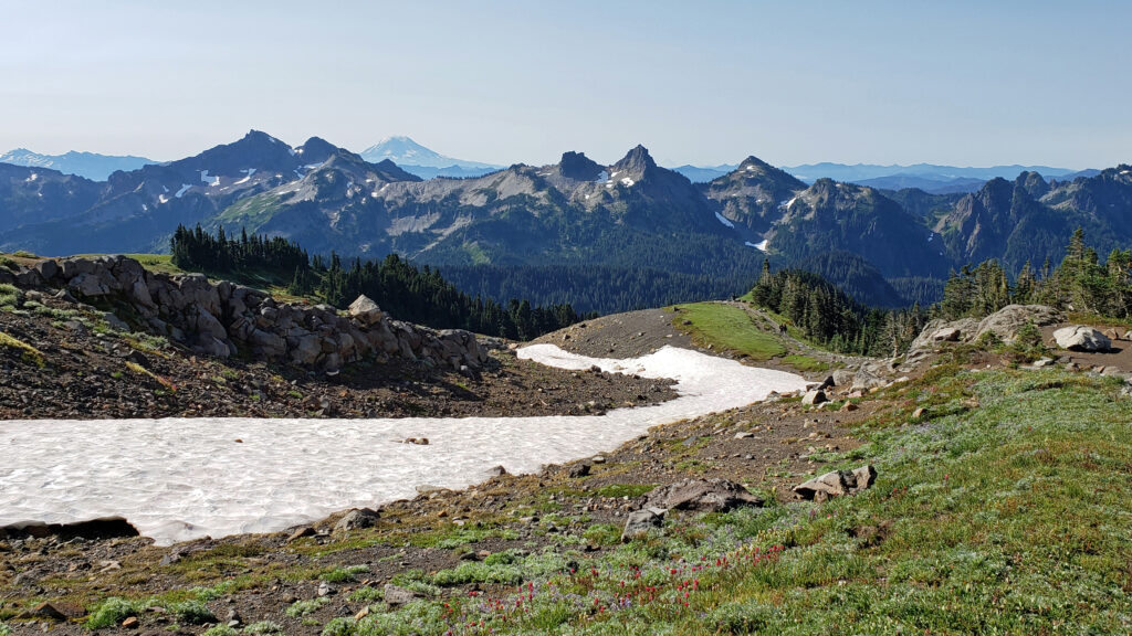
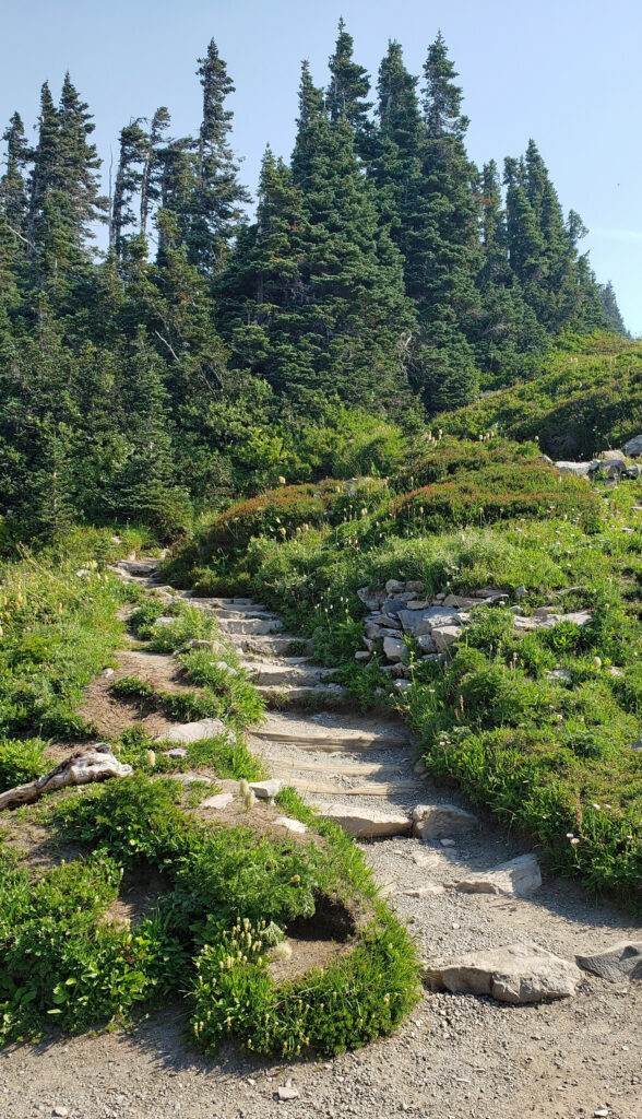
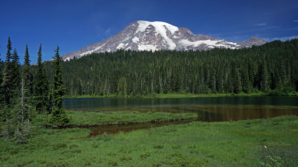
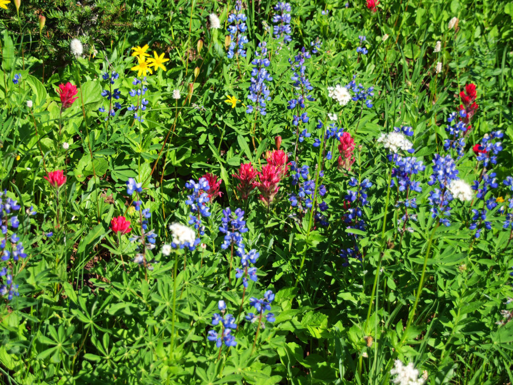
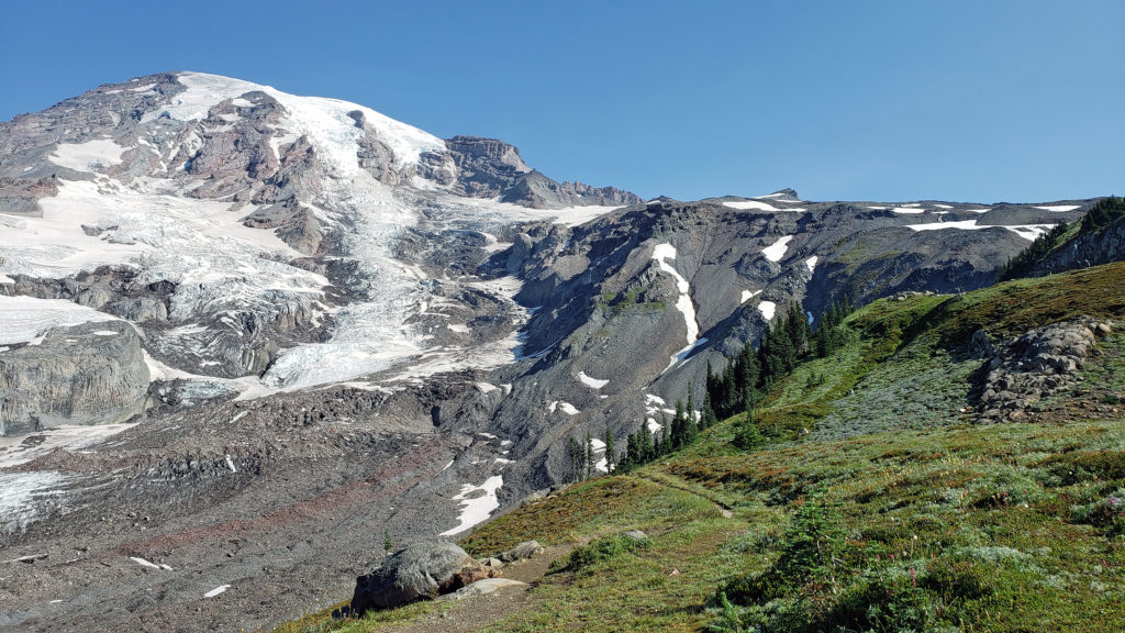 The highlights of the trip were the two hikes we did on the Skyline Trail. The first was the four mile out and back hike to Panorama Point. The second was the roughly four mile Skyline-Golden Gate loop. Both are listed as “moderate” hikes, but both have significant elevation gains (1700′ and 1400′ respectively). We did both hikes early in the day during the week, but we were far from the only ones on the trail, especially on the hike to Panorama Point. But the area above Paradise is so incredibly scenic that the crowds didn’t diminish the experience much.
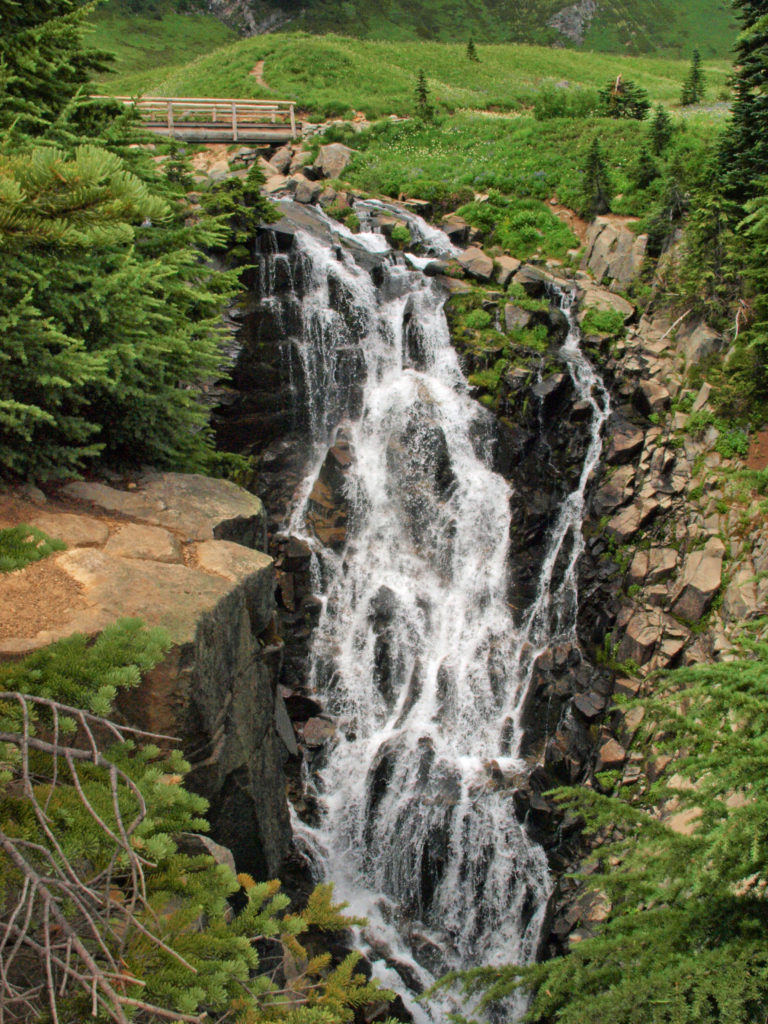
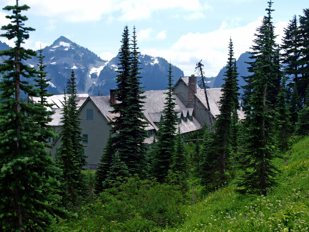
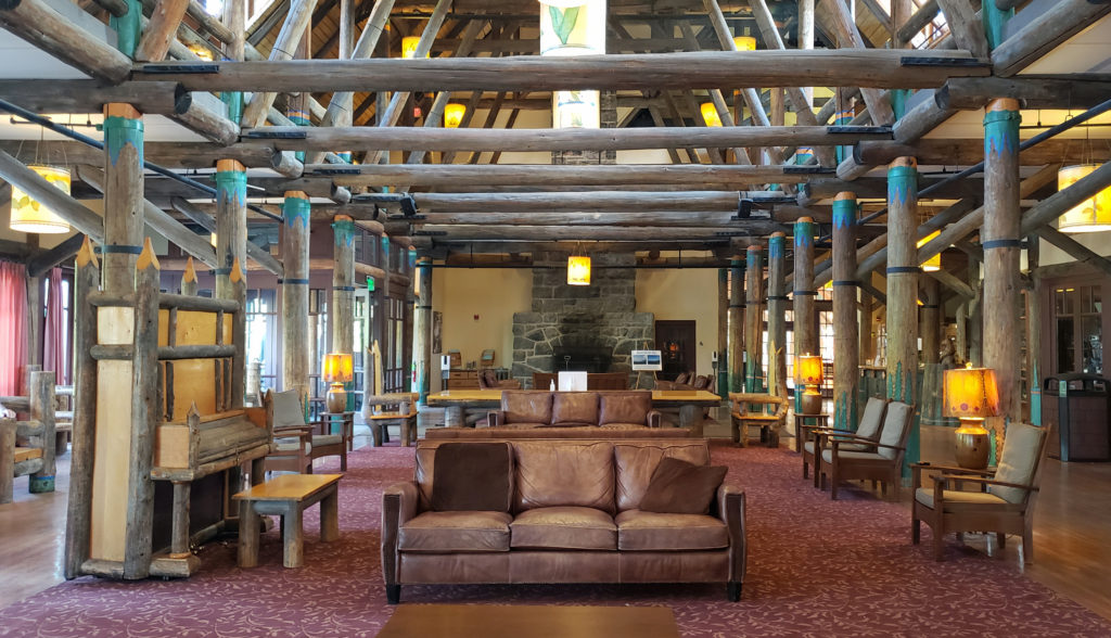 Close to Paradise Inn, the Jackson Memorial Visitor Center, named after long-time U.S. Senator Henry M. Jackson, offers general information, exhibits, a park film, guided ranger programs, a book/gift store and a cafeteria. Unfortunately, all visitor centers in the park are currently closed due to the ongoing pandemic.
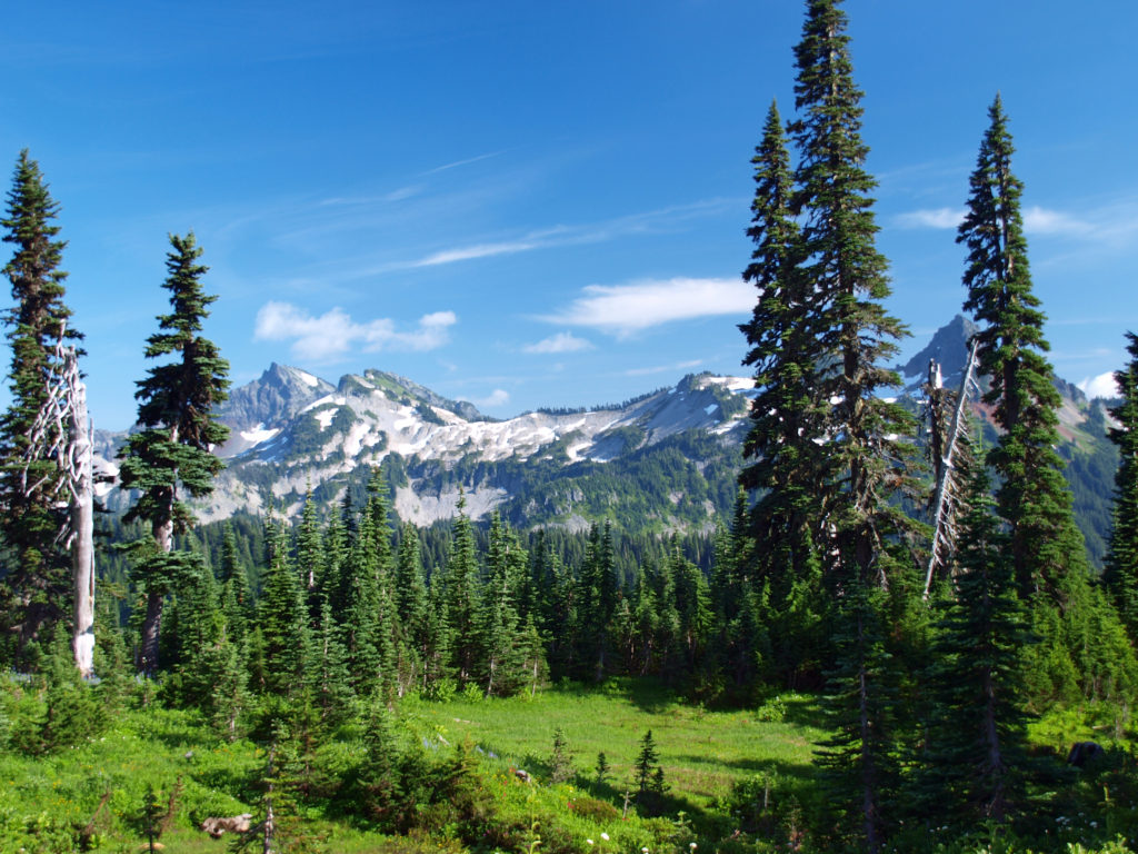
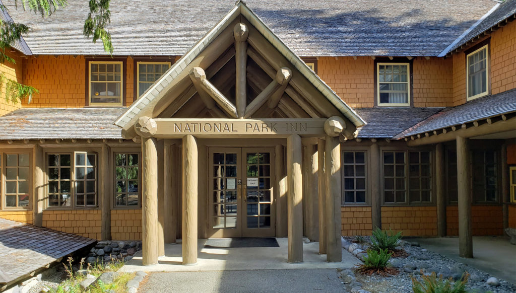 Both Paradise Inn and the National Park Inn have full service restaurants, but both were operating on a reduced scale due to the pandemic when we were there in August. The National Park Inn dining room was closed, but take out meals could be ordered and picked up at the reception desk in the lobby. The dining room at Paradise Inn was open for dinner only for most of our visit, but closed (unexpectedly) for the season on our last day there. Paradise Inn also has a limited service cafe, and there is a cafeteria at the Jackson Memorial Visitor Center that is open daily during the summer season and on most weekends and holidays in the winter (depending on road conditions). The National Park Inn restaurant is open year round.
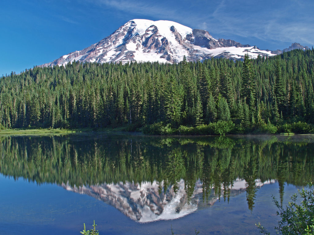
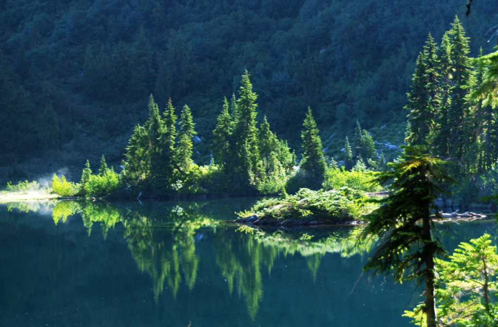 The nearby Snow Lake Trail is an easy and worthwhile hike. To the east, the Stevens Canyon area has a number of interesting areas, including Box Canyon, a 180 foot deep slot canyon, and a number of roadside waterfalls.
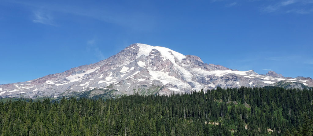 The Longmire area has some interesting history, a museum, nice hiking trails, and the National Park Inn offers both lodging and dining options for the visitor. The road to Longmire is also plowed in the winter, so it’s a year round destination. (The road from Longmire to Paradise is open in winter when the weather allows.)
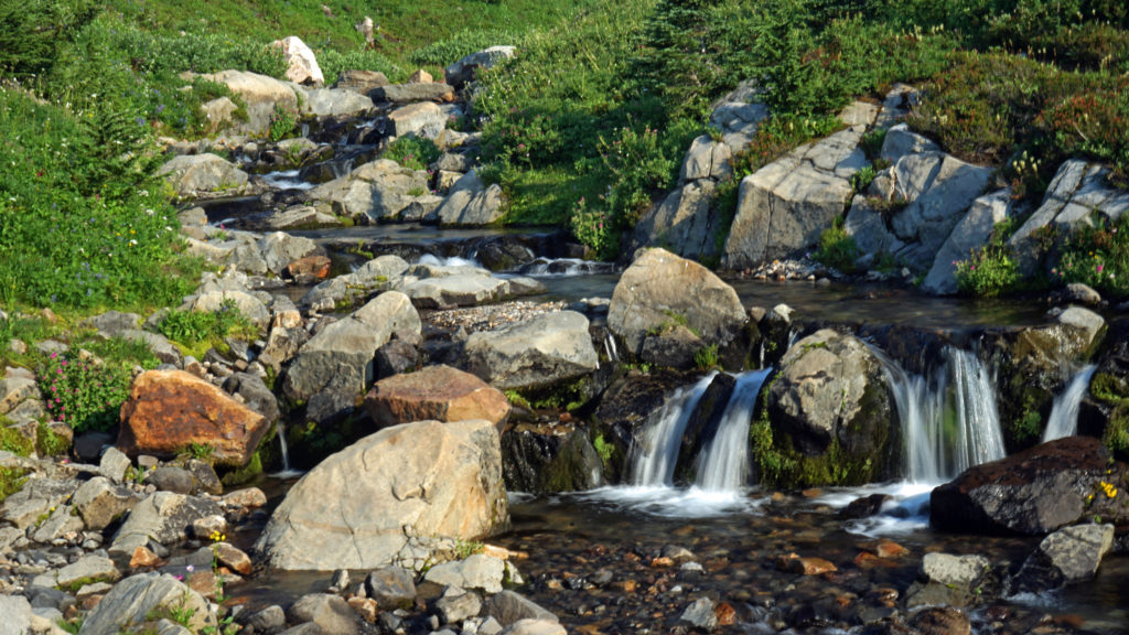
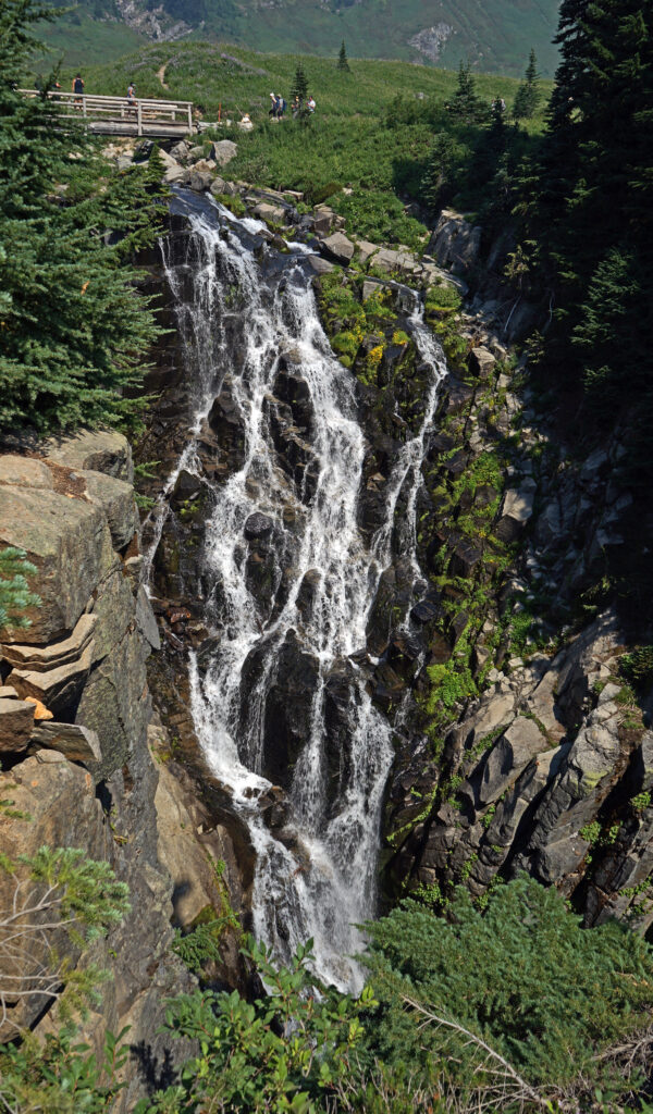
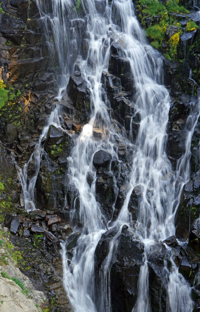
 In the Ohanapecosh area in the southeastern corner of the park, the Grove of the Patriarchs Trail is a good family friendly outing. And the nearby Silver Falls Trail is a must for waterfall lovers. In the northeastern section of the park, the Sunrise area offers beautiful views of the eastern side of the mountain and has an abundance of hiking trails.


 There is so much here that you probably can’t see it all in one visit. My wife and I have visited the museum on a couple of our Arizona excursions, and on our last visit I was surprised at how much I had missed on our earlier visit. Plan to spend at least two hours at the museum. Allow half a day to more fully explore what the museum has to offer, if you can.