by Alan K. Lee
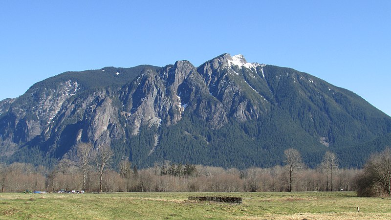
The beautiful Snoqualmie Valley runs from just east of Seattle, Washington southeast to Snoqualmie Pass at the crest of the Cascade Mountains. The valley’s proximity to Seattle and its eastern and southern suburbs makes the Snoqualmie Valley quite literally Seattle’s backyard. We’ll touch on some of the many recreational opportunities in the Snoqualmie Valley and in the Snoqualmie Pass area, but we’ll focus first on the two areas we visited on our most recent visit, Twin Falls on the South Fork of the Snoqualmie, and Snoqualmie Falls on the main stem.
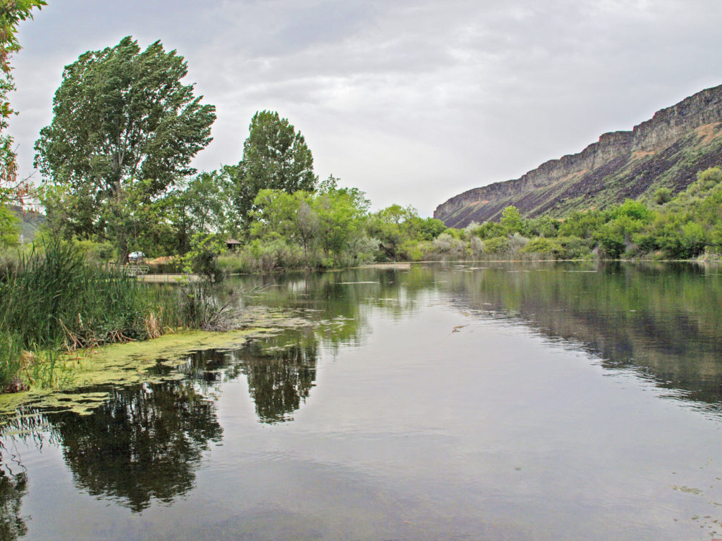
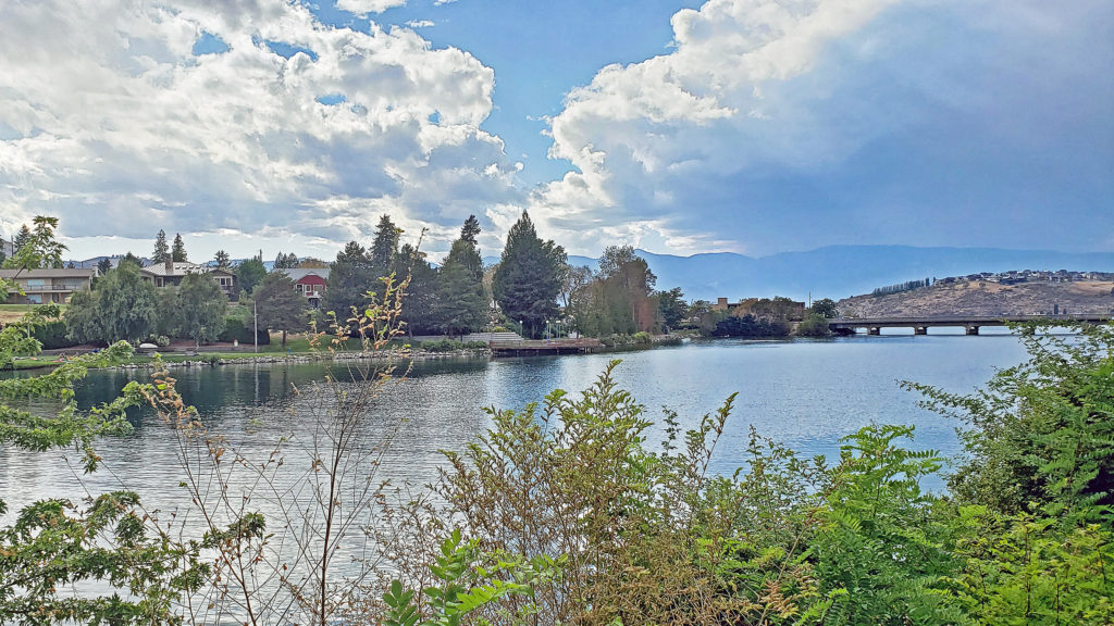
Snoqualmie River
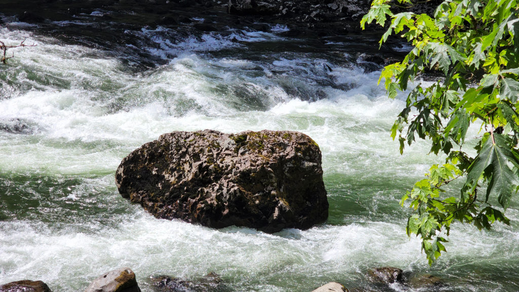
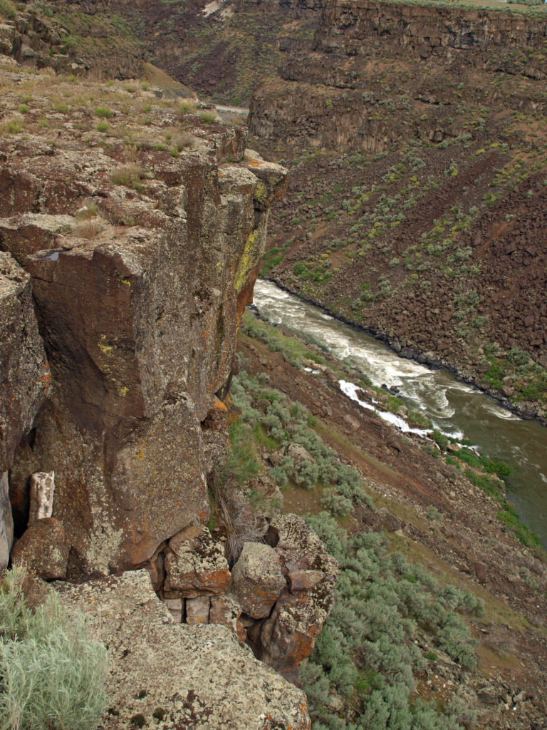
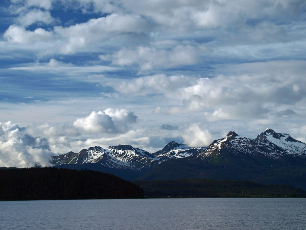
The middle and south forks of the Snoqualmie River arise near Snoqualmie Pass, which is only about 45 miles as the crow flies from downtown Seattle. The middle, south, and north forks of the river all come together to form the main stem of the Snoqualmie River just above the magnificent Snoqualmie Falls.
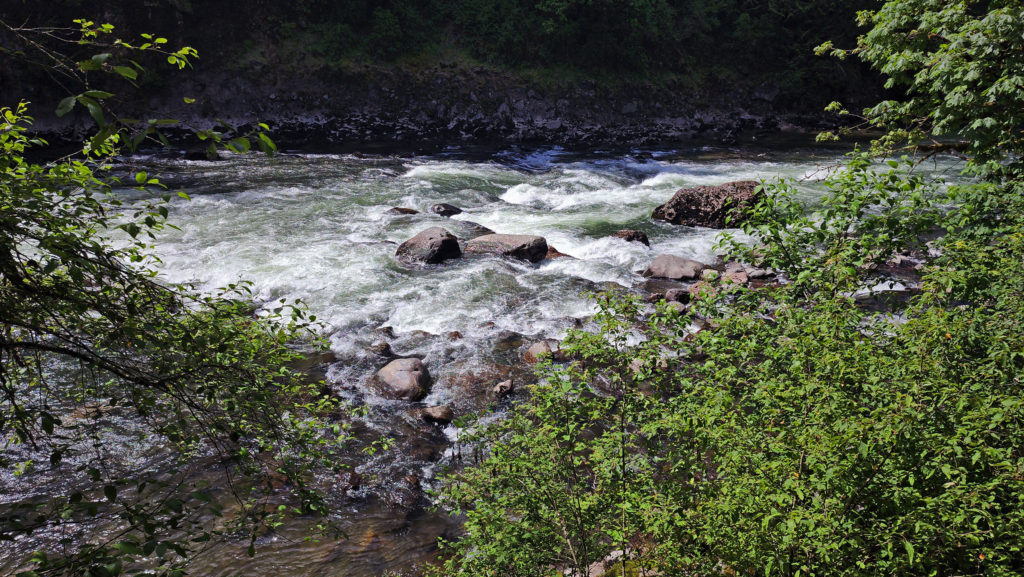
To say that the river is a very popular destination for people looking to escape the city is a bit of an understatement. On summer weekends it can seem like half the population of the metro area can be found along its banks or in the surrounding mountains. But there are dozens, probably hundreds, of hiking trails and other attractions, so the crowds disperse to some extent. But we were last there on the Fourth of July, and Snoqualmie Falls was a madhouse that day. Nevertheless, my wife and I still enjoyed our time there, and we had done a hike earlier in the day that was much less crowded. More on that below.
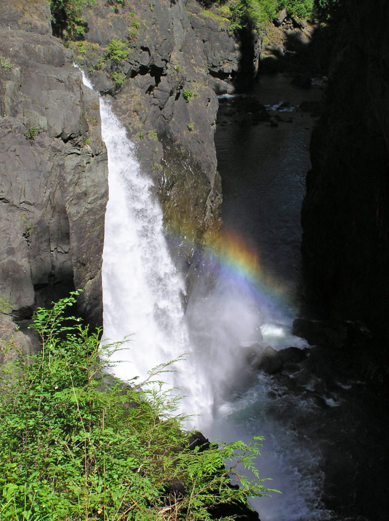
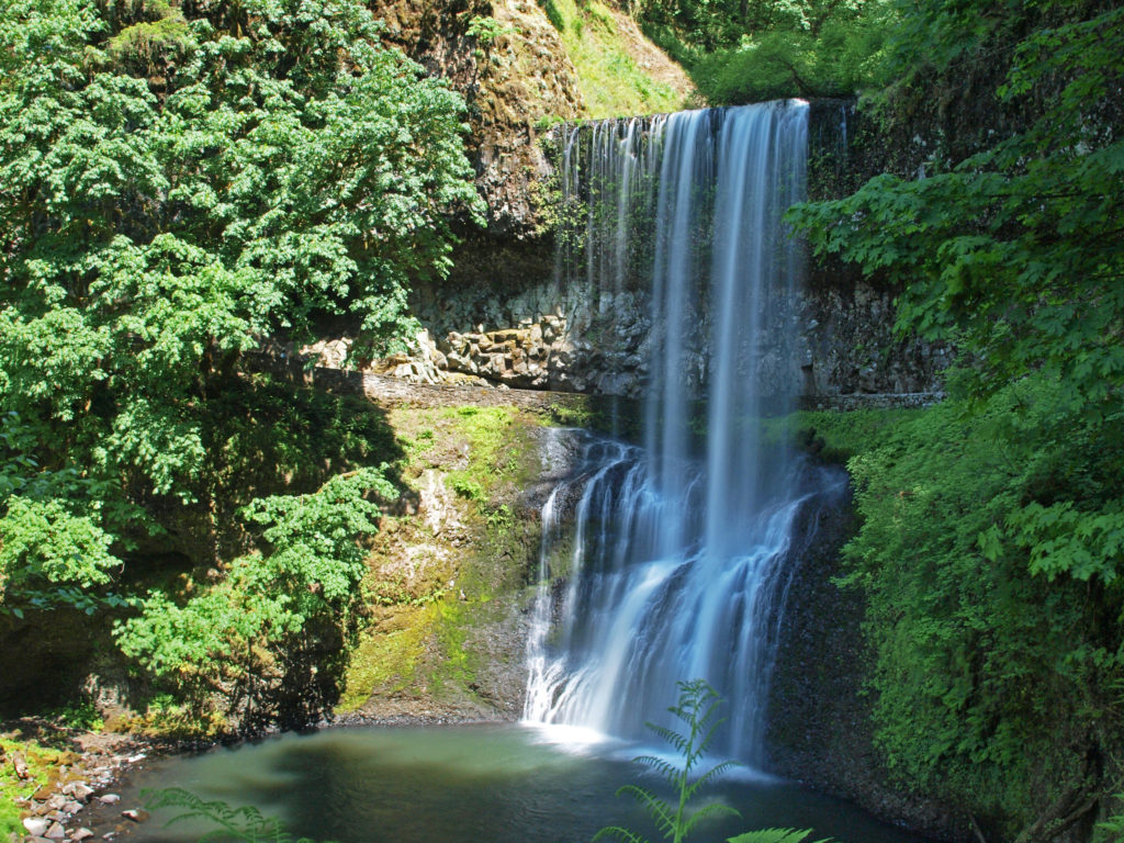
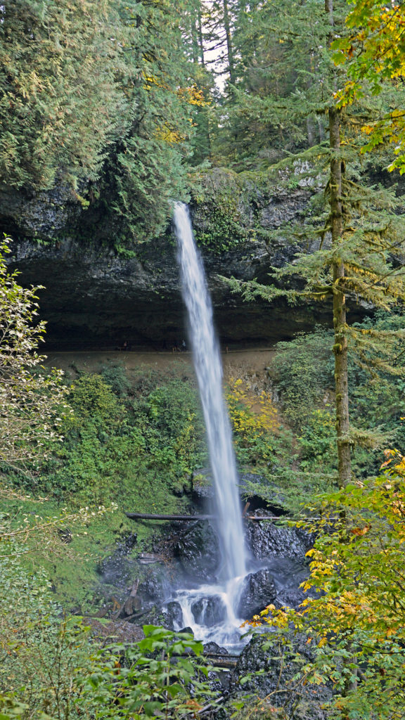
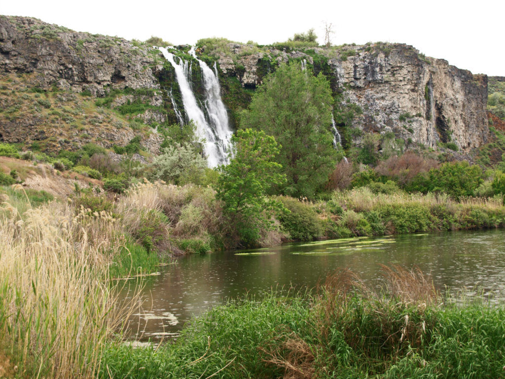
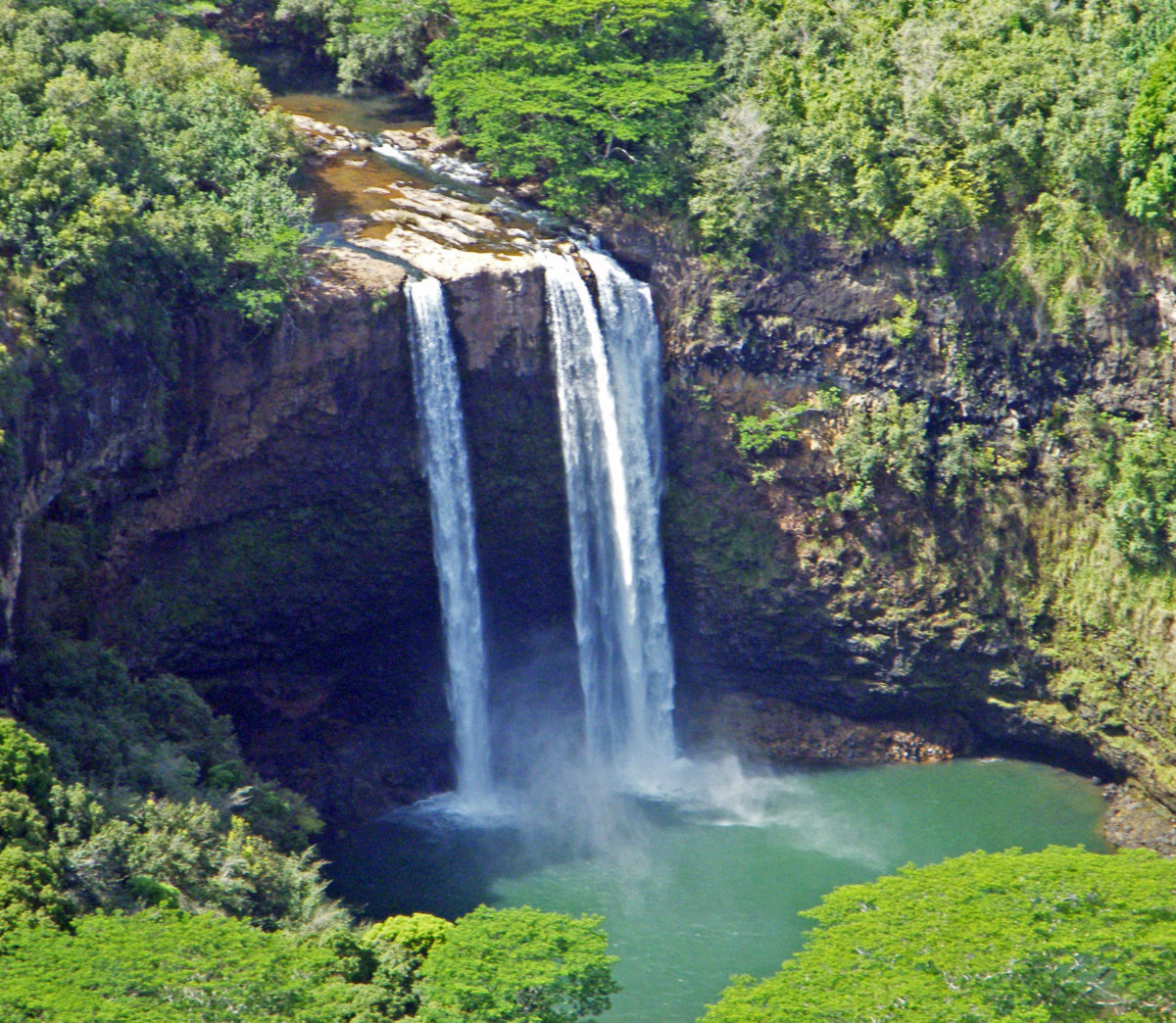
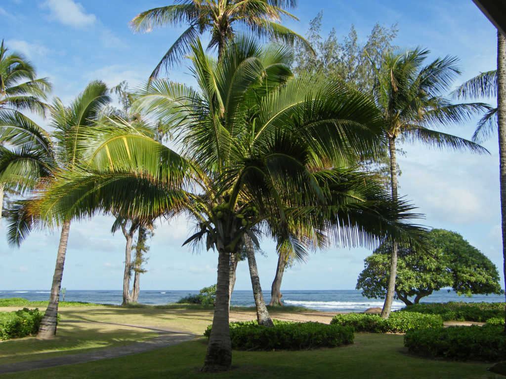
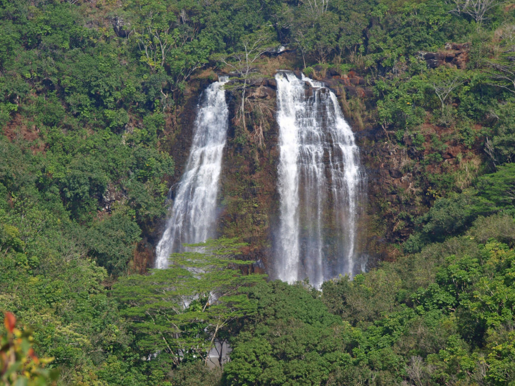
Snoqualmie Falls
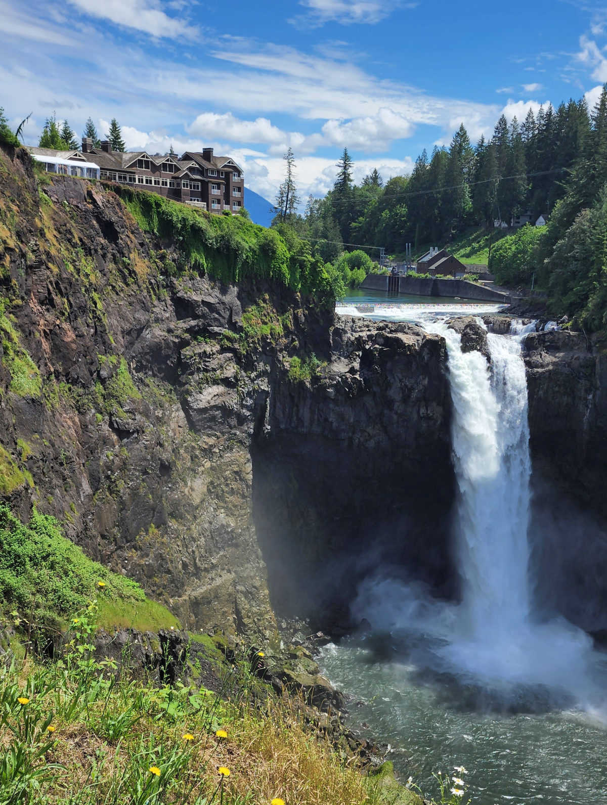
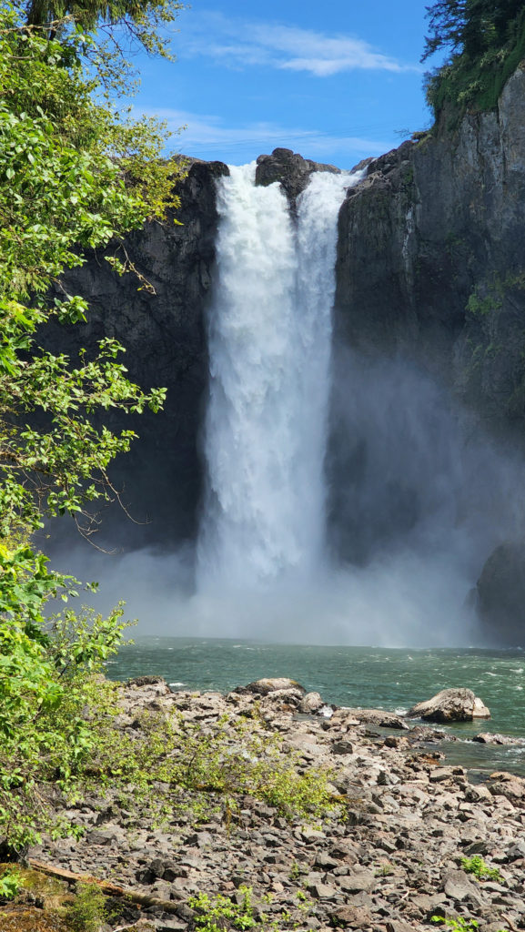
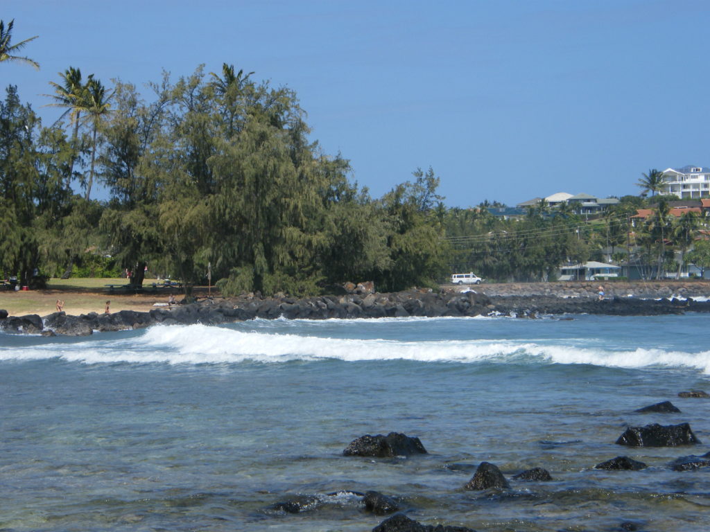
Less than an hour’s drive from most of the Seattle metropolitan area, Snoqualmie Falls gets a lot of tourist traffic. More than 1.5 million people visit the falls annually. Most of the visitors are day trippers, but Salish Lodge sits on the north bank of the river at the top of the falls, so there are still many people in the area mornings and evenings. You’re not going to find solitude here.
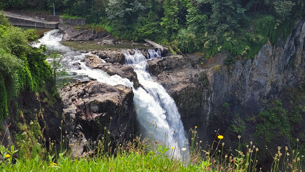
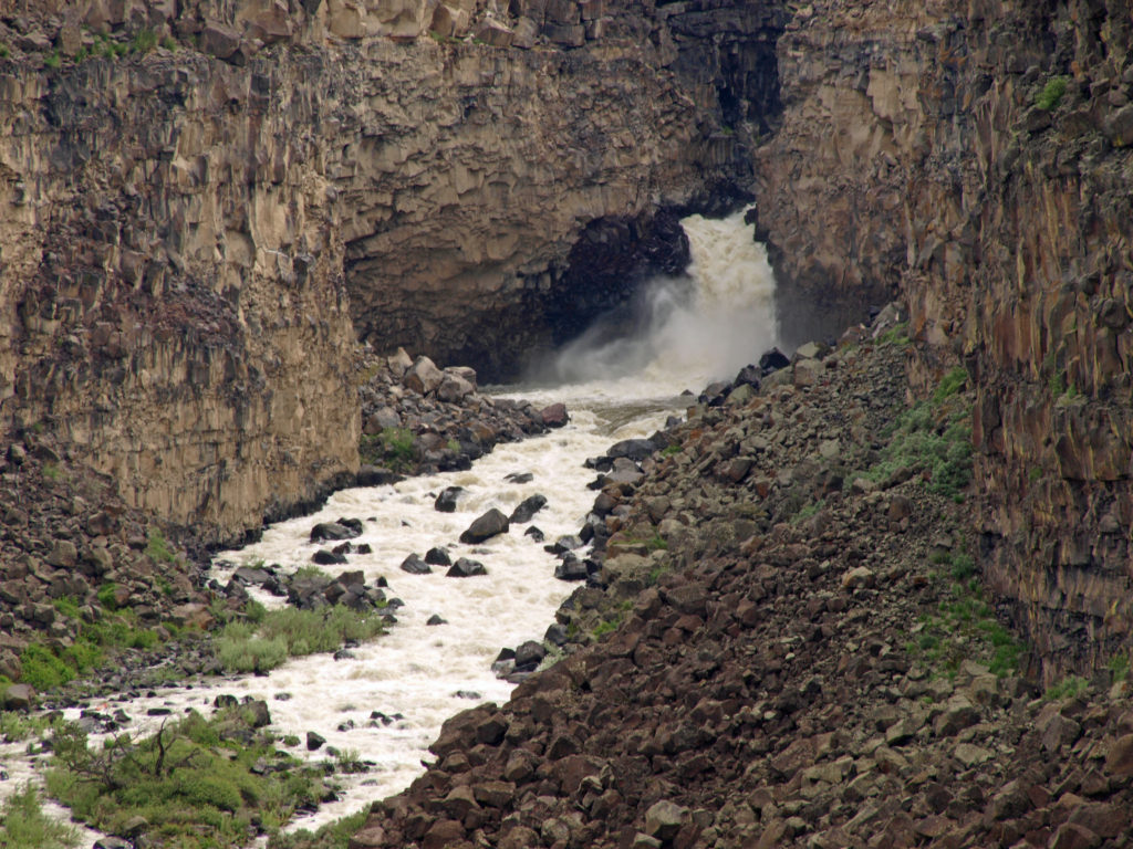
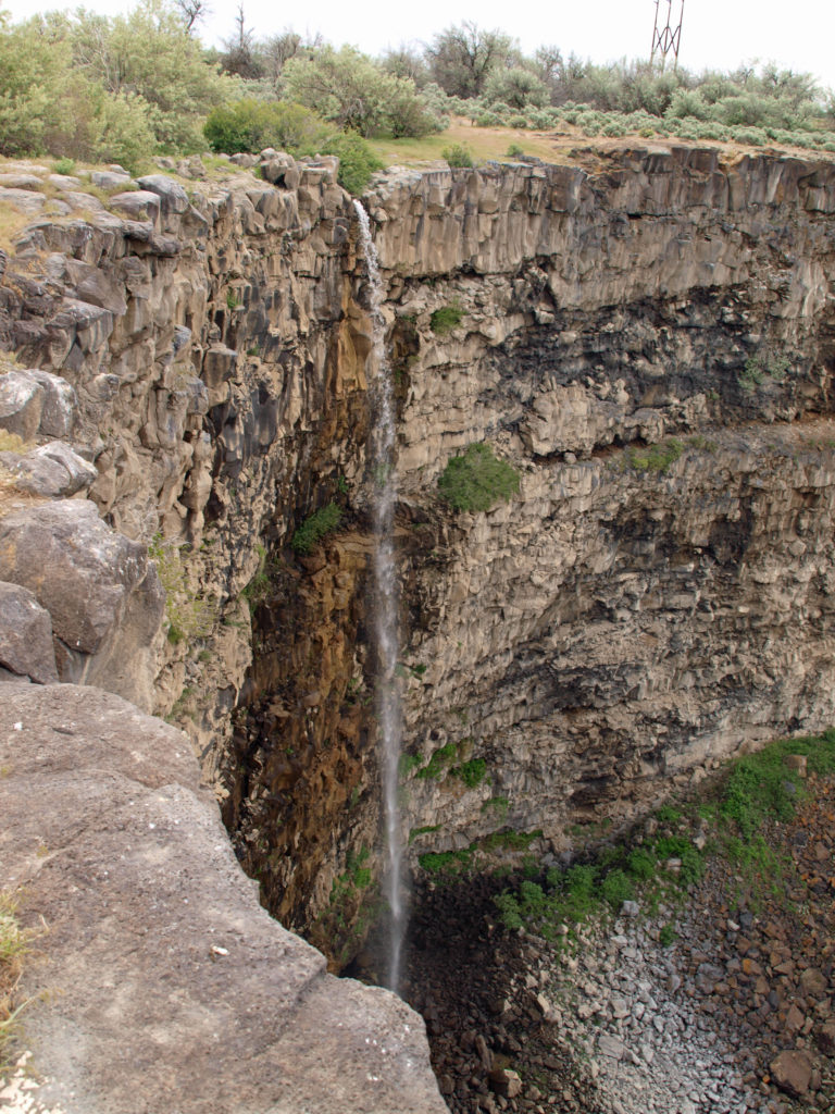
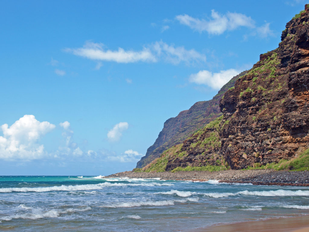
The falls have been used to generate electricity since the turn of the 20th century. The first power plant was built in 1899. Power Plant #1 is largely inconspicuous because it is entirely underground, the first underground power plant built in the country. Power Plant #2, built in 1910 on the north bank of the river just downstream of the falls, is much more conspicuous, with three large pipelines running above ground down the slope to the plant.
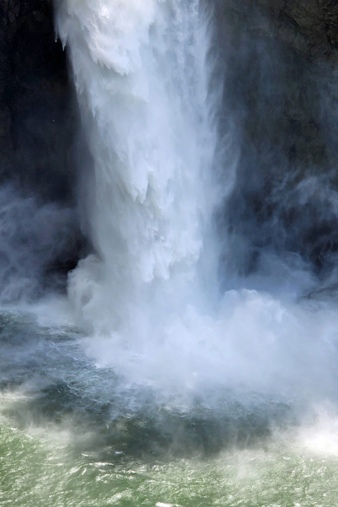
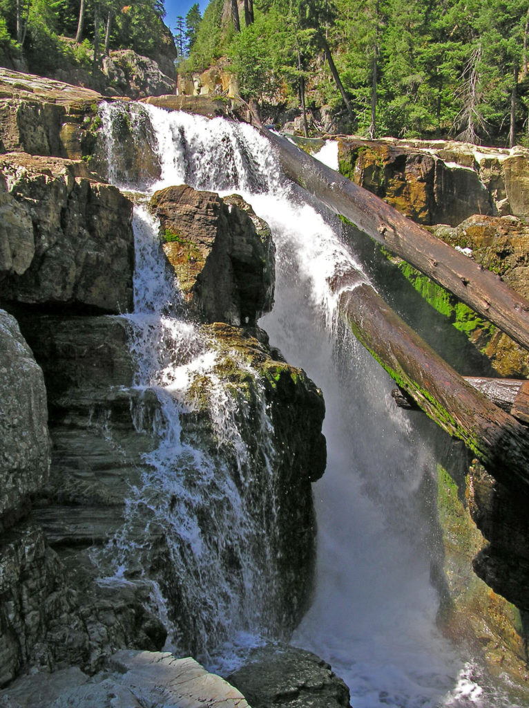
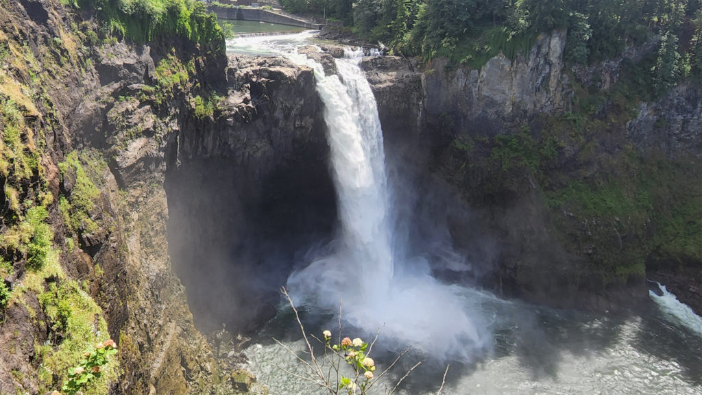
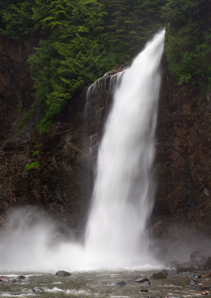
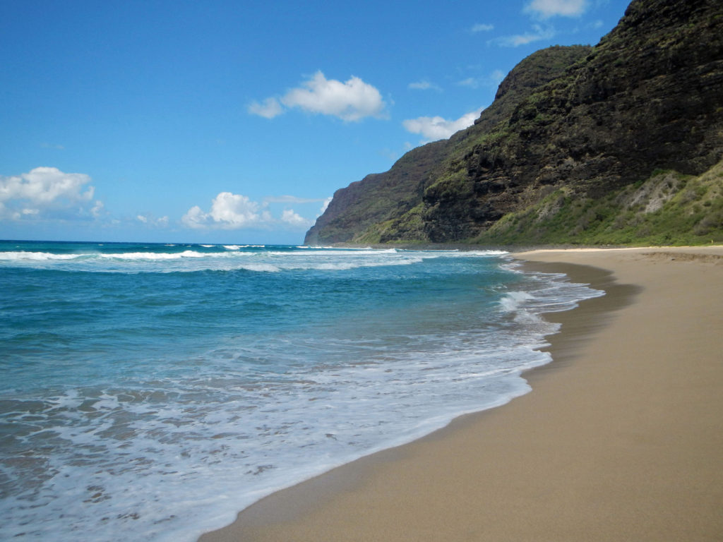
So, this is not prime wilderness. But with a 268 foot vertical drop, Snoqualmie Falls is more than twice the height of Niagara Falls. And fed by the abundant winter and spring rains and the spring and summer snow melt from the Cascade Mountains, the volume of water flowing over the falls can be an awesome sight.
The Fourth of July might be the worst possible time to visit the falls. It took us some time just to find a parking place, and the viewing areas at the top of the falls were elbow to elbow. After waiting our turn to get photos at several view points, we hiked down to the base of the falls. There were fewer people at the bottom than the top, but it wasn’t uncrowded by any means. My advice would be to go on a weekday, if possible, come early in the day if you can only come on a weekend, and avoid holiday weekends completely. But despite the crowds (and the heat), we enjoyed our stop.
The falls are just a few miles off of Interstate 90, near the town of Snoqualmie. Take Exit 25 and follow Snoqualmie Parkway to the falls.
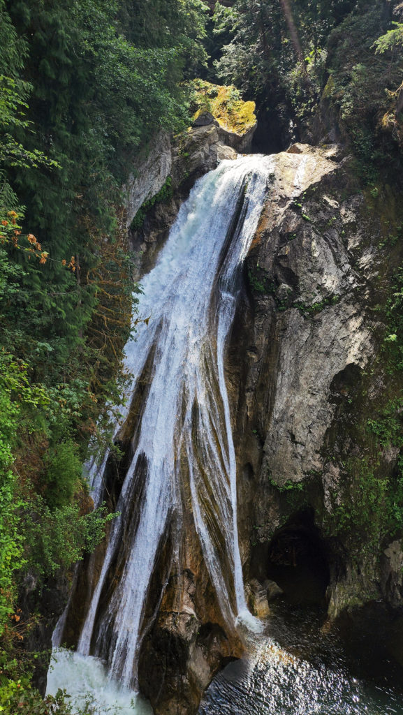
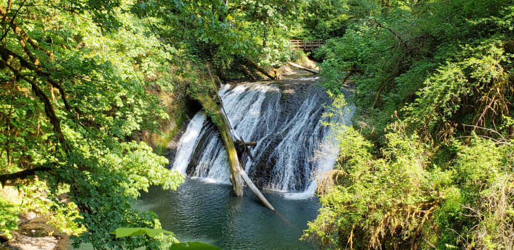
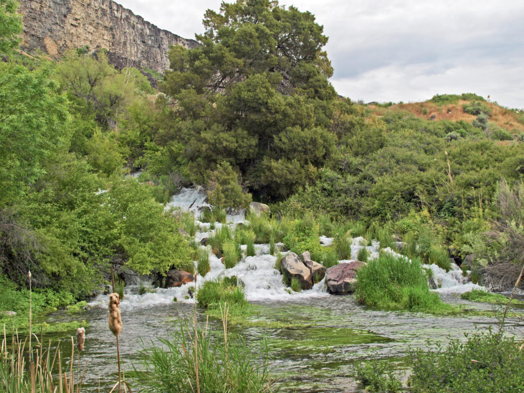
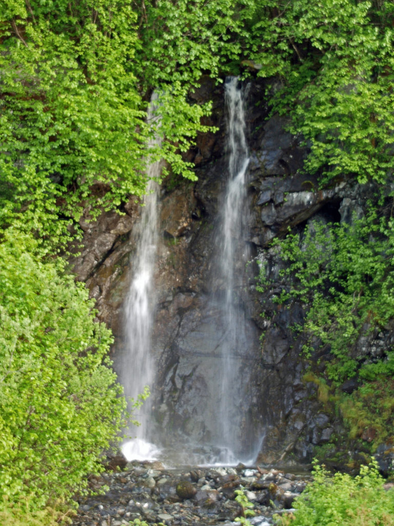
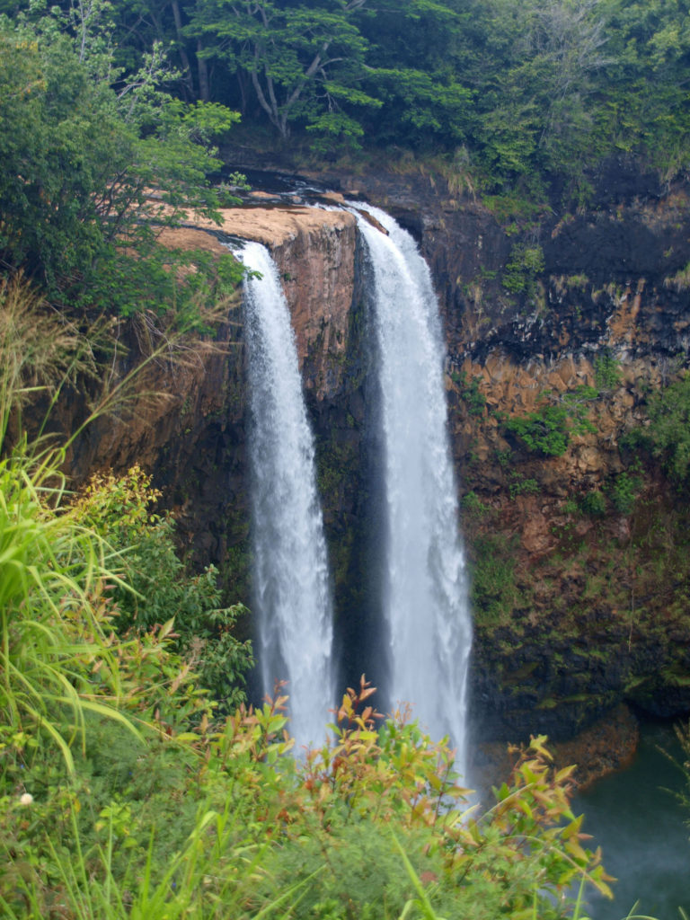
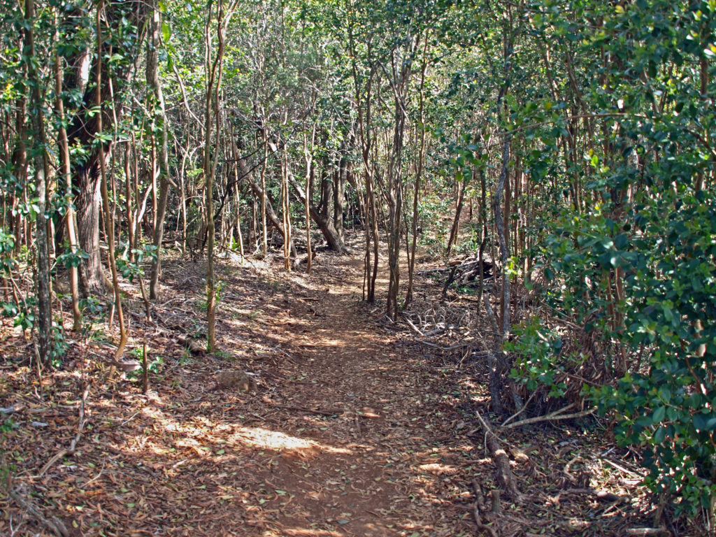
Twin Falls
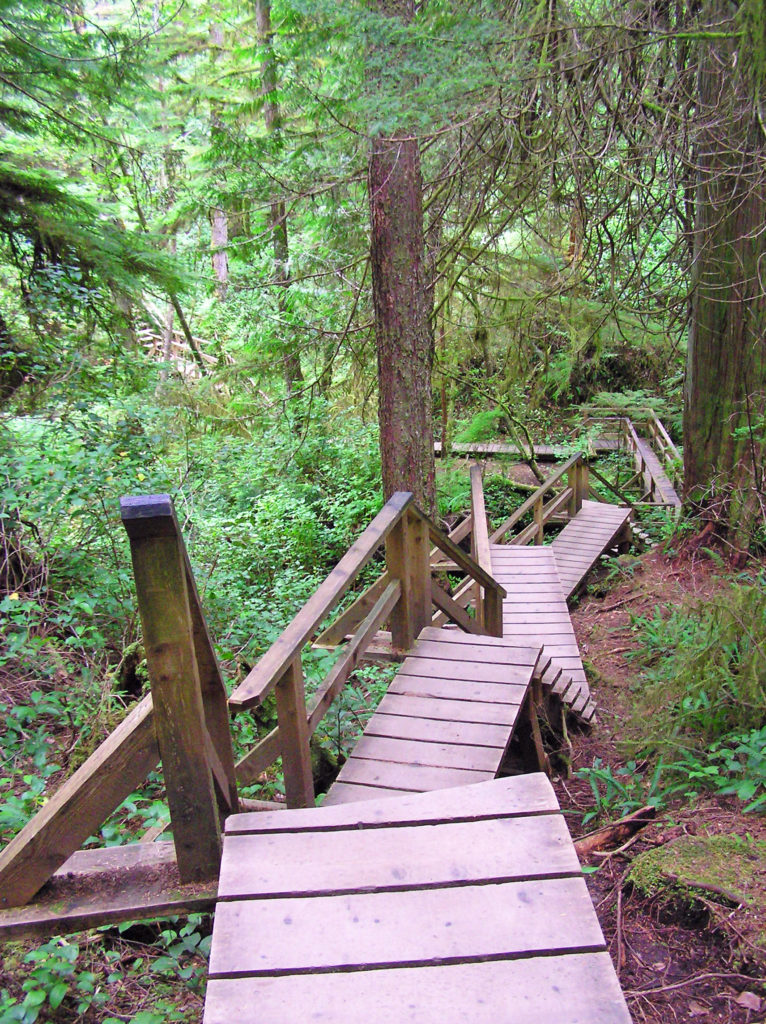
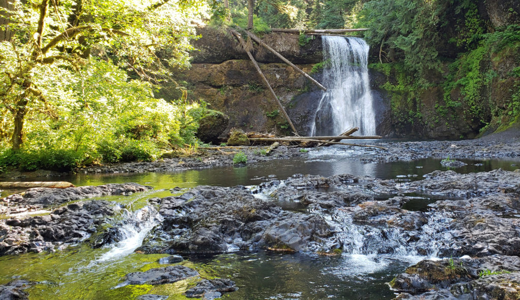
Earlier in the day, we hiked to Twin Falls on the South Fork of the Snoqualmie River. This is a relatively easy, family friendly hike. The Washington Trails Association rates the hike Easy/Moderate. We had two of our grandkids with us (age four and six), and both made the 2.6-mile round trip without much difficulty. Twin Falls is a little less than ten miles east of Snoqualmie Falls. For a more complete description of the hike with more photos, click here.
There are many other hikes in the Snoqualmie Valley that offer a variety of difficulty levels for all types of hikers. According to the Washington Trails Association, the Mount Si Trail is the most popular hike in the state. It’s not a trail for everyone, though. The eight-mile round trip gains a staggering 3150 feet in elevation. The WTA rates it Hard. No kidding. But, despite the difficulty, upwards of 100,000 people make the trek every year.
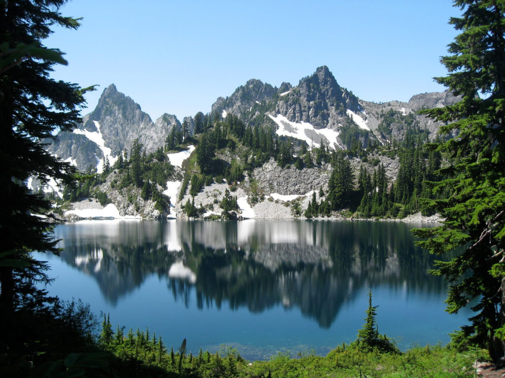
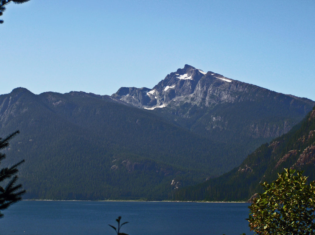
The Snow Lake Trail on Snoqualmie Pass offers a slightly shorter and easier hike (7.2 miles round trip with 1800 feet of elevation gain, rated Moderate/Hard). I was captivated by the photo above that I saw many years ago on the internet. Snow Lake is incredibly beautiful, as you can see.
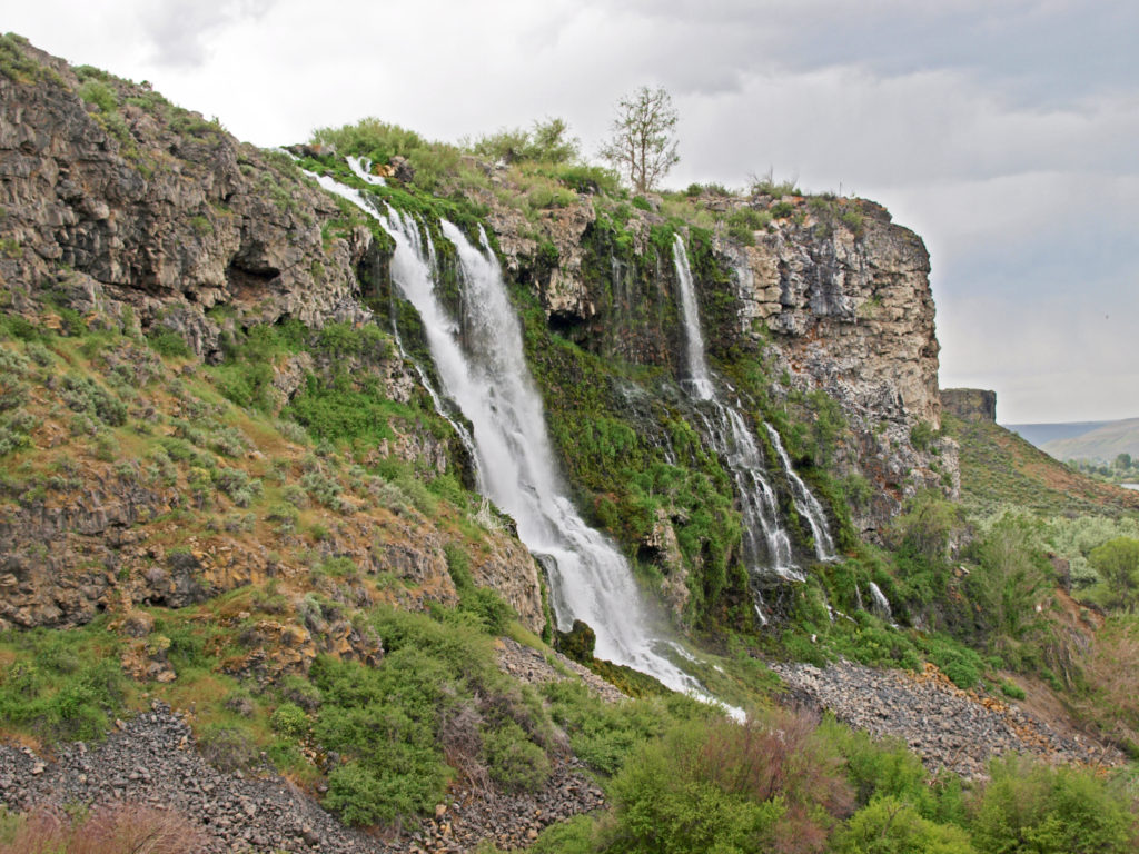
For those of you with young children (or grandchildren) in tow, there are many kid-friendly trails in the Snoqualmie region in addition to Twin Falls, including Franklin Falls, Lodge Lake, Oxbow Loop, Mirror and Cottonwood Lakes, and many others. Check the WTA website for more family friendly hiking options.
As well as hiking, the Snoqualmie Valley offers many other outdoor activities, from mountain biking, fishing, boating, and camping in the summer to cross country and alpine skiing, snow shoeing, and snowmobiling in the winter.
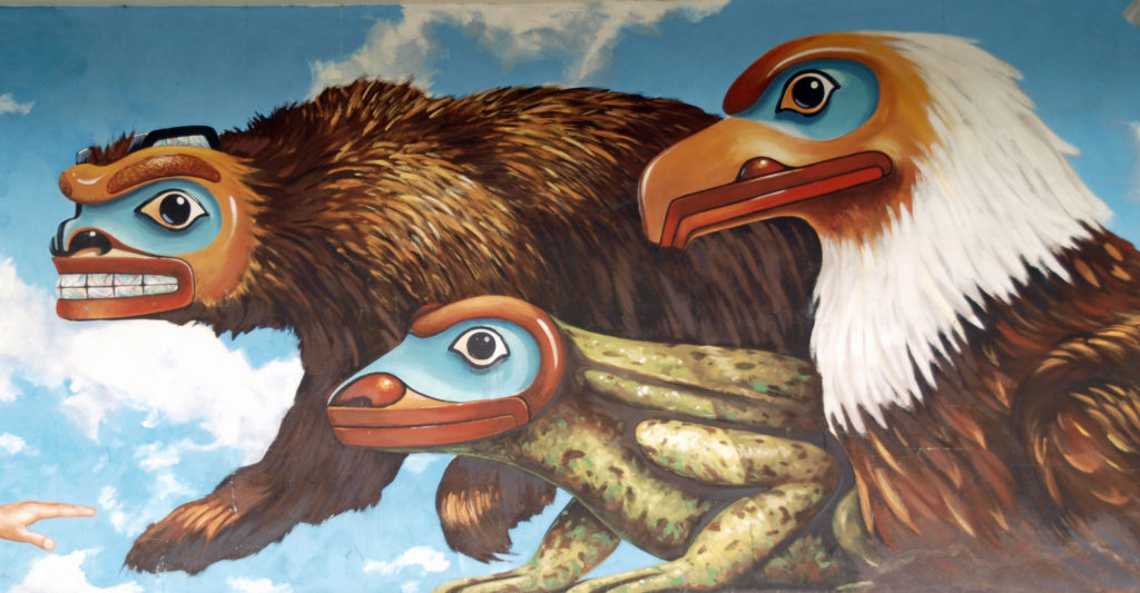
And if outdoor activities aren’t your thing, there are still options for you. For a luxury hotel experience, you can’t beat the Salish Lodge at Snoqualmie Falls. The nearby town of North Bend has some nice restaurants and an interesting history. Fans of the David Lynch TV series, Twin Peaks, may recognize parts of the town. The series was partially filmed in North Bend.
If you’re interested in sightseeing, but don’t want to (or aren’t able to) hike, the Summit at Snoqualmie ski area operates several chair lifts in the summer that will take you up to scenic viewpoints. Adult tickets are $20, and senior and youth tickets are $15. There are also a variety of bars and restaurants at the resort.
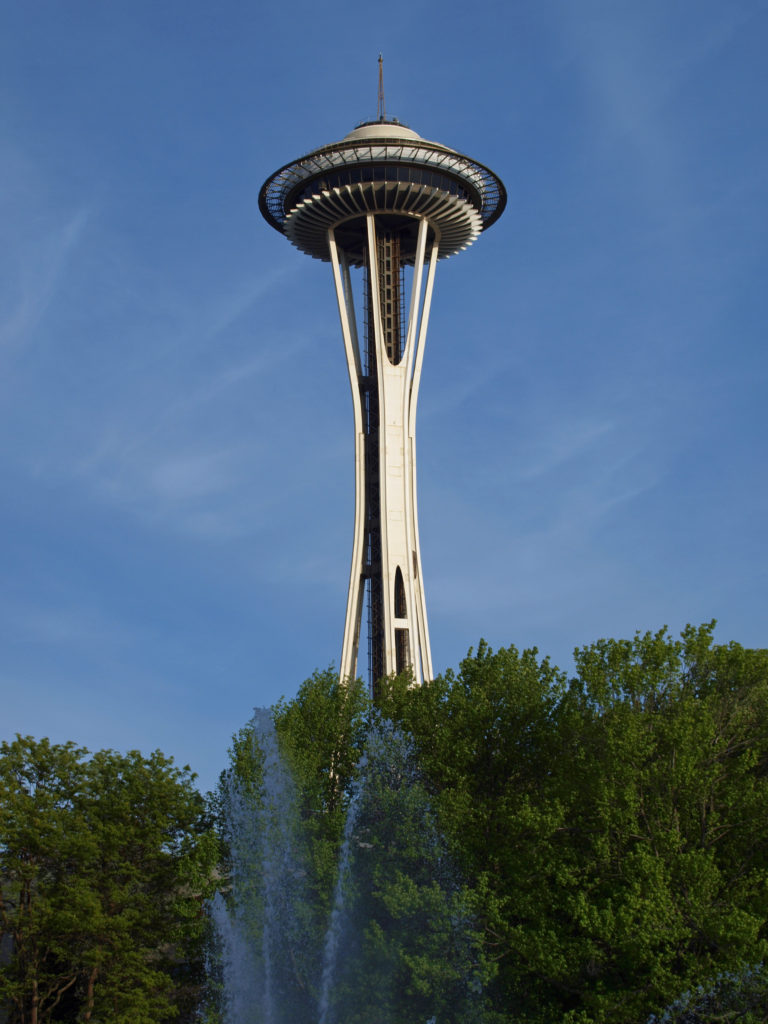
If you’re visiting the Seattle area, you’ll surely want to take in the Seattle Center and the Space Needle, but also take the short drive up the Snoqualmie Valley to get a taste of the outdoor experience that Seattleites value so much.
Posted August 29, 2022
All photos © Alan K. Lee, except as noted
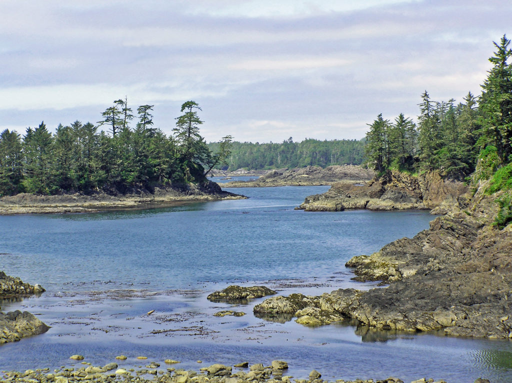
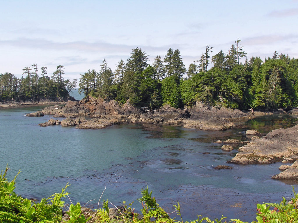
 The Quinault Rain Forest lies in the southwestern corner of Olympic National Park, the adjacent Olympic National Forest, and the Quinault Indian Reservation in western Washington. It’s less than a four hour drive from either Portland or Seattle, but it seems a world apart, and more than a little stuck in time. It looks much as I remember it from when I first visited as a child more than a half century ago. Cell phone service and wi-fi availability are spotty. There are no big resorts and no towns of any size. Urban America is nowhere to be found.
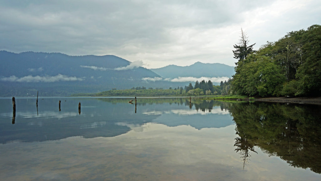 The pandemic has kept all of us from traveling as much as maybe we’d like. That certainly applies to my wife and I. Most of our vacation plans for 2020 had to be cancelled. And just when the parks and recreation areas were beginning to reopen, wildfires in western Oregon and Washington shut them down again. But the Olympic Peninsula was largely unaffected by the fires. So, my wife and I decided that the Olympics would be an ideal, and much needed, escape from Portland, and in September 2020 we headed to the Olympic Peninsula. Our first stop was Lake Quinault.
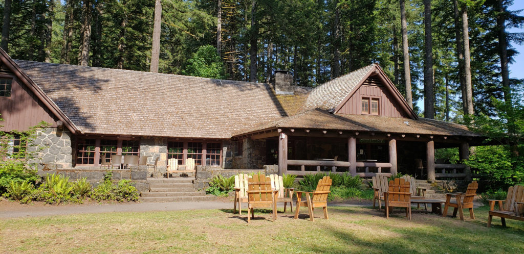
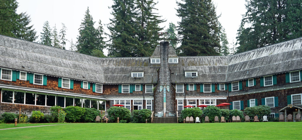 We treated ourselves to a stay at the historic Lake Quinault Lodge, one of the iconic grand lodges of the American West. The original Lake Quinault Lodge was built in 1904. The Boathouse annex was built in 1923. The original lodge burned down in 1924 and the current main lodge was constructed in 1926 on the site of the older lodge. Two additional annexes have been added since then. The existing lodge was placed on the National Register of Historic Places in 1998.
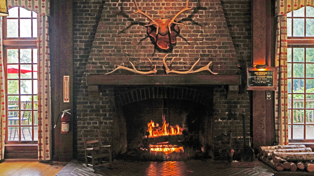 Rooms at the lodge are a little pricey, but you’re paying for the history, charm, and iconic nature of the lodge more than for the amenities provided. There are no TVs in any of the main lodge rooms, no fridges, or microwaves, no phones and no cell phone service. But that’s all part of the charm. The Boathouse and the other two annexes offer a few more amenities. Some come with fireplaces, the Lakeside Rooms are billed as family friendly, and the Boathouse Rooms are pet friendly. Our room in the main lodge came with all we needed, a comfortable bed and a view of the lake.
 Services at the lodge were limited by the pandemic during our stay. The swimming pool, sauna, and game room were closed. The restaurant served take out meals, but the dining room was closed (outside seating was available and you could eat in the main hall or in your room). However, all services have been restored to pre-pandemic levels.
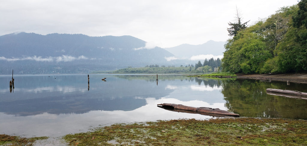 A somewhat cheaper alternative to Lake Quinault Lodge is the nearby Rain Forest Resort, which has a 16 room lodge, cabins (some with hot tubs), an RV park, and a restaurant. The world’s largest Sitka Spruce grows a short walk from the resort. Other options are the Quinault River Inn on Hwy 101 in Amanda Park, and Lochaerie Resort on North Shore Road. And there are three campgrounds on the south shore of Lake Quinault, and two (one a walk-in) on the north shore.
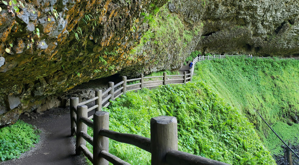
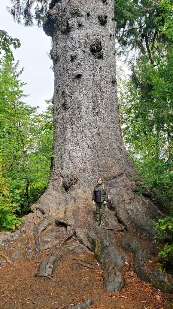 Lake Quinault Lodge, the Rain Forest Resort, or any of the three south shore campgrounds make an ideal base for exploring the area. Hikers have a variety of options, from the half mile Rain Forest Nature Trail Loop to a loop of about seven miles that takes you to Gatton Creek Falls, Cascade Falls, the Cedar Bog, the Rain Forest Nature Trail, and along the lake shore. Cutoff trails make shorter loops of various distances possible. Other hiking trails are a short drive from the lodge.
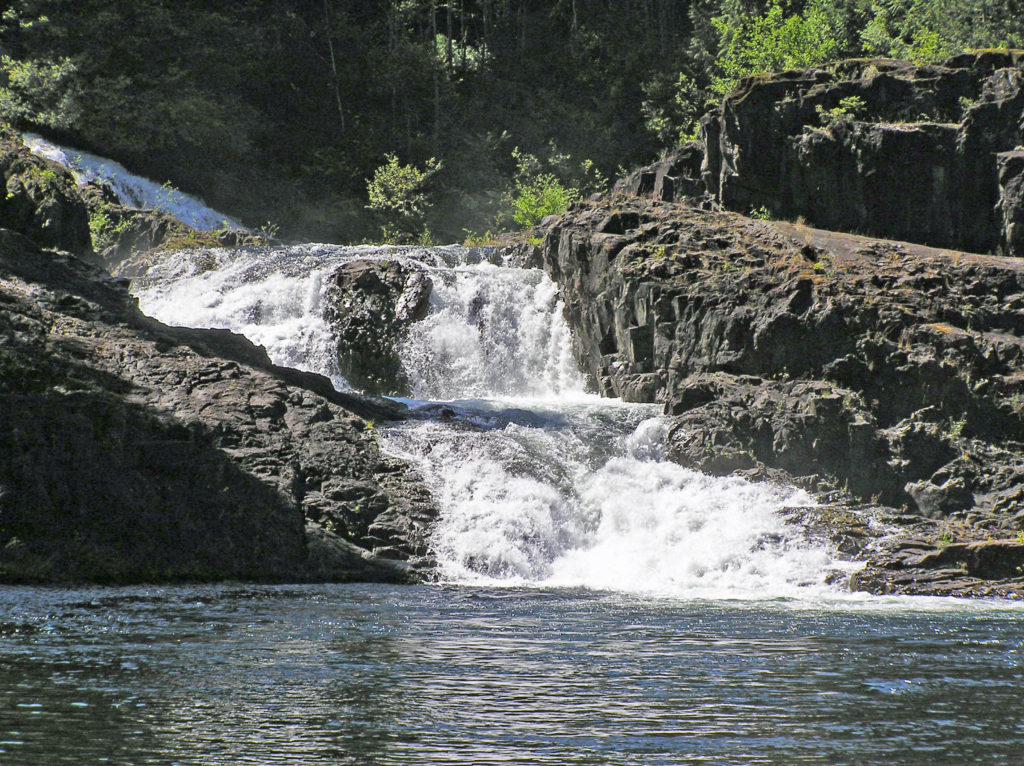
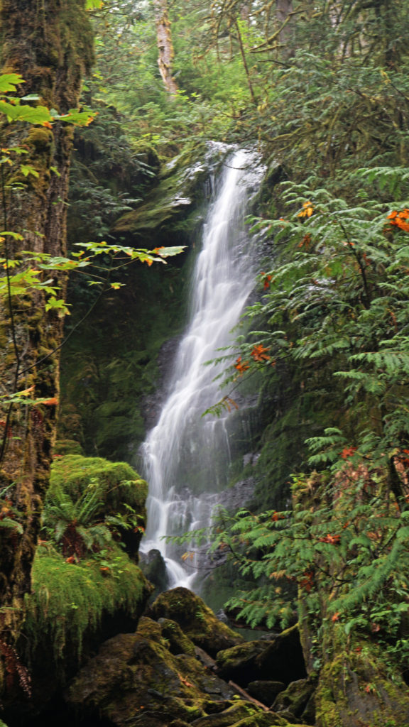 Two stops along South Shore Road worth making are Merriman Falls and Bunch Falls. Both are just east of Lake Quinault and both are right by the road, so no hiking required.
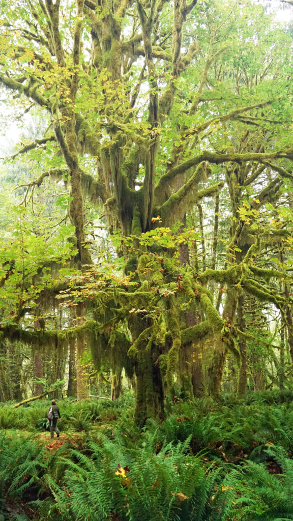
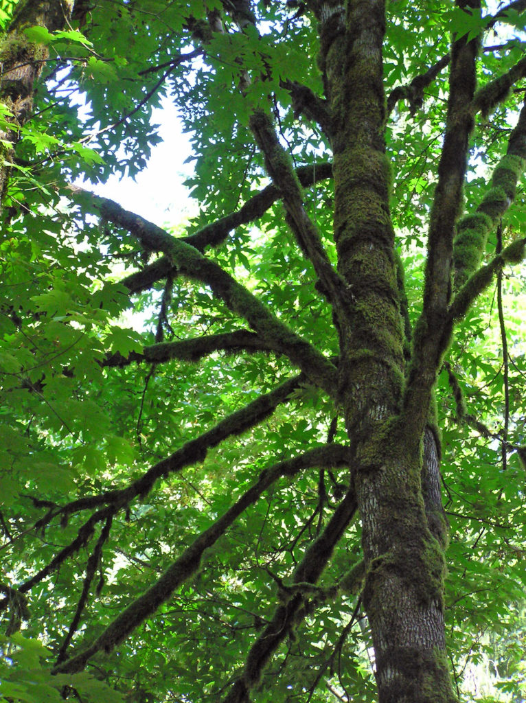
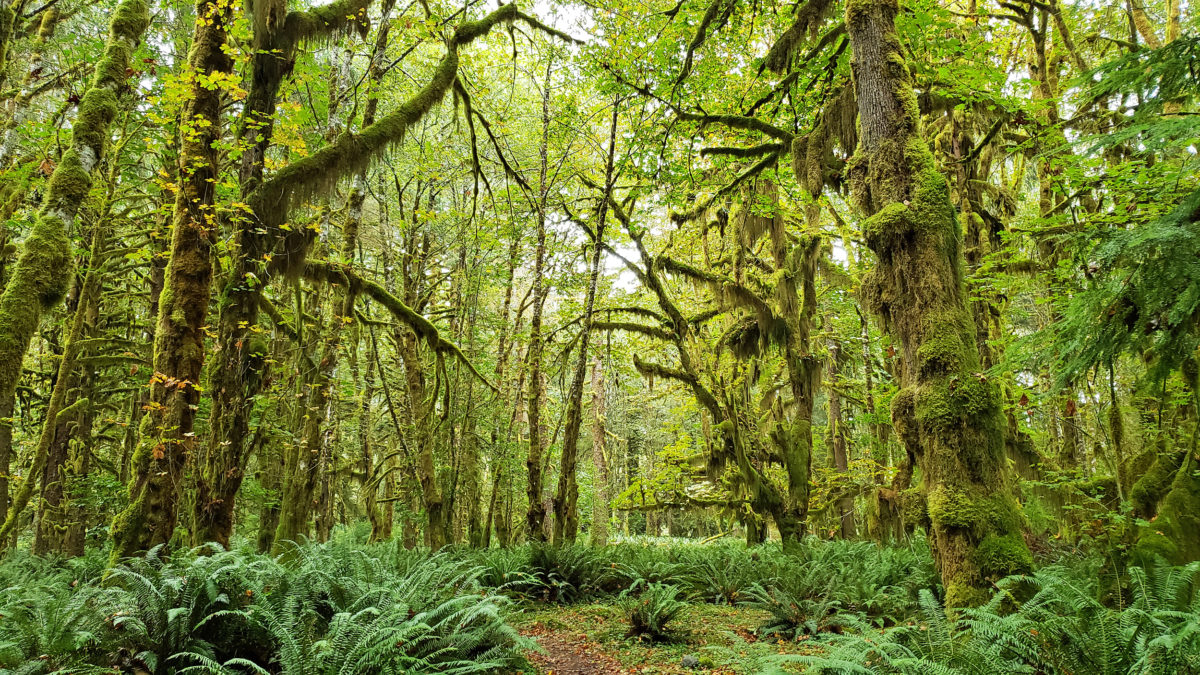
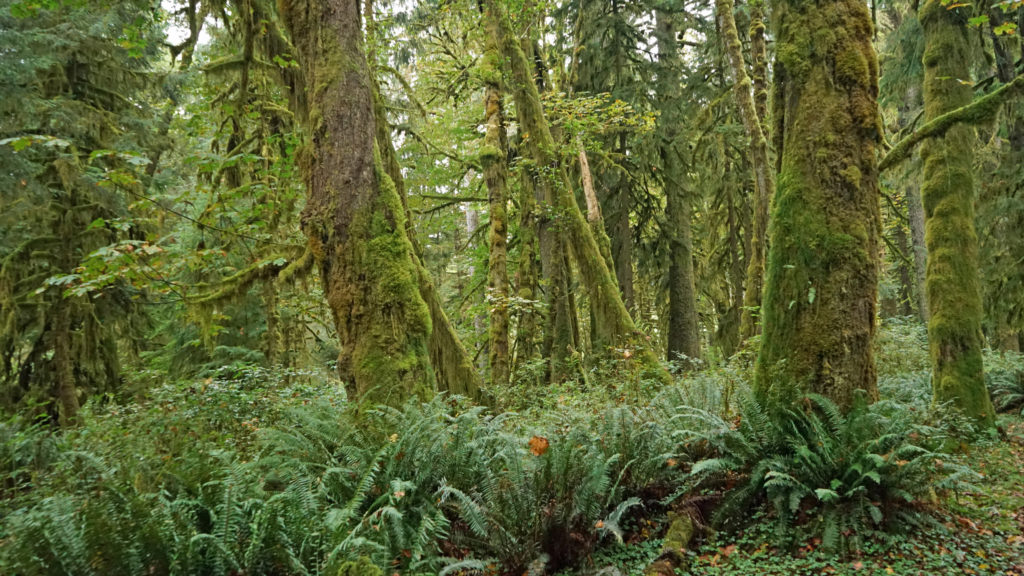
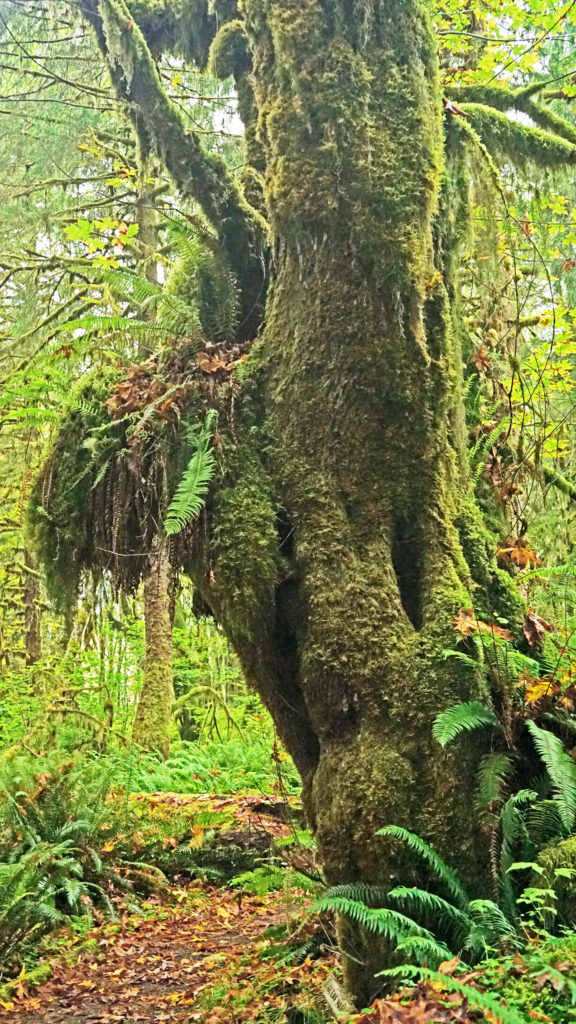
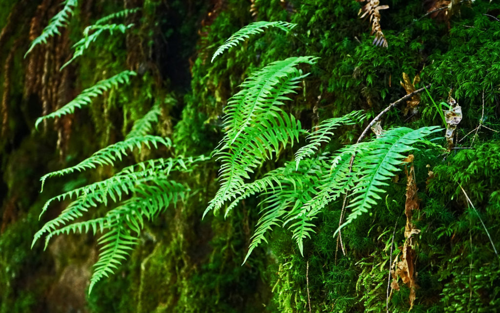
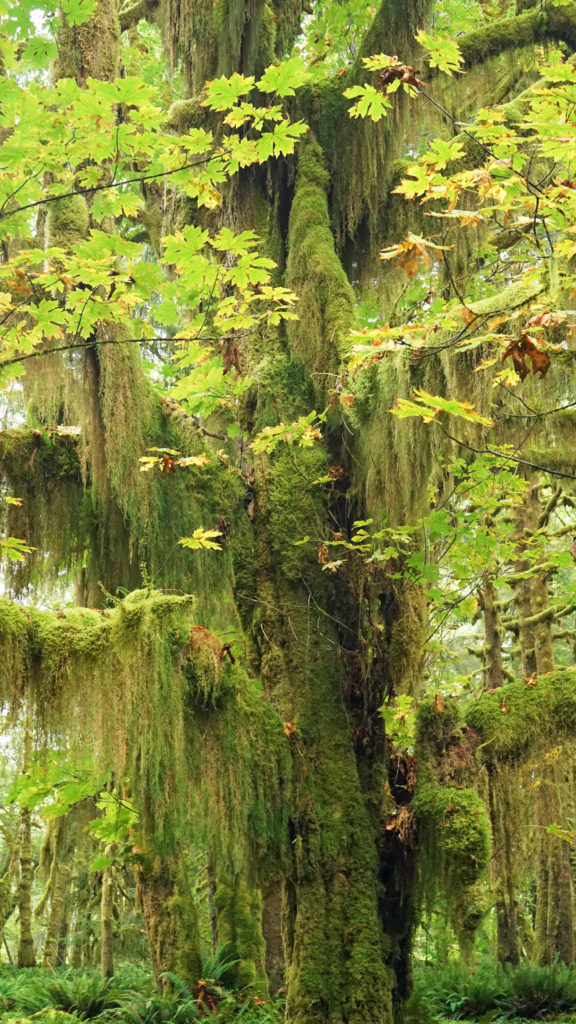 One hike that everyone should do is the Maple Glade Trail at the Quinault River Ranger Station on North Shore Road. It is spectacularly beautiful, and like the Rain Forest Nature Trail, it’s an easy 0.5 mile loop. But, unlike the Rain Forest Nature Trail, which takes you through a coniferous forest of Douglas Fir, Western Hemlock, and Western Red Cedar, the Maple Glade Trail immerses you in a Bigleaf Maple forest. There the ground is covered in ferns and other low growing shrubs and the maples soar overhead, but in between is mostly open and airy. The effect is like being in a gigantic room carpeted with ferns and roofed with a canopy of maple leaves.
 The Maple Glade Trail can be extended by taking the connecting trail to the Kestner Homestead. There you’ll find the Kestner house, barn, outbuildings, and a cool old rusted delivery truck.
 There are also much longer hikes that can be taken into the Olympic National Park from the Quinault Valley. The most famous, and probably most hiked, is the Enchanted Valley Trail. It’s a 13 mile hike along the East Fork of the Quinault River to reach the Enchanted Valley, so it is not a casual outing. Most people do it as a 3-5 day backpacking trip. My backpacking days are behind me, but the Enchanted Valley is one of the hikes that I regret having never done.
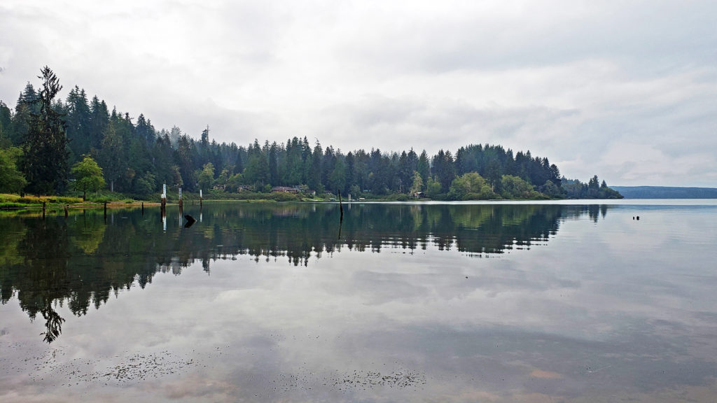
 Originally posted October 26, 2020. Updated and re-posted August 11, 2022.


 Originally posted June 30, 2018. Most recently updated November 13, 2025.


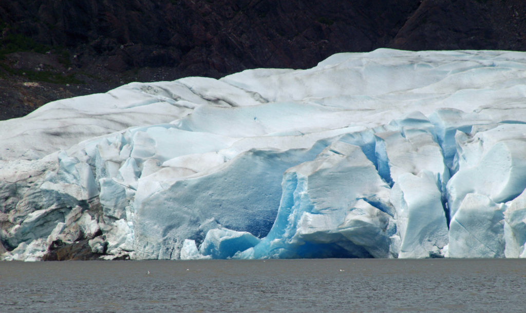
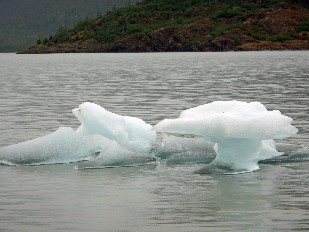
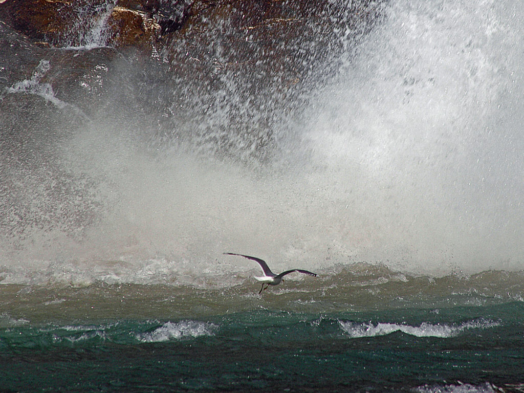
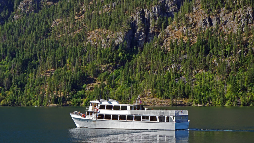
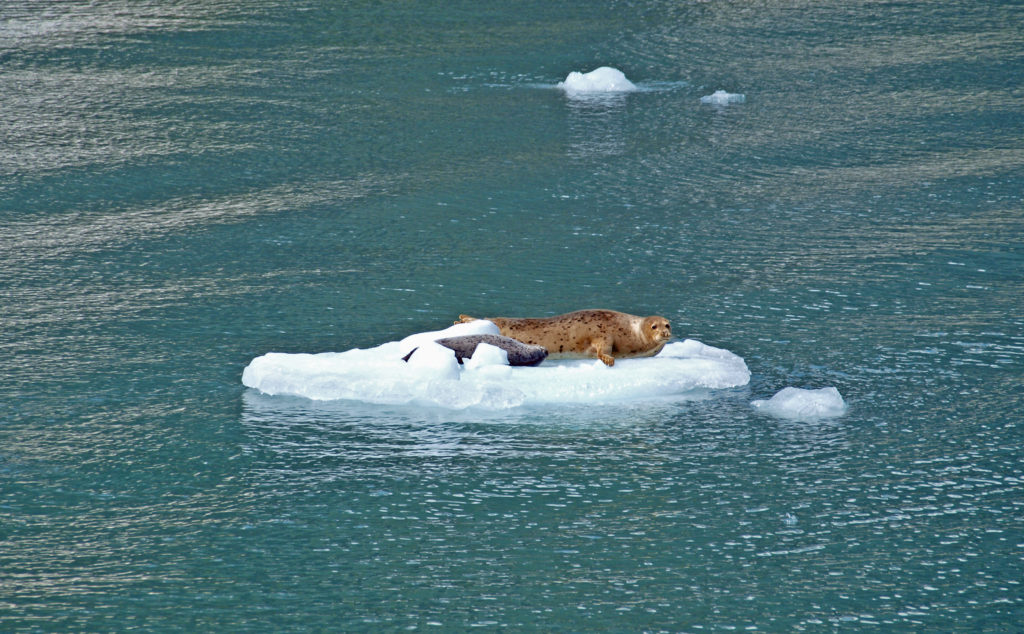 Seals often haul out on the bergs to rest and sleep. At the head of the inlet you’ll get a close up view of South Sawyer Glacier. How close you get will depend on the boat that you’re on and the amount of ice in the water, but you will get a spectacular look at the face of the glacier and there’s a chance that you’ll witness large blocks of ice calving off the face and crashing into the water below. The cruise was one of the highlights of our trip. We didn’t have time to repeat the cruise on latest visit, but if you can fit it into your itinerary, I highly recommend that you do so. Day trips start at about $275 per person.
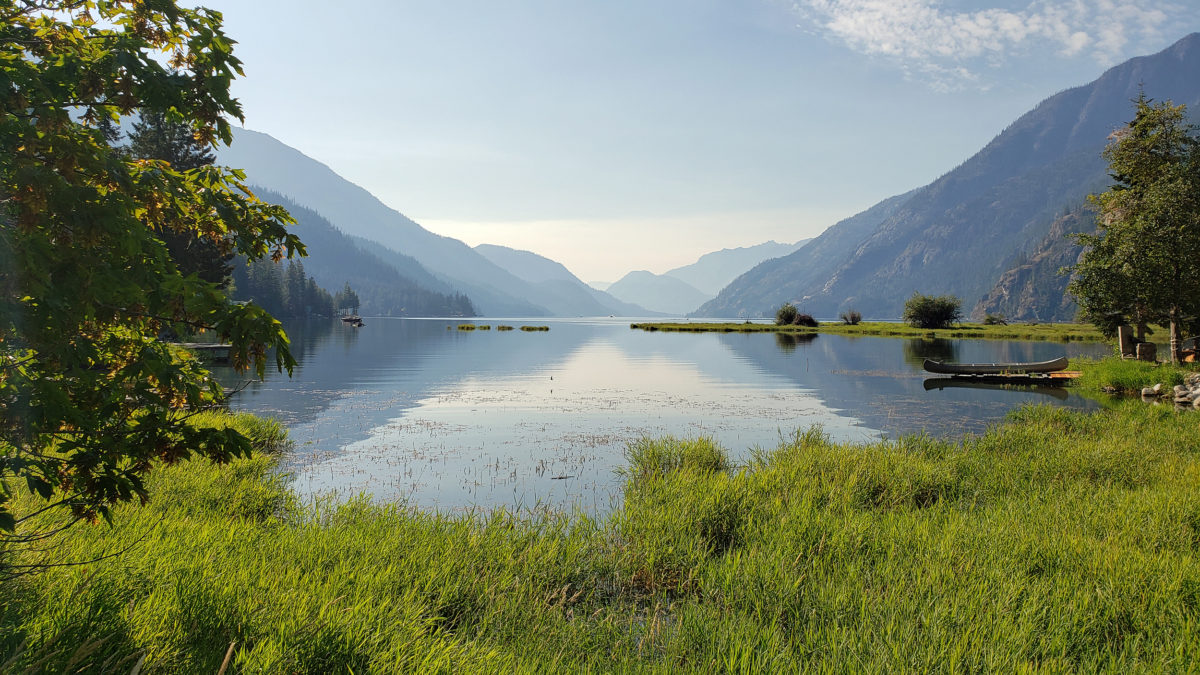
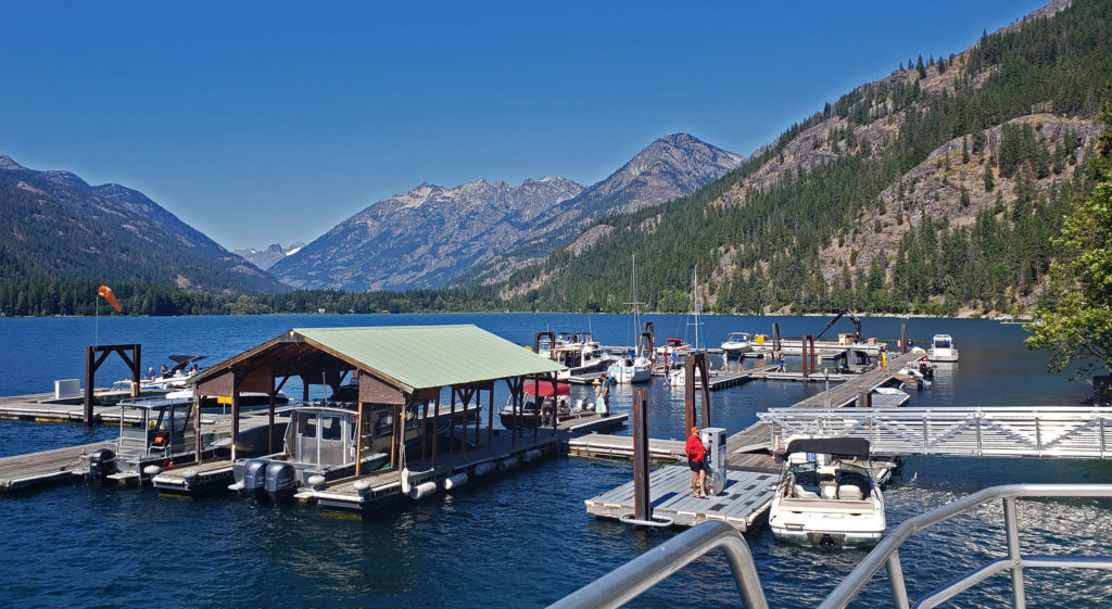
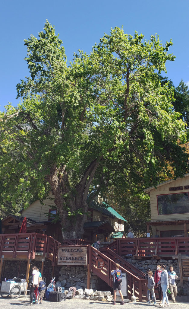
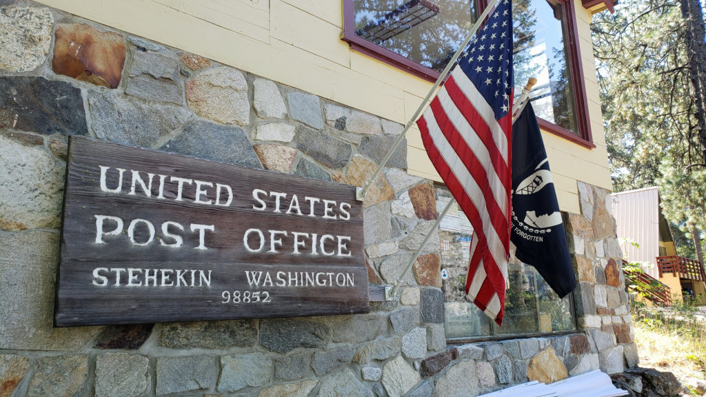
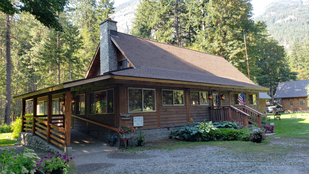
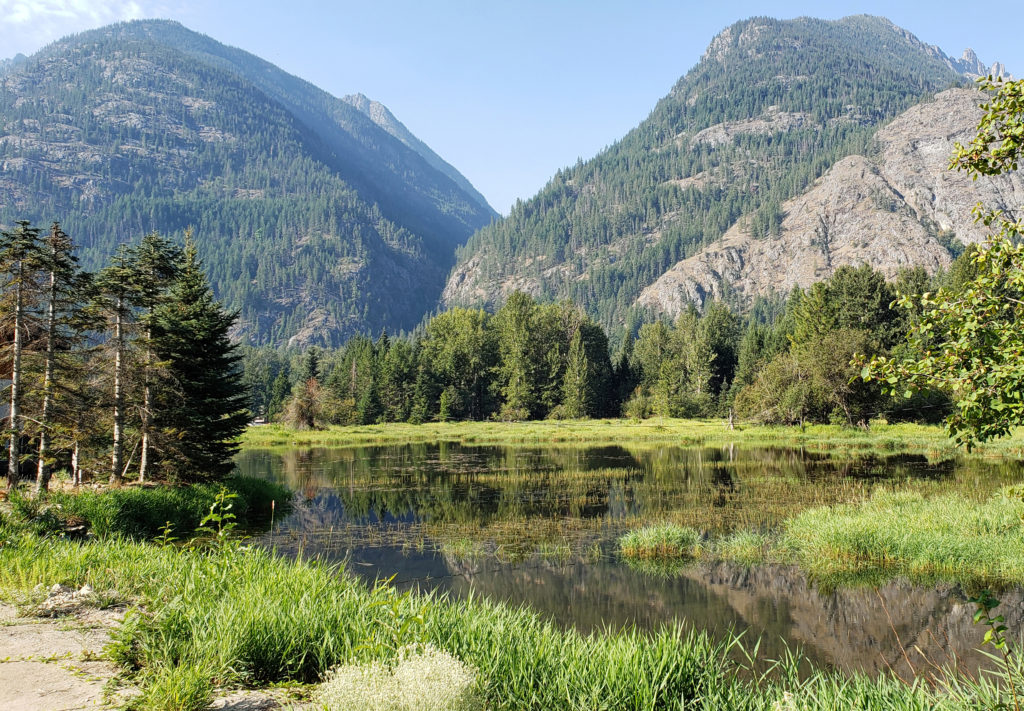
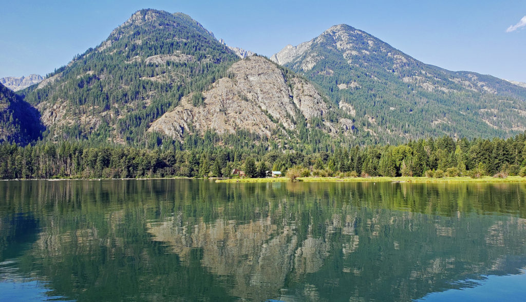
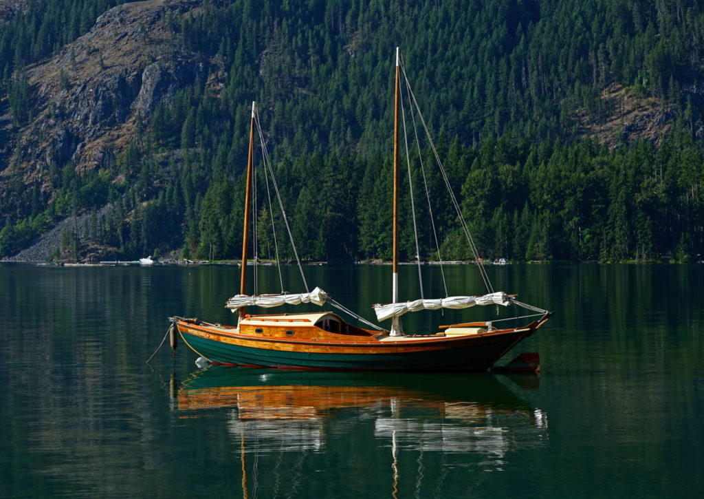 My wife and I have visited the small community of Stehekin at the head of Lake Chelan in central Washington several times. Our most recent visit came on a week-long escape during the pandemic in 2021.
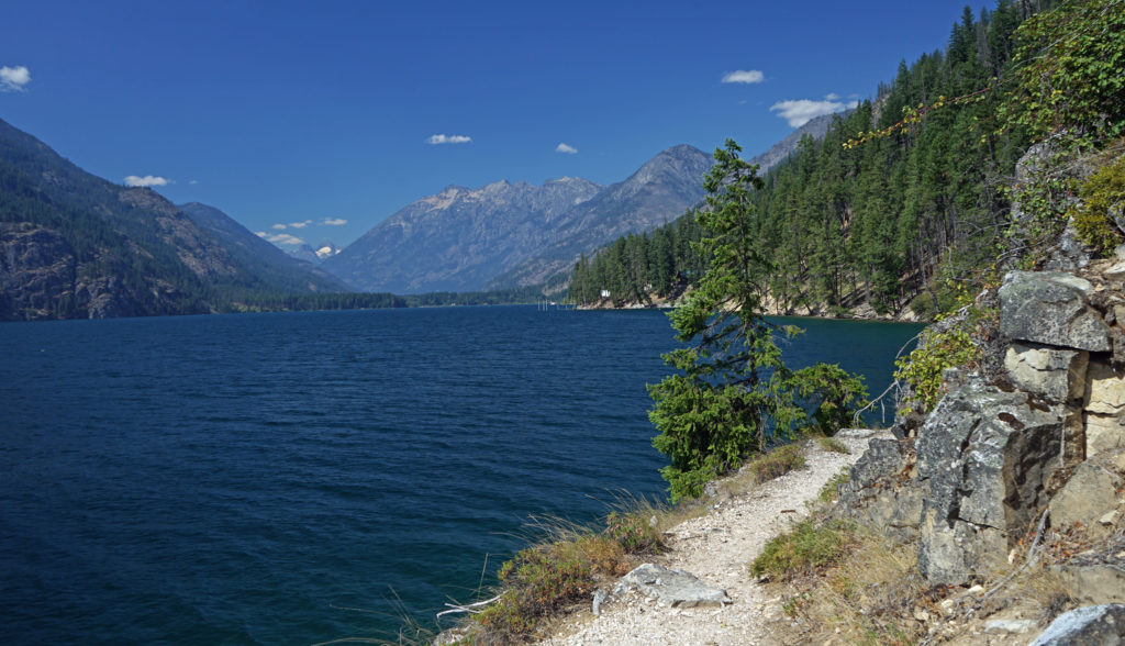
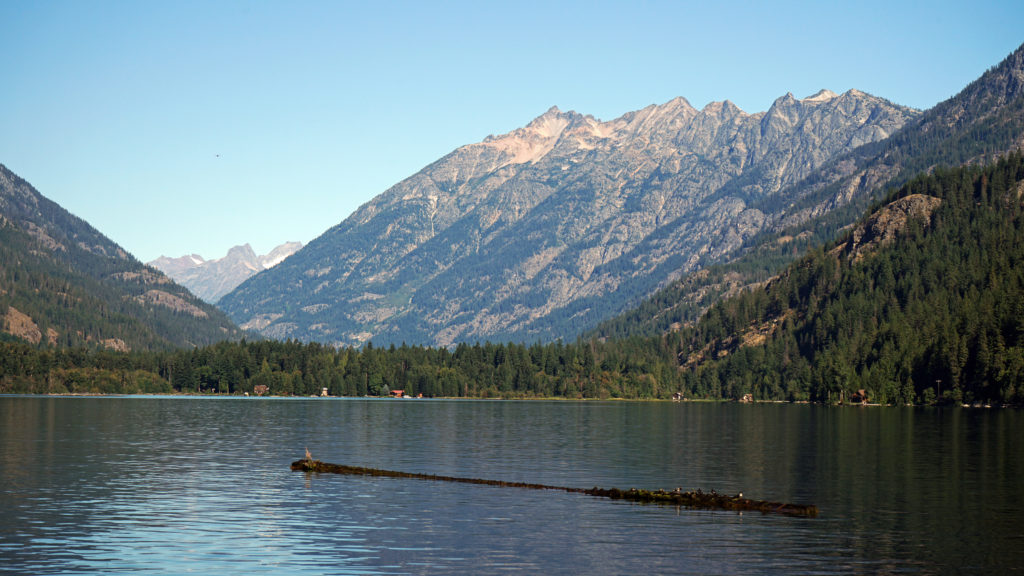
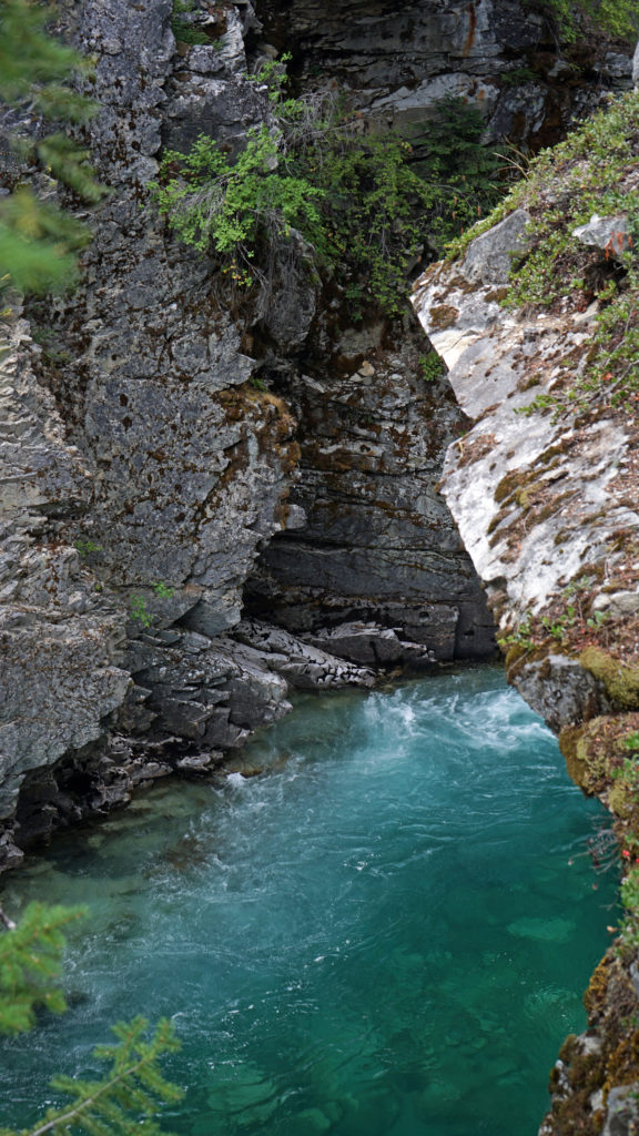
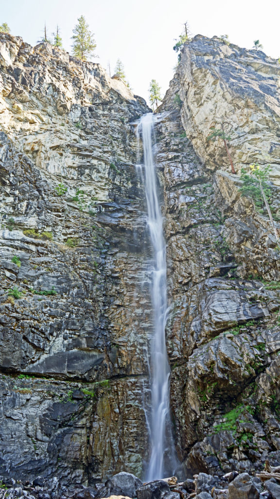
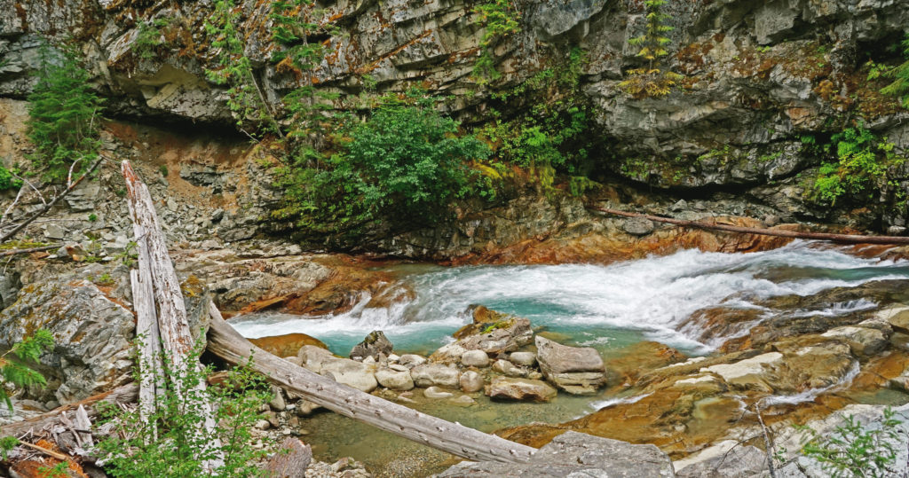
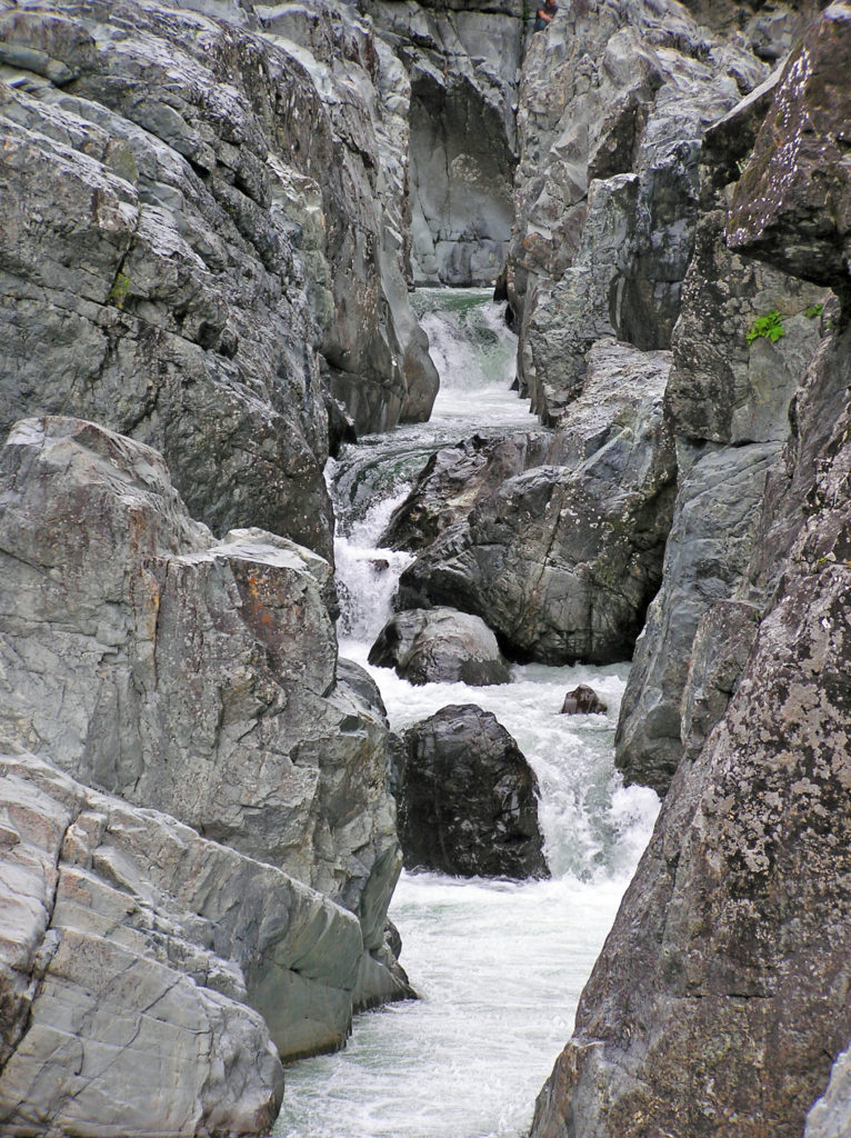
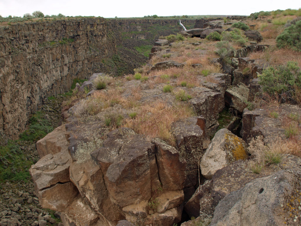
 For hikers, there are more than 45 miles of trails in the canyon. You could easily spend days in the canyon and not hike all of the trails. For those that do want to spend multiple days hiking or sightseeing,