Fern Canyon Hike, California Redwoods

Fern Canyon Hike

Where:   Prairie Creek Redwoods State Park, California

Distance:   One mile

Type:  Lollypop loop

Elevation gain:   500 feet

Difficulty:   Easy (or moderate to difficult if blocked by log jams)
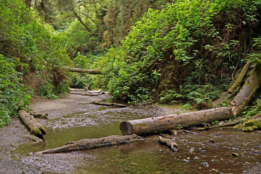
Map:    
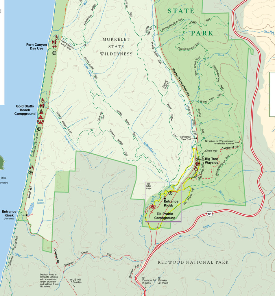
Park brochure

Overview:

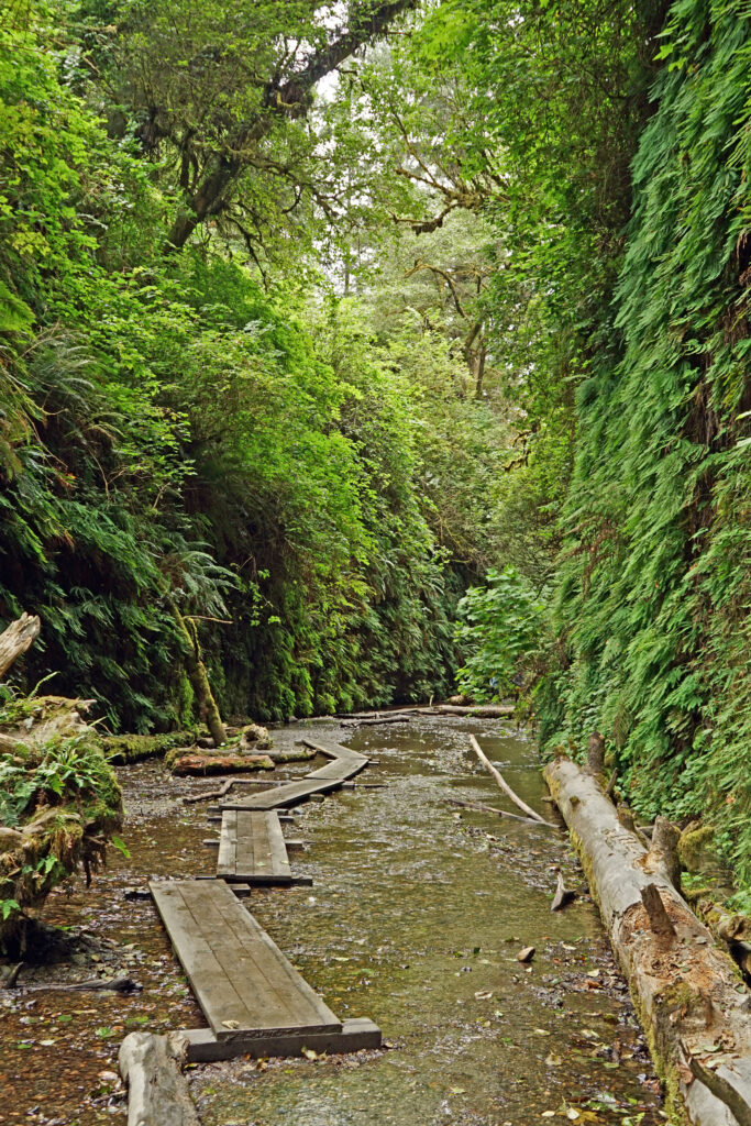
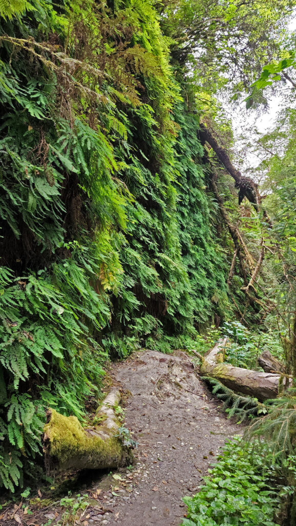
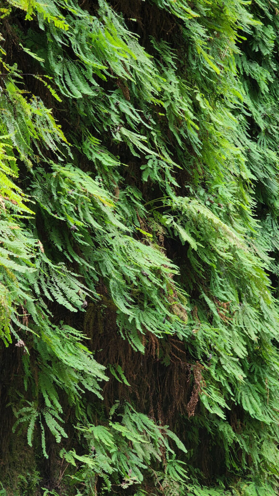
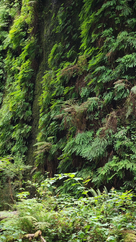
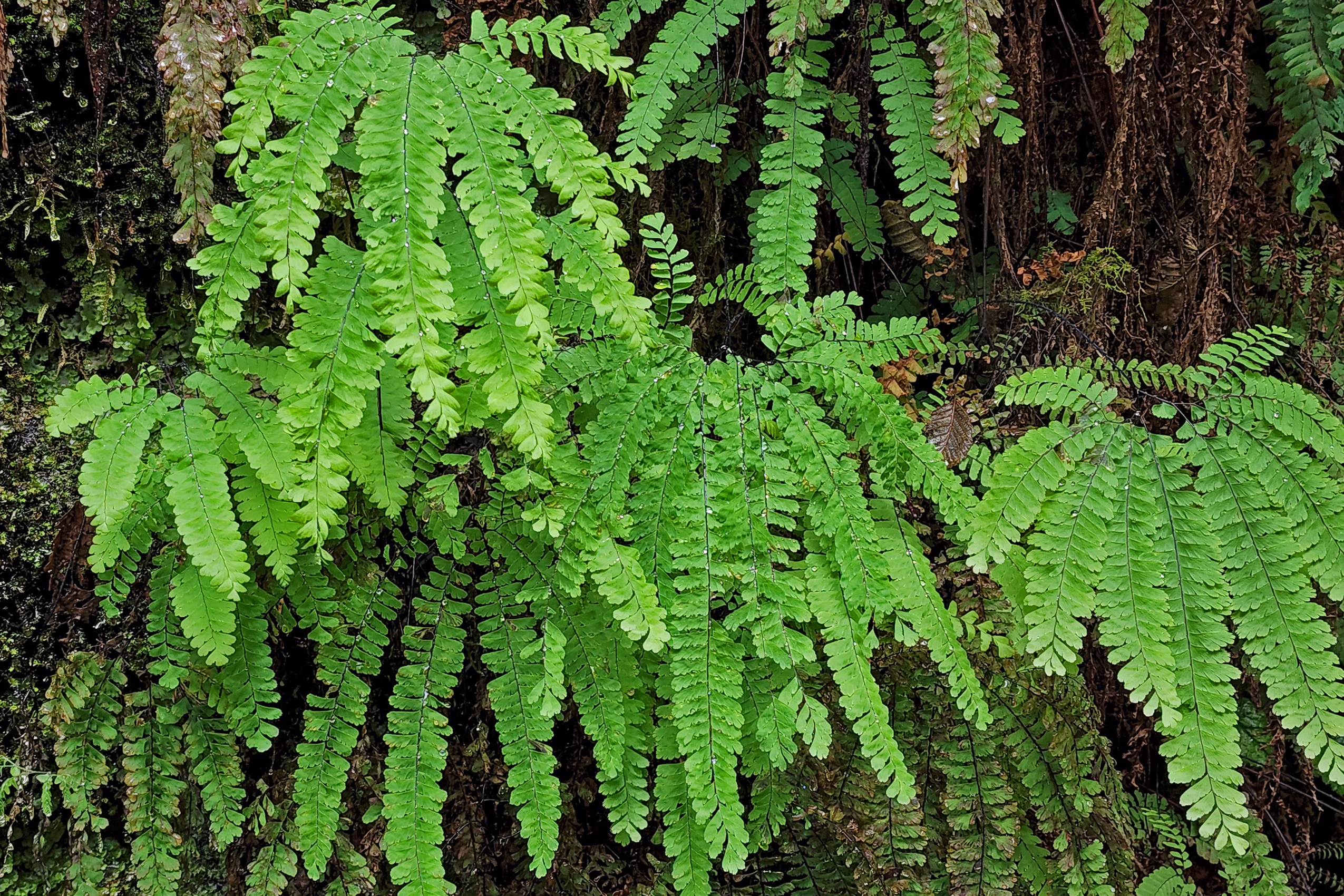
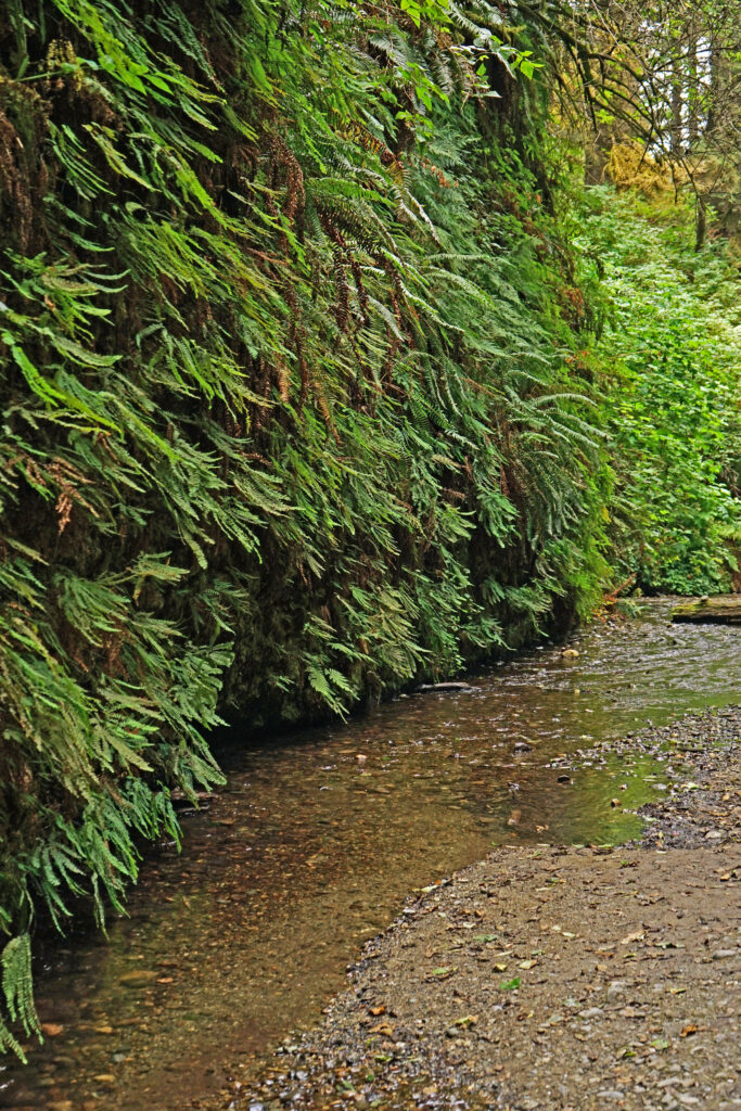
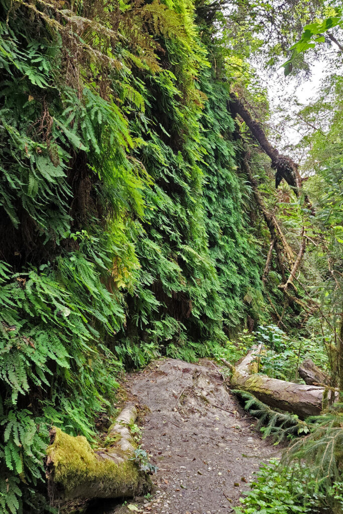
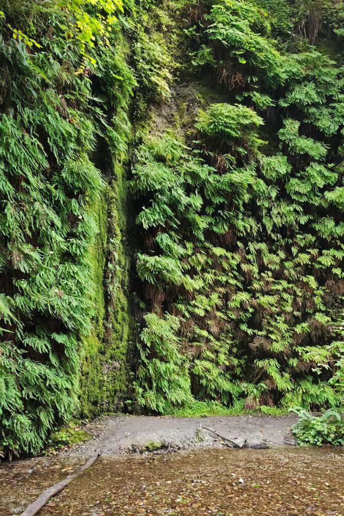
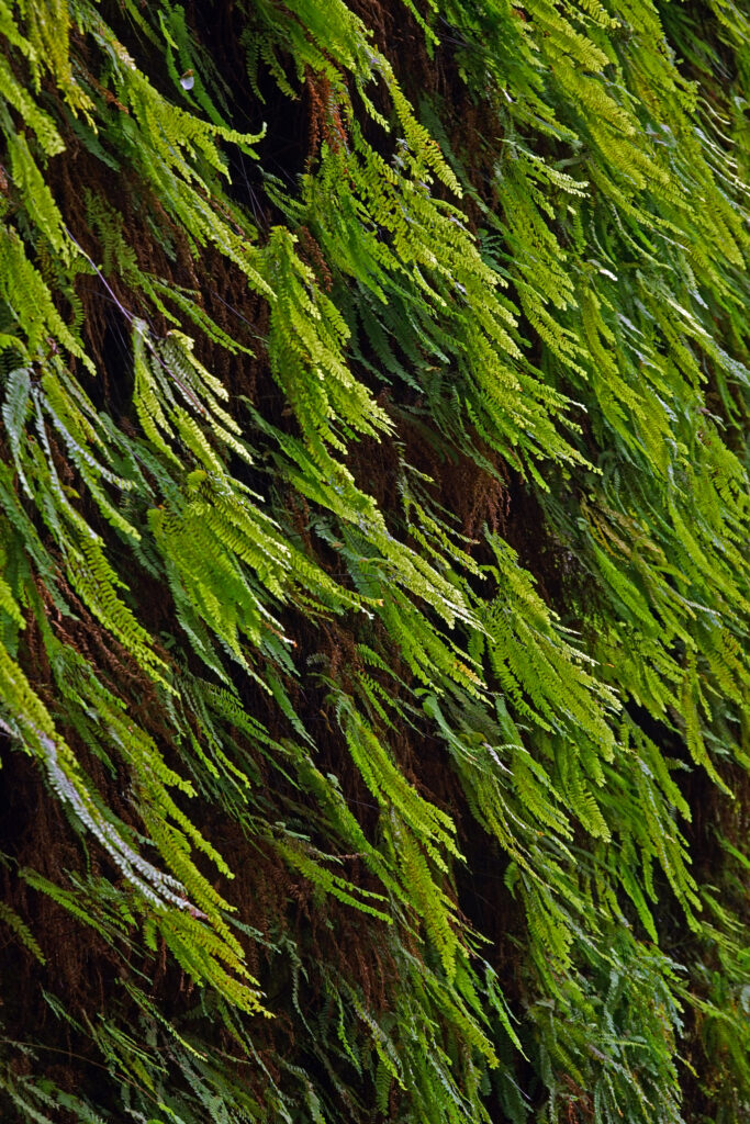
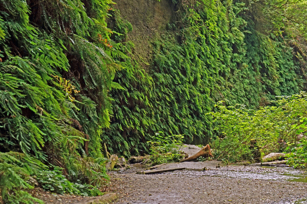
Fern Canyon is one of those magical places that are truly unique. I’ve never seen another place quite like it. You won’t find redwoods here, the canyon is neither deep nor wide, and the trail is short. But the vertical walls completely covered in ferns – six different species if I recall correctly – are the attraction here. And the fact that the canyon is narrow gives the experience an intimacy that grander spaces lack.
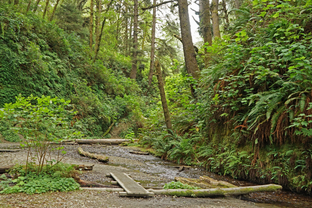
The “trail” through the canyon does not actually exist. You’re hiking the creek bed. In the summer and fall, boardwalks are strategically placed to help hikers, but come prepared to get your feet wet. And when I did this hike there was a huge log jam in the middle of the hike that spanned the canyon from wall to wall and necessitated climbing over, around, or under the logs. But even if you go only part way and must turn around, it is still a worthwhile hike.
 

This is a popular hike, and in the summer (May 15 to September 15) a free timed entry parking permit is required. The permit is only available online from the park website and must be obtained at least one day in advance. You can opt for either a morning or afternoon window. Note that dogs are not permitted on the trail.
Getting there:

Fern Canyon is located in Prairie Creek Redwoods State Park on the northern California coast, approximately 50 miles north of Eureka.

Coming from the south, turn left off US 101 onto Davison Road 2.7 miles north of Orick. Follow Davison Road to the beach where it turns north and becomes Gold Bluffs Beach Road. The Fern Canyon trailhead is at the end of the road. If you’re coming from the north, the Davison Road turnoff is 2.3 miles south of the south end of the Newton B. Drury Scenic Parkway.

Davison Road and Gold Bluffs Beach Road are gravel and rough in places, and there are two small creeks that must be forded. A high ground clearance vehicle is recommended, but not absolutely needed, at least in the summer. The road may be closed during and after storms. Check the park’s current conditions webpage for off season closures.
 

Trailhead:

The trailhead at the end of Gold Bluffs Beach Road has space for about 30 vehicles and has restrooms. Drinking water is not available – bring your own.
The hike:

The trail starts at the northeast corner of the parking lot. In about one quarter of a mile you will come to a junction. Stay right and follow the creek up the canyon. Fern Canyon is only about a quarter mile long, but it’s a magical quarter mile. You’ll want to take your time and savor this short hike. And it will seem longer because of all the scrambling you have to do since the trail is the creek bed.
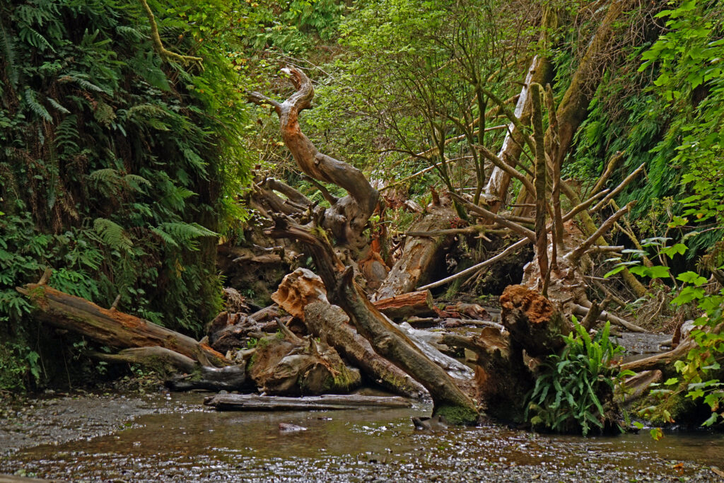
The logjam we encountered in the middle of the hike also took quite a while to negotiate. Once you reach the head of the canyon, you will see a trail leading into the forest to your left which will take you back to the junction you passed at the beginning of the canyon. Or you can simply turn around and retrace your steps through the canyon.
Best time to go:

The trail is open year-round, but because the trail is the creek bed and the canyon is narrow, the canyon may not be accessible in late fall and winter. The road to the parking area may also be closed during and after storm events. The best time to visit Fern Canyon might be early fall (after September 15). It’s likely to be much less crowded than in the summer months and a permit is not required.
Other area attractions and activities:

There are too many attractions in the Redwoods to list them all. Gold Bluffs Beach is worth a stop on your way back from your hike. There’s also a campground there if you want to make Fern Canyon more than just a day trip. The Prairie Creek Redwoods visitor center, near the south end of the Newton B. Drury Scenic Parkway is also worth a stop. And there are several worthwhile hikes through the redwoods off the parkway to the north. And the other parks that make up the Redwoods National and State Parks complex all offer outstanding hiking experiences. See my California Coast Redwoods post for more information on the wonders of the Redwoods.
Posted March 3, 2024 by Alan K. Lee

All photos © Alan K. Lee
California Coast Redwoods

by Alan K. Lee

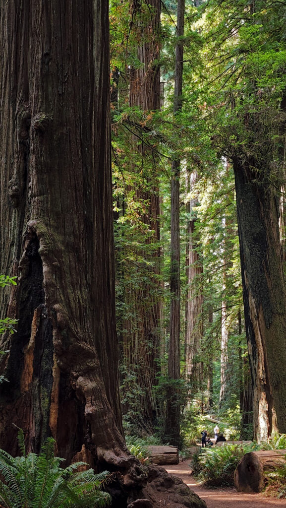
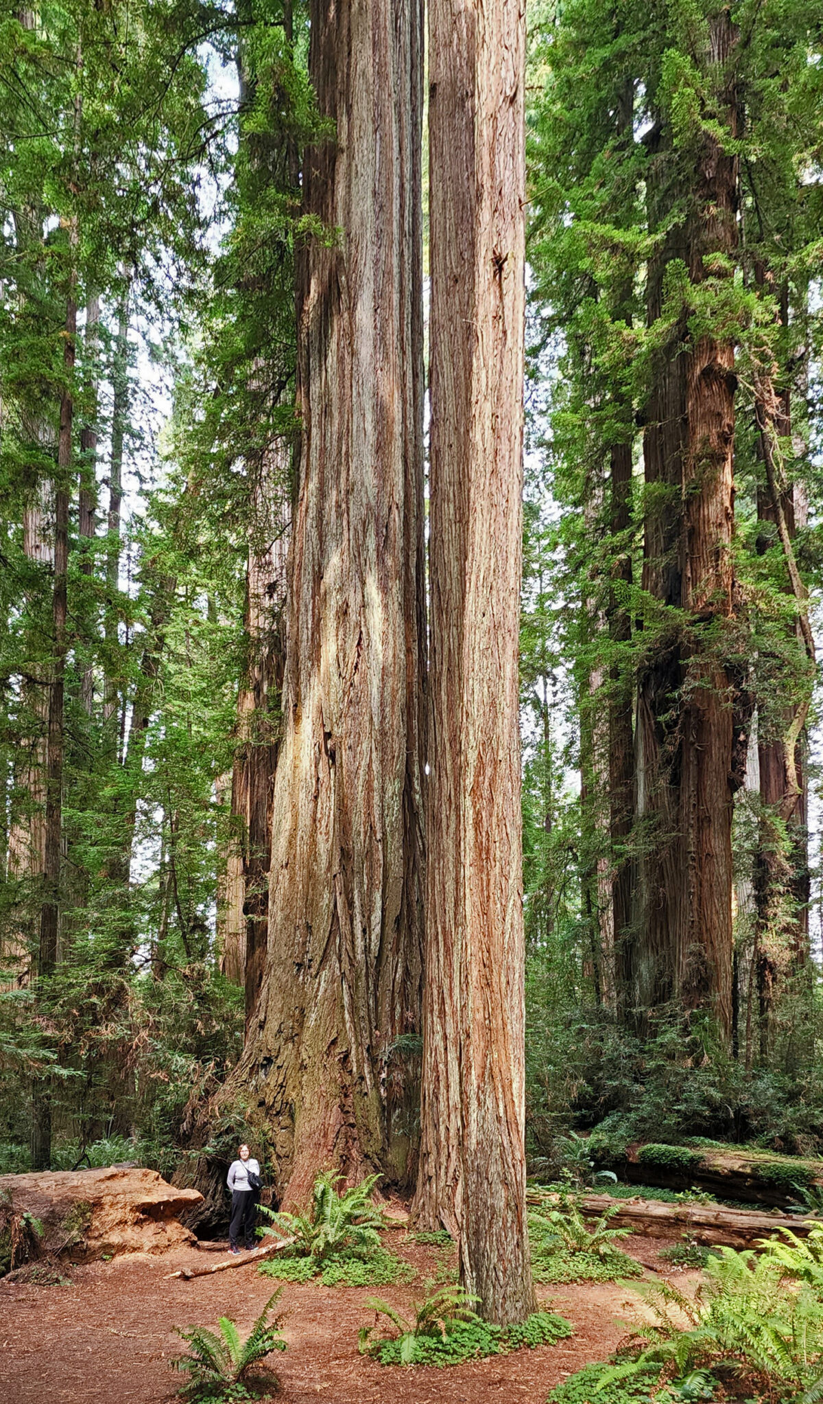
The mild climate and abundant rainfall of the northern California coast makes for ideal growing conditions for conifers, especially for Sequoia sempervirens, the California Coast Redwoods, the tallest trees in the world. Immersing yourself in a old growth redwood forest is a magical experience. You simply cannot walk through a grove of mature coast redwoods and not be awestruck by their massive size and their incredible height. It can truly be a not-of-this-world experience.

Jedediah Smith Redwoods

My wife and I had the pleasure of spending a few days exploring the redwoods this summer. On our first day, we drove through Jedediah Smith Redwoods State Park , part of the Redwood National and State Parks complex that is made up of three California state parks that were established in the 1920s, and the connecting lands of Redwood National Park, established in 1968.

Jedediah Smith Redwoods

We stopped at a number of places in Jedediah Smith Redwoods to do short hikes into the forest. The out and back hikes on the Mill Creek Trail (to the Grove of the Titans) and the Nickerson Ranch Trail both take you through old growth redwood groves that are really indescribable. There just aren’t words to adequately express the experience. And the short Stout Grove Loop Trail near the north end of the park is equally impressive.

Jedediah Smith Redwoods

The best way to experience the redwoods is on foot, of course, and there are 18 miles of hiking trails in the park, but the drive through the park on Howland Hill Road is itself pretty awesome, even if you never get out of your car. The road is unpaved, narrow, and winding, so not suitable for trailers or motor homes, but all other vehicles can manage it okay, at least in the summer.

Smith River

We stayed in Crescent City, but the park has a large campground with 102 campsites (four of which are dedicated accessible sites). There are also four cabins with electric heaters and lights but no kitchen or bathroom. Campsites and cabins can be reserved through the park website (linked above). The campground is located on the Smith River on Highway 199 about five miles northeast of Crescent City. In the summer there is a footbridge across the river connecting the campground to the Stout Grove.

Endert’s Beach

The next day, we hiked the short trail to Endert’s Beach, just south of Crescent City in Del Norte Coast Redwoods State Park.  The park has eight miles of untouched coastline. (As of October 2026 the only park trail to the coast is closed, making the coastline inaccessible at this time). The park has a large campground with 143 sites (no hookups) that is open from late May until early October. Check the park website for reservation availability. In 2002 a large parcel of previously logged land was added to the park and is currently the site of a large ongoing restoration project that may affect campground accessibility. You can learn about the project at the Mill Creek Day Use Area, or on the park website or the Redwood National and State Parks website.

Near the south end of the park, Wilson Beach is a nice place to take a break and do some beachcombing. A little farther south, at Requa, we took a short detour to the Klamath River Overlook at the far south end of the park. The overlook provides a good view south across the mouth of the Klamath River, a thousand feet or so below.

View from Klamath River Overlook

Back on Hwy 101, if you take the first exit south of the Klamath River Bridge, the Klamath Beach Road will take you to several beach access points, a campground, and the High Bluffs Overlook, which has a picnic area with nice ocean views. From there, you can either loop back to Hwy 101 on Coastal Drive, or continue south to the Newton B. Drury Scenic Parkway, a more scenic and quieter route through Prairie Creek Redwoods State Park than Hwy 101.

“Big Tree,” Prairie Creek Redwoods

Along the parkway, we did a short hike on the Ah-Pah Trail. You’ll find a number of other trailheads on the parkway that will also take you deep into the redwoods. We  stopped briefly at the somewhat cheesy Big Tree Wayside, then at the visitor center at the park headquarters. Back on Hwy 101 a few miles south of the park headquarters, we also stopped at Elk Meadows Picnic Area, where we hiked to Trillium Falls (a nice hike, but the falls are not very impressive), mostly to kill some time before we headed to Fern Canyon, our afternoon destination.

Prairie Creek Redwoods

Fern Canyon is popular enough to require a timed entry parking permit between June 15 and September 15 that is available only online. You can reserve either morning or afternoon permits. We had no problem getting a permit the day before we left on our trip, but we were there in the middle of the week. Weekends might be a different story. Parking permits are available on the park website.

Fern Canyon
Fern Canyon

The Fern Canyon Trail takes you through a 50 foot deep canyon, its vertical walls covered in a variety of different kinds of ferns. The “trail” is mostly non-existent. You’re essentially hiking the creek bed. There are some makeshift boardwalks, but plan on getting your feet wet. There was also a big logjam that we had to climb over. But that was a small price to pay, because the canyon is wonderfully scenic and utterly unique. I had never seen anything quite like it in all my years of hiking.

Fern Canyon
Fern Canyon

We stayed in Eureka that evening. The next morning we started for home. There is another state park a few miles south of Eureka, Humboldt Redwoods State Park, that has the largest contiguous old growth redwood stand in the world (according to the park website), but we didn’t have time to visit on this trip. It was a long drive to our next stop in Ashland, Oregon, and we wanted to get an early start. But we’ll be back, maybe next summer, to continue our exploration of the northern California coast. Mendocino beckons.

Prairie Creek Redwoods

Our trip to the redwoods also featured stops in a number of places on the southern Oregon coast between Bandon and the California border. Check out my Bandon  and Southern Oregon Coast posts. The southern Oregon coast is sparsely visited, but spectacularly beautiful, and definitely worth a look.

Bandon, Oregon

Posted October 3, 2022. Updated October 10, 2026.

All photos ©Alan K. Lee