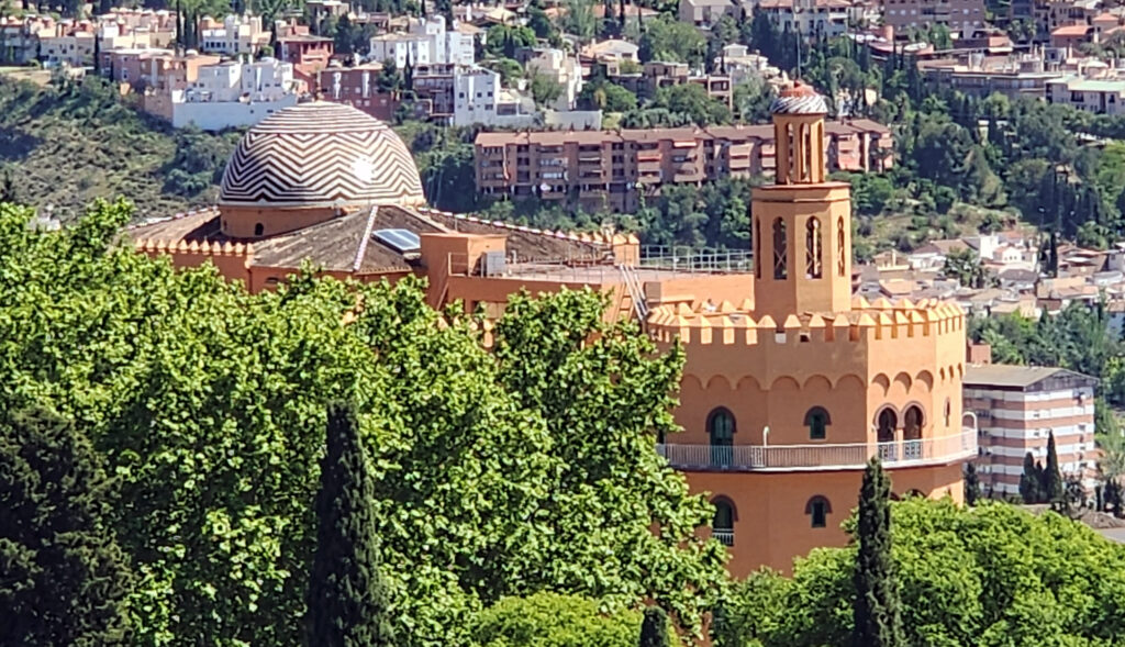
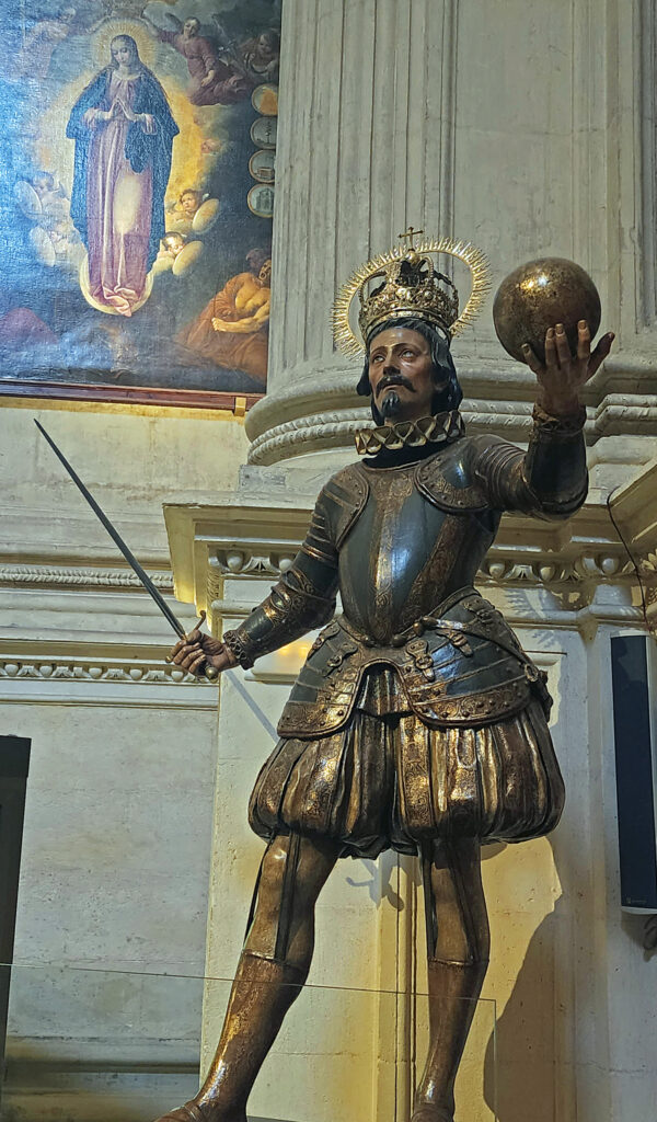
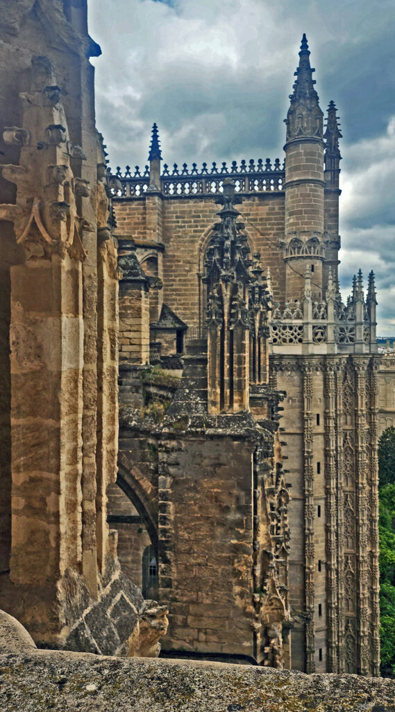
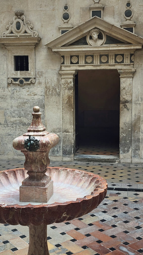
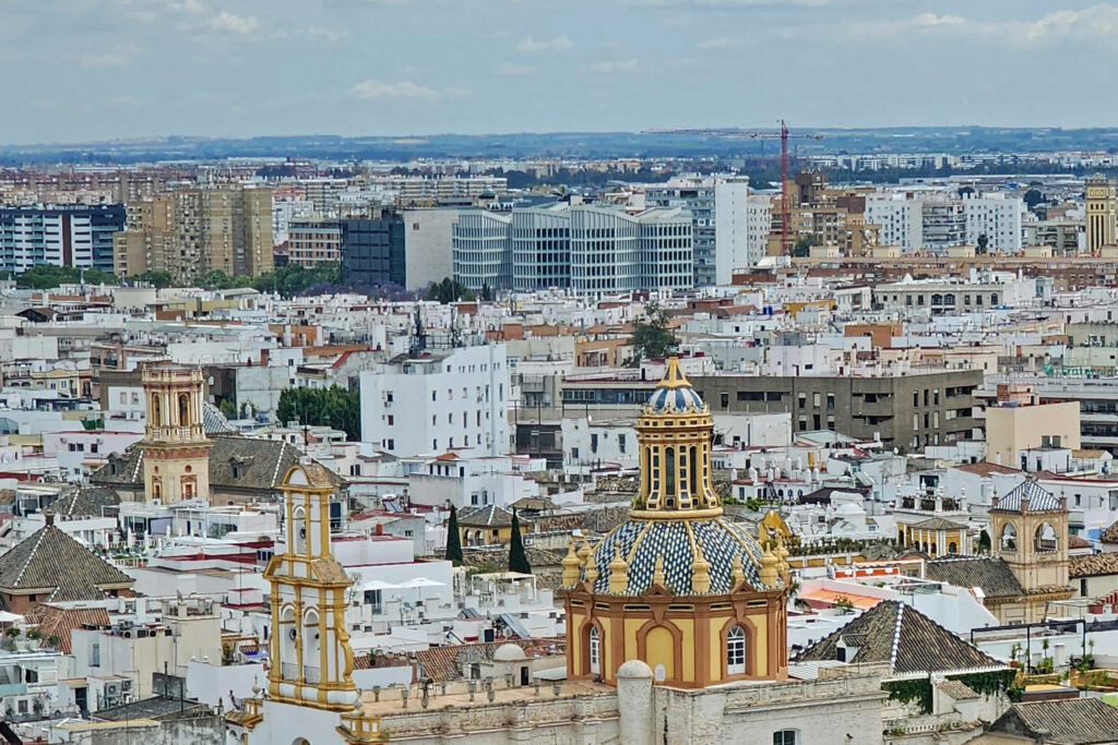
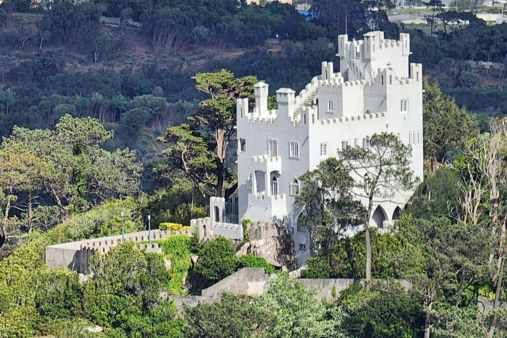
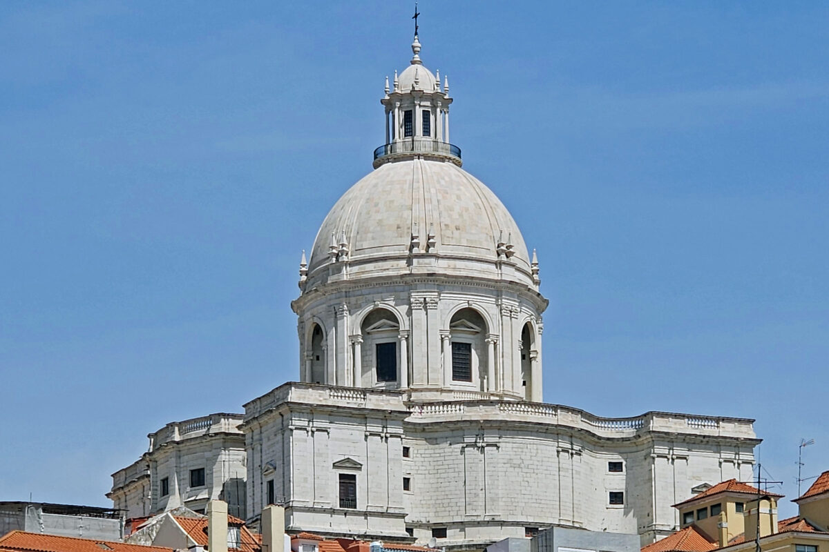
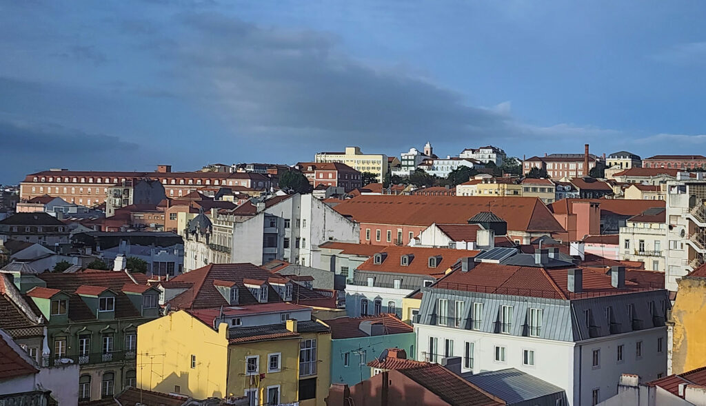
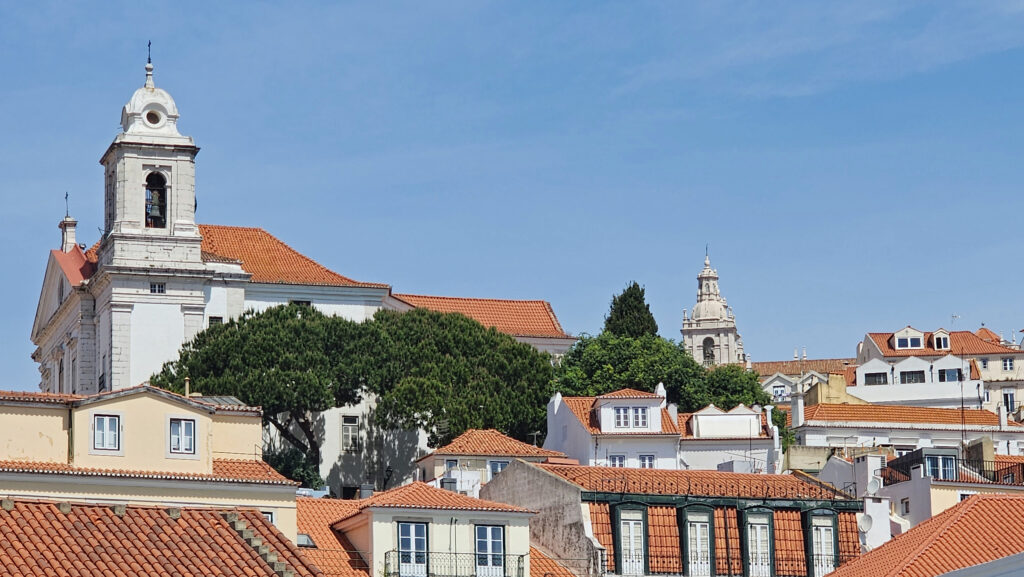
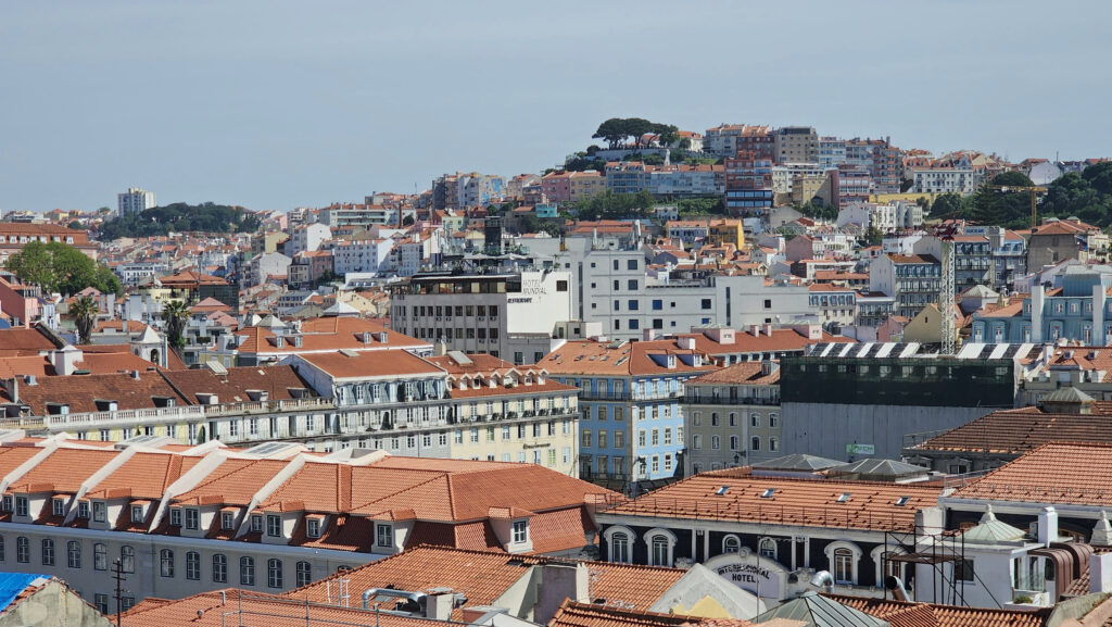
Cordoba, Spain

by Alan K. Lee

Introduction

When I was planning for the trip to Spain and Portugal that my wife and I took last spring (2024), Seville got a lot of my attention, as did Granada, Ronda, and Malaga, all for different reasons. Seville is the largest city in Andalusia, with a myriad of reasons to visit. Granada has the magnificent Alhambra. Ronda first got my attention more than a decade ago when I saw a TV travel program about the city. And Malaga is on the Mediterranean coast and has an international airport with many flights to the U.S. But Córdoba wasn’t much on my radar.


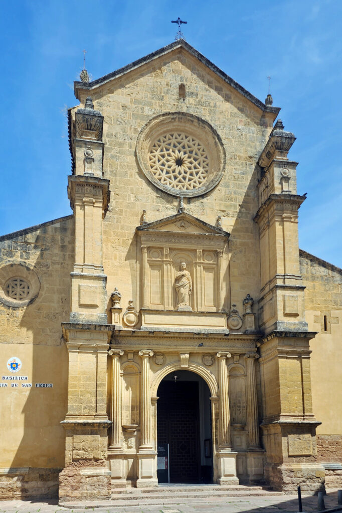
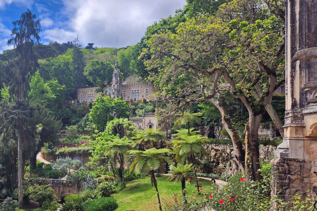
I included Córdoba in our itinerary mostly because it’s centrally located, and I couldn’t see a reason to completely bypass it. And I’m glad we didn’t, because Córdoba has a couple of gems that no one visiting Andalusia should miss, the city’s wonderful cathedral (the Mezquita) and the Alcazar de los Reyes Cristianos (Palace of the Christian Kings).


A Brief History of Córdoba

Córdoba has a long and diverse history. It was first established as a Carthaginian settlement, before being conquered by the Romans in 206 BC. Roman rule of the area lasted more than 600 years. After the fall of the Roman Empire, Córdoba became part of the Byzantine Empire, then was conquered first by the Visigoths and later, early in the 8th century, by the Moors. Córdoba thrived under Muslim rule, becoming the second largest city in Europe by the 10th century. In 1236, Ferdinand III drove the Moors out in the Reconquista that brought all of the Iberian Peninsula under Christian rule. Today, little of the Roman city of Corduba remains, but Córdoba retains much of the architectural heritage of the Moors, most notably the Mezquita (meth-KEY-ta) and the Alcazar.


Climate

The climate of Córdoba is notable for its hot and dry summers. It is the hottest city in Europe, with the average high temperature in July and August a scorching 99⁰F (37⁰C). Spring and fall are more moderate and are the best times to visit. Winters are mild with mid-winter highs around 60⁰F (15-16⁰C) and lows around 40⁰F (4-5⁰C). Annual rainfall averages about 22 inches, with 2-4” per month from October to April. We were there in early May and the weather was nearly perfect.

Our Visit

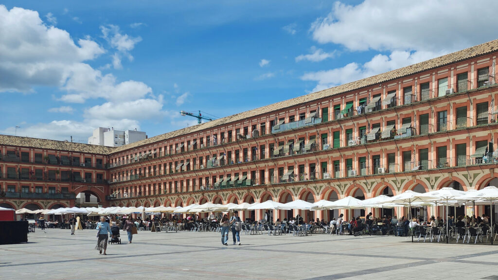
We traveled from Seville to Córdoba by train, only a 45-minute ride on Renfe’s high speed AVE trains. From the train station, we strapped on our backpacks and walked the mile or so to our hotel. I had some concerns about the hotel (La Despensa de la Corredera Hostal), which my wife had booked, but it turned out to be nothing like I associate with a hostel. It was modern, clean, comfortable, and had a private, ensuite bathroom. And it was located at the historic Plaza de la Corredera.


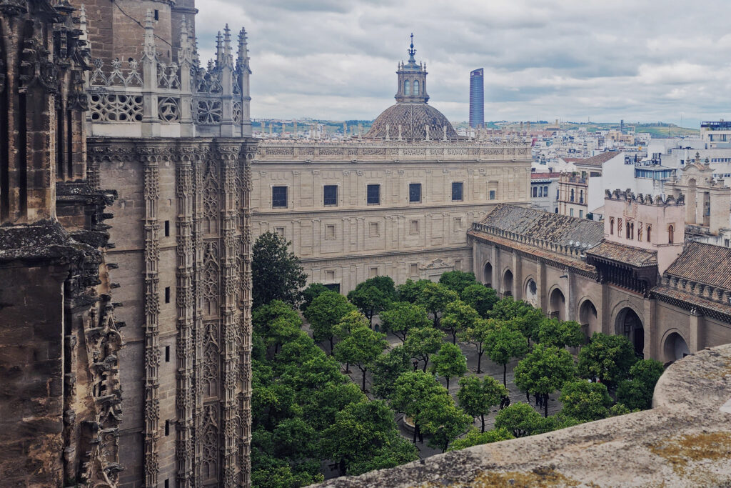
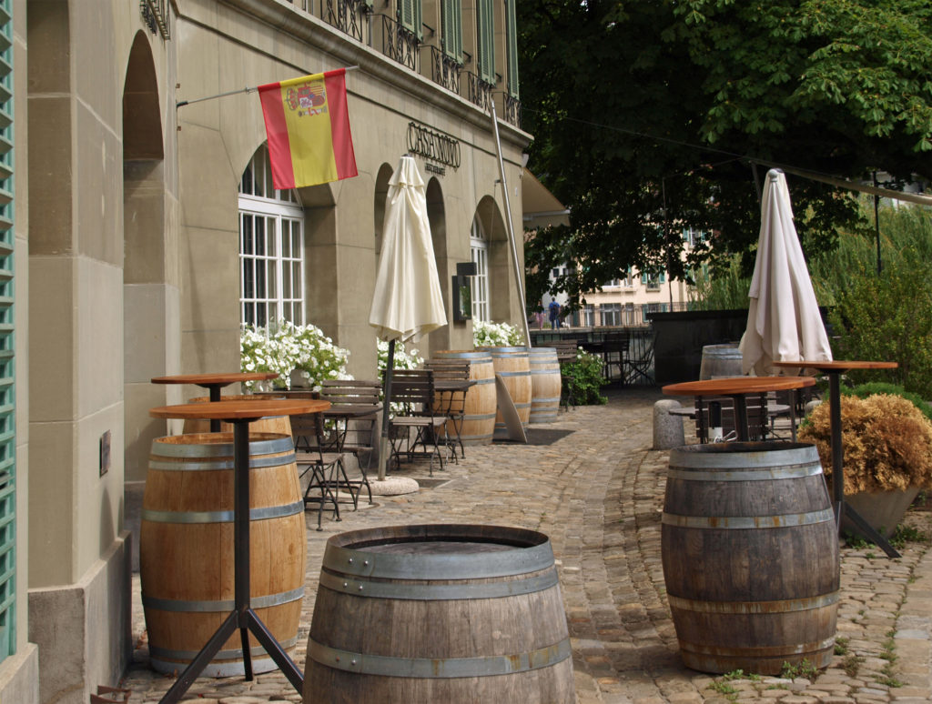
We spent our first afternoon and evening in Córdoba just wandering around, exploring the city, with no set agenda, something we often do when visiting a city for the first time. We walked along the riverfront, stopped at a sidewalk café for a beer, and walked around the exterior of the Mezquita and its Courtyard of the Oranges, which dates to the Moorish occupation, before returning to the Plaza de la Corredera, where we had dinner at one of the many restaurants there. The Plaza caters to tourists, and the food you get in restaurants in such areas is often expensive and mediocre at best, but our dinners were both good and reasonably priced.

The Mezquita

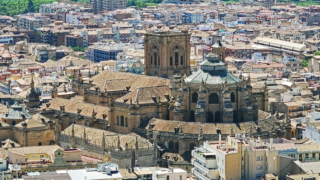
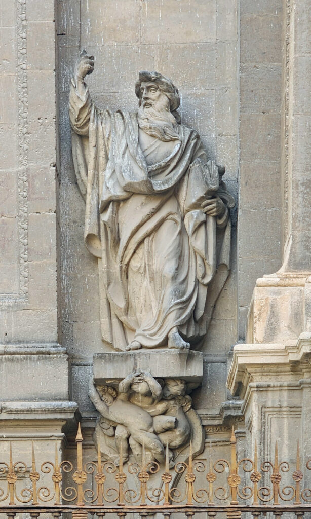
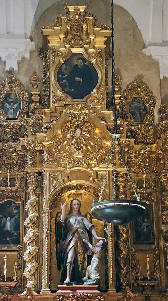
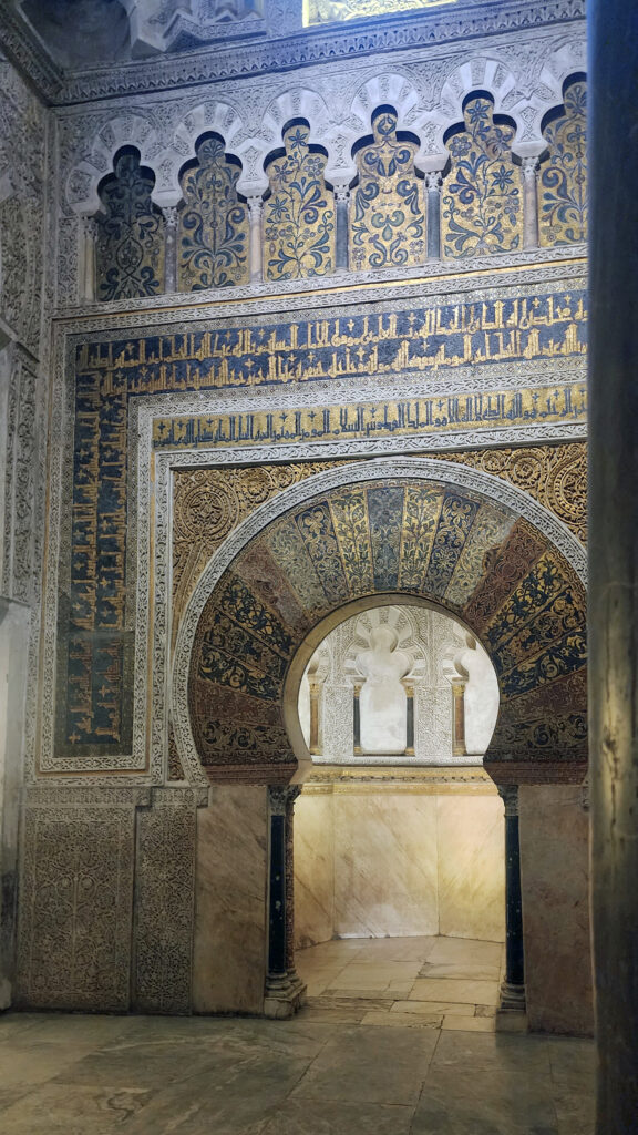
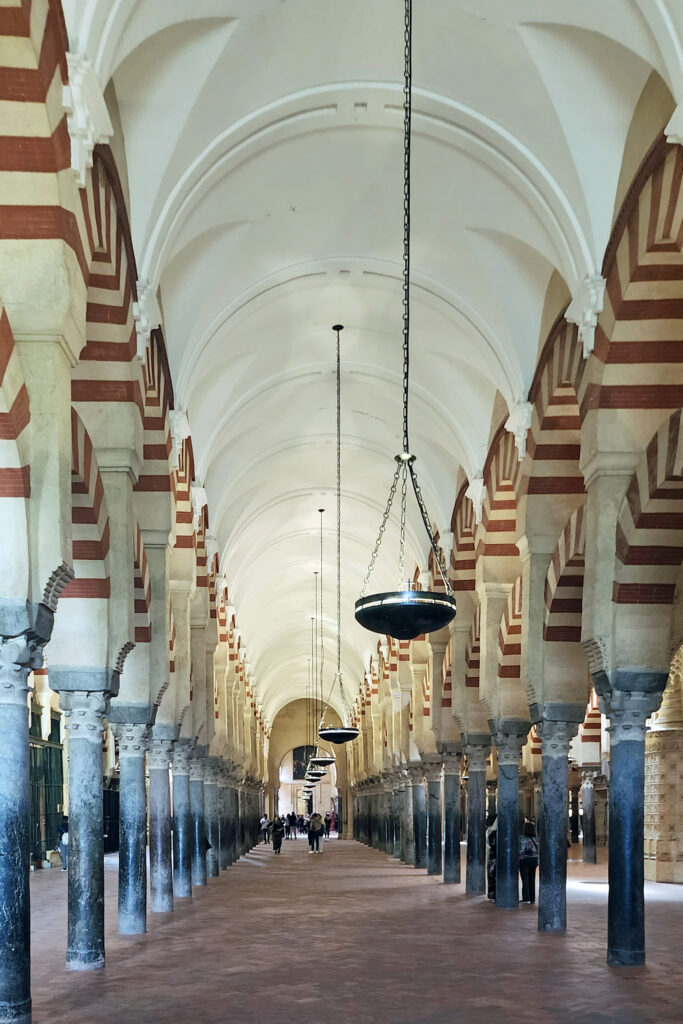
The Mezquita was constructed in 756 as the Great Mosque, possibly on the site of a Catholic Basilica built by the Visigoths. The mosque was expanded several times over the next two centuries, including construction of the minaret in 958. After the Reconquista, the Mezquita was converted to a Christian cathedral, but the name was retained. (Mezquita is Spanish for mosque, and today’s cathedral is also called the Mezquita-Catedral de Córdoba, or Mosque-Cathedral of Córdoba).

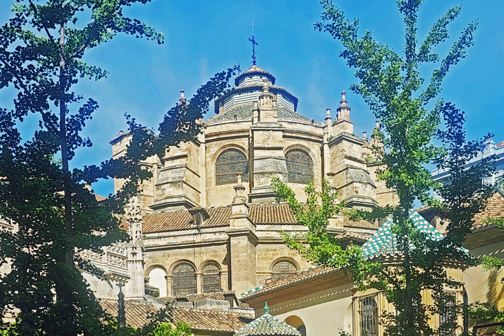
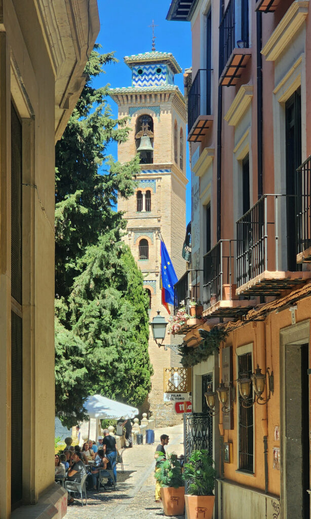
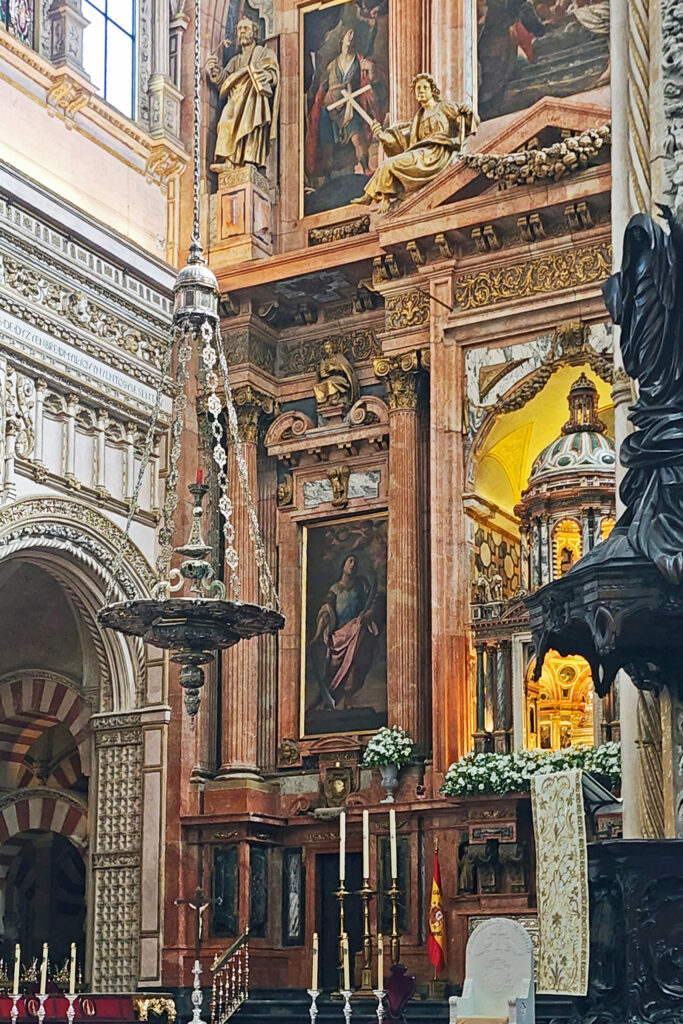
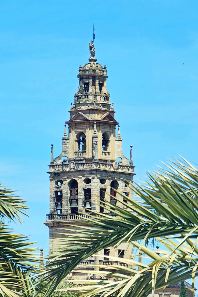
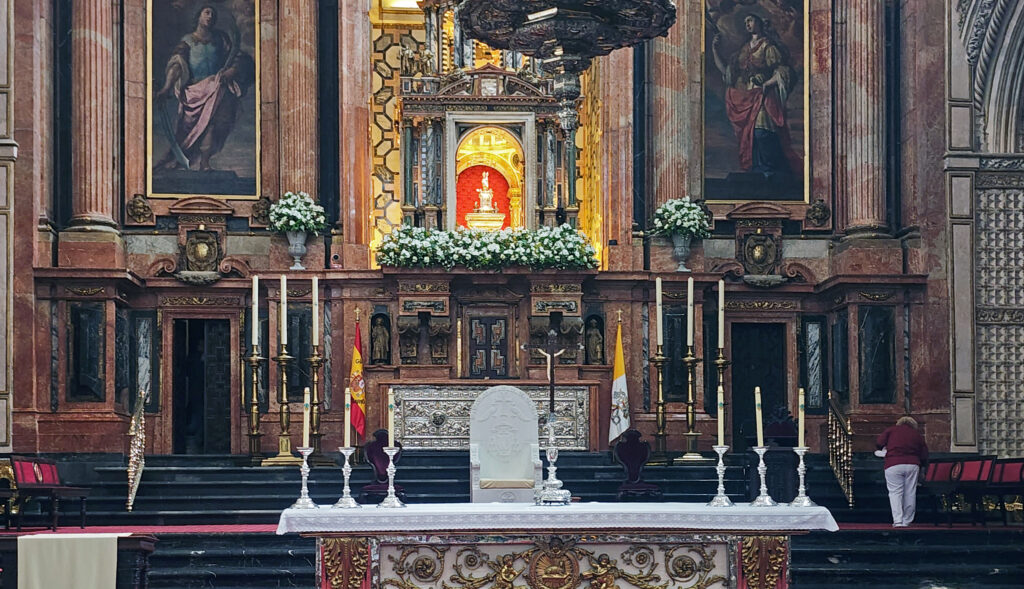
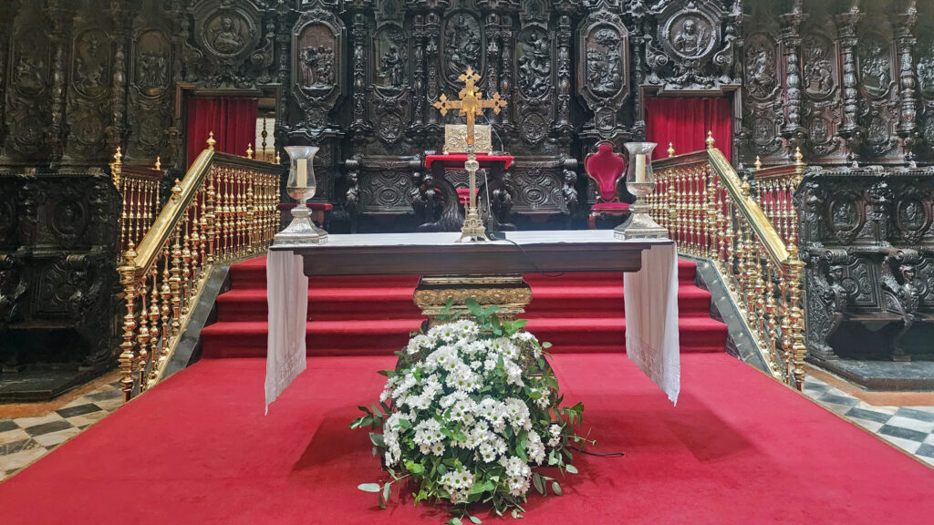
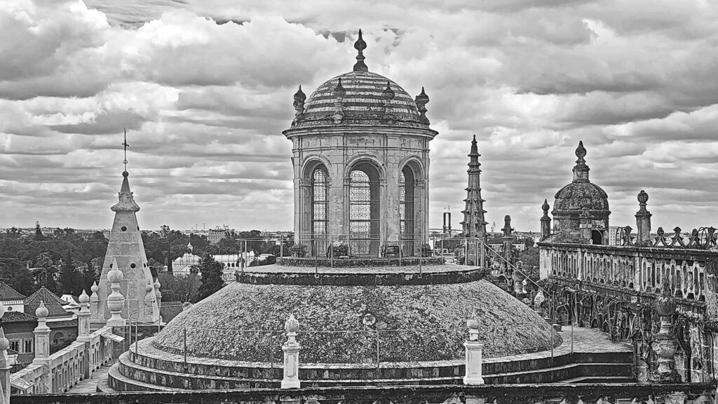
The Mezquita was modified a number of times after the Reconquista, most notably in the 16th and early 17th centuries when the central nave and transept of the Capilla Mayor, which rises in the center of the structure, were built. The minaret was also rebuilt into a Renaissance-style bell tower.

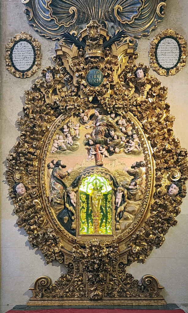
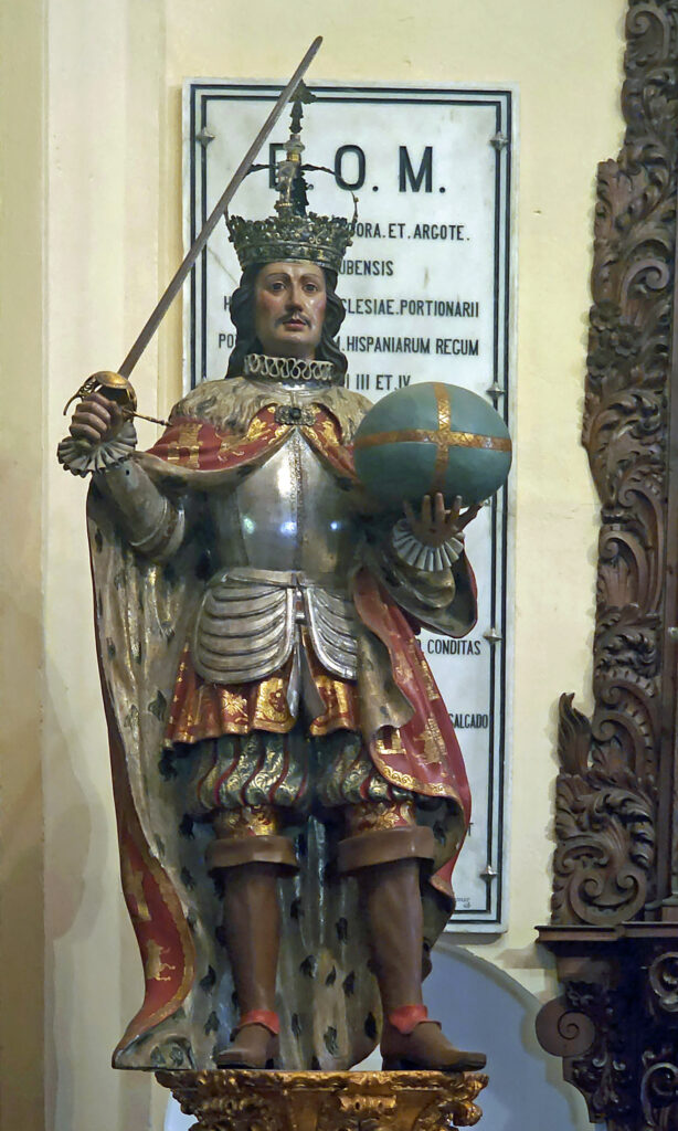
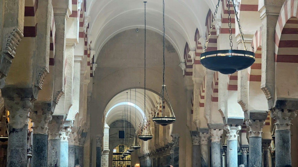
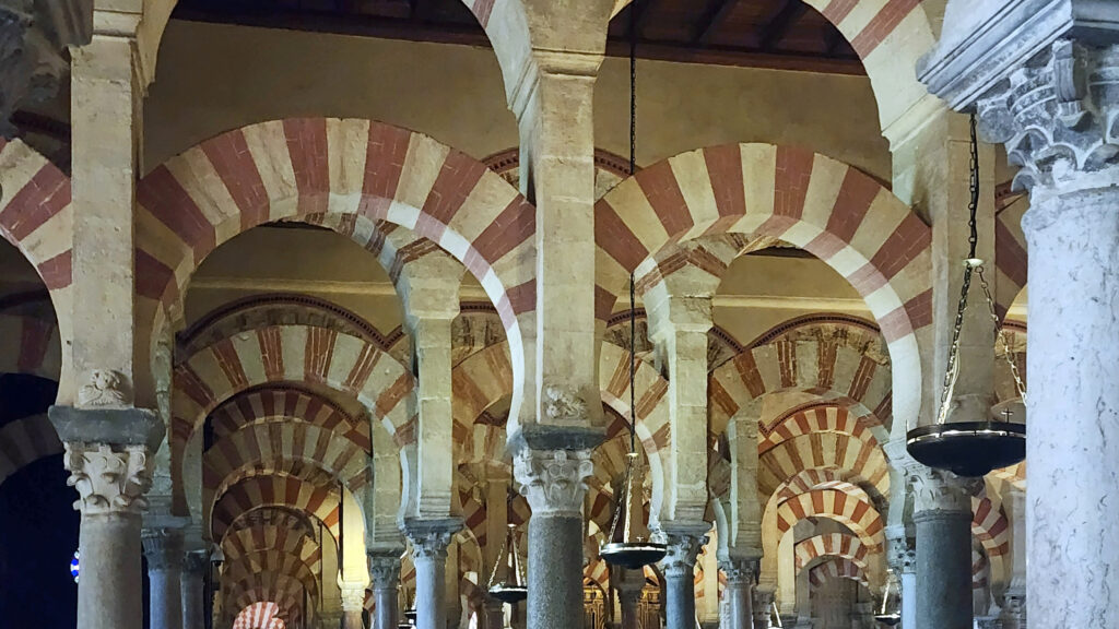
The Mezquita is an attractive structure, but the exterior does not make a grand statement. It’s neither tall nor particularly interesting from an architectural perspective. But the expansive interior, with hundreds of the original mosque’s two-tiered arches supporting the roof, the 13th century Royal Chapel, the 15th century Gothic-style nave of the Villaviciosa Chapel, and the Capilla Mayor are all stunning and make for a truly unique structure that blends many architectural styles into a magnificent whole.

General admission tickets to the Mezquita cost 13€, discounts are available to seniors, children, students, large groups, and the disabled, and children under 10 get in free. Tickets are available online from the Mezquita-Catedral Córdoba website or can be purchased at vending machines in the Courtyard of the Oranges on the north side of the cathedral. Entry is free from 8:30 to 9:30 in the morning, Monday through Saturday. Night tours are available for 20€ and entrance to the bell tower is 3€.

The Mezquita was named a UNESCO world heritage site in 1984, and that designation was expanded to the entire historic city center in 1994.

The Alcazar de los Reyes Cristianos

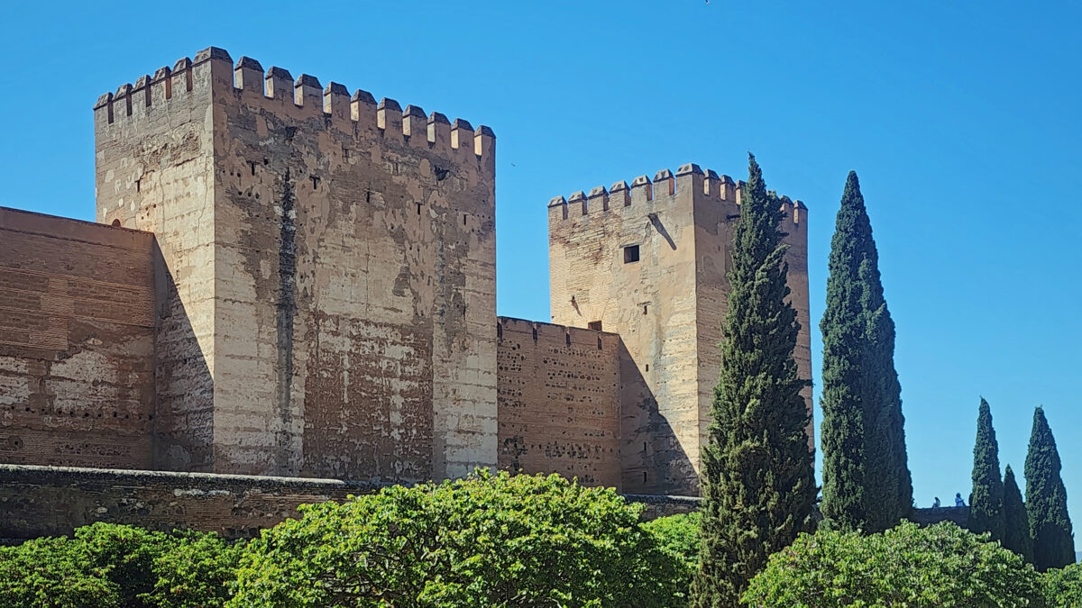
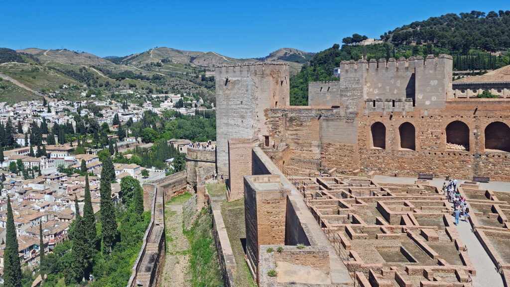
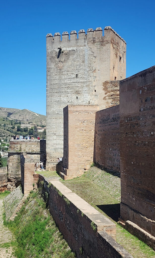
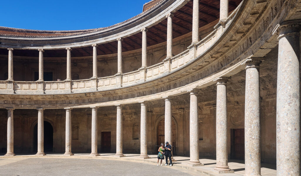
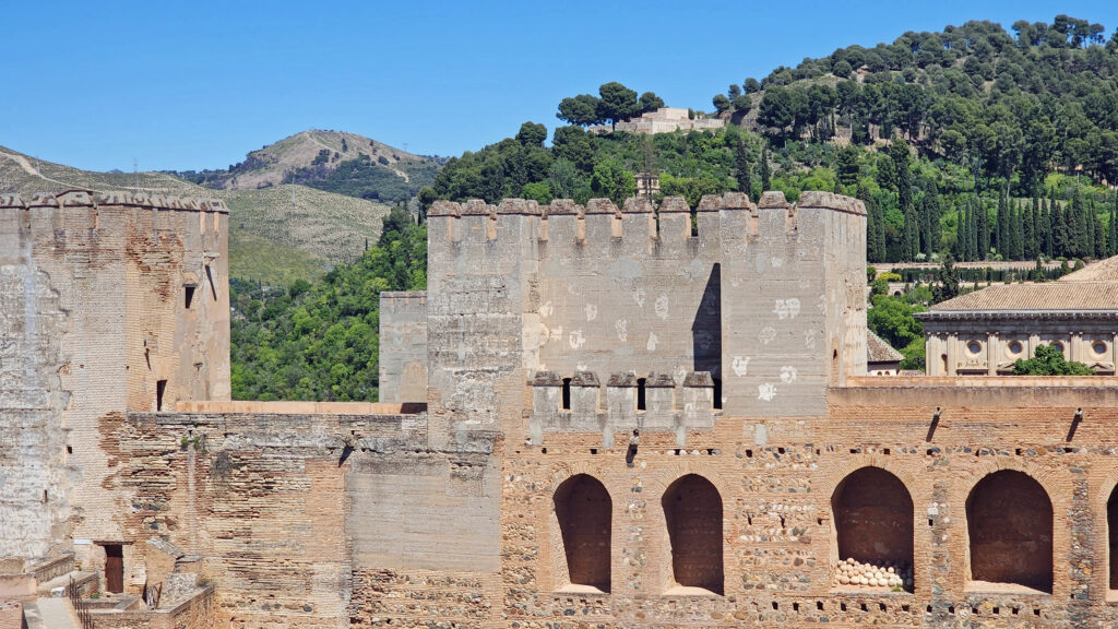
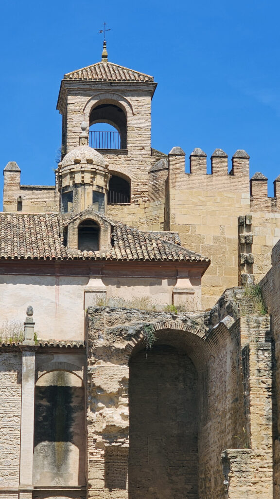
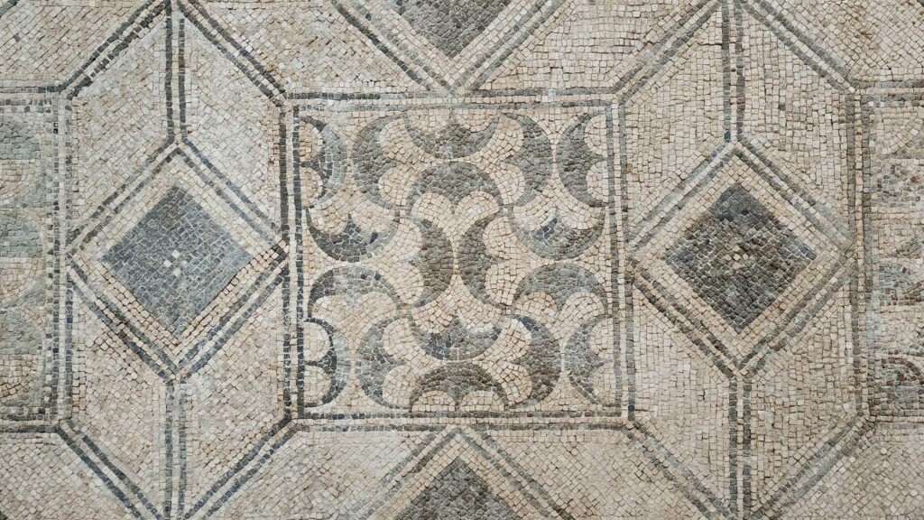
The site of the Alcazar was the Governor’s Residence during Roman rule and later a Visigoth fortress before Córdoba was conquered by the Moors. The original Alcazar was built by the Moors as the official residence and seat of power of Al-Andalus. After the Reconquista, King Alfonso XI of Castile began construction of the present-day Alcazar, which appears Moorish in style but in fact incorporates little of the original structure. There are four towers, one at each corner of the palace, and several large, enclosed courtyards, as well as two main halls, the Hall of Mosaics, and the Reception Hall. Like the Mezquita, the Alcazar is a UNESCO World Heritage Site

We did not initially plan to tour the Alcazar (largely because Rick Steves panned it), but we did want to see the surrounding gardens. We found that entry to the gardens is only through the Alcazar, though, so we stood in line (in the sun) for 15 or 20 minutes to get tickets, then in another line for half an hour to get into the palace. Then we had to wait another 30 minutes to get into the towers. But the Alcazar is interesting enough (though no match for the Real Alcazar in Seville) that it was worth the long waits to see it all.

General admission is 4.91€ (as of October 2024), with a 2.25€ discount for family groups (the official website says “large family members”) and students. Admission is free for Córdoba residents, children under 14, seniors (65+), and the disabled.

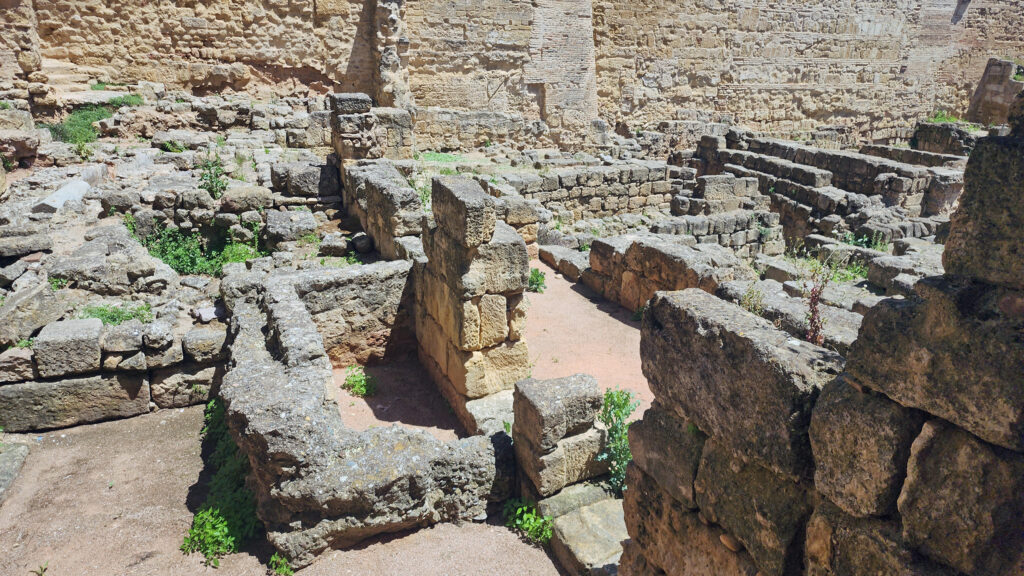
You enter the Alcazar through the Courtyard of the Women (Patio de las Mujeres), which gets its name from the fact that this was once the site of a women’s prison. The courtyard is an archaeological site with ruins of the original Alcazar and the remains of part of the Roman structure that predated it.

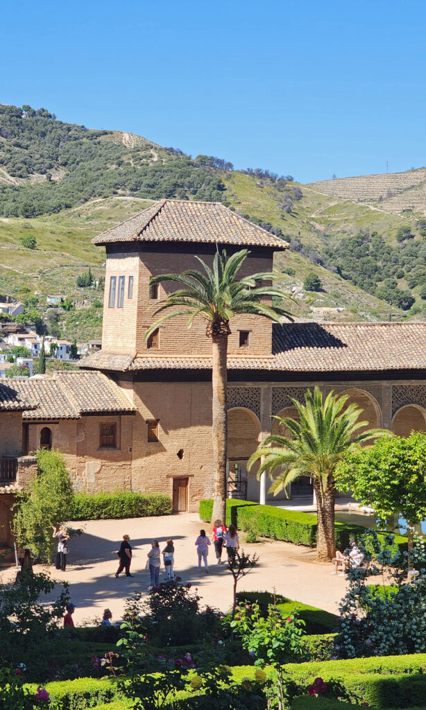
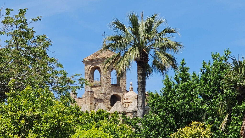
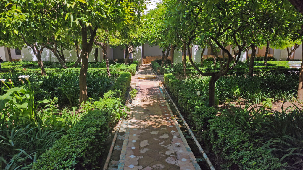
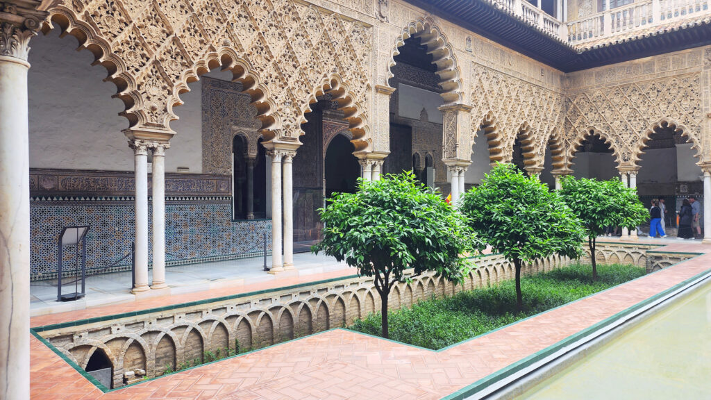
The four towers give views of the Mezquita to the northeast and the Alcazar Gardens (Jardines del Alcazar) adjacent to the southwest. The Courtyard of the Moriscos (Patio Morisco) is a tree filled rectangular courtyard with small ponds on each end and a central fountain.

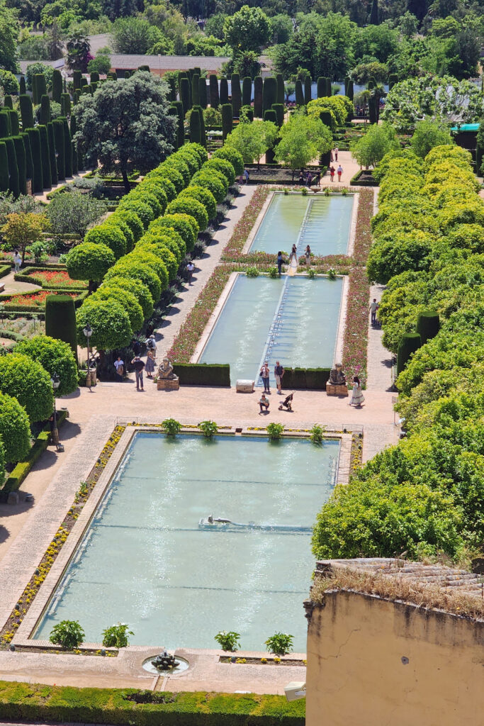
While the palace was worth the wait, we spent more time in the gardens than in the palace itself. There have been gardens here since at least the 10th century, but the present gardens are much more recent.

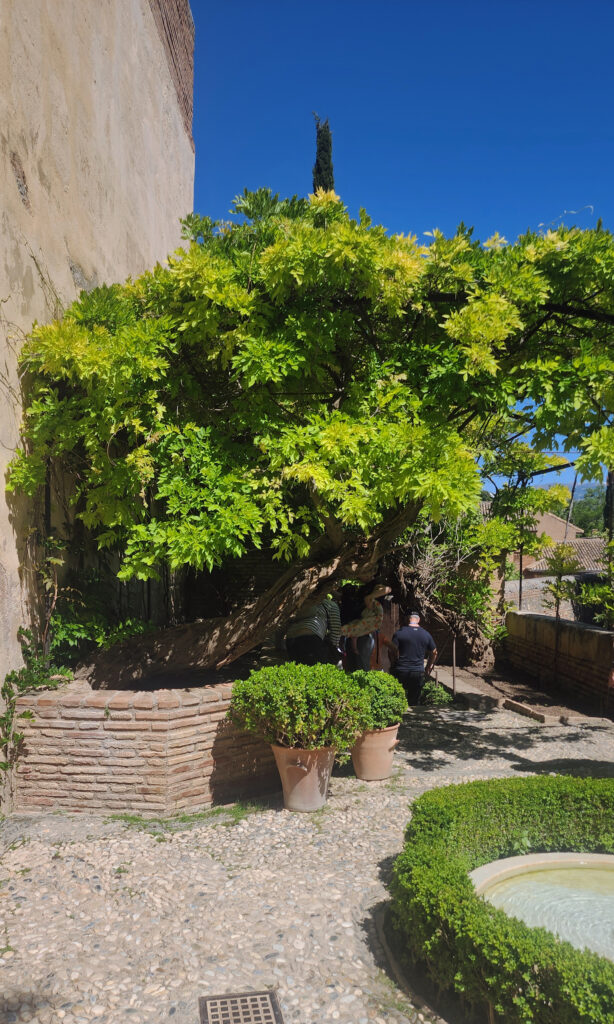
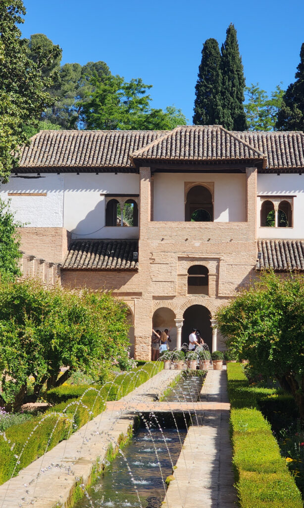
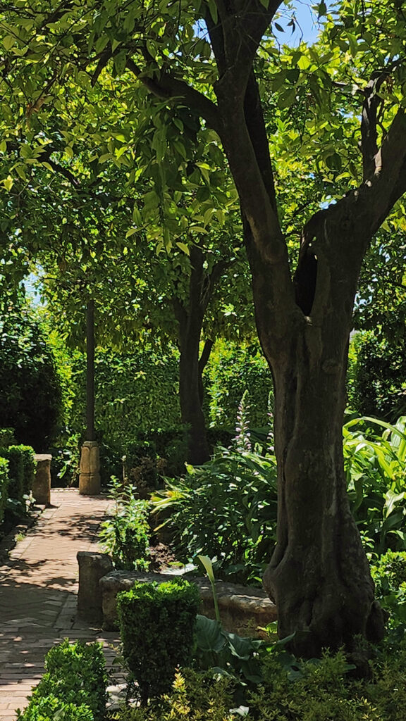
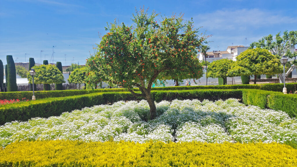
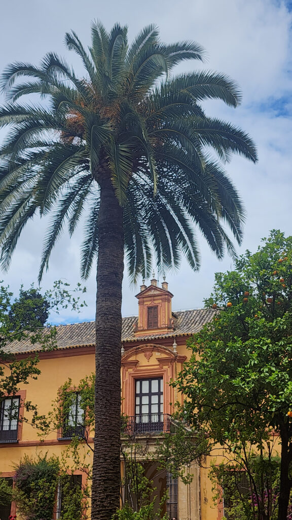
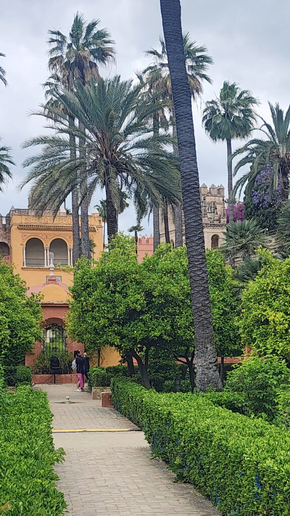
There are a number of ponds, fountains, and statues scattered throughout the 14-acre gardens. The gardens are dotted with palms and lemon, orange, and cypress trees. There are acres of shrubs and flowering plants. And there are plenty of shaded places to get out of the sun and sit for a while.


Other Attractions

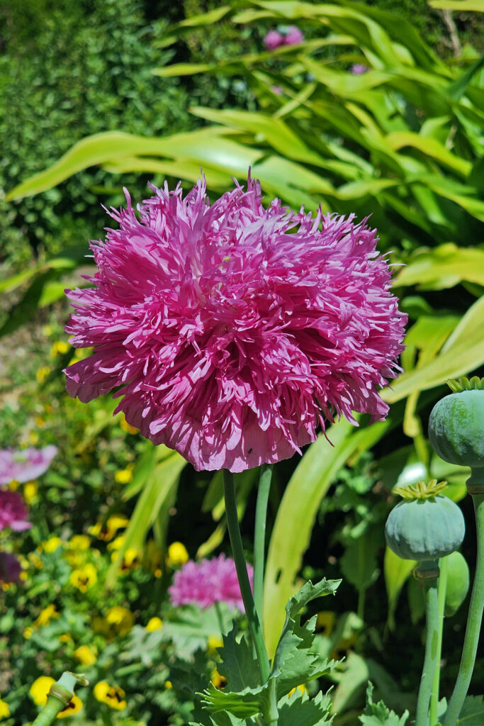
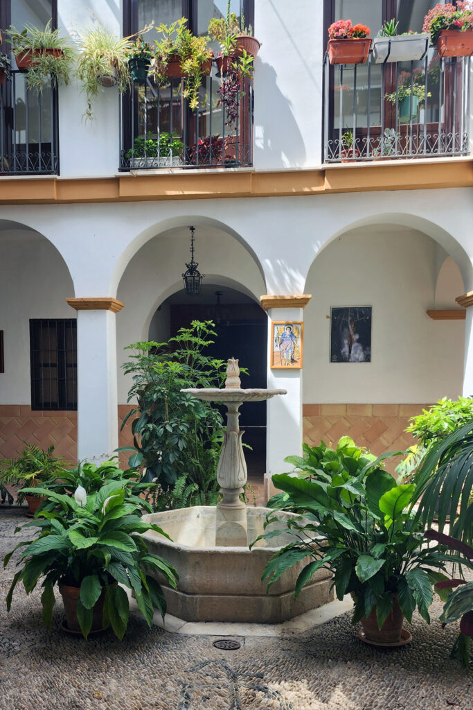
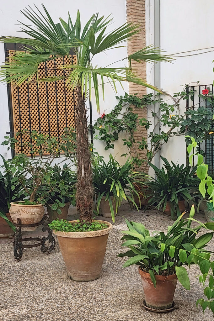
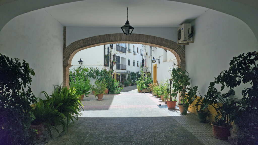
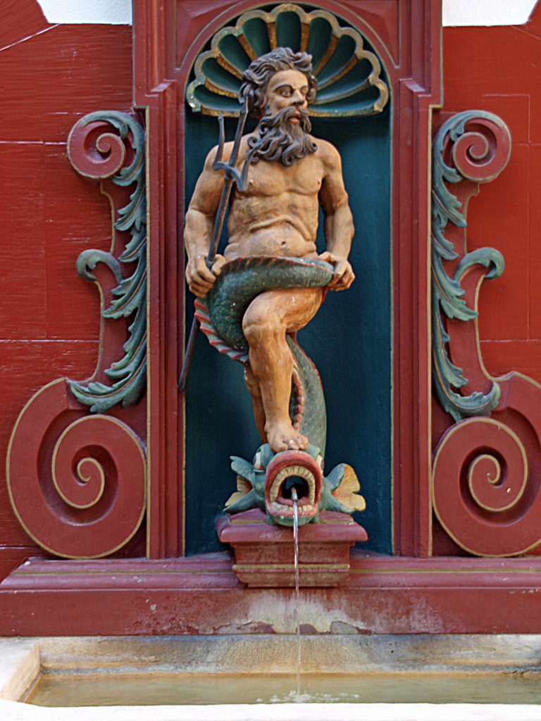
One of the things Córdoba is noted for is its many private and public courtyards, called patios. Many of the residences in Córdoba are built around a central courtyard. Often there is a fountain in the center and the courtyards are often full of colorful flowering plants.

Each May, during the Córdoba Patios Festival, many of the patios are opened to the public for free viewing and competitions are held for traditional courtyard designs (1970s and earlier) and for more modern designs. Some of the patios are open year-round (except July and August) for a small entry fee. The Patios Festival has been designated an Intangible Cultural Heritage event by UNESCO.

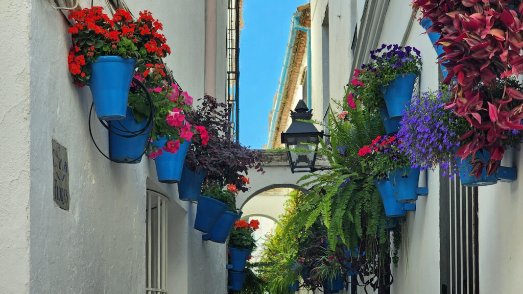
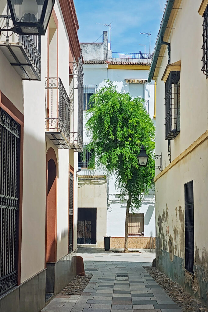
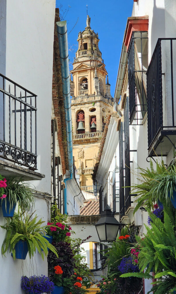
There are also streets and alleys throughout the city that feature colorful flower displays, the Calleja de las Flores, near the Mezquita, being probably the best known.

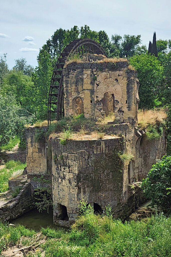
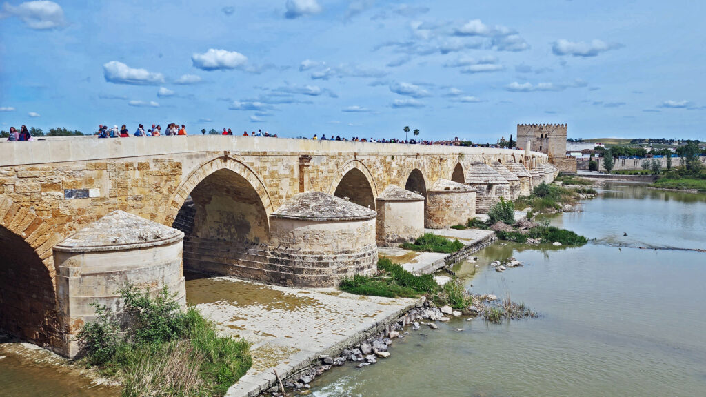
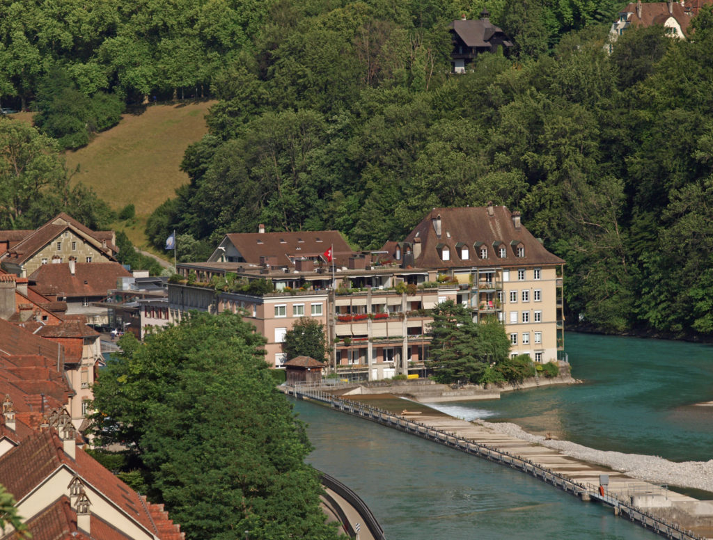
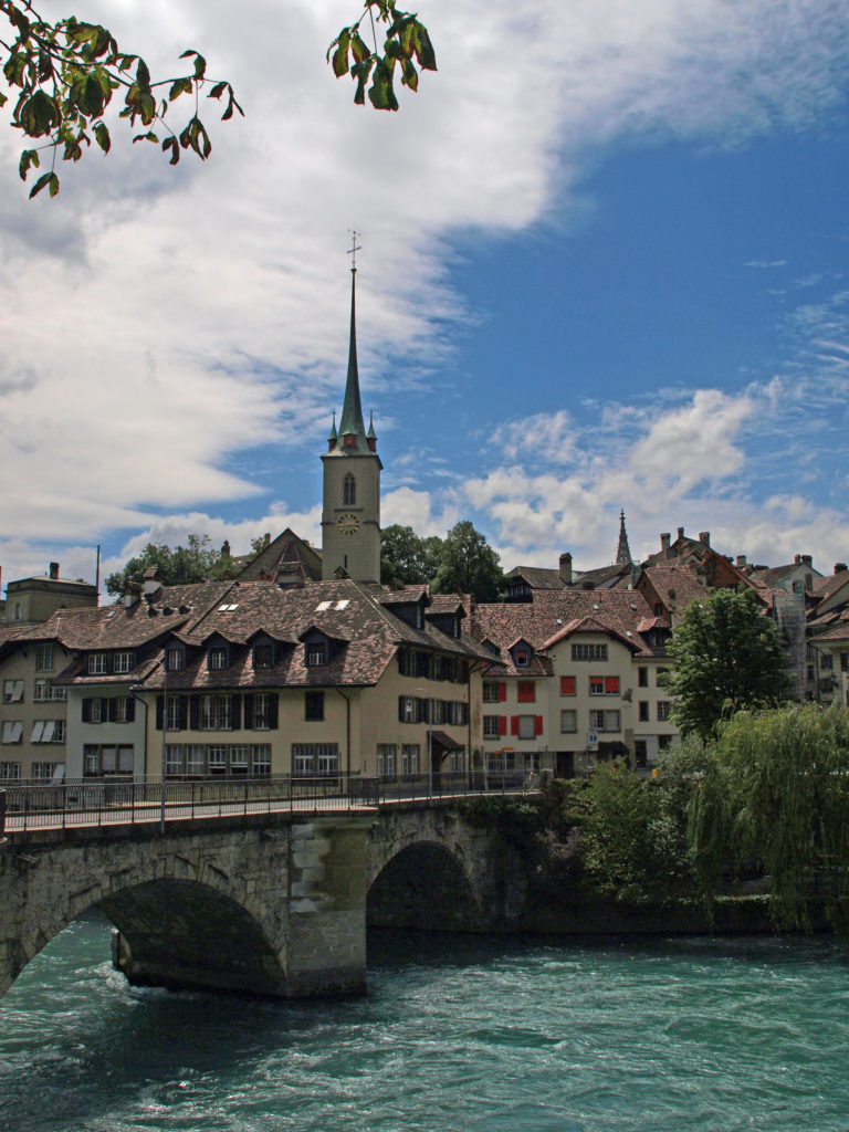
Another feature of the city is the Guadalquivir River and the 2100-year-old Puente Romano (Roman Bridge). Just downstream of the bridge are the ruins of a number of ancient mills. Across the pedestrian only bridge, the Torre de la Calahorra, a medieval gate-tower, has a small museum, and there are walking paths on both sides of the river.


Conclusion

I have no doubt that there are many other sights worth seeing and things worth doing in Córdoba that my wife and I didn’t discover or just didn’t have time to experience during our stay. Seville and Granada may get the spotlight when it comes to tourist destinations in the Andalusia region of Spain, but visitors should not overlook Córdoba. It’s a beautiful, charming, and historic city. I am more than happy that we included it on our itinerary and if you’re planning a trip to Andalusia, you should definitely plan to spend a day or two in Córdoba. I don’t think you will regret it.


Posted October 15, 2024

All photos © Alan K. Lee
Granville Island and False Creek, Vancouver, BC

By Alan K. Lee

Granville Island Public Dock

Introduction

Travel guides for Vancouver, B.C. all highlight Granville Island as one of the prime tourist destinations in the city, and rightly so. It has a wealth of shops, art galleries, restaurants and pubs, theaters, and open spaces in a compact, pedestrian friendly setting. Granville Island is located in the False Creek area immediately south of downtown Vancouver. False Creek, as its name implies, is not a creek. It’s a saltwater inlet off of English Bay that separates downtown Vancouver from the rest of the city. And False Creek has much more to offer the traveler than just Granville Island.

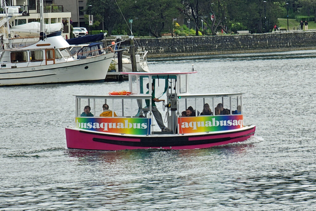
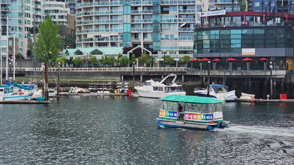
Aquabus water taxi

Water taxis

You can drive to Granville Island, but it’s probably not the best way to get there, especially if you’re staying in the south end of downtown, as my wife and I were on our recent visit. You can also walk across the Granville Bridge to get there, but that’s also not the best way. The best way is by water taxi.

Aquabus water taxi

Two companies, Aquabus and False Creek Ferries, operate water taxis on False Creek. Both have numerous ferries that run frequently and dock at multiple locations along False Creek. Not only are they convenient, they’re also simply fun. Buy an all-day pass and spend the day exploring the area. You won’t run out of things to do.  Just riding the ferries is entertaining in and of itself. Day pass tickets for both companies cost $20 for adults and $18 for seniors and children. (All prices quoted in this post are in Canadian dollars). Aquabus has more ferries, but False Creek Ferries also serves the Vancouver Maritime Museum and the Kitsilano area that Aquabus does not.

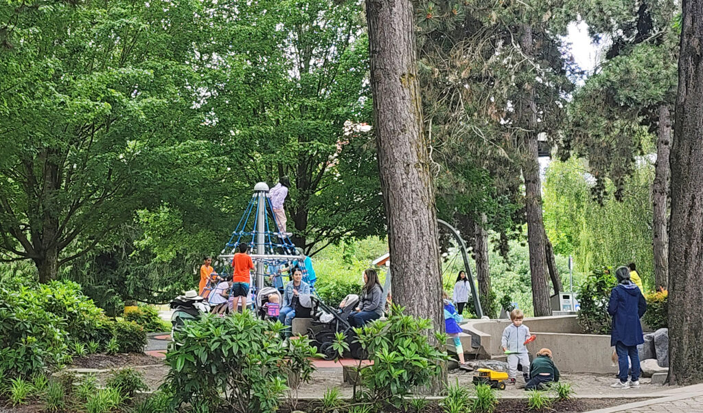
Granville Island playground

Granville Island

If you only have a short time to spend in Vancouver, Granville Island should be near the top of your list of places to visit. And if you have more time, you could easily spend a full day exploring the island and not run out of things to do.

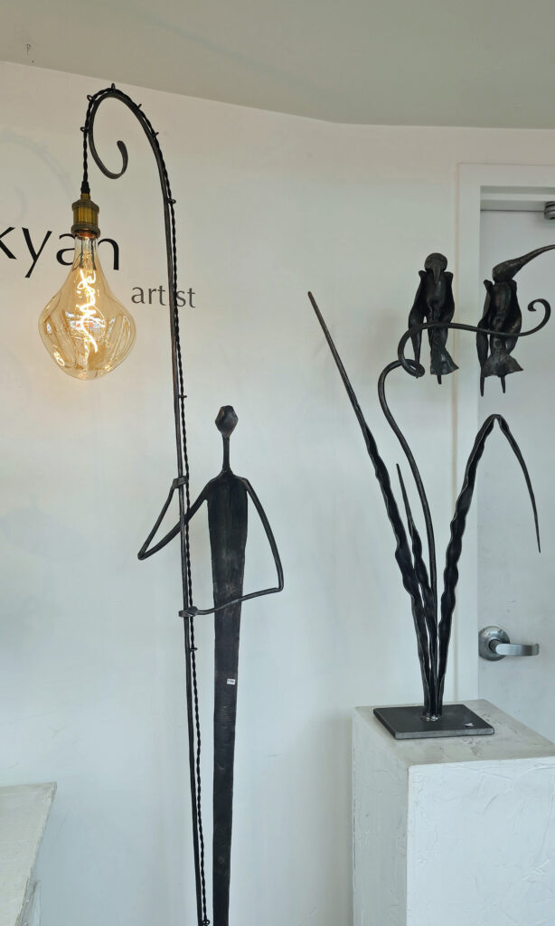
BC Blacksmith Gallery
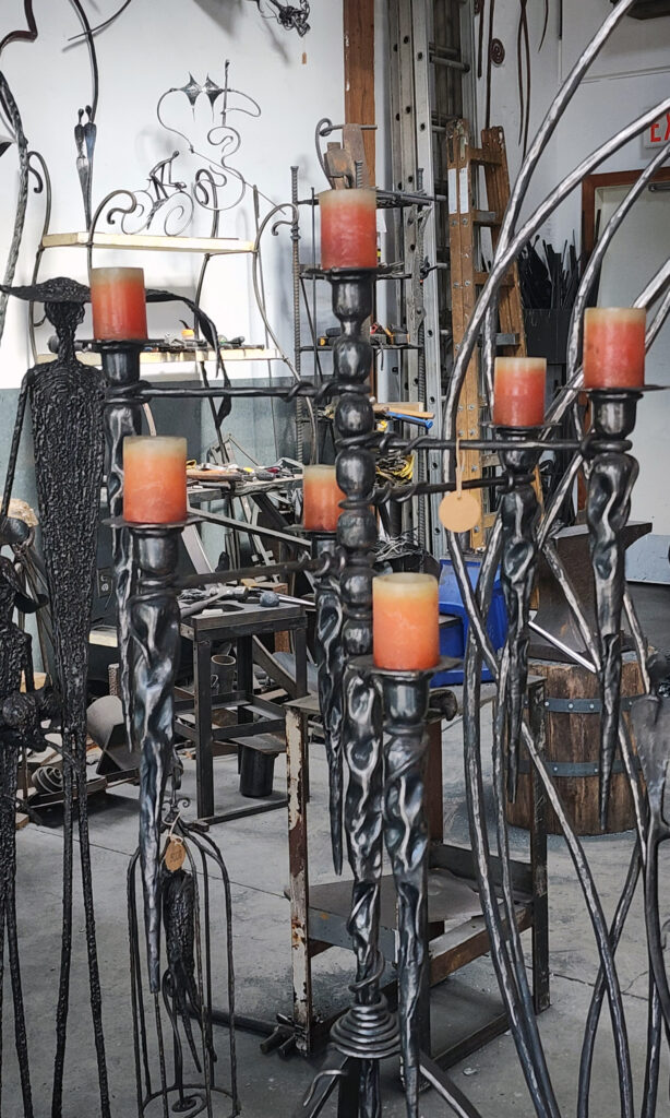
BC Blacksmith Workshop

Granville Island is a small area (only a half mile long by a quarter mile wide), but jam packed with literally dozens of restaurants and pubs, more than 100 studios, art galleries and boutiques, many theaters and performance venues, a public market (called Public Market) that rivals Seattle’s Pike Place Market, public docks for both small boats and canoes and kayaks, a community center, a water park, a large playground, a public park, a hotel, and the list goes on.

Granville Island Public Market

My wife and I often like to just show up and see what we find when visiting a new location (which we essentially did here), but Granville Island can be a little overwhelming for the first-time visitor. The Granville Island website offers a “plan your visit” interactive function, though,  that you can use to make a custom plan based on your interests and how long you can stay (from a few hours to all-day plus). I highly recommend it, especially if you only have a short time to dedicate to Granville Island.

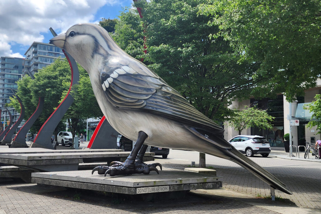
Olympic Village Square

The Village

The Village, located on the southeast shore of False Creek, was the site of the athlete’s village at the 2010 Winter Olympics and Paralympics. After the Olympics, the area was converted into residential housing, commercial spaces, and parks and plazas. The Olympic Village Square features two huge sculptures of sparrows that are eighteen feet tall. My wife and I had lunch in the Village twice (once at Tap and Barrel and once at Craft Beer Market). It’s a nice area to just hang out and relax.

Science World

Science World

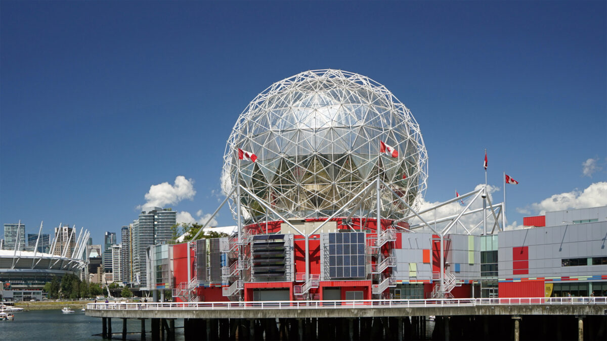
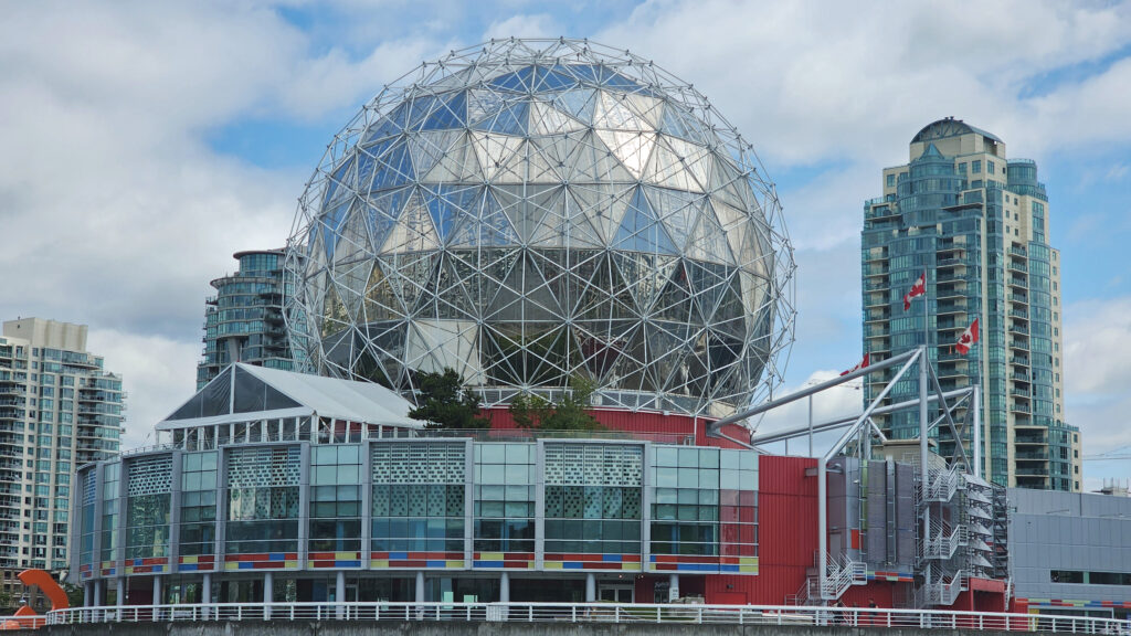
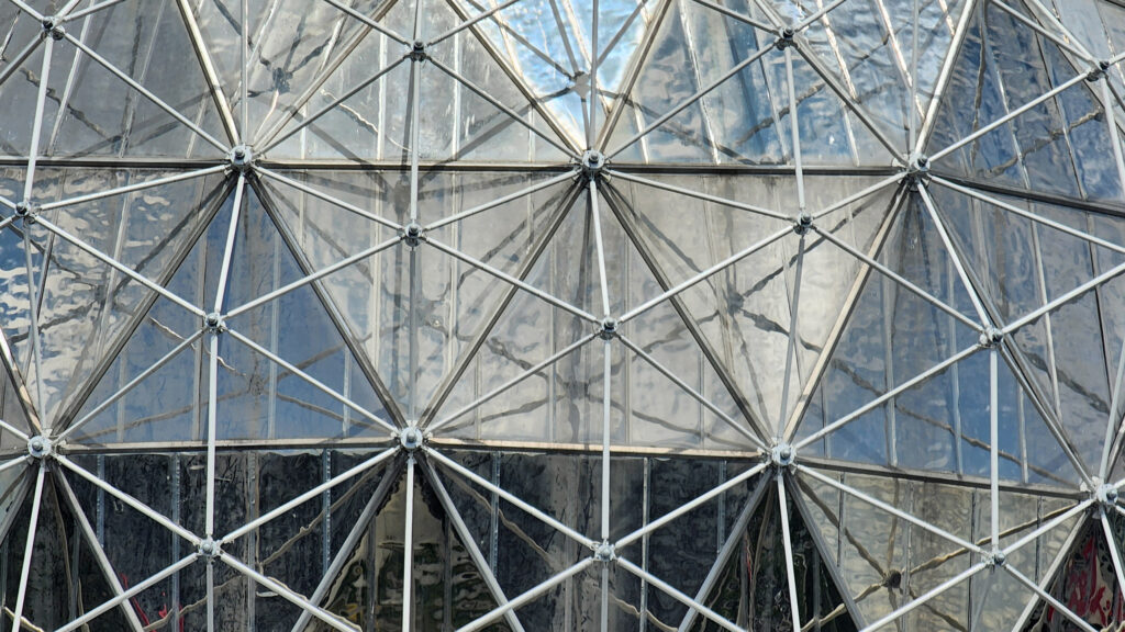
Science World is the large geodesic dome at the east end of False Creek that is visible from all over the area. It was originally constructed to be the Expo Centre for the 1986 World’s Fair (Expo ‘86). Today it is a science center and museum run by the non-profit ASTC Science World Society.

Science World

Science World houses numerous permanent displays and interactive science exhibits, rotating temporary exhibits, and an OMNIMAX theater.  The Science World Society also runs outreach programs, sponsors lectures and classes, and conducts youth camps. Ticket prices (2024) range from $34.85 for adults to $23.65 for children (3-12). Youth (13-18) and senior (65+) admission is $28.10. The OMNIMAX theater is temporarily closed (as of September 2024).

David Lamb Dock, Yaletown

Yaletown

Yaletown, just north of the False Creek waterfront, was once a warehouse district. Today, many of the old warehouses have been converted into restaurants, pubs, cocktail lounges, and shops and boutiques featuring cutting edge décor and fashions. Yaletown’s a vibrant, young, hip district that has an energy and vibe that is unique to the area.

Plaza of Nations

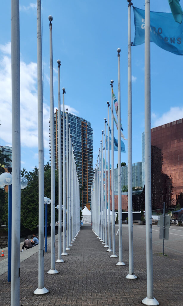
Plaza of Nations

The Plaza of Nations, to the east of Yaletown, was the site of Expo ‘86’s British Columbia Pavilion. The structures and glass-roofed plaza, originally meant to be temporary structures, became an entertainment center after the conclusion of the world’s fair, with a 4500-seat concert venue. But the structures were deemed unsafe in 2007 and were demolished in 2008. Today, the area consists of an open plaza and a developing mixed-use commercial, residential, and entertainment district.

BC Place

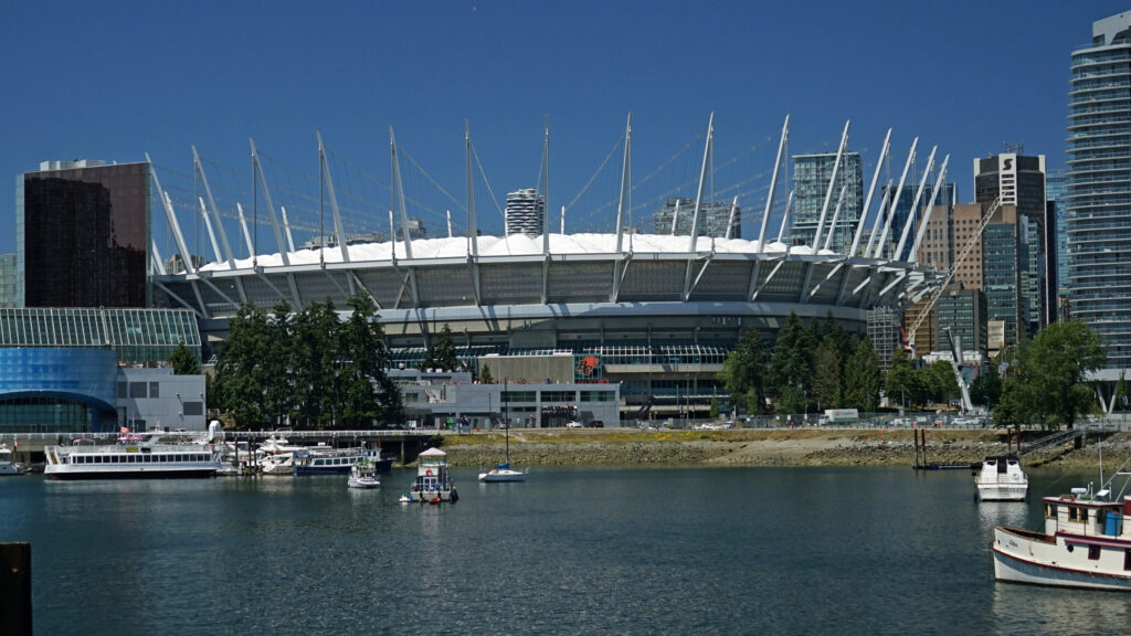
The Plaza of Nations is located just west of BC Place, a large stadium with a retractable roof that was the main stadium of the 2010 Winter Olympics and Winter Paralympics. Today, it is home to the Vancouver Whitecaps of the North American Soccer League and the BC Lions of the Canadian Football League.

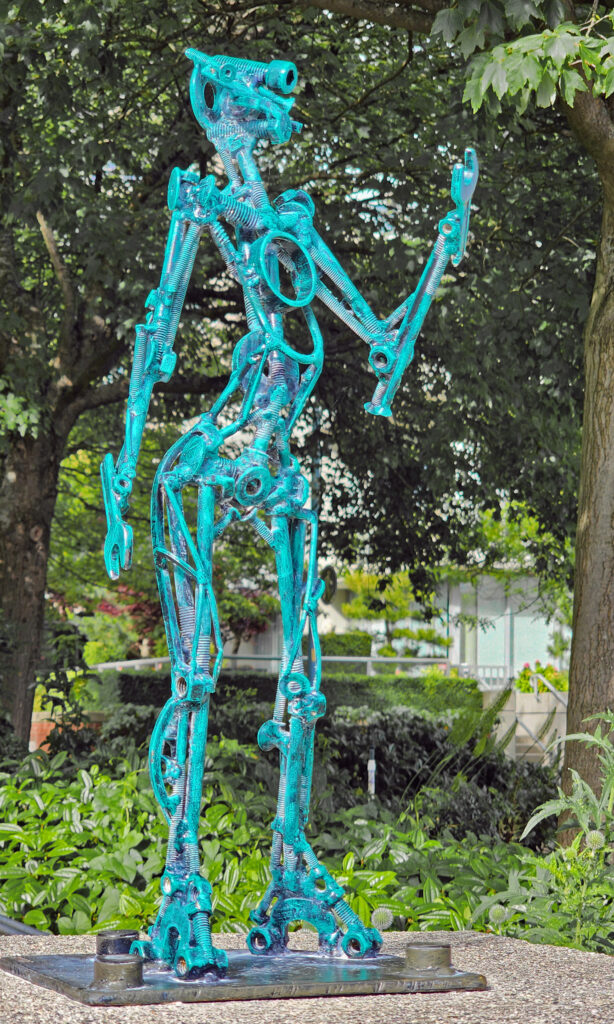
Metal sculpture near Plaza of Nations
Plaza of Nations


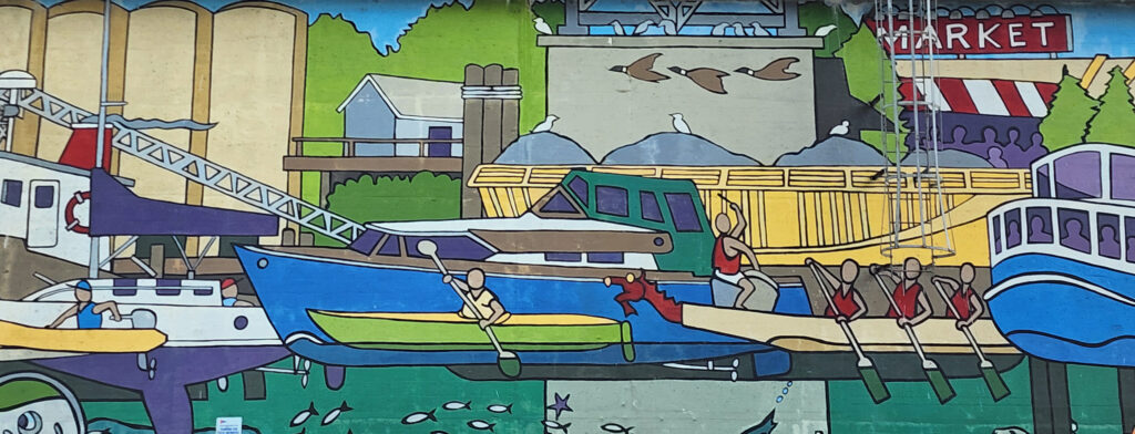
Granville Bridge mural

Public Art

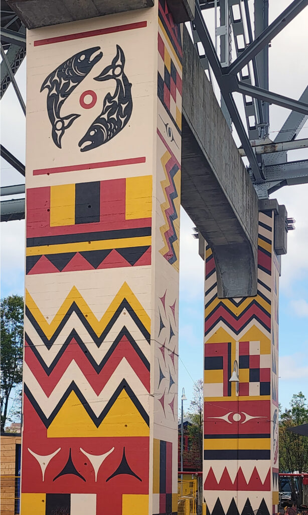
Throughout the False Creek area, in the parks and plazas, along the walkways, and all over Granville Island, you will find outstanding examples of public art, from Native American (First Nations) art to modern contemporary art. And the galleries and studios of Granville Island are an art lovers delight.

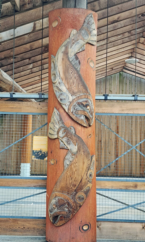
Indigenous Wood Carving, Granville Island
Granville Bridge
David Lam Park

Parks

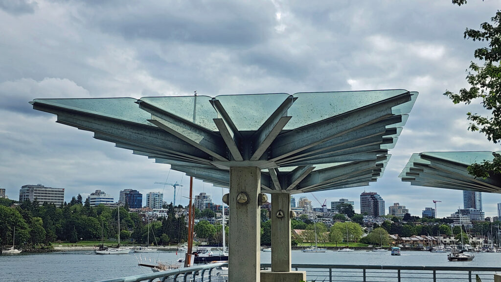
Numerous parks line the shores of False Creek. At the east end you’ll find Creekside Park adjacent to Science World and Concord Community Park just to the north. Along the south shore, Hinge Park has open spaces and a small wetlands area, and Charleson Park has a children’s playground and a dog park. Ron Basford Park on Granville Island has an amphitheater and a nice view of the city from a grassy hilltop.

Hinge Park

Along the north shore, George Wainborn Park, David Lam Park and Coopers’ Park offer open spaces, fountains, sports courts, a skate park, and nice views of the False Creek waterfront.

English Bay Beach

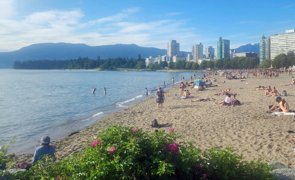
And to the west of the main False Creek area, Sunset Beach Park at the mouth of False Creek and English Bay Beach Park to the north offer an uninterrupted, mile-long stretch of sand that is a popular picnicking area and a great spot to view the sunset.

George Wainborn Park

Conclusion

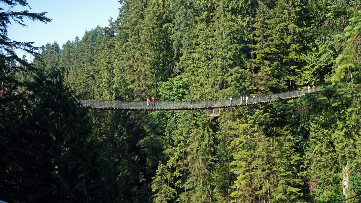
Granville Island was on my radar long before we made this trip, but the rest of the False Creek area was not. In the end, my wife and I wound up spending more time exploring False Creek than we did any of the Vancouver area’s other destinations, and that’s worth noting because there are many other parts of the area that offer visitors a unique and enjoyable experience. Check out my Stanley Park post and look for upcoming posts on Capilano Bridge Park and Grouse Mountain in North Vancouver and the Gastown/Chinatown district in the north end of downtown Vancouver.

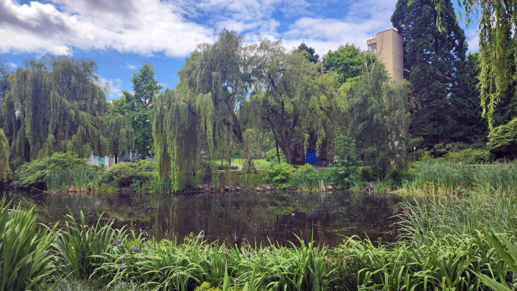
Granville Island Duck Pond

Posted September 15, 2024

All photos © Alan K. Lee
 

Seville, Spain

by Alan K. Lee

Introduction

Seville, like most European cities, has a long, varied, and very interesting history. It also has a lively and vibrant modern culture. But  you can’t begin to describe Seville  in a few sentences, there’s just too much to it. You can’t grasp Seville by reading about it. You have to experience it in person to really take it in. And we could only scratch the surface in the short three days that my wife and I had on our recent trip to Portugal and Andalusia. But it was a great three days.

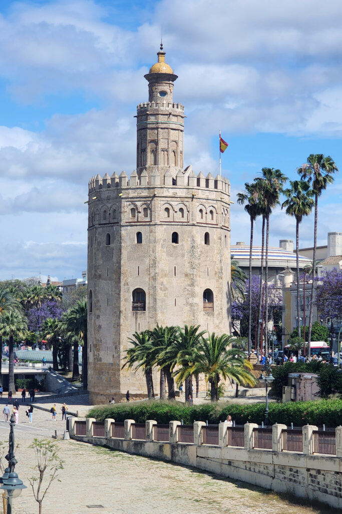
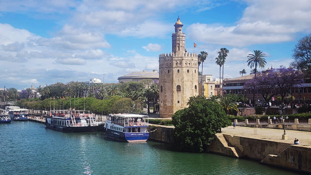
Torre de Oro
Seville street art

So, if you’re planning a visit, doing your homework is essential. There is so much to see and do in Seville that you can’t do it all, unless you are staying for an extended time. Pick the places to see and things to do that interest you the most. Figure out how much time you need to see or do each and plan accordingly. But also try to leave some time to just wander the streets and see what you find. My wife and I have had many memorable unplanned experiences in our travels by doing just that.

Plaza del Toros

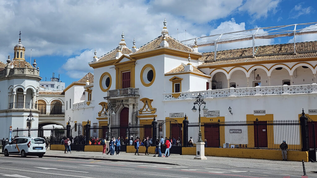
You’ll find that a few things come up over and over in articles about Seville. If you’re a foodie, you’ll want to do a tapas tour. If you’re a fan of dance (or just curious), you’ll want to take in a flamenco performance. If you want to get into the depths of Seville’s culture, you might want to schedule your visit to be able to take in a bullfight, or maybe just visit the Plaza de Toros and its museum. You probably won’t find much emphasis on bullfighting in the guidebooks, but it is (or at least was) a big part of Andalucian culture. We did none of those things, though.

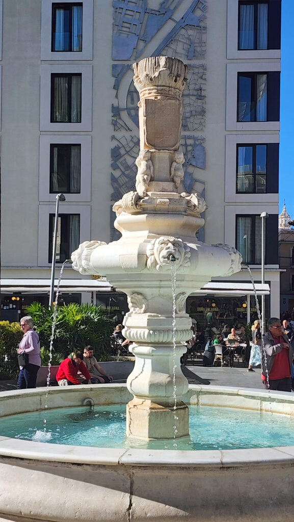
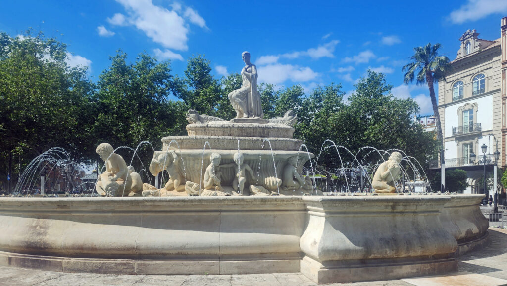
18th century public fountain, central Seville
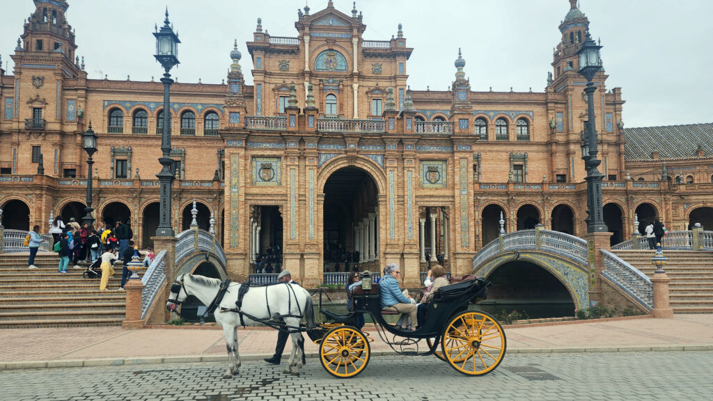
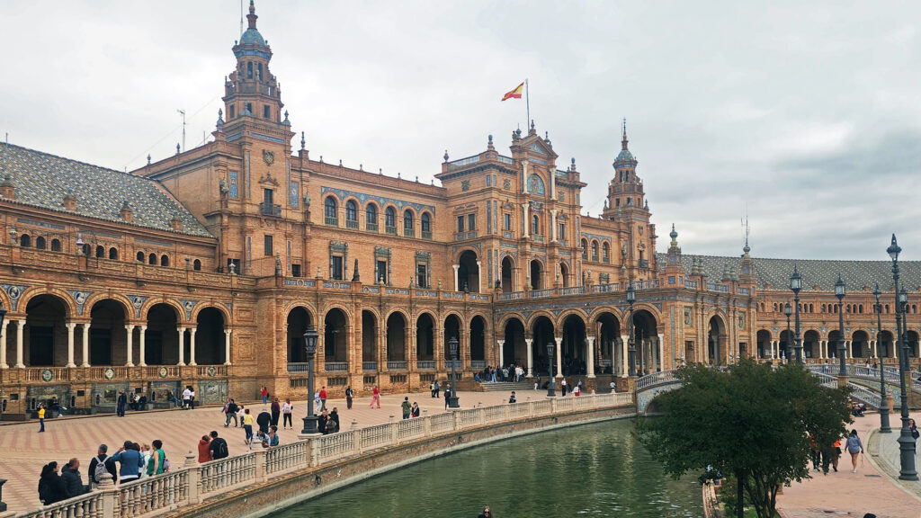
Plaza de Espana

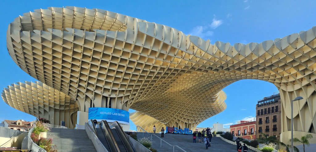
What we did do was tour the Seville Cathedral and climb the Giralda bell tower, tour the Real Alcazar palace and gardens, and visit the Triana district, the Plaza de España, and the Alameda de Hercules. We also took in the Setas de Sevilla (aka The Mushrooms), the large wooden sculptural canopy that is utterly unique to Seville. And we spent some time just wandering through the old center of the city, as we usually do when visiting European cities.

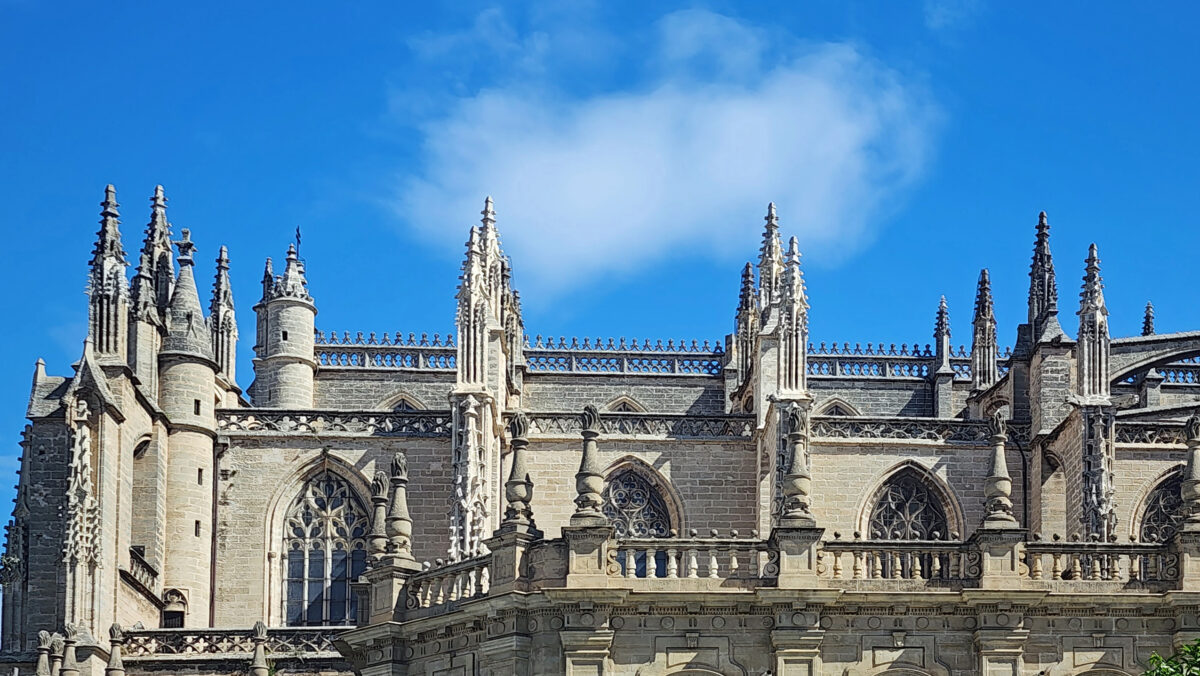
Seville Cathedral

Seville Cathedral and La Giralda Tower

The first cathedral in Seville was originally a mosque (built between the years 1172 and 1189 during the Moorish occupation of the Iberian Peninsula). When Ferdinand III conquered Seville and brought it back under Christian rule in 1248, the mosque was converted into a Christian cathedral. The present-day Seville Cathedral was built in the 15th century (on the same site) to replace the converted mosque. Many additions, expansions, and repairs were made over the centuries, extending into the early 20th century.

Seville Cathedral
Seville Cathedral

The interior of the cathedral is huge. It’s Spain’s largest and tallest cathedral, the third largest church in the world, and the largest gothic structure in the world. Inside, there’s a vast array of paintings, sculptures, and displays. The cathedral website says you should allow 75 minutes to tour the cathedral, but you could easily spend hours. It may not be the most beautiful or most impressive cathedral in Europe, but it’s certainly worth a visit.

Seville Cathedral
Seville Cathedral

Although tickets can be purchased at the cathedral, purchasing online in advance  is recommended to avoid the often-long lines at the ticket office. Tickets can be purchased up to seven weeks in advance on the official Seville Cathedral website. Online general admission adult tickets are currently (2024) €12.00 per person. Admission for seniors (65+) and students (13-25) is €6.00. Admission is free for children under 13. Guided tours are available for €20.00 and tours last about 90 minutes. An audio guide is available for €5.00. On site ticket prices are €1.00 more than online prices. Tickets include entry to the Giralda bell tower.

Seville Cathedral
Seville Cathedral

Even with advanced purchase, entry lines can be long, especially at the main entrance on the west side of the cathedral. With tickets in hand, you can also enter through the Court of the Orange Trees (which dates to the Moorish occupation) on the north side, which had a much shorter line. The entrance to the courtyard is adjacent to the Giralda bell tower on the east side of the cathedral.

View from La Giralda bell tower

The 322-foot tall La Giralda bell tower pre-dates the cathedral. The lower portion dates to Roman times. The middle section was added by the Moors and became the mosque’s minaret. The present top section of the tower was added in the 16th century to replace the original top section, which collapsed in 1356.

Courtyard of the Orange Trees viewed from La Giralda bell tower

The climb to the top of the tower was crowded and slow, and the viewing area was elbow-to-elbow. The views of the city and cathedral exterior are magnificent, but viewing was hampered by the crowd and the fact that the view is through wire mesh covered openings. Smart phone camera lenses are small enough to take unobstructed photos through the mesh openings, though, and there are openings that can be accessed on your way up or down that are less crowded (but with views that aren’t quite as expansive as from the top of the tower).

Real Alcazar

The Real Alcazar

The Real Alcazar (or Royal Palace) is located just south of the Cathedral. The original palace complex was built by the Moors but little of the original alcazar remains, beyond the name (alcazar is an Arabic word meaning castle or palace). Much of what you see today was constructed in the 13th and 14th centuries.

Real Alcazar
Real Alcazar

The Real Alcazar consists of a series of interconnected buildings and courtyards (called patios). You enter through the Puerta de Leon (Lion’s Gate) on the northwest corner of the complex. The combination of buildings and patios is even larger in area than the Seville Cathedral. Add in the adjacent gardens and you have a truly huge complex. I think you could easily spend half a day exploring it all.

Real Alcazar

For my money, the Real Alcazar is more impressive and more beautiful than the Seville Cathedral. The interior and some of the exterior is adorned with incredibly intricate, colorful, and stunningly beautiful tile work. Room after room of it. And in one of the palace’s rooms, you’ll find six huge, amazingly detailed tapestries that are truly impressive. We spent more time (about two hours) in the Real Alcazar than we did in the Seville Cathedral and that doesn’t include the time we spent exploring the palace gardens.

Real Alcazar
Real Alcazar

The realalcazarsevilla.com website describes the gardens as “one of the most beautiful and special gardens in the world.” I’m not sure I’d go that far, but they are beautiful, and we spent a good amount of time wandering through them after our tour of the interior.

Real Alcazar

General admission tickets to the Real Alcazar cost €13.50 for adults and €6.00 for seniors (65+) and students (14-30). Admission is free for children (13 and under) and the disabled. Admission is free for all on Monday evenings (6-7 pm spring and summer, 5-6 pm fall and winter). As with tickets to the cathedral, buying in advance online (go to alcazarsevilla.org) is recommended.

Plaza de Espana
Plaza de Espana

The Plaza de España

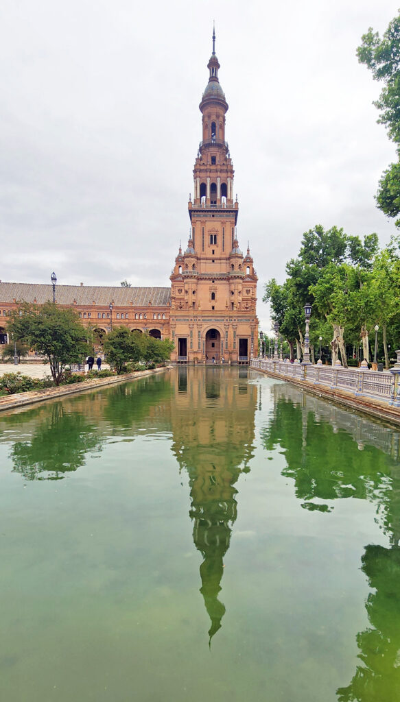
The Plaza de España was constructed for the 1929 Ibero-American Exposition, which was held to make symbolic peace with Spain’s former American colonies. The semi-circular plaza is ringed by architecturally impressive buildings, most of which now hold government offices. A wide canal separates the plaza from the buildings. There are towers at each end of the ring of buildings and a large fountain in the center of the plaza. Admission is free.

Plaza de Espana

The plaza is beautiful at any time of the day (we were there in the afternoon), but it might be at its most stunning after sunset when the plaza, the fountain, and the surrounding structures are all lit up. And you might even be able to catch a free flamenco performance in the plaza. We didn’t explore the adjacent Maria Luisa Park, but from the photos I’ve seen, the park clearly rivals the beauty of the gardens at the Real Alcazar.

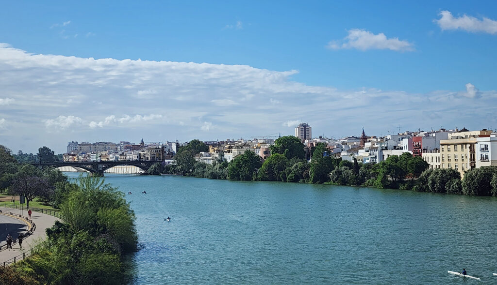
Canal de Alfonso XIII, looking toward the Triana District

The Triana District

Separated from the main downtown area of Seville by the Canal de Alfonso XIII, Triana is a charming neighborhood of shops, cafes, bars, and historic buildings. If you walk across the Triana Bridge (the Puente de Triana, aka the Puente de Isabel II) from downtown Seville, you first come to the Capilla del Carmen and then the remains of the Castle of San Jorge, which was the headquarters of the Spanish Inquisition in Seville. The Triana Market (Mercado de Triana), to the north of the bridge, sits within the footprint of the ruined castle. The market is filled with fruit and vegetable stands and small cafes and bars, and it’s a great people watching spot. To the west of the Triana Market, there is a small museum (the Museo de la Ceramica de Triana) dedicated to the tile and pottery shops that Triana was once known for, a few of which are still in operation.

Torre de Oro seen from the Triana district

The Calle de San Jacinto is a pedestrian only street leading away from the bridge into the heart of Triana that is lined with cafes and shops, and there is a pedestrian walkway along the shore of the canal that offers views of the Seville Cathedral, the Plaza del Toros, and the Tower of Gold (Torre del Oro). All in all, the Triana district is just an enjoyable and scenic locale that is well worth exploring.

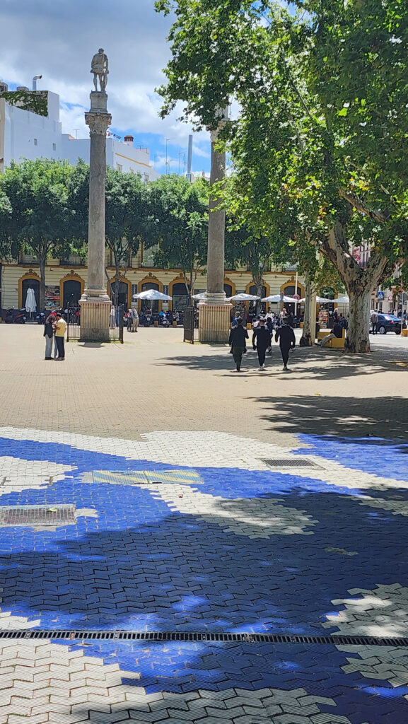
Alameda de Hercules
Alameda de Hercules


The Alameda de Hercules

The Alameda de Hercules is a long rectangular tree-filled plaza in the northern part of the historic center of Seville. Many cafes and restaurants front the plaza. There is a children’s playground, many shaded benches, and the plaza is bookended by tall columns. The columns at the southern end are topped by statues of Hercules and Julius Caesar. The slightly shorter columns at the north end are topped with stylized lions. The Alameda is known for its vibrant nightlife and the area’s gay friendly neighborhoods. There is a monument in the plaza to the victims of AIDS.

Setas de Sevilla (aka The Mushrooms)

The Mushrooms

The Setas de Sevilla is an undulating canopy in the center of the historic center, north of the Seville Cathedral, that is unlike anything you’ve seen anywhere else in the world. The wooden sculptural canopy is huge, 480 feet long by 220 feet wide by 85 feet high and purportedly the largest wooden structure in the world. It consists of six connected “parasols” resembling mushrooms, hence its common name. (It was originally called the Metropol Parasol and that may still be its official name).

Setas de Sevilla

You can walk around under the canopy at street level for no charge. Paid entry (€15.00) gets you into the below ground museum displaying Roman artifacts found during construction, an upper-level restaurant, and walkways that wind through and over the top of the structure that give great views of the surrounding city.

Panteon de los Sevillanos Ilustre

What We Didn’t Do, But Should Have

Basically, what we didn’t do was give ourselves another day or two to more fully explore Seville. Our visit, though, was on a two-week vacation with a packed itinerary that also took us to several sites Portugal (see my posts on Lisbon, Sintra, and Faro and the Algarve) and several more in Andalusia (see future posts on Cordoba, Granada, and Ronda), so we would have had to cut out something that we very much wanted to see.

Central Seville

But if we did have some additional time, we would have taken in the Barrio Santa Cruz district (to the north and east of the Cathedral and the Real Alcazar) and Maria Luisa Park, done a food tour, and visited a few of the city’s many museums and art galleries. But that’s for the next time, if we ever return.

Panteon de los Sevillanos Ilustre

Conclusion

Seville is a wonderful city, full of history, magnificent architecture, friendly people (although anti-tourism sentiment there is growing), charming neighborhoods, quality restaurants and cafes, many museums, and beautiful parks and plazas. It’s known for its cuisine, nightlife, and lively modern culture. I can’t imagine any visitor to Seville coming away disappointed.

Real Alcazar

Posted August 30, 2024

All photos © Alan K. Lee
 

Johnston Canyon Hike, Banff National Park, Canada

by Alan K. Lee

Johnston Canyon Trail

Where:   Banff National Park, Canada

Type:   Out and back

Distance:   3.4 miles (5.5 km) round trip to Upper Falls, 7.5 miles (12 km) round trip to the Ink Pots

Elevation gain:   Approx. 330 feet (100 meters) to Upper Falls, 1970 feet (600 meters) to the Ink Pots

Difficulty:   Easy to Upper Falls, Moderate (for distance and elevation gain) to the Ink Pots

Map:   All Trails

Overview:

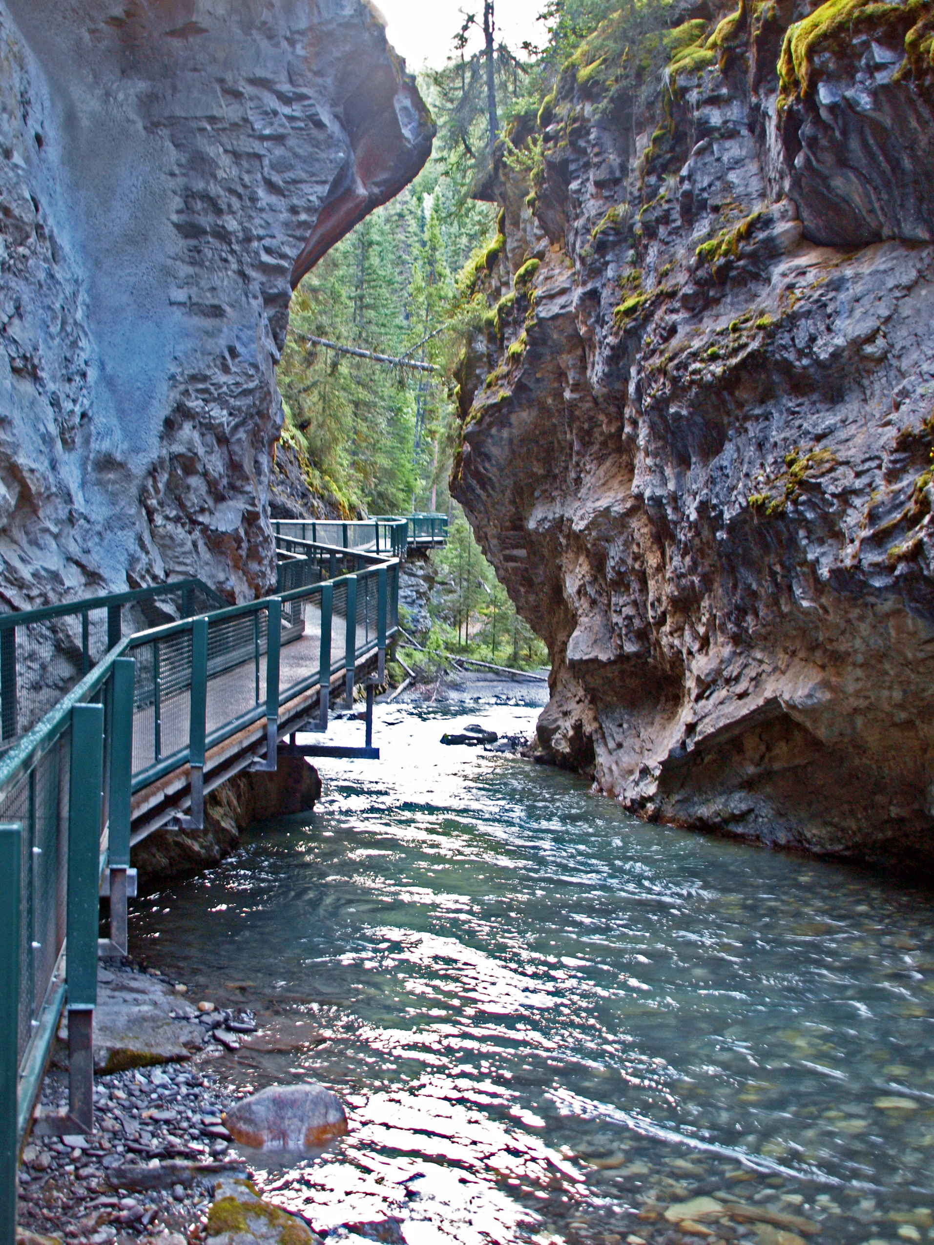
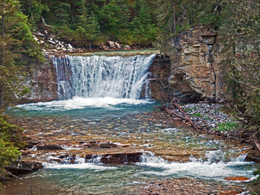
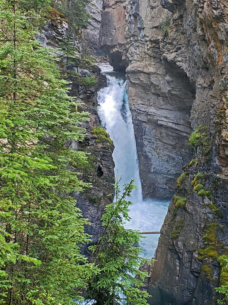
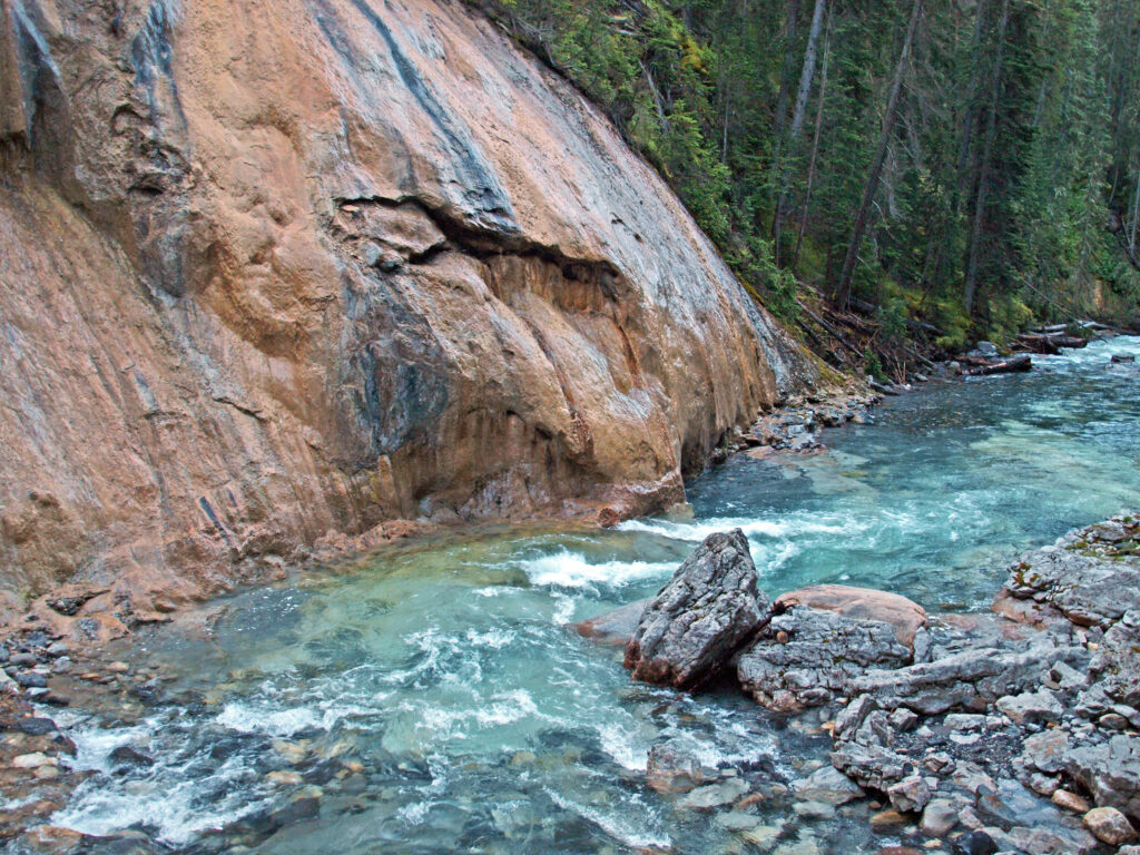
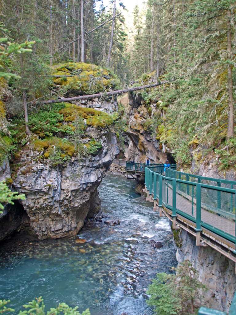
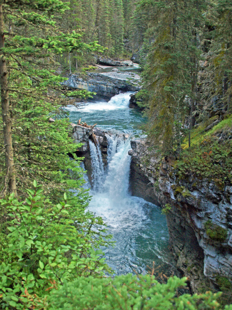
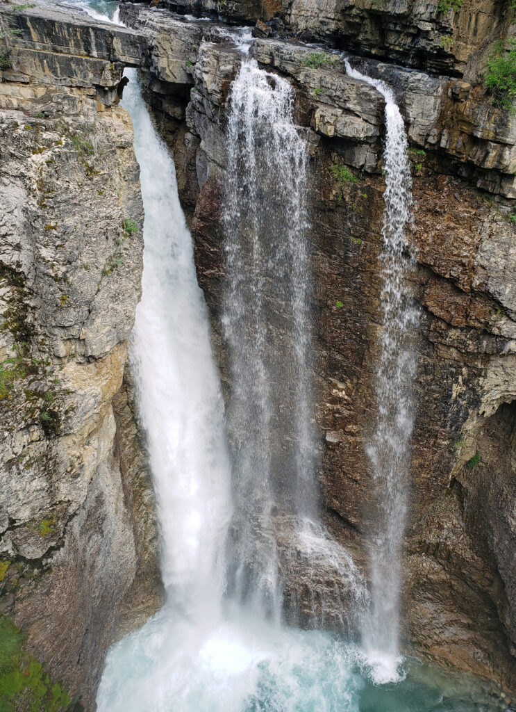
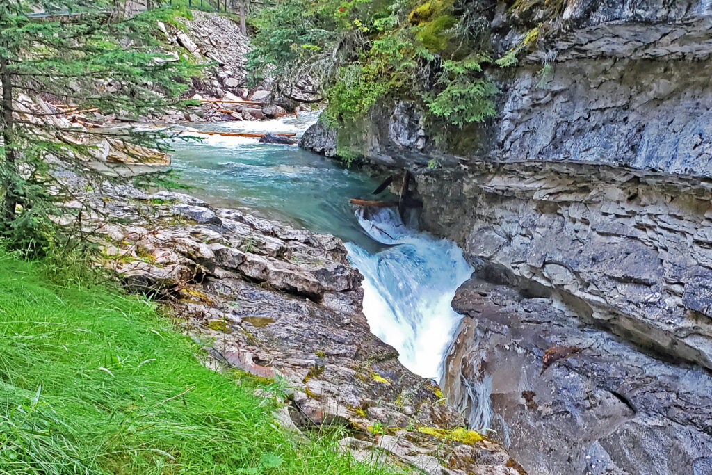
The Johnston Canyon Trail is one of the best hikes you’ll find anywhere in the Canadian Rockies. Johnston Creek cascades through a narrow gorge with many small waterfalls and two larger ones. Parts of the canyon are so narrow that the creek fills the canyon floor from wall to wall. Here you’re hiking directly above the creek on a catwalk bolted to the side of the gorge. Sure, it’s very, very popular and can be incredibly crowded, but it’s an incredible hike, not to be missed. Just go early in the morning or in the evening.

Getting there:  

From the town of Banff, take the Trans Canada Hwy west for 3.4 miles (5.5 km) to the exit for the Bow Valley Parkway. Proceed on the parkway for another 11.0 miles (17.7 km) to the trailhead parking lot on the right. (Note that for the past three years the east end of the parkway from Hwy 1 to Johnston Canyon has been closed to vehicles – but open to bicycles – from May 1 to June 25 and for the month of September. During those periods vehicles must travel from Banff to Castle Junction on Hwy 1, then backtrack east on the parkway to Johnston Canyon. This has been a pilot program and  these closures may or may not continue beyond 2024.


You can also get to Johnston Canyon directly from Banff via the Roam Route 9 bus. Check the website for schedules. There is also a hop-on-hop-off bus from Banff that stops at Moraine Lake and Lake Louise in addition to Johnston Canyon.

Trailhead:  

The main trailhead parking area has approximately 120 spaces, but it fills up early. There is now a second parking area on the opposite side of the parkway, but that likely also fills up early and you may see cars parked along the parkway on both sides. There are restrooms with flush toilets at the trailhead and water is available. There is also a small café at the trailhead. There is no fee to park or hike. Dogs are allowed on leash. Strollers are not recommended on the trail, but the trail is easy enough for kids of all ages.

The hike:

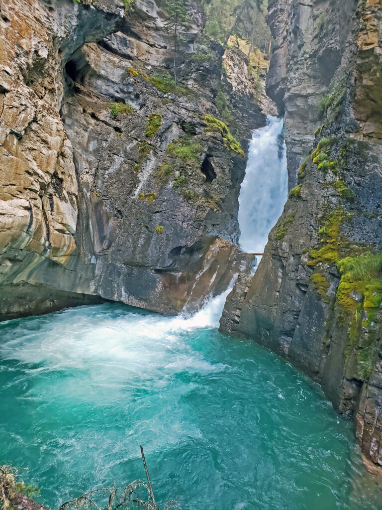
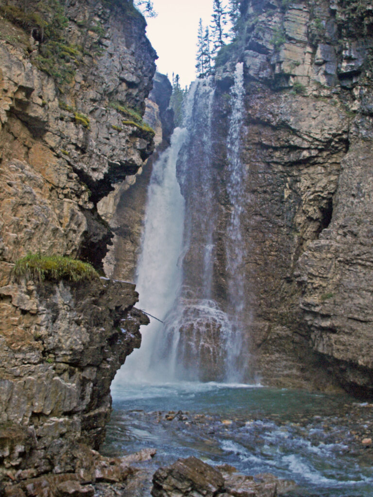
The trail is an easy hike, with relatively little elevation gain. In 0.7 mile (1.2 km) you come to the100-foot (30-meter) Lower Falls. Here you can walk through a short tunnel that emerges just feet from the falling water. Just be prepared to get wet.

The trail continues for another 0.9 mile (1.4 km) to the bottom of Upper Falls. There the trail branches, with a side trail going to a viewpoint near the base of the falls and the main trail climbing 130 feet (40 meters) to the top of the falls. We turned around at that point, but the trail continues another 2.5 miles (4.0 km) beyond Upper Falls to the Ink Pots, a group of beautiful spring fed ponds in a mountain meadow.

Check the Banff Travel website for a much more detailed description of the hike.


Other area attractions and activities:

There are too many other attractions in Banff National Park and the surrounding area to list them all, but here are links to some of the best –

Moraine Lake

Lake Louise

The town of Banff

Banff Springs Hotel

The town of Canmore

Yoho National Park

Jasper National Park

Kootenay National Park

Posted July 31, 2024

All photos ©Alan K. Lee

Stanley Park, Vancouver, Canada

by Alan K. Lee

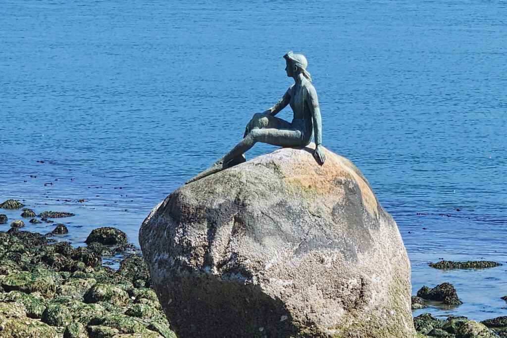
Girl in a Wetsuit sculpture

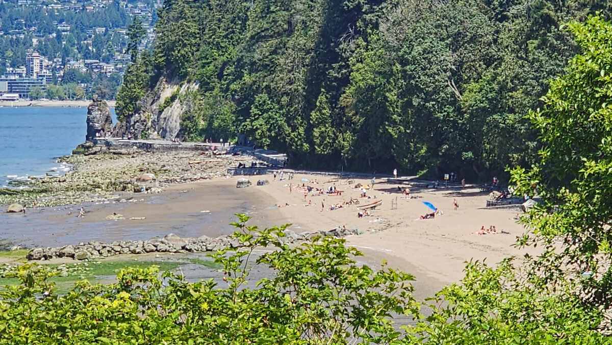
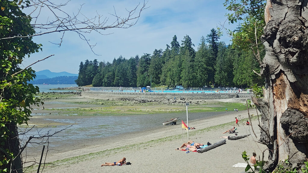
Stanley Park in Vancouver, British Columbia is a popular and much loved 1001-acre (405 hectare) urban oasis that occupies the northwestern end of the peninsula that is also home to downtown Vancouver.

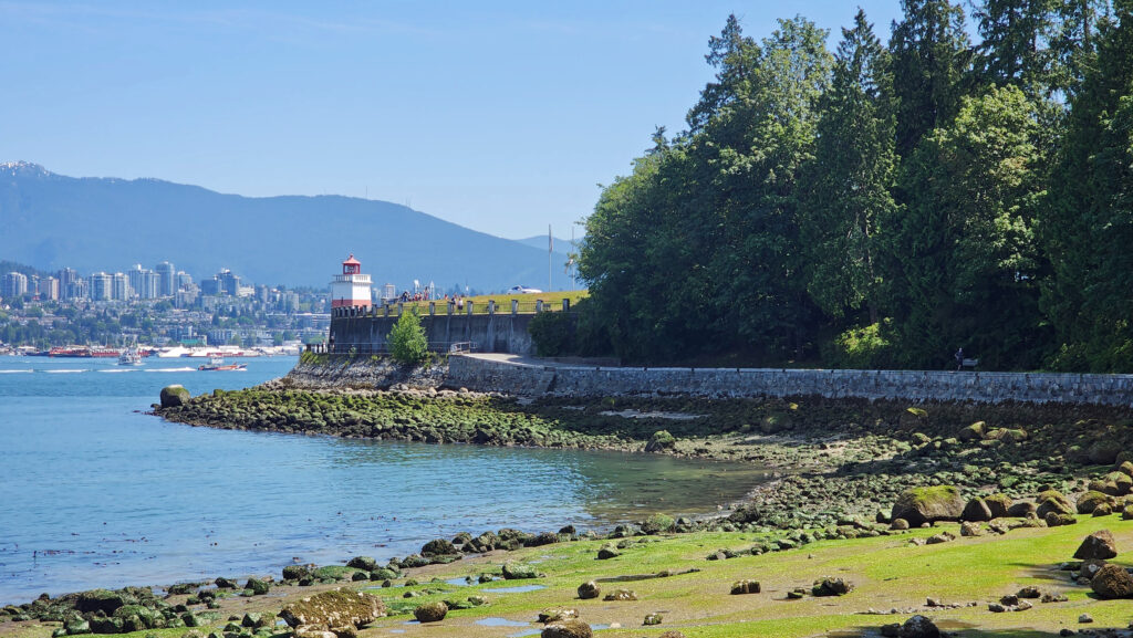
Brocton Point

My wife and I recently spent five days in Vancouver. We spent the majority of one of those days exploring Stanley Park. The park is bisected by a busy highway, but you would never know it. I never noticed any traffic noise and it’s easy to find quiet and serene places in the park. And there’s enough to do there and the park is large enough that you could easily spend several days in the park and still not see and do everything the park has to offer.

The park features rhododendron and rose gardens and a Japanese Garden War Memorial. Stanley Park is also home to the Vancouver Aquarium (Canada’s largest aquarium), a collection of totem poles, a lighthouse, a ridable miniature railway, a seaside saltwater swimming pool, playgrounds, a water spray park, tennis courts, sports fields, and an 18-hole pitch and putt golf course.

Second Beach

There are three restaurants in the park, Prospect Point Café at the northern end of the park near the Lion’s Gate Bridge, Stanley Park Brewpub in the southwest corner of the park, and Stanley’s Bar and Grill in Stanley Park Pavilion, a wedding and event venue that is the oldest building in the park. There are also several cafes in the Vancouver Aquarium.

Much of Stanley Park is forested, and part of the park’s appeal is the proximity of the forested natural area to the densely populated and heavily developed downtown area. The interior of the park contains 17 miles of hiking trails, and the immensely popular seawall path runs for 5½ miles along the shoreline. The park is similar in many ways to Point Defiance Park in Tacoma, Washington, one of my favorite Pacific Northwest destinations.

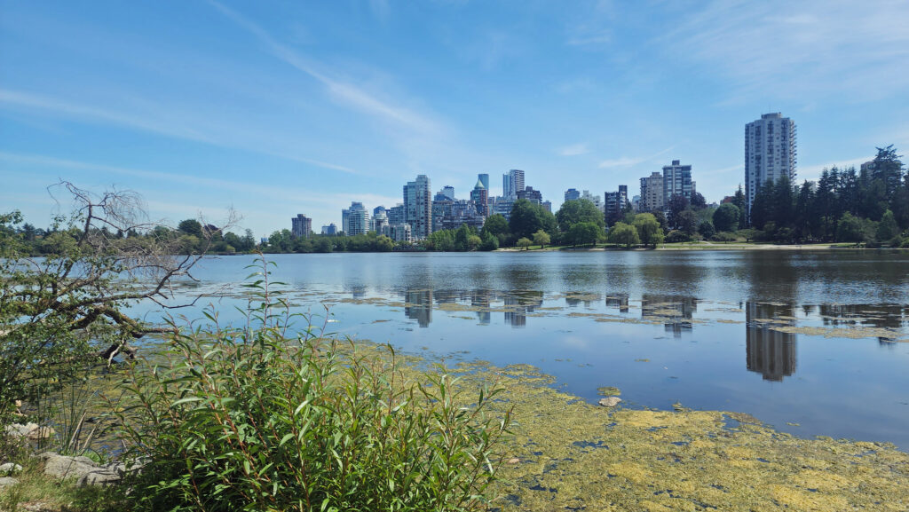
Lost Lagoon

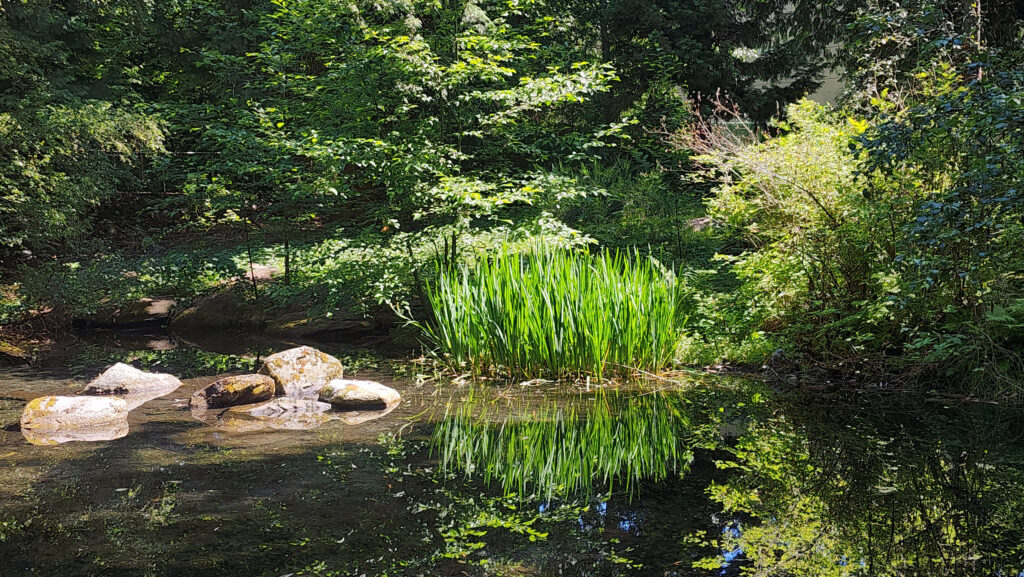
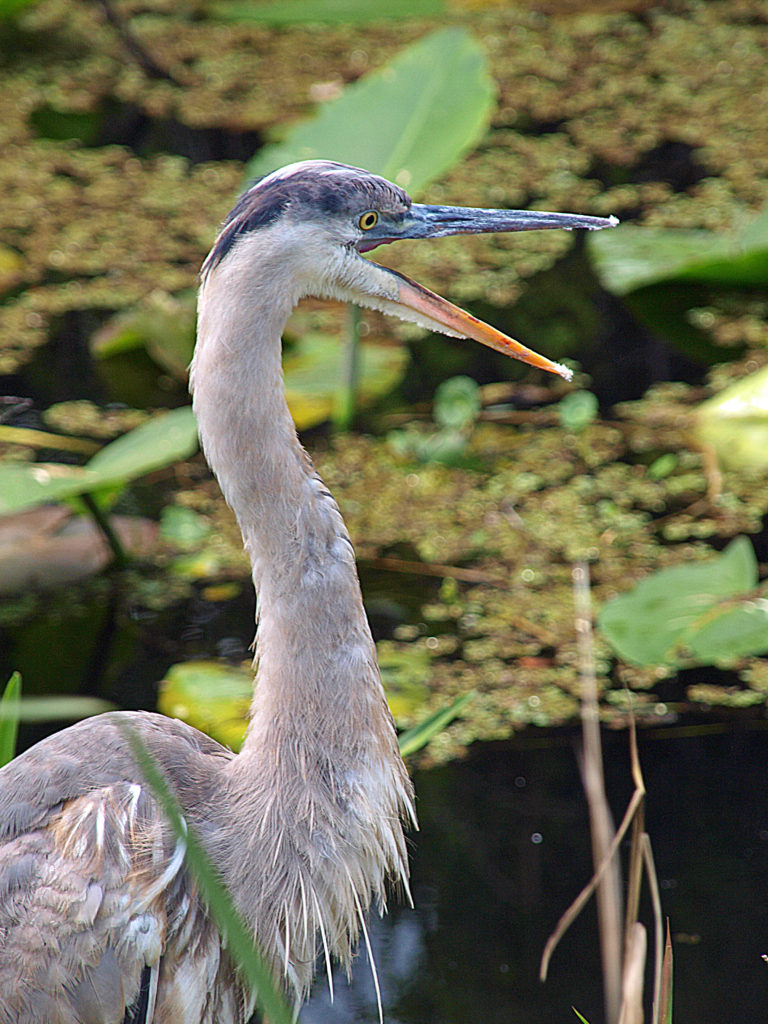
Stanley Park contains two freshwater lakes (10-acre Beaver Lake and 41-acre Lost Lagoon), a stream (Beaver Creek) that is a spawning ground for a run of salmon, and has several sandy beaches. It is also home to one of the largest Great Blue Heron rookeries in North America.

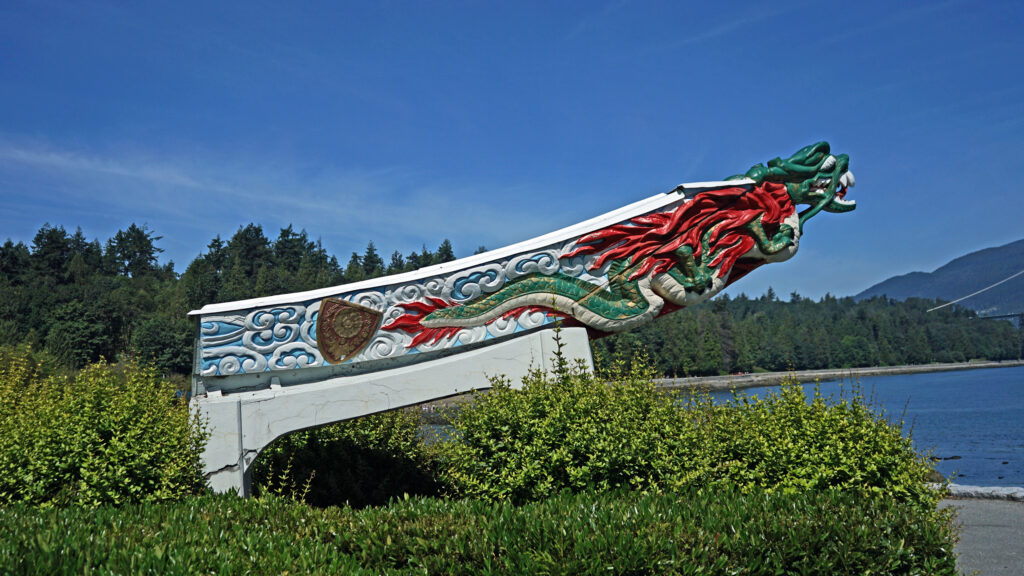
S.S. Empress of Japan Figurehead Replica

Stanley Park functions as the backyard for the urban residents of Vancouver’s many condo towers and can arguably be described as Vancouver’s heart and soul. Every visitor should spend at least some time in the park. You can’t fully understand the city without experiencing Stanley Park.

Brocton Pavilion

Besides our visit to Stanley Park, my wife and I visited Capilano Bridge Park, Lynn Canyon Park, and Grouse Mountain in North Vancouver, Gastown, Dr. Sun Yat Sen Chinese Garden, Granville Island and the False Creek area, and other parts of Vancouver. More posts on our visit to Vancouver will follow, so stay tuned.

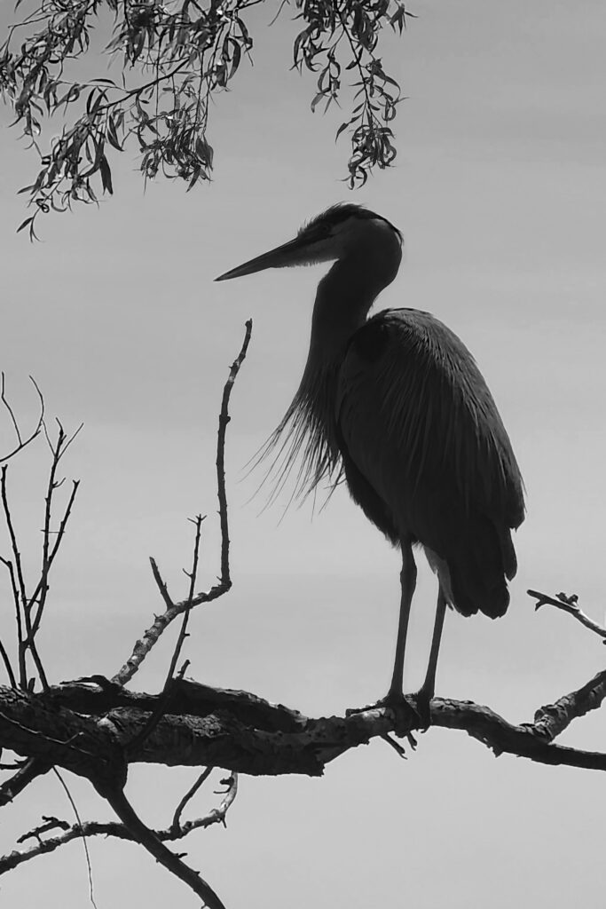
Great Blue Heron

Posted July 19, 2024

All photos © Alan K. Lee
Faro, Portugal and the Algarve Coast

by Alan K. Lee

Old Town, Faro

Introduction

The Algarve consists of the southern coastline of Portugal, from Cabo Sagres in the west to the Spanish border in the east. The international airport in Faro, the largest city in the Algarve, makes the area easily accessible from anywhere in Europe, and the sunny climate and gorgeous coastline combined with the relatively low cost of accommodations and meals make it a wildly popular destination for tourists from colder and wetter, and more expensive, regions of Europe like the U.K.

Faro doorway

My wife and I had the pleasure of spending a couple of days in Faro on our trip to Portugal and Spain this past April (2024). We also booked a day tour to the spectacularly beautiful coastal area near Carvoeiro, roughly 40 miles west of Faro. Our time in Faro and the Algarve gave us only a taste of what the area is all about, but its appeal was obvious, even at first glance.

Rio Formosa Lagoon

Faro

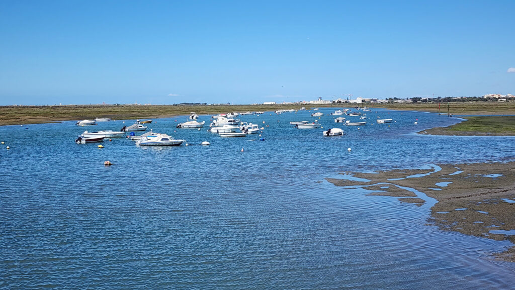
Faro is situated on the banks of the Rio Formosa Lagoon, which is protected from the open Atlantic by a series of barrier islands. The lagoon was named a National Nature Park in 1987 and recognized as one of the seven natural wonders of the country in 2010. The park encompasses 65 square miles (170 square kilometers) of salt marsh and islands. It is an important stopping place for migratory birds, and the barrier island beaches are popular recreational areas for locals and tourists.

José Roque, Jr. Defensive Wall, Faro

The Faro area has a long history and has been occupied since prehistoric times. The first recorded settlement dates to the 4th century BC when the Phoenicians established a town on the Rio Formosa Lagoon. The area has been controlled by the Phoenicians, Romans, Byzantines, Visigoths, and the Moors, who ruled the area for more than 500 years before Christian forces captured the area in 1249 during the Reconquista.

Old Town, Faro
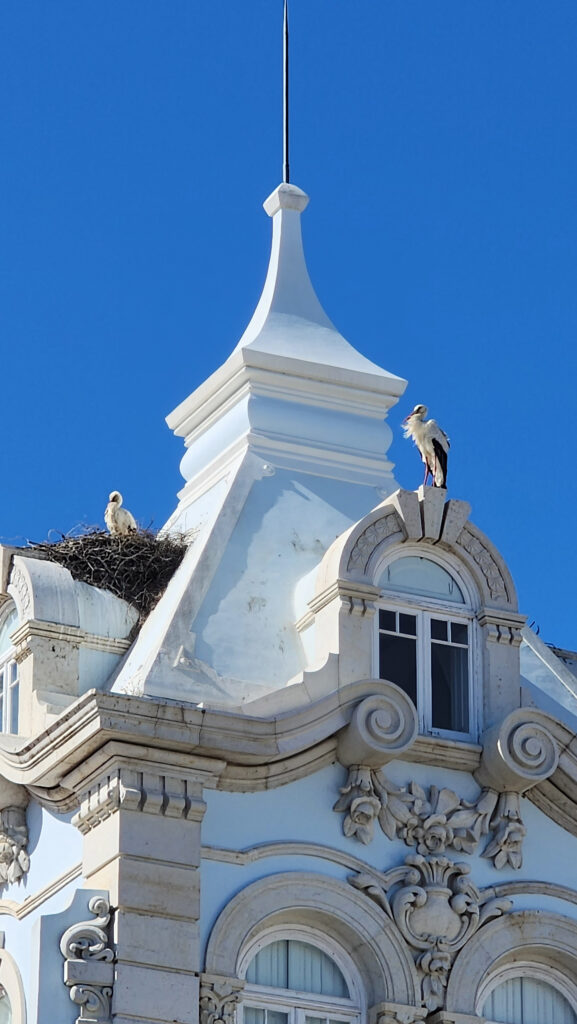
Nesting Storks

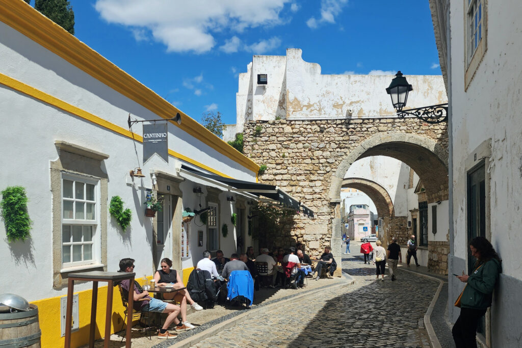
Faro has a charming old town with an interesting history, a small boat harbor, narrow cobblestone and tiled streets and alleys, restaurants and cafes seemingly on every corner, and beautiful churches and other buildings that predate anything to be found in our hometown, sometimes by many centuries.

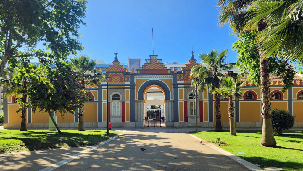
Municipal Library of Faro

We spent most of our time in Faro exploring the old town, sampling the local cuisine, enjoying the sunshine, and taking tons of photos. We did not visit any of the barrier island beaches, but the host of our B&B went out of her way to tell us about them and give us information about the ferry and tour boat operations that will take you there, an indication of how much the locals value the beaches. While Faro may not be a prime tourist destination, other than as a gateway to the Algarve, and gets short shrift in most guidebooks (Rick Steves’ Portugal makes no mention of Faro at all, for example), we found it to be a charming and worthwhile stop on our trip. For more information about Faro, click here.

Algar Seco

The Algarve Coast

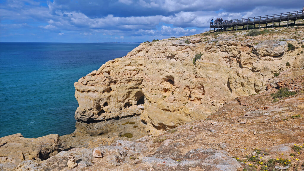
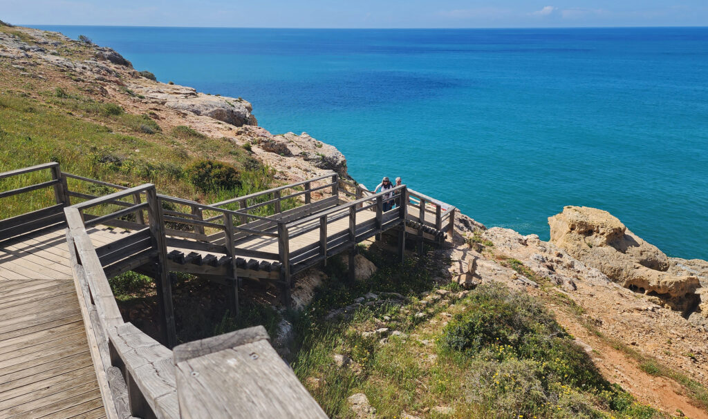
The first stop on our day tour of the Algarve was Algar Seco, just east of the small town of Carvoeiro. A wooden boardwalk runs along the top of the cliffs there, with amazing 180⁰ views east and west along the coast.

Algar Seco

Stairs lead down from the boardwalk and into the limestone rock formations. The limestone cliffs rise directly from the ocean, with natural pools and blowholes along the water’s edge. Sea caves dot the area, and there are numerous dry caves higher up in the cliffs. Fossils of clams and other marine creatures can be found throughout the limestone layers.

Algar Seco

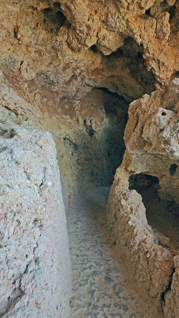
Paths and tunnels that have been cut through the soft rock give easy access to the whole area. We had a great time exploring the cliffs and caves and just taking in the incredible views of the cliffs and ocean. Algar Seco is just an incredibly scenic place, well worth the hour-long van ride from Faro.

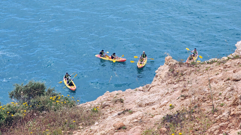
Kayakers near Benagil Cave

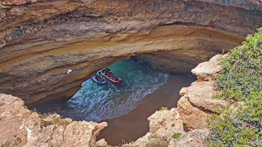
Our second stop was the Benagil area, a few miles east of Algar Seco. Photos of Benagil Cave were what drew my wife and I to the Algarve in the first place. We had dreams of kayaking or motoring into the cave that has a nice sandy beach, several openings to the sea, and a collapsed section of the roof giving views of the sky above. But so did hordes of tourists before us. So many, in fact, that overcrowding has led to regulations prohibiting all watercraft from entering the cave, making a boat tour less appealing.

Benagil Cave

And from above, you can barely see into the cave through the collapsed roof, unless you climb over the wooden barrier or go around it and climb along the edge of the opening, which many people (my wife and I included) do even though it is not safe.

Corredoura Beach, Benagil

The coastline there is plenty scenic, but we could have skipped Benagil, in my opinion. (But kayaking the coastline, even if you can’t access Benagil Cave, would be awesome).

Marinha Beach, Algarve Coast

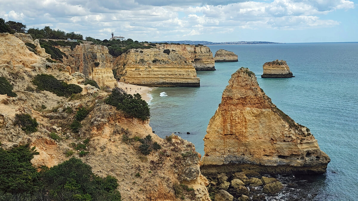
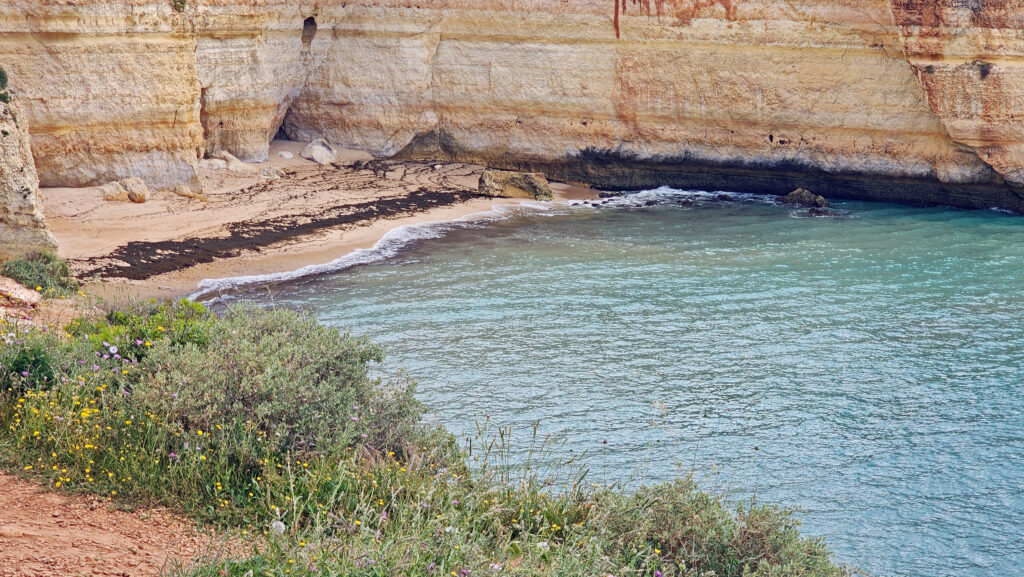
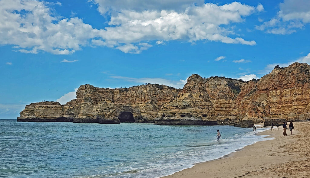
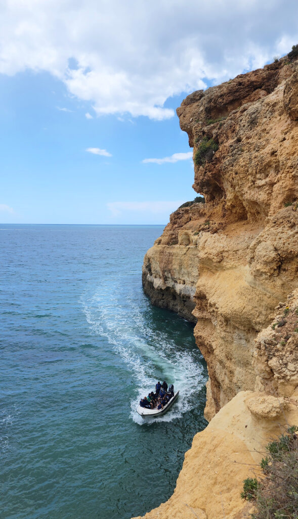
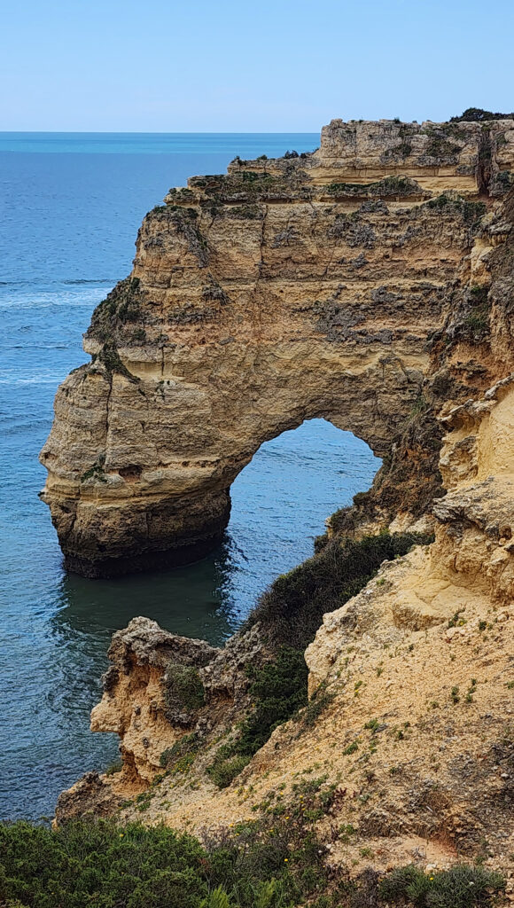
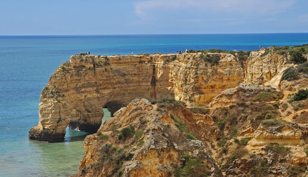
Our final stop came at Marinha Beach, about a mile east of Benagil Cave. A trail leads from the parking area down to the beach, and there is a network of trails leading along the top of the cliffs to the west of the beach. Offshore sea stacks and several natural arches make this one of the most scenic shorelines you’ll find anywhere in the world.

Natural Arches of Marinha Beach


Natural Arches of Marinha Beach

We had a couple of hours at Marinha to enjoy the beach and explore the cliffs on our own before we had to meet back up with the tour group and head back to Faro. I think we could have easily spent the whole day there. Algar Seco is fantastic and should be on your itinerary if you visit the Algarve, but in my opinion, Marinha Beach and the cliffs of the Arcos Naturais (Natural Arches) are even better, without a doubt one of the highlights of our visit to Portugal.

Algar Seco
Algar Seco

Conclusion

Faro is an interesting city and a worthwhile stop, but if you have more time to explore the Algarve than we had, I suggest that you follow Rick Steves’ lead and spend a few days in Lagos or Salema in the far west of the Algarve. After all, we thought the area around Carvoeiro that we toured was fantastic, but Steves labels that part of the coast “the worst” of the Algarve. Yes, it’s touristy, crowded, and the lack of access to Benagil Cave makes it overrated. But, if the west end is better than Algar Seco and Marinha Beach, it has to be well worth visiting. We may never make it back to Portugal (so many places to see, so little time), but we will definitely explore the Algarve more thoroughly if we ever return.

Alameda João de Deus Garden, Faro

Faro and the Algarve coastline are great destinations, and Lisbon and the surrounding area are definitely bucket list destinations for anyone that can travel to Europe. For more on our trip to Portugal, see to my posts on Lisbon and Sintra.

Posted July 11, 2024

All photos © Alan K. Lee
Sintra, Portugal

by Alan K. Lee

Pena Palace (Palacio Nacional da Pena)

Introduction

Sintra is a magical fairytale town that combines spectacular palaces and magnificent gardens with the area’s deep history, making it a truly unique destination. It’s a UNESCO World Heritage Site and a must-see side trip if you’re visiting nearby Lisbon. Visiting Sintra can be done as a daytrip from Lisbon, which is what my wife and I did on our recent visit to Portugal and Andalucia, but you can’t see everything Sintra has to offer in a single day. To take in all Sintra has to offer, you either need to make several daytrips from Lisbon or, better yet, plan to spend a night or two in one of the town’s many hotels.

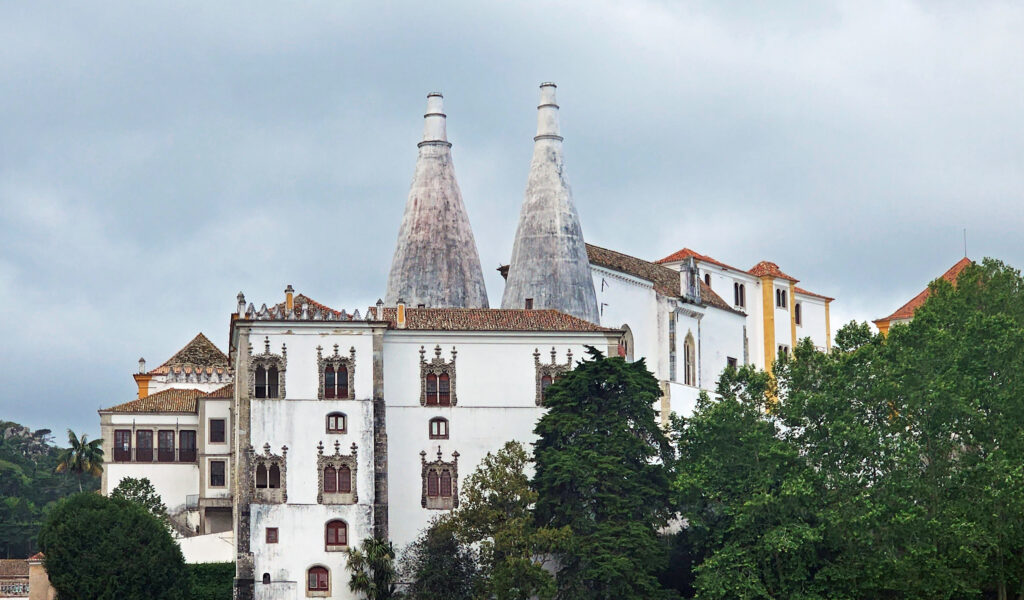
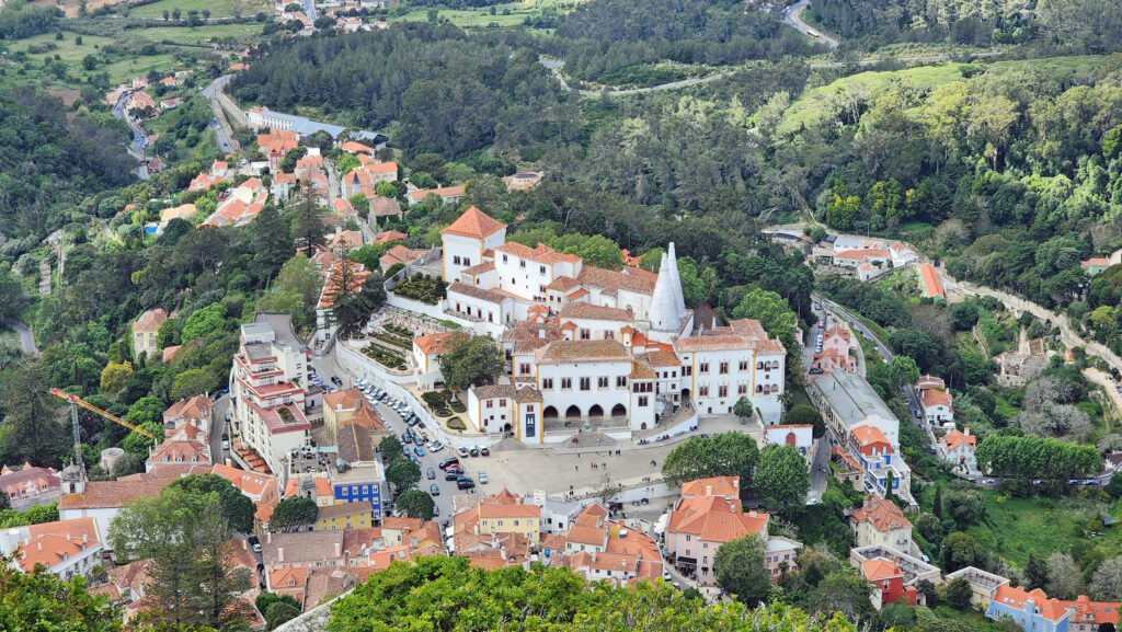
Sintra National Palace

Since we had time for only a single daytrip from Lisbon, we had to be strategic about what we saw and what we didn’t. The top four attractions in Sintra are the Pena Palace (Palacio Nacional da Pena), the Castle of the Moors (Castelo dos Mouros), Quinta da Regaleira, and the Sintra Palace (Palacio Nacional da Sintra). We could have seen all four, had dinner in Sintra, and still been able to catch a return train to Lisbon that evening, but we weren’t sure we’d have time for all of that when we were making our plans. In the end, we chose to skip the Sintra Palace. But even though you can tour all four major attractions in a day, you won’t be able to fully explore them, and there’s still much to see in and around Sintra to make a second day necessary to see it all.

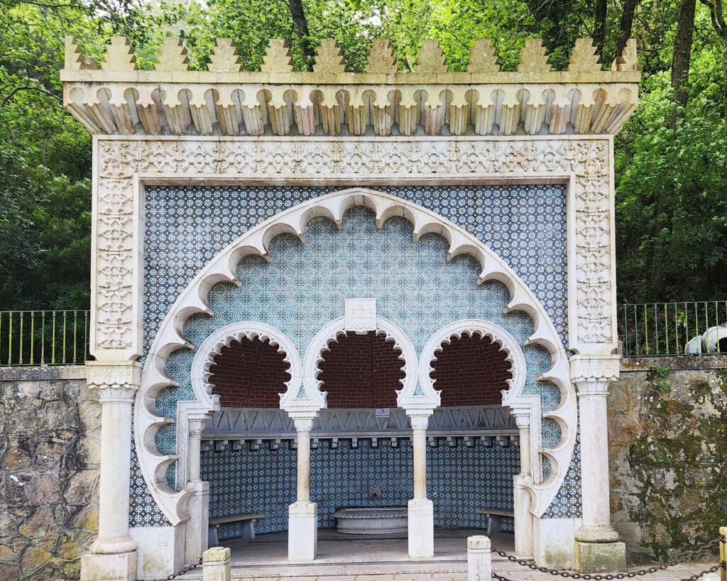
Fonte Mourisca, Sintra

Getting there and getting around

If you’re doing a day trip from Lisbon, the best way to get to Sintra is by train. Trains to Sintra run from both the Rossio Train Station in the center of Lisbon and the Oriente Station near the airport, departing about every 20 minutes throughout the day. Tickets are cheap, less than three Euros one-way per person. They can be purchased at ticket counters or vending machines at either station and come in the form of a plastic Viva Viagem card. Tickets cannot be purchased online. Each person needs to have their own card, and tickets are one-way, so each person needs to purchase two tickets for a round trip. The trains are free if you purchase a Lisboa Card, which also gives you discounts to the major attractions in Sintra, free admission to many attractions in Lisbon, and unlimited travel on Lisbon’s Metro subway, surface tramway system, and public buses. See the Sintra Tourism website for more detailed information, including train schedules.

Public art installation, Sintra

Once in Sintra, it’s about a 10-minute walk from the train station to the center of the historic old town and the Sintra Palace, and another ten minutes to Quinta da Regaleira. The Pena Palace and the Castle of the Moors are located on hilltops high above the town and are best reached by local bus (#434), taxi, or tuk tuk. The road to both is closed to private vehicles. You can hike up to them, but it’s quite a climb and I doubt that many people get there on foot. The old town center and Quinta da Regaleira can also be reached by bus (#435), taxi, or tuk tuk. There are also many tour companies that offer a range of tours that will take you to any or all of the major attractions in Sintra.

Pena Palace

The Pena Place, Sintra Palace, and Castle of the Moors are all operated by Parques de Sintra and require timed entry tickets. We purchased tickets for the Pena Palace online, but it took much longer to get from town to the entrance to the park by bus than we anticipated, it’s at least a ten-minute walk from the park entrance to the palace, and there was a long line to get into the palace. All those factors meant that we were late getting to the palace entrance, outside the 30-minute window are tickets were good for. They let us in, though, despite the website stating that late entry would be denied and the cost of the tickets would not be refunded. Perhaps that was because we were there on a national holiday (see my post on Lisbon for more information about Portugal’s Freedom Day), but they could have legitimately sent us packing, so be sure to leave plenty of time to get there. You can wander around the grounds of the park if you’re early. We did not purchase tickets to the Castle of the Moors in advance, but we were able to purchase tickets on site. Quinta da Regaleira does not require timed entry tickets and the tickets we purchased online were valid for four months from the date of purchase.

Regaleira Palace, Quinta da Regaleira

Quinta da Regaleira

Quinta da Regaleira was built by a man named António Augusto Carvalho Monteiro, who purchased the property in the late 19th century. From its completion in 1910 until 1997 the palace and grounds were a private estate. It was then purchased by the City of Sintra and opened to the public.

Quinta da Regaleira
Quinta da Regaleira

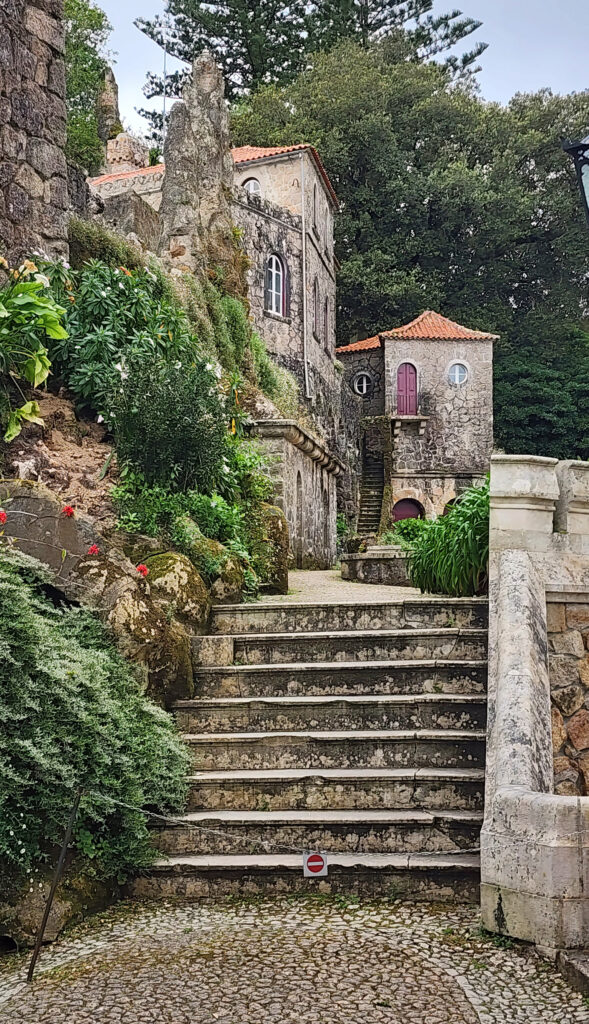
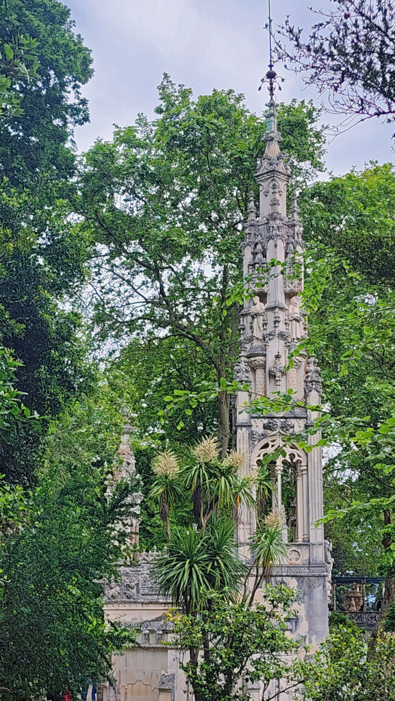
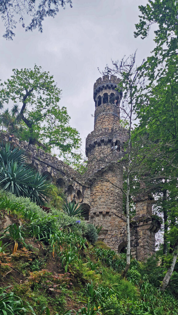
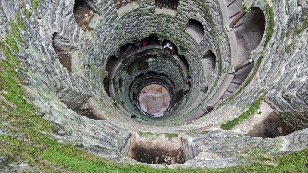
We did not tour the interior of the palace, but the park-like grounds surrounding the palace are a magical land of towers, ponds, pathways, tunnels, grottos, and a 100-foot-deep well with a spiral staircase around the perimeter known as the Initiation Well. The initiation to what is not clear, but Monteiro had ties to the Free Masons organization, which may have evolved out of the medieval Knights Templar, a somewhat secretive and mysterious military and religious order central to the Crusades, that once controlled Sintra.

Quinta da Regaleira
Quinta da Regaleira

The grounds are a bit confusing, and the intersecting paths are not well signed, so do your research and plan your visit well. Do not, as we did, simply show up and wander the grounds. We had a hard time finding the Initiation Well and were on the verge of giving up when we finally stumbled across it. Since it was the one feature that both my wife and I had independently hit on before we even began planning a trip to Portugal, not getting to experience it would have been a big loss.

Initiation Well, Quinta da Regaleira

There was a long line to get into the Initiation Well once we finally found out where it was, but it was well worth the twenty minutes or so that we had to wait. You enter through a small tunnel and then spiral your way down the perimeter staircase. It’s slow going because people are taking their time, trying to get photos that convey the experience (without much success in my case), or just taking in the weirdness and magnificence of it.

Quinta da Regaleira

At the bottom you enter a long tunnel that takes you to the backside of a small waterfall and then out to one of the several ponds on the property. The gardens are a fever dream of fantasy and imagination, filled with caves, statues, enigmatic carvings, and structures that are completely unique and must be seen to be fully appreciated, all the creation of Monteiro and his architect, Luigi Manini.

Pena Palace
Pena Palace

Pena Palace

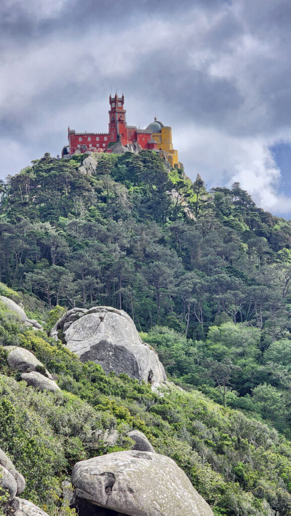
The Pena Palace dates to only the mid-19th century, but the history of the site goes back to a 12th century chapel dedicated to Our Lady of Pena and the 15th century Monastery of St. Jerome. The monastery was left mostly in ruins by the earthquake of 1755 but what remained continued to be occupied until 1834 when it was finally abandoned.

Chamber of King Charles I, Pena Palace

The property was then purchased by Ferdinand II, King-consort and husband of Queen Maria II, who built the Pena Palace on the old monastery site. The palace was the summer residence of the Portuguese royal family until the monarchy was abolished in 1910, when it became a National Monument. It was declared a UNESCO World Heritage Site in 1995.

Manueline Cloister, Pena Palace
Pena Palace
Pena Palace


The palace is surrounded by parkland that was developed by Ferdinand II during the same time period that the palace was built. Unfortunately, we did not have time to see more of the park than the portion of the grounds between the park entrance and the palace, another good reason to spend more time in Sintra than we allowed ourselves on our trip.

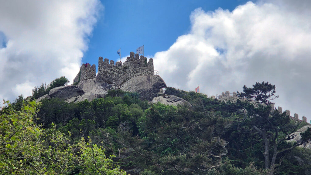
Castle of the Moors

Castle of the Moors

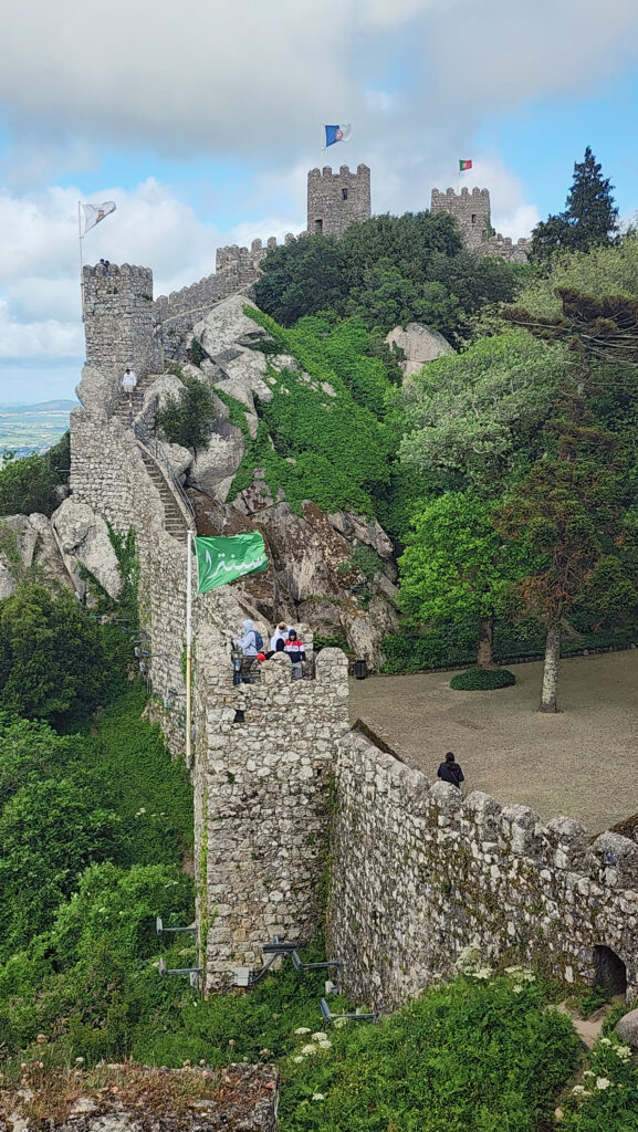
After touring the Pena Palace, we walked the short distance back down the road to the Castelo dos Mouros. There is a ticket machine at the bus stop, which would not take my debit card, but there is another at the actual entrance to the castle, a short walk from the bus stop, where we were able to purchase tickets. Just inside the entrance, there is an interesting archeological site that was part of the Moorish village that once occupied the site. From there, it is an uphill climb to the parapet walls that snake across the slopes of the hill on which the castle is located.

Castle of the Moors

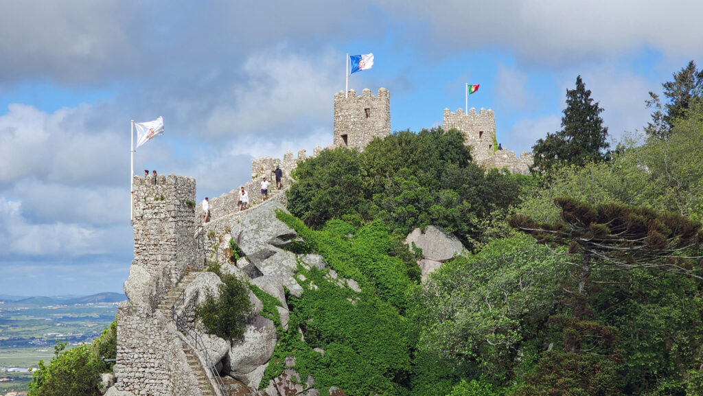
The castle, a fortress high on a hill overlooking the Tagus River and the Lisbon area, was built between the 8th and 10th centuries by the Islamic rulers of the Iberian Peninsula to guard the surrounding agricultural areas. Inside the walls that stand today there was a Moorish village until 1147 when the area was retaken by Christian forces during the Reconquista.

Castle of the Moors
Pena Palace, viewed from the Castle of the Moors

Little remains of the Moorish village or the subsequent Christian settlement that took its place, except for the ruins of the Chapel of São Pedro de Penaferrim and a few other structures, but the site is spectacularly beautiful.

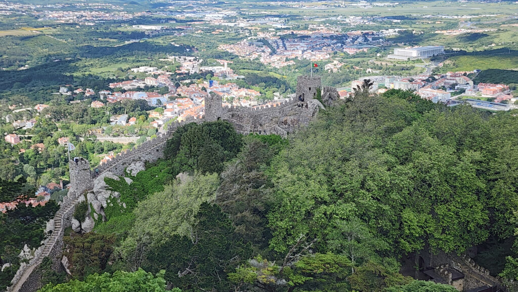
View from Castle of the Moors

There is a lot of climbing on the steeply sloped grounds if you want to see it all, especially up to the highest point. But the awesome views of the Pena Palace (as seen in the featured image at the top of this post) and down to the old town area of Sintra and the Sintra Palace, make the climb well worth the effort required.

Sintra Palace as seen from Castle of the Moors

Sintra Palace

The Sintra Palace dates to the same time period as the Castle of the Moors, but nothing of the original Moorish palace remains. The oldest part of the existing palace is the Royal Chapel, which may have been constructed in the early 14th century. Most of the existing palace was built in the 15th century. The palace was a summer residence of the Portuguese royal family for more than 500 years.

Sintra Palace. Photo sourced from Wikimedia Commons, credited to Lark Ascending

We did not tour the palace, but in retrospect we should have planned better and taken it in along with the other three attractions in Sintra that we did tour. Something left for our next visit, I guess.

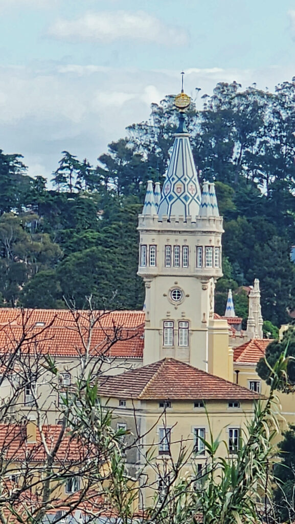
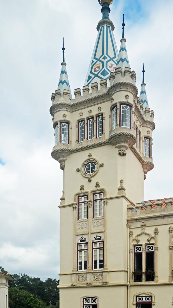
Sintra Town Hall
Sintra Town Hall

Other Sintra Attractions

The Sintra Town Hall (Camara Municipal de Sintra), located near the railroad station, is one of the first buildings you’ll see in Sintra, and it is worth a look. But most people, like us, pass it by on their way to the historic center of Sintra and the other Sintra attractions mentioned above.

Entrance to Parque da Liberdade, Sintra

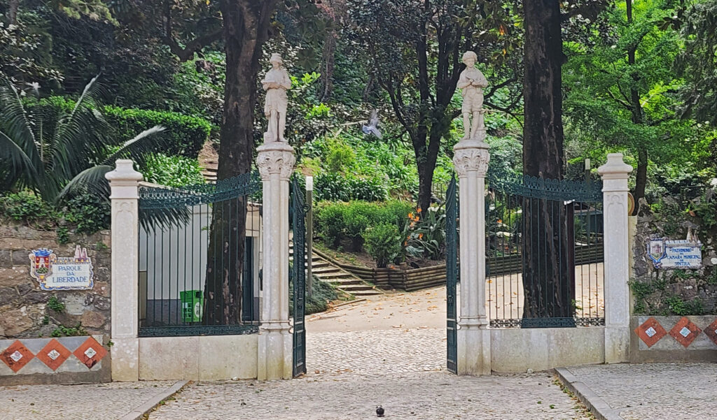
You’ll also pass by the entrance to the Parque da Liberadade if you walk from the train station to the old town center. Again, most people pass it by, which we did as well. But it looks like it is worth exploring, if you have the time (another reason to spend more than one day in Sintra). The historic town center is itself worth exploring, too.

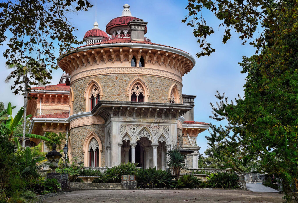
Monserrate Palace. Photo by Jocelyn Erskine-Kelly, sourced from Wikimedia Commons.

About two miles west of the historic center, on the Rua Barbosa du Bocage (about 1.5 miles past Quinta da Regaleira), you’ll find the beautiful Park and Palace of Monserrate. The same bus that takes you to Quinta da Regaleira also takes you to Monserrate Palace. There are also numerous private tours that stop at Monserrate.

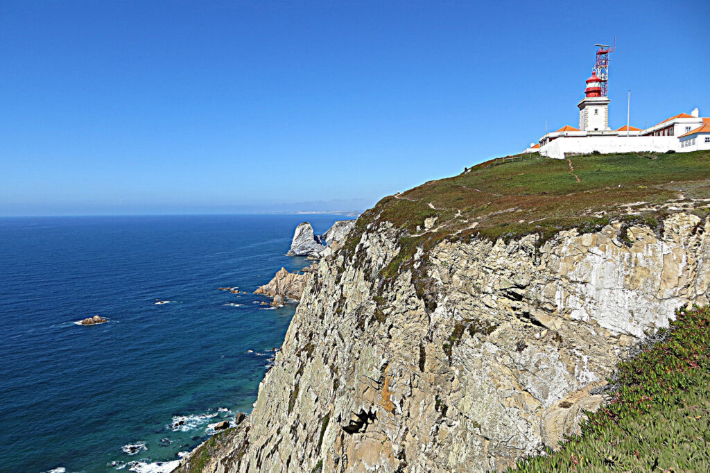
Cabo de Roca. Photo sourced from Wikimedia Commons and credited to “Mister No.”

Further west, Cabo de Roca, the westernmost point of Europe, is also a stop on many private tours, as are the nearby beaches. You can also ride the #435 bus all the way to the cape and beaches.

Pena Palace

Conclusion

Whether you have only half a day or have two or more days to explore Sintra, you’ll come away impressed by the beauty, magnificence, and, in some cases, the weirdness of what you’ve seen. I can’t imagine anyone coming away from Sintra unhappy that they had come. It was definitely one of the highlights of our trip. But there were many other highlights, as well. Look for other posts from our trip that will be coming over the next month or so, including Faro and the Algarve, Seville, Cordoba, Granada, and Ronda, Spain.

Castle-like residence, Sintra

Posted June 16, 2024

All photos © Alan K. Lee, except as noted

Lisbon, Portugal

By Alan K. Lee

My wife and I recently traveled to Portugal and the Andalusia region of Spain for the first time. We had been talking about going to Lisbon and the rest of Portugal someday for a long time and had started planning this trip in 2019. But the Covid-19 pandemic scuttled that plan, and all our travel plans. And when we did decide to travel again, in 2022 as the pandemic was winding down, we did a Danube River cruise instead of going to Portugal. But we didn’t write off Portugal, and we resurrected our old plan in 2023 and rescheduled it for this spring (2024).

The view from our hotel room

Lisbon was our first stop. We’d have been excited to finally set foot in Portugal, but after enduring a nine hour overnight flight from Portland to London, a two hour layover at Heathrow, a two hour delay after boarding our connecting flight while the flight crew and British Airways mechanics repaired the plane’s radio, and a two hour flight from London to Lisbon, we were too jet-lagged and sleep deprived to be excited about anything.

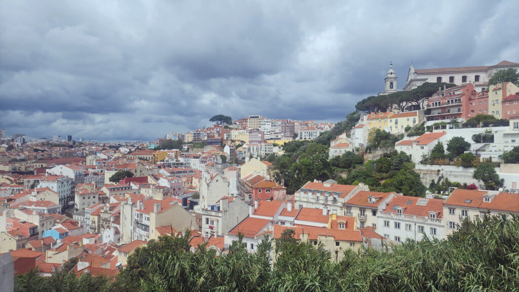
Alfama district

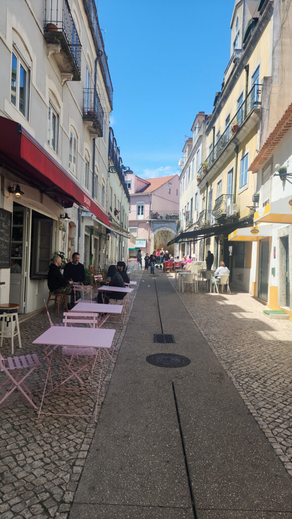
That all changed the next morning when we set out to explore Lisbon. We typically set aside one day at any new destination to just wander around, walk the streets, and see what we bump into. And that’s what we did on our first day in Lisbon.

Fountain in Rossio Square

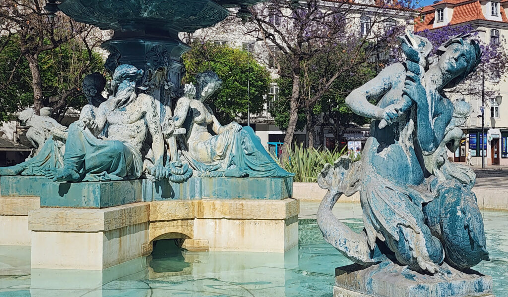
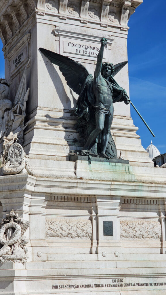
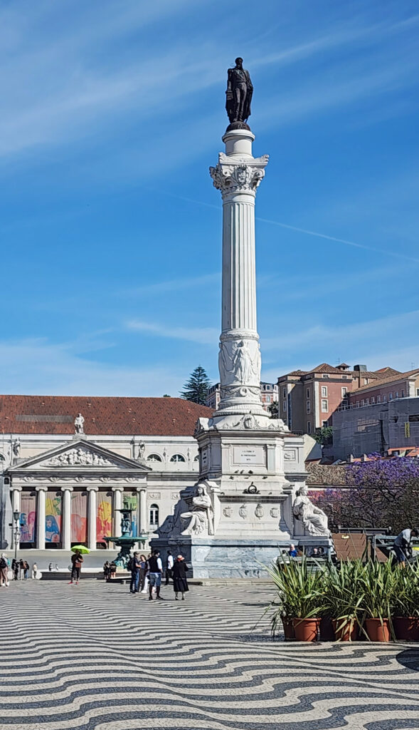
Our hotel was about a half mile from Rossio Square, and that was our first stop that morning. Officially, it is King Pedro IV Square (Praca Dom Pedro IV), but everyone calls it Rossio. The square is paved with a distinctive wave-patterned tile. There are two large Baroque fountains at either end of the square and a statue of King Pedro IV set on the top of a nearly ninety-foot-tall column in the center of the square. Rossio Square has been the predominant site of city gatherings in Lisbon for centuries.

Restauradores Monument
Rossio Square


We explored the area around Rossio Square, including the nearby Praca dos Restauradores, which memorializes the restoration of a Portuguese monarchy separate from the Spanish monarchy in 1668, after a war that lasted 28 years. We also found the Rossio Train Station, from which we would take a train to Sintra the following day. We then made our way to the Santa Justa Elevator, which takes visitors up to the Bairro Alto section of the city. The elevator is itself a tourist attraction, though, and there was a crowd waiting to ride the elevator. We decided not to wait.

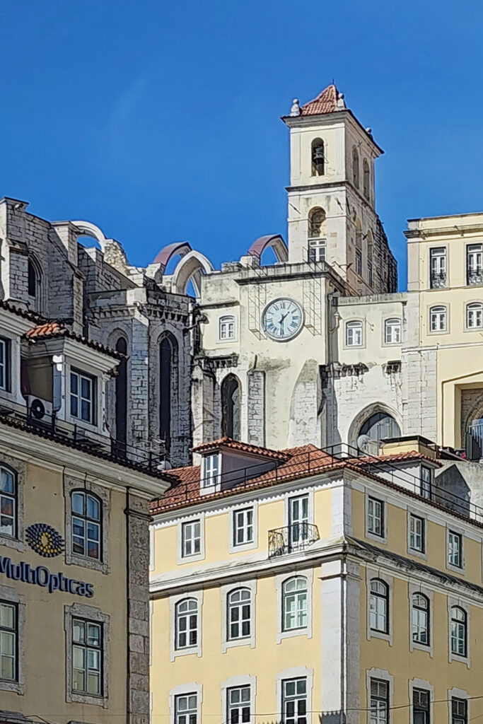
Carmo Convent ruins

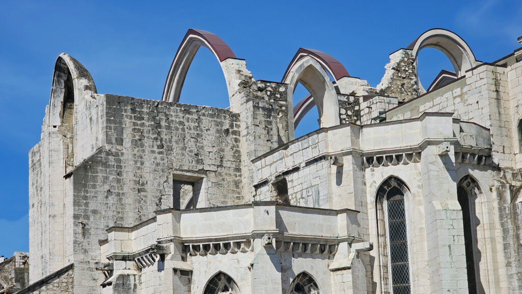
Nearby, we found a department store with a set of escalators and a fourth-floor exit onto an upper street behind the building. From there it was only a short uphill walk to the Archaeological Museum of Carmo (Museu Arqueológico do Carmo) and the ruins of the Carmo Convent that was destroyed by an earthquake in 1755.

View from the top of the Santa Justa Elevator

And from there we crossed a short bridge to the viewing platform at the top of the Santa Justa Elevator, which gives magnificent views across central Lisbon to the Sao Jorge Castle and to the Tagus River and beyond.

Tagus waterfront

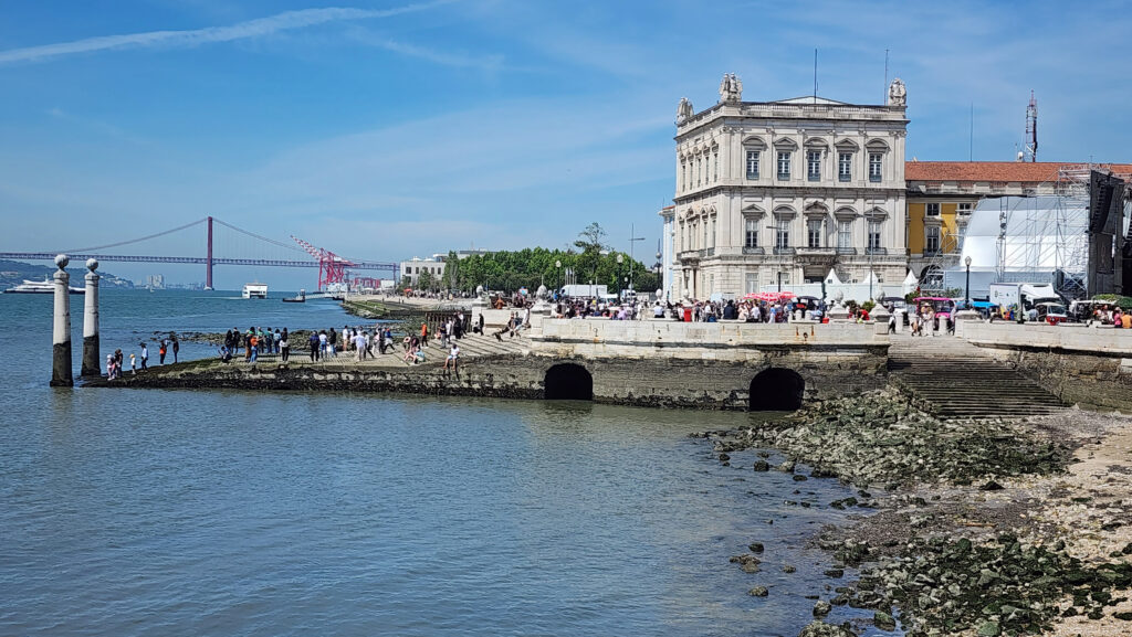
After taking in the views, we made our way down to the riverfront and the Praca do Comercio (Commerce Square) where crews were setting up for the Freedom Day celebrations (more on that below). From there we walked along the riverfront to the lower end of the Alfama district.

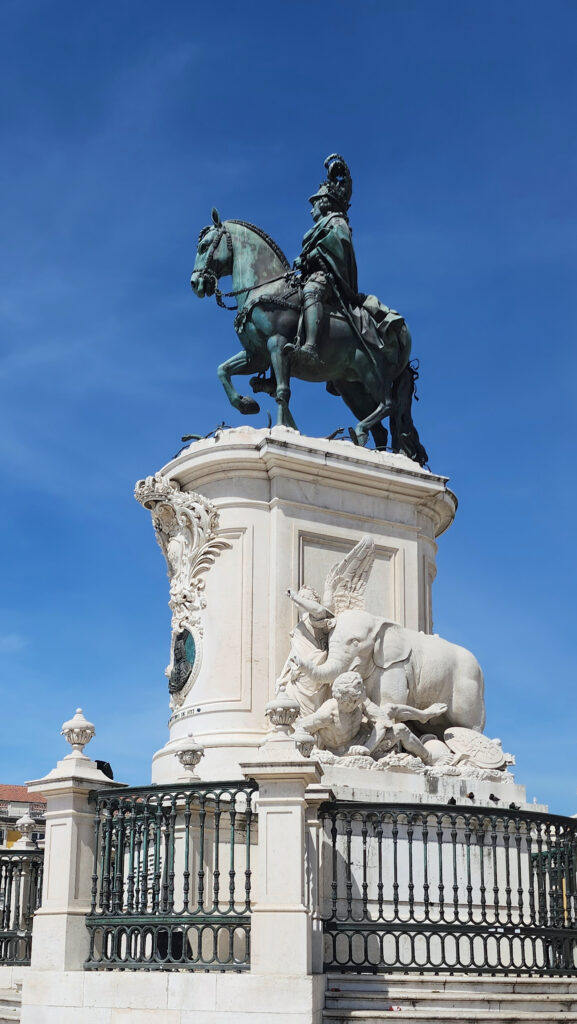
Statue of King Jose I in Commerce Square
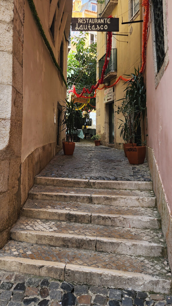
Alfama alley


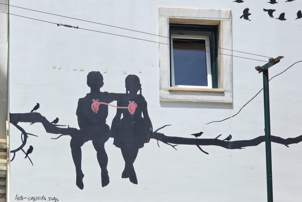
Alfama mural

The Alfama is a hillside neighborhood of narrow, winding cobblestone streets and alleys. In the past it was a poorer, rougher area home to dockworkers and sailors, and not an area tourists would want to visit. But today it is an upscale area home to artisans, many shops and restaurants, quaint and picturesque homes, several large churches, and the National Pantheon (pictured in the featured image at the top of this post). And it is definitely a must see for everyone visiting the city.

View from the Alfama district

We stopped for lunch at a little restaurant that has a small outdoor courtyard seating area before wandering through the upper part of the Alfama and back to our hotel.

Alfama mural

We had some trouble finding a place to eat that evening. The following day was Freedom Day and the partying was already well underway by then. Most of the restaurants near our hotel were already packed. We finally found an “artisanal” burger place with a few empty tables. The burgers weren’t that good, but we were just happy to get some food in our bellies after a long day on our feet. (We walked at least six miles that day, probably more).

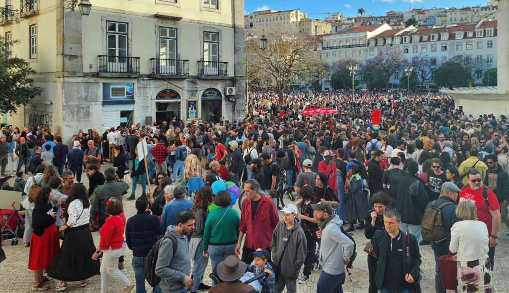
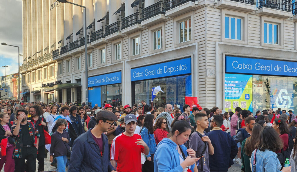
Freedom Day celebrants

Freedom Day in Portugal celebrates the overthrow of the dictatorship in 1974. It was a bloodless military coup and is called the “carnation revolution” because soldiers marching in the streets placed carnations in the barrels of their guns in celebration. April the 25th is the equivalent of our 4th of July, and it is a very, very big thing in Portugal, as we found out, both that evening and the following day.

Freedom Day celebrants

Our second full day in Lisbon was mostly taken up with a day trip to Sintra (which I’ll cover in an upcoming post), but when we returned to Lisbon that evening, we exited the Rossio Train Station into a parade or march filling the street in front of the station from curb to curb with a mass of people heading to Rossio Square, some carrying homemade signs. We had to make our way across the street to get back to our hotel, so we joined the crowd for a ways and pretended we were Lisboners celebrating our freedom. Great fun and wonderful to see that mass of humanity on the streets in celebration.

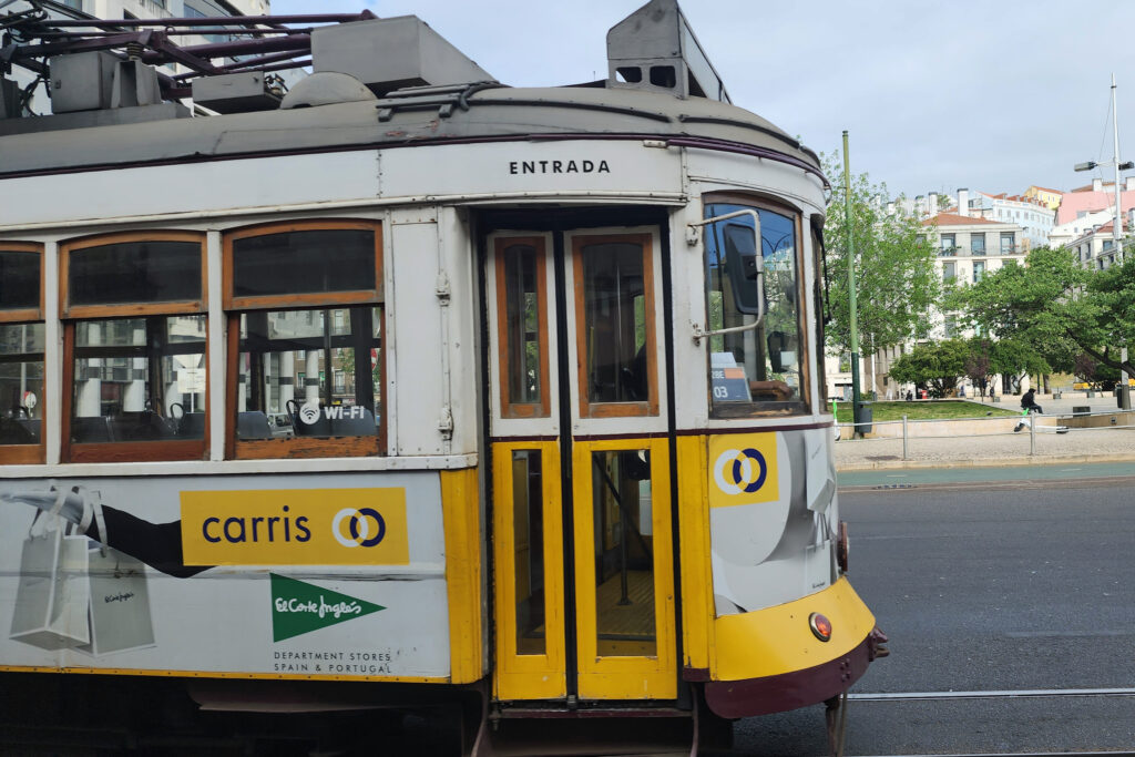
Tram 28

On our third and final full day in Lisbon we stopped at the closest Metro station to our hotel after breakfast and bought 24-hour passes, which cover both the Metro subway system and the surface tramway system (and local buses, too, I believe), then walked to Martin Moniz Square where we caught a ride on the famed Tram 28 (after a fairly long wait in line even though we got there early).

Bairro Alta

Tram 28 takes you up through the Alfama, across the Baixa (the central business district), through the Chiado and Bairro Alta sections of the city, and all the way to Campo de Ourique in the west end of Lisbon.

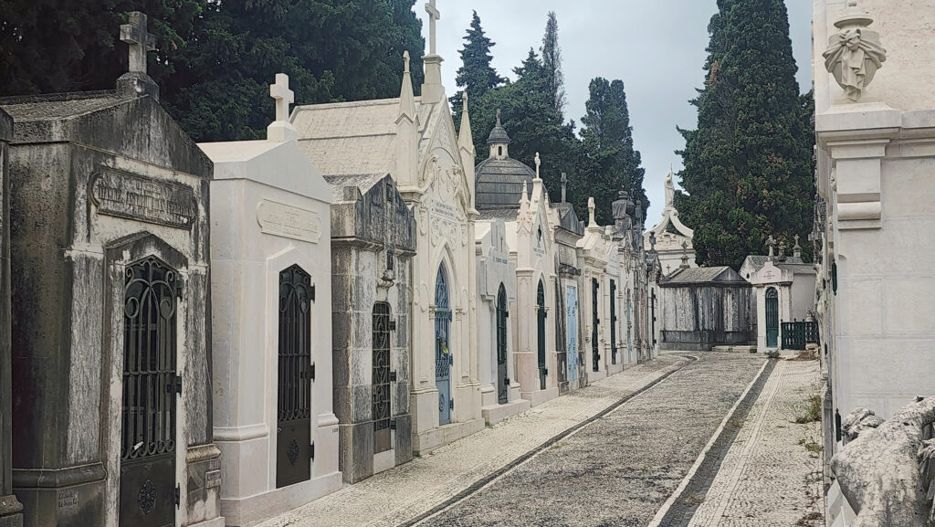
Cemetery of Pleasures

The turnaround point is the oddly named Cemetery of Pleasures (Cemiteria dos Prazeres). I think maybe something got lost in translation there. Anyway, it’s a huge above ground cemetery with thousands of family tombs, some of them large and ornate. Everyone has to get off the tram there, so we took some time to explore the cemetery before catching a later tram back to the center of the city.

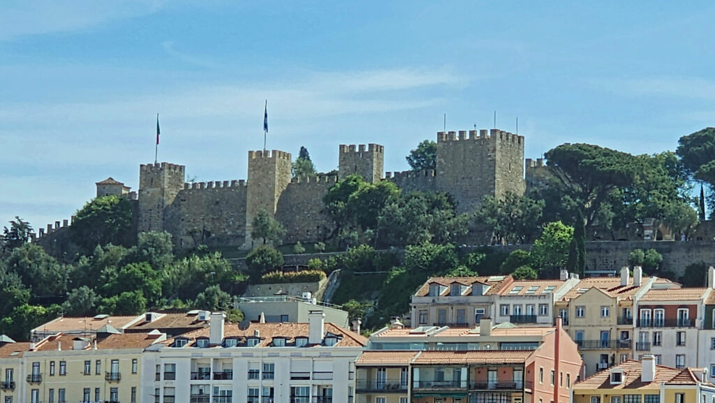
Castle of St. George (Castelo de Sao Jorge)
Santa Cruz de Castelo Chapel


We got off the tram again in the Alfama. (With a 24-hour Metro pass, you can hop on and hop off the tram at will). After splitting a pizza for lunch at a little pizzeria, we walked up to Sao Jorge Castle, the high point of the Alfama. We spent a couple of hours touring the castle grounds and garden, the castle museum, and the chapel, then walked back down the hill to our hotel.

Castelo de Sao Jorge

That evening, we had dinner and a couple of brews at Sputnik Brewing, two doors down from our hotel. We would have stopped in earlier, but the first two evenings the place was packed with Freedom Day celebrants, the crowd spilled out onto the sidewalk both nights, and we almost literally couldn’t have gotten in.

Aguas Livres Aqueduct

The following morning, we checked out of the hotel and rode the Metro (which is quick, clean, and safe) to the bus station where we caught a bus to Faro in the Algarve on the south coast of Portugal (look for a future post on our time there).

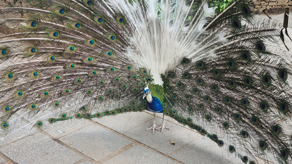
Peacock at the Castelo de Sao Jorge

We had a great time in Lisbon and I’m glad we finally got to visit after five years of planning and waiting. Would we have done things differently if we had known what we do now? Probably. I think we would have skipped the day of wandering around on foot, and done the Tram 28 tour first, taking time to explore the Alfama and the castle in the morning, and exploring more of Bairro Alta in the afternoon. With the extra day, I think we would have gone to Belem, just west of Lisbon, and maybe to the seaside town of Cascais farther to the west. Taking a day trip to Sintra, as we did, is a must, though. I think if we were to do it again, we would stay an additional day or two. There is much to see in Lisbon that we didn’t have time for. You could easily spend five or six days (or longer) there and not run out of things to do. But as it was, we had a lot on our agenda for this trip, and didn’t have the time to linger in Lisbon. I’ll cover the rest of the trip in later posts.

View of the Carmo Convent ruins from Rossio Square

Posted June 6, 2024

All photos © Alan K. Lee
Passau, Germany

by Alan K. Lee

Danube riverfront

The Danube River cruise that my wife and I took in 2022 ended in Passau, Germany. If you’ve never heard of Passau, join the crowd. I certainly never had, and I didn’t have any expectations of it being more than just the place where we disembarked the Viking “longship” that we had been cruising the river on. But Passau was a pleasant surprise.

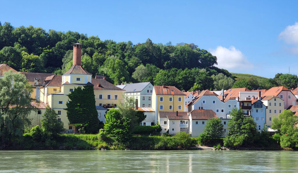
Passau riverfront

Passau is located in Lower Bavaria in the southeastern corner of Germany, on the Austrian border. It’s a small city with a population of about 50,000. It’s known as the “city of three rivers,” as the River Inn and the River Ilz both flow into the Danube in Passau.

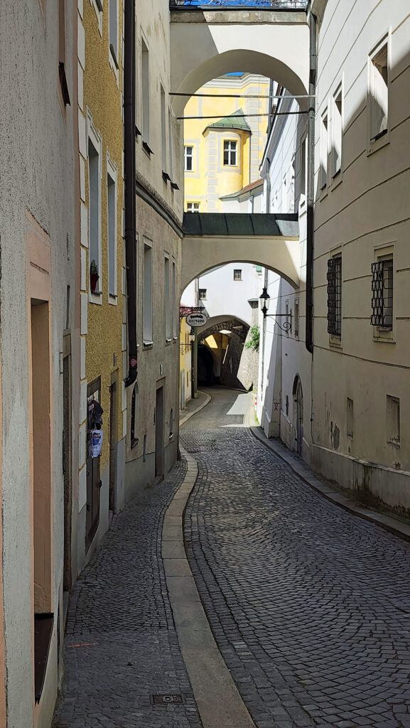
The last day of our cruise was spent entirely in Passau. In the morning, we took a guided walking tour of Passau. The medieval center of Passau is full of cobblestone streets and narrow alleys, but it’s a small area constrained by the Danube and the River Inn. You don’t have to wander far to reach one of the rivers, and once you reach a riverbank, the views open up to the hills surrounding the town. And the hills provide great views of the city.

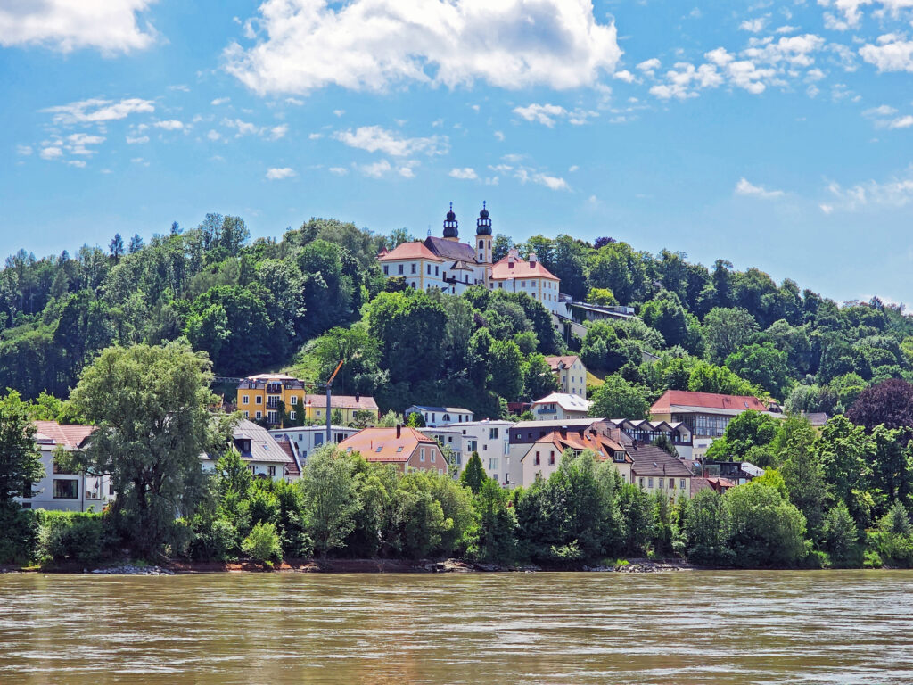
The River Inn and the hilltop Wallfahrtskirche Mariahilf

After lunch, my wife and I climbed the 300+ steps up to the Wallfahrtskirche Mariahilf, a baroque church south of the River Inn, where there is a great view of the city.

Vestre Oberhaus

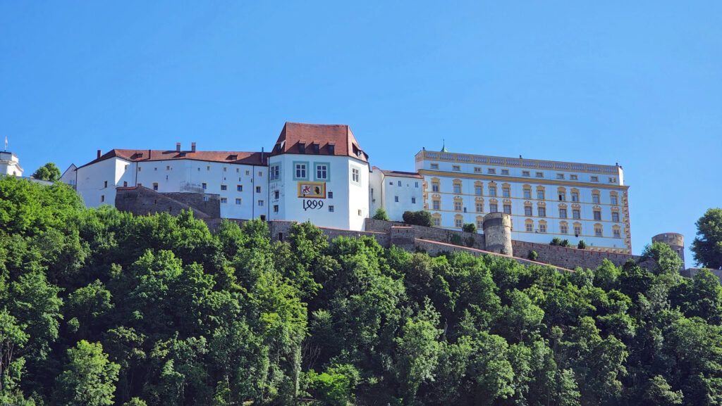
Later, my wife hiked up to Vestre Oberhaus, a 13th century fortress overlooking the city on the north side of the Danube (while I took a nap in our stateroom).

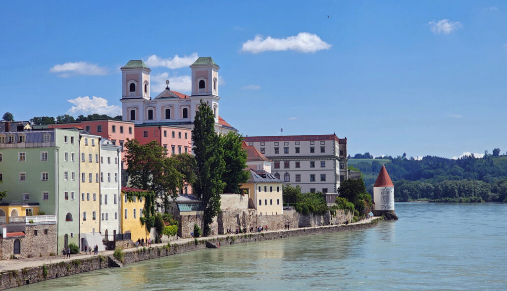
St. Michael Church

We finished our day with a walk to the park at the end of the peninsula with two of the friends we made on the cruise.

Like most European cities, Passau has a long history, dating all the way back to the 2nd century BC. But the city was almost completely destroyed in a fire in 1662 and most of the older structures in Passau are baroque style buildings dating to the late 17th century.

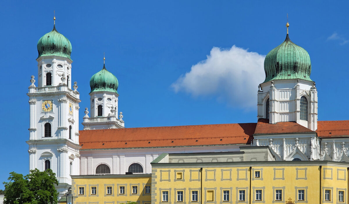
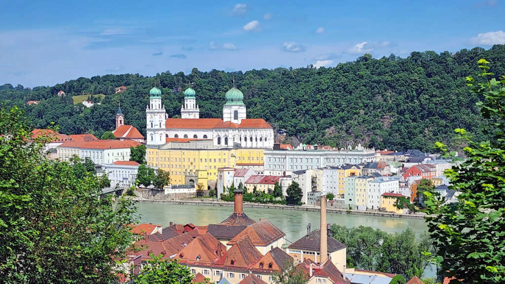
Dom St. Stephan

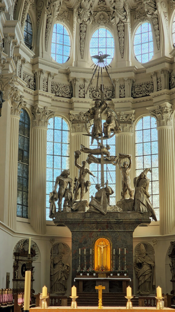
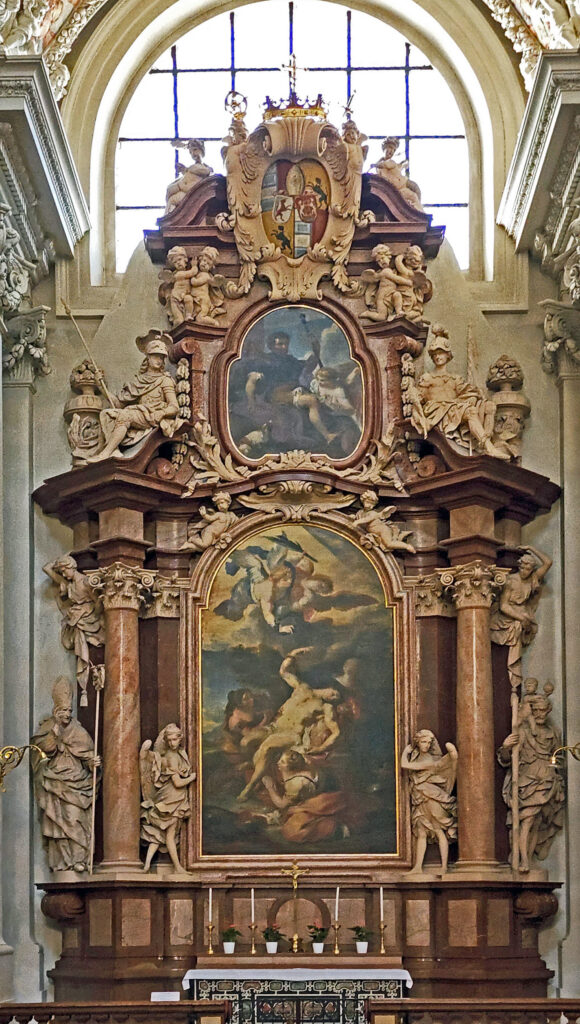
The Dom St. Stephan, with its three green onion domes, is the most prominent building in Passau. The cathedral is noted for its huge pipe organ, one of the largest in the world. We didn’t get to experience the pipe organ, but the cathedral is magnificent.

Dom St. Stephan
Dom St. Stephan

Passau served as a relaxing and fitting end to a great week. We got a taste of some of the great central European cities like Budapest and Vienna. We also visited places like Bratislava that we would never have seen had we not taken the cruise. And we saw some magnificent scenery, visited a well-preserved medieval village in Czechia, and toured a 900-year-old monastery and many churches and cathedrals.

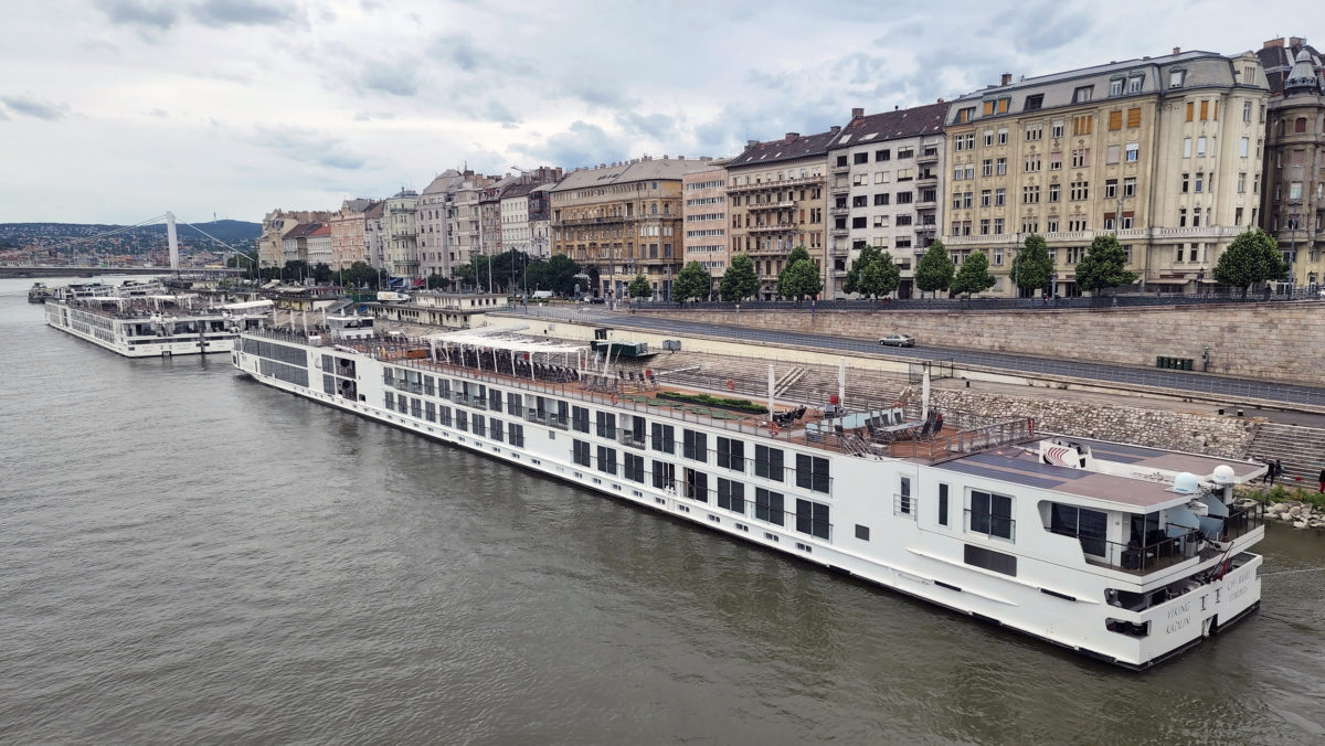
Viking “Longship” docked in Vienna

My wife and I have now done two river cruises in Europe, and I would recommend either a Rhine River or a Danube River cruise as a good introduction to Europe. (Several river cruise lines combine the two into a grand tour that takes you from Amsterdam to Budapest). There are disadvantages to river cruises, of course, mainly that you never stay in one place long enough to really get to know it. But a river cruise gives you at least a taste of many places in a short time. If you are interested in learning more, check out my River Cruising post and any of the posts on the cities of the Rhine and Danube that you can find links to by clicking on  Beyond the Northwest on the main page of this blog.

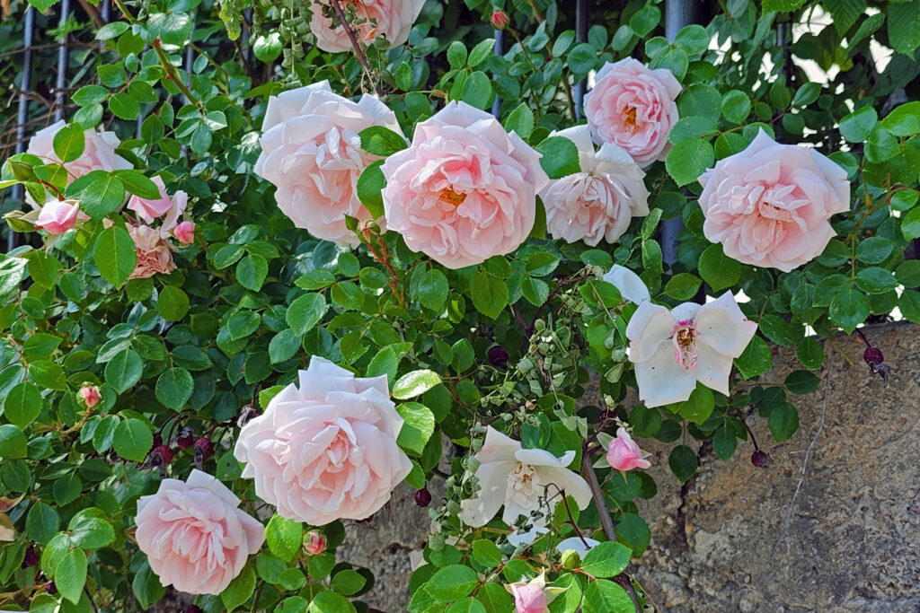
Passau roses

Posted May 20, 2024

All photos © Alan K. Lee


Wachau Gorge, Austria

by Alan K. Lee

In 2022, my wife and I had the pleasure of taking a river cruise on the Danube, beginning in Budapest, Hungary and ending in Passau, Germany. Along the way, we toured Bratislava, Slovakia, spent a day exploring Vienna, Austria, and visited several other smaller cities and towns on the Danube. Most of the actual sailing took place at night, but we spent one beautiful afternoon cruising through the fabulous Wachau Gorge between the towns of Krems and Melk in northern Austria.

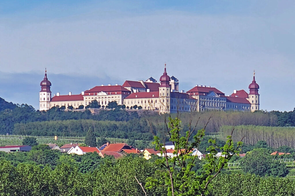
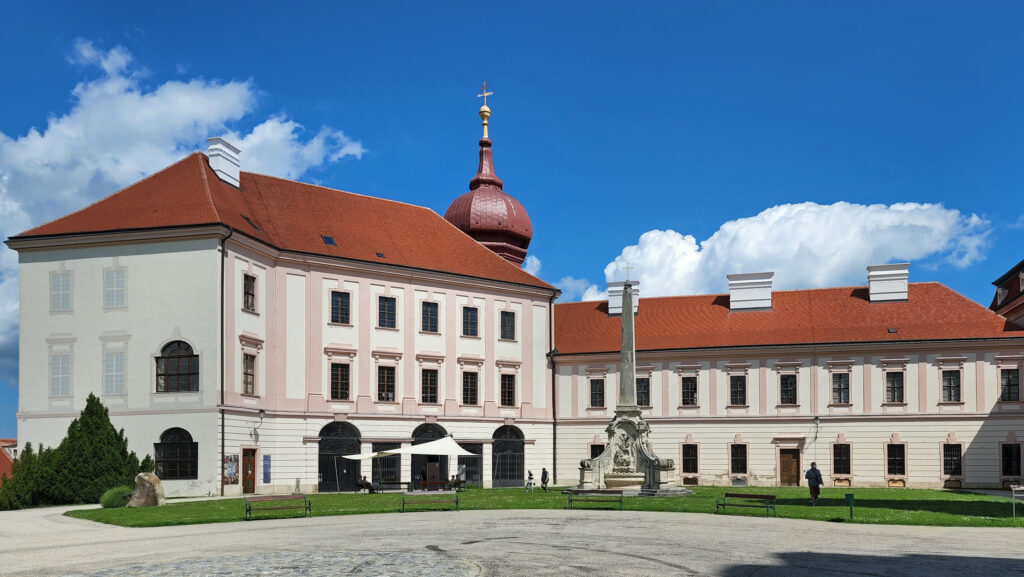
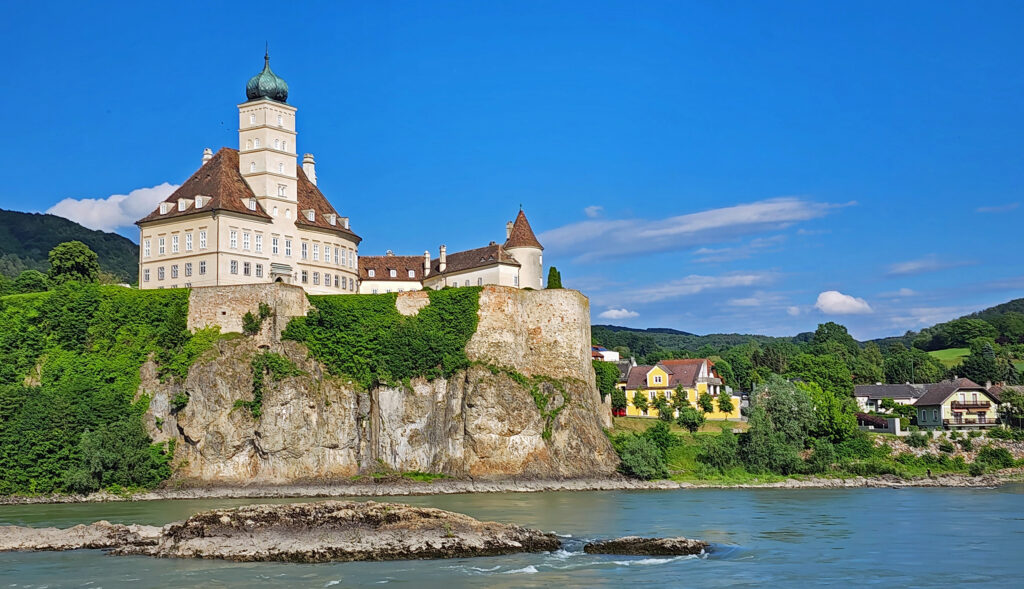
Gottweig Abbey

The Wachau Valley is a UNESCO World Heritage Site (listed as the Wachau Cultural Landscape), known for its medieval history and architecture, but also for its modern-day vineyards and wineries and its riverine landscape. The Wachau Gorge is bookended by the town of Krems and the hilltop Gottweig Abbey and the town of Melk and the spectacular Melk Abbey on the south bank of the Danube.

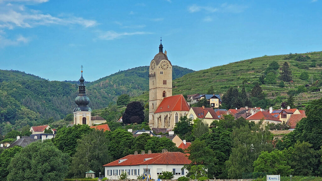
Krems, Austria

Our day started with an early morning arrival in Krems and a morning tour of Gottweig Abbey a few miles south of the town.

Gottweig Abbey
Gottweig Abbey

Gottweig Abbey was founded in 1083 and has been continuously occupied for more than 900 years. The current structure was built in the 18th century. (Viking River Cruises is the only cruise line that tours Gottweig Abbey, but also the only one that does not tour the larger Melk Abbey at the upstream end of the gorge).

Danube River upstream of Krems

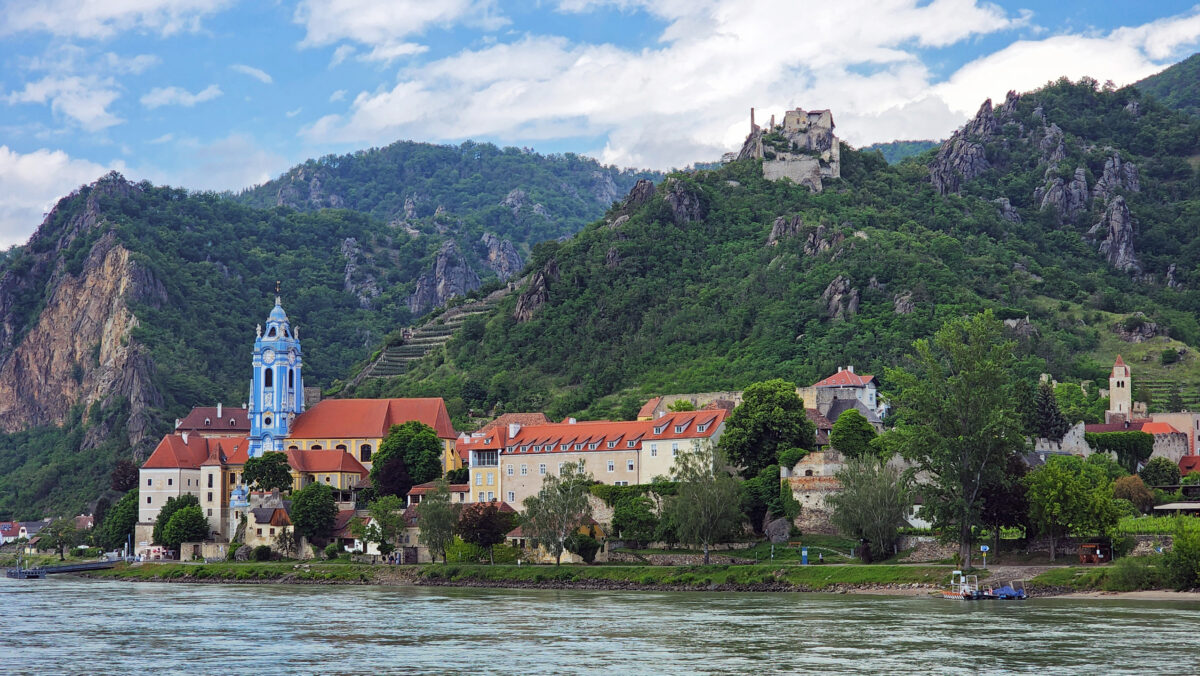
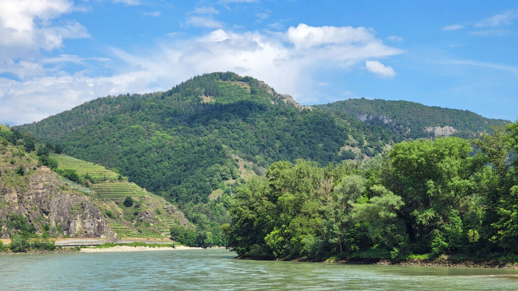
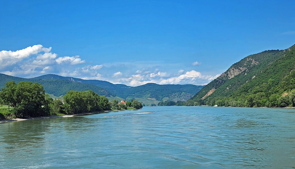
Upstream of Krems, the valley narrows and the roughly 25 miles between Krems and Melk feature steeper slopes bordering both sides of the river with the occasional castle looming above the riverside towns.  The town of Dunstein, seen in the featured photo at the top of this post, is particularly beautiful.

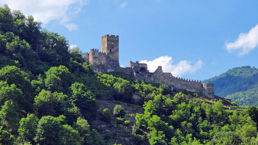
Castle ruins, Wachau Gorge

Most of the north shore of this stretch of the Danube is part of a nature park (Naturpark Jauerling Wachau) and is largely wild, managed to protect wildlife habitat and the natural environment. It’s also spectacularly beautiful.

Schloss Schonbuhel, Wachau Gorge
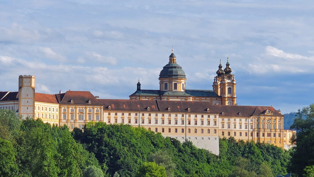
Melk Abbey

Late that afternoon, we sailed past the town of Melk and the huge, and hugely popular, Melk Abbey. Like Gottweig Abbey, the original Melk Abbey was founded nearly a thousand years ago (in 1089) and has been continuously occupied ever since. The current structure dates from 1702. I would have loved to tour the abbey, but with several river cruise ships already docked there, I understand why Viking skips it.

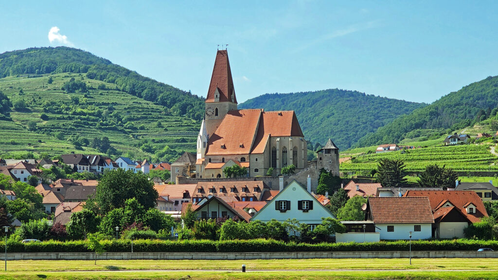
Village church, Wachau Valley

Upstream of Melk, we spent the evening hours cruising the Wachau Valley, an agricultural area with many small riverside towns and vineyards.

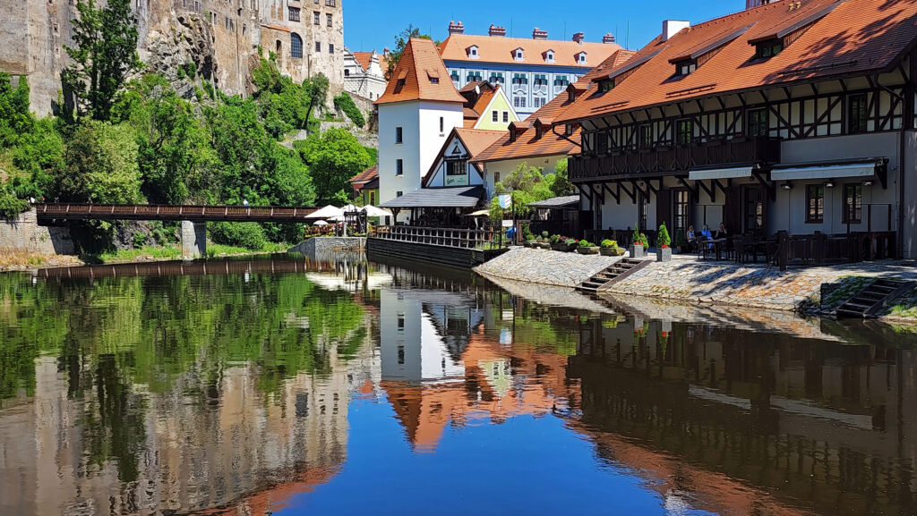
Cesky Krumlov, Czechia

The following morning found us in Linz, Austria. We didn’t see much of Linz because we took an all-day trip to the beautiful and well-preserved medieval village of Cesky Krumlov, Czechia. Then it was on to our final destination on the cruise, Passau, Germany.

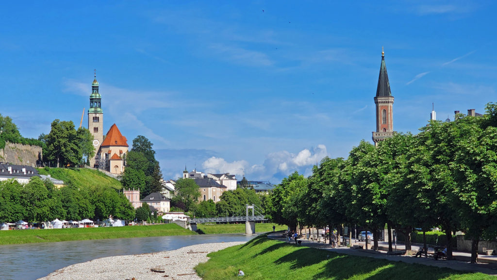
Salzburg, Austria

After the cruise, we extended our trip to Salzburg, Austria and Munich, Germany. One of the advantages of river cruising is that you get to see a lot of places in a short amount of time. But one of the disadvantages is that you don’t spend much time in any one place. We were able to spend several days in Salzburg, though, and several more in Munich and the Bavarian Alps, through a relatively inexpensive addition to our cruise offered by Viking. Several of the friends we made on the cruise took a different extension (also booked through Viking) to Prague.

Danube River, Wachau Valley

The two river cruises that my wife and I have taken (the other was on the Rhine) were both very enjoyable, hassle-free experiences (except for all of the Covid-19 tests that we had to take during our Danube cruise, but that is now in the past tense). Both featured an immersion into medieval history, beautiful riverside cities and villages, and beautiful stretches of natural habitat that is rare in Europe. I can personally recommend both cruises, and river cruising in general. If you’re interested in river cruises or are just curious, check out my European River Cruises post for more information and advice.

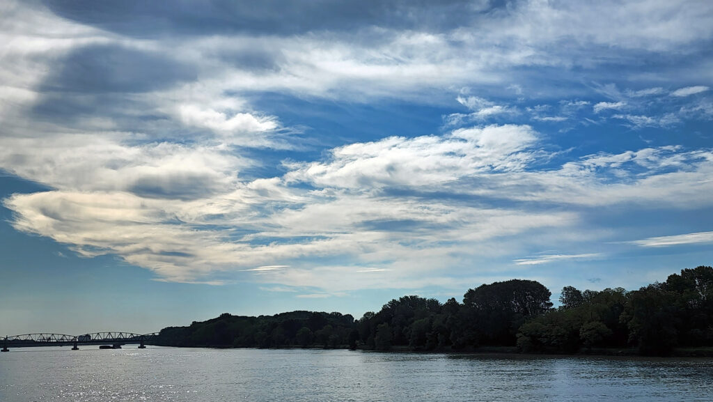
Danube River

Posted April 15, 2024.

All photos © Alan K. Lee
Vienna, Austria

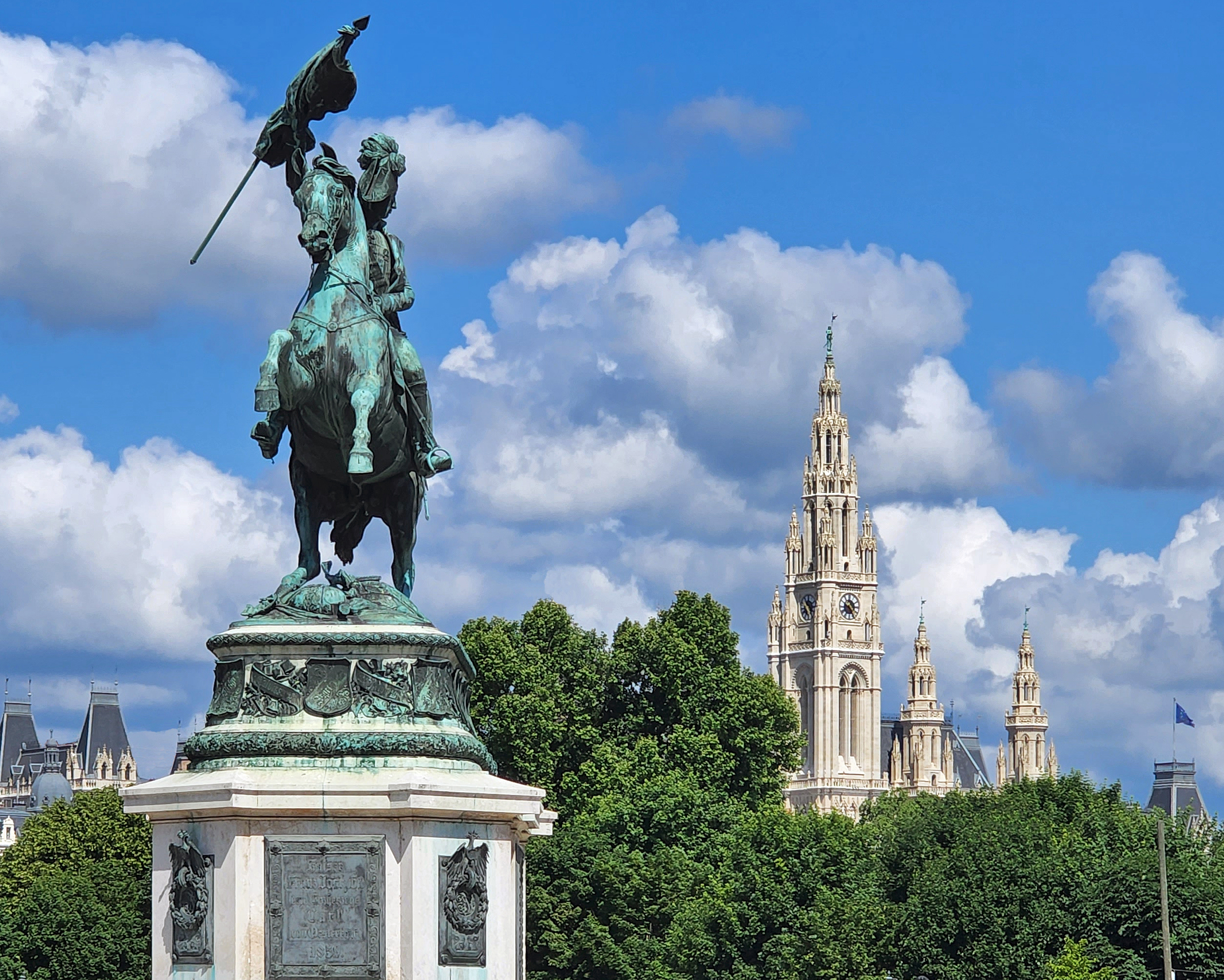
Vienna, Austria is a city steeped in history going back to at least 500 BCE when the Celts first settled in the area. It was later occupied by the Romans, was the capital of the Habsburg Empire, and then the de facto capital (according to Wikipedia) of the Holy Roman Empire. Vienna is also the spiritual home of classical music. Mozart, Beethoven, Brahms, Haydn, Schubert, Mahler, and many others lived and worked in Vienna, and many of the most acclaimed classical music works were composed and first performed there.

There’s so much to take in that Vienna cannot be fully appreciated on only a short visit. And my wife and I had only one full day to absorb as much of the city as we could on our 2022 Danube River cruise. But it was a memorable day.

Unlike Budapest and Bratislava, the historical center of the city does not lie directly on the Danube. We had to take Vienna’s subway system from the riverfront to the medieval center, which lessened the sense of going back-in-time that we have felt in exploring some of the other ancient European cities that we’ve visited.  But the old city is truly magnificent. It is home to some of the most spectacular medieval architecture that can be found anywhere in Europe.

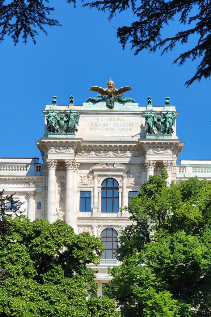
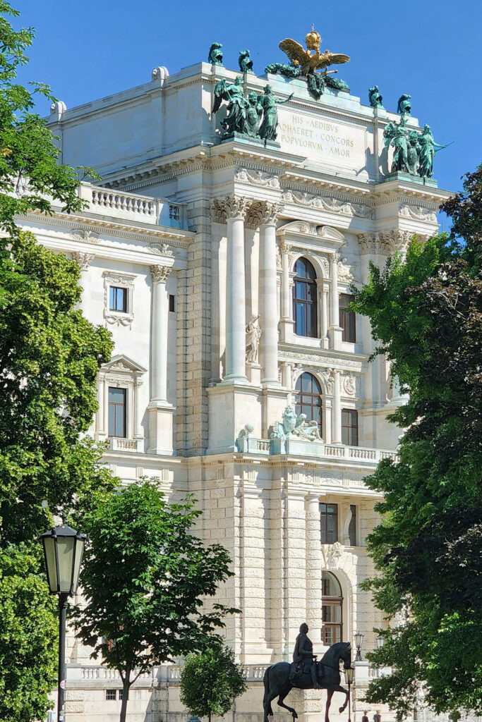
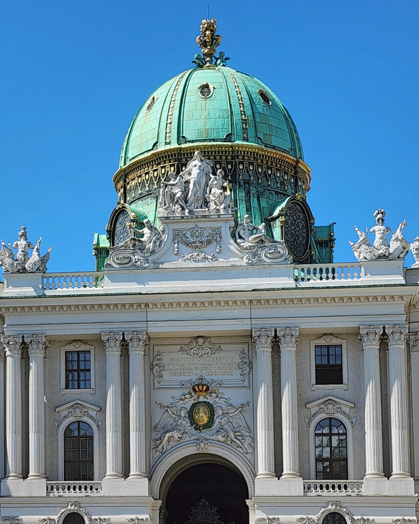
St. Steven’s Cathedral, Hofburg Palace, the Vienna State Opera House, the Albertina art museum, Maria Theresa Plaza, the Kunst Historical Museum, Mozart’s residence, and many other museums and places of interest are all within a half mile radius of each other in the historic center.


Belvedere Palace. Photo by Diego Delso, sourced from Wikimedia Commons

Belvedere Palace and Schonbrunn Palace, two of the more spectacular examples of Vienna’s medieval architecture, are a little farther afield and weren’t on our walking tour but are must-see attractions if you have more time than we did.

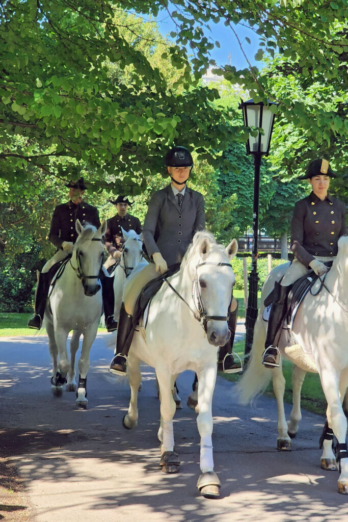
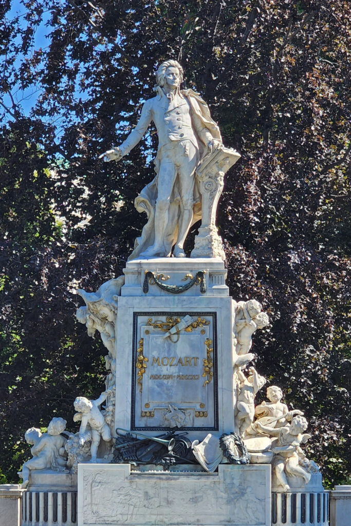
On our walking tour we chanced upon students of the Spanish Riding School exercising some of the famous Lipizzaner Stallions in the Burggarten park adjacent to the Hofburg Palace.

Besides being the cultural and historic center of Austria, Vienna is a modern city of two million people that has been ranked several times as the world’s most livable city, so there is much more to explore than just the medieval center.


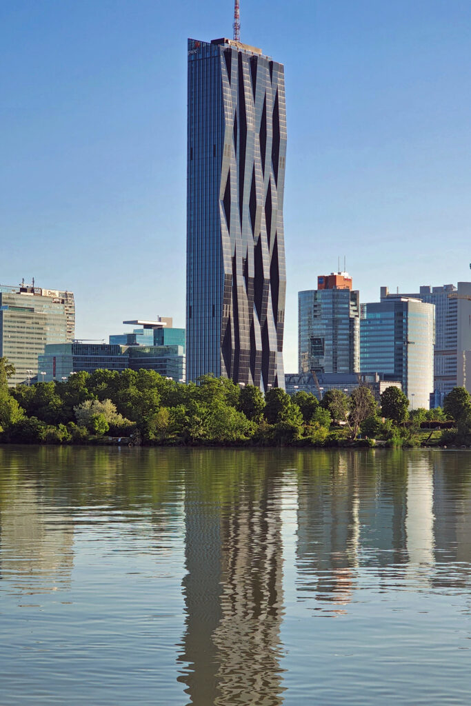
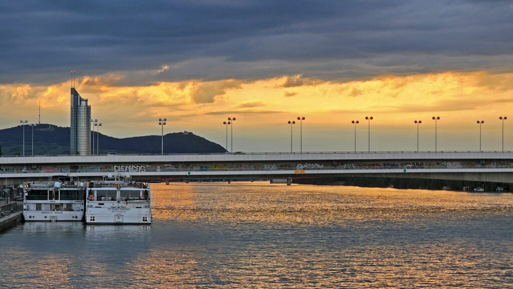
Vienna is also a city of many beautiful parks and natural areas. After our walking tour of the medieval center, we crossed the Danube and spend some time in a beautiful park on a long, narrow, tree lined island between the main channel of the Danube and the Neue Donau side channel.

We likely will never return to Vienna – too many places we haven’t seen, and too little time left in our lives – but it’s one of the places that I would to return to if I ever check off all of my bucket list destinations. I left Vienna feeling like I didn’t get more than a tiny taste of what it has to offer. If you have a desire to visit Vienna, check out Visiting Vienna’s Guide To Vienna webpage to begin your planning. And plan to spend at least three or four days there. There is just too much there to see in a day or two.

And if you do go to Vienna, visit Budapest, too. And include Salzburg on your itinerary, as well. You won’t regret adding either of those cities to your trip.

Posted April 4, 2024 by Alan K. Lee

All photos ©Alan K. Lee, except as noted

Zion Canyon

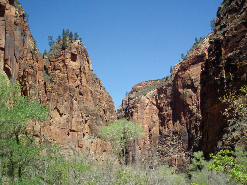
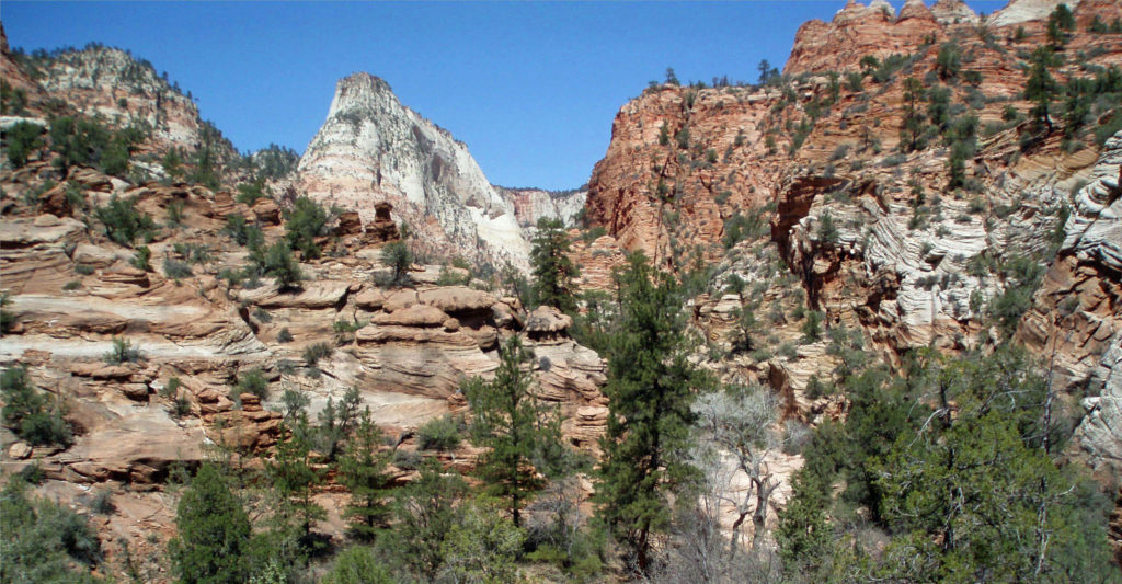
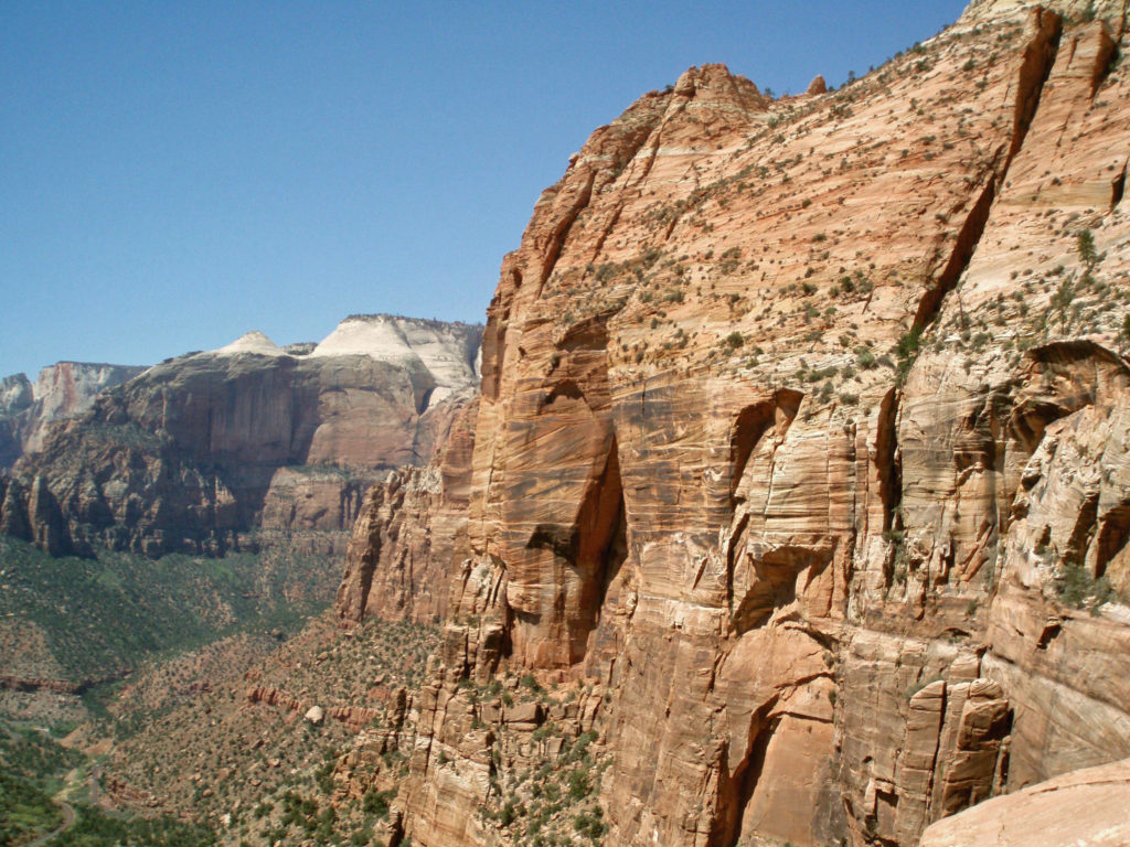
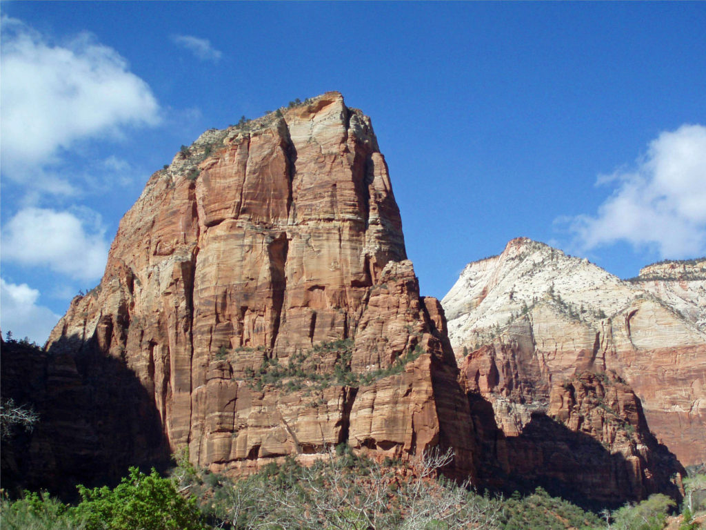
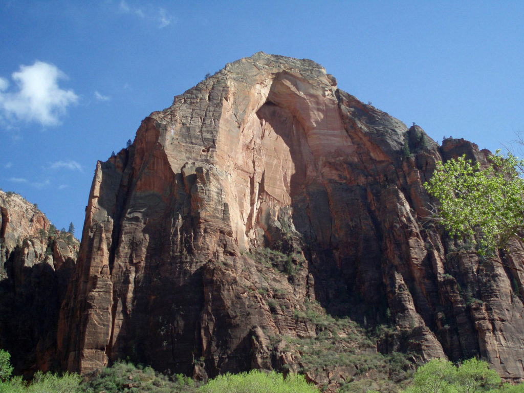
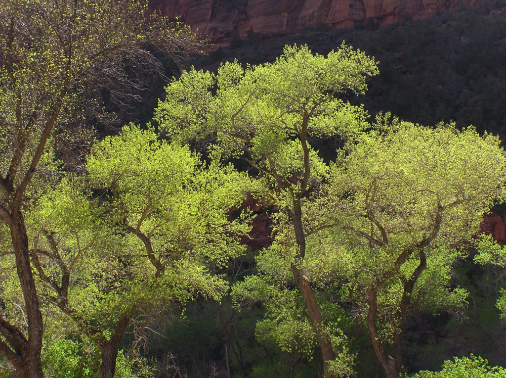
The southwestern United States is a wonderland of deserts, mountains, and canyons. Zion Canyon is among the most spectacular of the Southwest’s many canyons, maybe second only to the Grand Canyon. And while the vast majority of visitors to the Grand Canyon never venture below the canyon rim, Zion is much more accessible.

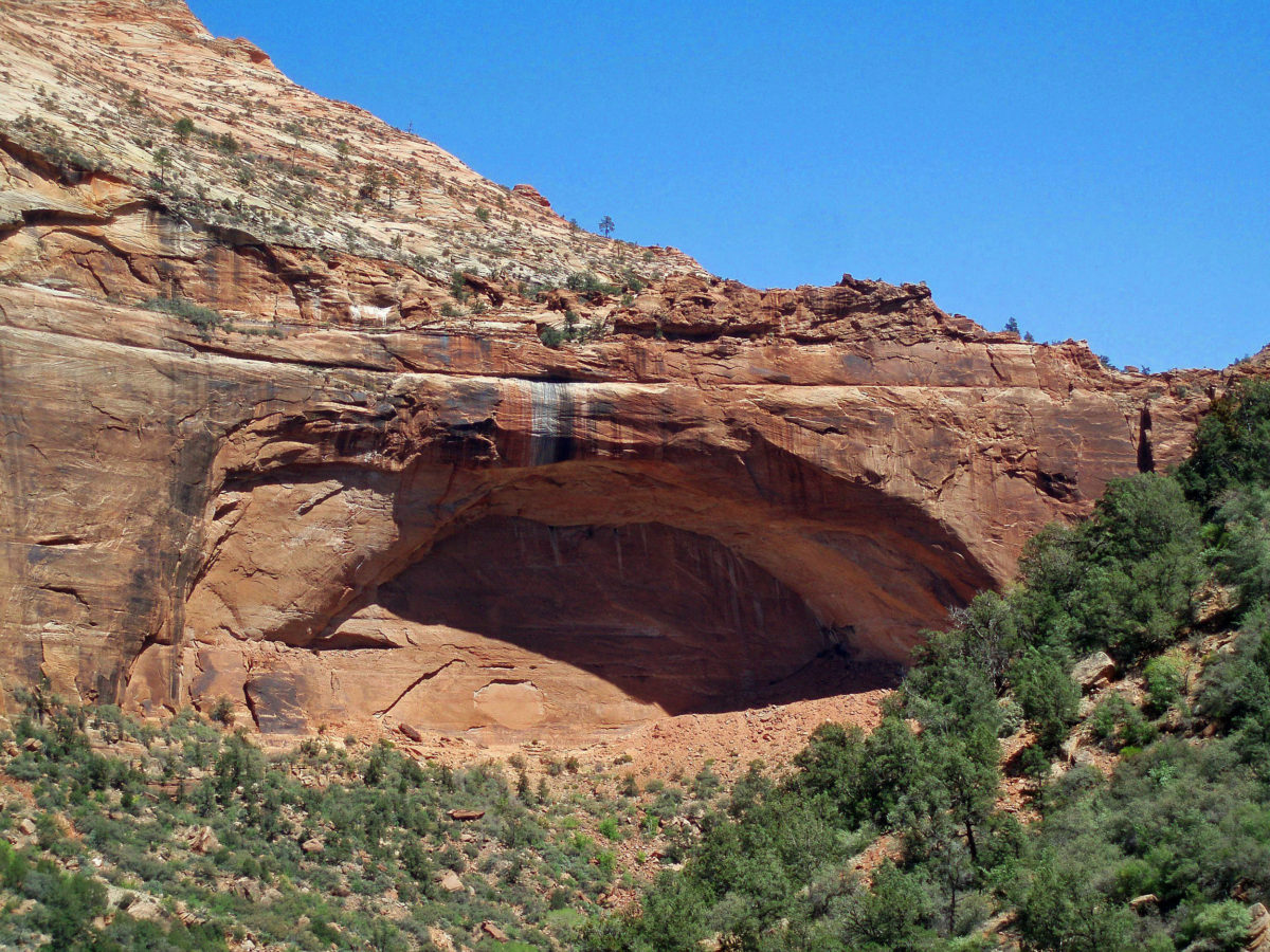
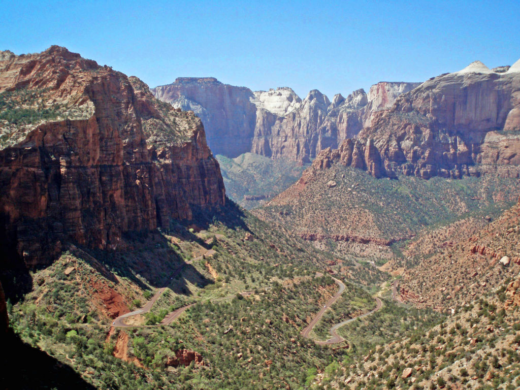
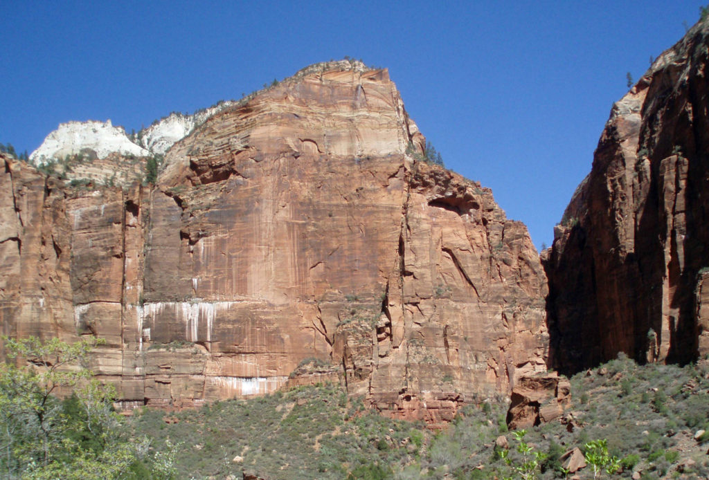
At Zion, you’re in the canyon, surrounded by the red and white Navajo sandstone walls of the canyon that tower as much as 2600 feet above you. Being immersed within Zion Canyon is a much more intimate experience than just looking down into the Grand Canyon. Everyone should visit the Grand Canyon at least once, but if I had to choose between visiting the Grand Canyon or Zion Canyon, I’d take Zion.

Getting There

By car, Zion Canyon is 165 miles from Las Vegas and 305 miles from Salt Lake City. If you’re flying, Delta flies to the nearby Cedar City and St. George regional airports from their Salt Lake City hub. United flies to St. George through it’s Denver hub, and American also flies to St. George through its Phoenix hub. There does not appear to be any commercial service from Las Vegas to either Cedar City or St. George. Check the airline websites or your travel agent for details.

Springdale

The small town of Springdale, Utah is the gateway to Zion Canyon. There are a variety of lodging and dining choices in Springdale, along with services such as gas stations and grocery stores, making it a good base for your exploration of the canyon. Springdale is a pretty town with a number of attractions itself, so budget some time to explore the town. If you’re an art lover like my wife and I, DeZion Gallery, Sorrelia Gallery, Worthington Gallery, David J. West Gallery, and Tribal Arts Zion are all worth a visit. One of David West’s photographs hangs on my living room wall.

Getting Around

Private vehicles are not allowed in Zion Canyon beyond Canyon Junction (unless you are staying at Zion Lodge). The National Park Service operates two free shuttle bus routes. The Springdale Shuttle makes nine stops in Springdale and at the park’s pedestrian and bicycle entrance near the Zion Canyon Visitor Center. The Zion Canyon Shuttle runs from the visitor center to the Temple of Sinawava, with numerous stops along the way. The shuttles are wheelchair accessible, strollers can be taken on board, and they have bicycle racks (electric bikes do not fit on the racks, though). Check the park’s website for current information and shuttle schedules.

Bicycling is permitted on all park roadways and on the Pa’rus Trail. All other park trails, off-trail routes, and the Zion-Mount Carmel Tunnel are closed to bikes. There are a number of places in Springdale where you can rent bikes and there are also numerous companies offering bicycle tours of Zion. Biking the canyon is a good alternative to riding the shuttle. From the Zion Canyon Visitor Center to the Temple of Sinawava at the end of the Zion Canyon Scenic Drive is about eight miles, with a few moderate hills along the way.

If you drive an electric vehicle, two charging stations are located within Zion National Park, one at the Zion Canyon Visitor Center and the other at the Kolob Canyons Visitor Center in the north end of the park. You can purchase a $5 pass code at the Zion Canyon Visitor Center that is valid for three days at either of the park’s charging stations. In Springdale, there are three Tesla charging stations (as well as others in nearby communities). Electrify America stations are located in St. George and Cedar City. ChargePoint and SemaConnect stations can be found in St. George.

Where to Stay

Dozens of hotels, motels, B&Bs, and vacation rentals can be found in Springdale and the neighboring community of Rockville. Check the Zion Canyon Visitors Bureau website  or Utah.com for lodging information. Cedar City and St. George offer even more choices. Rates run from under $100 per night to over $500. One option worth considering is Zion National Park Lodge , located within Zion Canyon (not to be confused with Zion Canyon Lodge, which is in Springdale, not in the canyon itself). Summer rates for 2024 start at $257 (plus tax) per night at Zion Lodge. Plan ahead, though. Reservations often need to be made several months in advance.

If you’re camping, Zion Canyon Campground in Springdale has 133 RV sites and 47 tent sites. Zion River Resort in nearby Virgin, Utah also has RV sites and cabins. There are two campgrounds within the national park near Springdale, South Campground and Watchman Campground. South Campground has 117 sites, but no hookups. Watchman has about 120 RV sites with full hookups and about 70 tent sites. South and Watchman both require advance reservations, except in winter. The small Lava Point Campground in the north end of the park is first come, first served, but has only six primitive sites. Check the park website for more detailed information. Reservations for the South and Watchman campgrounds can be made through Recreation.gov.

Where to Eat

Probably no one comes to Zion for the food, but Springdale offers a number of dining options. Oscar’s Cafe, Spotted Dog Cafe, Kings Landing Bistro, and Bit and Spur Restaurant and Saloon all get good reviews. Zion National Park Lodge in the canyon has two restaurants, as well. The Red Rock Grill in the main lodge is a full service restaurant open for lunch and dinner. The seasonal Castle Dome Cafe adjacent to the lodge offers burgers, hot dogs, and snack food. And,  Zion Canyon Brew Pub in Springdale offers a full food menu in addition to a variety of craft brews.

Hiking in Zion Canyon

Zion National Park offers more hiking options than I can list here, from the 0.4 mile Archaeology Trail in Zion Canyon to the 47 mile (one way) Trans-Zion Trek from the East Entrance to Lee’s Pass in the Kolob Canyons section of the park. Popular hikes in Zion Canyon include the 3.5 mile round trip Watchman Trail and Pa’Rus Trail hikes near the South (Springdale) Entrance, the Emerald Pools Trail, the West Rim Trail, and the strenuous (five miles roundtrip with 1520 feet of elevation gain) Angel’s Landing Trail. Hiking the Angel’s Landing Trail now requires a permit. Permits are limited and are awarded via a lottery system. Check the park’s website for information on applying for a permit.

One of the most spectacular hikes in the canyon is The Narrows. There is no trail through The Narrows – you’re hiking the bed of the Virgin River through a narrow canyon no more than 40 feet wide in places. If you’re interested in hiking The Narrows, be sure to check with the park rangers at the Zion Canyon Visitor Center. No permit is required, but The Narrows may be closed to hiking due to the possibility of flash floods. Thunderstorms many miles north of the park may lead to sudden and potentially life threatening rises in the river level with no warning, even when the park is sunny and cloudless. But if it’s doable safely, it’s a fantastic and unique hiking experience.

Trails outside of Zion Canyon (and all canyoneering routes) require a wilderness pass. Most are available online through the park’s website, but permits for some trails are only available in person.

Other Things to do in and near Zion Canyon

If you’re young and adventurous, canyoneering may interest you. Canyoneering involves traversing canyons, primarily slot canyons, that do not have established trails. Some, but not all, routes require technical rock climbing or rappelling skills. Since canyoneering permits within Zion National Park go quickly, advance planning is required. If you’re new to the sport, a guided canyoneering trip is probably the best way to go. There are a number of canyoneering guides, including ZionGuru, Zion Rock and Mountain Guides, and Zion Adventure Company, that offer a variety of trips for all skill levels, including family tours.

One hour and three hour horseback rides within the park can be booked through Canyon Trail Rides.

Mountain biking tours are available from a number of tour companies in Springdale. Note that these tours are outside of the park. I have no personal experience here, but from their websites they look to be pretty scenic and more than a little adventurous. Check the tour company websites for pricing and other information. Some offer discounts if you bring your own bike.

Off road vehicle tours are also available from a variety of providers. Like mountain bike tours, these are outside of the park. Again, I have no personal experience, so can’t make any recommendations, but the tours are popular.

Kolob Arch (National Park Service photo)

When you’ve finished exploring Zion Canyon, take a drive to the Kolob Canyons area in the north end of the park. This is an area that many visitors to Zion skip, but shouldn’t. Stop at the visitor center just off I-15 at Exit 40, then drive to the Kolob Canyons Viewpoint at the end of the road and hike the short Timber Creek Overlook Trail. If you’re up for more of an adventure, take the 14 mile out and back hike to Kolob Arch. This is a strenuous hike and should only be done by experienced hikers in good condition, but the reward is a view of the second largest free standing arch in the world (second only to Landscape Arch in Arches National Park). The trail to Kolob Arch starts at Lee’s Pass on the Kolob Canyons Road.

Bryce Canyon National Park

Outside of Zion

Often overlooked, Cedar Breaks National Monument, about 60 miles north of Zion Canyon, is an easy day trip and well worth a visit. Bryce Canyon National Park is only about 80 miles from Springdale, so it’s another easy day trip (but is spectacular enough you’ll want to spend a few days there). Coral Pink Sand Dunes State Park is a short ways off the road to Bryce and is also worth a stop, as is Kodachrome Basin State Park, just east of Bryce. And if you’ve got another few days (or weeks), the sprawling, nearly one million acre Grand Staircase-Escalante National Monument stretches from Bryce Canyon east to Capitol Reef National Park.

I can pretty much guarantee that no matter who you are or where your interests lie, a trip to Zion National Park will be an adventure you will not soon forget.

Originally posted June 14, 2021 by Alan K. Lee. Updated and re-posted March 15, 2024.

All photos © Alan K. Lee, except as noted

Everglades National Park


A few years ago my wife and I had the privilege of exploring Key West, the rest of the Keys, and Everglades National Park on a winter getaway.

The Florida Everglades are about as far from our home in the Pacific Northwest as you can get without leaving the continent. I always envisioned the Everglades as swamp and marshland and nothing else, but it’s actually a quite diverse ecosystem. Wetlands make up much of the park, to be sure, but grassland covers a lot of it, too, with islands (called “hammocks”) of hardwoods scattered throughout. Pines dominate the higher ridges. Cypress swamps are found mainly in the northern part of the park and the adjacent Big Cypress National Preserve. And the coastal areas have both mangrove swamps and coastal prairie ecosystems.

White Ibis

The park was created in 1947 to preserve what remained of the Everglades after nearly half of century of damming, diverting, and draining the waters of the “river of grass” that had once flowed unimpeded from Lake Okeechobee to Biscayne Bay, Florida Bay, and the Ten thousand Islands area on the Gulf Coast.

Today, the Everglades are still one of the most endangered ecosystems in the country. Diversion of water upstream of the park for use by the agricultural industry and the ever growing population of southern Florida has greatly reduced the volume of water flowing through the park, which in turn has had a significant impact on the flora and fauna of the park. Nutrient pollution and residual pesticides from agricultural runoff have also had a significant impact on the park’s ecosystem. Introduced species, such as the Burmese python, have also put stress on the system. And, since much of the Everglades is less than three feet above sea level, global warming and sea level rise threaten the very existence of the Everglades.

Black Vultures

There are two main accesses to Everglades National Park. The Tamiami Trail (US Hwy 41) cuts across the northern part of park and southern part of the Big Cypress National Preserve, and gives access to the Shark Valley Visitor Center in the northern part of the park and the Gulf Coast Visitor Center in Everglades City. The southern part of the park is accessed from the Homestead and Florida City area via Florida Hwy 9336, which crosses the park and ends at the town of Flamingo on Florida Bay.

Little Blue Heron

The Shark Valley and Gulf Coast parts of the park are well worth visiting, but if you only have a day to spend at the park, the southern section is more diverse and has more things to see and do than the other areas. Stop at the Ernest F. Coe Visitor Center, just inside the park boundary, to get maps and information on the park and park activities, but don’t spend a lot of time there. Instead, head to the Royal Palm Visitor Center.

Alligators along the Anhinga Trail

The guide books didn’t even come close to preparing us for what we found at Royal Palm. The first thing we noticed was that blue tarps covered many of the cars in the parking lot. It seems that the local Black Vultures, for some unexplained reason, are known to eat the weather stripping around car windshields. We dutifully covered our rental car with one of the park-provided tarps, though there were none of the car-eating vultures present. The visitor center is pretty much a standard issue national park center, but what’s outside will amaze you. Just outside the back door of the center is a large pond. The first thing we saw there was a large alligator, apparently asleep, only a few feet from the walkway. Yikes!

Sleeping Gator

Sitting on a railing post next to the pond, a Double-crested Cormorant ignored the people walking within feet of it. Four or five Black Vultures stood a few feet off the trail looking more bored than threatening. Along the Anhinga Trail more alligators lounged within feet of the trail. One was actually laying part way onto the paved trail. We got close up views and photos of Great Blue Herons, Great Egrets, Little Blue Herons, Anhingas, White Ibis, Purple Gallinules, and many other birds along the trail. And in one water hole next to the trail, twenty or more alligators lazed together, maybe waiting for warmer weather (this was in February and it was unusually cold for south Florida). For a wildlife photographer, this place is paradise.

Double-crested Cormorant

The other trail from the visitor center, the Gumbo Limbo Trail, takes you into a hardwood hammock. It’s less peopled and has fewer birds and other wildlife, but it is a nice, quiet walk and only takes a few minutes to do.

On the Anhinga Trail

The sheer volume of birds and other wildlife at Royal Palm was astonishing, as was their total disregard for the people in their midst. No need for a long telephoto lens here.

Farther along the road to Flamingo, the Long Pine Key, Pahayokey Overlook, and Mahogany Hammock stops offer short hiking trails. Canoeing and kayaking opportunities are found at Nine Mile Pond and West Lake. You’ll also find a nice picnic area at Nine Mile Pond, and another at Paroutis Pond.

Osprey

At Flamingo, get information on local area bird watching opportunities and check for ranger-led activities at the Flamingo Visitor Center. The center also has a small cafe where you can get sandwiches or a pizza. You can stock up on supplies at the Flamingo Marina Store next door. Manatees can often be found hanging out in the marina. A pair of Ospreys had built a nest on top of a pole at the marina when we were there, also. And you might catch a glimpse of the rare American Crocodile there. Ask at the visitor center if there have been an recent sightings and how to tell a crocodile from an alligator. The marina offers boat, canoe, and kayak rentals, and a 50 minute tour of the coastal area aboard a 30 passenger boat.

We had planned to take an air boat tour the next day in the Shark Valley area along the Tamiami Trail, but there was rain in the forecast for that day, and the air boats apparently don’t run in the rain. So, it was on to Plan B. That took us to the Shark Valley Visitor Center and a naturalist led tram ride to an observation tower about seven miles to the south. You can also rent bicycles at the visitor center, and we probably would have done that if the weather had been less threatening. But the two hour tram tour was informative and entertaining, and the ranger stopped at every available photo op.

Alligators at the Shark Valley observatory

We saw many more alligators at Shark Valley, specially around the observation tower, and many, many birds, including Wood Storks, Roseate Spoonbills, and Red-shouldered Hawks. No sharks, though. The name Shark Valley comes from the Shark River Slough that flows through the valley. Some sharks do come upstream to give birth in the slough, but not in the area of the visitor center.

Florida Bay

We continued west from Shark Valley to Everglades City and the Gulf Coast Visitor Center. This is the jumping off point for exploring the Ten Thousand Islands section of the gulf coast, and for paddling the 99 mile long Wilderness Waterway Trail. Naturalist-led boat tours can be arranged at the visitor center, and rangers lead bike and canoe tours between Christmas and Easter.

Little Blue Heron

Anyone who has read Peter Matthiessen’s historical novel Killing Mister Watson will probably want to continue on past Everglades City to Chokoloskee. The book tells the story of Edgar J. Watson, a notorious, and probably murderous, real life character. Watson had never been convicted, but was suspected in many disappearances, and greatly feared. In 1910, on the beach next to the Smallwood Store in Chokoloskee, more than twenty men from the local area gunned him down, claiming self defense. None of the men involved were ever charged with his killing. The Smallwood Store still stands, though it is a museum now.

Anhinga

If you’re a birder, wildlife photographer, nature lover, or just someone that likes to see places that are different from where you live, the Everglades will thrill you.

Great Egret

For more information about the park and the Everglades, go to the park website. And if you plan to visit Everglades National Park, no visit to south Florida is complete without paying the Florida Keys and Key West a visit.

Great Blue Heron

Originally posted December 4, 2018 by Alan K. Lee. Most recently updated February 27, 2024.

All photos © Alan K. Lee
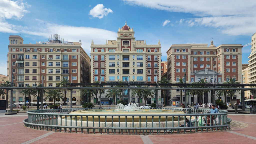
Bern and Basel, Switzerland

When travelers think of Swiss cities, Bern and Basel probably don’t come immediately to mind. In fact, Rick Steves’ Switzerland guide book doesn’t even mention Basel. And even though Bern is the capital of Switzerland, it is not nearly as well known as Geneva, Zurich, and Lucerne. But both Bern and Basel have charming and interesting medieval city centers and are well worth exploring.

Basel is located on the Rhine River where the borders of Switzerland, Germany, and France meet. The city center straddles the river, and the city’s suburbs spill into both Germany and France. Bern is located on the Aare River midway between Geneva and Zurich, about 40 miles as the crow flies south of Basel .

BASEL

When my wife and I did a Rhine River cruise a number of years ago, Basel wasn’t really on our agenda. It was just the place where the cruise ended, where we would spend the night before extending our trip to the Lauterbrunnen Valley in the Berner Oberland section of Switzerland.

Since our guide book didn’t cover Basel at all, we didn’t know quite what to expect. But, after disembarking the ship in the morning and taking a taxi to our hotel, we took advantage of having the rest of the day to explore the city.

We first headed to the Museum of Contemporary Art, part of the Kunstmuseum. On the way there we discovered an old section of the city (the St. Alban District) that is as picturesque and has all of the charm of the other medieval city centers we’ve visited, but with few tourists and no crowds.

After touring the museum, we spent the rest of the day sampling Swiss cuisine and exploring more of the city center, including Basel Cathedral (Basel Minster) and the Basel Town Hall (Rathaus), which has been the seat of government for 500 years. All in all, Basel was a delightful surprise, and a fitting end to our Rhine River cruise.

I later learned that Basel is considered by many to be the cultural heart of Switzerland. The Kunstmuseum (linked above), which opened in 1661, is the oldest public art museum in the world. The Museum of Contemprary Art is also the oldest contemporary art museum in Europe. And the and the University of Basel, founded in 1460, is the oldest university in Switzerland. Clearly, there is a lot of history here.

BERN

Bern also wasn’t really on our radar before the trip. After our stay in the Lauterbrunnen Valley, it was an overnight stop on our way back to Amsterdam and our flight home. But we had booked a hotel room in the old medieval city center, and had the afternoon and evening to explore the old town.

We wandered our way through the medieval center and down to the Aare River at the point of the peninsula that the old city is located on. The Aare is strikingly beautiful, colored turquoise blue by the glacial silt it carries. We lingered along river for a while before crossing the relatively new (built in 1840) high bridge (Nydeggbrucke) on our way to a couple of cold beers at the Altes Tramsdepot, a restaurant and pub housed in what was once a transit center.

The restaurant and the viewpoint next to it provide a good view of the river and the old city. And below, along the river, you can sometimes see brown bears, which are the symbol of Bern, in the Bear Park (Barenpark). The bears were not out and about when we were there, though.

Just downstream of the Nydeggbrucke, the older Untertorbrucke is a good vantage point to photograph the river and the high bridge. The current Untertorbrucke was constructed in 1489 to replace a wooden bridge built in 1256.

Back in the medieval city center (all of which is a UNESCO World Heritage Site), we visited the Bern Cathedral (Bern Minster) and the Swiss Assembly building (the Bundeshaus). On the grounds of the Bundeshaus we found a rock garden with rocks from places around the world that have Switzerland in their name or are somehow associated with Switzerland. The Wallowa Mountains in Oregon are often referred to as the “Switzerland of America,” and, sure enough, one of the rocks in the rock garden came from Joseph, Oregon.

The following morning we boarded a train for an all day journey back to Amsterdam, where we spent a few more days before flying back to Portland. The Rhine River cruise, our foray into Switzerland, and our exploration of Amsterdam were all quite incredible experiences. I just wish that we had been able to spend more time in Switzerland, including Bern and Basel. They are both very interesting cities and we barely scratched the surface of what is there for the visitor. I hope to return someday, and I think that most travelers will find even a brief visit  to Bern or Basel as worthwhile as we did.

Originally posted February 27, 2021 by Alan K. Lee. Updated and reposted February 9, 2024.

All photos © Alan K. Lee
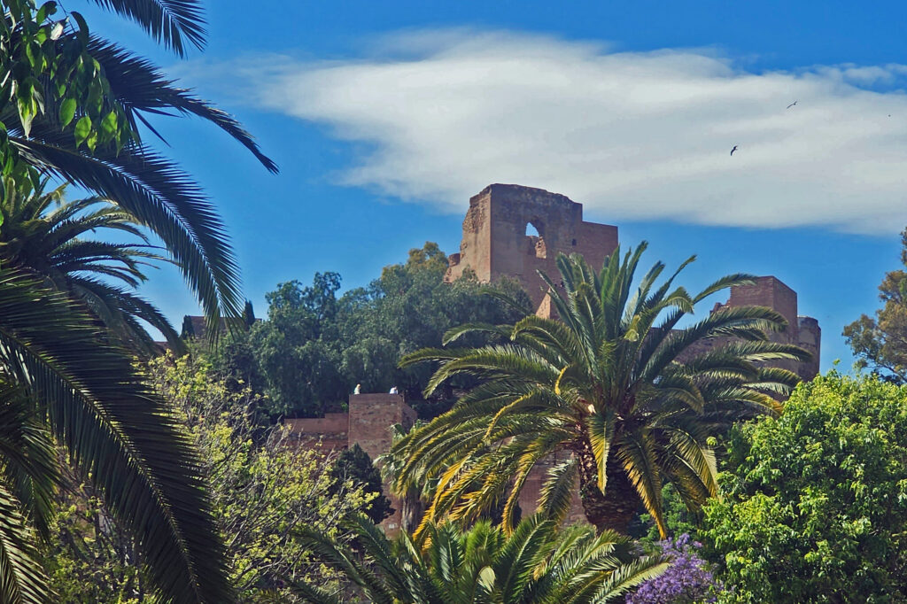
Lauterbrunnen Valley, Switzerland

It’s been almost a decade since my wife and I visited Switzerland, but the memories haven’t faded. One of the highlights of our visit was the Lauterbrunnen Valley in the Berner Oberland section of central Switzerland. It is by any measure one of the most spectacularly beautiful places in the world.

View from the Schilthorn cable-car
Murren

We came to Switzerland after a Rhine River cruise that ended in Basel, Switzerland. From there we continued on to the small village of Murren, perched on the edge of the glacier carved  Lauterbrunnen Valley, some 2300 feet above the valley floor.

Looking down on Murren from the Birg cable car station

To get there, we took a Swiss Rail train from Basel to Interlaken, then transferred to a local train that took us to the village of Lauterbrunnen where we boarded a cable-car lift that took us up the side of the valley. From the upper cable-car station it was a short 15 minute ride on a narrow gauge railway to Murren. If that all sounds a little complicated, it wasn’t. The train to Interlachen was direct with no stops. There was almost no layover in Interlachen. The cable car station in Lauterbrunnen is a short walk through a tunnel under the main street. The gondola was waiting for us in the station. The narrow gauge train at the top was there waiting for us to arrive. It all ran like the proverbial Swiss watch. It couldn’t have been easier.

Paragliding in the Lauterbrunnen Valley

You can also reach Murren by taking a local bus up the valley from Lauterbrunnen to Stechelberg. From there you can ride the lift that takes you first to the little village of Gimmelwald, then to Murren. From Murren it continues to the top of Schilthorn at an elevation 9744 feet. Gimmelwald is Rick Steves’ favorite village in the area, and it is certainly a picturesque and charming little village, but it’s tiny and accommodations are limited. Murren has many more lodging options and tourist services, but it is more crowded and very much a tourist town.

Slopes above Murren

After getting settled in our hotel in Murren, we went for a hike above the village. Even though it was cloudy and none of the surrounding mountains were in view, the slopes of the valley are dotted with meadows and patches of forest, and are spectacularly beautiful. We hiked to Allmendhubel, where there is a children’s playground and a small cafe. Murren and Allmendhubel are connected by a funicular, but it was not running at the time. The trail to Allmendhubel passes a restaurant and inn called Sonnenberg. And not far from there is the Pension Suppenlap, another inn and restaurant. Both are high above Murren. There is a service road to them, but it is not open to the public. The only way to get to them is to walk. (Murren also has no public vehicular access.)

Farm “alps” above Murren

The meadows above Murren are grazed by cattle in the summer. Local farmers have huts (called alps) at various heights above the valley floor. The alps are manned by a team that tends the cattle and turns the milk produced into the local cheese. Each alp also has a herd of pigs that are fed the leftovers from the cheese making process. In the fall the farmers move their livestock down to the valley floor, sometimes in bad weather by the same gondola that transports the summer tourists.

Jungfrau Massive viewed from near Murren
Jungfrau viewed from Jungfraujoch

Across the valley from Murren are the peaks of the Jungfrau Massive – the famous Eiger, Monch in the center, and the highest, Jungfrau. They were in the clouds the day we arrived, but the following morning the sun was shining and the three mountains were there in all their glory. Quite a sight, to say the least.

Schilthorn cable-car approaching the Birg station

We rode the cable-car from Murren up to the top of Schilthorn that morning. The first leg of the ride takes you to the Birg station where you transfer to another gondola that takes you to the top of Schilthorn. At Birg there is a walkway out over the edge of the cliff where you can look straight down through the grated floor hundreds of feet to the rocks below.

View from the summit of Schilthorn

At the Schilthorn summit there is a revolving restaurant and viewing platform with panoramic views east across the valley to Jungrau, Monch, and Eiger, south and west to a seemingly endless expanse of mountain peaks, and to Lake Thun and the town of Thun to the north. Part of the James Bond film On Her Majesty’s Secret Service was filmed at the top of Schilthorn and the there is a Bond World 007 exhibit and theater there that’s at least worth a quick visit.

Trummelbach Falls


That afternoon we took the cable-car down to the valley floor. A short bus ride took us to Trummelbach Falls. It’s hard to describe just how amazing this waterfall is. It’s actually a series of ten cascades, or chutes, inside the cliff face. The top and bottom of the falls are narrow slot canyons only a few feet wide, and the central part is completely within the mountain. From the bottom an elevator takes you up inside the mountain to a series of walkways, tunnels, and stairs that follow the cascades through the caves and slot canyons. Even in mid-summer when we were there the volume of water blasting through the mountain was awe inspiring. There just isn’t anything like this anywhere else in the world, as far as I know. It’s certainly the most incredible waterfall I’ve ever seen. You simply can’t capture the magic of this place with a camera. You have to see it to understand how truly mind boggling it really is.

Staubbach Falls

Lauterbrunnen is a short bus ride from Trummelbach. It’s bisected by a busy road and crowded with tourists, but has a few good pubs and restaurants. It would be just another tourist town if it weren’t located where it is. The town is crowded up against the thousand foot high vertical wall of the valley. On the other side of the Weisse Lutschine River the eastern wall of the valley rises to the Eiger, Monch, and Jungfrau peaks. A half mile from the town, and visible from almost everywhere in the valley, Staubbach Falls cascades 974 feet down the canyon wall. And there are many other waterfalls lining both sides of the valley. Did I say this place is spectacularly beautiful?

Wengen
Jungfraubahn cog railway

The next morning we rode the train and lift down to Lauterbrunnen, then took the electric powered cog railway through Wengen and on up (way up) to Jungfraujoch, between the Jungfrau and Monch peaks, via a tunnel through the interior of the Eiger and Monch. Jungfraujoch, at an elevation of about 11,300 feet, is the highest train station in Europe. Mountain climbing by train! It’s hard to believe that the rail line was built more than a hundred years ago. It was cold, windy, and blindingly bright at the top, but magnificent. I probably took 150 photos that morning. Very, very cool place.

Summit of Monch from Jungfraujoch
Aletsch Glacier below Jungfraujoch

On the way down from Jungfraujoch we stopped at the Kleine Scheidegg station for lunch, then got on the wrong train. We wound up going to Grindelwald instead of Lauterbrunnen, but it was a very scenic wrong turn. From Grindelwald the train took us back to Interlaken. We then took another train back to Lauterbrunnen.

Stone monuments near Kleine Scheidegg
View from above Kleine Schiedegg
North shoulder of the Eiger

We left the next morning, but reluctantly. We could easily have spent a week or more there and not run out of things to do and see. For one thing, it is an absolute hikers paradise, and we did only that one relatively short hike to Allmenhubel. I hope to return someday when I can more fully explore this incredible area. It’s truly one of the most beautiful places in the world.

Breithorn


From Lautenbrunnen we travelled to Bern and then to Basel before returning home. Both are well worth visiting. Click here to view my post on Bern and Basel.

View from Jungfraujoch

Originally posted by Alan K. Lee,  June 8, 2019

Updated and re-posted March 6, 2021 and January 31, 2024

All photos © Alan K. Lee
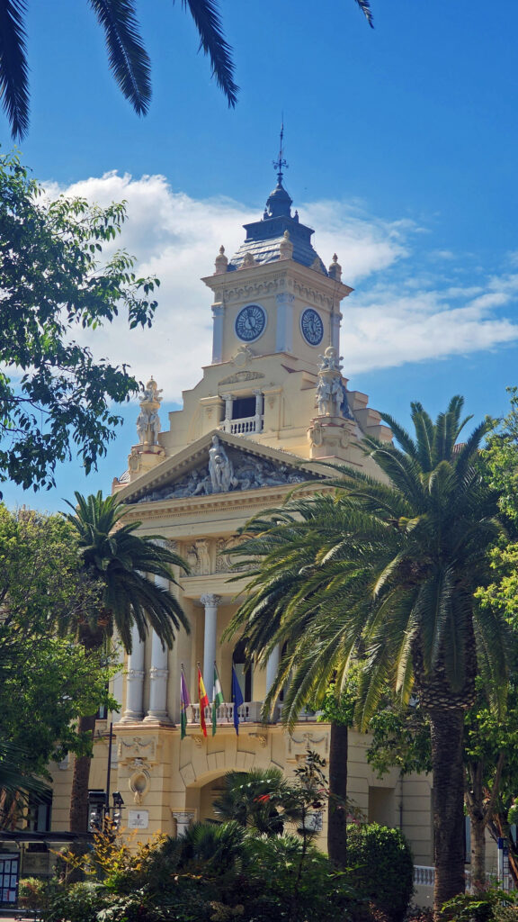
New Orleans

New Orleans. NOLA. The Big Easy. No matter what you call it, and no matter where your interests lie, the city has something for you. Food, drink, music, art, history, architecture, parks, festivals, cemeteries, voodoo, river boats, streetcars, endless parties, you name it. New Orleans has it all. In abundance.

The city’s identity has been forged from many roots – French, American, African American, Native American, Haitian, and more. And those roots have produced many branches and have blossomed into something truly unique.

It’s been quite a while since I’ve been to New Orleans, but the ten days or so that my wife and I spent there left an indelible imprint on my psyche. The food, the music, the arts, the people. There is simply no place else like it in the U.S. Probably no place in the world.

We spent our first day in New Orleans just wandering around the French Quarter with no agenda. We almost always allow ourselves time in a new city just to explore at random. We’ve had many memorable experiences that we would never have had if we had stuck to the guide book recommendations. But don’t throw away the guide books, either. Their recommendations are there for a reason.

That first night, we wandered over to Bourbon Street to see what that is all about. We had a great time and we came back again another night. And, by all means, if you’re visiting New Orleans for the first time, venture into the French Quarter after dark and take in that giant street party. Get your Hurricane in a go cup and wander the street. Take in some of the live music, mingle with the other tourists, have another Hurricane, dance the night away. Get it all out of your system. But don’t think that’s the real New Orleans. Bourbon Street is the Disneyland version of the Big Easy.

So, how to experience the real New Orleans? Well, you probably have to spend a year or two there to really get to know the city. It’s a complex place. But if you don’t have that kind of time, my first recommendation would be to find a place to stay in the French Quarter. It’s the historic center of the city and the city’s cultural heart. Most of what you’ll probably want to see and do you’ll find either in French Quarter itself or close by.

My wife and I stayed at a boutique hotel (I’ve forgotten its name) near the river, across the street from the House of Blues, for the first part of our stay. As I recall, it was a very nice and quite affordable place. But after a few days there, the hotel had some sort of plumbing system problem, necessitating our move to the Hotel Monteleone on Royal Street for the second part of our visit. The Monteleone turned out to be one of the better hotels we’ve stayed in, but there are plenty of other places to stay in the French Quarter. Check the French Quarter website for recommendations.

Since my wife and I are both art lovers, another thing that we always do in a new city is spend at least some time exploring the local arts scene. Sometimes that just entails visiting local museums and art galleries. But we also seek out local artists and art related events when we can. The New Orleans Museum of Art , located in City Park, and the adjacent Besthoff Sculpture Garden were two of our first stops, along with a number of galleries in the French Quarter. But we also took in an arts and crafts fair in Mickey Markey Park in the Bywater neighborhood, about a mile east of the French Quarter, where we met several local artists.

I won’t spend much time here trying to give you a guide to the French Quarter. There are plenty of guide books and online guides that will do a better job than I can. But there are tons of things to see and do in the Vieux Carre and you could spend your entire visit there and not get bored. Plan to spend at least a full day, and preferably a couple of days, exploring the French Quarter on your visit.

But if you really want to sample what New Orleans has to offer, and have the time, I recommend that you also go beyond the French Quarter. Visit City Park and Audubon Park. Take a walk through the Garden District. Take the ferry across the river to the Algiers neighborhood. Visit one of the city’s famous cemeteries. Take a cruise on the Mississippi in a paddle wheeler. Check out the Treme and Marigny neighborhoods. Even go beyond the city itself and take a swamp tour or a plantation tour.

We spent one afternoon exploring the Algiers neighborhood across the river from the French Quarter. Take the ferry from the terminal at the foot of Canal Street. It’s a short but scenic ride and Algiers is an interesting place. Check out the Jazz Walk of Fame next to the ferry terminal. Take a walk along the levy on the Mississippi River Trail. Stop in at one of Algiers many restaurants and bars, such as the Dry Dock Cafe, the Old Point Bar, Tout de Suite Cafe, or the Crown and Anchor English Pub. And just walk around the neighborhood. As I said, it’s an interesting place, full of beautiful old houses and impressive buildings.

Touring one of the city’s many cemeteries turned out to be one of the more interesting things we did on our visit. Because the land New Orleans is built on was originally a swamp, and much of it is below sea level, the dead are not buried in the ground, but are interred in above ground crypts or tombs.

When we were there, we were warned that some of the cemeteries were dangerous places to visit and should be avoided. That may have changed, but check before you venture into any of the city’s cemeteries. There are organized cemetery tours that you can take, but we preferred to go on our own. One of the cemeteries that was said to be safe, and the one we visited, was St. Patrick Cemetery No. 1, on Canal Street near the end of the streetcar line.

Many of the tombs there are large, elaborate, and impressive, holding the remains of many generations of the same family. The larger and more ornate ones are generally well kept up, but many of the others have not been maintained and are crumbling. Many are just ruins, empty and abandoned. One has to wonder what became of the bodies.

Visiting some of the city’s parks also turned out to be one of the more worthwhile ways we found to spend our time. There are a number of parks in the city that are worth a visit. Jackson Square in the French Quarter, and Louis Armstrong Park, on Rampart Street in the Treme neighborhood adjacent to the Quarter, should be on everyone’s agenda.

City Park , about two miles north of the French Quarter, and Audubon Park, a couple of miles west of the Quarter, both have attractions for the whole family. Besides being home to the New Orleans Museum of Art, City Park is also home to the Louisiana Children’s Museum, a short walk from NOMA, and the New Orleans Botanical Garden. And Audubon Park is home to both a zoo and an aquarium. Both parks also feature nature trails, beautiful ponds, magnificent live oaks draped in Spanish moss, and many other attractions. Both City Park and Audubon Park are easily reached from the French Quarter by the city’s streetcar lines.

Think of New Orleans and Mardi Gras is probably the first thing that comes to mind. Mardi Gras has been celebrated in Louisiana since at least 1699, before the founding of New Orleans. It is celebrated in many other communities, but the New Orleans festivities are the quintessential Mardi Gras celebrations. We were there a week or two after the end of Mardi Gras, so I can’t give you an eye witness account of what Mardi Gras is actually like. But it is a festival that I would like to experience some day.

The other New Orleans festival that I would dearly love to take in is the New Orleans Jazz and Heritage Festival, held each year in late April and early May. This may actually be a bigger tourist draw than Mardi Gras. As many as 650,000 people have attended in past years.

Music is an essential component of the spirit of the Big Easy. Whether it’s traditional Cajun fiddle tunes, blues, jazz, swamp rock, zydeco, country, or a fusion of some or all of those genres, music permeates the city. Street performers are a common sight in the French Quarter any time of the day or night. And there are probably hundreds of clubs throughout the city offering live performances late into the night, every night. Take in as much of the music as you can while you’re there because it’s such a vital component of the city’s spirit.

There’s plenty of music to be heard on Bourbon Street, but there are more authentic venues elsewhere. Preservation Hall, in the French Quarter, is probably the most famous. Tipitina’s, on Napolean Avenue about a mile and a half west of the French Quarter, might be the most highly regarded club. The Spotted Cat Music Club, the Blue Nile, and d.b.a., all on Frenchmen Street in the Marigny, are three of the most highly regarded clubs. Le Bon Temps Roule, near Tipitina’s, and Chickie Wah Wah, on Canal Street in Mid-city, are a couple of other well regarded venues. In the French Quarter, check out One Eyed Jack’s.

Like music, the cuisine of New Orleans is one the city’s defining features. I fell in love with the food when we were there, and gumbo and jambalaya have become mainstays in my home kitchen. The Foodies Guide to New Orleans website will give you a good overview of the city’s culinary offerings. The people of New Orleans are passionate about their food and anyone you talk to will probably be happy to steer you to some great places to eat. Or you can book one of the many food tours that are available.

The food scene has probably changed a lot since we were there, but there are some iconic New Orleans eateries that you might want to check out. The Cafe du Monde in the French Market is one of those. It’s been a New Orleans institution since 1862. Go for the beignets and the coffee with chicory because that’s about all they serve. And go early. You’ll probably still have to wait in line to get in, but it’s an iconic New Orleans experience that shouldn’t be missed. And dinner at Antoine’s was a highlight of our stay. Antoine’s has been in existence even longer than the Cafe du Monde. They’ve been serving French Creole food in the same location since 1840. There’s no place in New Orleans more steeped in history than Antoine’s.

And then there’s voodoo. Personally, I have no interest in voodoo, but it’s another unique component of the culture and you can’t ignore it completely if you want to get the full New Orleans experience. You might just want to stop in at one of the many shops in the French Quarter selling voodoo related trinkets. Or maybe delve deeper into the history and practice of voodoo by visiting the Voodoo Museum or taking a voodoo tour.

New Orleans can’t be adequately described in words or pictures by any means. It really has to be experienced. It blends the Old South charm of places like Charleston and Savannah with the party atmosphere of places like Key West, and mixes in a whole lot more to boot.  You should make the pilgrimage to the Big Easy at least once in your life. You won’t regret it.

Originally posted January 9, 2021 by Alan K. Lee. Updated and re-posted January 10, 2024.

All photos © Alan K. Lee
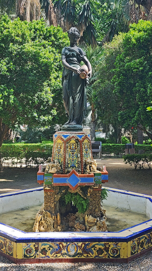
 

Rocky Mountain National Park


Nymph Lake

Overview

Rocky Mountain National Park in northern Colorado is without question one of the most scenic places I have ever been. Its mountains, lakes, meadows, waterfalls, rivers, and forests rival those of Glacier National Park, the Canadian Rockies, and the Teton Range. And its vast tracks of alpine tundra above the timberline and its 14,000-foot peaks make it unique. All of that, and its proximity to the Denver metropolitan area, make it one of the most visited national parks in the country.

Poudre Lake

I had the pleasure of visiting the park last August (2023) with my wife at the beginning of our tour of the Colorado Rockies that also took us to Breckenridge, Leadville, Aspen, Great Sand Dunes National Park, Alamosa, Royal Gorge, Pueblo, and Colorado Springs. We ended our tour at the Garden of the Gods, an incredibly beautiful collection of rock spires that is another of the most scenic spots I’ve ever visited.

Along Trail Ridge Road

The popularity of Rocky Mountain National Park has led to overcrowding in the past.  To limit the number of visitors, the park has instituted timed entry permits, which are needed to visit both the Bear Lake area of the park and to access Trail Ridge Road, which takes you through the high-altitude country along the continental divide. The permits can be obtained through the park website but go quickly.

View from Alpine Visitor Center, Trail Ridge Road

On the first day of each month during the summer tourist season, the park opens the sale of permits for the following month. We had already made reservations for lodging in Estes Park, as well as our flight to Denver and our car rental before the entry permits for the days in August that we planned to visit were available. So, my wife got on the web early on July 1 to ensure that we got permits for our desired days, which she was able to obtain.  Otherwise, we would have been scrambling to change our plans.

Veterans Memorial, Estes Park

Estes Park

The town of Estes Park, located just outside the eastern boundary of the park, is the gateway to the park and an ideal base for exploring the park. It is a tourist town, to be sure, with at least some of the negatives that being one brings. But it also has enough appeal to make spending a whole day there an enjoyable start to your trip. We had fun exploring the compact downtown area with its many cafes, bars, art galleries, and shops. The Riverwalk along the Big Thompson River and Estes Lake is pretty, and many of the downtown businesses can be accessed from both the main street and the Riverwalk.

Riverwalk, Estes Park

At an elevation of 7500 feet, Estes Park is also a good place to spend a couple of days acclimating to the altitude. If, like us, you live near sea level, giving yourself a few days to get used to the lesser oxygen content of the atmosphere is definitely something that you should consider doing. We didn’t, but we paid a bit of a price for not doing so, too.

Bear Lake

Bear Lake Area

Our first full day in the Rockies was spent in the Bear Lake area of Rocky Mountain National Park. Having a timed entry permit doesn’t mean you’ll find a parking spot at Bear Lake, so we opted to park in the park-and-ride lot a few miles past the entry station and ride the shuttle up to the lake. The shuttles run frequently and the trip is short – 15 minutes, maybe. So, if you don’t get on the first shuttle, another will be along soon.

Bear Lake

We did three hikes that day. The first, a short, almost flat 0.8-mile loop around Bear Lake, was a good start. Bear Lake is at almost 9500 feet, so the air was noticeably thinner than even at Estes Park. But we took it slow, soaking up the scenery and taking lots of photos.

Alberta Falls

Our second hike was longer, about two miles, and took us to Alberta Falls. The trail descends about 300 feet from Bear Lake to Tyndall Creek, then climbs to the falls on Glacier Creek. We took a shortcut on the return trip by hiking down to the Glacier Gorge trailhead and riding the shuttle back to up Bear Lake rather than hiking back up the hill.

Dream Lake
Dream Lake

Our third hike was the 2.5-mile out and back hike up to the aptly named Dream Lake at just under 10,000 feet. We were feeling the altitude by the time we got to the lake. We spent quite a bit of time at the lake resting and taking in the absolutely gorgeous setting. Emerald Lake is only about a third of a mile from Dream Lake, and possibly even more beautiful, but I was gassed by then, so we turned around at the head of the lake and returned to Bear Lake and picked up a shuttle ride back to our SUV.

Moraine Park

On our way back to Estes Park we took a side trip to Moraine Park, a glacier-carved valley on the Big Thompson Reservoir lined by steep ridges to the north and south. Moraine Park was once home to a resort and golf course but has been restored to its natural state of meadow and marshland. Moraine Park is known for its elk and other wildlife, but the elk were nowhere to be seen when we were there.

View from Trail Ridge Road

Trail Ridge Road

The next morning, we packed up and headed for the high country of Trail Ridge Road. Much of the drive is above timberline. The high point of the drive is at almost 12,200 feet.

View from Many Parks Curve Overlook
We first stopped at Beaver Meadows Visitor Center. From there, the road climbs steadily to Many Parks Curve Overlook, where you look down almost 1500 feet to Beaver Meadows and Moraine Park in the distance. At Rainbow Curve Overlook you look down on Fall River Valley, 2200 feet below you.
Trail near Rock Cut

We stopped at Rock Cut and did a short hike at an elevation of 12,150 feet. It had to be short because just walking around at that elevation was enough to make both of us lightheaded. But, my God, what incredible scenery.

High country along Trail Ridge Road

I can say with confidence that Trail Ridge Road is one of the most beautiful drives on the planet. Just awesome.

Coming down off Trail Ridge we stopped on the continental divide at Milner Pass (at 10,759 feet you actually come down in elevation from Trail Ridge to the divide). We did a short walk there along the shore of Poudre Lake and, of course, took a photo of the continental divide sign before heading south.

Upper Colorado River

Upper Colorado River

The headwaters of the Colorado River lay just northwest of Milner Pass. We stopped in Coyote Valley, where we did another short hike (about 1¼ miles) along the upper reaches of the river, which at that point is just an easily wadable creek.

Coyote Valley

Conclusion

We exited the park that afternoon at Grand Lake, with some regrets that we didn’t plan for more time in the park. Two days weren’t enough. It was a pretty grand two days, but we missed a lot of what the park has to offer. I’m hopeful that we will be back someday, maybe as part of a longer Rocky Mountain adventure. I’m up for a return trip Rocky Mountain National Park, and to the Tetons, Yellowstone, and Glacier, too. I don’t know if that will happen, there are so many places that we’ve never been to, but the dream is there, and why wouldn’t it be?

Nymph Lake
Dream Lake

Posted November 16, 2023 by Alan K. Lee

All photos ©Alan K. Lee

Garden of the Gods, Colorado

Garden of the Gods

Introduction

My wife and I had the pleasure of visiting the Garden of the Gods in Colorado Springs on our trip to Colorado last summer (2023). The park is an unbelievably beautiful collection of soaring rock formations that, in my opinion, is truly worthy of national park status. But in fact, it is a Colorado Springs city park, not a national park. But it’s one of the most beautiful and awe-inspiring city parks you’ll find anywhere in the world. And to top it off, admission is free.

Geology

What is now the Garden of the Gods was a shallow inland sea 250 million years ago. When the sea evaporated, it left behind sand that formed dunes, which were in turn buried and compacted, forming layers of red sandstone. The uplift of the Rocky Mountains tilted the sandstone layers nearly vertically. Glacial erosion during the Pleistocene Ice Age sculpted the soaring spires of the present-day.

History

There is archaeological evidence of indigenous people’s use of the area dating to at least 1330 BCE. But native people’s presence in the area almost certainly predates that by centuries if not millennia. European presence dates to early Spanish explorers in the 16th century, followed later by French and American fur trappers in the 18th and 19th centuries. The area became part of the United States in 1803 as part of the Louisiana Purchase.

In 1859, Colorado City was founded and later became the capital of the Colorado Territory before the capital was moved first to Golden, then Denver. Colorado Springs was founded in 1871 just east of what became known as Old Colorado City. Colorado Springs grew rapidly and eventually Old Colorado City  became incorporated into the growing city, and is now a neighborhood west of downtown Colorado Springs.

The Park

In 1879 Charles Perkins purchased 480 acres of what is now the Garden of the Gods. After his death in 1907, his family donated the land to the City of Colorado Springs with the provision that it be a free public park. Garden of the Gods Park was created in 1909 and more than 110 years later the park remains open to the public free of admission.

Today the park spans 1341 acres of the Garden of the Gods and the adjacent Rock Ledge Ranch Historic Site. In 1971, 862 acres of the park was designated a National Natural Landmark.

The Visitor and Nature Center, located on W. 30th Street across from the park entrance road, is a great place to begin your visit. It includes an information center staffed by park employees, 30 educational exhibits, and a theater that shows a film about the park every twenty minutes.

The park is very popular and parking can be a problem, but there is also a large overflow parking area just west of 30th Street if the visitor center parking lot is full. There is a pedestrian tunnel under 30th Street to get from the overflow lot to the visitor center. The park also operates a free shuttle bus in the summer that runs from the visitor center to the center of the park with stops at the overflow parking area and the Rock Ledge Ranch Historic Site.

The twenty-one miles of hiking, biking, and horseback riding trails that wind through the spires, the numerous rock-climbing routes, and the abundant wildlife, not to mention the incredible rock formations, make the Garden of the Gods an outdoor enthusiast’s paradise. More than 130 species of birds can be seen in the park. Mule deer, bighorn sheep, coyotes, and red foxes also inhabit the park.

For more information on the park, go to the Garden of the Gods website.

Conclusion

Garden of the Gods is one of the highlights, and truly a must see, of any visit to Colorado. I had seen photos of the Garden’s rock formations, but those didn’t convey just how spectacular and how awesome the rock formations are (nor do the photos here). You have to see them in person to fully appreciate what a magnificent place Garden of the Gods really is.

Look for an upcoming post featuring Rocky Mountain National Park for more on our Colorado trip.

Posted November 8, 2023 by Alan K. Lee

All photos © Alan K. Lee
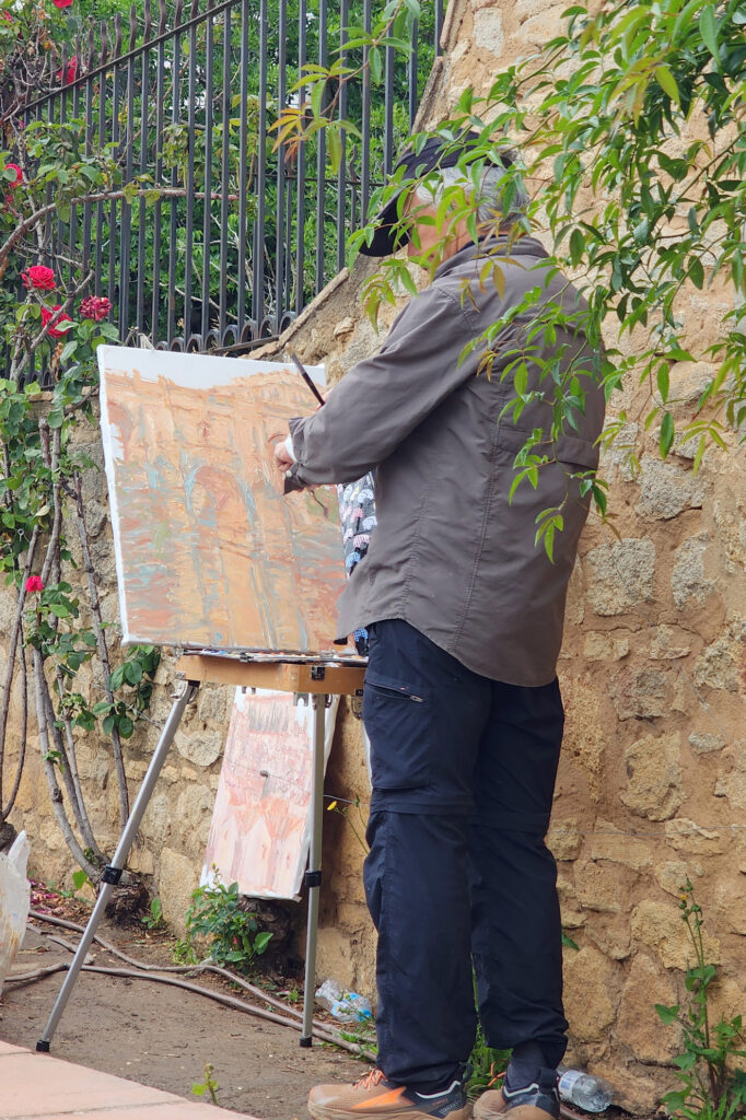
Key West and the Florida Keys

We all need to get away from home on occasion, sometimes far away, and the Florida Keys are about as far from the Pacific Northwest as you can get and still be in one of the fifty U.S. states – Honolulu is closer to Seattle than Key West is. And the Keys make for a great winter getaway. My wife and I had a great time in Key West on our only visit and I would love to return to someday.

The following was originally posted on this site a couple of years ago. I checked all of the links, but things can change, so check the Keys News website for current information if you’re contemplating a visit in the near future.

If you are thinking about a visit to Key West, the first thing you should do is track down a copy of Jon Breakfield’s book “Key West: Tequila, a Pinch of Salt and a Quirky Slice of America.” Breakfield and his wife were living in Scotland and took a winter vacation to Key West one year. Two days into their visit they decided not to go back to Scotland. Breakfield’s book is an absolutely hilarious account of their first year in Key West. It’s also a good introduction to the Key West culture and works as a weird sort of travel guide. After reading the book, you’ll probably want to visit The Bull, a bar on Duval Street, and the Whistle Bar, which occupies the floor above. The Whistle Bar has a wrap around veranda that is one of the best people watching perches in Key West. Both figure prominently in the book. And if you’re really adventurous, you might even want to venture up one more flight to the clothing optional rooftop bar called The Garden of Eden.

Yankee Jack performing at The Bull

Key West is a quirky place, and nothing exemplifies that better than the city’s tongue in check secession from the United States in 1982. After the Border Patrol set up a roadblock on the highway between Key Largo and Miami (to stem the flow of drugs into the country via the Keys), creating huge traffic backups and inhibiting island residents from commuting to jobs on the mainland, the mayor and city council of Key West decided that if the Border Patrol was going to treat them like they were a foreign country by setting up a de facto border crossing station, they would become one. Thus was born the Conch Republic. The move was pure political theater (the mayor “surrendered” to the commander of the naval air station at Key West the day after declaring the Conch Republic’s independence), but it resonated with the anti-establishment sentiment common among island residents, and the spirit of the Conch Republic persists to this day.

Duval Street is the main drag in Key West. It’s lined with bars and restaurants, galleries, gift shops, and much more. You can eat your way down one side of the street and drink your way back up the other, if you’re so inclined. You’ll probably meet fifty other tourists for every local, but everyone will be having a good time and you won’t care that it’s not the real Key West.

Hard Rock Cafe, Duval Street

Besides Duval Street, another major tourist draw is Mallory Square and the daily Sunset Celebration. Key West is known for its sunsets and didn’t disappoint on our visit. And every evening about two hours before sunset dozens of artists, crafters, food vendors, and street performers of every stripe congregate at Mallory Square to hawk whatever it is they’re selling to the tourists gathered there to watch the sunset. It’s weird, wild, and enormously entertaining. And then there’s a beautiful sunset to cap it all off.

Key West has plenty of places of interest beyond Duval Street and Mallory Square, too. The Hemingway House is another major tourist draw. Get there early if you’re going or buy your tickets online. The line was around the block both times we thought about taking a look. The Audubon House, Key West Lighthouse Museum, Eco-Discovery Center , Fort Zachary Taylor Historic State Park , the Mel Fisher Maritime Museum, and the Key West Aquarium are all worth a visit.


If you just want to hang out at the beach, Fort Zach Park has a nice swimming beach (with an adjacent bar). South Beach at the end of Duval Street also has a beach bar and grill. Higgs Beach is four or five blocks east and has a nice beach for sunbathing and swimming.  And across the street, Astro City Playground is a fun place for kids to play. To the east of Higgs Beach are C.B. Harvey Memorial Rest Beach (no bar or other amenities) and Smathers Beach. Dog Beach, a couple of blocks east of South Beach, is literally for the dogs – a dog friendly, off leash park.

Key West has dozens of fine restaurants. All of the places we dined at were excellent. We had a couple of great breakfasts at a place called Camille’s Cafe, but it appears to be closed. Blue Heaven, Cafe Sole, and a Cuban restaurant called El Siboney all had excellent food. We also lunched at a couple of Duval Street eateries (whose names I’ve forgotten) that were very good. The Lobster Shack, The Flaming Bouy, Louie’s Backyard, Sarabeth’s Kitchen, Santiago’s Bodega (tapas), Cafe Marquesa, The Cafe (vegetarian), Ambrosia (Japanese), and B.O.’s Fish Wagon (fresh and very affordable seafood) are all highly rated, also.

Nature lovers will want to check out Key West Butterfly and Nature Conservancy, Indigenous Park, Key West Nature Preserve, and Key West Wildlife Center.

If you’re interested in fishing, Trip Advisor lists more than two dozen fishing charters and tours. If scuba diving is your thing, Finz Dive Center, Captain’s Corner Dive Center, and Lost Reef Adventures all offer diving tours and are highly rated.

Fort Zachary Taylor

Tourism drives Key West’s economy and there is no shortage of available accommodations , from luxury resorts to whole house rentals to budget motels and inexpensive Airbnb rentals. We went the Airbnb route and found a reasonably affordable room in Old Town. But the closer to the historic district and Duval Street, the more expensive the accommodations become, and the longer ahead that you will need to make reservations. It’s an advantage to stay within walking distance of Old Town, as parking is limited, but if you have a car and don’t mind spending some time looking for a place to park, staying in the New Town section or on Stock Island can save you some money. Key West is bicycle friendly, has a public transit system, and taxis are readily available (some with bicycle racks), so driving into Old Town is not strictly necessary, even if you are not staying close by. Uber and Lyft are also options.

The bottom line is there are as many reasons to visit Key West as there are tourists visiting. It’s a great party town and a great place to lounge on the beach and soak up the sunshine, but it’s much more than just that. Key West is soaked in history, has a great food scene, has great fishing and diving, and is located in an incredibly beautiful natural setting.

The other Florida Keys have their own attractions, too, and the drive from Miami to Key West is an attraction on its own.

Key Largo is the closest of the keys to the mainland and many of the residents commute to the mainland, but it has many attractions that draw travelers, too. It’s the self-proclaimed “dive capital of the world” and home to the world’s largest artificial reef, among other attractions. If fishing is your thing, Islamorada bills itself as the “sport-fishing capital of the world.”

Bahia Honda

There were a number of other interesting places in the Keys that we stopped at on our way to and from Key West. One of those was the National Key Deer Refuge on Sugarloaf Key. Key deer are tiny – not much bigger than a German shepherd. Another stop we made was Bahia Honda State Park, which has a nice swimming beach and clear waters in multiple hues of blue.

The Overseas Highway through the Keys is an engineering marvel and driving it is an amazing journey, even if you don’t stop at any of the Keys along the way. The Seven Mile Bridge itself is one of the main attractions in the Keys.

If you’re contemplating a visit, flying to Key West is an option, but I’d do as we did – fly to Miami or Fort Lauderdale, rent a car, and drive the Overseas Highway. Visit the other Keys and go diving, snorkeling, fishing, or just find an uncrowded beach and soak up the sunshine away from the crowds. And, of course, take in Key West and all it has to offer. You won’t regret it. And while you’re in Florida, the Everglades are only a short drive from Miami.

Originally posted by Alan K. Lee on August 10, 2018. Updated with Covid-19 info December 14, 2020. Updated and expanded September 15, 2023.
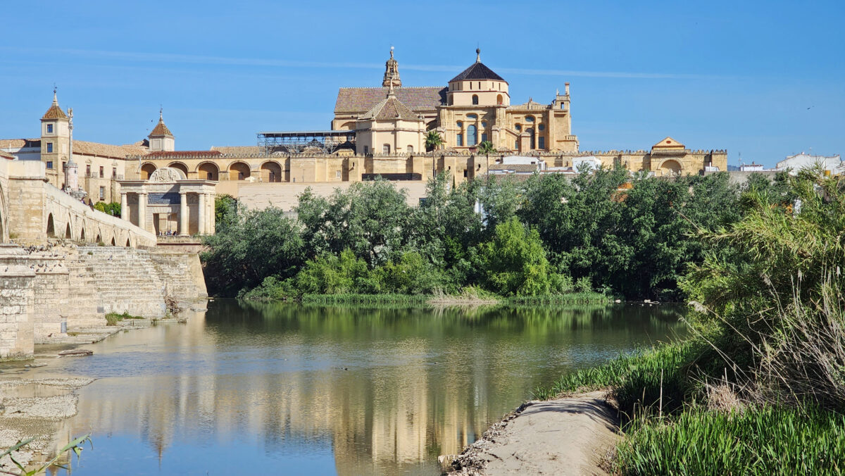
All photos © Alan K. Lee
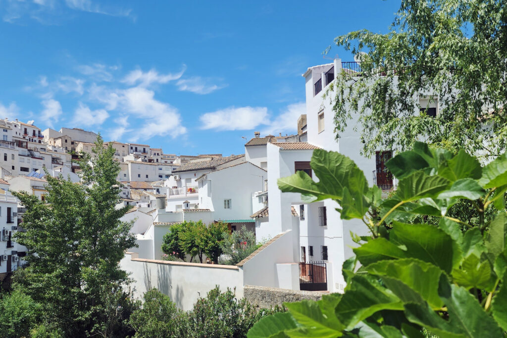
Isle of Man

Even though my only visit to the Isle of Man came almost twenty years ago, at the end of an almost month-long vacation to Scotland and England’s Lake District, the three days we spent on the Isle of man were memorable.
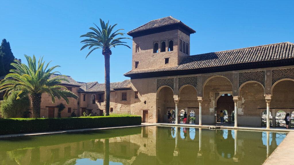
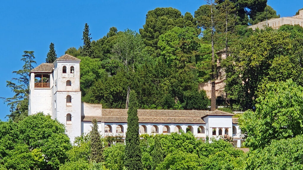
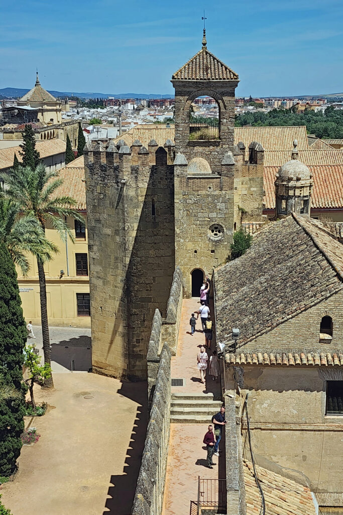
The Isle of Man lies in the Irish Sea, halfway between Liverpool and Belfast. My sister in law had visited the island previously and thought we would like it, so my wife and I added it to the itinerary for our 2006 trip to England and Scotland. And I’m glad we did. The Isle of Man is a very interesting and charming place, and certainly one of the most unique places that we have visited in our travels.

Not quite an independent country, the Isle of Man is officially a Protectorate of the United Kingdom. The UK is responsible for the island’s defense and representing the island in international affairs. But the Isle of Man is not actually a part of the United Kingdom. The island’s parliament, which has been in existence since the 10th century, governs all domestic matters, and the island has its own legal and political systems and its own currency. (The British Pound is also legal tender on the Isle of Man, but the reverse is not true, as I found out when I accidentally tried to pay a bar tab back in England with an Isle of Man £20 note. The barkeep was not amused, to say the least.)


Getting to the island is relatively easy. It is no more than a 30 minute flight from any major city in the UK or Ireland. We, however, traveled to the island by passenger ferry from Heysham, England, which takes about two and a half hours. Ferries from Heysham and Liverpool run year round. In the summer months, there are also ferries from Belfast and Dublin to Douglas, the capital and largest city on the island.

Getting around on the Isle of Man is also easy. There is a government run bus system that covers the entire island. And since it is a small island, only roughly 300 square miles in size, all of the towns on the island are within about twenty miles of each other. There is also steam powered railroad running between Douglas and Port Erin in the south, and an electric railway running between Douglas and Ramsey in the north. And there is even an electric railway running to the summit of Snaefel, the highest peak on the island.

We stayed in Douglas and spent most of our time on the island exploring the city, but we also ventured to Peele, on the west coast, by double-decker bus, and to Port Erin by the steam train. Neither of us had ever ridden in a double-decker, and the train was one of a kind. I’m not sure which was more fun, riding in the front seat of the upper deck on the bus, or riding the little steam train on its leisurely journey to Port Erin.

On our train ride we met a local gentleman who was happy to pass on some of his knowledge of the island and its history. We found the Manx people to be friendly and welcoming.

The Isle of Man has an interesting history. It has been ruled by the Celts and the Vikings, and it has, at various times, been part of Norway, Scotland, and England. But the Manx people have a strong sense of their own identity and have managed to maintain that identity for more than a millennia, regardless of who ruled the island. Tynwald, the Isle of Man parliament, is one of the oldest, if not the oldest, in the world. And human occupation of the island goes back to at least 6500 BC.

The Isle of Man is known for the short-tailed Manx breed of cats. The island is also the home of a four- and sometimes six-horned breed of sheep, and a population of red-necked wallaby, which have become established on the island after escaping from a wildlife park. We saw many of the odd looking sheep, but no cats or wallabies, sorry to say.

Motor sports fans know the island for the Isle of Man Tourist Trophy motorcycle races. For two weeks in May or June, the island becomes one giant racetrack. The TT, as it’s known, was first held in 1907, and is probably the most famous motorcycle race in the world today.

The Isle of Man was a popular tourist destination for a good part of the 20th century. But the advent of cheap flights from Great Britain to southern Europe led to a significant decline in the tourist industry. Today, the economy of the island revolves around banking, insurance, online gaming, and information technology.

While the Isle of Man might not be a tourist destination in its own right, at least for those of us from North America, we thoroughly enjoyed our time there, and I would like to go back someday. It has been some time since we visited, but given the island’s long history, I doubt that its essential character has changed much over the past seventeen years. I’m sure it remains a worthy addition to any trip to Great Britain or Ireland.

Originally posted by Alan K. Lee, December 4, 2020. Updated and re-posted August 28, 2023.

All photos © Alan K. Lee