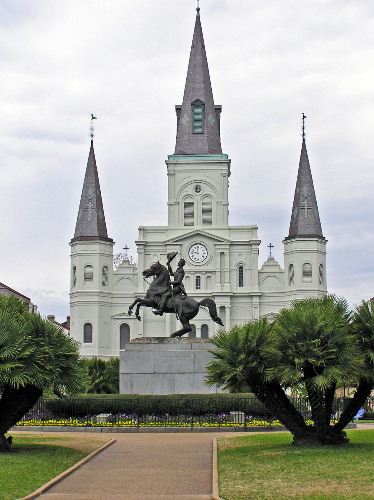
New Orleans. NOLA. The Big Easy. No matter what you call it, and no matter where your interests lie, the city has something for you. Food, drink, music, art, history, architecture, parks, festivals, cemeteries, voodoo, river boats, streetcars, endless parties, you name it. New Orleans has it all. In abundance.
The city’s identity has been forged from many roots – French, American, African American, Native American, Haitian, and more. And those roots have produced many branches and have blossomed into something truly unique.
It’s been quite a while since I’ve been to New Orleans, but the ten days or so that my wife and I spent there left an indelible imprint on my psyche. The food, the music, the arts, the people. There is simply no place else like it in the U.S. Probably no place in the world. 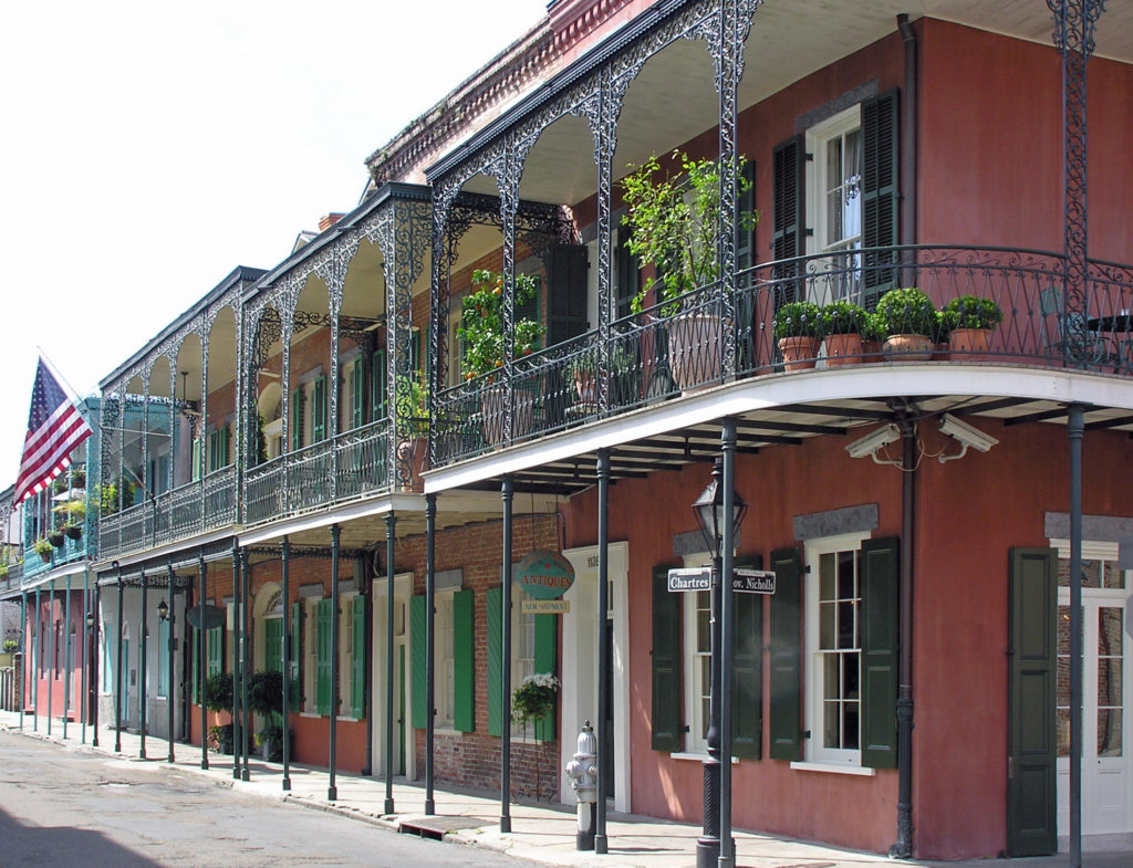
We spent our first day in New Orleans just wandering around the French Quarter with no agenda. We almost always allow ourselves time in a new city just to explore at random. We’ve had many memorable experiences that we would never have had if we had stuck to the guide book recommendations. But don’t throw away the guide books, either. Their recommendations are there for a reason.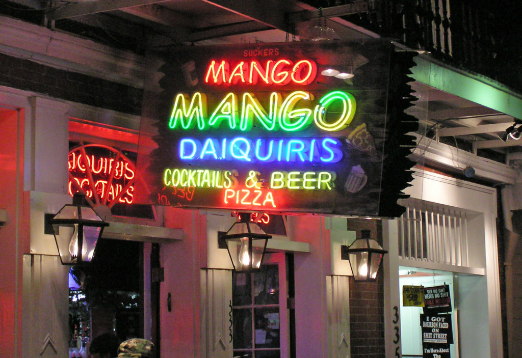
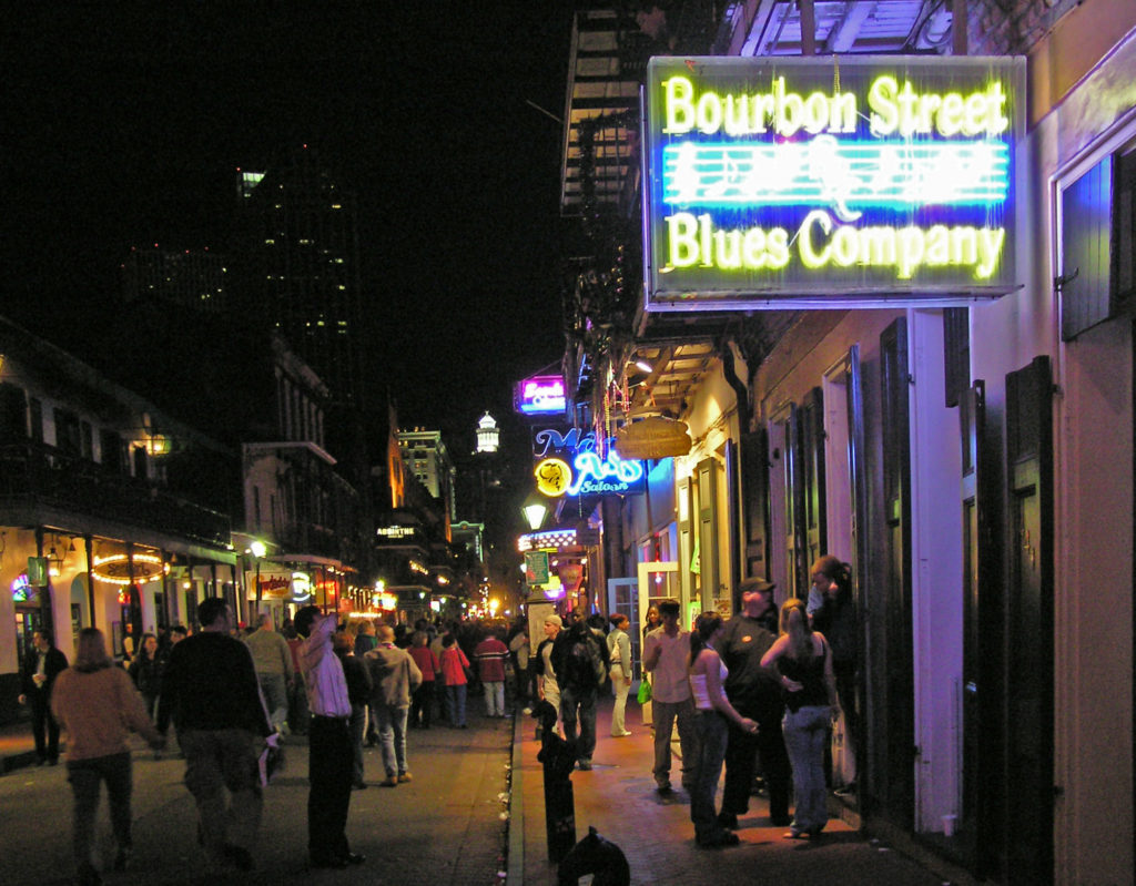
That first night, we wandered over to Bourbon Street to see what that is all about. We had a great time and we came back again another night. And, by all means, if you’re visiting New Orleans for the first time, venture into the French Quarter after dark and take in that giant street party. Get your Hurricane in a go cup and wander the street. Take in some of the live music, mingle with the other tourists, have another Hurricane, dance the night away. Get it all out of your system. But don’t think that’s the real New Orleans. Bourbon Street is the Disneyland version of the Big Easy.
 So, how to experience the real New Orleans? Well, you probably have to spend a year or two there to really get to know the city. It’s a complex place. But if you don’t have that kind of time, my first recommendation would be to find a place to stay in the French Quarter. It’s the historic center of the city and the city’s cultural heart. Most of what you’ll probably want to see and do you’ll find either in French Quarter itself or close by.
My wife and I stayed at a boutique hotel (I’ve forgotten its name) near the river, across the street from the House of Blues, for the first part of our stay. As I recall, it was a very nice and quite affordable place. But after a few days there, the hotel had some sort of plumbing system problem, necessitating our move to the Hotel Monteleone on Royal Street for the second part of our visit. The Monteleone turned out to be one of the better hotels we’ve stayed in, but there are plenty of other places to stay in the French Quarter. Check the French Quarter website for recommendations.
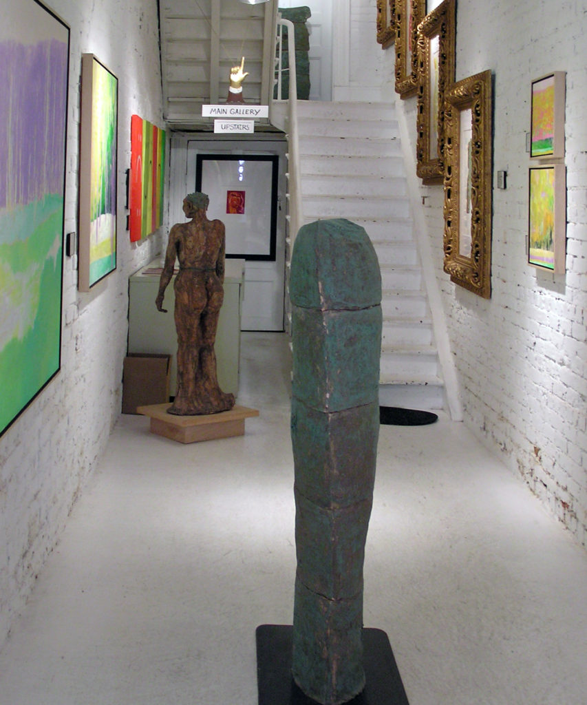
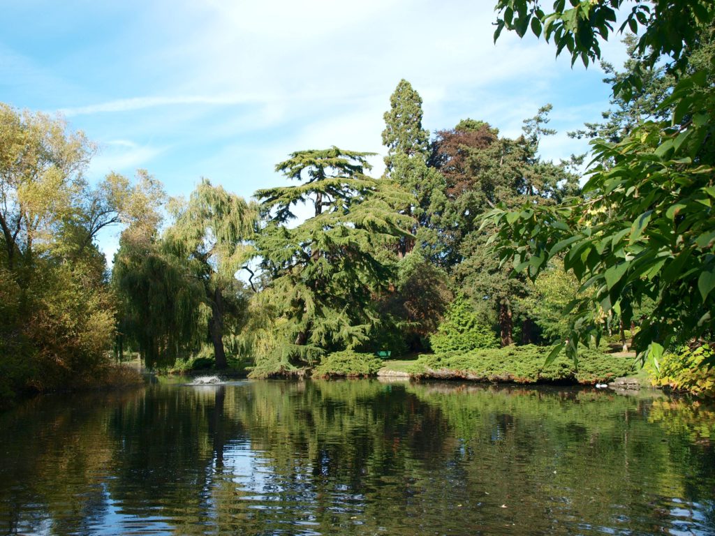
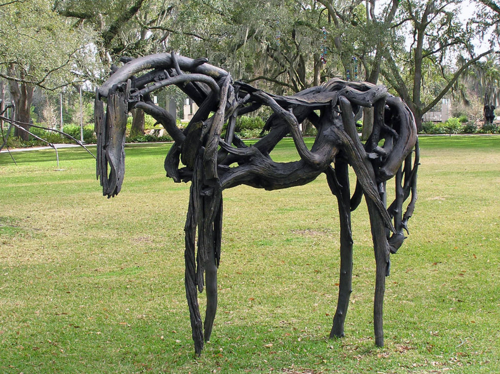 Since my wife and I are both art lovers, another thing that we always do in a new city is spend at least some time exploring the local arts scene. Sometimes that just entails visiting local museums and art galleries. But we also seek out local artists and art related events when we can. The New Orleans Museum of Art , located in City Park, and the adjacent Besthoff Sculpture Garden were two of our first stops, along with a number of galleries in the French Quarter. But we also took in an arts and crafts fair in Mickey Markey Park in the Bywater neighborhood, about a mile east of the French Quarter, where we met several local artists.
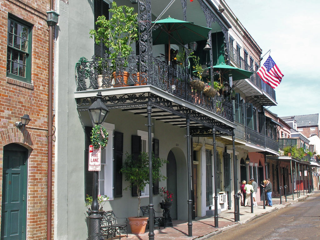
I won’t spend much time here trying to give you a guide to the French Quarter. There are plenty of guide books and online guides that will do a better job than I can. But there are tons of things to see and do in the Vieux Carre and you could spend your entire visit there and not get bored. Plan to spend at least a full day, and preferably a couple of days, exploring the French Quarter on your visit.
But if you really want to sample what New Orleans has to offer, and have the time, I recommend that you also go beyond the French Quarter. Visit City Park and Audubon Park. Take a walk through the Garden District. Take the ferry across the river to the Algiers neighborhood. Visit one of the city’s famous cemeteries. Take a cruise on the Mississippi in a paddle wheeler. Check out the Treme and Marigny neighborhoods. Even go beyond the city itself and take a swamp tour or a plantation tour.
We spent one afternoon exploring the Algiers neighborhood across the river from the French Quarter. Take the ferry from the terminal at the foot of Canal Street. It’s a short but scenic ride and Algiers is an interesting place. Check out the Jazz Walk of Fame next to the ferry terminal. Take a walk along the levy on the Mississippi River Trail. Stop in at one of Algiers many restaurants and bars, such as the Dry Dock Cafe, the Old Point Bar, Tout de Suite Cafe, or the Crown and Anchor English Pub. And just walk around the neighborhood. As I said, it’s an interesting place, full of beautiful old houses and impressive buildings.
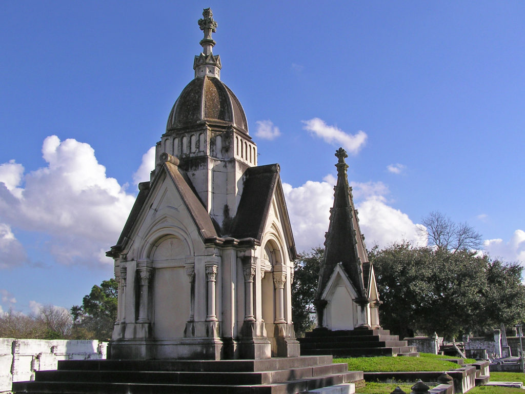
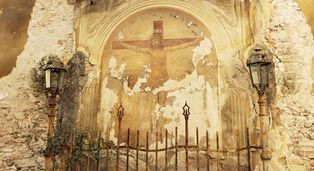
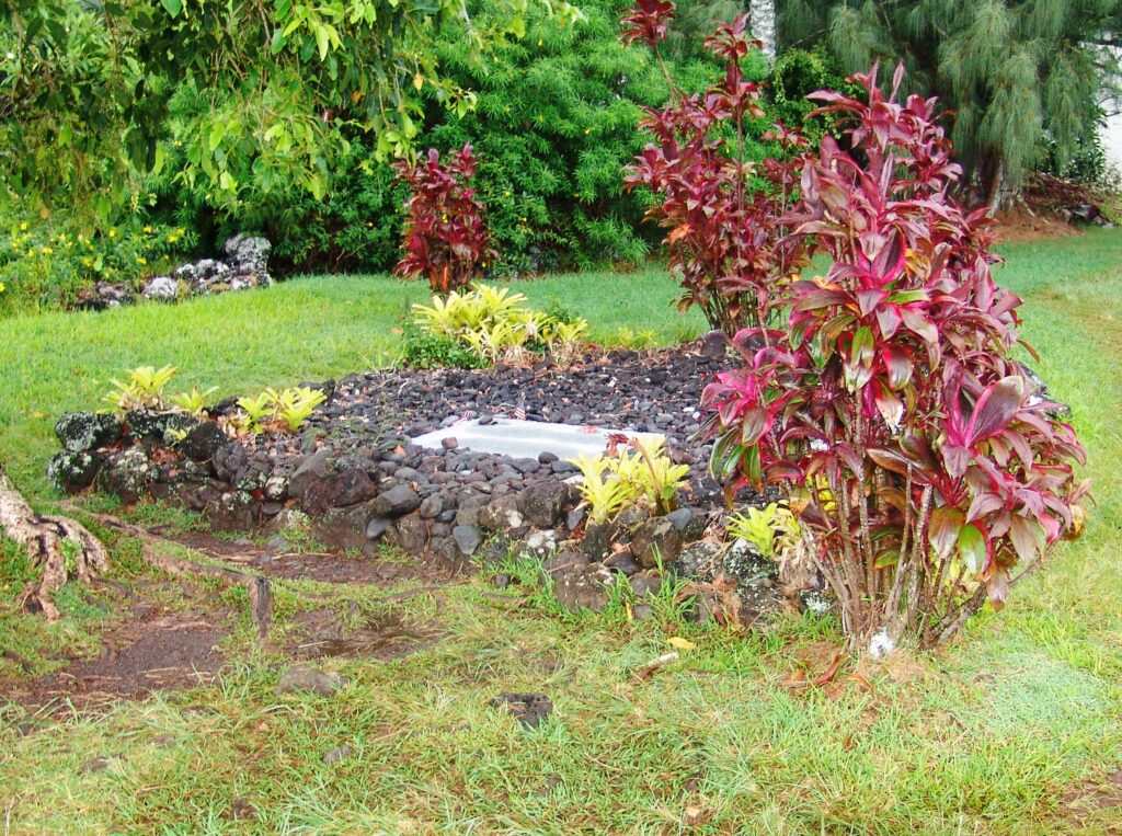
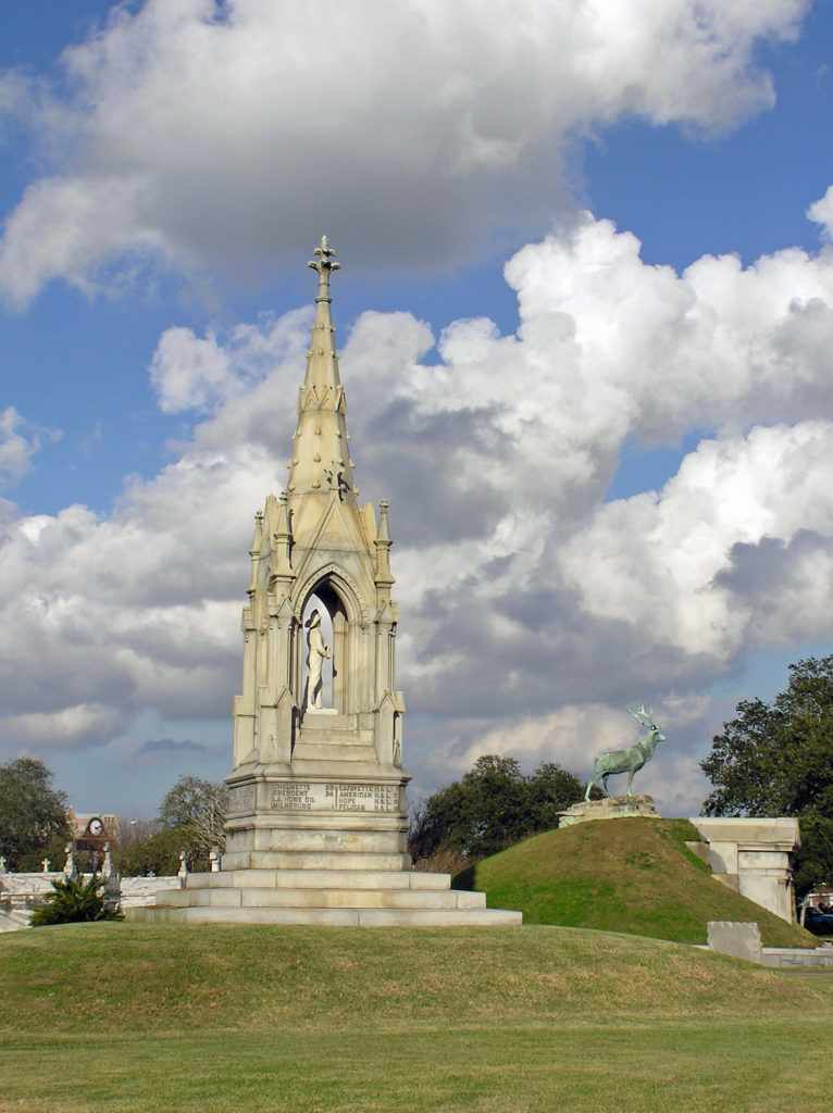 Touring one of the city’s many cemeteries turned out to be one of the more interesting things we did on our visit. Because the land New Orleans is built on was originally a swamp, and much of it is below sea level, the dead are not buried in the ground, but are interred in above ground crypts or tombs.
 When we were there, we were warned that some of the cemeteries were dangerous places to visit and should be avoided. That may have changed, but check before you venture into any of the city’s cemeteries. There are organized cemetery tours that you can take, but we preferred to go on our own. One of the cemeteries that was said to be safe, and the one we visited, was St. Patrick Cemetery No. 1, on Canal Street near the end of the streetcar line.
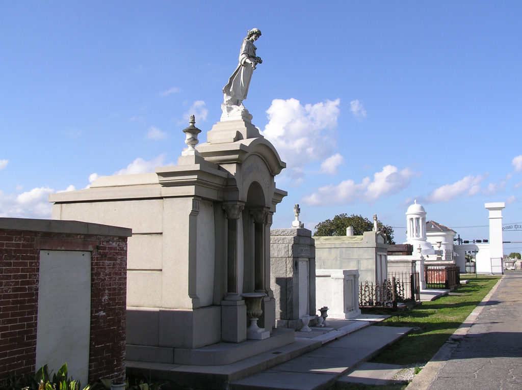 Many of the tombs there are large, elaborate, and impressive, holding the remains of many generations of the same family. The larger and more ornate ones are generally well kept up, but many of the others have not been maintained and are crumbling. Many are just ruins, empty and abandoned. One has to wonder what became of the bodies.
Visiting some of the city’s parks also turned out to be one of the more worthwhile ways we found to spend our time. There are a number of parks in the city that are worth a visit. Jackson Square in the French Quarter, and Louis Armstrong Park, on Rampart Street in the Treme neighborhood adjacent to the Quarter, should be on everyone’s agenda.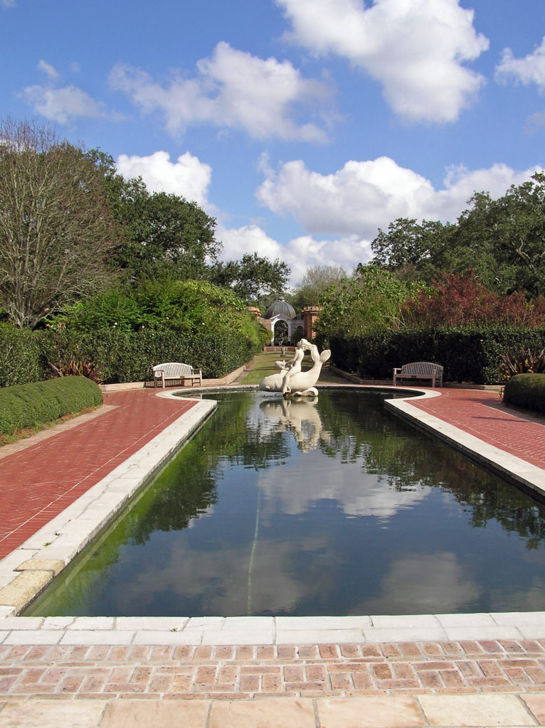
City Park , about two miles north of the French Quarter, and Audubon Park, a couple of miles west of the Quarter, both have attractions for the whole family. Besides being home to the New Orleans Museum of Art, City Park is also home to the Louisiana Children’s Museum, a short walk from NOMA, and the New Orleans Botanical Garden. And Audubon Park is home to both a zoo and an aquarium. Both parks also feature nature trails, beautiful ponds, magnificent live oaks draped in Spanish moss, and many other attractions. Both City Park and Audubon Park are easily reached from the French Quarter by the city’s streetcar lines.
Think of New Orleans and Mardi Gras is probably the first thing that comes to mind. Mardi Gras has been celebrated in Louisiana since at least 1699, before the founding of New Orleans. It is celebrated in many other communities, but the New Orleans festivities are the quintessential Mardi Gras celebrations. We were there a week or two after the end of Mardi Gras, so I can’t give you an eye witness account of what Mardi Gras is actually like. But it is a festival that I would like to experience some day.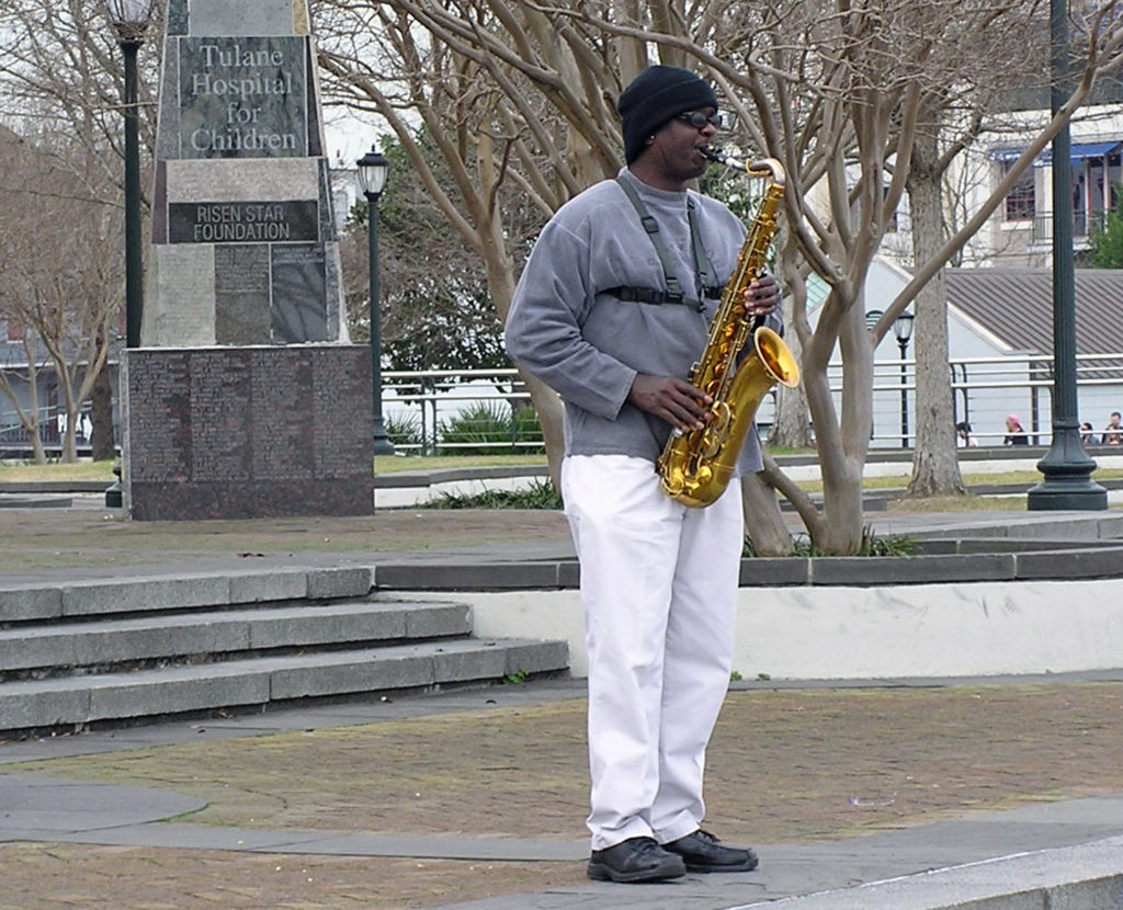
The other New Orleans festival that I would dearly love to take in is the New Orleans Jazz and Heritage Festival, held each year in late April and early May. This may actually be a bigger tourist draw than Mardi Gras. As many as 650,000 people have attended in past years.
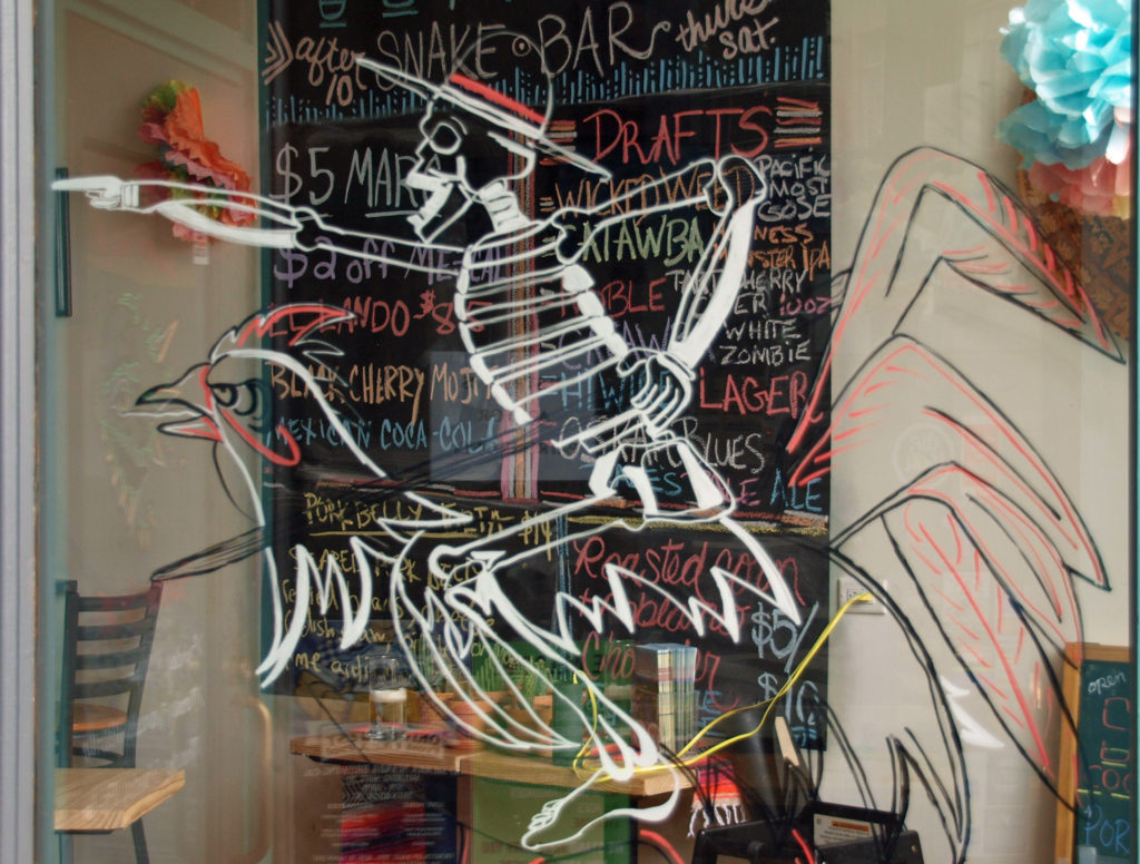
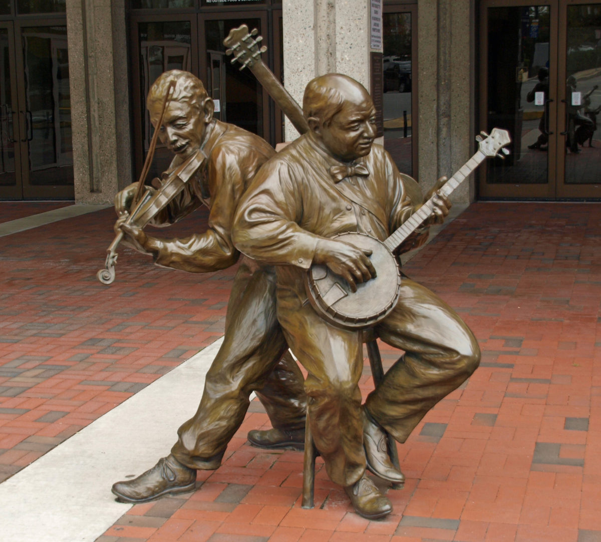
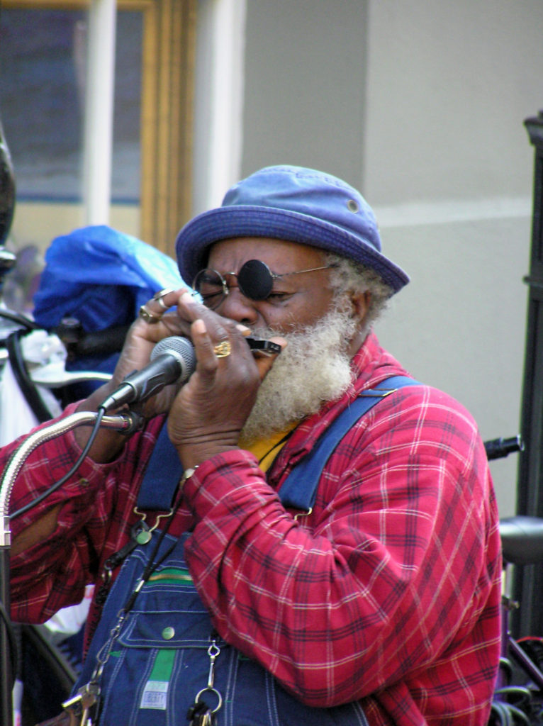 Music is an essential component of the spirit of the Big Easy. Whether it’s traditional Cajun fiddle tunes, blues, jazz, swamp rock, zydeco, country, or a fusion of some or all of those genres, music permeates the city. Street performers are a common sight in the French Quarter any time of the day or night. And there are probably hundreds of clubs throughout the city offering live performances late into the night, every night. Take in as much of the music as you can while you’re there because it’s such a vital component of the city’s spirit.
There’s plenty of music to be heard on Bourbon Street, but there are more authentic venues elsewhere. Preservation Hall, in the French Quarter, is probably the most famous. Tipitina’s, on Napolean Avenue about a mile and a half west of the French Quarter, might be the most highly regarded club. The Spotted Cat Music Club, the Blue Nile, and d.b.a., all on Frenchmen Street in the Marigny, are three of the most highly regarded clubs. Le Bon Temps Roule, near Tipitina’s, and Chickie Wah Wah, on Canal Street in Mid-city, are a couple of other well regarded venues. In the French Quarter, check out One Eyed Jack’s.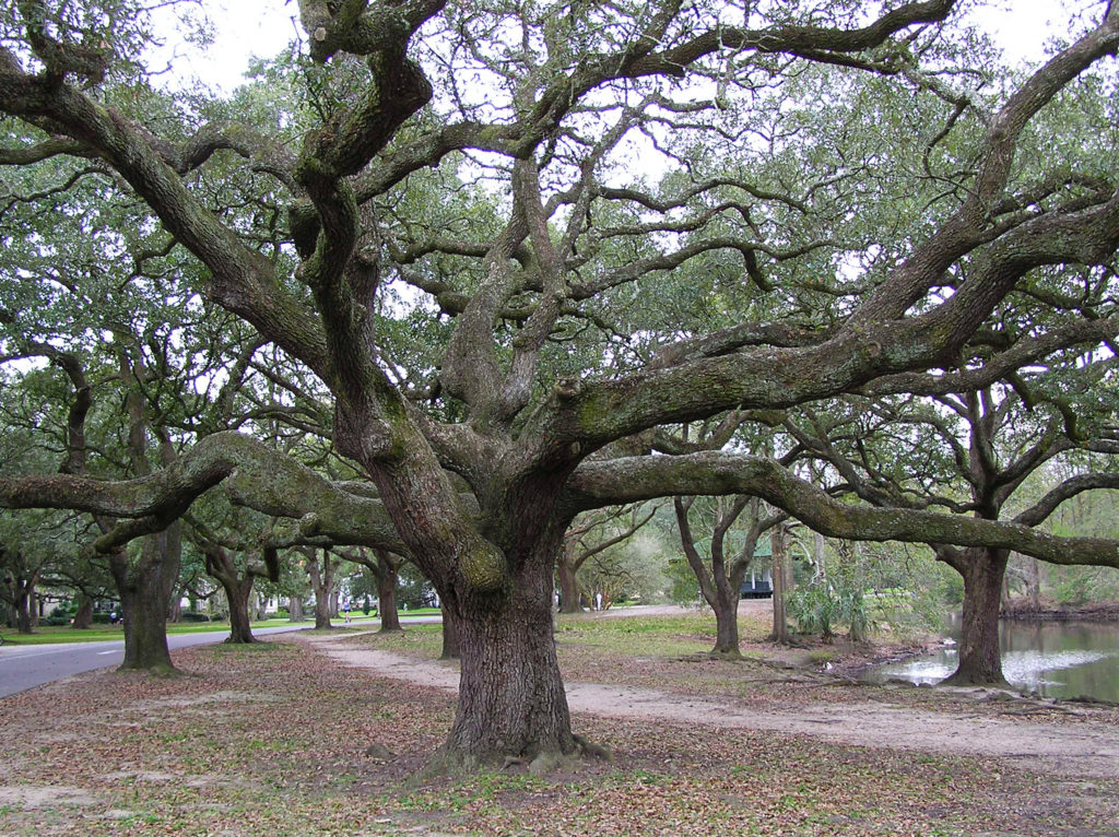
Like music, the cuisine of New Orleans is one the city’s defining features. I fell in love with the food when we were there, and gumbo and jambalaya have become mainstays in my home kitchen. The Foodies Guide to New Orleans website will give you a good overview of the city’s culinary offerings. The people of New Orleans are passionate about their food and anyone you talk to will probably be happy to steer you to some great places to eat. Or you can book one of the many food tours that are available.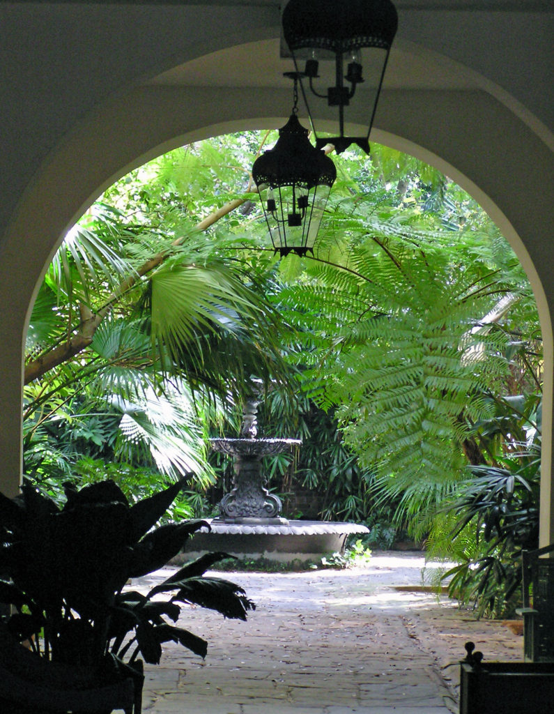
The food scene has probably changed a lot since we were there, but there are some iconic New Orleans eateries that you might want to check out. The Cafe du Monde in the French Market is one of those. It’s been a New Orleans institution since 1862. Go for the beignets and the coffee with chicory because that’s about all they serve. And go early. You’ll probably still have to wait in line to get in, but it’s an iconic New Orleans experience that shouldn’t be missed. And dinner at Antoine’s was a highlight of our stay. Antoine’s has been in existence even longer than the Cafe du Monde. They’ve been serving French Creole food in the same location since 1840. There’s no place in New Orleans more steeped in history than Antoine’s.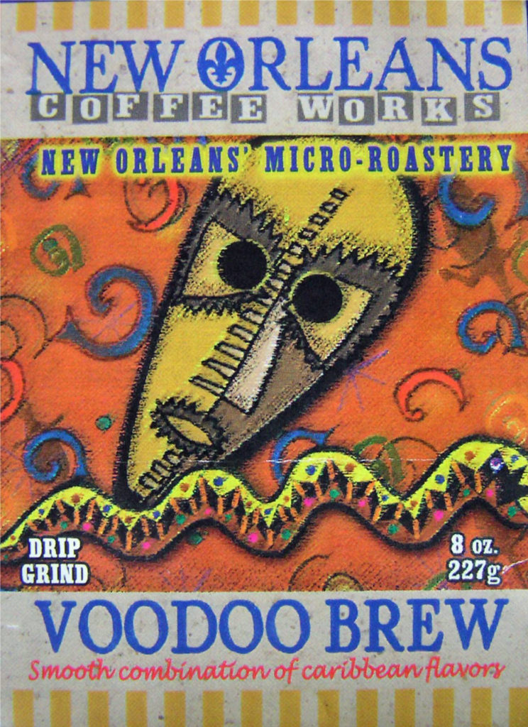
And then there’s voodoo. Personally, I have no interest in voodoo, but it’s another unique component of the culture and you can’t ignore it completely if you want to get the full New Orleans experience. You might just want to stop in at one of the many shops in the French Quarter selling voodoo related trinkets. Or maybe delve deeper into the history and practice of voodoo by visiting the Voodoo Museum or taking a voodoo tour.
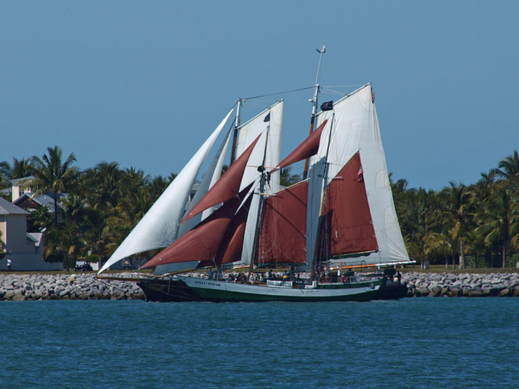
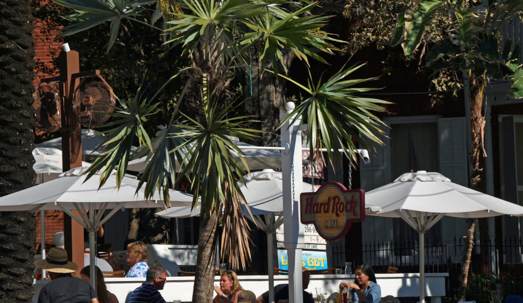
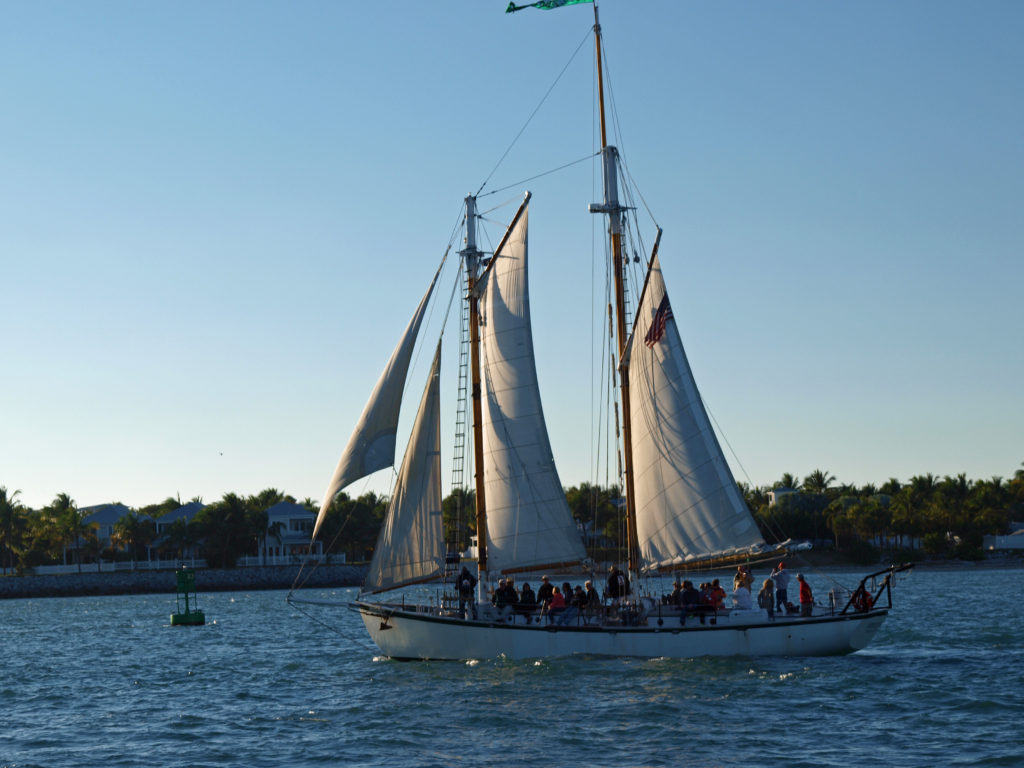
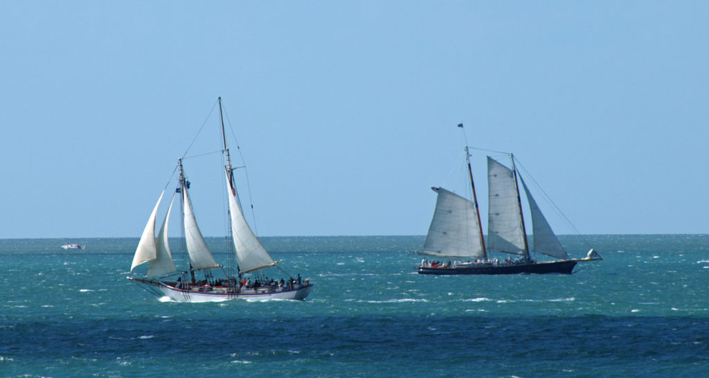
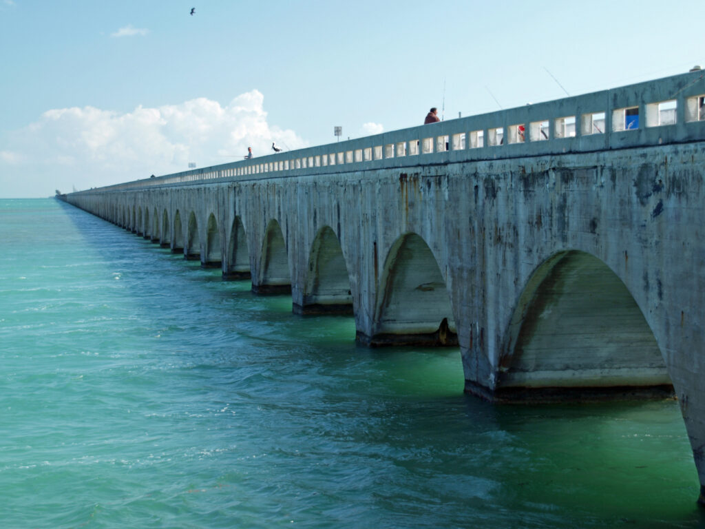
New Orleans can’t be adequately described in words or pictures by any means. It really has to be experienced. It blends the Old South charm of places like Charleston and Savannah with the party atmosphere of places like Key West, and mixes in a whole lot more to boot. You should make the pilgrimage to the Big Easy at least once in your life. You won’t regret it.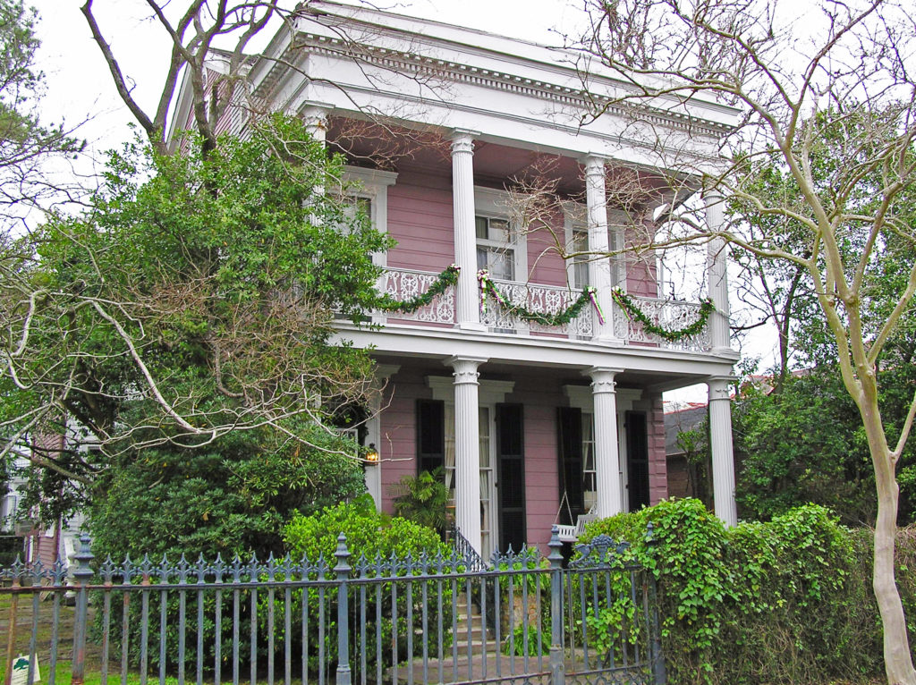
Originally posted January 9, 2021 by Alan K. Lee. Updated and re-posted January 10, 2024.
All photos © Alan K. Lee

 BASEL
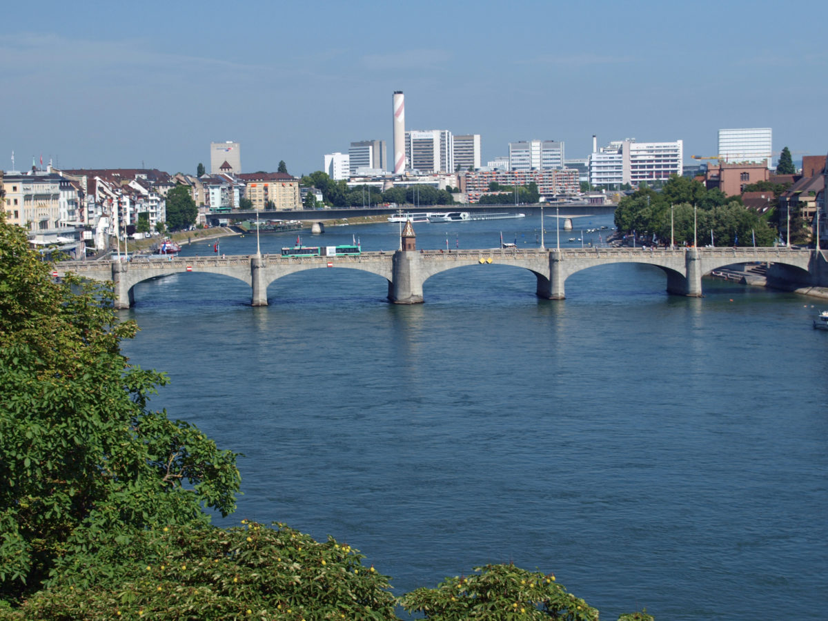
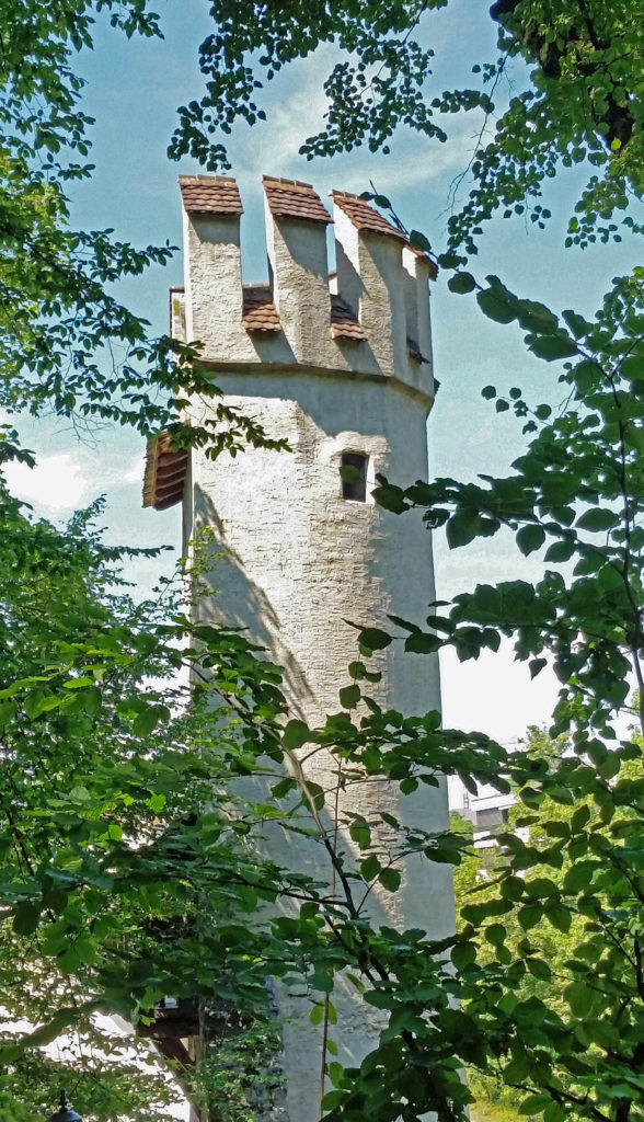
BASEL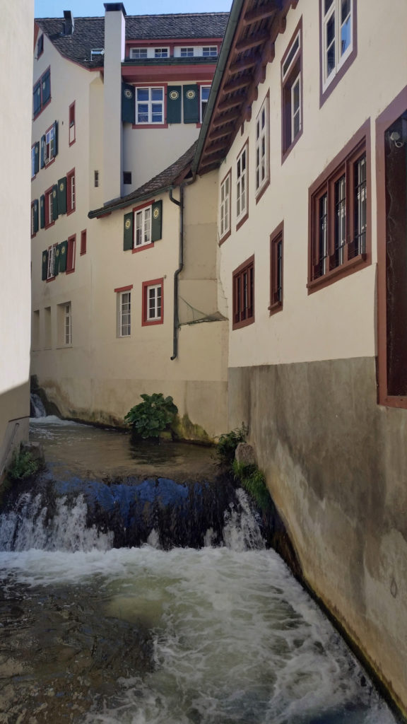 Since our guide book didn’t cover Basel at all, we didn’t know quite what to expect. But, after disembarking the ship in the morning and taking a taxi to our hotel, we took advantage of having the rest of the day to explore the city.
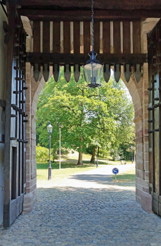
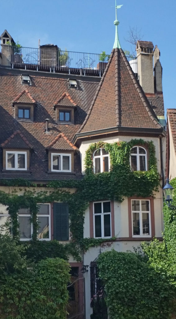
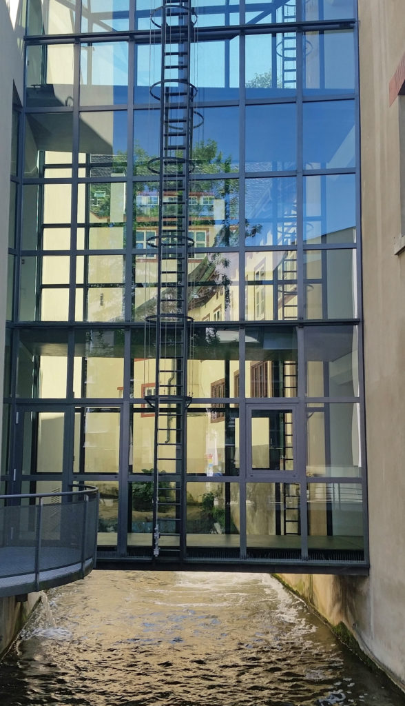 We first headed to the Museum of Contemporary Art, part of the Kunstmuseum. On the way there we discovered an old section of the city (the St. Alban District) that is as picturesque and has all of the charm of the other medieval city centers we’ve visited, but with few tourists and no crowds.
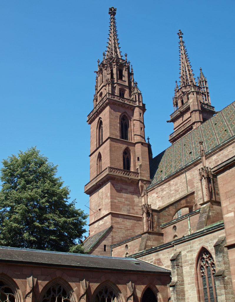
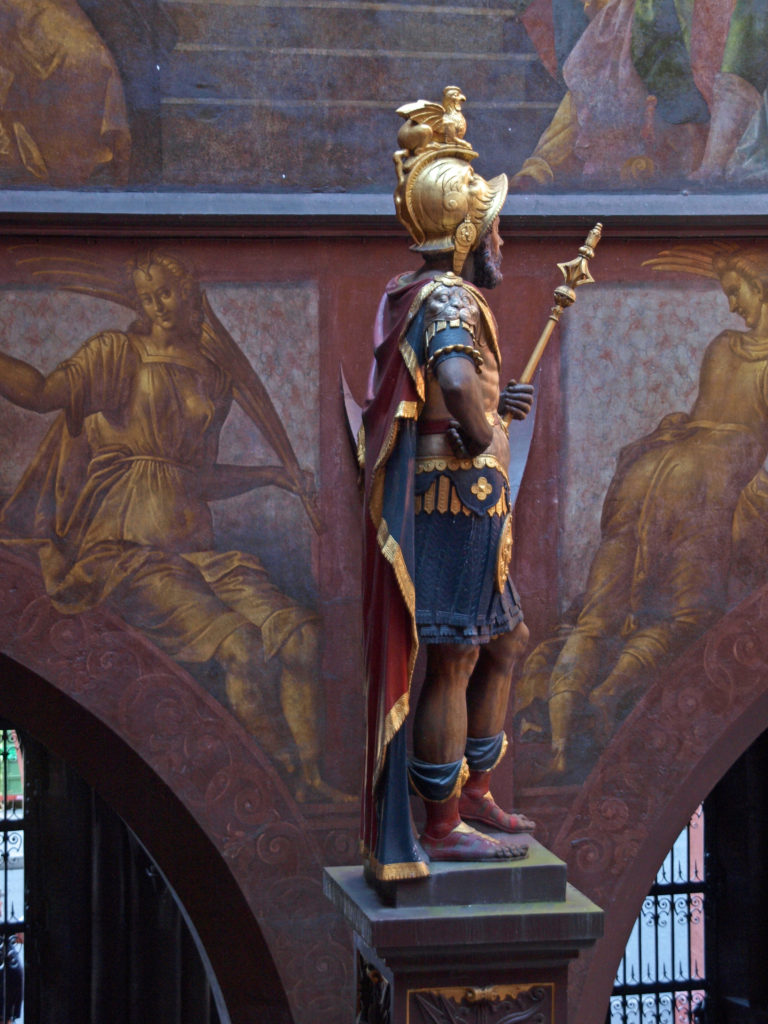 After touring the museum, we spent the rest of the day sampling Swiss cuisine and exploring more of the city center, including Basel Cathedral (Basel Minster) and the Basel Town Hall (Rathaus), which has been the seat of government for 500 years. All in all, Basel was a delightful surprise, and a fitting end to our Rhine River cruise.
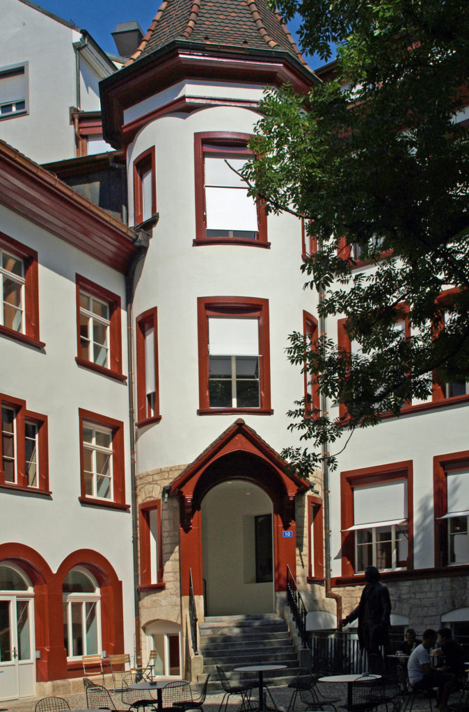
 I later learned that Basel is considered by many to be the cultural heart of Switzerland. The Kunstmuseum (linked above), which opened in 1661, is the oldest public art museum in the world. The Museum of Contemprary Art is also the oldest contemporary art museum in Europe. And the and the University of Basel, founded in 1460, is the oldest university in Switzerland. Clearly, there is a lot of history here.
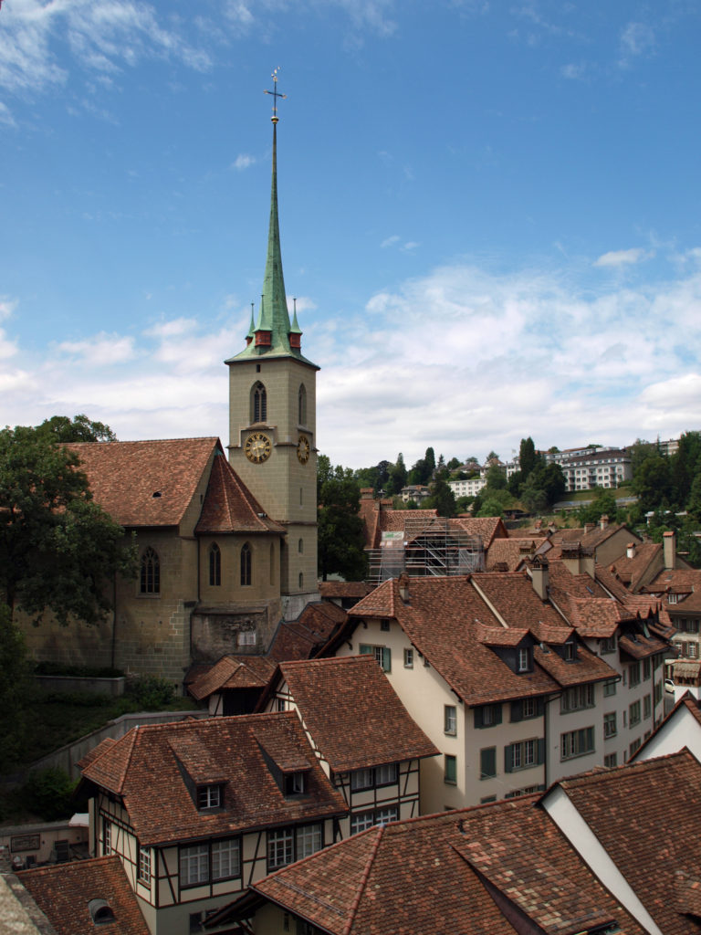
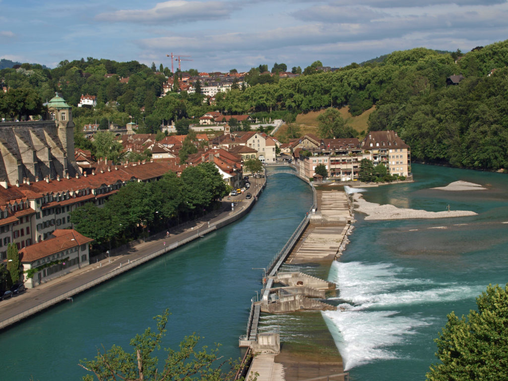 BERN
BERN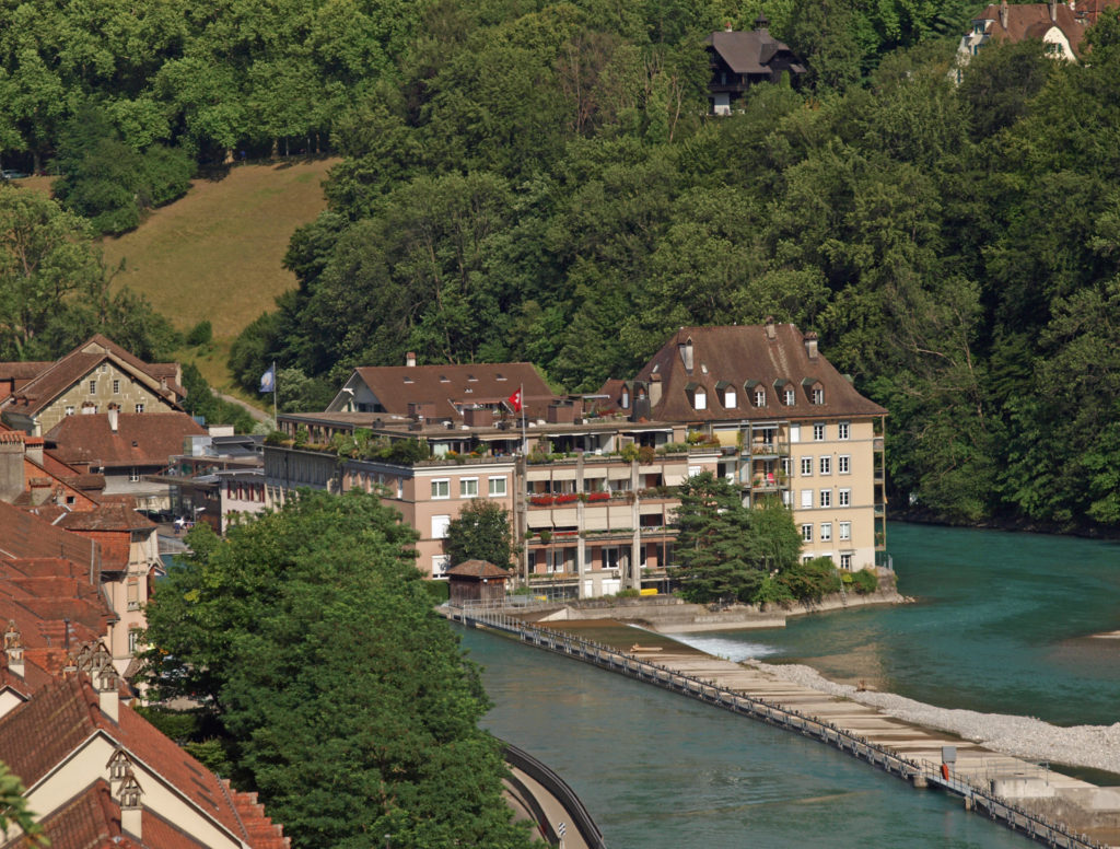
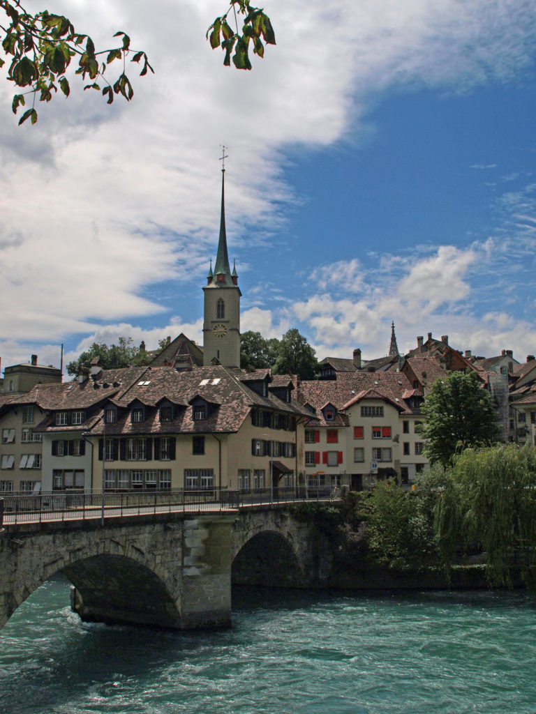 We wandered our way through the medieval center and down to the Aare River at the point of the peninsula that the old city is located on. The Aare is strikingly beautiful, colored turquoise blue by the glacial silt it carries. We lingered along river for a while before crossing the relatively new (built in 1840) high bridge (Nydeggbrucke) on our way to a couple of cold beers at the Altes Tramsdepot, a restaurant and pub housed in what was once a transit center.
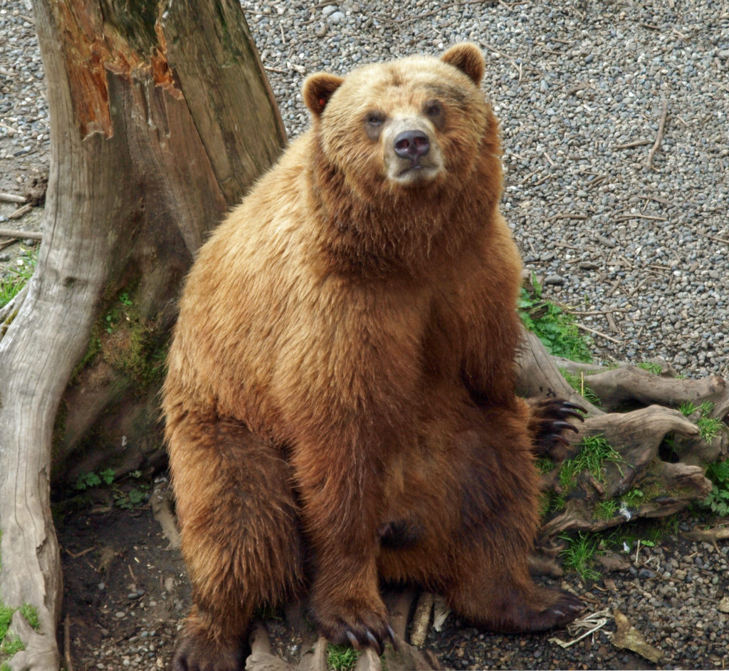
 The restaurant and the viewpoint next to it provide a good view of the river and the old city. And below, along the river, you can sometimes see brown bears, which are the symbol of Bern, in the Bear Park (Barenpark). The bears were not out and about when we were there, though.
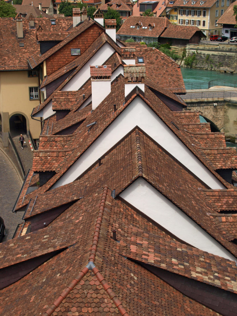
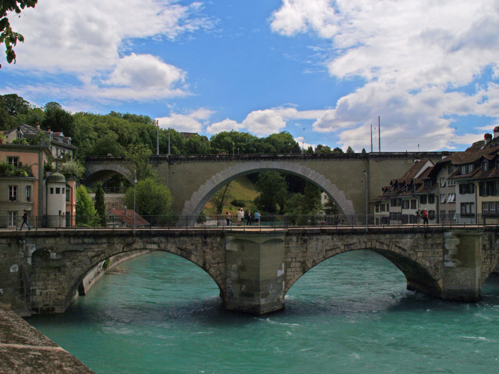 Just downstream of the Nydeggbrucke, the older Untertorbrucke is a good vantage point to photograph the river and the high bridge. The current Untertorbrucke was constructed in 1489 to replace a wooden bridge built in 1256.
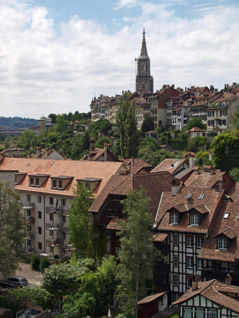
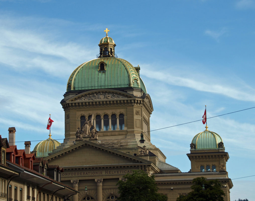
 Back in the medieval city center (all of which is a UNESCO World Heritage Site), we visited the Bern Cathedral (Bern Minster) and the Swiss Assembly building (the Bundeshaus). On the grounds of the Bundeshaus we found a rock garden with rocks from places around the world that have Switzerland in their name or are somehow associated with Switzerland. The Wallowa Mountains in Oregon are often referred to as the “Switzerland of America,” and, sure enough, one of the rocks in the rock garden came from Joseph, Oregon.
 Originally posted February 27, 2021 by Alan K. Lee. Updated and reposted February 9, 2024.
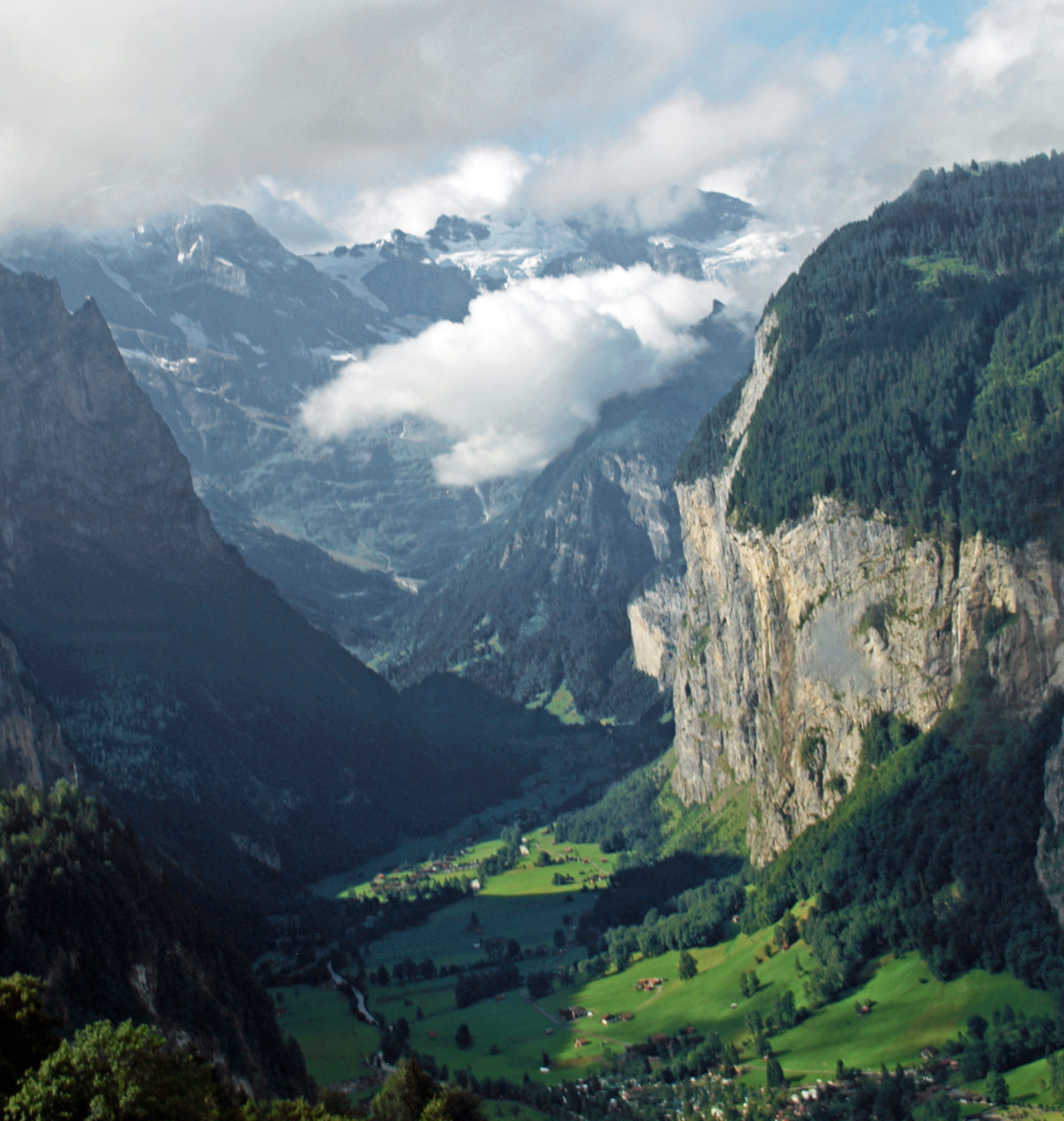


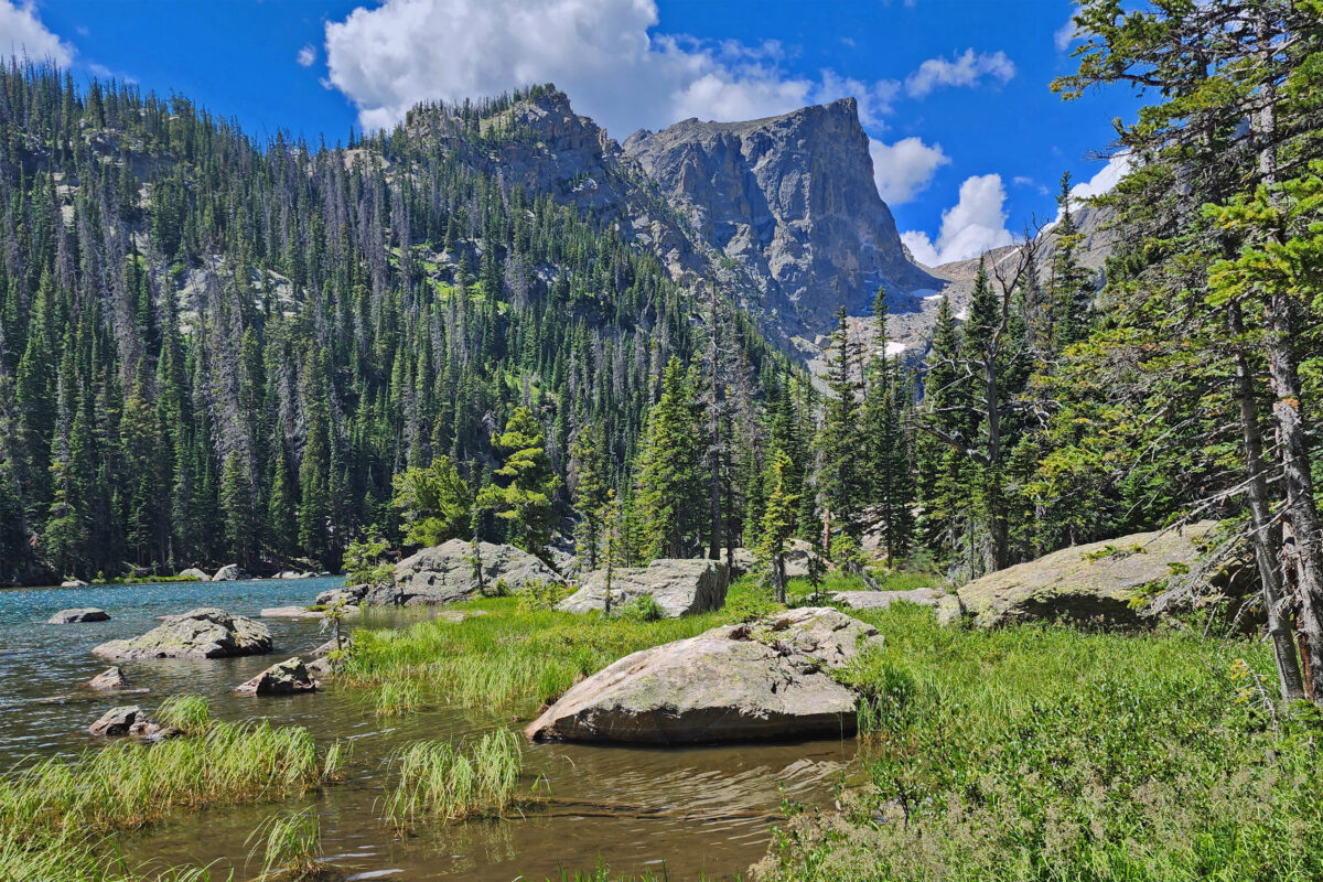
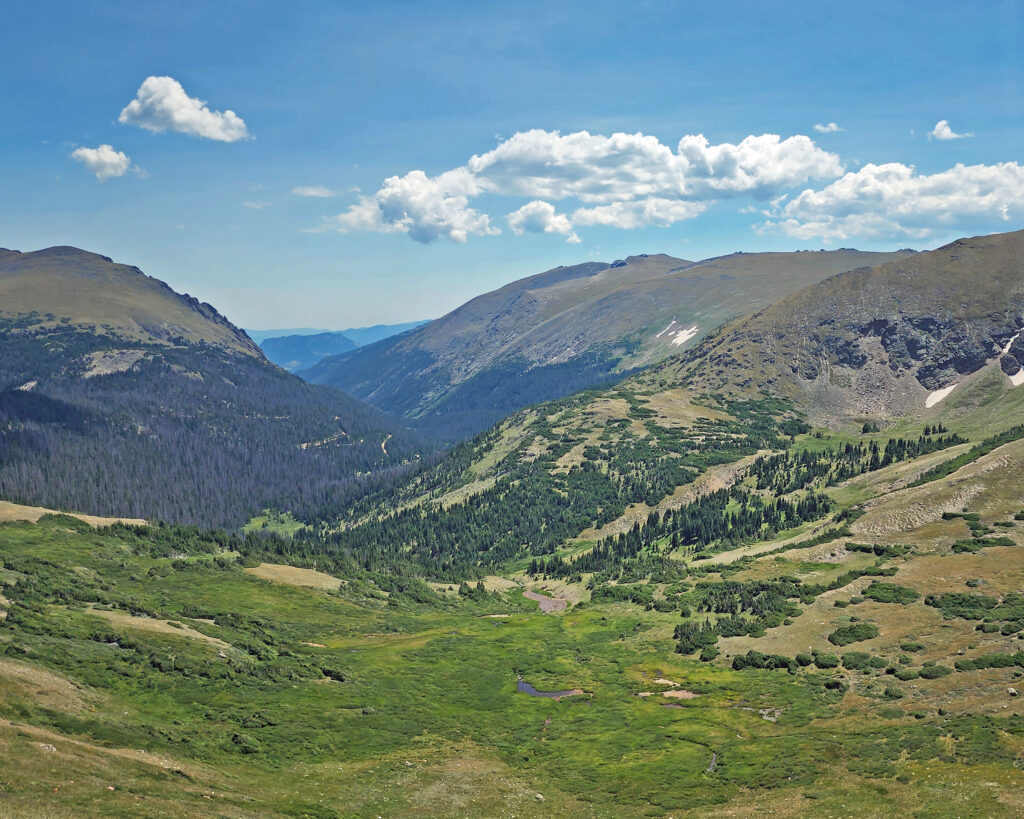
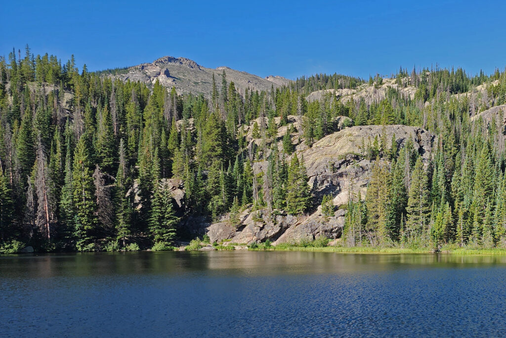
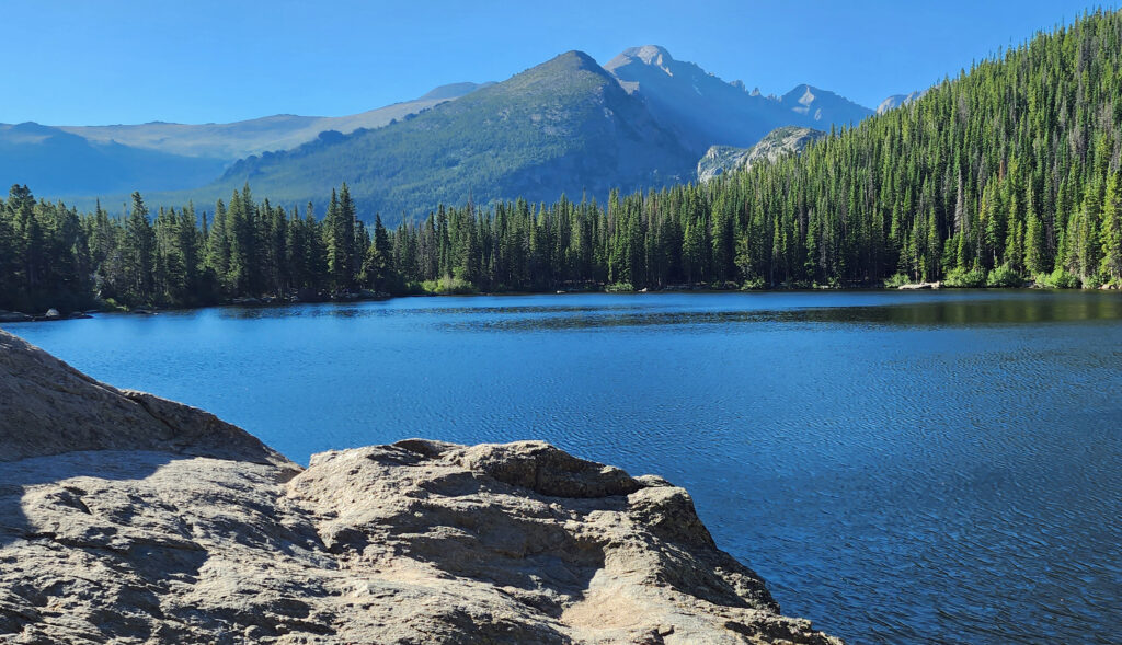
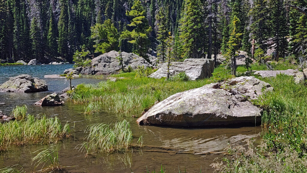
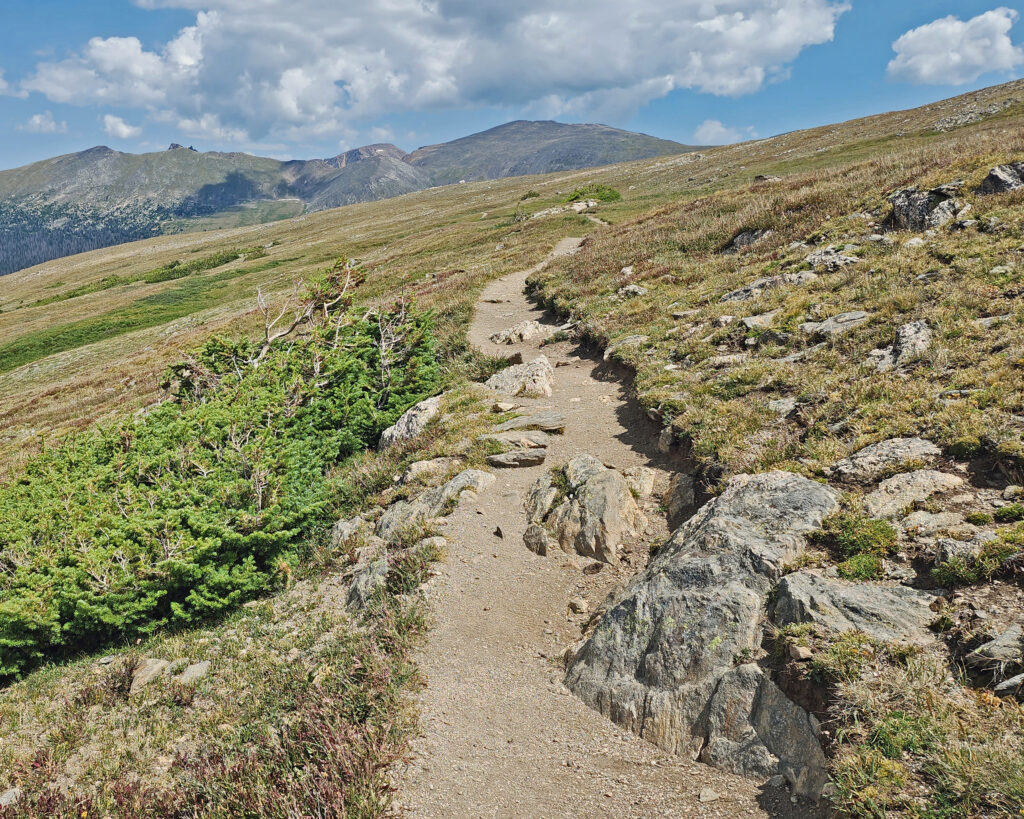
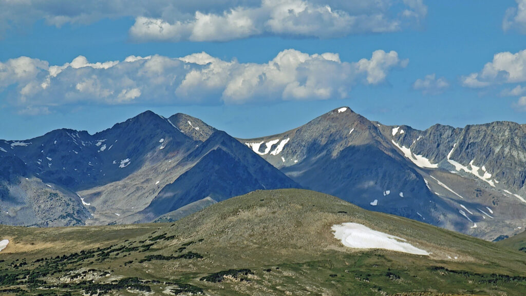
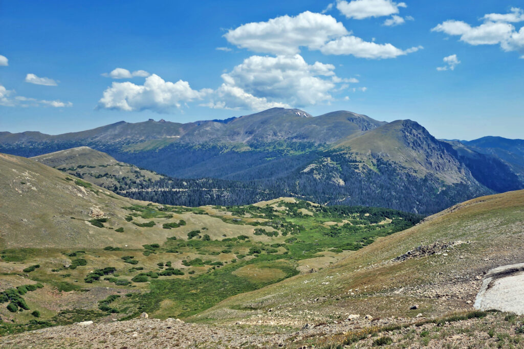
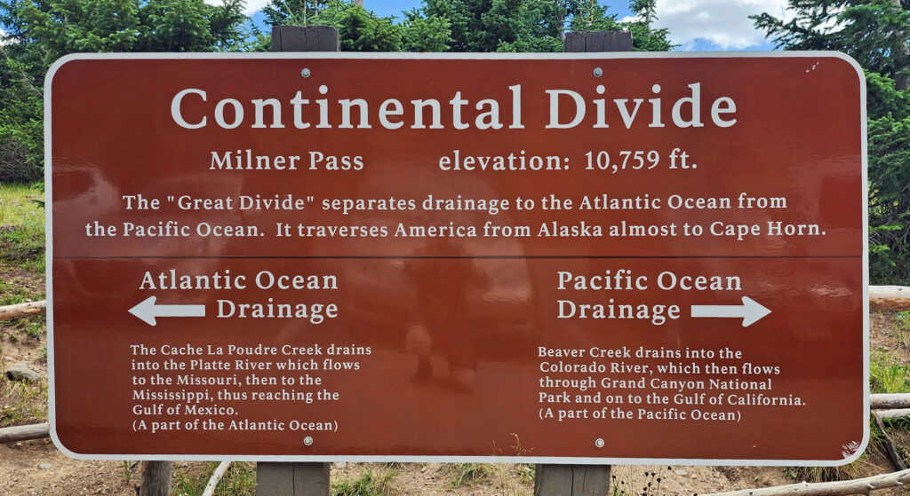 Coming down off Trail Ridge we stopped on the continental divide at Milner Pass (at 10,759 feet you actually come down in elevation from Trail Ridge to the divide). We did a short walk there along the shore of Poudre Lake and, of course, took a photo of the continental divide sign before heading south.
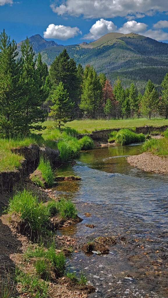
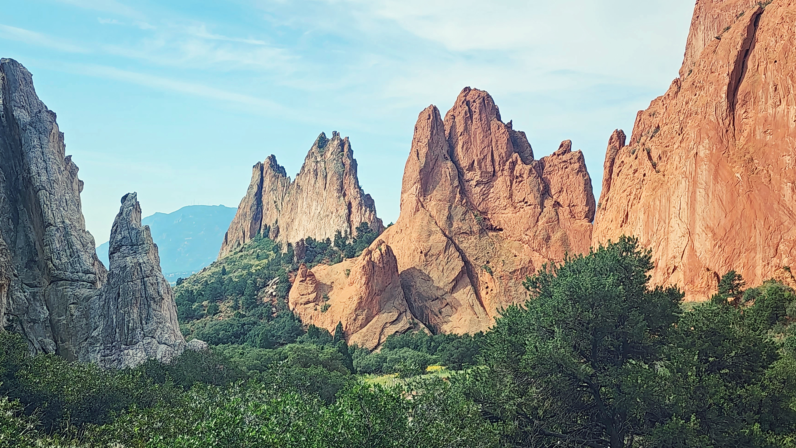

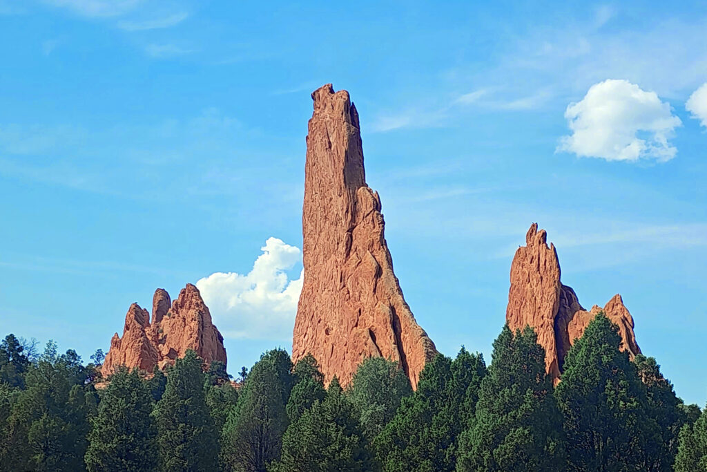
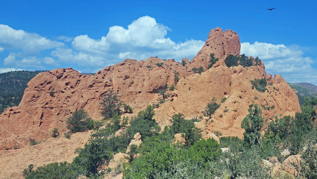
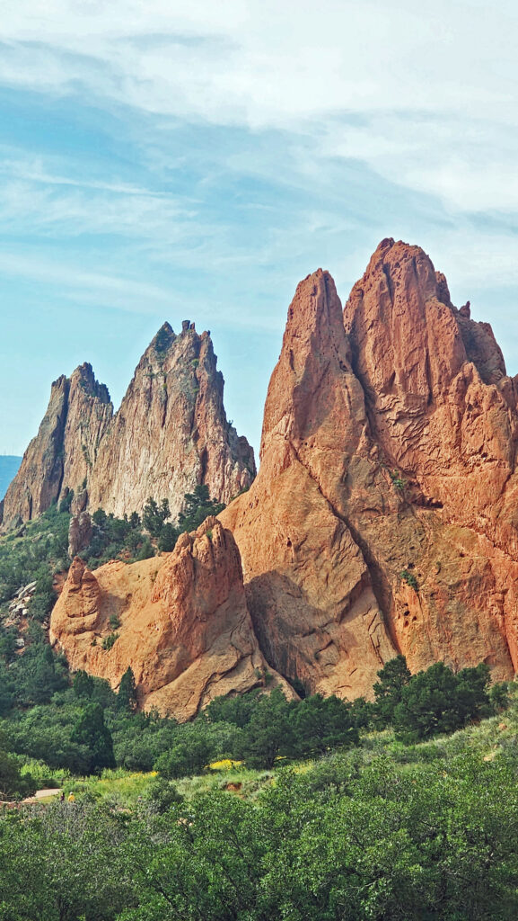
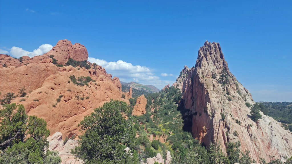
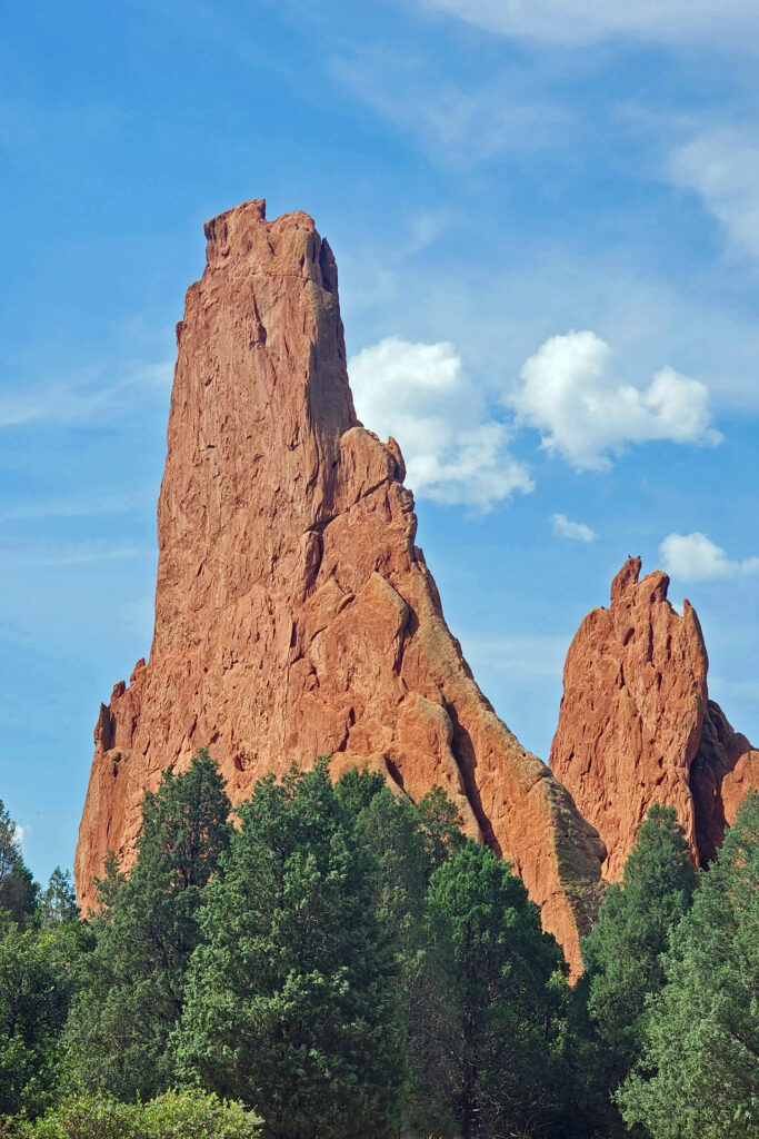
 In 1859, Colorado City was founded and later became the capital of the Colorado Territory before the capital was moved first to Golden, then Denver. Colorado Springs was founded in 1871 just east of what became known as Old Colorado City. Colorado Springs grew rapidly and eventually Old Colorado City became incorporated into the growing city, and is now a neighborhood west of downtown Colorado Springs.
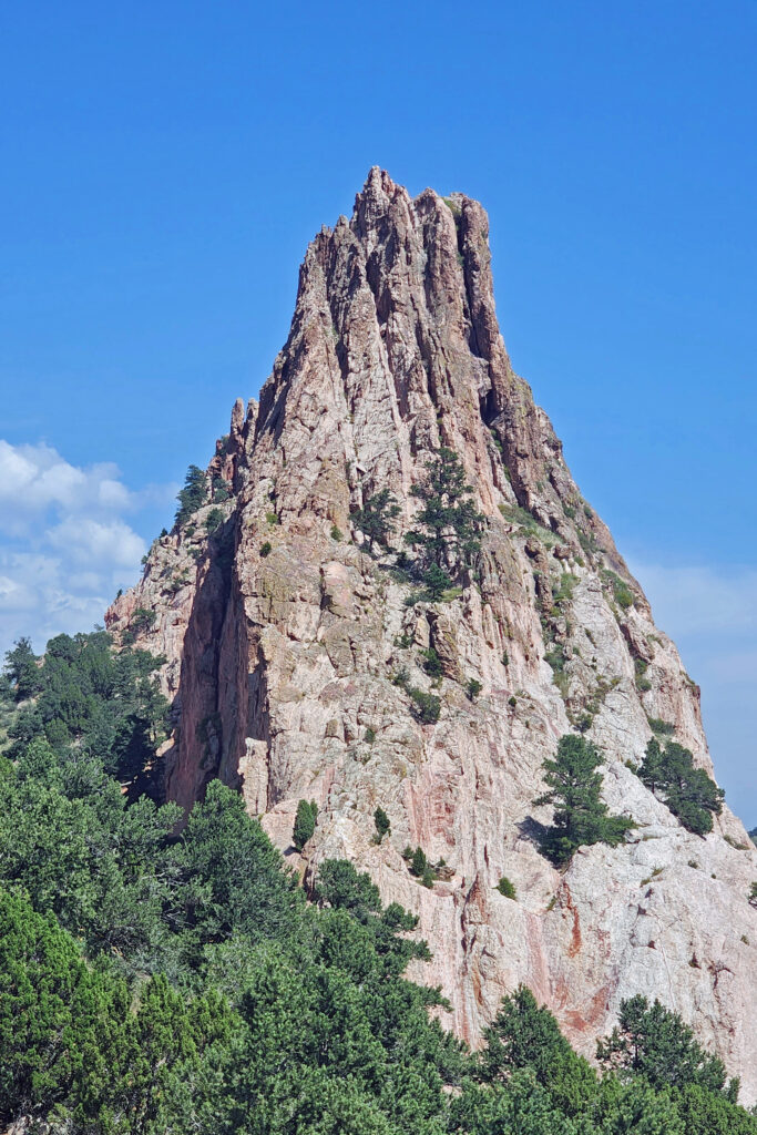
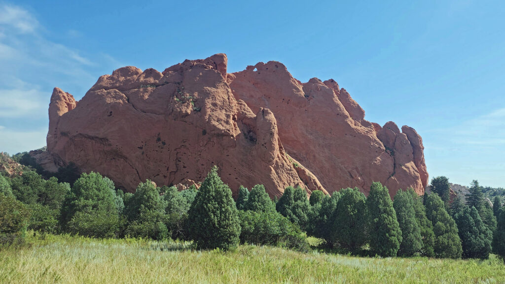
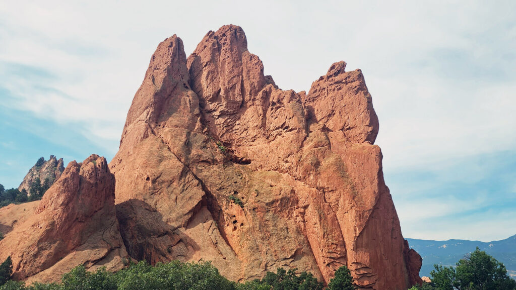
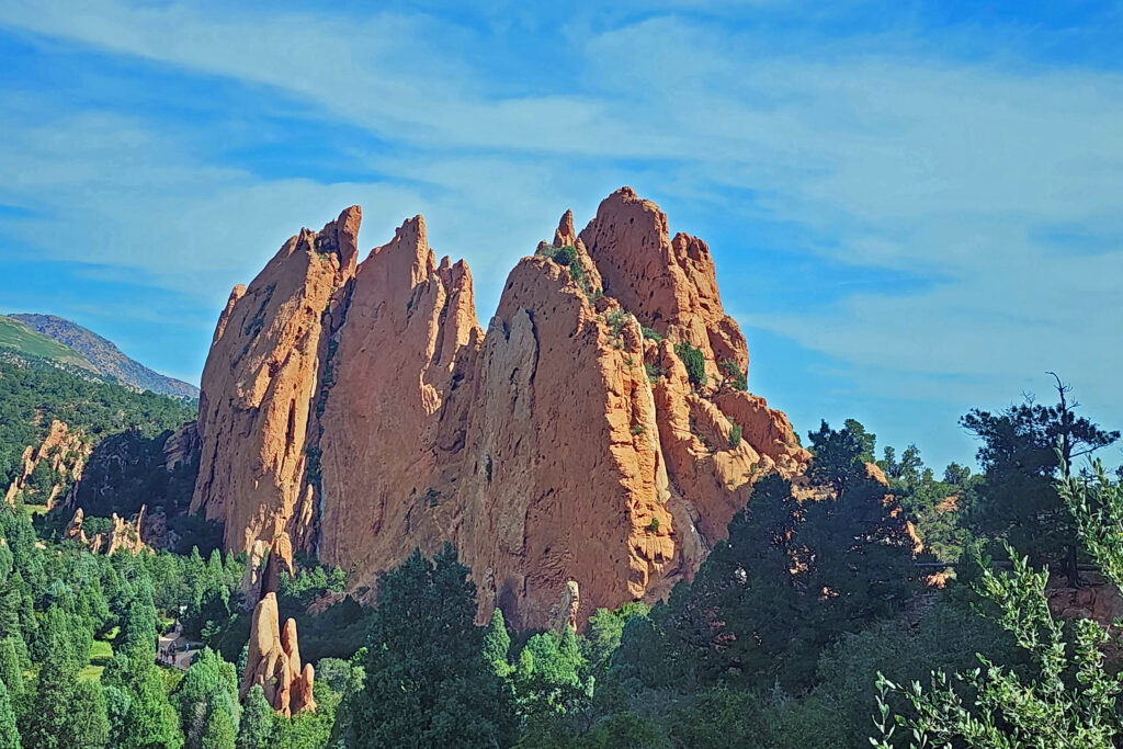
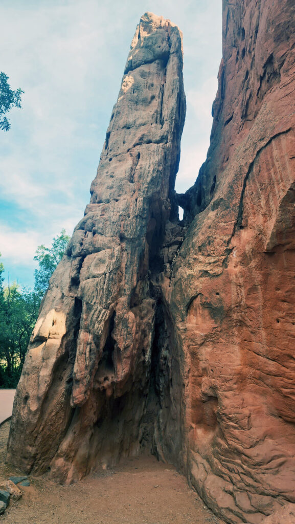
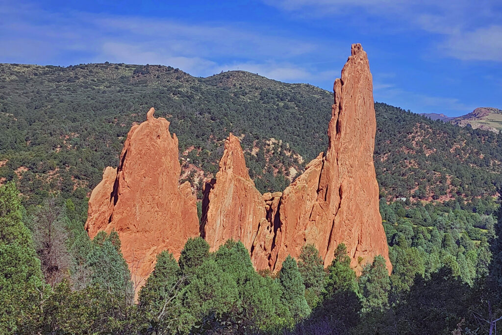 The park is very popular and parking can be a problem, but there is also a large overflow parking area just west of 30th Street if the visitor center parking lot is full. There is a pedestrian tunnel under 30th Street to get from the overflow lot to the visitor center. The park also operates a free shuttle bus in the summer that runs from the visitor center to the center of the park with stops at the overflow parking area and the Rock Ledge Ranch Historic Site.
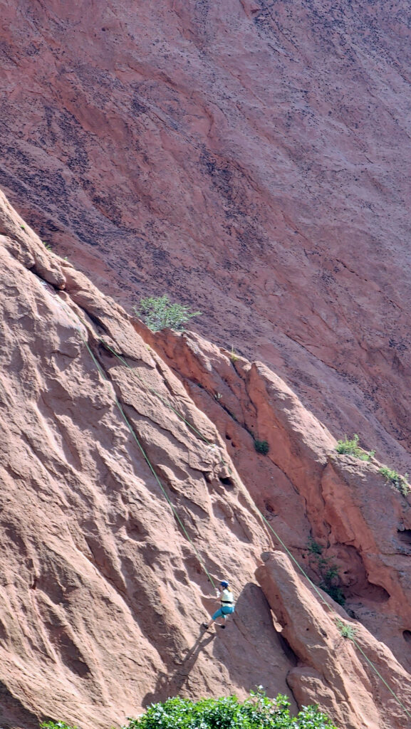
 The following was originally posted on this site a couple of years ago. I checked all of the links, but things can change, so check the
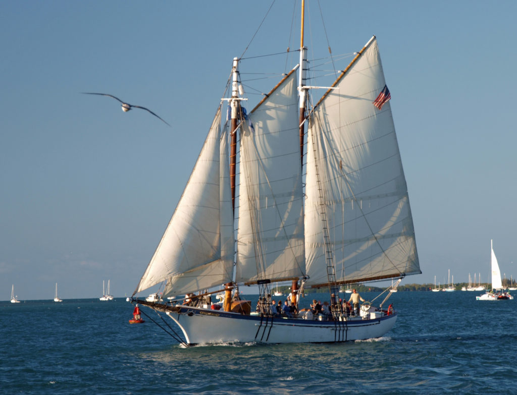

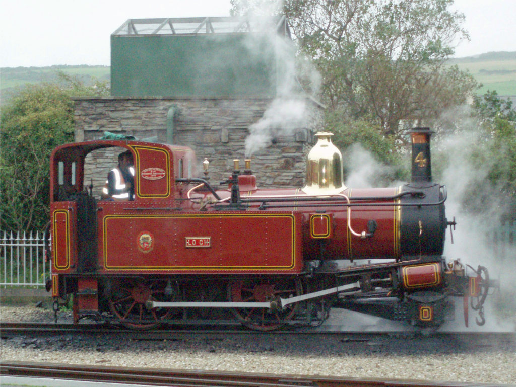
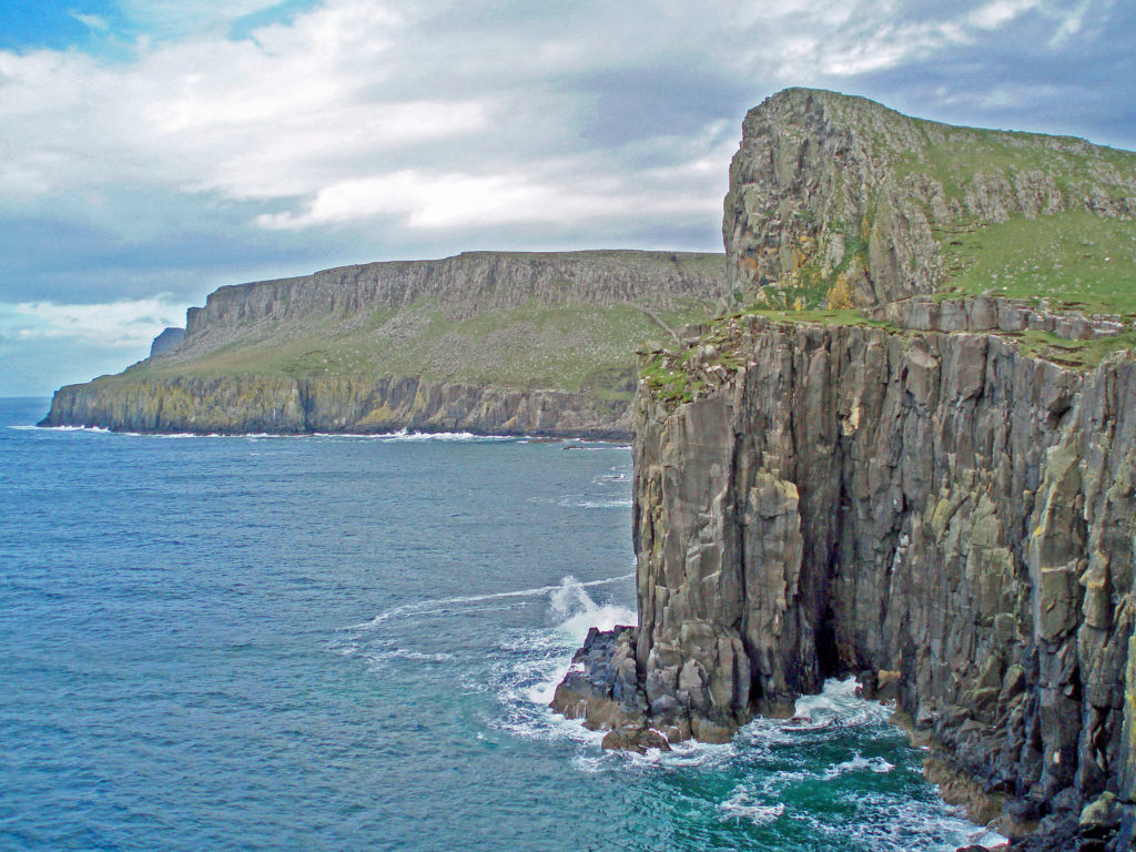
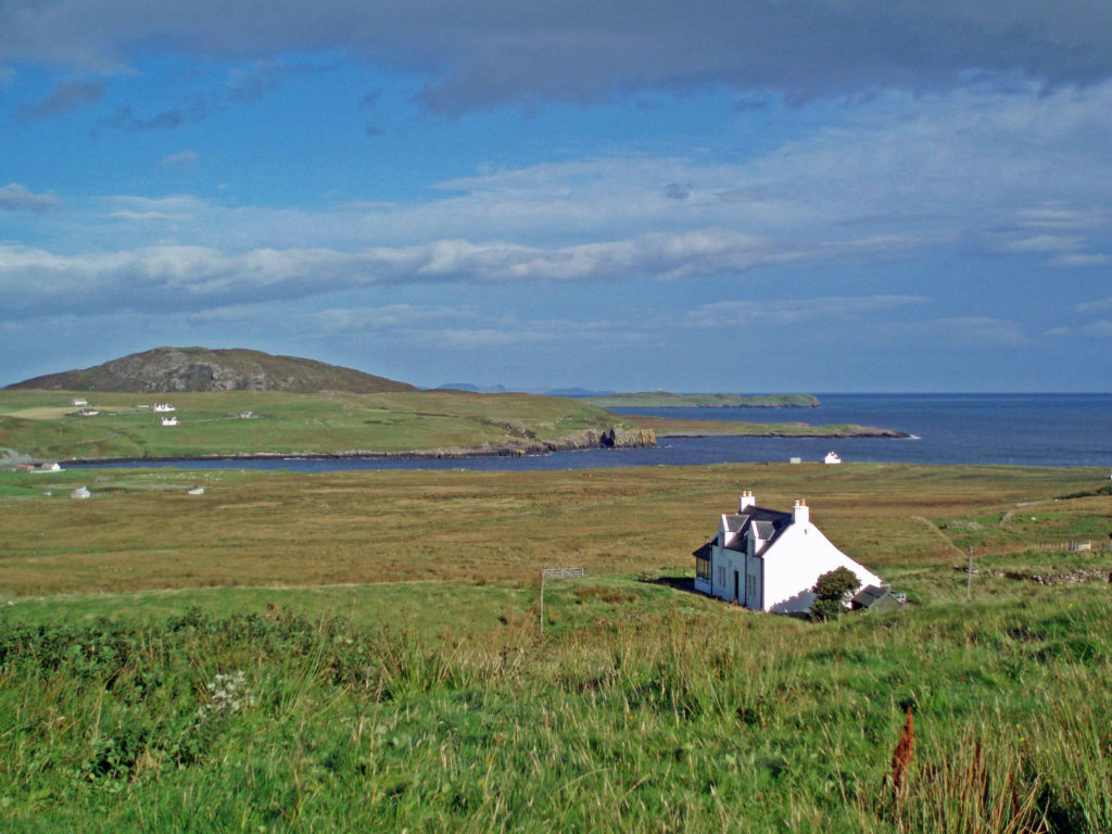
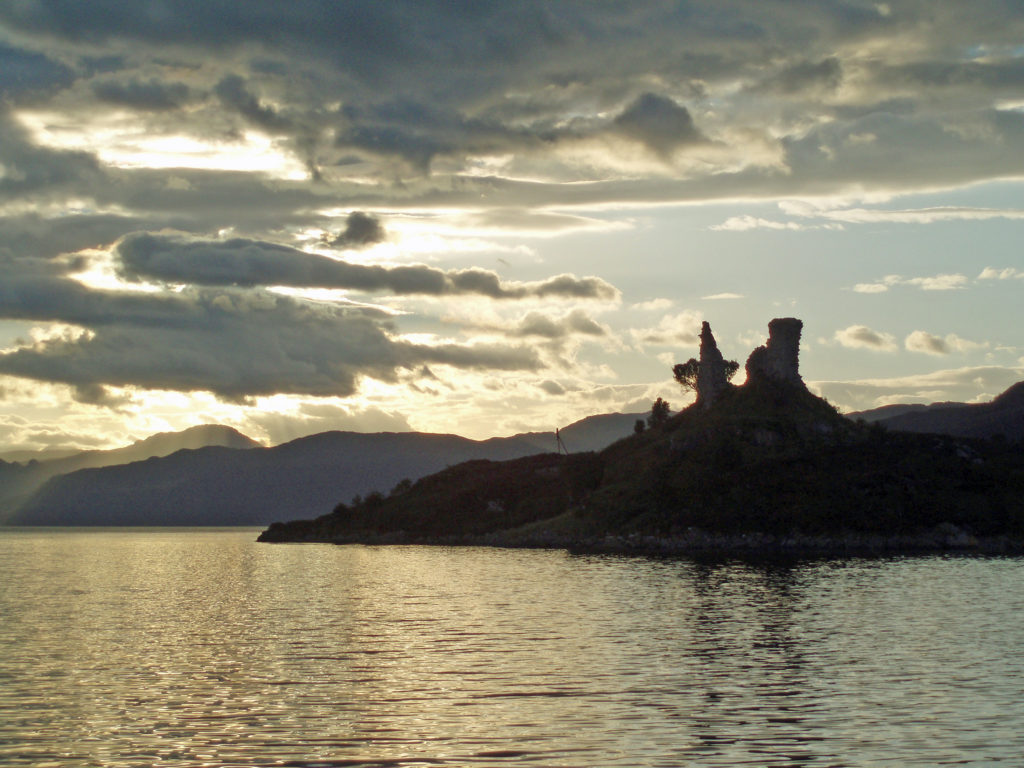
 Not quite an independent country, the
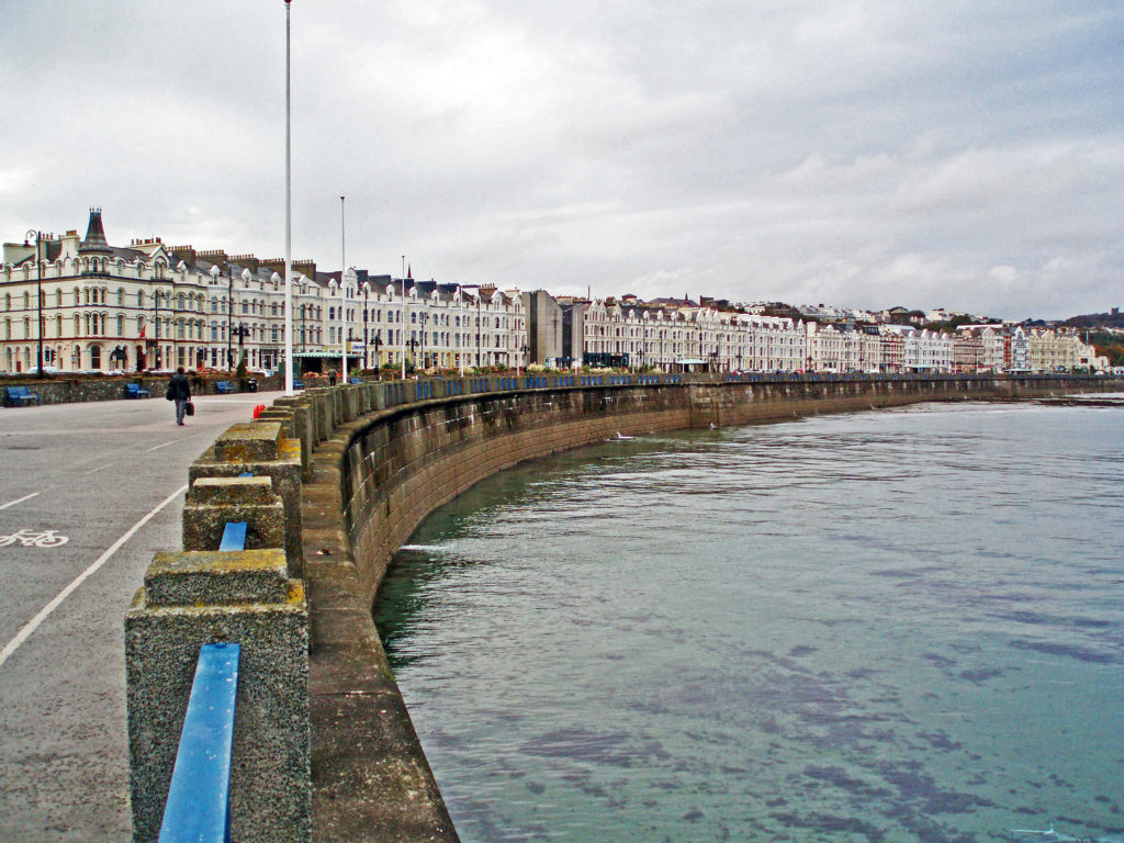
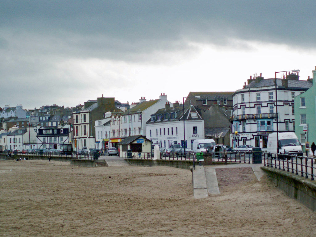
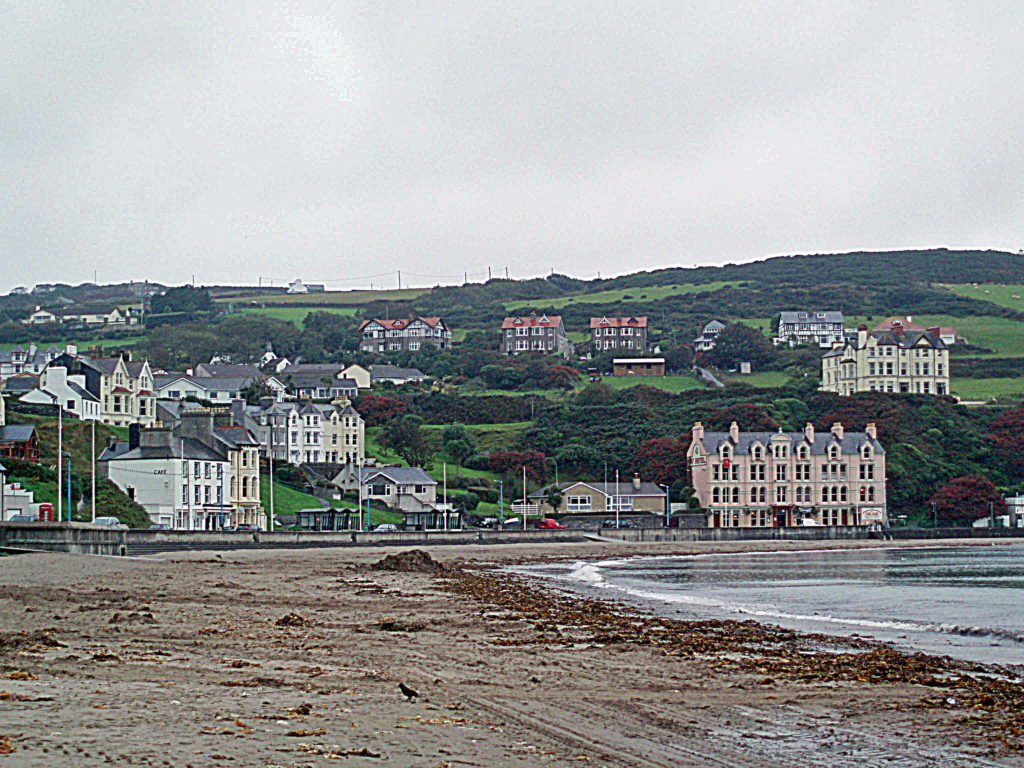
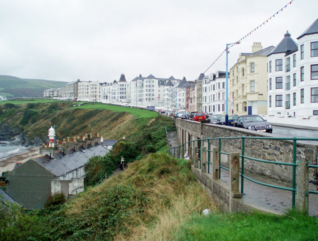
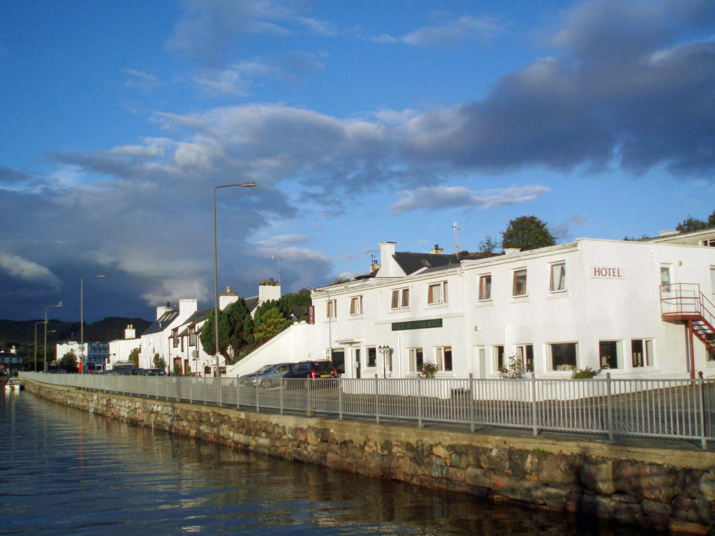
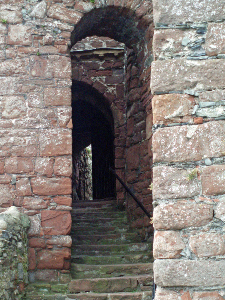 Getting to the island is relatively easy. It is no more than a 30 minute flight from any major city in the UK or Ireland. We, however, traveled to the island by passenger ferry from Heysham, England, which takes about two and a half hours. Ferries from Heysham and Liverpool run year round. In the summer months, there are also ferries from Belfast and Dublin to Douglas, the capital and largest city on the island.
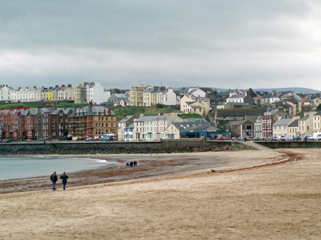
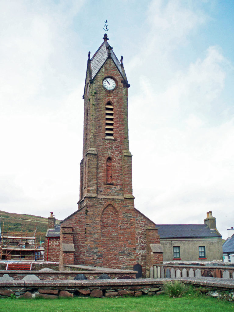
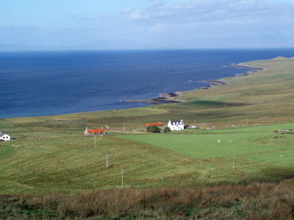
 On our train ride we met a local gentleman who was happy to pass on some of his knowledge of the island and its history. We found the Manx people to be friendly and welcoming.
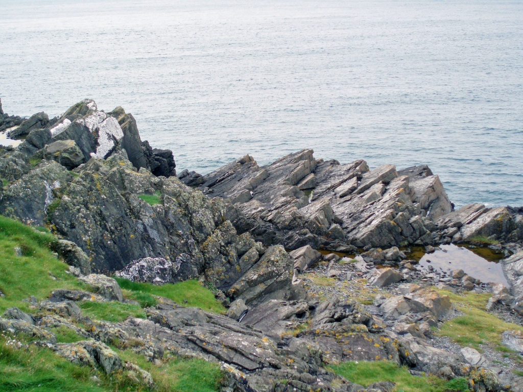 The Isle of Man has an interesting history. It has been ruled by the Celts and the Vikings, and it has, at various times, been part of Norway, Scotland, and England. But the Manx people have a strong sense of their own identity and have managed to maintain that identity for more than a millennia, regardless of who ruled the island. Tynwald, the Isle of Man parliament, is one of the oldest, if not the oldest, in the world. And human occupation of the island goes back to at least 6500 BC.
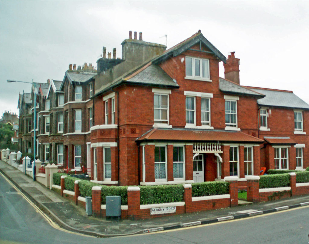
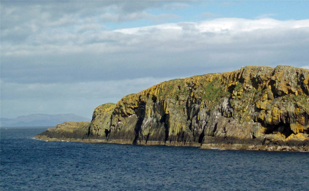
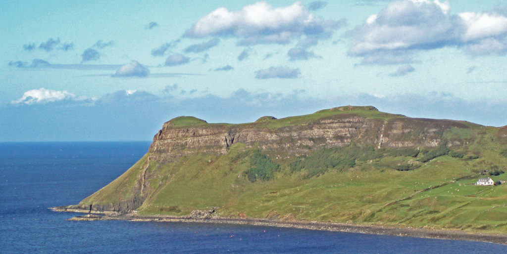
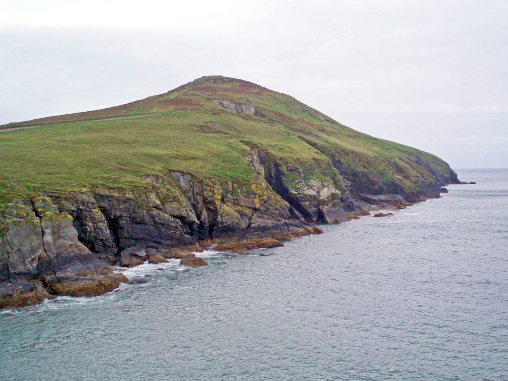 The Isle of Man is known for the short-tailed Manx breed of cats. The island is also the home of a four- and sometimes six-horned breed of sheep, and a population of red-necked wallaby, which have become established on the island after escaping from a wildlife park. We saw many of the odd looking sheep, but no cats or wallabies, sorry to say.
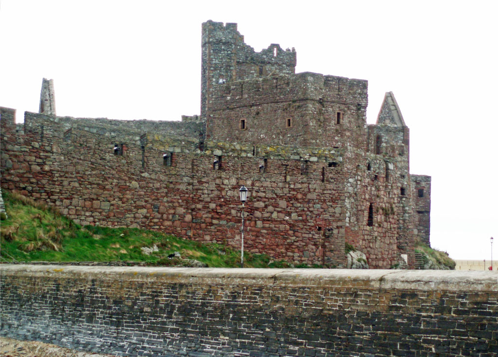 Motor sports fans know the island for the Isle of Man
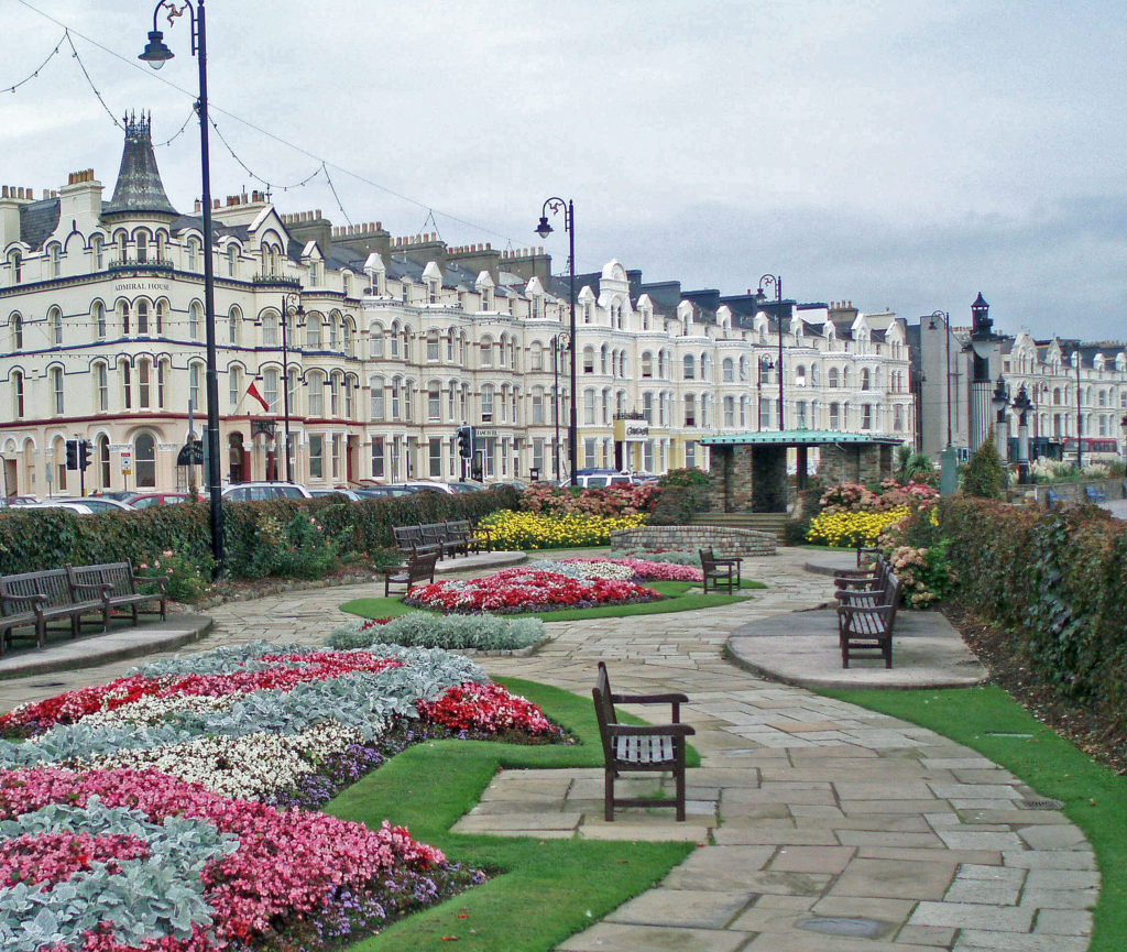
 While the Isle of Man might not be a tourist destination in its own right, at least for those of us from North America, we thoroughly enjoyed our time there, and I would like to go back someday. It has been some time since we visited, but given the island’s long history, I doubt that its essential character has changed much over the past seventeen years. I’m sure it remains a worthy addition to any trip to Great Britain or Ireland.
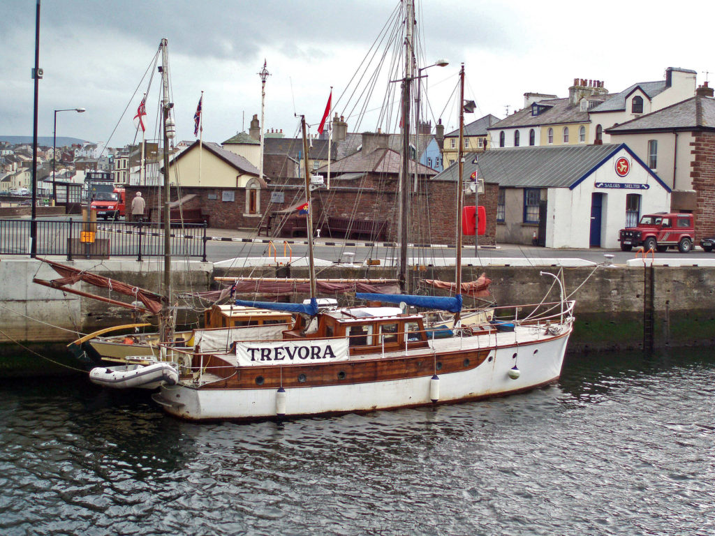 Originally posted by Alan K. Lee, December 4, 2020. Updated and re-posted August 28, 2023.
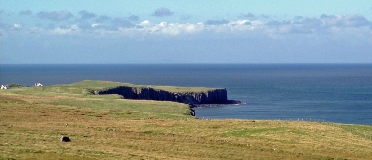
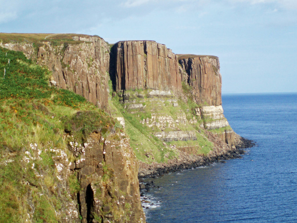
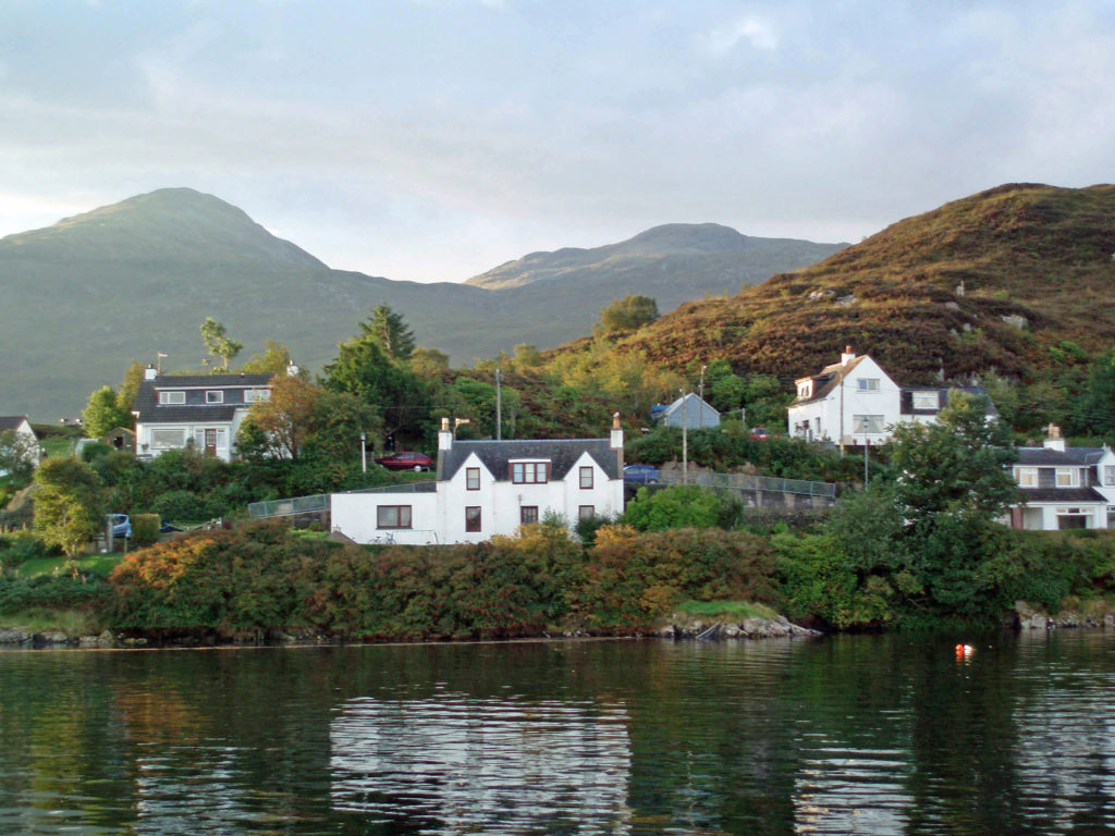
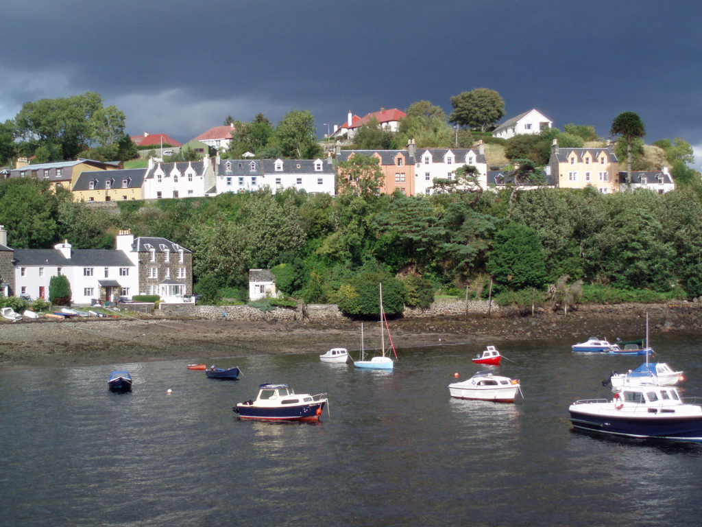
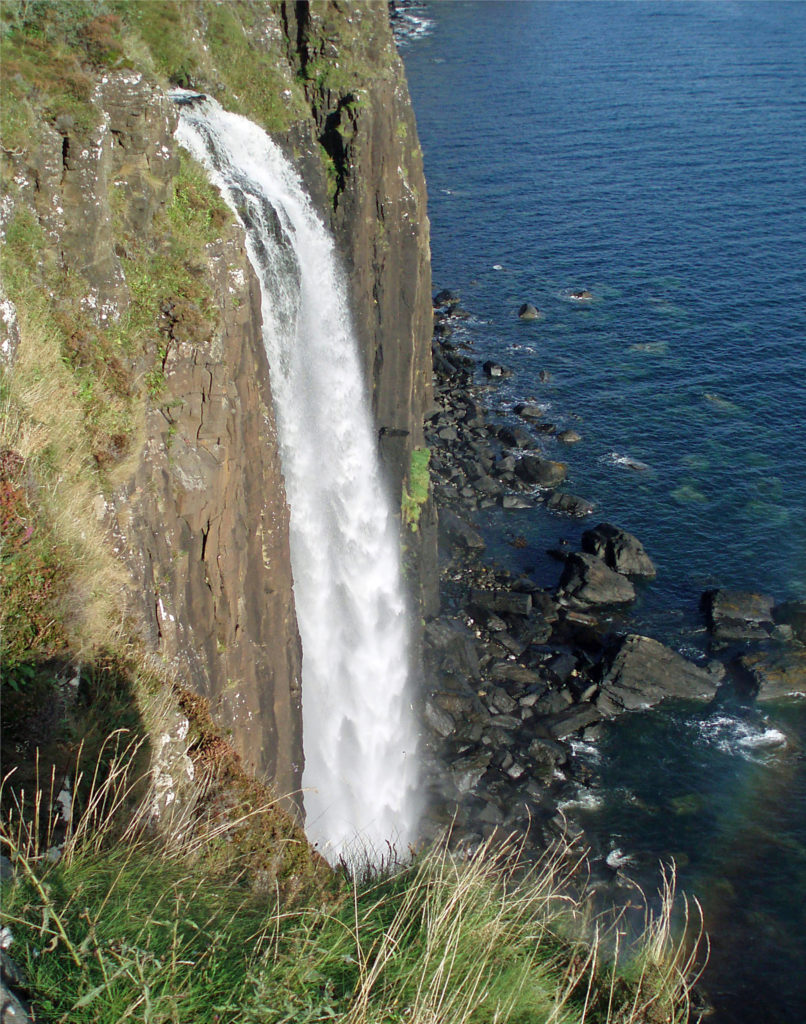
 I have no hesitation in recommending the Isle of Skye as a destination that should be on your bucket list. It’s a wonderful place and Scotland as a whole was a great place to start our explorations in Europe. Scotland is both different enough from the U.S. to be interesting and a bit exotic and alike enough to be comfortable and inviting.
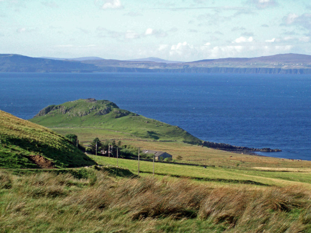
 That trip was more than 15 years ago and some things may have changed greatly since then, so I won’t go into much detail as to what to do, where to stay, where to eat, what things cost, and so forth. But there’s much to Edinburgh that is timeless, and undoubtedly has not changed in the years since our visit.
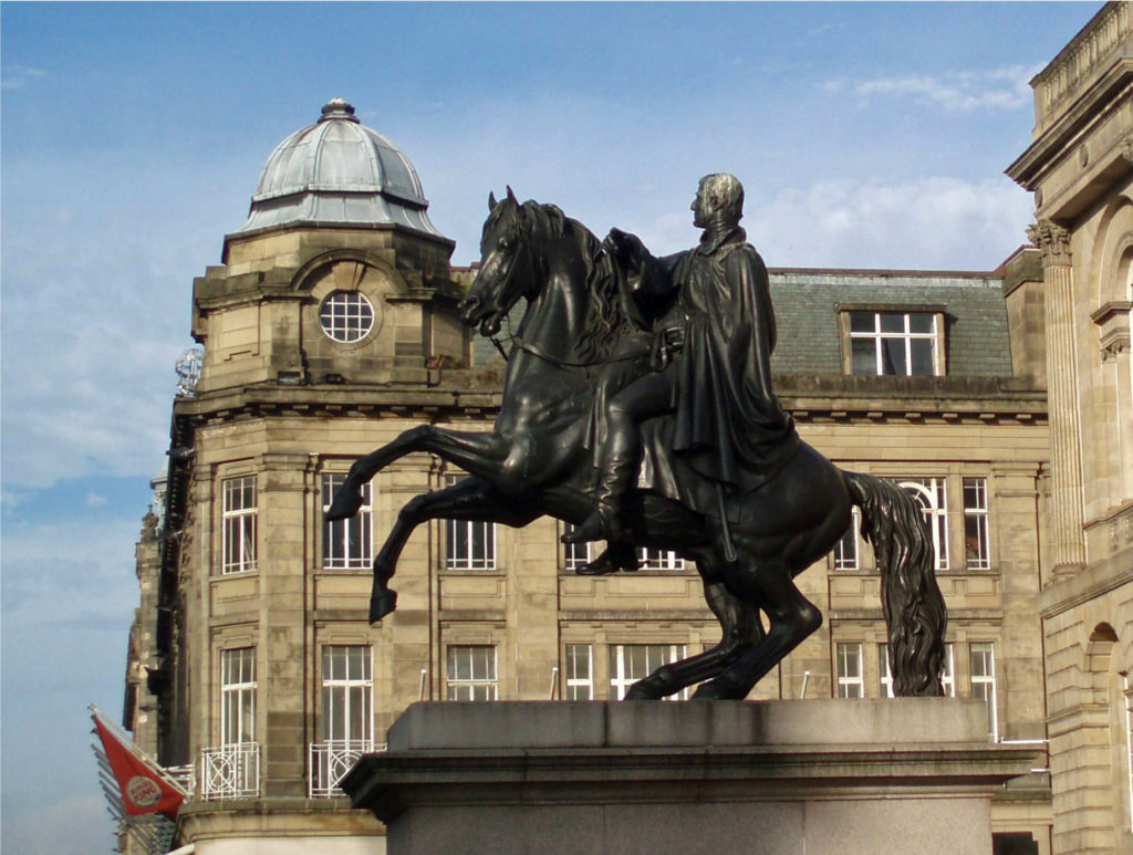
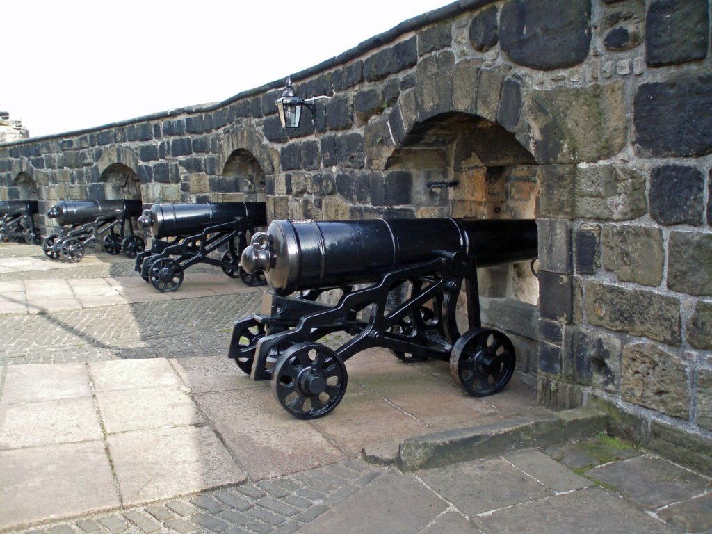
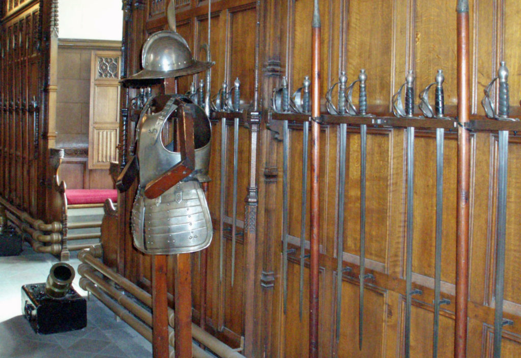
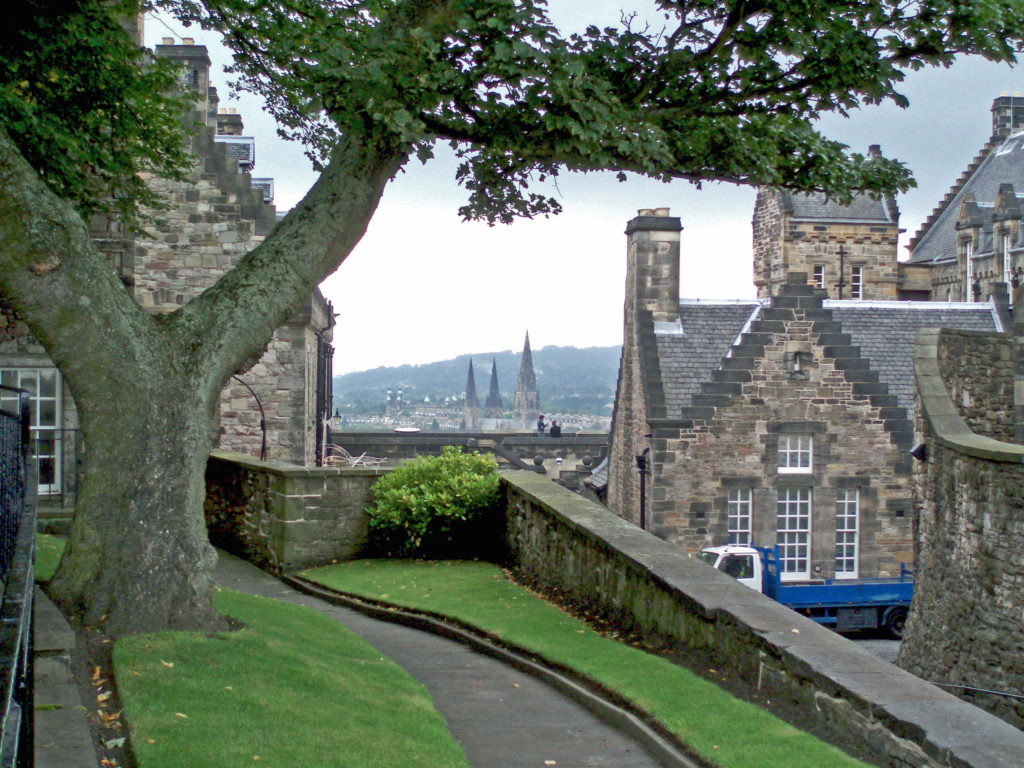
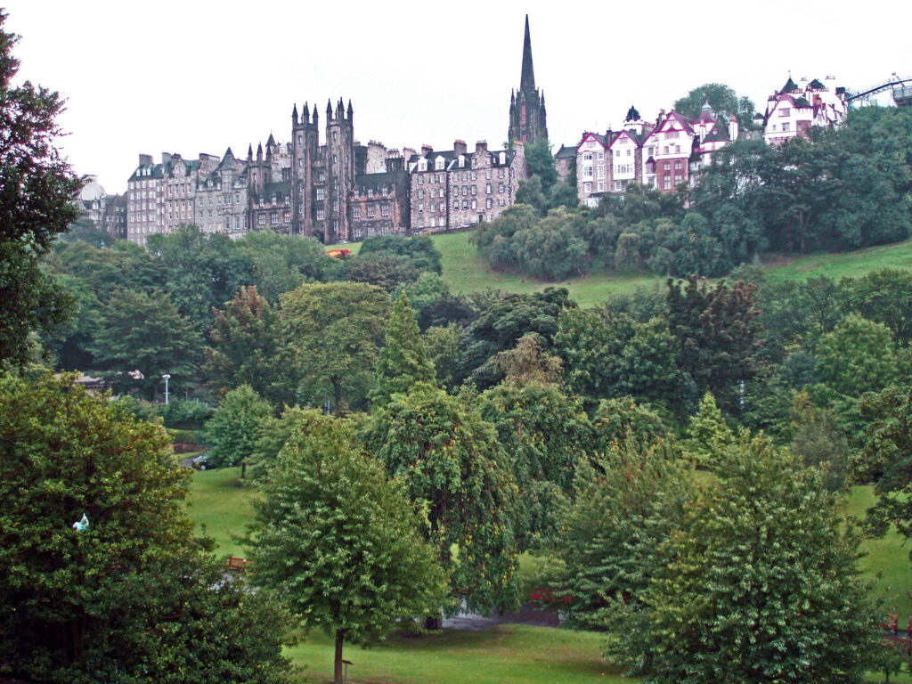
 Central Edinburgh is divided into the Old Town and the New Town. The Old Town includes Edinburgh Castle, the Palace of Holyroodhouse, the Royal Mile connecting the two, and the area to the south. The New Town stretches from Princes Street Gardens, directly below the Castle, to Queen Street Gardens and the adjacent area to the north. The Old Town is the historic center of Edinburgh, and also the site of the present-day Parliament. As far as the New Town goes, new is a relative term since construction of the New Town began in the 1760s.
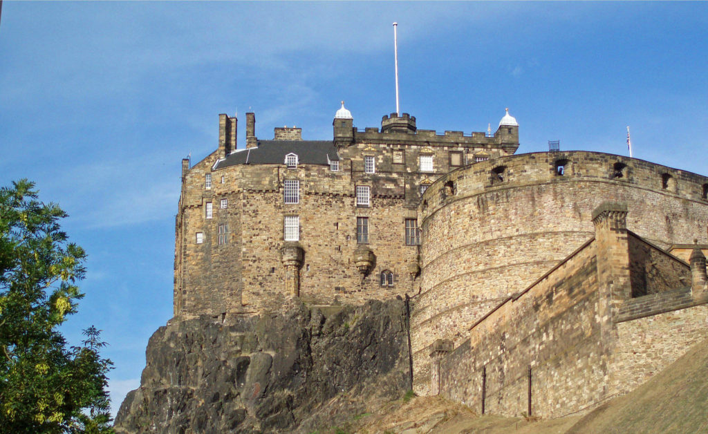 Both the Old Town and the New Town have their charms, and both deserve at least some of your attention. We spent most of our four days in Edinburgh exploring the Old Town, so I’ll focus on that part of the city.
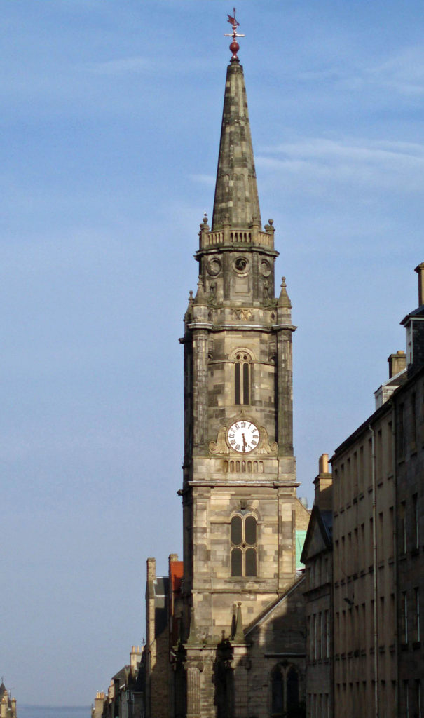 Although we didn’t go inside, St. Giles Cathedral, also known as the High Kirk of Edinburgh, is a magnificent structure that predates most of the structures in Edinburgh Castle. The cathedral was built between the late 14th and early 16th centuries. Entrance to the cathedral is free, but a small donation is requested.
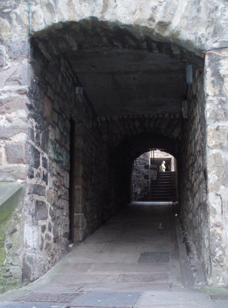 One of the attractions of the Royal Mile are the “closes,” underground passageways that were once narrow streets or walkways between houses. The upper floors of some the houses were demolished and the lower stories used as foundation for the Royal Exchange, built in the mid 18th century, leaving the closes below ground. Some of the closes remain as passages between the Royal Mile and the streets to the south, and organized tours of some of the more subterranean closes, such as the
  Other attractions of the Royal Mile include the John Knox House, the Writers’ Museum, the Huntly House, and The People’s Story, a museum housed in the historic Canongate Tolbooth, built in 1591.
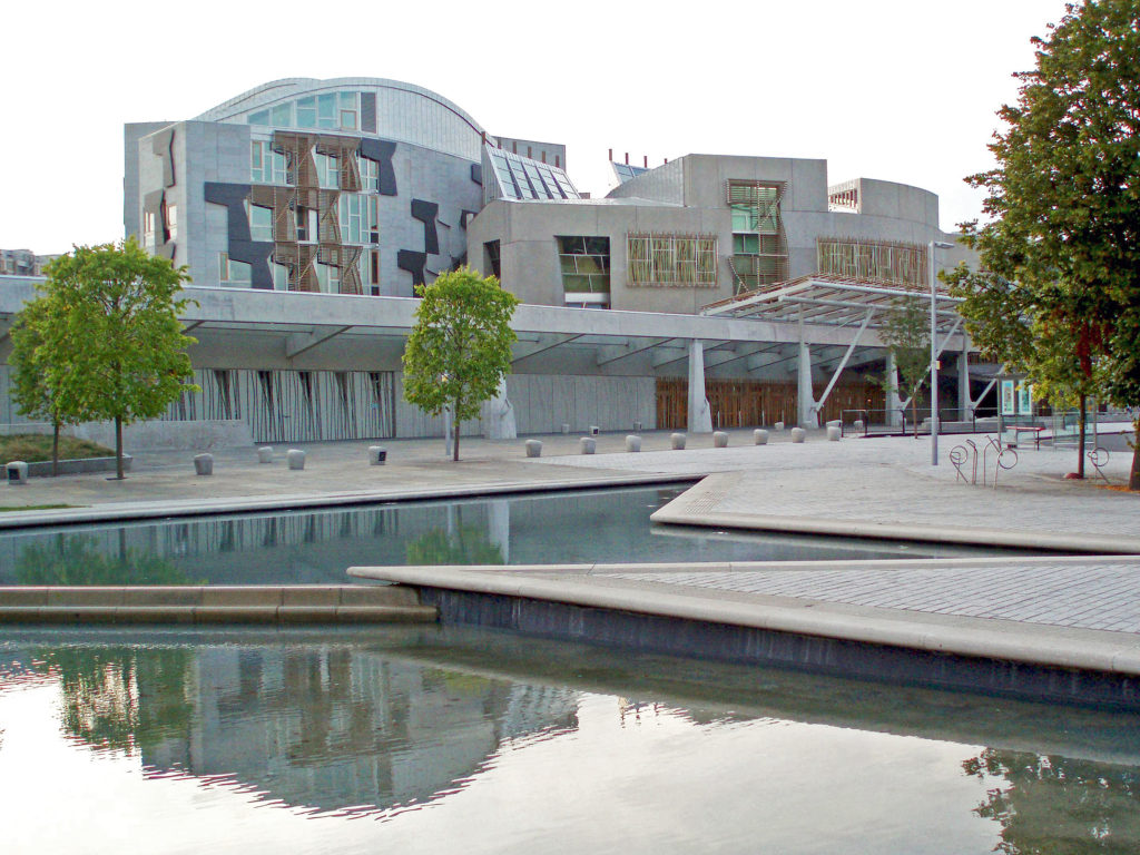 You will also find the Scottish Parliament buildings at the lower end of the Royal Mile near Holyroodhouse. Their contemporary, modernist design stands in stark contrast to the traditional and historical structures around them. And while I in fact like the design, to me they look out of place in their setting.
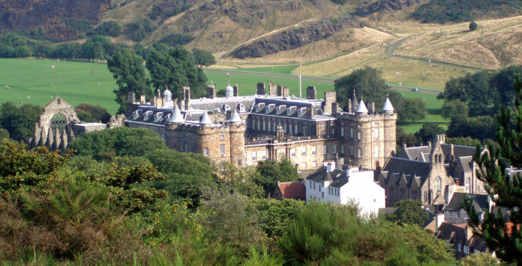
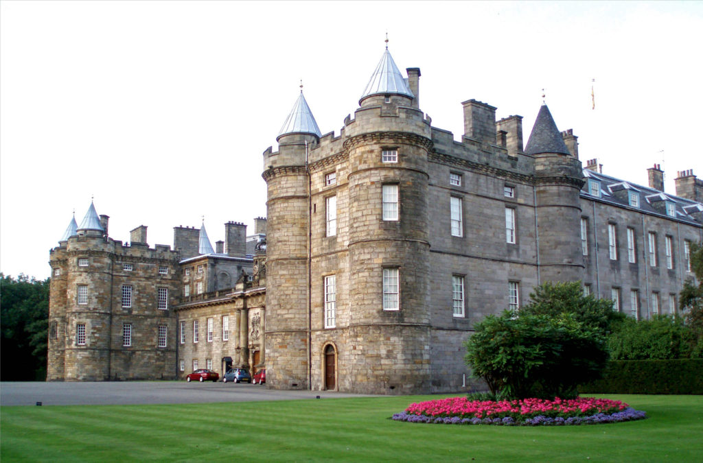 The Palace of Holyroodhouse is the official residence of the Monarchy in Scotland, but the palace is open to the public when King Charles III is not in residence. We did not tour the interior, but it comes highly rated. You can visit the Throne Room, the Picture Gallery, and the King’s Bedchamber, and Tour the King James Tower, where Mary Queen of Scots lived. For more information, check the Royal Collection Trust
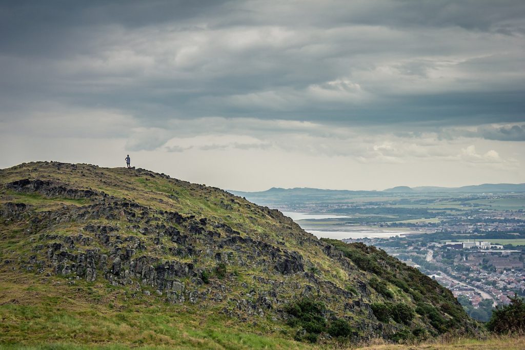
 We didn’t make it to Queen Street and Queen Street Gardens, but the photos I’ve seen and the guidebook descriptions make me think we missed something there.
 A little farther afield in the West End, though within easy walking distance of the New Town, is the
  On the walk back we discovered a path along the Water of Leith that took us to
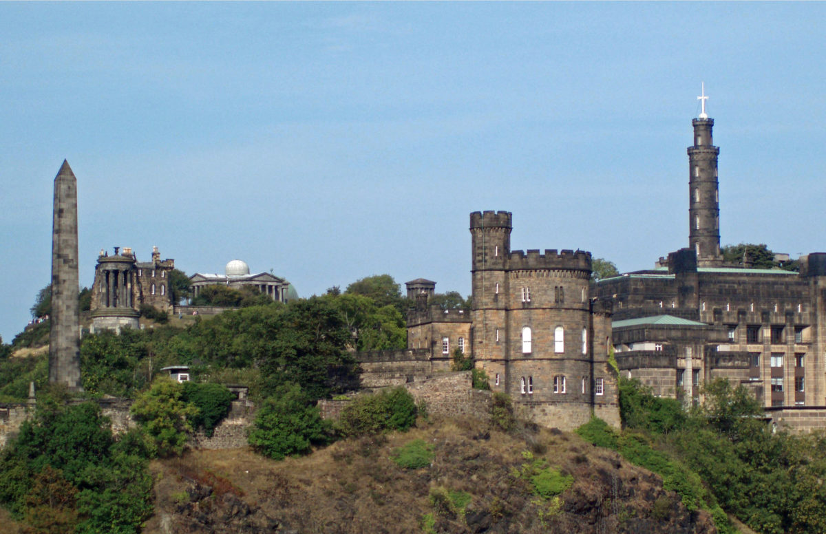
  On our visit we stayed at an old hotel just east of Calton Hill. With its many monuments, including the Nelson Monument and the Lincoln Monument (which is in fact dedicated to Abraham Lincoln), Calton Hill is one of the more scenic and picturesque locations in Edinburgh. From the top of the hill you have a panoramic view over the city and to the Firth of Forth and the Port of Leith, where the


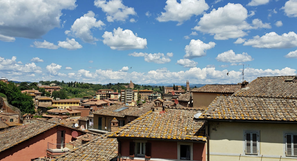


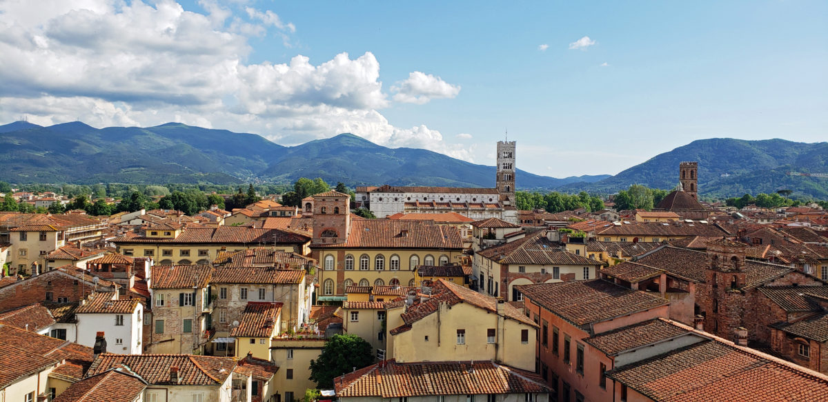
 Lucca, Italy is a modern city of about 85,000 people, located about ten miles northeast of Pisa and 40 miles west of Florence. But the old walled city was what my wife and I came to see. Lucca has one of the most intact medieval city centers you will find anywhere in Europe. The historic center, or centro storico, is relatively compact, easily walkable, and almost unchanged from medieval times.
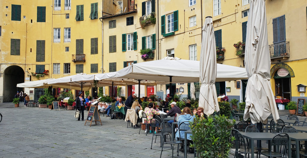 Lucca is an ancient city, founded by the Etruscans, probably on the site of an earlier Ligurian settlement. It became a Roman colony in 180 BC. Little remains of the Roman city, though. Most of the old city is of medieval origin, but some of the streets date to the Roman settlement, and a hint of the Roman amphitheater can be seen in the Piazza dell’ Anfiteatro. The popular Piazza San Michele occupies the site of the old Roman forum.
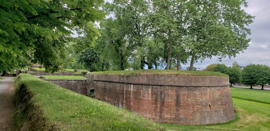
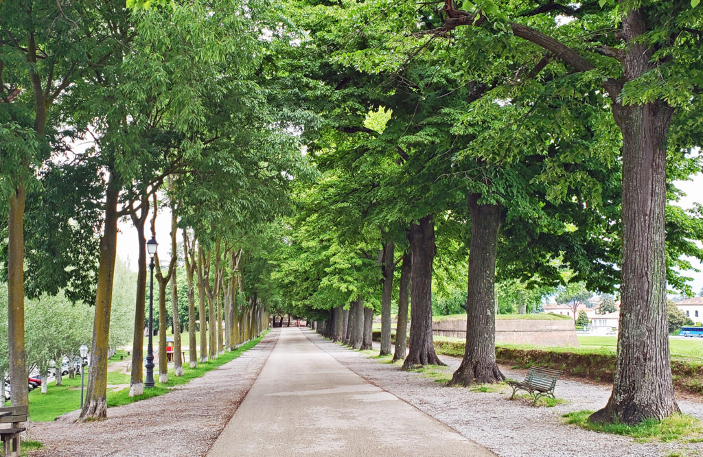 One of the attractions of Lucca is the medieval city wall. Lucca is one of the few ancient cities in Europe with an intact wall. The wall is a wide earthen structure faced with brick, constructed between 1550 and 1650. The top of the wall is now a tree-lined park with a wide pedestrian/bicycle path. The 2.5-mile-long path is a popular walking, jogging, and cycling path.
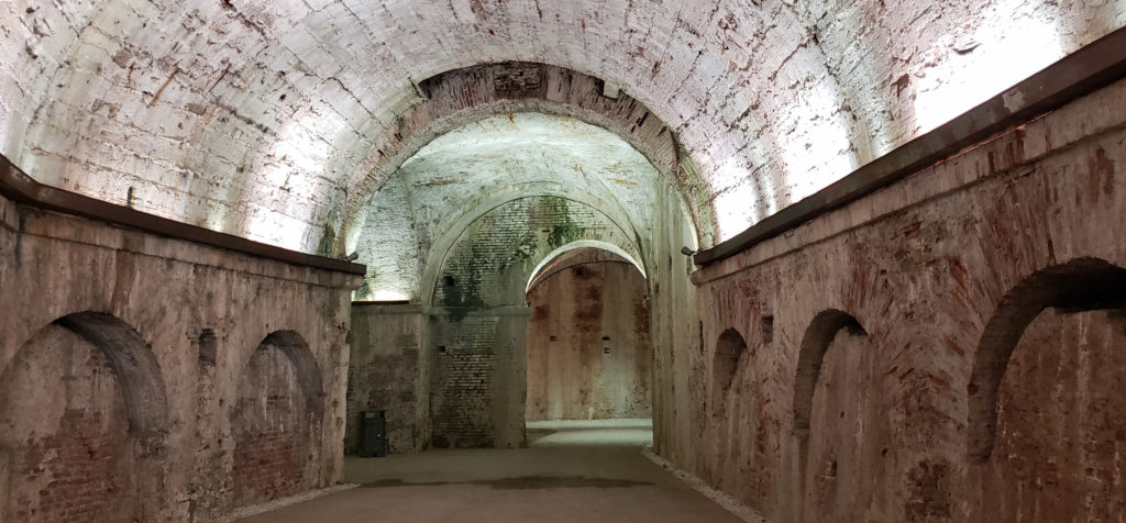 Bicycles can be rented for about €5/hour or €20/day at several shops in the old city. Riding or walking the wall is a good way to get a view of the city, and a good place to people watch, too. You will see many locals, as well as fellow tourists, walking and riding the walls or just relaxing on park benches. There are also several places where there are tunnels inside the structure of the wall that are surprisingly interesting and well worth seeking out.
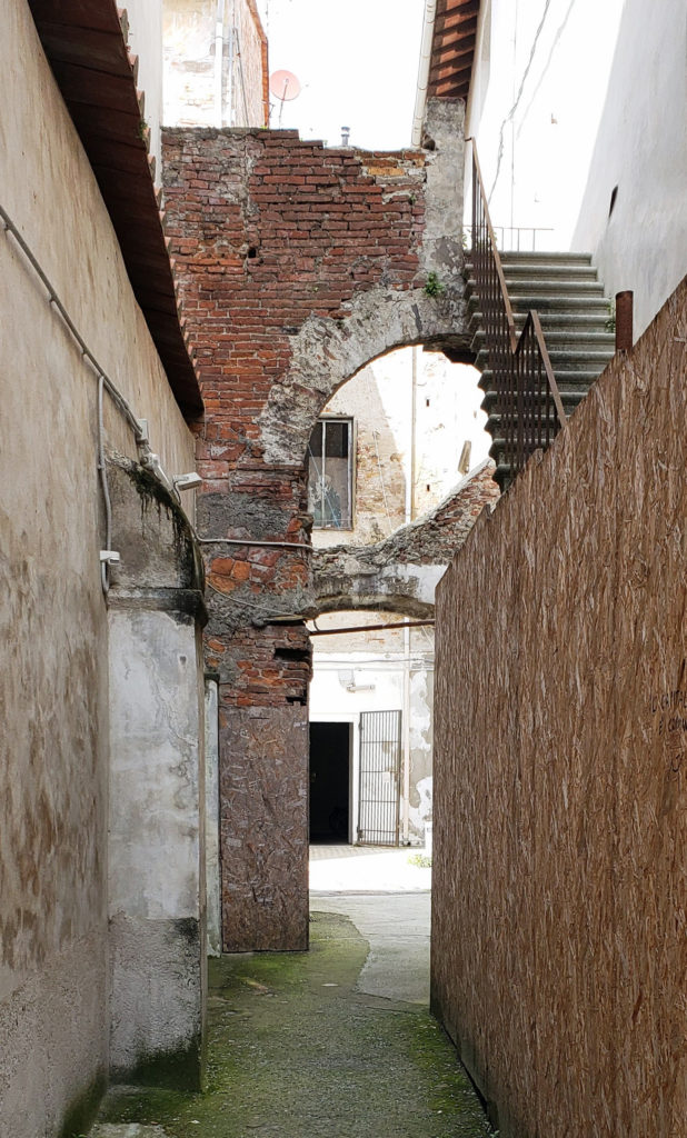
 Inside the walls, the old city has many fine old churches, plazas (piazzas), palaces (palazzos), and villas. Getting around can be confusing, as the streets are narrow and lined with tall (4-6 story) buildings, and some much taller towers that block out any visual reference points. On a cloudy day it can be difficult to orient yourself. You may come out onto the street and have no idea which way is north. A city map and a good guidebook are essential. Rick Steves’ guide to Florence and Tuscany has a chapter on Lucca and is a good reference. His walking tour is a good way to see the major sights.
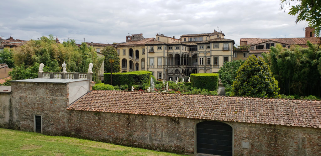 We wandered around without a set itinerary and got lost on several occasions. Wandering aimlessly and getting lost has a certain appeal, but one time we couldn’t find the side street where we had left the bikes that we borrowed from the owner of the Airbnb we were staying in. Eventually we figured out that we were on the opposite side of the city than we thought we were. We retrieved the bikes and rode back to our rental, but only after walking almost all of the 2.5-mile wall.
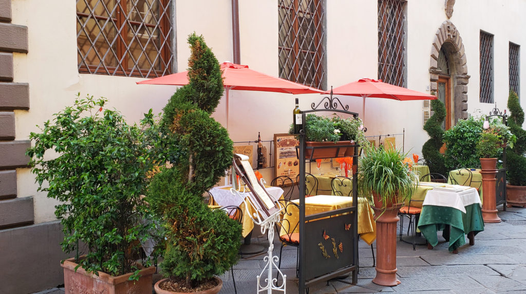 Some of the major attractions in Lucca are the Piazza San Michele and the Church of San Michele (Chiesa di San Michele), the Cathedral Museum (Museo della Cattedrale), the Guingi Tower (Torre Guingi) and Villa Guingi, the Casa di Puccini (the birthplace of the opera composer Giacomo Pucccini), the San Martino Cathedral, the San Giovanni Church, the Church of San Fediano, the Pallazzo Mansi, and the Palazzo Pfanner. All of these are described in the Rick Steves guide, as well as other guidebooks.
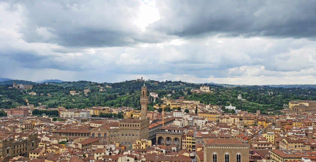
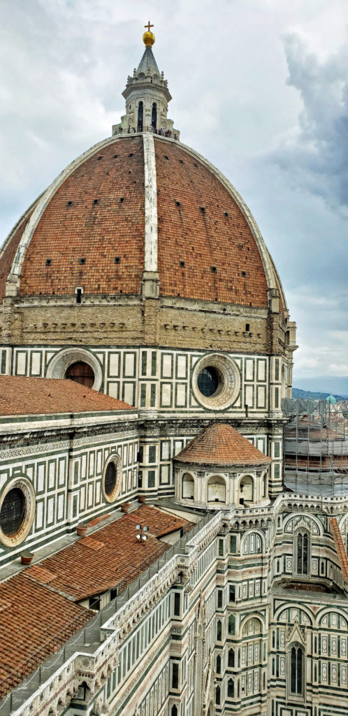
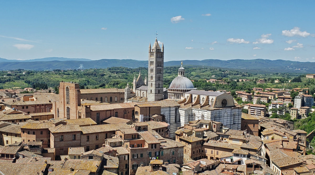
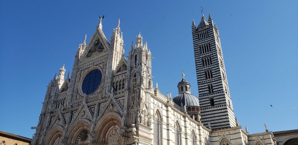
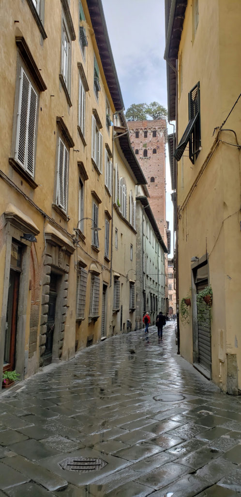
 Climbing the 220 steps of the Torre Guinigi gives you a good view of the city and you’ll find an interesting little grove of trees growing on the summit of the tower. This was the first of our tower climbs during our trip. More would come in Siena and Florence, culminating with our back-to-back climbs of the Duomo and Campanile (Giotto’s Tower) in Florence (both 400+ steps). Lucca once had 160 towers like the Torre Guingi, all private residences of wealthy merchant families. Only a few remain. A combination ticket that gets you into both the Torre Guinigi and the Clock Tower costs less than €10. Most of the other attractions in Lucca are similarly inexpensive, mostly between €5 and €10.
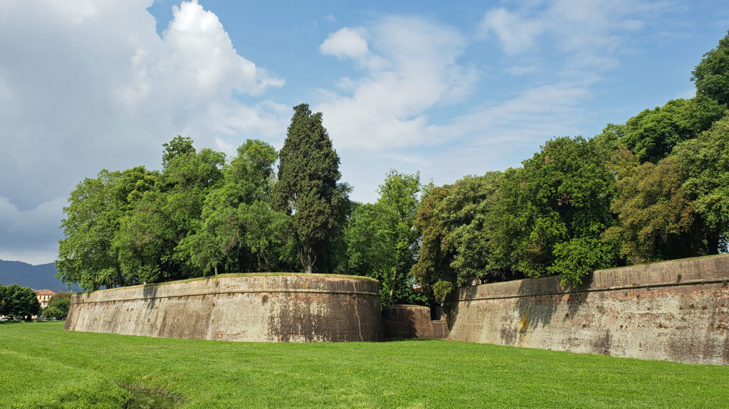 There are no shortages of places in Lucca to get a good meal, something we found true everywhere we went in Italy. There are some fine dining establishments that are recommended the guidebooks, but we found the sidewalk and piazza cafes that are so abundant all had very good food at surprisingly affordable prices. It’s hard to go wrong, wherever you choose to dine. Gelato is serious stuff in Lucca, too, as it is everywhere in Italy.
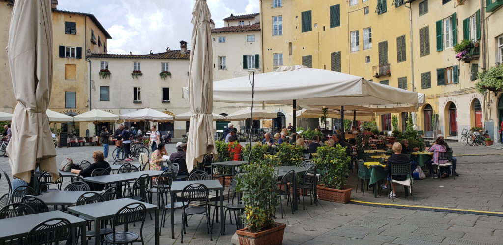 If you’re visiting Tuscany, Lucca should be on your itinerary, even if you only have an afternoon to explore it. Siena is prettier, and Lucca doesn’t have the history or art and culture of Florence, but it is more authentic and much less touristy, and has its own appeal. You won’t regret it.
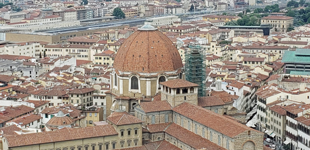
 Originally posted September 17, 2018. Updated and re-posted April 14, 2021 and May 21, 2023.
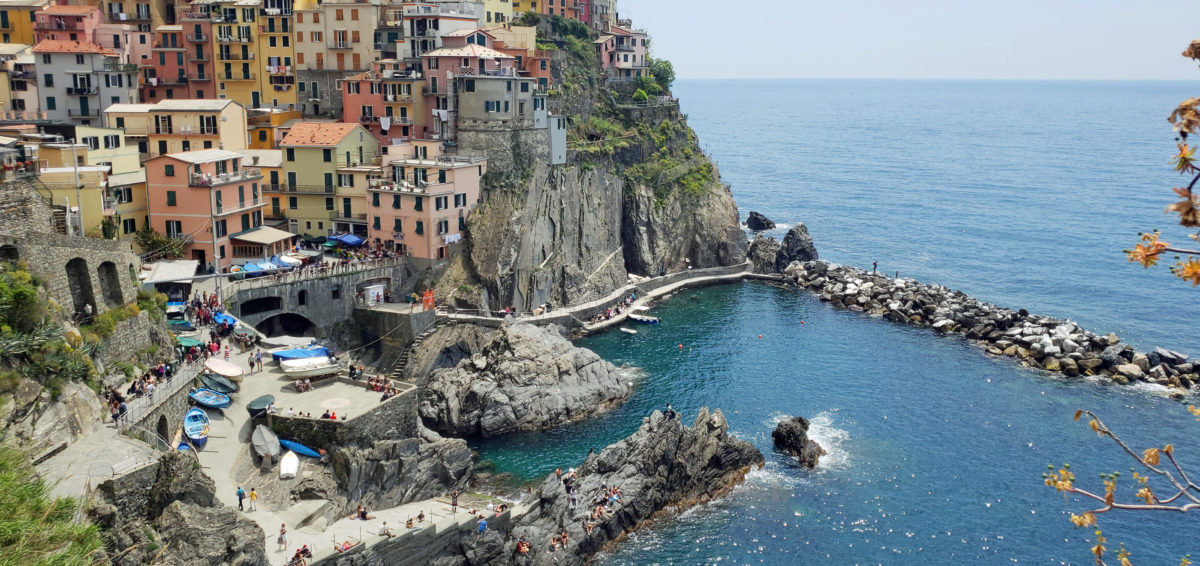
 The following is an expanded and updated version of an August 2018 post on this site.
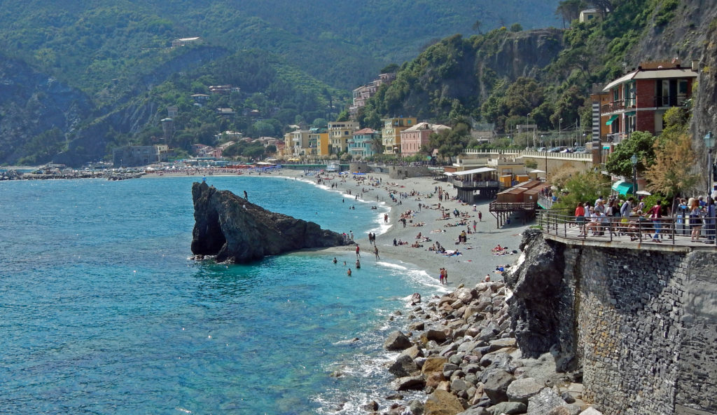
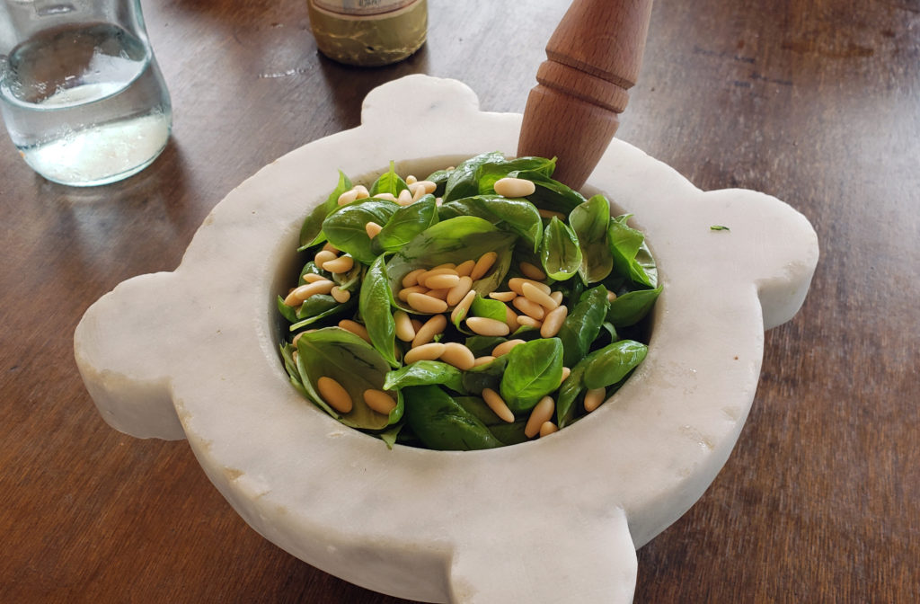 Because we would not be home on Mother’s Day, my two stepdaughters bought my wife (and me) tickets to a pesto making class and lunch at the Nessum Dorma Restaurant in Manarola, something I would not have done on my own, but which turned out to be both a good introduction to Italian cuisine and loads of fun. And the food was very good, including the pesto that we made ourselves.
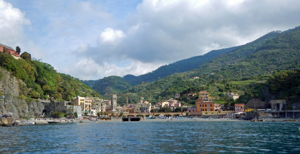

 The
The 
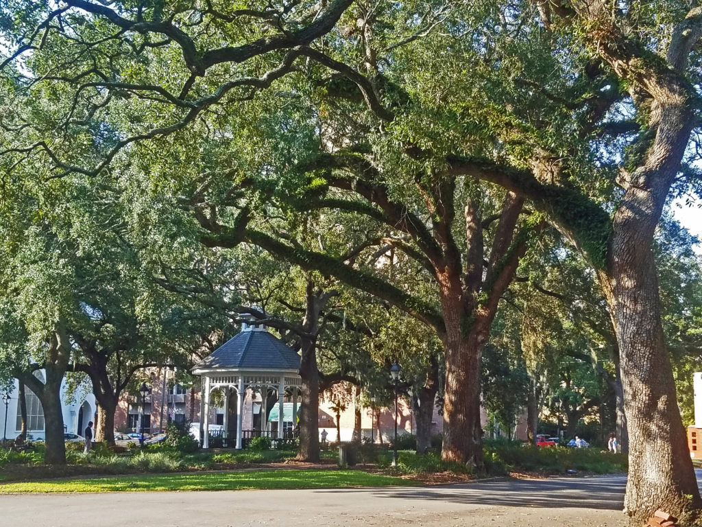
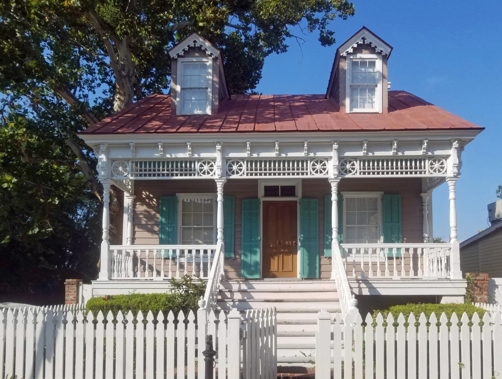
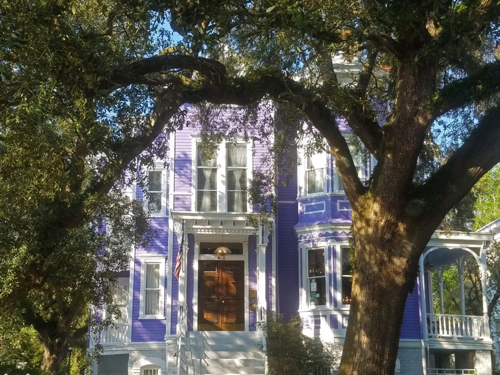
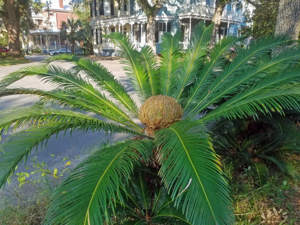
 Savannah is an old city, founded in 1733. It was the first European settlement in Georgia, and the city’s history is an important aspect of its spirit and culture. Walking around in the Historic District, it’s not hard to envision yourself in another, long past, era.
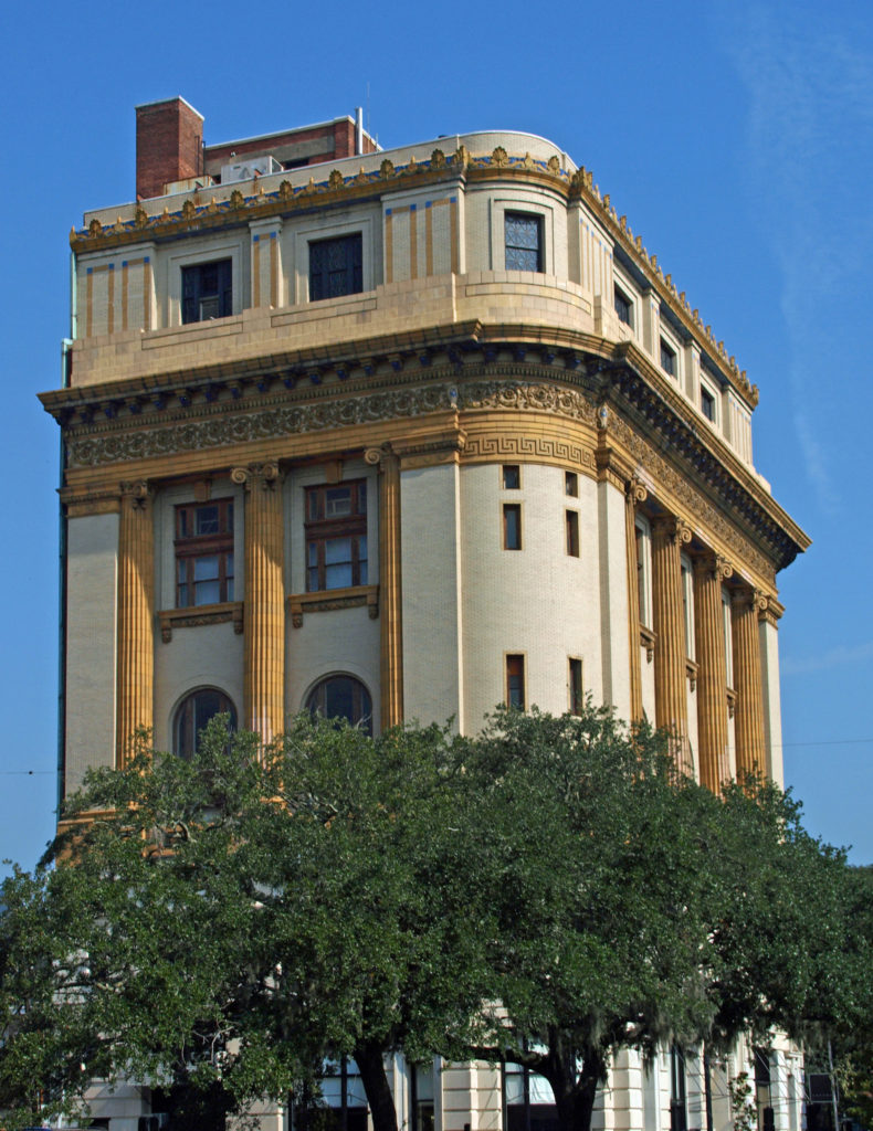 The entire Historic District was named a National Historic Landmark in 1966. The
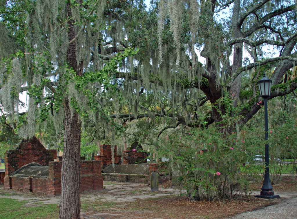
 Savannah is a very walkable city. Guided walking tours of the Historic District are available for about $25 per person. There are also guided bike tours and public carriage tours available at similar rates. Private carriage tours run $100-125 for two people. Hop-on/hop-off trolley tours run $30-35 per person. Ghost tours are also a popular option for visitors.
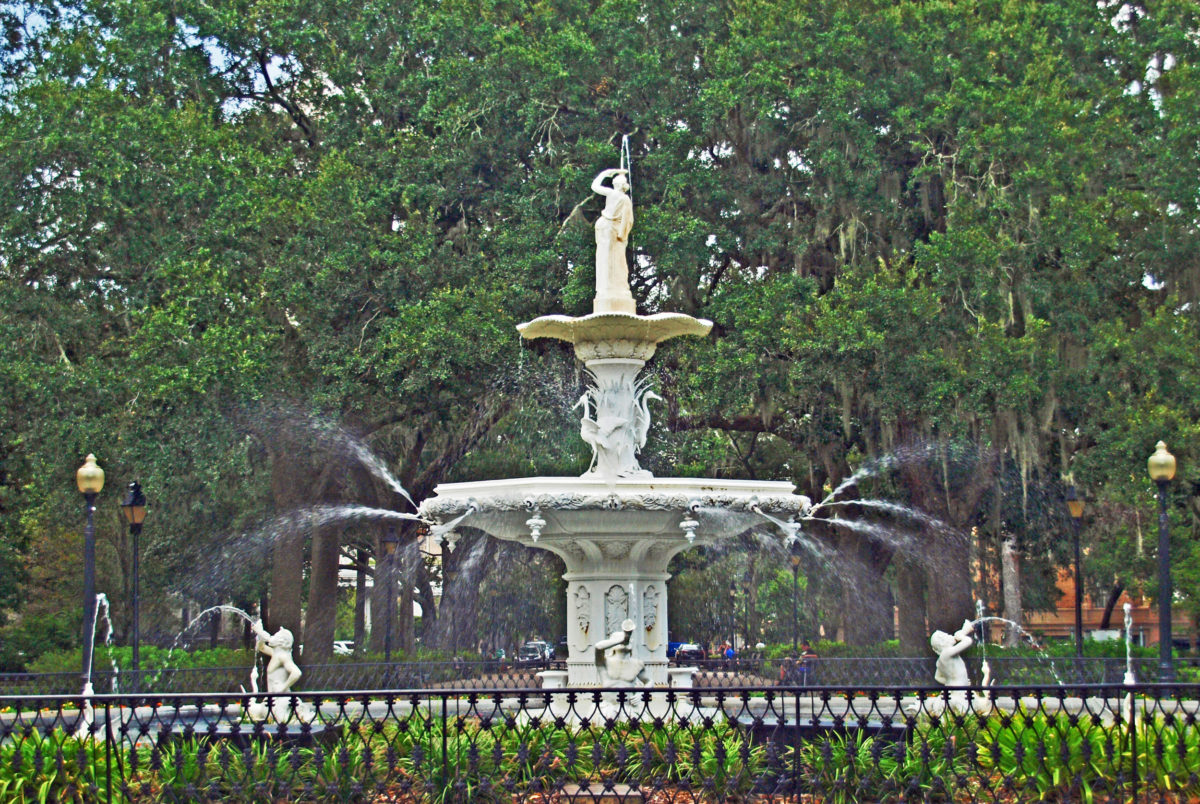
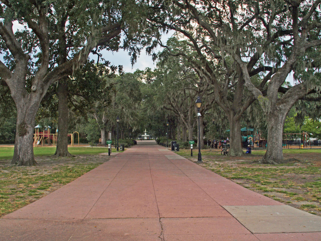 We opted to wander around on our own (but probably missed out on a lot of interesting information about the city). A good place to start a walking tour of your own is Forsyth Park, a 30 acre park at the south end of the Historic District. Its most notable feature is the Forsyth Fountain, but there is a lot more there to see. Enjoy the park’s gardens, paths, monuments, and the fountain, then head north toward the river and take in some (or all) of the 22 Squares and innumerable historic buildings, churches, and Victorian houses.
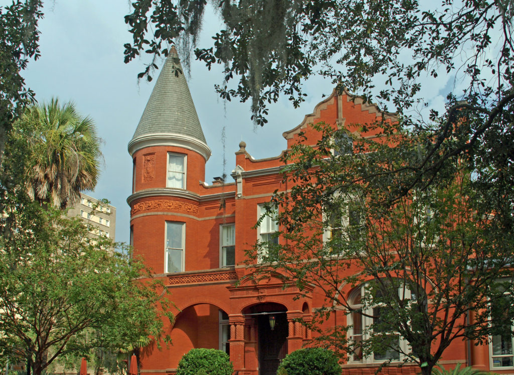
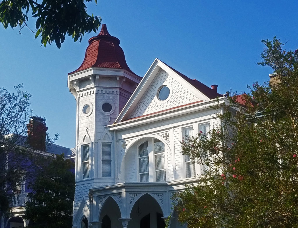
 Some of the more interesting structures in the Historic District include The Pirate’s House, mentioned in Robert Louis Stevenson’s Treasure Island, the city’s oldest building and now a popular restaurant, and The Olde Pink House, another of the city’s oldest structures and also a highly regarded restaurant. Not quite as old, but equally interesting, the Mercer House (officially the Mercer-Williams House Museum) was the site of the 1980s killing of a male prostitute that inspired the book (and movie) Midnight In the Garden of Good and Evil.
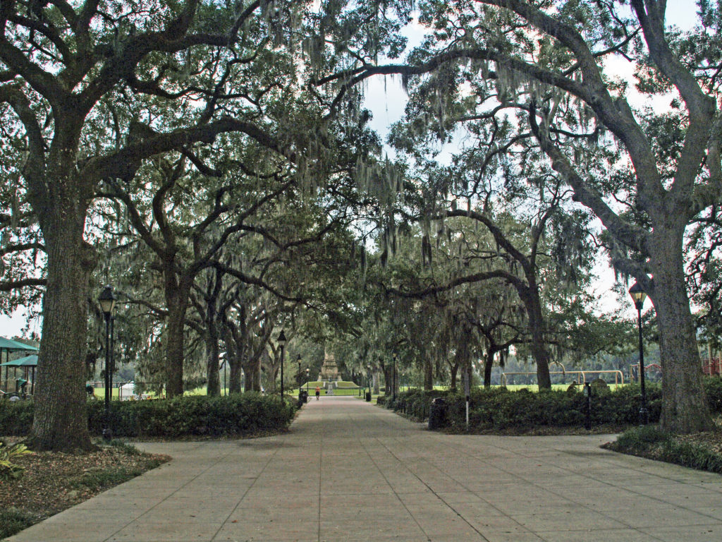
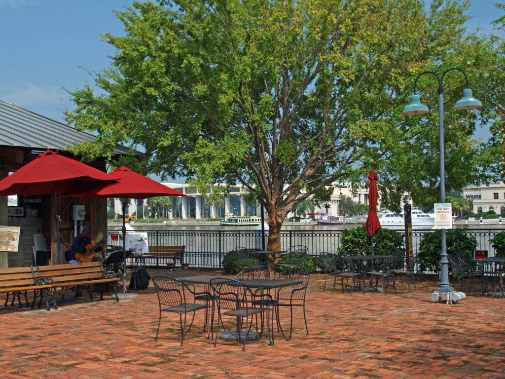
 Near the north end of the Historic District,
 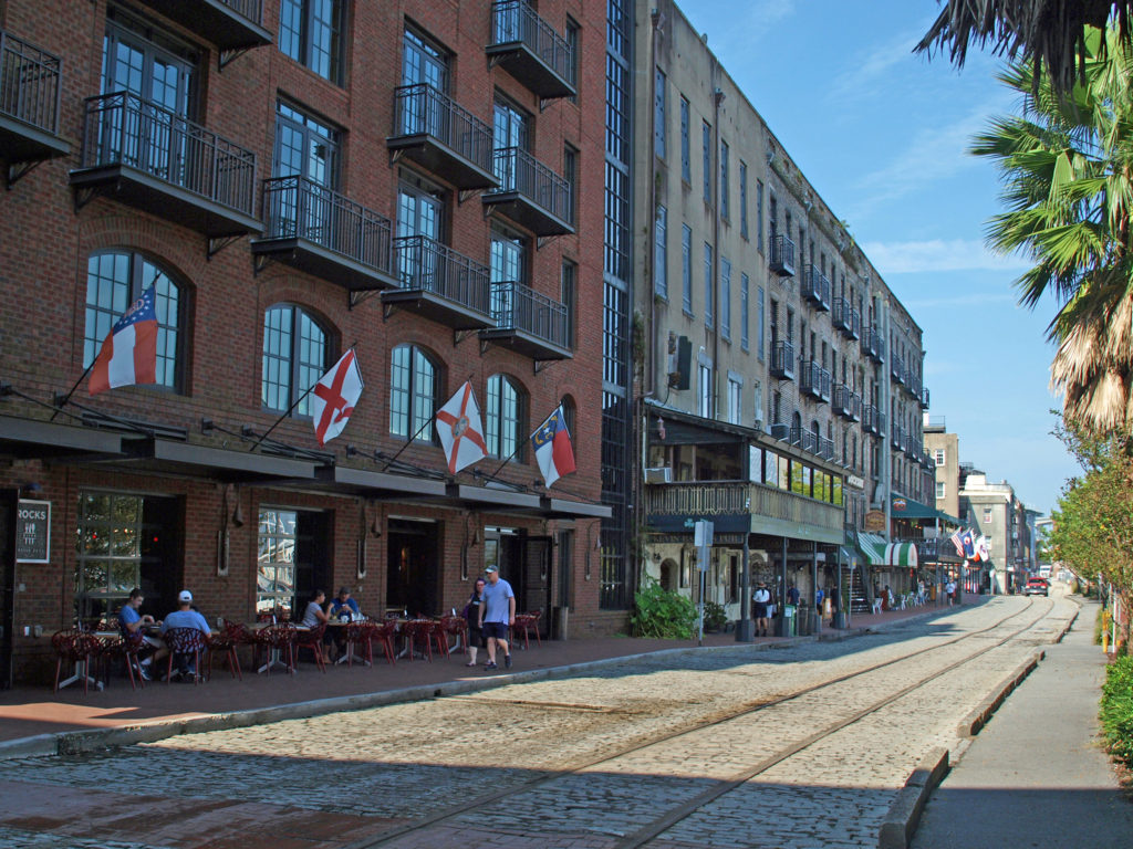 The buildings along River Street were once cotton warehouses. Today they house shops, restaurants, bars, and art galleries. River Street has its share of tacky gift shops, but it also has some interesting boutiques, antique shops, and art galleries. Among the many restaurants are Vic’s On the River, Huey’s, The Shrimp Factory, and Joe’s Crab Shack. If you need a frozen daiquiri refill, there’s another Wet Willie’s on River Street.
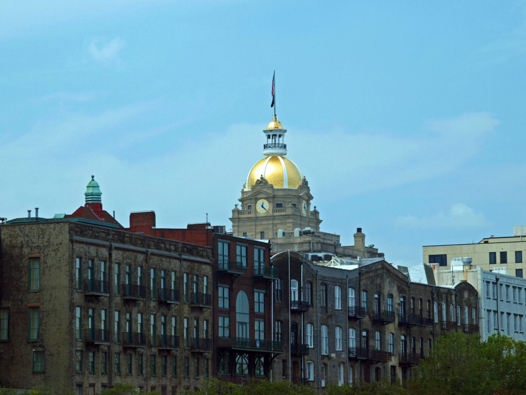
 There are no shortage of other places along the river to wet your whistle, including The Warehouse Bar and Grill, Dub’s Public House, The Cotton Exchange Tavern, and a couple of rooftop bars, Top Deck Bar and Rocks On the Roof. And there are more restaurants and bars on Bay Street on the top of the bluff.
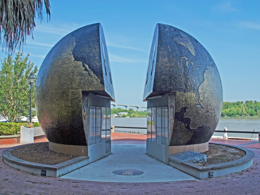
 There’s much to see and do in Savannah that time didn’t allow. We had to skip many things. We checked out only a couple of the city’s art galleries, for example, and didn’t make it to other nearby destinations such as
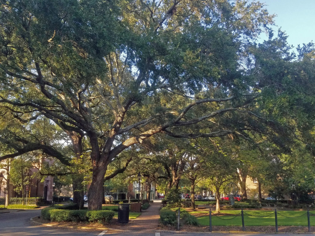
 Originally posted January 24, 2020. Updated and re-posted April 15, 2023.
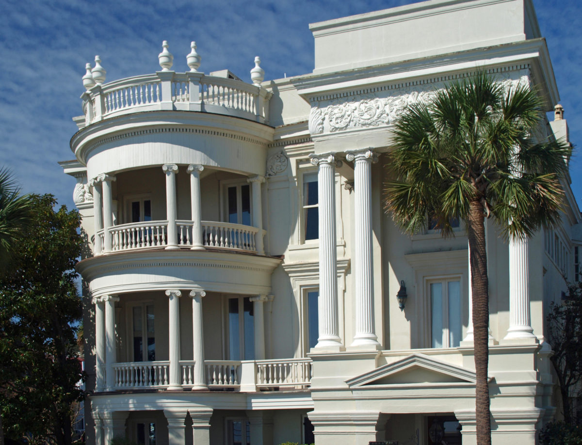
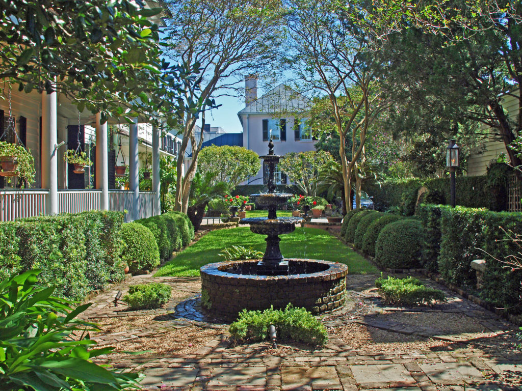
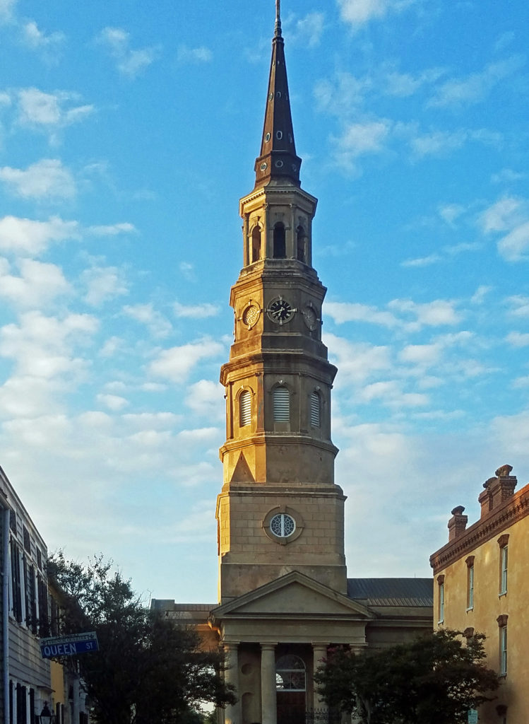
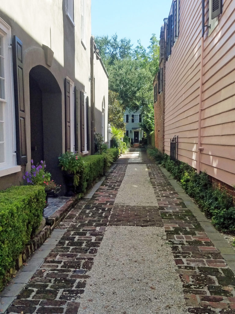
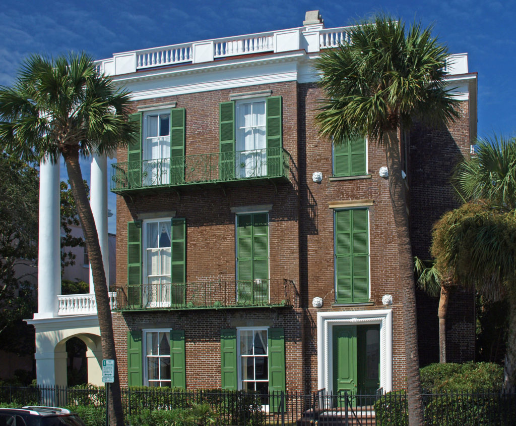
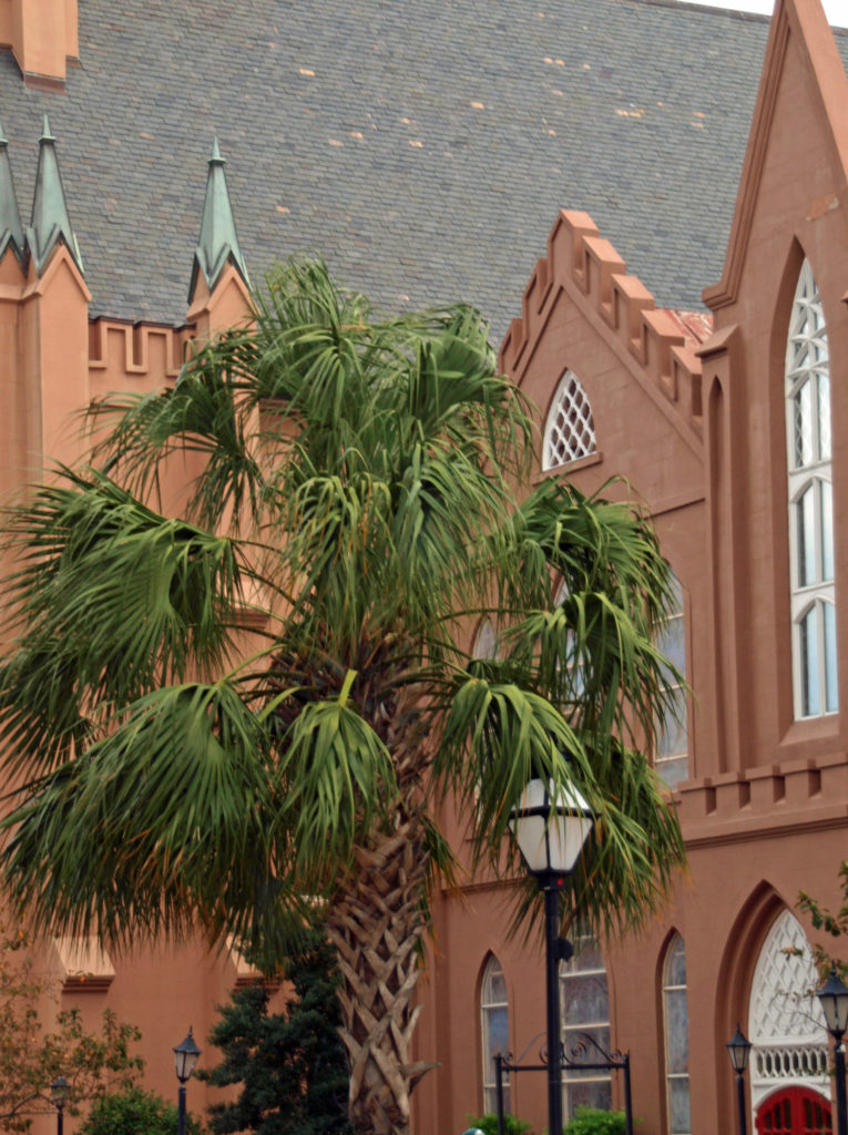
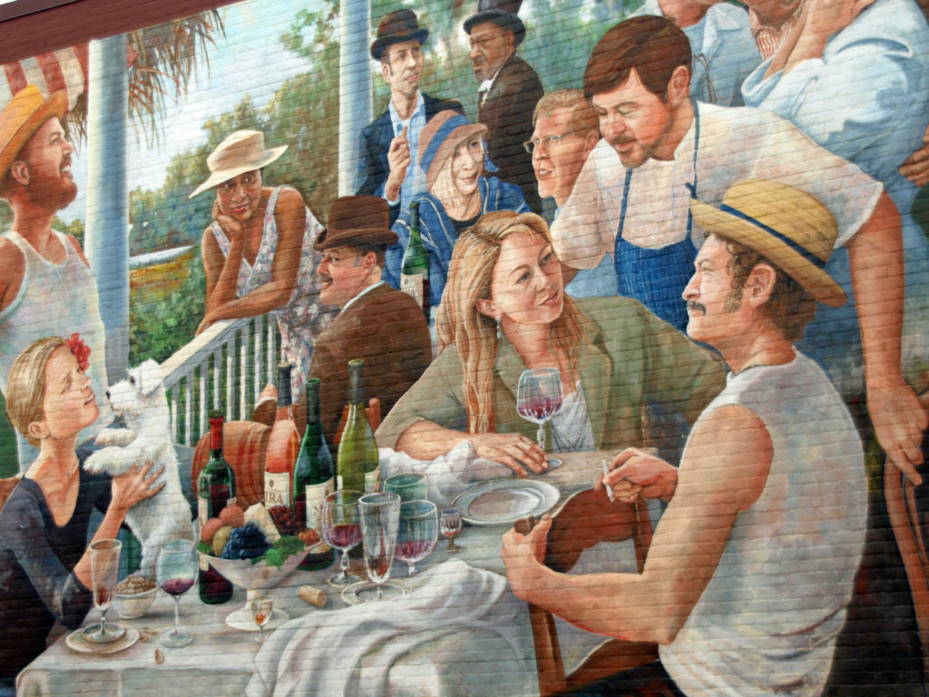

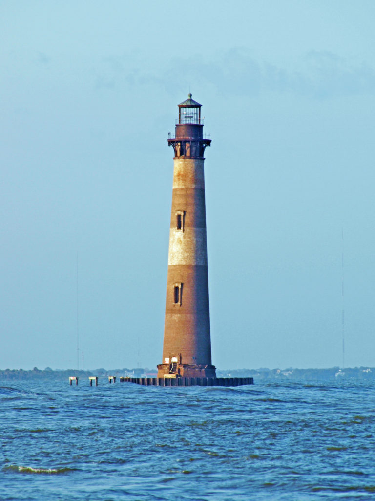
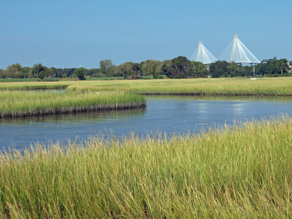
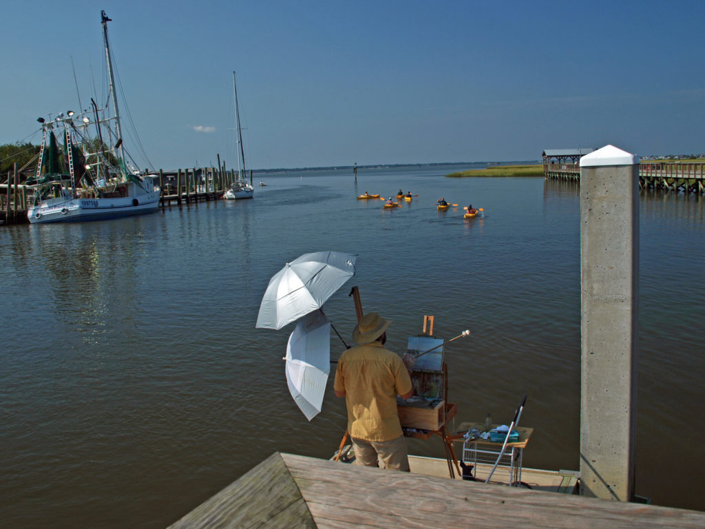
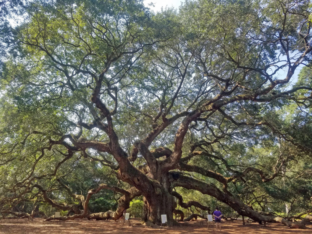
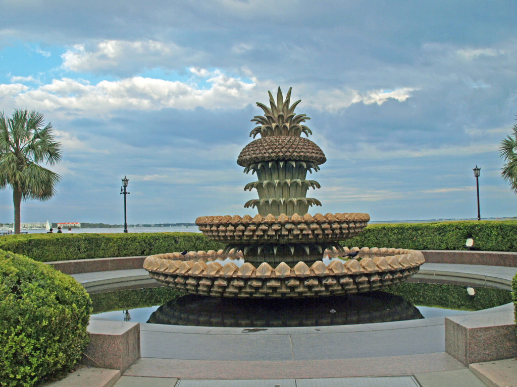 We had a great time exploring Charleston. It’s really a beautiful and charming place. But to really see all it has to offer, you need to plan for more than a three-day visit. For more information, check out the
  Originally posted Jan. 20, 2020. Updated and re-posted April 9, 2023.
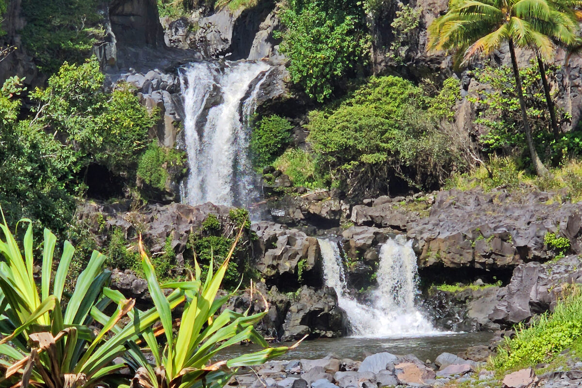
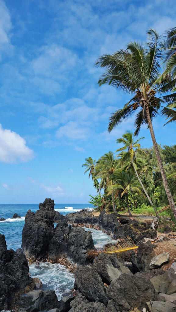
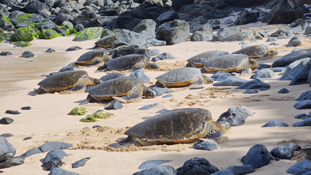

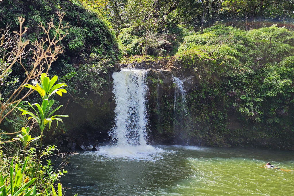
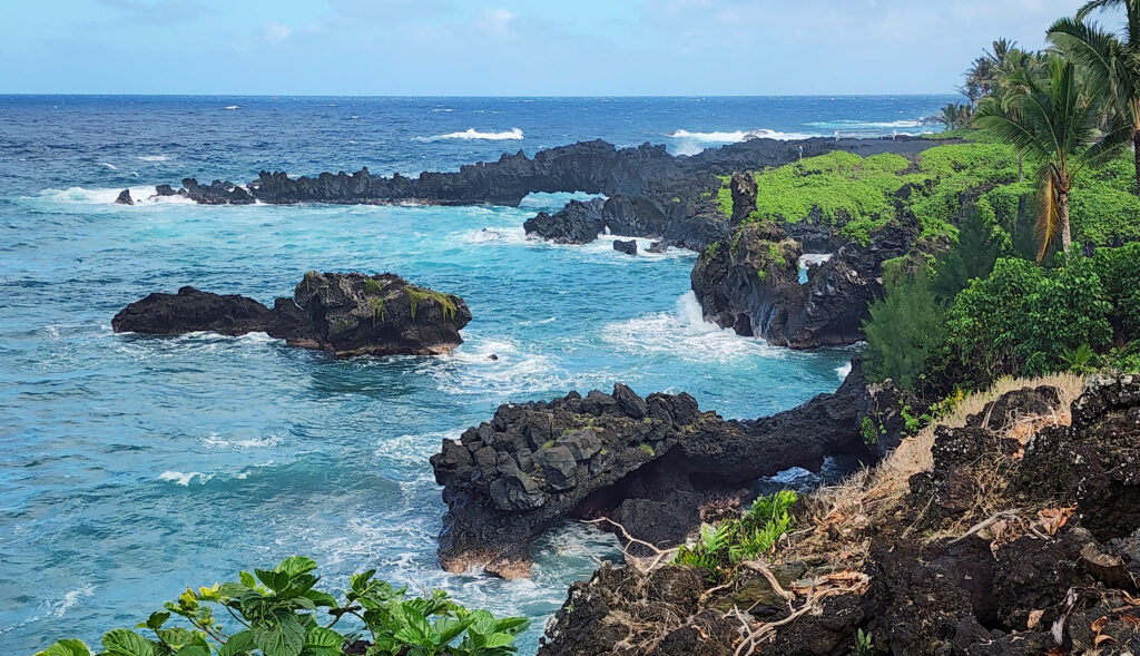

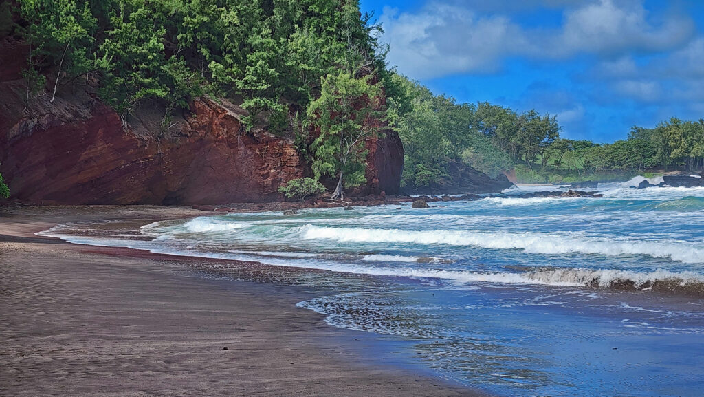
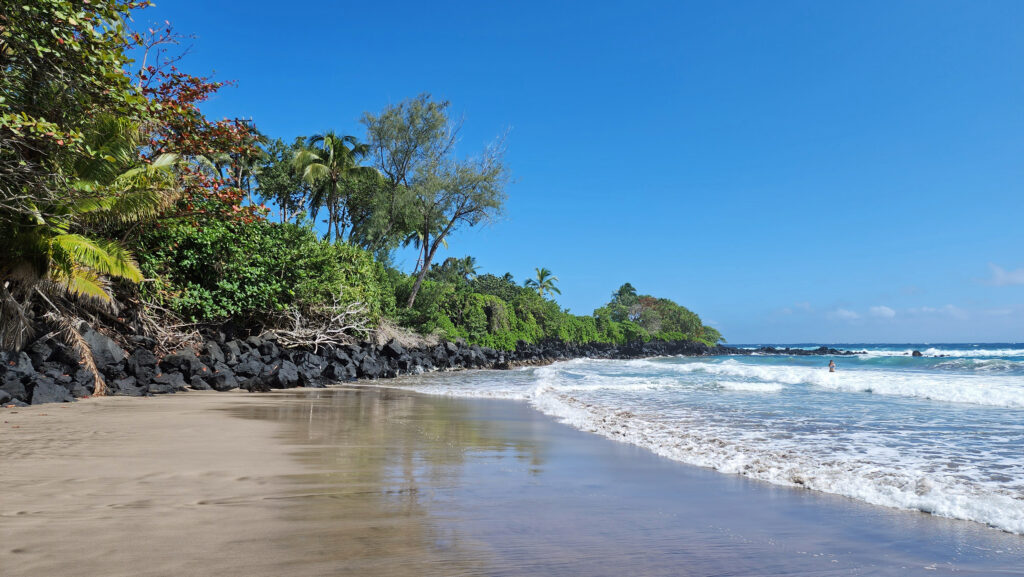
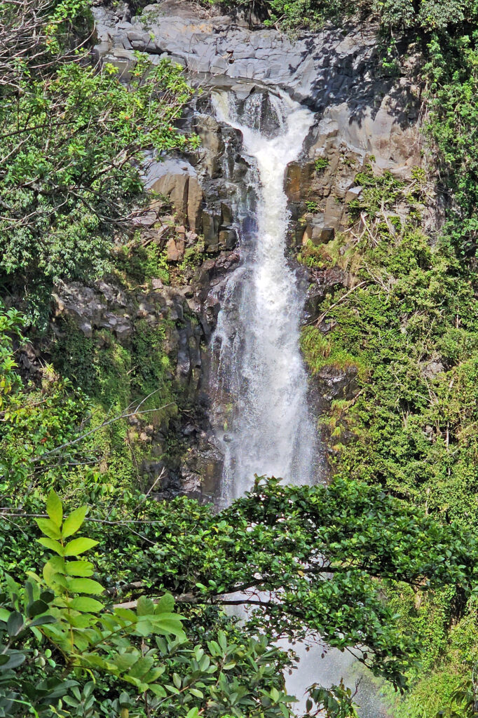
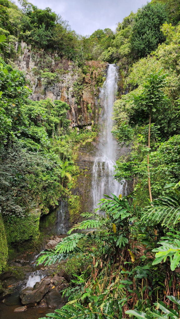
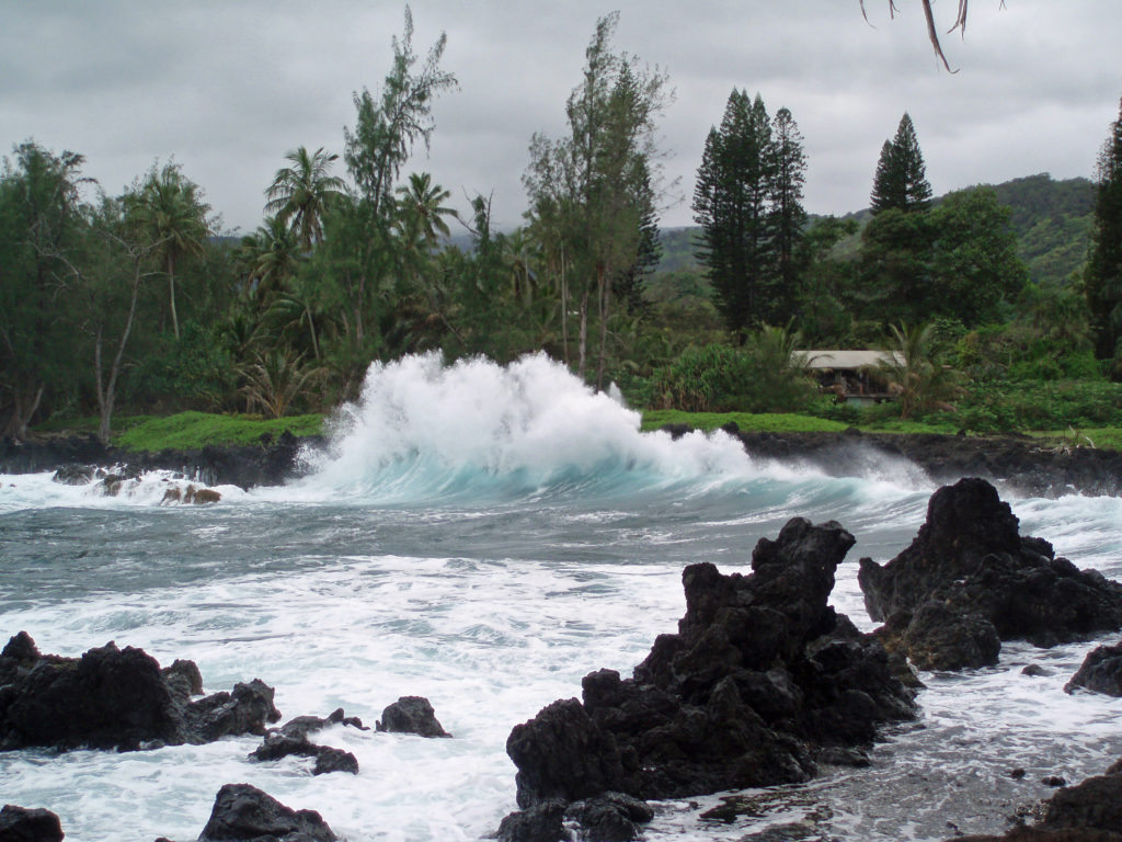
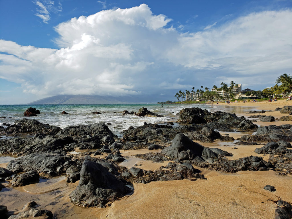
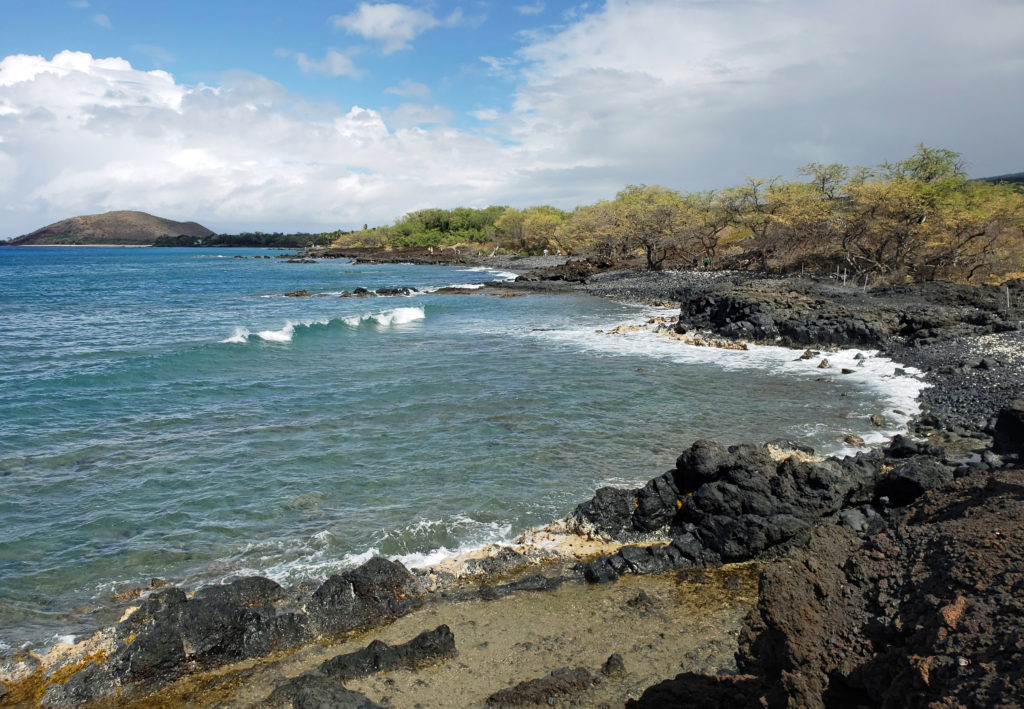
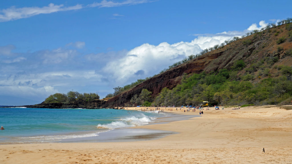
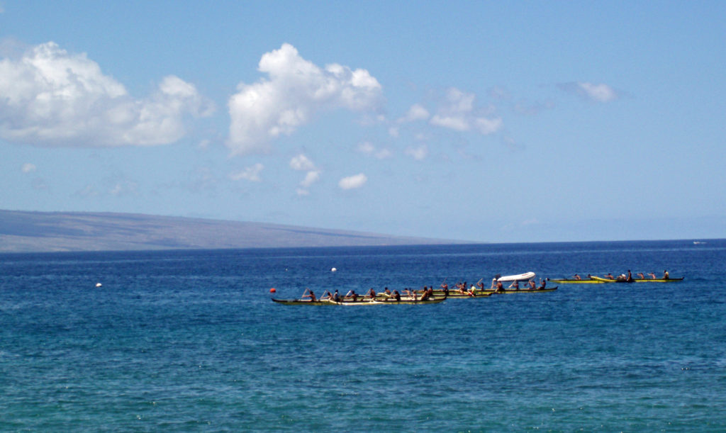
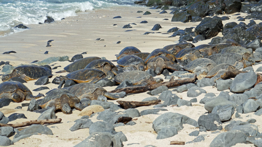
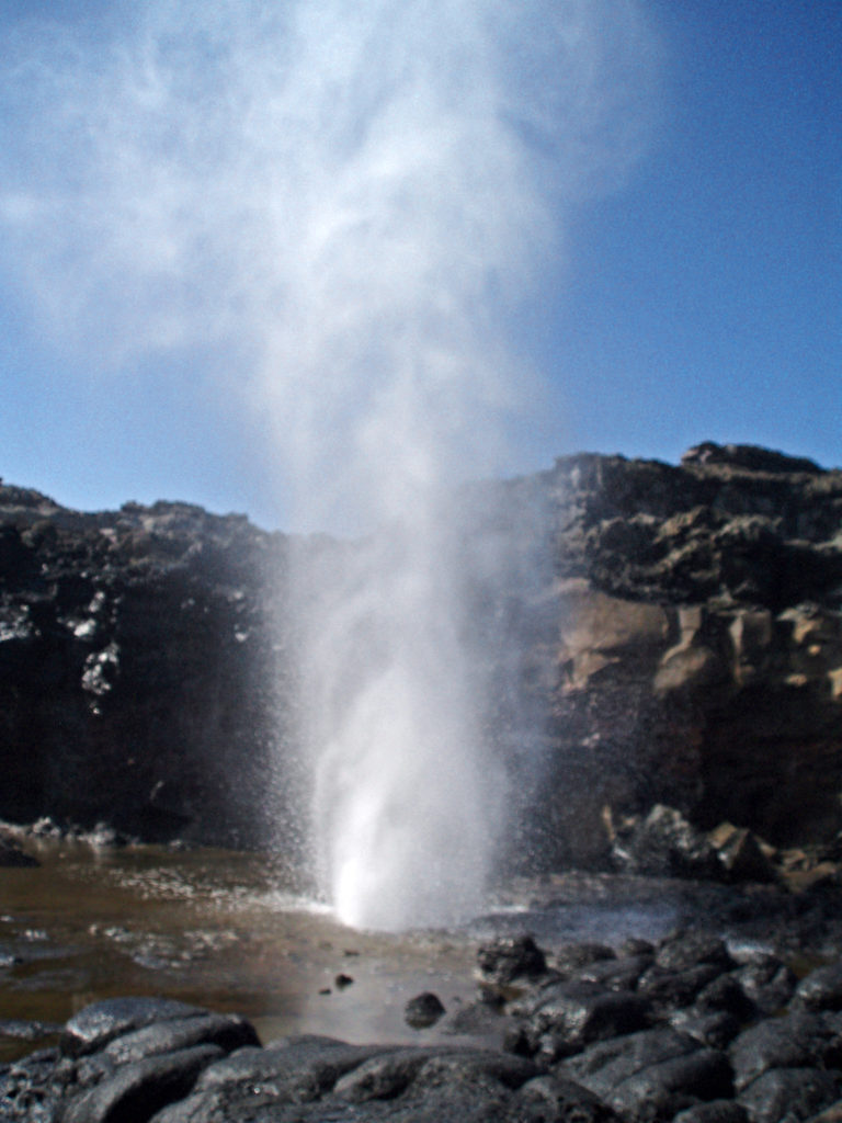
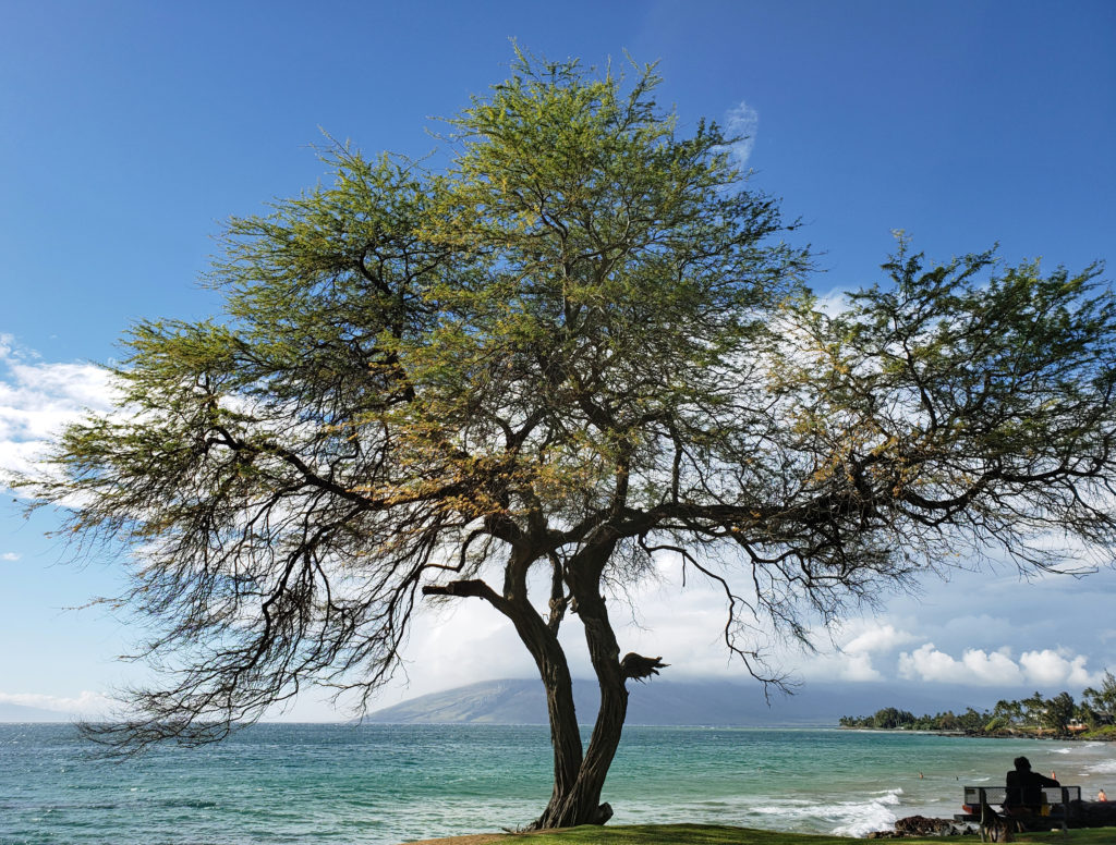
 There are a lot of things that you’ll miss if you’re visiting Hana as a day trip. Better to do as we did and spend a night or two. That will give you enough time to really see and enjoy the East Maui area. But be forewarned, Hana is expensive.
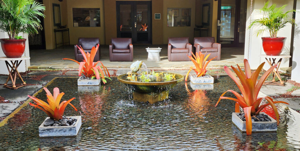
 Posted March 3, 2023.


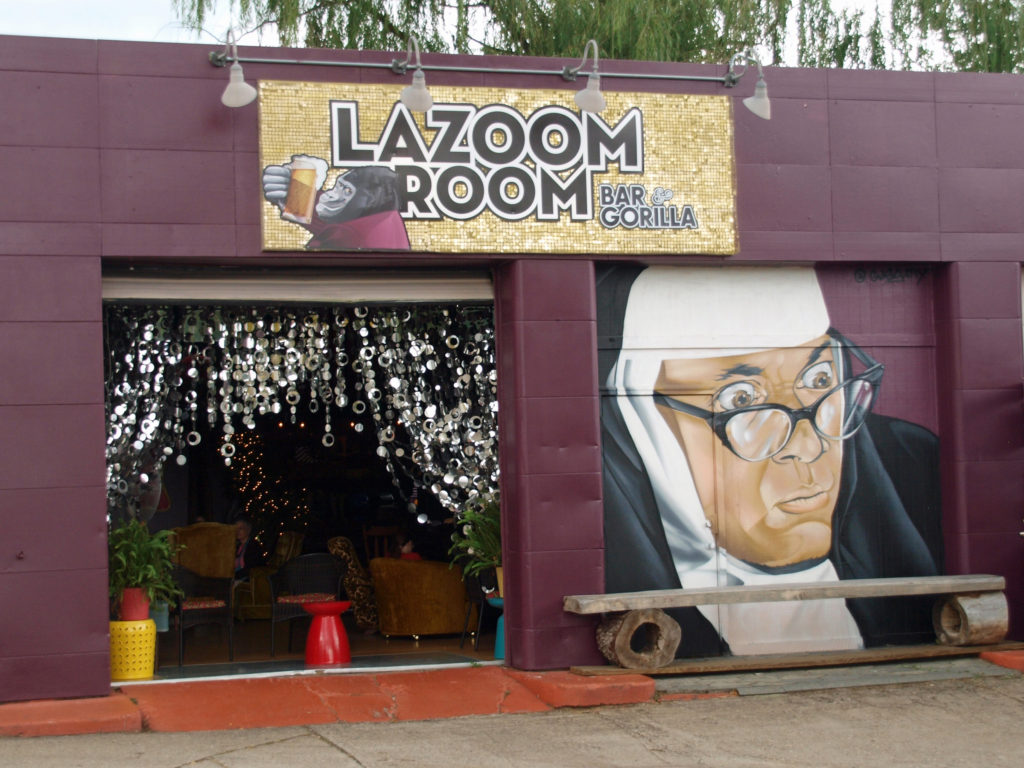
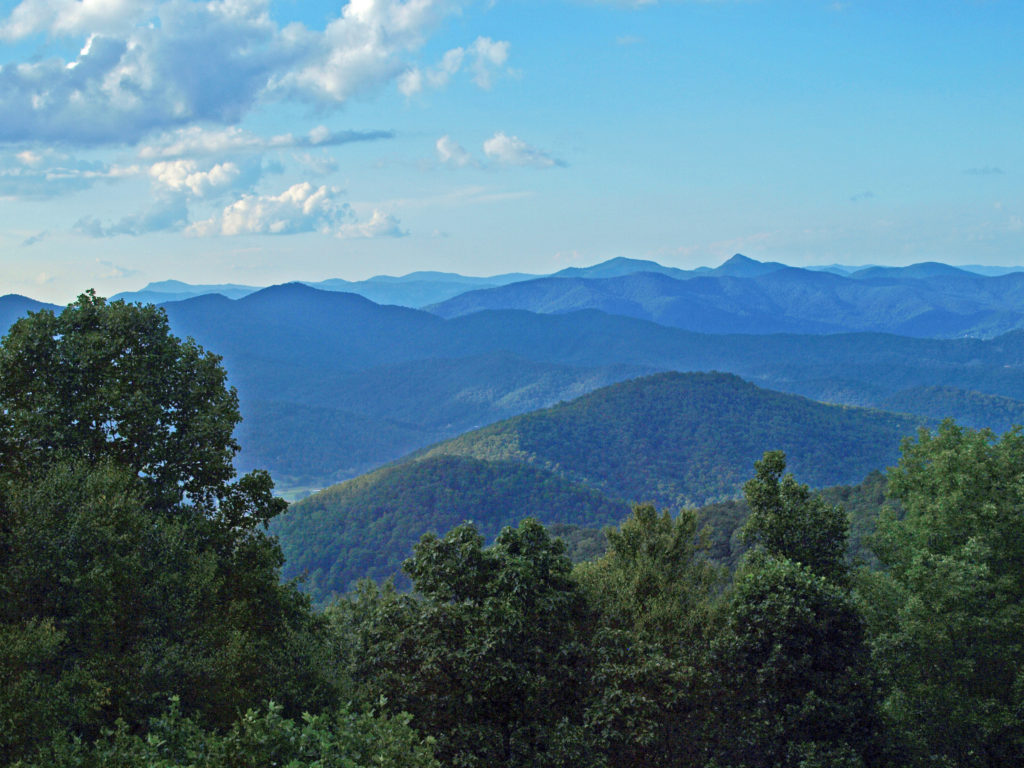
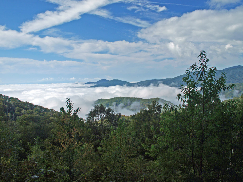
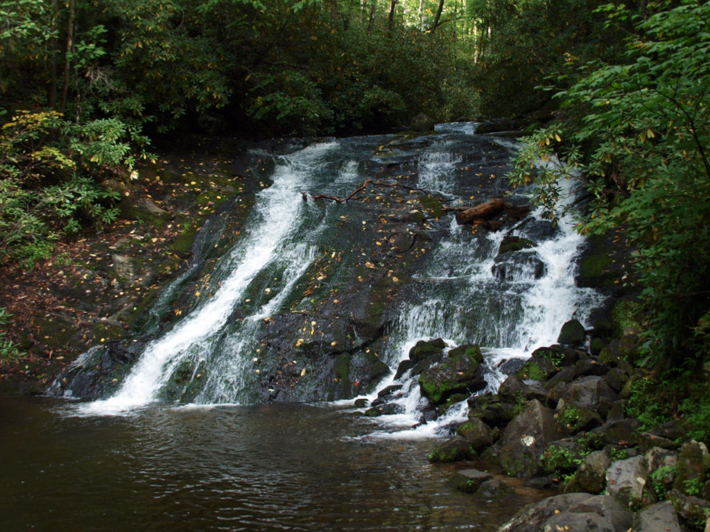
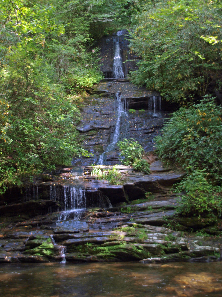
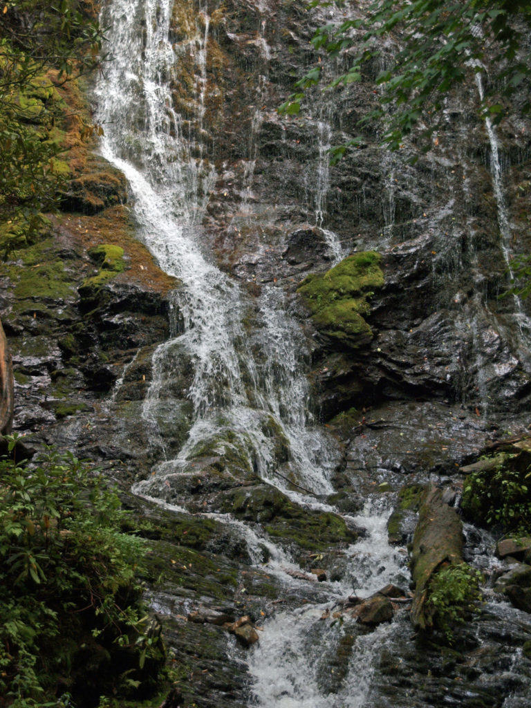
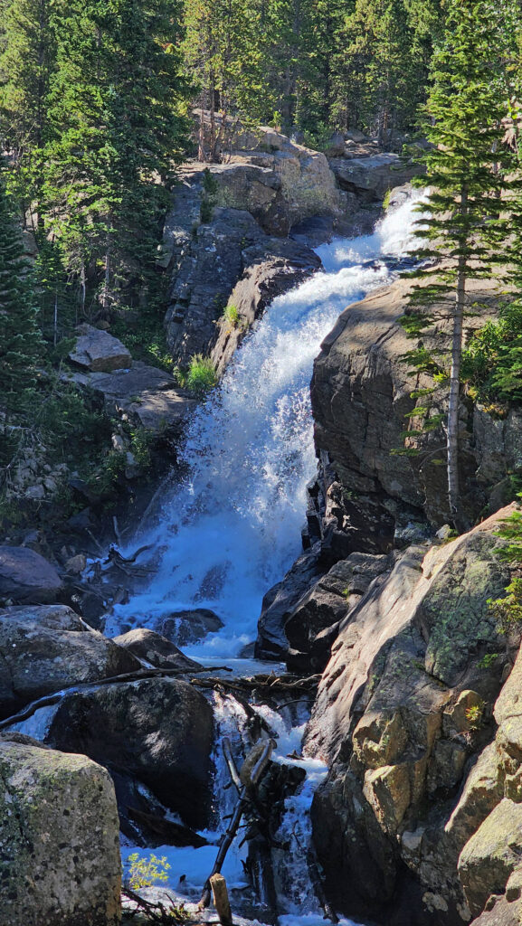
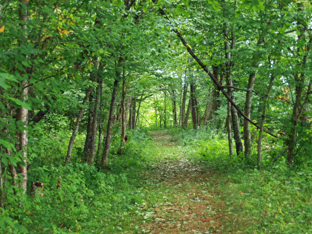
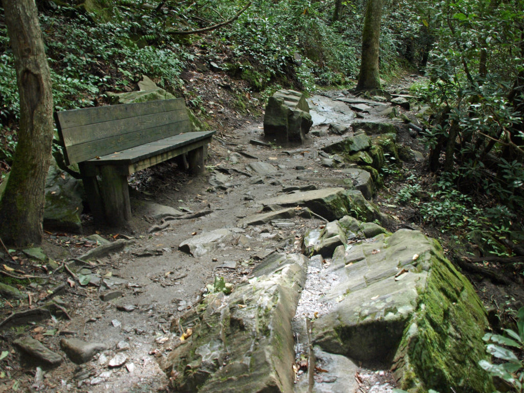
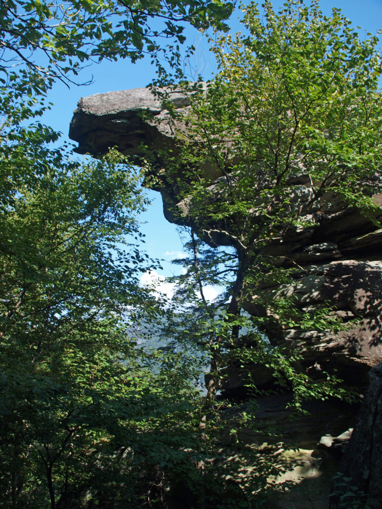
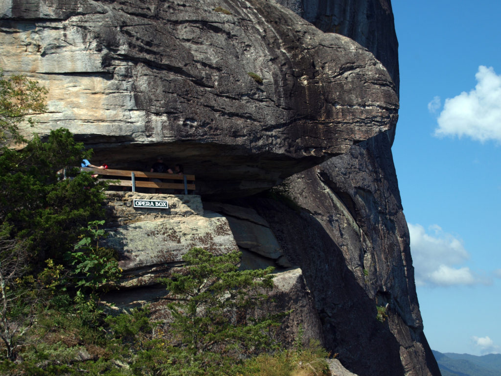
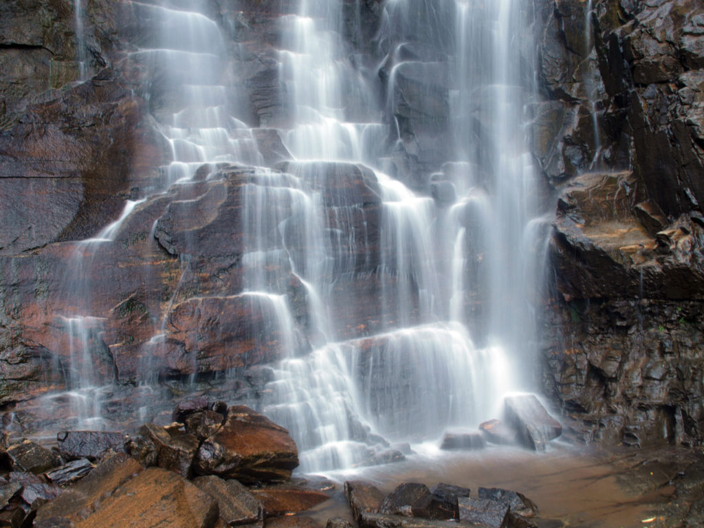
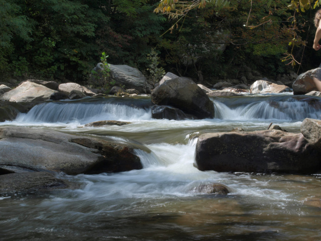
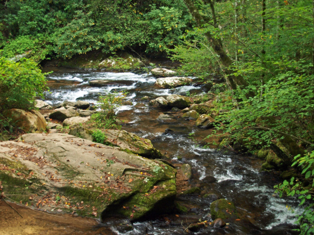 We spent most of the rest of the day hiking to a number of the park’s many waterfalls. The Smokies have a different, softer feel to them than the mountains of the Western U.S., but they have their own appeal. We were there a little too early in the season to catch much in the way of fall colors, but there were hints of how beautiful it would be in a few weeks.
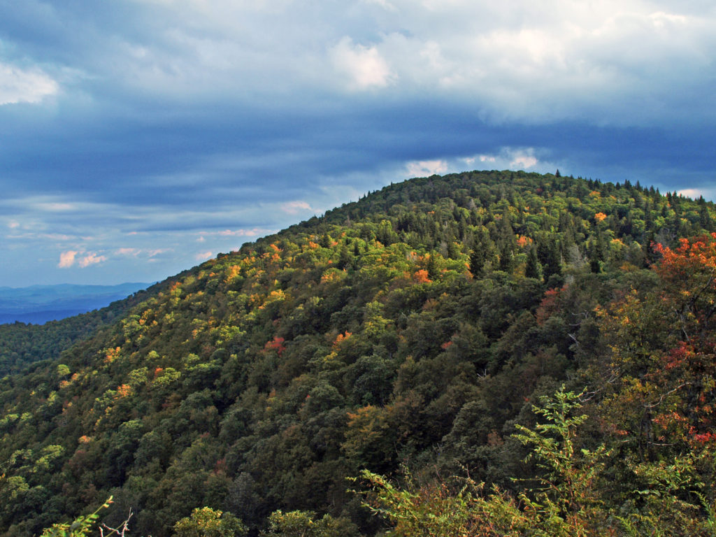

 After visiting Asheville, we visited two charming Old South cities: Charleston, SC, and Savannah, Georgia. Check out our posts on Charleston