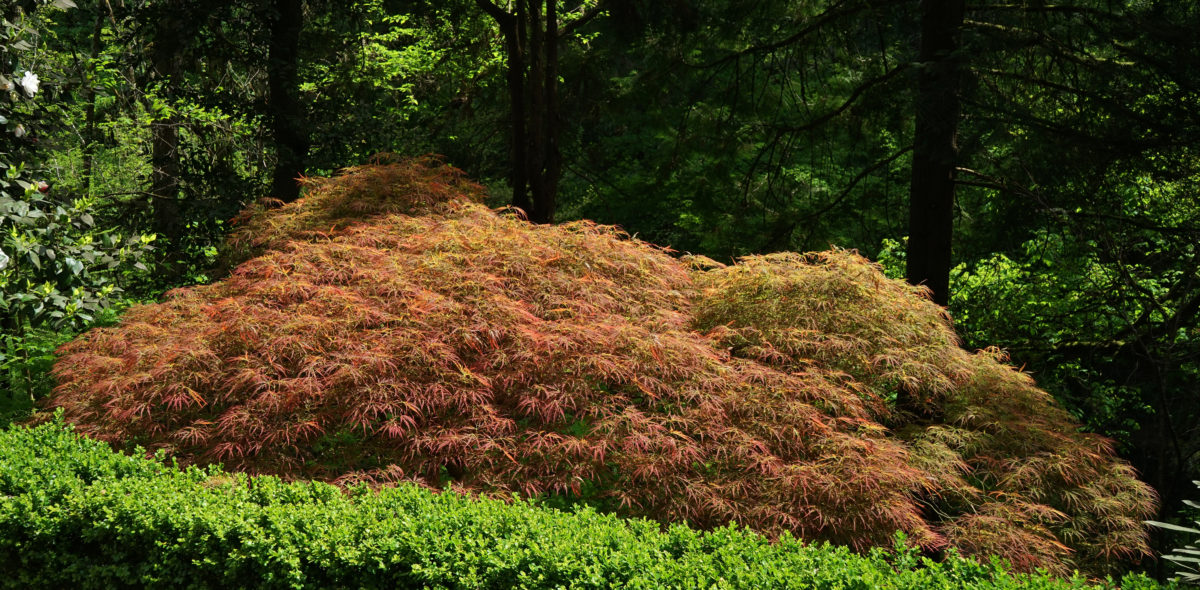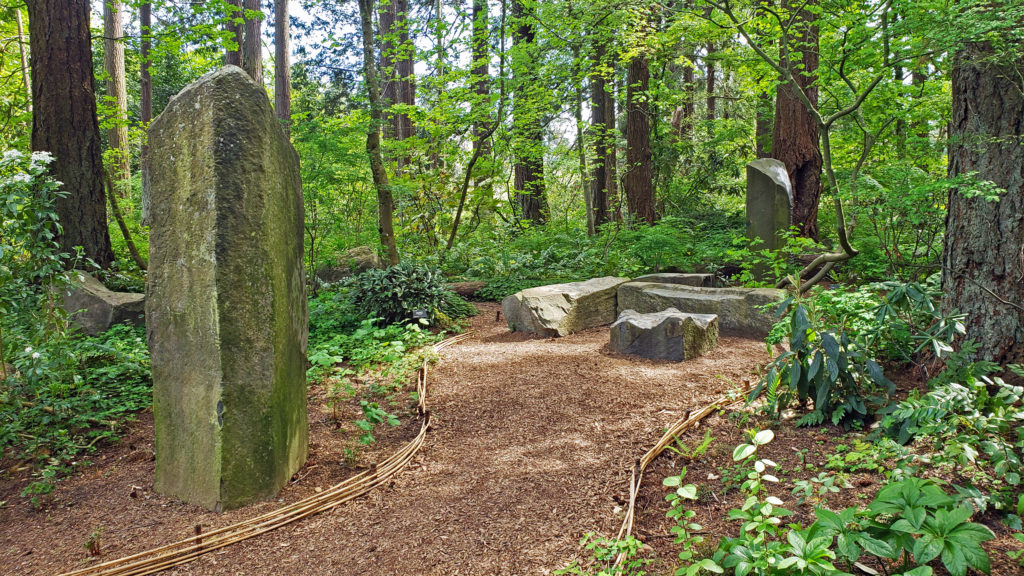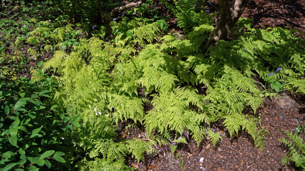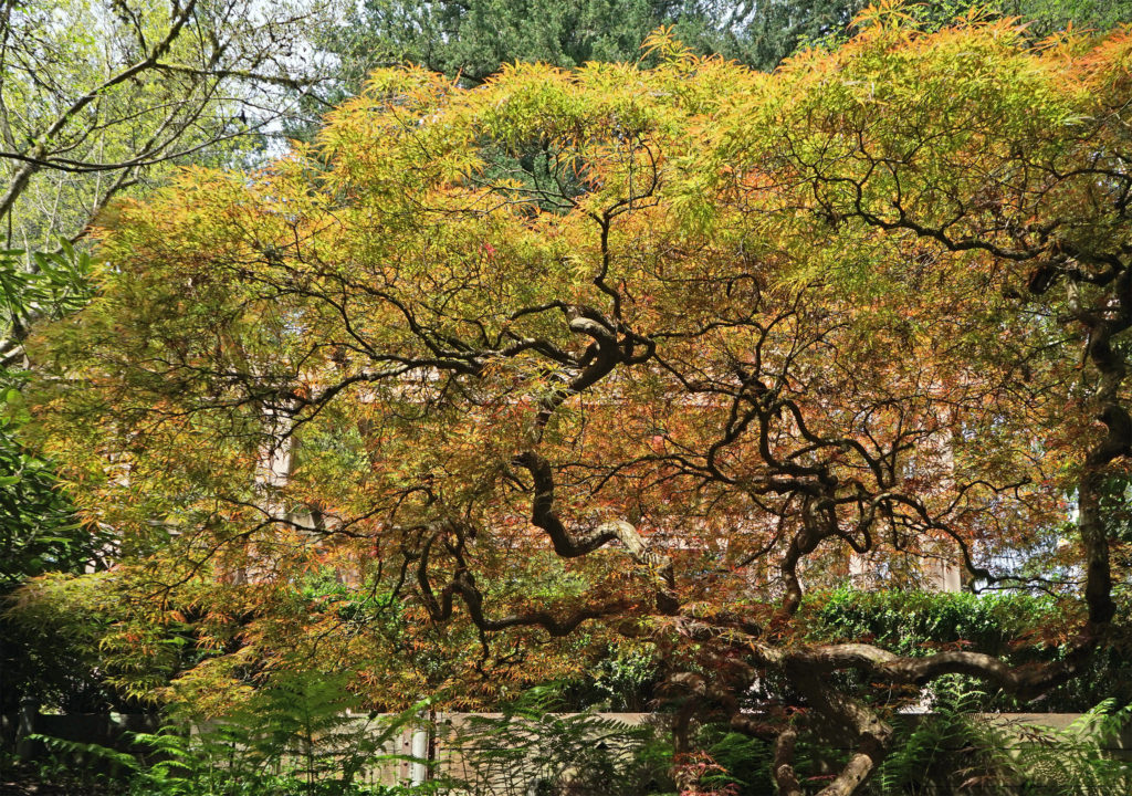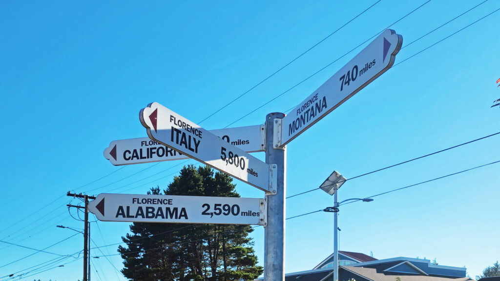
Florence, Oregon

by Alan K. Lee

Introduction

Florence, Oregon (not to be confused with Florence, Italy) is a small town on Oregon’s central coast. The town lies on the estuary of the Siuslaw River, a few miles inland from the Pacific Ocean. Historically, Florence’s economy centered around commercial fishing and the timber industry, but today sport fishing and general tourism are more important. Florence has a vibrant old town area, many festivals and parks, and access to miles of ocean beach. The surrounding area also has many tourist draws, most prominently the 31,500-acre Oregon Dunes National Recreation Area that runs for forty miles along the coast from the Siuslaw River to Coos Bay.
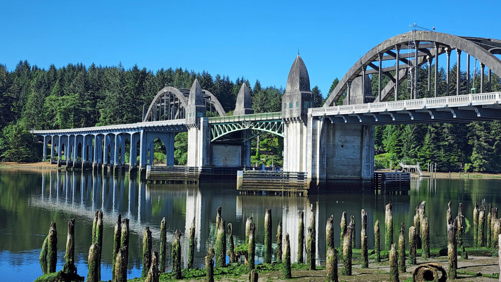
Siuslaw River Bridge

The Town

I have to confess that for years Florence was, to me, just a not terribly attractive town that you passed through to get to the lakes, streams, beaches, headlands, and dunes that were the real attractions of the area. It wasn’t until a few years ago that I discovered the charms of the old town waterfront area, the many quality eating establishments to be found in the town, and the parks and other attractions of the town. While the surrounding areas are still the main draw, Florence makes an attractive base to explore the area and has plenty of attractions of its own.
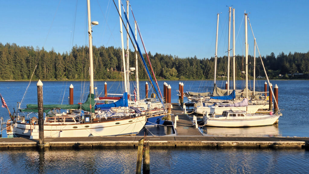
Port of Siuslaw Marina

The old town area of Florence lies along the shore of the Siuslaw River. Although not large, the area has many restaurants and cafes and numerous small hotels and guest houses. There is a marina and an RV park, trails along the river, and a number of public art works. On my last visit, the main old town street was closed to vehicle traffic one evening to facilitate a giant block party that drew a huge crowd, with live music and many food vendors that made for a very festive evening.
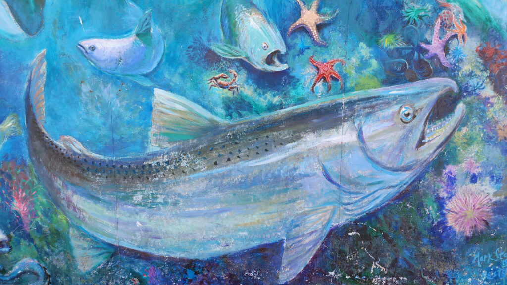
Building mural in oldtown

Art lovers will want to check out the Blue Heron Gallery and Backstreet Gallery, both in the old town area. For history buffs, the Siuslaw Pioneer Museum offers “a taste of life as it was 150 years ago.”
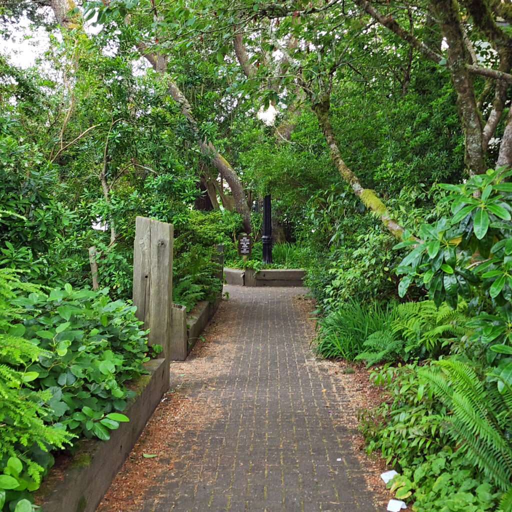
Oldtown walking path

Quality dining in the old town can be found at Waterfront Depot, Nosh Eatery, Maple Street Bistro, 1285 Restobar, and the Firehouse. Outside of old town, Venny’s Café on Hwy 101 gets good reviews and Fresh Harvest Café, farther north on 101, is a good place to get breakfast or lunch. Brew pubs worth checking out include Beachcomber Pub and Homegrown Public House, both in the old town.
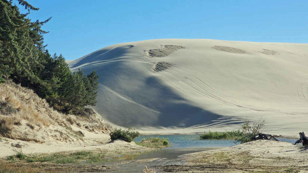
Oregon Dunes National Recreation Area

You might want to try the sport of sandboarding, especially if you are a family with active kids. Think snowboarding but on the dunes not the mountain slopes. Sand Master Park, just north of Fred Meyer in the north end of town, bills itself as the world’s first sandboarding park. You can get lessons, rent sandboards, and try out the sport onsite on 200 acres of dunes.
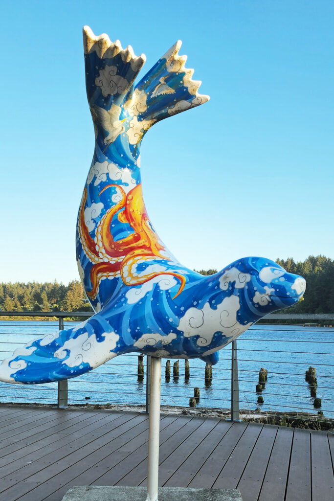
Sea lion sculpture on the bayfront

If you enjoy gambling, Three Rivers Casino Resort, just off Hwy 126 about a mile east of Hwy 101, offers plenty of opportunities to strike it rich (or not), plus several dining options and frequent live entertainments events. The casino is owned and operated by the Confederated Tribes of the Coos, Lower Umpqua, and Siuslaw Indians.  The Tribes also own and operate Ocean Dunes Golf Links, one of two 18-hole courses in Florence, the other being Florence Golf Links (formerly known as Sand Pines).
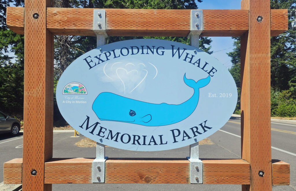
 

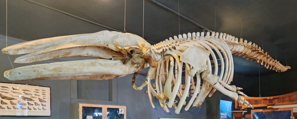
One of the oddities of Florence, Oregon involves an exploding whale. In 1970 a 45-foot sperm whale carcass washed ashore at Florence. The Oregon Highway Division used twenty cases (literally a ton) of dynamite in an attempt to break the carcass into small pieces. The resulting explosion sent pieces of the whale flying as much as 800 feet from the beach. No one was injured but several vehicles were damaged by falling blubber. The KATU-TV news story and video of the event has become something of a cult-classic and continues to be frequently viewed more than half a century later. An exhibit at the Siuslaw Pioneer Museum has bone fragments from the whale and a city park along the riverfront west of Hwy 101 was recently renamed Exploding Whale Park.
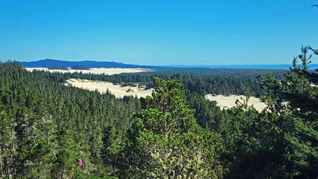
Oregon Dunes National Recreation Area

The Oregon Dunes

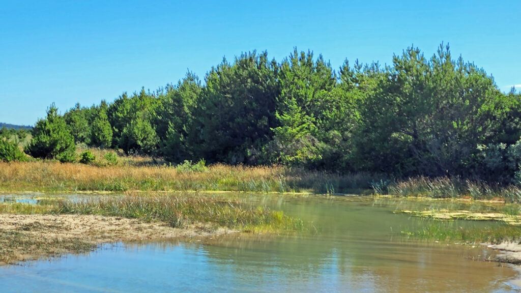
The Oregon Dunes consist of the largest coastal dune field in North America, coastal spruce and pine forest that includes many “tree islands” surrounded by dunes, miles of ocean beaches, and numerous freshwater lakes and wetlands. Outside the boundary of the national recreation area (NRA) there are several state parks and a number of Siuslaw National Forest campgrounds.
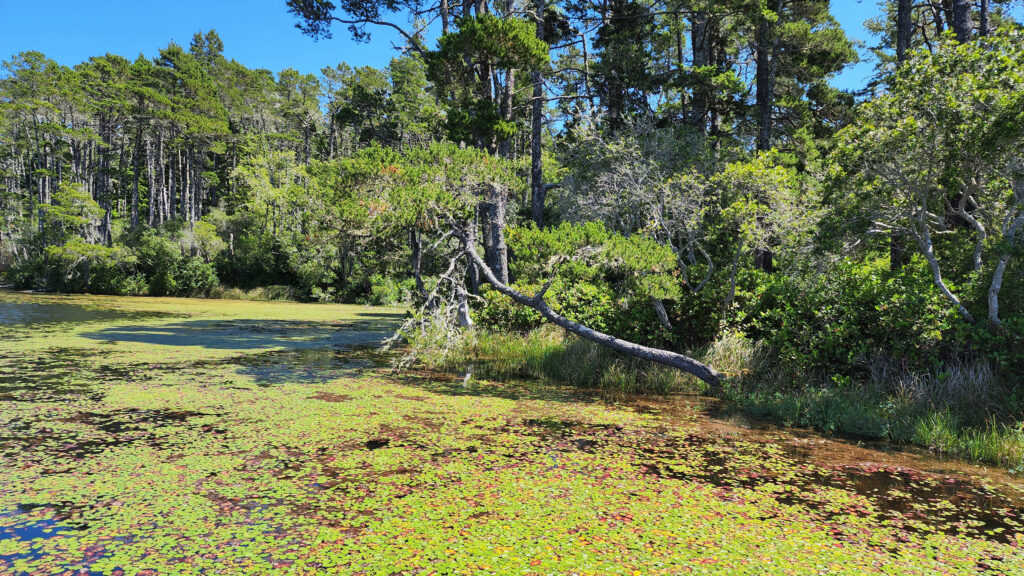
Honeyman State Park

Honeyman State Park, about three miles south of Florence, has a large (364 site) campground, dunes access for both hikers and OHVs (Oct-Apr), picnic areas, a children’s playground, restrooms and showers, and two freshwater lakes.

Oregon Dunes National Recreation Area

The miles of dunes are a very popular off-highway vehicle (OHV) recreational area. You can rent dune buggies if you don’t have your own, and tours on larger OHVs are also available. About one third of the NRA is open to off-highway vehicles. There are also ample areas within and adjacent to the NRA that are off limits to OHVs that provide a quieter experience for hikers, paddlers, birders, photographers, beachcombers, and other nature lovers.
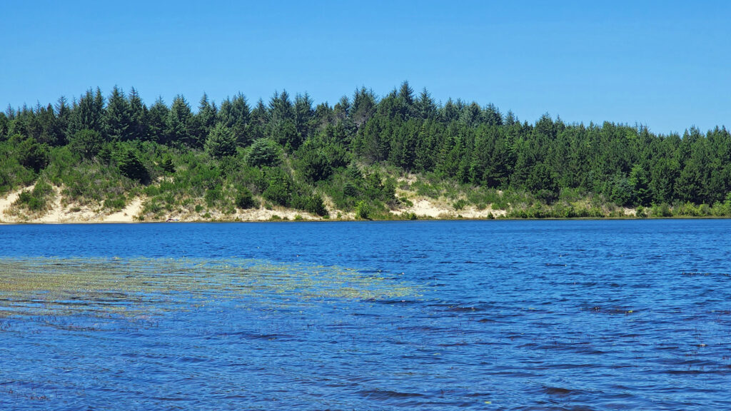
Cleawox Lake, Honeyman State Park

Fishing and Boating

Fishing for rainbow and cutthroat trout and warm water species like bass and perch are popular activities on the freshwater lakes near Florence. Woahink, Siltcoos, and Tahkenitch Lakes south of Florence are all prime fishing grounds. All have public boat ramps that also give canoers, kayakers and paddleboarders access to the lakes. Cleawox Lake in Honeyman State Park also is a popular paddling spot. The Siuslaw River has both salmon and steelhead runs, and ocean fishing trips can be booked through charter services in Winchester Bay (aka Salmon Harbor) about twenty-five miles south of Florence. A list of local fishing guides can be found on the Port of Siuslaw website.
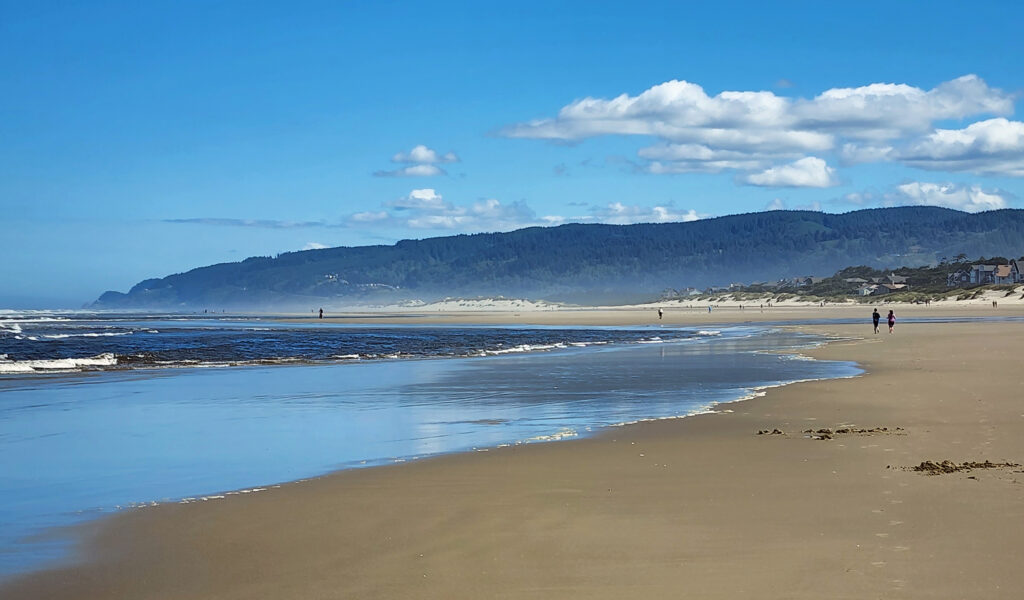
Heceta Beach

Area Beaches

The south jetty area has five beach access points and four miles of beach where OHVs are not permitted. Go south on Hwy 101 and turn right onto Sand Dunes Road about a half mile south of the Siuslaw River Bridge. At the north end of town, the north jetty area and Heceta Beach County Park give access to another five miles of ocean beach. There are also many beach access points both north and south of Florence.
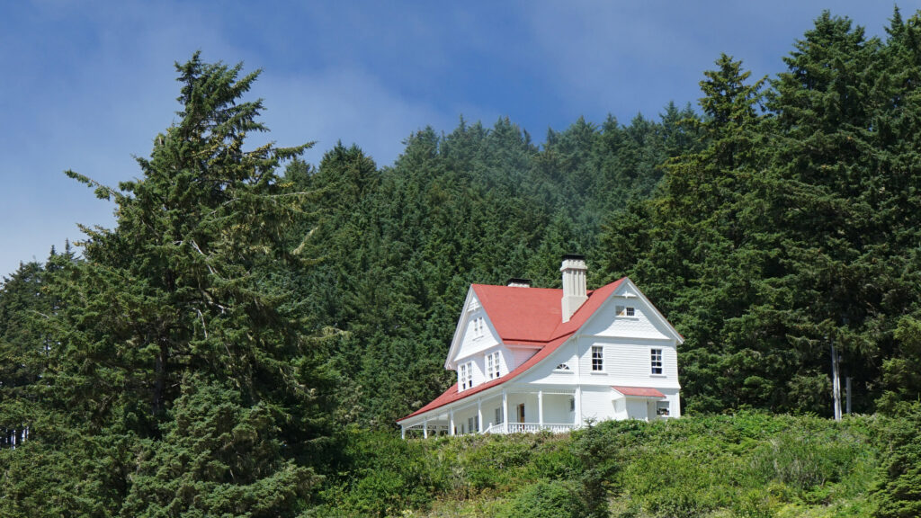
Heceta Lighthouse B & B

Heceta Head

Heceta Head Lighthouse, about ten miles north of Florence, is one of the Oregon coast’s most iconic and most photographed locations. The lighthouse, built in 1893, is 56 feet tall and sits 200 feet above the ocean, making it one of the best whale-watching points on the coast. And the original assistant lightkeeper’s house is now a bed and breakfast inn with six rooms and features a seven-course breakfast menu.
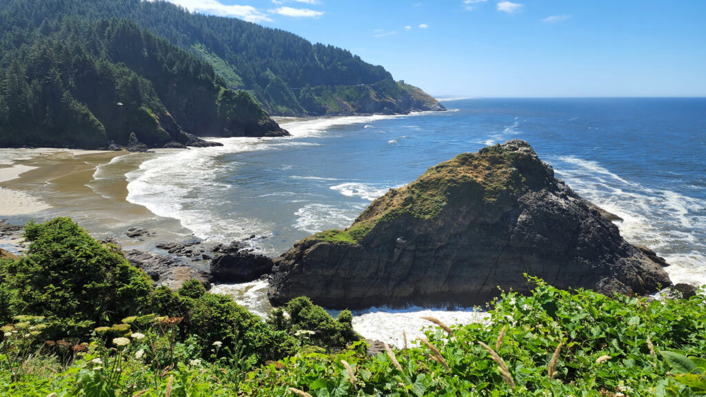
View from Heceta Head with Sea Lion Point in the distance

Sea Lion Caves

Located on Sea Lion Point about a mile south of Heceta Head , Sea Lion Caves is a privately owned attraction featuring the largest sea cave in the Americas. The cave (and the surrounding rocky shoreline) is the only mainland rookery of Steller Sea Lions. From the observation deck at the gift shop there is a great view of Heceta Head Lighthouse. From there, a short trail brings you to an elevator that descends over 200 feet to the cave. In winter and spring, you’ll likely see hundreds of sea lions in the huge cave, but in the summer and fall there may not be any sea lions in the cave. They’ll mostly be found on the rocks outside the cave in those months. But the cave itself (about 300 feet across and 125 feet high) is worth the cost of admission.
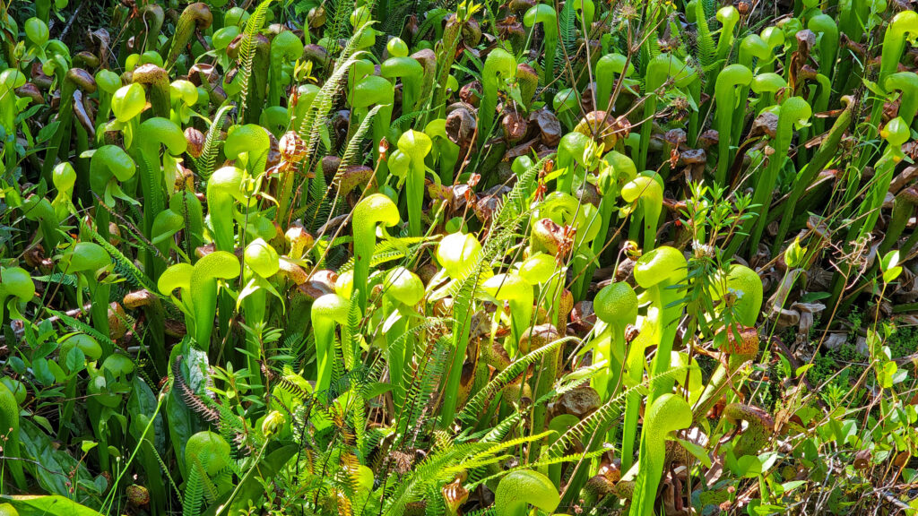
Cobra lilies, Darlingtonia State Natural Site

Darlingtonia Wayside

A few miles north of Florence at Darlingtonia Wayside (now officially Darlingtonia State Natural Site) you’ll find one of the few places in the Pacific Northwest where cobra lilies (Darlingtonia californica) can be found. These carnivorous plants trap and consume insects that provide the plant with nitrogen and nutrients that they can’t get from the boggy soil. There are restrooms at the parking area and a short boardwalk trail that takes you into the cobra lily’s domain.
Conclusion

Florence, Oregon is a great stopping point on a tour of the 363 miles of Oregon coastline. There’s so much to see and do in the surrounding area and in the town itself that you could easily spend a week in Florence and not run out of things to do and sights to see. I’m looking forward to my next visit, maybe an off-season trip this winter.
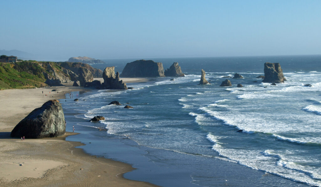
Bandon

And if you’re heading farther down the coast, make sure to stop in Bandon-by-the-sea. Farther south, the southern Oregon coast has spectacular scenery and is as uncrowded and unspoiled as it gets on the Pacific coast.
Oregon Dunes National Recreation Area

Posted Dec 2, 2024

All photos © Alan K. Lee

Granville Island and False Creek, Vancouver, BC

By Alan K. Lee

Granville Island Public Dock

Introduction

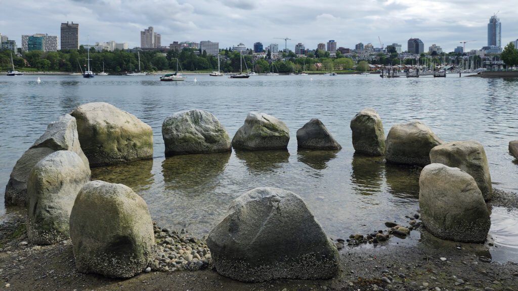
Travel guides for Vancouver, B.C. all highlight Granville Island as one of the prime tourist destinations in the city, and rightly so. It has a wealth of shops, art galleries, restaurants and pubs, theaters, and open spaces in a compact, pedestrian friendly setting. Granville Island is located in the False Creek area immediately south of downtown Vancouver. False Creek, as its name implies, is not a creek. It’s a saltwater inlet off of English Bay that separates downtown Vancouver from the rest of the city. And False Creek has much more to offer the traveler than just Granville Island.

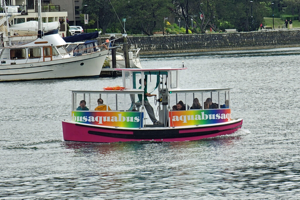
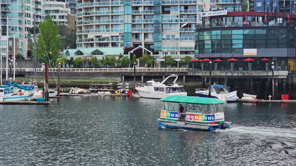
Aquabus water taxi

Water taxis

You can drive to Granville Island, but it’s probably not the best way to get there, especially if you’re staying in the south end of downtown, as my wife and I were on our recent visit. You can also walk across the Granville Bridge to get there, but that’s also not the best way. The best way is by water taxi.

Aquabus water taxi

Two companies, Aquabus and False Creek Ferries, operate water taxis on False Creek. Both have numerous ferries that run frequently and dock at multiple locations along False Creek. Not only are they convenient, they’re also simply fun. Buy an all-day pass and spend the day exploring the area. You won’t run out of things to do.  Just riding the ferries is entertaining in and of itself. Day pass tickets for both companies cost $20 for adults and $18 for seniors and children. (All prices quoted in this post are in Canadian dollars). Aquabus has more ferries, but False Creek Ferries also serves the Vancouver Maritime Museum and the Kitsilano area that Aquabus does not.

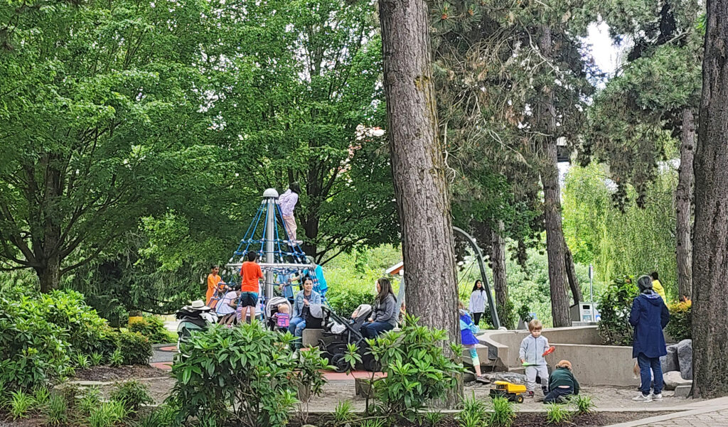
Granville Island playground

Granville Island

If you only have a short time to spend in Vancouver, Granville Island should be near the top of your list of places to visit. And if you have more time, you could easily spend a full day exploring the island and not run out of things to do.

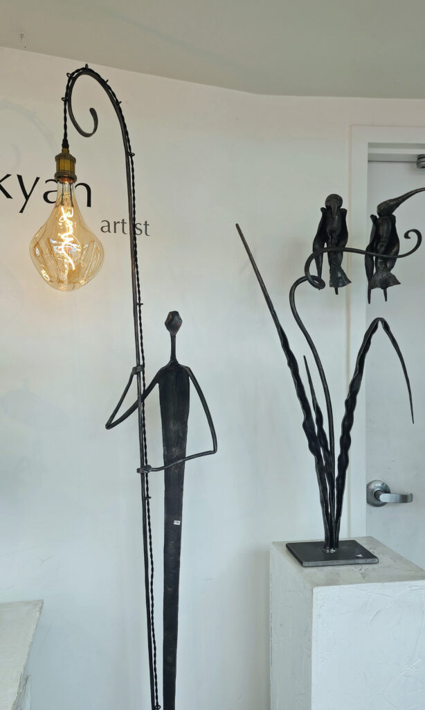
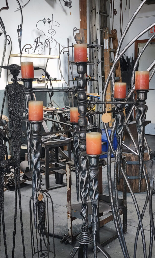
BC Blacksmith Gallery
BC Blacksmith Workshop

Granville Island is a small area (only a half mile long by a quarter mile wide), but jam packed with literally dozens of restaurants and pubs, more than 100 studios, art galleries and boutiques, many theaters and performance venues, a public market (called Public Market) that rivals Seattle’s Pike Place Market, public docks for both small boats and canoes and kayaks, a community center, a water park, a large playground, a public park, a hotel, and the list goes on.

Granville Island Public Market

My wife and I often like to just show up and see what we find when visiting a new location (which we essentially did here), but Granville Island can be a little overwhelming for the first-time visitor. The Granville Island website offers a “plan your visit” interactive function, though,  that you can use to make a custom plan based on your interests and how long you can stay (from a few hours to all-day plus). I highly recommend it, especially if you only have a short time to dedicate to Granville Island.

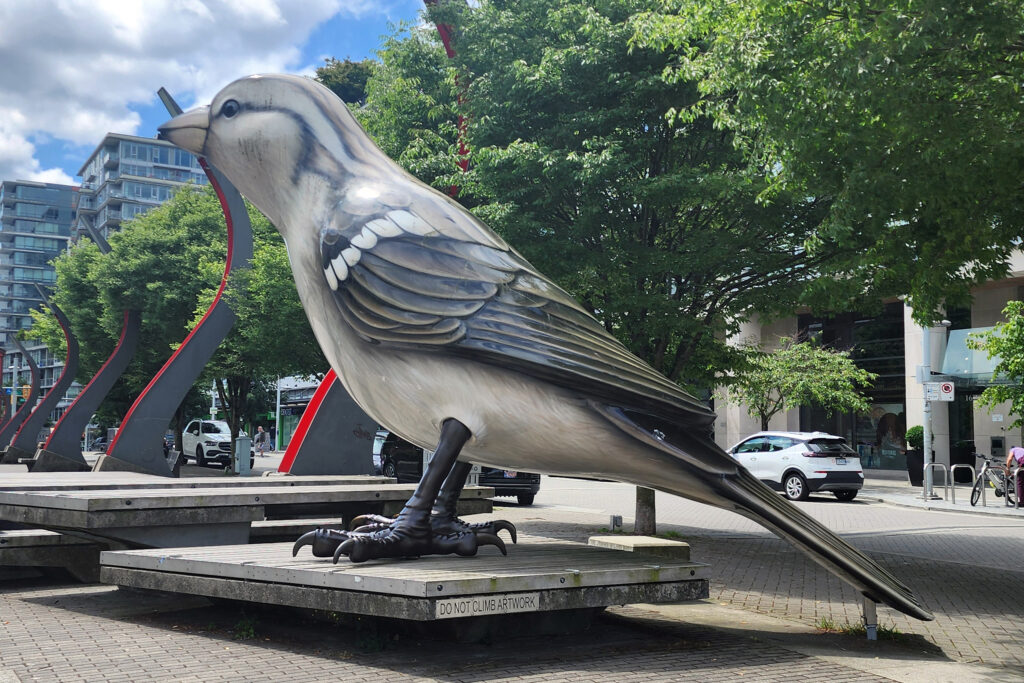
Olympic Village Square

The Village

The Village, located on the southeast shore of False Creek, was the site of the athlete’s village at the 2010 Winter Olympics and Paralympics. After the Olympics, the area was converted into residential housing, commercial spaces, and parks and plazas. The Olympic Village Square features two huge sculptures of sparrows that are eighteen feet tall. My wife and I had lunch in the Village twice (once at Tap and Barrel and once at Craft Beer Market). It’s a nice area to just hang out and relax.

Science World

Science World

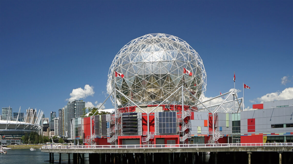
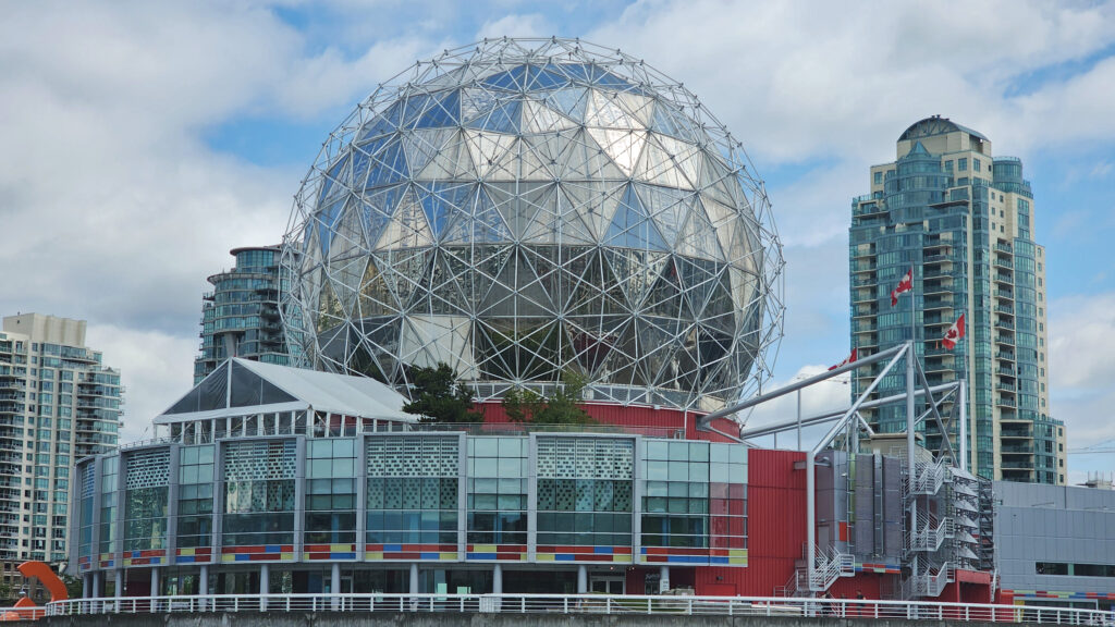
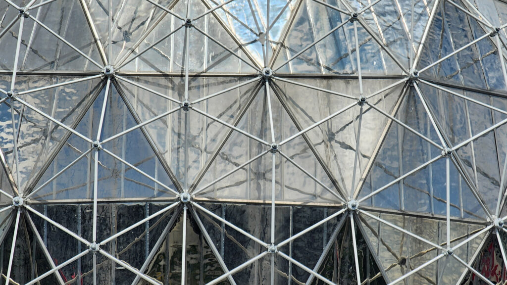
Science World is the large geodesic dome at the east end of False Creek that is visible from all over the area. It was originally constructed to be the Expo Centre for the 1986 World’s Fair (Expo ‘86). Today it is a science center and museum run by the non-profit ASTC Science World Society.

Science World

Science World houses numerous permanent displays and interactive science exhibits, rotating temporary exhibits, and an OMNIMAX theater.  The Science World Society also runs outreach programs, sponsors lectures and classes, and conducts youth camps. Ticket prices (2024) range from $34.85 for adults to $23.65 for children (3-12). Youth (13-18) and senior (65+) admission is $28.10. The OMNIMAX theater is temporarily closed (as of September 2024).

David Lamb Dock, Yaletown

Yaletown

Yaletown, just north of the False Creek waterfront, was once a warehouse district. Today, many of the old warehouses have been converted into restaurants, pubs, cocktail lounges, and shops and boutiques featuring cutting edge décor and fashions. Yaletown’s a vibrant, young, hip district that has an energy and vibe that is unique to the area.

Plaza of Nations

Plaza of Nations

The Plaza of Nations, to the east of Yaletown, was the site of Expo ‘86’s British Columbia Pavilion. The structures and glass-roofed plaza, originally meant to be temporary structures, became an entertainment center after the conclusion of the world’s fair, with a 4500-seat concert venue. But the structures were deemed unsafe in 2007 and were demolished in 2008. Today, the area consists of an open plaza and a developing mixed-use commercial, residential, and entertainment district.

BC Place

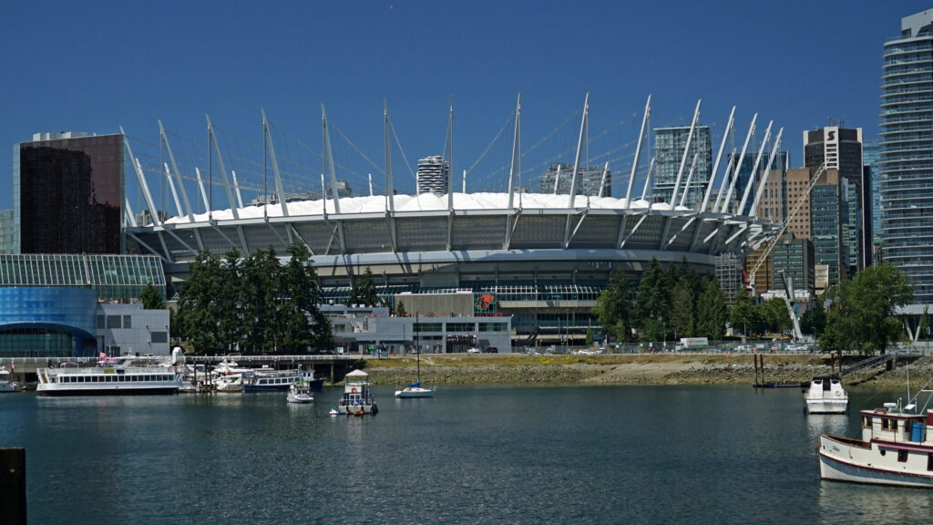
The Plaza of Nations is located just west of BC Place, a large stadium with a retractable roof that was the main stadium of the 2010 Winter Olympics and Winter Paralympics. Today, it is home to the Vancouver Whitecaps of the North American Soccer League and the BC Lions of the Canadian Football League.

Metal sculpture near Plaza of Nations
Plaza of Nations


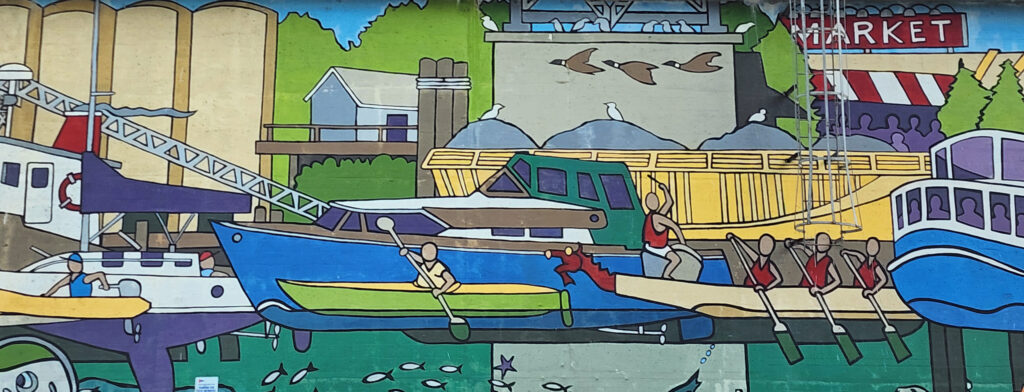
Granville Bridge mural

Public Art

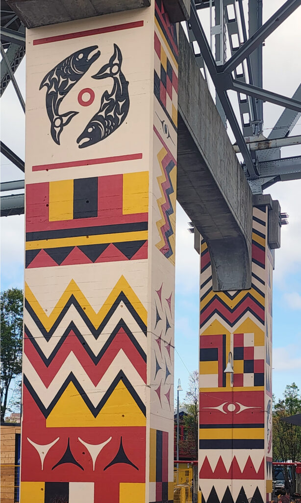
Throughout the False Creek area, in the parks and plazas, along the walkways, and all over Granville Island, you will find outstanding examples of public art, from Native American (First Nations) art to modern contemporary art. And the galleries and studios of Granville Island are an art lovers delight.

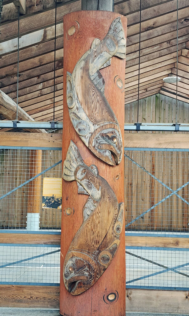
Indigenous Wood Carving, Granville Island
Granville Bridge
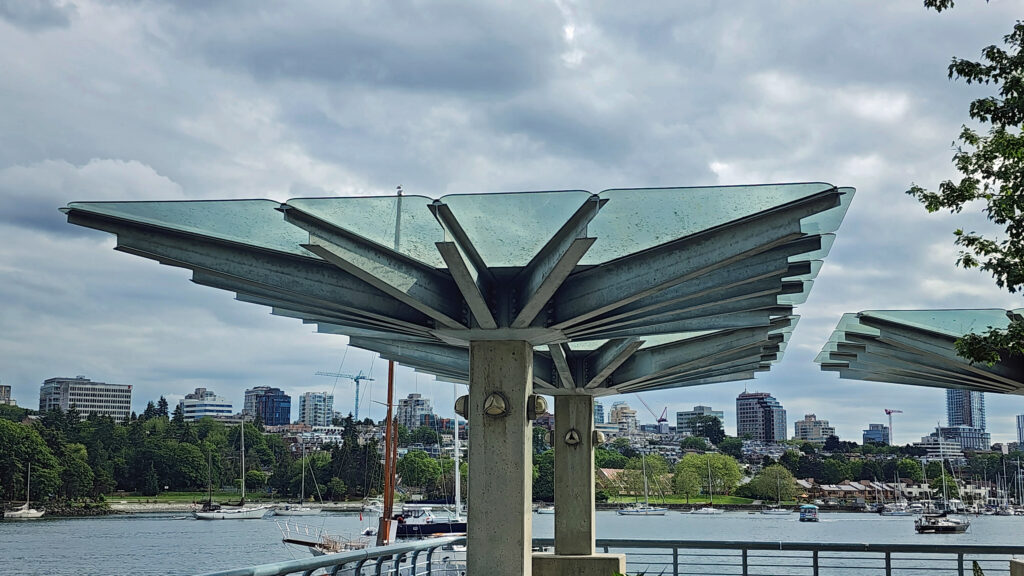
David Lam Park

Parks

Numerous parks line the shores of False Creek. At the east end you’ll find Creekside Park adjacent to Science World and Concord Community Park just to the north. Along the south shore, Hinge Park has open spaces and a small wetlands area, and Charleson Park has a children’s playground and a dog park. Ron Basford Park on Granville Island has an amphitheater and a nice view of the city from a grassy hilltop.

Hinge Park

Along the north shore, George Wainborn Park, David Lam Park and Coopers’ Park offer open spaces, fountains, sports courts, a skate park, and nice views of the False Creek waterfront.

English Bay Beach

And to the west of the main False Creek area, Sunset Beach Park at the mouth of False Creek and English Bay Beach Park to the north offer an uninterrupted, mile-long stretch of sand that is a popular picnicking area and a great spot to view the sunset.

George Wainborn Park

Conclusion

Granville Island was on my radar long before we made this trip, but the rest of the False Creek area was not. In the end, my wife and I wound up spending more time exploring False Creek than we did any of the Vancouver area’s other destinations, and that’s worth noting because there are many other parts of the area that offer visitors a unique and enjoyable experience. Check out my Stanley Park post and look for upcoming posts on Capilano Bridge Park and Grouse Mountain in North Vancouver and the Gastown/Chinatown district in the north end of downtown Vancouver.

Granville Island Duck Pond

Posted September 15, 2024

All photos © Alan K. Lee
 

San Juan Island, Washington

Introduction

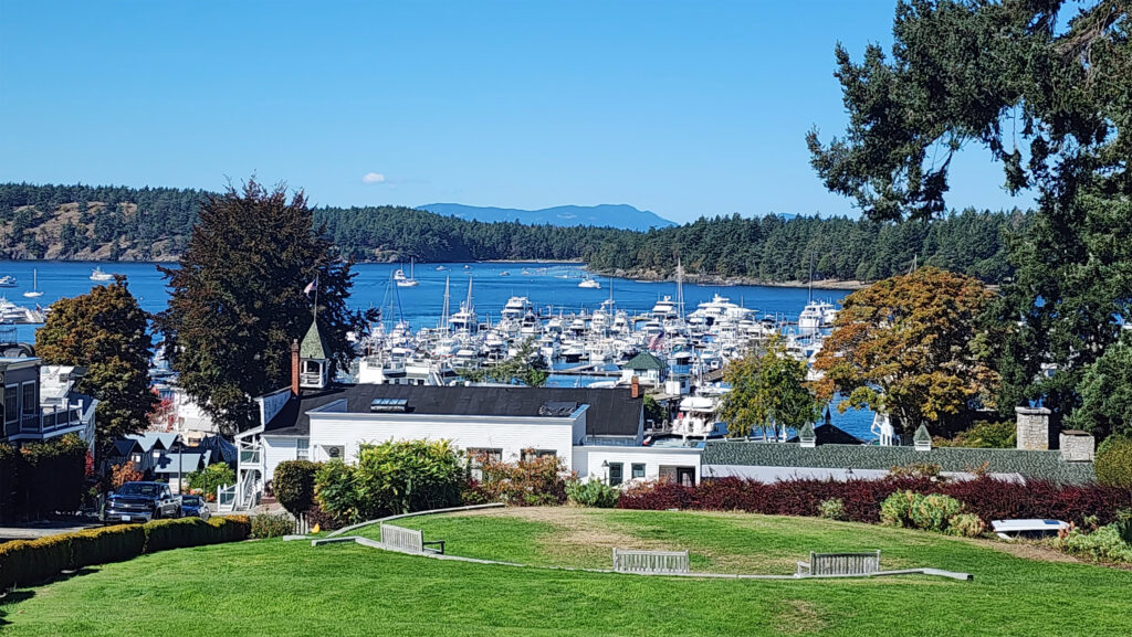
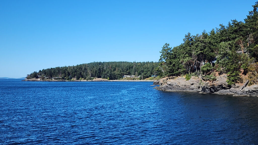
It had been a long time since my wife and I had been to the San Juans Islands, so a trip to Friday Harbor on San Juan Island seemed like the ideal early fall getaway that we were looking for. The San Juan Islands lie in the Salish Sea north of Puget Sound in Washington, and east of British Columbia’s Vancouver Island. There are four main islands that are served by ferry – Orcas, Shaw, Lopez, and San Juan. San Juan Island is the largest and most populous of the islands.

Cap Sante Marina, Anacortes, Washington

We drove to Anacortes, Washington from our home in the Portland area and spent some time that afternoon exploring the town and the nearby town of La Conner, one of my favorite small towns in the Pacific Northwest. We boarded our ferry the next morning for the hour and a half trip through the islands to Friday Harbor. We spent the next four days getting reacquainted with the many charms of the town and the island.

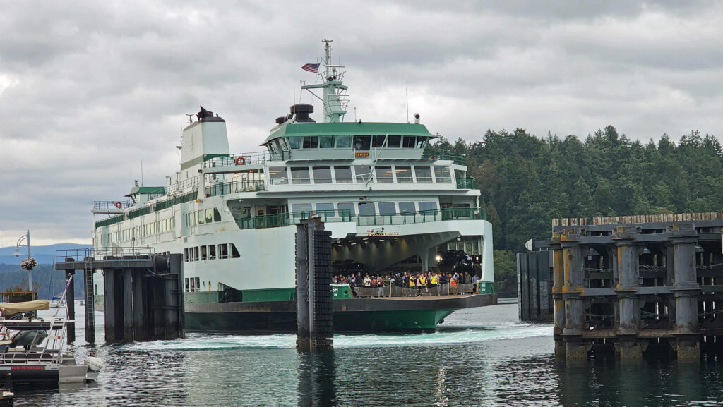
Washington State Ferry

Getting There

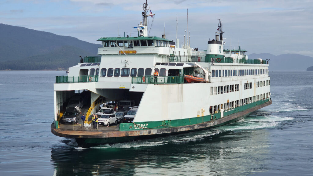
Most visitors to the island come via the Washington State Ferry System. There are interisland ferries that depart from Anacortes and stop at all four of the main islands, and an express ferry that runs between Anacortes and Friday Harbor, bypassing the other islands. Check the ferry website for schedules and to make reservations. Reservations aren’t absolutely required – a few spots are left for people without reservations – but reserving a ticket in advance is the only way to guarantee that you’ll get on. Even then, ferries are sometimes cancelled due to weather or other causes. Our ferry to Friday Harbor was delayed for an hour and earlier sailings that day were cancelled due to the lack of a full crew.

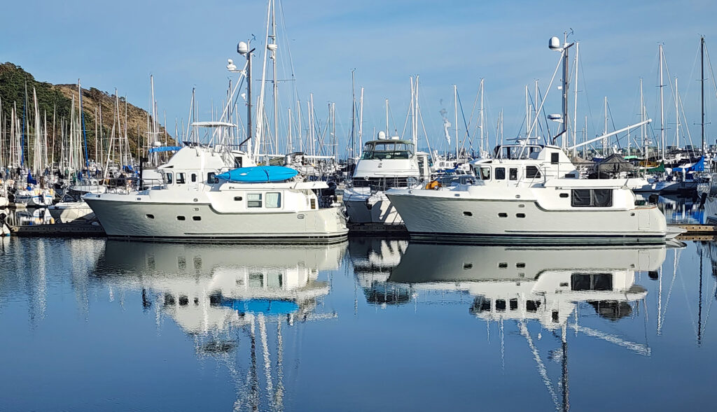
Roche Harbor Marina

The other ways of getting to San Juan Island are by private boat, water taxi (passengers only), or airplane.  There are several water taxi services that operate from various mainland ports to Friday Harbor and Roche Harbor (and to other islands, including those not served by the ferry system). And Kenmore Air has a limited schedule of flights from Boeing Field in Seattle to Friday Harbor Airport. Kenmore Air and others also operate seaplane flights to Friday Harbor and Roche Harbor.

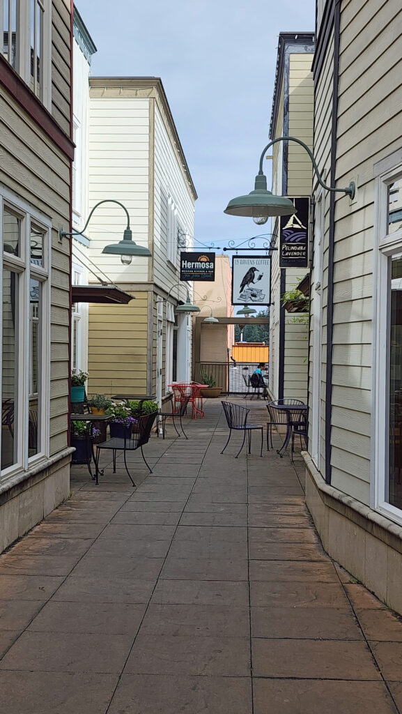
Downtown Friday Harbor
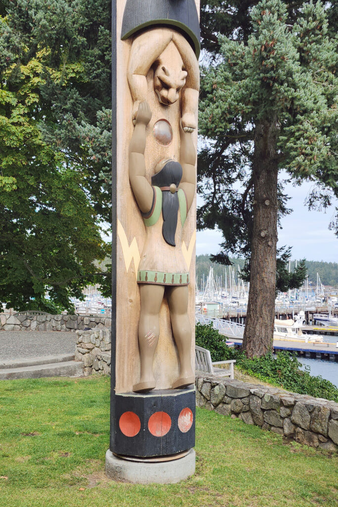
Fairweather Park, Friday Harbor

Getting Around

If you’re just interested in exploring Friday Harbor, you don’t need a vehicle. It’s a small and very walkable community, and there is plenty there to keep you occupied for at least a couple of days. So, you can save some money by leaving your car behind in Anacortes and buying a passenger only ticket on the ferry. Water taxis will cost as much, or more, as taking your car on the ferry. I didn’t check into flight costs, but they are almost certainly much more expensive than the ferry.

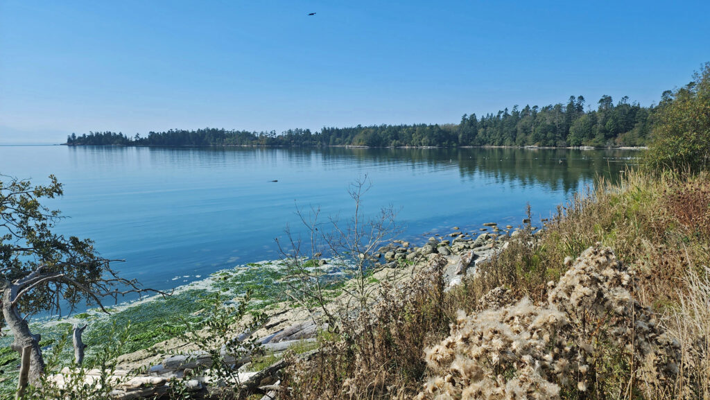
False Bay

Even without a vehicle, you can still get around the island via the San Juan Transit  bus system that stops at Roche Harbor, English Camp, American Camp, Lime Kiln Point State Park, and several resorts, wineries, and other attractions on the island. Uber and Lyft also operate on the island.

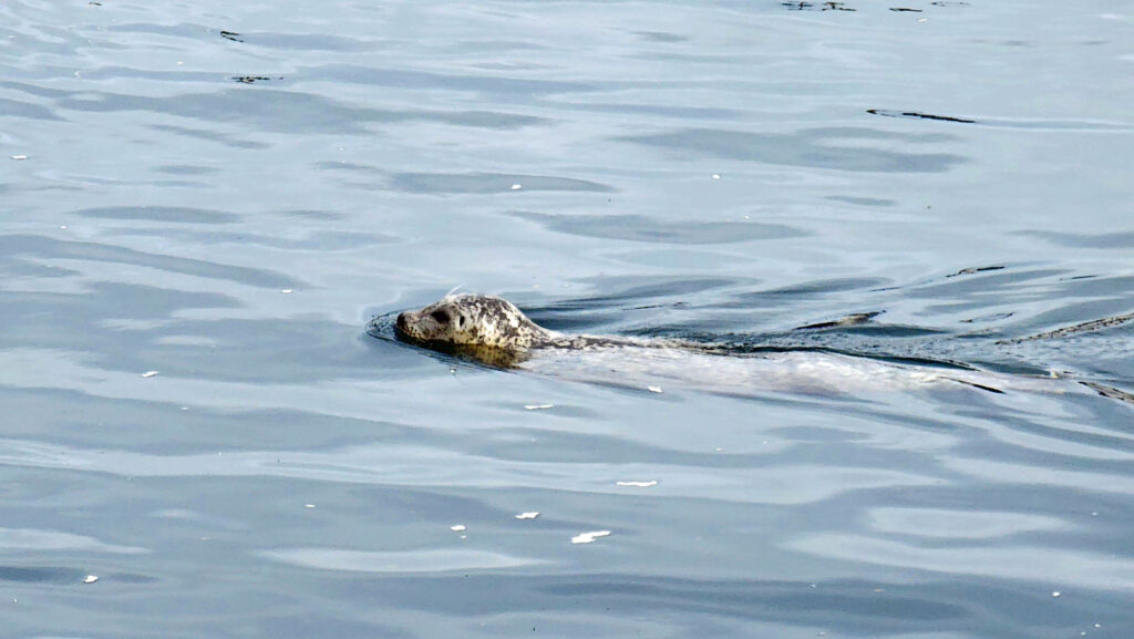
Harbor seal, Friday Harbor

Another way to get around is by bicycle. Bring your own or rent from one of several rental shops in Friday Harbor. Roche Harbor, on the north end of the island, is less than ten miles from downtown Friday Harbor. Other destinations are even closer. The easiest way to get around is by car, of course. We brought ours. The cost for the round-trip ferry ride from Anacortes was about $75.

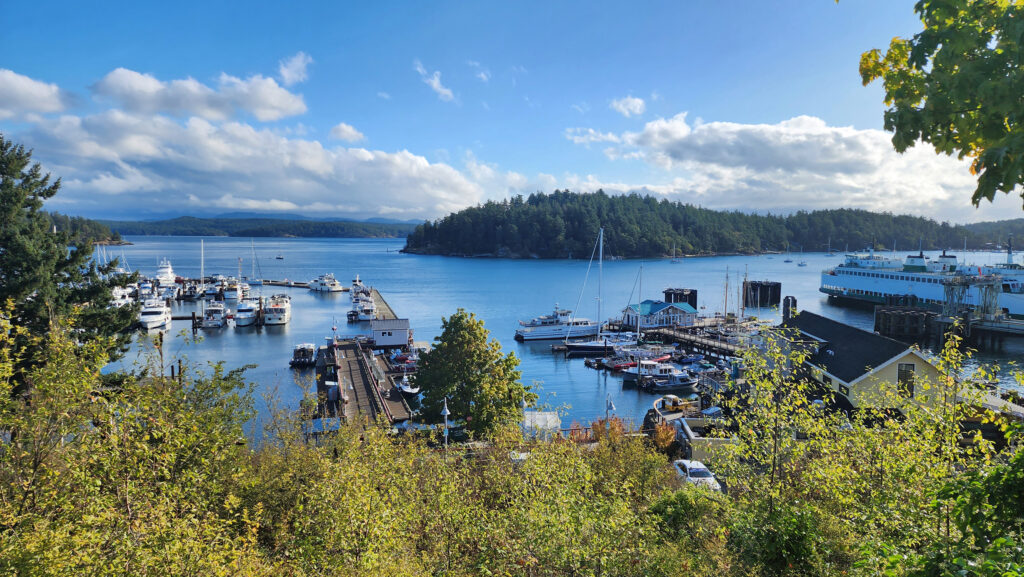
Friday Harbor

Friday Harbor

Friday Harbor is the commercial center of the San Juan Islands and the only town of any size. Although small in size and population, Friday Harbor is chocked full of interesting places to visit and things to do, regardless of your particular interests. There are several interesting museums, dozens of cafes and restaurants, small shops of all kinds, and many places to take in the views of the harbor and the surrounding islands. A number of companies offer whale watching cruises. Others offer scenic flights on floatplanes. And kayak tours, both day and multi-day trips, can be booked through several companies in Friday Harbor.

Friday Harbor

There is no shortage of places to eat in Friday Harbor. For breakfast and lunch, I can personally recommend both Rocky Bay Café and Tina’s Place. For dining with a view, go to Downriggers on the bayfront. Classic Italian food can be found at Vinny’s Ristorante. Vegetarian and vegan food can be had at Mike’s Café and Wine Bar. For quality craft beers and upscale pub food, try San Juan Brewing. For seafood in a casual dining space, check out Friday’s Crab House. We ate at all of those, and all were good. But that’s just a sampling of what Friday Harbor offers. I wish we had had a few more days to sample more of the town’s eateries. What’s a vacation for, after all.

The Whale Museum

If you an art lover, The San Juan Islands Museum of Art features visual artworks from local and regional artists. On a slightly different note, The Whale Museum has exhibits featuring native arts and the marine environment with a focus on education and environmental protection. You might also want to visit the Arctic Raven Gallery.

San Juan County Park

We stayed in a vacation rental about a five minute walk from downtown Friday Harbor, but there are many other lodging options in Friday Harbor and around the island, from luxury hotels to budget friendly cabins and cottages. A full list of available accommodations of all types can be found on the San Juan Islands Visitors Bureau website, as well as a comprehensive list of things to do and sights to see.

Roche Harbor

Roche Harbor

Roche Harbor, located on the north end of the island, was once the site of the largest lime deposit in the Pacific Northwest, and a large lime plant. Since the closing of the lime plant, Roche Harbor has morphed into an upscale resort community that is one of the most visited sites on the island.

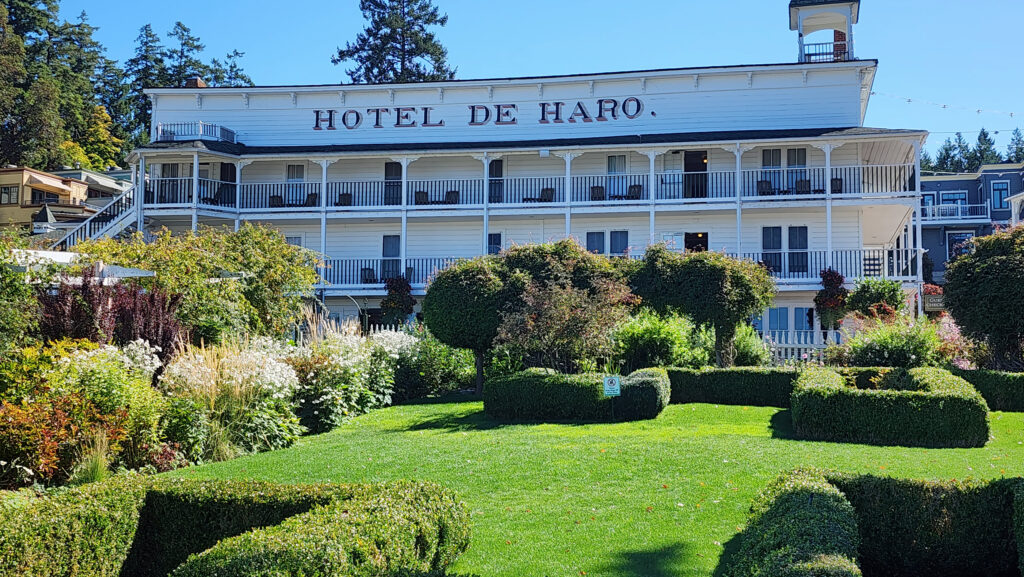
Hotel De Haro, Roche Harbor

The resort consists of a hotel (the historic Hotel De Haro, built in 1886), a large marina, three restaurants, a grocery store, several shops featuring local artisans, tennis courts, a heated outdoor swimming pool, and nicely landscaped grounds. Besides the hotel, resort accommodations also include historic cottages and modern luxury houses.

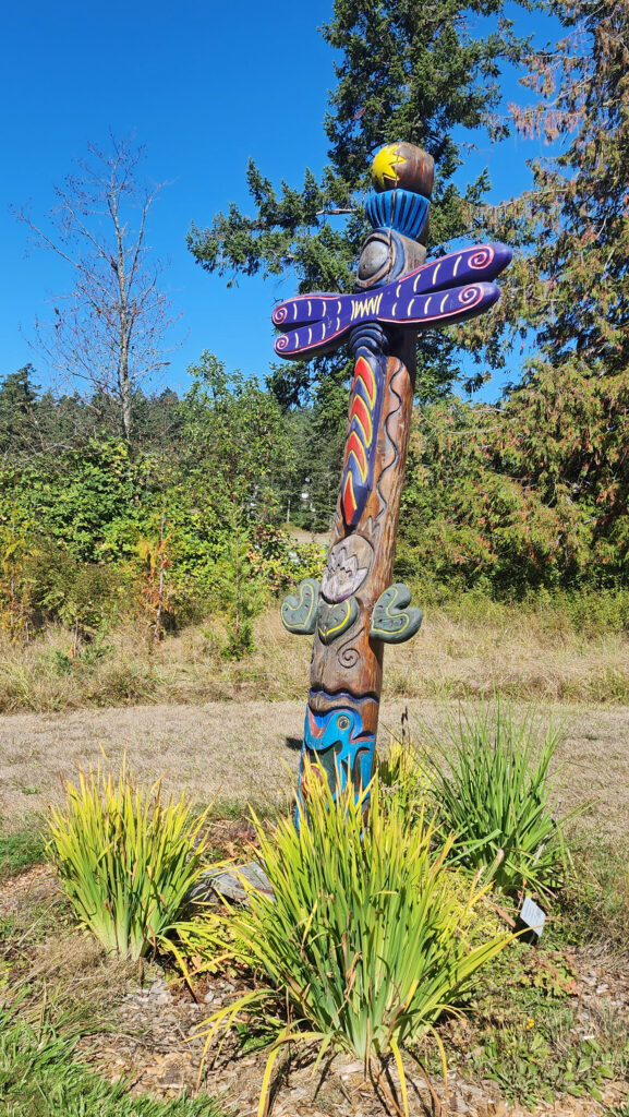
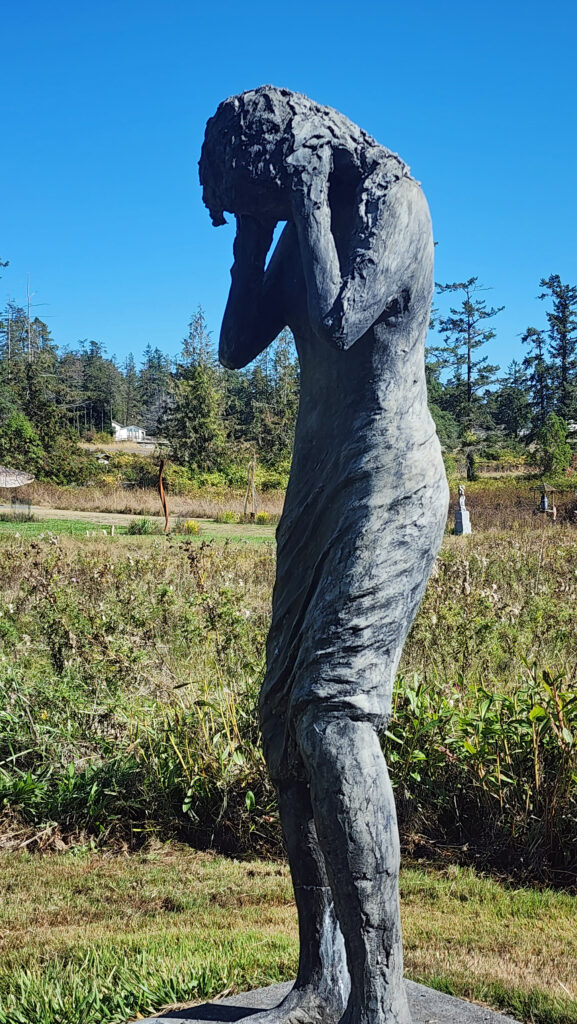
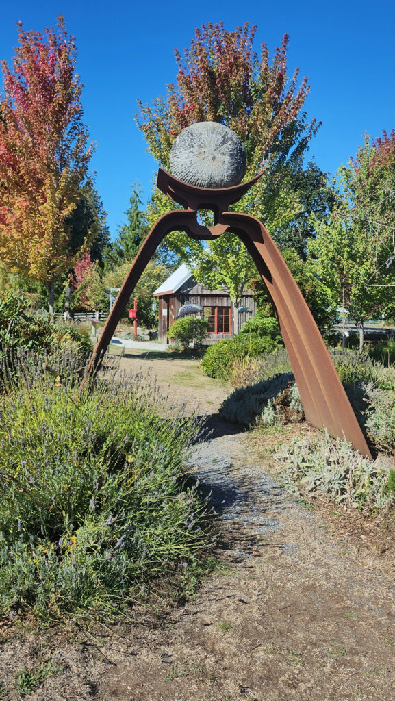
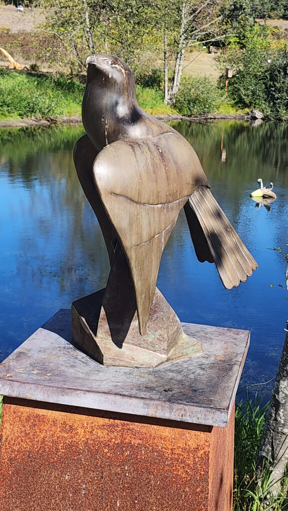
San Juan Islands Sculpture Park

Near Roche Harbor (I think it’s actually part of the resort), the San Juan Islands Sculpture Park is a must see if you’re at all interested in sculpture. There are over 100 works of art (it seemed like many more) spread out over the twenty acres of the garden. Plan to spend at least an hour here. We spent more than that and still didn’t see it all. Admission is free, but donations are requested.

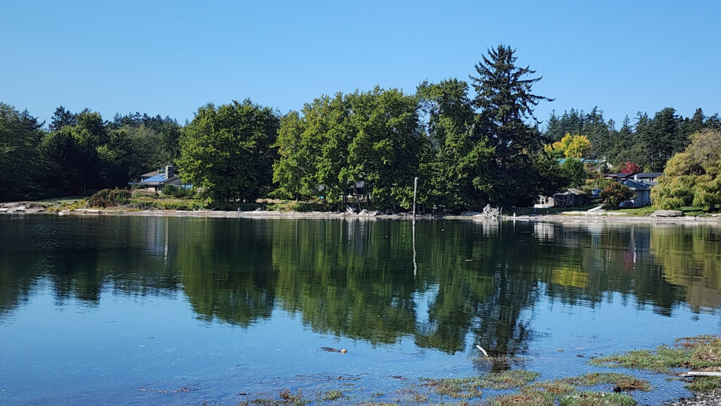
Argyle Lagoon

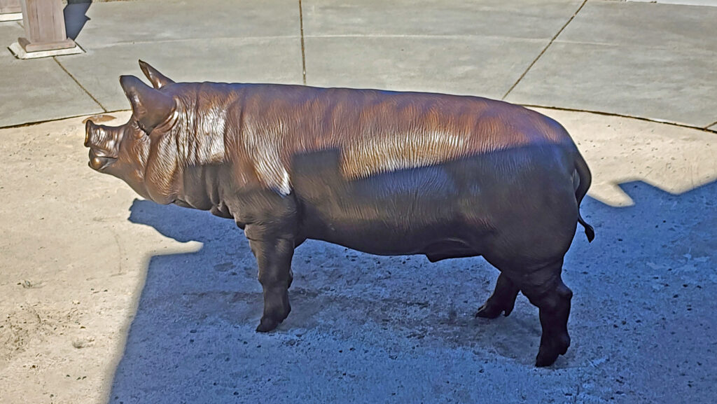
The Pig War

The 1846 Treaty that set the boundary between Canada and the United States didn’t specify whether the boundary was meant to be Haro Strait, west of San Juan Island, or Rosario Strait, east of Lopez and Orcas Islands. Both England and the U.S. claimed the islands and both British and American settlers resided on San Juan Island, mostly in peace. But in 1859 an American settler shot and killed a pig that had strayed onto his land. The pig belonged to an English company. That act almost started a war.

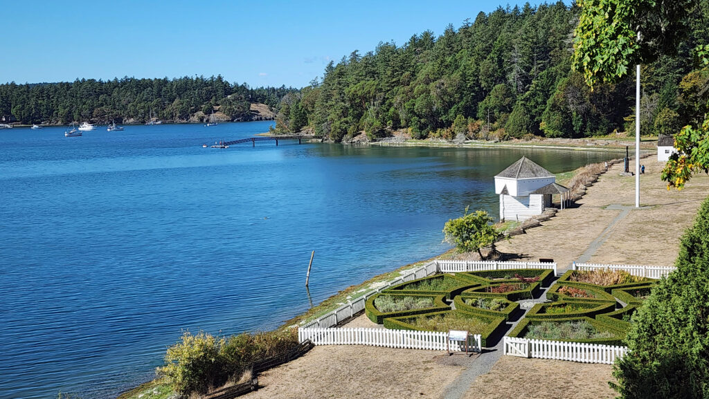
Tensions between the American and British contingents led both England and the U.S. to send military forces to the island. From 1859 to 1872, when the boundary dispute was finally settled in favor of the United States, the island was jointly occupied by both forces. No actual combat occurred, and no one was injured in the Pig War. The sites of the two country’s military installations are now part of San Juan Island National Historical Park.

English Camp and Garrison Bay

English Camp

The British military outpost was located on Garrison Bay, on the northwest corner of the island not far from Roche Harbor. Only a few of the original structures remain. One of the barracks now houses the English Camp Visitor Center. Lots of interesting history there in a beautiful setting. I highly recommend stopping in.

American Camp

American Camp

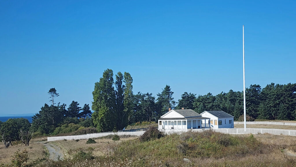
The American forces were located on the south end of the island about five miles south of Friday Harbor. Like at English Camp, few of the original structures remain, and only one of the structures is in its original location. Unlike English Camp, American Camp is located away from the water, on an open ridge top overlooking the water on both sides of the island. The visitor center here is much larger than the one at English Camp and is in a modern structure. More interesting history here, in a different but equally beautiful setting.

Grandma’s Cove and Eagle Point

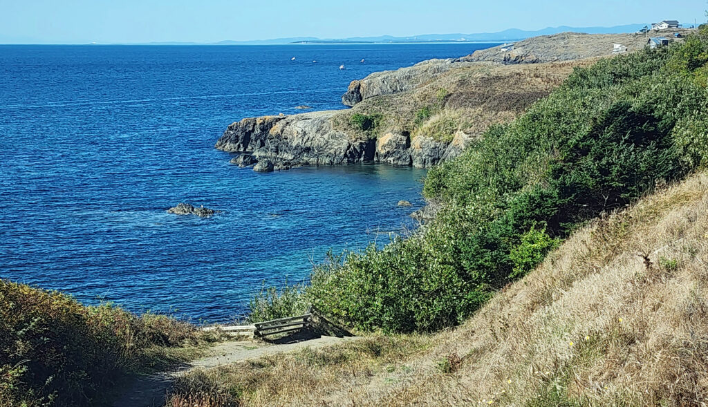
My wife and I did a short (1.7-mile) hike here. Starting at the visitor center, we first hiked east to the Parade Grounds and Picket’s Redoubt, then south to the edge of the bluff overlooking the shore. The trail then took us west along the bluff with nice views of Eagle Point and across Haro Strait to Vancouver Island. We took a short side trip down to the water at Grandma’s Cove before returning to the visitor center.

Looking north from Cattle Point

South Beach and Cattle Point

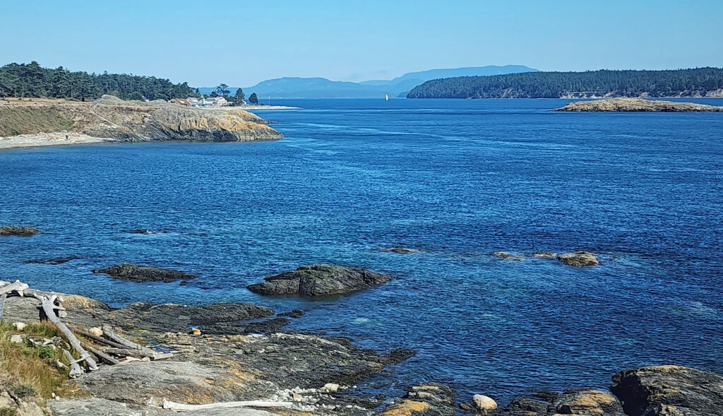
South Beach, just southeast of American Camp, is also part of San Juan Island National Historical Park. Cattle Point, just outside the park boundary, is the southernmost point of land on the island. Neither are particularly remarkable, and Cattle Point Lighthouse (our destination after visiting American Camp) isn’t as attractive or iconic as Lime Kiln Point Lighthouse (pictured below).  But the views of nearby Lopez Island and some of the smaller islands between San Juan and Lopez are nice, and there are some good trails in the area. In fact, if you’re looking for a little longer hike than the one we did at American Camp, it’s possible to hike from the American Camp Visitor Center to Cattle Point. The out and back hike is about seven miles. A slightly shorter hike (4.3 miles) to Cattle Point begins and ends at the Jake’s Beach Lagoon parking area.

San Juan County Park

San Juan County Park and Lime Kiln Point

The west coast of San Juan Island is prime whale watching territory, and the island’s west coast is rugged and wildly beautiful. San Juan County Park has a small campground and a boat ramp on Smallpox Bay.

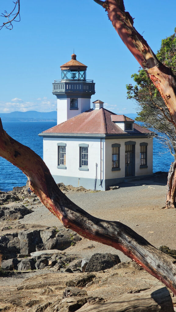
Lime Kiln Point Lighthouse

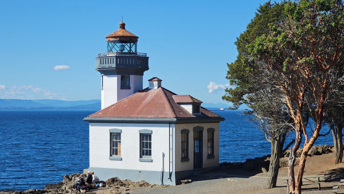
Lime Kiln Point State Park has a scenic lighthouse, trails along the shore, and is one of the prime whale watching sites on the island. Both offer views across Haro Strait to Vancouver Island and the northeast suburbs of Victoria. Unfortunately, there were no whales in the area when we visited.

Zylstra Lake

Zylstra Lake

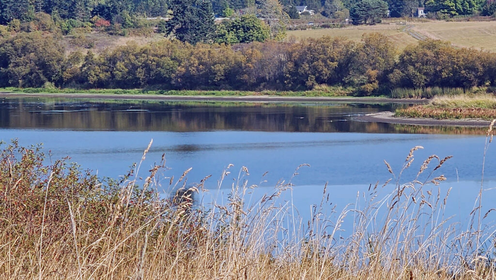
Until 2015 Zylstra Lake was privately owned and surrounded by farmland, and it has only recently been opened to the public. It is now owned by San Juan County Land Bank and managed under a conservation easement by the San Juan Preservation Trust. We thought it might be an interesting place to explore, and the trail around the lake looked like it might be a good hike. Both of those proved to be true. For more information and a description of the hike, click here to view my hike-of-the-week post.

Conclusion

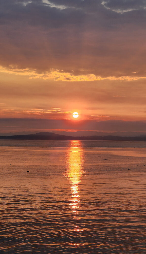
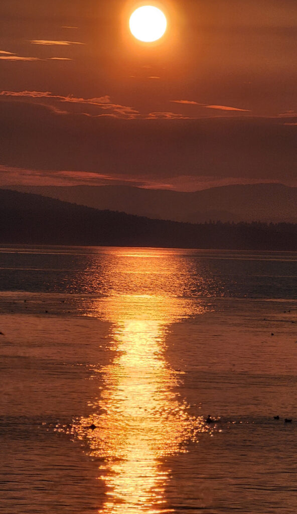
On our final evening on the island, we drove to the Westside Preserve, just south of Lime Kiln Point, to watch the sunset. We didn’t see any whales there either, but the sunset was beautiful and a nice way to end our stay.

Friday Harbor

The next morning, we caught our ferry back to the mainland, fought our way through Seattle area traffic, and returned home, refreshed and ready for our next adventure.

Posted October 12, 2023 by Alan K. Lee

All photos © Alan K. Lee


The Island of Maui

by Alan K. Lee

Maui and the other Hawaiian Islands have so many attractions that it’s hard to list them all. Suffice it to say that there is something for everyone on the island of Maui, no matter where your interests lie.

My wife, Joan, and I have made a number of trips to Maui over the years. Although it is not my favorite Hawaiian island (that would be the Big Island), there is so much to do on Maui that we still haven’t seen it all. Our trips were all different. We stayed on  different parts of the island, traveled with or visited different members of my wife’s family, took in different sites, and took part in different activities.

On our first trip, we stayed in Ka’anapali in West Maui, attended a traditional luau in Lahaina, toured the north shore, explored Pa’ia, spent a day lounging on the beach at Kihei, and made an unsuccessful attempt to get to Hana (more on that later).

On our second trip, with ten other members of my wife’s family, we stayed in the Upcountry town of Haiku and explored the Upcountry area on the north slope of Haleakala, took a whale watching cruise out of Lahaina, hired a professional photographer to do a family photo shoot on the beach at Kihei, and drove to the top of Haleakala to view the sunrise.

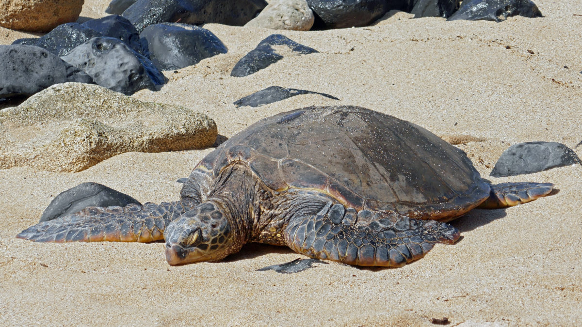
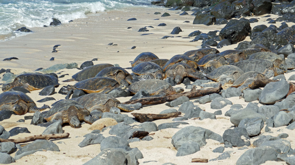
A couple of years ago my wife’s cousin Ruthee and her husband Mikel retired and moved to Kihei, Maui. We visited them in their home in 2019 and again recently. In 2019 we visited the Iao Valley, did some hiking in the Makena area of South Maui, and found a remarkable group of more than 30 green sea turtles sleeping on Ho’okipa Beach near Pa’ia. The four of us then flew to Kona for five days of exploring the Big Island. On our most recent trip we finally made it to Hana, where we stayed for two nights.

Maui is called the Valley Island. Most of the population lives in the Kahului and Wailuku areas in the valley between Haleakala and the West Maui Mountains, hence the island’s nickname. Most of the tourist activity, though, is centered in the West Maui area around Ka’anapali and Lahaina, and the South Maui area around Kihei and Wailea.


Kula Lodge

Less populated, less touristy, and more authentically Hawaiian, the North Maui area around Pa’ia and the Upcountry area on the slopes of Haleakala offer a different experience for those who are turned off by the touristy and often overcrowded Ka’anapali and Kihei areas. The same is true for Hana, but for slightly different reasons. But if you just want to lounge on the beach and soak up the sunshine, Kihei and Ka’anapali are perfect.

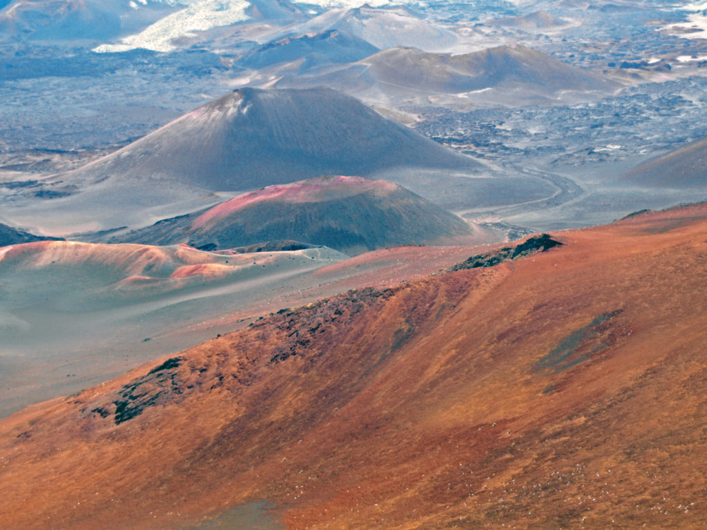
Haleakala Crater
Haleakala summit view

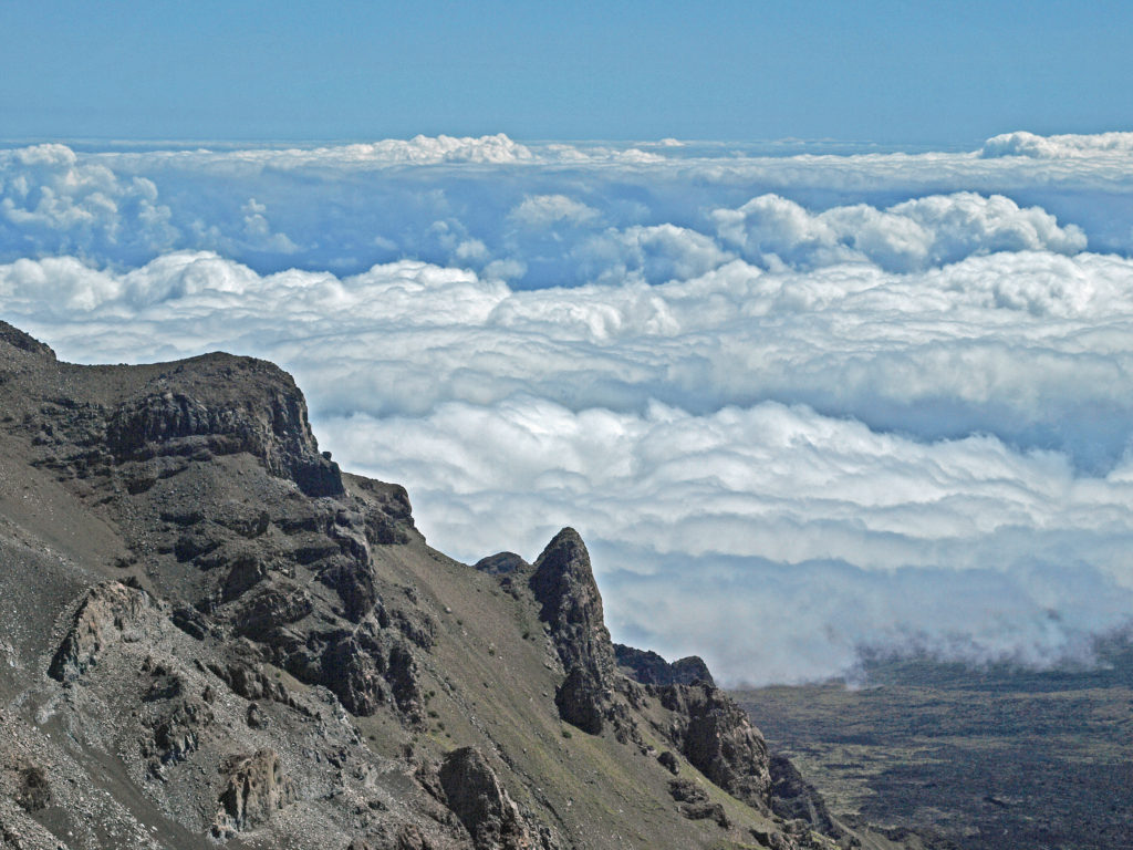
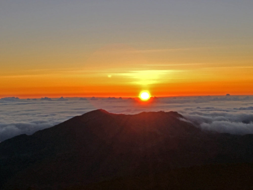
Haleakala is another world. At more than 10,000 feet high, the summit is often cloud hidden, and occasionally snow-capped. The summit crater looks like it was transplanted from Mars. And the sunrises are legendary. On our second trip, half the group (including my wife) got up at 3:00 am in order to catch that sunrise. I was part of the other group that chose to sleep in. We met the first group at the Kula Lodge for breakfast, then drove on up to the summit. Well worth it, even if we missed out on the sunrise experience.

Haleakala sunrise. Photo by Joan Newman
Iao Needle

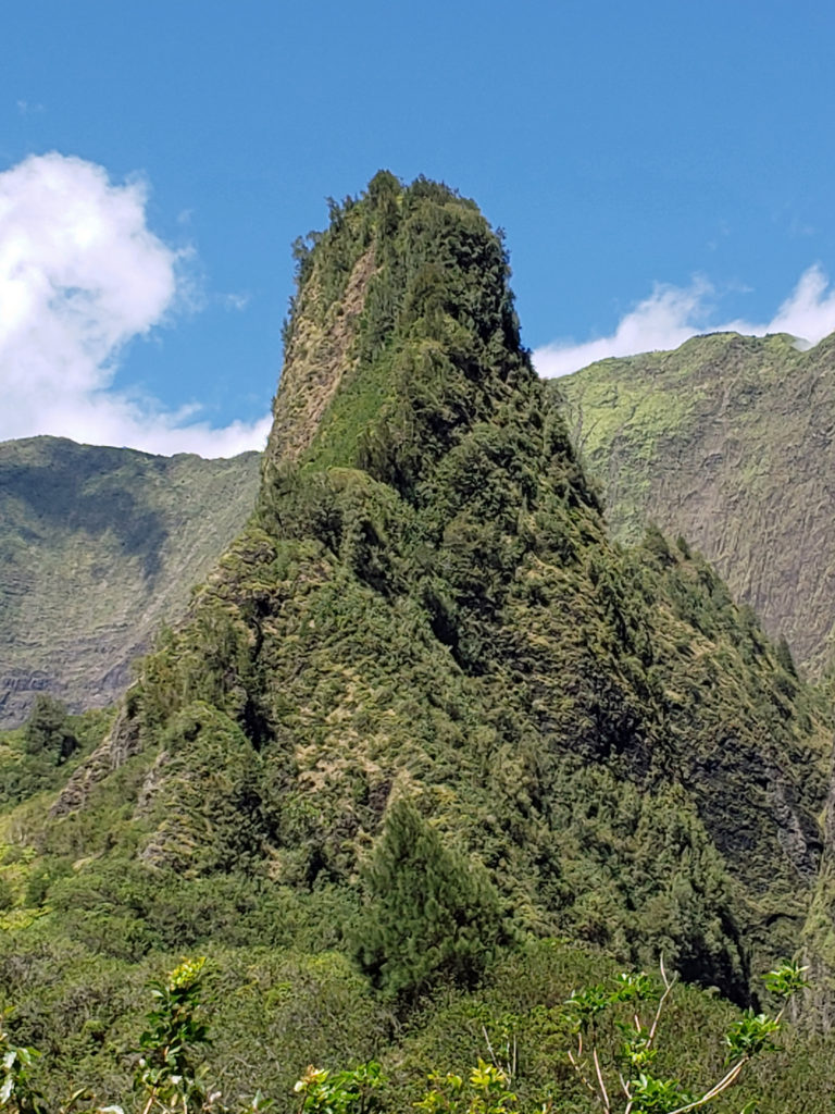
Near Wailuku, Iao Valley State Park is another almost otherworldly experience. There it’s a trip into the tropical jungle, and something of a time trip back into what the Jurassic period must have been like. It wouldn’t have been too surprising to encounter a dinosaur there on our jungle hike. And the Iao Needle is spectacular.

North Shore, halfway to Hana

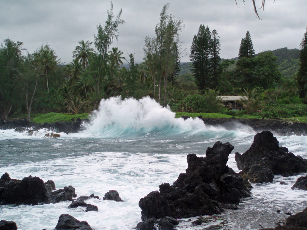
And then there is Hana. Our first attempt to get to Hana was thwarted by a lack of planning and sabotaged by all of the incredibly scenic stops along the way. We made it about halfway on that first attempt before we had to turn around and make our way back to West Maui in time for dinner. Click here to learn more about Hana and our recent visit.

Kihei Beach

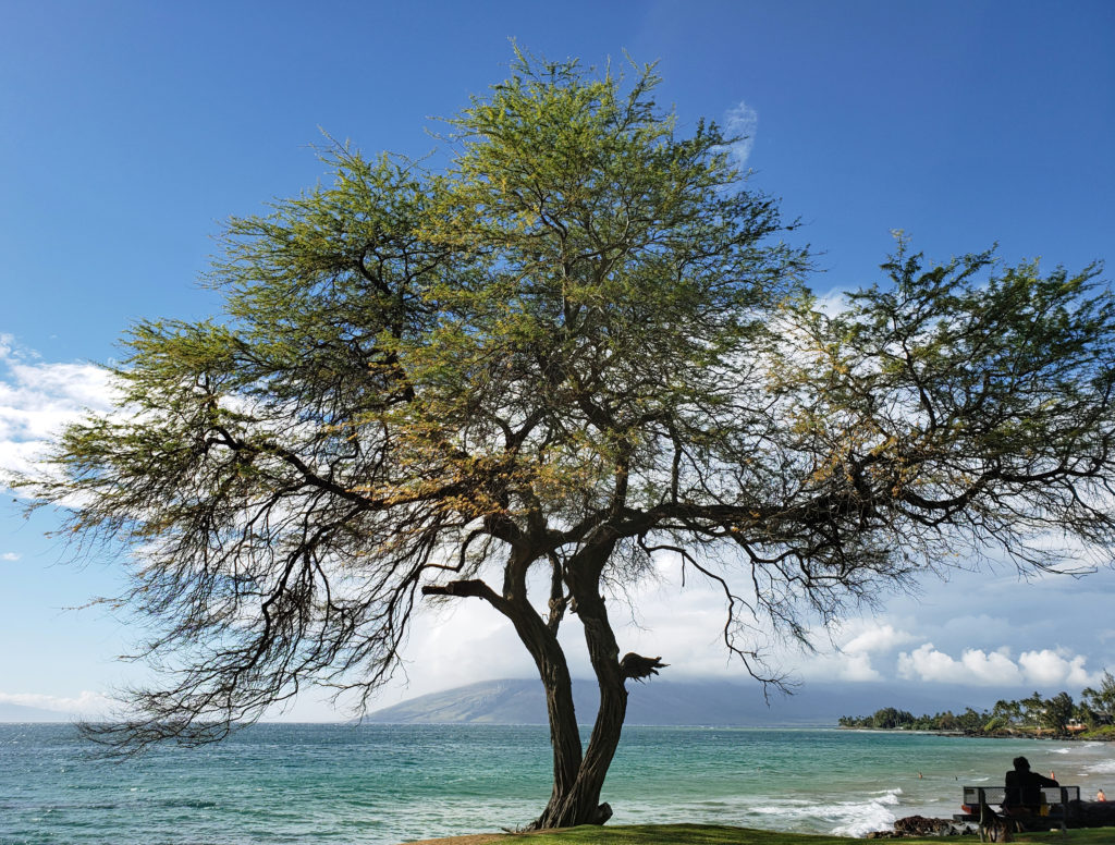
Like most visitors, we spent a lot of time just hanging out on various beaches around the island on all of our trips. With dozens of beaches and more than 30 miles of sandy shoreline, there are plenty of choices. Beach safety should always be a concern, of course. If you’re going to swim, snorkel, windsurf, or kayak, it’s a good idea to check the HI Ocean Safety website for safety tips and links to current advisories before heading to the beach of your choice.

Ahihi Kina’u Natural Area Reserve, South Maui
Big Beach, Makena Beach State Park

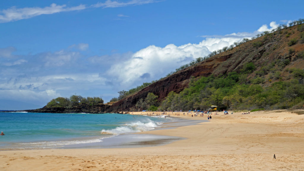
Makena Beach, also known as Big Beach, is a good choice in the South Maui area. With more than a half mile of sand, there’s plenty of room for everyone to spread out. To the north of Big Beach, over a small headland, is the more secluded Little Beach. Be forewarned, though, that Little Beach is clothing optional. And Kihei offers numerous beaches and parks, most with lifeguards, along six miles of shoreline.

In West Maui, Ka’anapali Beach is one of the best swimming beaches on the island, and features a daily cliff diving ceremony at sunset. But five hotels and six condominium complexes face the beach, so it’s often very crowded. There are also several nice beaches in the Kapalua area to the north, and in Lahaina to the south of Ka’anapali.

Ho’okipa Beach

The North Shore beaches, such as Ho’okipa Beach and Kanaha Beach, offer some of the best kiteboarding and windsurfing in the Islands, and there are protected areas at both ends of Baldwin Beach, making it one of the best swimming beaches on the island. One of the nicest beaches, though small, is at Mama’s Fish House, which happens to serve some of the best seafood in the Islands. It’s expensive, but worth the indulgence. Going at lunchtime is at least slightly less expensive, and when we were there the  lunch menu was the same as the dinner menu. Reservations are an absolute must and need to be made at least six months in advance.

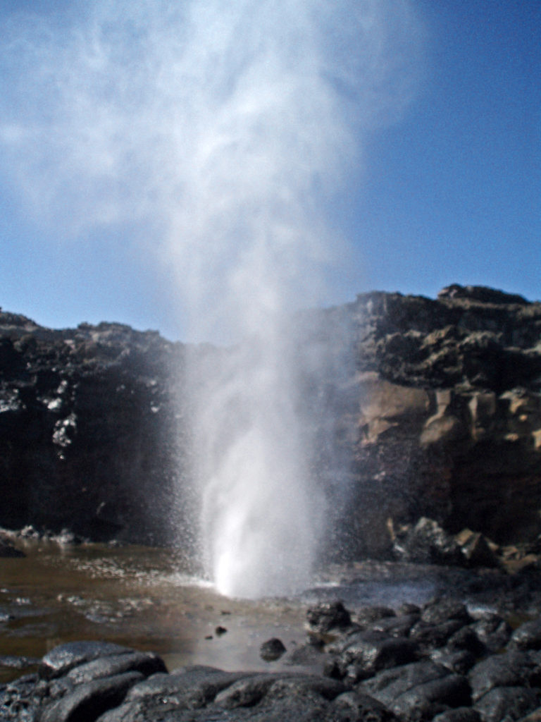
Nakalele Blowhole

On the northwest corner of the island, north of Kapalua, Nakelele Blowhole is a spectacular sight. Not only is it one of the biggest blowholes that I’ve ever seen, shooting water a hundred feet into the air, but you can walk right up to it in relative safety (though maybe not the smartest thing to do). Whether or not it is spouting, and how high, depends on the tide and probably wave height and direction, so it might not be the best idea to go there solely to see the blowhole. But the shoreline along that portion of the island is spectacular, and it’s only a short drive from Kapalua, so well worth the trip if you’re on that part of the island. And if you catch it at its best, it’s truly memorable.

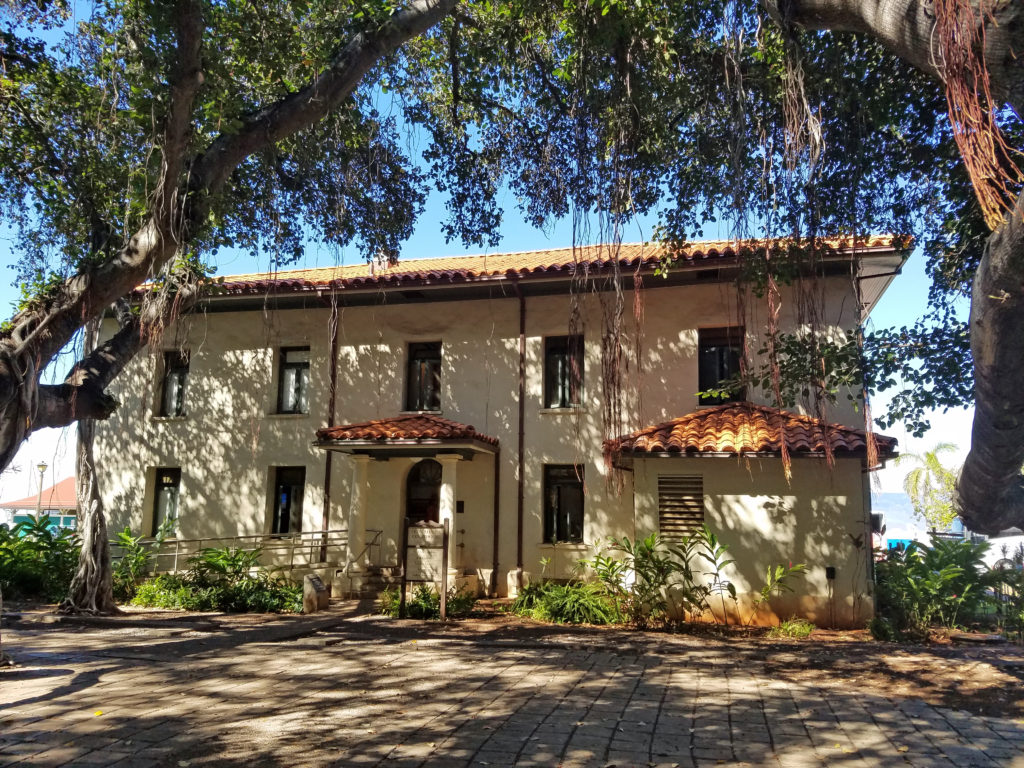
Old Lahaina Courthouse

There is way more to Maui than what I’ve covered here, of course. If you’re a golfer, there are courses from championship level resort courses, such as the Plantation Course at Kapalua that annually hosts the PGA Tournament of Champions, to more affordable public courses such as Maui Nui, Pukulani, and Waiehu. Horseback riding is a popular activity, and there are many hiking trails around the island. There are ziplines. You can descend below the waves in a submarine. Or snorkel in the submerged crater of an extinct volcano at Molokini. You can coast down the slopes of Haleakala on a mountain bike.  And I’ve barely mentioned the cultural and dining experiences available. There’s almost no reason not to go.

Kihei Beach

Check the Go Hawaii/Maui website for more information on Maui dining, accommodations, activities, and more.


Kihei sunset

Originally posted as Something For Everyone on Maui on October 22, 2019. Updated and re-posted on March 3, 2023.

All photos © Alan K. Lee, except as noted.


Kona and the Big Island

by Alan K. Lee

Kailua-Kona

Kona, on the Big Island, was where I first set foot in Hawai’i, back in the year 2000. I will never forget stepping out of the plane and immediately being bathed in sunshine and enveloped in the warmth that is so ever present in Hawai’i. It wasn’t just that it was warm. The air felt different, not the suffocating humidity of summers in the much of the country or the oppressive furnace-like heat of the Southwest. Here it just felt  welcoming. Two steps out of the plane I knew I was in paradise.

Kohala Coast, north of Kona

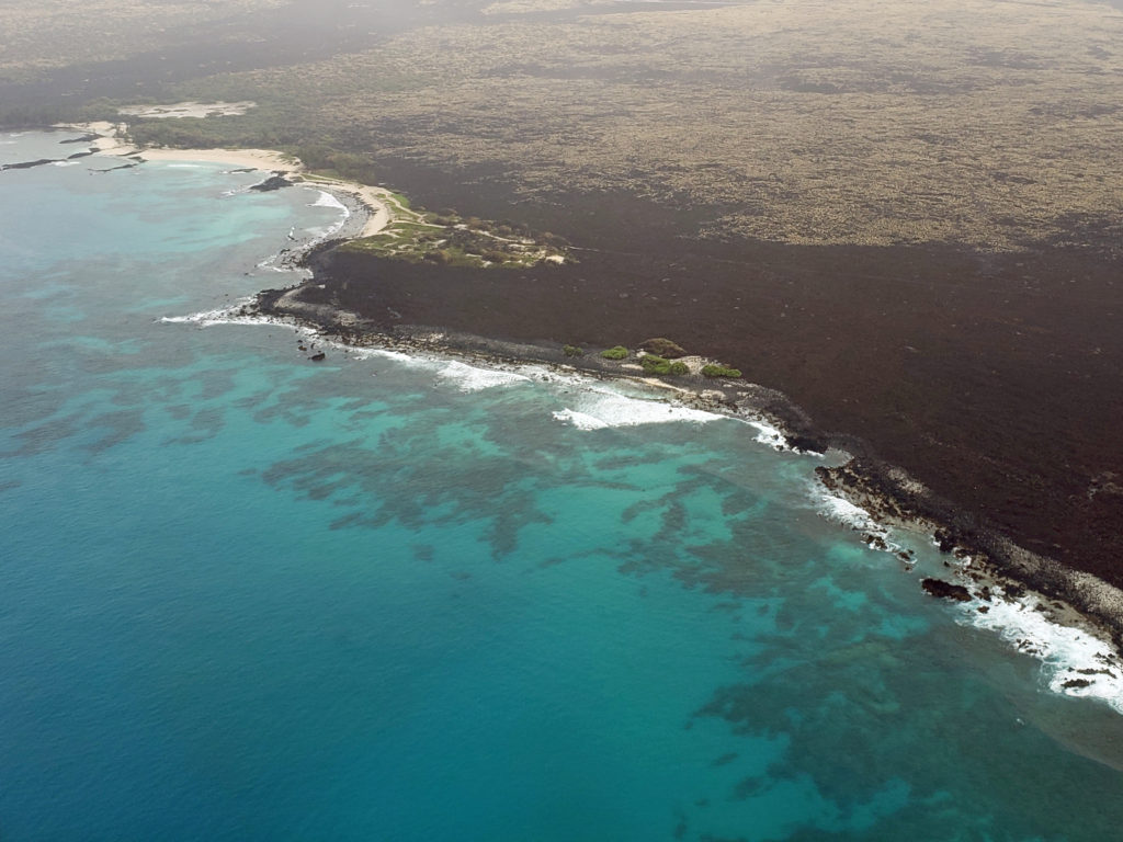
My first view of the Big Island was also memorable. Looking out the window of the plane at the Kohala Coast as we descended toward Kona, I expected to see lush green jungle, but instead I saw black lava fields and brown grassland. There wasn’t a tree in sight. The land looked more the high desert of  eastern Oregon than what I envisioned Hawai’i should look like.

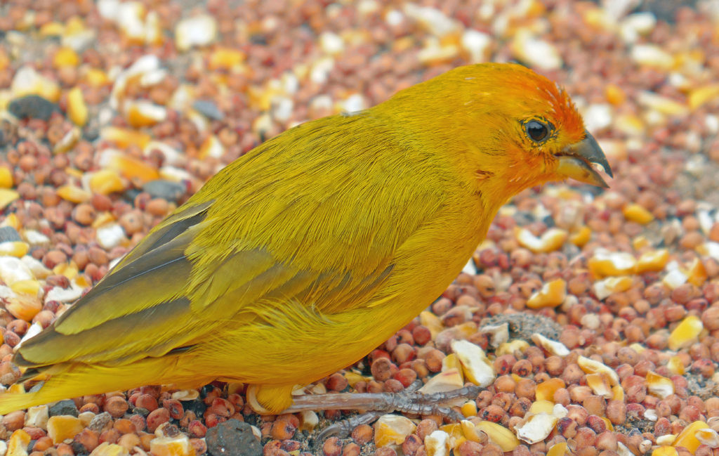
Saffron Finch, photographed in downtown Kailua-Kona

Kailua-Kona isn’t a desert by any means, but the average annual rainfall is a bit under 30 inches, less than Portland or Seattle. Parts of the Kohala Coast to the north of Kona get less than 10 inches of rain per year. In contrast, Hilo on the east side of the island averages more than 10 feet (127″) per year.

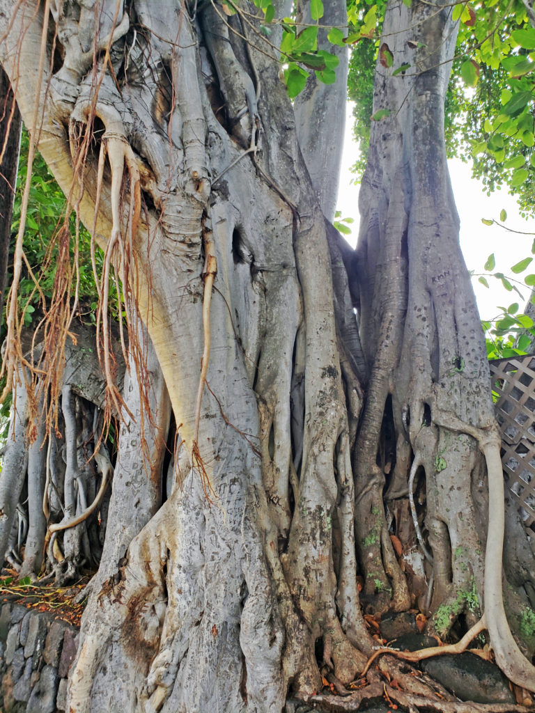
Banyan tree

My wife and I have been back to the Big Island a couple of times since our first visit. Our most recent visit came in February 2019. After visiting my wife’s cousin and her husband at their home on Maui, the four of us took the short hop over to Kona to explore the Big Island. It had been 15 years since our last trip to Kona, so I was interested to see how much it had changed. The answer turned out to be not all that much. A little bigger, more traffic, maybe a little more touristy, but essentially the same as I remembered it.

After settling into our condo rental near downtown Kailua-Kona, we walked into town. It was hotter and a little more humid than I remembered it being on our previous visits, so our first stop was a local pub to get a cold brew. After slaking our thirst and having a bite to eat, we walked around the town and harbor-front for awhile.

Sea and sky near Kailua-Kona

Kailua-Kona still has a small town feel and the downtown area is compact and easily walkable. Many of the businesses that were there 15 years ago are still there. The shave-ice place that we discovered on our first visit is still there, although with a different name now. The town is worth a look, but it is often crowded with tourists, especially when there’s a cruise ship in port. When there is, it’s probably best to avoid the area. Fortunately, the attractions of the Big Island are  numerous and varied, and regardless of what your idea of the perfect tropical vacation is, you can probably find it on the Big Island.

Manini Park
View across Kealakekua Bay to the Captain Cook Monument

We spent one morning at Kealakekua Bay, about 20 miles south of Kailua-Kona. On our last trip, my wife and I took a day cruise to Kealakekua to snorkel. That was one of the best snorkelling experiences I’ve ever had. This time we drove to Manini Beach, a pretty cool little park with a small sand beach, frequented more by locals than tourists. We would never have found it on our own, but the owners of the condo we rented put together an information book that had photos and directions to the park. Across the bay is a monument marking the spot where Captain James Cook was killed in 1779.

Place of Refuge

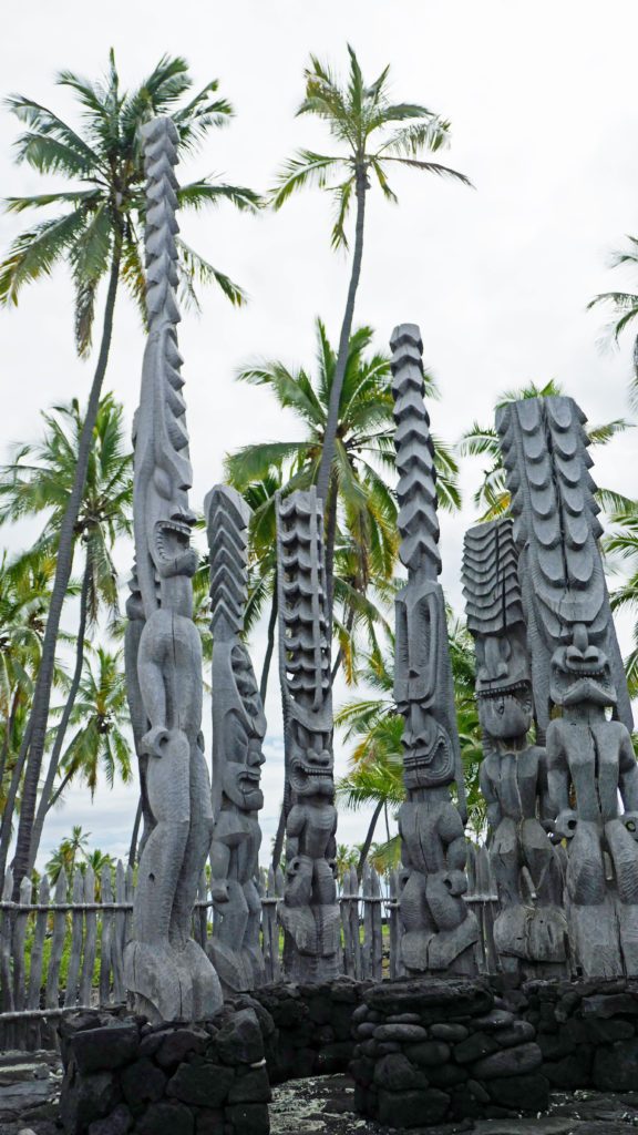
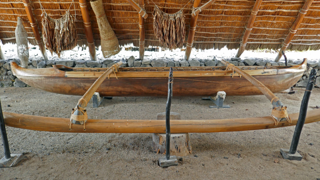
We spent two or three hours lounging and swimming at Manini Beach, then drove to the Place of Refuge (Pu’uhonua o Honaunau National Historic Park), on Honaunau Bay, a few miles south of Kealakekua, where we spent another couple of hours exploring. Pu’uhonua o Honaunau played a significant role in the lives of Hawai’ian people prior to contact with Europeans. If you have any interest in Hawai’ian history, this is a place you definitely should visit. Next door to the Place of Refuge there is also a very good (and popular) snorkelling access point called Two Steps. You are certain to find lots of colorful fish and sea turtles in the bay there.

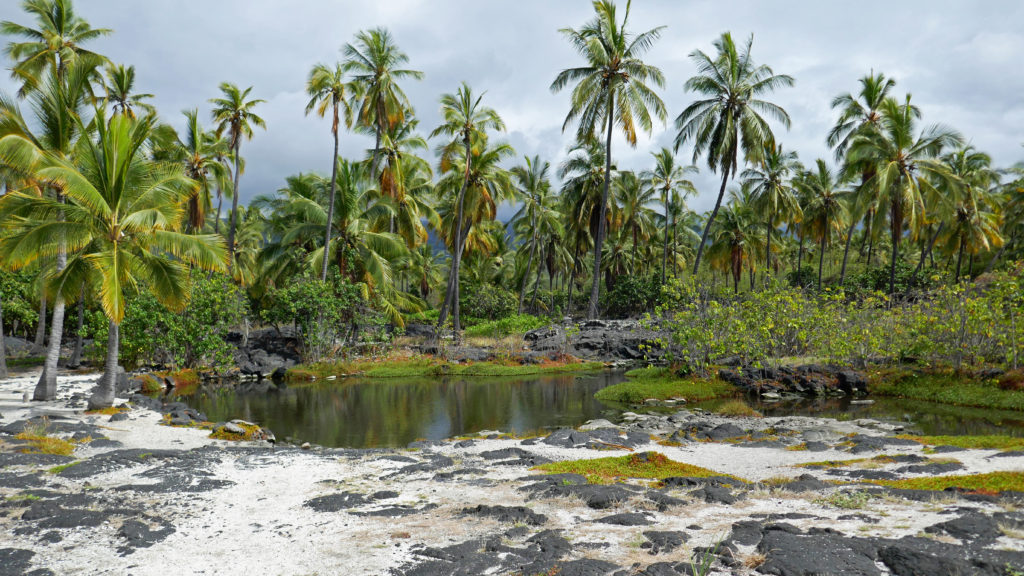
Fish ponds at Kalahuipua’a Historic Park, Mauna Lani Resort

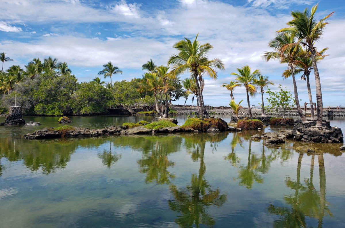
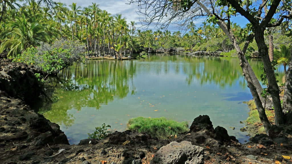
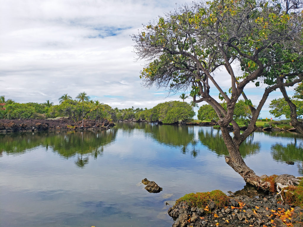
More native history can be found along the Kohala Coast to the north of Kailua-Kona. The Mauna Lani Resort has preserved a couple of features of native Hawai’ian life on their property. Kalahuipua’a Historic Park contains archaeological sites and preserves two ancient fish ponds. The ponds were originally shallow embayments that the native Hawai’ians walled off to raise fish for food. Over time the ground here has subsided, making the ponds deeper and larger than they once were.

Puako Petroglyph Archaeological Park

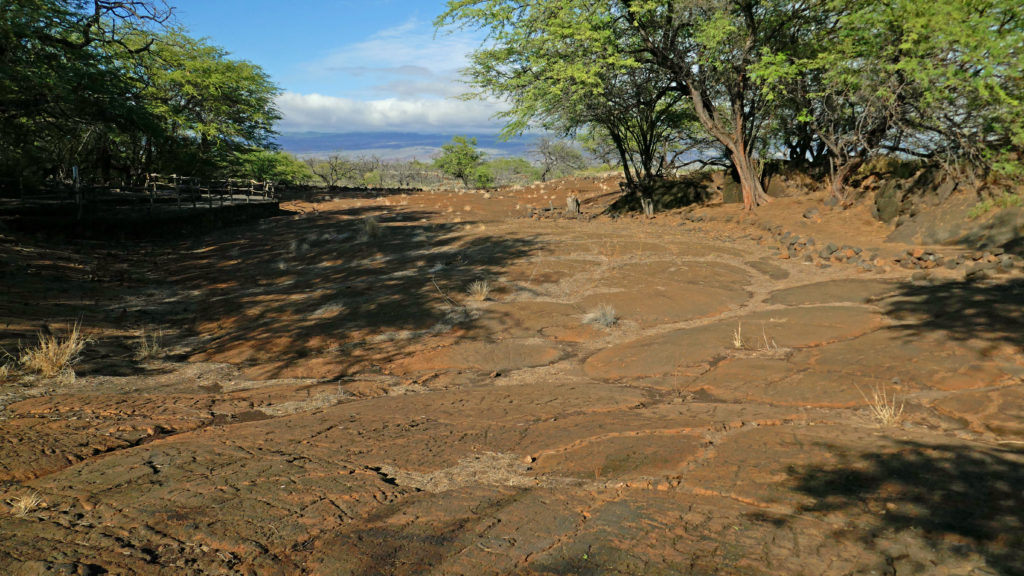
Puako Petroglyph Archaeological Park, also on the Mauna Lani property, preserves an area of relatively flat, smooth lava, several acres in size, that is literally covered with petroglyphs. It’s about a 3/4 mile hike, but a quite incredible site, and well worth the hike, even on a hot afternoon. I’ve never seen another place with anything close to the number of petroglyphs that can be found at Puako. The entire Puako Petroglyph Archaeological Preserve covers 223-acres and boasts more than 3,000 ancient petroglyphs, some dating to 1200 AD.

Lapakahi State Historical Park
North Kohala Coast

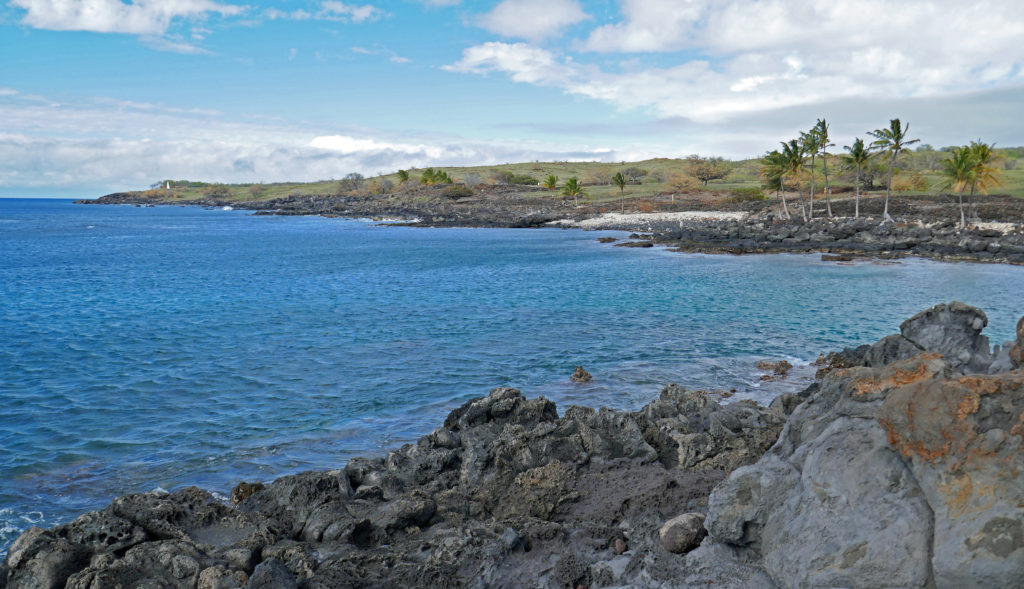
Farther north, in the North Kohala District, Lapakahi State Historical Park preserves the ruins of an ancient settlement. Several of the structures have been recreated to give an inkling of what life was like in the village. The park also protects 1.5 miles of shoreline and off shore coral reefs.

Kilauea Caldera
Steam vent near the rim of Kilauea Caldera

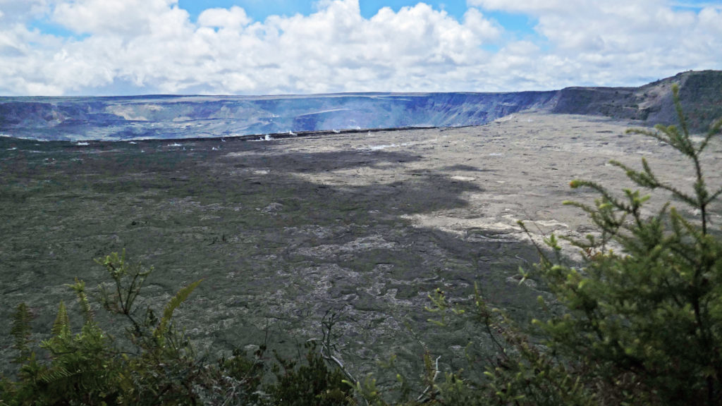
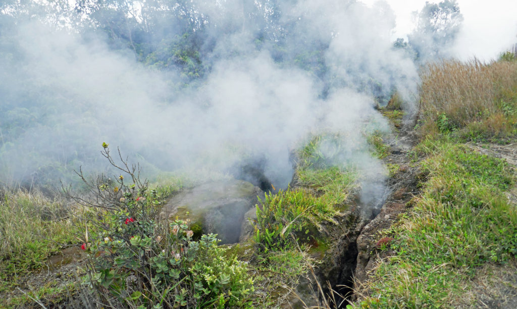
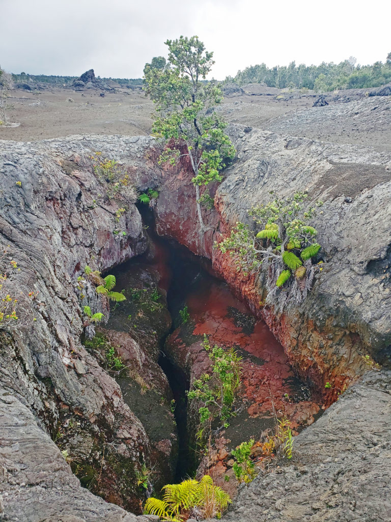
We came to the Big Island not long after the end of 2018’s epic eruption of Kilauea. The volcano was quiet when we were there, but most of the rim road and almost all of the trails in the summit area were still closed. That was a big disappointment. I would have liked to get a close up look at how much the crater had changed since our last visit. From what we could see, the Halema’uma’u Crater within the Kilauea Caldera is now many times larger than it was in 2004, but we couldn’t get near enough to see down into the crater. The trails down into the Kilauea Iki Crater were also closed, as was the Thompson Lava Tube Trail. The Chain Of Craters Road was open, so we stopped and explored a couple of interesting areas of much older eruptions that we probably would have skipped if more of the summit area had been accessible.

Vent of an ancient eruption
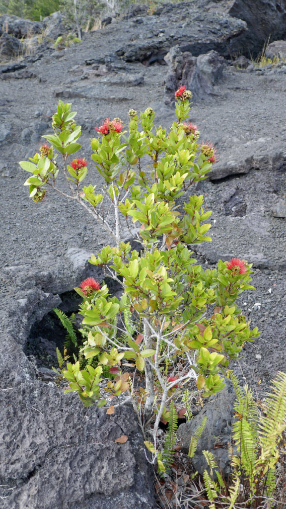
Lava field off the Chain Of Craters Road

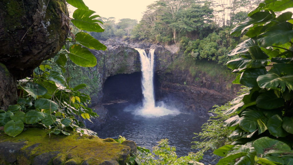
After leaving Volcanoes National Park, we drove to Hilo, looking for Rainbow Falls. Our navigation system led us astray, however, leading us down a private road that went nowhere. We backtracked to Hilo to reconnoiter. While there, we had a wonderful dinner at the Cafe Pesto. Our friends had eaten there before and their recommendation was definitely on target. After dinner we consulted a map of Hilo and found our way to Rainbow Falls with no trouble. Our previous visit to Hilo (in 2004) came in the middle of a months long drought on the Big Island, and Rainbow Falls was  barely a trickle then. But this time the Wailuku River was flowing strongly and twin streams of water were pouring over the edge of the cliff. As impressive as it was, I couldn’t help but wonder how much more so it would be after a heavy rainstorm.

Rainbow Falls

We made our way back to Kona via the Saddle Road that crosses over the divide between Mauna Loa and Mauna Kea. In 2004 this was such a bad road that rental car companies specifically prohibited taking their cars on it. But much work has been done on it recently, and it is now one of the better highways on the Big Island, and by far the quickest route between Kailua-Kona and Hilo.

Place Of Refuge

Four days wasn’t close to enough time to do anything but scratch the surface of what the Big Island has to offer. There are beaches, of course, and snorkeling, golf, hiking trails, you name it. But even if you only have a few days, the Big Island is a great choice of places to visit. If you are thinking about visiting, a good starting point for your planning is the Big Island Guide website. It has tons of information on accommodations, dining, activities, sightseeing, the history and culture of the island, and much more.

Pond at the Punalu’u Bake Shop

No matter what your interests, I think it would be hard to have a truly bad experience on the Big Island, or any of the other islands, for that matter. Whether you choose to visit Kaua’i, Oahu, Maui, Moloka’i, the Big Island or Lana’i doesn’t matter. All of the islands of Hawai’i really are paradise.

Originally posted  August 6, 2019. Updated and re-posted November 19, 2022.

All photos © Alan K. Lee


Powells Wood Garden

by Alan K. Lee

My wife and I recently paid a visit to Powells Wood Garden in Federal Way, Washington, just north of Tacoma. We had seen a set of photos taken at Powells Wood that were quite beautiful, so we decided to take a side trip on our recent weekend visit to Gig Harbor and check it out in person.

What we found was a beautiful three acre botanical garden containing eight “rooms” separated by manicured hedges, and an adjacent 35 acre natural area preserve. We spent several very pleasant hours exploring the botanical garden and the nature preserve. It was a nice way to unwind after the drive up from Portland.

The botanical garden is small, but it’s a nicely constructed set of gardens and a place that any flower lover will enjoy.

The adjacent natural area is a maturing second growth forest with many large conifers, a small stream, and the typical temperate rainforest understory of native shrubs and ferns. Several trails loop through the preserve. We hiked most of the trails that afternoon and saw only a few other people.

Powells Wood Garden is located at 430 S. Dash Point Road in Federal Way. The garden is open Tuesday through Saturday from 10am to 3pm. Admission is $7 per person (children 12 and under are free). Tickets can be purchased online on the Garden’s website . Reservations are not required and tickets can also be purchased on site.

If you visit Powells Wood Garden, you might also want to stop in at Dash Point State Park, a few miles west of Powells Wood. The main attraction at Dash Point is the 3000 feet of Puget Sound shoreline. But there are also miles of hiking and mountain biking trails and a campground with 141 campsites.

While Powells Wood Garden is probably not worth a trip to Tacoma on its own, the Tacoma area has a lot of other attractions, not the least of which are the Museum of Glass and the Tacoma Art Museum, both part of the Tacoma Museum District.

And across the Tacoma Narrows from the city of Tacoma, the charming small town of Gig Harbor is well worth a visit, as well. Gig Harbor has a beautiful waterfront and the community has done a good job of preserving its history as it has grown from a small fishing village into a bedroom community of Tacoma. It’s one of our favorite towns in the Northwest and one we return to often.

If you find yourself in the Tacoma area and you’re interested in flowers, gardens, or natural areas, pay a visit to Powells Wood Garden. It’s definitely worth seeking out.

Posted June 12, 2022

All photos © Alan K. Lee

Hulda Klager Lilac Gardens

by Alan K. Lee

Hulda Klager Lilac Gardens, in Woodland, Washington, draws thousands of visitors every year, especially in the spring during Lilac Days when the many varieties of lilacs are in bloom.

My wife and I first visited the Lilac Gardens in 2018 during a weekend trip to Mount St. Helens. We had done a long hike on the mountain the previous day (see my previous posts on our Harry’s Ridge and Lava Canyon hikes), and needed a day to recover, plus the weather had taken a turn for the worse. So, we looked for other things to do in the Kalama or Woodland areas. Visiting the Lilac Gardens seemed like it would be a pleasant way to spend an afternoon. And that it was, even though the lilacs had long since finished blooming.

The Lilac Gardens have a long and interesting history and many people come to the Gardens because of Hulda Klager’s influence on both the local area and on the development of both botanical gardens and plant propagation techniques.

Hulda Thiel was two years old when the Thiel family emigrated to the U.S. from Germany. After spending a decade in Wisconsin and Minnesota, her parents purchased a farm in Woodland in 1877, when Hulda was thirteen. The Lilac Gardens occupy four acres of that original farmland.

Hulda married Frank Klager in her teens. She was always interested in gardening and raising flowers, but it wasn’t until 1903, when she was nearly forty, that she became interested in plant propagation and hybridization. She first started working with lilacs in 1905, and by 1910 had created more than a dozen new varieties. Over the course of her long life, she developed about 250 different varieties.

In 1920 Hulda began opening her garden to the public during the spring bloom, and continued doing so until 1948, when a spring flood destroyed the original gardens. Despite being in her 80s, she spent the next two years tirelessly rebuilding her gardens, and was able to re-open them in 1950. She continued to open her gardens to the public until her death in 1960. Known as the Lilac Lady, Hulda’s life story was the basis for Jane Kirkpatrick’s novel Where Lilacs Still Bloom.

After Hulda’s death, her family put the farm up for sale. The local garden society succeeded in having Hulda’s gardens declared a state and national historic site to prevent them from being bulldozed for a proposed industrial site.

The Hulda Klager Lilac Gardens have been owned and operated by the non-profit Hulda Klager Lilac Society since 1976. Each spring when the lilacs are blooming the society sponsors Lilac Days, when the society sells lilacs, operates a gift shop in what was the farm’s barn, and opens the restored Klager farmhouse to the public.

In 2019 my wife and I re-visited the Gardens on Mother’s Day weekend at the tail end of the Lilac Days celebration. Despite being past the peak of the bloom, there were still may lilacs in bloom, and the Gardens have many varieties of other flowering plants, as well. Even the previous year, on our first visit at the end of summer, there were many flowers in bloom. We toured the family farmhouse, wandered around the Gardens for some time, and took literally hundreds of photos. It was another very pleasant day.

The Lilac Gardens are on the western edge of Woodland, Washington. Woodland is located on I-5 about twenty-five miles north of Portland, Oregon. Lilac Days run from mid-April through Mothers Day each year.

2022 Update:  Unfortunately, the Lilac Gardens closed at the end of Lilac Days this year due to the still ongoing Covid-19 pandemic, and are not scheduled to reopen until Lilac Days in 2023. Go to the garden website for more information.

Originally posted May 14, 2019. Updated and re-posted May 18, 2022.

All photos © Alan K. Lee

The Oregon Garden

by Alan K. Lee

The Oregon Garden, located in Silverton, Oregon, consists of more than 20 specialty gardens covering 80 acres. While it was created about 20 years ago primarily to promote the Oregon nursery industry, the Garden has grown into one of the premier botanical gardens of the Northwest.

The Oregon Garden is spectacularly beautiful in the spring, but  it has plenty to offer in other seasons. The photos shown here were taken in September, for example, and there were a lot of plants still in bloom, as you can see. Even in winter, the garden is worth a visit.

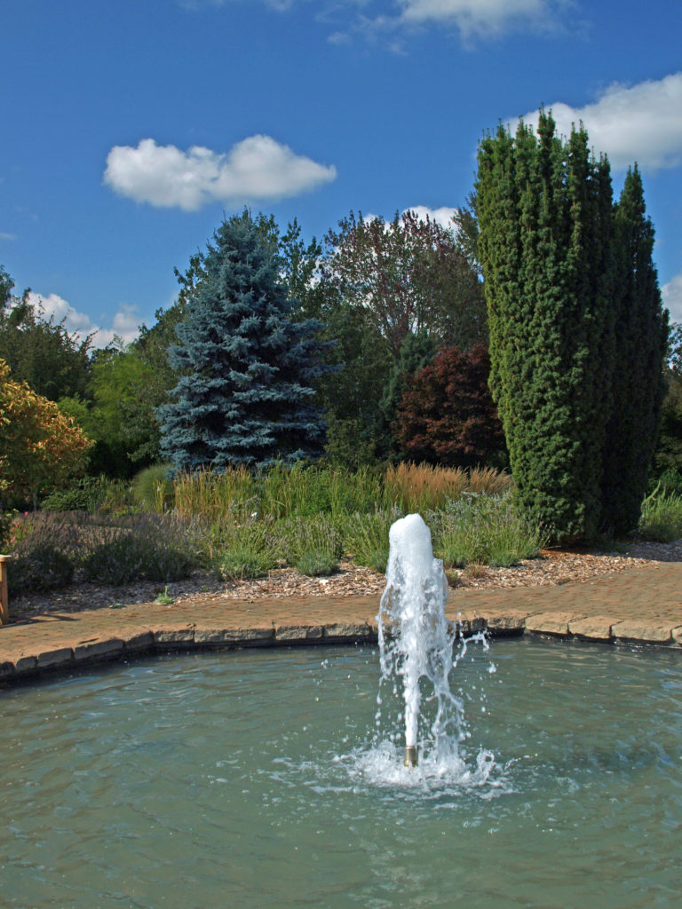
Flowers take center stage here, but there’s much more to the Oregon Garden than just flowers. Wetlands that are the final stage of Silverton’s wastewater treatment process and a formal water garden are also part of the larger Garden. As are a conifer garden, oak grove, and a 15 acre working demonstration forest. You can also find many agricultural products, such as berries, hops, and grapes, growing in the garden in artful settings.

Stained glass window by Judy Kunkle, Lake Oswego, Oregon
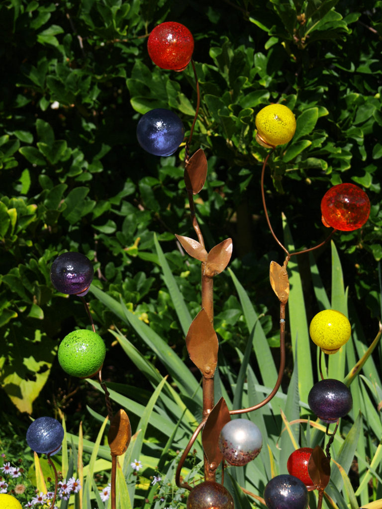
Copper and glass sculpture by Lauren Wingert, Albany, Oregon

Throughout the Garden you will find art works by local artists.

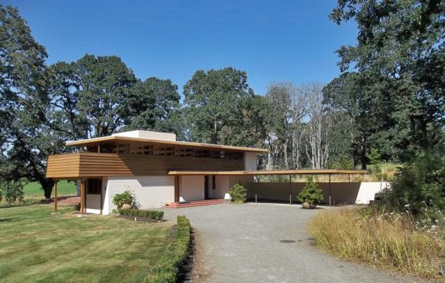
The Gordon House. Photo from Wikimedia Commons.
 

The Gordon House, Oregon’s only surviving Frank Lloyd Wright designed house (and the only one in the Northwest open to the public) is located immediately adjacent to the Garden.

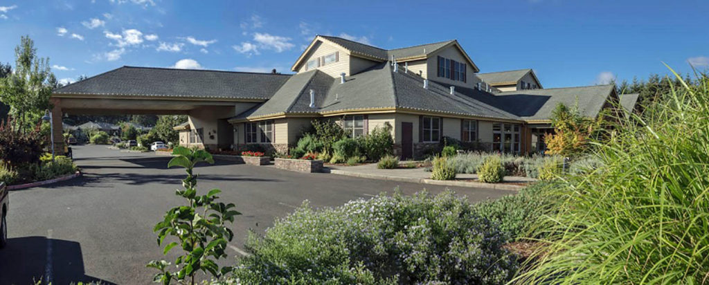
Oregon Garden Resort. Photo from the Oregon Garden Resort website.

The Oregon Garden Resort, featuring 103 guest rooms, restaurant, and spa, is also located adjacent to the Garden.

Start your tour of the gardens at the Visitor Center, where you purchase your tickets. Pick up a free map of the gardens and check out the gift shop. The Visitor Center also houses the Little Leaf Cafe (soups, sandwiches, and other lunch items). And there is a retail nursery located adjacent to the Visitor Center where you can purchase plants grown by the garden staff and volunteers.

The Oregon Garden is open daily, except for Thanksgiving Day, Christmas Eve, Christmas Day, New Years Eve, and New Years Day. Hours are 10-4 (10-3 in winter). Adult admission prices are $8 Nov-Feb and $12 Mar-Oct. There are discounts for seniors (60+), students (12-17), children (5-11), and veterans. Children under five are free. Go to the garden website for a schedule of events and other information.

The Garden is ADA compliant and all mobility devices are allowed in the Garden. There is a 1.4 mile paved path that runs through most of the 20+ specialty gardens. There is also a tram that takes guests on a 25 minute narrated tour of the Garden. Tickets are $3, sold on a first-come first-served basis.

Take your time and enjoy the beauty of the Garden. There are plenty of benches in the gardens to sit and relax. There’s enough here that it wouldn’t be hard to make a full day of it. And you can bring your dog. There’s even a pet friendly garden.

If you are making a day of it, dining options include the Little Leaf Cafe and the Garden View Restaurant and the Fireside Lounge at the Oregon Garden Resort. Or you can bring a picnic lunch and enjoy it in one of the designated picnic areas. A variety of dining options are also available in downtown Silverton.

And if you’re visiting from outside the area, a trip to nearby Silver Falls State Park should also be on your itinerary. There aren’t many other places where you can see ten waterfalls on a single hike, and the trail will actually take you behind four of them. It’s one of Oregon’s premier attractions.

Originally posted October 6, 2019. Updated May 12, 2022.

All photos © Alan K. Lee, except as noted.

Connie Hansen Garden

by Alan K. Lee

The Connie Hansen Garden in Lincoln City, Oregon is one of the smallest botanical gardens in the Northwest, at just 1¼ acres, but don’t let the size fool you, it’s also one of the best.

Connie Hansen grew up in Oregon, but moved to California to attend the University of California at Berkeley, where she earned a degree in botany. She moved back to Oregon late in her life, after her husband’s death and her retirement from the faculty of UC Berkeley.

She began creating her garden in 1973 and she tended and continually expanded it for the next 20 years. After her death in 1993 a group of neighbors and local gardeners formed the Connie Hansen Garden Conservancy to preserve the magnificent garden that she had created. The Conservancy is a not for profit corporation run by a dedicated group of volunteers.

The garden is located at 1931 NW 33rd Street in Lincoln City. It is open daily from dawn to dusk. Admission is free, but donations are welcomed. The Garden House, Hansen’s former home, now houses a small gift shop where you can find gardening supplies, books, and souvenirs. There is also a small art gallery. It is open from 10:00 to 2:00 Tuesday and Friday through Sunday from March to mid-December.

The Conservancy conducts spring, summer, and fall plant sales, and there are usually plants for sale at other times as well. Garden memberships are available through the conservancy website for those that want to support the garden.

The Connie Hansen Garden is one of the hidden gems of the Oregon Coast. It is both a beautiful and tranquil oasis and a lasting tribute to the woman who spent 20 years of her life creating it. Pay the garden a visit the next time you’re in the Lincoln City area. I’m sure you will enjoy it as much as I do.

Originally posted June 17, 2021. Updated and re-posted April 27, 2022.

All photos © Alan K. Lee

Leach Botanical Garden

by Alan K. Lee

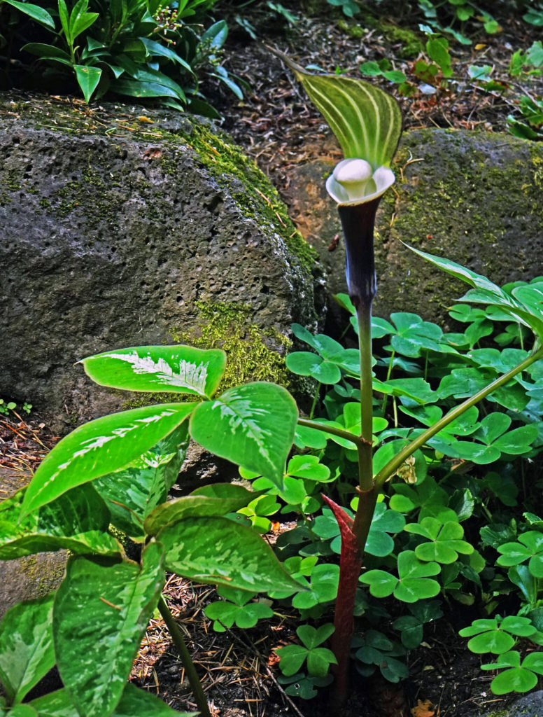
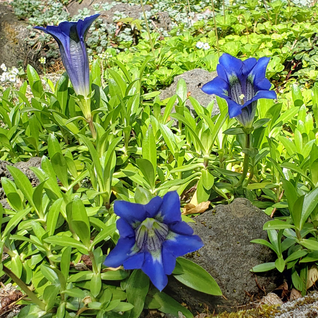
Leach Botanical Garden in southeast Portland may not leap to mind when you think of Portland area gardens, but pay it a visit and you will find that it truly belongs in the top tier of Portland botanical gardens. The beautiful and serene set of gardens feature more than 2000 varieties of plants, including 125 species of ferns.

What is now Leach Botanical Garden was once the home of John and Lilla Leach. They purchased the property in the early 1930s and built a cottage on the south shore of Johnson Creek in 1932. Four years later they built a larger house on the north shore.

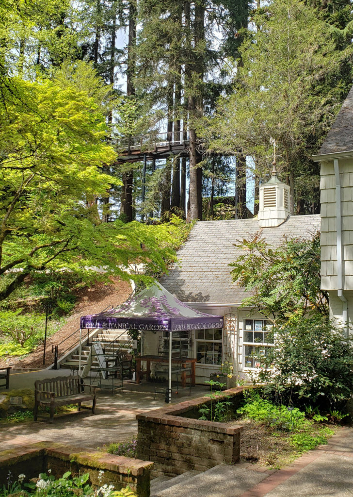
Both the Stone Cabin and the Manor House still stand. The Manor House now houses the garden’s gift shop and is a popular wedding venue and event space. (The part of the garden south of Johnson Creek, including the Stone Cabin, is currently closed to the public).

Lilla Leach was an amateur botanist and discovered five plants previously unknown to science. One, Kalmiopsis leachiana, is named after her, and the southwest Oregon wilderness where she discovered it is now known as the Kalmiopsis Wilderness. Over the years she planted many native plant species, some of them rare, on the estate they called Sleepy Hollow.

John and Lilla lived in Sleepy Hollow until John’s death in 1972. The Leaches willed the property to the City of Portland, and the city created Leach Botanical Garden after Lilla’s death in 1980 to preserve her botanical garden.

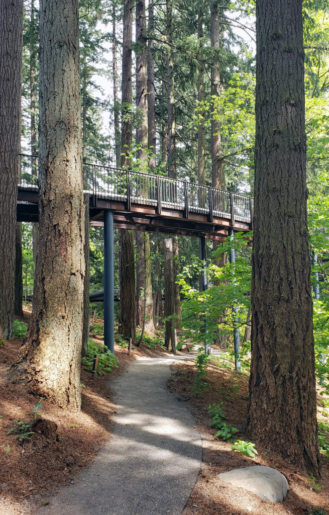
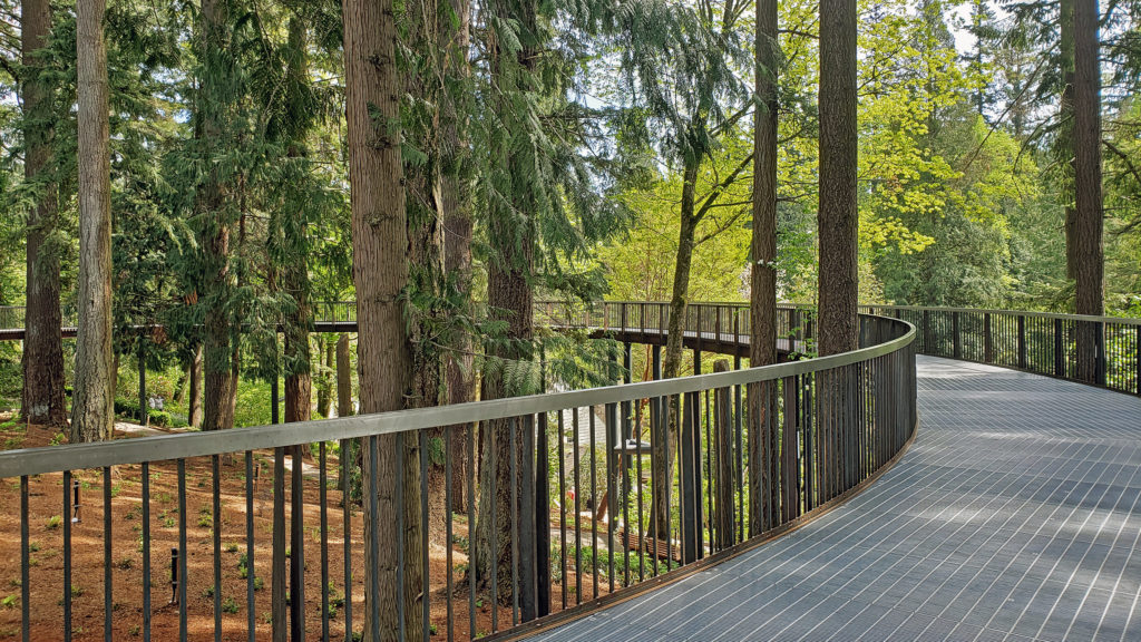
Originally four acres in size, the botanical garden has been expanded, most recently in 2021, and now covers some 17 acres and includes an aerial tree walk (part of the 2021 expansion) that extends out over the slope leading down to Johnson Creek and the Manor House.


The garden is located at 6704 SE 122nd Avenue and  is open to the public Tue-Fri 10am-5pm and Sat-Sun 10am-4pm. The garden is closed on Monday. Reservations are not required, but are recommended. Walk up tickets are available, but may be limited during busy periods. Reserved tickets can be obtained on the garden’s website.

There is currently no admission charge, but donations are encouraged and go to support operation of the garden and the garden’s educational programs. You can also register for a garden tour on the website, which is currently the only way to visit the Stone Cabin and the historic Outdoor Kitchen on the south side of Johnson Creek..

If you’re visiting Portland, consider paying Leach Botanical Garden a visit. Pair it with a visit to Crystal Springs Rhododendron Garden in inner southeast Portland, and to the International Rose Test Garden, Hoyt Arboretum, and the Portland Japanese Garden, all in Washington Park in Portland’s West Hills, for an immersive experience in the Rose City’s garden culture. If you enjoy the peace and beauty of botanical gardens, you won’t regret it.

Posted April 25, 2022

All photos © Alan K. Lee

Crystal Springs Rhododendron Garden

by Alan K. Lee

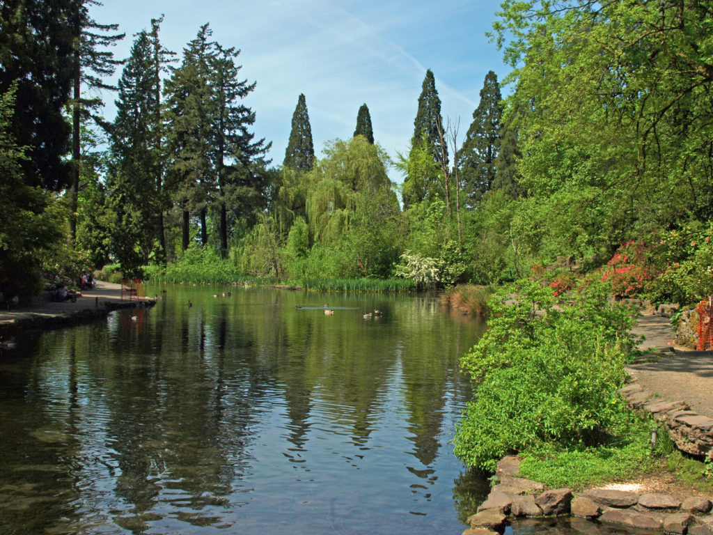
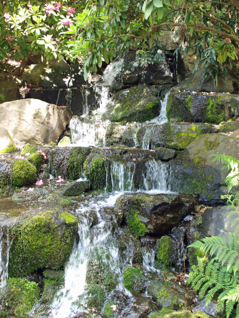
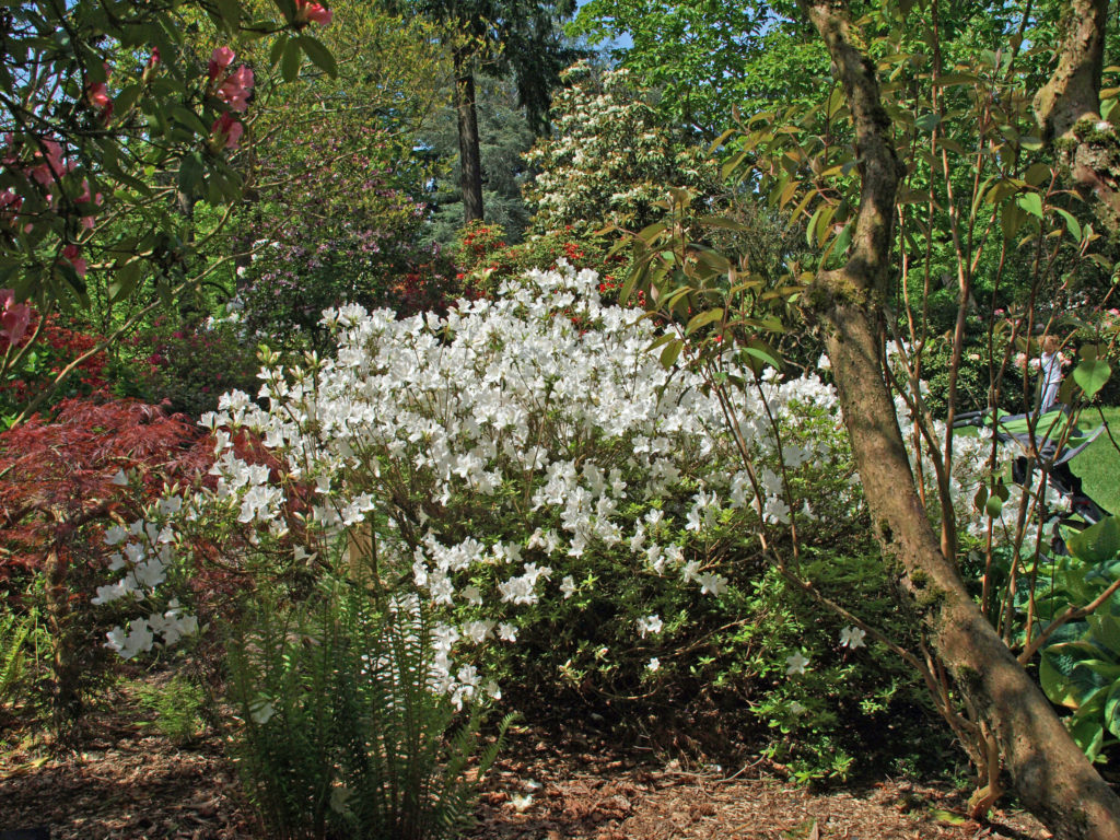
Crystal Springs Rhododendron Garden in southeast Portland, Oregon is an internationally recognized garden containing many rare rhododendrons, azaleas, and related species. It’s a beautiful and (sometimes) quiet island of serenity in the midst of the city, and it’s one of my favorite places in Portland..

Crystal Springs Rhododendron Garden is spectacularly beautiful in the spring blooming season, but its attractions are not limited to that season, and not just to rhododendrons and azaleas. The garden is beautiful the year round. And it’s nearly surrounded by Crystal Springs Lake, making it a haven for waterfowl and other birds. More than 90 species of birds can be found in the garden, including Bald Eagles, which can often be seen flying over the lake in search of fish or unwary waterfowl.

The garden covers 9.5 acres, divided into two areas, called The Island and The Peninsula. Originally owned by William S. Ladd (1826-1893), twice Mayor of Portland in the 1850s, and called Crystal Springs Farm, the City of Portland acquired the the Island portion of the Garden in the 1920s.

In the first half of the 20th Century, The Island was the site of Shakespearean plays produced by Reed College, which adjoins the garden. But by 1950 the site was largely abandoned and overgrown. In that year the Portland Chapter of the American Rhododendron Society established a display and test garden on The Island. The area now known as The Peninsula was donated to the garden in 1977 by Portland landscape architect Wallace K. Huntington. Volunteers from the Friends of Crystal Springs (the Portland Chapter of The American Rhododendron Society) and the Master Gardeners program now maintain the Garden.

The garden is open year round from 10:00-4:00, except Wednesdays, when it opens at 1:00. Admission is $5.00 Tuesday through Sunday. No admission is charged on Mondays, and children 10 and under are always free. (Covid-19 update: There are no Covid-related restrictions as of April 2022. Face masks are recommended, but not required). 

In the (pre-pandemic) past the Friends of Crystal Springs have hosted rhododendron shows and plant sales at the garden. Check the garden website for current information and event schedules. The garden also hosts weddings and other private events, so a potion of the garden may be closed to the public on spring and summer weekends.

The garden is located at  5801 SE 28th Avenue. The small parking lot fills up early in spring and summer, and there is no on street parking on 28th or other nearby streets, so come early if you’re coming by car (and do not park in the Reed College lot across 28th from the garden). Or take the bus (Tri-Met bus #19 Woodstock).

The garden is often crowded on weekends and Mondays, especially in the spring and summer. Visiting from Tuesday through Friday will avoid the worst of the crowds. But even during peak visitation the garden is well worth visiting. The colorful foliage makes fall a good time to visit, also. And on a winter morning you might have the Garden all to yourself.

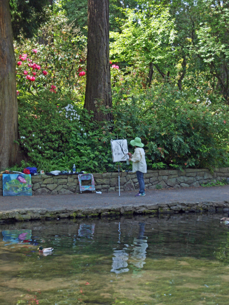
Whether you are a garden lover, birder, photographer, artist, or just looking for a beautiful place to spend some time in, Crystal Springs is a place you’ll love. For my money, only the Portland Japanese Garden tops Crystal Springs among Portland area gardens.

Originally posted July 16, 2019. Updated and re-posted April 14, 2022.

All photos © Alan K. Lee

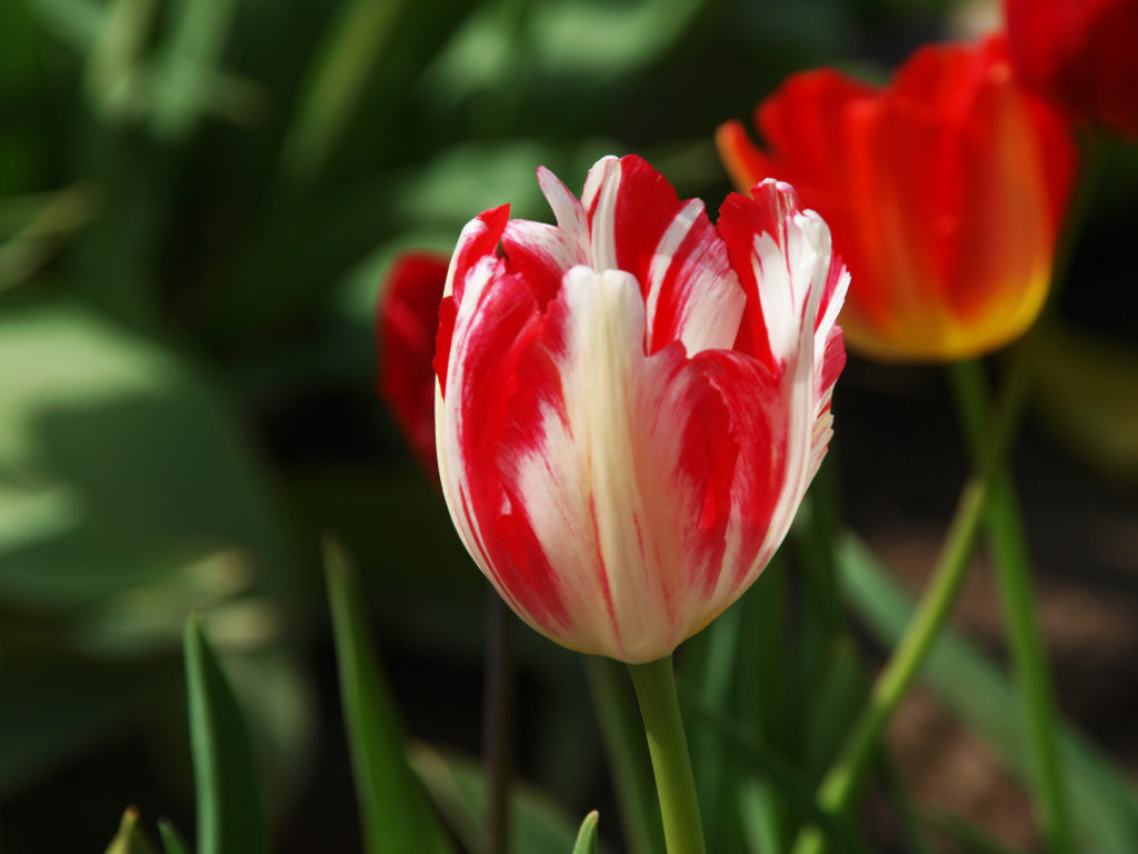
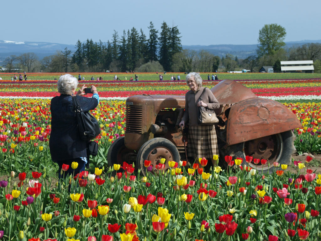
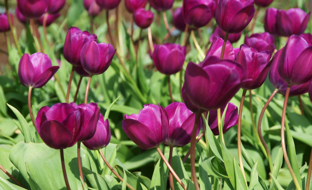
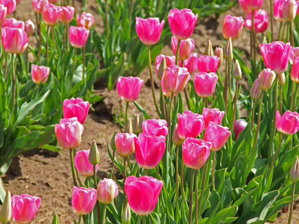
Wooden Shoe Tulip Festival 2022

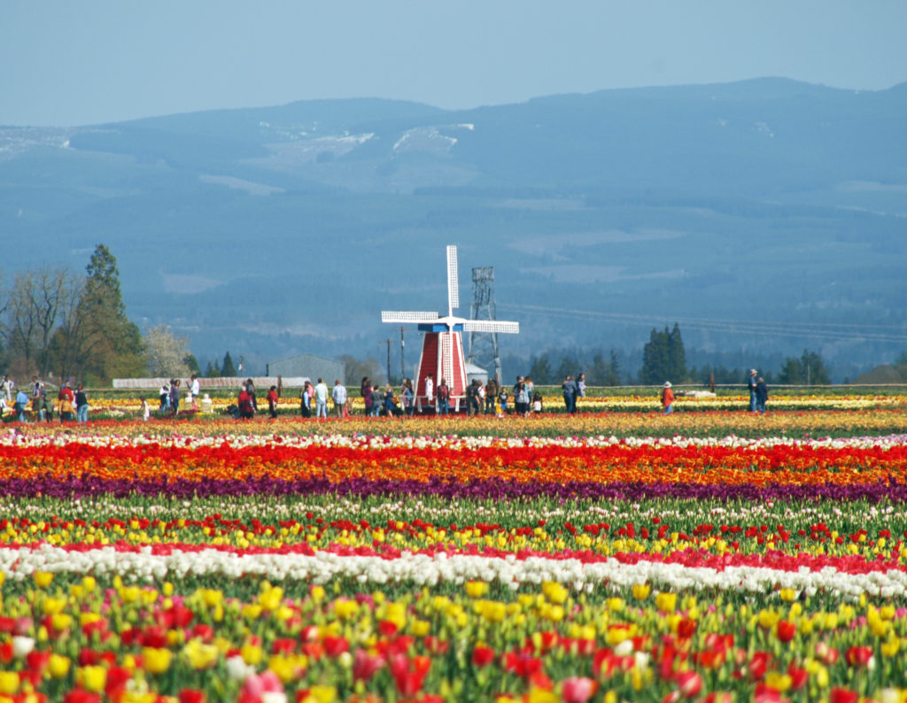
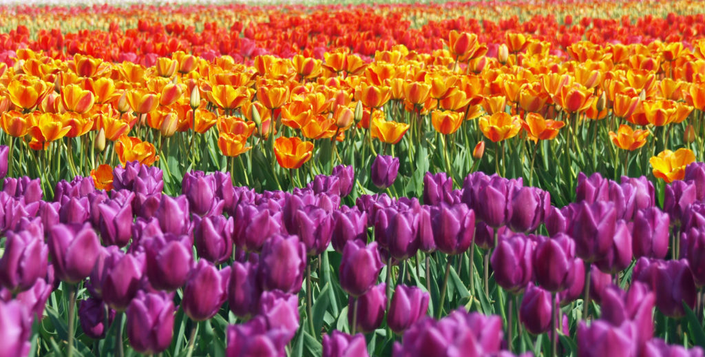
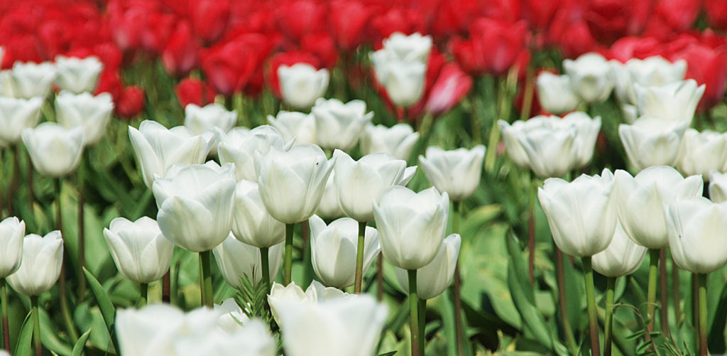
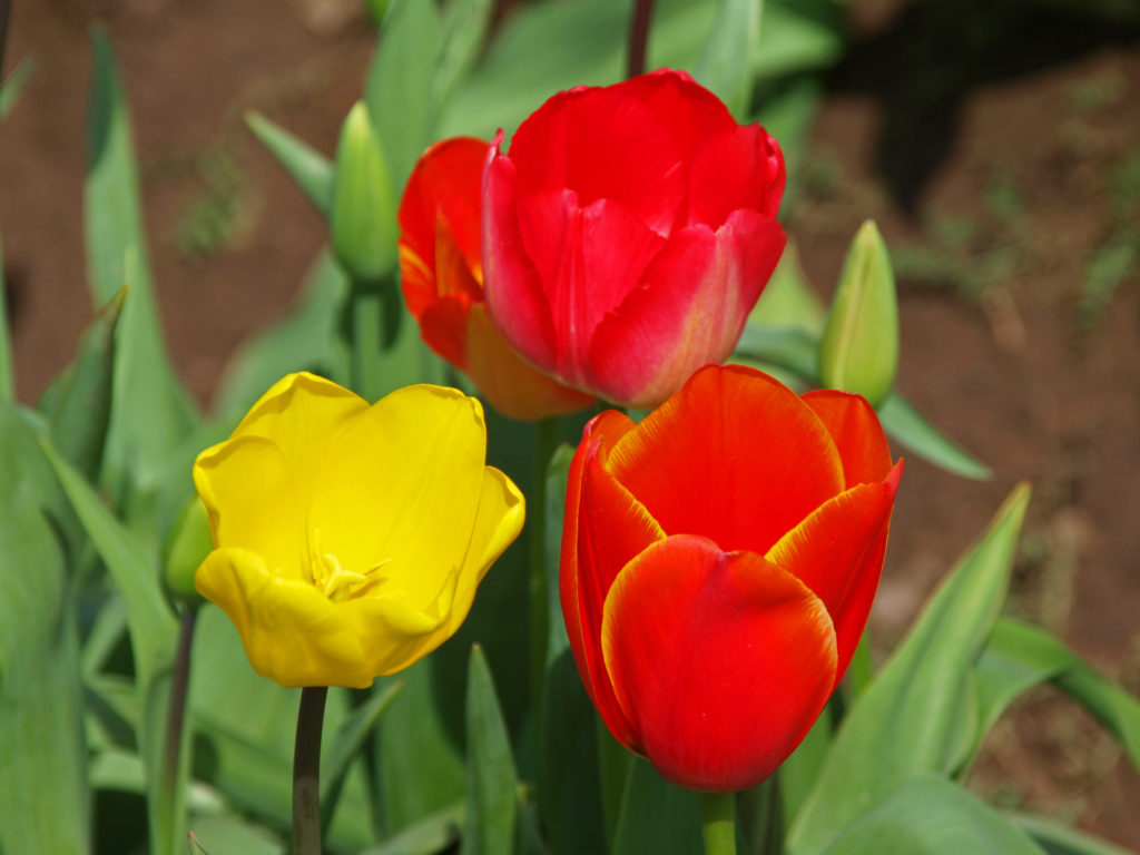
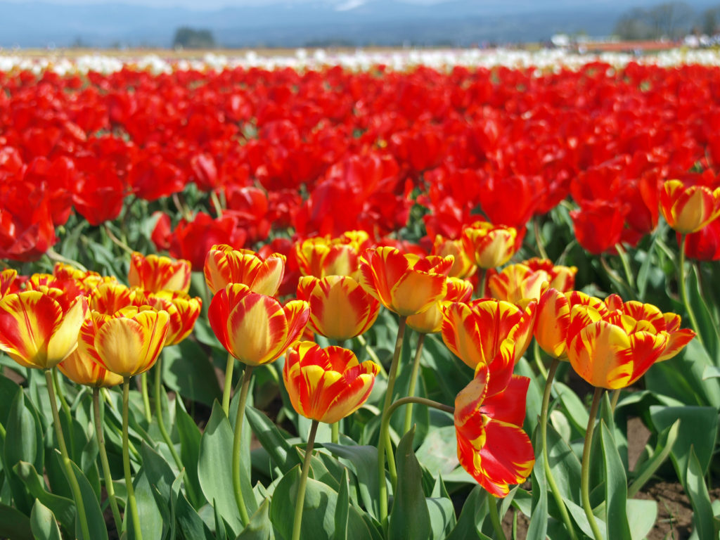
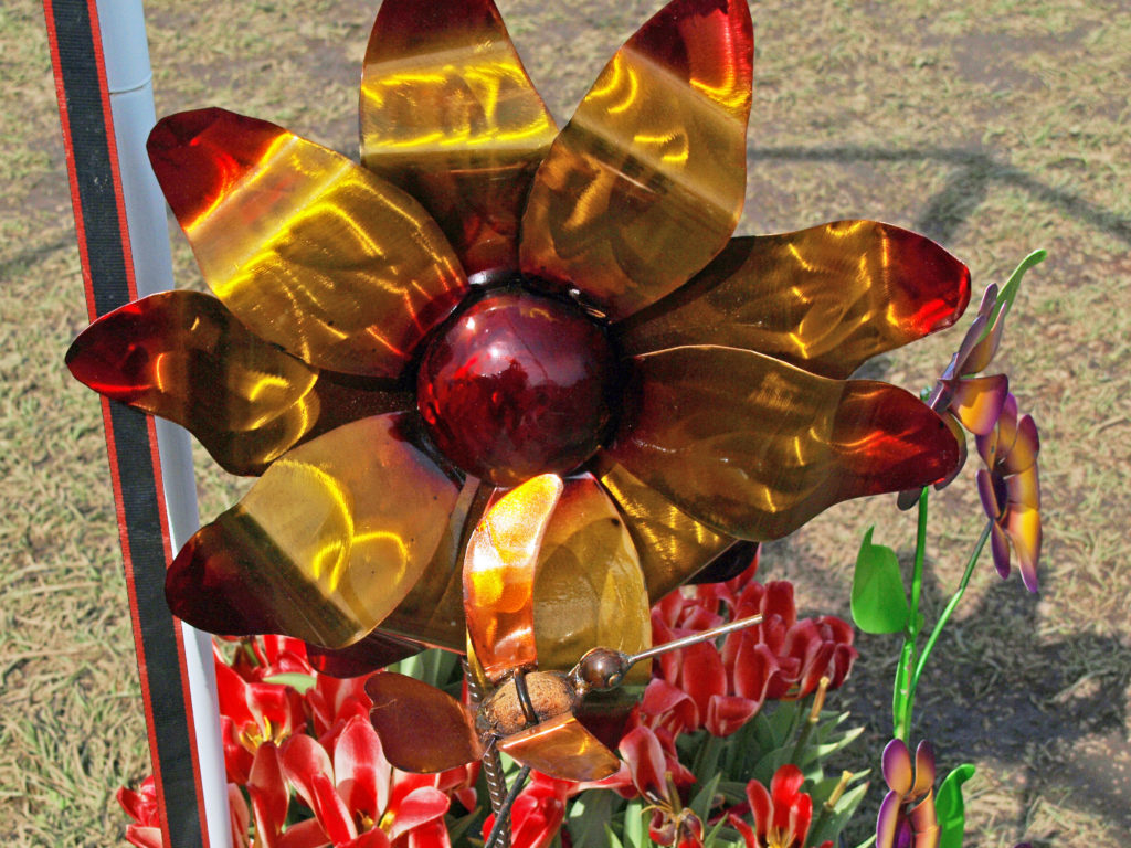
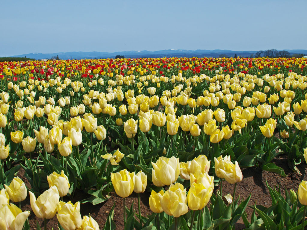
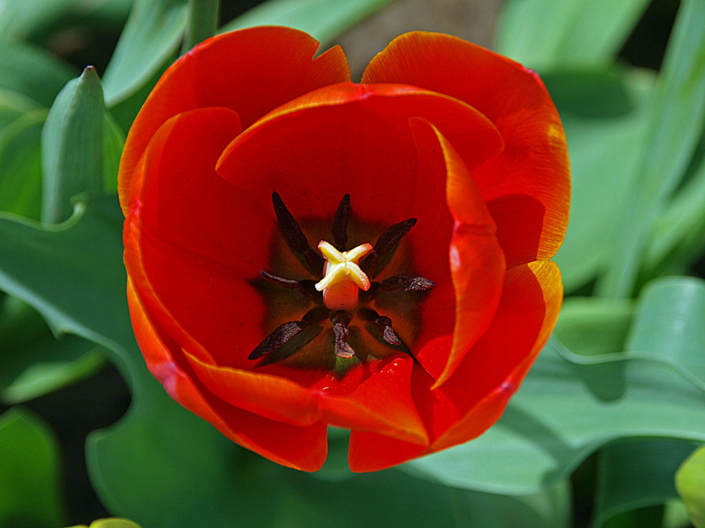
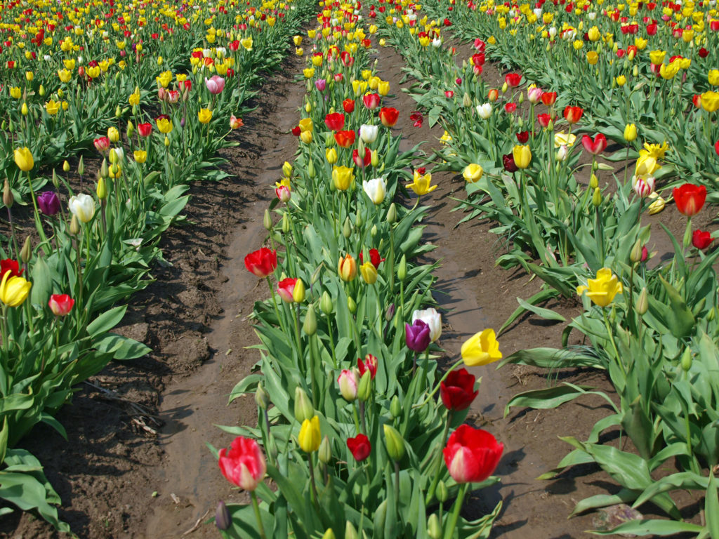
The Wooden Shoe Tulip Festival near Woodburn, Oregon is a great way for the whole family to get out, get some sun, and enjoy the riot of color that the spring flowers bring to our lives.

Each year Wooden Shoe Tulip Farm opens their property to the public from late March through early May for their annual Tulip Festival. This year’s festival runs  through May 1. (The photos here are from the 2018 festival.)

Festival hours are 9am-6pm Mon-Fri and 8am-7pm Sat & Sun. Individual adult admission ranges from $10 for a weekday senior pass to $20 for a weekend day pass. (A small processing fee is added to each ticket). Children 12 and under are free. Family car passes that allow entry to everyone in a single vehicle are $40 for weekdays and $55 on weekends. Individual season passes are $60.

Photographers and early risers can purchase sunrise passes for $25 that allows entry to the farm at 5am. Drone operators can purchase a drone pass for $10 (sunrise day pass or  season pass required) that allows drone flights from 5-8am.  All tickets must be purchased online. Tickets can be purchased through the Wooden Shoe Tulip Farm website. 

Tickets include parking, and transportation from the parking lot to the fields is available for those with mobility issues. And there are tram and hay wagon rides that run from the main building through the fields. There is also a tulip tour train ($10 per person) that runs from the main building around the fields, with photo stops, that runs from noon to 5pm daily.

There are several food vendors and a coffee cart at the festival each day, and there is a Wooden Shoe Vineyards tasting room on site, with beer and cider also available. Picnic tables are available and festival goers are encouraged to bring their own food if they so desire.

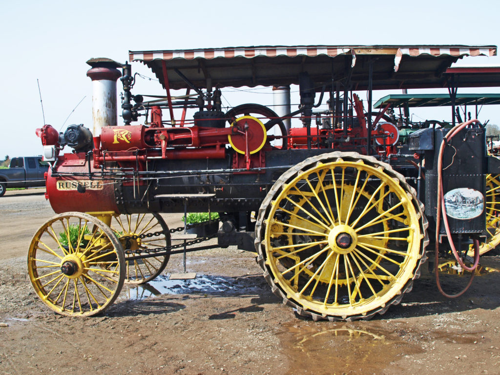
There are a variety of daily festival activities. Weekend events include wooden shoe making demonstrations, steam tractor demonstrations, a craft marketplace, and wine wagon tours that include estate grown wine tastings and a tour of the farm and tulip fields ($60-$90). Kids activities include a play area and carnival rides.

Tethered hot air balloon flights are also available on weekends (adults 12+ $20, children 5-11 $10). Untethered early morning flights flights are also available starting at $229 per person with a two person minimum. All balloon flights are weather dependent. Check the Wooden Shoe webpage for details on balloon flights and other events and activities.

Cut flowers and potted bulbs are available for purchase at the farm, and flower bulbs can be ordered for fall delivery. 

This is just a great event, fun for the whole family. In previous years it has been a very popular event. There will be a limited number of tickets available each day again this year due to Covid protocols, so it may be less crowded than in years past. But having to purchase tickets in advance means that you have to take your chances with the weather, and weekend tickets may sell out quickly. But even so, this is a really worthwhile outing, especially if you’re a photographer or just a flower lover. And who doesn’t love flowers?

And if you live in the Seattle area, or are planning a visit, check out the Skagit Valley Tulip Festival in Mount Vernon. It runs through the end of April.

Posted by Alan K. Lee,  March 26, 2022

All photos © Alan K. Lee

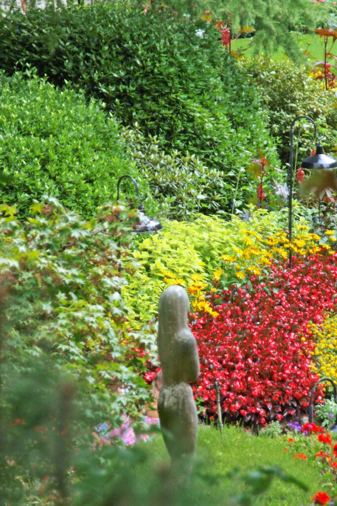
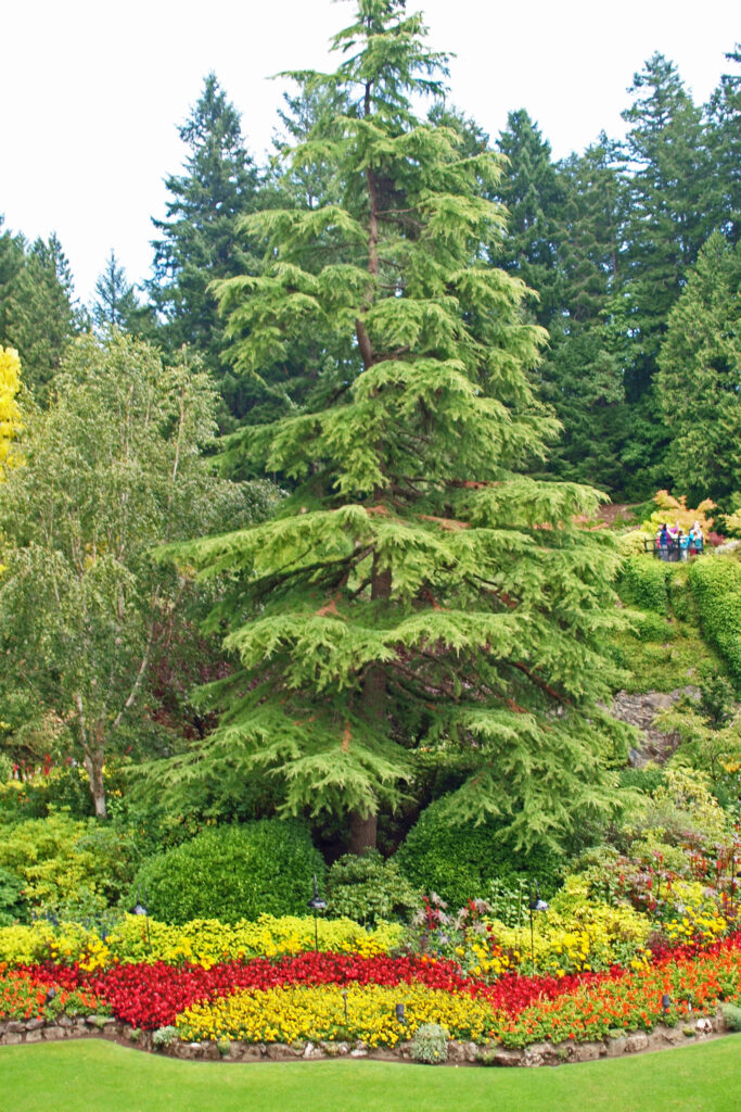
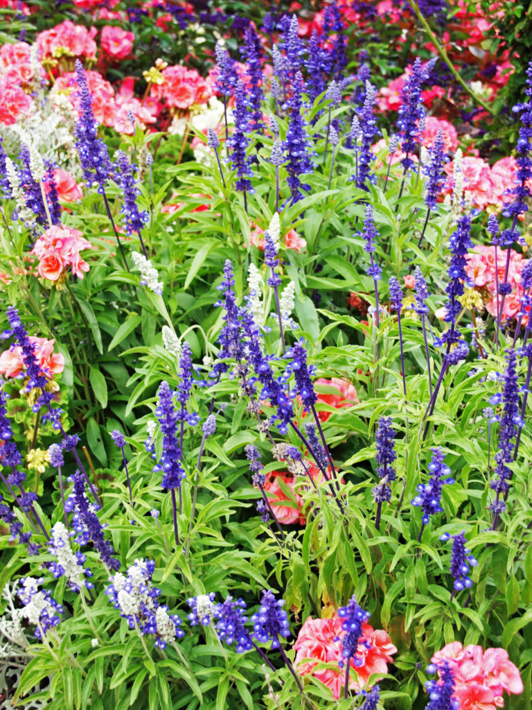
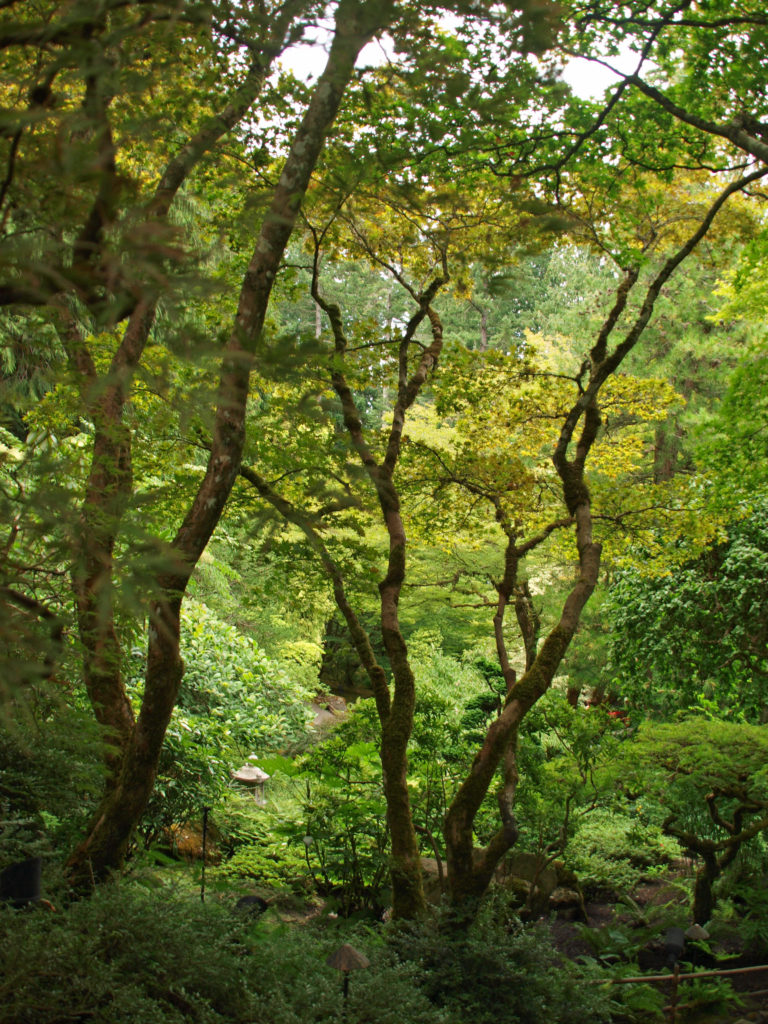
Butchart Gardens

by Alan K. Lee

Butchart Gardens, located on the Saanich Peninsula of Vancouver Island about twelve miles north of Victoria, draws visitors from around the world. The Gardens brochure is printed in 22 languages! Butchart Gardens is a National Historic Site of Canada and was designated a World Heritage Site in 2004.

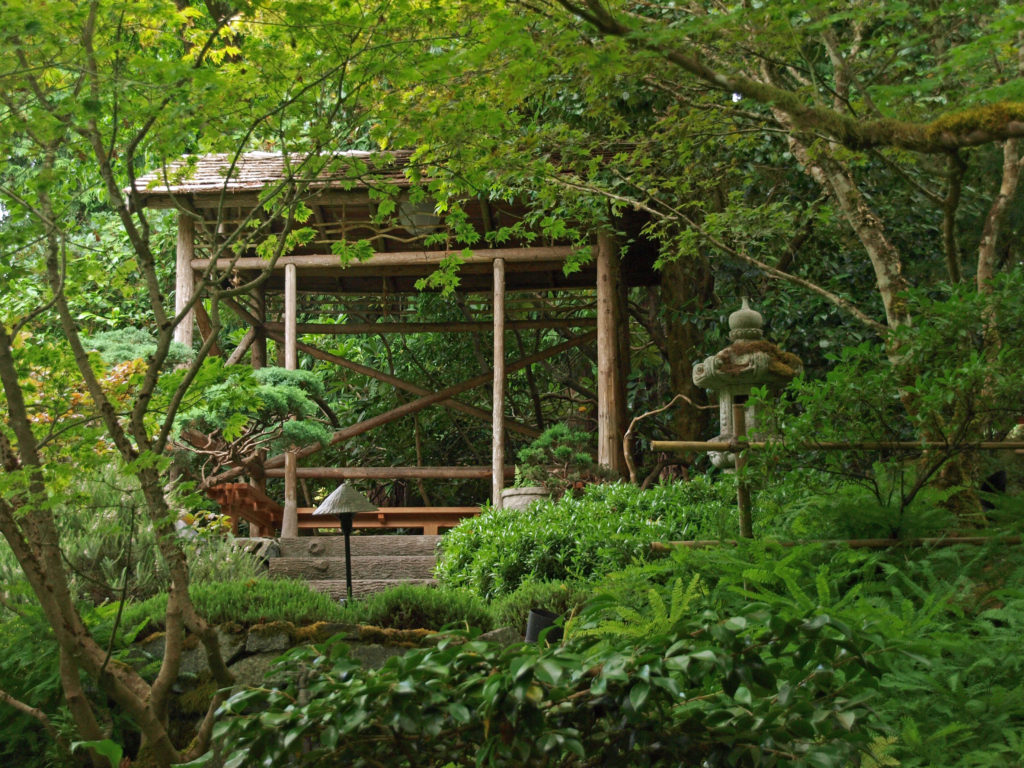
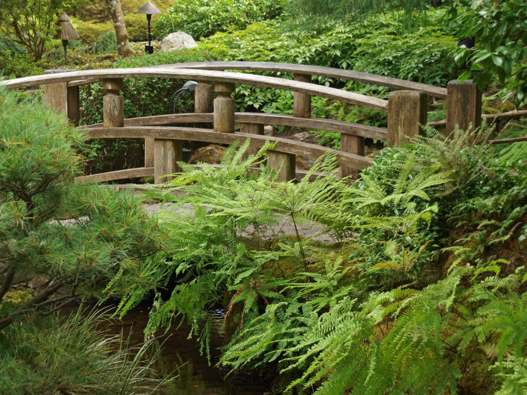
Jeanette (Jenny) Butchart created the gardens in the early 20th century. Her husband, Robert, owned a cement manufacturing business. He was drawn to Vancouver Island because of its abundant limestone deposits, a key ingredient in Portland cement. Near the turn of the 20th century he purchased the site of what is now Butchart Gardens and began mining limestone and manufacturing cement. In 1904 the Butcharts built their estate on land adjacent to the quarry. Shortly thereafter, Jenny Butchart hired Isaburo Kishida to design and build the Japanese Garden at the estate.

When the limestone deposit was exhausted and the quarry closed in 1909, Jenny Butchart set about transforming the quarry into the Sunken Garden, which was completed in 1921. Five years later she replaced the estate’s tennis courts with the Italian Garden. In 1929 the Rose Garden, designed by Butler Sturtevant, was created where the kitchen vegetable garden had been. The Mediterranean Garden was added later, completing the five gardens present today. All told, Butchart Gardens covers 55 acres, and include some 900 varieties of plants in the five gardens.

Ownership of the Butchart Gardens remains in the family. In 1939 the Butcharts gave the Gardens to their grandson, Ian Ross, on his 21st birthday. After World War II, Ross set about turning them into the internationally renowned attraction they are today, and he ran the Gardens for more than fifty years. The Gardens are currently owned and managed by Ross’s daughter, Robin-Lee Clarke.

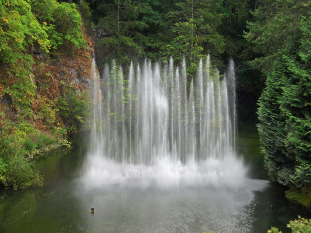
Numerous improvements and additions to the Gardens have been made over the years. In 1953 Ian Ross added lighting to illuminate the Gardens at night, and in 1964 the Ross Fountain was installed in the lower reservoir in the Sunken Garden. The two large totem poles next to the Fireworks Lawn were erected in 2004. In 2009 Robin-Lee Clarke added the Children’s Pavillion and the Rose Carousel.


Two full service restaurants at the Gardens, the Dining Room and the Blue Poppy Restaurant, give visitors a choice of indoor dining options. A Coffee Shop, Gellateria, and, during the summer, Annabelle’s Cafe, located in the Children’s Pavillion, add to the dining options. And on summer Saturday’s you can purchase gourmet picnic baskets in the Italian Garden. Beer and wine are available as well.

Nightly concerts, held at the Gardens in July and August, give visitors another way to experience the Gardens. And during that same period, Saturday evenings feature a fireworks display after the concert. Many people are drawn to the Gardens in the fall, especially to the Japanese Garden, for the fall foliage. During the month of December the gardens are illuminated for their Magic of Christmas celebration. Spring brings an abundance of flowers. The Gardens have something to offer almost year around, and they are much less crowded in the off season. Ticket prices vary by season. Check the Butchart Gardens website for more information.

There have been a few reviews that have called the Gardens overpriced and under-whelming, but that’s definitely a minority opinion. And I’m siding with the majority here. Butchart Gardens may not be my favorite garden, but in my opinion the Gardens reputation and World Heritage Site designation are well deserved. And the Gardens are so beautiful that the cost of admission and the crowds shouldn’t dissuade anyone from visiting. If you have never been to Butchart Gardens, they should be on your bucket list, if they aren’t already. And now is as good a time as any to start planning a trip to Victoria and Butchart Gardens.

Originally posted September 4, 2018

Most recently updated April 18, 2024

All photos © Alan K. Lee

International Rose Test Garden

by Alan K. Lee

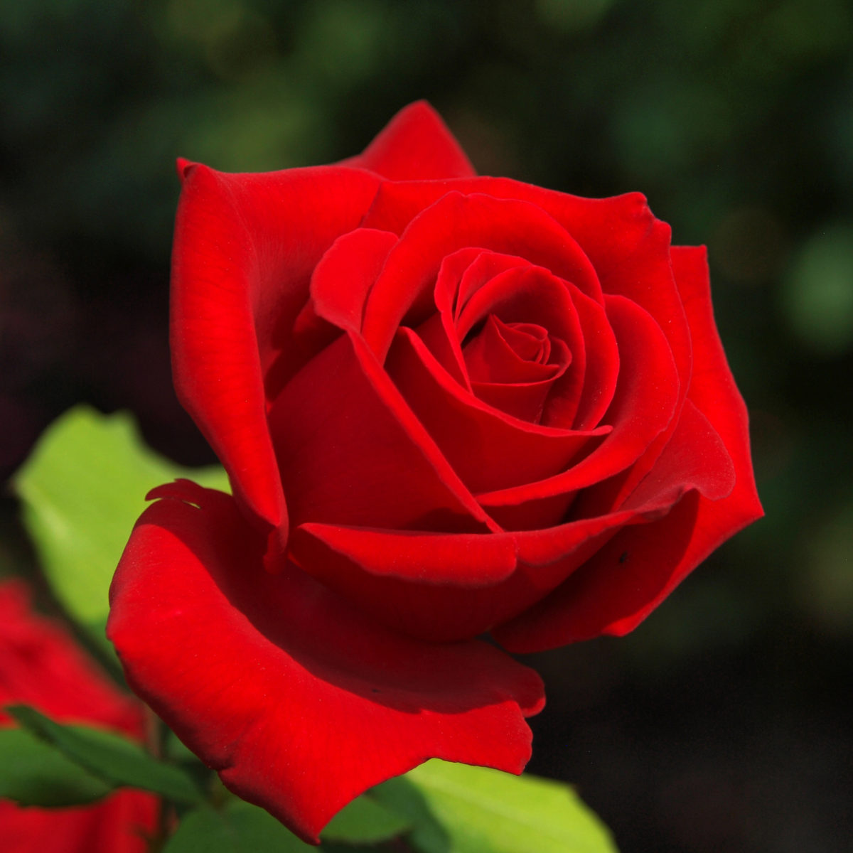
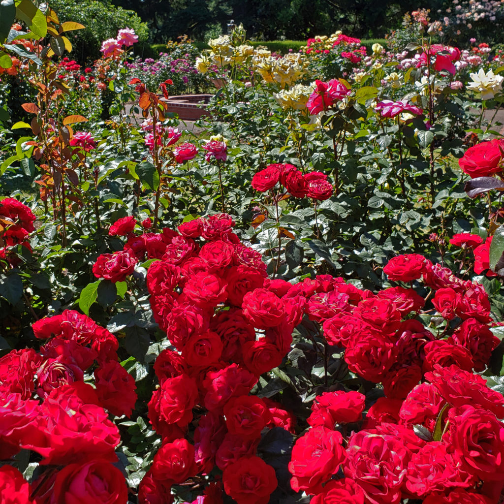
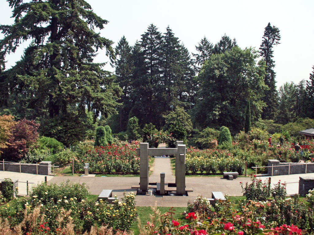
Portland, Oregon is known as the Rose City, and has long had a love affair with roses. The Portland Rose Society has been in existence for more than 130 years. Portland’s premier festival is the annual Rose Festival, held in June every year since 1907. And one of the city’s best, if not the best, botanical gardens is the International Rose Test Garden.

The International Rose Test Garden was conceived in 1915 as a  safe haven during World War I for hybrid roses grown in Europe, and rose hybridists in England began sending roses to Portland in 1918. Over the years, other hybridists have sent roses to Portland from all over the world.

The primary purpose of the Garden is to serve as a testing ground for new rose varieties. The Garden is home to a variety of formal rose evaluation programs in designated test beds. Rose companies send potential variety introductions for evaluation. How each variety performs determines if it makes it onto the
commercial market.

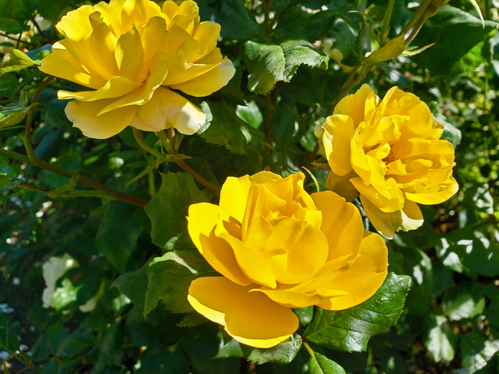
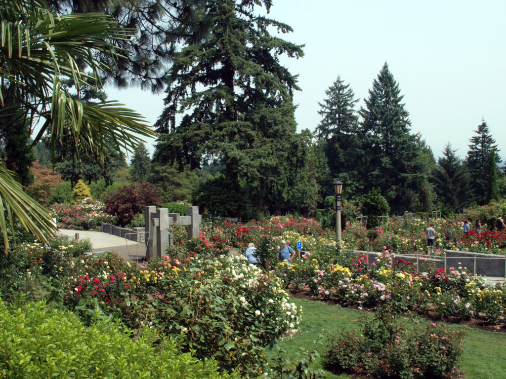
Today, the International Rose Test Garden covers 6.9 acres in Portland’s West Hills, has more than 600 varieties of roses, and has more than 10,000 individual rose bushes. By any measure, that’s a lot of roses, and that draws a lot of people to the garden, not just from the Portland area, but from around the country and other parts of the world.

The Rose Garden is located in Washington Park, west of Portland’s downtown. Admission is free. To get there from downtown, take Burnside Street west, turn left onto Tichner Drive, then right onto Kingston Avenue. The Rose Garden will be on your left, behind the public tennis courts. Parking is limited, though, and will be hard to find on a summer weekend. Come on a weekday, if possible, and come early in the day to have the best chance to find a spot. Or consider parking in the downtown area and taking the Washington Park free shuttle.

If you want a souvenir of your visit, or information on growing roses, check out the  Rose Garden Store, located just south of the garden itself. Proceeds from the store go to support the Portland Rose Festival Foundation.

Washington Park has enough attractions in addition to the Rose Garden that you can easily make a day of it. Directly west of the Rose Garden is the Portland Japanese Garden, one of the finest Japanese gardens outside of Japan itself. It’s also home to the Oregon Zoo, the World Forestry Center, the Portland Children’s Museum, the Oregon Vietnam Veterans Memorial, and Hoyt Arboretum. And for hikers there are a variety of trails, including the Wildwood Trail which runs for more than 20 miles through Washington Park and Forest Park, the largest forested city park in the country.

The International Rose Test Garden is one of Portland’s top attractions for obvious reasons, and a place all visitors to Portland should see before they leave.

Posted March 16, 2022

All photos © Alan K. Lee


The Spring Gardens Series: A Look Ahead

by Alan K. Lee

Connie Hansen Garden

We’ve had a few frosty mornings recently here in western Oregon, but we’ve also had some 60 degree days, the daffodils are blooming, and a few trees and shrubs have started to leaf out. Spring is just around the corner. And that means it will soon be time to visit or revisit some of the many outstanding botanical gardens in the Pacific Northwest. Many of them will be highlighted in the spring gardens series of posts on this site in the next few months.

Hulda Klager Lilac Garden
Lan Su Chinese Garden

New posts will be coming on Leach Botanical Garden in southeast Portland, the International Rose Test Garden in Portland’s Washington Park, Deepwoods Garden and Gaiety Hollow Garden in Salem, and possibly a few others, e.g. Shore Acres on the southern Oregon coast and PowellsWood Garden in Tacoma.

Crystal Springs Rhododendron Garden

And we will have updated posts on many of the other gardens in Oregon, Washington, and British Columbia, including the Oregon Garden in Silverton, Crystal Springs Rhododendron Garden in Portland, Hulda Klager Lilac Garden in Woodland, Washington, Connie Hansen Garden in Lincoln City, Oregon, and the world famous Butchart Gardens near Victoria, BC.

Portland Japanese Garden

We’ll also revisit the Wooden Shoe Tulip Festival in Hubbard, Oregon, Hoyt Arboretum and the Lan Su Chinese Garden In Portland, as well as the Portland Japanese Garden.

Wooden Shoe Tulip Farm

So, if you’re a lover of flowers and gardens, stay tuned for our spring garden series. In the meantime, enjoy the photos above, and those below, taken at the International Rose Test Garden, which will be the first post in the series.


Posted March 6, 2022.

All photos © Alan K. Lee
 

Kaua’i, the Garden Isle

By Alan K. Lee

My wife and I have been to Hawai’i many times, but only once to Kaua’i.  But that was a memorable trip, and I’ve been contemplating a return to Kaua’i lately.

Kapa’a Creek

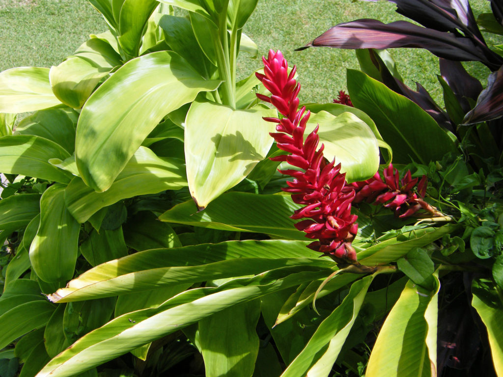
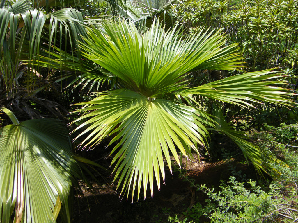
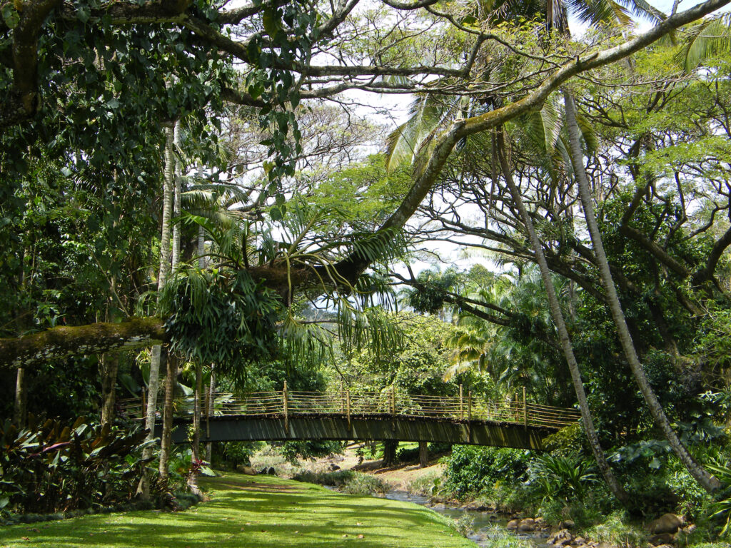
Kaua’i is called the Garden Isle, and for good reason. Abundant rainfall and the tropical climate make the island a botanical paradise. Think of the jungle depicted in the movie Jurassic Park. Much of the original movie and sequels were filmed on Kaua’i.

McBryde Garden

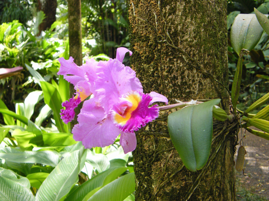
No trip to Kaua’i is complete without visiting at least one of the island’s famed botanical gardens. Three of the five National Tropical Botanical Gardens are located on Kaua’i. Other notable botanical gardens on Kaua’i include Na ‘Aina Kai Botanical Garden and Princeville Botanical Garden on the north shore, and Smith’s Tropical Paradise on the east shore in Wailua River State Park. Check the park websites for ticket prices, open dates, and details. Na ‘Aina Kai and Princeville require advanced purchase of tickets. Tickets to Smith’s are available only at the park entrance.

McBryde Garden

National Tropical Botanical Garden is a non-profit corporation chartered by the U.S. Congress in 1964, dedicated to “discovering, saving, and studying the world’s tropical plants and sharing what is learned.”  The three NTBG gardens on Kaua’i are Limahuli Garden and Preserve on the north shore, and Allerton Garden and McBryde Garden on the south shore in the Lawa’i Valley.

McBryde Garden

We toured McBryde Garden on our visit and it was one of the highlights of our trip. Advanced purchase of tickets is not required, but is strongly advised. Tickets are limited and are likely to be sold out. Tickets are $30 for adults and $15 for children, and stays are limited to 2.75 hours. Open Tuesday, Thursday, and Saturday in 2025. The adjacent Allerton Garden also requires you to buy timed entry tickets ($65 for adults, $32.50 for children under 13). All Allerton Garden tours are 2.5 hour guided tours. McBryde Garden tours are self-guided. Combined McBryde and Allerton guided tours are available for the same price as Allerton Garden guided tours and are available for Tuesday and Saturday tours.

McBryde Garden

Limahuli Garden self-guided tours are $30 for adults and free for children under 13. Timed entry tickets are required if arriving by car and parking must be reserved at the time of purchase. Timed entry tickets are not required if arriving by North Shore Shuttle and there is a $5 discount off ticket prices. Limahuli guided tours are available for $60 (adults only, no children allowed) and parking is included. Tours are 2.5 hours long and are available at 9 a.m. only on Tuesday and Thursday. Advance reservations are required.

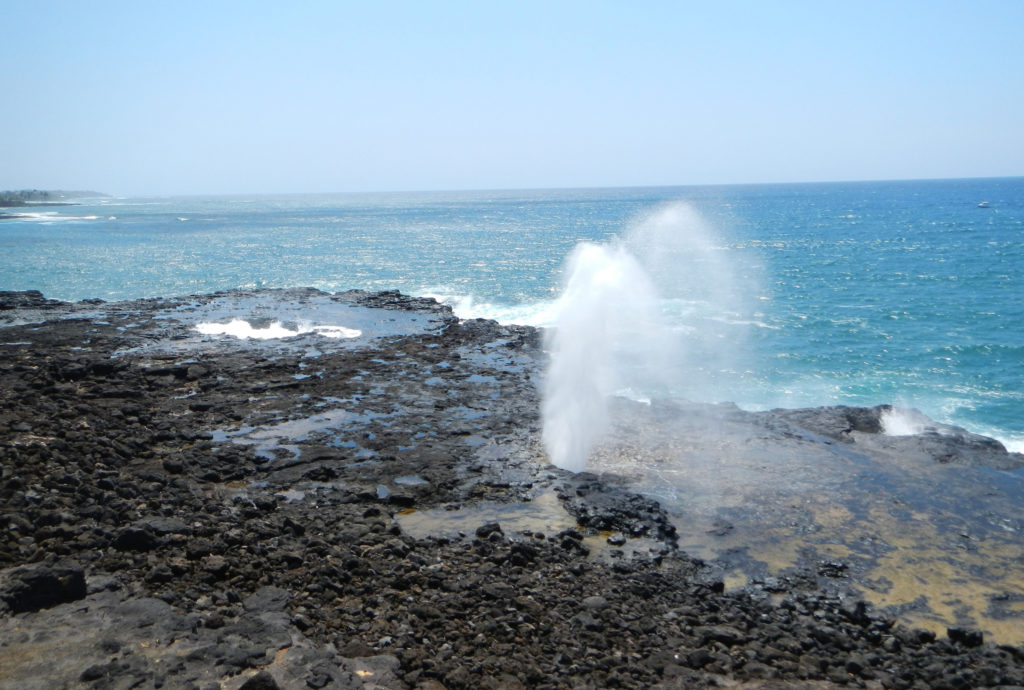
Spouting Horn Park

If you tour McBryde or Allerton Garden, also stop at the nearby Spouting Horn Park, especially if the surf is up. Spouting Horn is a blowhole that shoots water fifty to a hundred feet into the air every ten seconds or so when it is most active, an impressive sight to say the least.

Polihale Beach

There’s more to do on Kaua’i than touring botanical gardens, of course. Relaxing on a tropical beach has to be high on every visitor’s priority list, and Kaua’i has many, many fine beaches. One of the best beaches on the island, and listed in one article I’ve read as one of the best beaches in the world, is Polihale Beach on the west end of the island.

Polihale Beach

The last few miles of the road to Polihale is a rough, pothole filled sand, gravel and dirt track that is best tackled with an SUV or pickup. We managed it in a compact rental car, though, so it can be done if you take your time. But the road was clearly not being maintained, and it may have gotten worse in the decade since we were there. But if you can manage to get there, you’ll be rewarded with three miles of uninterrupted and uncrowded beach ending at the spectacular cliffs of the NaPali Coast.

NaPali cliffs and Polihale Beach

Polihale State Park has no lifeguards and there are strong currents, so it’s not a good swimming beach. Best to stay out of the water. And there is no drinking water available (or any services), so if you go, plan on bringing everything you’ll need. But despite all that, the scenery and the solitude that you can find there make it well worth it.

Hawaiian Monk Seal

A more accessible beach on the west end of the island is Kekaha Beach Park. Located at the southern end of a nearly five mile long stretch of sand, Kekaha Beach is one of the best places on the island to view the sunset, but lacks Polihale’s scenery and seclusion. Glass Beach is also a worthwhile stop.

Poipu Beach

Poipu Beach on the south shore is all things Polihale is not. It’s a very popular and always crowded tourist destination. You won’t find anything resembling solitude there and the scenery doesn’t compare to Polihale. But it’s easy to get to, a good swimming beach, and one of the best places on the island to snorkel. And all of the amenities you could ask for are close at hand.

Kilauea Lighthouse

Many of the best beaches on Kaua’i are on the north shore. Moloa’a is a nice uncrowded beach on the north shore where you’re likely to find more locals than tourists. Kauapea Beach (aka Secret Beach) is a not so secret beach just west of the town of Kilauea. The trailhead is at the end of Secret Beach Road. Anini Beach is another place where you might find more locals than tourists. Kalihikai Park at Anini Beach has picnic tables, restrooms, and outdoor showers. Hanalei, farther east, also has a nice beach and the town is an interesting place that would be worth a visit on its own, even without the beach.

Moloa’a Beach

Tunnels Beach is another popular north shore beach. It’s best to park at Ha’ena Beach Park, although there are now entrance and parking fees for non-residents ($5 per person and $10 per vehicle) which must be purchased in advance. Tunnels is about a third of a mile east of Ha’ena Beach. There is a shorter trail to the beach from the highway, but parking is very limited and I don’t believe it is signed, so it may be easy to miss. There are restrooms, showers and lifeguards at Ha’ena Beach, but not at Tunnels.

Ke’e Beach

Ke’e Beach, at the end of the road, is protected by a reef, making it good for swimming and snorkeling, except in the winter months when all of the north shore beaches can be subject to high surf and strong currents. Even when we were there around the first of April there were warnings of dangerous conditions. Ke’e is part of Ha’ena Beach Park and the same entry and parking fees apply. The parking lot at the end of the road fills up early, partly because it is also the trailhead for the famed Kalalau Trail. There is an overflow parking area about a quarter mile from the end of the road that might be a better option. There are restrooms and showers at Ke’e, and lifeguards on duty.

Kapa’a Beach

These are only a few of the dozens of beaches on Kaua’i. For a more comprehensive list, check out the beaches page of the Kauai.com website.

A good way to see the whole island is by helicopter. Most one hour helicopter tours run from $220 to $320 per adult. We opted for a “doors off” tour because we wanted to get better photos than you can get by shooting through a helicopter window. I had never flown in a helicopter before and I have to admit to being a bit nervous before the flight, and not just because we were going doorless. But the whole thing was a blast and I never felt in any danger. And we both got some great photos.

NaPali Coast

The only disappointment was that the NaPali Coast had some low clouds obscuring the tops of the cliffs. But I highly recommend the experience. There is no other way to see the whole island the way you can by helicopter. And the only way to view the 400 foot high Manawaiopuna Falls (aka Jurassic Park Falls) is from the air.

Manawaiopuna Falls
Wailua Falls

Kaua’i’s abundant rain and mountainous terrain result in many spectacular waterfalls. One of the prettiest is the twin cascades of Wailua Falls, about five miles west of Lihue. The falls are at the end of  Maalo Road (Hwy 583). You can get a decent view of the falls from the observation area adjacent to the road. There is a very steep unmaintained trail down to the base of the falls where you probably can get better photos, but there are prominent danger signs that are probably there for a reason, so I wouldn’t risk the trail, especially if it is wet. (If you opt for a helicopter tour you will get a very good view of the falls from the air.)

Opaeka’a Falls

Another beautiful waterfall in the same area is Opaeka’a Falls. Again, no trail to the falls, but a good view from the highway. Opaeka’a Falls is two miles west of Wailua on Kuamo’o Road (Hwy 580).

Ho’opi’i Falls

An interesting waterfall, this one at the end of a hike through a Jurassic Park-like tropical rain forest, is Ho’opi’i Falls (actually two separate falls). These are a little harder to find, and they’re not big falls, but the trail to them is absolutely awesome. If its raining or has rained recently, the trail will likely be muddy and slippery, but I think it would still be worth the effort. We were lucky enough to do this hike when it was dry, so it was an easy and thoroughly enjoyable outing for us.

Ho’opi’i Falls Trail

The trailhead is on Kapahi Road west of Kapa’a. Please note that Kapahi Road is a residential area and not all of the residents welcome tourists, so be respectful of the locals. Park in the gravel area provided, not in front of any of their homes, please be quiet (especially early in the day), and don’t leave any trash behind when you depart.

Red Dirt Falls

One more interesting falls is Red Dirt Falls on Waimea Canyon Drive, north of the town of Waimea. This is a seasonal falls, so it may not be flowing when you’re there, and it’s a very small waterfall that would be totally unremarkable if it weren’t carved out of the striking red dirt that gives it its name. It’s located at about the 23 mile marker on Hwy 550.

Waimea Canyon

There are more waterfalls to be seen farther up Waimea Canyon, which is one of the must see destination on Kaua’i. It’s often called the Grand Canyon of the Pacific. The red dirt that makes Red Dirt Falls so compelling also gives the canyon a much different look than most of the other scenic attractions on the island. The canyon is 14 miles long, a mile wide, and as much as 3500 feet deep – not as big or as deep as the real Grand Canyon, but still pretty impressive.

Waimea Canyon

There are two state parks, Waimea Canyon and Koke’e in the canyon. For non-residents there is the same $5 per person entrance fee and $10 per vehicle parking fee as at Haena Beach State Park. The fees get you into both parks. You don’t have to pay twice.

View from Kalalau Overlook, Koke’e State Park

There are numerous viewpoints along the highway in the two parks that give you expansive views of the canyon and its waterfalls. And the highway takes you to the top of the NaPali Coast cliffs. Two truly spectacular viewpoints in Koke’e Park give you views down to the NaPali Coast and the ocean more than 4000 feet below you.

For hikers, there are more than 45 miles of trails in the canyon. You could easily spend days in the canyon and not hike all of the trails. For those that do want to spend multiple days hiking or sightseeing, Koke’e Lodge offers rustic cabins with kitchens. There is also a campground in Koke’e State Park and there are other cabins available nearby. And Waimea town at the base of the canyon has many lodging options.

Russian Fort Elizabeth Park

Updating this post brought back a lot of memories and stoked my desire to go back to Kaua’i and revisit some of the places we explored in 2012.

Hanalei Bay

Posted July 28, 2021. Updated October 20, 2024.

All photos © Alan K. Lee
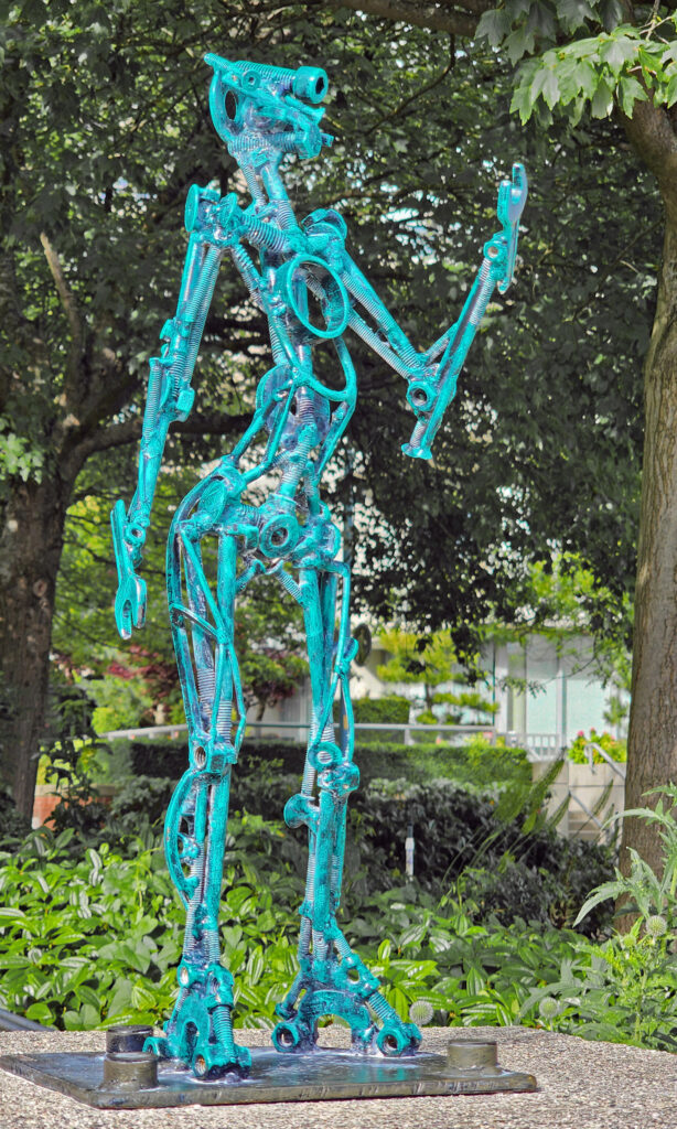
Wooden Shoe Tulip Festival 2021

It’s been a long winter, but spring is at hand, and that means spring flowers. The Wooden Shoe Tulip Festival near Woodburn, Oregon is a great way for the whole family to get out, get some sun, and enjoy the riot of color that the spring flowers bring to our lives.

Each year Wooden Shoe Tulip Farm opens their property to the public from late March through early May for their annual Tulip Festival. The 2020 festival was cancelled due to the pandemic, but the event is back for 2021. This year’s festival runs from runs from March 19 through May 2. The photos here are from the 2018 festival.

Festival hours are 9:00-6:00 Mon-Fri and 8:00-7:00 Sat & Sun. Individual adult admission ranges from $10 for a weekday senior pass to $20 for a weekend day pass. Children 12 and under are free. Family car passes that allow entry to everyone in a single vehicle are $35 for weekdays and $50 on weekends. Individual season passes are $60. Photographers and early risers can purchase sunrise passes for $25 that allows entry to the farm at 5:00 am.  All tickets must be purchased online this year. Tickets can be purchased through the Wooden Shoe Tulip Farm website. 

Tickets include parking, and transportation from the parking lot to the fields is available for those with mobility issues. And there are tram and hay wagon rides that run from the main building through the fields. There is also a tulip tour train ($10 per person) that runs from the main building around the fields, with photo stops, that runs from noon to 5:00 daily. 

There are several food vendors and a coffee cart at the festival each day, and there is a Wooden Shoe Vineyards tasting room on site, with beer and cider also available. Picnic tables are available and festival goers are encouraged to bring their own food if they so desire.
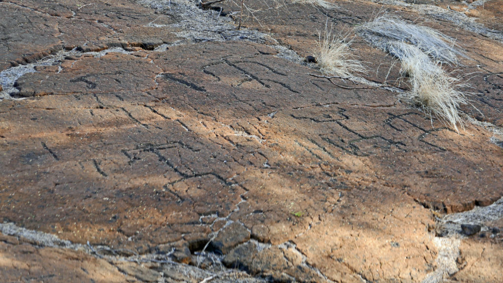
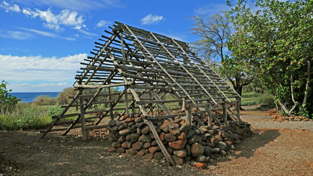
There are a variety of daily festival activities. Weekend events include wooden shoe making demonstrations, steam tractor demonstrations, a craft marketplace, and wine wagon tours that include estate grown wine tastings and a tour of the farm and tulip fields. Kids activities include a play area. Check the Wooden Shoe webpage for details, as some activities from previous years have been eliminated or modified  due to Covid protocols.

Cut flowers and potted bulbs are available for purchase at the farm, and flower bulbs can be ordered for fall delivery. 

This is just a great event, fun for the whole family. In previous years it has been a very popular event. There will be a limited number of tickets available each day this year due to Covid protocols, so it may be less crowded. But having to purchase tickets in advance means that you have to take your chances with the weather, and weekend tickets may sell out quickly. But even so, this is a really worthwhile outing, especially if you’re a photographer or just a flower lover. And who doesn’t love flowers?

If you’re in the Seattle area, or visiting, check out the Skagit Valley Tulip Festival in Mount Vernon. It runs through the end of April.

Posted by Alan K. Lee,  March 14, 2021

All photos by and property of the author