
Overview
Rocky Mountain National Park in northern Colorado is without question one of the most scenic places I have ever been. Its mountains, lakes, meadows, waterfalls, rivers, and forests rival those of Glacier National Park, the Canadian Rockies, and the Teton Range. And its vast tracks of alpine tundra above the timberline and its 14,000-foot peaks make it unique. All of that, and its proximity to the Denver metropolitan area, make it one of the most visited national parks in the country.
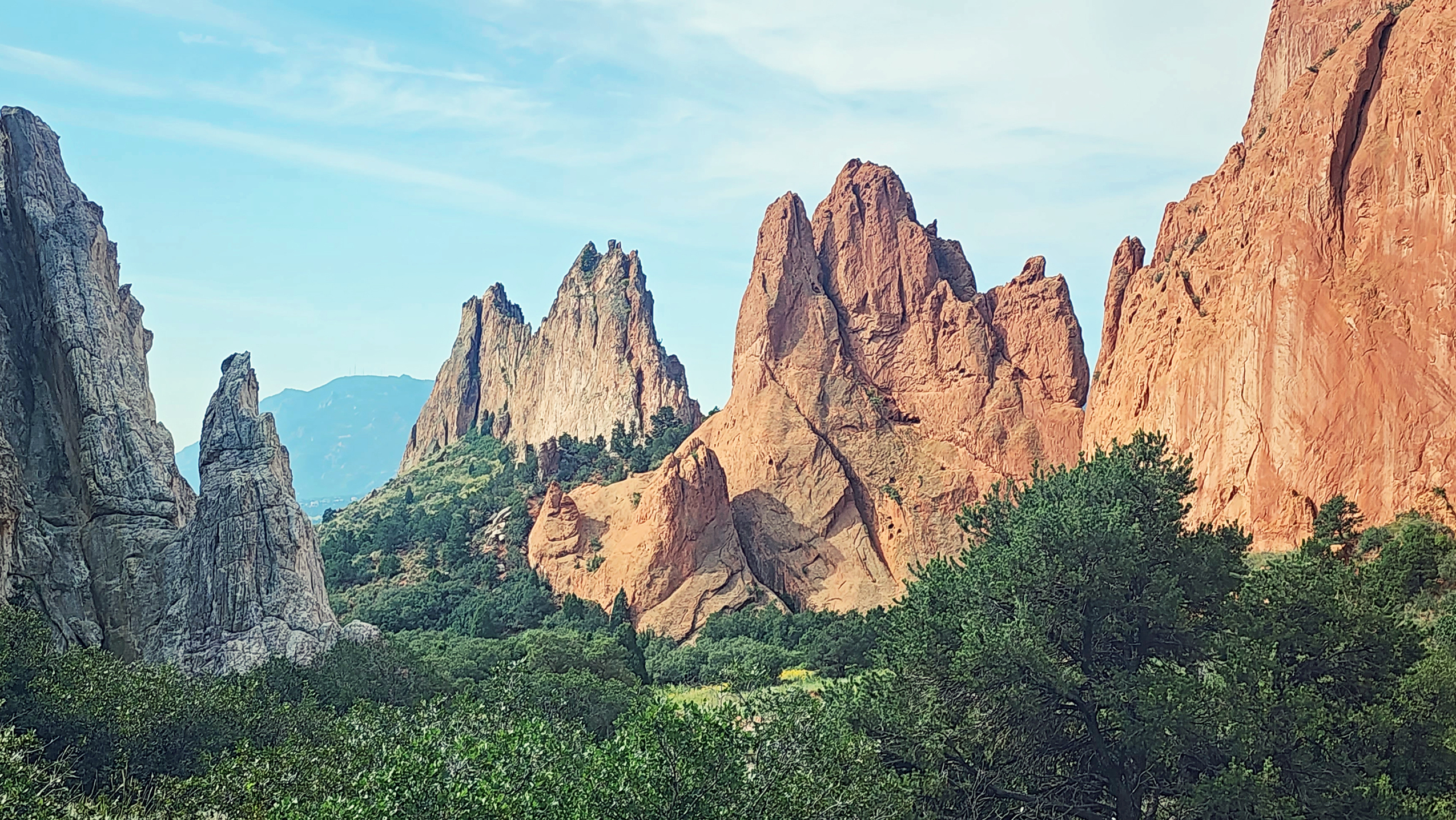
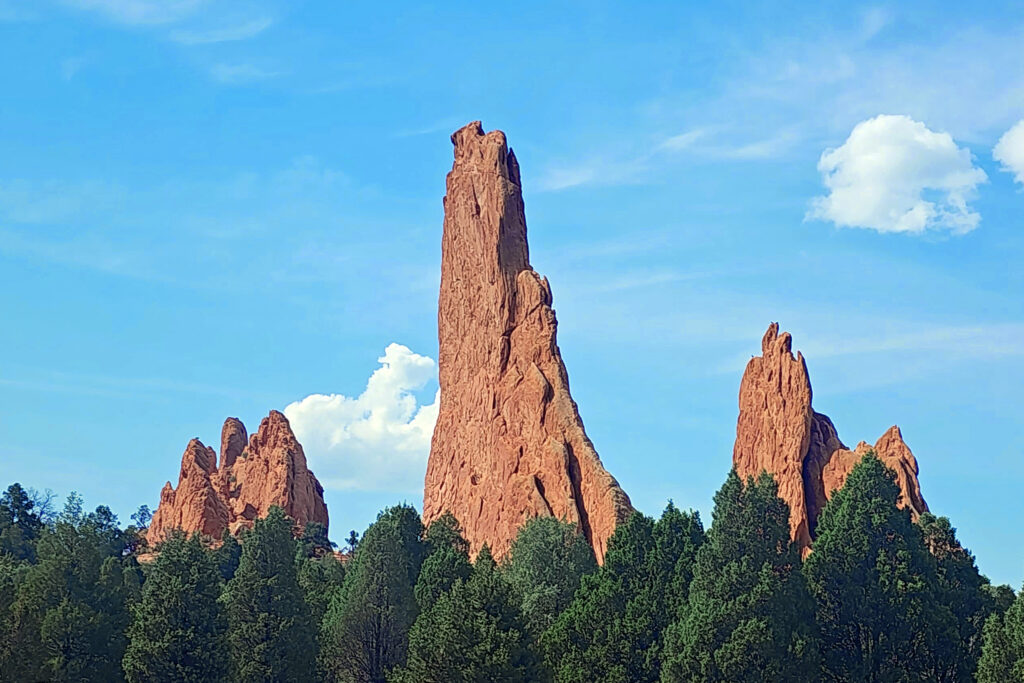
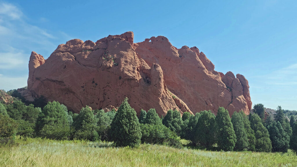
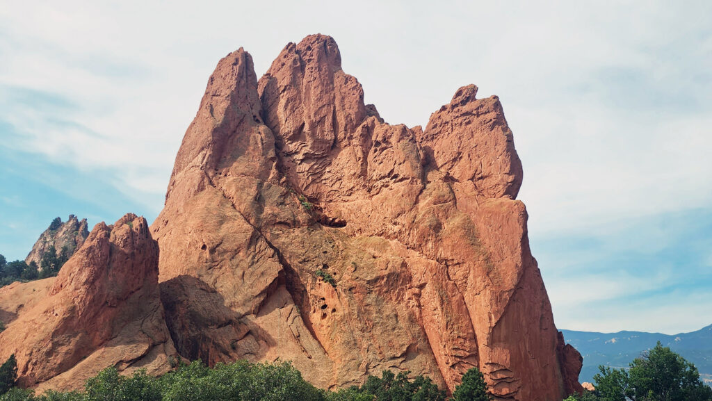
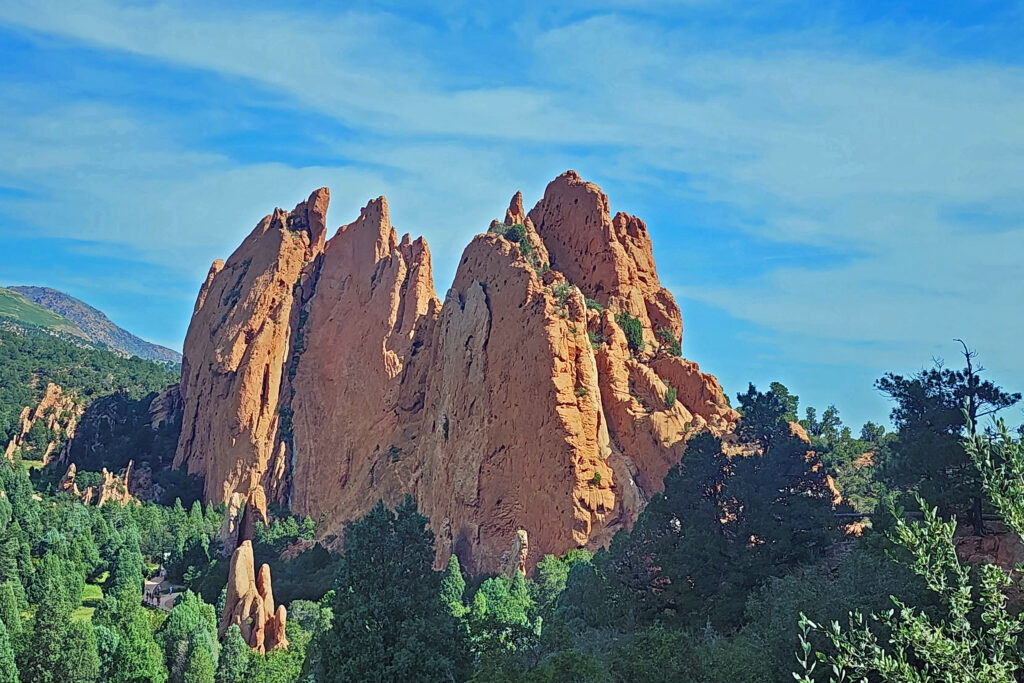
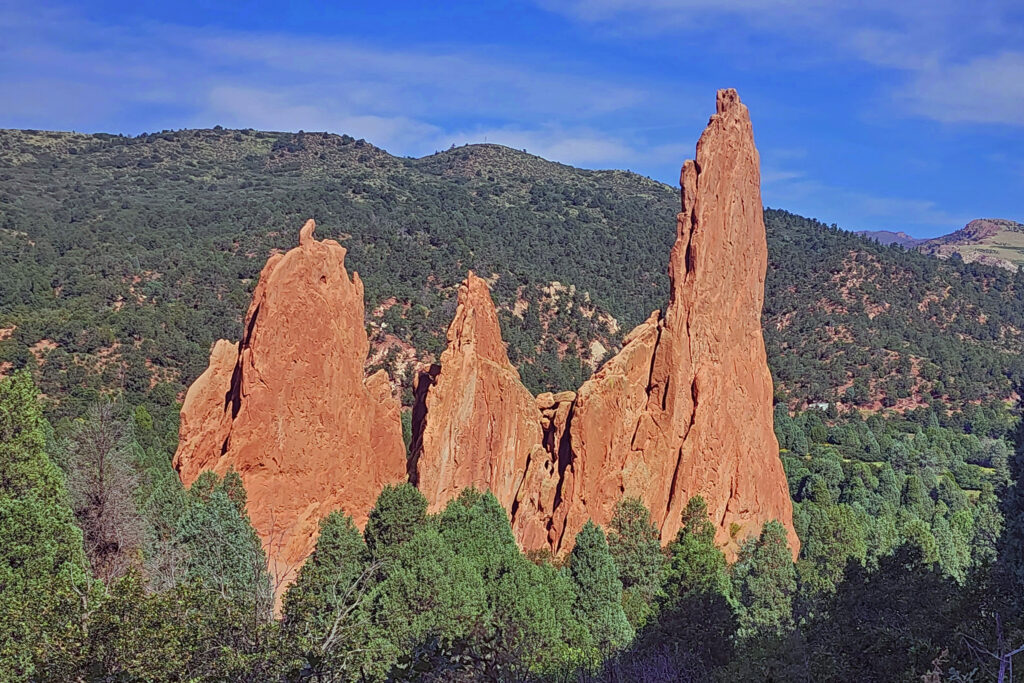
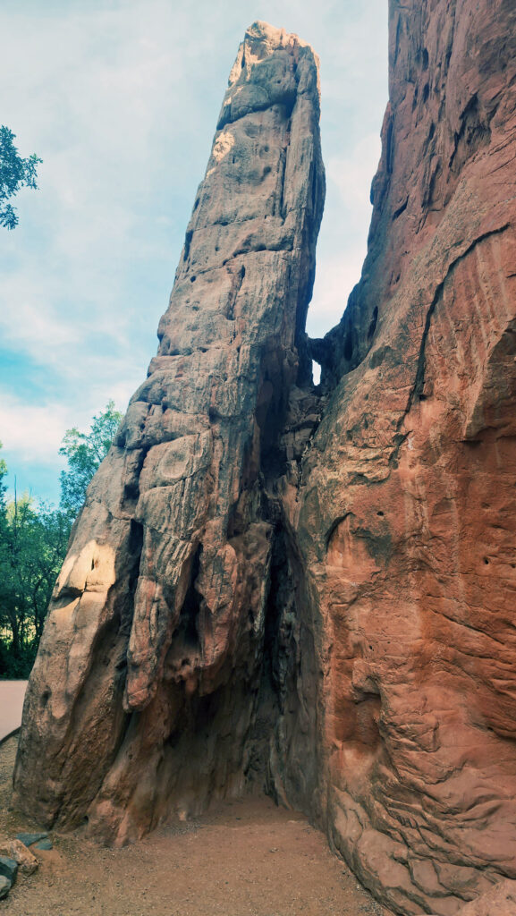
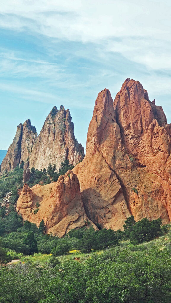
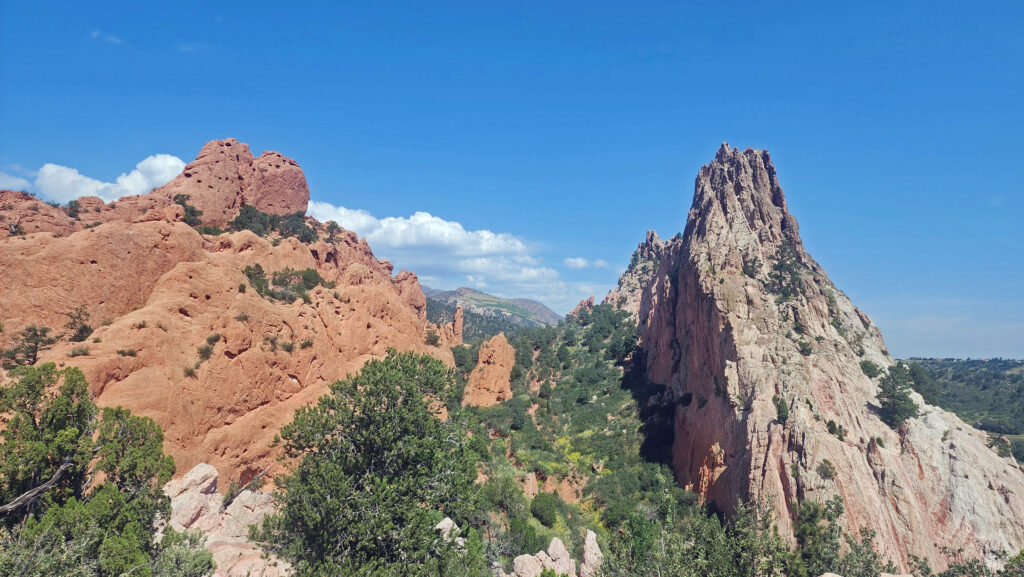
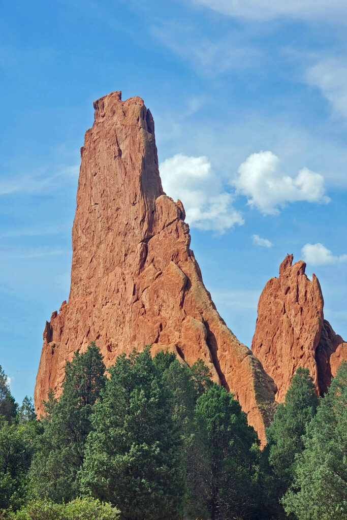
I had the pleasure of visiting the park last August (2023) with my wife at the beginning of our tour of the Colorado Rockies that also took us to Breckenridge, Leadville, Aspen, Great Sand Dunes National Park, Alamosa, Royal Gorge, Pueblo, and Colorado Springs. We ended our tour at the Garden of the Gods, an incredibly beautiful collection of rock spires that is another of the most scenic spots I’ve ever visited.
The popularity of Rocky Mountain National Park has led to overcrowding in the past. To limit the number of visitors, the park has instituted timed entry permits, which are needed to visit both the Bear Lake area of the park and to access Trail Ridge Road, which takes you through the high-altitude country along the continental divide. The permits can be obtained through the park website but go quickly.
On the first day of each month during the summer tourist season, the park opens the sale of permits for the following month. We had already made reservations for lodging in Estes Park, as well as our flight to Denver and our car rental before the entry permits for the days in August that we planned to visit were available. So, my wife got on the web early on July 1 to ensure that we got permits for our desired days, which she was able to obtain. Otherwise, we would have been scrambling to change our plans.
Estes Park
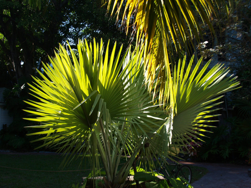
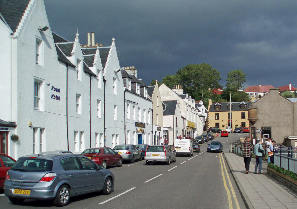
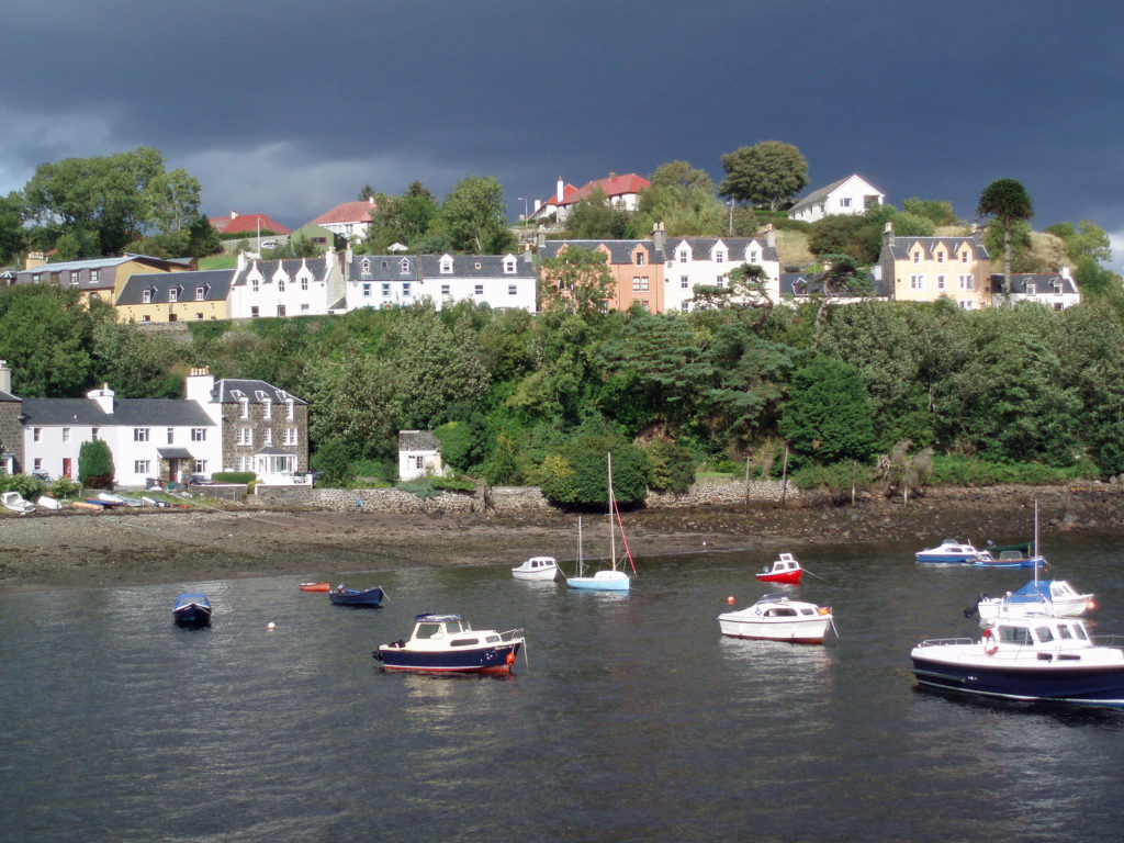
The town of Estes Park, located just outside the eastern boundary of the park, is the gateway to the park and an ideal base for exploring the park. It is a tourist town, to be sure, with at least some of the negatives that being one brings. But it also has enough appeal to make spending a whole day there an enjoyable start to your trip. We had fun exploring the compact downtown area with its many cafes, bars, art galleries, and shops. The Riverwalk along the Big Thompson River and Estes Lake is pretty, and many of the downtown businesses can be accessed from both the main street and the Riverwalk.
At an elevation of 7500 feet, Estes Park is also a good place to spend a couple of days acclimating to the altitude. If, like us, you live near sea level, giving yourself a few days to get used to the lesser oxygen content of the atmosphere is definitely something that you should consider doing. We didn’t, but we paid a bit of a price for not doing so, too.
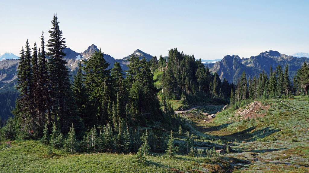
Bear Lake Area
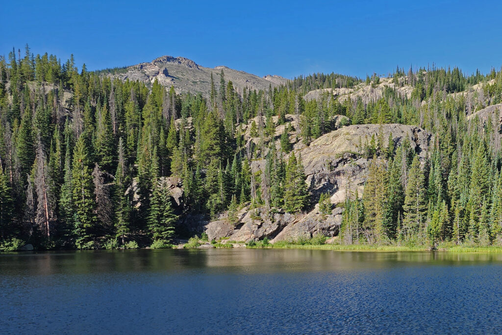
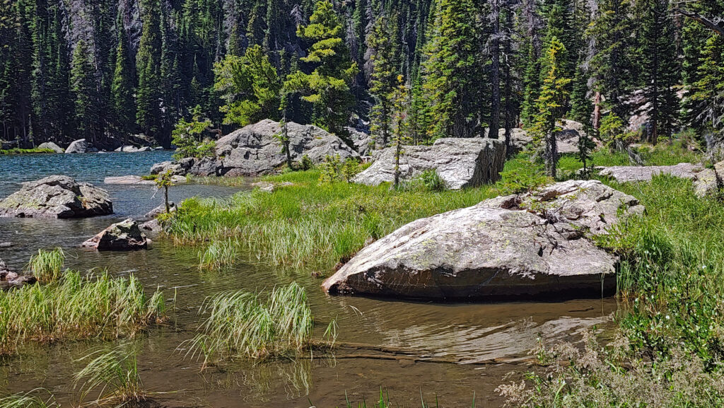
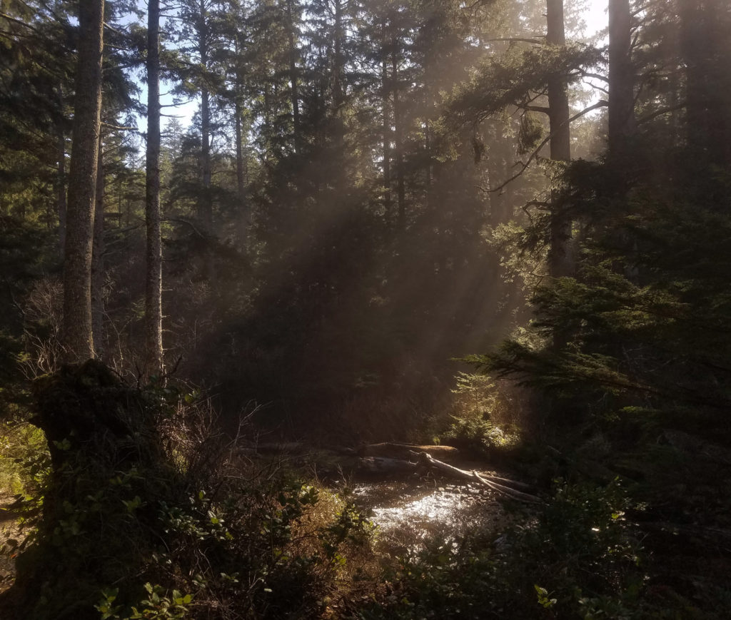
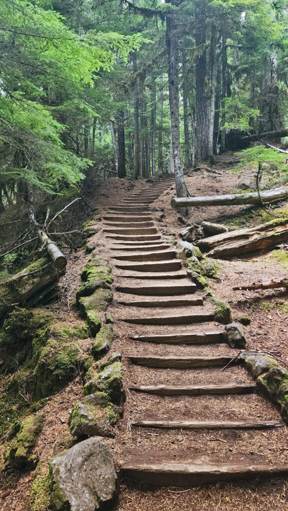
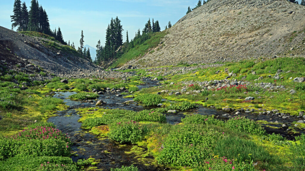
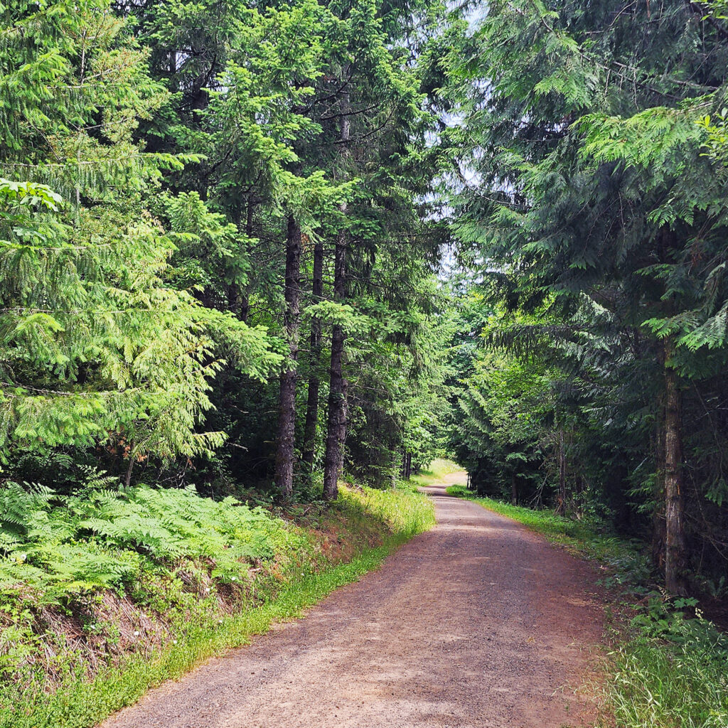
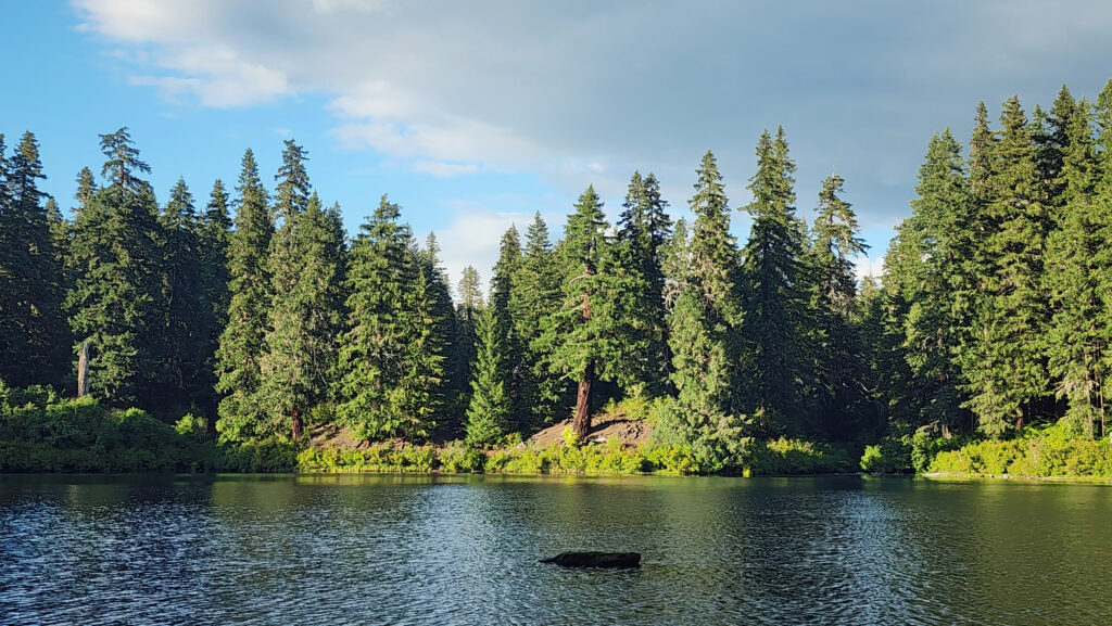
Our first full day in the Rockies was spent in the Bear Lake area of Rocky Mountain National Park. Having a timed entry permit doesn’t mean you’ll find a parking spot at Bear Lake, so we opted to park in the park-and-ride lot a few miles past the entry station and ride the shuttle up to the lake. The shuttles run frequently and the trip is short – 15 minutes, maybe. So, if you don’t get on the first shuttle, another will be along soon.
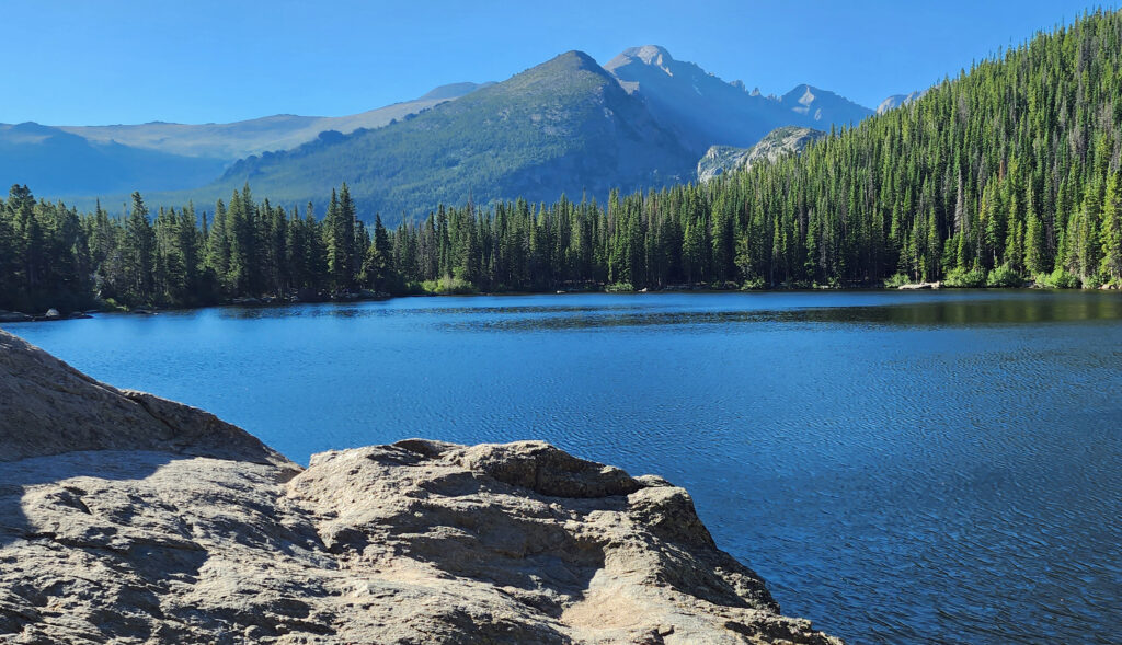
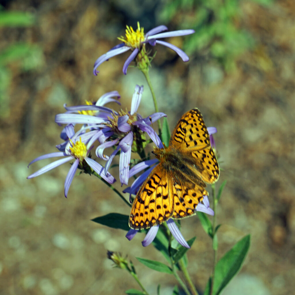
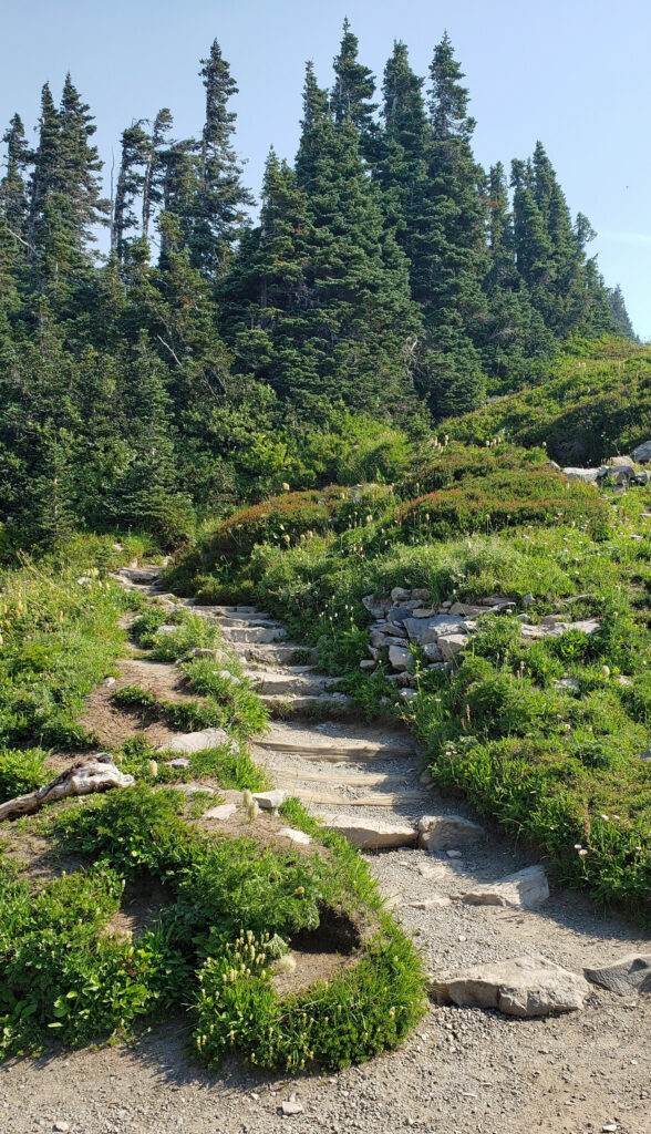
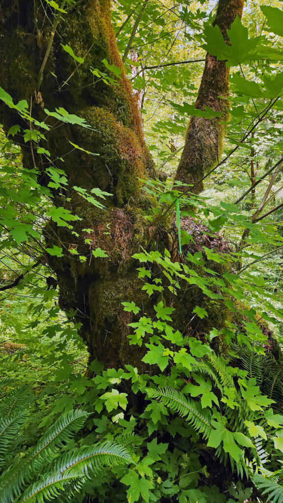
We did three hikes that day. The first, a short, almost flat 0.8-mile loop around Bear Lake, was a good start. Bear Lake is at almost 9500 feet, so the air was noticeably thinner than even at Estes Park. But we took it slow, soaking up the scenery and taking lots of photos.
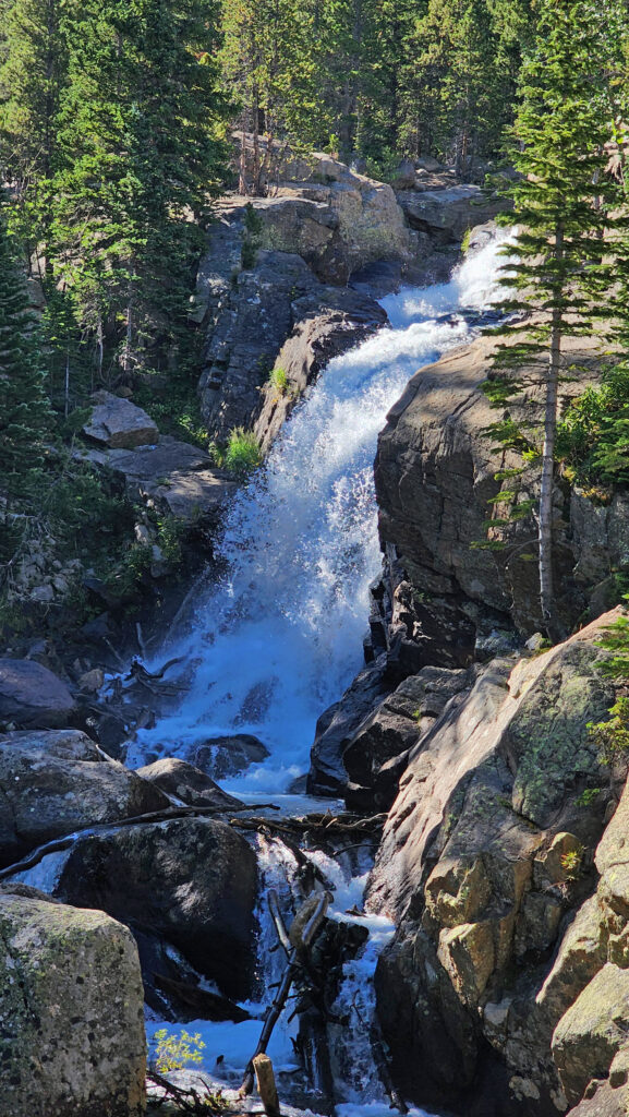
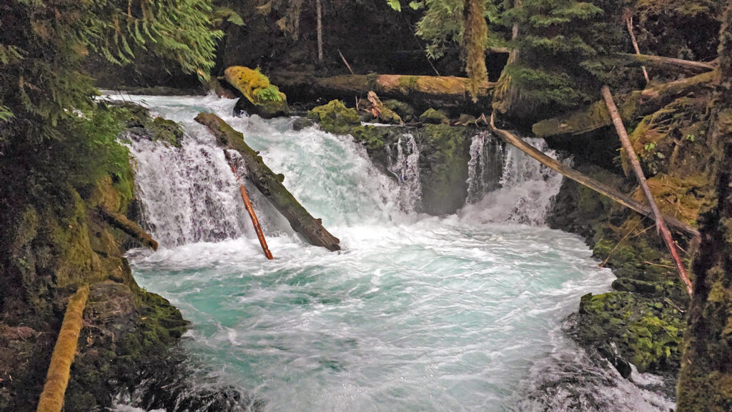
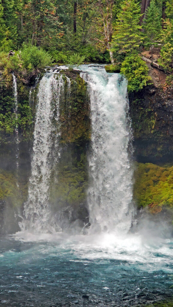
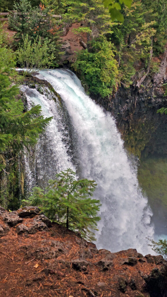
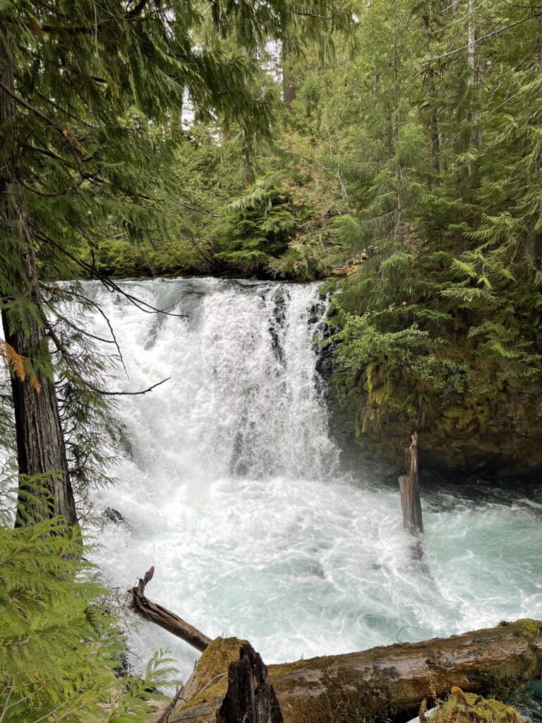
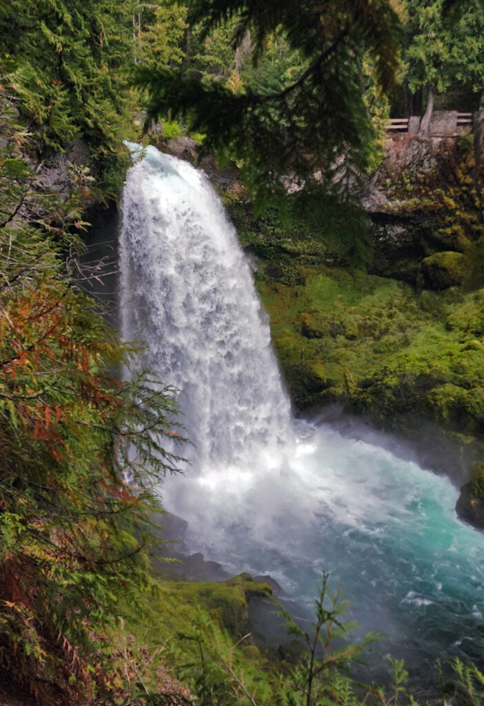
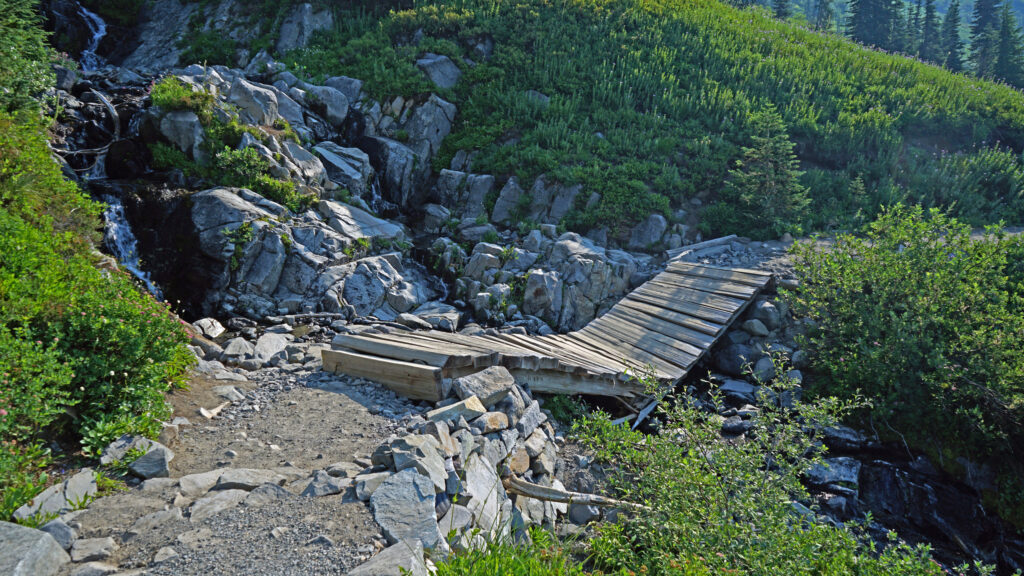
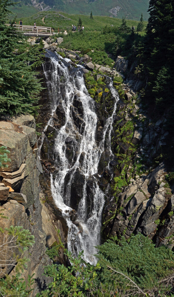
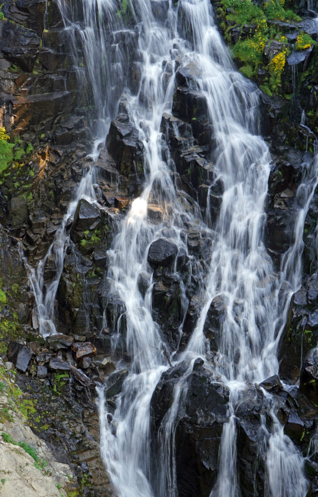
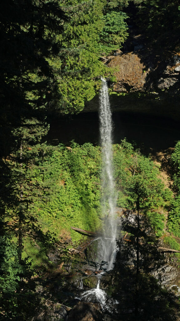
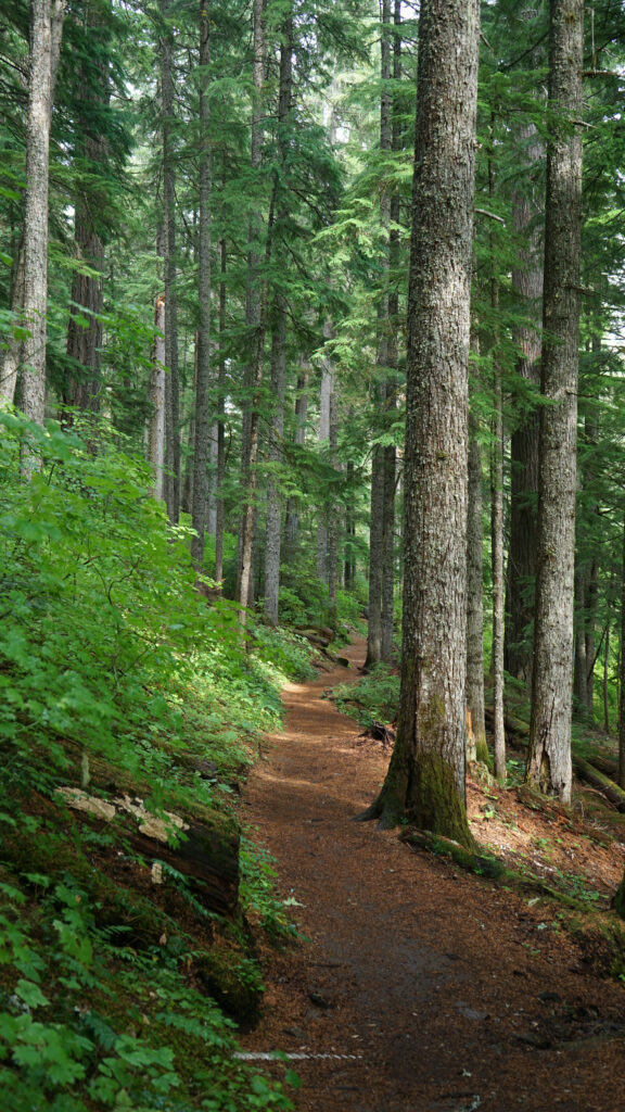
Our second hike was longer, about two miles, and took us to Alberta Falls. The trail descends about 300 feet from Bear Lake to Tyndall Creek, then climbs to the falls on Glacier Creek. We took a shortcut on the return trip by hiking down to the Glacier Gorge trailhead and riding the shuttle back to up Bear Lake rather than hiking back up the hill.
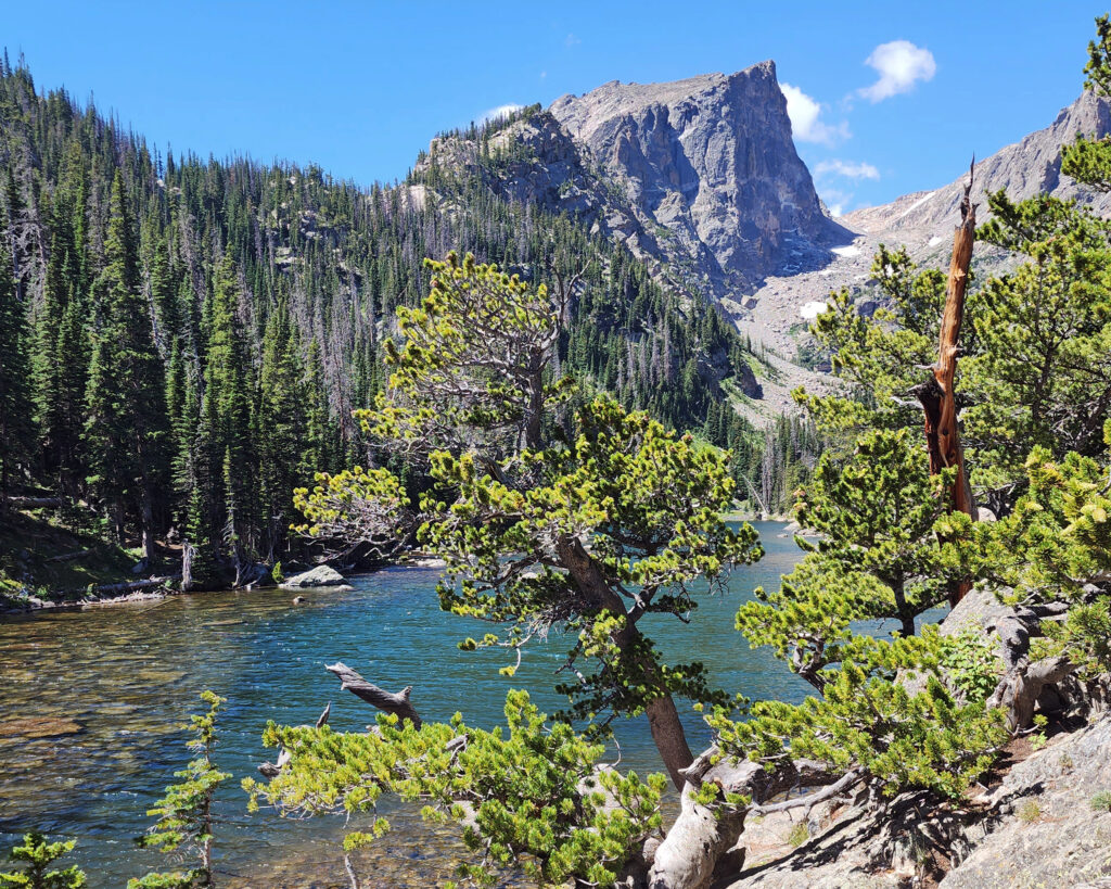
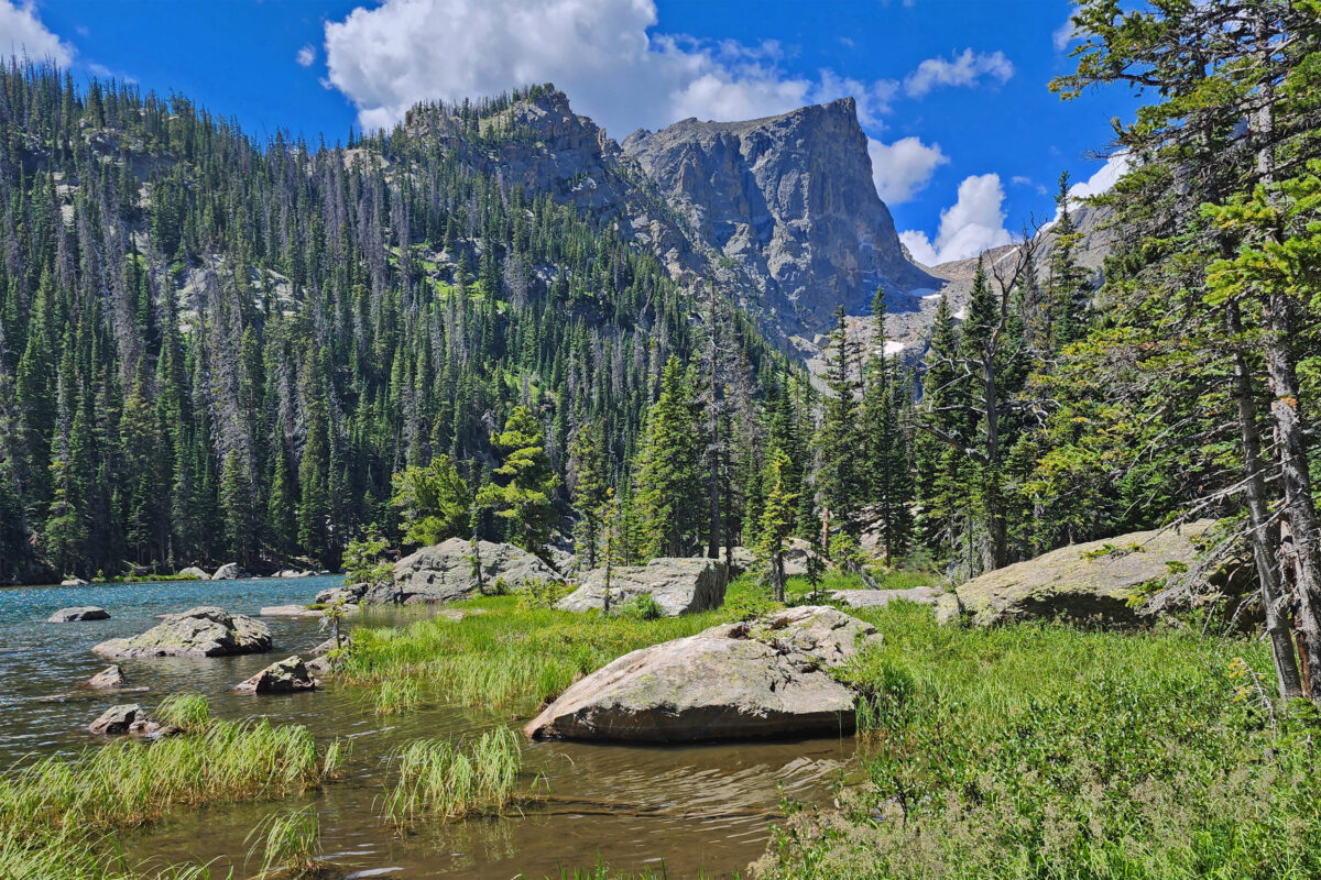
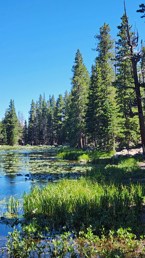
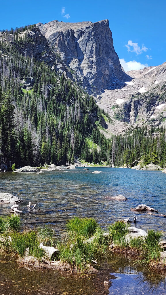
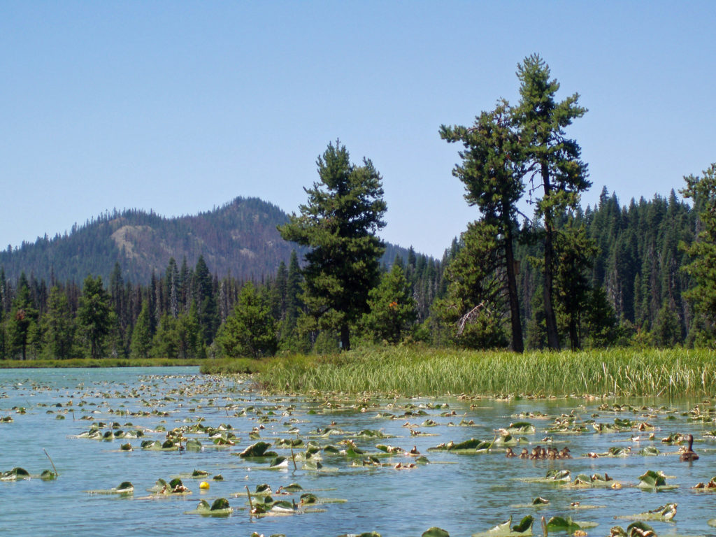
Our third hike was the 2.5-mile out and back hike up to the aptly named Dream Lake at just under 10,000 feet. We were feeling the altitude by the time we got to the lake. We spent quite a bit of time at the lake resting and taking in the absolutely gorgeous setting. Emerald Lake is only about a third of a mile from Dream Lake, and possibly even more beautiful, but I was gassed by then, so we turned around at the head of the lake and returned to Bear Lake and picked up a shuttle ride back to our SUV.
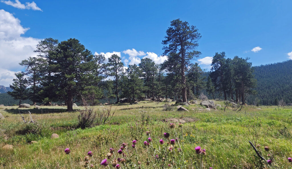
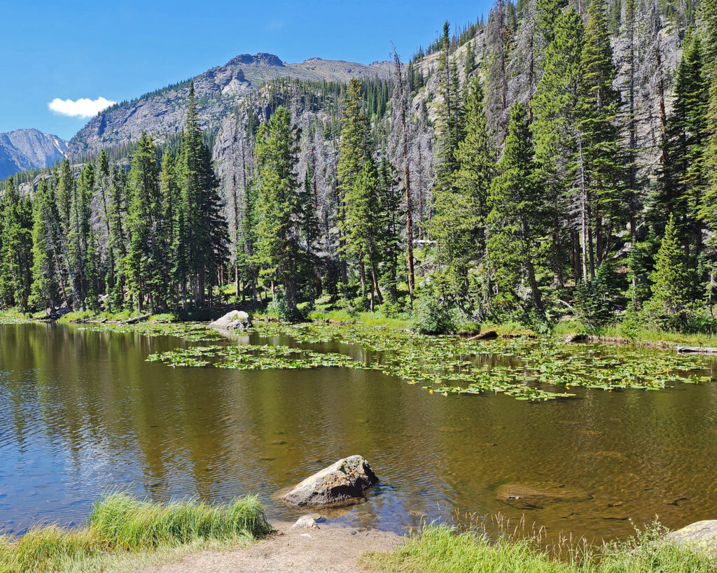
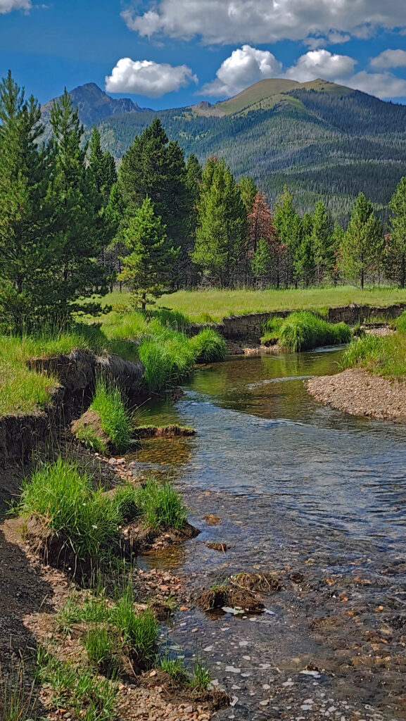
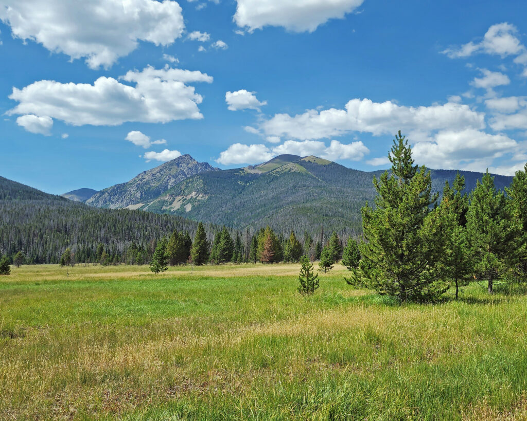
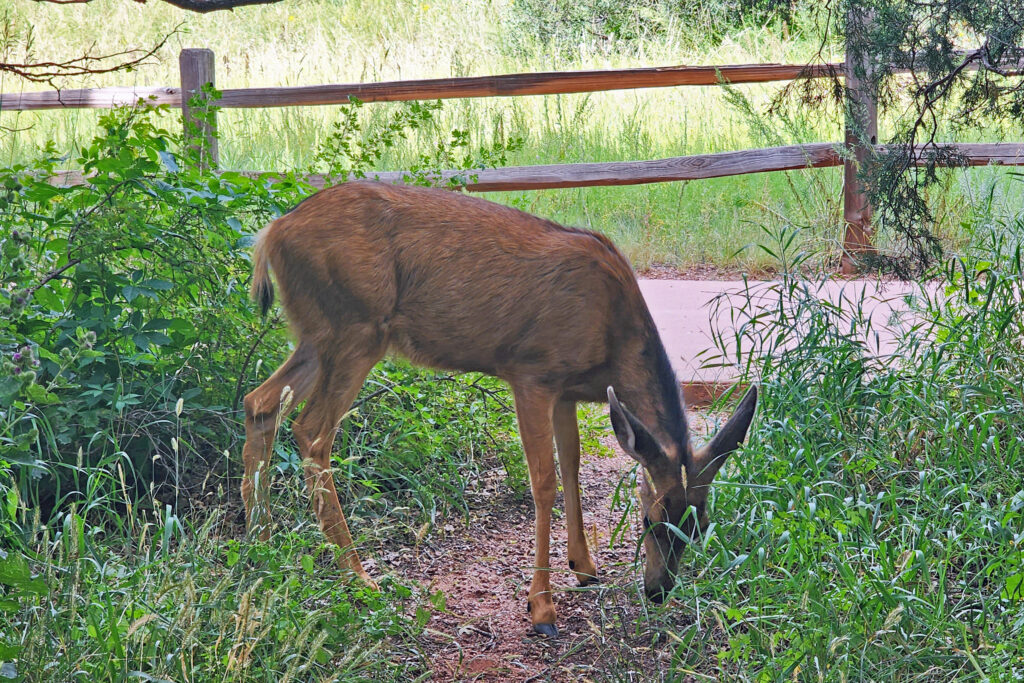
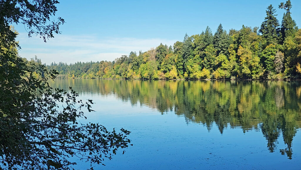
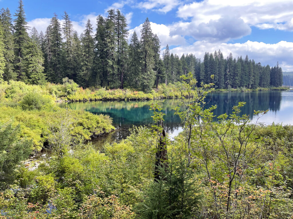
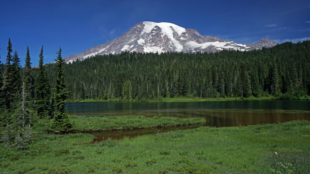
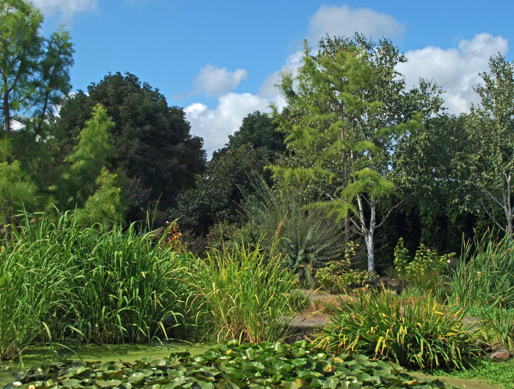
On our way back to Estes Park we took a side trip to Moraine Park, a glacier-carved valley on the Big Thompson Reservoir lined by steep ridges to the north and south. Moraine Park was once home to a resort and golf course but has been restored to its natural state of meadow and marshland. Moraine Park is known for its elk and other wildlife, but the elk were nowhere to be seen when we were there.
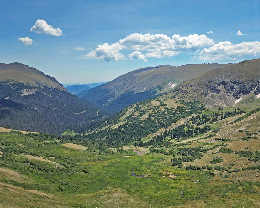
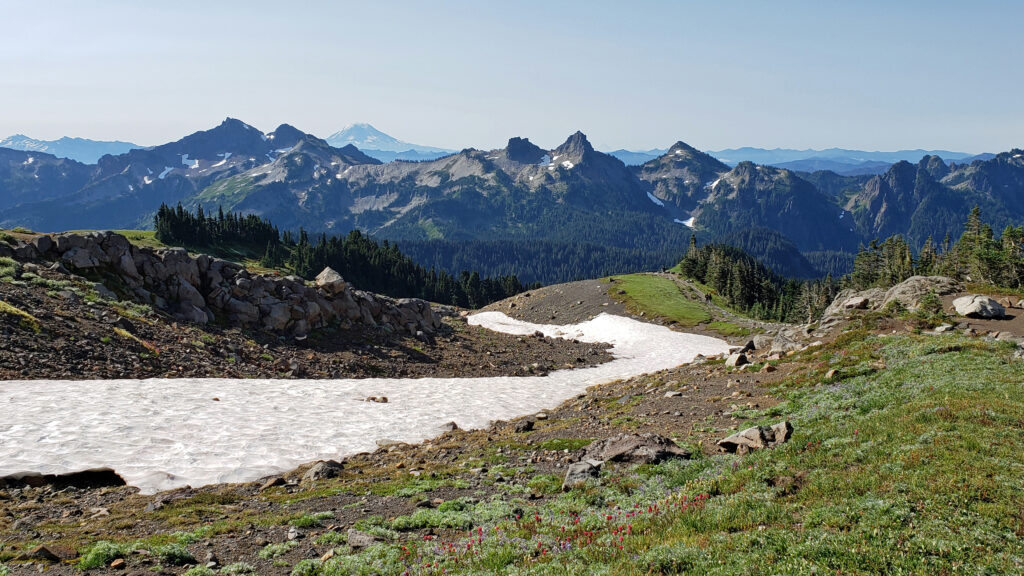
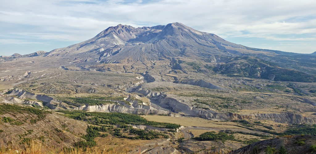
Trail Ridge Road
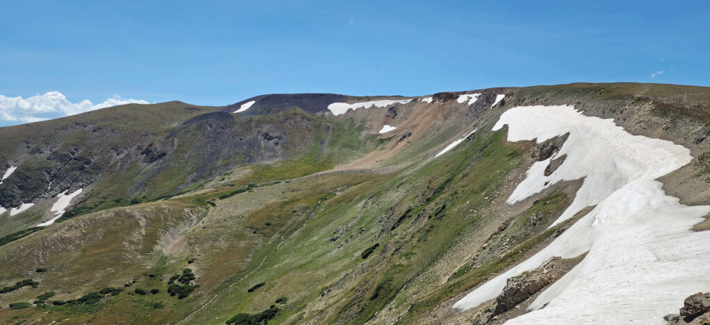
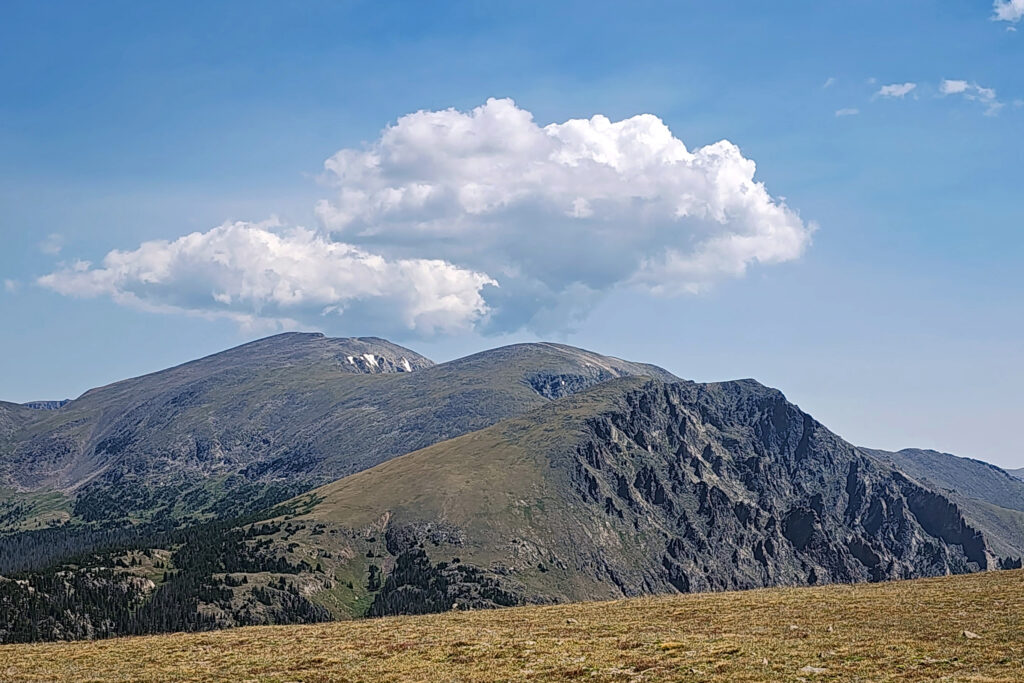
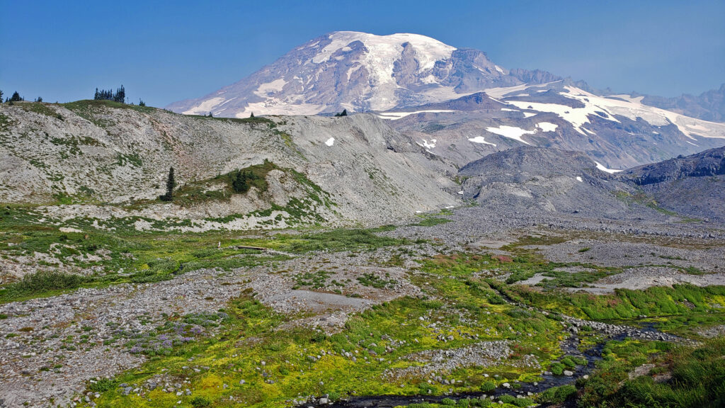
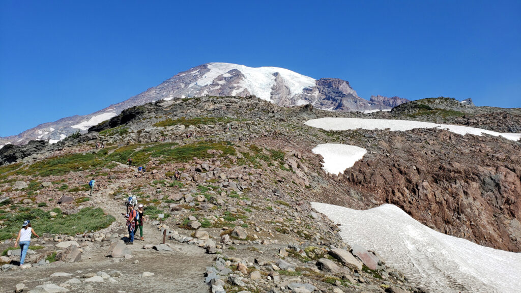
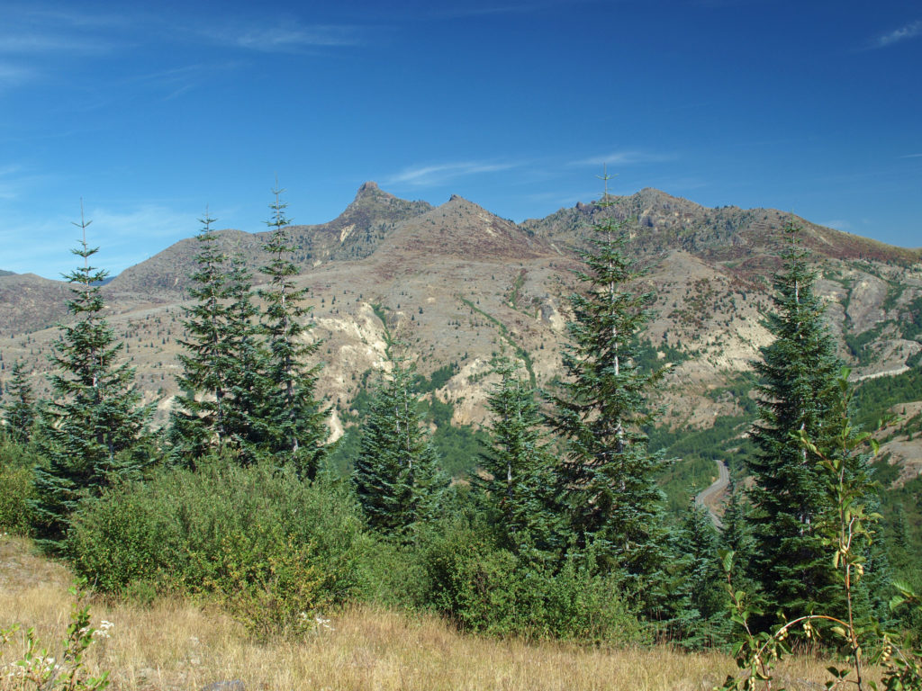
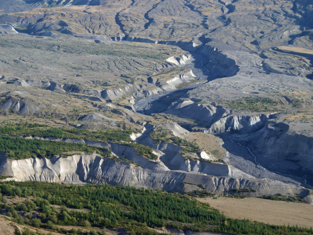
The next morning, we packed up and headed for the high country of Trail Ridge Road. Much of the drive is above timberline. The high point of the drive is at almost 12,200 feet.
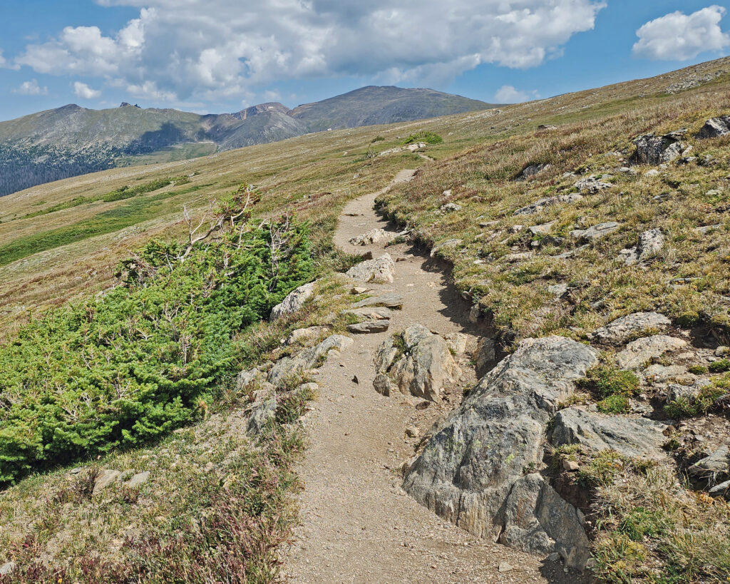
We stopped at Rock Cut and did a short hike at an elevation of 12,150 feet. It had to be short because just walking around at that elevation was enough to make both of us lightheaded. But, my God, what incredible scenery.
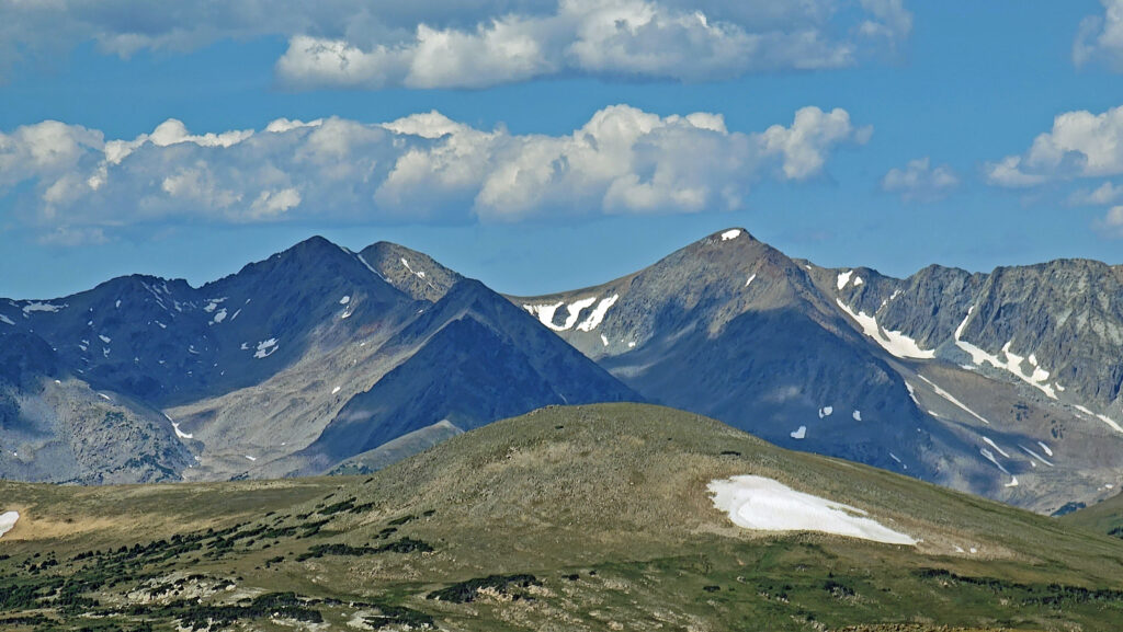
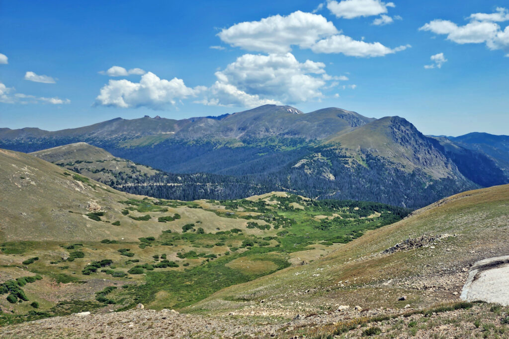
I can say with confidence that Trail Ridge Road is one of the most beautiful drives on the planet. Just awesome.
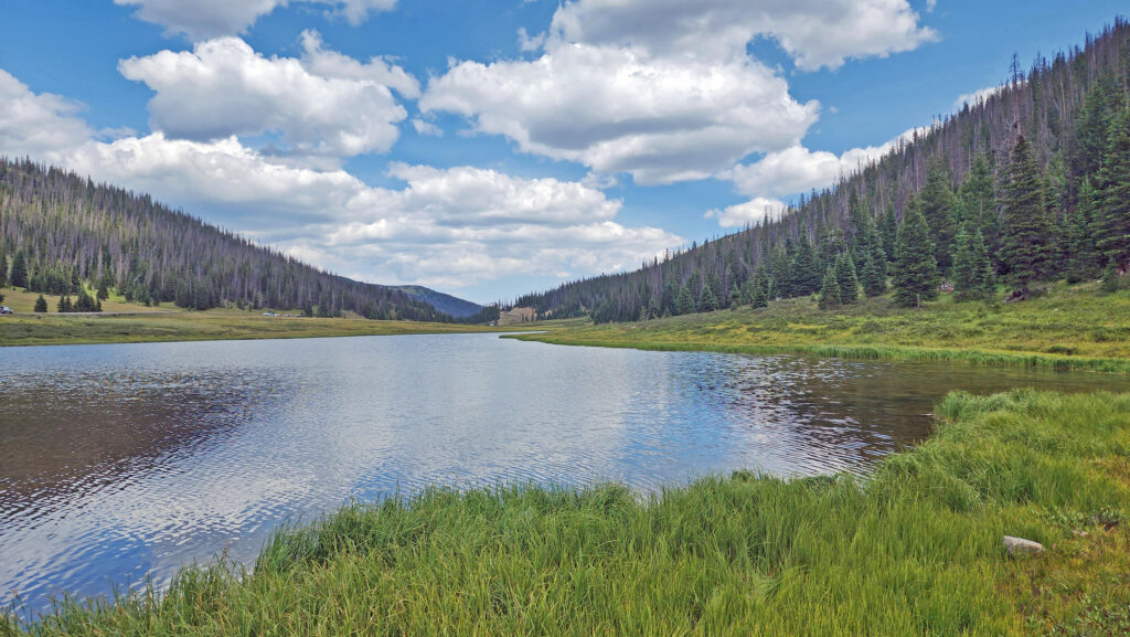
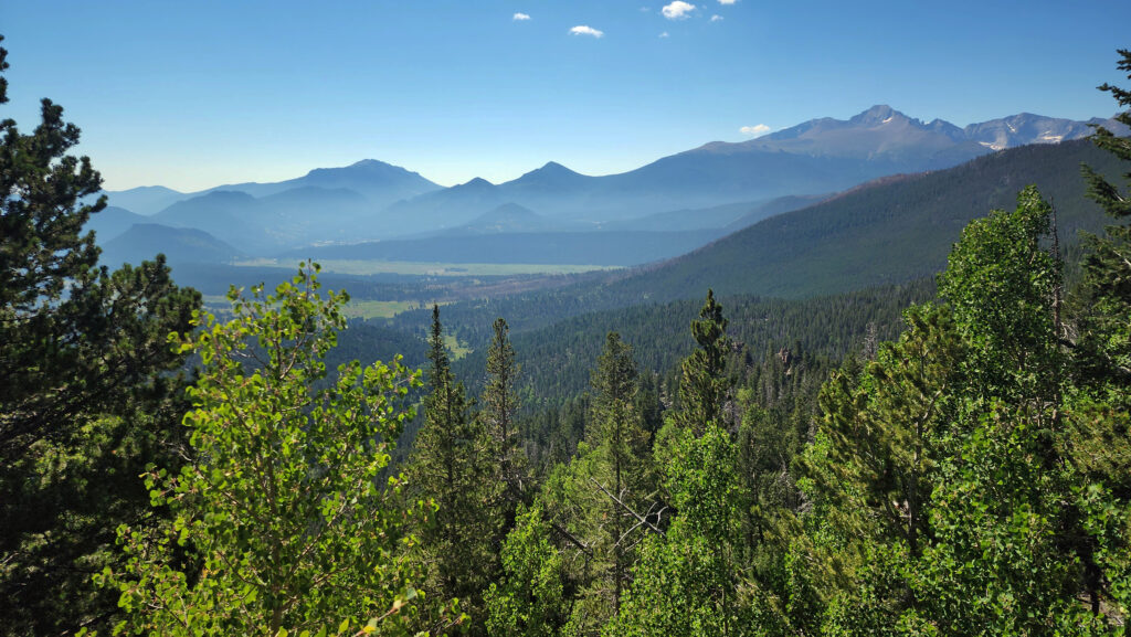
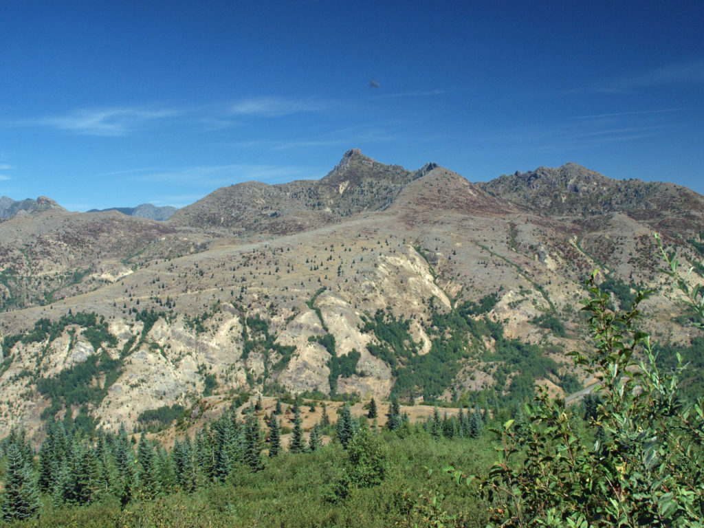
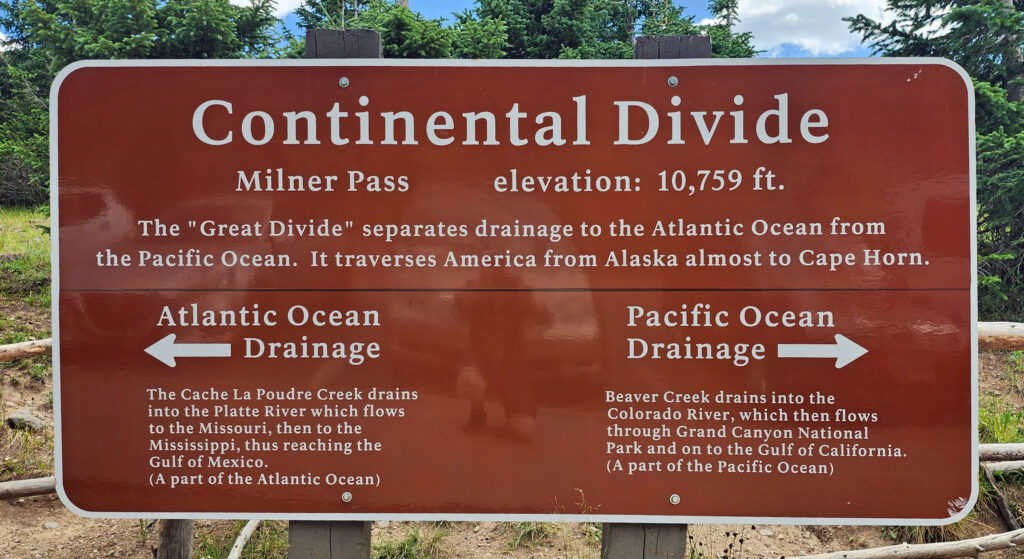 Coming down off Trail Ridge we stopped on the continental divide at Milner Pass (at 10,759 feet you actually come down in elevation from Trail Ridge to the divide). We did a short walk there along the shore of Poudre Lake and, of course, took a photo of the continental divide sign before heading south.
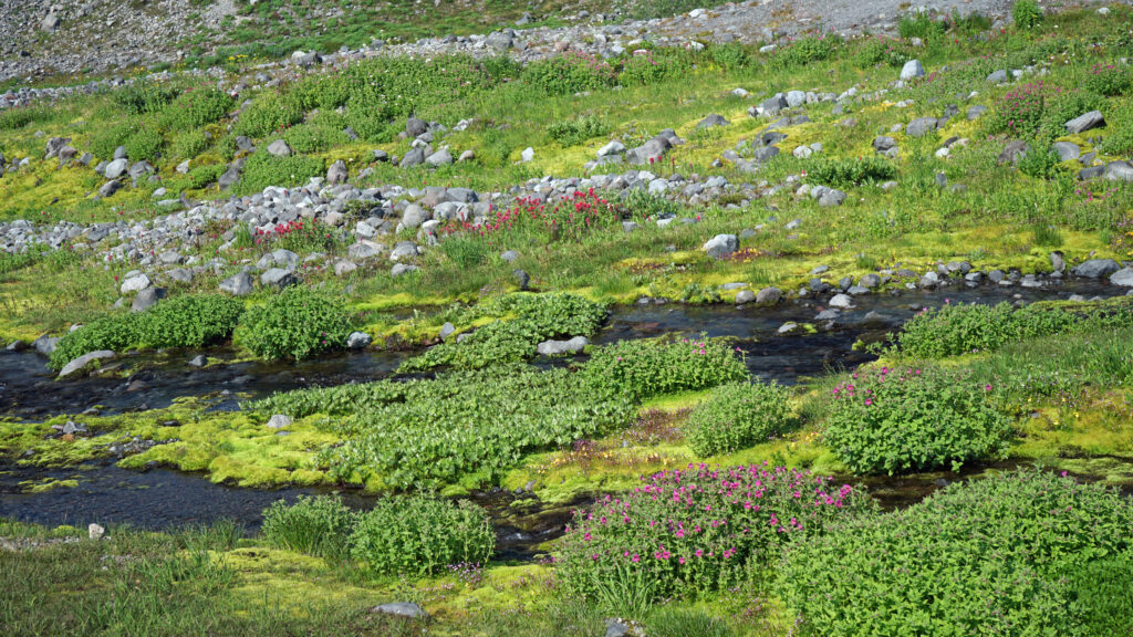
Upper Colorado River
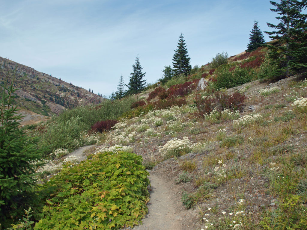
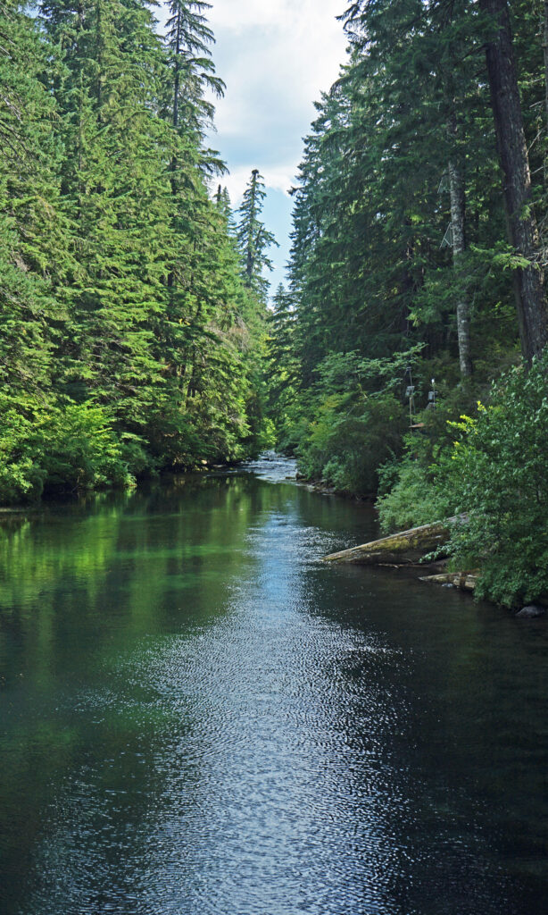
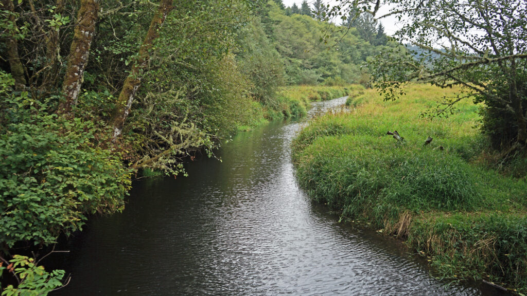
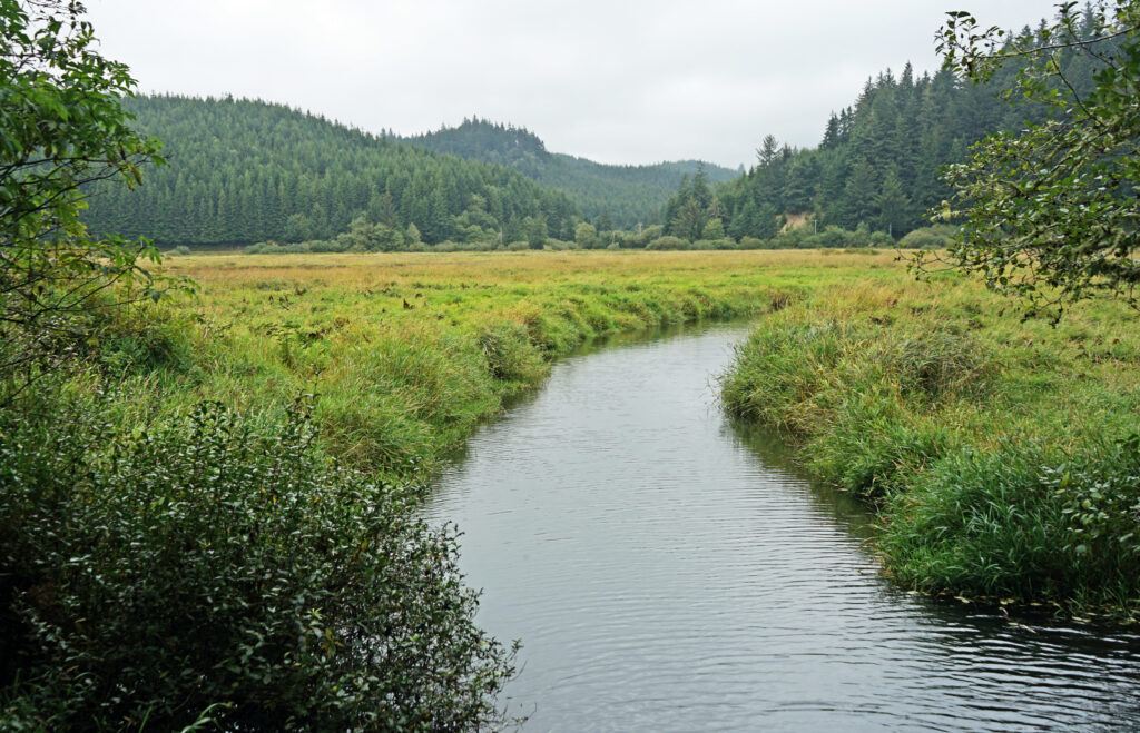
The headwaters of the Colorado River lay just northwest of Milner Pass. We stopped in Coyote Valley, where we did another short hike (about 1¼ miles) along the upper reaches of the river, which at that point is just an easily wadable creek.
Conclusion
We exited the park that afternoon at Grand Lake, with some regrets that we didn’t plan for more time in the park. Two days weren’t enough. It was a pretty grand two days, but we missed a lot of what the park has to offer. I’m hopeful that we will be back someday, maybe as part of a longer Rocky Mountain adventure. I’m up for a return trip Rocky Mountain National Park, and to the Tetons, Yellowstone, and Glacier, too. I don’t know if that will happen, there are so many places that we’ve never been to, but the dream is there, and why wouldn’t it be?
Posted November 16, 2023 by Alan K. Lee
All photos ©Alan K. Lee

 In 1859, Colorado City was founded and later became the capital of the Colorado Territory before the capital was moved first to Golden, then Denver. Colorado Springs was founded in 1871 just east of what became known as Old Colorado City. Colorado Springs grew rapidly and eventually Old Colorado City became incorporated into the growing city, and is now a neighborhood west of downtown Colorado Springs.
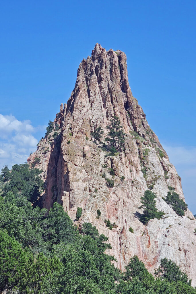
 The park is very popular and parking can be a problem, but there is also a large overflow parking area just west of 30th Street if the visitor center parking lot is full. There is a pedestrian tunnel under 30th Street to get from the overflow lot to the visitor center. The park also operates a free shuttle bus in the summer that runs from the visitor center to the center of the park with stops at the overflow parking area and the Rock Ledge Ranch Historic Site.
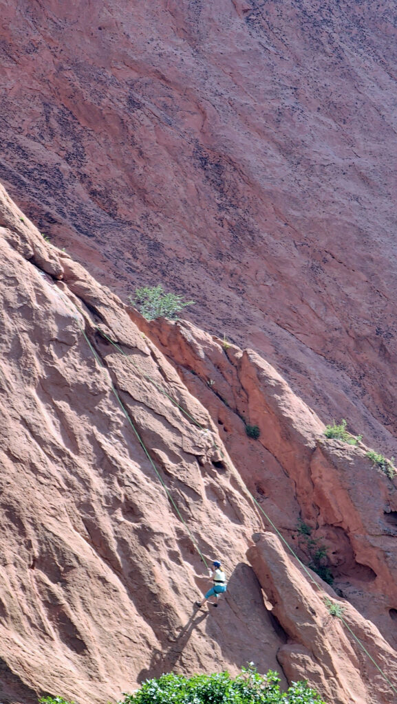
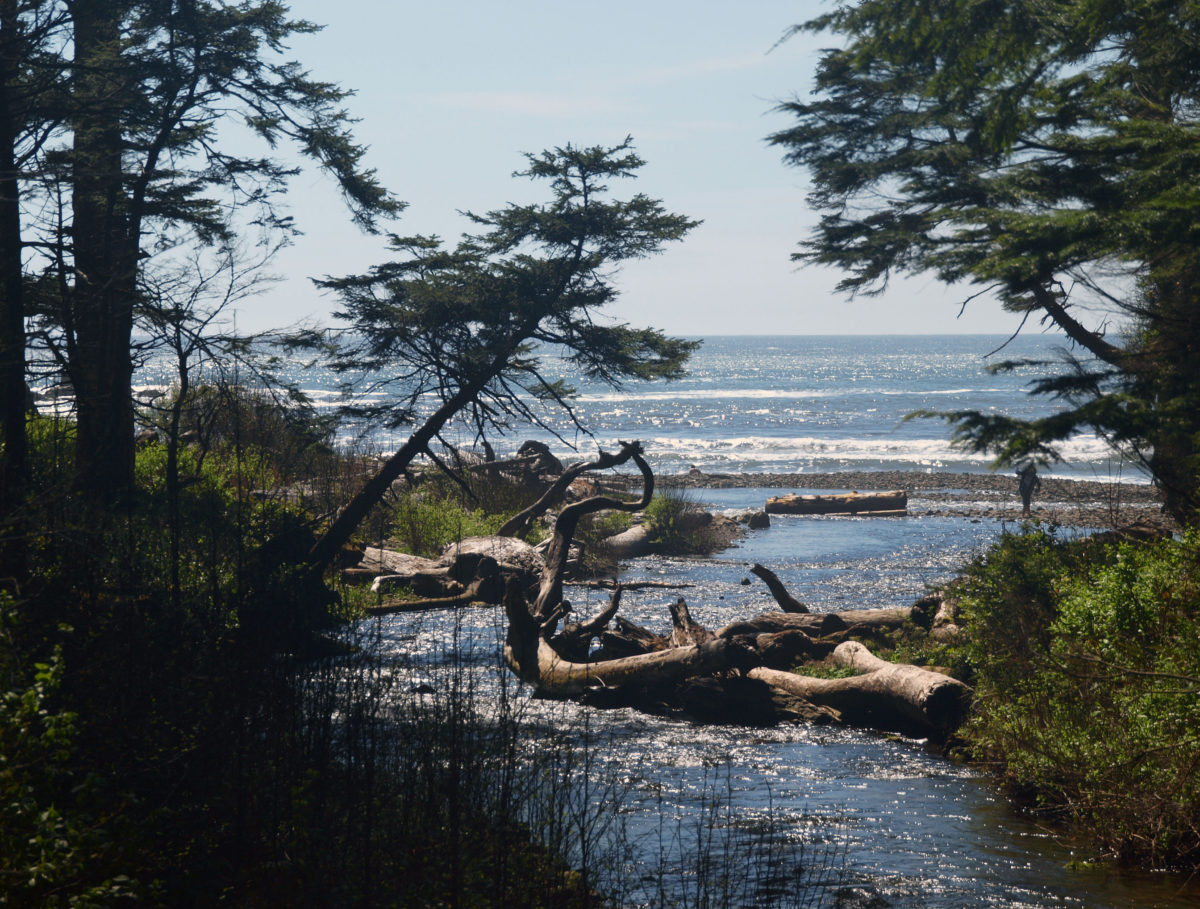
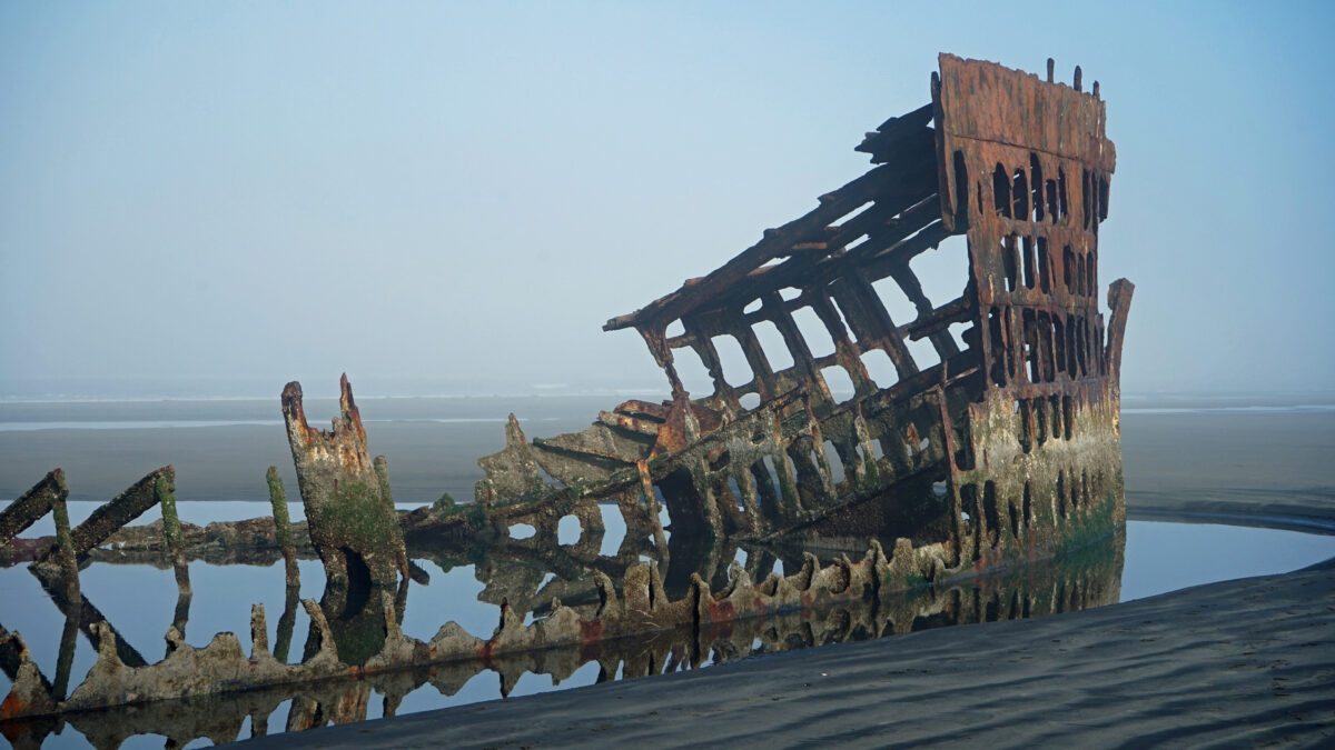
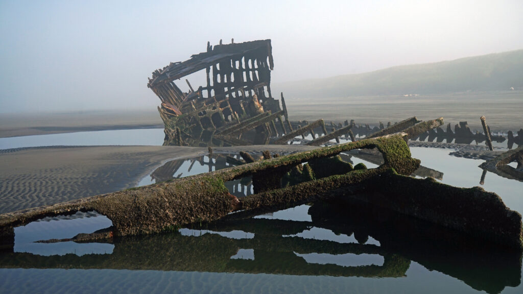
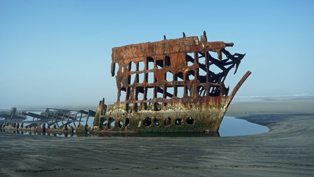
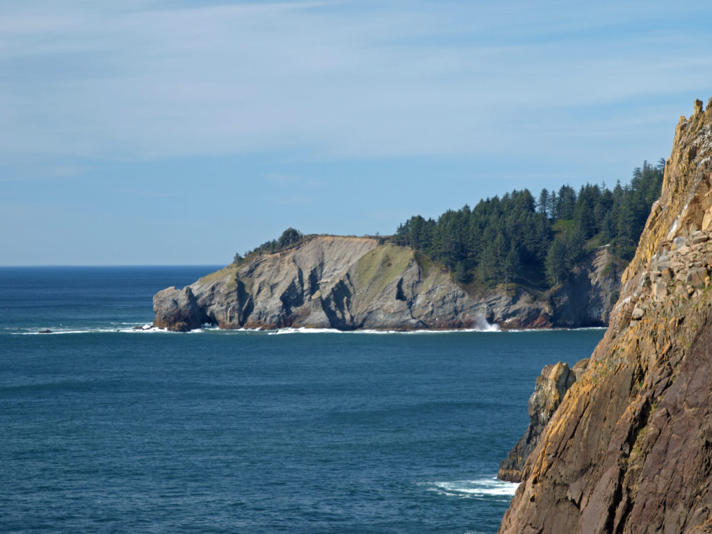 The park, originally called Short Sand Beach State Park, was created in 1931 through the efforts of Oregon’s first State Parks Superintendent, Samuel H. Boardman. Boardman was a fervent believer that of as much of the coast should be preserved in public ownership as possible. Many of the state parks along the coast were created under his stewardship. Short Sand Beach State Park was renamed in 1958 to honor former Oregon Governor
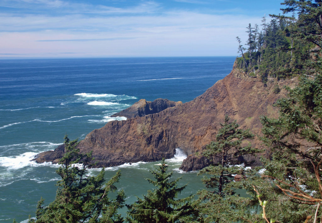
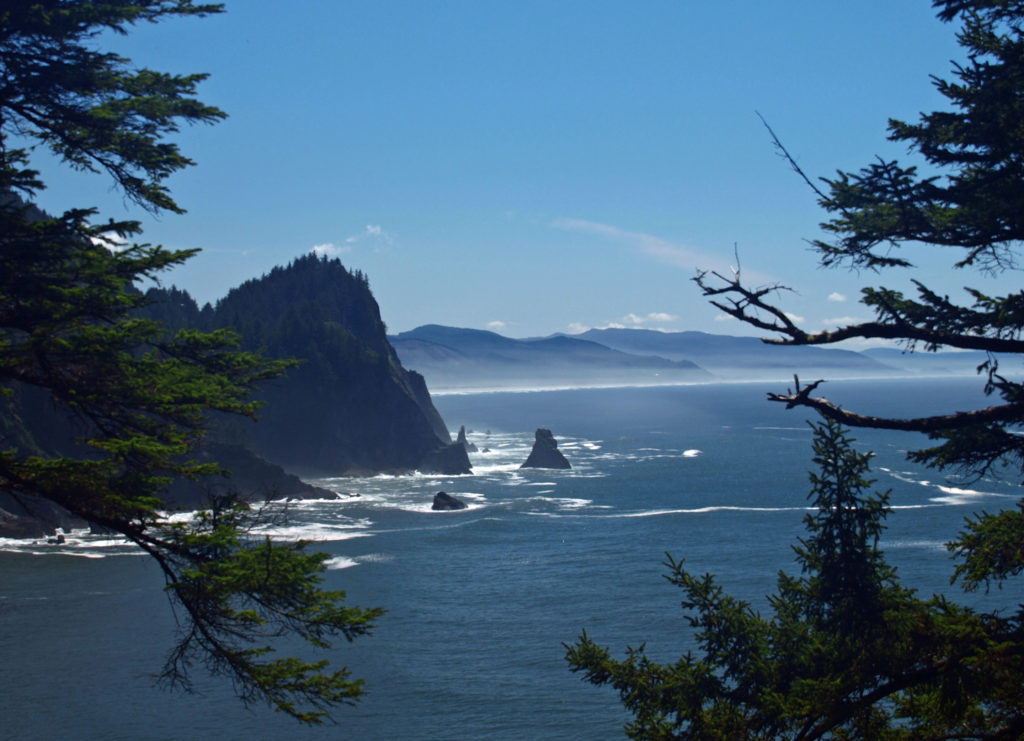
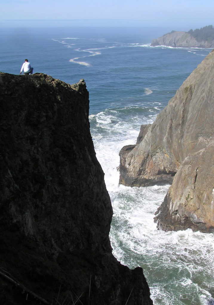
 Devils Cauldron is a spectacularly beautiful little cove on the north side of Neahkahnie Mountain. It can be reached by either a one mile hike from Short Sand Beach or a much shorter hike from where the Coast Trail crosses Hwy 101. To access the shorter route, drive south on Hwy 101 from the Short Sand Beach parking lots and look for a gravel parking area on the ocean side of the highway. Follow the Coast Trail north a short ways to a signed junction. The Devils Cauldron viewpoint is just a quarter mile walk from the parking area.
 On your way back to the trailhead look for another trail branching off to the south. The junction here is unsigned and the trail is sometimes overgrown and impassable. But if it’s open, the trail leads to a narrow shelf of rock that falls away on three sides to the ocean below, and the cliffs of Neahkahnie Mountain tower over the viewpoint to both the north and south. It may not be a place for people with a fear of heights, but it’s one of the most awesome places on the entire coast.
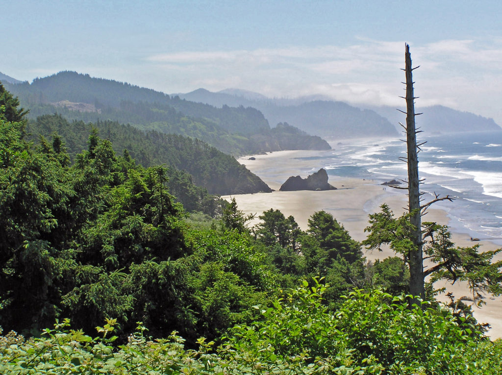
 Oswald West State Park is about a two hour drive from Portland, so it’s easily doable as a day trip if you’re from the Portland area or are visiting Portland. But if you want to make a weekend of it, there are plenty of other attractions on the north Oregon coast beyond Oswald West.
 Overview:
 Getting there:
 Trailhead:
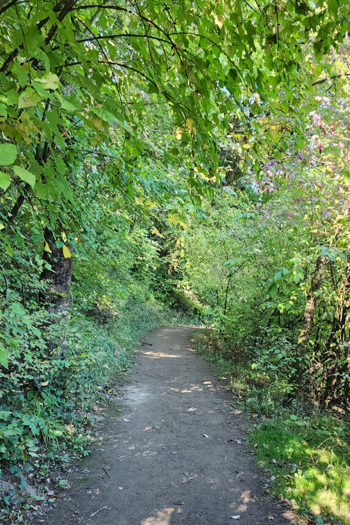 The hike:
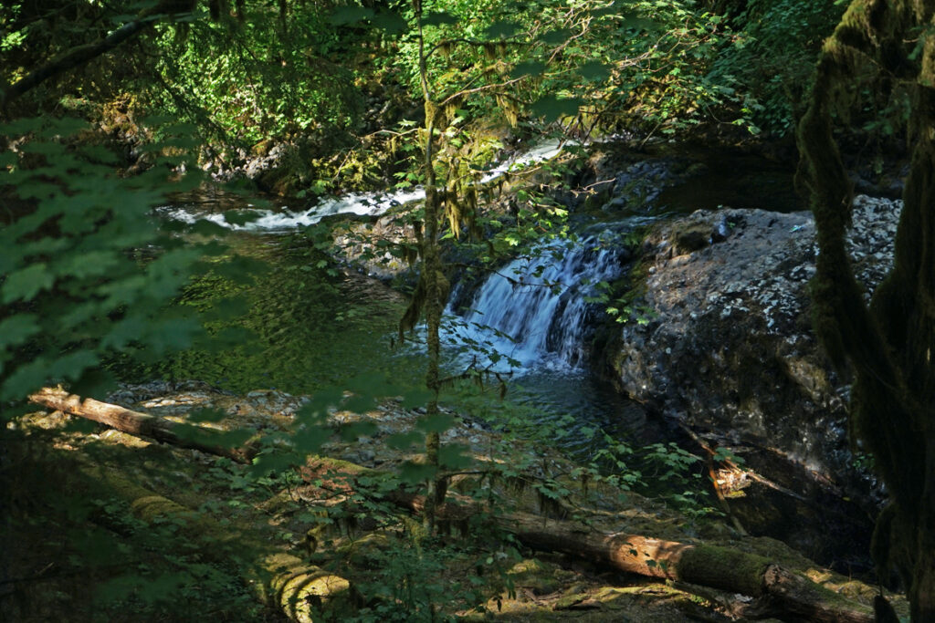
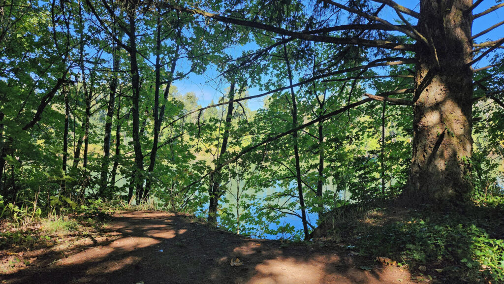 The Townsite Trail takes you along the river through a mixed woodland of Douglas fir, bigleaf maple, and red alder with partially screened views of the river. There are several user-made trails leading down to the water, but they are steep (and dangerous if the ground is wet), so be careful if you want to get to the water for a better view of the river.
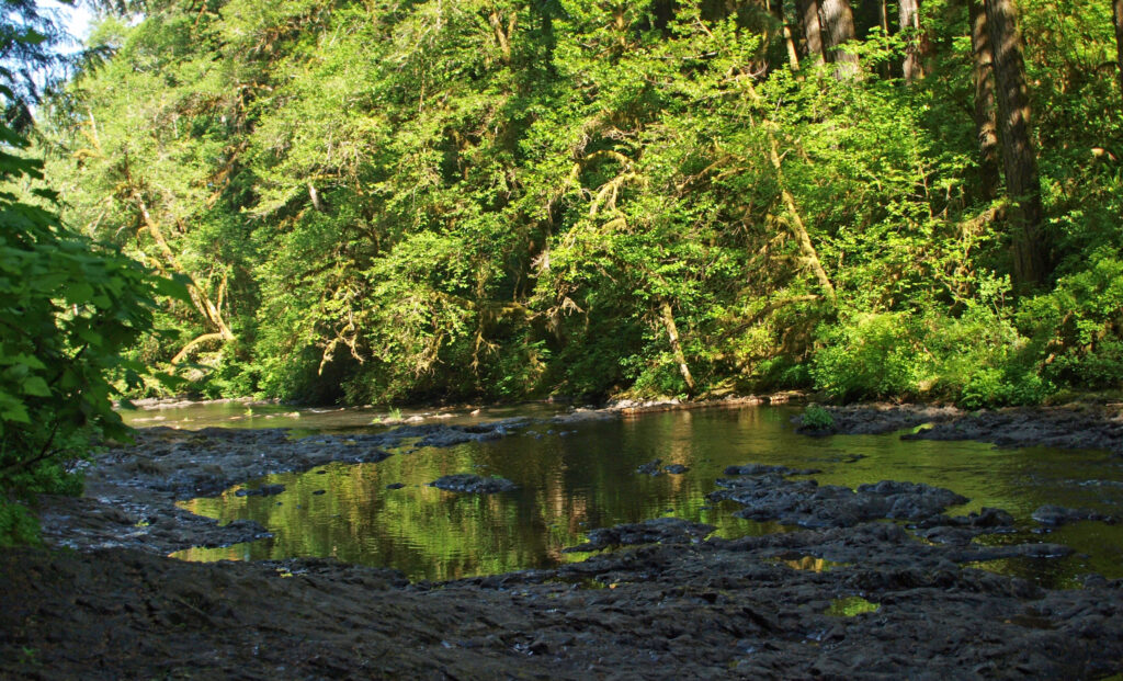
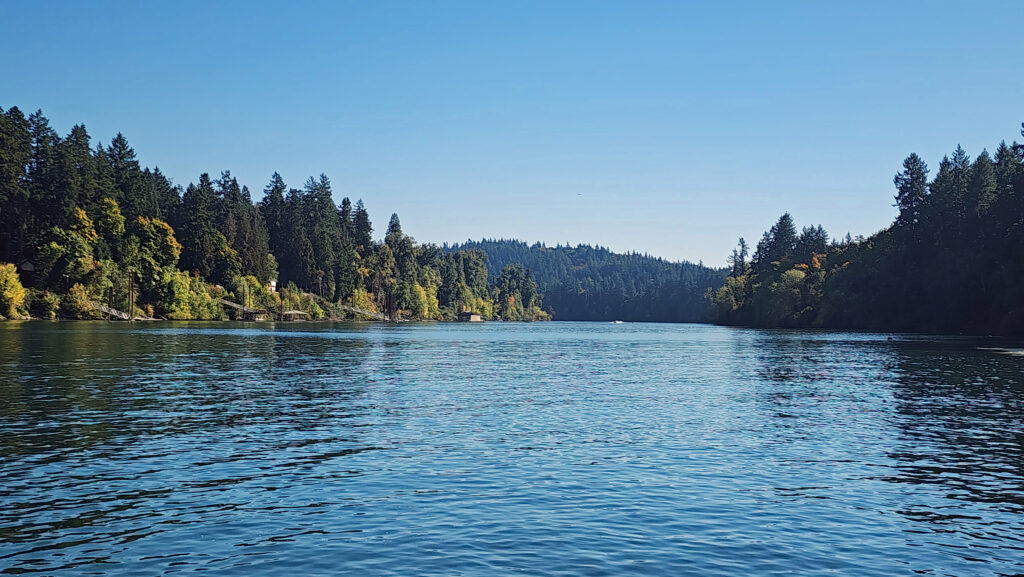 At about the one-mile mark you’ll come to an open field on your right and you’ll see a boat dock ahead on your left. There is a small parking area here with a restroom. Head down to the dock for the best views of the river on this hike.
 Coming back up from the dock, look for a trail to your left. This will take you to Champoeg Creek where it flows into the Willamette. The trail then loops back through the forest and comes out into a clearing. Follow the edge of the clearing back to the restroom above the dock. From there, retrace your route back to the trailhead at the Riverside picnic area.
 Best time to go:
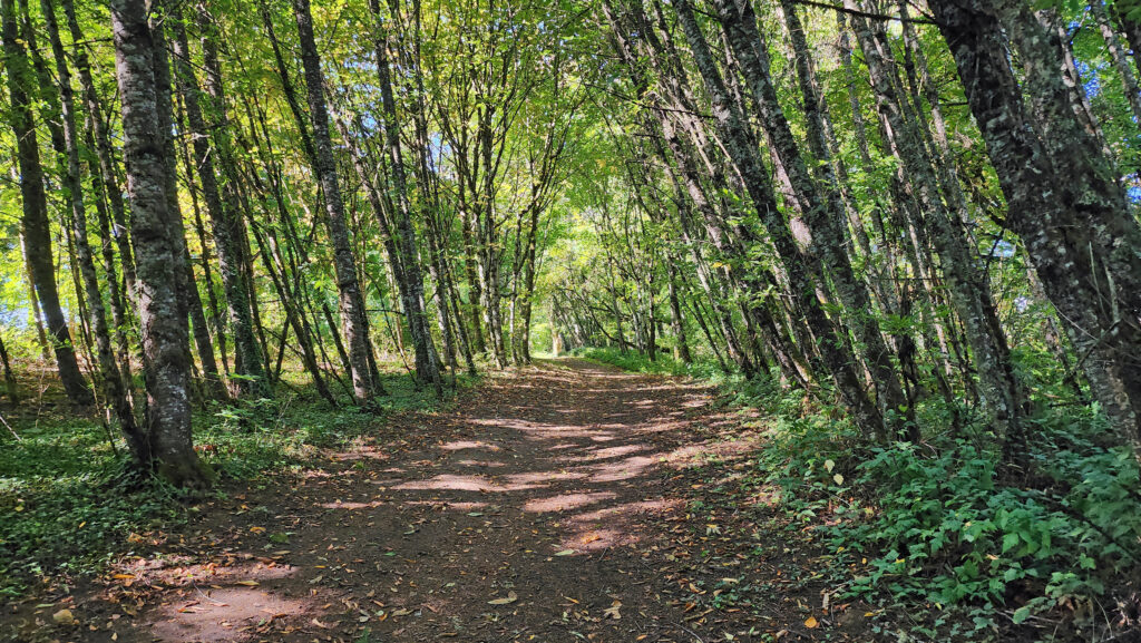 Champoeg State Park:
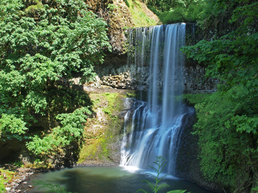
 Posted October 26, 2023 by Alan K. Lee
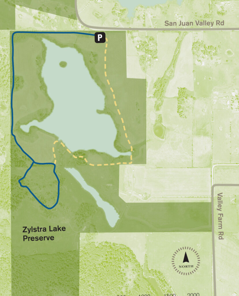
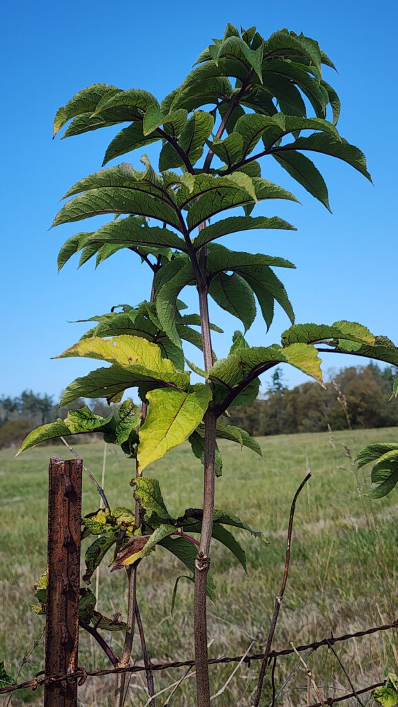
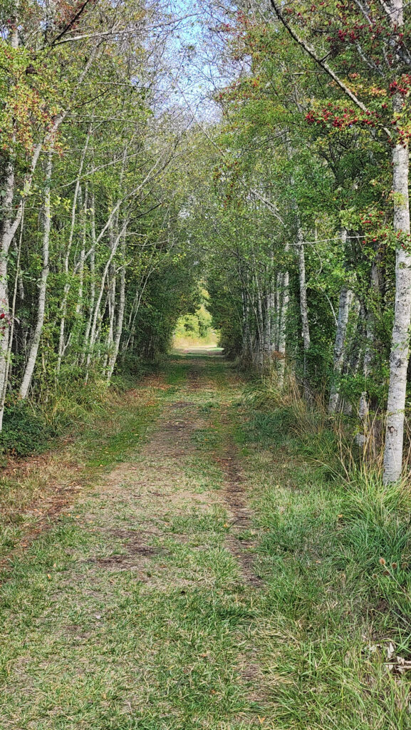
 The property was formerly a privately owned farm that was the site of a proposed housing development. Instead, the property was sold to the land bank in 2015 and the trust obtained the conservation easement. Thirty acres of the property, including the farmhouse and agricultural buildings, were sold by the land bank to Island Haven, a non-profit animal sanctuary, with a conservation easement to protect the land.
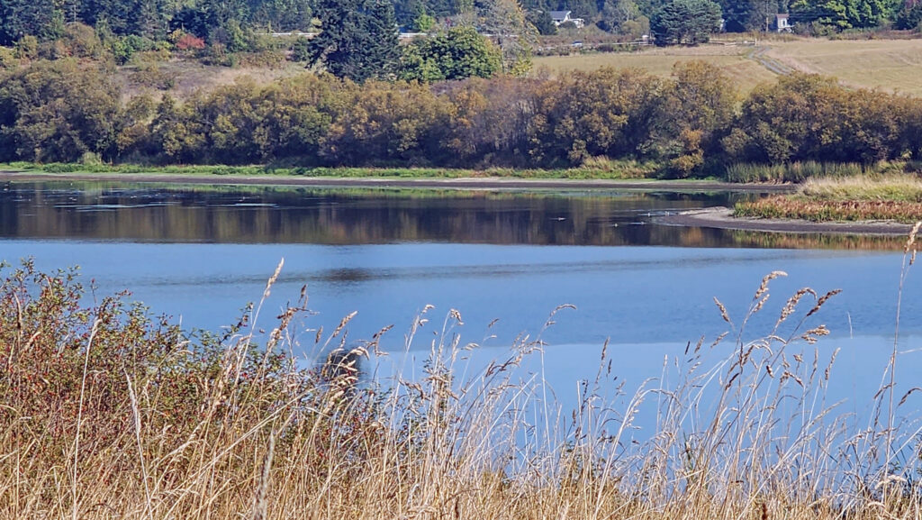 Currently, there is no public access to the lakeshore, and the eastern and southern portions of the trail around the lake are closed from October through March. The northern and western portions of the loop are open year-round and can be hiked as a lollipop loop during the winter.
 Getting there:
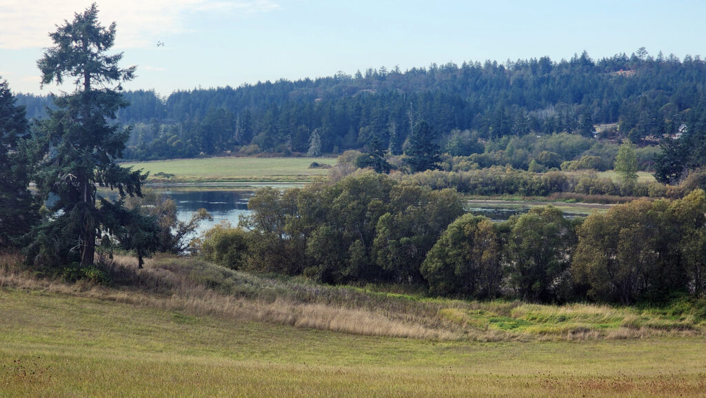 Trailhead:
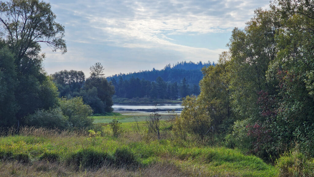 The hike:
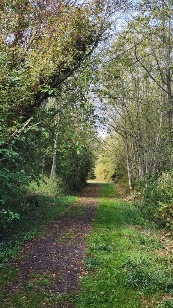
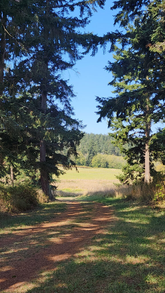
 At 0.3 miles the trail turns south and runs along the western boundary of the preserve for another 0.4 miles. The trail then turns southeast and follows the edge of an open field with good views of the lake.
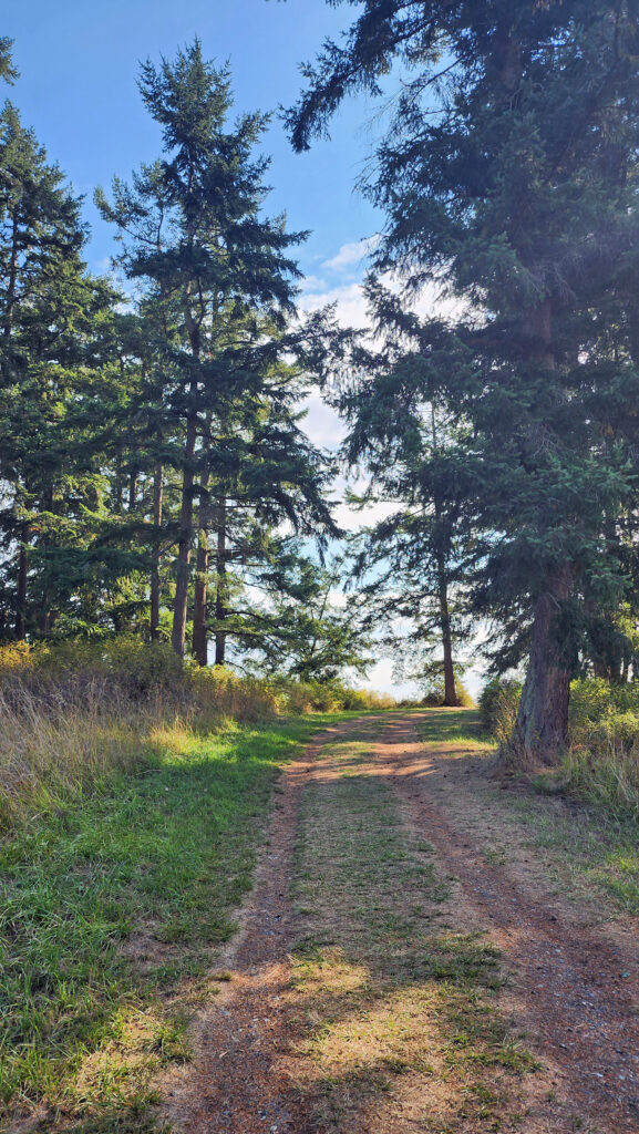
 At the 0.85-mile mark, turn right onto a trail that leads through a mix of open fields and partially logged woodland.
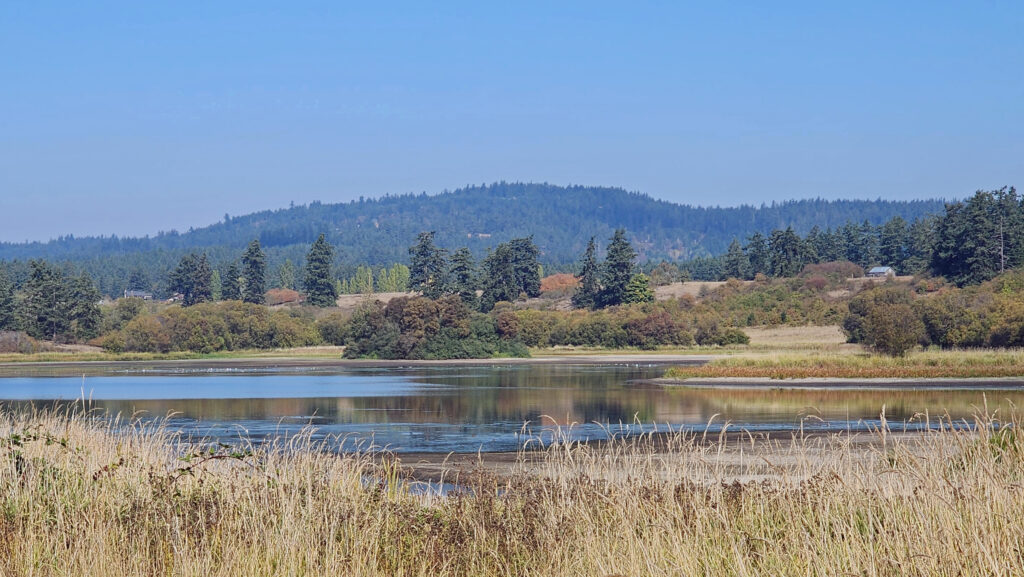 At the 1.25-mile mark, the trail returns to the open field. In winter, the trail ahead is closed, so you need to turn left and retrace your route back to the trailhead parking area.
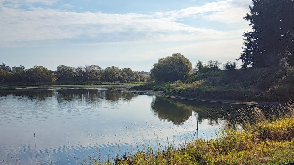 In summer, you can continue straight. The trail then turns right and crosses a bridge over the creek that flows from the lake. Beyond the bridge, the trail runs along the top of the dam that forms the lake, then passes through a small grove of trees.
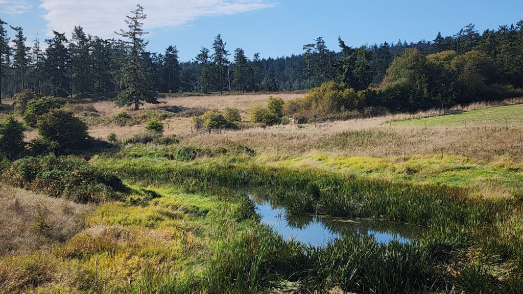 From there, the trail runs between fields to the old farmhouse site that is now home to the Island Haven animal sanctuary. The trail turns left there and follows a gravel farm road back to the trailhead.
 Posted October 12, 2023 by Alan K. Lee
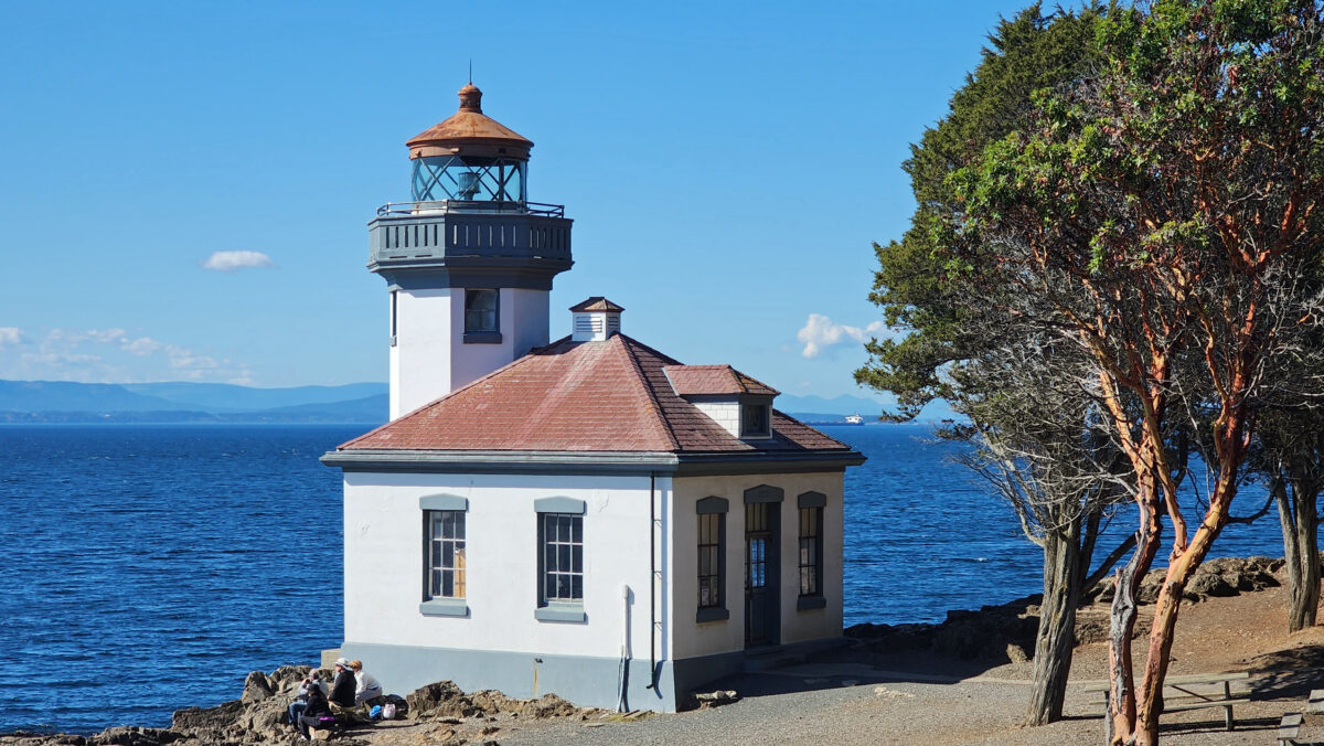
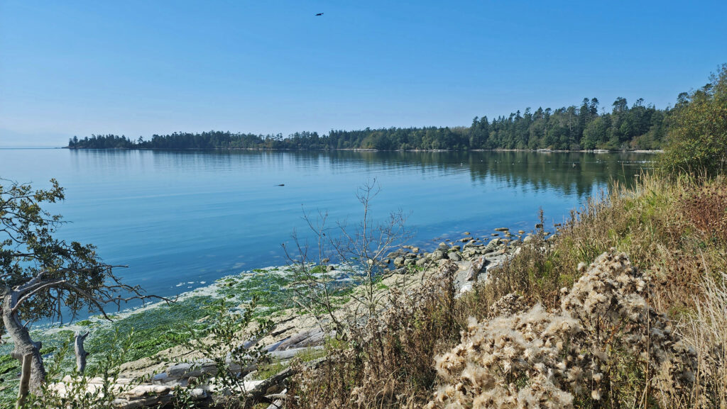
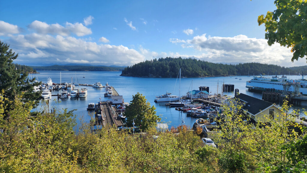
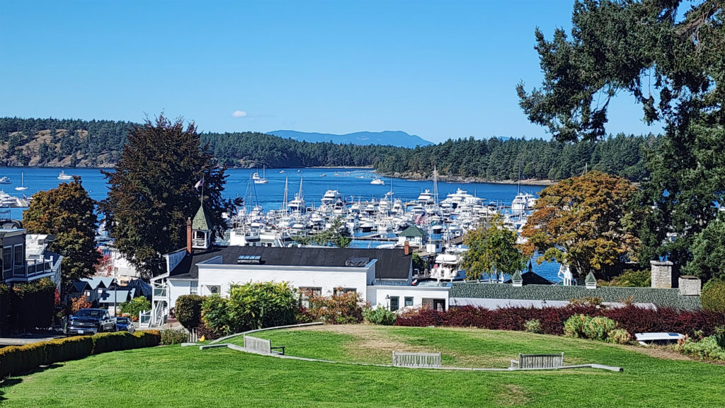
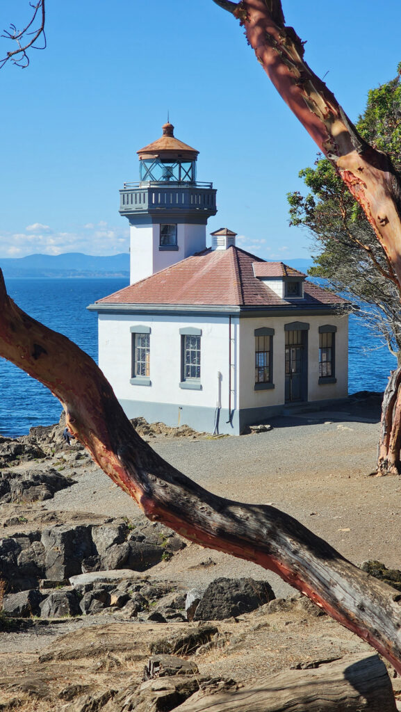
 There is no shortage of places to eat in Friday Harbor. For breakfast and lunch, I can personally recommend both Rocky Bay Café and Tina’s Place. For dining with a view, go to Downriggers on the bayfront. Classic Italian food can be found at Vinny’s Ristorante. Vegetarian and vegan food can be had at Mike’s Café and Wine Bar. For quality craft beers and upscale pub food, try San Juan Brewing. For seafood in a casual dining space, check out Friday’s Crab House. We ate at all of those, and all were good. But that’s just a sampling of what Friday Harbor offers. I wish we had had a few more days to sample more of the town’s eateries. What’s a vacation for, after all.
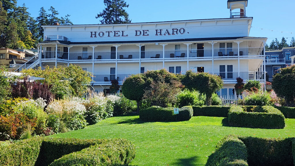
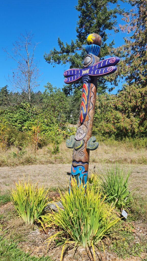
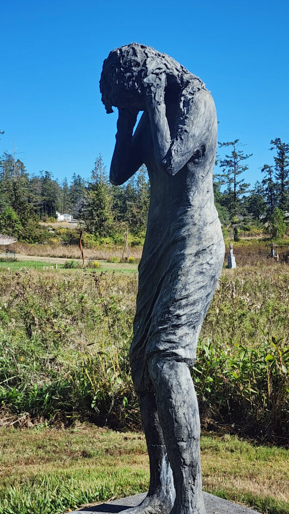
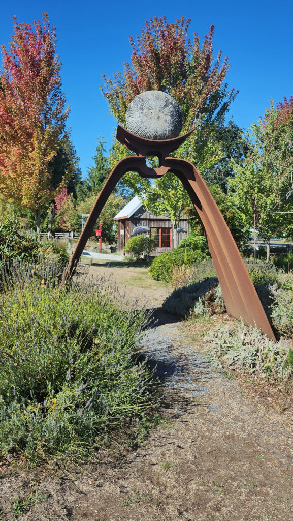
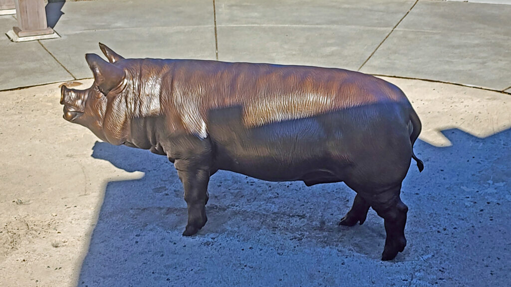
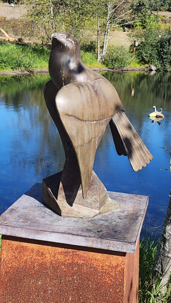 Near Roche Harbor (I think it’s actually part of the resort), the San Juan Islands Sculpture Park is a must see if you’re at all interested in sculpture. There are over 100 works of art (it seemed like many more) spread out over the twenty acres of the garden. Plan to spend at least an hour here. We spent more than that and still didn’t see it all. Admission is free, but donations are requested.
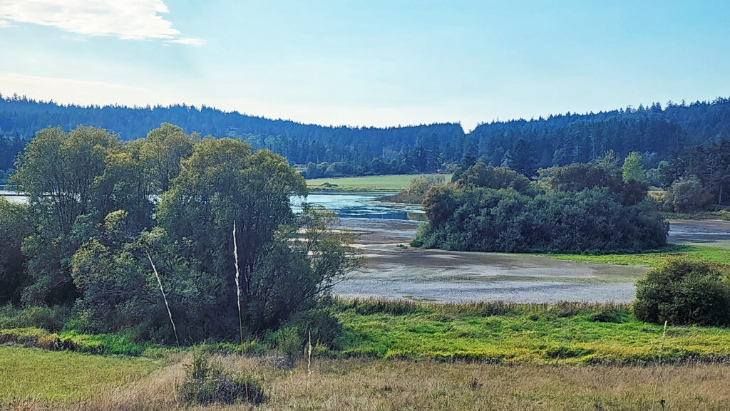
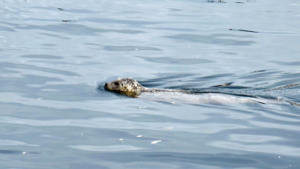
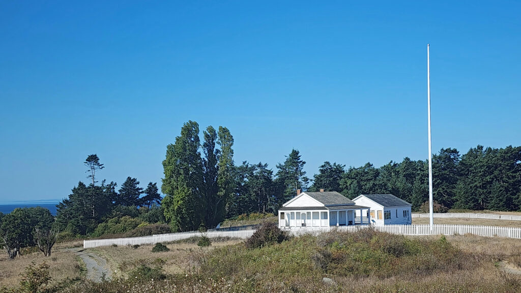
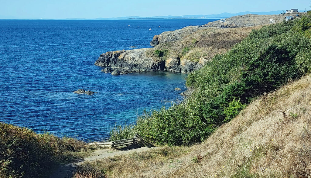
 Tensions between the American and British contingents led both England and the U.S. to send military forces to the island. From 1859 to 1872, when the boundary dispute was finally settled in favor of the United States, the island was jointly occupied by both forces. No actual combat occurred, and no one was injured in the Pig War. The sites of the two country’s military installations are now part of
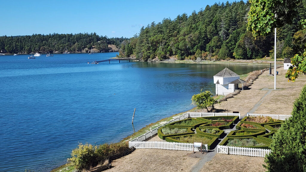

 Conclusion
 Posted October 12, 2023 by Alan K. Lee
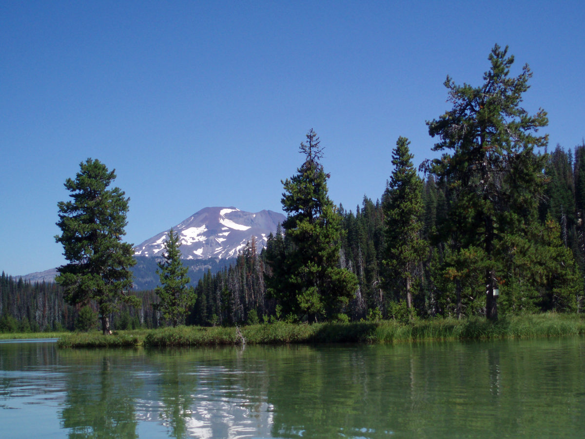
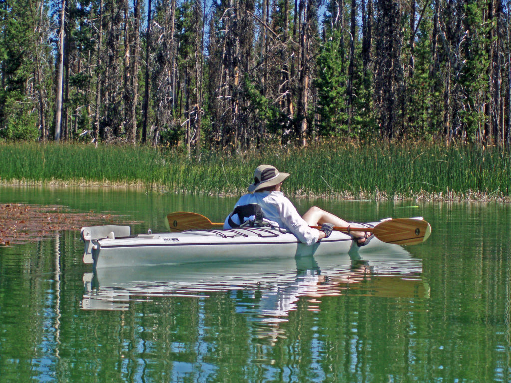
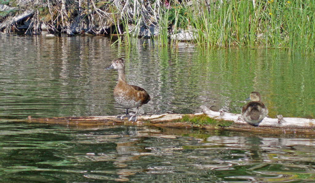
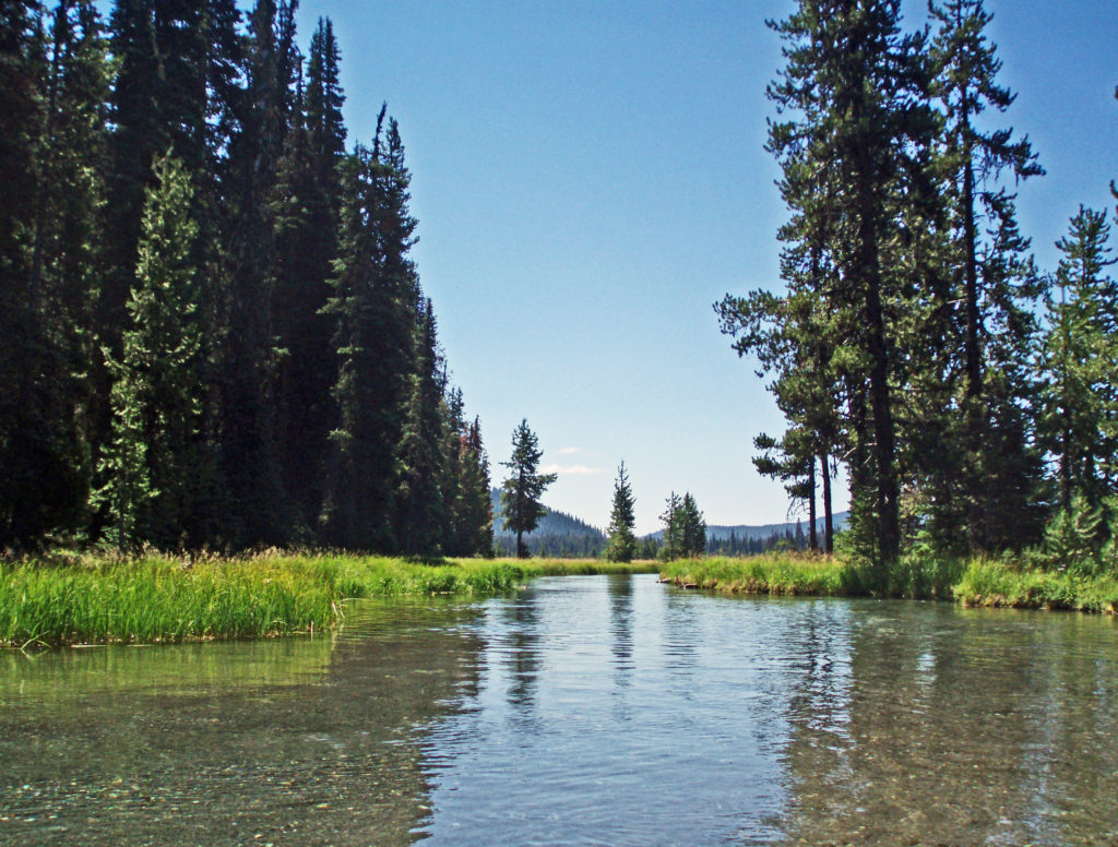
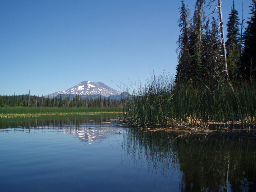
 Hosmer Lake is a mix of open water and reeds, rushes, water lilies, and other marsh plants. Motorized craft (except for electric motor powered) are not allowed on the lake, which makes it ideal for kayaking or canoeing. It’s also not a big lake at 160 acres, so you can easily explore it all in an afternoon.
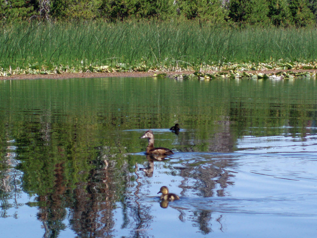
 Hosmer Lake is fed by Quinn Creek, which flows into the north end of the lake. Quinn Creek is narrow and shallow, but it is possible to paddle up it for a ways. When we were there last, downed trees blocked our passage a few hundred yards from the mouth of the creek. We hauled our kayaks out of the water at that point and hiked along the creek to a small waterfall where we ate lunch and lingered awhile before heading back out on the water.
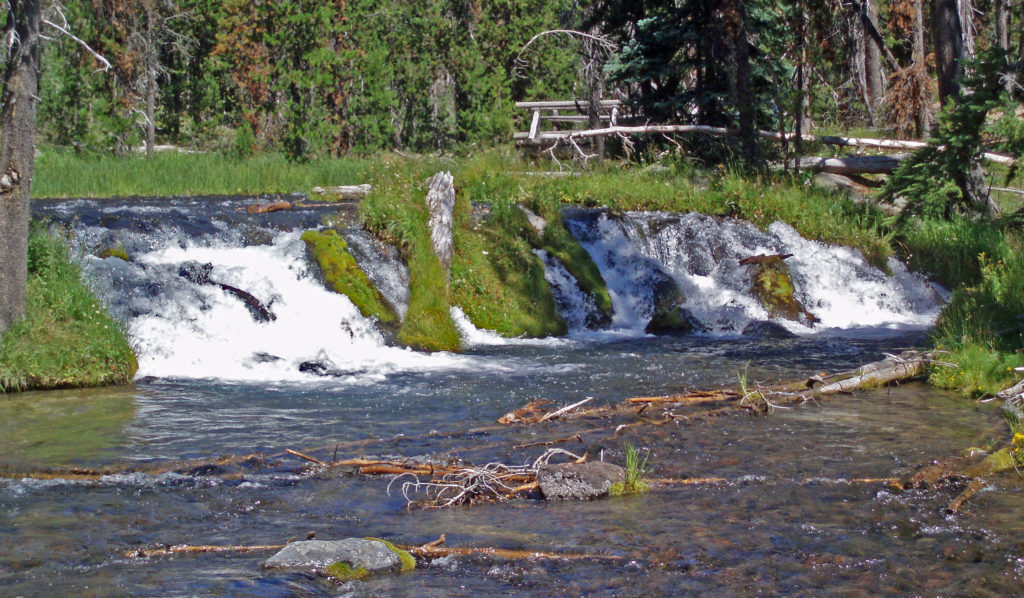 Recalling our visits to Hosmer Lake, I’m eager now to get back to the area and get back on the water again. It’s a beautiful place, and one of my favorite destinations.
  Hosmer Lake is located in the Deschutes National Forest. Check the Forest Service
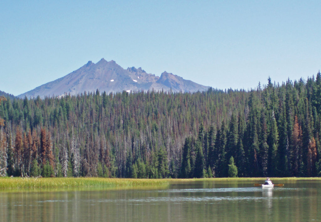

 The following was originally posted on this site a couple of years ago. I checked all of the links, but things can change, so check the


 Best Times to Go:
 The hike:
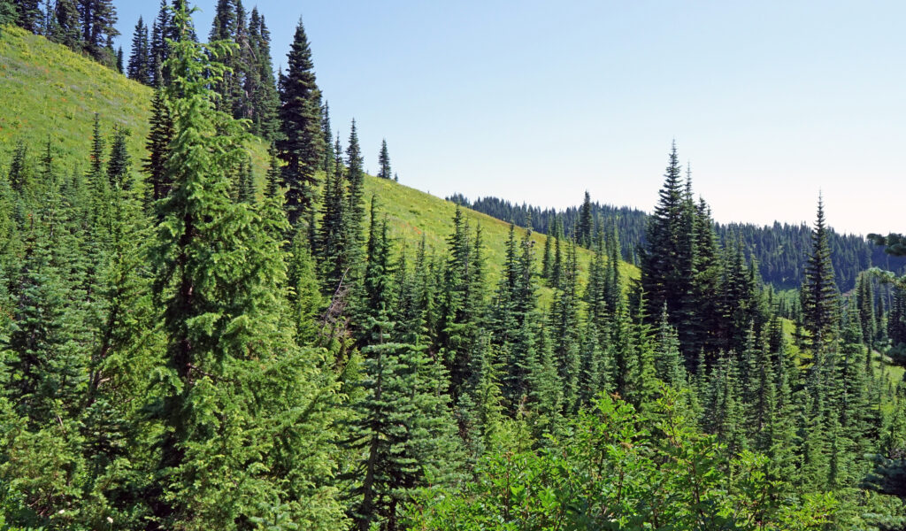
 Other area attractions and activities:
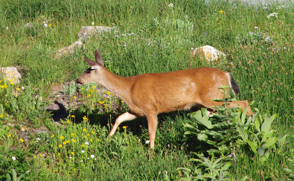
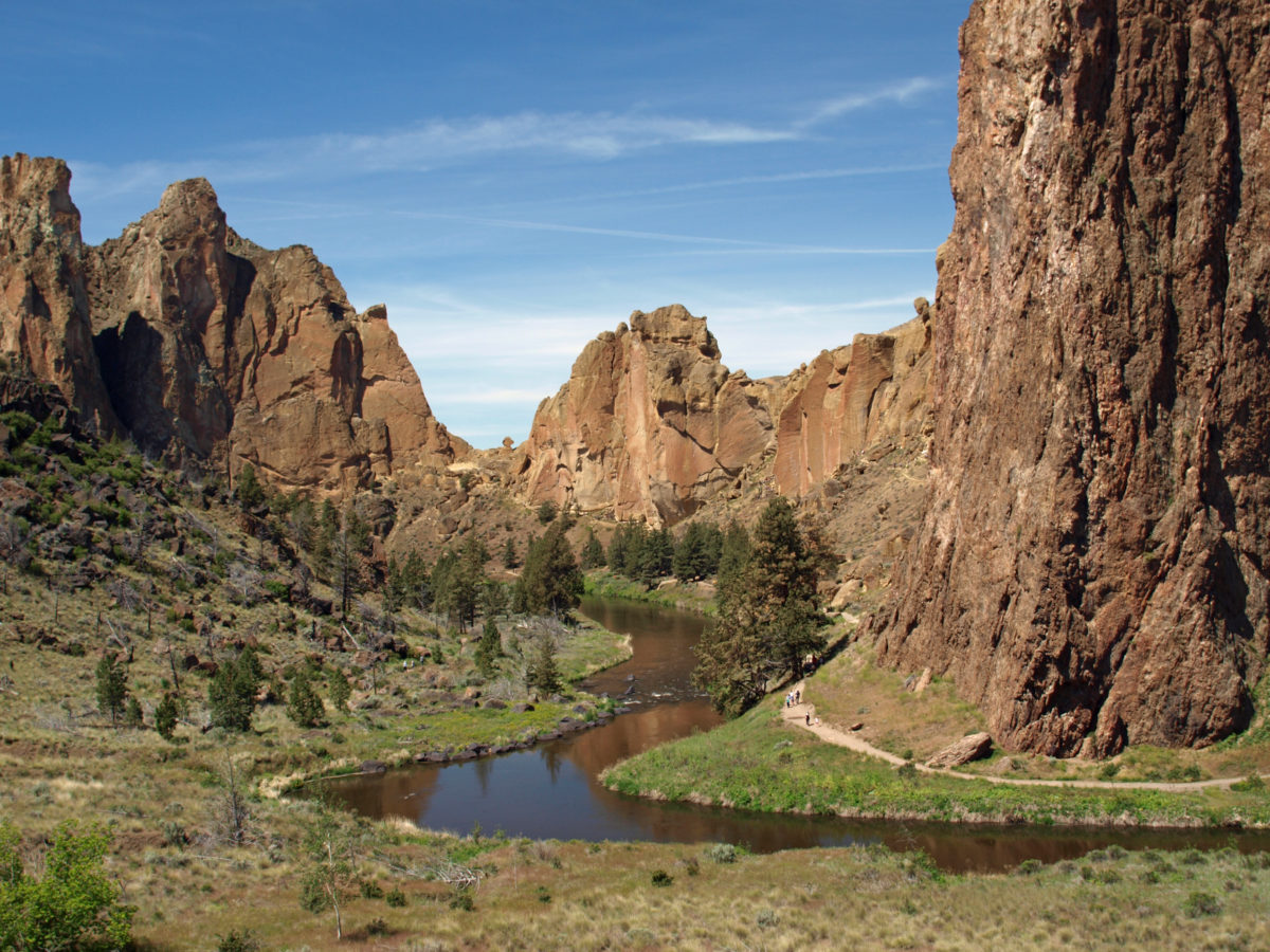
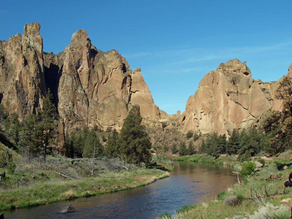
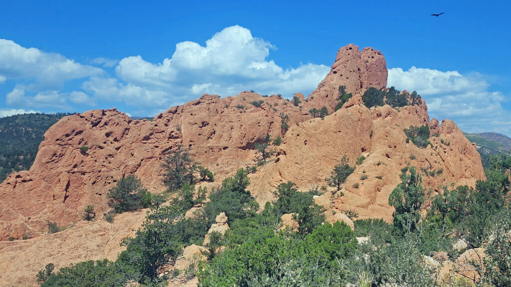
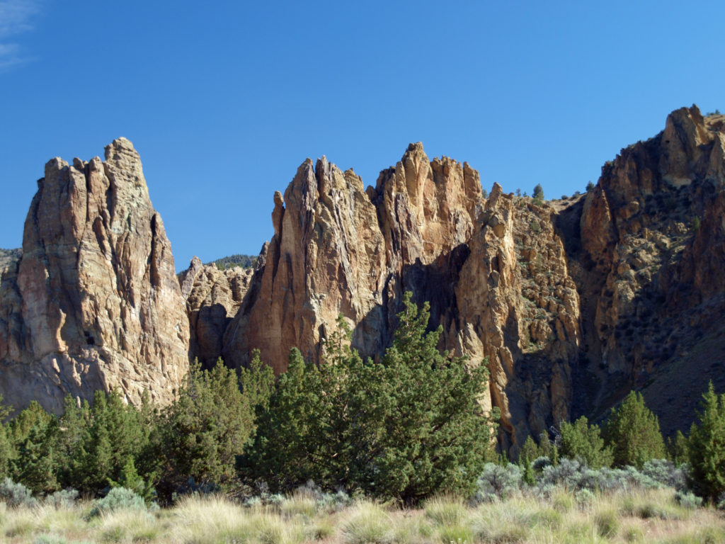
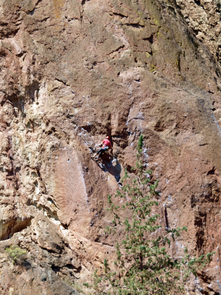
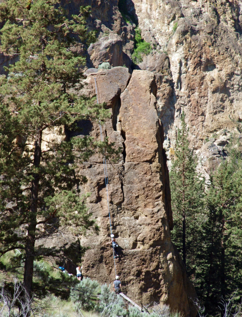
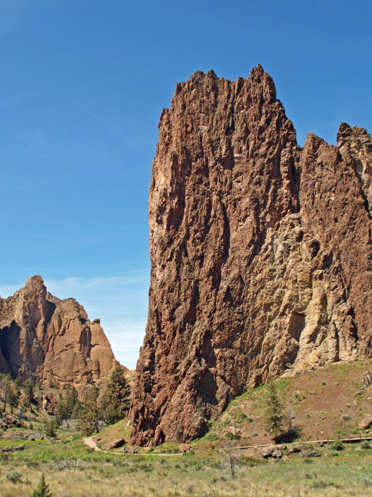
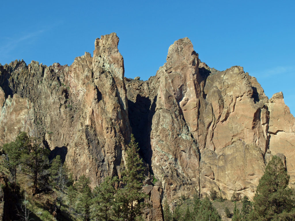
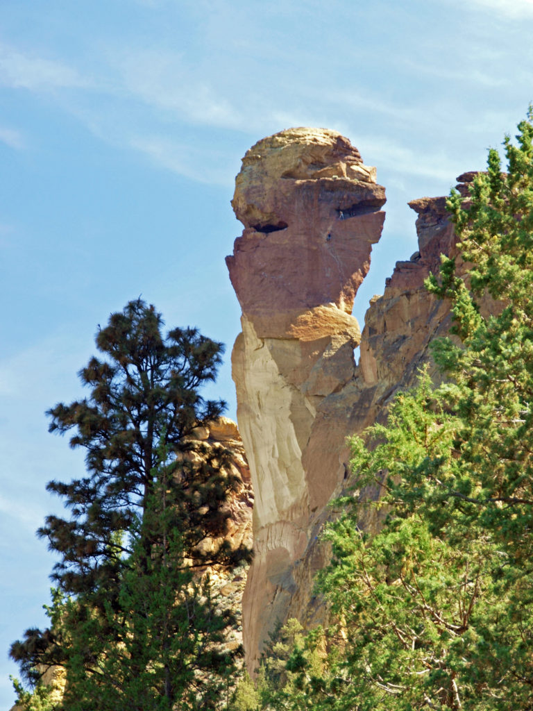 Several thousand climbing routes exist within the park, including more than a thousand bolted routes. Climbers literally come from all over the globe to climb here. And an extensive trail system within the park offers hikers a variety of routes of varying lengths and difficulty. Many of the trails are multi-use trails, open also to mountain bikers and horseback riders. Click
 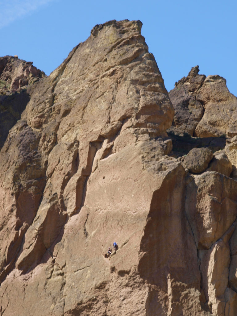 Thirty million years ago the area that is now Smith Rock was on the western rim of the Crooked River Caldera. Over time, nearby volcanic eruptions filled the caldera with ash that compacted into volcanic tuff. The tuff was later overtopped with basalt lava flows from vents about fifty miles away. The Crooked River then eroded much of that, leaving the formations we see today.
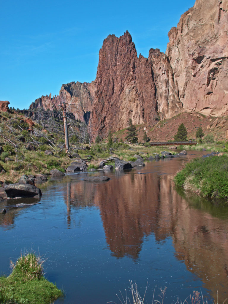
 On summer weekends you need to come early to have a chance of finding a place to park. The parking areas fill up quickly, and it’s not unusual to see cars parked along both sides of the road leading to the park and people walking in the road. There has been a shuttle system proposed that would allow visitors to park in the nearby town of Terrebonne and bus into the park, but that (to the best of my knowledge) has yet to be implemented. Even during the week, and on spring and fall weekends, parking can be a problem.
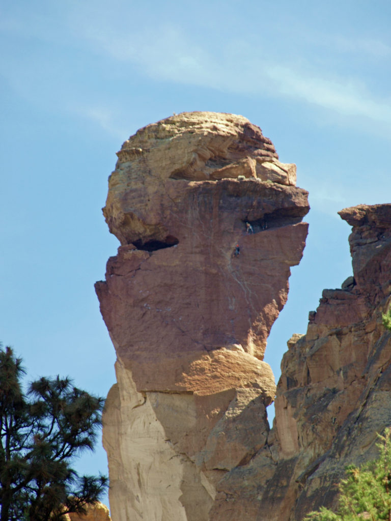
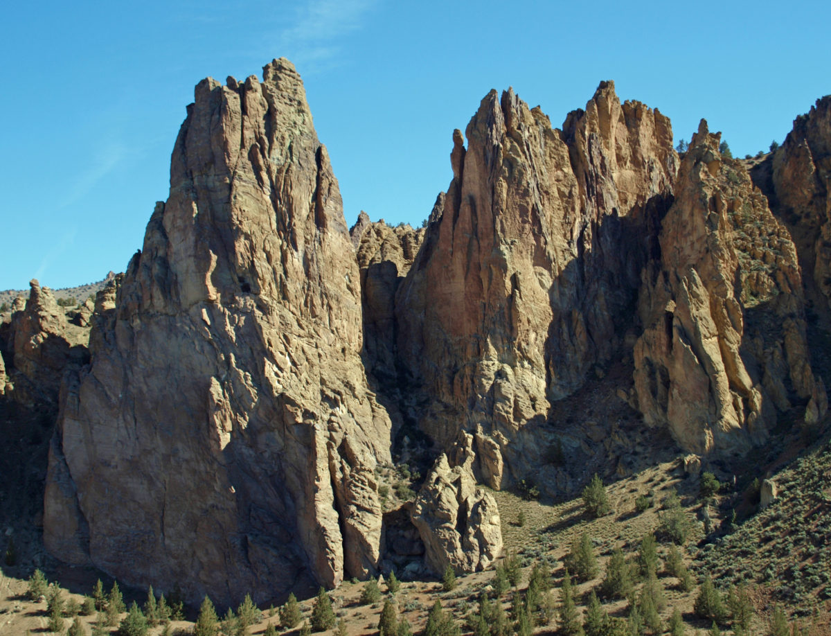
 Despite the crowds and other problems, Smith Rock is a Pacific Northwest bucket list destination, not to be missed. It’s a spectacularly beautiful place. But if you’re looking for a wilderness experience, you won’t find it at Smith Rock (except maybe in the middle of winter). If you don’t mind sharing the place with others, though, the park is large enough that visitors tend to spread out, and even at full capacity the park doesn’t feel overly crowded if you get a little ways away from the parking areas. (A recent visitor survey found that 69% of the respondents felt the park to be somewhat to very crowded, however.)
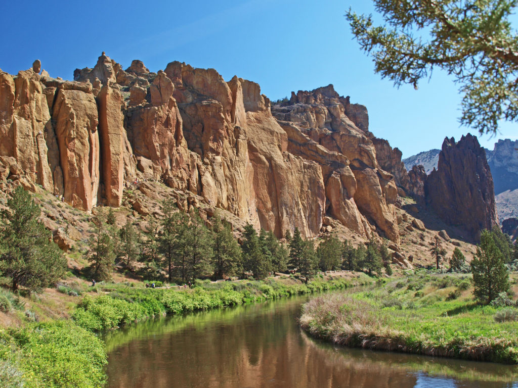
 The park is located just east of the town of Terrebonne, which is about 25 miles north of Bend, Oregon, and about 140 miles southeast of Portland. For more information, go to the
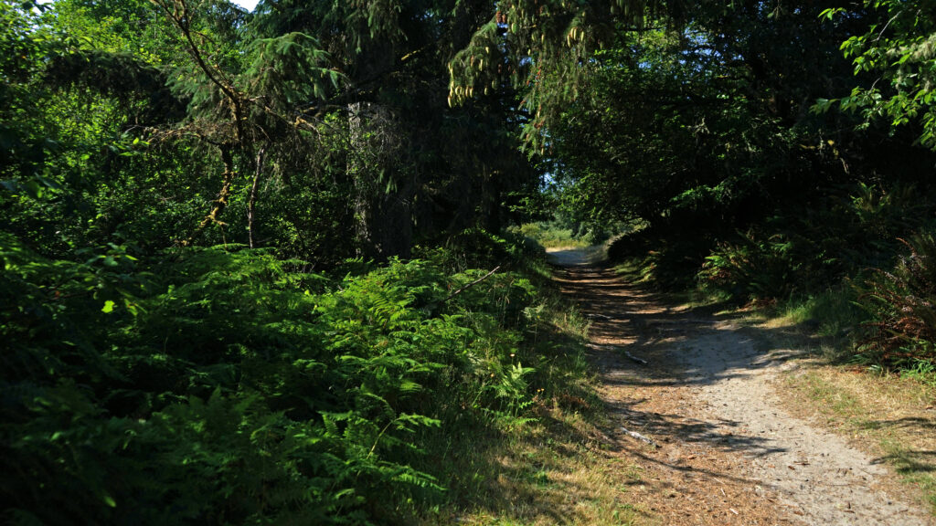
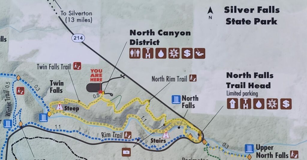

 Beyond the Twin Falls Trail junction, the North Rim Trail meanders through the forest, passing a children’s play area and a small two-table picnic area.
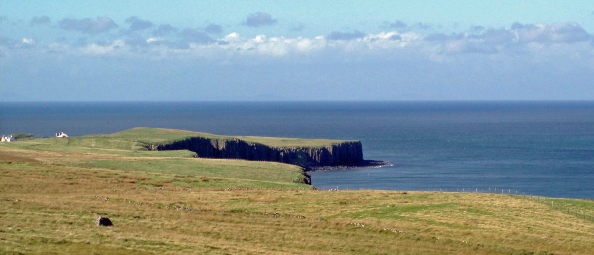
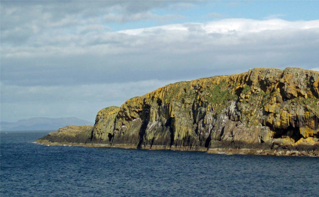
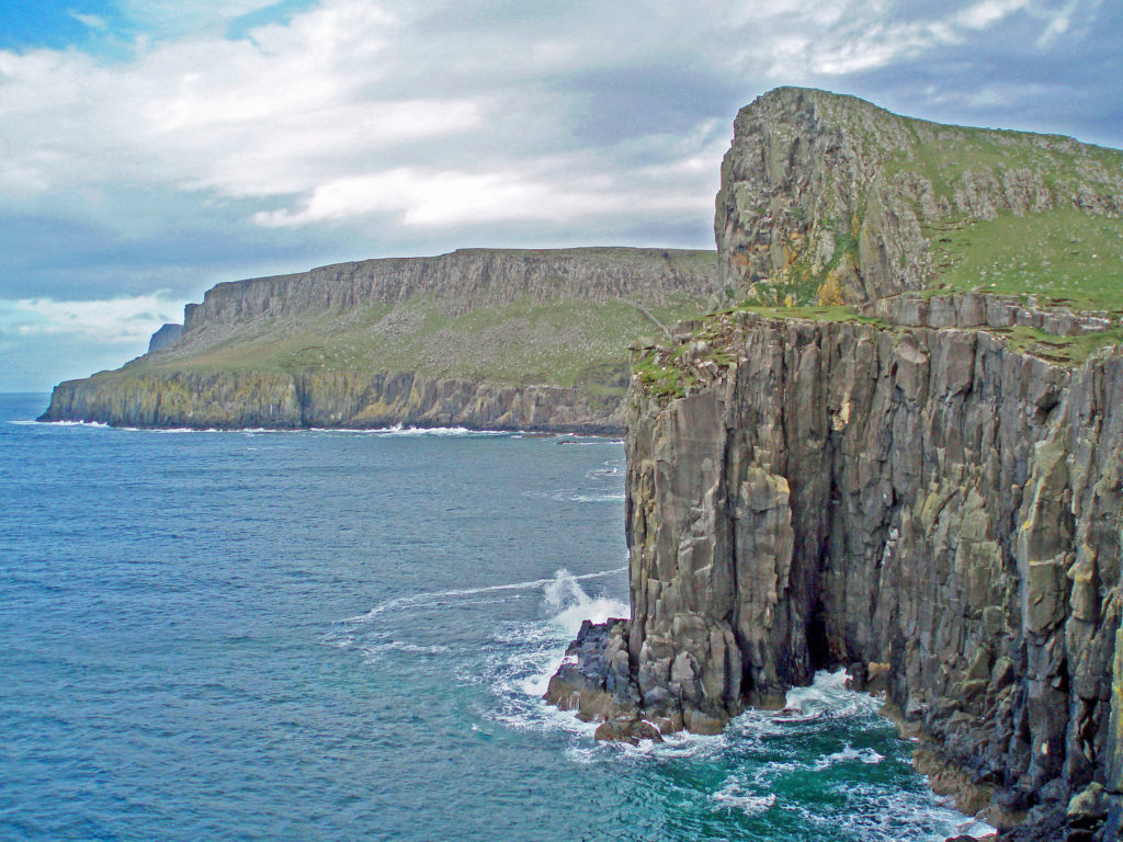
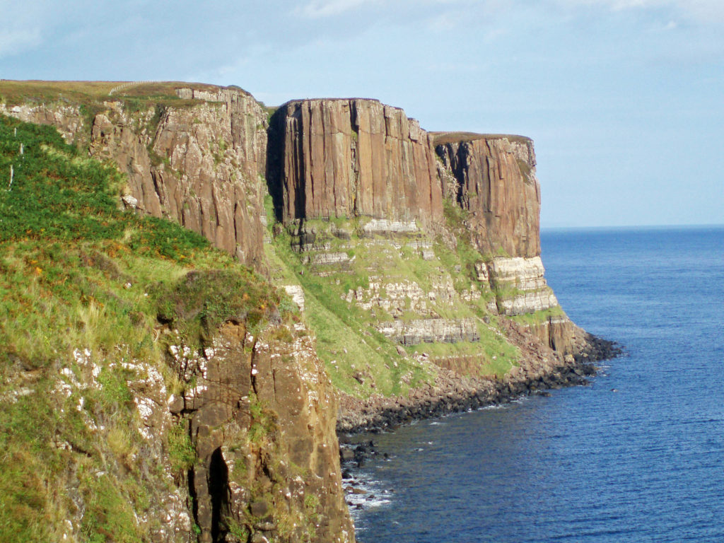
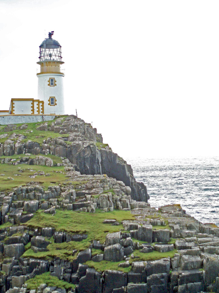
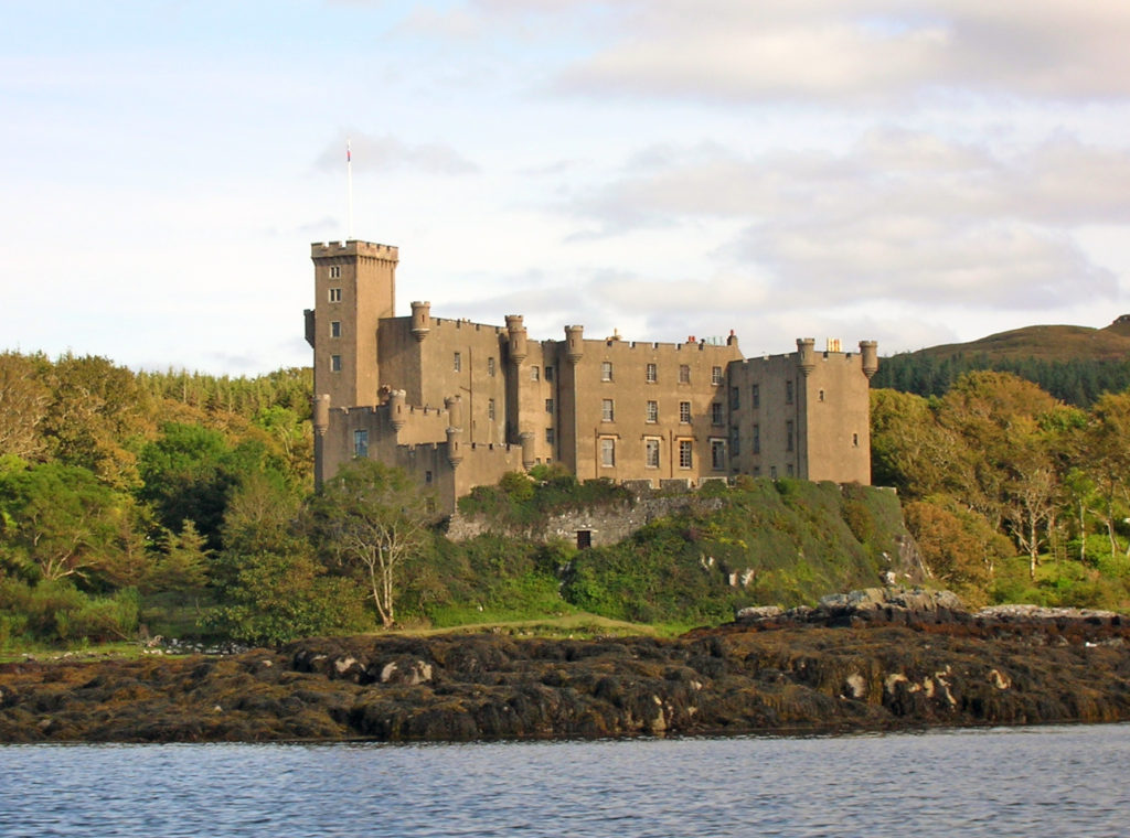
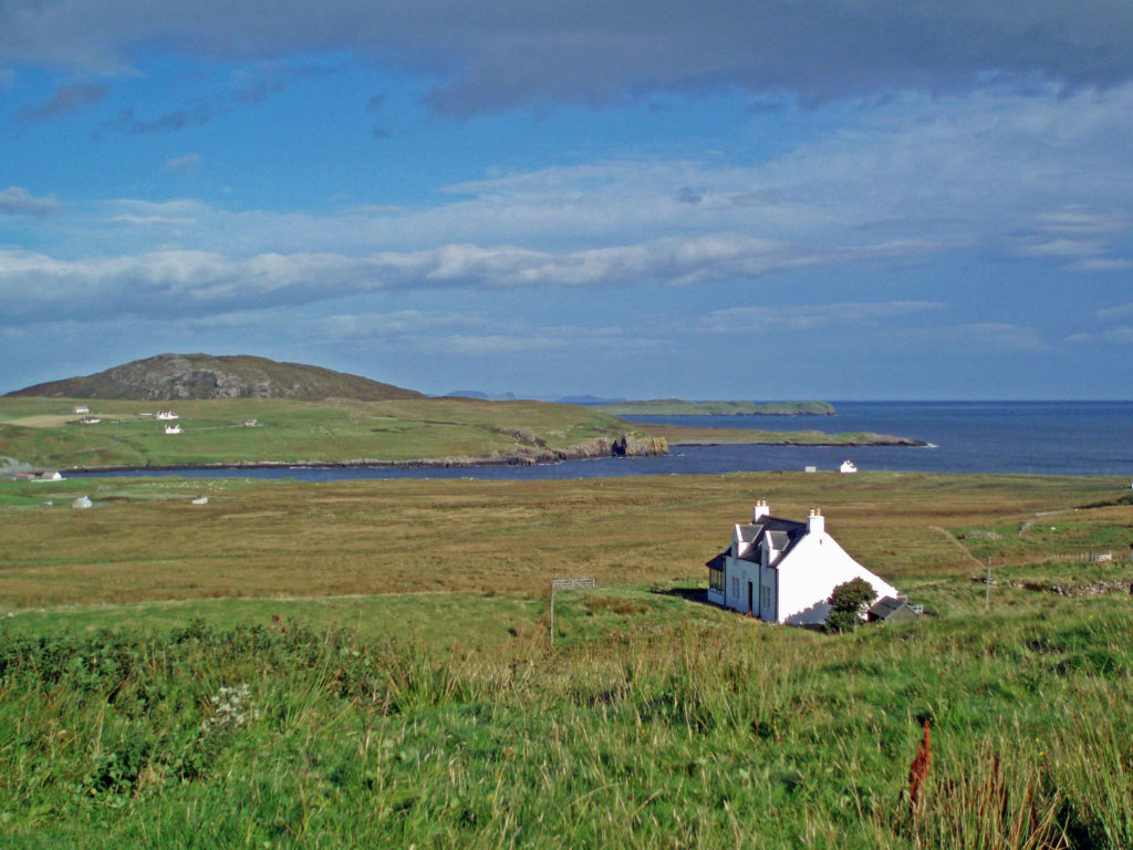
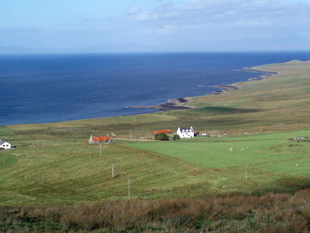
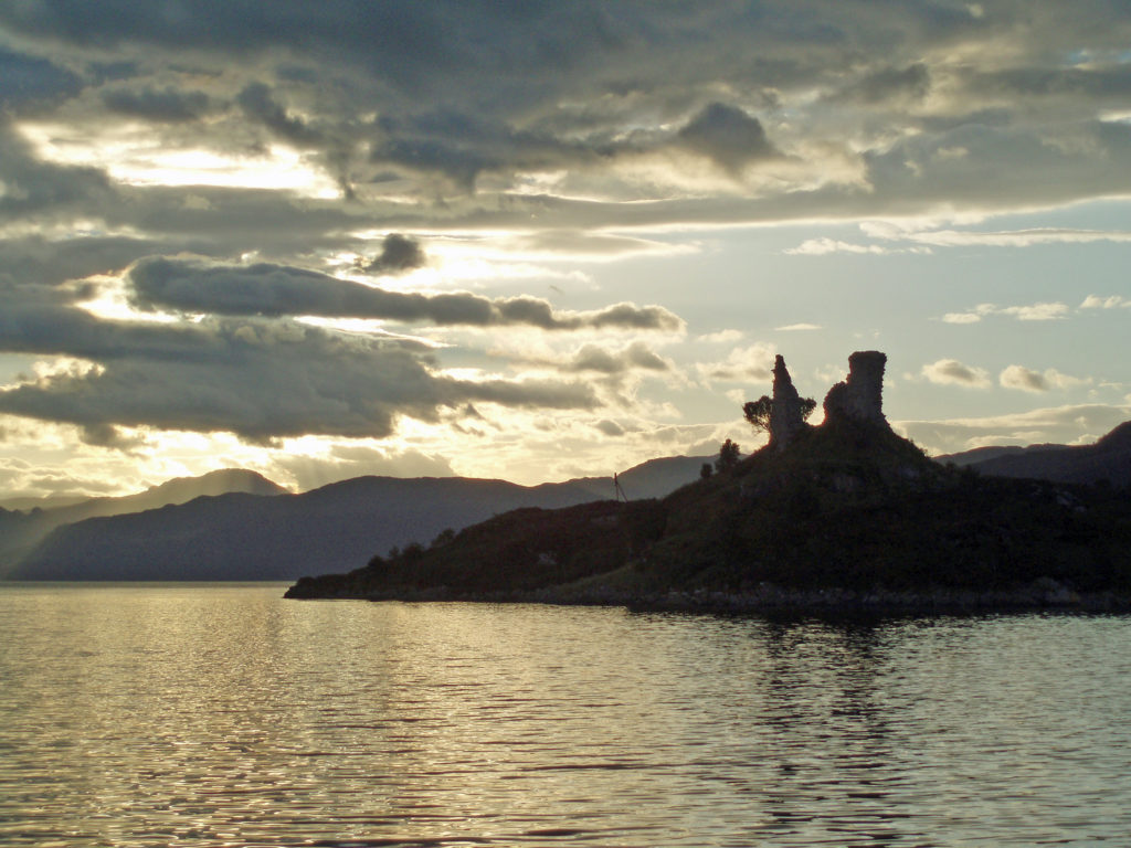
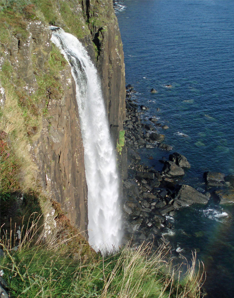
 I have no hesitation in recommending the Isle of Skye as a destination that should be on your bucket list. It’s a wonderful place and Scotland as a whole was a great place to start our explorations in Europe. Scotland is both different enough from the U.S. to be interesting and a bit exotic and alike enough to be comfortable and inviting.
 For a map of the entire park, click
 Chehalem Ridge Nature Park is in a rural area with no other close by hiking or biking opportunities, but the west metro area, not far from Chehalem Ridge, has an abundance. Some of my favorite hikes in the area include
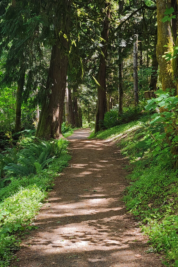
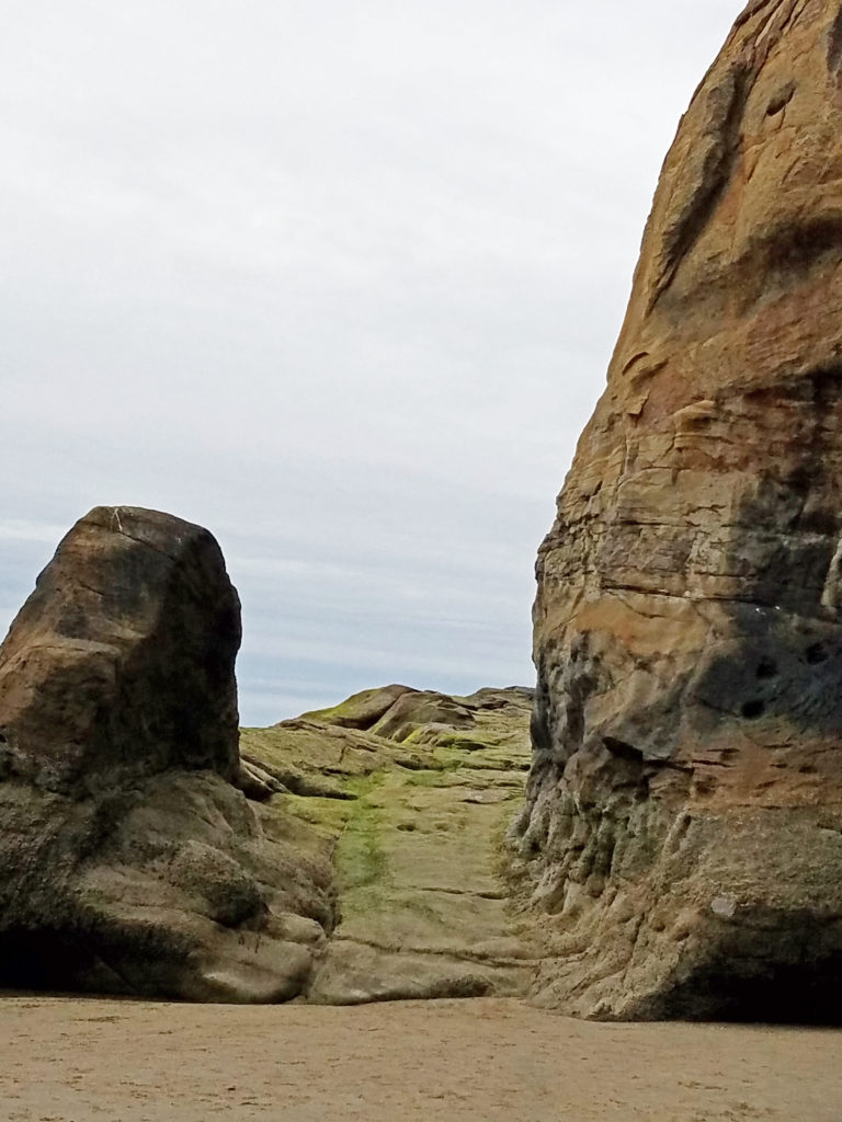
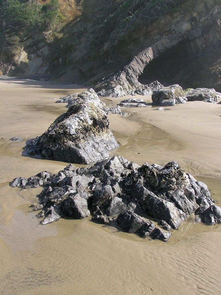
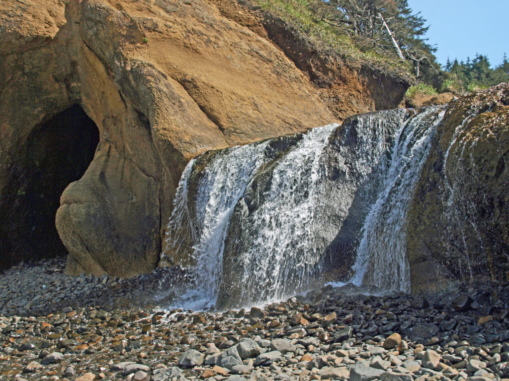
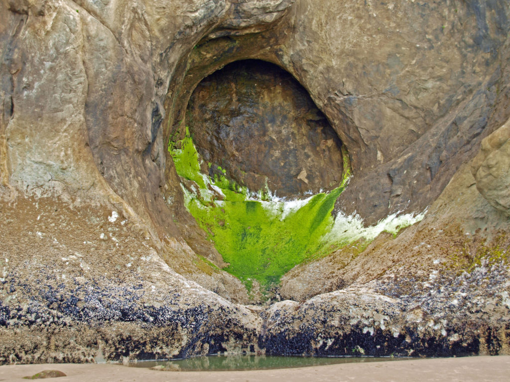
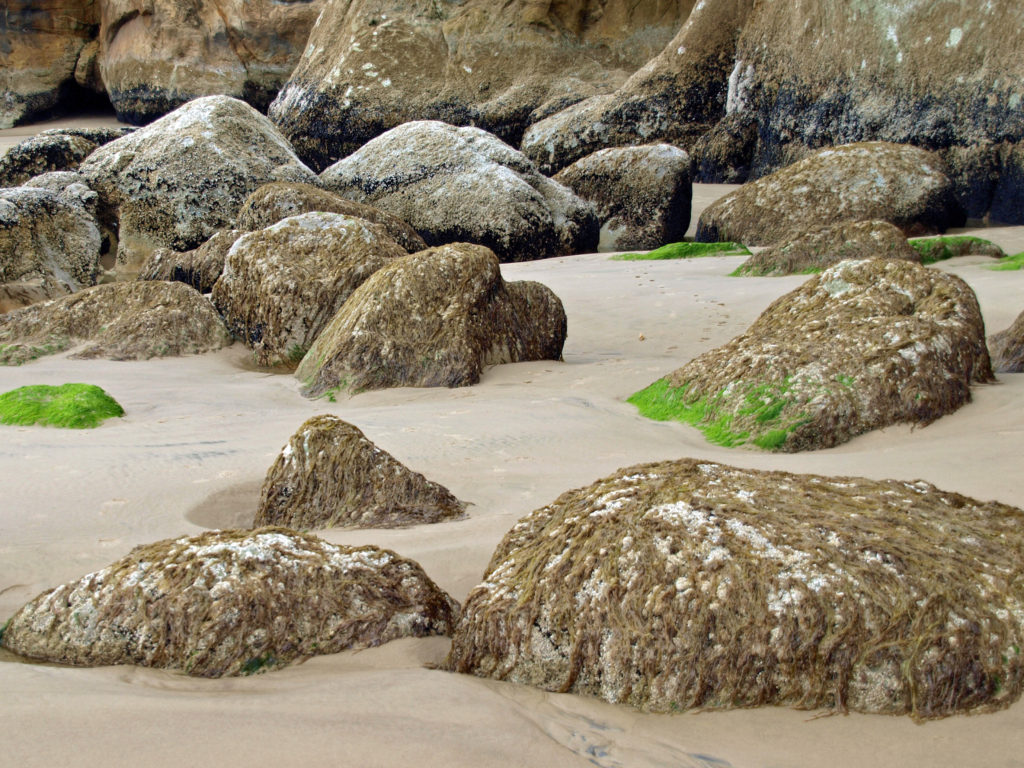
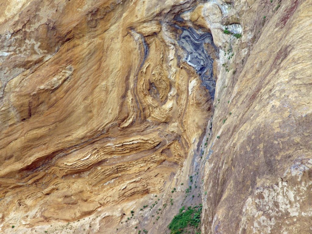 I love the eroded sandstone rock formations found at Hug Point. The layered sandstone of the point has been warped and folded by tectonic processes and eroded by wind and water into fantastic formations. The tidewater rocks are covered in green algae and seaweed, barnacles, and mussels. The rocks, sand, colorful vegetation, waves, and ever changing light make for great photo opportunities.
 Hug Point State Park is located about five miles south of Cannon Beach. The point can also be reached from Arcadia Beach State Park, about a mile to the north. It’s an easy day trip from the Portland area, but there many other attractions in the area, so many visitors spend a weekend or longer in the area.
 The nearby towns of Cannon Beach, Seaside, and Manzanita all have numerous motels, BNBs, and other accommodations, as well as many restaurants and cafes serving fresh seafood and other locally sourced foods.
 One note of caution, though. If you go, pay attention to the tides. The waterfall and caves that draw most of the visitors to Hug Point State Park are nestled between Adair Point, immediately north of the beach access, and Hug Point itself. At high tide it can be difficult or impossible to get around these two points, so it is possible to get trapped between them.

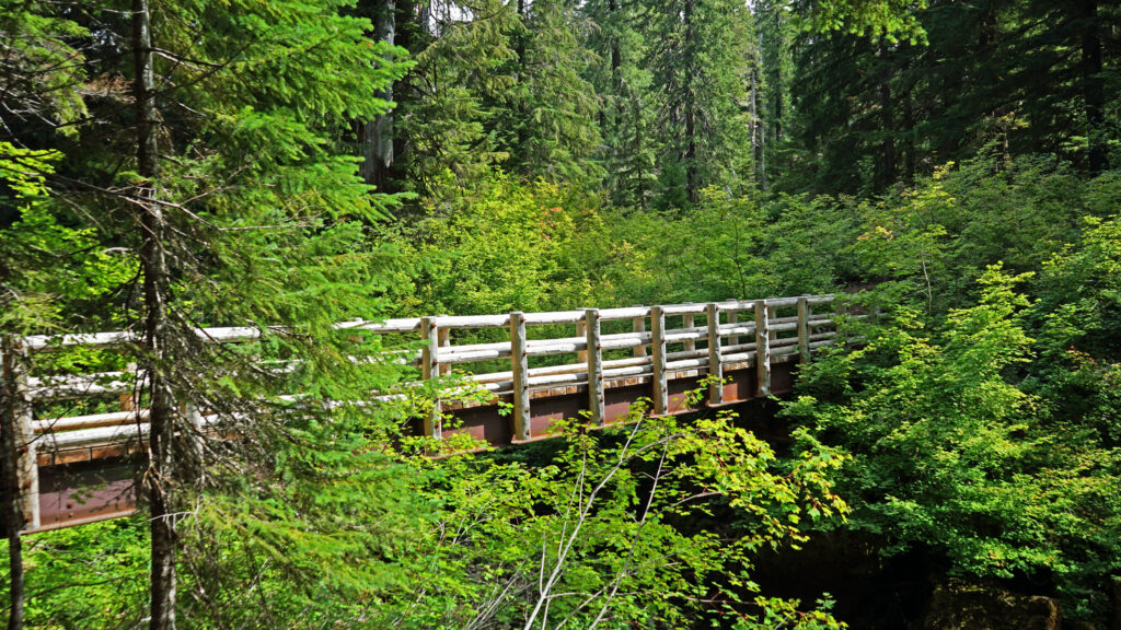
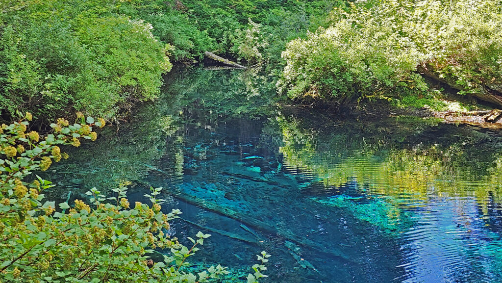
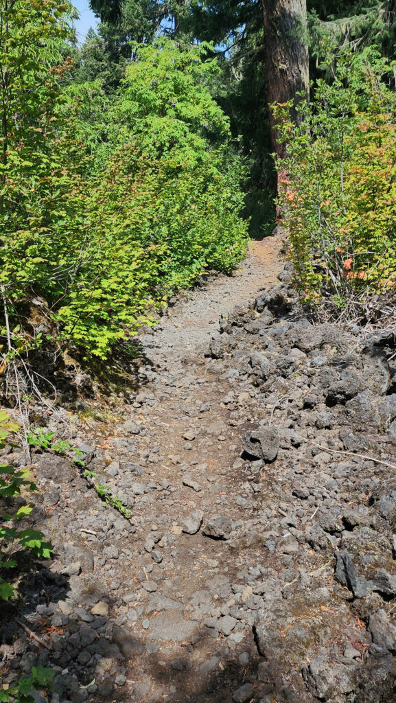
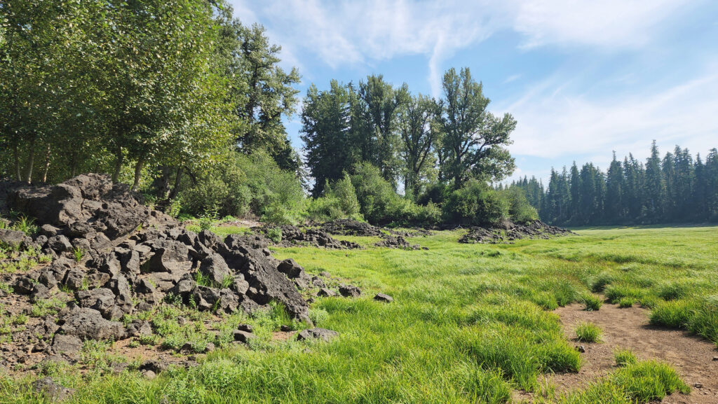
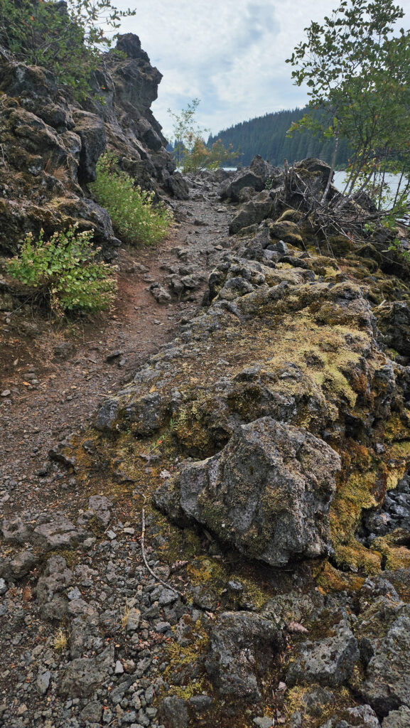 From the Great Spring the trail follows the east shore through the lava fields and forest. Parts of the trail are pretty rough. Good quality hiking boots are advised, although I did this hike in sneakers on my latest visit. But open toed sandals or flip flops are definitely not acceptable footwear on this section of the trail.
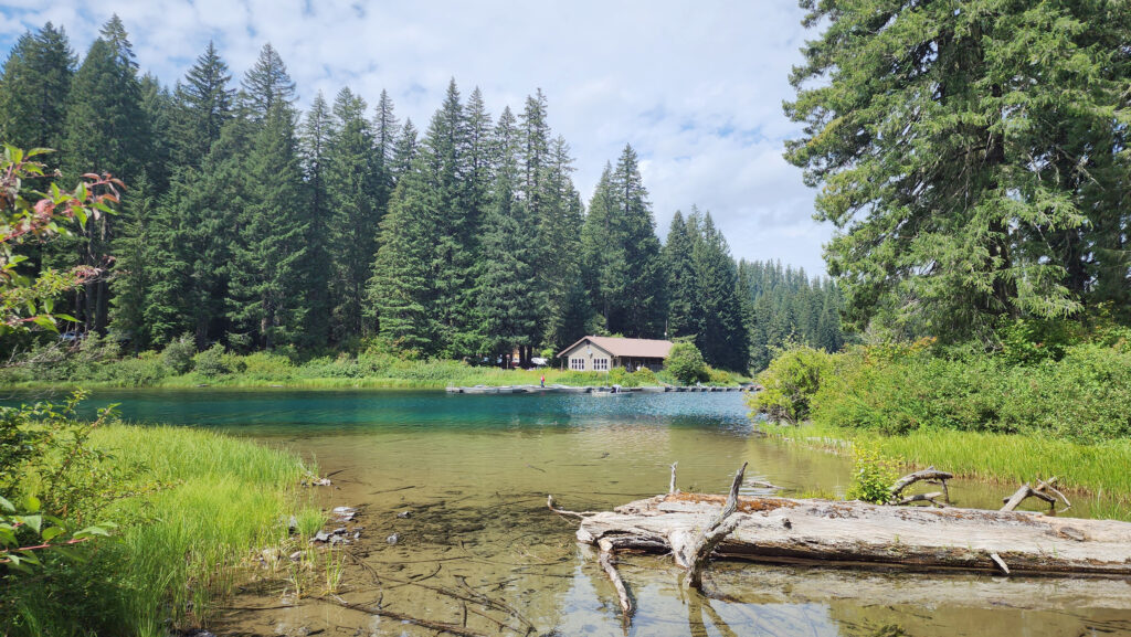


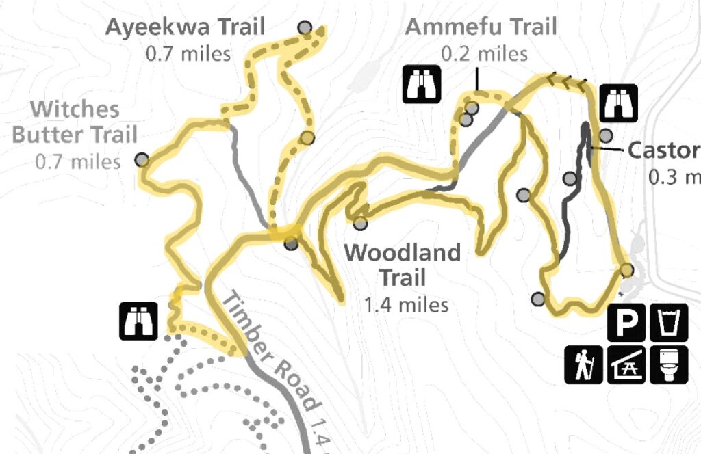
 Beyond the Snaggy Point Trail junction, the loop trail continues through the forest along the edge of the marsh to a junction with the Antler Overlook Trail, which connects to the Cooper Ridge Trail and provides another overcrossing of the upland area. The main loop trail then continues through the forest to the agricultural buildings mentioned in the winter trailhead description. Beyond the buildings walk up the service road for a couple hundred yards and look for the loop trail branching off to the left. The trail follows the edge of an open field.
 Posted March 14, 2023 by Alan K. Lee
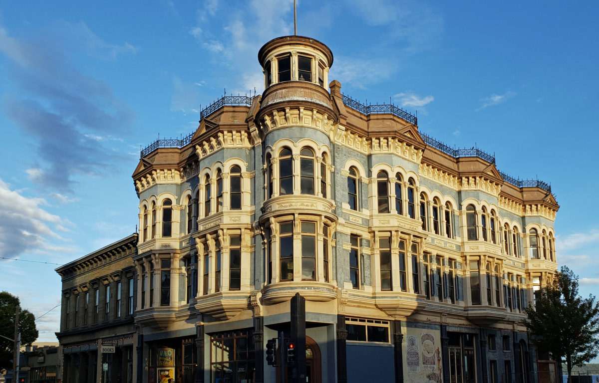
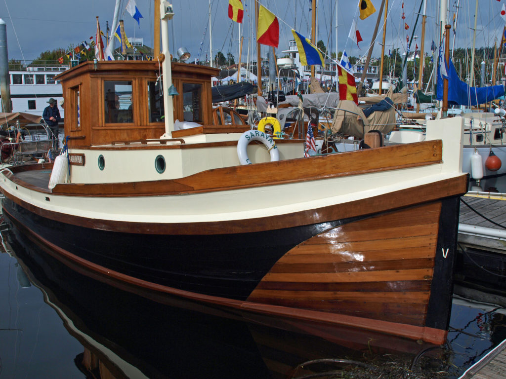
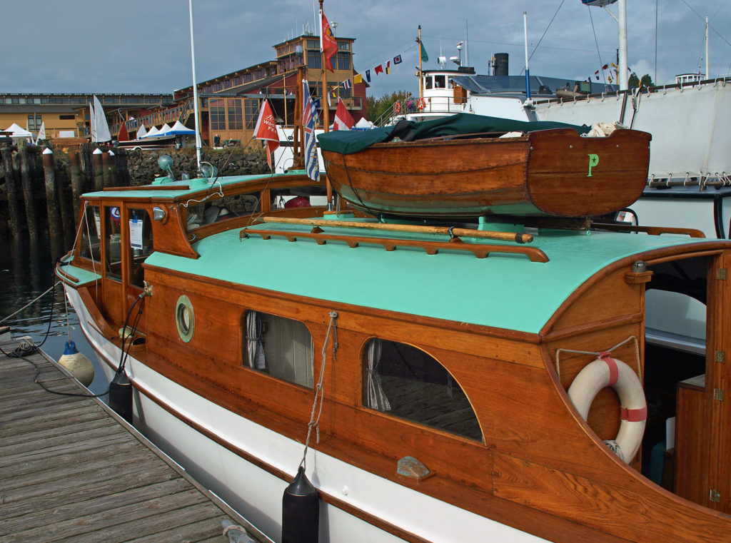
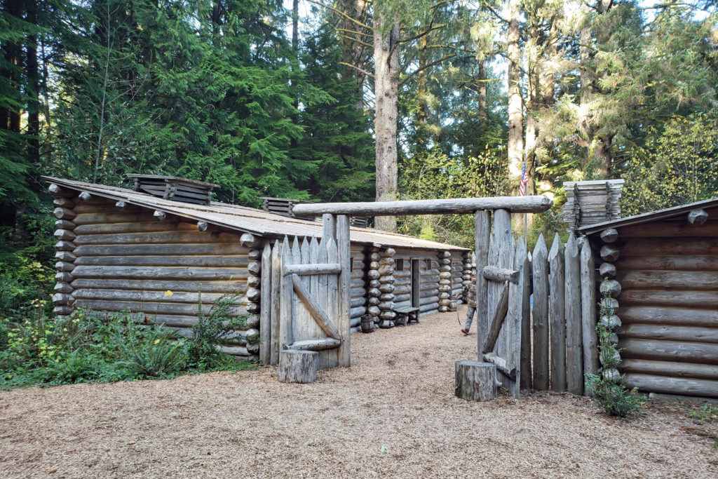
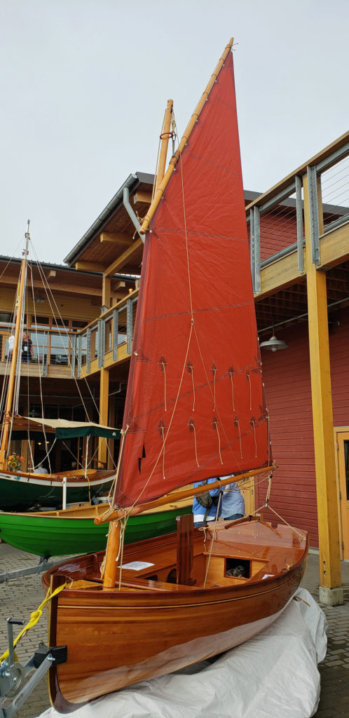 Wooden sailing ships were key to the town’s early economy and history, and the boatbuilding and woodworking crafts live on in Port Townsend. The Northwest School of Wooden Boat Building in nearby Port Hadlock and the Port Townsend School of Woodworking help preserve and promote the skills that were so vital to the early history of Port Townsend.
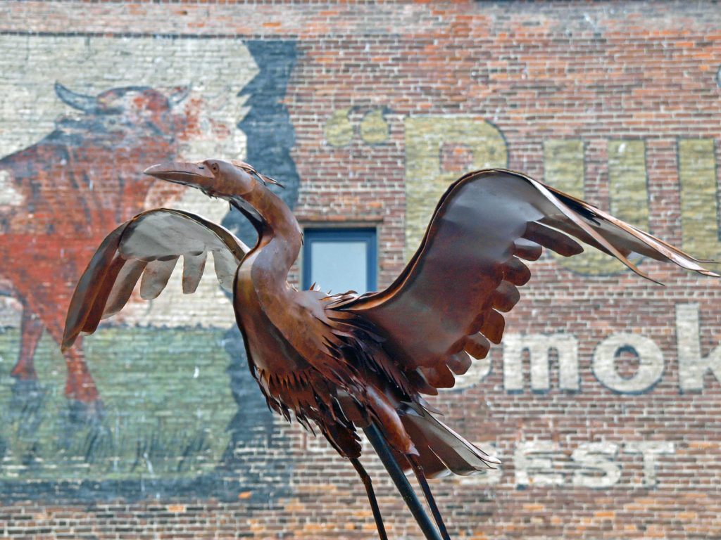
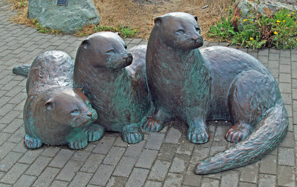 more than a dozen fine art and craft galleries can be found in the historic waterfront section of town.
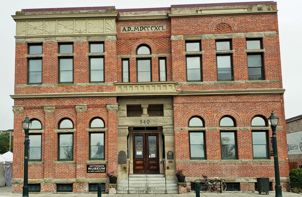
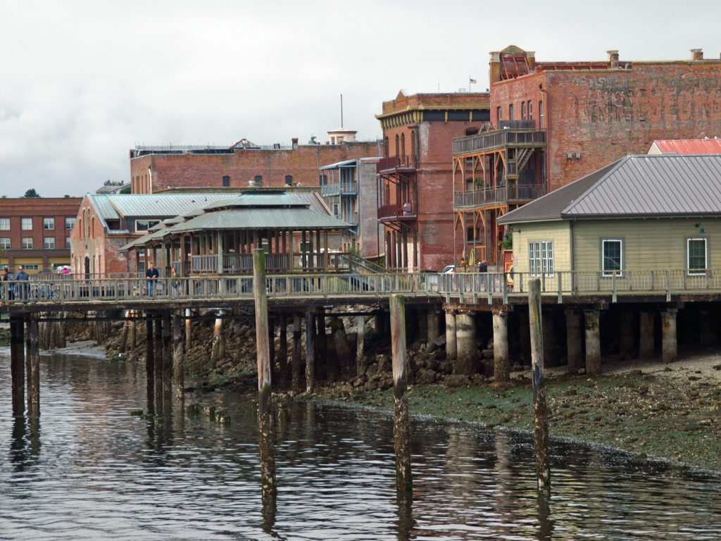
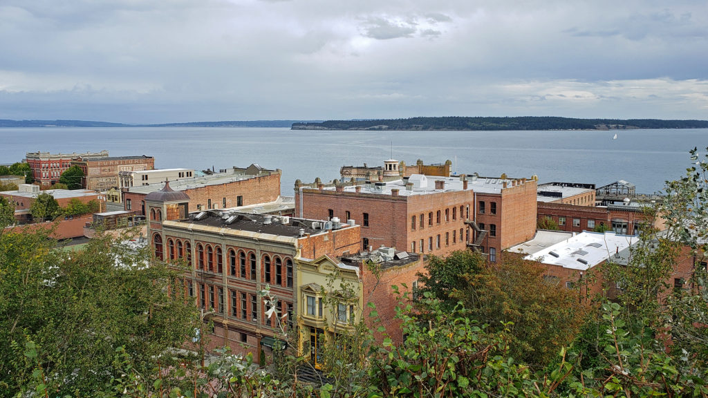
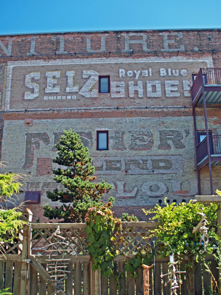
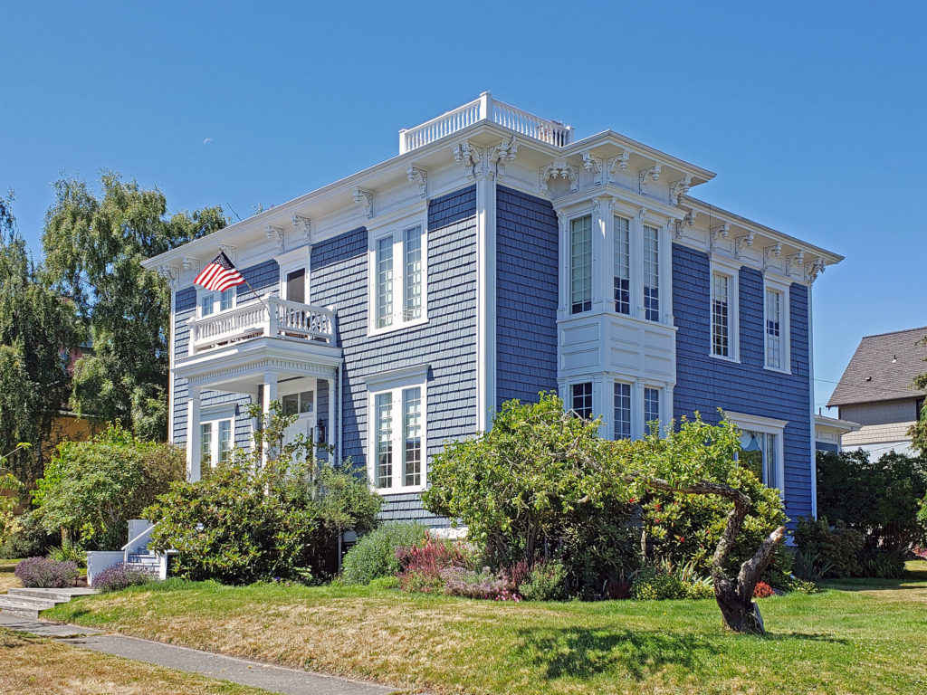 Take a walk along Water Street. It’s not hard to imagine what the town was like 130 years ago because most of the buildings you see today date from that period. Venture up to the bluff above the waterfront and you’ll find many Victorian era homes, most of which have been well preserved or restored. If you visit in the summer months you can tour the
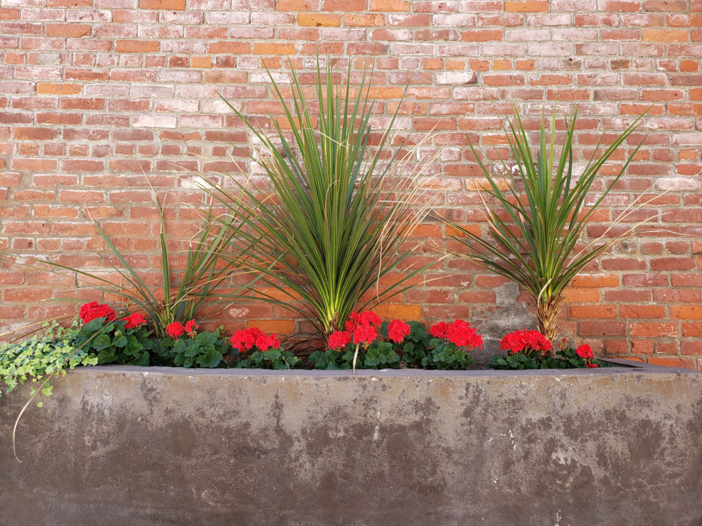
 Even if you’re not interested in the town’s history, its maritime traditions, or the arts, Port Townsend is still worth visiting, if only to take in its beautiful setting and indulge in its food and drink scene.
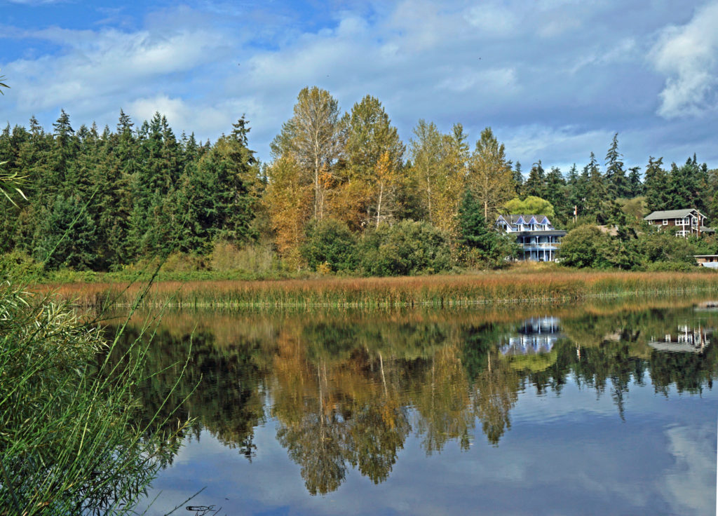
 On the food side, Owl Spirit Cafe is a good place to grab a sandwich or burrito for lunch. If you have pizza in mind, try Waterfront Pizza. My go to spot for breakfast and lunch is
 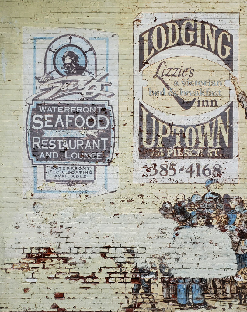 My wife and I stayed at the Water Street Hotel on our most recent visit, recently renamed the
 Originally posted November 20, 2020. Updated and re-posted January 12, 2023.