
Tryon Creek Hike
Where: Tryon Creek State Natural Area, Portland, Oregon
Distance: 2.4 miles
Type: Loop
Elevation gain: 350 feet
Difficulty: Easy
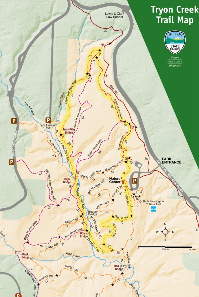
Map: Oregon State Parks
Overview:
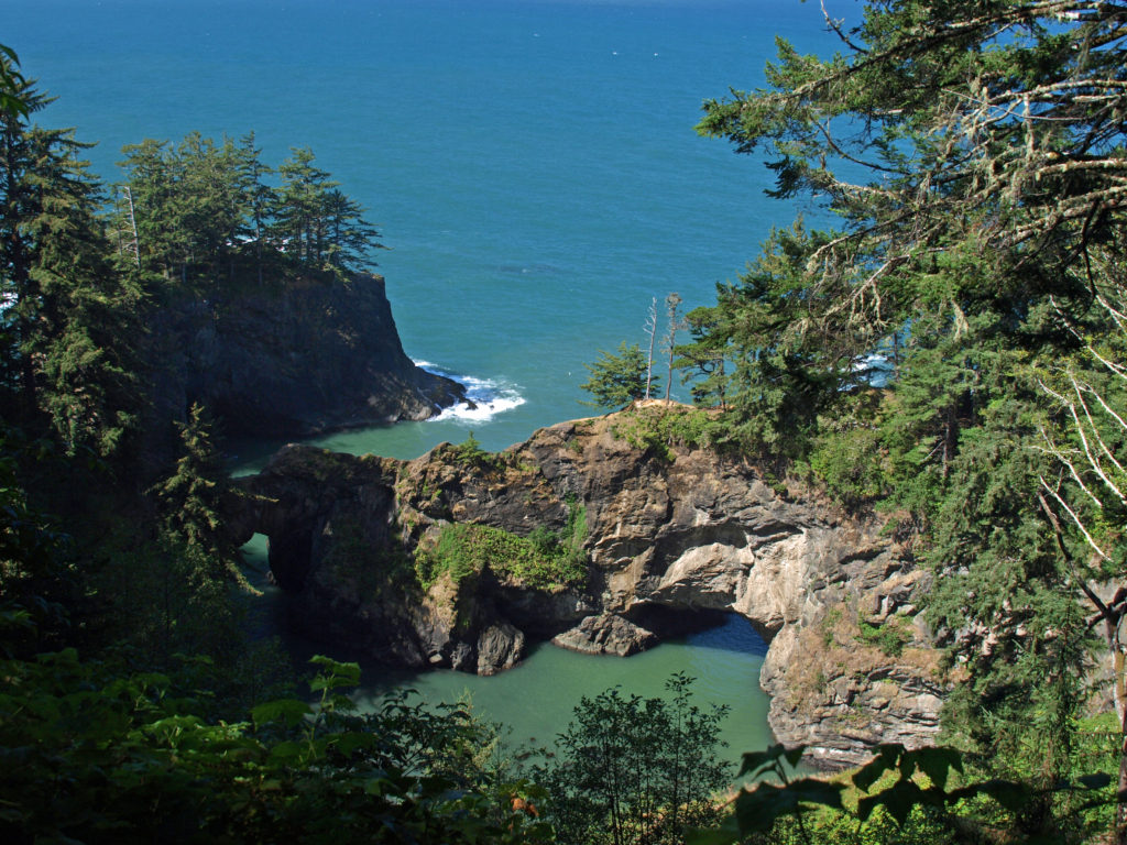
Tryon Creek State Natural Area is a 658 acre preserve in southwest Portland that is much loved and well used. The area had been logged between 1870 and 1960 to make railroad ties and provide fuel for a wood-fired iron smelter in nearby Lake Oswego. In the 1960s the area was slated for development, but a group of local residents created the Friends of Tryon Creek organization that successfully lobbied to protect the area. Tryon Creek State Park was created by the Oregon legislature and opened to the public in 1975. Friends of Tryon Creek continues to be an active participant in maintaining and managing the park. For more information on the park, go to their website or click here to view an earlier post on this site.
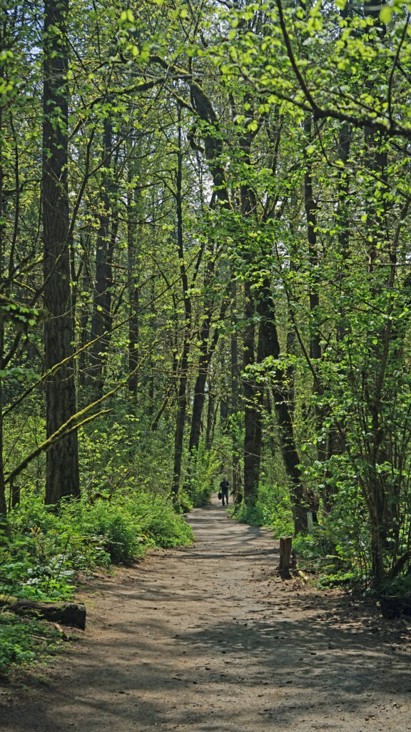
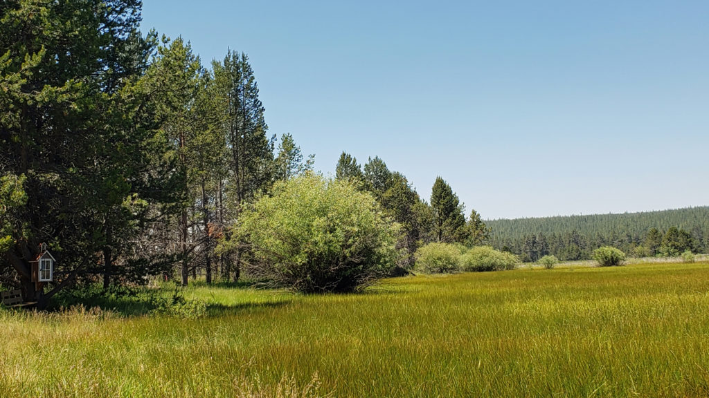
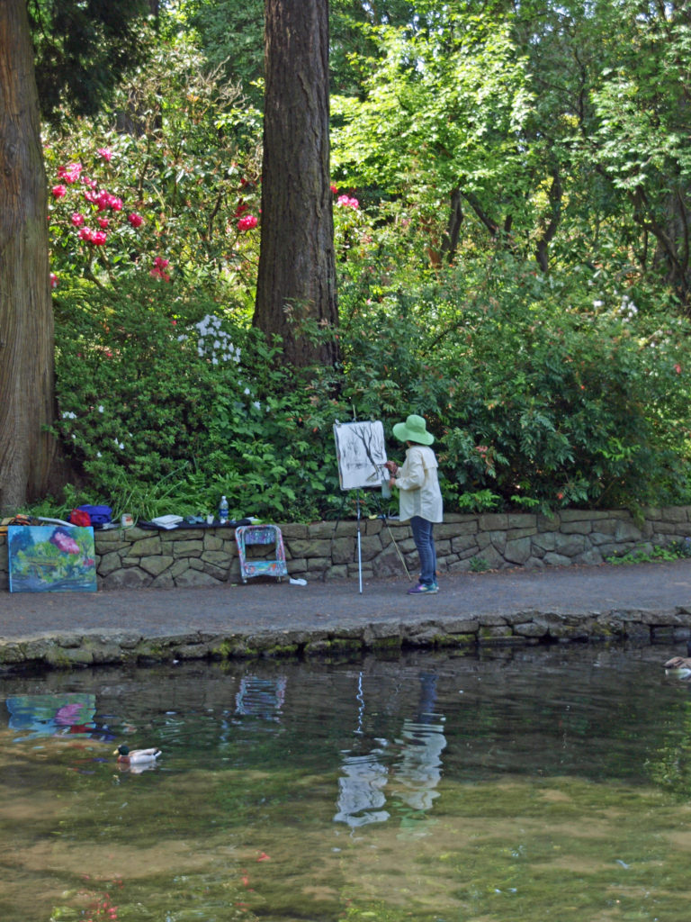
 There are a myriad of loops and out-and- back hikes possible at Tryon Creek. The park has a total of 15 miles of trails, including a short all access paved trail, a paved bike path that runs the length of the park, all-use trails open to horses, and hiker-only trails. Dogs are permitted on leash. Bikes are not permitted, except on the designated bike path. The park is a day-use area only. Camping is prohibited.
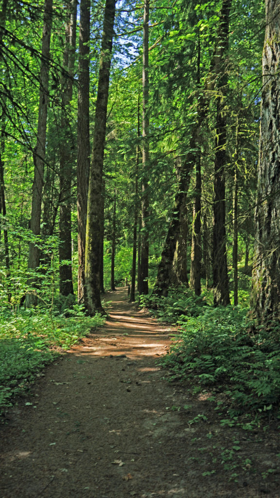
 All of the trails are well used, so you’re unlikely to find real solitude here, unless you come during really bad weather. But that doesn’t detract much from the park’s appeal. In general, the farther from the Nature Center that you get the fewer people that you’ll encounter. The southern and western parts of the park are the least used. The hike described here includes two of my favorite trails, the Big Fir and Lewis and Clark trails, but they’re also two of the most traveled trails in the park.
 Getting there:
The main entrance to the park is located at 11321 Terwilliger Boulevard in southwest Portland. To get there by car, take I-5 south from Portland to the Terwillger Boulevard exit (#297). Cross back over the freeway on Terwilliger and follow it for 2.4 miles to the park’s main entrance. Public transport is available via Trimet bus lines 38 and 39.
Trailheads:
The primary trailheads and largest parking area in the park (by far) are located at the main entry on Terwilliger Boulevard, and this hike starts there. There are six other trailheads scattered around the perimeter of the park.
The hike:
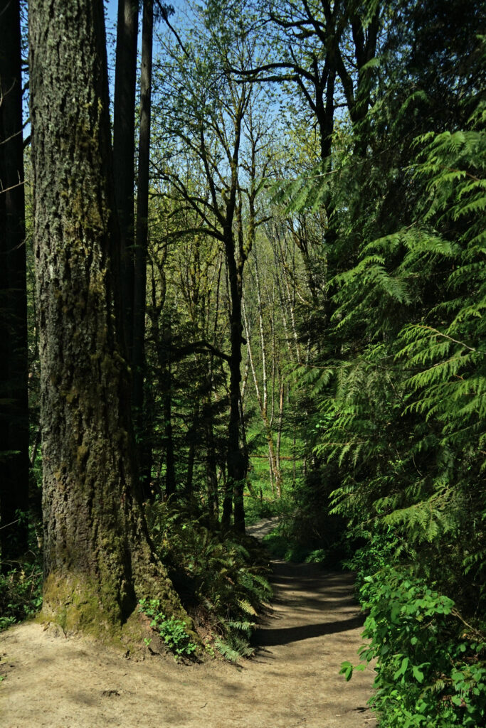
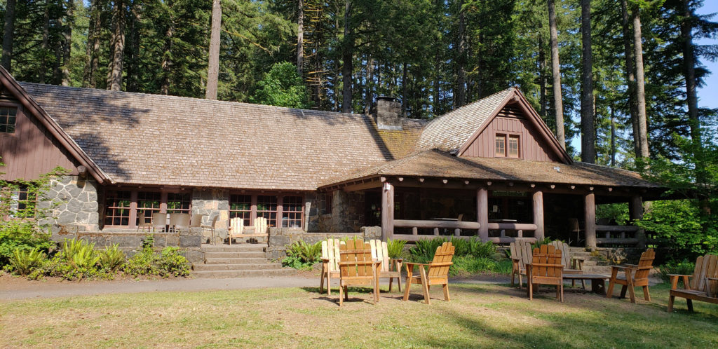
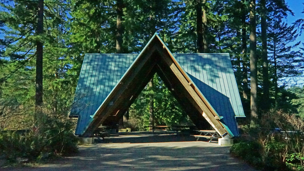
The hike begins at the Nature Center, where you can pick up a free map if you haven’t printed out the Oregon State Parks map linked above, and get park information from the staff. The trails in the park are well signed, but there are so many intersecting trails that a map can be very helpful, especially if you’re new to the park.
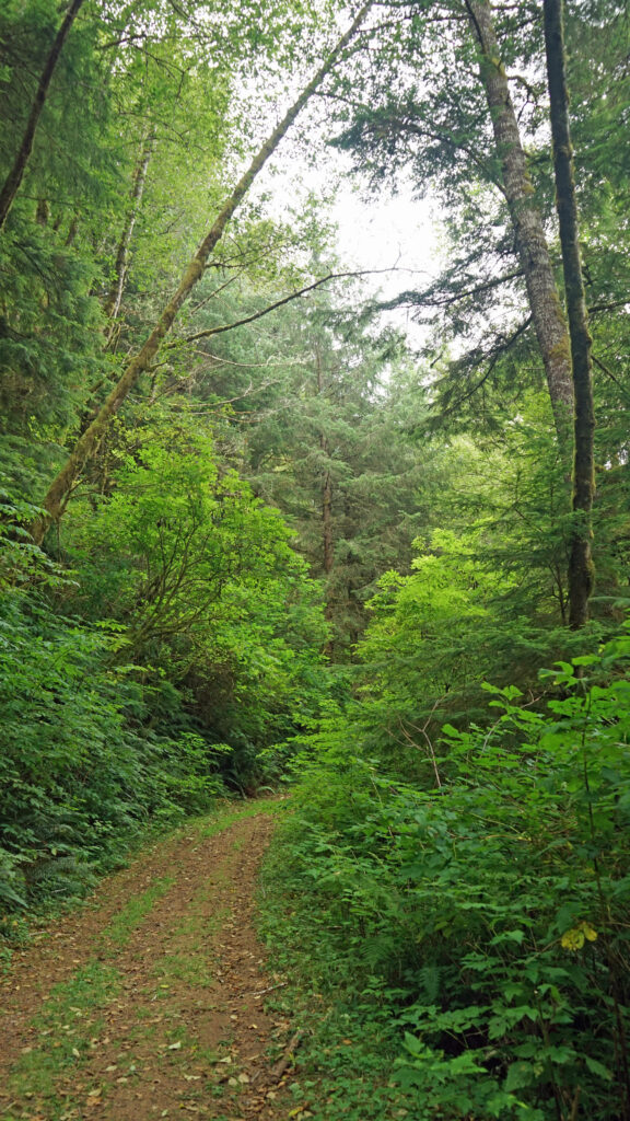
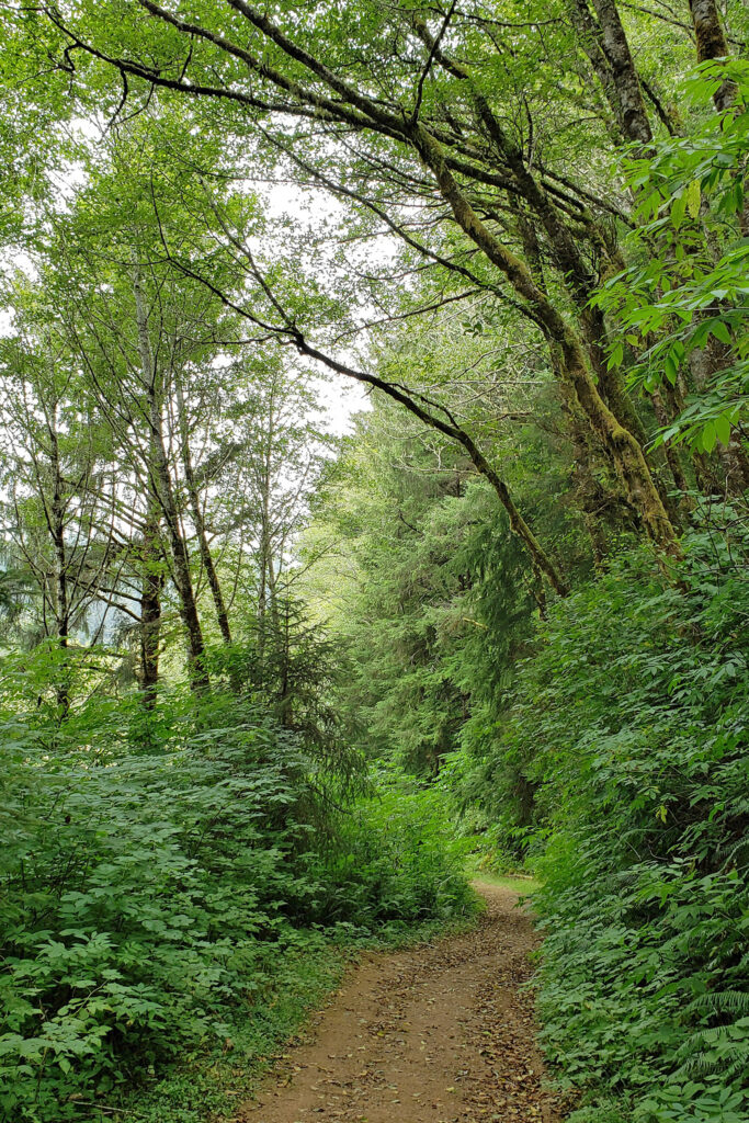
From the Nature Center take the Old Main Trail south. This is a wide gravel path that also serves as a service road. In about a tenth of a mile turn right onto the Big Fir Trail.
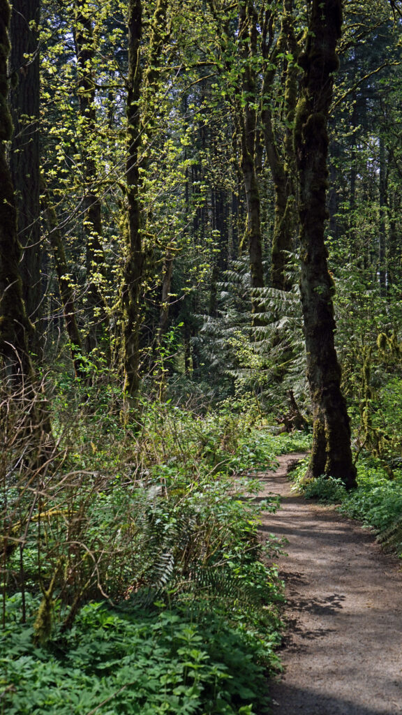
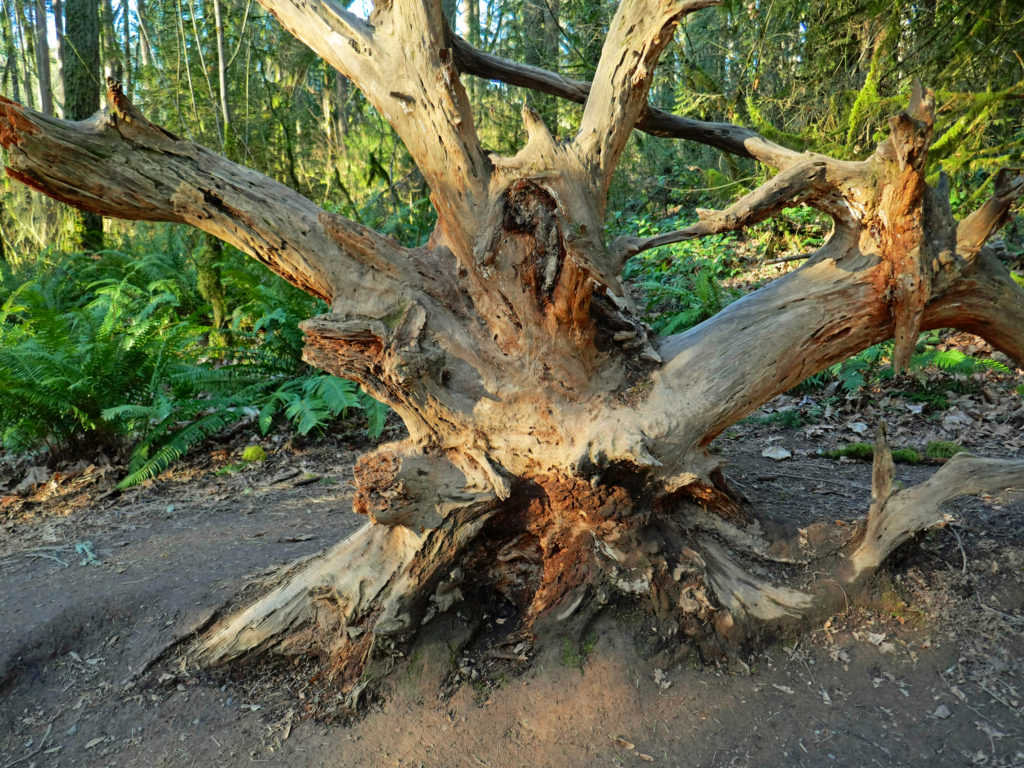
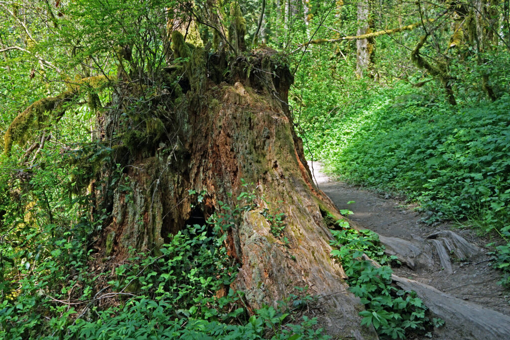
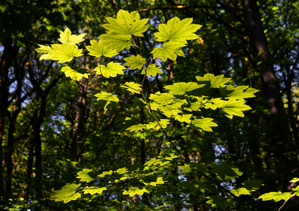
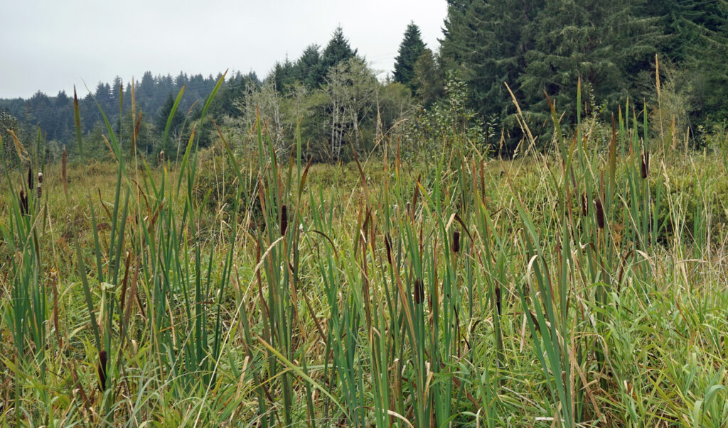
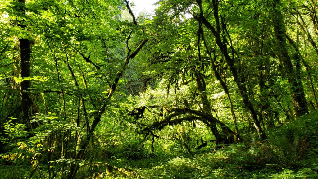
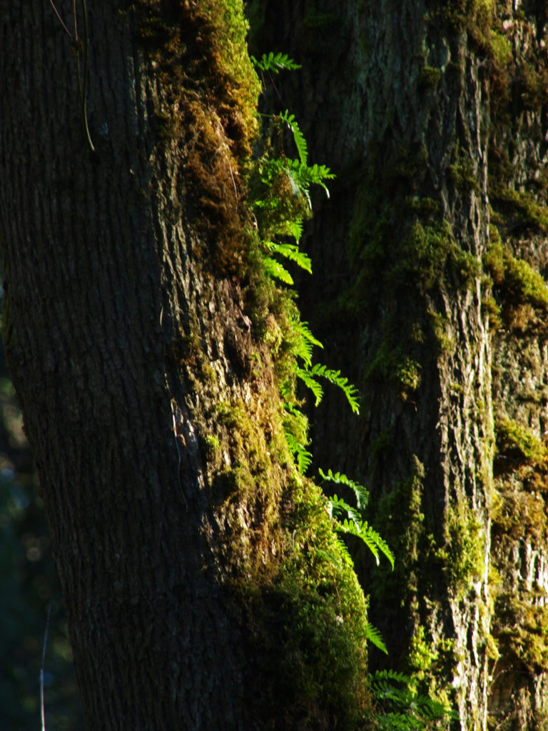
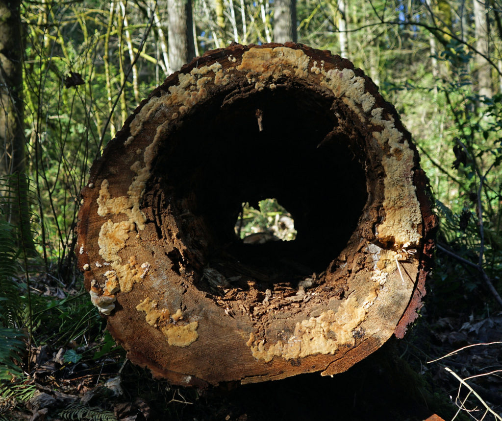
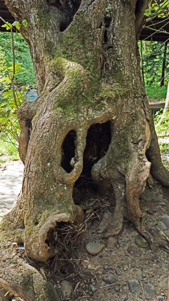
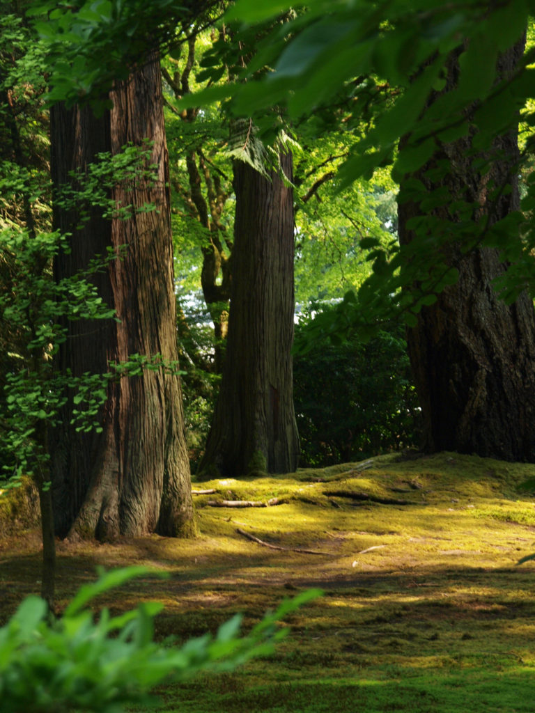
This short trail (less than half a mile) winds through some of the largest Douglas fir trees in the park, along with many mature bigleaf maples, and descends toward Tryon Creek. It is, in my opinion, one of the prettiest trails in the park. Stay left at the junctions with the Center and Maple Ridge trails. The Big Fir Trail then rejoins the Old Main Trail.
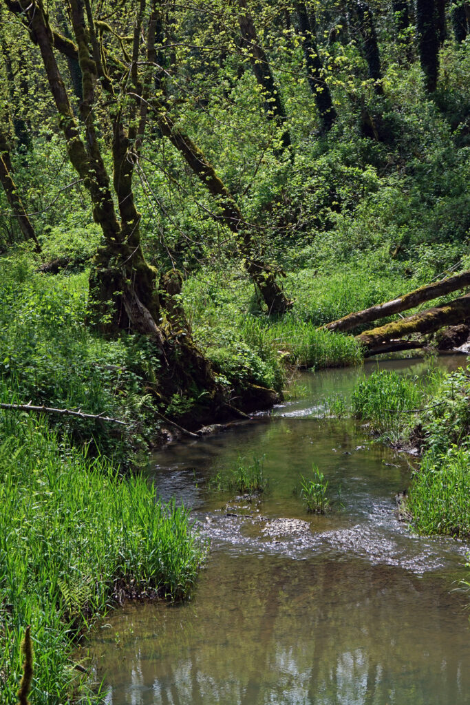
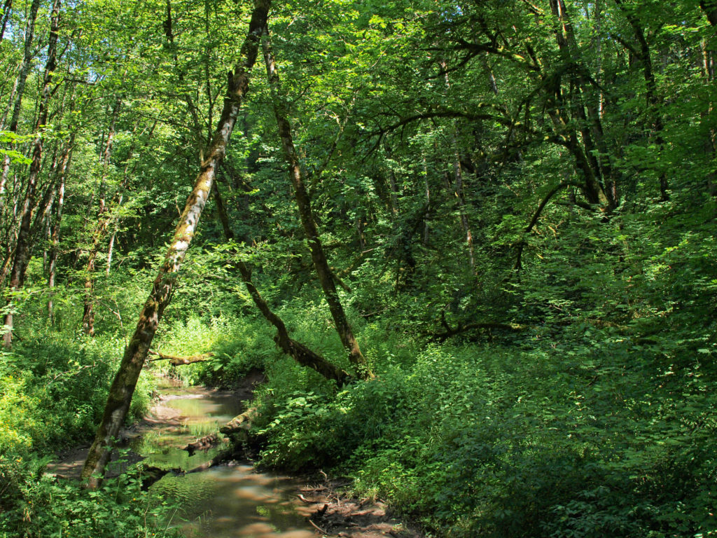
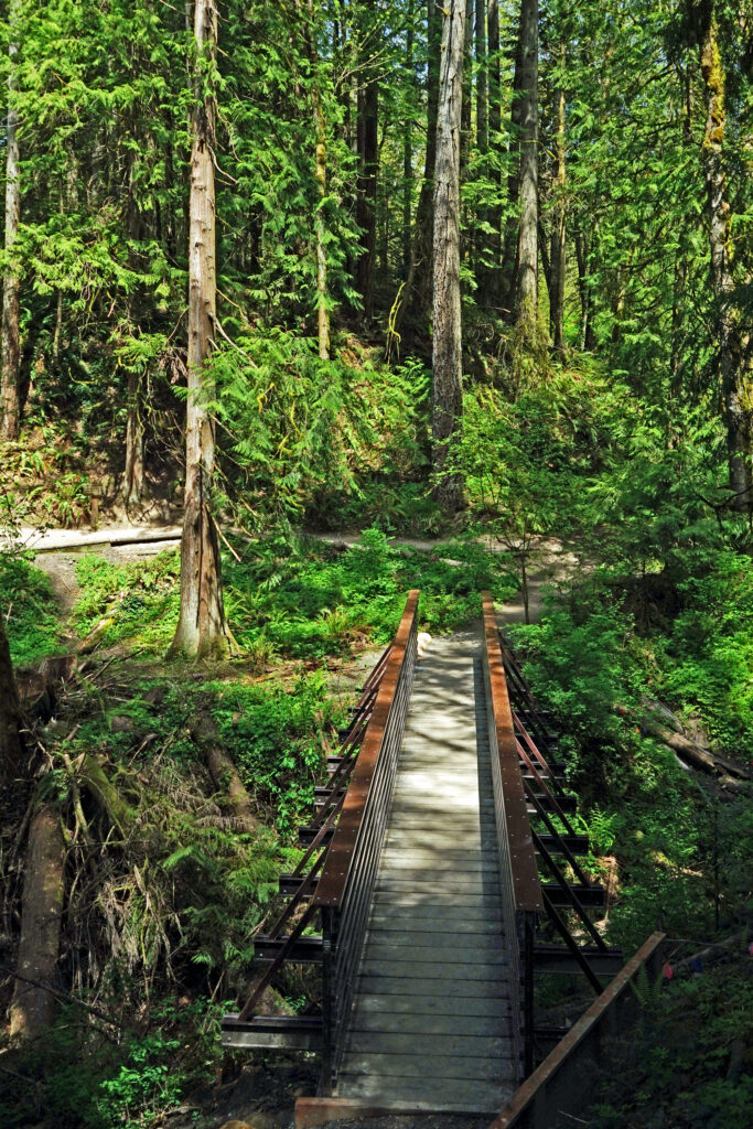
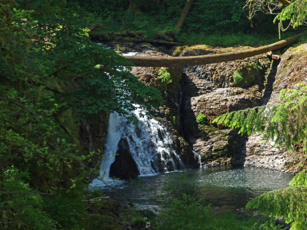
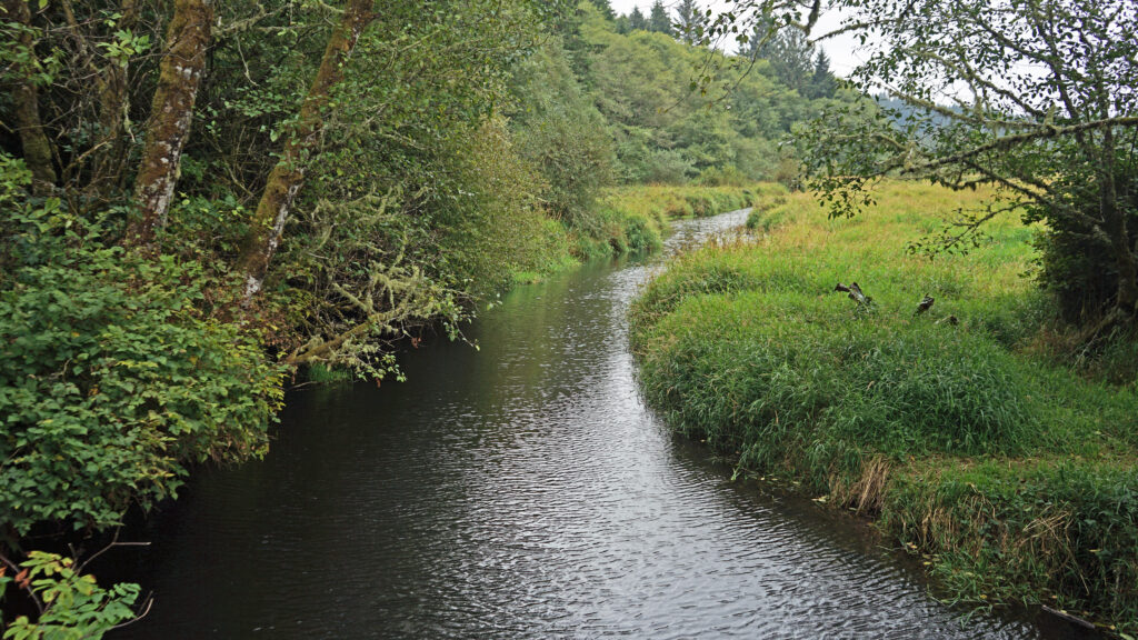
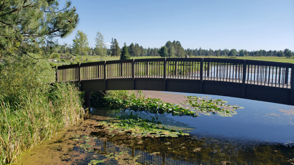
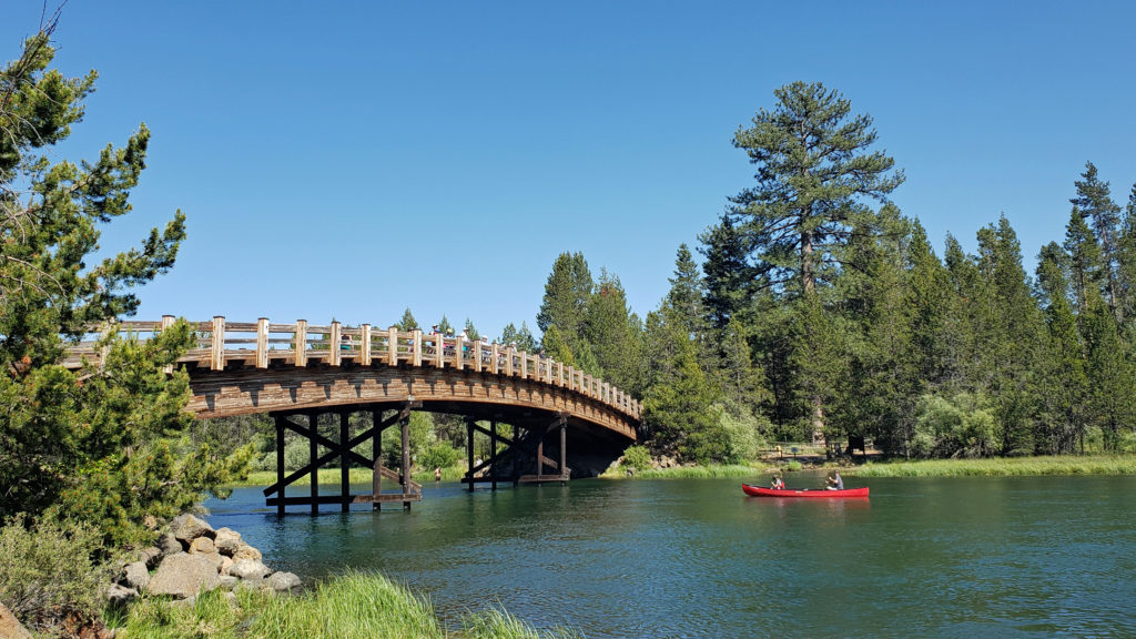
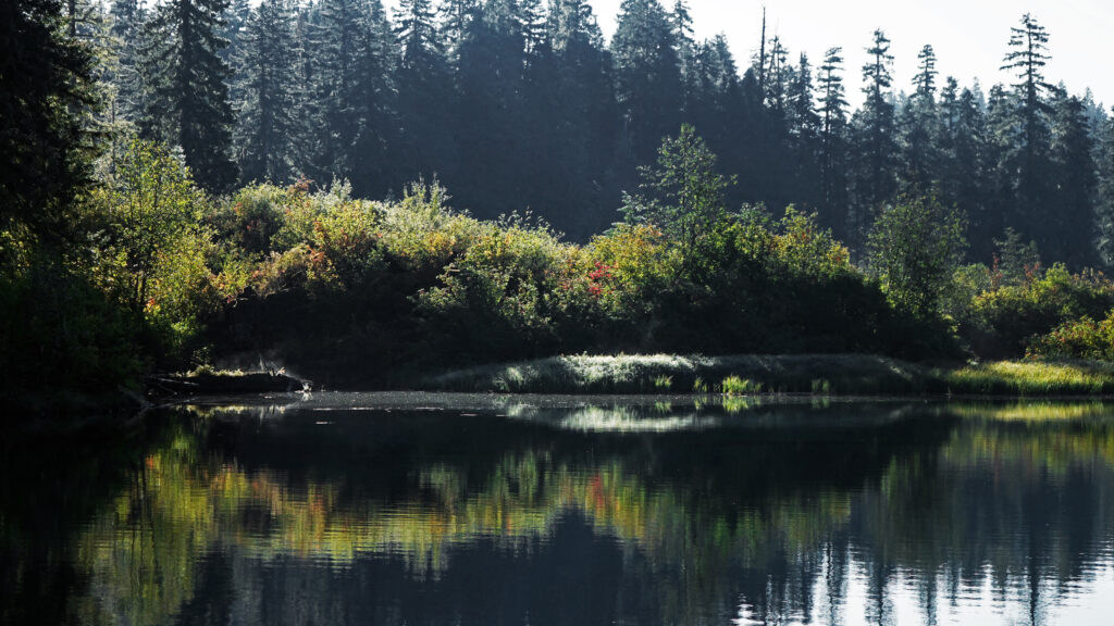
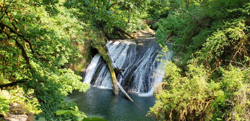
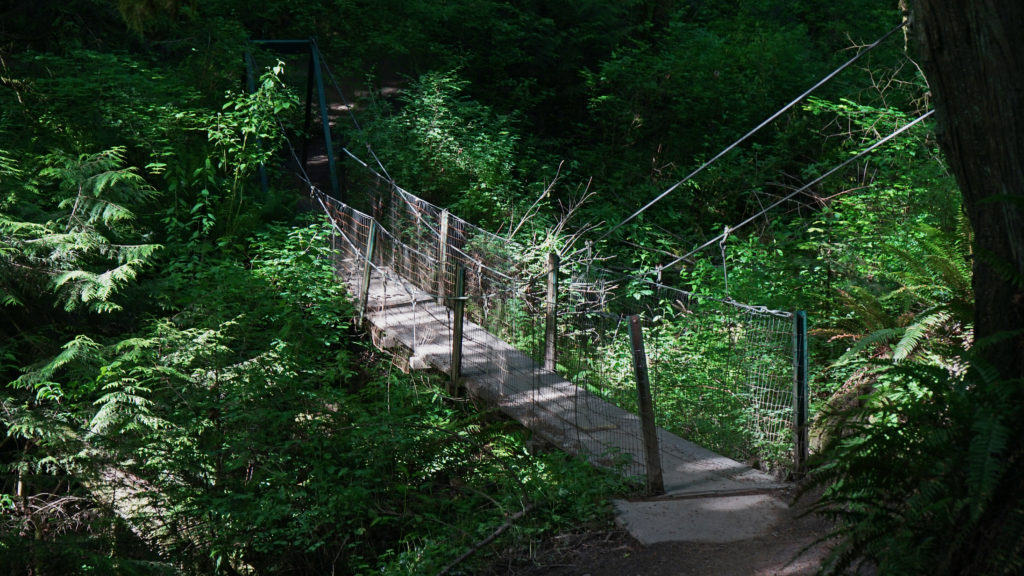
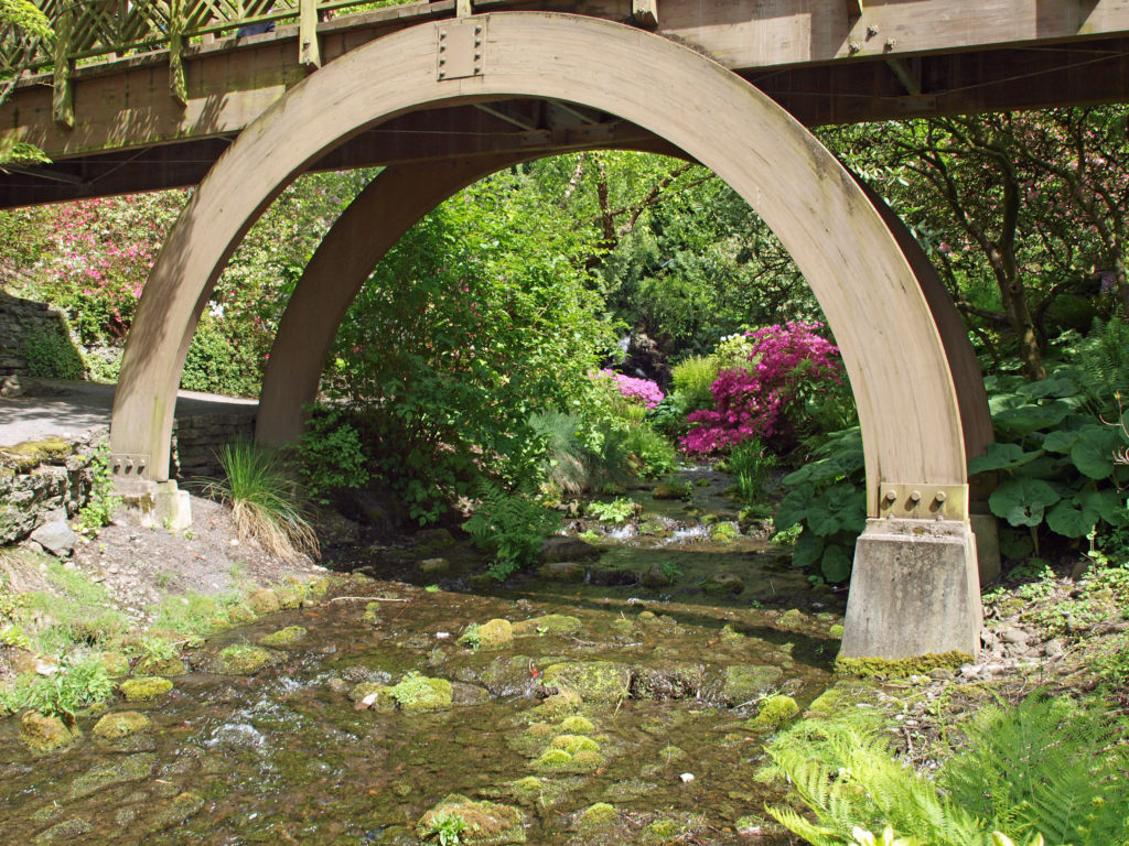
Turn right onto the Old Main Trail and cross Tryon Creek on Obie’s Bridge at the 0.7-mile mark of the hike. This is the lowest point on this loop. Just beyond the bridge, turn right onto the West Horse Loop. This is a mixed use trail used by both hikers and equestrians (hikers are required to give way to horses). In a tenth of a mile, turn right onto the hiker-only Middle Creek Trail, which follows Tryon Creek to High Bridge at the one-mile mark of the hike.
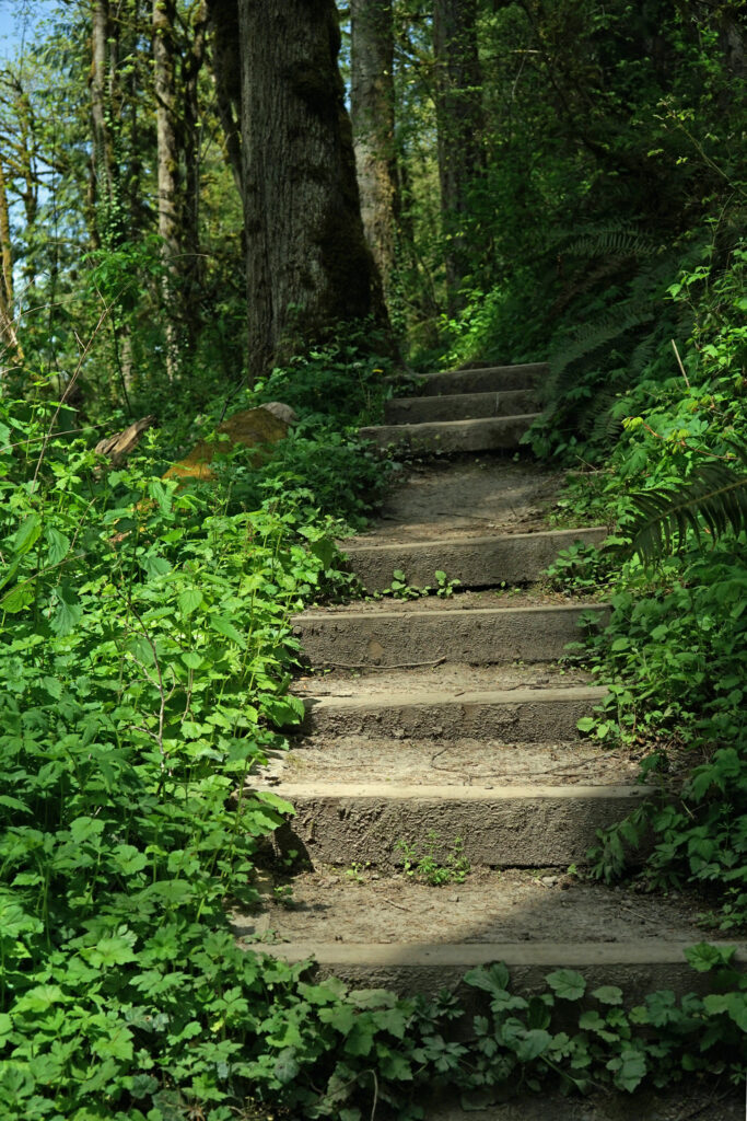
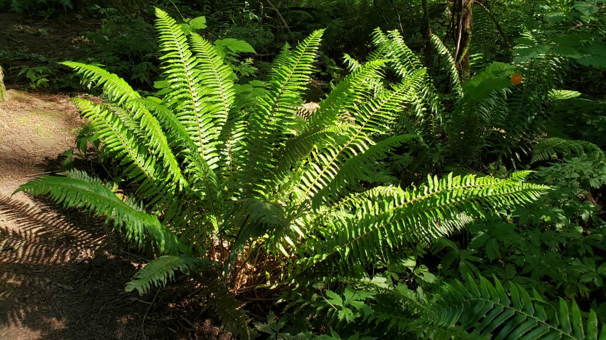
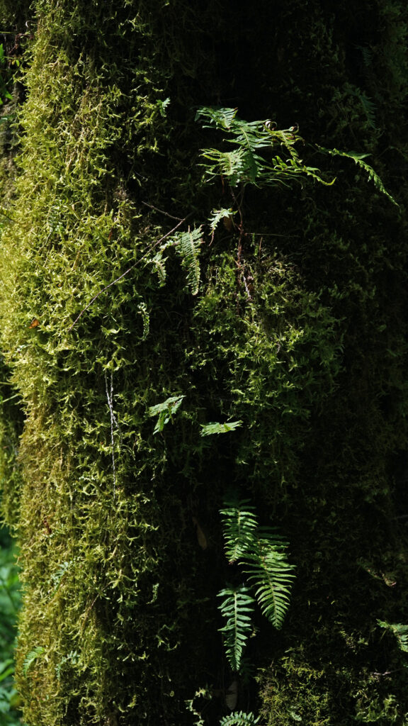
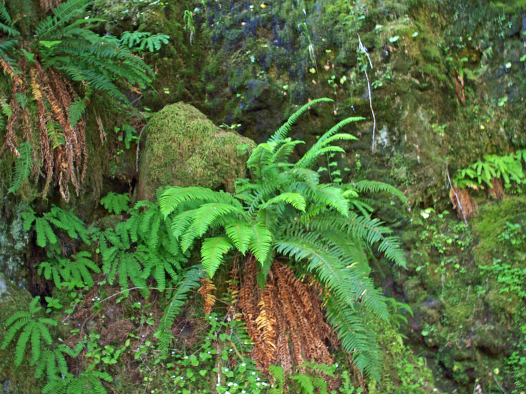
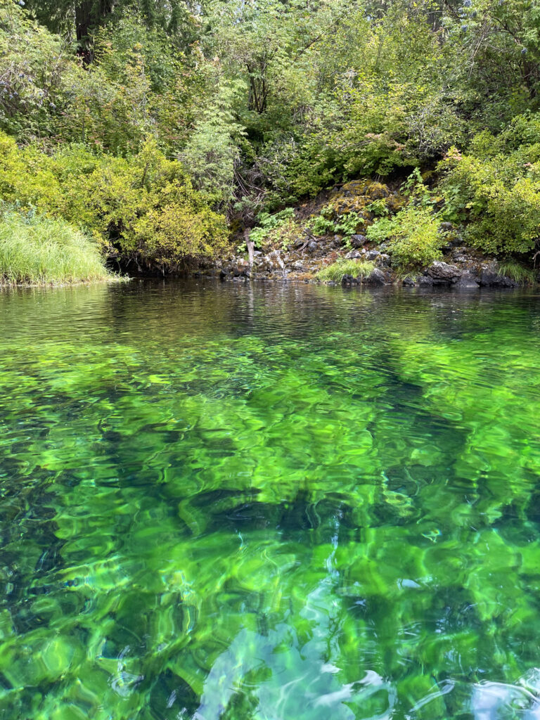
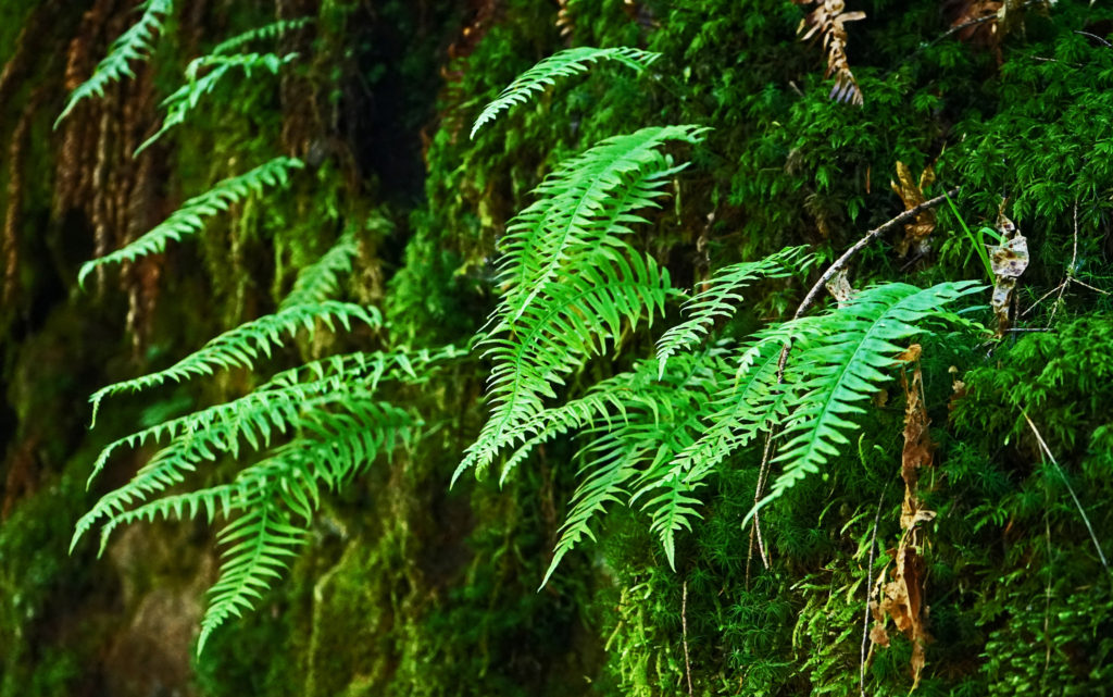
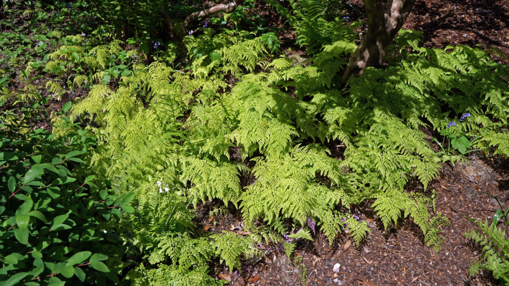
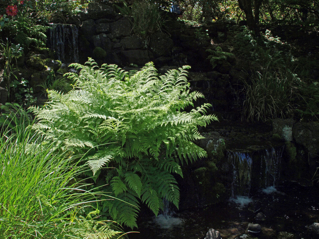
Turn left onto the Lewis and Clark Trail at the junction just beyond High Bridge. This trail recently reopened after being closed for several years after the original Terry Reilly Memorial Bridge washed out in a flood. The Lewis and Clark Trail might be my favorite trail in the whole park. It has a few steep sections and can be slippery when wet, but it is also one of the wildest trails in the park. The trail winds through the second-growth Douglas fir and bigleaf maple forest with a typical temperate rainforest understory of ferns, shrubs, and vine maple. You’ll cross a tributary of Tryon Creek on the new, higher, and much sturdier Terry Reilly Bridge.
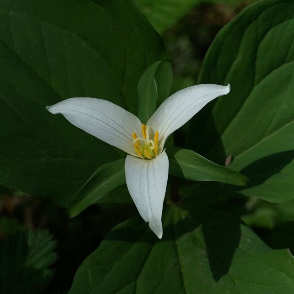
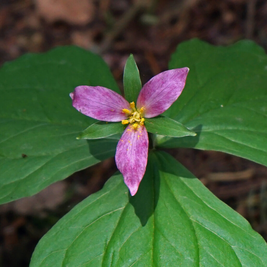
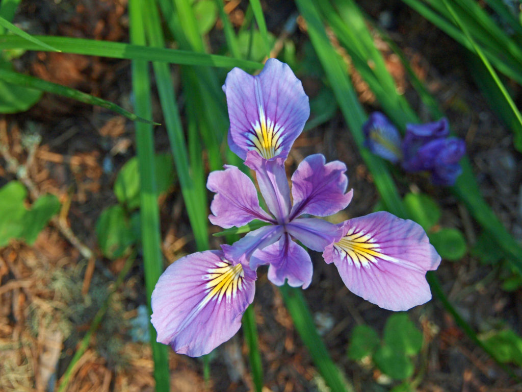
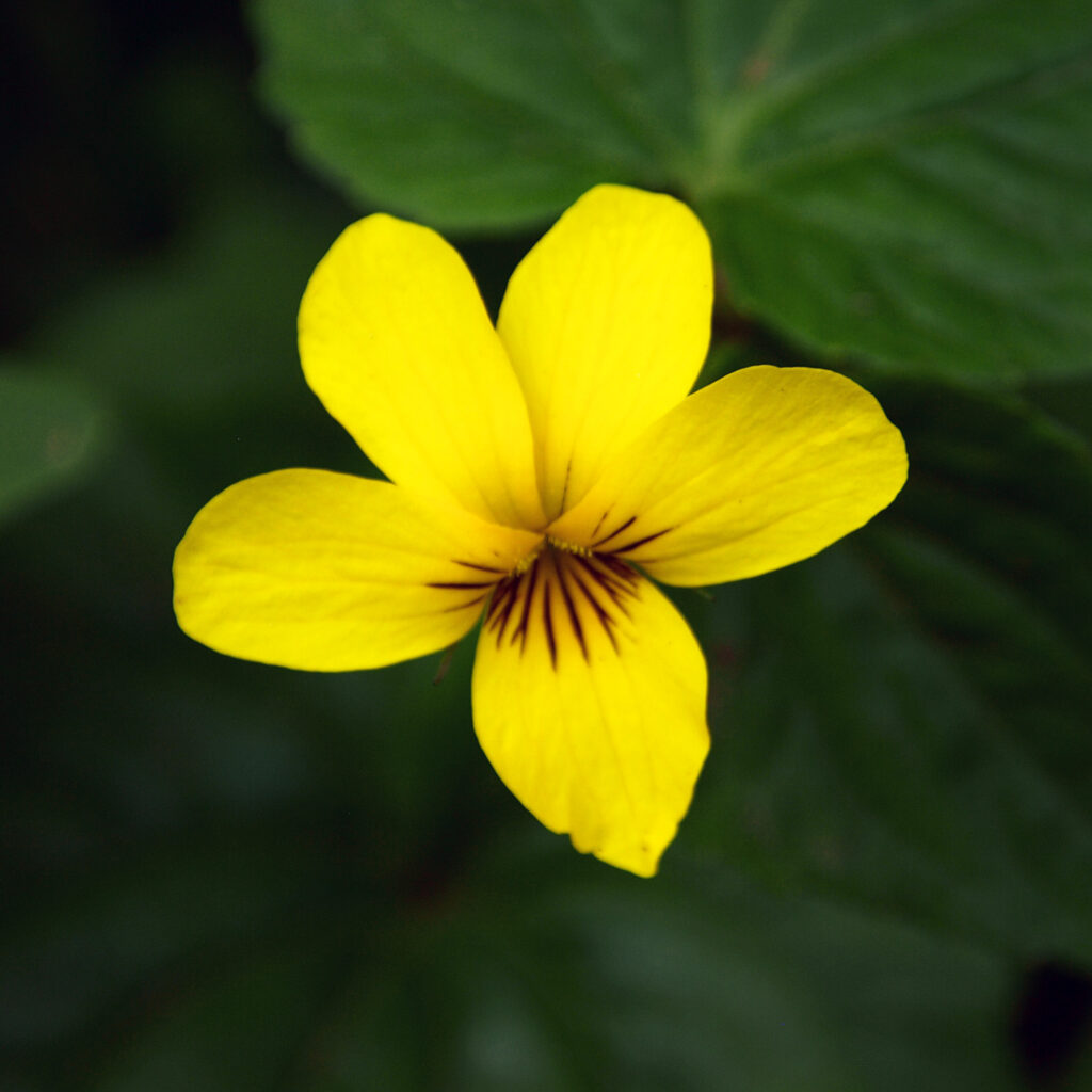
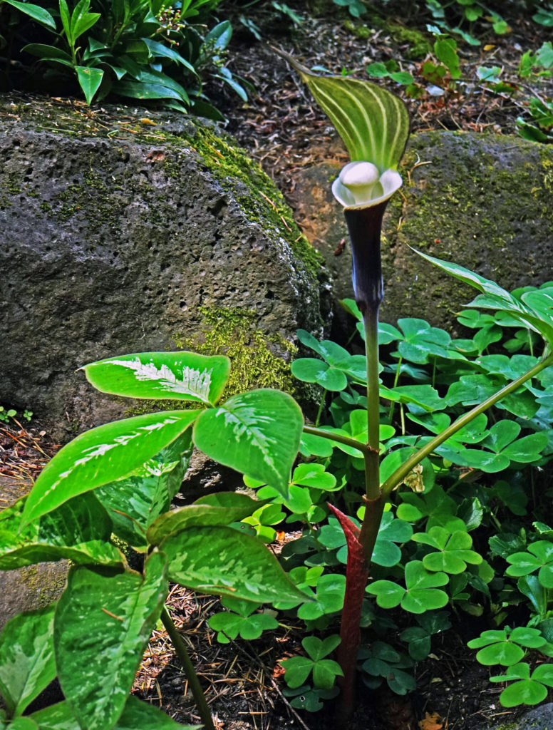
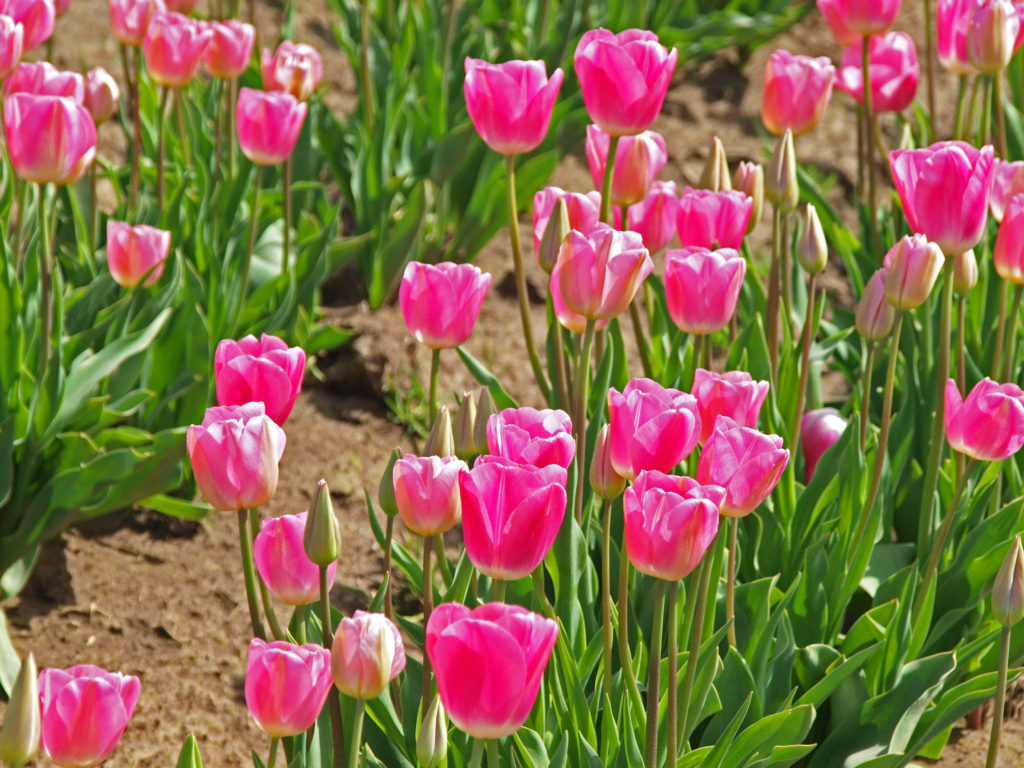
From the bridge the trail climbs through the forest. This is a prime location for trilliums, the three petal white to purple flowers that are the signature plant of the park. On my latest hike here the trilliums were past their prime but there were a few still in bloom.
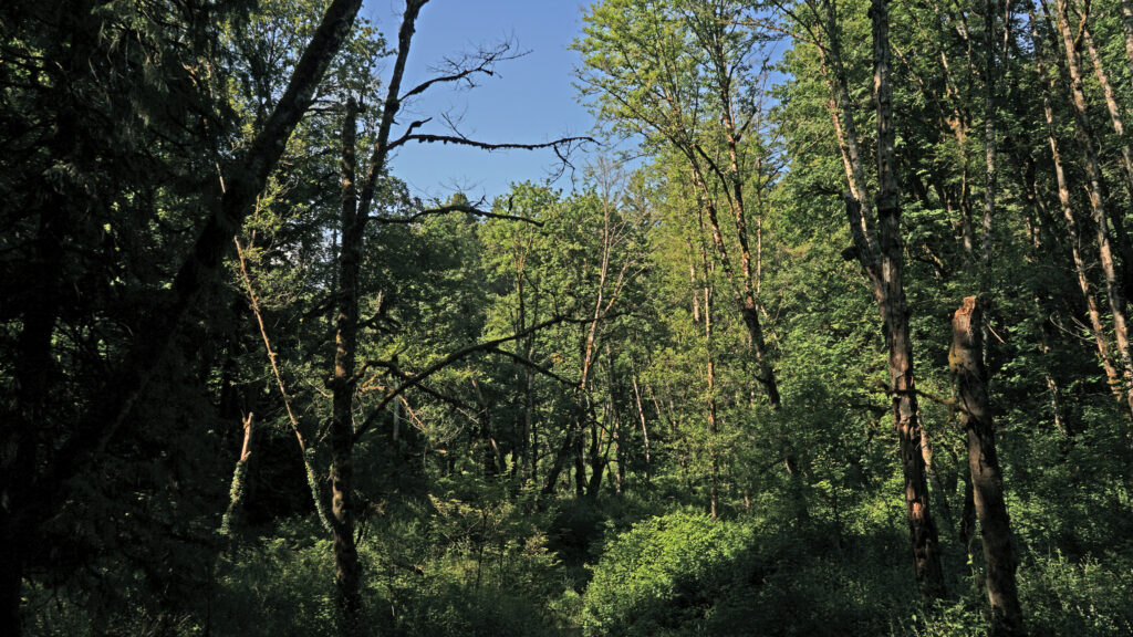
Three tenths of a mile from the Terry Reilly Bridge you’ll see a short connector trail between the Lewis and Clark Trail and the North Horse Loop. Stay left on the the Lewis and Clark Trail for another couple of hundred yards. This is the highest point of the hike. At the junction, turn south (right). This will bring you to another junction with the North Horse Loop.
At the junction turn left onto the North Horse Loop and follow the mixed use trail for four tenths of a mile to another junction. Stay left there, then right at the next junction at the 2.0-mile mark of the hike. Continue on the North Horse Loop for another quarter-mile, then take a short connector trail to your right to a junction with the Maple Ridge Trail. Turn left there and return to the Nature Center.
Other area attractions and activities:
Tryon Creek is only a few miles from downtown Portland, where you’ll find one of my favorite outdoor spaces in Portland, the Lan Su Chinese Garden, a true urban oasis in the middle of the city. Not far from downtown, in Washington Park, is another of my favorite places, the Portland Japanese Garden. And not far from that, also in Washington Park, is Hoyt Arboretum. Those three places, easily visited in a single day, make for a triumvirate of incredibly beautiful places for the outdoor enthusiast to relish the best of what Portland has to offer.
 Posted May 18, 2023 by Alan K. Lee.
All photos ©Alan K. Lee

 Overview:
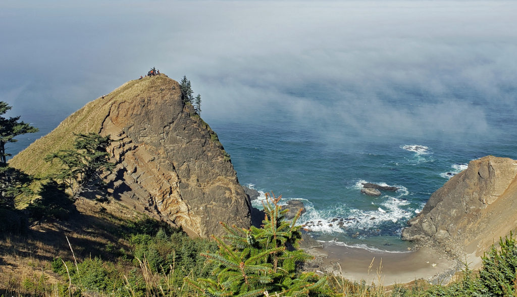
 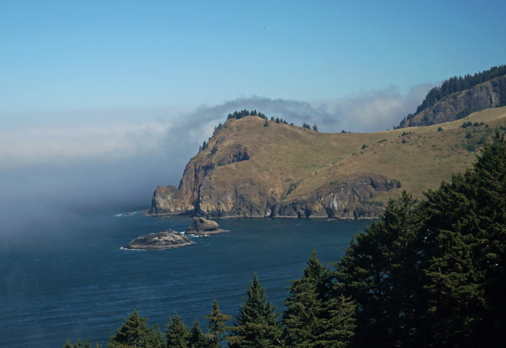 The God’s Thumb hike remained closed to the public until about a decade ago. Although people occasionally trespassed across private property to get to it, God’s Thumb remained largely unknown. But in 2013 Lincoln City purchased about 500 acres of property that was the site of a failed subdivision and negotiated an easement with the owner of the neighboring property, making God’s Thumb legally accessible to the public for the first time.
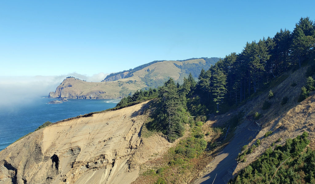 Trailhead:
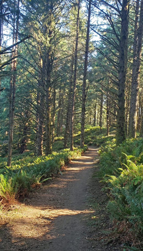 The hike:
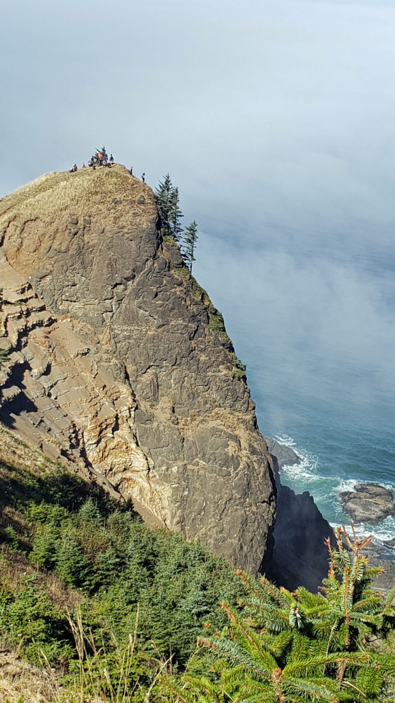
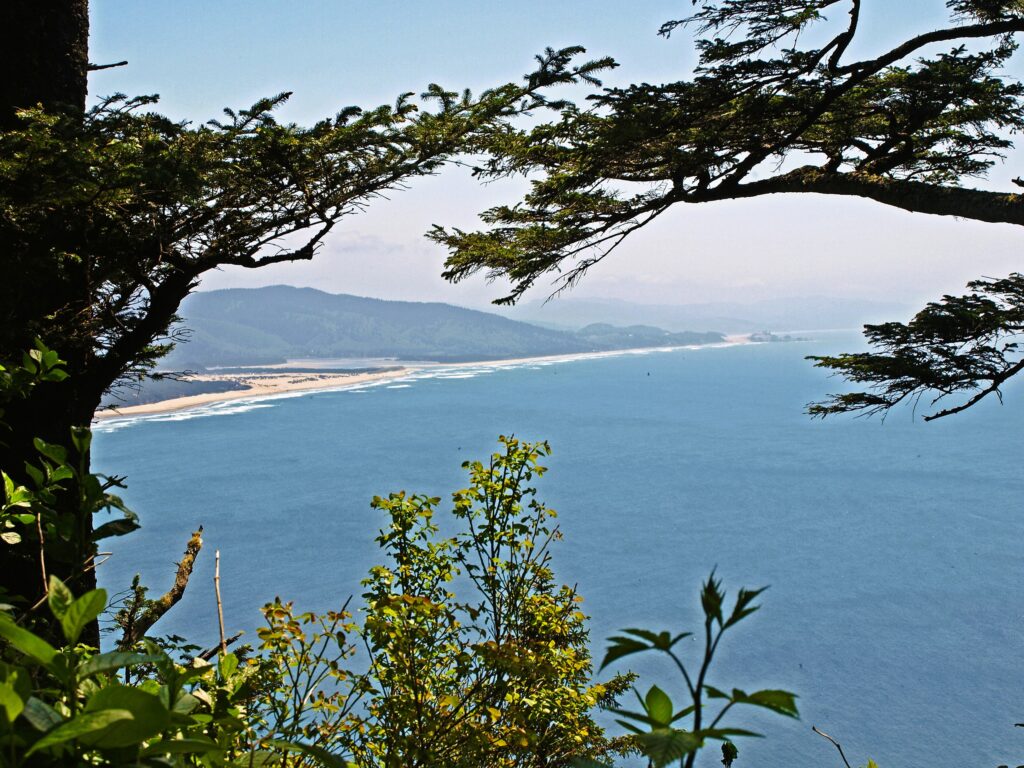
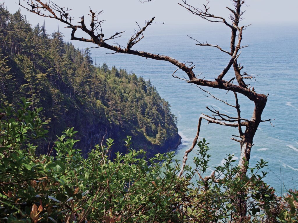
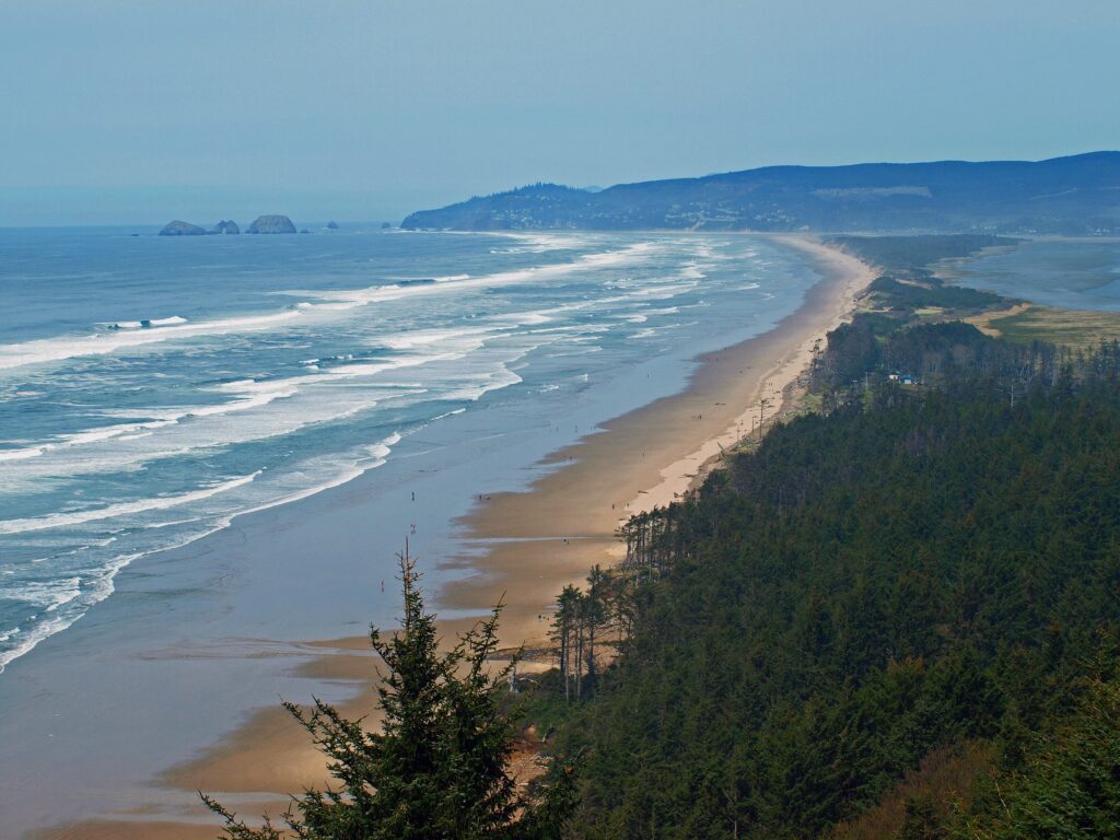
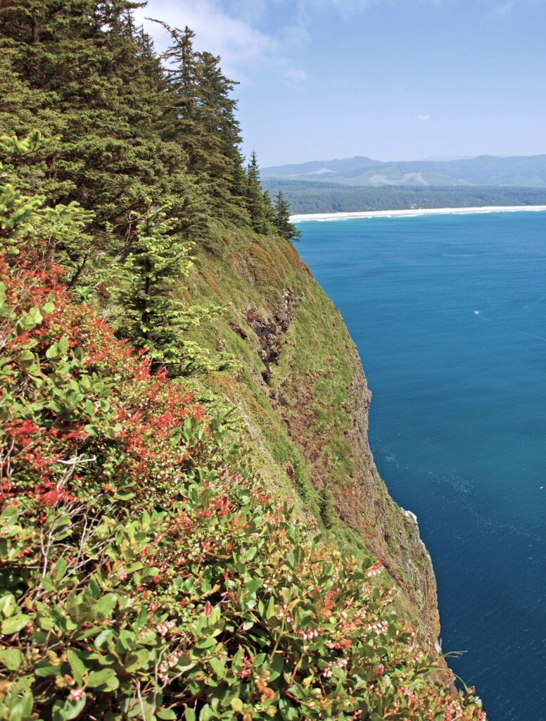
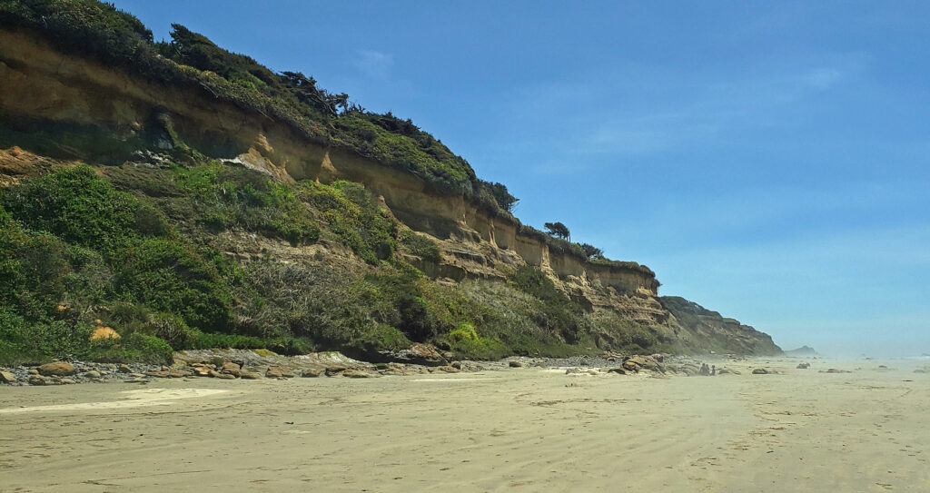
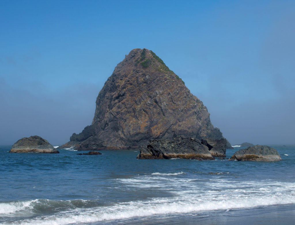
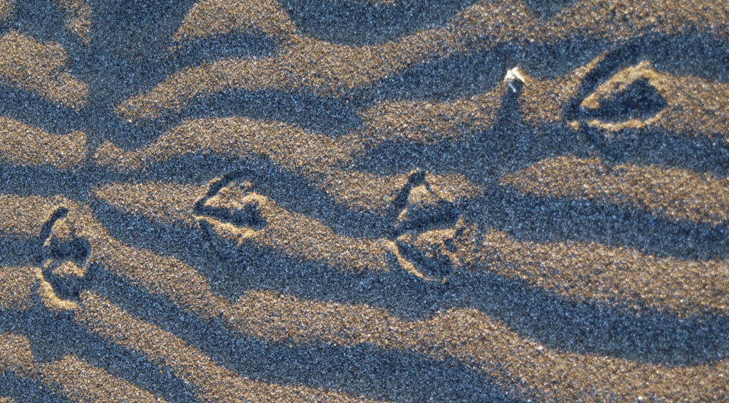
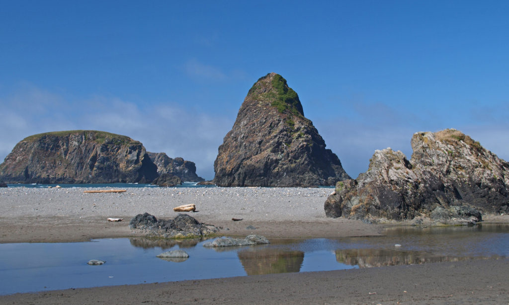
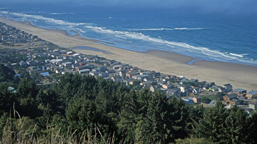 You don’t want to skip this because the view here is spectacular. The Pacific Ocean is spread out before you in all its glory. The Road’s End section of Lincoln City is directly below you. Lincoln City stretches out before you, with Devil’s Lake to the east and Siletz Bay to the south. The view extends south to Cape Foulweather. You might want to park yourself on the grassy summit and just sit for a while. Apparently, the local herd of elk also like the view because they often bed down here at night.
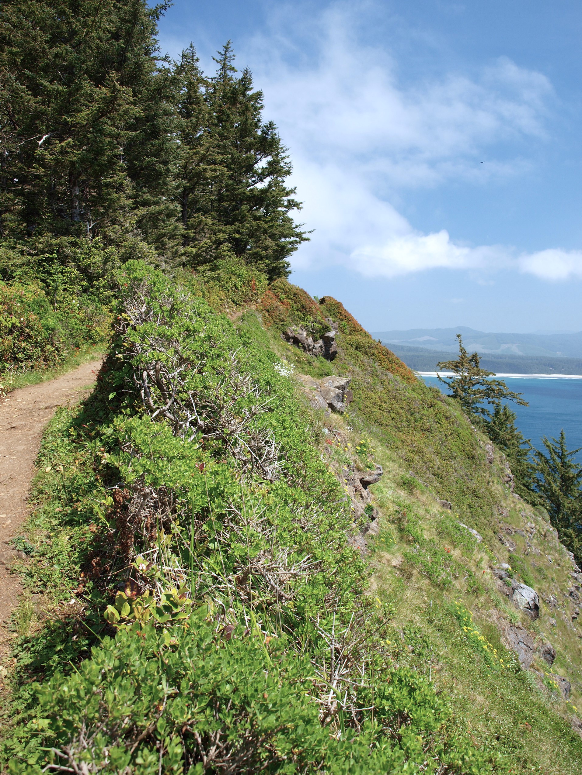
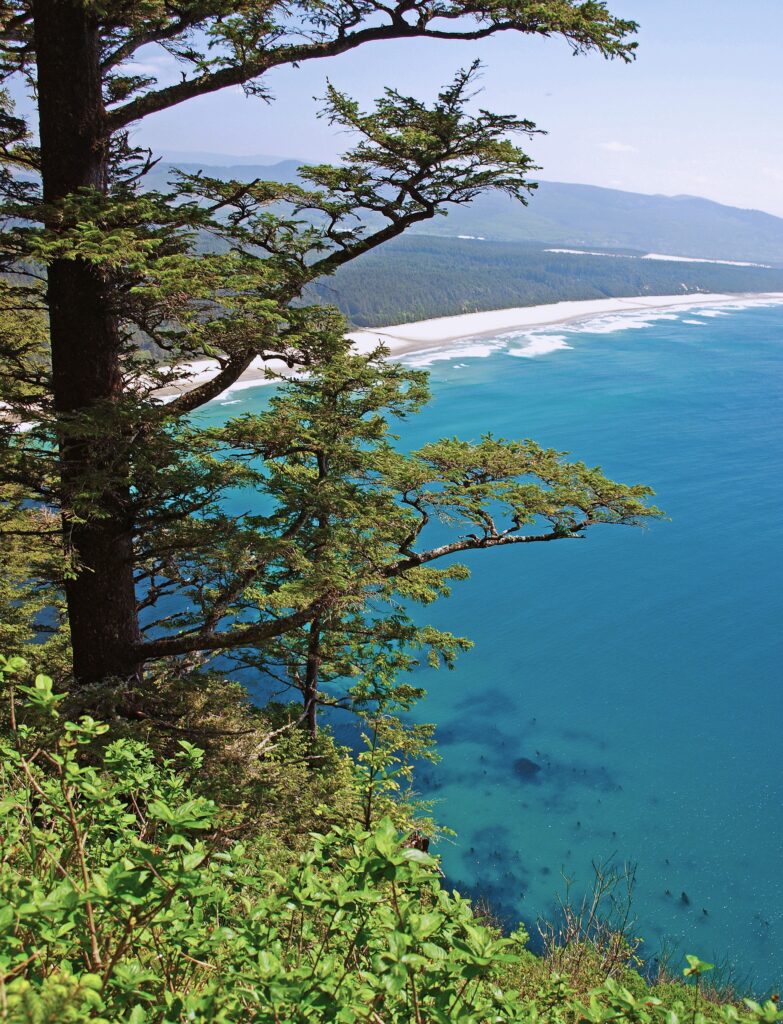
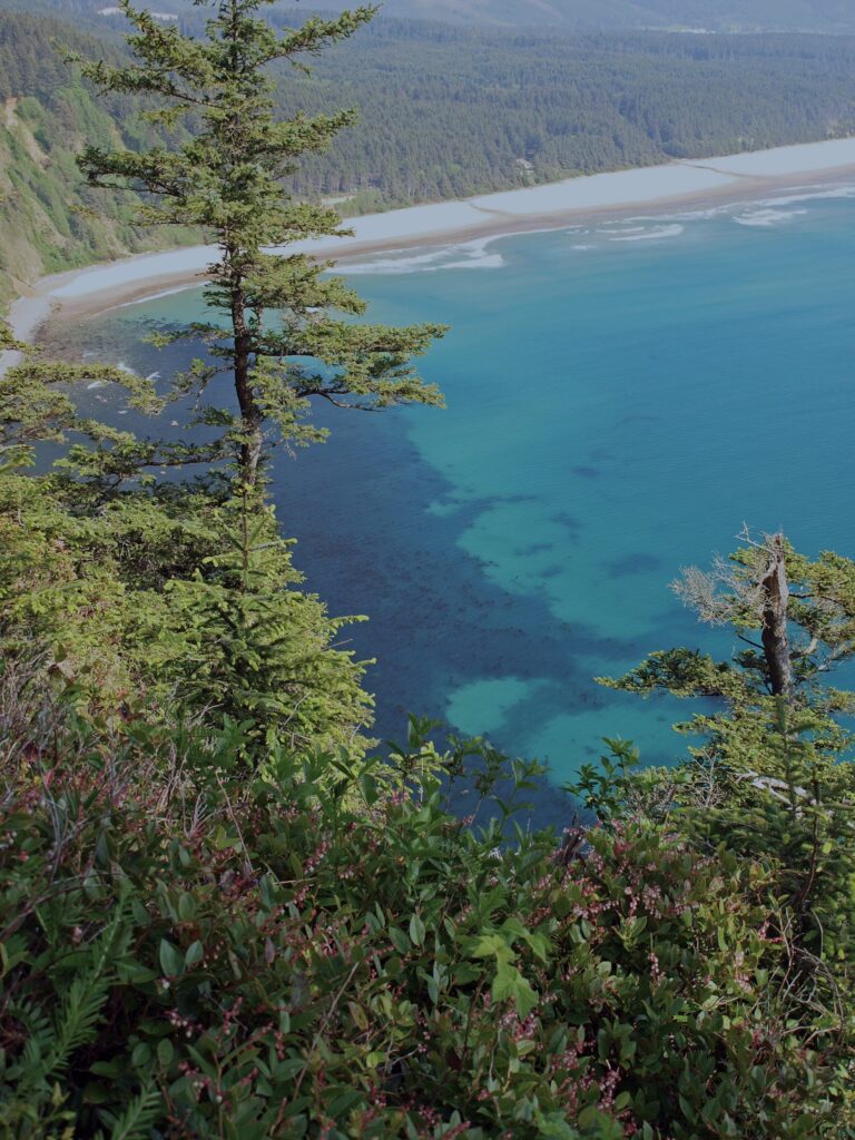
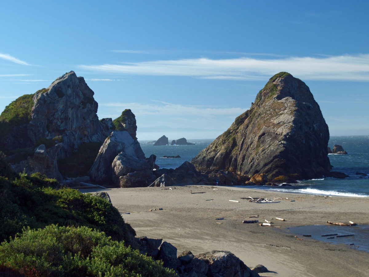
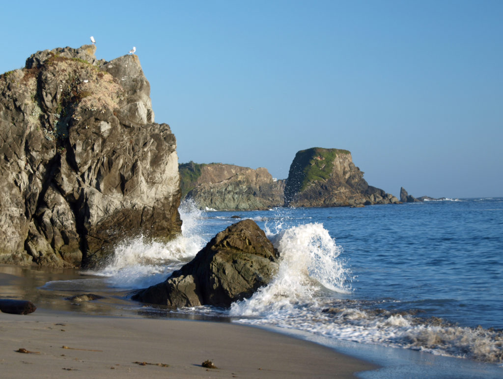
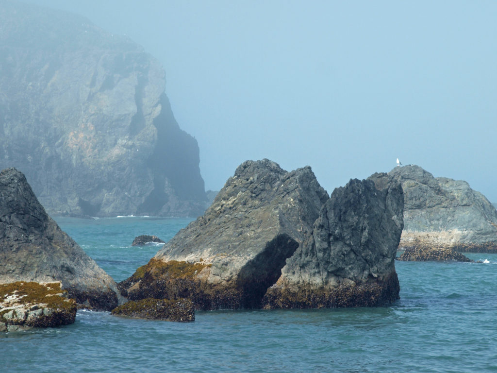
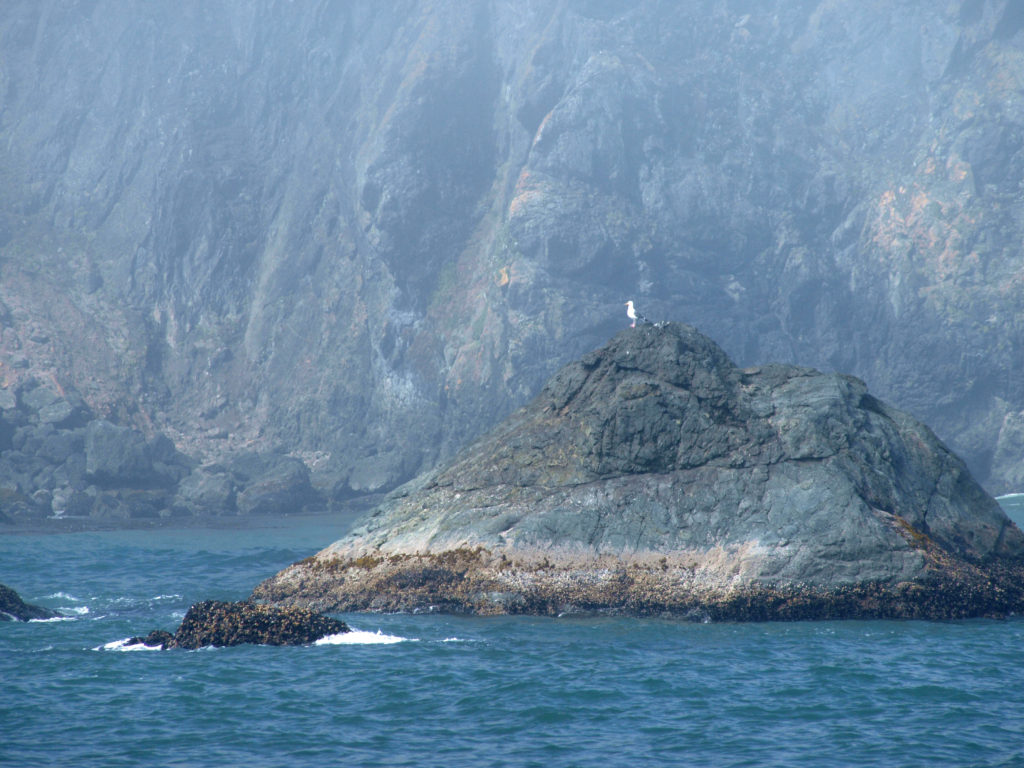
 When you’re done taking in the view from The Knoll, return to the main trail and continue north. This portion of the trail is on the easement granted to the city by the property owner. The trail takes you through a spruce and hemlock forest and across a small meadow. Parts of the trail are steep, but the elevation gain is modest, and most people won’t have any difficulty. You’ll soon come to a trail junction. Stay left to continue on to God’s Thumb. You’ll pass through more spruce, hemlock and alder forest, and across several grassy meadows before the trail swings to the west and comes to another trail junction. The trail to the right comes up from the private Camp Westwind on the Salmon River Estuary. Stay left at the junction and you’ll soon see God’s Thumb in front of you. Stop here and admire the view of The Thumb and the surrounding cliffs, the two coves and beaches on either side of The Thumb, and Cascade Head to the north.
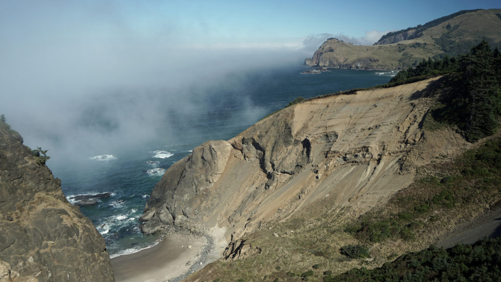 The trail then drops steeply down the slope and across along a narrow ridge before climbing very steeply up the slope to the summit of God’s Thumb. This section can be tricky to navigate and can also be slippery if the trail is wet. Some people choose not to venture down and then up to the summit. But if you do, you’ll be rewarded with magnificent views in all directions. Even if you don’t, the views you do get make the hike well worthwhile.
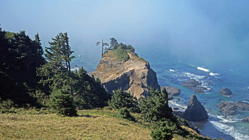 When you’re done taking in the views, return the way you came. When you reach the second trail junction, before you get to The Knoll, you have the option of taking the trail to the left for an alternate, slightly longer route back to the end of Devil’s Lake Boulevard where you left your car. Check the Oregon Hikers
 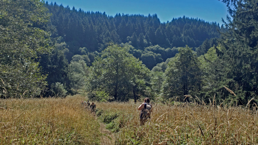 A few notes on parking:
 Other area hikes and other attractions:
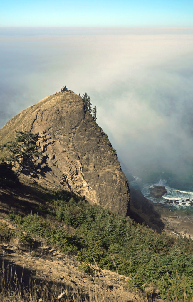
 Trailhead: Cape Lookout State Park
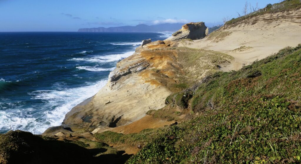
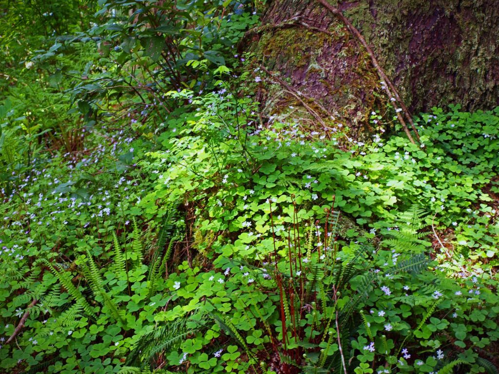 From there, the trail crosses to the north side of the cape and comes to a viewpoint at the 1.2-mile mark. Here you can see north to Cape Meares and Three Arch Rocks. Just west of the viewpoint, the original trail slid into the ocean about 30 years ago. The present trail detours away from the cliff through a boggy area on a boardwalk.
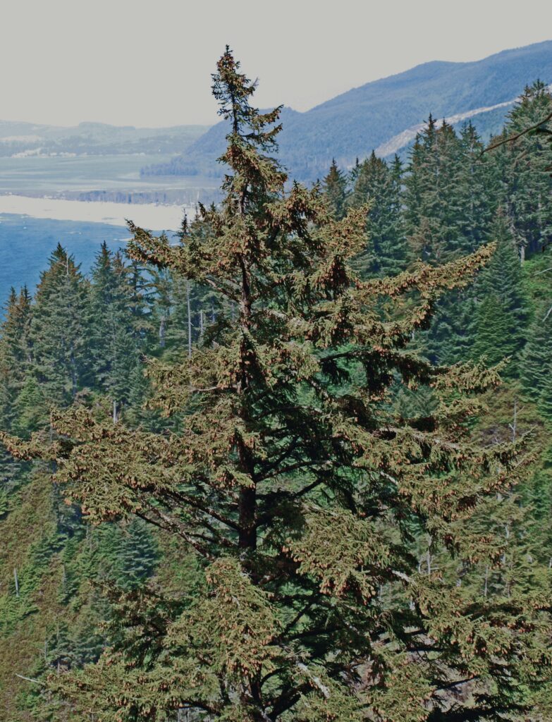 The trail returns to the south side of the cape and continues for another 1.2 miles, climbing and descending several times, to a viewpoint at the end of the cape, 400 feet above the ocean. Views there stretch from Cape Foulweather, 40 miles to the south, to Neahkannie Mountain, 40 miles to the north.
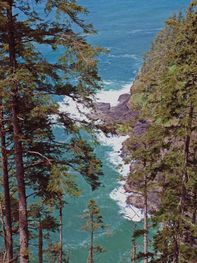 You’ll probably linger for a while at the end of the trail, but when you’ve had your fill of sightseeing and whale watching, return to the parking area the way you came.
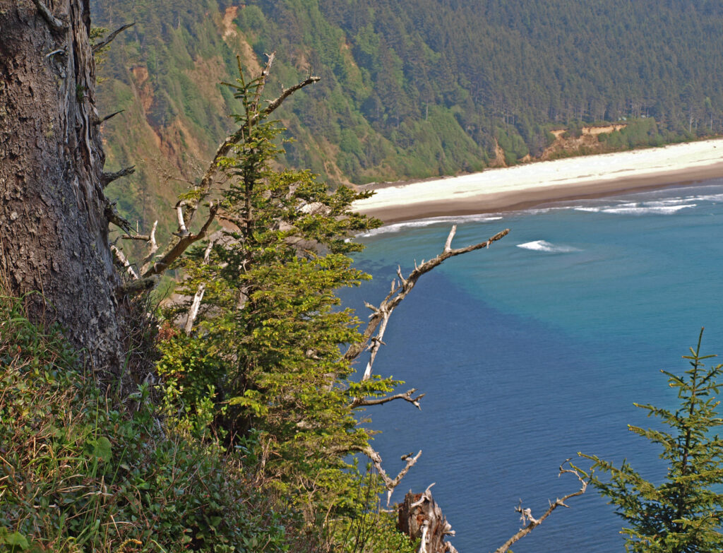
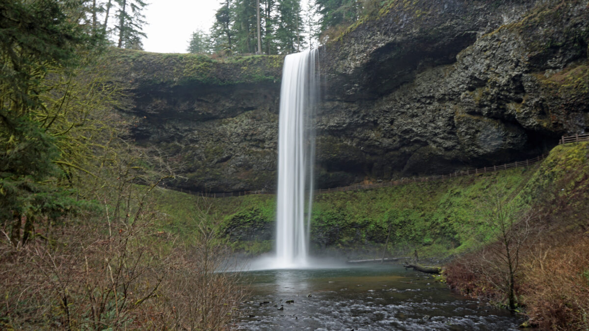
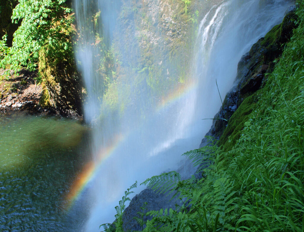
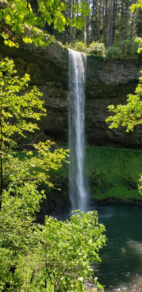
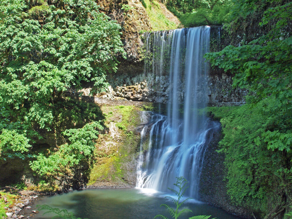
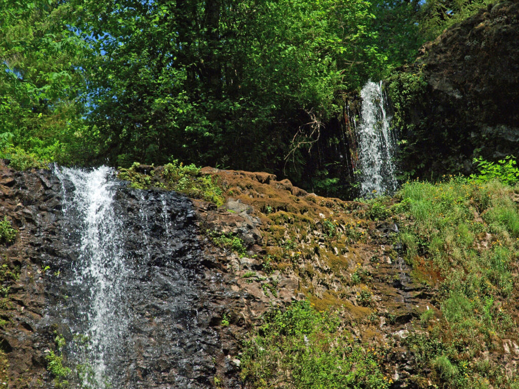
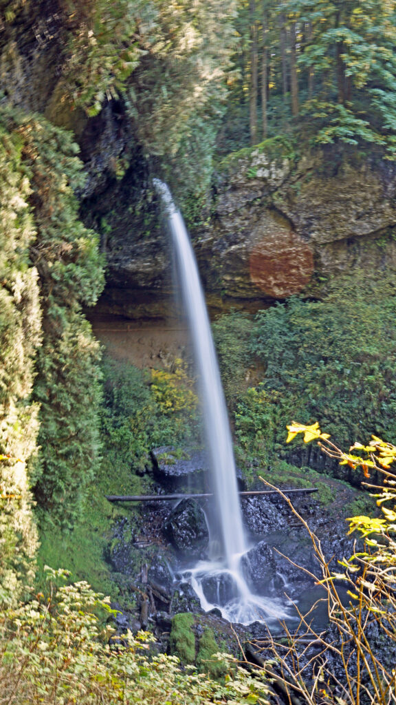
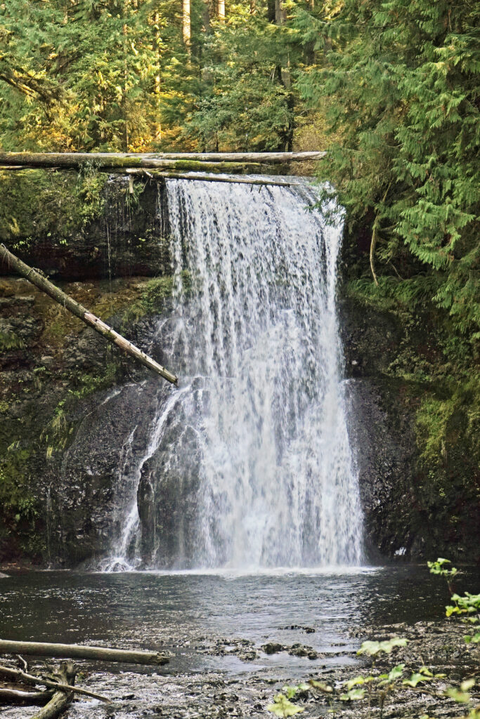
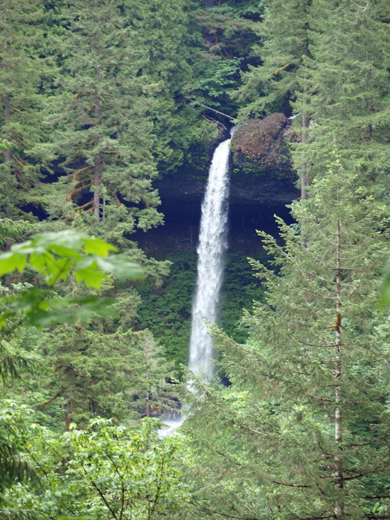
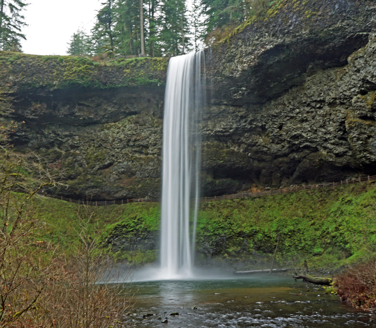
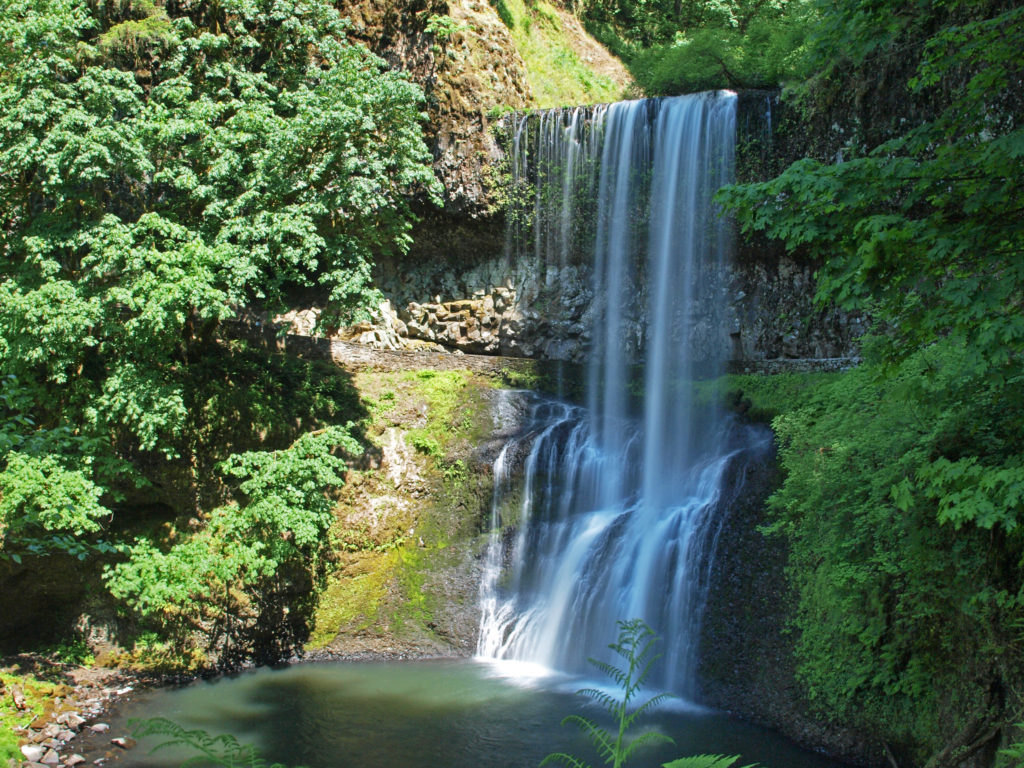
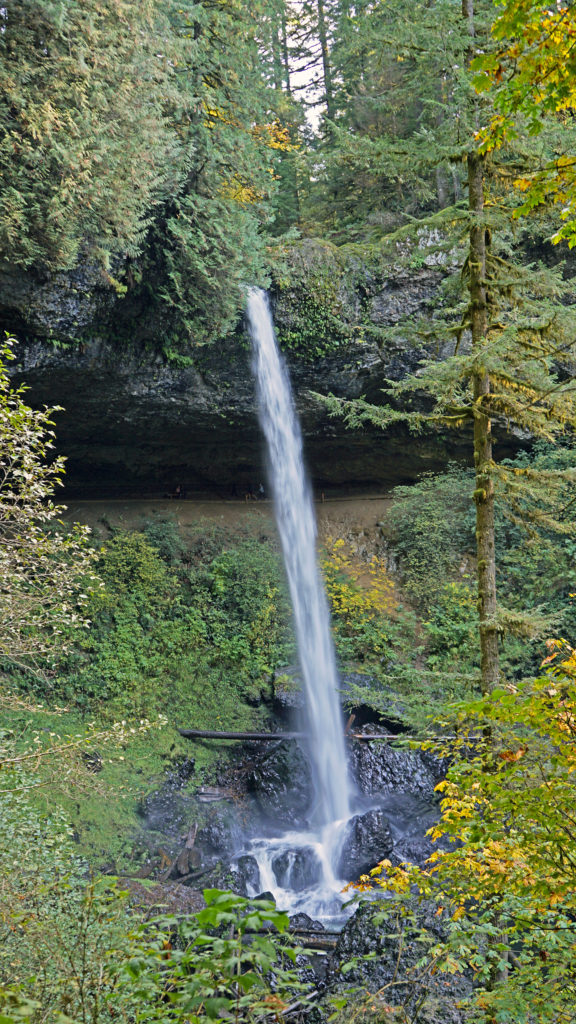
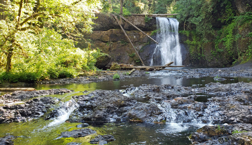
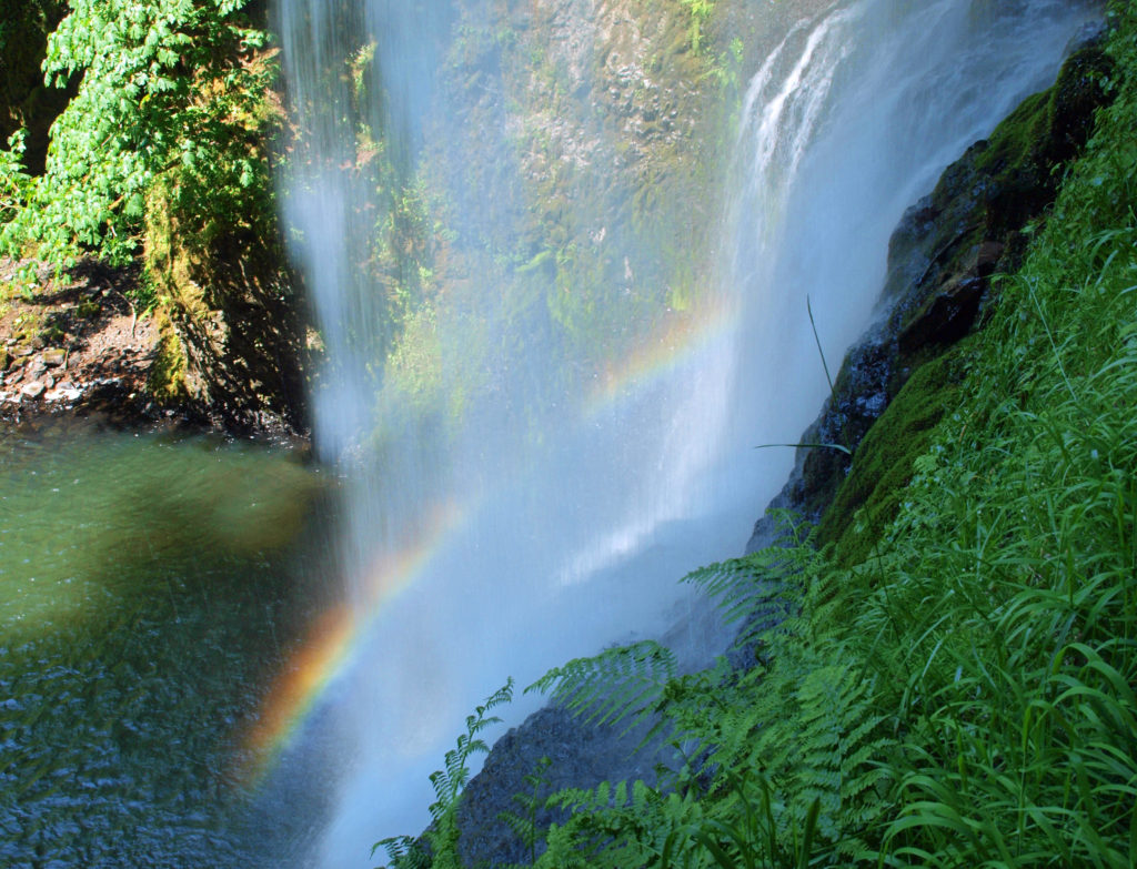
 Silver Falls was voted Oregon’s favorite state park a few years ago, and for good reason. With more than ten waterfalls, six of them more than 90 feet in height, Silver Falls is a waterfall lovers paradise. And the Trail of Ten Falls (there are actually eleven named and at least one unnamed falls along the trail) is one of the finest hiking trails in the Pacific Northwest. I don’t know of anywhere else where you can see a dozen falls on a single hike, and four of them here have trails that actually take you behind the falls.


 Other area attractions and activities:
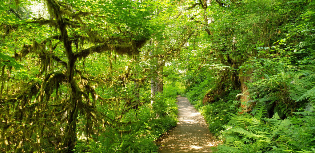
 The Trail of Ten Falls is an iconic hiking trail that every serious hiker in the state has likely done multiple times. It’s so spectacular that it alone is worth making the trek to Oregon from wherever you reside, no matter how far away that is. As an Oregon resident, I know I’m a little biased, but I don’t think I’m exaggerating here. If you’re a waterfall lover, come see for yourself. A trip to Silver Falls, combined with a visit to the waterfalls of the Columbia River Gorge will make for an unforgettable experience.
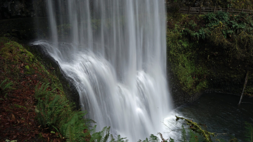
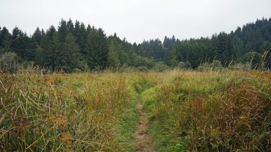

 Beyond the Snaggy Point Trail junction, the loop trail continues through the forest along the edge of the marsh to a junction with the Antler Overlook Trail, which connects to the Cooper Ridge Trail and provides another overcrossing of the upland area. The main loop trail then continues through the forest to the agricultural buildings mentioned in the winter trailhead description. Beyond the buildings walk up the service road for a couple hundred yards and look for the loop trail branching off to the left. The trail follows the edge of an open field.
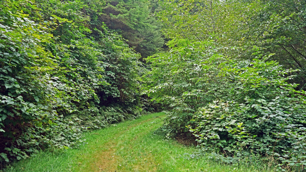
 Posted March 14, 2023 by Alan K. Lee
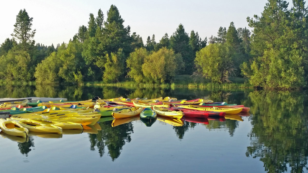
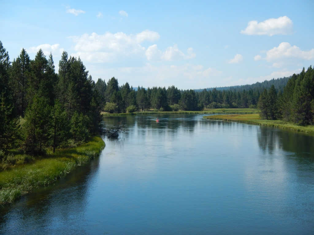
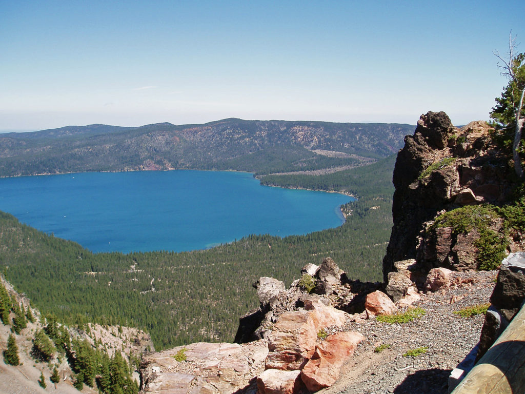
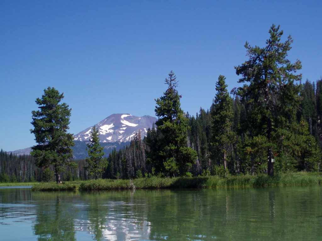
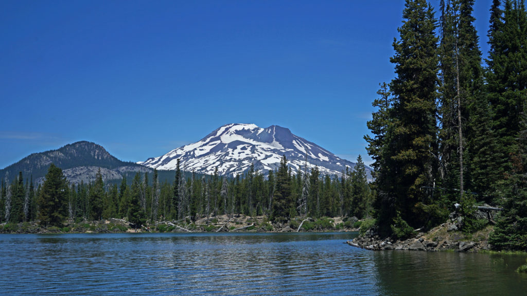
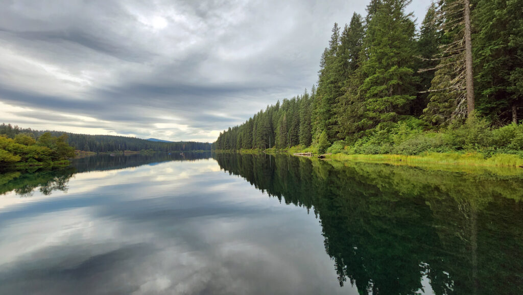
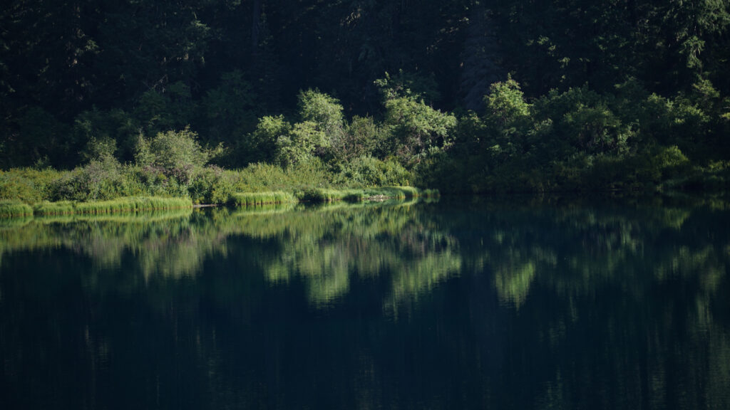
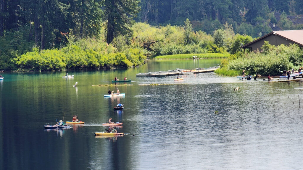
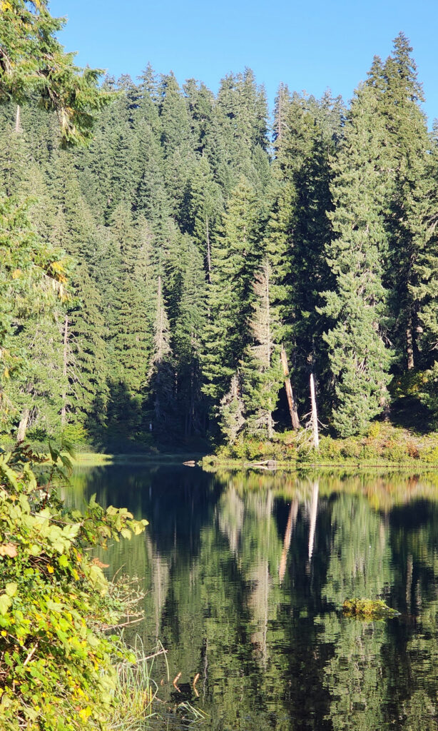 Clear Lake offers the outdoor enthusiast a number recreational options, including hiking, fishing, paddling, or just taking in the views and soaking up the beauty and peacefulness of nature.
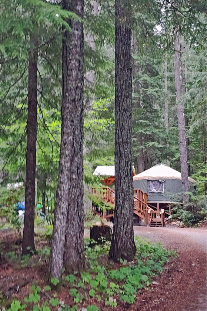
 My wife and I have taken short vacations at Clear Lake a couple of times in the past couple of years, most recently in August 2024. Both times, we stayed in one of the cabins at
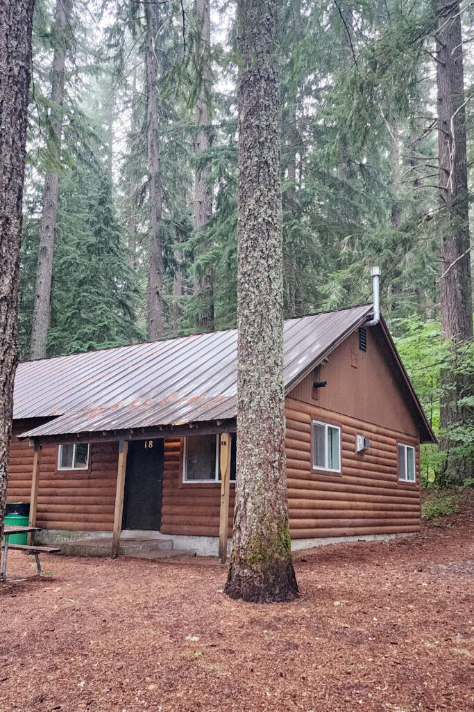
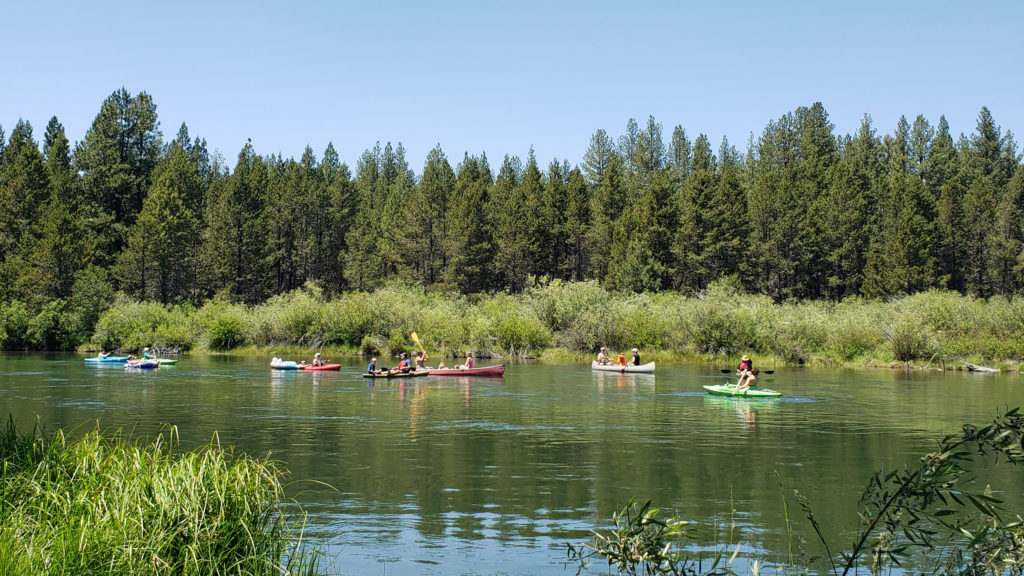
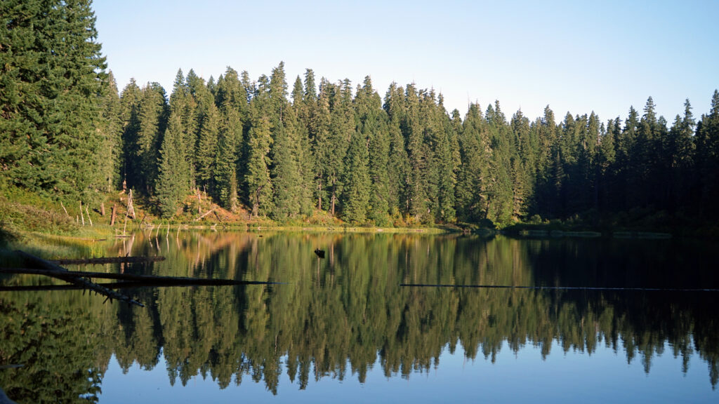 The Clear Lake and upper McKenzie area is one of the most scenic and most interesting parts of the Cascades, and offers a number of other hiking options besides the Clear Lake Loop. The 2.6-mile
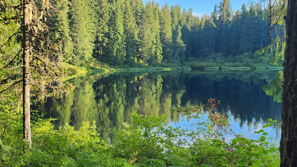

 You can take in Clear Lake and do the Waterfall Loop in a weekend. Make it a long weekend and add the Blue Pool hike or spend a day out on the lake. Better yet, make a week of it and check out Fish Lake, the Santiam Pass and McKenzie Pass areas, and the lower McKenzie River. You won’t run out of things to do.
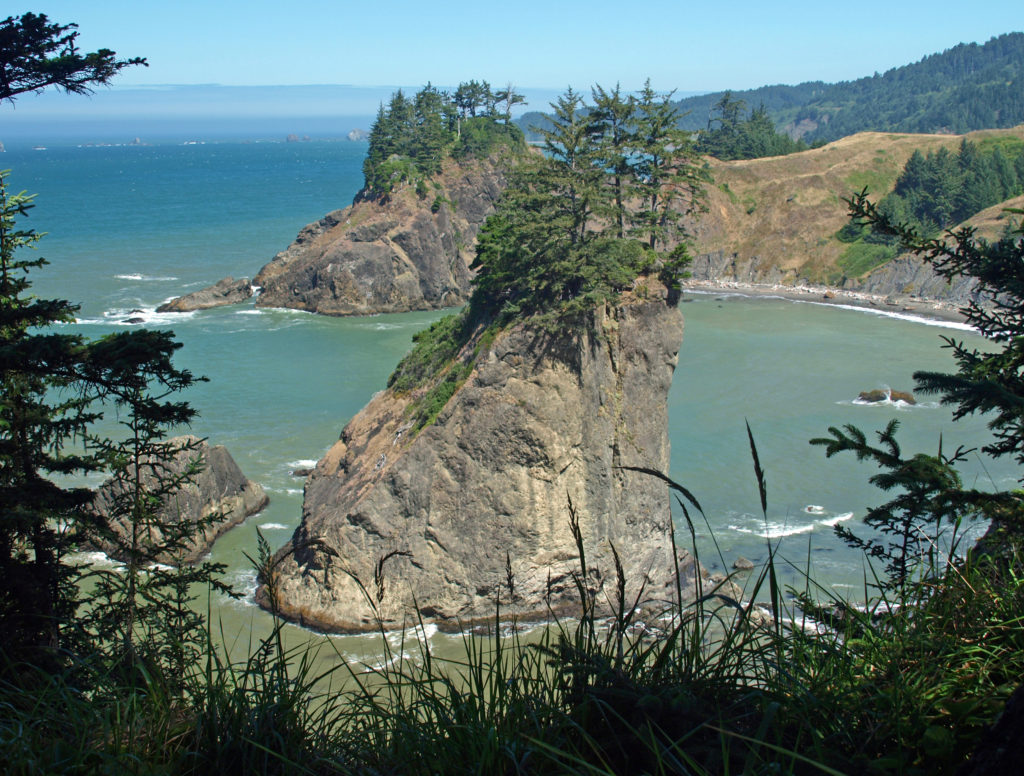
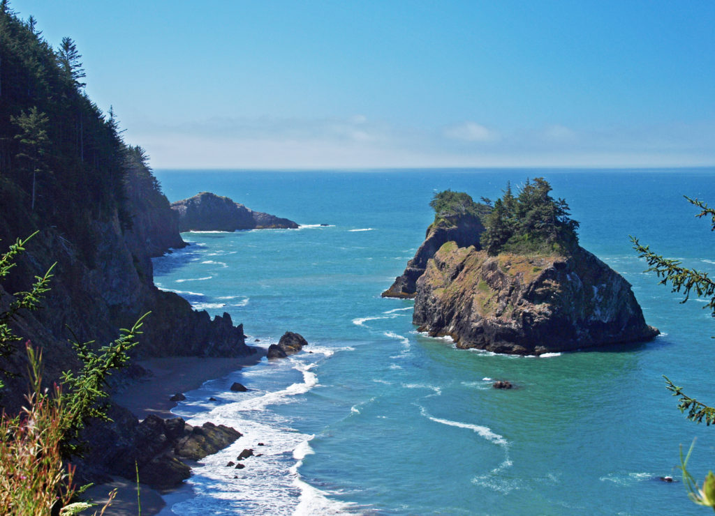
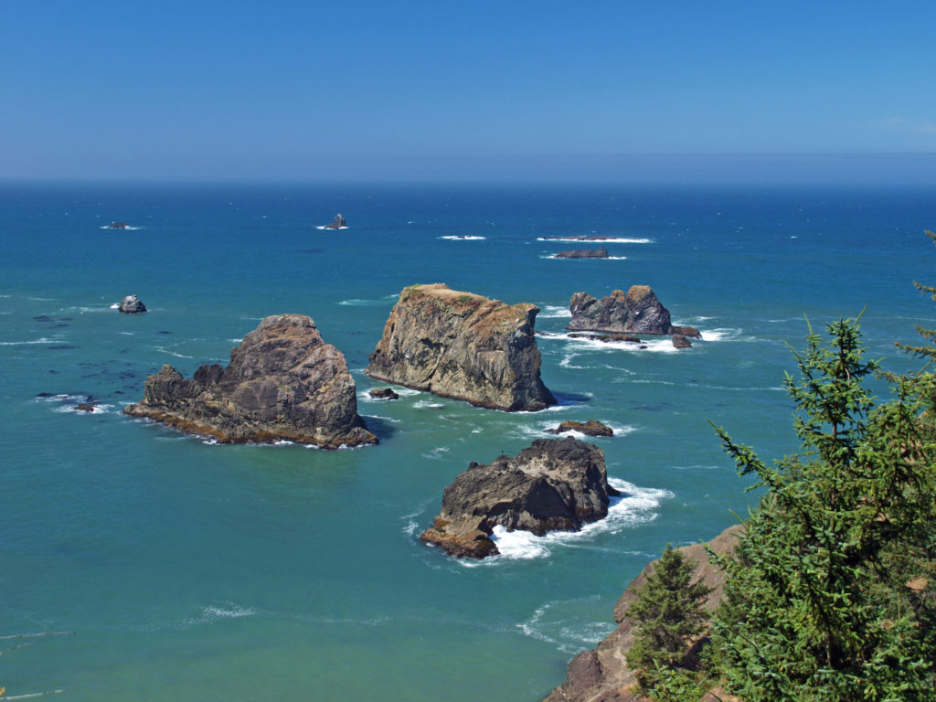
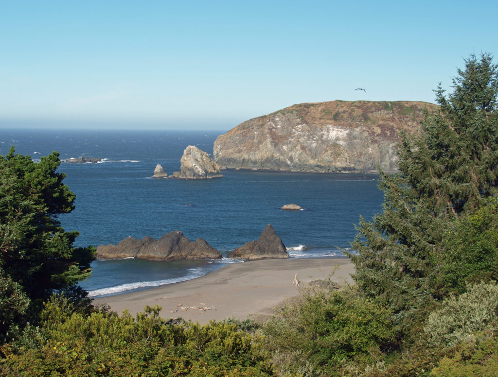
 The towns of Brookings and Gold Beach that bookend this stretch of the coast aren’t the main attractions here, but they’re both worth spending a little time to explore at the end of the day. Brookings is the bigger town, with more to see and do. Gold Beach is smaller and quieter, with more of a lost-in-time vibe. Both have decent dining options. If you’re ending your day in Brookings, try Black Trumpet Bistro, Superfly, or Oxenfre Public House for dinner. Chetco Brewing Company has a good selection of beers and there’s a vegan food truck there. In Gold Beach, try Barnacle Bistro, Port Hole Cafe or The Crow’s Nest.
 History
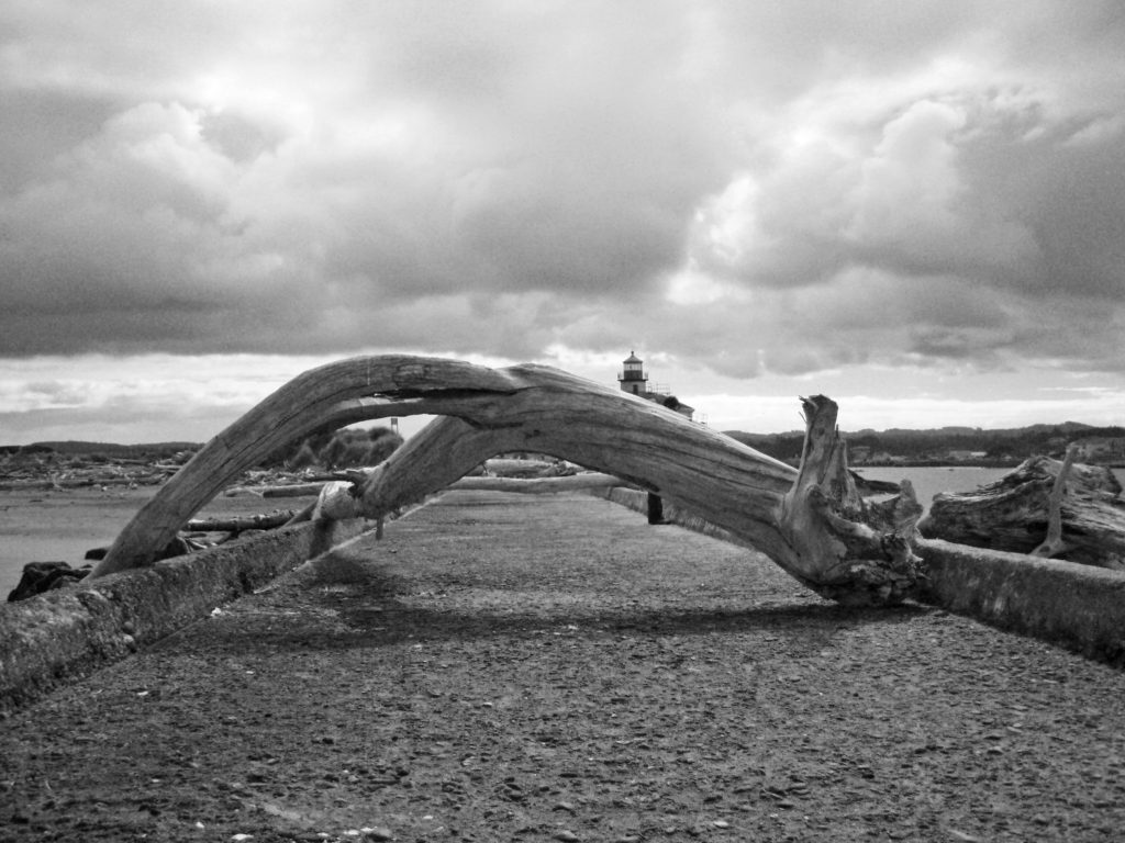 One of the things Lord Bennett brought to Bandon from Ireland was gorse, a thorny, thick growing plant with bright yellow flowers. In Ireland it was used for privacy hedges and property boundaries because it is almost impenetrable. In Oregon it went wild and was one of the state’s first invasive plants. Besides being thick and thorny, it is also a very oily plant and burns readily. In 1936 a small forest fire started from a slash burn that got out of hand, spread to the gorse near the town, and then to the town itself, destroying all but 16 of the 500 structures in the town. The fire decimated the community and all but ended shipping to and from the harbor.
 In my youth, Bandon was primarily a mill town, with fishing and agriculture secondary industries. Today, the lumber and plywood mills are long gone. There is still a small fishing fleet that operates out of the harbor, Bandon is still one of the leading cranberry producing areas of the country, and dairy farming is still an important component of the economy. But it is tourism that drives the economy today. The three main tourist draws are the beaches, Bandon Dunes Golf Resort, and the old town section of Bandon.
 The Beaches
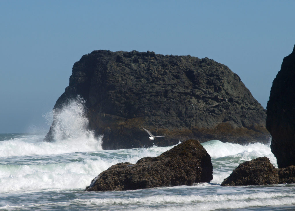
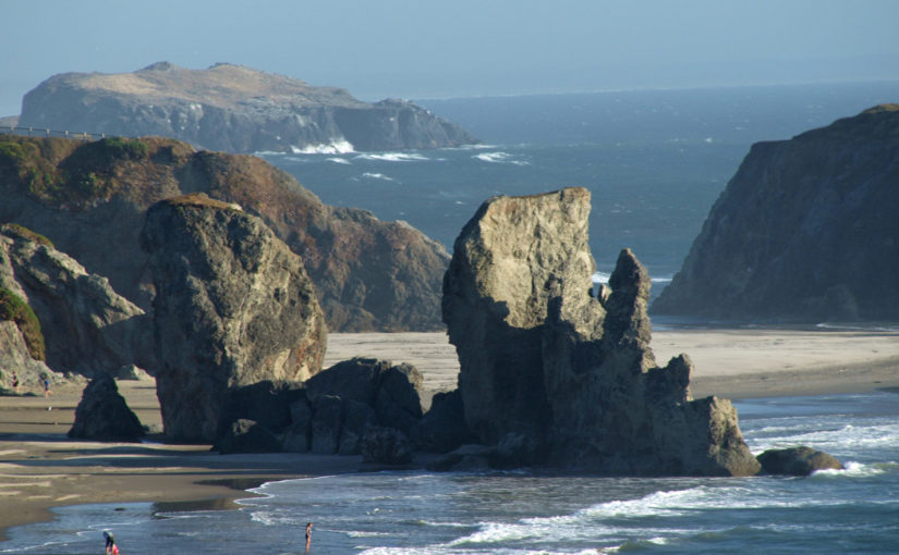
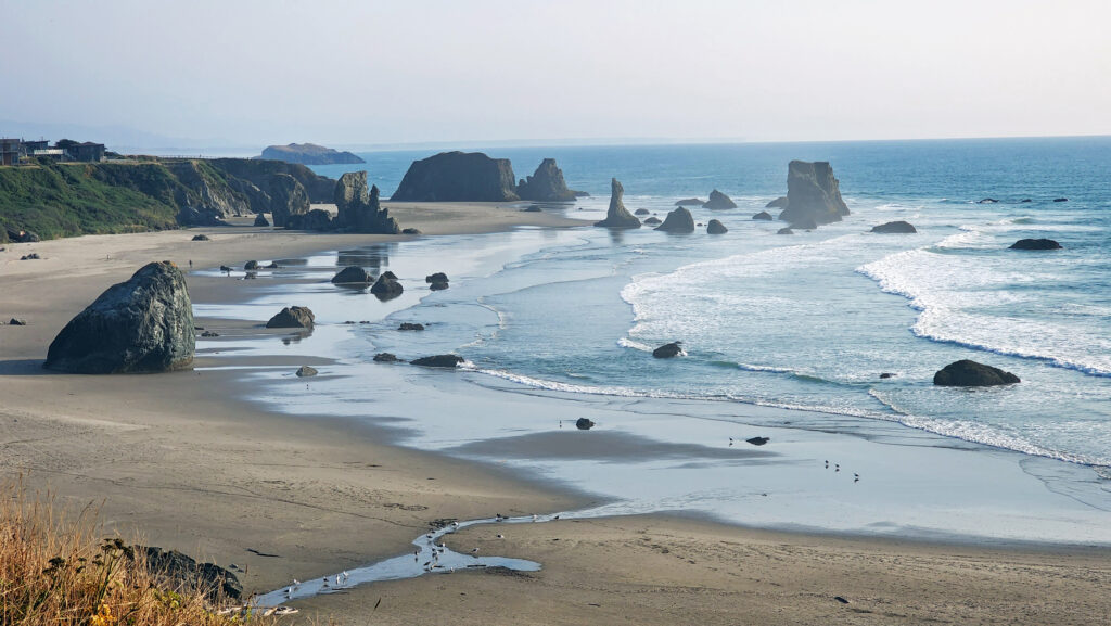
 Access can be had from the south jetty area, from the wayside at the end of 11th Street, and from Face Rock State Scenic Viewpoint on the Beach Loop Road. Farther south on the Beach Loop Road are other beach access points at Devils Kitchen and Bandon State Natural Area.
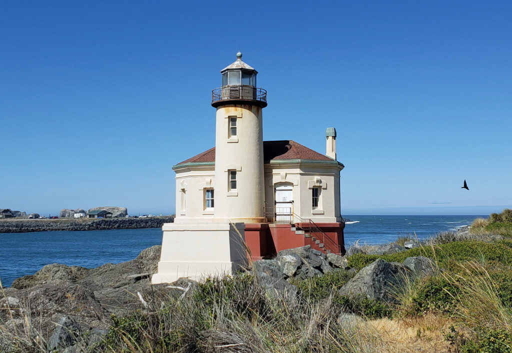
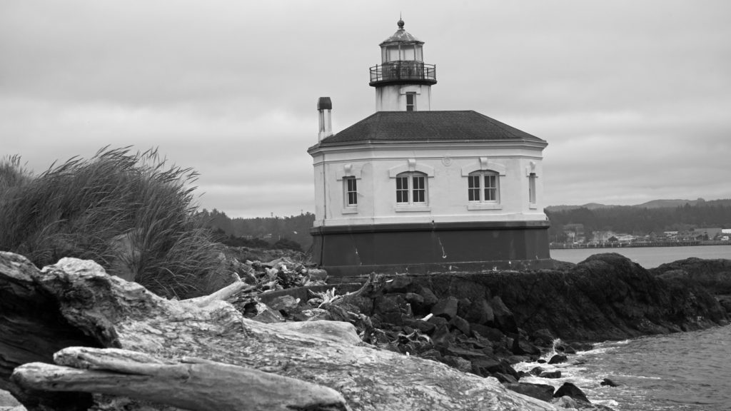 In 1939 the Coast Guard took over the lighthouse and deemed it unnecessary. The lighthouse was replaced by an automated light on the south jetty. The lighthouse sat abandoned for 24 years until it became part of the new Bullards Beach State Park in 1963. It was another 13 years before renovation of the lighthouse began, but it finally opened to the public in 1979. In 1991, during Bandon’s centennial celebration, a solar powered light was installed, ending the Coquille River Lighthouse’s 52 years of darkness. Further renovation of the lighthouse was done in 2007. The bottom floor of the lighthouse is staffed by volunteers and open to the public, but the tower and the light are not.
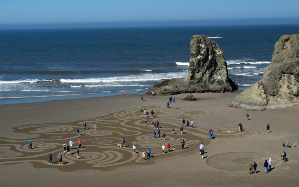 Circles in the Sand
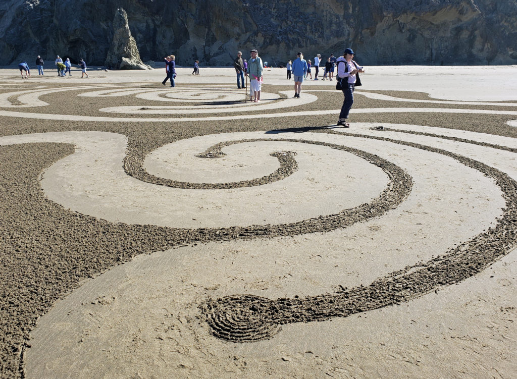
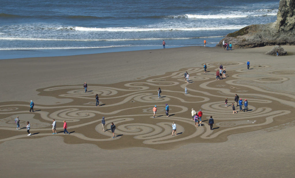
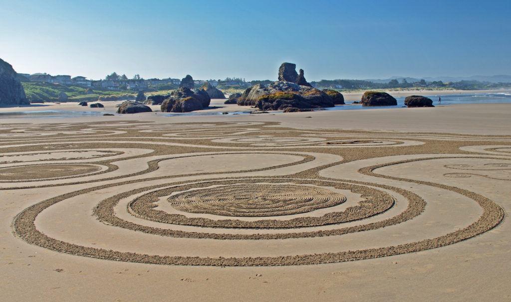
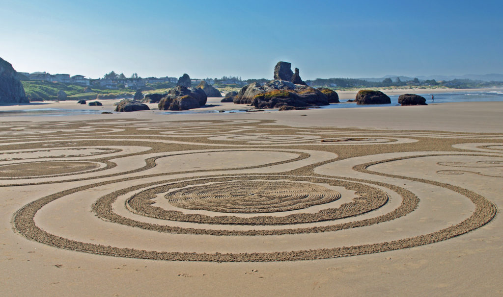 The
The 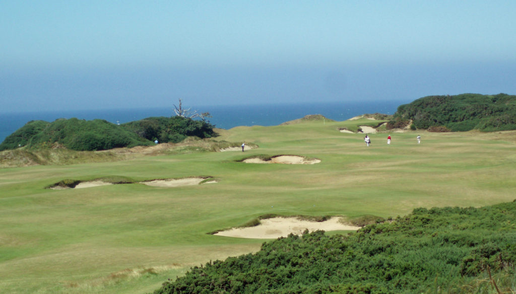
 All of the Bandon Dunes courses are consistently rated in the top 100 courses in the United States, and the 13 hole par three course, Bandon Preserve, is a challenge in itself. A few miles south of town,
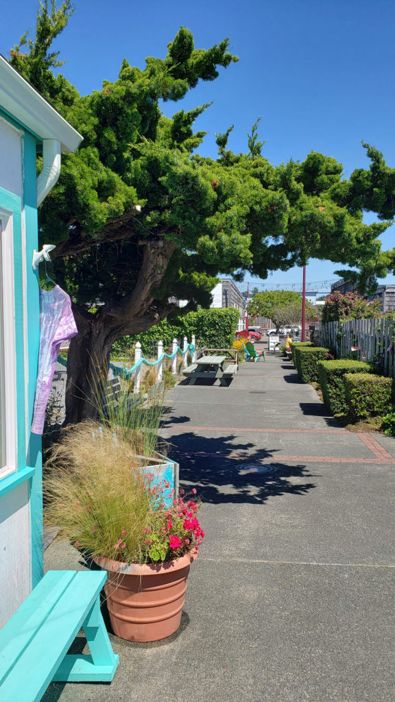 Good eats abound in Old Town. Start your day at Bandon Coffee Cafe or Bandon Baking Company. Stop at
 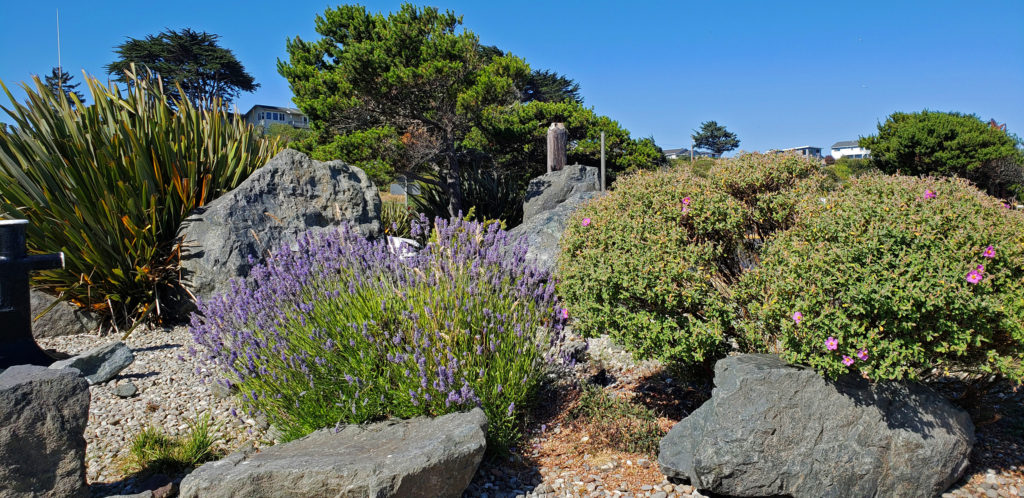 Accommodations
 There is a campground at
  Getting There
 Consider combining a visit to Bandon with a drive south along the spectacular


 Originally posted June 30, 2018. Most recently updated November 13, 2025.
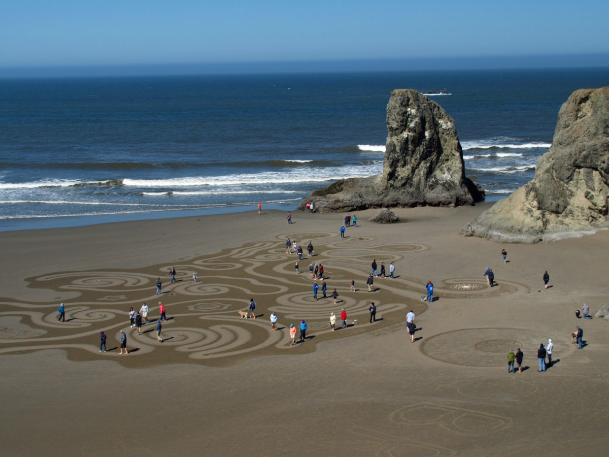
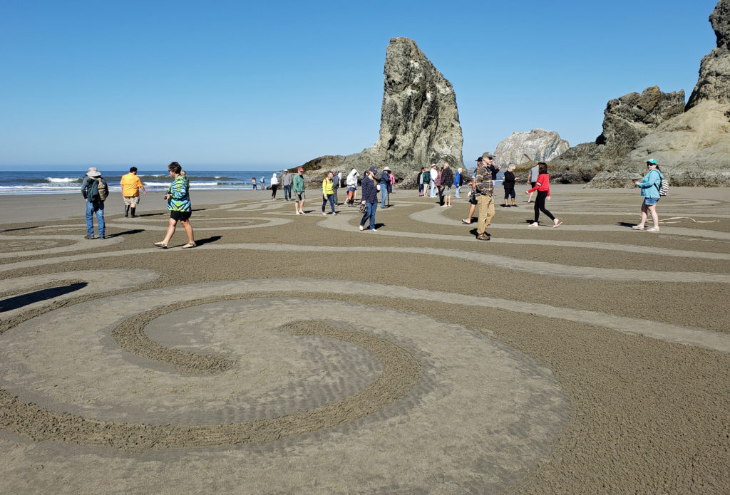
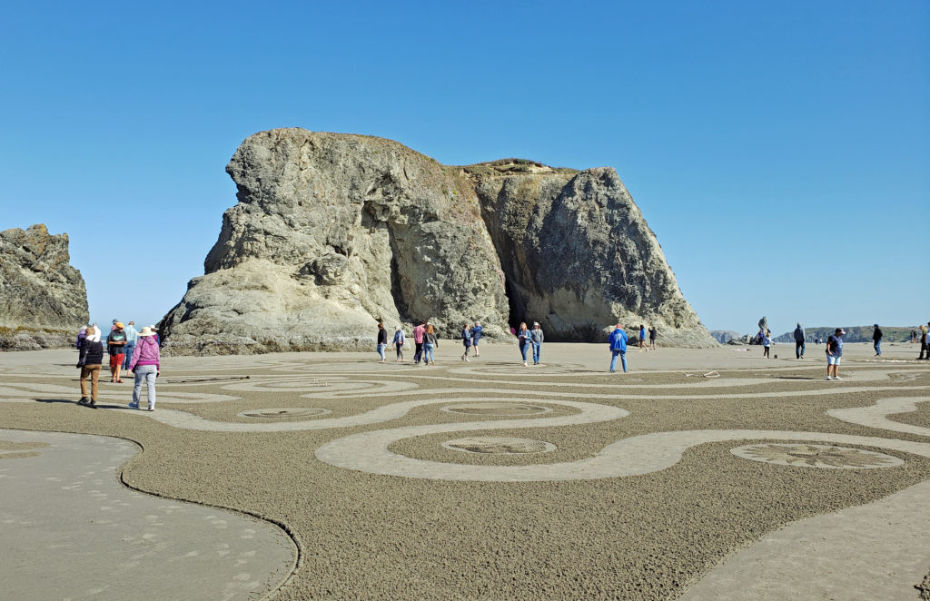
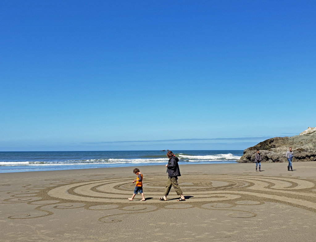
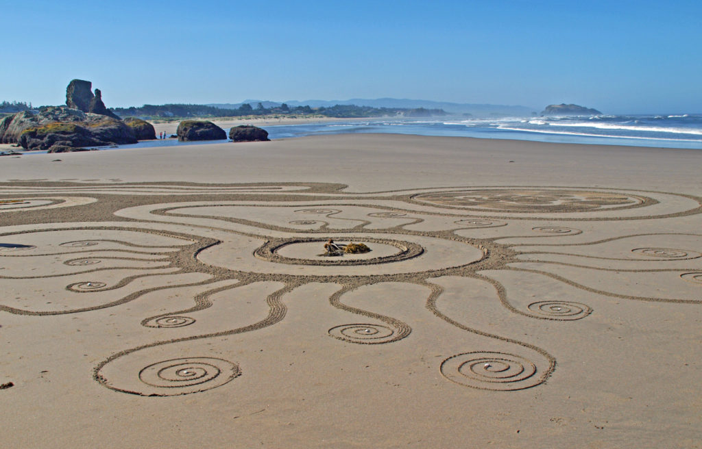
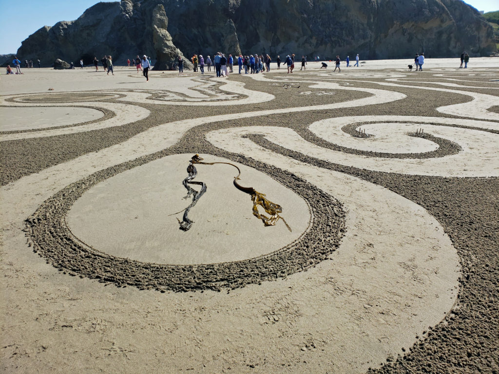
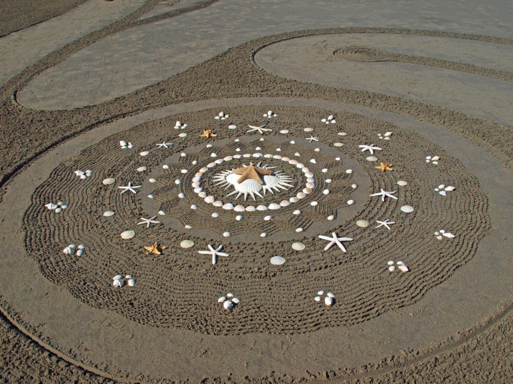
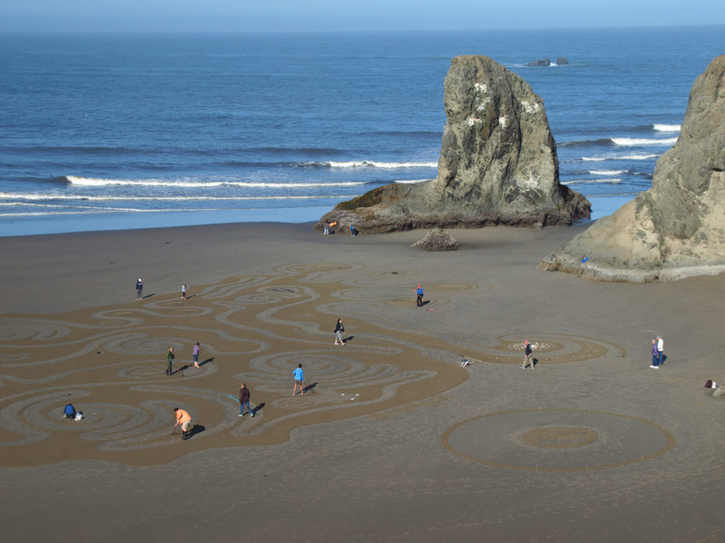 The Circles in the Sand labyrinths are created on the beach below the Face Rock Wayside in
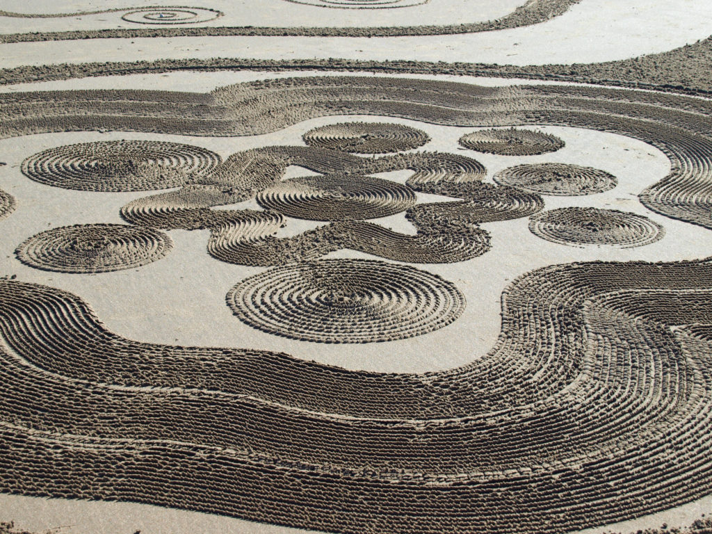
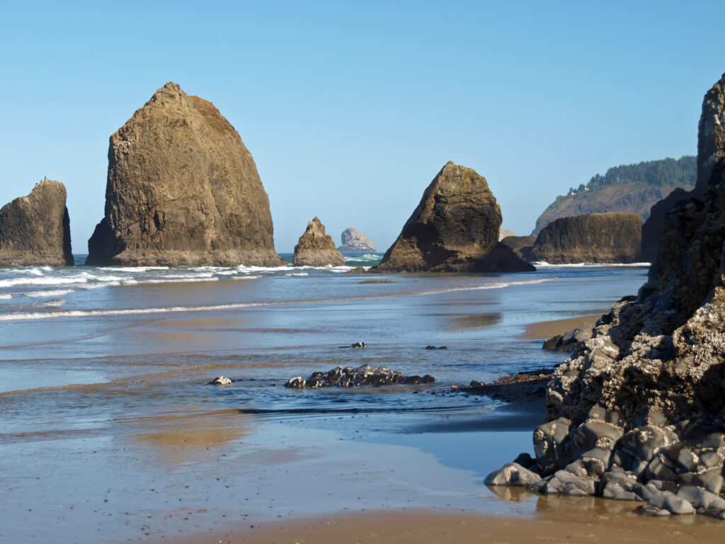
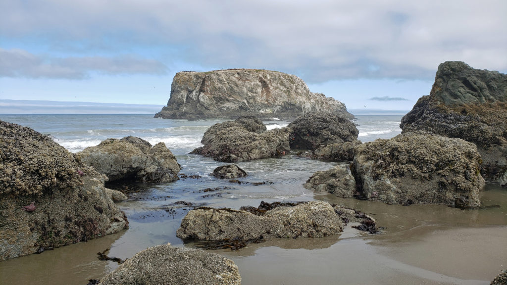
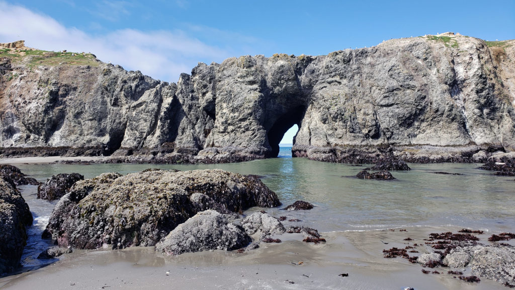
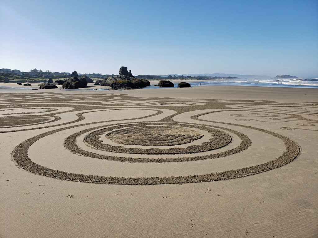 Together with the rock formations at Coquille Point, a short distance north of the Face Rock Wayside, this stretch of beach is truly spectacular, well worth a visit at any time of the year. Combining a visit with the opportunity to experience Circles in the Sand makes for a unique and memorable experience.
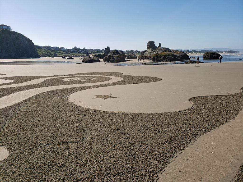
 Originally posted July 24, 2019. Updated and re-posted June 18, 2022.
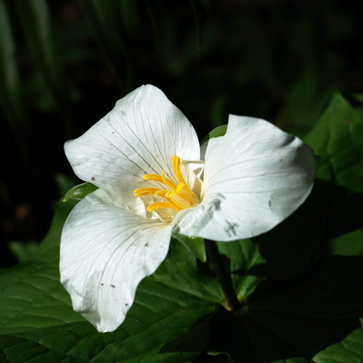
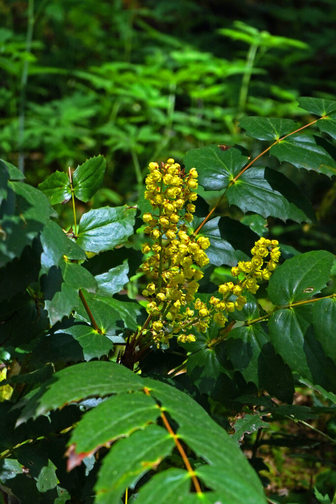
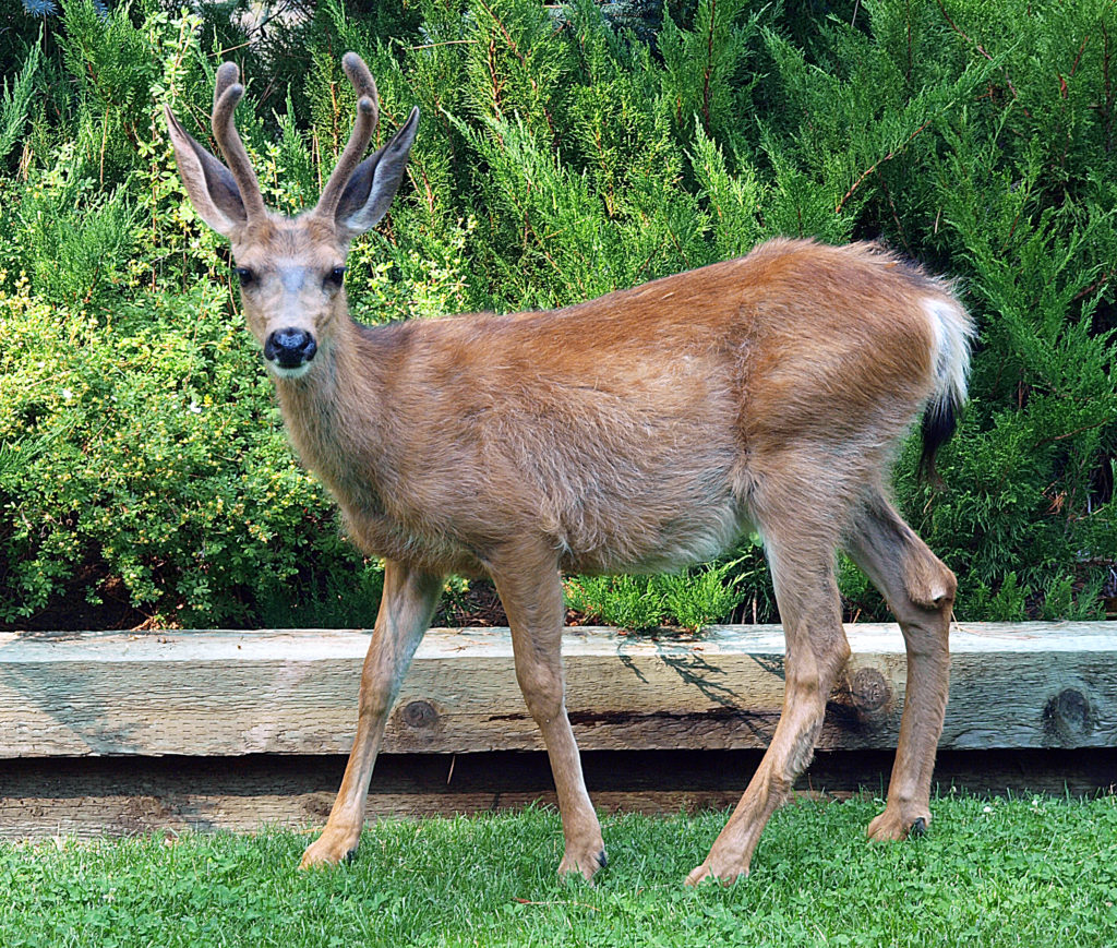
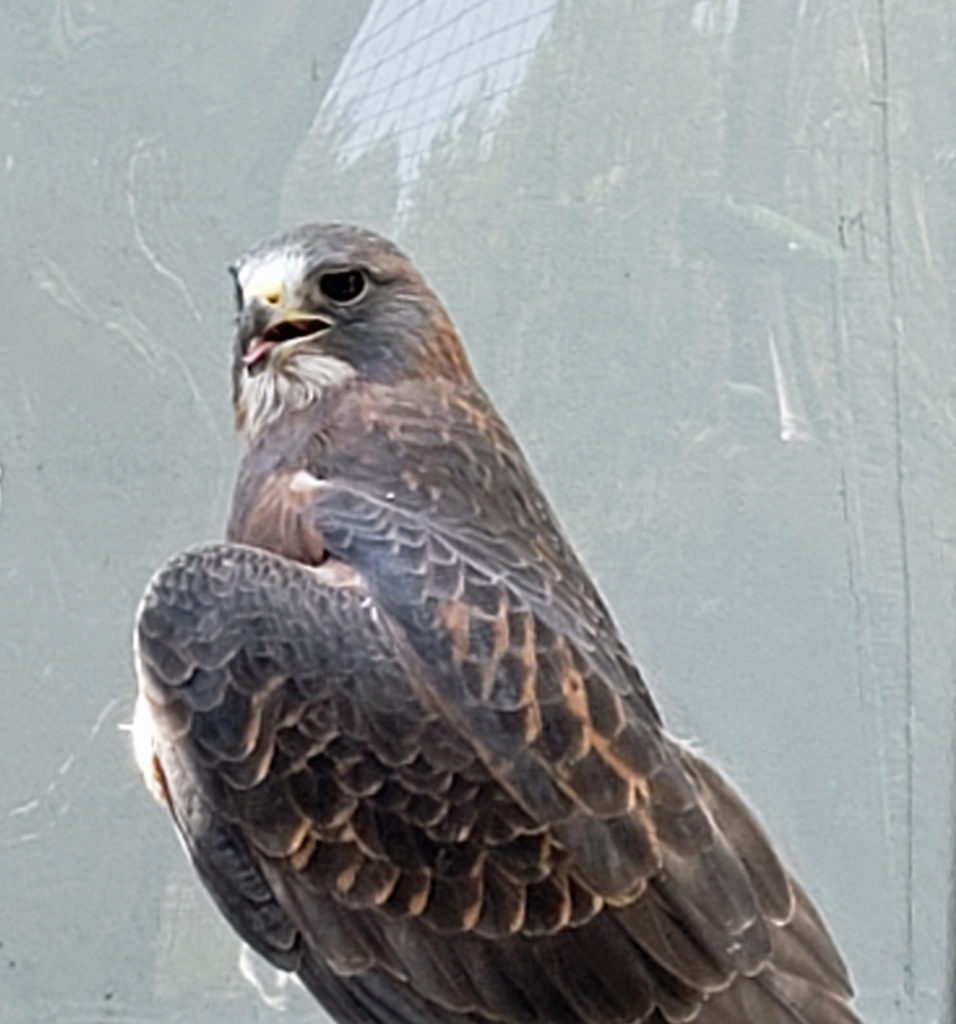
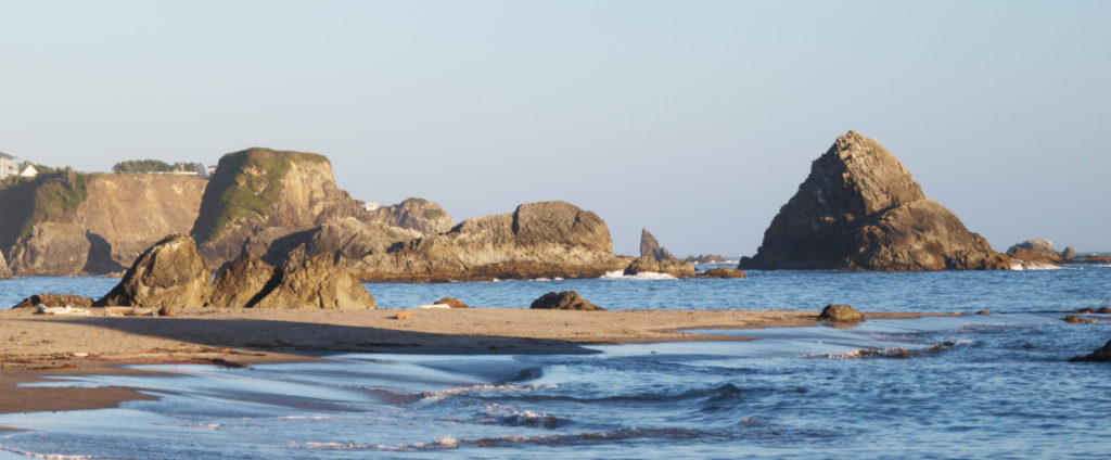
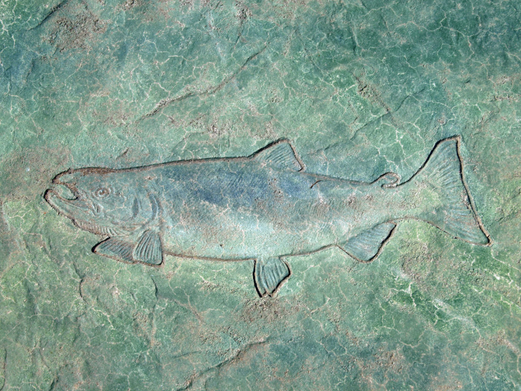
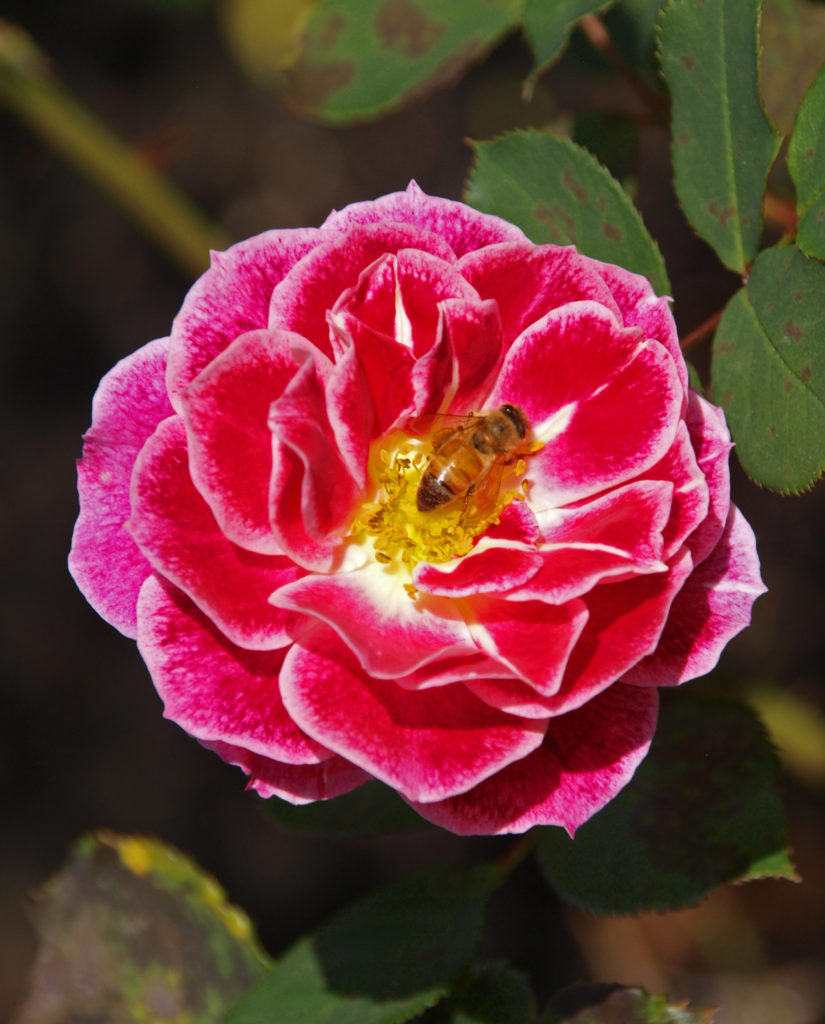
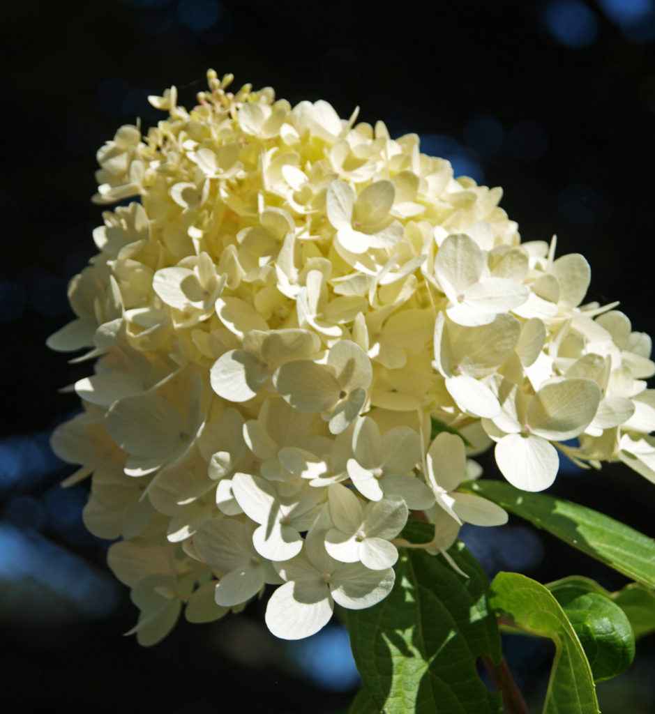
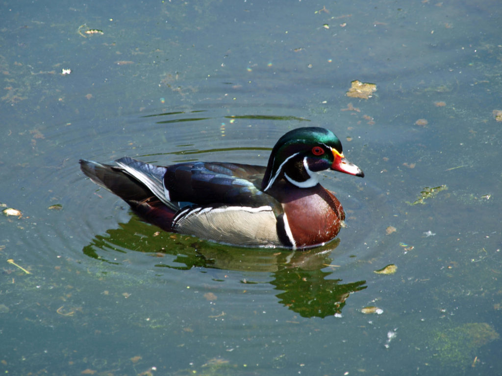
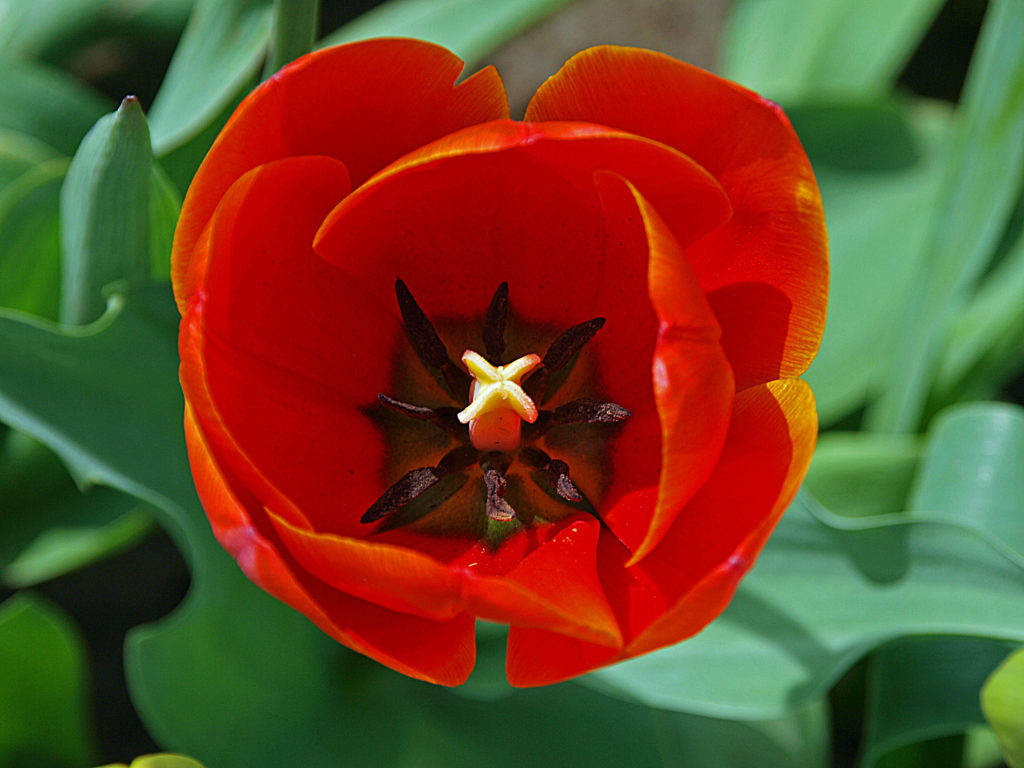
 Nearly 300 different forest plants and flowers grow in the park. Blacktail deer, raccoons, coyotes, red foxes, beaver, and more than two dozen other mammals roam the park. More than 70 species of birds have been seen in the park. And cutthroat trout, coho and chinook salmon, and steelhead can be found in Tryon Creek.
 The area was saved from development in the late 1960s and early 1970s by a combination of dedicated citizens, the
  Many, if not most, of the park’s visitors come to hike the nearly fifteen miles of hiking and mixed use trails. Some bring their horses to ride the three and a half miles of equestrian trails. There is also a three mile paved bike path running through the park and a paved all abilities trail. The Nature Center, with a friendly staff, interpretive exhibits, a small store, and public restrooms, is a popular starting point for many visitors.
 Many of the events and programs sponsored by the park were cancelled or available only online during the majority of the Covid-19 pandemic. The Nature Center was closed and entrance to the park was limited at times. While we’re still living with Covid, most, if not all, of the park’s programs have been restored, and the Nature Center is open again.
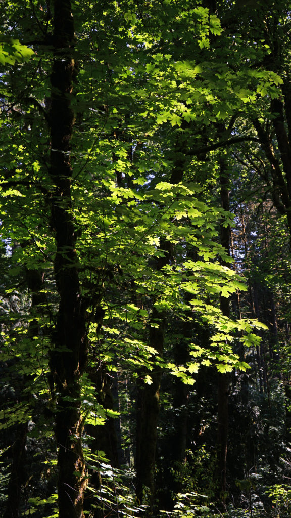


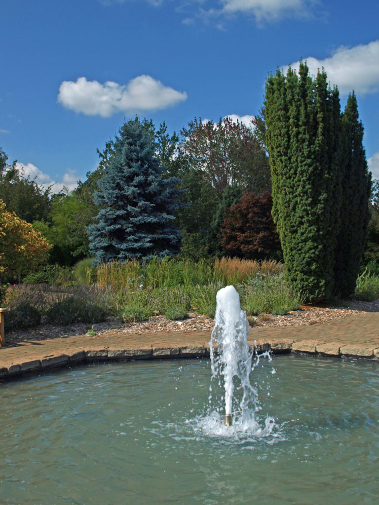 Start your tour of the gardens at the Visitor Center, where you purchase your tickets. Pick up a free map of the gardens and check out the gift shop. And there is a retail nursery located adjacent to the Visitor Center where you can purchase plants grown by the garden staff and volunteers.
 If you are making a day of it, the Visitor Center has grab and go snacks, and the adjacent Oregon Garden Resort has a restaurant and lounge. Or you can bring a picnic lunch and enjoy it in one of the designated picnic areas. A variety of dining options are also available in downtown Silverton.
 And if you’re visiting from outside the area, a trip to nearby
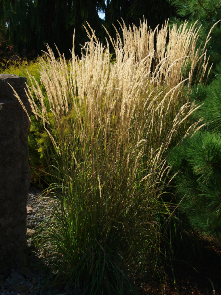
 Today, the arboretum features more than 100 collections of trees and plants, organized by taxonomy and geography, spread over 189 acres in Washington Park in Portland’s West Hills. There are more than 2300 species native to six continents represented in the arboretum collections.

 More information on the arboretum, directions, and parking and public transit information can be found on the arboretum’s website (linked above).
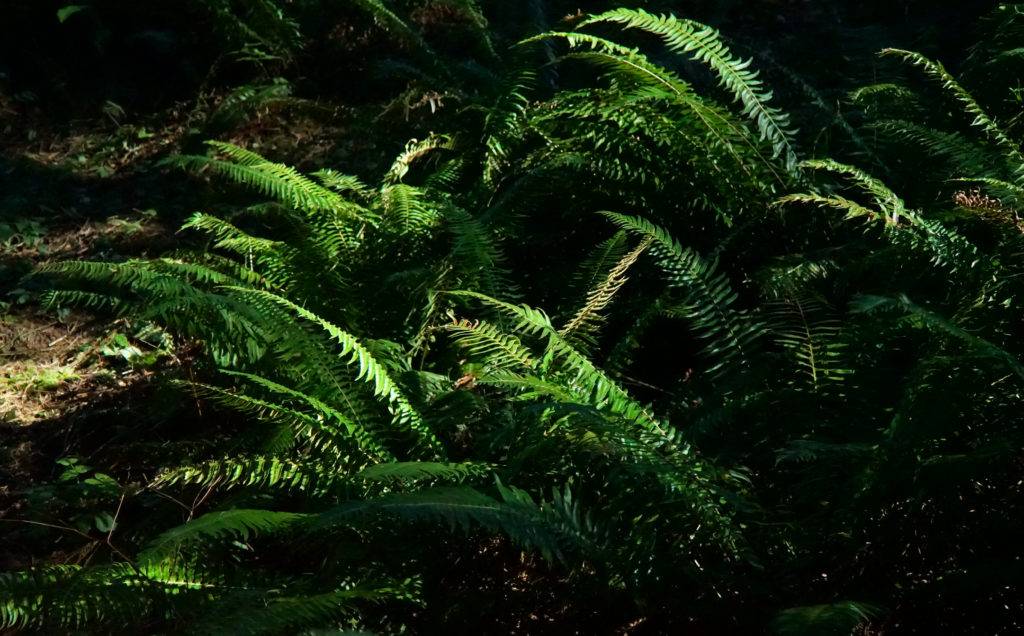
 Originally posted April 8, 2020. Updated July 15, 2020 and May 5, 2022.
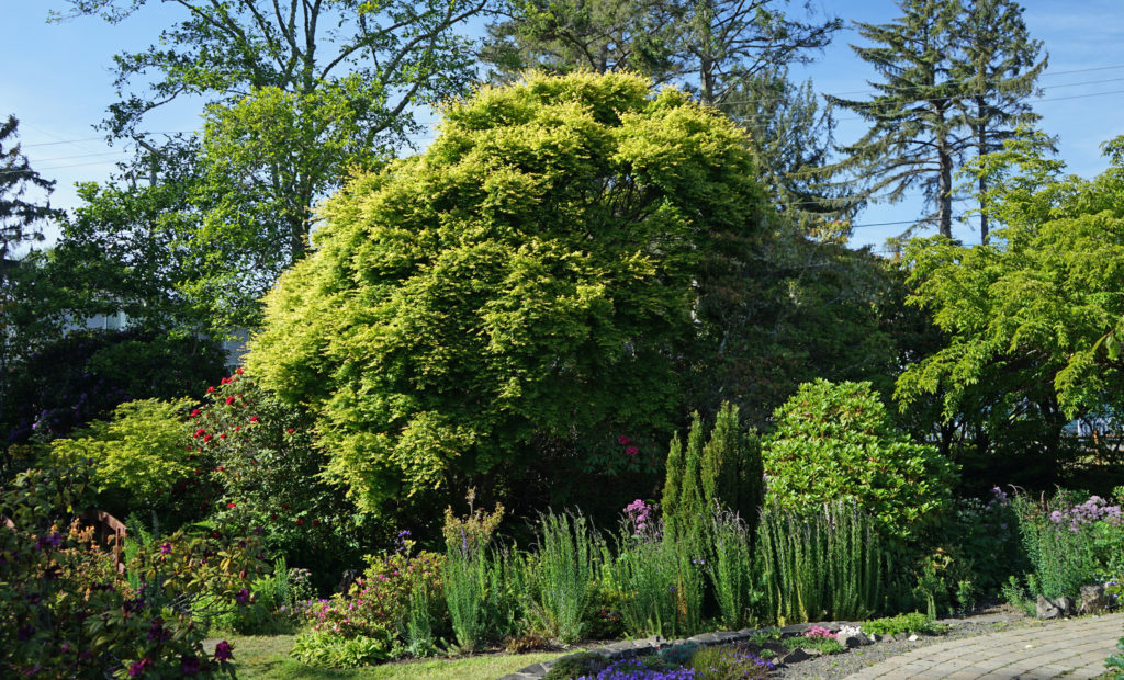
 The Connie Hansen Garden in Lincoln City, Oregon is one of the smallest botanical gardens in the Northwest, at just 1¼ acres, but don’t let the size fool you, it’s also one of the best.
 Connie Hansen grew up in Oregon, but moved to California to attend the University of California at Berkeley, where she earned a degree in botany. She moved back to Oregon late in her life, after her husband’s death and her retirement from the faculty of UC Berkeley.
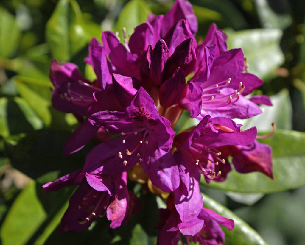 She began creating her garden in 1973 and she tended and continually expanded it for the next 20 years. After her death in 1993 a group of neighbors and local gardeners formed the
 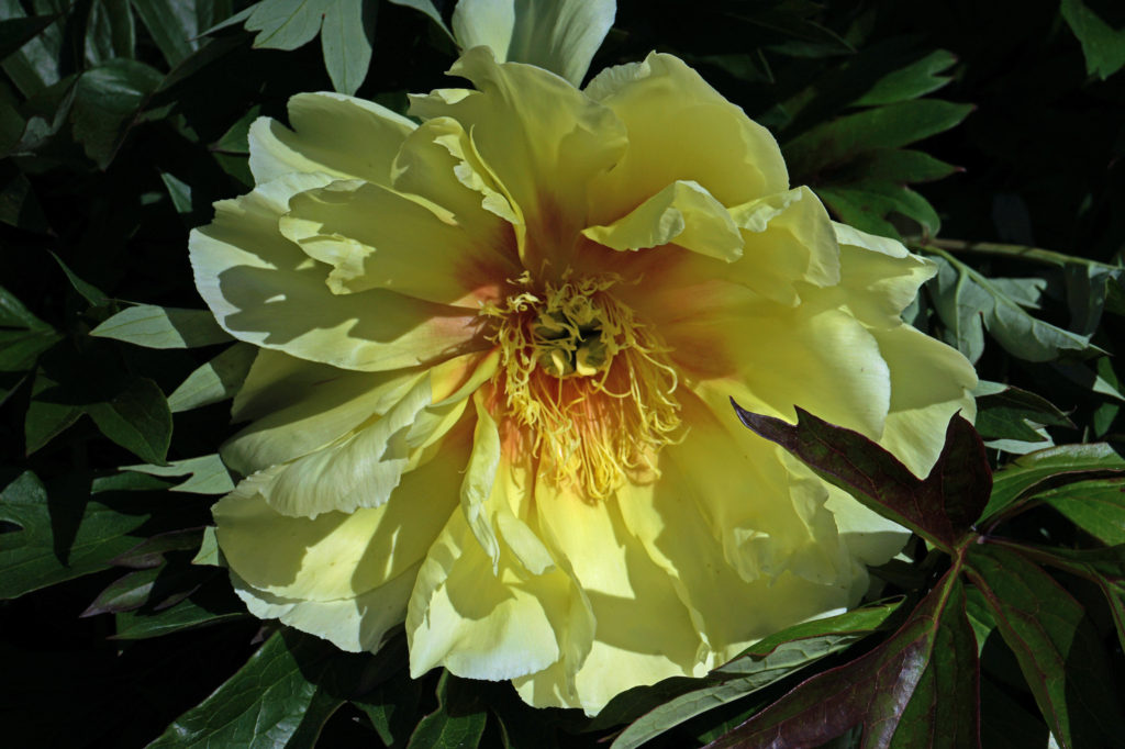 The garden is located at 1931 NW 33rd Street in Lincoln City. It is open daily from dawn to dusk. Admission is free, but donations are welcomed. The Garden House, Hansen’s former home, now houses a small gift shop where you can find gardening supplies, books, and souvenirs. There is also a small art gallery. It is open from 10:00 to 2:00 Tuesday and Friday through Sunday from March to mid-December.
 The Conservancy conducts spring, summer, and fall plant sales, and there are usually plants for sale at other times as well. Garden memberships are available through the conservancy website for those that want to support the garden.
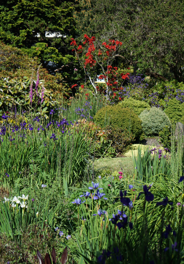
 Originally posted June 17, 2021. Updated and re-posted April 27, 2022.
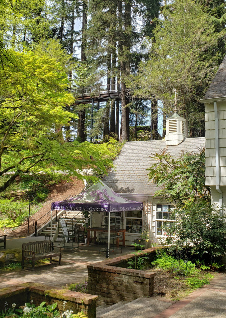
 Both the Stone Cabin and the Manor House still stand. The Manor House now houses the garden’s gift shop and is a popular wedding venue and event space. (The part of the garden south of Johnson Creek, including the Stone Cabin, is currently closed to the public).
 Lilla Leach was an amateur botanist and discovered five plants previously unknown to science. One, Kalmiopsis leachiana, is named after her, and the southwest Oregon wilderness where she discovered it is now known as the Kalmiopsis Wilderness. Over the years she planted many native plant species, some of them rare, on the estate they called Sleepy Hollow.
 There is currently no admission charge, but donations are encouraged and go to support operation of the garden and the garden’s educational programs. You can also register for a garden tour on the website, which is currently the only way to visit the Stone Cabin and the historic Outdoor Kitchen on the south side of Johnson Creek..
 The garden is located at 5801 SE 28th Avenue. The small parking lot fills up early in spring and summer, and there is no on street parking on 28th or other nearby streets, so come early if you’re coming by car (and do not park in the Reed College lot across the street from the garden). Or take the bus (Tri-Met bus #19 Woodstock).
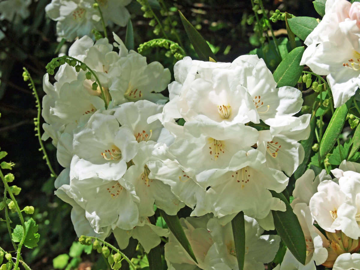
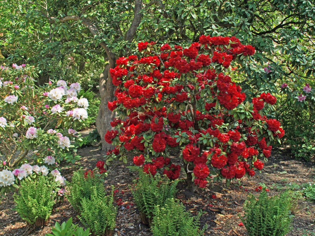
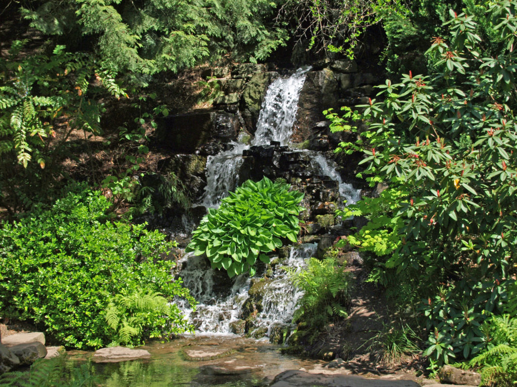
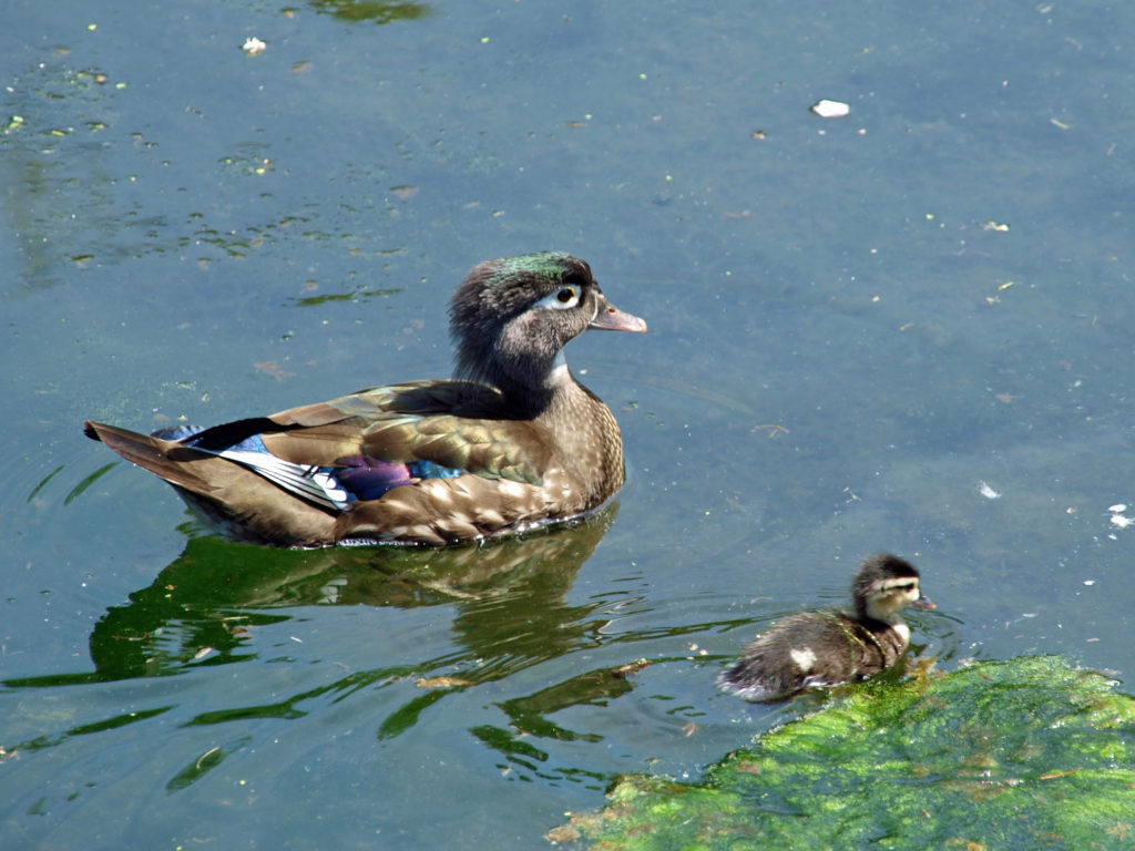
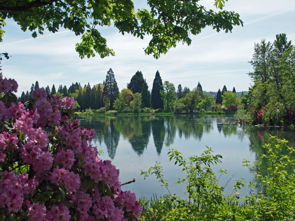
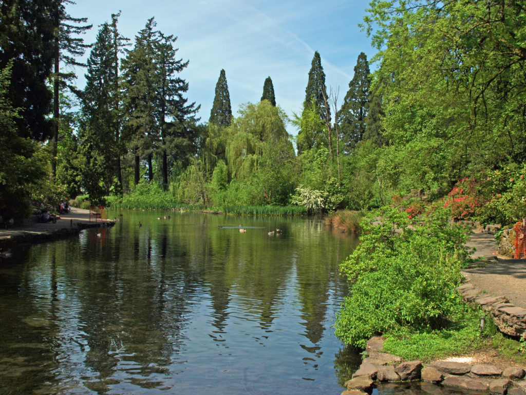
 Whether you are a garden lover, birder, photographer, artist, or just looking for a beautiful place to spend some time in, Crystal Springs is a place you’ll love. For my money, only the
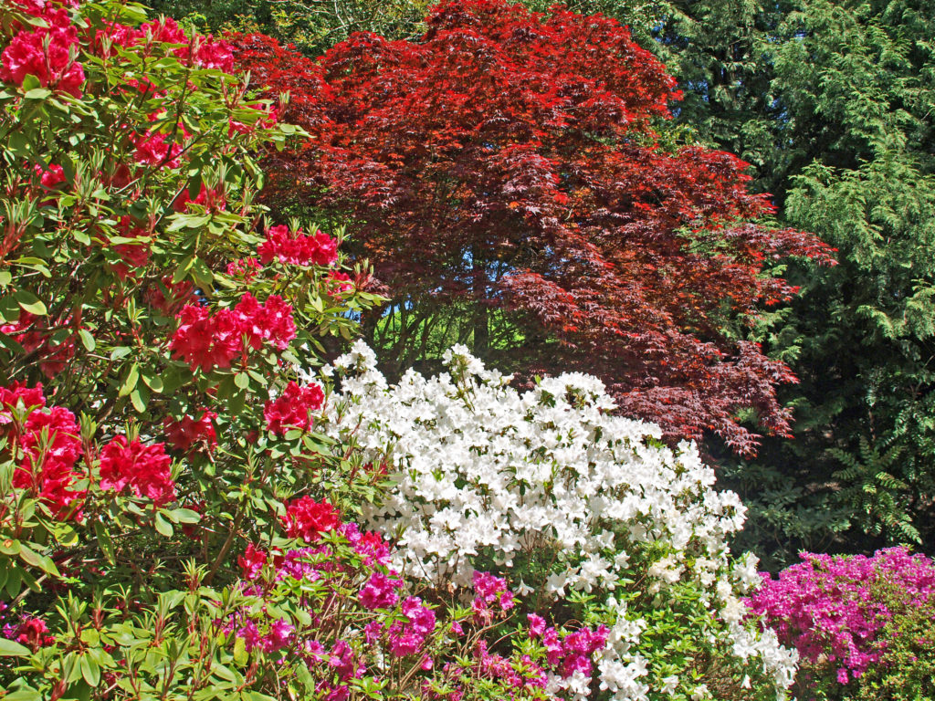
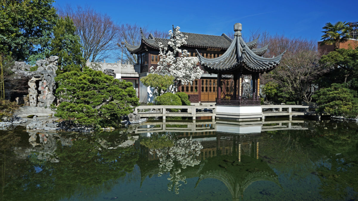
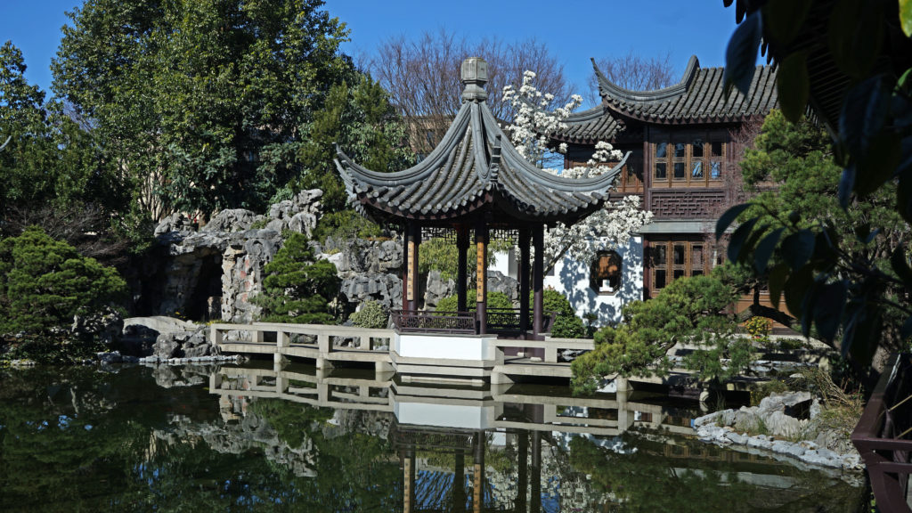
 The garden came about through Portland’s sister city relationship with Suzhou, in Jiangsu Province, China. Suzhuo is noted for its Ming Dynasty gardens, and Lan Su Garden was created by artisans from Suzhou following a 2000 year old tradition that melds art, architecture, and nature into a harmonious and serene whole.
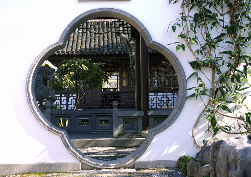 Entering the garden, you come first to the Courtyard of Tranquility. The courtyard (and the whole garden, for that matter) is designed to be a peaceful and soothing place to escape the problems of everyday life, and it succeeds in that remarkably well. It’s surprisingly quiet, and once inside it’s easy to forget that you are in the middle of a busy city.
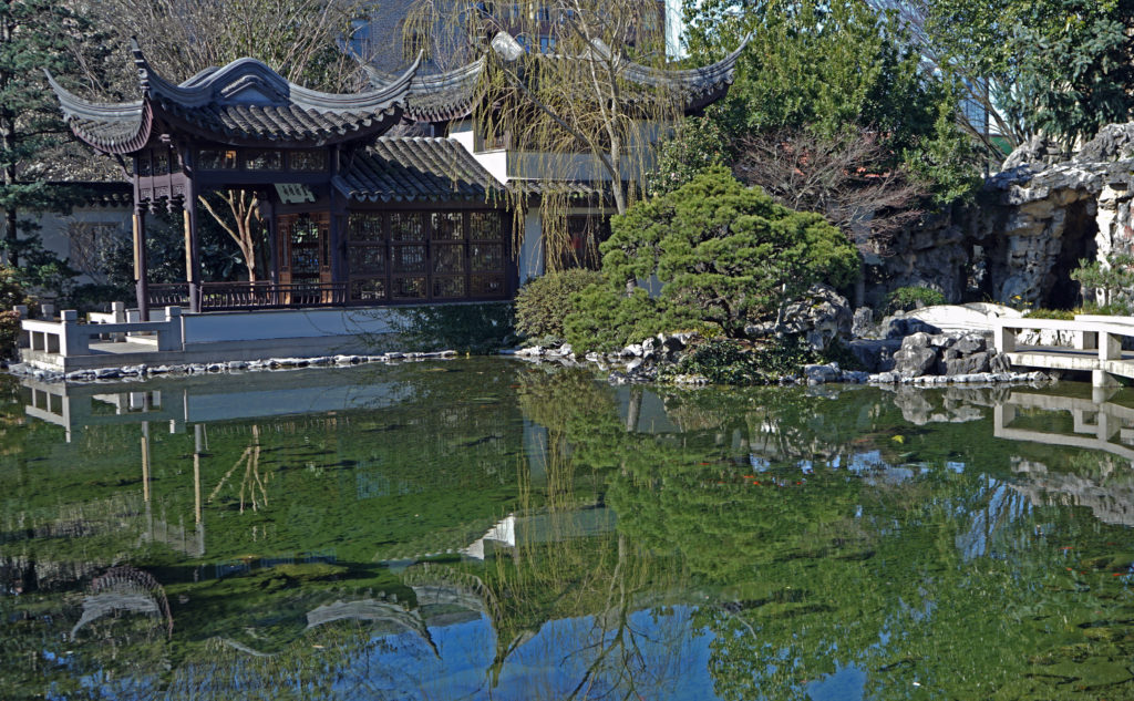
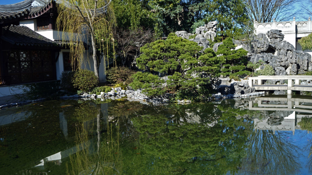
 From the courtyard, you pass through the Hall of Brocade Clouds, traditionally the place where a family entertains guests, and then onto the Terrace. This is a great place to just sit and take in the view. Most of the garden can be seen from the Terrace. The various pavilions and the Tea House (the “Tower of Cosmic Reflections”) are beautifully reflected in the central pond known as Lake Zither.
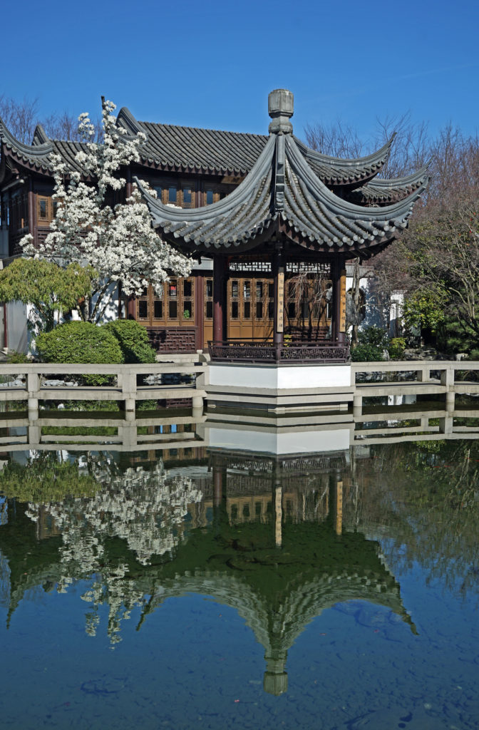

 From the Terrace, wander at will through the Painted Boat In Misty Rain pavilion, past the Rock Mountain and Waterfall, across the boardwalk to the Moon Locking Pavilion, Scholar’s Study and Scholar’s Courtyard, and the Knowing the Fish Pavilion. Take some time to visit the Tower of Cosmic Reflections teahouse where you can enjoy a cup of tea and learn a little about the Chinese social art and culture of tea.
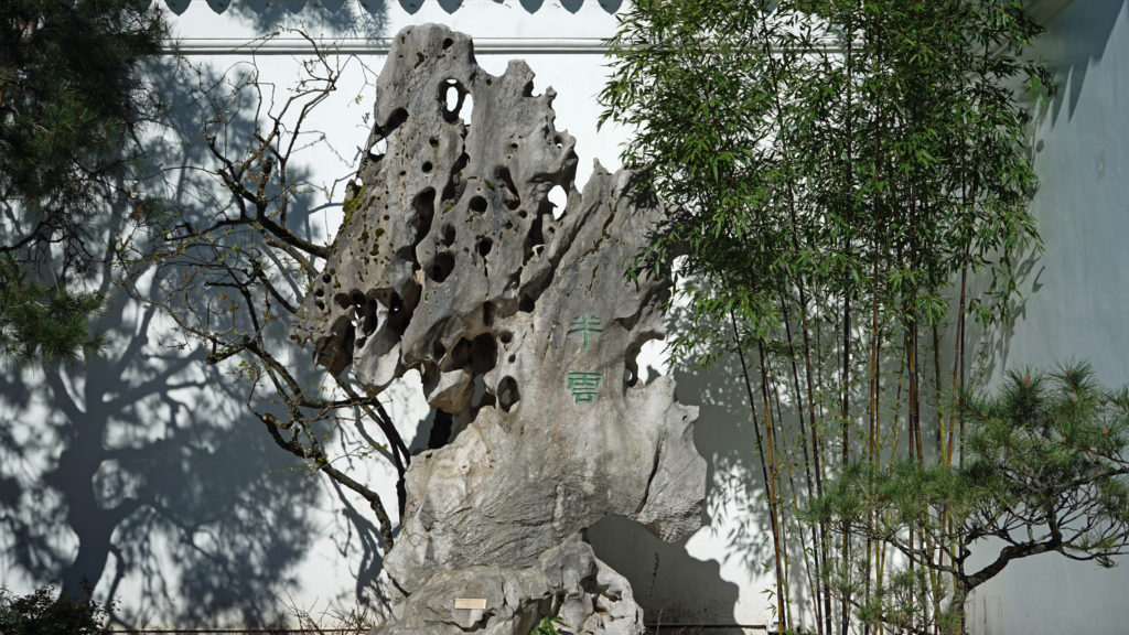
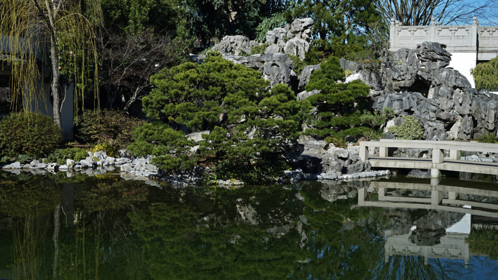
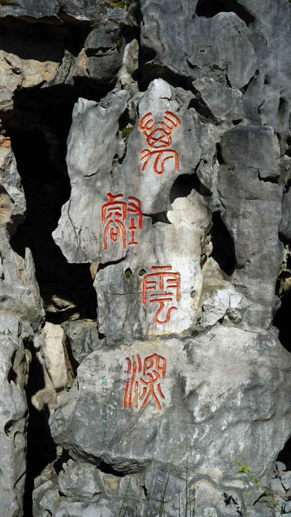 Throughout the garden you will see Lake Tai Rocks. These large, fantastically shaped rocks were imported from China – 600 tons of them. The rocks were formed underwater through the erosive action of Lake Tai’s acidic waters, and are highly prized by landscape architects.
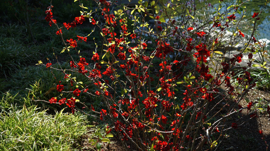

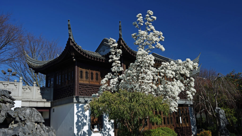 The garden exhibits more than 100 species of trees, shrubs, and plants native to China, including the Pacific Northwest’s largest collection of lotus. The plants found in the garden were not imported from China due to import restrictions, but were found in botanical gardens and nurseries in the United States and transplanted to the garden.
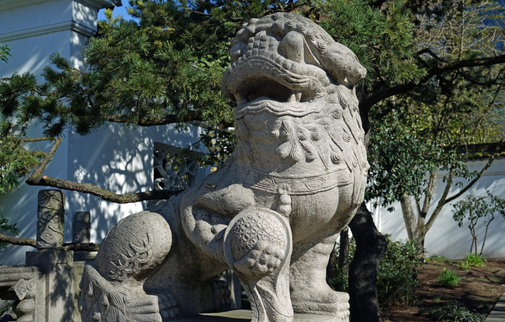 Part of the mission of the Lan Su Chinese Garden is to promote better understanding of Chinese art, history, tradition, and culture. Classes and demonstrations of Chinese calligraphy, brush painting, paper folding, poetry, music, horticulture, wood carving, and other arts such as kite making, are held throughout the year at the garden. And public tours of the garden led by trained docents are held several times a day.
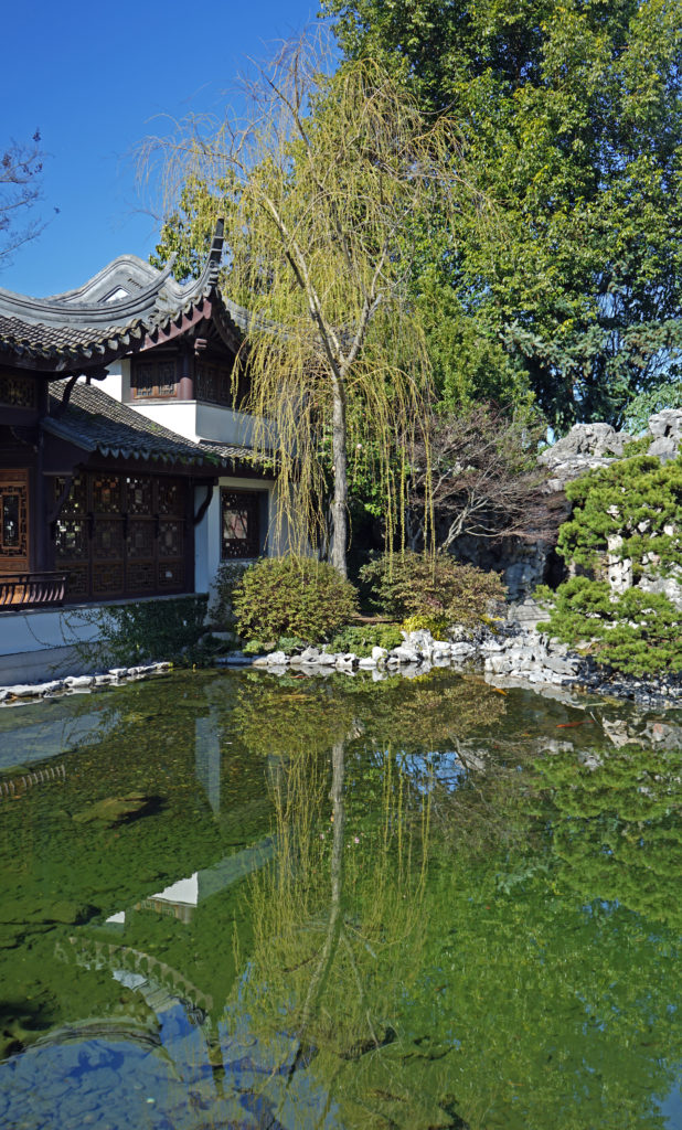

 The Lan Su Garden is small, taking up only one city block, but it is one of Portland’s premier gardens (along with the
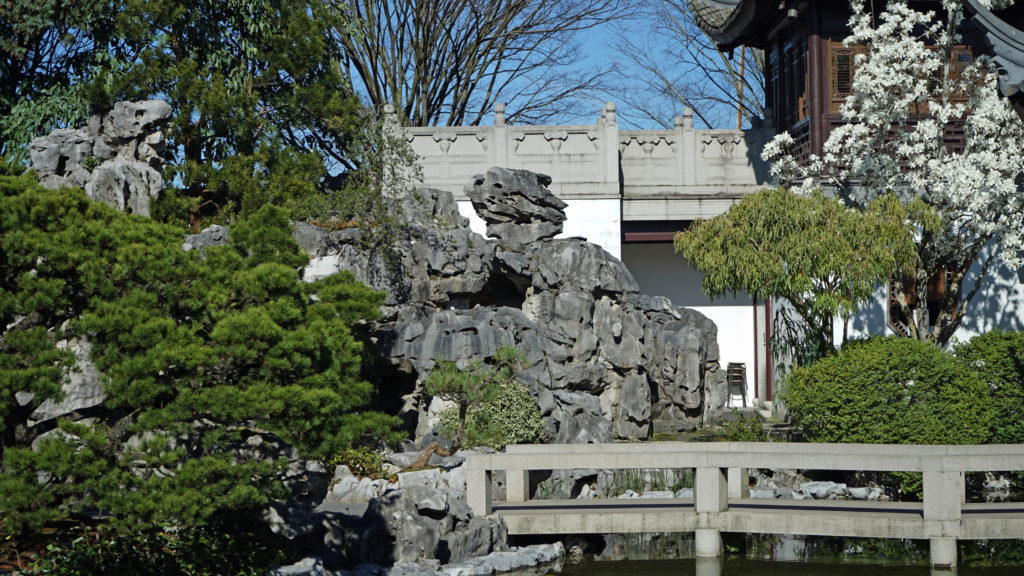
 Lan Su Chinese Garden is open from 10:00 to 4:30 daily in the winter and 10:00 to 6:30 in the summer. The garden is closed on Thanksgiving, Christmas, and New Year’s Day. Admission is $16 for adults, $15 for seniors (62+), and $13 for children 6-18 and college students (2025 prices). Children five and under are free. Annual memberships are available for $60 (one individual plus one guest per visit). Senior and student memberships are $40 (one individual). Family memberships (two individuals plus two guests ) are $100. You can find more information about the garden at the Lan Su
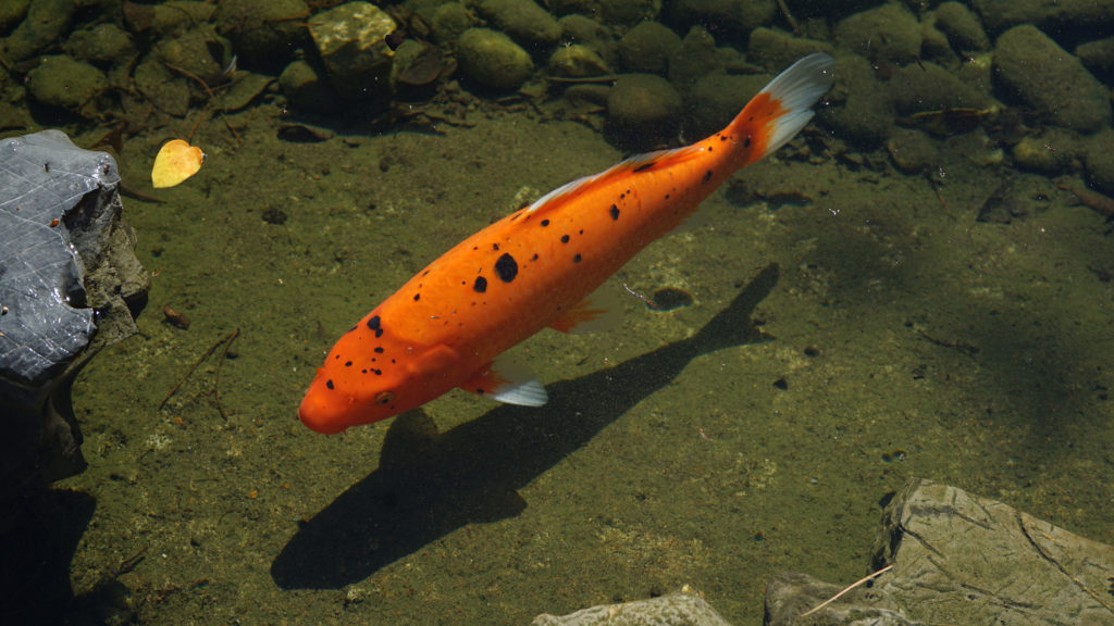
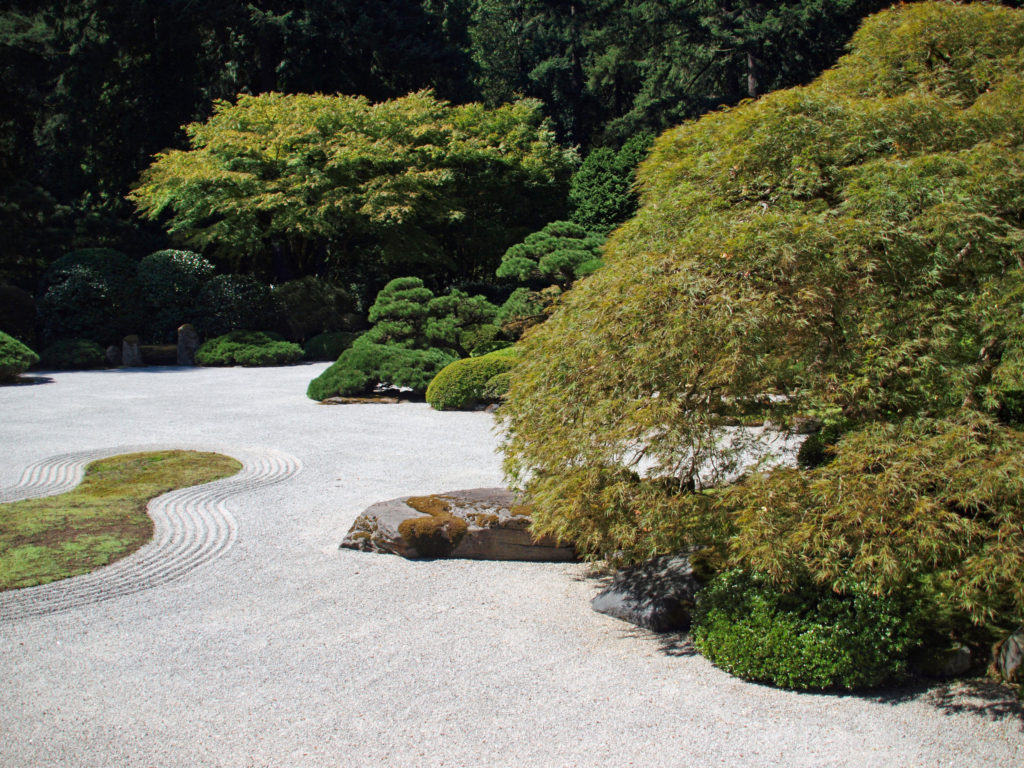
 The serenity and transcendent beauty of the Portland Japanese Garden make it one of my favorite places in the Pacific Northwest. Located in Washington Park in Portland’s West Hills, the garden overlooks downtown Portland, but it is worlds away from the hustle and bustle of the city. The tranquility that the garden aspires to is somewhat compromised by the 450,000 annual visitors that it attracts, but the beauty of the gardens make it more than worth visiting despite any crowds.
 Former Japanese Ambassador to the United States Nobuo Matsunaga has called the Portland Japanese Garden “the most beautiful and authentic Japanese garden in the world outside of Japan.”
 The Portland Japanese Garden came out of the sister city relationship between Portland and Sapporo, Japan, which was created at least in part as an effort to heal the wounds of World War II. The garden website says it best: “Born out of a hope that the experience of peace can contribute to a long lasting peace. Born out of a belief in the power of cultural exchange. Born out of a belief in the excellence of craft, evidence in the Garden itself and the activities that come from it. Born out of a realization that all of these things are made more real and possible if we honor our connection to nature.”
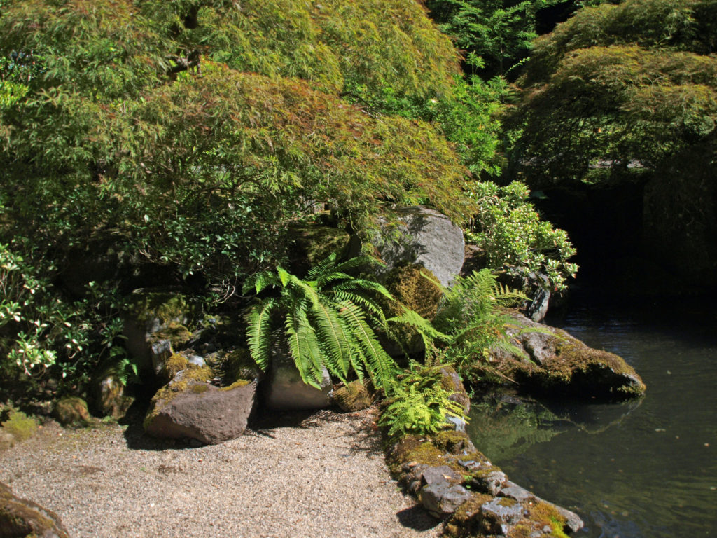 The site, once the location of the Washington Park Zoo, was dedicated in 1961. Construction of the garden began in 1963, and the garden opened to the public in the summer of 1967. Designed by Professor Takuma Tono of Tokyo Agricultural University, the garden originally consisted of five different garden styles spread over 5.5 acres.
 Over its more than half a century of existence, the garden has evolved and more than doubled in size. The Kashintei Tea House was built in Japan in 1968, dismantled, and shipped to Portland. But it wasn’t until 1980 that it was reconstructed on its present site. It was dedicated on May 18, 1980, the same day that Mount St. Helens erupted.
 The most recent expansion, completed in 2017, added a new entrance and entry garden, a courtyard garden, a bonsai terrace, and a Cultural Village consisting of three new buildings designed by Japanese architect Kengo Kuma: the Jordan Schnitzer Japanese Arts Learning Center; the Garden House; and the Umami Cafe. Today, the Portland Japanese Garden consists of eight gardens covering 12 acres.
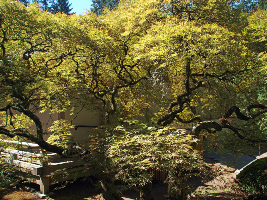
 The garden is open Wednesday through Monday. Summer hour are 10:00 to 5:30. Admission is $18.95 for adults, $16.25 for seniors (65+), $15.25 for students (with ID), and $13.50 for youths (6-17). Children under six are free. Group tickets (for 15 or more people) are offered at a discount. Tickets must be purchased in advance through the garden’s
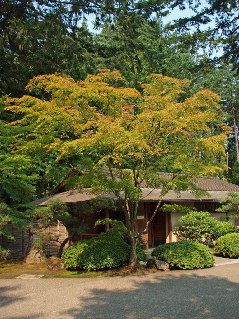
 Covid-19 update (April 2022): The garden is open to everyone, and masks are required only on the garden shuttle that runs from the parking area up the hill to the old garden entrance. (You do not have to take the shuttle and masks are not required if you walk). Some of the paths are one way only, and entrance to the Umami Cafe requires proof of vaccination. all garden staff are fully vaccinated.
 The Portland Japanese Garden is, in my opinion, a must see for anyone visiting Portland. And you’ll probably also want to visit the
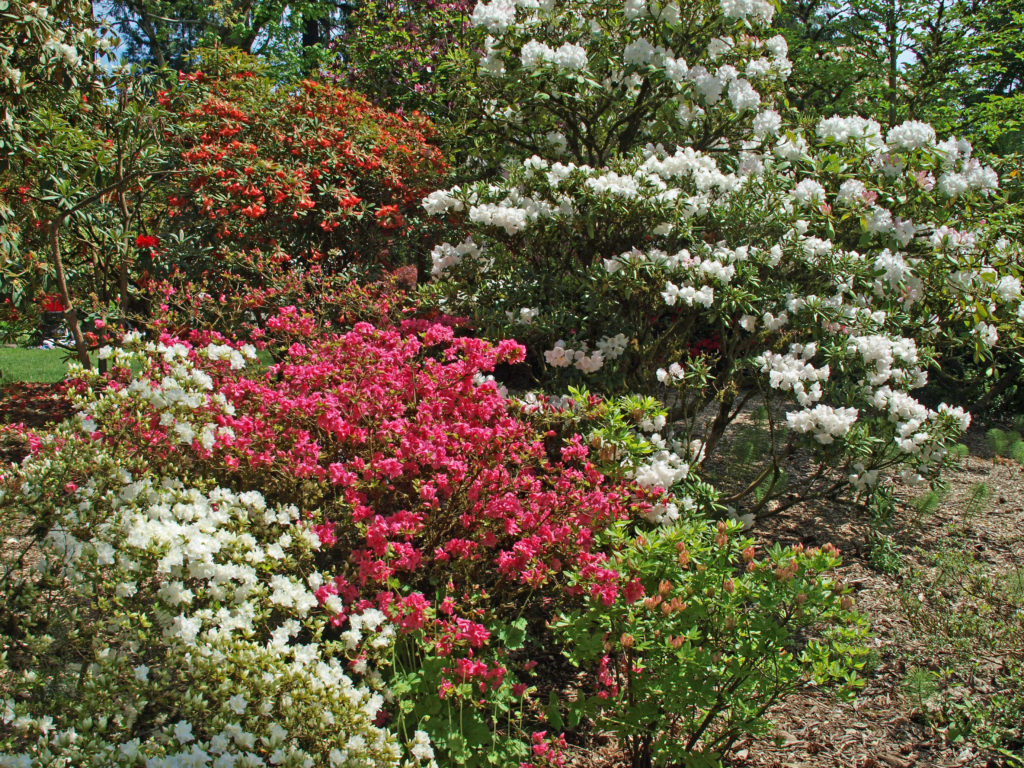
  Other gardens featured on this site include Crystal Springs Rhododendron Garden, Butchart Gardens, Hulda Klager Lilac Gardens, Lan Su Chinese Garden, and the Connie Hansen Garden. Those and other Northwest gardens have been or will soon be featured on this site. Check the Recent Posts list or click on the Upcoming Posts tab at the top of this post for gardens to be featured this spring.
 Originally posted August 13, 2018. Updated December 20, 2020 and April 4, 2022.


