
Lava Canyon Trail
Where: Mount St. Helens National Volcanic Monument
Distance: 2.6 miles
Type: Out and back
Elevation gain: 900 feet
Difficulty: Moderate (for some steep sections and trail conditions)
Restrictions: Dogs and other animals not allowed.
 Overview:
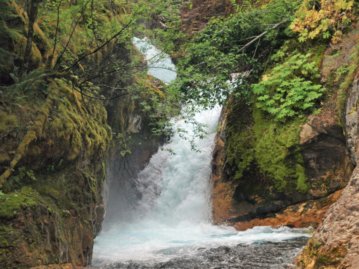
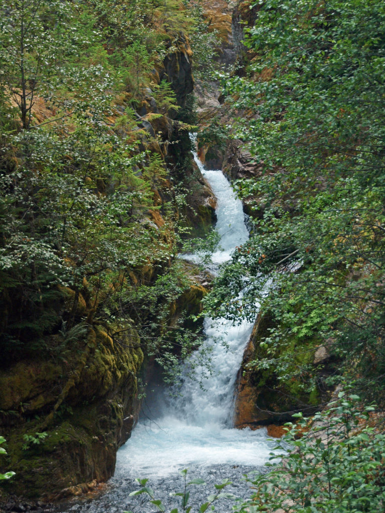
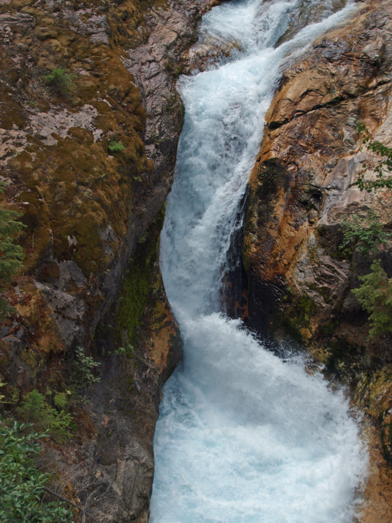
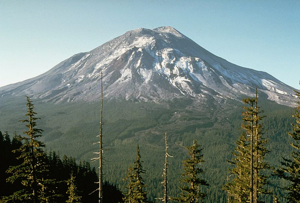
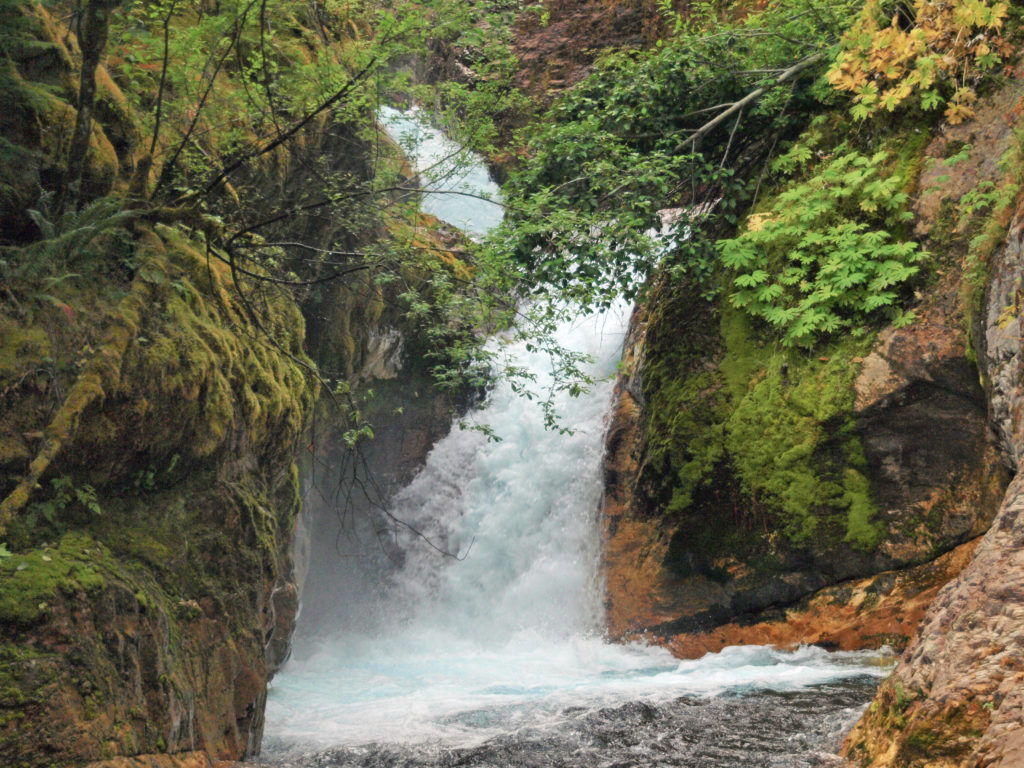
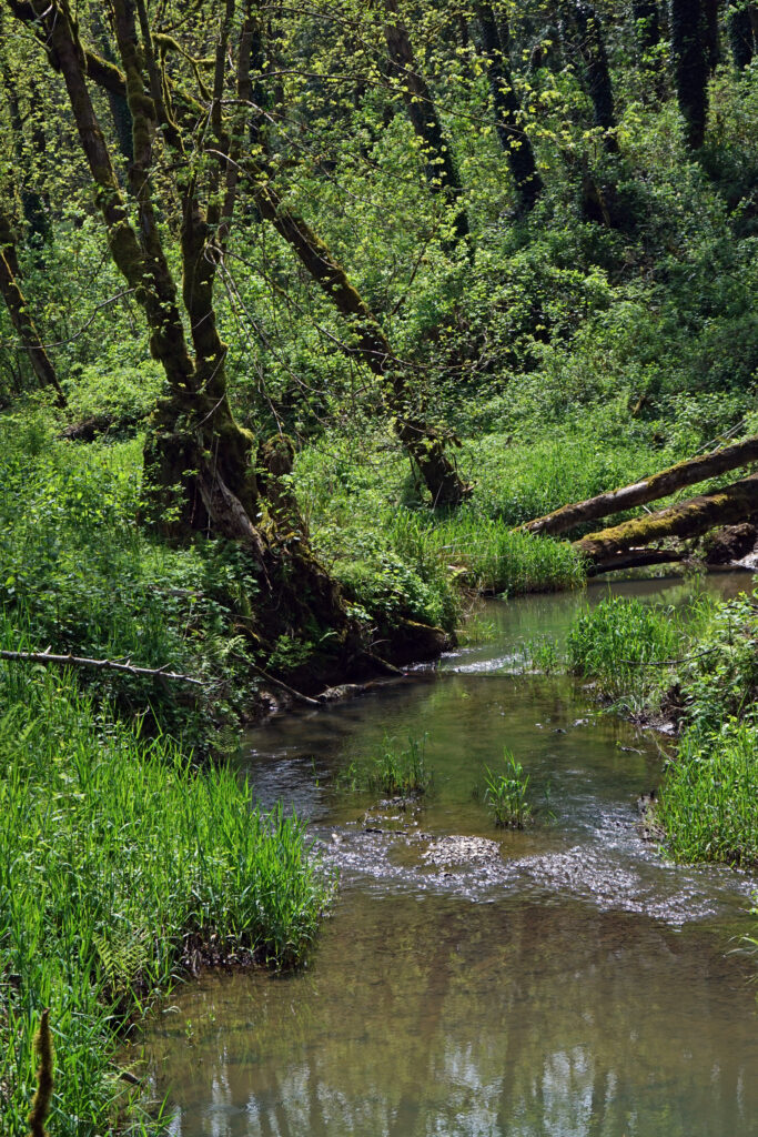
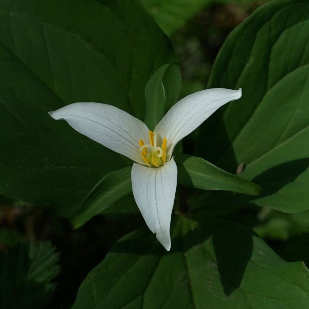
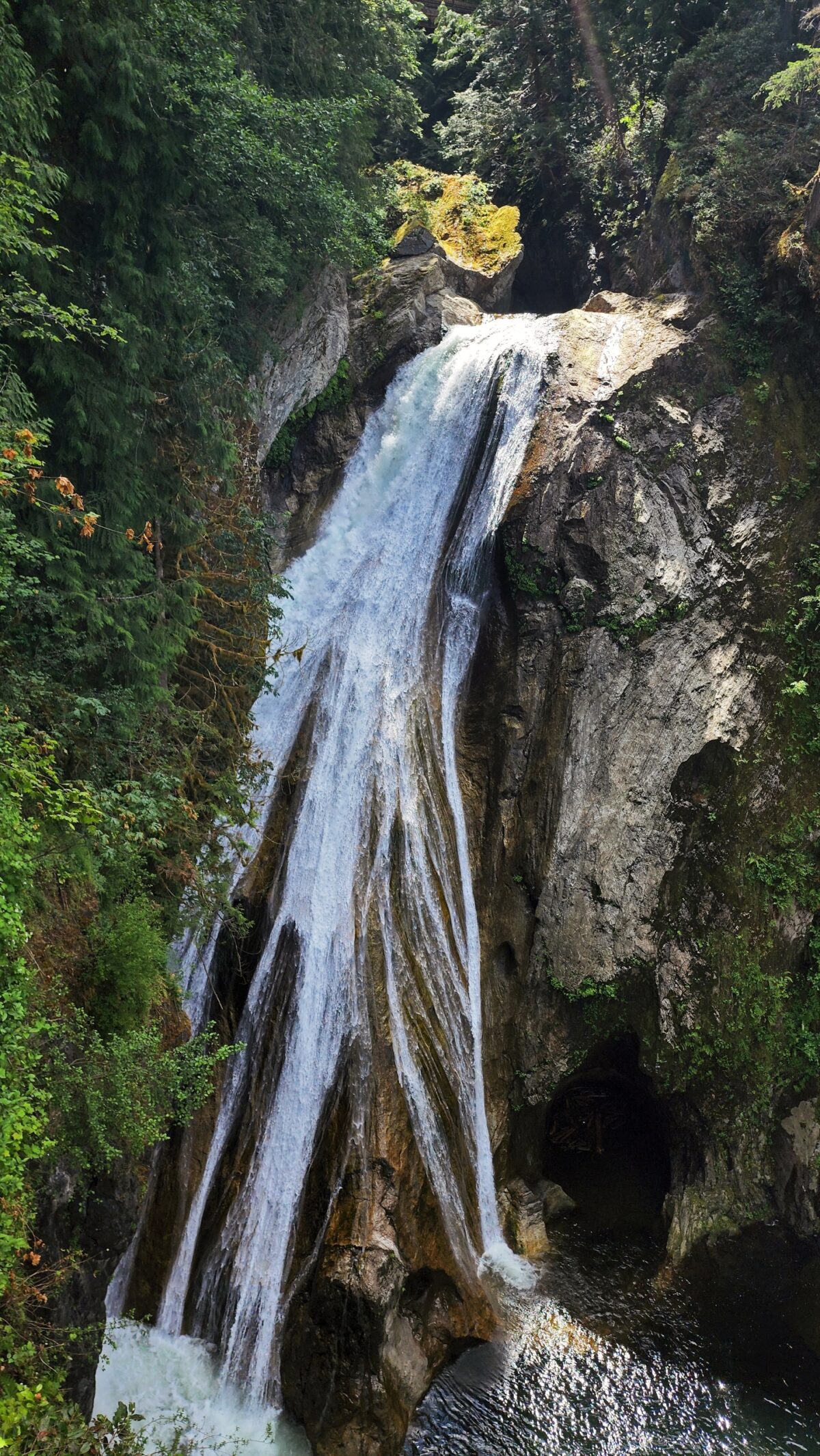
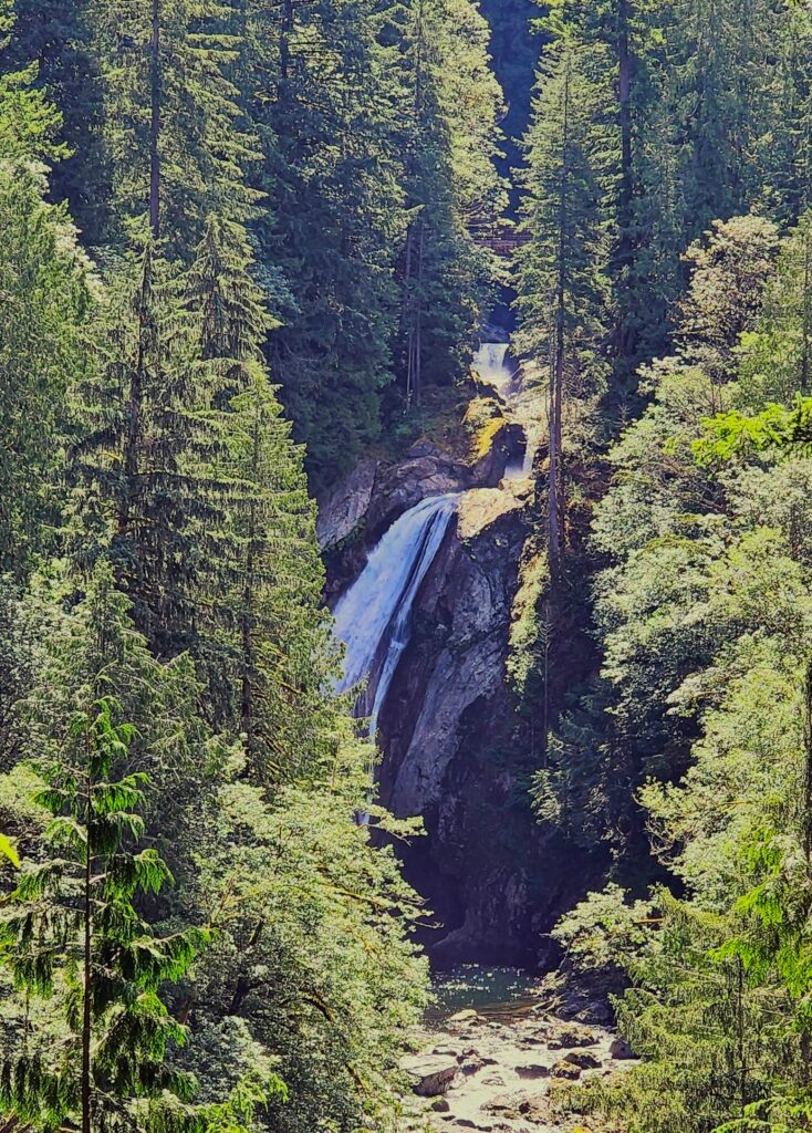
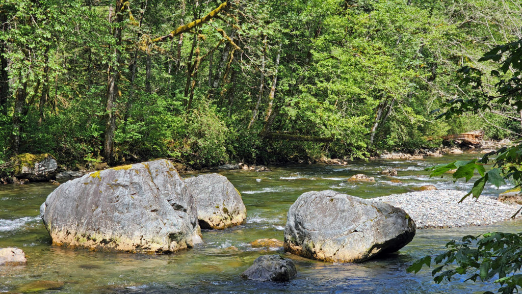
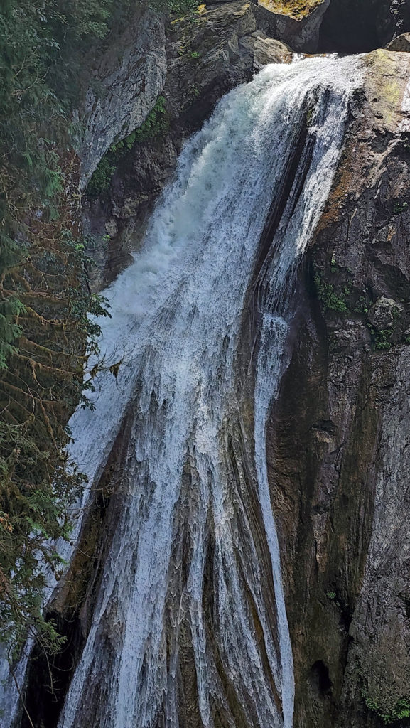
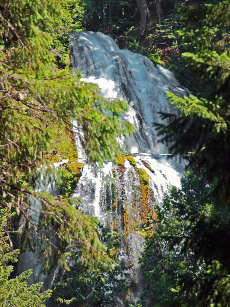
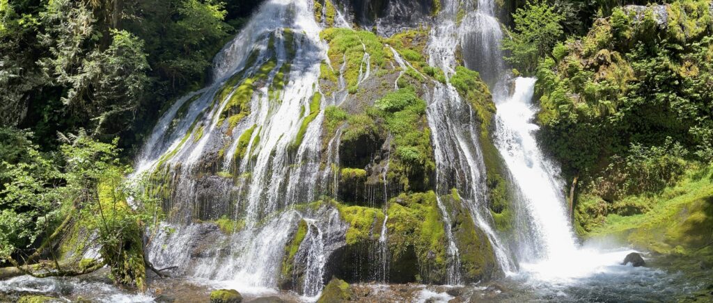
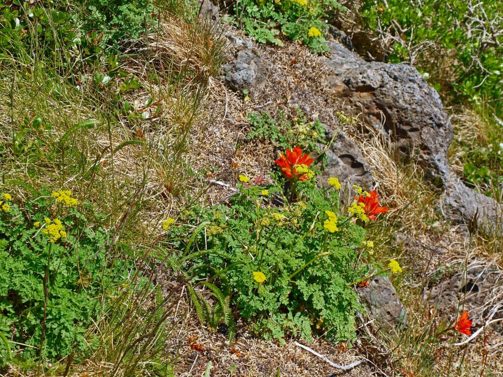
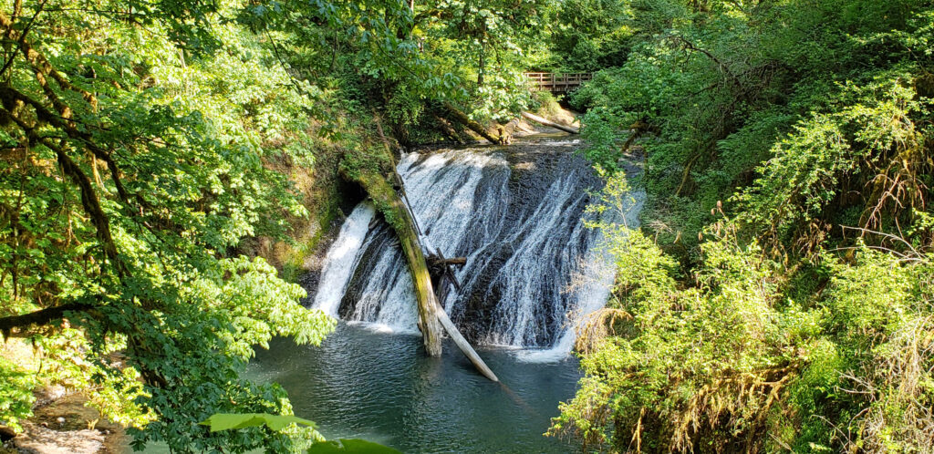
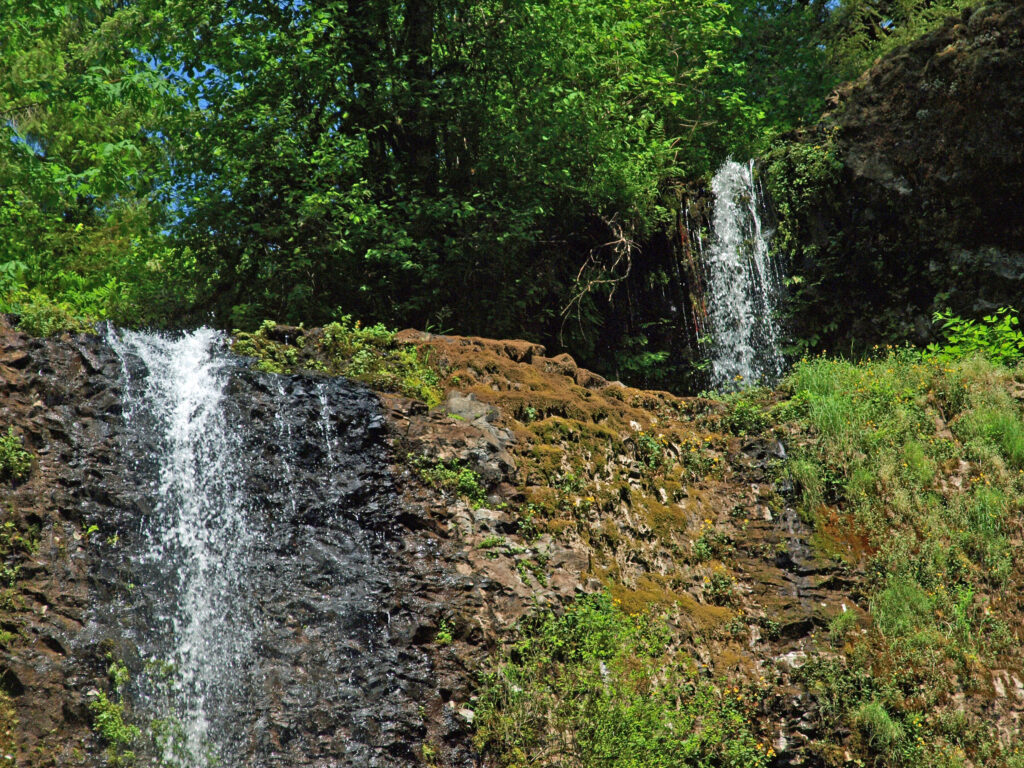
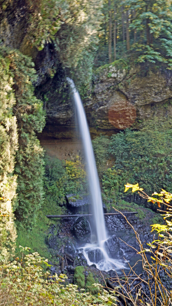
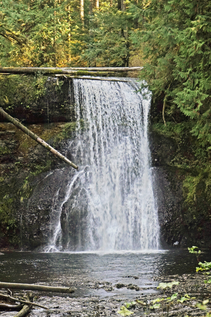
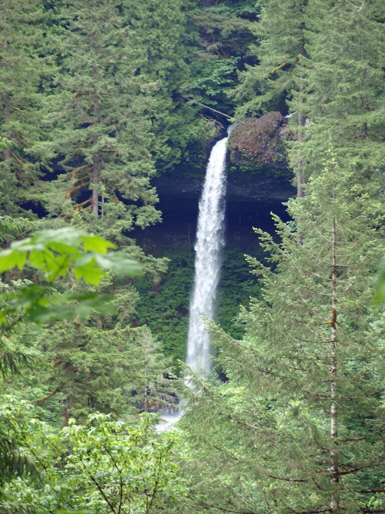
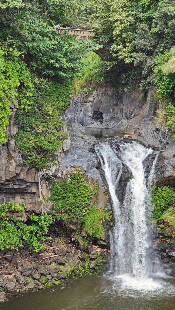
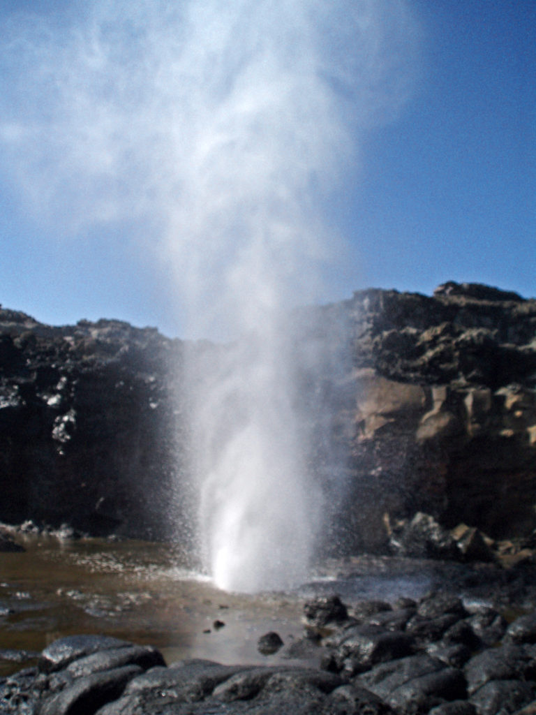
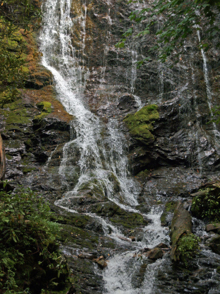
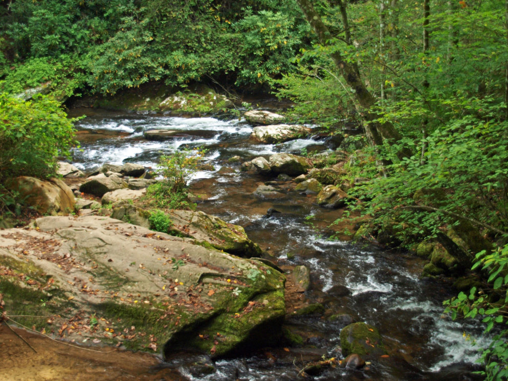
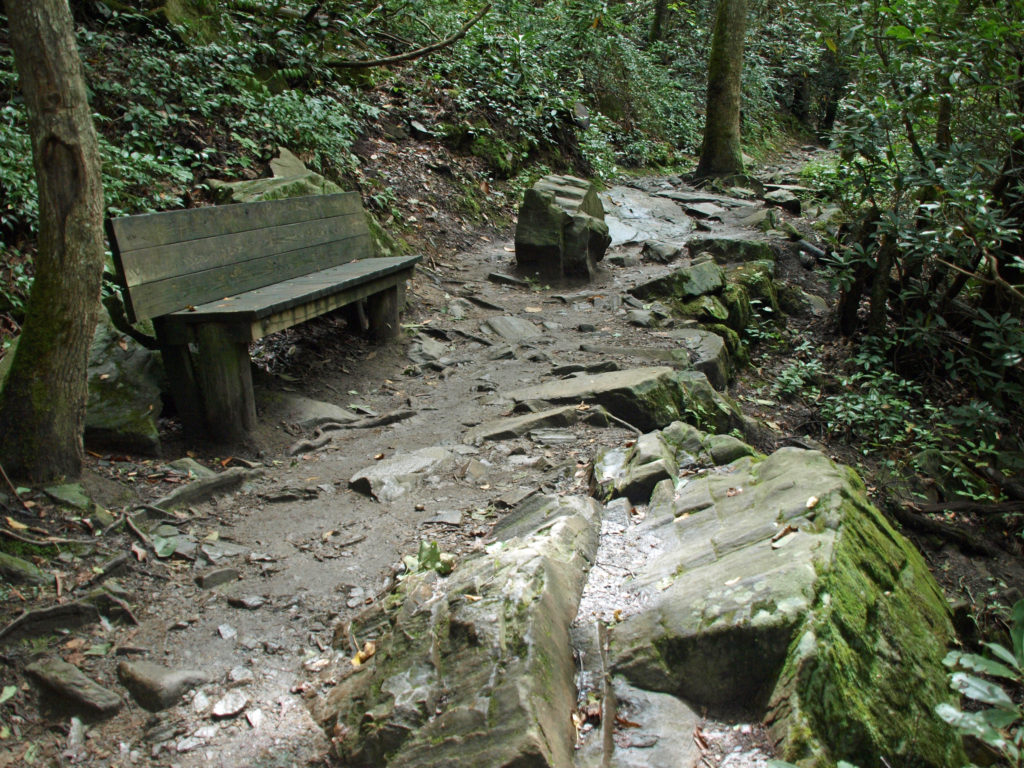
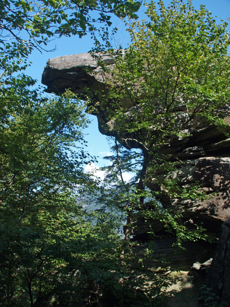
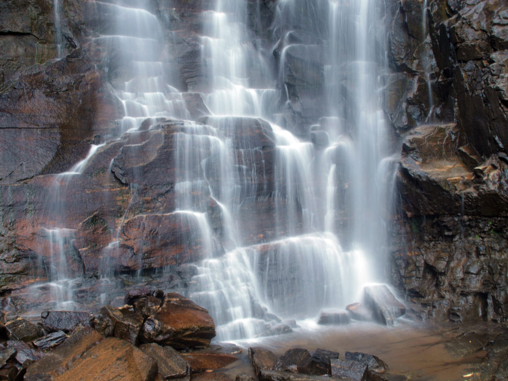
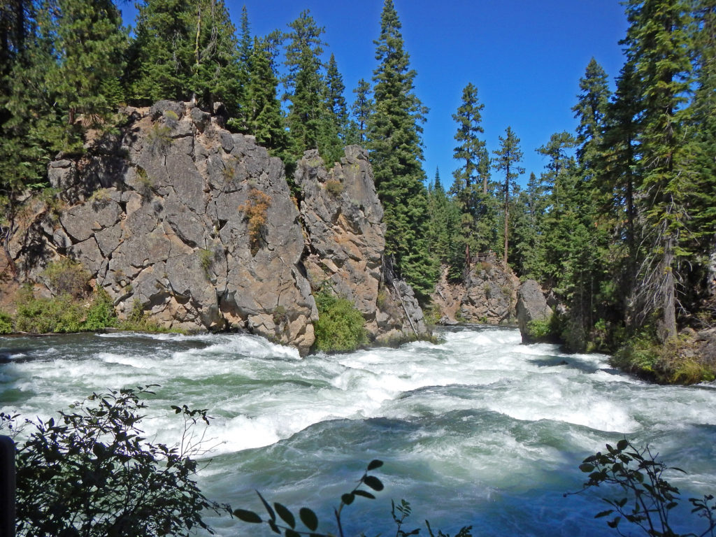
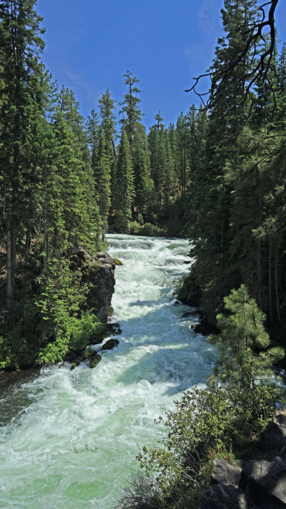
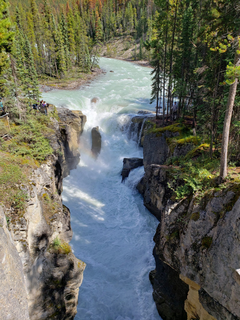
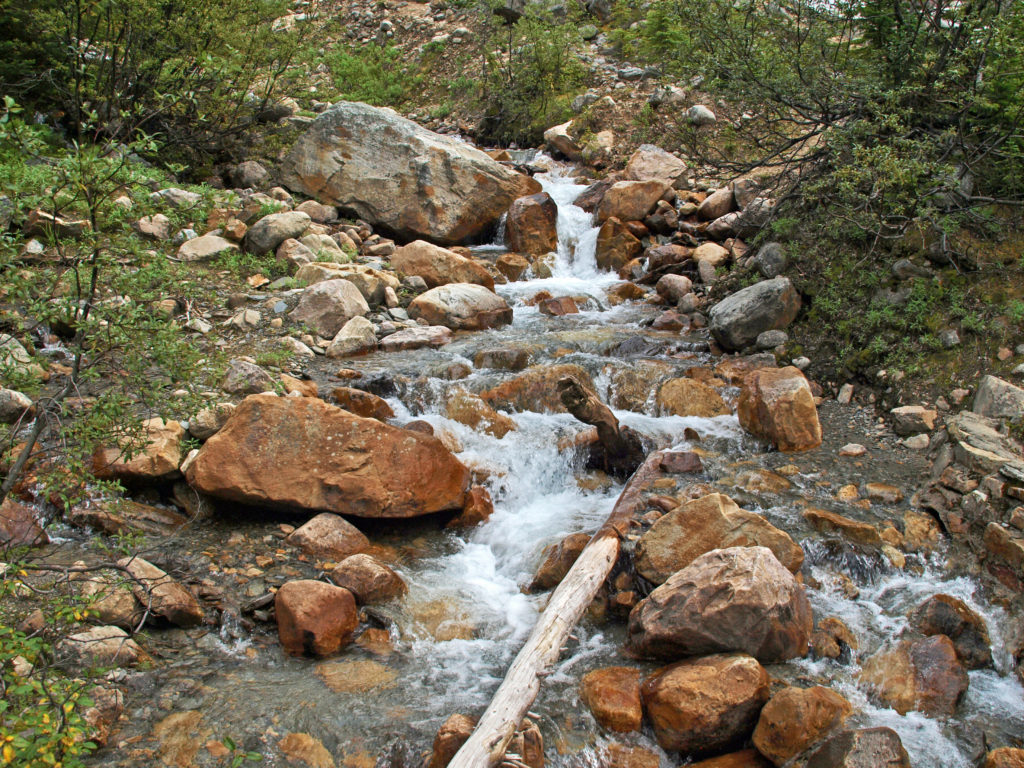
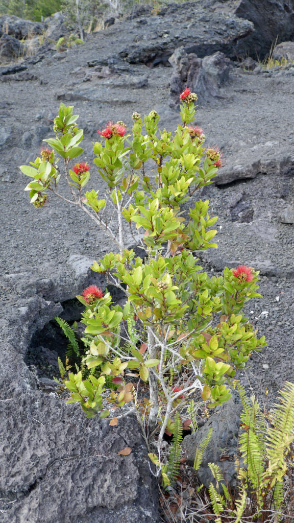
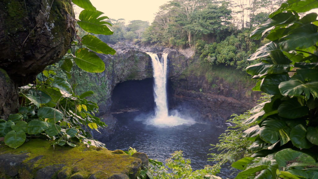
Lava Canyon, on the southeast flank of Mount St. Helens, is one of my favorite hikes in the Pacific Northwest. If you’re a waterfall lover (and who isn’t), Lava Canyon is a must see. The Muddy River crashes through the canyon here, cascading over and through a seemingly endless series of ledges and narrow chutes, one right after the other for about a mile and a half. It is truly spectacular.
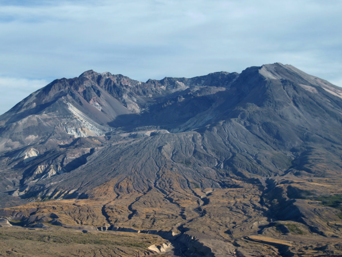
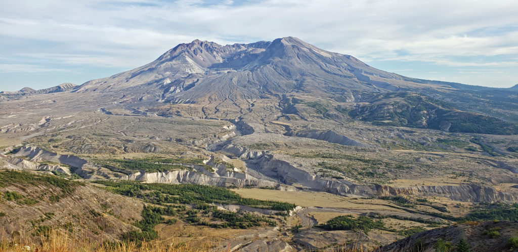
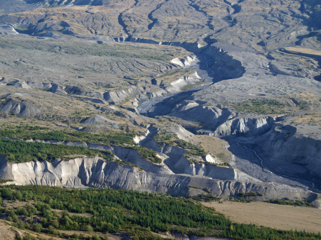
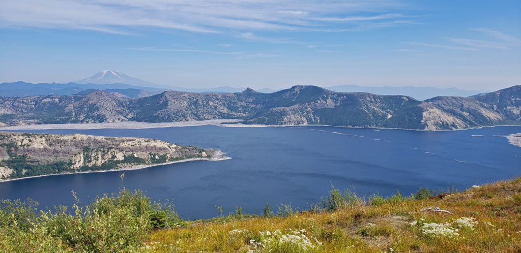
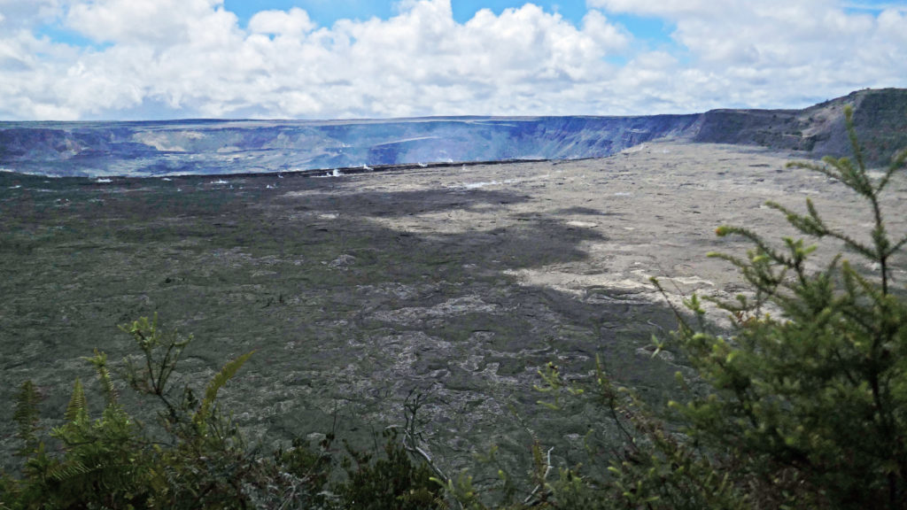
 The history of Lava Canyon begins about 3500 years ago when an eruption of Mount St. Helens sent a flow of lava down the old valley of the Muddy River, destroying the forest and filling the valley with molten rock. Over the intervening years, the Muddy River cut a new course through the lava flow, and the canyon gradually filled with sediment. Then came the 1980 eruption, which melted the summit glaciers and sent a huge lahar (volcanic mudflow) down the valley, destroying the rebuilt forest and scouring out the built-up sediment, exposing the remnants of the earlier lava flow. What was left is a steeply descending canyon with an almost continuous series of spectacular waterfalls and cascades. (For more information on the 1980 eruption, see my Mount St. Helens post).
 Getting there:
To get to the canyon, take Washington State Route 503 east from the town of Woodland, 20 miles north of Portland on I-5. Continue east past the town of Cougar. Where SR 503 turns south toward Vancouver, continue straight on SR 503 Spur, which becomes US Forest Road 90. Just past Swift Dam, turn left onto Forest Road 83. The upper trailhead of the Lava Canyon Trail is at the end of FR 83. (The lower trailhead can be reached by FR 8322, which branches off from FR 83 shortly before you reach the upper trailhead. The most spectacular part of the canyon is the upper section, though, so if you haven’t already explored that, you’ll want to start at the top.)
 Trailheads:
The upper trailhead has restrooms and water is available. Parking requires a Northwest Forest Pass. There are no facilities at the lower (Smith Creek) trailhead and no parking permit is required.
 The hike:
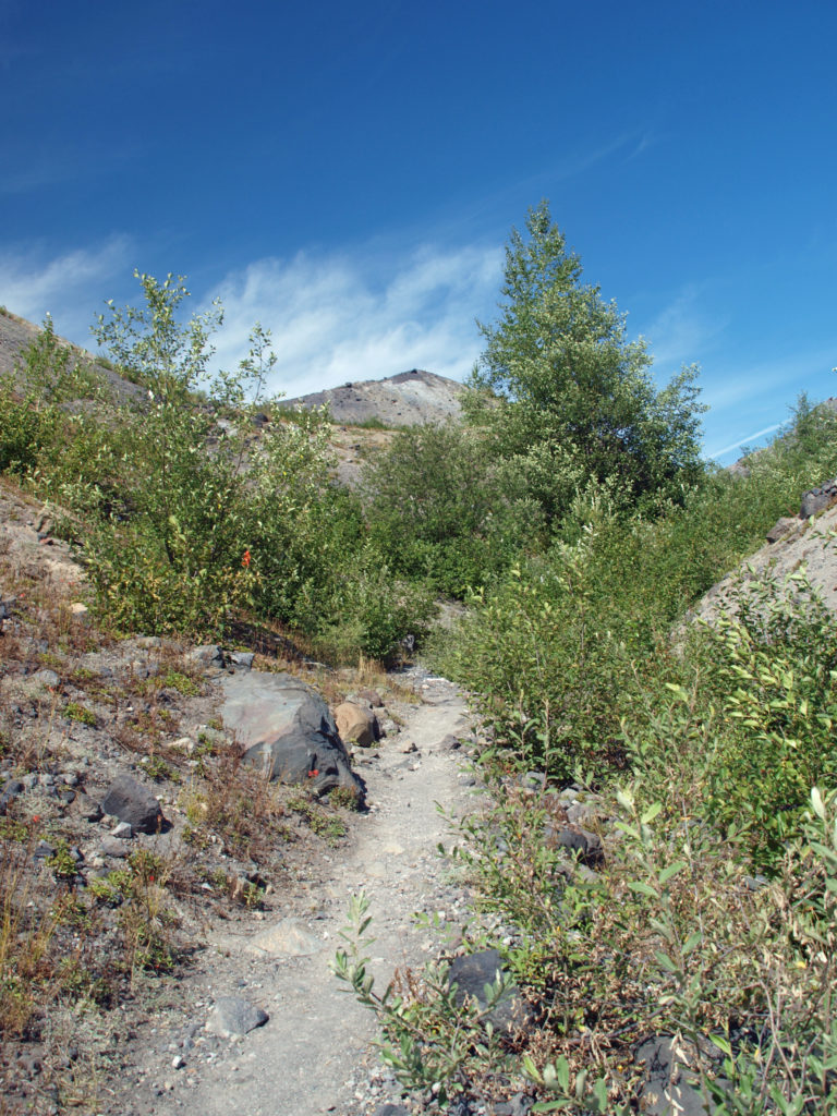
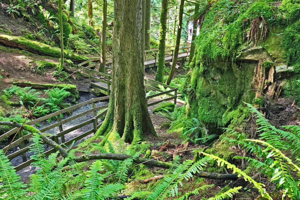
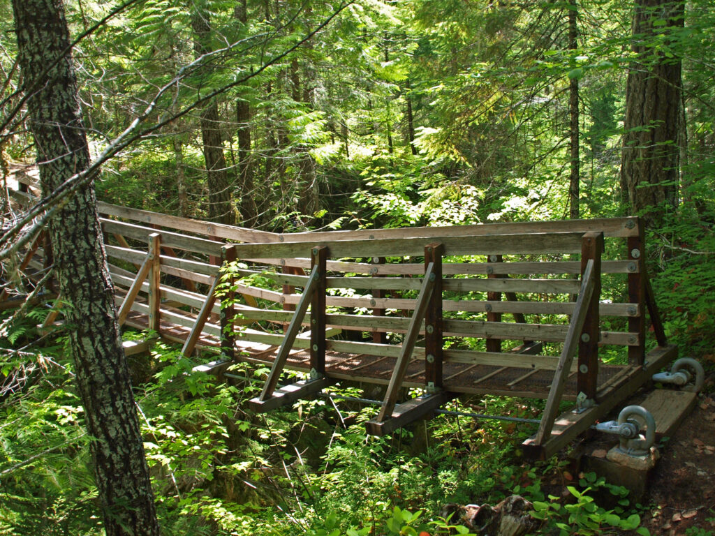
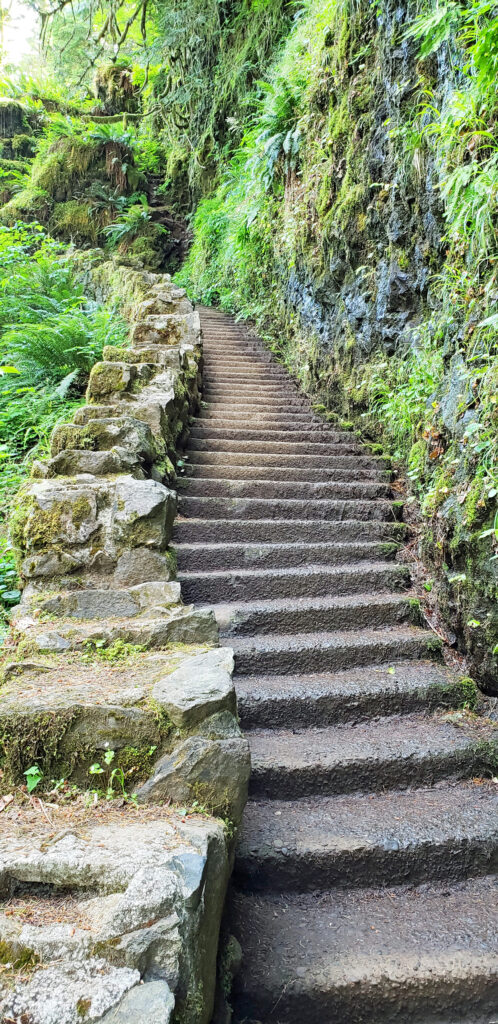
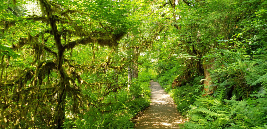
The trail from the upper trailhead begins as an ADA accessible paved path with sections of wooden boardwalk. This section of the trail has a number of interpretive displays explaining the history and geology of the canyon. After about four tenths of a mile, a side trail leads to a bridge across the river. The paved path continues a few hundred yards to a waterfall overlook.
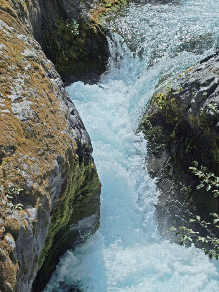
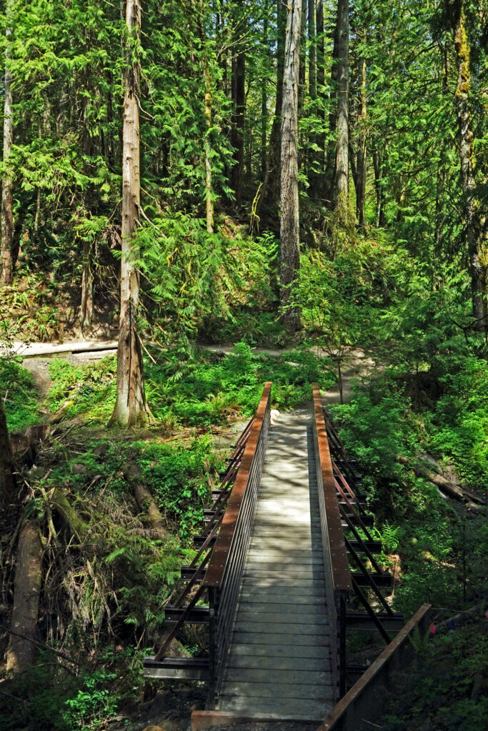
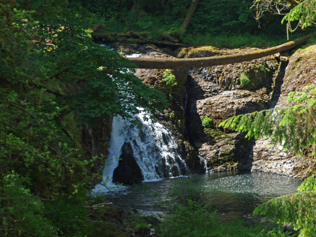
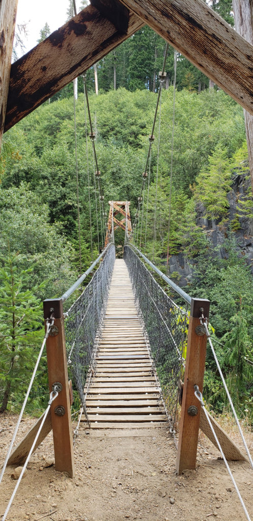 Below the overlook, the path is rock and dirt, steep in places. After another three tenths of a mile, you come to another side trail and a suspension bridge over the river that gives a bird’s eye view of the canyon and waterfalls. On the other side of the bridge is a connecting trail that takes you back to the upper bridge, making for a 1.4-mile loop. (Update: As of June 2023 the suspension bridge is closed. Check the National Forest Service’s Lava Canyon Trail web page for current information).
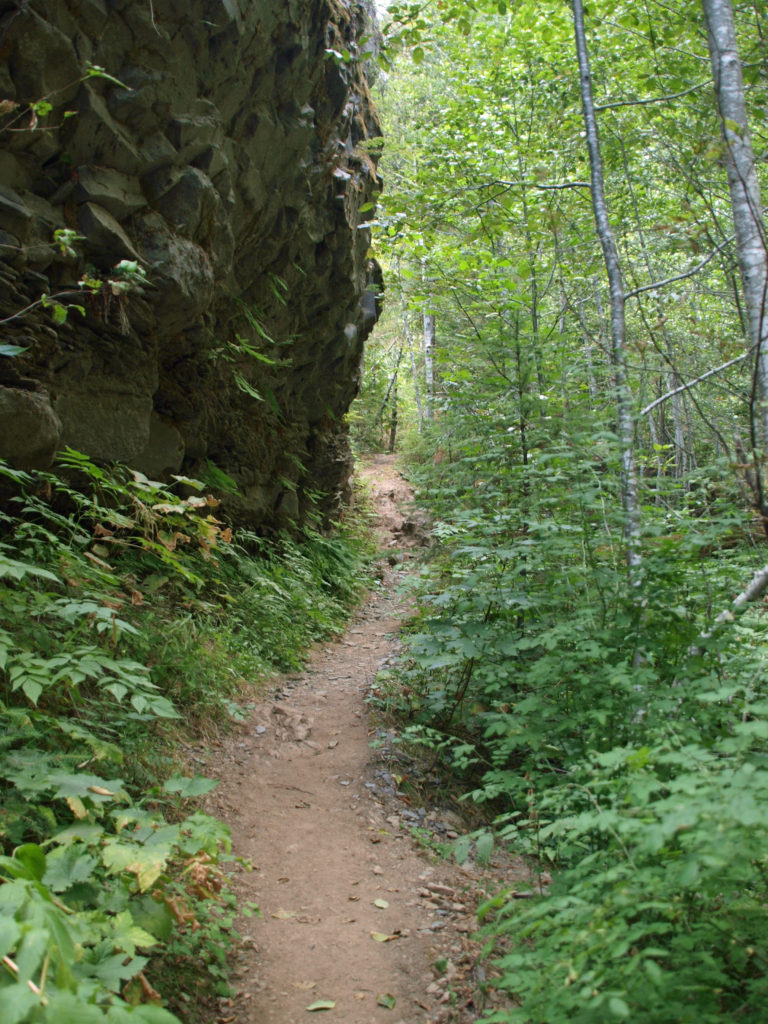
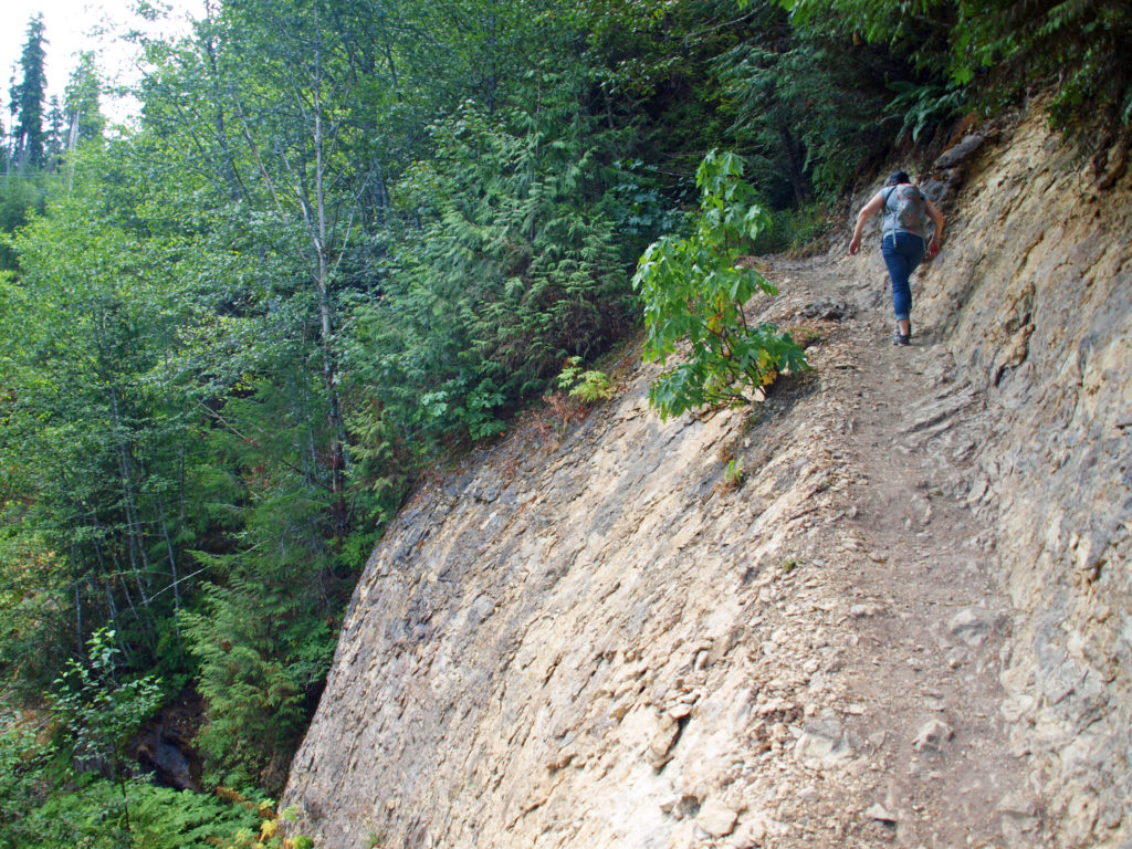
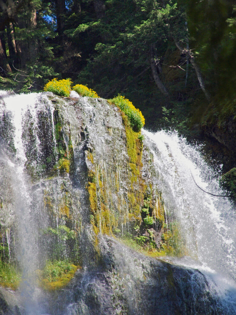
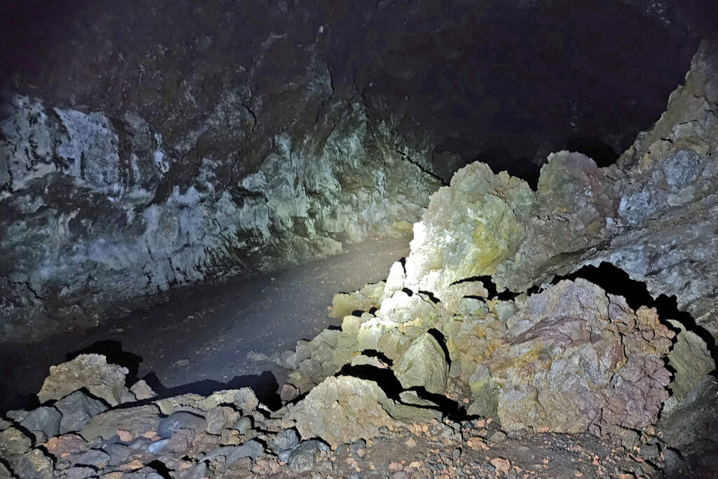
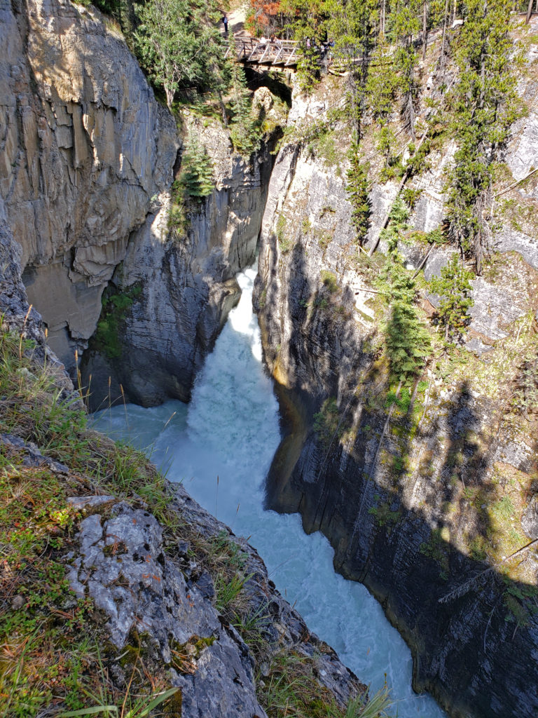
Below the suspension bridge the trail descends very steeply. This portion of the path is narrow, covered with loose rock in places, and there are sheer drops to the river below. Take extreme care on this section of the trail. There have been several fatalities here in recent years. Shortly after my wife and I did this hike in 2018 an 18-year-old man went missing in the canyon. It is presumed that he fell into the river and drowned. You can read the story here. Those that do brave the trail, though, will be rewarded with the most spectacular part of the canyon. Just take the warning signs seriously and be careful.
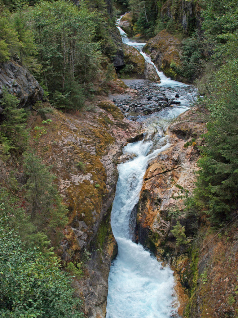
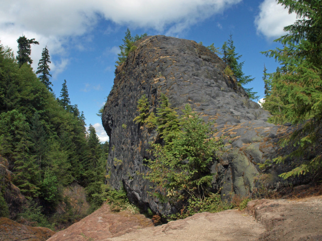
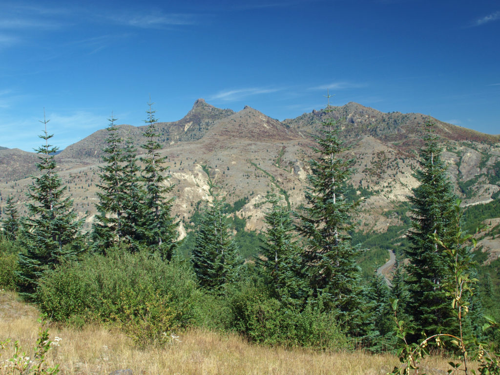
 At about the 1.3-mile mark, the trail descends a 40-foot ladder to the base of the rock formation known as The Ship. Before 1980, sediment filled the canyon to the top of The Ship, to give you an idea of how much sediment was scoured out of the canyon. A short but steep side trail (and another ladder) leads to the top of The Ship.
 (Below The Ship, the trail continues another 1.5 miles to the lower trailhead. The entire hike from upper to lower trailhead and back is about six miles and the elevation gain coming back is 1350 feet.)
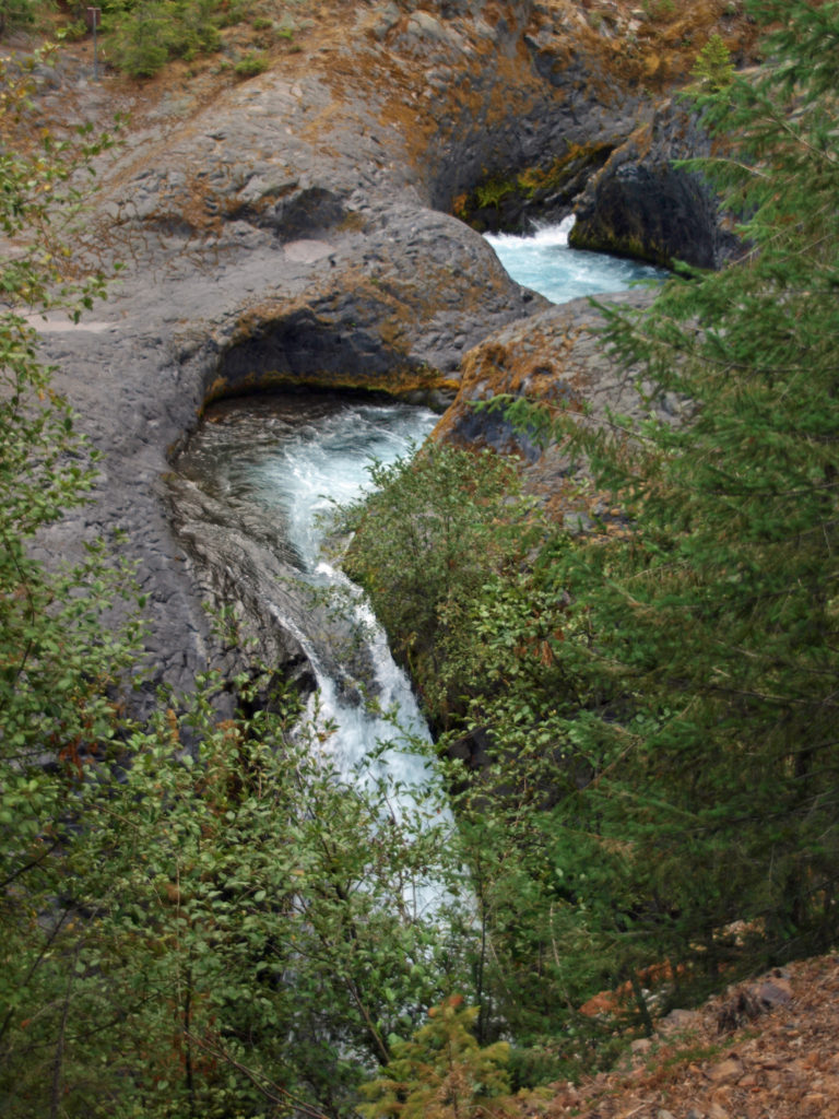
 Return from The Ship the way you came. Cross the suspension bridge if it is open and take the trail on the opposite bank to the upper bridge and re-cross the river. The two bridges both give you great views of the river and canyon below.
Other area attractions and activities:
There are many other hikes on Mount St. Helens that are worth doing, including Harry’s Ridge and Ape Cave. On the southern flank of the mountain, Swift Reservoir and Lake Merwin offer boating, camping, and fishing opportunities. Just east of Woodland, Cedar Creek Gristmill is a historic restored mill open to the public. And in Woodland, Hulda Klager Lilac Gardens is well worth a visit.
 Originally posted in a different format September 29, 2018 by Alan K. Lee. Updated and re-posted March 23, 2021. Edited, updated and posted in this format June 29, 2023.
All photos ©Alan K. Lee


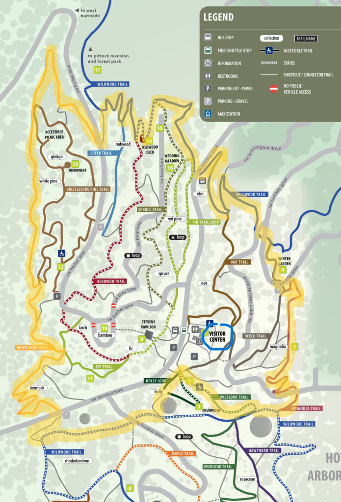
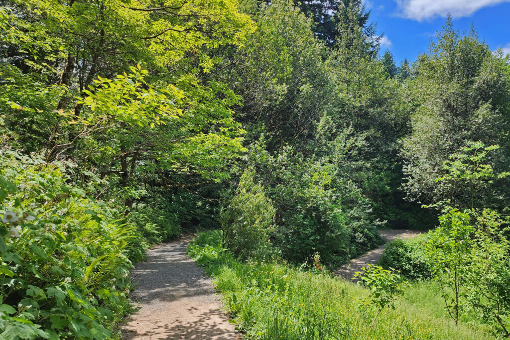
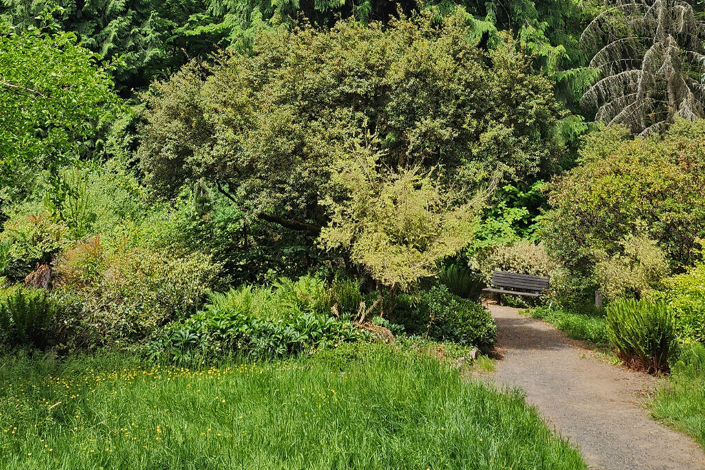
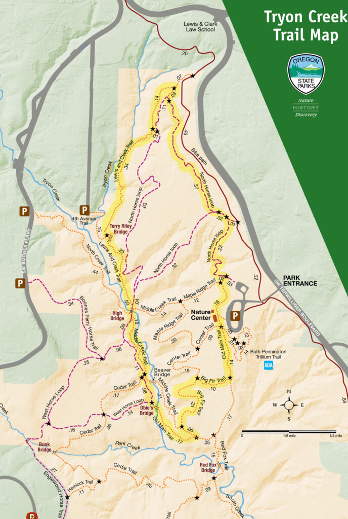
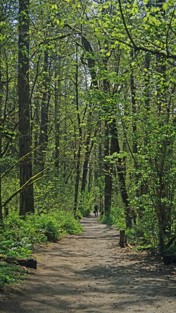
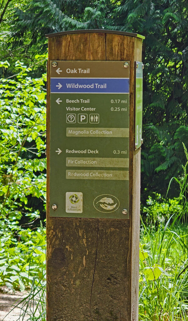 Hoyt Arboretum offers a multitude of possible hikes over its 189 acres and 12 miles of trails. The hike described here passes through many of the arboretum’s tree collections and is a good introduction to the arboretum for anyone that has not visited previously. It also incorporates several short sections of the iconic Wildwood Trail that meanders for 30 miles through Washington and Forest Parks. The trail junctions in the arboretum are well signed, so it would be hard to get lost, but the sheer number of intersecting trails can be confusing. I recommend carrying a map of the trail system whenever you’re hiking in the arboretum. Download and print the arboretum map linked above or pick up a free map and brochure at the visitor center. The brochure provides some interesting information and has a larger and more easily read map than the download.
 Trailheads:
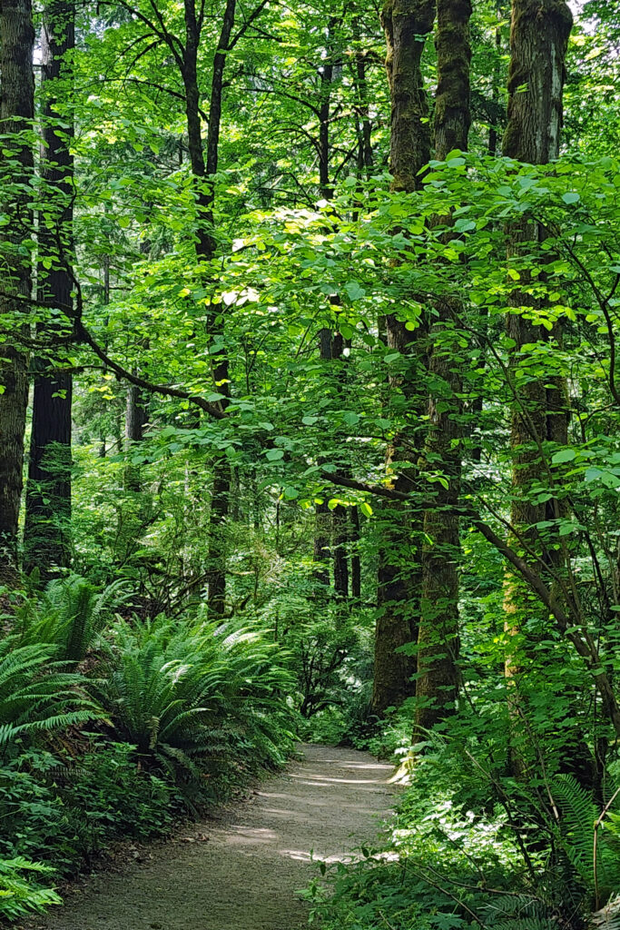


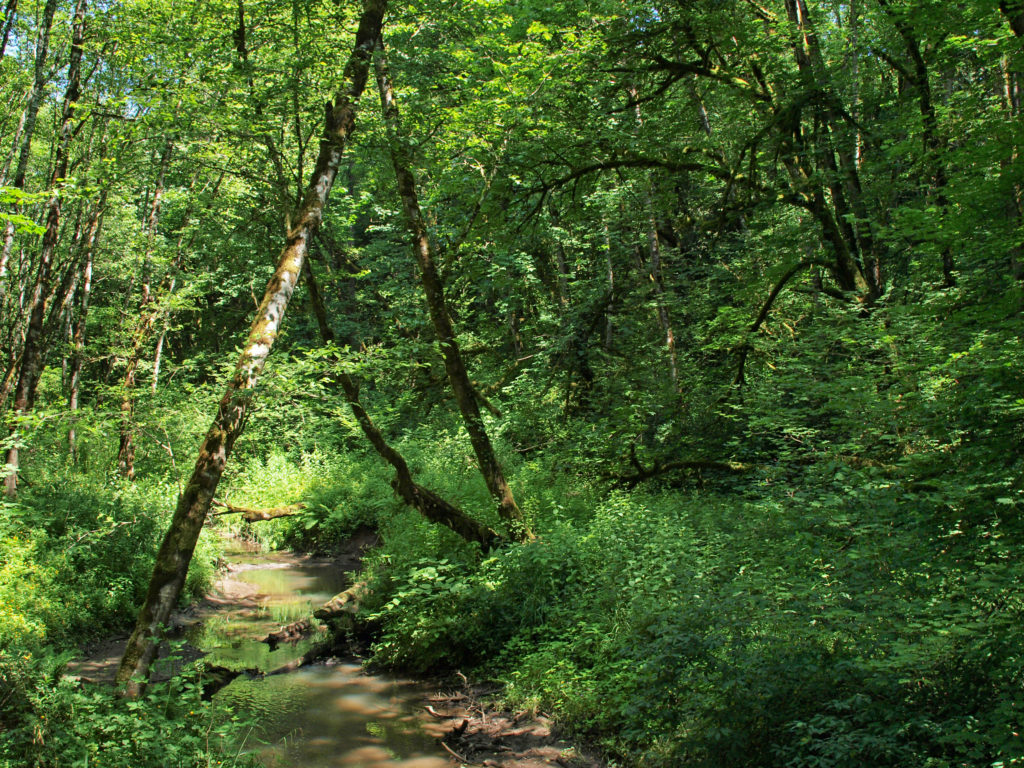
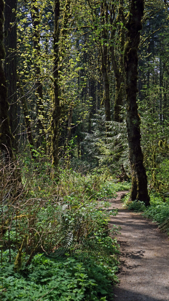
 There are a myriad of loops and out-and- back hikes possible at Tryon Creek. The park has a total of 15 miles of trails, including a short all access paved trail, a paved bike path that runs the length of the park, all-use trails open to horses, and hiker-only trails. Dogs are permitted on leash. Bikes are not permitted, except on the designated bike path. The park is a day-use area only. Camping is prohibited.
 All of the trails are well used, so you’re unlikely to find real solitude here, unless you come during really bad weather. But that doesn’t detract much from the park’s appeal. In general, the farther from the Nature Center that you get the fewer people that you’ll encounter. The southern and western parts of the park are the least used. The hike described here includes two of my favorite trails, the Big Fir and Lewis and Clark trails, but they’re also two of the most traveled trails in the park.
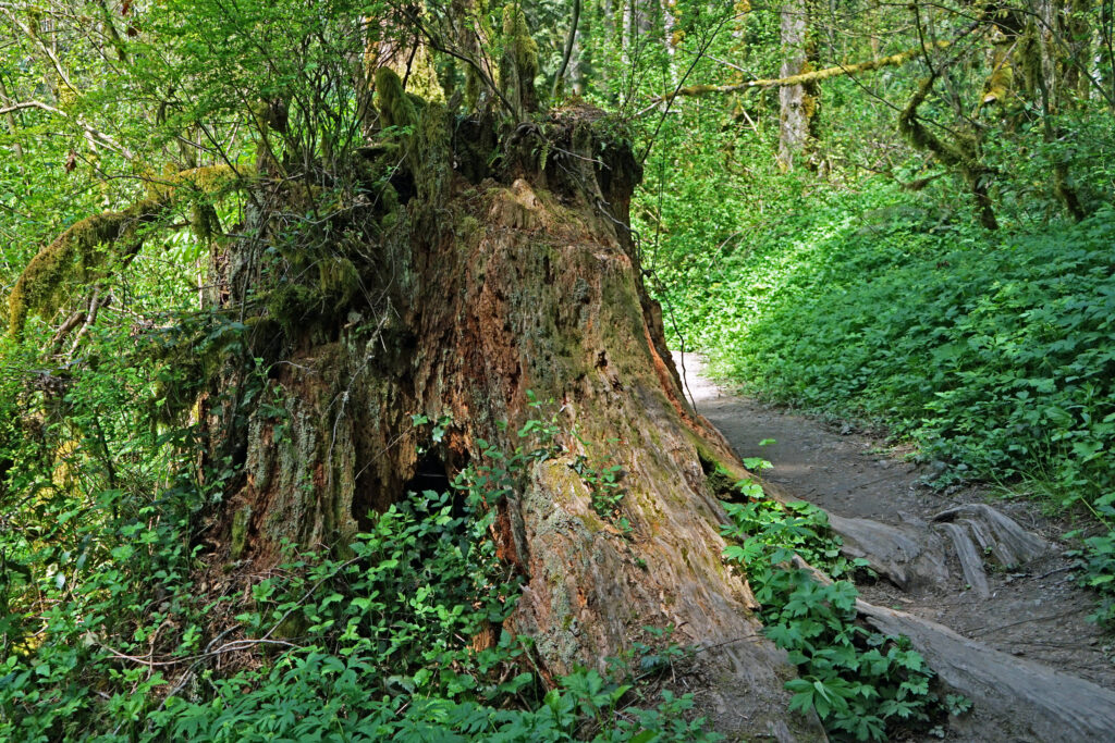 Getting there:
 Posted May 18, 2023 by Alan K. Lee.
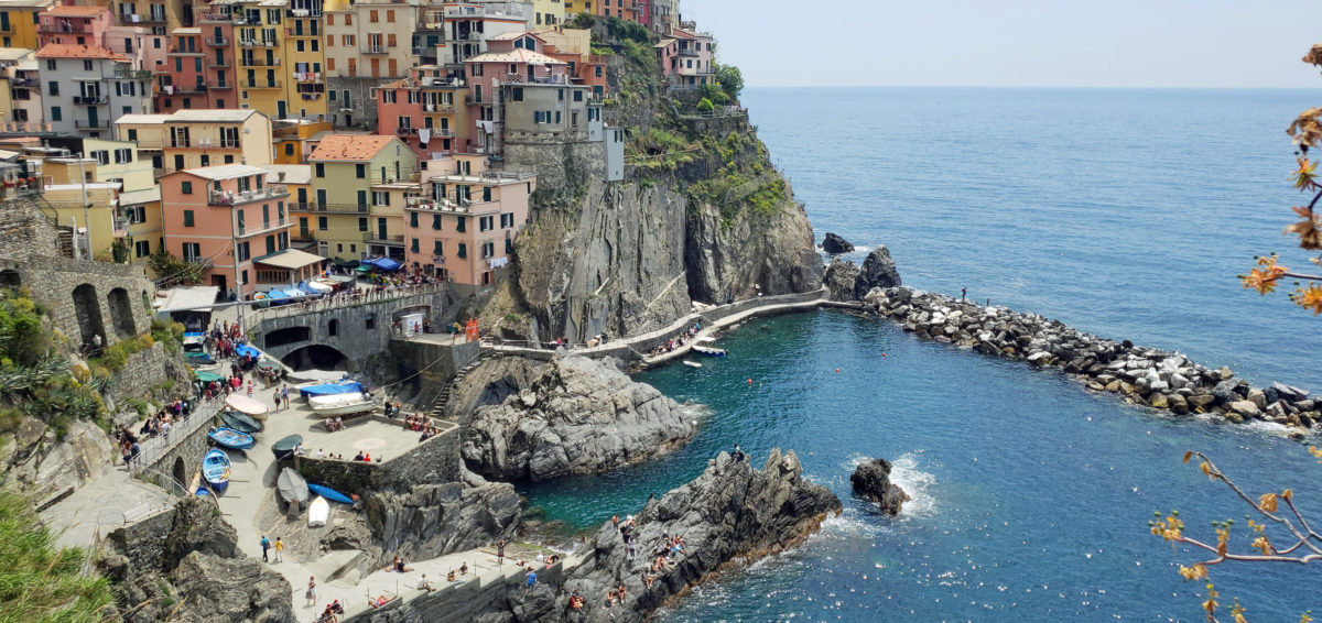
 The following is an expanded and updated version of an August 2018 post on this site.

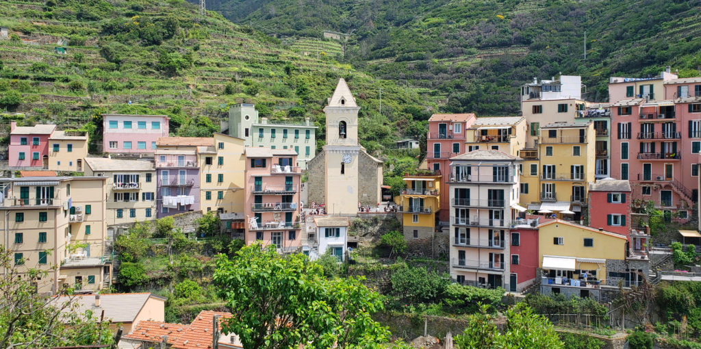
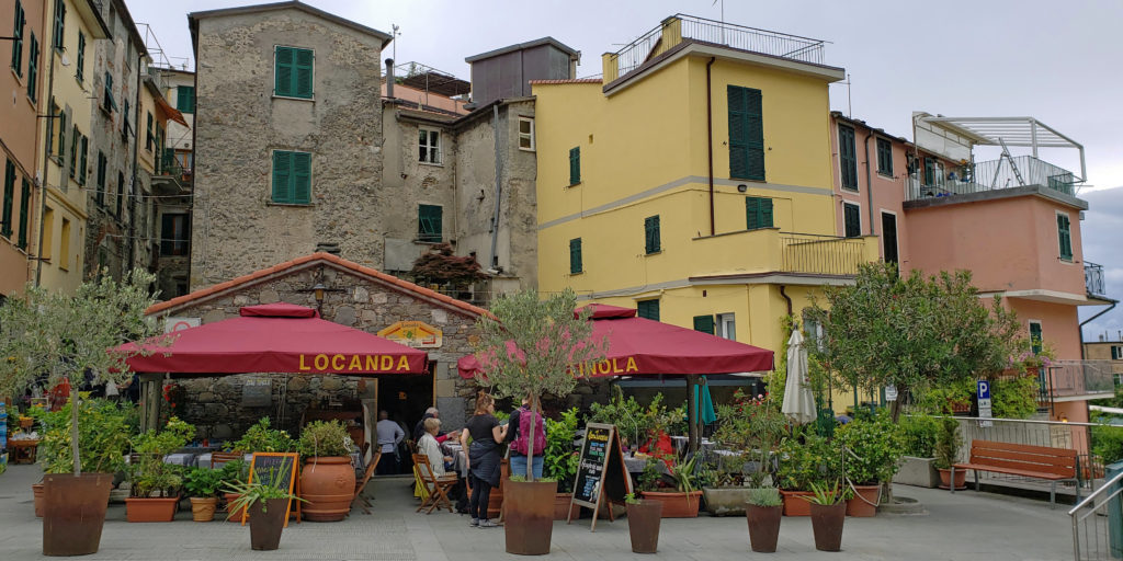
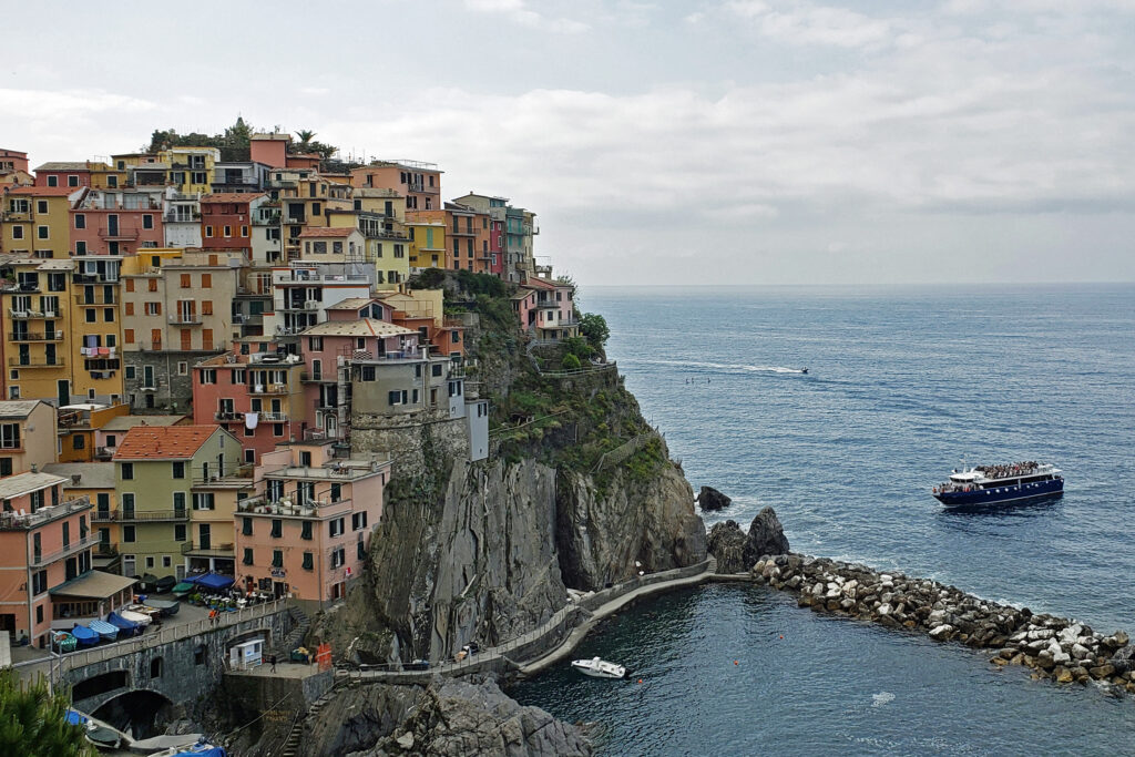
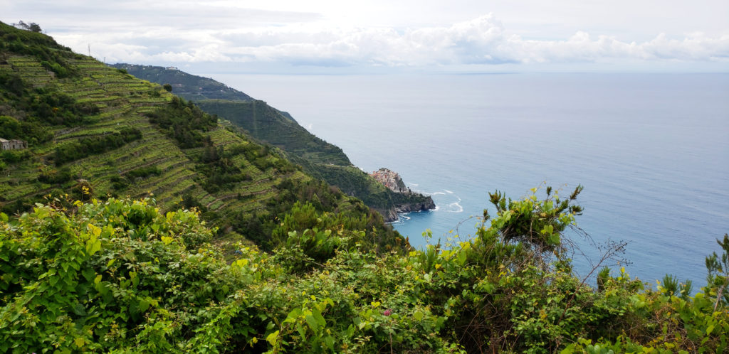
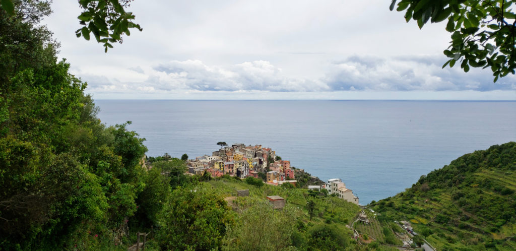
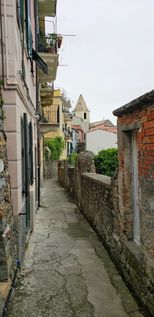
 Because we would not be home on Mother’s Day, my two stepdaughters bought my wife (and me) tickets to a pesto making class and lunch at the Nessum Dorma Restaurant in Manarola, something I would not have done on my own, but which turned out to be both a good introduction to Italian cuisine and loads of fun. And the food was very good, including the pesto that we made ourselves.

 Overview:
 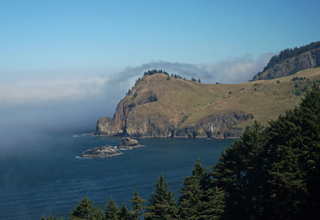 The God’s Thumb hike remained closed to the public until about a decade ago. Although people occasionally trespassed across private property to get to it, God’s Thumb remained largely unknown. But in 2013 Lincoln City purchased about 500 acres of property that was the site of a failed subdivision and negotiated an easement with the owner of the neighboring property, making God’s Thumb legally accessible to the public for the first time.
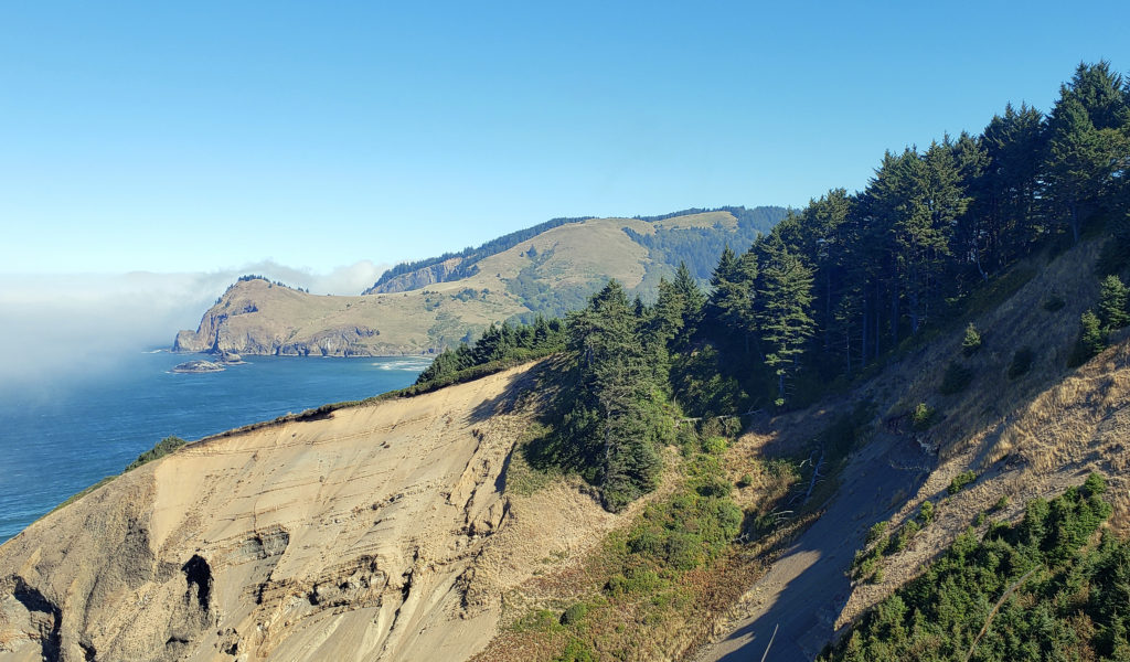 Trailhead:
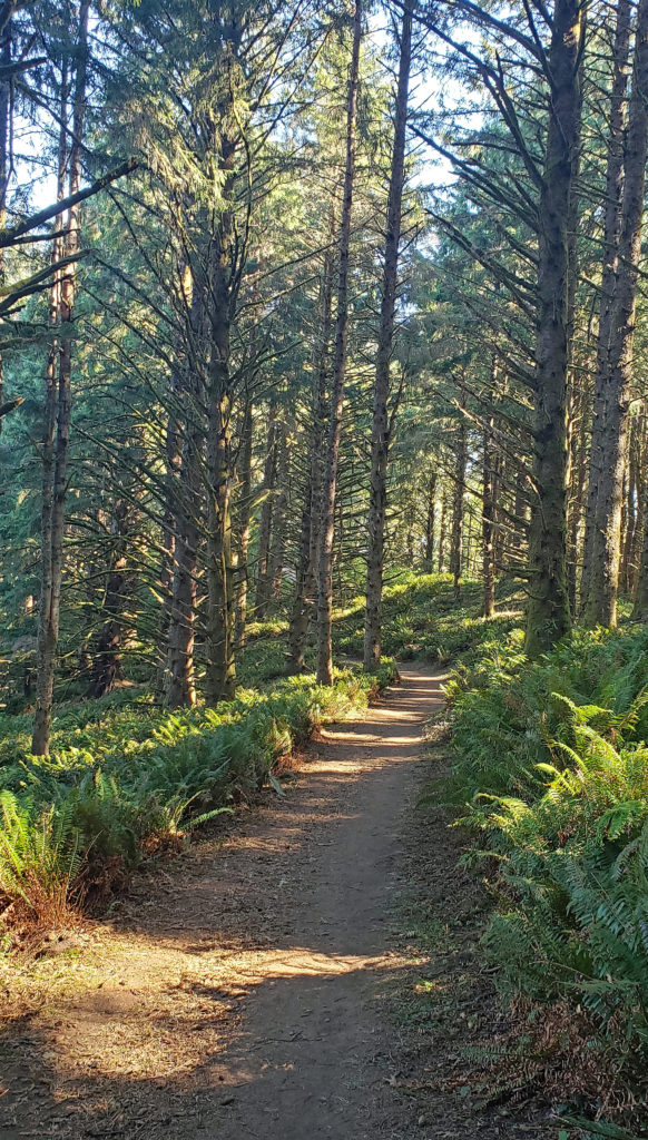 The hike:
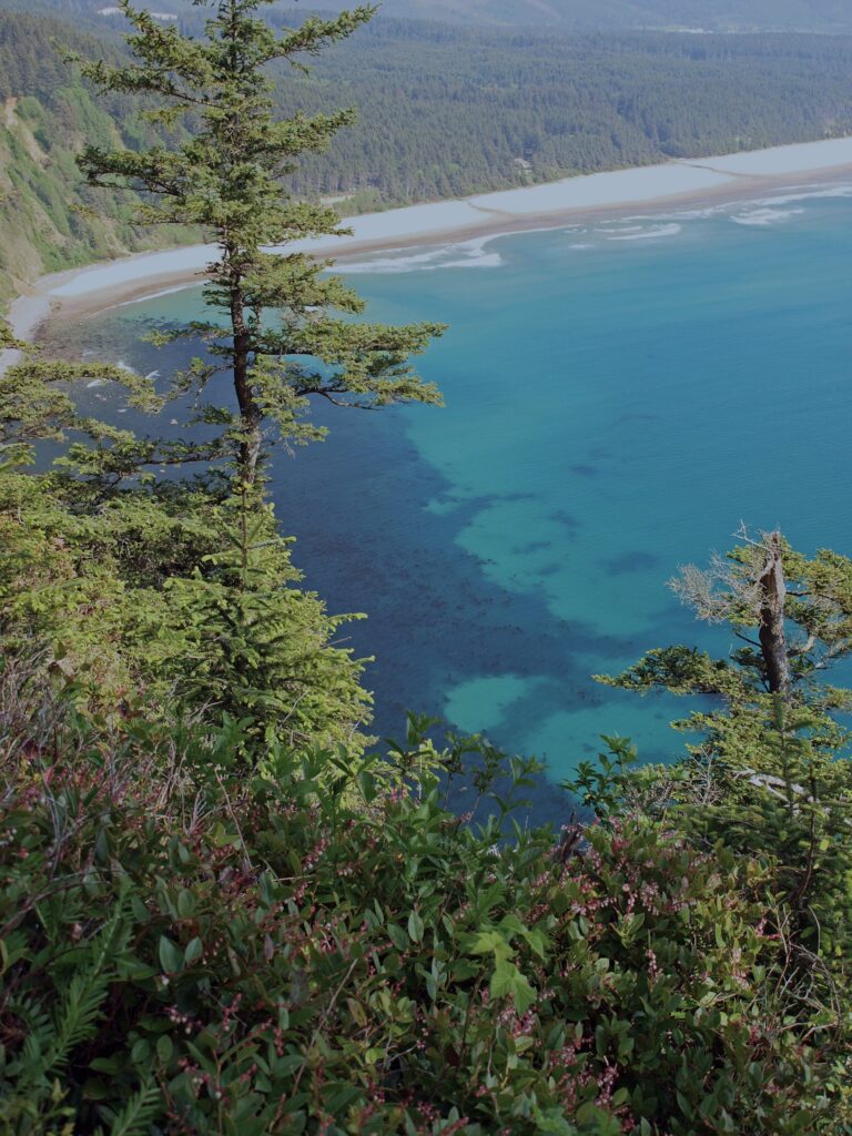
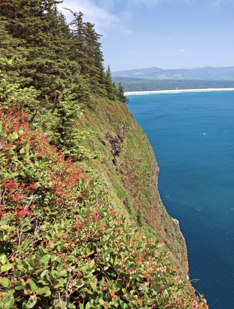
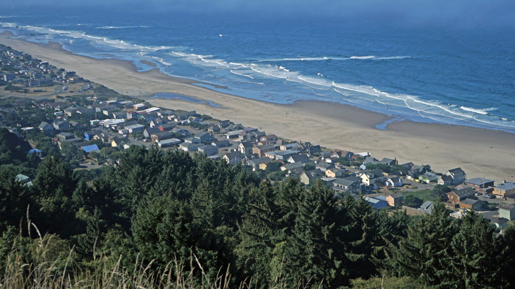 You don’t want to skip this because the view here is spectacular. The Pacific Ocean is spread out before you in all its glory. The Road’s End section of Lincoln City is directly below you. Lincoln City stretches out before you, with Devil’s Lake to the east and Siletz Bay to the south. The view extends south to Cape Foulweather. You might want to park yourself on the grassy summit and just sit for a while. Apparently, the local herd of elk also like the view because they often bed down here at night.
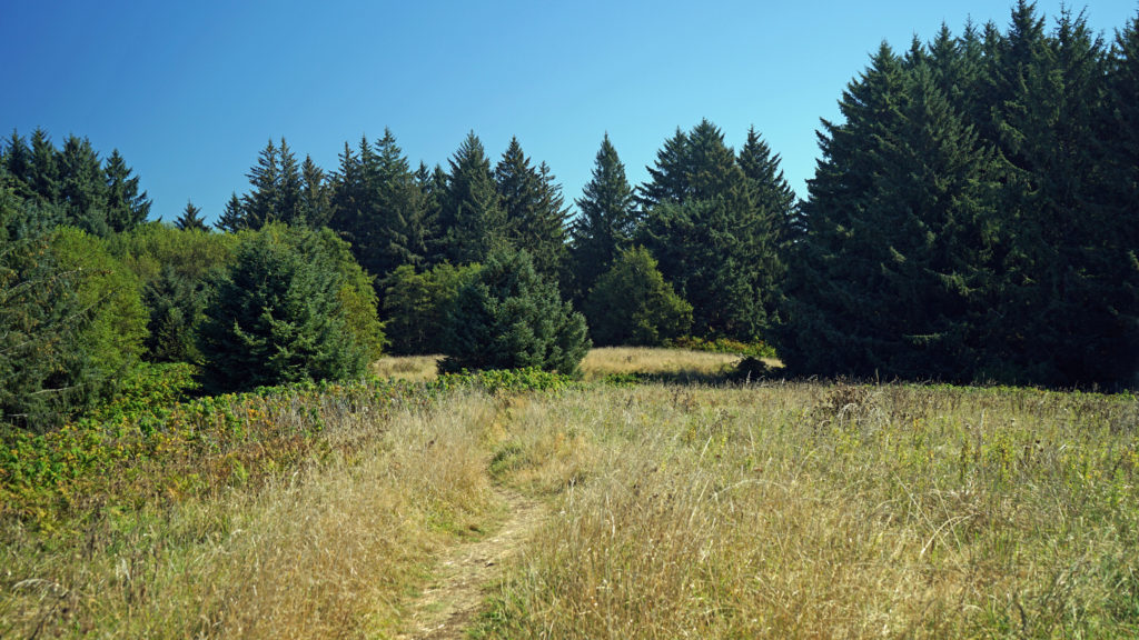 When you’re done taking in the view from The Knoll, return to the main trail and continue north. This portion of the trail is on the easement granted to the city by the property owner. The trail takes you through a spruce and hemlock forest and across a small meadow. Parts of the trail are steep, but the elevation gain is modest, and most people won’t have any difficulty. You’ll soon come to a trail junction. Stay left to continue on to God’s Thumb. You’ll pass through more spruce, hemlock and alder forest, and across several grassy meadows before the trail swings to the west and comes to another trail junction. The trail to the right comes up from the private Camp Westwind on the Salmon River Estuary. Stay left at the junction and you’ll soon see God’s Thumb in front of you. Stop here and admire the view of The Thumb and the surrounding cliffs, the two coves and beaches on either side of The Thumb, and Cascade Head to the north.
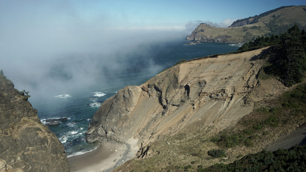 The trail then drops steeply down the slope and across along a narrow ridge before climbing very steeply up the slope to the summit of God’s Thumb. This section can be tricky to navigate and can also be slippery if the trail is wet. Some people choose not to venture down and then up to the summit. But if you do, you’ll be rewarded with magnificent views in all directions. Even if you don’t, the views you do get make the hike well worthwhile.
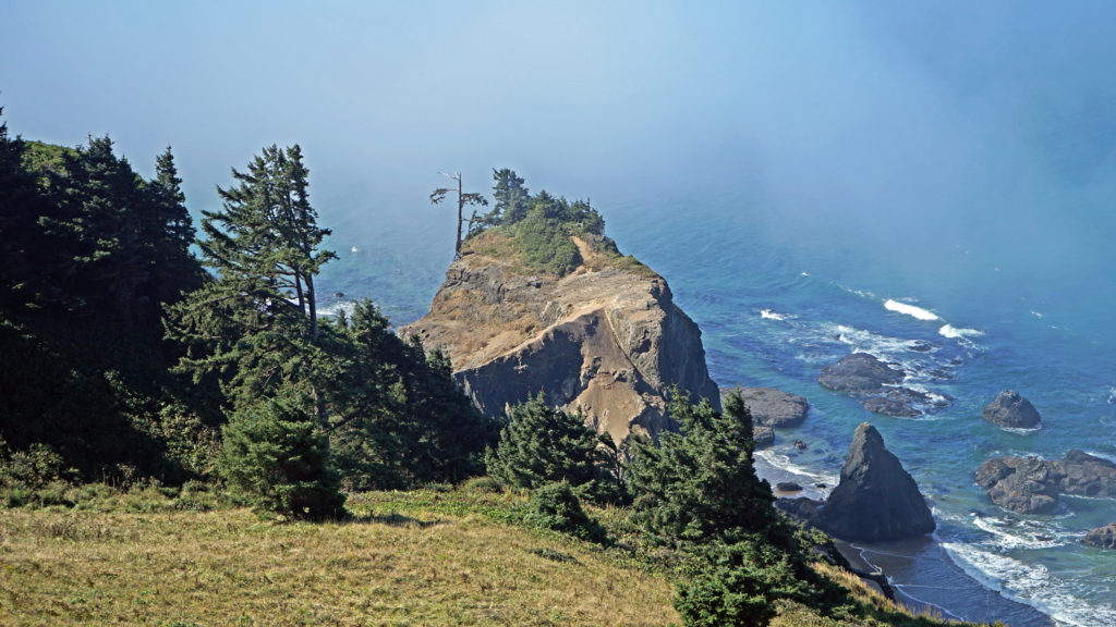 When you’re done taking in the views, return the way you came. When you reach the second trail junction, before you get to The Knoll, you have the option of taking the trail to the left for an alternate, slightly longer route back to the end of Devil’s Lake Boulevard where you left your car. Check the Oregon Hikers
 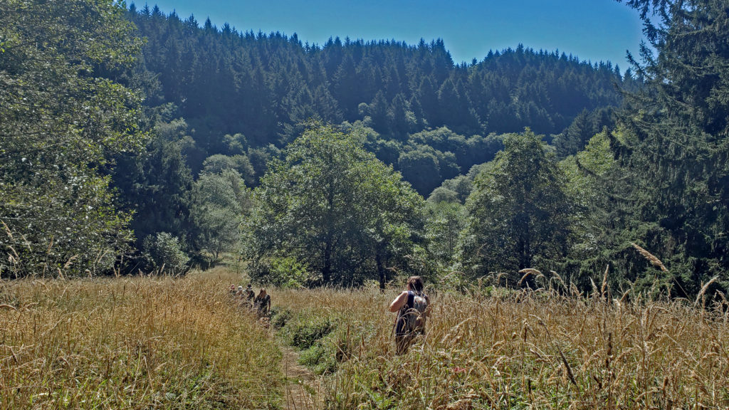 A few notes on parking:
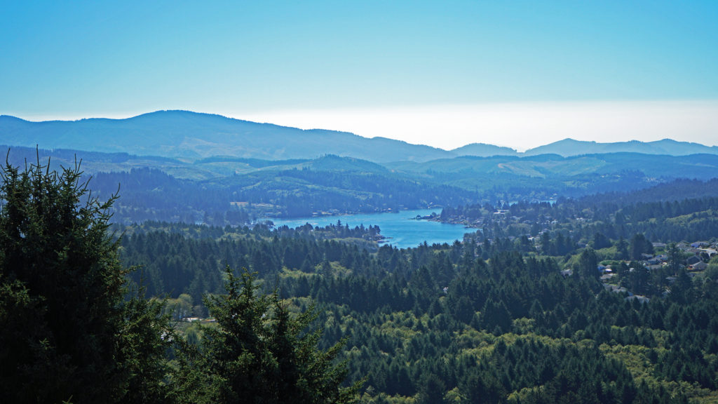 Other area hikes and other attractions:
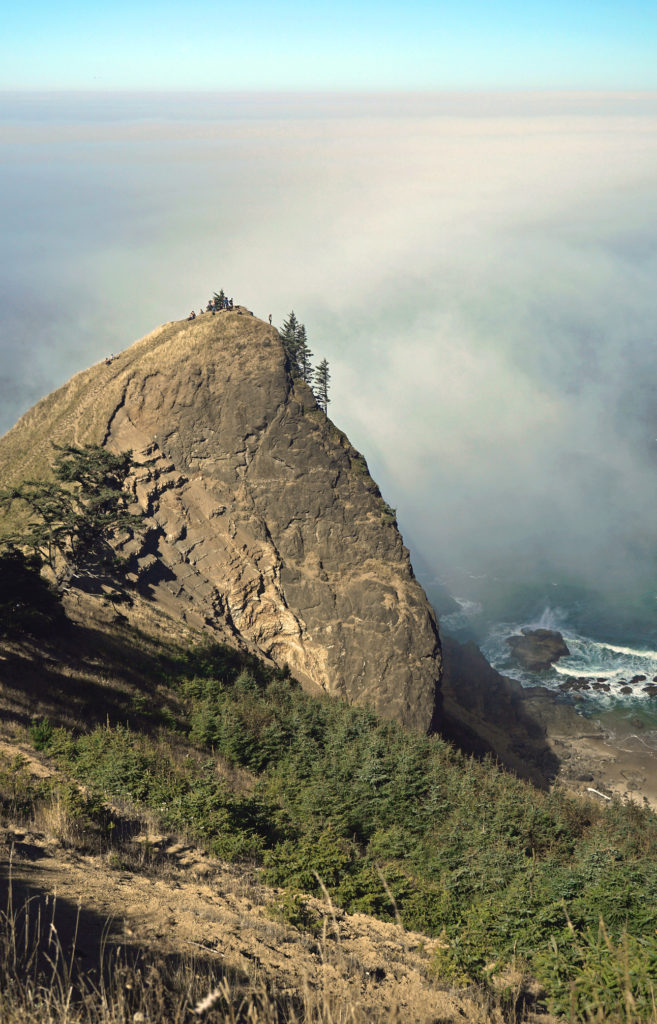
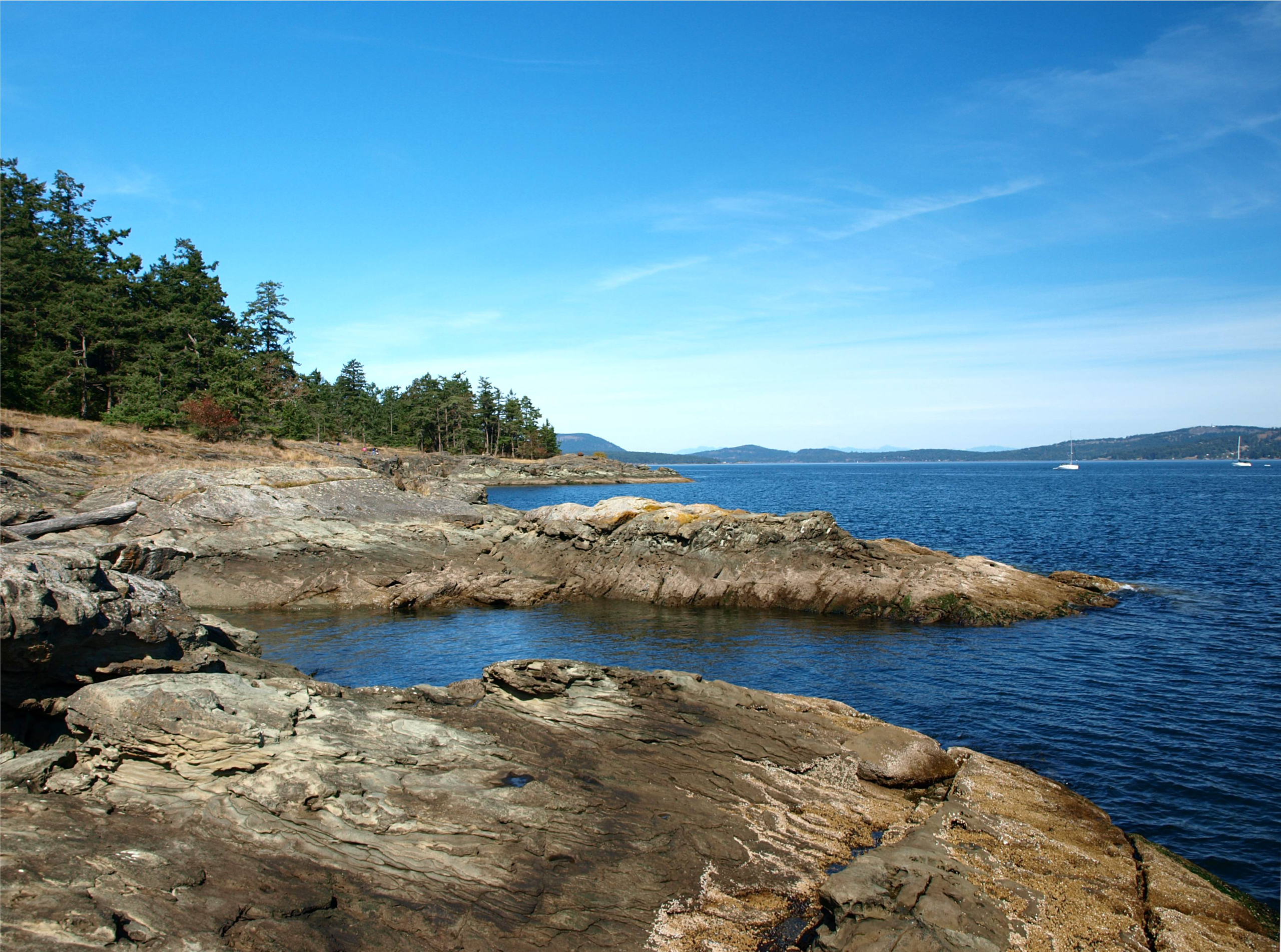
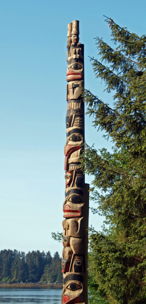
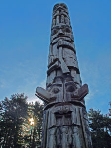
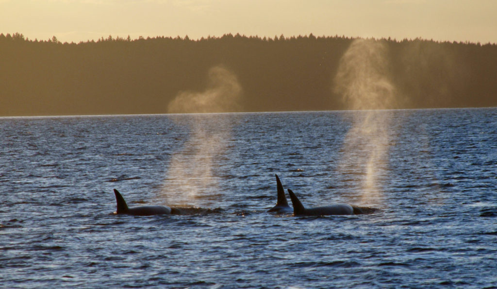
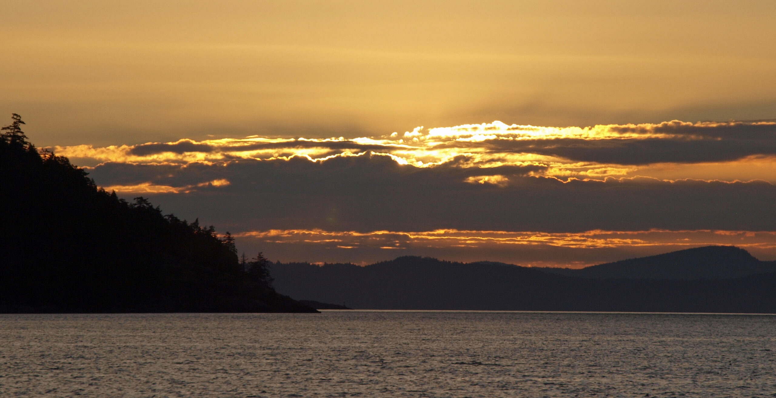
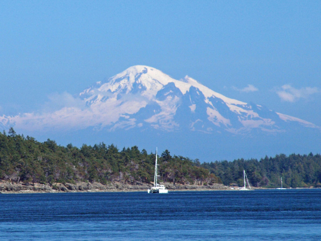
 The Gulf Islands are located off the southeast coast of Vancouver Island. There are six main islands in the Southern Gulf Islands: Salt Spring, Mayne, North Pender, South Pender, Saturna, and Galiano. The Northern Gulf Islands consist of Thetis, Penelakut, Valdes, and Gabriola Islands. Each island has its own particular charms, and all are well worth exploring.
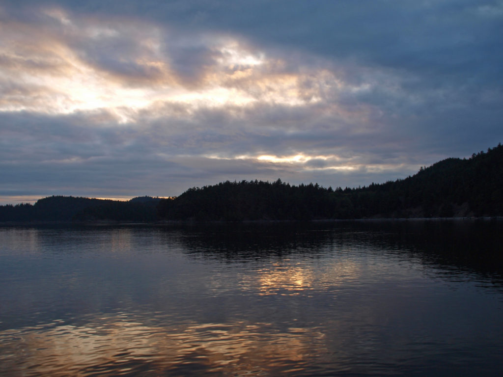 The
The 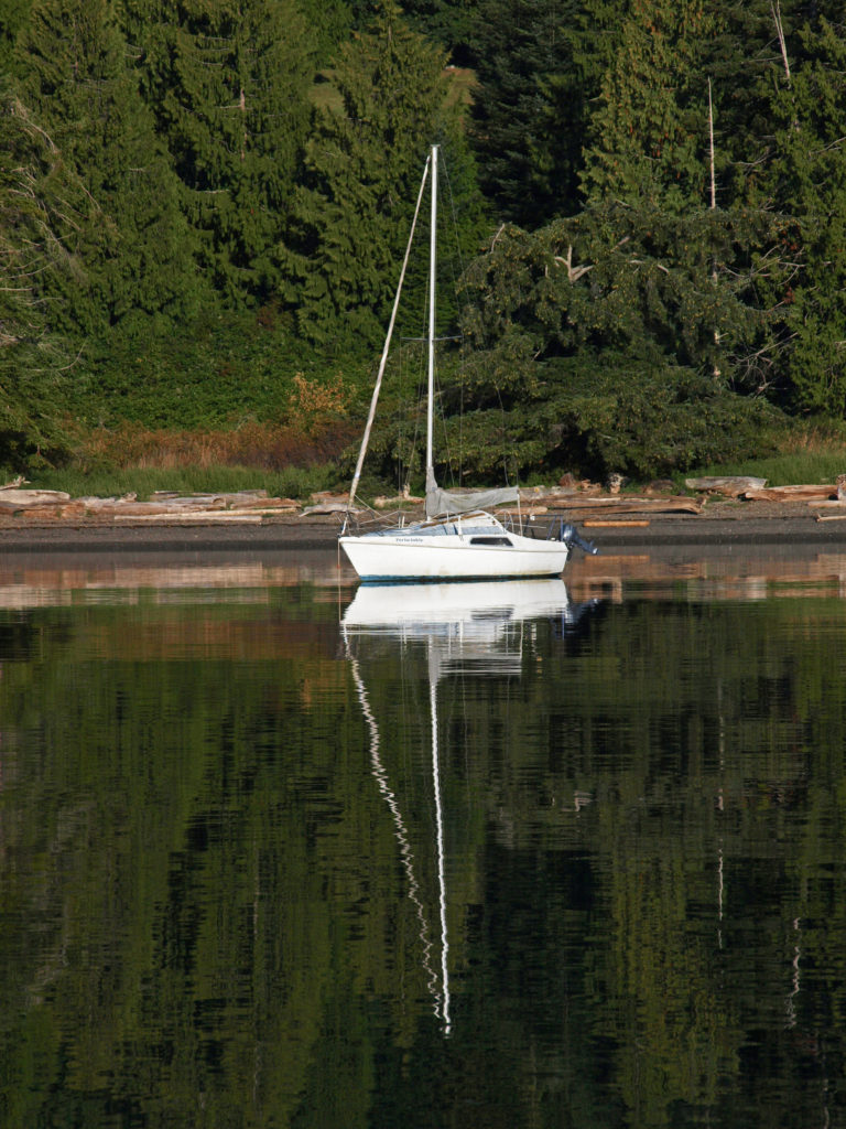
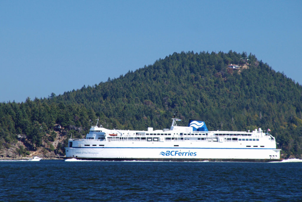
 Thetis and Penelakut Islands are reached by ferries from Chemainus on Vancouver Island. Gabriola Island is a short ferry ride from Nanaimo. Be sure to check the ferry schedules on the BC Ferries website. Reservations may be required, especially on summer weekends, and the ferry system is designed to serve island residents, not tourists, so island hopping can be difficult. Getting from one island to another in the Southern Islands by ferry sometimes requires going back to Salt Spring Island and then taking a second ferry from there. And there are no ferries from Thetis or Penelakut to Gabriola.
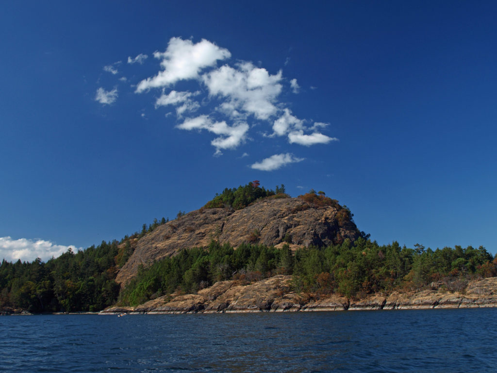 I’ve found that a good way to explore the Southern Gulf Islands by car is to base yourself on Salt Spring and pick an island to explore each day. North and South Pender Islands are connected by a bridge, so they can be explored in a day. Take another three days to explore Mayne, Saturna, and Galiano. That still leaves you several days to see all Salt Spring has to offer, or to explore the Northern Gulf Islands, even if you have only a week.
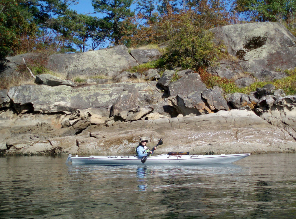 There is a bus system on Salt Spring Island, but public transportation is limited or nonexistent on the other islands. You can get around without a car, though. There is a unique
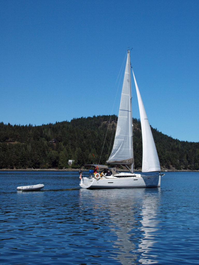
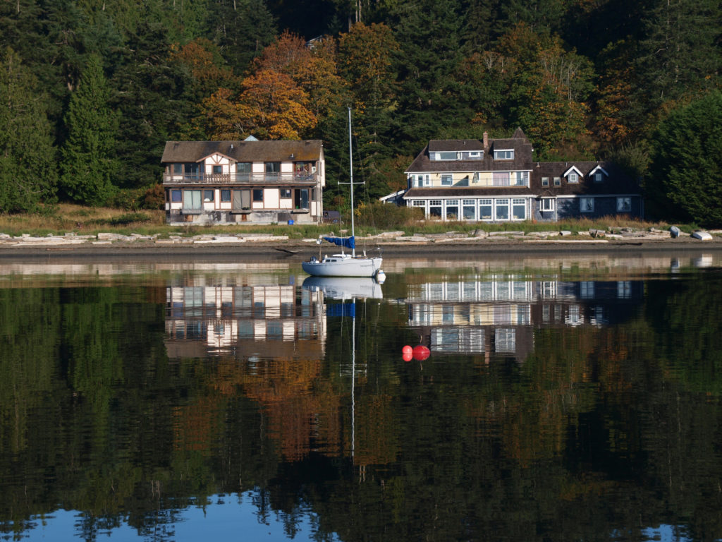
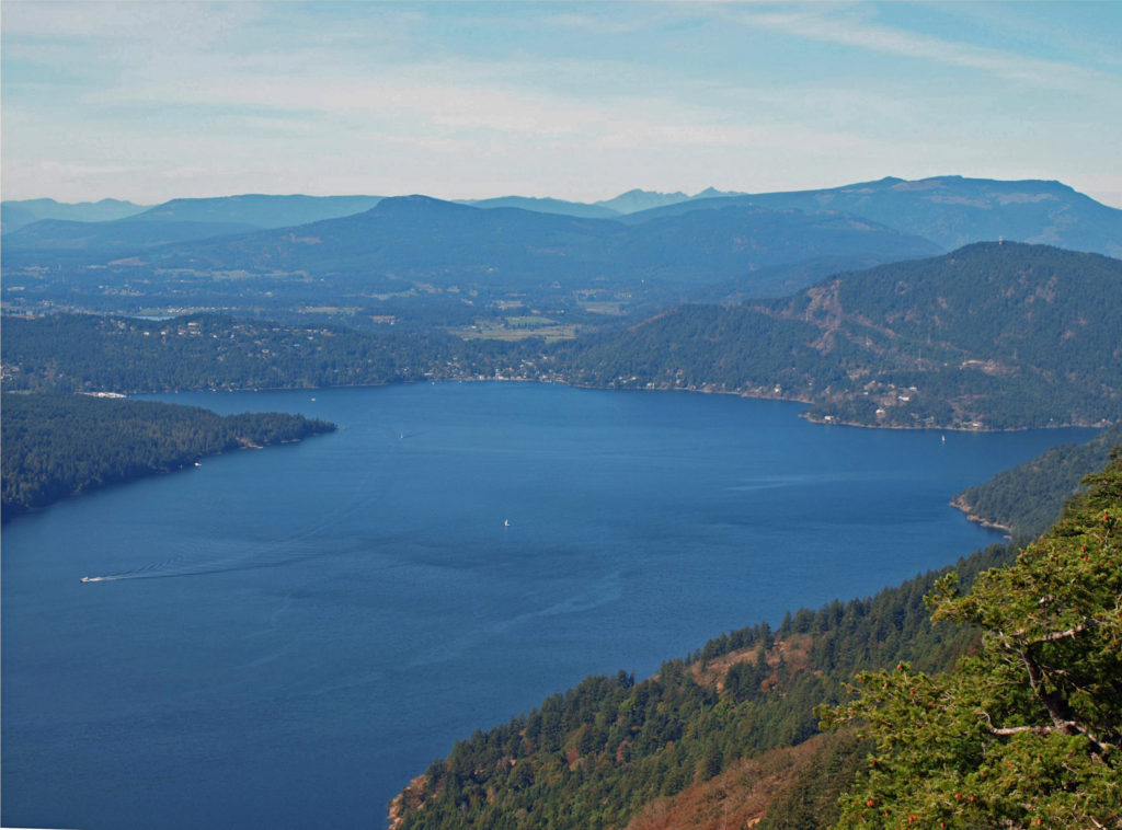
 There are a wide variety of accommodations available on the islands, from full-service resorts and hotels to traditional B&Bs to single rooms available through Airbnb. Most of the accommodations are on Salt Spring Island, but you can find small resorts and many individual houses for rent on the other islands. If you’re a kayaker, this is a perfect jumping off point. Ganges Harbor and its numerous islands are well worth exploring. Prevost Island, a short paddle to the southeast of Ganges Harbor is also worth a visit. A portion of Prevost is set aside as part of the
 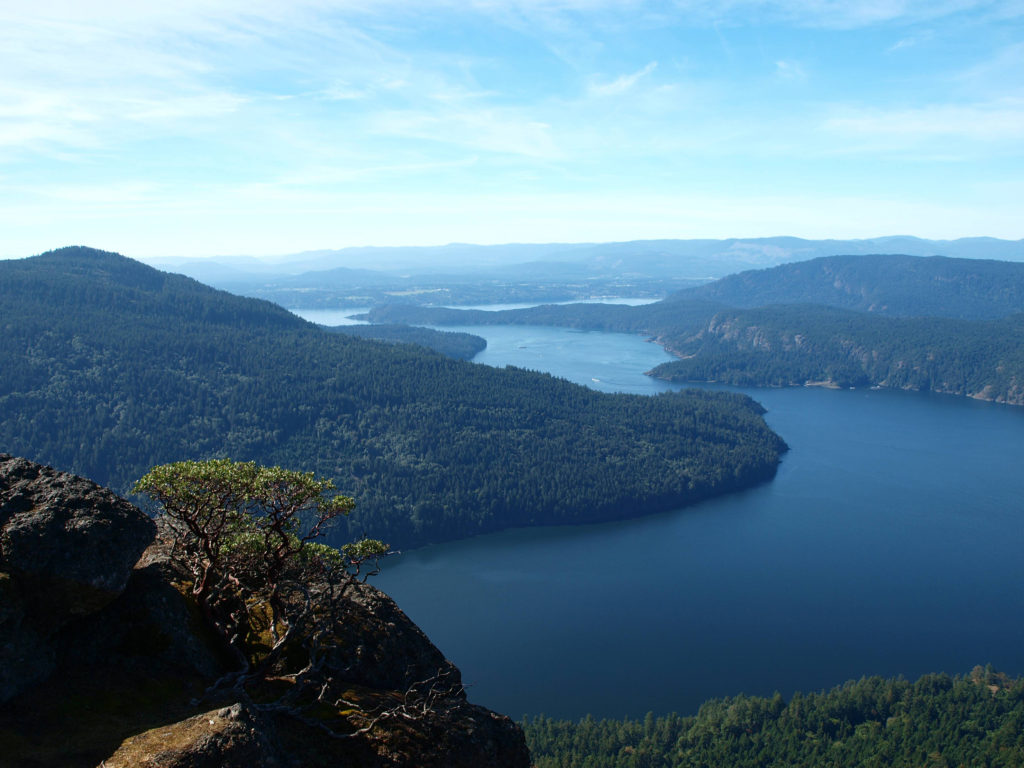 There are a number of
 Overview:
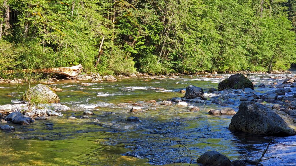
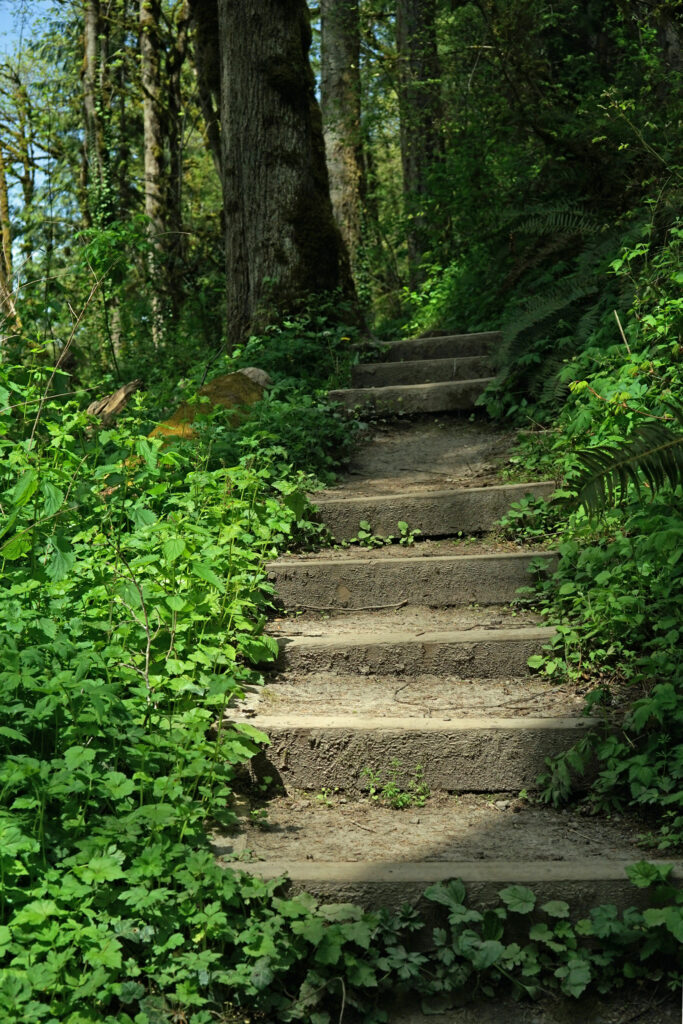
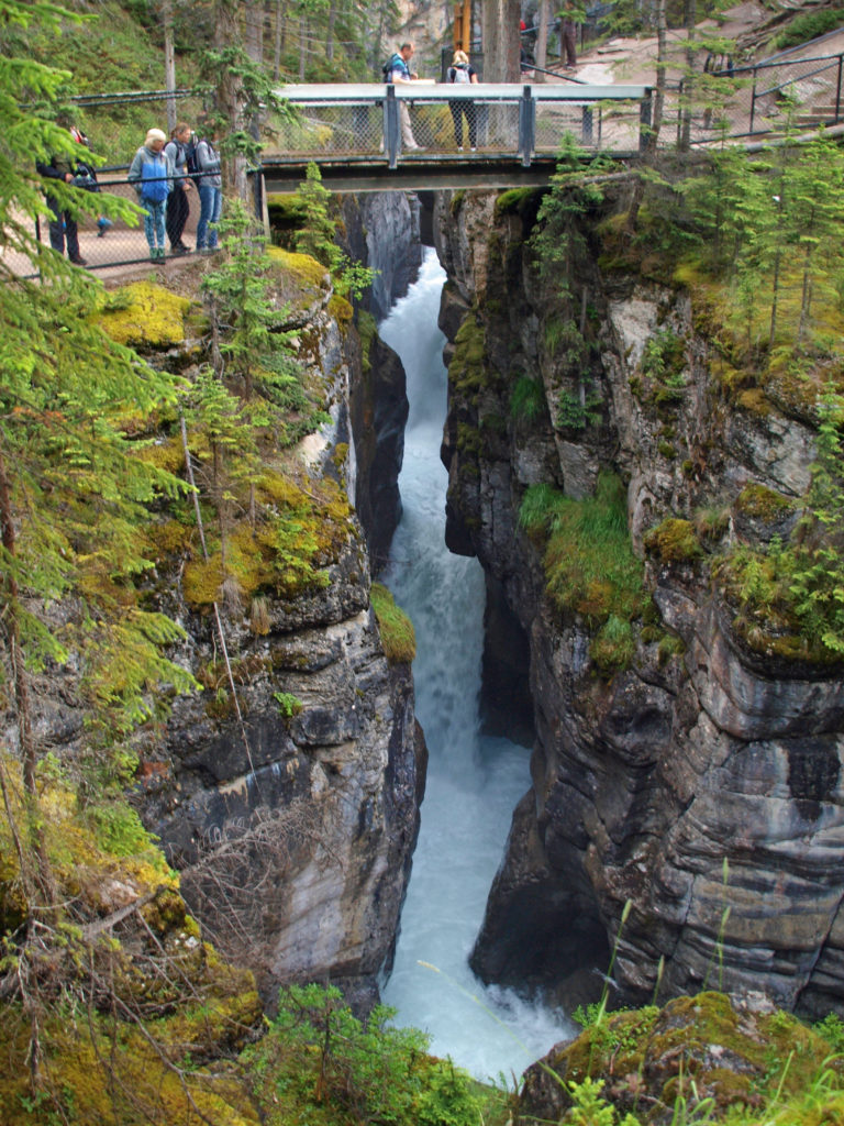
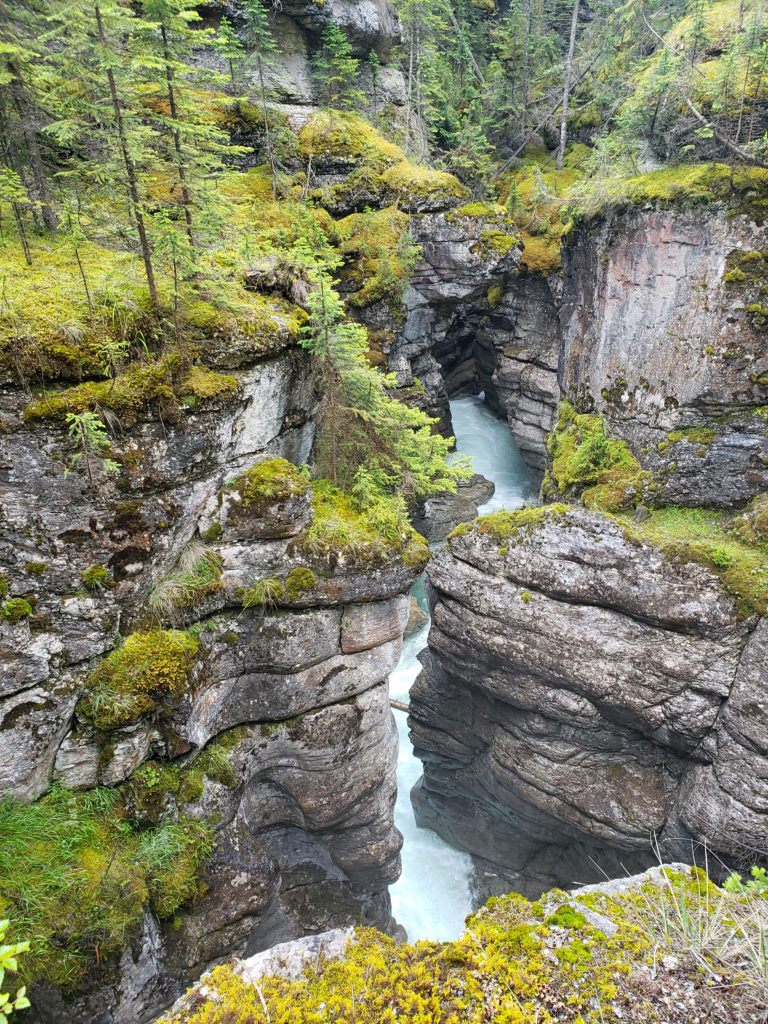
 The trail then drops back down before making a second climb to another summit. Beyond that the trail descends a series of stairs and a side trail leads down another set of steps to a viewpoint of the lower falls that is well worth the 104 steps back up to the main trail.
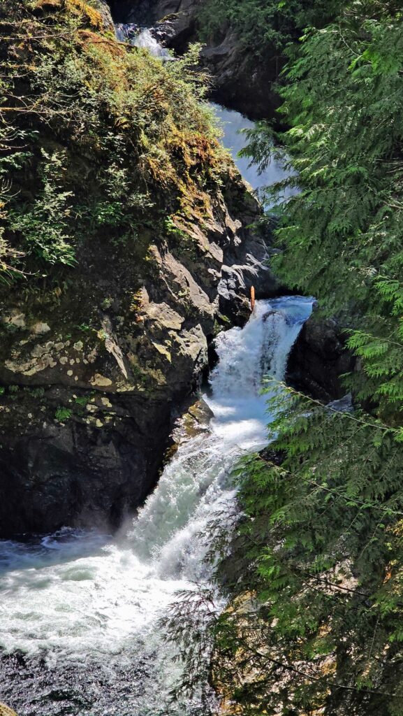
 Where: Washington side of the Columbia River Gorge
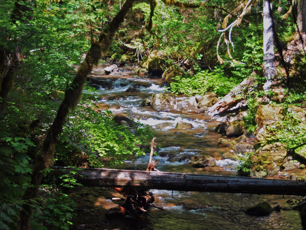 Overview:
 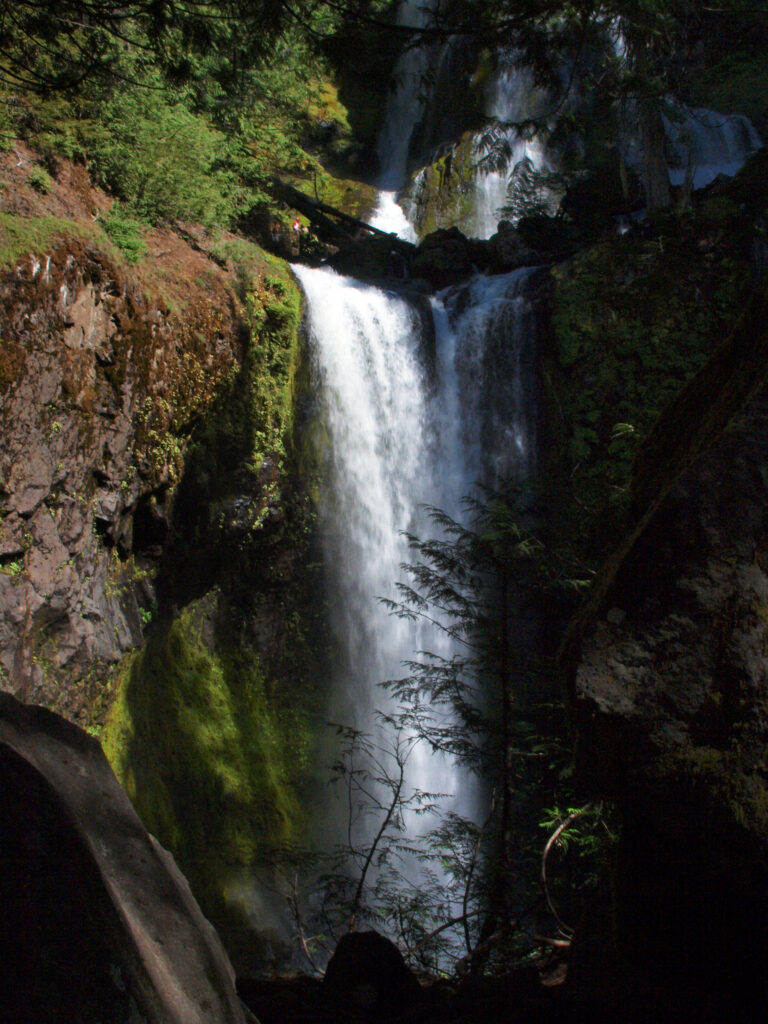 Best time to go:
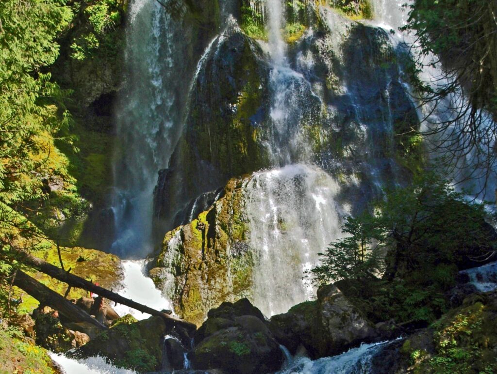
 Posted April 12, 2023 by Alan K. Lee
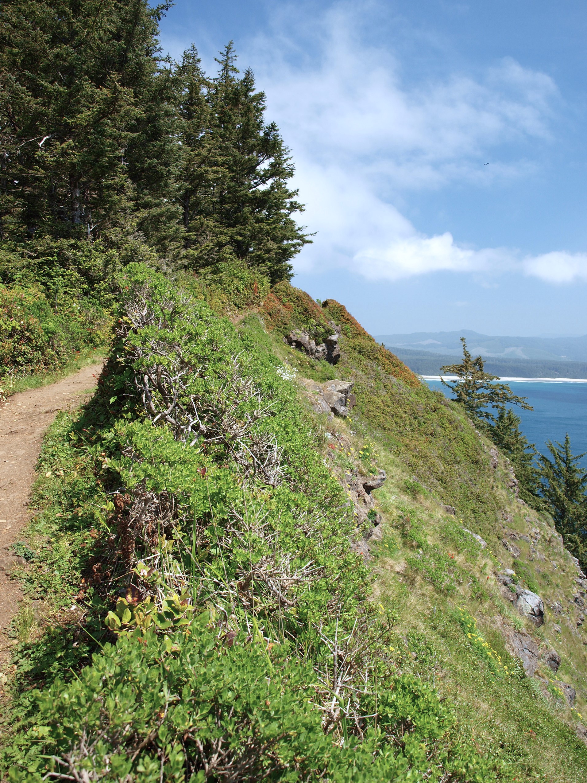
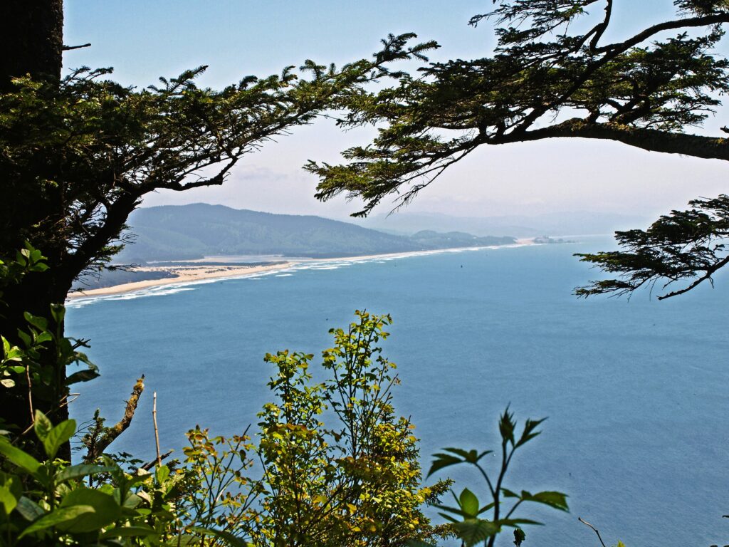
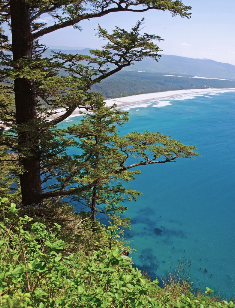
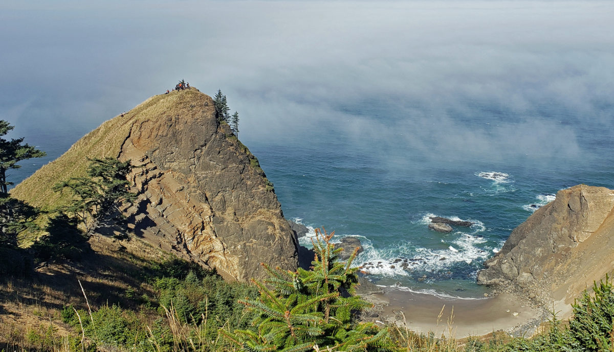
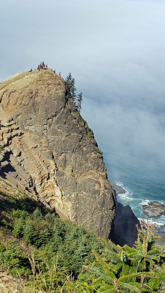
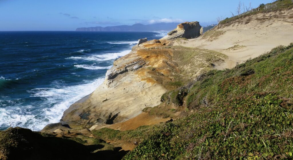
 Trailhead: Cape Lookout State Park
 From there, the trail crosses to the north side of the cape and comes to a viewpoint at the 1.2-mile mark. Here you can see north to Cape Meares and Three Arch Rocks. Just west of the viewpoint, the original trail slid into the ocean about 30 years ago. The present trail detours away from the cliff through a boggy area on a boardwalk.
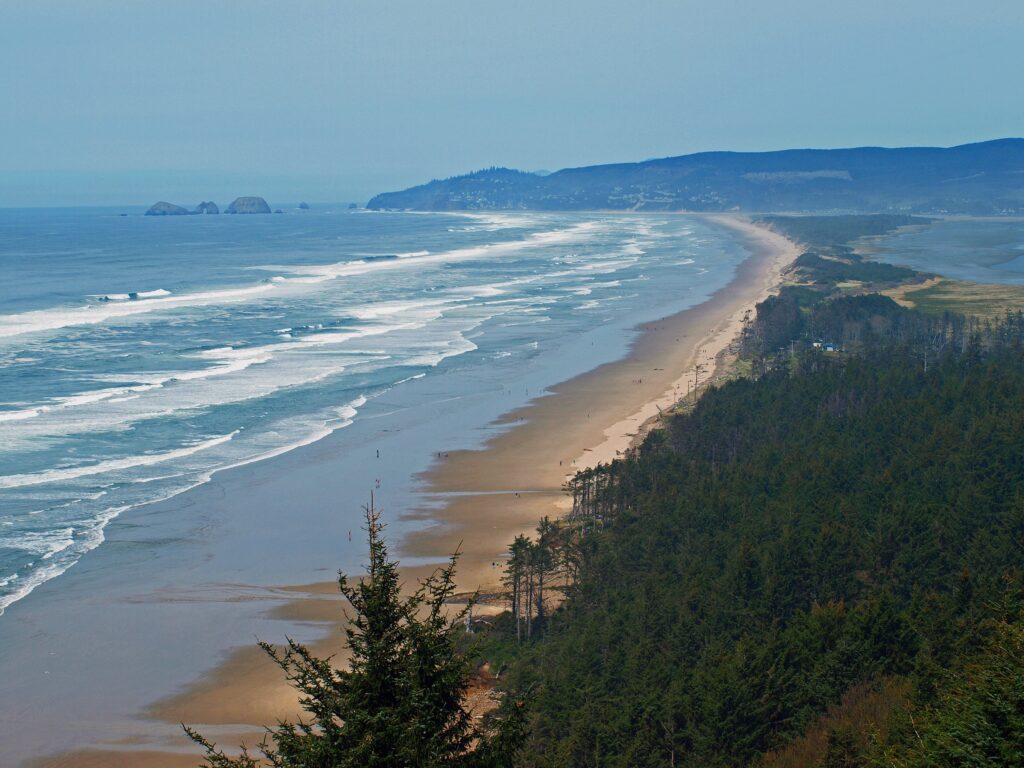
 The trail returns to the south side of the cape and continues for another 1.2 miles, climbing and descending several times, to a viewpoint at the end of the cape, 400 feet above the ocean. Views there stretch from Cape Foulweather, 40 miles to the south, to Neahkannie Mountain, 40 miles to the north.
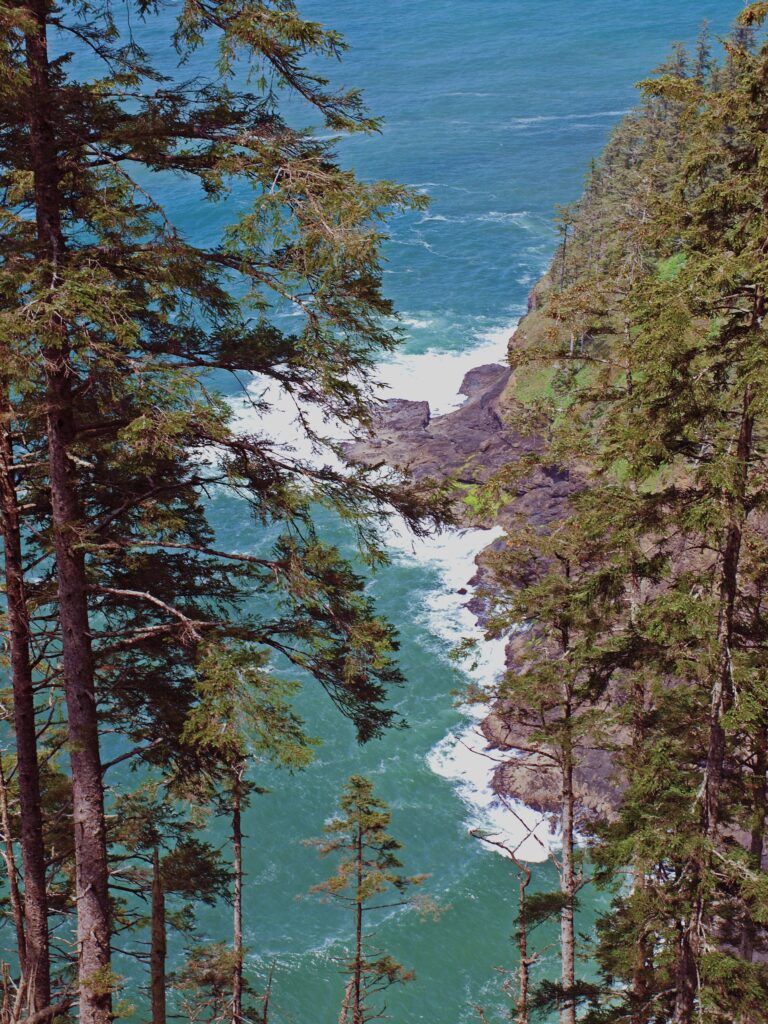 You’ll probably linger for a while at the end of the trail, but when you’ve had your fill of sightseeing and whale watching, return to the parking area the way you came.
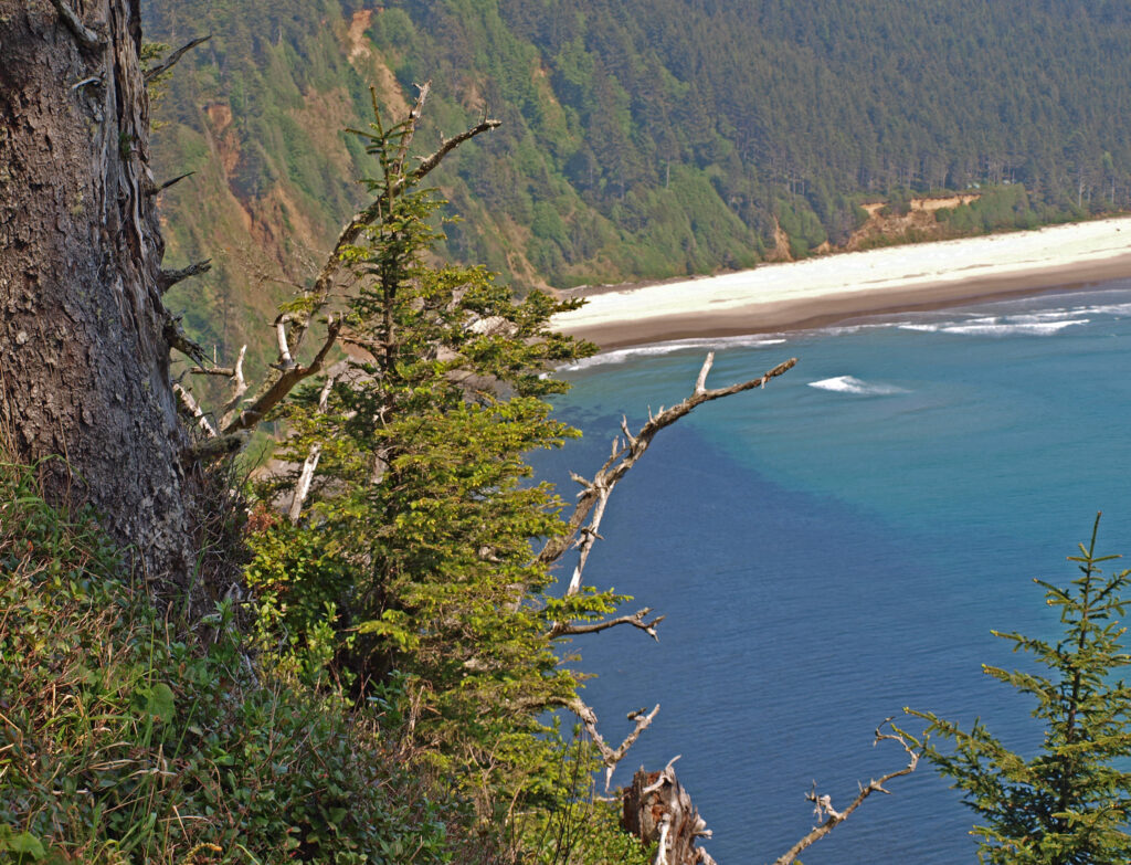
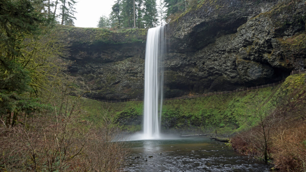
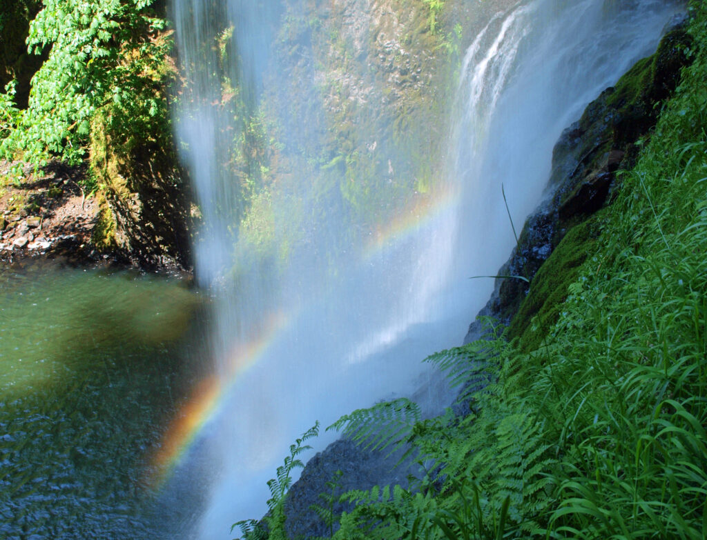
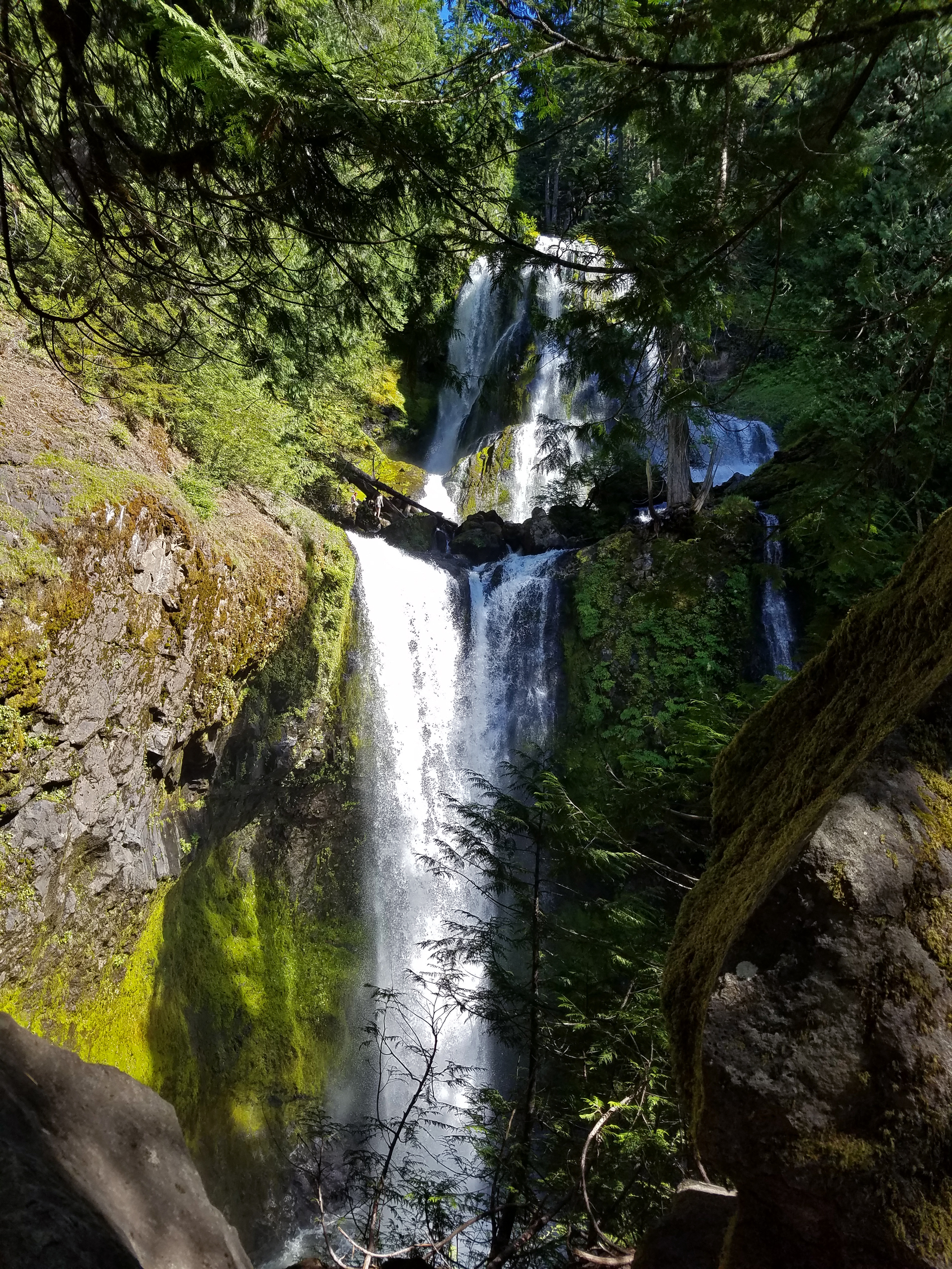
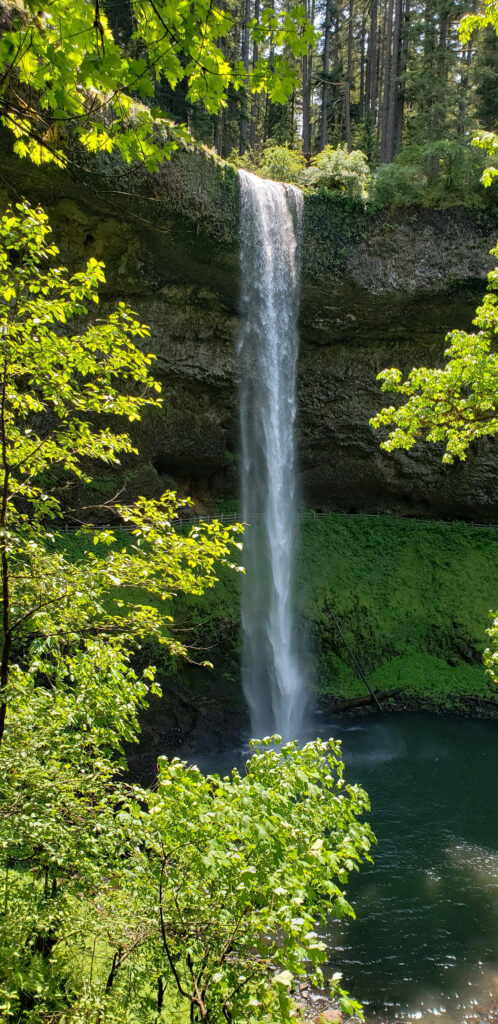
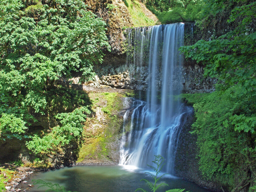
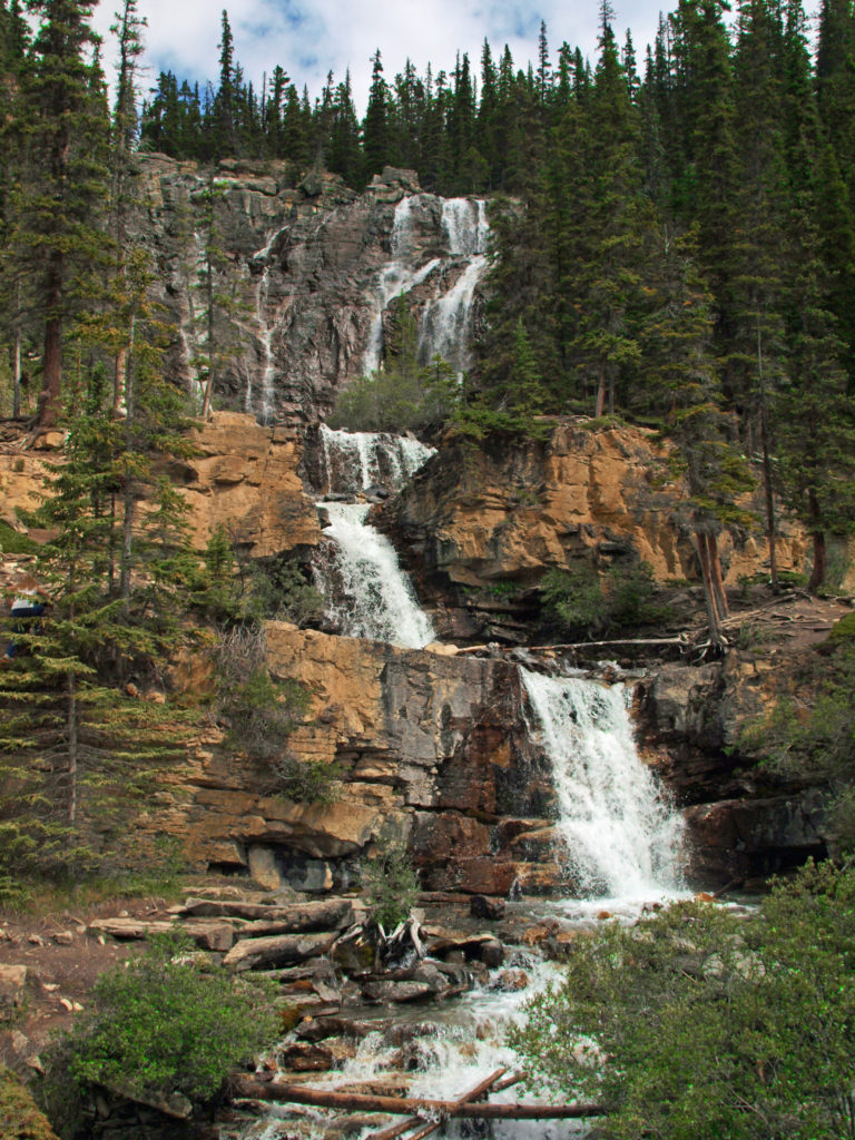
 Silver Falls was voted Oregon’s favorite state park a few years ago, and for good reason. With more than ten waterfalls, six of them more than 90 feet in height, Silver Falls is a waterfall lovers paradise. And the Trail of Ten Falls (there are actually eleven named and at least one unnamed falls along the trail) is one of the finest hiking trails in the Pacific Northwest. I don’t know of anywhere else where you can see a dozen falls on a single hike, and four of them here have trails that actually take you behind the falls.
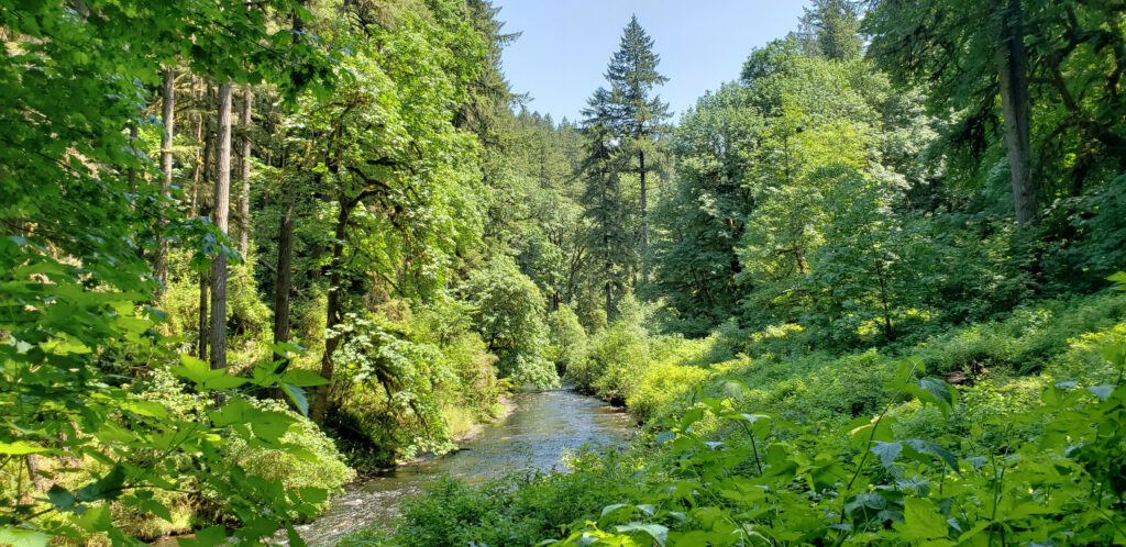


 Other area attractions and activities:
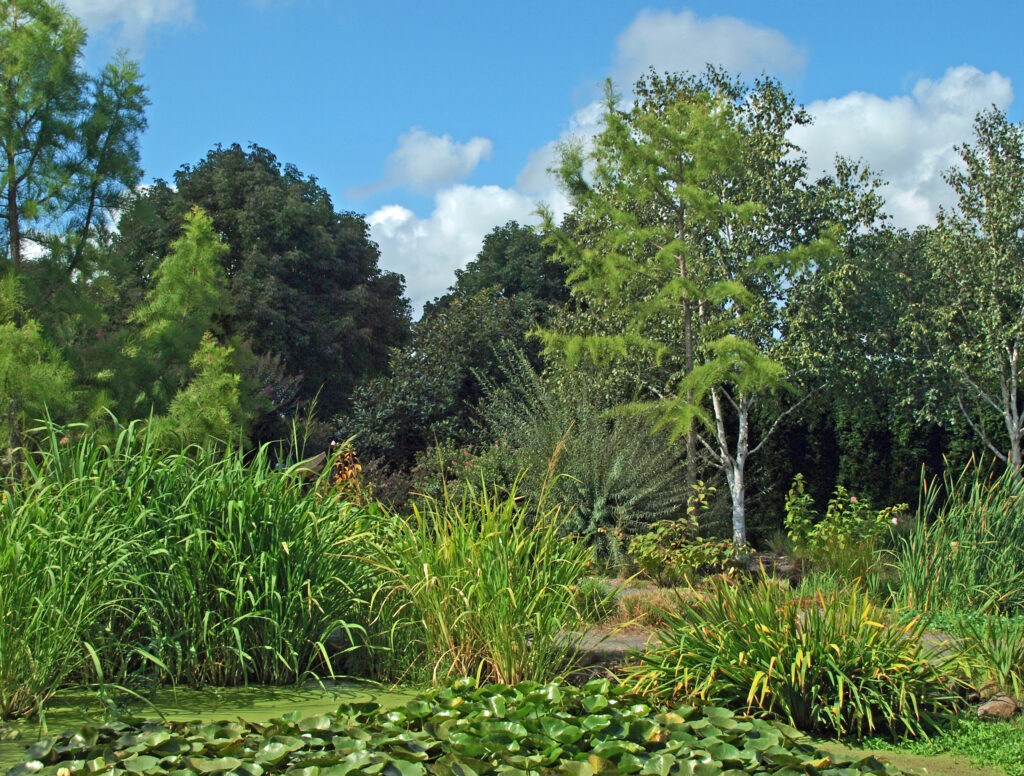
 The Trail of Ten Falls is an iconic hiking trail that every serious hiker in the state has likely done multiple times. It’s so spectacular that it alone is worth making the trek to Oregon from wherever you reside, no matter how far away that is. As an Oregon resident, I know I’m a little biased, but I don’t think I’m exaggerating here. If you’re a waterfall lover, come see for yourself. A trip to Silver Falls, combined with a visit to the waterfalls of the Columbia River Gorge will make for an unforgettable experience.
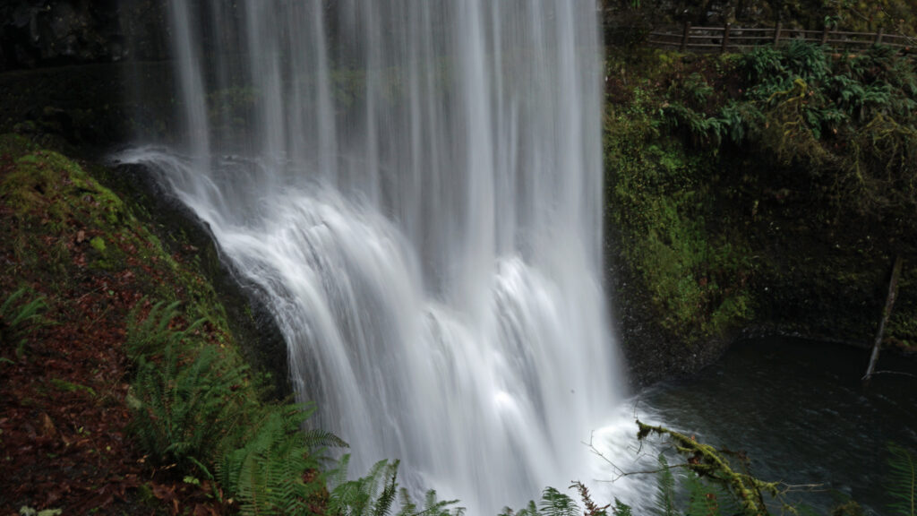
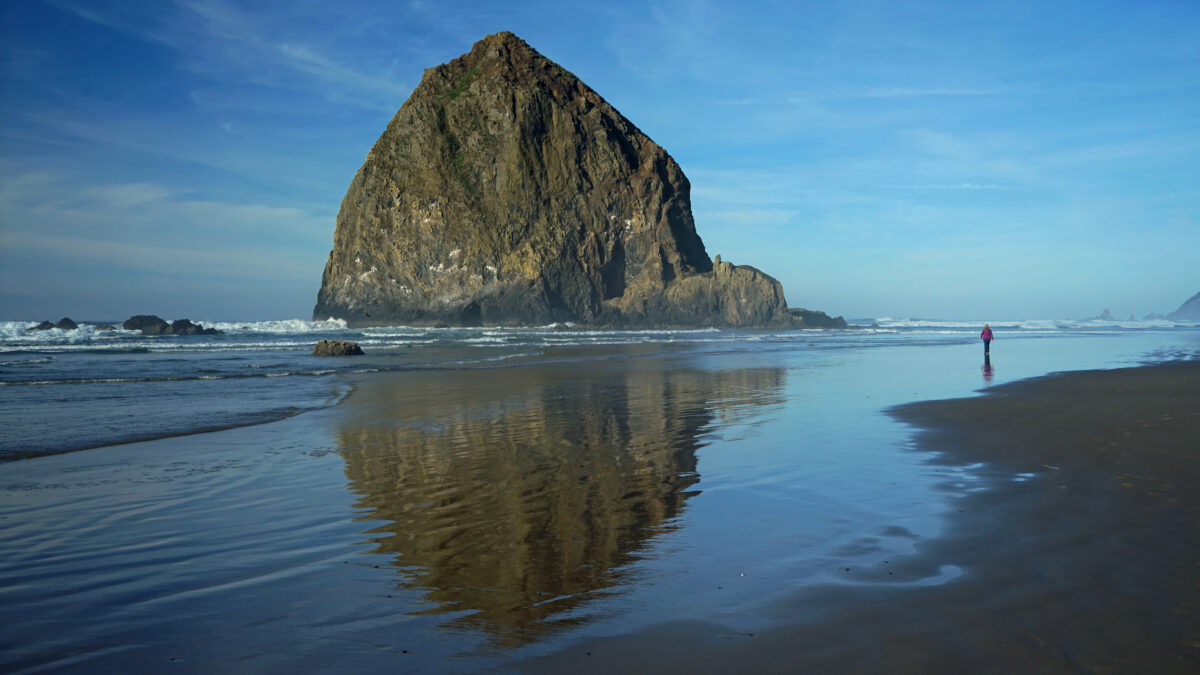
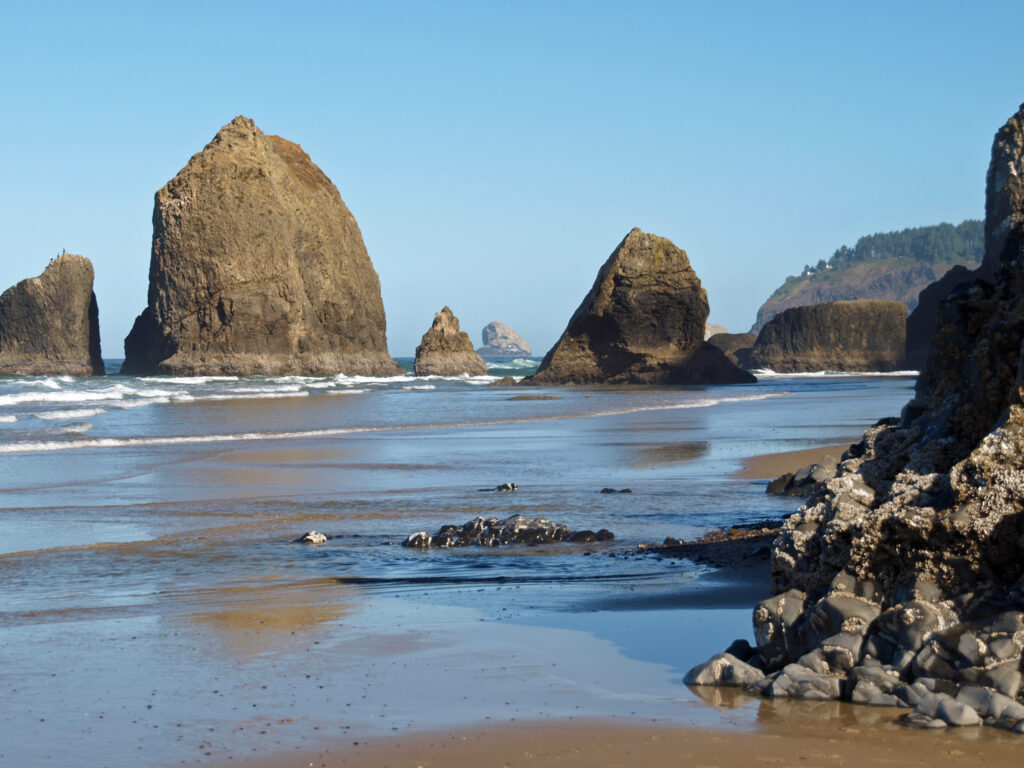
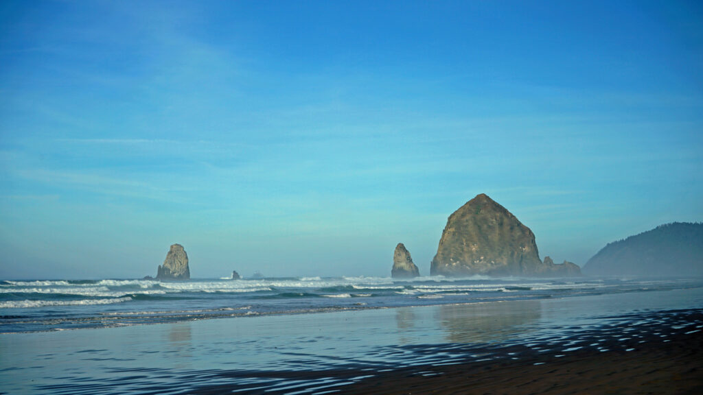
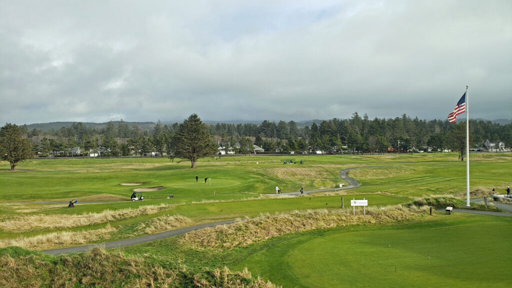
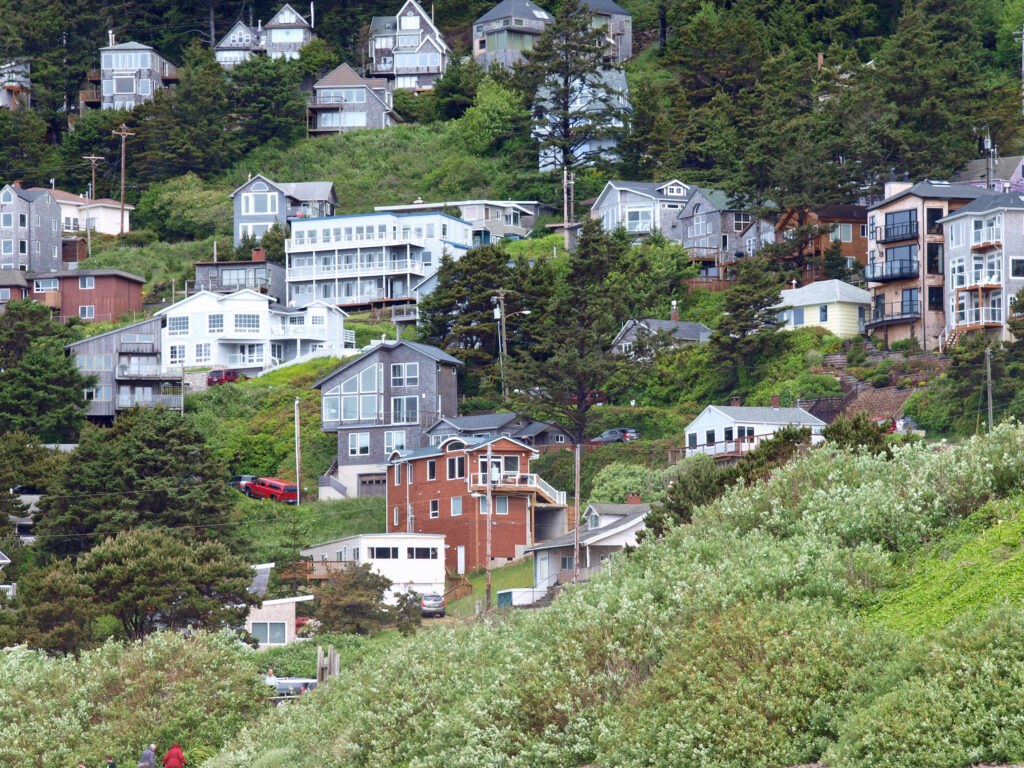
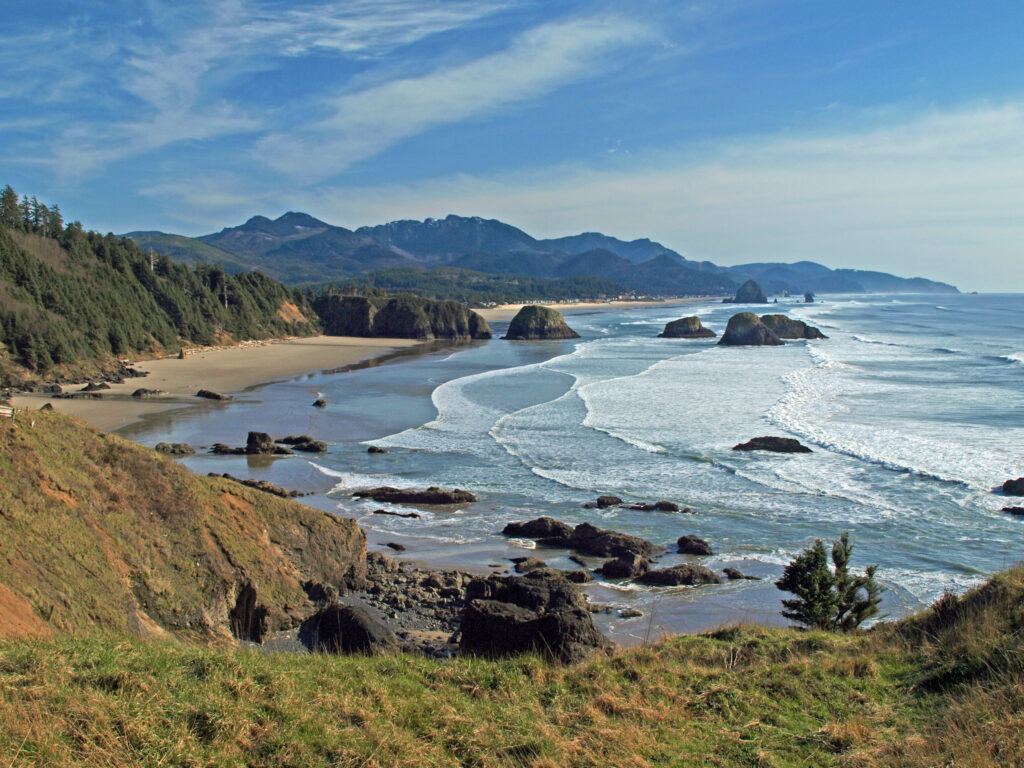
 I’ll cover four of my favorite northern Oregon coastal towns in this post: Cannon Beach, Gearhart, Manzanita, and Oceanside. They all have their own unique personality, but they all share a few things in common. They’re all small (none have more than 3,000 year-round residents), they’re all beachfront towns and the Pacific Ocean plays a big role in their culture and community, all but tiny Oceanside have an active arts scene, and you can find outstanding places to eat and drink in each of them.

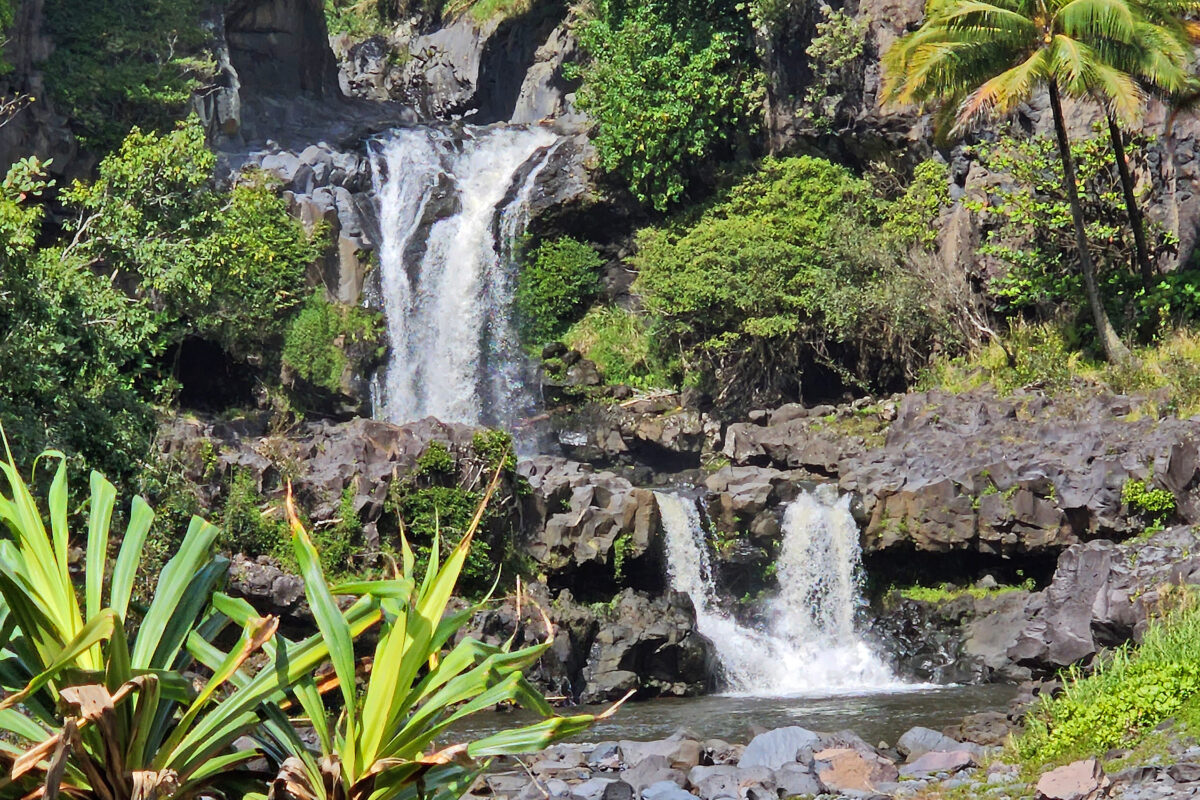
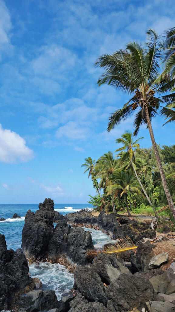
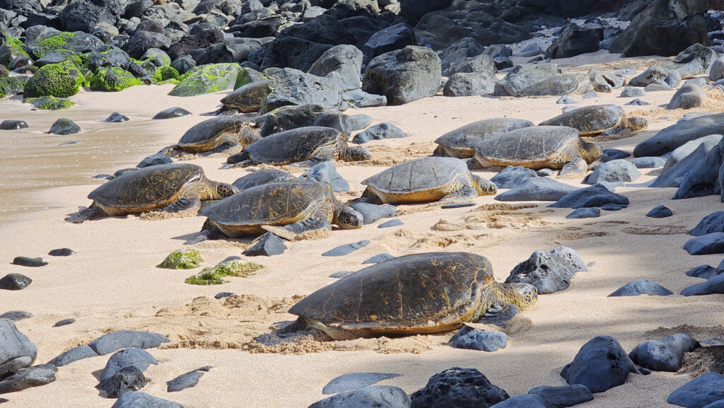
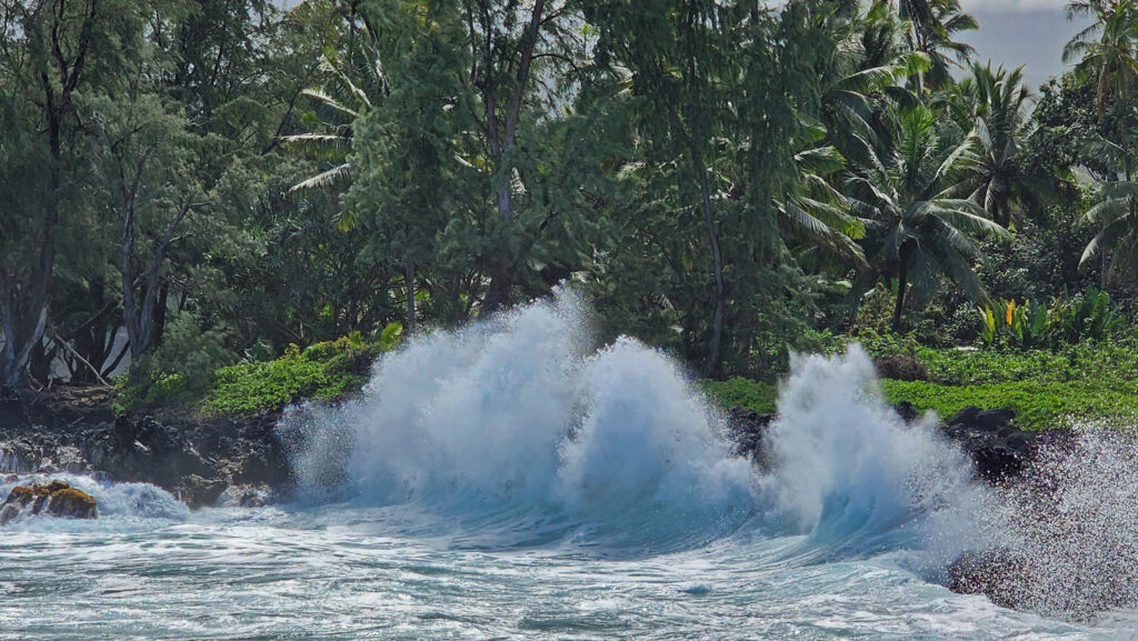
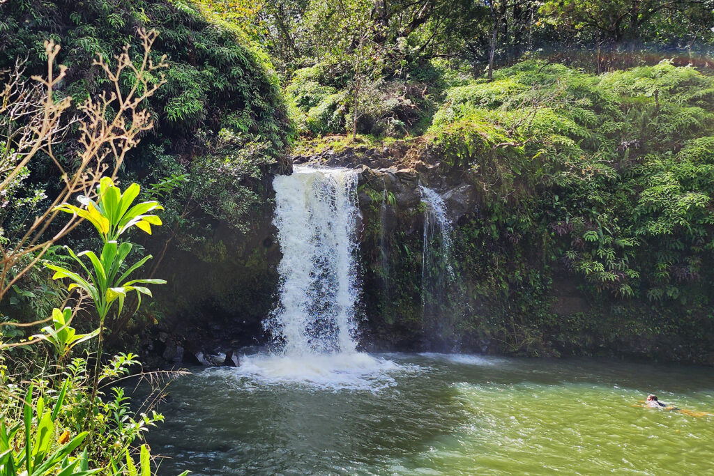
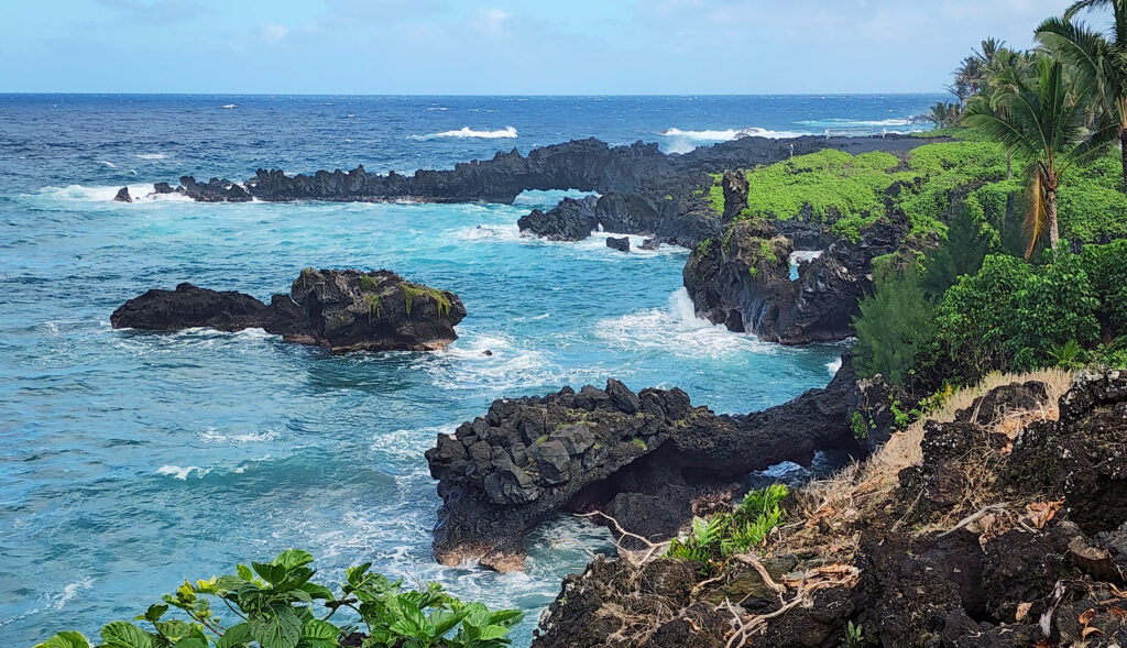
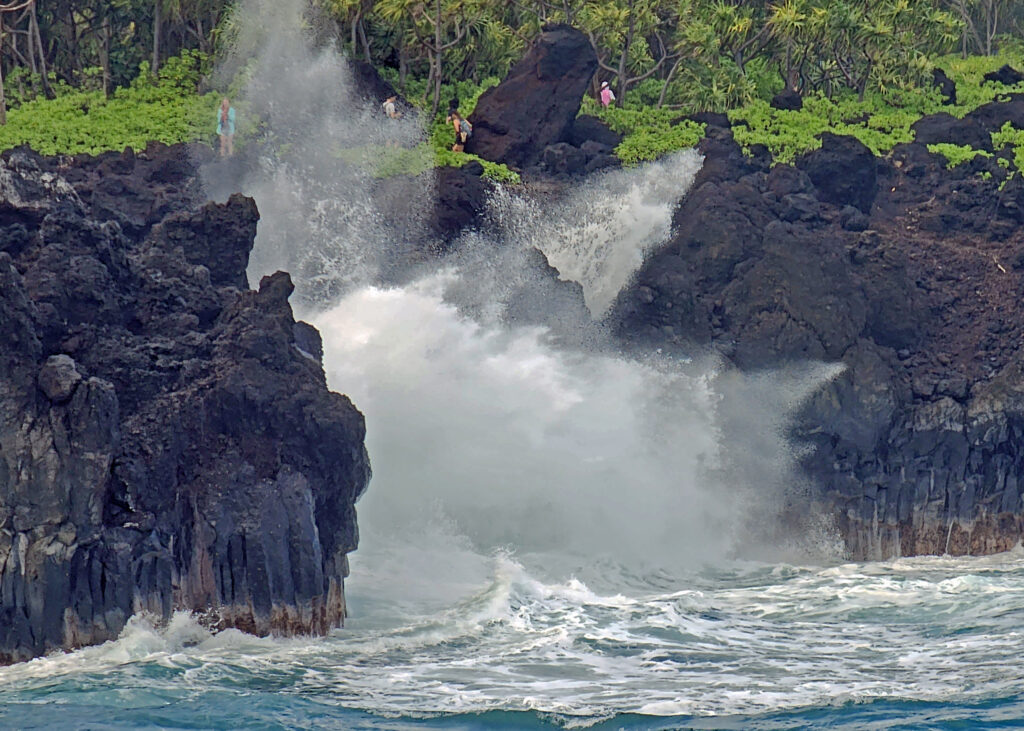
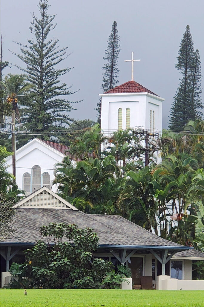
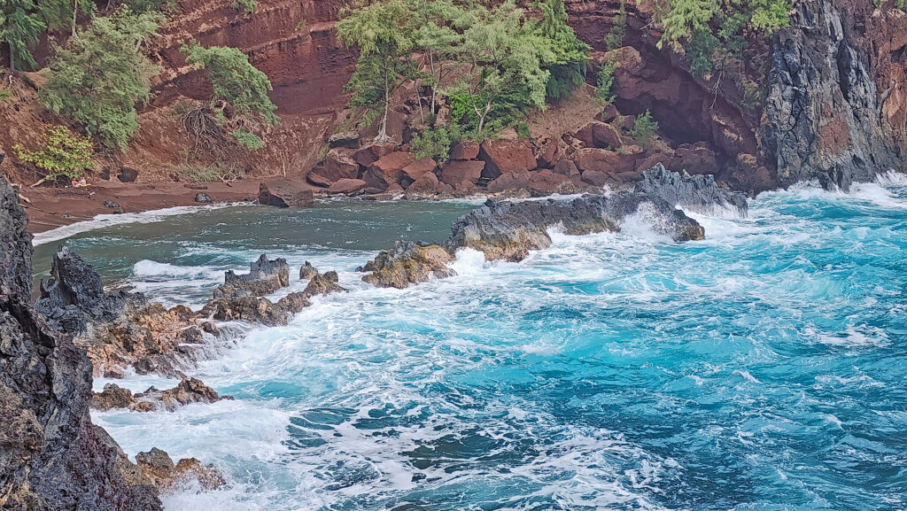
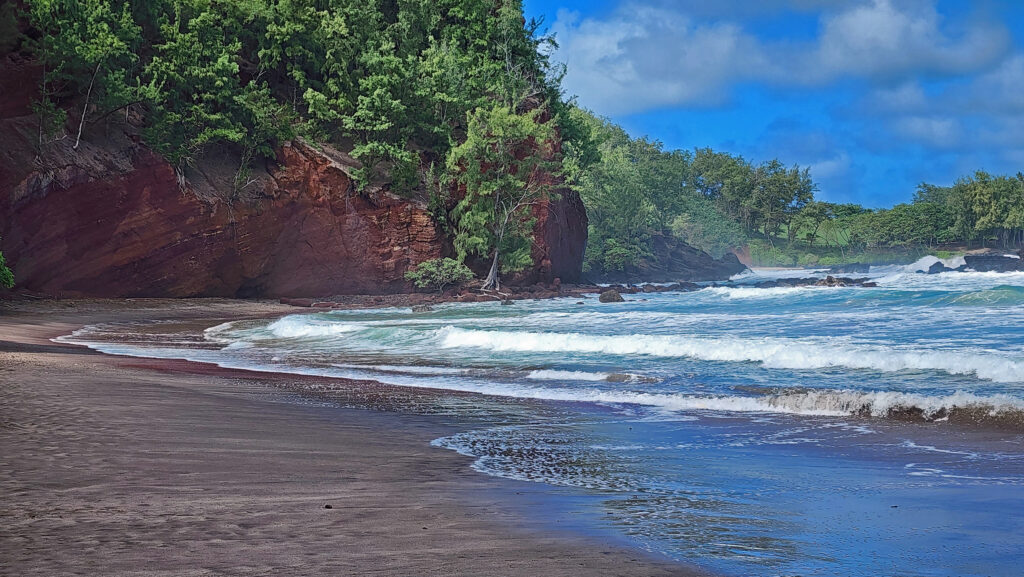
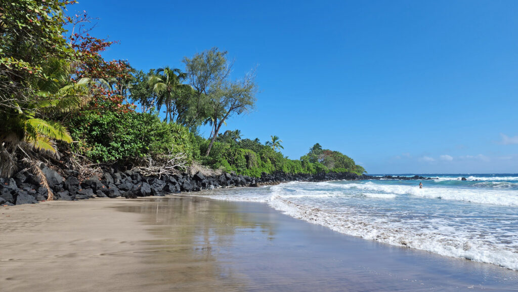
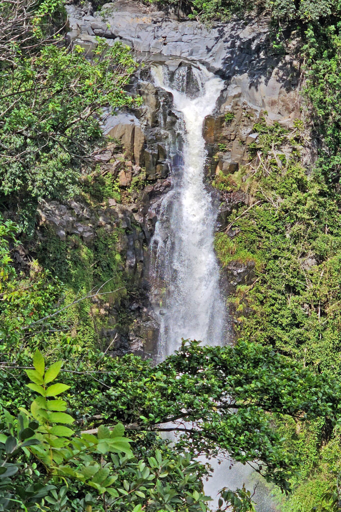
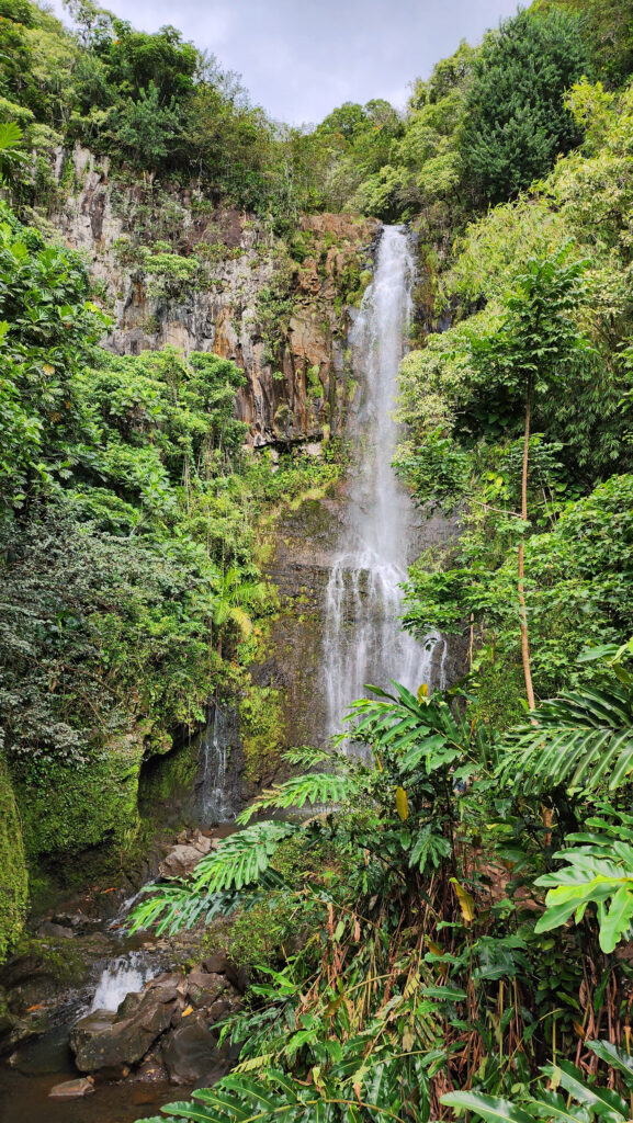
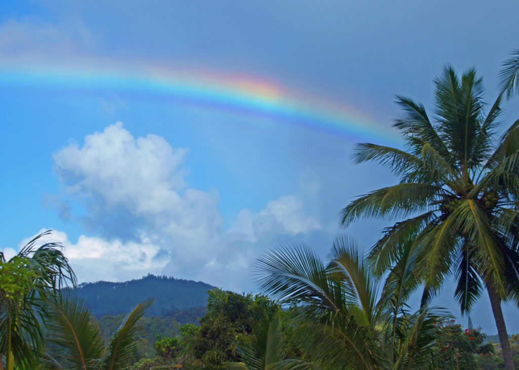
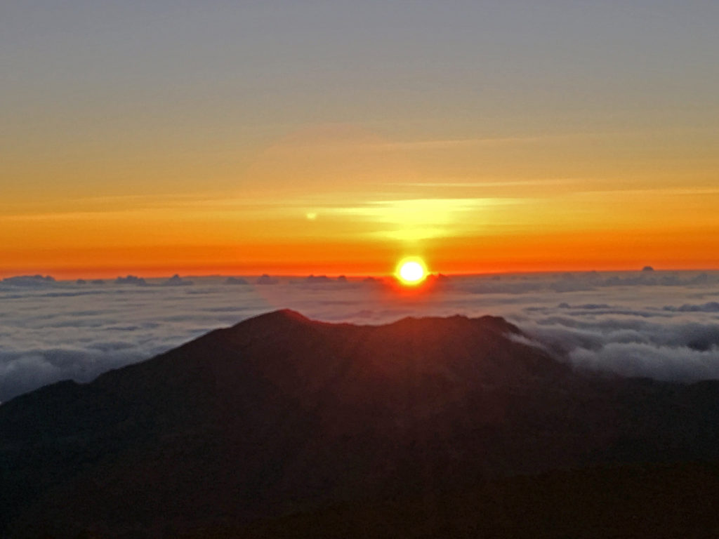
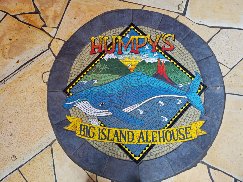
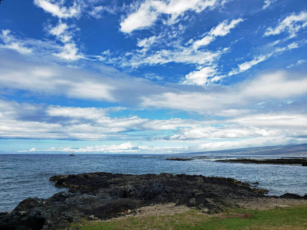
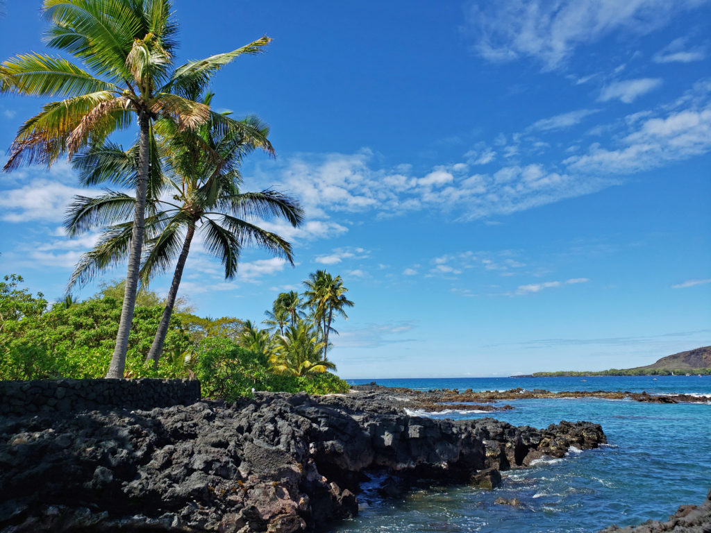
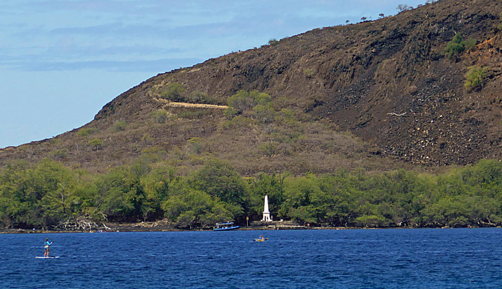
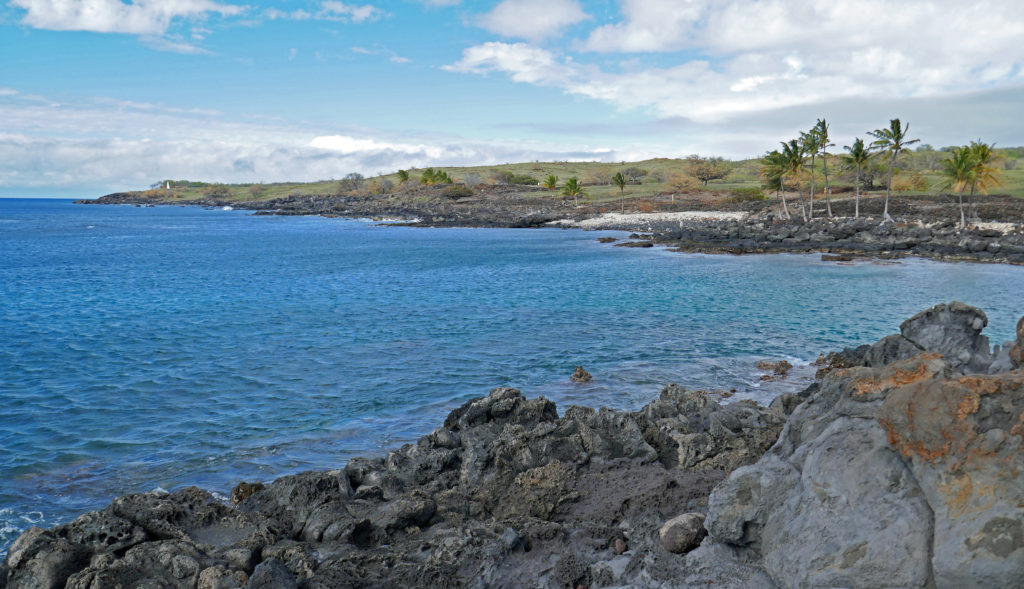
 There are a lot of things that you’ll miss if you’re visiting Hana as a day trip. Better to do as we did and spend a night or two. That will give you enough time to really see and enjoy the East Maui area. But be forewarned, Hana is expensive.

 Posted March 3, 2023.


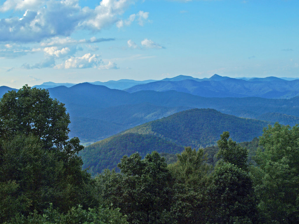
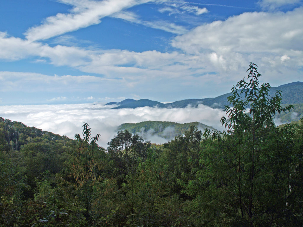
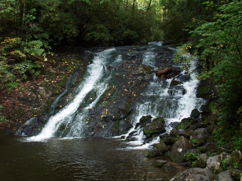
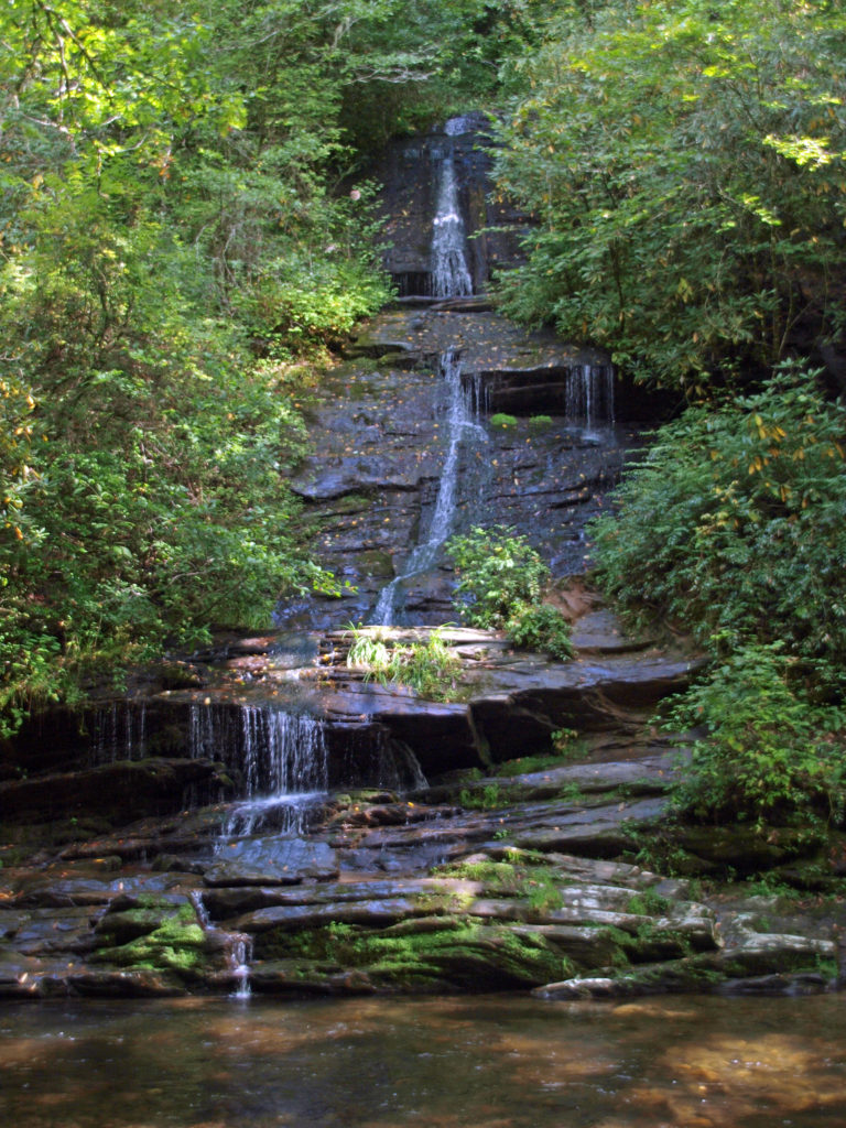
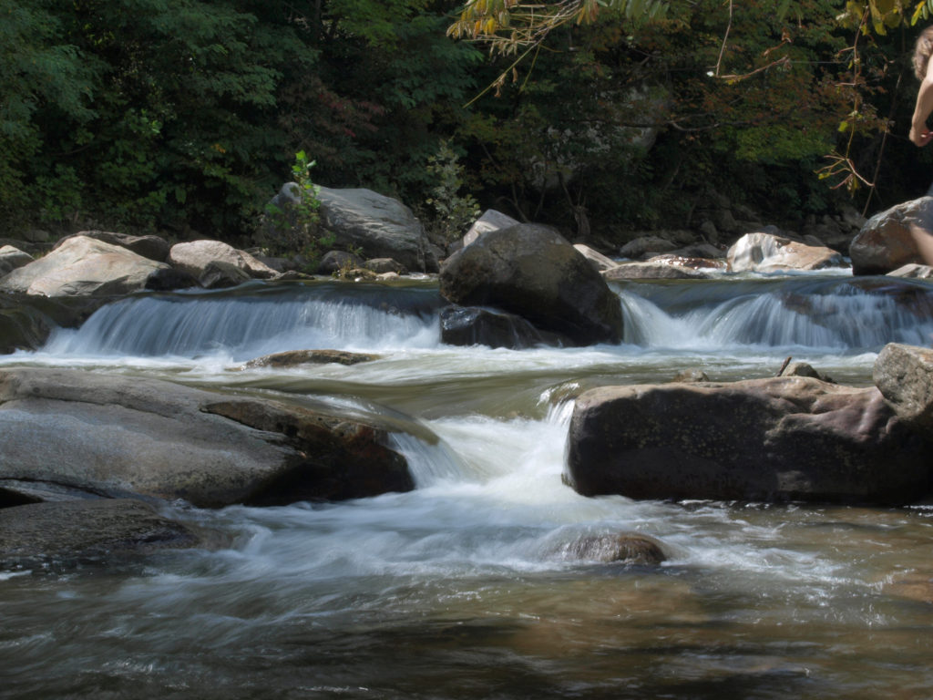
 We spent most of the rest of the day hiking to a number of the park’s many waterfalls. The Smokies have a different, softer feel to them than the mountains of the Western U.S., but they have their own appeal. We were there a little too early in the season to catch much in the way of fall colors, but there were hints of how beautiful it would be in a few weeks.

 After visiting Asheville, we visited two charming Old South cities: Charleston, SC, and Savannah, Georgia. Check out our posts on Charleston
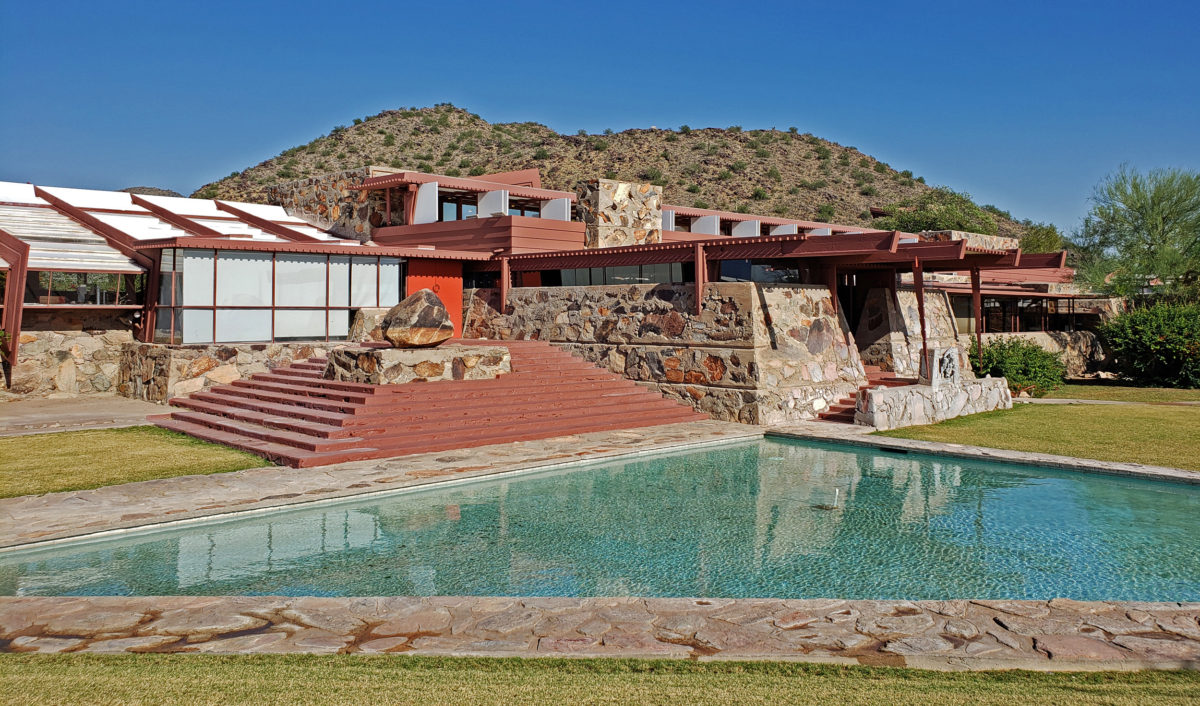
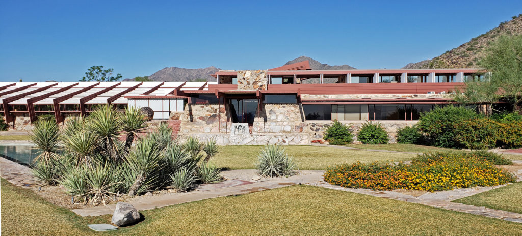
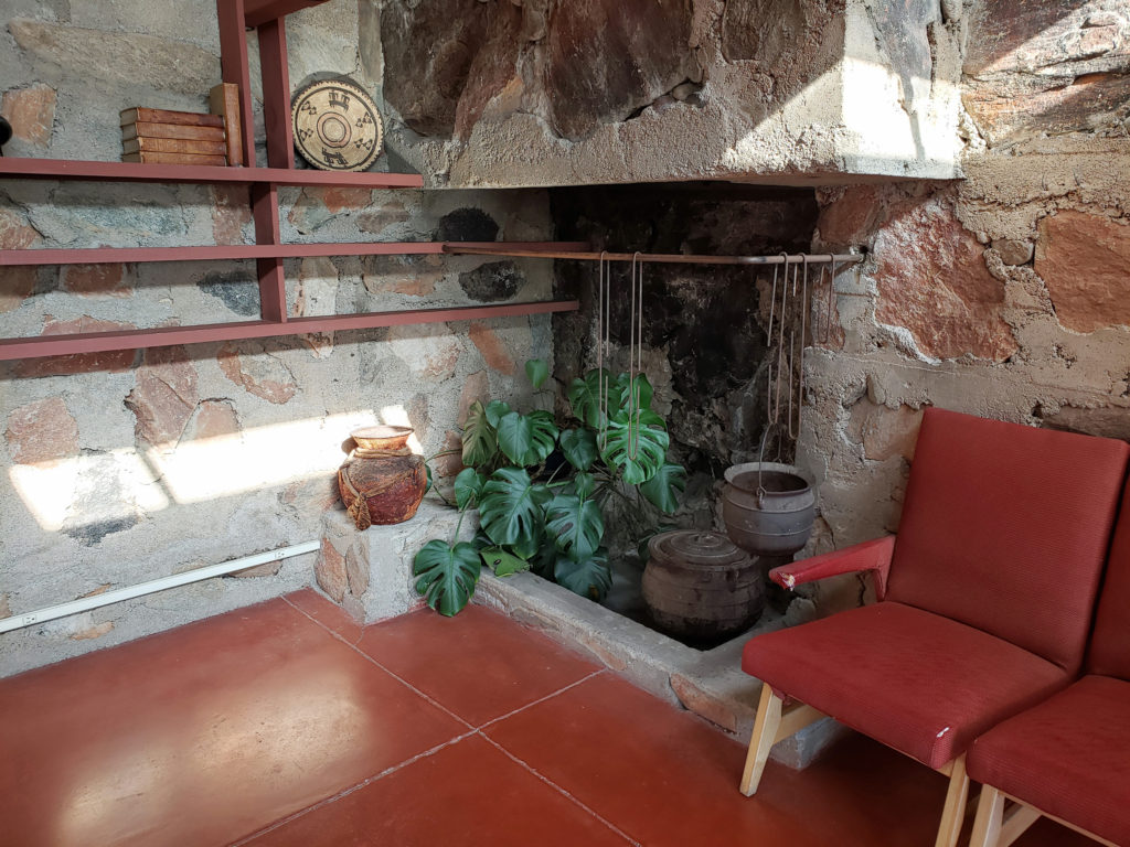
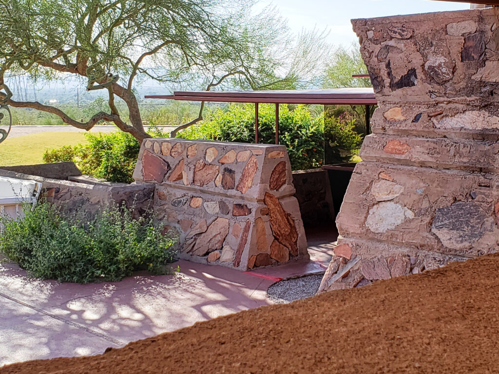 Taliesin West was founded as the winter home for the Frank Lloyd Wright Fellowship, Wright’s school of architecture. It was always a school of architecture as well as Wright’s winter home. The Fellowship evolved into the Frank Lloyd Wright School of Architecture, which conducted classes at Taliesin West until 2020, when it separted from the Frank Lloyd Wright Foundation, changed its name to The School of Architecture, and moved its campus to Cosanti and Arcosanti, Arizona.
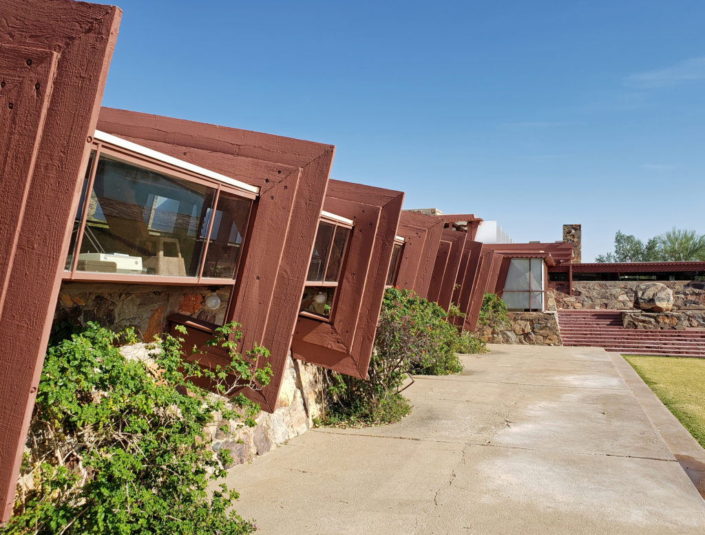
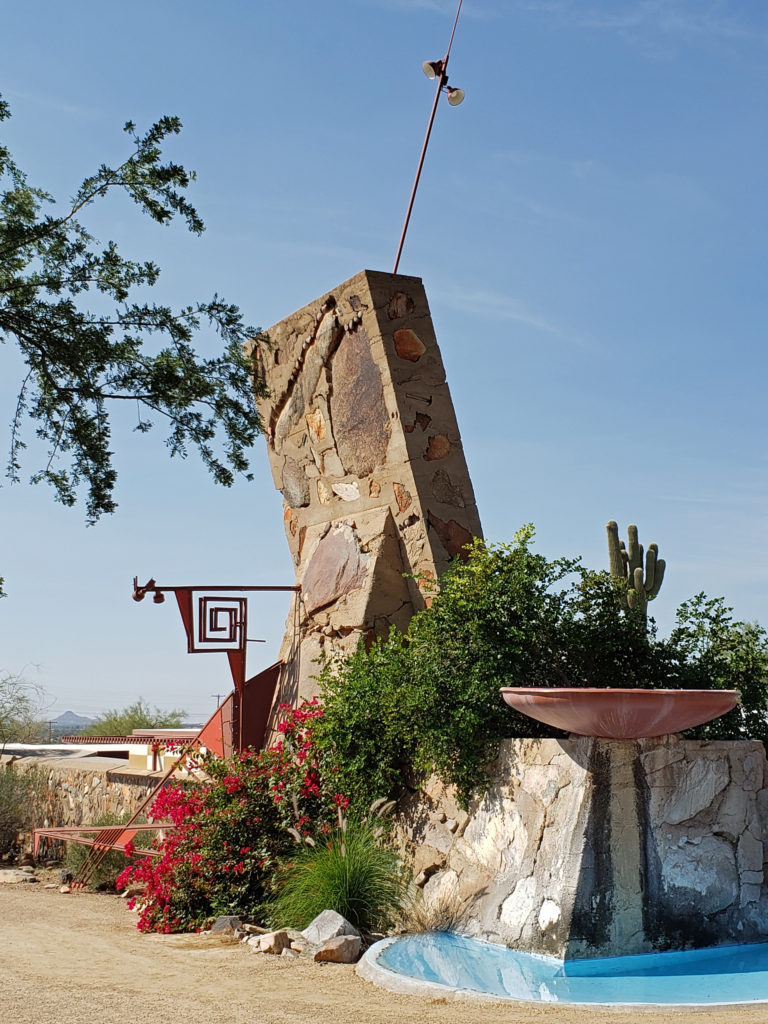
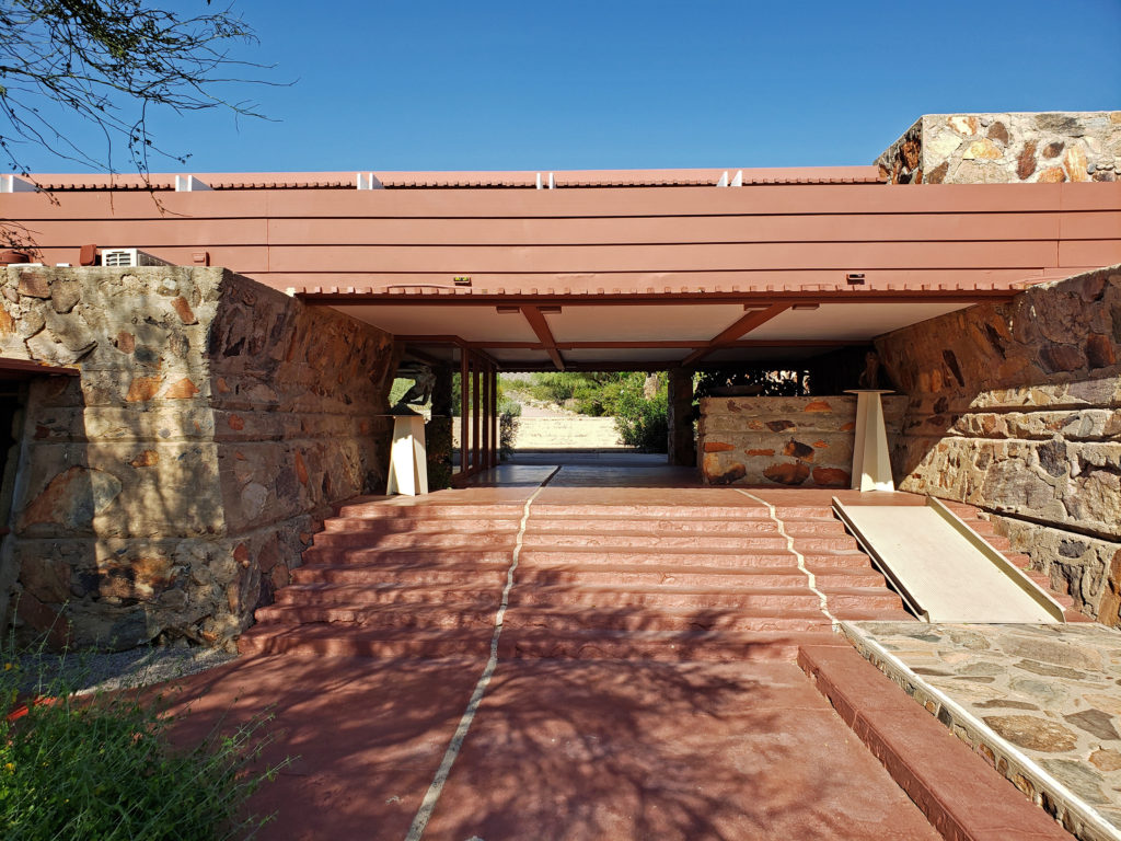
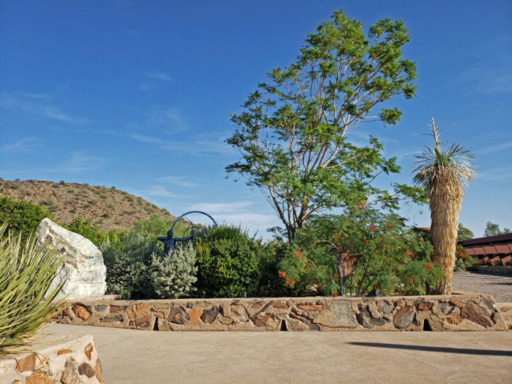
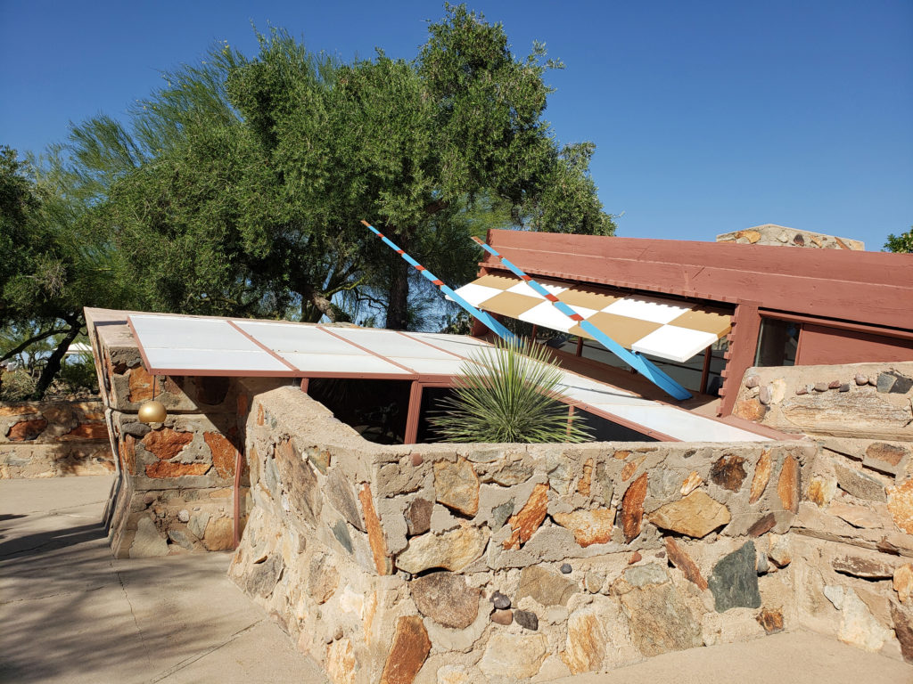
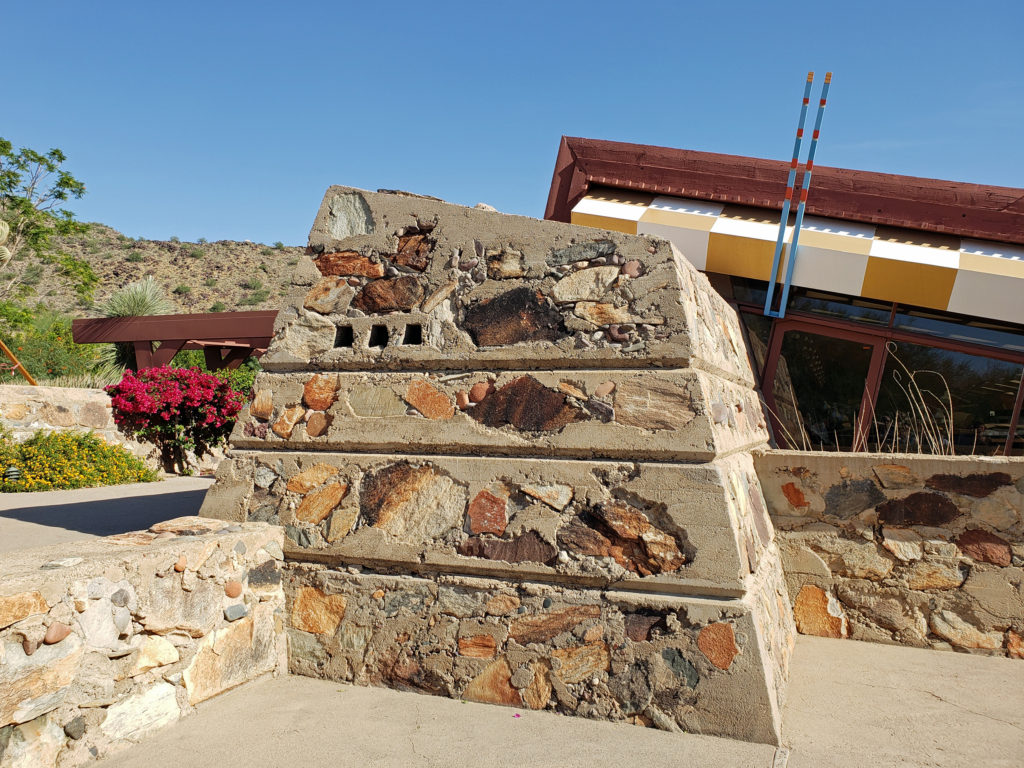
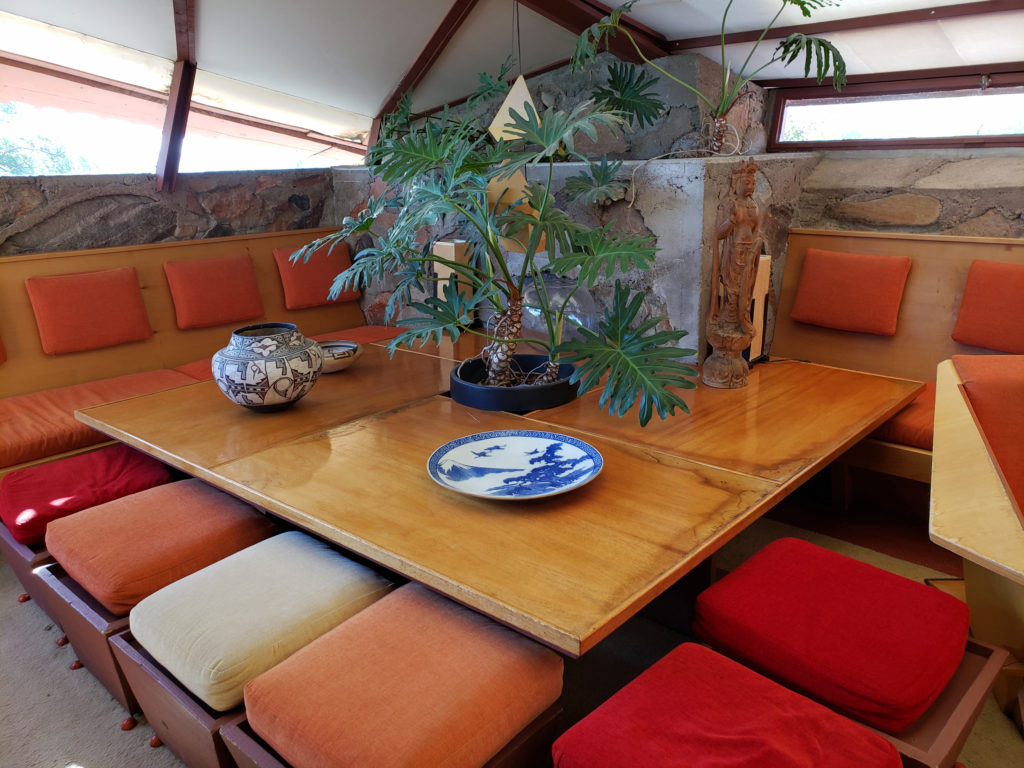
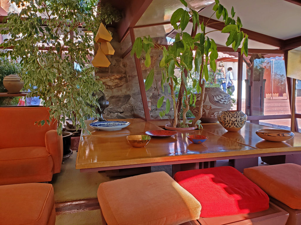
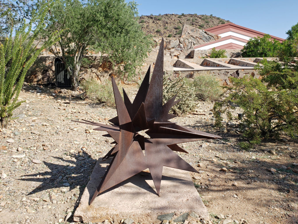

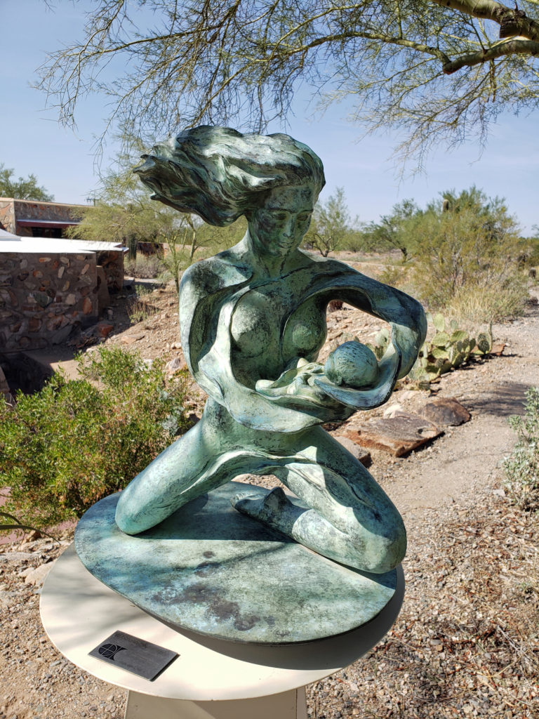
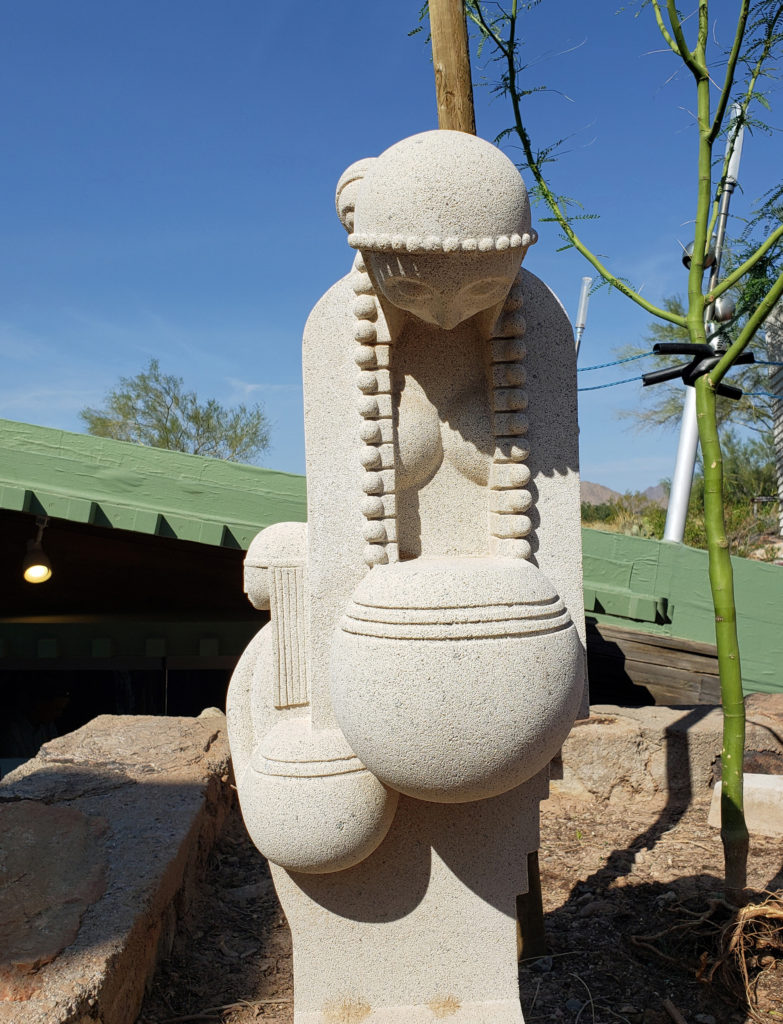
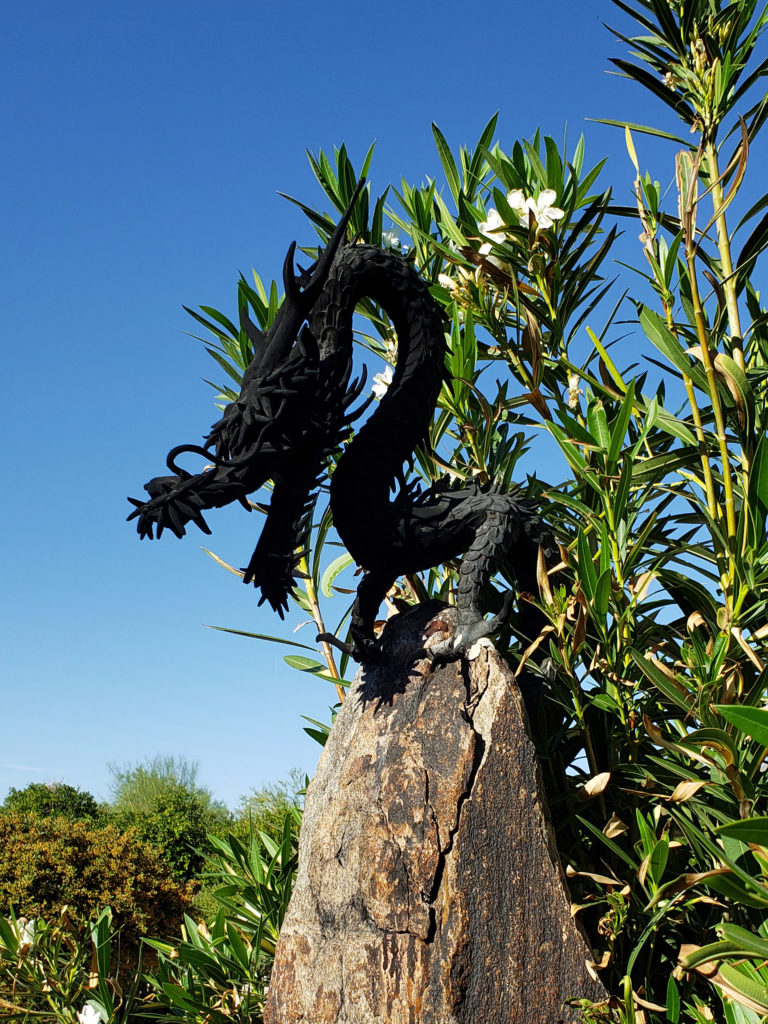
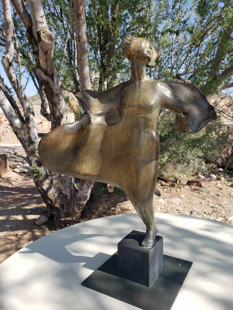 The grounds of Taliesin West are beautifully landscaped and feature many outdoor works of art by various artists. Wright saw architecture as the “mother” of all the arts, and art was an important component of his designs, as was the landscaping.
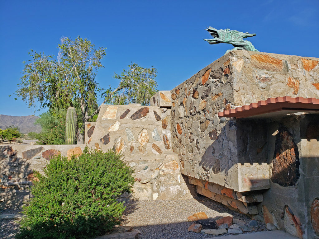
 Taliesin West is located in Scottsdale, Arizona, about 20 miles northeast of downtown Phoenix.
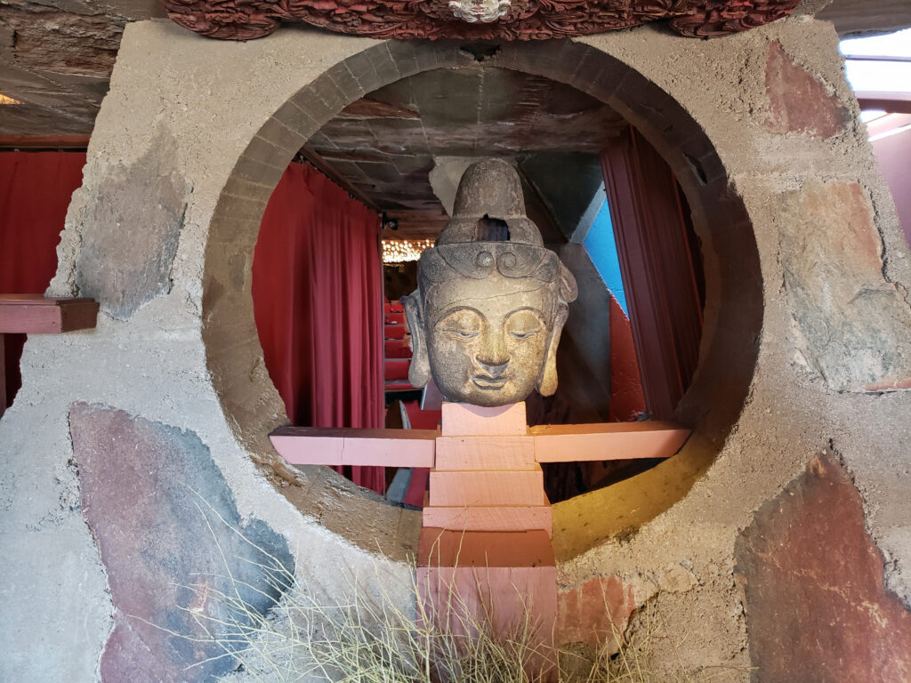 Originally posted November 26, 2019. Updated and re-posted January 7, 2022.
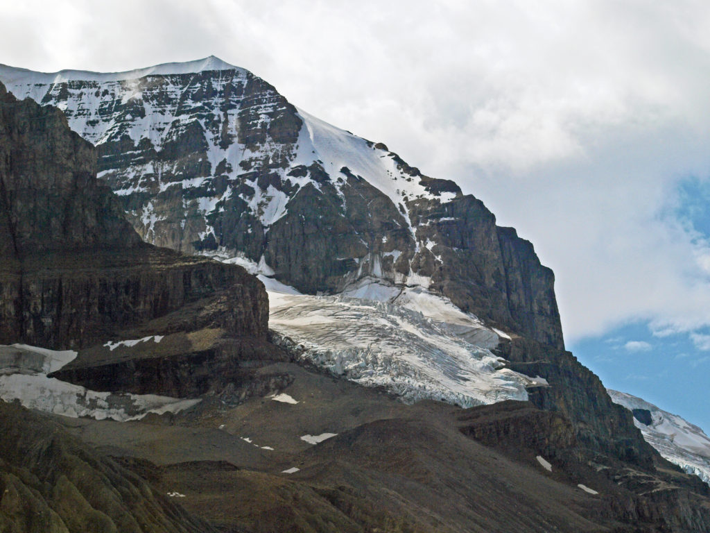
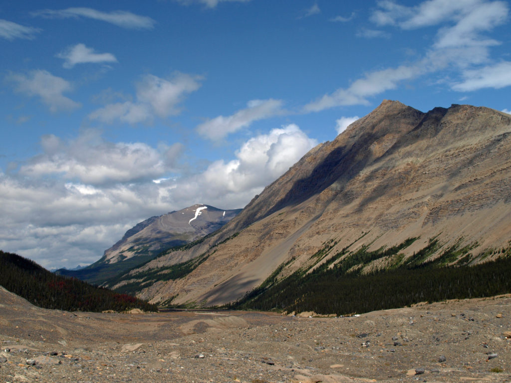
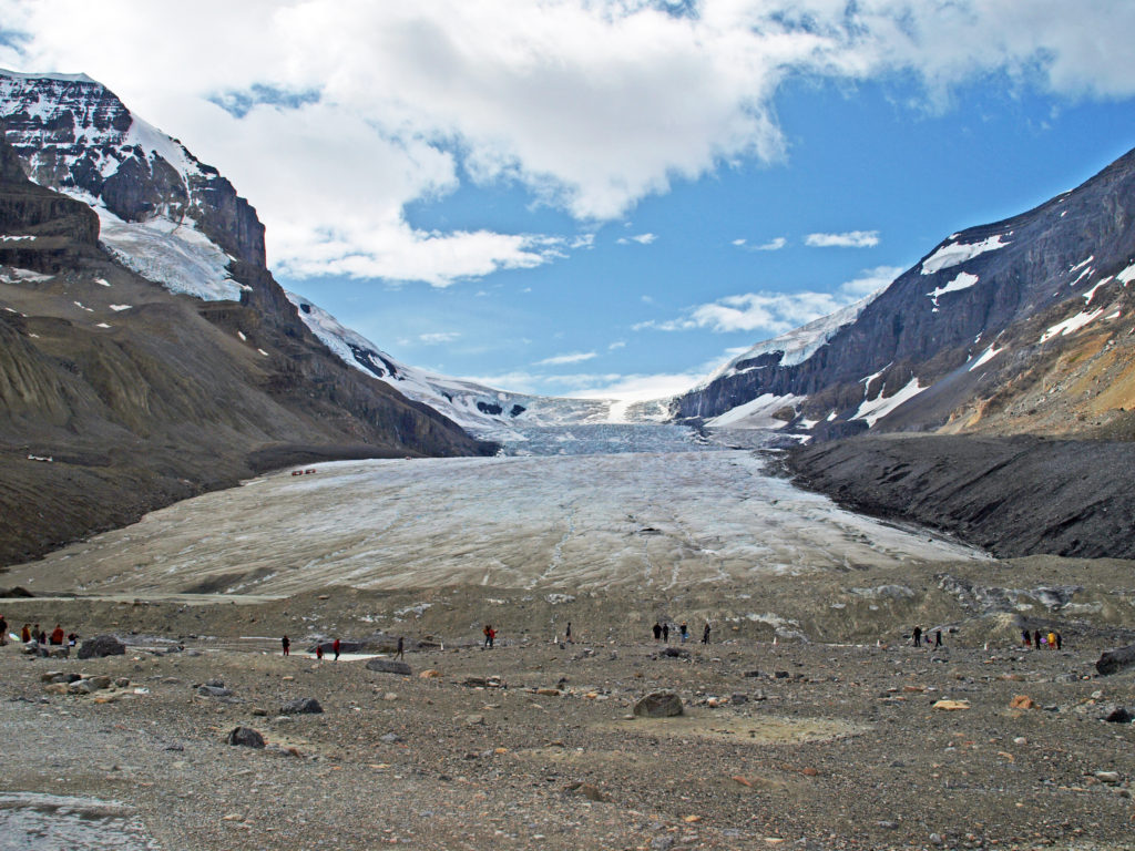
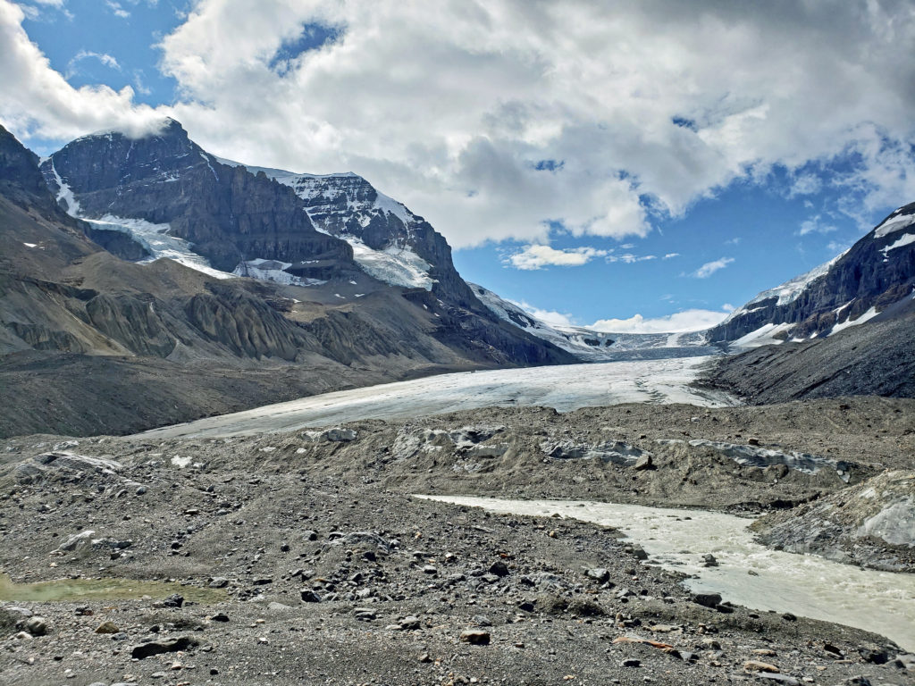
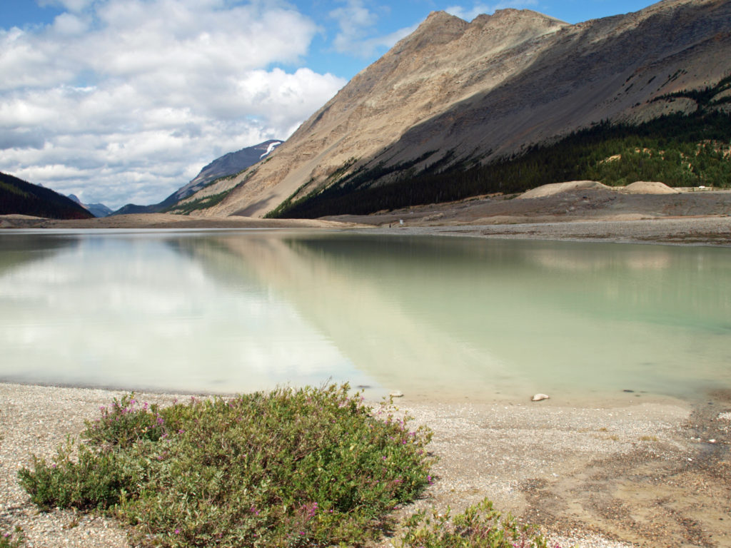
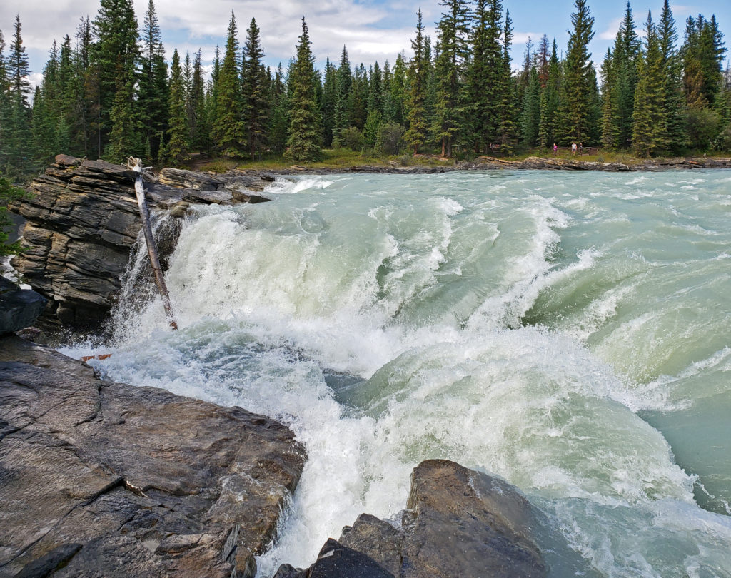
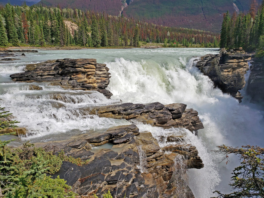
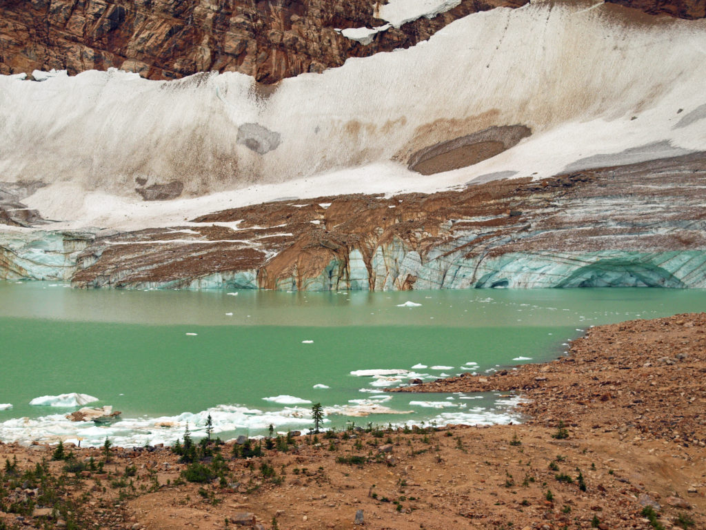
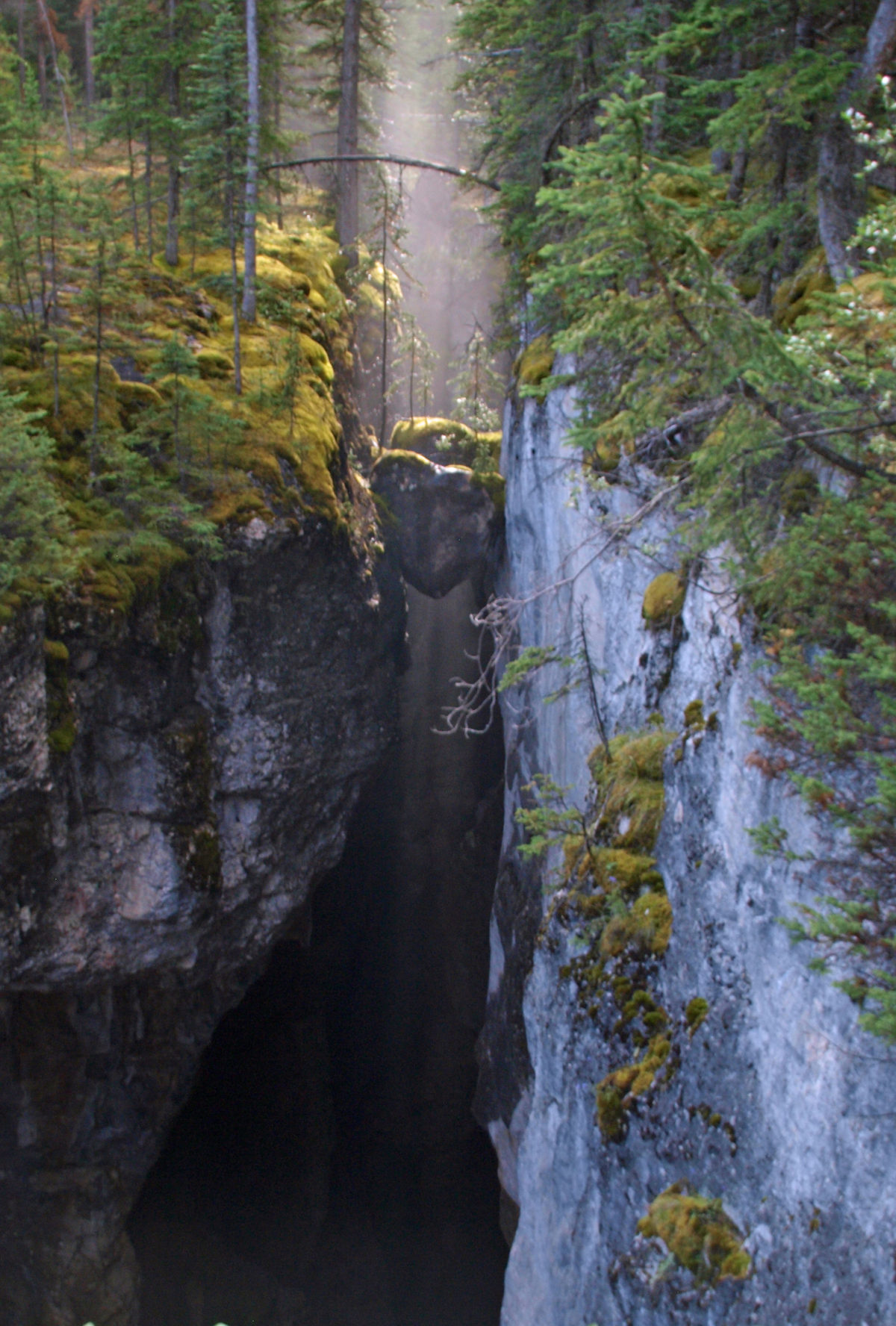
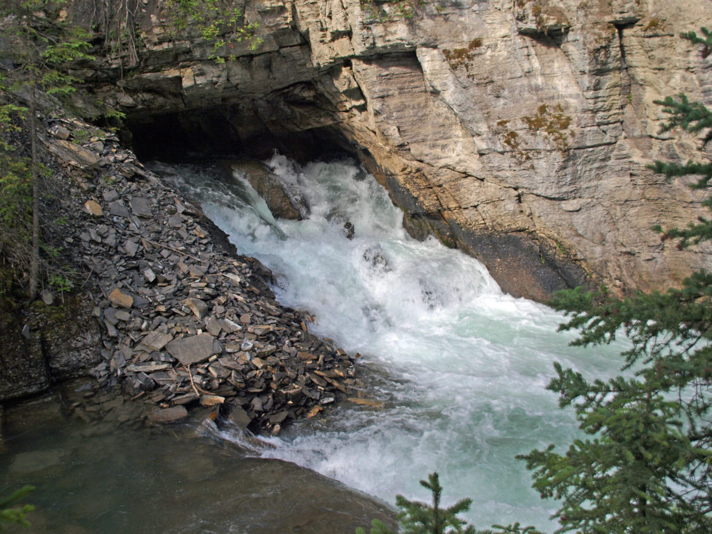
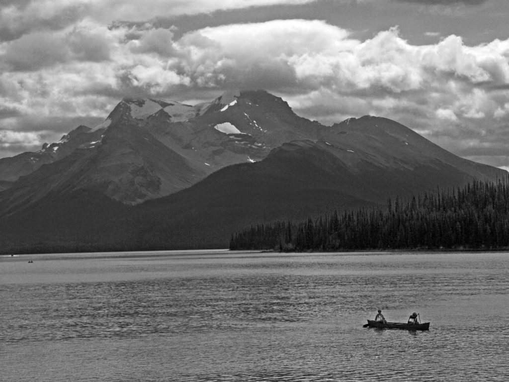
 The Icefields Parkway ends at the town of Jasper, a smaller, less crowded, and lower key version of Banff. There are abundant restaurants, pubs, galleries, and shops there, but accommodations are limited, and hotels and motels are expensive. Book your stay well in advance. We opted for staying in a travel trailer at an RV park 30 miles (48 km) from Jasper, just outside the park boundary, because that was the only thing available through Airbnb when we were planning our trip. It was a little inconvenient, but in the end it worked fine.
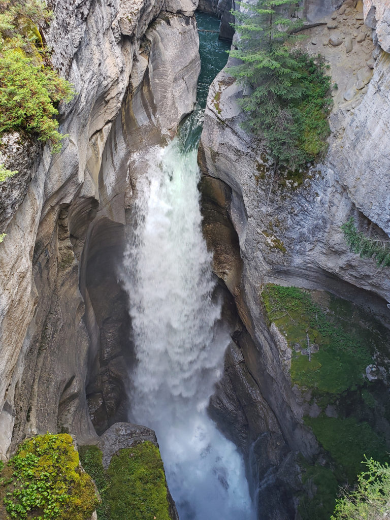


 Originally posted August 6, 2019. Updated and re-posted November 19, 2022.