
Falls Creek Falls Trail
 Where: Washington side of the Columbia River Gorge
Type: Out and back
Distance: 3.4 miles round trip
Elevation gain: 600 feet (to the base of the falls)
Difficulty: Easy
Maps: Green Trails No. 397 Wind River
Friends of the Columbia River Gorge
 Overview:
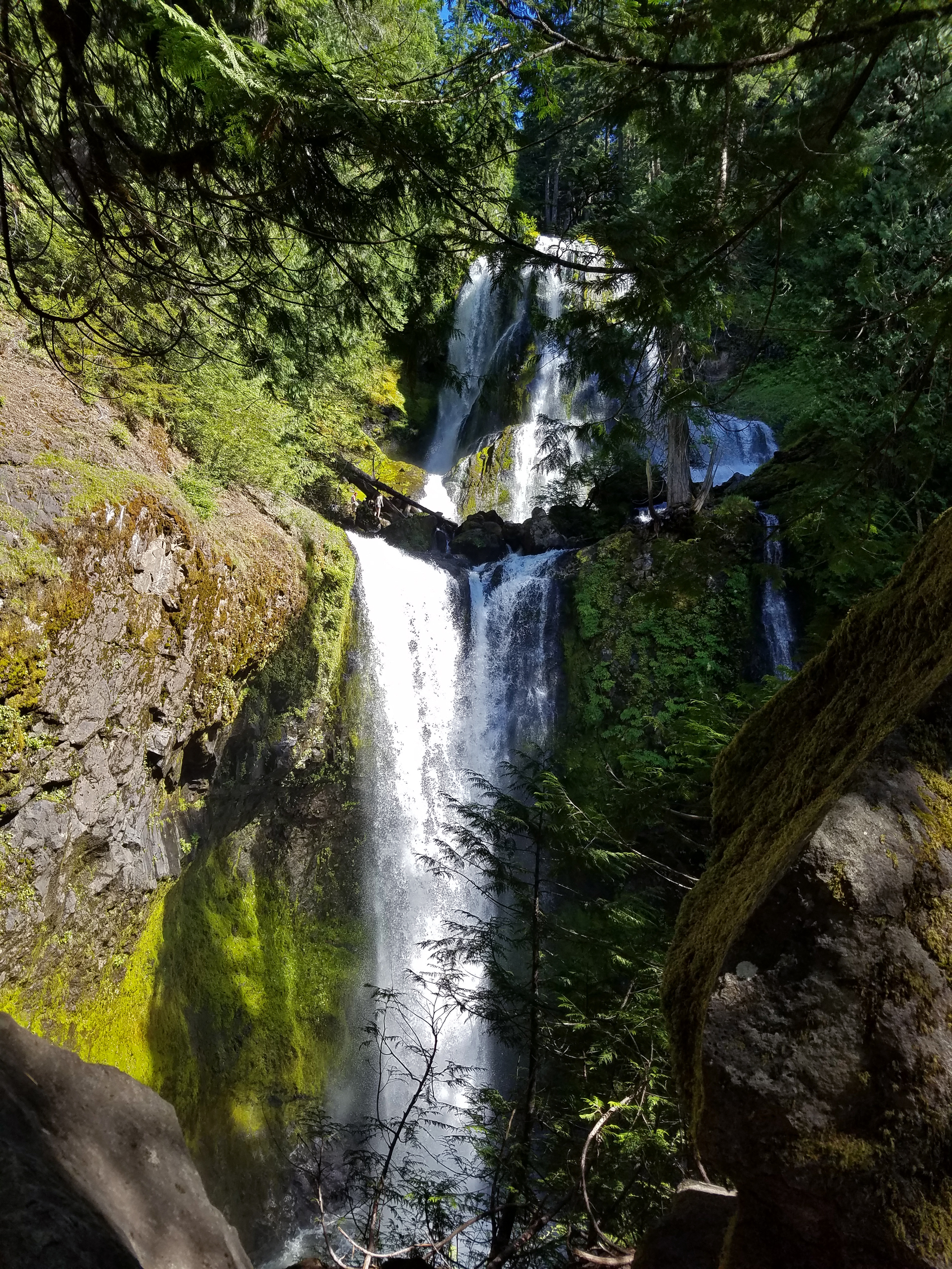
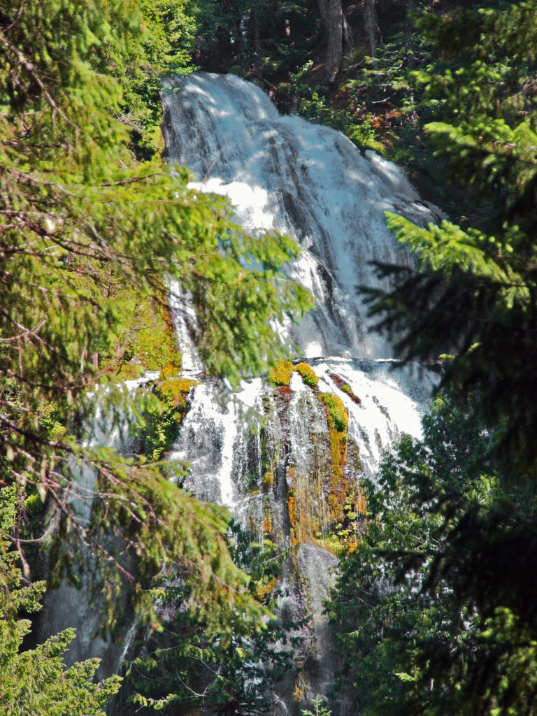
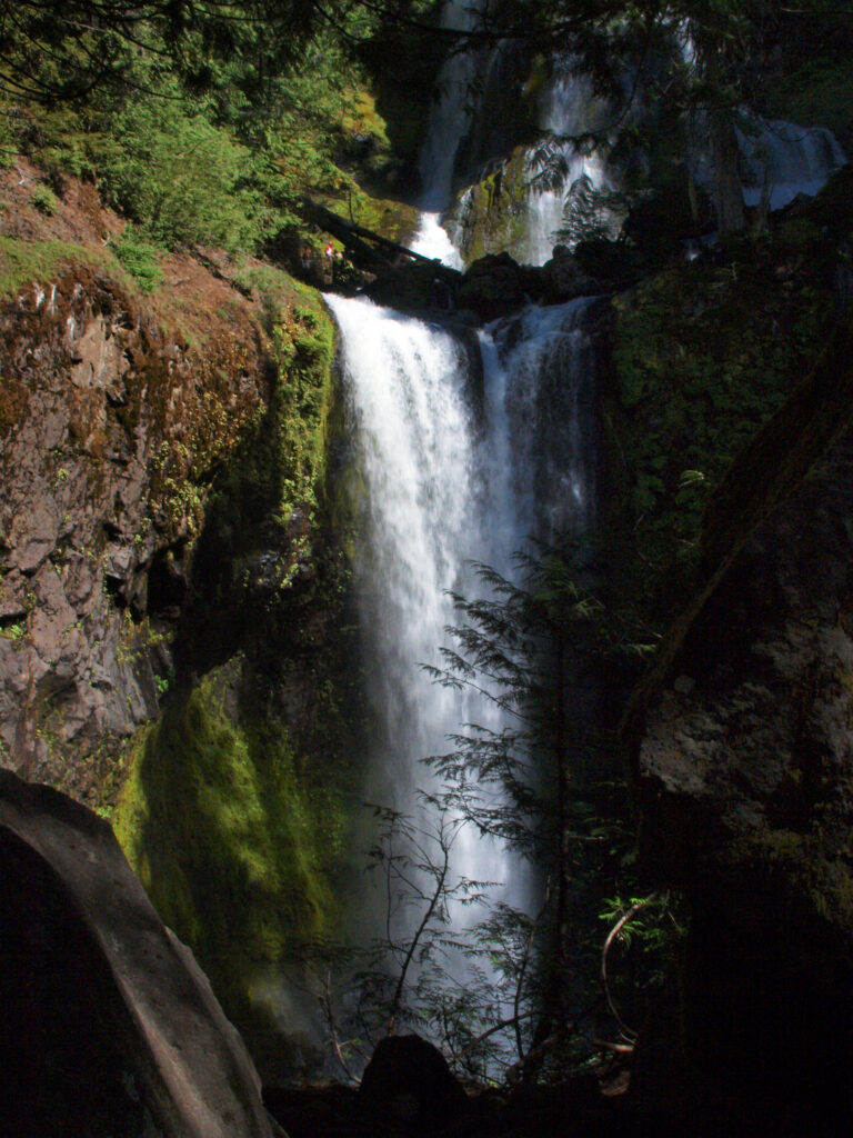
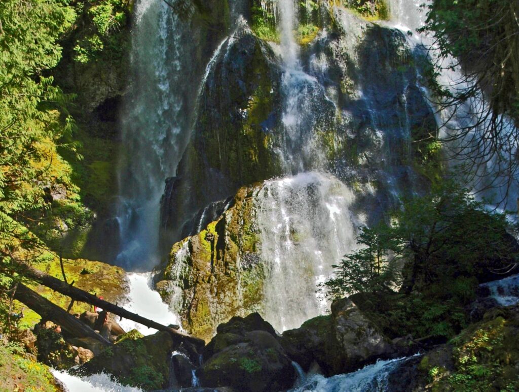
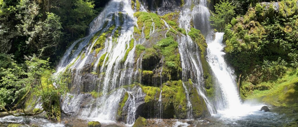
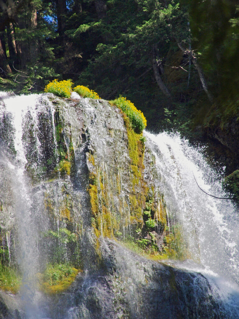
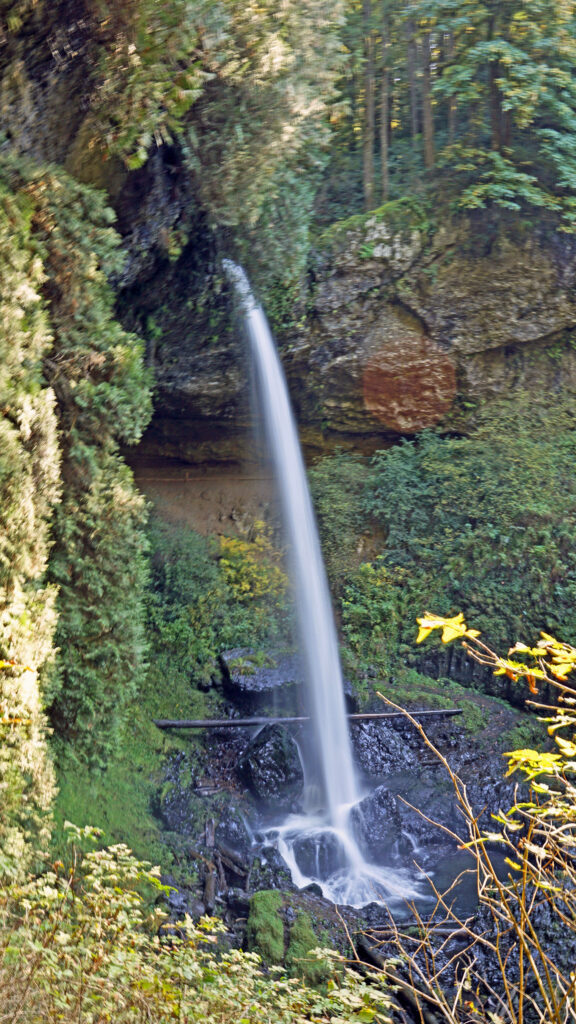
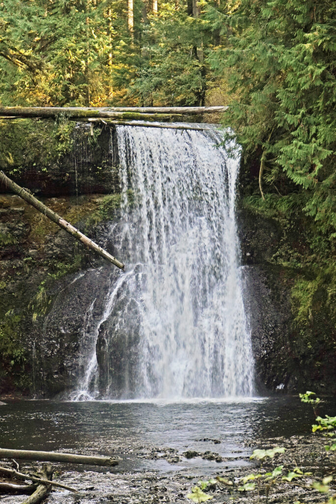
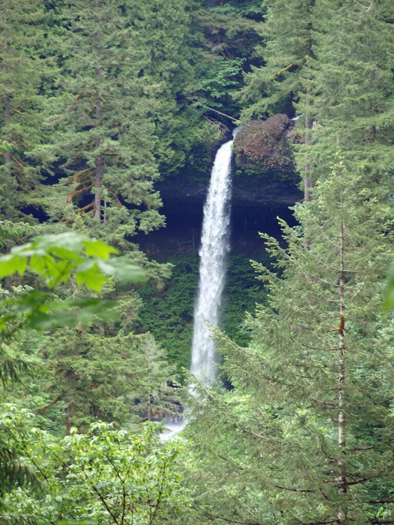
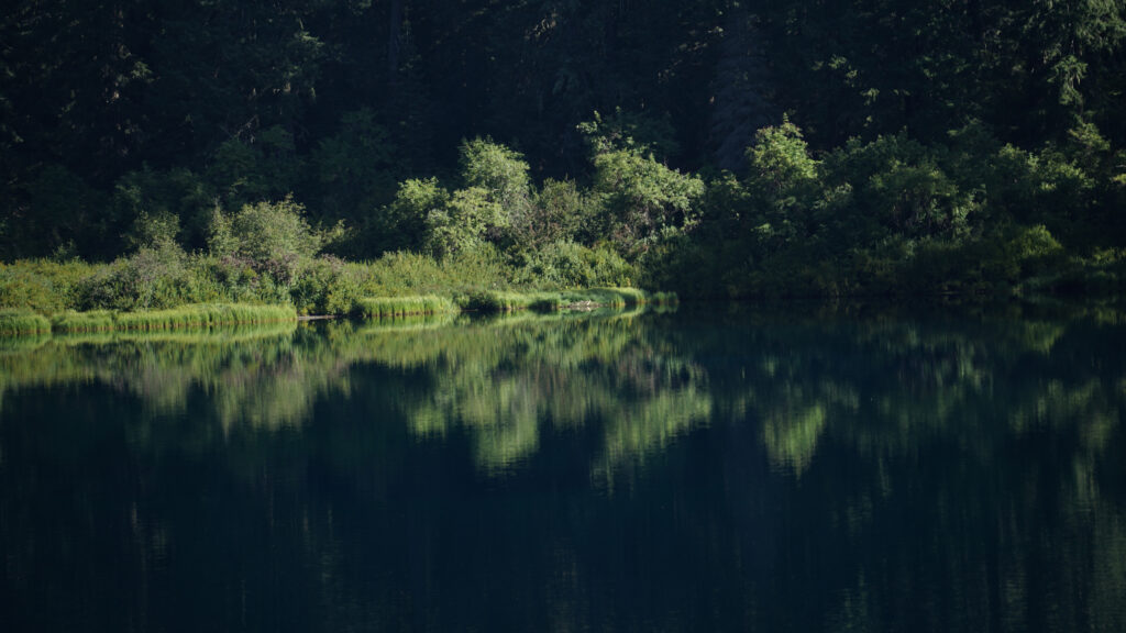
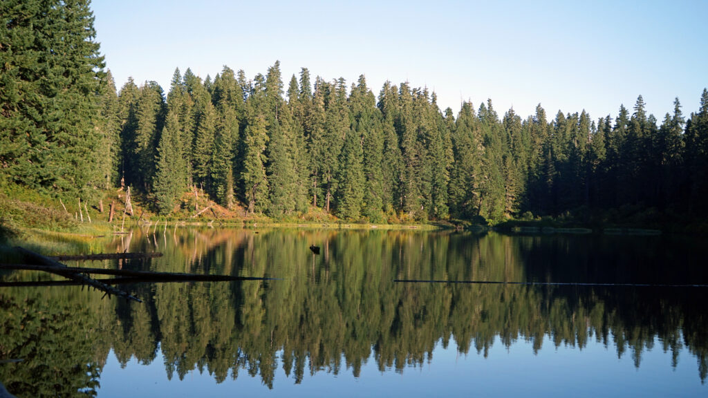
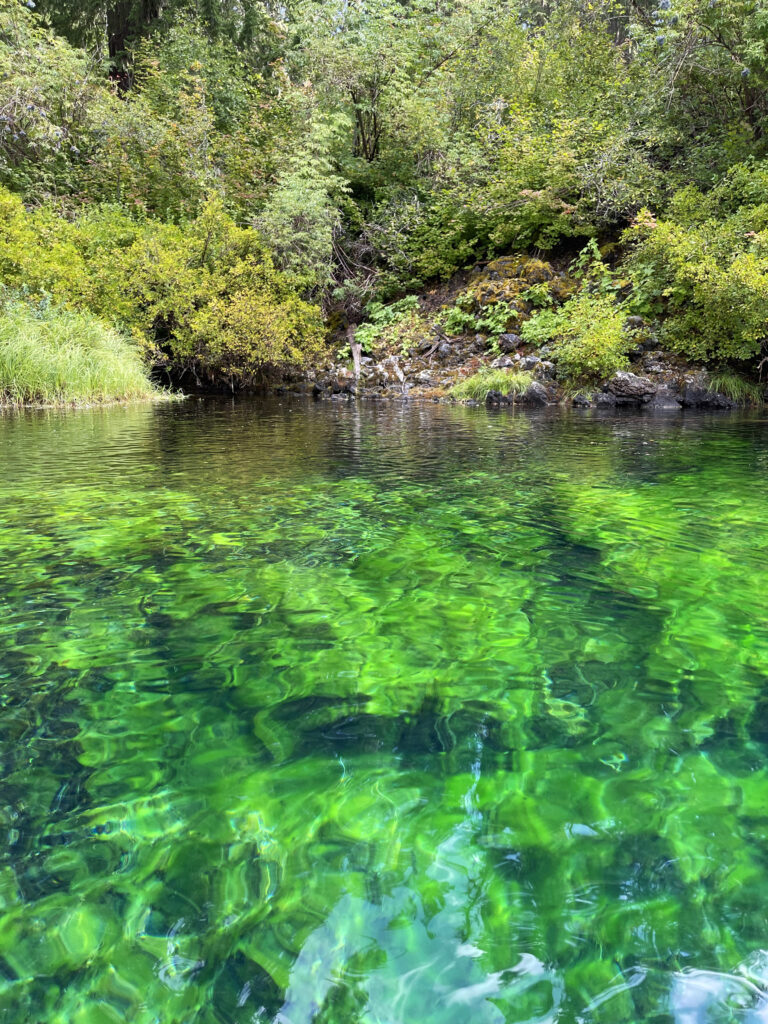
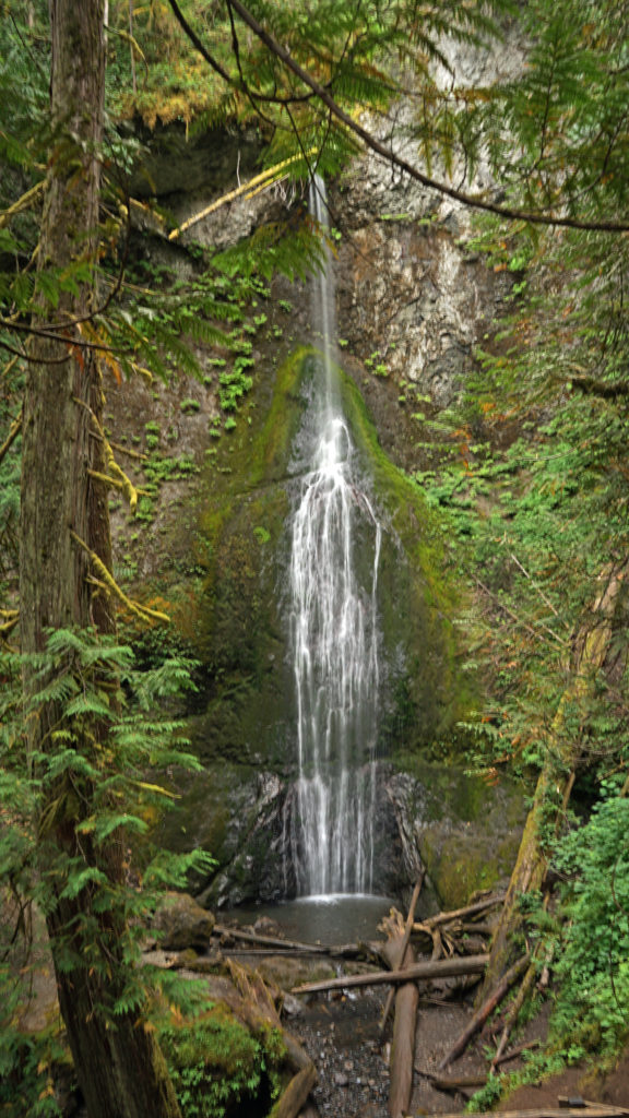
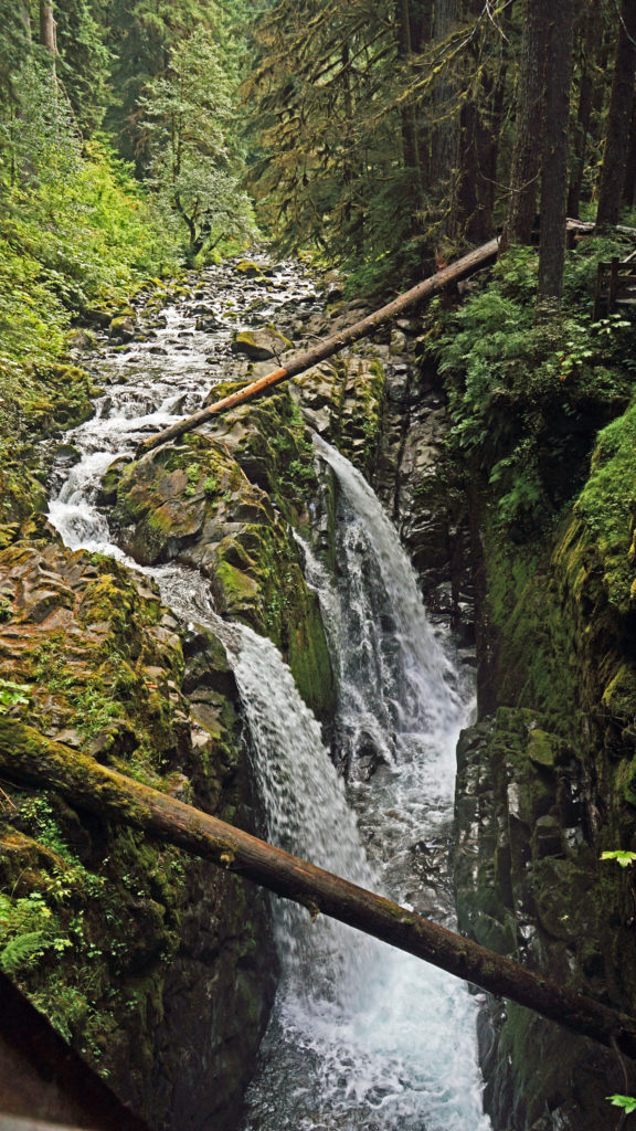
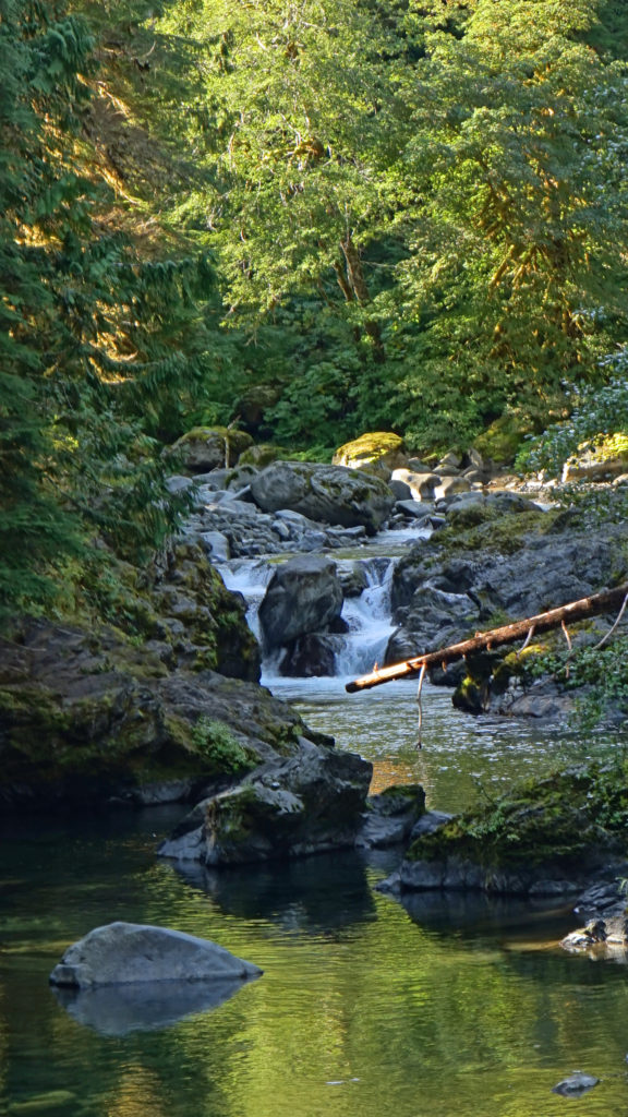
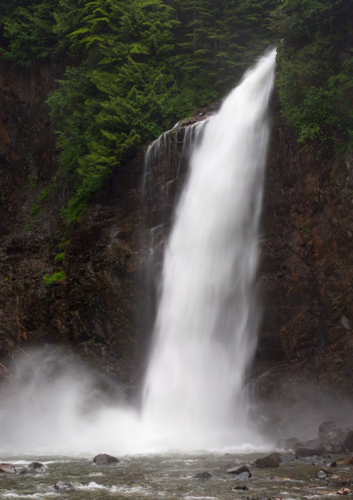
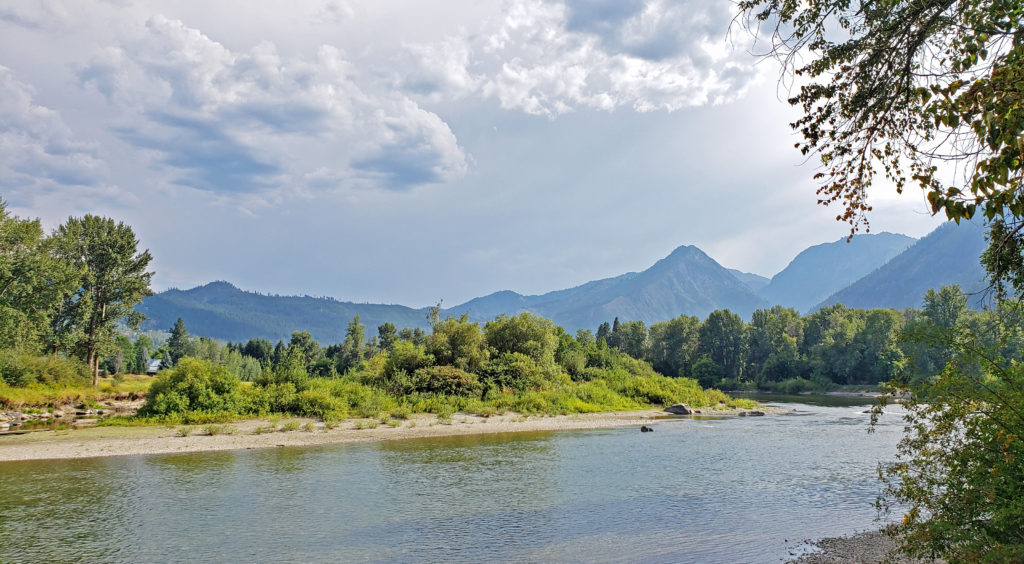
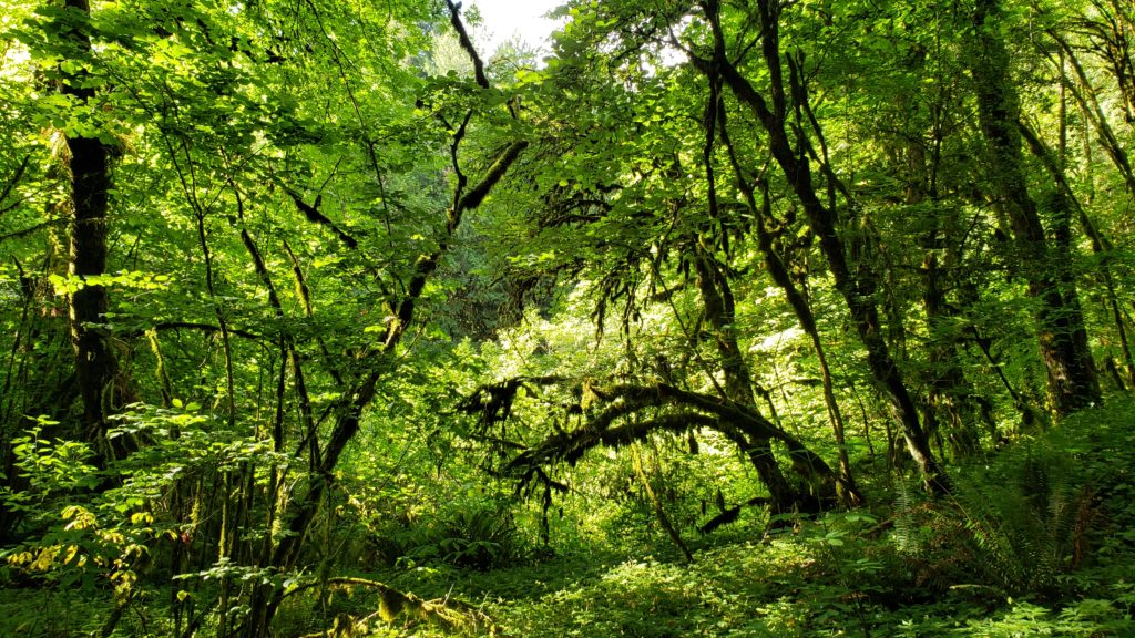
The Falls Creek Falls trail is an easy 1.7-mile family friendly hike to a beautiful two-tier waterfall about 15 miles north of the Columbia River Gorge town of Carson, Washington.
Getting there:
From Portland, take I-84 east to Cascade Locks. Take exit 44 and follow signs to the Bridge of the Gods. Cross the bridge ($3 toll) and turn right onto Washington Hwy 14. Follow WA 14 for 5.9 miles through Stevenson to Carson. At the roundabout, take the second exit onto the Wind River Hwy and follow it through Carson for 14.3 miles. Just past the Carson Fish Hatchery, turn right onto NF-30. Go 0.8 mile, then turn right onto NF-3062. The trailhead parking area is 2.3 miles from the junction, at the end of the road.
 Best time to go:
April through November. (The falls are at an elevation of just over 2000 feet, so the trail is often snow free in winter, but the road is gated from Dec. 1- Mar. 30, making for a much longer hike.) Like most Cascade Range waterfalls, Falls Creek Falls is at its most spectacular in spring, fed by the Cascade Range snow melt. But even in mid-summer the falls are impressive. This is a popular trail on summer weekends, so it’s best done during the week, if possible. On summer weekends, plan to get to the trailhead early. Trail use decreases after Labor Day, but this remains a popular trail until the fall rains arrive.
Trailhead:
The trailhead has parking for about 50 vehicles and has a restroom (vault toilet). A Northwest Forest Pass is not required.
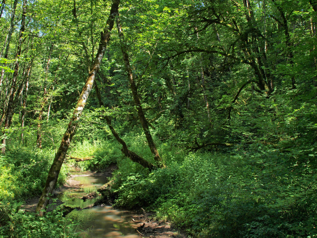
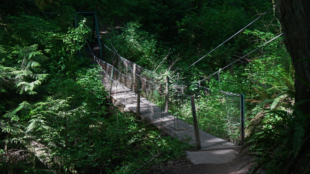
The hike:
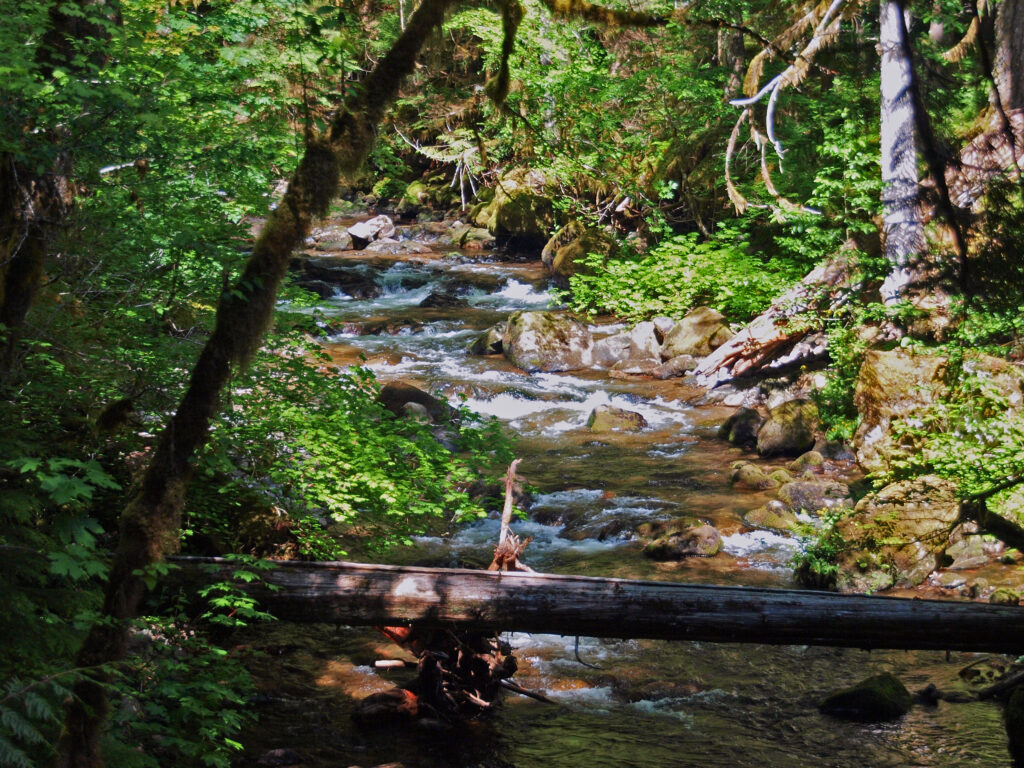
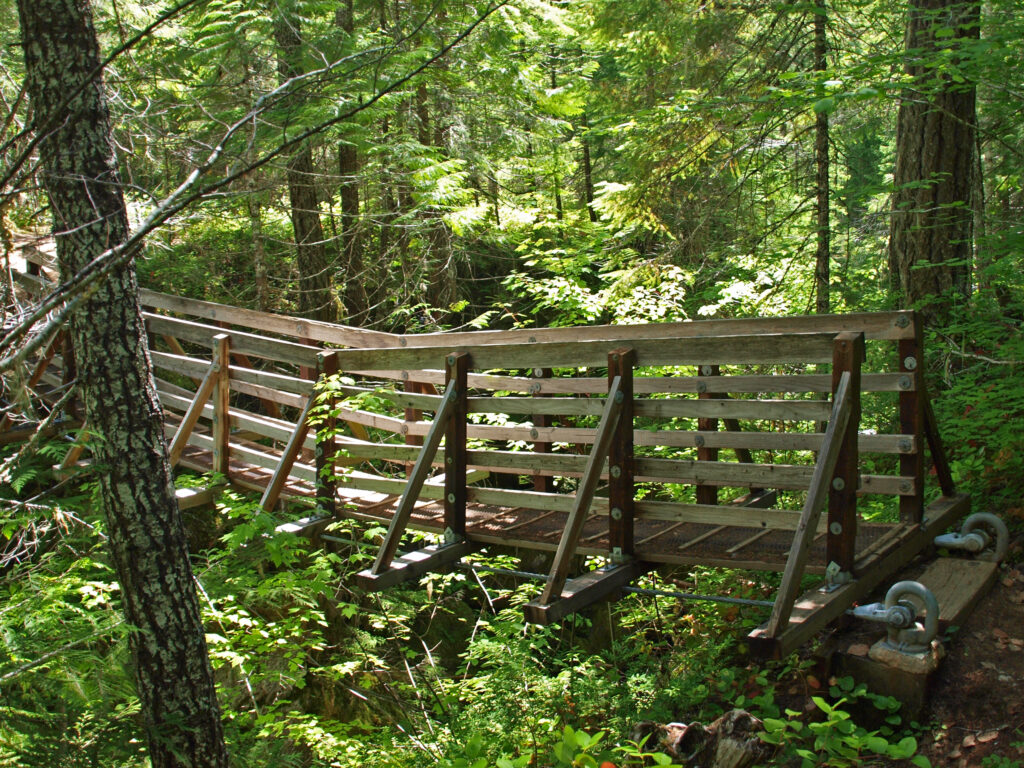
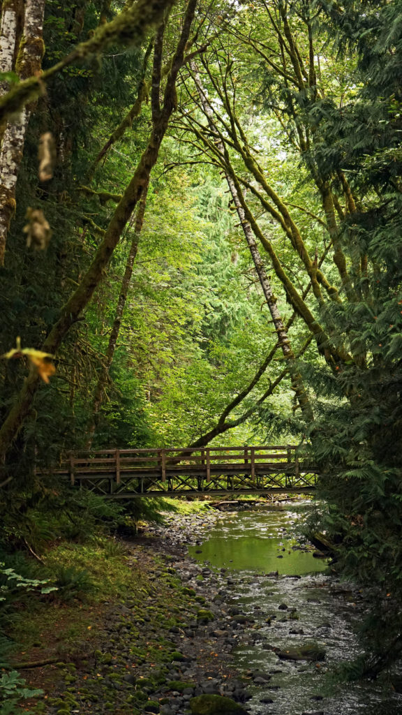
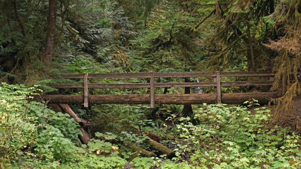
From the trailhead, proceed about 100 yards on Trail #152A to a junction. Turn right and follow the trail along Falls Creek. The trail gradually climbs through the forest for half a mile, where it crosses the creek on a suspension bridge. Above the bridge, the trail ascends the slopes above the creek before returning to the creek at the base of the falls 1.5 miles from the trailhead. From the base of the lower falls, it’s a bit of a scramble up slope to the upper falls, but well worth the effort. Return the way you came when you’re done enjoying the falls.
Other area attractions and activities:
Panther Creek Falls is an impressive, complex, and beautiful falls about five miles southeast of Falls Creek Falls. It’s a short out and back hike, less than a half-mile round trip. The trail descends steeply from the road to a viewing platform, with about 200 feet of elevation gain coming back.
Carson Hot Springs has been drawing people to its thermal baths since 1901. Today, the resort bills itself as a rustic retreat that prioritizes immersion in the surrounding forest environment over the glitz and glamour of high-end spas. The resort includes a rustic hotel and an 18-hole golf course, as well as the hot springs themselves.
Bonneville was the first dam constructed on the Columbia River, completed in 1938. It’s a complex structure consisting of a navigation lock, two powerhouses, and a spillway spanning three islands between the Oregon and Washington shores. There are visitor centers on both the Washington and Oregon sides of the dam. The Bradford Island Visitor Center on the Oregon side has a viewing room where you can watch salmon and steelhead climbing the dam’s fish ladder.
Columbia Gorge Interpretive Center
The Columbia Gorge Interpretive Center is a museum dedicated to the preservation, conservation, and interpretation of the cultural and natural history of Skamania County and the Columbia River Gorge. I’m not a great fan of museums, but I spent at least a couple of hours there the first time I visited. It’s definitely worth a visit. It’s located on SW Rock Creek Drive, about a mile west of downtown Stevenson, directly below Skamania Lodge.
Food and drink –
For me, there is nothing better after a hike than a good, cold beer. Fortunately, there’s no shortage of quality pubs in the area. In Carson, Backwoods Brewing, located on the east side of Wind River Hwy, features 16 draft beers, plus hard ciders, seltzer, and kombucha. In Stevenson, try 54 40 Beer Lodge on Hwy 14 or Walking Man Brewing on 1st Street. Across the river in Cascade Locks, Thunder Island Brewing, Cascade Locks Ale House, and Gorges Beer Company are all located on Wa Na Pa Street, Cascade Locks’ main drag. As far as food goes, all the pubs listed have typical pub fare.
 Posted April 12, 2023 by Alan K. Lee
All photos © Alan K. Lee, except as noted
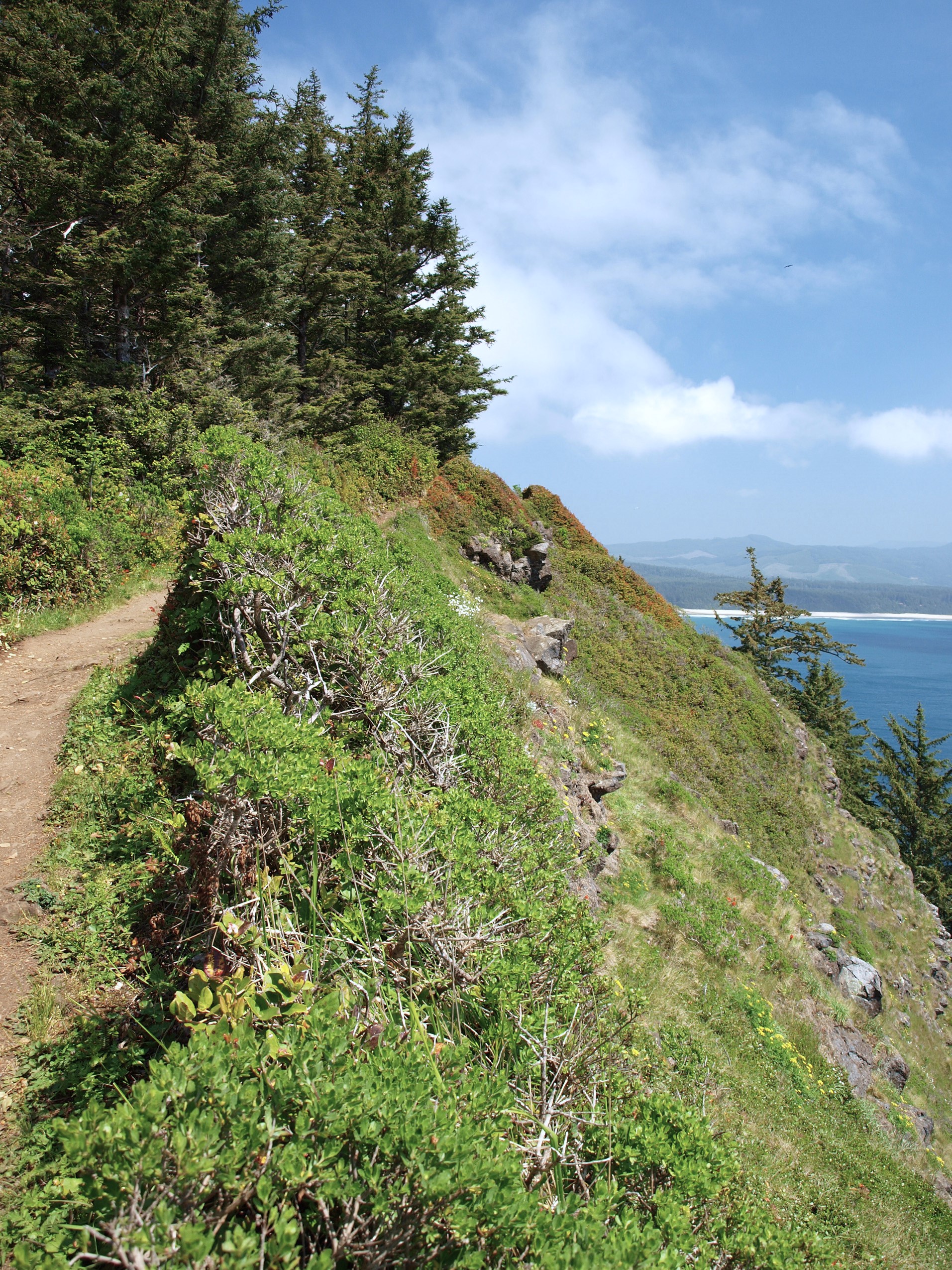
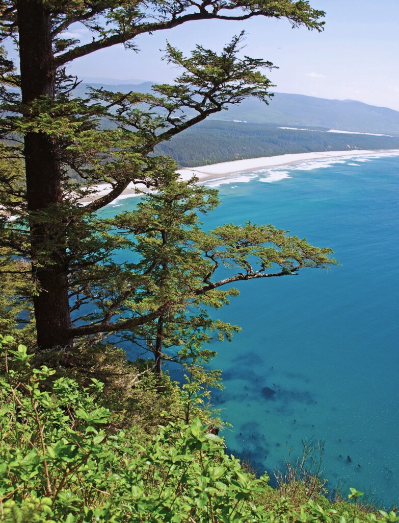
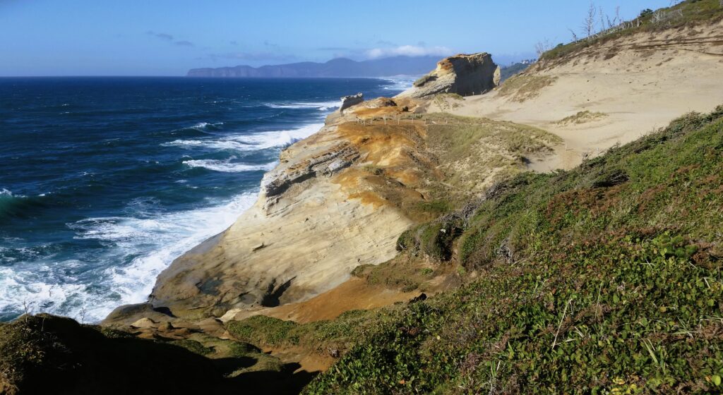
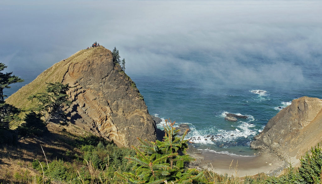
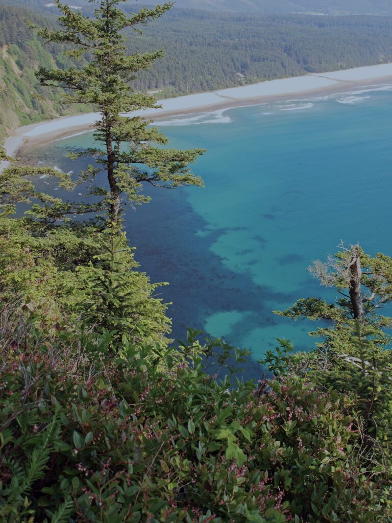 Trailhead: Cape Lookout State Park
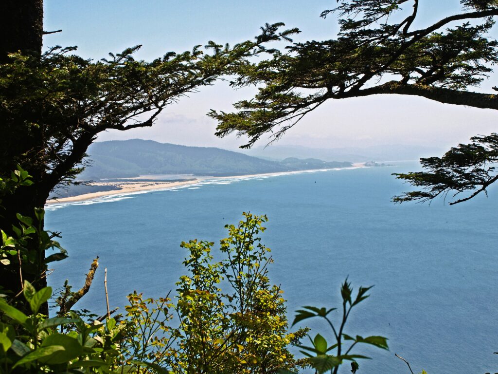
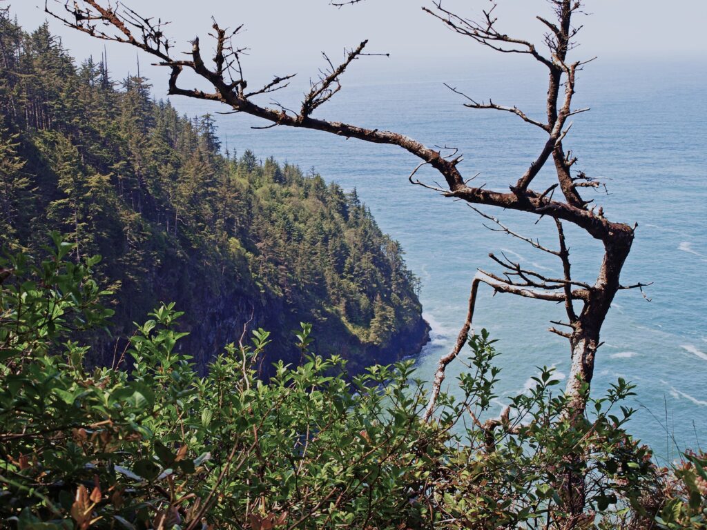
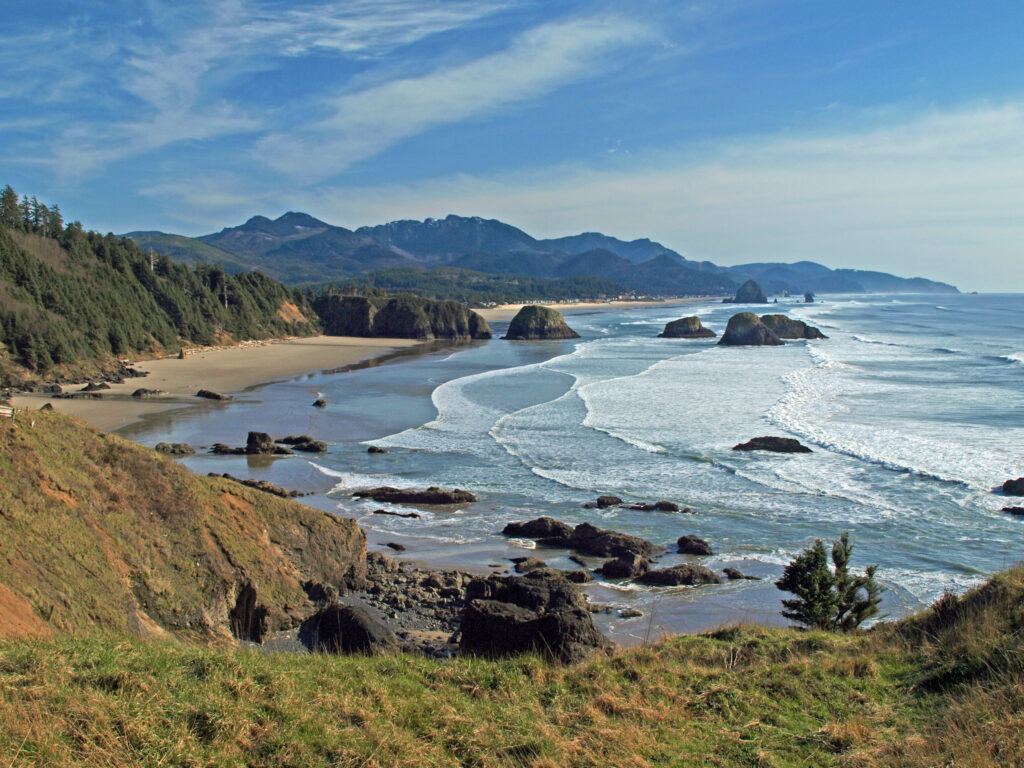
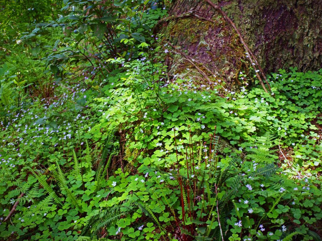 From there, the trail crosses to the north side of the cape and comes to a viewpoint at the 1.2-mile mark. Here you can see north to Cape Meares and Three Arch Rocks. Just west of the viewpoint, the original trail slid into the ocean about 30 years ago. The present trail detours away from the cliff through a boggy area on a boardwalk.
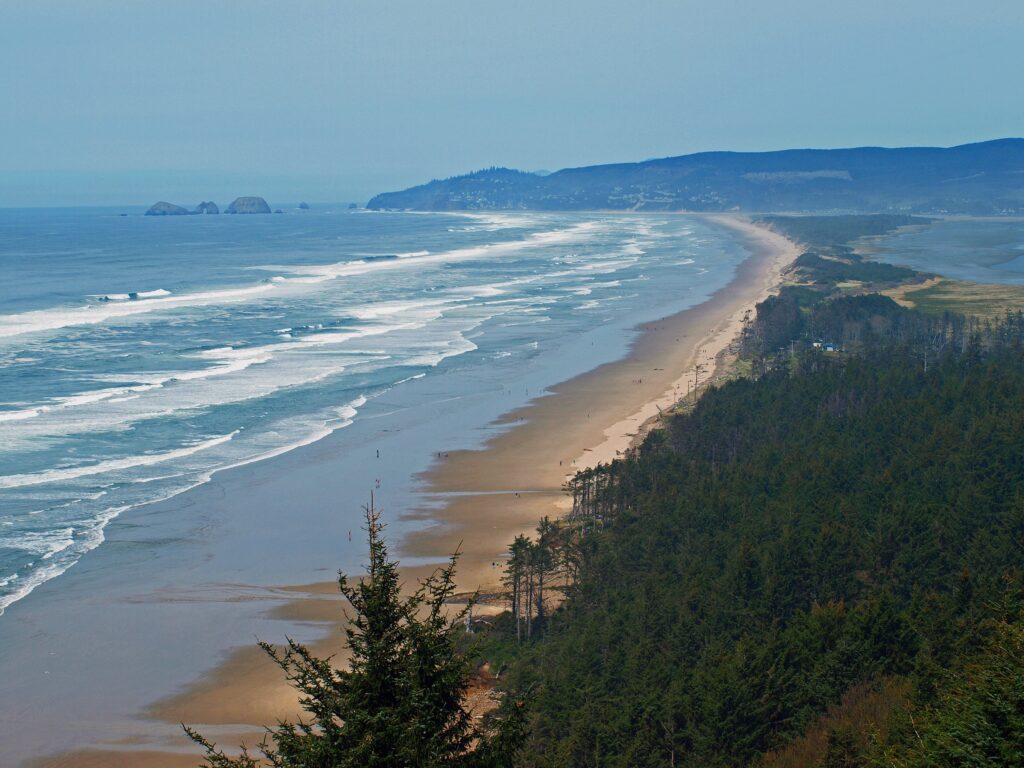
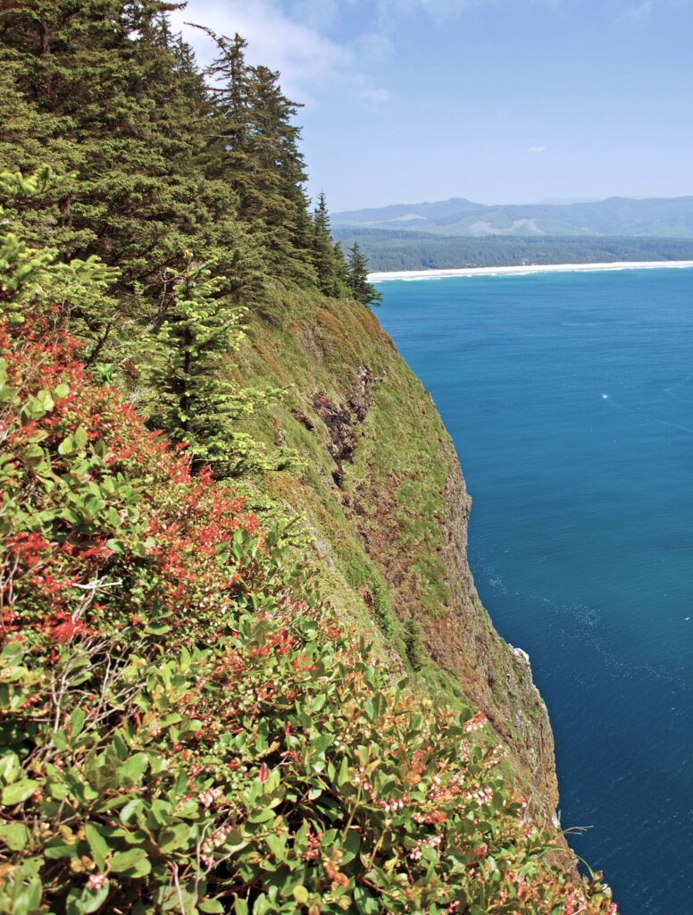
 The trail returns to the south side of the cape and continues for another 1.2 miles, climbing and descending several times, to a viewpoint at the end of the cape, 400 feet above the ocean. Views there stretch from Cape Foulweather, 40 miles to the south, to Neahkannie Mountain, 40 miles to the north.
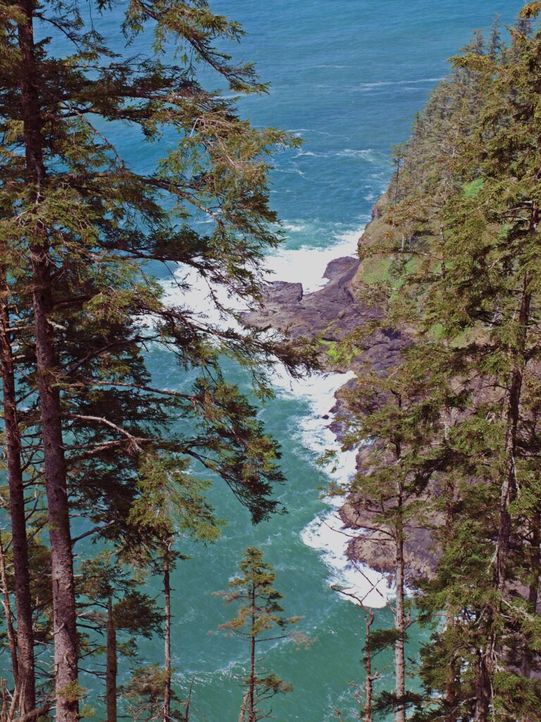 You’ll probably linger for a while at the end of the trail, but when you’ve had your fill of sightseeing and whale watching, return to the parking area the way you came.
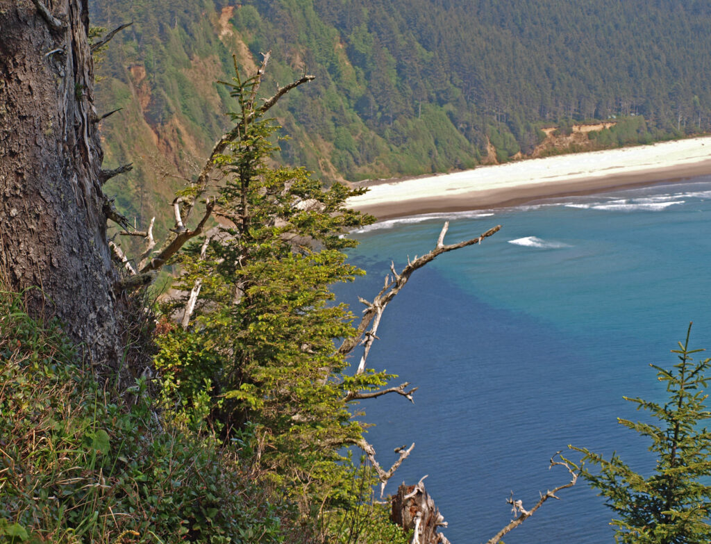
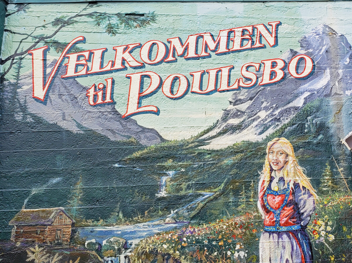
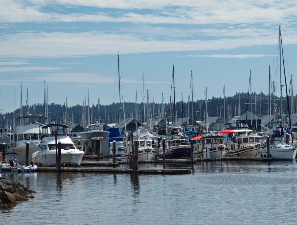
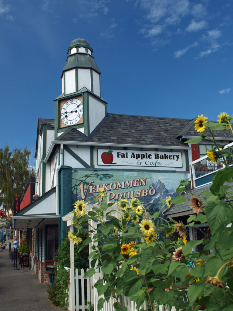
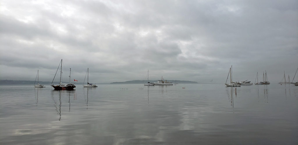
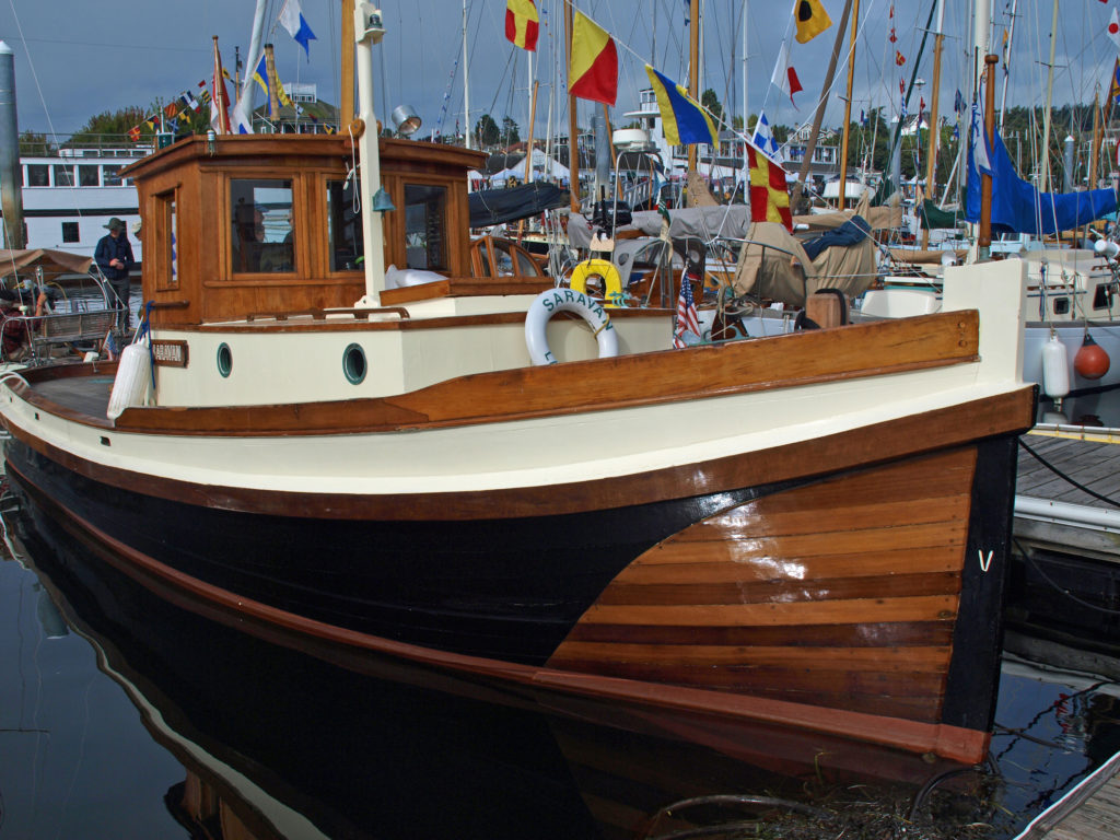
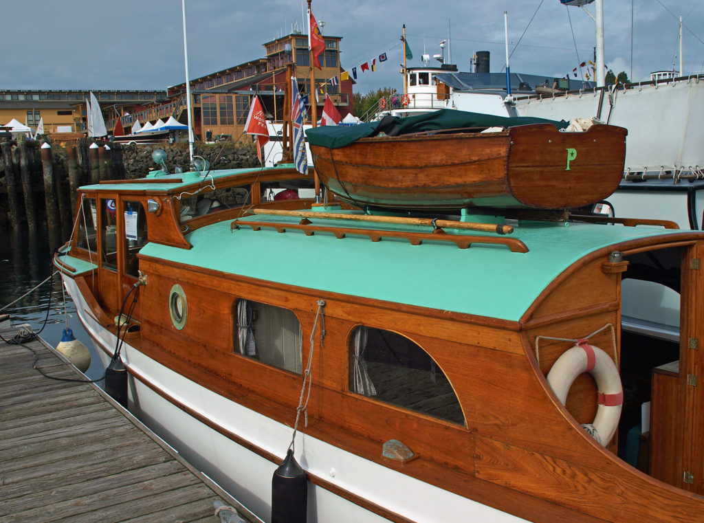
 Poulsbo is located at the head of Liberty Bay on Puget Sound. For much of its history the primary means of travel to and from Poulsbo was by boat, and the town’s connection to the sea remains strong. The town has an excellent little harbor and there are three marinas in the area.
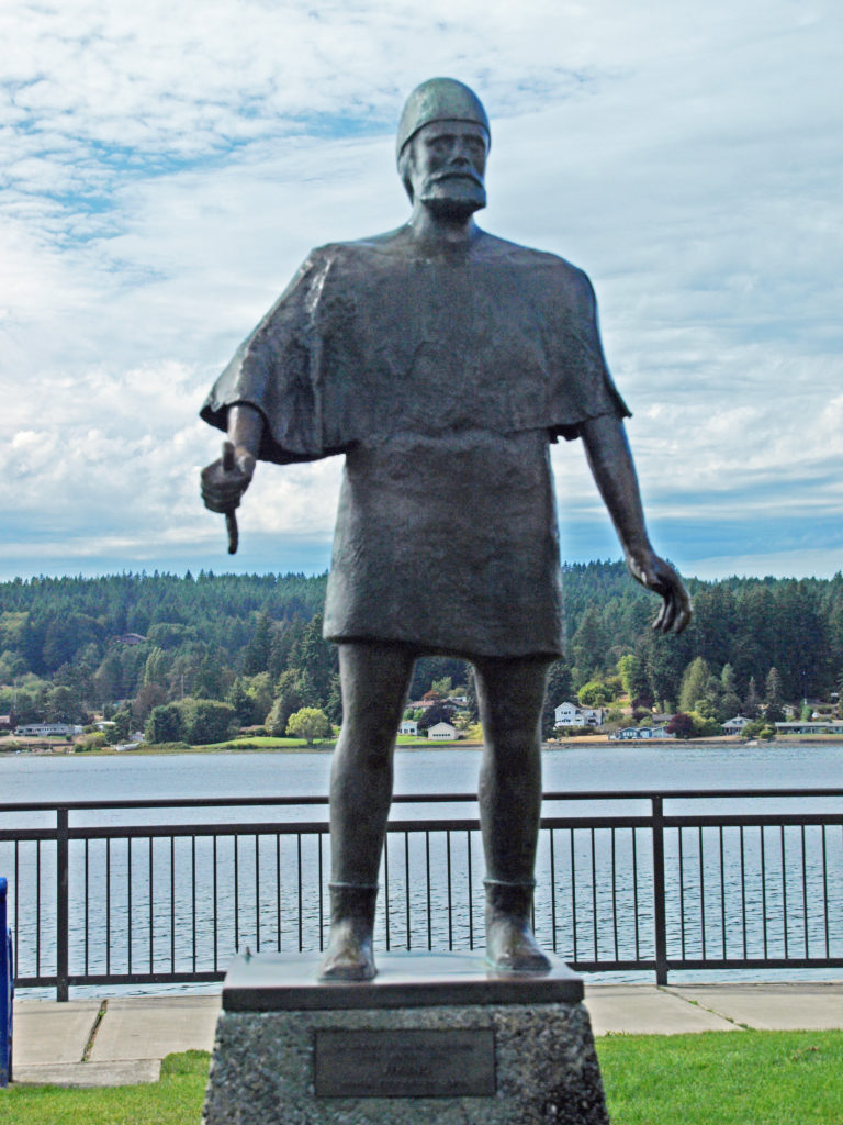
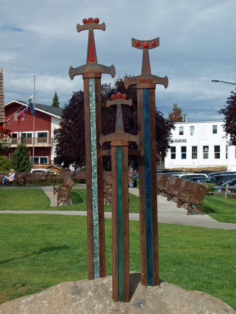
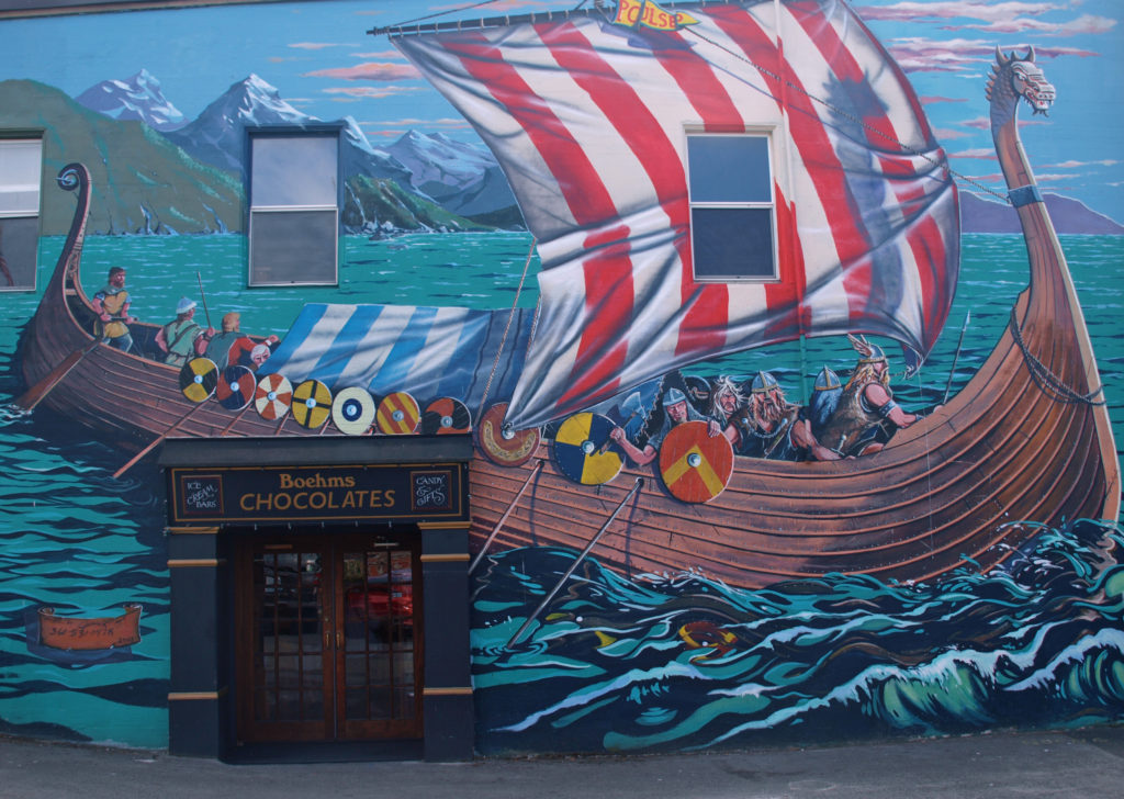 The historic downtown area has a bit of a tourist-centric vibe, but it’s genuine enough that it doesn’t come off as a Disney-like version of Scandinavia-in-America. There are a few gift stores downtown, but they largely avoid the tacky, made in China junk that you find in so many places. No t-shirt emporiums here. There are numerous galleries, though, some with really outstanding works of art, and Poulsbo has a thriving arts community. A number of the downtown buildings feature murals by local artists. There are art walks every Saturday evening in the summer, and the
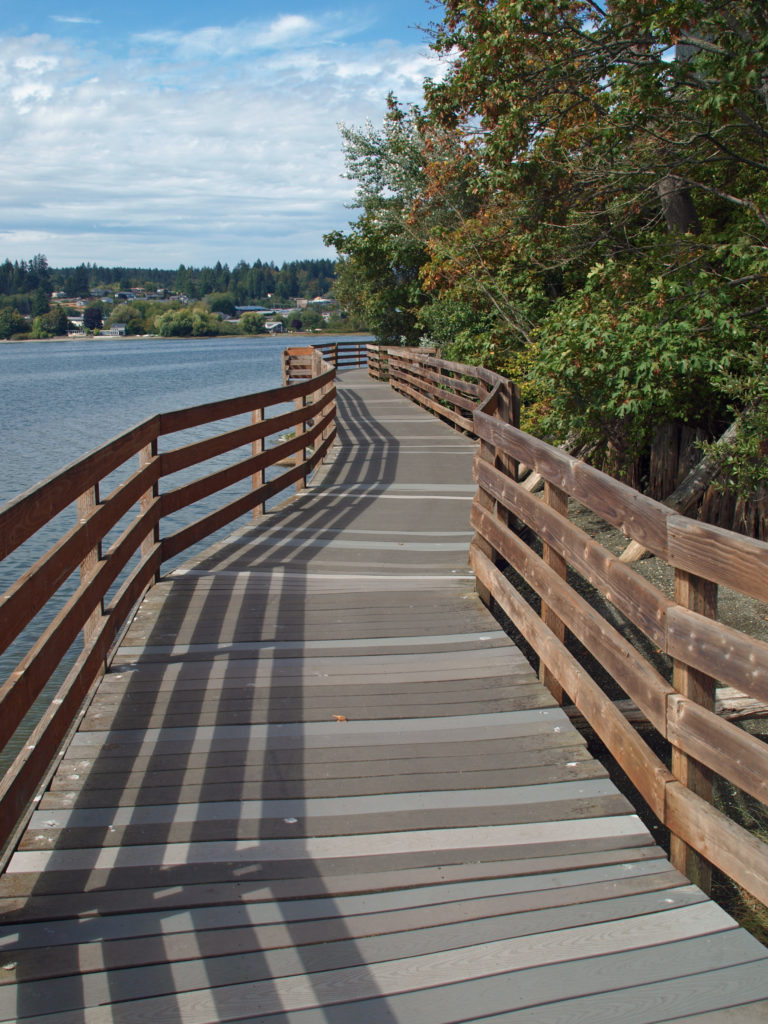
 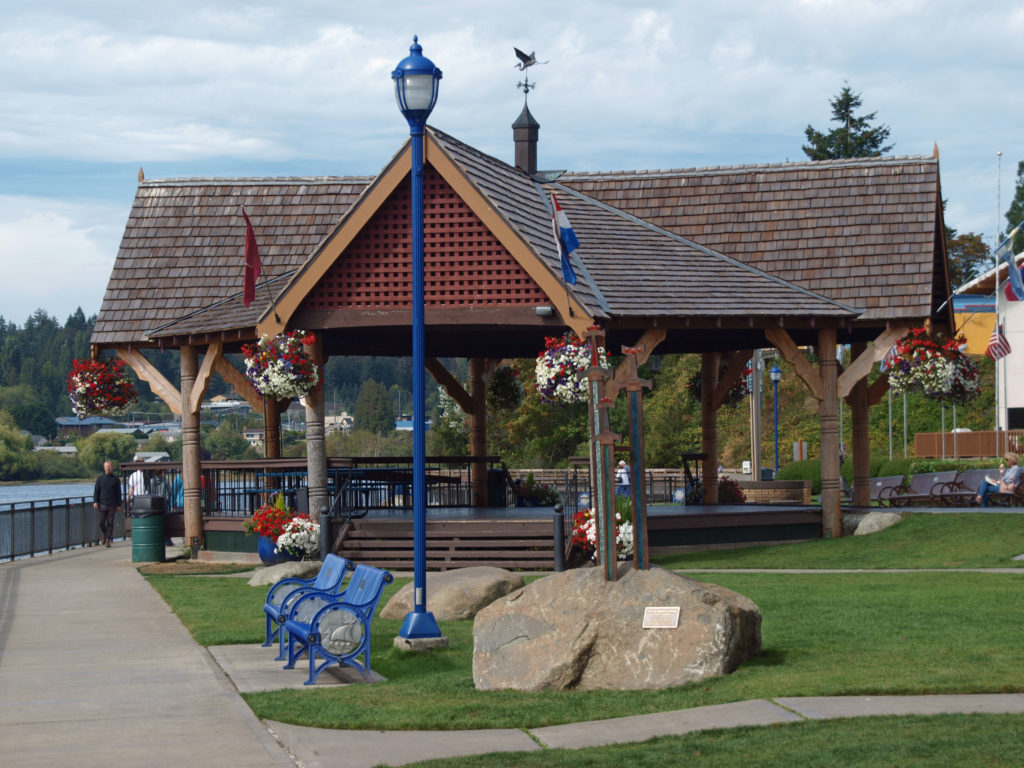 Liberty Bay Waterfront Park is a nice place to relax and watch the activity in the harbor or just people watch. There are plenty of park benches and a covered gazebo to hang out in when it rains. There’s a boardwalk at the north end of the park that leads along the waterfront to American Legion Park. There are also two city parks north of the downtown area, Poulsbo Fish Park and Nelson Park, that are within walking distance.
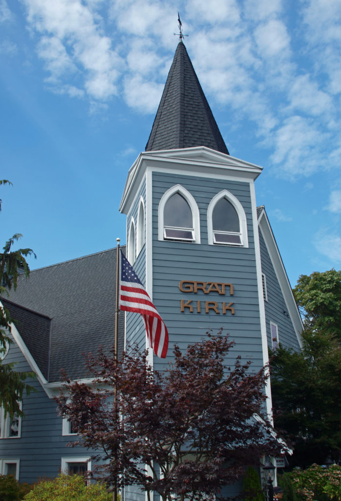 There is, of course, no shortage of places to eat and drink in the downtown area. If craft beer is what you’re looking for, you have three breweries to choose from: Valholl Brewing, a block off the main drag on 3rd Street, Western Red Brewing on Jensen Way, and Slippery Pig Brewery across the parking area from Waterfront Park. All offer a variety locally brewed beer.
 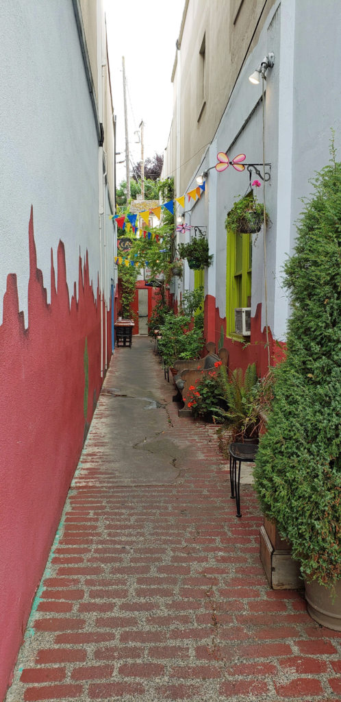 If eats are what you’re after, check out
 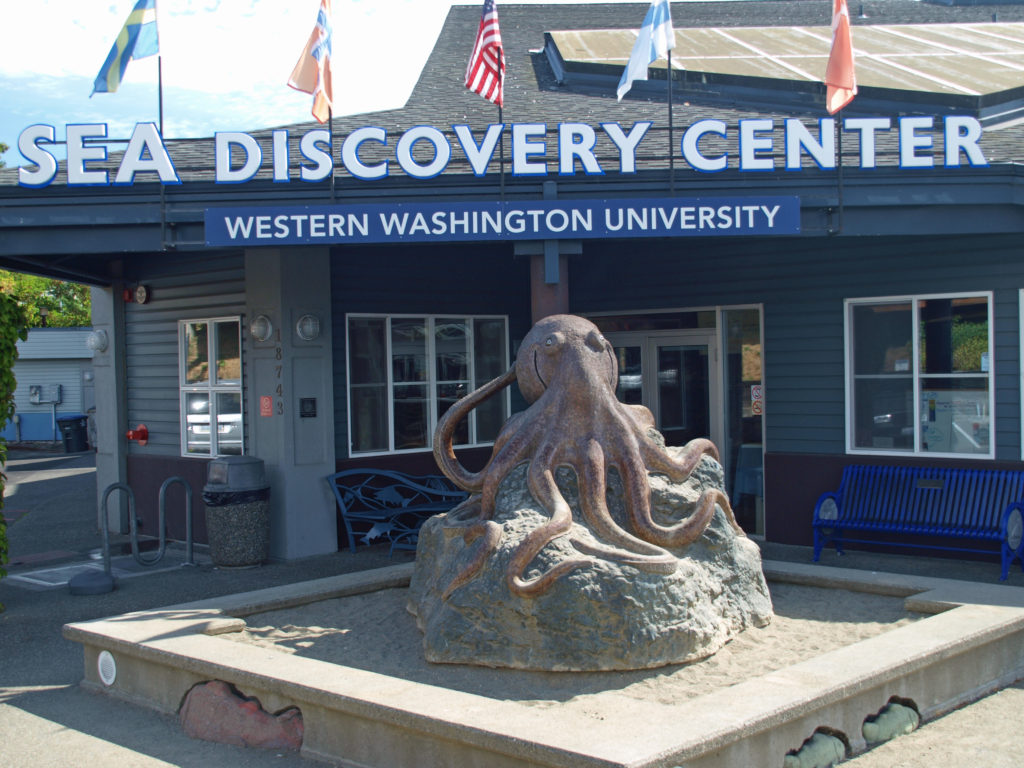 Western Washington University operates the
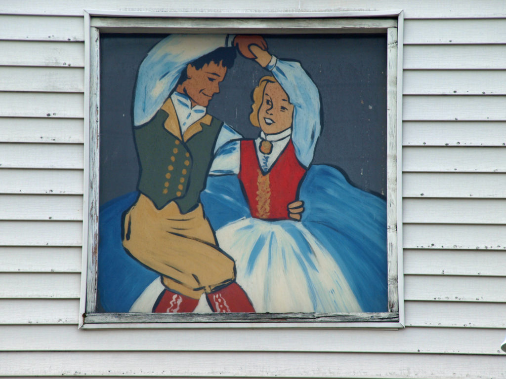
 For more information, check out the
  Originally posted October 3, 2018. Most recently updated March 29, 2023.
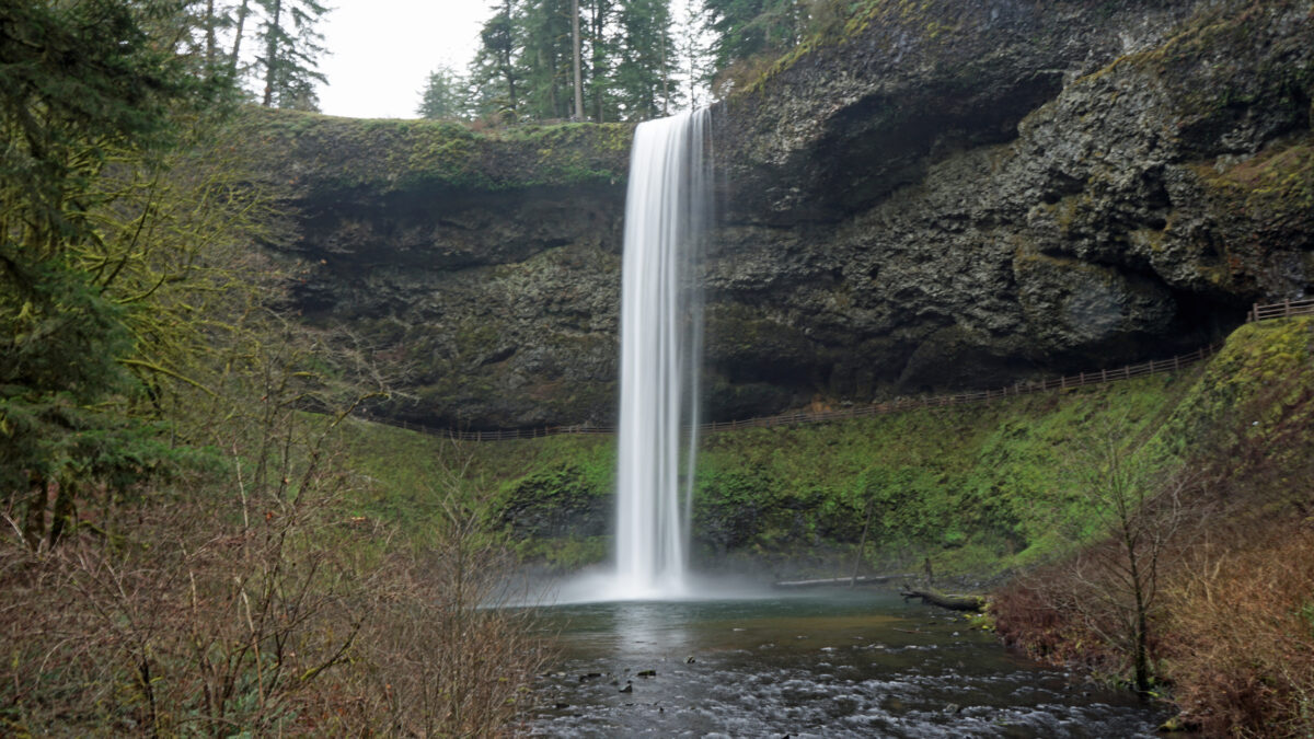
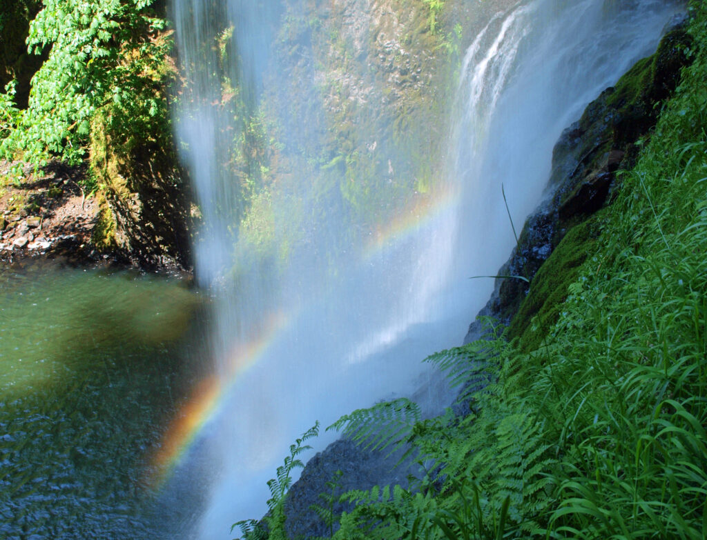
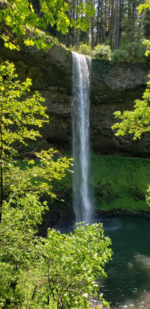
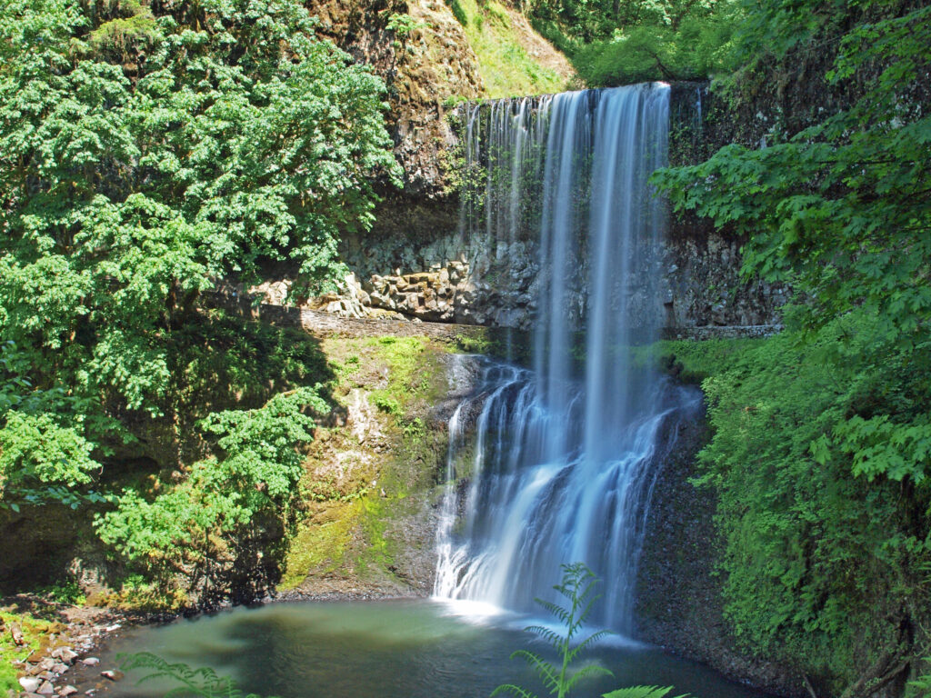
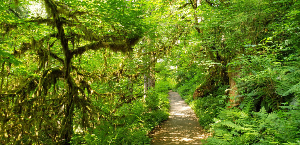
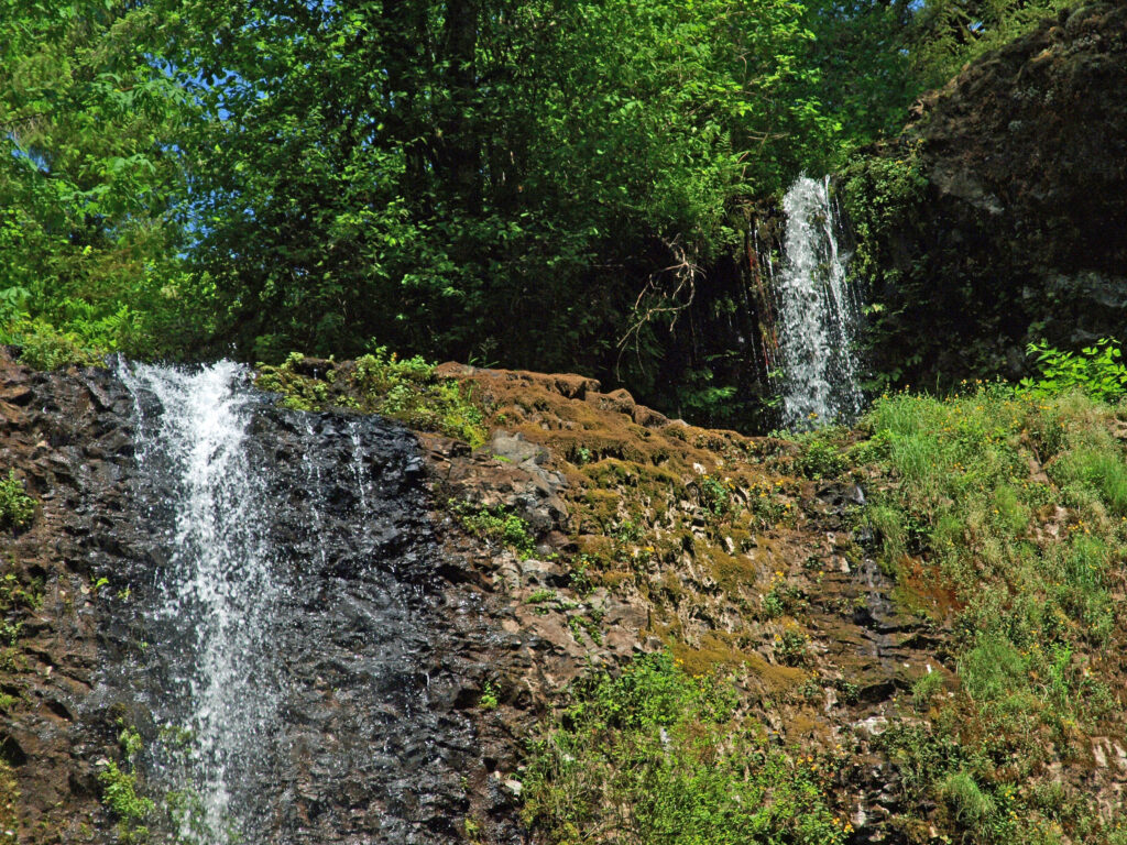
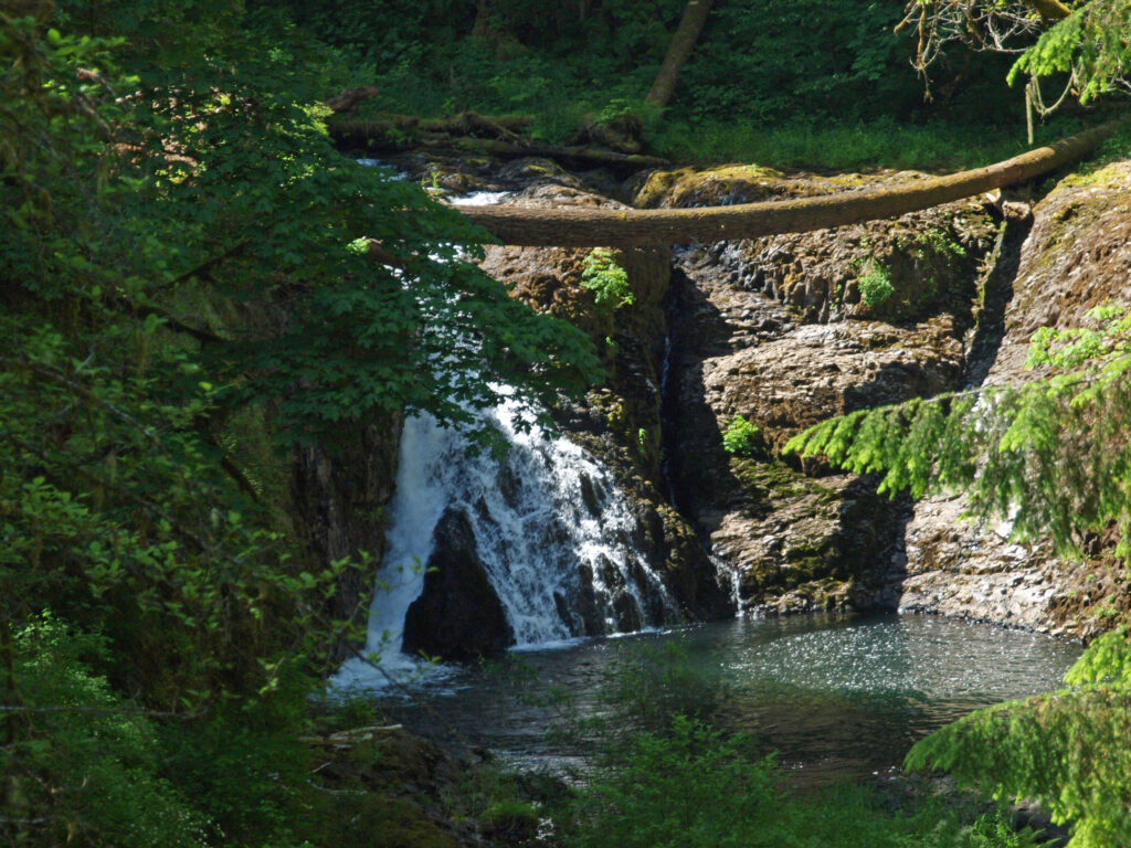
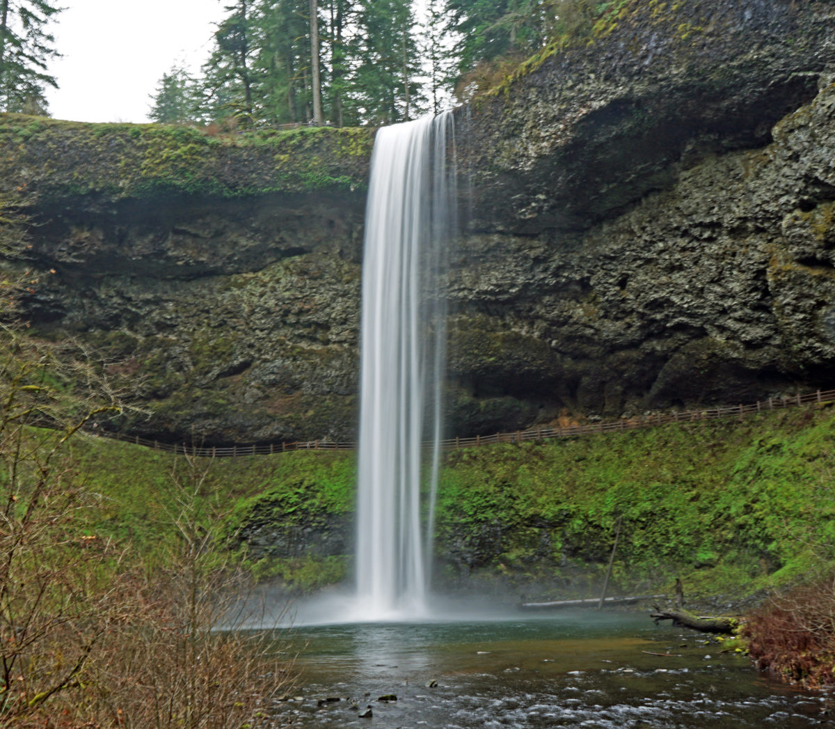
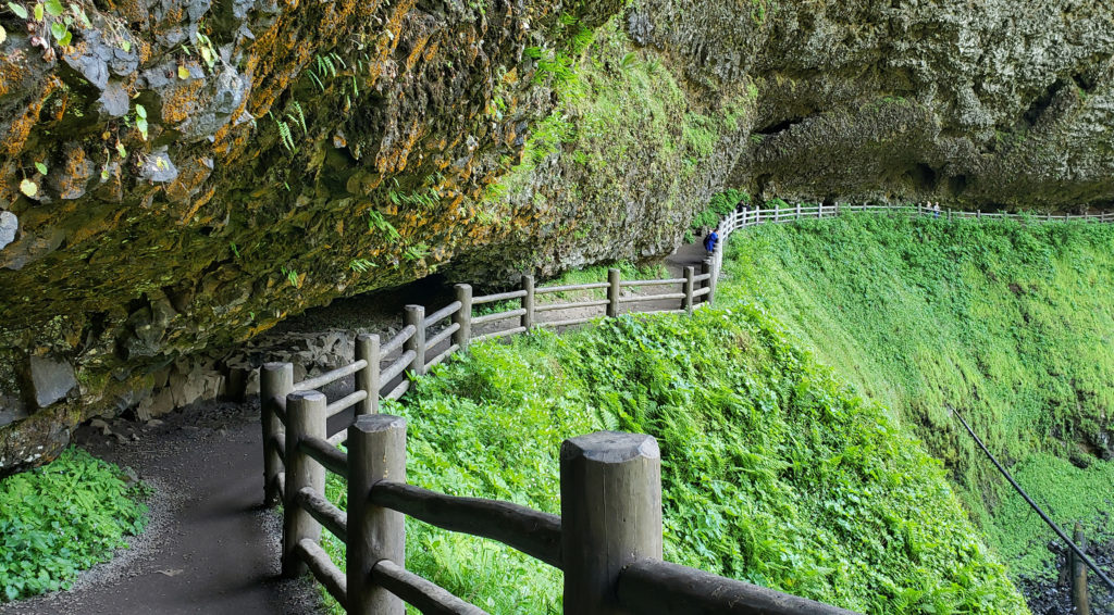
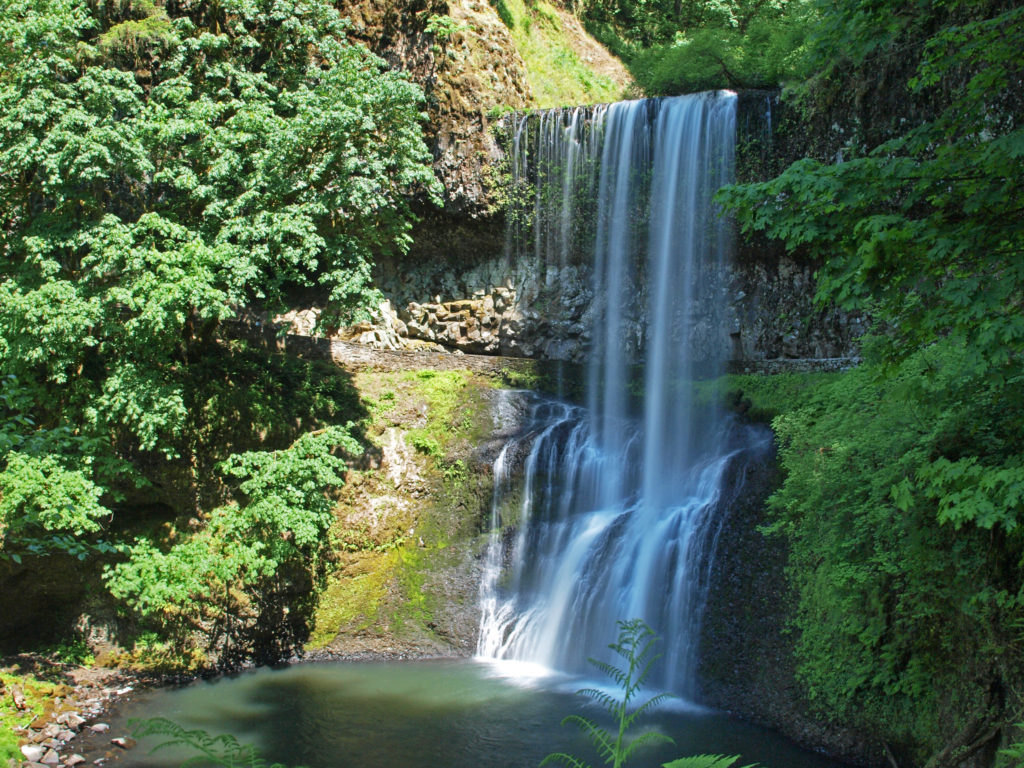
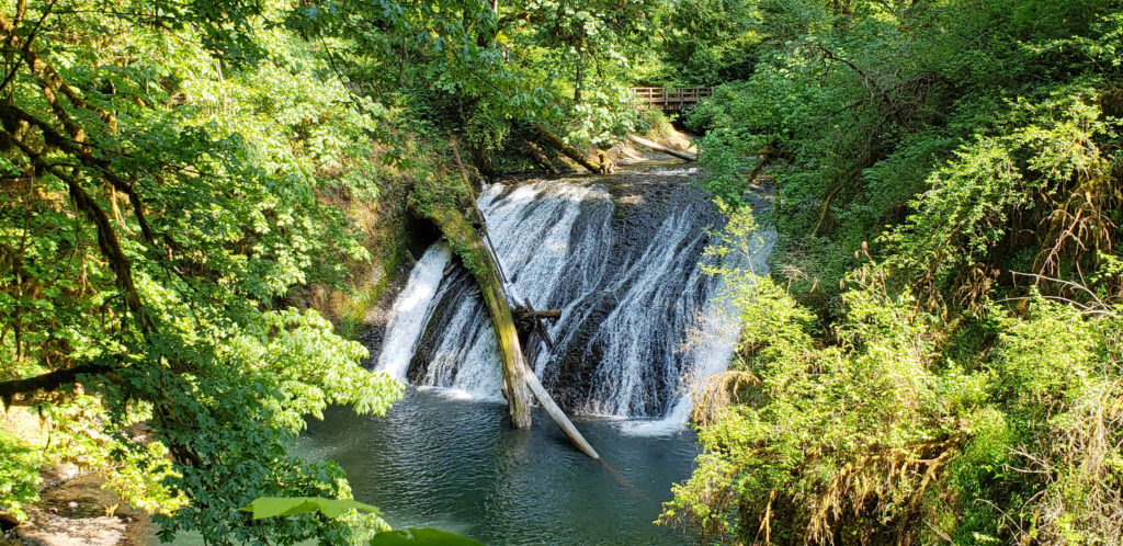
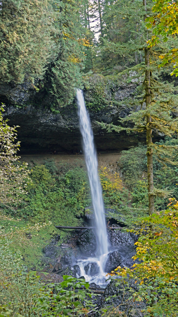
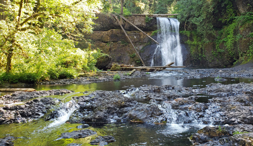
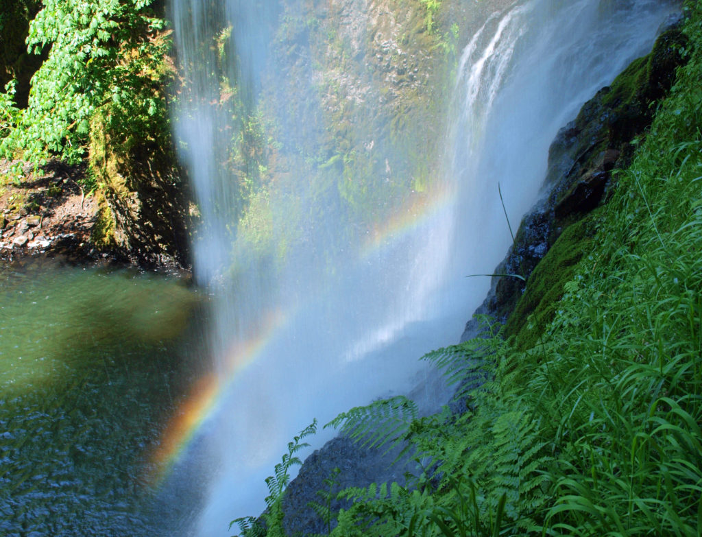
 Silver Falls was voted Oregon’s favorite state park a few years ago, and for good reason. With more than ten waterfalls, six of them more than 90 feet in height, Silver Falls is a waterfall lovers paradise. And the Trail of Ten Falls (there are actually eleven named and at least one unnamed falls along the trail) is one of the finest hiking trails in the Pacific Northwest. I don’t know of anywhere else where you can see a dozen falls on a single hike, and four of them here have trails that actually take you behind the falls.


 Other area attractions and activities:
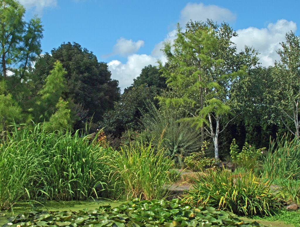
 The Trail of Ten Falls is an iconic hiking trail that every serious hiker in the state has likely done multiple times. It’s so spectacular that it alone is worth making the trek to Oregon from wherever you reside, no matter how far away that is. As an Oregon resident, I know I’m a little biased, but I don’t think I’m exaggerating here. If you’re a waterfall lover, come see for yourself. A trip to Silver Falls, combined with a visit to the waterfalls of the Columbia River Gorge will make for an unforgettable experience.
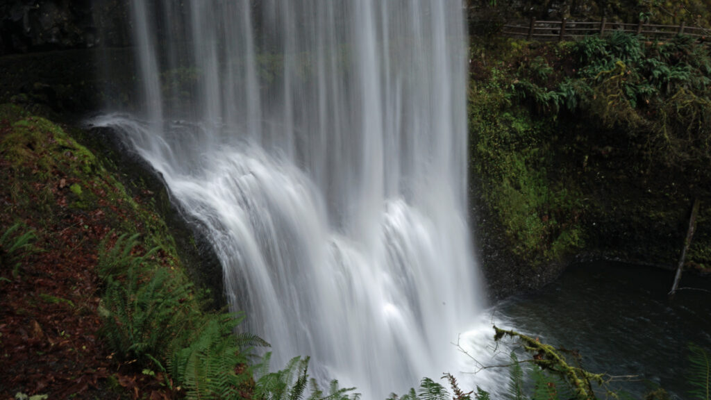
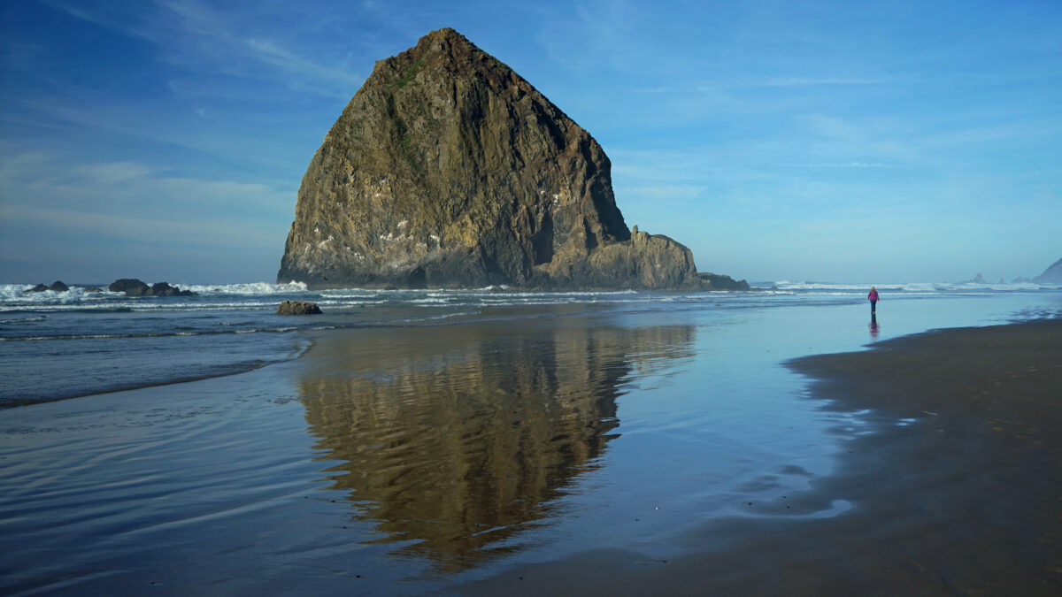
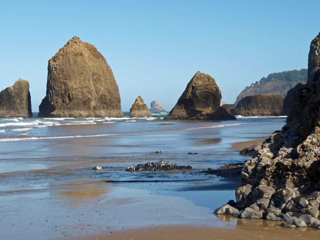
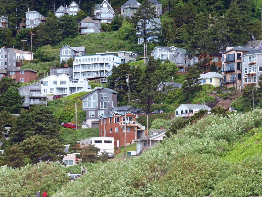
 I’ll cover four of my favorite northern Oregon coastal towns in this post: Cannon Beach, Gearhart, Manzanita, and Oceanside. They all have their own unique personality, but they all share a few things in common. They’re all small (none have more than 3,000 year-round residents), they’re all beachfront towns and the Pacific Ocean plays a big role in their culture and community, all but tiny Oceanside have an active arts scene, and you can find outstanding places to eat and drink in each of them.

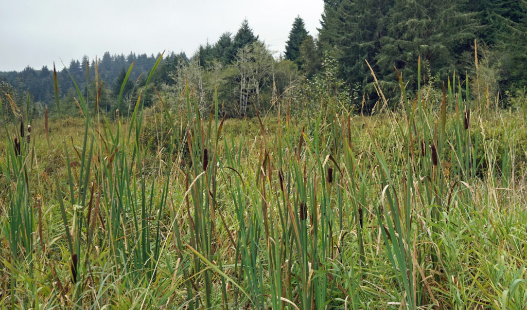
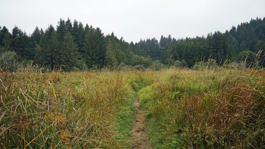

 Beyond the Snaggy Point Trail junction, the loop trail continues through the forest along the edge of the marsh to a junction with the Antler Overlook Trail, which connects to the Cooper Ridge Trail and provides another overcrossing of the upland area. The main loop trail then continues through the forest to the agricultural buildings mentioned in the winter trailhead description. Beyond the buildings walk up the service road for a couple hundred yards and look for the loop trail branching off to the left. The trail follows the edge of an open field.
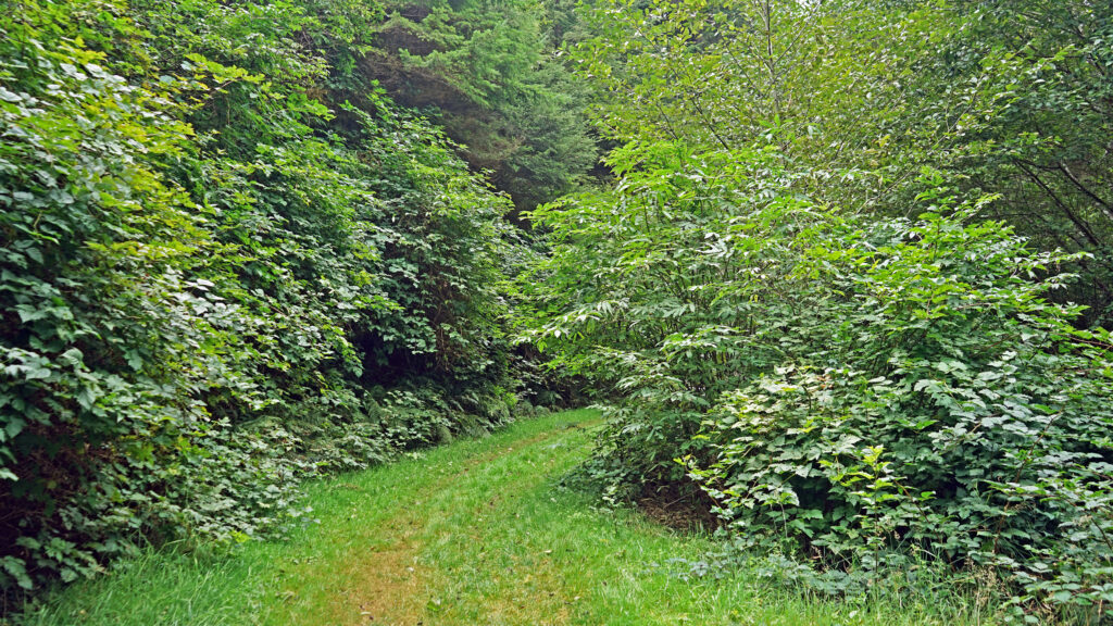
 Posted March 14, 2023 by Alan K. Lee
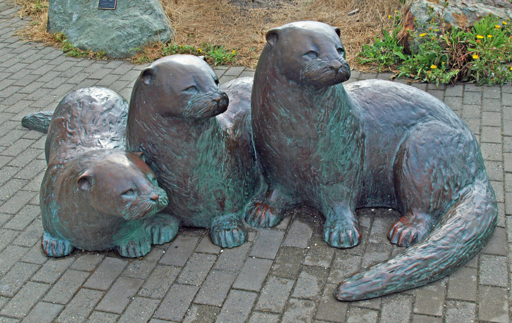
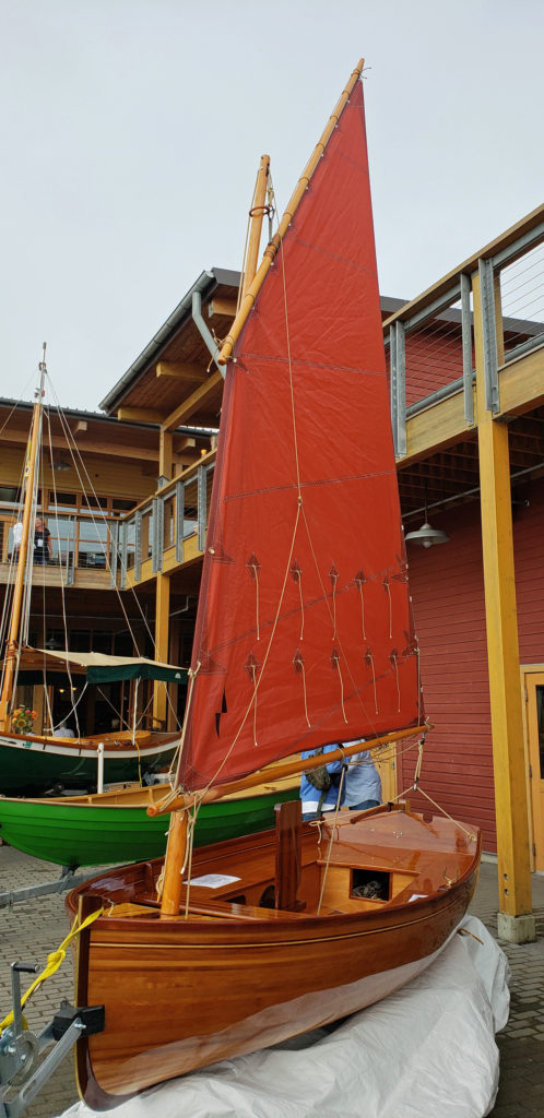 Wooden sailing ships were key to the town’s early economy and history, and the boatbuilding and woodworking crafts live on in Port Townsend. The Northwest School of Wooden Boat Building in nearby Port Hadlock and the Port Townsend School of Woodworking help preserve and promote the skills that were so vital to the early history of Port Townsend.
 more than a dozen fine art and craft galleries can be found in the historic waterfront section of town.
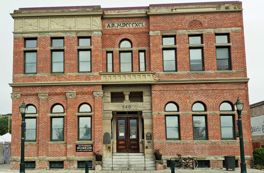
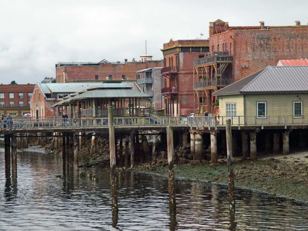
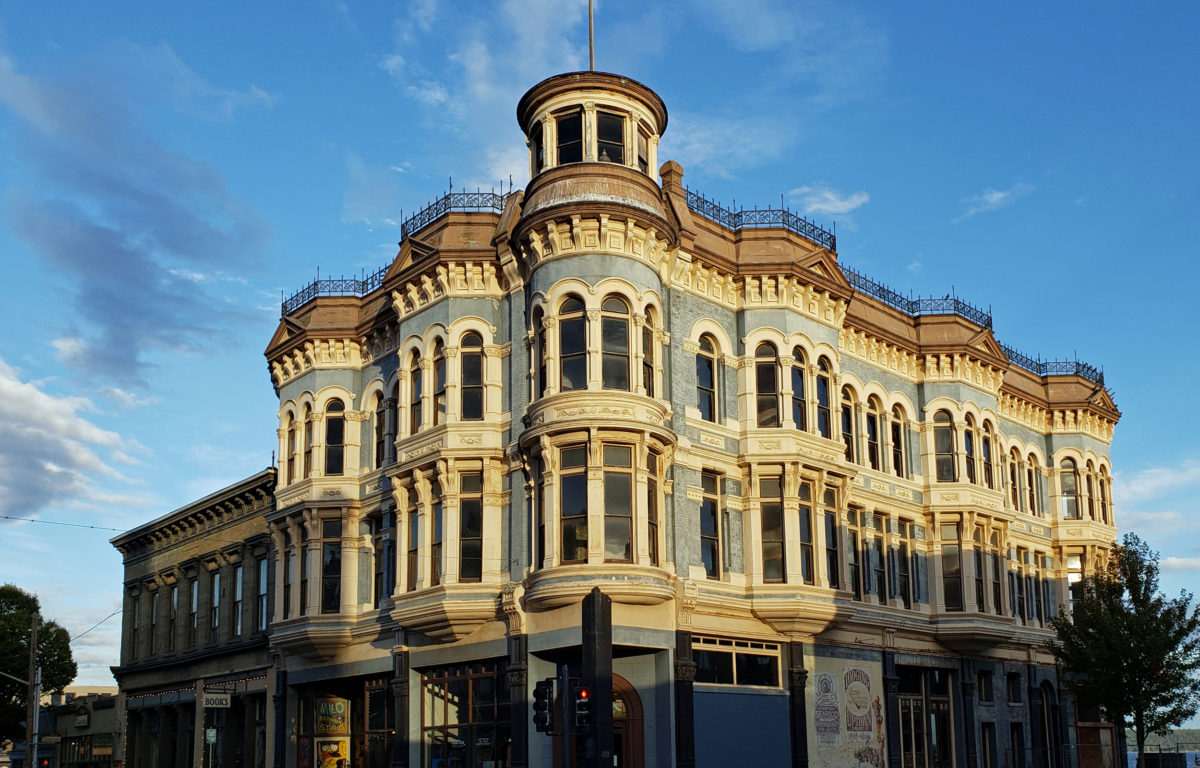
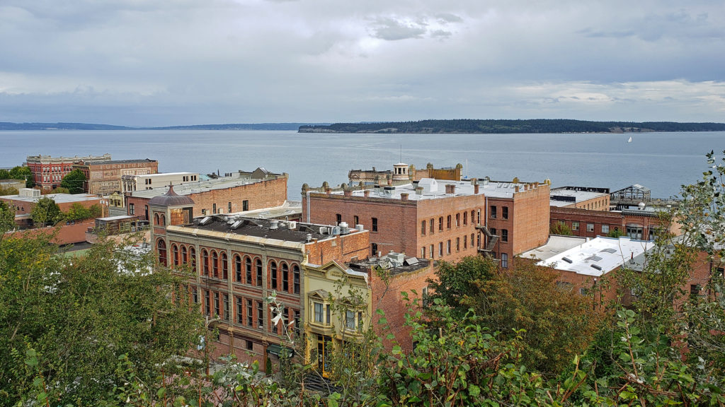
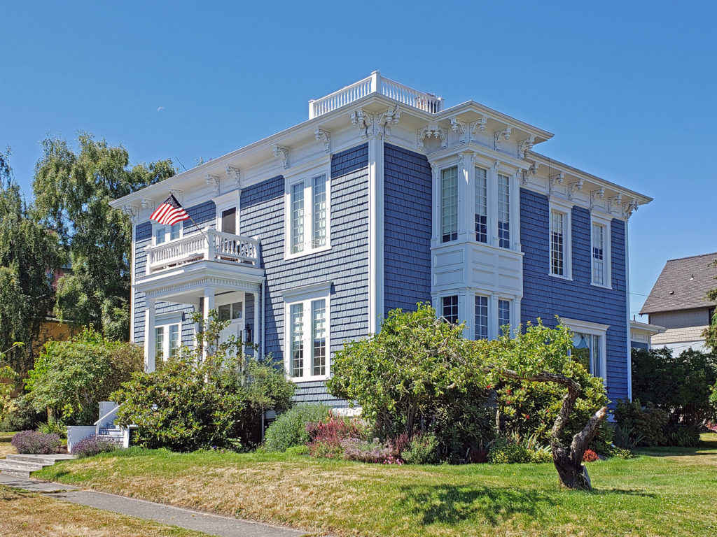 Take a walk along Water Street. It’s not hard to imagine what the town was like 130 years ago because most of the buildings you see today date from that period. Venture up to the bluff above the waterfront and you’ll find many Victorian era homes, most of which have been well preserved or restored. If you visit in the summer months you can tour the
 Even if you’re not interested in the town’s history, its maritime traditions, or the arts, Port Townsend is still worth visiting, if only to take in its beautiful setting and indulge in its food and drink scene.
 On the food side, Owl Spirit Cafe is a good place to grab a sandwich or burrito for lunch. If you have pizza in mind, try Waterfront Pizza. My go to spot for breakfast and lunch is
  My wife and I stayed at the Water Street Hotel on our most recent visit, recently renamed the
 Originally posted November 20, 2020. Updated and re-posted January 12, 2023.
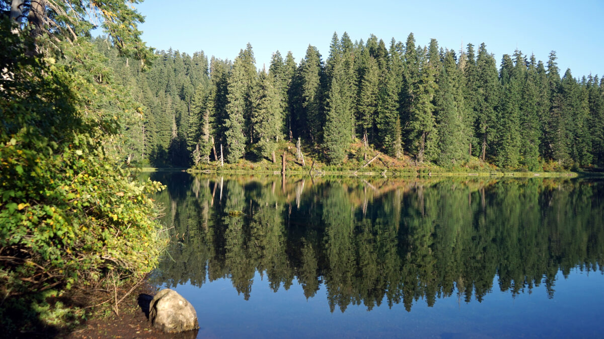
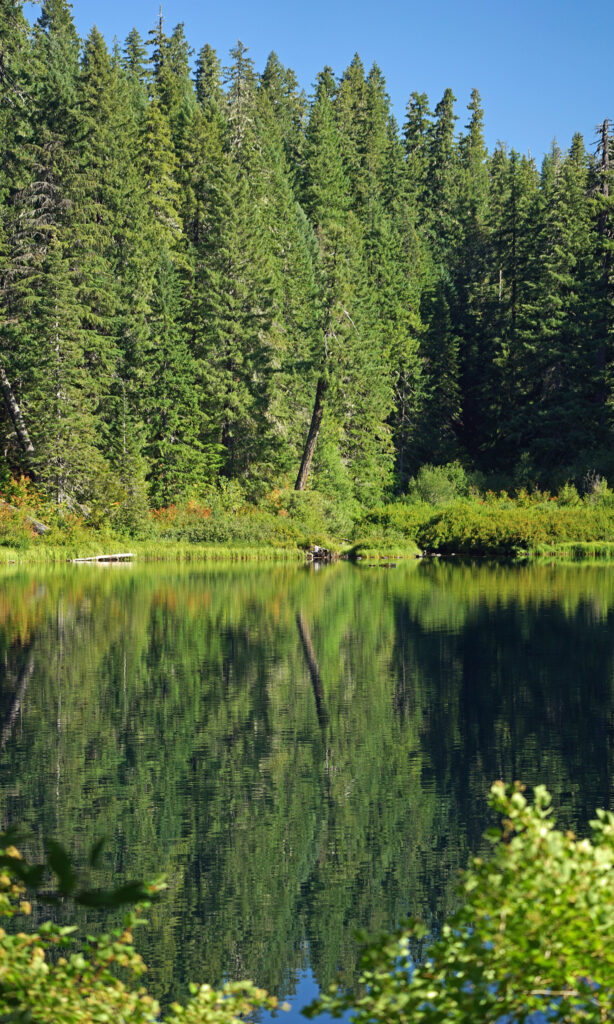
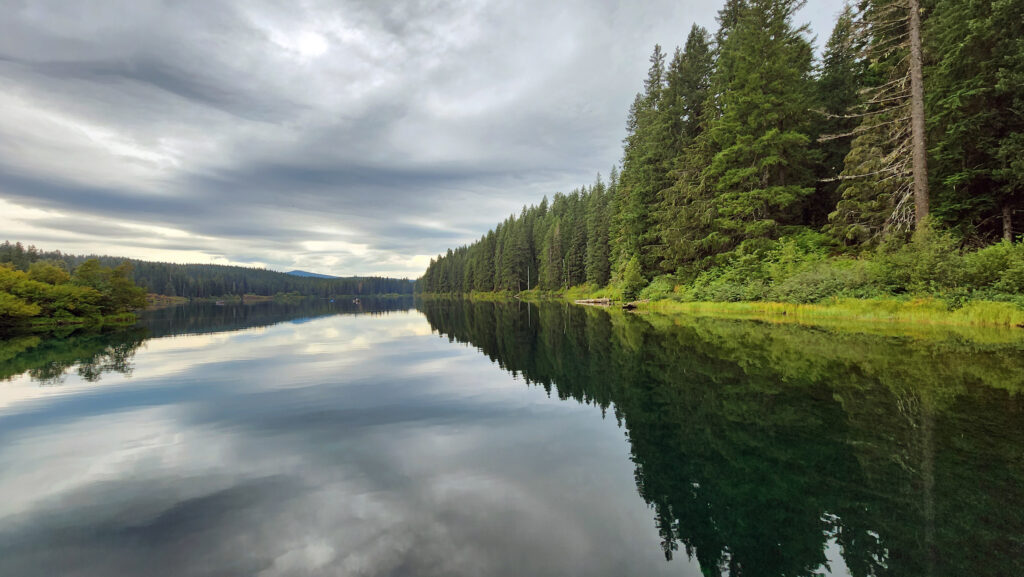
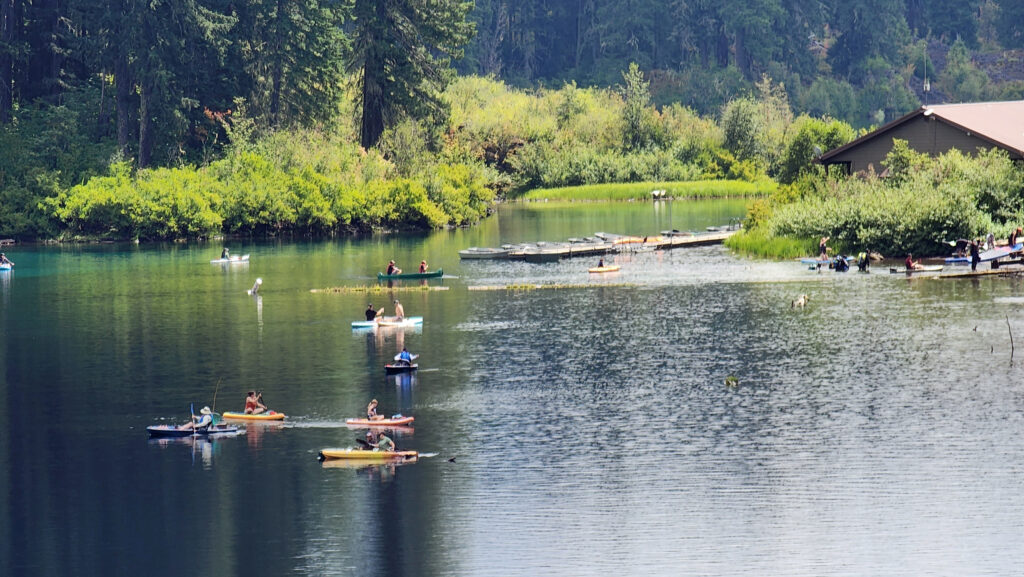
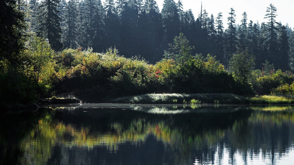
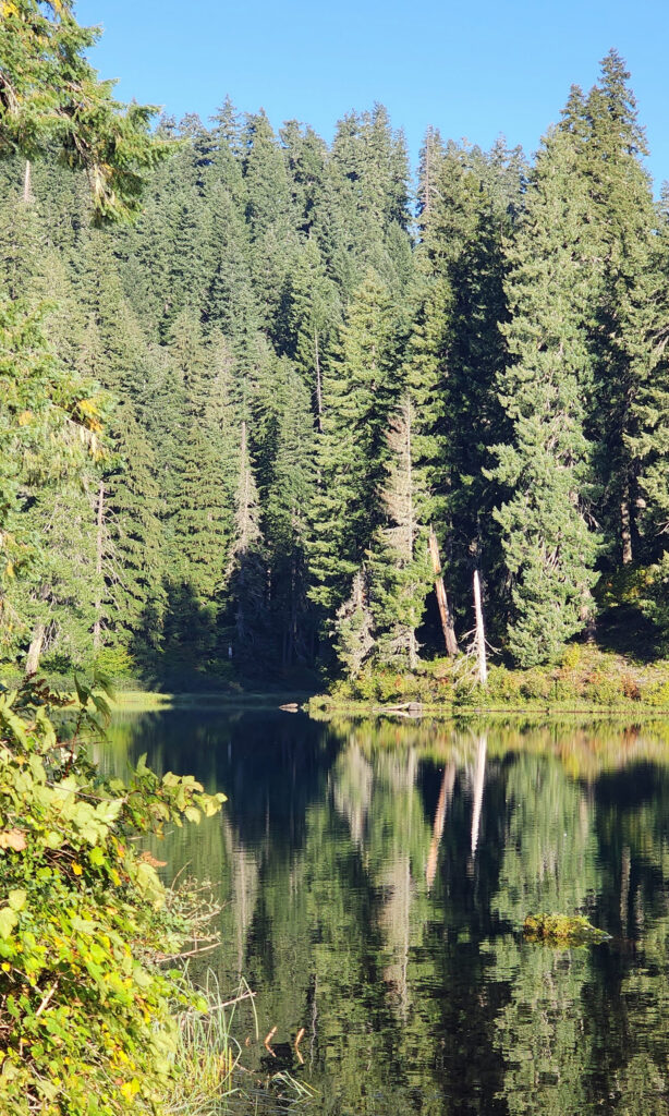 Clear Lake offers the outdoor enthusiast a number recreational options, including hiking, fishing, paddling, or just taking in the views and soaking up the beauty and peacefulness of nature.
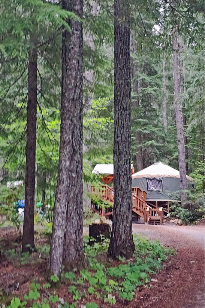
 My wife and I have taken short vacations at Clear Lake a couple of times in the past couple of years, most recently in August 2024. Both times, we stayed in one of the cabins at
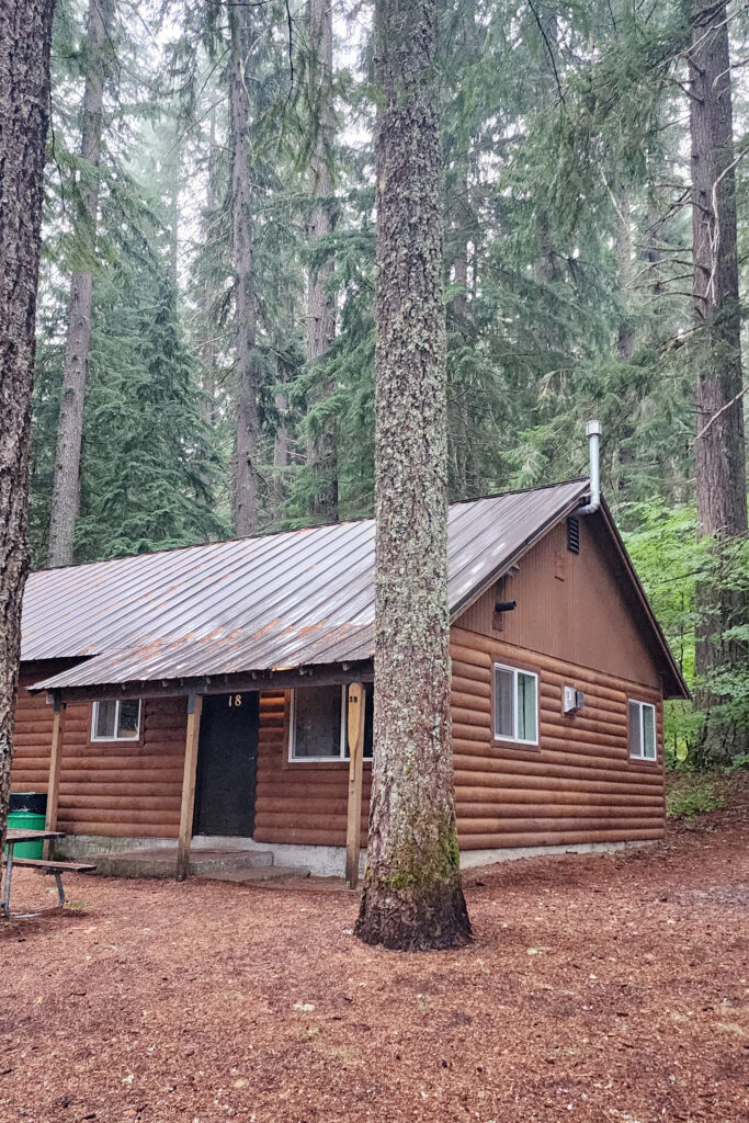
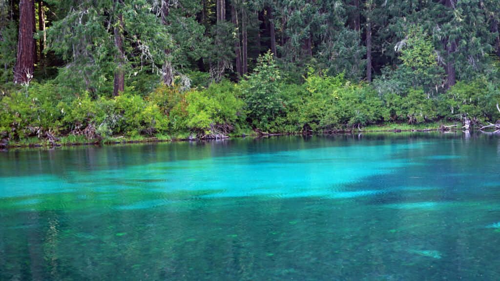
 The Clear Lake and upper McKenzie area is one of the most scenic and most interesting parts of the Cascades, and offers a number of other hiking options besides the Clear Lake Loop. The 2.6-mile
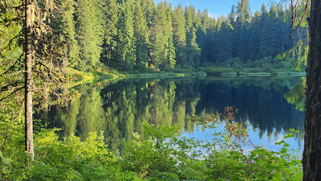

 You can take in Clear Lake and do the Waterfall Loop in a weekend. Make it a long weekend and add the Blue Pool hike or spend a day out on the lake. Better yet, make a week of it and check out Fish Lake, the Santiam Pass and McKenzie Pass areas, and the lower McKenzie River. You won’t run out of things to do.
 The nearby
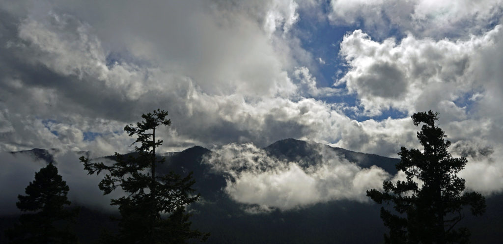
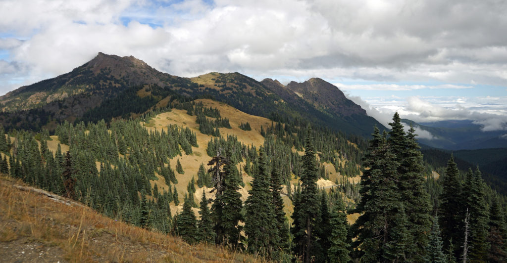 After our hike to Sol Duc Falls we drove to the Hurricane Ridge Visitor Center to do some more hiking and sightseeing. The visitor center is located 17 miles south of Port Angeles at an elevation of 5242 feet above sea level. Hurricane Ridge is the only alpine area in Olympic National Park accessible by car, which makes it very popular and means it can be very crowded, especially on summer weekends. We were there in the middle of the week in late September, though, so crowds weren’t much of an issue.
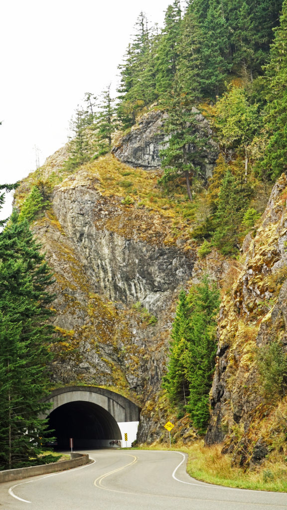 The Hurricane Ridge Road is paved, but winding with poor sight lines and several tunnels. It is also a popular challenge for cyclists because of the elevation gain, so go slow and watch for bicycles on the road.
 Originally posted November 7, 2020. Updated and re-posted November 9, 2022.
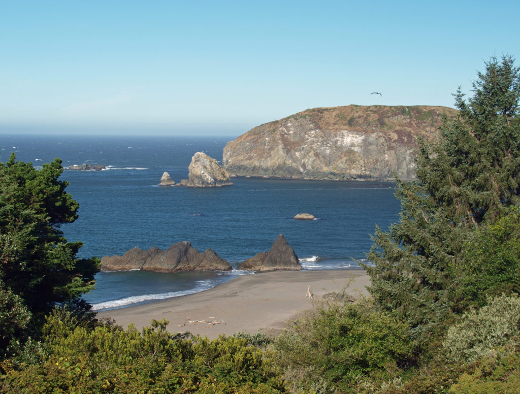
 The towns of Brookings and Gold Beach that bookend this stretch of the coast aren’t the main attractions here, but they’re both worth spending a little time to explore at the end of the day. Brookings is the bigger town, with more to see and do. Gold Beach is smaller and quieter, with more of a lost-in-time vibe. Both have decent dining options. If you’re ending your day in Brookings, try Black Trumpet Bistro, Superfly, or Oxenfre Public House for dinner. Chetco Brewing Company has a good selection of beers and there’s a vegan food truck there. In Gold Beach, try Barnacle Bistro, Port Hole Cafe or The Crow’s Nest.
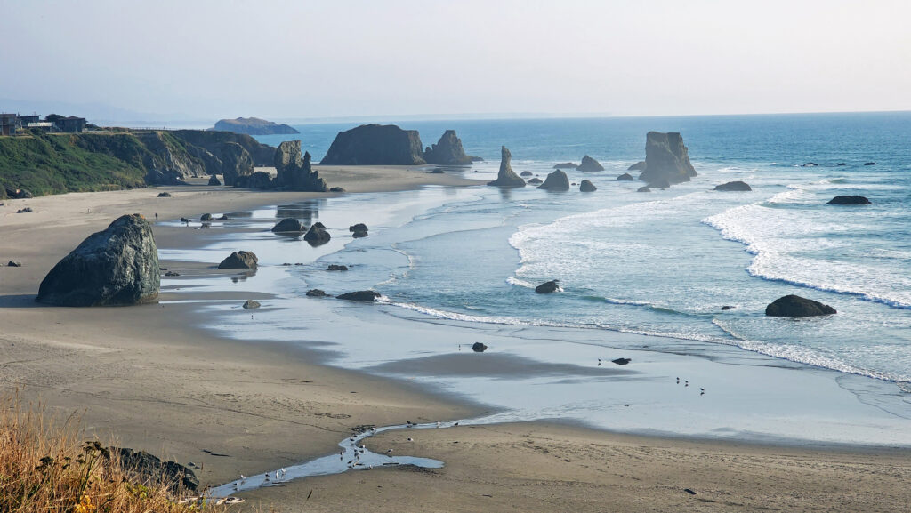
 History
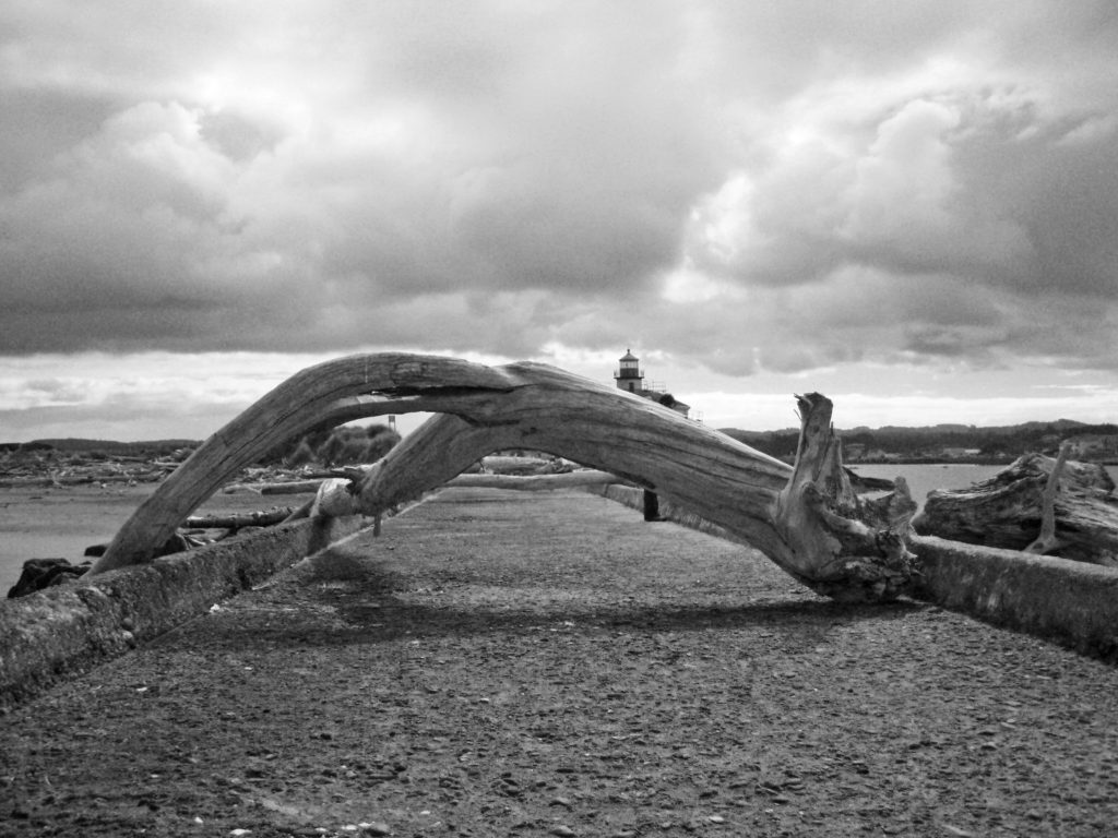 One of the things Lord Bennett brought to Bandon from Ireland was gorse, a thorny, thick growing plant with bright yellow flowers. In Ireland it was used for privacy hedges and property boundaries because it is almost impenetrable. In Oregon it went wild and was one of the state’s first invasive plants. Besides being thick and thorny, it is also a very oily plant and burns readily. In 1936 a small forest fire started from a slash burn that got out of hand, spread to the gorse near the town, and then to the town itself, destroying all but 16 of the 500 structures in the town. The fire decimated the community and all but ended shipping to and from the harbor.
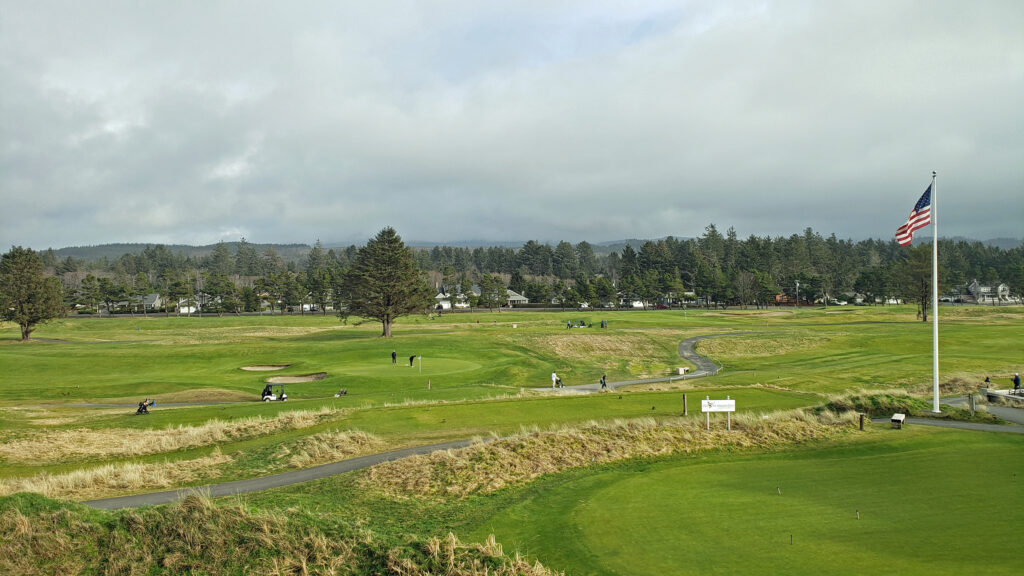
 In my youth, Bandon was primarily a mill town, with fishing and agriculture secondary industries. Today, the lumber and plywood mills are long gone. There is still a small fishing fleet that operates out of the harbor, Bandon is still one of the leading cranberry producing areas of the country, and dairy farming is still an important component of the economy. But it is tourism that drives the economy today. The three main tourist draws are the beaches, Bandon Dunes Golf Resort, and the old town section of Bandon.
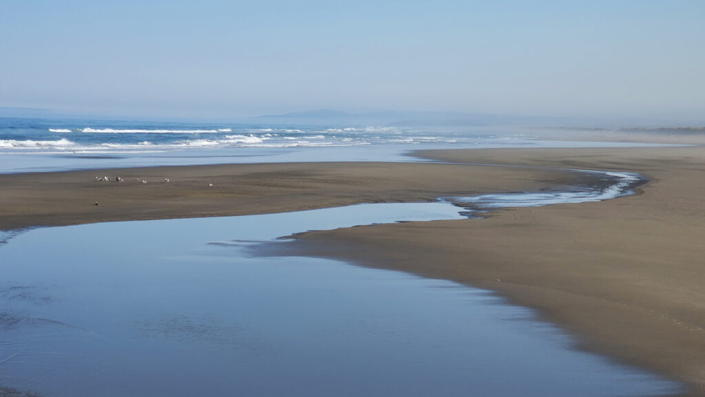 The Beaches
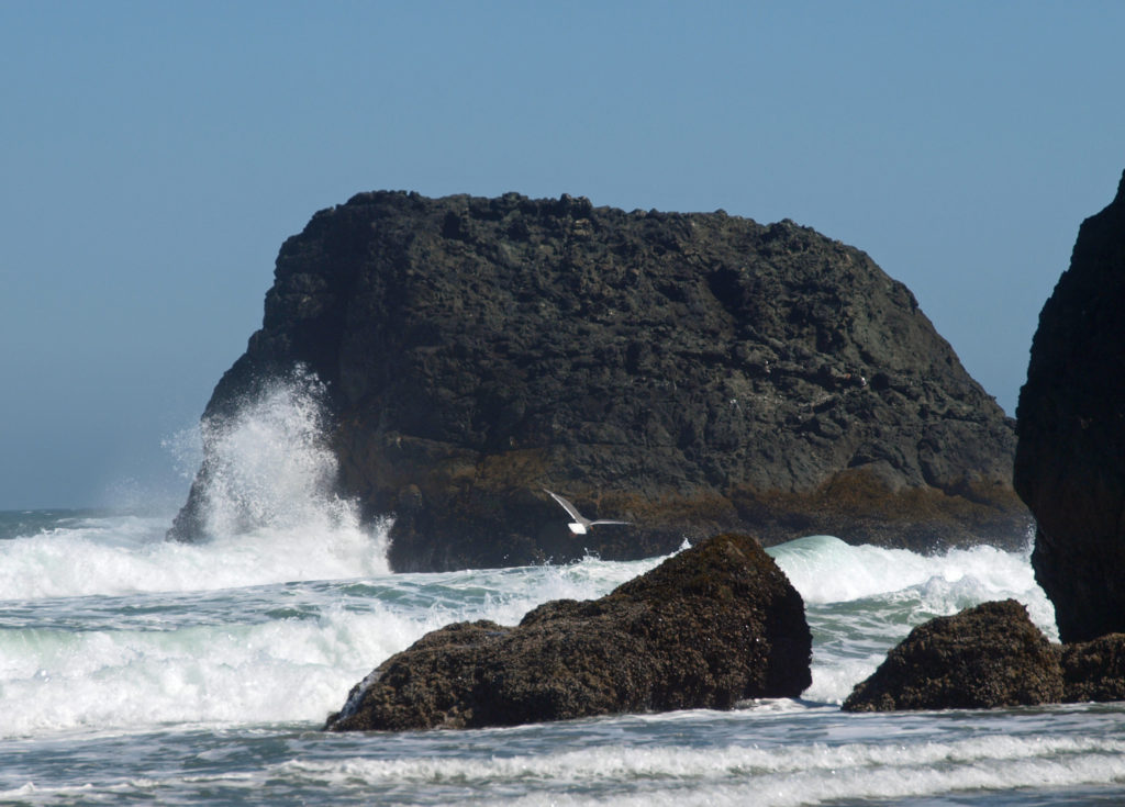
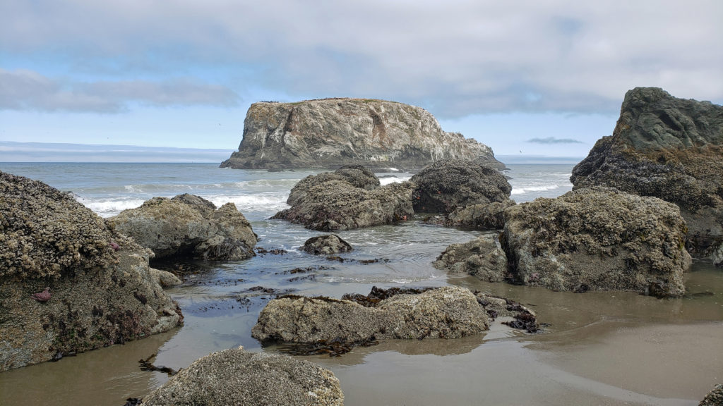
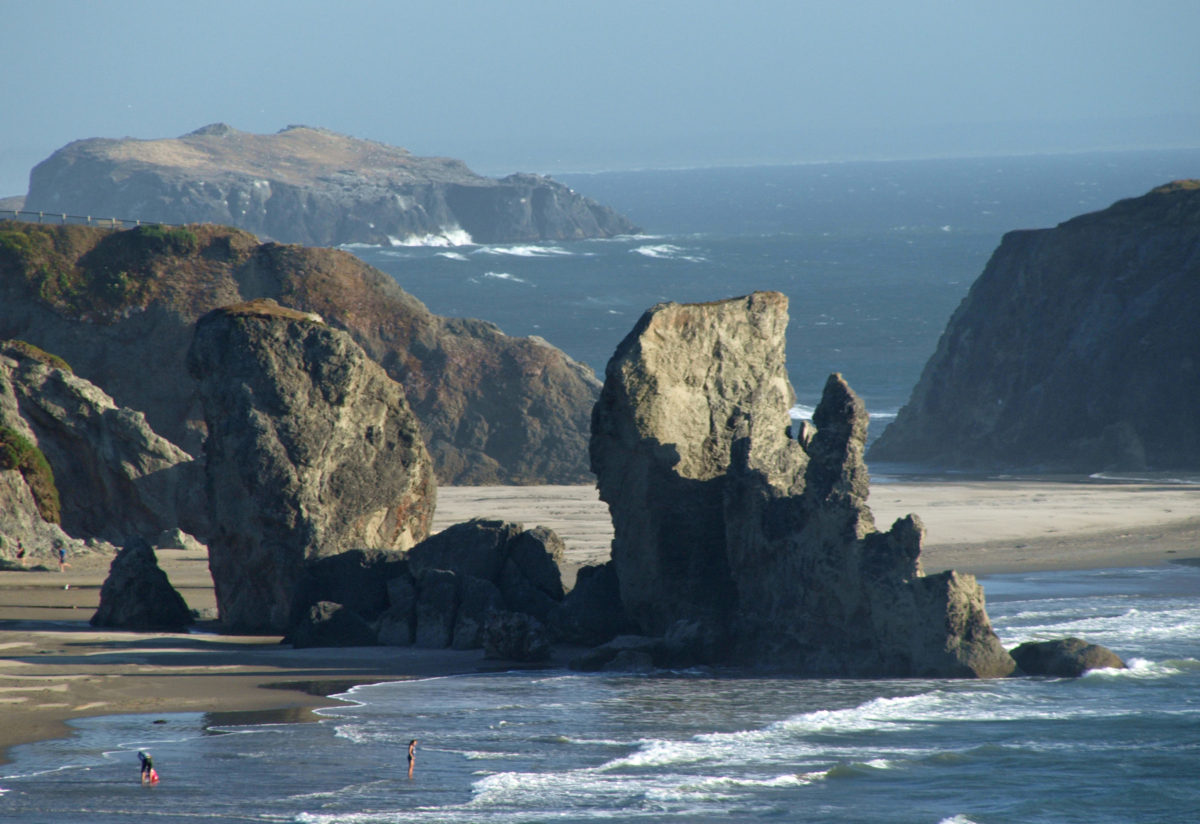
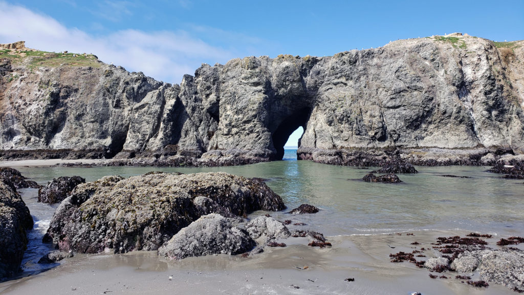 Access can be had from the south jetty area, from the wayside at the end of 11th Street, and from Face Rock State Scenic Viewpoint on the Beach Loop Road. Farther south on the Beach Loop Road are other beach access points at Devils Kitchen and Bandon State Natural Area.
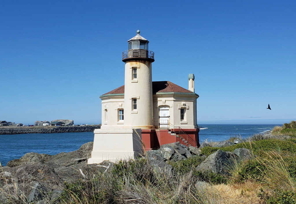
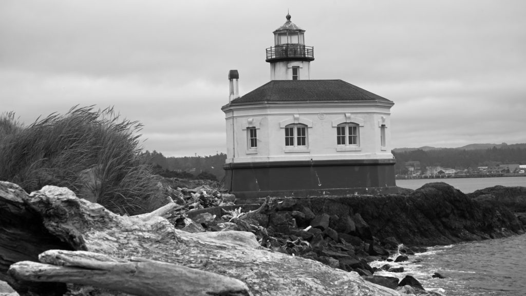 In 1939 the Coast Guard took over the lighthouse and deemed it unnecessary. The lighthouse was replaced by an automated light on the south jetty. The lighthouse sat abandoned for 24 years until it became part of the new Bullards Beach State Park in 1963. It was another 13 years before renovation of the lighthouse began, but it finally opened to the public in 1979. In 1991, during Bandon’s centennial celebration, a solar powered light was installed, ending the Coquille River Lighthouse’s 52 years of darkness. Further renovation of the lighthouse was done in 2007. The bottom floor of the lighthouse is staffed by volunteers and open to the public, but the tower and the light are not.
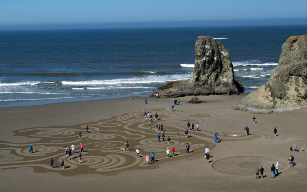 Circles in the Sand
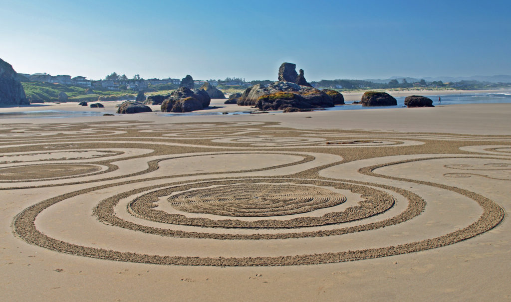 The
The 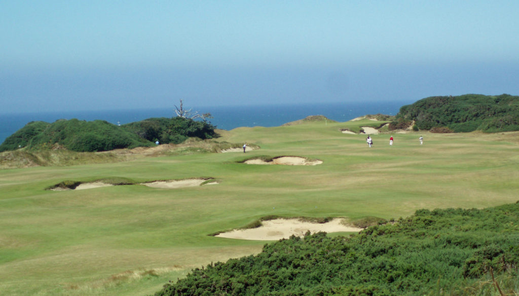
 All of the Bandon Dunes courses are consistently rated in the top 100 courses in the United States, and the 13 hole par three course, Bandon Preserve, is a challenge in itself. A few miles south of town,
 Good eats abound in Old Town. Start your day at Bandon Coffee Cafe or Bandon Baking Company. Stop at
  Accommodations
 There is a campground at
 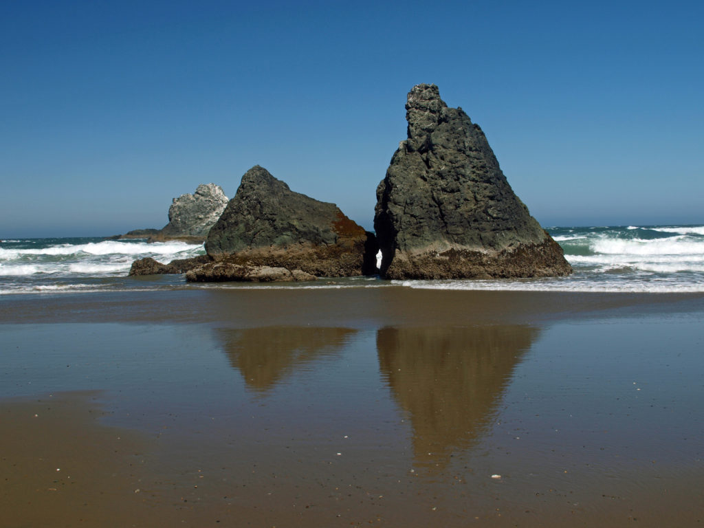 Getting There
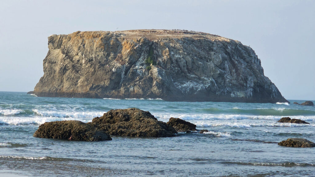 Consider combining a visit to Bandon with a drive south along the spectacular
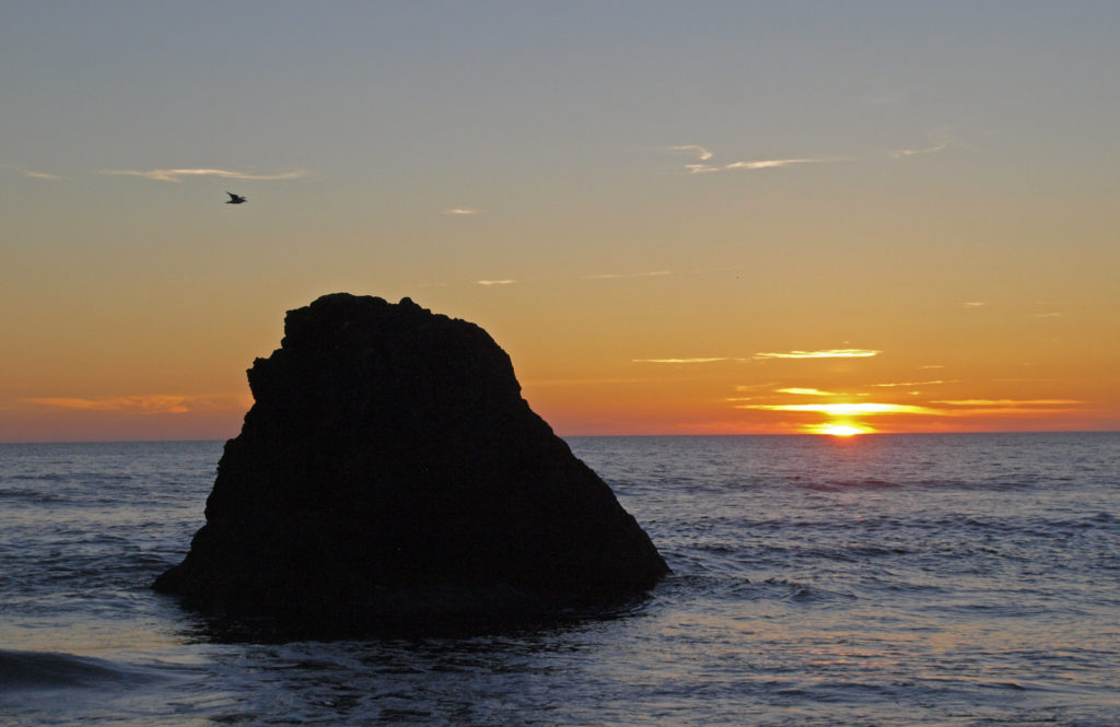


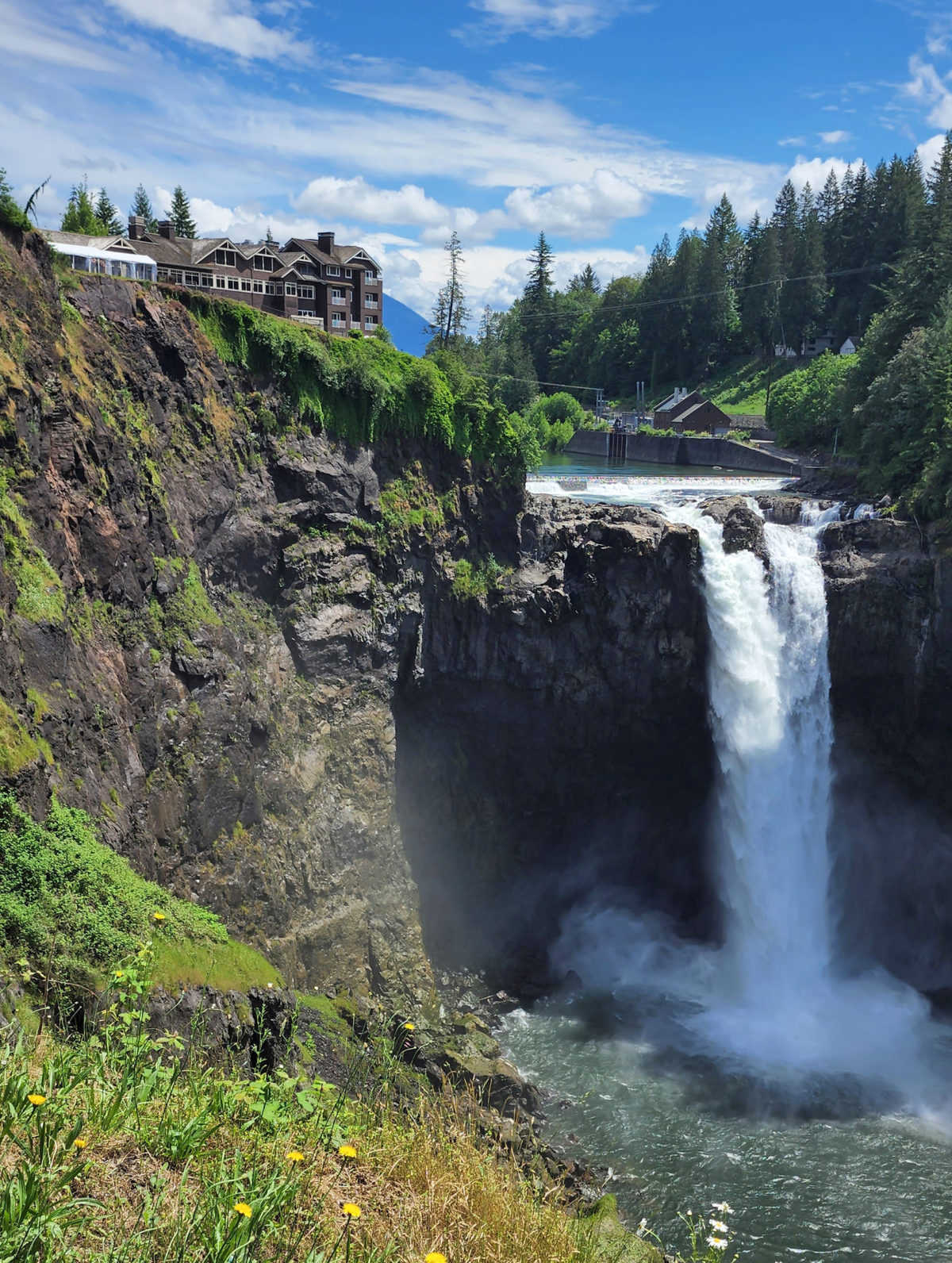
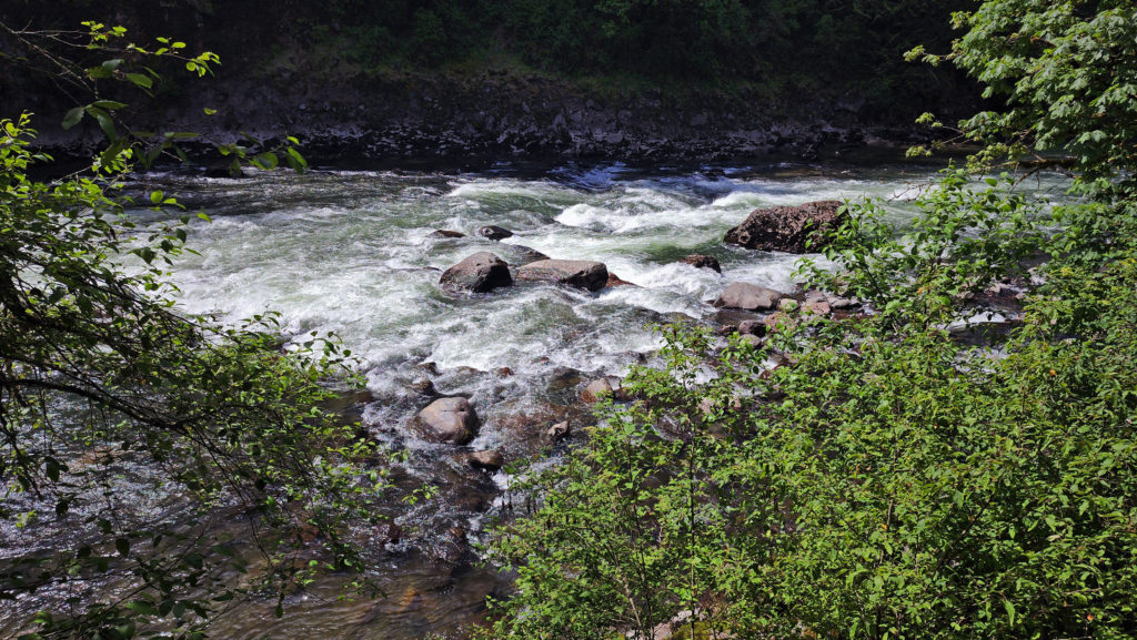
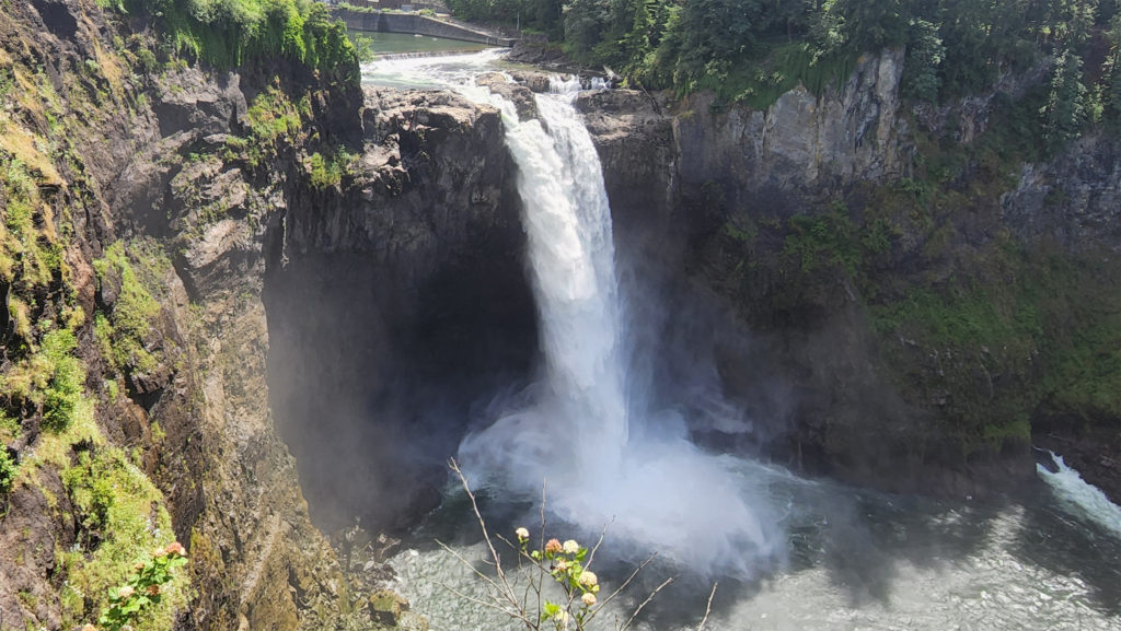
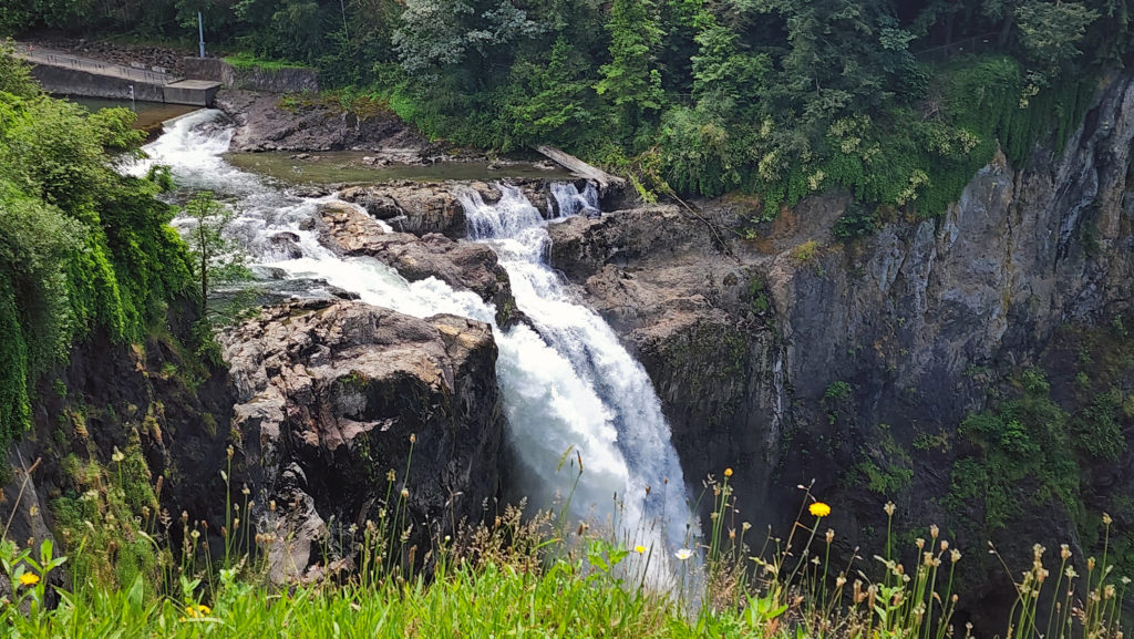
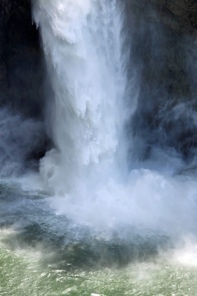
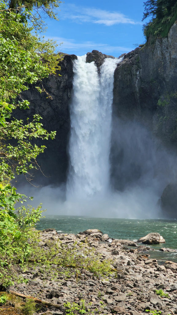
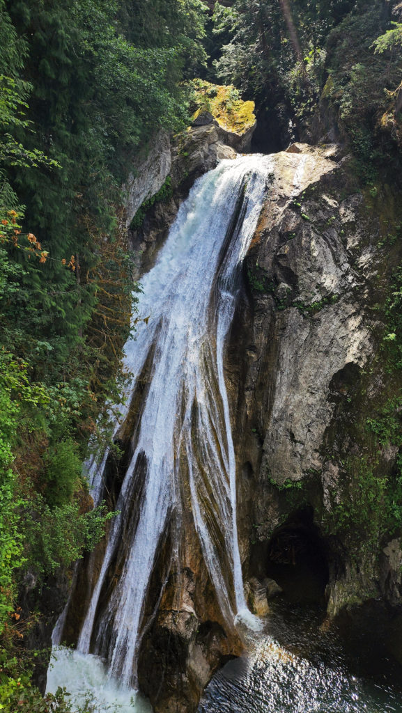
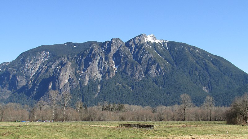
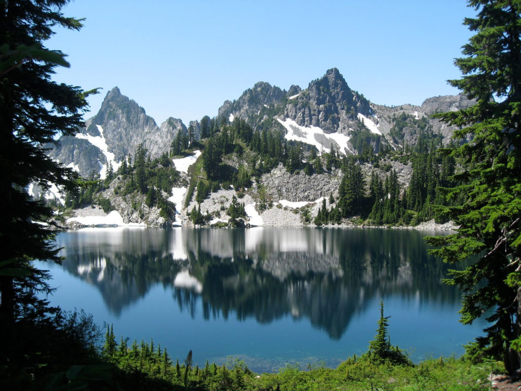
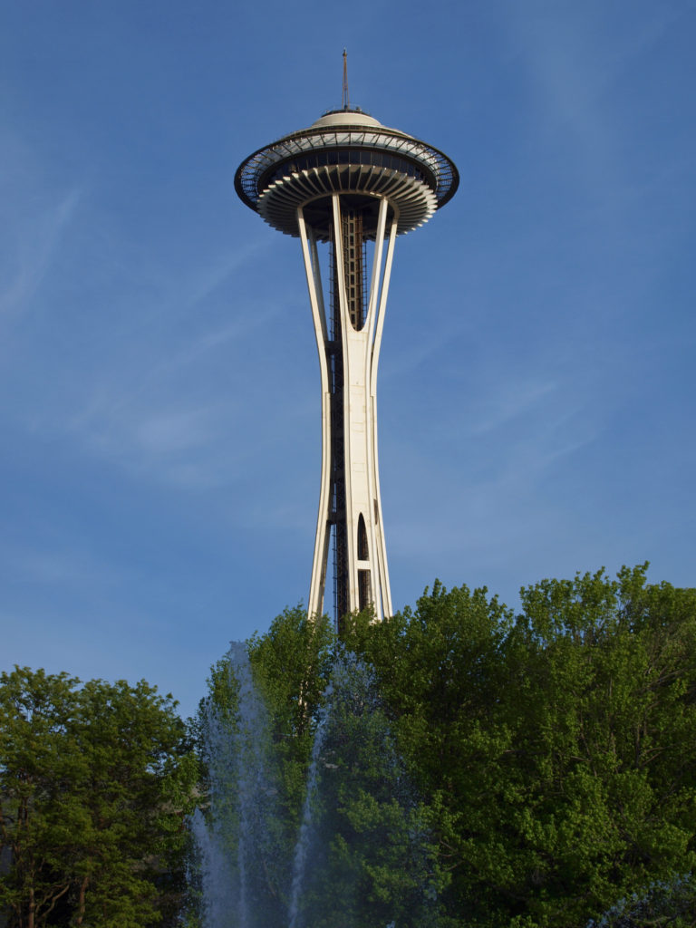
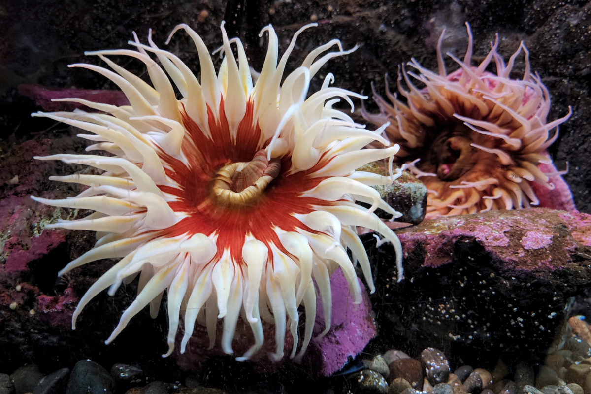

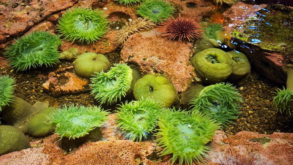

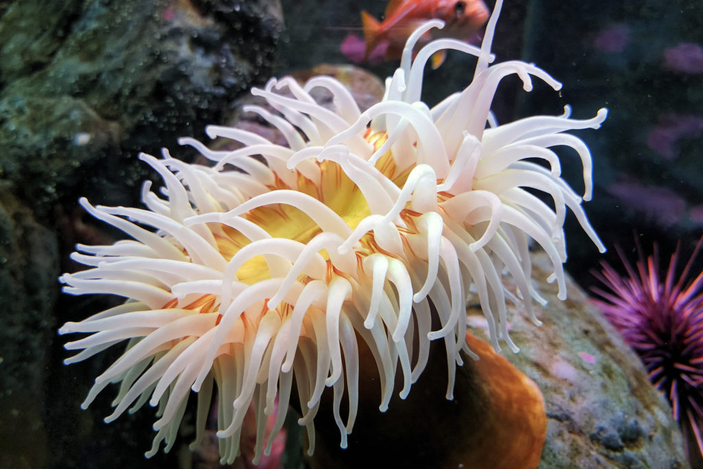
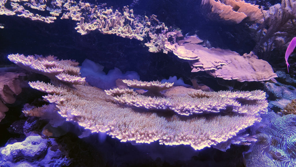


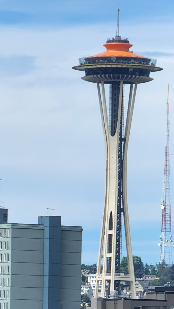 My wife and I spent the recent Fourth of July weekend exploring Seattle and vicinity with my step-daughter and her family. The grandkids had a great time at the aquarium, riding the Great Wheel and the Monorail, and seeing the sights from the top of the Space Needle. Seattle is truly a great place for the whole family. And the environment surrounding Seattle, both terrestrial and marine, is beautiful and often awe inspiring. Look for an upcoming post on this site on the Snoqualmie Valley, just a short drive east of Seattle. The abundance of close at hand natural areas perfectly balances the urban environment, making a visit to Seattle an even more attractive trip for everyone.
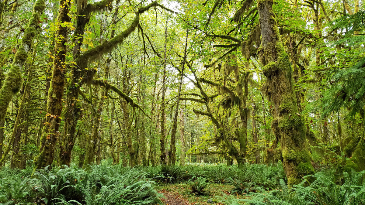
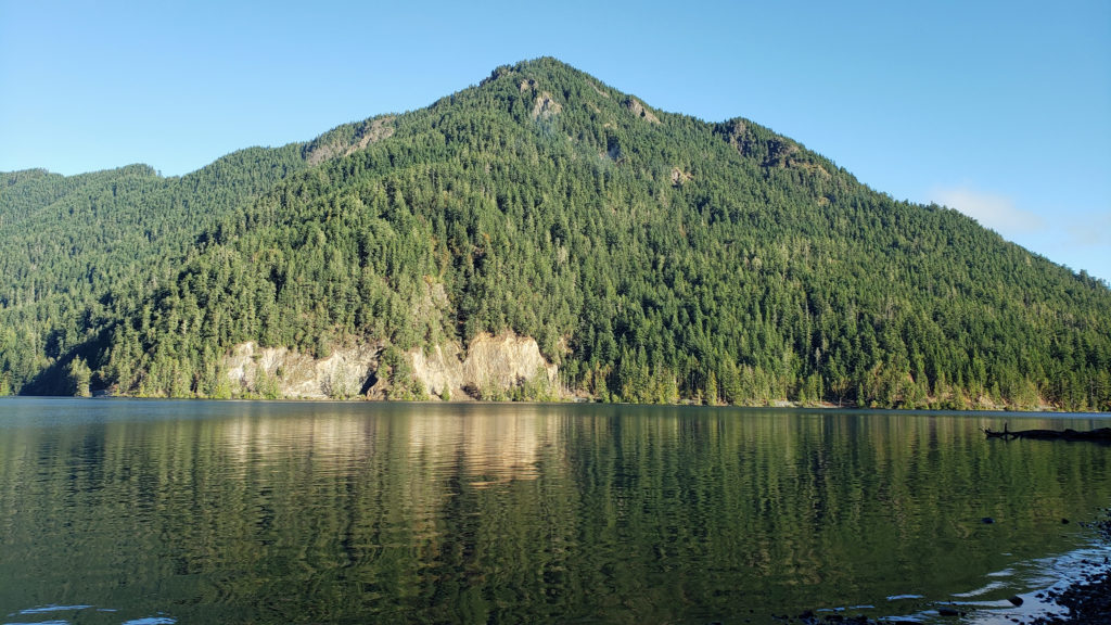
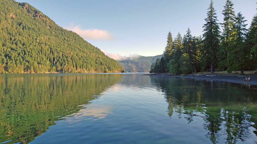
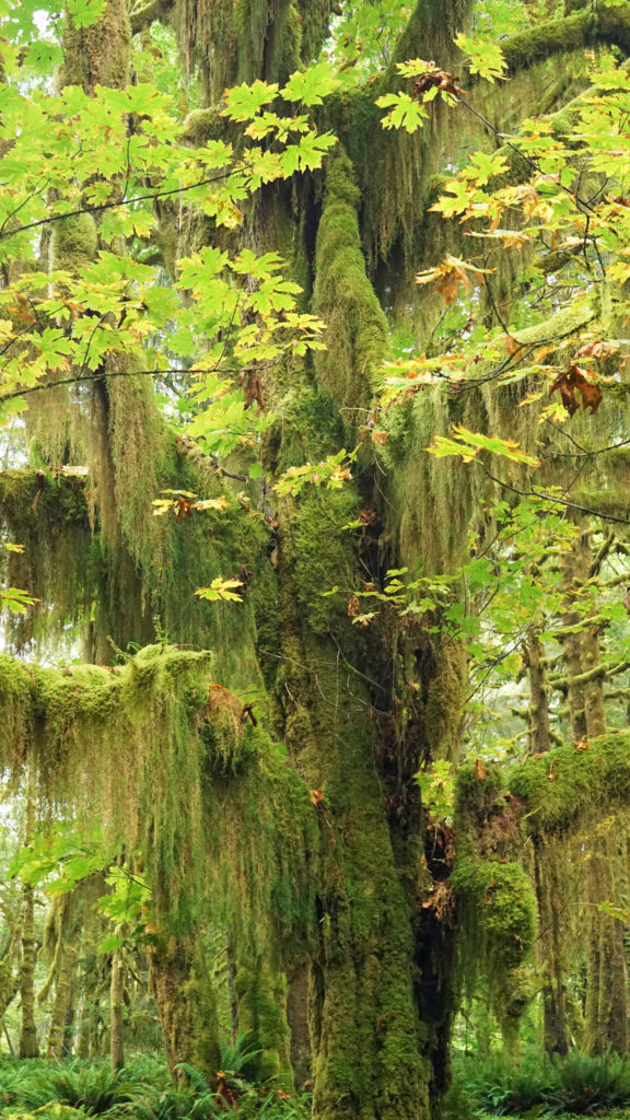
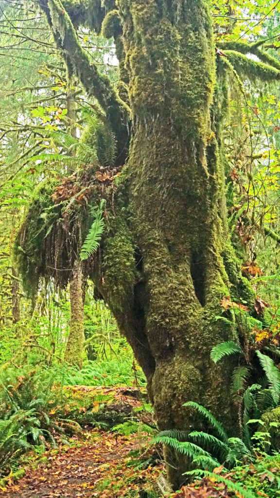
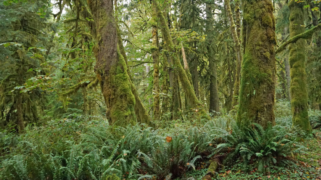 The Quinault Rain Forest lies in the southwestern corner of Olympic National Park, the adjacent Olympic National Forest, and the Quinault Indian Reservation in western Washington. It’s less than a four hour drive from either Portland or Seattle, but it seems a world apart, and more than a little stuck in time. It looks much as I remember it from when I first visited as a child more than a half century ago. Cell phone service and wi-fi availability are spotty. There are no big resorts and no towns of any size. Urban America is nowhere to be found.
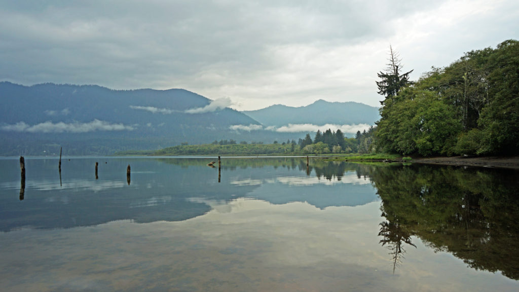 The pandemic has kept all of us from traveling as much as maybe we’d like. That certainly applies to my wife and I. Most of our vacation plans for 2020 had to be cancelled. And just when the parks and recreation areas were beginning to reopen, wildfires in western Oregon and Washington shut them down again. But the Olympic Peninsula was largely unaffected by the fires. So, my wife and I decided that the Olympics would be an ideal, and much needed, escape from Portland, and in September 2020 we headed to the Olympic Peninsula. Our first stop was Lake Quinault.
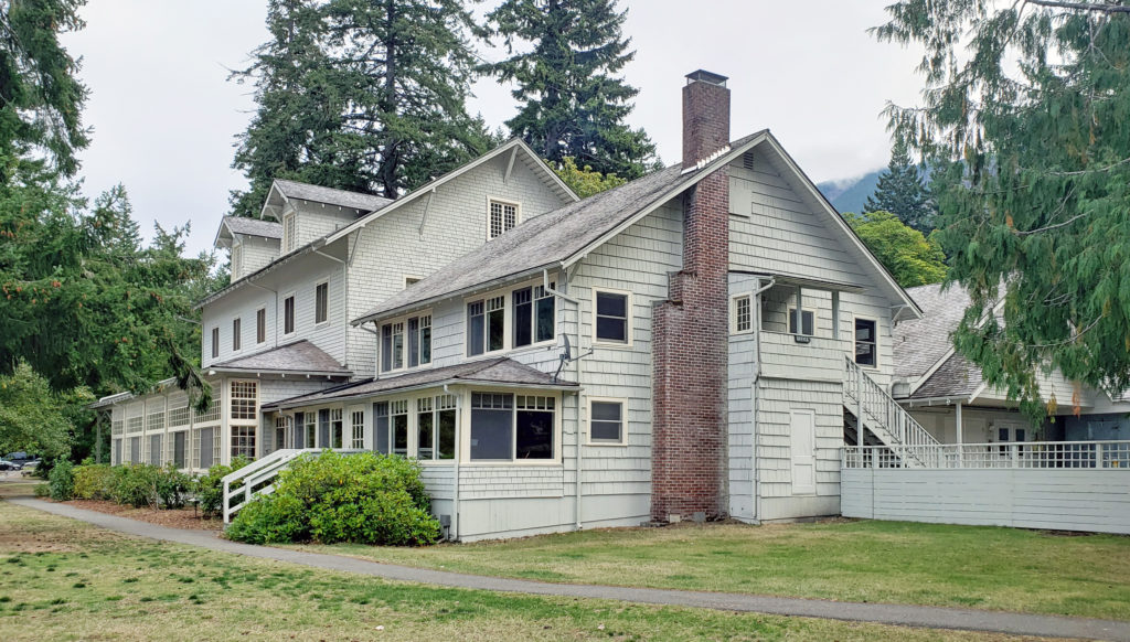
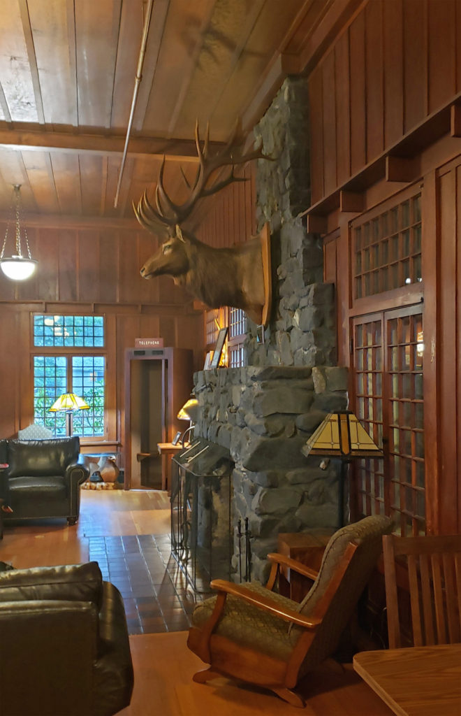
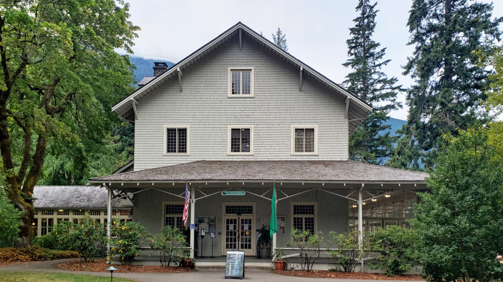
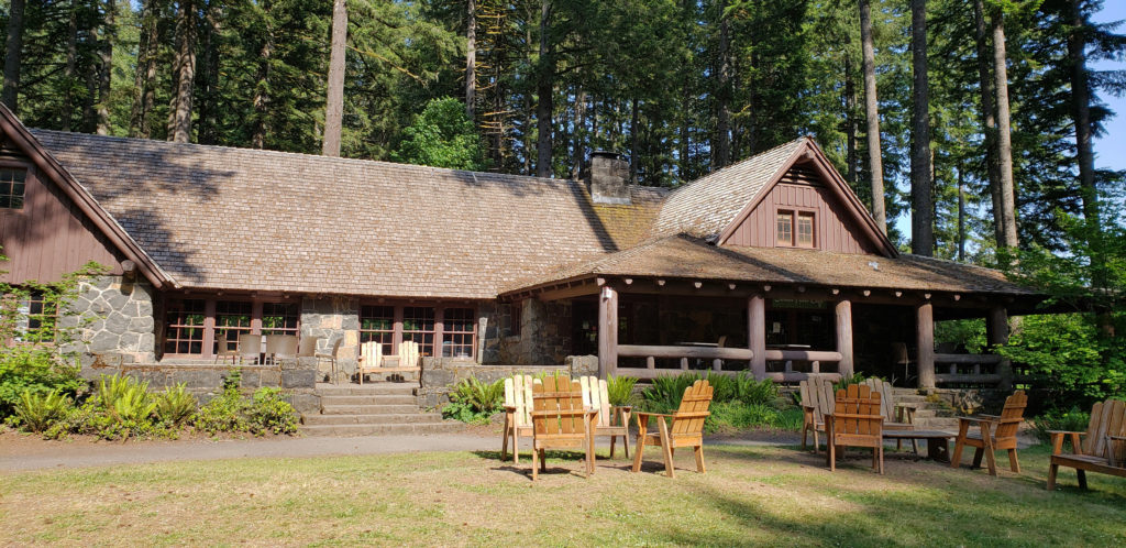
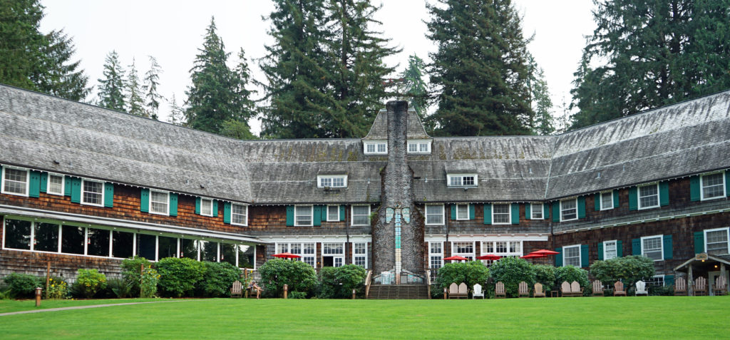 We treated ourselves to a stay at the historic Lake Quinault Lodge, one of the iconic grand lodges of the American West. The original Lake Quinault Lodge was built in 1904. The Boathouse annex was built in 1923. The original lodge burned down in 1924 and the current main lodge was constructed in 1926 on the site of the older lodge. Two additional annexes have been added since then. The existing lodge was placed on the National Register of Historic Places in 1998.
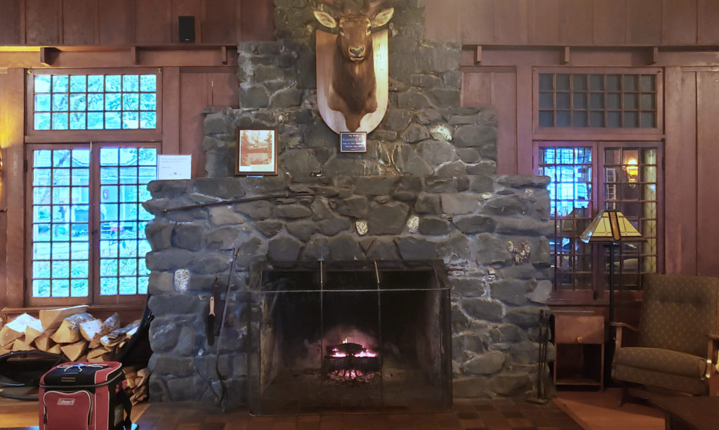
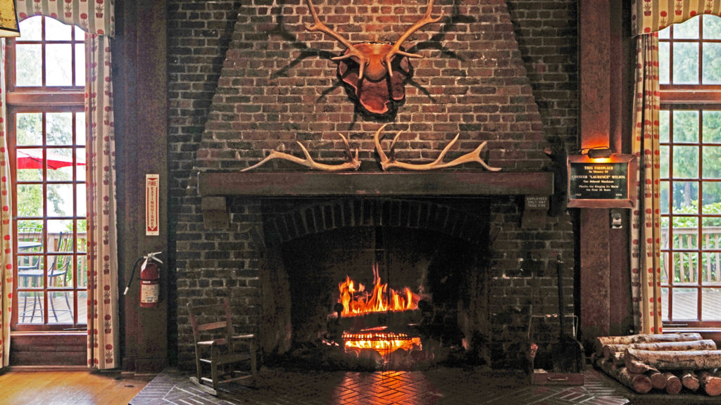 Rooms at the lodge are a little pricey, but you’re paying for the history, charm, and iconic nature of the lodge more than for the amenities provided. There are no TVs in any of the main lodge rooms, no fridges, or microwaves, no phones and no cell phone service. But that’s all part of the charm. The Boathouse and the other two annexes offer a few more amenities. Some come with fireplaces, the Lakeside Rooms are billed as family friendly, and the Boathouse Rooms are pet friendly. Our room in the main lodge came with all we needed, a comfortable bed and a view of the lake.
 Services at the lodge were limited by the pandemic during our stay. The swimming pool, sauna, and game room were closed. The restaurant served take out meals, but the dining room was closed (outside seating was available and you could eat in the main hall or in your room). However, all services have been restored to pre-pandemic levels.
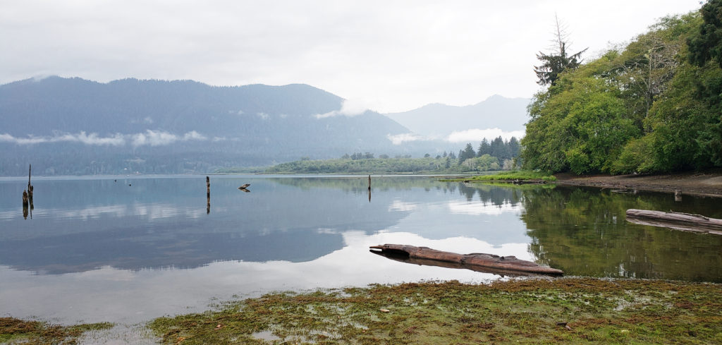 A somewhat cheaper alternative to Lake Quinault Lodge is the nearby Rain Forest Resort, which has a 16 room lodge, cabins (some with hot tubs), an RV park, and a restaurant. The world’s largest Sitka Spruce grows a short walk from the resort. Other options are the Quinault River Inn on Hwy 101 in Amanda Park, and Lochaerie Resort on North Shore Road. And there are three campgrounds on the south shore of Lake Quinault, and two (one a walk-in) on the north shore.
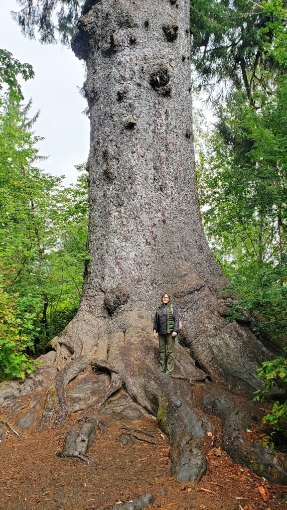 Lake Quinault Lodge, the Rain Forest Resort, or any of the three south shore campgrounds make an ideal base for exploring the area. Hikers have a variety of options, from the half mile Rain Forest Nature Trail Loop to a loop of about seven miles that takes you to Gatton Creek Falls, Cascade Falls, the Cedar Bog, the Rain Forest Nature Trail, and along the lake shore. Cutoff trails make shorter loops of various distances possible. Other hiking trails are a short drive from the lodge.
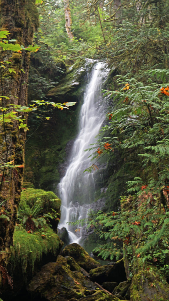 Two stops along South Shore Road worth making are Merriman Falls and Bunch Falls. Both are just east of Lake Quinault and both are right by the road, so no hiking required.
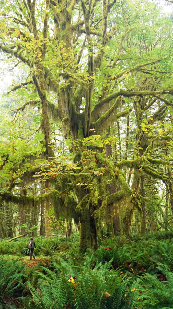
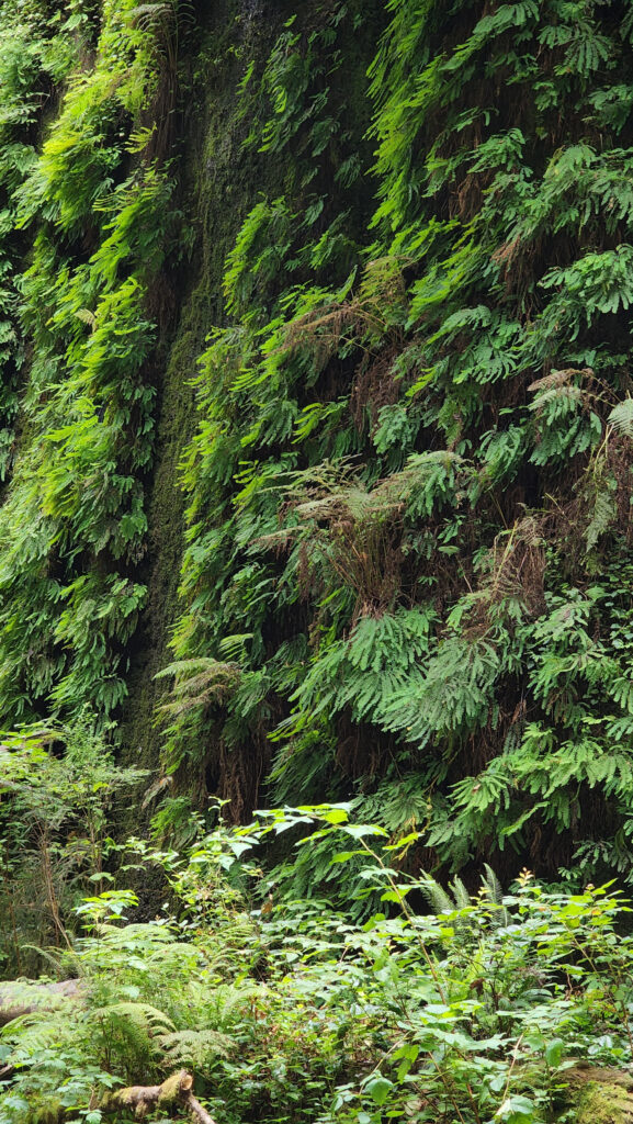
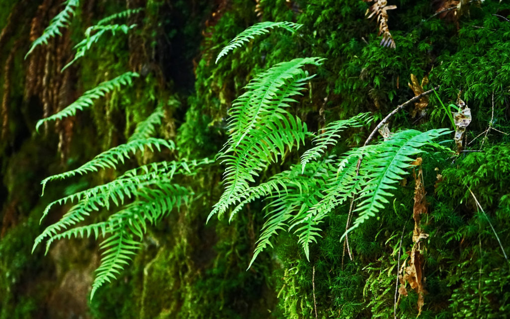
 One hike that everyone should do is the Maple Glade Trail at the Quinault River Ranger Station on North Shore Road. It is spectacularly beautiful, and like the Rain Forest Nature Trail, it’s an easy 0.5 mile loop. But, unlike the Rain Forest Nature Trail, which takes you through a coniferous forest of Douglas Fir, Western Hemlock, and Western Red Cedar, the Maple Glade Trail immerses you in a Bigleaf Maple forest. There the ground is covered in ferns and other low growing shrubs and the maples soar overhead, but in between is mostly open and airy. The effect is like being in a gigantic room carpeted with ferns and roofed with a canopy of maple leaves.
 The Maple Glade Trail can be extended by taking the connecting trail to the Kestner Homestead. There you’ll find the Kestner house, barn, outbuildings, and a cool old rusted delivery truck.
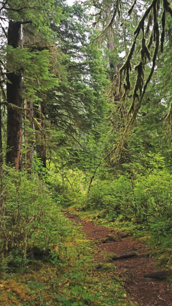
 There are also much longer hikes that can be taken into the Olympic National Park from the Quinault Valley. The most famous, and probably most hiked, is the Enchanted Valley Trail. It’s a 13 mile hike along the East Fork of the Quinault River to reach the Enchanted Valley, so it is not a casual outing. Most people do it as a 3-5 day backpacking trip. My backpacking days are behind me, but the Enchanted Valley is one of the hikes that I regret having never done.
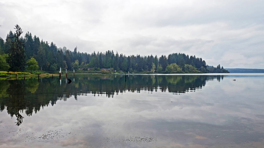
 Originally posted October 26, 2020. Updated and re-posted August 11, 2022.


 Originally posted June 30, 2018. Most recently updated November 13, 2025.
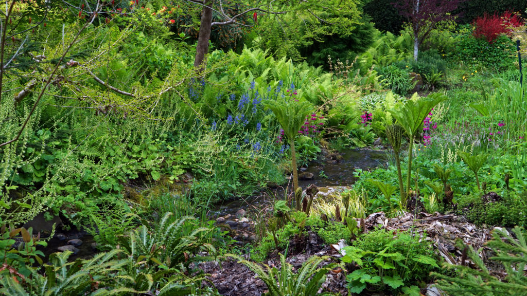
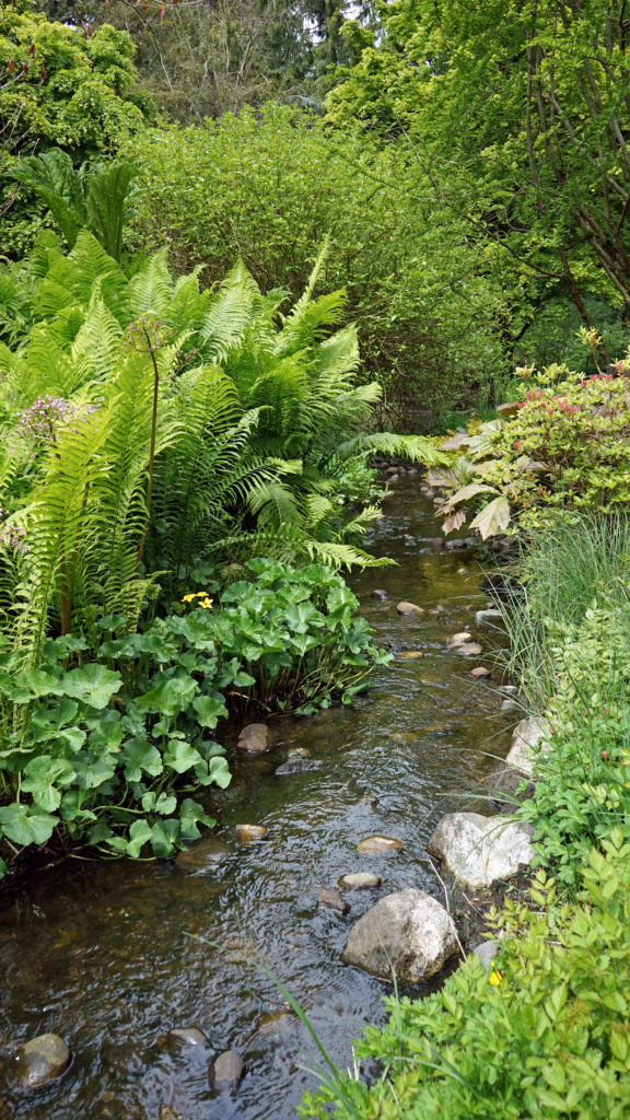
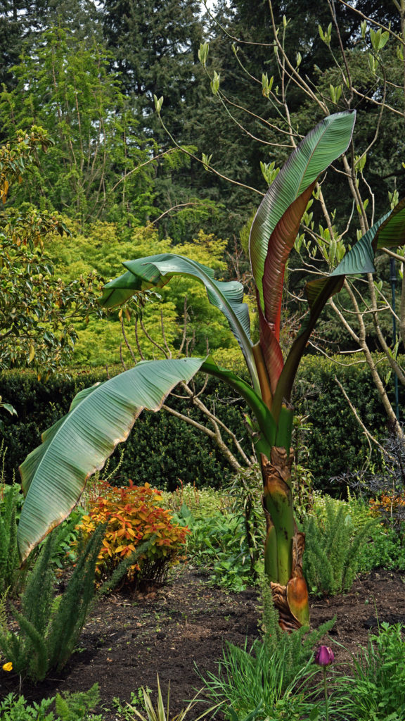
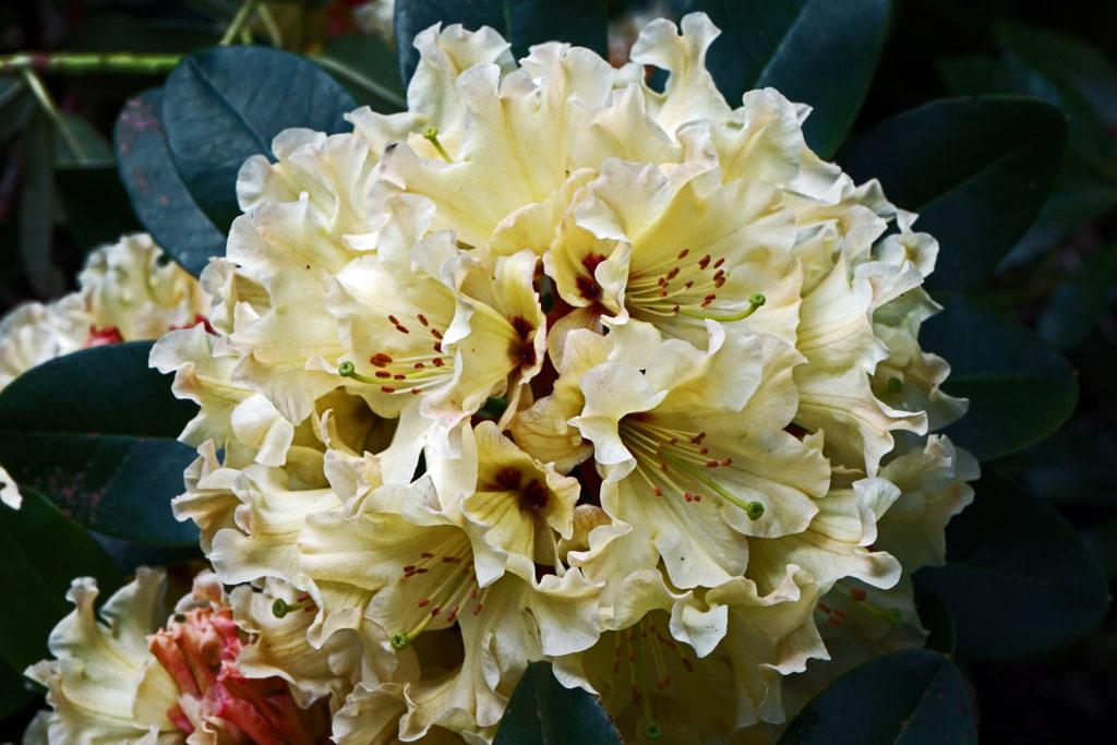
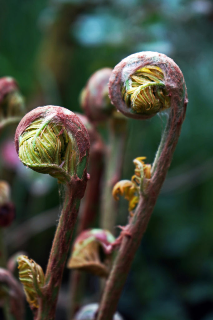
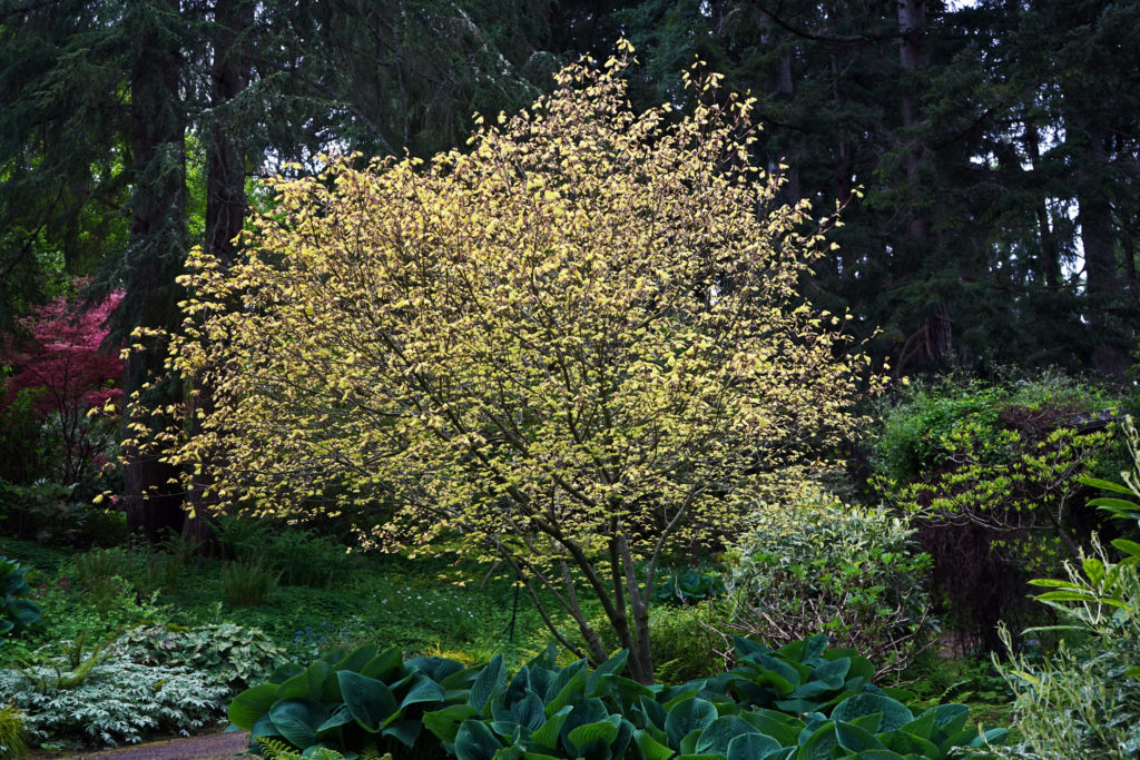
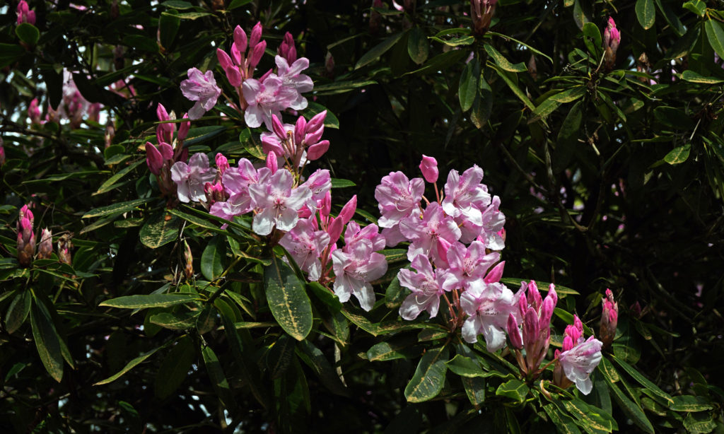
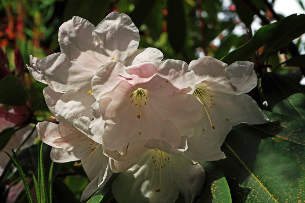
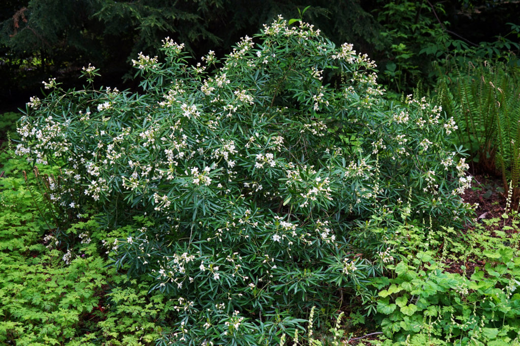
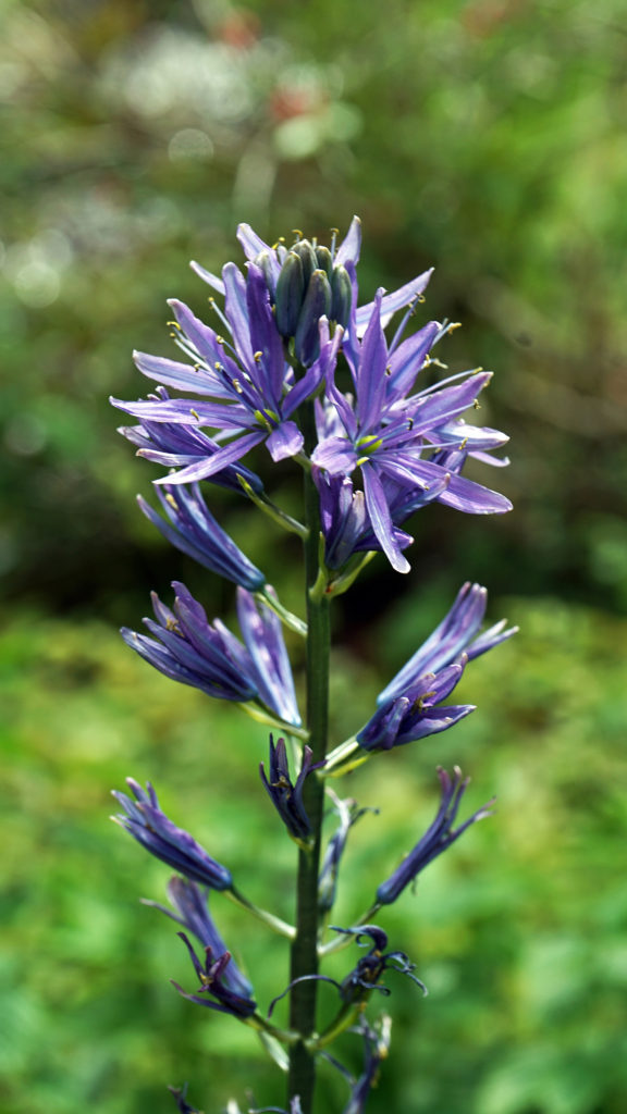
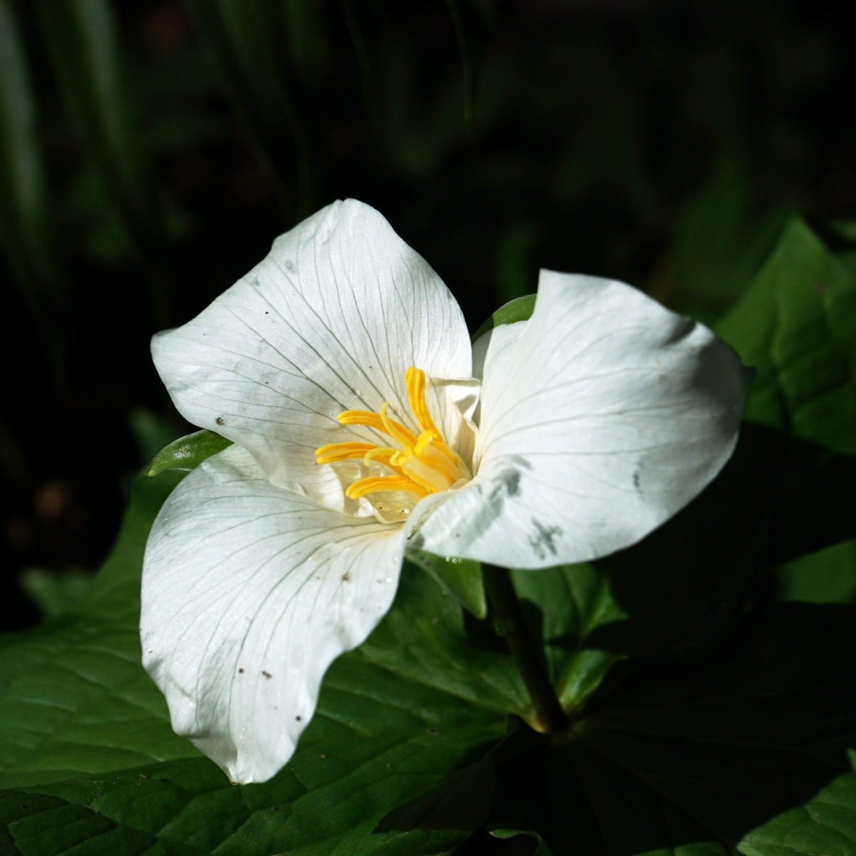
 Powells Wood Garden is located at 430 S. Dash Point Road in Federal Way. The garden is open Tuesday through Saturday from 10am to 3pm. Admission is $7 per person (children 12 and under are free). Tickets can be purchased online on the Garden’s
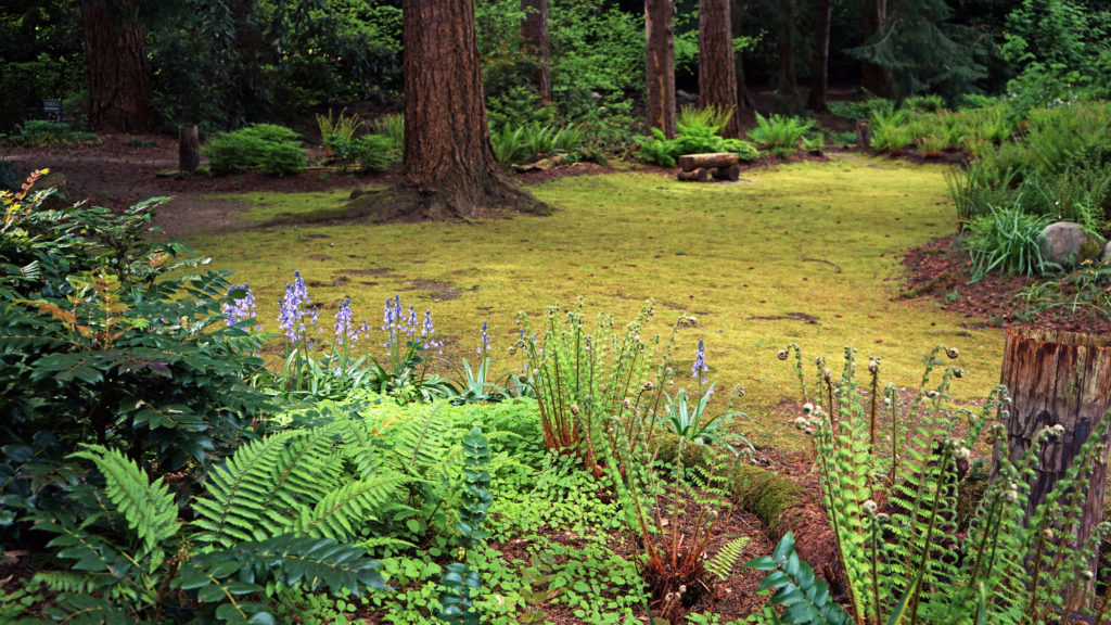
 If you visit Powells Wood Garden, you might also want to stop in at
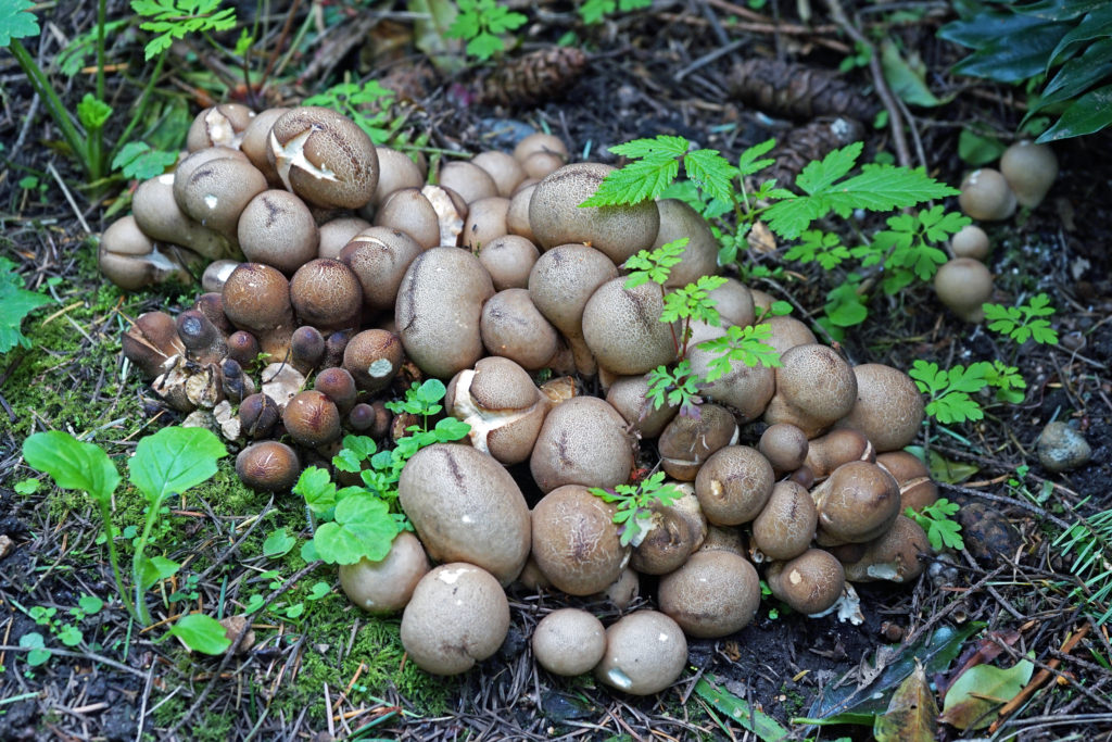
 While Powells Wood Garden is probably not worth a trip to Tacoma on its own, the Tacoma area has a lot of other attractions, not the least of which are the Museum of Glass and the Tacoma Art Museum, both part of the
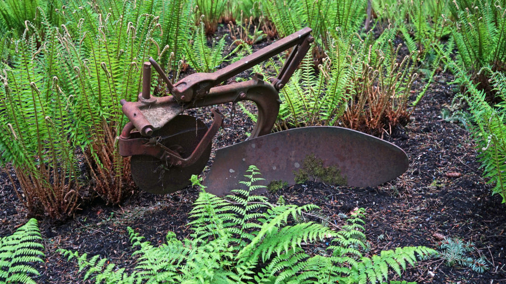
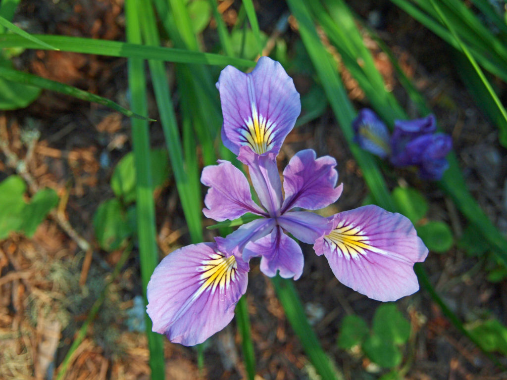
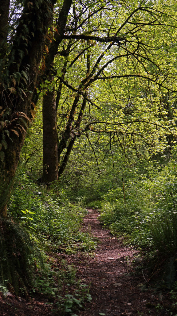
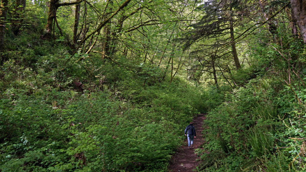
 Nearly 300 different forest plants and flowers grow in the park. Blacktail deer, raccoons, coyotes, red foxes, beaver, and more than two dozen other mammals roam the park. More than 70 species of birds have been seen in the park. And cutthroat trout, coho and chinook salmon, and steelhead can be found in Tryon Creek.
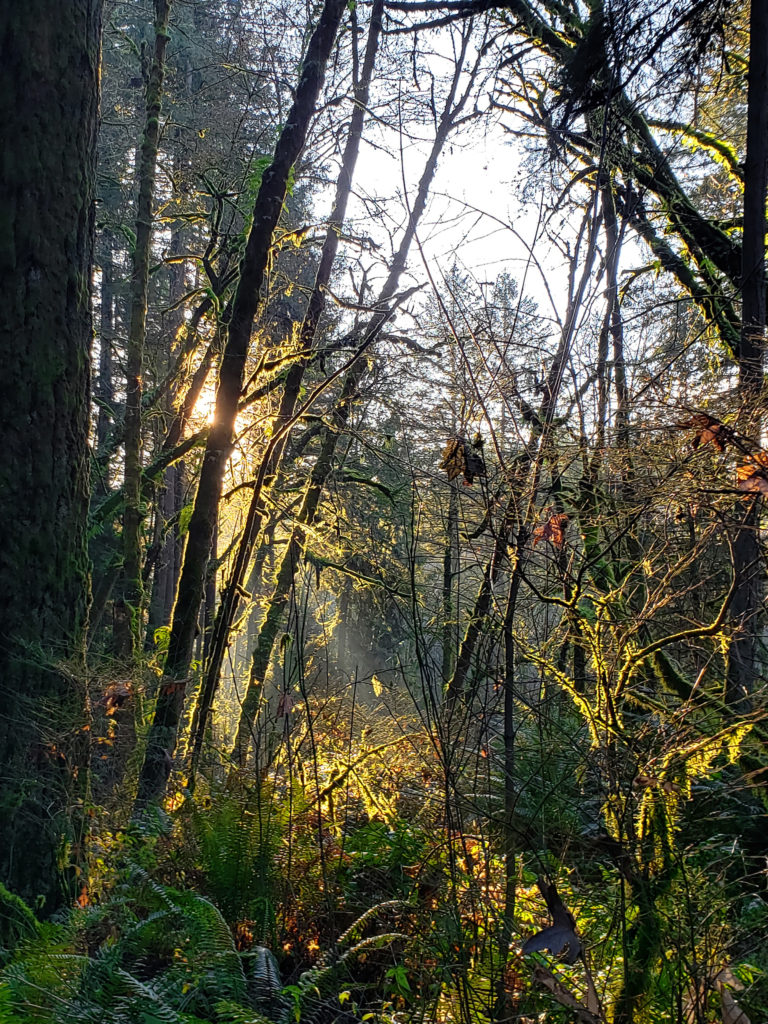 The area was saved from development in the late 1960s and early 1970s by a combination of dedicated citizens, the
  Many, if not most, of the park’s visitors come to hike the nearly fifteen miles of hiking and mixed use trails. Some bring their horses to ride the three and a half miles of equestrian trails. There is also a three mile paved bike path running through the park and a paved all abilities trail. The Nature Center, with a friendly staff, interpretive exhibits, a small store, and public restrooms, is a popular starting point for many visitors.
 Many of the events and programs sponsored by the park were cancelled or available only online during the majority of the Covid-19 pandemic. The Nature Center was closed and entrance to the park was limited at times. While we’re still living with Covid, most, if not all, of the park’s programs have been restored, and the Nature Center is open again.

 Originally posted July 29, 2020. Updated and re-posted May 25, 2022.