
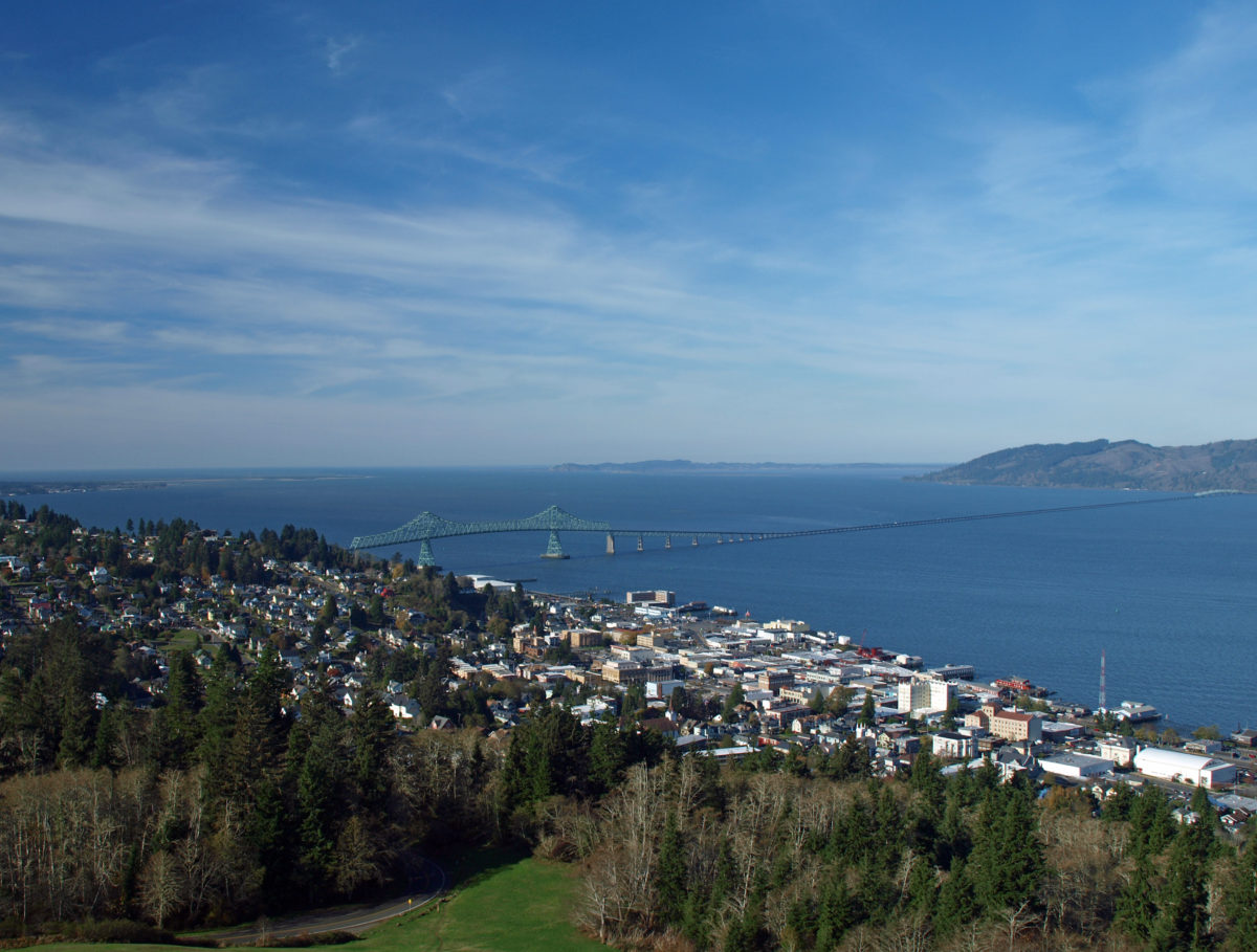
In 1811, barely five years after the members of the Lewis and Clark Expedition had become the first Americans to explore the area, John Jacob Astor’s Pacific Fur Company established Fort Astoria near the mouth of the Columbia River. The fort was sold to the North West Company only two years later and renamed Fort George, but the establishment of Fort Astoria (along with the earlier presence of the Lewis and Clark Expedition) gave the fledgling United States claim to the territory. In 1846 the Oregon Treaty gave possession of the area to the United States and the following year the first U.S. Post Office west of the Rocky Mountains was established in the growing community of Astoria.
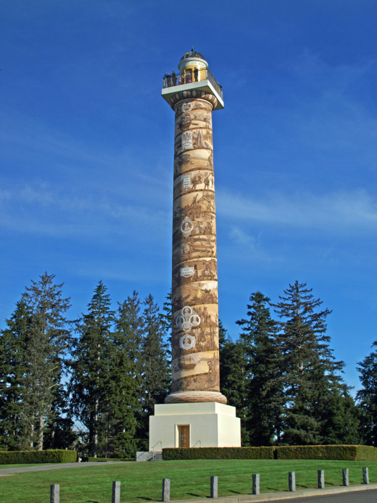
Astoria is rich with history and filled with interesting places to explore. It’s also close enough to the Portland area to be an easy day trip. On my last visit, my first stop was the Astoria Column, atop Coxcomb Hill. The 125-foot-tall tower was built in 1926 to commemorate the history of the area, specifically the discovery of the Columbia River by Captain John Gray in 1792, the Lewis and Clark Expedition of 1804-1806, and the establishment of Fort Astoria in 1811.
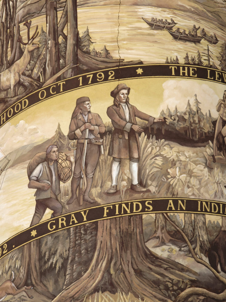
Construction of the monument was first proposed by Ralph Budd, president of the Great Northern Railroad. It was designed by architect Electus Litchfield, and funding was provided, at least in part, by descendants of John Jacob Astor. The exterior of the Column is decorated with a spiral frieze painted by sgraffito artist and Italian immigrant Attilio Pusterla depicting fourteen events in the history of the area. The Column was listed in the National Register of Historical Places in 1974.

After my stop at the Astoria Column, I had lunch at Fort George Brewery, then spent an hour or two along the waterfront. The Astoria River Walk, an asphalt and boardwalk bike path and walking trail, runs for three miles along the riverfront. In the summer months, the Astoria Riverfront Trolley, a1913 heritage streetcar originally from San Antonio, Texas, runs along the river next to the River Walk. Cost to ride is $1.00, or $2.00 for an all-day hop on, hop off pass.
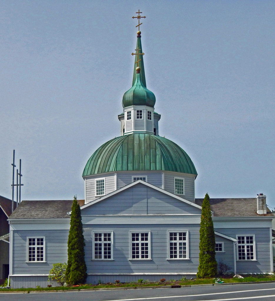
Astoria was the first American settlement on the Pacific coast, but of course the real history of the area goes back much farther. The people of the Clatsop Tribe have lived in the area for at least a thousand years, and the area may have been first settled by early Native American peoples as long as 10,000 years ago.

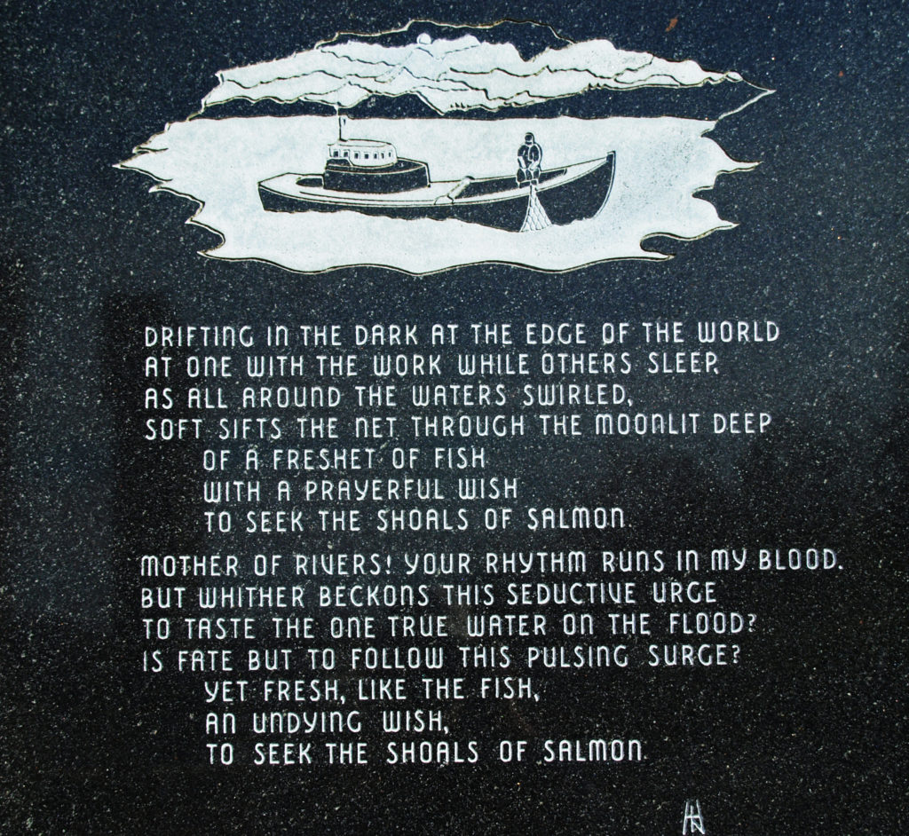
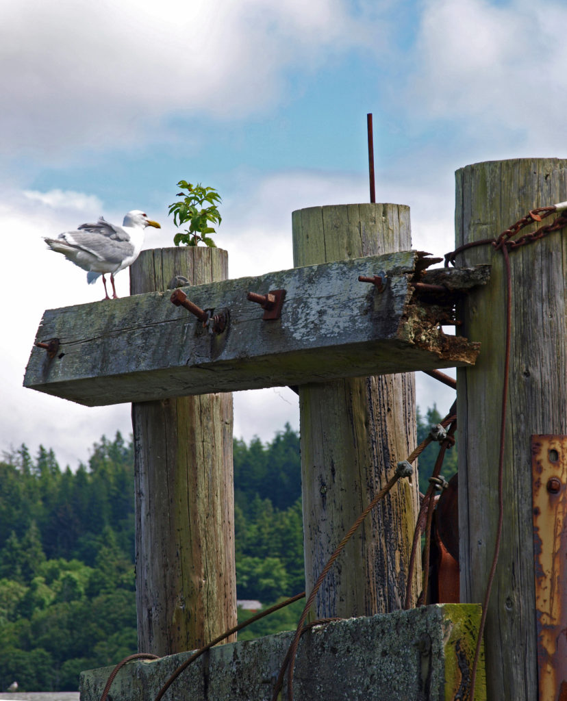
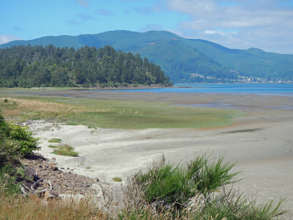
For most the city’s history, the fishing and shipping industries were central to Astoria’s economy. Below the soaring arch of the Astoria-Megler Bridge, Martime Memorial Park honors the many men and women that had been involved in the fishing and seafaring trades during their lives.
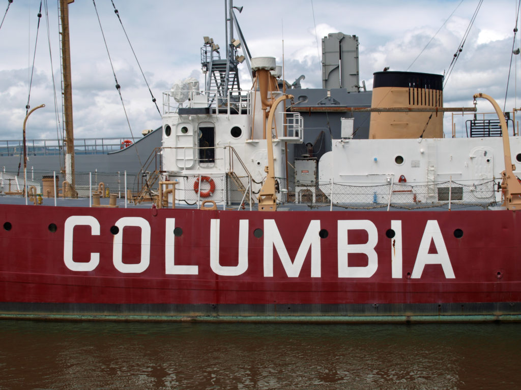

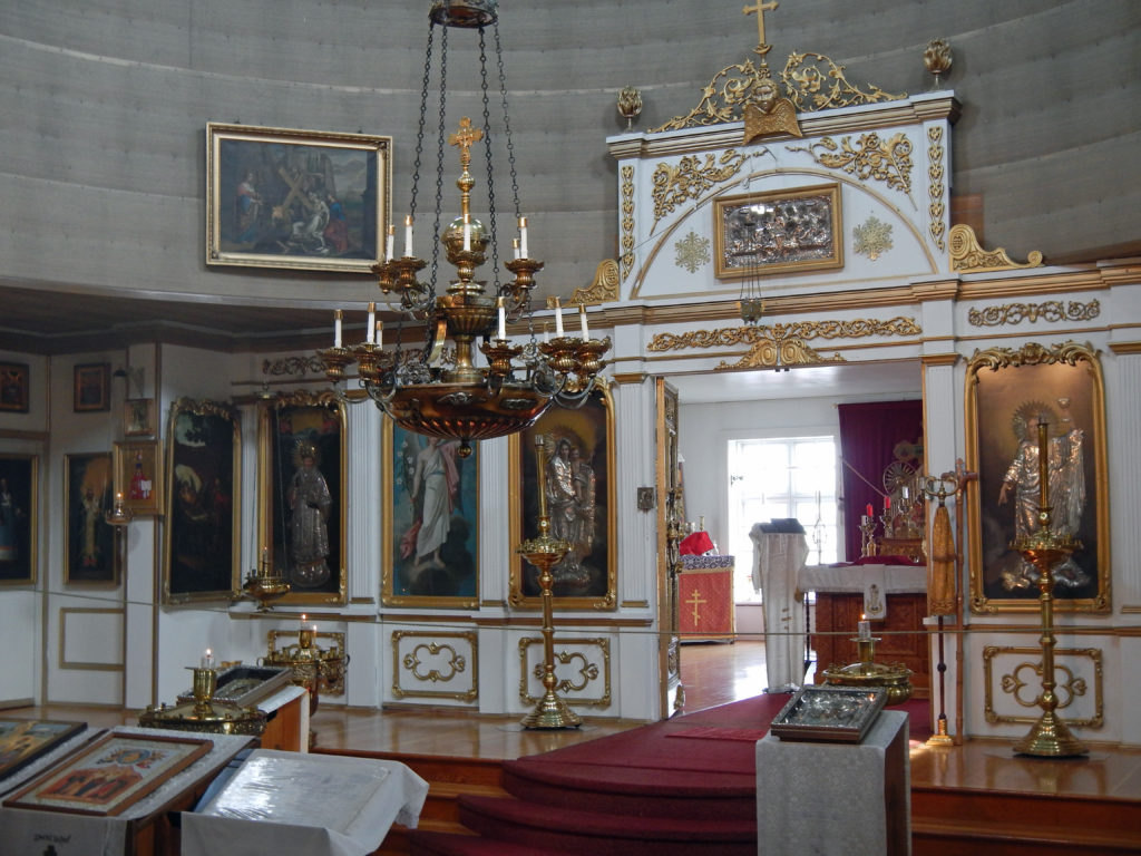
About a mile east of the Maritime Memorial, the Columbia River Maritime Museum is one of Astoria’s premier attractions. The museum houses a 30,000-item collection related to the history of fishing, shipping, and naval activities of the area. At the CRMM you can also tour the lightship Columbia. Other historical attractions in the area include the Flavel House Museum, a Queen Anne style Victorian mansion built by sea captain George Flavel in 1885, and a replica of the blockhouse of Fort Astoria, the first structure erected in Astoria.
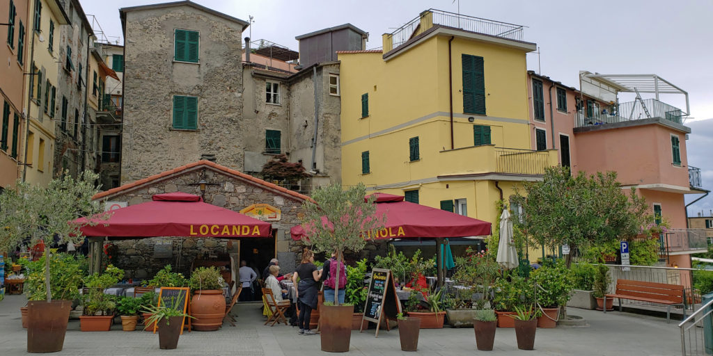
Present day Astoria’s economy is more centered on tourism than fishing or logging. There is a thriving arts community, the weekly street market (Astoria Sunday Market) draws people to the area in the summer, and there is a growing food and drink scene.

For beer lovers, Astoria Brewing, Fort George Brewery, Rogue Pier 39 Public House, and Buoy Beer Company, and Breakside Brewery all offer topflight craft beers and pub food. Reach Break Brewing and Hondo’s Brew Pub are smaller brewers that get high marks, as well. The Pacific Northwest Brew Cup Festival, held in late August at Heritage Square in downtown Astoria, offers craft beers from more than two dozen brewers, as well as food from an assortment of food trucks. Admission is free.

As for cafes and restaurants, Bridgewater Bistro serves up New American cuisine in an old cannery building on the waterfront. Street 14 Cafe serves locally sourced foods for breakfast and lunch. For seafood, try Bowpicker (fish and chips served from a converted fishing boat on Duane Street), or the Silver Salmon Grille on Commercial Street (occupying the space that housed the Thiel Brothers Restaurant for fifty years). Ethnic foods can be found at Drina Daisy’s Bosnian Restaurant, Fulio’s (Italian), Tora Sushi Lounge, Himani Indian Cuisine, and Plaza Jalisco Mexican Restaurant.
Quality coffee houses include Journey’s End Espresso and Kick Ass Koffee, both located near the bridge in the Uniontown District, Coffee Girl, next to Rogue Pier 39 Public House, and The Rusty Cup on Commercial Street in the historic downtown section.
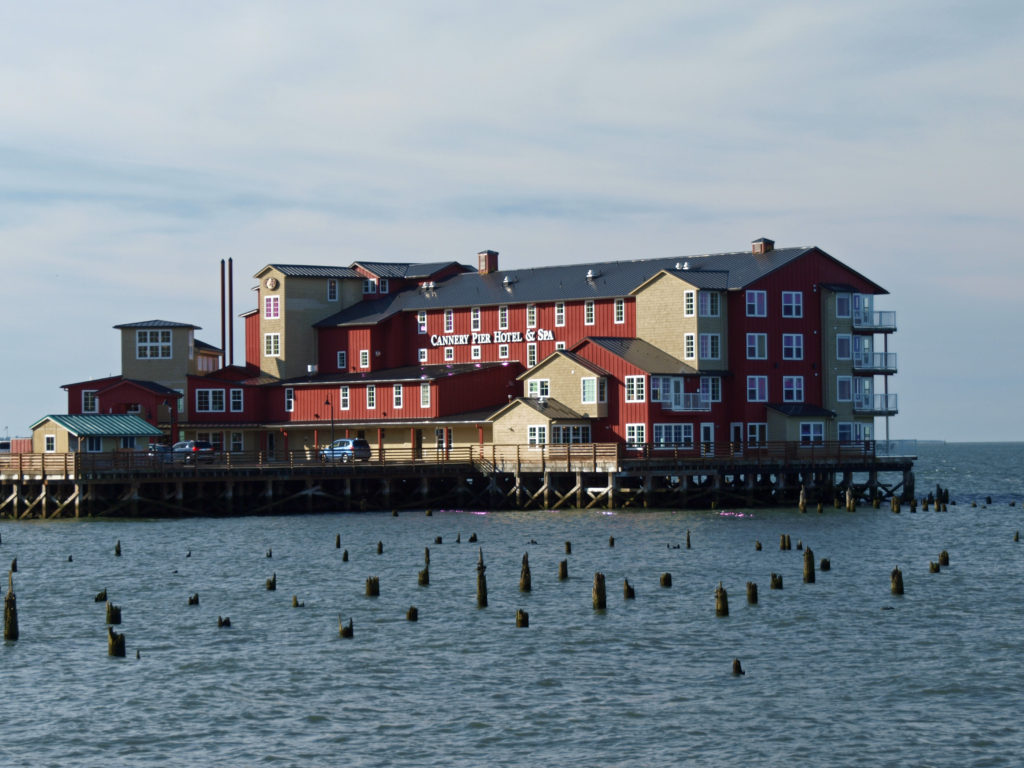
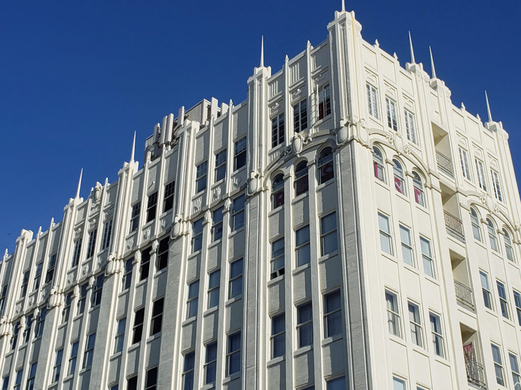
If you’re planning an overnight stay, luxury accommodations can be found at the Cannery Pier Hotel, in an old cannery building on pilings over the water, and the Elliot Hotel (both $300+ per night). Lloyd Hotel and Astoria Riverwalk Inn both get good reviews and are priced mid-range. For bargain accommodations, try the Astoria Crest Motel or the Astoria Rivershore Motel. (The historic John Jacob Astor Hotel, pictured above, is now an apartment building).
A couple of interesting historical notes. The world’s first cable TV system was established in Astoria in 1946 by Ed Parsons, owner of radio station KAST. And one of Clark Gable’s earliest acting gigs was at the Astoria Theater, where he met his first wife, Joan Didion, in the early 1920s. Astoria has also been the filming location for a number of movies in recent decades, including The Goonies, Kindergarten Cop, Free Willy, Short Circuit, and Come See the Paradise.
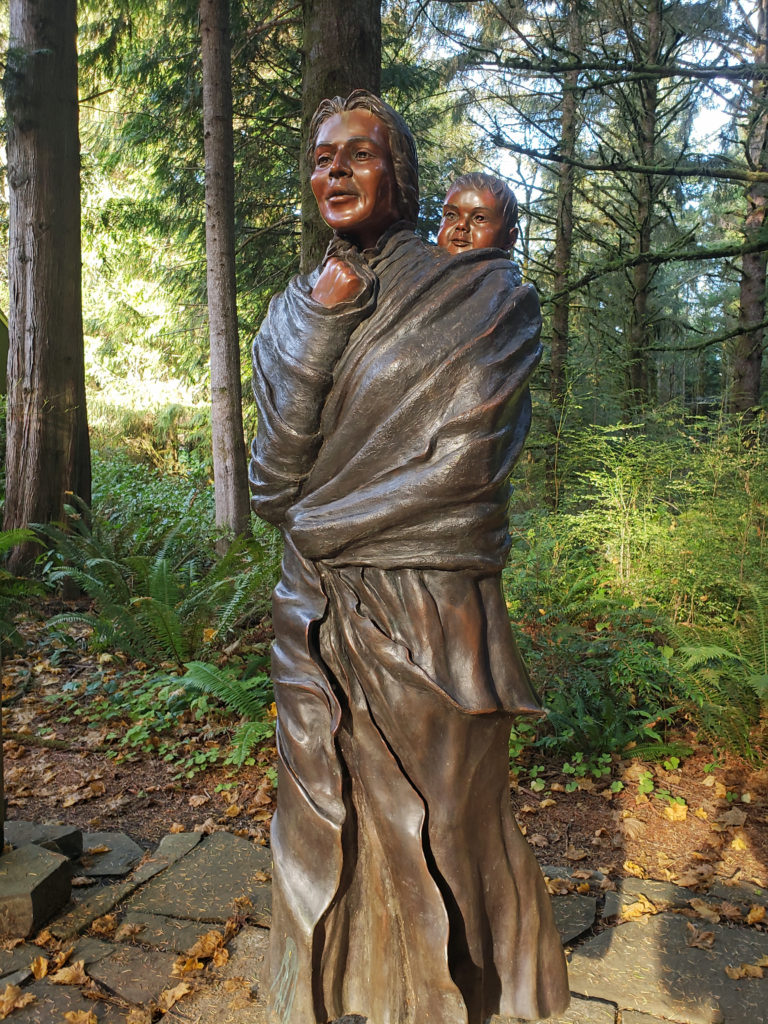
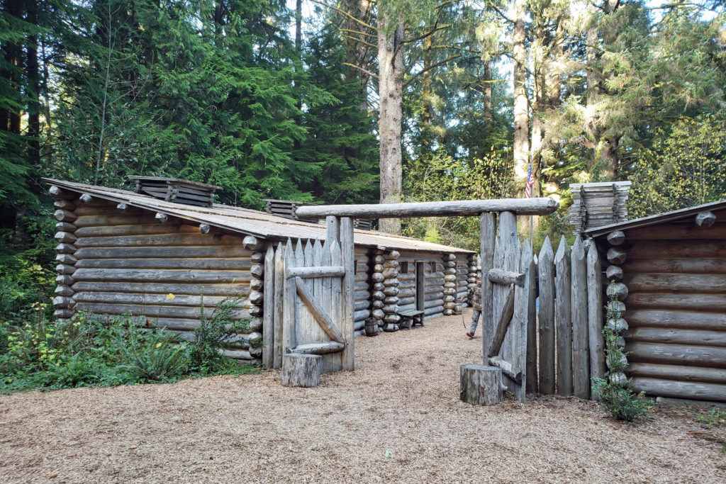
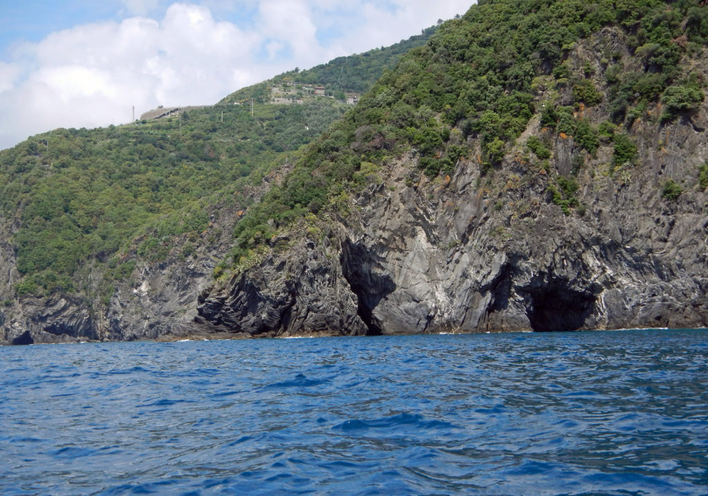
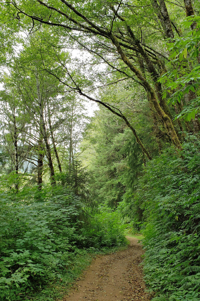
On my way out of town that afternoon, I stopped at Fort Clatsop, part of the Lewis and Clark National Historic Park. In November 1805 the Lewis and Clark Expedition (the Corps of Discovery) reached the mouth of the Columbia River after an 18-month journey from St. Louis. In December they constructed Fort Clatsop, southeast of Astoria, near the shore of what is now the Lewis and Clark River (formerly called the Netul River). The thirty-three members of the expedition wintered there from December 7, 1805 until March 22, 1806. The fort was abandoned when they left to return east, and nothing remains of it today. Its exact location is unknown, but historians are confident that it was in the immediate vicinity of the replica of the fort that is part of the historic park. From the fort there is a short trail to the bank of the river, and a 6.5-mile trail that leads to the ocean at Sunset Beach.

Other attractions in the area include Fort Stevens State Park at the mouth of the Columbia on the Oregon side, and Cape Disappointment State Park on the Washington side.

Originally posted 11/22/18 by Alan K. Lee. Updated and re-posted 4/6/21 and 7/3/23.
All photos © Alan K. Lee
 Overview:
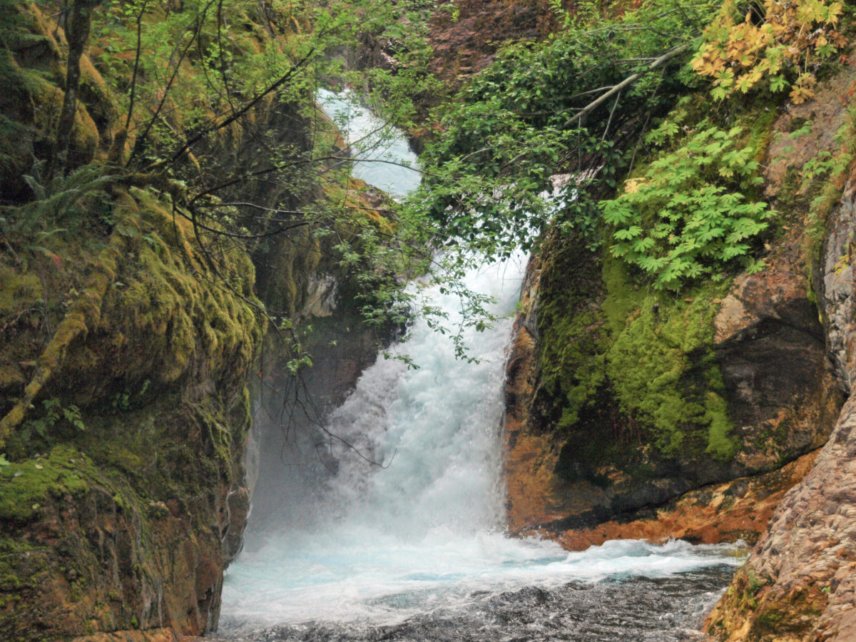
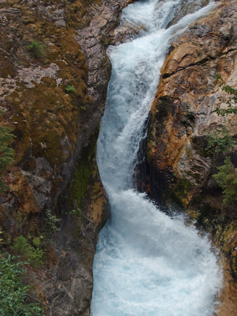
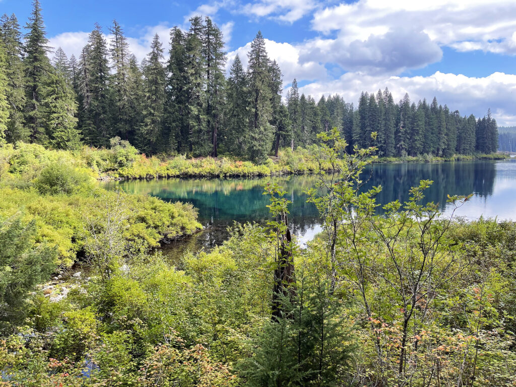
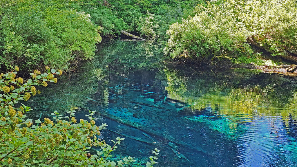
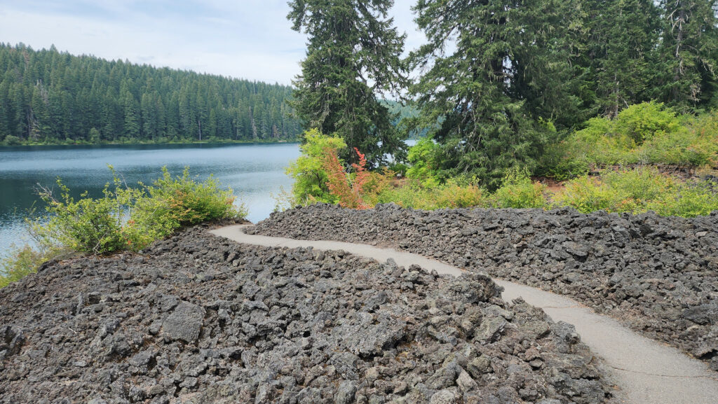
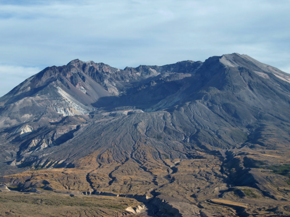
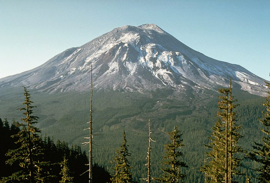
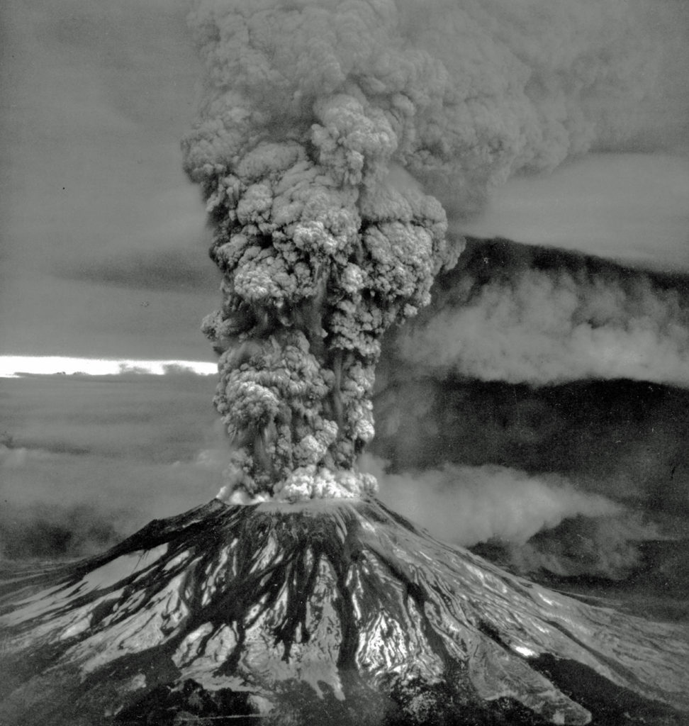
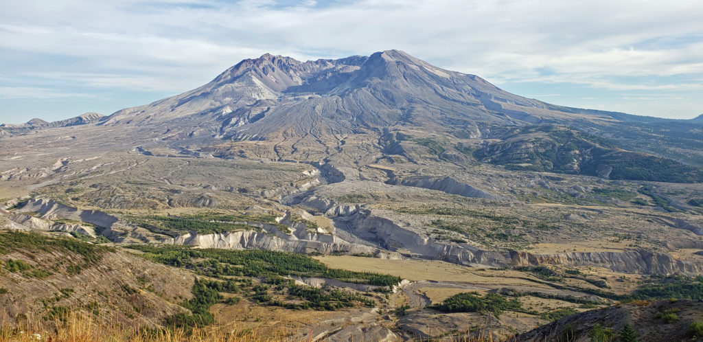
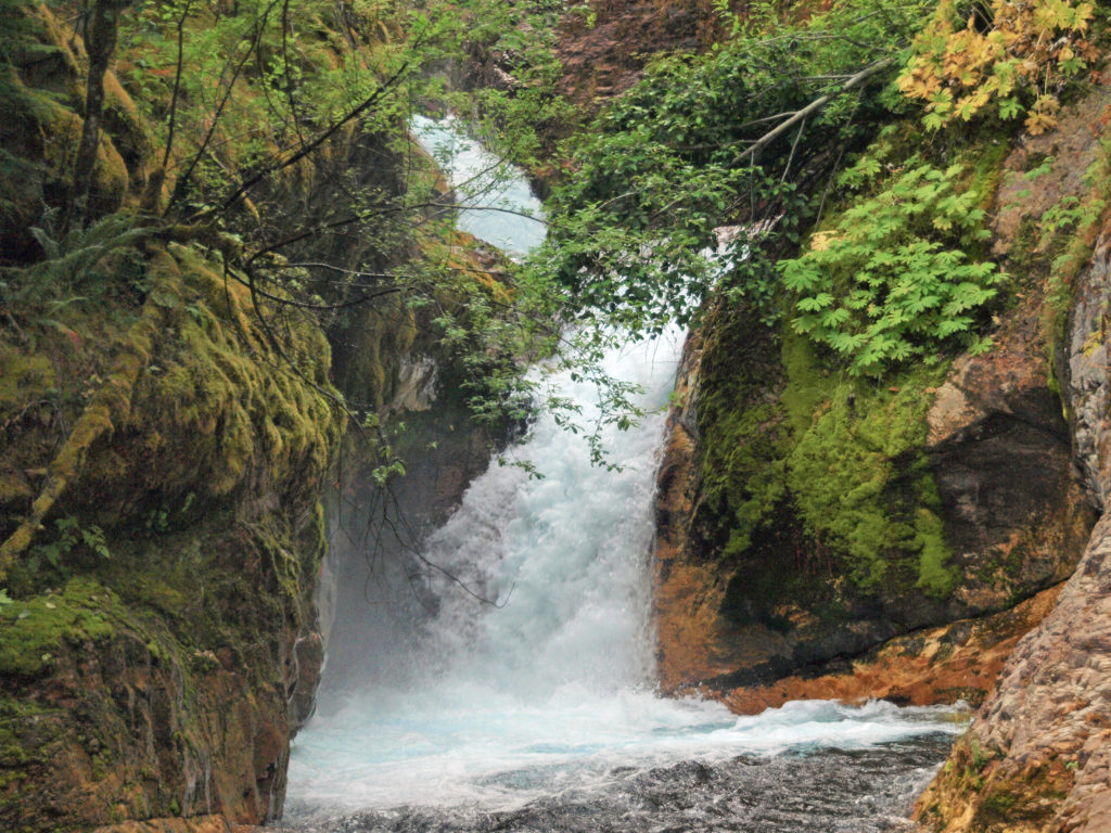
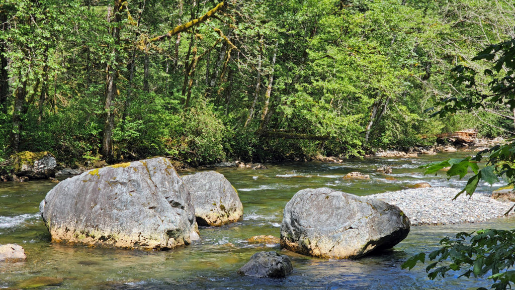
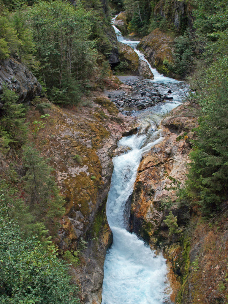 The history of Lava Canyon begins about 3500 years ago when an eruption of Mount St. Helens sent a flow of lava down the old valley of the Muddy River, destroying the forest and filling the valley with molten rock. Over the intervening years, the Muddy River cut a new course through the lava flow, and the canyon gradually filled with sediment. Then came the 1980 eruption, which melted the summit glaciers and sent a huge lahar (volcanic mudflow) down the valley, destroying the rebuilt forest and scouring out the built-up sediment, exposing the remnants of the earlier lava flow. What was left is a steeply descending canyon with an almost continuous series of spectacular waterfalls and cascades. (For more information on the 1980 eruption, see my
  Getting there:
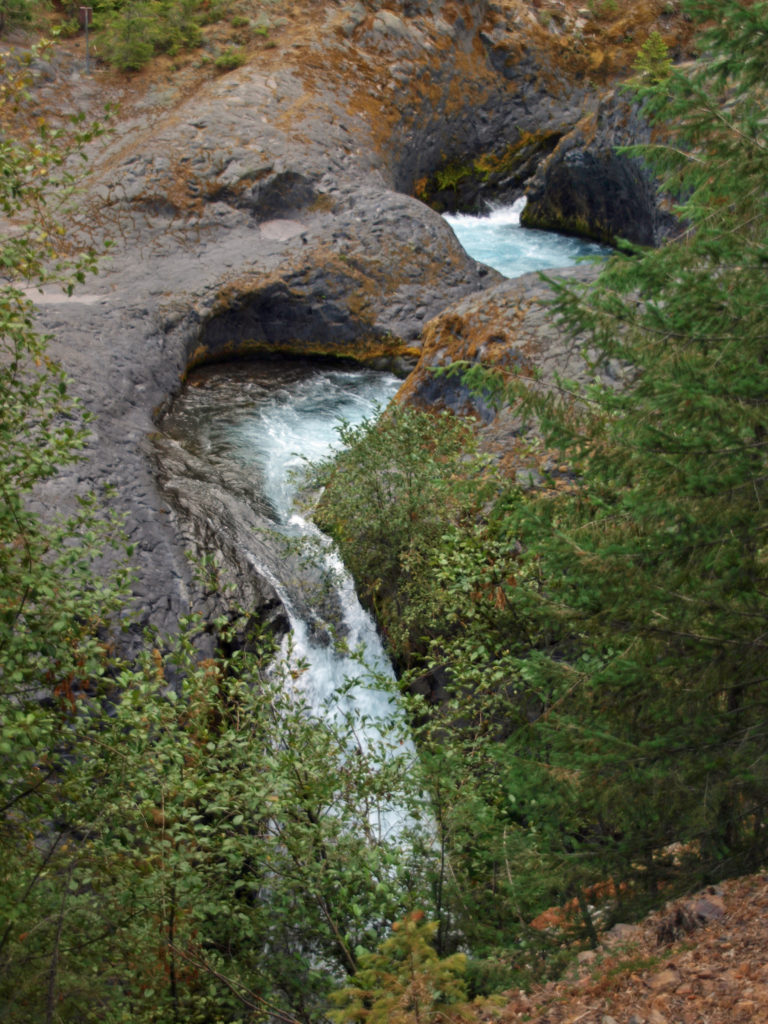 Trailheads:
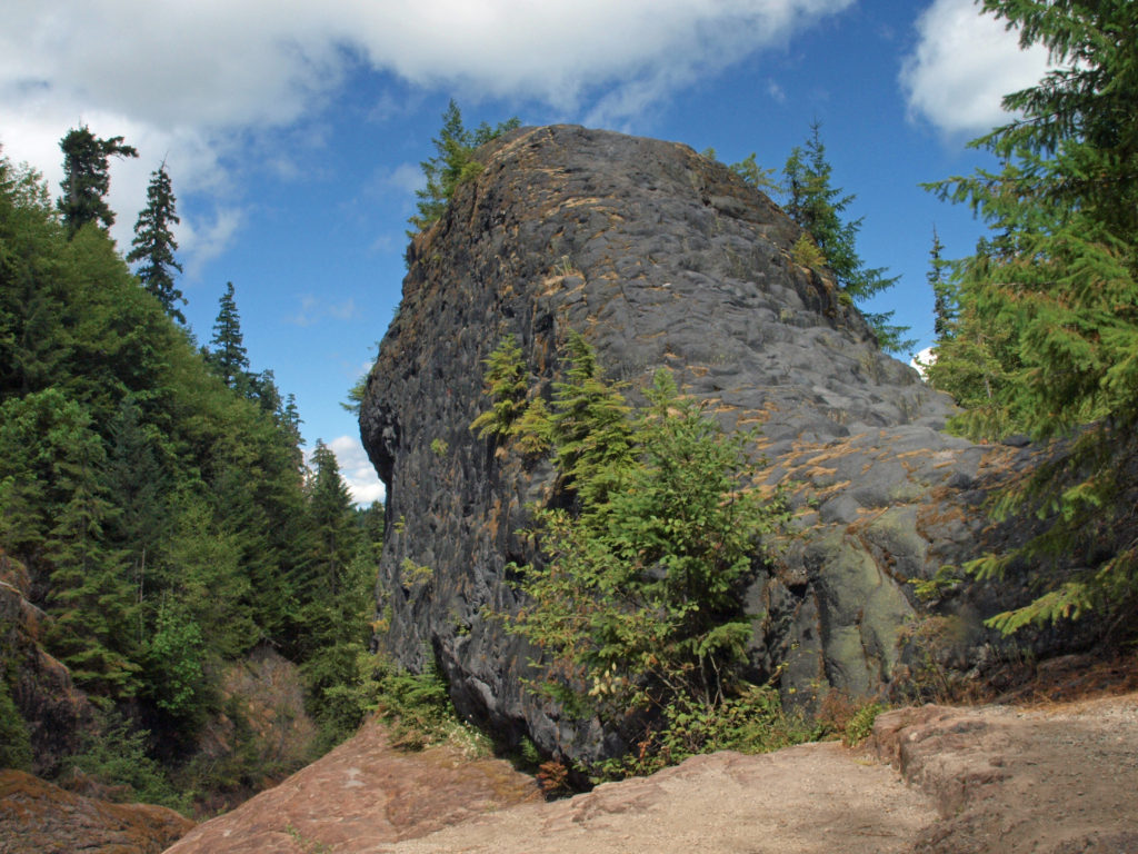 The hike:
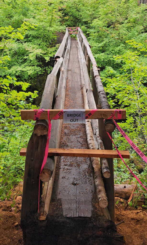
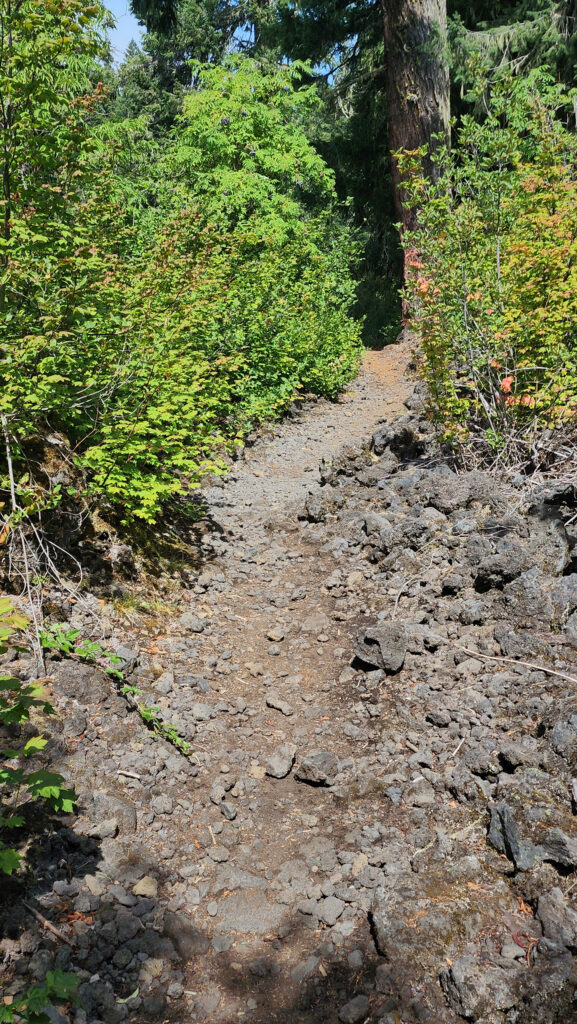
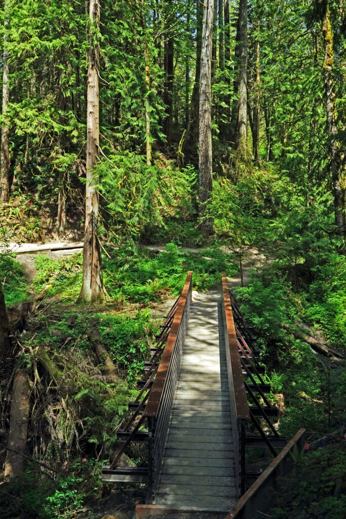
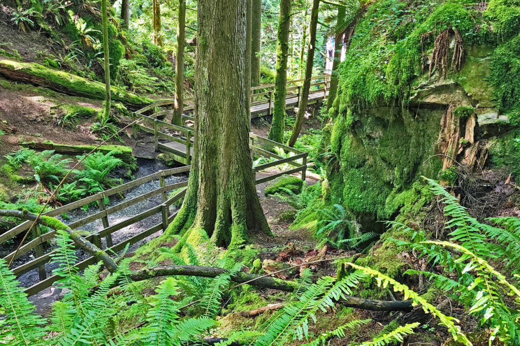
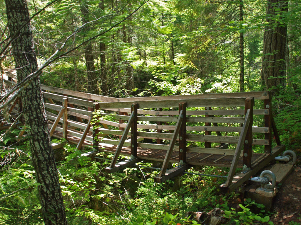
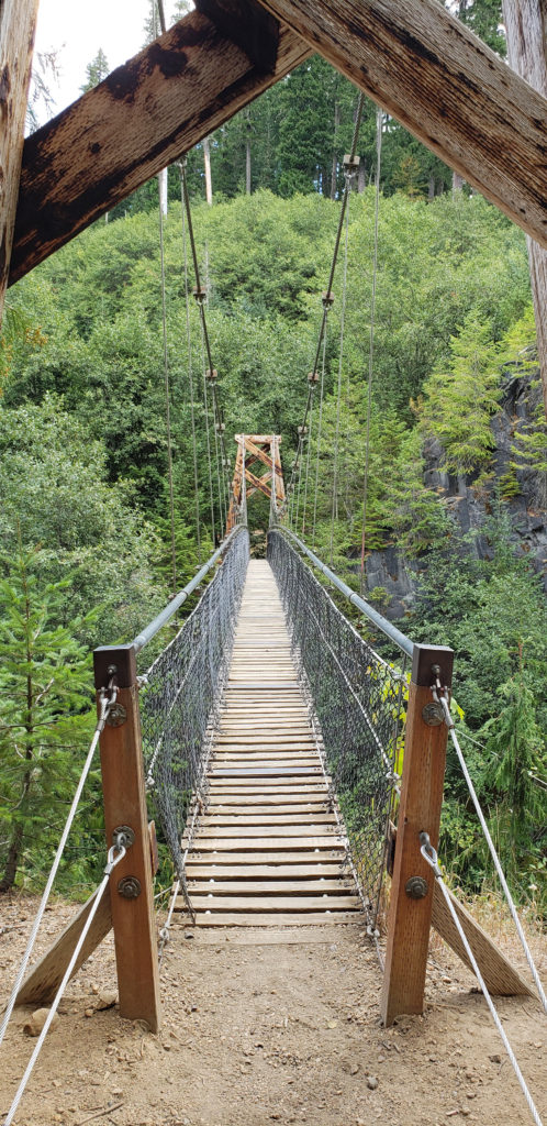 Below the overlook, the path is rock and dirt, steep in places. After another three tenths of a mile, you come to another side trail and a suspension bridge over the river that gives a bird’s eye view of the canyon and waterfalls. On the other side of the bridge is a connecting trail that takes you back to the upper bridge, making for a 1.4-mile loop. (Update: As of June 2023 the suspension bridge is closed. Check the National Forest Service’s
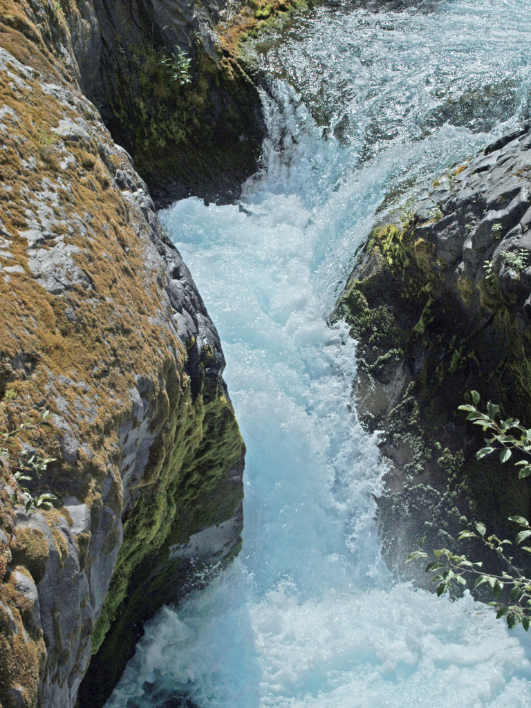
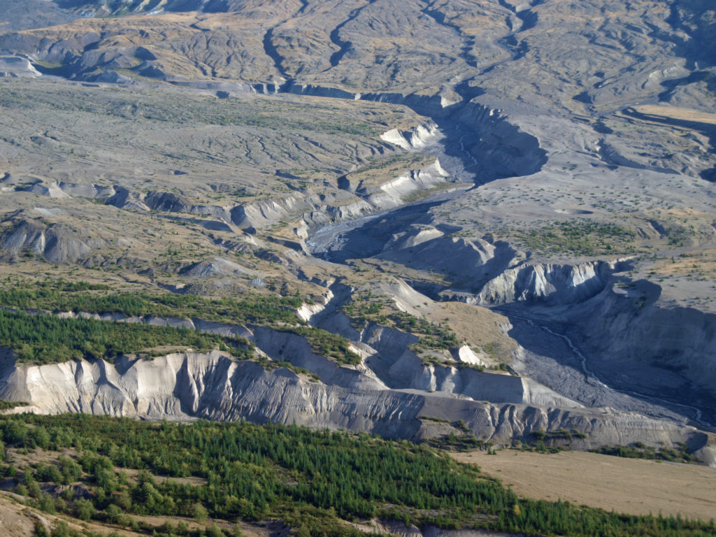
 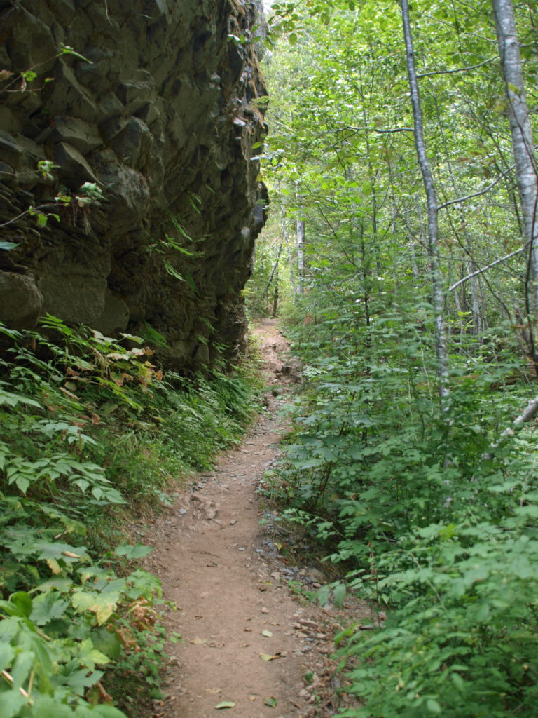 At about the 1.3-mile mark, the trail descends a 40-foot ladder to the base of the rock formation known as The Ship. Before 1980, sediment filled the canyon to the top of The Ship, to give you an idea of how much sediment was scoured out of the canyon. A short but steep side trail (and another ladder) leads to the top of The Ship.
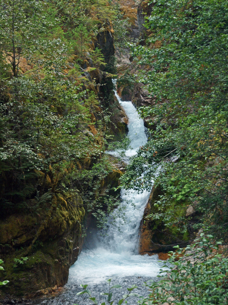 (Below The Ship, the trail continues another 1.5 miles to the lower trailhead. The entire hike from upper to lower trailhead and back is about six miles and the elevation gain coming back is 1350 feet.)
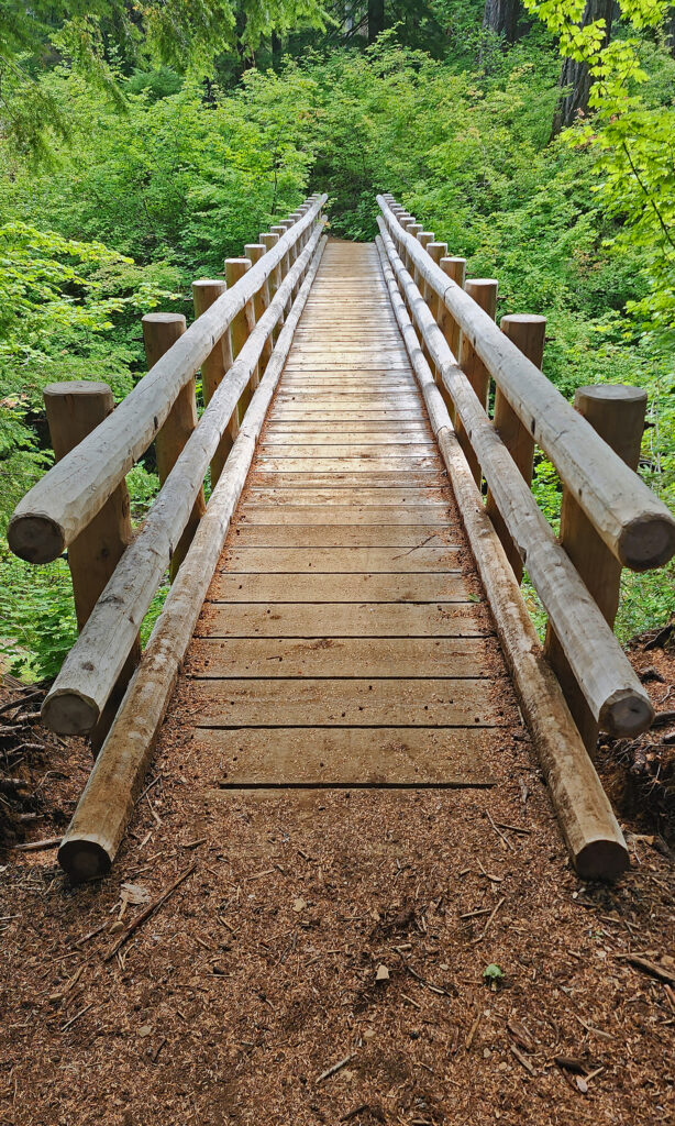
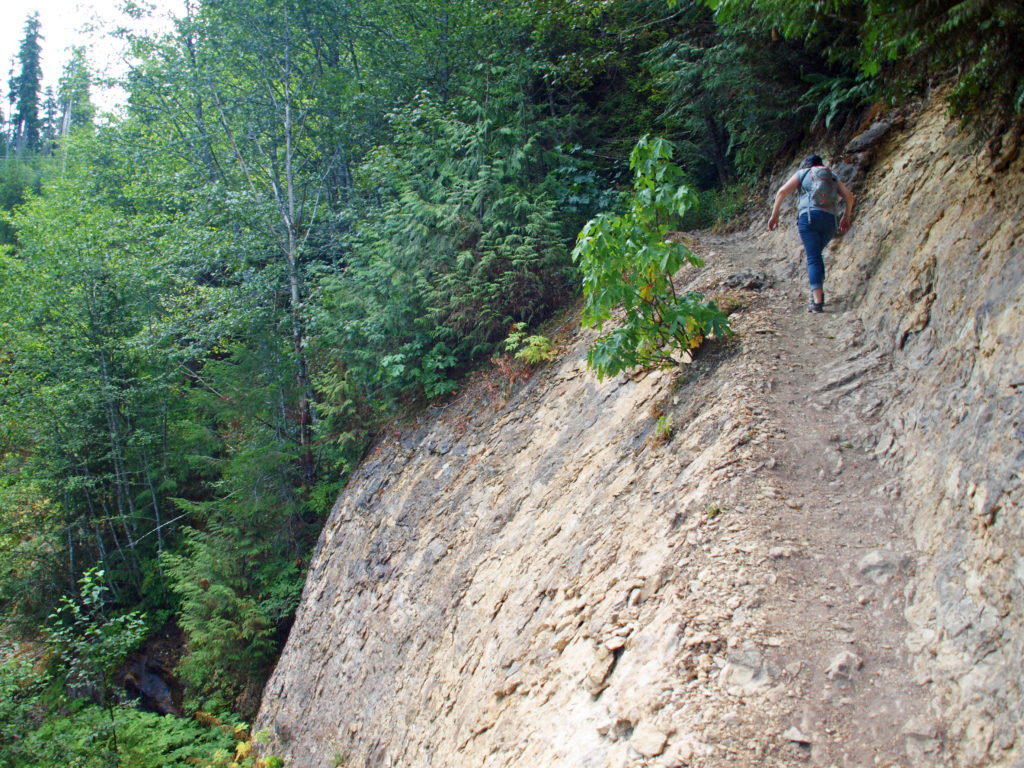 Return from The Ship the way you came. Cross the suspension bridge if it is open and take the trail on the opposite bank to the upper bridge and re-cross the river. The two bridges both give you great views of the river and canyon below.
 Originally posted in a different format September 29, 2018 by Alan K. Lee. Updated and re-posted March 23, 2021. Edited, updated and posted in this format June 29, 2023.

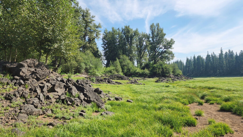
 From the Great Spring the trail follows the east shore through the lava fields and forest. Parts of the trail are pretty rough. Good quality hiking boots are advised, although I did this hike in sneakers on my latest visit. But open toed sandals or flip flops are definitely not acceptable footwear on this section of the trail.


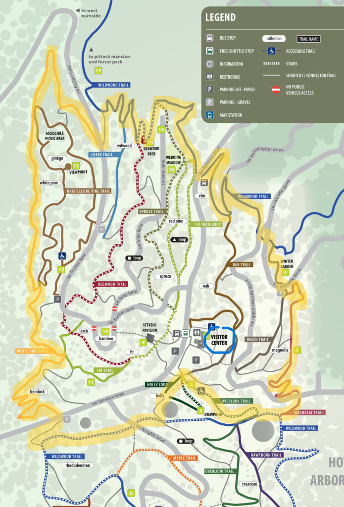
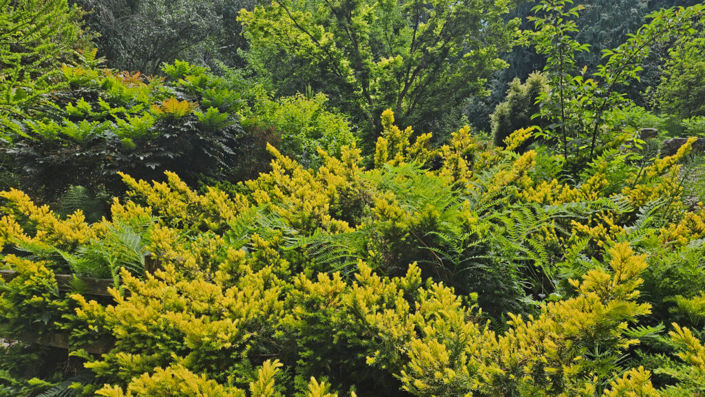
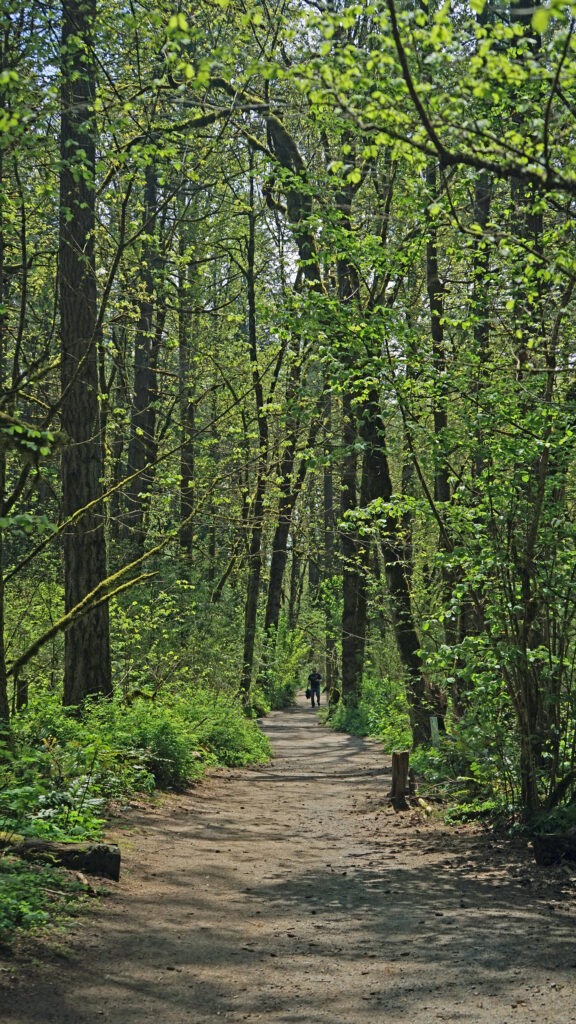
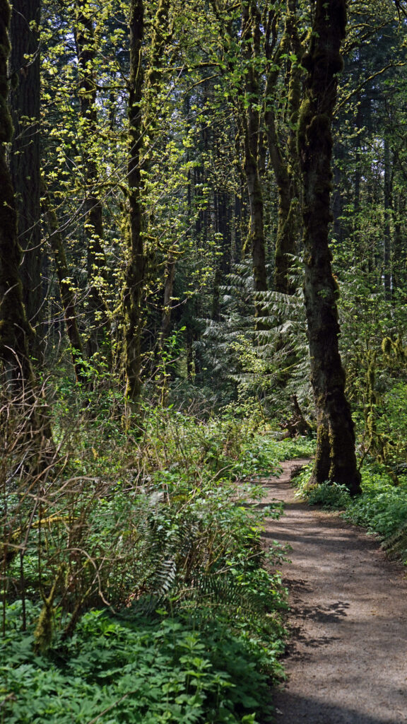
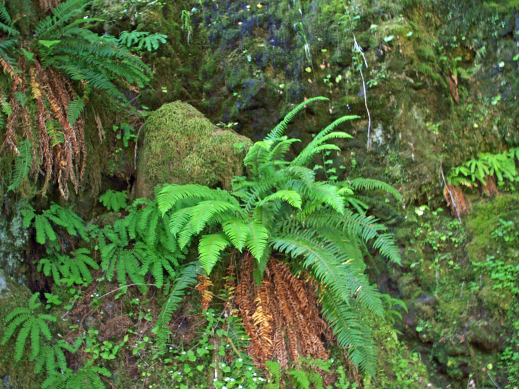
 Hoyt Arboretum offers a multitude of possible hikes over its 189 acres and 12 miles of trails. The hike described here passes through many of the arboretum’s tree collections and is a good introduction to the arboretum for anyone that has not visited previously. It also incorporates several short sections of the iconic Wildwood Trail that meanders for 30 miles through Washington and Forest Parks. The trail junctions in the arboretum are well signed, so it would be hard to get lost, but the sheer number of intersecting trails can be confusing. I recommend carrying a map of the trail system whenever you’re hiking in the arboretum. Download and print the arboretum map linked above or pick up a free map and brochure at the visitor center. The brochure provides some interesting information and has a larger and more easily read map than the download.
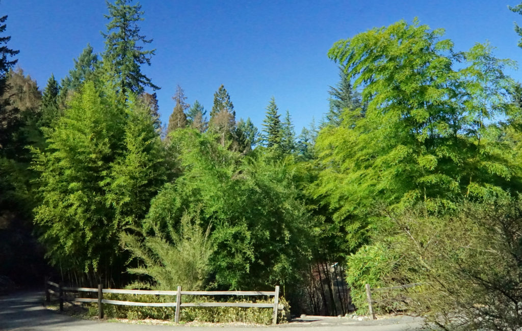
 Trailheads:
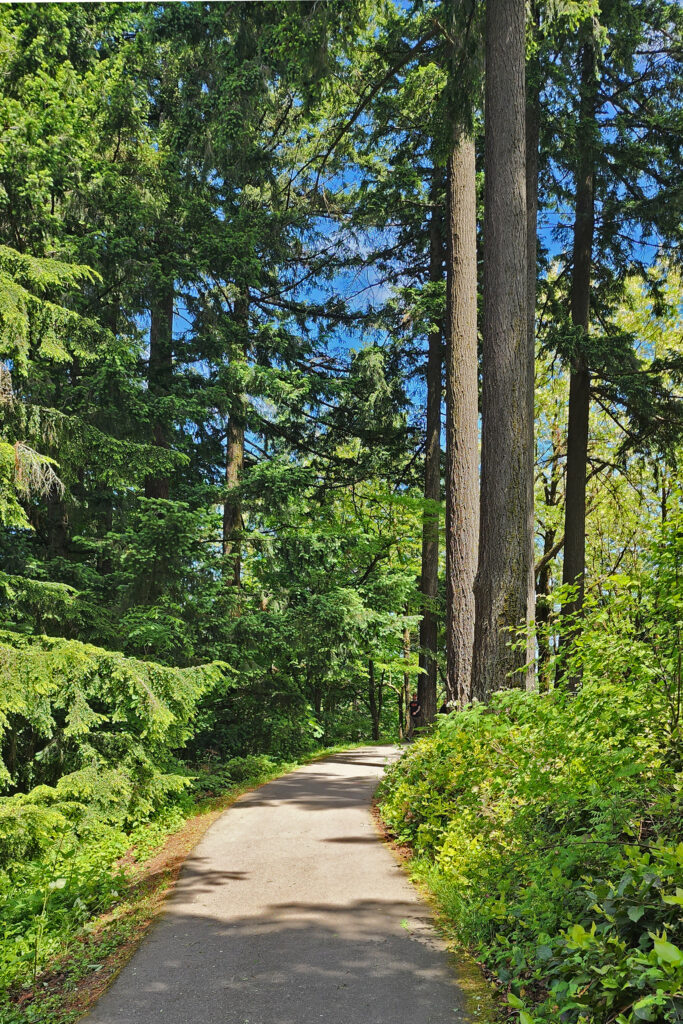
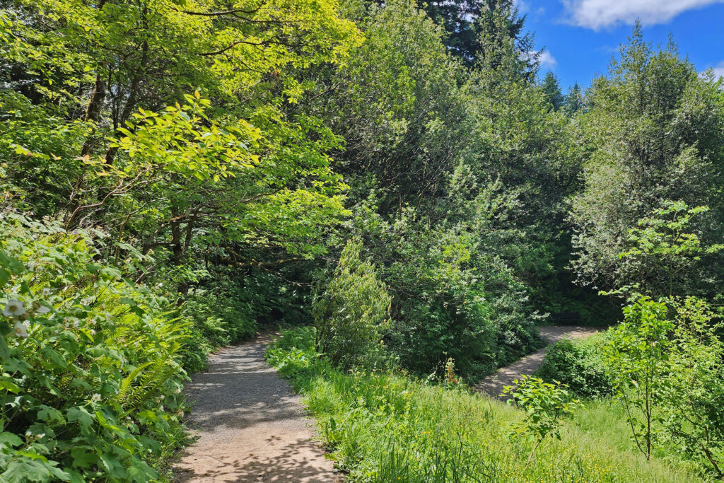
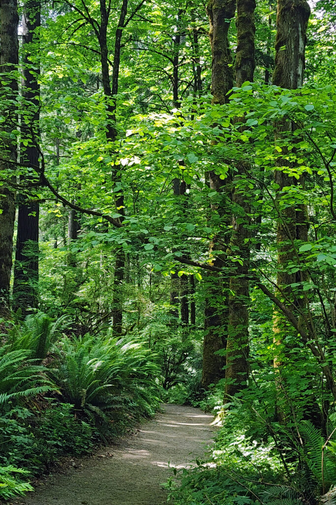


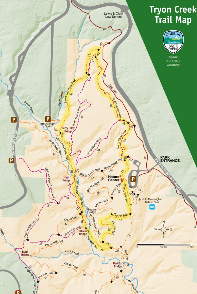
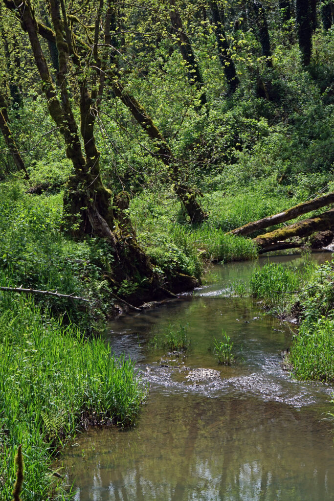
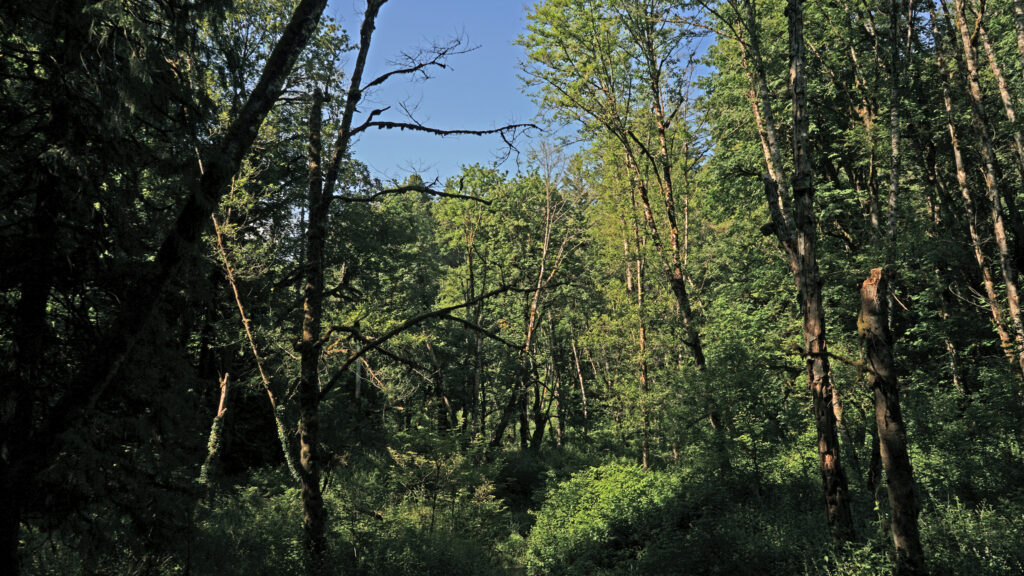
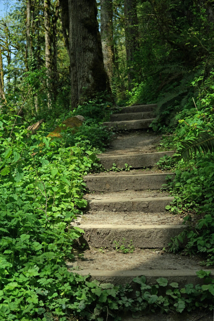
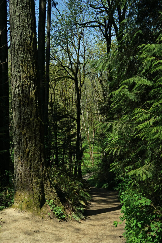 There are a myriad of loops and out-and- back hikes possible at Tryon Creek. The park has a total of 15 miles of trails, including a short all access paved trail, a paved bike path that runs the length of the park, all-use trails open to horses, and hiker-only trails. Dogs are permitted on leash. Bikes are not permitted, except on the designated bike path. The park is a day-use area only. Camping is prohibited.
 All of the trails are well used, so you’re unlikely to find real solitude here, unless you come during really bad weather. But that doesn’t detract much from the park’s appeal. In general, the farther from the Nature Center that you get the fewer people that you’ll encounter. The southern and western parts of the park are the least used. The hike described here includes two of my favorite trails, the Big Fir and Lewis and Clark trails, but they’re also two of the most traveled trails in the park.
 Getting there:
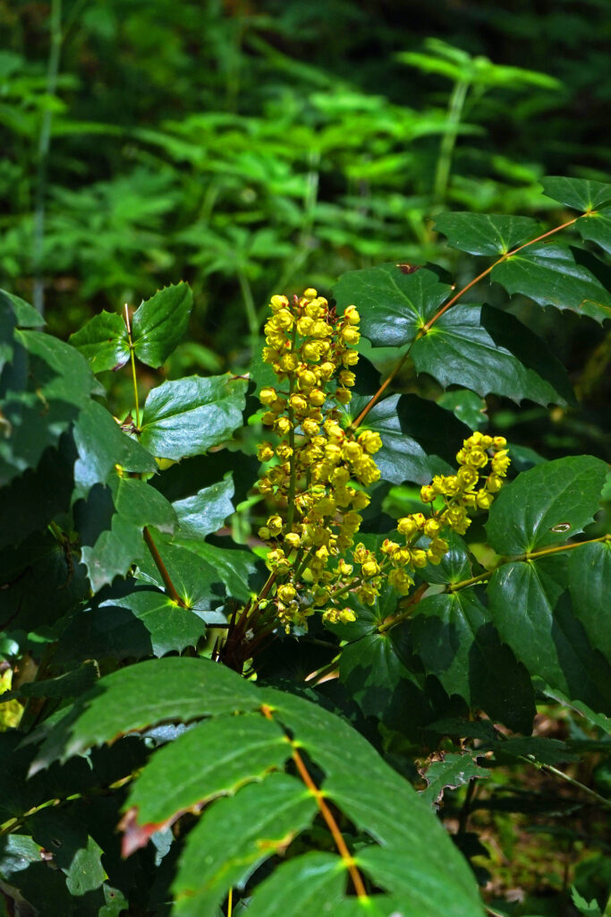
 Posted May 18, 2023 by Alan K. Lee.
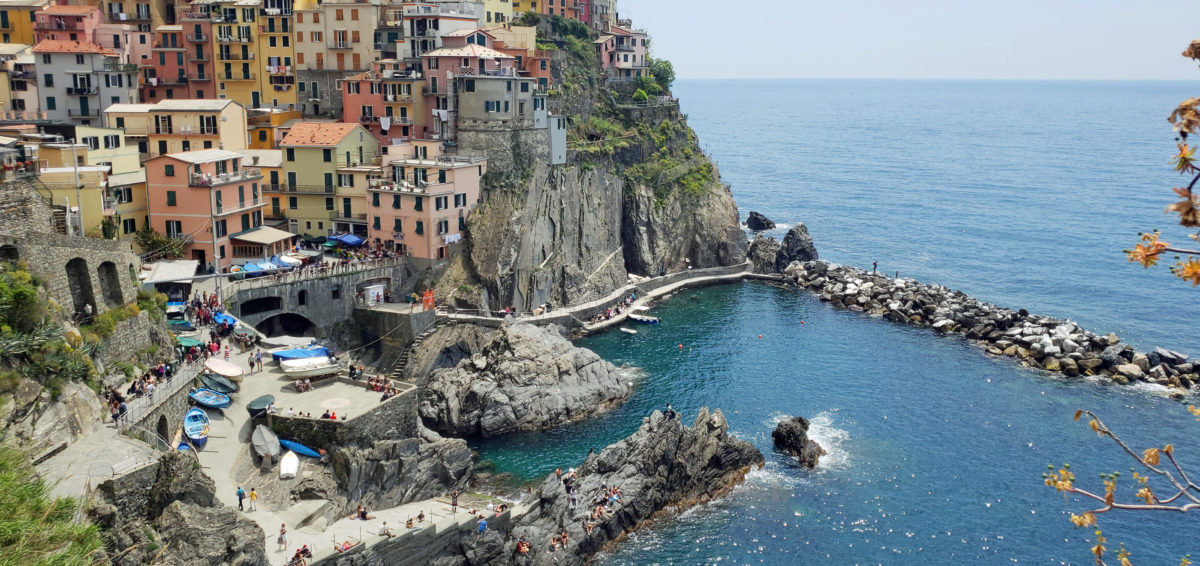
 The following is an expanded and updated version of an August 2018 post on this site.

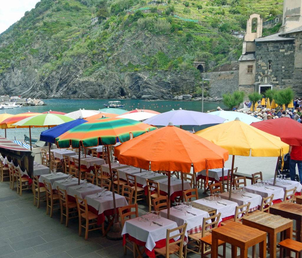
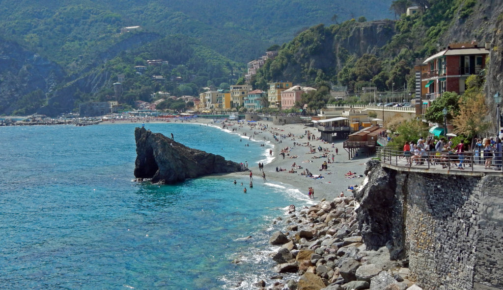
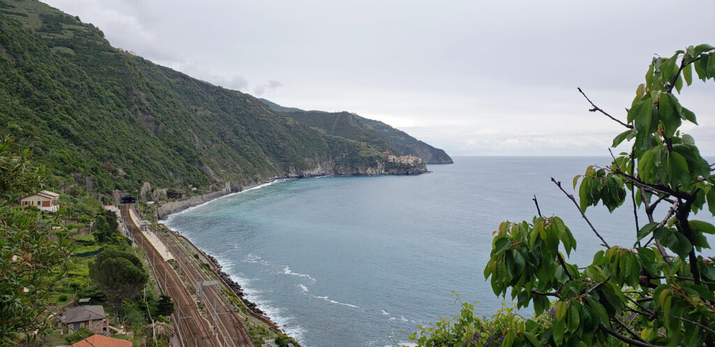
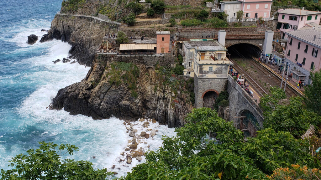
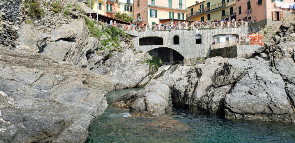
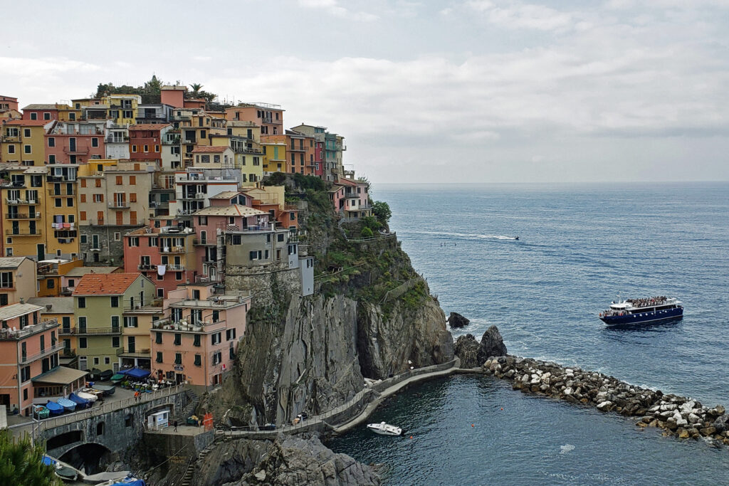
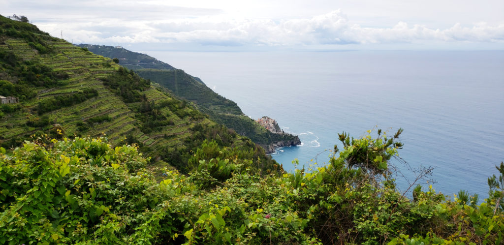
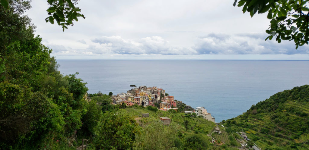
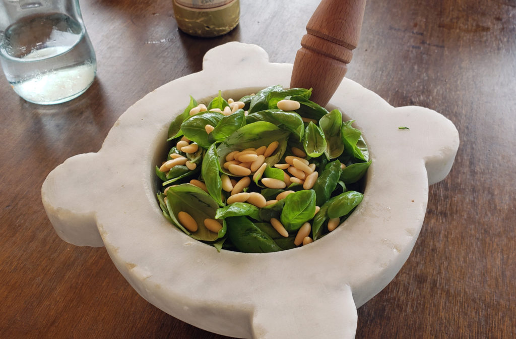 Because we would not be home on Mother’s Day, my two stepdaughters bought my wife (and me) tickets to a pesto making class and lunch at the Nessum Dorma Restaurant in Manarola, something I would not have done on my own, but which turned out to be both a good introduction to Italian cuisine and loads of fun. And the food was very good, including the pesto that we made ourselves.


 Overview:
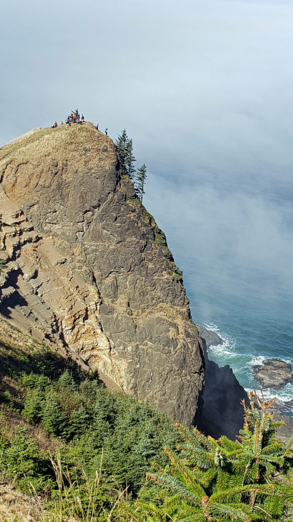
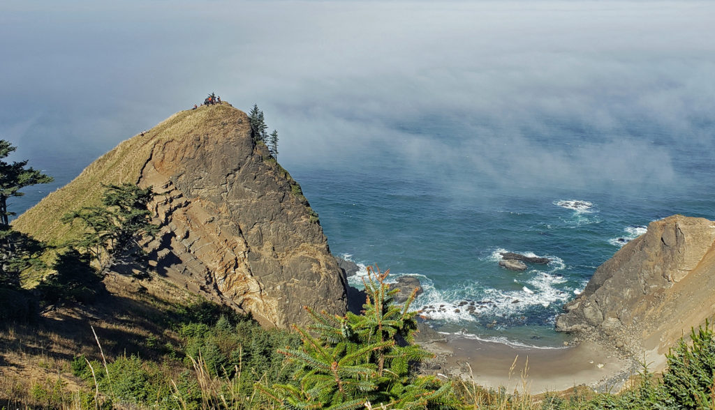
 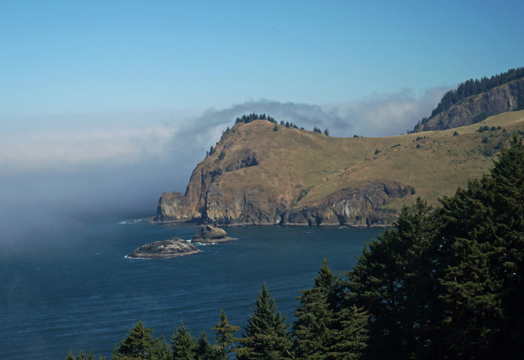 The God’s Thumb hike remained closed to the public until about a decade ago. Although people occasionally trespassed across private property to get to it, God’s Thumb remained largely unknown. But in 2013 Lincoln City purchased about 500 acres of property that was the site of a failed subdivision and negotiated an easement with the owner of the neighboring property, making God’s Thumb legally accessible to the public for the first time.
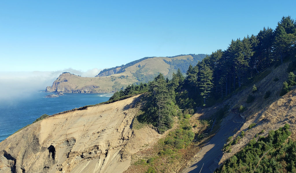 Trailhead:
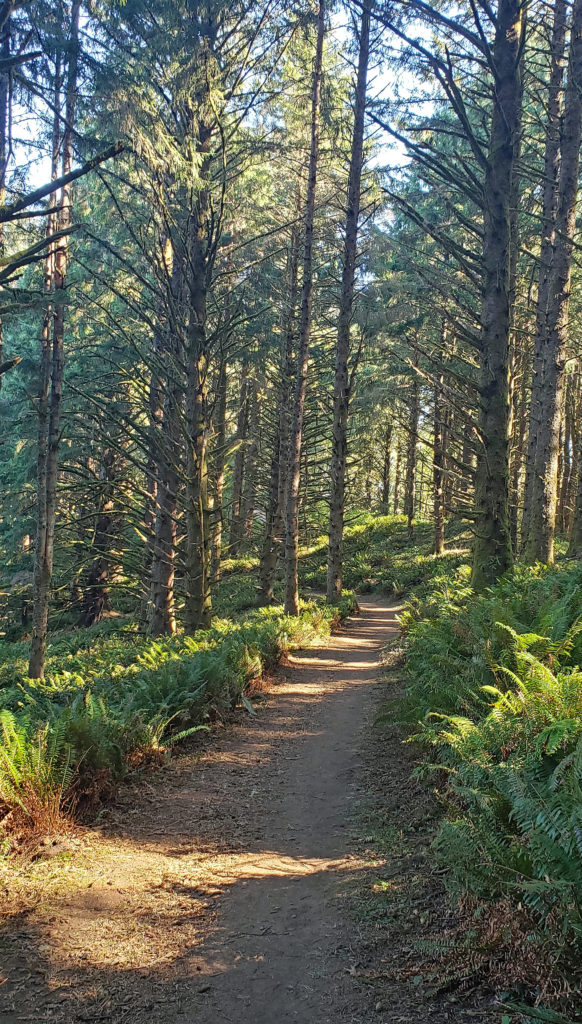 The hike:
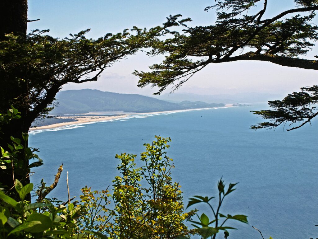
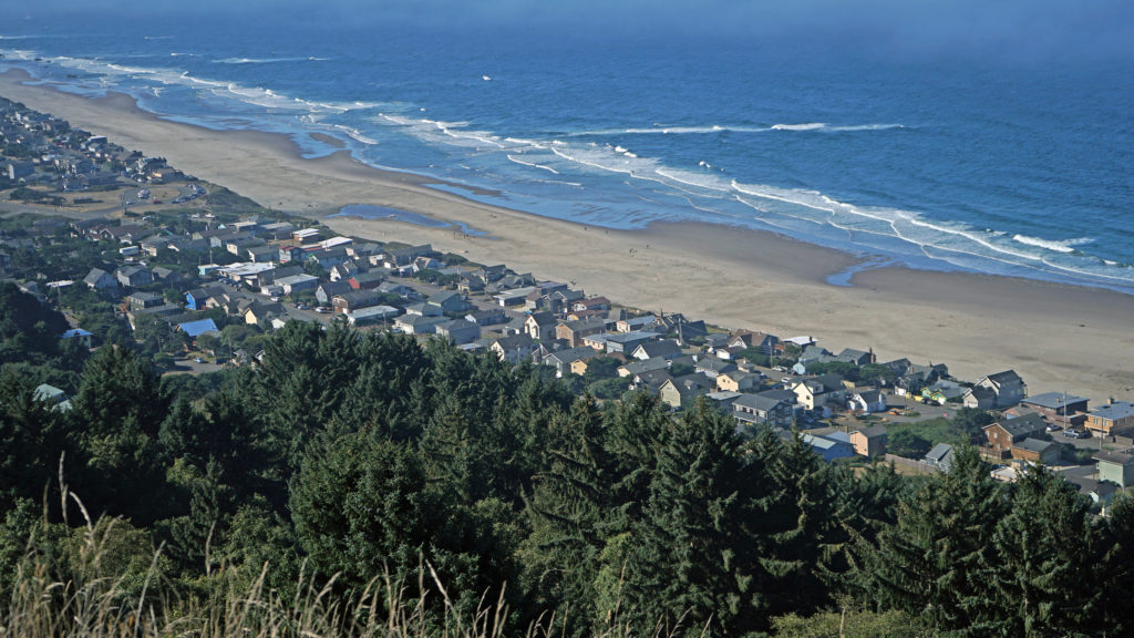 You don’t want to skip this because the view here is spectacular. The Pacific Ocean is spread out before you in all its glory. The Road’s End section of Lincoln City is directly below you. Lincoln City stretches out before you, with Devil’s Lake to the east and Siletz Bay to the south. The view extends south to Cape Foulweather. You might want to park yourself on the grassy summit and just sit for a while. Apparently, the local herd of elk also like the view because they often bed down here at night.
 When you’re done taking in the view from The Knoll, return to the main trail and continue north. This portion of the trail is on the easement granted to the city by the property owner. The trail takes you through a spruce and hemlock forest and across a small meadow. Parts of the trail are steep, but the elevation gain is modest, and most people won’t have any difficulty. You’ll soon come to a trail junction. Stay left to continue on to God’s Thumb. You’ll pass through more spruce, hemlock and alder forest, and across several grassy meadows before the trail swings to the west and comes to another trail junction. The trail to the right comes up from the private Camp Westwind on the Salmon River Estuary. Stay left at the junction and you’ll soon see God’s Thumb in front of you. Stop here and admire the view of The Thumb and the surrounding cliffs, the two coves and beaches on either side of The Thumb, and Cascade Head to the north.
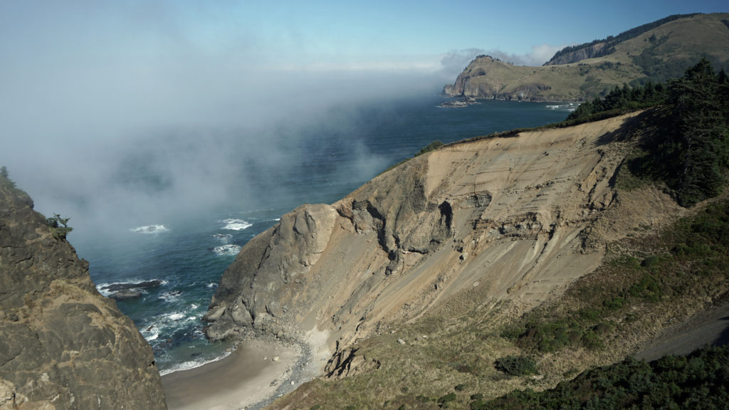 The trail then drops steeply down the slope and across along a narrow ridge before climbing very steeply up the slope to the summit of God’s Thumb. This section can be tricky to navigate and can also be slippery if the trail is wet. Some people choose not to venture down and then up to the summit. But if you do, you’ll be rewarded with magnificent views in all directions. Even if you don’t, the views you do get make the hike well worthwhile.
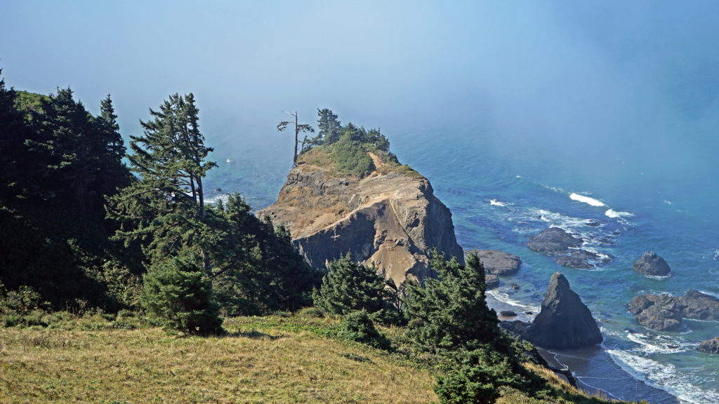 When you’re done taking in the views, return the way you came. When you reach the second trail junction, before you get to The Knoll, you have the option of taking the trail to the left for an alternate, slightly longer route back to the end of Devil’s Lake Boulevard where you left your car. Check the Oregon Hikers
  A few notes on parking:
 Other area hikes and other attractions:
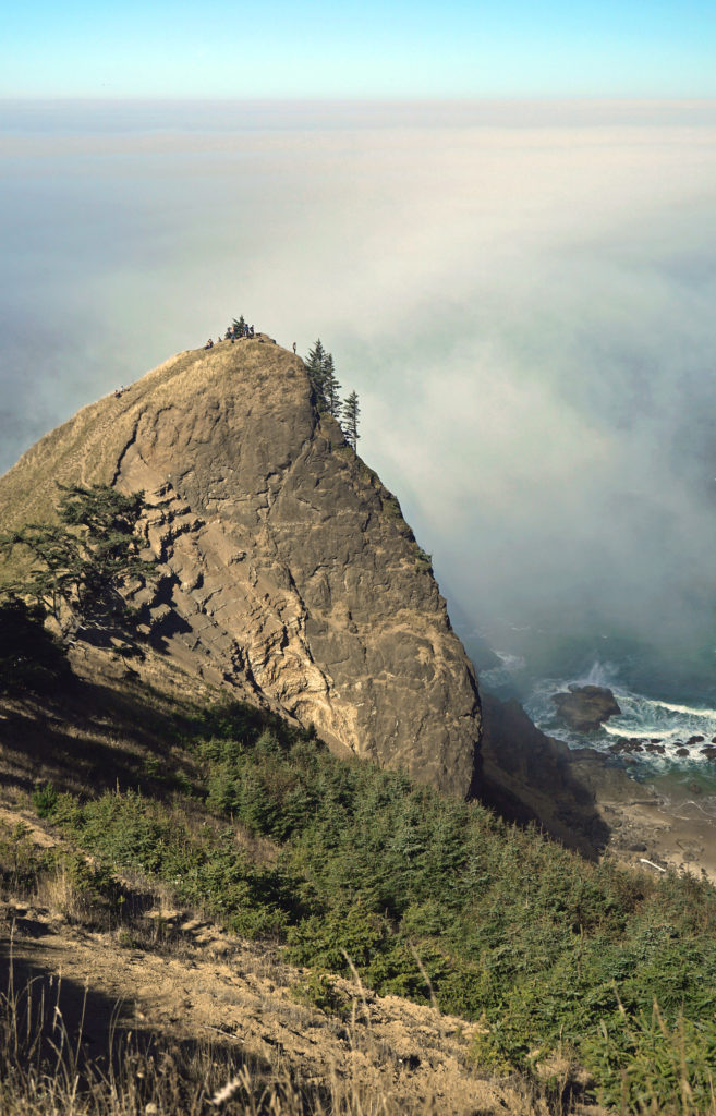
 The peninsula is now an undeveloped county park. There has never been a campground, but in the past backcountry camping was permitted. That has changed, however, and overnight camping is no longer allowed.
 Getting there:
 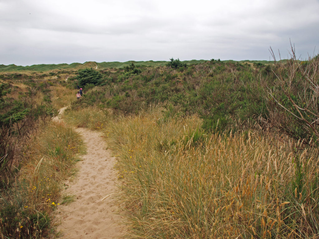 The hike:
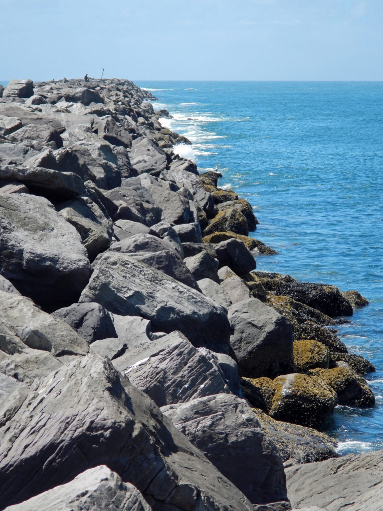 Or, continue along the beach until you reach the south jetty at the mouth of Tillamook Bay. You’ll be rewarded with one of the least crowded beaches on the entire coast. You might have the beach to yourself even on summer weekends.
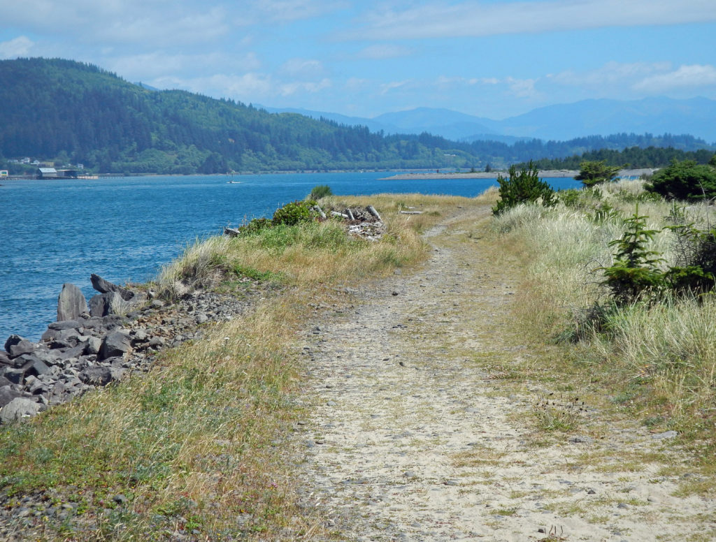 From the jetty you can return the way you came for 7.2 mile out and back beach walk or complete the 7.7-mile loop hike by following the jetty inland to the old jetty haul road and following it back to the trailhead. The road is rock and gravel with some sandy stretches. It runs along the bayshore, with good views of the shore and bay, with a couple of stretches in the pine and spruce forest of the peninsula interior.
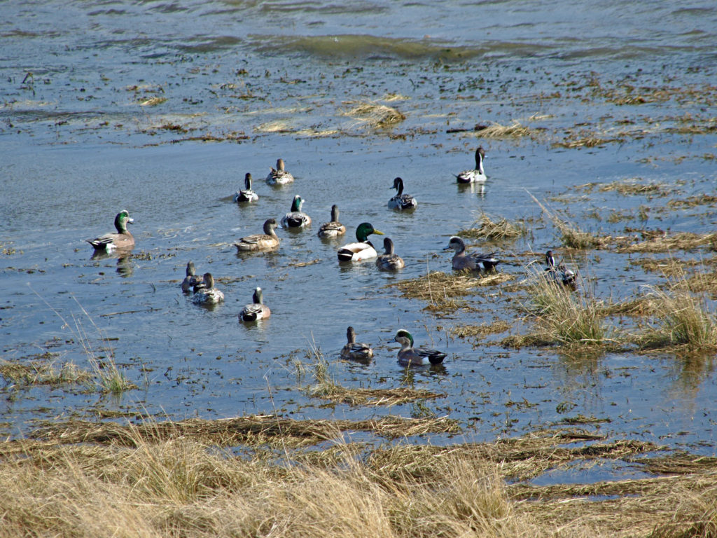 Look for ducks and geese on the water and shorebirds along the water’s edge. This is one of the best birding areas for waterfowl on the coast.
 Near the end of the hike look for a sign labeled Bayocean Townsite. Here a trail leads toward the beach to the old townsite. The trail loops south through what was then the bayfront (the whole peninsula has shifted a couple of hundred yards to the east and much of the old townsite is now under the waves), then returns to the haul road, where there is an interpretive display that tells the tale of the town and its demise. From there, return to the parking area. (If you started at the town of Cape Meares, hike from the Dike Road parking area through the dunes and return to Cape Meares on the beach.)
 Farther south,
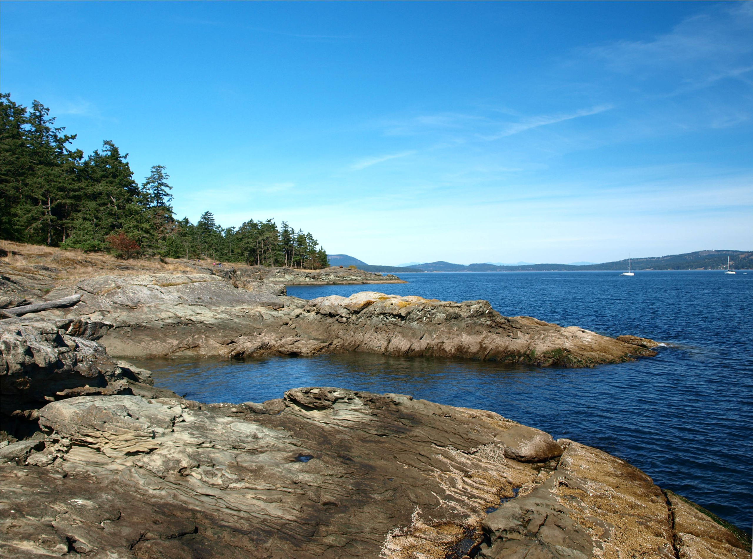
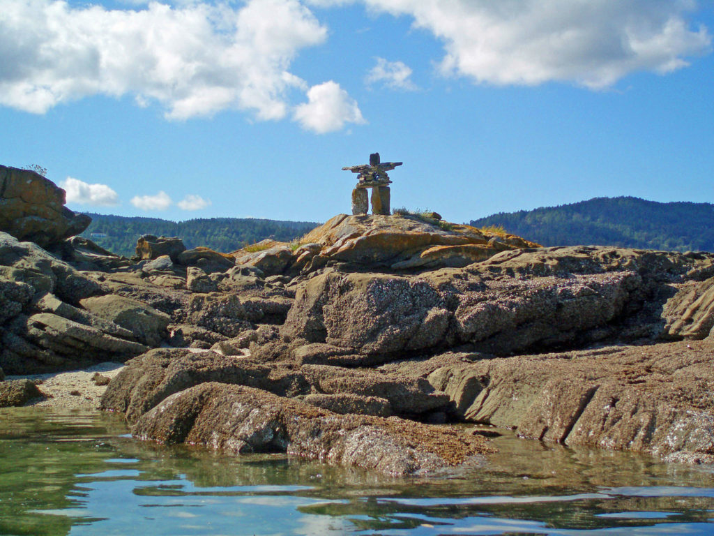
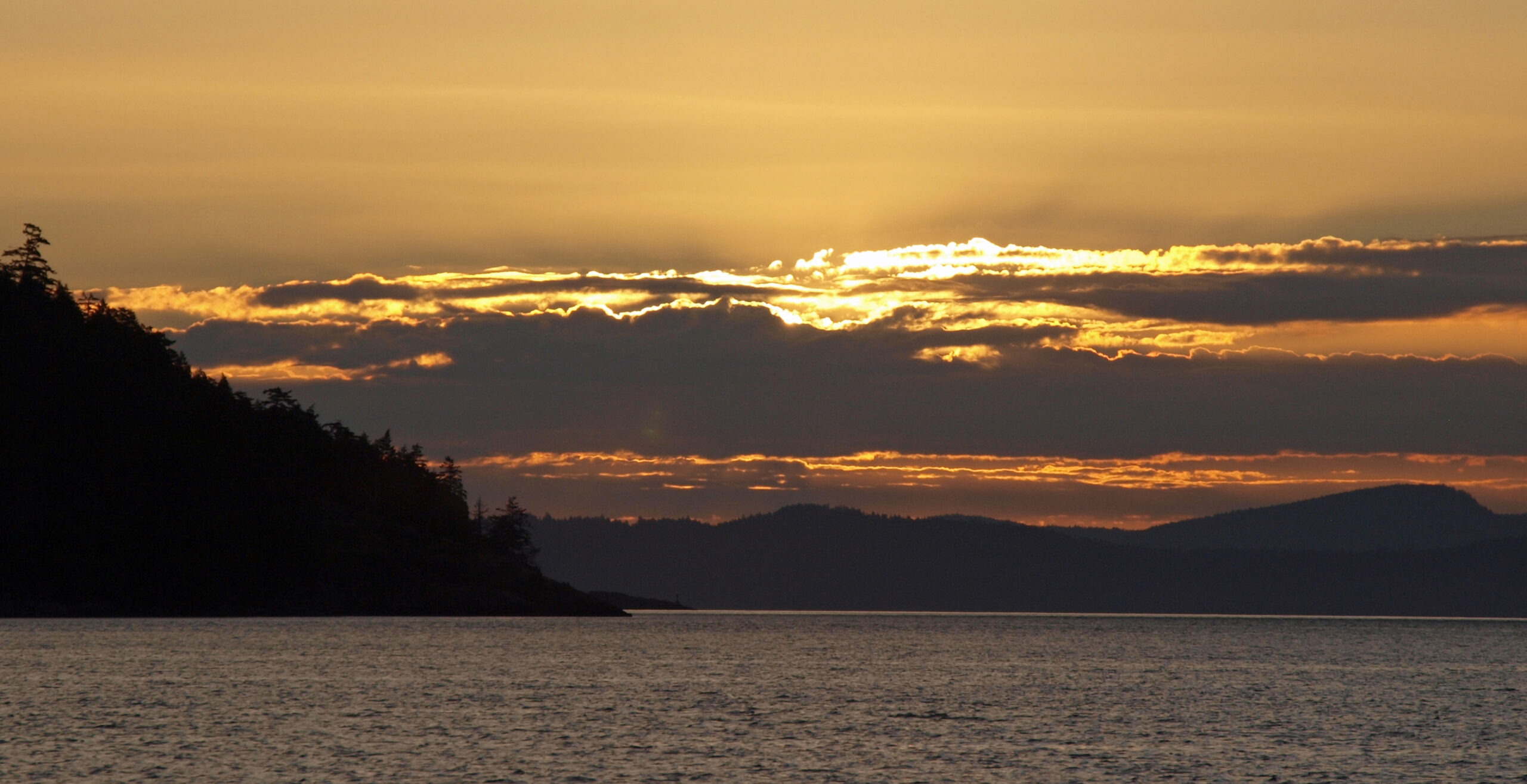
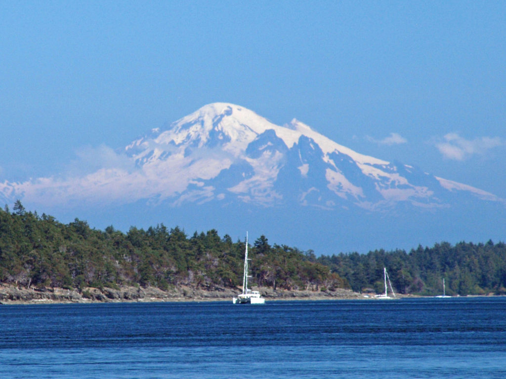
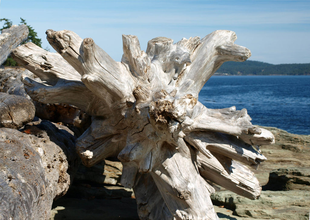
 The Gulf Islands are located off the southeast coast of Vancouver Island. There are six main islands in the Southern Gulf Islands: Salt Spring, Mayne, North Pender, South Pender, Saturna, and Galiano. The Northern Gulf Islands consist of Thetis, Penelakut, Valdes, and Gabriola Islands. Each island has its own particular charms, and all are well worth exploring.
 The
The 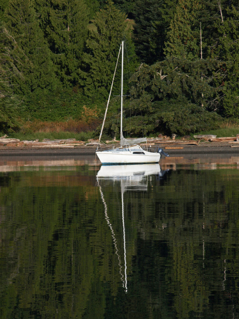
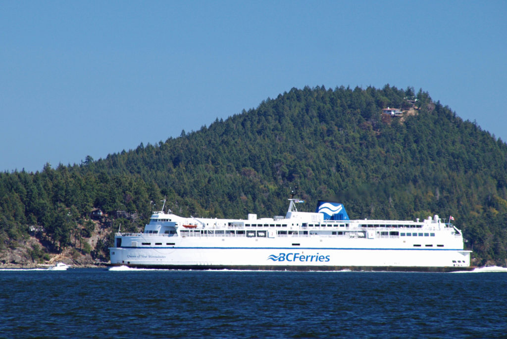
 Thetis and Penelakut Islands are reached by ferries from Chemainus on Vancouver Island. Gabriola Island is a short ferry ride from Nanaimo. Be sure to check the ferry schedules on the BC Ferries website. Reservations may be required, especially on summer weekends, and the ferry system is designed to serve island residents, not tourists, so island hopping can be difficult. Getting from one island to another in the Southern Islands by ferry sometimes requires going back to Salt Spring Island and then taking a second ferry from there. And there are no ferries from Thetis or Penelakut to Gabriola.
 I’ve found that a good way to explore the Southern Gulf Islands by car is to base yourself on Salt Spring and pick an island to explore each day. North and South Pender Islands are connected by a bridge, so they can be explored in a day. Take another three days to explore Mayne, Saturna, and Galiano. That still leaves you several days to see all Salt Spring has to offer, or to explore the Northern Gulf Islands, even if you have only a week.
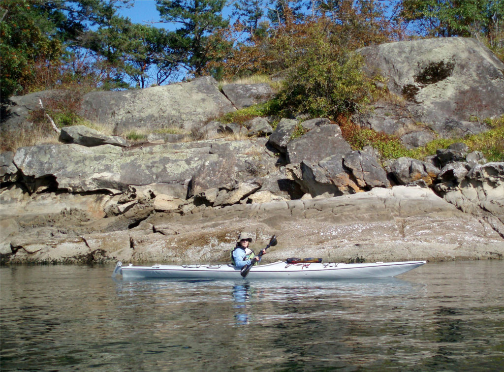 There is a bus system on Salt Spring Island, but public transportation is limited or nonexistent on the other islands. You can get around without a car, though. There is a unique
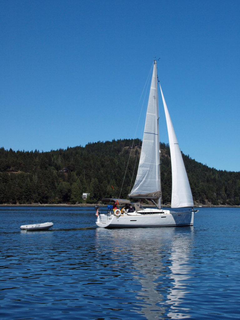
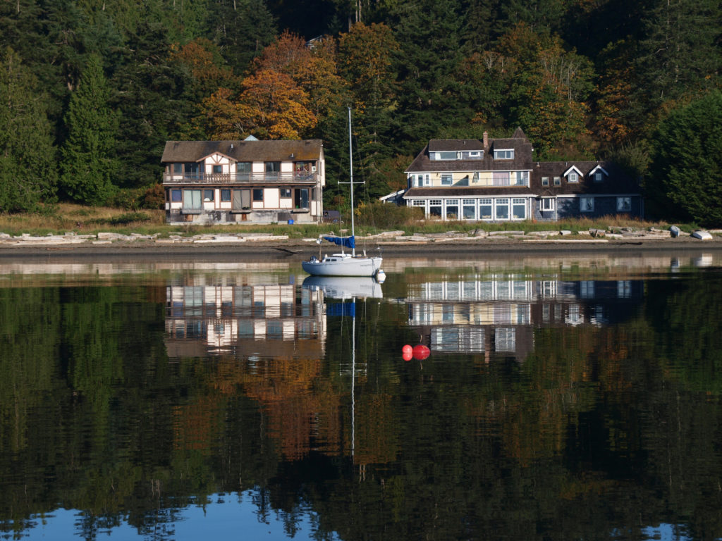
 There are a wide variety of accommodations available on the islands, from full-service resorts and hotels to traditional B&Bs to single rooms available through Airbnb. Most of the accommodations are on Salt Spring Island, but you can find small resorts and many individual houses for rent on the other islands. If you’re a kayaker, this is a perfect jumping off point. Ganges Harbor and its numerous islands are well worth exploring. Prevost Island, a short paddle to the southeast of Ganges Harbor is also worth a visit. A portion of Prevost is set aside as part of the
 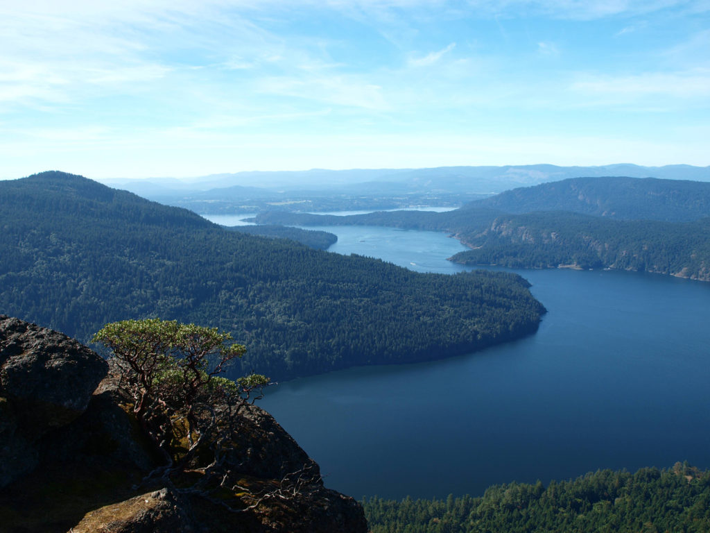 There are a number of
 Overview:
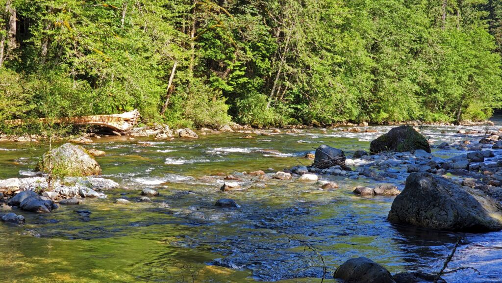
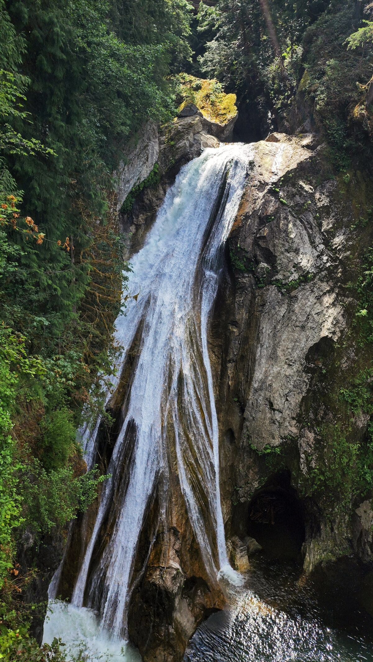
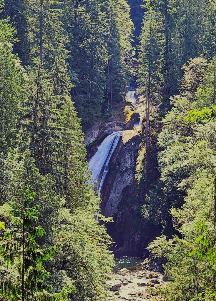
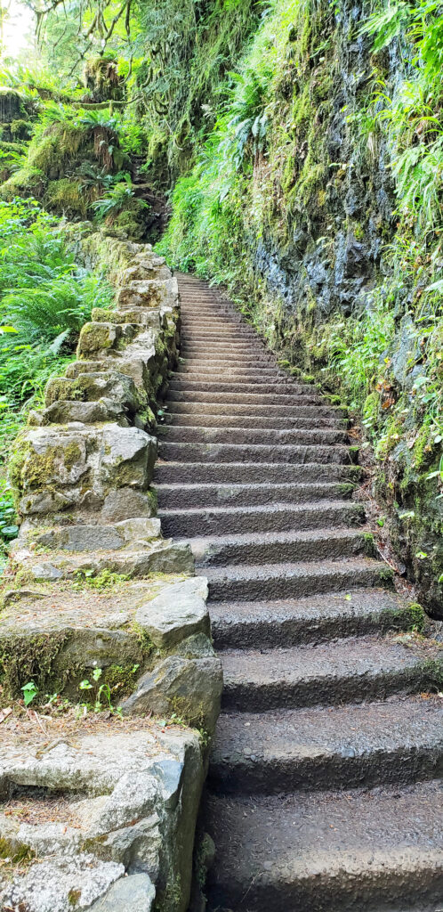
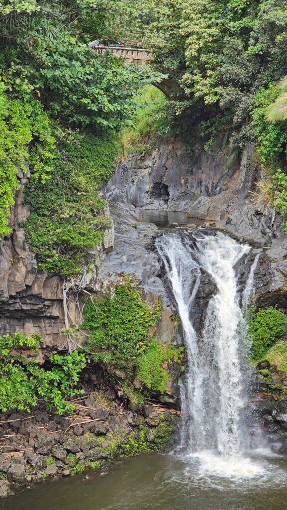
 The trail then drops back down before making a second climb to another summit. Beyond that the trail descends a series of stairs and a side trail leads down another set of steps to a viewpoint of the lower falls that is well worth the 104 steps back up to the main trail.
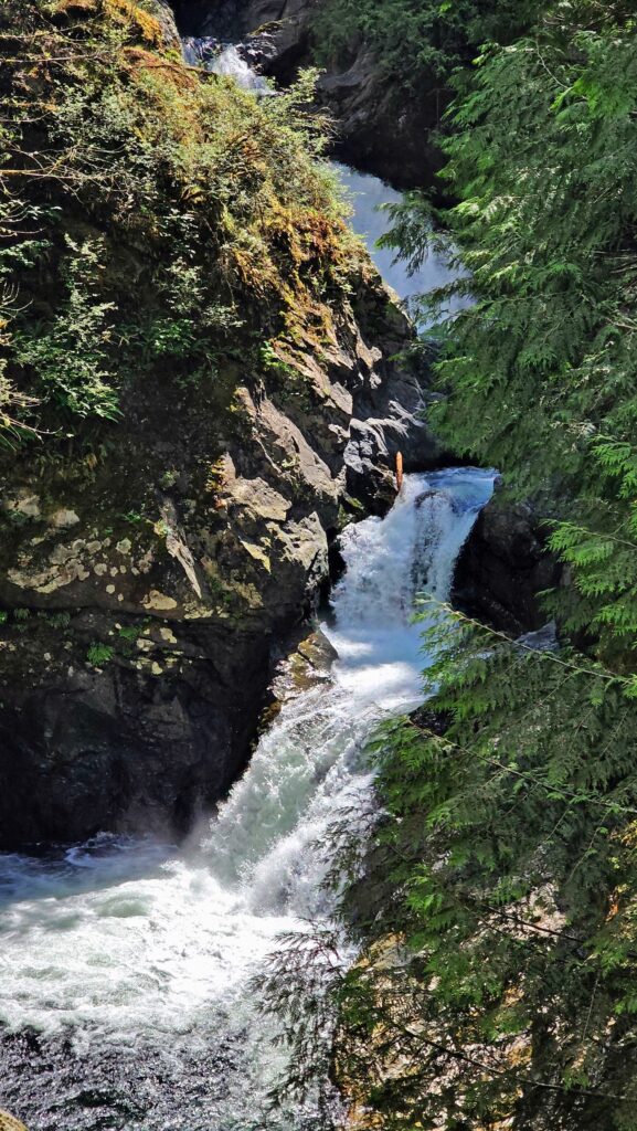
 Where: Washington side of the Columbia River Gorge
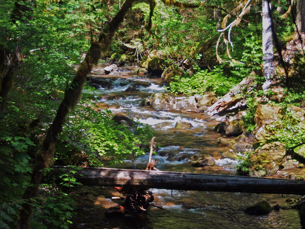 Overview:
 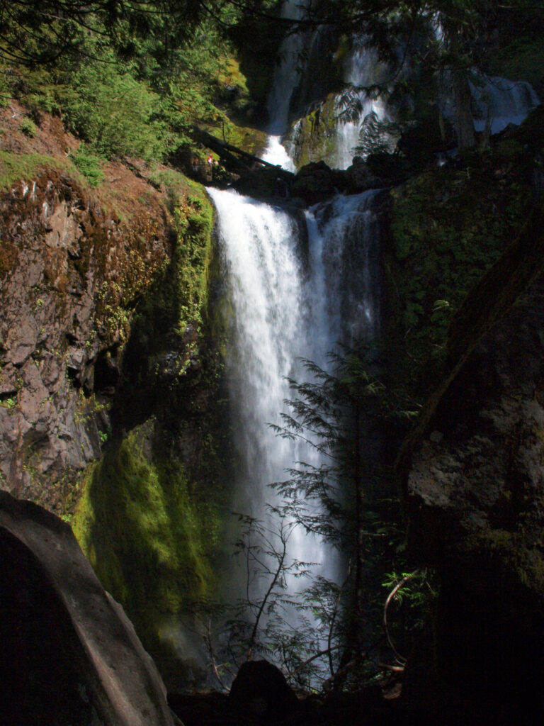 Best time to go:
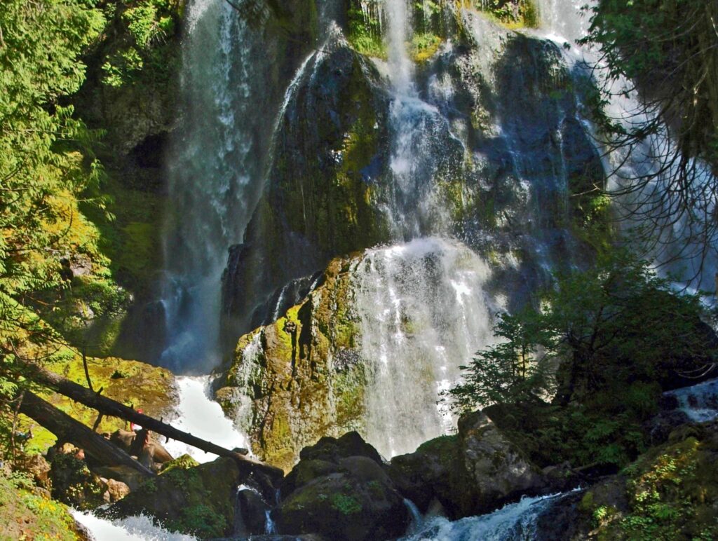
 Posted April 12, 2023 by Alan K. Lee
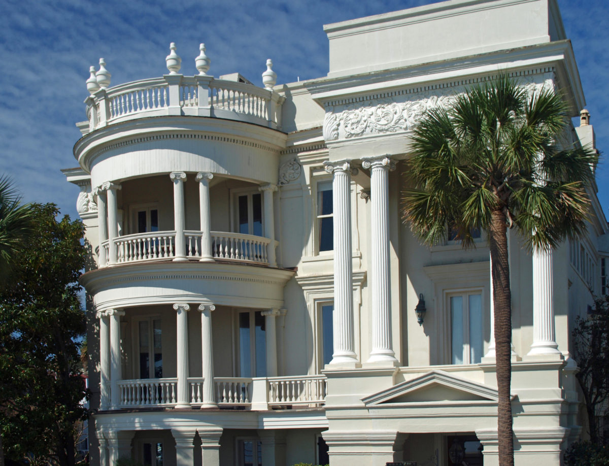
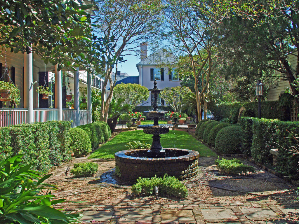
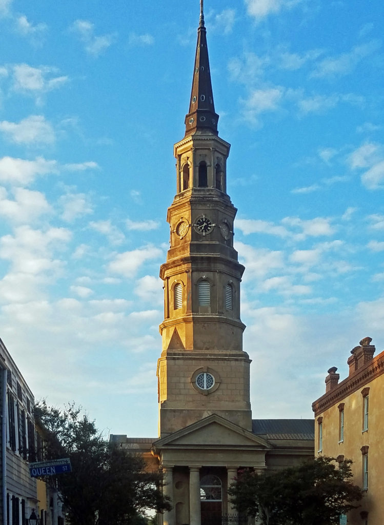
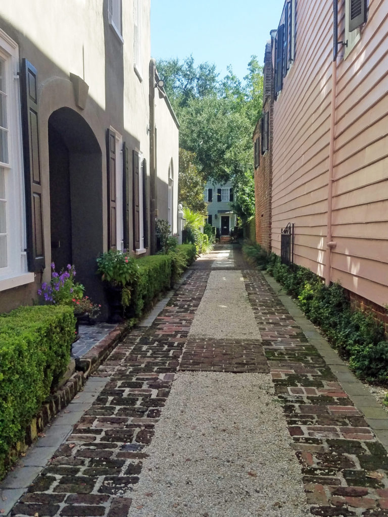
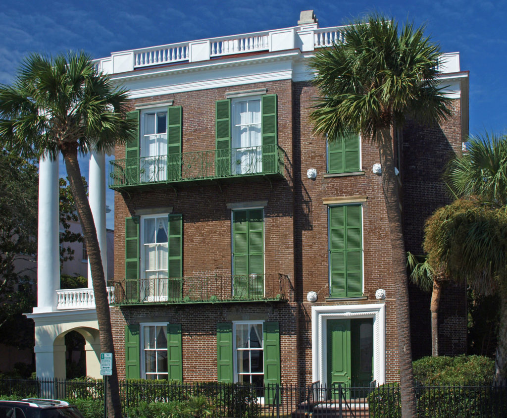
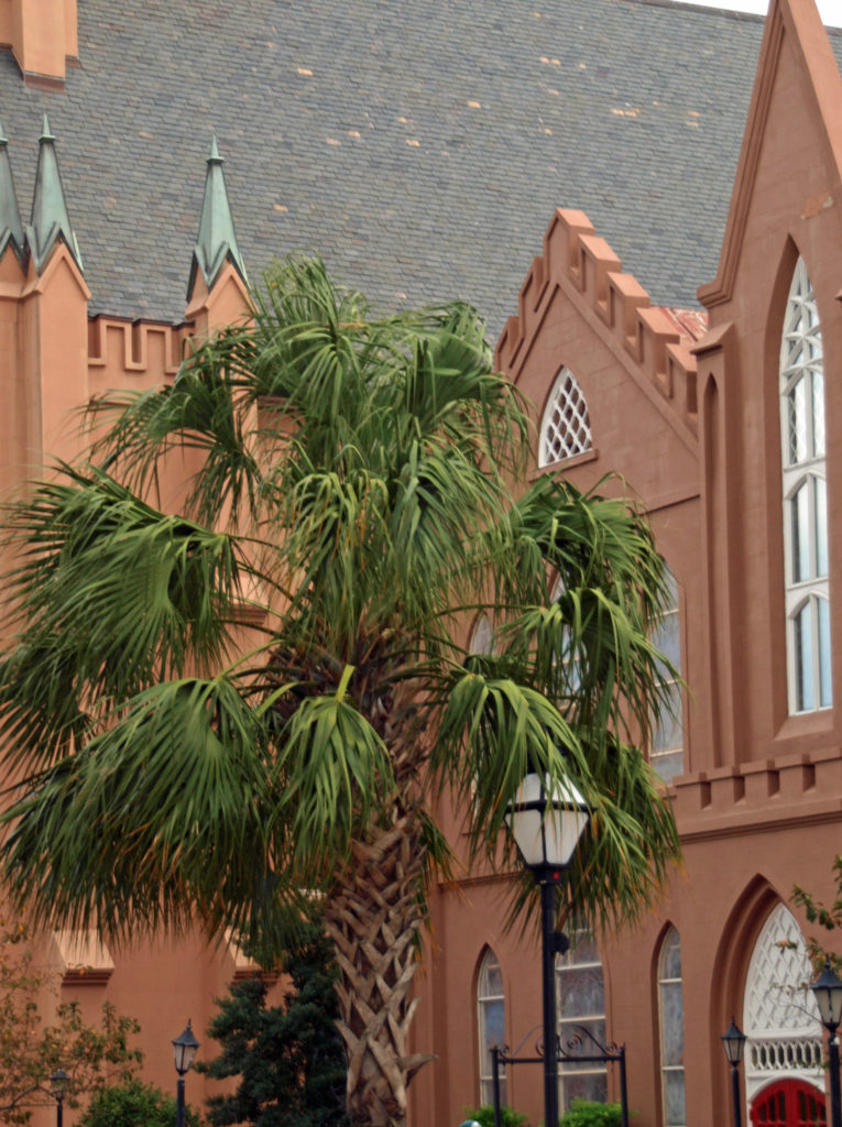


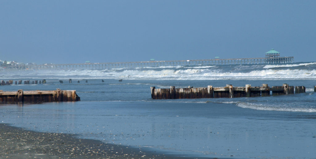
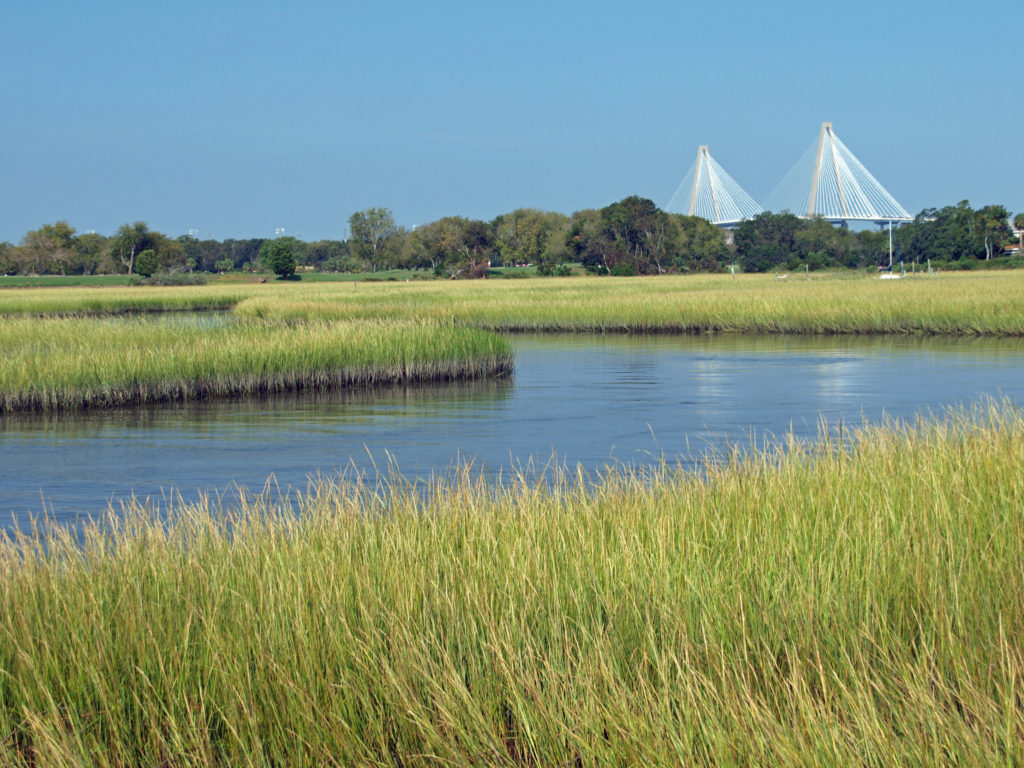
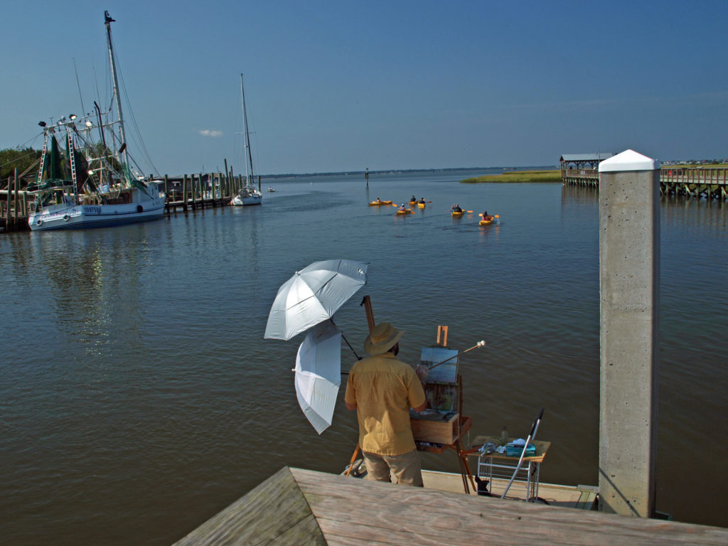
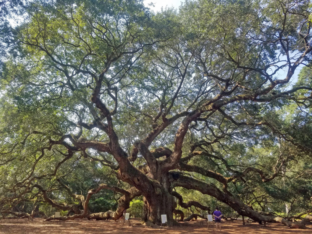
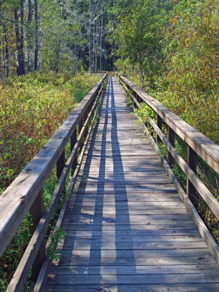
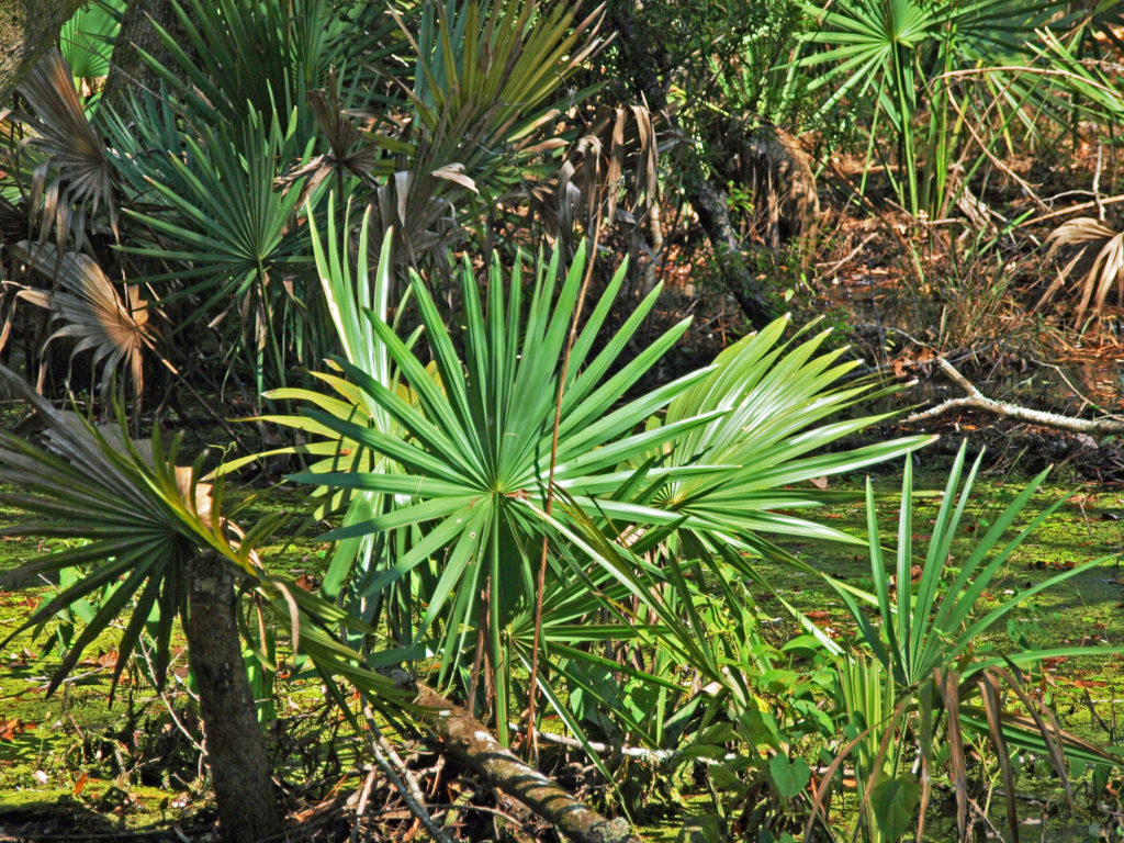
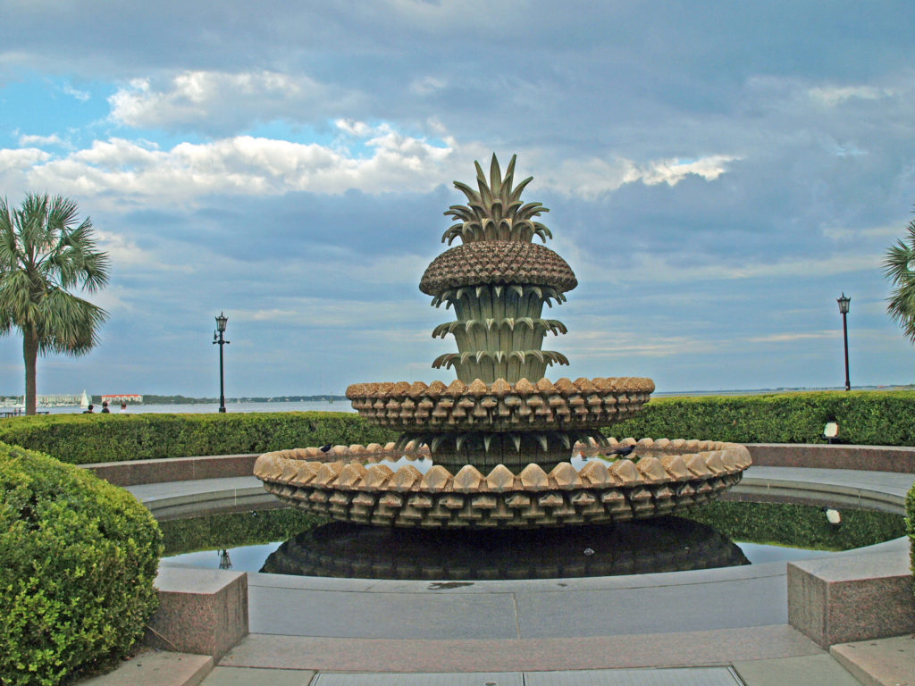 We had a great time exploring Charleston. It’s really a beautiful and charming place. But to really see all it has to offer, you need to plan for more than a three-day visit. For more information, check out the
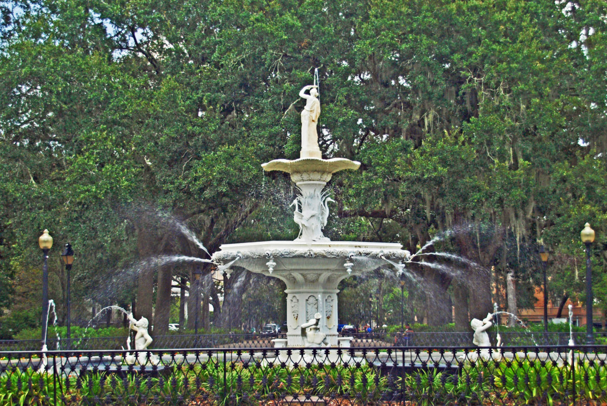
 Originally posted Jan. 20, 2020. Updated and re-posted April 9, 2023.
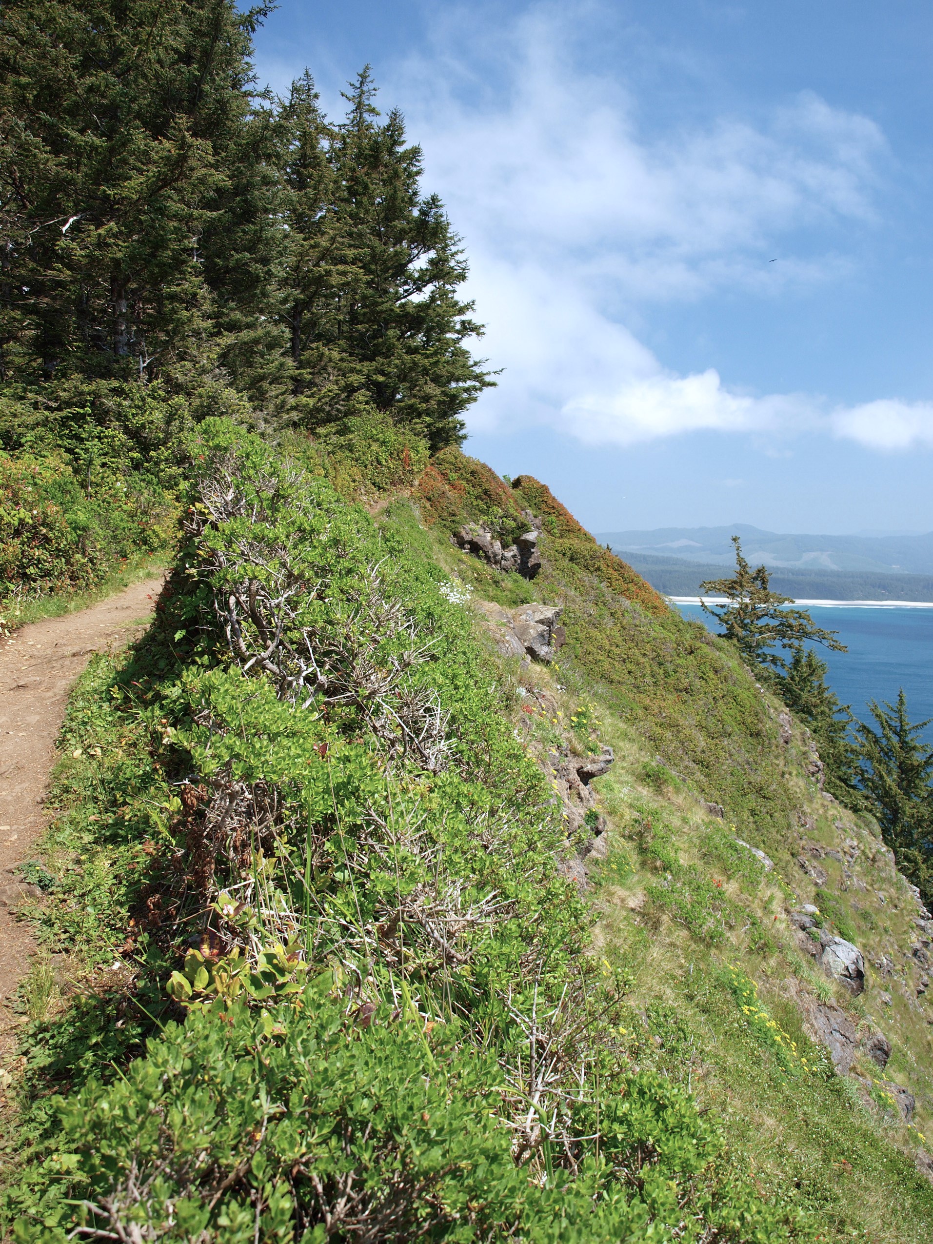
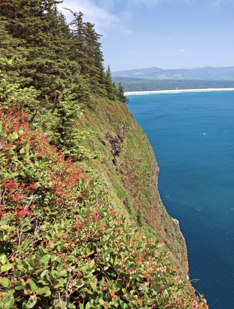
 Trailhead: Cape Lookout State Park
 From there, the trail crosses to the north side of the cape and comes to a viewpoint at the 1.2-mile mark. Here you can see north to Cape Meares and Three Arch Rocks. Just west of the viewpoint, the original trail slid into the ocean about 30 years ago. The present trail detours away from the cliff through a boggy area on a boardwalk.
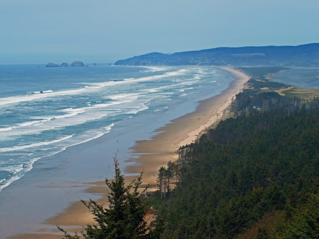
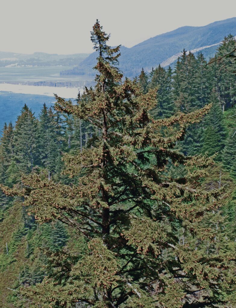 The trail returns to the south side of the cape and continues for another 1.2 miles, climbing and descending several times, to a viewpoint at the end of the cape, 400 feet above the ocean. Views there stretch from Cape Foulweather, 40 miles to the south, to Neahkannie Mountain, 40 miles to the north.
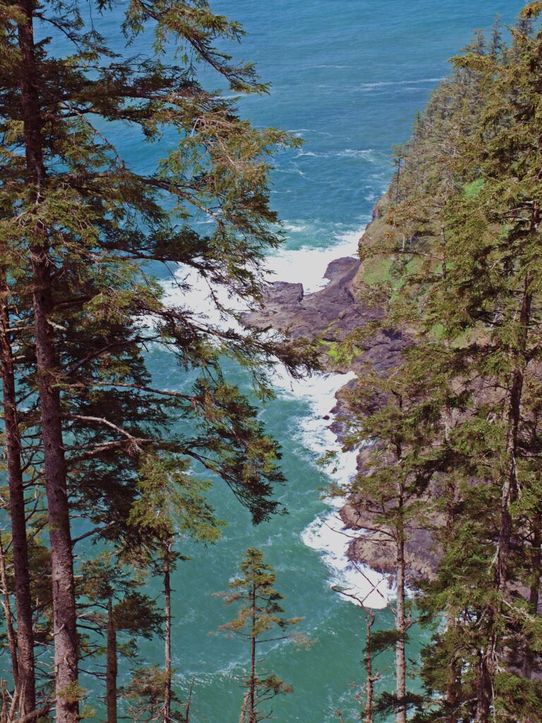 You’ll probably linger for a while at the end of the trail, but when you’ve had your fill of sightseeing and whale watching, return to the parking area the way you came.
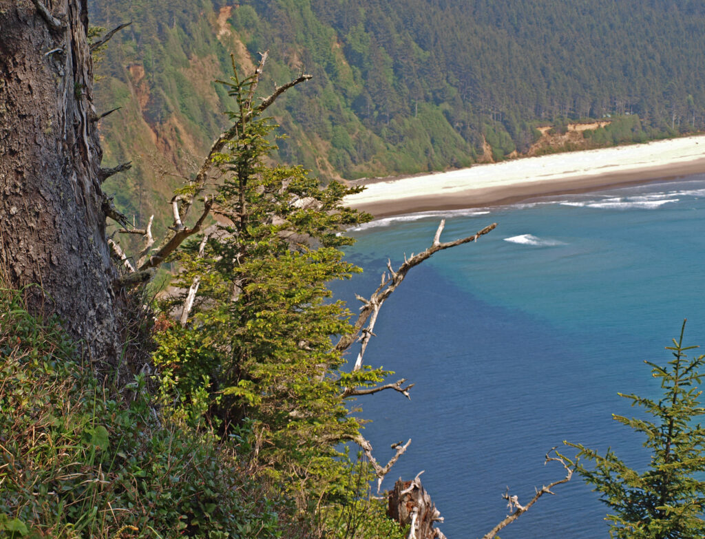
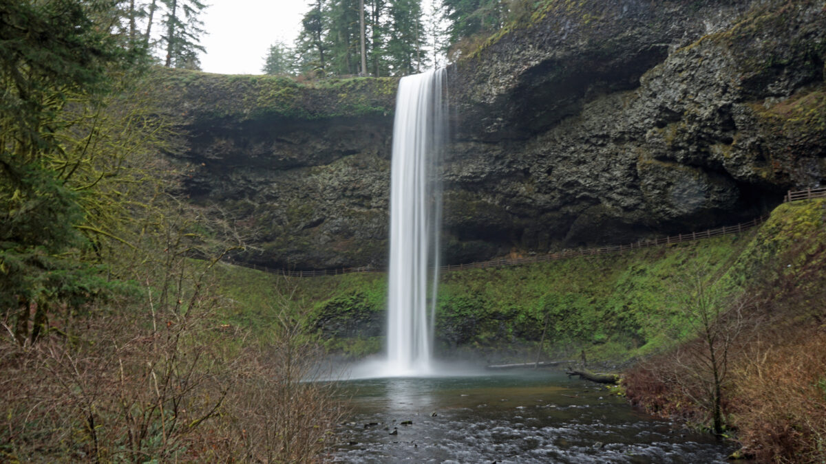
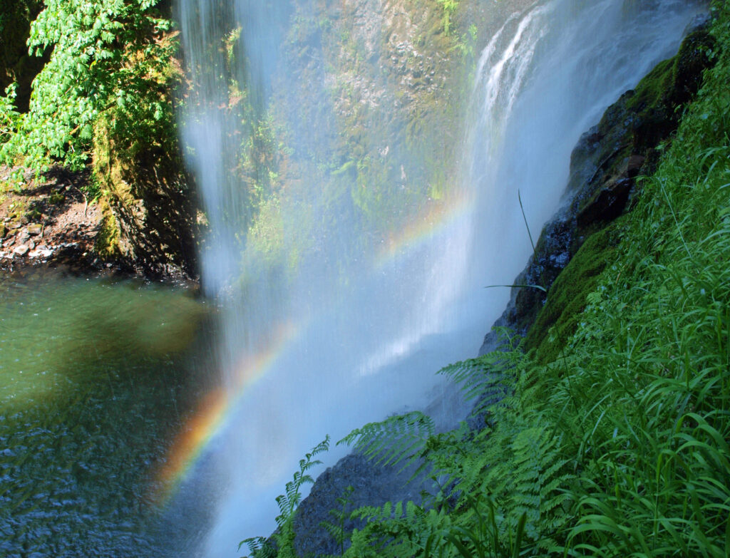
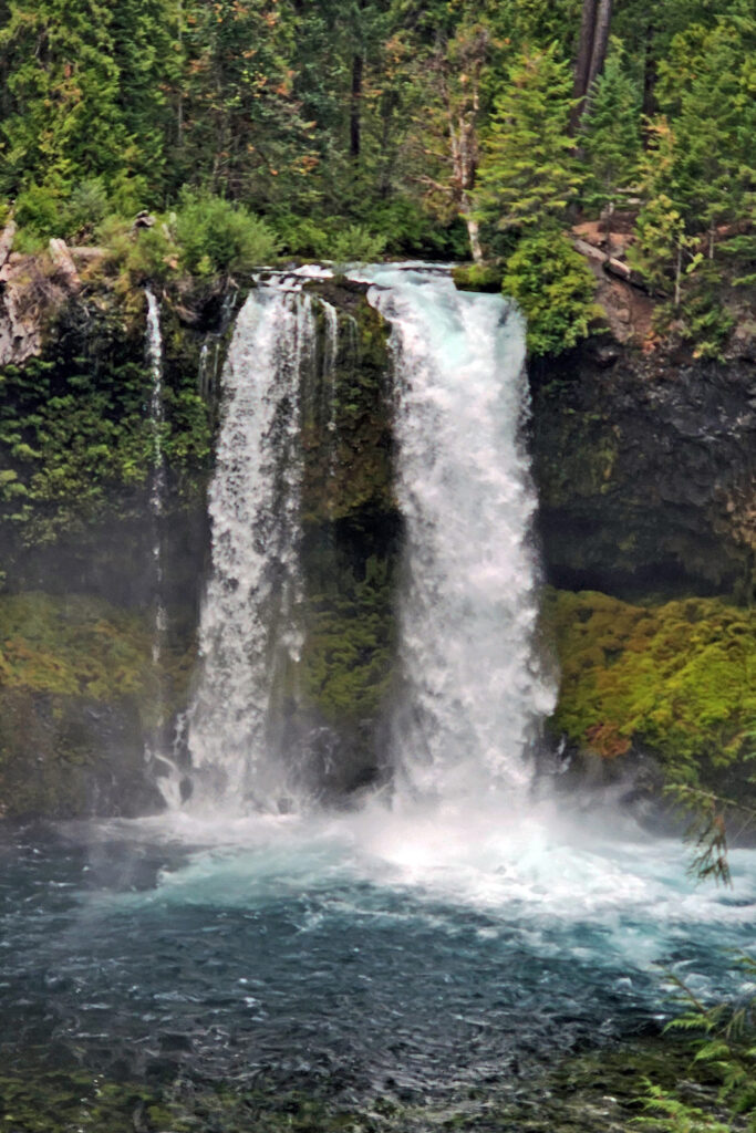
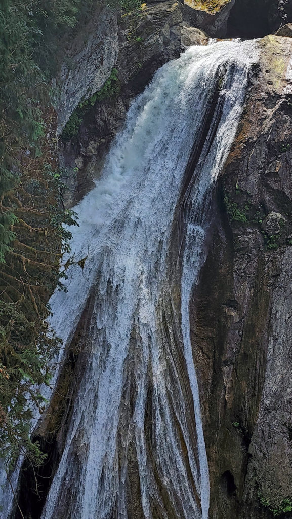
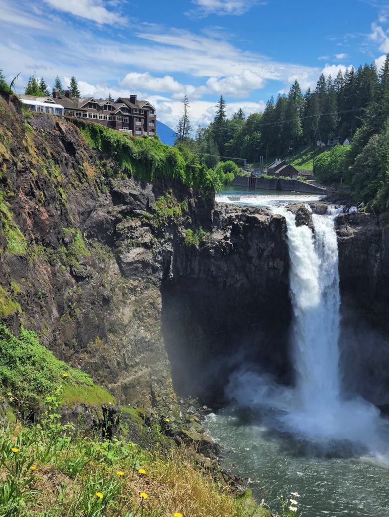
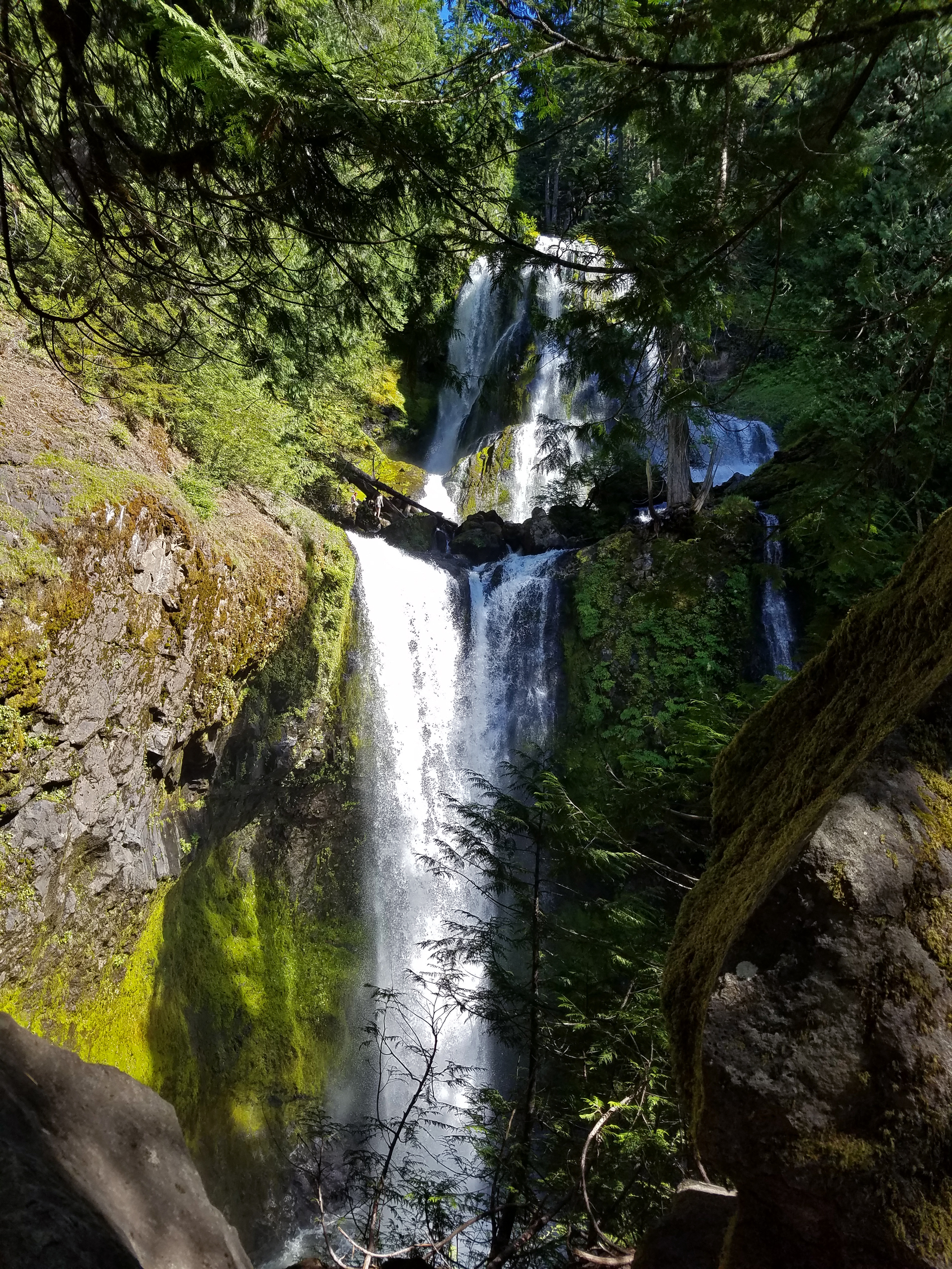
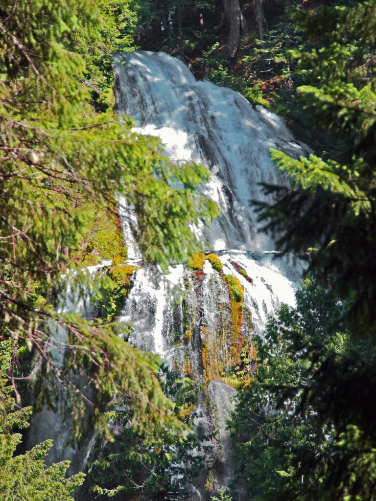
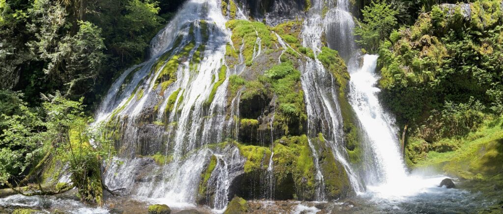
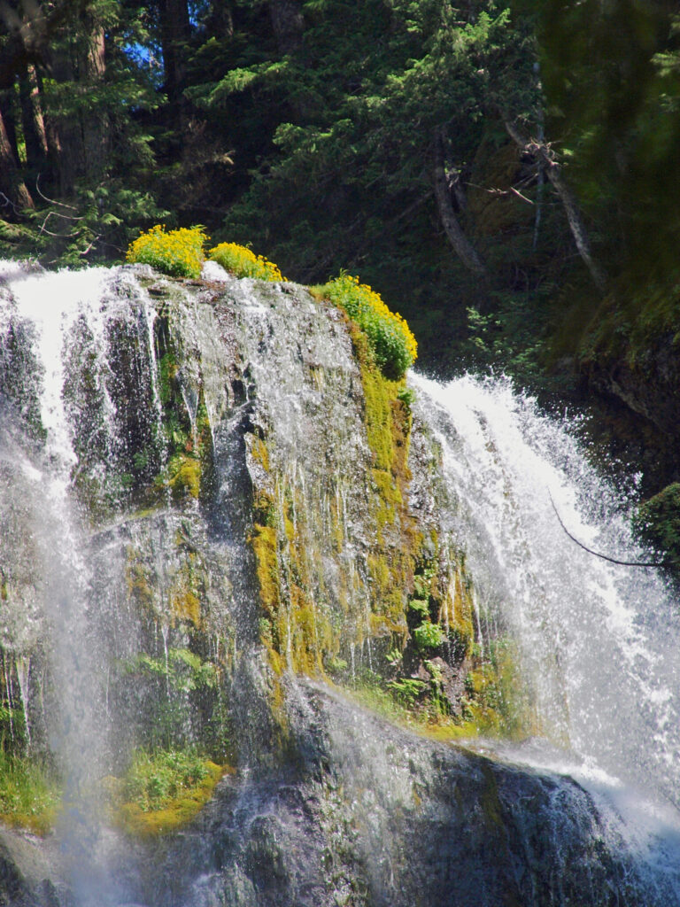
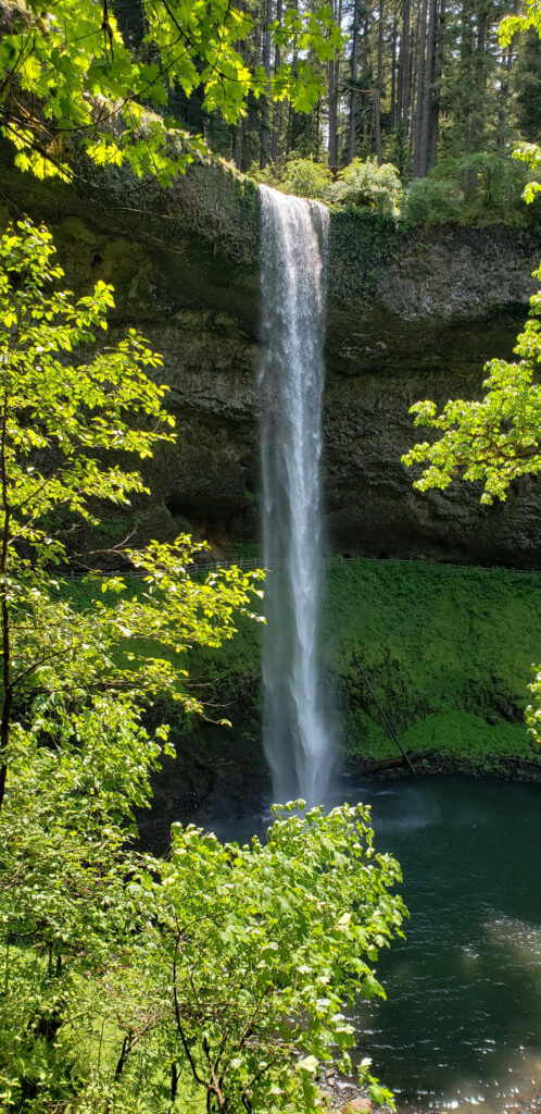
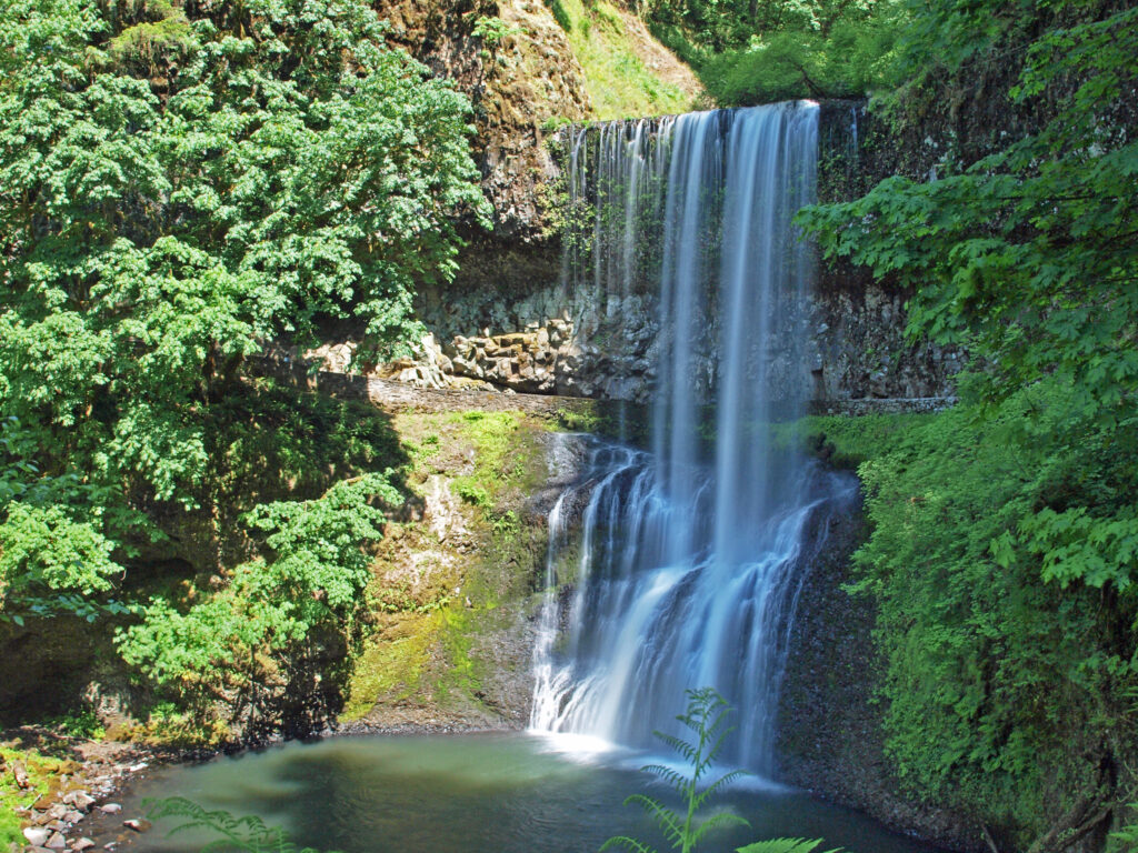
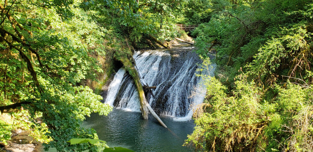
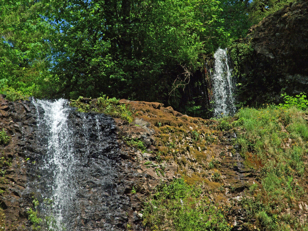
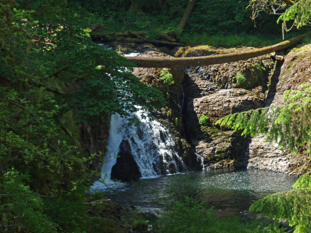
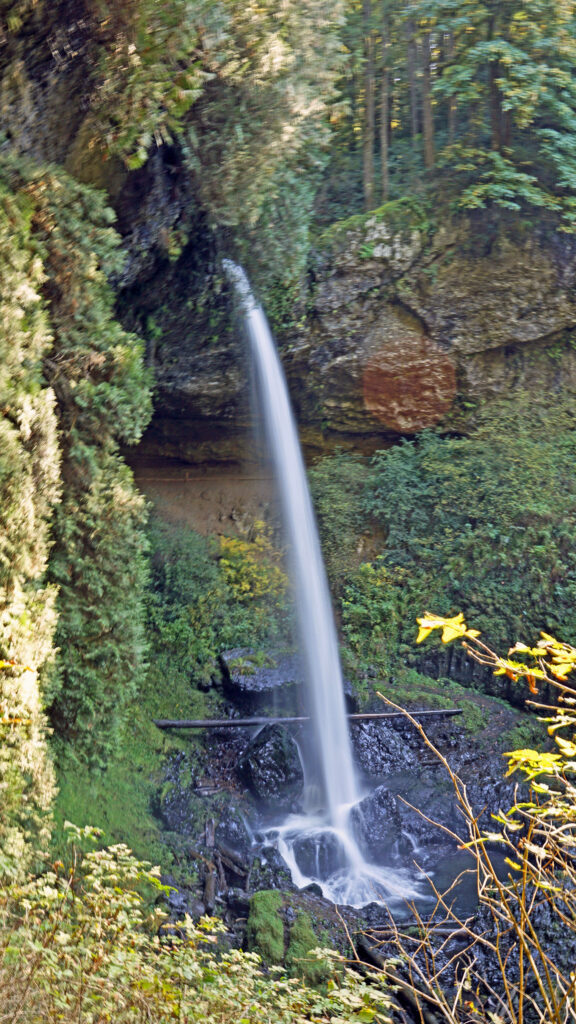
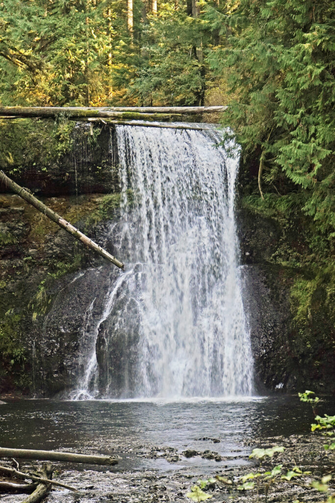
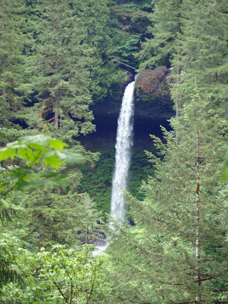
 Silver Falls was voted Oregon’s favorite state park a few years ago, and for good reason. With more than ten waterfalls, six of them more than 90 feet in height, Silver Falls is a waterfall lovers paradise. And the Trail of Ten Falls (there are actually eleven named and at least one unnamed falls along the trail) is one of the finest hiking trails in the Pacific Northwest. I don’t know of anywhere else where you can see a dozen falls on a single hike, and four of them here have trails that actually take you behind the falls.
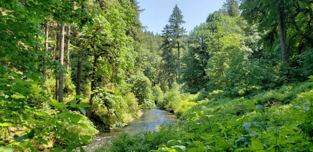


 Other area attractions and activities:
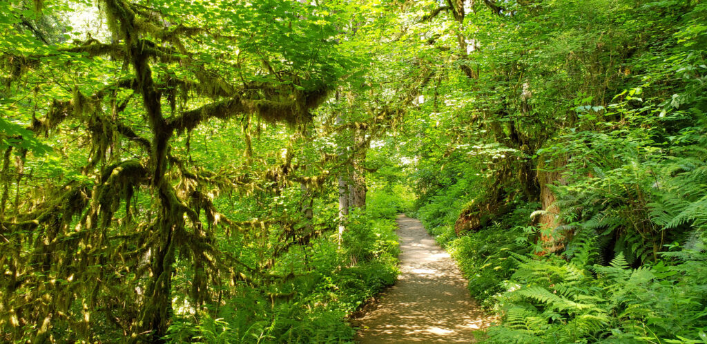
 The Trail of Ten Falls is an iconic hiking trail that every serious hiker in the state has likely done multiple times. It’s so spectacular that it alone is worth making the trek to Oregon from wherever you reside, no matter how far away that is. As an Oregon resident, I know I’m a little biased, but I don’t think I’m exaggerating here. If you’re a waterfall lover, come see for yourself. A trip to Silver Falls, combined with a visit to the waterfalls of the Columbia River Gorge will make for an unforgettable experience.
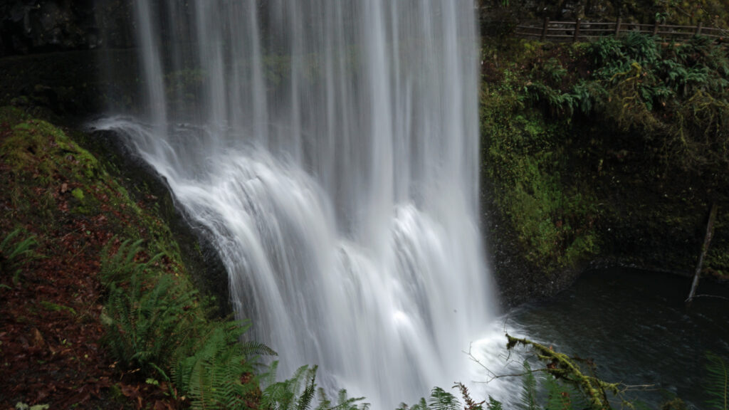
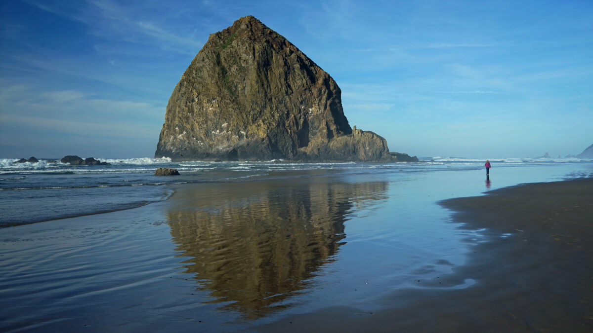
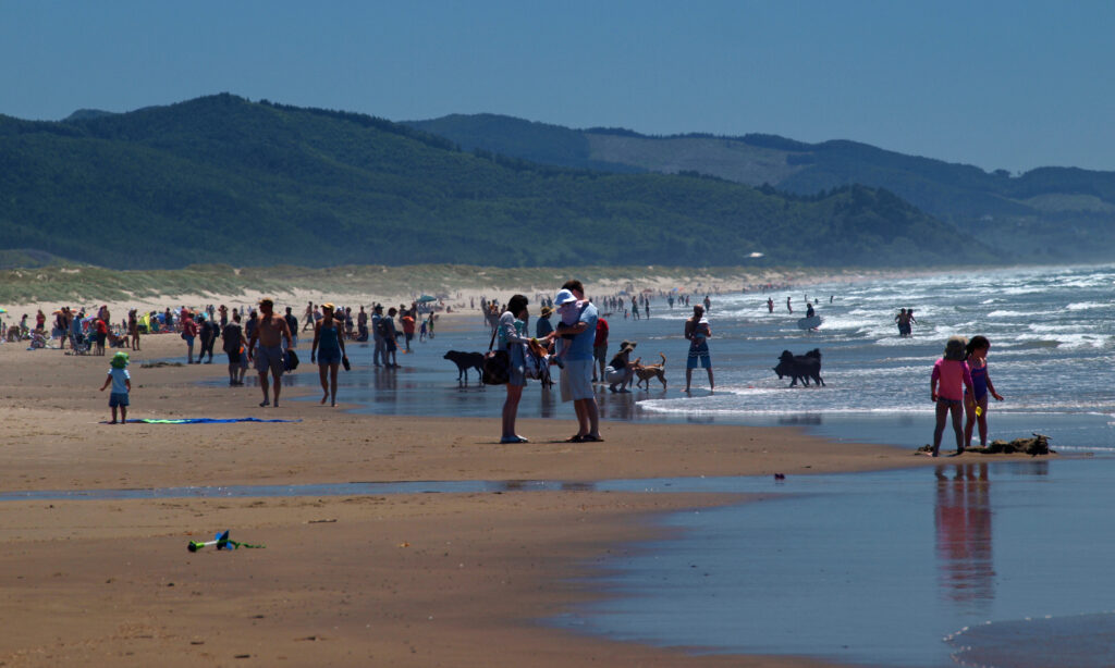
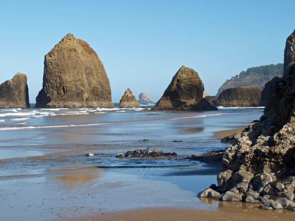
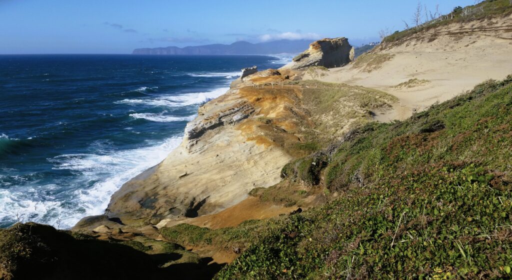
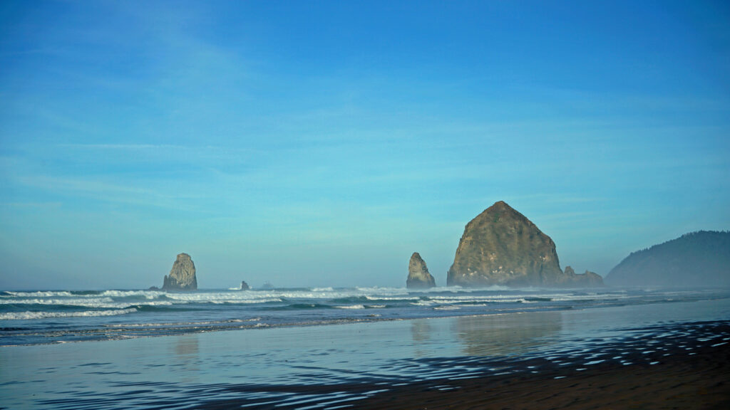
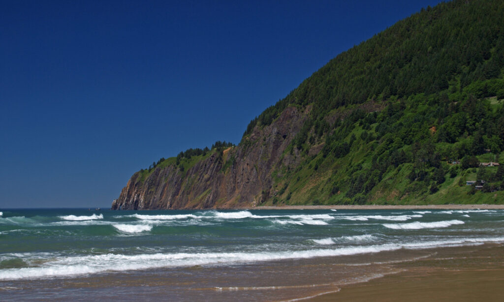
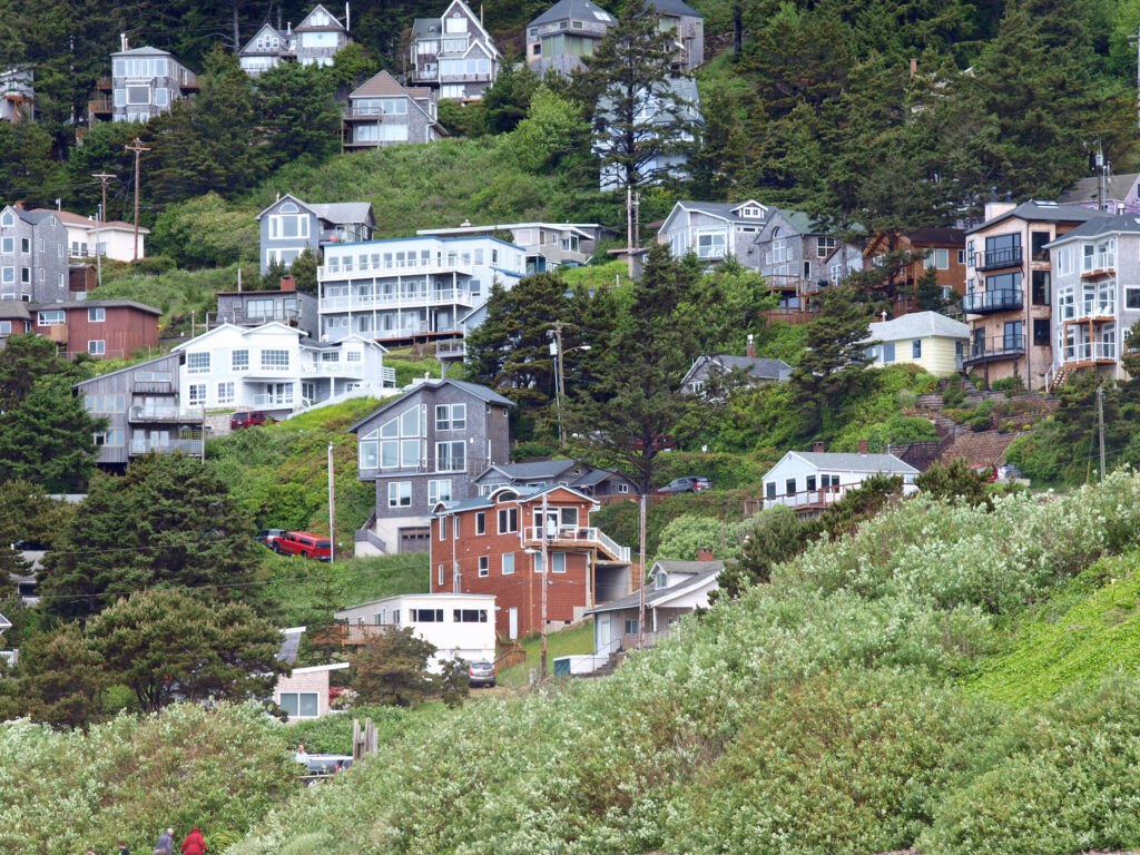
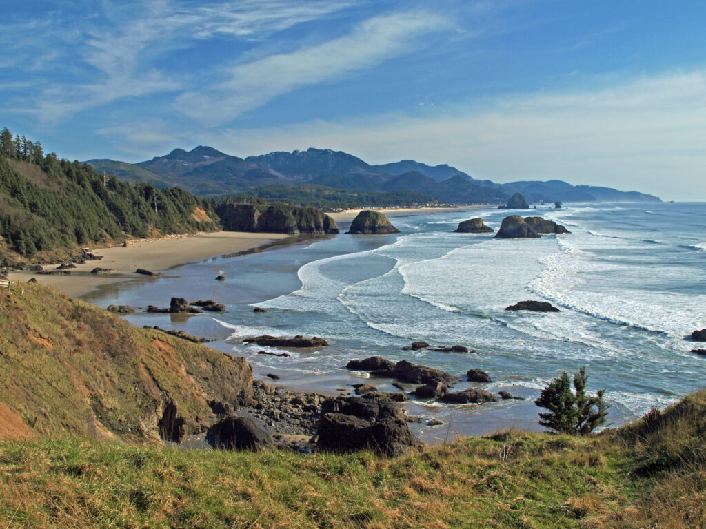
 I’ll cover four of my favorite northern Oregon coastal towns in this post: Cannon Beach, Gearhart, Manzanita, and Oceanside. They all have their own unique personality, but they all share a few things in common. They’re all small (none have more than 3,000 year-round residents), they’re all beachfront towns and the Pacific Ocean plays a big role in their culture and community, all but tiny Oceanside have an active arts scene, and you can find outstanding places to eat and drink in each of them.
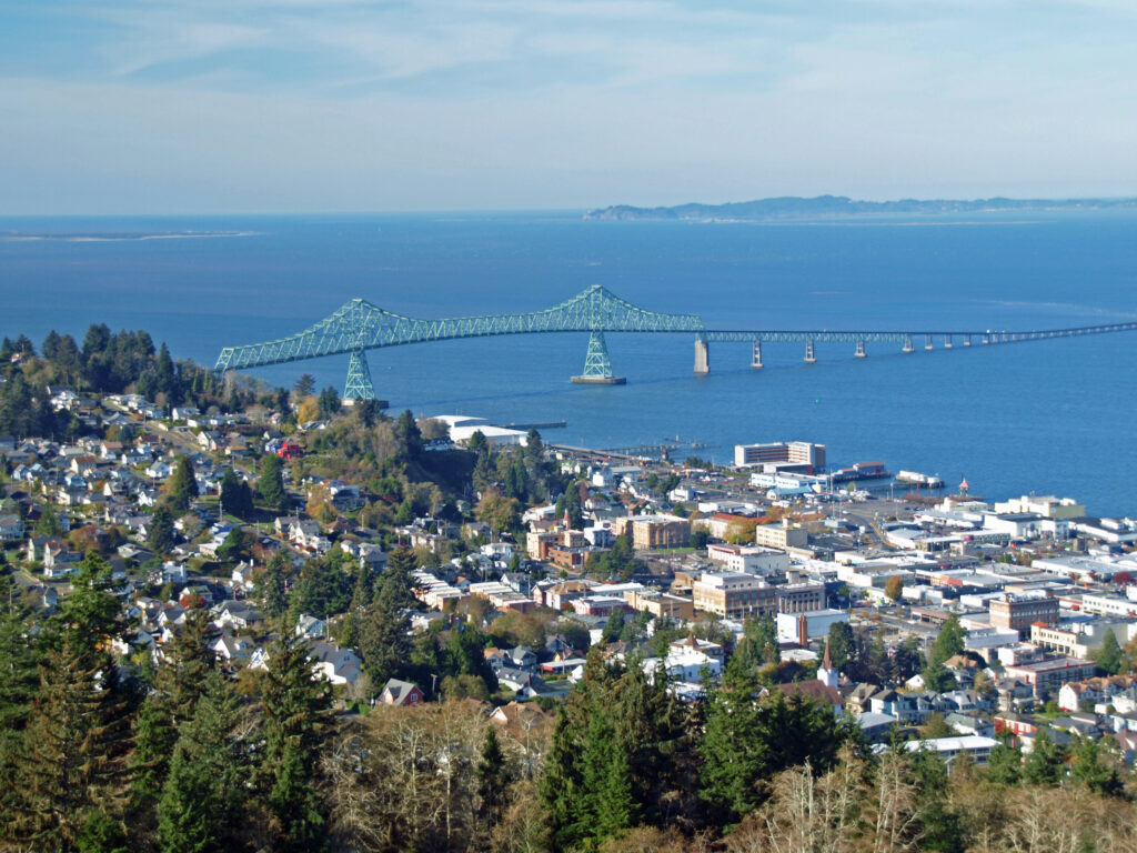

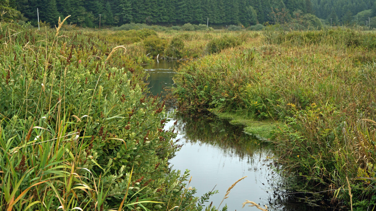
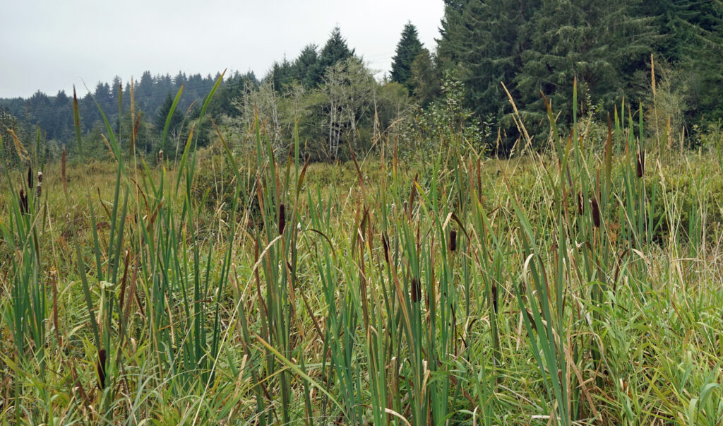
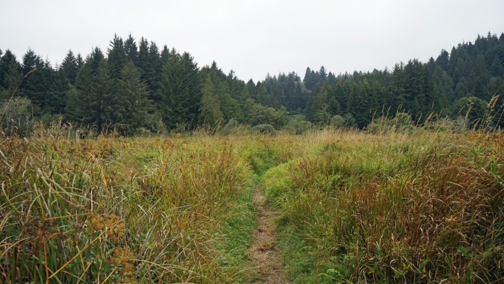

 Beyond the Snaggy Point Trail junction, the loop trail continues through the forest along the edge of the marsh to a junction with the Antler Overlook Trail, which connects to the Cooper Ridge Trail and provides another overcrossing of the upland area. The main loop trail then continues through the forest to the agricultural buildings mentioned in the winter trailhead description. Beyond the buildings walk up the service road for a couple hundred yards and look for the loop trail branching off to the left. The trail follows the edge of an open field.
 Posted March 14, 2023 by Alan K. Lee
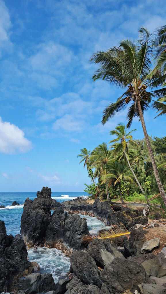
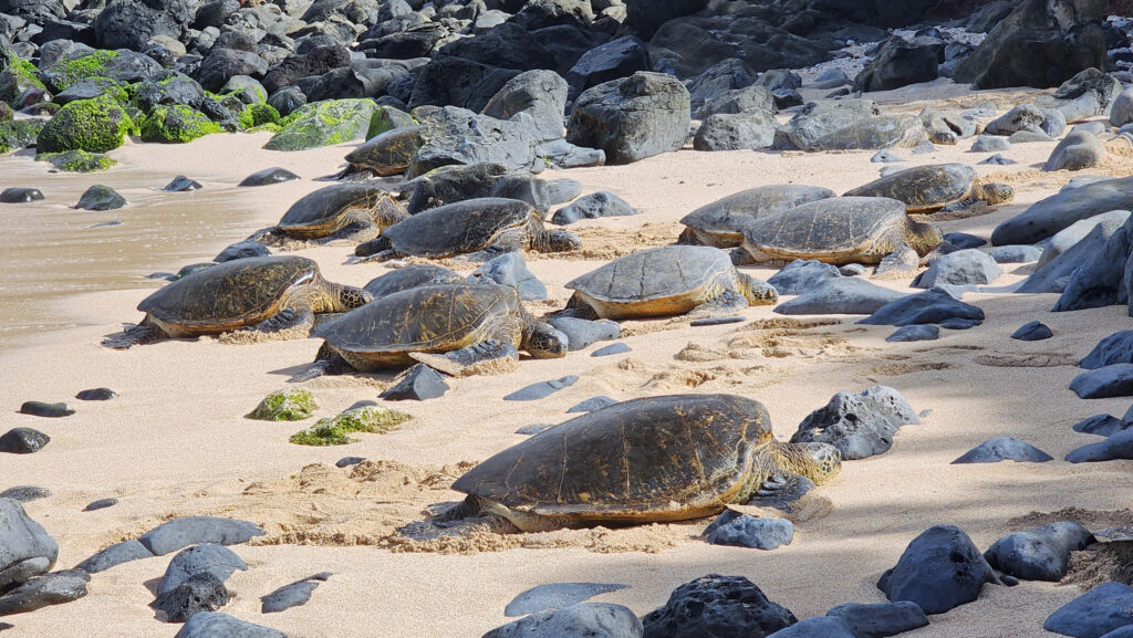
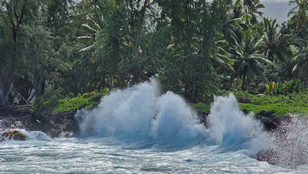
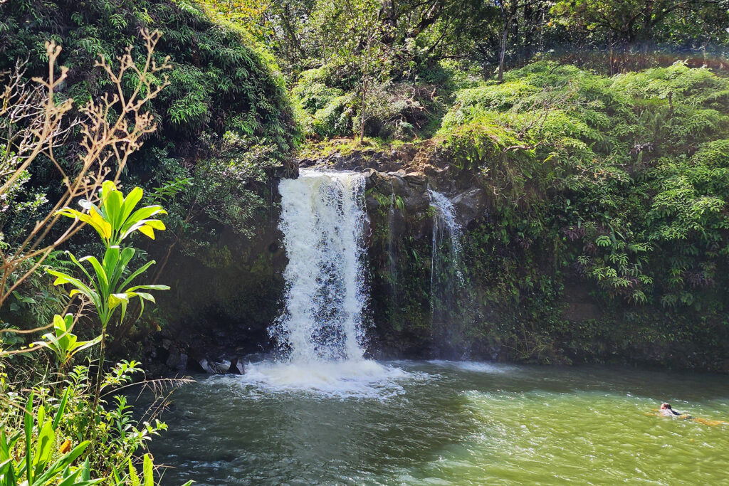
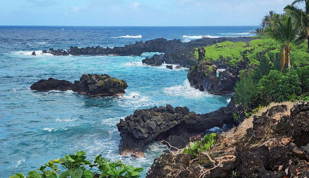
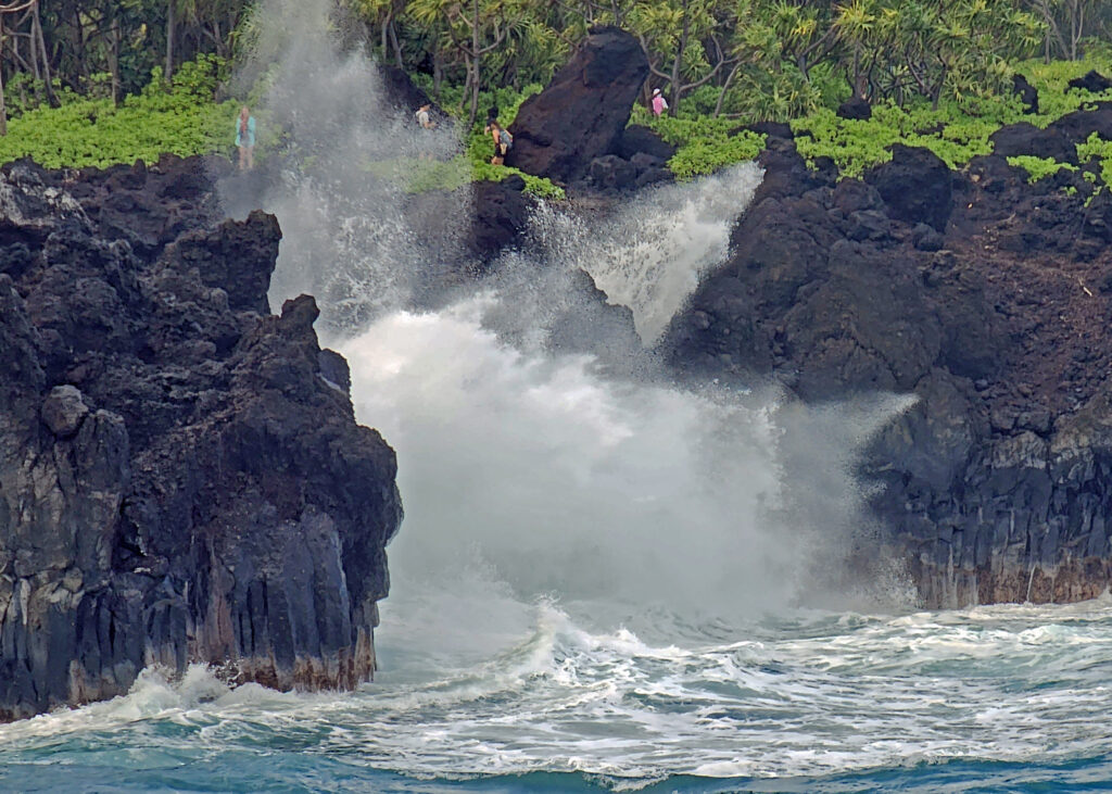
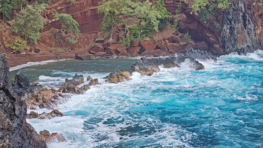
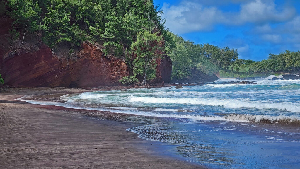
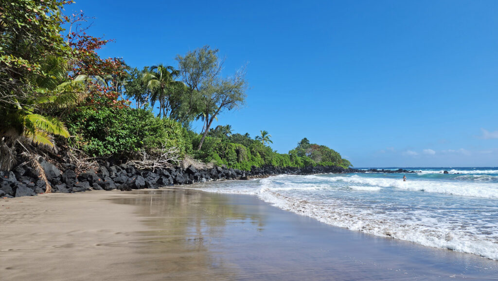
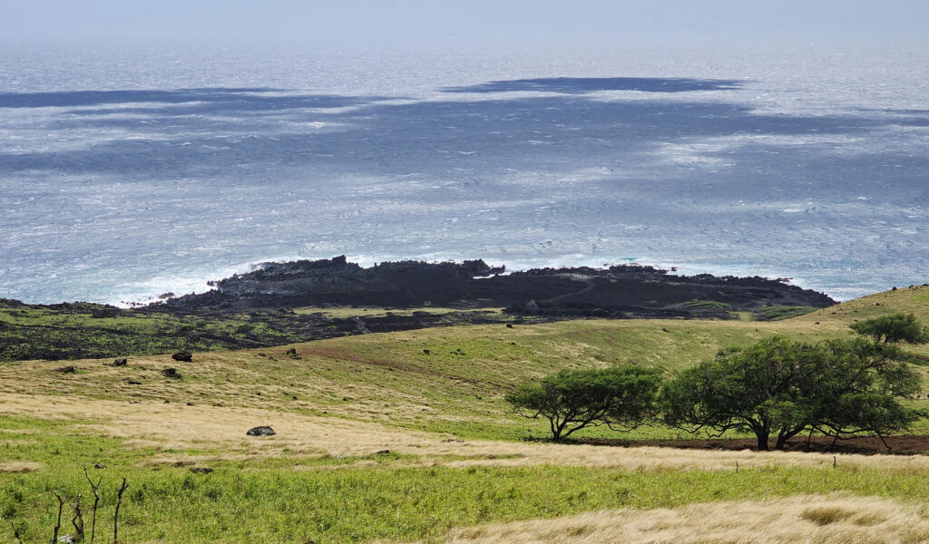
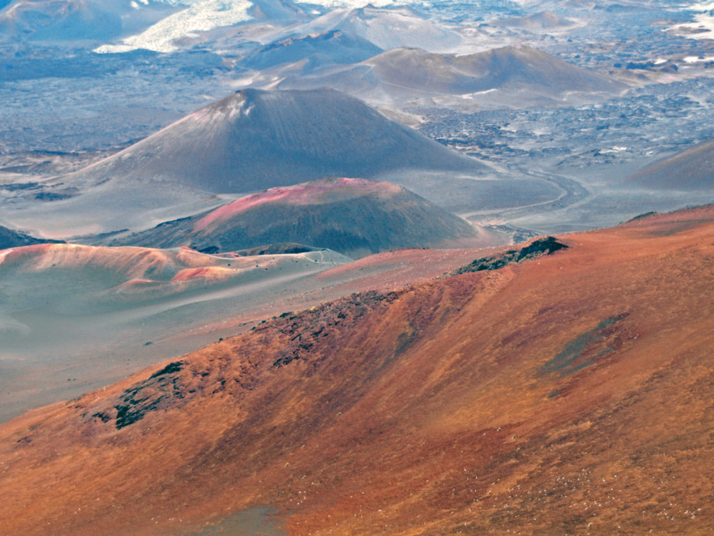
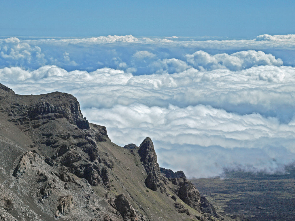
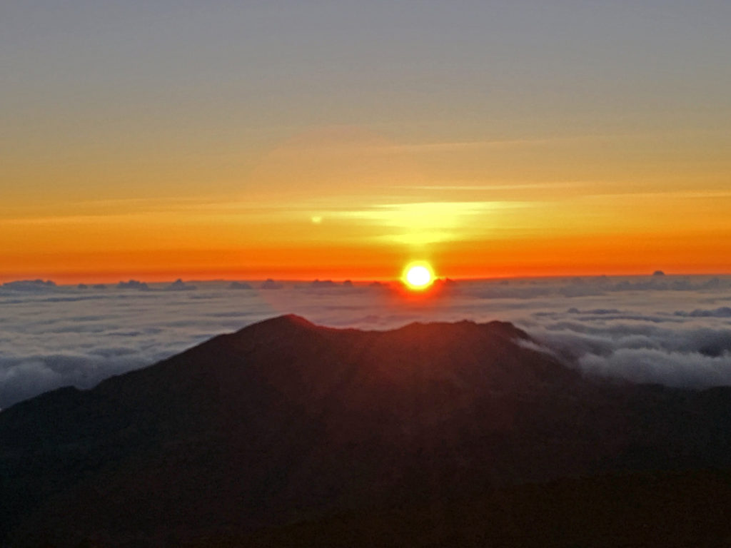
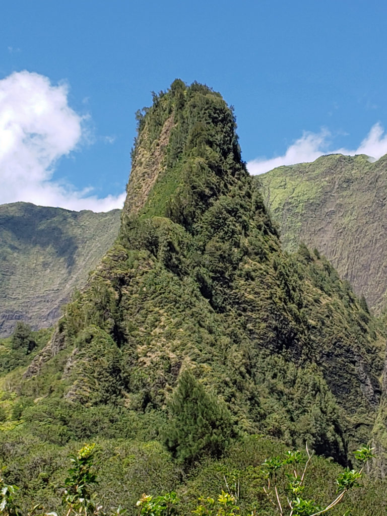
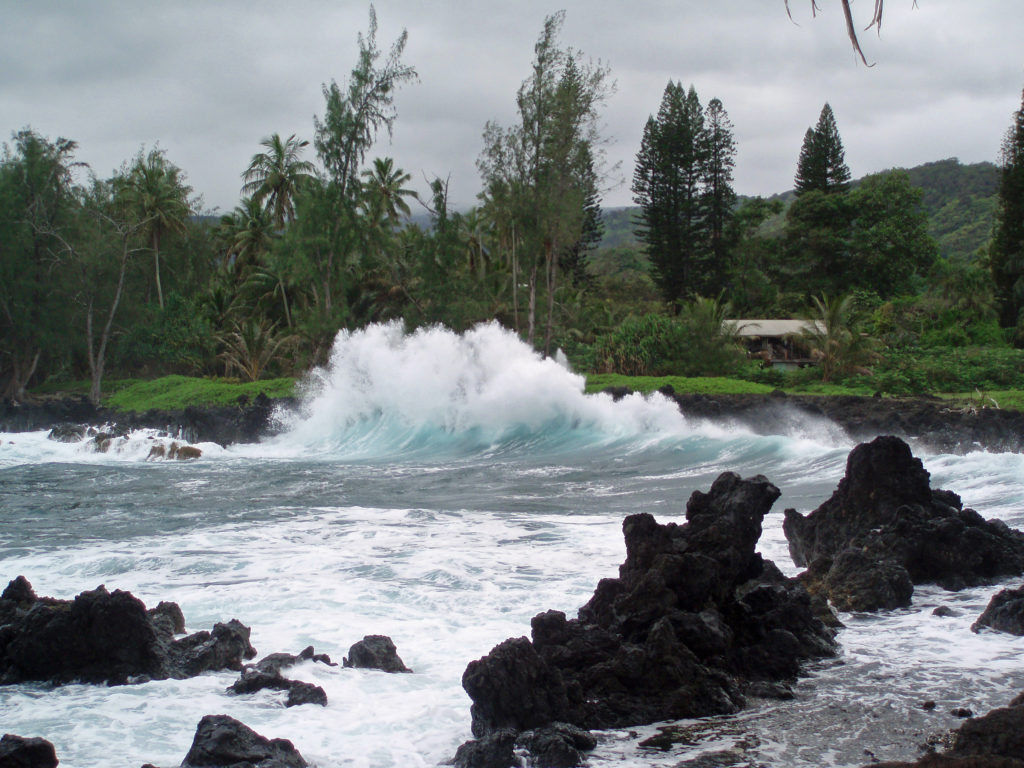
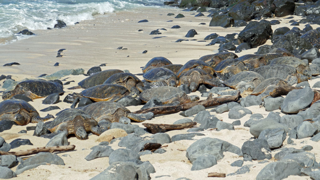
 There are a lot of things that you’ll miss if you’re visiting Hana as a day trip. Better to do as we did and spend a night or two. That will give you enough time to really see and enjoy the East Maui area. But be forewarned, Hana is expensive.

 Posted March 3, 2023.
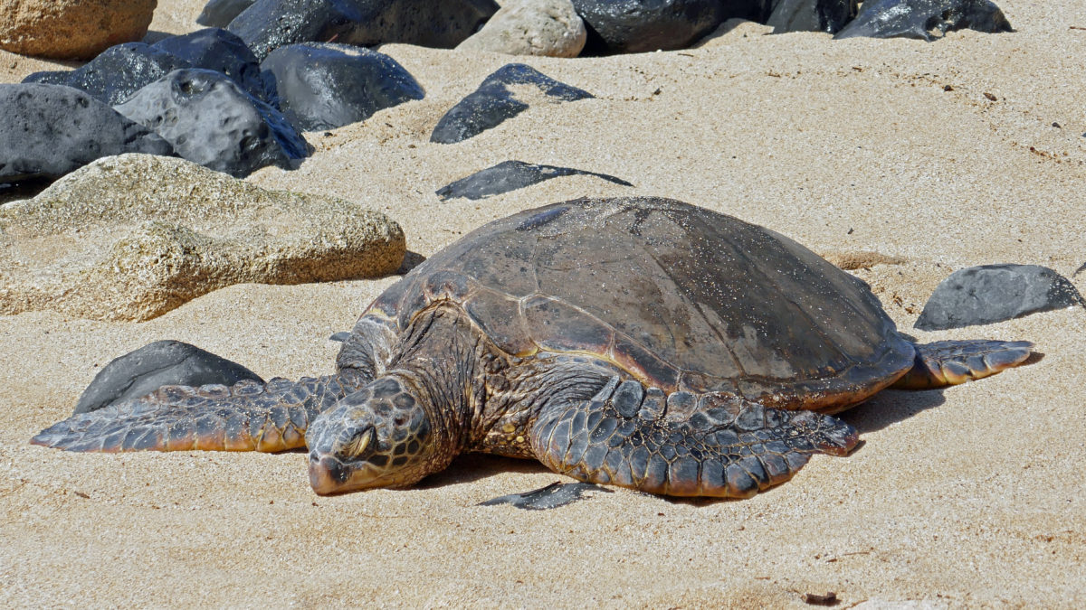
