In early winter every year approximately 18,000 gray whales migrate south from their feeding grounds in Alaska to their breeding grounds in Baja California. At the peak of this migration, about 30 whales per hour pass any given point along their route.
Gray Whale sculpture in Puerto Adolofo Lopez Mateos, Baja California Sur
The spring migration north is spread out over several months, so there are fewer whales per hour to see than during their southerly migration, but the weather is often better and the calves born in Baja can be seen making their way north to Alaska with their mothers. The mothers and calves also migrate closer to shore than the whales in their winter migration south.
Photo by Jose Eugenio Gomez Rodriguez
Adult gray whales are huge: 40-50 feet long and up to 90,000 pounds in weight – as big and heavy as a loaded semi-truck. They are also a long-lived species, 55-70 years is not uncommon, and some have been estimated to be as much as 80 years old. Gray whales are simply magnificent creatures, and they draw thousands of people to the Pacific coast in hopes of seeing them pass by. And because they migrate close to the shore, the many headlands along the Oregon coast are prime whale watching viewpoints.
Photo by Carlos Valenzuela
Every year, the Oregon Parks and Recreation Department sponsors two Whale Watch Week events, one in the winter and another in the spring when the whales make their return trip to Alaska. The 2025 spring dates are March 22-30. During the event, fifteen sites along the Oregon coast will be manned by volunteers to assist whale watchers in seeing these amazing creatures. You can also tune in to a live video feed during the event. For more information, go to the Oregon Whale Watch website or the Oregon State Parks whale watch website.
Photo by Marc Webber, U.S. Fish and Wildlife Service
The majority of the world’s gray whales spend their summers feeding in the waters around Alaska (a few spend their summers along the coast of the U.S. and Canada) and migrate to Baja California to breed and give birth in the winter months. A smaller, and endangered, population migrates south along the northeast Asian coast. In the past, gray whales also ranged along both the European and North American Atlantic coastlines, and migrated to North Africa and possibly as far as South America to breed. But the Atlantic population has been almost totally extirpated by the whaling industry. In recent years, though, a few gray whales have been sighted in the Mediterranean and along the Atlantic coastlines of Africa and South America.
Whale watching at Depoe Bay, Oregon. Photo from the Oregon Department of Fish and Wildlife.
If you’re a resident of the Pacific Northwest, or are planning a visit over the holidays or in the spring, consider adding a trip to the Oregon coast to see these wonderful creatures. In addition to the on shore whale watching sites, you can also take whale watching cruises out of Depoe Bay, Oregon and other coastal ports. There’s no guarantee, of course, that you’ll see whales on any given day, but if you do, you won’t be sorry that you made the trip. And you or your children may remember it for the rest of you lives.
Photo by Merrill Gosho, National Oceanic and Atmospheric Administration
Even if you don’t see any whales on your trip, the Oregon coast has much else to offer the visitor. Check out my posts linked below for more on the Oregon coast:
Originally posted December 22, 2023 by Alan K. Lee. Most recent update March 4, 2025.
Photo Notes:
The featured image at the top of this post is by Merrill Gosho, National Oceanic and Atmospheric Administration. All photos except those by the author were sourced from Wikimedia Commons.
Gig Harbor, Washington is located on Puget Sound near Tacoma. My first visit came about eight years ago. At the time it was one of the few towns on Puget Sound that I had not explored. I had heard testimonials to the town’s charm. And charming it is, at least the historic downtown along the waterfront. Like Poulsbo and other small Puget Sound communities, it is the historic center and waterfront that draws visitors to the town. Away from the waterfront, Gig Harbor is like most other small towns and suburbs in the Puget Sound area – almost certainly a nice place to live, but not much reason to visit. But the historic downtown is most definitely worth visiting. I don’t know why I had never visited before, but my wife and I have revisited Gig Harbor a number of times since that first visit, and I’m sure our most recent visit in May 2026 will not be our last. It has become one of our favorite places in Washington.
Once a small fishing village, Gig Harbor is now a bedroom community of nearby Tacoma. In the 1950s and 60s, new development in the area began to threaten the historic character of the area as the town developed after the Tacoma Narrows Bridge was built. However, city leaders steered most of the new development away from the harbor area. Today, Gig Harbor’s waterfront is an attractive and charming commercial district that blends modern aesthetics with the area’s historic and cultural heritage.
The history of Gig Harbor dates back to 1840, when Captain Charles Wilkes steered his “captain’s gig” into the sheltered bay during a heavy storm. The following year he published a map of the Oregon Territory, naming the bay Gig Harbor.
The Gig Harbor area was settled after the Civil War by Scandinavian and Croatian immigrants. In addition to commercial fishing, boat building and logging were also important components of Gig Harbor’s early economy. Among the prominent boat builders were the Skansie Brothers, who built the regions first gasoline powered fishing boat in 1905. The Skansie Netshed and House, home of Andrew and Bertha Skansie, is on the National Register of Historic Places.
When you arrive in Gig Harbor, park your car downtown (parking is free, but you need to get there early on summer weekends), and take a walk along the waterfront. The Skansie Netshed and House is located in Skansie Brothers Park. Maritime Pier, Jersich Dock, Ancich Park, and Eddon Boat Park are other spots that offer access to the waterfront.
At the head of the bay, check out the Harbor History Museum. You can learn much more about the history and heritage of the Gig Harbor area there and see the Shenandoah, a 65-foot wooden purse-seiner built in 1925, that was restored at the museum.
The museum is located where Donkey Creek flows into the harbor, and when the salmon are spawning you can watch them swimming upstream from viewing platforms in Donkey Creek Park, across Harborview Drive from the museum.
Tourism is more important than fishing to Gig Harbor’s economy today, but a small fishing fleet still exists and is still important to the cultural identity of the town. On the first weekend of June each year, during the Maritime Gig Festival, the fleet gathers in the bay for a Blessing of the Fleet ceremony.
Getting out on the water is both great fun and a way to view the waterfront from a different perspective. You can rent kayaks, stand-up paddle boards, and electric boats at Gig Harbor Boat Rentals, if you’re so inclined.
If you’re thinking about paying Gig Harbor a visit, a good place to start is the Visit Gig Harbor website. It offers useful information on the town, accommodations and dining options, and a detailed calendar of events.
My wife and I timed our first visit to coincide with the Gig Harbor Beer Festival. We’re from Beervana (also known as Portland), after all, and we frequently seek out new opportunities to sample craft beers that we’ve not tried before. Gig Harbor has four craft breweries: Gig Harbor Brewing, 7 Seas Brewing, Wet Coast Brewing, and Dunagan Brewing. We sampled beers from all but Dunagan at the beer festival, and we both found a number of beers to our liking, even though we have very different tastes in beer. We’ve attended the festival (now called the Gig Harbor Beer and Cider Festival) several more times since that first visit. Gig Harbor Brewing and 7 Seas Brewing have taprooms located on the waterfront in Gig Harbor. Wet Coast has a taproom just off Hwy 16 in the newer part of Gig Harbor. And Dunagan’s Irish Pub and Brewery is located about a mile south of Wet Coast, also just off Hwy 16. Of the four, only Dunagan’s serves food. If you want to eat as well as drink, try the Tides Tavern or one of the other establishments listed in the Gig Harbor Guide.
One restaurant that you should not miss is Netshed No. 9. Breakfast there was so good that we came back the next morning on our first visit, and it has become our go to spot for breakfast when we’re in Gig Harbor. Their triple berry whipped ricotta French toast might be the best French toast I’ve ever had. (Unfortunately, it is no longer on the menu, but the lemon curd and blueberry French toast that replaced it is almost as good). Netshed No. 9 is not open for dinner, but the same owners operate Brix 25, located next door. We have never eaten there, so I can’t vouch for it personally, but I have no doubt that it offers the same quality dining experience. One dinner place that we did eat at is Il Lucano, a very fine, authentic Italian restaurant a few blocks off the waterfront. Another place that I can recommend is Millville Pizza, on the waterfront. They serve artisanal wood fired pizzas, appetizers and homemade desserts. In my opinion, Millville is one of the best pizza places in the Northwest.
Today, many of Gig Harbor’s roughly 10,000 inhabitants commute to Tacoma across the Tacoma Narrows Bridge. The first bridge was built in 1940, but due to a design flaw, it proved to be vulnerable to cross winds. Nicknamed “Galloping Gertie,” it collapsed in a relatively minor windstorm only a few months after it was completed. It wasn’t until 1950 that a replacement bridge was built.
Point Defiance Park, Tacoma
Once known mostly for the “Tacoma Aroma” produced by the polluted tide flats of Commencement Bay, a pulp and paper mill, a rendering plant, and an oil refinery, Tacoma has experienced a cultural, environmental, and artistic renaissance in recent decades. Industrial areas, like the old Dickman Mill site (now a city park), have been reclaimed and remediated. And the Tacoma Aroma is no more, thanks to modern environmental regulations. Today, the city has a vibrant arts scene, highlighted by the Museum of Glass and the Tacoma Art Museum in the Museum District. The city also has many beautiful parks. The 760-acre Point Defiance Park features a zoo, an aquarium, several botanical gardens, hundreds of acres of forest, and miles of Puget Sound waterfront. So, consider adding a visit to Tacoma to your itinerary when you come to Gig Harbor. But regardless of whether or not you choose to visit Tacoma, Gig Harbor should definitely be on your radar, if it’s not already. It’s an interesting, historical, and beautiful town with a lot of things to see and do.
Originally posted August 29, 2019 by Alan K. Lee. Most recently updated June 8, 2026.
Winter is closing in, but that doesn’t mean there aren’t still good hiking options in the Willamette Valley. Silver Falls State Park near Silverton, Oregon offers a number of loops and out and back hikes from barely one mile to nearly eight miles in length that take you to one or more of the eleven named waterfalls in the park. There are also back country trails in the park offering even longer hikes (though no waterfalls). And the park is once again holding its Winter Festival in December that will offer ranger-guided hikes in the park and informational displays about the plants and animals found in the park.
Lower South Falls
Silver Falls has been called the crown jewel of the Oregon state parks system. You’ll get no argument from me. It’s a spectacularly beautiful and unique place. Where else can you see 10 (or more) waterfalls on a single hike? I grew up in Salem, about a 30 minute drive from the falls. I’ve been there countless times, and it has never failed to delight and sometimes amaze me. When I started this blog in 2018, Silver Falls was my first post.
Winter can bring snow and ice and dangerous conditions to the trails in the park. But at an elevation of about 1500 feet, the park isn’t high enough for snow to remain on the ground all winter. And on my last winter visit to the park the temperature was in the mid 40s and there was no sign of snow.
Myrtle Ridge Trail
Getting there:
Silver Falls State Park is located about fifteen miles east of Salem, Oregon. Coming from Salem or south, take Ore Hwy 22 east and look for signs to Silver Falls. The turn off onto Ore Hwy 214 is about five miles east of Interstate-5. The South Falls day use area is about 15 miles from Hwy 22. Coming from the north, take exit 271 off I-5 at Woodburn. Proceed through Woodburn on Ore Hwy 214, which then takes you through the towns of Mount Angel and Silverton. The park is about 12 miles beyond Silverton.
Trailheads:
There are four trailheads in the main canyon area. By far the largest parking area is at South Falls. There is a small parking area (eight spaces) at the Winter Falls trailhead. The North Falls and new North Canyon trailheads have parking for 30-50 vehicles. There are no facilities at the Winter Falls trailhead, but the other three have restrooms and drinking water available. The South Falls area also has a cafe and a nature store. All parking areas require an Oregon State Parks day use pass. Daily passes are $5 and can be purchased at the South Falls, North Falls, and North Canyon trailheads. Annual passes are $30 for one year and $50 for two years, and can be purchased online through the at the Oregon State Parks website. (The 12-month pass increases to $60 and the 24-month pass will no longer be sold beginning January 1, 2026).
South Falls
The South Falls-Maple Ridge hike:
This 2.2-mile loop is a good option if you don’t have time to do any of the longer hikes possible in the park. Starting at the South Falls parking area, make your way to the creek above the falls and follow it downstream to the viewing area at the top of the falls. At 177 feet, South Falls is the highest falls on the north or south forks of Silver Creek and the second highest in the park. From the top of the falls the trail descends to a good vantage point a short way down the trail. Just below the first viewpoint look for a signed side trail to Frenchie Falls. This is the eleventh named falls and the smallest by volume, but it’s worth a look. Back on the main Canyon Trail there are several more places where you can get a good view of South Falls.
Canyon Trail behind South Falls
Continue down the main trail, which will take you behind South Falls. Here you will be between two layers of the Columbia River Basalt lava flows that are about 15-16 million years old. You’ll be tempted to linger behind the falls because it’s a pretty cool spot, but be prepared to get wet. Spray from the falls often soaks the whole “cave” behind the falls.
South Falls
Below the falls there are several good viewpoints. Just downstream of the falls you’ll come to the first trail junction. The trail across the bridge will take you back to the parking area for a one-mile loop hike.
Lower South Falls
Continuing on the Canyon Trail, you’ll next come to Lower South Falls at approximately the one-mile mark. Here the trail also goes behind the falls. Below the falls, you’ll come to the junction with the Maple Ridge Trail at the 1.4-mile mark of the hike. Take the Maple Ridge Trail and climb out of the canyon.
Along the rim of the canyon the Myrtle Ridge Trail takes you through a world of moss and ferns. In the summer it’s shaded by the many Bigleaf Maples and Douglas Firs that line the trail, but in the winter it’s more open and, if you’re lucky enough to get some sunshine, the moss-covered trees and rocks and the ferns can be a vibrant green that is captivating. There wasn’t any sunshine on my last winter hike there, but the moss and ferns still provided a shot of greenery that contrasts with the darker green of the conifers above. Follow the Myrtle Ridge Trail back to the South Falls day use area where you started.
Middle North Falls
South Falls-Winter Falls loop:
The South Falls-Winter Falls loop is a longer hike (approximately 4.5 miles) than the South Falls-Myrtle Ridge loop. Follow the trail as described above, but at the Myrtle Ridge Trail junction, continue on the Canyon Trail. Here the Canyon Trail leaves the south fork of Silver Creek and joins the north fork. Following the north fork upstream, look for an intermittent waterfall across the creek at the 1.9-mile mark.
Lower North falls
The trail then takes you to Lower North Falls (30 feet) at the 2.4-mile mark. Just above the falls a side trail leads to Double Falls, the highest in the park at 184 feet (combined drops). The volume of water flowing over Double Falls is much less than the falls on the two forks of Silver Creek, but still worth a look.
Drake Falls
Next up is Drake Falls (27 feet), then the 106-foot drop of Middle North Falls. A side trail here leads behind the falls, but dead ends on the other side. Back on the main trail, you will come to the junction of the Winter Falls Trail at the 2.9-mile mark. Take the Winter Falls Trail to the base of the falls. Like Double Falls, Winter Falls is on a tributary creek with less volume than either fork of Silver Creek.
Winter Falls
From the base of the falls, continue up the trail to the rim of the canyon and return to the South Falls day use area on the Rim Trail.
Other winter hikes:
The new North Canyon trailhead and North Canyon Trail makes possible a new loop hike that I’m calling the North Canyon Loop that takes you to North and Twin Falls. And the 0.6-mile out and back hike to Upper North Falls is an easy addition to extend the hike to 3.0 miles. And of course the full 7.2-mile Trail of Ten Falls is doable year-round.
The Oregon Garden
Other area attractions:
The Silverton area has a number of decent places to grab a bite to eat or a pint of beer after your hike. Try the Silver Falls Brewery and Alehouse in Silverton or the Benedictine Brewery near Mount Angel that is operated by monks from the Mount Angel Abbey. Silverton is also home to the Oregon Garden, one of the state’s leading botanical gardens. Next door to the Oregon Garden is the Gordon House, the only surviving Frank Lloyd Wright designed house in Oregon.
Posted November 27, 2023. Most recently updated November 14, 2025.
Rocky Mountain National Park in northern Colorado is without question one of the most scenic places I have ever been. Its mountains, lakes, meadows, waterfalls, rivers, and forests rival those of Glacier National Park, the Canadian Rockies, and the Teton Range. And its vast tracks of alpine tundra above the timberline and its 14,000-foot peaks make it unique. All of that, and its proximity to the Denver metropolitan area, make it one of the most visited national parks in the country.
Poudre Lake
I had the pleasure of visiting the park last August (2023) with my wife at the beginning of our tour of the Colorado Rockies that also took us to Breckenridge, Leadville, Aspen, Great Sand Dunes National Park, Alamosa, Royal Gorge, Pueblo, and Colorado Springs. We ended our tour at the Garden of the Gods, an incredibly beautiful collection of rock spires that is another of the most scenic spots I’ve ever visited.
Along Trail Ridge Road
The popularity of Rocky Mountain National Park has led to overcrowding in the past. To limit the number of visitors, the park has instituted timed entry permits, which are needed to visit both the Bear Lake area of the park and to access Trail Ridge Road, which takes you through the high-altitude country along the continental divide. The permits can be obtained through the park website but go quickly.
View from Alpine Visitor Center, Trail Ridge Road
On the first day of each month during the summer tourist season, the park opens the sale of permits for the following month. We had already made reservations for lodging in Estes Park, as well as our flight to Denver and our car rental before the entry permits for the days in August that we planned to visit were available. So, my wife got on the web early on July 1 to ensure that we got permits for our desired days, which she was able to obtain. Otherwise, we would have been scrambling to change our plans.
Veterans Memorial, Estes Park
Estes Park
The town of Estes Park, located just outside the eastern boundary of the park, is the gateway to the park and an ideal base for exploring the park. It is a tourist town, to be sure, with at least some of the negatives that being one brings. But it also has enough appeal to make spending a whole day there an enjoyable start to your trip. We had fun exploring the compact downtown area with its many cafes, bars, art galleries, and shops. The Riverwalk along the Big Thompson River and Estes Lake is pretty, and many of the downtown businesses can be accessed from both the main street and the Riverwalk.
Riverwalk, Estes ParkRiverwalk, Estes Park
At an elevation of 7500 feet, Estes Park is also a good place to spend a couple of days acclimating to the altitude. If, like us, you live near sea level, giving yourself a few days to get used to the lesser oxygen content of the atmosphere is definitely something that you should consider doing. We didn’t, but we paid a bit of a price for not doing so, too.
Bear Lake
Bear Lake Area
Our first full day in the Rockies was spent in the Bear Lake area of Rocky Mountain National Park. Having a timed entry permit doesn’t mean you’ll find a parking spot at Bear Lake, so we opted to park in the park-and-ride lot a few miles past the entry station and ride the shuttle up to the lake. The shuttles run frequently and the trip is short – 15 minutes, maybe. So, if you don’t get on the first shuttle, another will be along soon.
Bear Lake
We did three hikes that day. The first, a short, almost flat 0.8-mile loop around Bear Lake, was a good start. Bear Lake is at almost 9500 feet, so the air was noticeably thinner than even at Estes Park. But we took it slow, soaking up the scenery and taking lots of photos.
Alberta Falls
Our second hike was longer, about two miles, and took us to Alberta Falls. The trail descends about 300 feet from Bear Lake to Tyndall Creek, then climbs to the falls on Glacier Creek. We took a shortcut on the return trip by hiking down to the Glacier Gorge trailhead and riding the shuttle back to up Bear Lake rather than hiking back up the hill.
Dream LakeDream Lake
Our third hike was the 2.5-mile out and back hike up to the aptly named Dream Lake at just under 10,000 feet. We were feeling the altitude by the time we got to the lake. We spent quite a bit of time at the lake resting and taking in the absolutely gorgeous setting. Emerald Lake is only about a third of a mile from Dream Lake, and possibly even more beautiful, but I was gassed by then, so we turned around at the head of the lake and returned to Bear Lake and picked up a shuttle ride back to our SUV.
Moraine Park
On our way back to Estes Park we took a side trip to Moraine Park, a glacier-carved valley on the Big Thompson Reservoir lined by steep ridges to the north and south. Moraine Park was once home to a resort and golf course but has been restored to its natural state of meadow and marshland. Moraine Park is known for its elk and other wildlife, but the elk were nowhere to be seen when we were there.
View from Trail Ridge Road
Trail Ridge Road
The next morning, we packed up and headed for the high country of Trail Ridge Road. Much of the drive is above timberline. The high point of the drive is at almost 12,200 feet.
View from Many Parks Curve Overlook
We first stopped at Beaver Meadows Visitor Center. From there, the road climbs steadily to Many Parks Curve Overlook, where you look down almost 1500 feet to Beaver Meadows and Moraine Park in the distance. At Rainbow Curve Overlook you look down on Fall River Valley, 2200 feet below you.
Trail near Rock Cut
We stopped at Rock Cut and did a short hike at an elevation of 12,150 feet. It had to be short because just walking around at that elevation was enough to make both of us lightheaded. But, my God, what incredible scenery.
High country along Trail Ridge Road
I can say with confidence that Trail Ridge Road is one of the most beautiful drives on the planet. Just awesome.
Coming down off Trail Ridge we stopped on the continental divide at Milner Pass (at 10,759 feet you actually come down in elevation from Trail Ridge to the divide). We did a short walk there along the shore of Poudre Lake and, of course, took a photo of the continental divide sign before heading south.
Upper Colorado River
Upper Colorado River
The headwaters of the Colorado River lay just northwest of Milner Pass. We stopped in Coyote Valley, where we did another short hike (about 1¼ miles) along the upper reaches of the river, which at that point is just an easily wadable creek.
Coyote Valley
Conclusion
We exited the park that afternoon at Grand Lake, with some regrets that we didn’t plan for more time in the park. Two days weren’t enough. It was a pretty grand two days, but we missed a lot of what the park has to offer. I’m hopeful that we will be back someday, maybe as part of a longer Rocky Mountain adventure. I’m up for a return trip Rocky Mountain National Park, and to the Tetons, Yellowstone, and Glacier, too. I don’t know if that will happen, there are so many places that we’ve never been to, but the dream is there, and why wouldn’t it be?
My wife and I had the pleasure of visiting the Garden of the Gods in Colorado Springs on our trip to Colorado last summer (2023). The park is an unbelievably beautiful collection of soaring rock formations that, in my opinion, is truly worthy of national park status. But in fact, it is a Colorado Springs city park, not a national park. But it’s one of the most beautiful and awe-inspiring city parks you’ll find anywhere in the world. And to top it off, admission is free.
Geology
What is now the Garden of the Gods was a shallow inland sea 250 million years ago. When the sea evaporated, it left behind sand that formed dunes, which were in turn buried and compacted, forming layers of red sandstone. The uplift of the Rocky Mountains tilted the sandstone layers nearly vertically. Glacial erosion during the Pleistocene Ice Age sculpted the soaring spires of the present-day.
History
There is archaeological evidence of indigenous people’s use of the area dating to at least 1330 BCE. But native people’s presence in the area almost certainly predates that by centuries if not millennia. European presence dates to early Spanish explorers in the 16th century, followed later by French and American fur trappers in the 18th and 19th centuries. The area became part of the United States in 1803 as part of the Louisiana Purchase.
In 1859, Colorado City was founded and later became the capital of the Colorado Territory before the capital was moved first to Golden, then Denver. Colorado Springs was founded in 1871 just east of what became known as Old Colorado City. Colorado Springs grew rapidly and eventually Old Colorado City became incorporated into the growing city, and is now a neighborhood west of downtown Colorado Springs.
The Park
In 1879 Charles Perkins purchased 480 acres of what is now the Garden of the Gods. After his death in 1907, his family donated the land to the City of Colorado Springs with the provision that it be a free public park. Garden of the Gods Park was created in 1909 and more than 110 years later the park remains open to the public free of admission.
Today the park spans 1341 acres of the Garden of the Gods and the adjacent Rock Ledge Ranch Historic Site. In 1971, 862 acres of the park was designated a National Natural Landmark.
The Visitor and Nature Center, located on W. 30th Street across from the park entrance road, is a great place to begin your visit. It includes an information center staffed by park employees, 30 educational exhibits, and a theater that shows a film about the park every twenty minutes.
The park is very popular and parking can be a problem, but there is also a large overflow parking area just west of 30th Street if the visitor center parking lot is full. There is a pedestrian tunnel under 30th Street to get from the overflow lot to the visitor center. The park also operates a free shuttle bus in the summer that runs from the visitor center to the center of the park with stops at the overflow parking area and the Rock Ledge Ranch Historic Site.
The twenty-one miles of hiking, biking, and horseback riding trails that wind through the spires, the numerous rock-climbing routes, and the abundant wildlife, not to mention the incredible rock formations, make the Garden of the Gods an outdoor enthusiast’s paradise. More than 130 species of birds can be seen in the park. Mule deer, bighorn sheep, coyotes, and red foxes also inhabit the park.
For more information on the park, go to the Garden of the Gods website.
Conclusion
Garden of the Gods is one of the highlights, and truly a must see, of any visit to Colorado. I had seen photos of the Garden’s rock formations, but those didn’t convey just how spectacular and how awesome the rock formations are (nor do the photos here). You have to see them in person to fully appreciate what a magnificent place Garden of the Gods really is.
Located between the small towns of Manzanita and Cannon Beach on the north Oregon coast, Oswald West State Park offers a beautiful secluded beach, a prime example of spruce-hemlock temperate rain forest, and some of the most spectacular scenery on the entire coast. The park stretches from Arch Cape in the north to the south slopes of Neahkahnie Mountain, with Smugglers Cove and Short Sand Beach nestled in between Cape Falcon and the north flank of Neahkahnie Mountain.
Oswald West State Park has long been one of my favorite destinations on the Oregon coast. On one of my recent visits, a few days before the spring equinox, the sun was shining, there was an off shore breeze blowing, and the temperature on the beach was about 75 degrees. It was one of those beautiful late winter/early spring breakout days that signal the end of winter – a near perfect day for hiking, sight seeing, and just relaxing on the beach.
The park, originally called Short Sand Beach State Park, was created in 1931 through the efforts of Oregon’s first State Parks Superintendent, Samuel H. Boardman. Boardman was a fervent believer that of as much of the coast should be preserved in public ownership as possible. Many of the state parks along the coast were created under his stewardship. Short Sand Beach State Park was renamed in 1958 to honor former Oregon Governor Oswald West (1873-1960). West was instrumental in preserving public ownership of all Oregon beaches during his term in office (1911-1915) .
Short Sand Beach (also known as Short Sands Beach or just Shorty’s) is popular with local surfers, and is also a popular family destination. The three paved parking lots along Hwy 101 are often full on summer weekends. The short trail to the beach takes you through through the temperate rain forest along Short Sand Creek. There was a walk-in campground located in the forest adjacent to the south end of the beach until 2008 when a large Sitka spruce fell without warning, crushing two fortunately unoccupied campsites. The campground was permanently closed after examination of other trees revealed that several more were in danger of falling.
There are many miles of hiking trails within the park, including thirteen miles of the iconic Oregon Coast Trail. The Oswald West State Park trail guide is a good reference for hikers. Cape Falcon and the north slopes of Neahkahnie Mountain both offer truly spectacular scenery, and can be accessed from Short Sand Beach. The Cape Falcon trail is a personal favorite of mine. Most people don’t venture beyond Short Sand Beach, so you are likely to find yourself with little company, particularly on the section of trail between Cape Falcon and Arch Cape. The trail winds through the spruce-hemlock forest and over Cape Falcon with numerous viewpoints looking south across Smugglers Cove to Neahkahnie Mountain. North of Cape Falcon the trail passes through more spruce-hemlock forest to the small community of Arch Cape, just north of the Arch Cape headland.
Devils Cauldron is a spectacularly beautiful little cove on the north side of Neahkahnie Mountain. It can be reached by either a one mile hike from Short Sand Beach or a much shorter hike from where the Coast Trail crosses Hwy 101. To access the shorter route, drive south on Hwy 101 from the Short Sand Beach parking lots and look for a gravel parking area on the ocean side of the highway. Follow the Coast Trail north a short ways to a signed junction. The Devils Cauldron viewpoint is just a quarter mile walk from the parking area.
On your way back to the trailhead look for another trail branching off to the south. The junction here is unsigned and the trail is sometimes overgrown and impassable. But if it’s open, the trail leads to a narrow shelf of rock that falls away on three sides to the ocean below, and the cliffs of Neahkahnie Mountain tower over the viewpoint to both the north and south. It may not be a place for people with a fear of heights, but it’s one of the most awesome places on the entire coast.
If you’re not a hiker, Hwy 101 has numerous turnouts along the stretch that traverses the face of Neahkahnie Mountain. Here the highway is literally carved into the cliff high above the sea. The views of the ocean and coastline are truly spectacular, and Neahkahnie is one of the best places to spot gray whales.
In the spring, about 18,000 gray whales make the annual trek from their breeding grounds in Baja California to feed in the nutrient rich waters off Alaska. At the peak of the migration in late March about 30 whales per hour pass any given spot on the Oregon coast. Oregon State Parks sponsors Whale Watch Week twice each year, in late March and again in late December when the whales are returning to Baja. Volunteers can be found at 17 spots along the coast, including Neahkahnie Mountain, to help you spot migrating whales. Check the Oregon State Parks Whale Watching website for more information.
After visiting Oswald West, I like to stop at Cannon Beach or Manzanita for a bite to eat and/or a brew or two. In Cannon Beach try Oro’s Fireside Restaurant, Corbin’s, Castaways Global Cuisine, or Pizza A’ Fetta. Cannon Beach brew pubs worth visiting include Pelican Brewing, Bill’s Tavern and Brewhouse, and Public Coast Brewing. If you’re looking for fine dining and cost is not an issue, try the Stephanie Inn or Newmans At 988.
If you’re heading south, Big Wave Cafe, Left Coast Siesta (Mexican), Neah-kah-nie Bistro (fine dining), Marzano’s Pizza Pie, and San Dune Pub (that’s not a typo) in Manzanita are all good places to stop, as is Riverside Fish and Chips in nearby Nehalem. A good breakfast before heading to the park can be had at Lazy Susan Cafe in Cannon Beach, Yolk in Manzanita, or Wanda’s Cafe in Nehalem.
Oswald West State Park is about a two hour drive from Portland, so it’s easily doable as a day trip if you’re from the Portland area or are visiting Portland. But if you want to make a weekend of it, there are plenty of other attractions on the north Oregon coast beyond Oswald West. Hug Point is another spot that my wife and I visit frequently. Both Manzanita and Cannon Beach are interesting towns worth exploring in their own right, have nice beaches, and have many resorts, motels, B&Bs, and other accommodations, as well as their many fine eating and drinking establishments. Seaside, Gearhart, and the Astoria area are other options to the north. Public campgrounds can be found at Nehalem Bay State Park near Manzanita (265 camp sites and 18 yurts), and Fort Stevens State Park (almost 500 campsites, 15 yurts and 11 cabins) at the mouth of the Columbia River about 30 miles north of Oswald West.
If you’re an art lover, Cannon Beach has many fine art galleries, including White Bird, DragonFire, Bronze Coast, Jeffrey Hull, North By Northwest, Imprint, and Icefire Glassworks. Look for a future Pacific Northwest Explorer post on the Cannon Beach art scene.
Originally posted March 27, 2019 by Alan K. Lee. Updated and re-posted June 26, 2021 and November 4, 2023.
Map: The park map and brochure is available online at the park website and at the park visitor center.
Overview:
The Champoeg Riverside Trail along the Willamette River in Champoeg (pronounced sham-poo-ee) State Heritage Area is an easy family and pet friendly hike with little to no elevation gain. The trail features some good views of the river and is a good year-round option for hikers, close to both the Salem and Portland metropolitan areas. Champoeg State Heritage Area is also one of the most significant historical sites in Oregon (see below).
Getting there:
From Portland or Salem, proceed to Exit 278 (Aurora-Donald) on Interstate-5, go west on Ehlen Road for 3.5 miles, then turn right onto Case Road and follow it to Campoeg State Heritage Area. The park can also be reached from Newberg by taking Oregon Hwy 219 south for four miles to Champoeg Road, then east on Champoeg Road for two miles to the park entrance.
Trailhead:
Inside the park, follow signs to the Riverside picnic area. Restrooms and water are available at the parking area. An Oregon State Park day-use pass ($5/day or $30/year) is required.
The hike:
From the Riverside parking area there are several trails leading to the riverbank. Once there, turn right and follow the packed dirt and gravel trail along the riverbank east to the Townsite picnic area at about the quarter-mile mark. Continue east through the parking area and pick up the Townsite Trail at the east end.
The Townsite Trail takes you along the river through a mixed woodland of Douglas fir, bigleaf maple, and red alder with partially screened views of the river. There are several user-made trails leading down to the water, but they are steep (and dangerous if the ground is wet), so be careful if you want to get to the water for a better view of the river.
At about the one-mile mark you’ll come to an open field on your right and you’ll see a boat dock ahead on your left. There is a small parking area here with a restroom. Head down to the dock for the best views of the river on this hike.
Coming back up from the dock, look for a trail to your left. This will take you to Champoeg Creek where it flows into the Willamette. The trail then loops back through the forest and comes out into a clearing. Follow the edge of the clearing back to the restroom above the dock. From there, retrace your route back to the trailhead at the Riverside picnic area.
Best time to go:
Weekdays from mid-June to mid-October are best, but this is a year-round trail and a good option for winter hikes in the Willamette Valley. Summer weekends can be crowded (and hot), so go early in the day if possible. The trail can be muddy in places in the winter and spring, so hiking boots are advised, and the many side trails leading down to the water are slippery and dangerous when the ground is wet.
Champoeg State Park:
In addition to its hiking trails, the park also offers several large picnic areas that can be reserved for group outings and a 94-site campground. The park is also the site of the historic 1843 vote that led to the area becoming part of the United States rather the United Kingdom. Until that vote, the de facto government of the area was the English owned Hudson Bay Company. For more information on the area history, go to the Oregon State Parks website, or visit the Visitor Center at the park.
Lower South Falls, Silver Falls State Park
Other area attractions:
Silver Falls State Park, one of the best year-round hiking destinations you’ll find anywhere, is located about 30 miles south of Champoeg and 15 miles east of Salem. If you go, you might also want to check out the nearby Oregon Garden, located in the small town of Silverton.
Zylstra Lake is the centerpiece of a 284 acre preserve owned by the San Juan County Land Bank and managed under a conservation easement by the San Juan Preservation Trust. Zylstra Lake is home to over 100 species of birds and is an important component of the False Bay watershed.
The property was formerly a privately owned farm that was the site of a proposed housing development. Instead, the property was sold to the land bank in 2015 and the trust obtained the conservation easement. Thirty acres of the property, including the farmhouse and agricultural buildings, were sold by the land bank to Island Haven, a non-profit animal sanctuary, with a conservation easement to protect the land.
Currently, there is no public access to the lakeshore, and the eastern and southern portions of the trail around the lake are closed from October through March. The northern and western portions of the loop are open year-round and can be hiked as a lollipop loop during the winter.
Getting there:
Zylstra Lake is 3.5 miles west of downtown Friday Harbor. Take Spring Street west from downtown. Outside of Friday Harbor, Spring Street becomes San Juan Valley Road. Continue west on San Juan Valley Road and look for the Zylstra Lake Preserve parking lot on your left, just before the road makes a 90⁰ turn to the north.
The trailhead has ten parking spaces. There is a portable toilet, but no water available. No parking permit is required.
The hike:
From the parking lot, take the trail to the west. This is an old farm road running along the edge of the preserve through a mixed woodland with occasional views of the lake to the south.
At 0.3 miles the trail turns south and runs along the western boundary of the preserve for another 0.4 miles. The trail then turns southeast and follows the edge of an open field with good views of the lake.
At the 0.85-mile mark, turn right onto a trail that leads through a mix of open fields and partially logged woodland.
At the 1.25-mile mark, the trail returns to the open field. In winter, the trail ahead is closed, so you need to turn left and retrace your route back to the trailhead parking area.
In summer, you can continue straight. The trail then turns right and crosses a bridge over the creek that flows from the lake. Beyond the bridge, the trail runs along the top of the dam that forms the lake, then passes through a small grove of trees.
From there, the trail runs between fields to the old farmhouse site that is now home to the Island Haven animal sanctuary. The trail turns left there and follows a gravel farm road back to the trailhead.
Roche Harbor Marina
Other area attractions and activities:
There are too many other attractions to see and things to do on San Juan Island to list them all here. See my post on San Juan Island (linked above) or visit the San Juan Island web page of the San Juan Islands Visitor Bureau website (linked above) for more information.
It had been a long time since my wife and I had been to the San Juans Islands, so a trip to Friday Harbor on San Juan Island seemed like the ideal early fall getaway that we were looking for. The San Juan Islands lie in the Salish Sea north of Puget Sound in Washington, and east of British Columbia’s Vancouver Island. There are four main islands that are served by ferry – Orcas, Shaw, Lopez, and San Juan. San Juan Island is the largest and most populous of the islands.
Cap Sante Marina, Anacortes, Washington
We drove to Anacortes, Washington from our home in the Portland area and spent some time that afternoon exploring the town and the nearby town of La Conner, one of my favorite small towns in the Pacific Northwest. We boarded our ferry the next morning for the hour and a half trip through the islands to Friday Harbor. We spent the next four days getting reacquainted with the many charms of the town and the island.
Washington State Ferry
Getting There
Most visitors to the island come via the Washington State Ferry System. There are interisland ferries that depart from Anacortes and stop at all four of the main islands, and an express ferry that runs between Anacortes and Friday Harbor, bypassing the other islands. Check the ferry website for schedules and to make reservations. Reservations aren’t absolutely required – a few spots are left for people without reservations – but reserving a ticket in advance is the only way to guarantee that you’ll get on. Even then, ferries are sometimes cancelled due to weather or other causes. Our ferry to Friday Harbor was delayed for an hour and earlier sailings that day were cancelled due to the lack of a full crew.
Roche Harbor Marina
The other ways of getting to San Juan Island are by private boat, water taxi (passengers only), or airplane. There are several water taxi services that operate from various mainland ports to Friday Harbor and Roche Harbor (and to other islands, including those not served by the ferry system). And Kenmore Air has a limited schedule of flights from Boeing Field in Seattle to Friday Harbor Airport. Kenmore Air and others also operate seaplane flights to Friday Harbor and Roche Harbor.
Downtown Friday HarborFairweather Park, Friday Harbor
Getting Around
If you’re just interested in exploring Friday Harbor, you don’t need a vehicle. It’s a small and very walkable community, and there is plenty there to keep you occupied for at least a couple of days. So, you can save some money by leaving your car behind in Anacortes and buying a passenger only ticket on the ferry. Water taxis will cost as much, or more, as taking your car on the ferry. I didn’t check into flight costs, but they are almost certainly much more expensive than the ferry.
False Bay
Even without a vehicle, you can still get around the island via the San Juan Transit bus system that stops at Roche Harbor, English Camp, American Camp, Lime Kiln Point State Park, and several resorts, wineries, and other attractions on the island. Uber and Lyft also operate on the island.
Harbor seal, Friday Harbor
Another way to get around is by bicycle. Bring your own or rent from one of several rental shops in Friday Harbor. Roche Harbor, on the north end of the island, is less than ten miles from downtown Friday Harbor. Other destinations are even closer. The easiest way to get around is by car, of course. We brought ours. The cost for the round-trip ferry ride from Anacortes was about $75.
Friday Harbor
Friday Harbor
Friday Harbor is the commercial center of the San Juan Islands and the only town of any size. Although small in size and population, Friday Harbor is chocked full of interesting places to visit and things to do, regardless of your particular interests. There are several interesting museums, dozens of cafes and restaurants, small shops of all kinds, and many places to take in the views of the harbor and the surrounding islands. A number of companies offer whale watching cruises. Others offer scenic flights on floatplanes. And kayak tours, both day and multi-day trips, can be booked through several companies in Friday Harbor.
Friday Harbor
There is no shortage of places to eat in Friday Harbor. For breakfast and lunch, I can personally recommend both Rocky Bay Café and Tina’s Place. For dining with a view, go to Downriggers on the bayfront. Classic Italian food can be found at Vinny’s Ristorante. Vegetarian and vegan food can be had at Mike’s Café and Wine Bar. For quality craft beers and upscale pub food, try San Juan Brewing. For seafood in a casual dining space, check out Friday’s Crab House. We ate at all of those, and all were good. But that’s just a sampling of what Friday Harbor offers. I wish we had had a few more days to sample more of the town’s eateries. What’s a vacation for, after all.
The Whale Museum
If you an art lover, The San Juan Islands Museum of Art features visual artworks from local and regional artists. On a slightly different note, The Whale Museum has exhibits featuring native arts and the marine environment with a focus on education and environmental protection. You might also want to visit the Arctic Raven Gallery.
San Juan County Park
We stayed in a vacation rental about a five minute walk from downtown Friday Harbor, but there are many other lodging options in Friday Harbor and around the island, from luxury hotels to budget friendly cabins and cottages. A full list of available accommodations of all types can be found on the San Juan Islands Visitors Bureau website, as well as a comprehensive list of things to do and sights to see.
Roche Harbor
Roche Harbor
Roche Harbor, located on the north end of the island, was once the site of the largest lime deposit in the Pacific Northwest, and a large lime plant. Since the closing of the lime plant, Roche Harbor has morphed into an upscale resort community that is one of the most visited sites on the island.
Hotel De Haro, Roche Harbor
The resort consists of a hotel (the historic Hotel De Haro, built in 1886), a large marina, three restaurants, a grocery store, several shops featuring local artisans, tennis courts, a heated outdoor swimming pool, and nicely landscaped grounds. Besides the hotel, resort accommodations also include historic cottages and modern luxury houses.
San Juan Islands Sculpture Park
Near Roche Harbor (I think it’s actually part of the resort), the San Juan Islands Sculpture Park is a must see if you’re at all interested in sculpture. There are over 100 works of art (it seemed like many more) spread out over the twenty acres of the garden. Plan to spend at least an hour here. We spent more than that and still didn’t see it all. Admission is free, but donations are requested.
Argyle Lagoon
The Pig War
The 1846 Treaty that set the boundary between Canada and the United States didn’t specify whether the boundary was meant to be Haro Strait, west of San Juan Island, or Rosario Strait, east of Lopez and Orcas Islands. Both England and the U.S. claimed the islands and both British and American settlers resided on San Juan Island, mostly in peace. But in 1859 an American settler shot and killed a pig that had strayed onto his land. The pig belonged to an English company. That act almost started a war.
Tensions between the American and British contingents led both England and the U.S. to send military forces to the island. From 1859 to 1872, when the boundary dispute was finally settled in favor of the United States, the island was jointly occupied by both forces. No actual combat occurred, and no one was injured in the Pig War. The sites of the two country’s military installations are now part of San Juan Island National Historical Park.
English Camp and Garrison Bay
English Camp
The British military outpost was located on Garrison Bay, on the northwest corner of the island not far from Roche Harbor. Only a few of the original structures remain. One of the barracks now houses the English Camp Visitor Center. Lots of interesting history there in a beautiful setting. I highly recommend stopping in.
American Camp
American Camp
The American forces were located on the south end of the island about five miles south of Friday Harbor. Like at English Camp, few of the original structures remain, and only one of the structures is in its original location. Unlike English Camp, American Camp is located away from the water, on an open ridge top overlooking the water on both sides of the island. The visitor center here is much larger than the one at English Camp and is in a modern structure. More interesting history here, in a different but equally beautiful setting.
Grandma’s Cove and Eagle Point
My wife and I did a short (1.7-mile) hike here. Starting at the visitor center, we first hiked east to the Parade Grounds and Picket’s Redoubt, then south to the edge of the bluff overlooking the shore. The trail then took us west along the bluff with nice views of Eagle Point and across Haro Strait to Vancouver Island. We took a short side trip down to the water at Grandma’s Cove before returning to the visitor center.
Looking north from Cattle Point
South Beach and Cattle Point
South Beach, just southeast of American Camp, is also part of San Juan Island National Historical Park. Cattle Point, just outside the park boundary, is the southernmost point of land on the island. Neither are particularly remarkable, and Cattle Point Lighthouse (our destination after visiting American Camp) isn’t as attractive or iconic as Lime Kiln Point Lighthouse (pictured below). But the views of nearby Lopez Island and some of the smaller islands between San Juan and Lopez are nice, and there are some good trails in the area. In fact, if you’re looking for a little longer hike than the one we did at American Camp, it’s possible to hike from the American Camp Visitor Center to Cattle Point. The out and back hike is about seven miles. A slightly shorter hike (4.3 miles) to Cattle Point begins and ends at the Jake’s Beach Lagoon parking area.
San Juan County Park
San Juan County Park and Lime Kiln Point
The west coast of San Juan Island is prime whale watching territory, and the island’s west coast is rugged and wildly beautiful. San Juan County Park has a small campground and a boat ramp on Smallpox Bay.
Lime Kiln Point Lighthouse
Lime Kiln Point State Park has a scenic lighthouse, trails along the shore, and is one of the prime whale watching sites on the island. Both offer views across Haro Strait to Vancouver Island and the northeast suburbs of Victoria. Unfortunately, there were no whales in the area when we visited.
Zylstra Lake
Zylstra Lake
Until 2015 Zylstra Lake was privately owned and surrounded by farmland, and it has only recently been opened to the public. It is now owned by San Juan County Land Bank and managed under a conservation easement by the San Juan Preservation Trust. We thought it might be an interesting place to explore, and the trail around the lake looked like it might be a good hike. Both of those proved to be true. For more information and a description of the hike, click here to view my hike-of-the-week post.
Conclusion
On our final evening on the island, we drove to the Westside Preserve, just south of Lime Kiln Point, to watch the sunset. We didn’t see any whales there either, but the sunset was beautiful and a nice way to end our stay.
Friday Harbor
The next morning, we caught our ferry back to the mainland, fought our way through Seattle area traffic, and returned home, refreshed and ready for our next adventure.
The McKenzie River Waterfalls Loop hike gives you close views of Sahalie Falls, Koosah Falls, and the wild and spectacularly beautiful McKenzie River from both sides of the river. Or you can make a longer hike of it and start from Clear Lake Resort (6.4 miles round trip) or Coldwater Cove Campground (4.0 miles) on Clear Lake.
Clear Lake
Clear Lake Resort on the northwest shore of Clear Lake and Coldwater Cove on the southeast shore both make ideal base camps for hiking the upper McKenzie area, as well as the Santiam Pass and McKenzie Pass areas. The resort has 14 cabins, four of which have two bedrooms, a kitchen, and a bathroom. The resort is popular, and reservations need to be made well in advance of your planned visit, especially for the four cabins with bathrooms. Coldwater Cove Campground has 44 camp sites. Water is available and there are vault toilets, but no RV hookups.
McKenzie River
Getting there:
The upper McKenzie River area is about 65 miles east of Eugene, 50 miles west of Bend, and 130 miles southeast of Portland. From the Portland area, take I-5 south to exit 253, then travel east on Ore Hwy 22 for 79 miles to the junction with US Hwy 20, go west for three miles, then turn south on Ore Hwy 126. The Sahalie Falls trailhead is about five miles south of the junction. From Bend, take US Hwy 20 west to the junction with Ore Hwy 126 a few miles west of Santiam Pass, then south on 126 to the trailhead. From Eugene, take Hwy 126 east and then north to any of the three trailheads.
Photo by Joan E. Newman
Trailheads:
The McKenzie Waterfalls Loop can be accessed from Sahalie Falls, Koosah Falls, or Carmen Reservoir. The Sahalie Falls trailhead has a sizeable parking area, but it’s a popular stop along the highway, and it is sometimes difficult to find a parking spot. The Koosah Falls and Carmen Reservoir trailheads are used less but also have smaller parking areas. There are restrooms and water available at the Sahalie trailhead. The Koosah and Carmen trailheads have vault toilets but no water. The Sahalie trailhead is located about a mile south of Clear Lake. The Koosah Falls trailhead is about a third of a mile south of the Sahalie trailhead. The Carmen Reservoir trailhead is just south of Koosah Falls on Forest Road 750 about three quarters of a mile west of Hwy 126.
Sahalie Falls
The hike:
Starting at the Sahalie Falls parking area, which is about a mile south of Clear Lake, take the short, paved trail from the parking lot to the viewpoint for a great view of Sahalie Falls. Here the river plunges 75 feet over the edge of a lava flow from the Sand Mountain eruption about 3000 years ago. Even at the end of summer, when the river flow is at its lowest, the volume of water pouring through the notch in the cliff and crashing into the bowl below is impressive.
McKenzie River National Scenic Trail
When you’re done taking in the view, retrace your steps and look for the trail to your right, which descends a set of steps. The trail follows the east bank of the river downstream past a series of cascades and a fifteen-foot, unnamed falls. This short section of trail is one of the most beautiful you will find anywhere. In about a quarter mile you’ll come to a viewpoint that gives a partial view of Koosah Falls, which, like Sahalie, drops 75 feet over the edge of another lava flow from Sand Mountain.
Koosah Falls
Stay right at the junction with the trail from the Koosah Falls trailhead. At the next junction, a side trail leads down a set off steps to the best viewpoint of Koosah Falls.
Back on the main trail, continue along the river. In another quarter mile you’ll come to a road along Carmen Reservoir. Cross the river on the road bridge and continue along the road for about 150 yards, then pick up the trail again at the Carmen Reservoir trailhead, to the right of the vault toilet and parking area.
Koosah Falls
In about 100 yards you’ll come to a junction with the McKenzie River Trail. Turn right and follow the trail north to another viewpoint of Koosah Falls.
McKenzie River. Photo by Joan E. Newman
Above the falls, a side trail leads to a good view of the fifteen-foot unnamed falls.
Sahalie Falls
Farther along the main trail, another side trail leads to a view of Sahalie Falls. On the main trail there is another view of Sahalie. The trail passes close to the lip of the falls, then continues north through the forest and lava rock for about half a mile to a footbridge across the river. Cross the bridge and follow the trail south to your starting point at Sahalie. (If you started at Clear Lake, turn left after crossing the bridge to return to the lake).
Clear Lake
Other area attractions and activities:
There are many other hikes in the area that are well worth doing in addition to the McKenzie Waterfalls Loop. Adding the 5.3 mile Clear Lake Loop Trail and the 4.2 mile out-and-back hike to the Blue Pool on the McKenzie River Trail make for a nice trio of hikes with amazing scenery – a beautiful mountain lake, a wild and scenic river with two spectacular waterfalls, and an almost otherworldly cobalt blue pool the color of Crater Lake. The Pacific Crest Trail crosses Santiam Pass only a few miles northeast of upper McKenzie area, giving hikers access to both the Mount Jefferson Wilderness to the north and the Mount Washington Wilderness to the south. And one of the many hot springs in the Cascade Range, Belknap Hot Springs, is only about 15 miles south of the McKenzie Waterfalls Loop. The hot springs are located at Belknap Hot Springs Lodge and Gardens. Day use visitors can soak in one of the hot spring’s pools for a $10/hr fee.
McKenzie River
Originally posted December 4, 2022 by Alan K. Lee in a different format. Updated and re-posted September 28, 2023
Hosmer Lake is located just off the Cascade Lakes Highway, about 30 miles west of Bend, Oregon. The water is cold and crystal clear, and the scenery is spectacular. Mount Bachelor (elevation 9065 feet) rises only a few miles to the east, and the 10,358-foot South Sister and 9173-foot Broken Top are only slightly farther away, in full view to the north.
The photos here are from a summer day of kayaking on Hosmer a few years ago.
Hosmer Lake is an interesting body of water, well on its way to becoming a marsh or a meadow (in a few thousand years, perhaps). Big Marsh, about 40 miles to the south is an example of a former lake that has become all marshland. The technical term for this process is lake succession if you’re interested in learning more about it.
Hosmer Lake is a mix of open water and reeds, rushes, water lilies, and other marsh plants. Motorized craft (except for electric motor powered) are not allowed on the lake, which makes it ideal for kayaking or canoeing. It’s also not a big lake at 160 acres, so you can easily explore it all in an afternoon.
Hosmer is a popular fishing destination because it is one of the few lakes in Oregon that are stocked with Atlantic salmon. According to the Oregon Dept. of Fish and Wildlife, the Atlantic salmon average 16 inches in length and range up to 22 inches. It’s also stocked with brook trout, which run only slightly smaller. It is a fly fishing only lake, so that limits its use somewhat. My wife and I have kayaked there a number of times, and it’s never been crowded.
Hosmer Lake is also a popular birding area. Waterfowl and shore birds, such as American Bitterns, Virginia Rails, Sora, and Wood Ducks, are common. Red-winged and Yellow-headed Blackbirds are abundant during the breeding season and into the fall. And Clark’s Nutcrackers, Gray Jays and other birds can often be seen in the forest surrounding the lake. The relatively uncommon Three-toed and Black-backed Woodpeckers are also found in the surrounding area.
Elk and black bear also frequent the area. And let’s not forget the mosquitoes. Forget your insect repellent at your own risk here. Early in the season is especially bad.
At an elevation of 4966 feet, the recreational season is short at Hosmer. There may be snow and the lake may be still frozen until late May or even into early June some years, and the first snow in the fall can come anytime after the middle of September. But the short summer is glorious.
Hosmer is a good place to pitch a tent or park your RV. There are two small forest service campgrounds on the lake that have about 35 sites between them. Note that no water is available at theses campgrounds, so campers will need to bring their own. Water is available at Little Fawn Campground (8 sites) on the south end of nearby Elk Lake and there are many other forest service campgrounds in the surrounding area. There is also a resort at the north end of Elk Lake.
Hosmer Lake is fed by Quinn Creek, which flows into the north end of the lake. Quinn Creek is narrow and shallow, but it is possible to paddle up it for a ways. When we were there last, downed trees blocked our passage a few hundred yards from the mouth of the creek. We hauled our kayaks out of the water at that point and hiked along the creek to a small waterfall where we ate lunch and lingered awhile before heading back out on the water.
Recalling our visits to Hosmer Lake, I’m eager now to get back to the area and get back on the water again. It’s a beautiful place, and one of my favorite destinations. Hosmer Lake is located in the Deschutes National Forest. Check the Forest Service website for information on forest fire danger and possible use restrictions.
While Hosmer Lake is a worthy destination in its own right, there are plenty of other attractions in the immediate area. Elk Lake, a popular fishing and camping spot, is just west of Hosmer Lake. Sparks Lake, to the northeast, is another good canoeing and kayaking destination. There are a number of other lakes along the Cascade Lakes Highway, many trailheads along the highway that give access to the Three Sisters Wilderness, and many campgrounds in the area.
Nearby Mount Bachelor Resort is one of the prime alpine and Nordic ski areas in the Northwest, but it’s also worth a visit in the summer. Take a chair lift to Pine Mountain Lodge at the 7748 foot level and dine at the restaurant there. Then, if you’re adventurous enough, you can take the 3-stage, 1.3-mile long zip line that descends nearly 1400 vertical feet to the base of the mountain. Or just ride the chairlift back down and enjoy the magnificent views of the South Sister, Broken Top, and the surrounding area.
Originally posted December 10, 2018 by Alan K. Lee
Most recently edited and updated September 25, 2023
We all need to get away from home on occasion, sometimes far away, and the Florida Keys are about as far from the Pacific Northwest as you can get and still be in one of the fifty U.S. states – Honolulu is closer to Seattle than Key West is. And the Keys make for a great winter getaway. My wife and I had a great time in Key West on our only visit and I would love to return to someday.
The following was originally posted on this site a couple of years ago. I checked all of the links, but things can change, so check the Keys News website for current information if you’re contemplating a visit in the near future.
If you are thinking about a visit to Key West, the first thing you should do is track down a copy of Jon Breakfield’s book “Key West: Tequila, a Pinch of Salt and a Quirky Slice of America.” Breakfield and his wife were living in Scotland and took a winter vacation to Key West one year. Two days into their visit they decided not to go back to Scotland. Breakfield’s book is an absolutely hilarious account of their first year in Key West. It’s also a good introduction to the Key West culture and works as a weird sort of travel guide. After reading the book, you’ll probably want to visit The Bull, a bar on Duval Street, and the Whistle Bar, which occupies the floor above. The Whistle Bar has a wrap around veranda that is one of the best people watching perches in Key West. Both figure prominently in the book. And if you’re really adventurous, you might even want to venture up one more flight to the clothing optional rooftop bar called The Garden of Eden.
Yankee Jack performing at The Bull
Key West is a quirky place, and nothing exemplifies that better than the city’s tongue in check secession from the United States in 1982. After the Border Patrol set up a roadblock on the highway between Key Largo and Miami (to stem the flow of drugs into the country via the Keys), creating huge traffic backups and inhibiting island residents from commuting to jobs on the mainland, the mayor and city council of Key West decided that if the Border Patrol was going to treat them like they were a foreign country by setting up a de facto border crossing station, they would become one. Thus was born the Conch Republic. The move was pure political theater (the mayor “surrendered” to the commander of the naval air station at Key West the day after declaring the Conch Republic’s independence), but it resonated with the anti-establishment sentiment common among island residents, and the spirit of the Conch Republic persists to this day.
Duval Street is the main drag in Key West. It’s lined with bars and restaurants, galleries, gift shops, and much more. You can eat your way down one side of the street and drink your way back up the other, if you’re so inclined. You’ll probably meet fifty other tourists for every local, but everyone will be having a good time and you won’t care that it’s not the real Key West.
Hard Rock Cafe, Duval Street
Besides Duval Street, another major tourist draw is Mallory Square and the daily Sunset Celebration. Key West is known for its sunsets and didn’t disappoint on our visit. And every evening about two hours before sunset dozens of artists, crafters, food vendors, and street performers of every stripe congregate at Mallory Square to hawk whatever it is they’re selling to the tourists gathered there to watch the sunset. It’s weird, wild, and enormously entertaining. And then there’s a beautiful sunset to cap it all off.
Key West has plenty of places of interest beyond Duval Street and Mallory Square, too. The Hemingway House is another major tourist draw. Get there early if you’re going or buy your tickets online. The line was around the block both times we thought about taking a look. The Audubon House, Key West Lighthouse Museum, Eco-Discovery Center , Fort Zachary Taylor Historic State Park , the Mel Fisher Maritime Museum, and the Key West Aquarium are all worth a visit.
If you just want to hang out at the beach, Fort Zach Park has a nice swimming beach (with an adjacent bar). South Beach at the end of Duval Street also has a beach bar and grill. Higgs Beach is four or five blocks east and has a nice beach for sunbathing and swimming. And across the street, Astro City Playground is a fun place for kids to play. To the east of Higgs Beach are C.B. Harvey Memorial Rest Beach (no bar or other amenities) and Smathers Beach. Dog Beach, a couple of blocks east of South Beach, is literally for the dogs – a dog friendly, off leash park.
Key West has dozens of fine restaurants. All of the places we dined at were excellent. We had a couple of great breakfasts at a place called Camille’s Cafe, but it appears to be closed. Blue Heaven, Cafe Sole, and a Cuban restaurant called El Siboney all had excellent food. We also lunched at a couple of Duval Street eateries (whose names I’ve forgotten) that were very good. The Lobster Shack, The Flaming Bouy, Louie’s Backyard, Sarabeth’s Kitchen, Santiago’s Bodega (tapas), Cafe Marquesa, The Cafe (vegetarian), Ambrosia (Japanese), and B.O.’s Fish Wagon (fresh and very affordable seafood) are all highly rated, also.
Tourism drives Key West’s economy and there is no shortage of available accommodations , from luxury resorts to whole house rentals to budget motels and inexpensive Airbnb rentals. We went the Airbnb route and found a reasonably affordable room in Old Town. But the closer to the historic district and Duval Street, the more expensive the accommodations become, and the longer ahead that you will need to make reservations. It’s an advantage to stay within walking distance of Old Town, as parking is limited, but if you have a car and don’t mind spending some time looking for a place to park, staying in the New Town section or on Stock Island can save you some money. Key West is bicycle friendly, has a public transit system, and taxis are readily available (some with bicycle racks), so driving into Old Town is not strictly necessary, even if you are not staying close by. Uber and Lyft are also options.
The bottom line is there are as many reasons to visit Key West as there are tourists visiting. It’s a great party town and a great place to lounge on the beach and soak up the sunshine, but it’s much more than just that. Key West is soaked in history, has a great food scene, has great fishing and diving, and is located in an incredibly beautiful natural setting.
The other Florida Keys have their own attractions, too, and the drive from Miami to Key West is an attraction on its own.
Key Largo is the closest of the keys to the mainland and many of the residents commute to the mainland, but it has many attractions that draw travelers, too. It’s the self-proclaimed “dive capital of the world” and home to the world’s largest artificial reef, among other attractions. If fishing is your thing, Islamorada bills itself as the “sport-fishing capital of the world.”
Bahia Honda
There were a number of other interesting places in the Keys that we stopped at on our way to and from Key West. One of those was the National Key Deer Refuge on Sugarloaf Key. Key deer are tiny – not much bigger than a German shepherd. Another stop we made was Bahia Honda State Park, which has a nice swimming beach and clear waters in multiple hues of blue.
The Overseas Highway through the Keys is an engineering marvel and driving it is an amazing journey, even if you don’t stop at any of the Keys along the way. The Seven Mile Bridge itself is one of the main attractions in the Keys.
If you’re contemplating a visit, flying to Key West is an option, but I’d do as we did – fly to Miami or Fort Lauderdale, rent a car, and drive the Overseas Highway. Visit the other Keys and go diving, snorkeling, fishing, or just find an uncrowded beach and soak up the sunshine away from the crowds. And, of course, take in Key West and all it has to offer. You won’t regret it. And while you’re in Florida, the Everglades are only a short drive from Miami.
Originally posted by Alan K. Lee on August 10, 2018. Updated with Covid-19 info December 14, 2020. Updated and expanded September 15, 2023.
The Skyline Trail loop is one of the Pacific Northwest’s iconic hikes. Beginning at the Visitor Center in the Paradise section of the park, the trail takes you up the mountain with great views of the summit, awesome views of the Nisqually Glacier, and panoramic views south to the Tatoosh Range and Mount St. Helens and Mount Adams in the distance. The high point of the trail is just over 7000 feet in elevation (and still 7400 feet below the summit). The lower portions of the trail take you through alpine forest and mountain meadows. The upper part is all above timberline with open views in all directions.
The Paradise area is famous for its spectacular wildflower displays that carpet the meadows, including the alpine meadows above timberline. Look for deer and elk in the lower meadows and forested areas. Look, and listen, for hoary marmots and pikas along the trail. Gray Jays and Clark’s Nutcrackers are common (and tame) below timberline, and you might see White-tailed Ptarmigans in the higher reaches.
The Skyline Trail is a very popular hike for many reasons, and you will have plenty of company on it. But the views are incredible, the mountain is utterly massive, and wildlife and wildflowers are abundant, all of which make putting up with the crowds well worth it.
Getting there:
From Portland, take Interstate-5 north to US Hwy 12 (Exit 68). Follow US12 east to Morton, then Washington Hwy 7 north to Elbe. Turn east on Hwy 706 and proceed to the Longmire Entrance to Mt. Rainier National Park. In the park, follow the signs to Paradise.
From Seattle, take I-5 south through Tacoma to Exit 127 (Hwy 512). Go east on Hwy 512 to Hwy 7, then south to Elbe. From Elbe, proceed as described above.
The park entrance fee is $30 if you don’t have one of the various national park passes and is good for seven days. The park no longer accepts cash payments.
Best Times to Go:
The hiking season is limited in the Paradise area and even more so for the upper part of the Skyline Loop. Paradise is also the most visited part of the park and is always crowded on summer weekends, so your best bet is to come on a weekday morning, or anytime after Labor Day. Even then, you may have trouble finding a parking spot. There are plenty of other worthwhile hikes in the Longmire and Paradise areas, so come prepared with a Plan B hike just in case.
Another option, if you can afford it, is to book a room at Paradise Inn, which allows you to park in the inn’s parking lot. But even that doesn’t guarantee you a parking spot, as we found out one afternoon after returning from a day hike lower on the mountain. The inn’s lot was full, as was the visitor center lot. We had to park in the lower lot and walk to the inn. The National Park Inn in Longmire is another lodging option to consider.
Trailheads:
The trail begins and ends near the Henry M. Jackson Memorial Visitor Center. Restrooms and drinking water are available in the visitor center. You can also start the hike from Paradise Inn, just uphill from the visitor center. Parking at the visitor center is limited and fills up early in the day. Parking at Paradise Inn is restricted to visitors staying at the inn. An alternative trailhead starts at the lower parking lot. (There is a trail to the visitor center, or you can take the Deadhorse Creek Trail up the mountain and join the Skyline Trail just below Glacier Vista. Starting at the lower trailhead adds only about two tenths of a mile to the hike.)
The hike:
From the trailhead at the visitor center, the trail heads straight up the mountain on a moderately steep grade. There are a myriad of trails crisscrossing the Paradise area above the visitor center, but most of the trail intersections are well signed. If in doubt, just head uphill. But bring a trail map, just in case.
At the 0.2-mile mark, you’ll come to a junction with the Alta Vista Trail, a side trail that takes you to a good viewpoint before rejoining the Skyline Trail. The Alta Vista Trail adds a little to the elevation gain of this hike, but doesn’t add any distance.
Stay on the main trail at the junction with the Deadhorse Creek Trail. The next trail junction, at the one-mile mark, is with the Glacier View Trail. Like the Alta Vista Trail, the Glacier View Trail parallels the Skyline Trail and doesn’t add any distance to the hike, but does provide a good view of the massive Nisqually Glacier.
Above Glacier View, the Skyline Trail switchbacks up a steeper section of the mountain above timberline. At the 1.6-mile mark you come to the junction with the Upper Skyline Trail (which may be signed as the Pebble Creek Trail). Staying on the main trail will take you to the well-named and very popular Panorama Point, with sweeping views down to Paradise Inn and the visitor center, across to the Tatoosh Range, and beyond to Mount St. Helens and Mount Adams. The Upper Skyline Trail is a three tenths of a mile shortcut and bypasses the often crowded Panorama Point. If you take the shortcut, stay right at the next junction to rejoin the main trail above Panorama Point.
Just above Panorama Point is a restroom open during the summer (it may be closed after Labor Day). Follow the trail going straight up the mountain where you will come to the eastern junction with the Upper Skyline Trail. Older maps show the Skyline Trail descending from Panorama Point across a snow field to the east and rejoining the Upper Skyline Trail on the ridge beyond. That is no longer the official route and is not maintained, although I saw a group of people taking it the last time I was there. Google Maps also still shows that trail.
Just past the junction with the Upper Skyline Trail, you’ll reach the high point of the hike at 7040 feet. From there, the trail traverses the rocky southeastern slopes of the mountain, then descends to the junction with the Golden Gate Trail at the 3.3-mile mark of the hike. Taking the Golden Gate Trail, which switchbacks down a steep slope before rejoining the Skyline Trail, cuts about a mile off the total distance of the hike.
Past the Golden Gate Trail junction, the Skyline Trail follows the crest of a ridge, then descends to a beautiful alpine meadow near the headwaters of the Paradise River. After crossing the river, which is still a small creek at that point, you will come to the junction with the Paradise Glacier Trail at the 3.9-mile mark of the hike, which once led to the famous Paradise Ice Caves. The caves no longer exist, however. Beyond the junction, look for the Stevens-Van Trump Historical Marker, commemorating the first ascent of the mountain in 1870.
Beyond the monument, the trail parallels the edge of a 1000-foot drop off to Stevens Creek to the east before turning west. Stay right at the junction with the Lakes Trail and follow the Skyline Trail as it switchbacks down to meet the Paradise River again. Stay right again at the 4th Crossing Trail junction. The trail then traverses the slope above the river and crosses over a ridge. Just past the lower junction with the Golden Gate Trail, you come to Myrtle Falls at the 5.2-mile mark. Myrtle Falls is one of the most photographed spots in the park, and one of the most crowded. Welcome back to civilization. From Myrtle Falls it’s a short half-mile jaunt back to the trailhead.
Other area attractions and activities:
Mount Rainier National Park offers innumerable attractions other than this hike. The Longmire area has an interesting history and a number of interesting hikes. Between Longmire and Paradise there are several waterfall hikes. The Reflection Lakes area below Paradise has several other nice hikes, as do the Stevens Canyon and Ohanapecosh areas. And the Sunrise area on the east side of the mountain has spectacular views of the mountain and many trails. And, as its name suggests, it offers especially gorgeous views of the mountain at sunrise.
Conclusion:
The Skyline Trail, even if you hike only a portion of the loop, should be on every hikers bucket list of destinations. There simply is no other high altitude trail that is as accessible and as scenic in the Pacific Northwest.
Smith Rock State Park in Central Oregon is a mecca for rock climbers, but it’s more than that. Its natural beauty also attracts hikers, mountain bikers, horseback riders, birders and wildlife lovers, fishermen, photographers, and countless others.
Several thousand climbing routes exist within the park, including more than a thousand bolted routes. Climbers literally come from all over the globe to climb here. And an extensive trail system within the park offers hikers a variety of routes of varying lengths and difficulty. Many of the trails are multi-use trails, open also to mountain bikers and horseback riders. Click here to view a map of the park trail system.
Thirty million years ago the area that is now Smith Rock was on the western rim of the Crooked River Caldera. Over time, nearby volcanic eruptions filled the caldera with ash that compacted into volcanic tuff. The tuff was later overtopped with basalt lava flows from vents about fifty miles away. The Crooked River then eroded much of that, leaving the formations we see today.
I’m not a rock climber, but I’ve been coming to Smith Rock on a fairly regular basis for more than half a century. Growing up, my family would often come to Central Oregon to camp and fish, and many times we would make the short detour to Smith Rock on our way home. I’ve been there when the park was almost deserted, something I will probably never see again. Park usage has grown exponentially in recent years, more than doubling in the five years between 2014 and 2019.
On summer weekends you need to come early to have a chance of finding a place to park. The parking areas fill up quickly, and it’s not unusual to see cars parked along both sides of the road leading to the park and people walking in the road. There has been a shuttle system proposed that would allow visitors to park in the nearby town of Terrebonne and bus into the park, but that (to the best of my knowledge) has yet to be implemented. Even during the week, and on spring and fall weekends, parking can be a problem.
The park’s popularity is understandable, but with that has come problems of overcrowding, illegal parking and camping, pedestrian safety, conflicts with local residents and adjacent land owners, degradation of the park’s natural areas, and other problems. Oregon State Parks has recently finalized an updated park master plan that will address those issues. Changes could include creation of a new park entrance, additional parking areas, installation of “smart gates” and elimination of roadside parking, relocation and expansion of the walk-in bivouac camping area, relocation and expansion of the visitor center, a new day-use area, new trailheads, additional bridges across the Crooked River, a new trail to Terrebonne, and new composting toilets in the climbing areas.
Photo credit: Oregon State Parks
October 2023 update:
The trail bridge across the Crooked River that had been closed for reconstruction is now open. Construction of the the new, wider bridge (pictured above) was completed in early October.
Despite the crowds and other problems, Smith Rock is a Pacific Northwest bucket list destination, not to be missed. It’s a spectacularly beautiful place. But if you’re looking for a wilderness experience, you won’t find it at Smith Rock (except maybe in the middle of winter). If you don’t mind sharing the place with others, though, the park is large enough that visitors tend to spread out, and even at full capacity the park doesn’t feel overly crowded if you get a little ways away from the parking areas. (A recent visitor survey found that 69% of the respondents felt the park to be somewhat to very crowded, however.)
You can avoid the worst of the crowds and the hassles that the limited parking creates by visiting in the spring or fall during the week. Visiting in winter might even offer a bit of solitude, and the clear and cold days that are often found then can be one of the best times to photograph the magnificent rock formations. And they are truly magnificent.
The park is located just east of the town of Terrebonne, which is about 25 miles north of Bend, Oregon, and about 140 miles southeast of Portland. For more information, go to the Smith Rock State Park website, or the independent SmithRock.com site.
Originally posted on March 11, 2019. Updated most recently on October 11, 2023.
Fort Stevens State Park is one of the most popular and most visited parks in Oregon, and for good reason. It includes a nice beach with good clamming at low tides, a freshwater lake with two picnic grounds, hiking trails, abundant wildlife habitat (including that of a resident herd of Roosevelt elk), a shipwreck, a large campground, and more. And it has an interesting history.
Fort Stevens Historic Area
History
From 1864 to 1947, Fort Stevens was an active military base, one of three forts at the mouth of the Columbia River built to protect the entrance to the river. After decommissioning, the fort became the property of the Army Corp of Engineers. In 1975 ownership was transferred to the State of Oregon and became part of Fort Stevens State Park. Many of the concrete gun batteries are still present and open to the public. The park also includes a military history museum, and tours of an underground WWII-era portion of the fort are available.
Battery Russel
Fort Stevens State Park was created in 1955 after Clatsop County gifted a parcel of land south of the old military base to the State of Oregon. The state expanded the park several times between 1955 and 1975. The addition of the grounds of the historic Fort Stevens brought the park area to its present size of 4300 acres.
Today, Fort Stevens State Park includes a campground with almost 500 campsites (174 with full hookups and 302 with water and electricity). There are also 15 yurts, 11 cabins, and a hiker-biker camp. The campground has bathrooms with flush toilets and hot showers.
Coffenbury Lake
There are two large picnic areas on the shores of Coffenbury Lake, a 50-acre freshwater lake that is sheltered from the strong winds that can make the beach a less than pleasant experience at times. The lake has a boat ramp (non-motorized craft or boats with electric motors only), and the lake is stocked with rainbow trout. It also has a variety of warm water fish, including largemouth bass, and is occasionally stocked with steelhead.
Roosevelt Elk
The park includes a nine-mile-long bike path, six miles of hiking trails, four miles of ocean beach (part of 15 miles of uninterrupted beach stretching from the south jetty of the Columbia River to the town of Gearhart), two miles of Columbia riverfront beach, and four miles of marshland along the Columbia River Estuary.
Wreck of the Peter Iredale, October 25, 1906. Sourced from Wikimedia Commons.
The Shipwreck
One of the unique features of the park is the shipwreck still visible on the beach after more than a century.
Wreck of the Peter Iredale
On a foggy night in October 1906, the Peter Iredale, a four masted, steel hulled sailing ship, was blown ashore four miles south of the entrance to the Columbia River by a strong west wind. All 27 crew members were rescued unharmed, but the ship could not be salvaged and has remained on the beach ever since.
Wreck of the Peter Iredale
The wreck has deteriorated over the past century, but a surprisingly large amount of the hull remains intact. I visited the wreck at low tide in August (2023) and took the photos shown here. (My family camped at Fort Stevens a number of times when I was growing up, but in those days the wreck was buried in the sand, and I don’t remember it being visible on any of our trips there. It wasn’t until fairly recently that I first saw the remains of the ship).
Fort Clatsop replica
Getting There
Fort Stevens State Park is located near Astoria, Oregon. From Astoria, take US Hwy 101 south across the New Youngs Bay Bridge. Just south of the bridge turn right onto Ore Hwy 104 (E. Harbor Drive). Follow Hwy 104 through downtown Warrenton and follow signs to the park. From the south, take Hwy 101 north, turn left onto Ore Hwy 104 just south of Warrenton, and follow signs to the park.
Coffenbury Lake TrailCoffenbury Lake Trail
Nearby Attractions
The area around the mouth of the Columbia River has many interesting places to explore in addition to Fort Stevens. The Lewis and Clark Expedition, the first Americans to explore the area west of the continental divide, reached the mouth of the Columbia in 1806. Members of the expedition built Fort Clatsop, where they spent the winter of 1806-07. The exact location of the fort is unknown, but a replica of the fort, part of Lewis and Clark National Historic Park, is located a few miles east of Fort Stevens where historians believe the fort was located. For hikers, the park features a 6.5-mile trail from Fort Clatsop to the Pacific Ocean at Sunset Beach.
Astoria
In 1811, John Jacob Astor’s Northwest Company established Fort Astoria at the site of the present-day town of Astoria, the oldest American settlement west of the Rocky Mountains. Astoria is an interesting as well as historic town well worth visiting on its own.
North Head Lighthouse, Cape Disappointment State Park
Besides Fort Stevens, there are several other parks in the area. Cape Disappointment State Park is located on the Washington side of the Columbia River. It’s the site of Fort Canby, another of the forts that guarded the mouth of the river. Fort Columbia Historical State Park, a few miles inland on the shore of the Washington side of the river, is the site of the third of the three forts.
Clatsop Spit at low tide
Ocean fishing trips can be booked on charter boats at the port town of Ilwaco, on the Washington side of the river across the four-mile-long Astoria-Megler Bridge from the town of Astoria.
Trail near Battery Russell
Conclusion
Whether you’re a camper, beachcomber, history buff, fisherman, hiker, wildlife enthusiast, photographer, or sightseer, Fort Stevens State Park and the immediate area has something for everyone. And the Long Beach, Washington area north of the Columbia, and the towns, parks, and beaches of the northern Oregon coast also have a lot to offer the traveler. It is no wonder that the area is one of the top tourist destinations in the Pacific Northwest.
Along the shore of Coffenbury Lake
Posted August 13, 2023 by Alan K. Lee
All photos by and property of the author, except as noted
Silver Falls State Park opened a new day use area, called North Canyon, in July 2023, the first phase of a North Gateway complex that will also feature a visitor center and a new 50-unit campground. (Both construction of the campground and completion of the visitor center were put on hold by Oregon State Parks in November 2025 due to a lack of available funds.) North Canyon features a new picnic area, ADA accessible restrooms, and a 59-space parking lot, which more than doubles the available parking in the north end of the park.
North Canyon also features a new trail, the North Rim Trail, that runs along the canyon rim between the new day use area and the existing North Falls parking lot and North Falls trailhead. The new trail is ADA accessible to a viewpoint of North Falls. This new trail at Silver Falls makes possible a new 2.4-mile loop hike that is this week’s hike of the week.
Getting there:
Silver Falls State Park is located about fifteen miles east of Salem, Oregon. Coming from Salem or south, take Ore Hwy 22 east and look for signs to Silver Falls. The turn off onto Ore Hwy 214 is about five miles east of Interstate-5. The South Falls day use area is about 15 miles from Hwy 22. The North Falls parking area is about 2.2 miles farther, and the new North Canyon day use area is just beyond that (look for a sign for the group camp area).
Coming from the north, take exit 271 off I-5 at Woodburn. Proceed through Woodburn on Ore Hwy 214 and follow 214 through the towns of Mount Angel and Silverton. The park is about 12 miles from Silverton. The North Canyon turnoff (old group camp area) is the first right after entering the park. The North Falls parking area is a short distance beyond the North Canyon turnoff.
North Silver Creek
Trailheads:
You can start and end the North Canyon Loop hike from either the North Falls or the new North Canyon trailheads. Both have restrooms and water is available at both. Day use parking permits cost ten dollars and can be purchased at either parking area. Twelve month and twenty-four month Oregon State Park passes are available for $30 and $50 respectively from the Reserve America website. (Beginning in January 2026, the 12-month pass will increase to $60 and the 24-month pass will no longer be sold.)
North Silver Creek
The hike:
This hike can be done in either clockwise or counterclockwise directions. Going counterclockwise avoids the steep climb out of the canyon from Twin Falls to the North Canyon trailhead. I went the other way, though.
North Rim Trail
I started at the new North Canyon trailhead. The North Rim Trail is a wide gravel path with a gradual (less than 5%) grade that is ADA accessible from the trailhead to the North Falls Viewpoint. Beyond that, the trail is narrower and not ADA compliant.
Just beyond the trailhead you’ll come to the junction with the Twin Falls Trail, an older trail that takes you down a steep descent into the canyon. Turn right at the junction to do the loop in the counterclockwise direction.
Beyond the Twin Falls Trail junction, the North Rim Trail meanders through the forest, passing a children’s play area and a small two-table picnic area.
North Rim Trail bridge
There are two bridges on the new trail built to meet ADA requirements.
North Falls from North Rim Trail viewpoint
In about six tenths of a mile, the ADA accessible portion of the trail ends at a spectacular viewpoint looking up the canyon to North Falls. This is a good spot to stop and linger for a while.
North Rim Trail beyond the North Falls viewpointUpper North Falls
Beyond the viewpoint, the trail is a narrower non-ADA accessible dirt path that continues for another two tenths of a mile to the North Falls parking area. The North Falls and Upper North Falls trailheads are on the opposite side of the parking lot. The 0.6-mile out and back hike to Upper North Falls is a very worthwhile addition to this loop, making for a slightly longer 3.0-mile hike.
North Falls from the Canyon Trail
From the North Falls trailhead, take the Canyon Trail, which descends a set of steps and then loops back behind North Falls, one of the four falls in the park that you can walk behind. You’ll probably want to linger here, too, for a while. It’s a pretty unique and pretty special spot, in my opinion.
Twin Falls
Continue on the Canyon Trail, passing almost directly below the viewpoint on the North Rim Trail, for about a mile to the lower junction of the Twin Falls Trail. Stay on the Canyon Trail for now. The best view of Twin Falls is a few hundred yards beyond the junction. Then retrace your steps and take the Twin Falls Trail, which switchbacks steeply up the side of the canyon. You’ll gain about 250 feet in the first three tenths of a mile. The last two tenths of a mile back to the North Canyon trailhead is still uphill, but not nearly as steep.
Canyon Trail
Despite the steep climb out of the canyon, this new loop is a relatively easy hike, and a nice addition to the many other possible loops the park offers. As a life-long hiker, I can tell you that Silver Falls is about as close to paradise as it gets, and you could make a good argument for the Trail of Ten Falls being the best hiking trail in the Northwest. Silver Falls State Park has a lot more to offer than just hiking opportunities, too. For an overview of the park as a whole, click here.
The Oregon Garden
Other area attractions and activities:
The nearby town of Silverton has a variety of dining and lodging options. Stop in at the Silver Falls Brewery and Alehouse after your hike for a bite to eat and a pint of craft brewed beer. Or try the Benedictine Brewery near Mount Angel that is operated by monks from the Mount Angel Abbey. Silverton is also home to the Oregon Garden, one of the state’s leading botanical gardens. Next door to the Oregon Garden is the Gordon House, the only surviving Frank Lloyd Wright designed house in Oregon.
North Silver Creek
Conclusion:
A new trail at Silver Falls is a rare occurrence – I can’t remember an entirely new trail opening at the park in my lifetime – and certainly a welcome one. The North Canyon Loop isn’t the most spectacular hike in the park, but it is a nice addition to the park’s already extensive list of outstanding hiking options.
North Falls
Posted August 8, 2023 by Alan K. Lee. Updated November 14, 2025.
The Isle of Skye is often described as magical or mystical, and having been there I understand why. It’s beautiful, wild, and unforgettable.
The Isle of Skye was one of the highlights of the trip my wife and I took to Scotland back in 2006, and even though it has been more than fifteen years since our visit, the memory of our visit hasn’t faded. (One of the other highlights of that trip was our visit to Edinburgh.)
Skye Bridge
The Isle of Skye is both remote and at the same time the most accessible of the Hebrides Islands thanks to the Skye Bridge connecting the island to mainland Scotland. Getting to and getting around the Isle of Skye is relatively easy even if you don’t rent a car. There’s no rail service to the island, but buses run daily from both Glasgow and Inverness, and there is a local bus serving the island villages.
Uig VillageNeist Point
The local bus won’t get you to the more remote parts of the island, but if you want to explore the island’s outer reaches, there are bus tours available from a variety of operators. And there are many boat trips that will give you a different perspective on the island, take you to other nearby islands, and possibly give you an up close look at some of the marine mammals and birds that inhabit the islands.
Kilt RockNeist Point LighthouseDunvegan Castle (sourced from Wikimedia Commons and credited to bea y frida)
We had a rental car, and driving on Skye’s many one lane (single track) roads was something of an adventure at times, but we had no misadventures. We spent most of our time on the island exploring the north and west coasts. Highlights of our tour include Kilt Rock, Neist Point, and Dunvegan Castle , the oldest continuously occupied castle in Scotland and the ancestral home of Clan MacLeod.
Another highlight for me was the many sweeping vistas of the open fields and farmhouses, and the rocky shores of the island. I tried to capture some of the magnificence of those views, but no photo can do justice to the breadth and scope of the scenery to be had there. It has to be experienced in person.
White Heather Hotel, Kyleakin
While on the island, we stayed at the White Heather Hotel on the harbor in the town of Kyleakin, just across the Skye Bridge from the mainland. The hotel markets itself as a small hotel with the hominess and personal service of a bed and breakfast. We found the staff to be friendly and helpful, and our room was clean, nicely furnished, and more than adequate for our needs
KyleakinRuins of Castle Maol silhouetted against the setting sun
We found the White Heather to be a great base for our exploration of the island, but there are many other hotels and guest houses on the island. Check the Isle of Skye Visitor Guide for a full listing of available accommodations.
Portree
Portree, on the east coast of the island, would also make a good base your explorations. It is the island’s largest village (population 2500) and there are numerous hotels and other accommodations to choose from. It’s also more centrally located than Kyleakin. The town of Dunvegan, in the northwest part of the island, is another popular base of operations.
I have no hesitation in recommending the Isle of Skye as a destination that should be on your bucket list. It’s a wonderful place and Scotland as a whole was a great place to start our explorations in Europe. Scotland is both different enough from the U.S. to be interesting and a bit exotic and alike enough to be comfortable and inviting.
We didn’t get to see all Skye has to offer in our short stay, and I would love to go back and explore the island further. But a big part of the allure of travel, for us at least, is exploring new places and new cultures, and there are so many other places that we have not yet visited that we may never make it back to Skye. But I will always treasure our visit and will never forget either the island or its people.
Mealt Falls at Kilt Rock
Originally posted by Alan K. Lee, October 3, 2020. Updated and re-posted August 1, 2023.
Chehalem Ridge Nature Park is owned and operated by Metro, the tri-county regional government agency of the Oregon portion of the Portland metropolitan area. It is Metro’s newest park, opened in 2021. The park has about ten miles of trails. All are open to hikers, most to mountain bikers, and many to horseback riders. Much of the park’s 1250 acres were once a tree farm, and this hike passes through several of those areas, but also traverses several areas of older, more mature and more natural forest. Under protection from Metro, the tree farm areas will eventually transition back into a more natural, wildlife friendly habitat through forest thinning, removal of non-native vegetation and planting of native trees and shrubs.
Getting there:
Chehalem Ridge Nature Park is located south of Forest Grove and west of Beaverton. There are a variety of ways to get there depending on your starting point. Enter the address of the park, 38263 SW Dixon Mill Rd, Gaston, OR 97119, into your navigation system or Google Maps to get the best route from your location. There is no public transportation to the park.
Trailhead:
The trailhead for this hike, and other hikes in the park, is located at the park entrance off Dixon Mill Road. There are restrooms and water available at the trailhead. This hike begins just behind the west picnic shelter.
The hike:
Start the hike by taking the Woodland Trail, which meanders through an old tree farm. The trees here are all the same size and age, with little understory growth. The trail ascends gradually to a high point, then descends to its end at Timber Road, 1.4 miles from the trailhead.
Turn left on Timber Road, which crosses Christensen Creek (the low point of this hike) and follow it up the hill. In about three tenths of a mile, you’ll come to the start of the Chehalem Ridge Trail on your right. This is the high point of the hike. Hike up the Chehalem Ridge Trail for about a tenth of a mile, then turn right onto the Witches Butter Trail. This part of the hike passes through another area that was part of a tree farm until recently. There is an overlook on the Witches Butter Trail that gives a nice view east and north across the Tualatin Valley. On a clear day, Mount St. Helens and Mount Hood are visible from there.
In another half mile, turn left onto the Ayeekwa Trail, which runs through an older, more natural forest with a more diverse flora and an understory more typical of the temperate rain forest environment common to the area before European colonization. In about seven tenths of a mile, the Ayeekwa Trail returns to Timber Road at Christensen Creek.
Turn left on Timber Road and re-cross Christensen Creek. Here you have the option of retracing your steps on the Woodland Trail back to the trailhead or following Timber Road up the hill. The Woodland Trail is more scenic, but longer (making for a 4.2 mile hike). If you elect to take Timber Road, look for the Ammefu Trail on your left about a quarter mile from Christensen Creek. This is a short detour through an older forest. There is a bench with a nice view where you can rest. One of the “Three Elders” sculptures done by Adam McIsaac, Bobby Mercier, and Nakoa Mercier is located near the bench.
Where the Ammefu Trail rejoins Timber Road, you can either follow the road back to the trailhead (where you’ll find another of the “Three Elders” sculptures) or cross the road and rejoin the Woodland Trail and take it back to the trailhead.
Timber Road is a shared use trail open to hikers, mountain bikers, and horseback riders (but not motor vehicles), as is Chehalem Ridge Trail. The Woodland Trail and Witches Butter Trail are open to hikers and mountain bikers, but not horseback riders. The Ayeekwa and Ammefu Trails are hiker only.
Other area attractions and activities:
Chehalem Ridge Nature Park is in a rural area with no other close by hiking or biking opportunities, but the west metro area, not far from Chehalem Ridge, has an abundance. Some of my favorite hikes in the area include Tualatin Hills Nature Park, Cooper Mountain Nature Park, and, closer to downtown Portland, Hoyt Arboretum in Washington Park. And, if you’re like me, you might want to quench your thirst with a cold beer after your hike. There are many pubs in the west metro area to do just that. Two of the closest are McMenamin’s Grand Lodge in Forest Grove and Mazama Brewing in Hillsboro.
Conclusion:
While Chehalem Ridge Nature Park is not pristine wilderness, it is a worthwhile outing for hikers looking for a new and uncrowded destination in the Portland metropolitan area. It’s also large enough to offer multiple potential hikes, from short loops near the park entrance to out and back hikes exceeding ten miles in length.
Located near the coastal town of Cannon Beach, Oregon, Hug Point’s unique blend of beaches, tide pools, interesting and unusual rock formations, caves, and waterfall make it one my favorite spots on the coast. The headland also blocks the prevailing northwest wind in the summer, so it’s often quite pleasant there when more exposed beaches are uncomfortably cold.
Besides being one of the nicer and more interesting beaches on the Oregon coast, Hug Point also played an interesting role in securing Oregon’s beaches as public property more than a century ago. Before the coast highway (US 101) was built, the beaches were important transportation routes. In the case of the small community of Arch Cape, located about five miles south of Cannon Beach, the beach was the only route in or out of the town. And travelers had to get around Hug Point, which was difficult for horse drawn carriages and wagons. They had to “hug the point” in rounding it to keep from getting into water too deep to negotiate, even at low tide.
Early motor cars had even more of a problem getting around Hug Point than carriages and wagons. To make the traverse easier and safer, someone blasted a primitive roadway into the face of the headland. Legend has it that it was done by a man after he had lost his new car to the rising tide while trying to navigate around the point. But who actually built it, and when, remains unknown. There are photos of the finished roadway dating to 1915, but there are no surviving records of the roadway’s construction.
In 1911 Oswald West was elected Governor of Oregon, partly on the basis of his campaign promise to protect Oregon’s beaches from private development. The Oregon State Land Board had begun selling tidelands to private investors as early as 1874, but there was widespread opposition to that practice among the populace in the early years of the 20th century. West made the case that the beaches needed to be kept in public ownership to preserve access to coastal communities such as Arch Cape. In 1913 the state legislature agreed, passing a law making the entire coast from California to the Columbia River a state highway. To learn a little more about this often forgotten bit of Oregon history, and Hug Point’s role in it, click here.
The Oregon Beach Bill , promoted heavily by then-Governor Tom McCall, further cemented public ownership of Oregon’s beaches. Passed by the state legislature in 1967, the bill made all coastal lands up to sixteen vertical feet above the low tide line property of the state, and preserved public beach access up to the vegetation line.
I love the eroded sandstone rock formations found at Hug Point. The layered sandstone of the point has been warped and folded by tectonic processes and eroded by wind and water into fantastic formations. The tidewater rocks are covered in green algae and seaweed, barnacles, and mussels. The rocks, sand, colorful vegetation, waves, and ever changing light make for great photo opportunities.
Hug Point State Park is located about five miles south of Cannon Beach. The point can also be reached from Arcadia Beach State Park, about a mile to the north. It’s an easy day trip from the Portland area, but there many other attractions in the area, so many visitors spend a weekend or longer in the area.
The nearby towns of Cannon Beach, Seaside, and Manzanita all have numerous motels, BNBs, and other accommodations, as well as many restaurants and cafes serving fresh seafood and other locally sourced foods. Astoria, located at the mouth of the Columbia River, is both the oldest European settlement and one of the most interesting towns in the Pacific Northwest.
The nearest campgrounds are at Nehalem Bay State Park, about ten miles south of Hug Point, and Fort Stevens State Park, about 25 miles to the north. There are also numerous RV parks all up and down the northern Oregon coast.
Hug Point is one of the nicest beaches on the northern Oregon coast, especially for families, and because of that it can be quite crowded in the summer, even during the week. But if you’re looking for a quiet beach where you can find some solitude, you can sometimes find Hug Point nearly deserted on week days after Labor Day. And Fall offers some of the best weather on the coast. Winter days are frequently wet and windy, but those days have an appeal of their own, and some of my best memories of the coast are from stormy winter days where I had the beach entirely to myself.
One note of caution, though. If you go, pay attention to the tides. The waterfall and caves that draw most of the visitors to Hug Point State Park are nestled between Adair Point, immediately north of the beach access, and Hug Point itself. At high tide it can be difficult or impossible to get around these two points, so it is possible to get trapped between them.
Originally posted January 8, 2019 by Alan K. Lee. Updated and re-posted May 10, 2021, and July 20, 2023
Where: Mount St. Helens National Volcanic Monument
Distance: 7.8 miles
Type: Out and back
Elevation gain: 1500 feet
Difficulty: Moderate (for length)
Johnston Ridge
Overview:
The trail to Harry’s Ridge is one of my favorite hikes on Mount St. Helens. My wife and I spent a long weekend exploring Mount St. Helens a few years ago, and I was eager to see what changes had taken place since my last visit. My wife had been up to the mountain only a couple of weeks before, kayaking Coldwater Lake with a friend of hers, but it had been many years since I had been there.
Mount St. Helens, May 18, 1980. Photo credited to U.S. Geological Survey. Sourced from Wikimedia Commons.
Everyone knows about the eruption of Mount St. Helens, so I won’t go into any detail here. Check out my Mount St. Helens post for more information on the eruption and see more photos of the mountain and the blast zone, if you’re interested.
Harry R. Truman. US Forest Service photo, sourced from Wikimedia Commons
Harry’s Ridge is named for Harry R. Truman, the 83-year-old curmudgeon and owner of Spirit Lake Lodge who refused to evacuate and died in the May 18, 1980 eruption. The hike begins at the Johnston Ridge Observatory, named for volcanologist David A. Johnston, who was camping near where the observatory is now located and was also killed in the eruption).
Mount St. Helens from Johnston Ridge
The observatory provides a panoramic view into the crater of the mountain and down to the valley below that was filled by the eruption landslide, pyroclastic flows, and lahars. It’s an otherworldly vista that you will not find anywhere else in the country.
Looking north from Johnston Ridge
Getting there:
The observatory is located at the end of the Spirit Lake Highway (WA 504). To get there from the Seattle area, travel south on I-5 and take WA 505 (Exit 63) through the town of Toledo to the junction with WA 504. From Portland, take Exit 49 off I-5 at Castle Rock. Johnston Ridge is approximately 50 miles east of I-5.
2023 update: As of July 6, the Johnston Ridge Observatory is inaccessible due to a landslide near the Coldwater Visitor Center on Hwy 504. Check the Observatory website linked above for more information.
Boundary Trail
Trailhead:
Park in the Johnston Ridge Observatory parking lot. There is an $8.00 per person per day charge payable in the Observatory. National Park Senior Passes and America the Beautiful Passes allow the holder entry without charge. A Northwest Forest Pass will allow one person entry without charge. But you need to check in at the Observatory before heading out on the trail, even if you have a pass. Trail maps, restrooms and drinking water are available in the Observatory.
Young Noble Firs on Johnston Ridge
The hike:
From the Observatory, follow the paved trail to an overlook on Johnston Ridge near the Observatory. There are good views here into the crater of the mountain and the blast zone. At the junction just beyond the overlook, turn right onto the Boundary Trail.
Wildflowers along the Boundary Trail
There are great views all along the trail. Wildflowers were still abundant when my wife and I did this hike in late August. On the north side of the ridge, you will see a new forest beginning to grow. The trail descends gradually for about a mile and a half through mostly open terrain to a trail junction. Stay left here on a new portion of the trail to avoid a traverse of a steep slope on the old trail. At the 1.8-mile mark you will come to another trail junction. Stay left on the Boundary Trail. The trail to the right takes you to the Devil’s Point viewpoint.
Boundary Trail
At about the two-mile point in the hike the trail descends the south side of the ridge to a junction with the Truman Trail at the 2.2-mile mark. At the junction, continue straight on the Boundary Trail. This section of trail has some shaded spots with small trees and shrubs. The trail then climbs steadily for about another mile and a half to the junction with the Harry’s Ridge Trail.
Spirit Lake and Windy Ridge
There are good views of Spirit Lake on the Boundary Trail just beyond the junction. Huckleberry bushes, lupine, and Indian paintbrush are abundant here. Back at the junction, take the Harry’s Ridge Trail up to the summit of the ridge. Along the trail to the summit there are more views of Spirit Lake, Windy Ridge to the east of the lake, and Mt. Adams in the distance.
Harry’s Ridge
At the summit of Harry’s Ridge there is a closer view into the crater than can be had from the Observatory, and the blast zone extends around you in all directions. You’ll want to linger here and take in the view. It’s a good spot for lunch, too, and a good turnaround point. The trail continues down the ridge to another lower viewpoint, if you want an even closer view into the crater. When you’re ready to leave, return to the Observatory the way you came.
Plain below Johnston Ridge
Other area attractions and activities:
There are other worthwhile hikes that start at Johnston Ridge, as well. The Truman Trail, for example, will take you into the blast zone directly below the crater. Check at the Observatory or the Observatory website for more information. There is also a nice trail around Coldwater Lake, and the lake is a good place to canoe or kayak. And the day after we hiked to Harry’s Ridge my wife and I hiked Lava Canyon, on the southeast side of Mount St. Helens, another hike that is very much worth doing.
LupineIndian Paintbrush
Originally posted September 25, 2018 by Alan K. Lee. Most recently updated July 6, 2023.

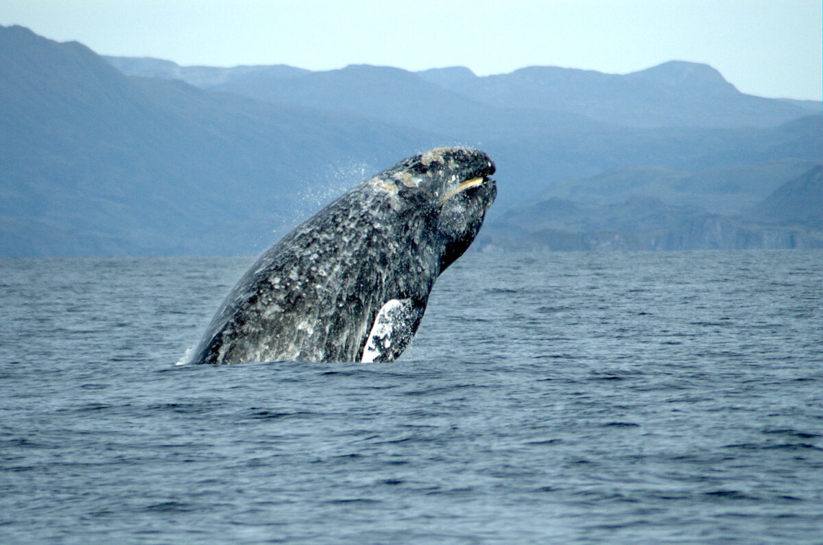
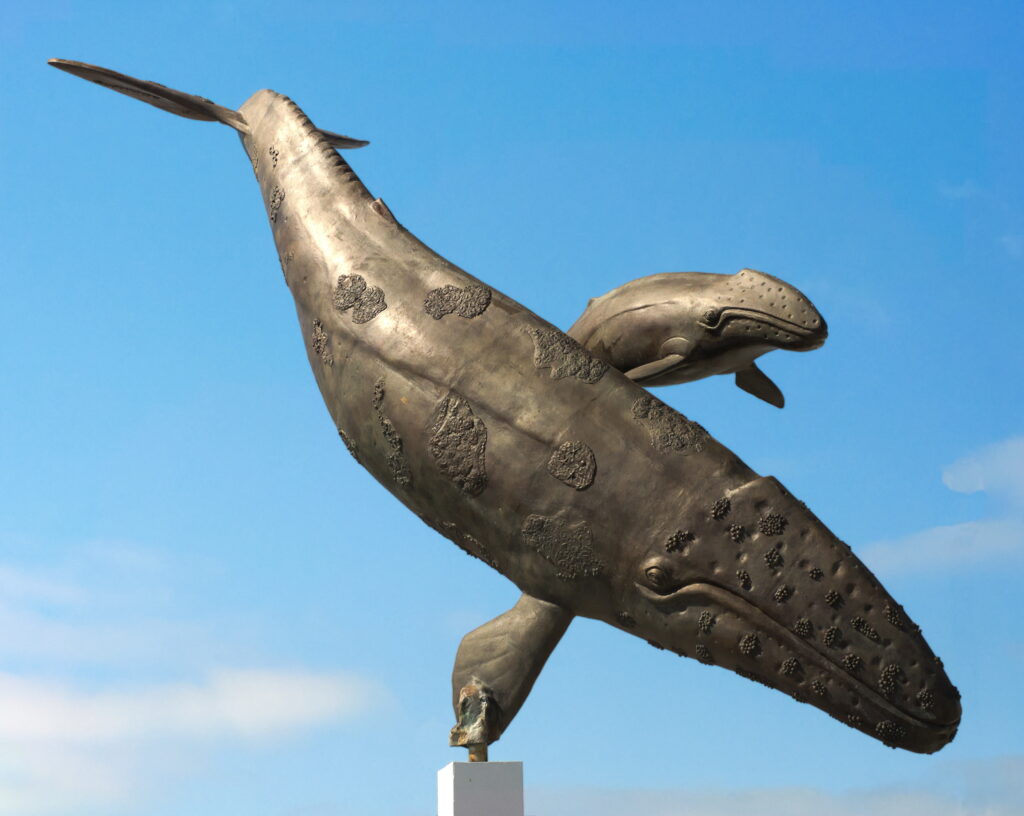
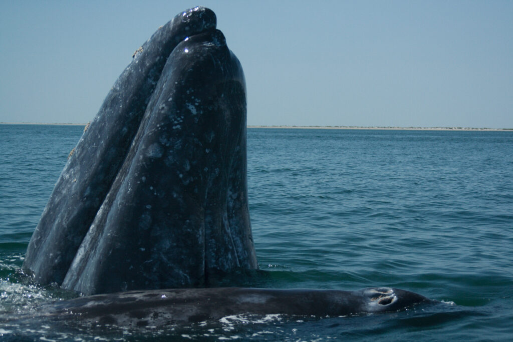
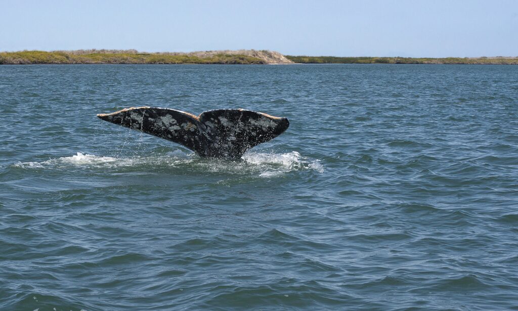
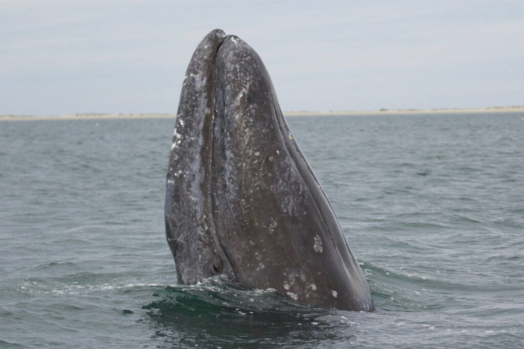
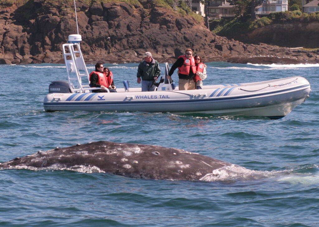
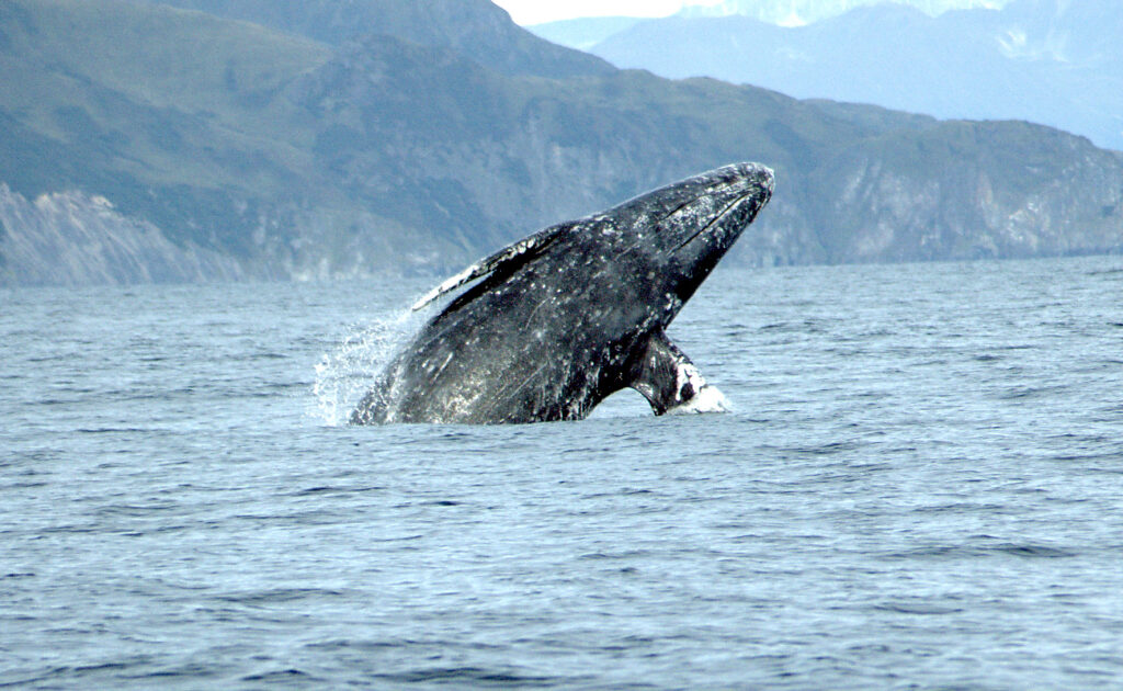
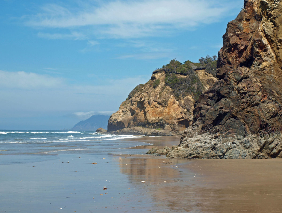
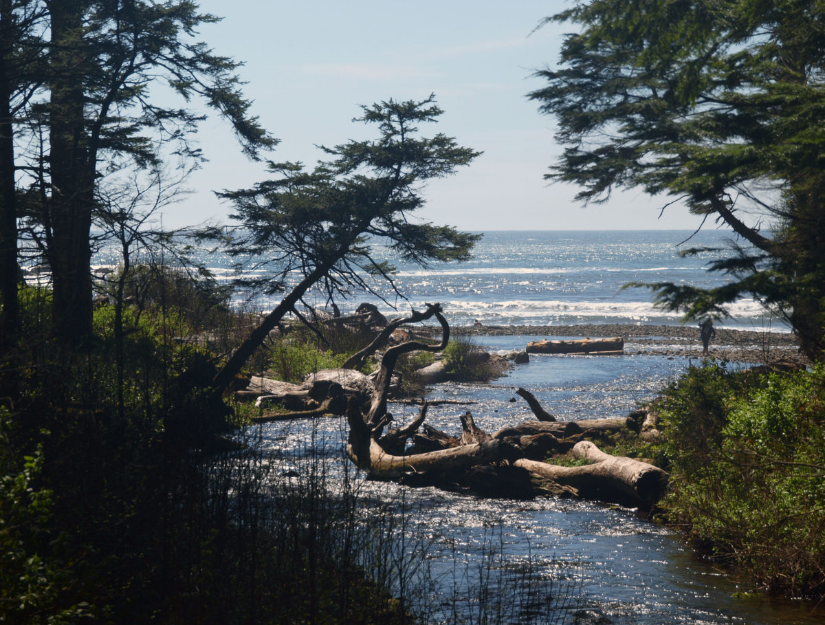
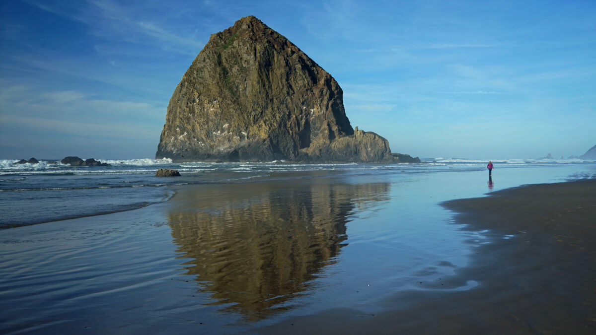
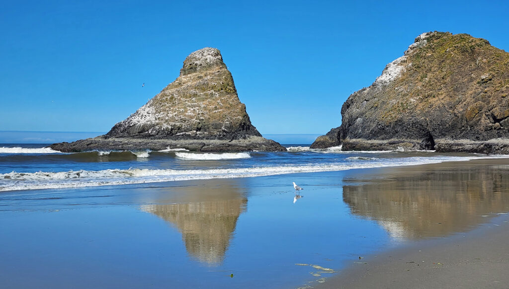
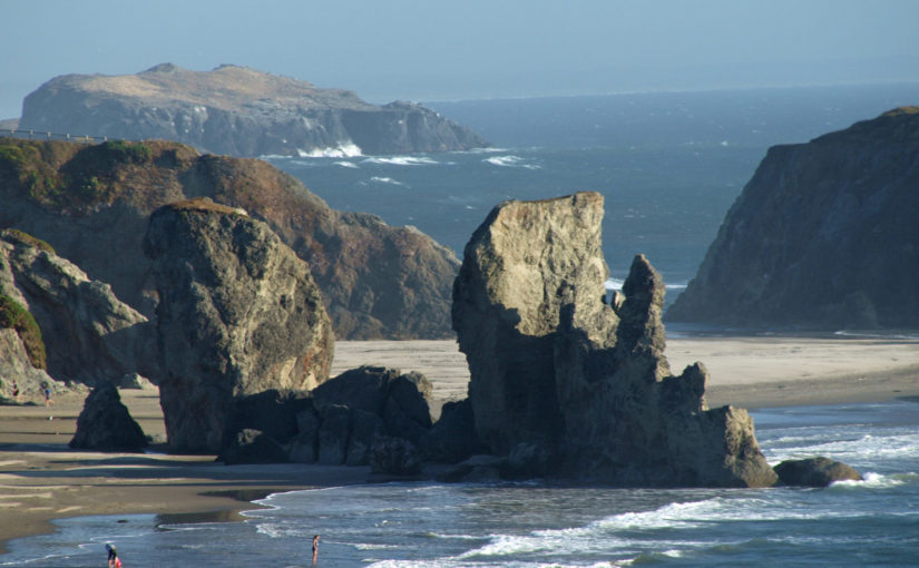
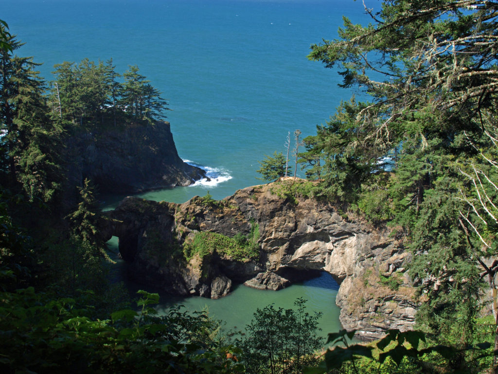
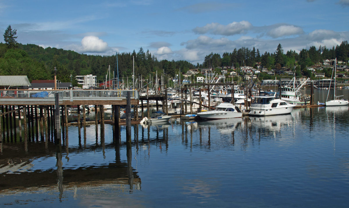
 Gig Harbor, Washington is located on Puget Sound near Tacoma. My first visit came about eight years ago. At the time it was one of the few towns on Puget Sound that I had not explored. I had heard testimonials to the town’s charm. And charming it is, at least the historic downtown along the waterfront. Like
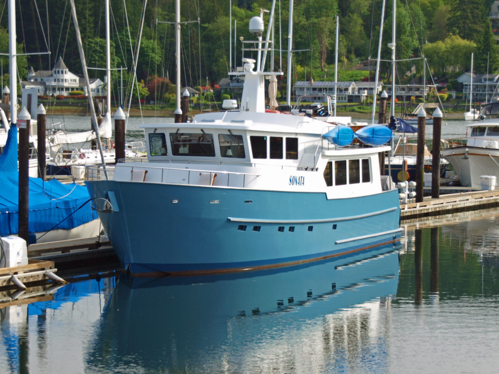
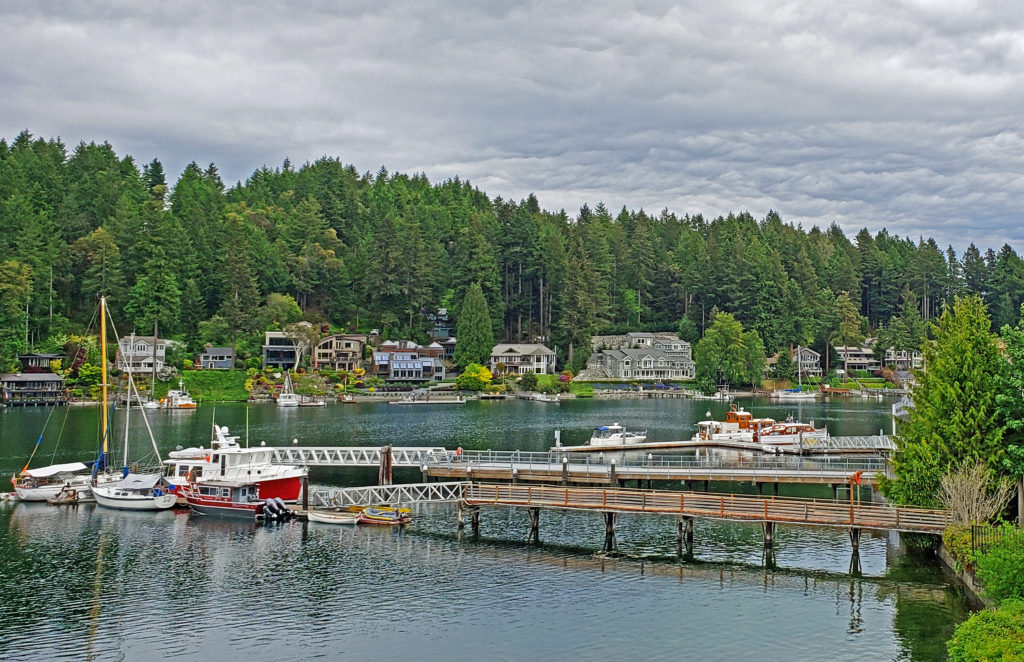
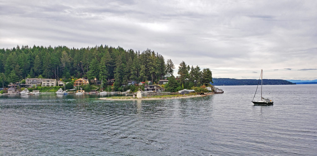
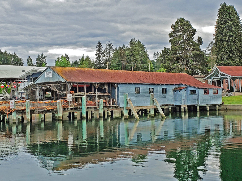
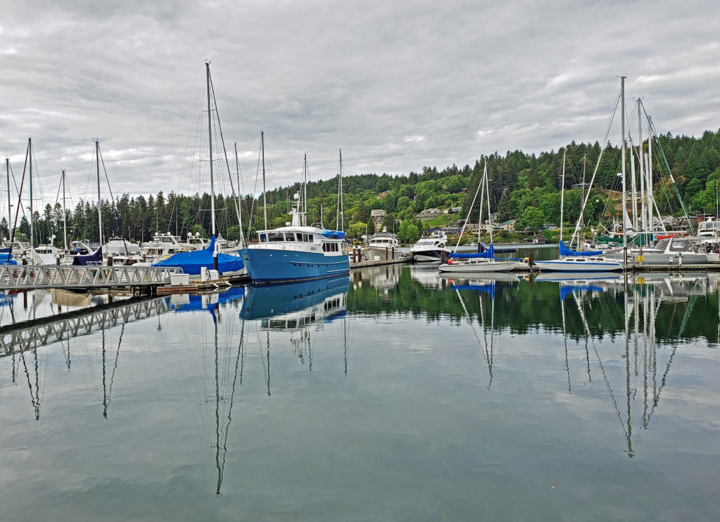
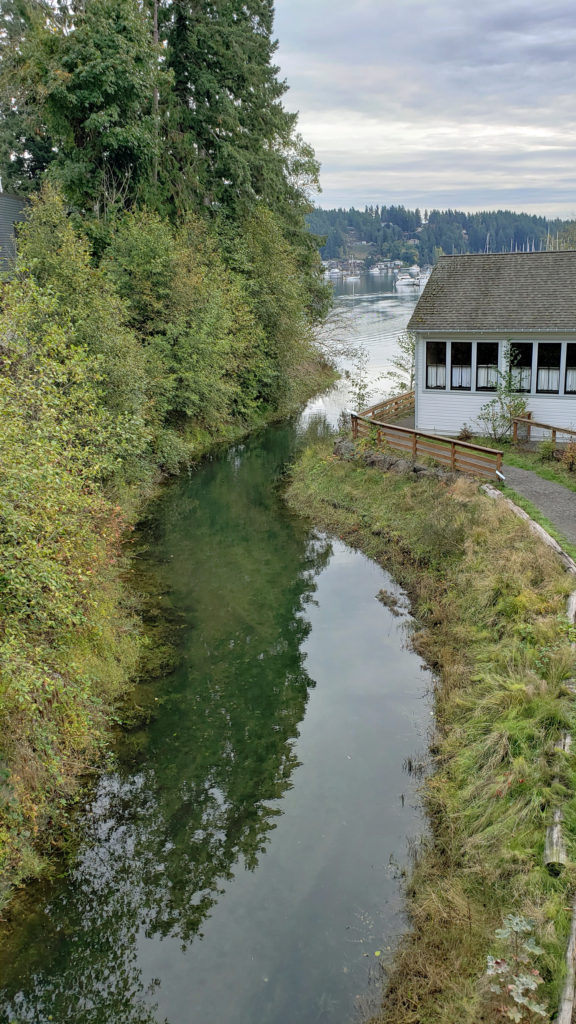
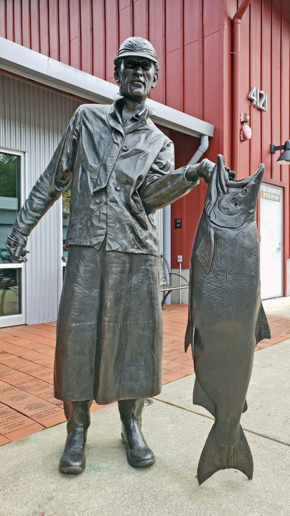 The museum is located where Donkey Creek flows into the harbor, and when the salmon are spawning you can watch them swimming upstream from viewing platforms in Donkey Creek Park, across Harborview Drive from the museum.
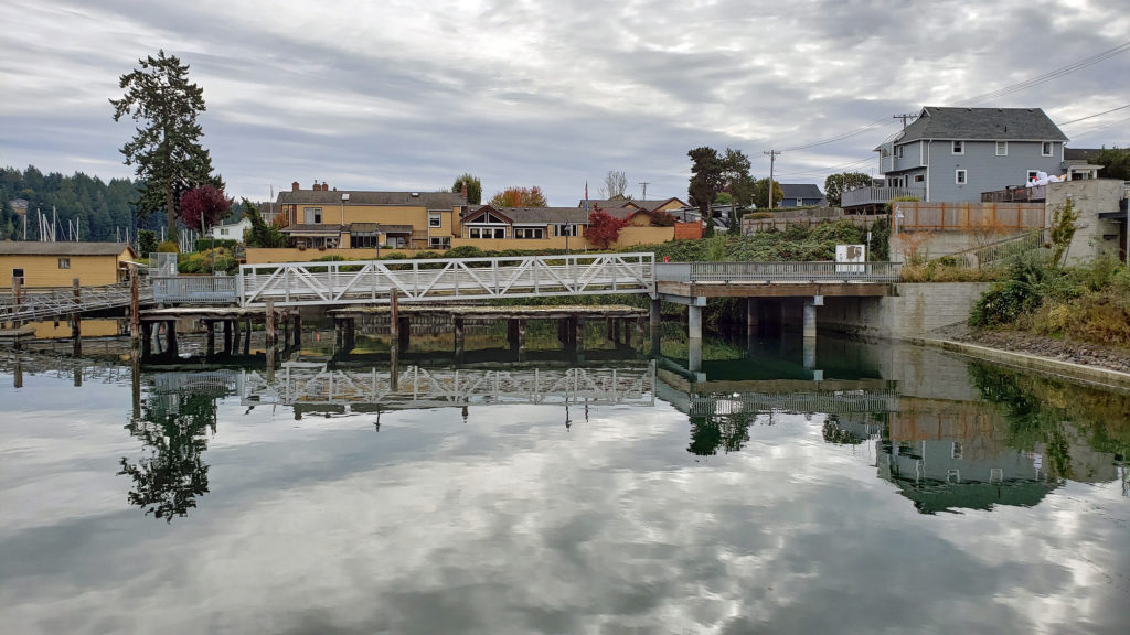 Tourism is more important than fishing to Gig Harbor’s economy today, but a small fishing fleet still exists and is still important to the cultural identity of the town. On the first weekend of June each year, during the Maritime Gig Festival, the fleet gathers in the bay for a Blessing of the Fleet ceremony.
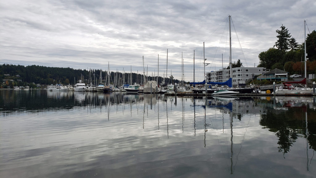 Getting out on the water is both great fun and a way to view the waterfront from a different perspective. You can rent kayaks, stand-up paddle boards, and electric boats at
  If you’re thinking about paying Gig Harbor a visit, a good place to start is the
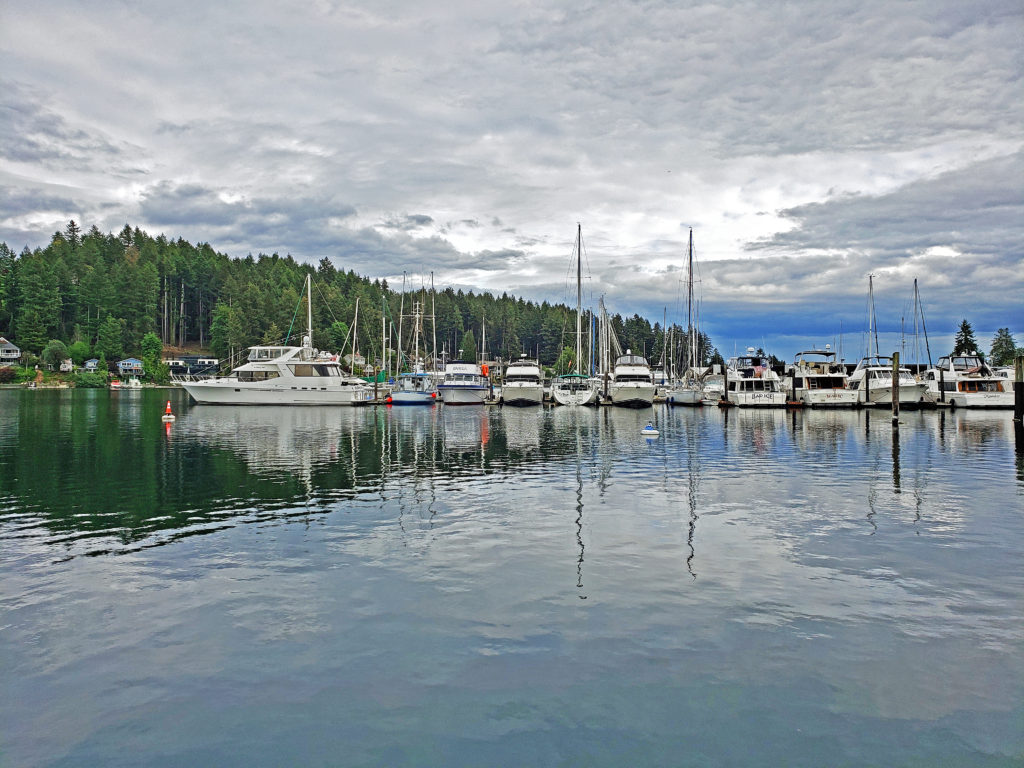
 My wife and I timed our first visit to coincide with the Gig Harbor Beer Festival. We’re from Beervana (also known as Portland), after all, and we frequently seek out new opportunities to sample craft beers that we’ve not tried before. Gig Harbor has four craft breweries: Gig Harbor Brewing, 7 Seas Brewing, Wet Coast Brewing, and Dunagan Brewing. We sampled beers from all but Dunagan at the beer festival, and we both found a number of beers to our liking, even though we have very different tastes in beer. We’ve attended the festival (now called the Gig Harbor Beer and Cider Festival) several more times since that first visit. Gig Harbor Brewing and 7 Seas Brewing have taprooms located on the waterfront in Gig Harbor. Wet Coast has a taproom just off Hwy 16 in the newer part of Gig Harbor. And Dunagan’s Irish Pub and Brewery is located about a mile south of Wet Coast, also just off Hwy 16. Of the four, only Dunagan’s serves food. If you want to eat as well as drink, try the Tides Tavern or one of the other establishments listed in the Gig Harbor Guide.
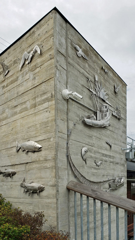 One restaurant that you should not miss is
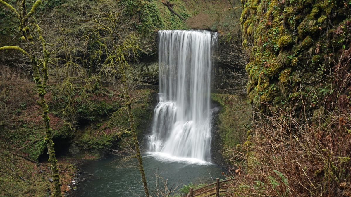
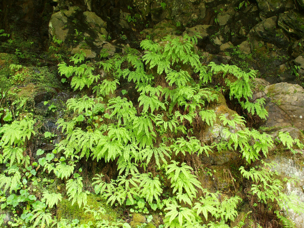
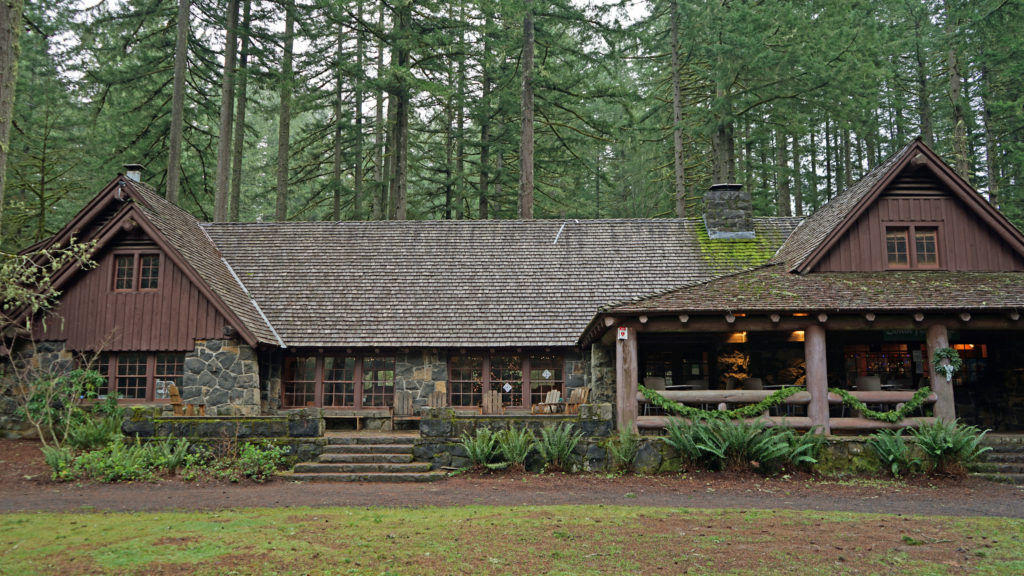
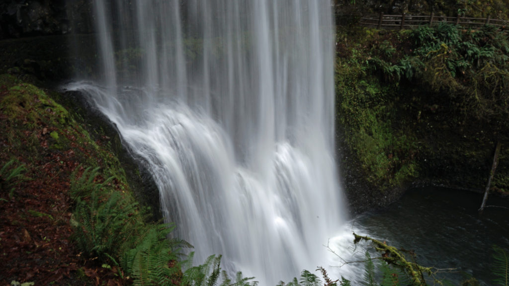
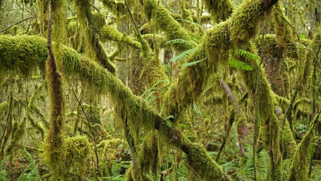
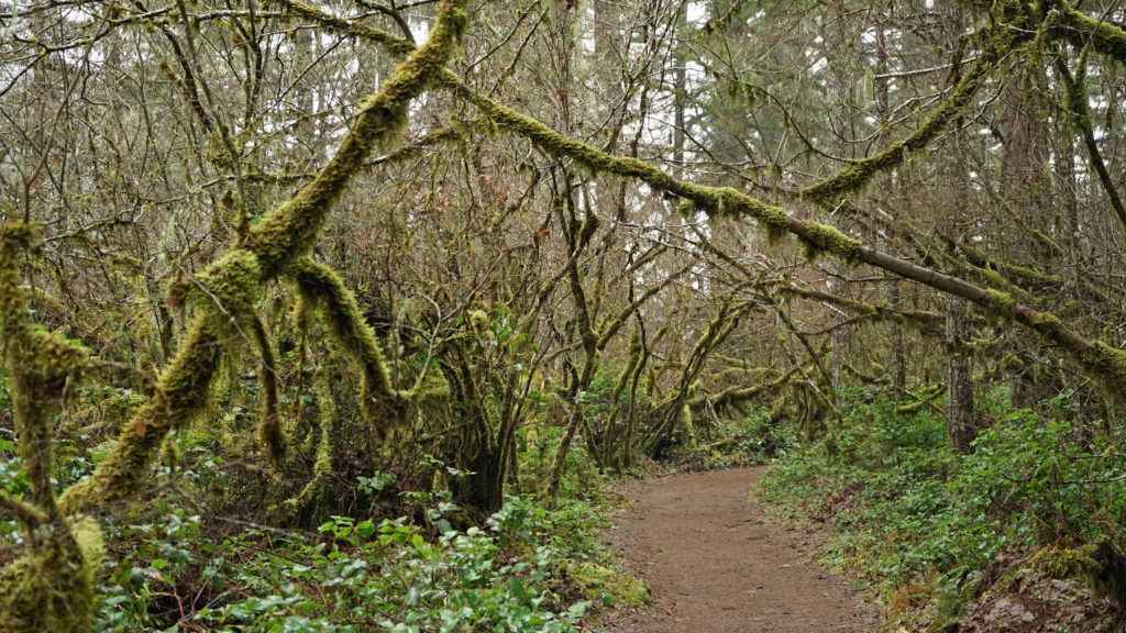

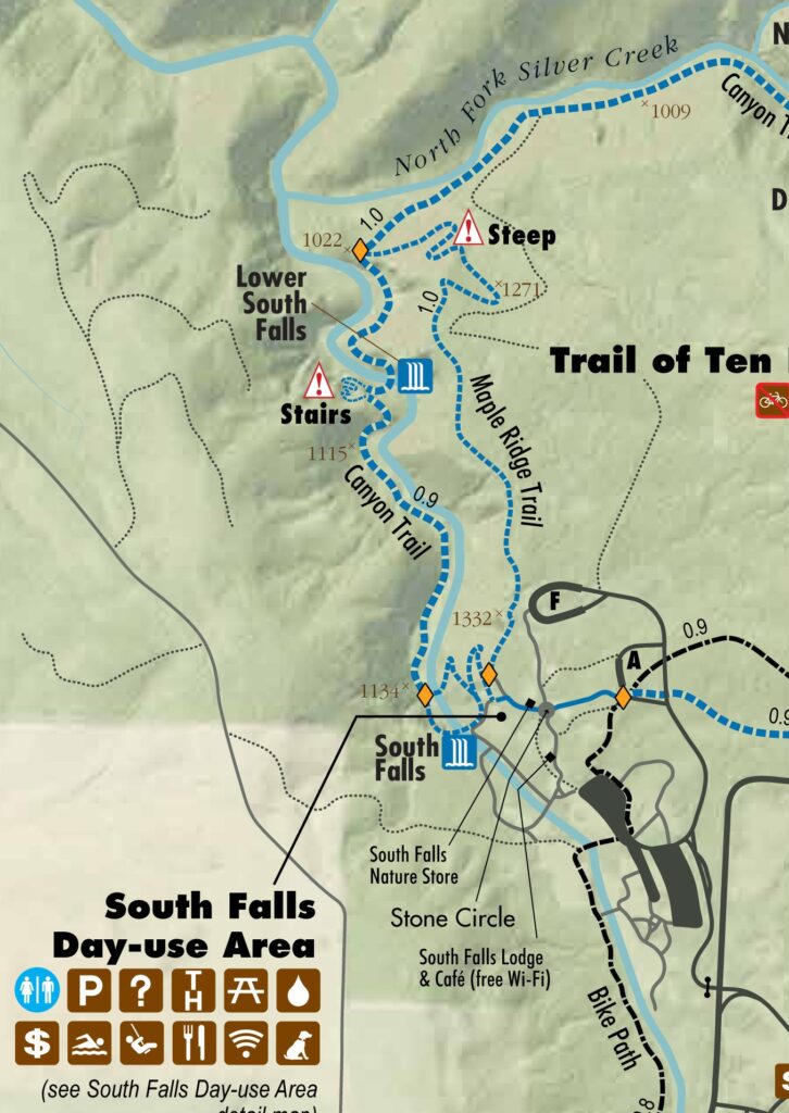

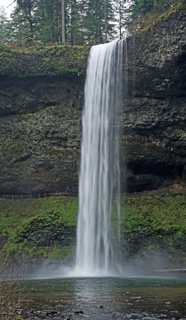
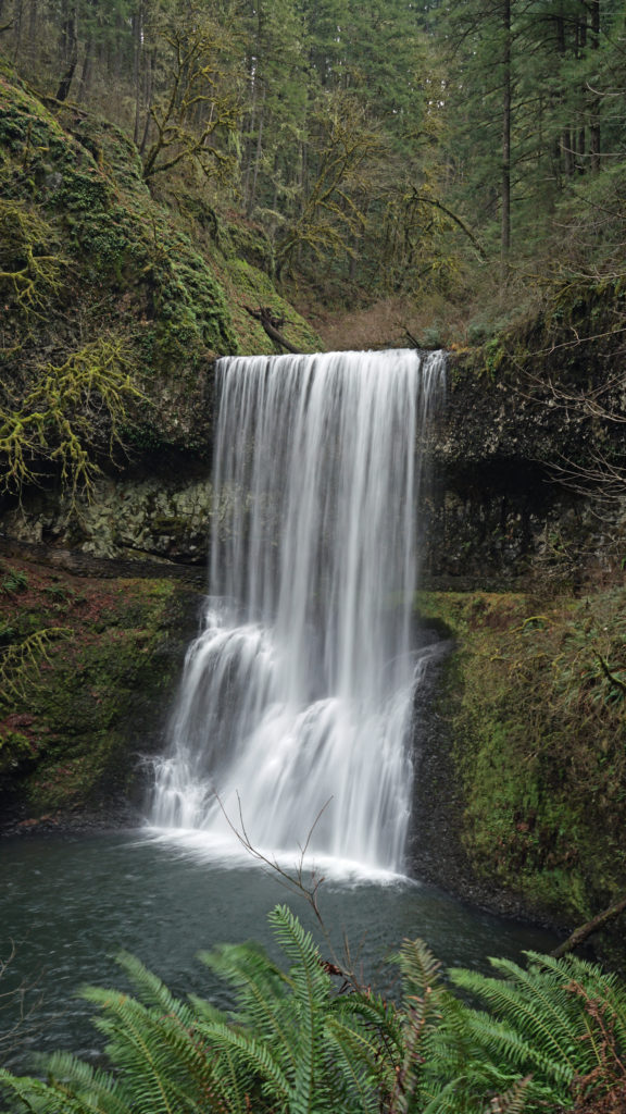
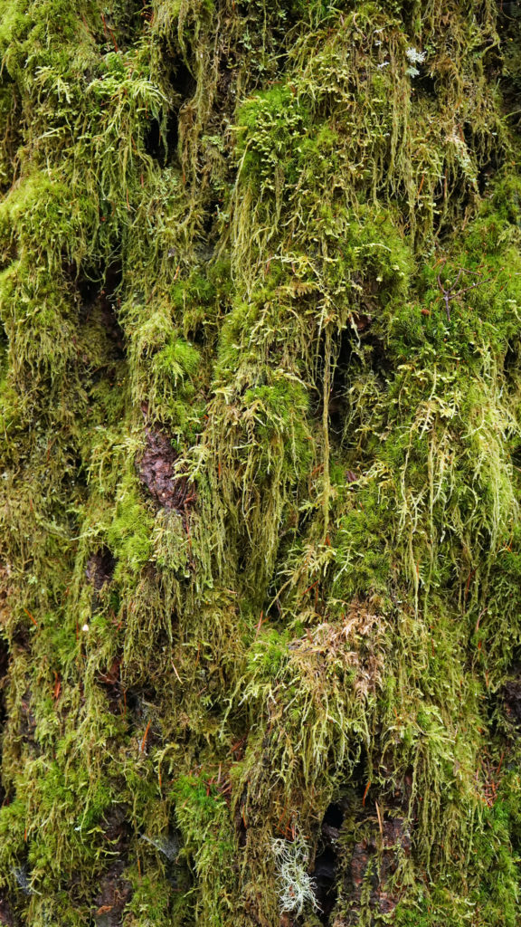
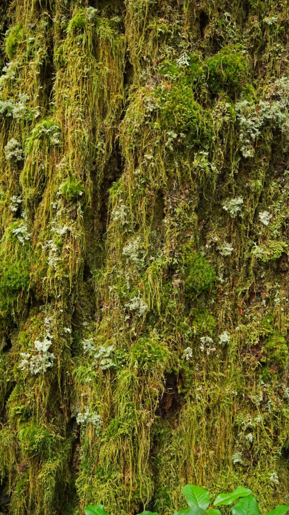

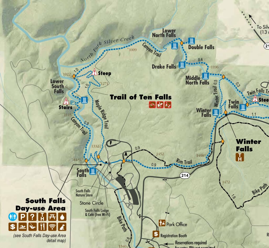
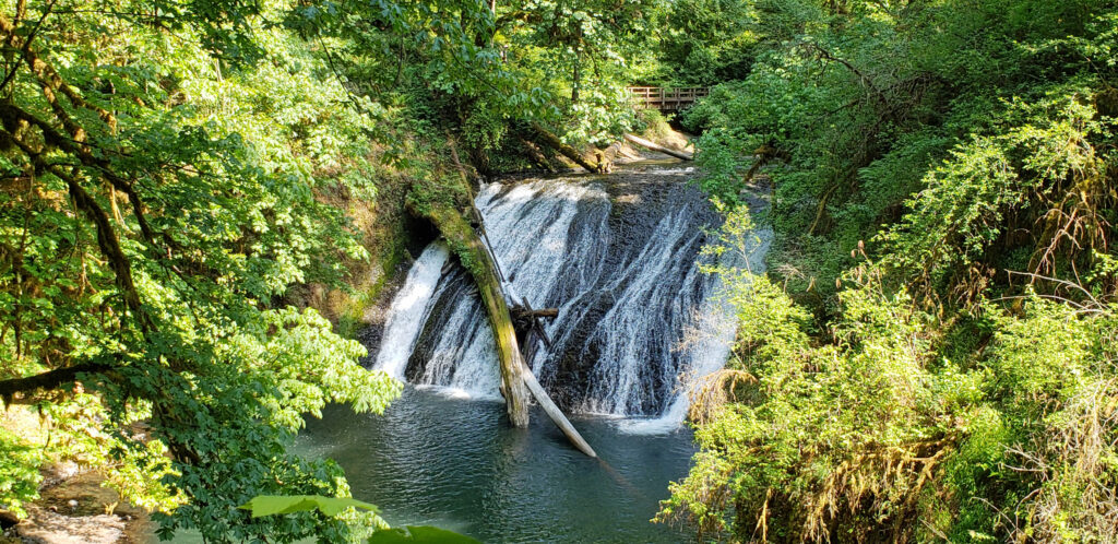


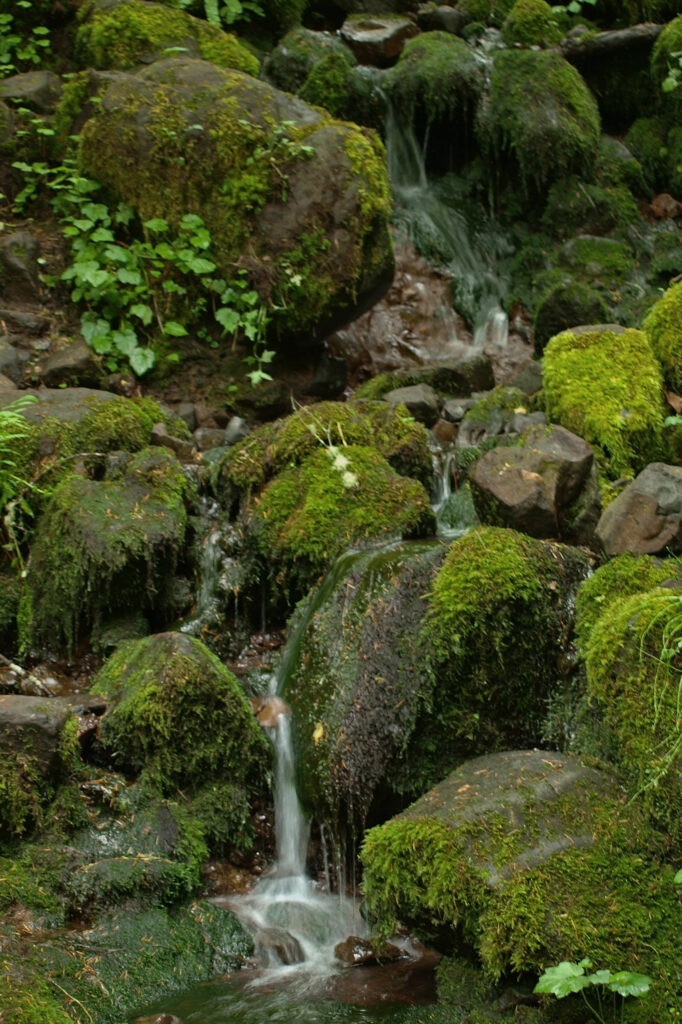
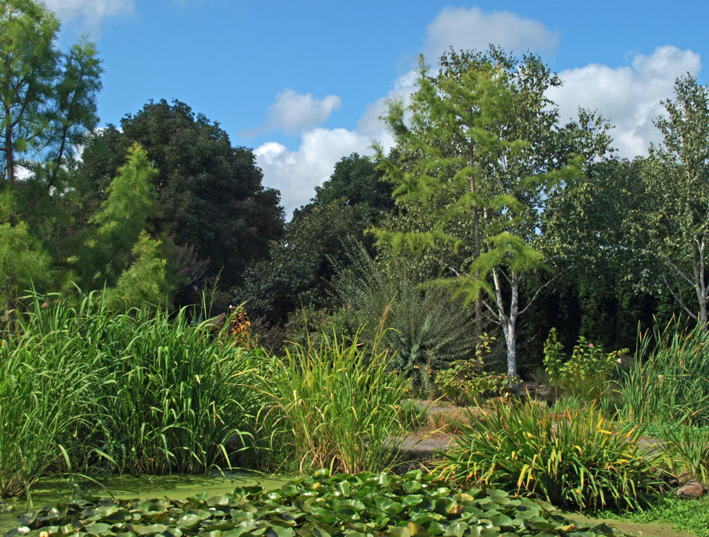
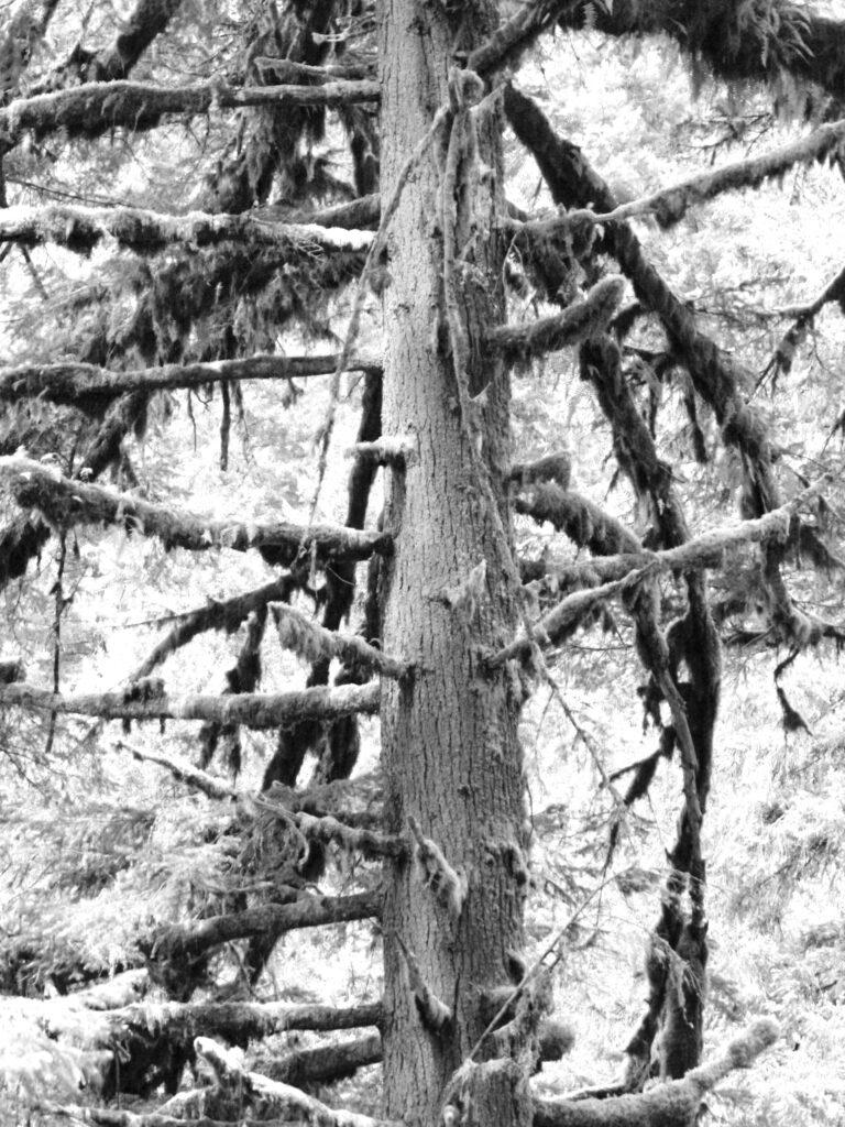
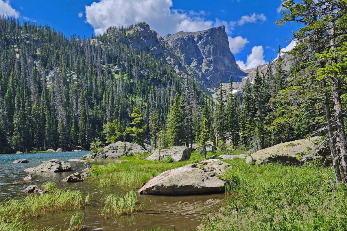
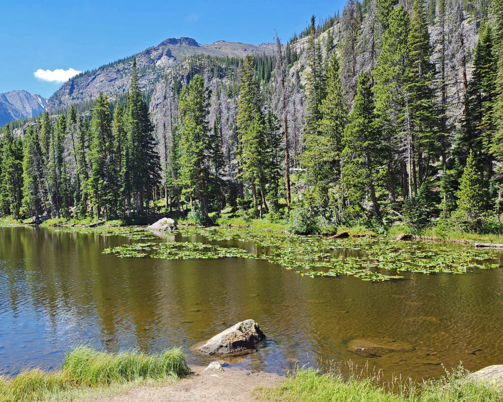
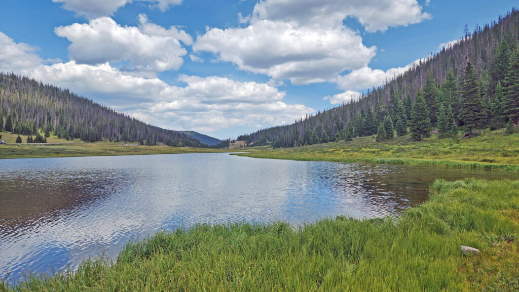
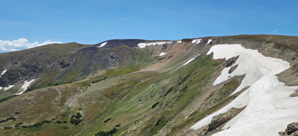
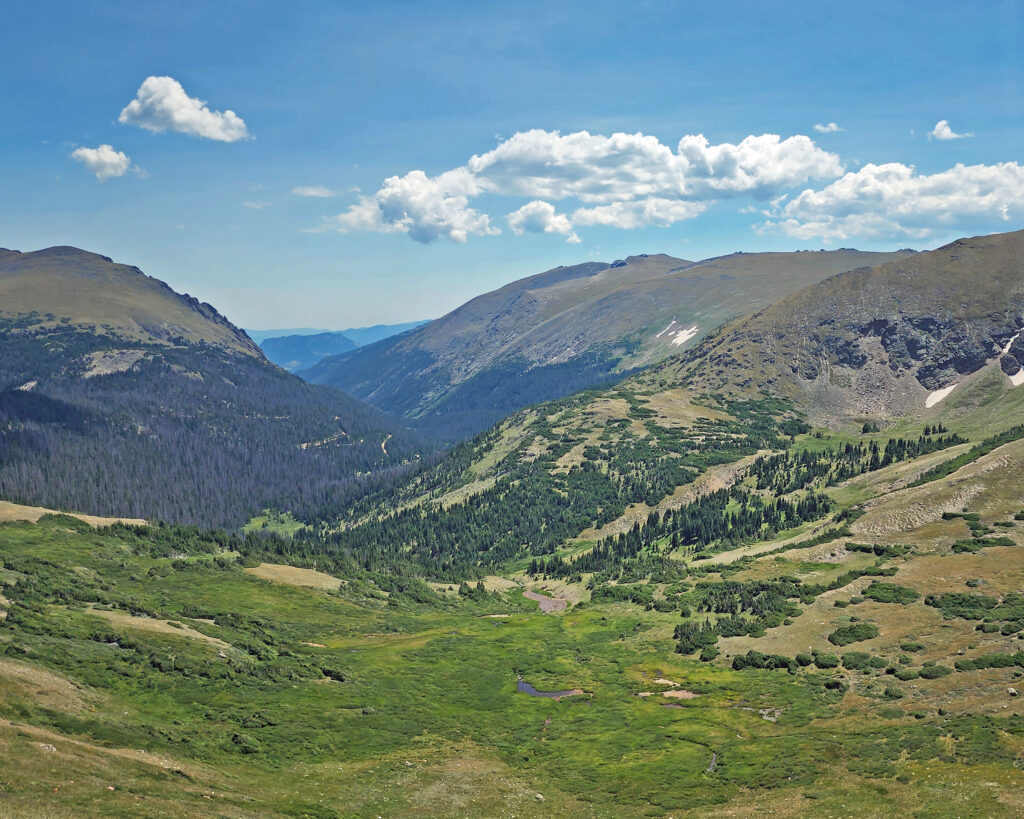
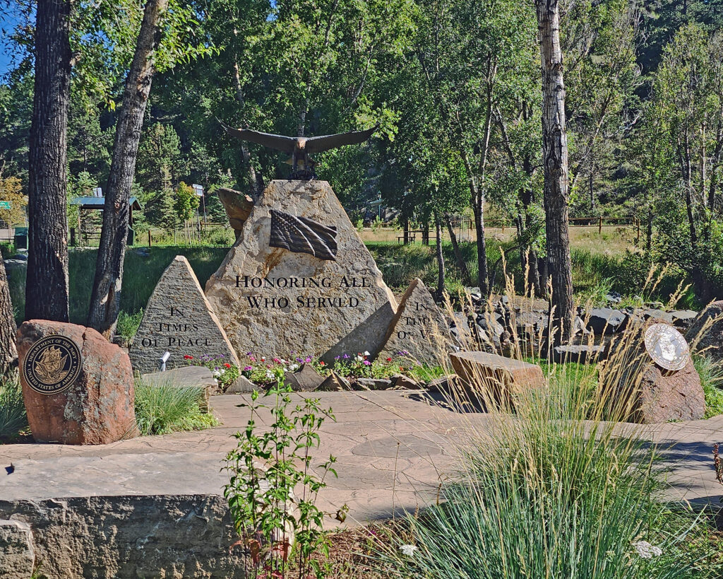
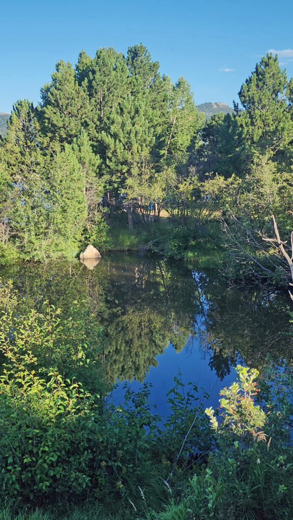
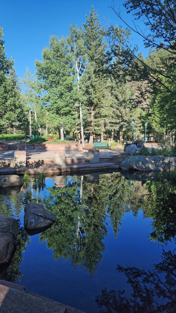
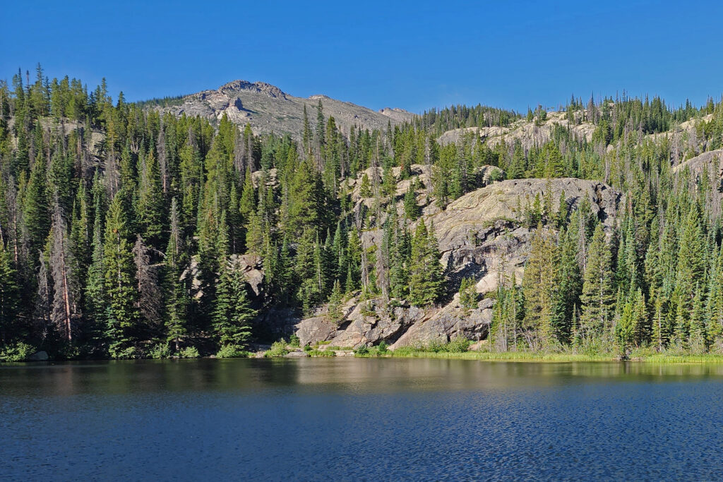
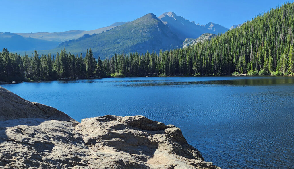
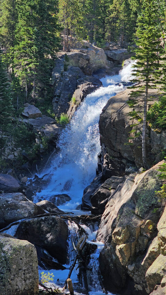
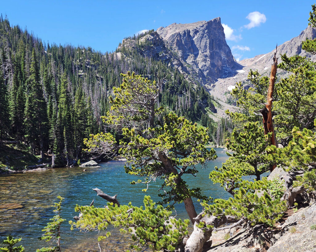
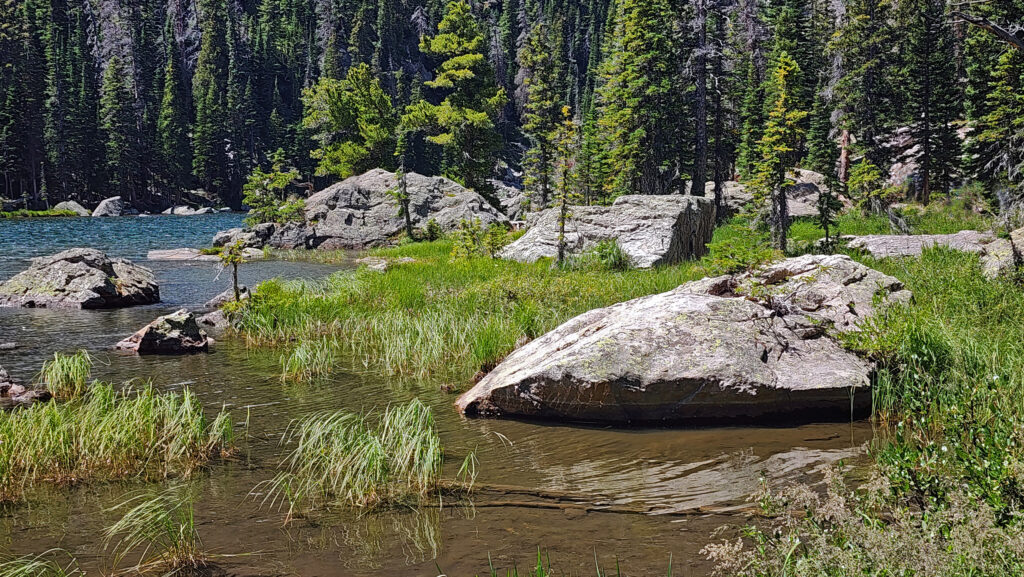
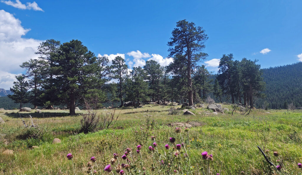
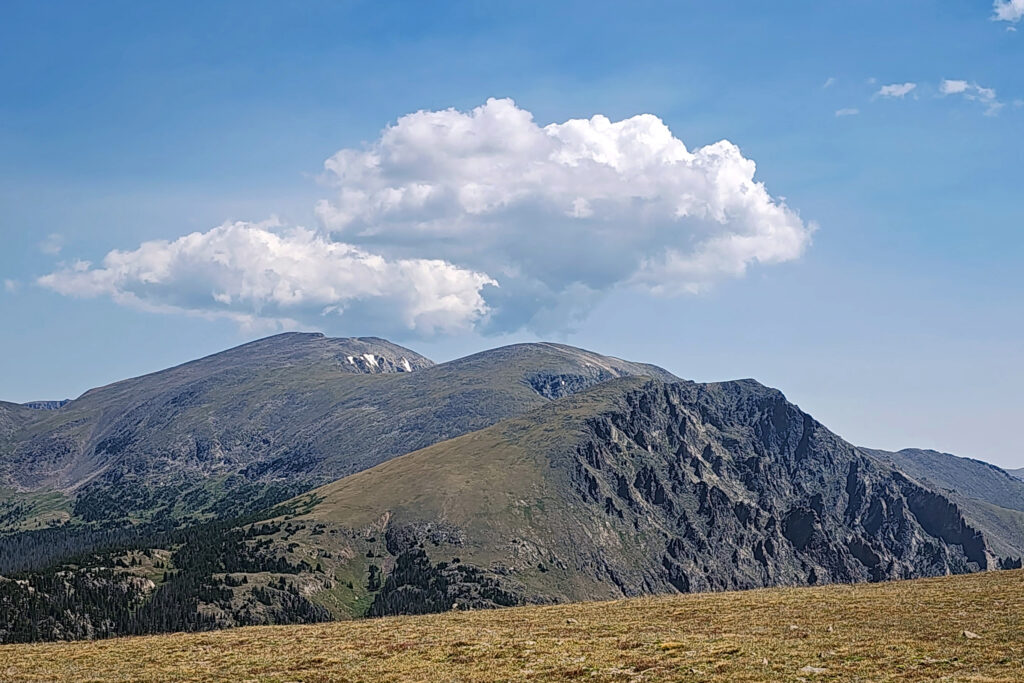
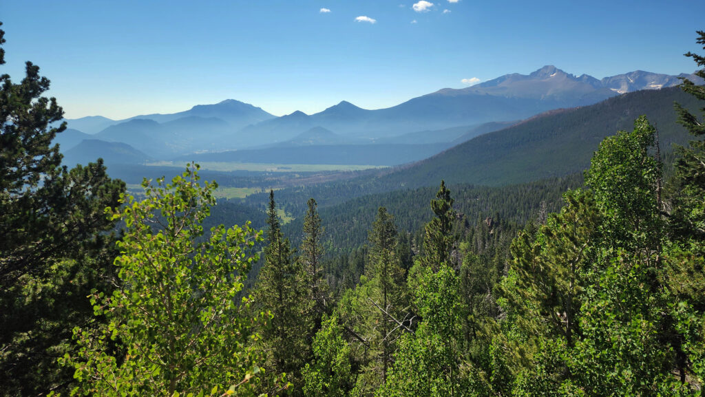
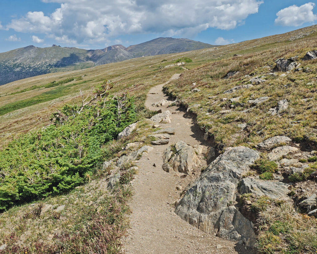
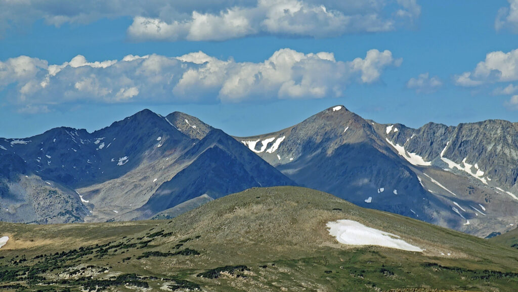
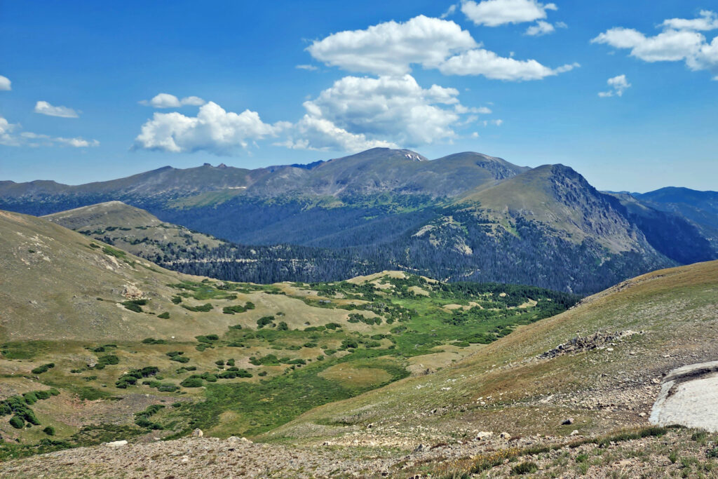
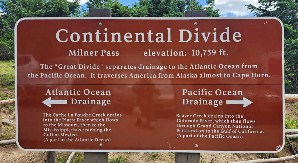 Coming down off Trail Ridge we stopped on the continental divide at Milner Pass (at 10,759 feet you actually come down in elevation from Trail Ridge to the divide). We did a short walk there along the shore of Poudre Lake and, of course, took a photo of the continental divide sign before heading south.
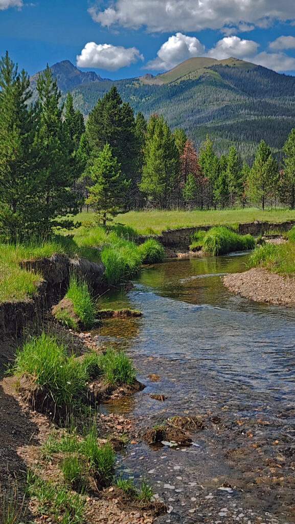
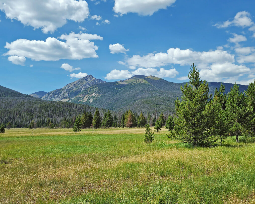
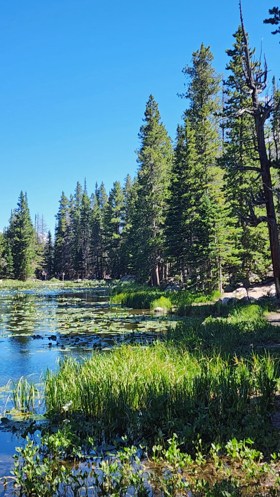
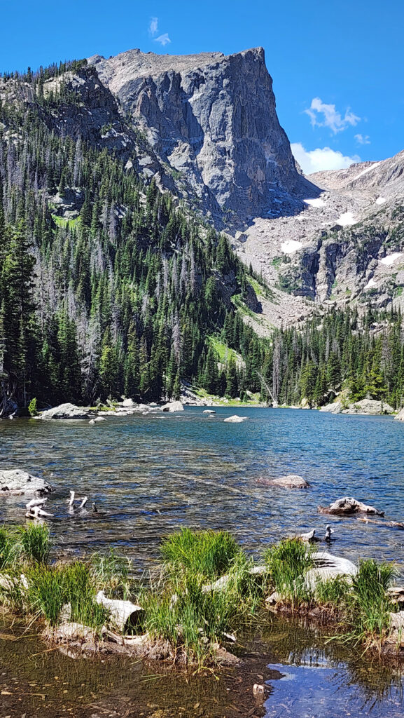
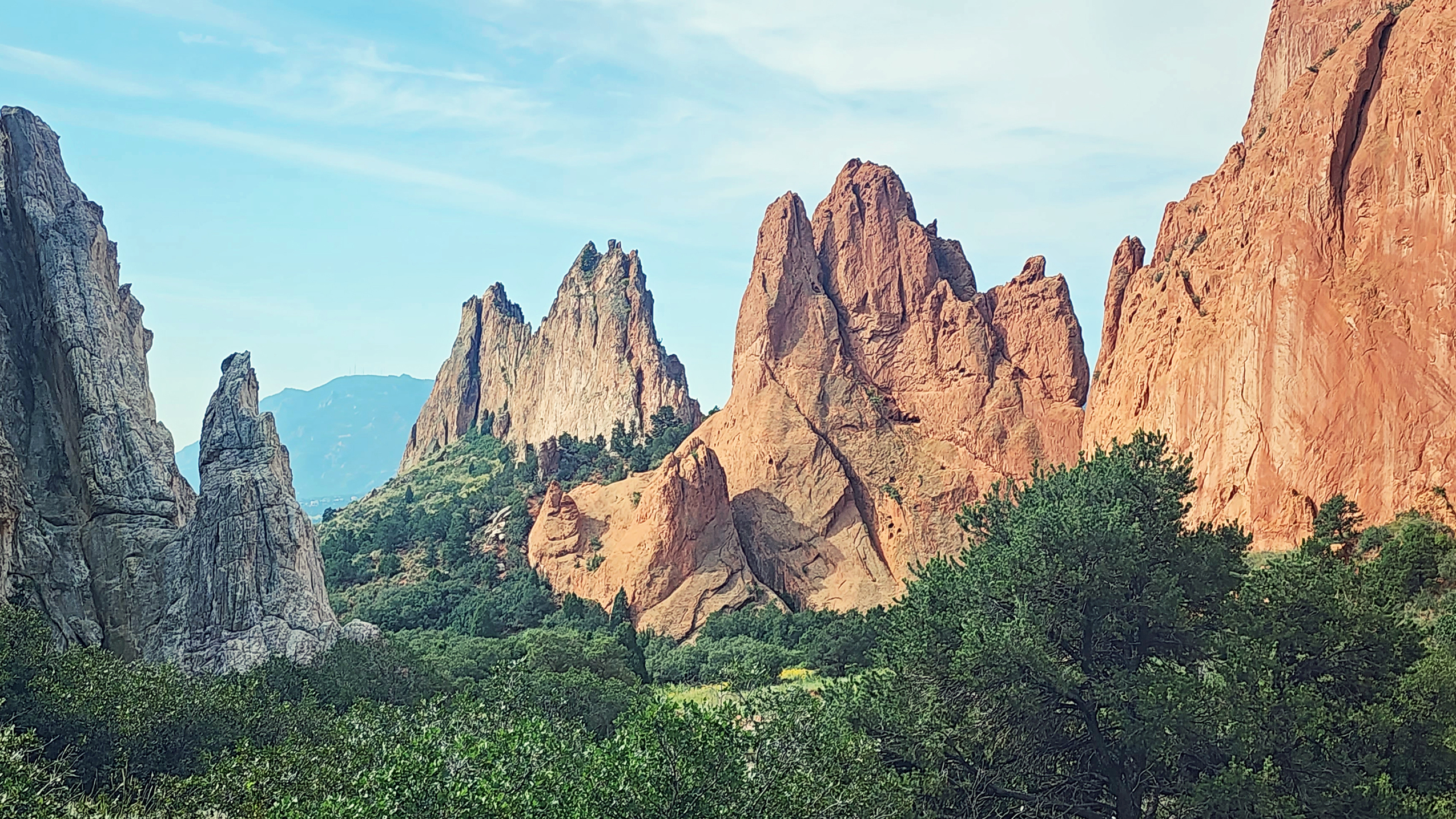

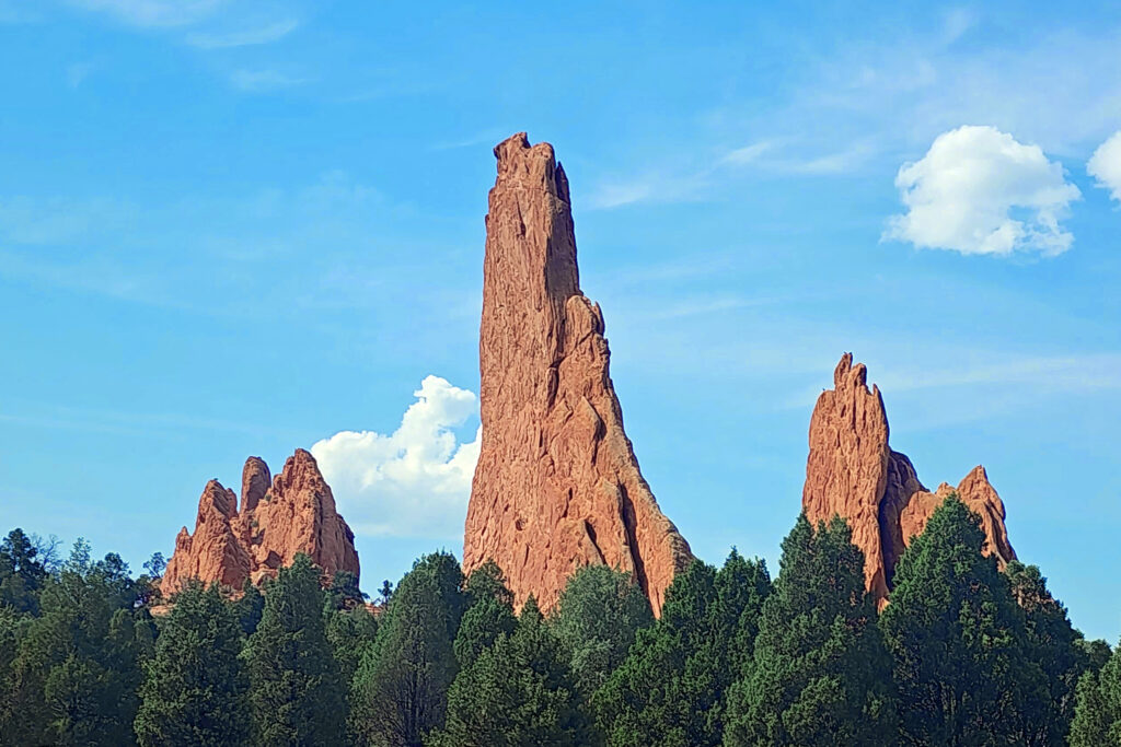
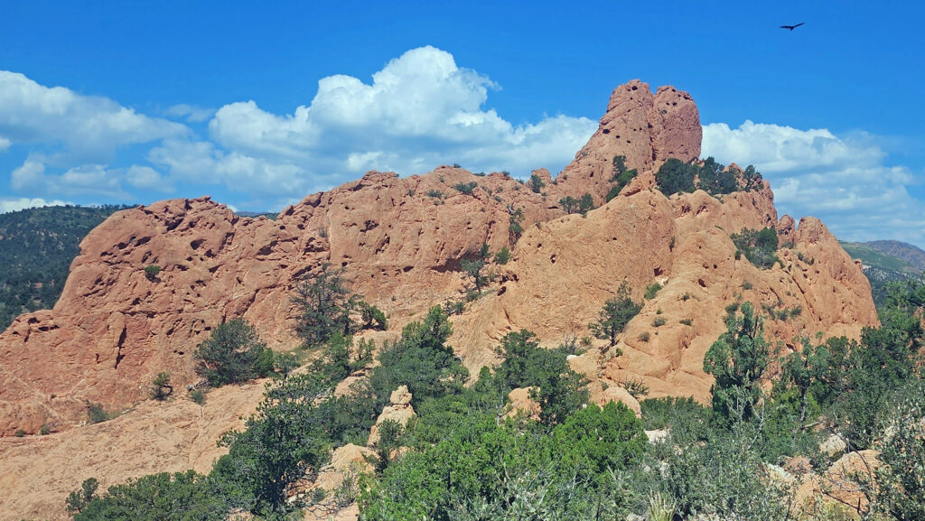
 In 1859, Colorado City was founded and later became the capital of the Colorado Territory before the capital was moved first to Golden, then Denver. Colorado Springs was founded in 1871 just east of what became known as Old Colorado City. Colorado Springs grew rapidly and eventually Old Colorado City became incorporated into the growing city, and is now a neighborhood west of downtown Colorado Springs.
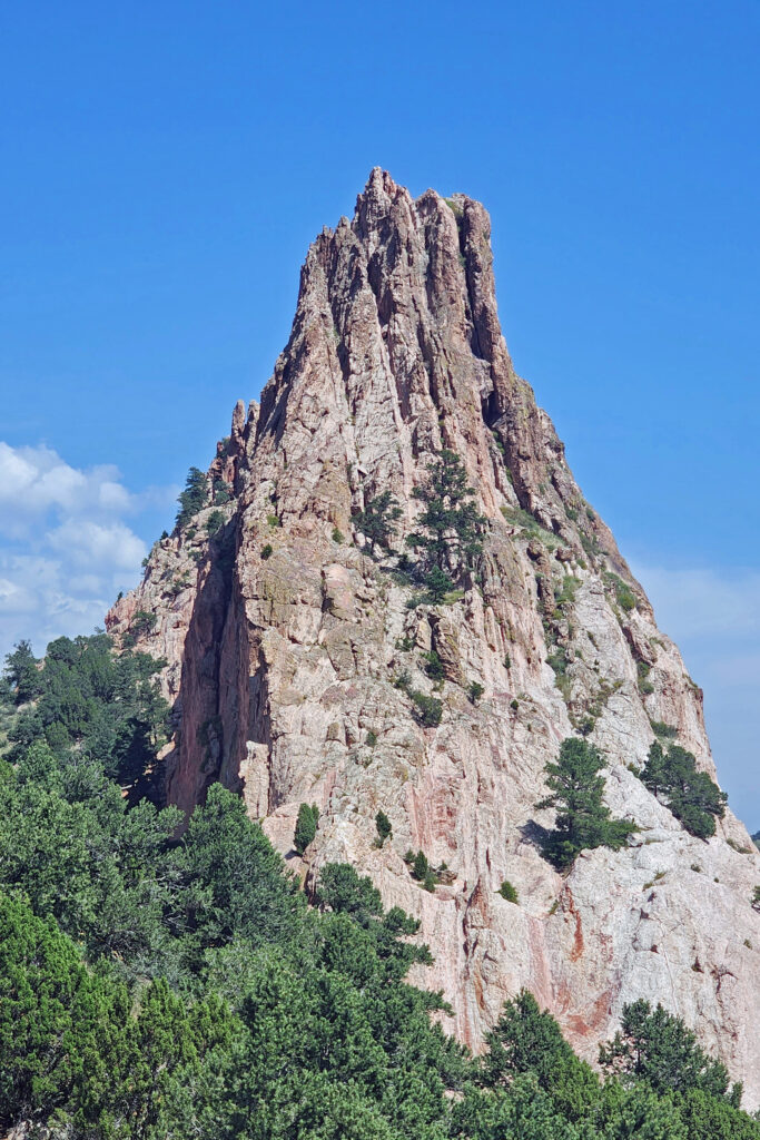
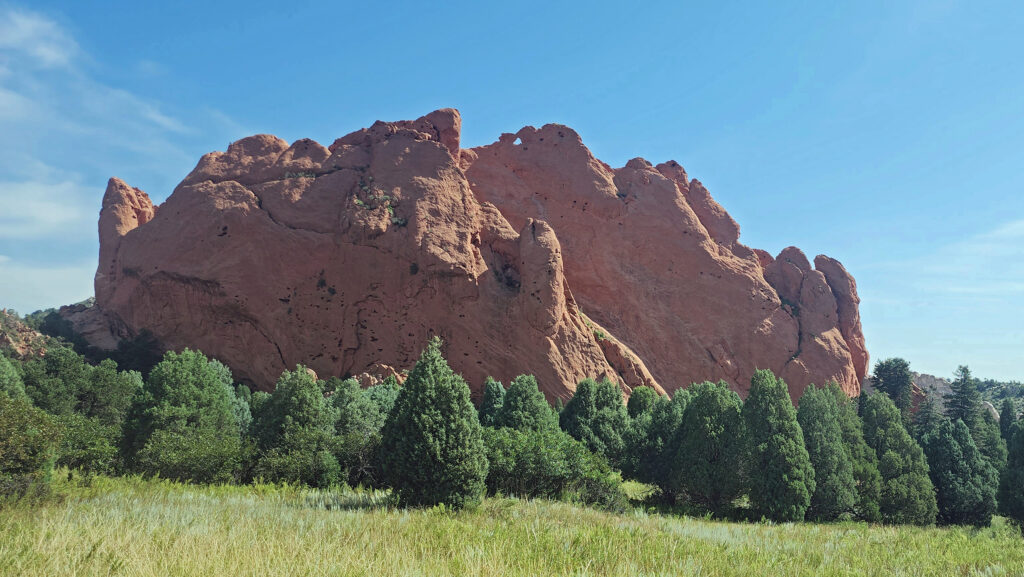
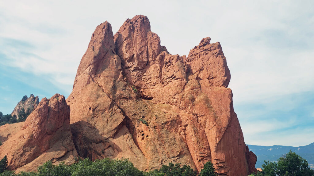
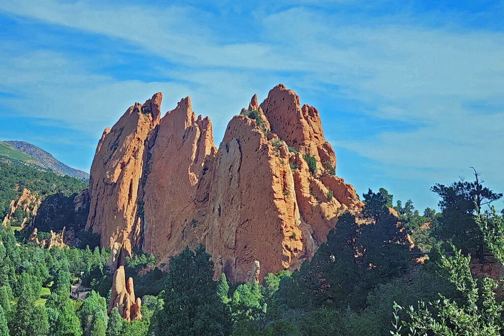
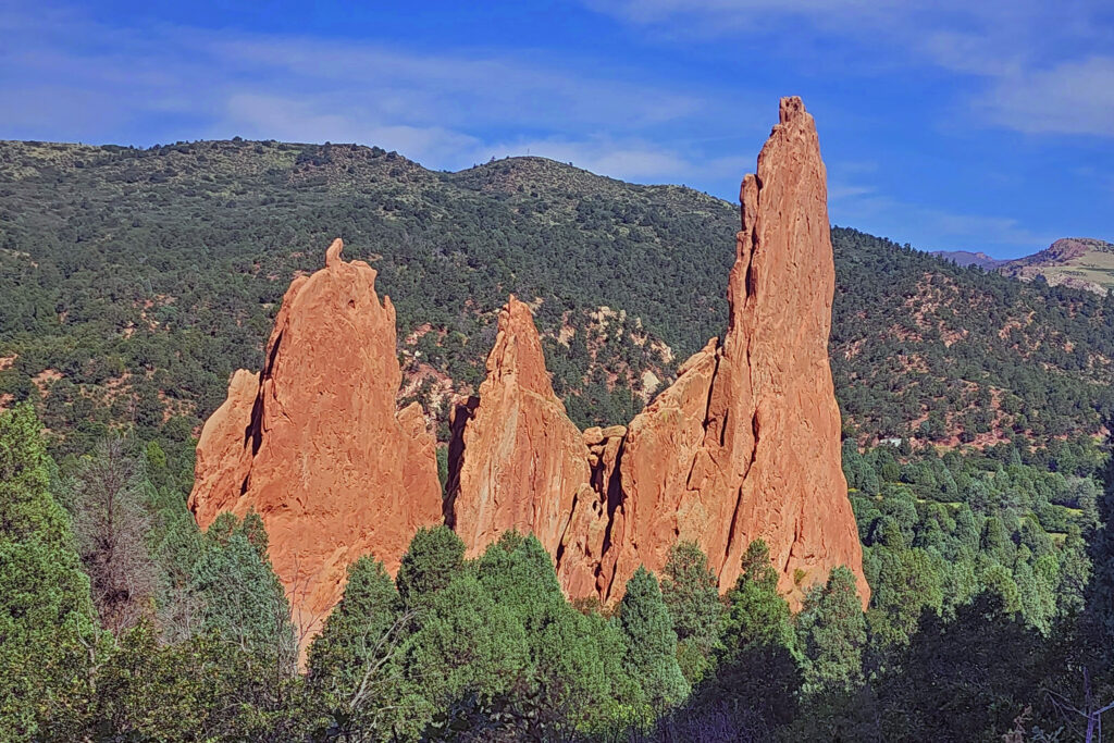 The park is very popular and parking can be a problem, but there is also a large overflow parking area just west of 30th Street if the visitor center parking lot is full. There is a pedestrian tunnel under 30th Street to get from the overflow lot to the visitor center. The park also operates a free shuttle bus in the summer that runs from the visitor center to the center of the park with stops at the overflow parking area and the Rock Ledge Ranch Historic Site.
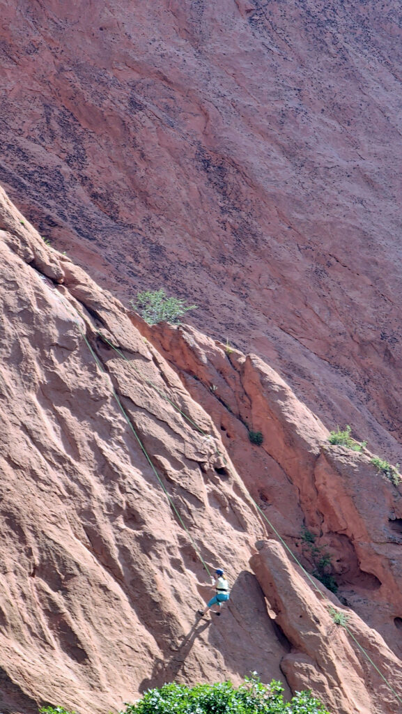
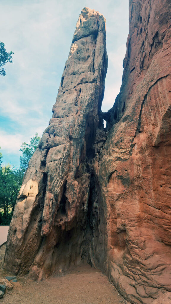
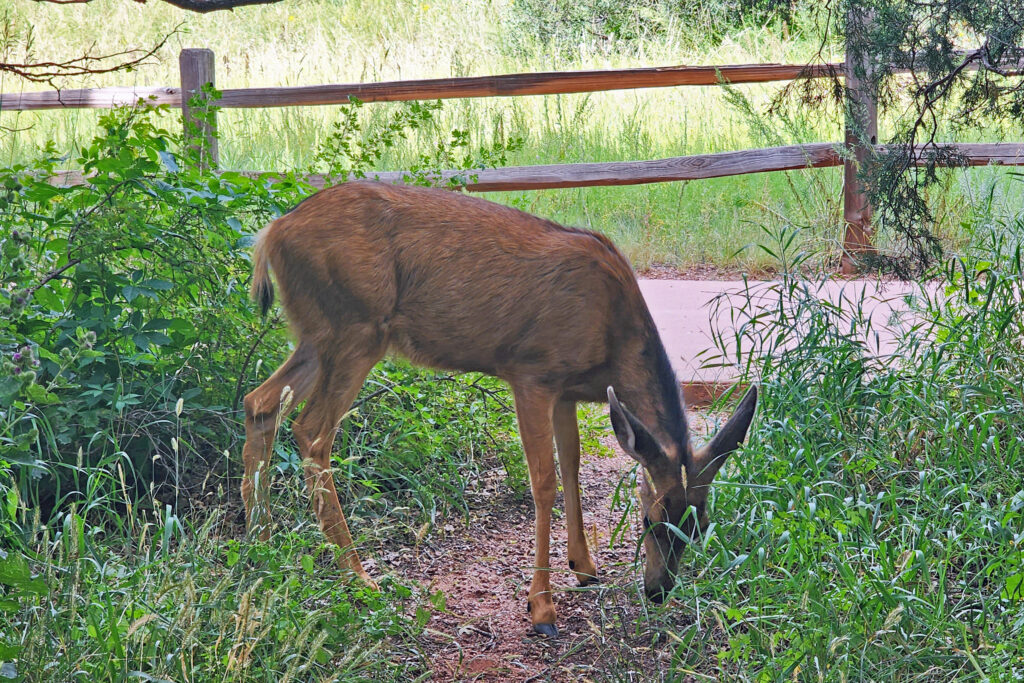
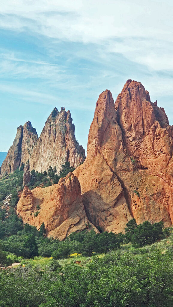
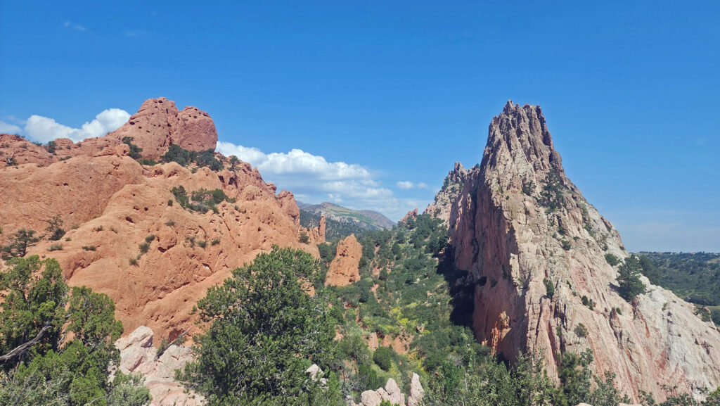
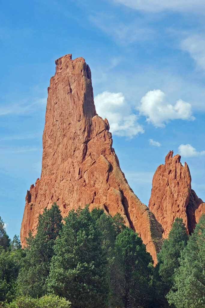
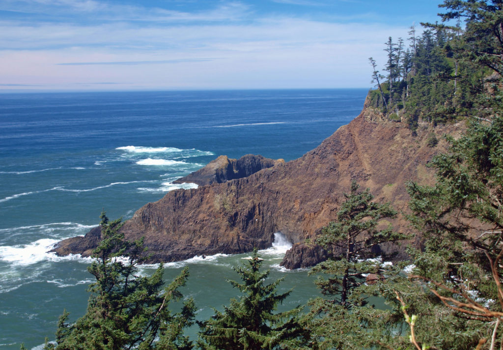
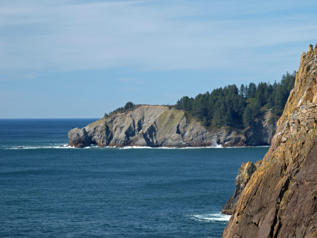 The park, originally called Short Sand Beach State Park, was created in 1931 through the efforts of Oregon’s first State Parks Superintendent, Samuel H. Boardman. Boardman was a fervent believer that of as much of the coast should be preserved in public ownership as possible. Many of the state parks along the coast were created under his stewardship. Short Sand Beach State Park was renamed in 1958 to honor former Oregon Governor
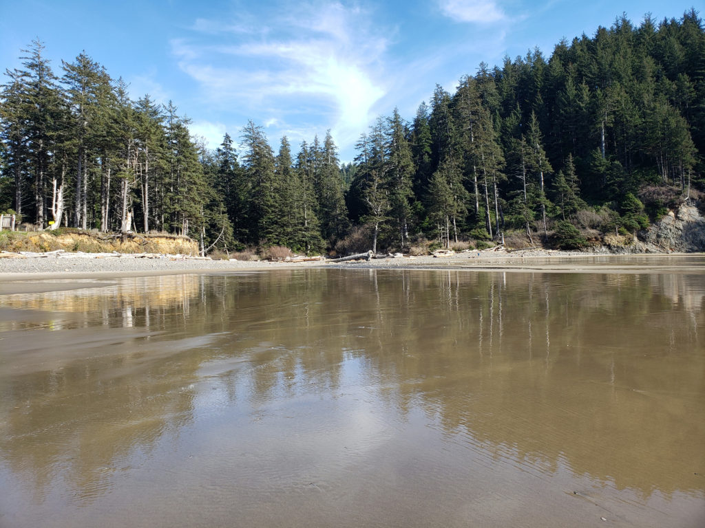
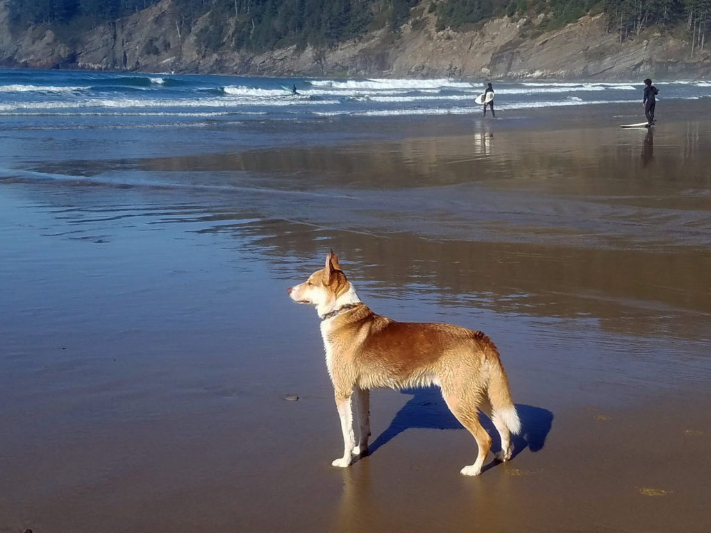
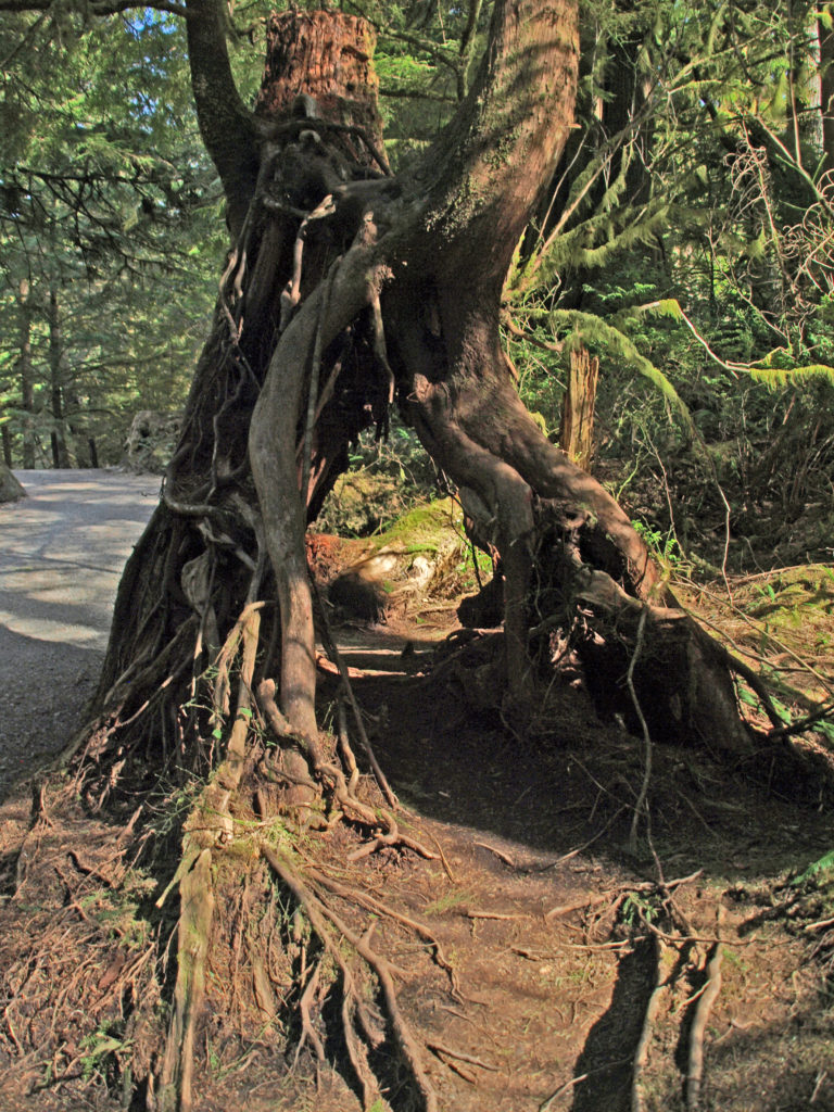
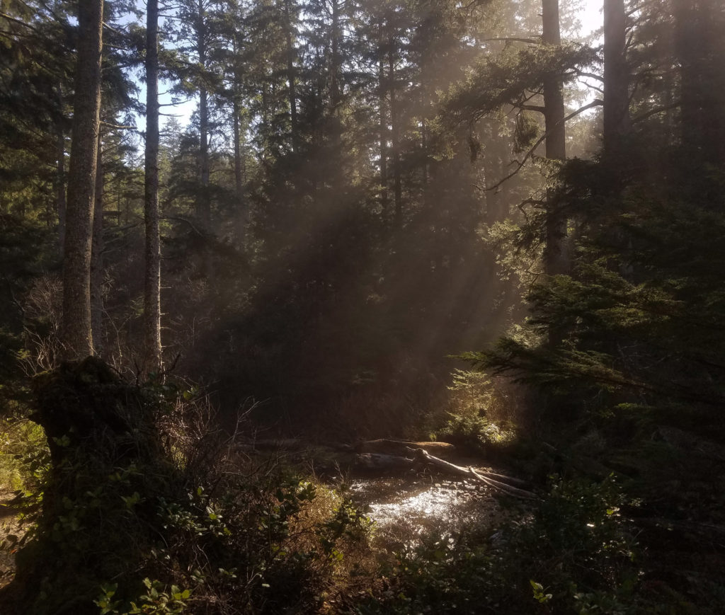
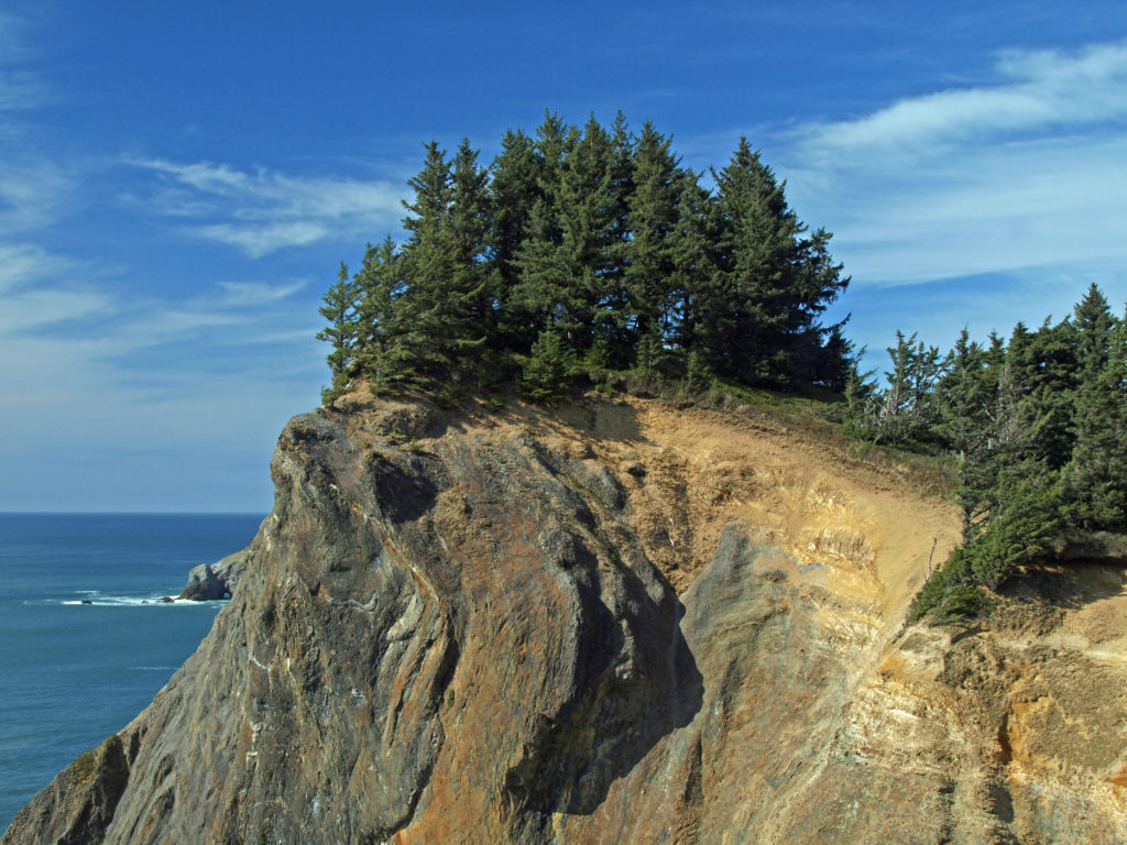
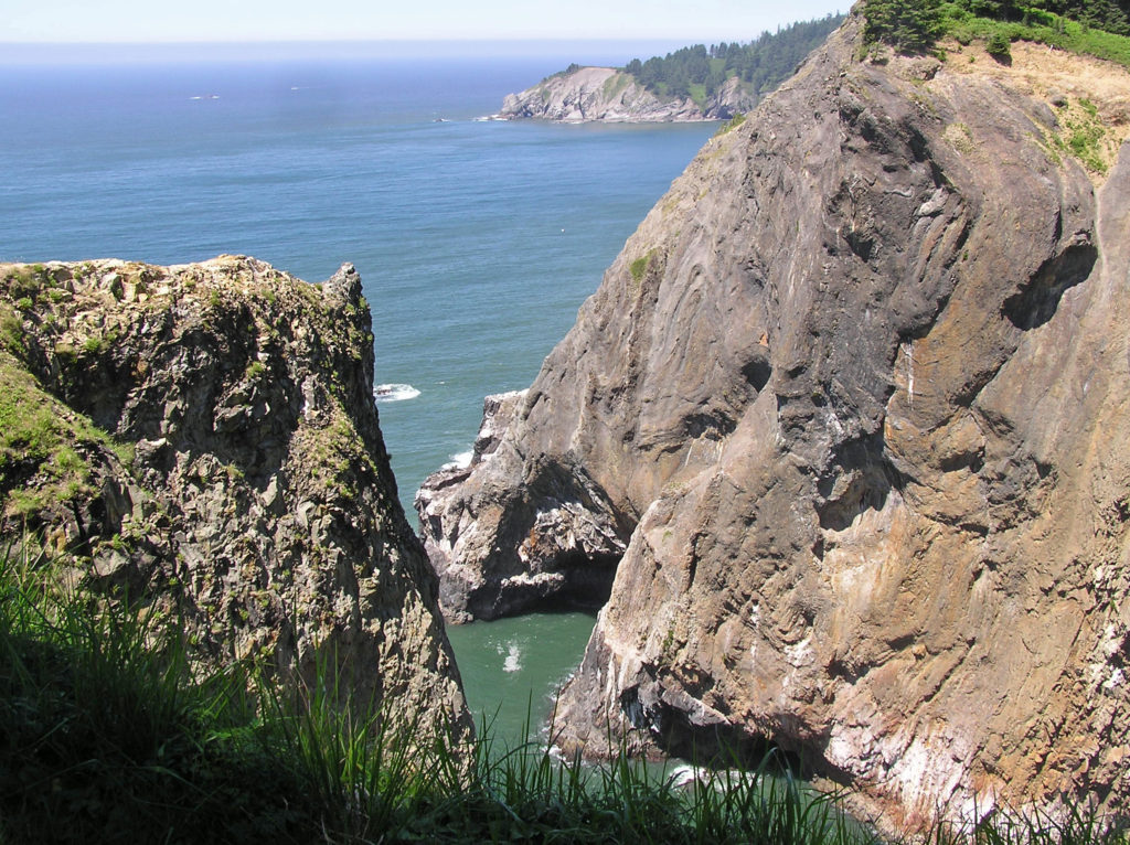 Devils Cauldron is a spectacularly beautiful little cove on the north side of Neahkahnie Mountain. It can be reached by either a one mile hike from Short Sand Beach or a much shorter hike from where the Coast Trail crosses Hwy 101. To access the shorter route, drive south on Hwy 101 from the Short Sand Beach parking lots and look for a gravel parking area on the ocean side of the highway. Follow the Coast Trail north a short ways to a signed junction. The Devils Cauldron viewpoint is just a quarter mile walk from the parking area.
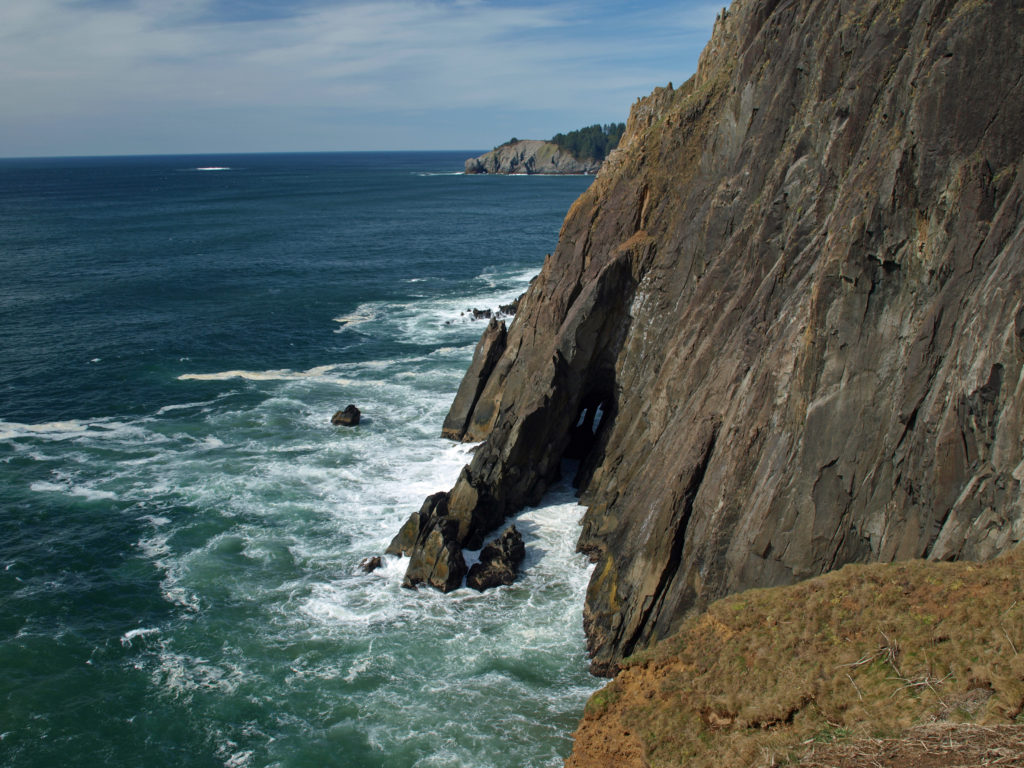 On your way back to the trailhead look for another trail branching off to the south. The junction here is unsigned and the trail is sometimes overgrown and impassable. But if it’s open, the trail leads to a narrow shelf of rock that falls away on three sides to the ocean below, and the cliffs of Neahkahnie Mountain tower over the viewpoint to both the north and south. It may not be a place for people with a fear of heights, but it’s one of the most awesome places on the entire coast.
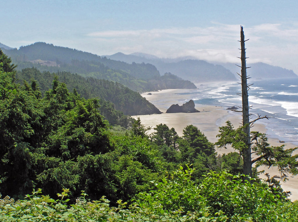
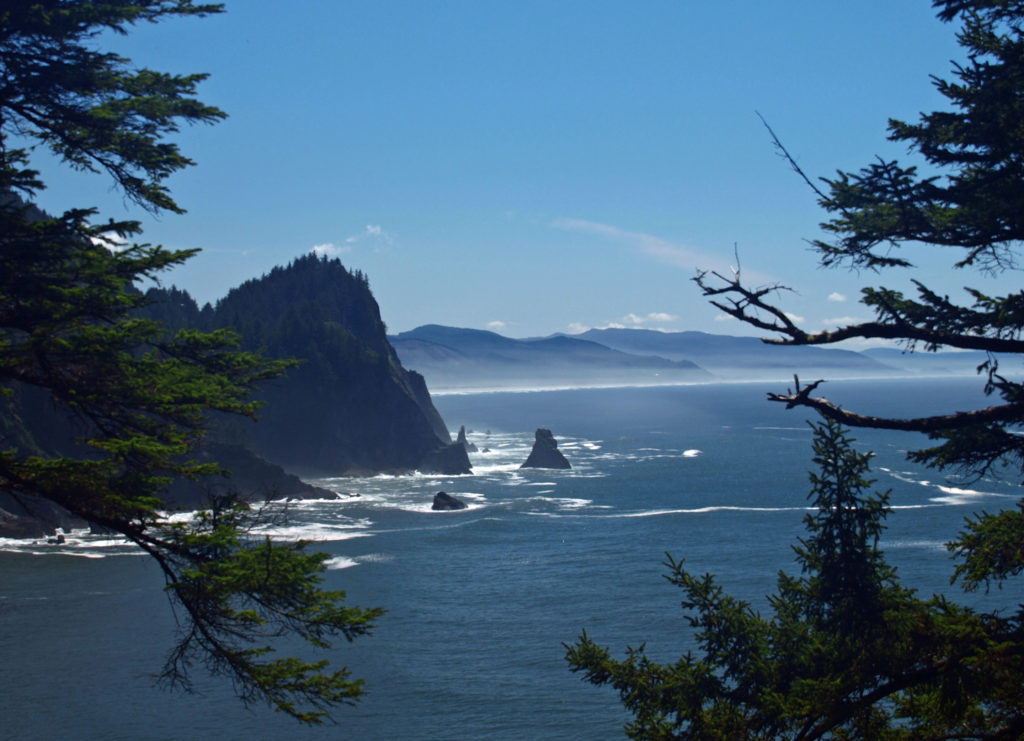
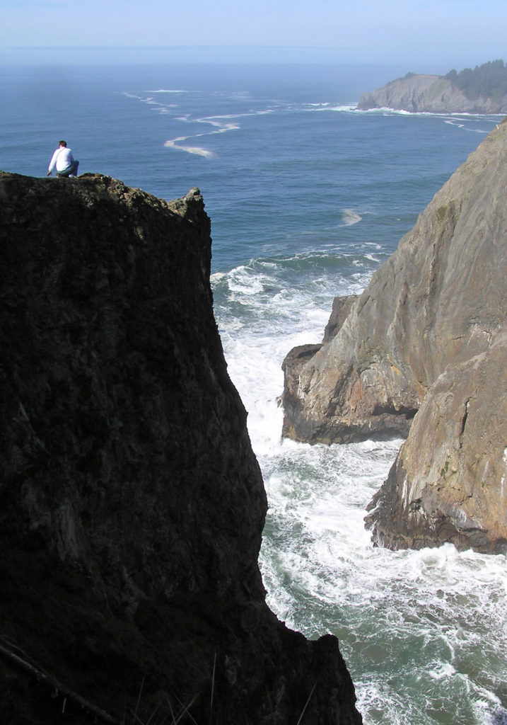
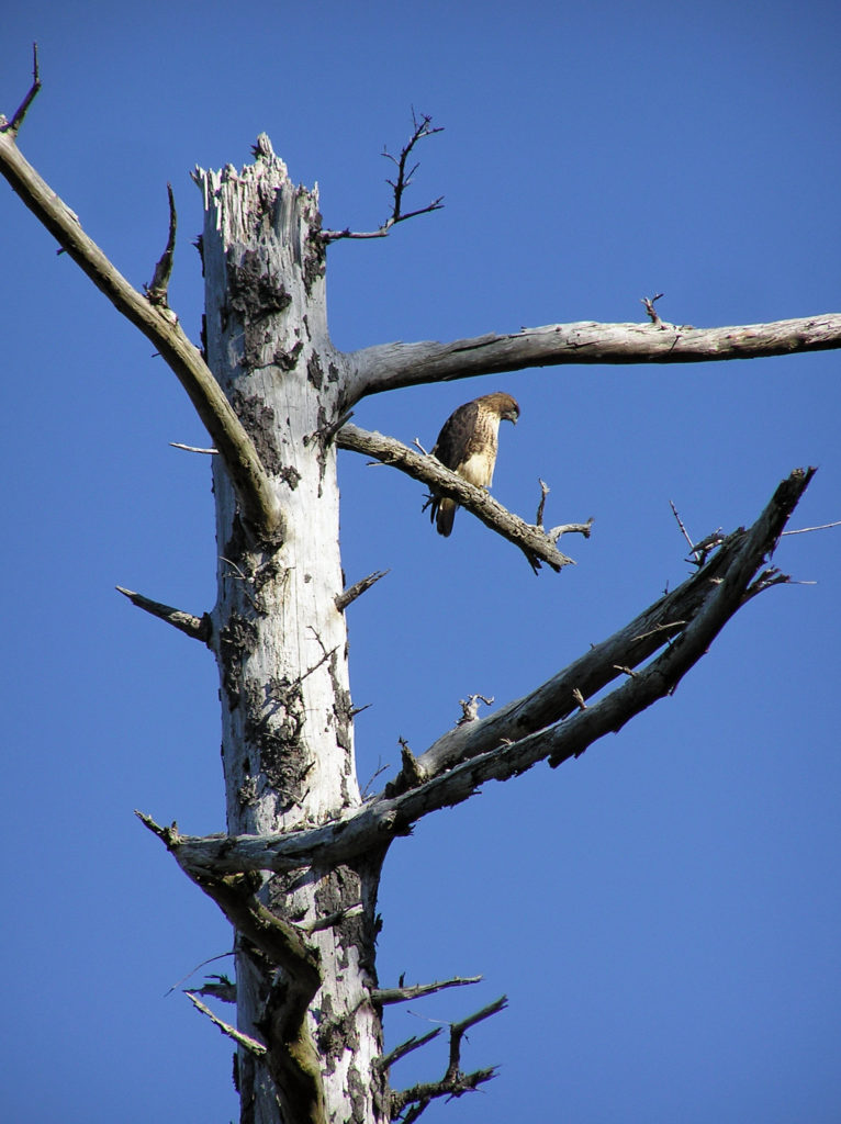
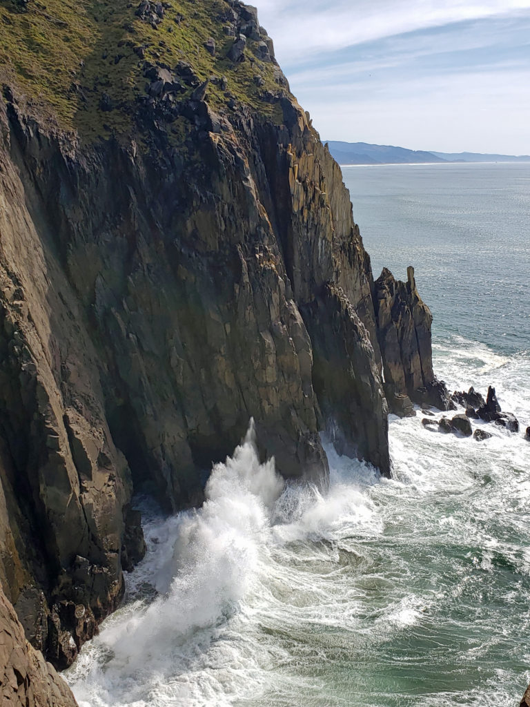 Oswald West State Park is about a two hour drive from Portland, so it’s easily doable as a day trip if you’re from the Portland area or are visiting Portland. But if you want to make a weekend of it, there are plenty of other attractions on the north Oregon coast beyond Oswald West.
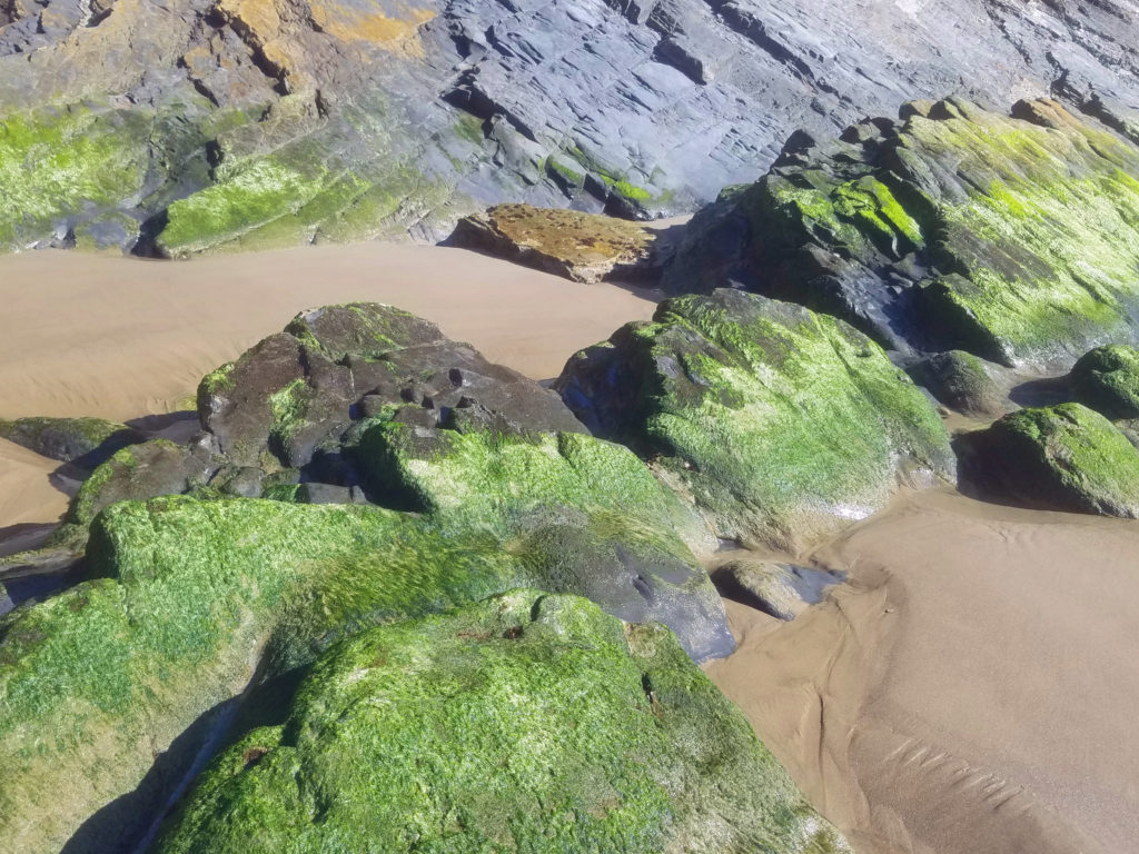
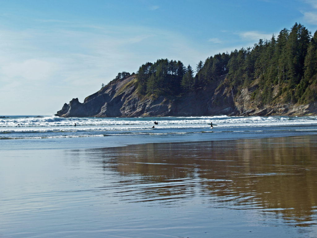
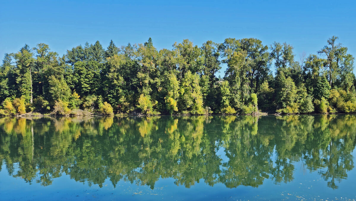
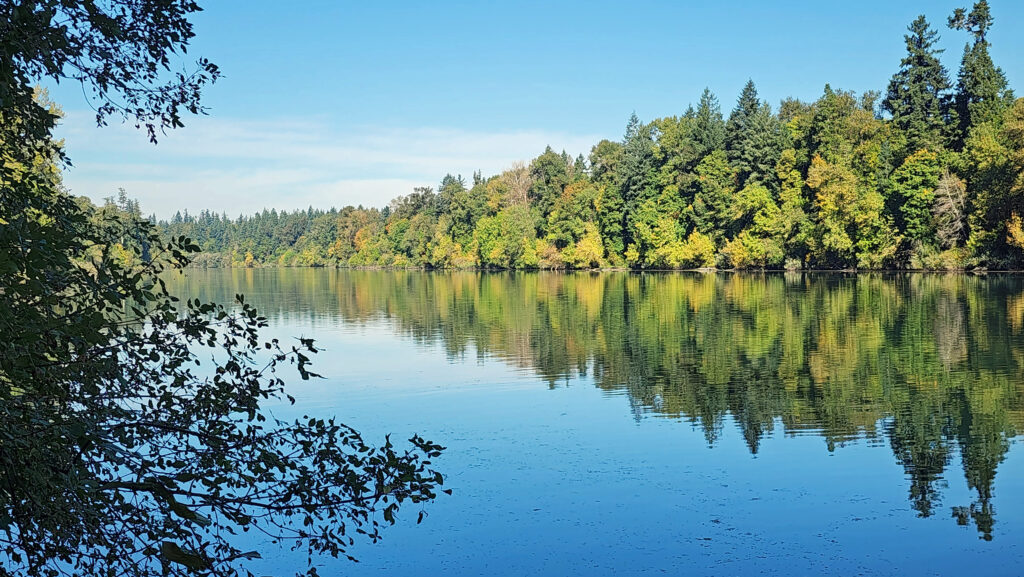 Overview:
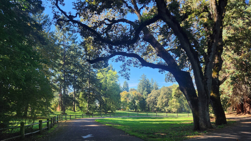 Getting there:
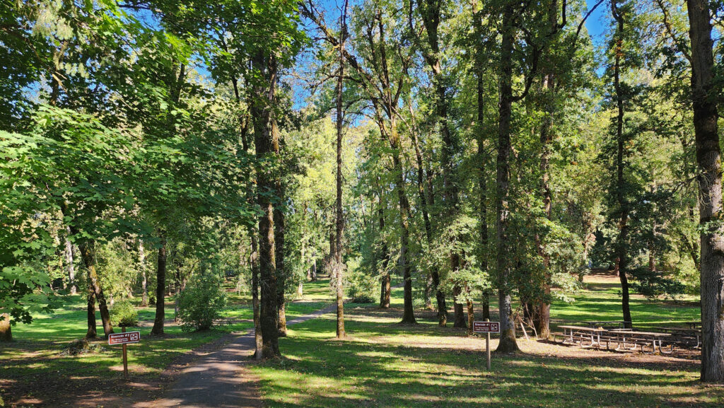 Trailhead:
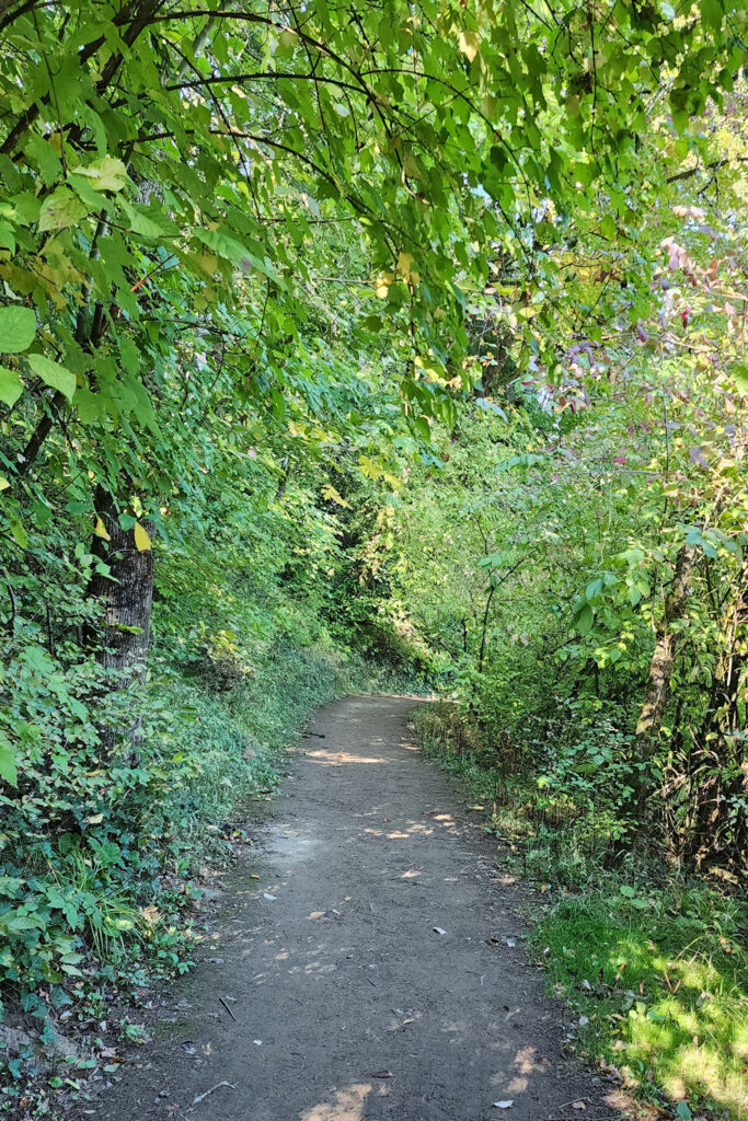 The hike:
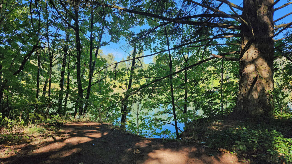 The Townsite Trail takes you along the river through a mixed woodland of Douglas fir, bigleaf maple, and red alder with partially screened views of the river. There are several user-made trails leading down to the water, but they are steep (and dangerous if the ground is wet), so be careful if you want to get to the water for a better view of the river.
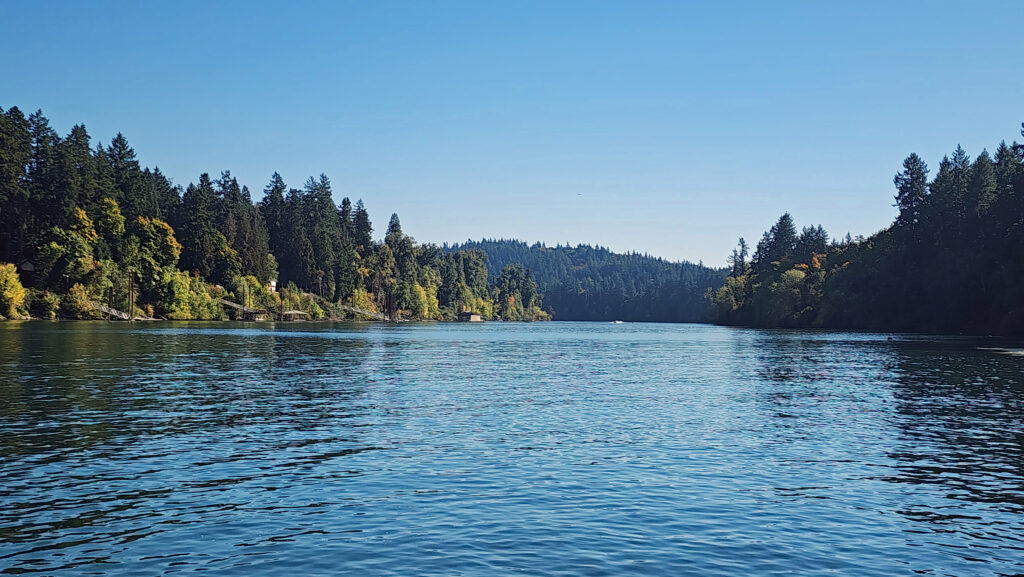 At about the one-mile mark you’ll come to an open field on your right and you’ll see a boat dock ahead on your left. There is a small parking area here with a restroom. Head down to the dock for the best views of the river on this hike.
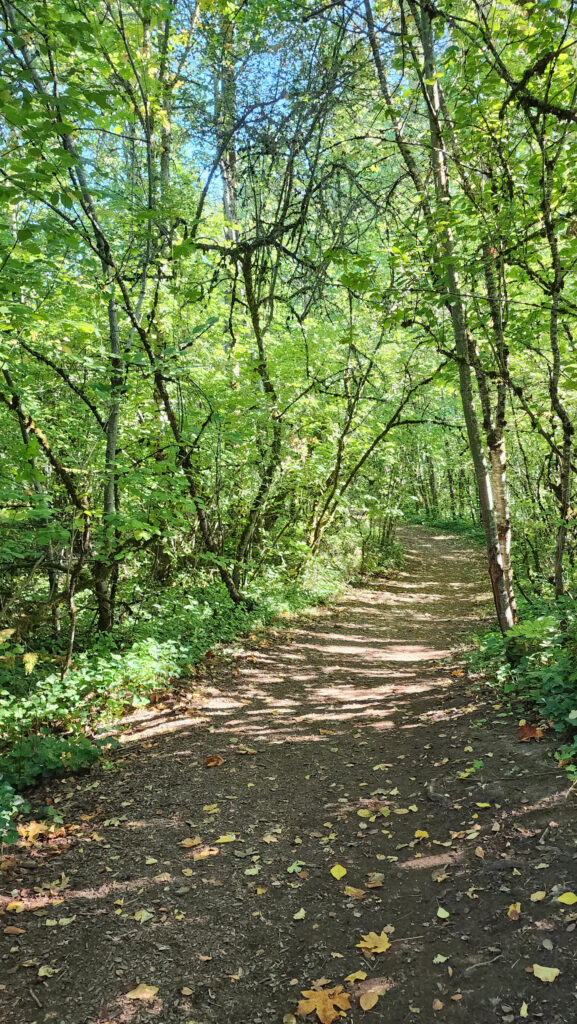
 Coming back up from the dock, look for a trail to your left. This will take you to Champoeg Creek where it flows into the Willamette. The trail then loops back through the forest and comes out into a clearing. Follow the edge of the clearing back to the restroom above the dock. From there, retrace your route back to the trailhead at the Riverside picnic area.
 Best time to go:
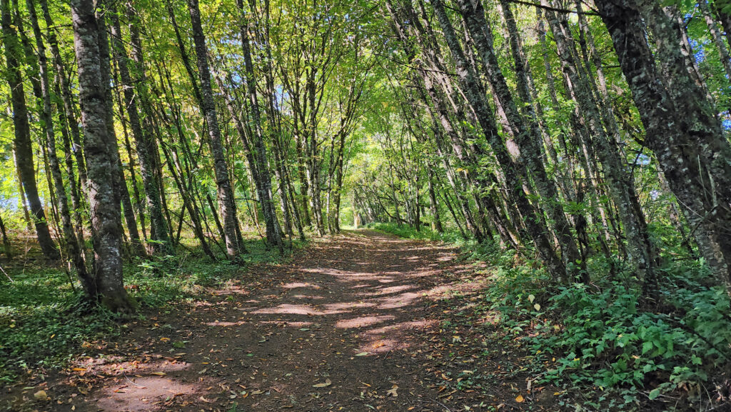 Champoeg State Park:
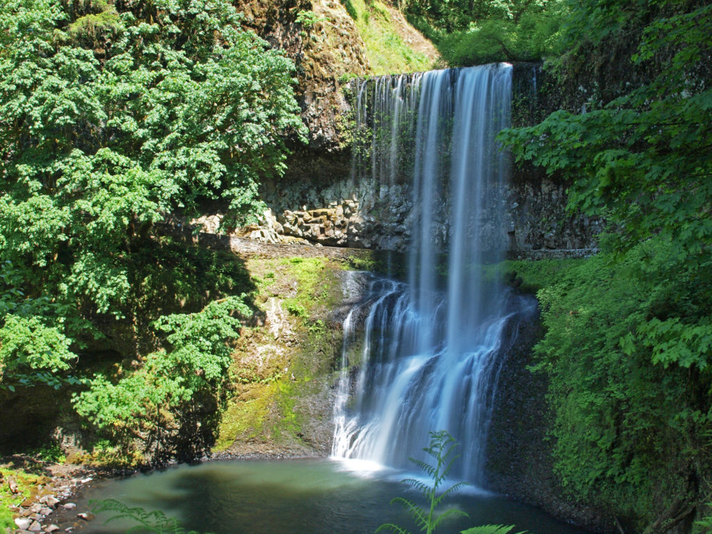
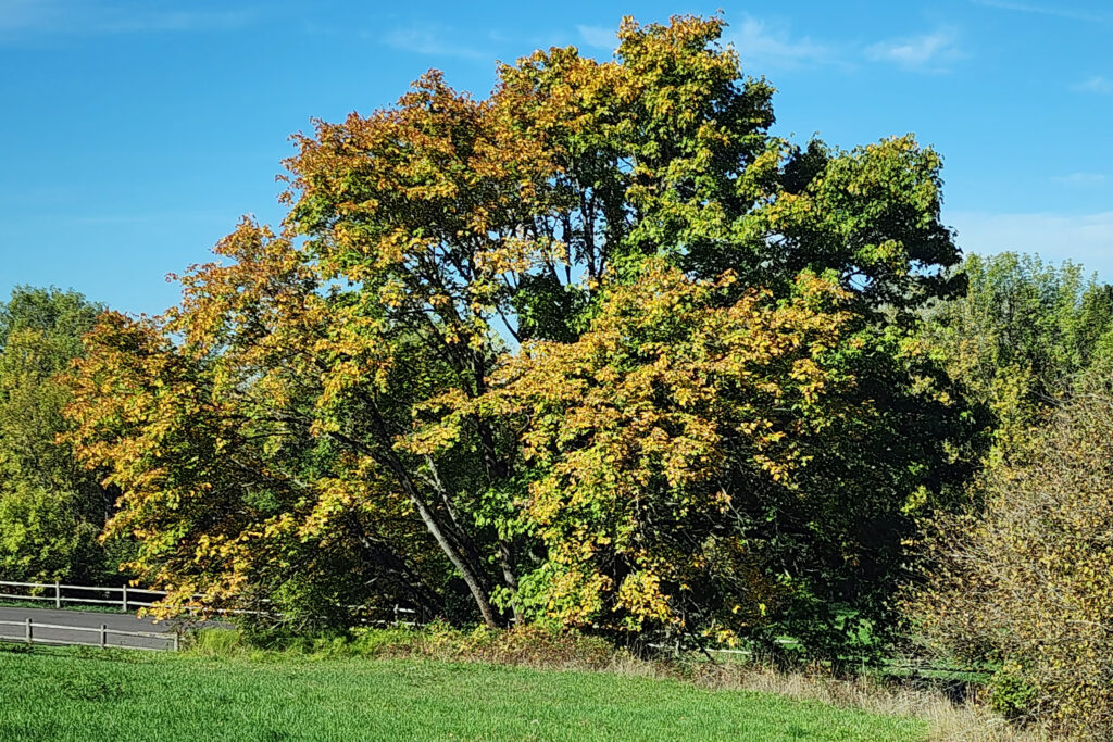 Posted October 26, 2023 by Alan K. Lee
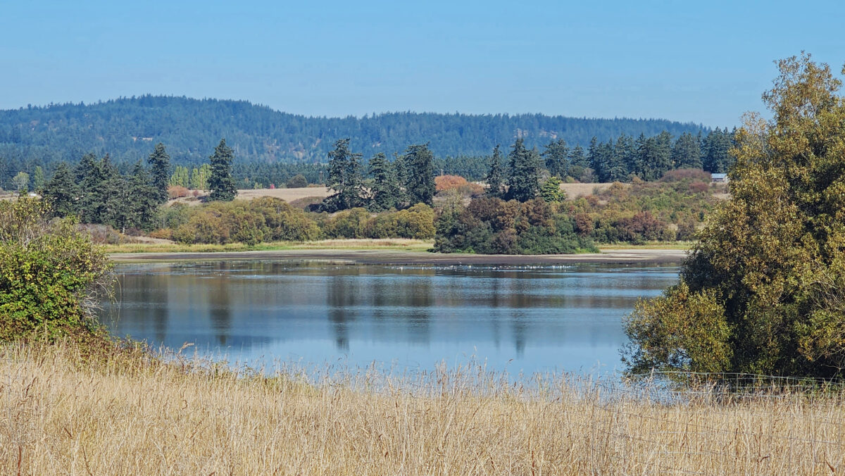
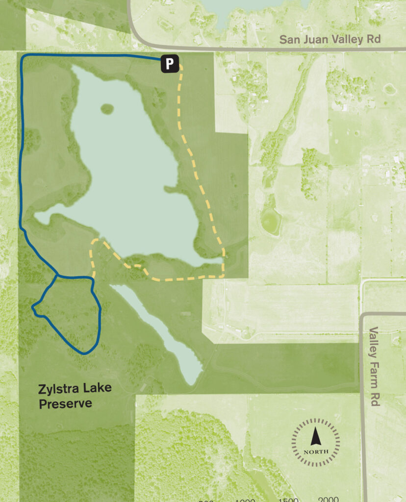
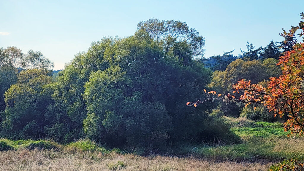 The property was formerly a privately owned farm that was the site of a proposed housing development. Instead, the property was sold to the land bank in 2015 and the trust obtained the conservation easement. Thirty acres of the property, including the farmhouse and agricultural buildings, were sold by the land bank to Island Haven, a non-profit animal sanctuary, with a conservation easement to protect the land.
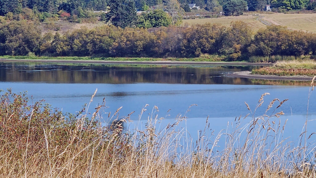 Currently, there is no public access to the lakeshore, and the eastern and southern portions of the trail around the lake are closed from October through March. The northern and western portions of the loop are open year-round and can be hiked as a lollipop loop during the winter.
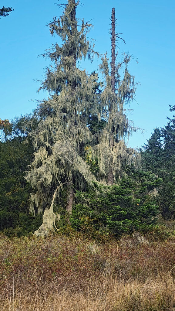
 Getting there:
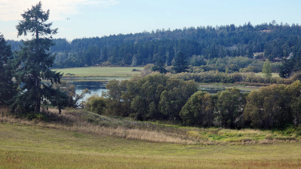 Trailhead:
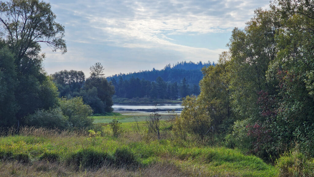 The hike:
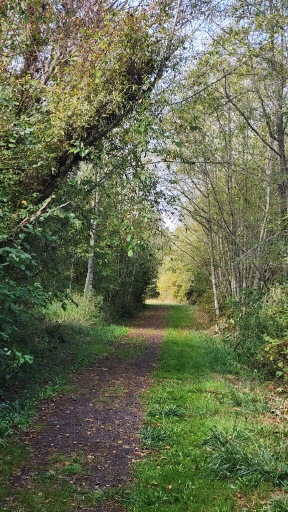
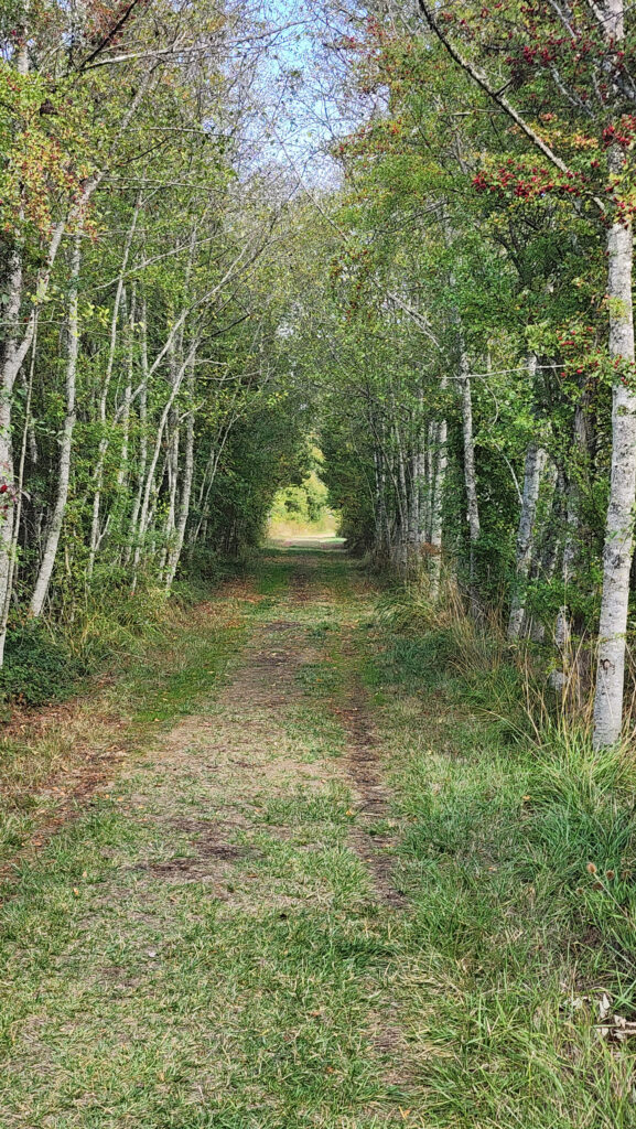 At 0.3 miles the trail turns south and runs along the western boundary of the preserve for another 0.4 miles. The trail then turns southeast and follows the edge of an open field with good views of the lake.
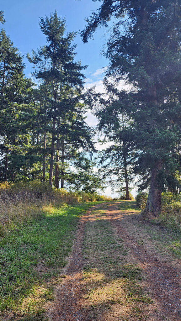
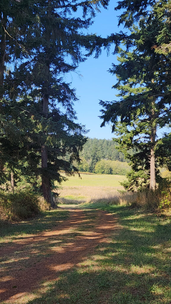 At the 0.85-mile mark, turn right onto a trail that leads through a mix of open fields and partially logged woodland.
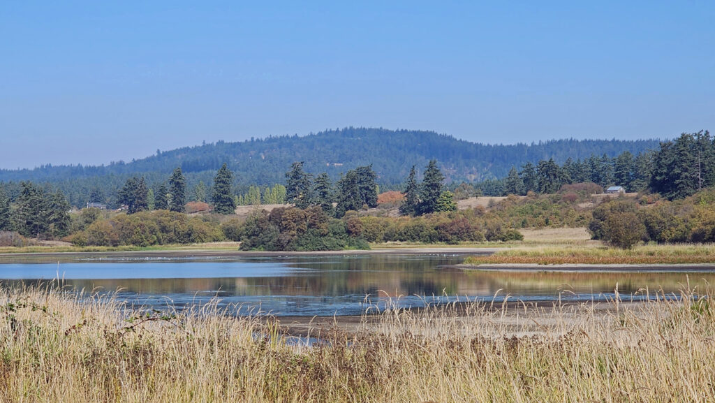 At the 1.25-mile mark, the trail returns to the open field. In winter, the trail ahead is closed, so you need to turn left and retrace your route back to the trailhead parking area.
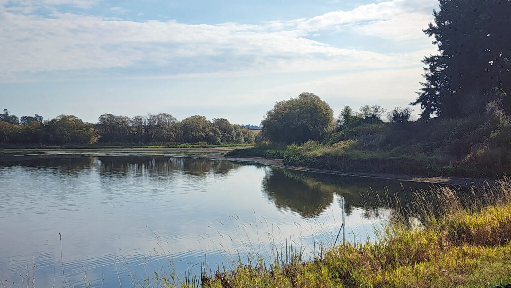 In summer, you can continue straight. The trail then turns right and crosses a bridge over the creek that flows from the lake. Beyond the bridge, the trail runs along the top of the dam that forms the lake, then passes through a small grove of trees.
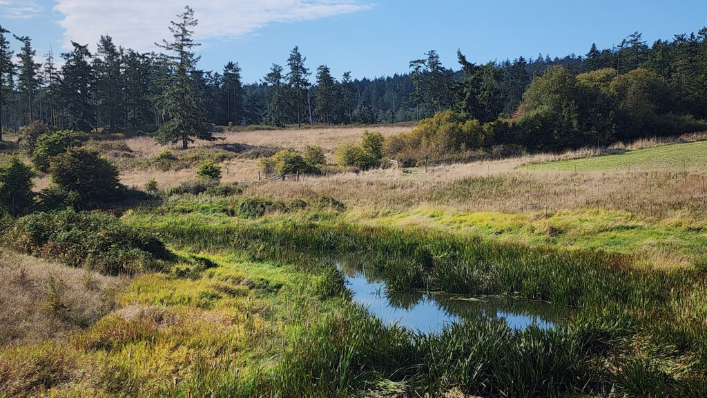 From there, the trail runs between fields to the old farmhouse site that is now home to the Island Haven animal sanctuary. The trail turns left there and follows a gravel farm road back to the trailhead.
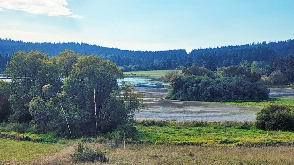 Posted October 12, 2023 by Alan K. Lee
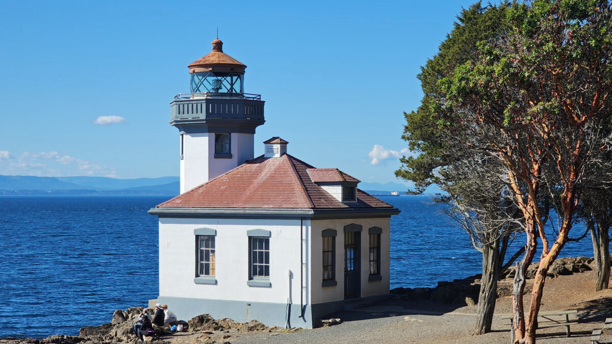
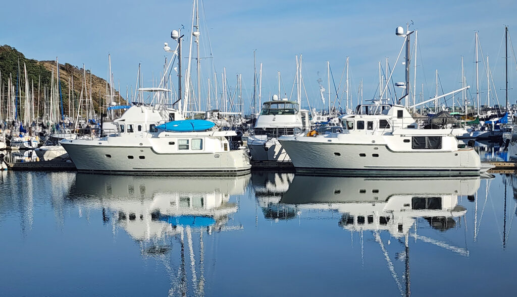
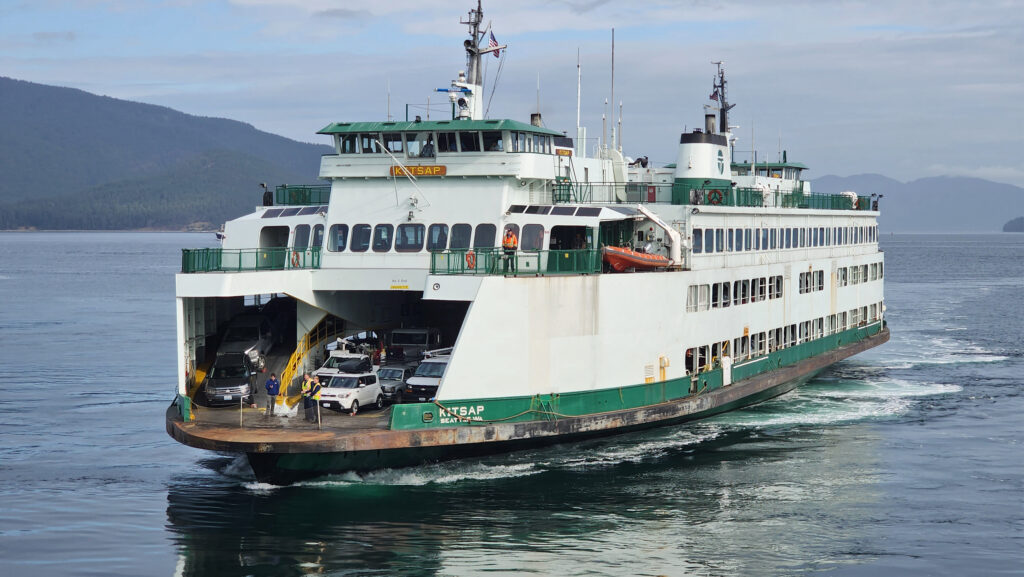
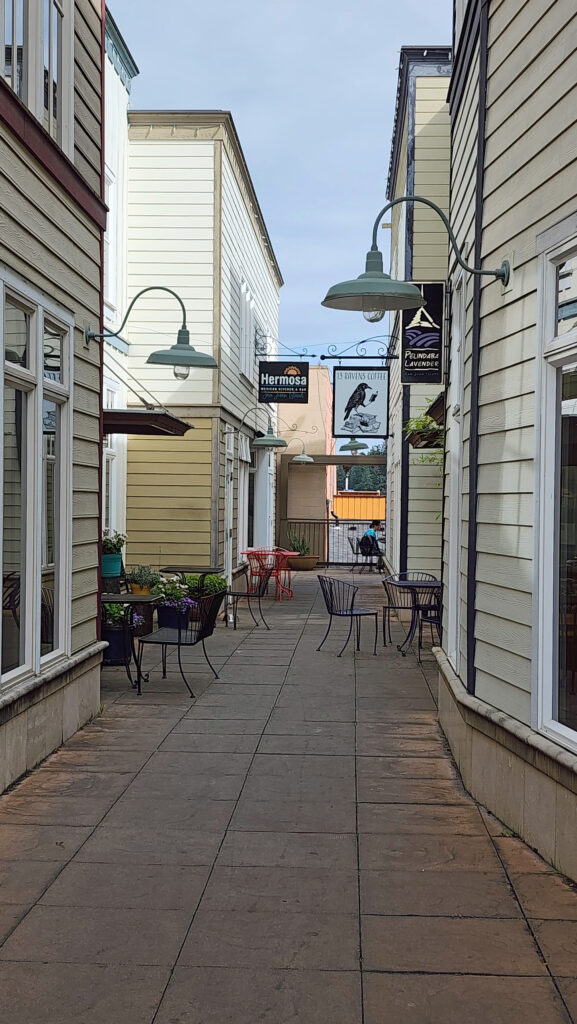
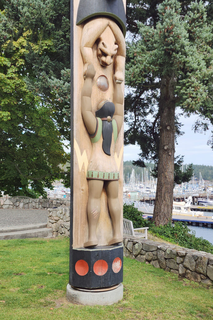
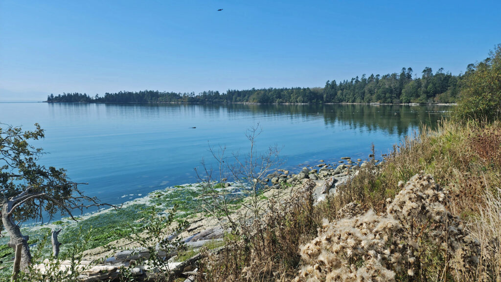
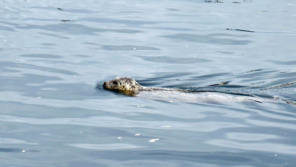
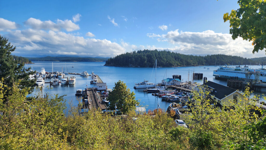
 There is no shortage of places to eat in Friday Harbor. For breakfast and lunch, I can personally recommend both Rocky Bay Café and Tina’s Place. For dining with a view, go to Downriggers on the bayfront. Classic Italian food can be found at Vinny’s Ristorante. Vegetarian and vegan food can be had at Mike’s Café and Wine Bar. For quality craft beers and upscale pub food, try San Juan Brewing. For seafood in a casual dining space, check out Friday’s Crab House. We ate at all of those, and all were good. But that’s just a sampling of what Friday Harbor offers. I wish we had had a few more days to sample more of the town’s eateries. What’s a vacation for, after all.
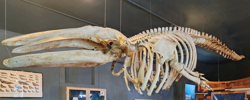
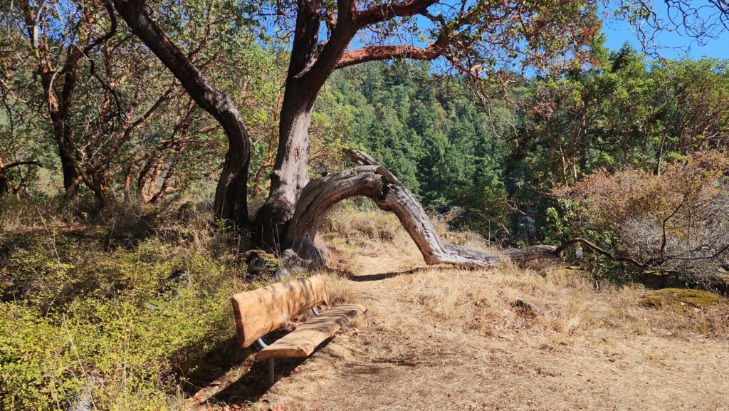
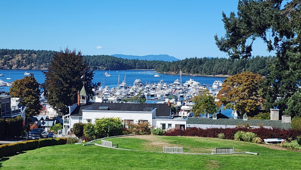
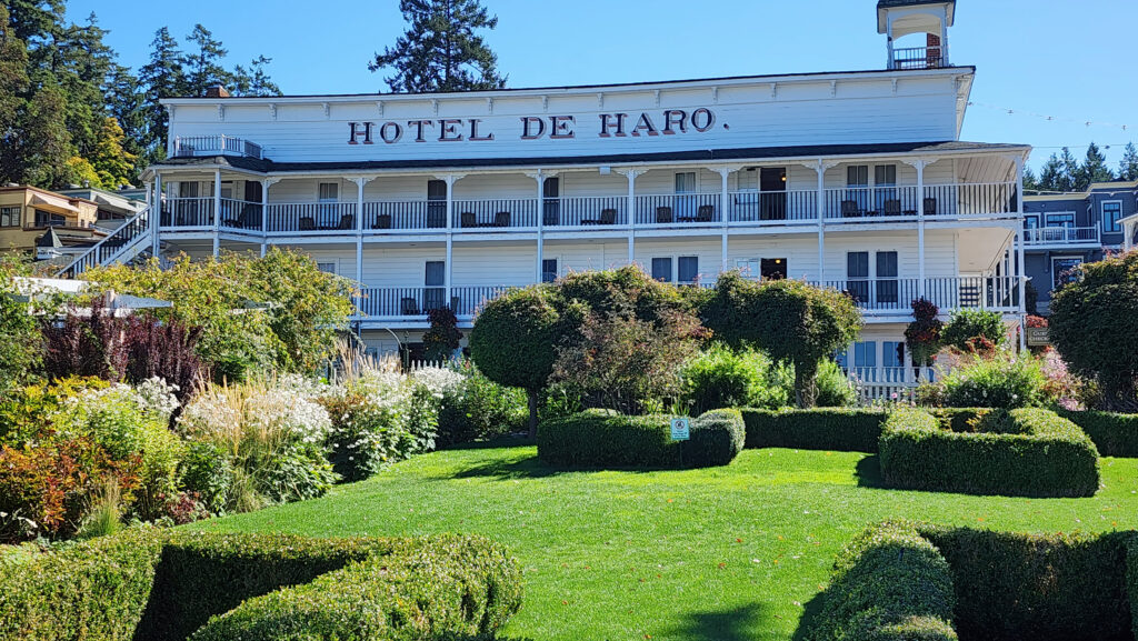
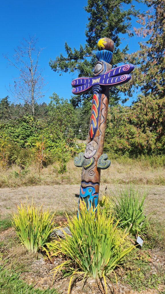
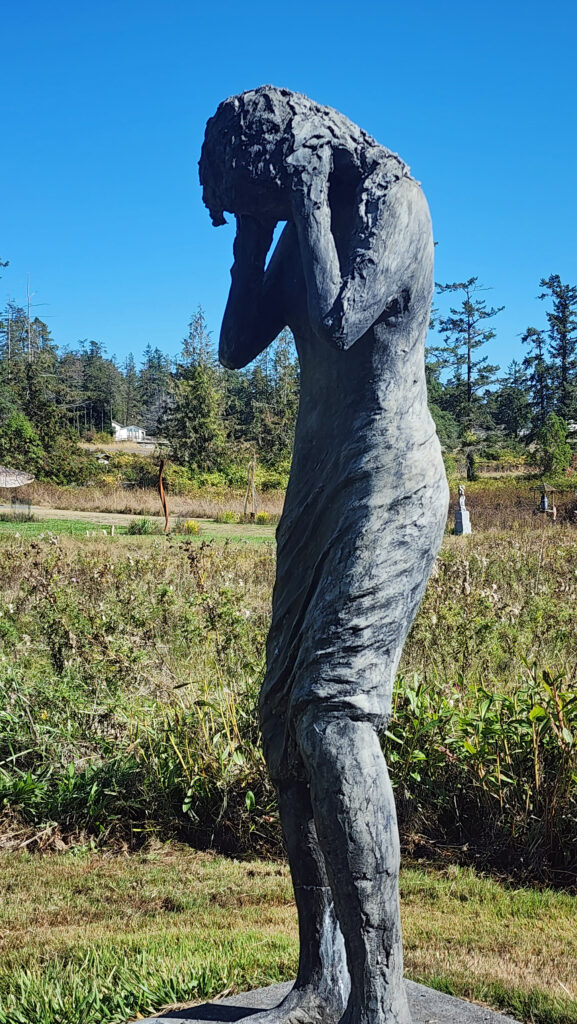
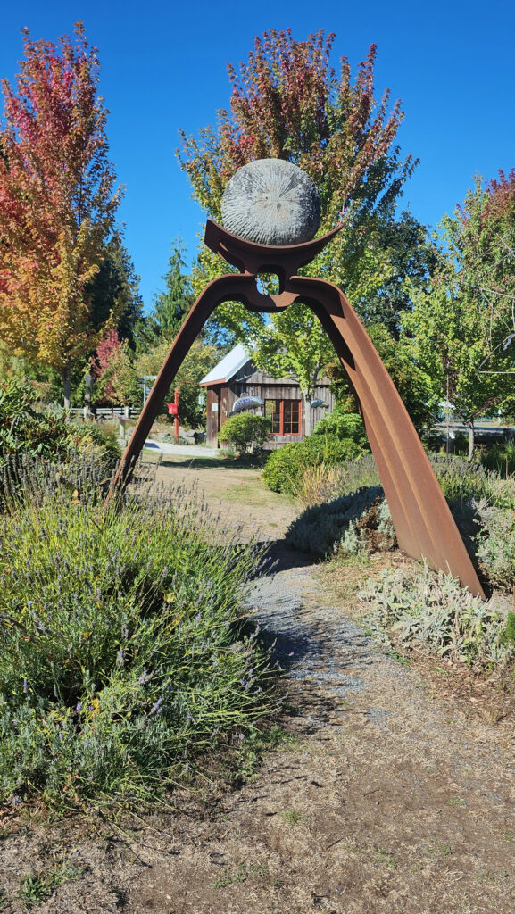
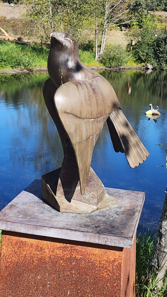 Near Roche Harbor (I think it’s actually part of the resort), the San Juan Islands Sculpture Park is a must see if you’re at all interested in sculpture. There are over 100 works of art (it seemed like many more) spread out over the twenty acres of the garden. Plan to spend at least an hour here. We spent more than that and still didn’t see it all. Admission is free, but donations are requested.
 Tensions between the American and British contingents led both England and the U.S. to send military forces to the island. From 1859 to 1872, when the boundary dispute was finally settled in favor of the United States, the island was jointly occupied by both forces. No actual combat occurred, and no one was injured in the Pig War. The sites of the two country’s military installations are now part of
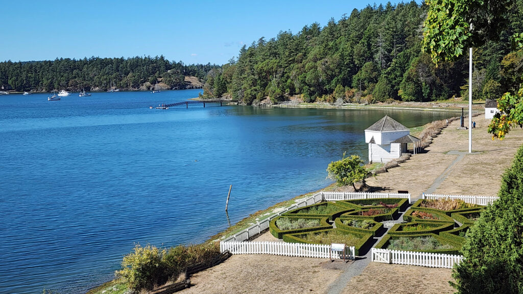
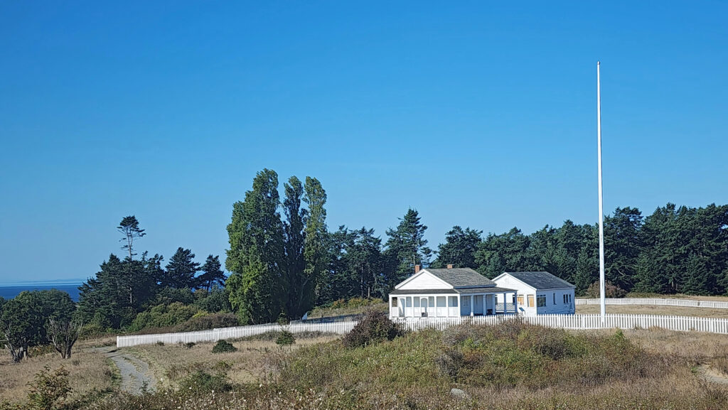
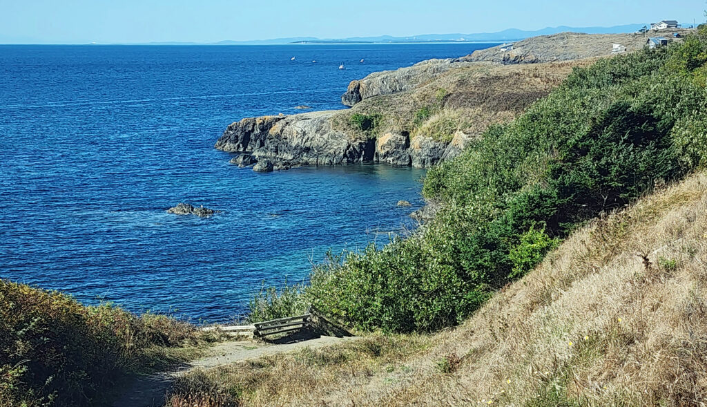
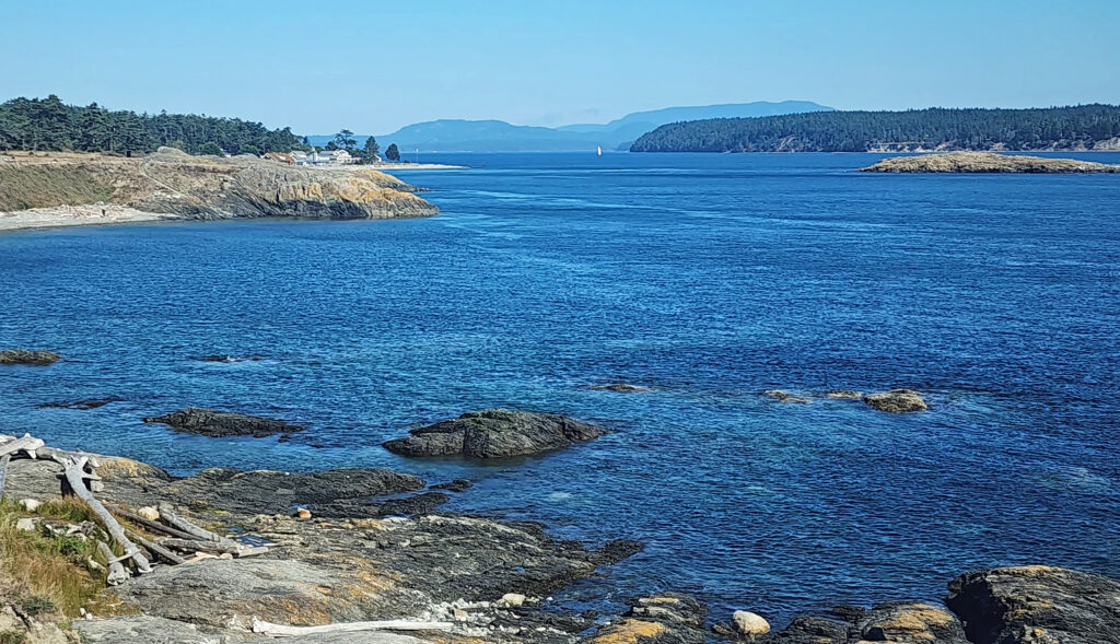
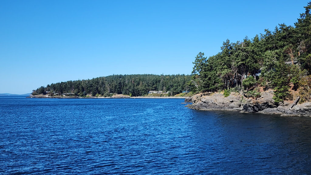
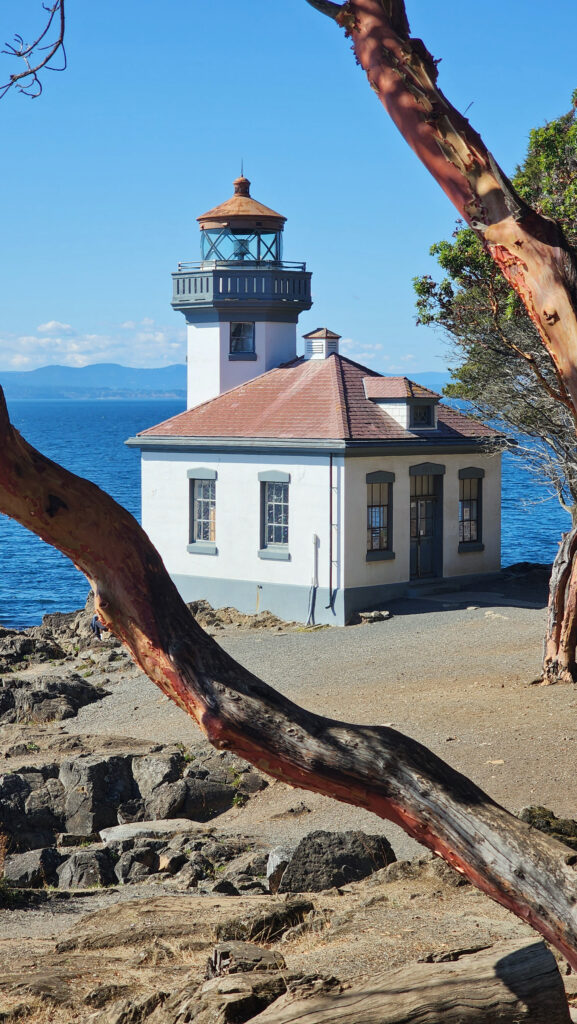

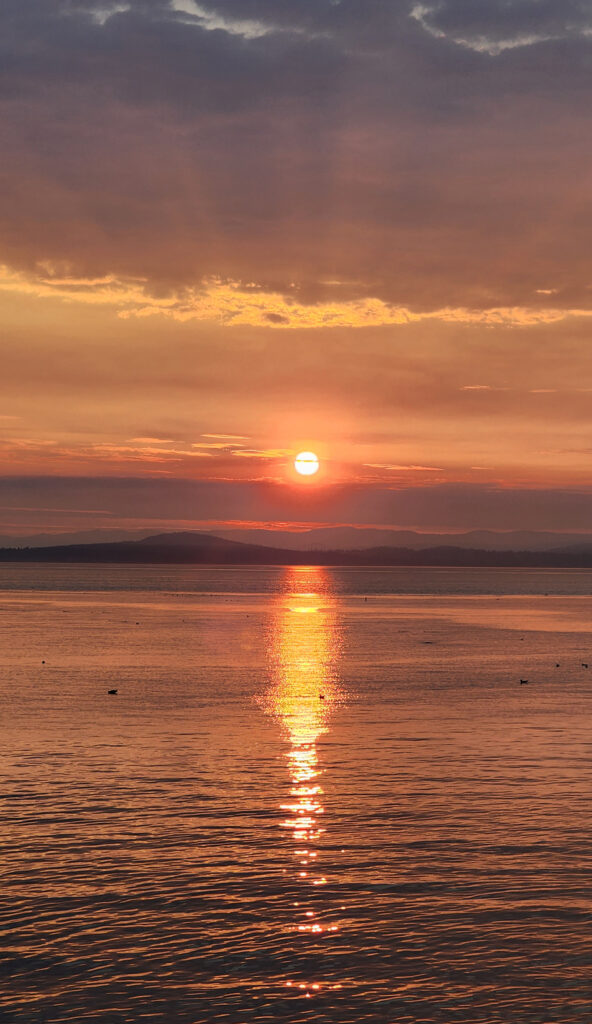
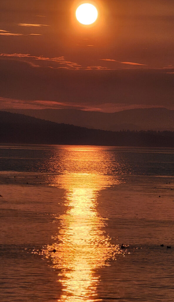 Conclusion
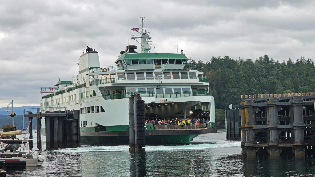
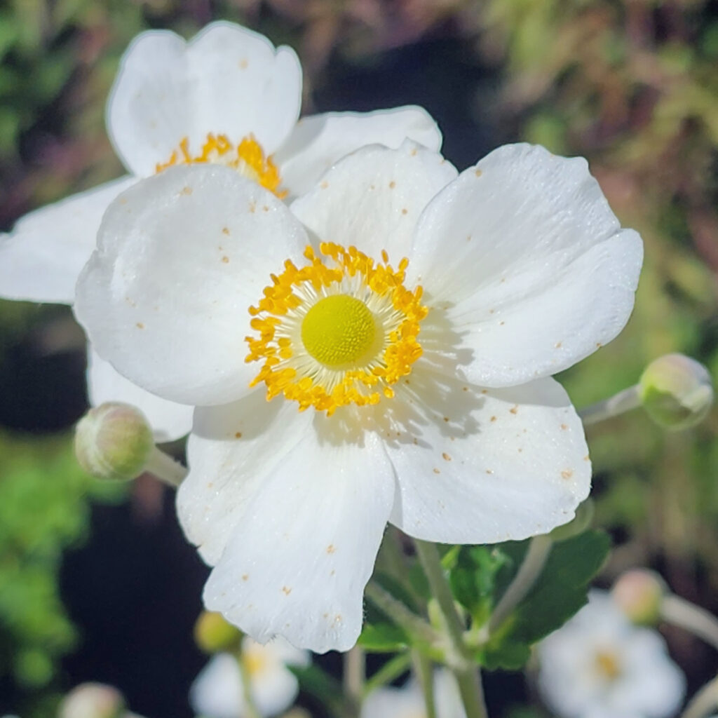 Posted October 12, 2023 by Alan K. Lee
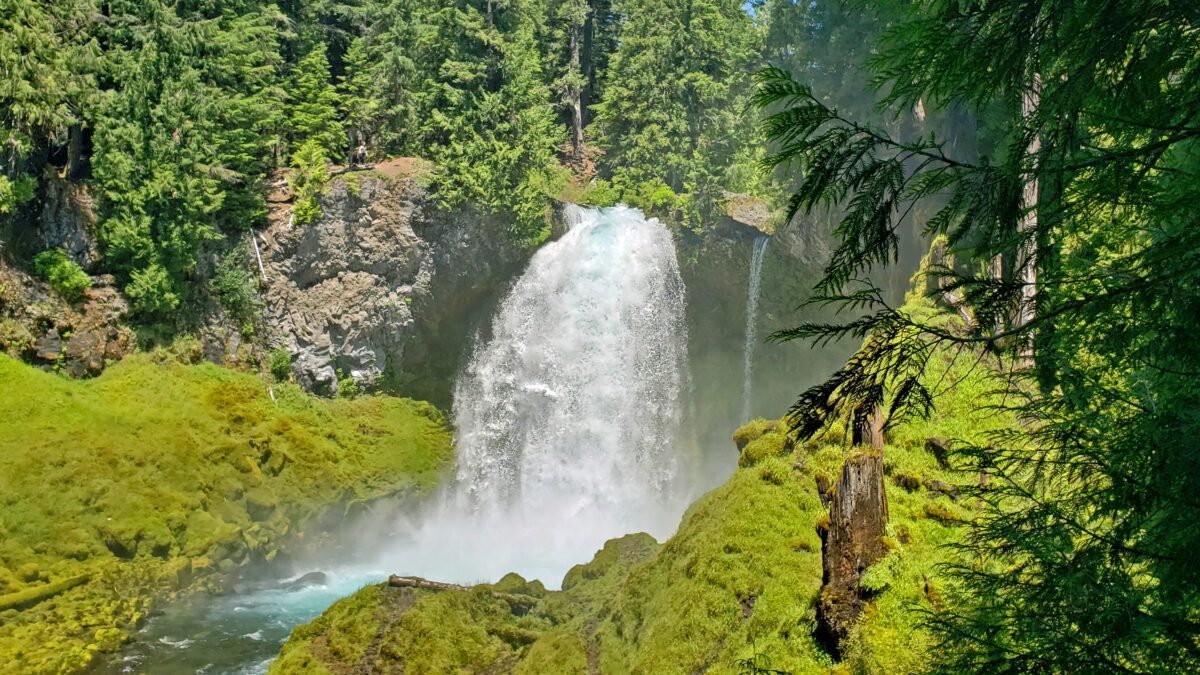
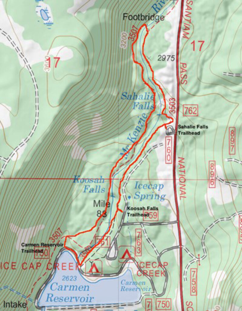
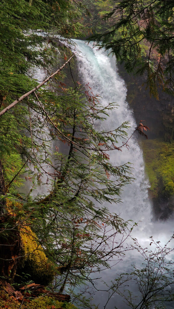
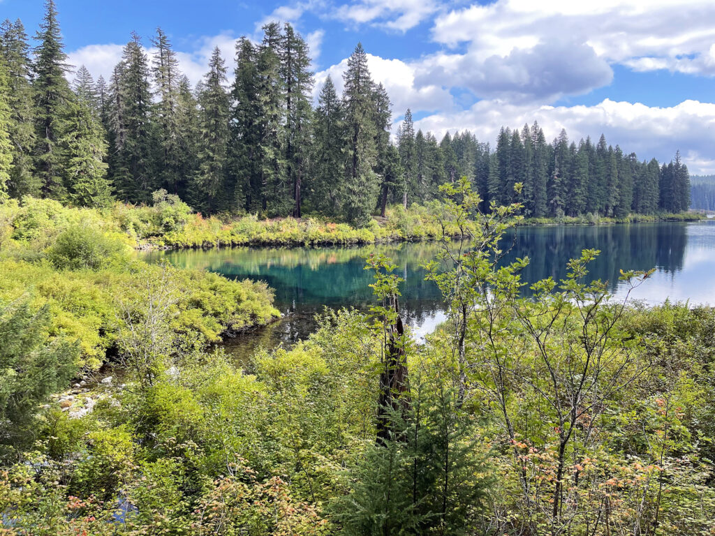
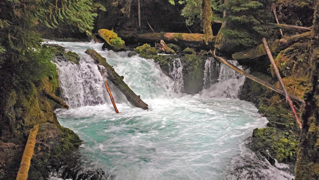
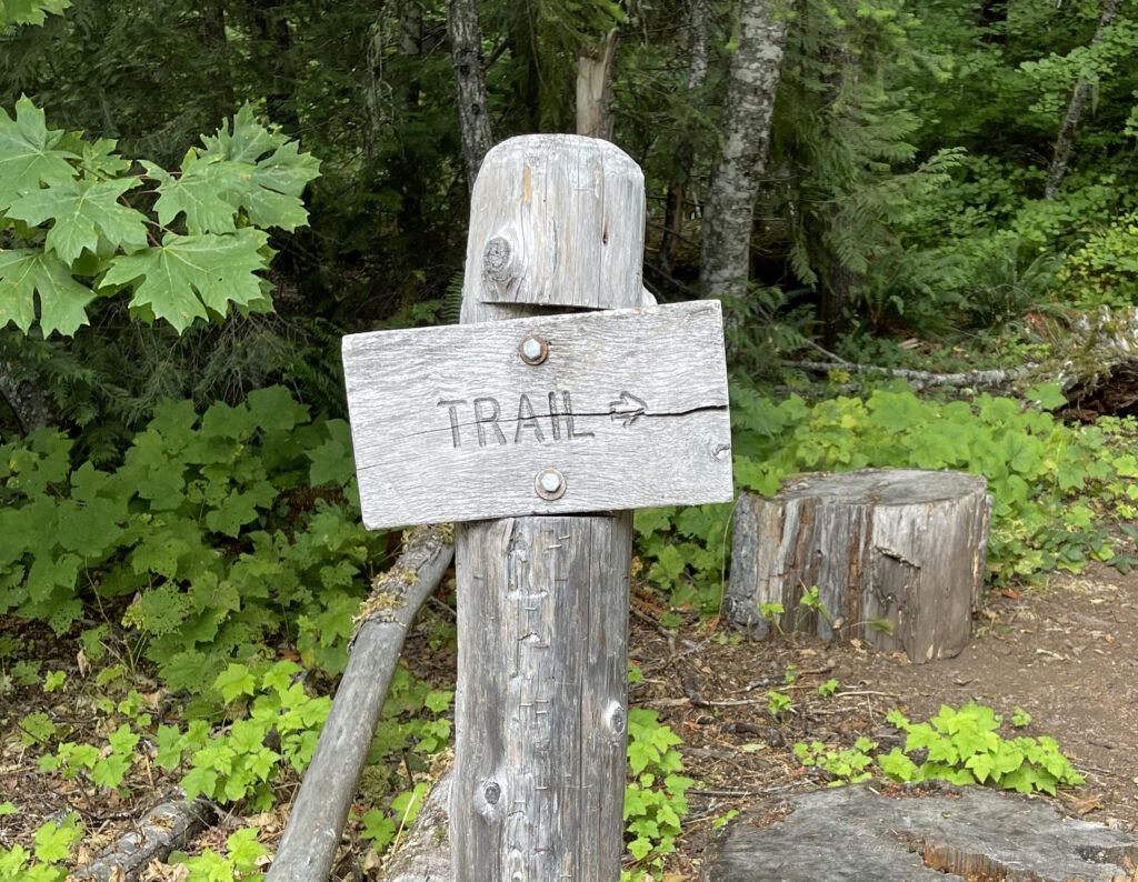
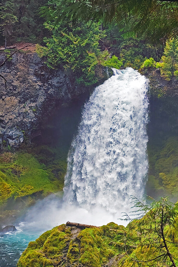
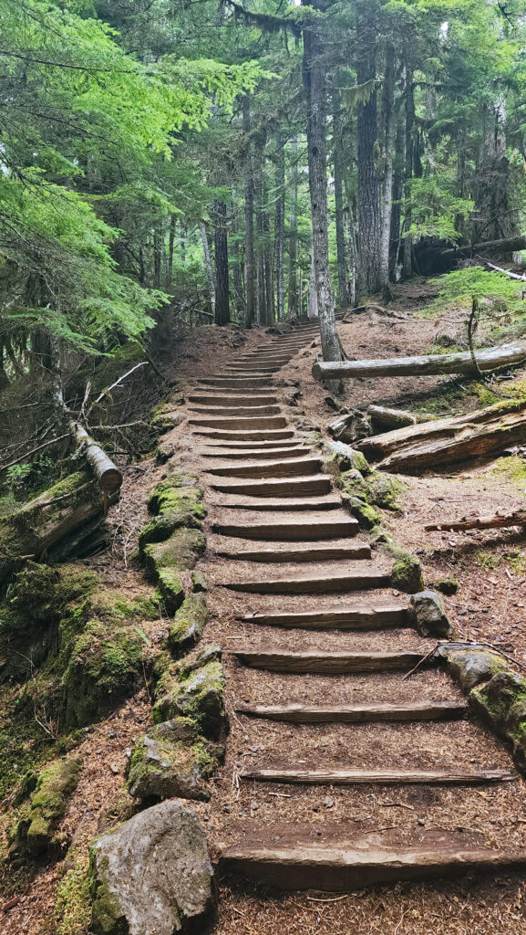
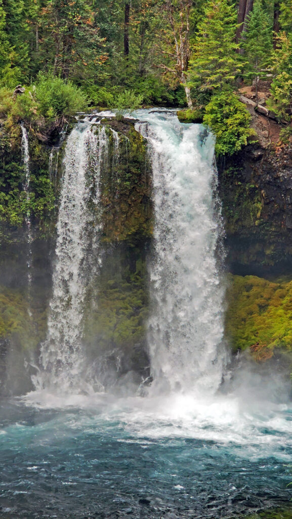
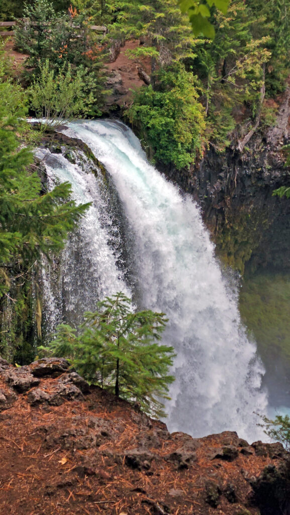
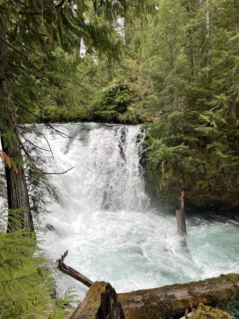
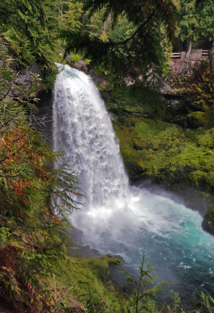
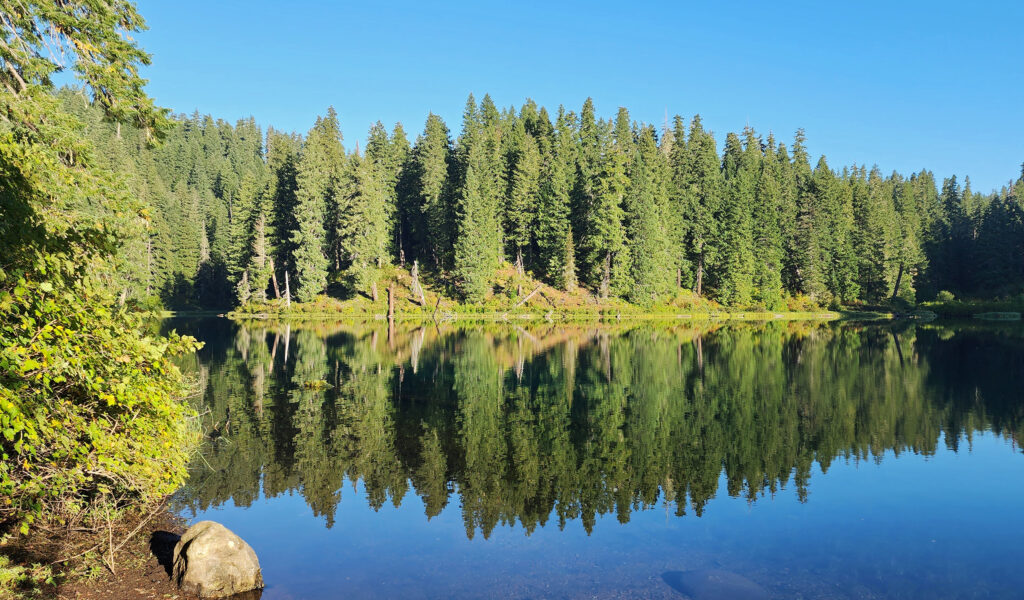
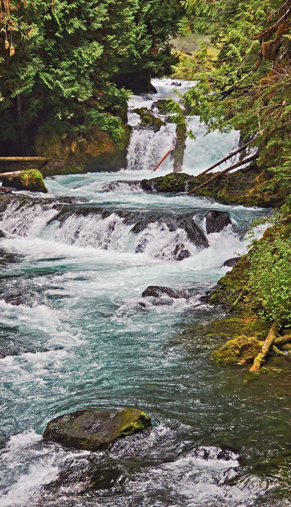
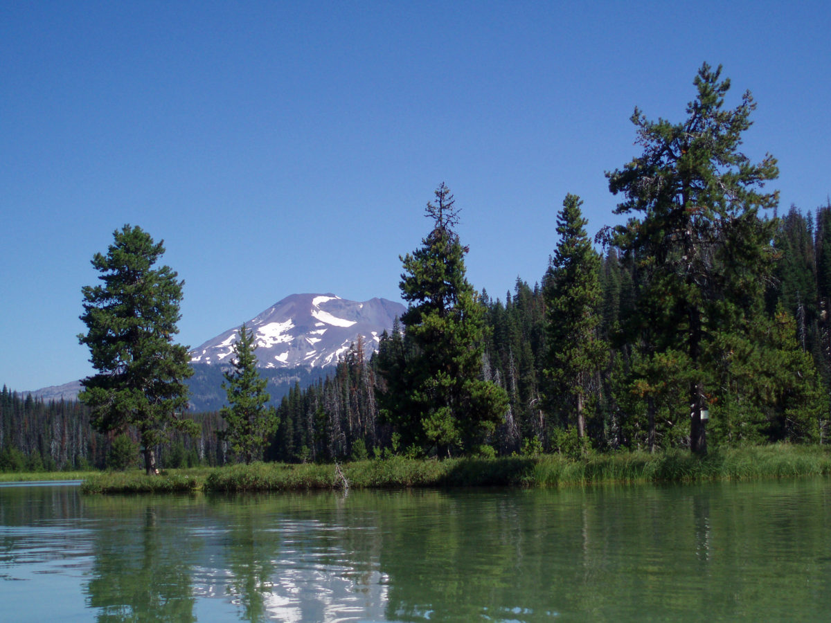
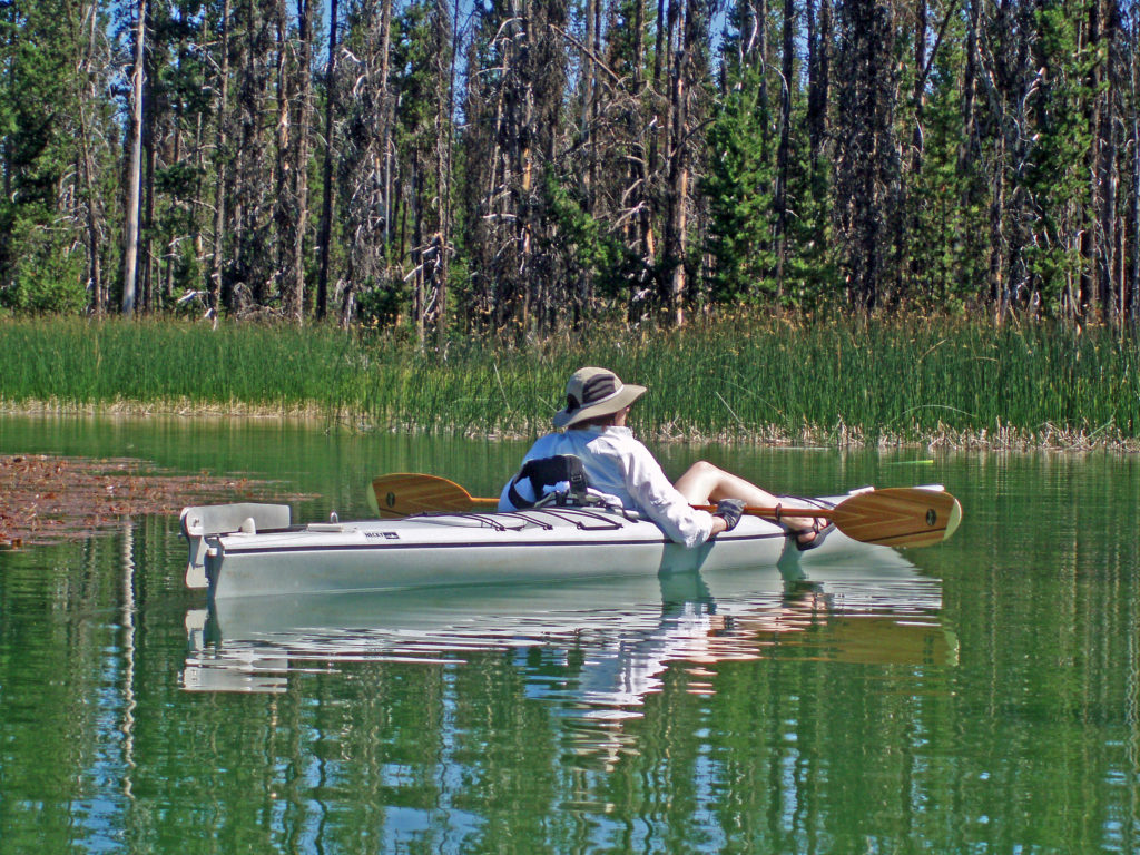
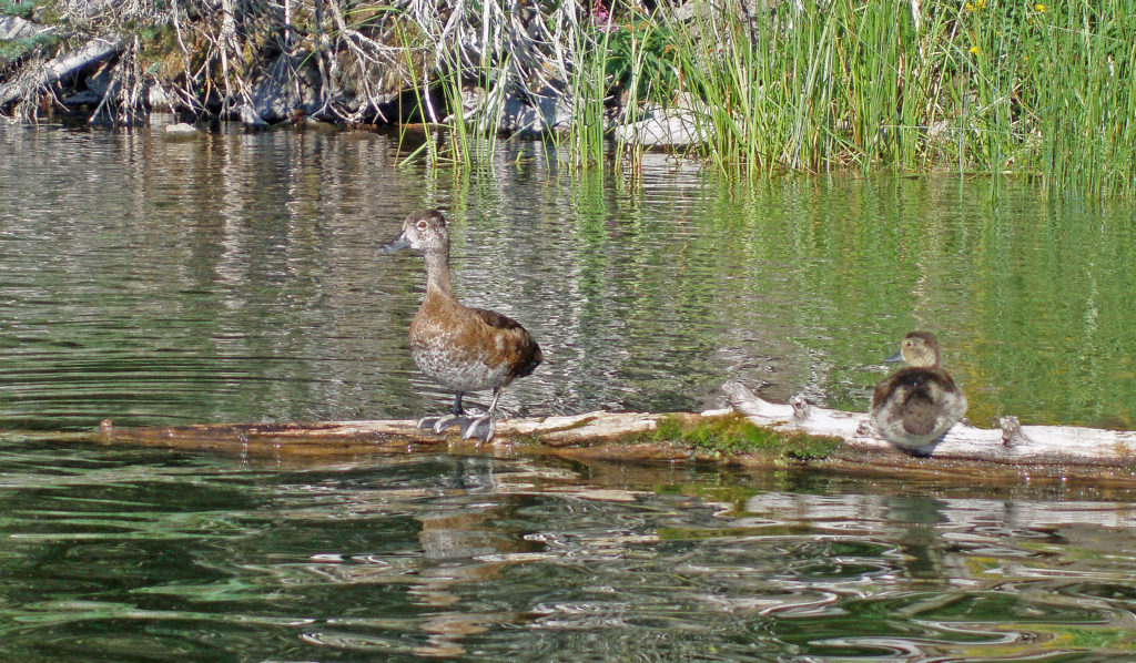
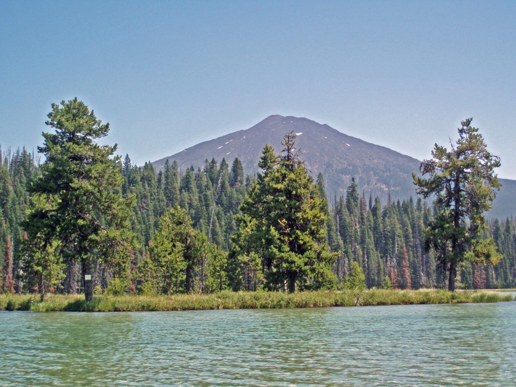 Hosmer Lake is a mix of open water and reeds, rushes, water lilies, and other marsh plants. Motorized craft (except for electric motor powered) are not allowed on the lake, which makes it ideal for kayaking or canoeing. It’s also not a big lake at 160 acres, so you can easily explore it all in an afternoon.
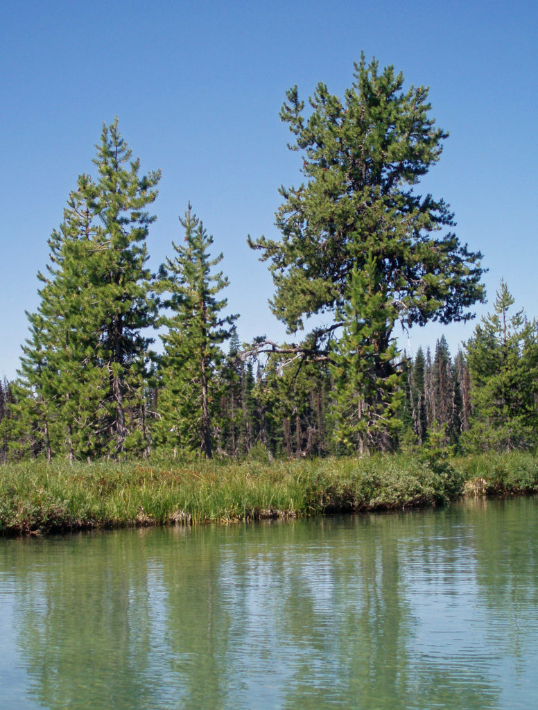
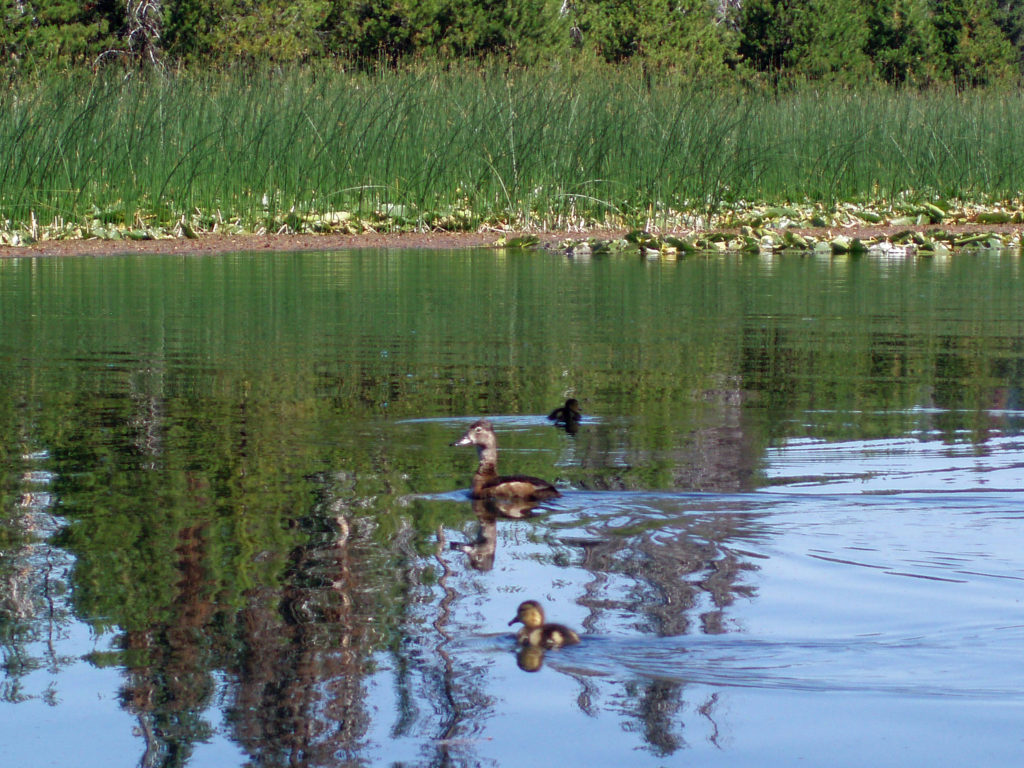
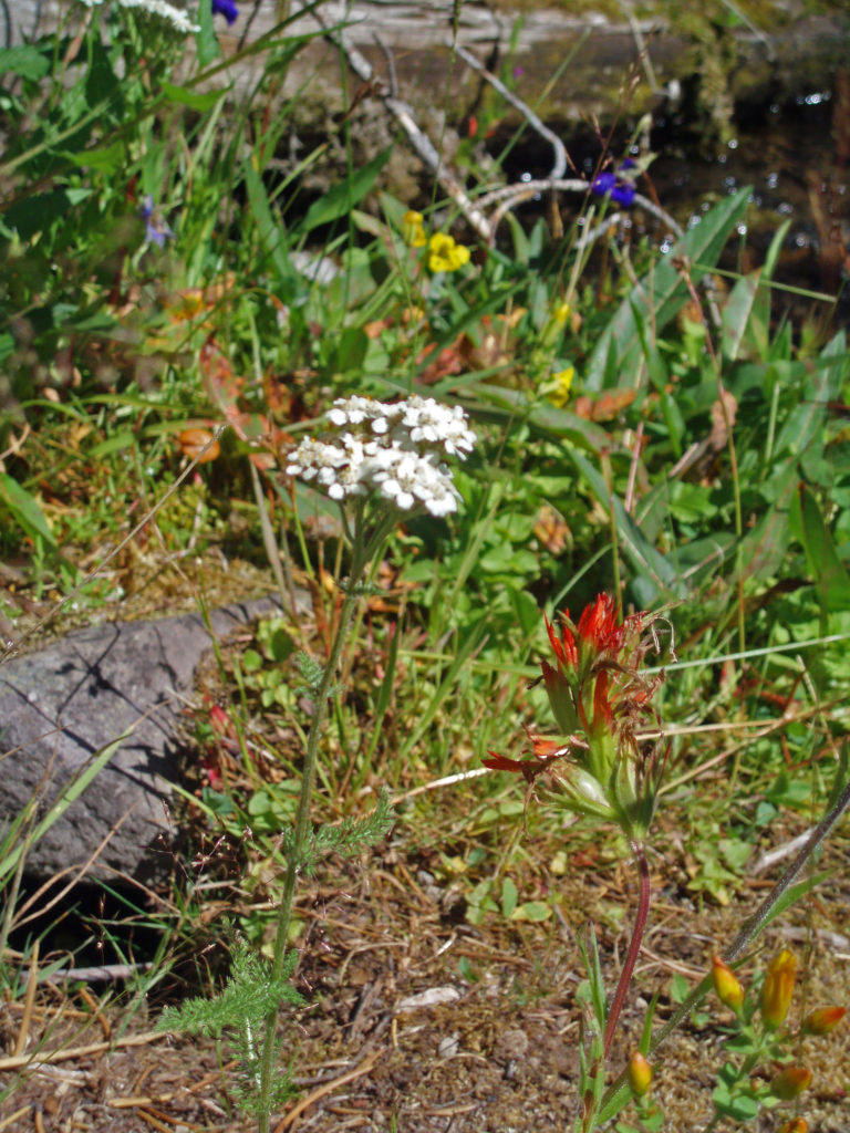
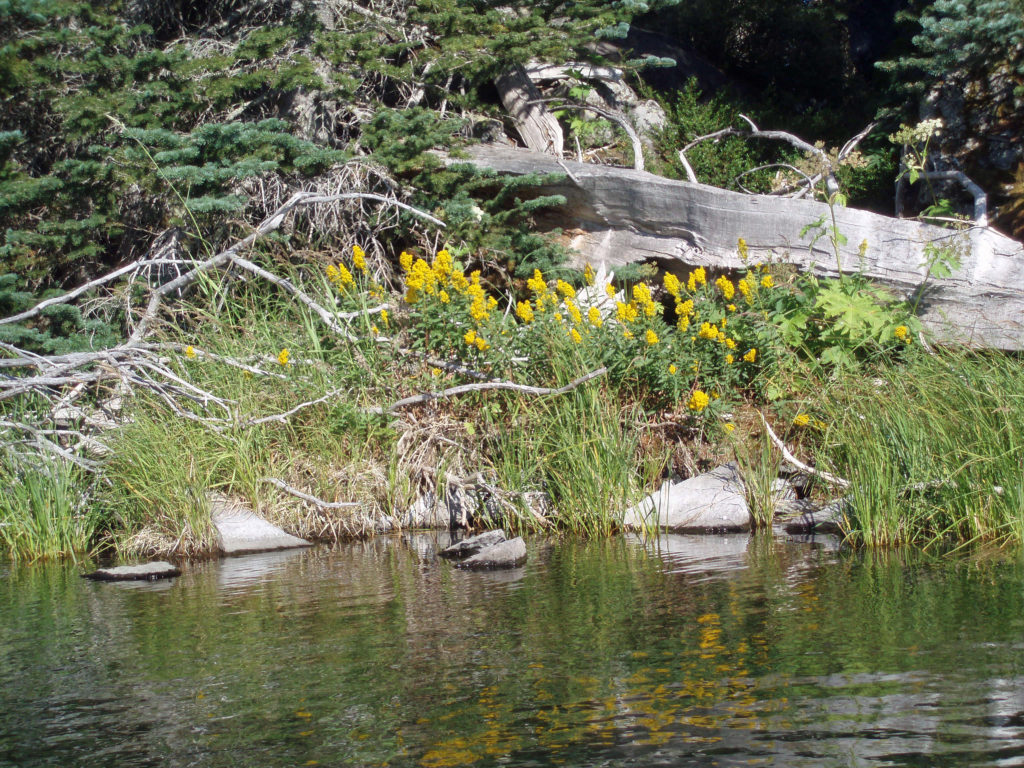
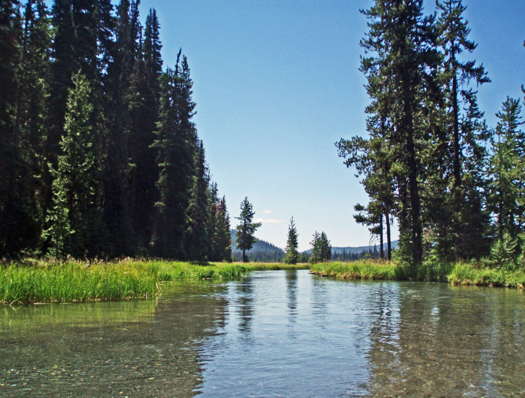 Hosmer Lake is fed by Quinn Creek, which flows into the north end of the lake. Quinn Creek is narrow and shallow, but it is possible to paddle up it for a ways. When we were there last, downed trees blocked our passage a few hundred yards from the mouth of the creek. We hauled our kayaks out of the water at that point and hiked along the creek to a small waterfall where we ate lunch and lingered awhile before heading back out on the water.
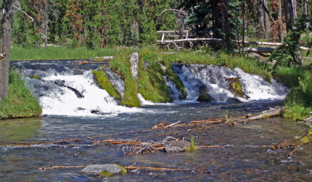 Recalling our visits to Hosmer Lake, I’m eager now to get back to the area and get back on the water again. It’s a beautiful place, and one of my favorite destinations.
 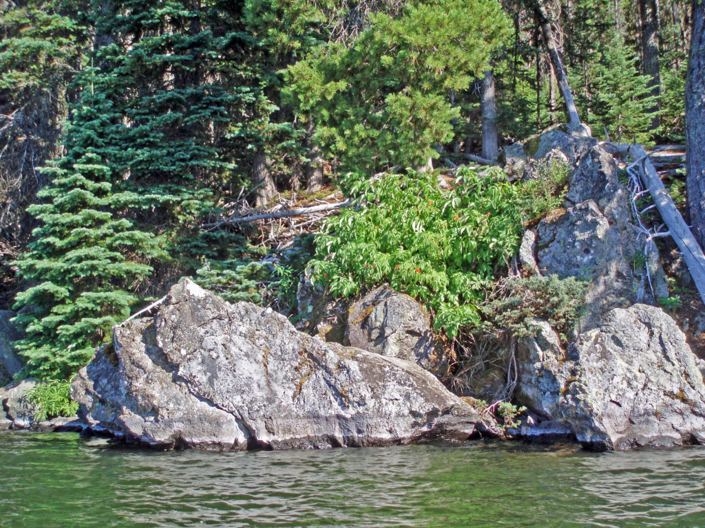 Hosmer Lake is located in the Deschutes National Forest. Check the Forest Service
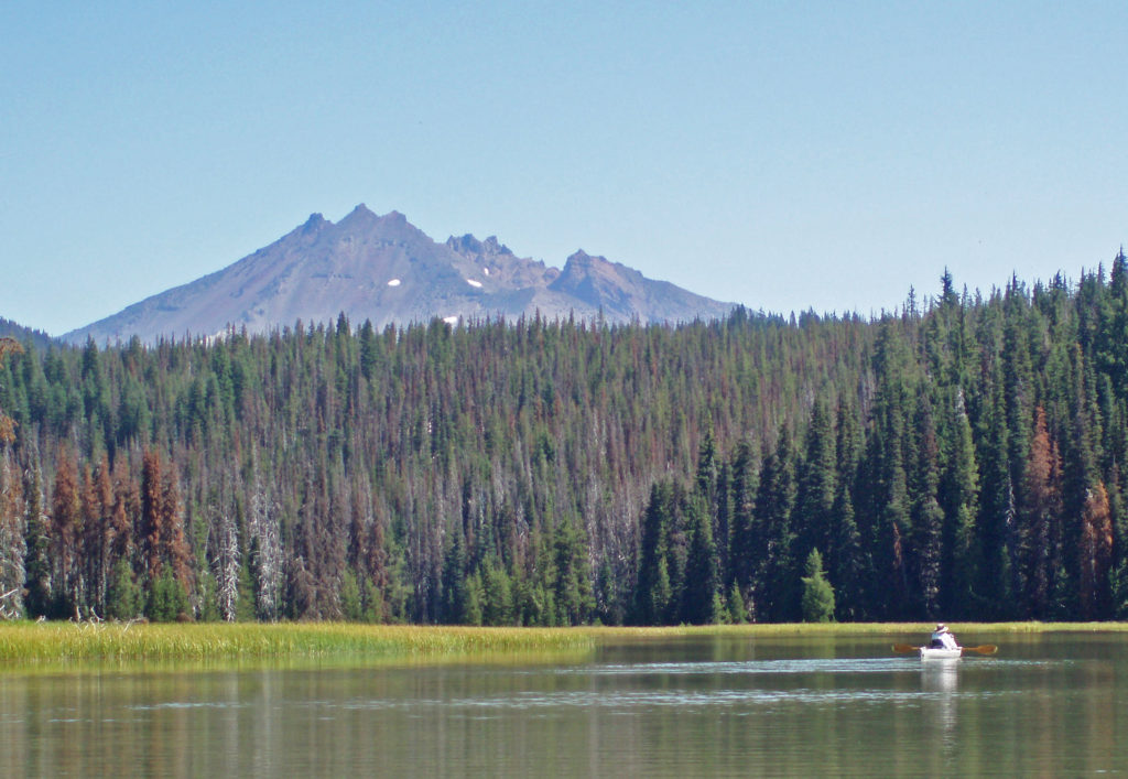
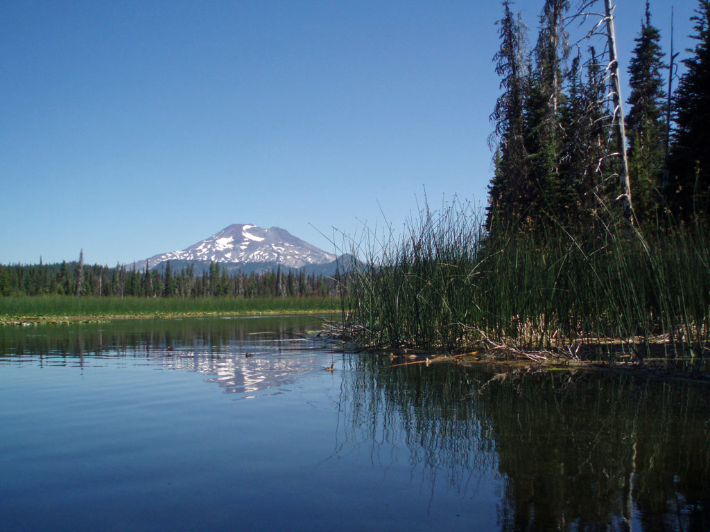
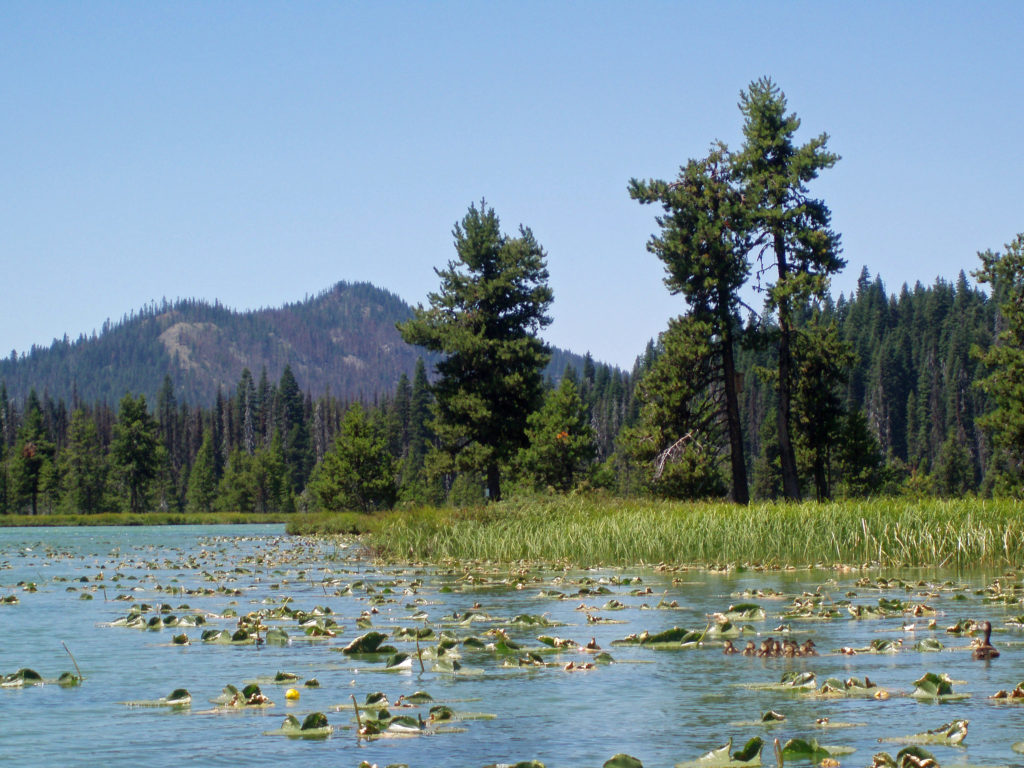
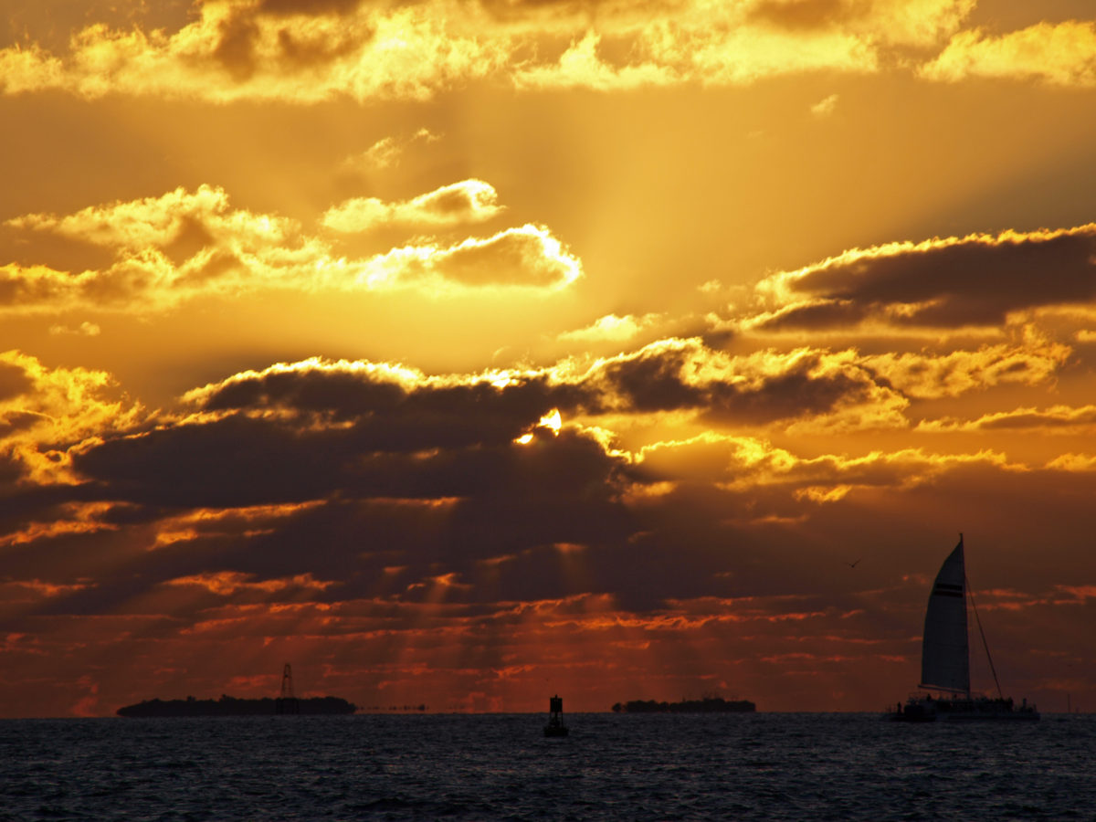
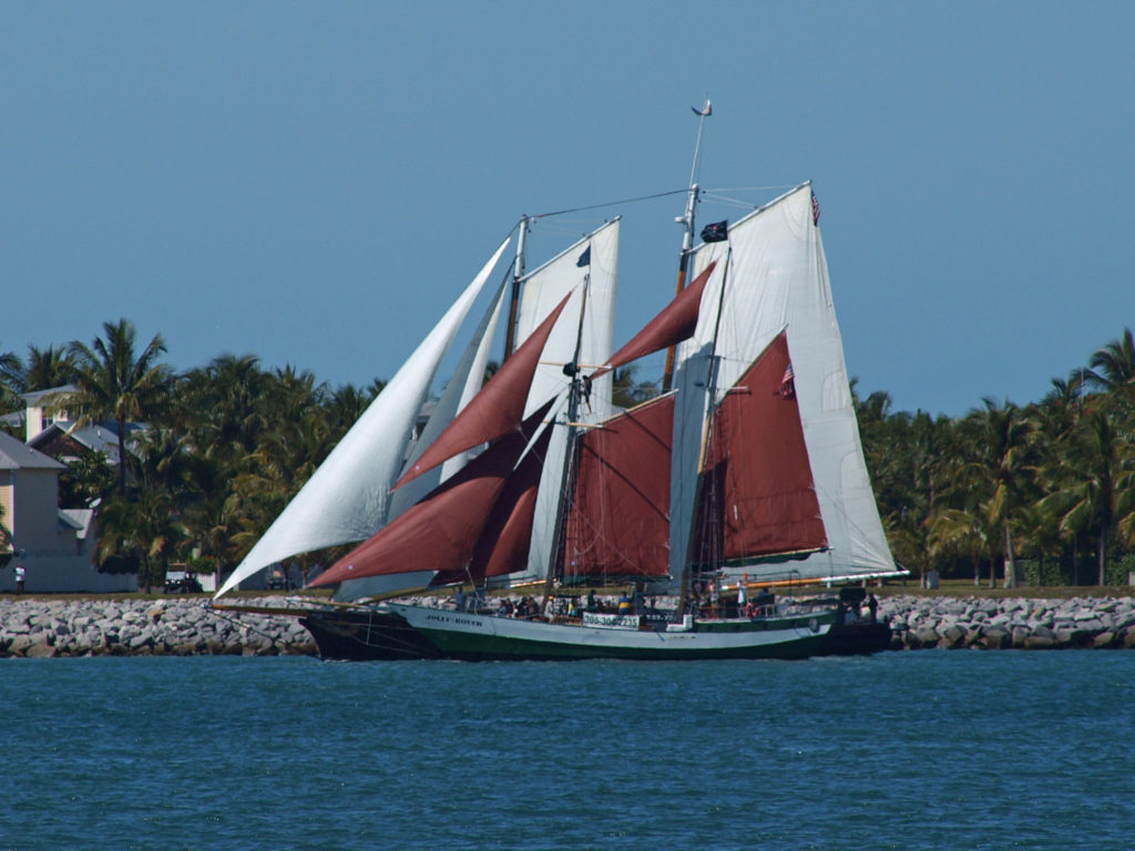 The following was originally posted on this site a couple of years ago. I checked all of the links, but things can change, so check the
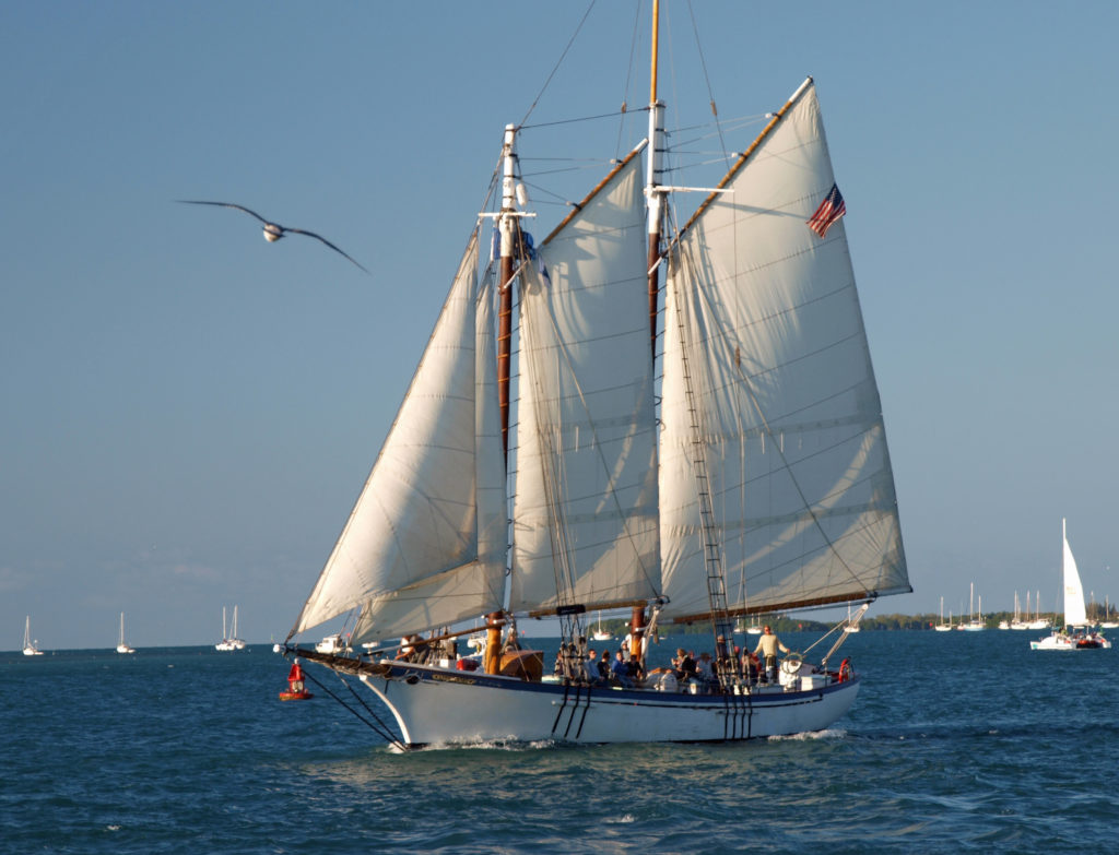
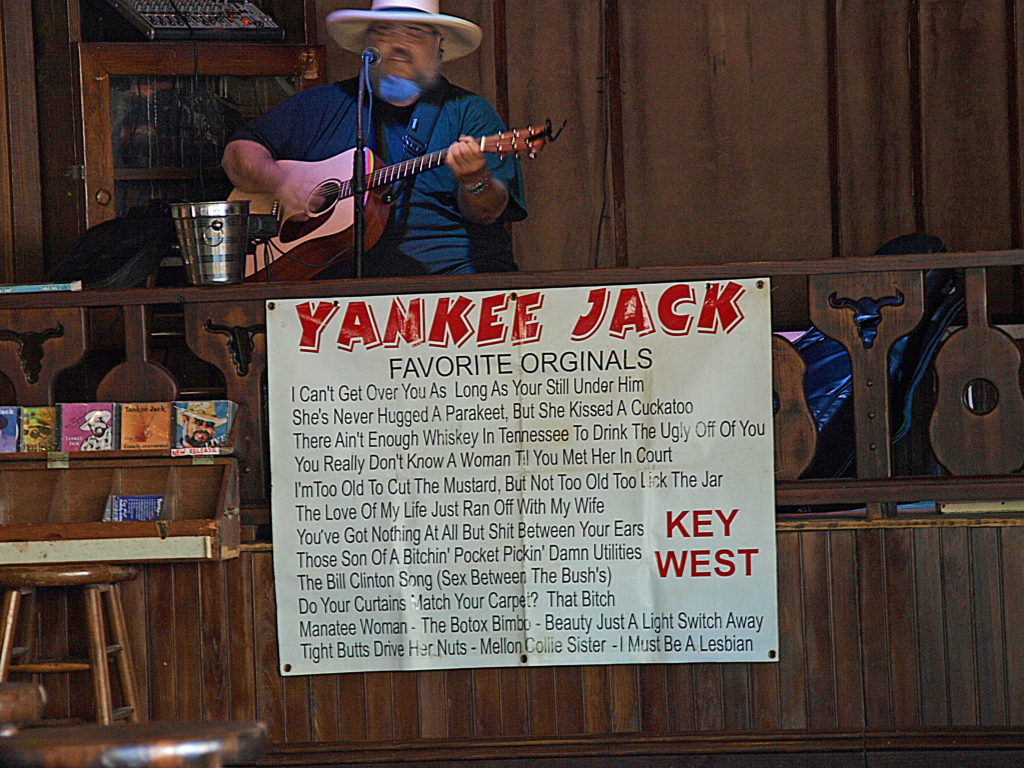

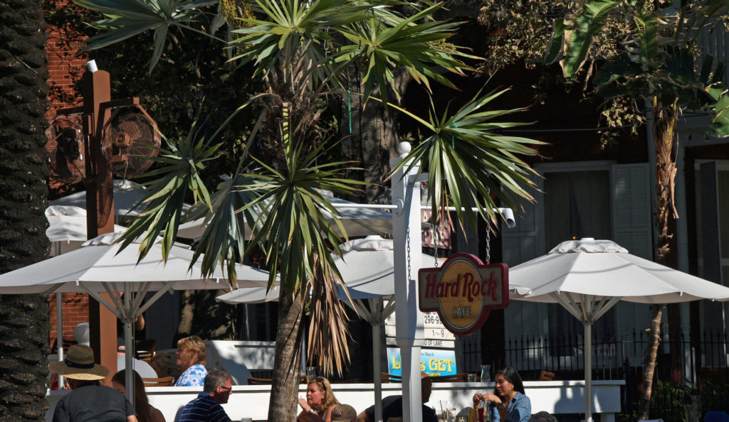
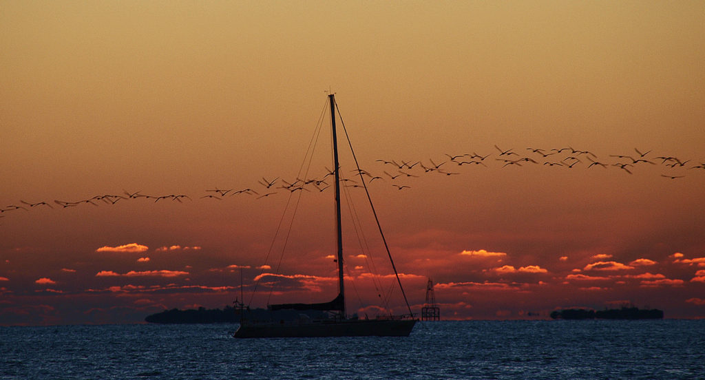
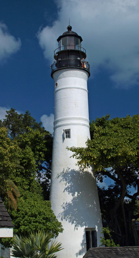
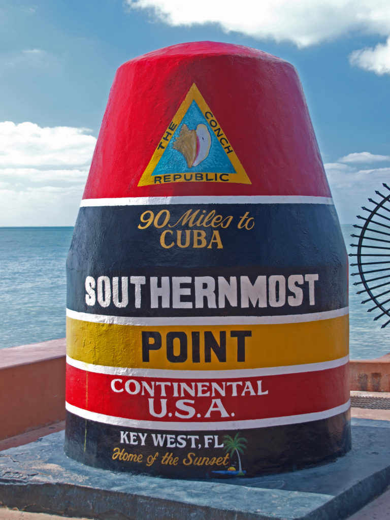
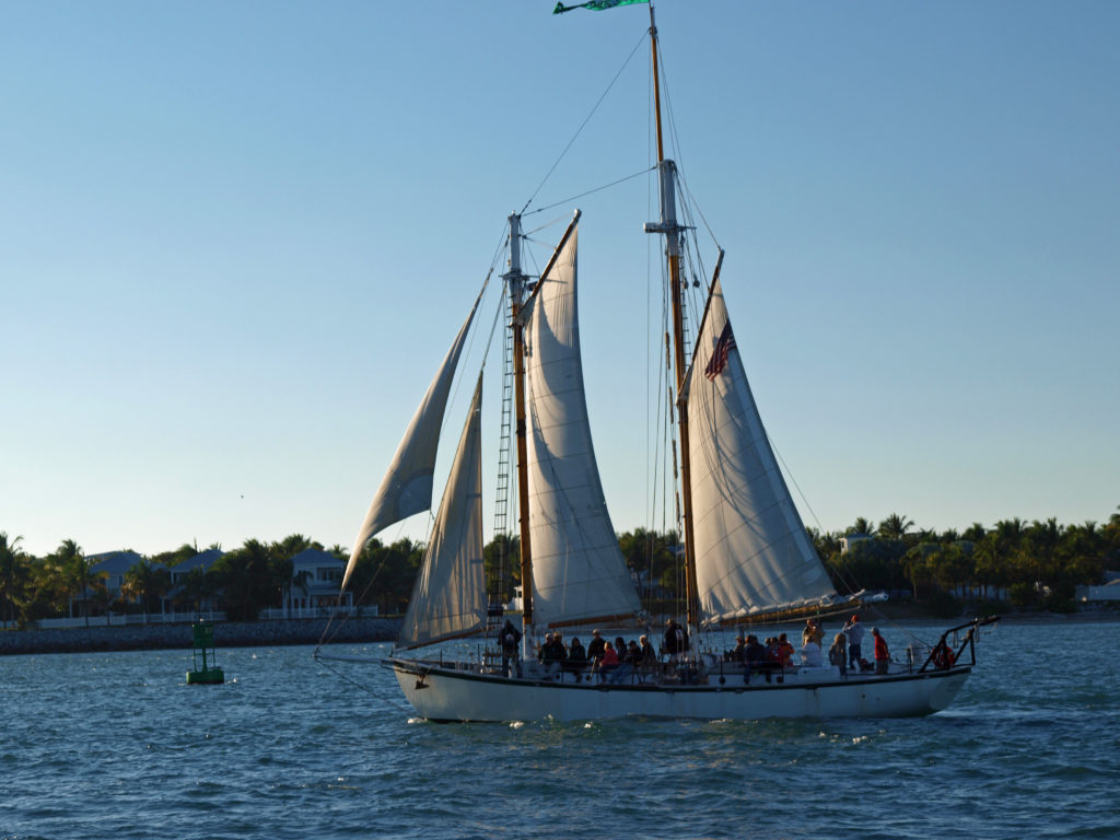

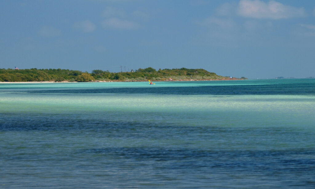
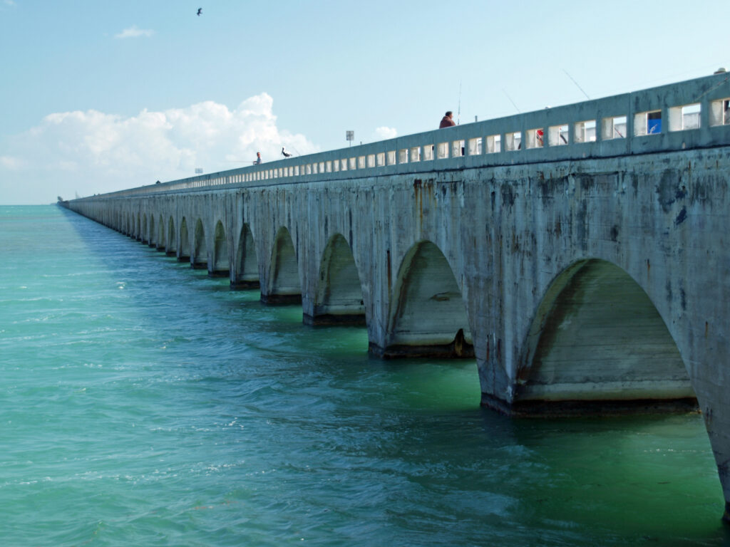
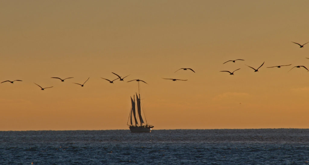
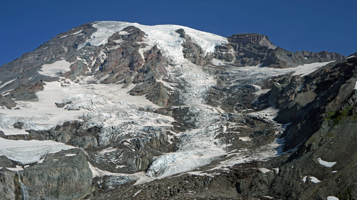
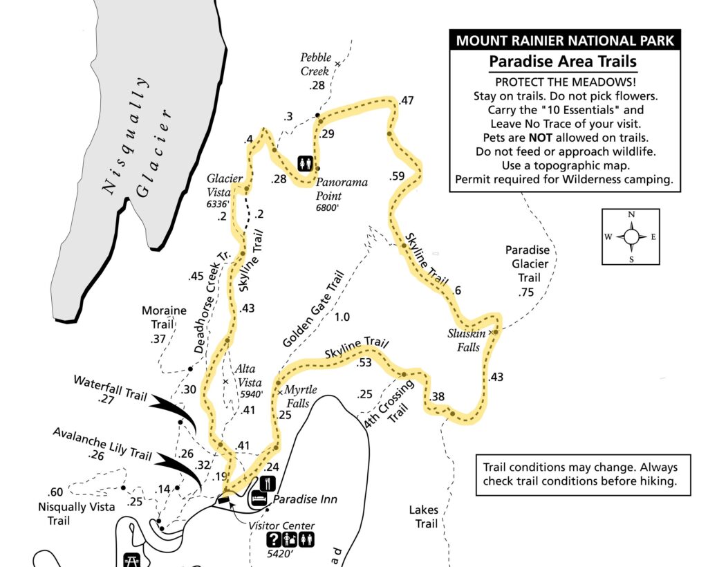
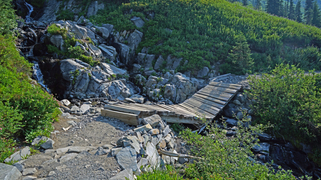
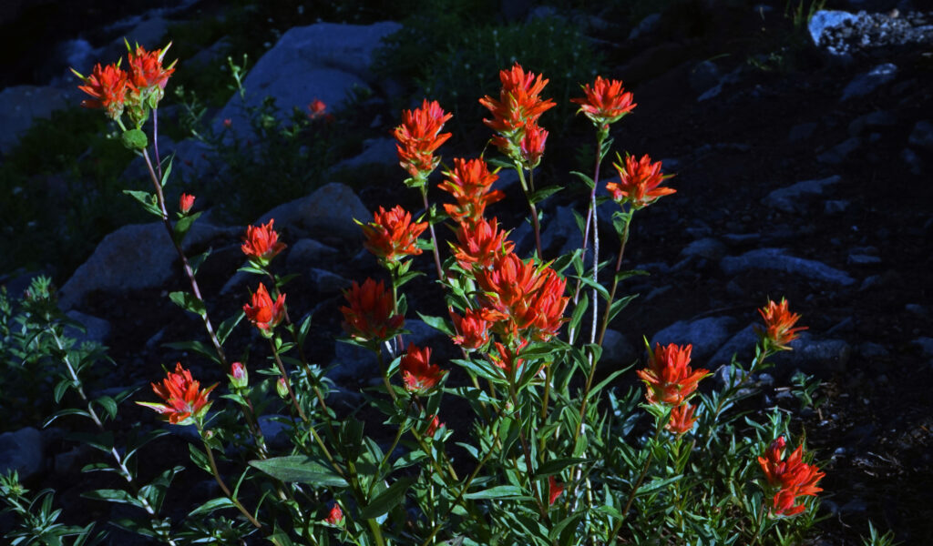
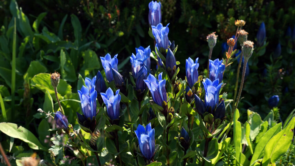
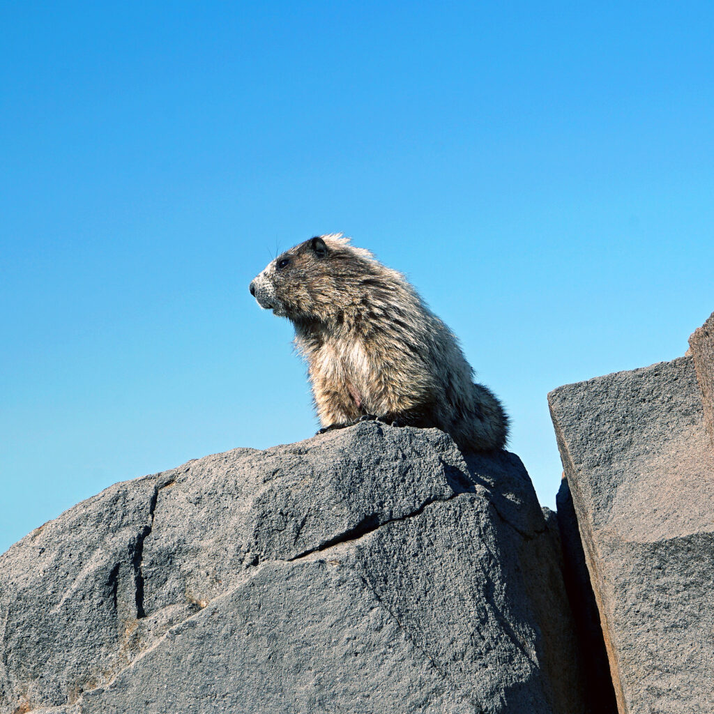
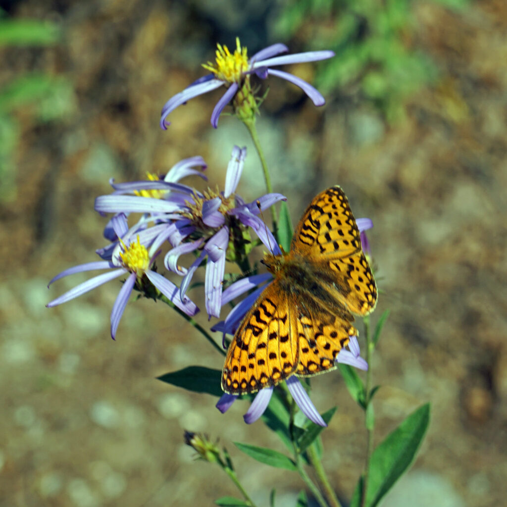
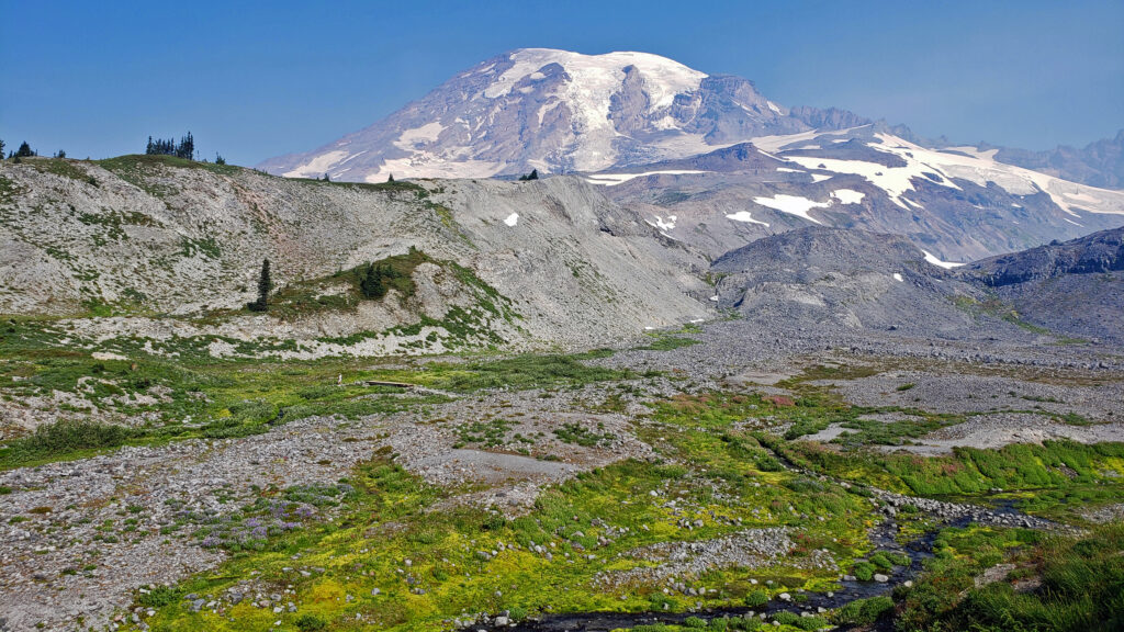 Best Times to Go:
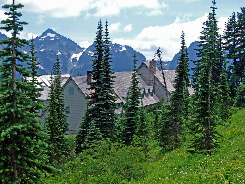
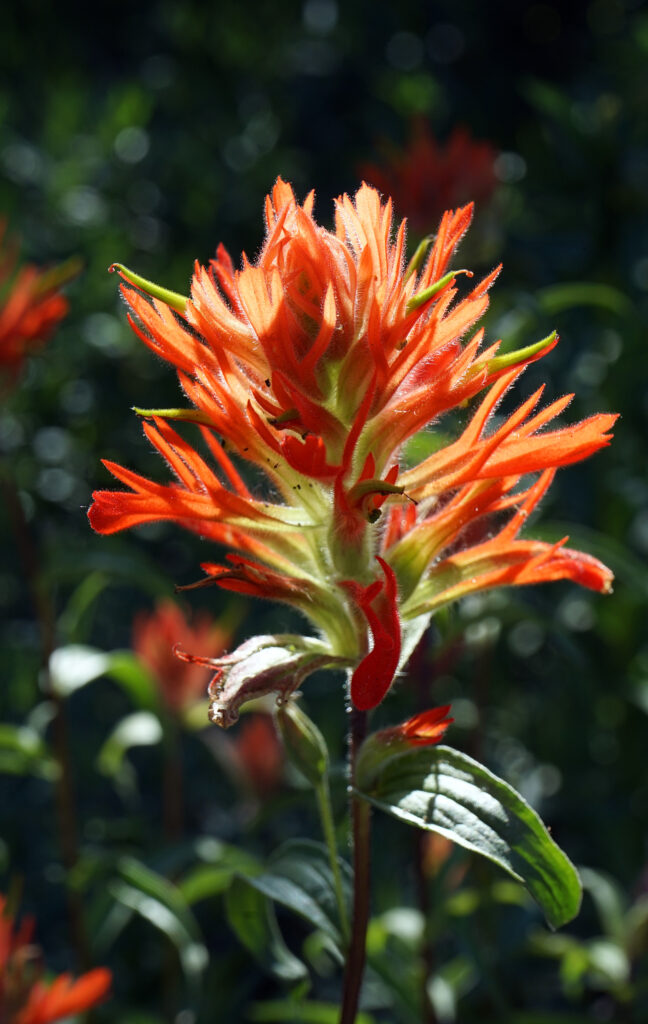
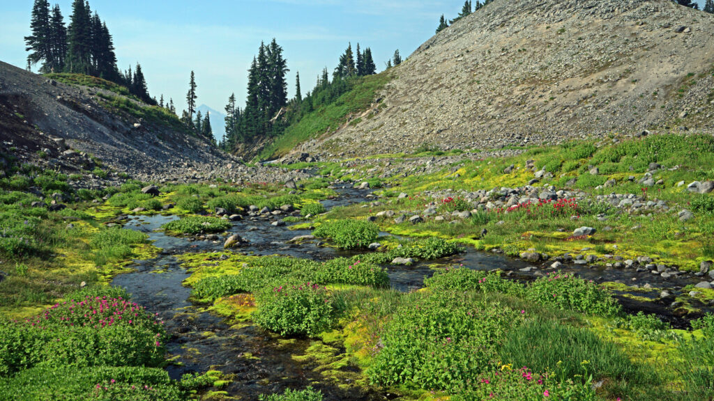 The hike:
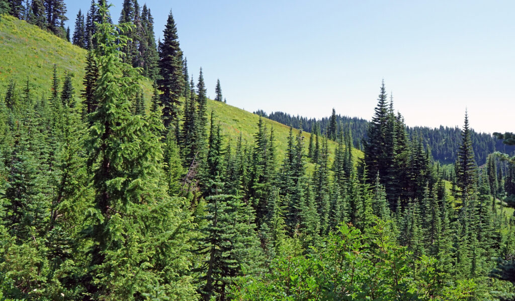
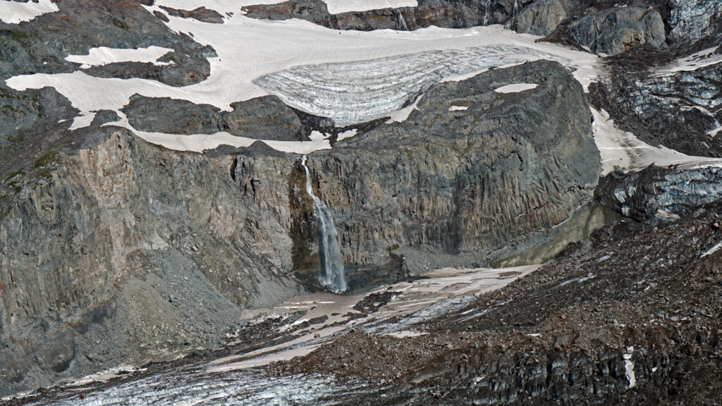
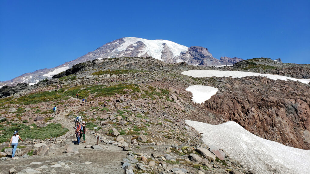
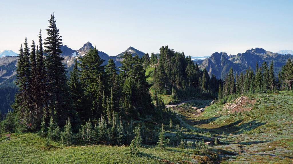
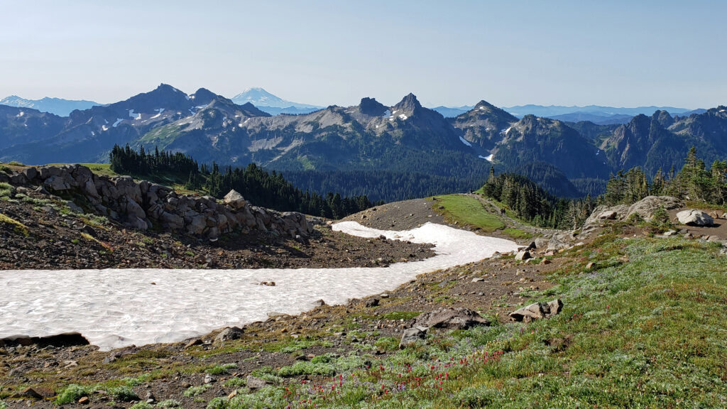
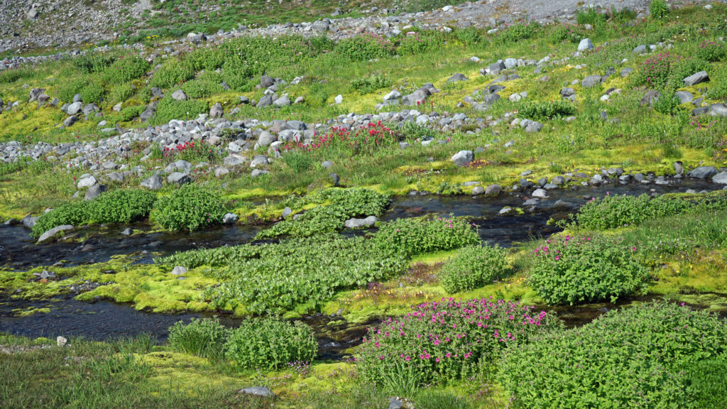
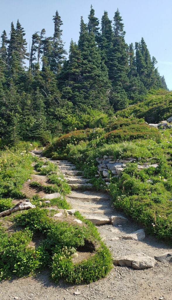
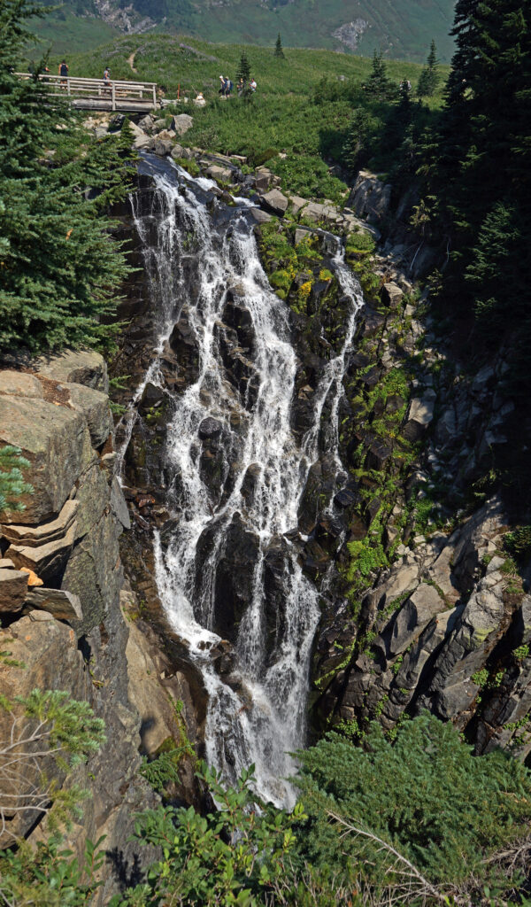
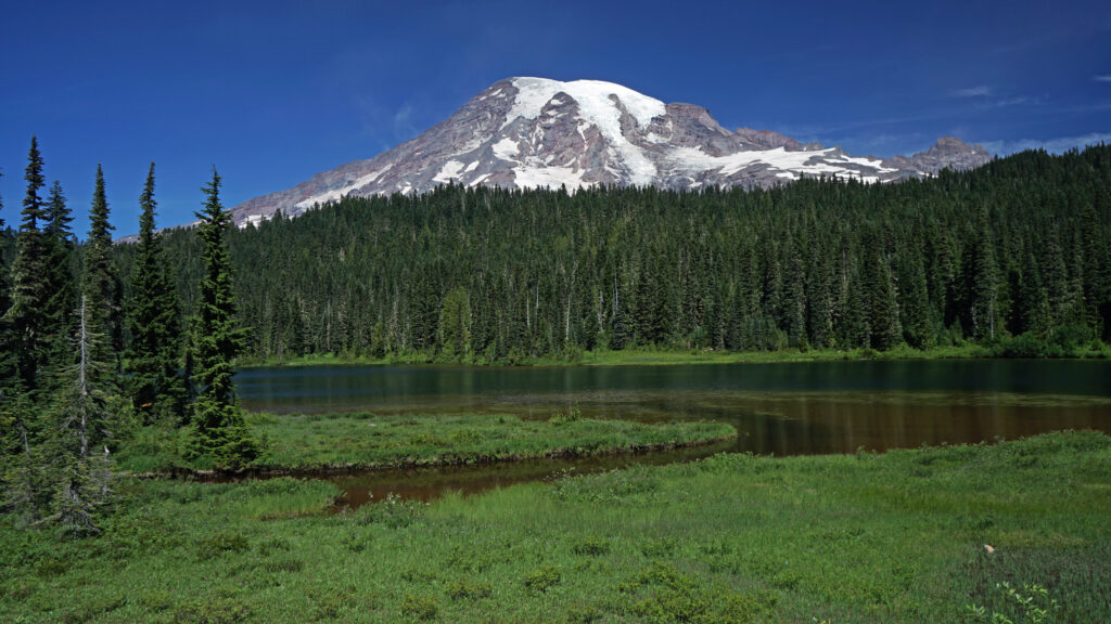 Other area attractions and activities:
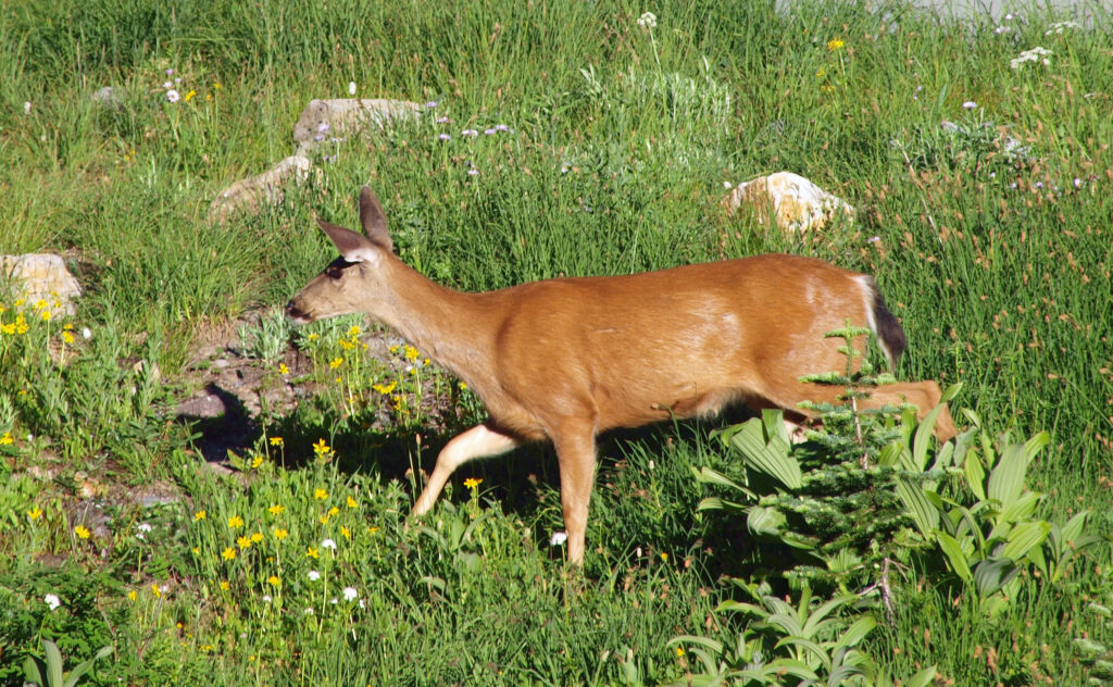
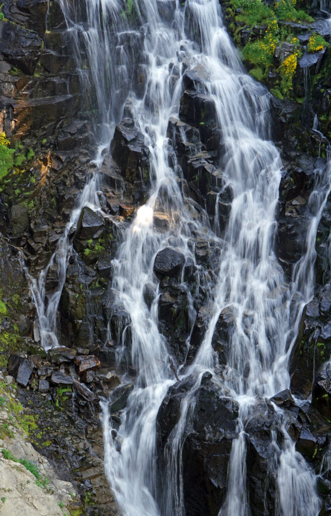
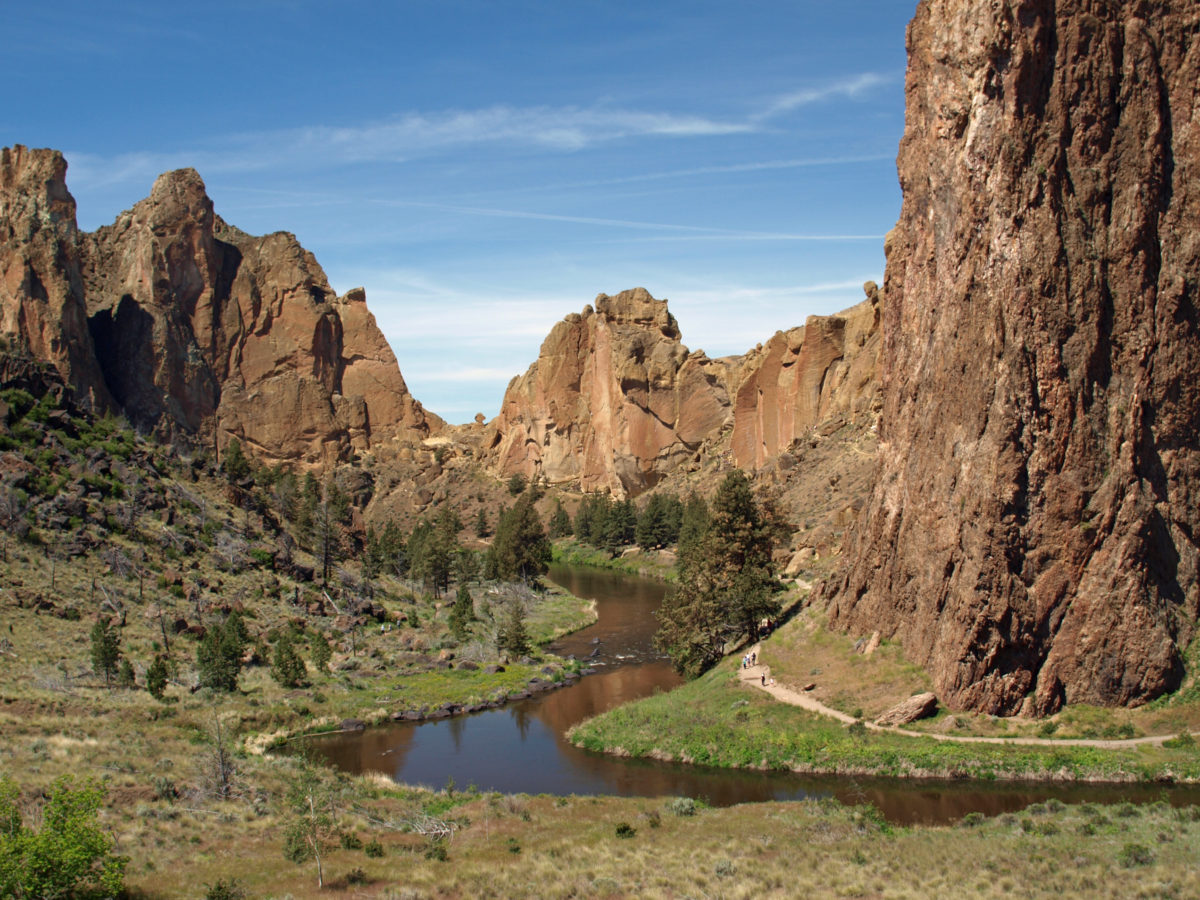
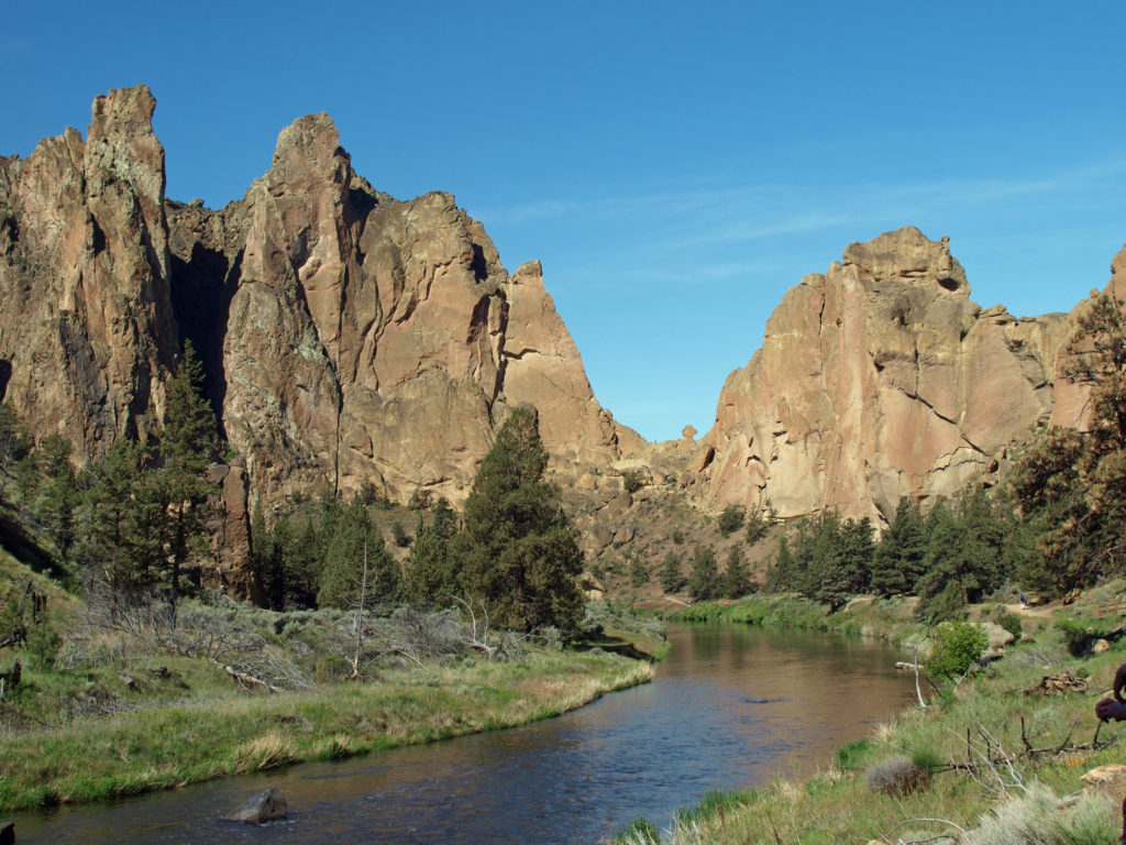
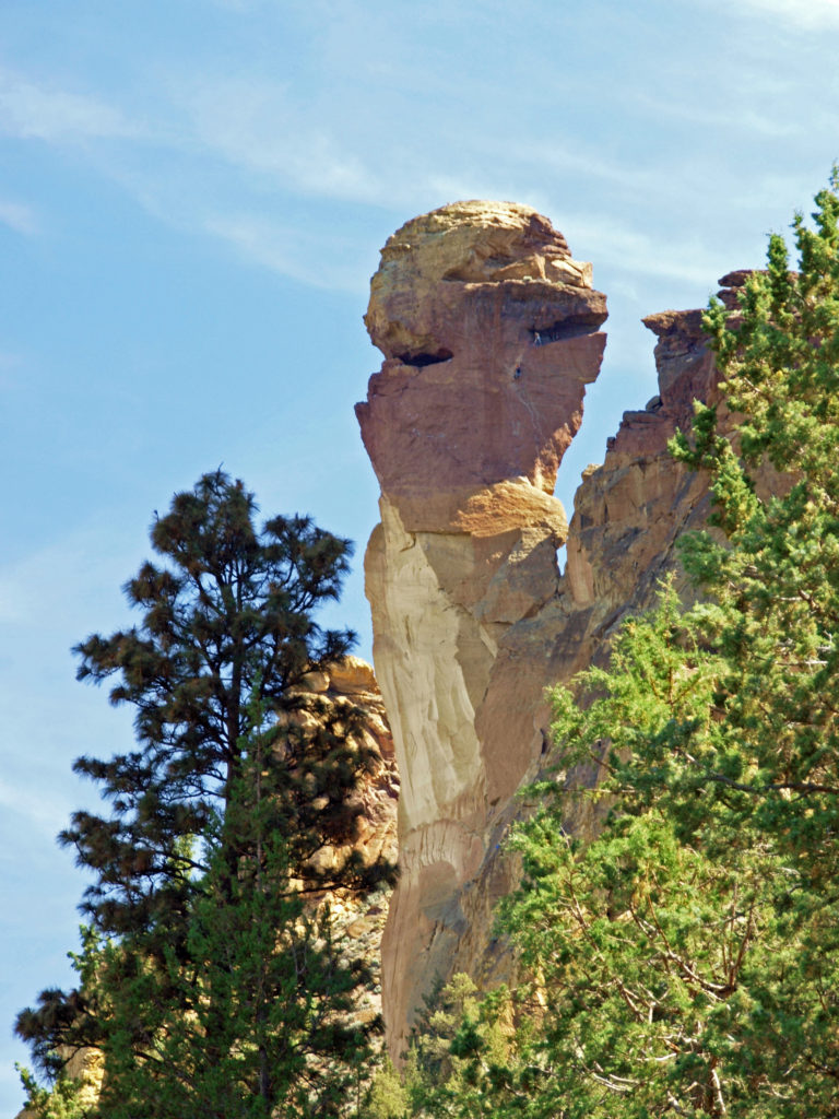 Several thousand climbing routes exist within the park, including more than a thousand bolted routes. Climbers literally come from all over the globe to climb here. And an extensive trail system within the park offers hikers a variety of routes of varying lengths and difficulty. Many of the trails are multi-use trails, open also to mountain bikers and horseback riders. Click
 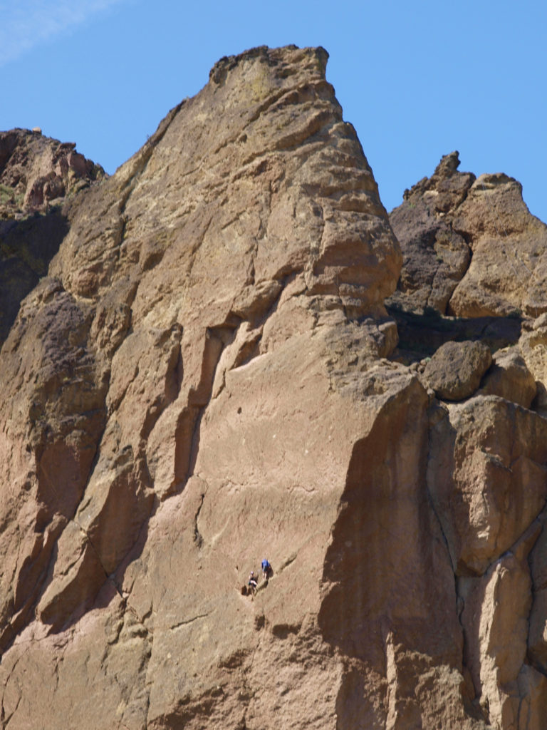 Thirty million years ago the area that is now Smith Rock was on the western rim of the Crooked River Caldera. Over time, nearby volcanic eruptions filled the caldera with ash that compacted into volcanic tuff. The tuff was later overtopped with basalt lava flows from vents about fifty miles away. The Crooked River then eroded much of that, leaving the formations we see today.
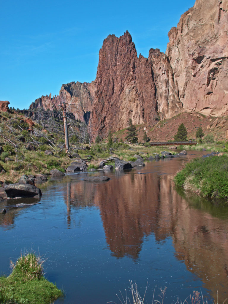
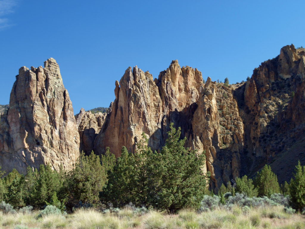
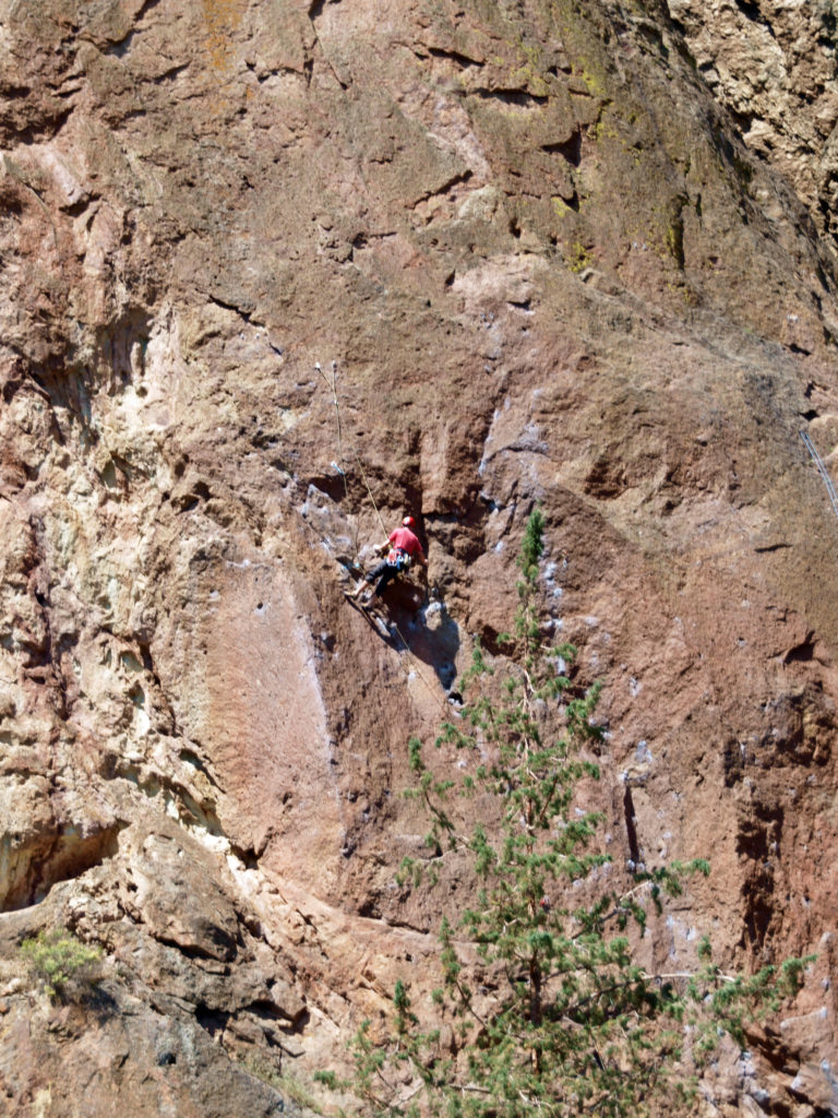
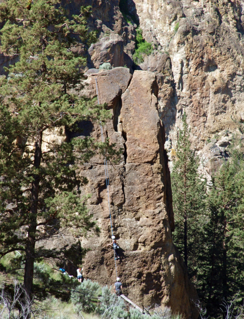 On summer weekends you need to come early to have a chance of finding a place to park. The parking areas fill up quickly, and it’s not unusual to see cars parked along both sides of the road leading to the park and people walking in the road. There has been a shuttle system proposed that would allow visitors to park in the nearby town of Terrebonne and bus into the park, but that (to the best of my knowledge) has yet to be implemented. Even during the week, and on spring and fall weekends, parking can be a problem.
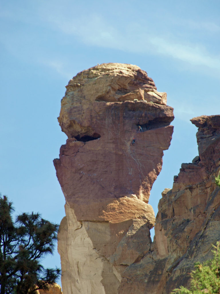
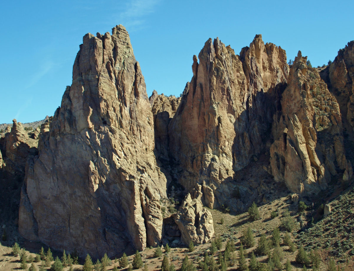
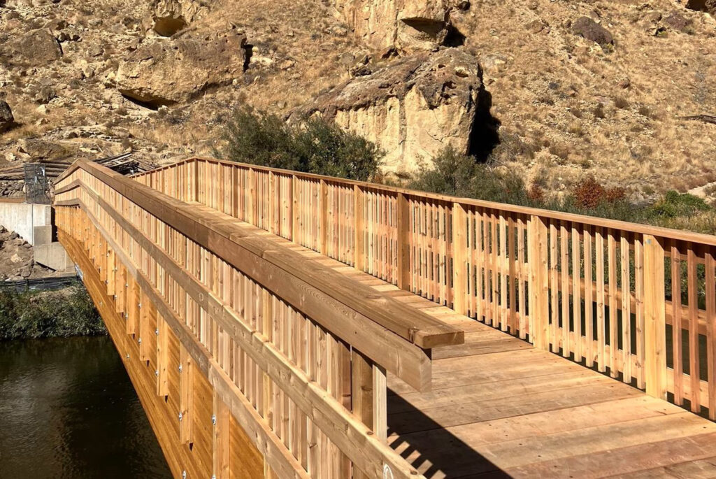
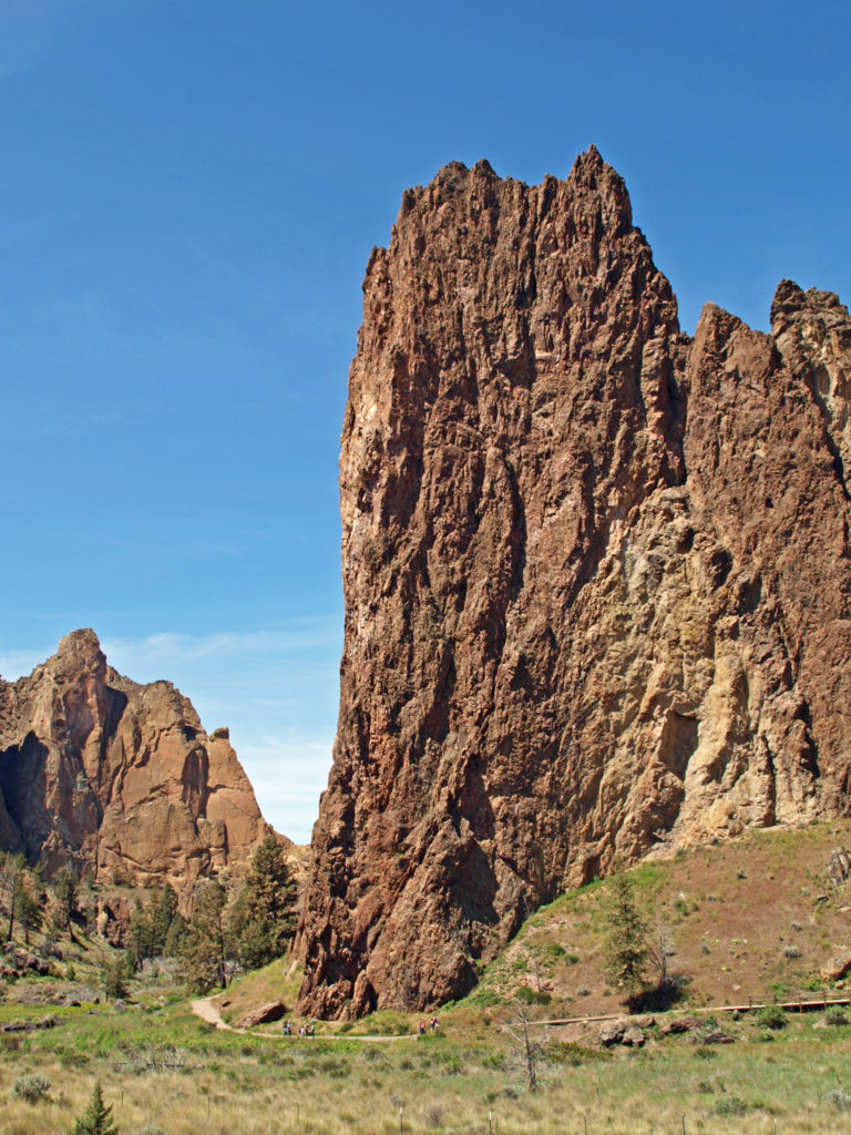
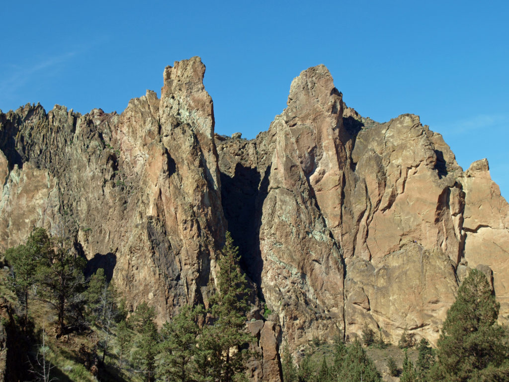 Despite the crowds and other problems, Smith Rock is a Pacific Northwest bucket list destination, not to be missed. It’s a spectacularly beautiful place. But if you’re looking for a wilderness experience, you won’t find it at Smith Rock (except maybe in the middle of winter). If you don’t mind sharing the place with others, though, the park is large enough that visitors tend to spread out, and even at full capacity the park doesn’t feel overly crowded if you get a little ways away from the parking areas. (A recent visitor survey found that 69% of the respondents felt the park to be somewhat to very crowded, however.)
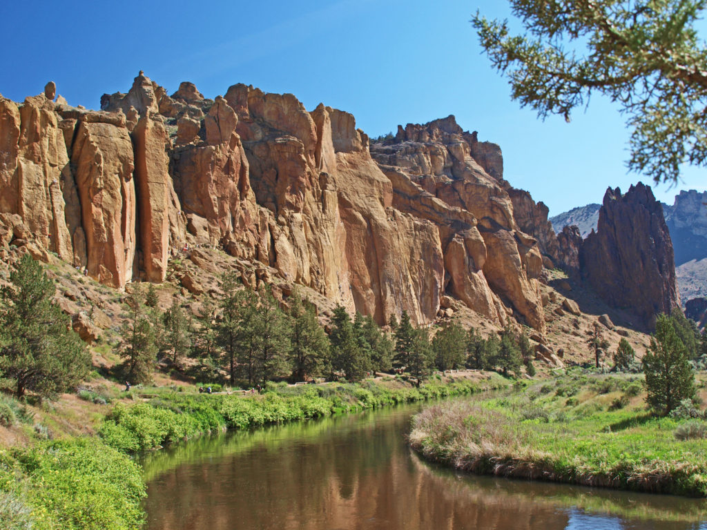
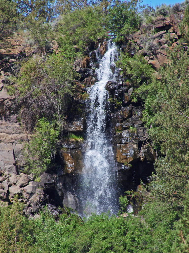 The park is located just east of the town of Terrebonne, which is about 25 miles north of Bend, Oregon, and about 140 miles southeast of Portland. For more information, go to the
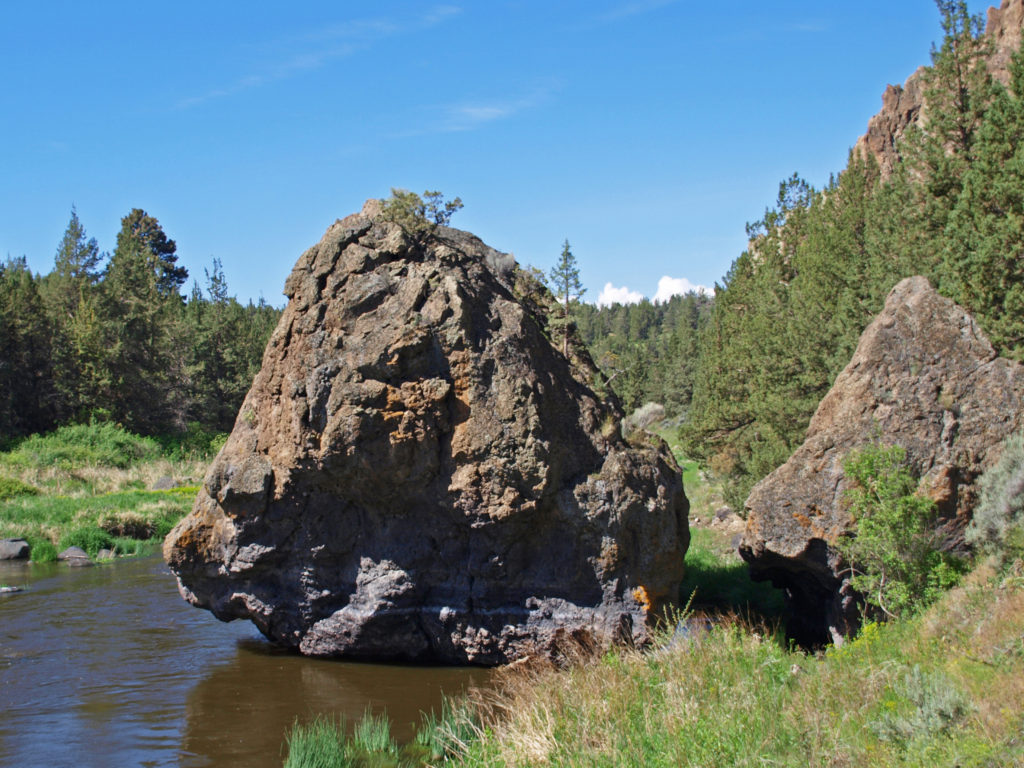
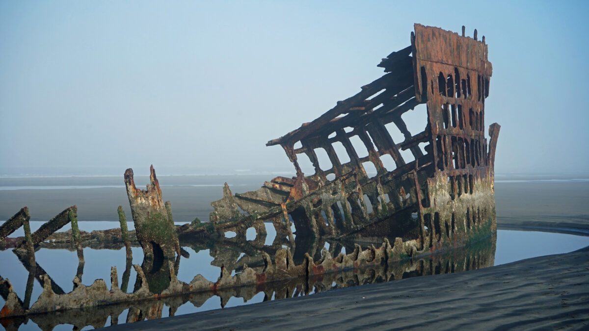
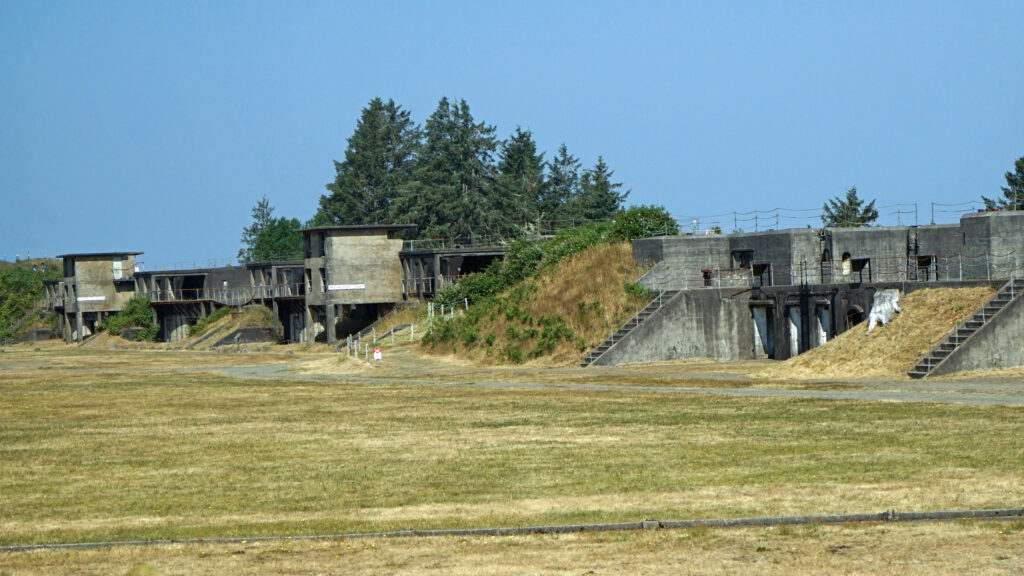
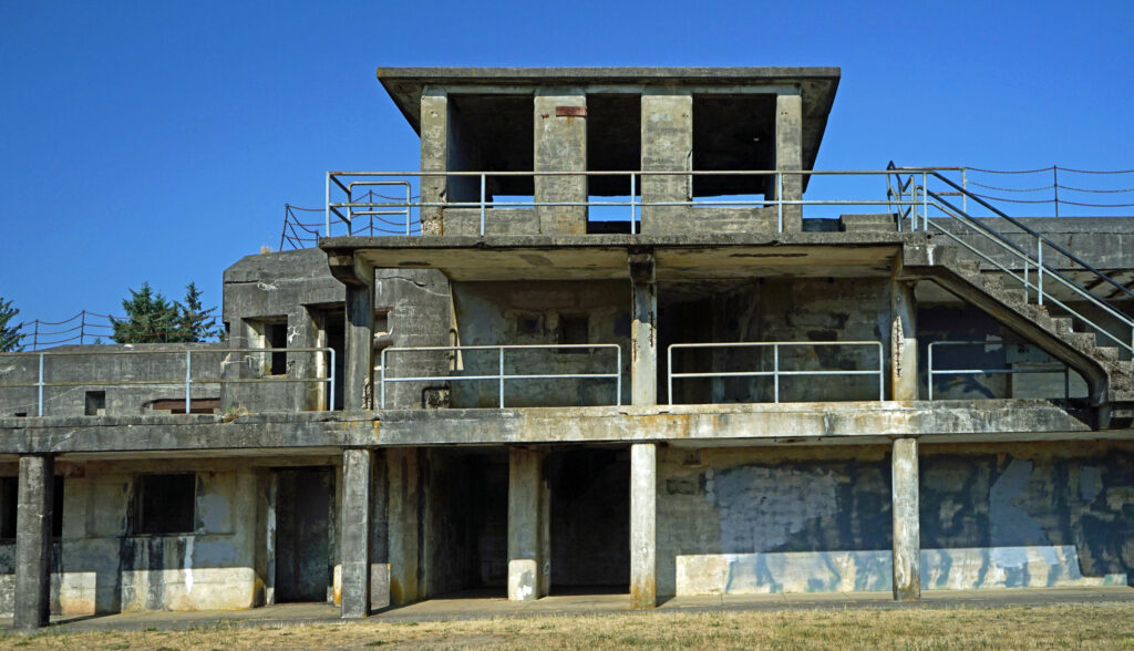
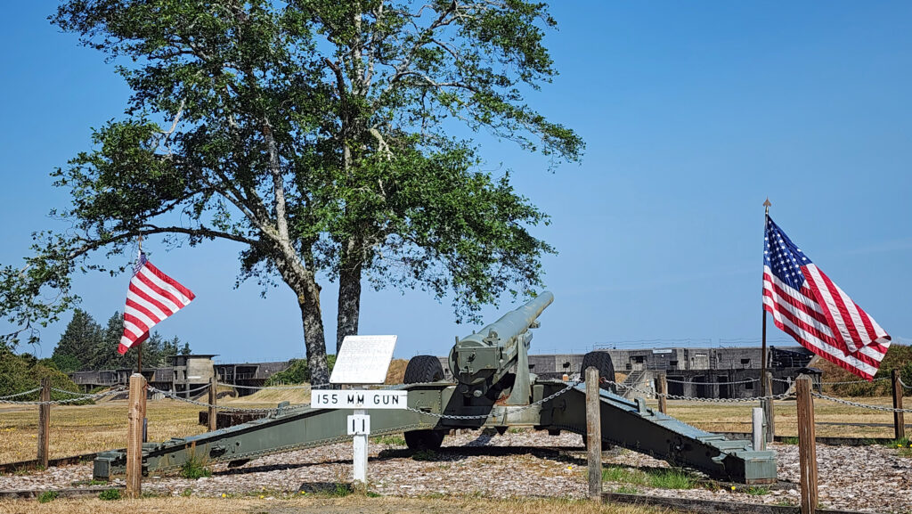
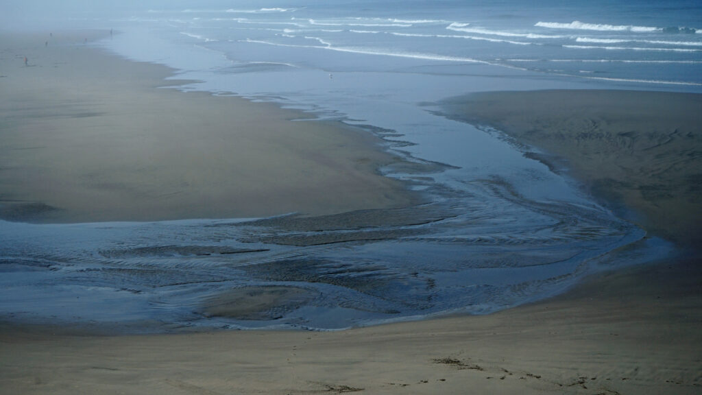
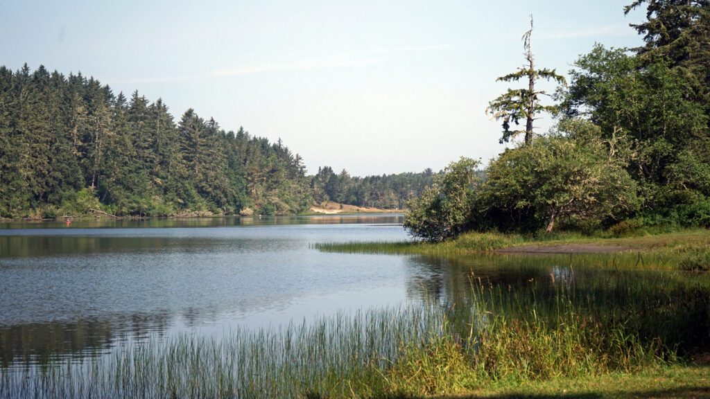
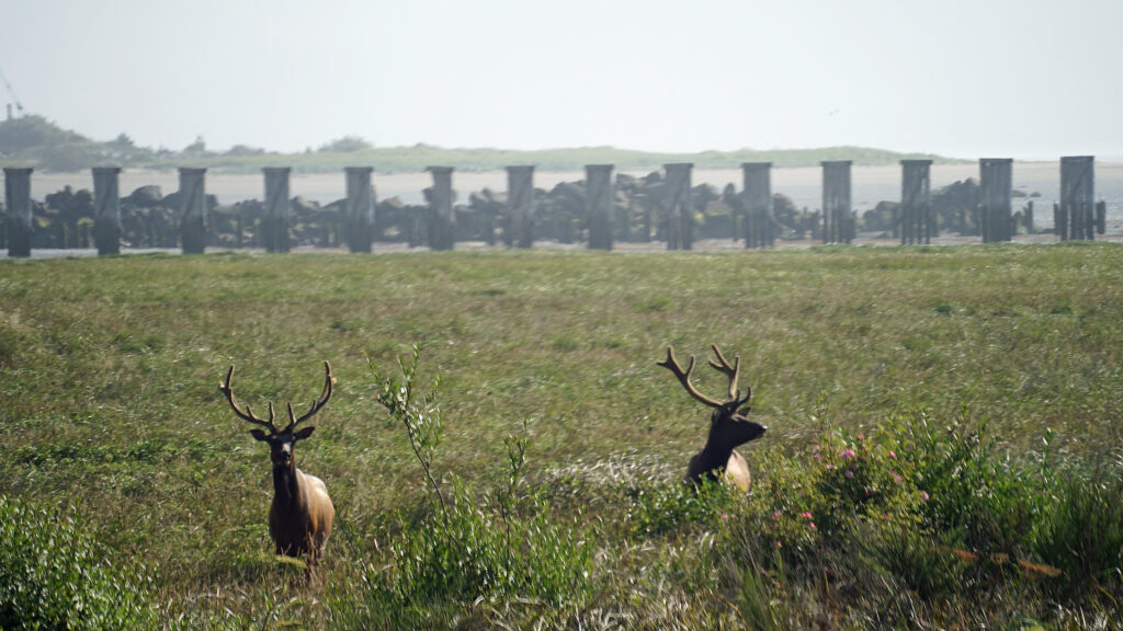
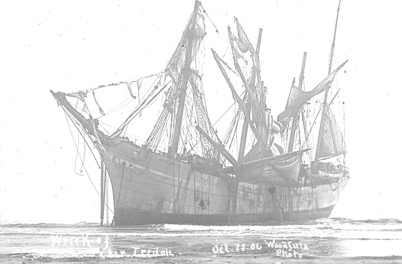
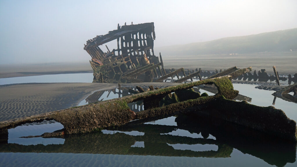
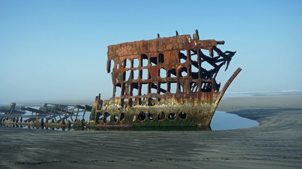
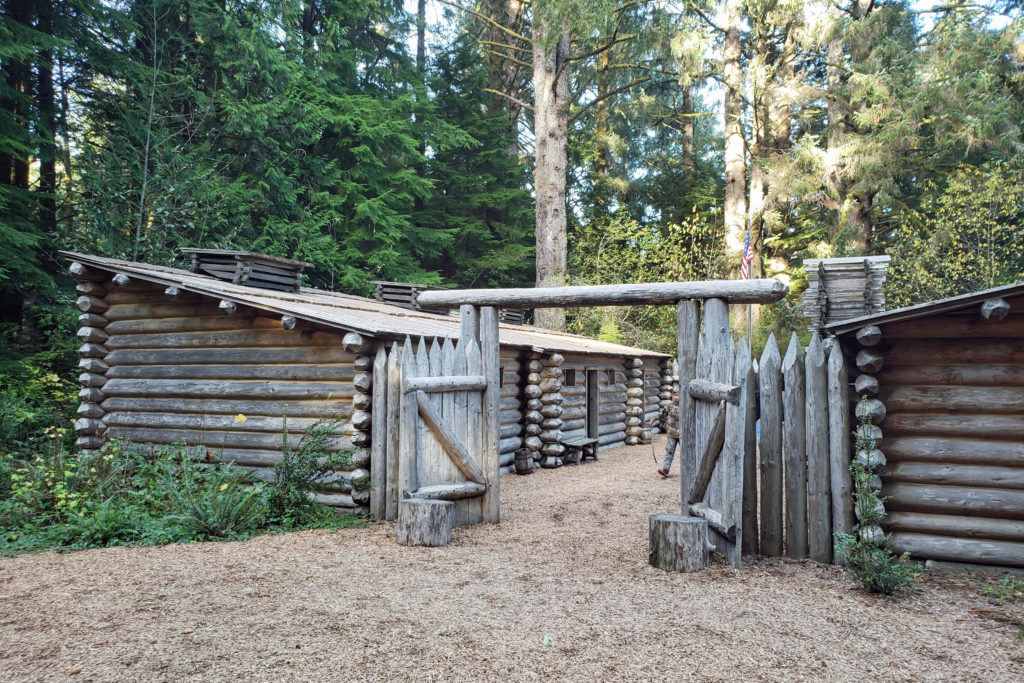
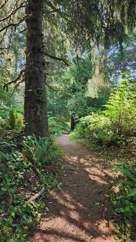
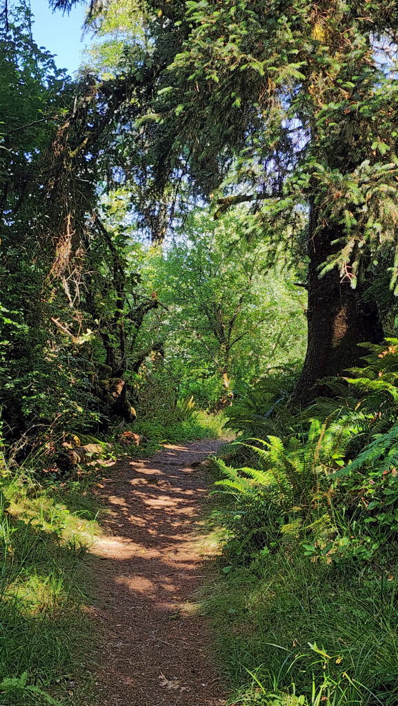
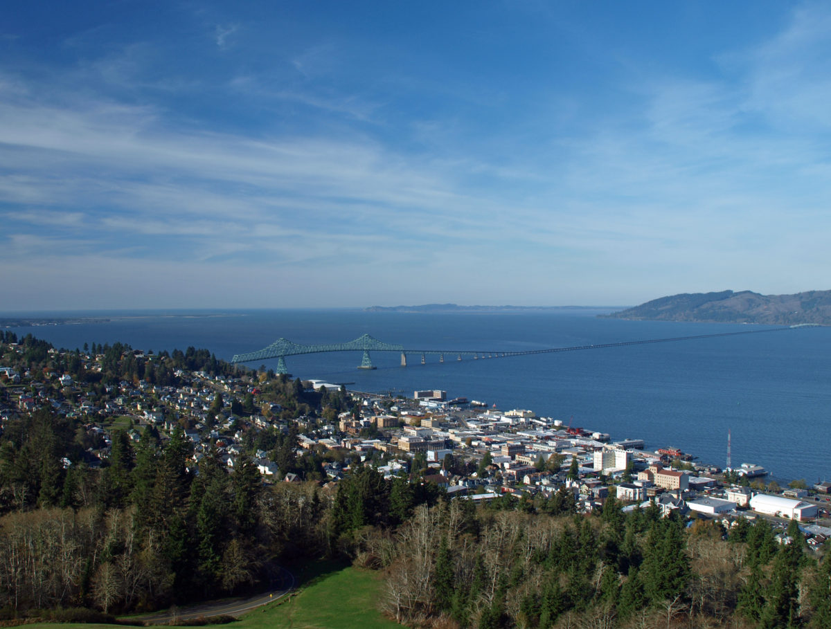
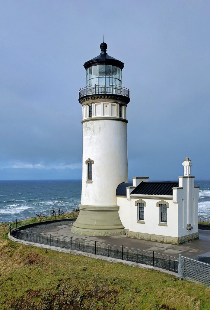
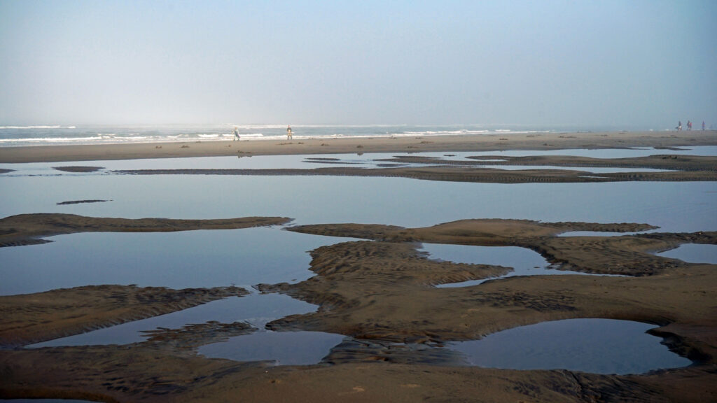
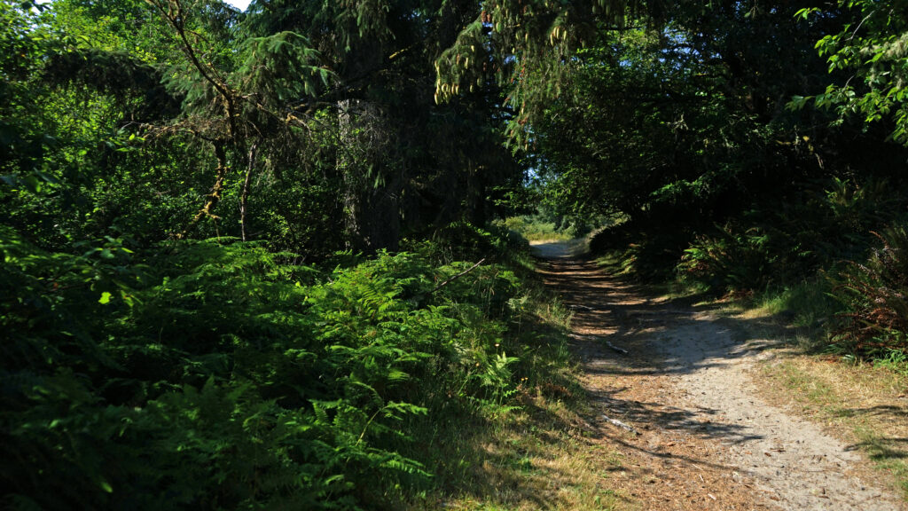
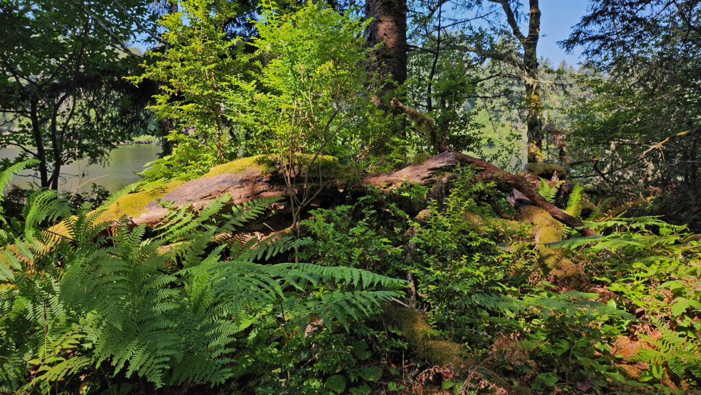
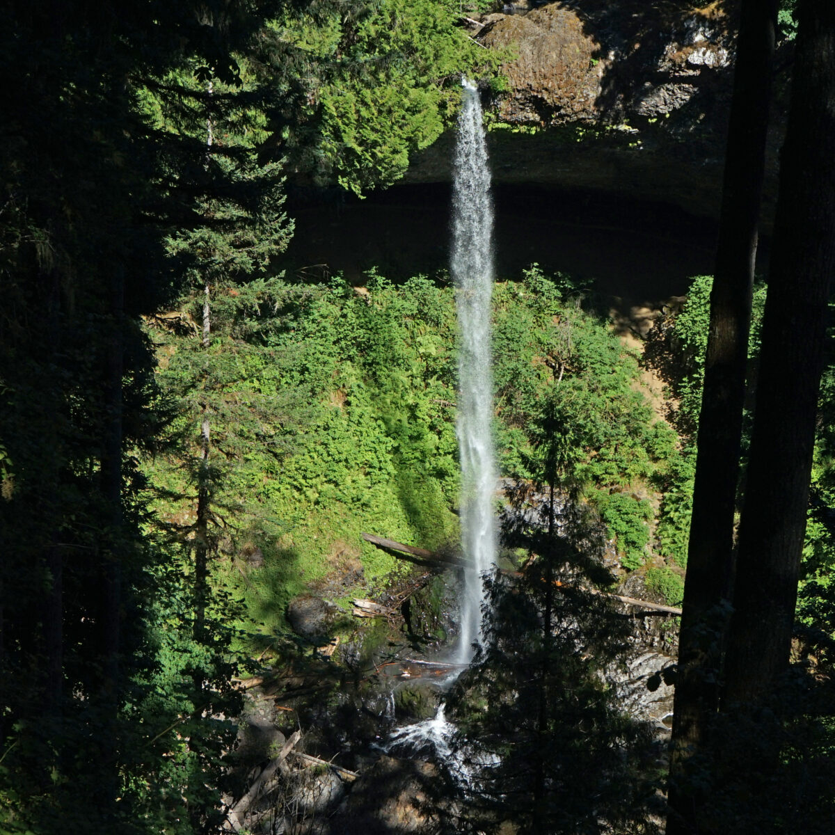
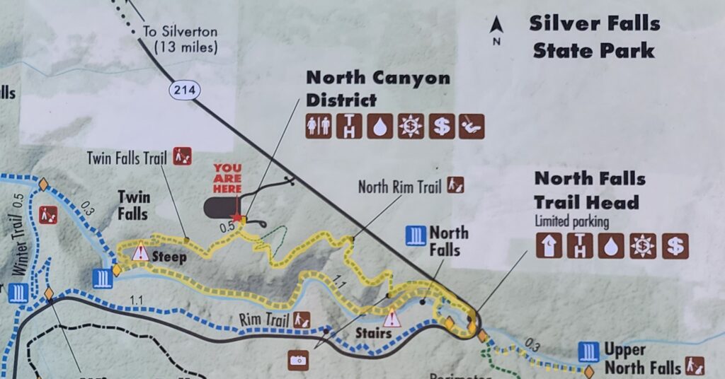
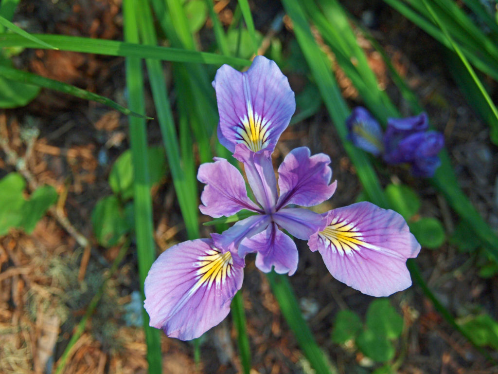
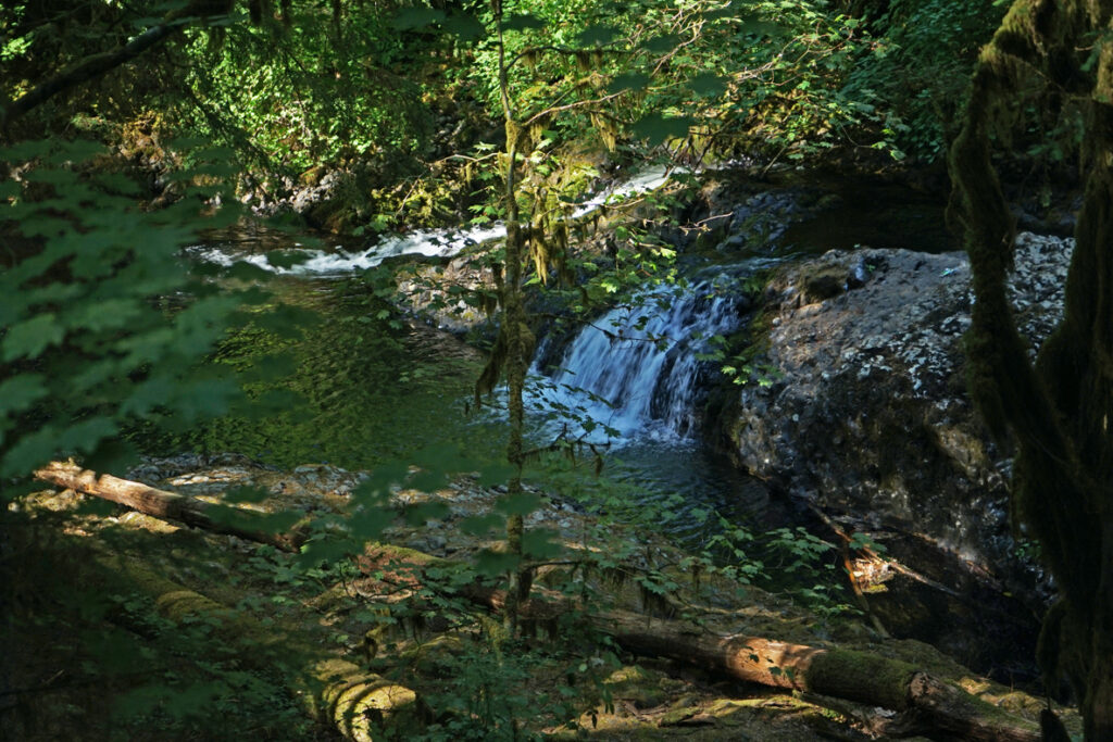
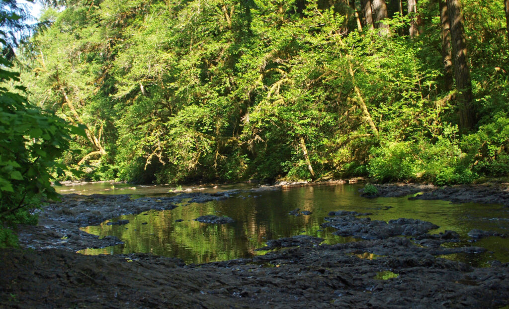
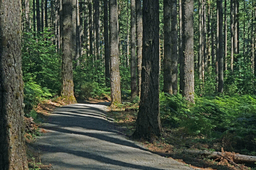
 Beyond the Twin Falls Trail junction, the North Rim Trail meanders through the forest, passing a children’s play area and a small two-table picnic area.
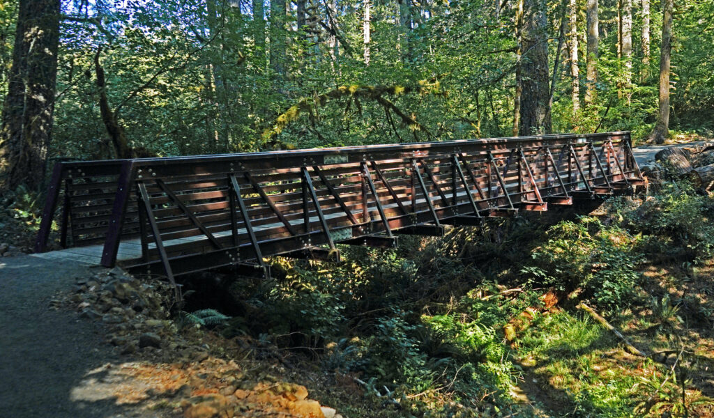
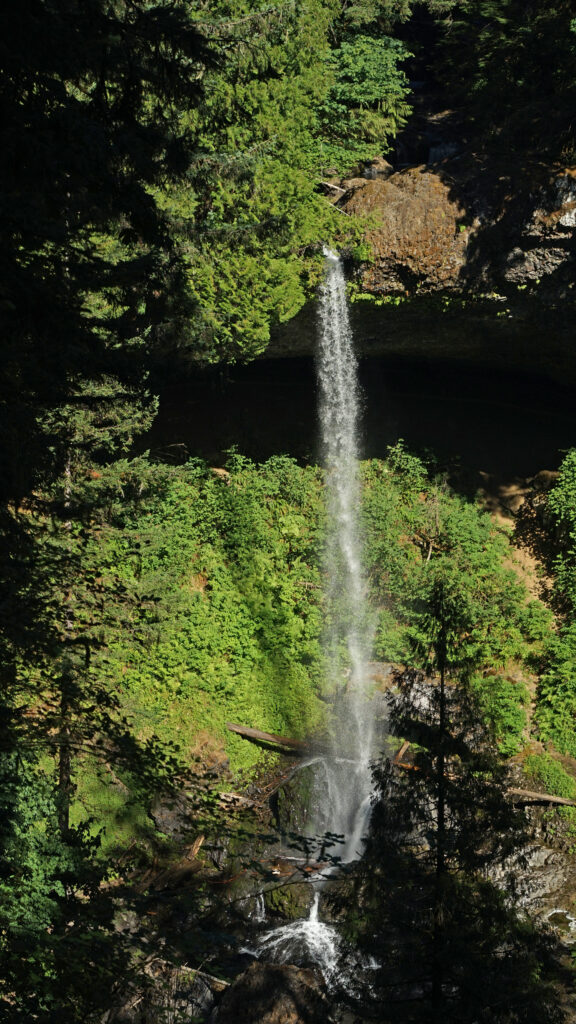
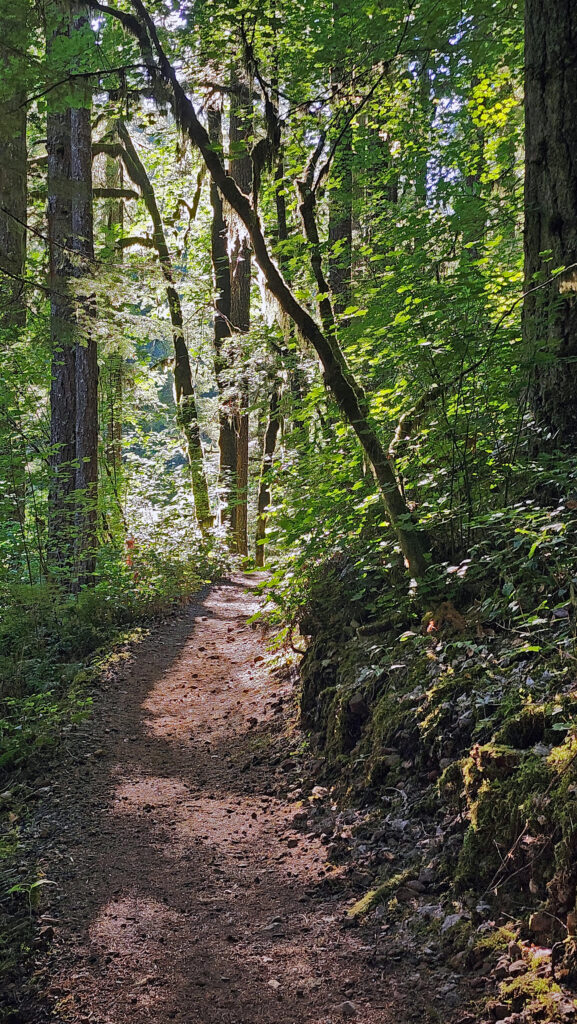
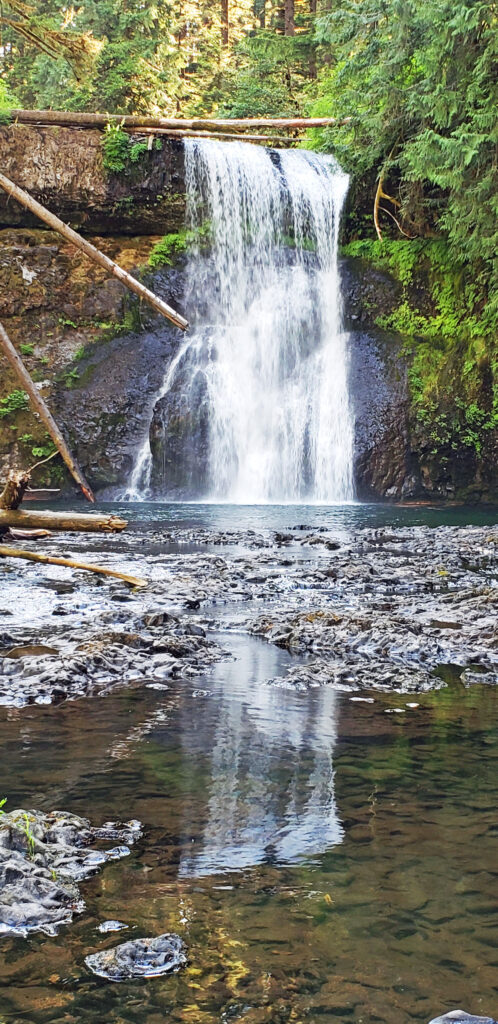
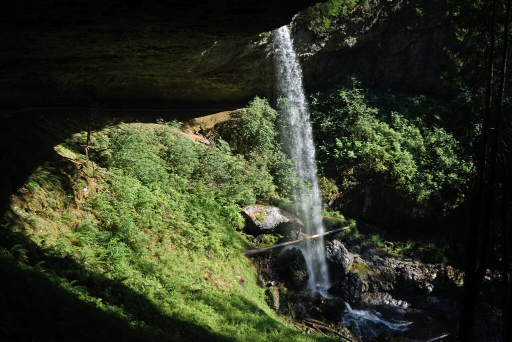
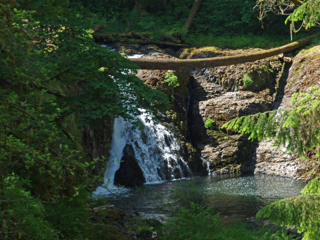
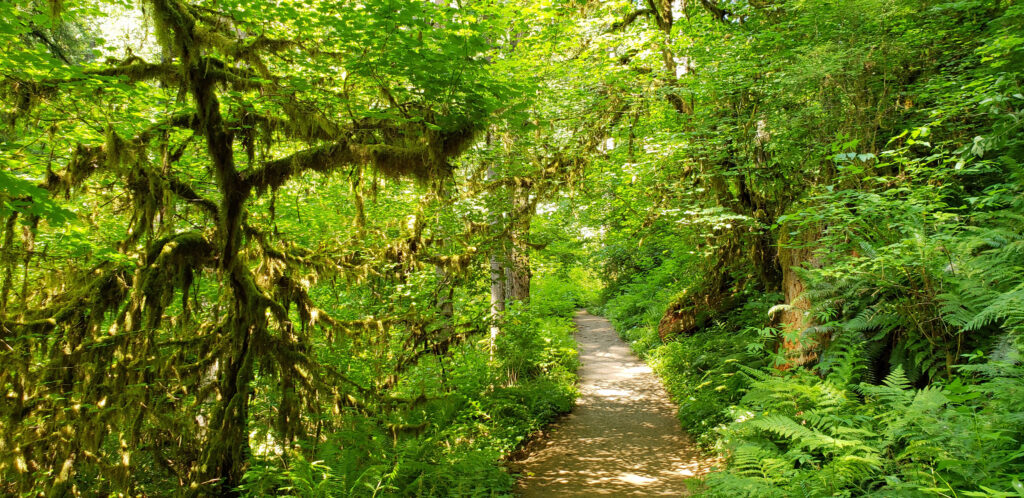
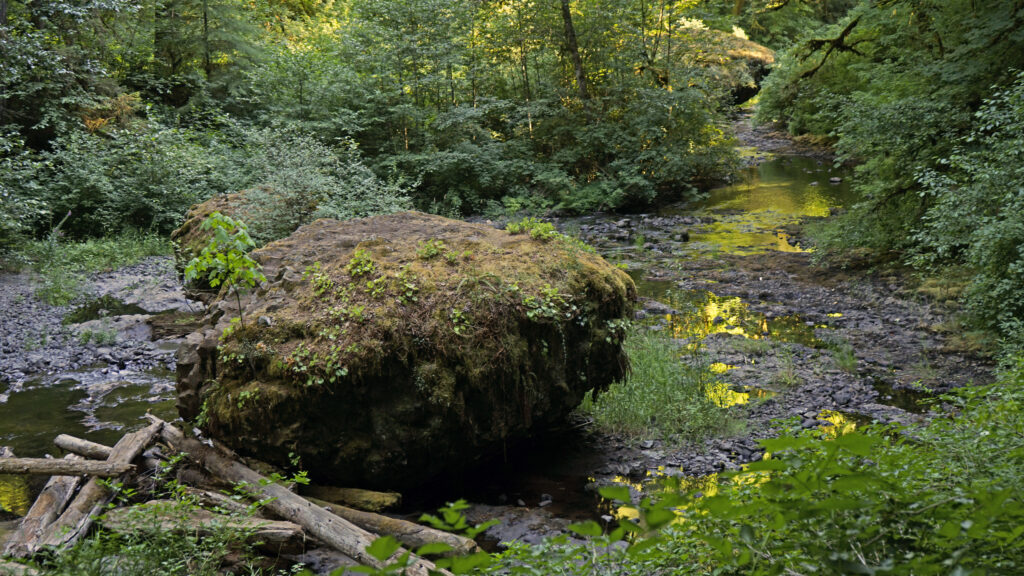
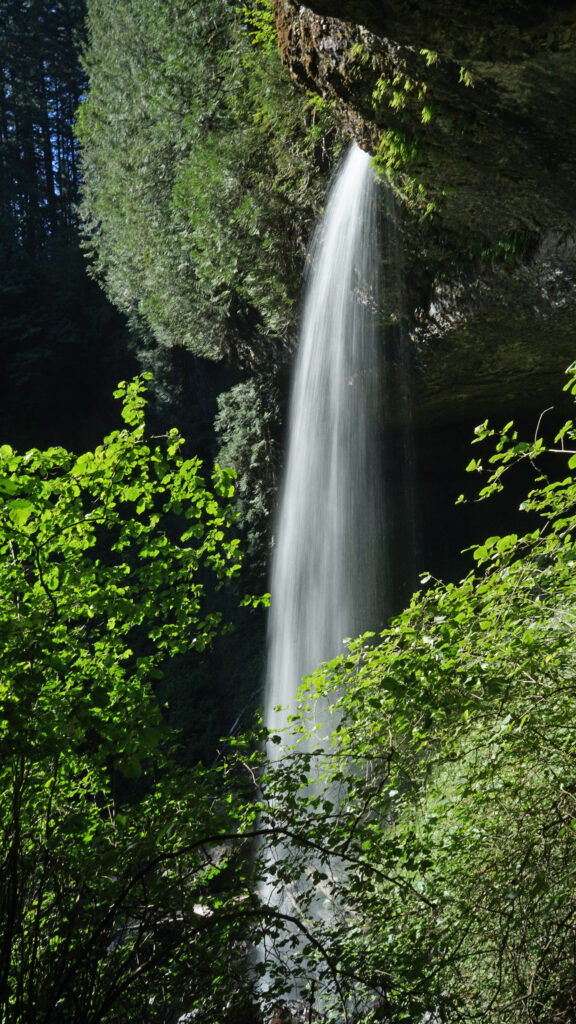
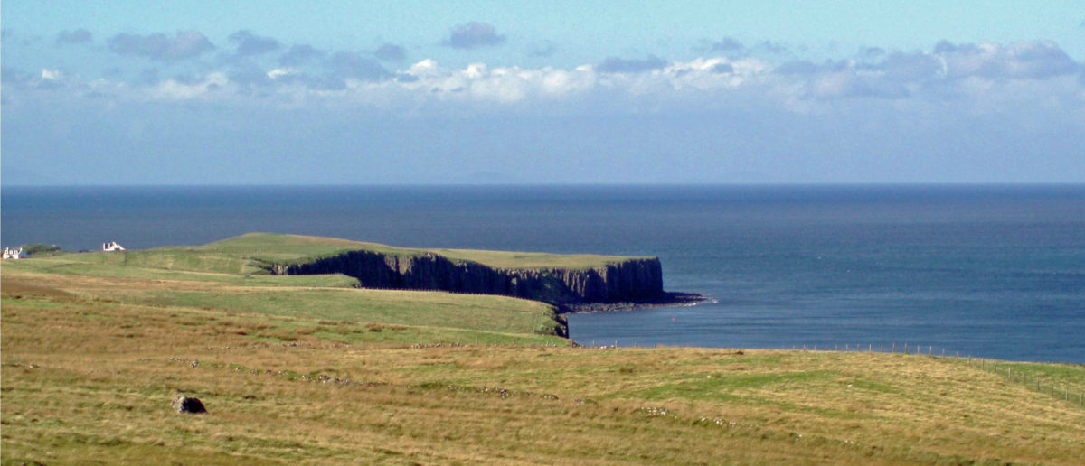
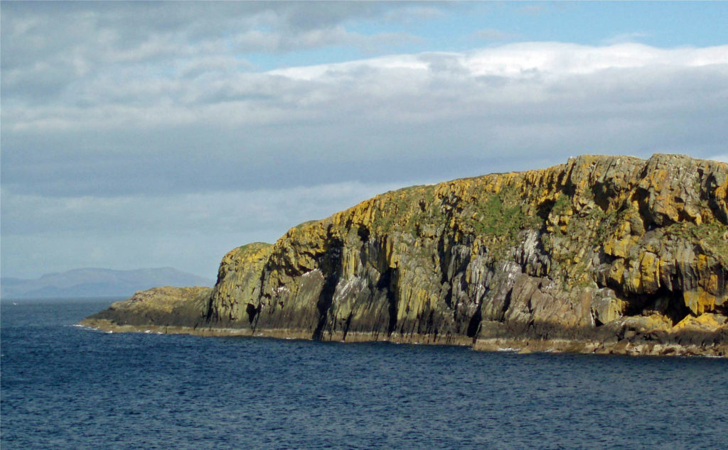
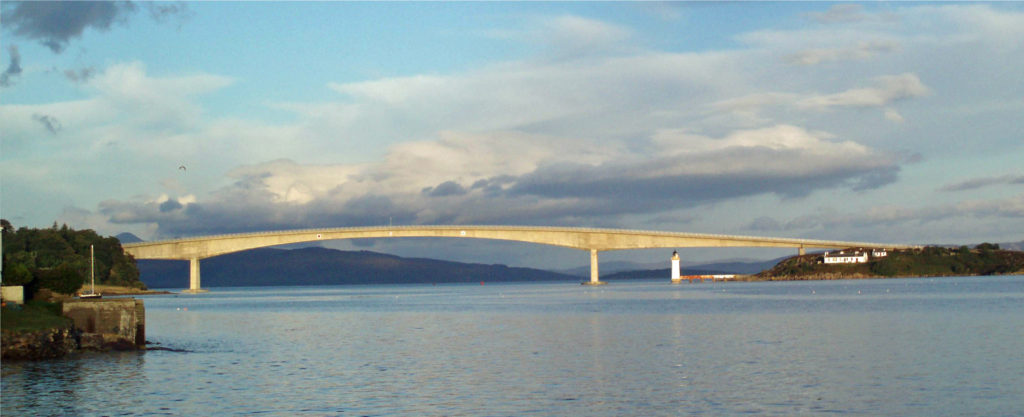
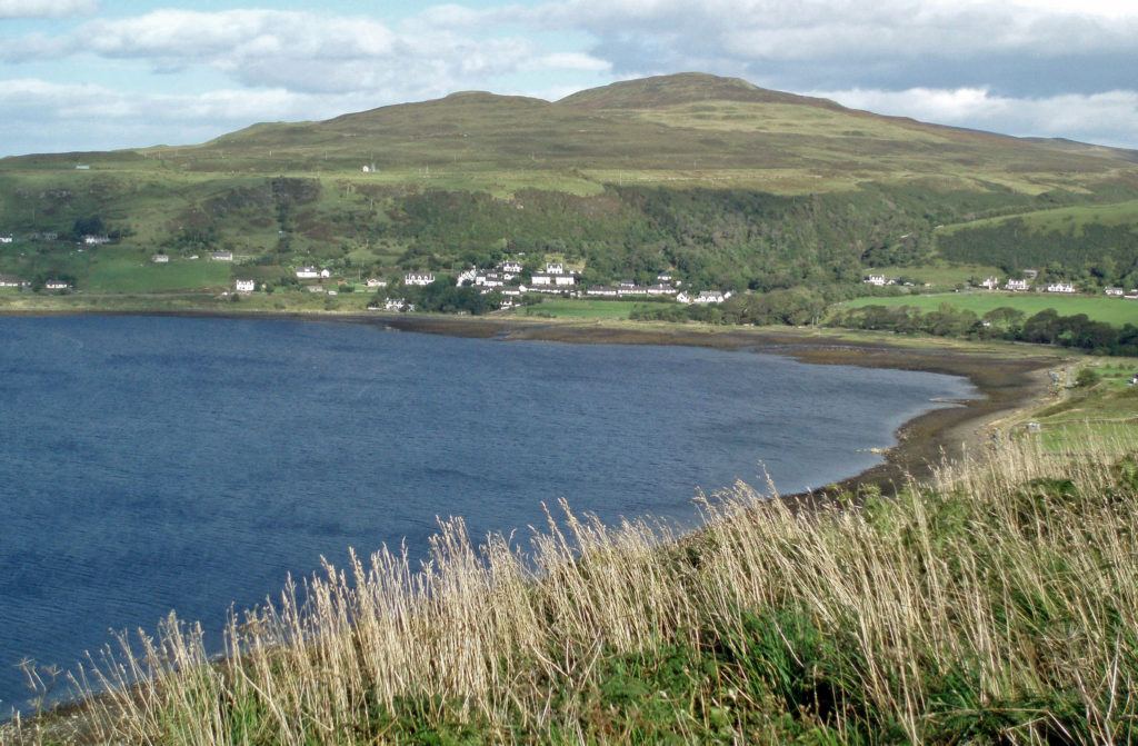
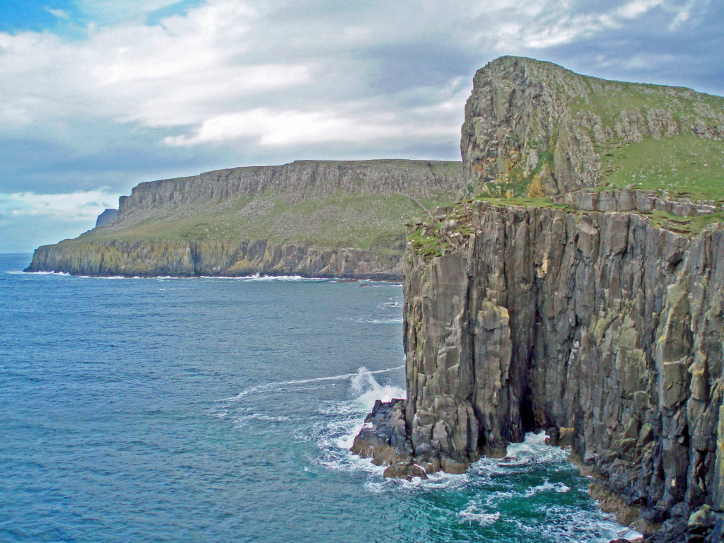
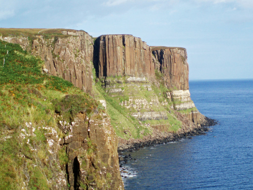
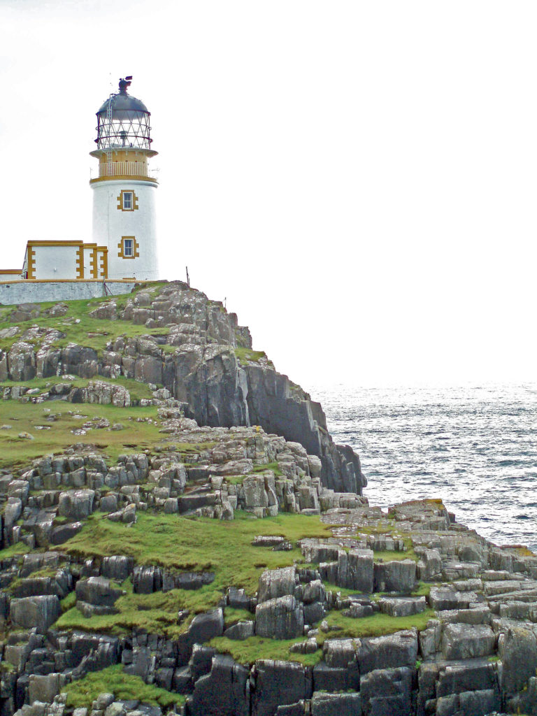
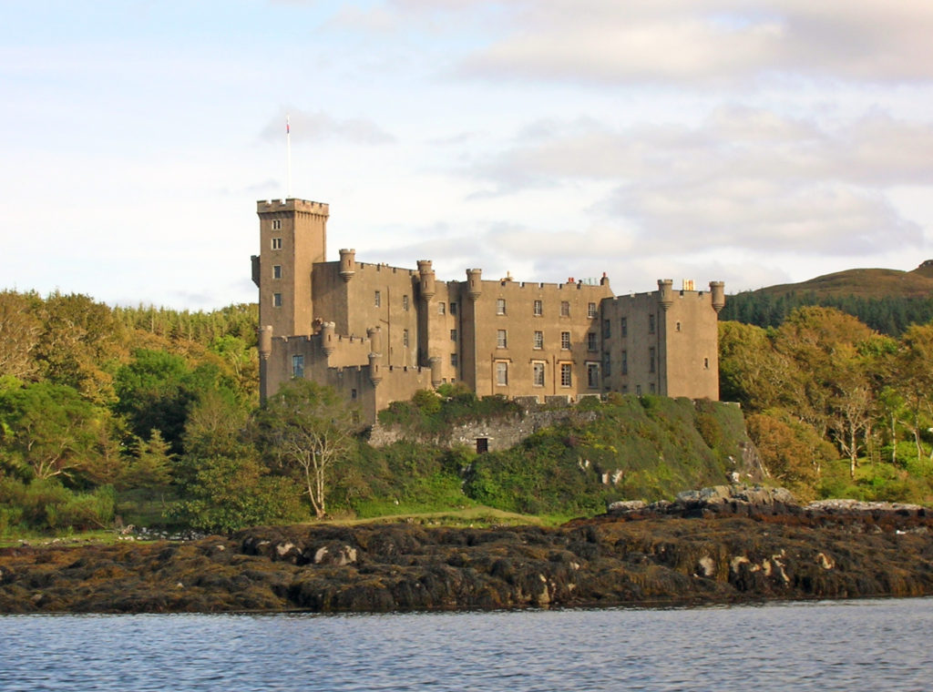
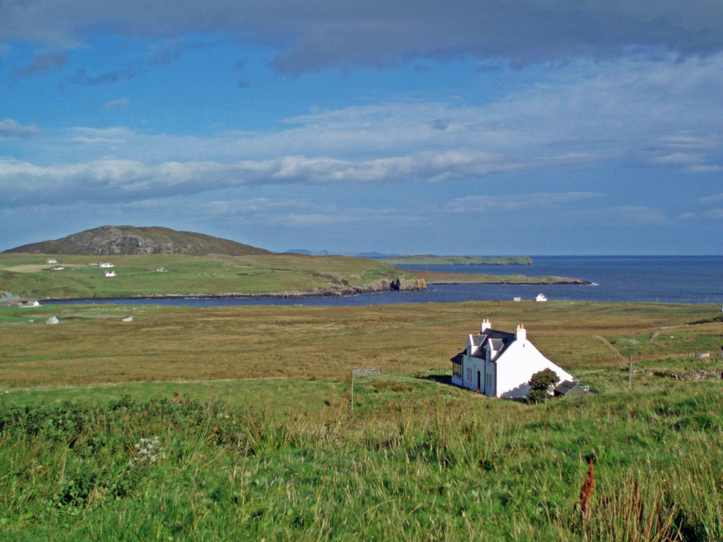
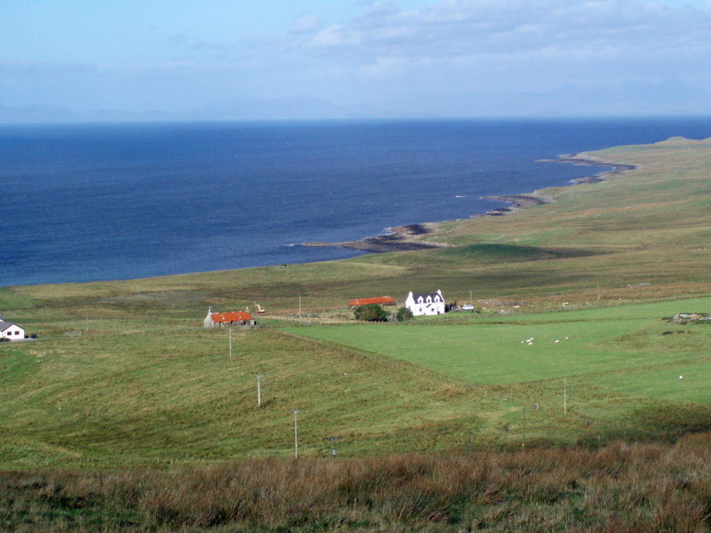
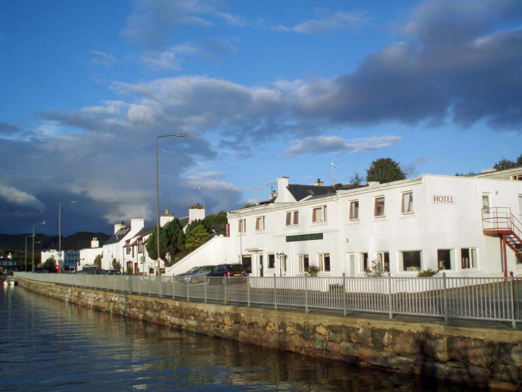
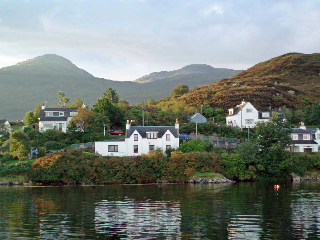
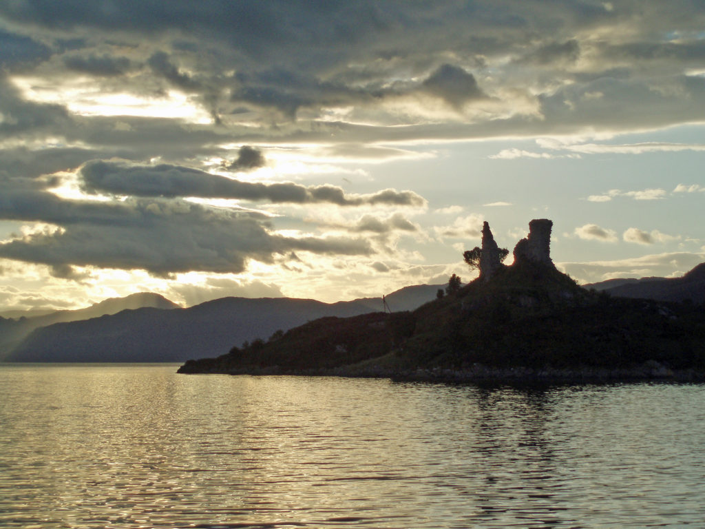
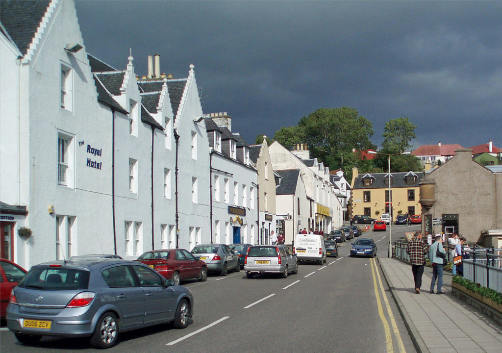
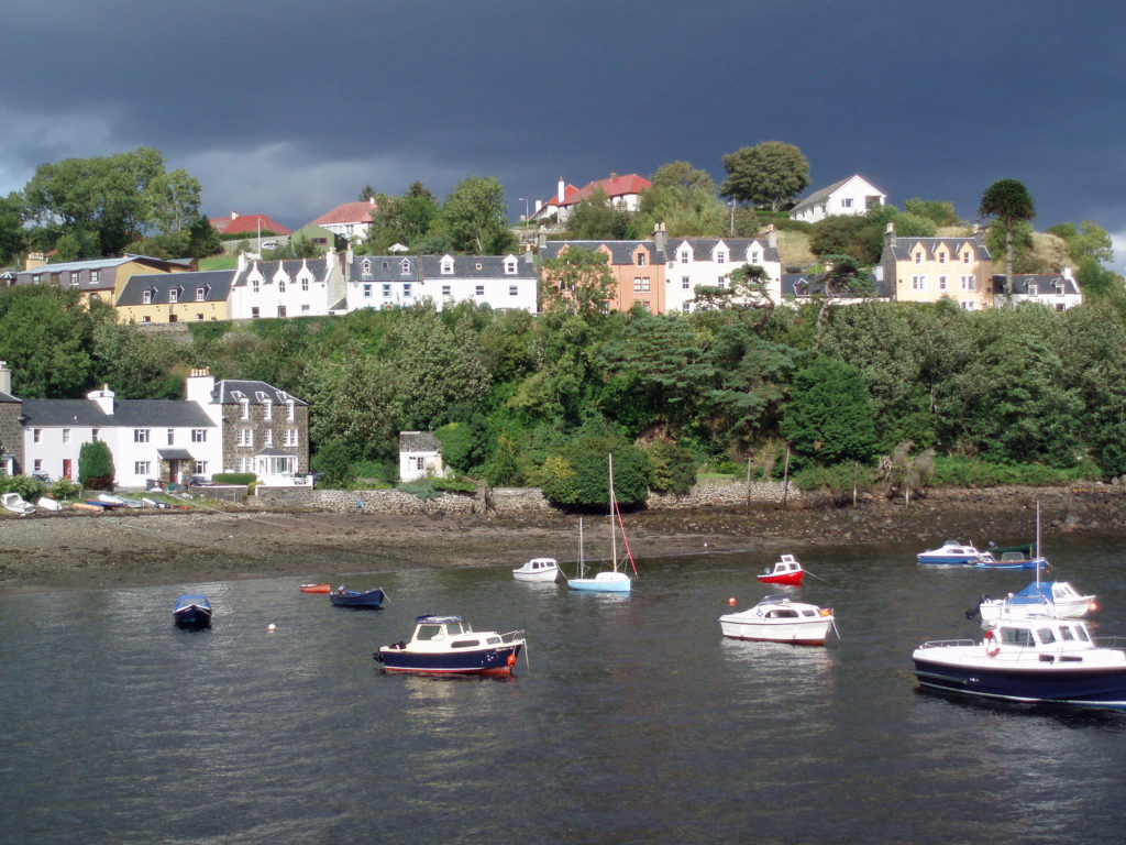
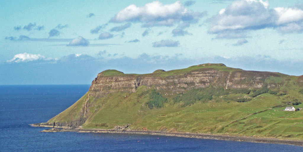 I have no hesitation in recommending the Isle of Skye as a destination that should be on your bucket list. It’s a wonderful place and Scotland as a whole was a great place to start our explorations in Europe. Scotland is both different enough from the U.S. to be interesting and a bit exotic and alike enough to be comfortable and inviting.
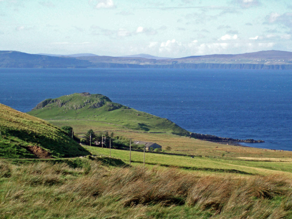
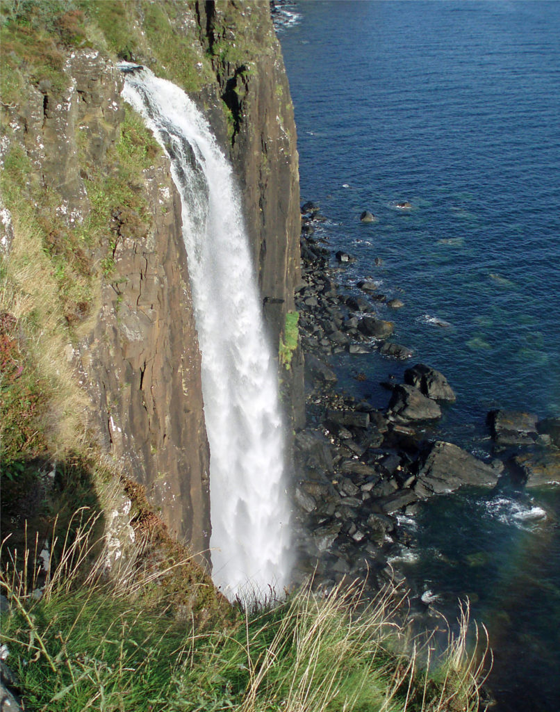
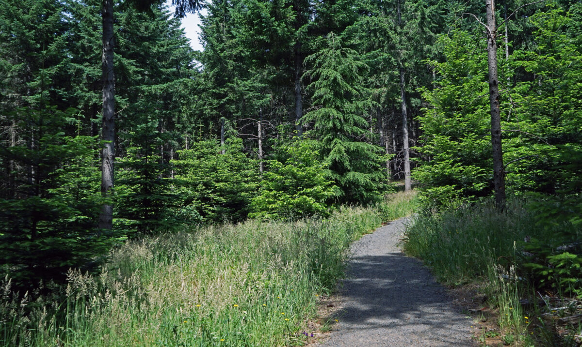
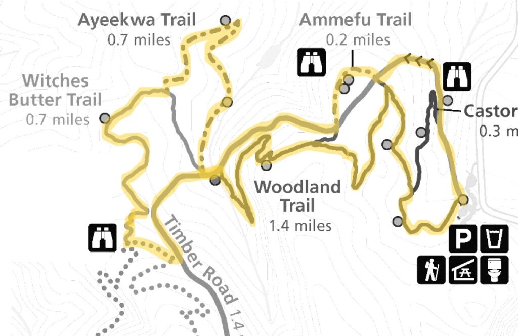 For a map of the entire park, click
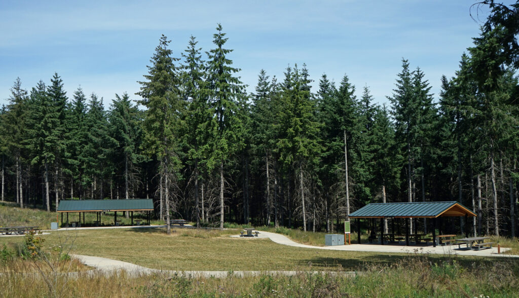
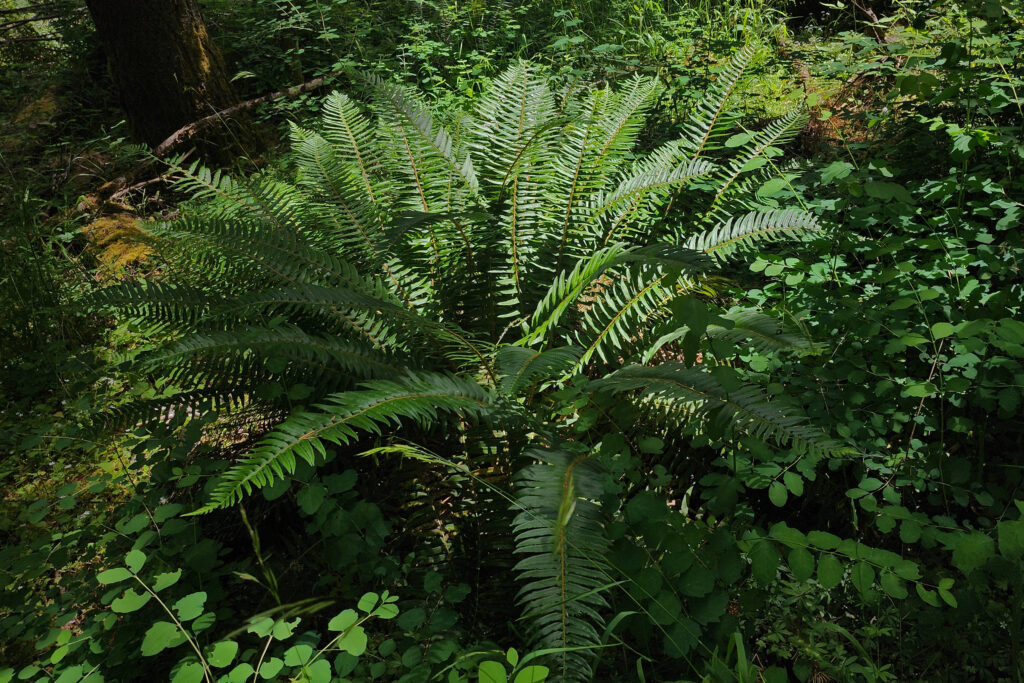
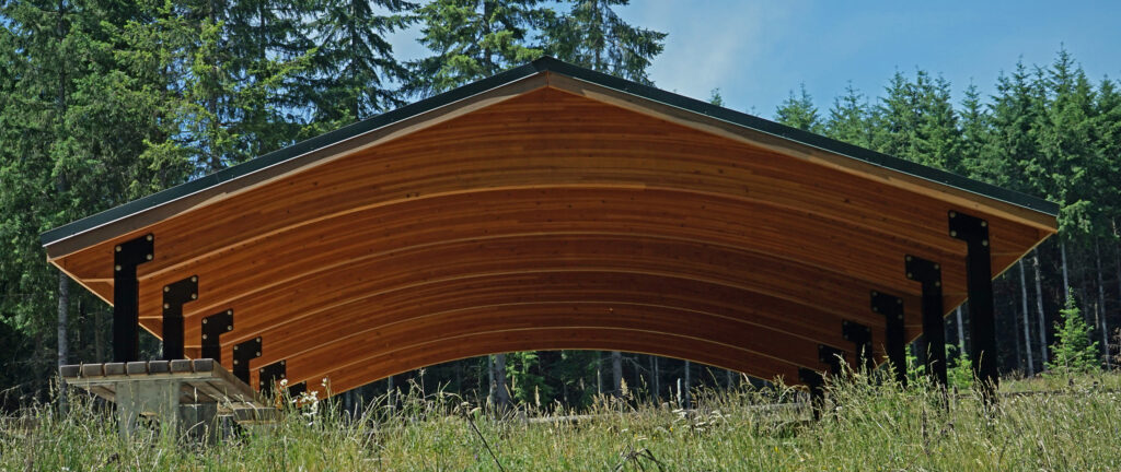
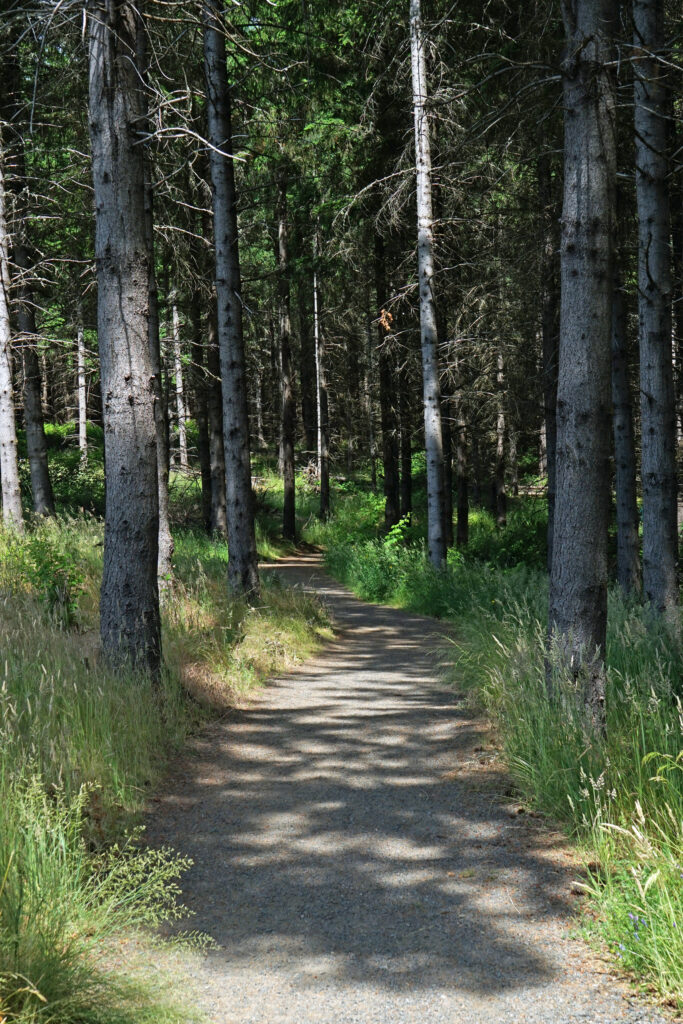
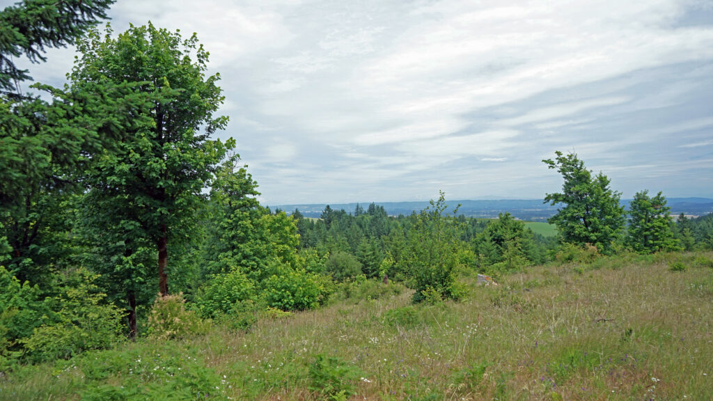
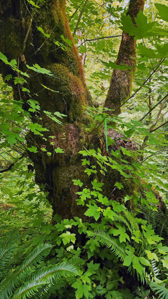
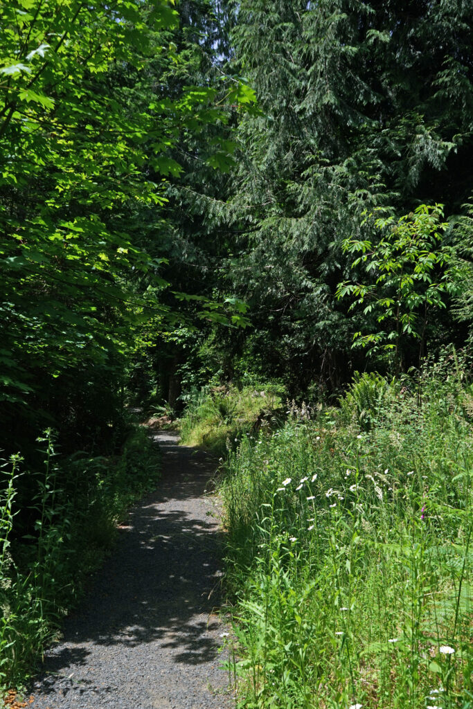
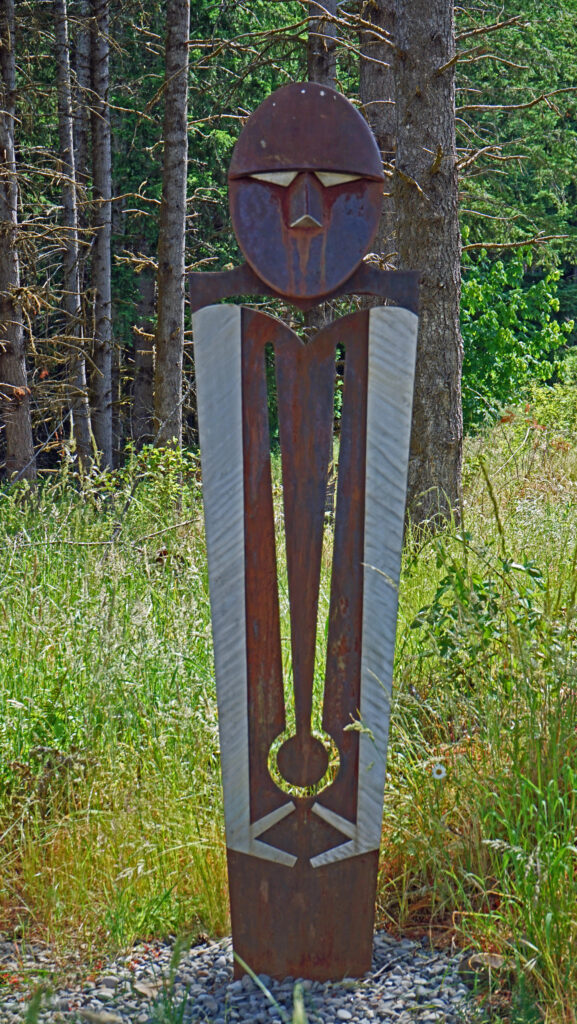
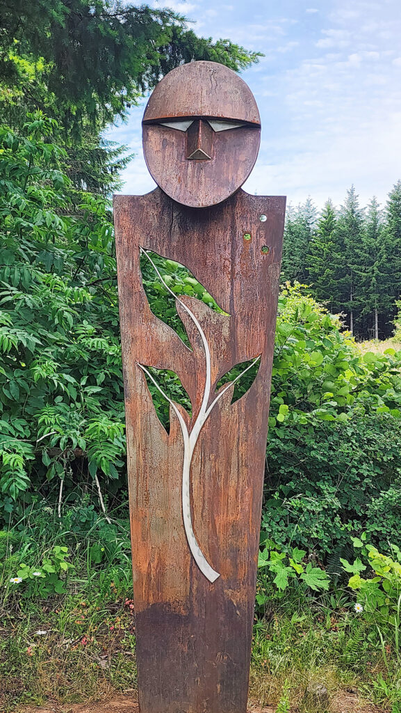
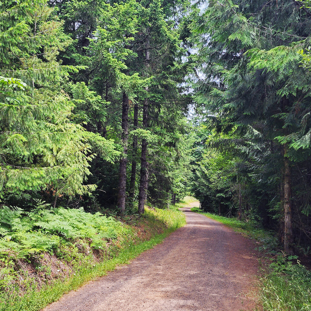
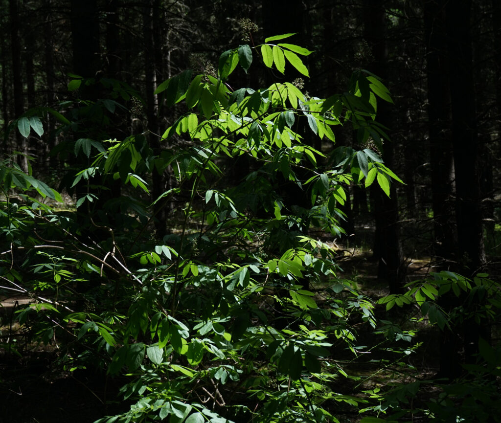
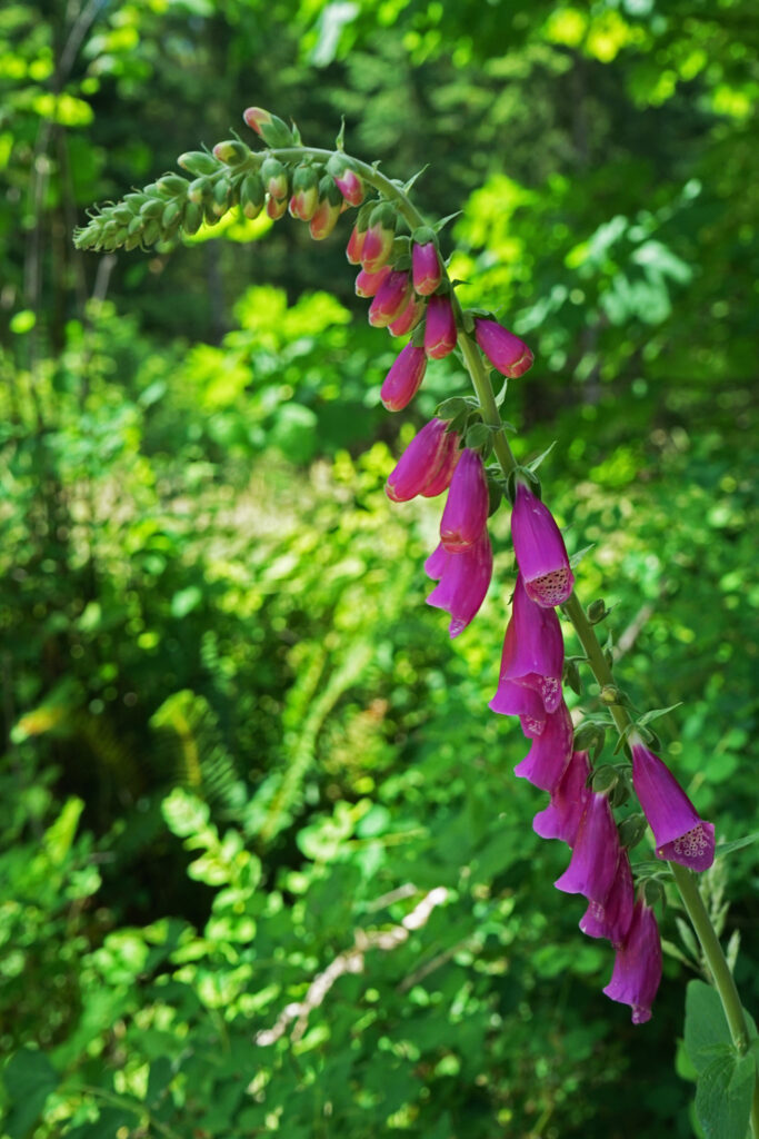 Chehalem Ridge Nature Park is in a rural area with no other close by hiking or biking opportunities, but the west metro area, not far from Chehalem Ridge, has an abundance. Some of my favorite hikes in the area include
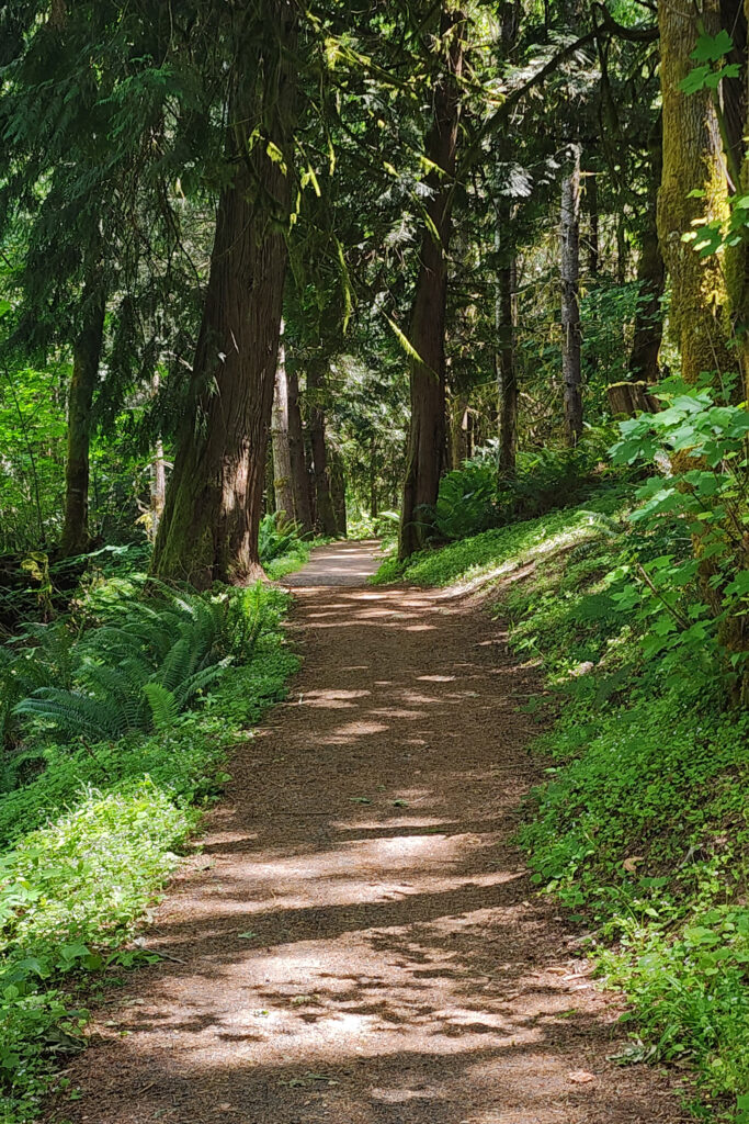
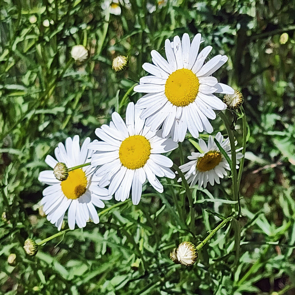
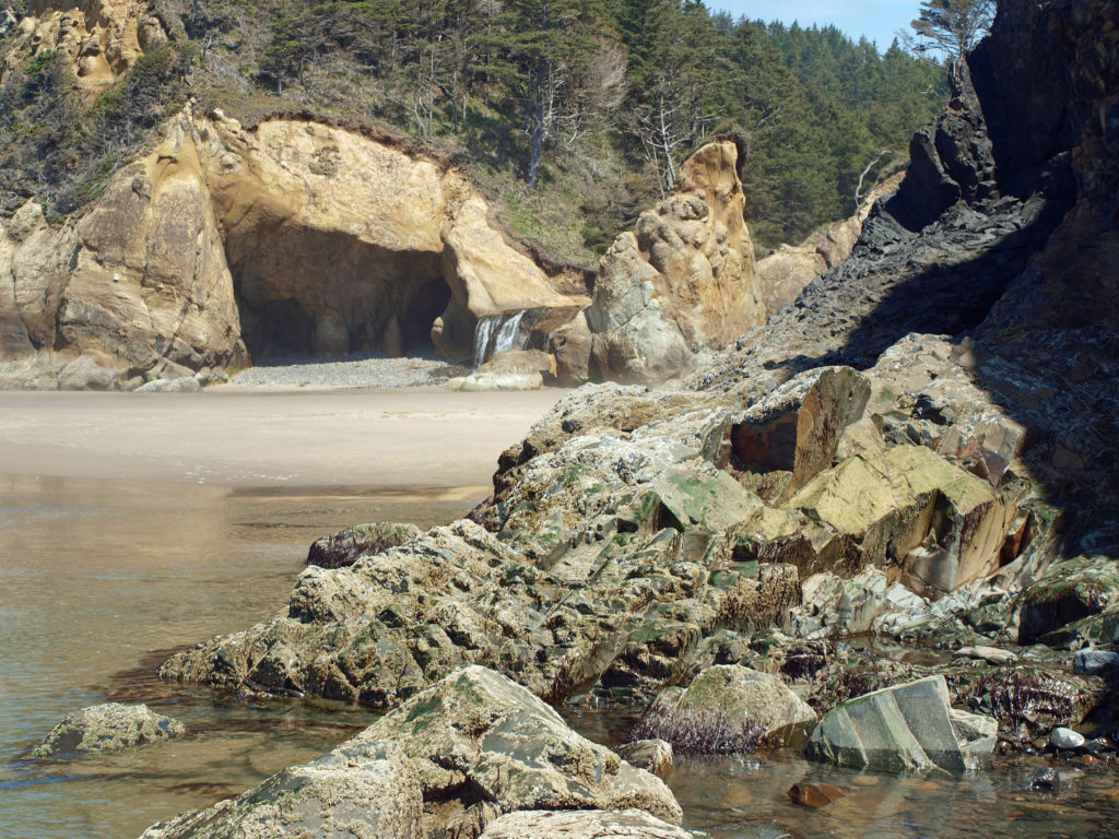
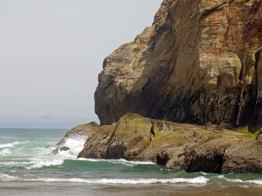
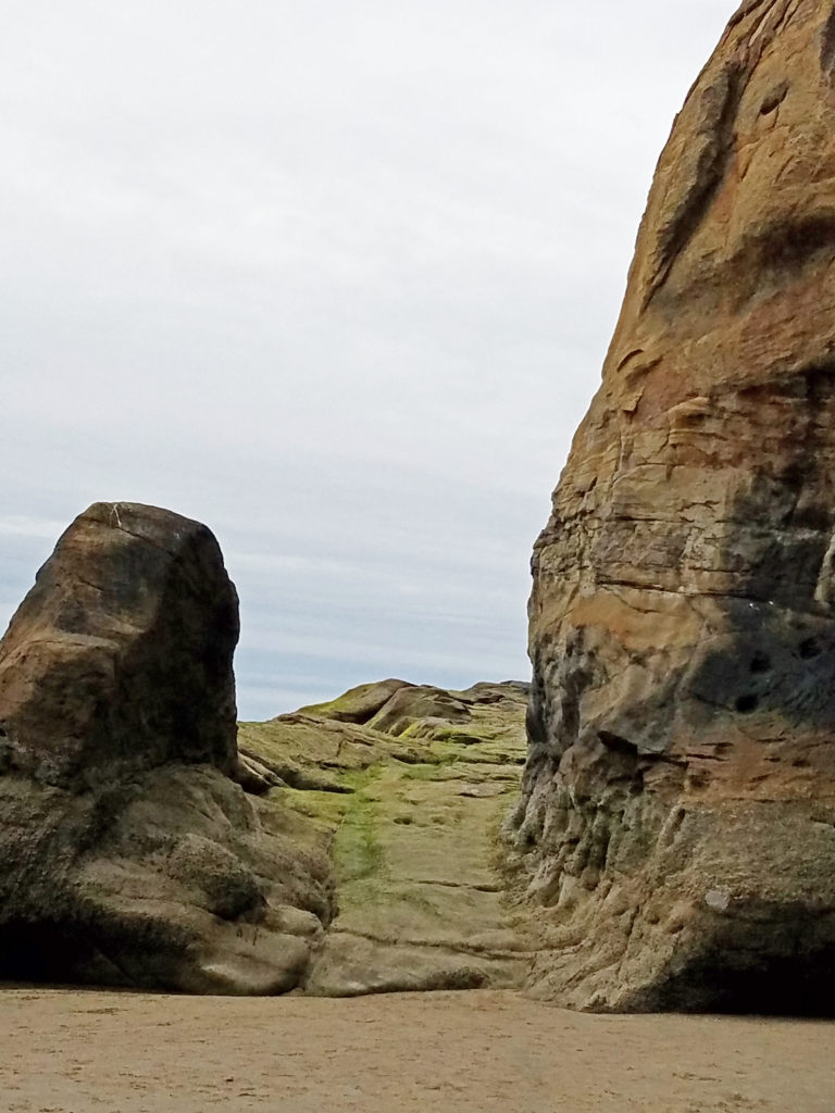
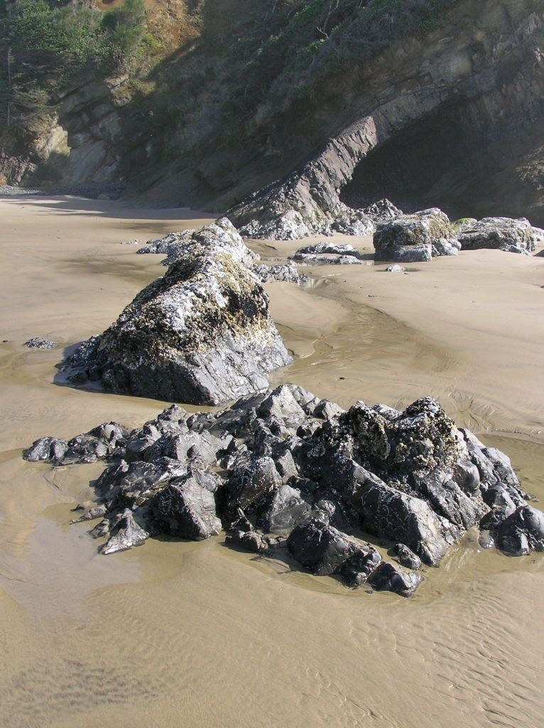
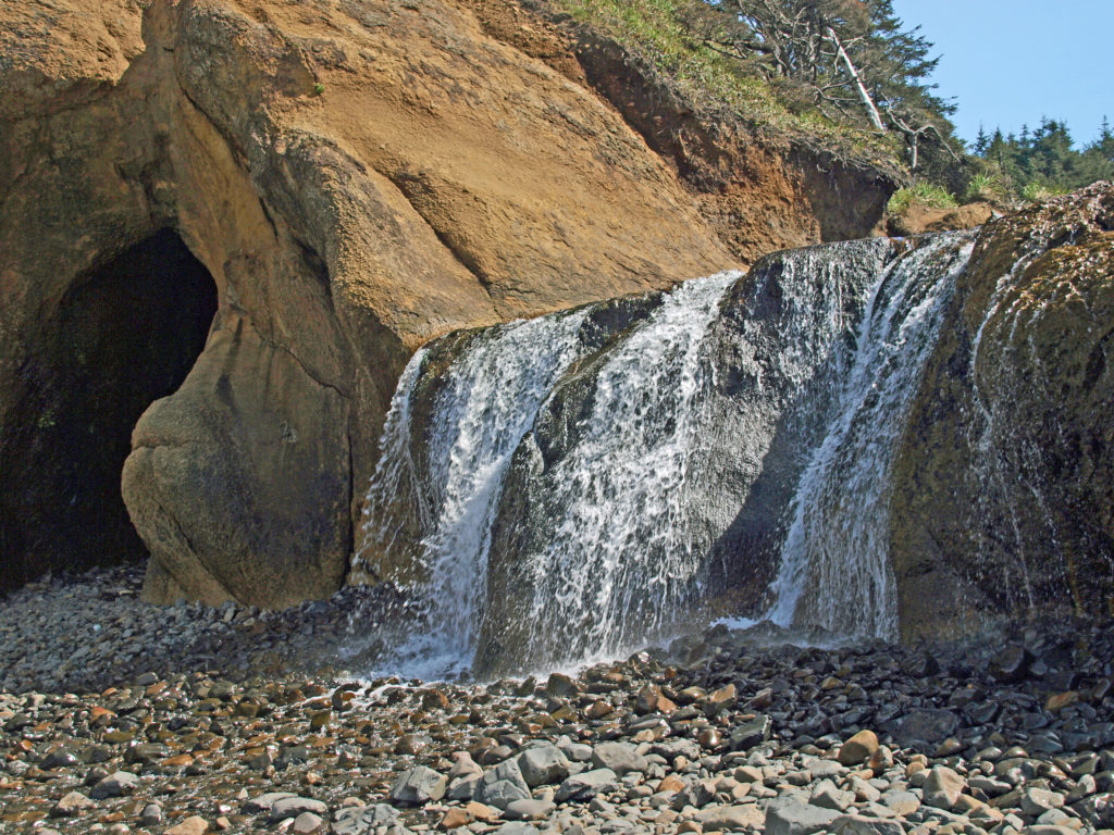
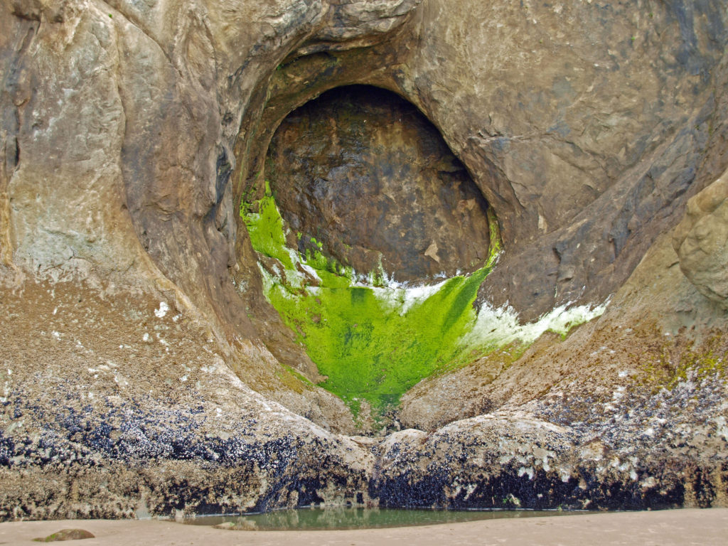
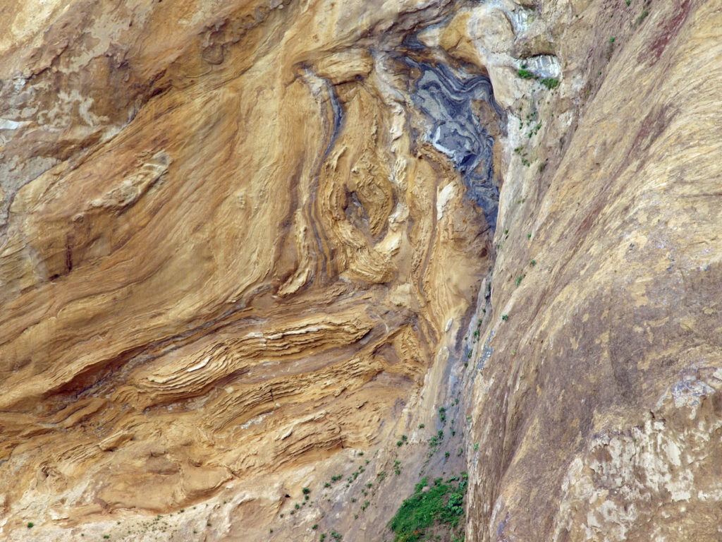 I love the eroded sandstone rock formations found at Hug Point. The layered sandstone of the point has been warped and folded by tectonic processes and eroded by wind and water into fantastic formations. The tidewater rocks are covered in green algae and seaweed, barnacles, and mussels. The rocks, sand, colorful vegetation, waves, and ever changing light make for great photo opportunities.
 Hug Point State Park is located about five miles south of Cannon Beach. The point can also be reached from Arcadia Beach State Park, about a mile to the north. It’s an easy day trip from the Portland area, but there many other attractions in the area, so many visitors spend a weekend or longer in the area.
 The nearby towns of Cannon Beach, Seaside, and Manzanita all have numerous motels, BNBs, and other accommodations, as well as many restaurants and cafes serving fresh seafood and other locally sourced foods.
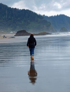
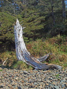
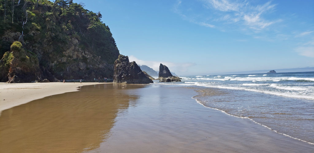
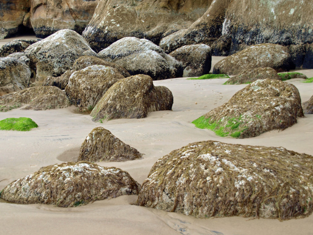 One note of caution, though. If you go, pay attention to the tides. The waterfall and caves that draw most of the visitors to Hug Point State Park are nestled between Adair Point, immediately north of the beach access, and Hug Point itself. At high tide it can be difficult or impossible to get around these two points, so it is possible to get trapped between them.
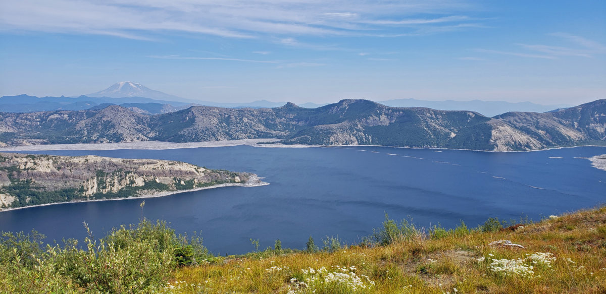
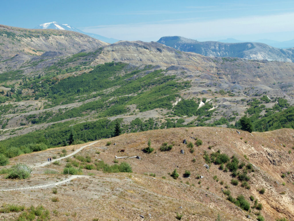
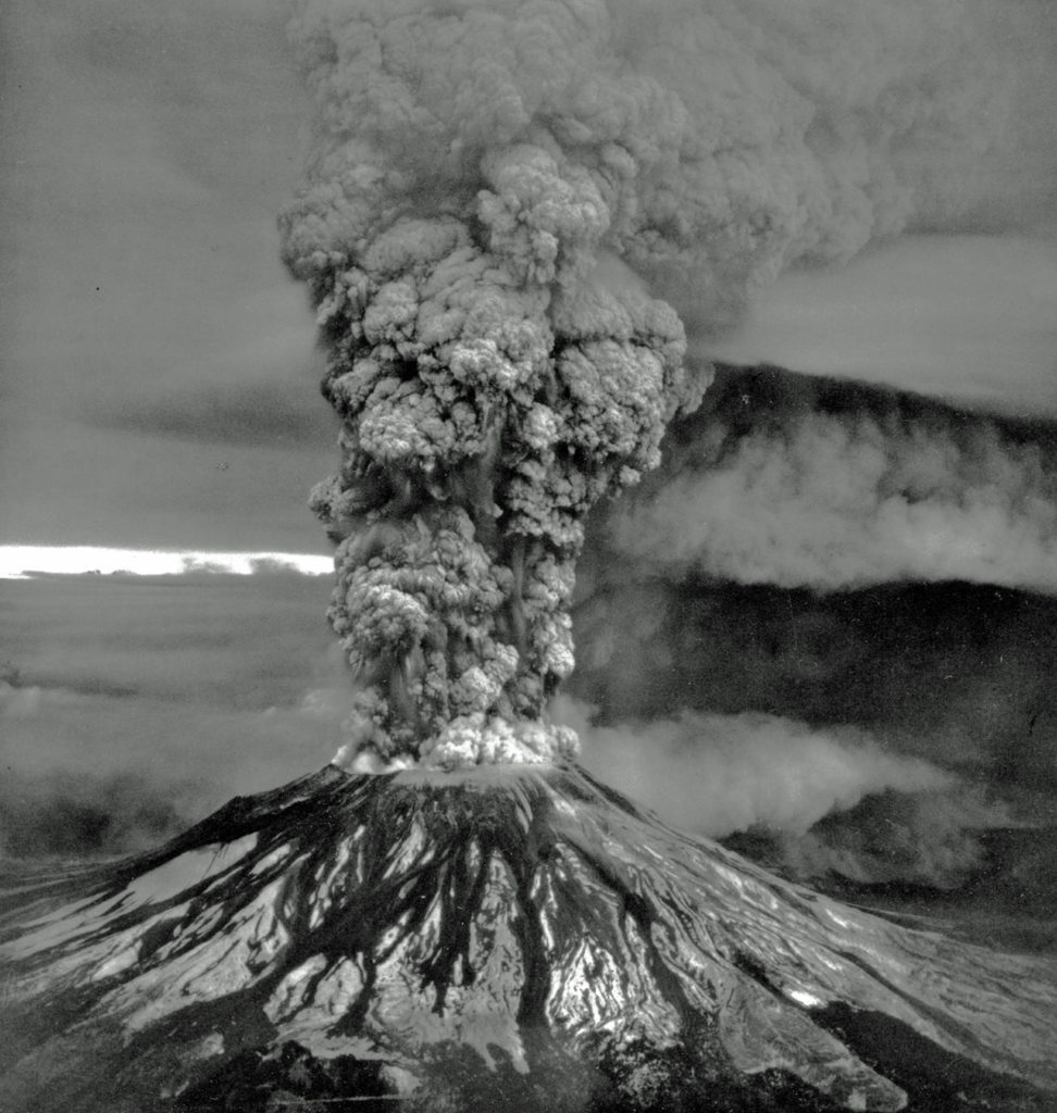

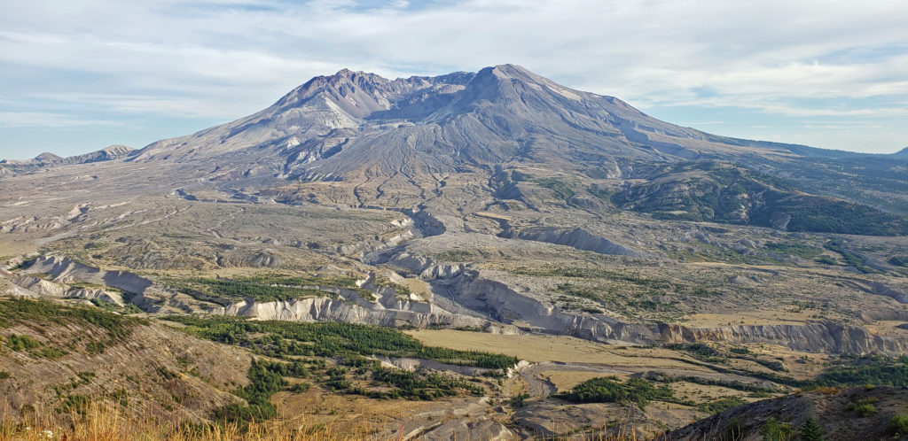
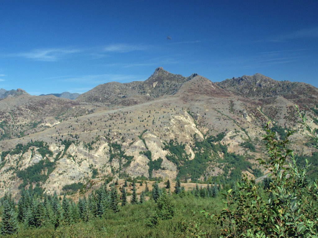
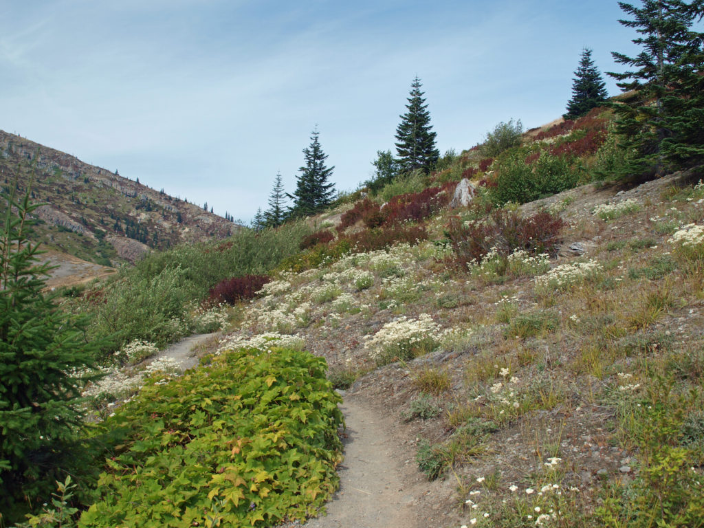
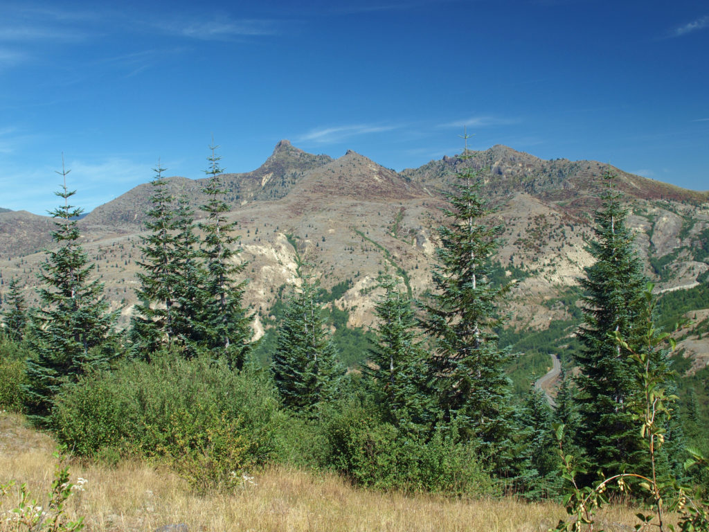
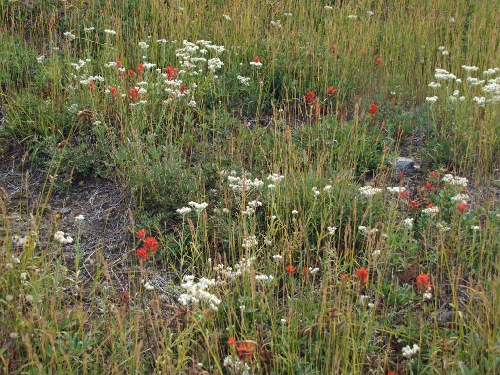
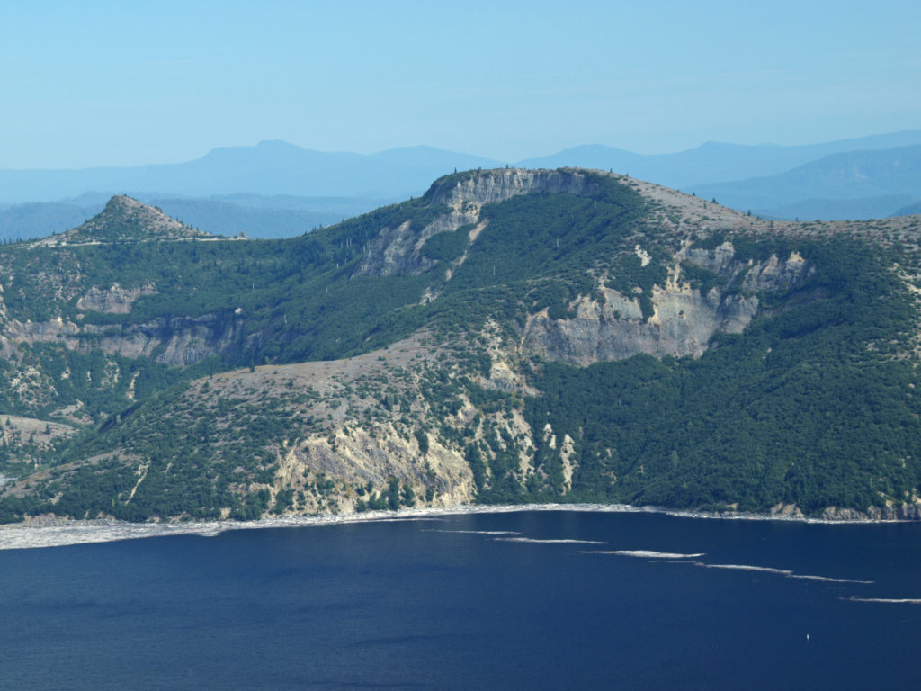
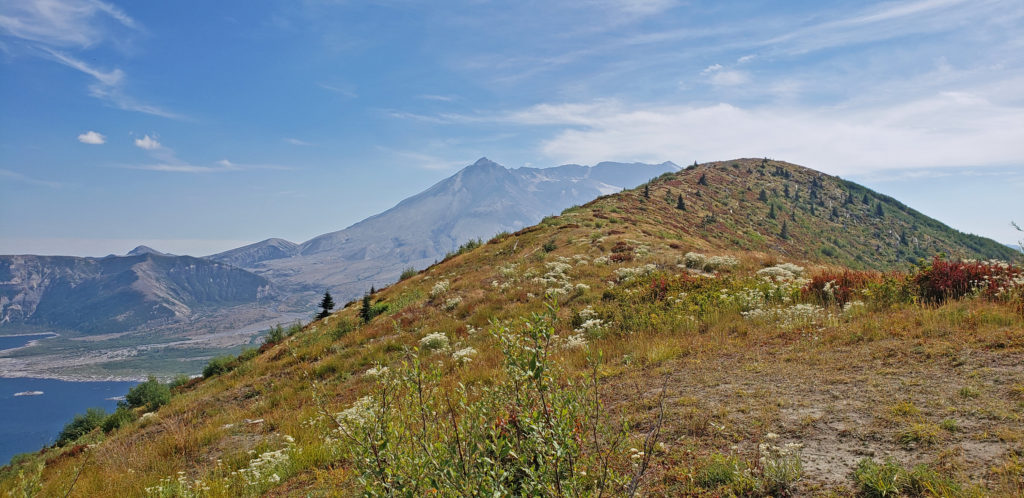
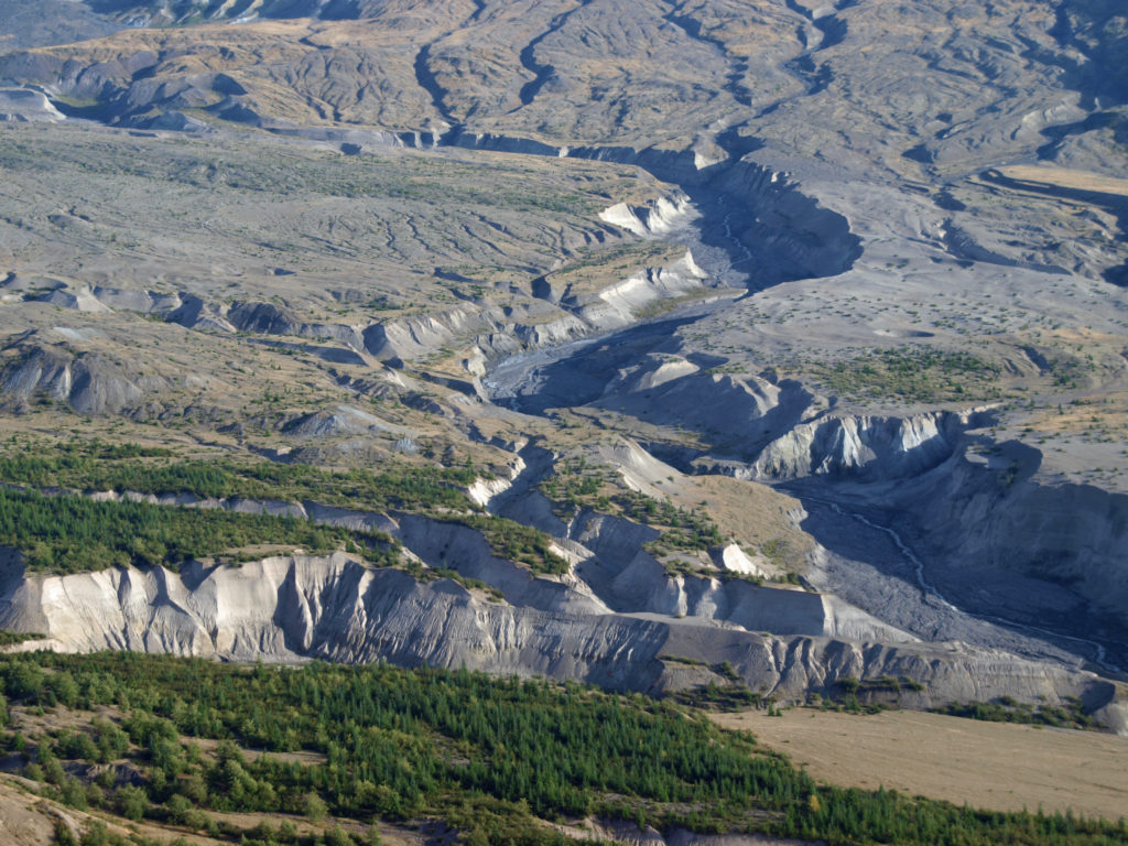
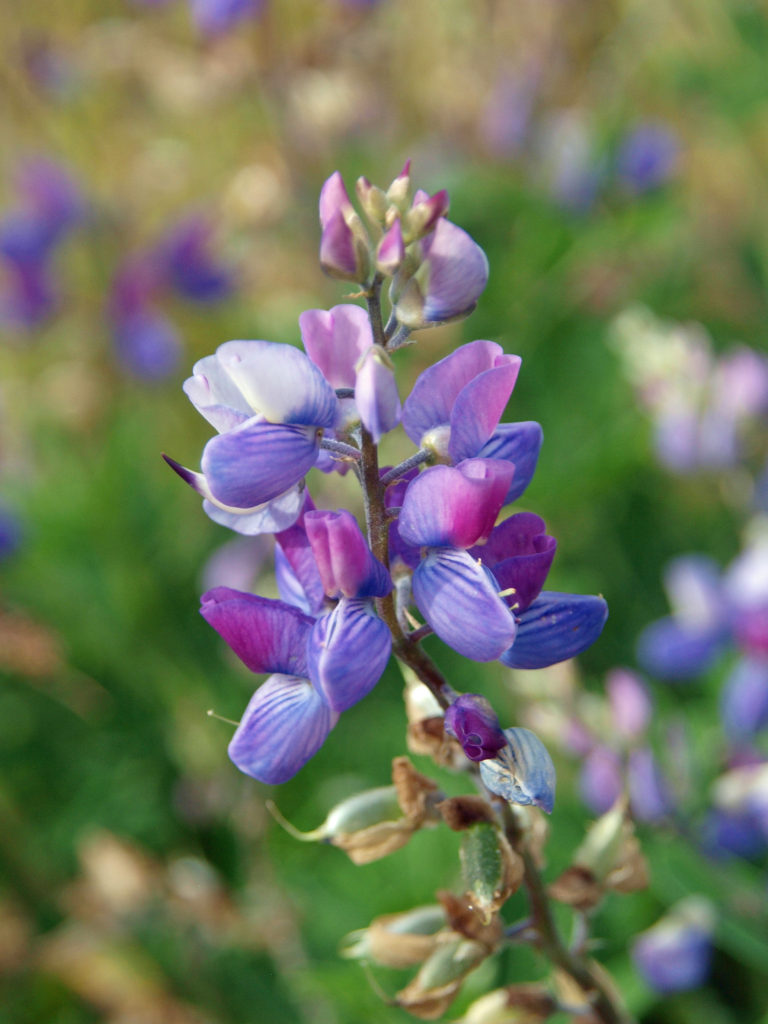
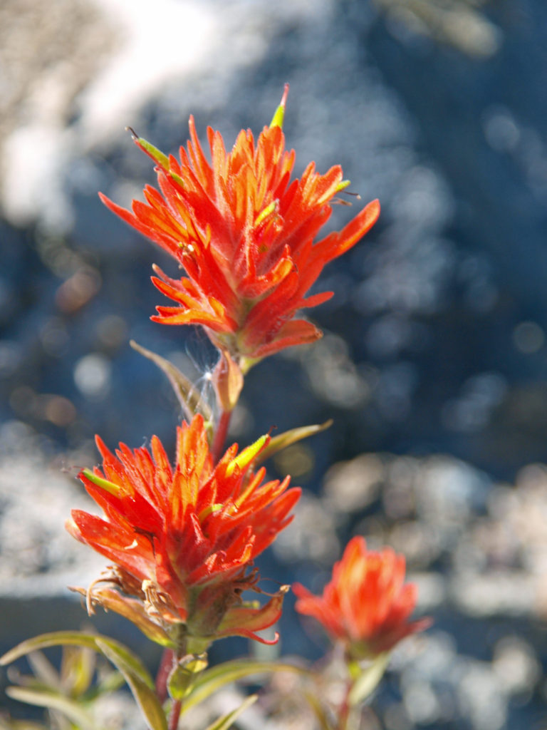