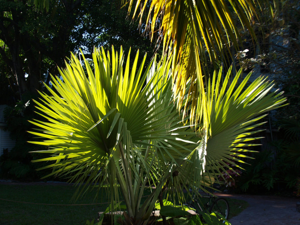
New Orleans. NOLA. The Big Easy. No matter what you call it, and no matter where your interests lie, the city has something for you. Food, drink, music, art, history, architecture, parks, festivals, cemeteries, voodoo, river boats, streetcars, endless parties, you name it. New Orleans has it all. In abundance.
The city’s identity has been forged from many roots – French, American, African American, Native American, Haitian, and more. And those roots have produced many branches and have blossomed into something truly unique.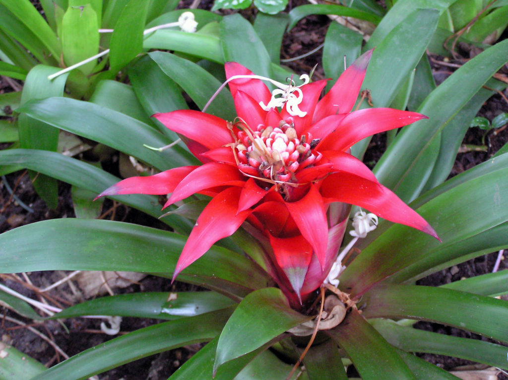
It’s been quite a while since I’ve been to New Orleans, but the ten days or so that my wife and I spent there left an indelible imprint on my psyche. The food, the music, the arts, the people. There is simply no place else like it in the U.S. Probably no place in the world. 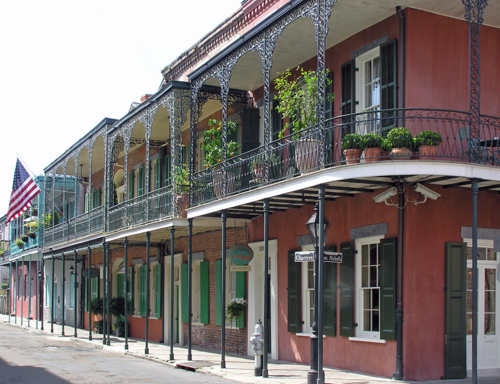
We spent our first day in New Orleans just wandering around the French Quarter with no agenda. We almost always allow ourselves time in a new city just to explore at random. We’ve had many memorable experiences that we would never have had if we had stuck to the guide book recommendations. But don’t throw away the guide books, either. Their recommendations are there for a reason.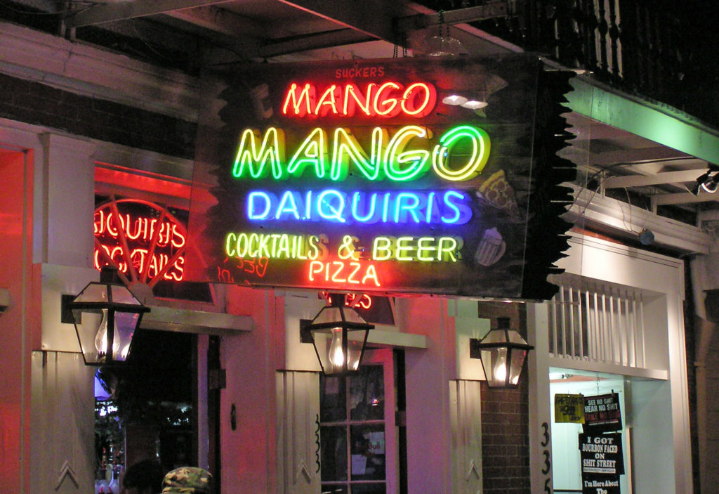
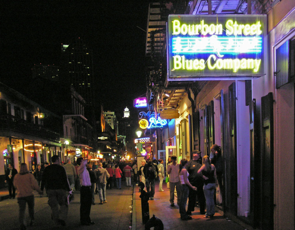
That first night, we wandered over to Bourbon Street to see what that is all about. We had a great time and we came back again another night. And, by all means, if you’re visiting New Orleans for the first time, venture into the French Quarter after dark and take in that giant street party. Get your Hurricane in a go cup and wander the street. Take in some of the live music, mingle with the other tourists, have another Hurricane, dance the night away. Get it all out of your system. But don’t think that’s the real New Orleans. Bourbon Street is the Disneyland version of the Big Easy.
 So, how to experience the real New Orleans? Well, you probably have to spend a year or two there to really get to know the city. It’s a complex place. But if you don’t have that kind of time, my first recommendation would be to find a place to stay in the French Quarter. It’s the historic center of the city and the city’s cultural heart. Most of what you’ll probably want to see and do you’ll find either in French Quarter itself or close by.
My wife and I stayed at a boutique hotel (I’ve forgotten its name) near the river, across the street from the House of Blues, for the first part of our stay. As I recall, it was a very nice and quite affordable place. But after a few days there, the hotel had some sort of plumbing system problem, necessitating our move to the Hotel Monteleone on Royal Street for the second part of our visit. The Monteleone turned out to be one of the better hotels we’ve stayed in, but there are plenty of other places to stay in the French Quarter. Check the French Quarter website for recommendations.
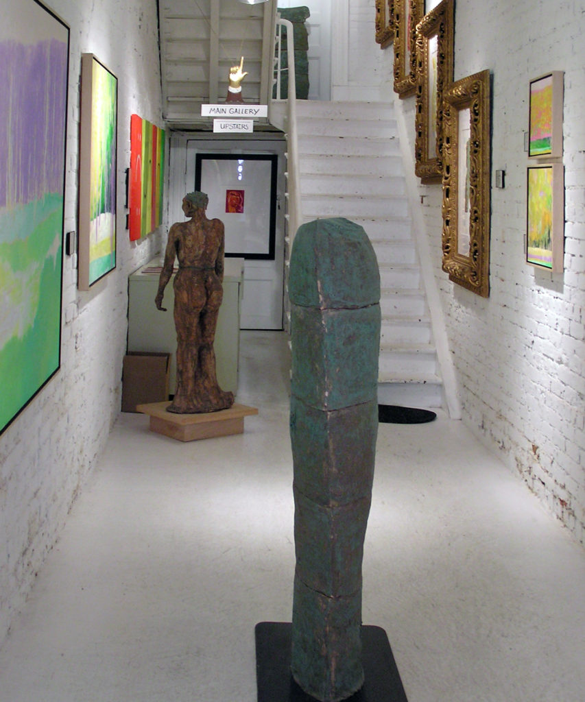
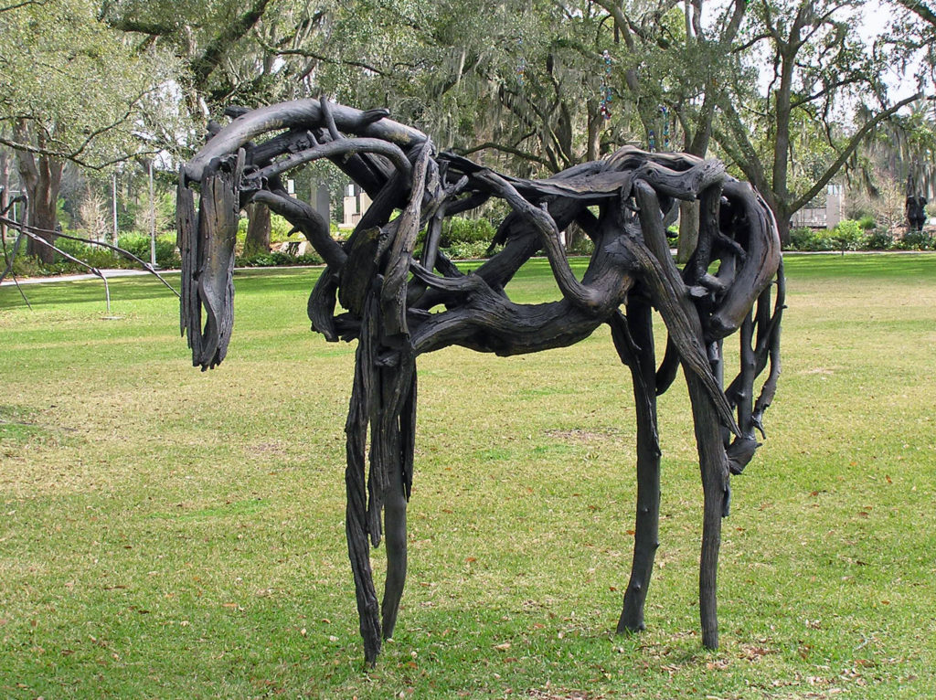 Since my wife and I are both art lovers, another thing that we always do in a new city is spend at least some time exploring the local arts scene. Sometimes that just entails visiting local museums and art galleries. But we also seek out local artists and art related events when we can. The New Orleans Museum of Art , located in City Park, and the adjacent Besthoff Sculpture Garden were two of our first stops, along with a number of galleries in the French Quarter. But we also took in an arts and crafts fair in Mickey Markey Park in the Bywater neighborhood, about a mile east of the French Quarter, where we met several local artists.
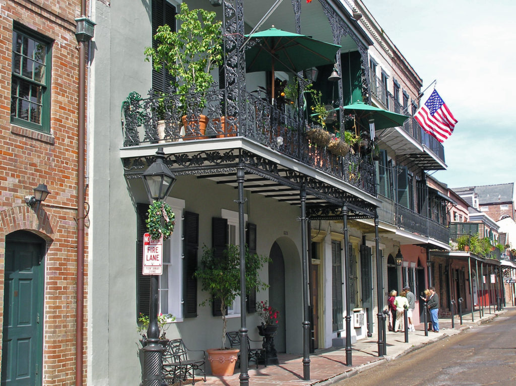
I won’t spend much time here trying to give you a guide to the French Quarter. There are plenty of guide books and online guides that will do a better job than I can. But there are tons of things to see and do in the Vieux Carre and you could spend your entire visit there and not get bored. Plan to spend at least a full day, and preferably a couple of days, exploring the French Quarter on your visit.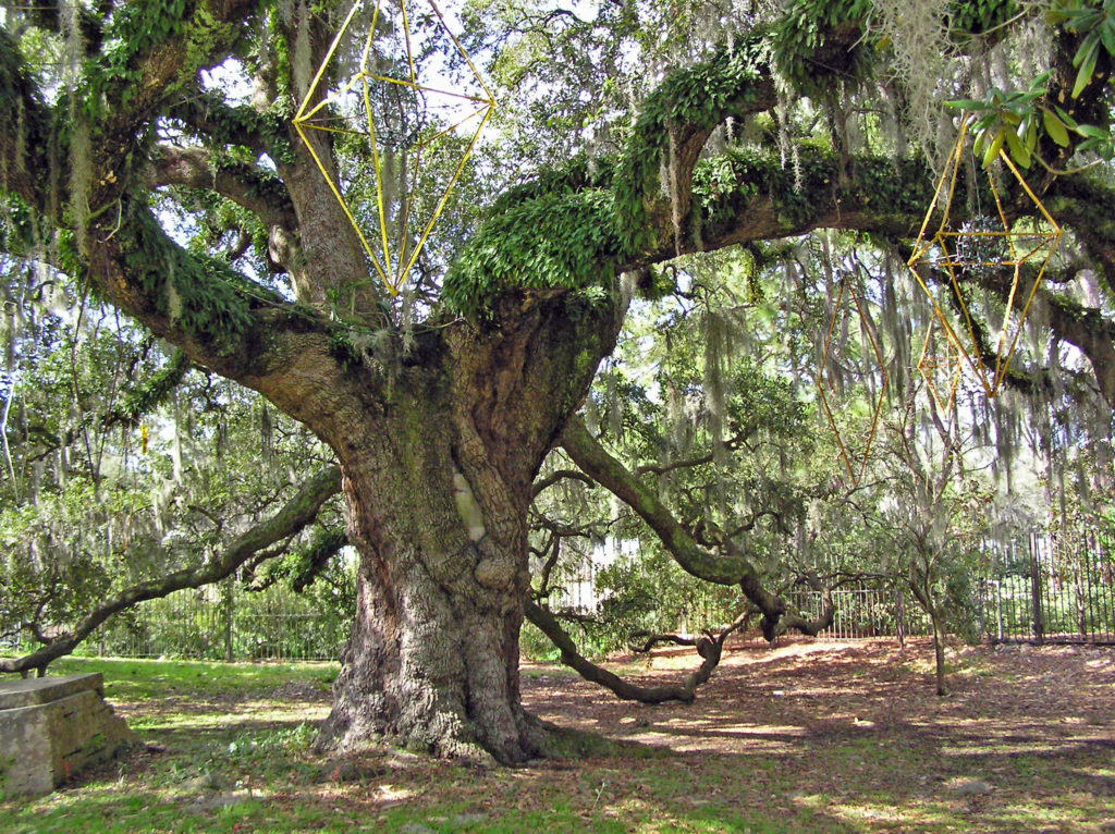
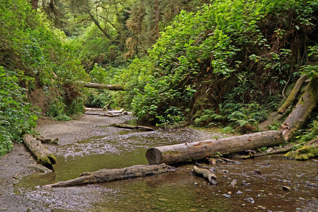
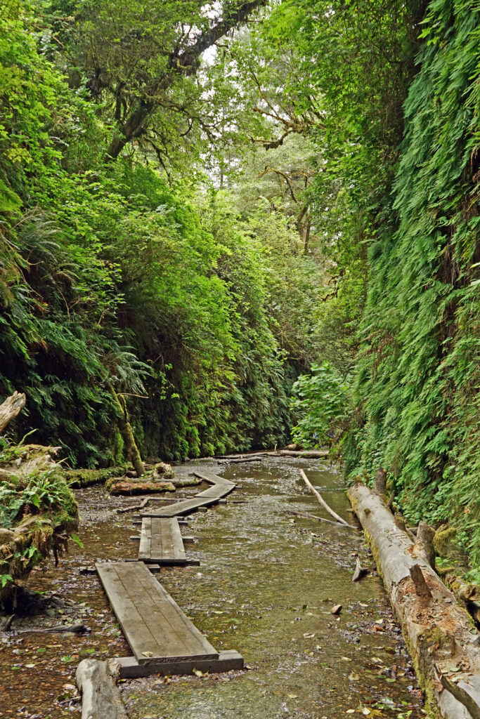
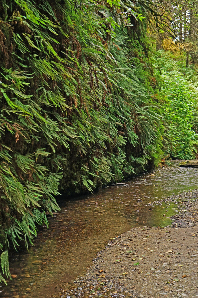
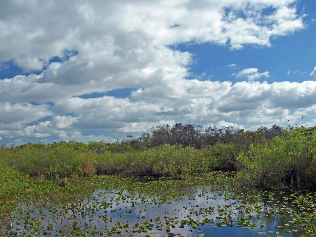
But if you really want to sample what New Orleans has to offer, and have the time, I recommend that you also go beyond the French Quarter. Visit City Park and Audubon Park. Take a walk through the Garden District. Take the ferry across the river to the Algiers neighborhood. Visit one of the city’s famous cemeteries. Take a cruise on the Mississippi in a paddle wheeler. Check out the Treme and Marigny neighborhoods. Even go beyond the city itself and take a swamp tour or a plantation tour.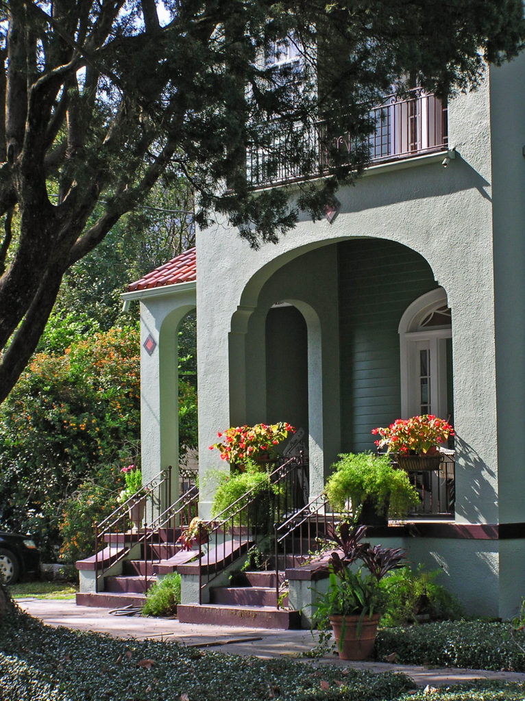
We spent one afternoon exploring the Algiers neighborhood across the river from the French Quarter. Take the ferry from the terminal at the foot of Canal Street. It’s a short but scenic ride and Algiers is an interesting place. Check out the Jazz Walk of Fame next to the ferry terminal. Take a walk along the levy on the Mississippi River Trail. Stop in at one of Algiers many restaurants and bars, such as the Dry Dock Cafe, the Old Point Bar, Tout de Suite Cafe, or the Crown and Anchor English Pub. And just walk around the neighborhood. As I said, it’s an interesting place, full of beautiful old houses and impressive buildings.
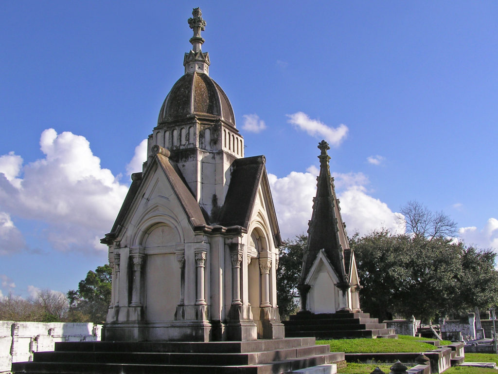
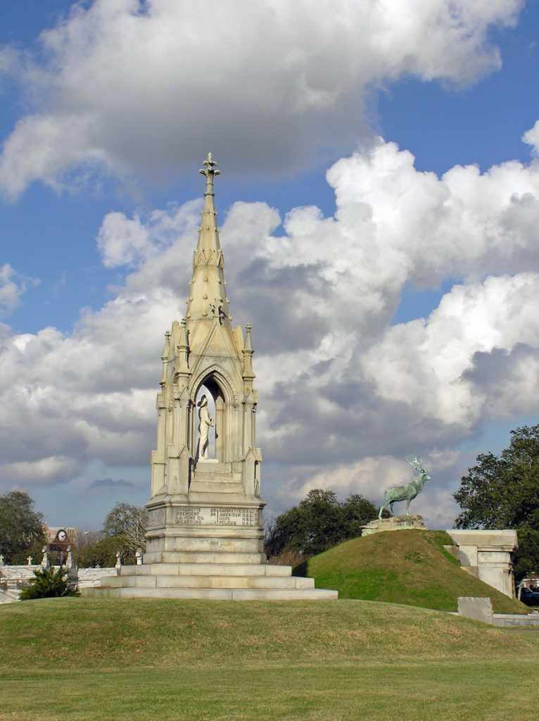 Touring one of the city’s many cemeteries turned out to be one of the more interesting things we did on our visit. Because the land New Orleans is built on was originally a swamp, and much of it is below sea level, the dead are not buried in the ground, but are interred in above ground crypts or tombs.
 When we were there, we were warned that some of the cemeteries were dangerous places to visit and should be avoided. That may have changed, but check before you venture into any of the city’s cemeteries. There are organized cemetery tours that you can take, but we preferred to go on our own. One of the cemeteries that was said to be safe, and the one we visited, was St. Patrick Cemetery No. 1, on Canal Street near the end of the streetcar line.
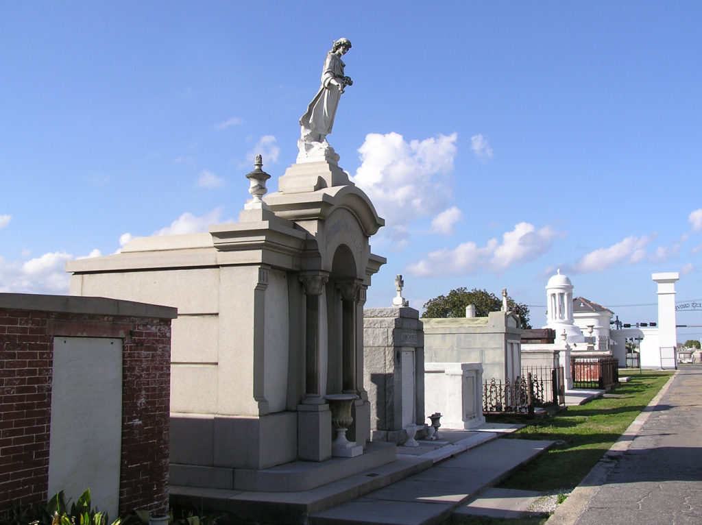 Many of the tombs there are large, elaborate, and impressive, holding the remains of many generations of the same family. The larger and more ornate ones are generally well kept up, but many of the others have not been maintained and are crumbling. Many are just ruins, empty and abandoned. One has to wonder what became of the bodies.
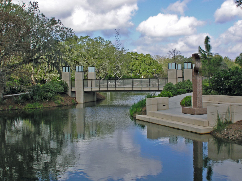
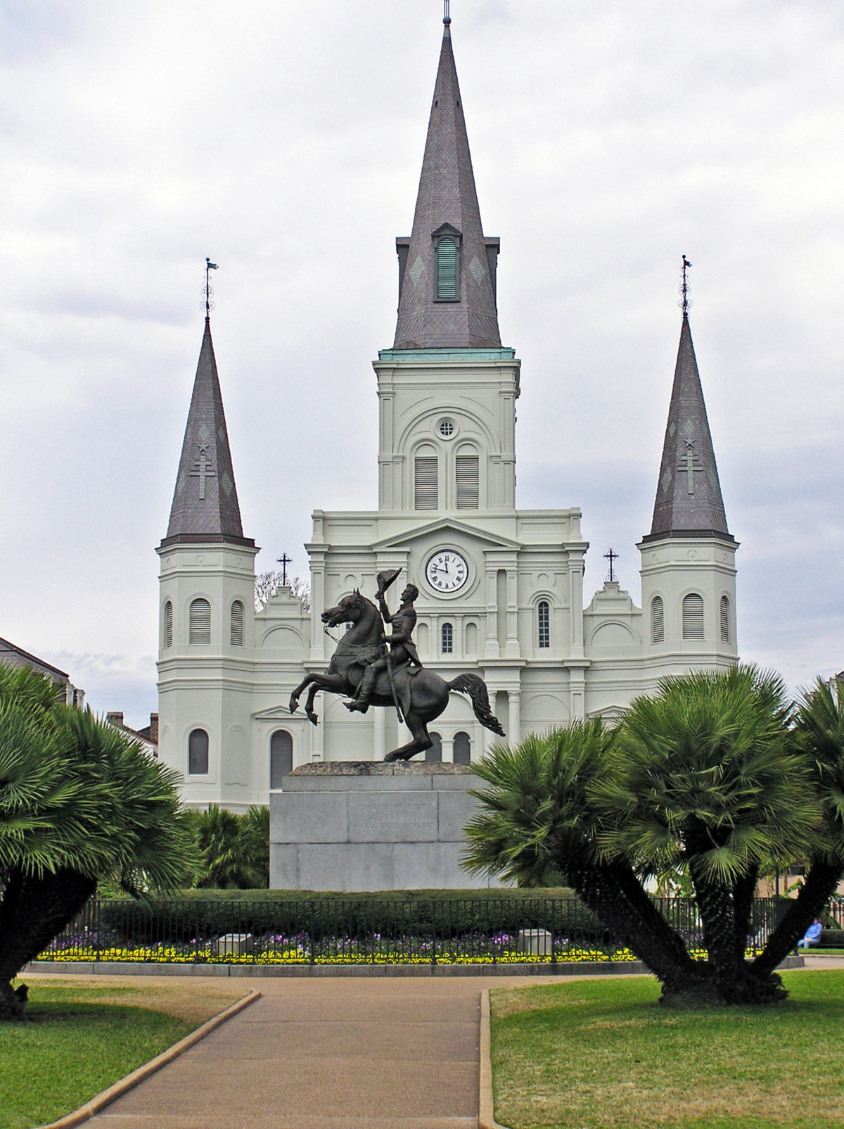
Visiting some of the city’s parks also turned out to be one of the more worthwhile ways we found to spend our time. There are a number of parks in the city that are worth a visit. Jackson Square in the French Quarter, and Louis Armstrong Park, on Rampart Street in the Treme neighborhood adjacent to the Quarter, should be on everyone’s agenda.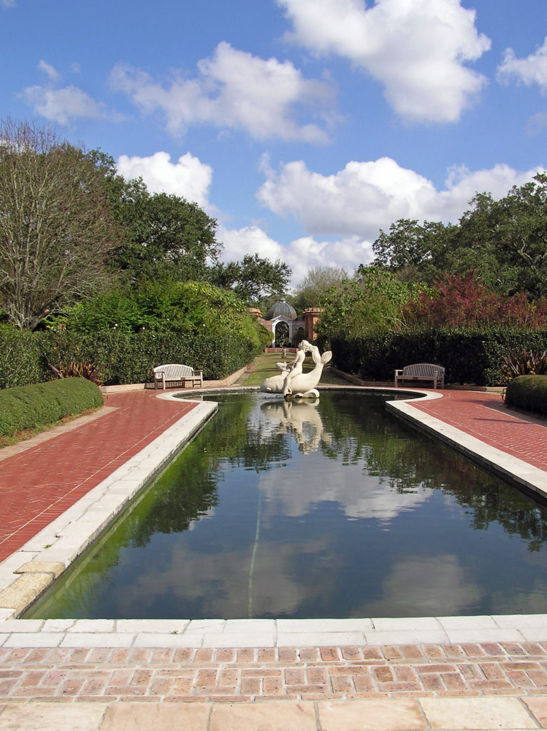
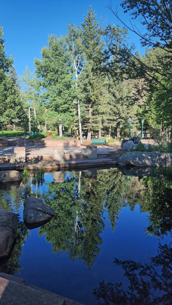
City Park , about two miles north of the French Quarter, and Audubon Park, a couple of miles west of the Quarter, both have attractions for the whole family. Besides being home to the New Orleans Museum of Art, City Park is also home to the Louisiana Children’s Museum, a short walk from NOMA, and the New Orleans Botanical Garden. And Audubon Park is home to both a zoo and an aquarium. Both parks also feature nature trails, beautiful ponds, magnificent live oaks draped in Spanish moss, and many other attractions. Both City Park and Audubon Park are easily reached from the French Quarter by the city’s streetcar lines.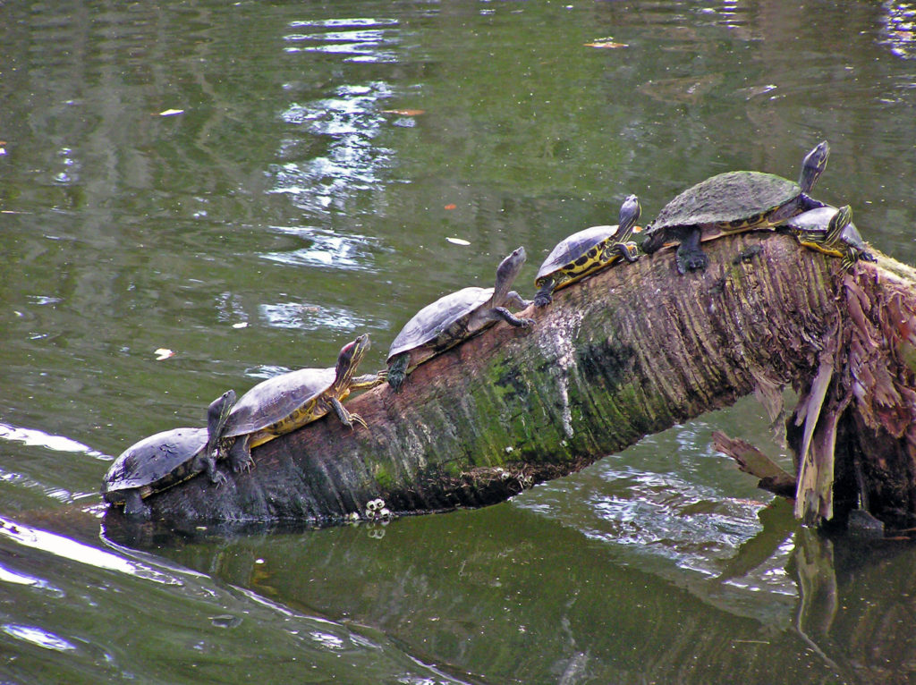
Think of New Orleans and Mardi Gras is probably the first thing that comes to mind. Mardi Gras has been celebrated in Louisiana since at least 1699, before the founding of New Orleans. It is celebrated in many other communities, but the New Orleans festivities are the quintessential Mardi Gras celebrations. We were there a week or two after the end of Mardi Gras, so I can’t give you an eye witness account of what Mardi Gras is actually like. But it is a festival that I would like to experience some day.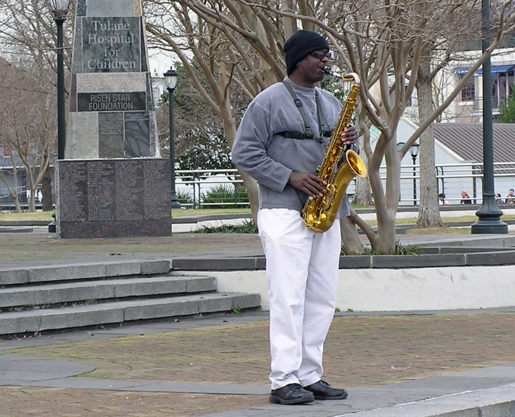
The other New Orleans festival that I would dearly love to take in is the New Orleans Jazz and Heritage Festival, held each year in late April and early May. This may actually be a bigger tourist draw than Mardi Gras. As many as 650,000 people have attended in past years.
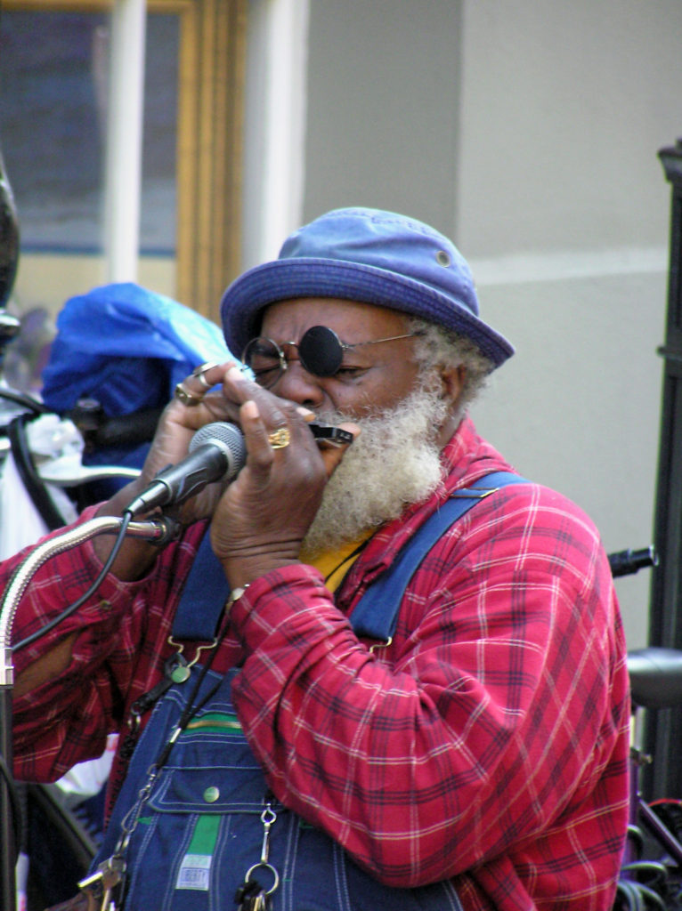 Music is an essential component of the spirit of the Big Easy. Whether it’s traditional Cajun fiddle tunes, blues, jazz, swamp rock, zydeco, country, or a fusion of some or all of those genres, music permeates the city. Street performers are a common sight in the French Quarter any time of the day or night. And there are probably hundreds of clubs throughout the city offering live performances late into the night, every night. Take in as much of the music as you can while you’re there because it’s such a vital component of the city’s spirit.
There’s plenty of music to be heard on Bourbon Street, but there are more authentic venues elsewhere. Preservation Hall, in the French Quarter, is probably the most famous. Tipitina’s, on Napolean Avenue about a mile and a half west of the French Quarter, might be the most highly regarded club. The Spotted Cat Music Club, the Blue Nile, and d.b.a., all on Frenchmen Street in the Marigny, are three of the most highly regarded clubs. Le Bon Temps Roule, near Tipitina’s, and Chickie Wah Wah, on Canal Street in Mid-city, are a couple of other well regarded venues. In the French Quarter, check out One Eyed Jack’s.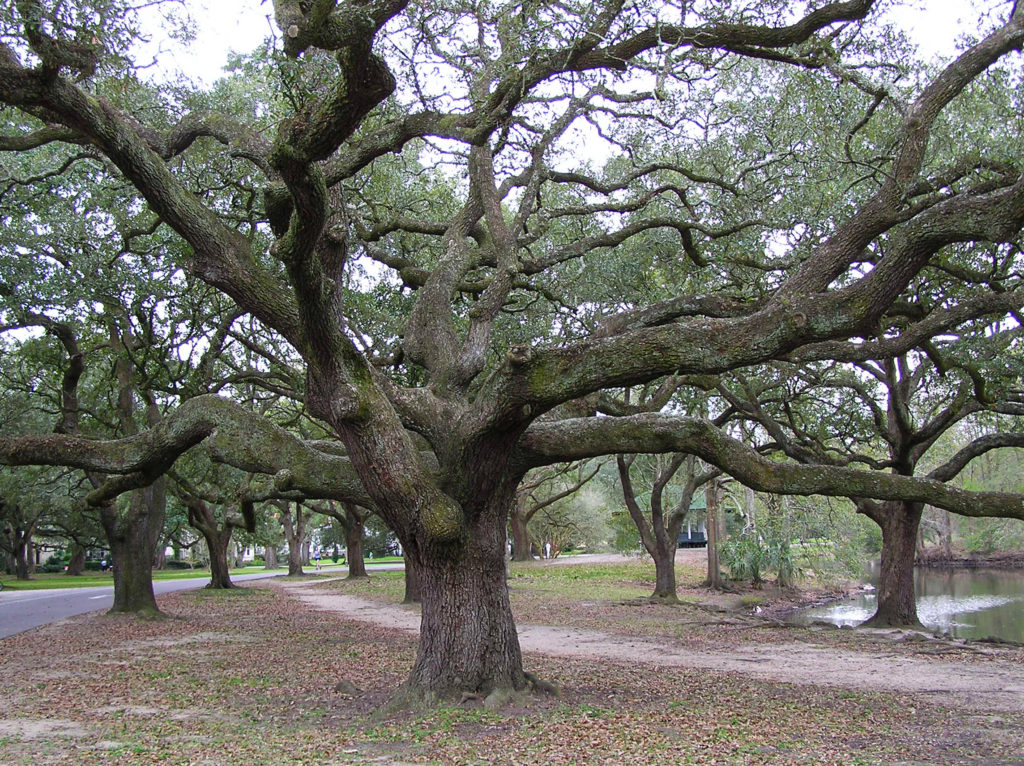
Like music, the cuisine of New Orleans is one the city’s defining features. I fell in love with the food when we were there, and gumbo and jambalaya have become mainstays in my home kitchen. The Foodies Guide to New Orleans website will give you a good overview of the city’s culinary offerings. The people of New Orleans are passionate about their food and anyone you talk to will probably be happy to steer you to some great places to eat. Or you can book one of the many food tours that are available.
The food scene has probably changed a lot since we were there, but there are some iconic New Orleans eateries that you might want to check out. The Cafe du Monde in the French Market is one of those. It’s been a New Orleans institution since 1862. Go for the beignets and the coffee with chicory because that’s about all they serve. And go early. You’ll probably still have to wait in line to get in, but it’s an iconic New Orleans experience that shouldn’t be missed. And dinner at Antoine’s was a highlight of our stay. Antoine’s has been in existence even longer than the Cafe du Monde. They’ve been serving French Creole food in the same location since 1840. There’s no place in New Orleans more steeped in history than Antoine’s.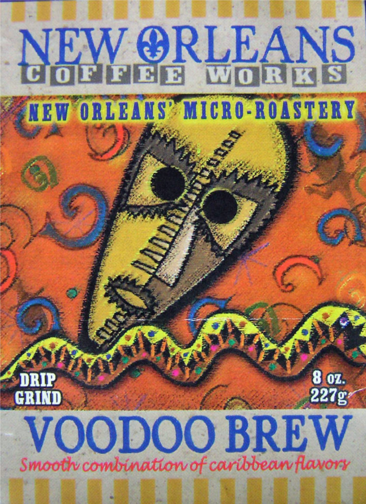
And then there’s voodoo. Personally, I have no interest in voodoo, but it’s another unique component of the culture and you can’t ignore it completely if you want to get the full New Orleans experience. You might just want to stop in at one of the many shops in the French Quarter selling voodoo related trinkets. Or maybe delve deeper into the history and practice of voodoo by visiting the Voodoo Museum or taking a voodoo tour.
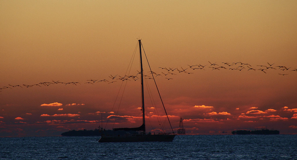
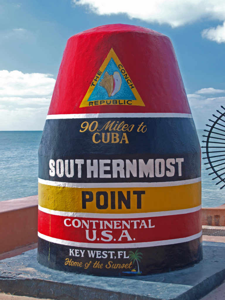
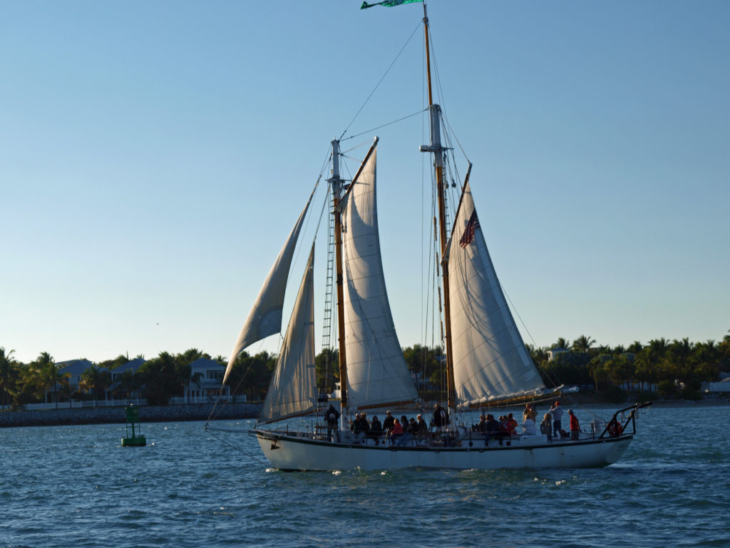
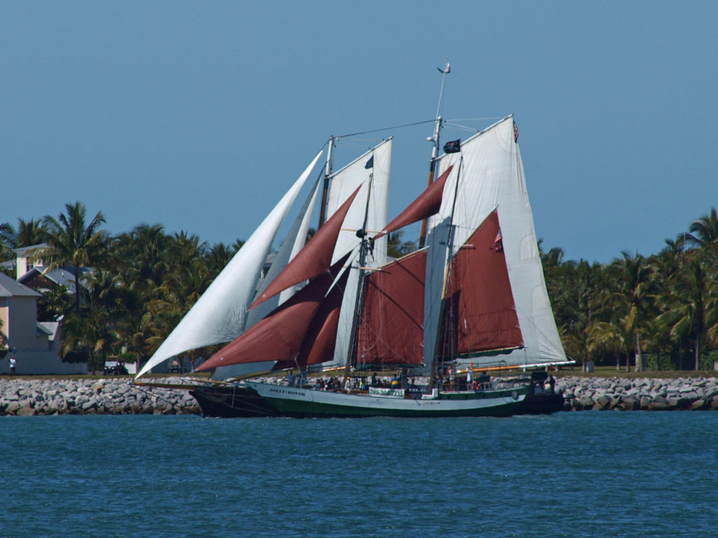
New Orleans can’t be adequately described in words or pictures by any means. It really has to be experienced. It blends the Old South charm of places like Charleston and Savannah with the party atmosphere of places like Key West, and mixes in a whole lot more to boot. You should make the pilgrimage to the Big Easy at least once in your life. You won’t regret it.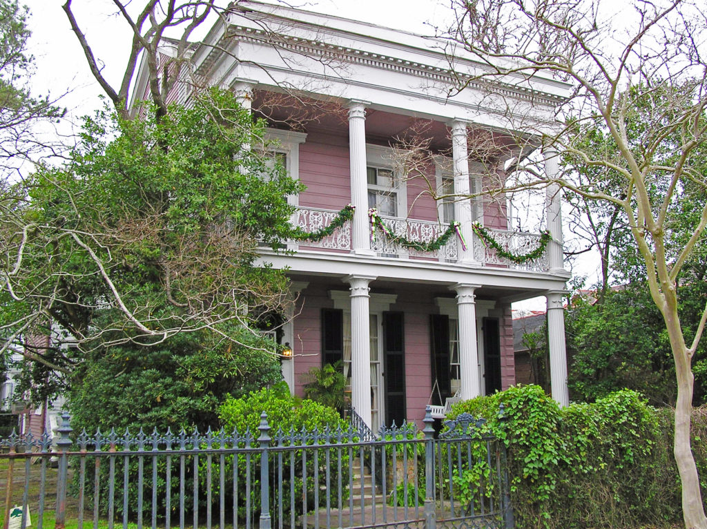
Originally posted January 9, 2021 by Alan K. Lee. Updated and re-posted January 10, 2024.
All photos © Alan K. Lee

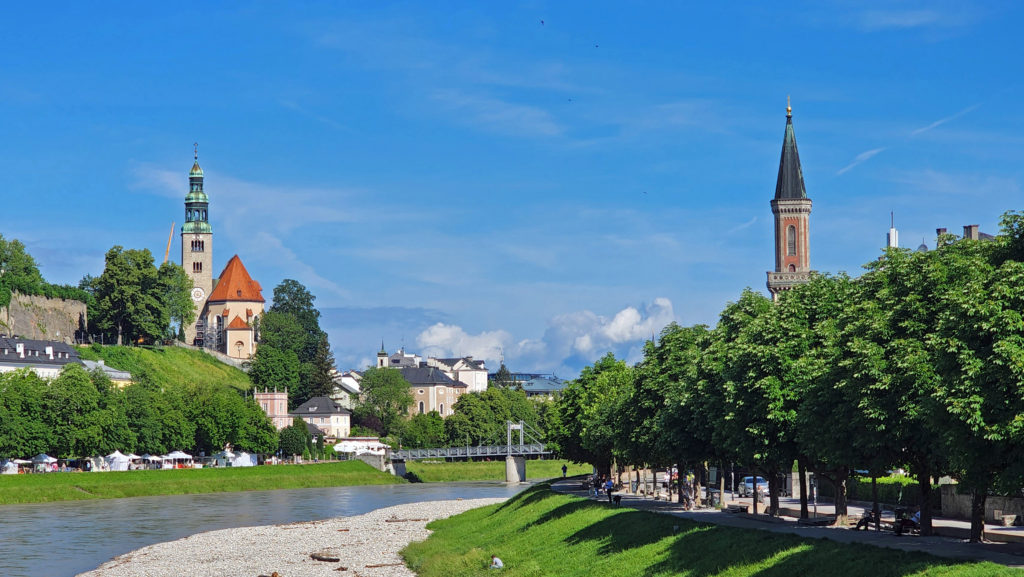
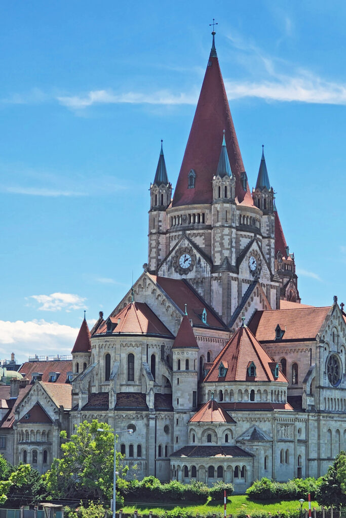
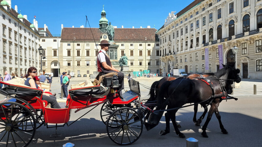
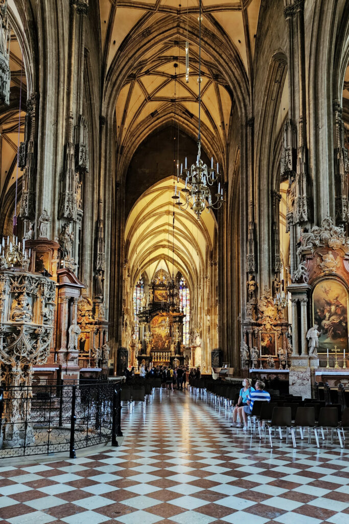
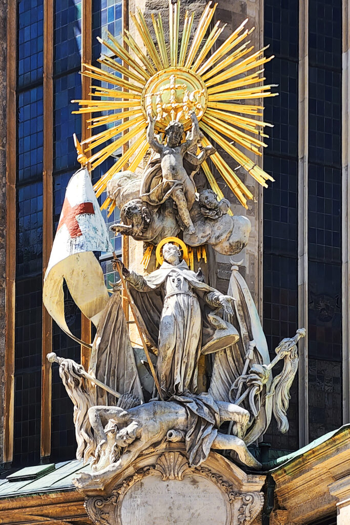
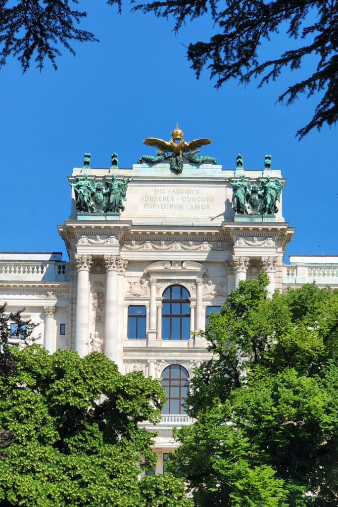
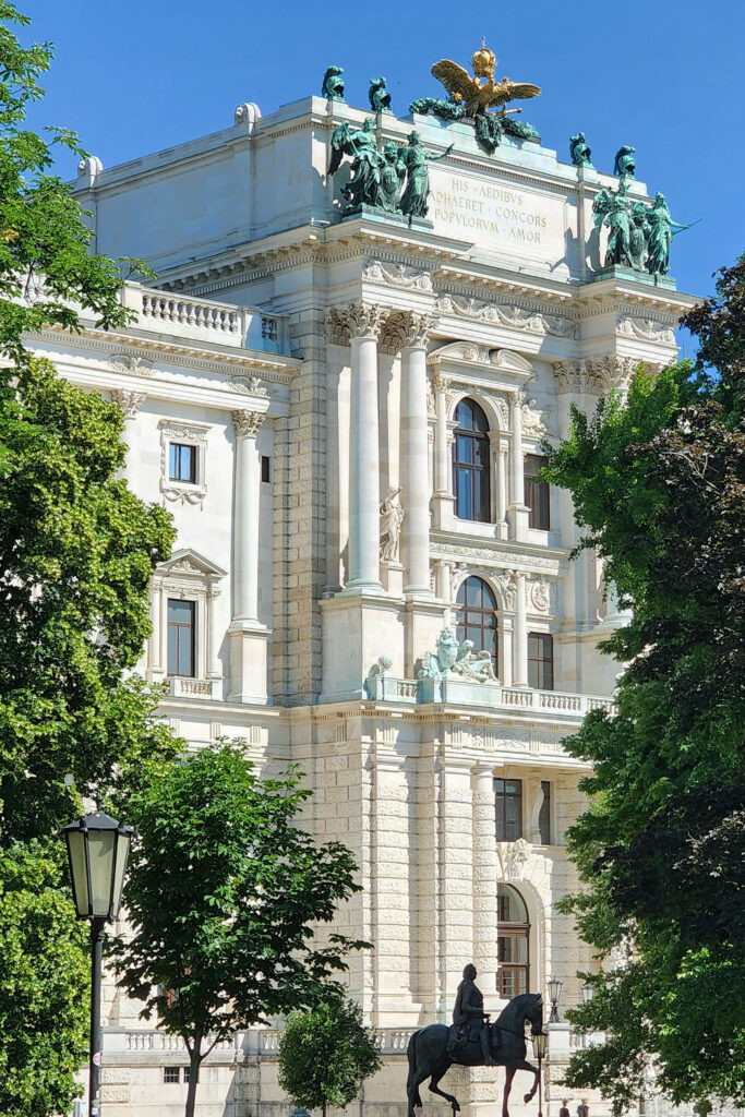

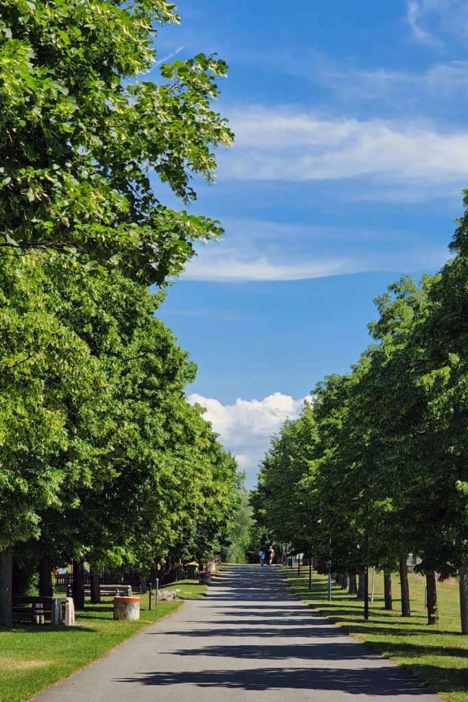
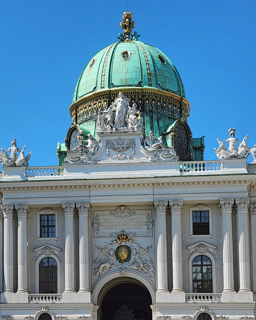
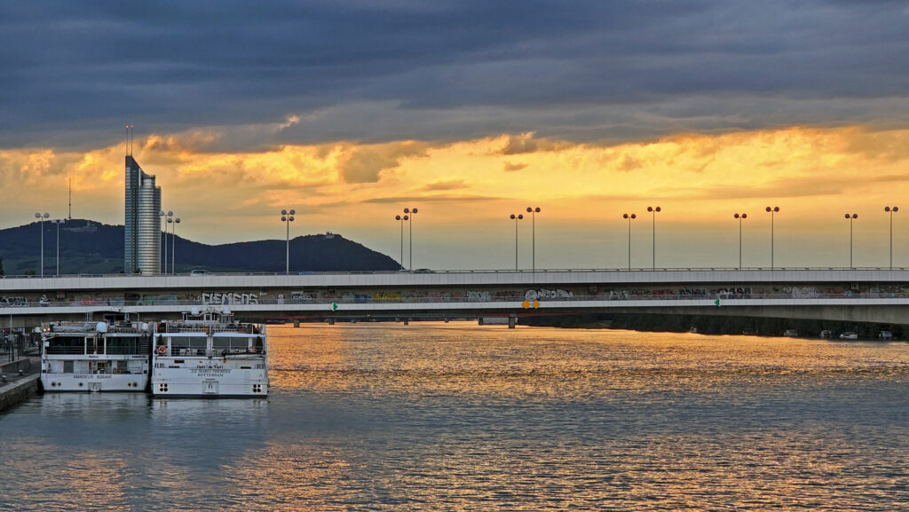
 Vienna is also a city of many beautiful parks and natural areas. After our walking tour of the medieval center, we crossed the Danube and spend some time in a beautiful park on a long, narrow, tree lined island between the main channel of the Danube and the Neue Donau side channel.
 Bicycling is permitted on all park roadways and on the Pa’rus Trail. All other park trails, off-trail routes, and the Zion-Mount Carmel Tunnel are closed to bikes. There are a number of places in Springdale where you can rent bikes and there are also numerous companies offering bicycle tours of Zion. Biking the canyon is a good alternative to riding the shuttle. From the Zion Canyon Visitor Center to the Temple of Sinawava at the end of the Zion Canyon Scenic Drive is about eight miles, with a few moderate hills along the way.
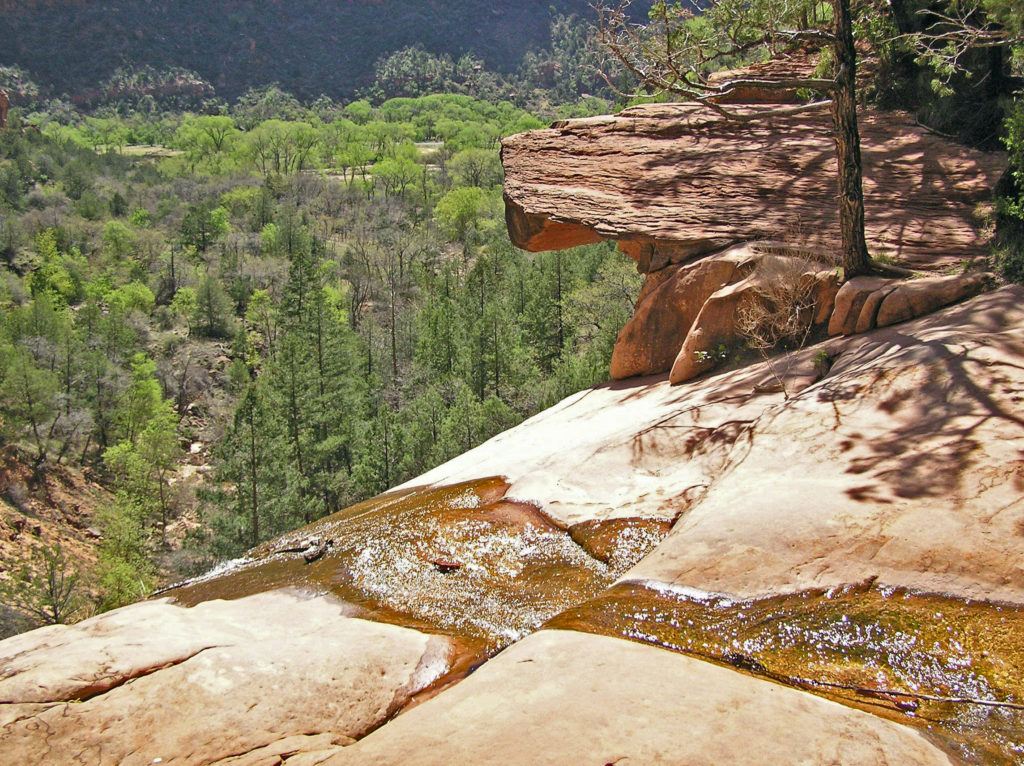 If you drive an electric vehicle, two charging stations are located within Zion National Park, one at the Zion Canyon Visitor Center and the other at the Kolob Canyons Visitor Center in the north end of the park. You can purchase a $5 pass code at the Zion Canyon Visitor Center that is valid for three days at either of the park’s charging stations. In Springdale, there are three Tesla charging stations (as well as others in nearby communities). Electrify America stations are located in St. George and Cedar City. ChargePoint and SemaConnect stations can be found in St. George.
 If you’re camping, Zion Canyon Campground in Springdale has 133 RV sites and 47 tent sites. Zion River Resort in nearby Virgin, Utah also has RV sites and cabins. There are two campgrounds within the national park near Springdale, South Campground and Watchman Campground. South Campground has 117 sites, but no hookups. Watchman has about 120 RV sites with full hookups and about 70 tent sites. South and Watchman both require advance reservations, except in winter. The small Lava Point Campground in the north end of the park is first come, first served, but has only six primitive sites. Check the park website for more detailed information. Reservations for the South and Watchman campgrounds can be made through
 Where to Eat
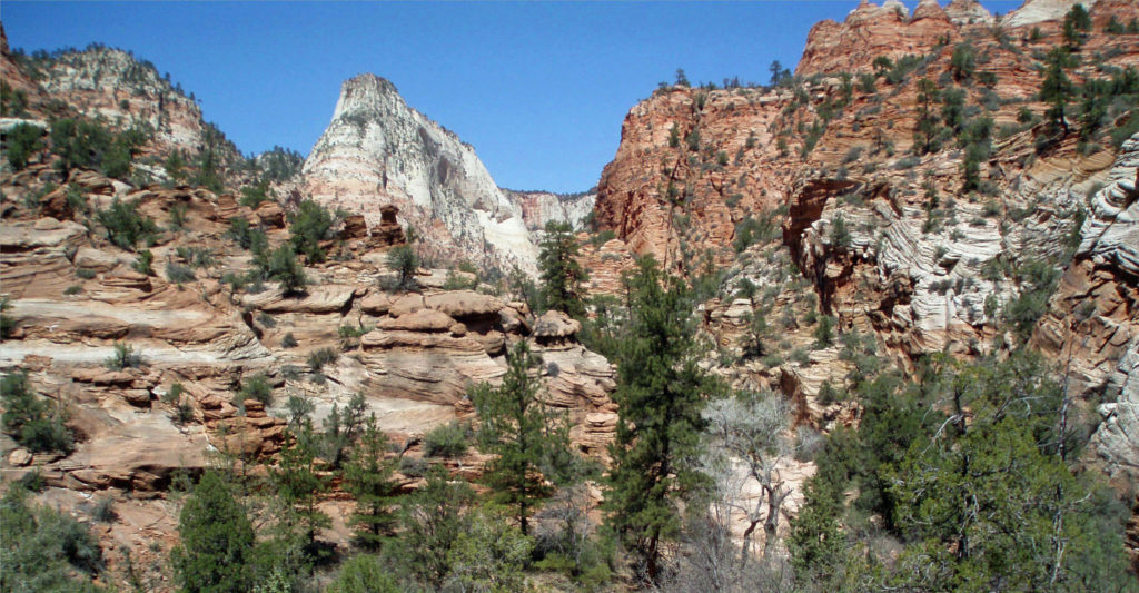
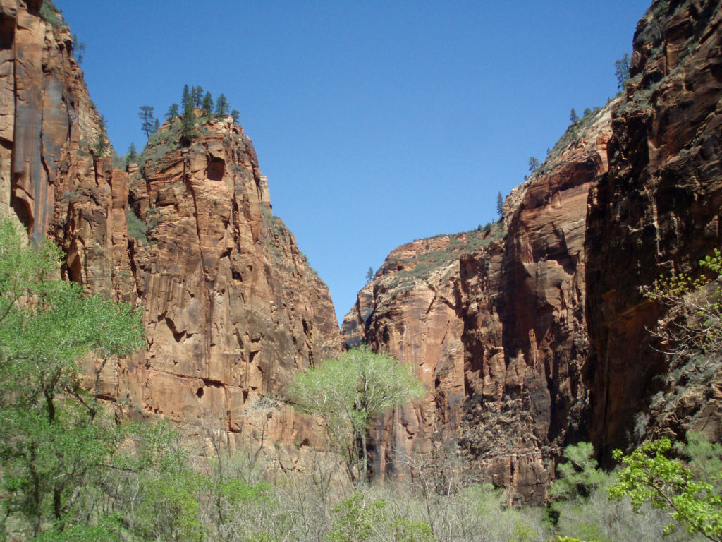
 One of the most spectacular hikes in the canyon is The Narrows. There is no trail through The Narrows – you’re hiking the bed of the Virgin River through a narrow canyon no more than 40 feet wide in places. If you’re interested in hiking The Narrows, be sure to check with the park rangers at the Zion Canyon Visitor Center. No permit is required, but The Narrows may be closed to hiking due to the possibility of flash floods. Thunderstorms many miles north of the park may lead to sudden and potentially life threatening rises in the river level with no warning, even when the park is sunny and cloudless. But if it’s doable safely, it’s a fantastic and unique hiking experience.
 Trails outside of Zion Canyon (and all canyoneering routes) require a wilderness pass. Most are available online through the park’s website, but permits for some trails are only available in person.
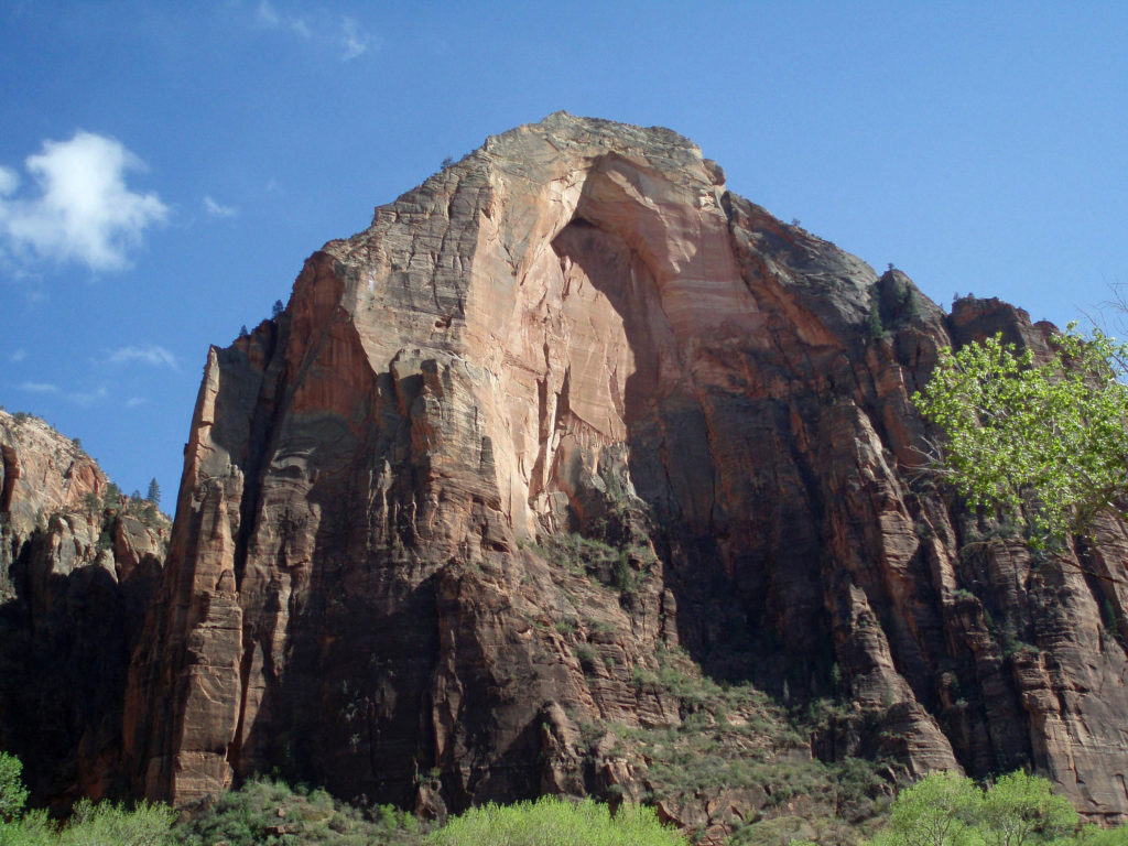
 One hour and three hour horseback rides within the park can be booked through
 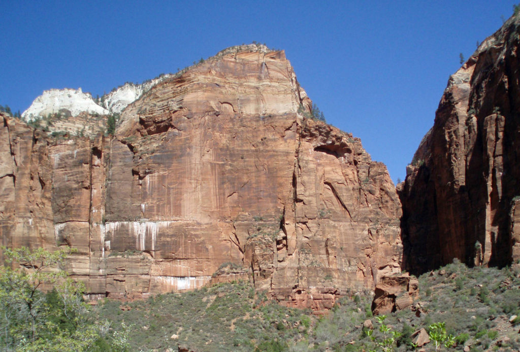 Off road vehicle tours are also available from a variety of providers. Like mountain bike tours, these are outside of the park. Again, I have no personal experience, so can’t make any recommendations, but the tours are popular.
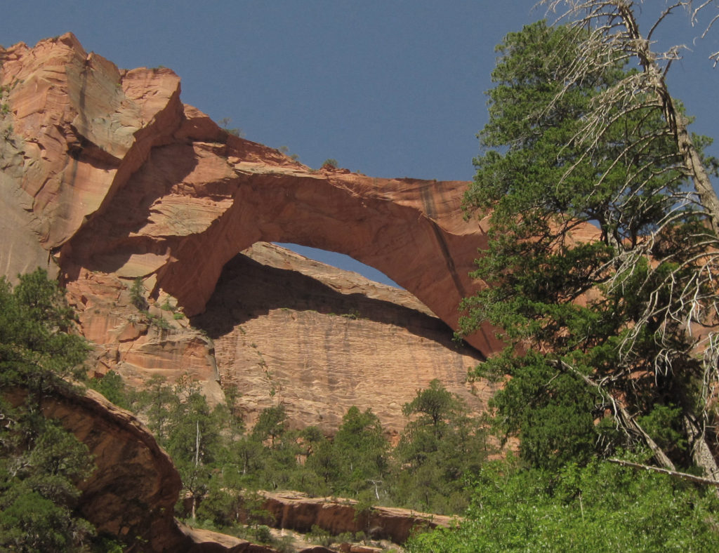
 I can pretty much guarantee that no matter who you are or where your interests lie, a trip to Zion National Park will be an adventure you will not soon forget.
 Originally posted June 14, 2021 by Alan K. Lee. Updated and re-posted March 15, 2024.
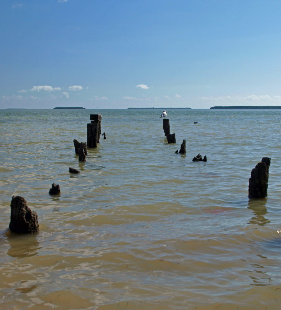
 Today, the Everglades are still one of the most endangered ecosystems in the country. Diversion of water upstream of the park for use by the agricultural industry and the ever growing population of southern Florida has greatly reduced the volume of water flowing through the park, which in turn has had a significant impact on the flora and fauna of the park. Nutrient pollution and residual pesticides from agricultural runoff have also had a significant impact on the park’s ecosystem. Introduced species, such as the Burmese python, have also put stress on the system. And, since much of the Everglades is less than three feet above sea level, global warming and sea level rise threaten the very existence of the Everglades.
 Farther along the road to Flamingo, the Long Pine Key, Pahayokey Overlook, and Mahogany Hammock stops offer short hiking trails. Canoeing and kayaking opportunities are found at Nine Mile Pond and West Lake. You’ll also find a nice picnic area at Nine Mile Pond, and another at Paroutis Pond.
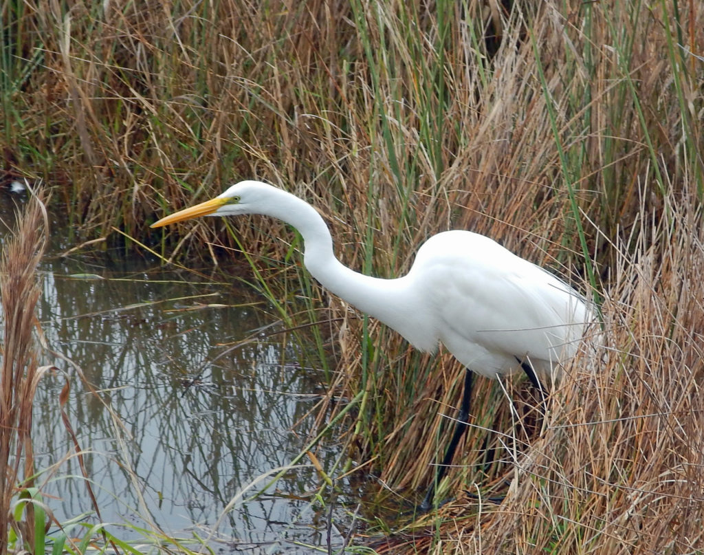
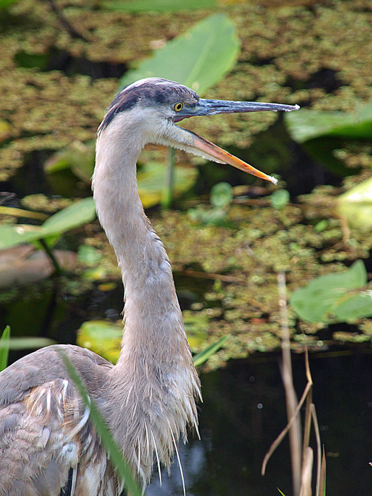
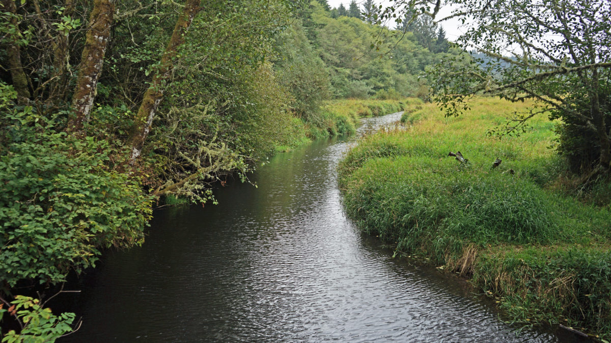
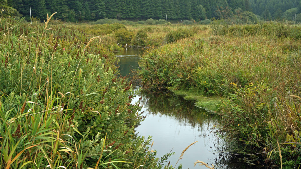
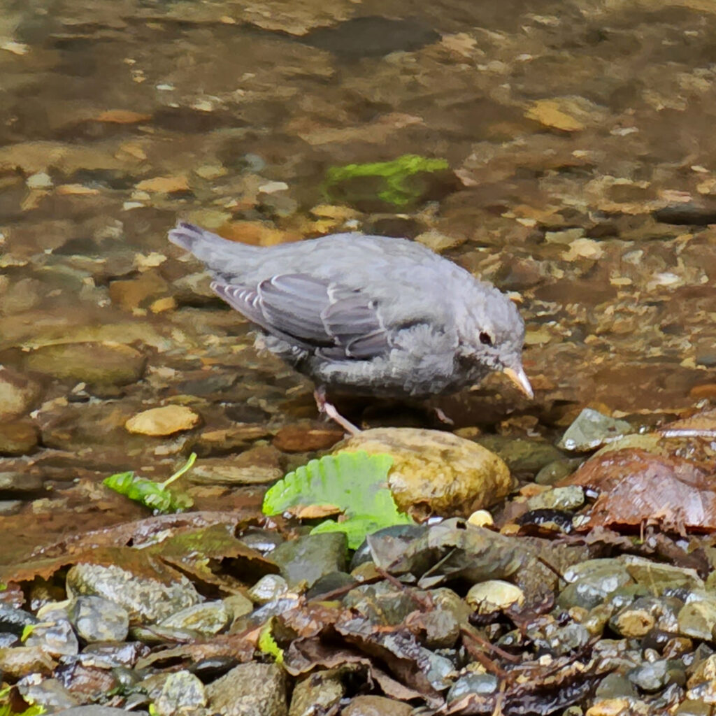
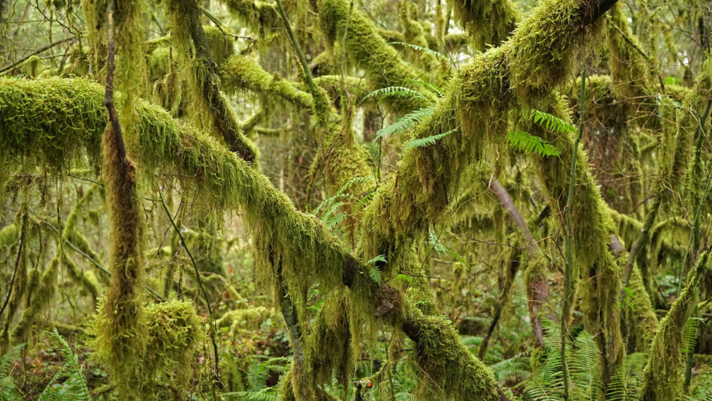
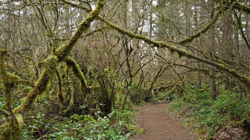
 The Beaver Creek visitor center, 1.2 miles east of Hwy 101 on North Beaver Creek Road, would normally be a good first stop to acquaint yourself with the area. If it’s open, you can pick up an informational brochure and map of the trail system there. The map and brochure can also be downloaded from the Beaver Creek State Natural Area website (linked above). There is also a small parking area a few hundred yards east of the visitor center that may have the map and brochure if the visitor center is closed. You can also find a checklist of the birds found at Beaver Creek on the website.
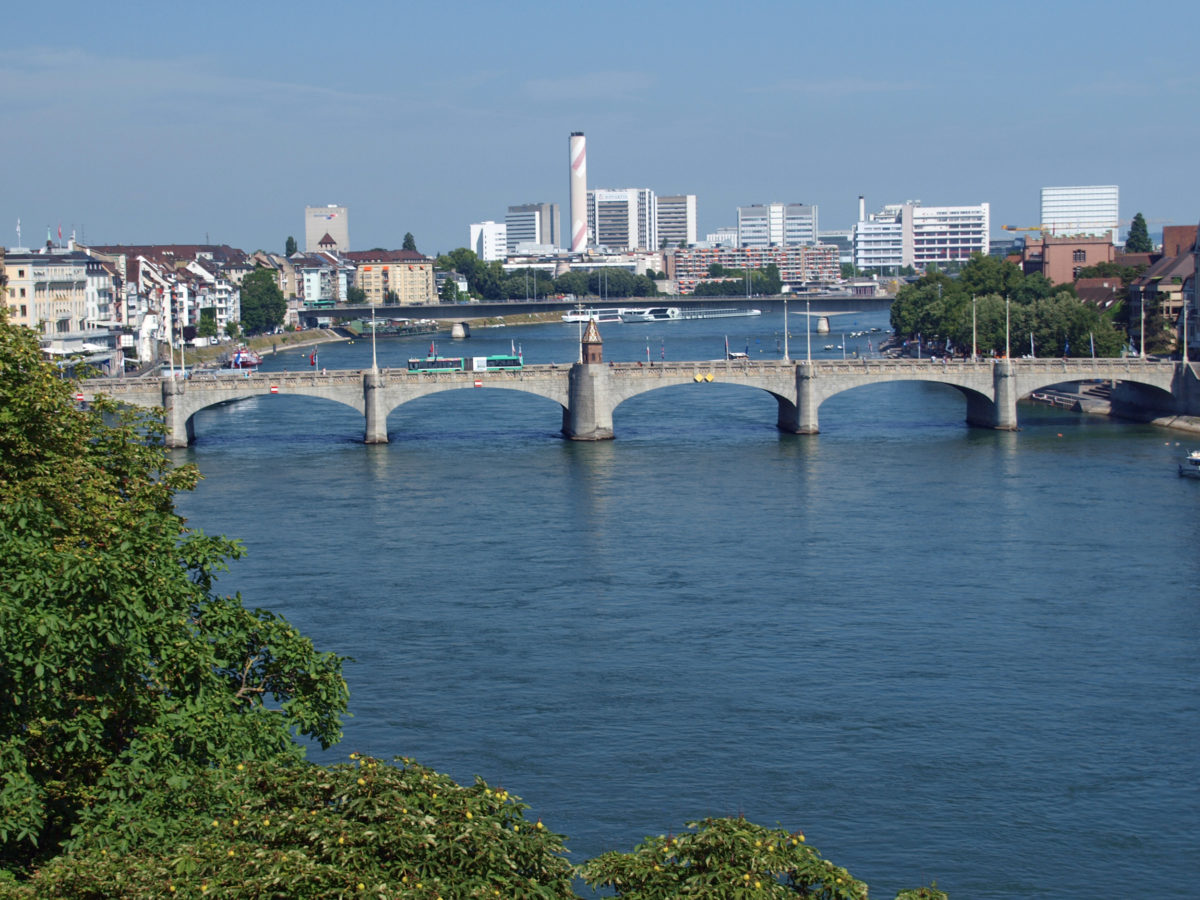
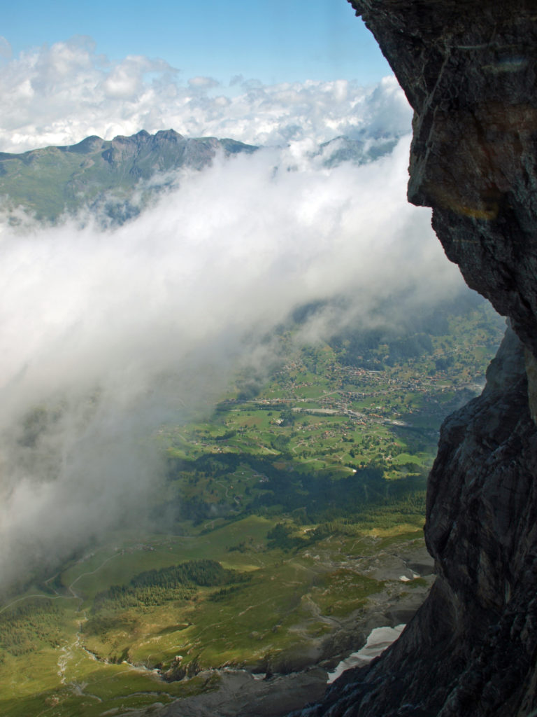
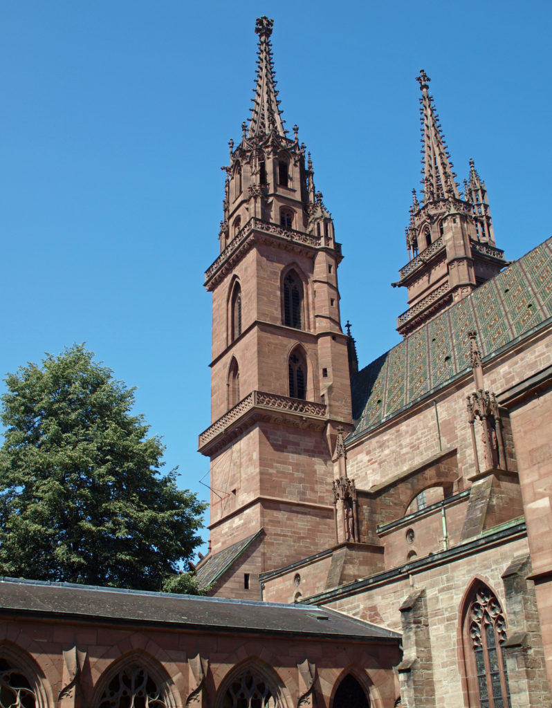 BASEL
BASEL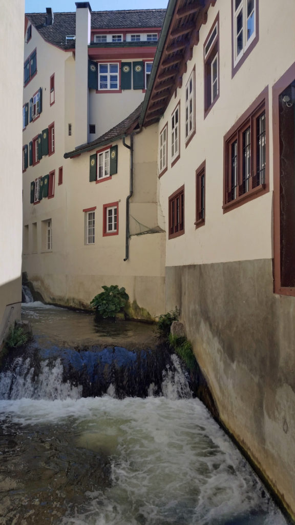 Since our guide book didn’t cover Basel at all, we didn’t know quite what to expect. But, after disembarking the ship in the morning and taking a taxi to our hotel, we took advantage of having the rest of the day to explore the city.
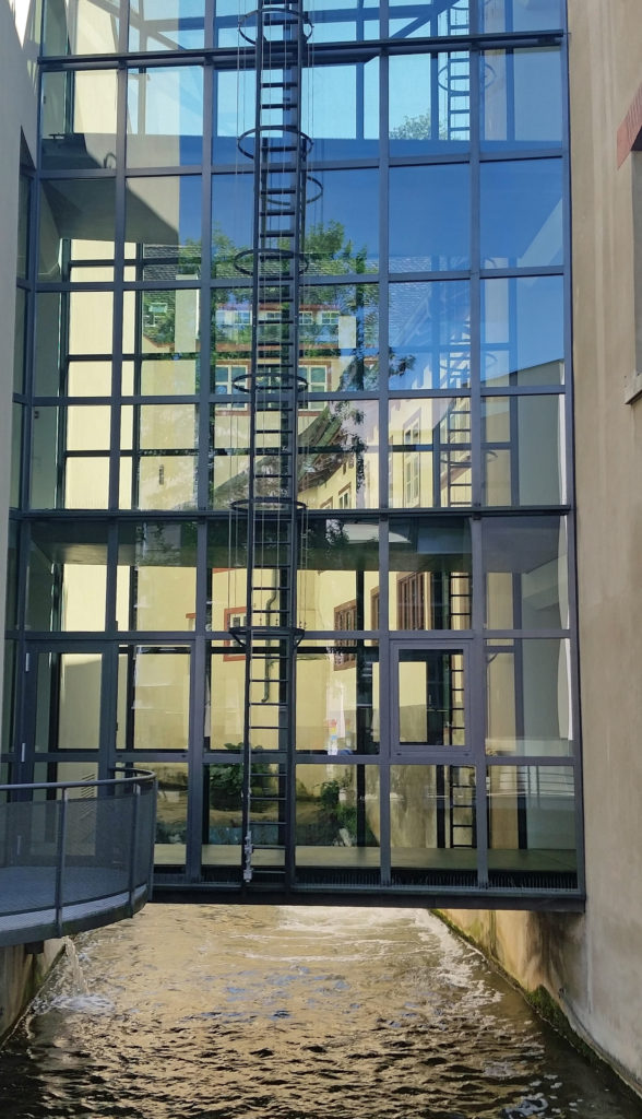 We first headed to the Museum of Contemporary Art, part of the
  After touring the museum, we spent the rest of the day sampling Swiss cuisine and exploring more of the city center, including
 I later learned that Basel is considered by many to be the cultural heart of Switzerland. The Kunstmuseum (linked above), which opened in 1661, is the oldest public art museum in the world. The Museum of Contemprary Art is also the oldest contemporary art museum in Europe. And the and the University of Basel, founded in 1460, is the oldest university in Switzerland. Clearly, there is a lot of history here.
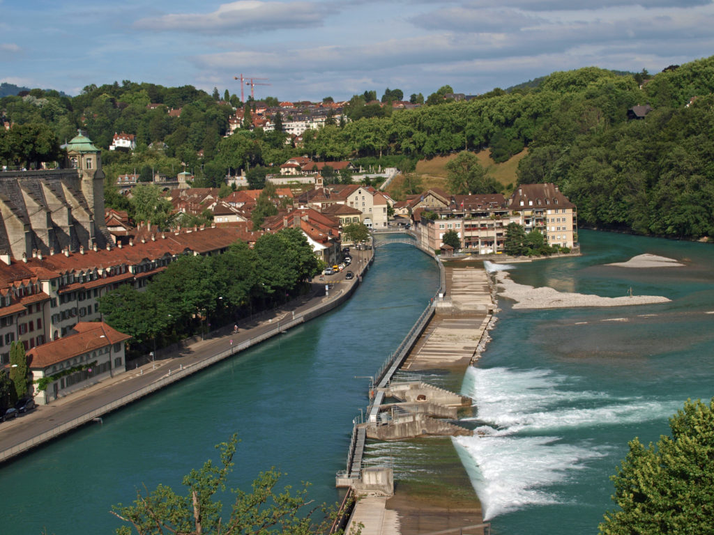 BERN
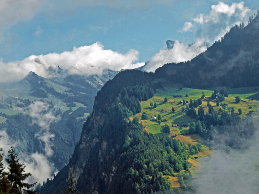
BERN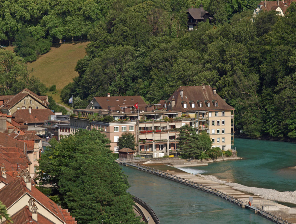
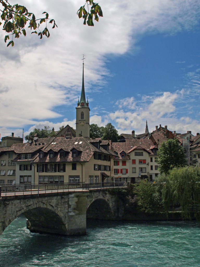 We wandered our way through the medieval center and down to the Aare River at the point of the peninsula that the old city is located on. The Aare is strikingly beautiful, colored turquoise blue by the glacial silt it carries. We lingered along river for a while before crossing the relatively new (built in 1840) high bridge (Nydeggbrucke) on our way to a couple of cold beers at the Altes Tramsdepot, a restaurant and pub housed in what was once a transit center.
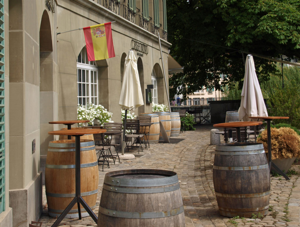
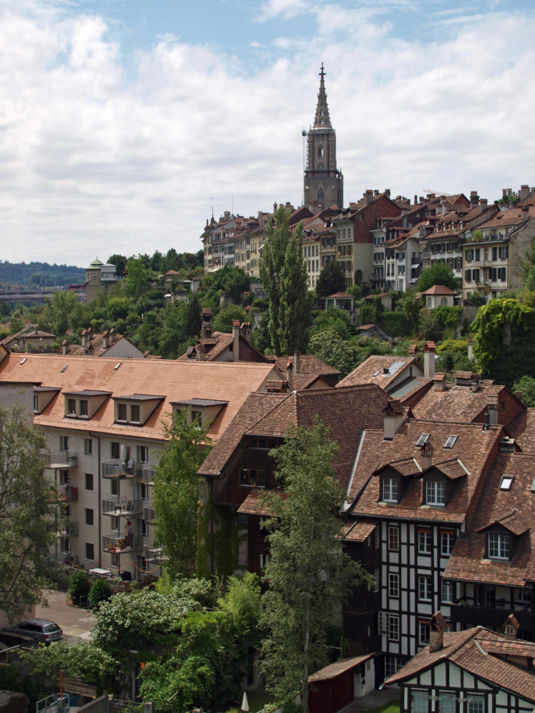 The restaurant and the viewpoint next to it provide a good view of the river and the old city. And below, along the river, you can sometimes see brown bears, which are the symbol of Bern, in the Bear Park (Barenpark). The bears were not out and about when we were there, though.
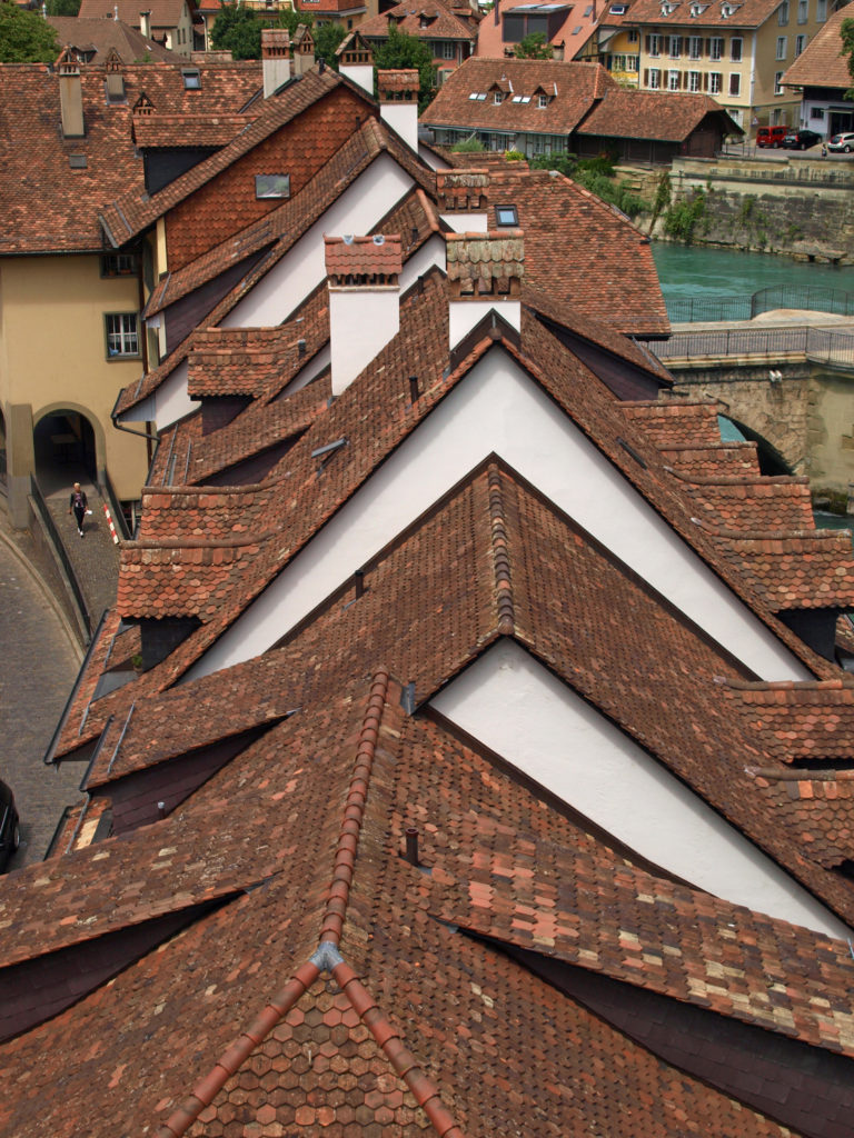
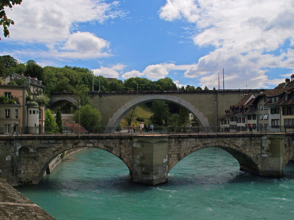 Just downstream of the Nydeggbrucke, the older Untertorbrucke is a good vantage point to photograph the river and the high bridge. The current Untertorbrucke was constructed in 1489 to replace a wooden bridge built in 1256.
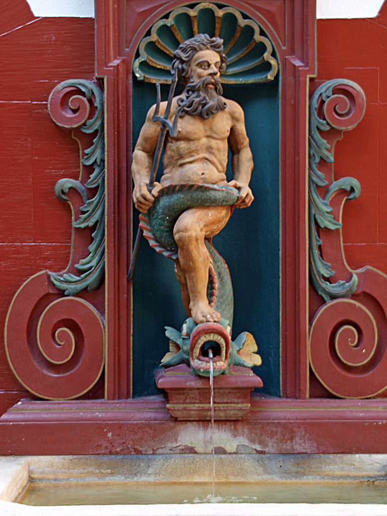
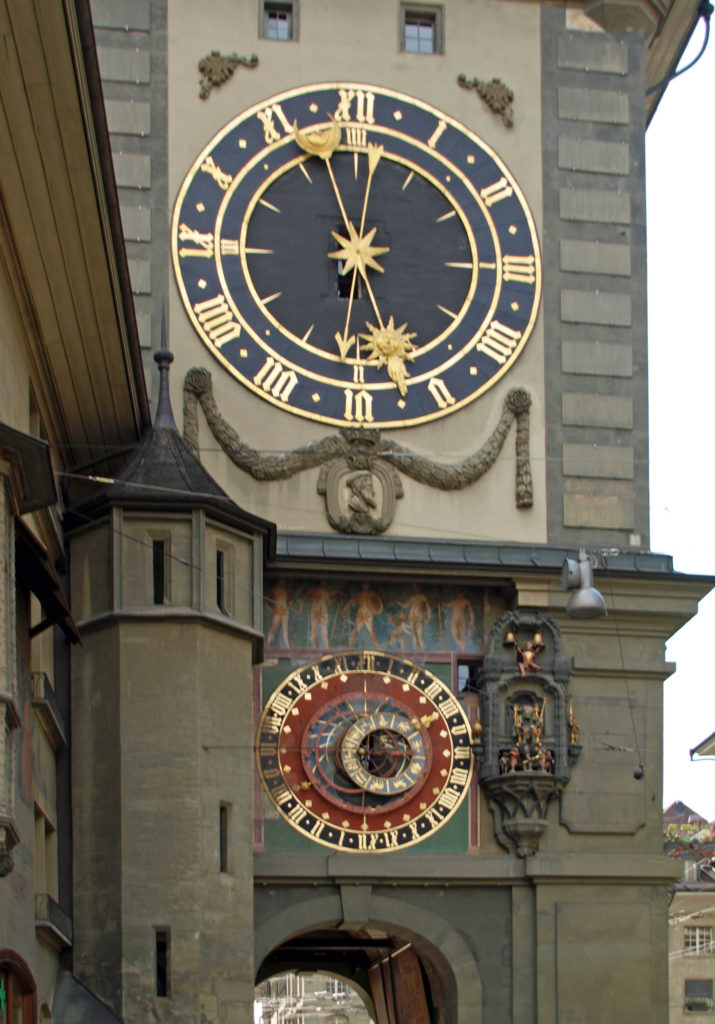 Back in the medieval city center (all of which is a UNESCO World Heritage Site), we visited the
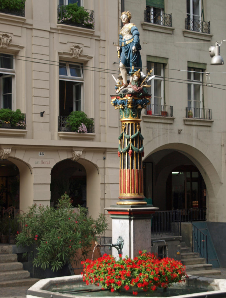
 Originally posted February 27, 2021 by Alan K. Lee. Updated and reposted February 9, 2024.
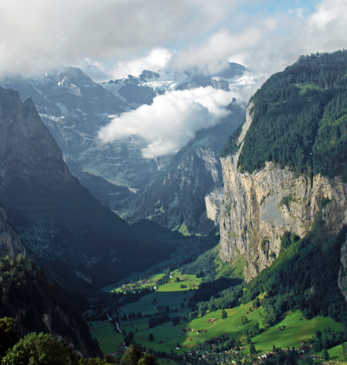


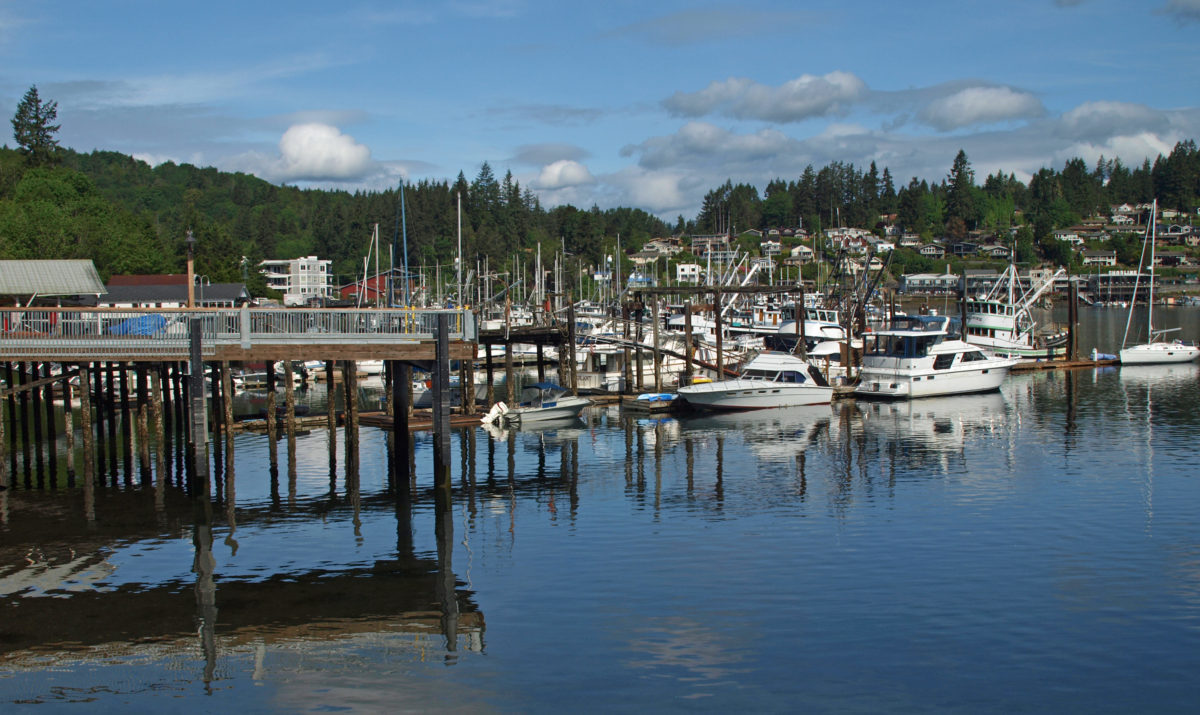
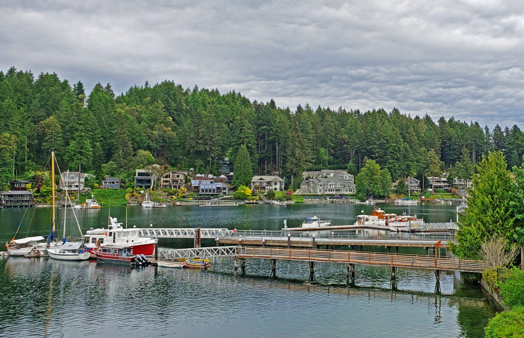
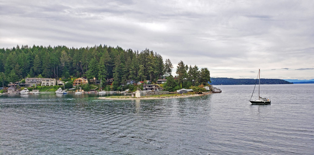
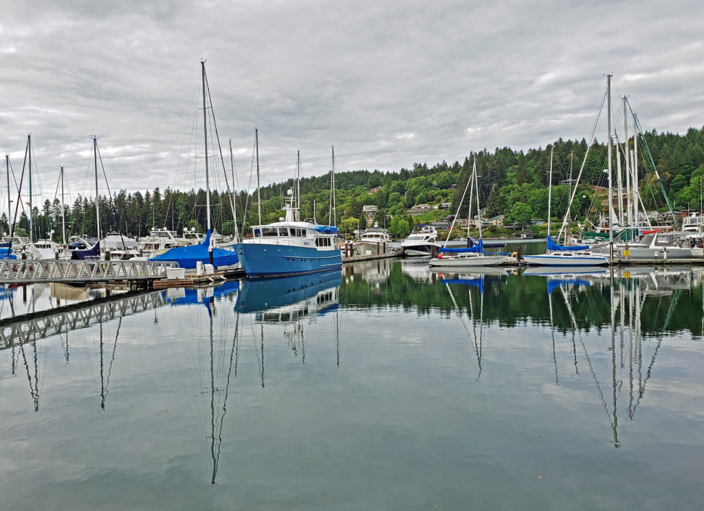
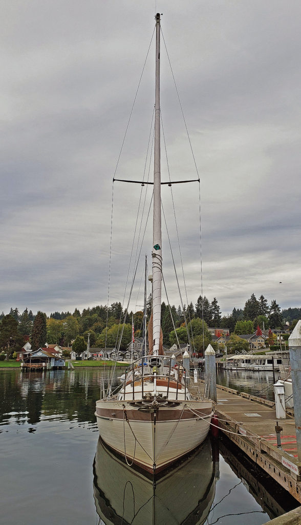
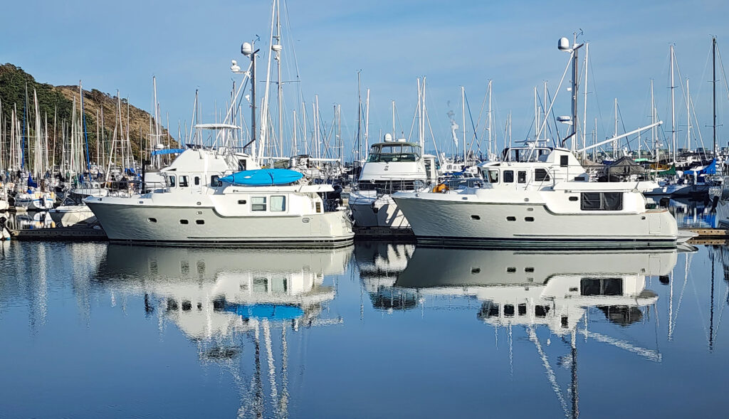
 Gig Harbor, Washington is located on Puget Sound near Tacoma. My first visit came about eight years ago. At the time it was one of the few towns on Puget Sound that I had not explored. I had heard testimonials to the town’s charm. And charming it is, at least the historic downtown along the waterfront. Like
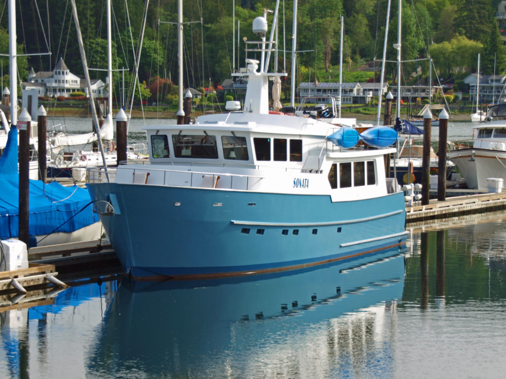
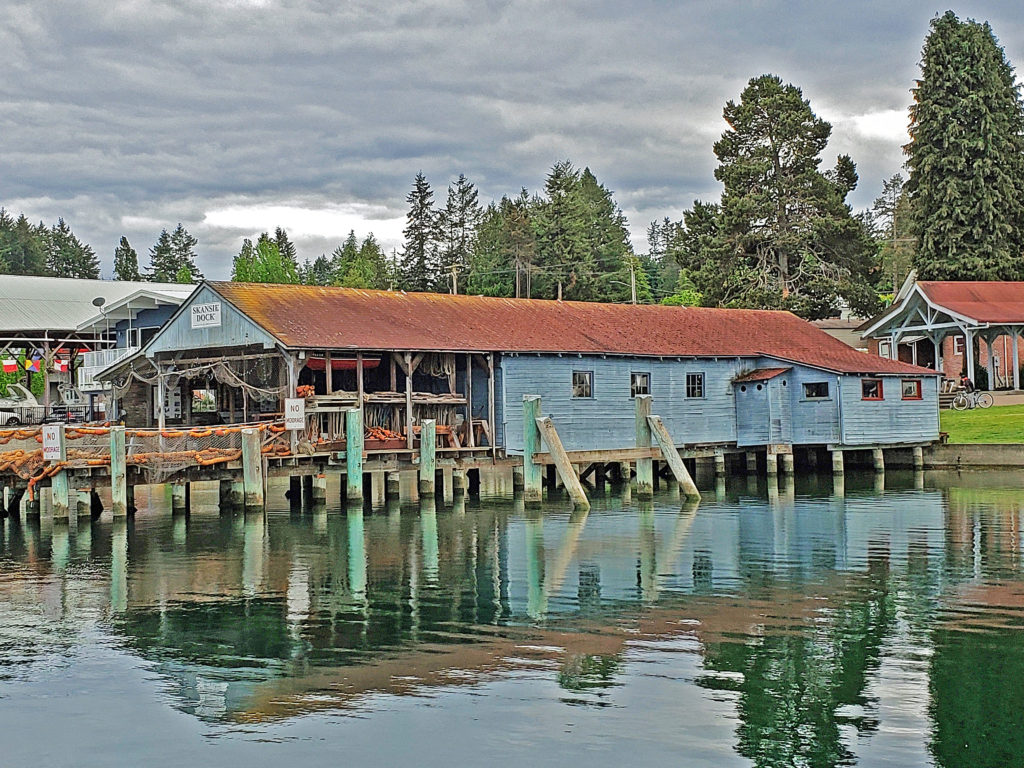
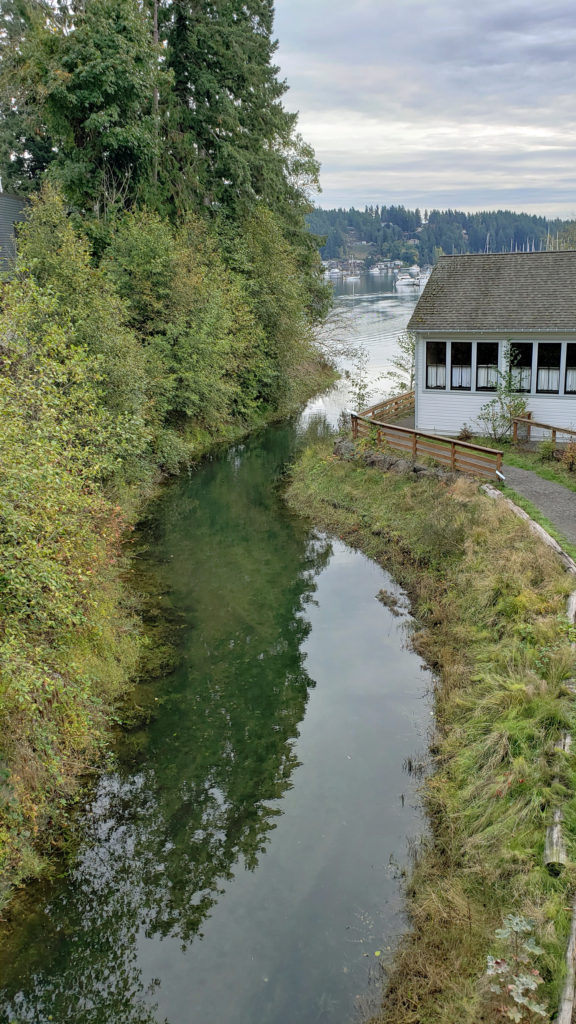
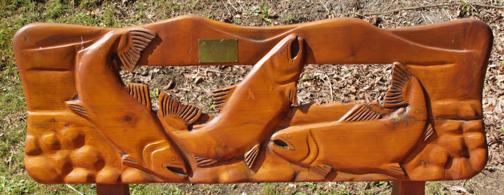
 The museum is located where Donkey Creek flows into the harbor, and when the salmon are spawning you can watch them swimming upstream from viewing platforms in Donkey Creek Park, across Harborview Drive from the museum.
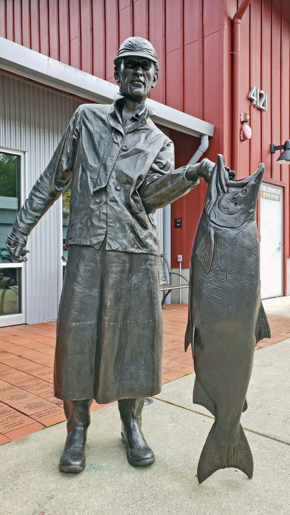
 Tourism is more important than fishing to Gig Harbor’s economy today, but a small fishing fleet still exists and is still important to the cultural identity of the town. On the first weekend of June each year, during the Maritime Gig Festival, the fleet gathers in the bay for a Blessing of the Fleet ceremony.
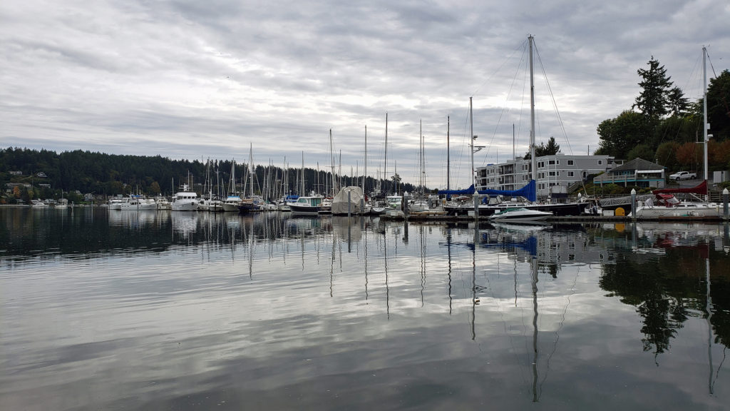 Getting out on the water is both great fun and a way to view the waterfront from a different perspective. You can rent kayaks, stand-up paddle boards, and electric boats at
  If you’re thinking about paying Gig Harbor a visit, a good place to start is the
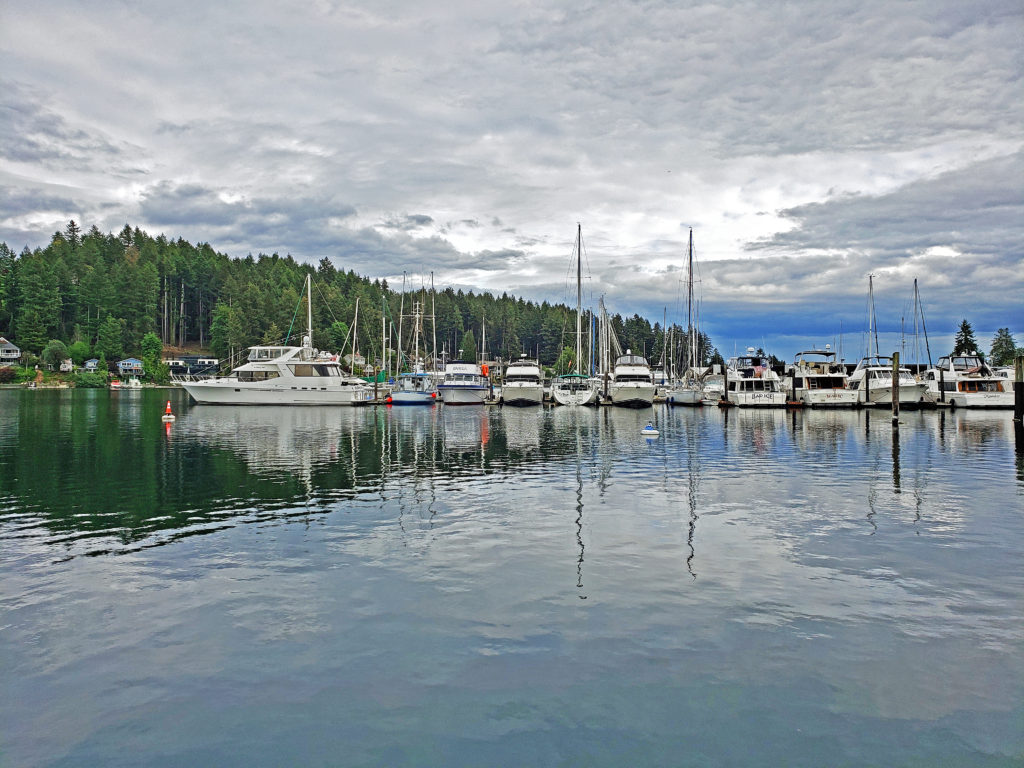
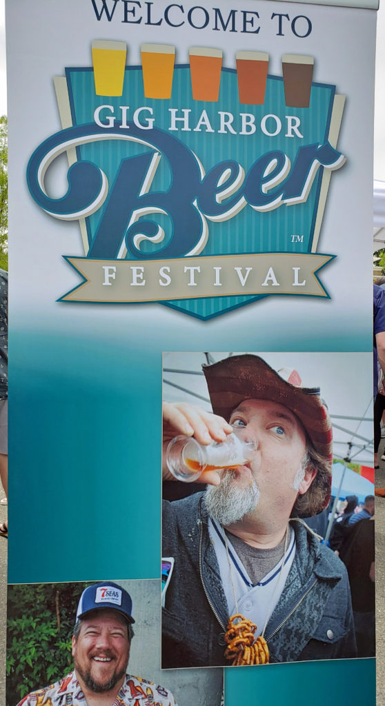 My wife and I timed our first visit to coincide with the Gig Harbor Beer Festival. We’re from Beervana (also known as Portland), after all, and we frequently seek out new opportunities to sample craft beers that we’ve not tried before. Gig Harbor has four craft breweries: Gig Harbor Brewing, 7 Seas Brewing, Wet Coast Brewing, and Dunagan Brewing. We sampled beers from all but Dunagan at the beer festival, and we both found a number of beers to our liking, even though we have very different tastes in beer. We’ve attended the festival (now called the Gig Harbor Beer and Cider Festival) several more times since that first visit. Gig Harbor Brewing and 7 Seas Brewing have taprooms located on the waterfront in Gig Harbor. Wet Coast has a taproom just off Hwy 16 in the newer part of Gig Harbor. And Dunagan’s Irish Pub and Brewery is located about a mile south of Wet Coast, also just off Hwy 16. Of the four, only Dunagan’s serves food. If you want to eat as well as drink, try the Tides Tavern or one of the other establishments listed in the Gig Harbor Guide.
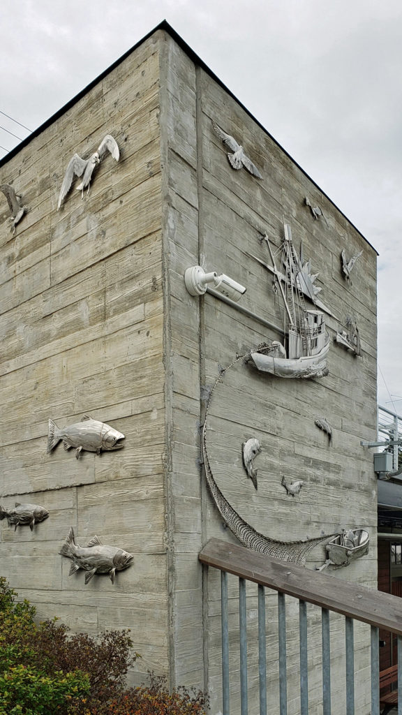 One restaurant that you should not miss is
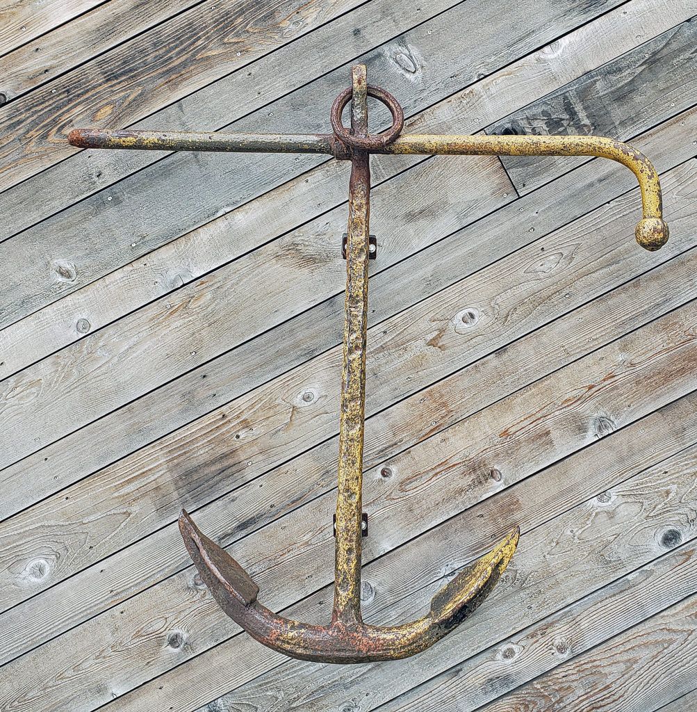


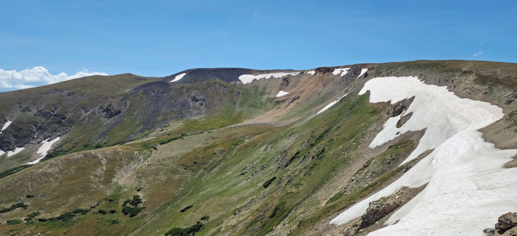
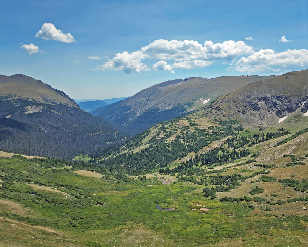
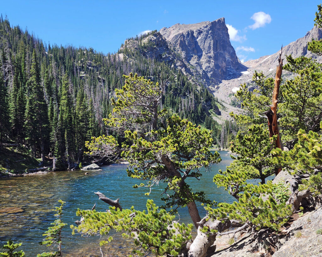
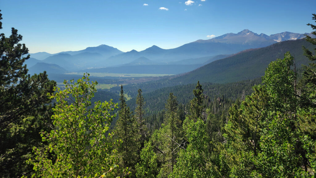
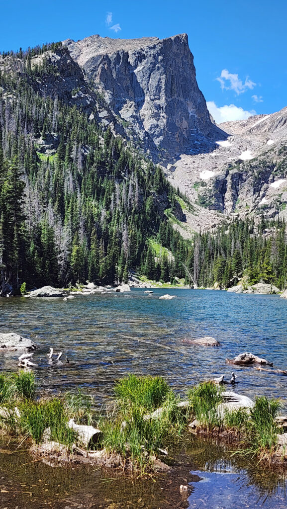
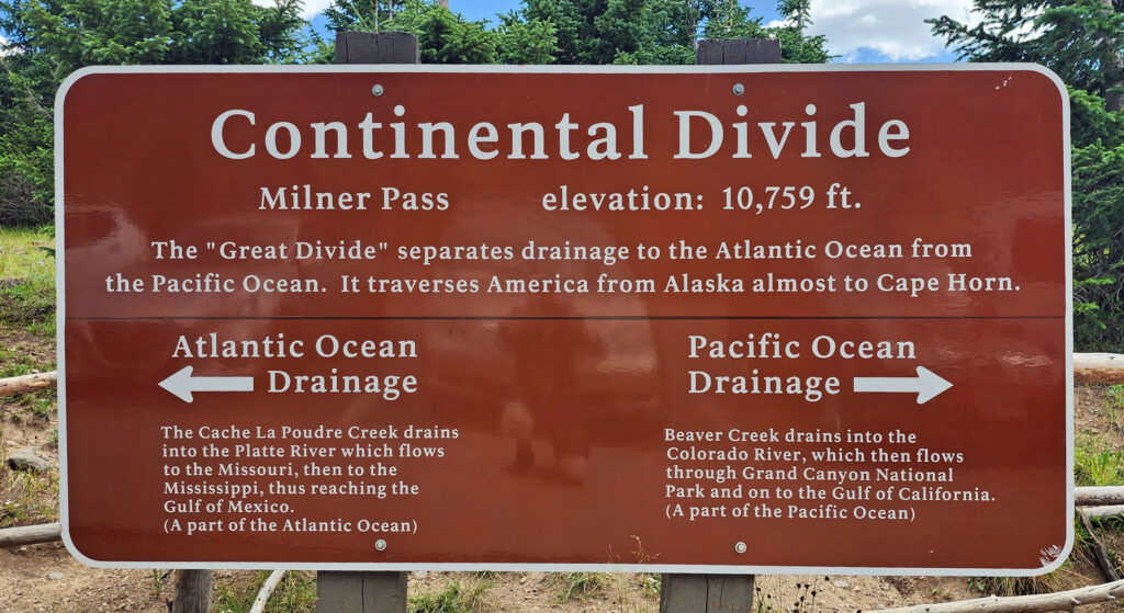 Coming down off Trail Ridge we stopped on the continental divide at Milner Pass (at 10,759 feet you actually come down in elevation from Trail Ridge to the divide). We did a short walk there along the shore of Poudre Lake and, of course, took a photo of the continental divide sign before heading south.
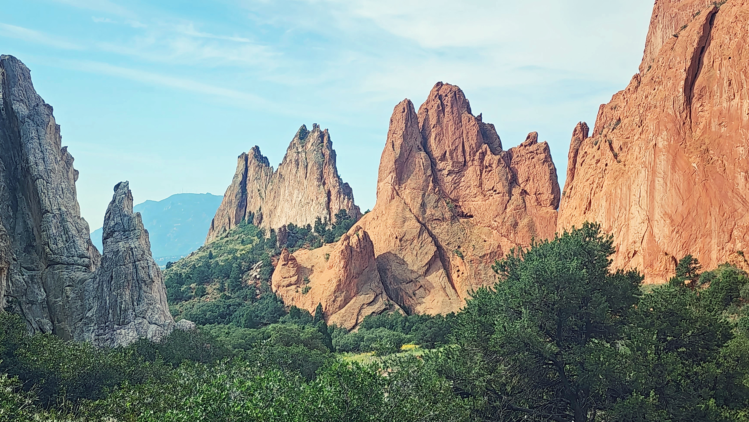

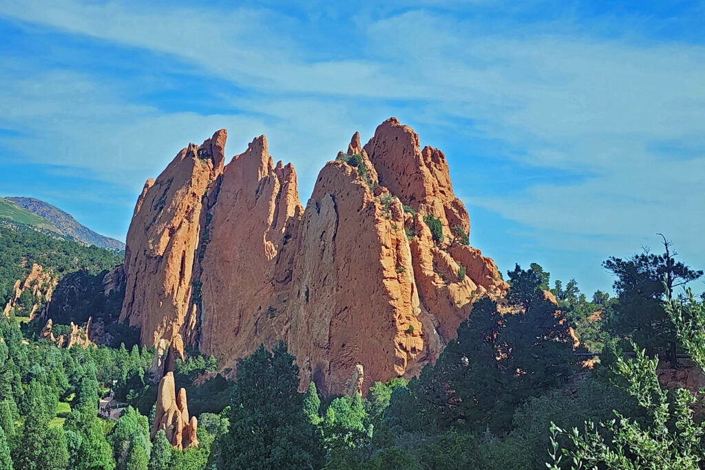
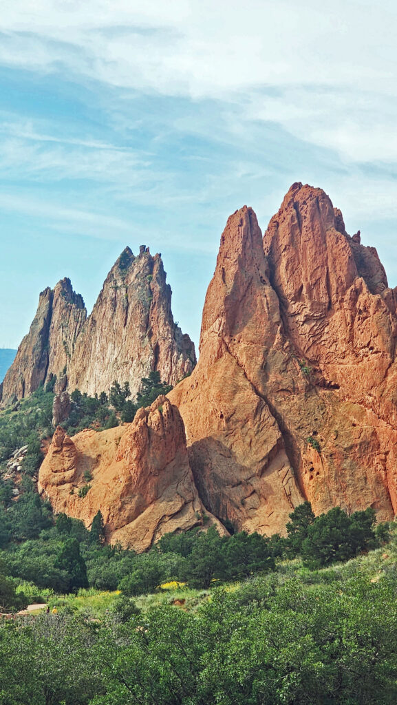
 In 1859, Colorado City was founded and later became the capital of the Colorado Territory before the capital was moved first to Golden, then Denver. Colorado Springs was founded in 1871 just east of what became known as Old Colorado City. Colorado Springs grew rapidly and eventually Old Colorado City became incorporated into the growing city, and is now a neighborhood west of downtown Colorado Springs.
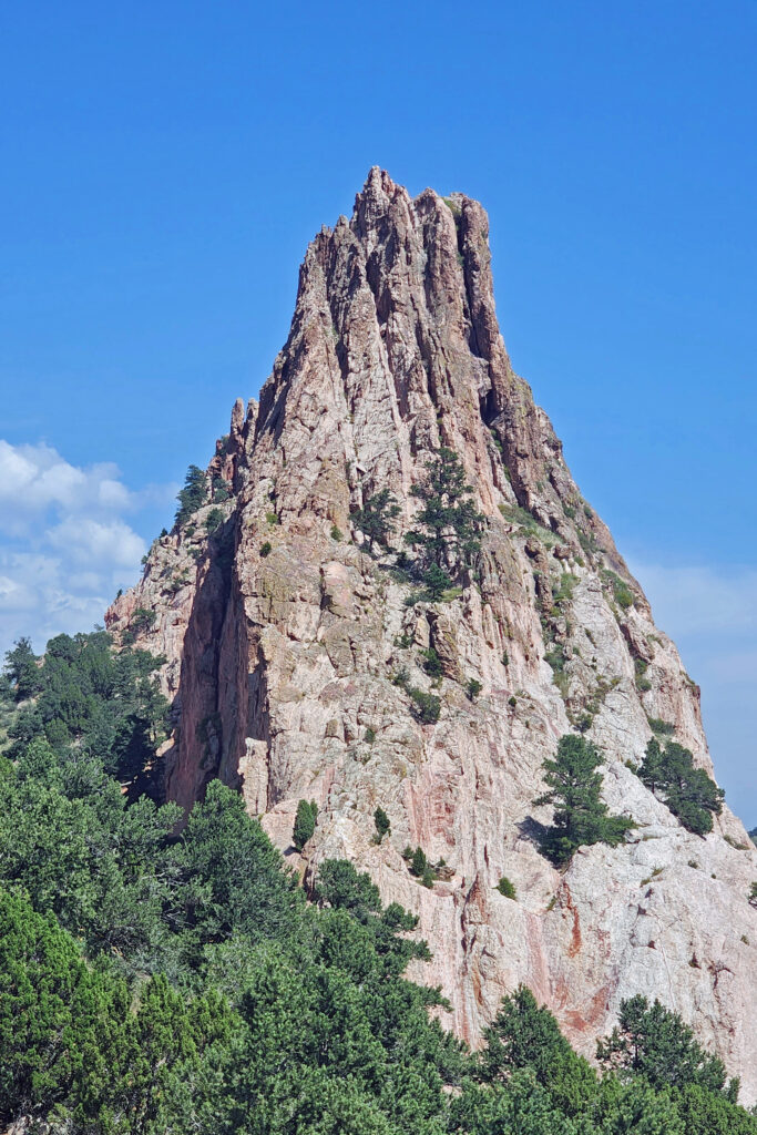
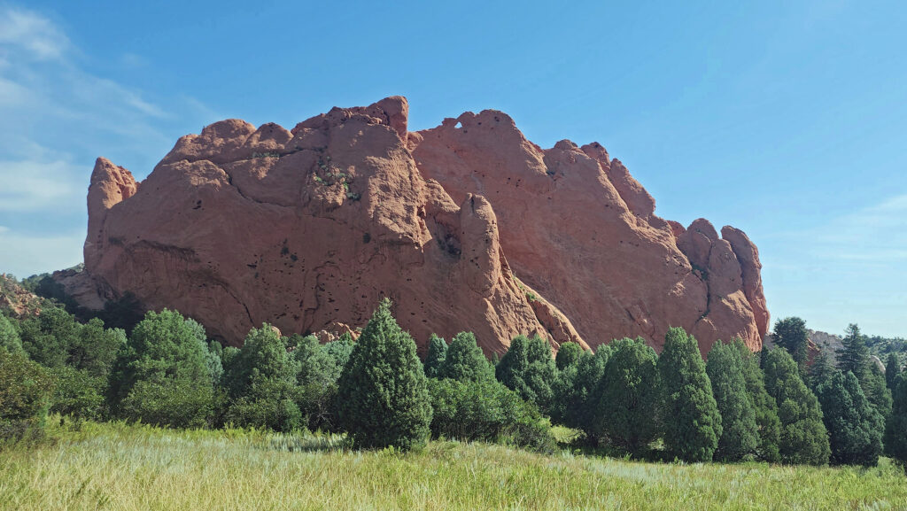
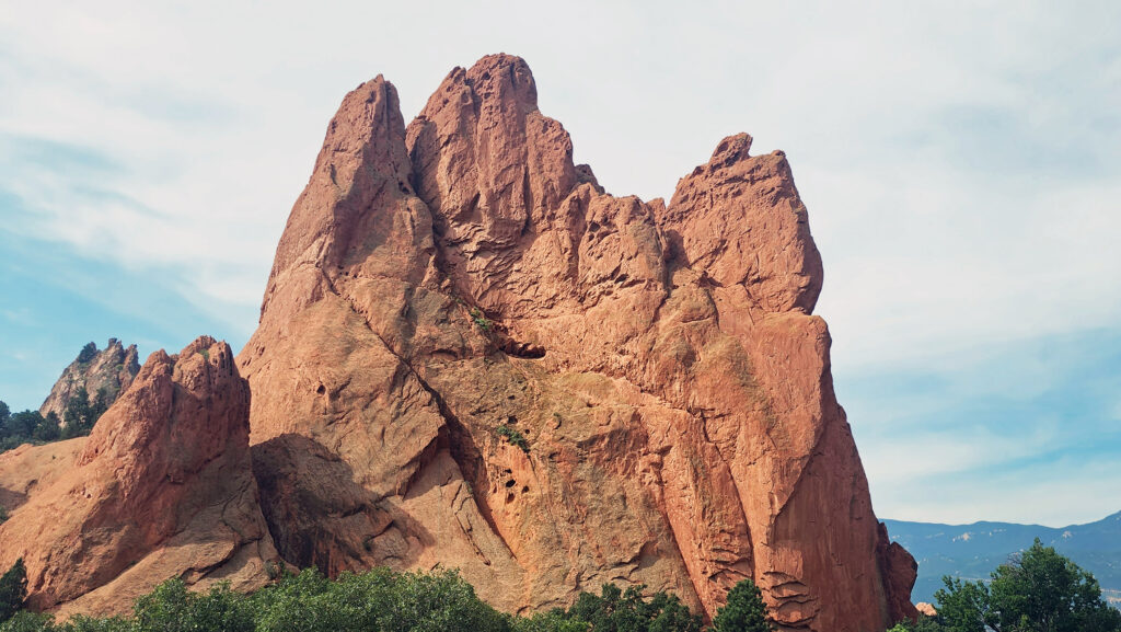
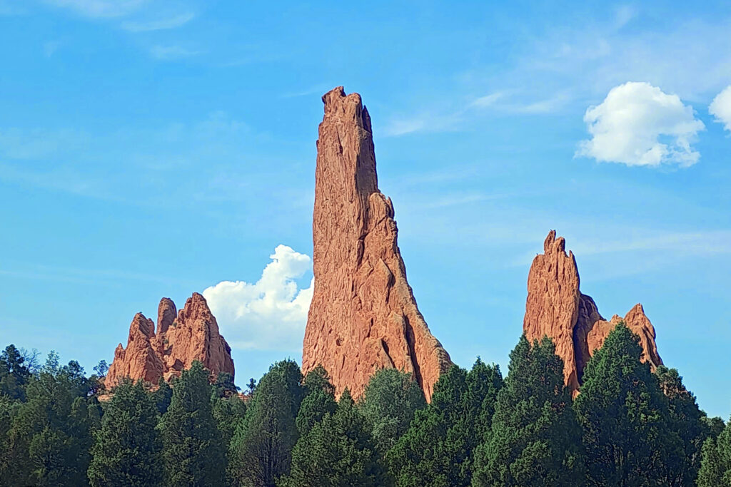
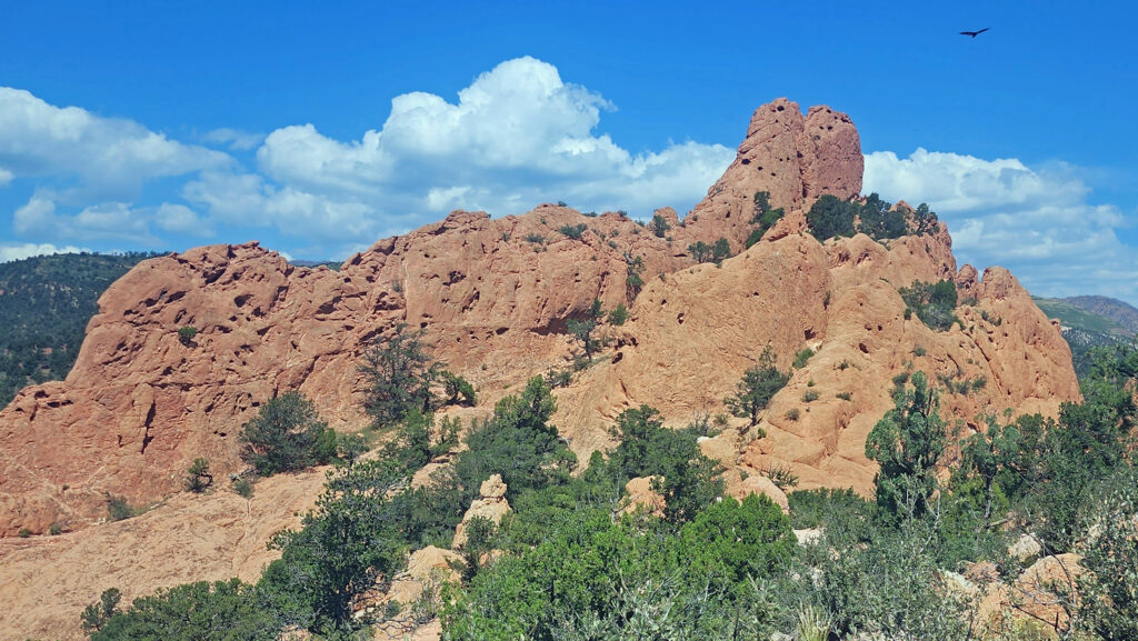
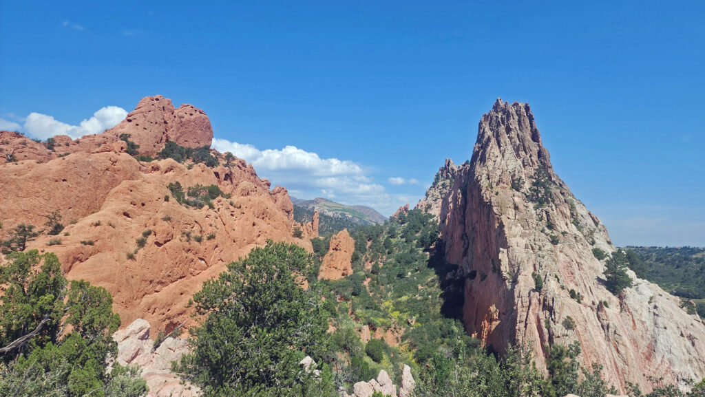
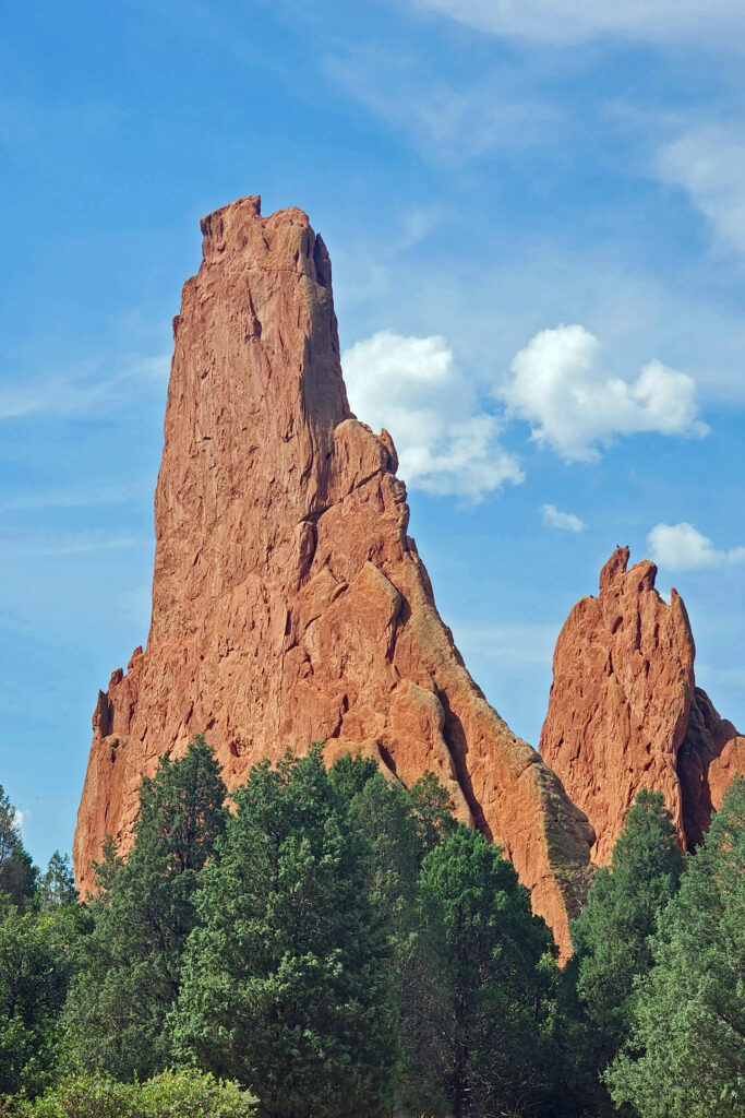
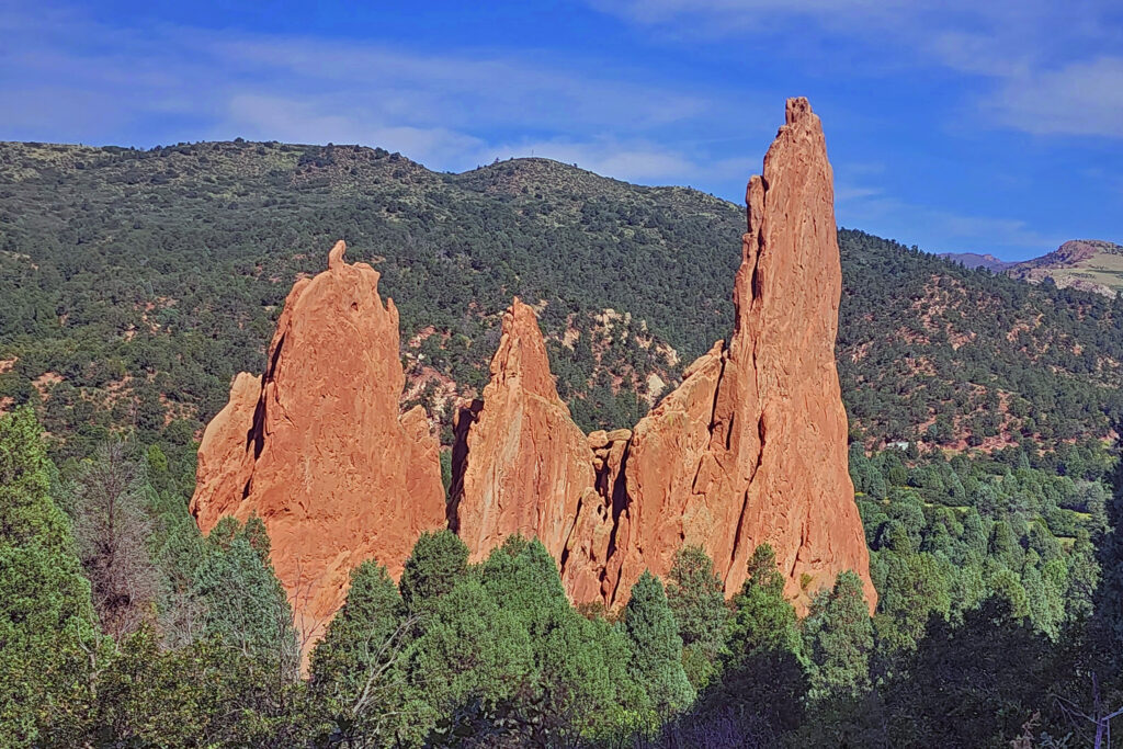 The park is very popular and parking can be a problem, but there is also a large overflow parking area just west of 30th Street if the visitor center parking lot is full. There is a pedestrian tunnel under 30th Street to get from the overflow lot to the visitor center. The park also operates a free shuttle bus in the summer that runs from the visitor center to the center of the park with stops at the overflow parking area and the Rock Ledge Ranch Historic Site.
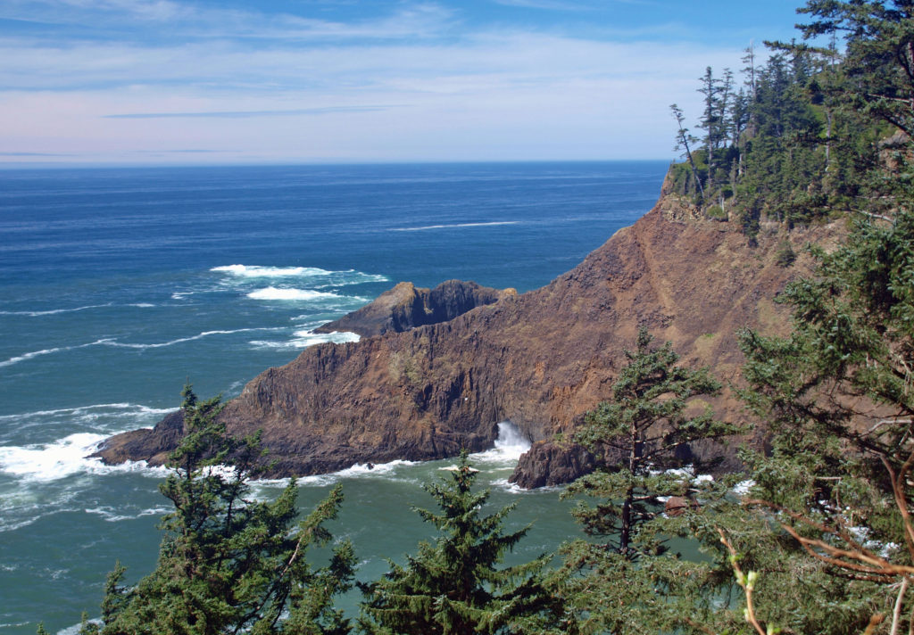
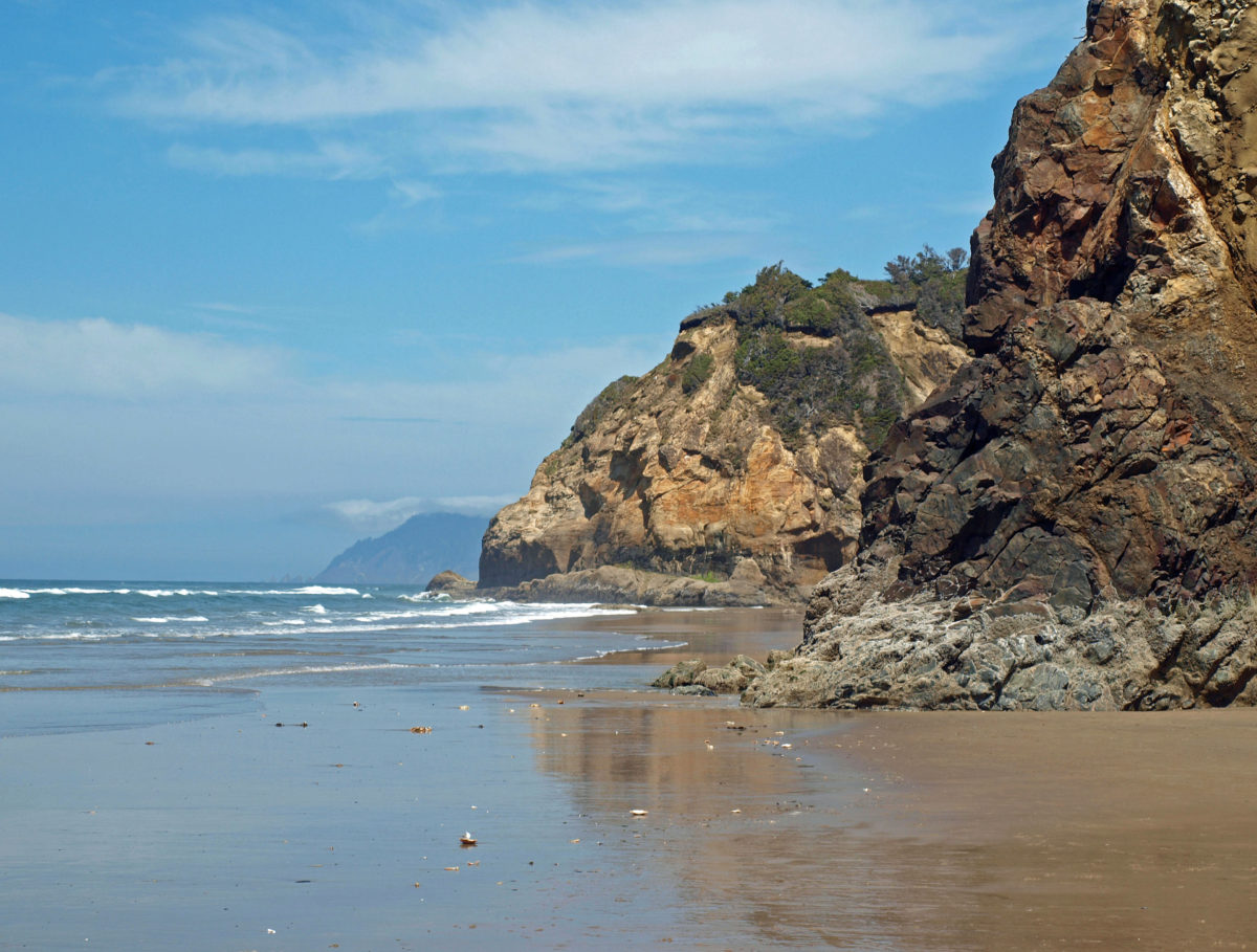
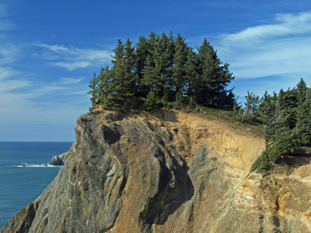
 The park, originally called Short Sand Beach State Park, was created in 1931 through the efforts of Oregon’s first State Parks Superintendent, Samuel H. Boardman. Boardman was a fervent believer that of as much of the coast should be preserved in public ownership as possible. Many of the state parks along the coast were created under his stewardship. Short Sand Beach State Park was renamed in 1958 to honor former Oregon Governor
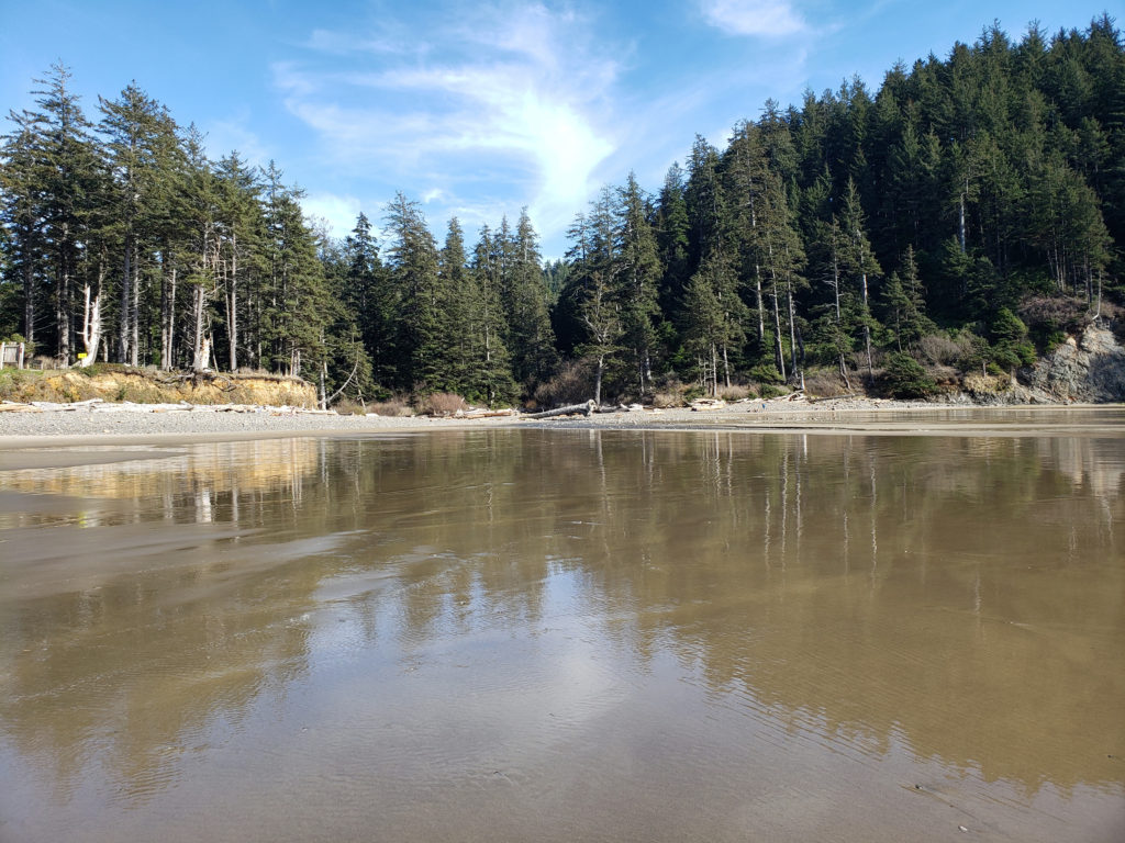
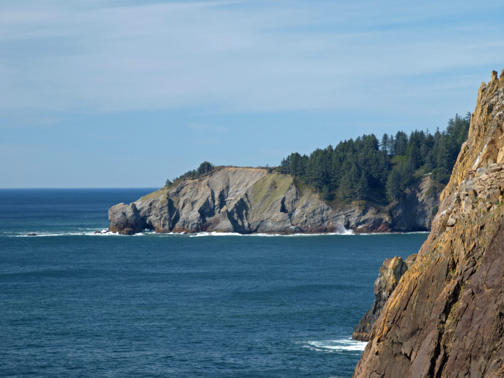
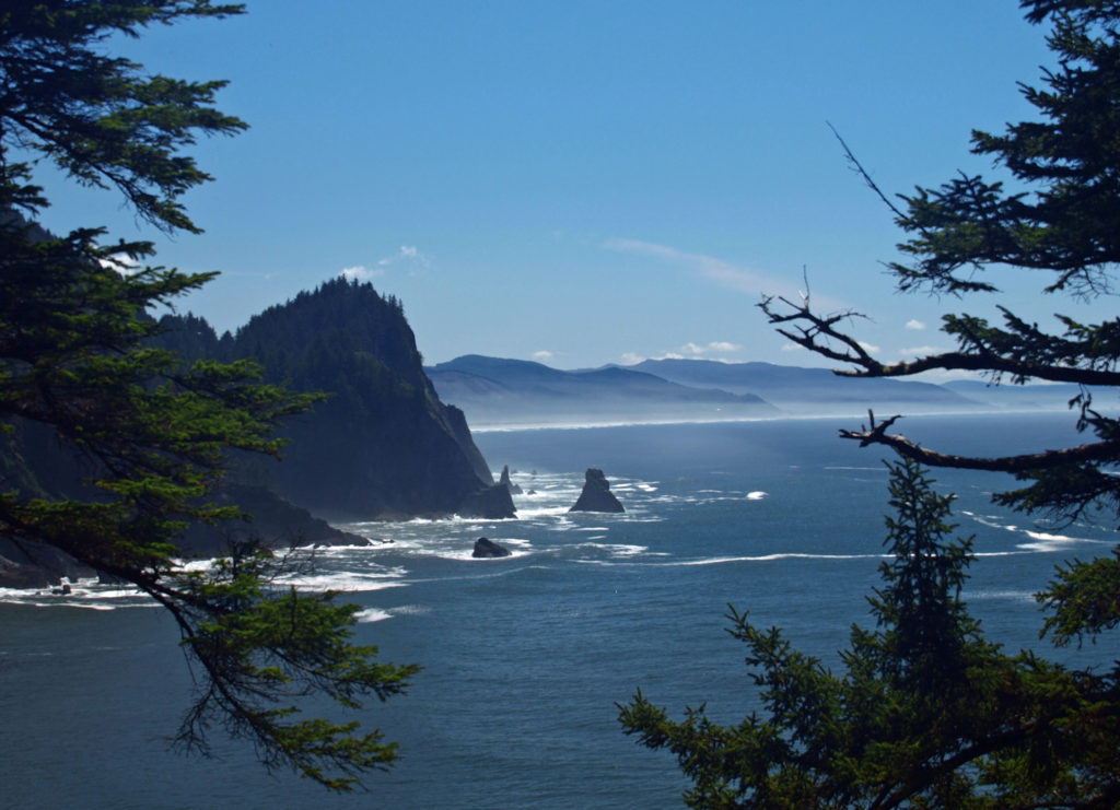
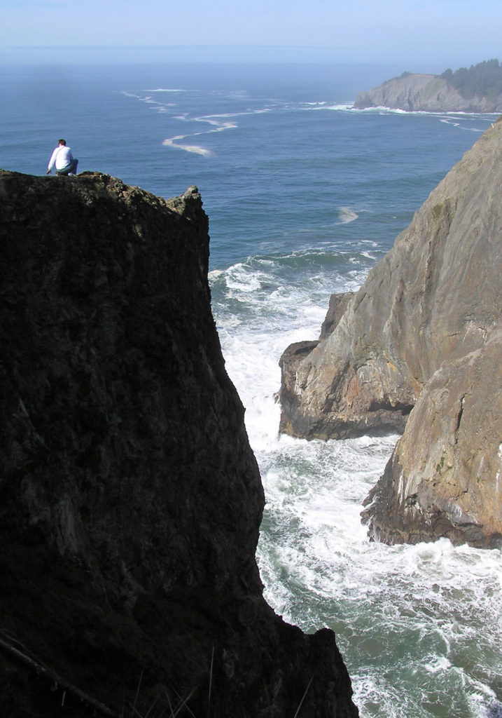
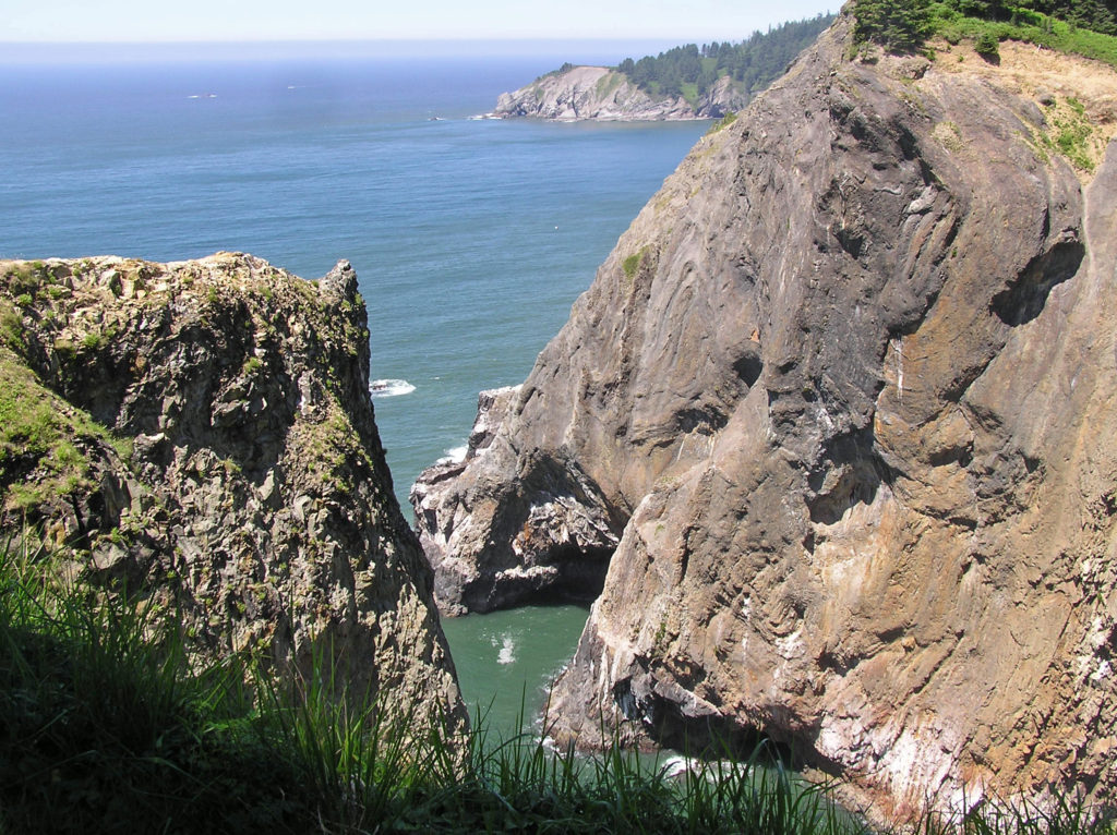 Devils Cauldron is a spectacularly beautiful little cove on the north side of Neahkahnie Mountain. It can be reached by either a one mile hike from Short Sand Beach or a much shorter hike from where the Coast Trail crosses Hwy 101. To access the shorter route, drive south on Hwy 101 from the Short Sand Beach parking lots and look for a gravel parking area on the ocean side of the highway. Follow the Coast Trail north a short ways to a signed junction. The Devils Cauldron viewpoint is just a quarter mile walk from the parking area.
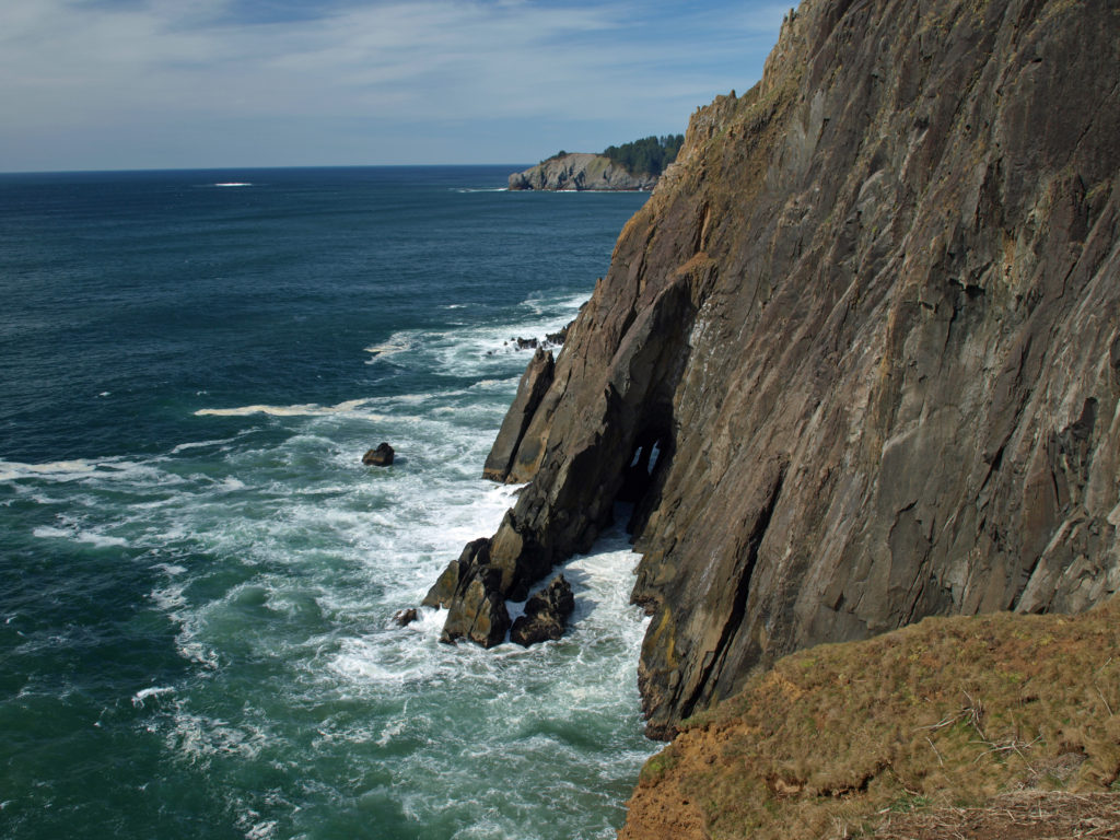 On your way back to the trailhead look for another trail branching off to the south. The junction here is unsigned and the trail is sometimes overgrown and impassable. But if it’s open, the trail leads to a narrow shelf of rock that falls away on three sides to the ocean below, and the cliffs of Neahkahnie Mountain tower over the viewpoint to both the north and south. It may not be a place for people with a fear of heights, but it’s one of the most awesome places on the entire coast.
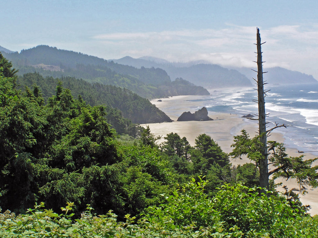
 Oswald West State Park is about a two hour drive from Portland, so it’s easily doable as a day trip if you’re from the Portland area or are visiting Portland. But if you want to make a weekend of it, there are plenty of other attractions on the north Oregon coast beyond Oswald West.
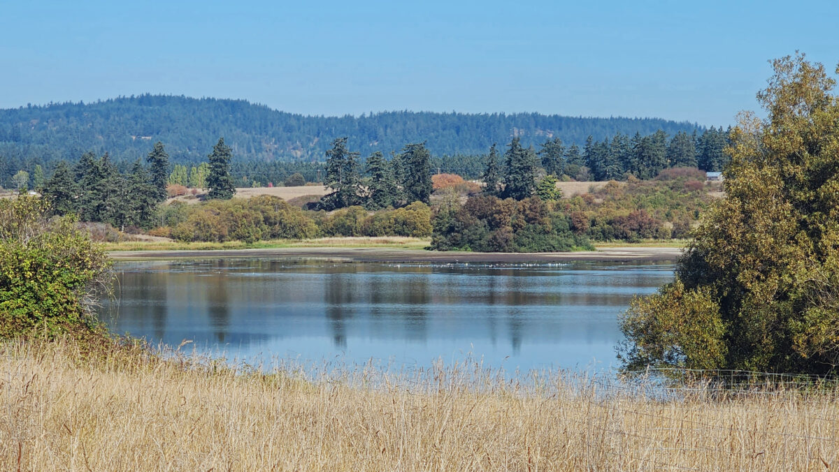
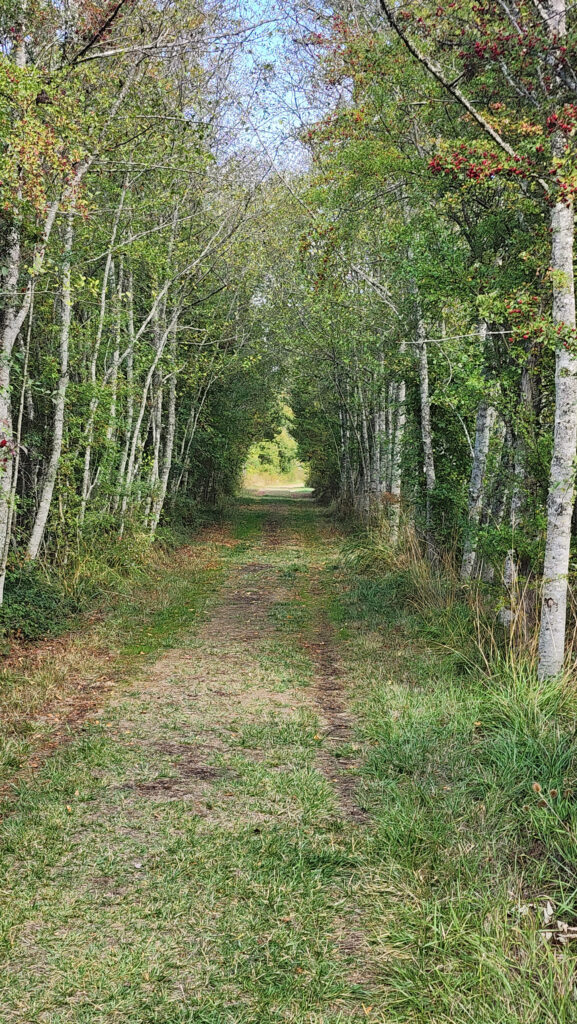
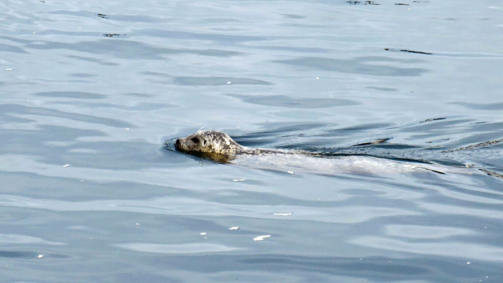
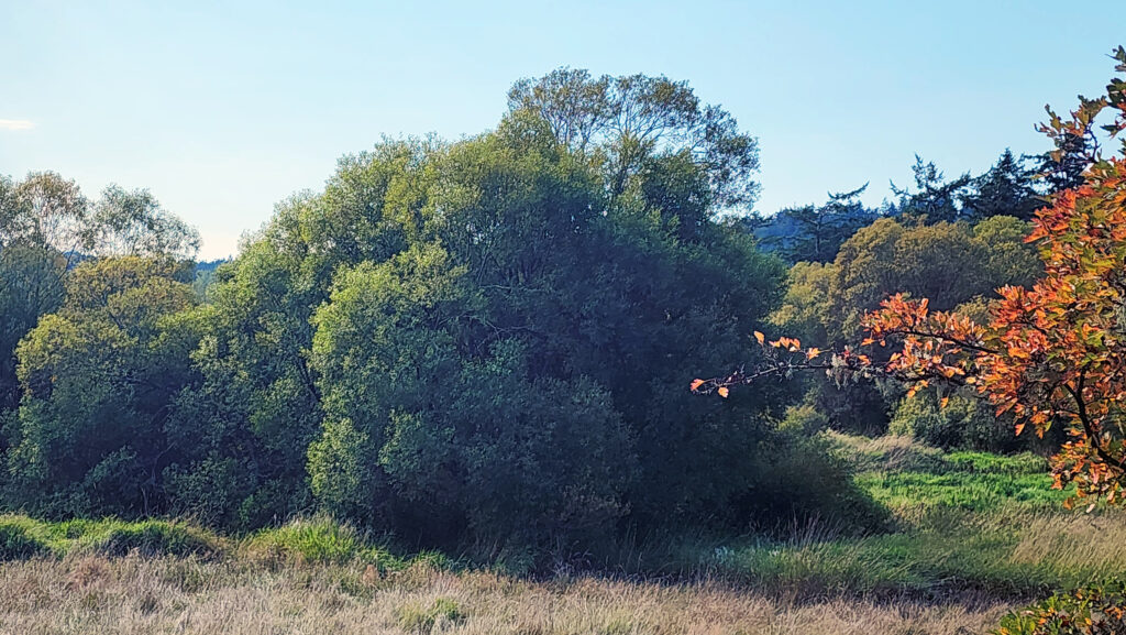 The property was formerly a privately owned farm that was the site of a proposed housing development. Instead, the property was sold to the land bank in 2015 and the trust obtained the conservation easement. Thirty acres of the property, including the farmhouse and agricultural buildings, were sold by the land bank to Island Haven, a non-profit animal sanctuary, with a conservation easement to protect the land.
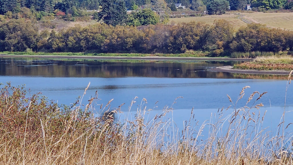 Currently, there is no public access to the lakeshore, and the eastern and southern portions of the trail around the lake are closed from October through March. The northern and western portions of the loop are open year-round and can be hiked as a lollipop loop during the winter.
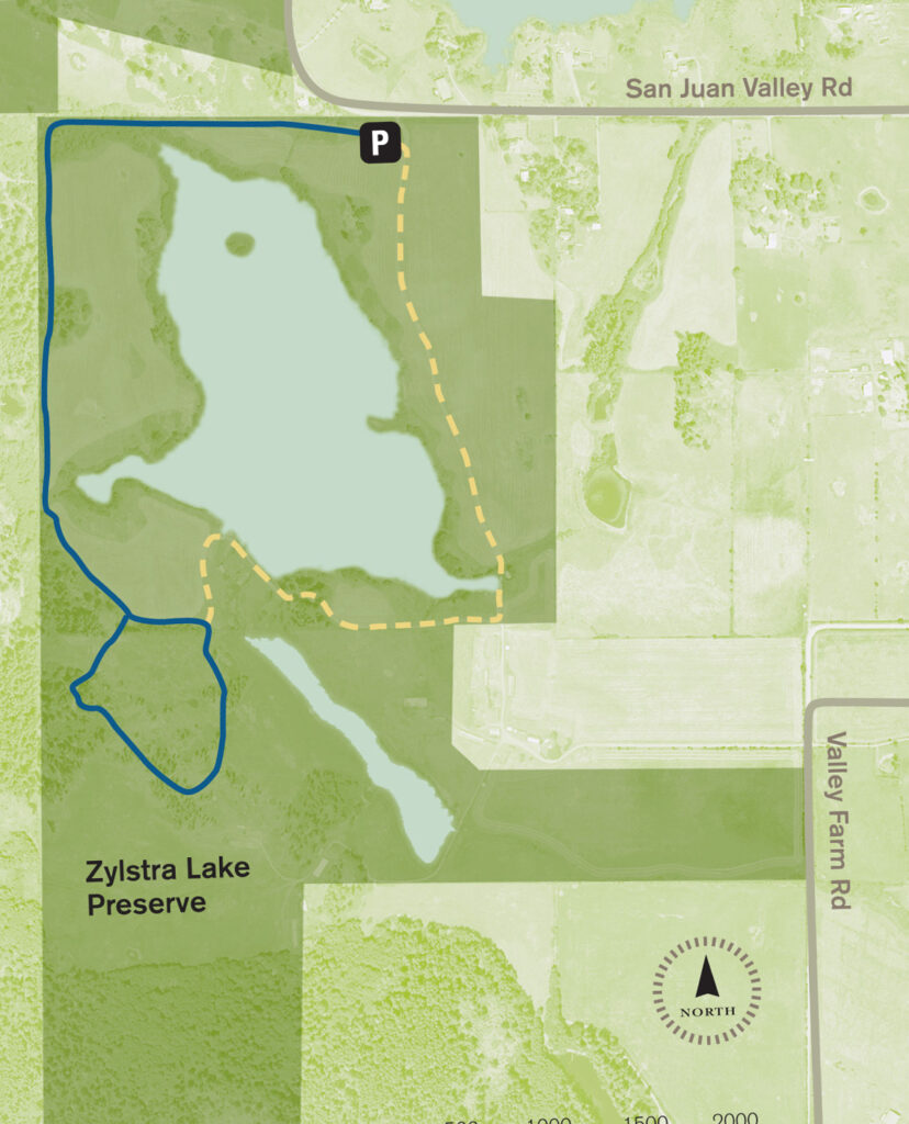
 Getting there:
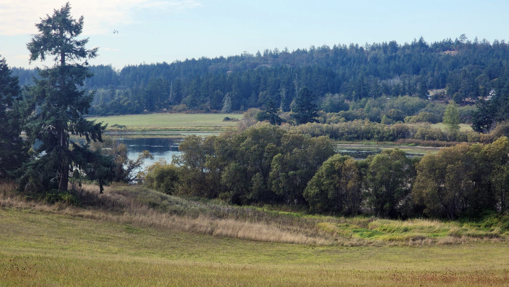 Trailhead:
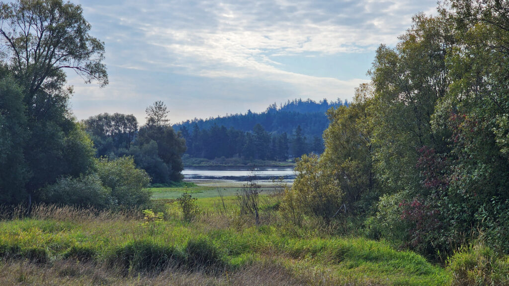 The hike:
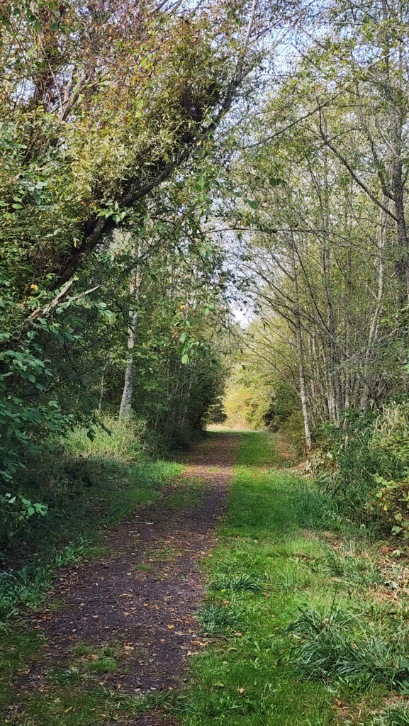
 At 0.3 miles the trail turns south and runs along the western boundary of the preserve for another 0.4 miles. The trail then turns southeast and follows the edge of an open field with good views of the lake.
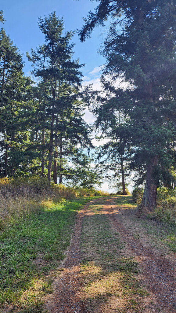
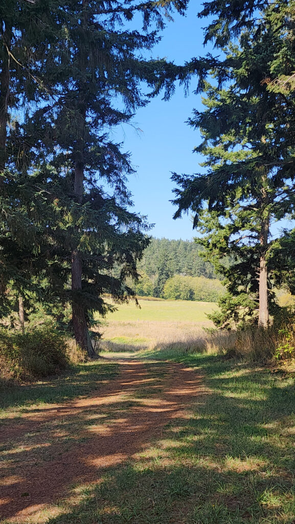 At the 0.85-mile mark, turn right onto a trail that leads through a mix of open fields and partially logged woodland.
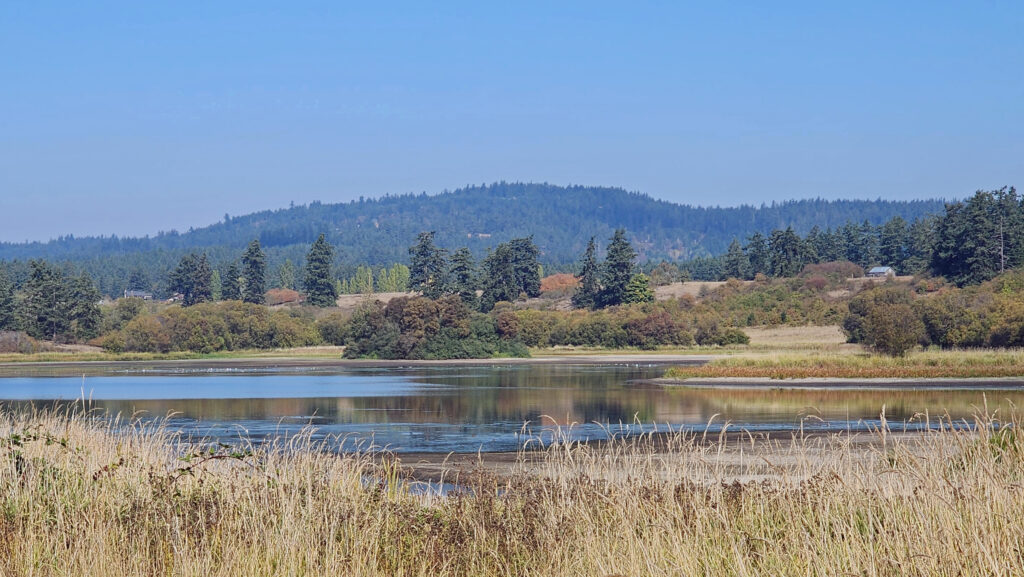 At the 1.25-mile mark, the trail returns to the open field. In winter, the trail ahead is closed, so you need to turn left and retrace your route back to the trailhead parking area.
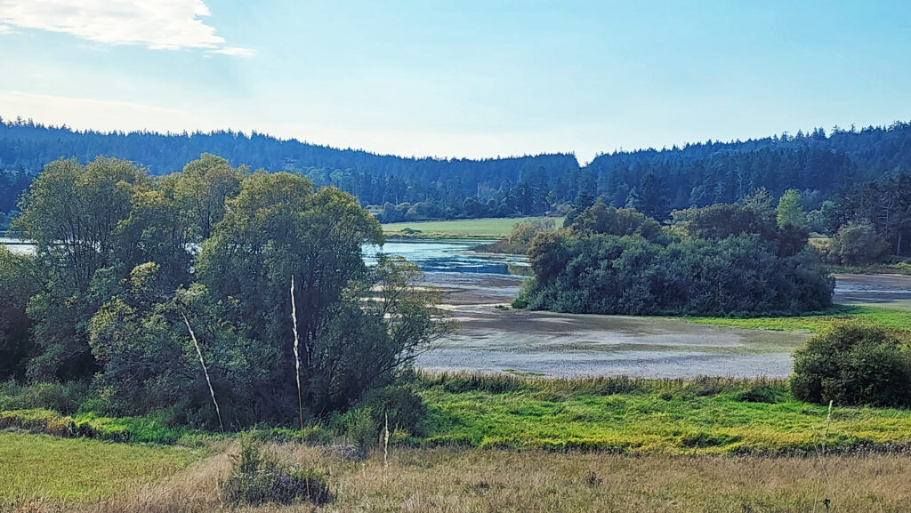
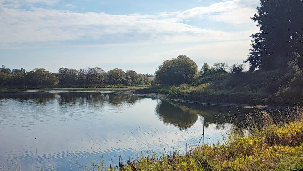 In summer, you can continue straight. The trail then turns right and crosses a bridge over the creek that flows from the lake. Beyond the bridge, the trail runs along the top of the dam that forms the lake, then passes through a small grove of trees.
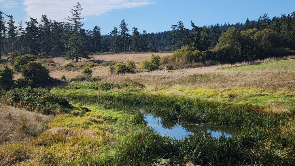 From there, the trail runs between fields to the old farmhouse site that is now home to the Island Haven animal sanctuary. The trail turns left there and follows a gravel farm road back to the trailhead.
 Posted October 12, 2023 by Alan K. Lee
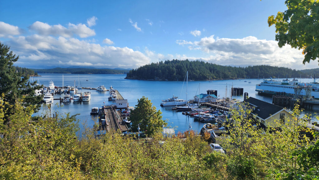
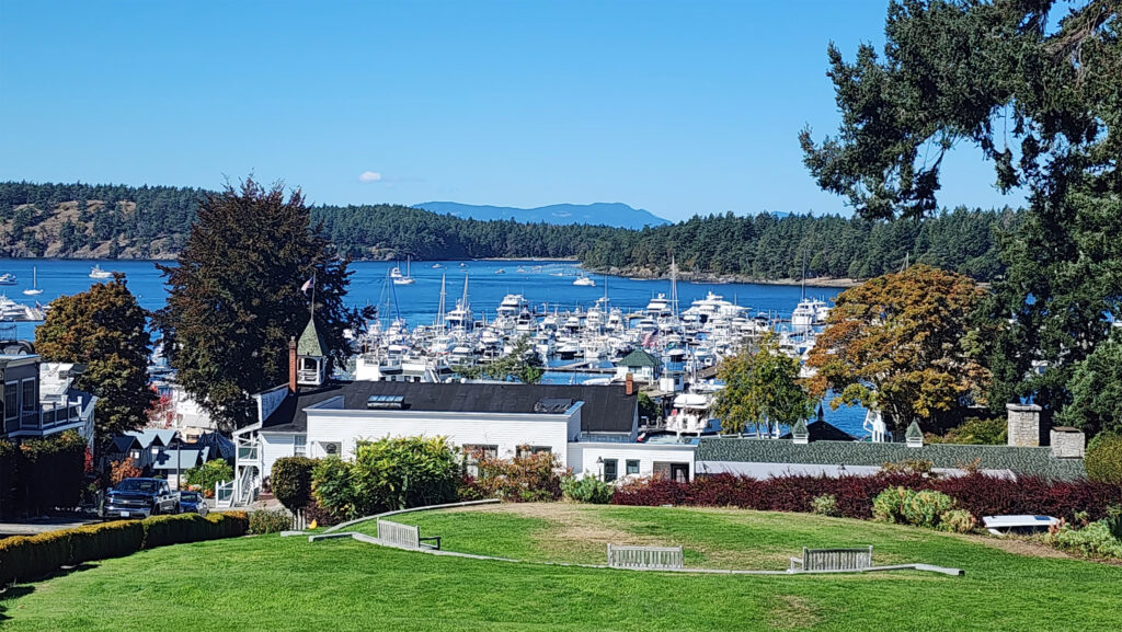
 There is no shortage of places to eat in Friday Harbor. For breakfast and lunch, I can personally recommend both Rocky Bay Café and Tina’s Place. For dining with a view, go to Downriggers on the bayfront. Classic Italian food can be found at Vinny’s Ristorante. Vegetarian and vegan food can be had at Mike’s Café and Wine Bar. For quality craft beers and upscale pub food, try San Juan Brewing. For seafood in a casual dining space, check out Friday’s Crab House. We ate at all of those, and all were good. But that’s just a sampling of what Friday Harbor offers. I wish we had had a few more days to sample more of the town’s eateries. What’s a vacation for, after all.
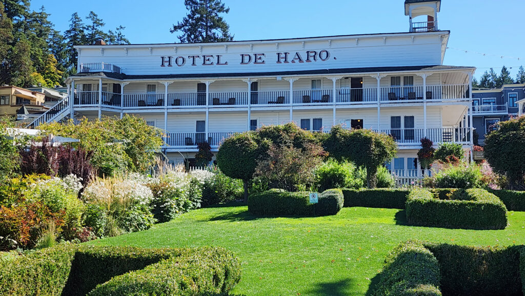
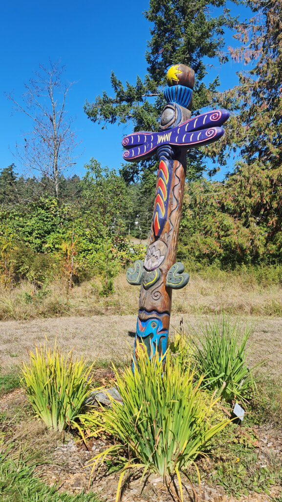
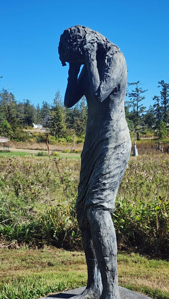
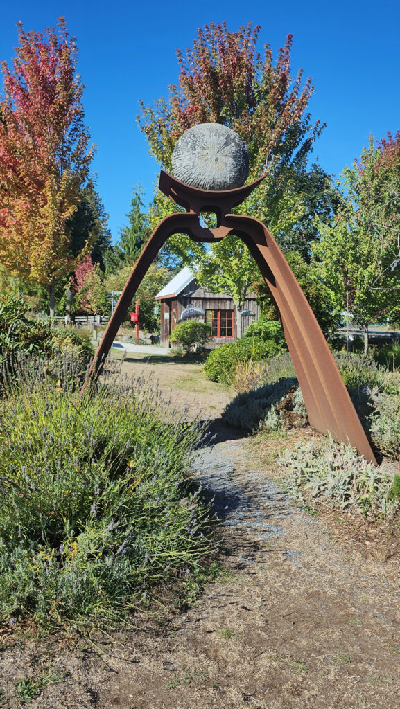
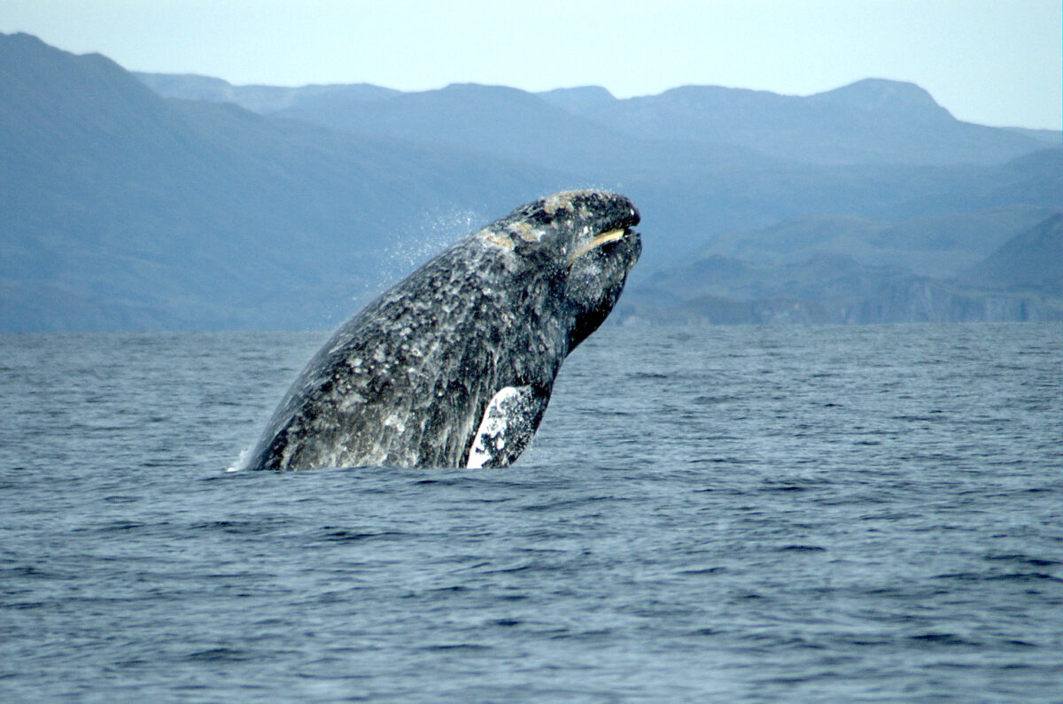
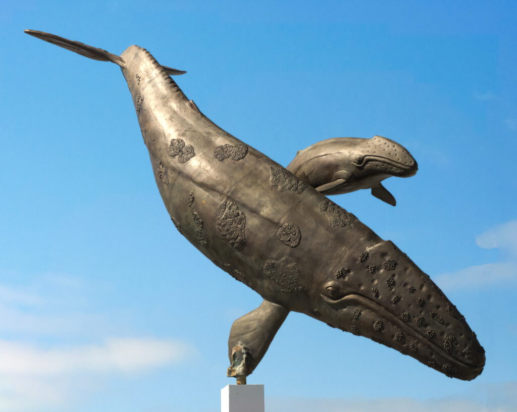
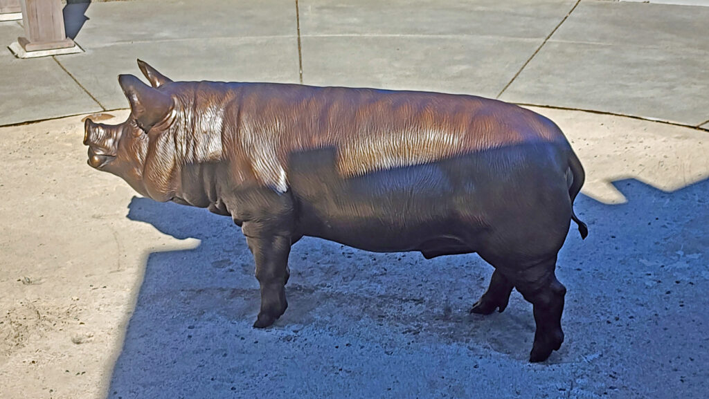
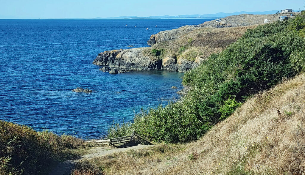
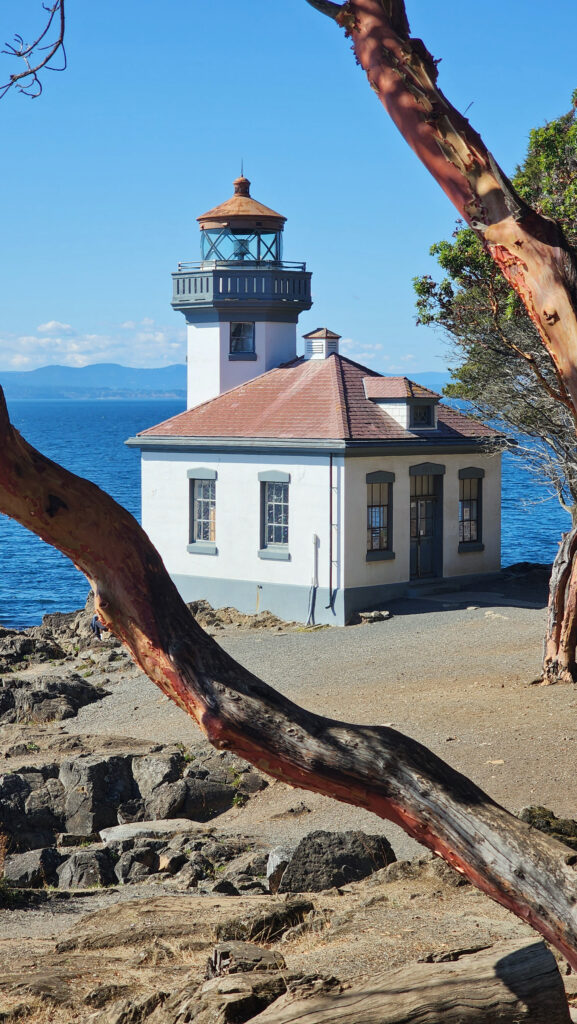
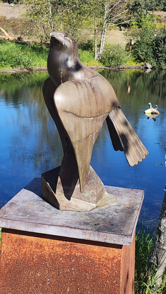 Near Roche Harbor (I think it’s actually part of the resort), the San Juan Islands Sculpture Park is a must see if you’re at all interested in sculpture. There are over 100 works of art (it seemed like many more) spread out over the twenty acres of the garden. Plan to spend at least an hour here. We spent more than that and still didn’t see it all. Admission is free, but donations are requested.
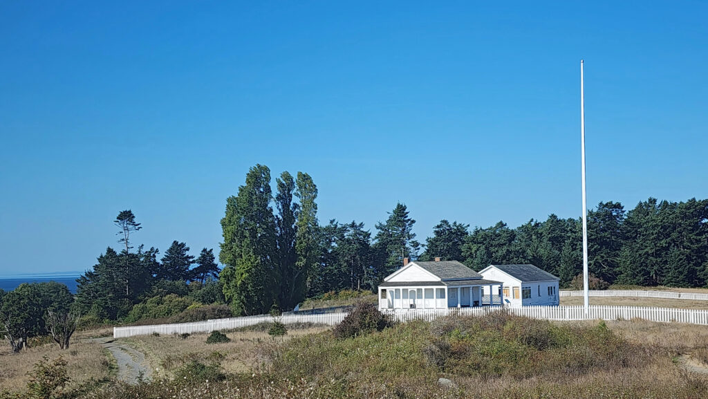
 Tensions between the American and British contingents led both England and the U.S. to send military forces to the island. From 1859 to 1872, when the boundary dispute was finally settled in favor of the United States, the island was jointly occupied by both forces. No actual combat occurred, and no one was injured in the Pig War. The sites of the two country’s military installations are now part of
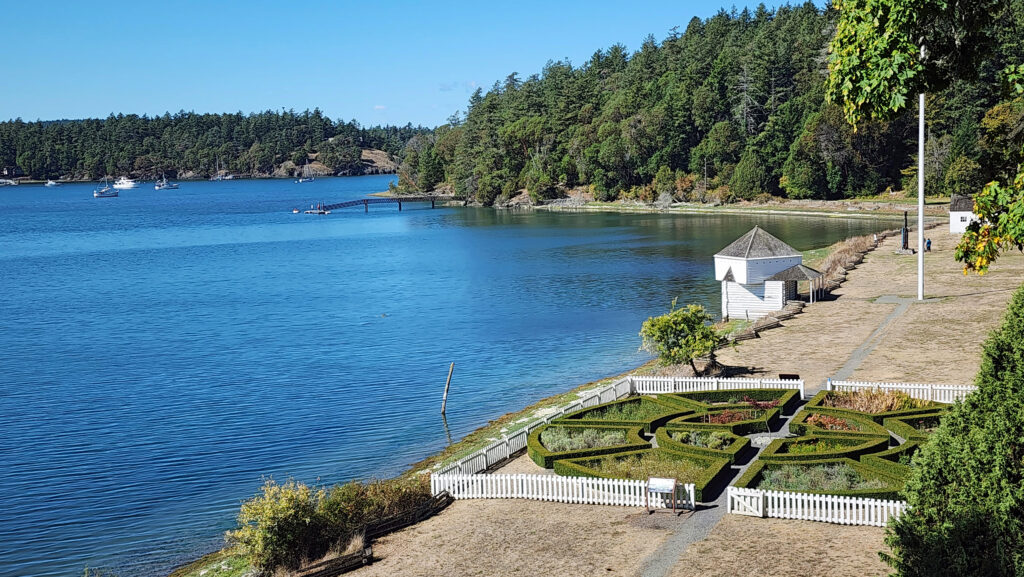

 Conclusion
 Posted October 12, 2023 by Alan K. Lee
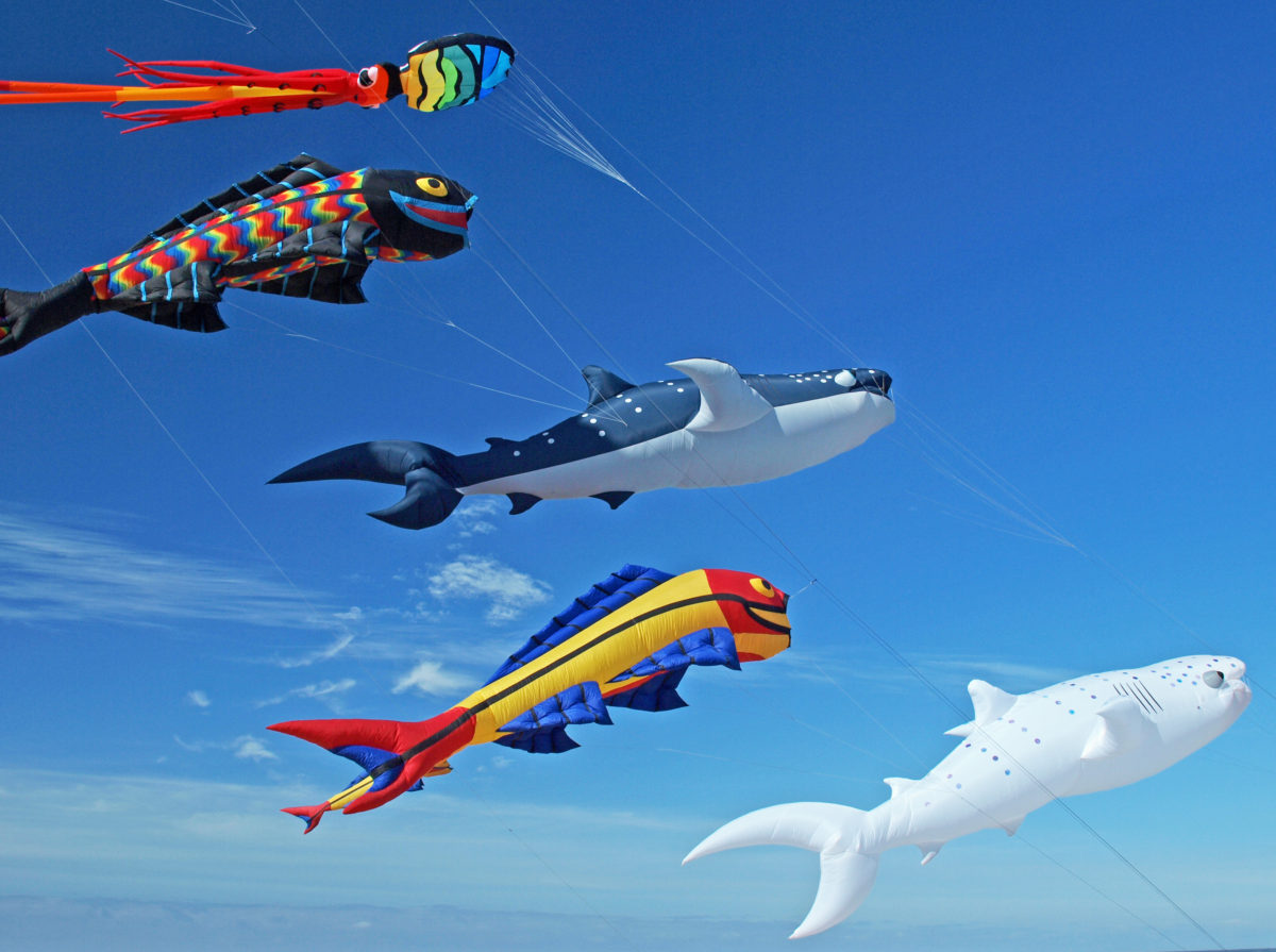
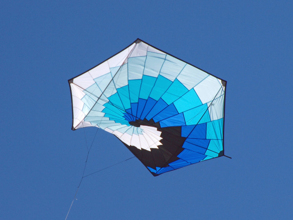
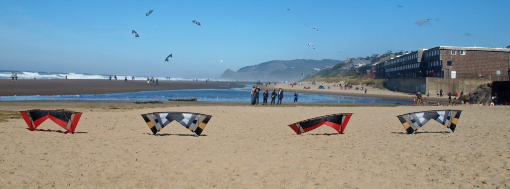
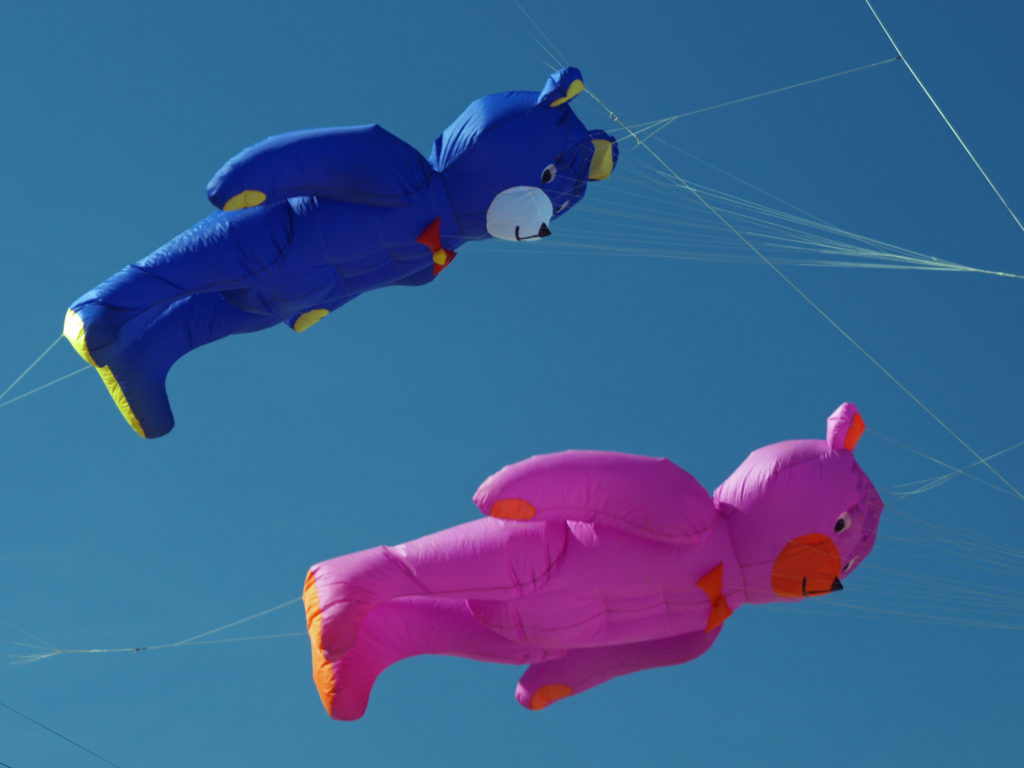
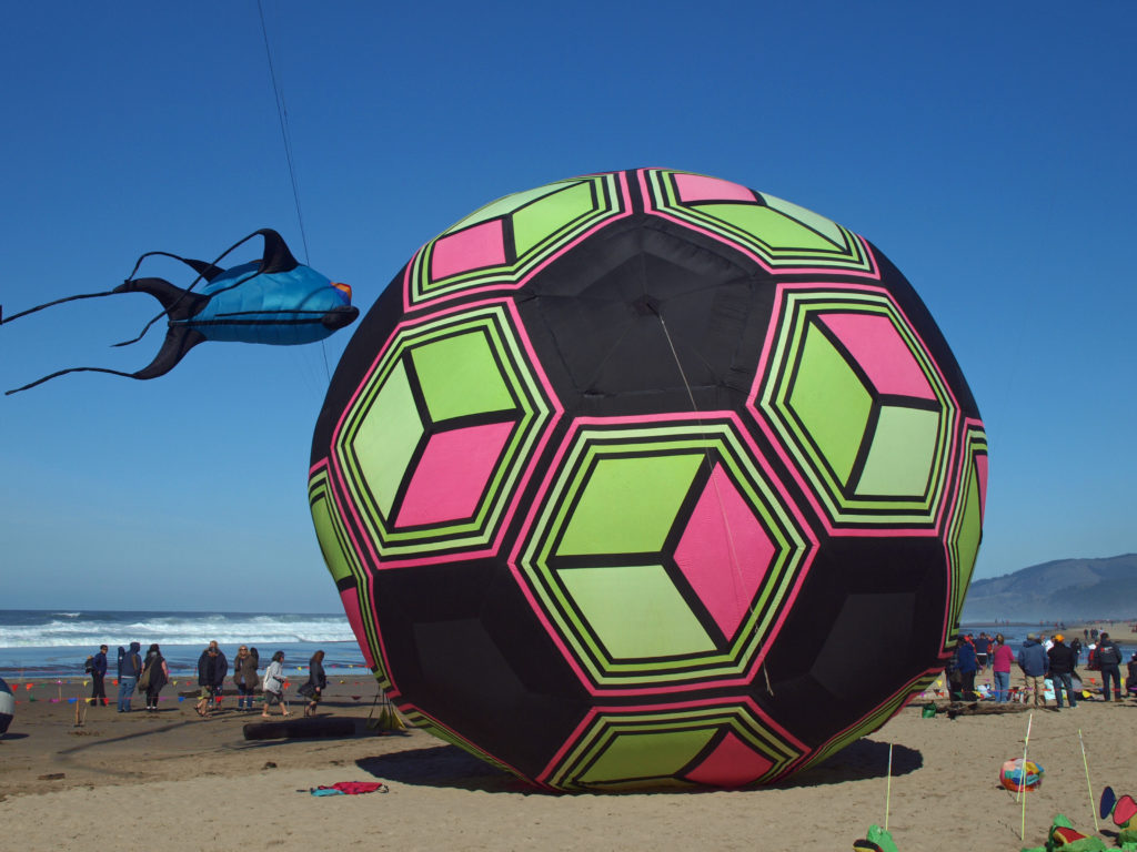
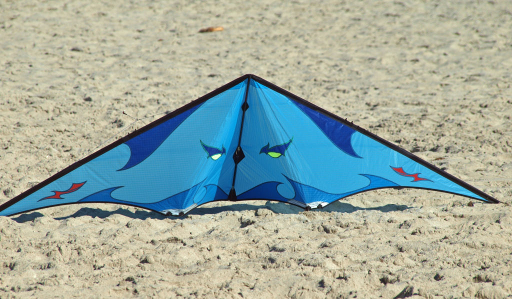
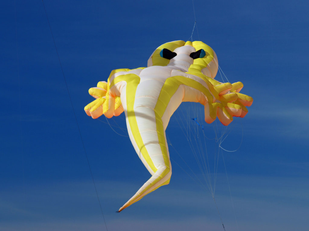
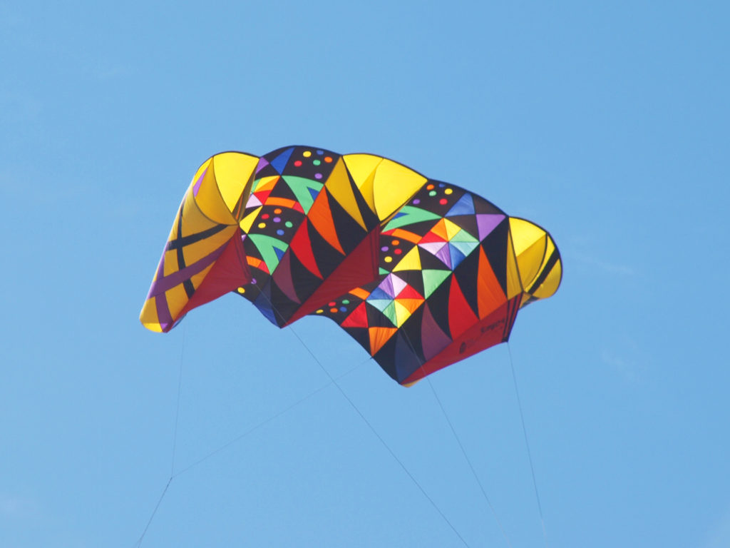 I’ve been lucky enough to experience Lincoln City’s kite festivals when the weather was perfect for kite flying. And my wife and I even got the last available parking spot at the D River Wayside, where the festivals are held, one year. Luck really was with us. There was a brisk, but not cold, breeze on the beach that time – perfect kite flying weather and a pretty near perfect day for just hanging out on the beach.
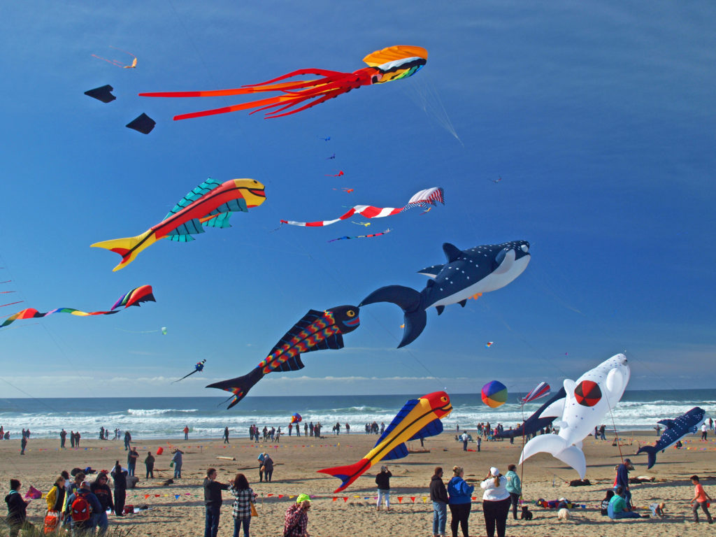 The festivals typically feature a lot of very big kites, and quite a few performance kite fliers demonstrating their talents. One of the all time highlights for me was a flier named Spence Watson flying two quad strings kites. Normally it takes two hands to fly a single quad string. Flying one one-handed is a feat in itself, but he was flying one right-handed and one left-handed, and controlling each one perfectly. Pretty amazing.
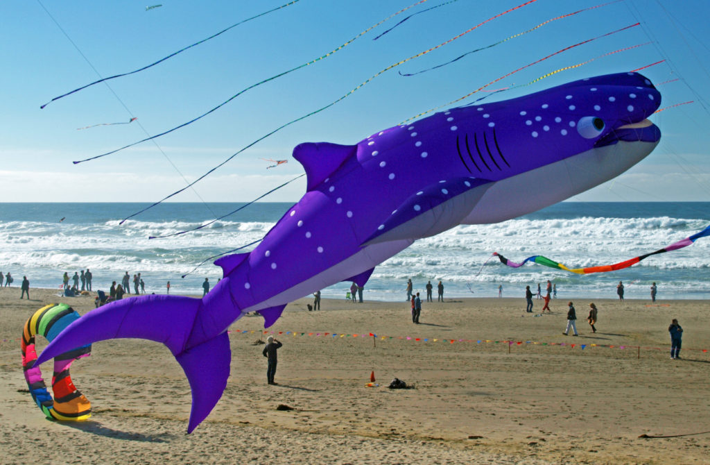
 Watching the kite flyers is often as entertaining as watching the kites. It’s really a very physical dance that they’re doing. Their movements are perfectly coordinated with the music, but everyone’s moves are a little bit different. If you watch long enough you begin to see the different styles of the flyers. It’s really quite interesting.
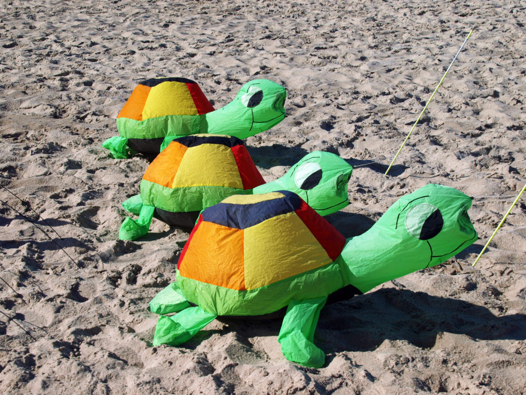
 There’s plenty to do at the festivals for the whole family. Kids can take part in kite making classes, get their faces painted, learn about ocean conservation, fly their own kites, and, of course, just play in the sand.
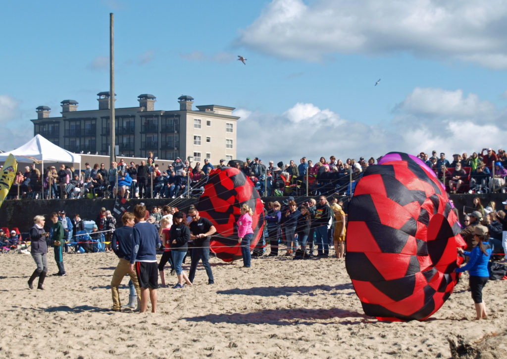
 I lived in Lincoln city for most of the 1980s, so I sometimes take a walking tour of the downtown area when I visit Lincoln City. The whole town has changed a great deal since I lived there, including the house that I lived in for a time. It’s been extensively remodeled and added on to, so it’s nothing like it was when I lived there. And that’s a fitting description of the whole city.
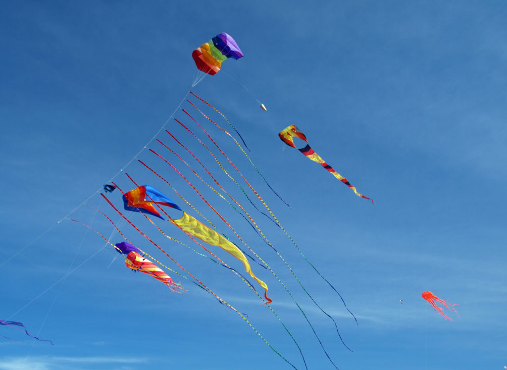
 There are numerous other kite fests up and down the Oregon and Washington coasts in addition to the Lincoln City festivals, including the Southern Oregon Kite Festival in Brookings in July, and the
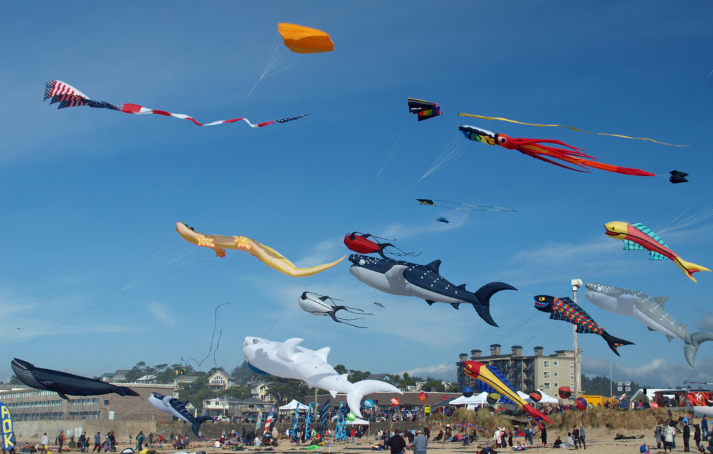
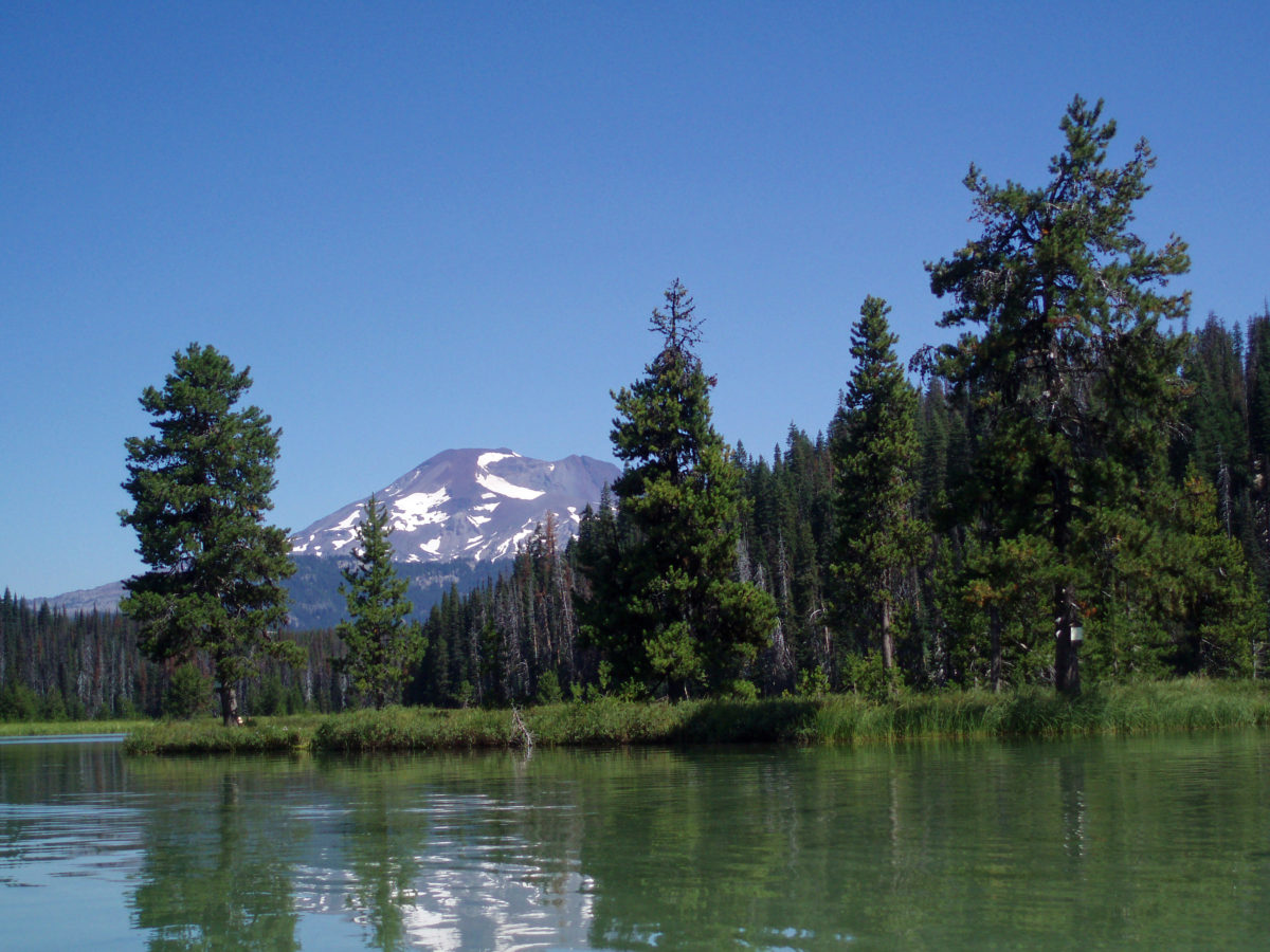
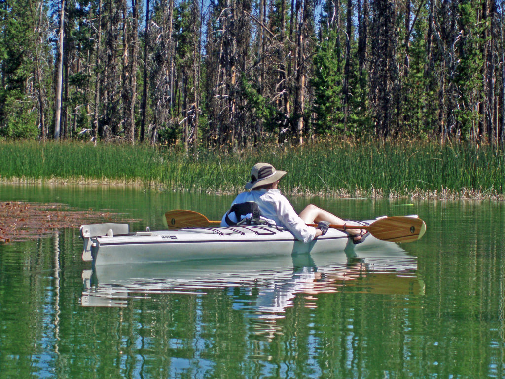
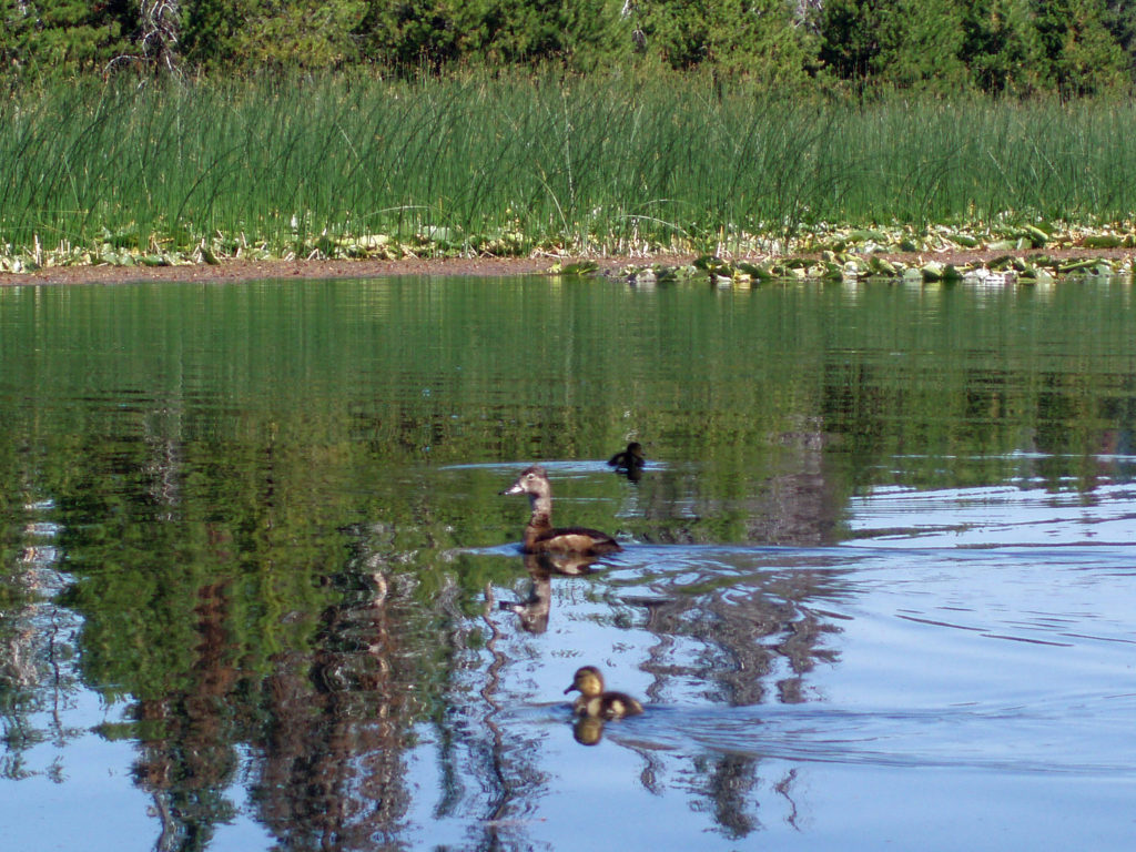
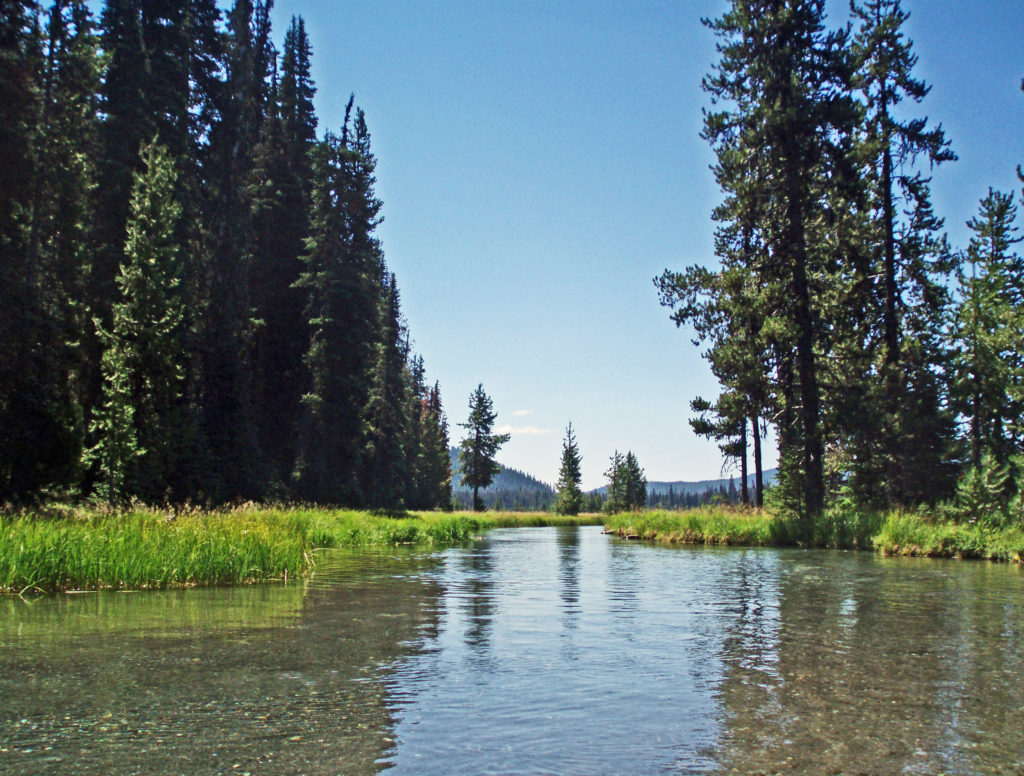
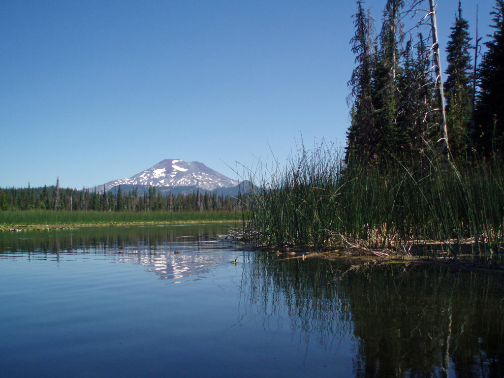
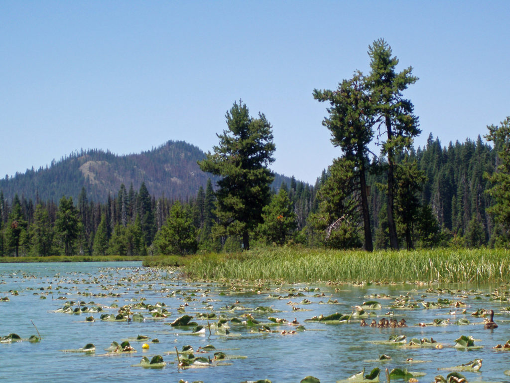
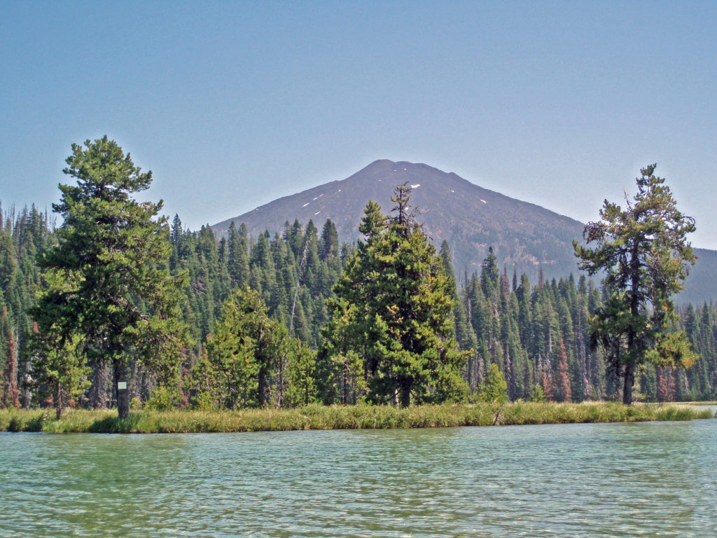 Hosmer Lake is a mix of open water and reeds, rushes, water lilies, and other marsh plants. Motorized craft (except for electric motor powered) are not allowed on the lake, which makes it ideal for kayaking or canoeing. It’s also not a big lake at 160 acres, so you can easily explore it all in an afternoon.
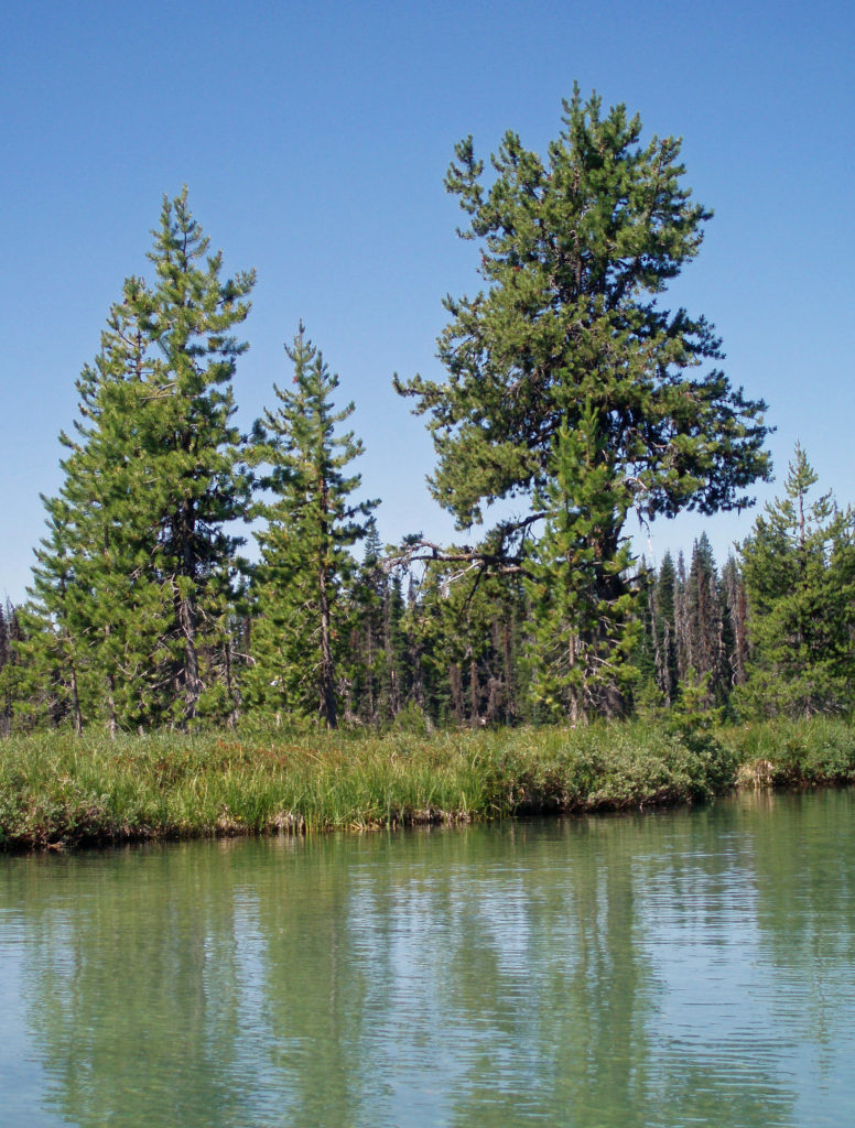
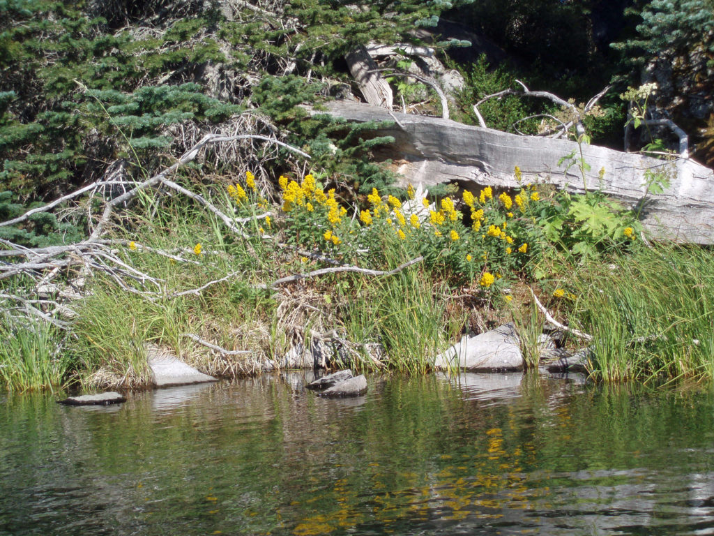
 Hosmer Lake is fed by Quinn Creek, which flows into the north end of the lake. Quinn Creek is narrow and shallow, but it is possible to paddle up it for a ways. When we were there last, downed trees blocked our passage a few hundred yards from the mouth of the creek. We hauled our kayaks out of the water at that point and hiked along the creek to a small waterfall where we ate lunch and lingered awhile before heading back out on the water.
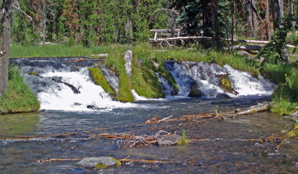 Recalling our visits to Hosmer Lake, I’m eager now to get back to the area and get back on the water again. It’s a beautiful place, and one of my favorite destinations.
 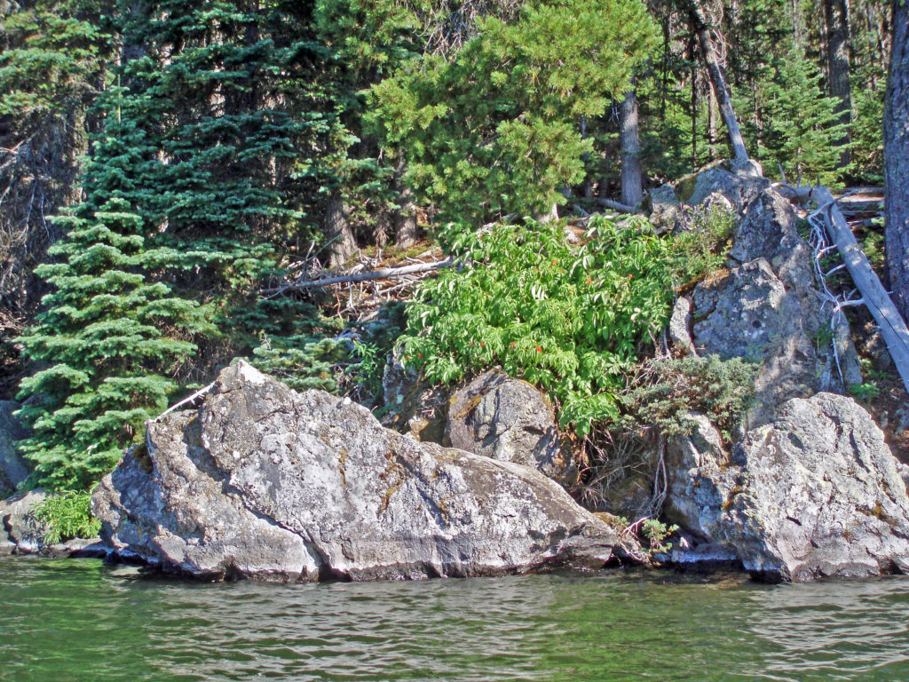 Hosmer Lake is located in the Deschutes National Forest. Check the Forest Service
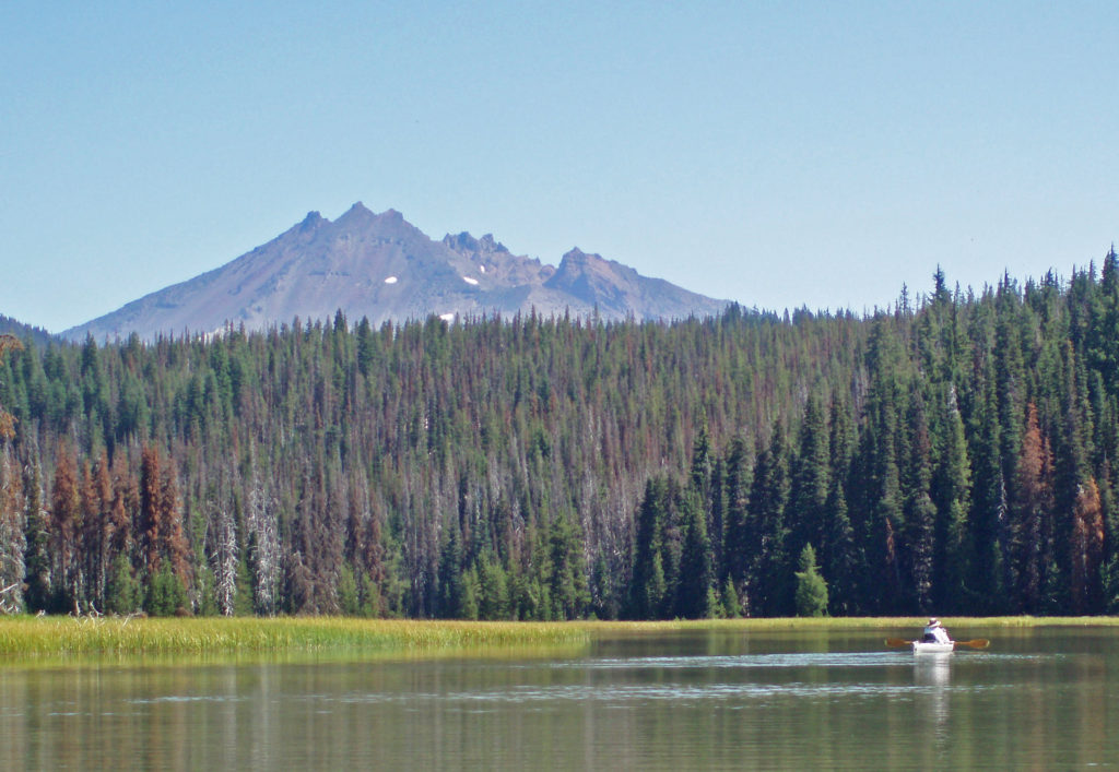
 The following was originally posted on this site a couple of years ago. I checked all of the links, but things can change, so check the