God’s Thumb Hike
Where: Oregon Coast
Type: Out and back
Distance: 4.5 miles
Elevation gain: 1100 feet
Difficulty: Easy to moderate
 Overview:
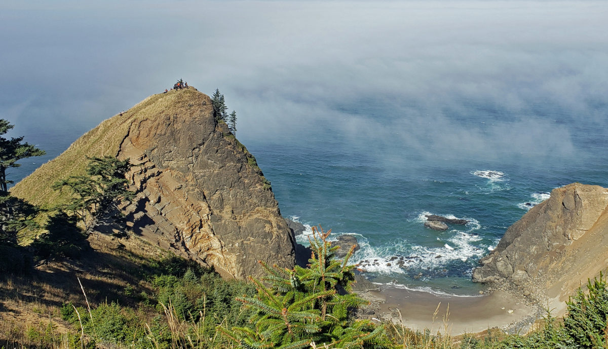
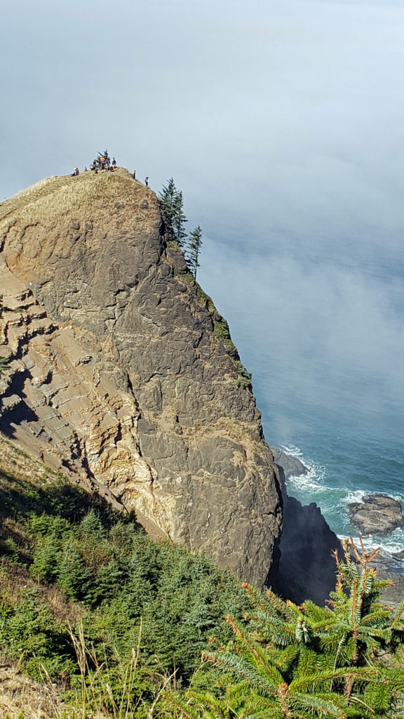
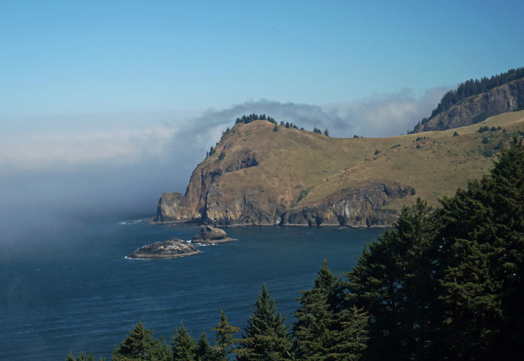
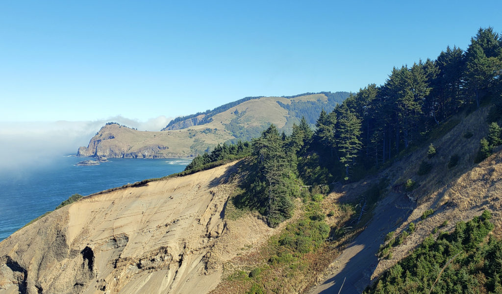
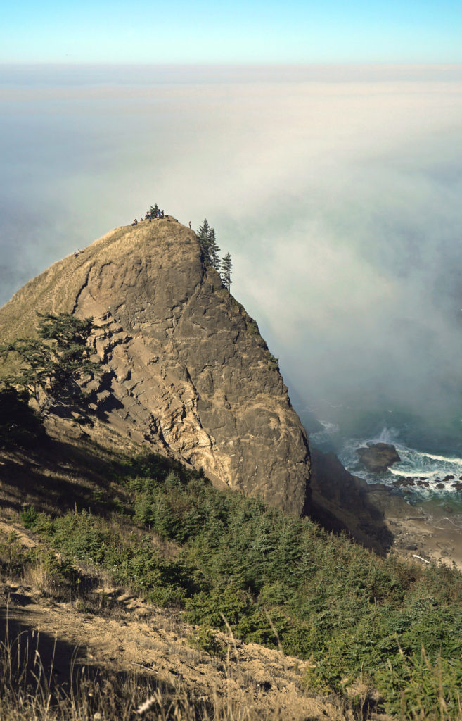
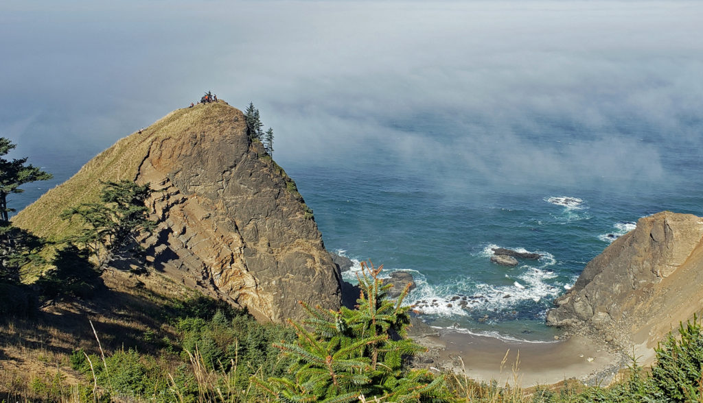
God’s Thumb is a conical basalt headland rising out of the sea like a giant thumb just north of Lincoln City, Oregon. I first laid eyes on God’s Thumb in the 1980s, from the open grassland on the summit of Cascade Head. From there the Salmon River Estuary is immediately below you and just beyond is the town of Lincoln City. In between, there is a rocky headland – God’s Thumb. There’s also an isolated cove and a nice beach visible from Cascade Head. I wondered how you could get there. When I inquired about the area, I was disappointed to find out that you couldn’t. Even though God’s Thumb was (and is) part of the Siuslaw National Forest, there was no public access to it. The only ways to get there crossed private property that were not open to the public.
 The God’s Thumb hike remained closed to the public until about a decade ago. Although people occasionally trespassed across private property to get to it, God’s Thumb remained largely unknown. But in 2013 Lincoln City purchased about 500 acres of property that was the site of a failed subdivision and negotiated an easement with the owner of the neighboring property, making God’s Thumb legally accessible to the public for the first time.
 Trailhead:
The God’s Thumb hike starts just north of Lincoln City. Coming from Lincoln City, go north on Hwy 101, past the turn to Road’s End and Chinook Winds Casino, and turn left onto NE Devil’s Lake Boulevard at the next traffic signal. The trailhead is on your left just before the cul de sac at the end of the road.
 The hike:
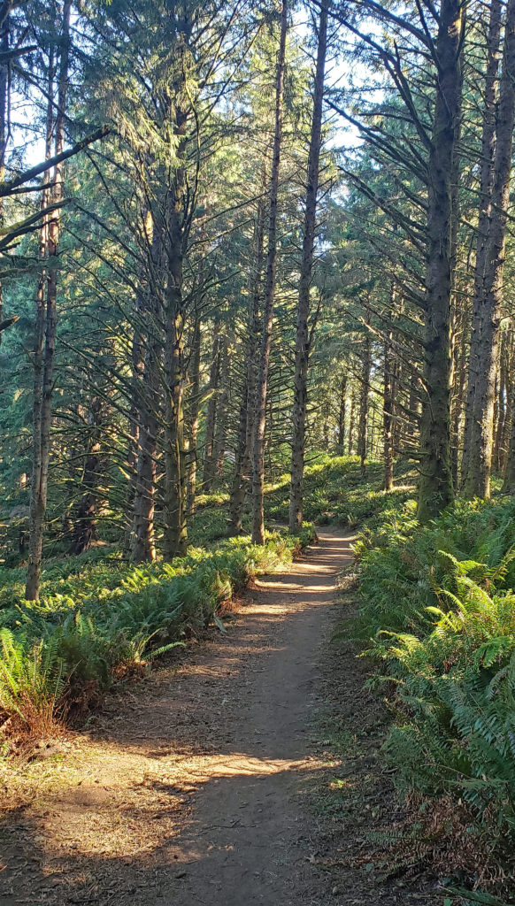
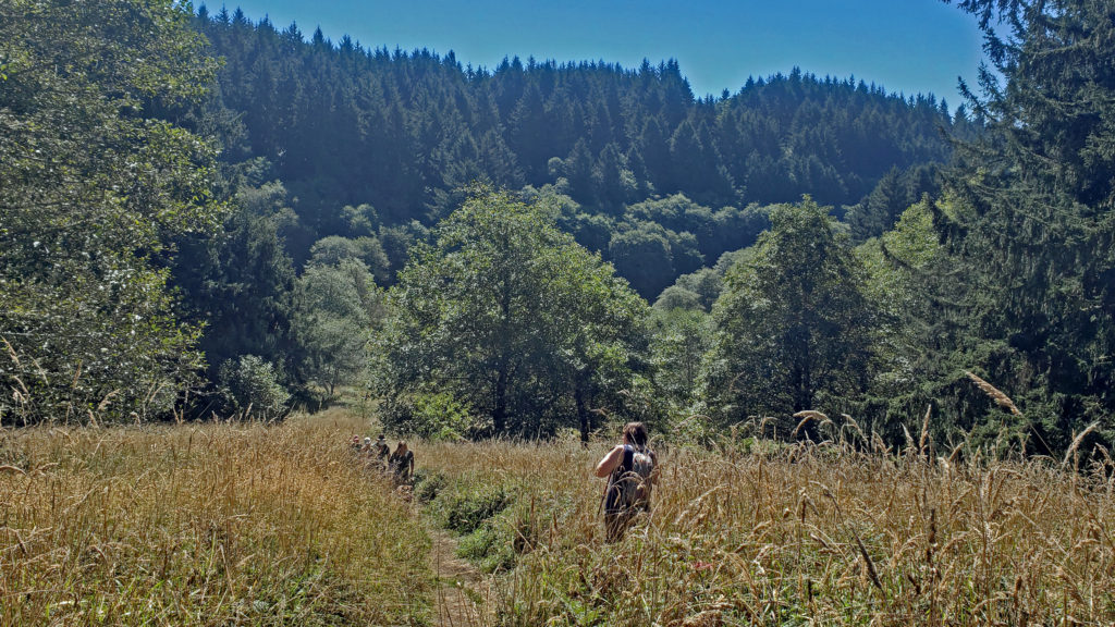
From the parking area at the trailhead, the trail wanders through the woods for about a quarter mile before crossing Logan Creek on a bridge. On the other side of the creek you’ll come to Sal La Sea Drive. You’ll note that there is a small parking lot there. Turn right and walk up Sal La Sea Drive another quarter mile and turn right onto Port Drive. You’ll see a gate ahead. You’ll also note that there is parking for four or five cars at the end of Sal La Sea Drive. (See A few notes on parking, below). Walk around the gate and follow an old gravel road straight up the hill. In about a quarter of a mile you’ll come to a junction. Turn left and walk out to The Knoll.
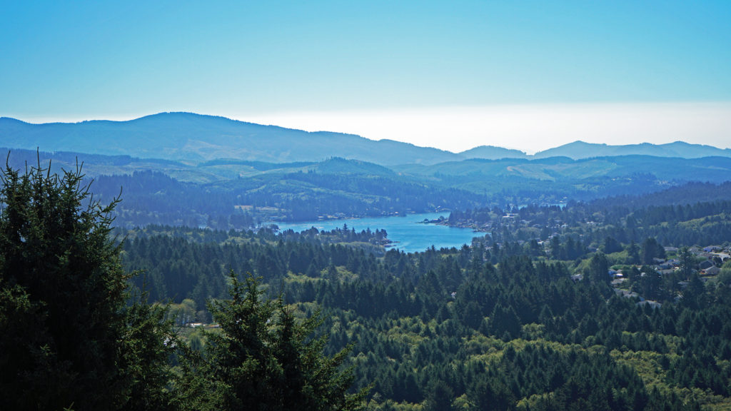
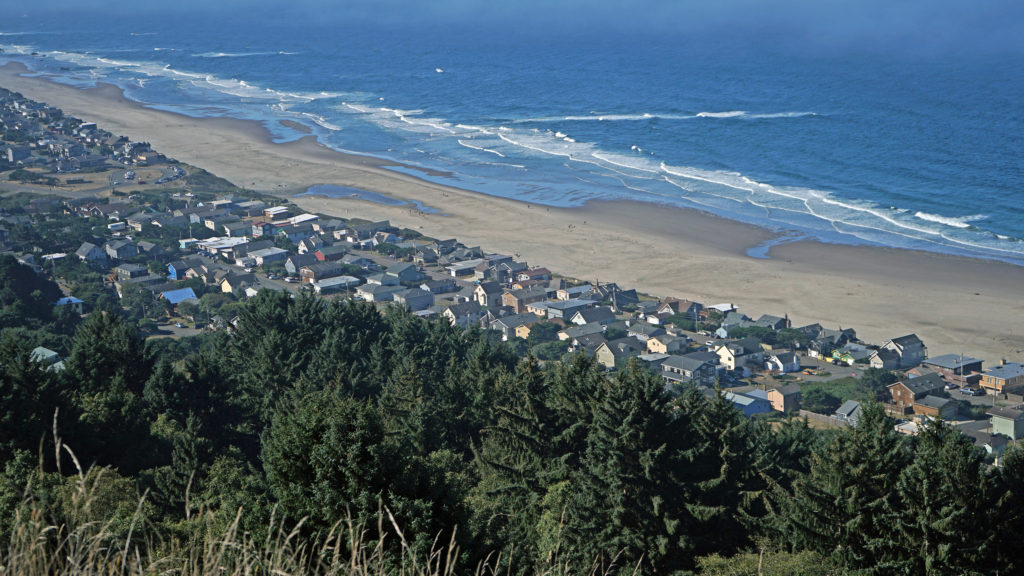 You don’t want to skip this because the view here is spectacular. The Pacific Ocean is spread out before you in all its glory. The Road’s End section of Lincoln City is directly below you. Lincoln City stretches out before you, with Devil’s Lake to the east and Siletz Bay to the south. The view extends south to Cape Foulweather. You might want to park yourself on the grassy summit and just sit for a while. Apparently, the local herd of elk also like the view because they often bed down here at night.
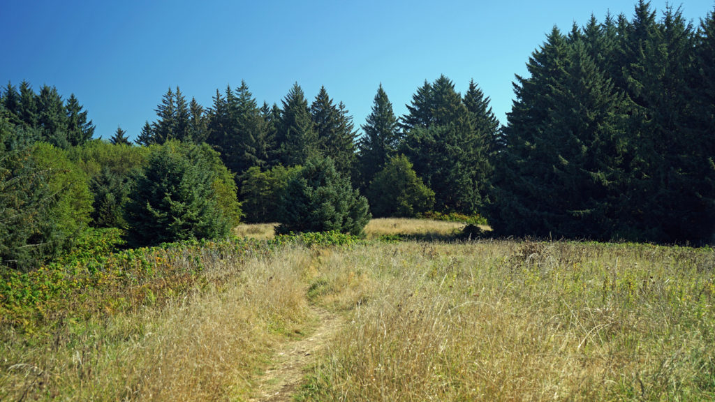 When you’re done taking in the view from The Knoll, return to the main trail and continue north. This portion of the trail is on the easement granted to the city by the property owner. The trail takes you through a spruce and hemlock forest and across a small meadow. Parts of the trail are steep, but the elevation gain is modest, and most people won’t have any difficulty. You’ll soon come to a trail junction. Stay left to continue on to God’s Thumb. You’ll pass through more spruce, hemlock and alder forest, and across several grassy meadows before the trail swings to the west and comes to another trail junction. The trail to the right comes up from the private Camp Westwind on the Salmon River Estuary. Stay left at the junction and you’ll soon see God’s Thumb in front of you. Stop here and admire the view of The Thumb and the surrounding cliffs, the two coves and beaches on either side of The Thumb, and Cascade Head to the north.
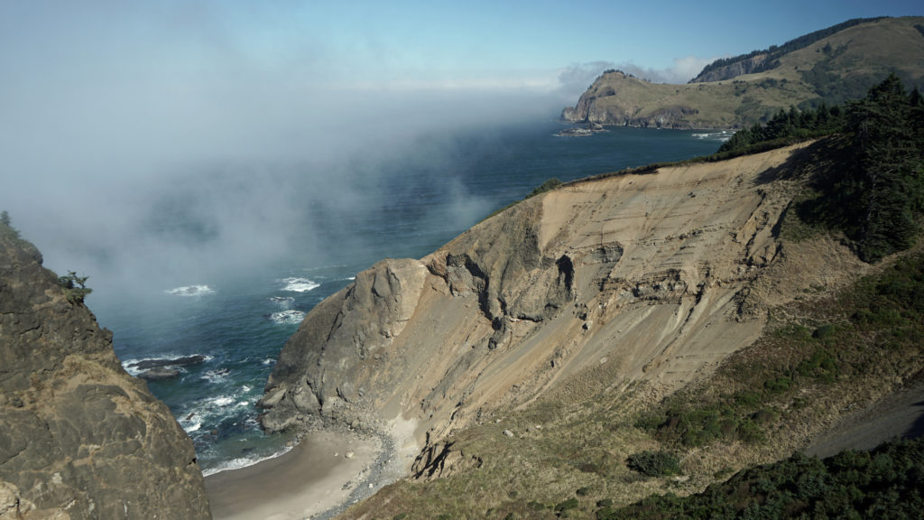 The trail then drops steeply down the slope and across along a narrow ridge before climbing very steeply up the slope to the summit of God’s Thumb. This section can be tricky to navigate and can also be slippery if the trail is wet. Some people choose not to venture down and then up to the summit. But if you do, you’ll be rewarded with magnificent views in all directions. Even if you don’t, the views you do get make the hike well worthwhile.
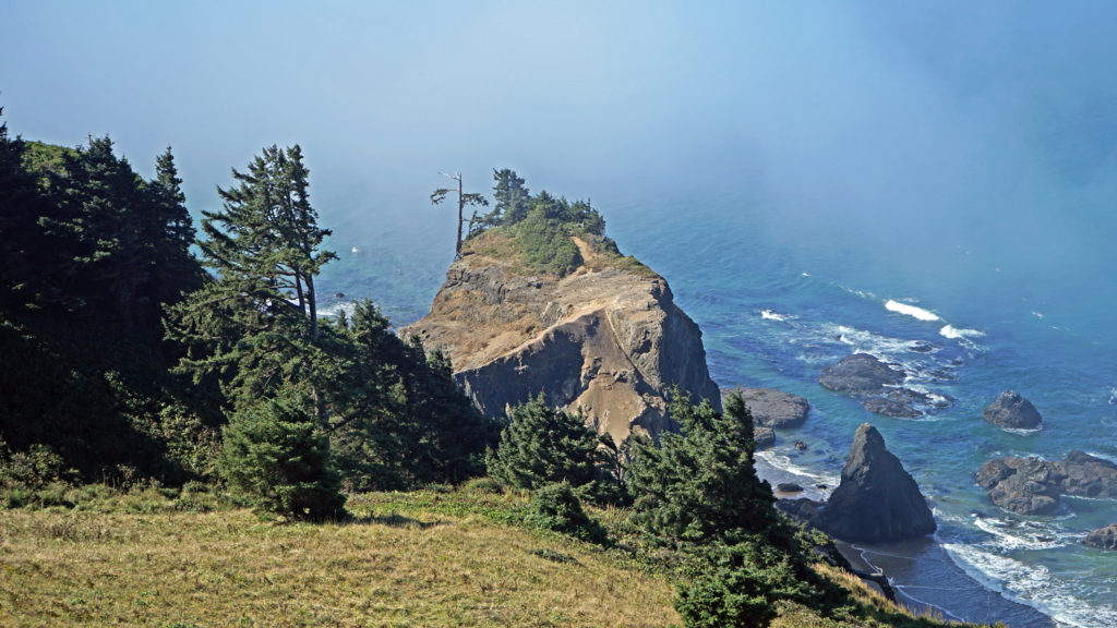 When you’re done taking in the views, return the way you came. When you reach the second trail junction, before you get to The Knoll, you have the option of taking the trail to the left for an alternate, slightly longer route back to the end of Devil’s Lake Boulevard where you left your car. Check the Oregon Hikers website for a description of this trail and more information about the whole hike. If you don’t take the alternate route, venture out to The Knoll again. The view might be completely different if the fog has come in (or gone out).
 A few notes on parking:
The two parking areas along Sal La Sea Drive that I mentioned are both okay to park in (legally) if you want to shorten your hike a little. But they’re not officially sanctioned because they fill up quickly and many people have parked on residential streets close by when they are full, to the ire of the local residents. Please do not park on any residential street. The Devil’s Lake trailhead was developed to give hikers an additional parking area and lessen the amount of people parking where they shouldn’t. If all of the parking areas mentioned are full, you can park at Road’s End State Recreational Area on Logan Road and walk up Sal La Sea Drive to the Port Drive trailhead. That makes the round-trip hike only about half a mile longer than starting at the Devil’s Lake Boulevard trailhead. And under no circumstances should you use the shorter trail from the end of Logan Road to get to God’s Thumb. The property owner has not granted public access across their property. They haven’t fenced it off, but please respect their property rights. And besides, there is no public parking anywhere on Logan Road other than at Road’s End State Recreation Area, so you risk having your vehicle towed if you park illegally.
 Other area hikes and other attractions:
Other worthwhile hikes in the Lincoln City area include the Nature Conservancy’s Cascade Head Preserve, the Hartz Cove Trail on the north side of Cascade Head, and the Drift Creek Falls Trail in the Coast Range foothills to the east. More on those in later posts. And farther south, the Beaver Creek State Natural Area offers a nice, quiet, and peaceful hike that not many people know about.
And the central coast from Lincoln City to Newport has numerous other attractions, including the Oregon Coast Aquarium in Newport, the charming (but increasingly touristy) town of Depoe Bay, Chinook Winds Casino in Lincoln City, and numerous state parks and waysides.
Originally posted (in a slightly different format) May 19, 2021 by Alan K. Lee. Edited, reformatted, and re-posted May 3, 2023.
All photos © Alan K. Lee
 The
The 
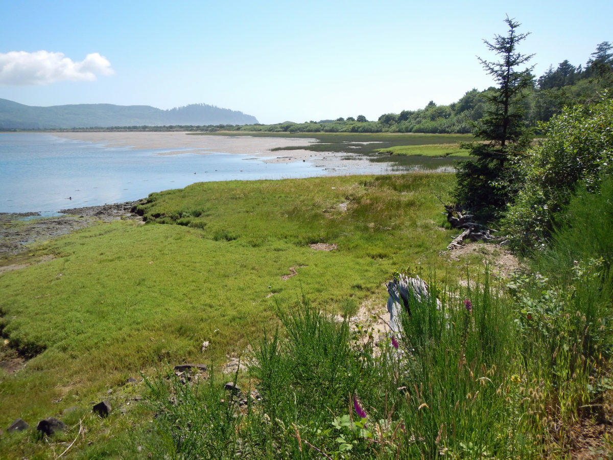
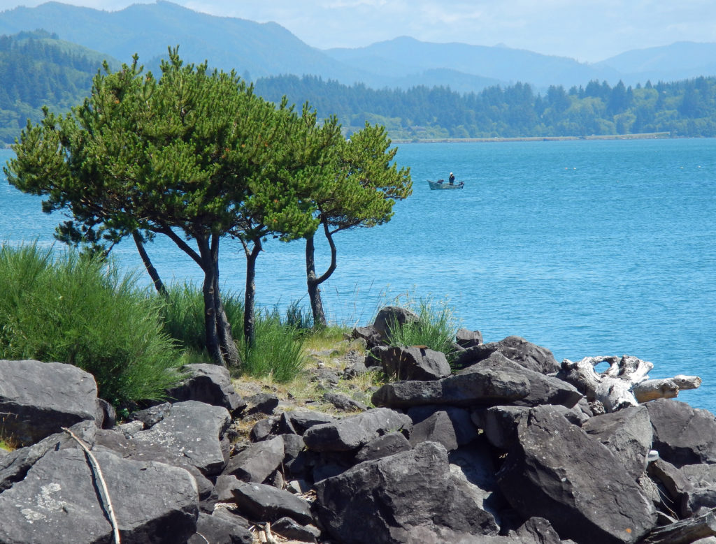
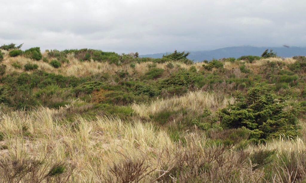
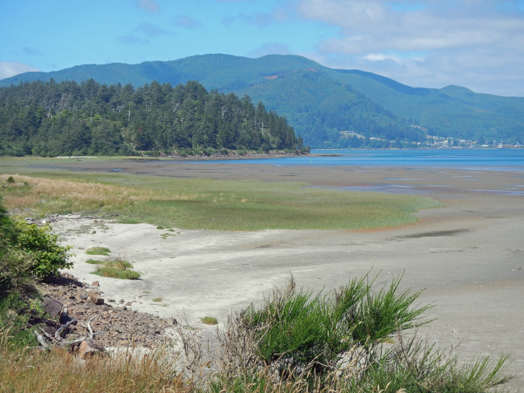
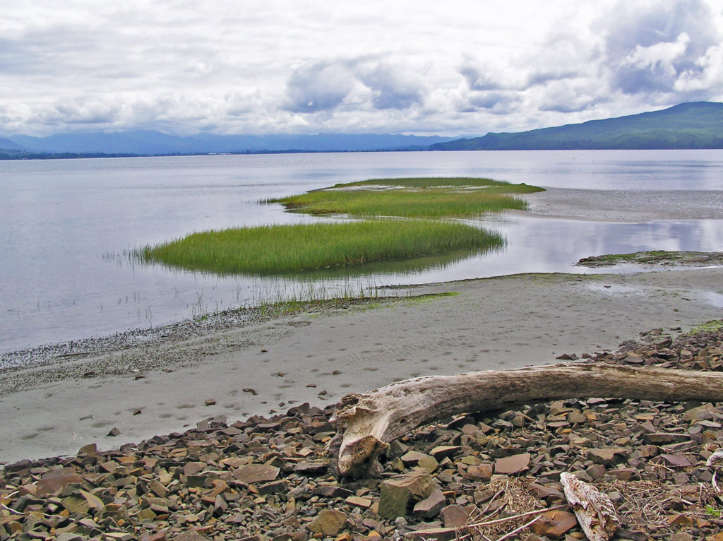 The peninsula is now an undeveloped county park. There has never been a campground, but in the past backcountry camping was permitted. That has changed, however, and overnight camping is no longer allowed.
 Getting there:
 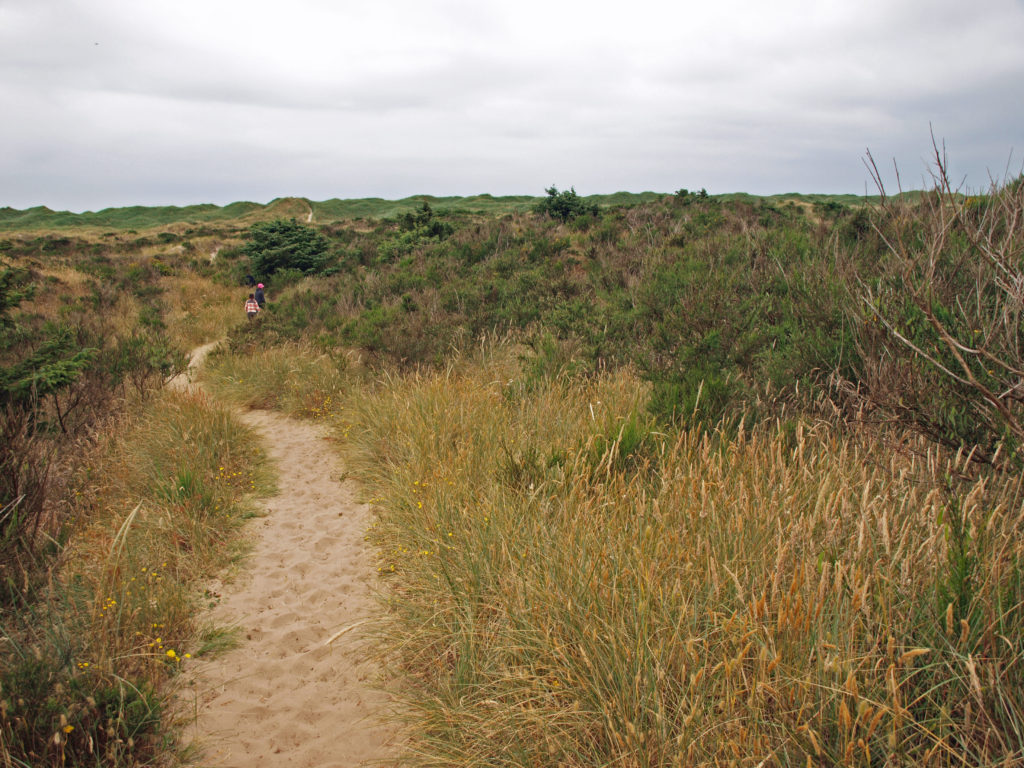 The hike:
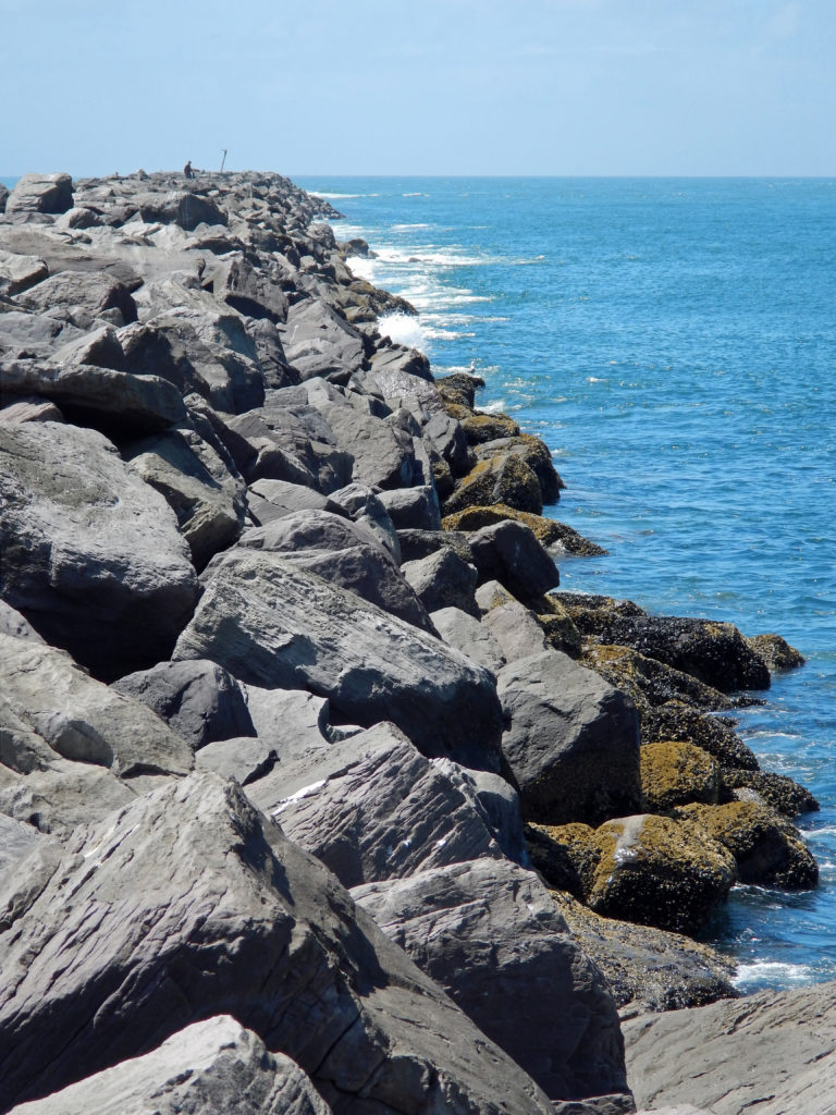 Or, continue along the beach until you reach the south jetty at the mouth of Tillamook Bay. You’ll be rewarded with one of the least crowded beaches on the entire coast. You might have the beach to yourself even on summer weekends.
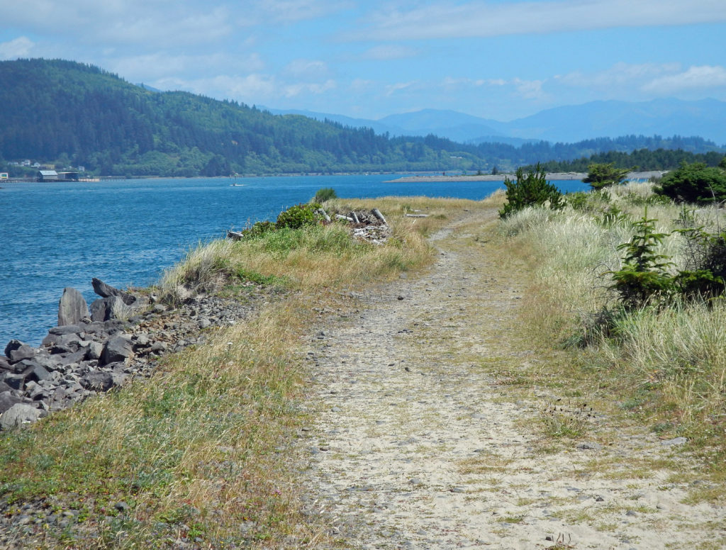 From the jetty you can return the way you came for 7.2 mile out and back beach walk or complete the 7.7-mile loop hike by following the jetty inland to the old jetty haul road and following it back to the trailhead. The road is rock and gravel with some sandy stretches. It runs along the bayshore, with good views of the shore and bay, with a couple of stretches in the pine and spruce forest of the peninsula interior.
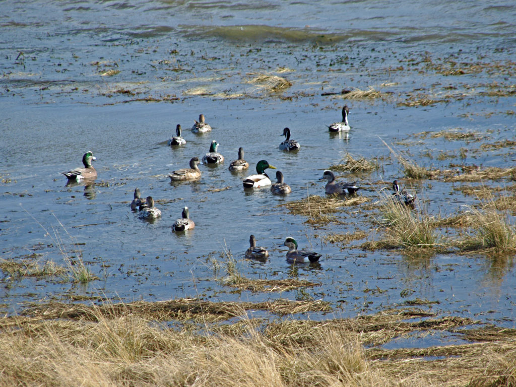 Look for ducks and geese on the water and shorebirds along the water’s edge. This is one of the best birding areas for waterfowl on the coast.
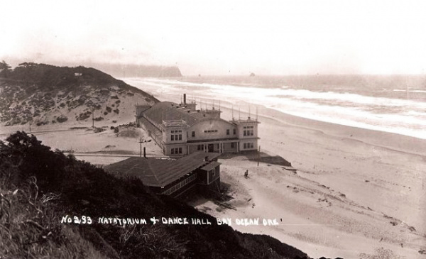
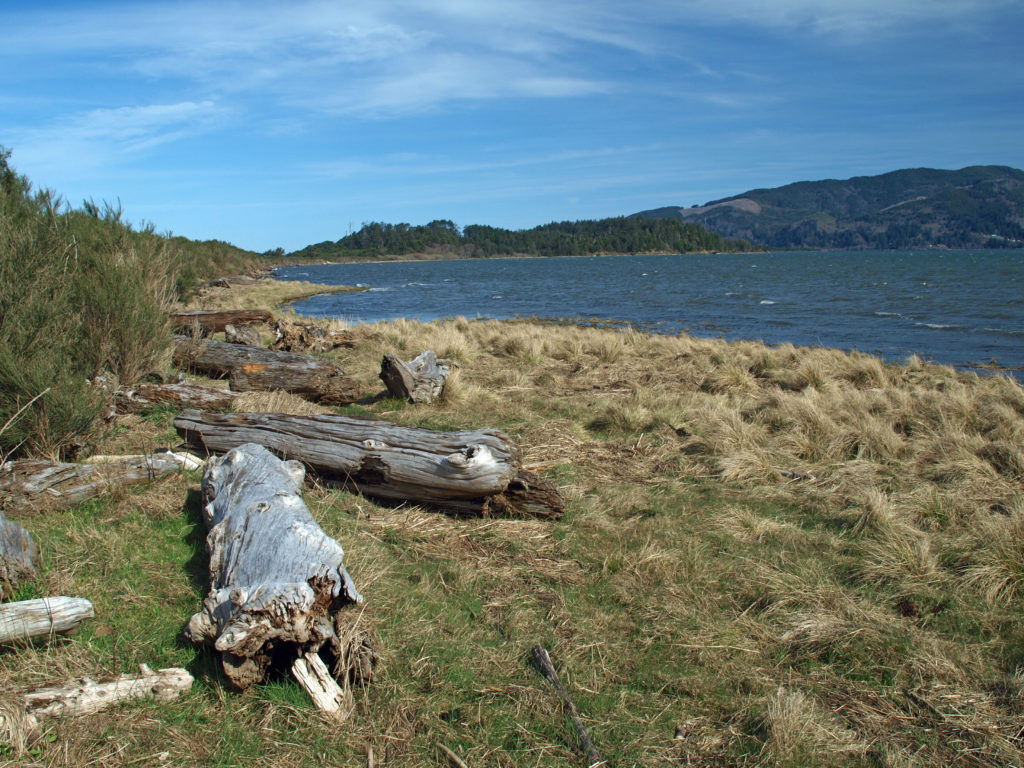 Near the end of the hike look for a sign labeled Bayocean Townsite. Here a trail leads toward the beach to the old townsite. The trail loops south through what was then the bayfront (the whole peninsula has shifted a couple of hundred yards to the east and much of the old townsite is now under the waves), then returns to the haul road, where there is an interpretive display that tells the tale of the town and its demise. From there, return to the parking area. (If you started at the town of Cape Meares, hike from the Dike Road parking area through the dunes and return to Cape Meares on the beach.)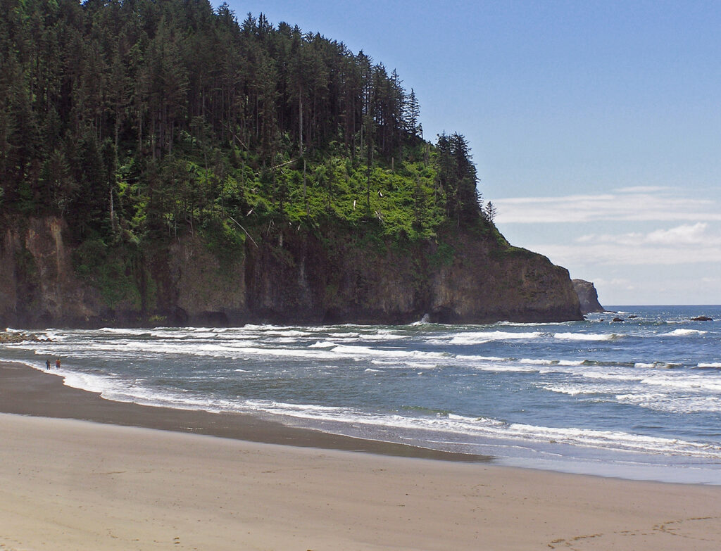
 Farther south,
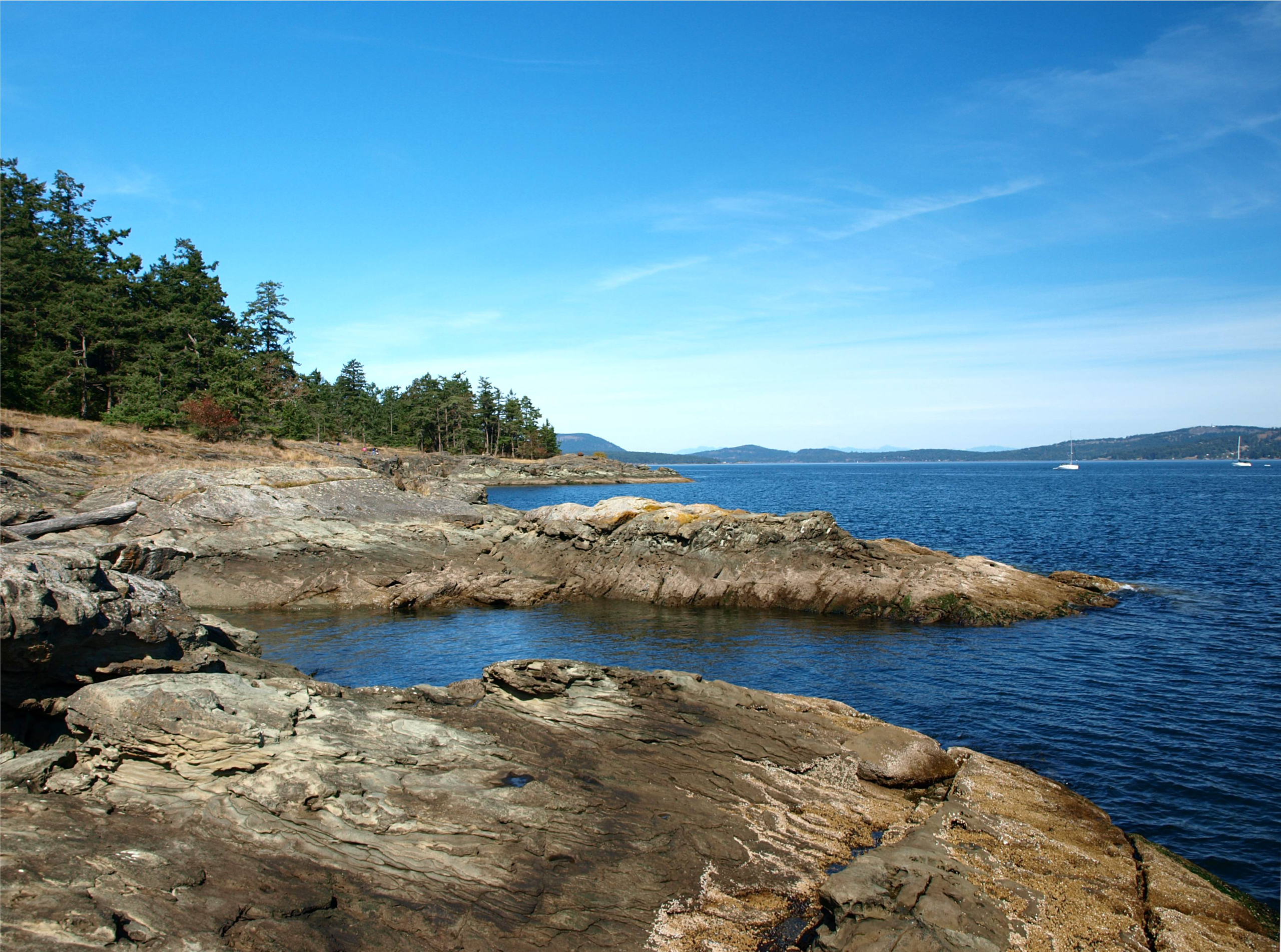
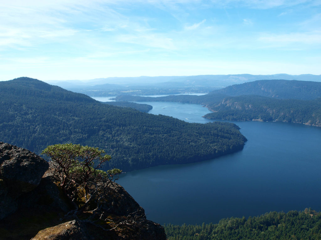
 The Gulf Islands are located off the southeast coast of Vancouver Island. There are six main islands in the Southern Gulf Islands: Salt Spring, Mayne, North Pender, South Pender, Saturna, and Galiano. The Northern Gulf Islands consist of Thetis, Penelakut, Valdes, and Gabriola Islands. Each island has its own particular charms, and all are well worth exploring.
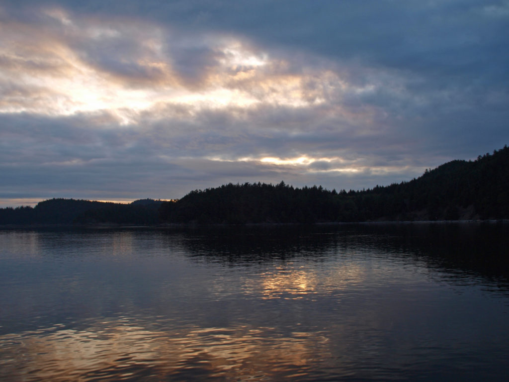 The
The 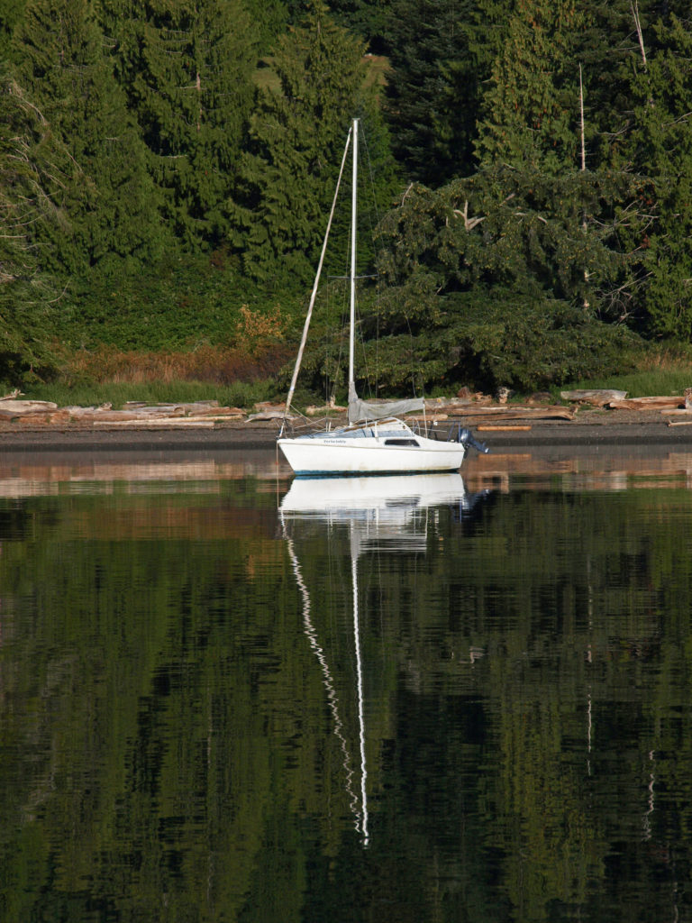
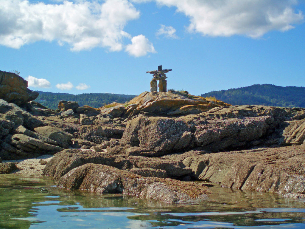
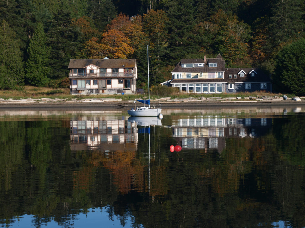
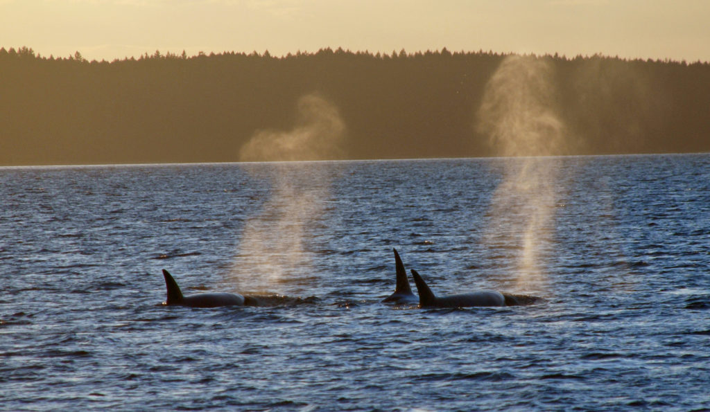
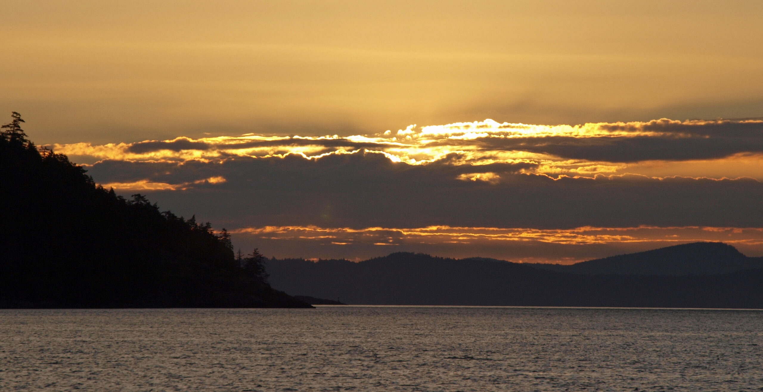
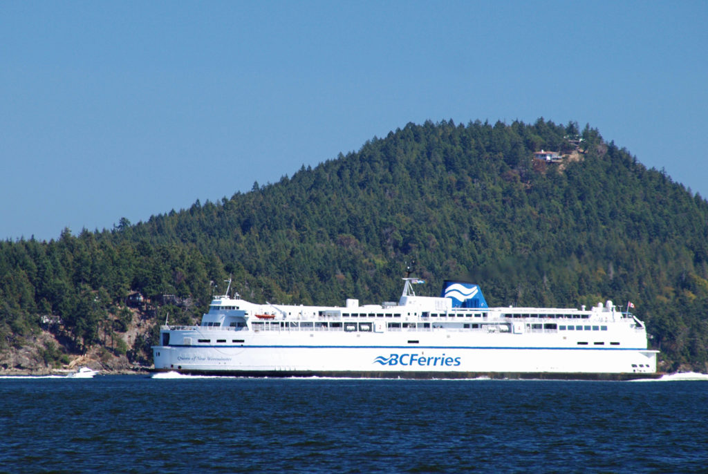
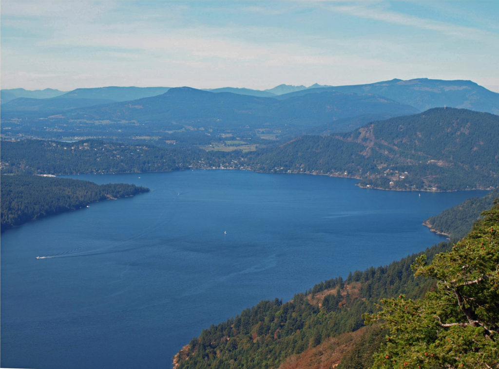 Thetis and Penelakut Islands are reached by ferries from Chemainus on Vancouver Island. Gabriola Island is a short ferry ride from Nanaimo. Be sure to check the ferry schedules on the BC Ferries website. Reservations may be required, especially on summer weekends, and the ferry system is designed to serve island residents, not tourists, so island hopping can be difficult. Getting from one island to another in the Southern Islands by ferry sometimes requires going back to Salt Spring Island and then taking a second ferry from there. And there are no ferries from Thetis or Penelakut to Gabriola.
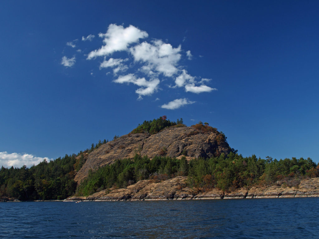 I’ve found that a good way to explore the Southern Gulf Islands by car is to base yourself on Salt Spring and pick an island to explore each day. North and South Pender Islands are connected by a bridge, so they can be explored in a day. Take another three days to explore Mayne, Saturna, and Galiano. That still leaves you several days to see all Salt Spring has to offer, or to explore the Northern Gulf Islands, even if you have only a week.
 There is a bus system on Salt Spring Island, but public transportation is limited or nonexistent on the other islands. You can get around without a car, though. There is a unique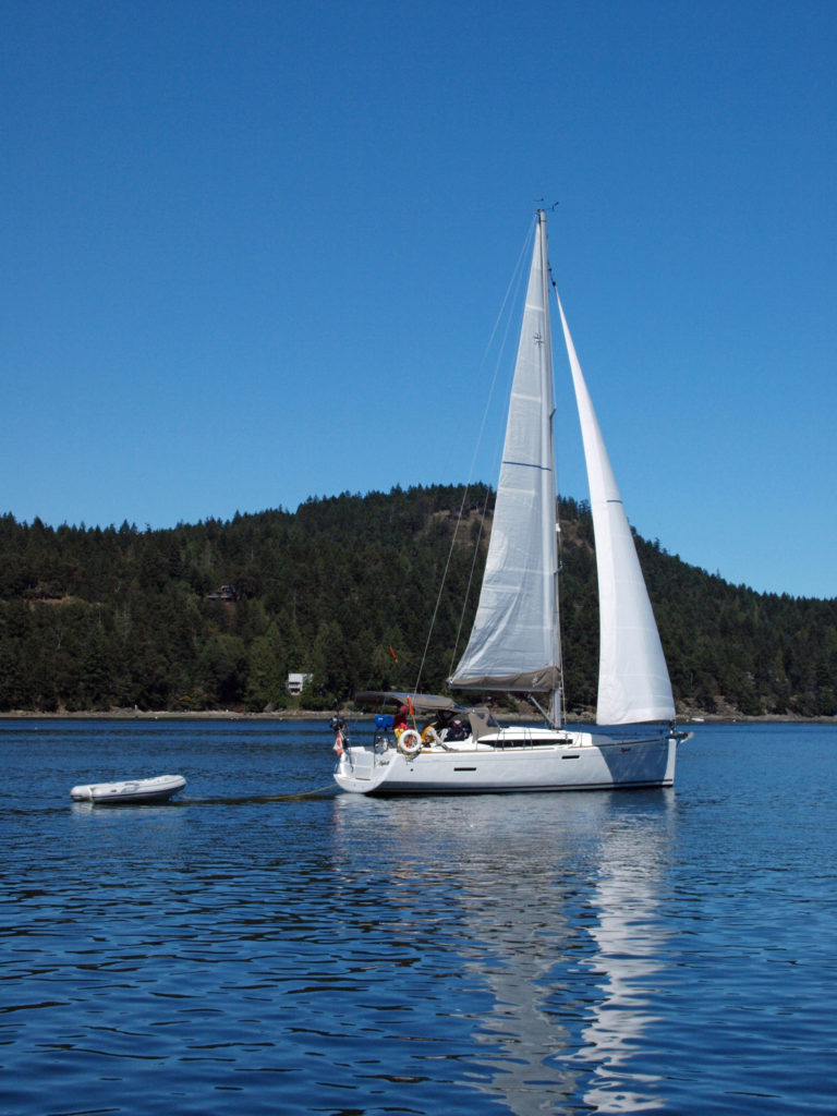
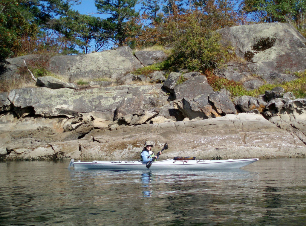
 There are a wide variety of accommodations available on the islands, from full-service resorts and hotels to traditional B&Bs to single rooms available through Airbnb. Most of the accommodations are on Salt Spring Island, but you can find small resorts and many individual houses for rent on the other islands. If you’re a kayaker, this is a perfect jumping off point. Ganges Harbor and its numerous islands are well worth exploring. Prevost Island, a short paddle to the southeast of Ganges Harbor is also worth a visit. A portion of Prevost is set aside as part of the
  There are a number of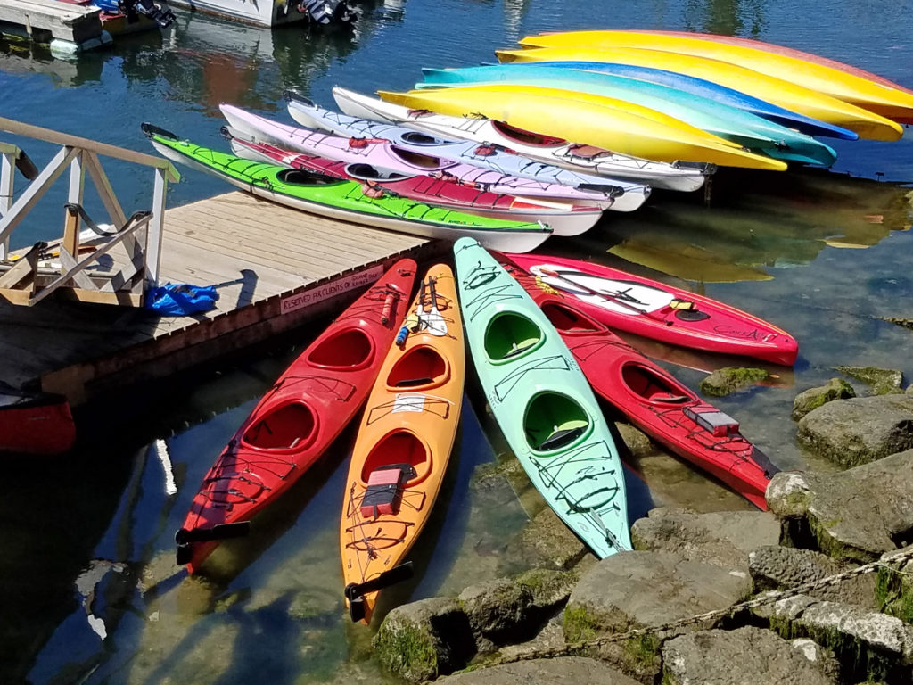
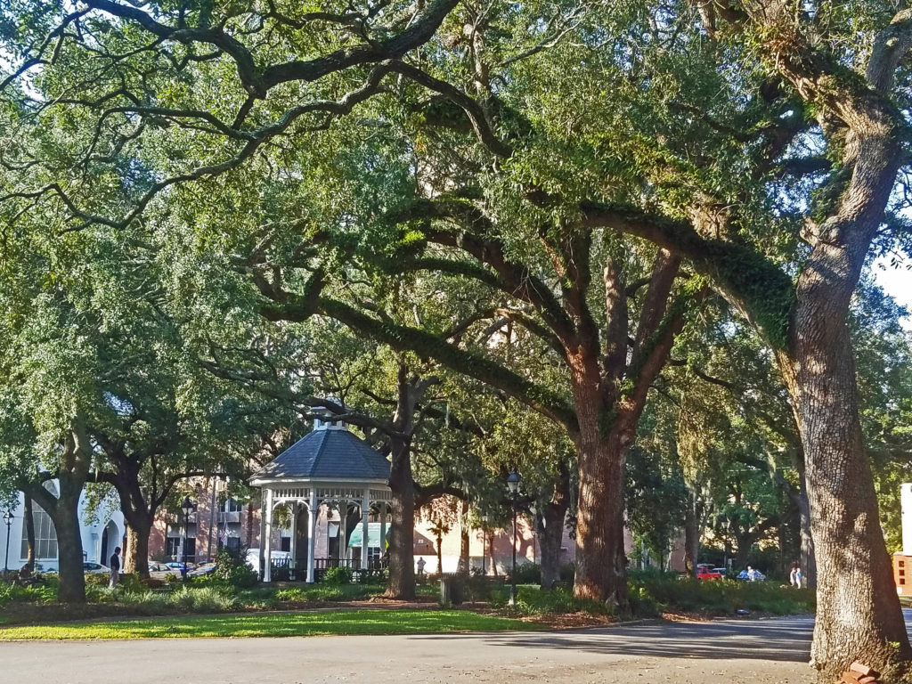
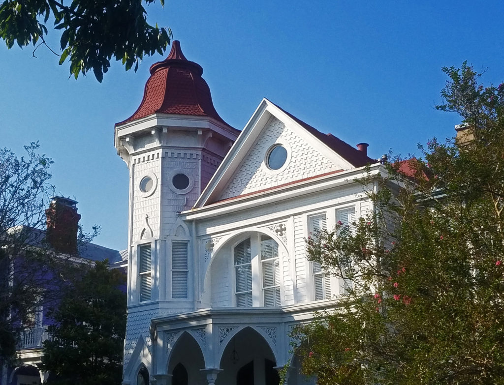 Savannah is an old city, founded in 1733. It was the first European settlement in Georgia, and the city’s history is an important aspect of its spirit and culture. Walking around in the Historic District, it’s not hard to envision yourself in another, long past, era.
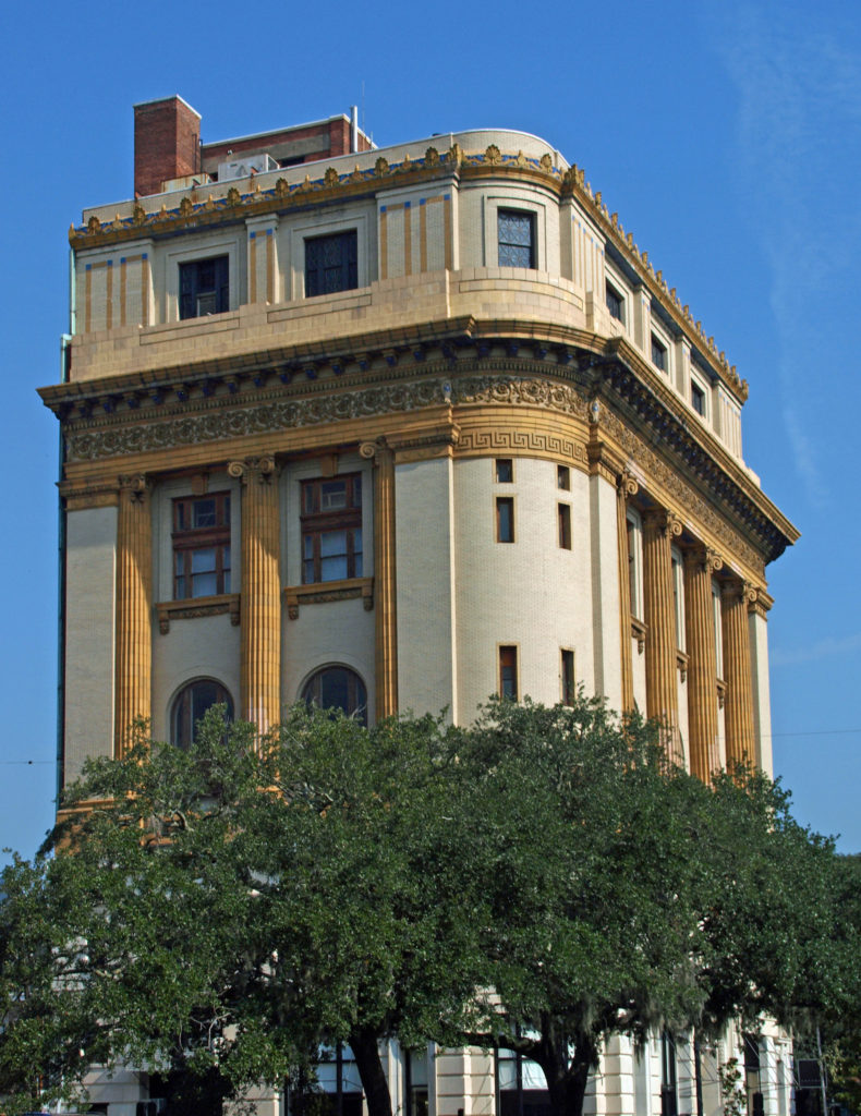 The entire Historic District was named a National Historic Landmark in 1966. The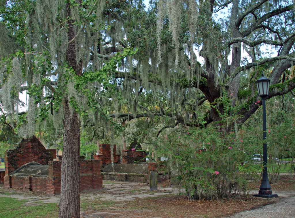
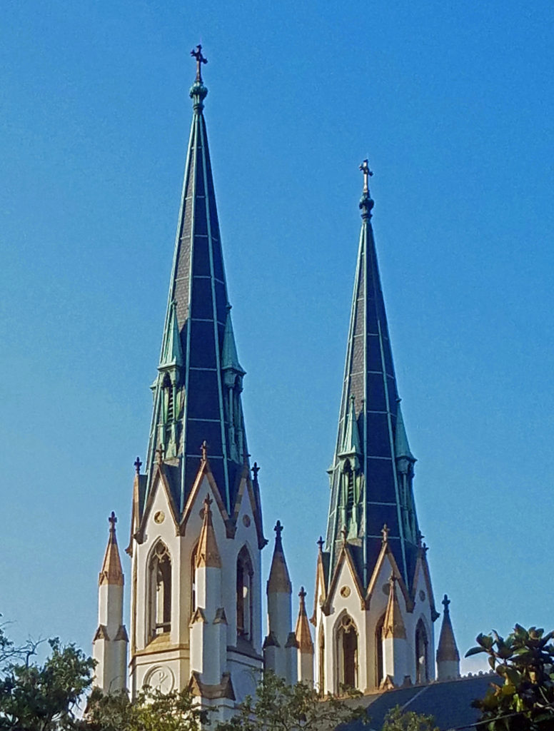 Savannah is a very walkable city. Guided walking tours of the Historic District are available for about $25 per person. There are also guided bike tours and public carriage tours available at similar rates. Private carriage tours run $100-125 for two people. Hop-on/hop-off trolley tours run $30-35 per person. Ghost tours are also a popular option for visitors.
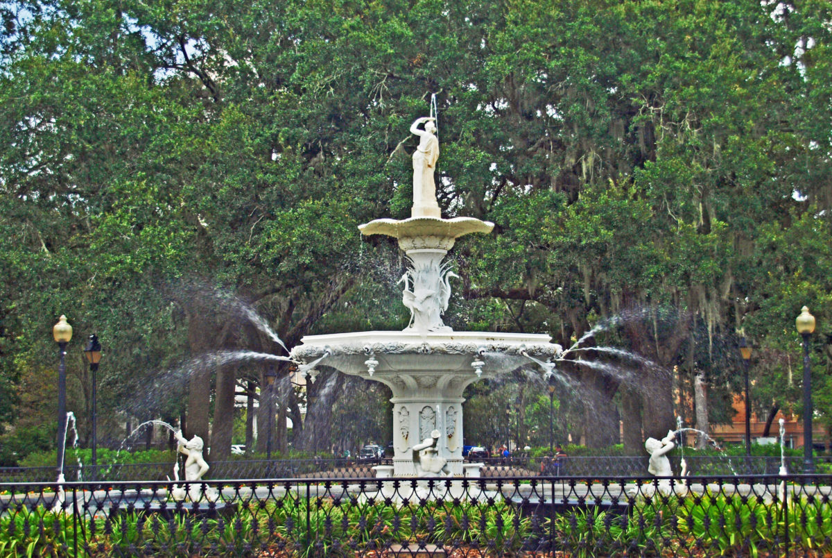
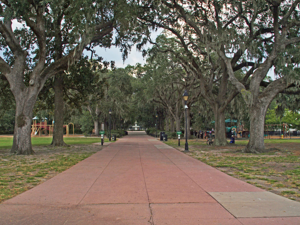 We opted to wander around on our own (but probably missed out on a lot of interesting information about the city). A good place to start a walking tour of your own is Forsyth Park, a 30 acre park at the south end of the Historic District. Its most notable feature is the Forsyth Fountain, but there is a lot more there to see. Enjoy the park’s gardens, paths, monuments, and the fountain, then head north toward the river and take in some (or all) of the 22 Squares and innumerable historic buildings, churches, and Victorian houses.
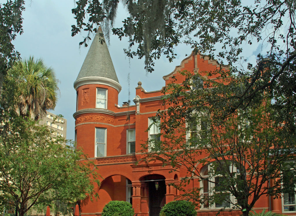
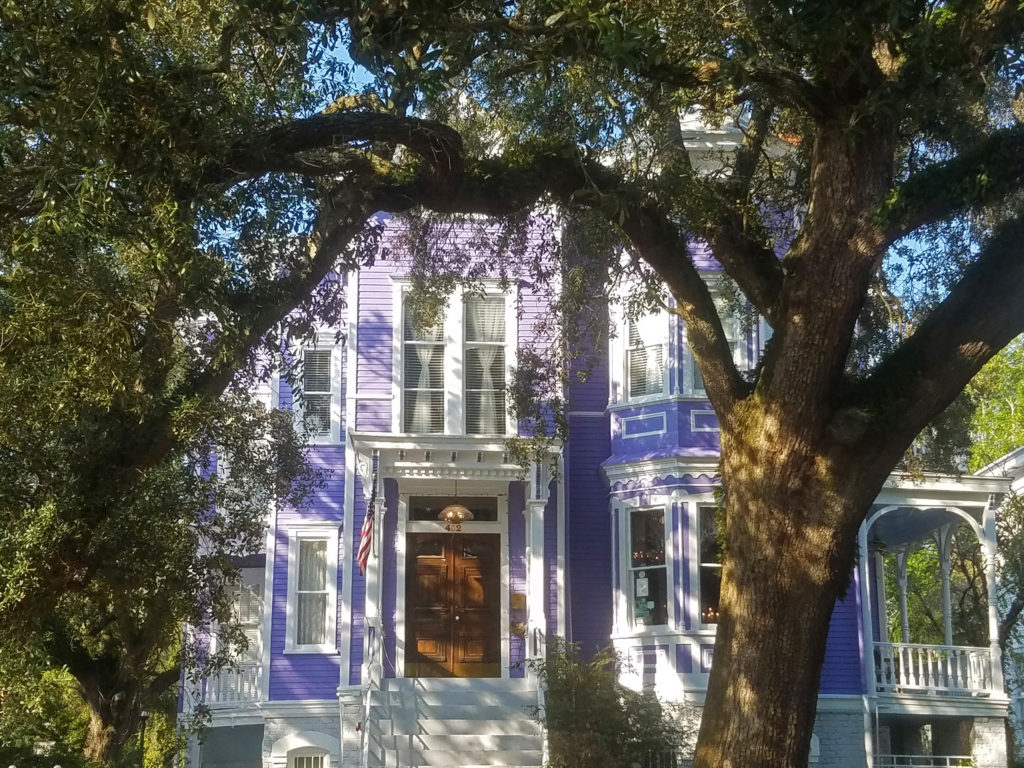
 Some of the more interesting structures in the Historic District include The Pirate’s House, mentioned in Robert Louis Stevenson’s Treasure Island, the city’s oldest building and now a popular restaurant, and The Olde Pink House, another of the city’s oldest structures and also a highly regarded restaurant. Not quite as old, but equally interesting, the Mercer House (officially the Mercer-Williams House Museum) was the site of the 1980s killing of a male prostitute that inspired the book (and movie) Midnight In the Garden of Good and Evil.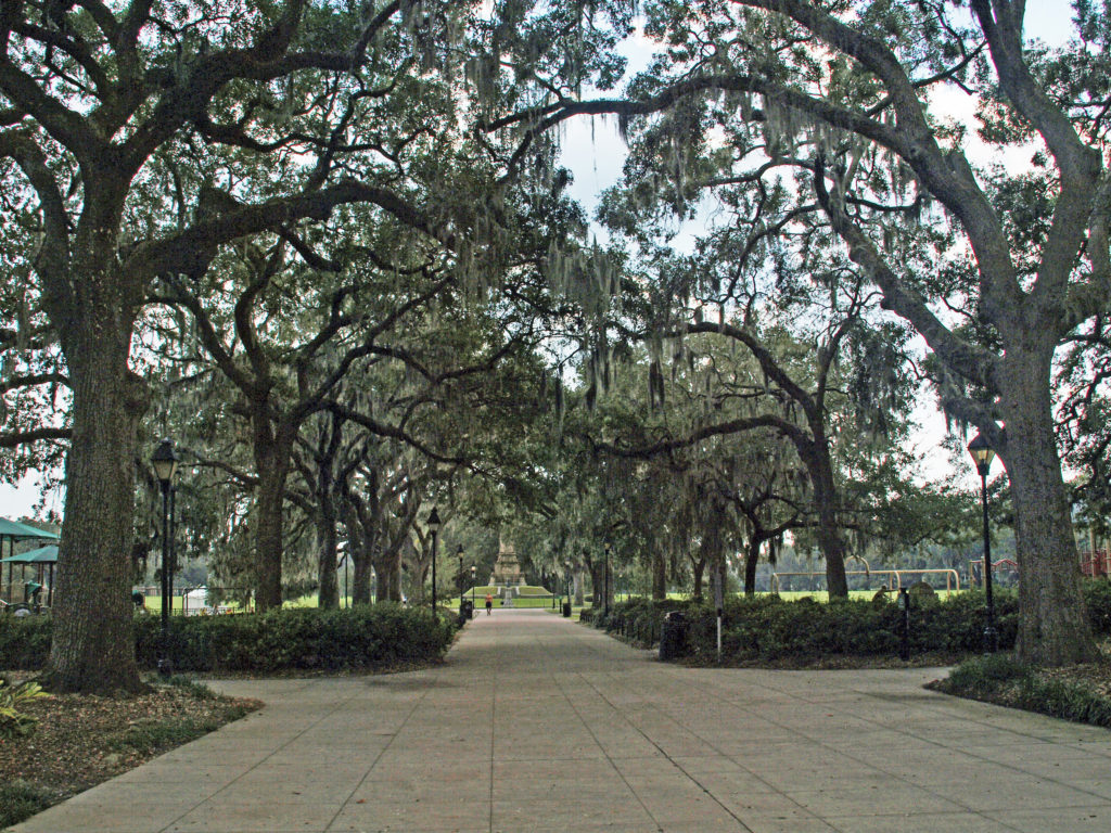
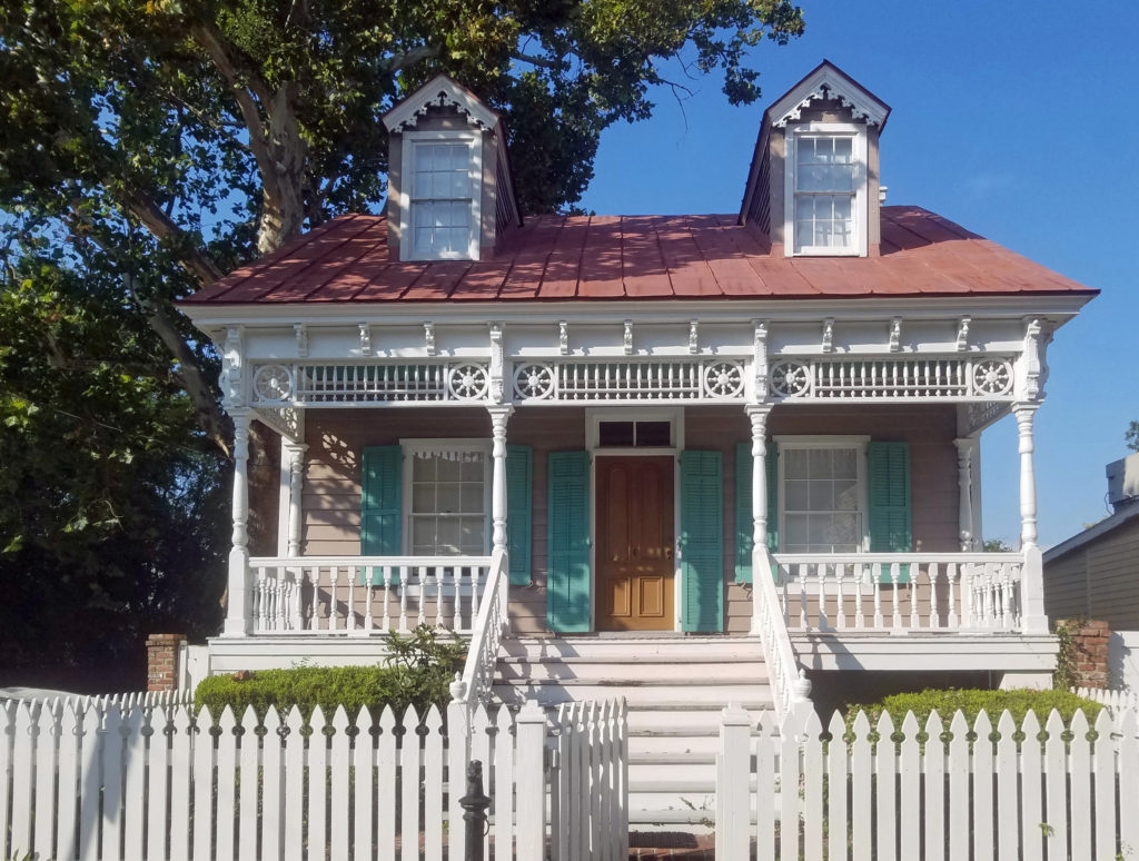 Near the north end of the Historic District,
 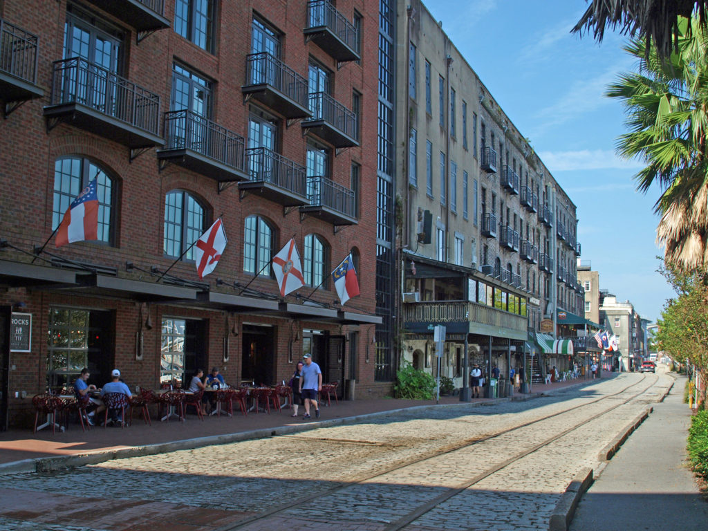 The buildings along River Street were once cotton warehouses. Today they house shops, restaurants, bars, and art galleries. River Street has its share of tacky gift shops, but it also has some interesting boutiques, antique shops, and art galleries. Among the many restaurants are Vic’s On the River, Huey’s, The Shrimp Factory, and Joe’s Crab Shack. If you need a frozen daiquiri refill, there’s another Wet Willie’s on River Street.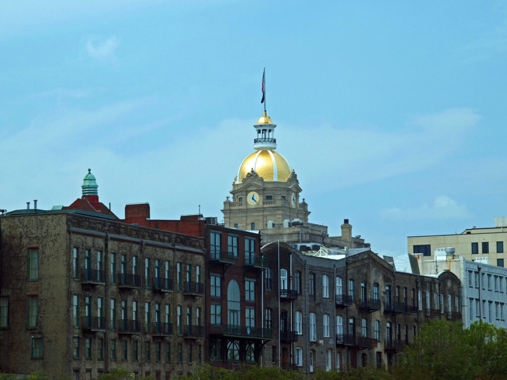
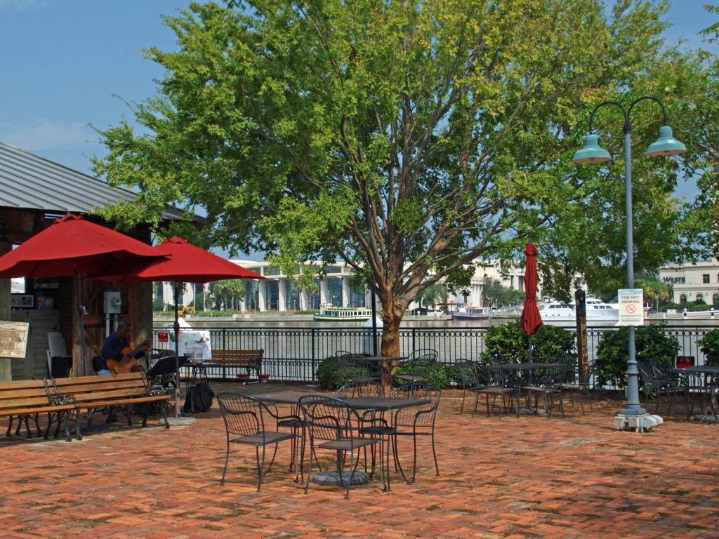 There are no shortage of other places along the river to wet your whistle, including The Warehouse Bar and Grill, Dub’s Public House, The Cotton Exchange Tavern, and a couple of rooftop bars, Top Deck Bar and Rocks On the Roof. And there are more restaurants and bars on Bay Street on the top of the bluff.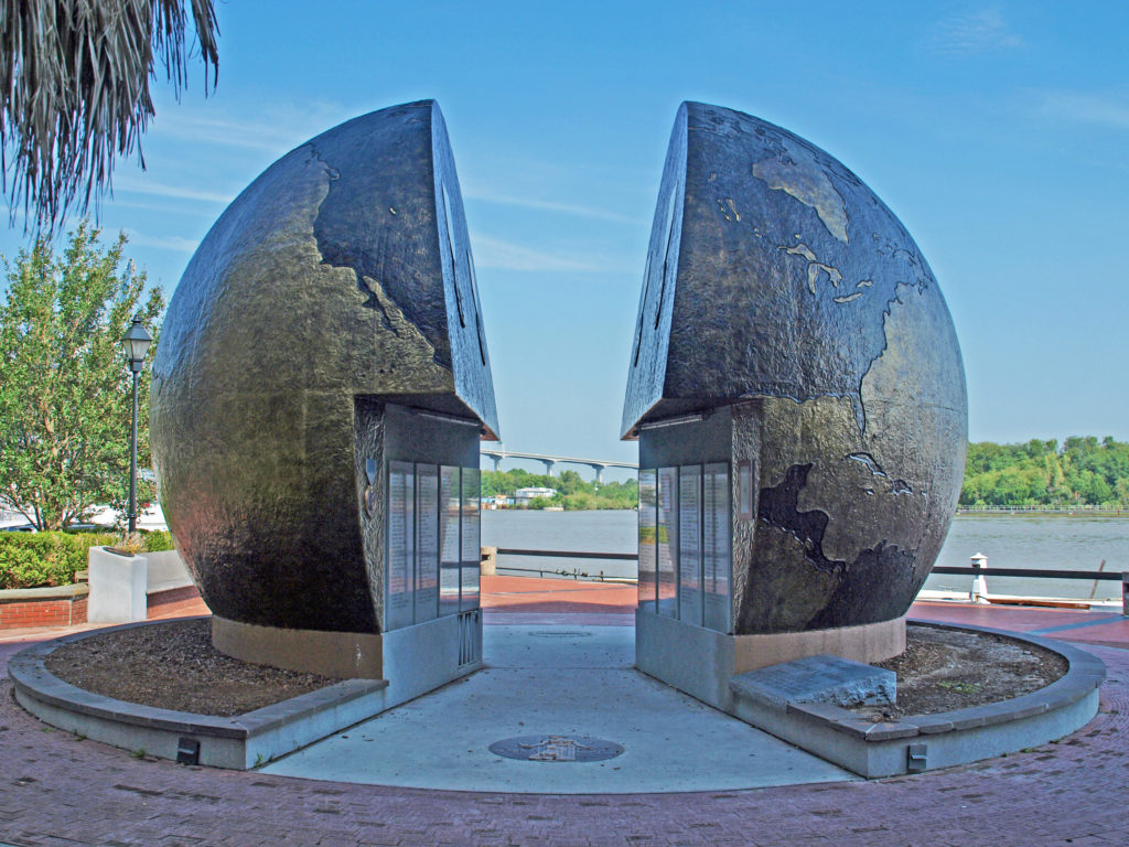
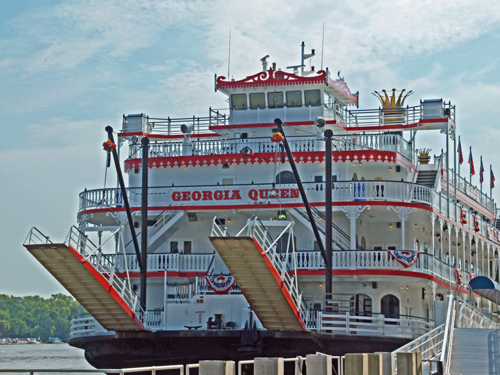
 There’s much to see and do in Savannah that time didn’t allow. We had to skip many things. We checked out only a couple of the city’s art galleries, for example, and didn’t make it to other nearby destinations such as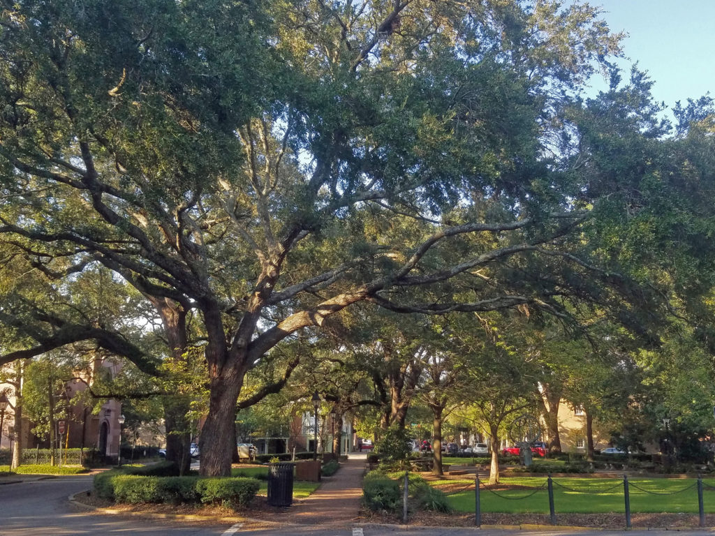
 Originally posted January 24, 2020. Updated and re-posted April 15, 2023.
 Where: Washington side of the Columbia River Gorge
 Overview:
  Best time to go:
 Posted April 12, 2023 by Alan K. Lee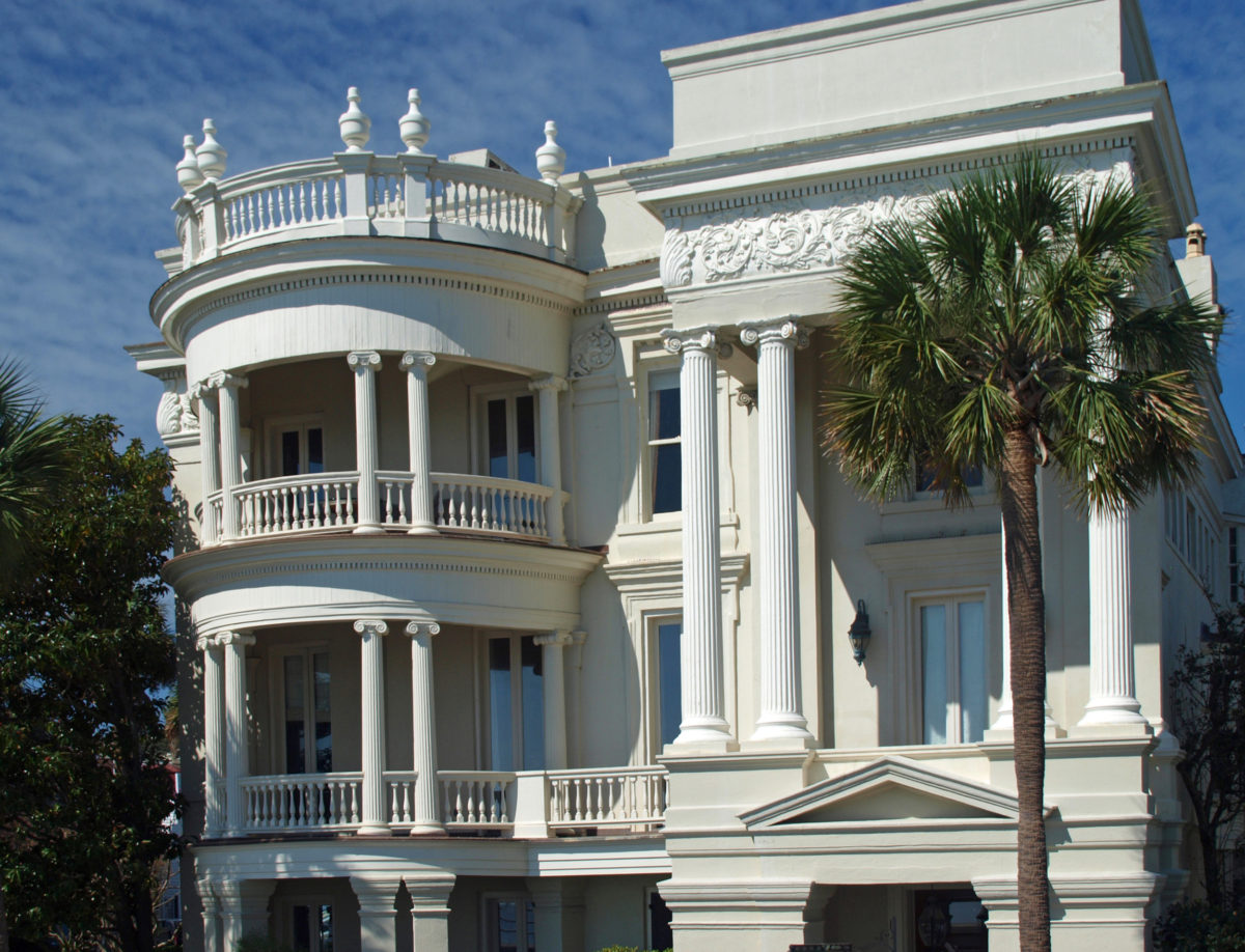
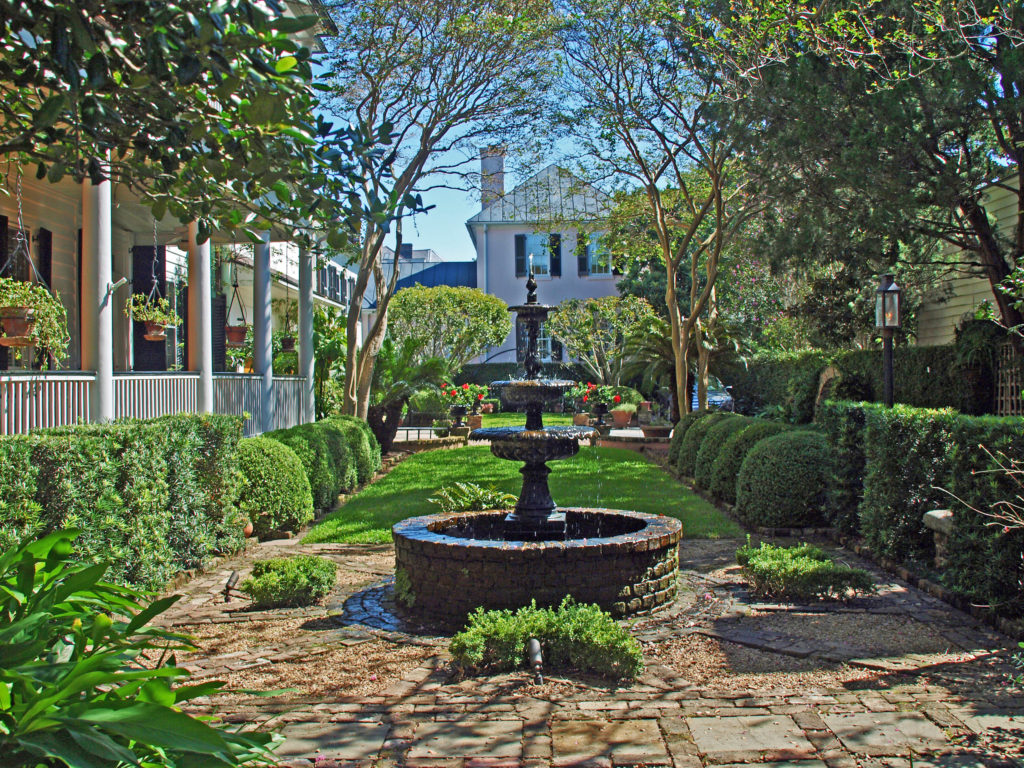
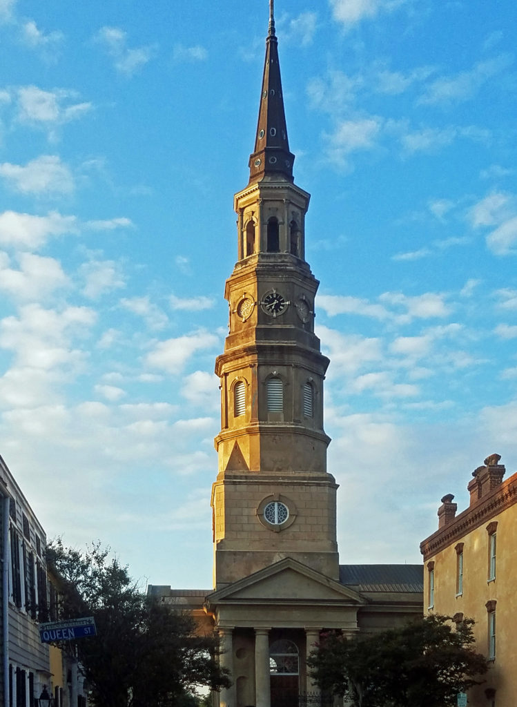
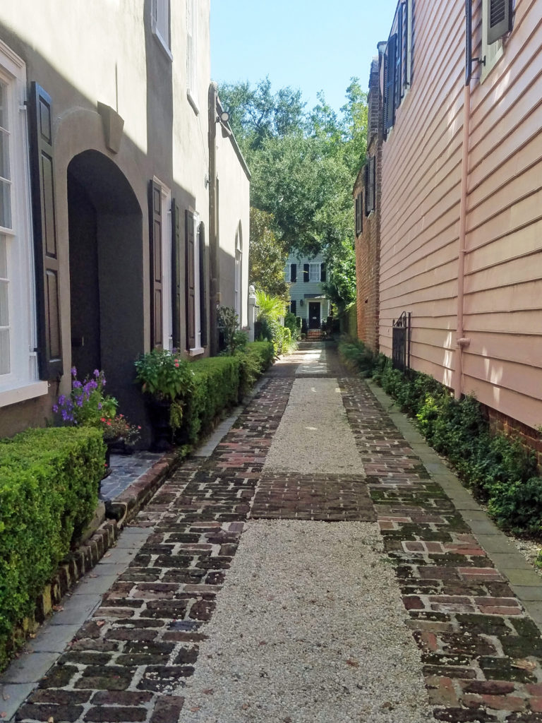
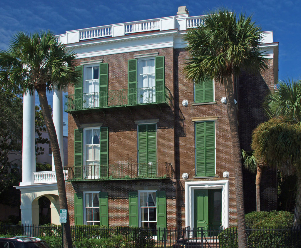
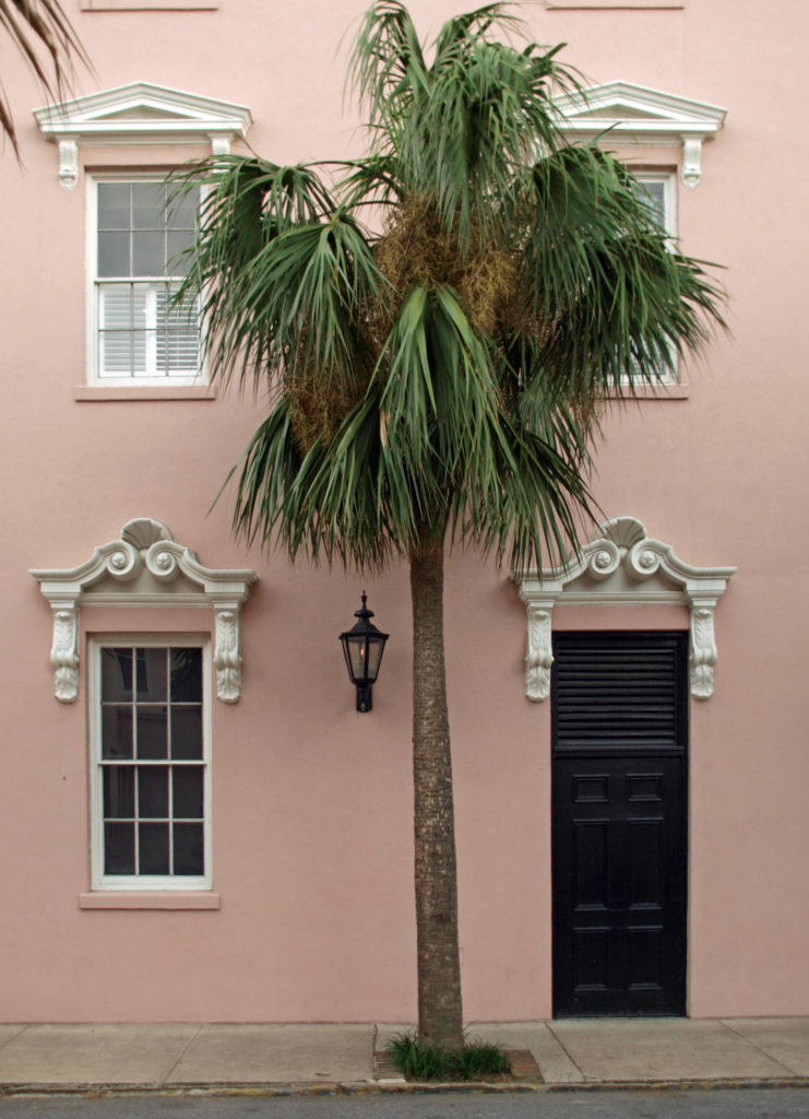
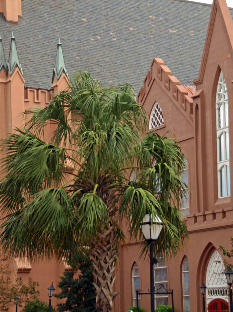


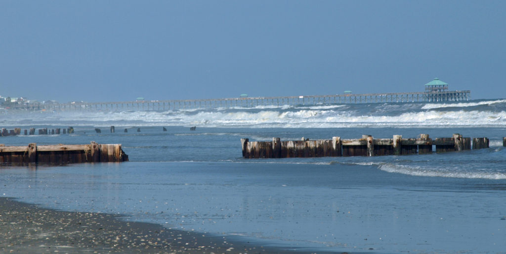
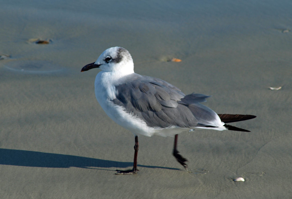
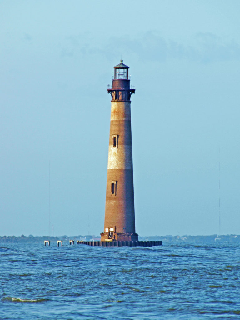
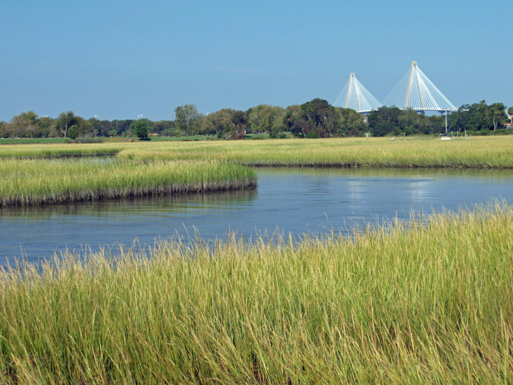
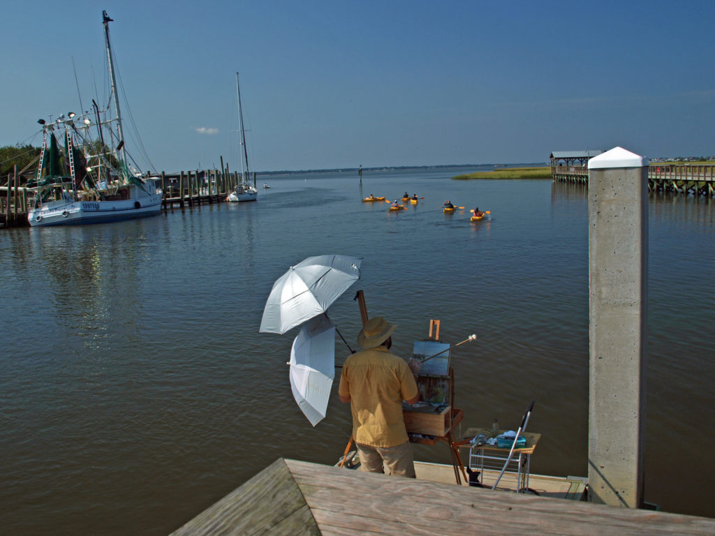
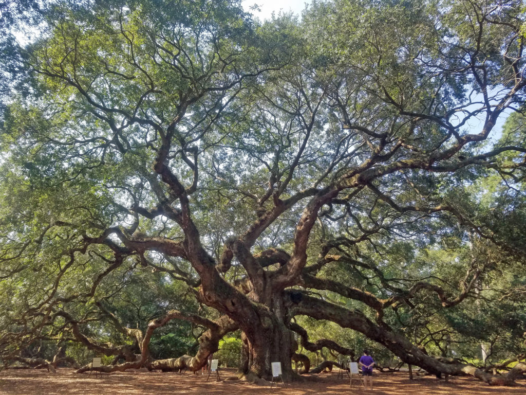
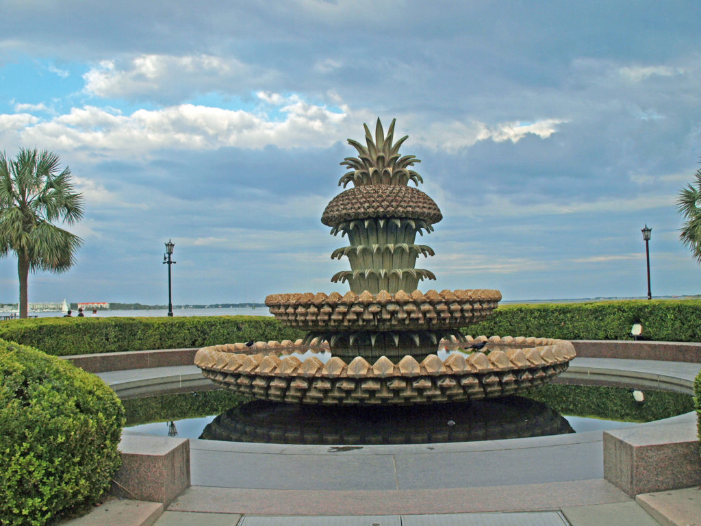 We had a great time exploring Charleston. It’s really a beautiful and charming place. But to really see all it has to offer, you need to plan for more than a three-day visit. For more information, check out the
 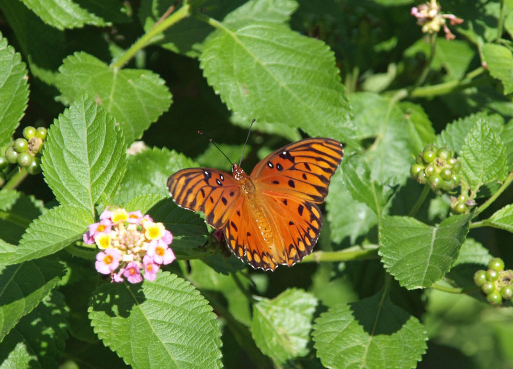 Originally posted Jan. 20, 2020. Updated and re-posted April 9, 2023.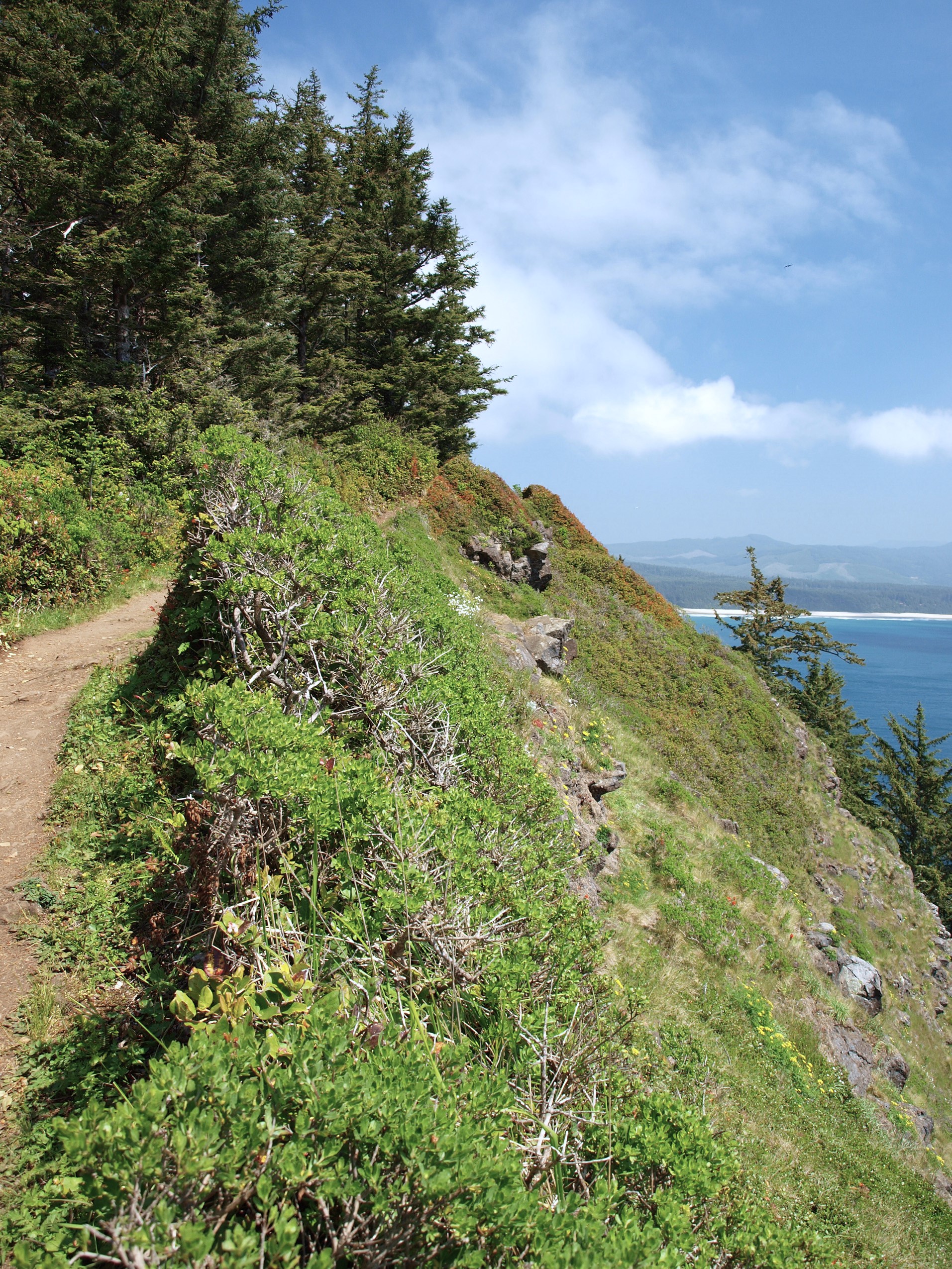
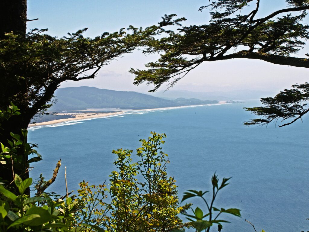
 Trailhead: Cape Lookout State Park
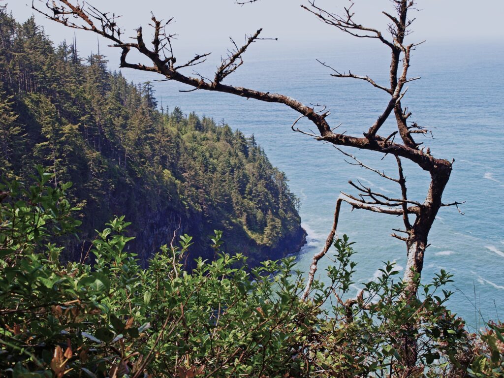
 From there, the trail crosses to the north side of the cape and comes to a viewpoint at the 1.2-mile mark. Here you can see north to Cape Meares and Three Arch Rocks. Just west of the viewpoint, the original trail slid into the ocean about 30 years ago. The present trail detours away from the cliff through a boggy area on a boardwalk.
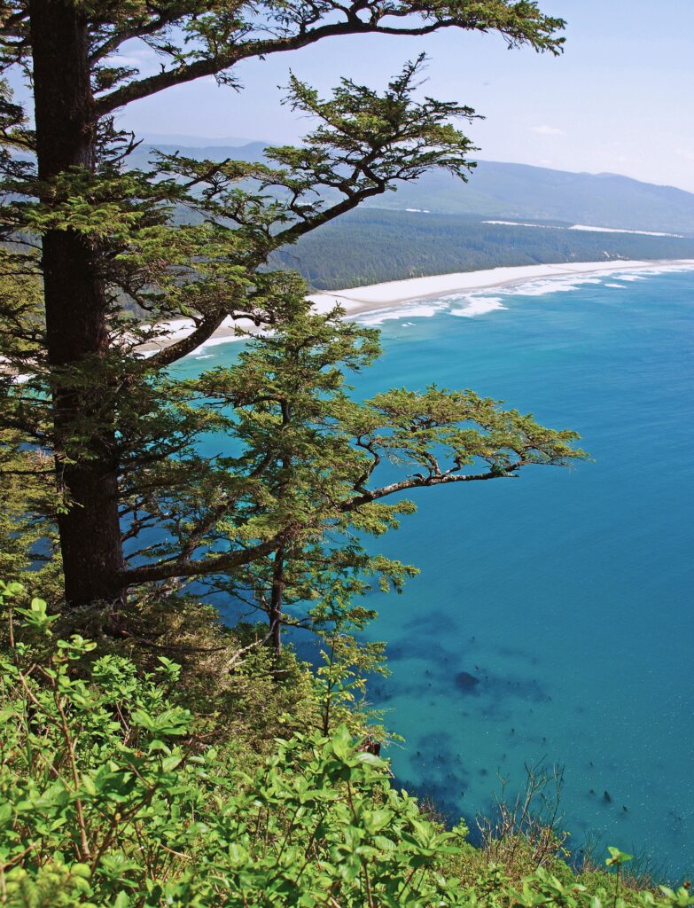
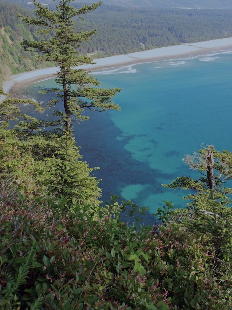
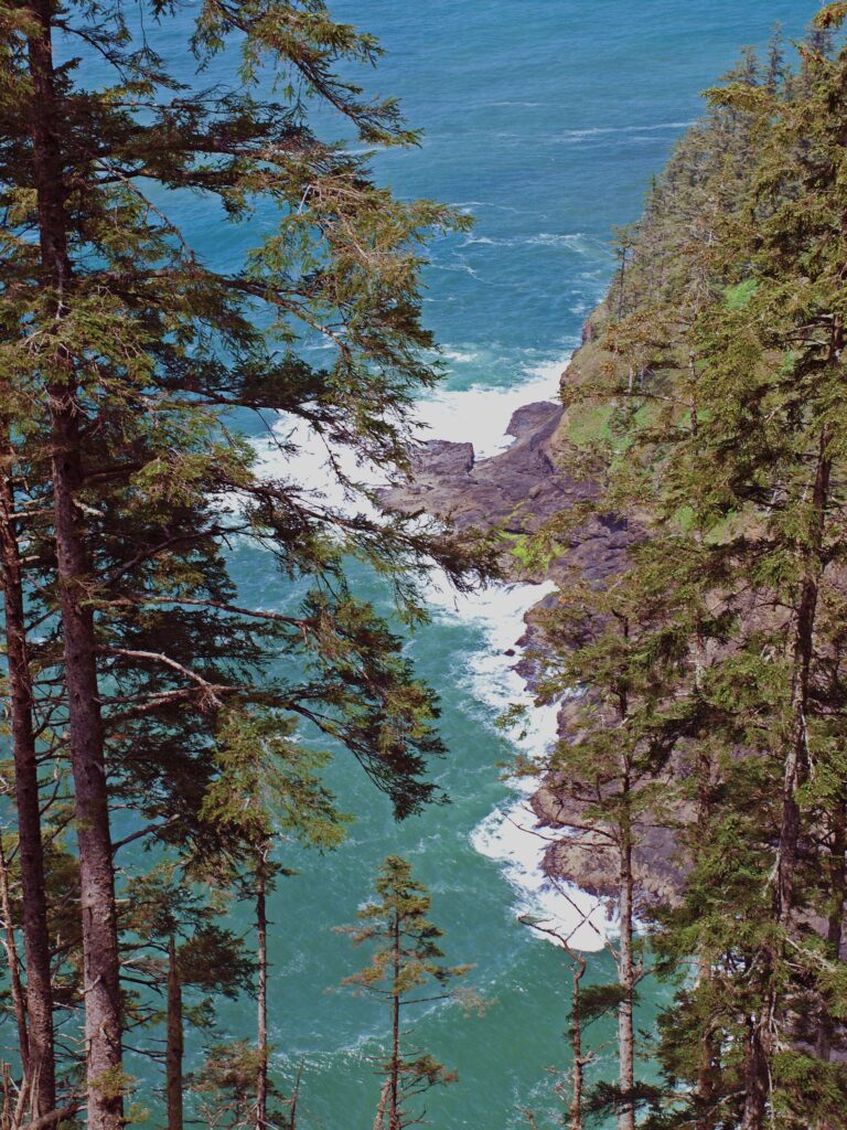
 The trail returns to the south side of the cape and continues for another 1.2 miles, climbing and descending several times, to a viewpoint at the end of the cape, 400 feet above the ocean. Views there stretch from Cape Foulweather, 40 miles to the south, to Neahkannie Mountain, 40 miles to the north.
 You’ll probably linger for a while at the end of the trail, but when you’ve had your fill of sightseeing and whale watching, return to the parking area the way you came.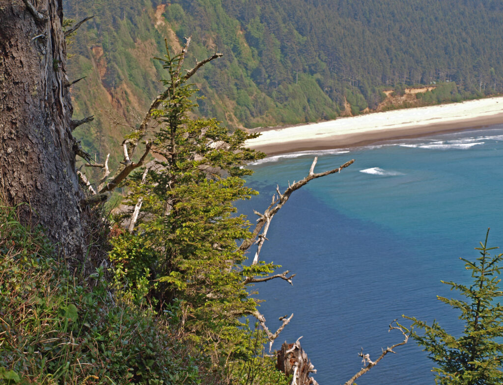
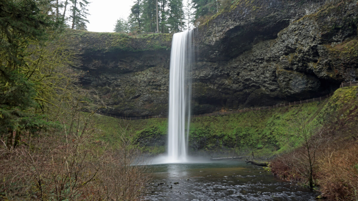
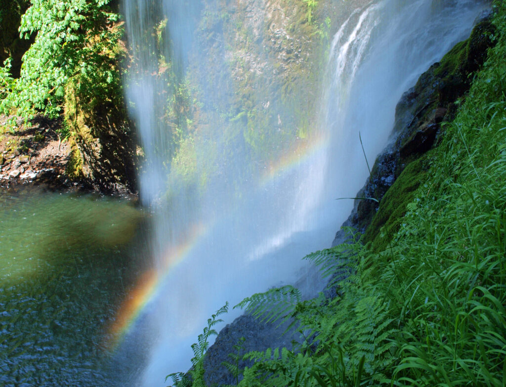
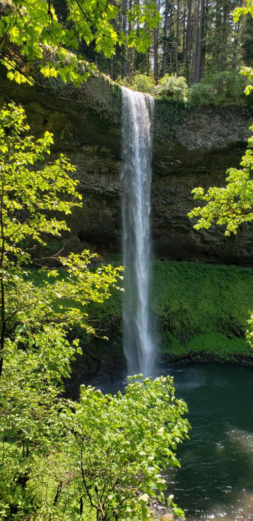
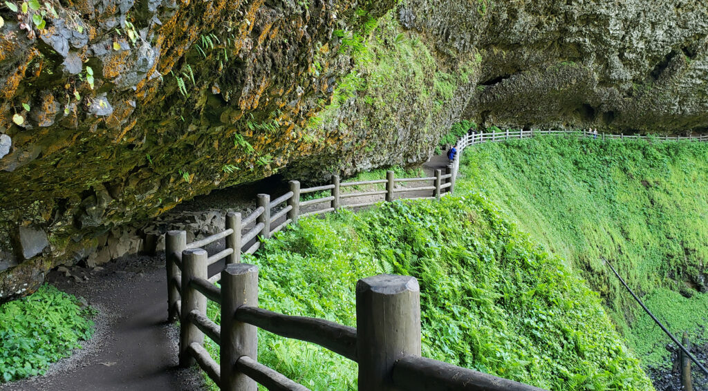
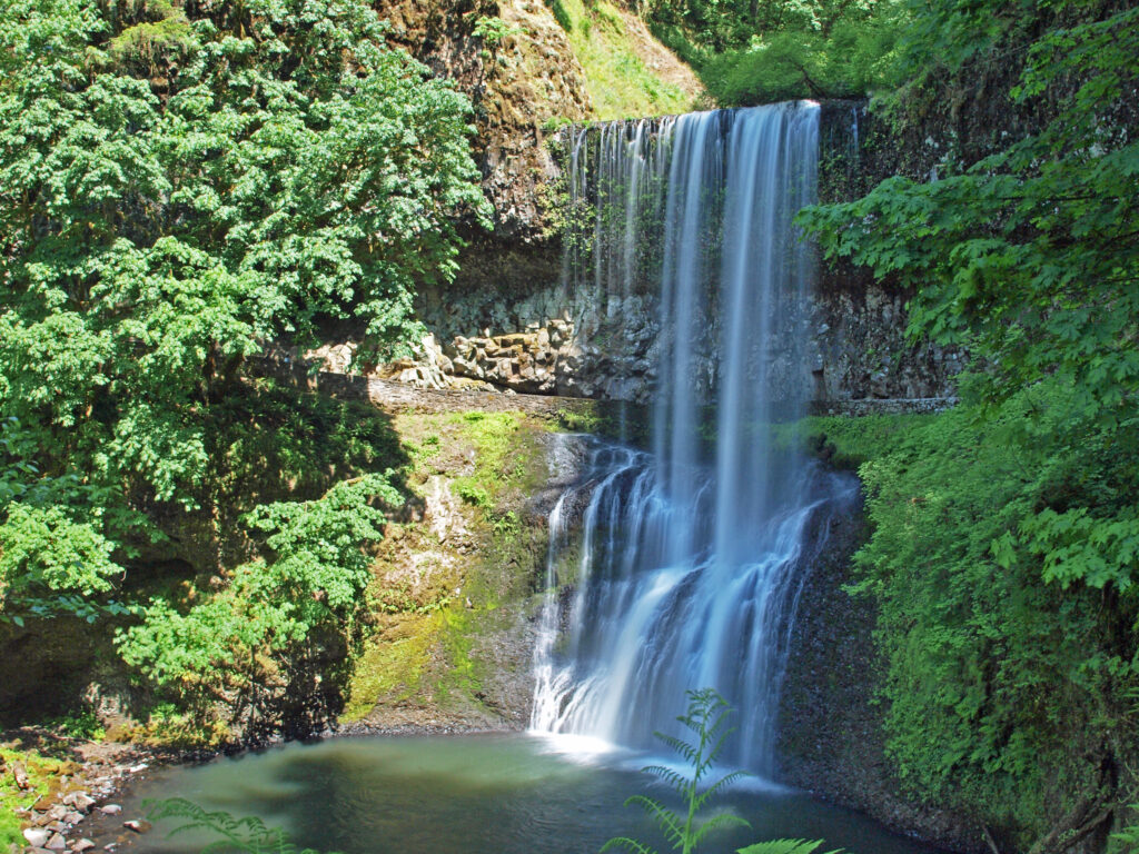
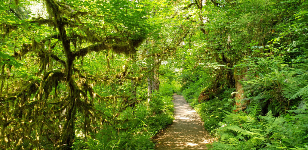
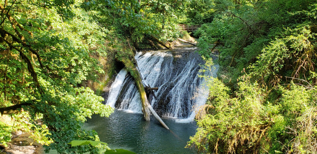
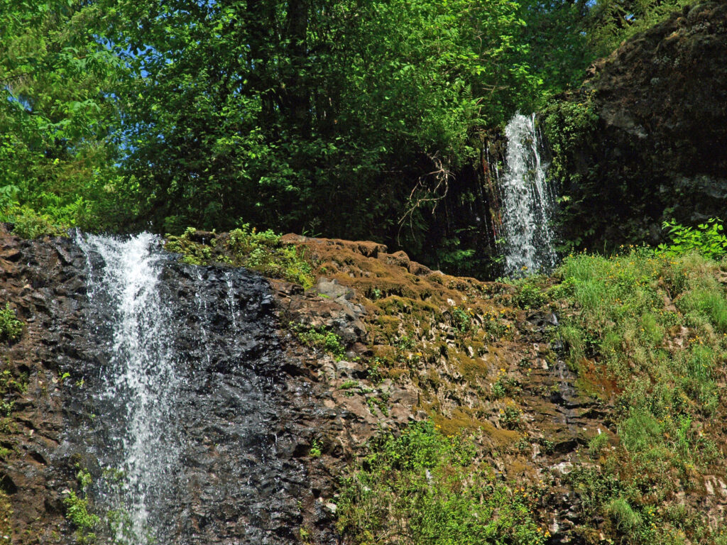
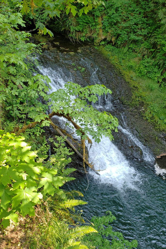
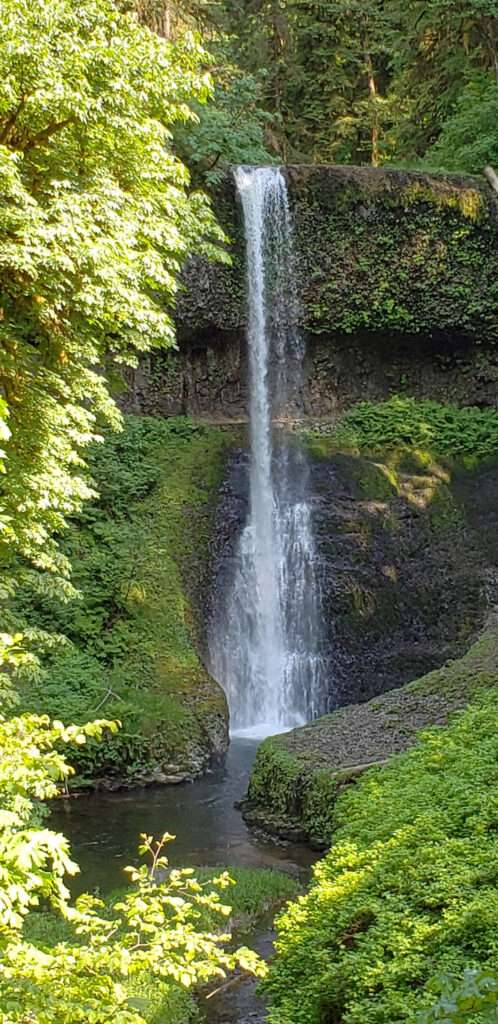
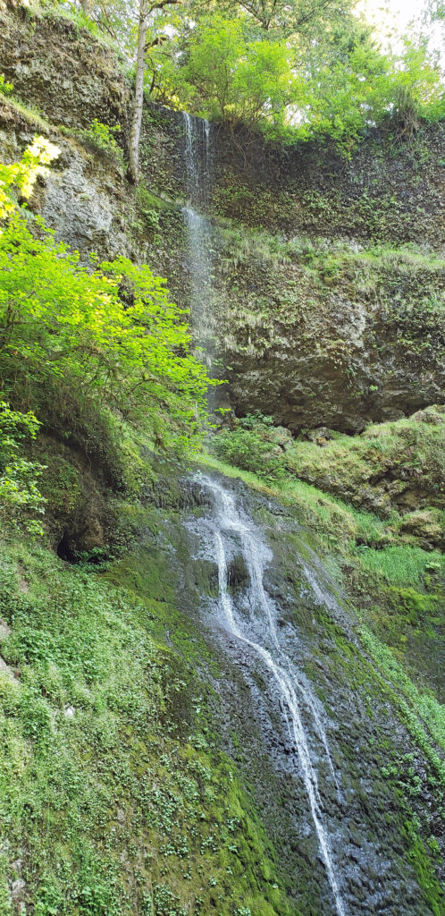
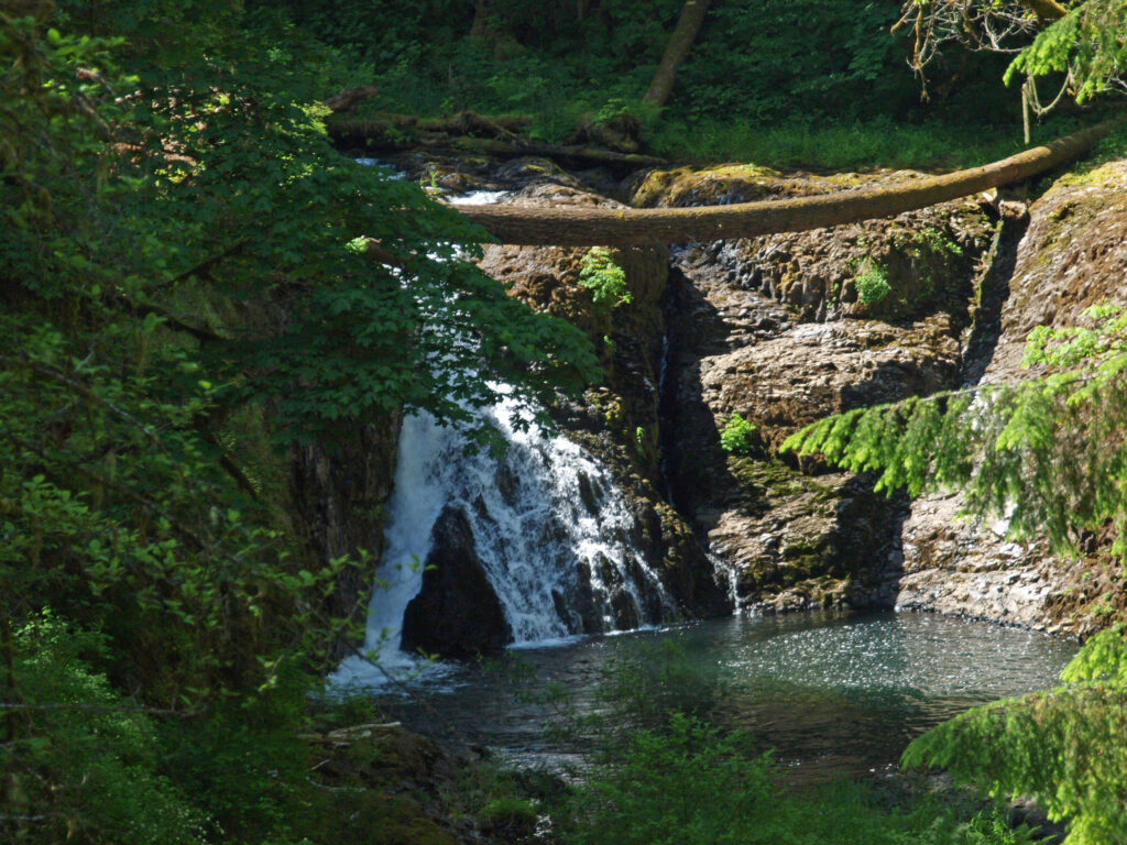
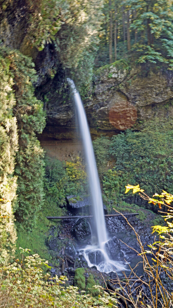
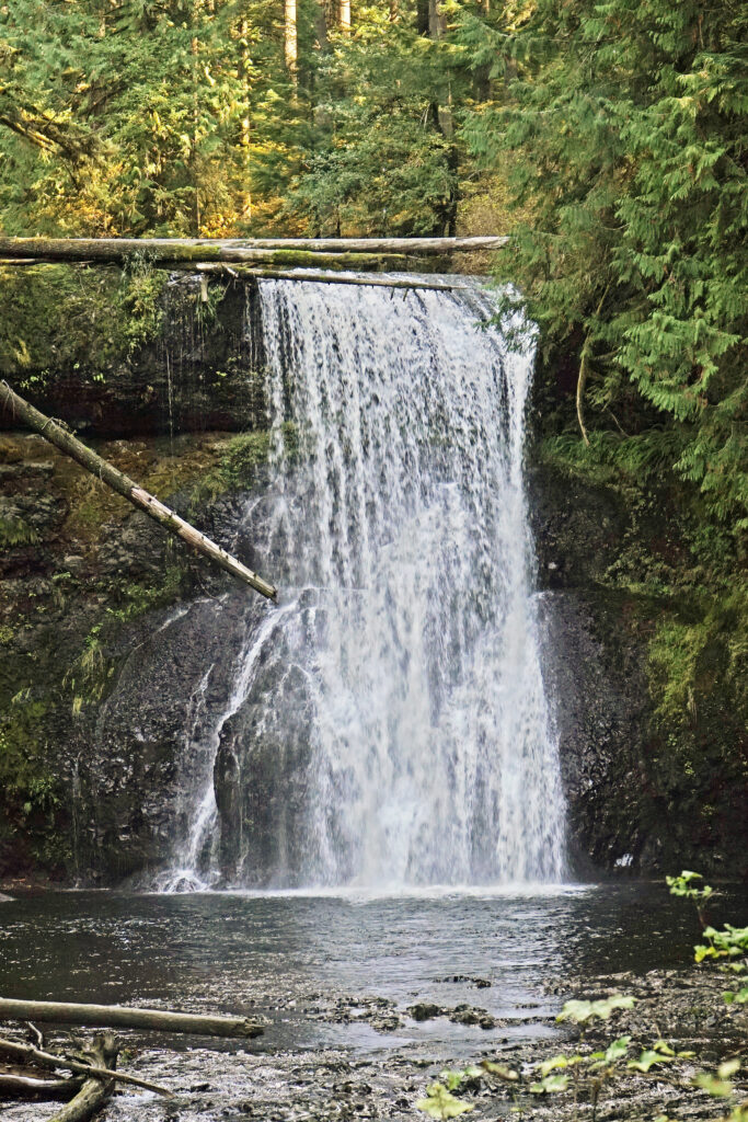
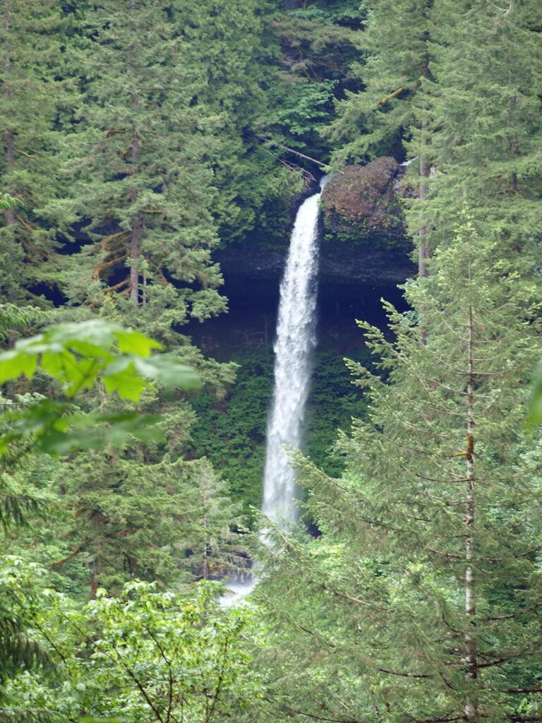
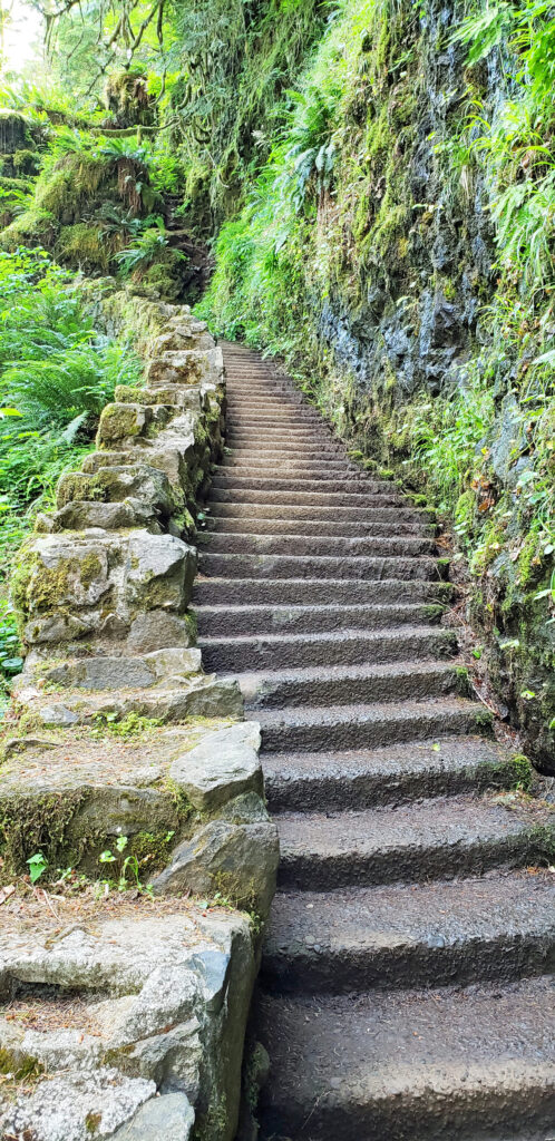 Silver Falls was voted Oregon’s favorite state park a few years ago, and for good reason. With more than ten waterfalls, six of them more than 90 feet in height, Silver Falls is a waterfall lovers paradise. And the Trail of Ten Falls (there are actually eleven named and at least one unnamed falls along the trail) is one of the finest hiking trails in the Pacific Northwest. I don’t know of anywhere else where you can see a dozen falls on a single hike, and four of them here have trails that actually take you behind the falls.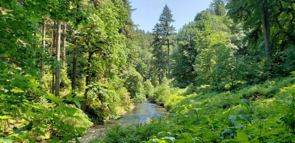
 Other area attractions and activities:
 The Trail of Ten Falls is an iconic hiking trail that every serious hiker in the state has likely done multiple times. It’s so spectacular that it alone is worth making the trek to Oregon from wherever you reside, no matter how far away that is. As an Oregon resident, I know I’m a little biased, but I don’t think I’m exaggerating here. If you’re a waterfall lover, come see for yourself. A trip to Silver Falls, combined with a visit to the waterfalls of the Columbia River Gorge will make for an unforgettable experience.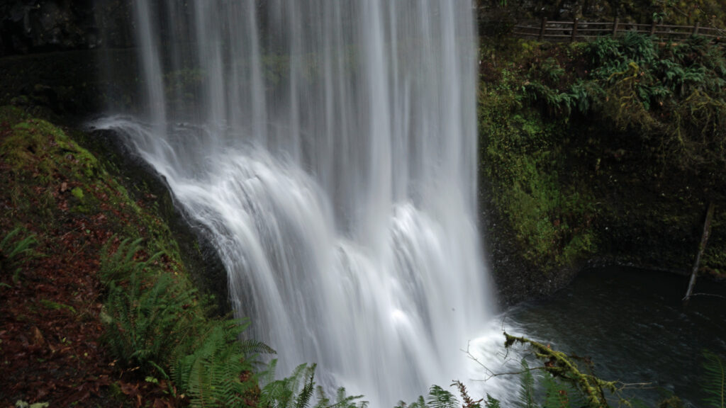
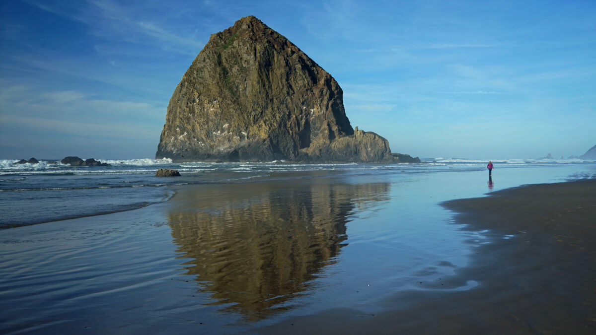
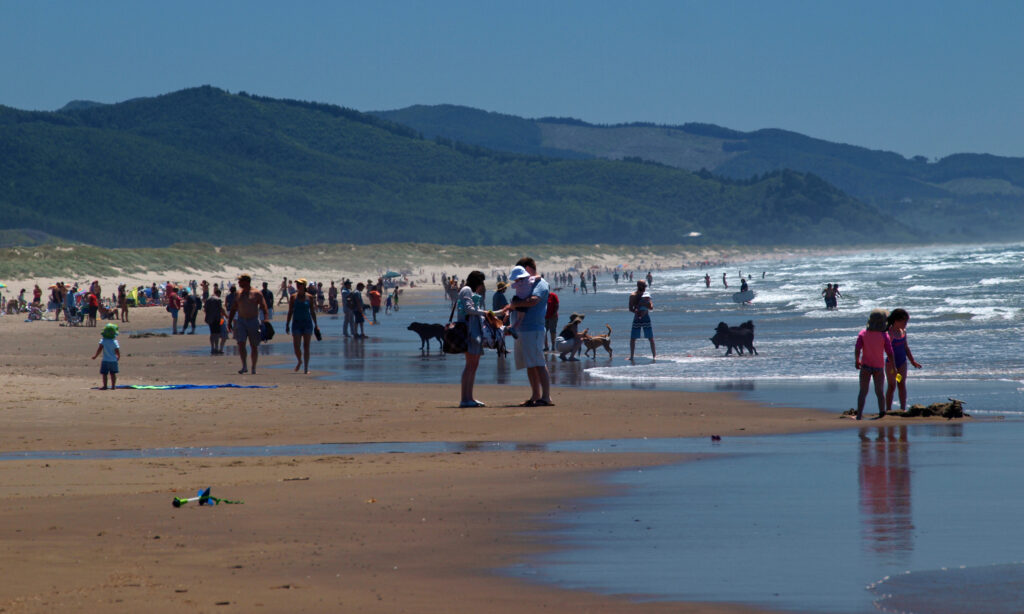
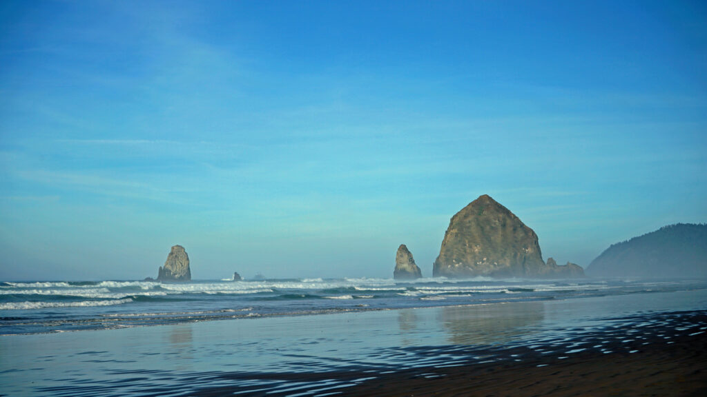
 I’ll cover four of my favorite northern Oregon coastal towns in this post: Cannon Beach, Gearhart, Manzanita, and Oceanside. They all have their own unique personality, but they all share a few things in common. They’re all small (none have more than 3,000 year-round residents), they’re all beachfront towns and the Pacific Ocean plays a big role in their culture and community, all but tiny Oceanside have an active arts scene, and you can find outstanding places to eat and drink in each of them.

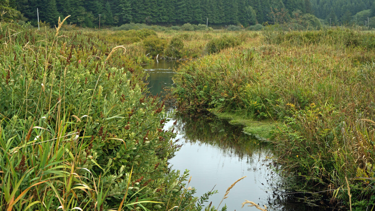
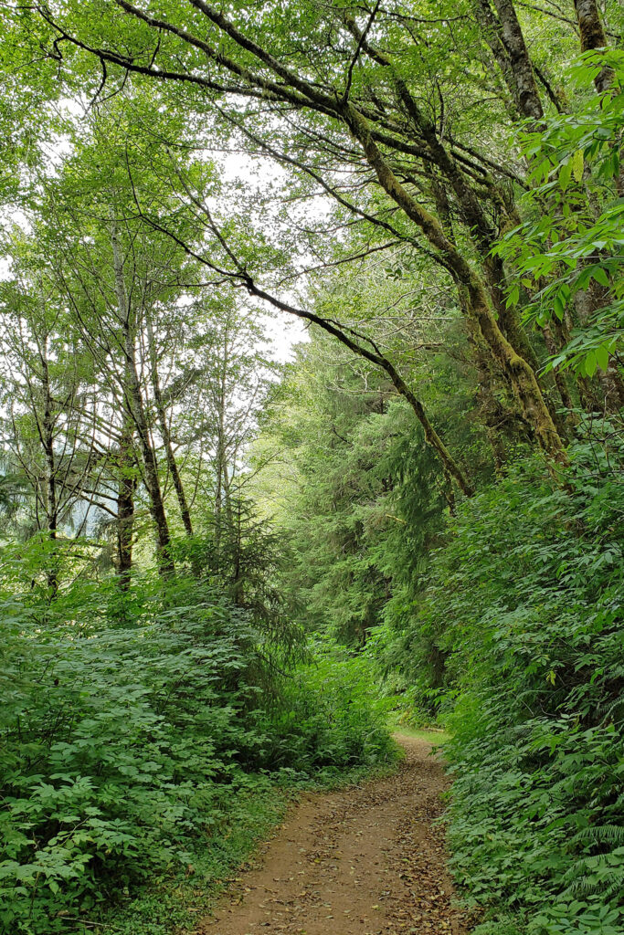 Beyond the Snaggy Point Trail junction, the loop trail continues through the forest along the edge of the marsh to a junction with the Antler Overlook Trail, which connects to the Cooper Ridge Trail and provides another overcrossing of the upland area. The main loop trail then continues through the forest to the agricultural buildings mentioned in the winter trailhead description. Beyond the buildings walk up the service road for a couple hundred yards and look for the loop trail branching off to the left. The trail follows the edge of an open field.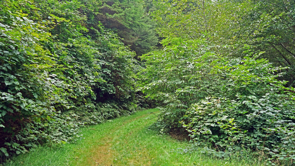
 Posted March 14, 2023 by Alan K. Lee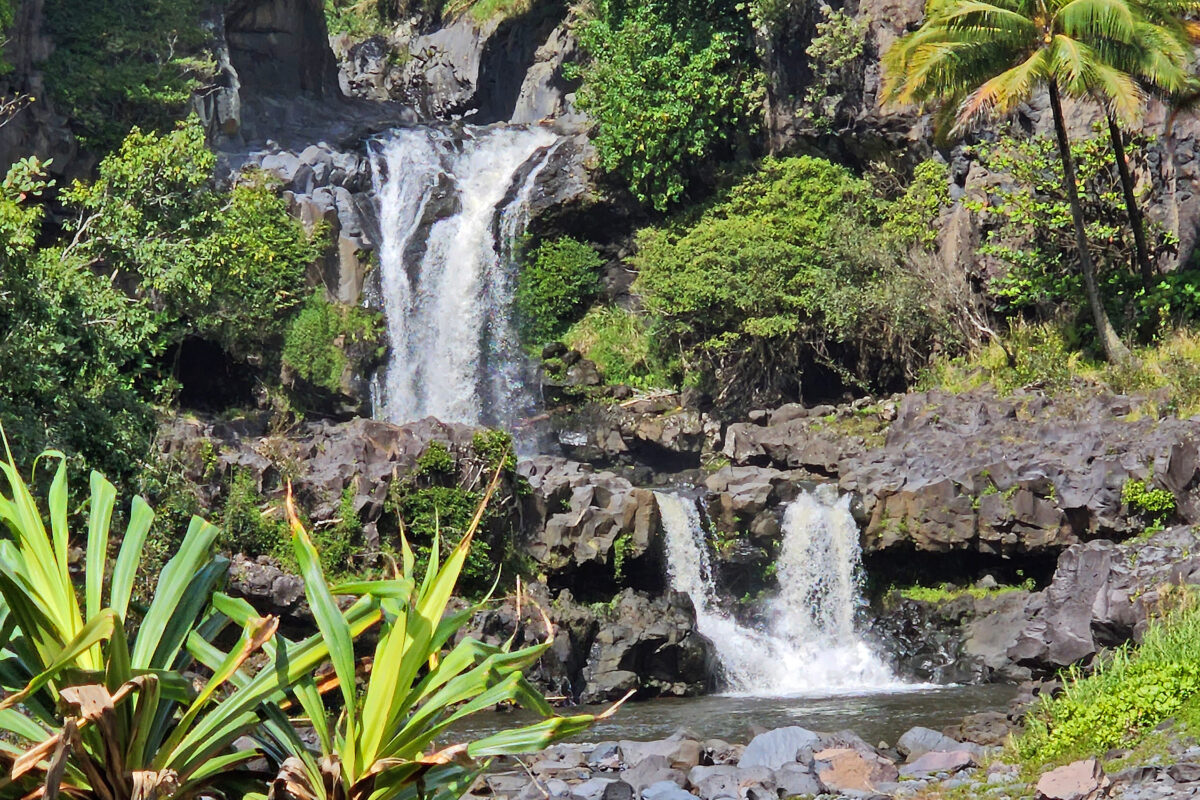
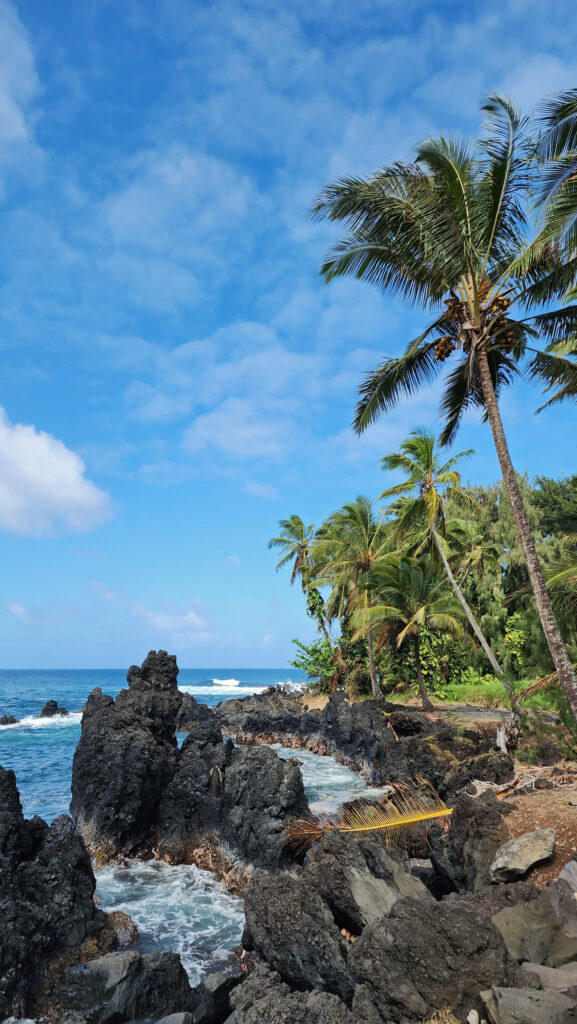
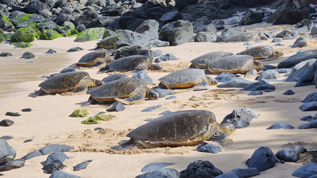
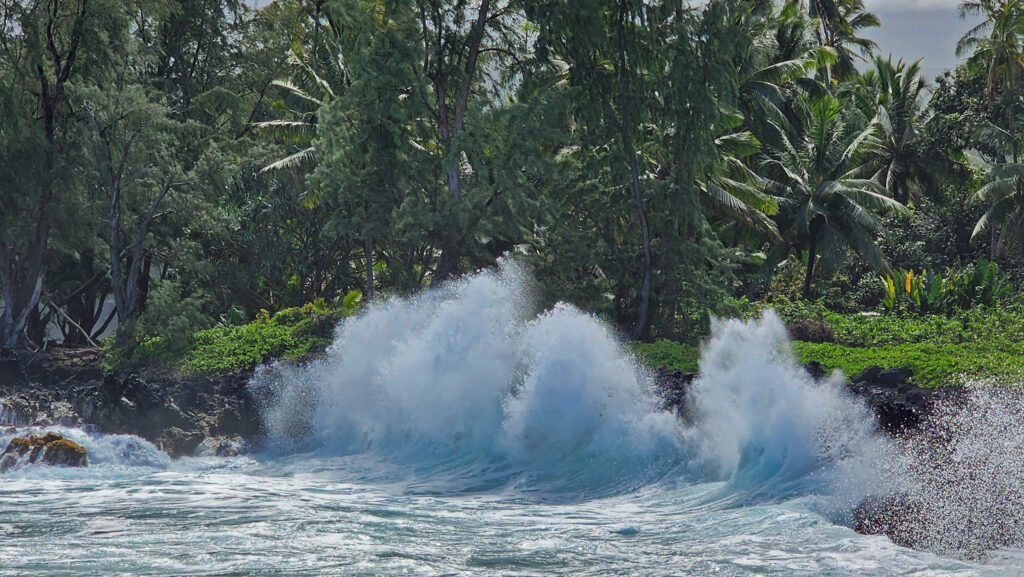
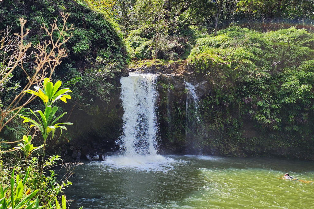
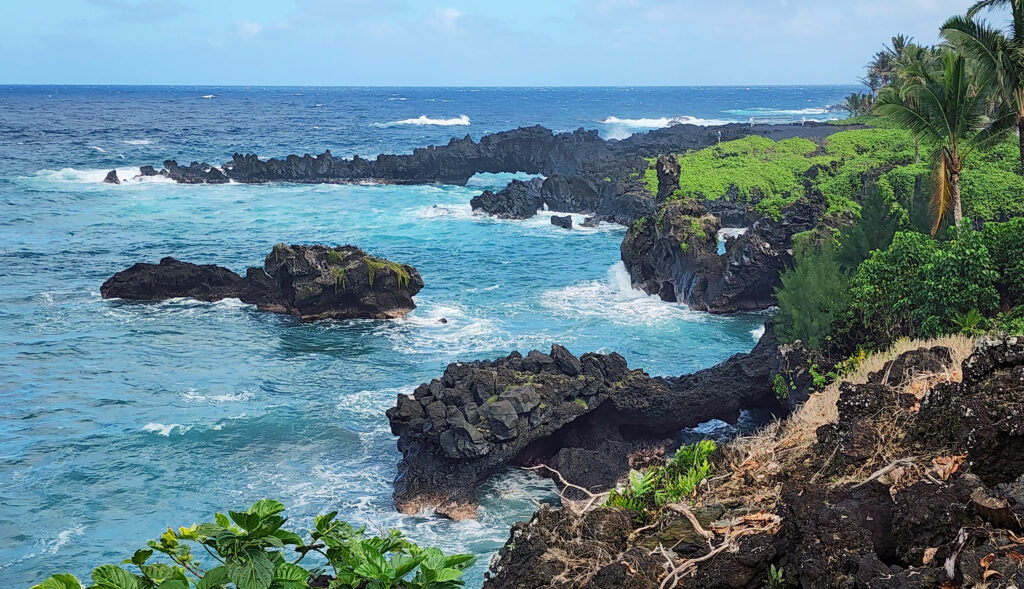
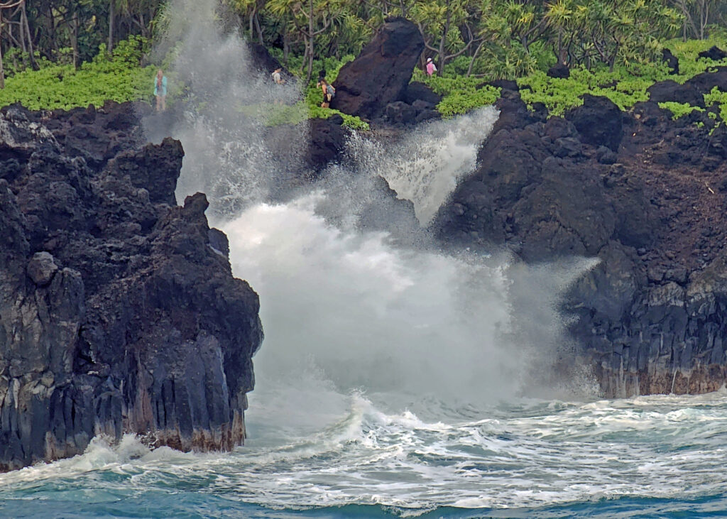
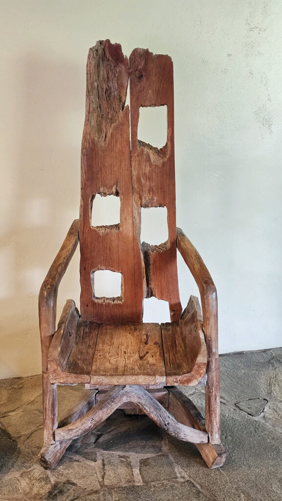
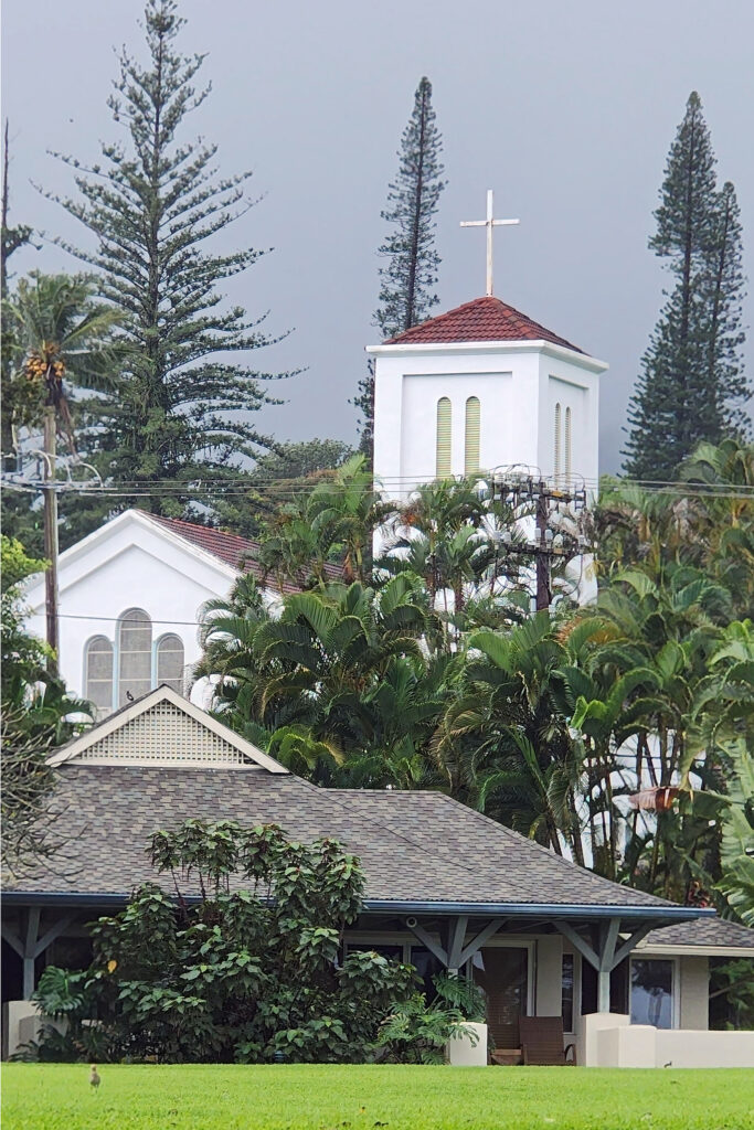
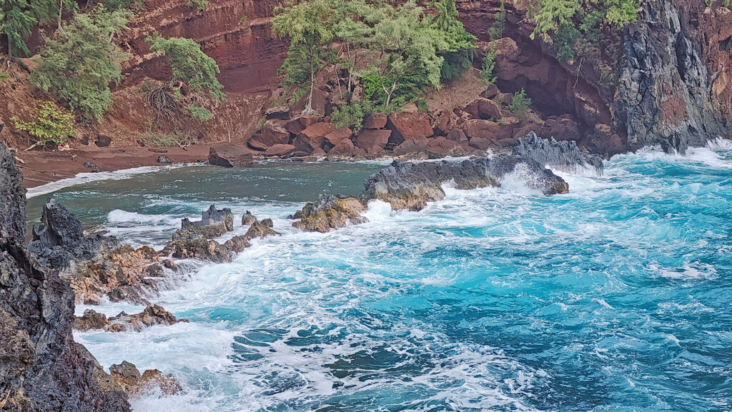
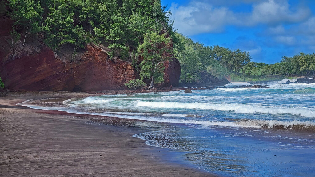
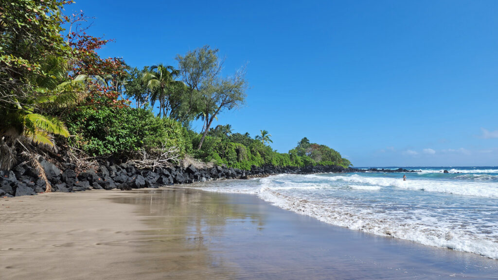
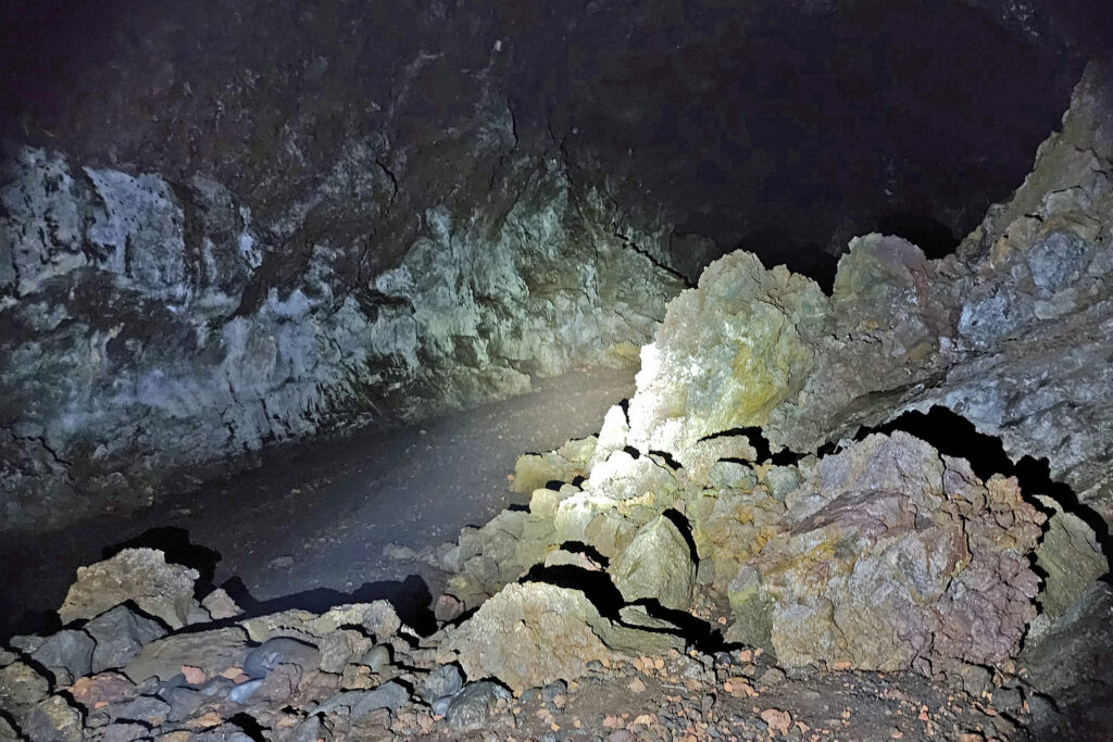
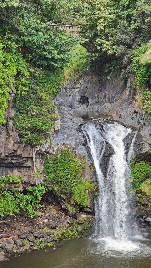
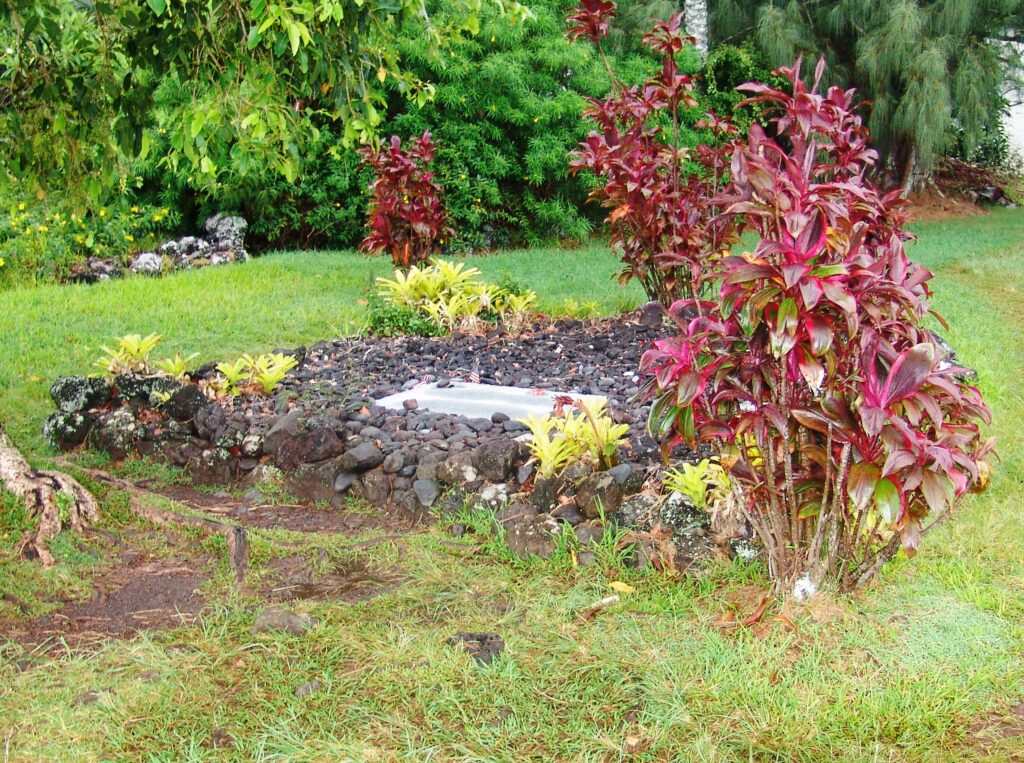
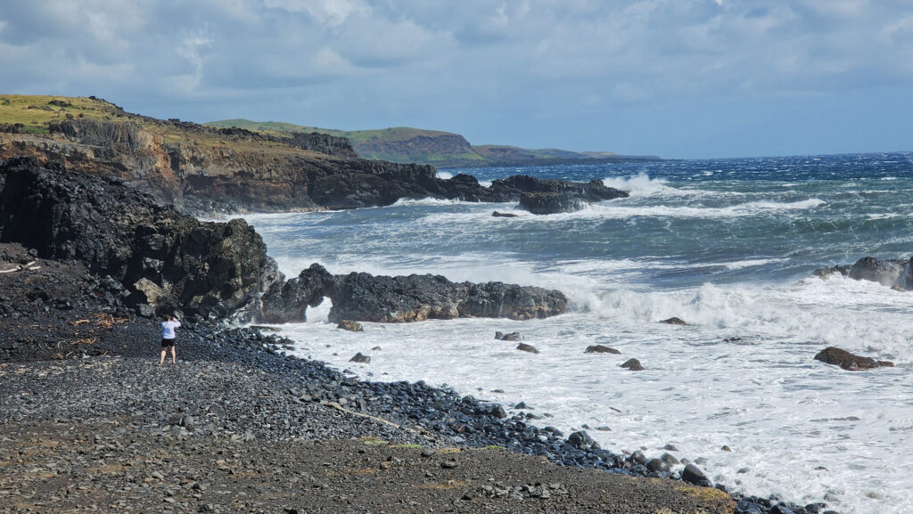
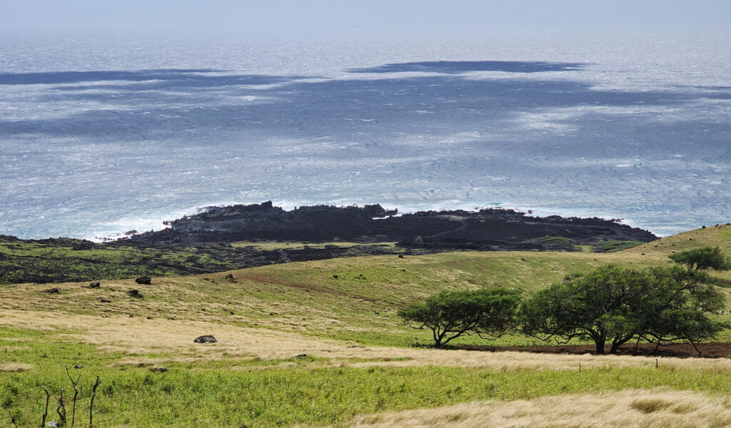
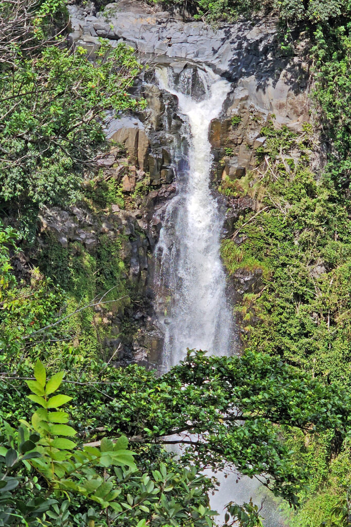
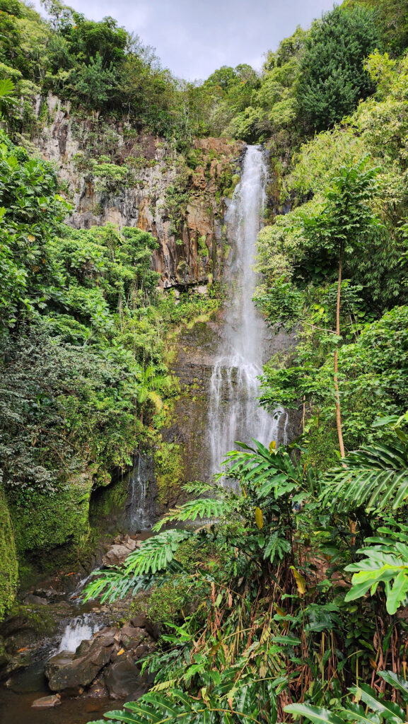
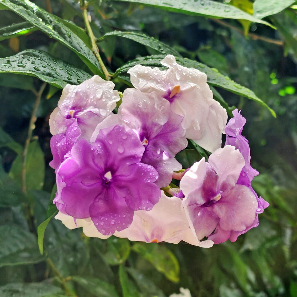
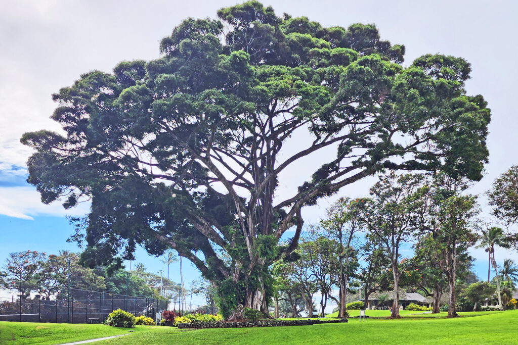 There are a lot of things that you’ll miss if you’re visiting Hana as a day trip. Better to do as we did and spend a night or two. That will give you enough time to really see and enjoy the East Maui area. But be forewarned, Hana is expensive.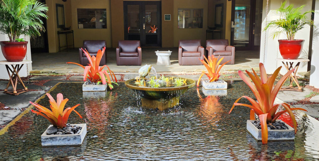
 Posted March 3, 2023.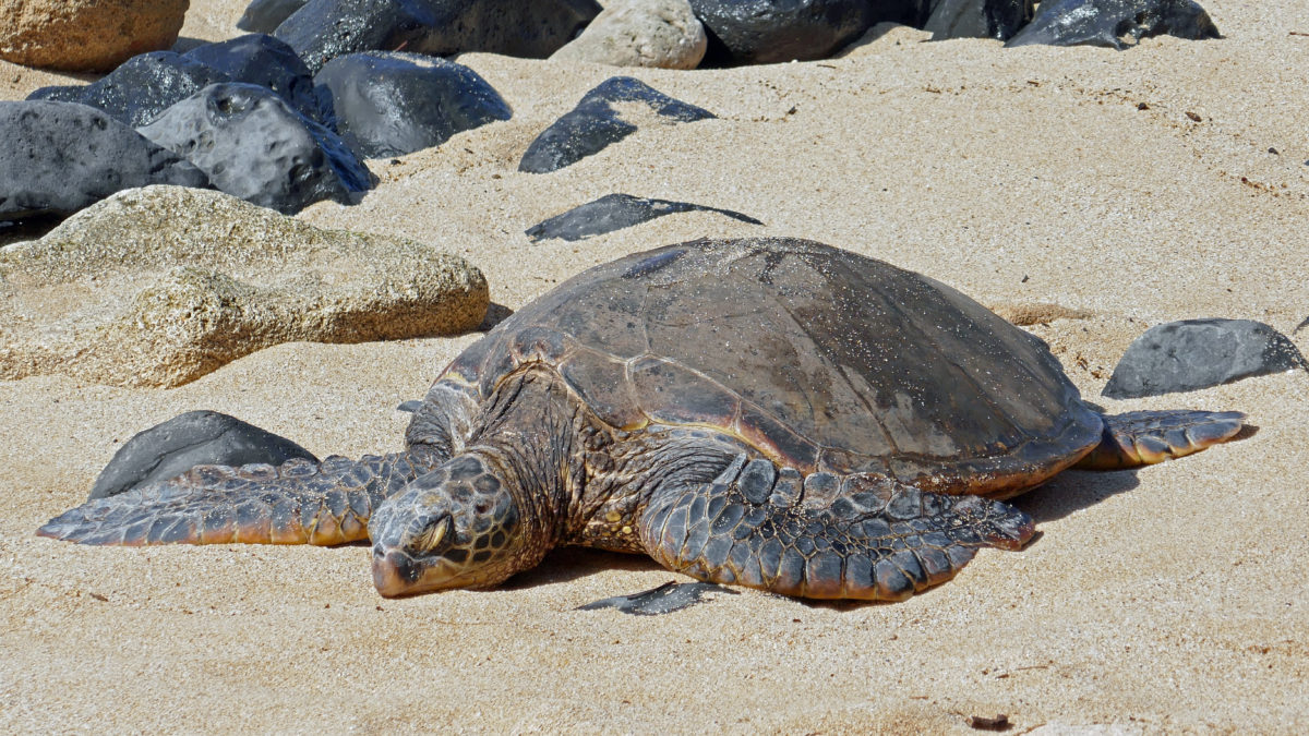
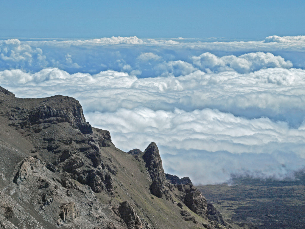
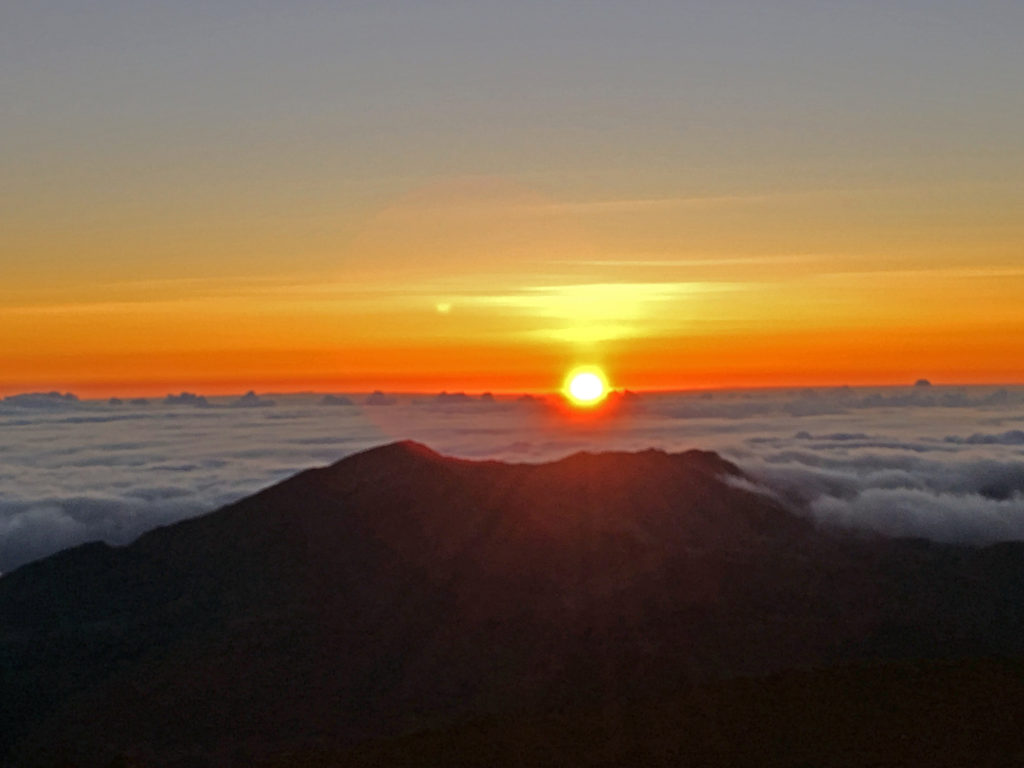
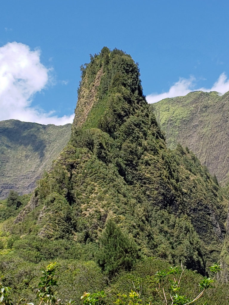
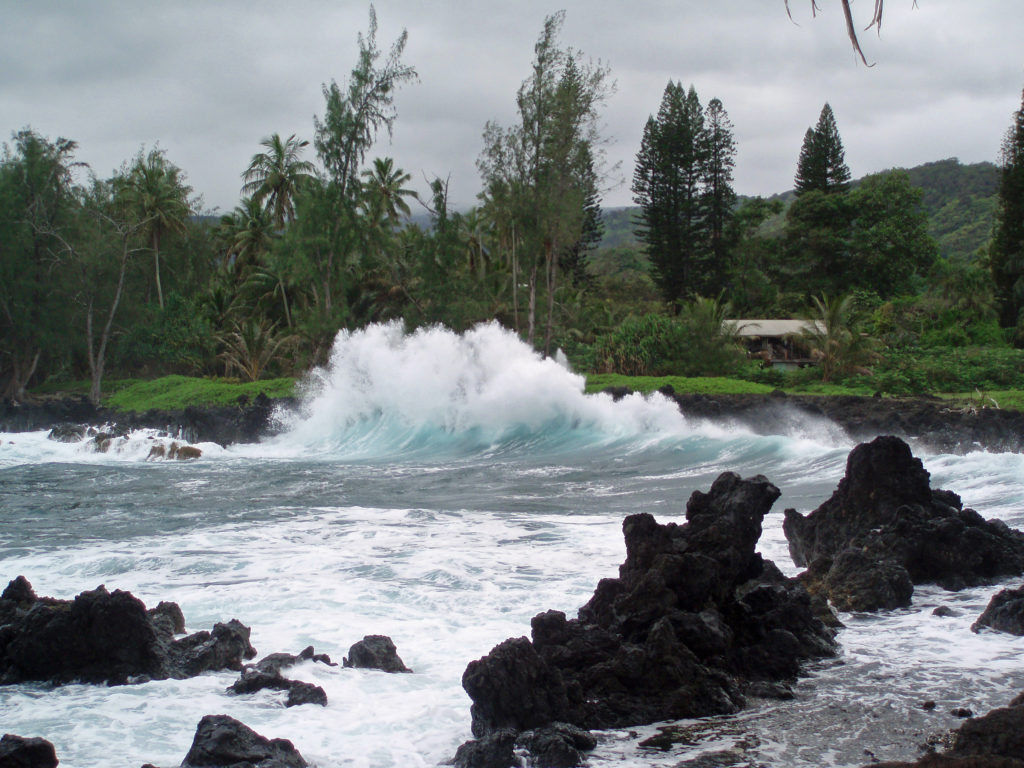

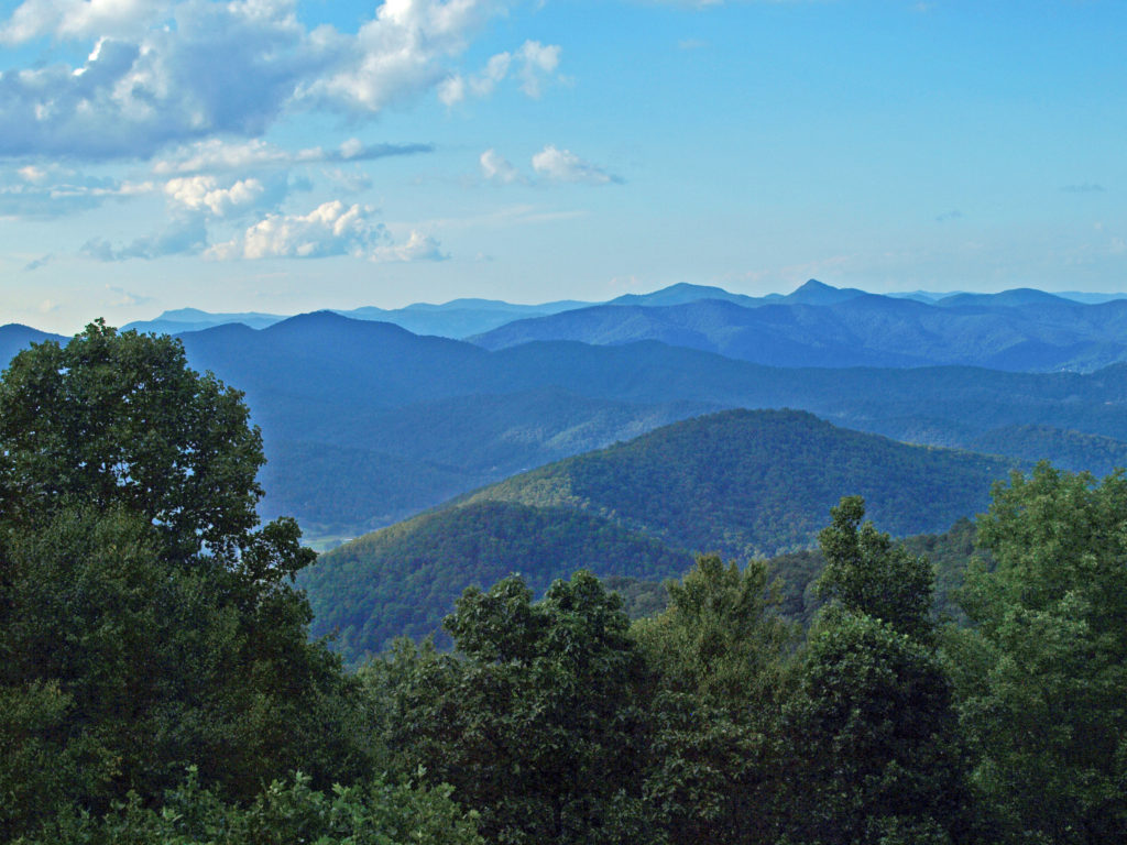
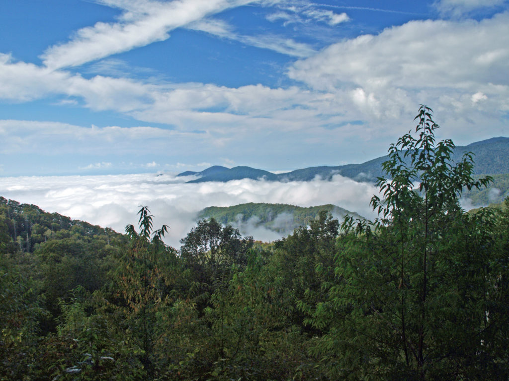
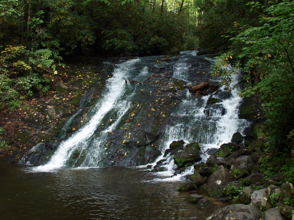
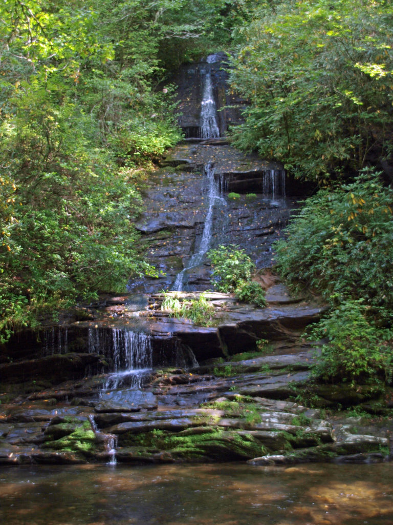
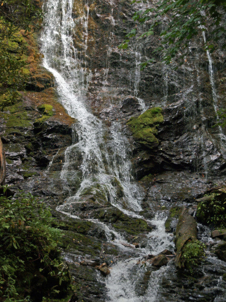
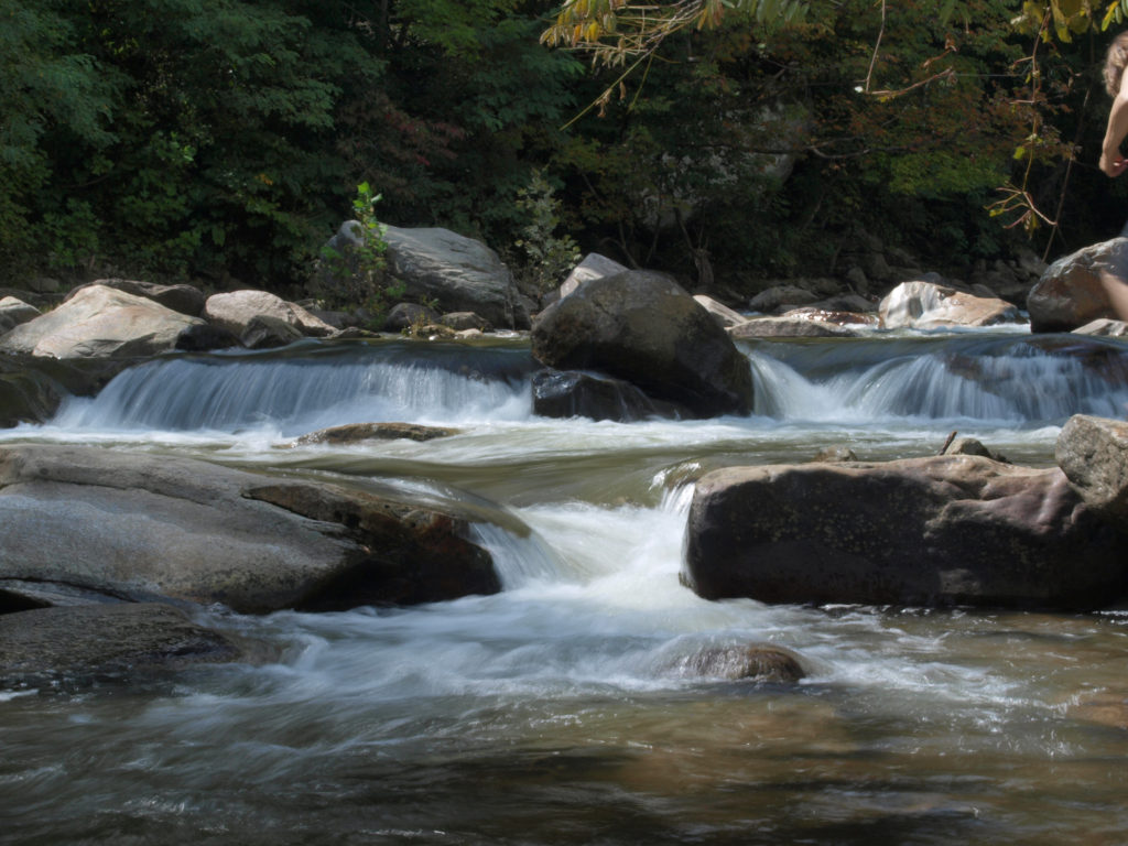
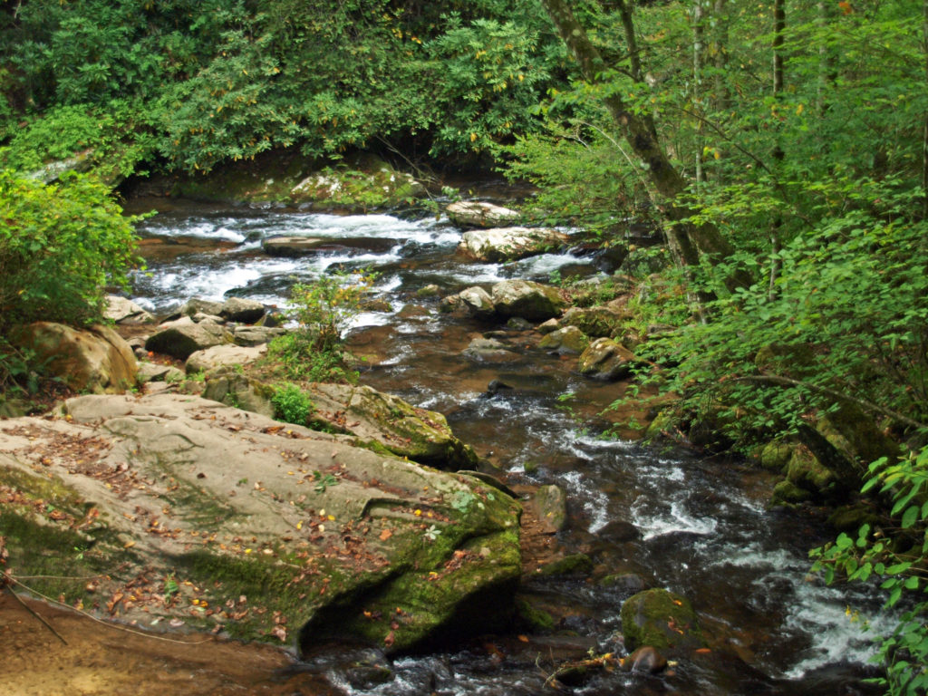 We spent most of the rest of the day hiking to a number of the park’s many waterfalls. The Smokies have a different, softer feel to them than the mountains of the Western U.S., but they have their own appeal. We were there a little too early in the season to catch much in the way of fall colors, but there were hints of how beautiful it would be in a few weeks.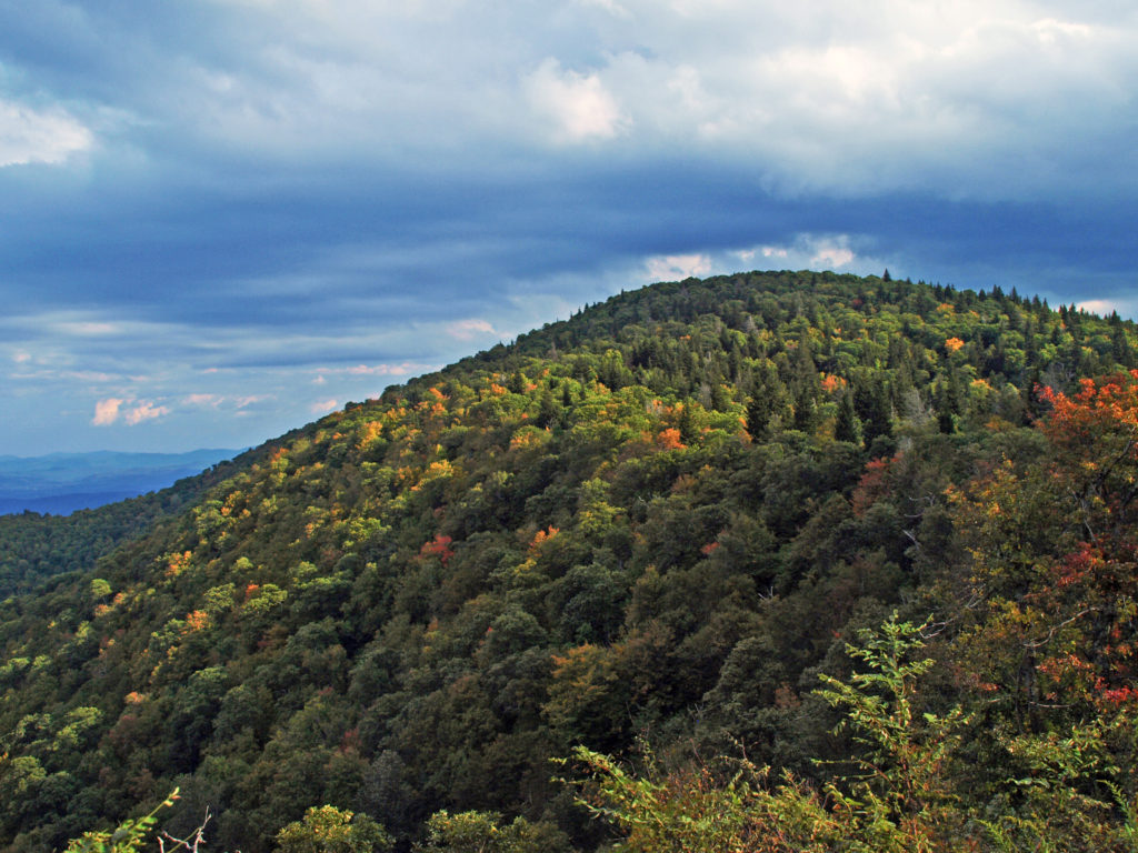
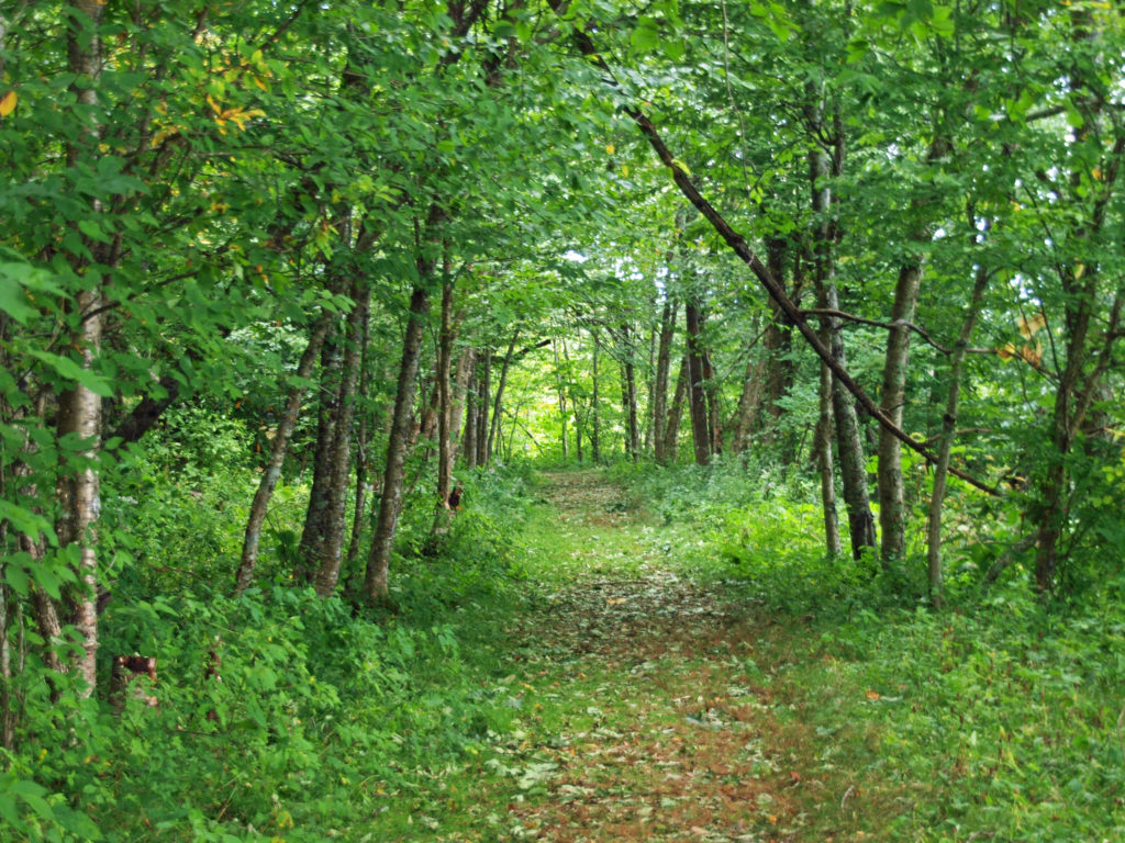
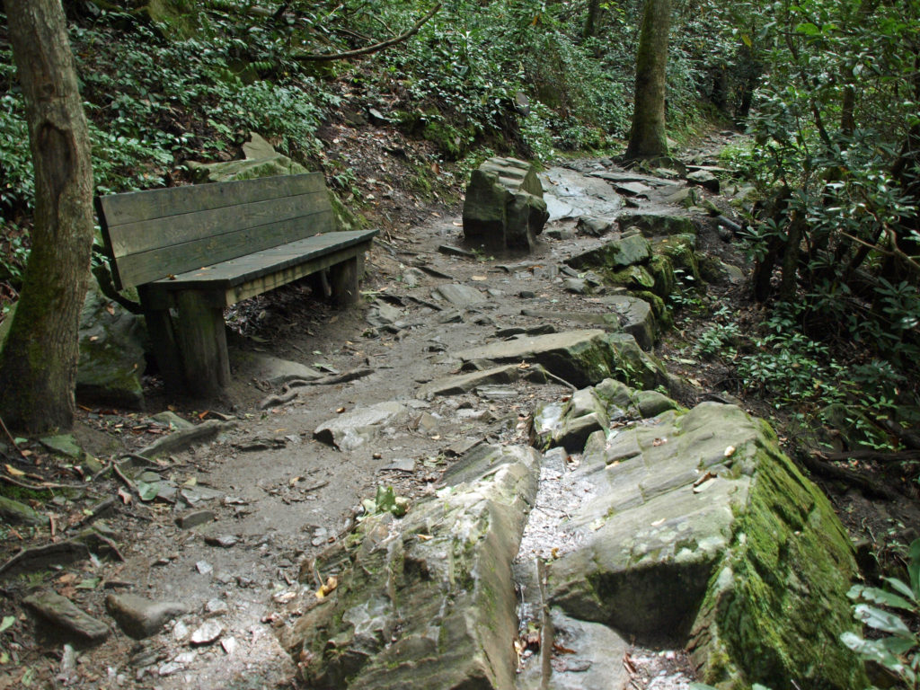
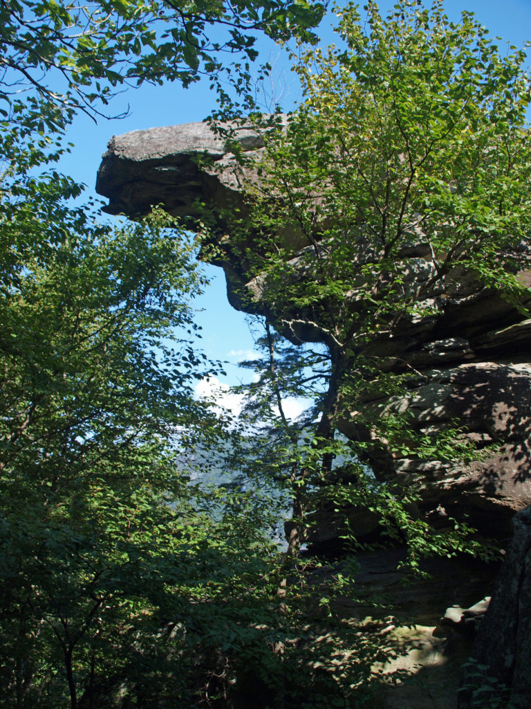
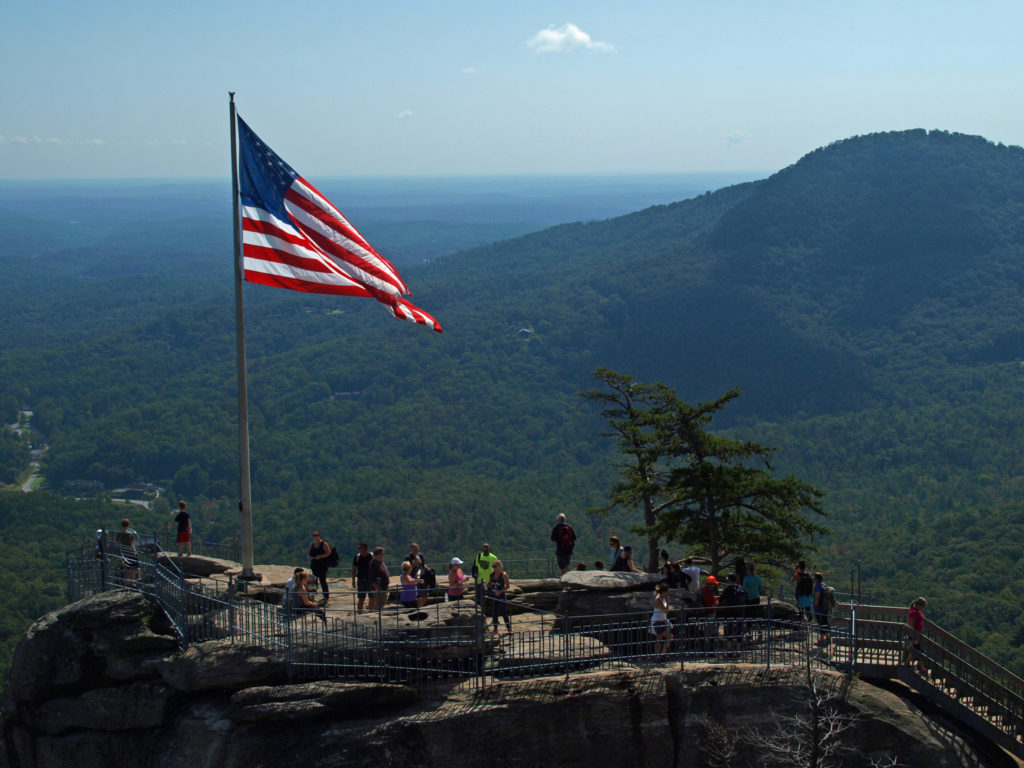
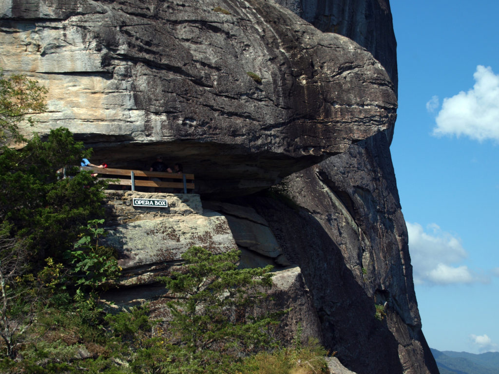
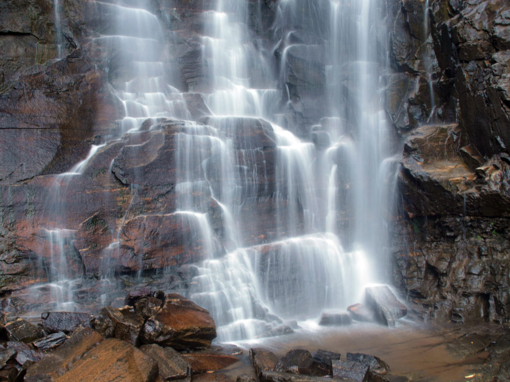
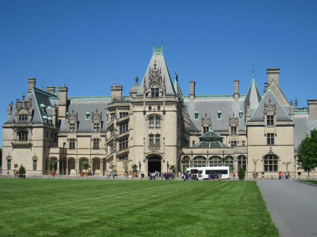
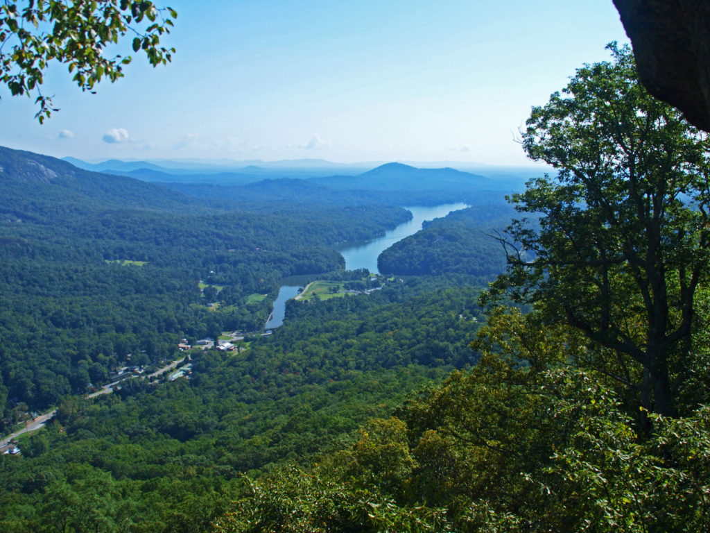 After visiting Asheville, we visited two charming Old South cities: Charleston, SC, and Savannah, Georgia. Check out our posts on Charleston
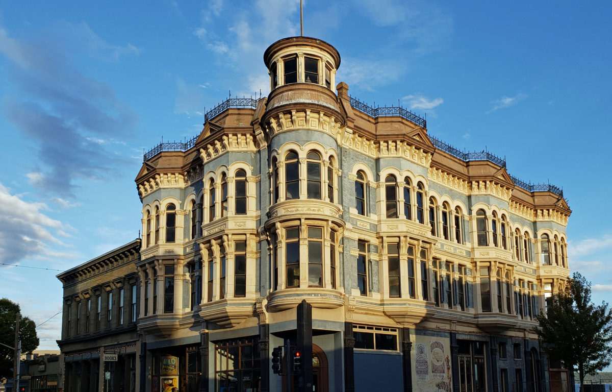
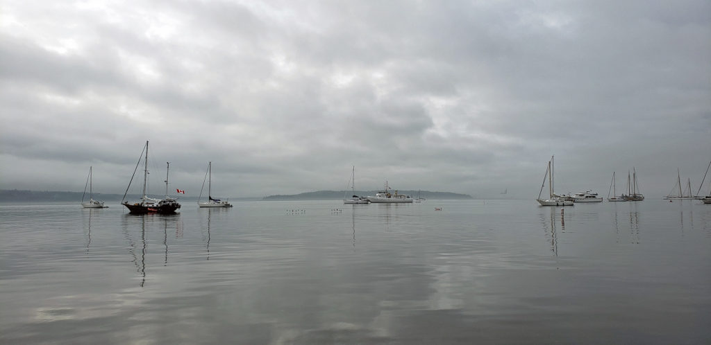
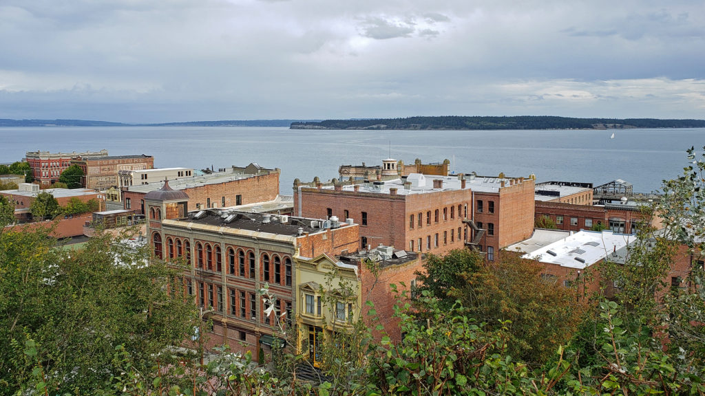
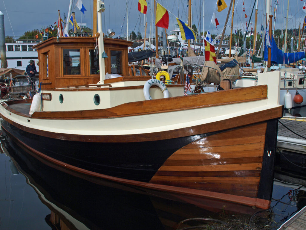
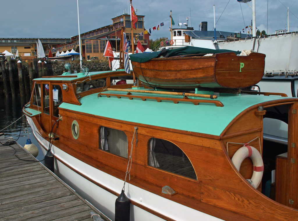
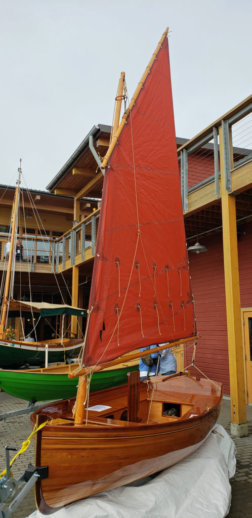 Wooden sailing ships were key to the town’s early economy and history, and the boatbuilding and woodworking crafts live on in Port Townsend. The Northwest School of Wooden Boat Building in nearby Port Hadlock and the Port Townsend School of Woodworking help preserve and promote the skills that were so vital to the early history of Port Townsend.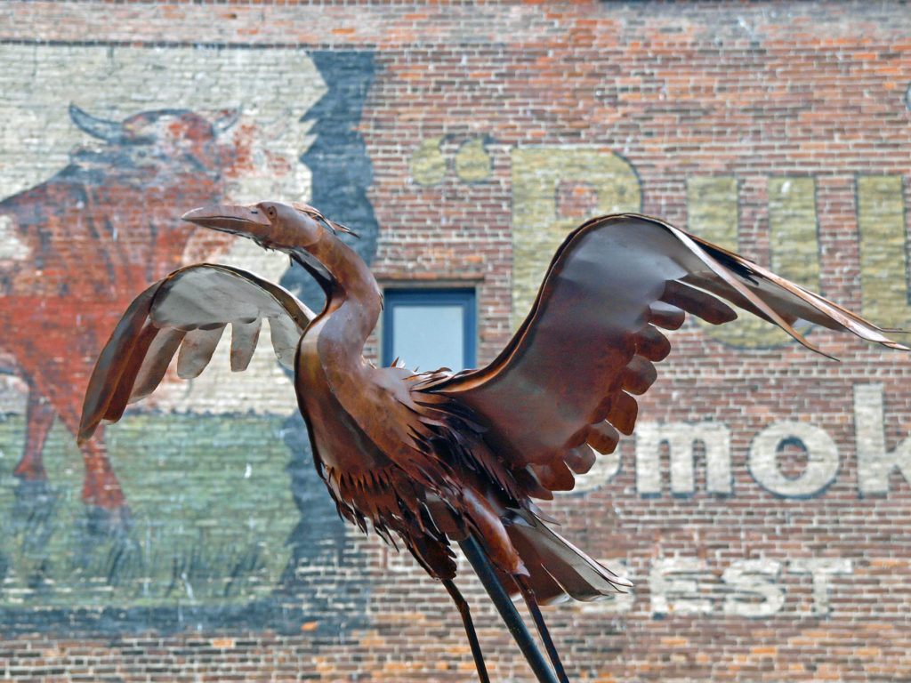
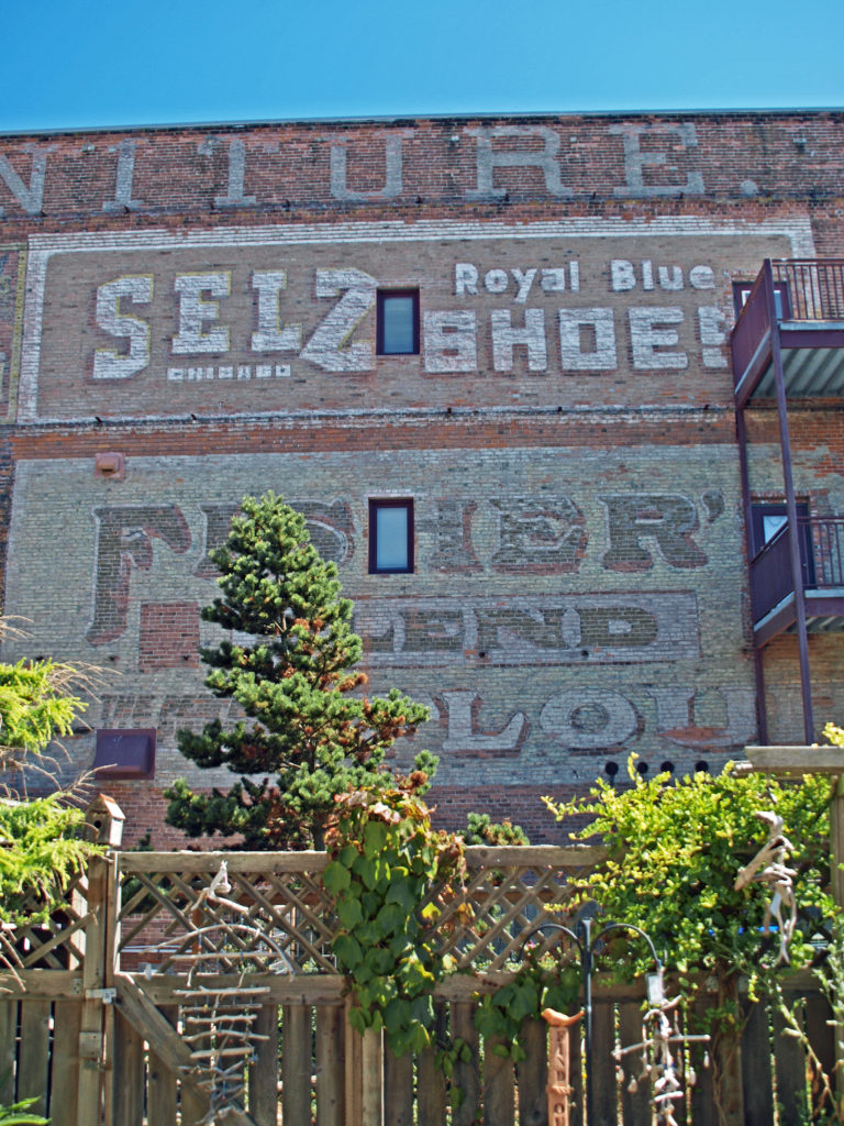
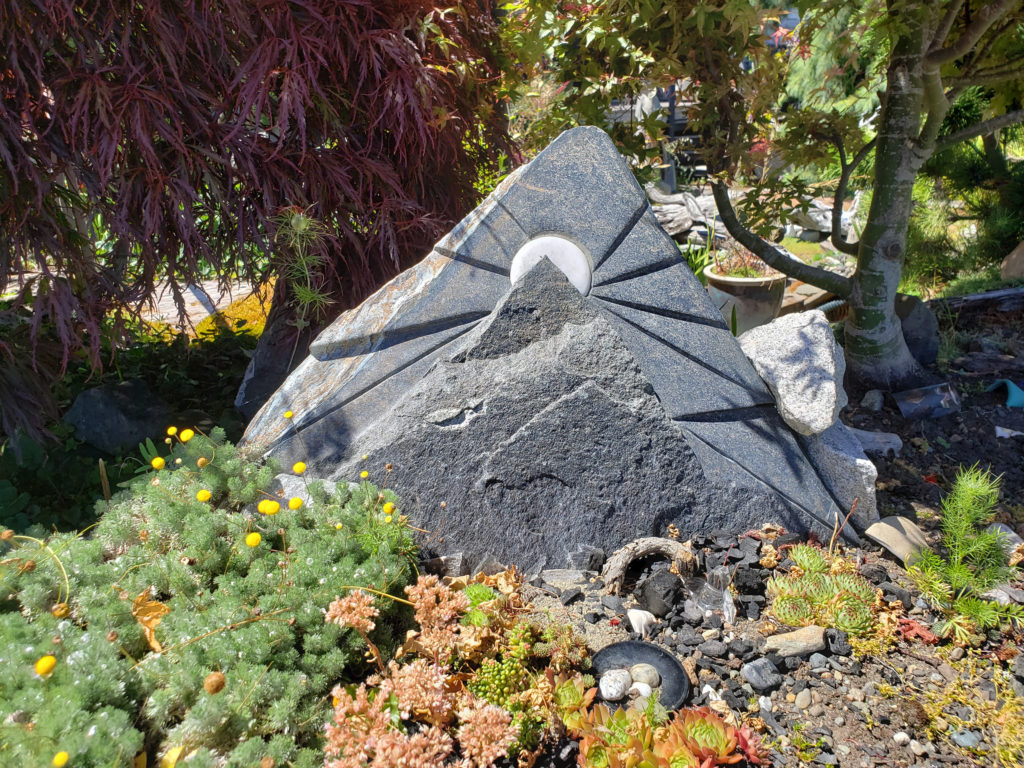
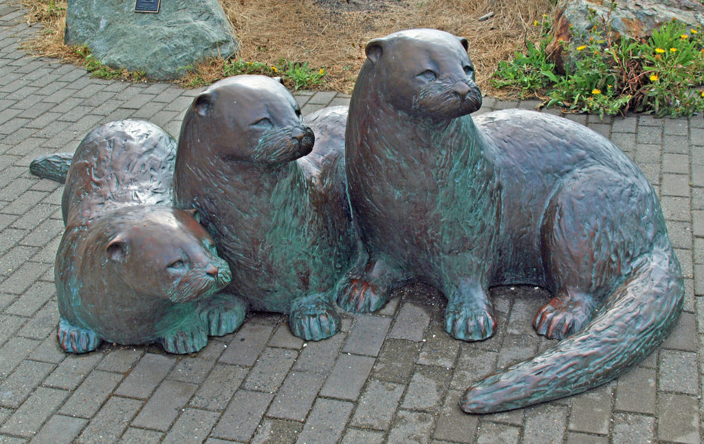 more than a dozen fine art and craft galleries can be found in the historic waterfront section of town.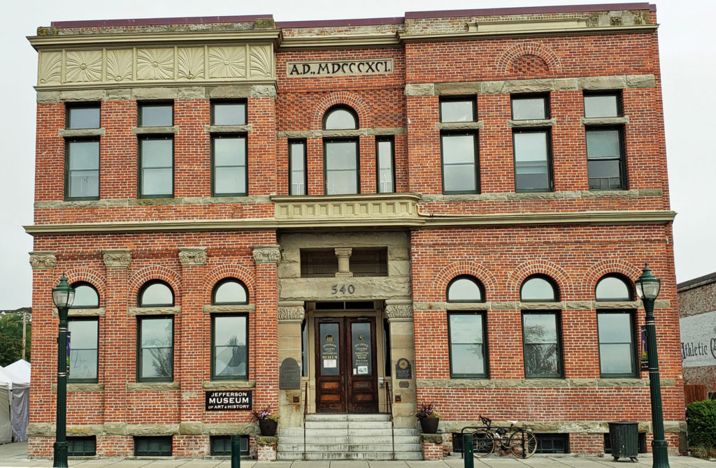
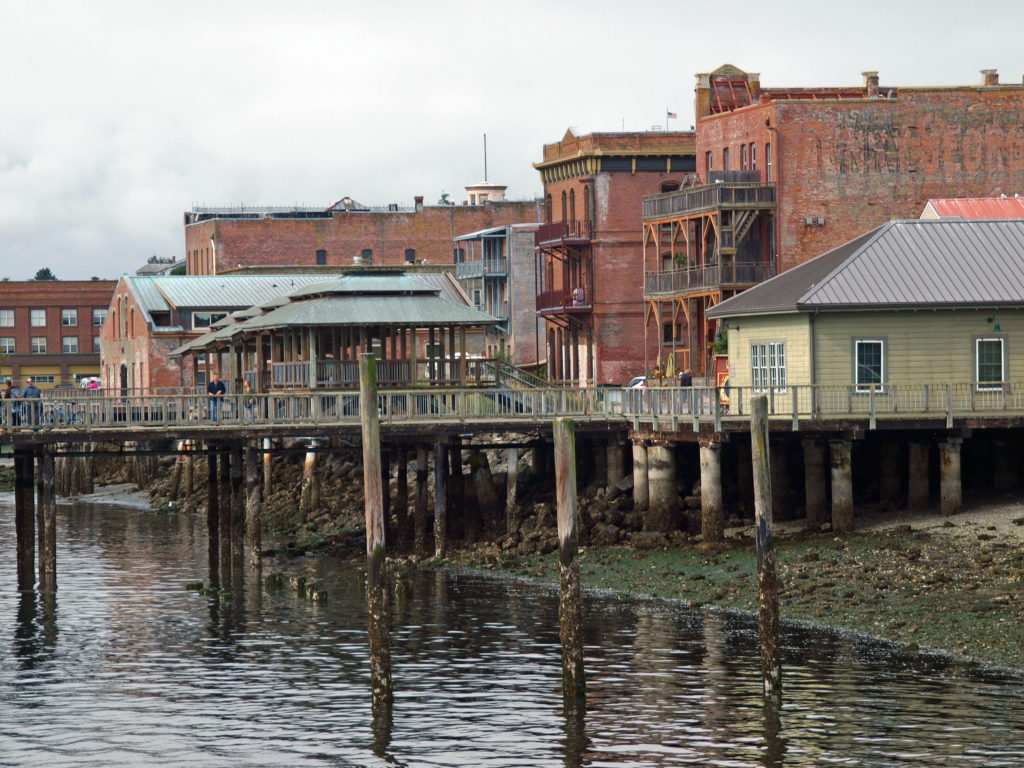
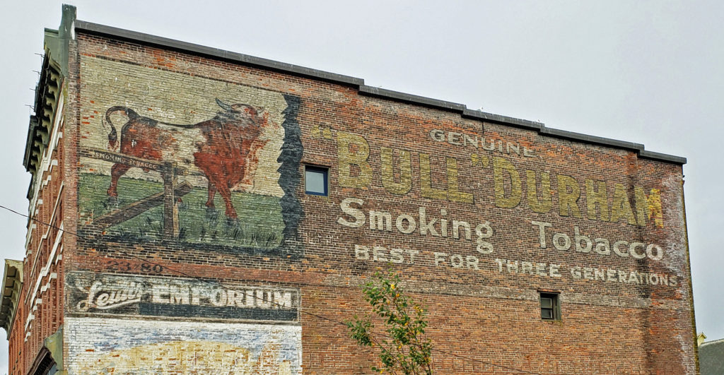
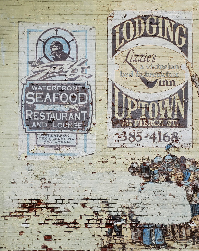
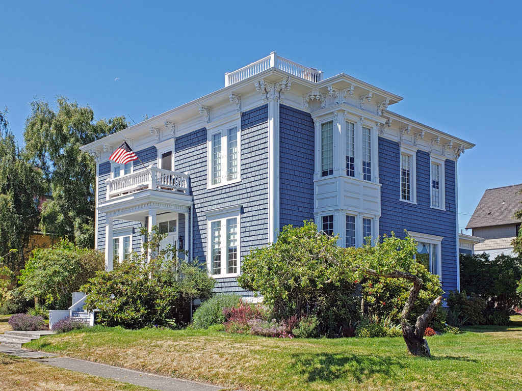 Take a walk along Water Street. It’s not hard to imagine what the town was like 130 years ago because most of the buildings you see today date from that period. Venture up to the bluff above the waterfront and you’ll find many Victorian era homes, most of which have been well preserved or restored. If you visit in the summer months you can tour the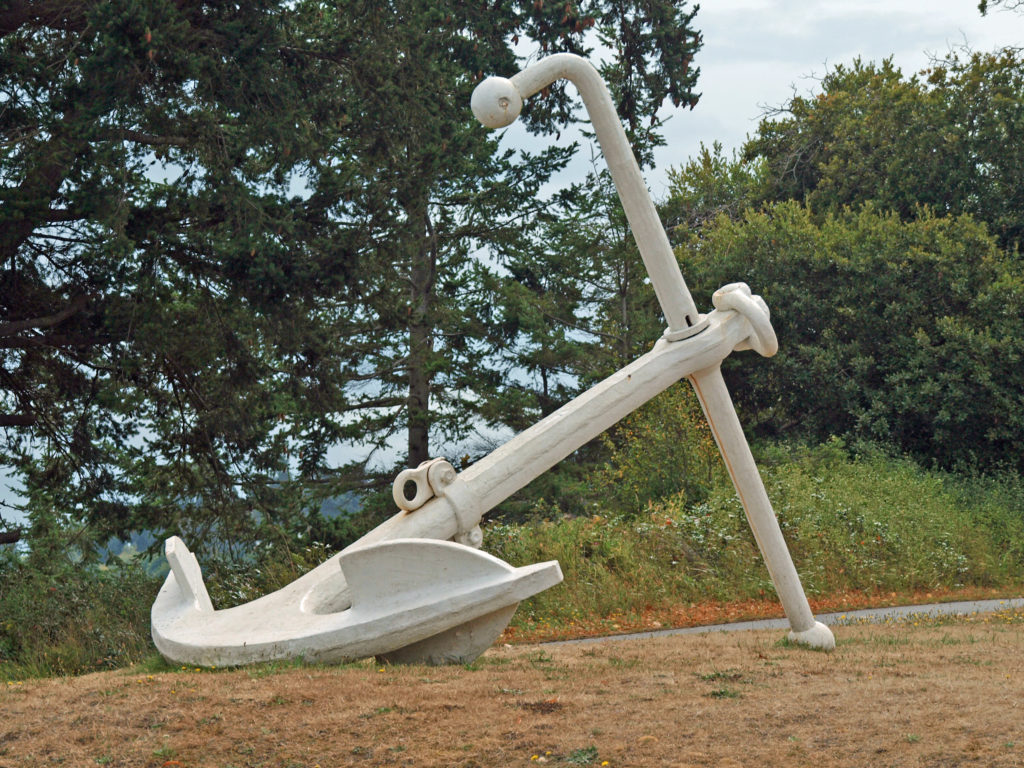
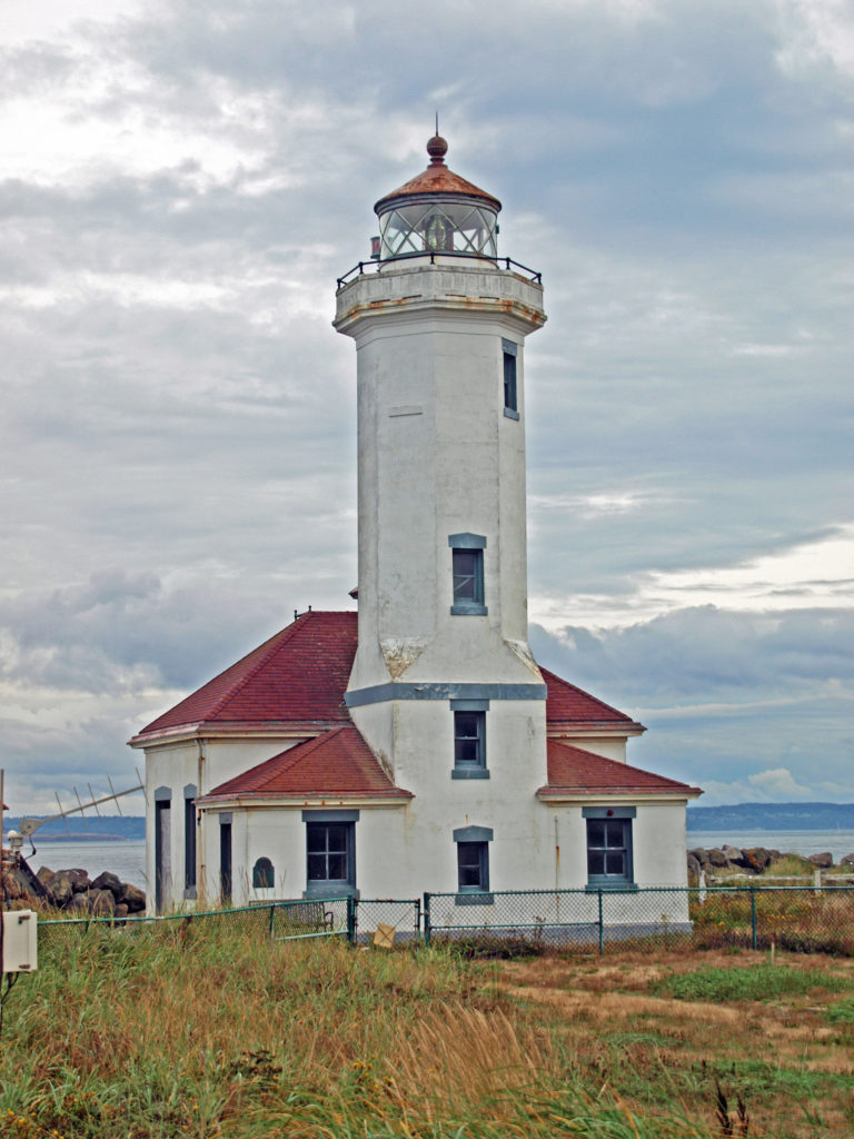
 Even if you’re not interested in the town’s history, its maritime traditions, or the arts, Port Townsend is still worth visiting, if only to take in its beautiful setting and indulge in its food and drink scene.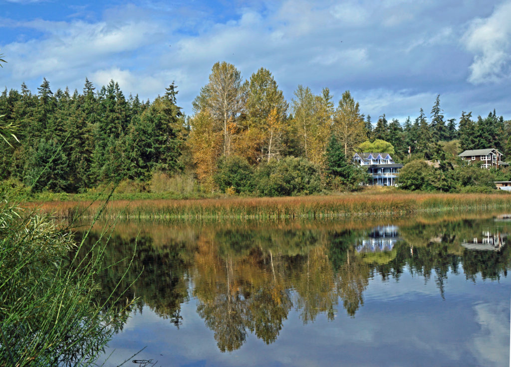
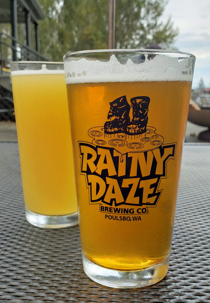 When you’re done with your hike, check to see if Taps at the Guardhouse in Fort Worden is open (it was closed in 2022) to quench your thirst with a good craft brew. Back in the historic district, I highly recommend that you visit
 On the food side, Owl Spirit Cafe is a good place to grab a sandwich or burrito for lunch. If you have pizza in mind, try Waterfront Pizza. My go to spot for breakfast and lunch is
  My wife and I stayed at the Water Street Hotel on our most recent visit, recently renamed the
 Originally posted November 20, 2020. Updated and re-posted January 12, 2023.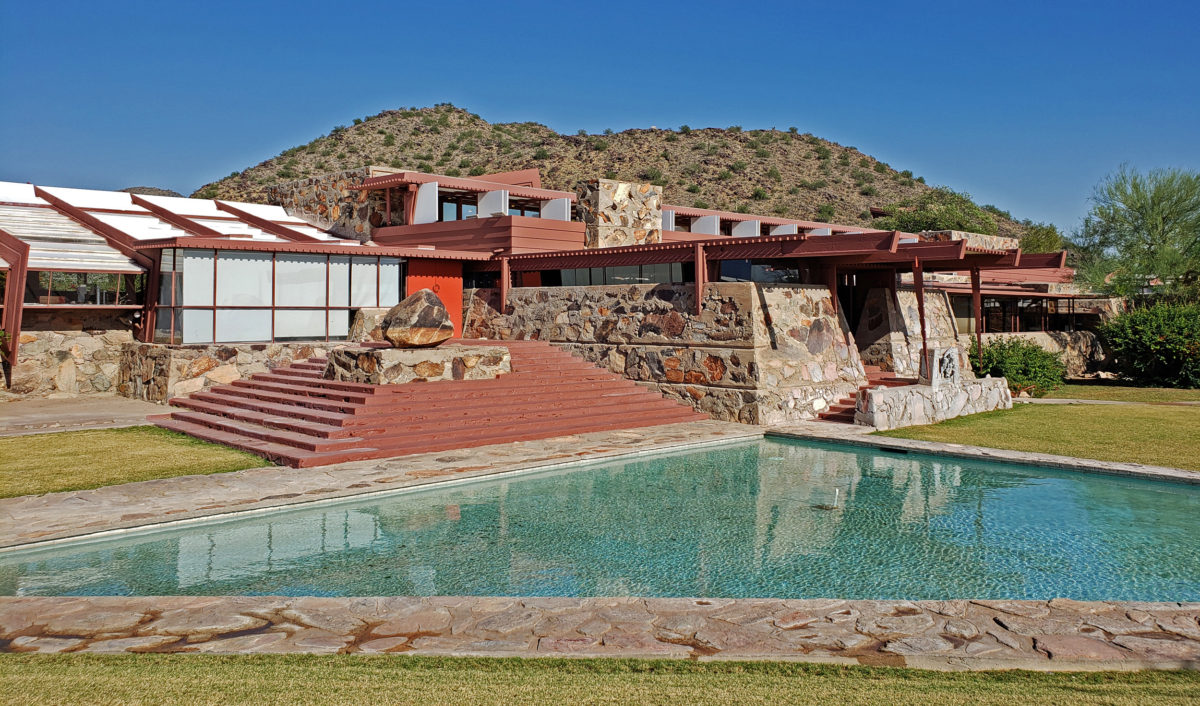
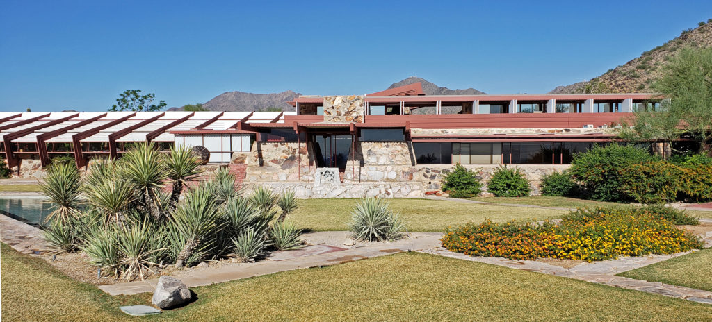
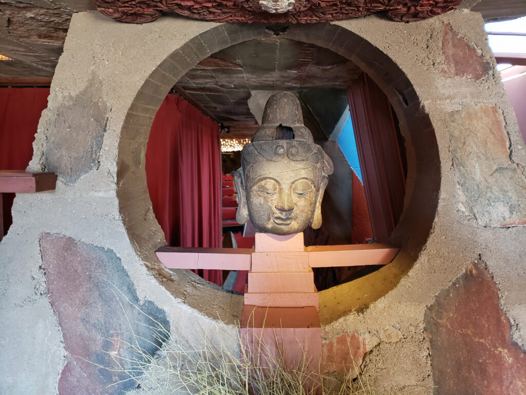
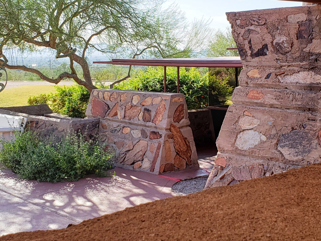 Taliesin West was founded as the winter home for the Frank Lloyd Wright Fellowship, Wright’s school of architecture. It was always a school of architecture as well as Wright’s winter home. The Fellowship evolved into the Frank Lloyd Wright School of Architecture, which conducted classes at Taliesin West until 2020, when it separted from the Frank Lloyd Wright Foundation, changed its name to The School of Architecture, and moved its campus to Cosanti and Arcosanti, Arizona.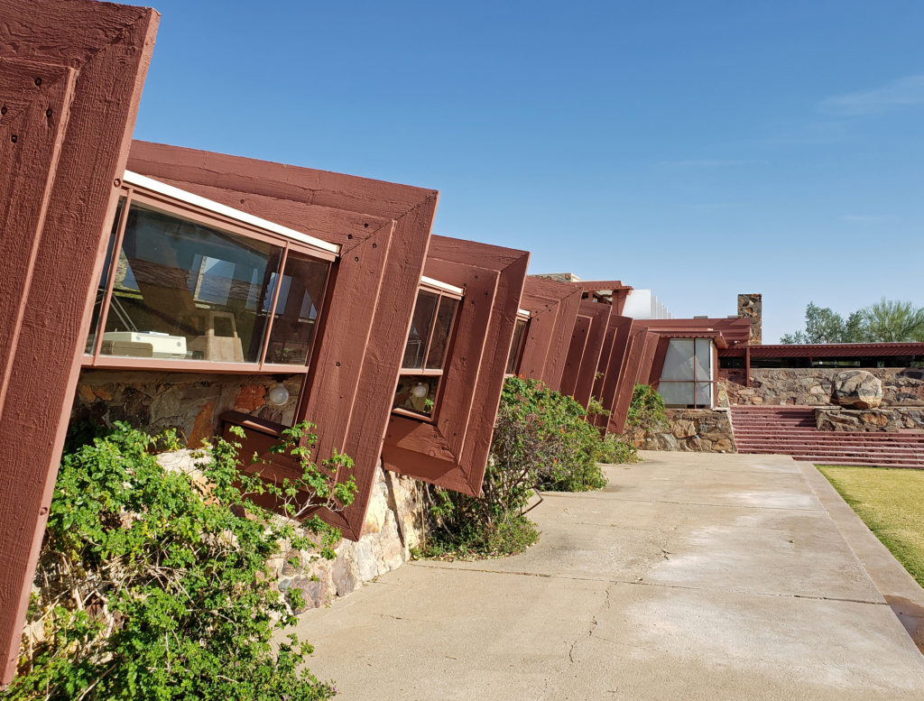
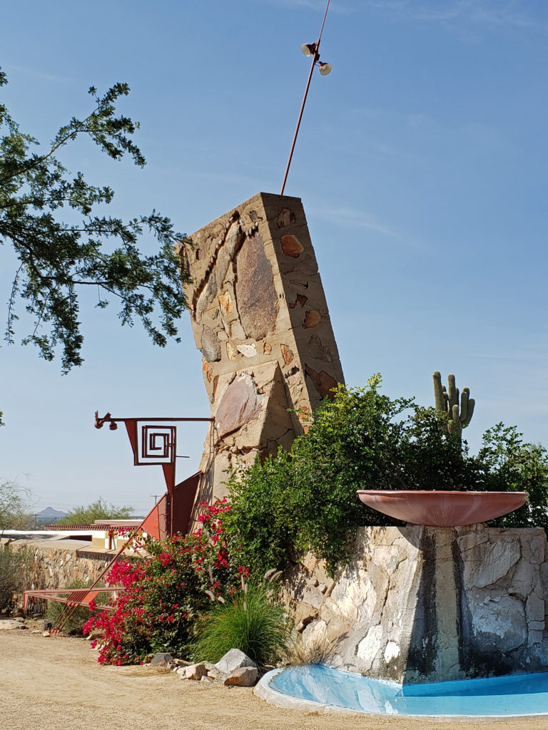
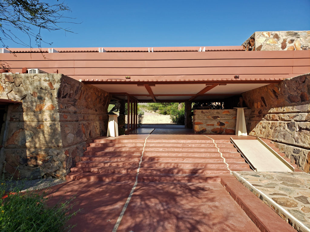

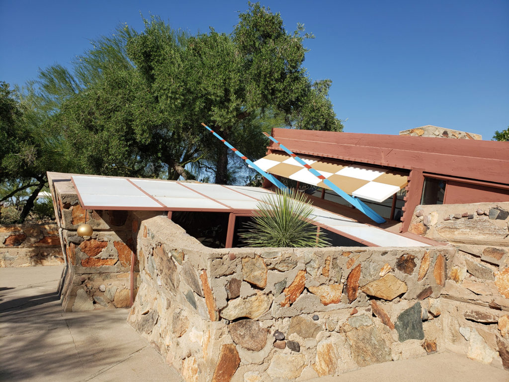
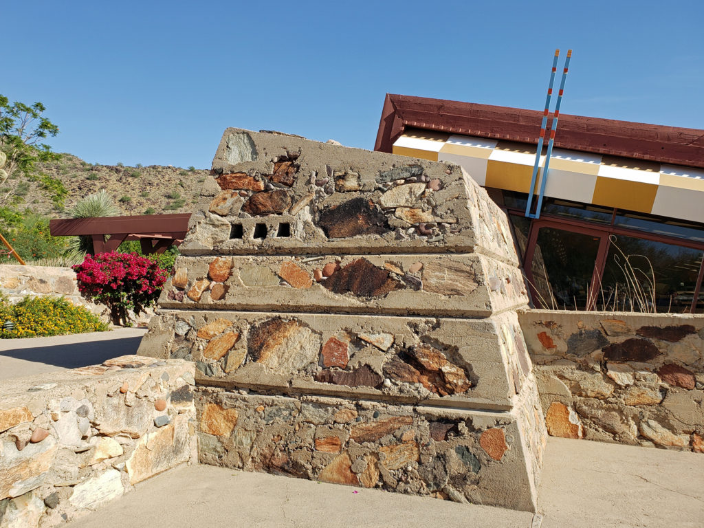
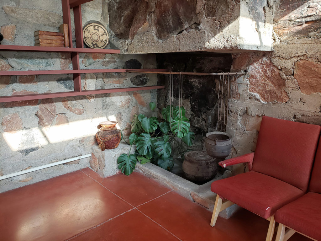
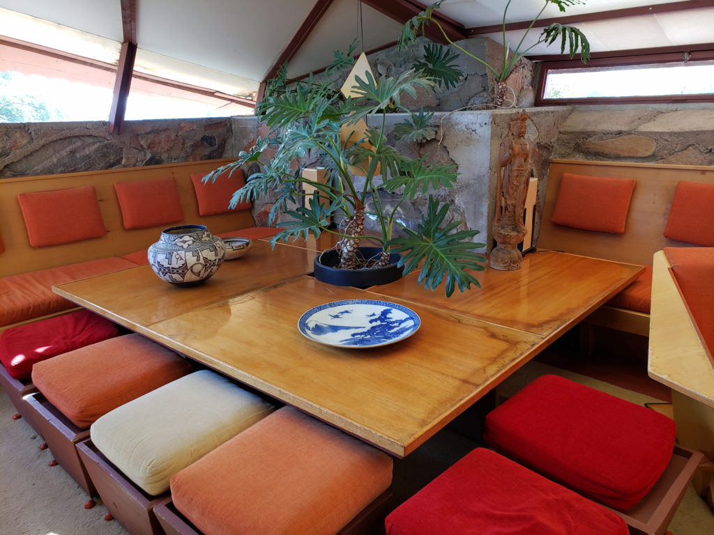
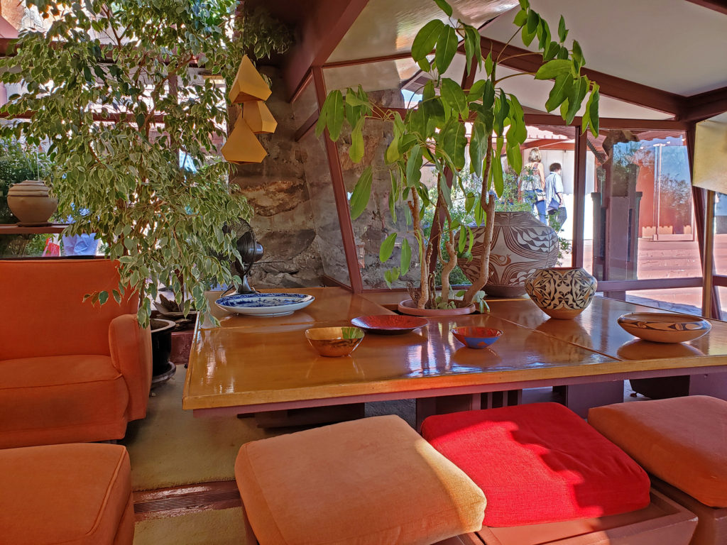
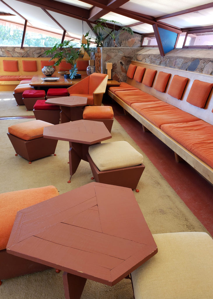 Wright’s design philosophy was holistic, and humanistic. He saw houses as organic structures that should be built in harmony with their environment and in tune with their inhabitants. “It is quite impossible to consider the building as one thing, its furnishings another and its setting and environment still another,” he wrote. He believed that all had to work “as one thing.” There is a story, whether true or not I don’t know, that the purchasers of one of his early residential designs invited him to their home after they moved in and he was so appalled by the way they had furnished the home that from that point on he not only designed the structures, he designed all of the furniture (much of it built in), the lighting, the rugs, the artwork, and even the dinnerware that went into them.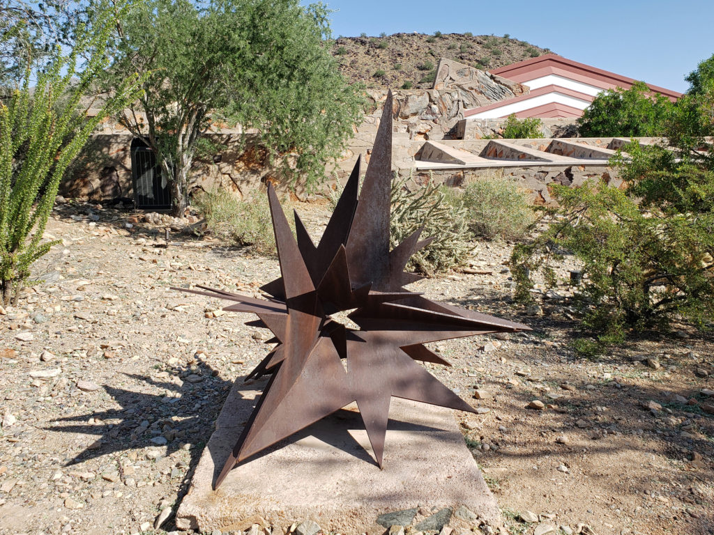
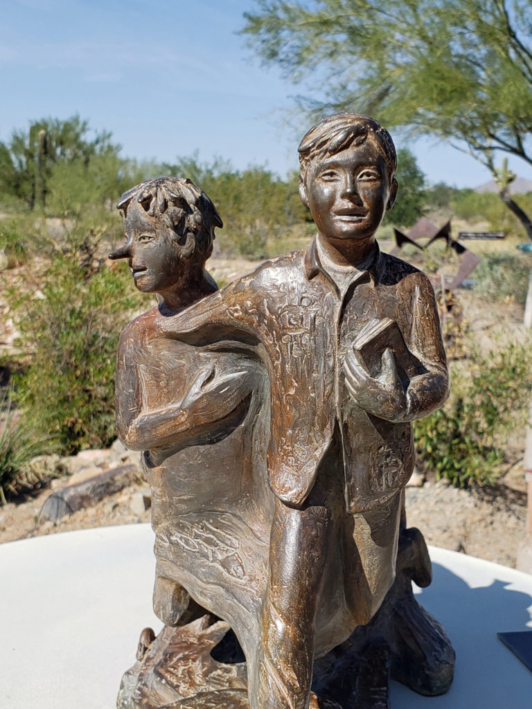
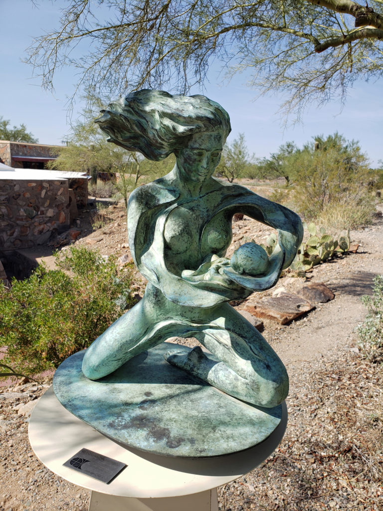
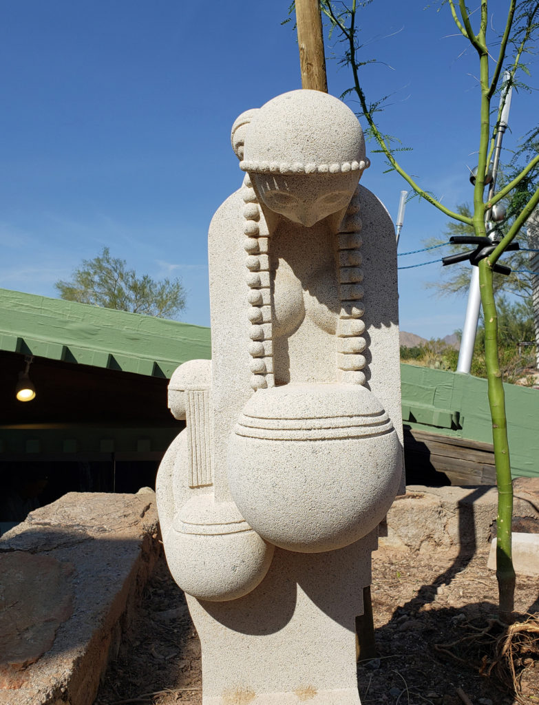
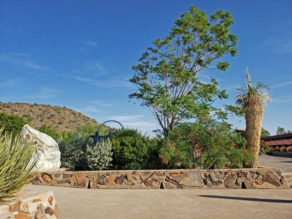
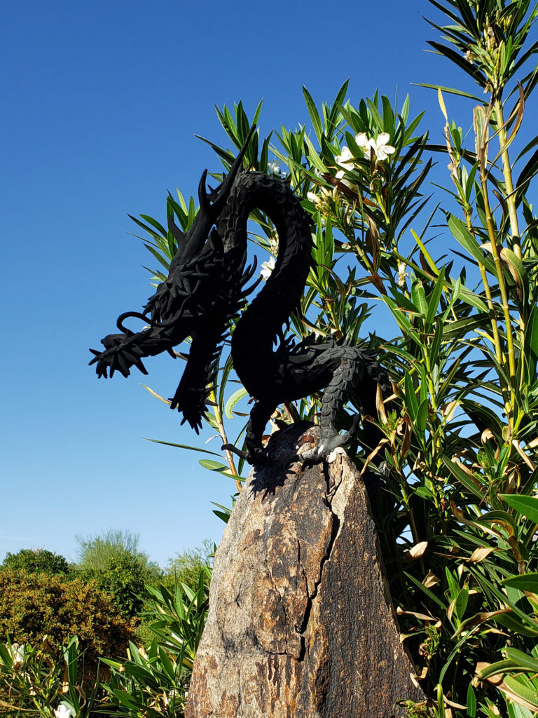
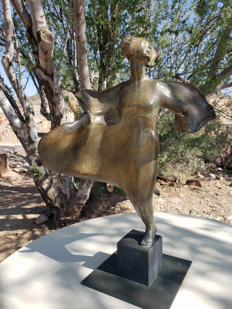 The grounds of Taliesin West are beautifully landscaped and feature many outdoor works of art by various artists. Wright saw architecture as the “mother” of all the arts, and art was an important component of his designs, as was the landscaping.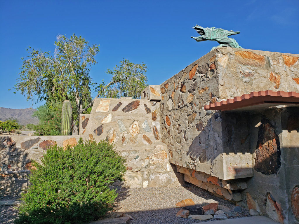
 Taliesin West is located in Scottsdale, Arizona, about 20 miles northeast of downtown Phoenix.
 Originally posted November 26, 2019. Updated and re-posted January 7, 2022.
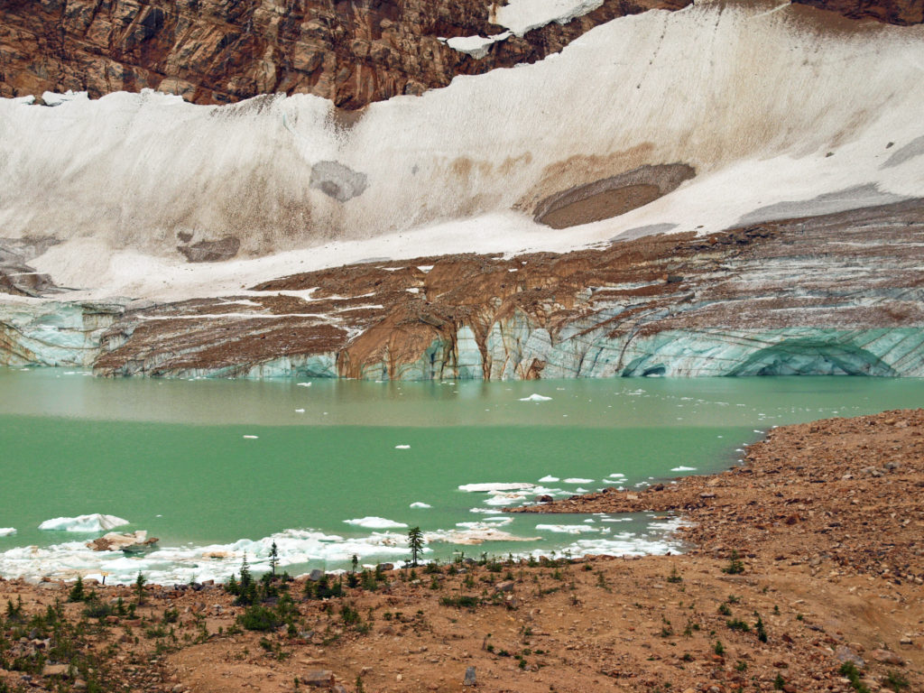
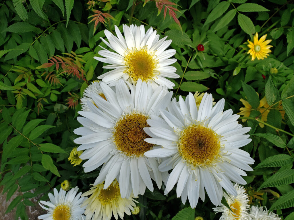 The Icefields Parkway ends at the town of Jasper, a smaller, less crowded, and lower key version of Banff. There are abundant restaurants, pubs, galleries, and shops there, but accommodations are limited, and hotels and motels are expensive. Book your stay well in advance. We opted for staying in a travel trailer at an RV park 30 miles (48 km) from Jasper, just outside the park boundary, because that was the only thing available through Airbnb when we were planning our trip. It was a little inconvenient, but in the end it worked fine.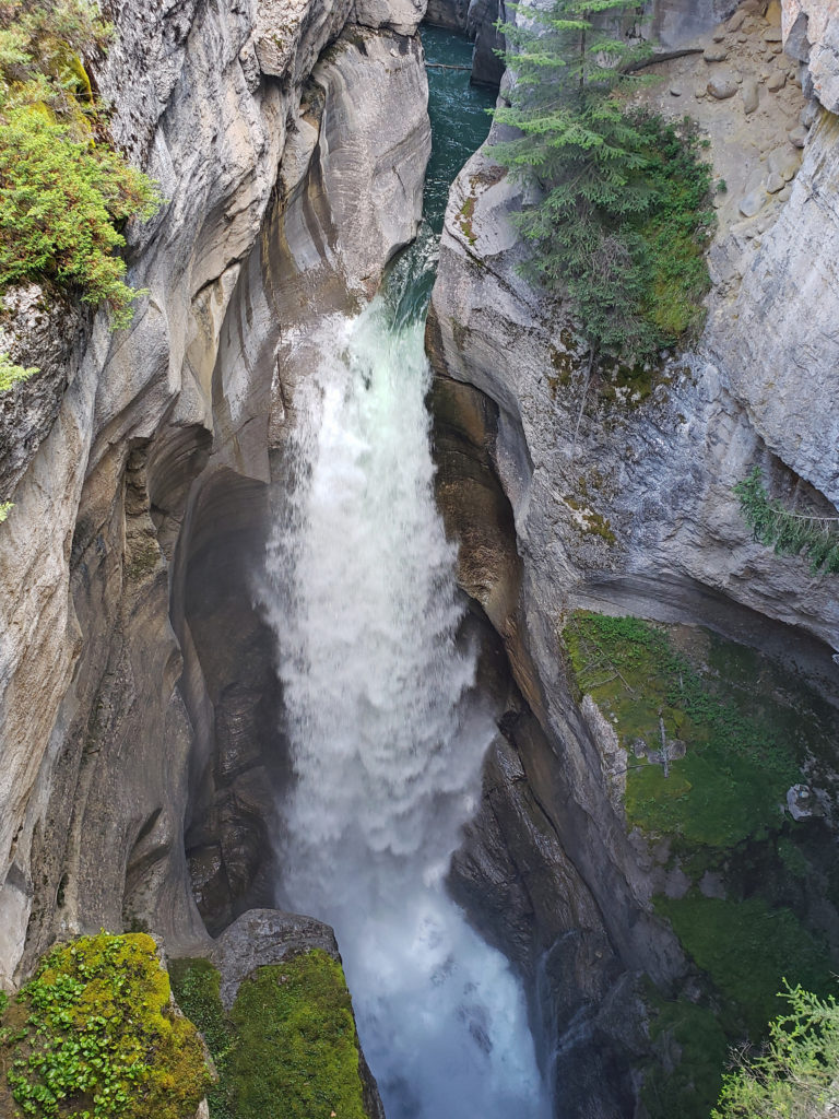
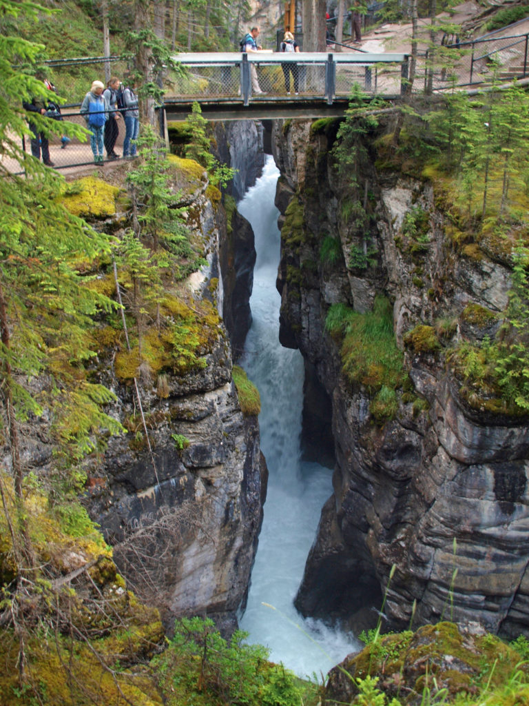





 Originally posted August 6, 2019. Updated and re-posted November 19, 2022.